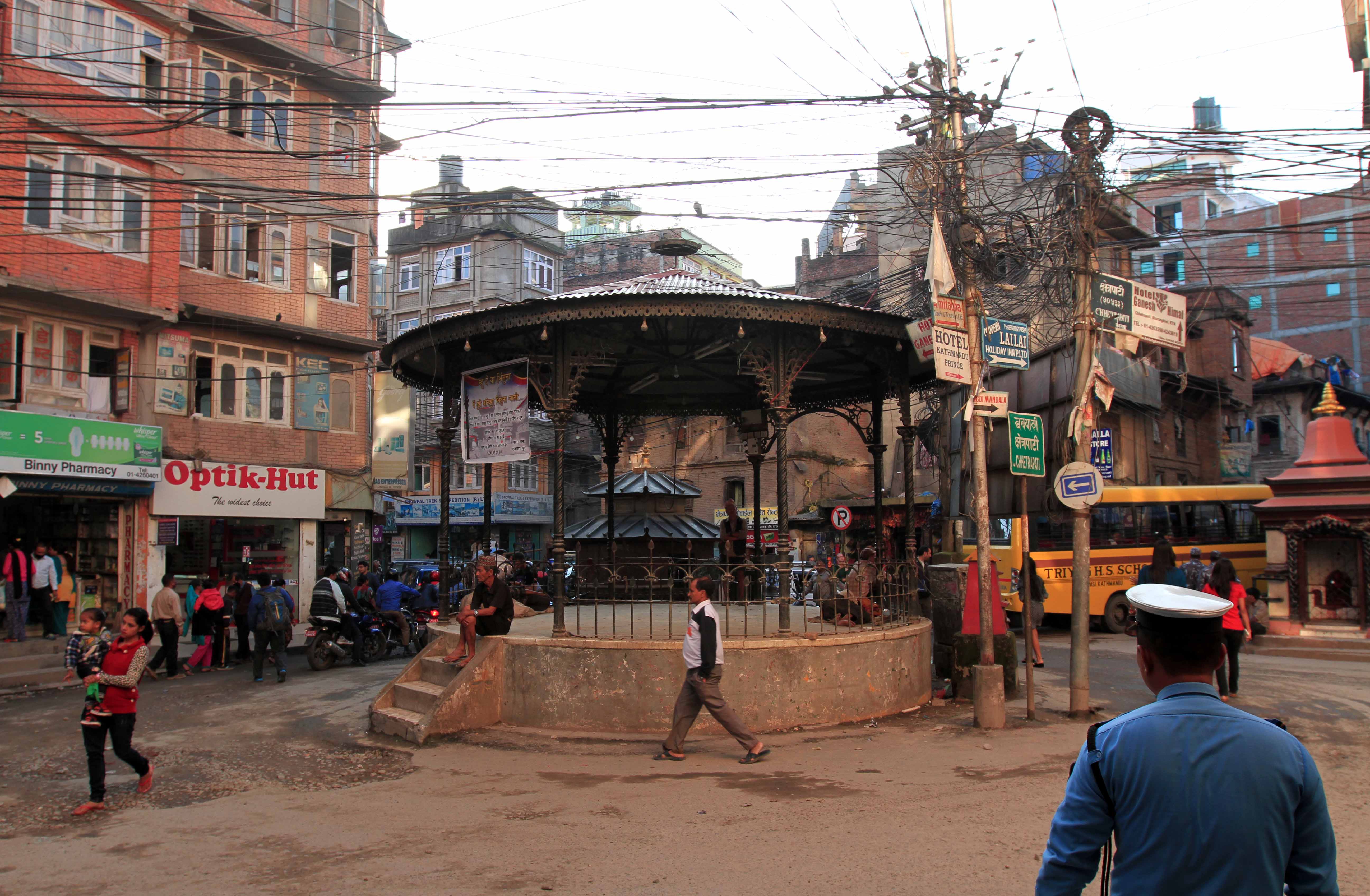
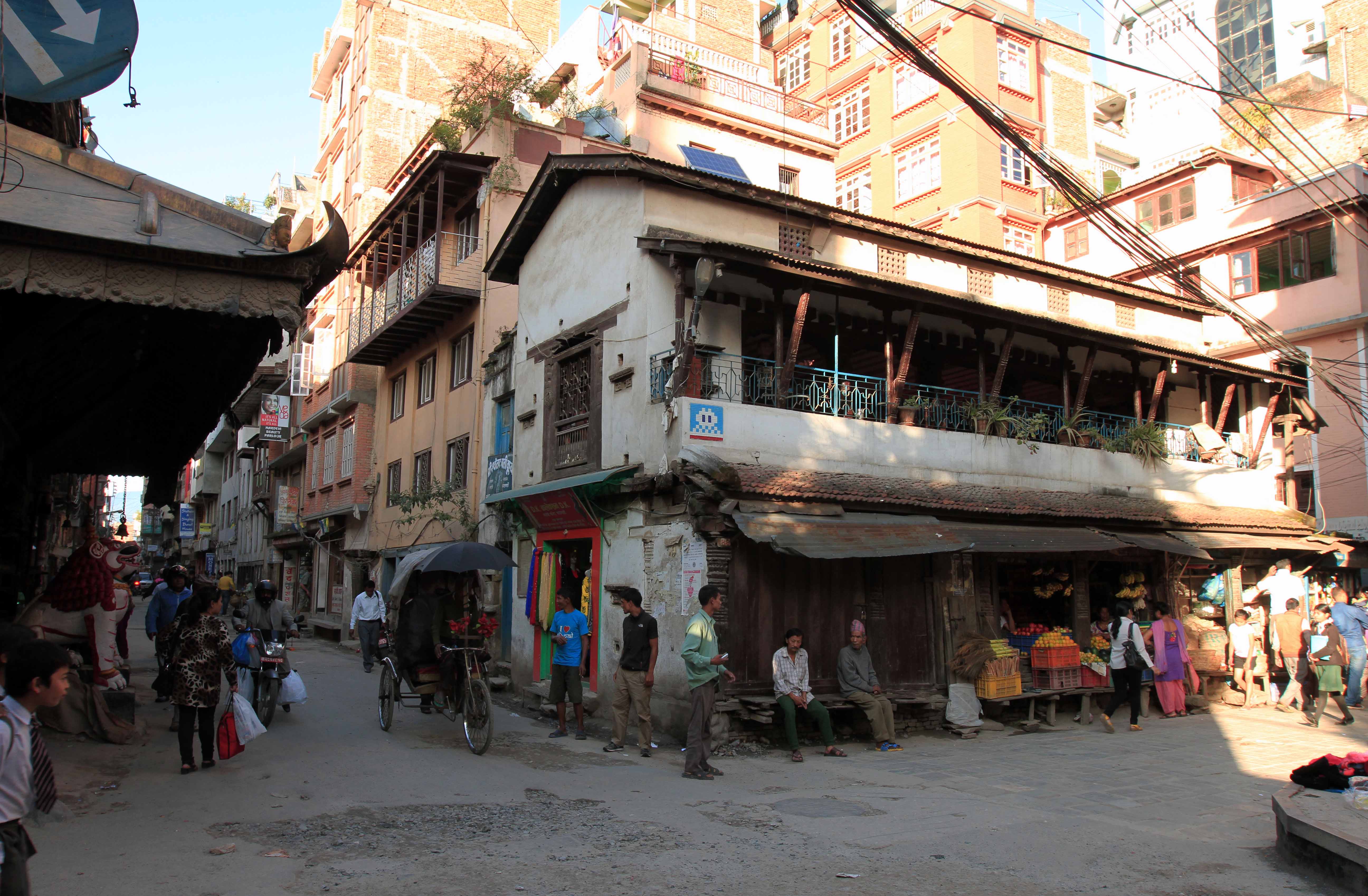
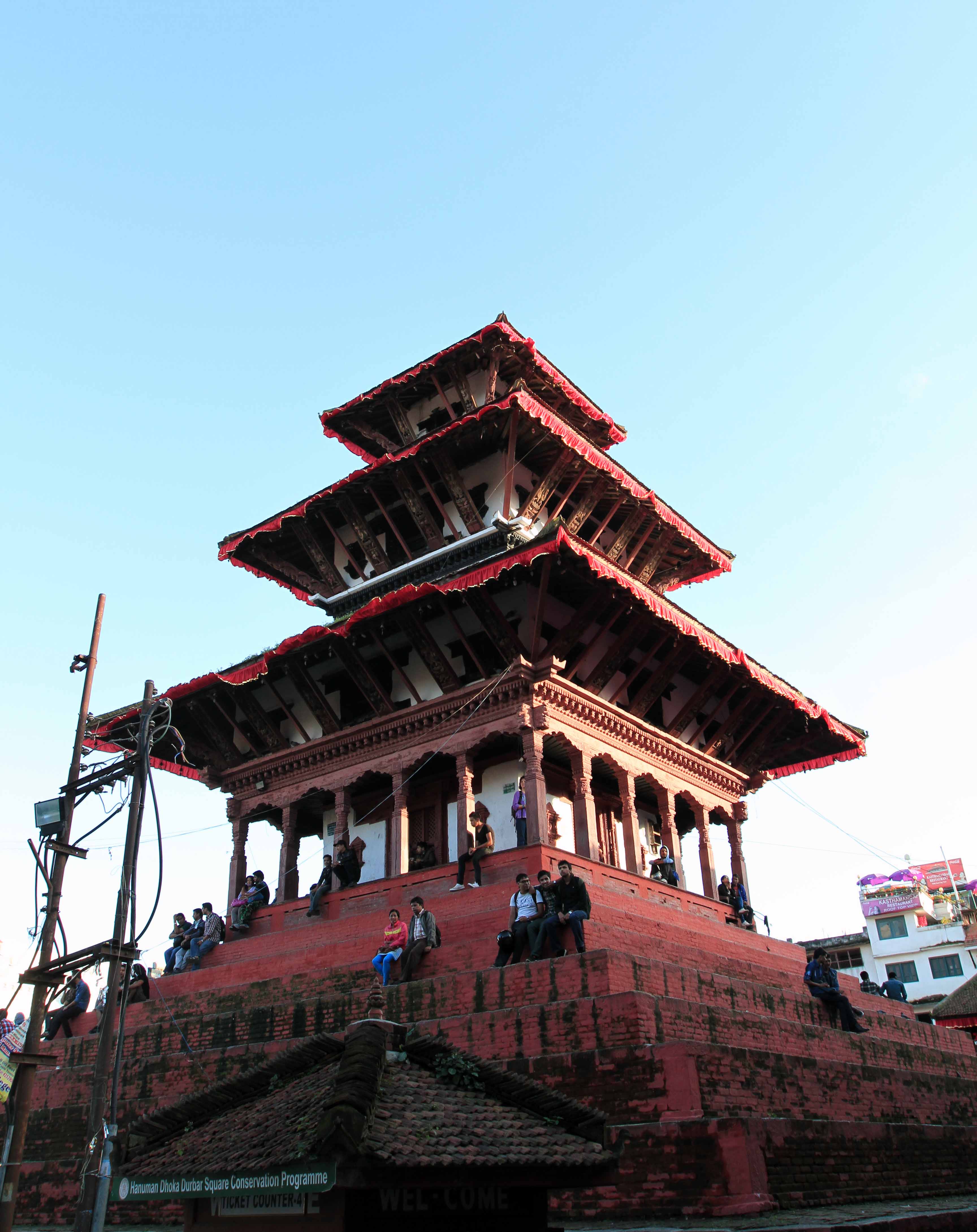
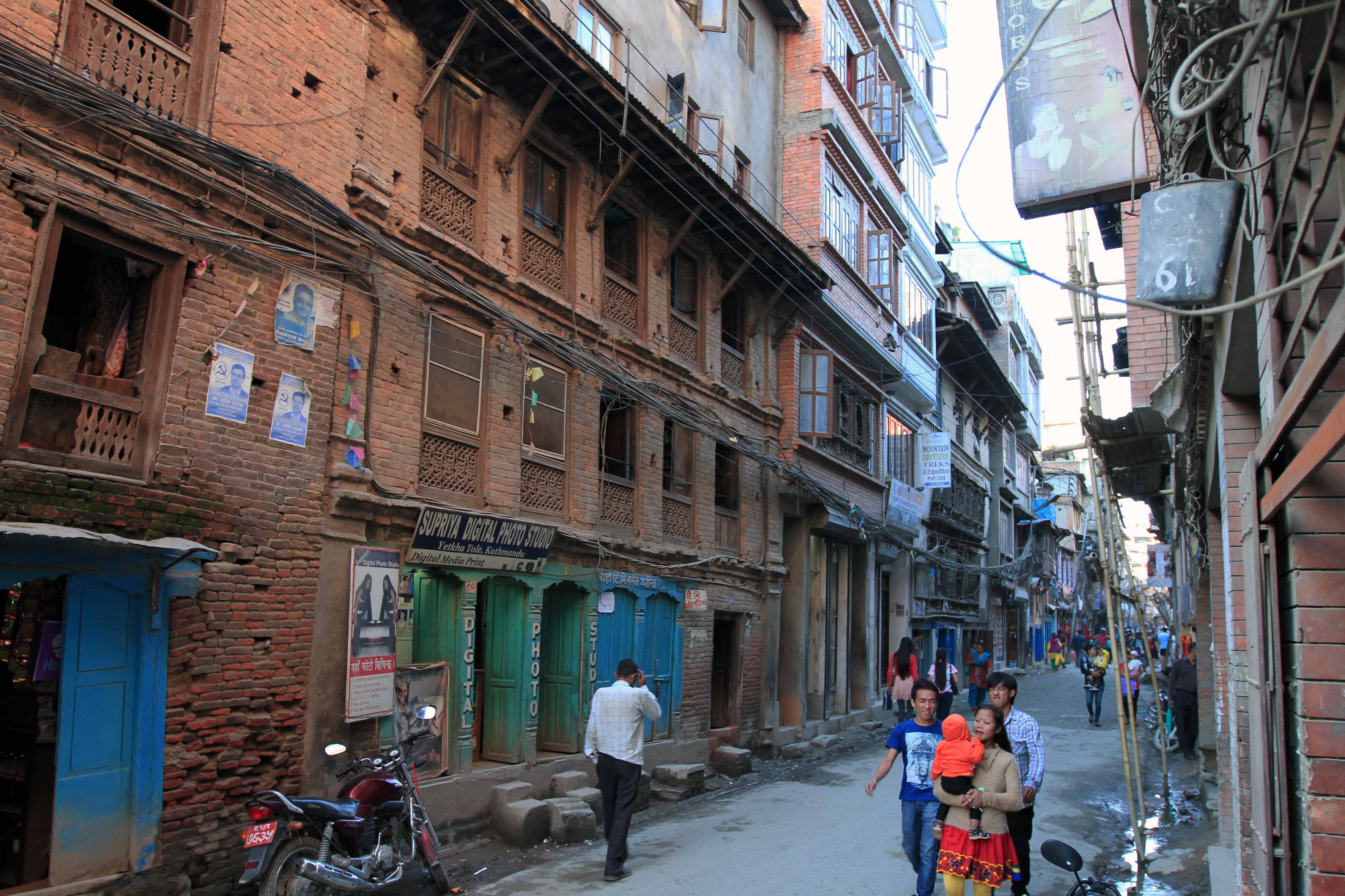
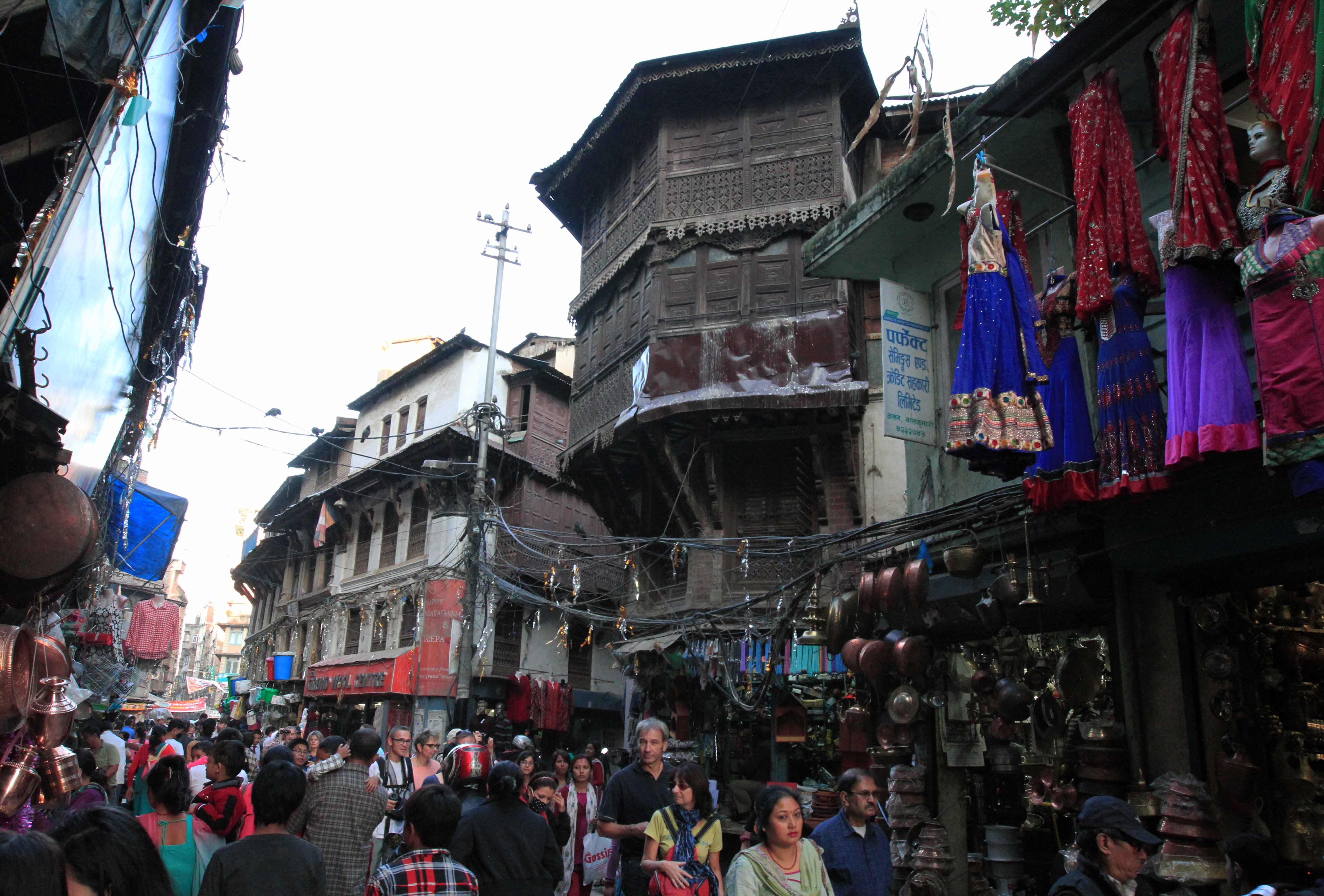
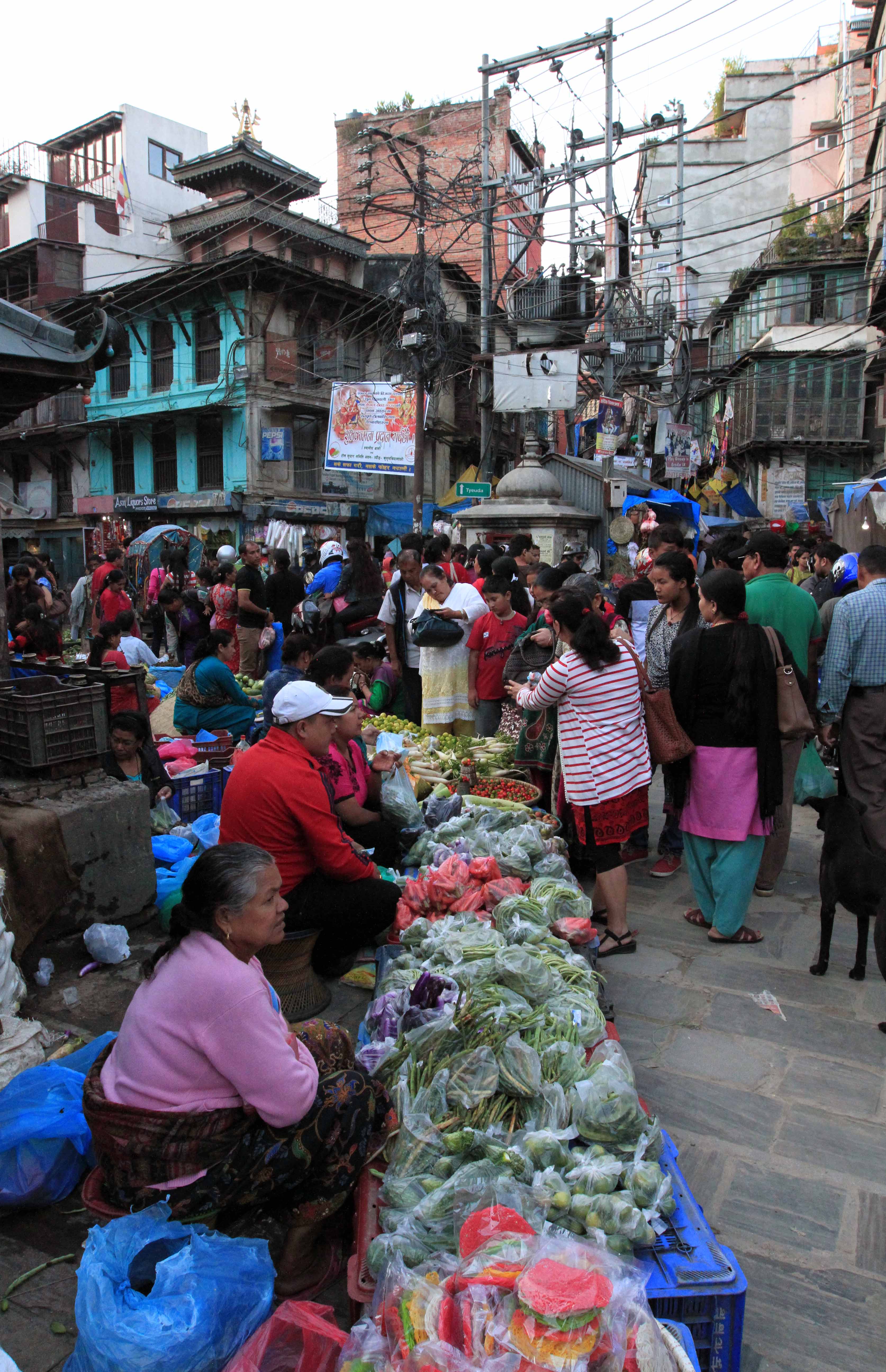
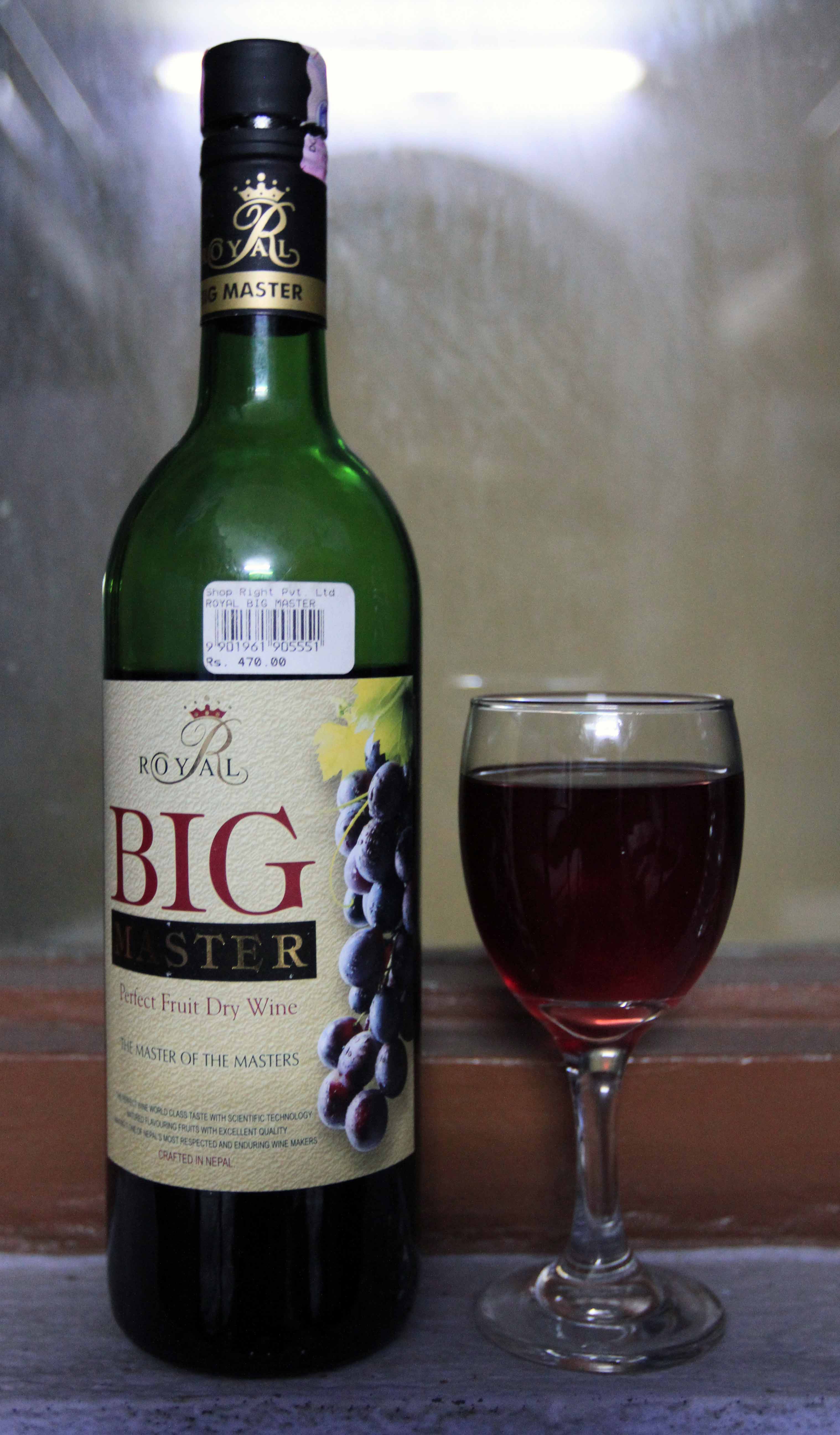
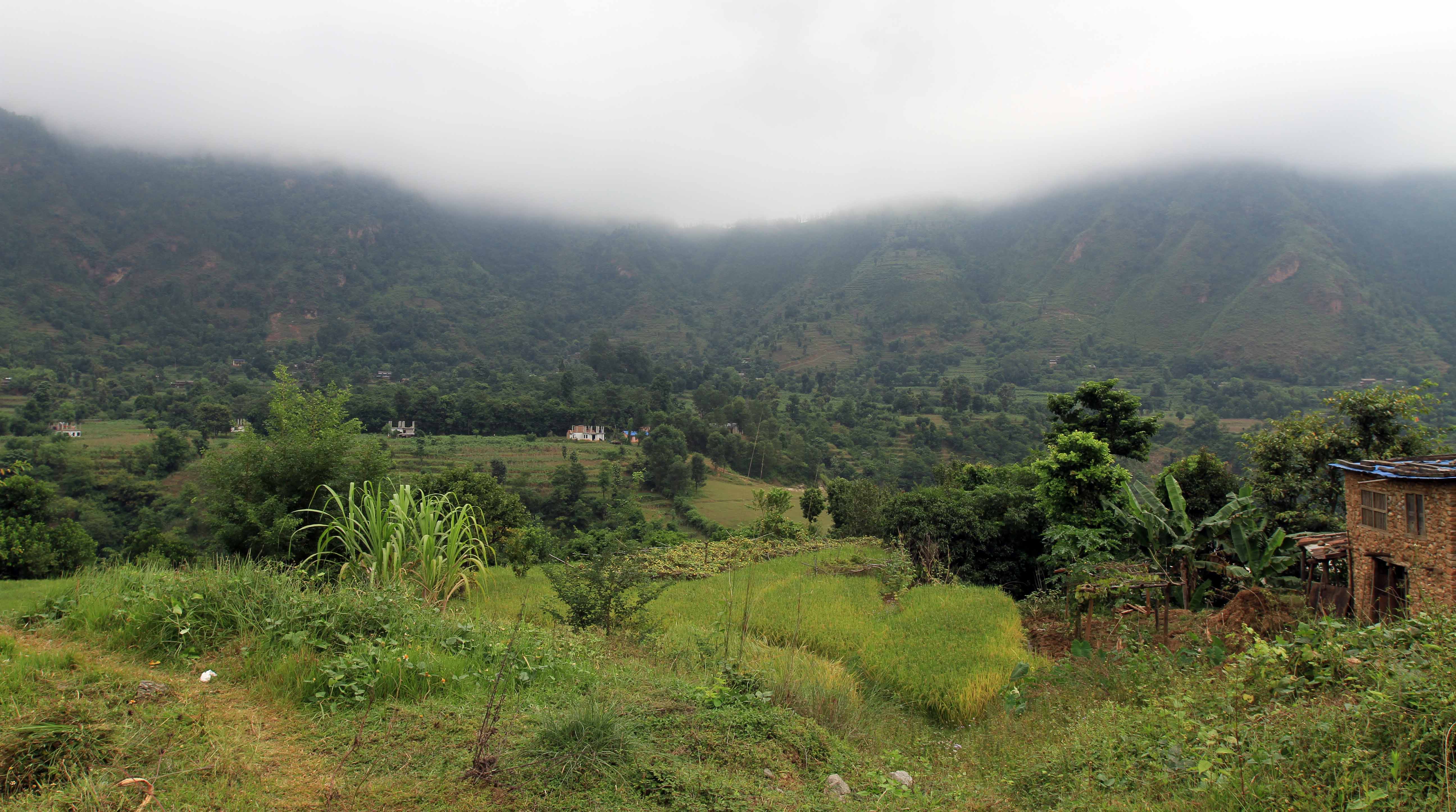
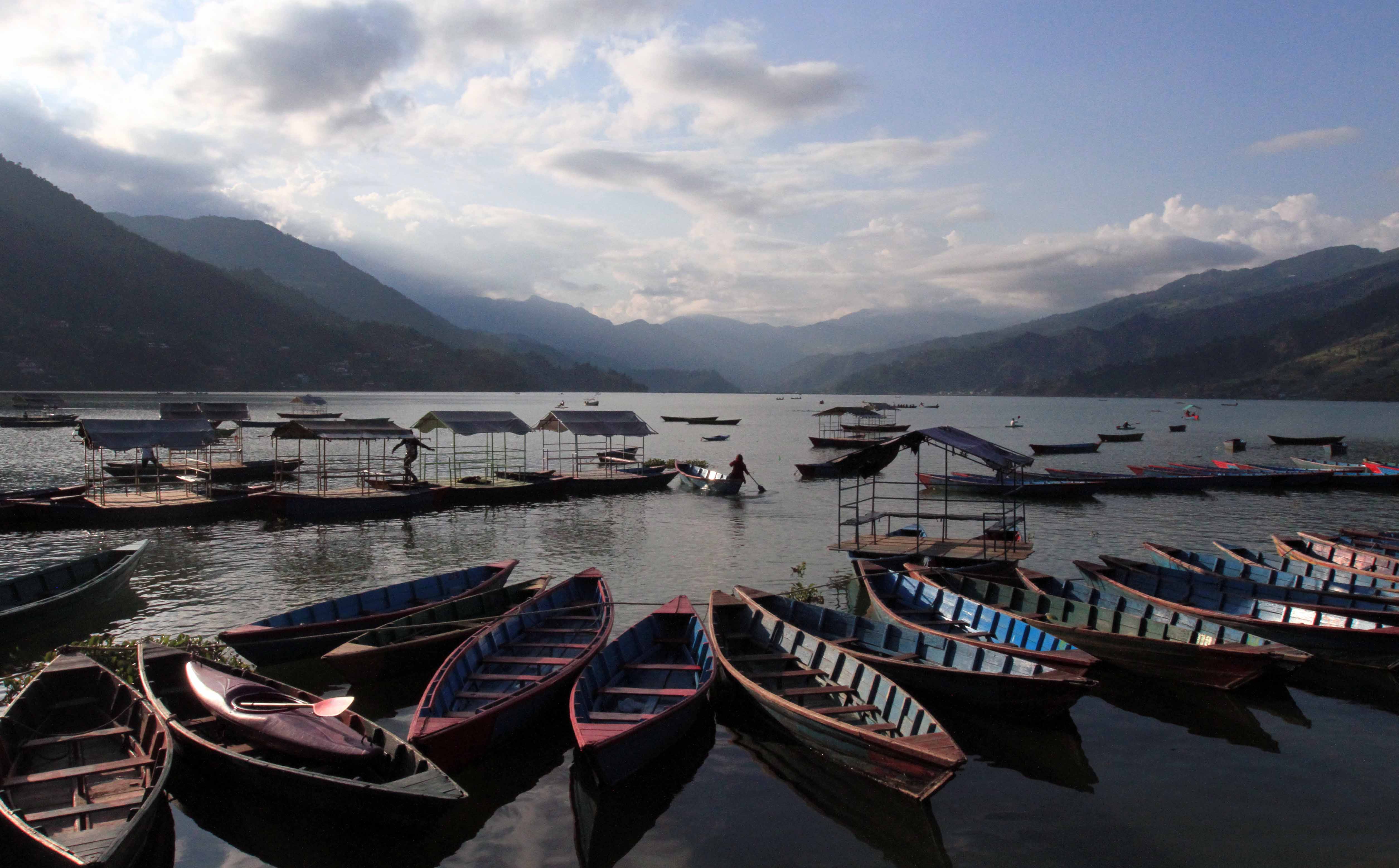
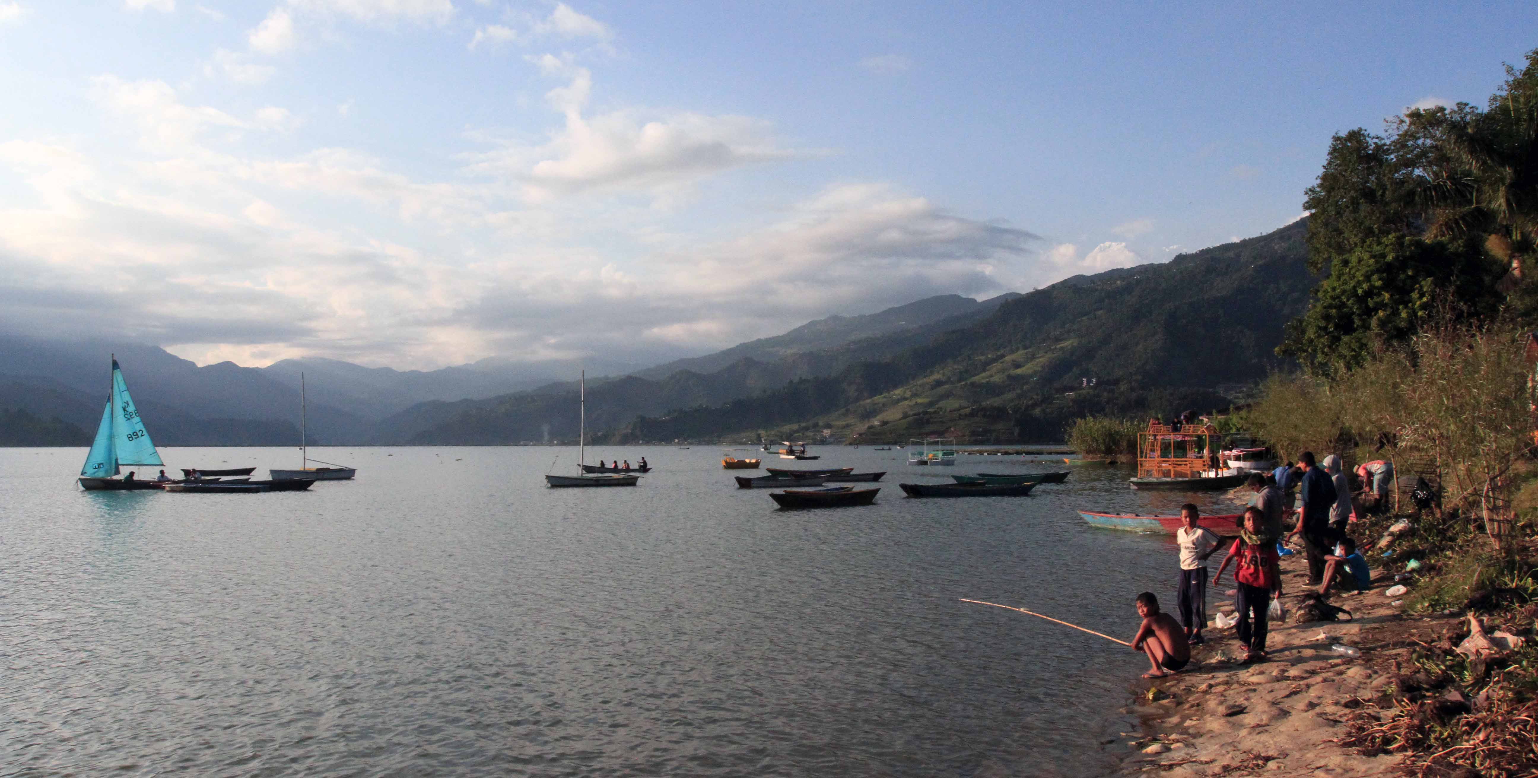
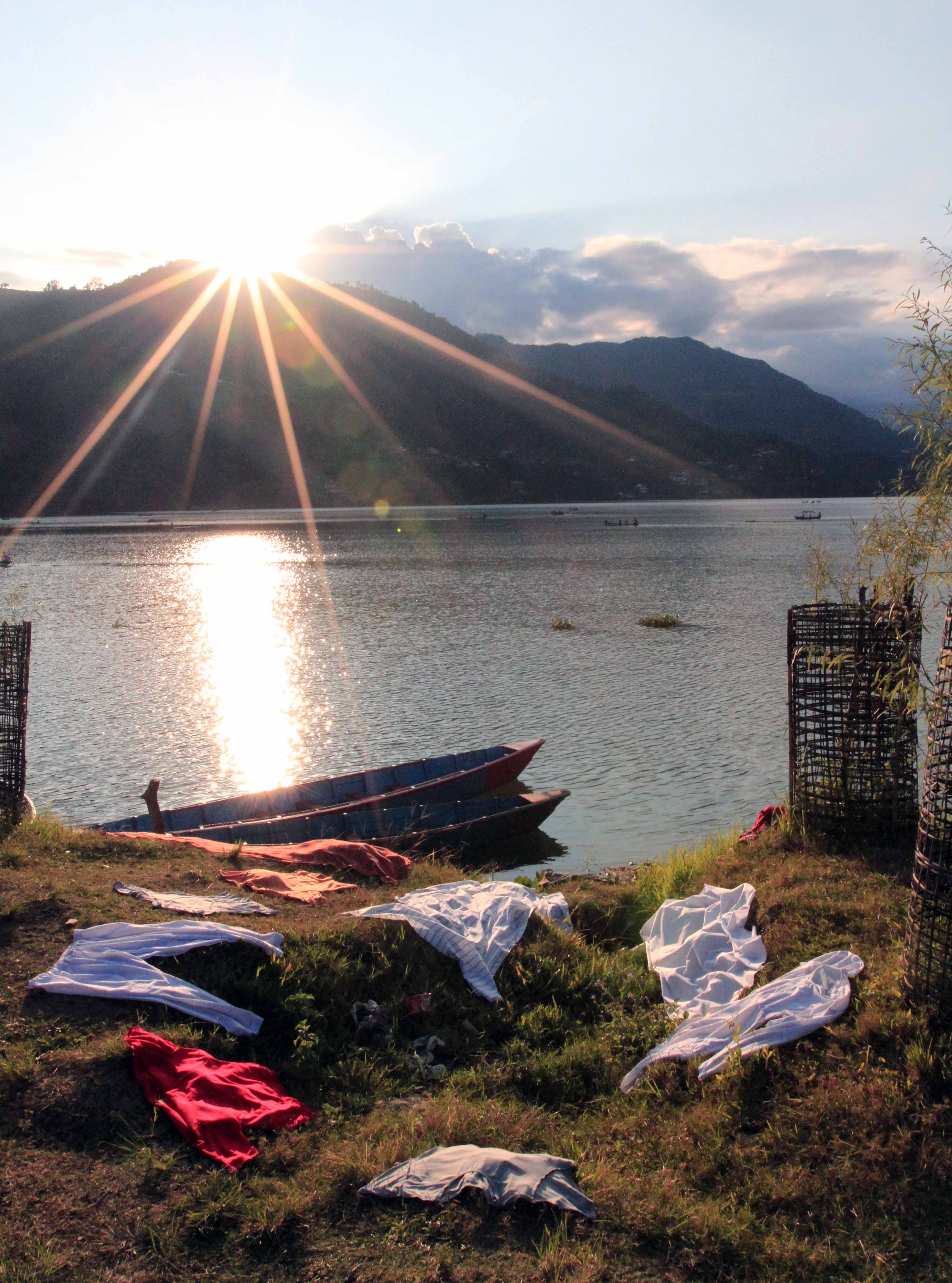
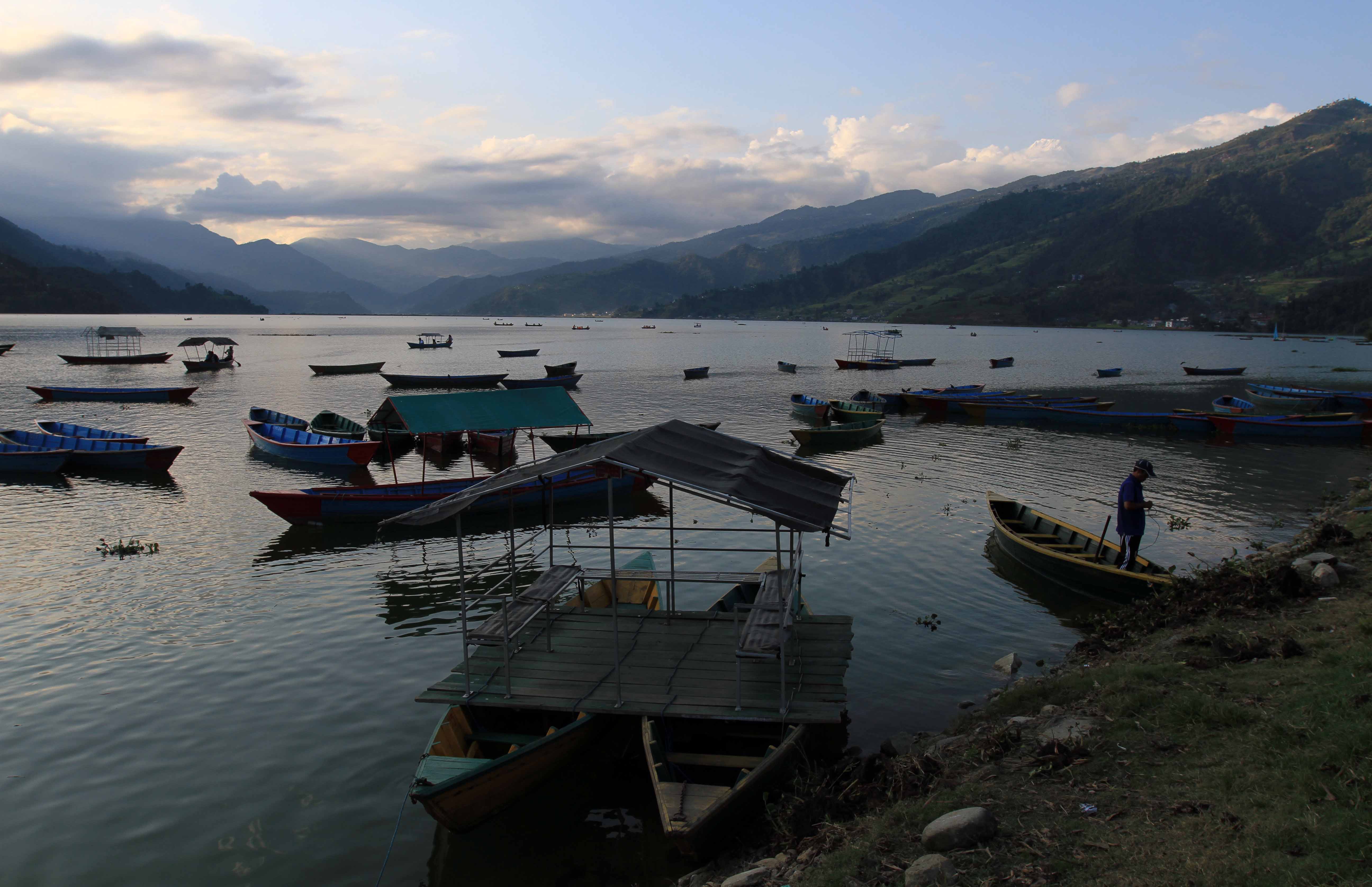
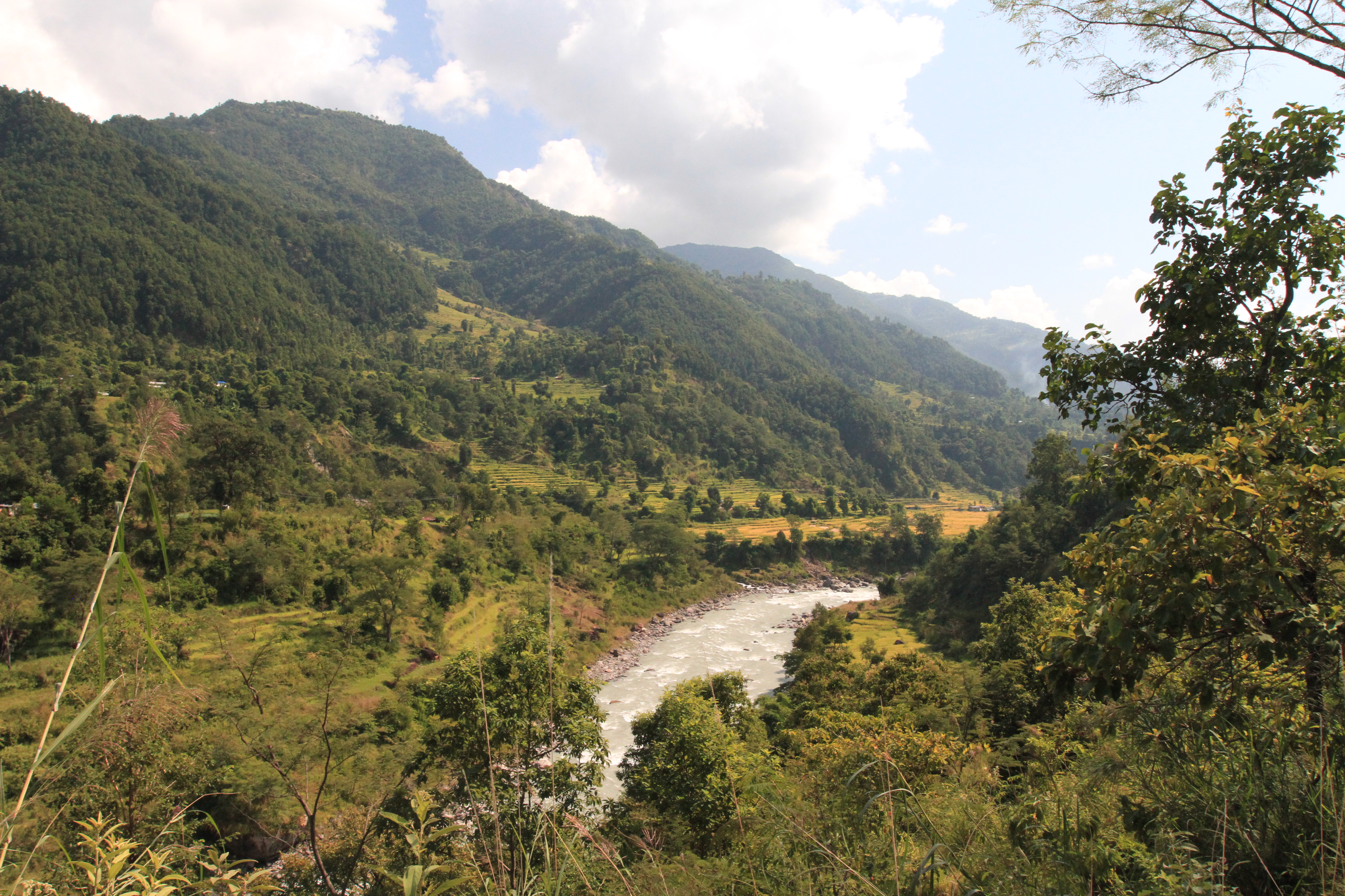
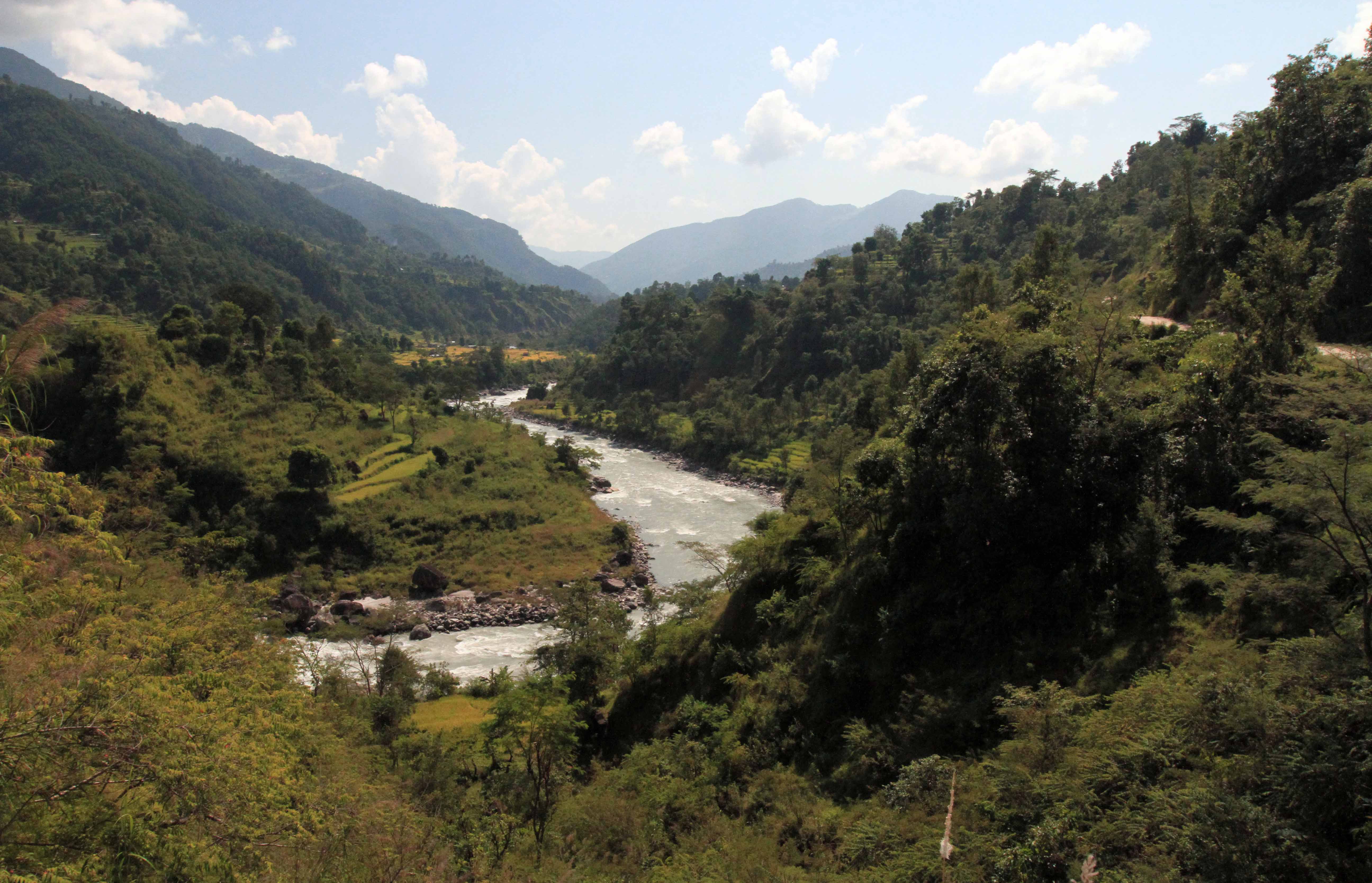
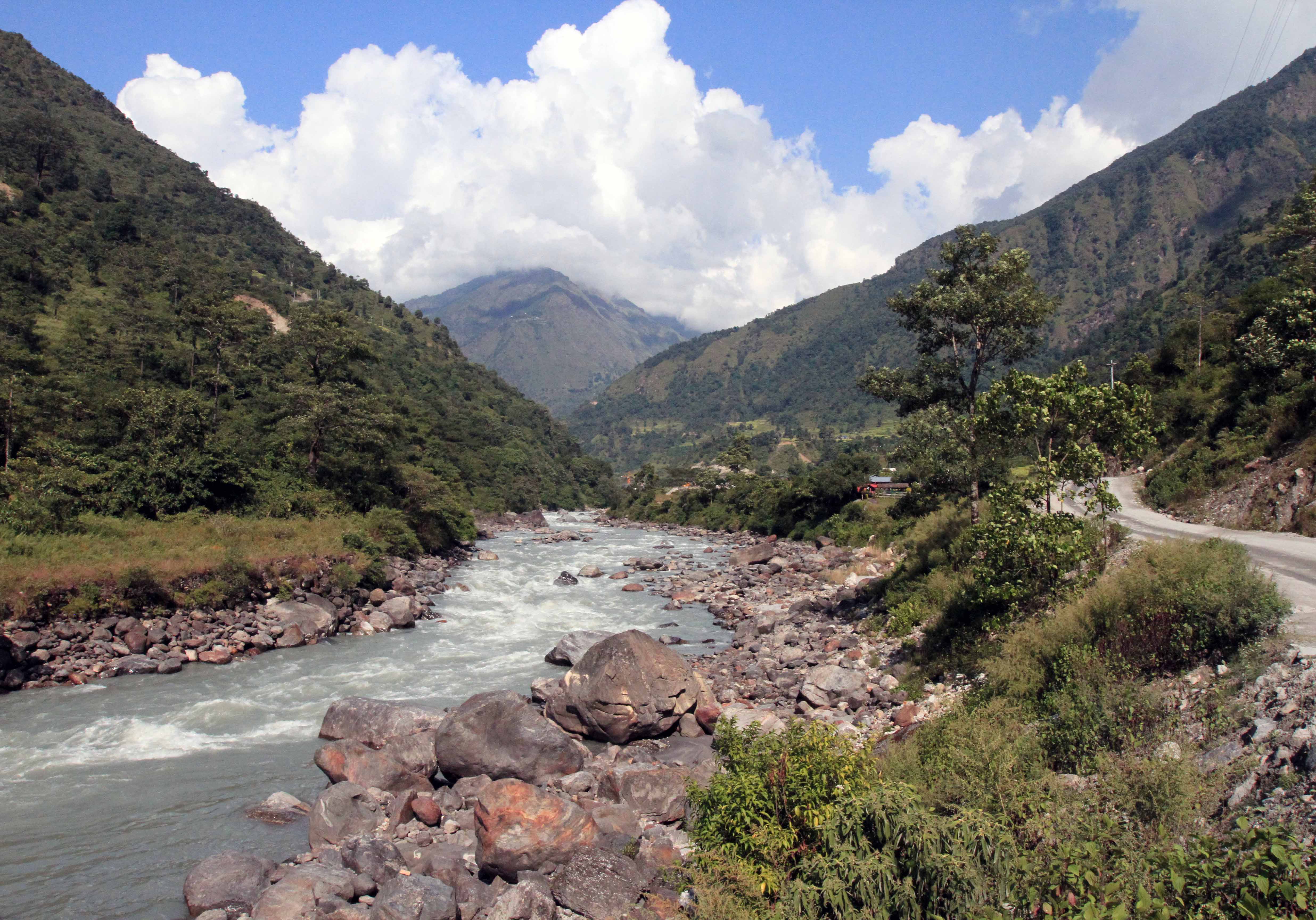
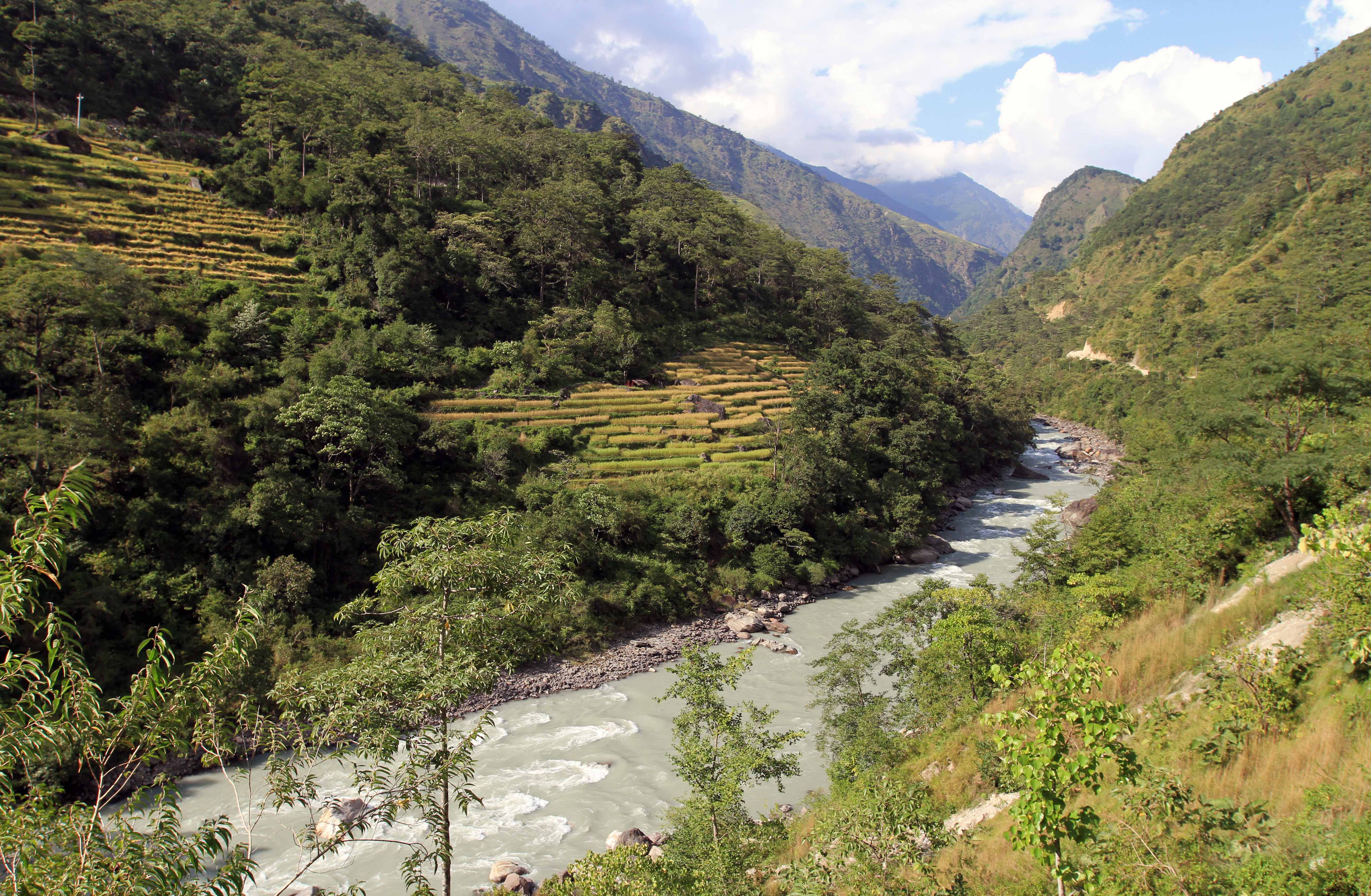
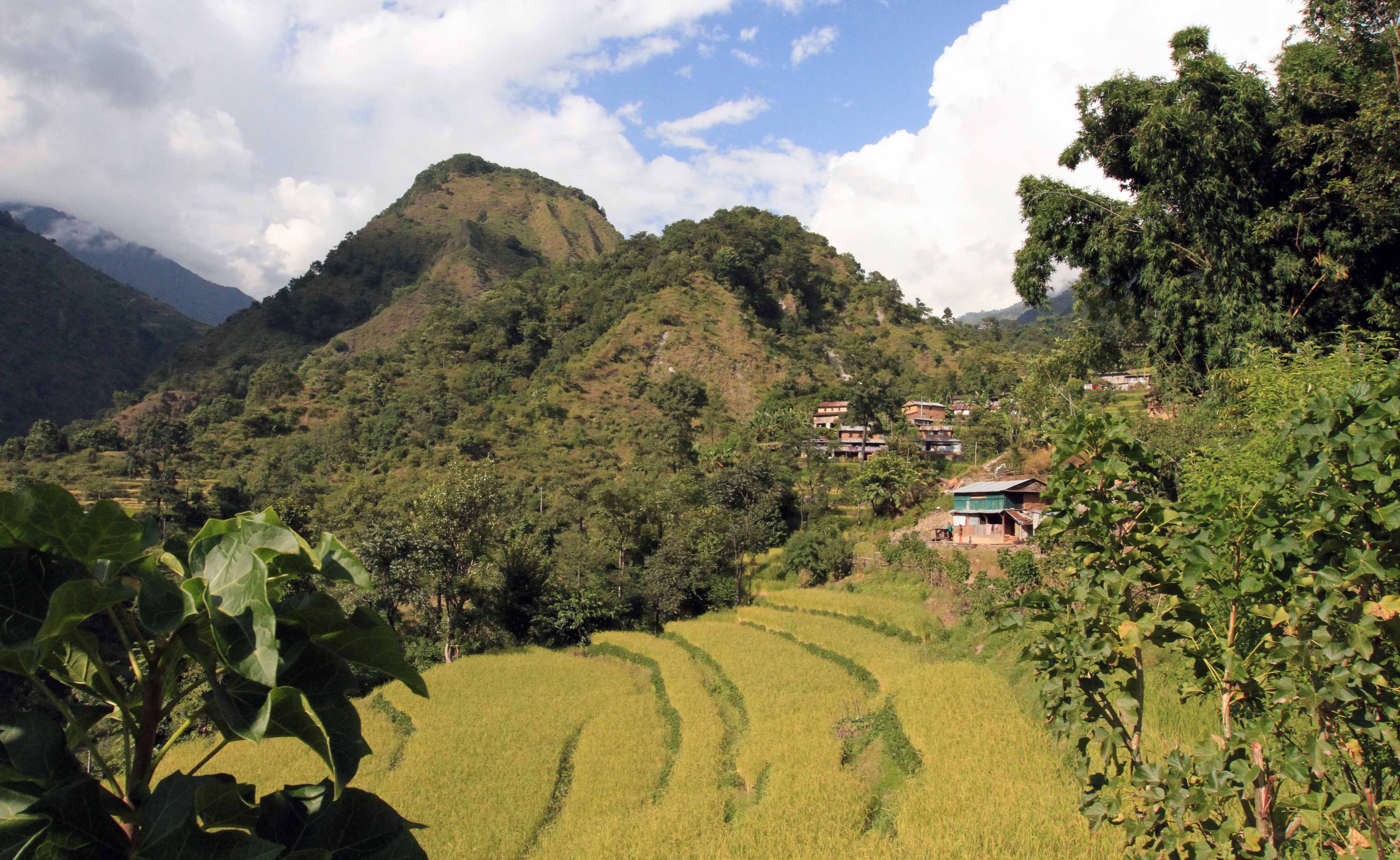
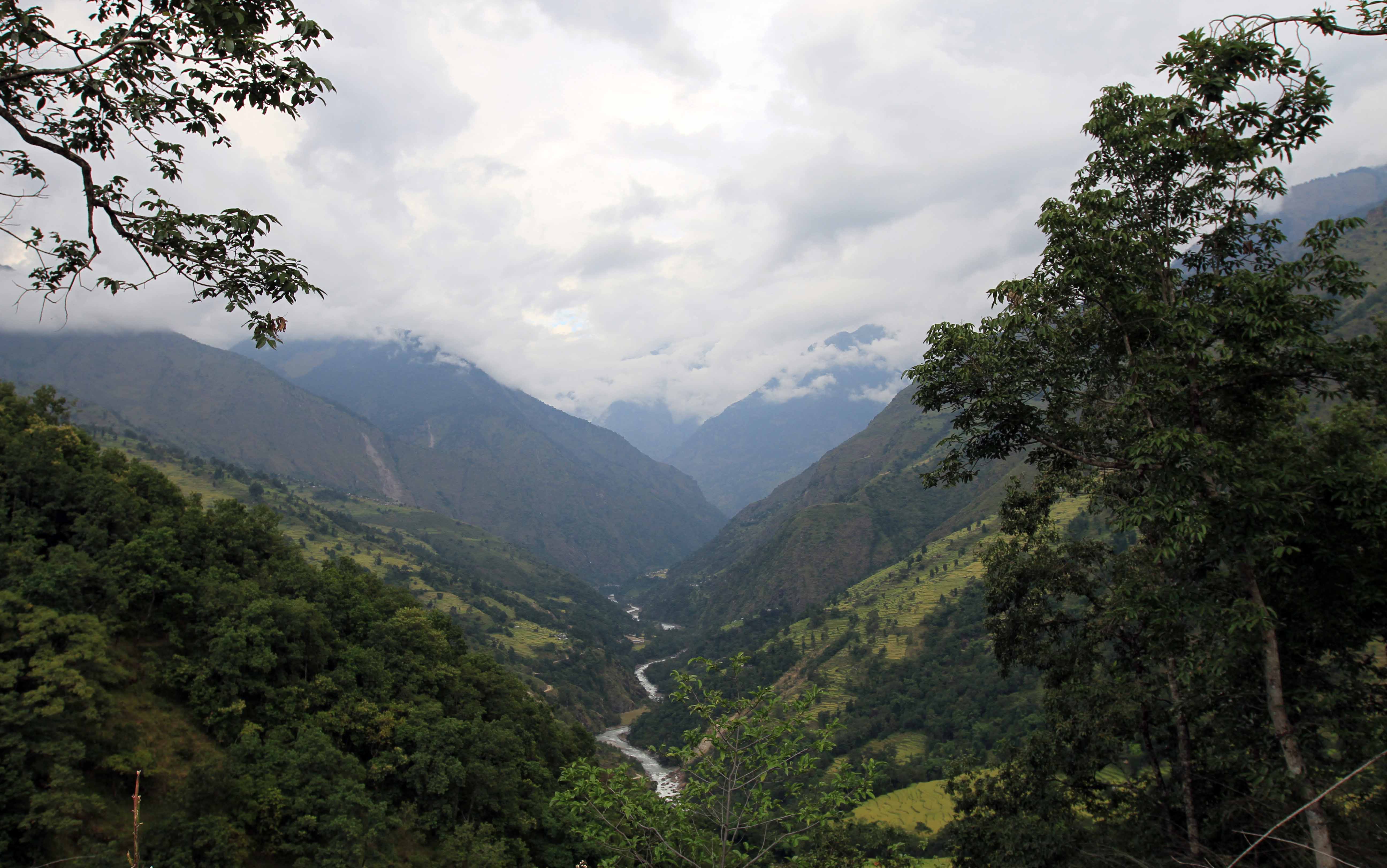
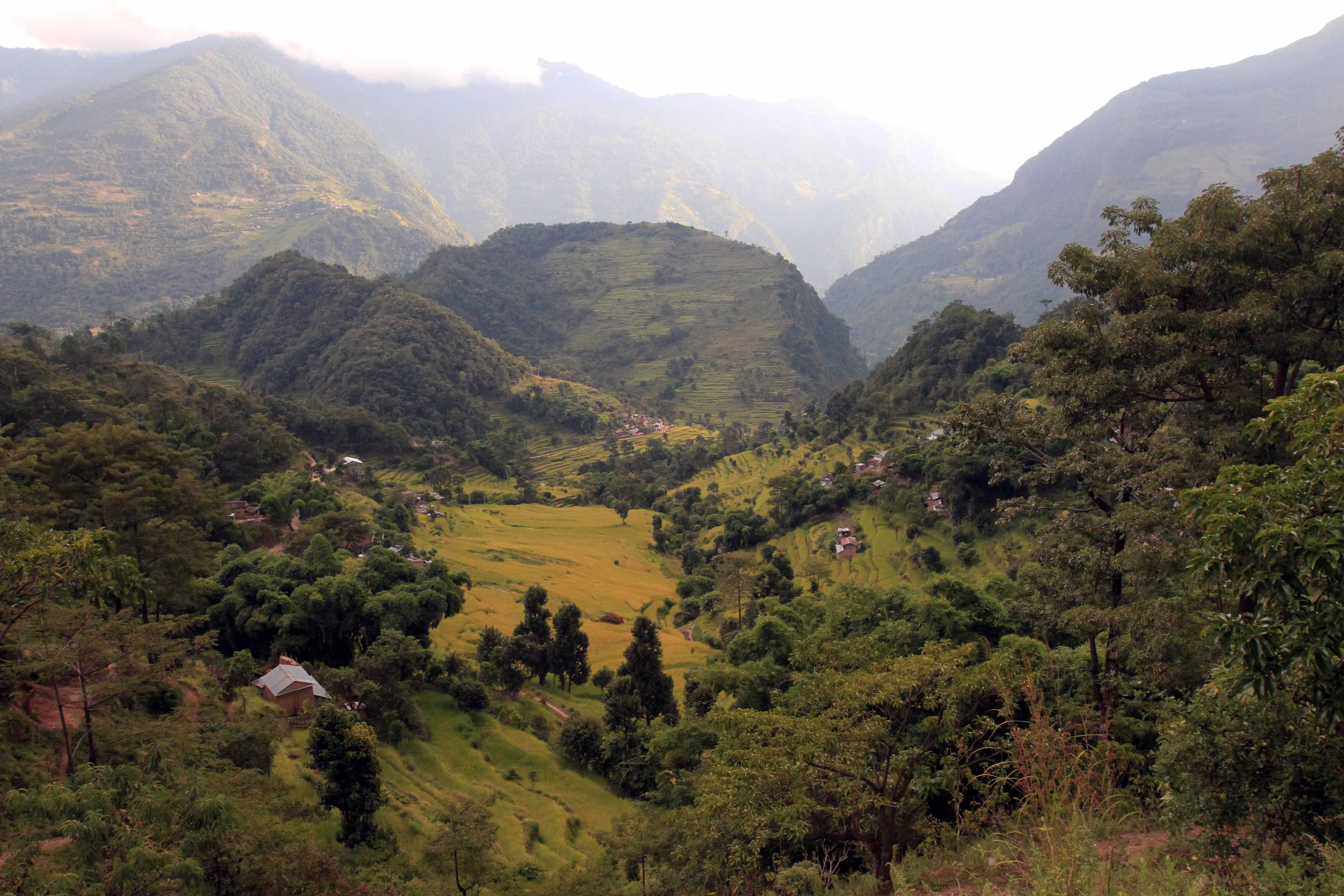
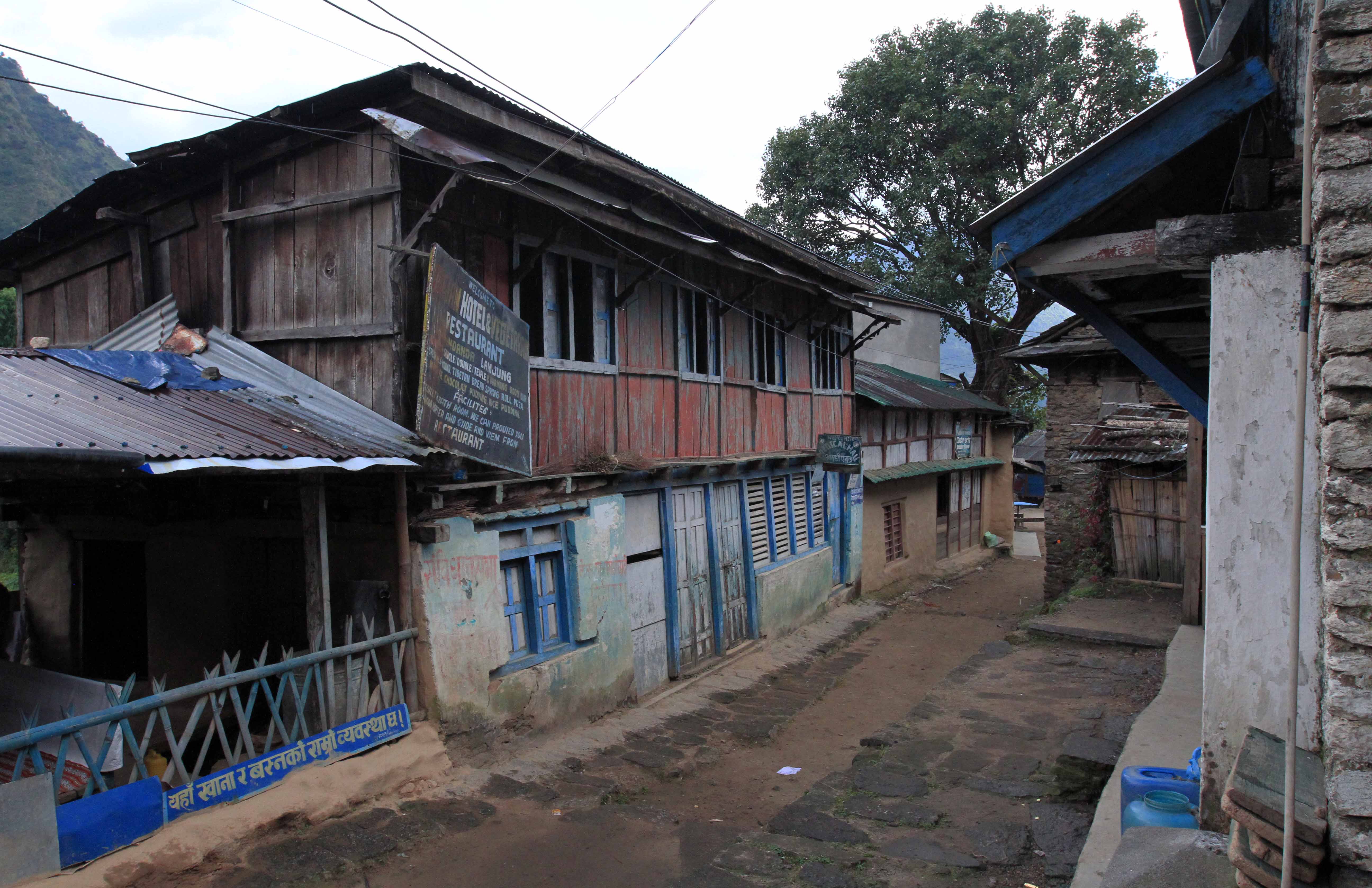
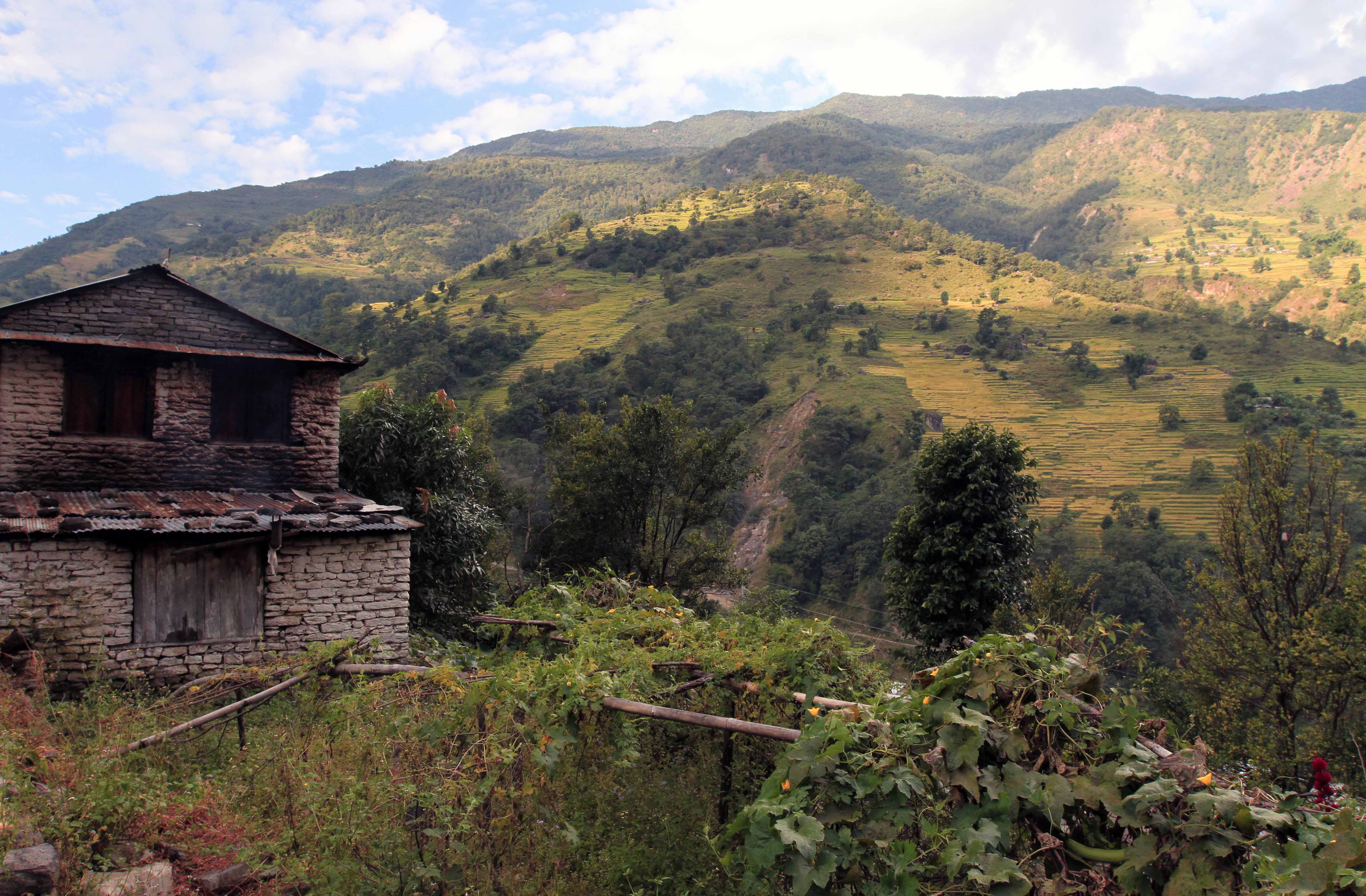
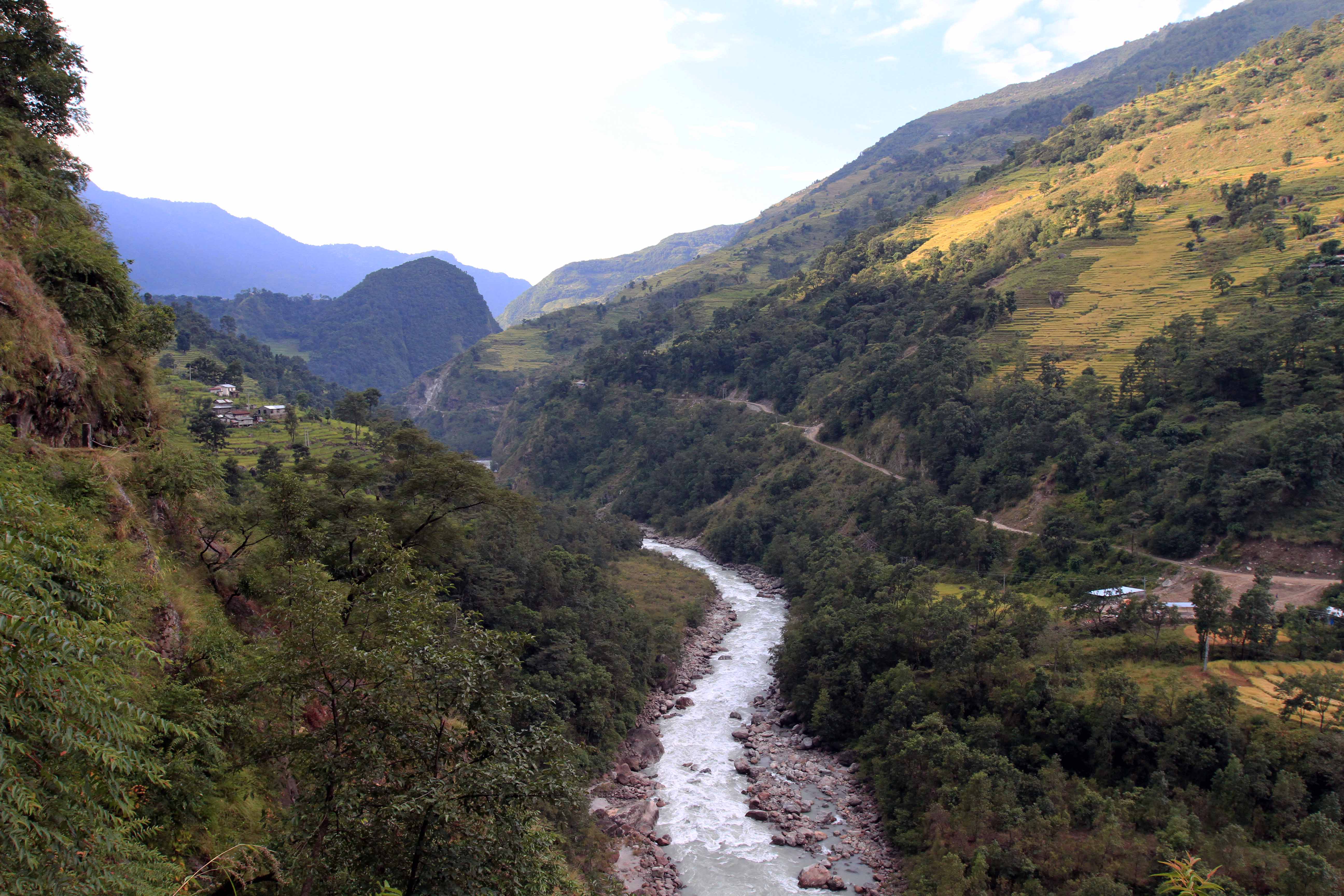
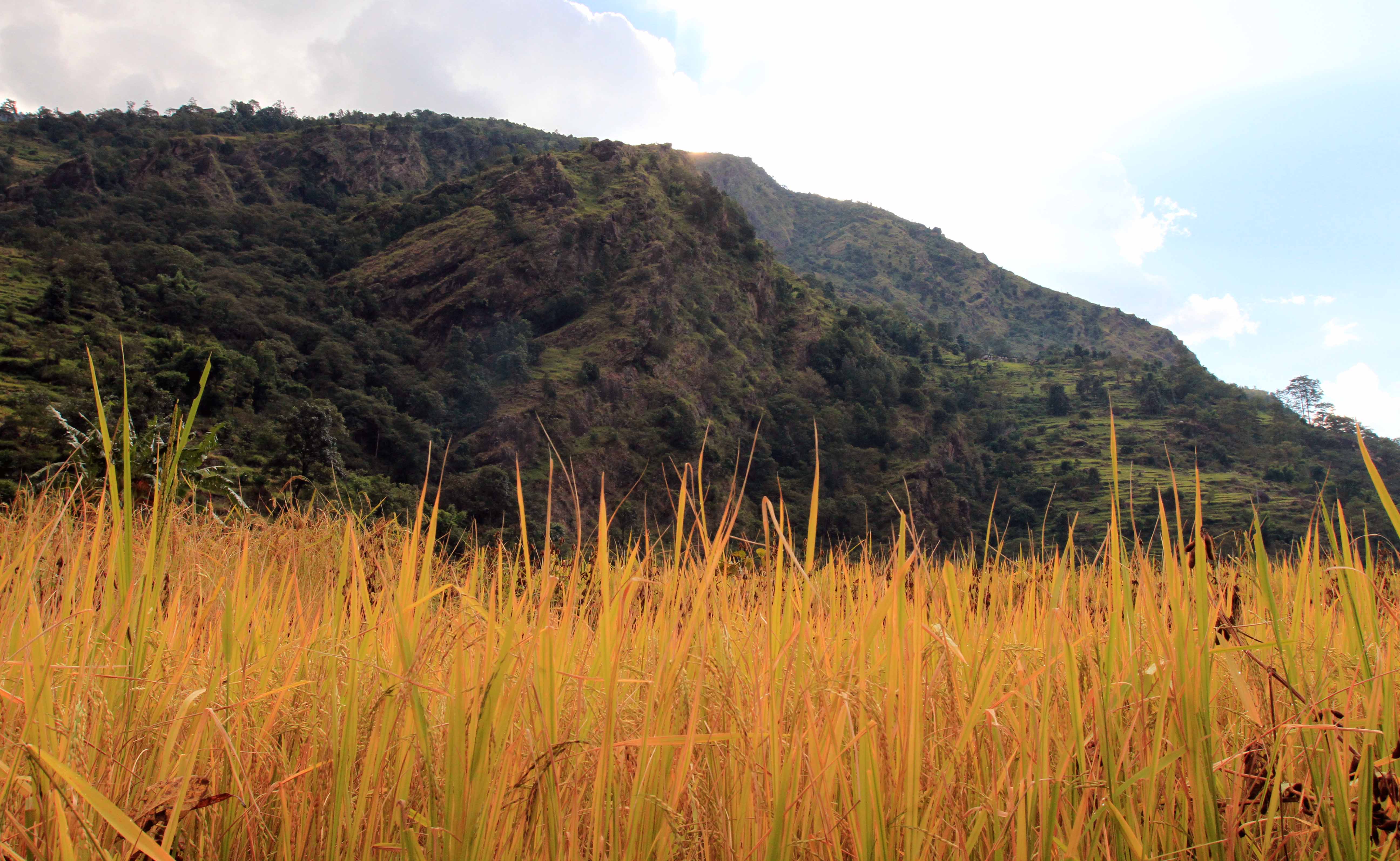
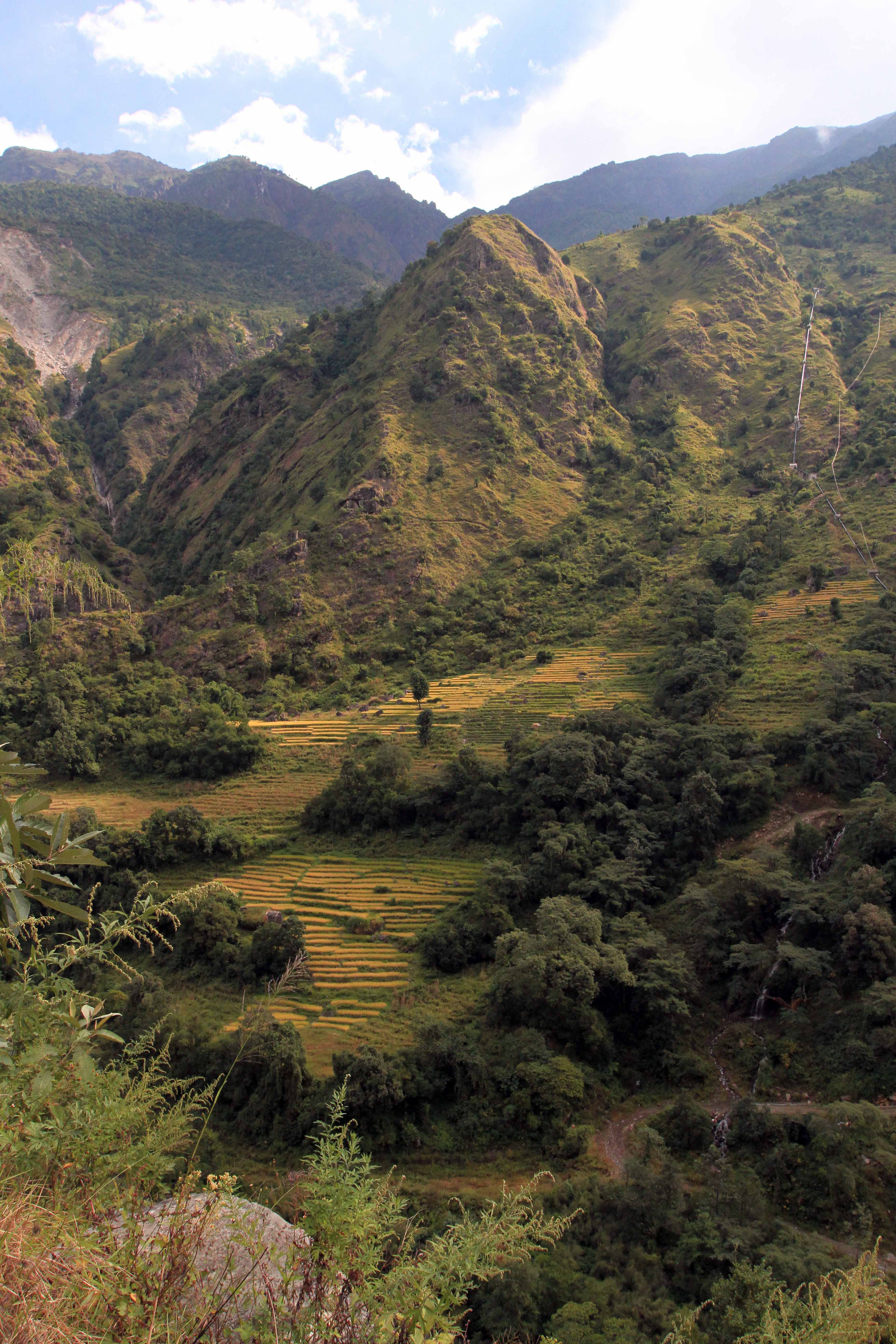
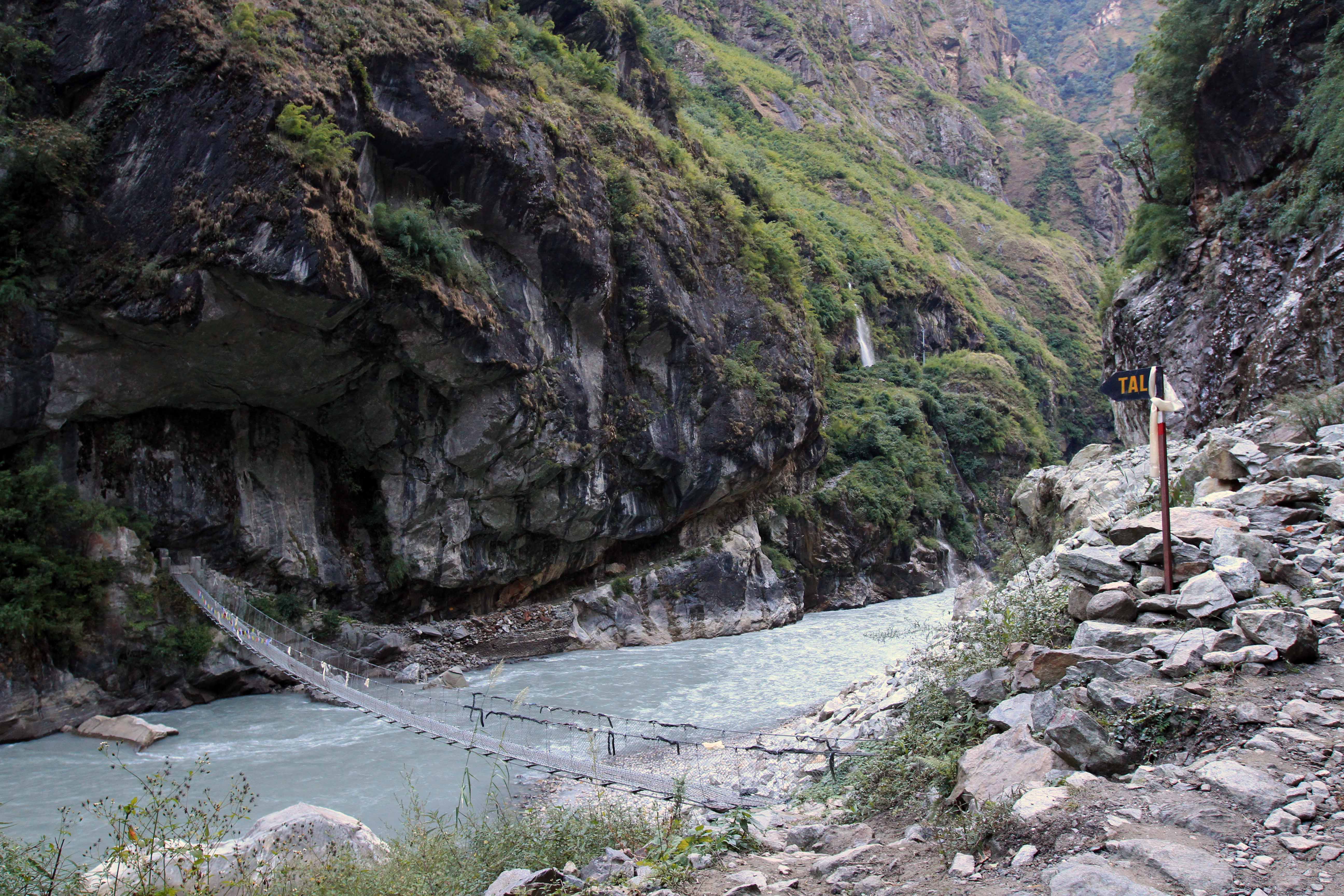
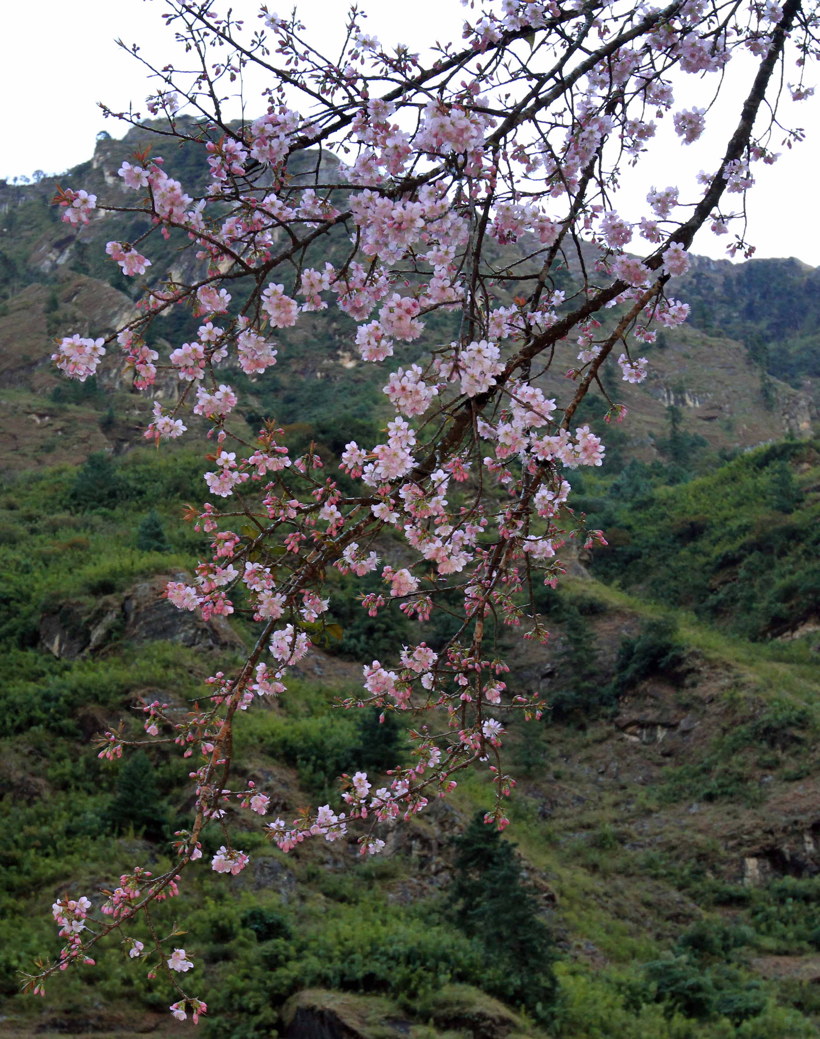
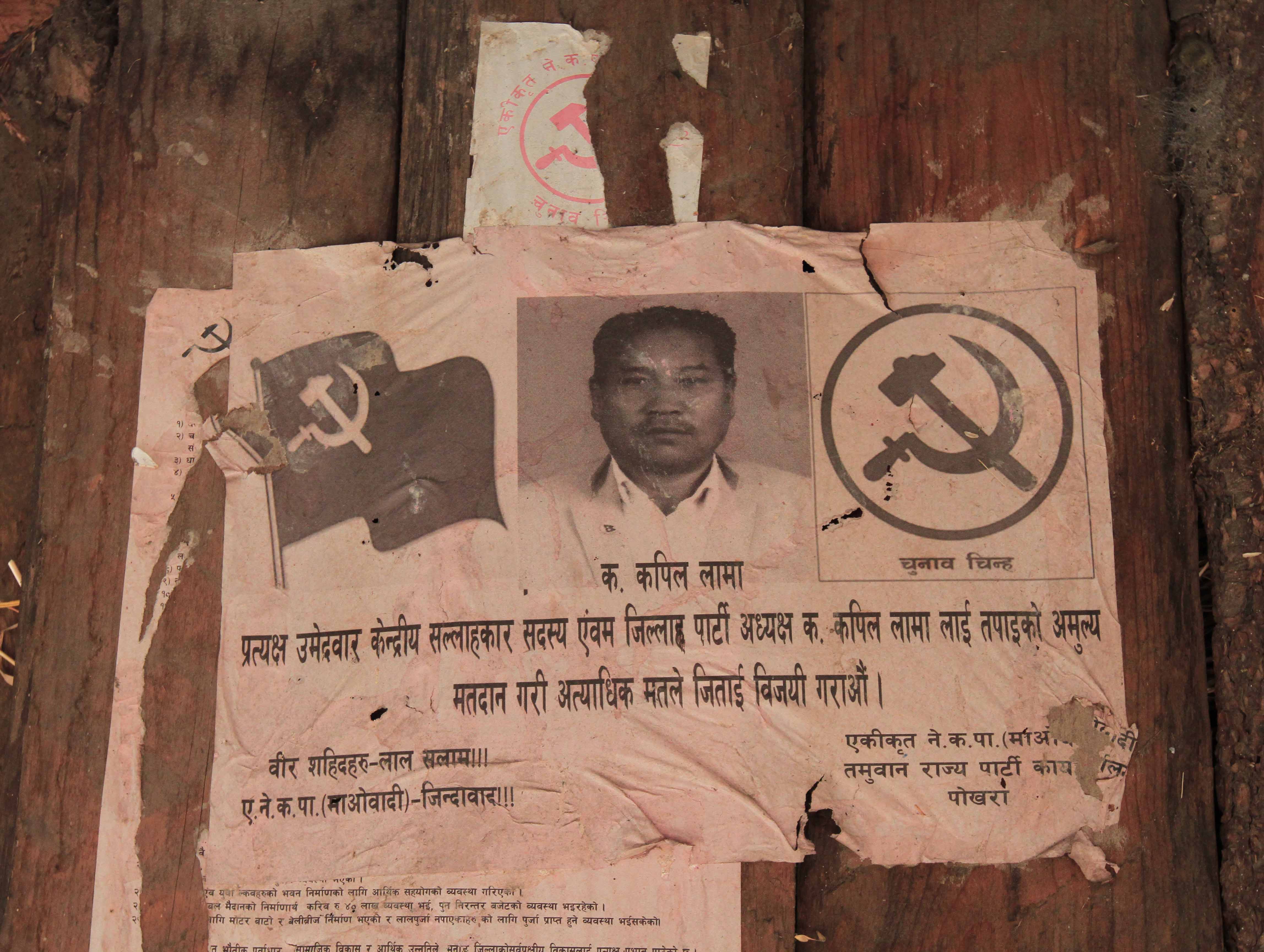
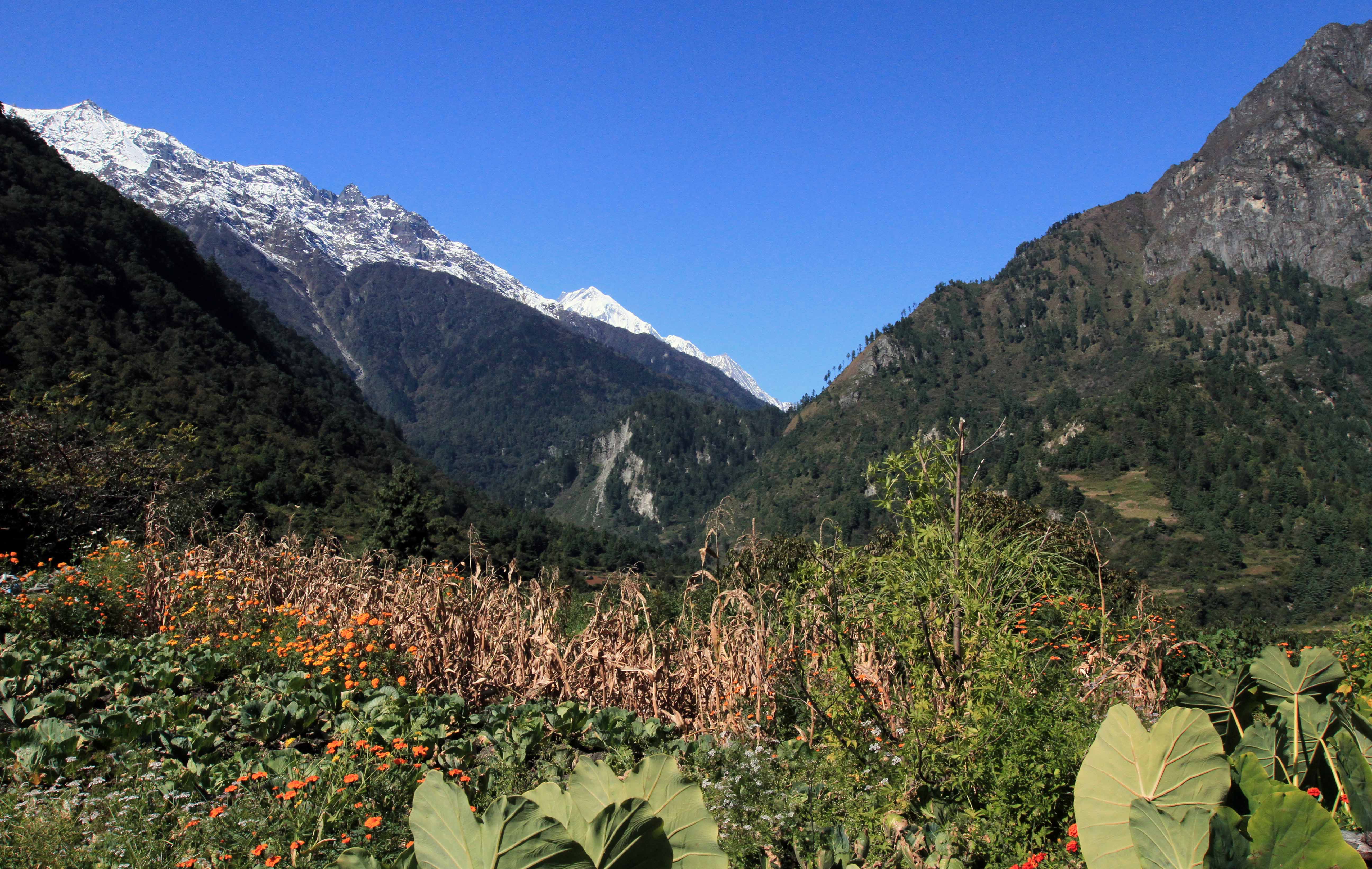
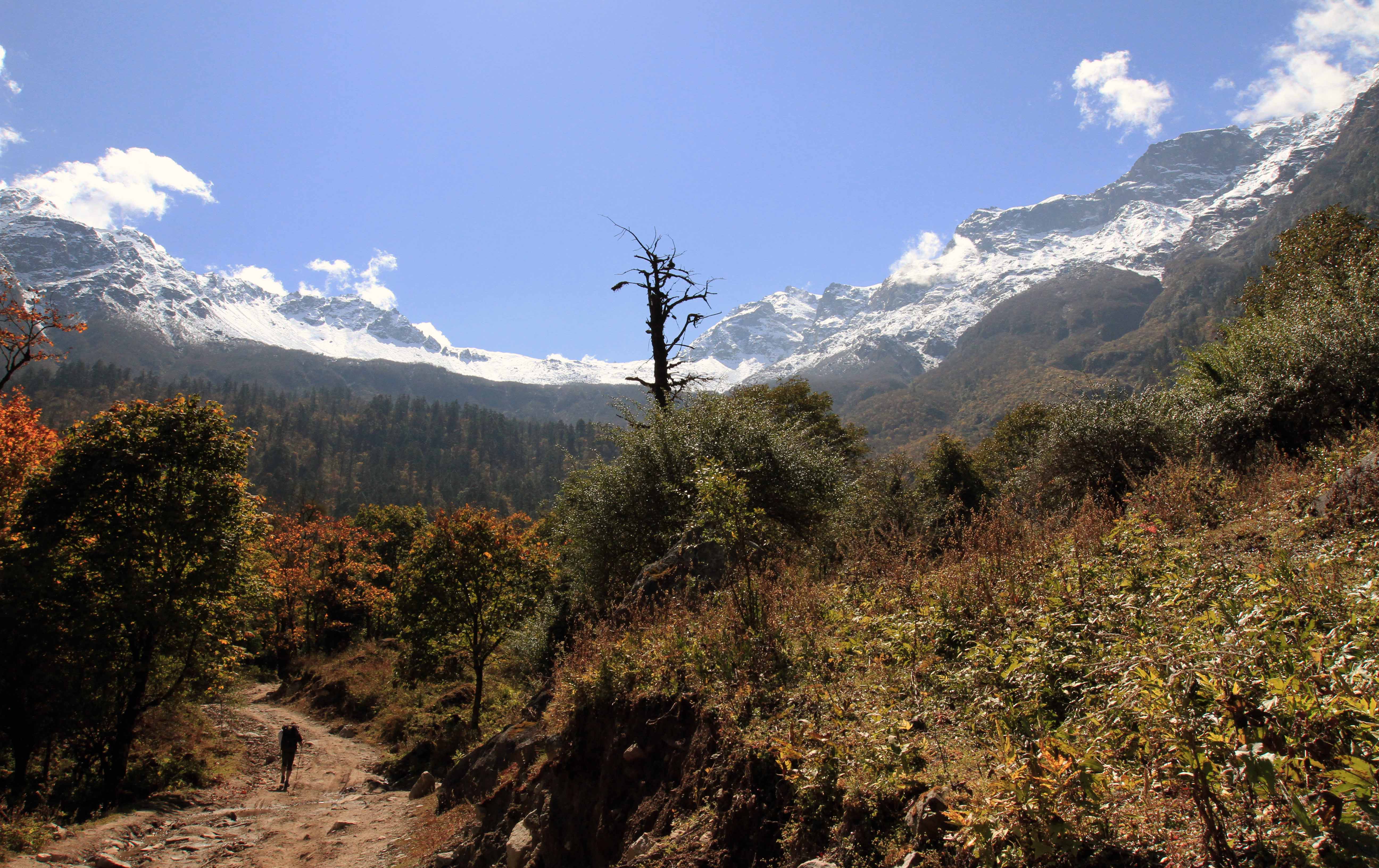
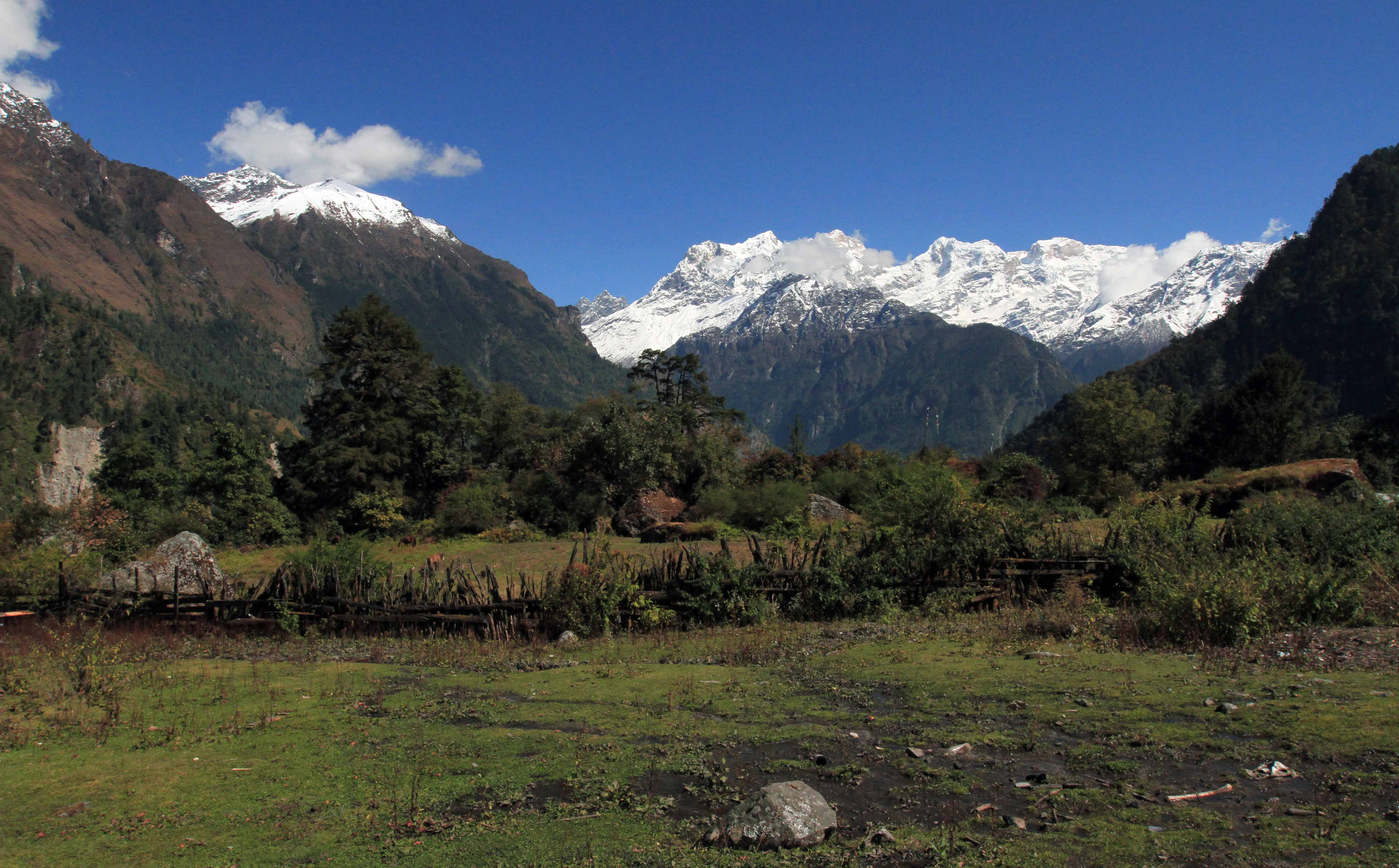
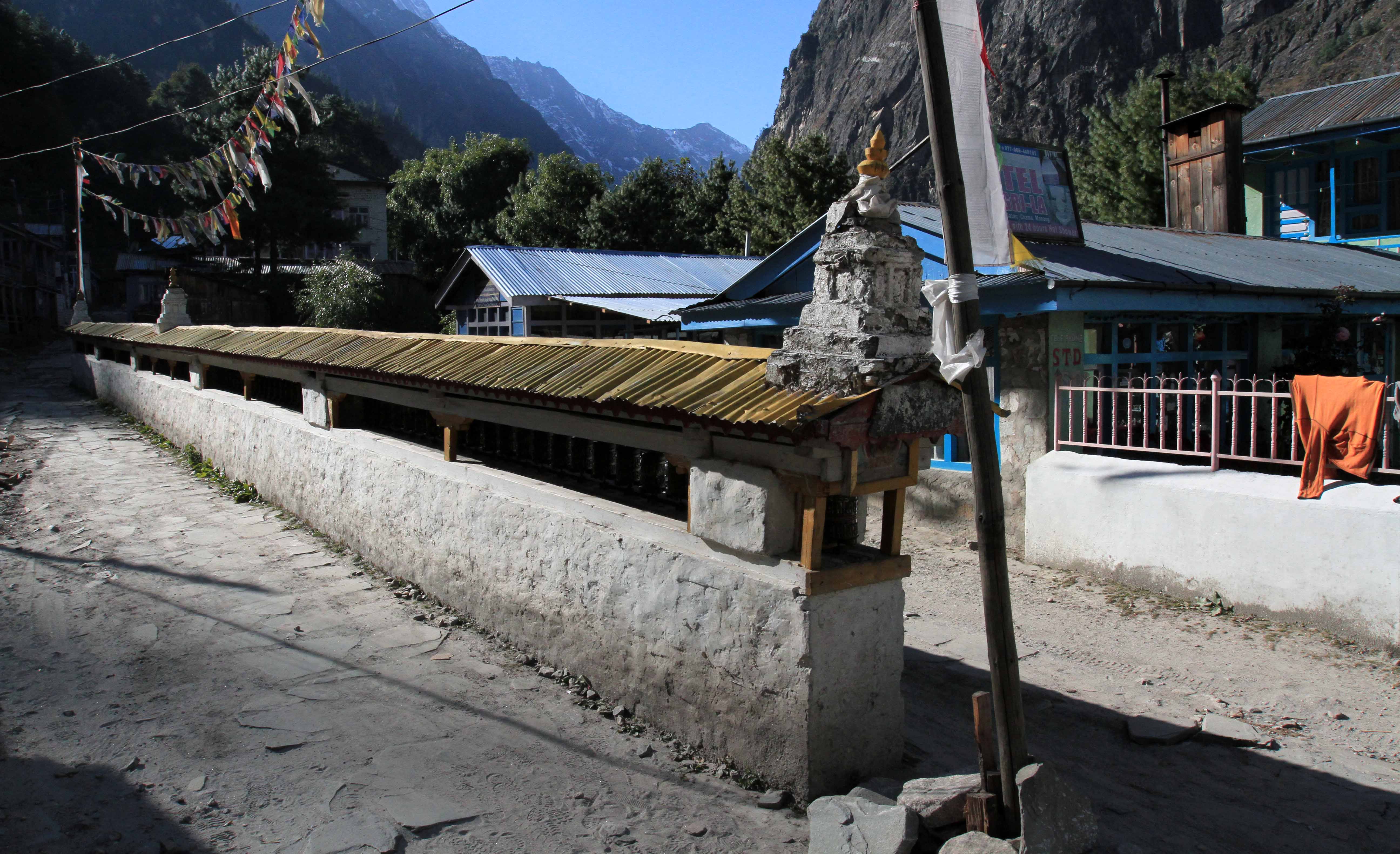
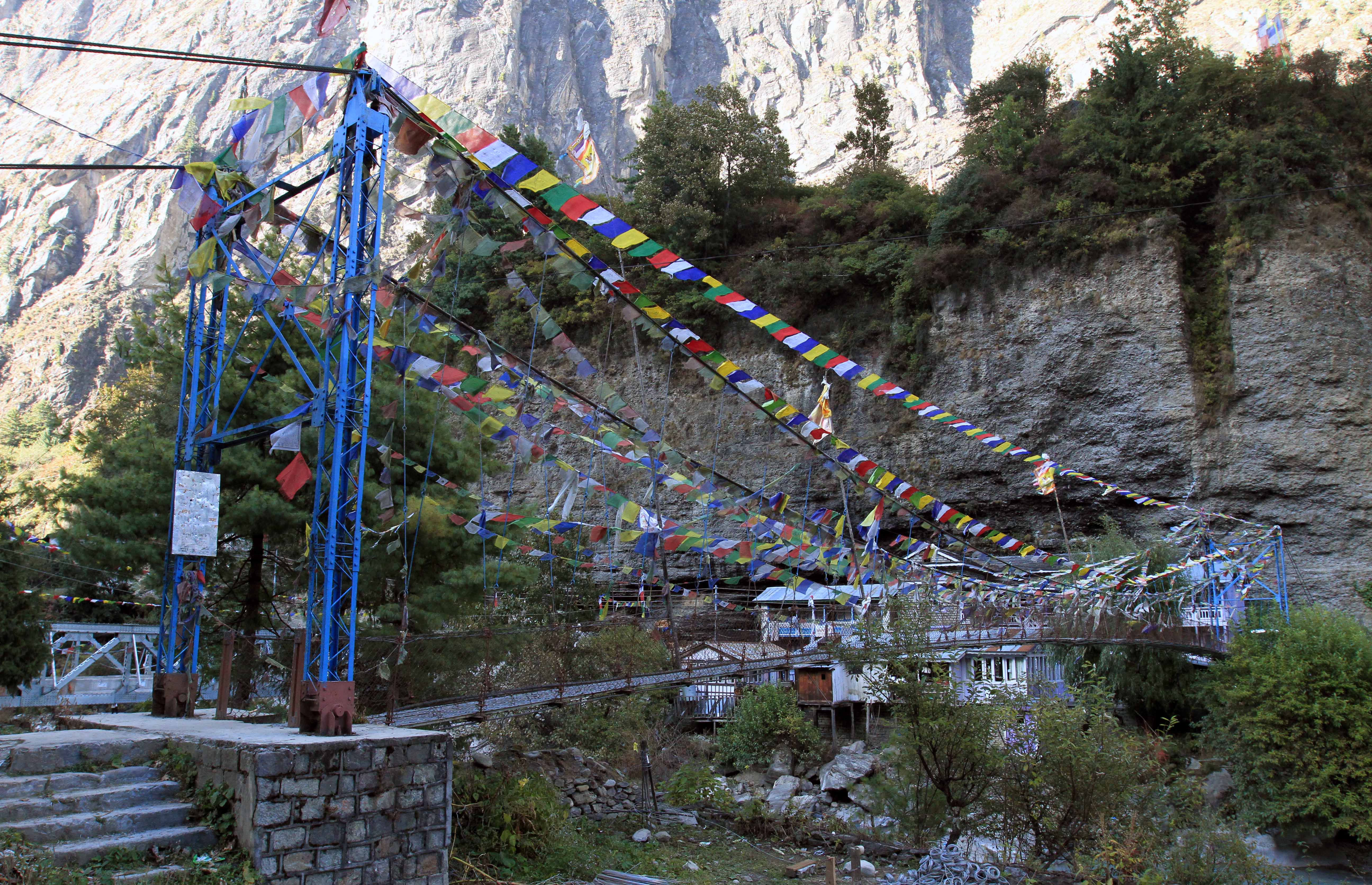
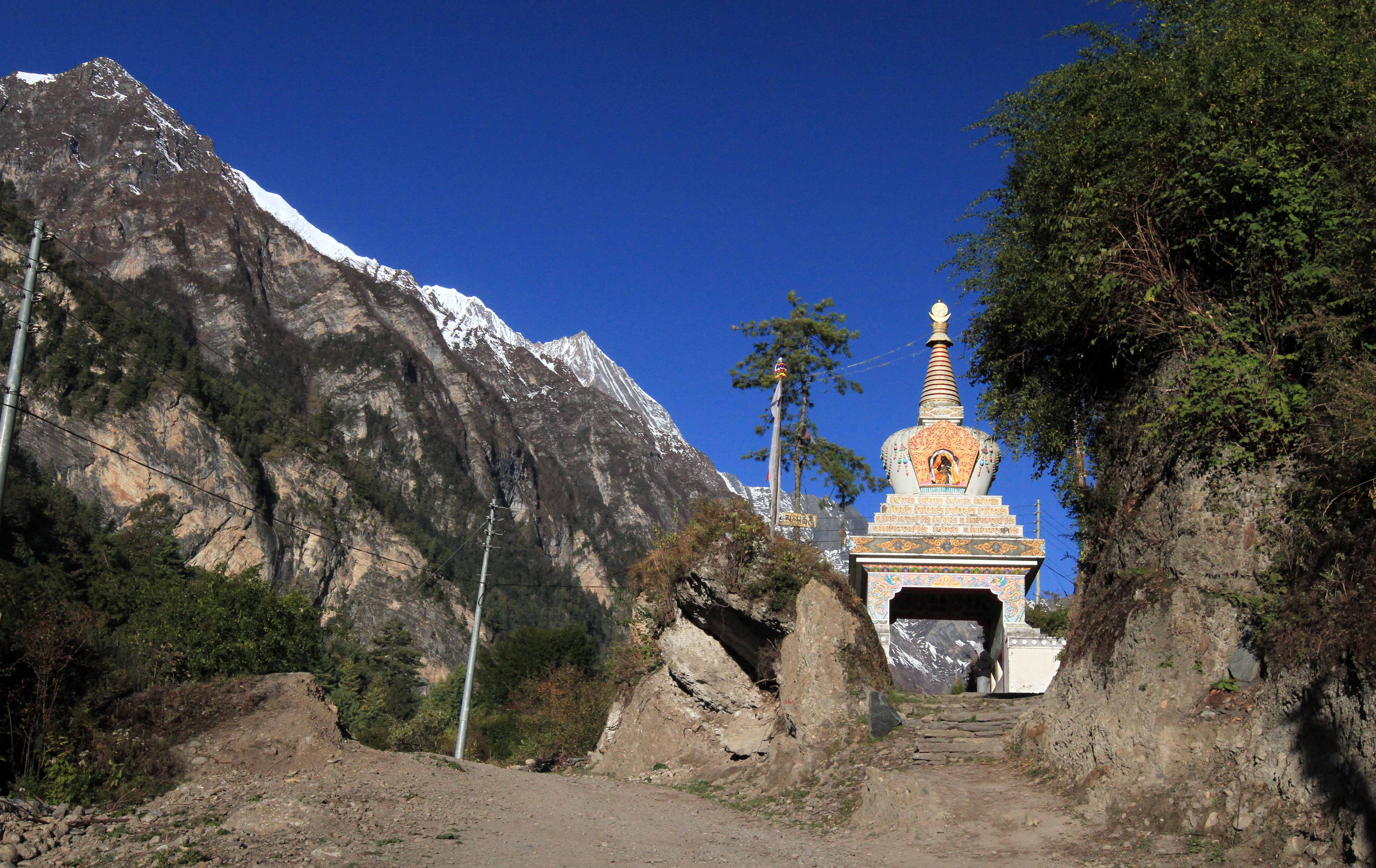
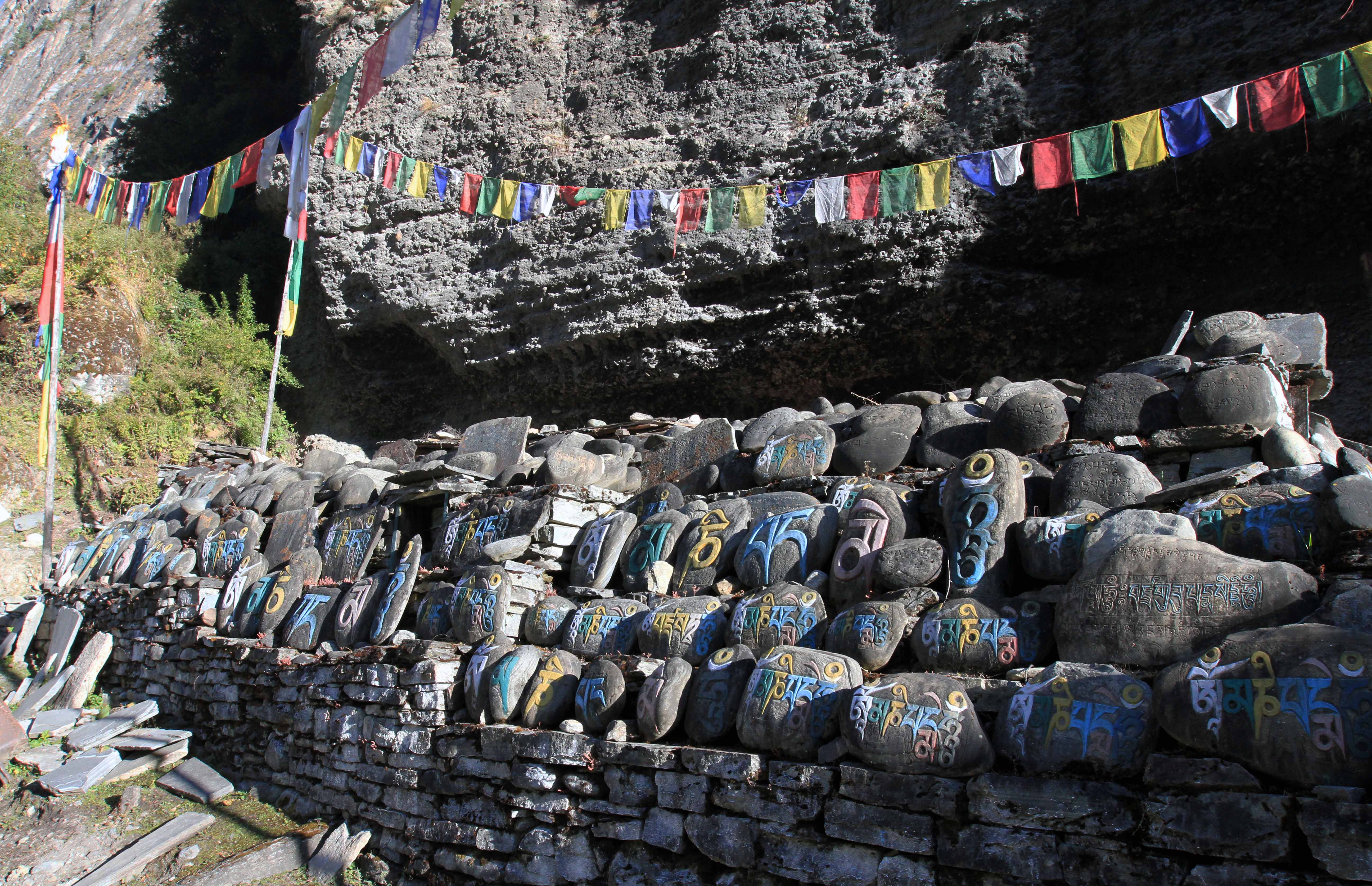
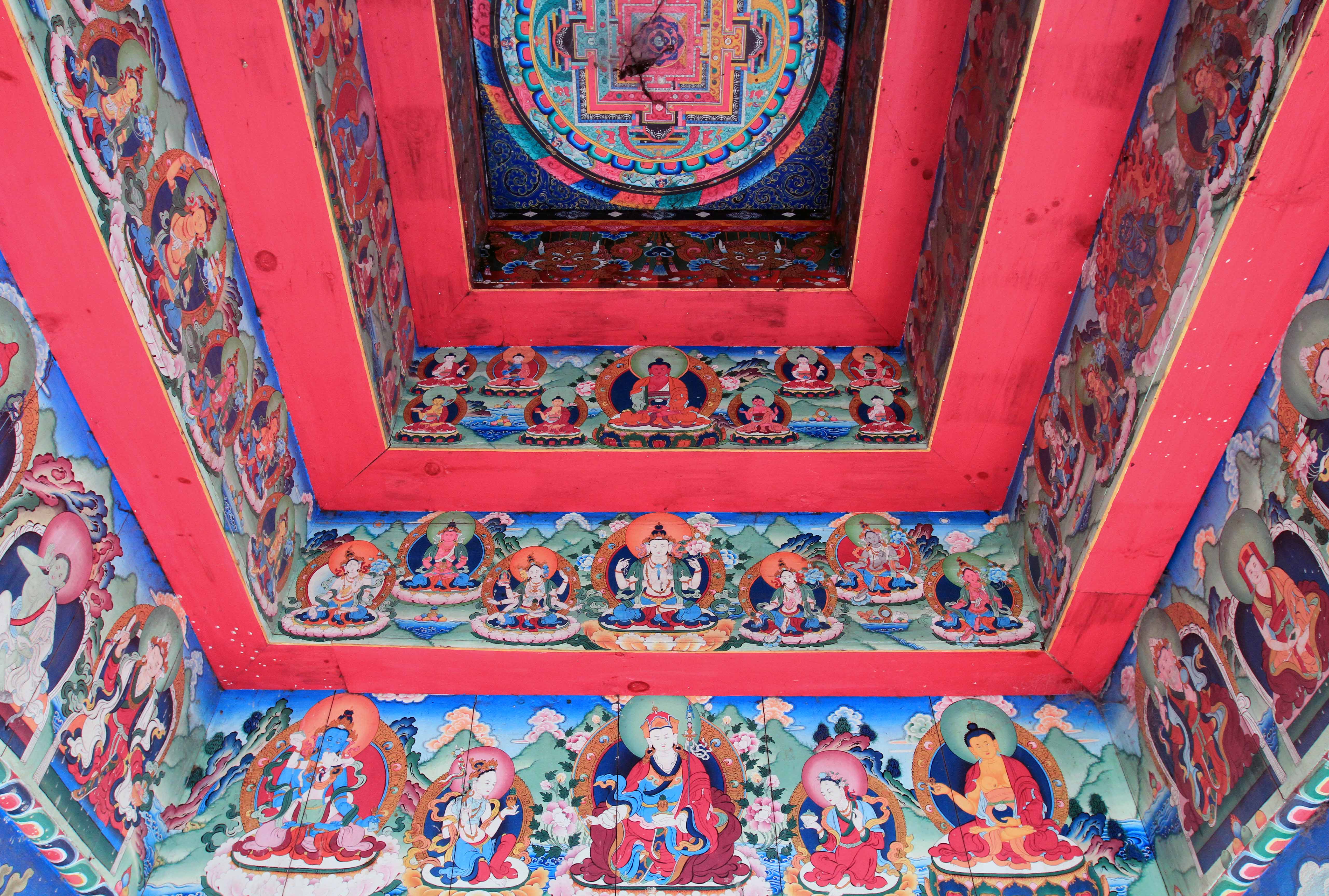
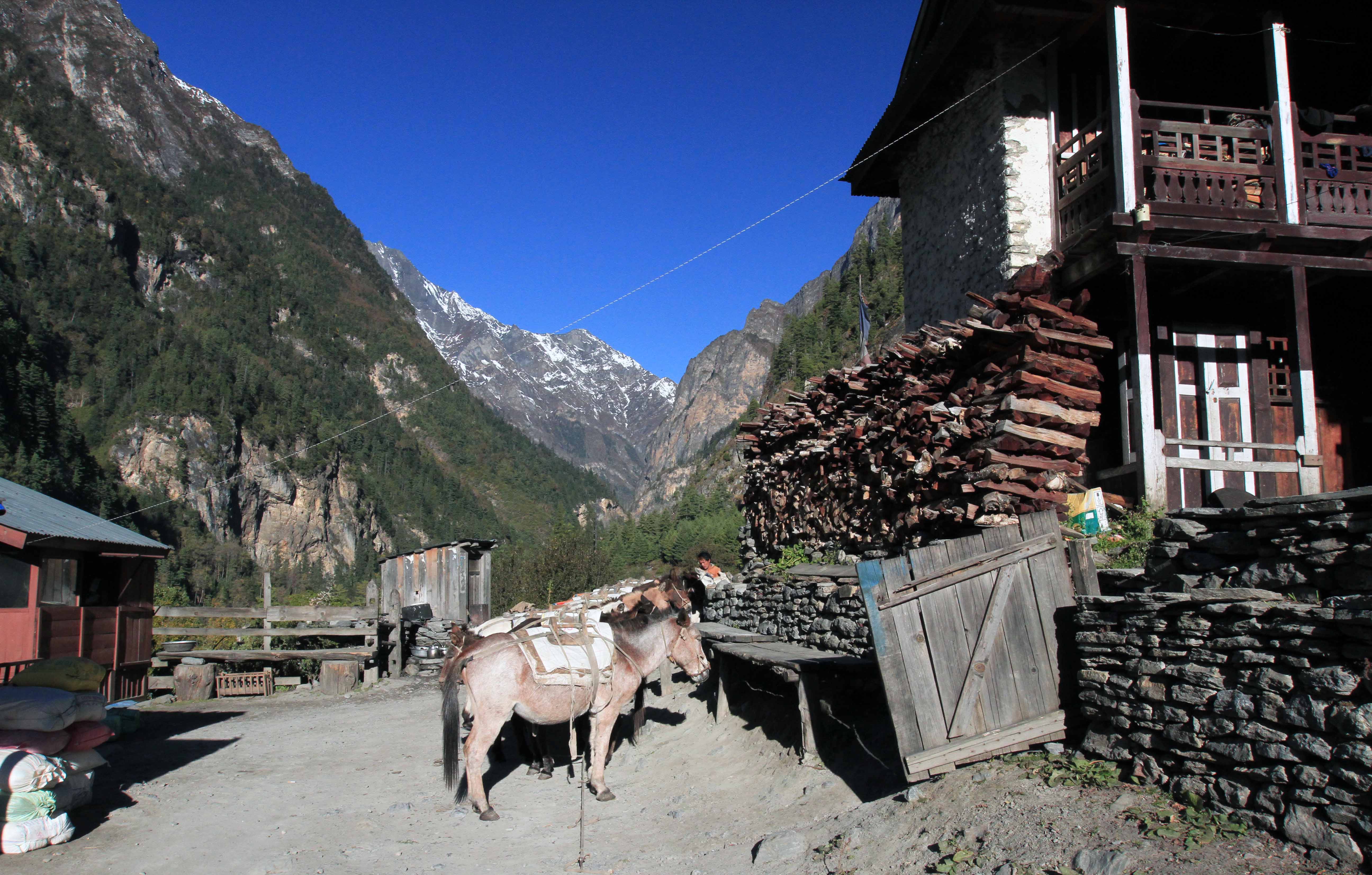
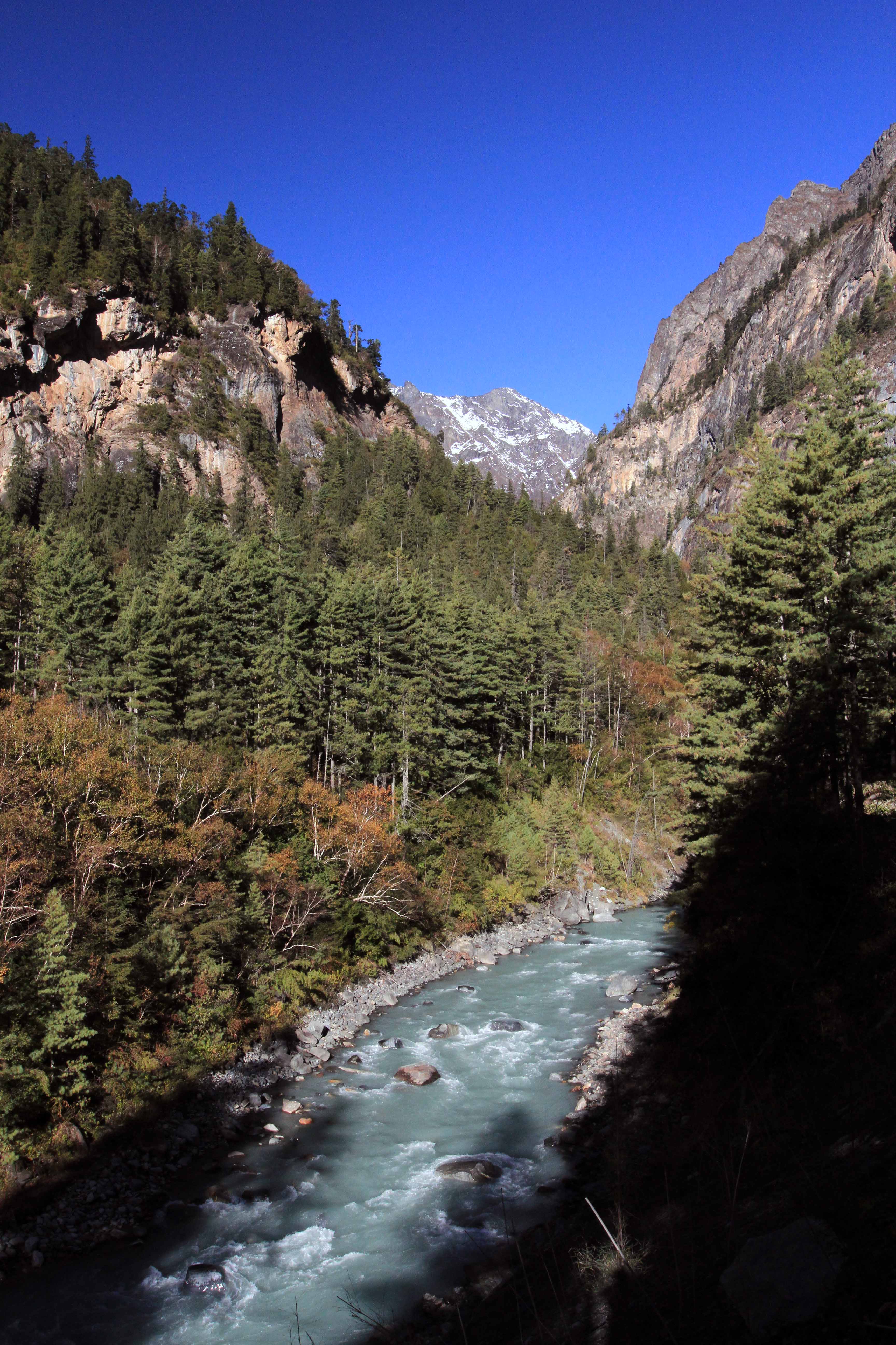
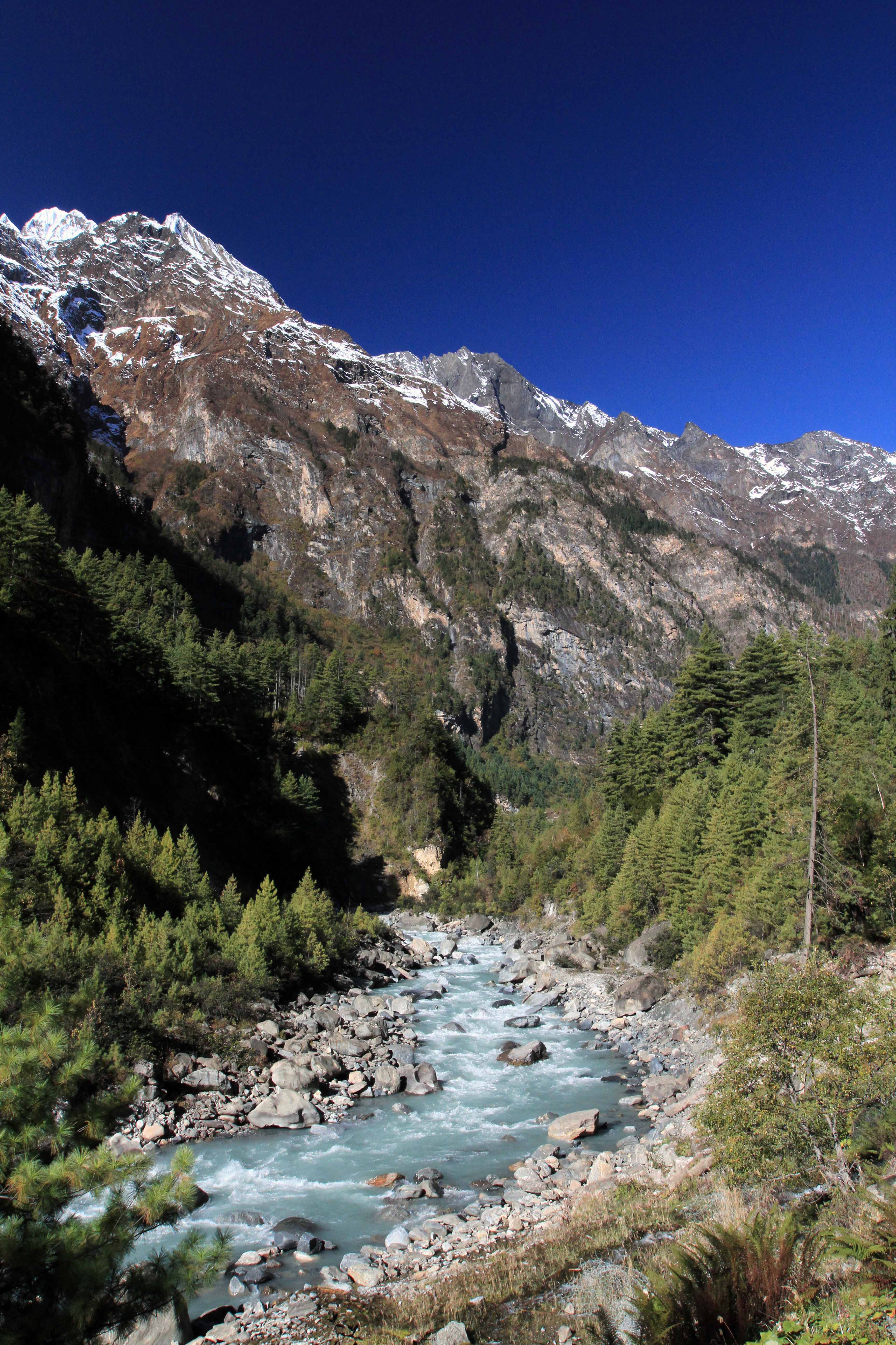
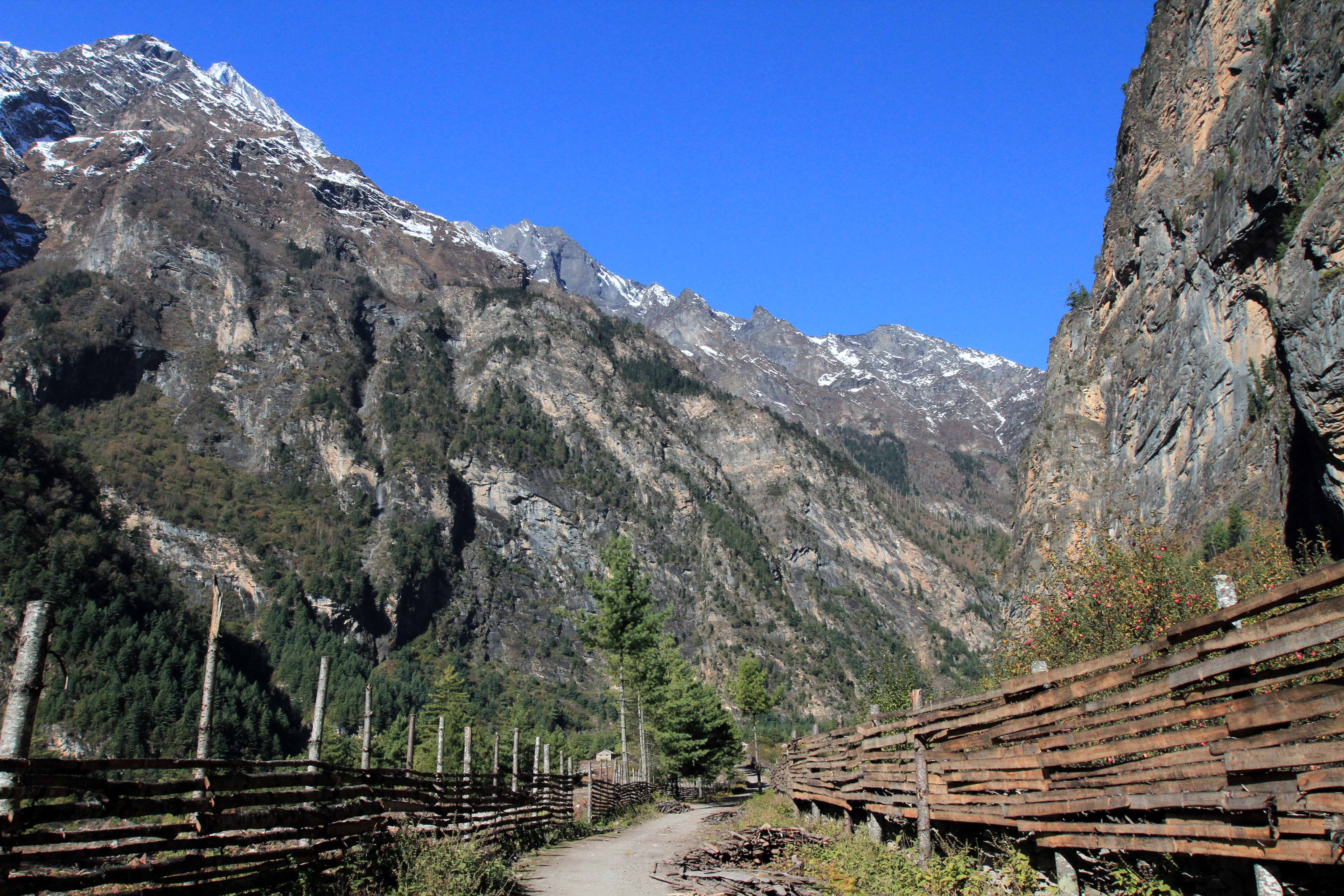
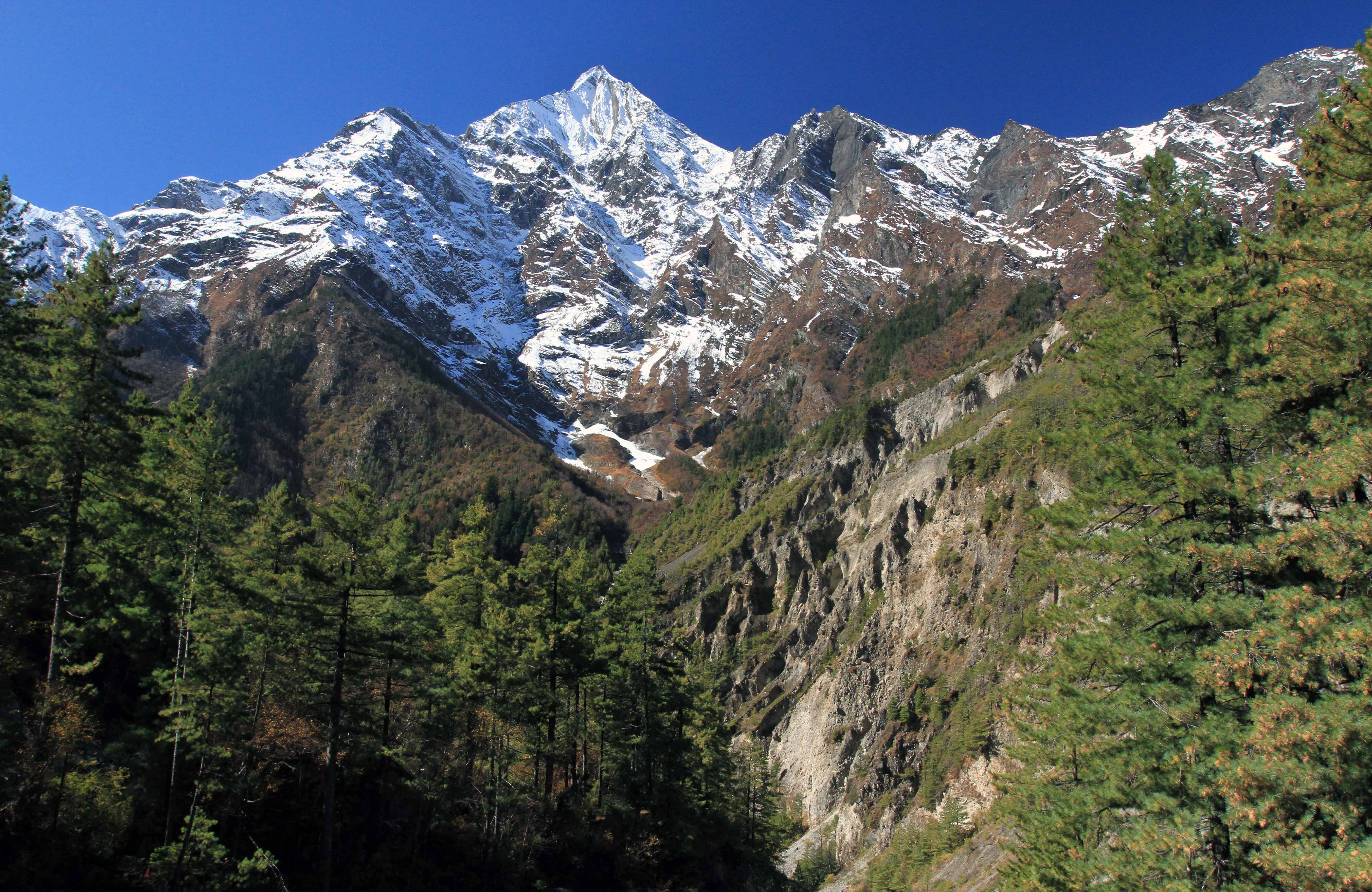
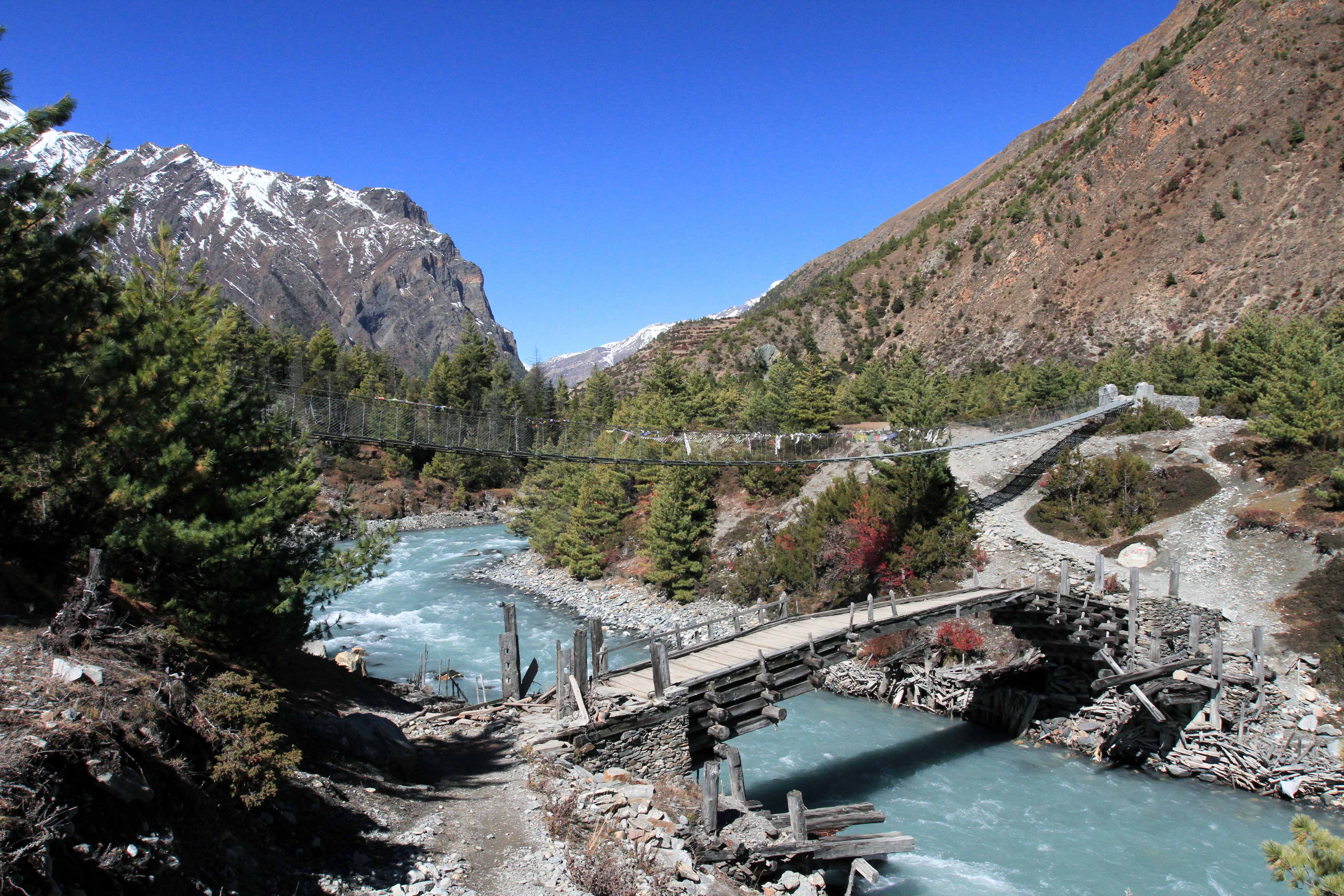
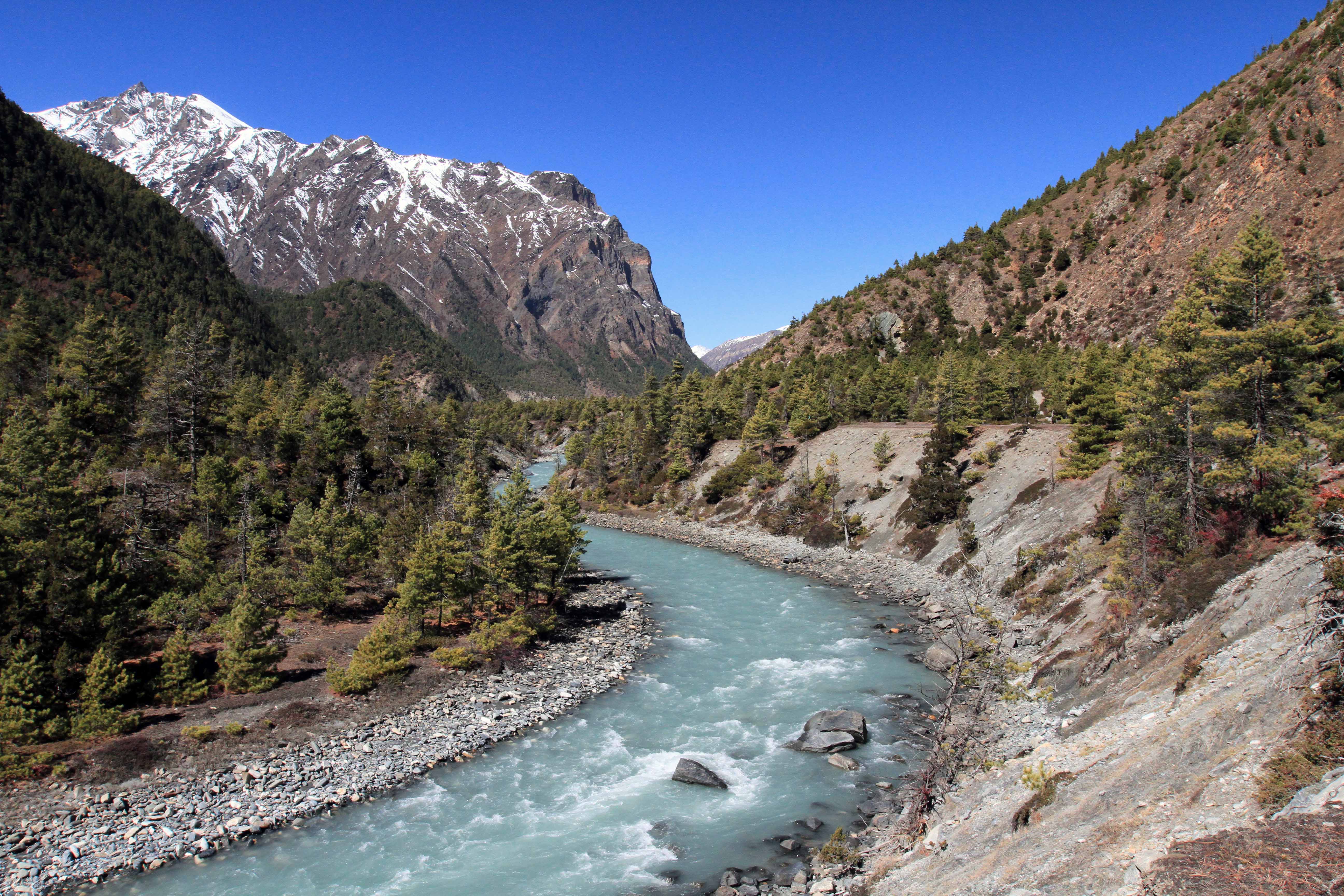
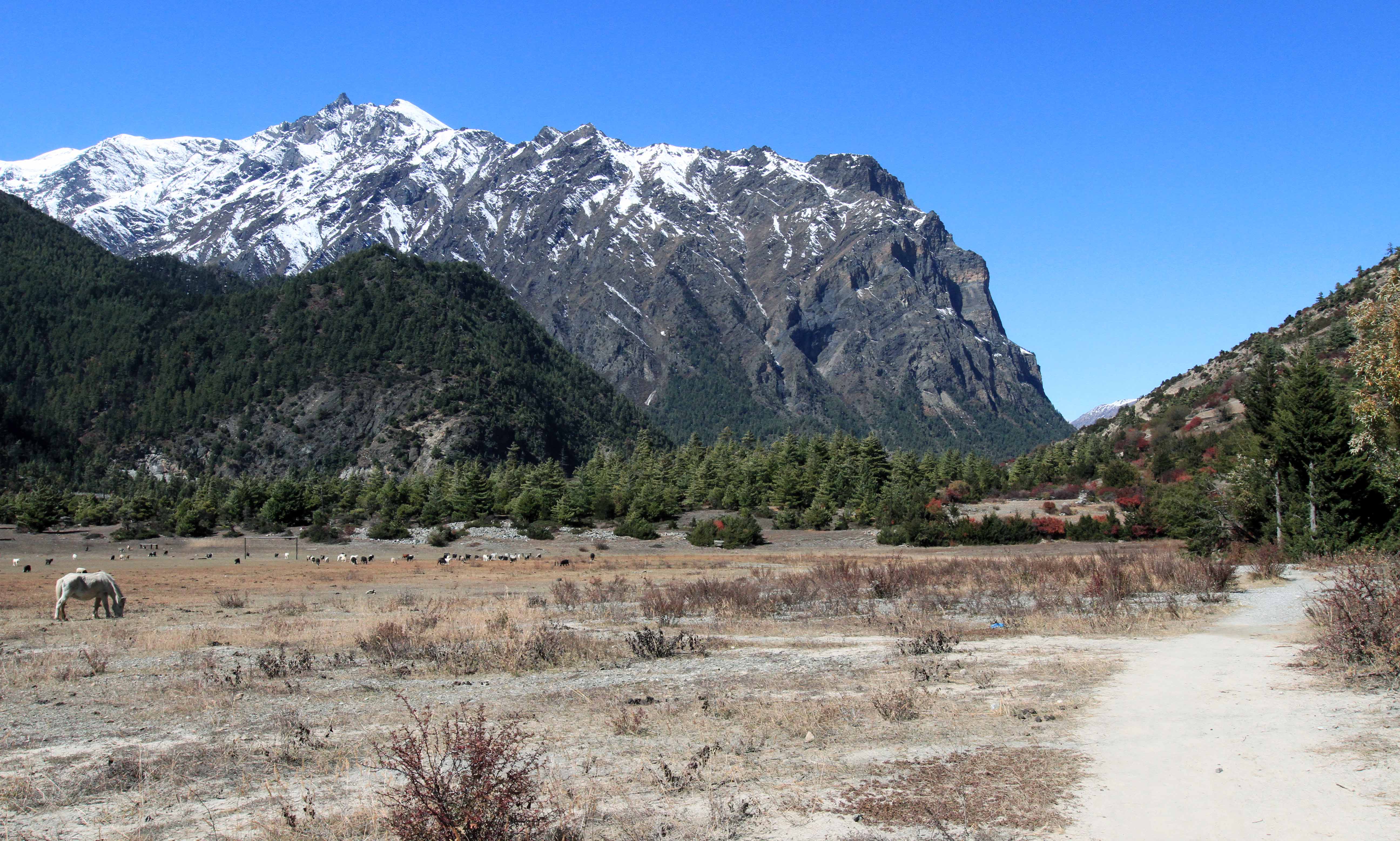
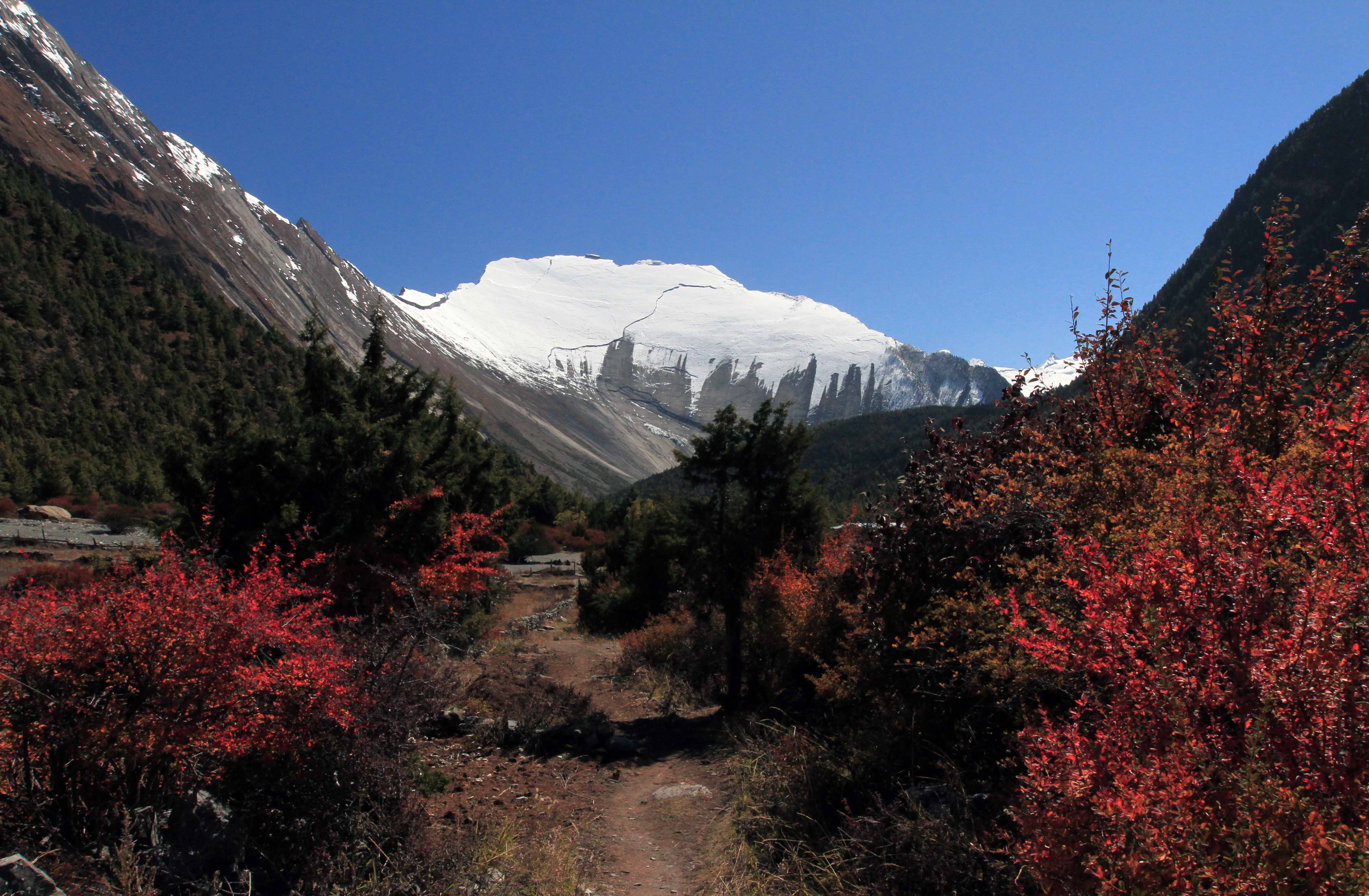
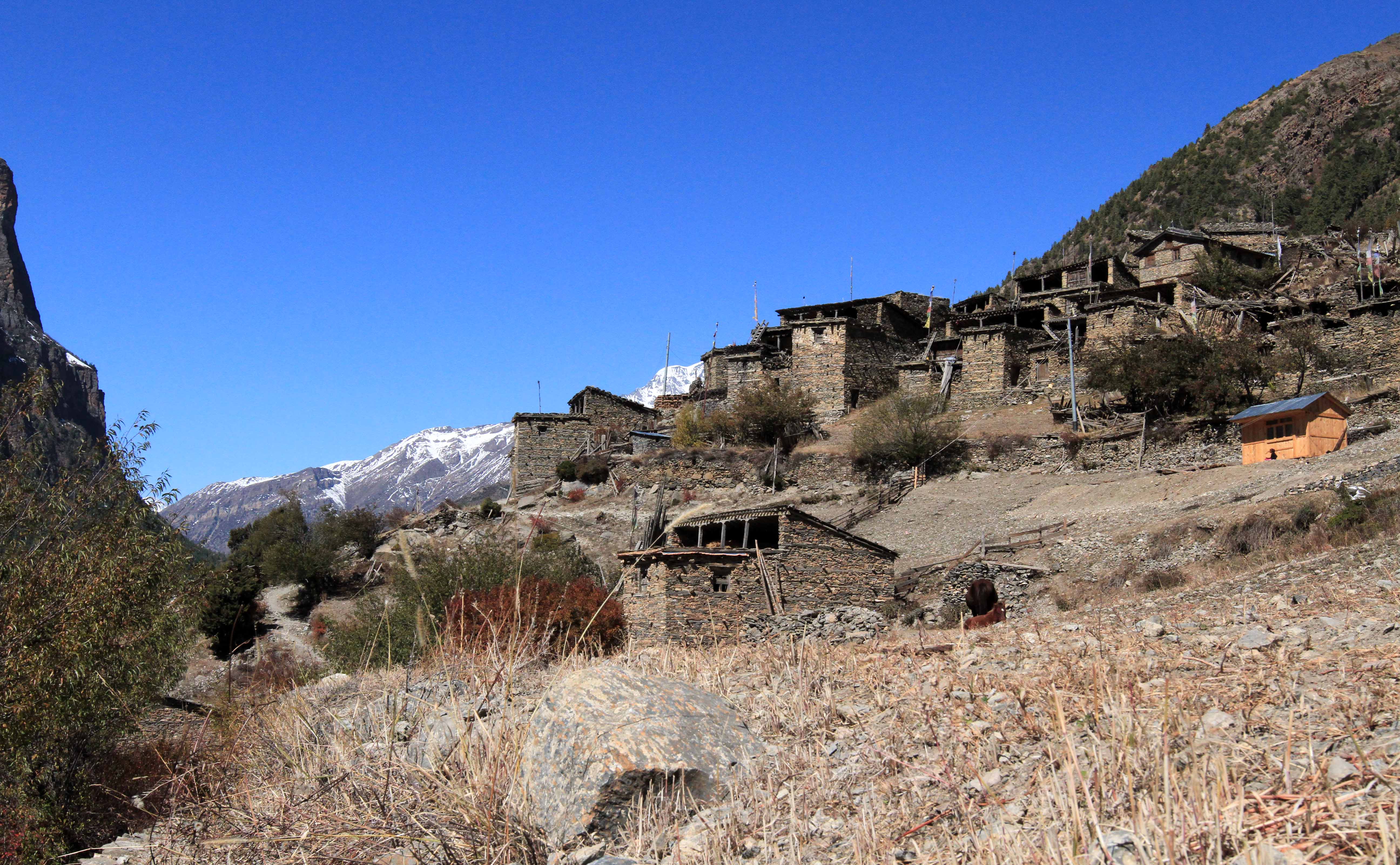
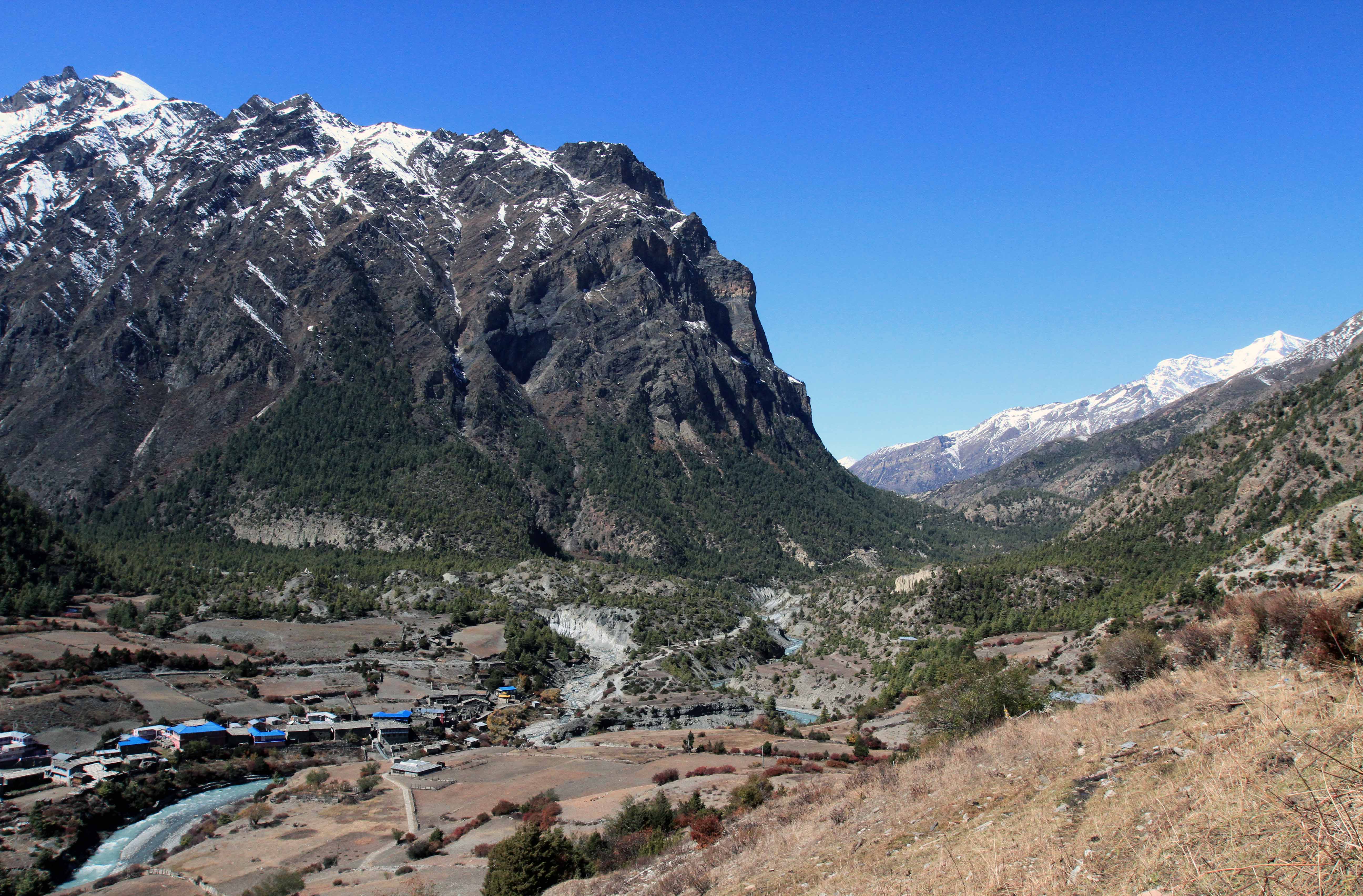
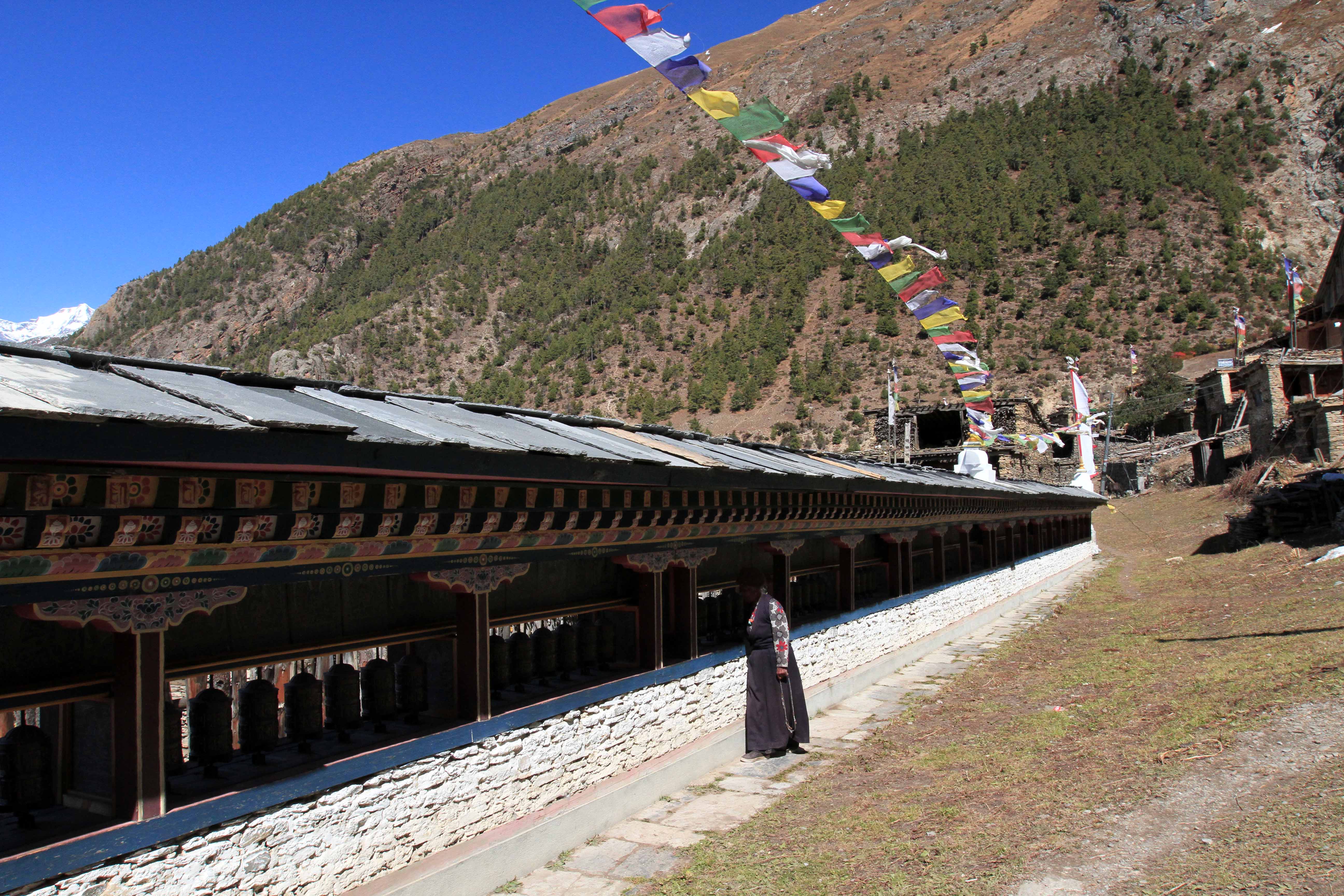
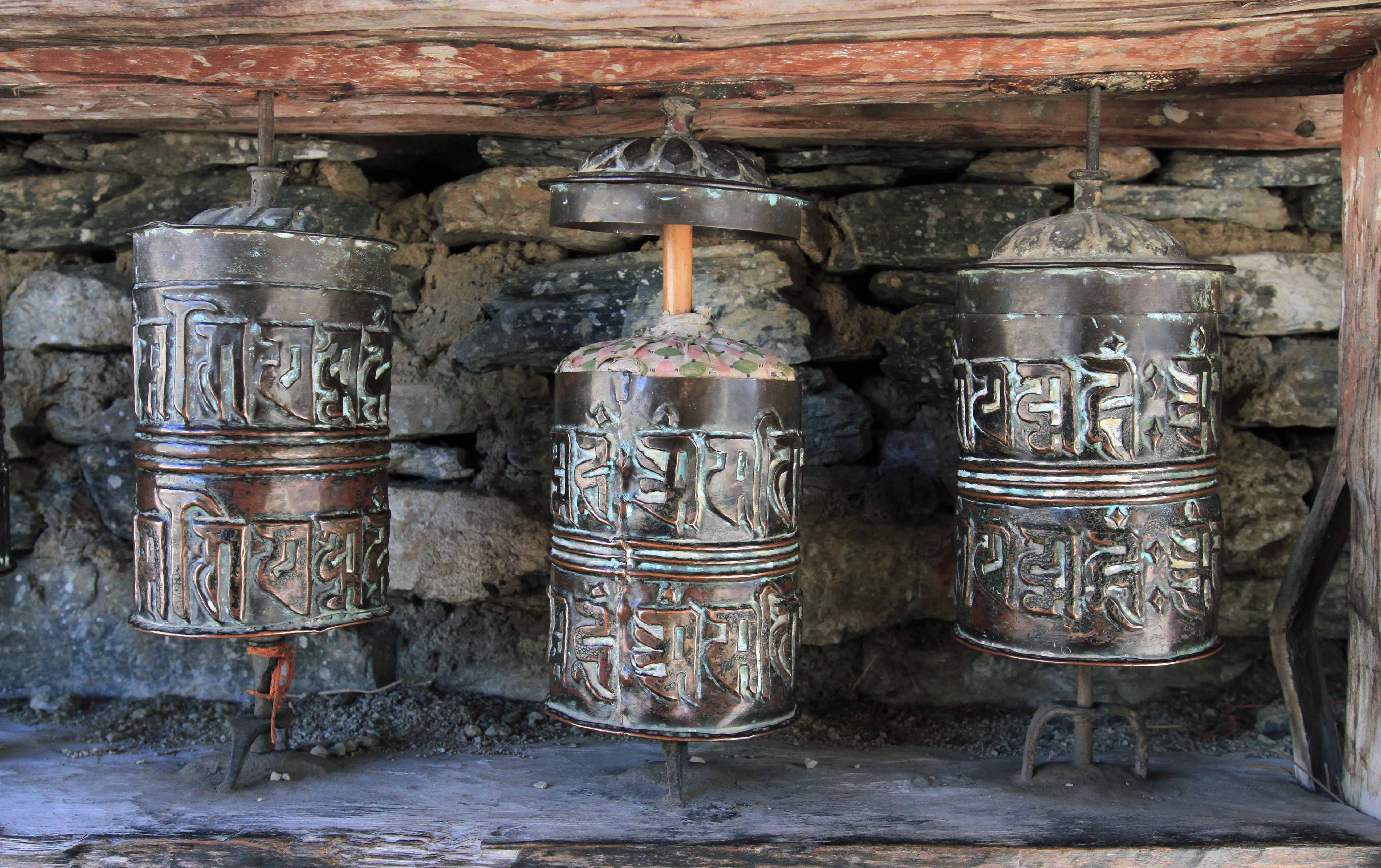
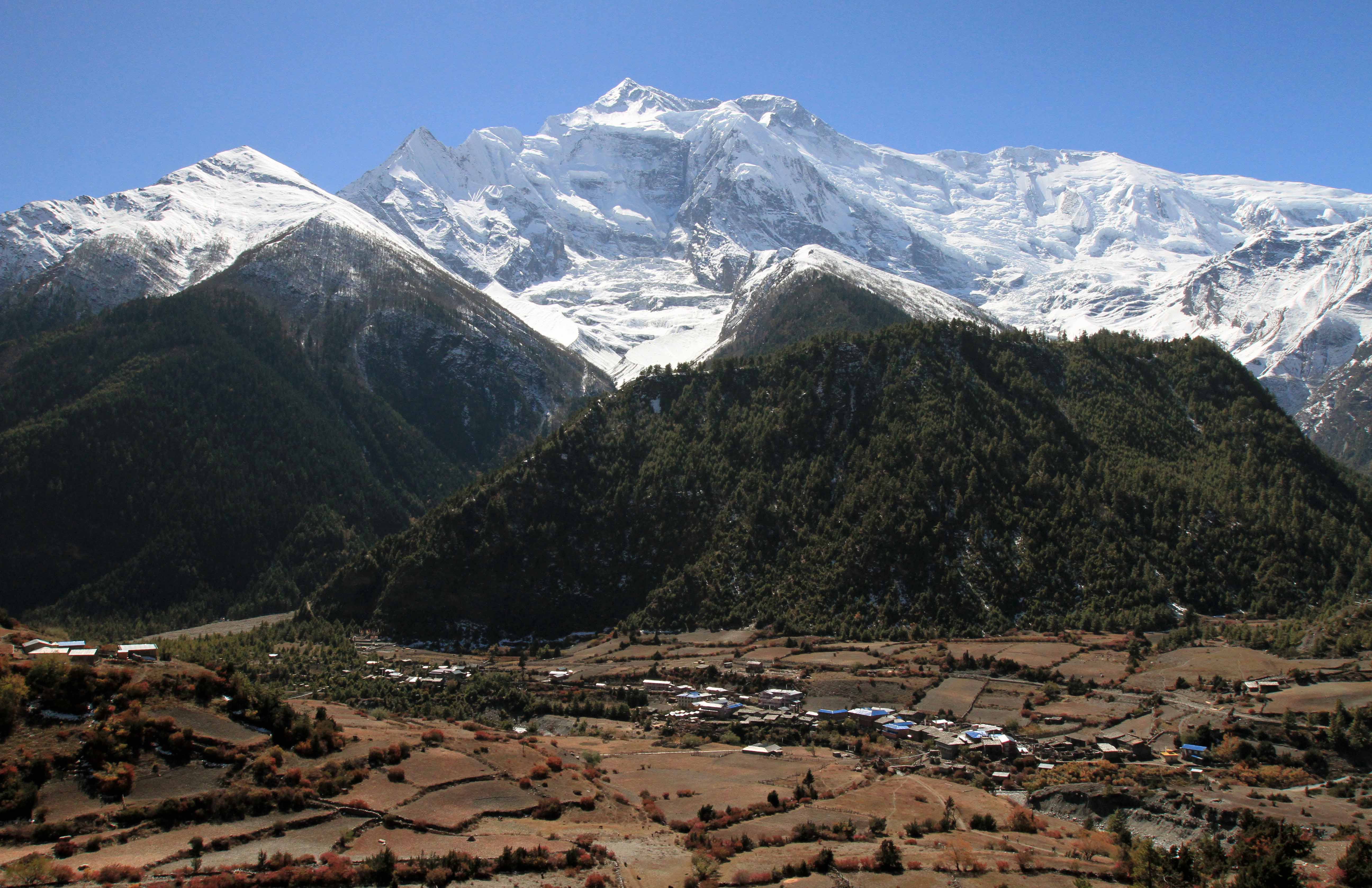
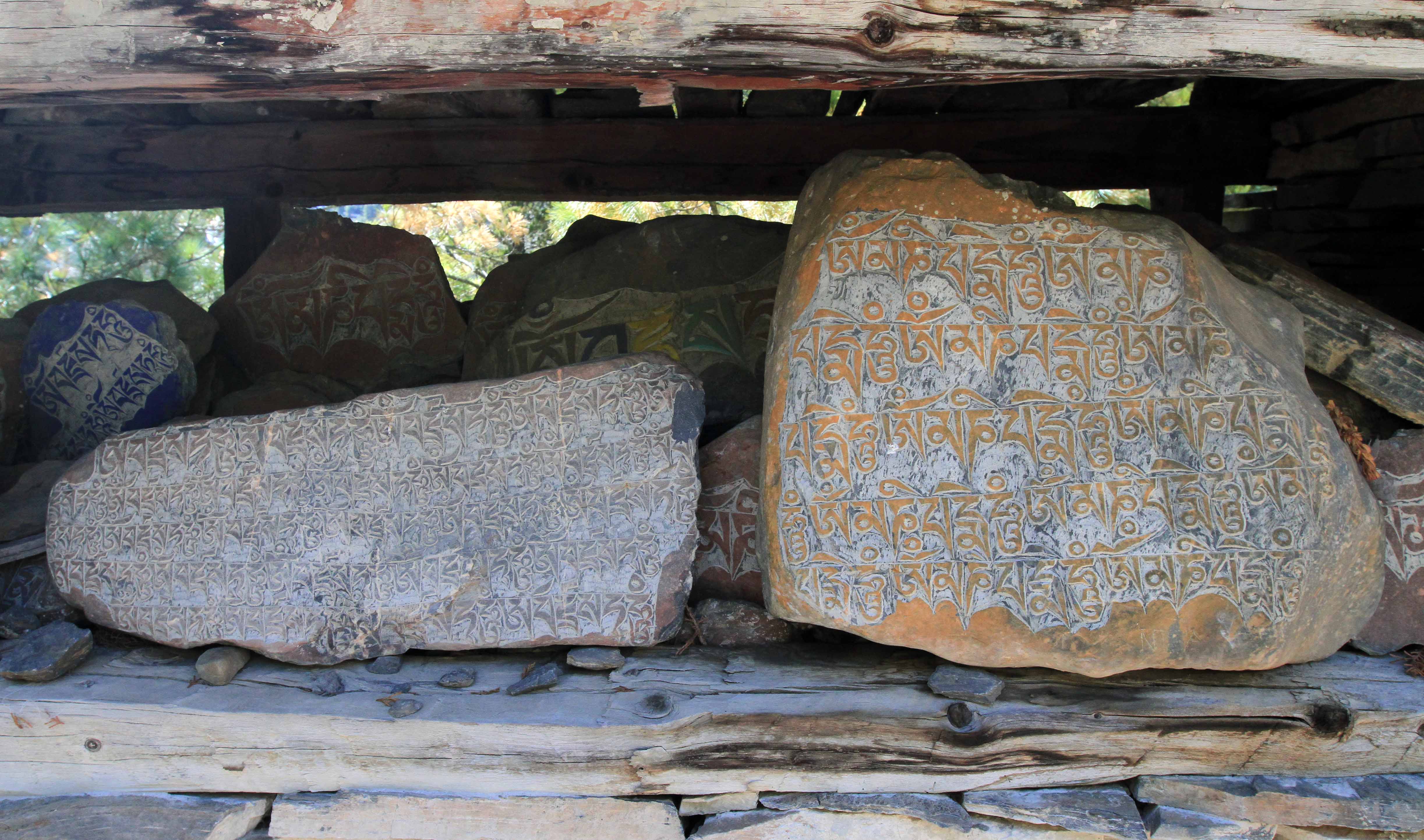
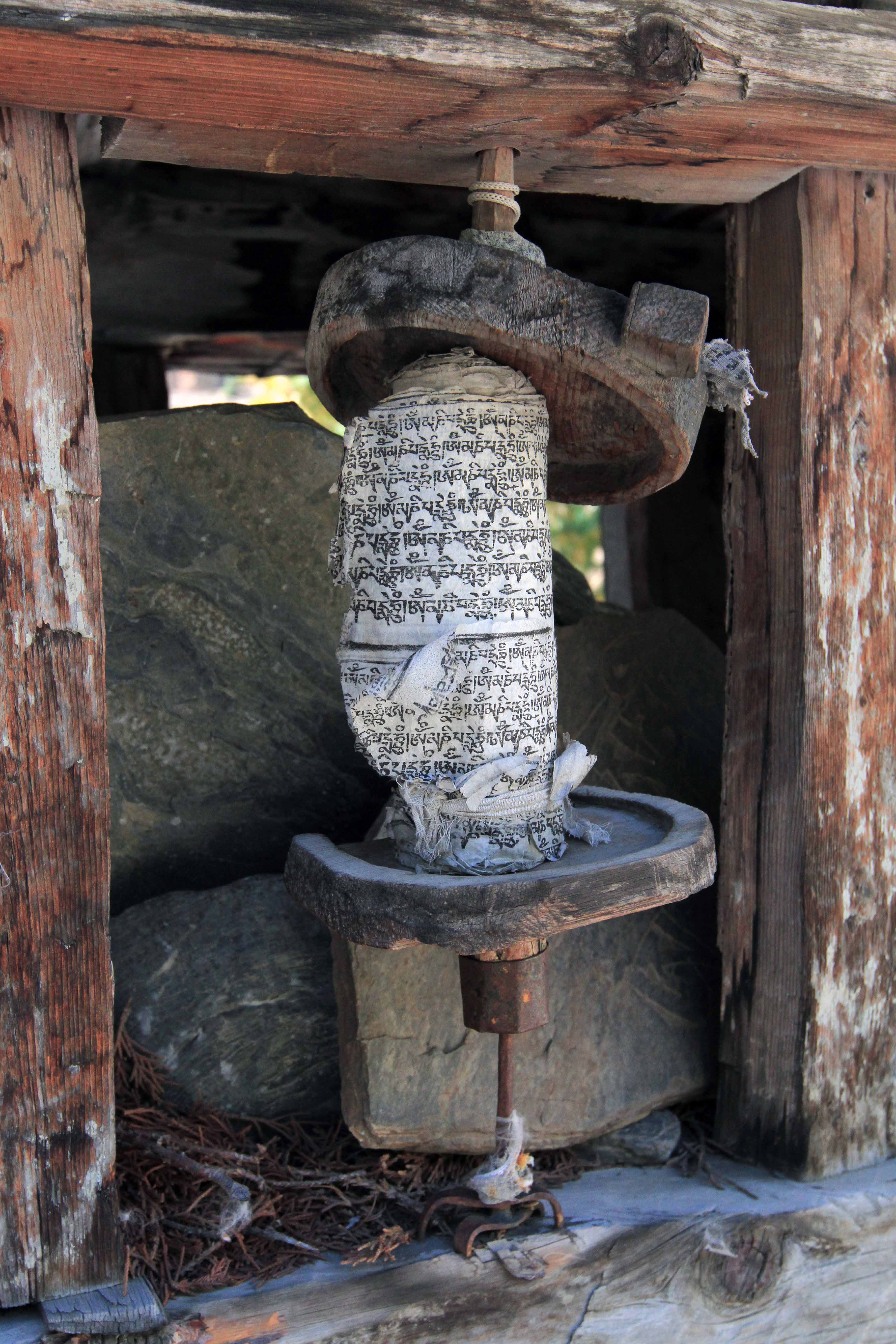
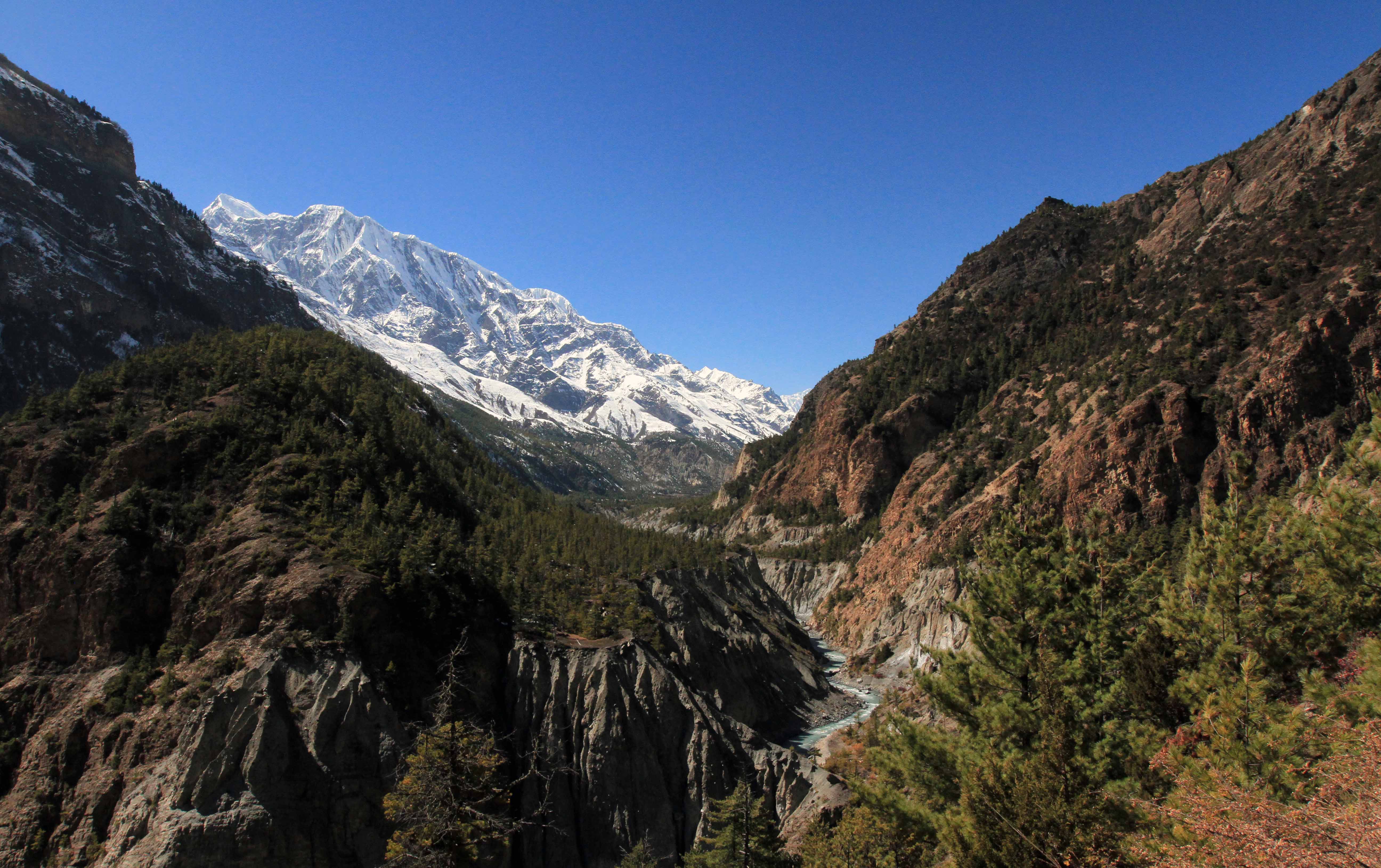
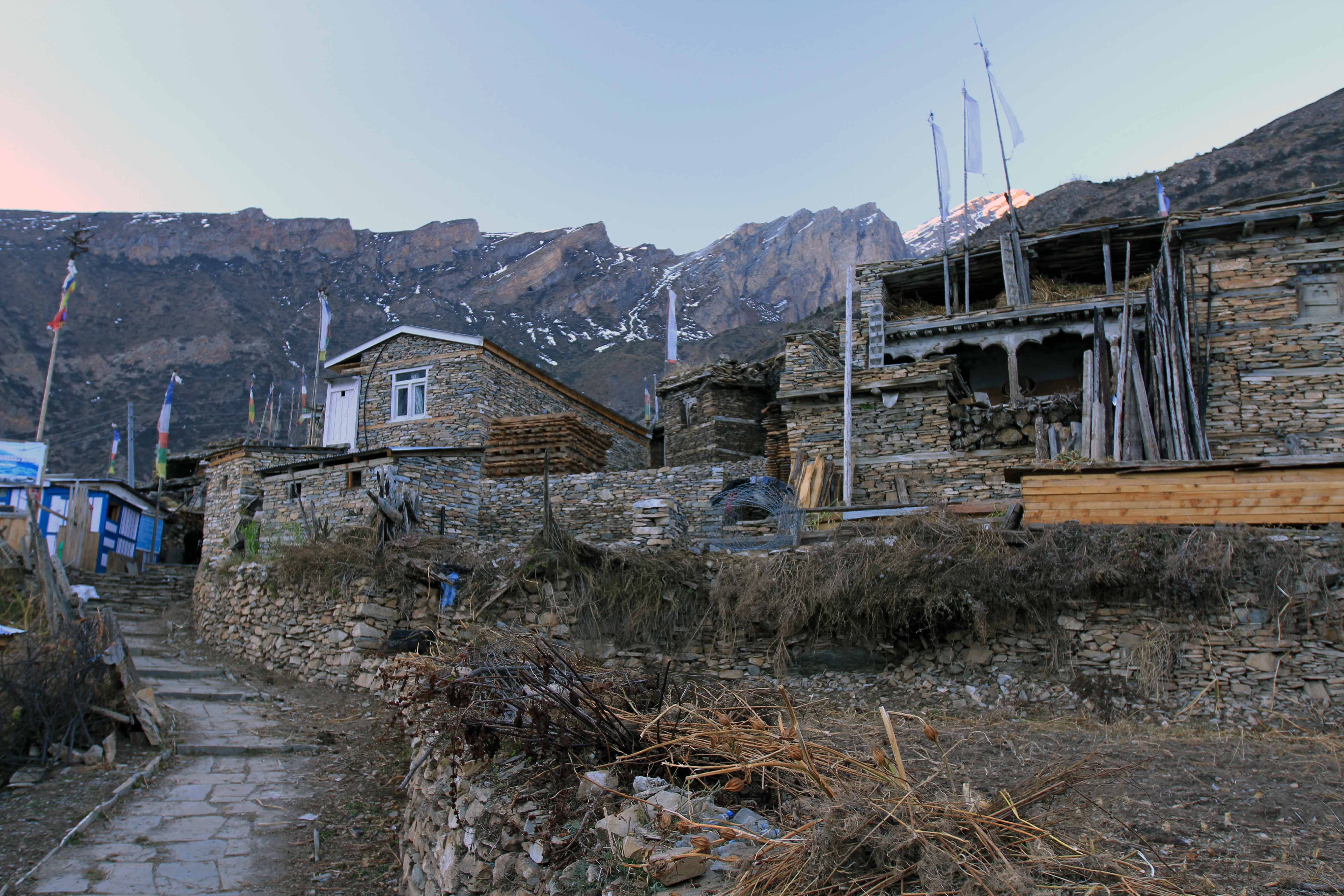
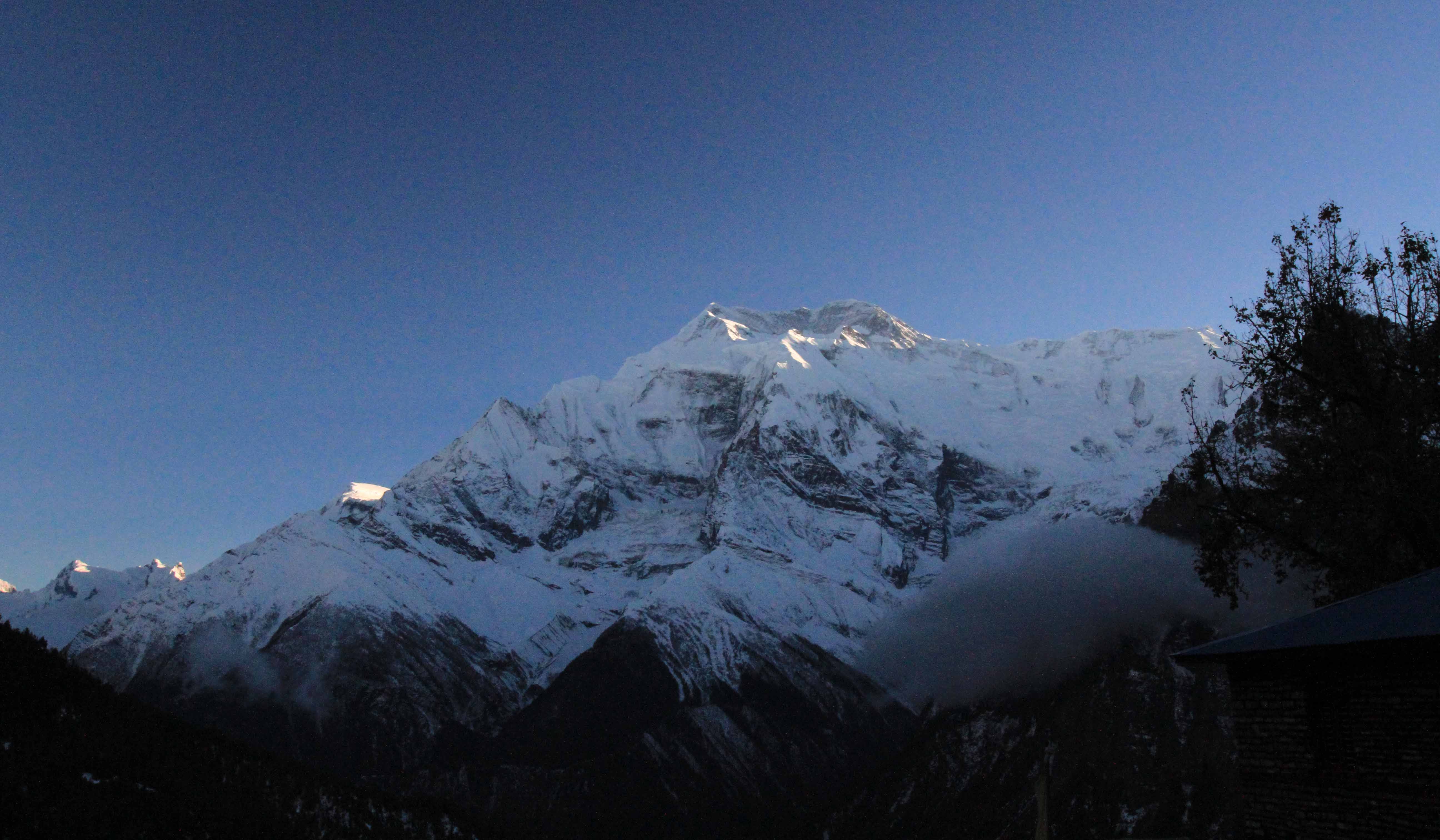
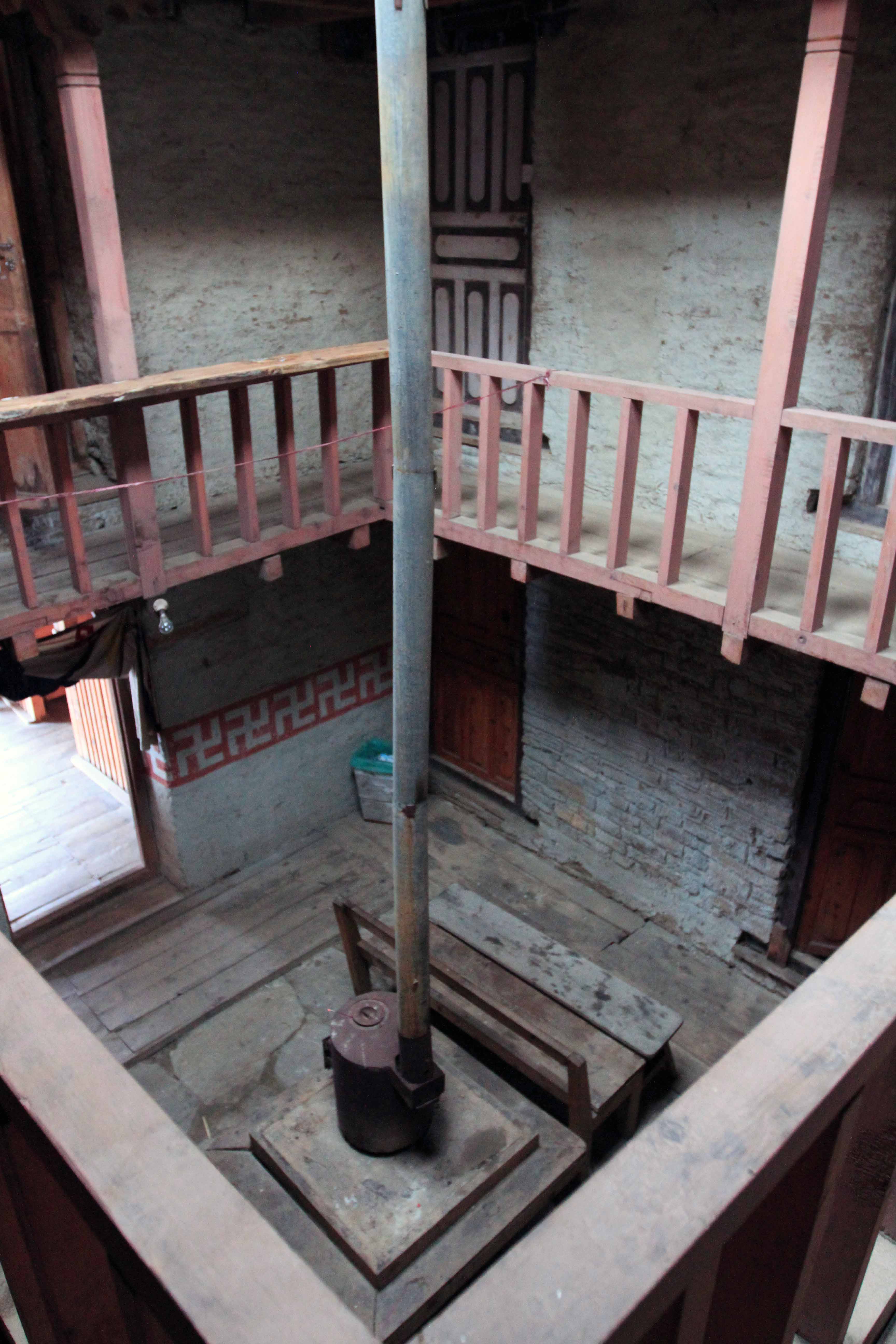
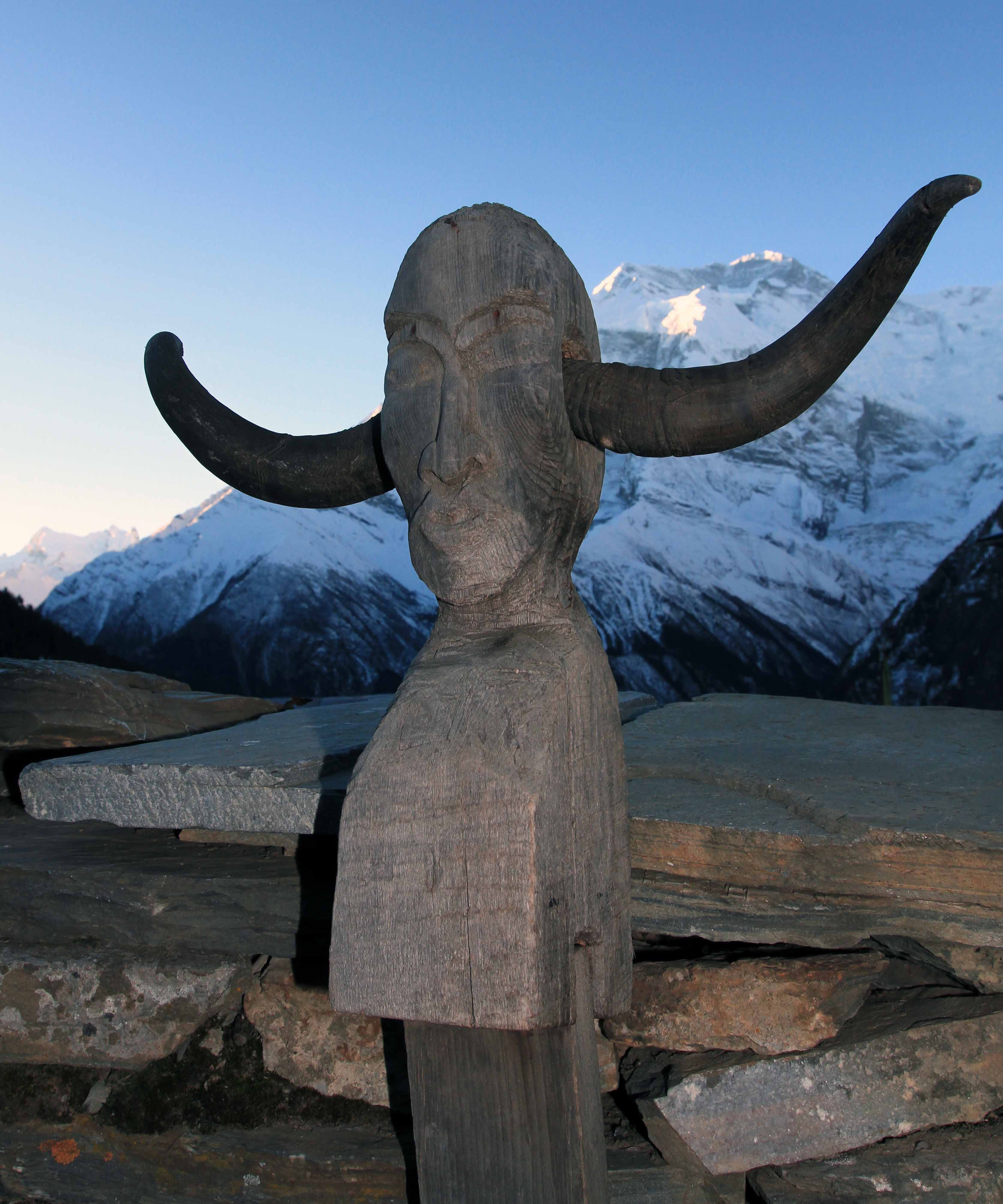
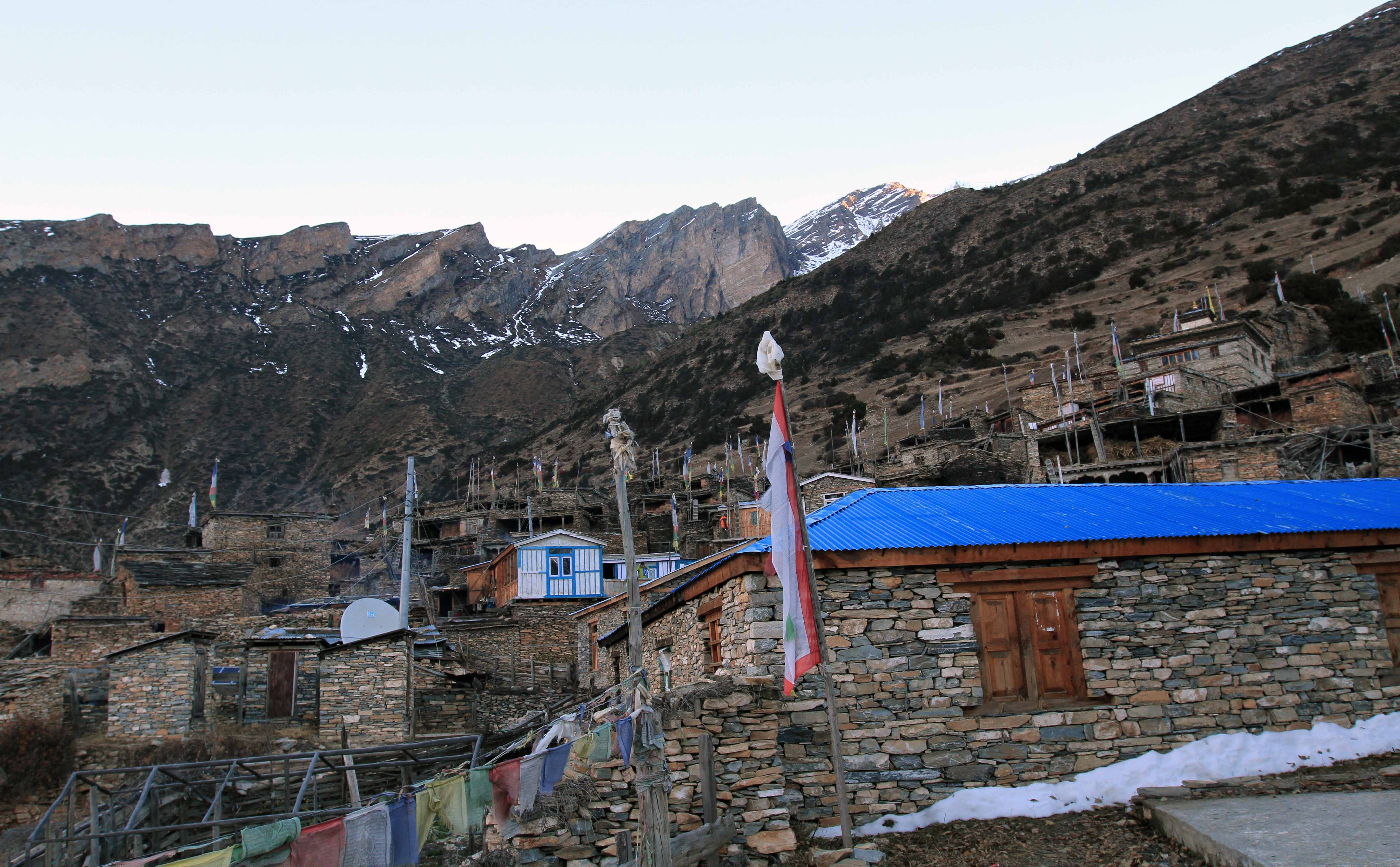
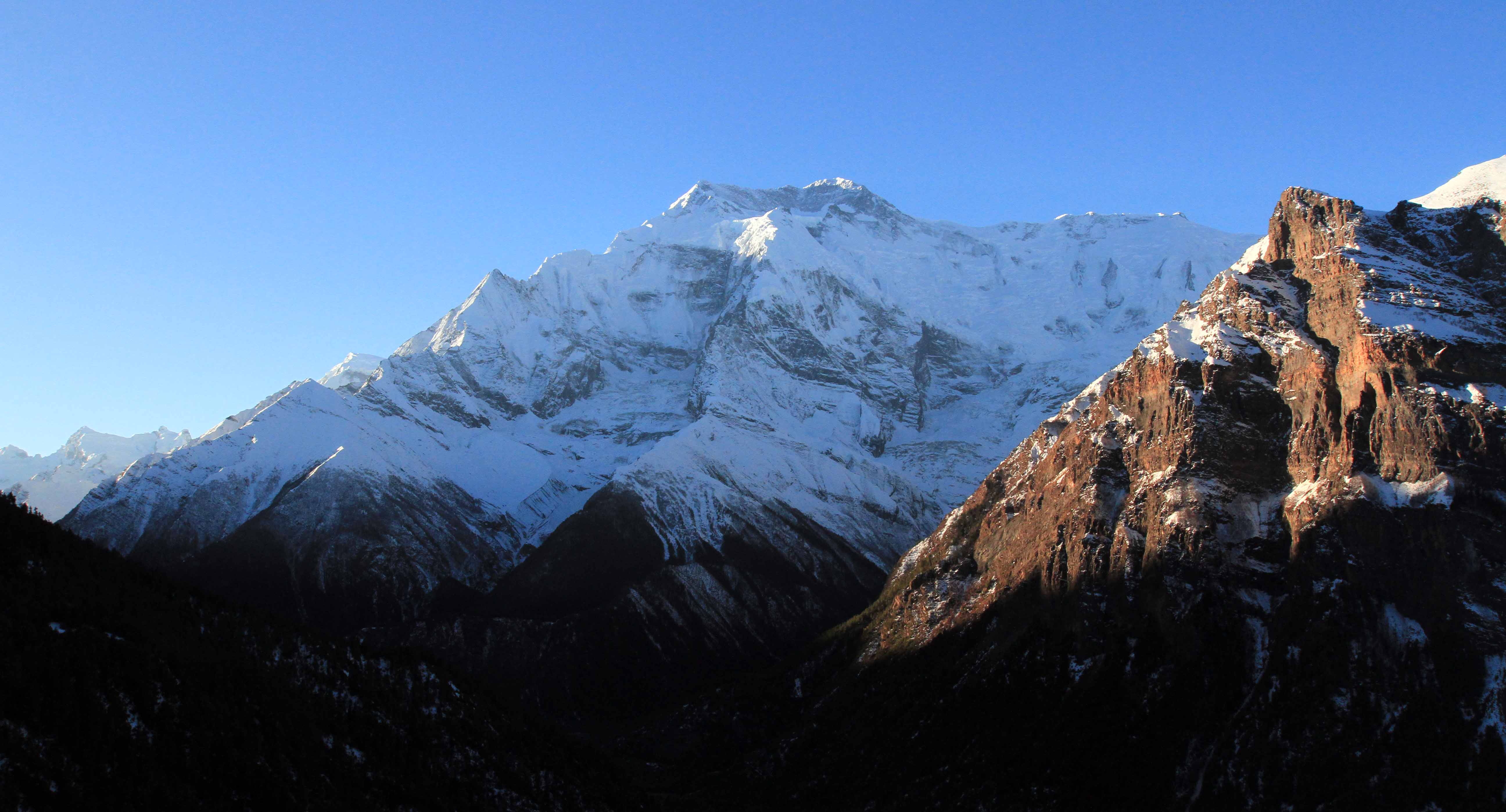
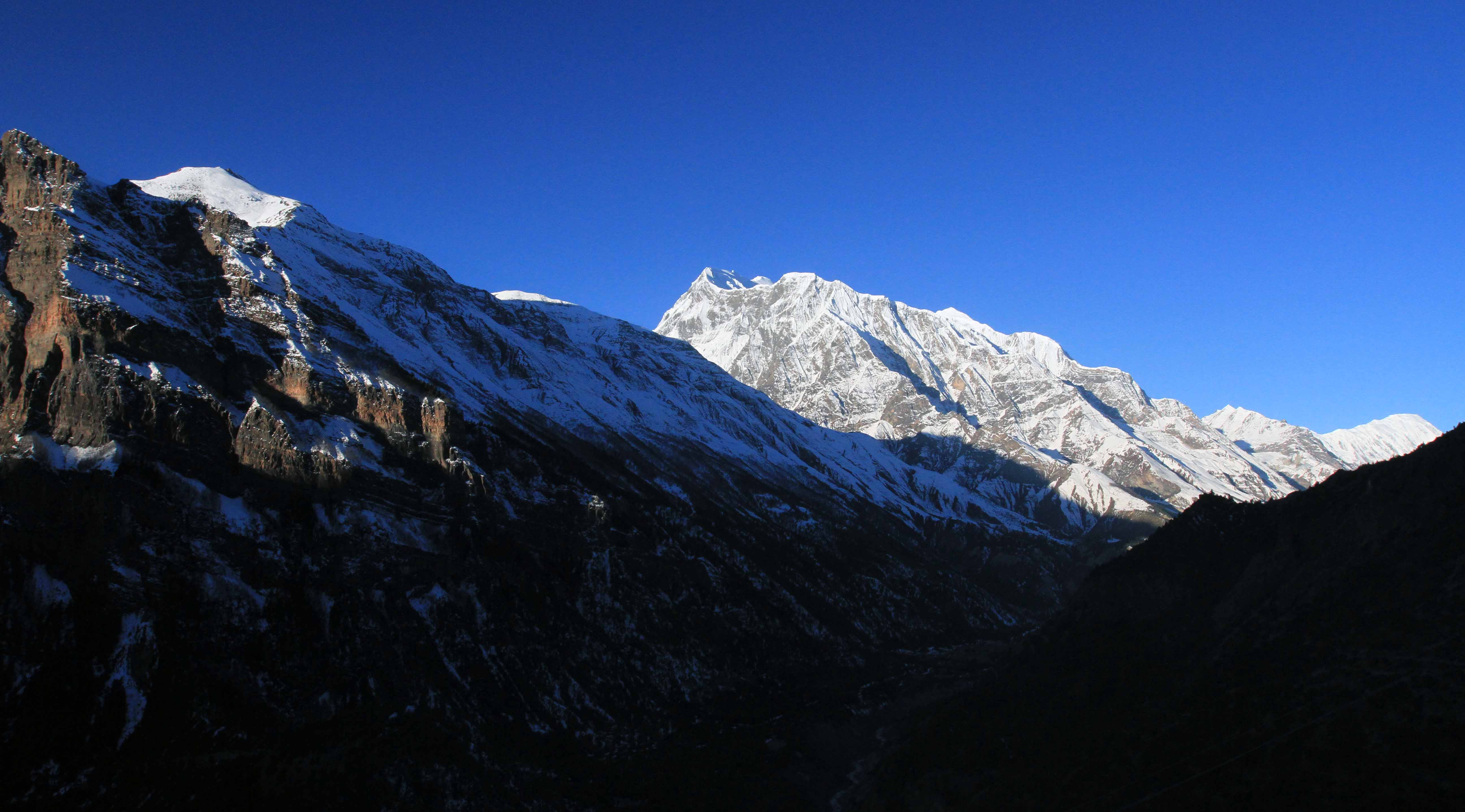
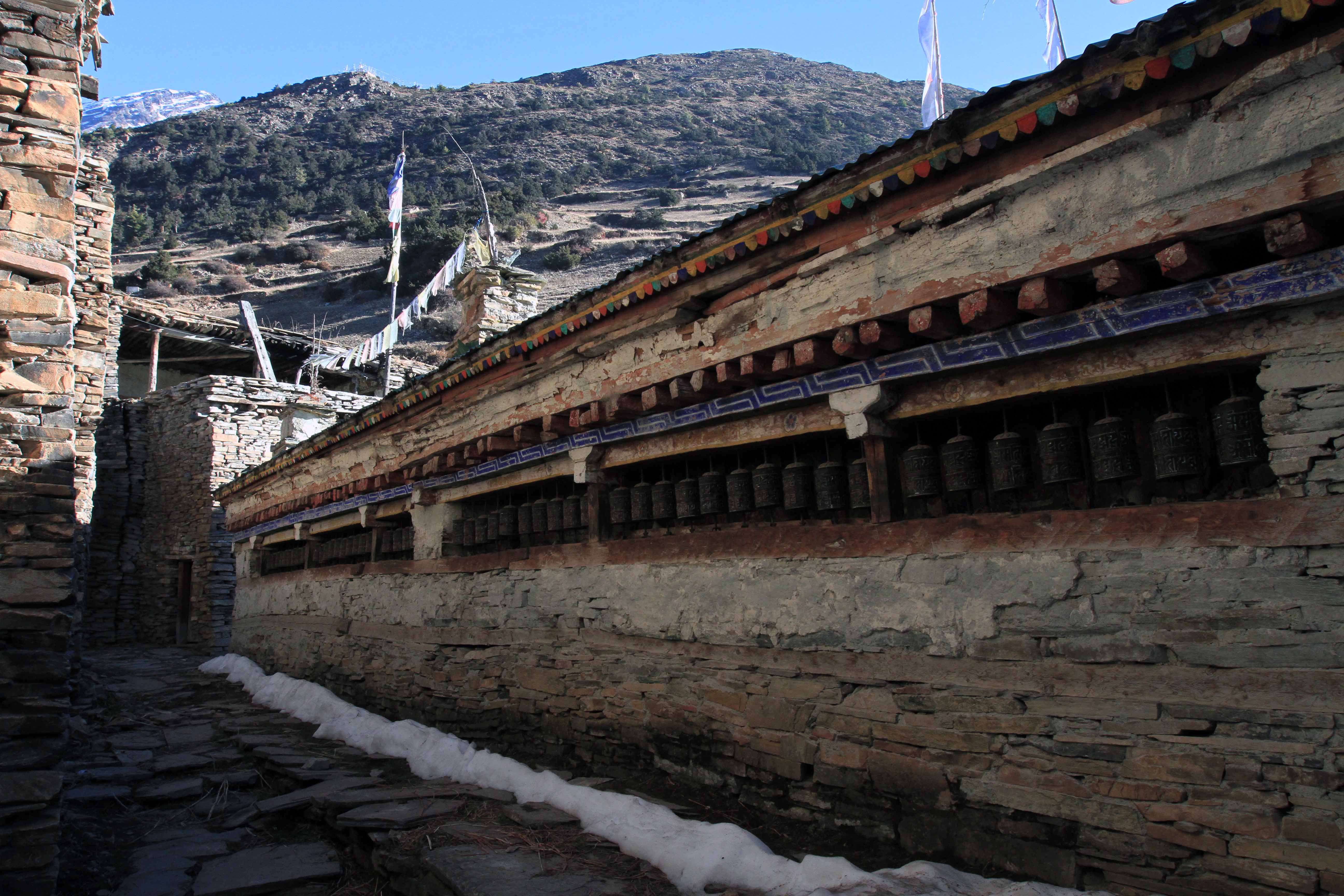
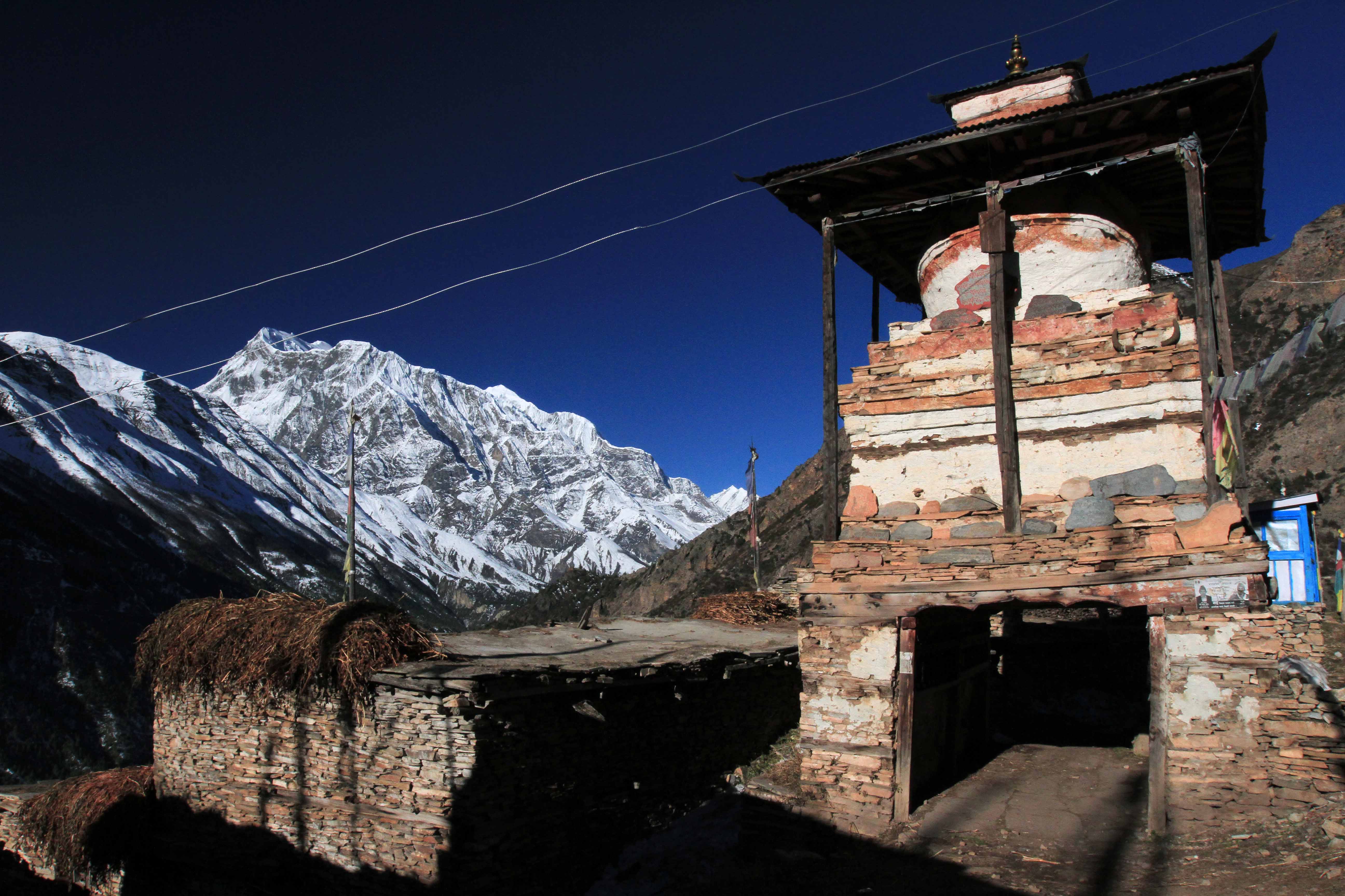
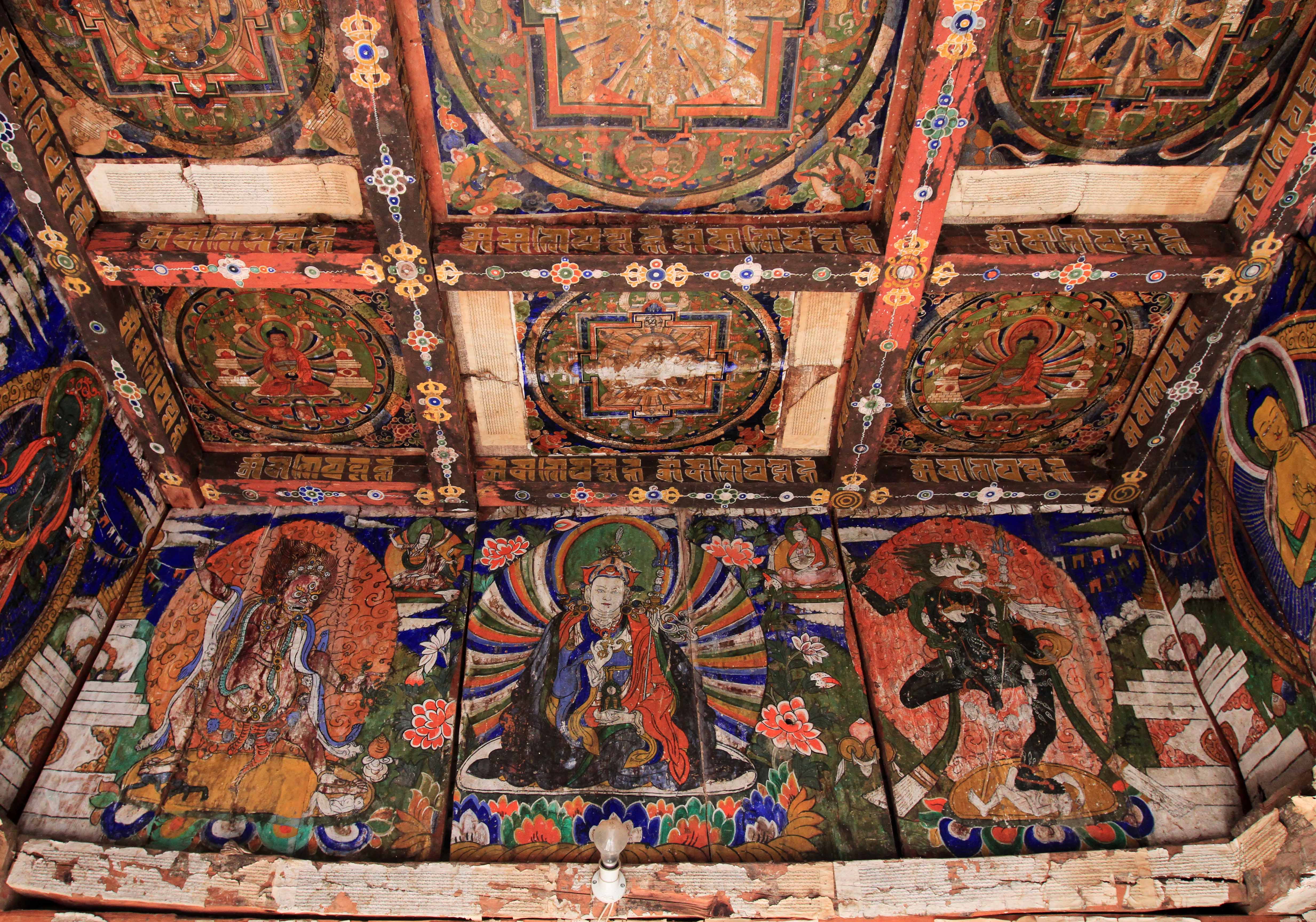
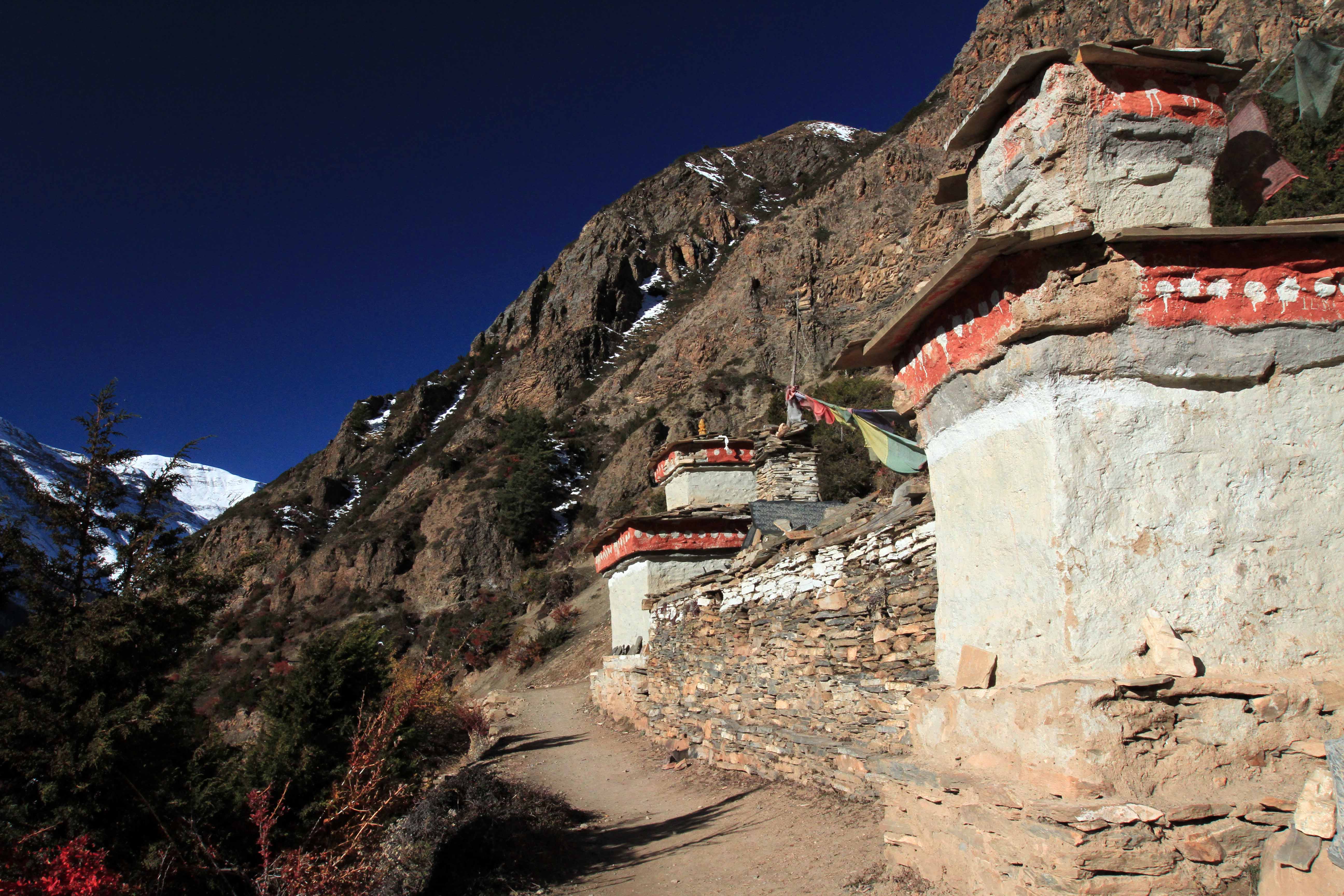
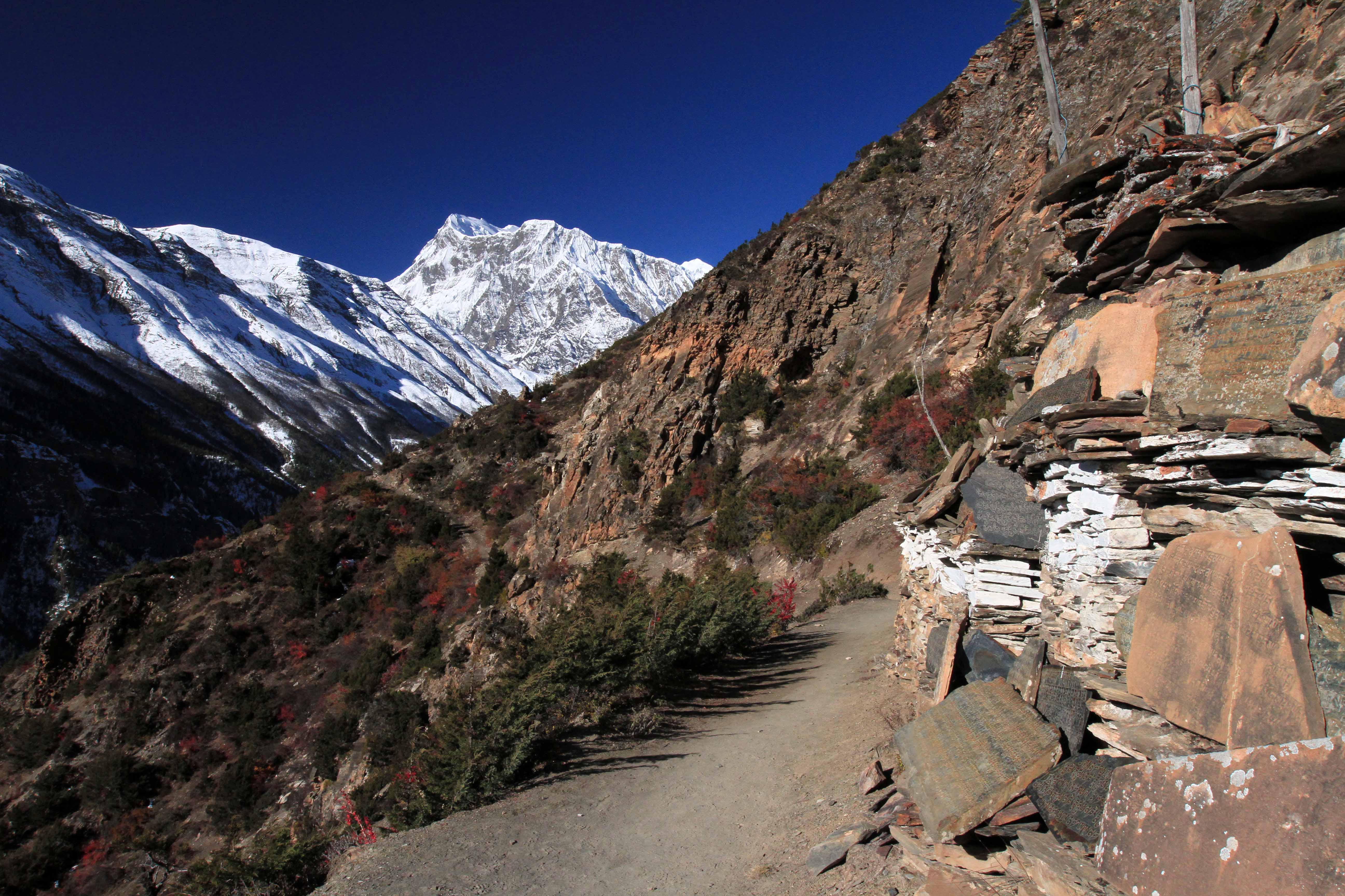
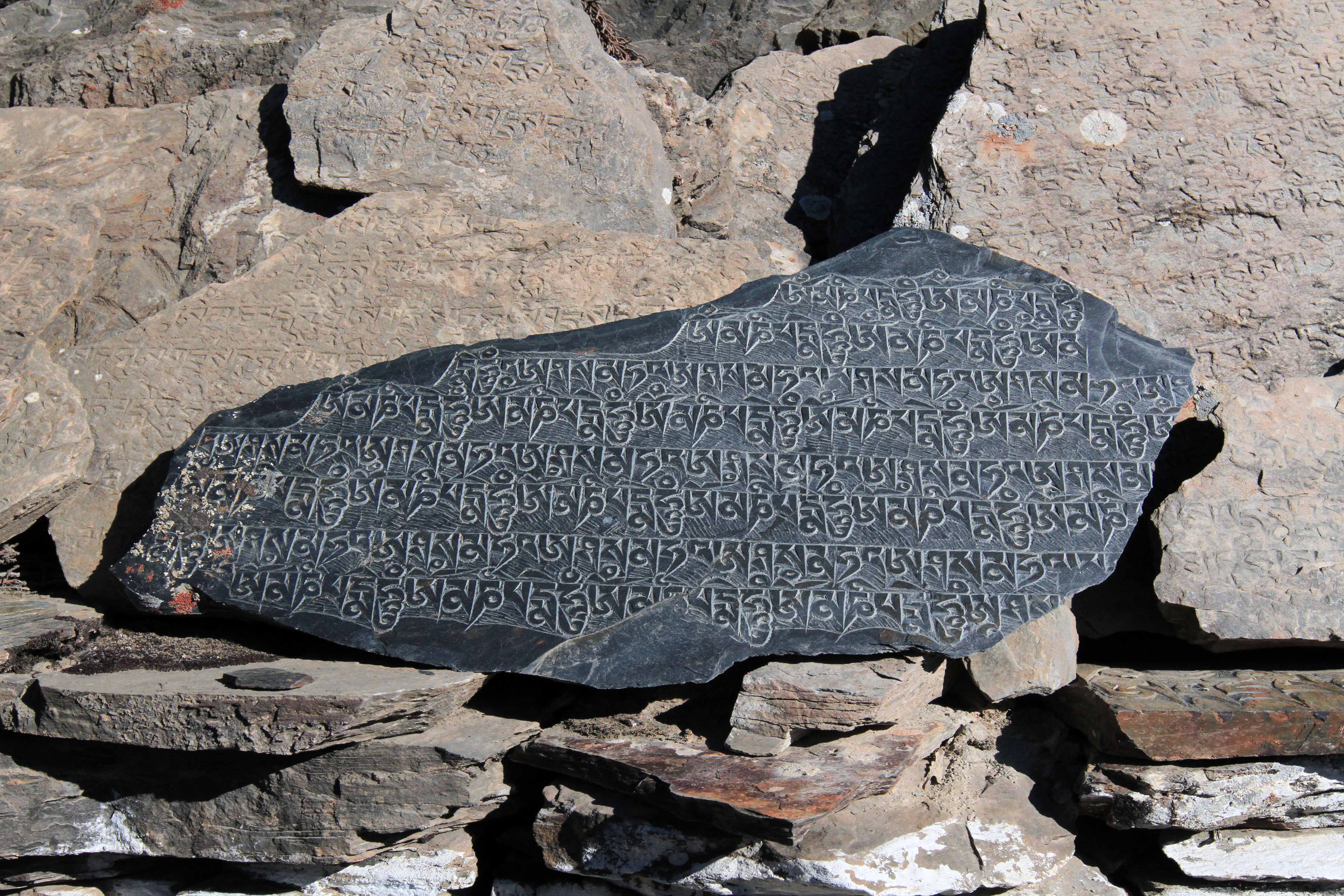
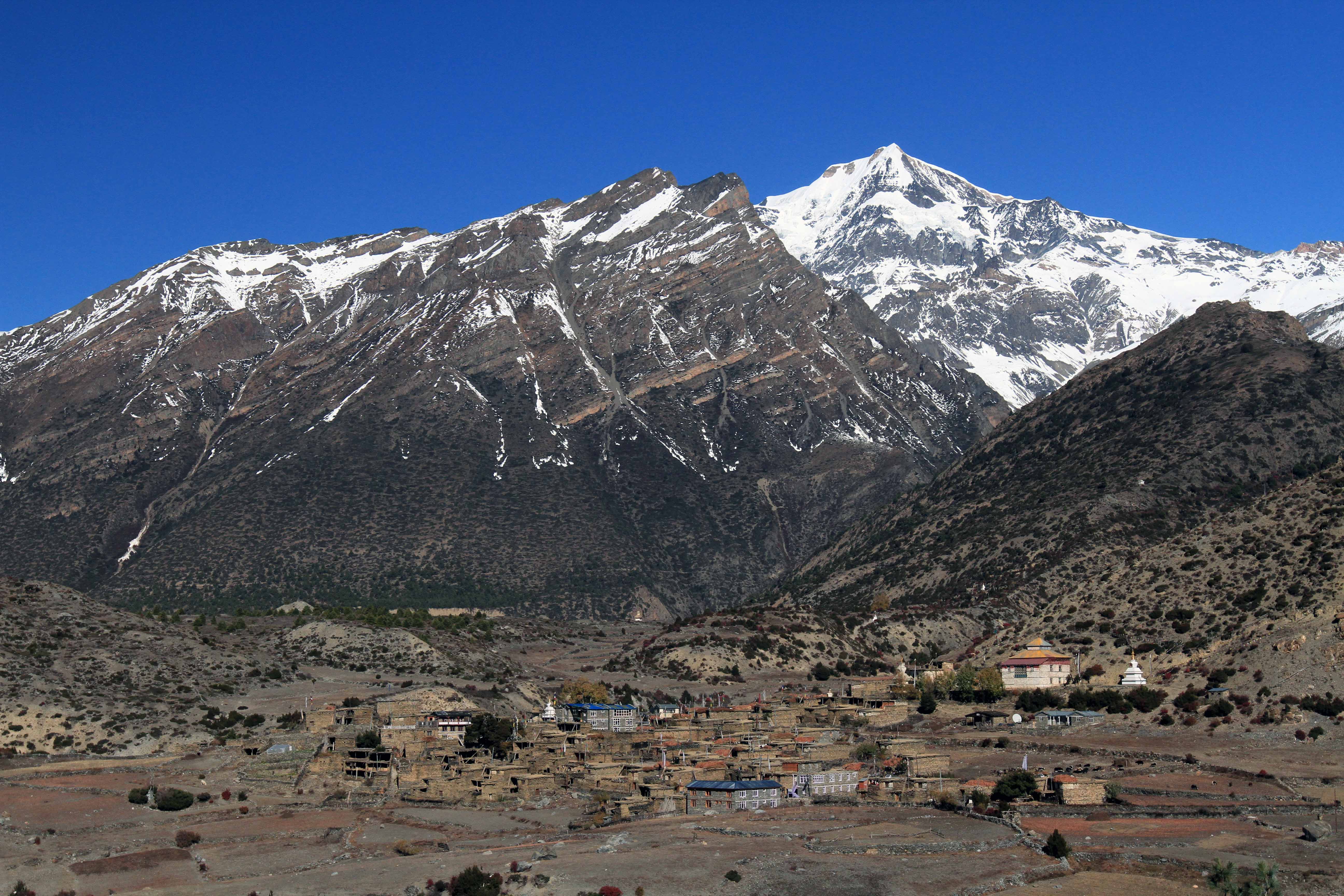
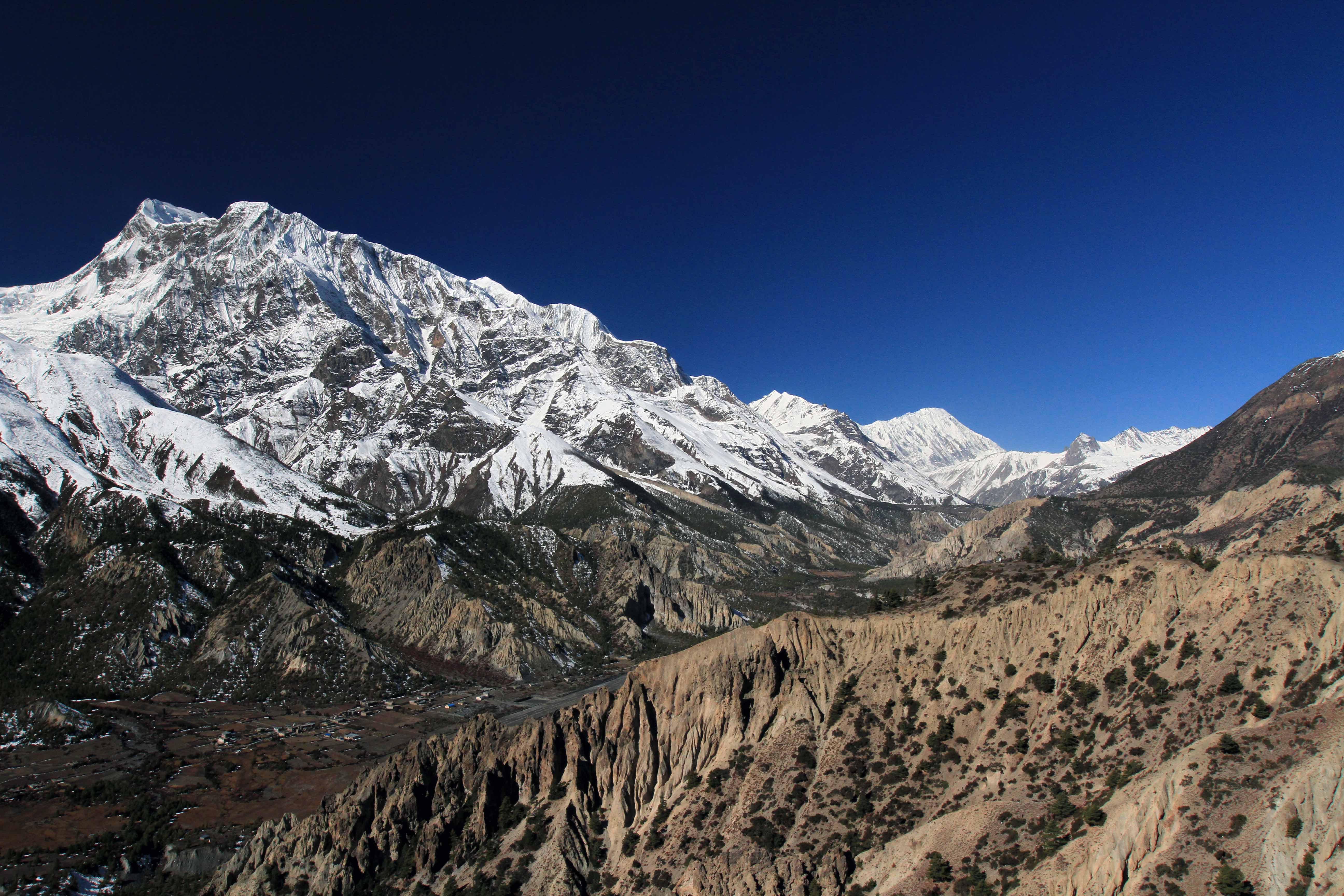
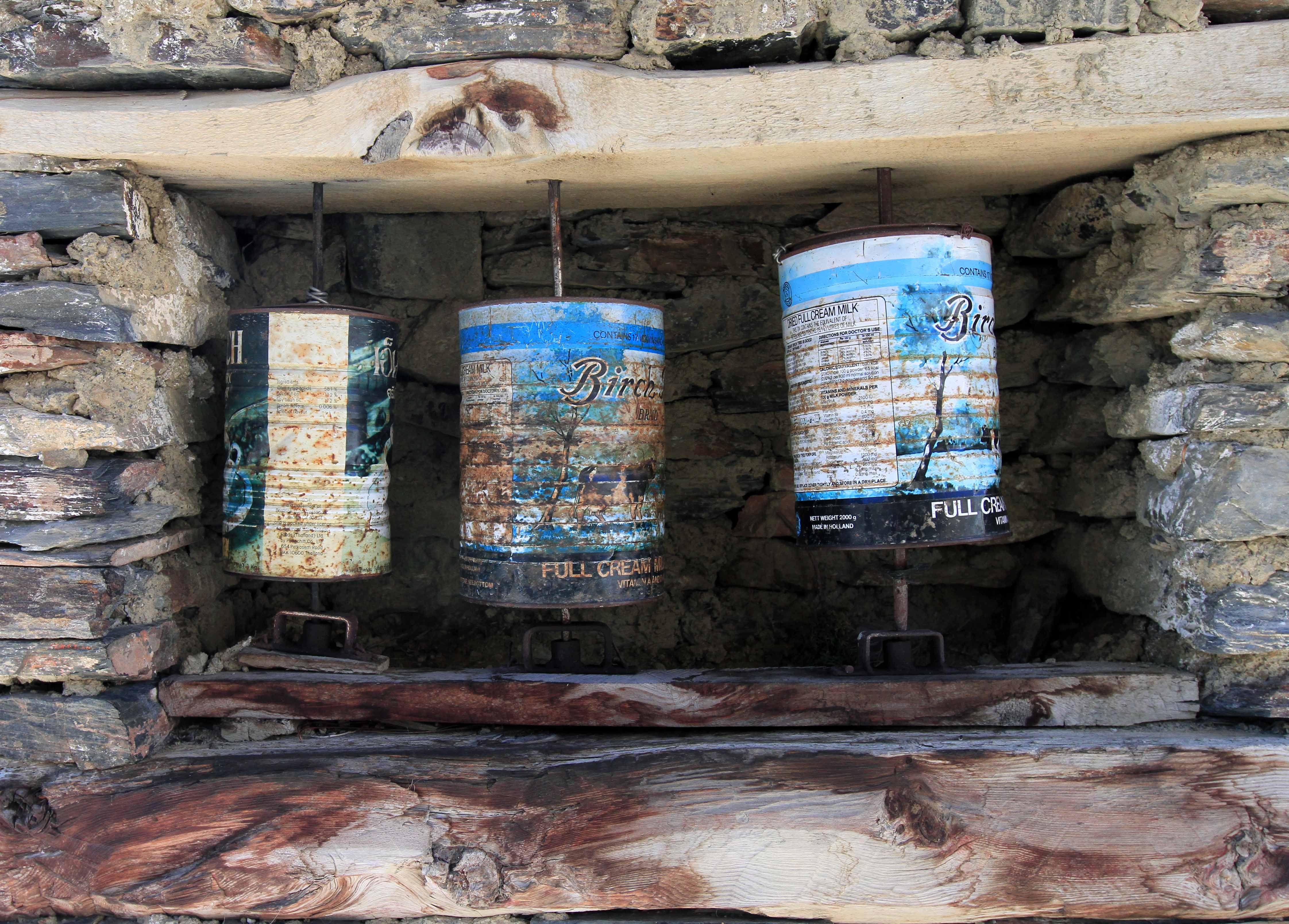
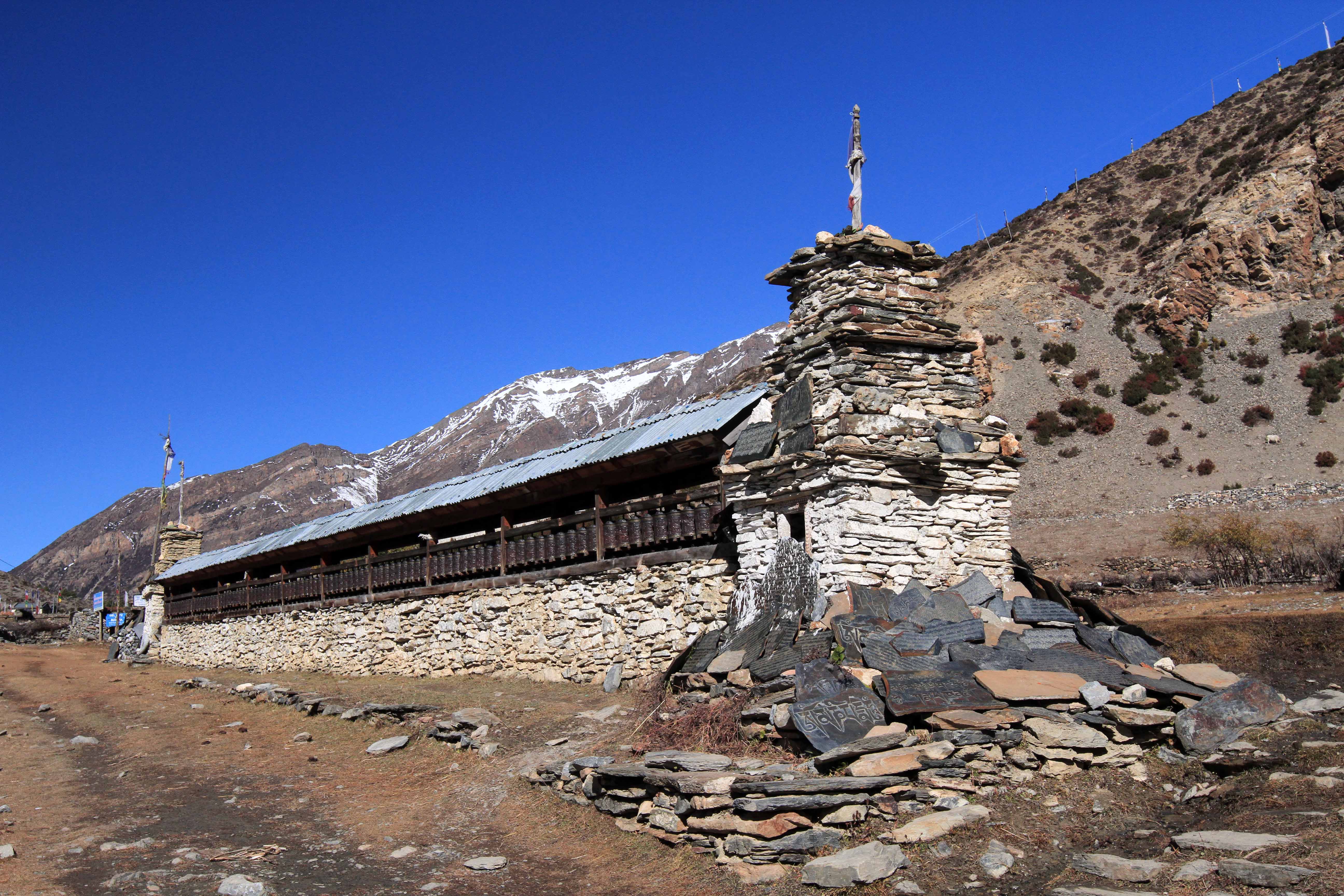
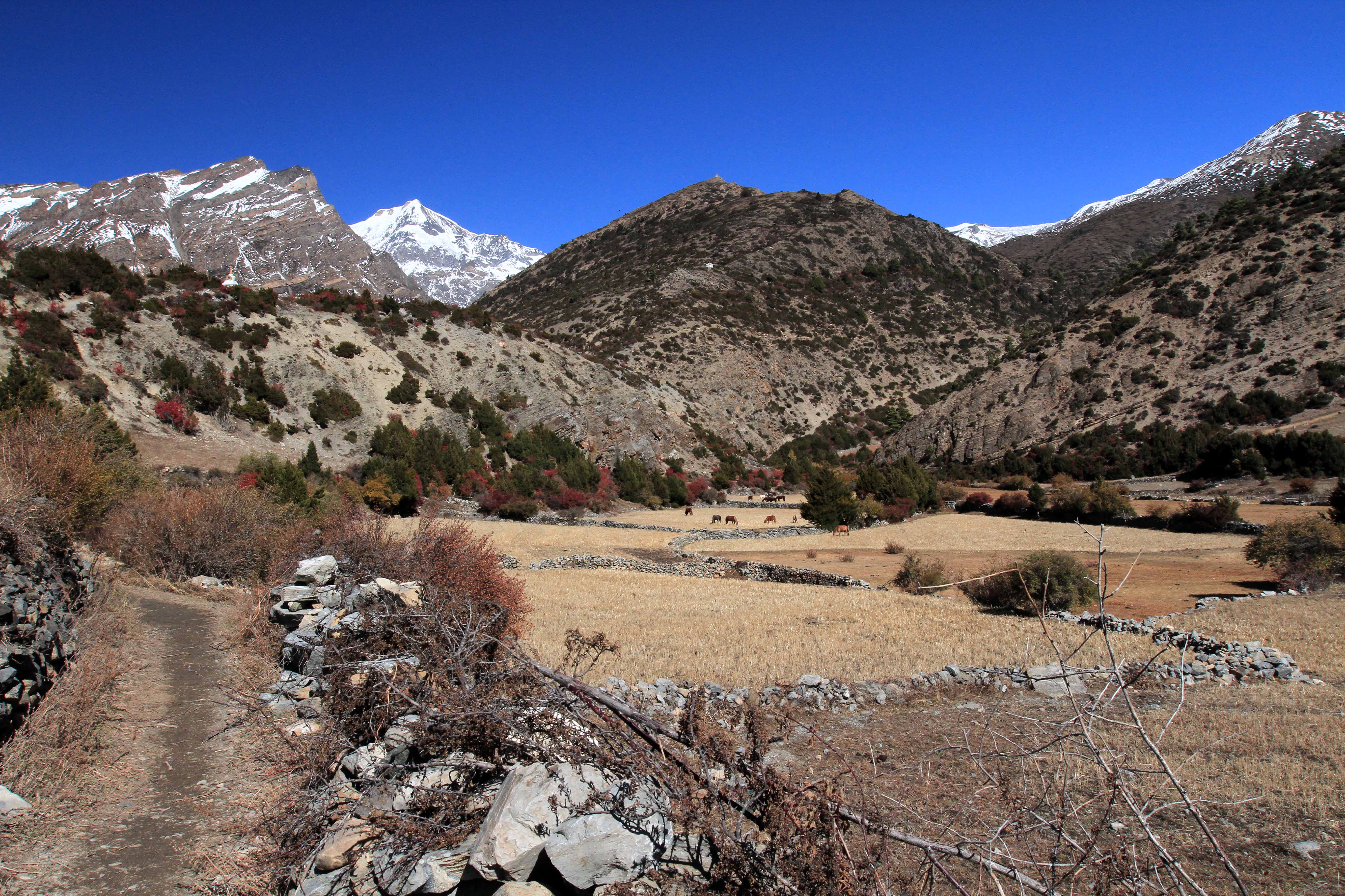
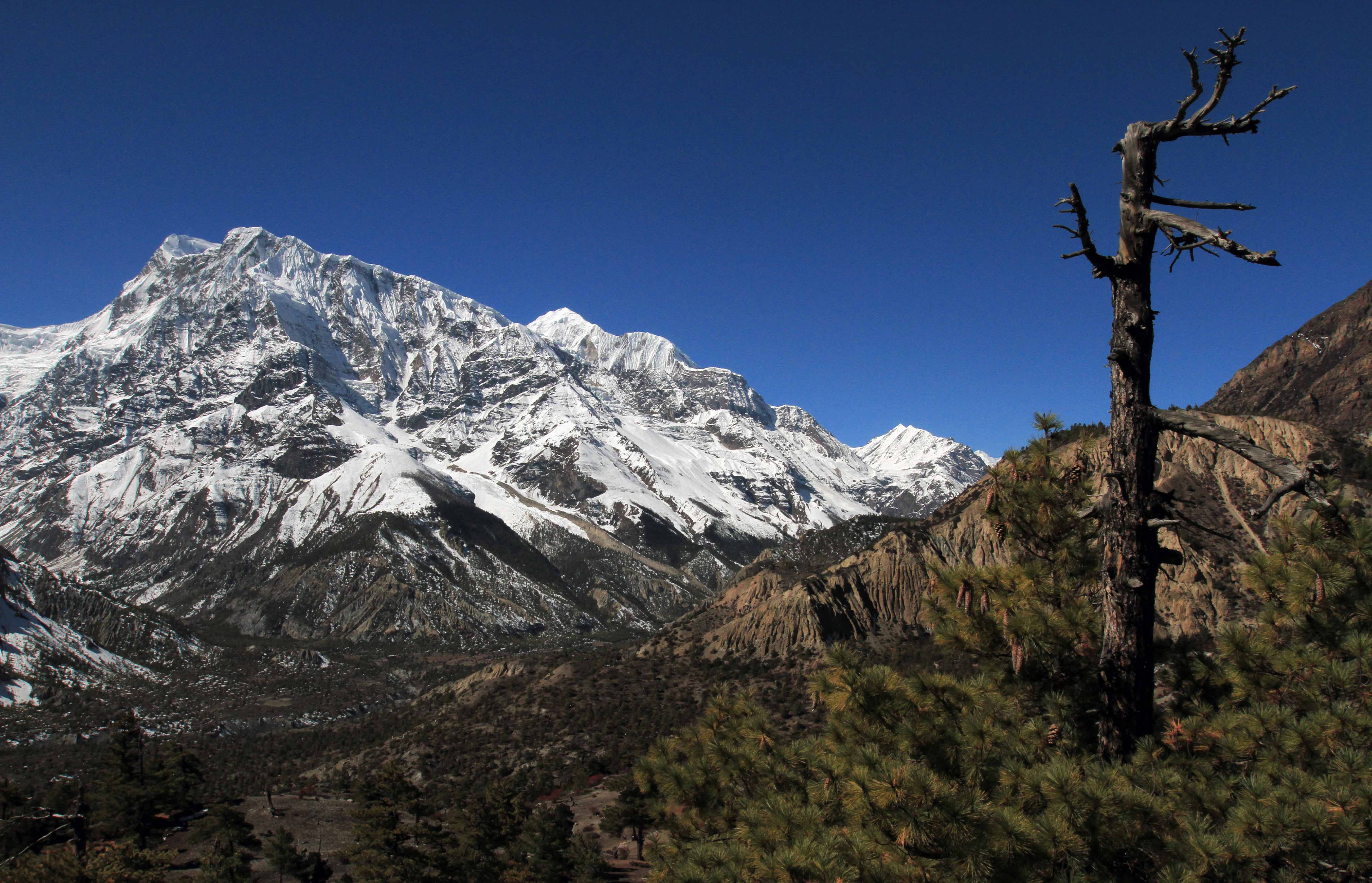
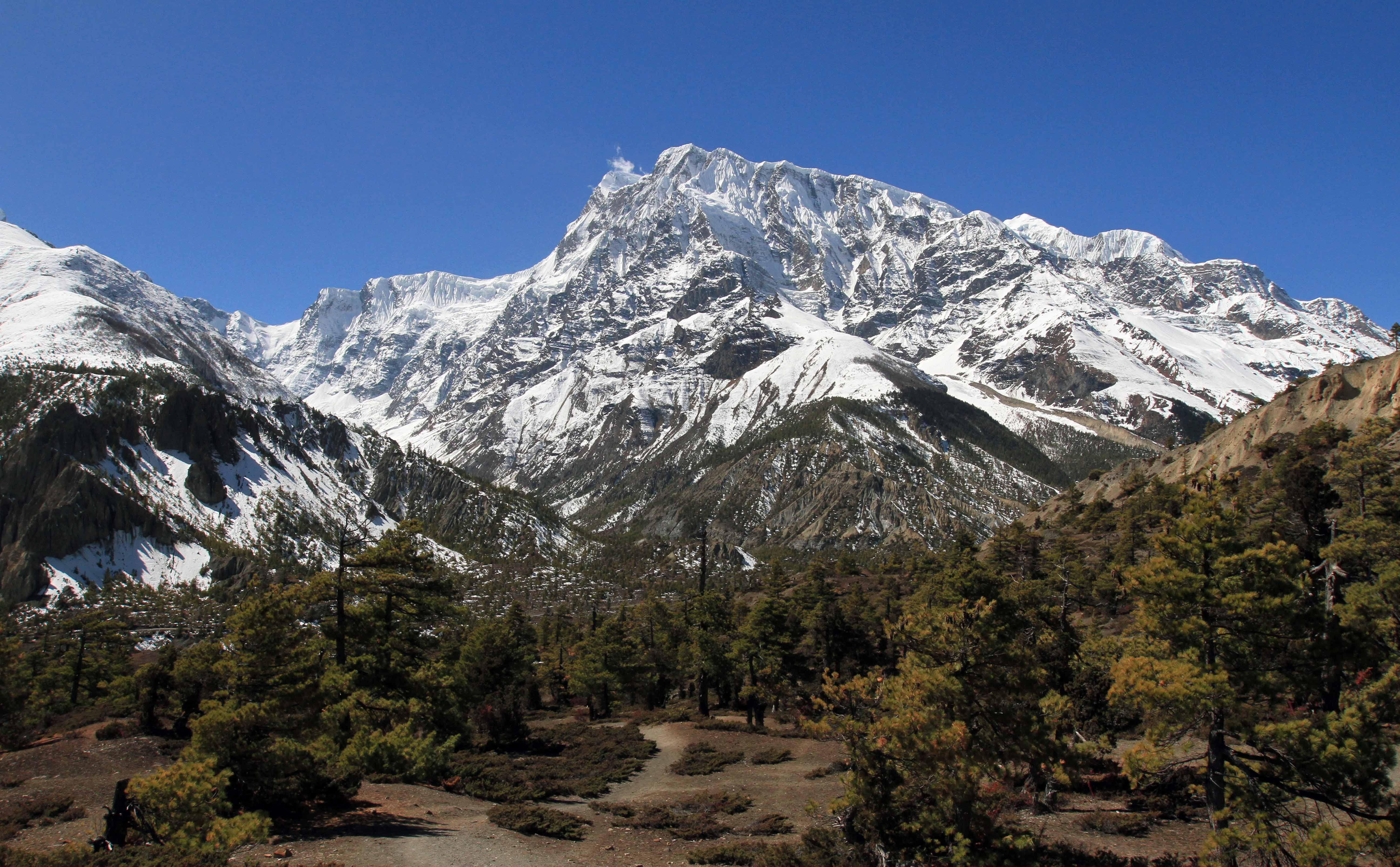
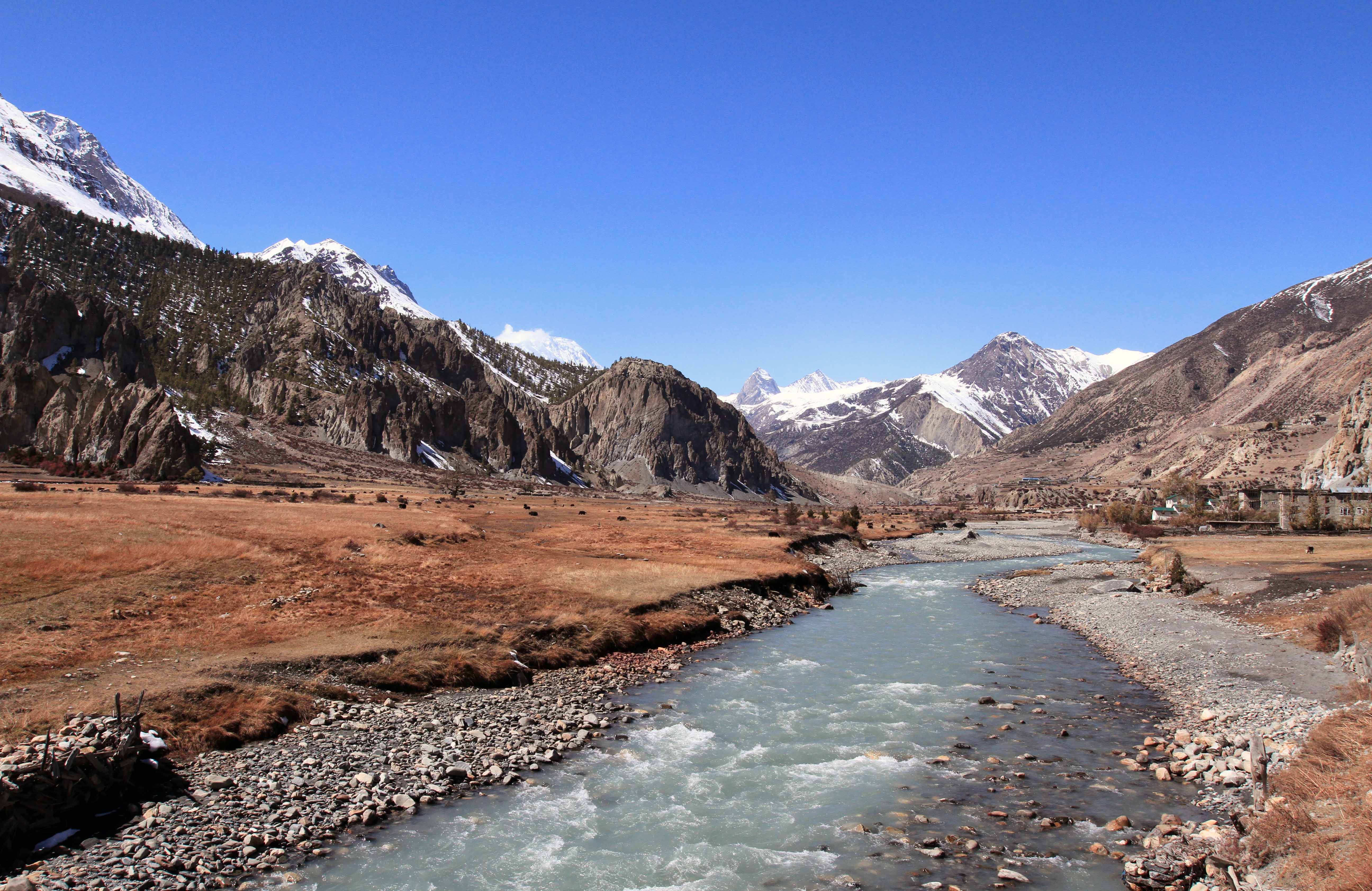
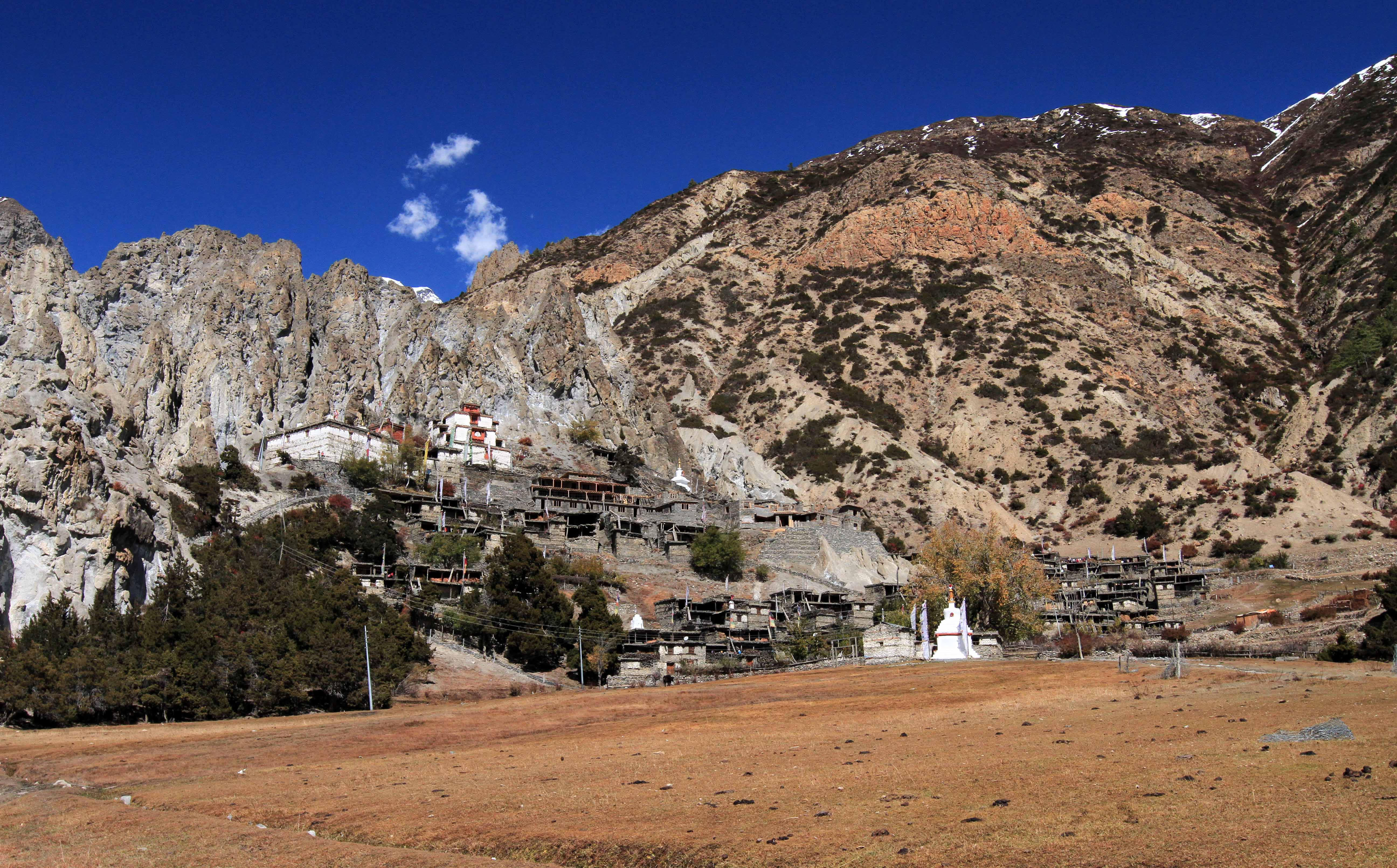
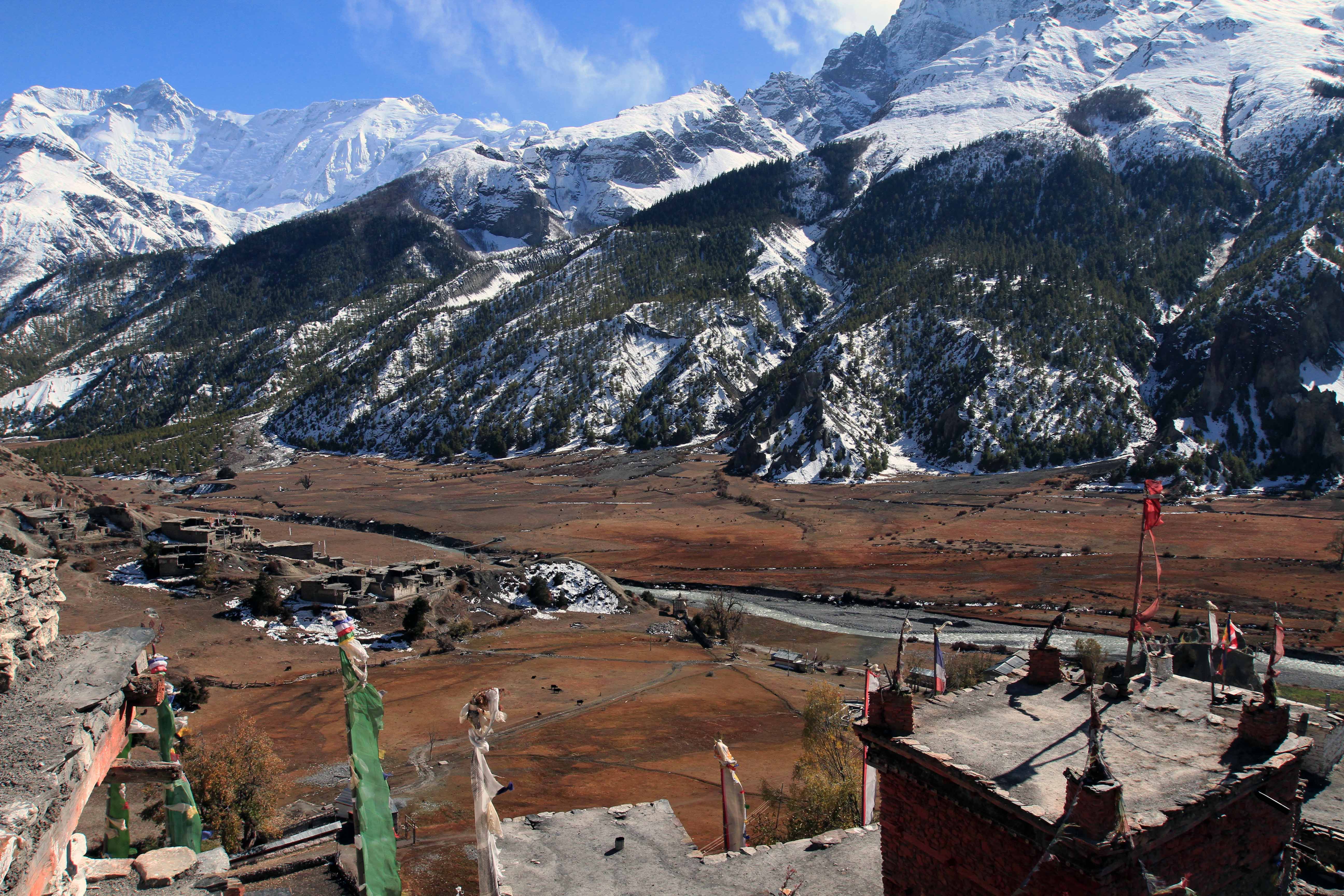
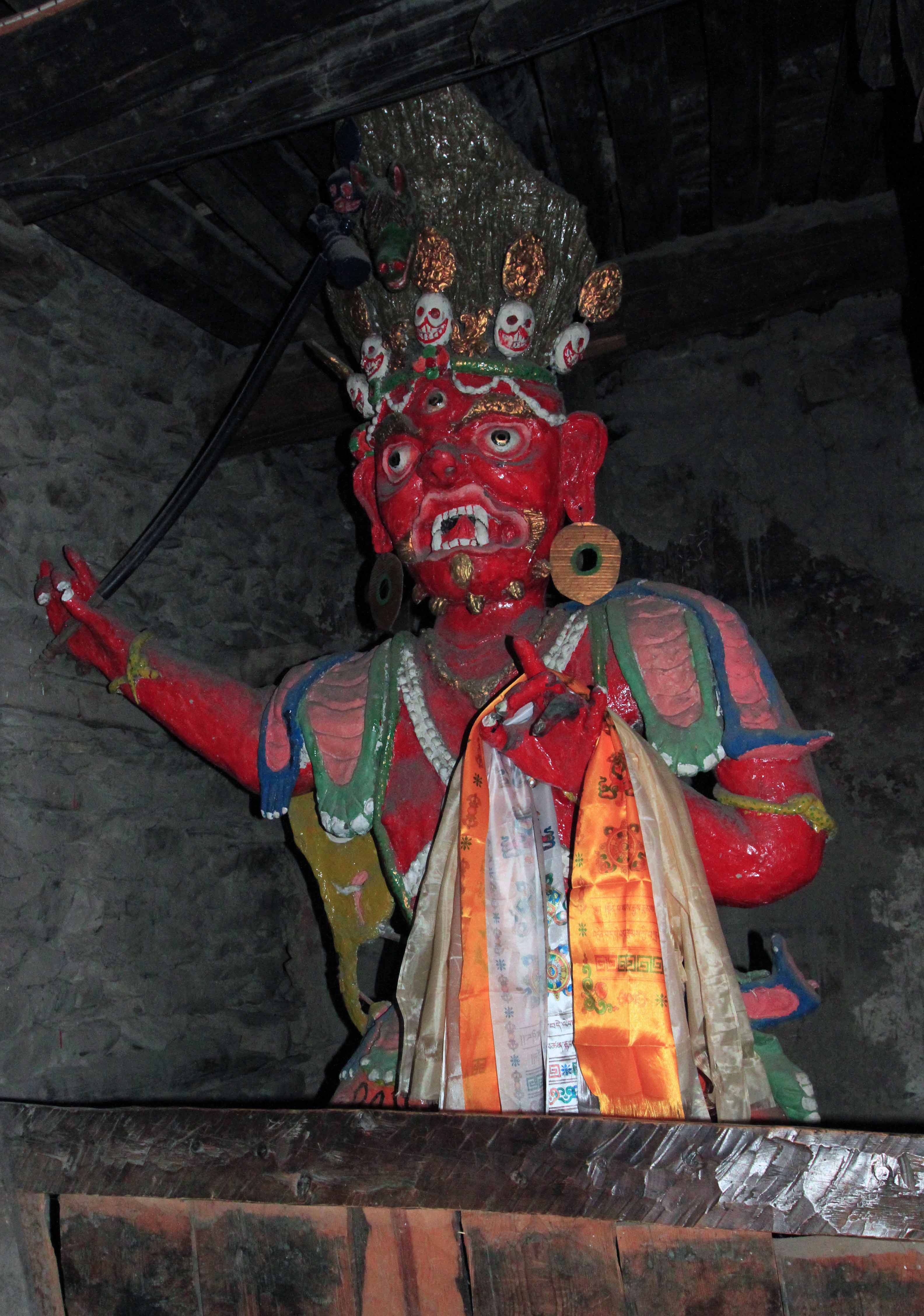
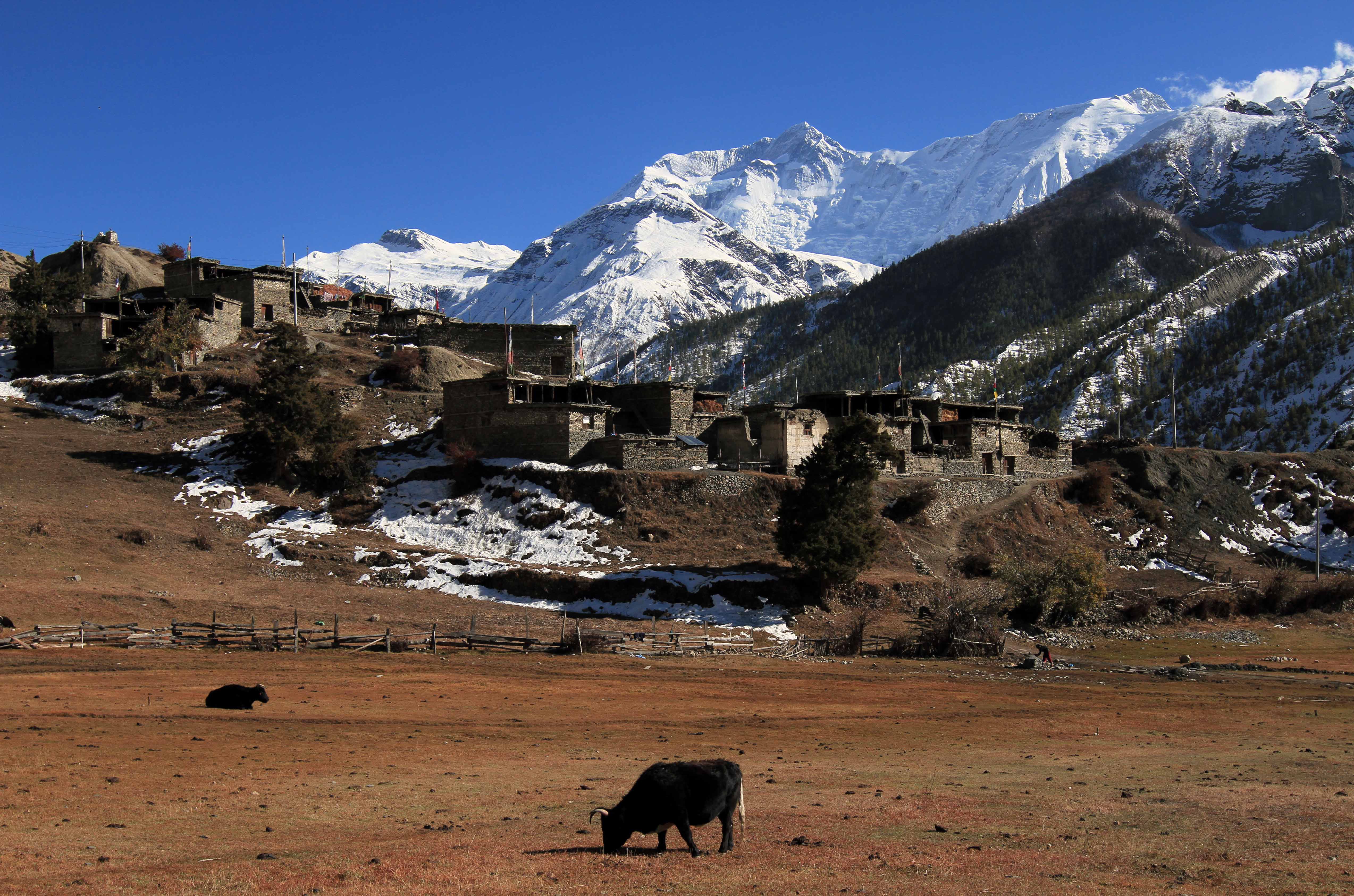
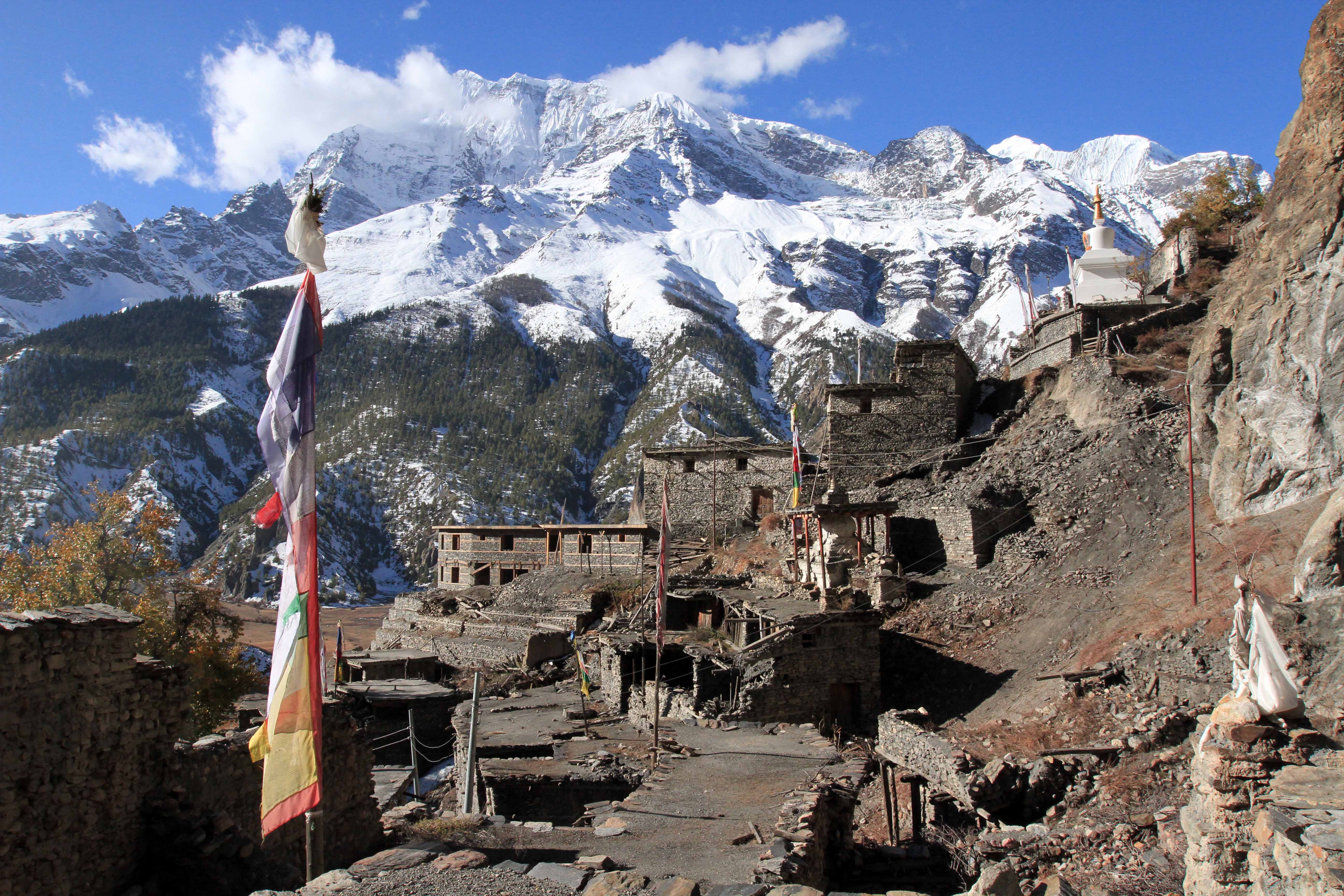
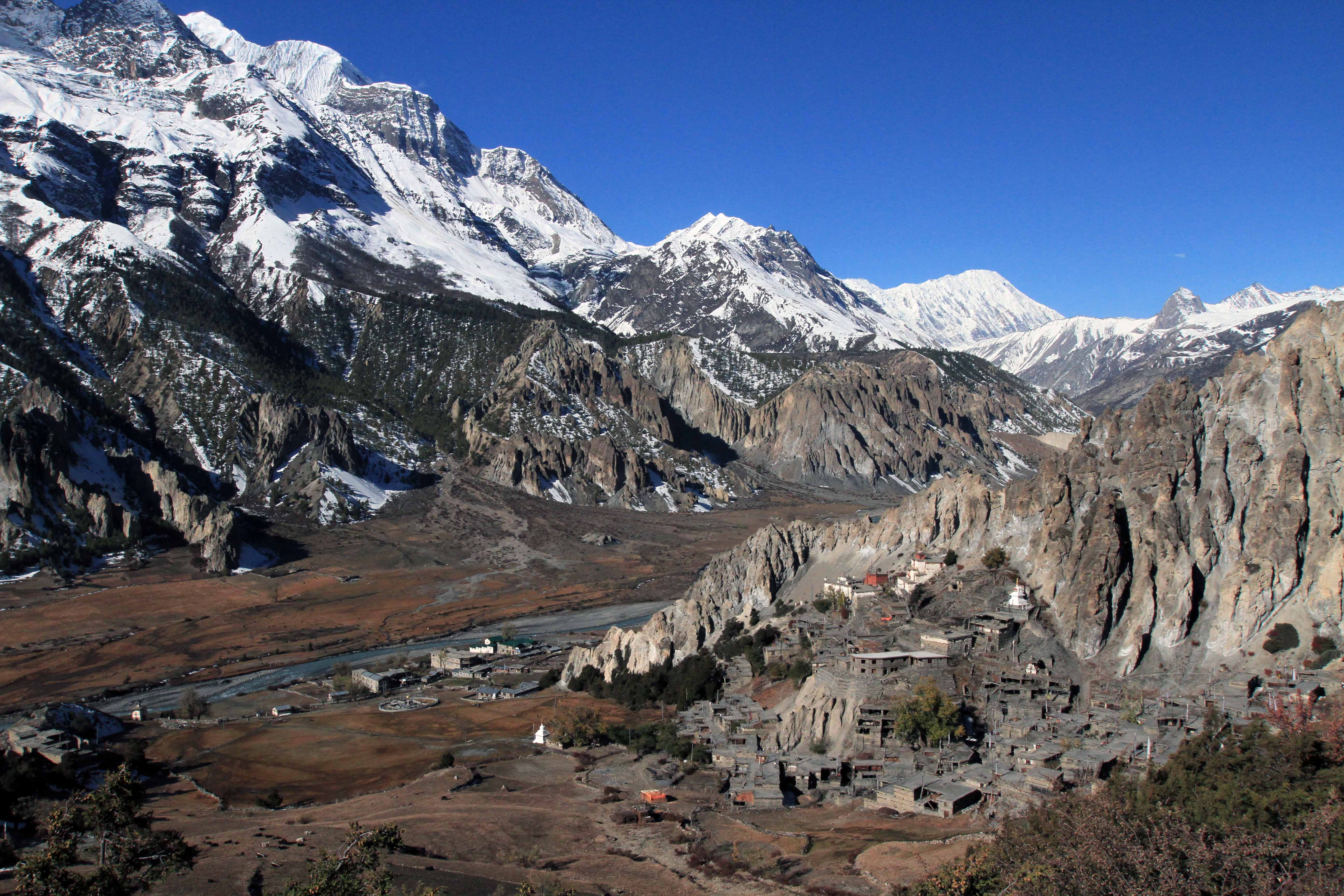
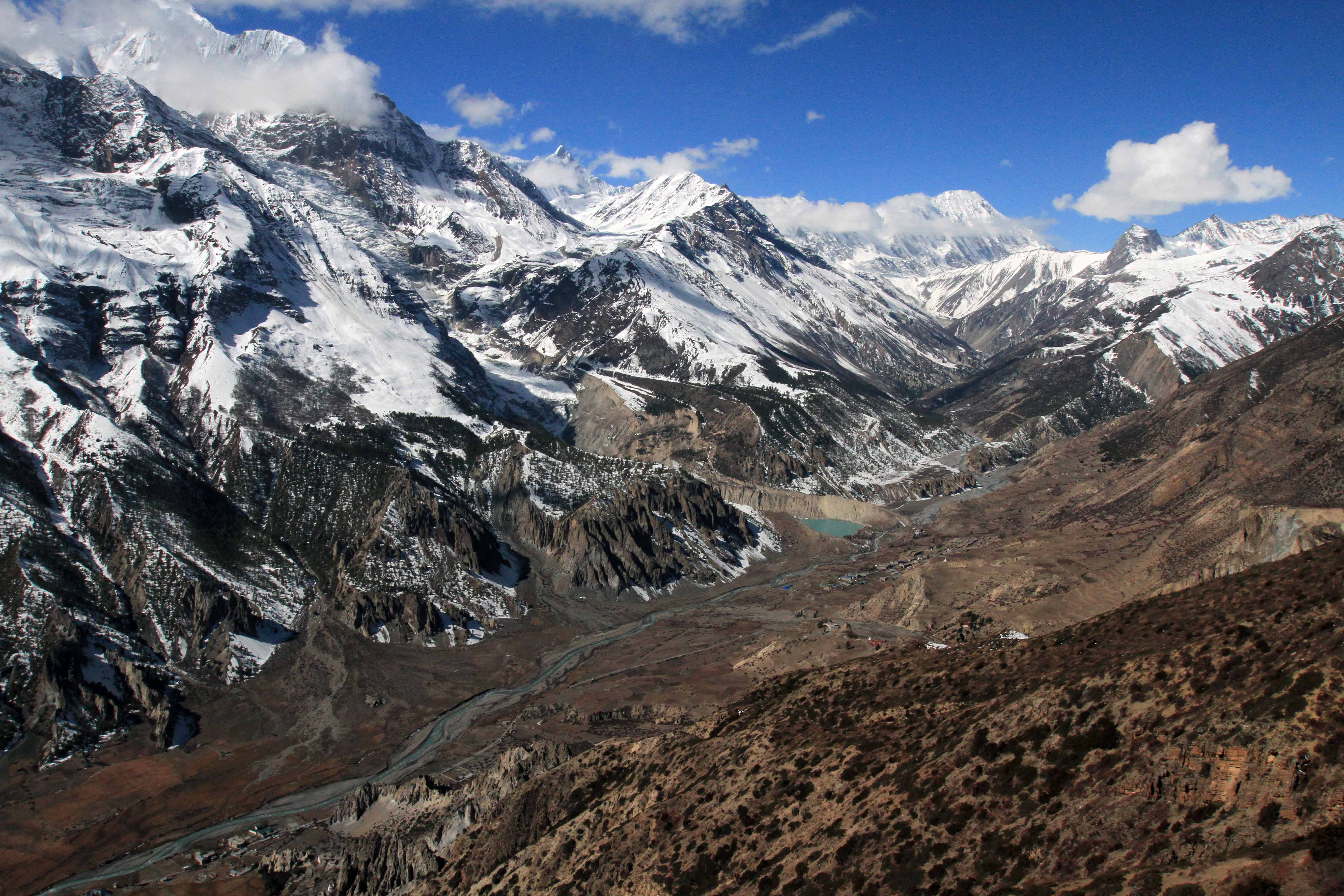
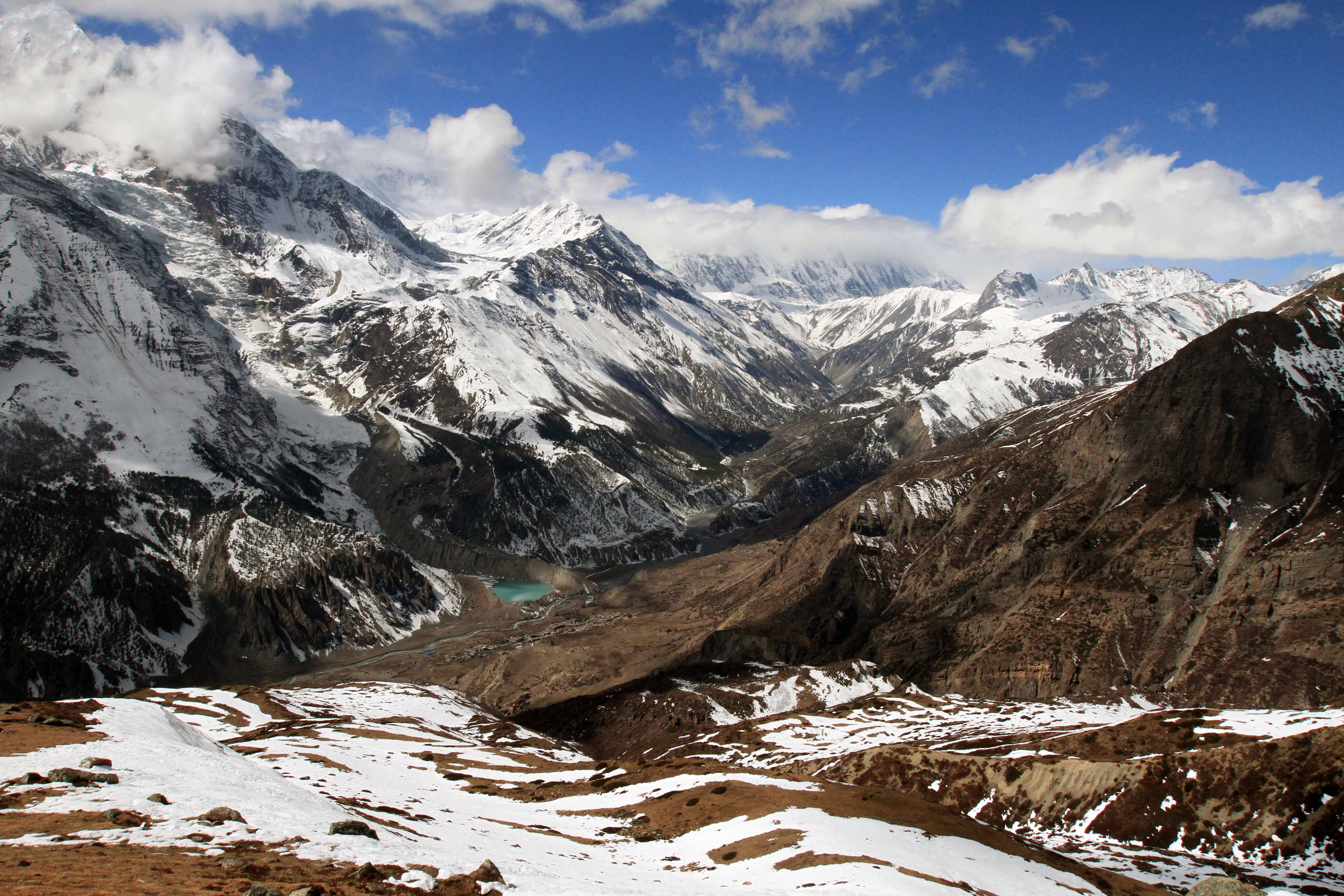
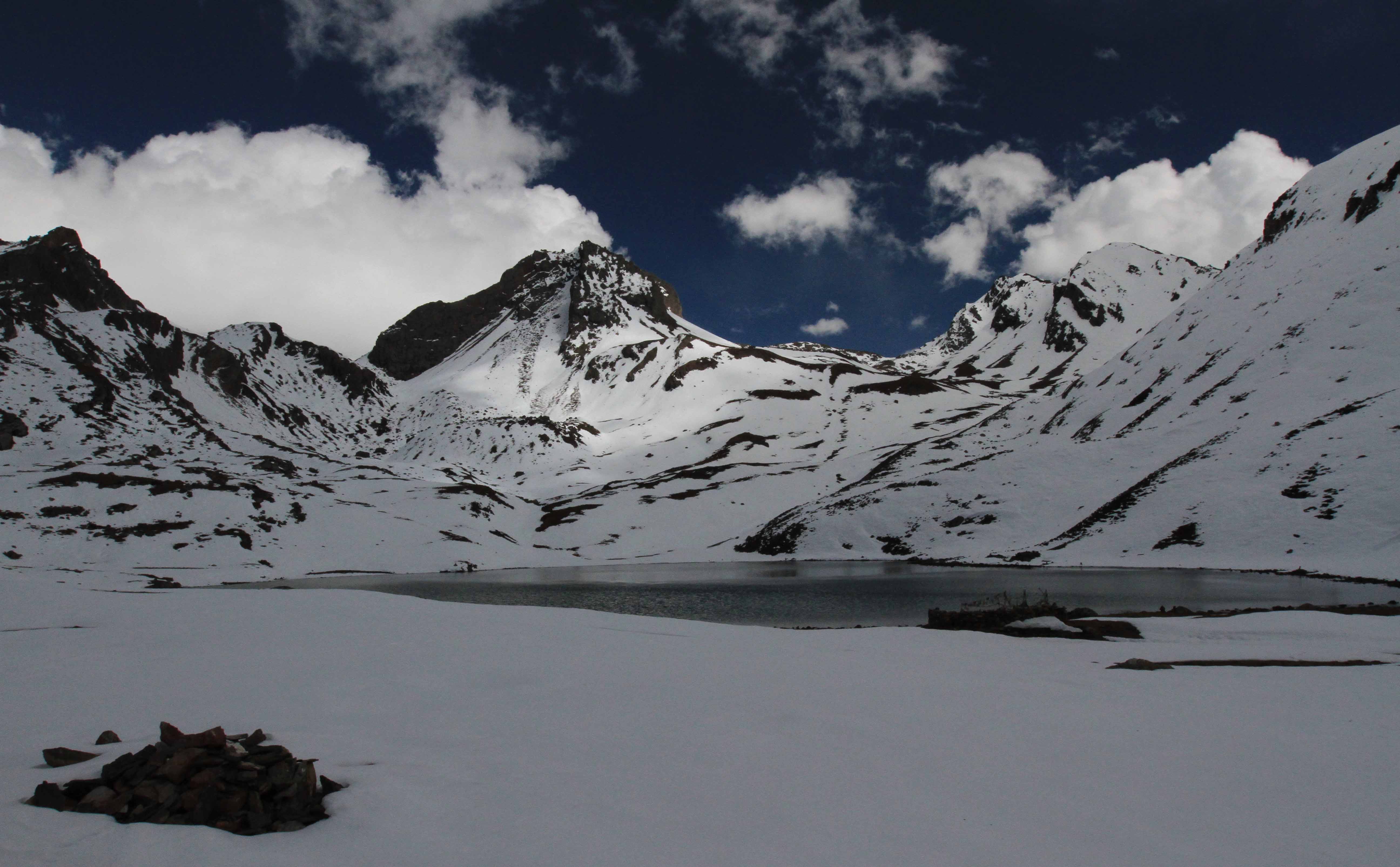
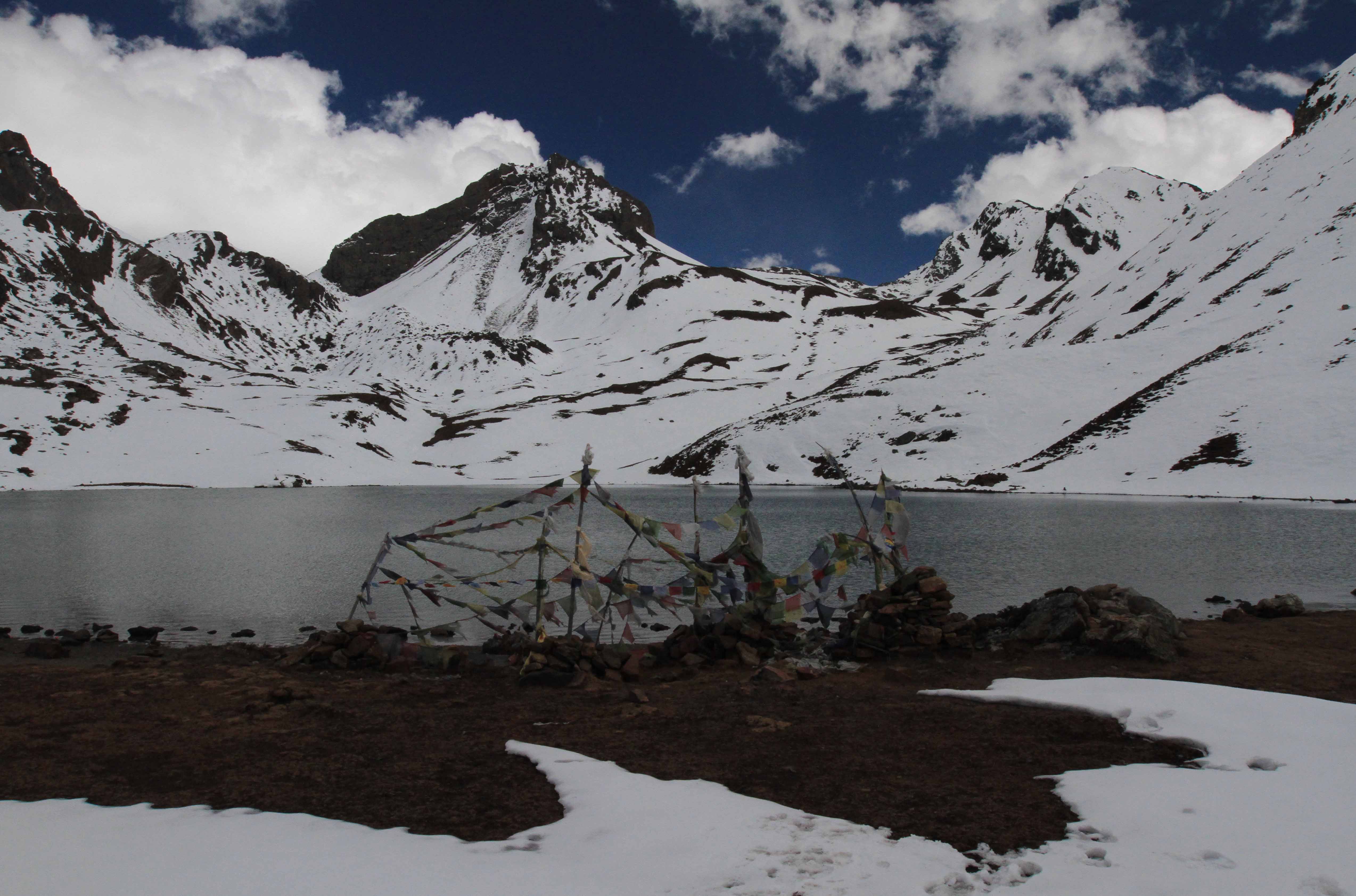
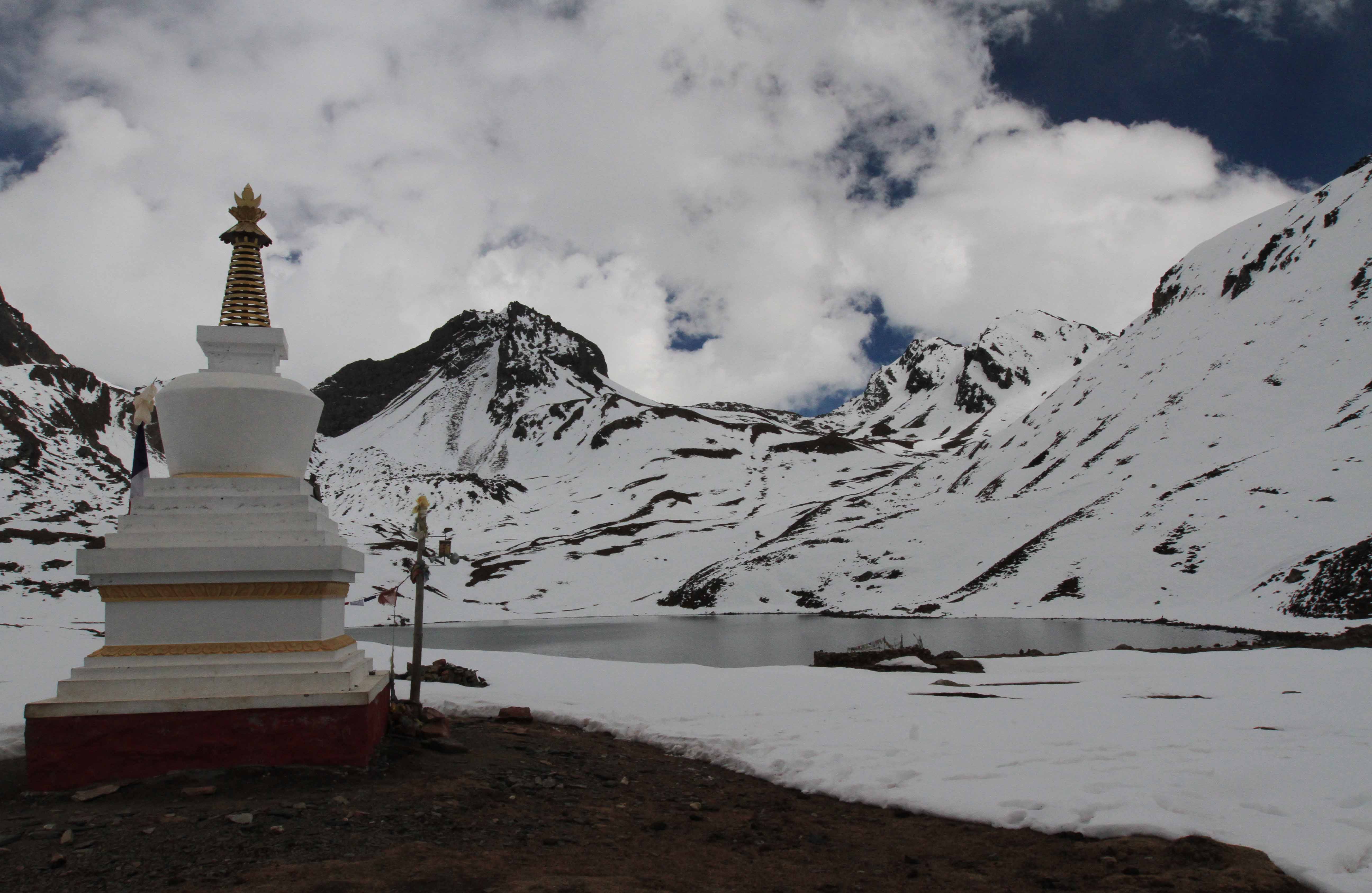
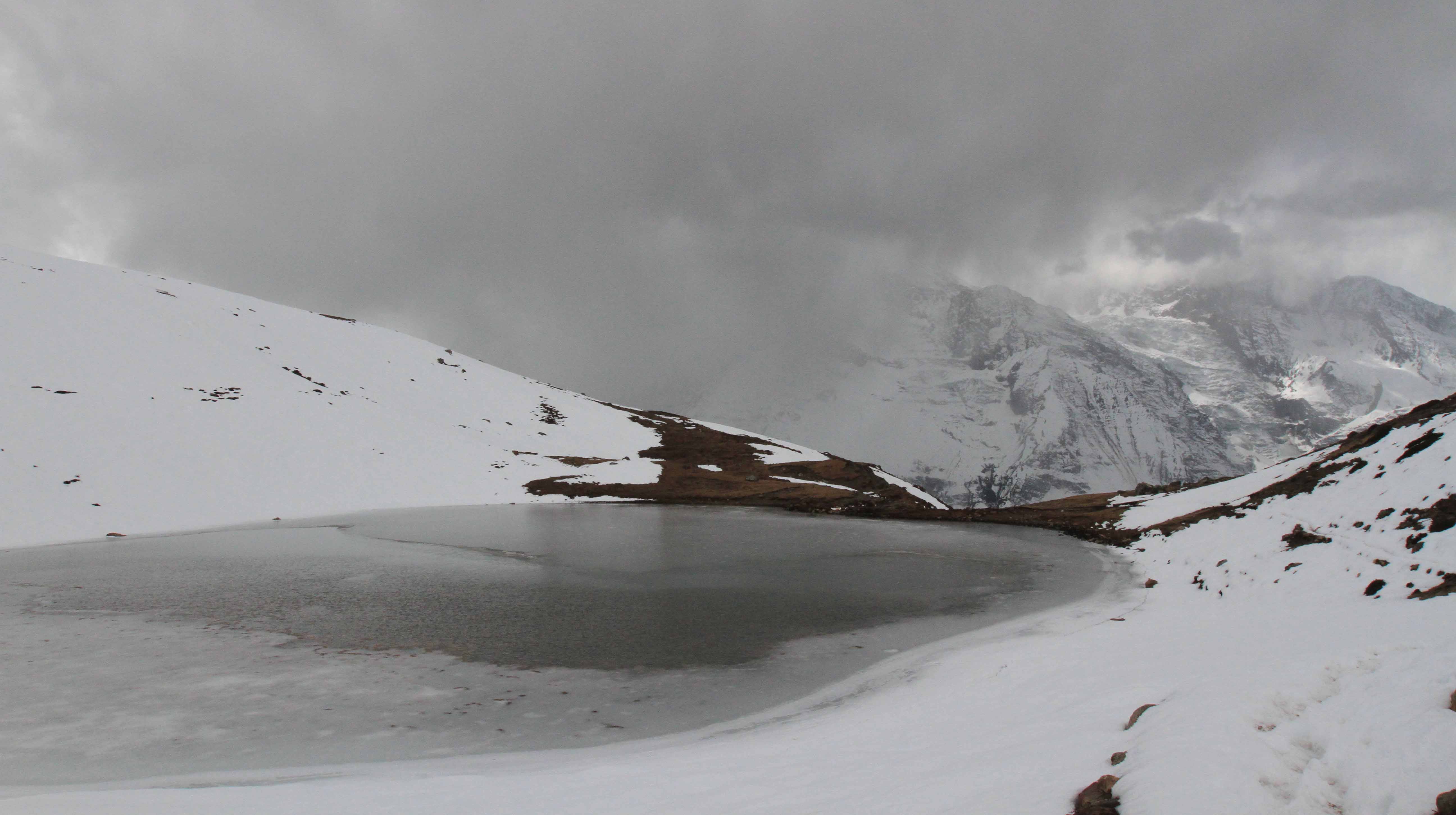
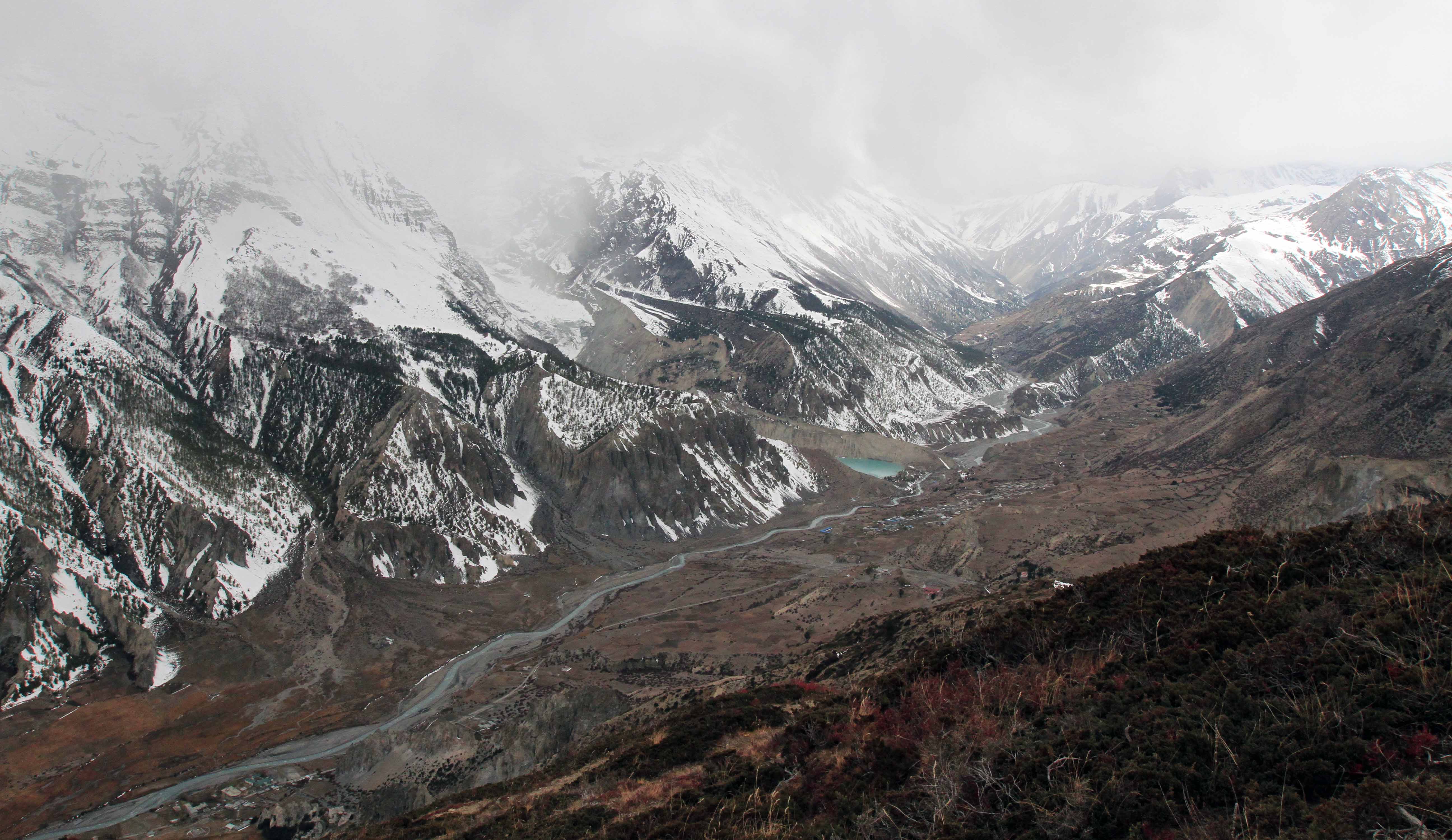
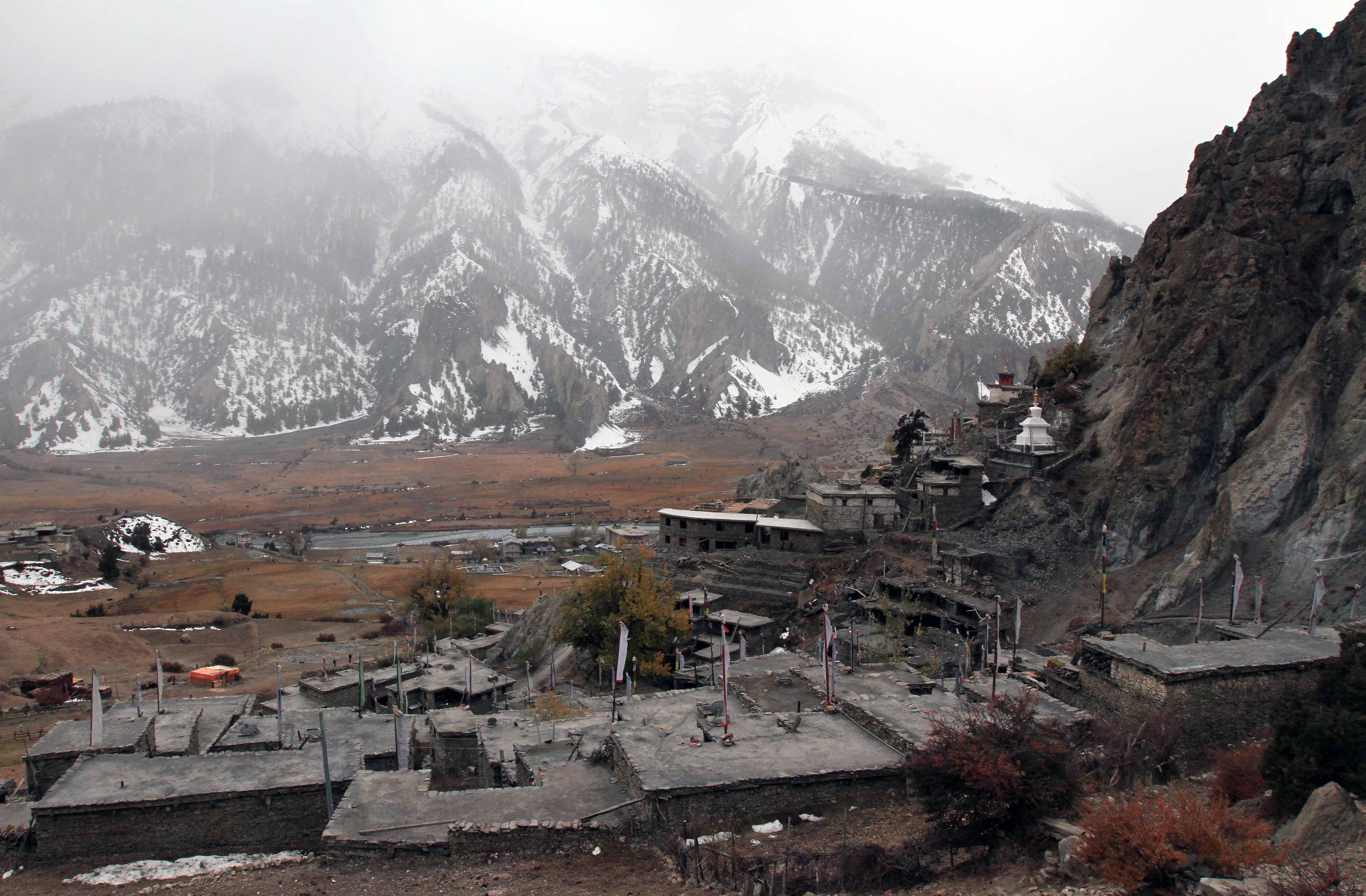
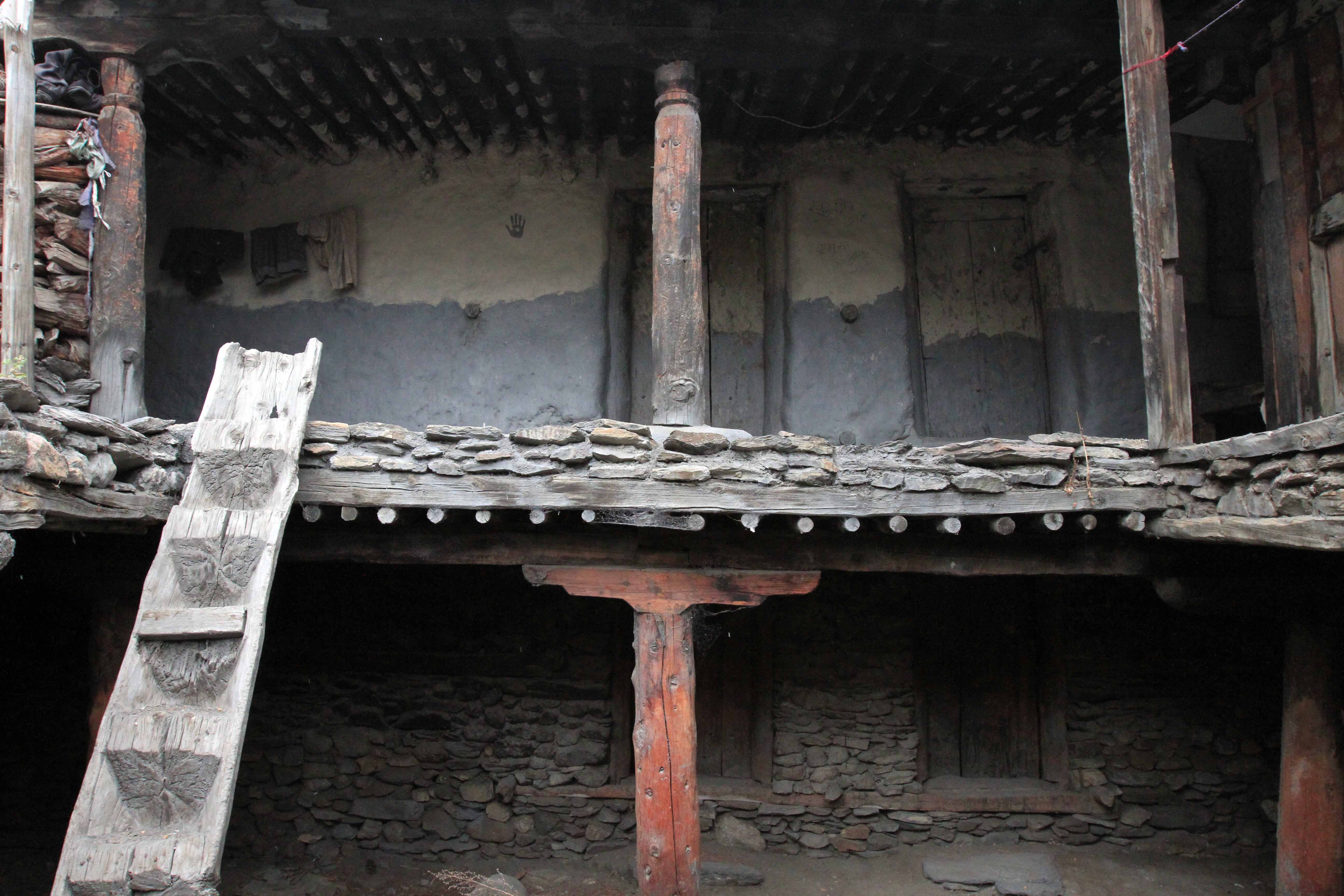
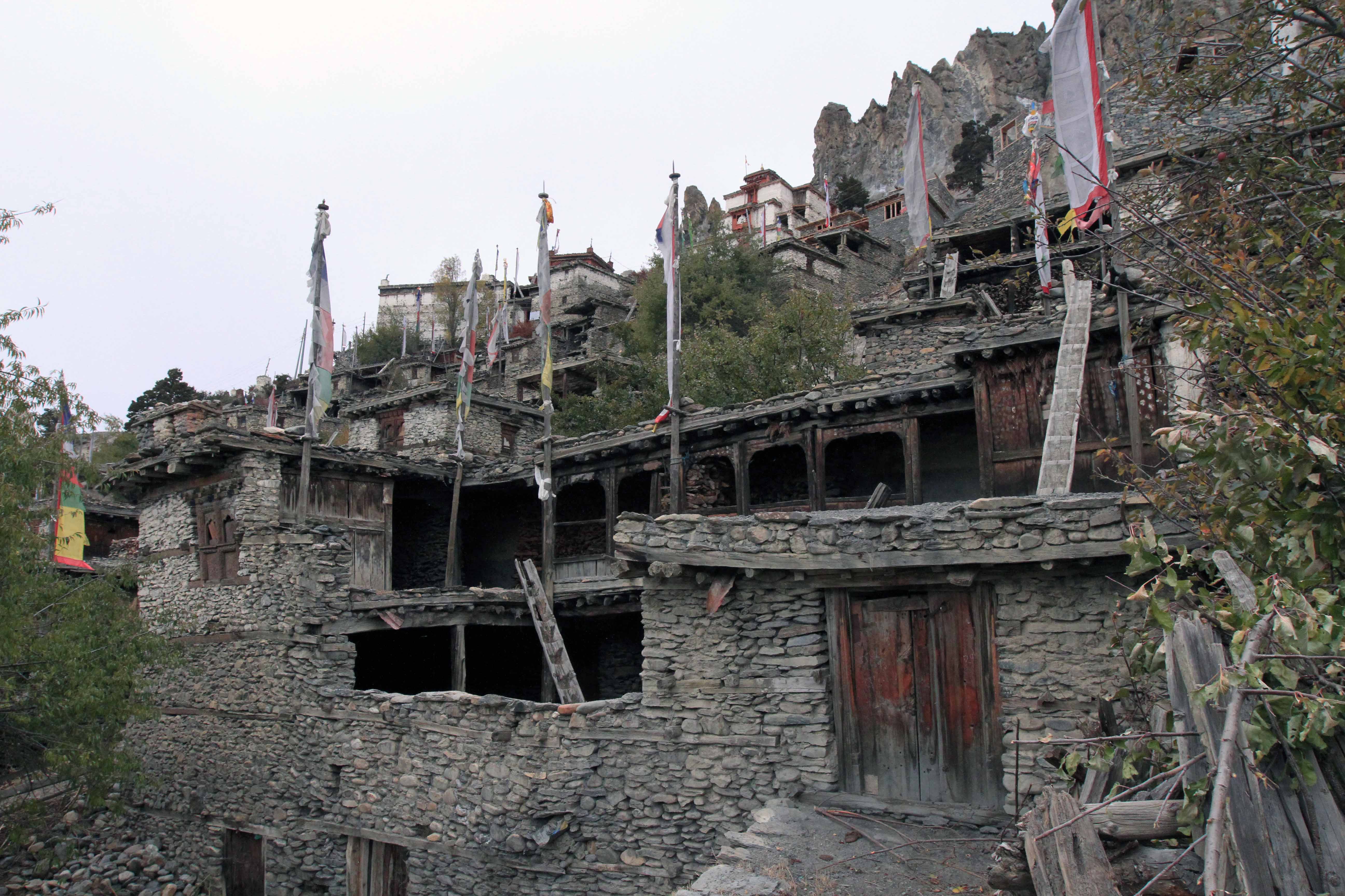
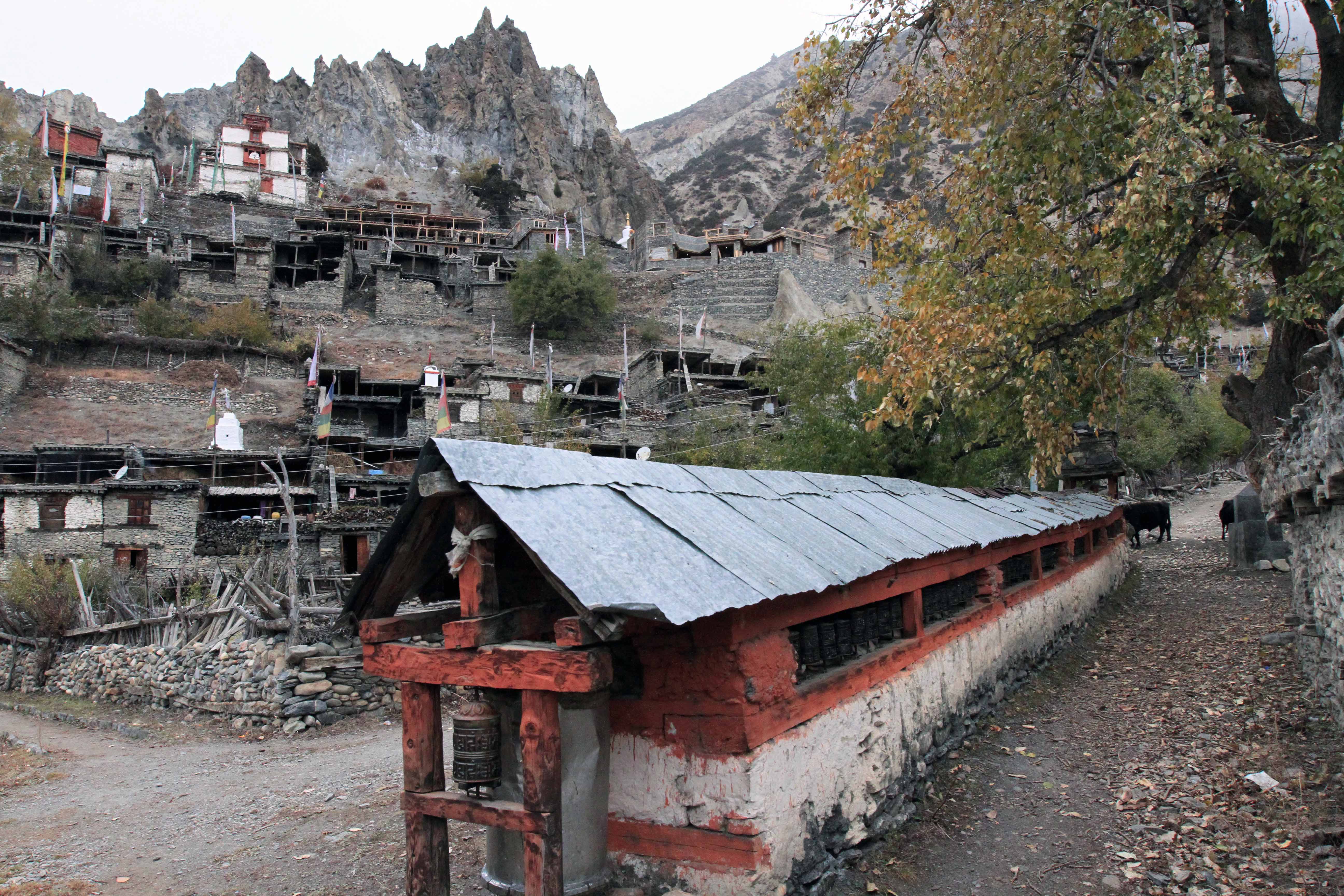
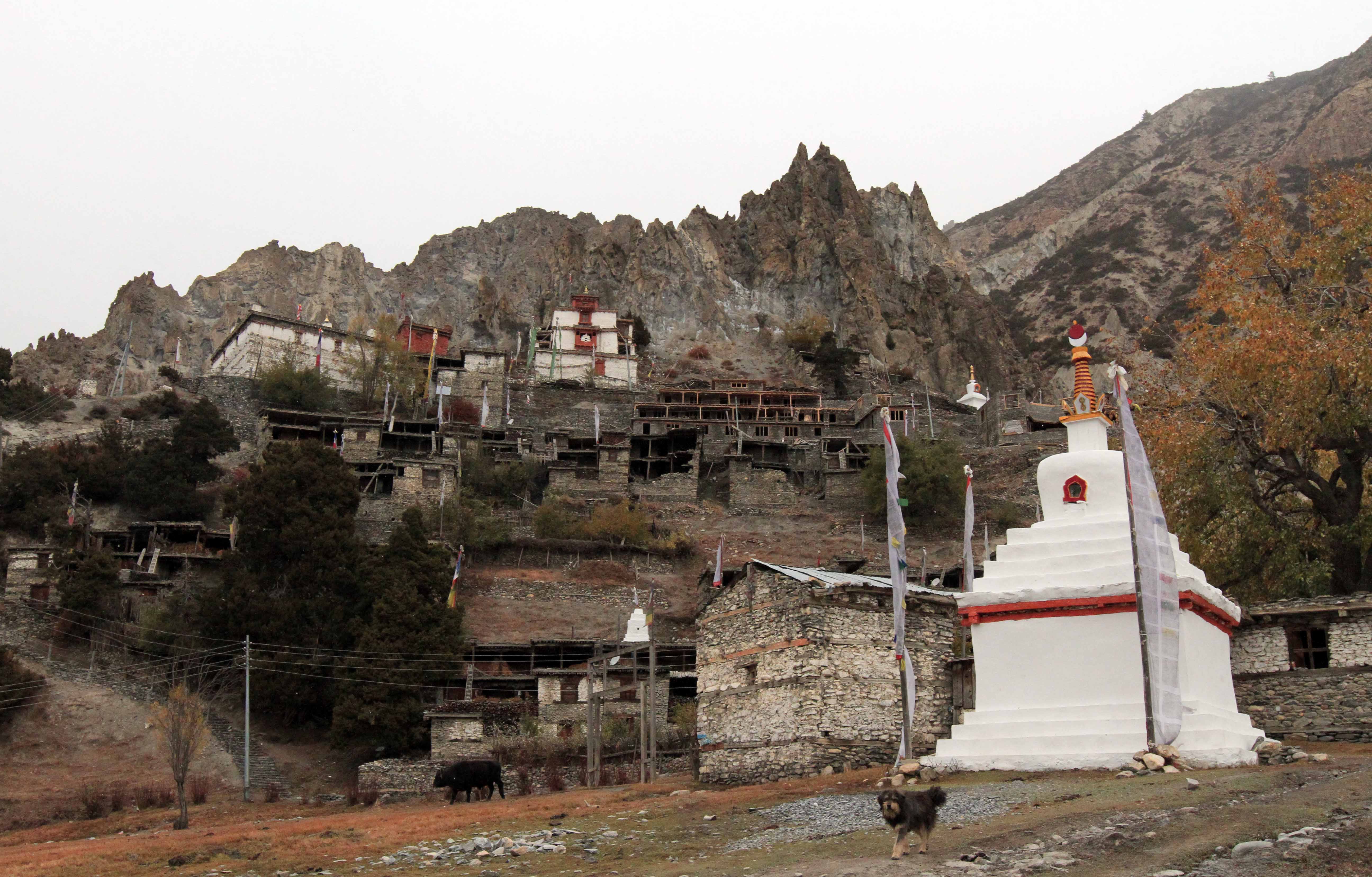
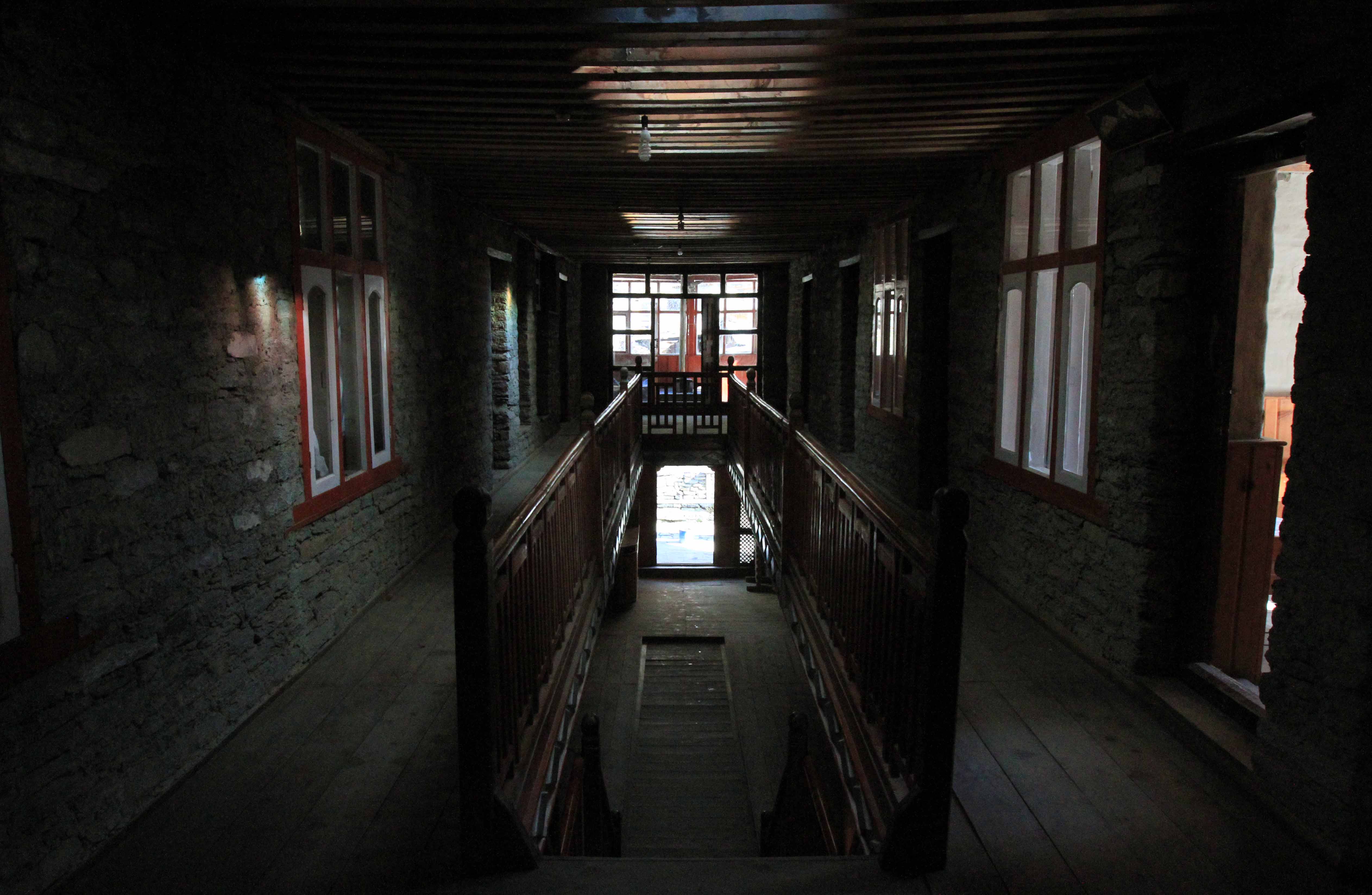
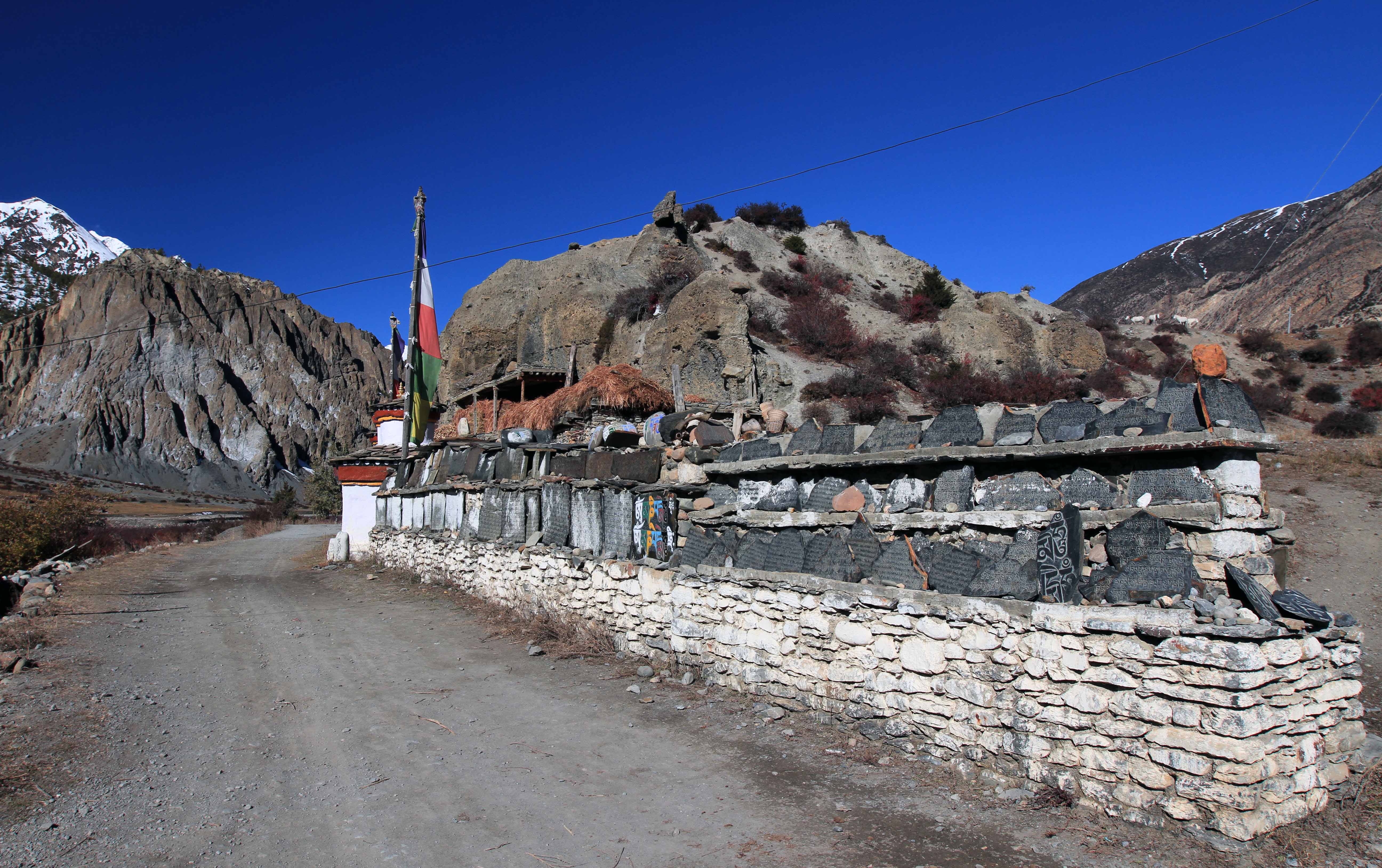
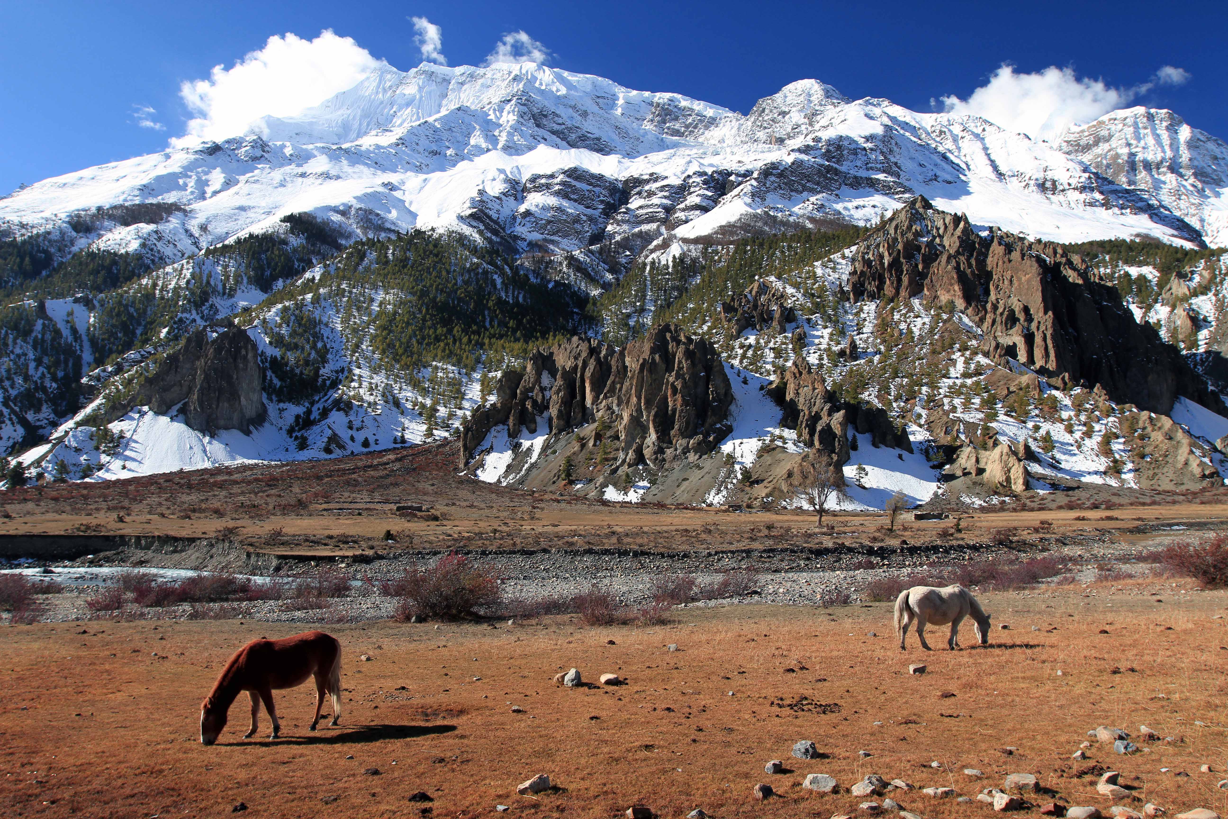
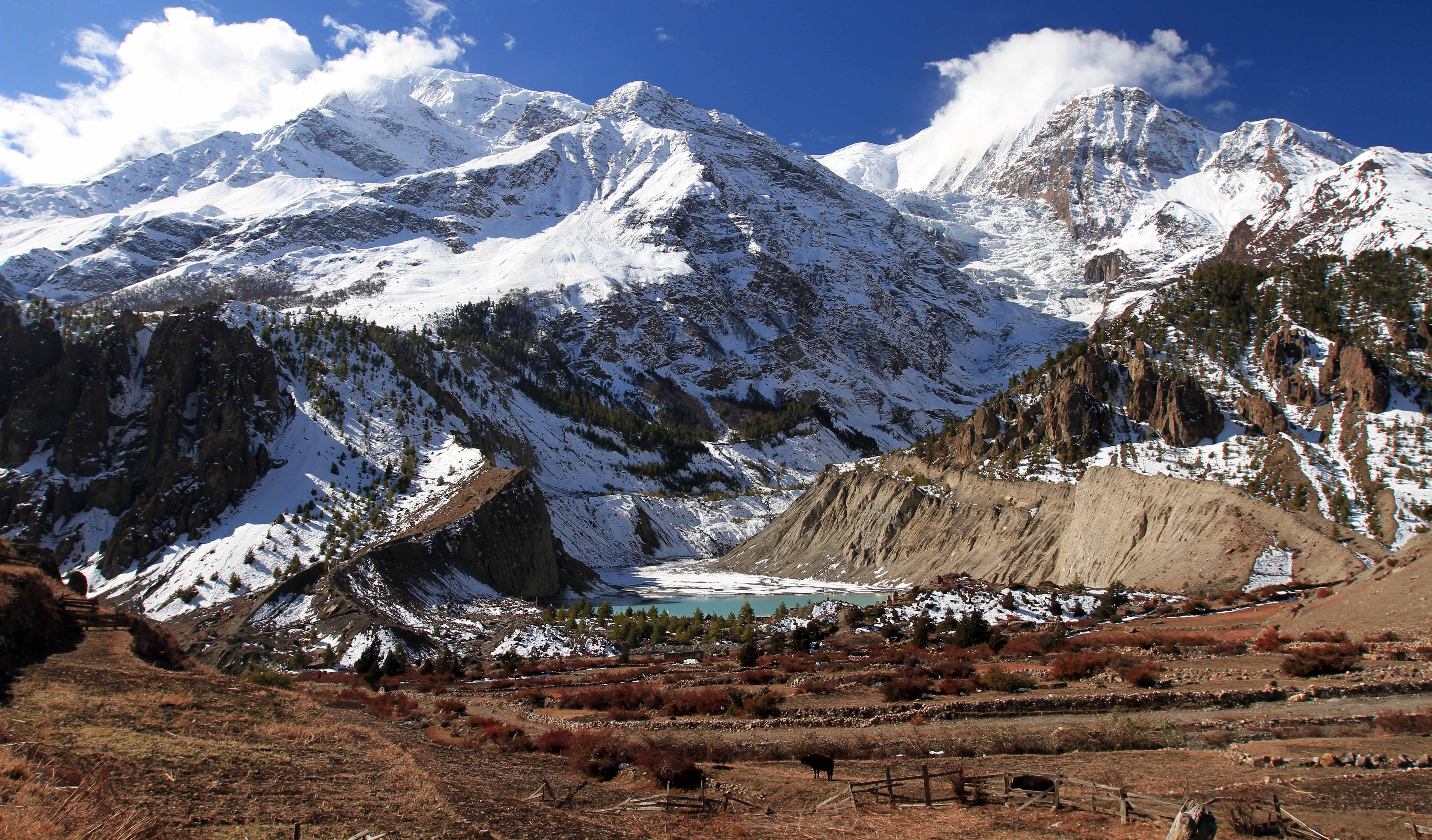
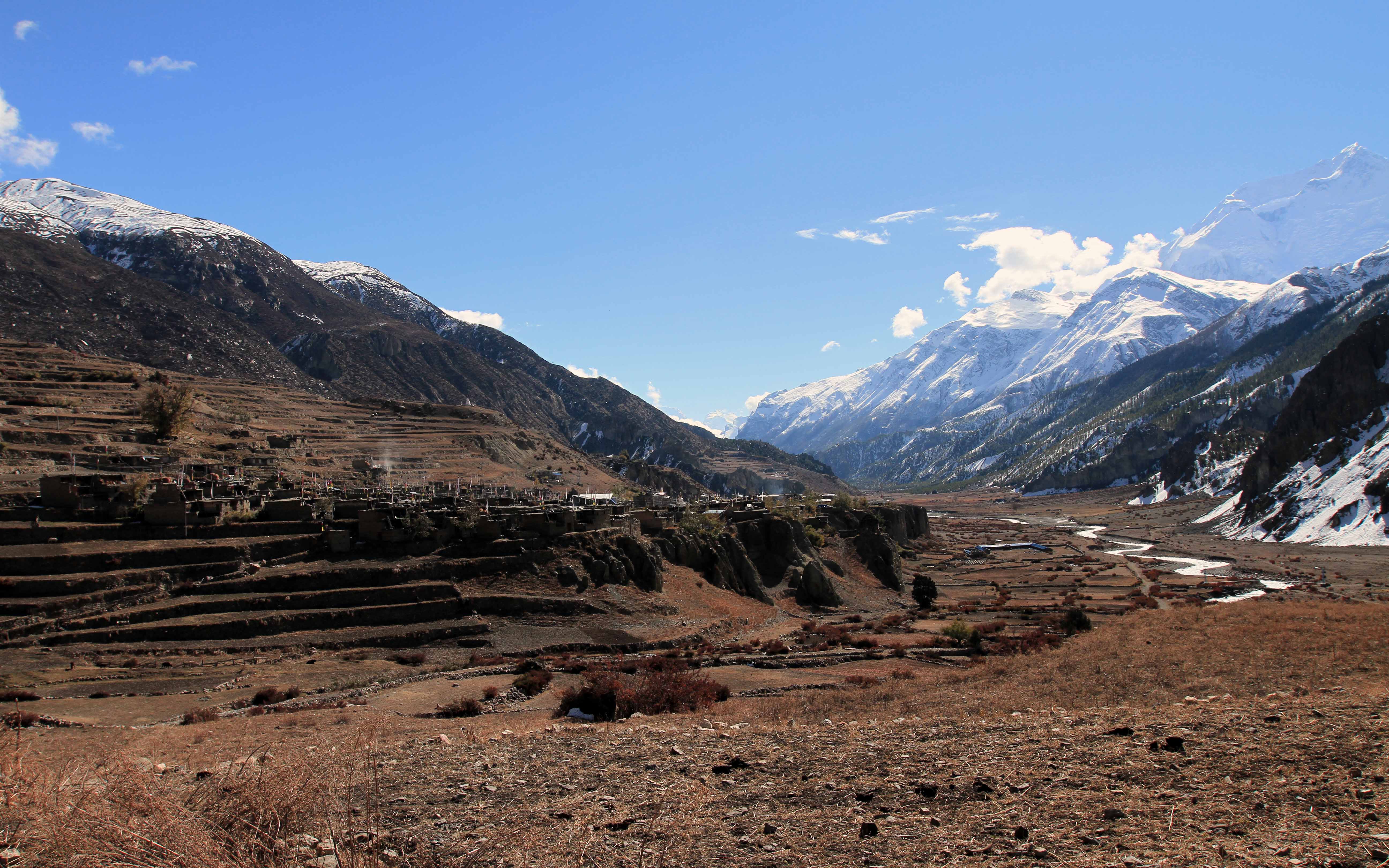
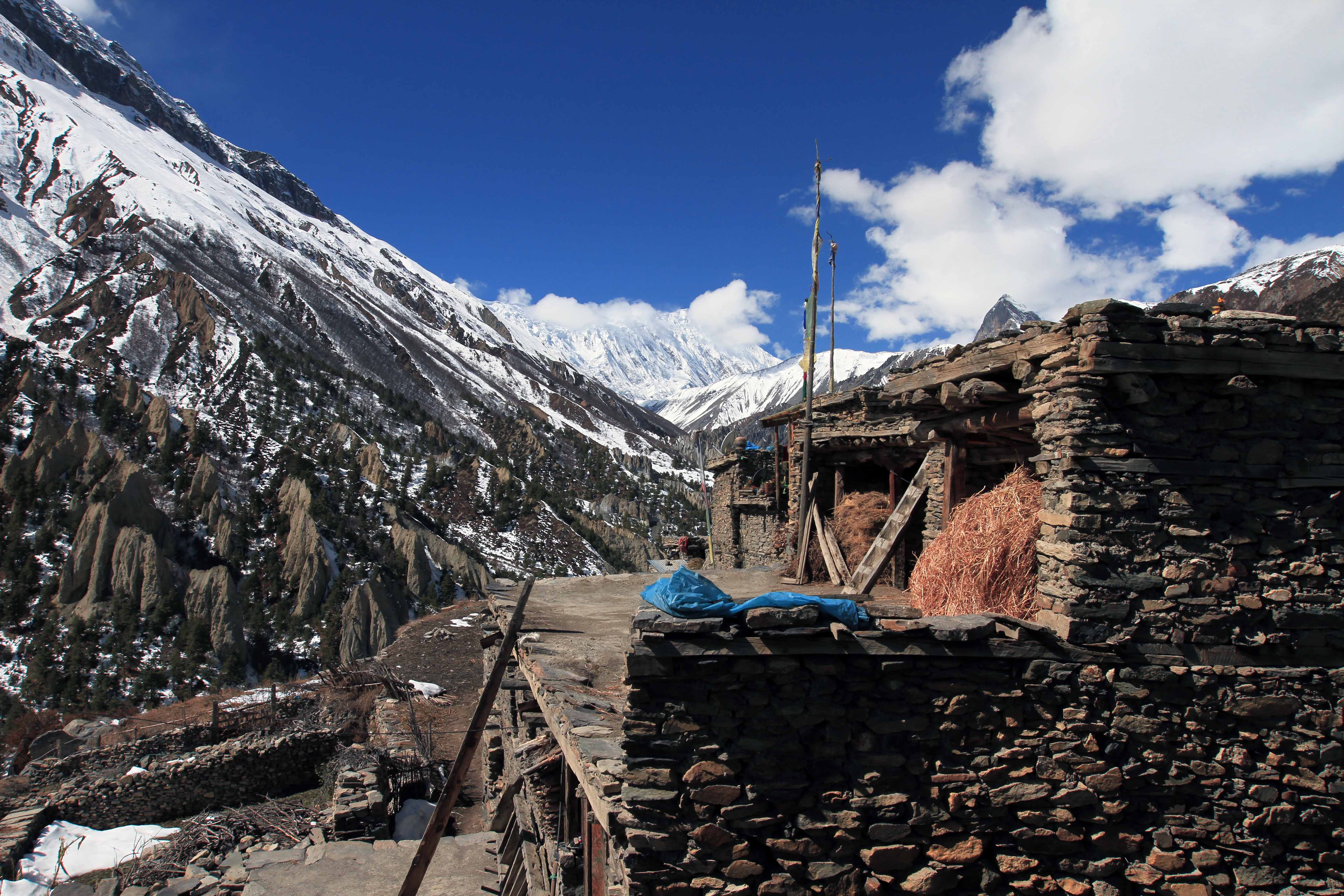
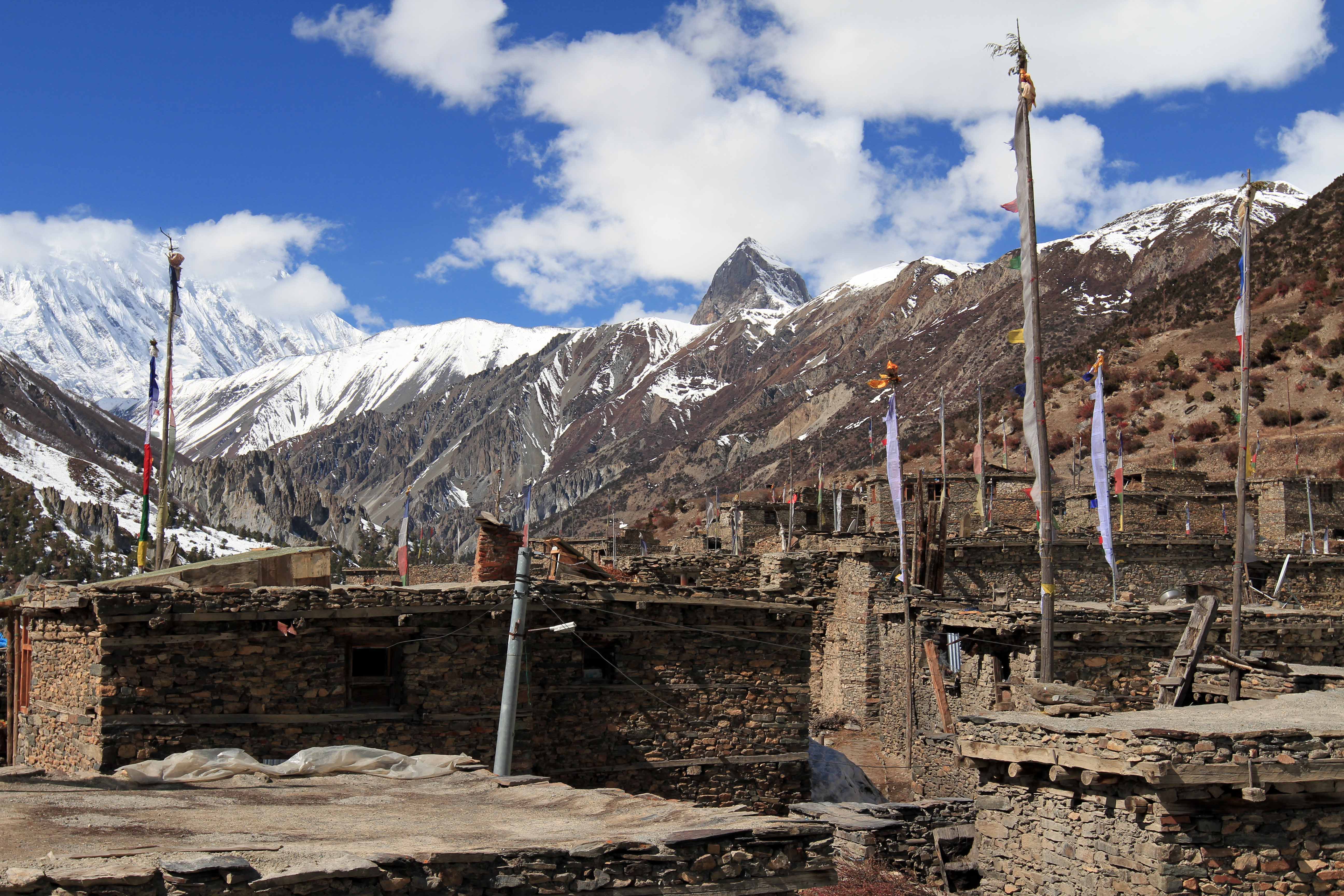
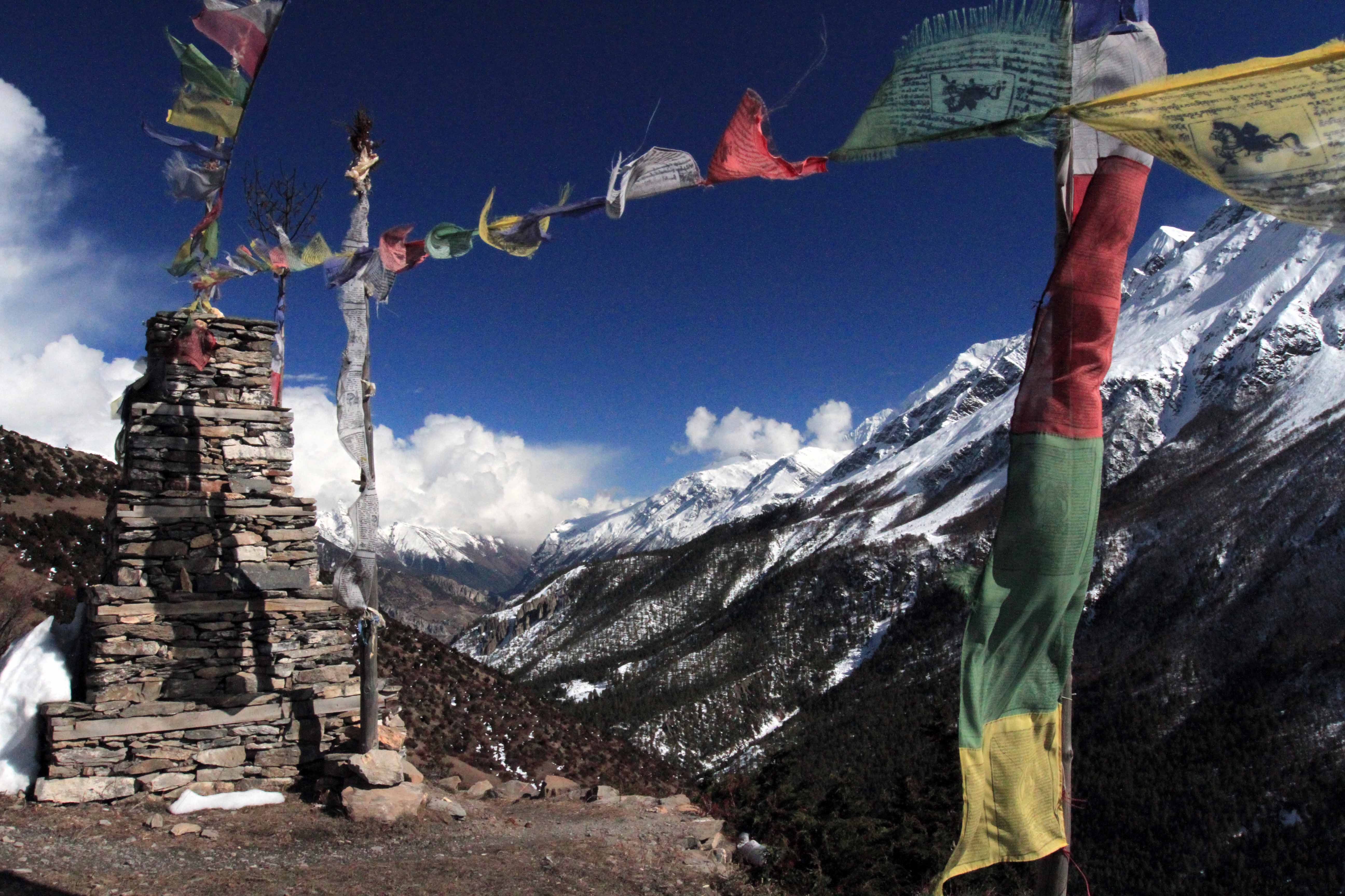
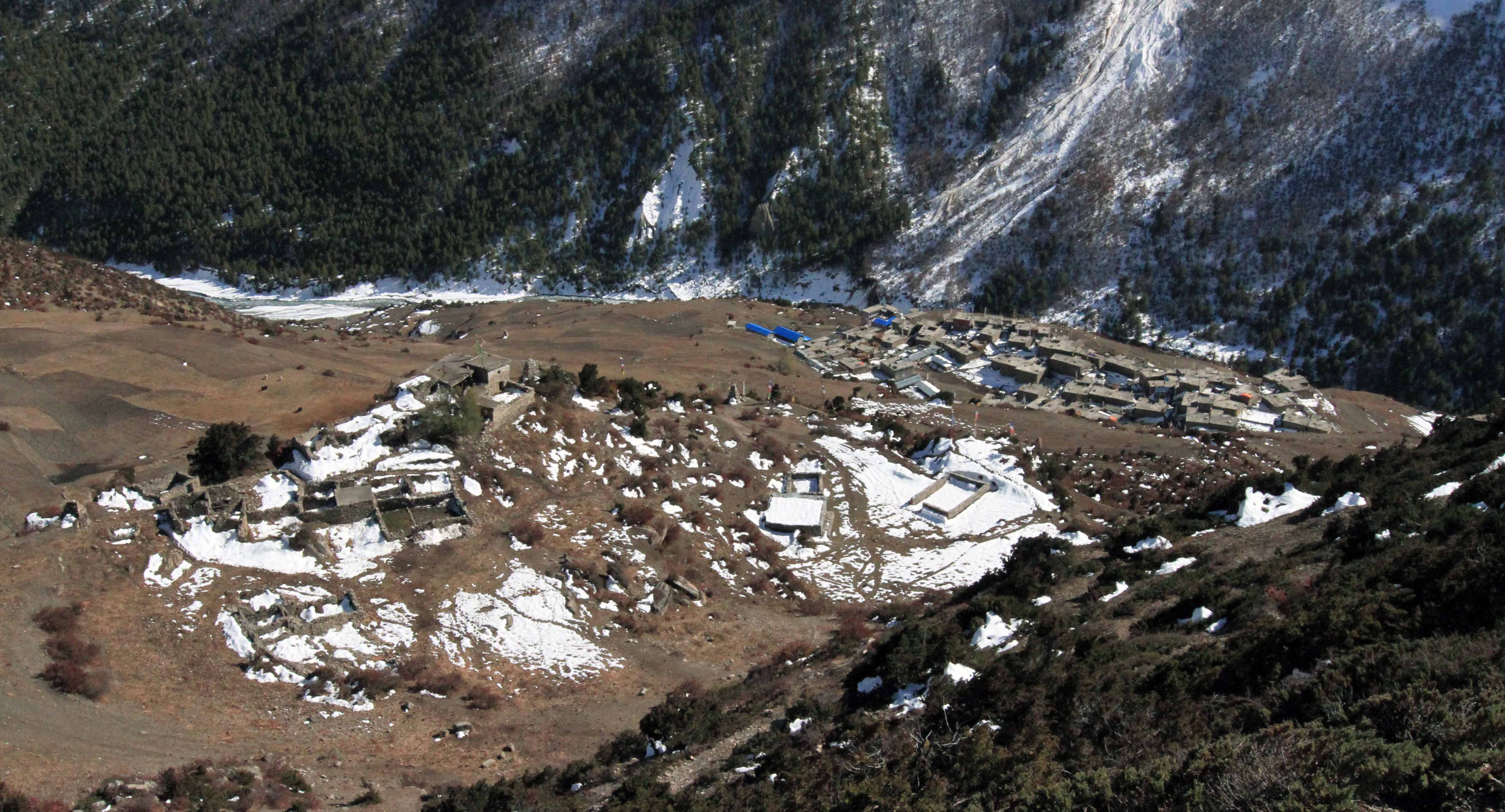
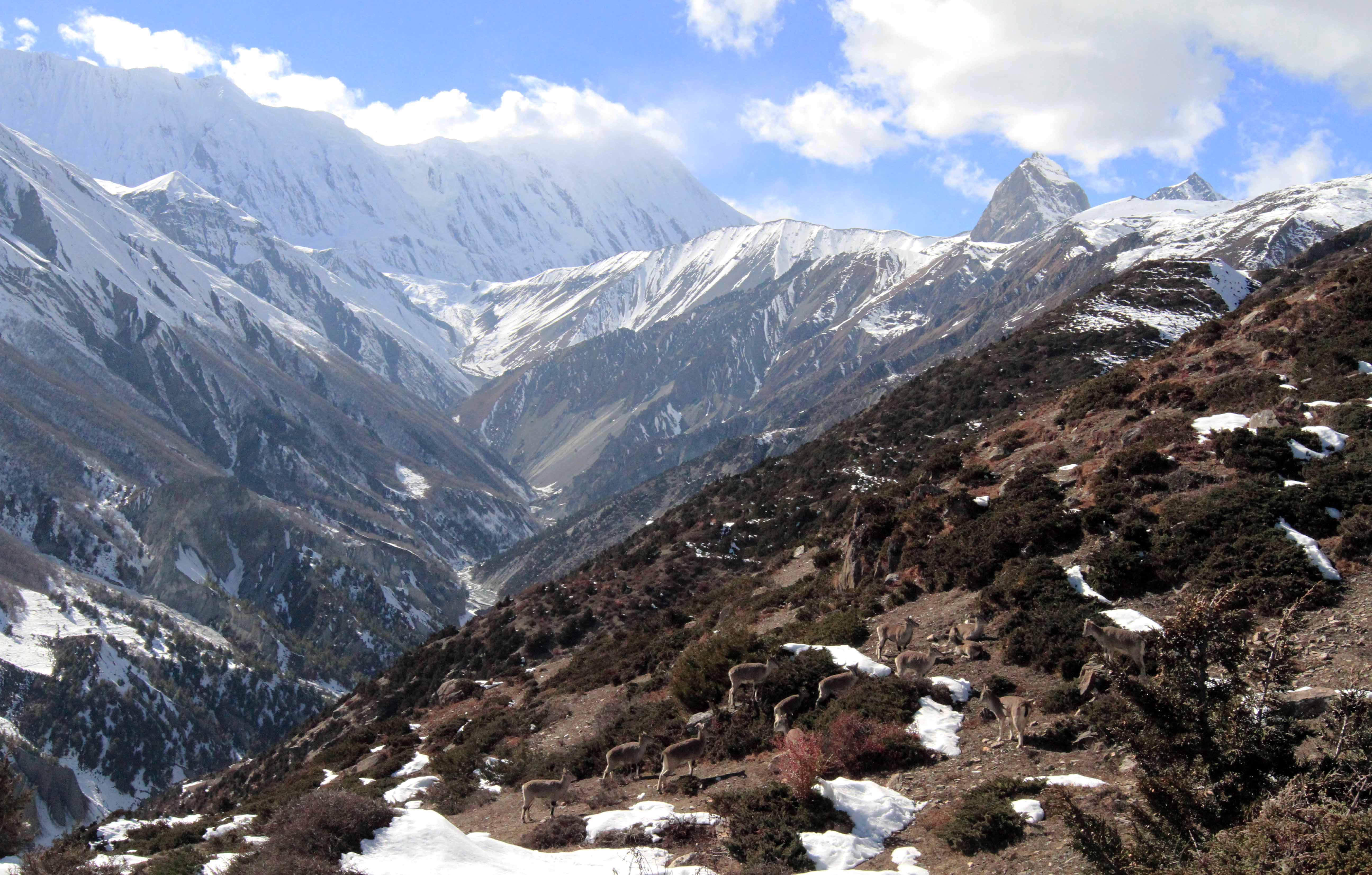
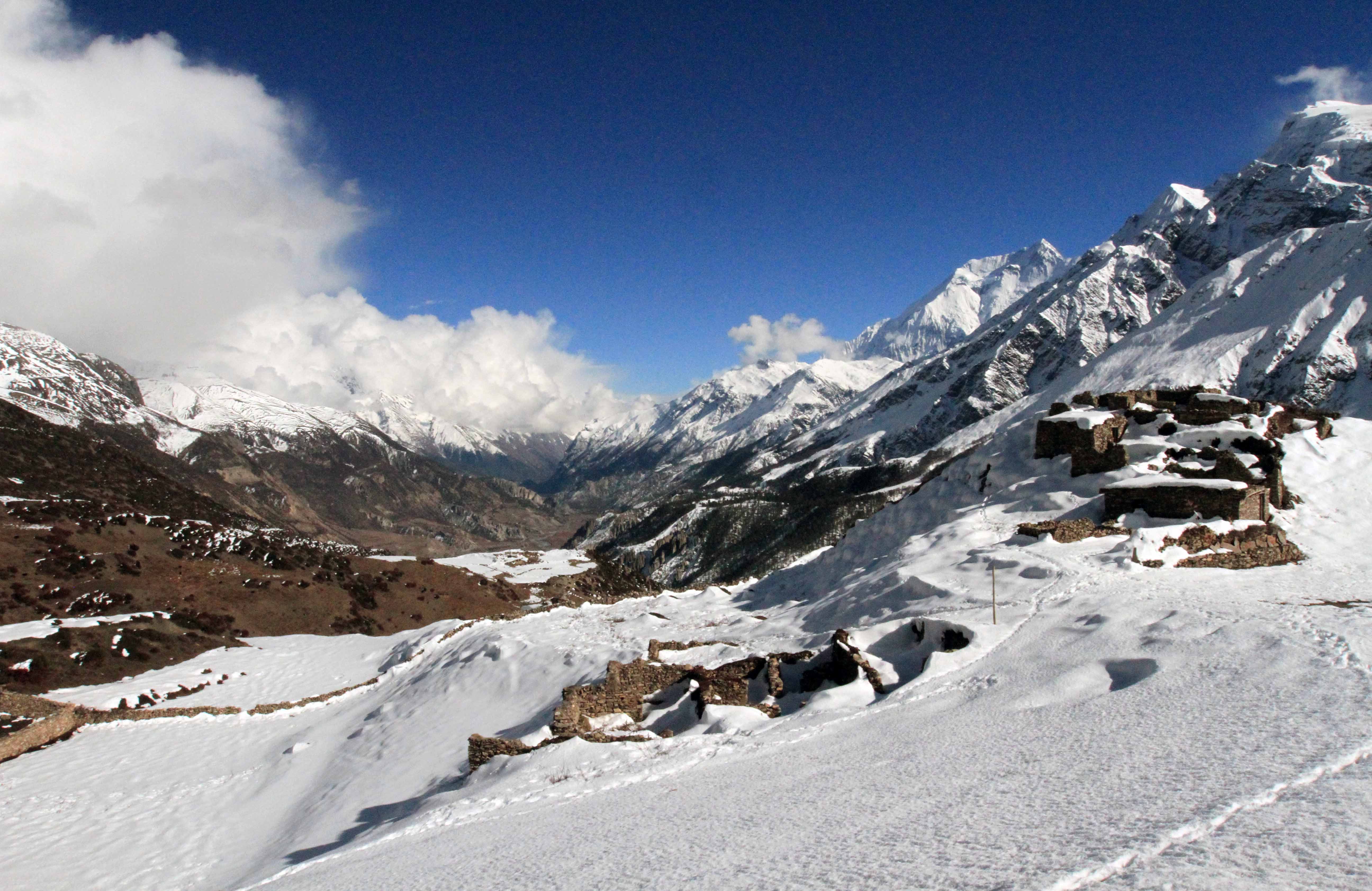
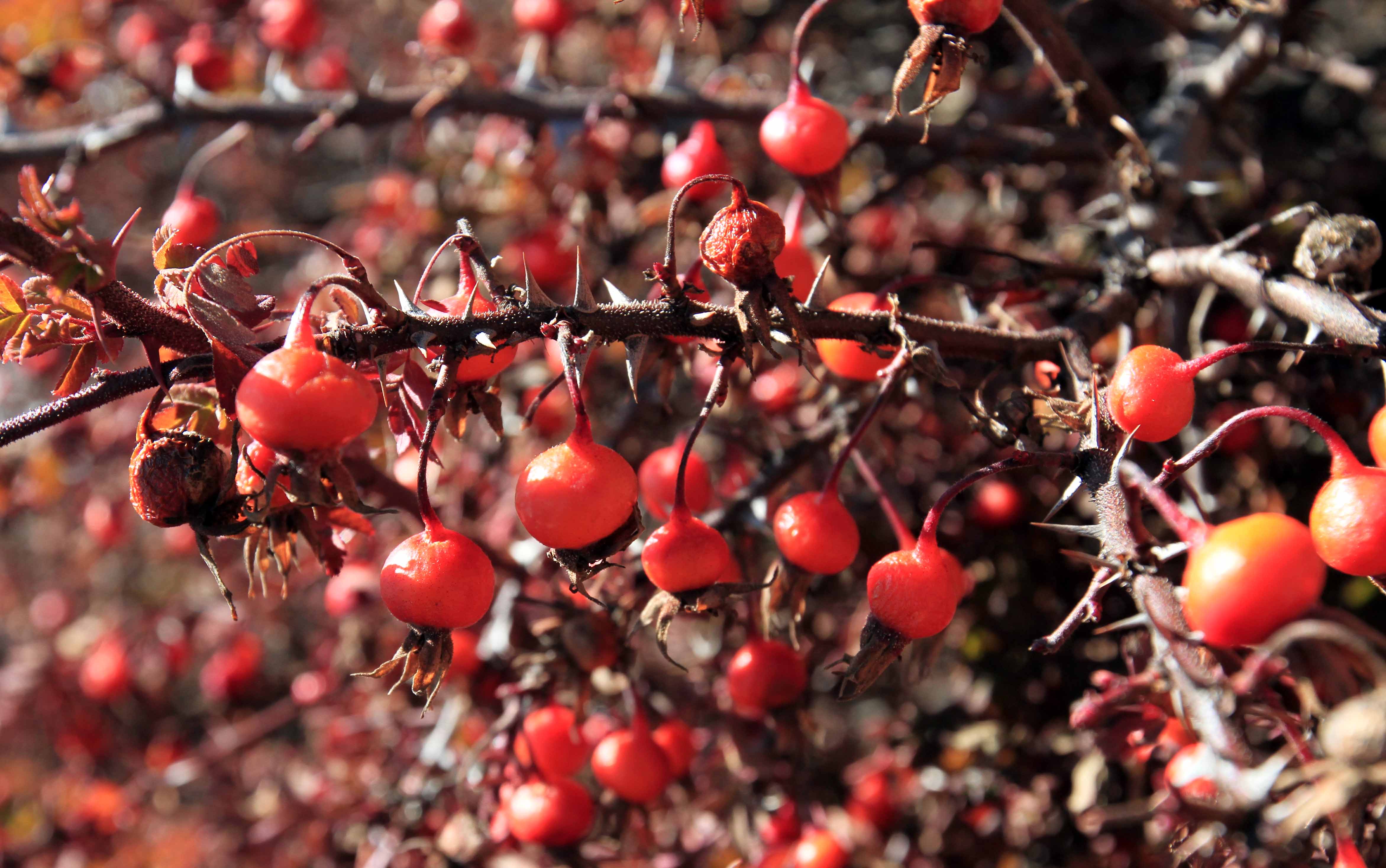
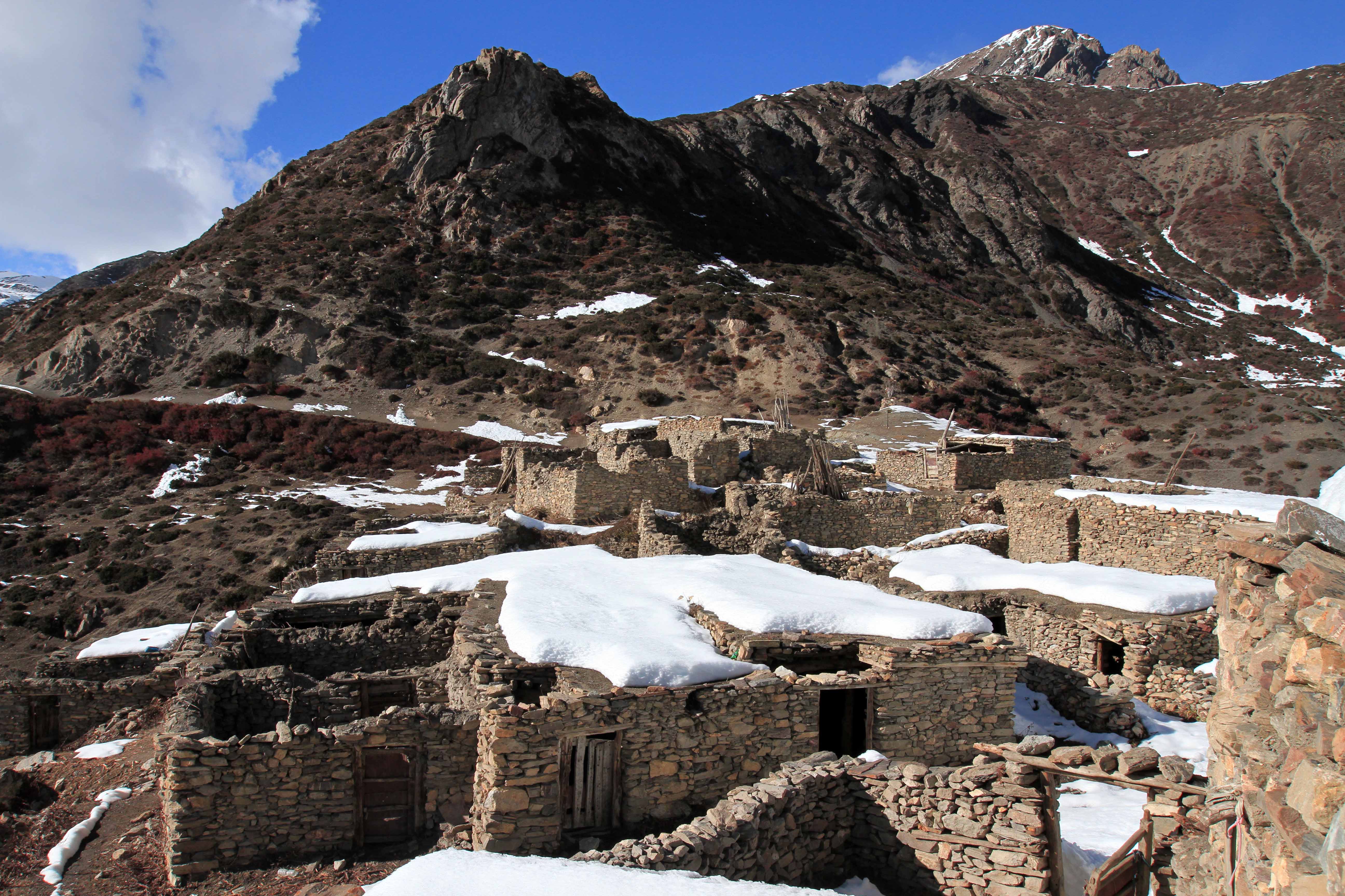
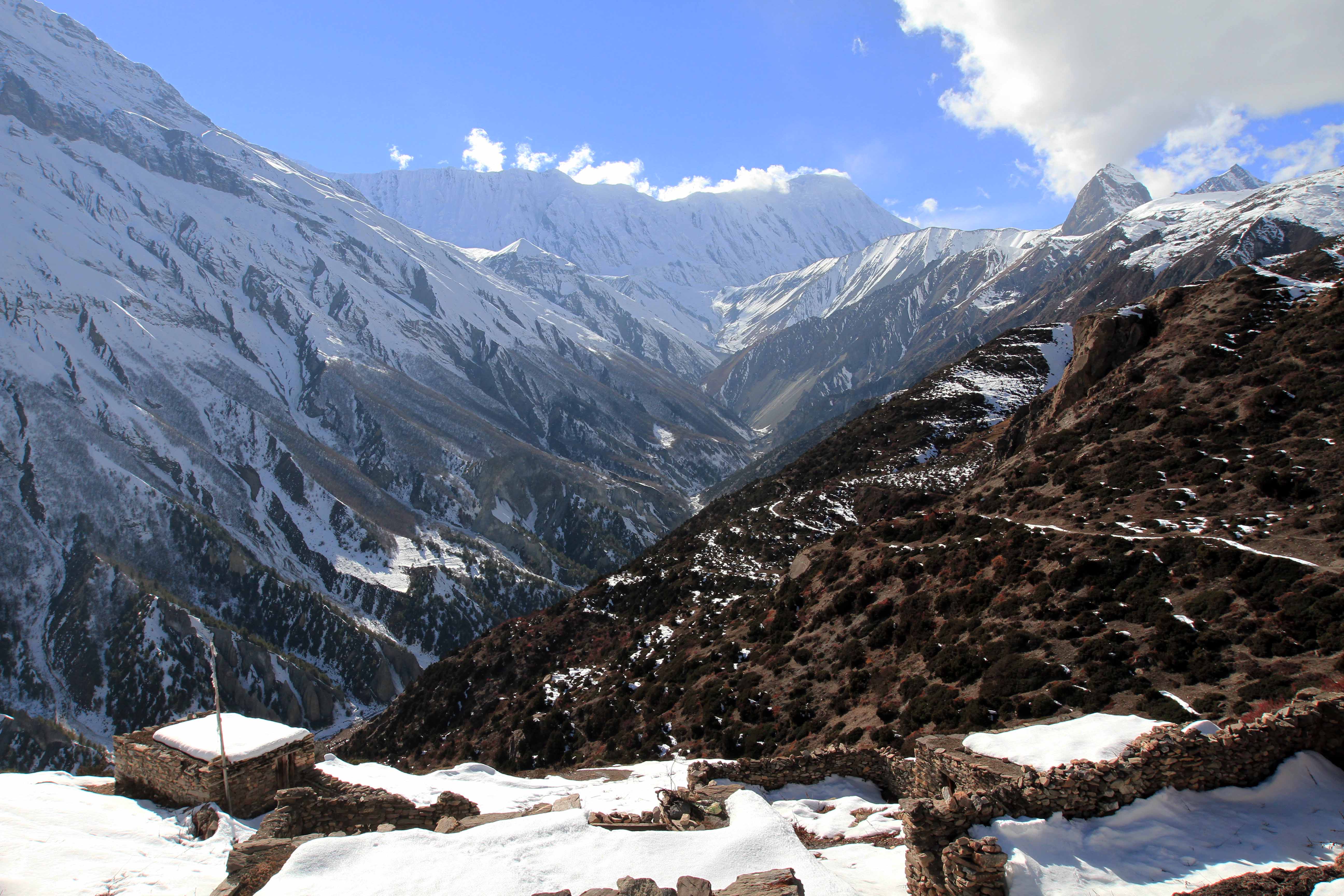
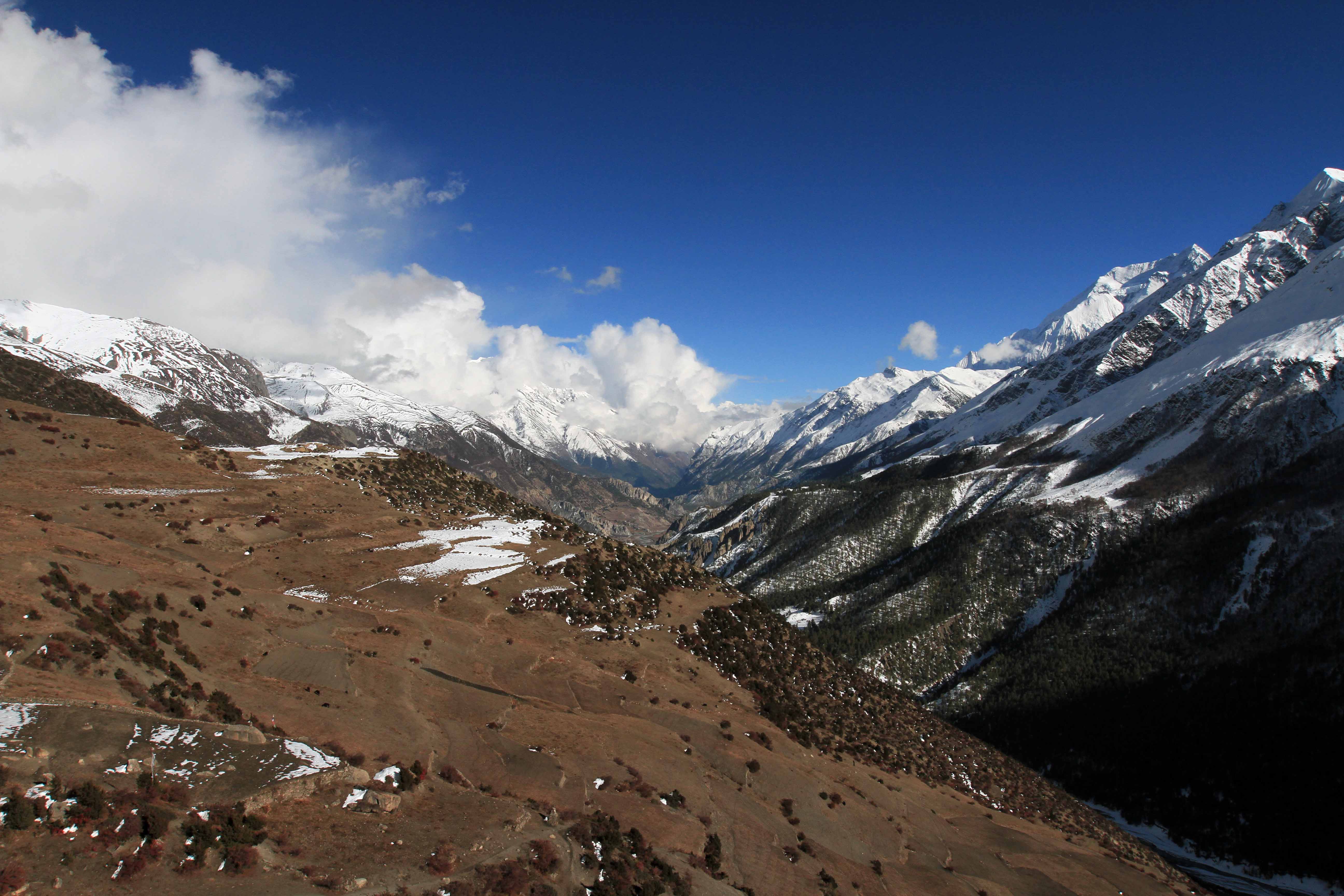
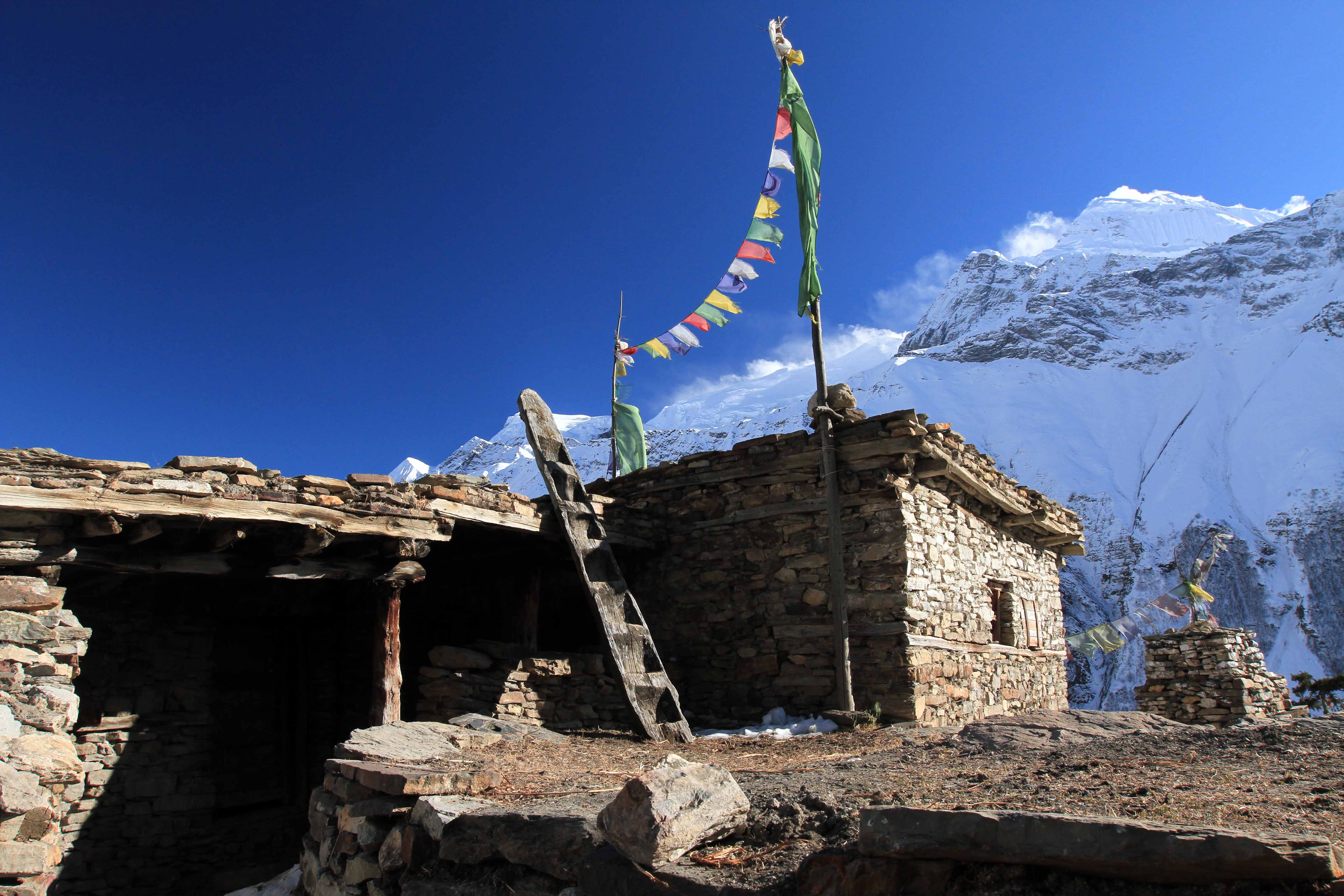
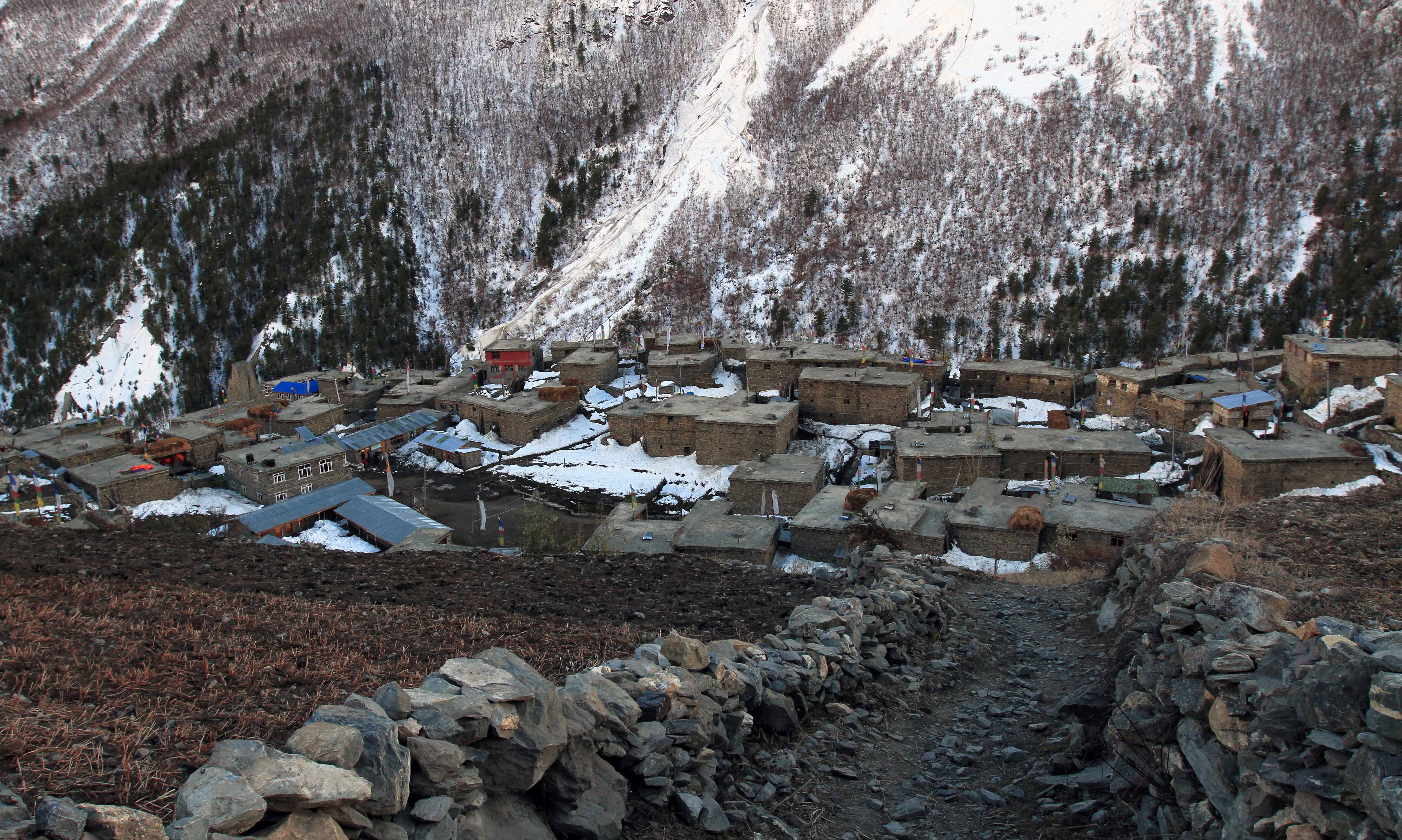
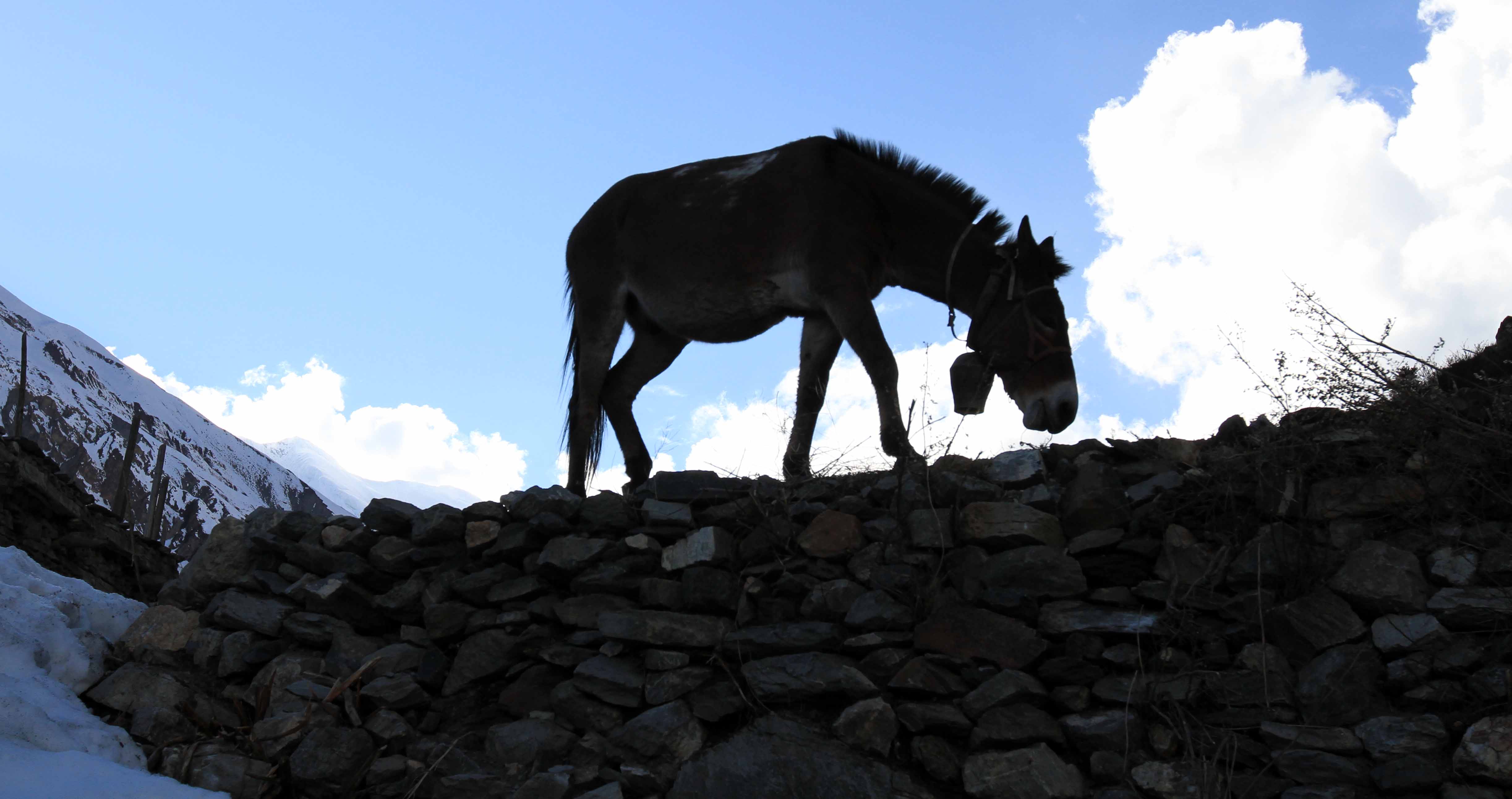
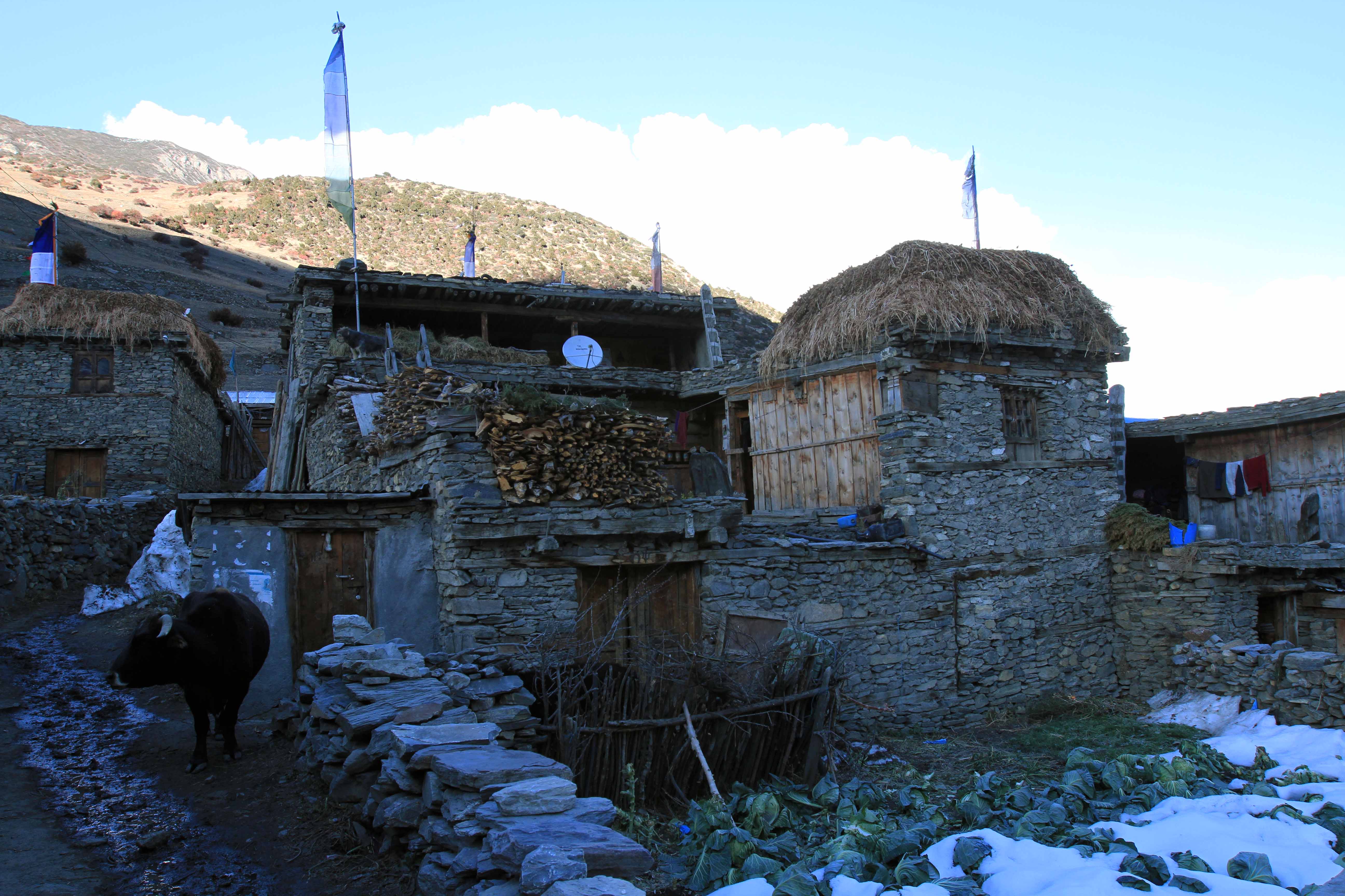
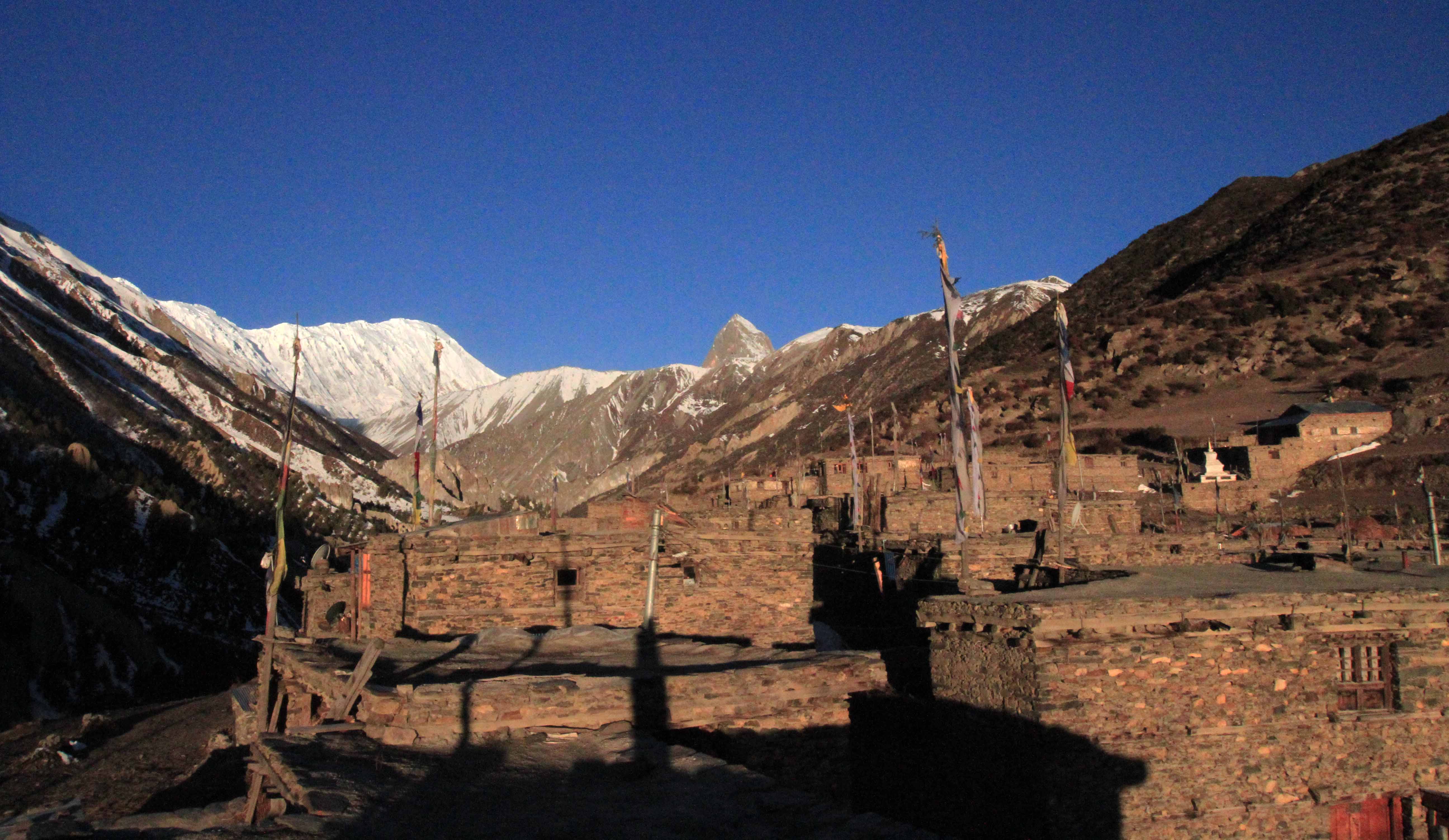
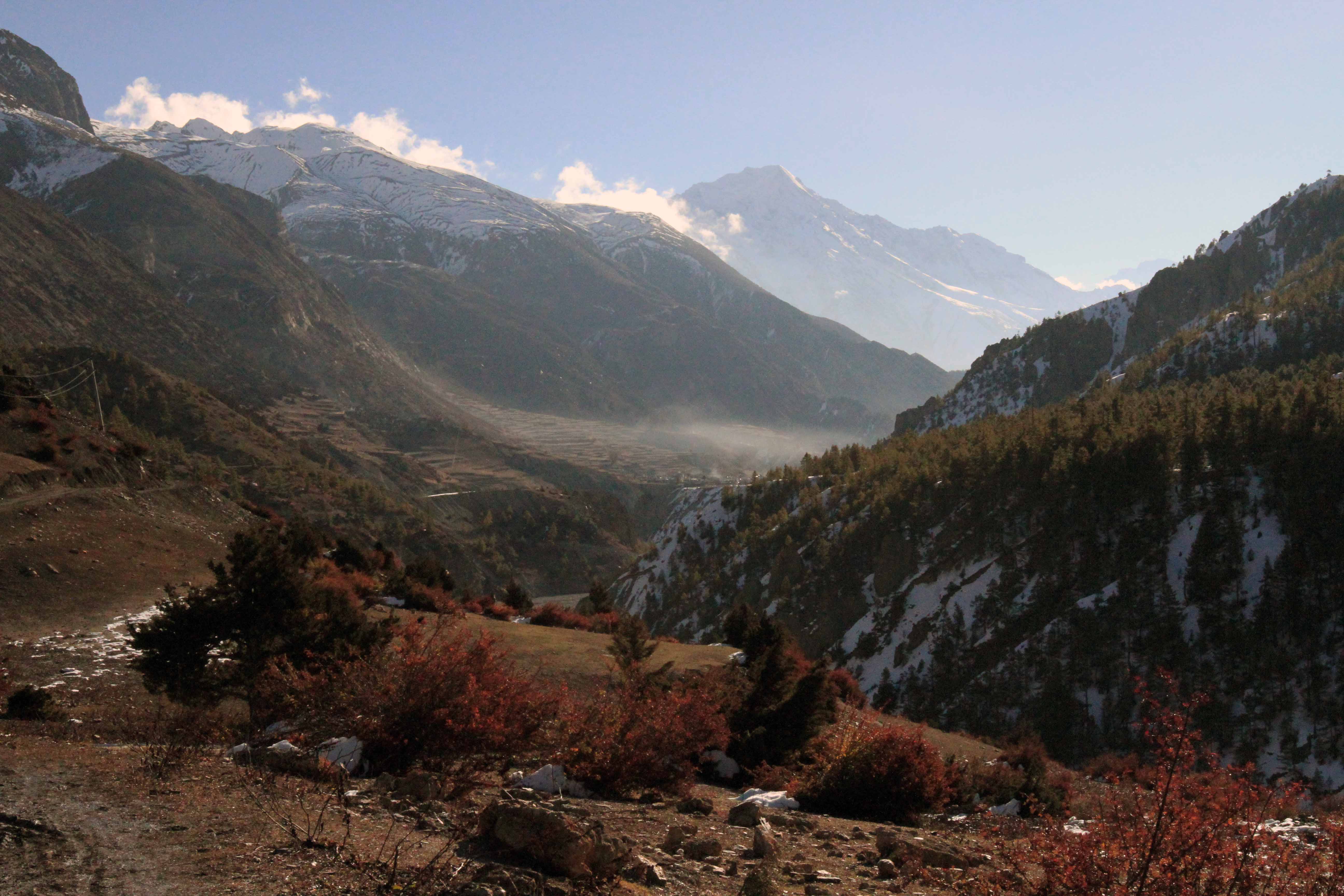
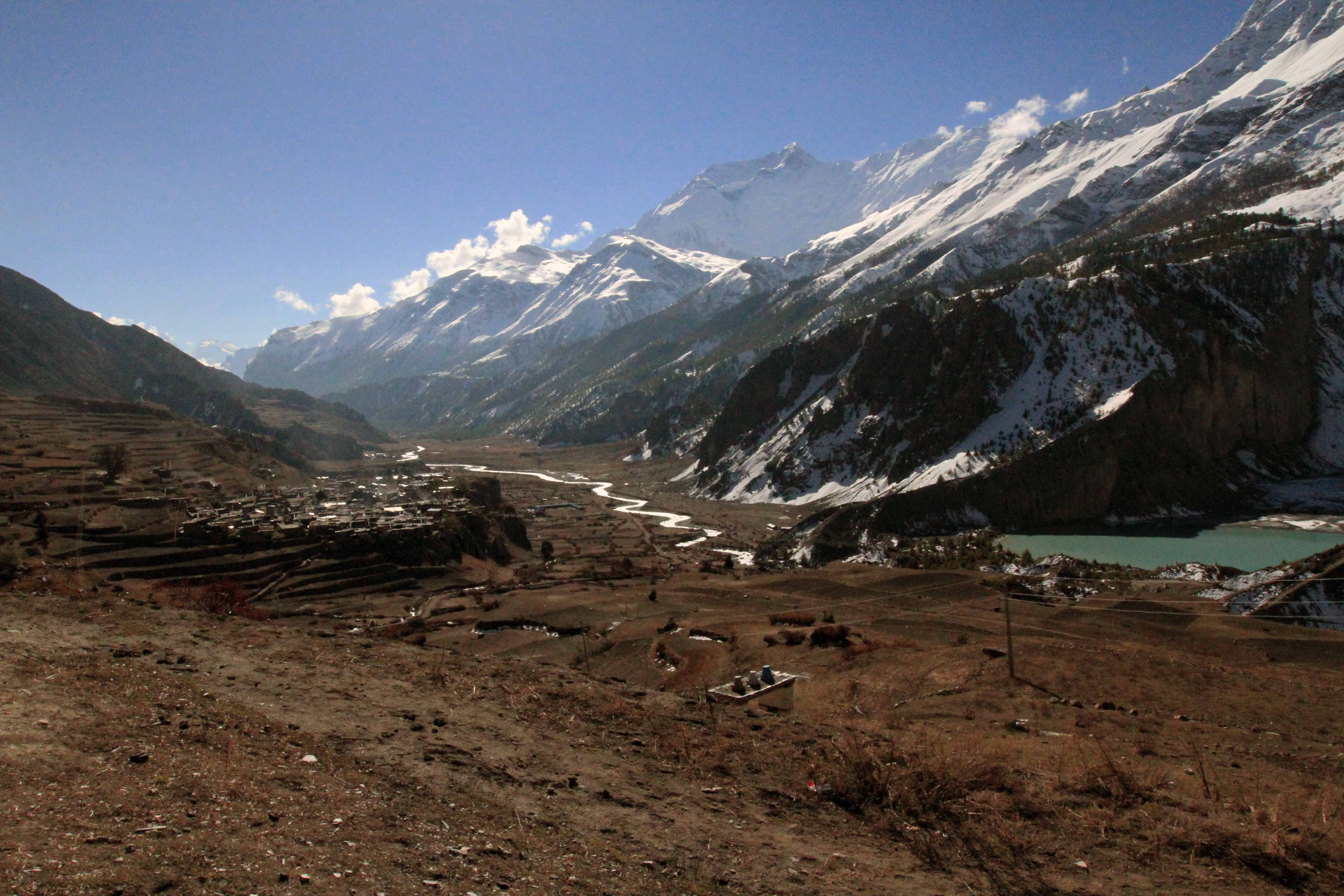
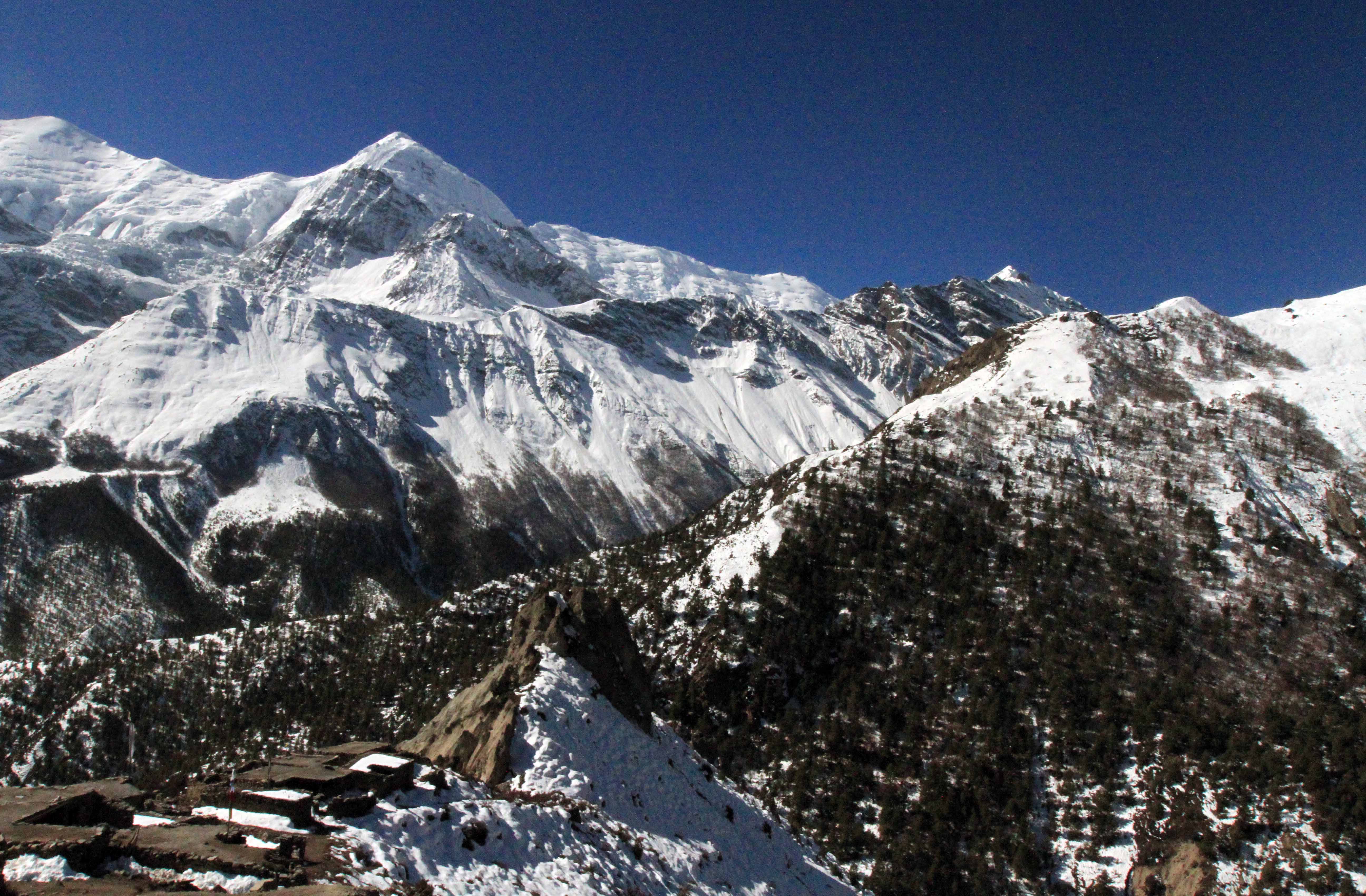
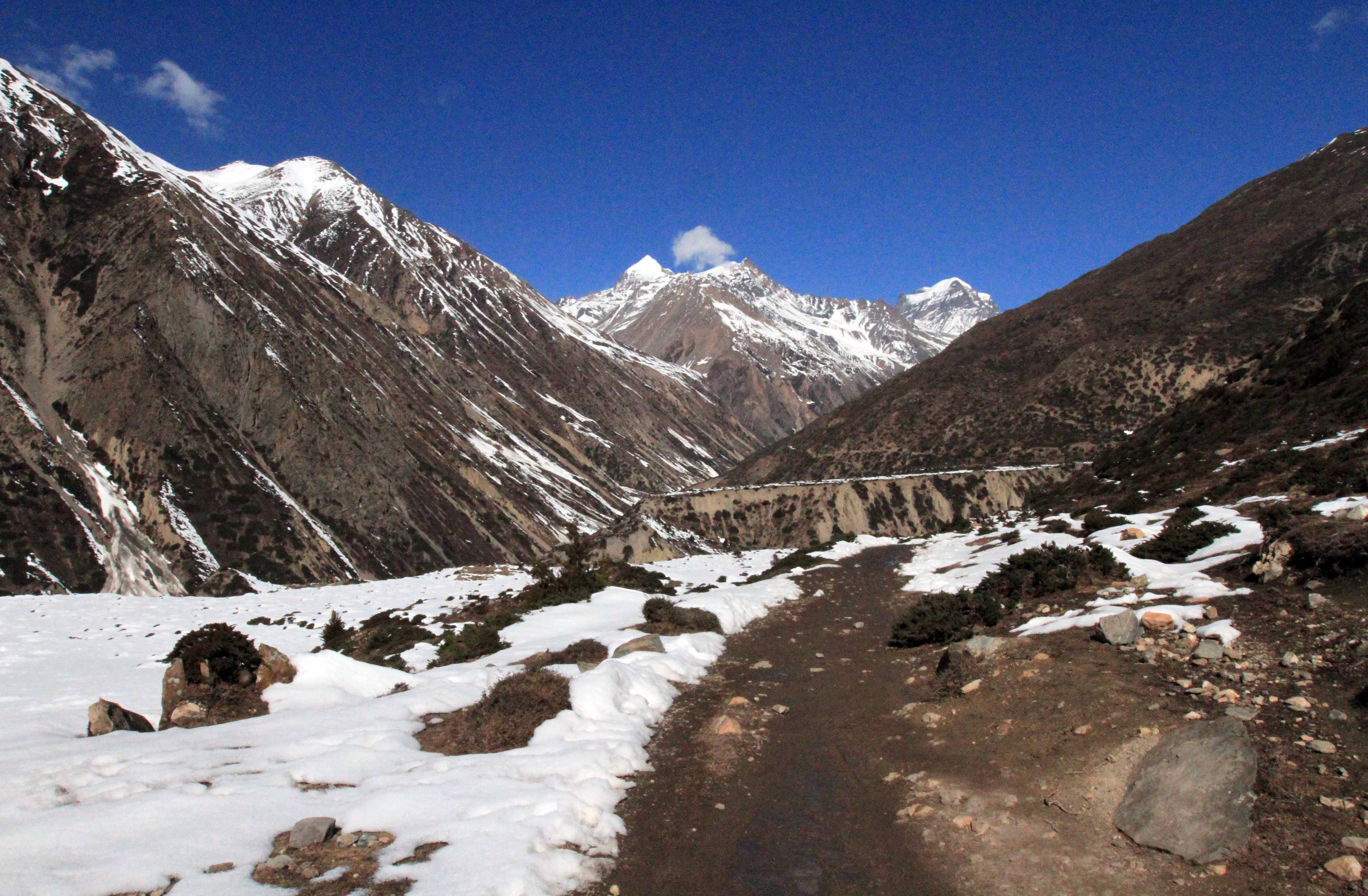
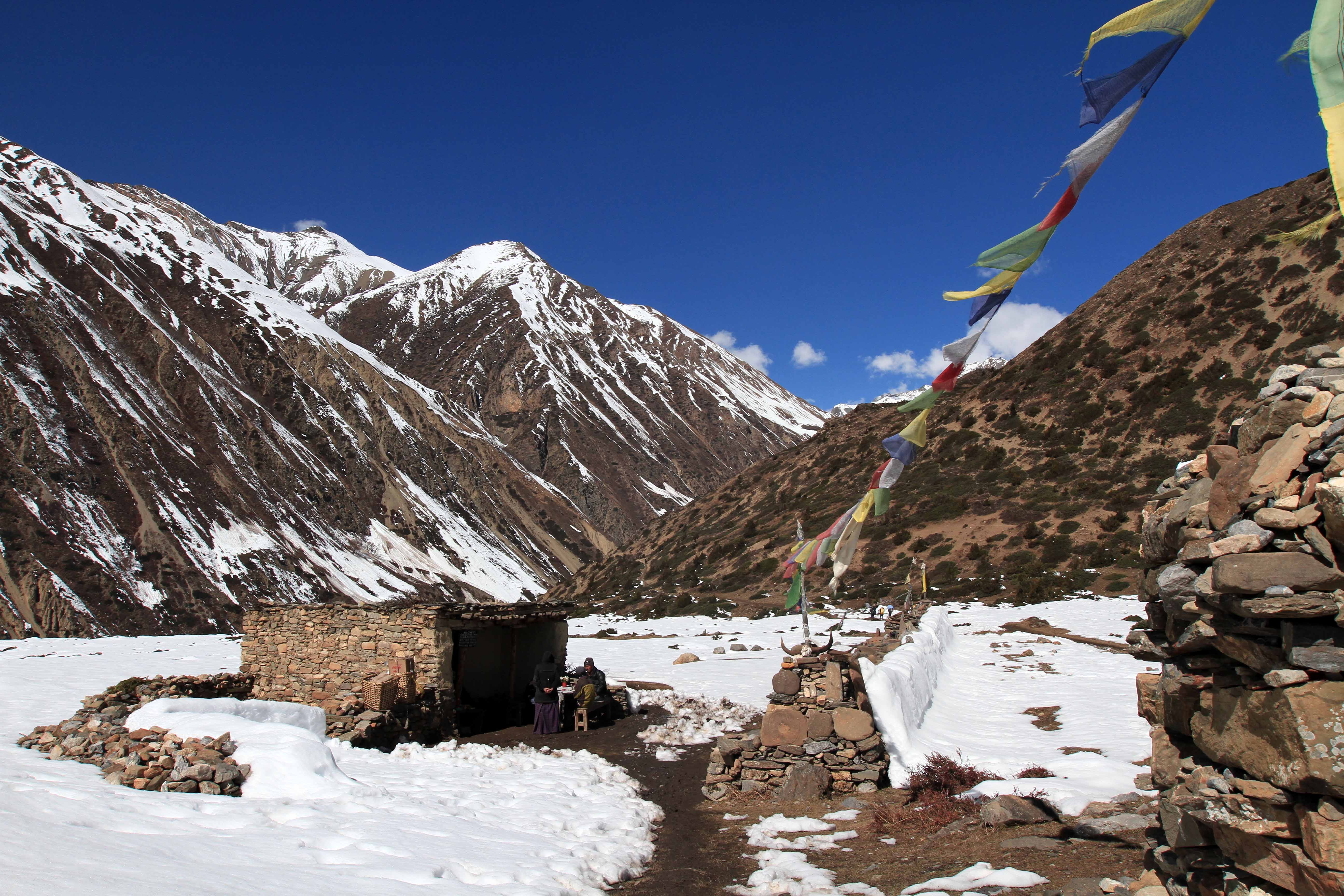
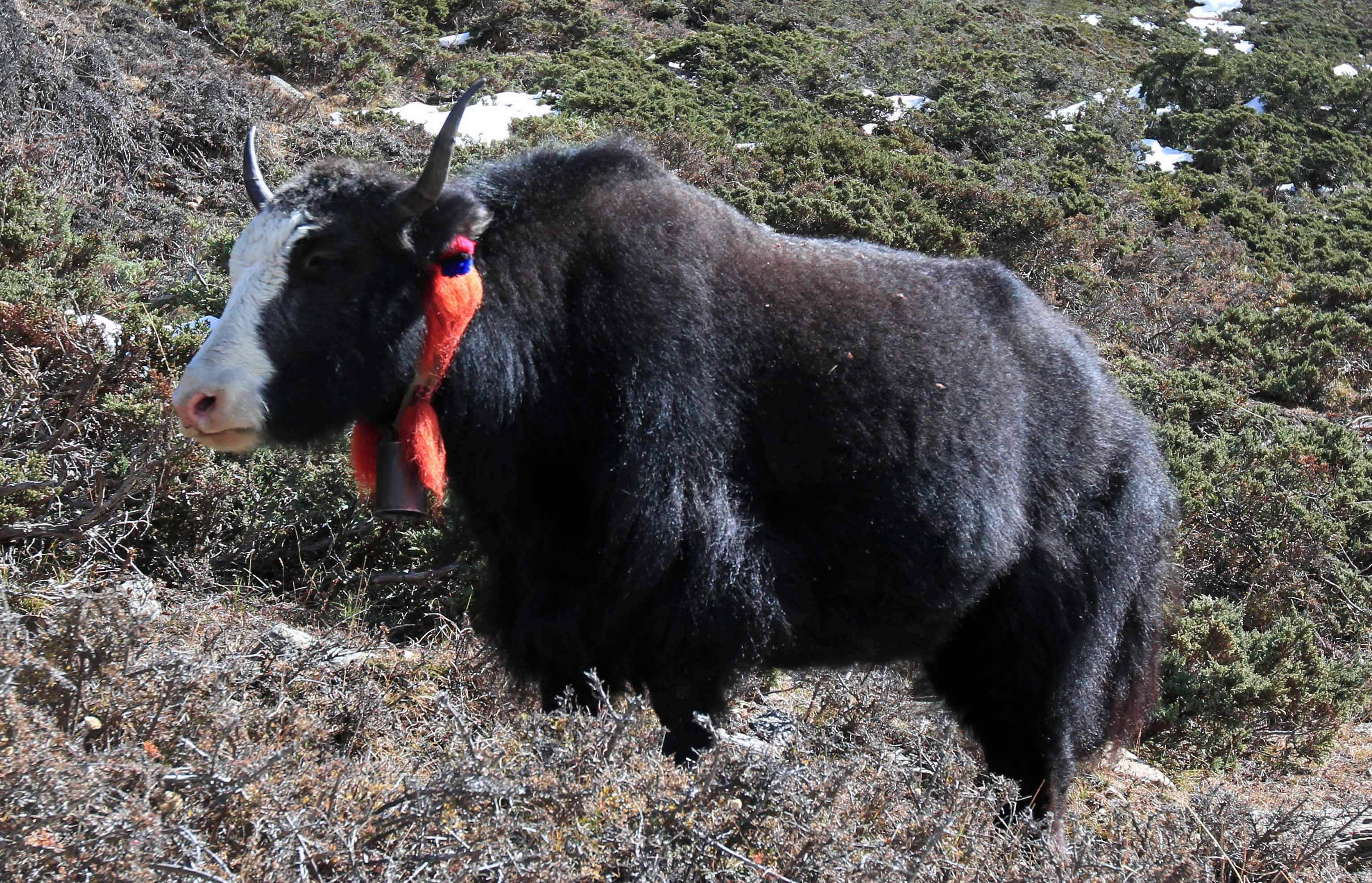
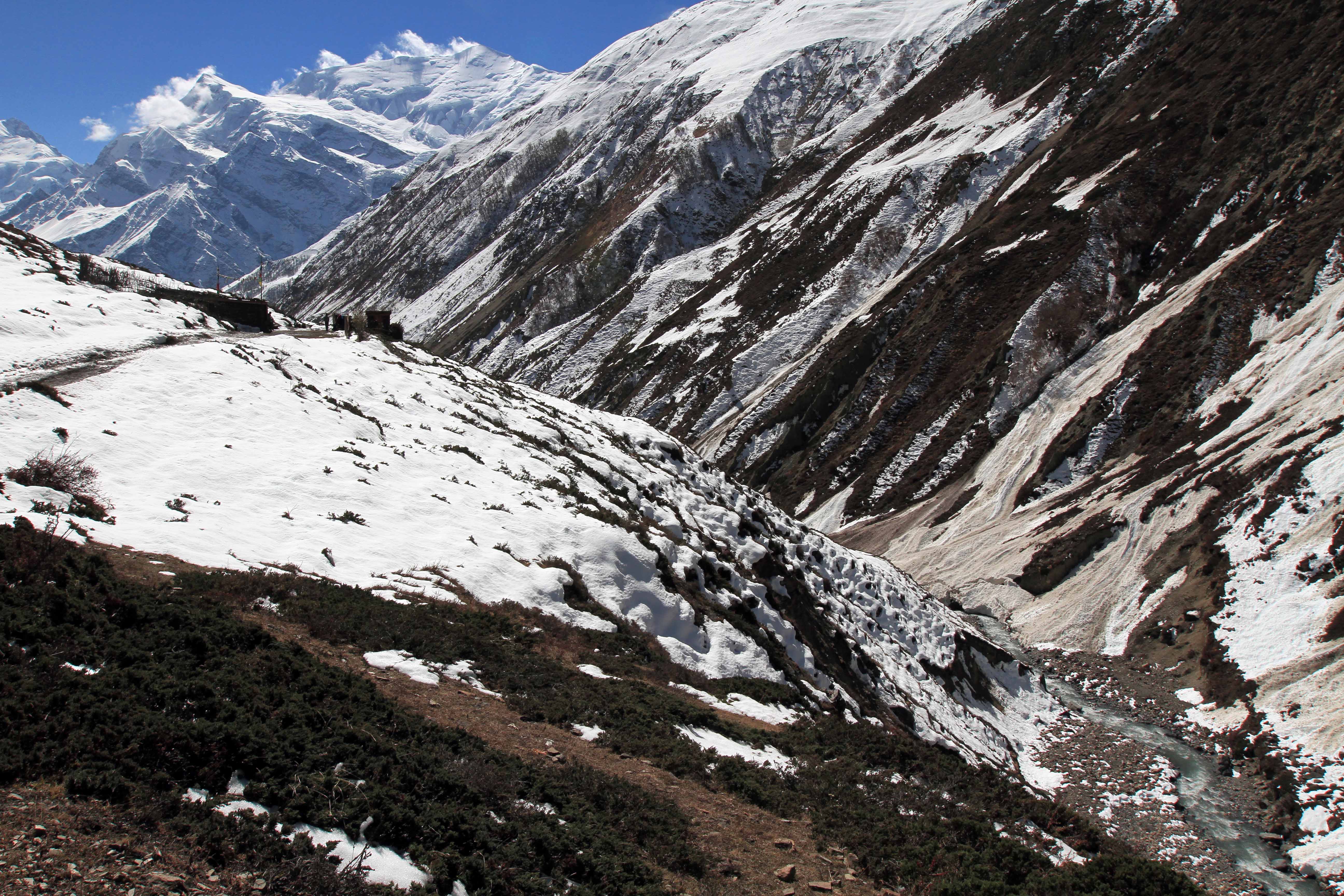
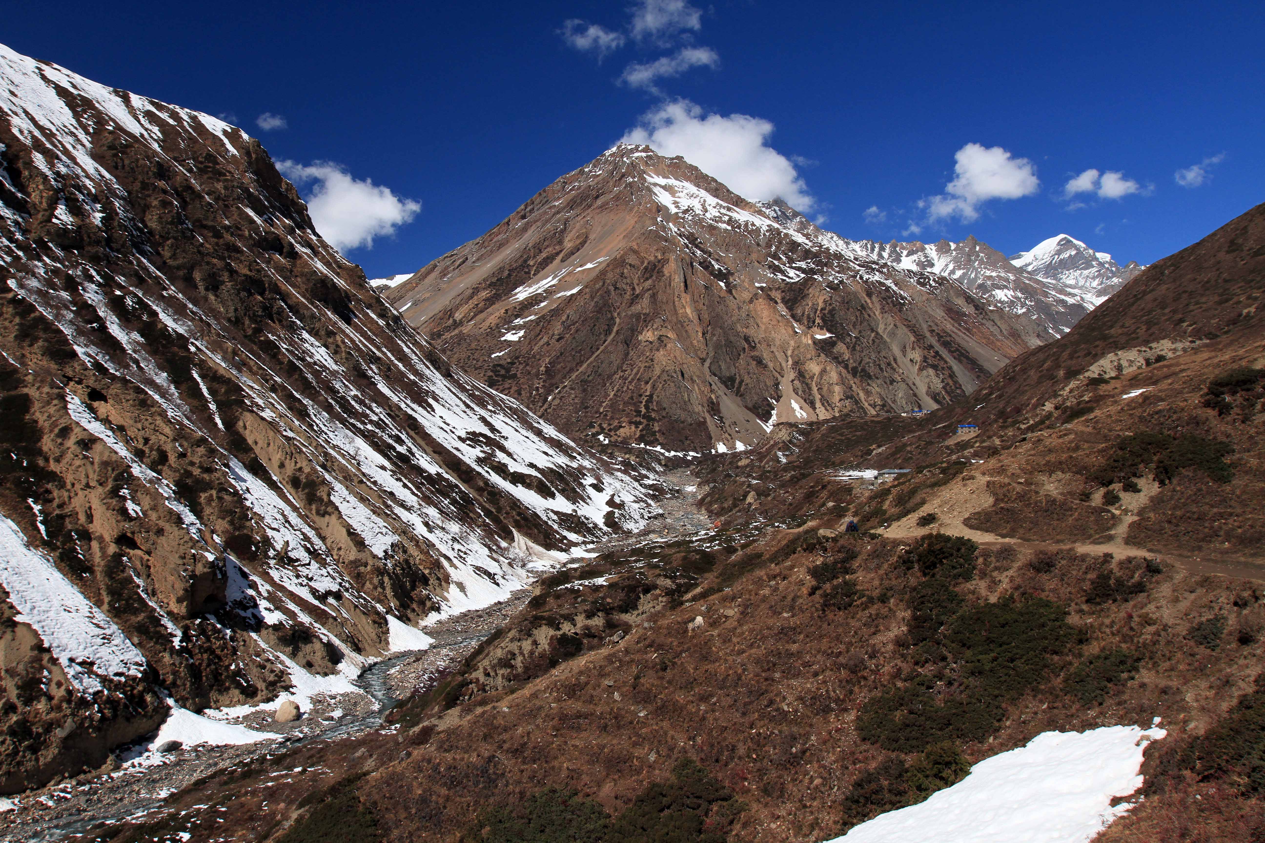
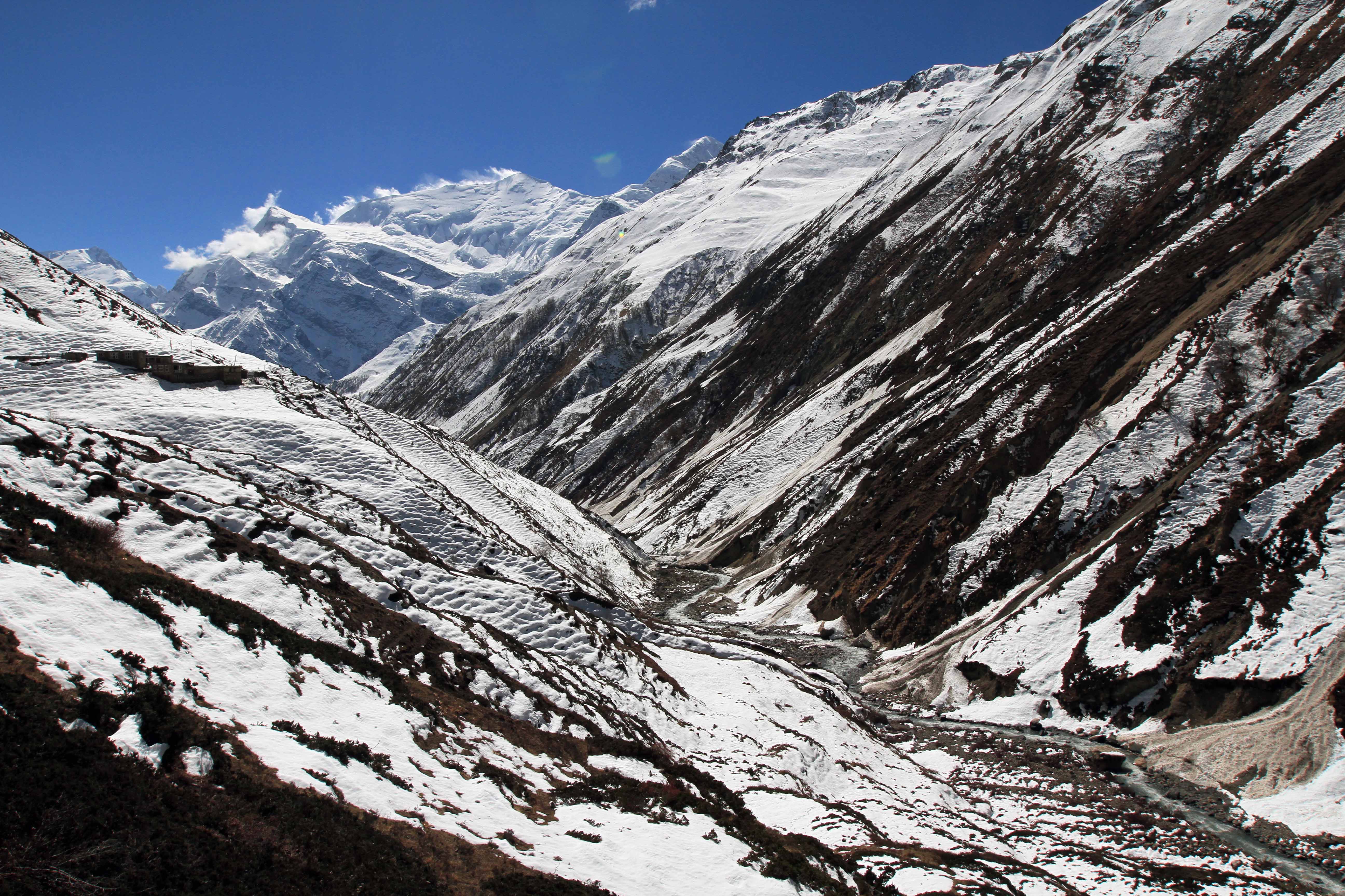
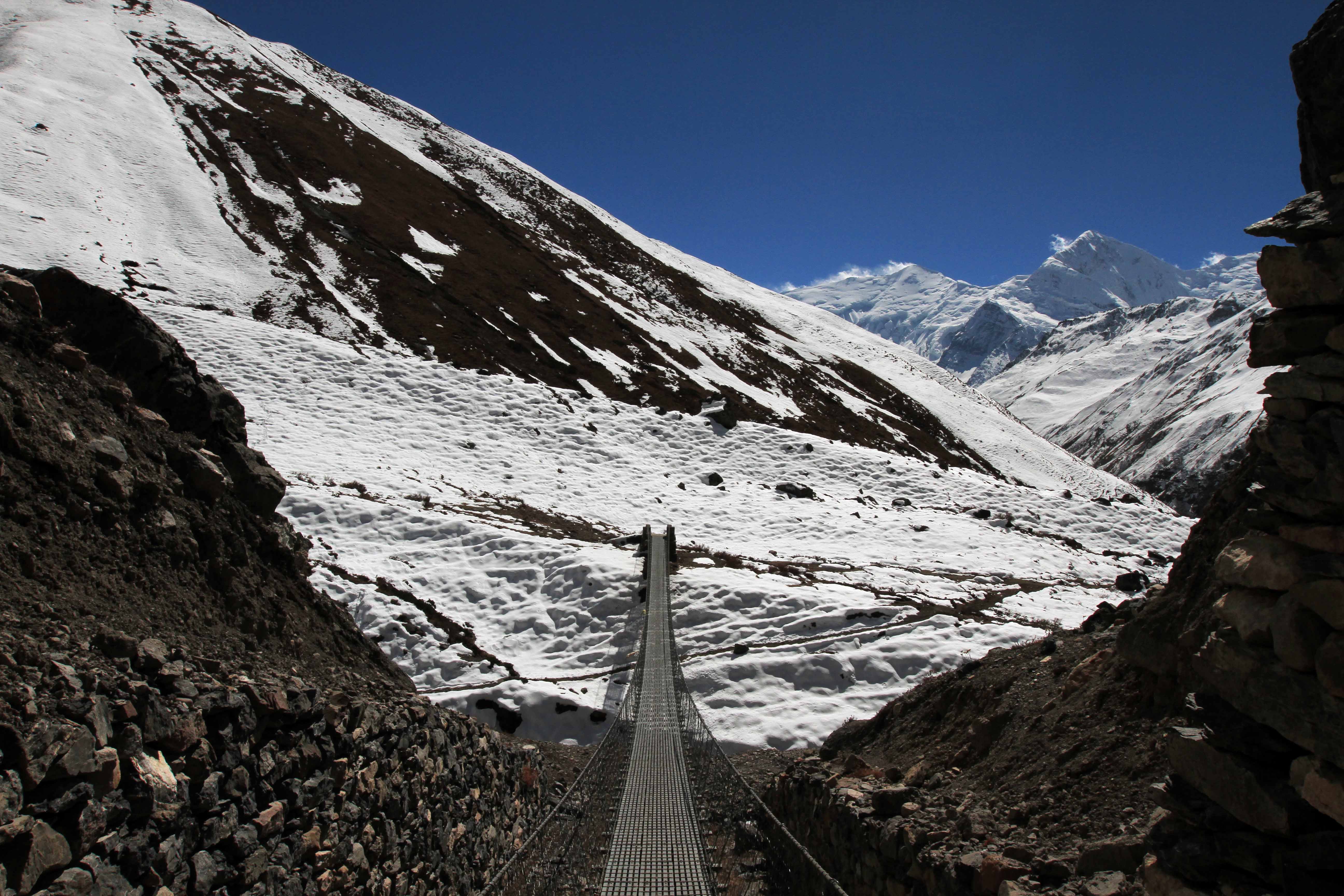
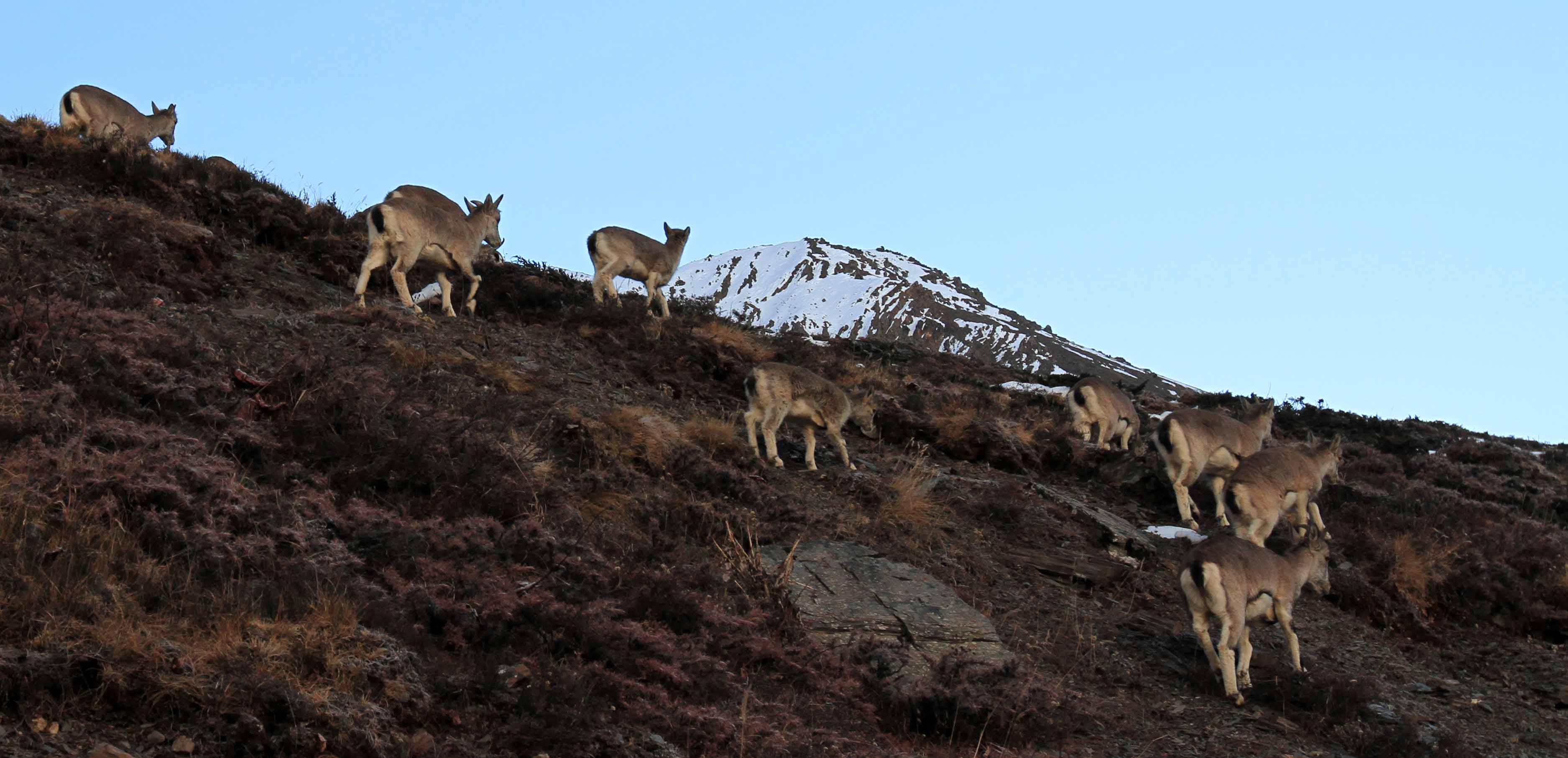
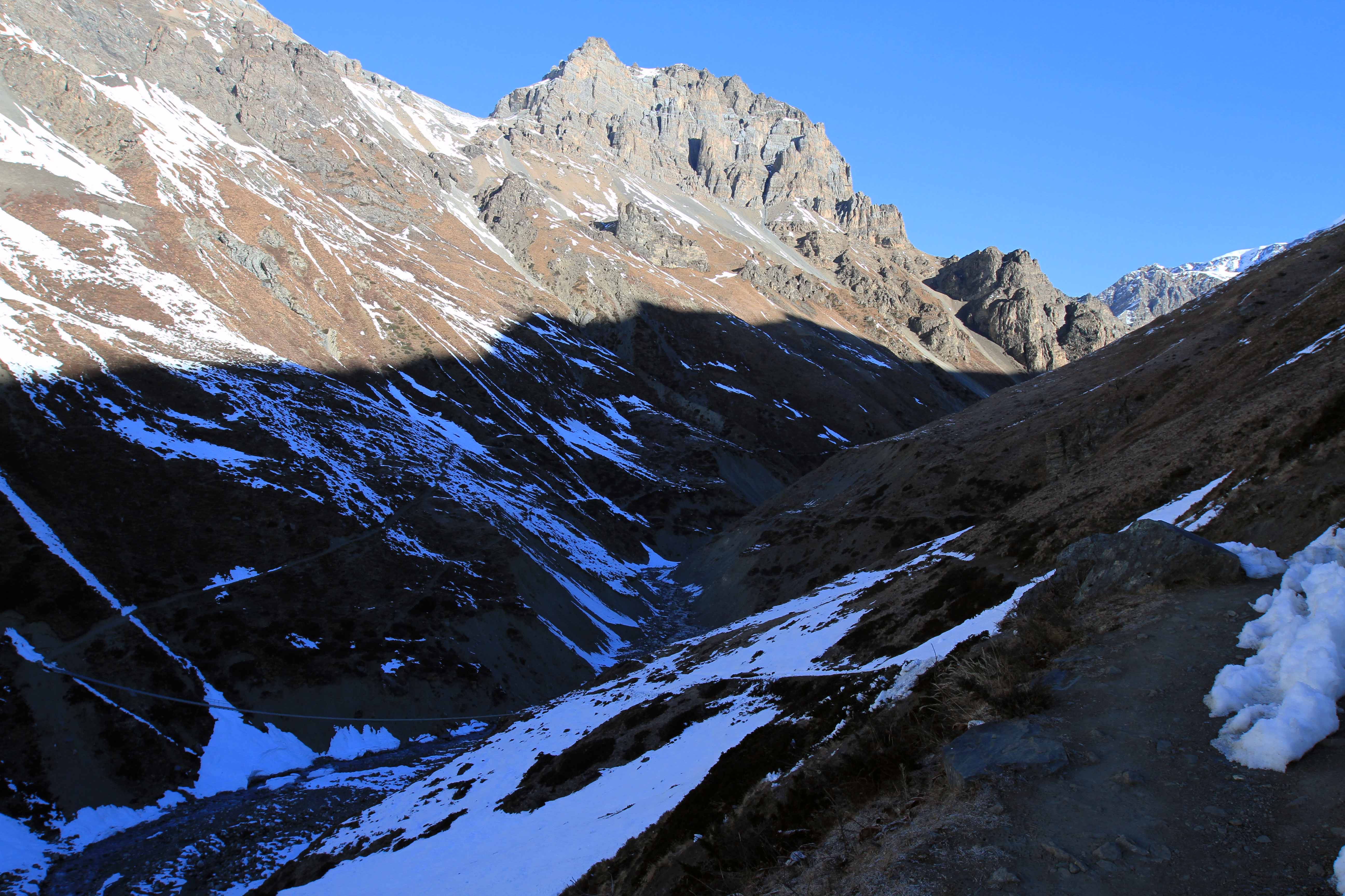
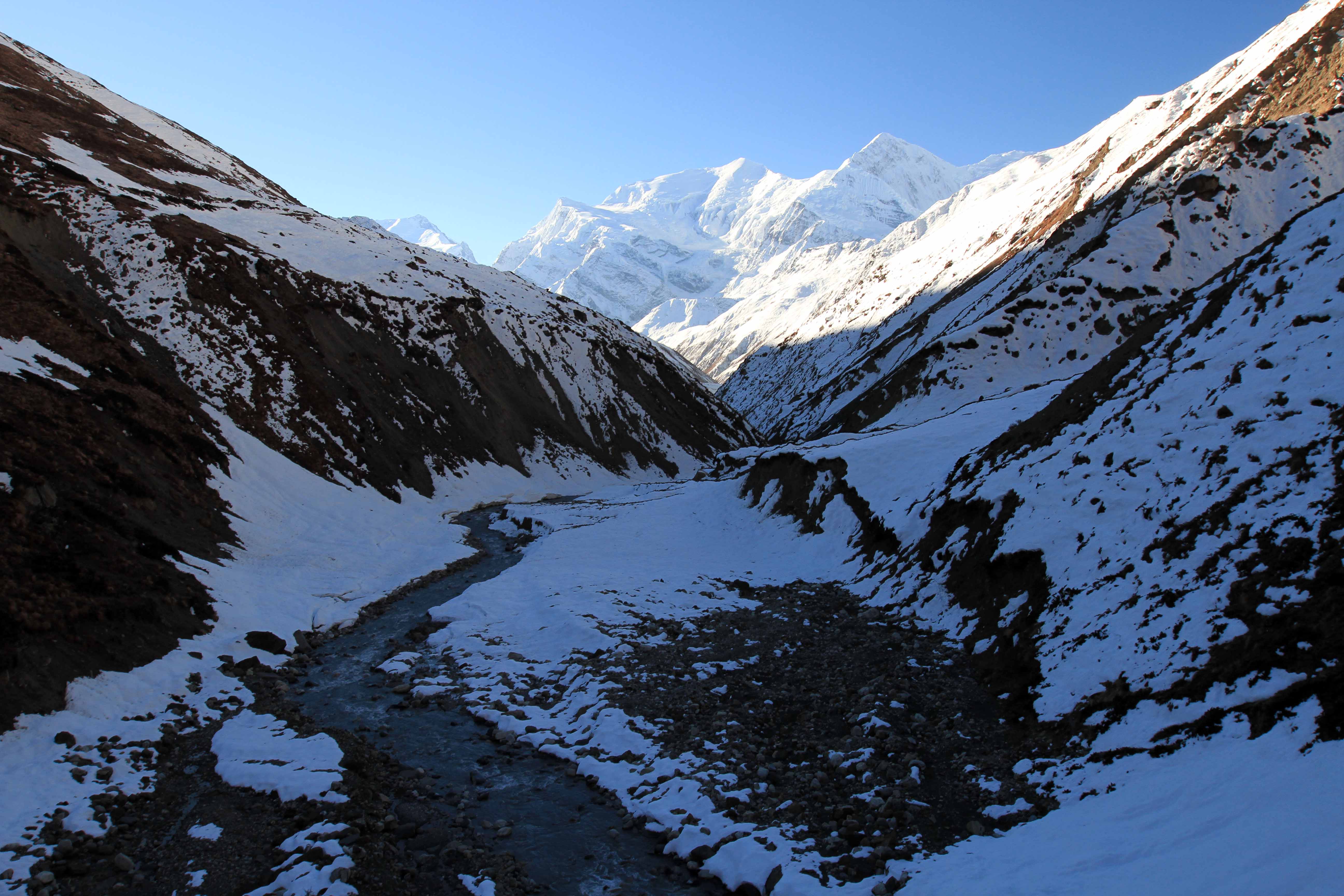
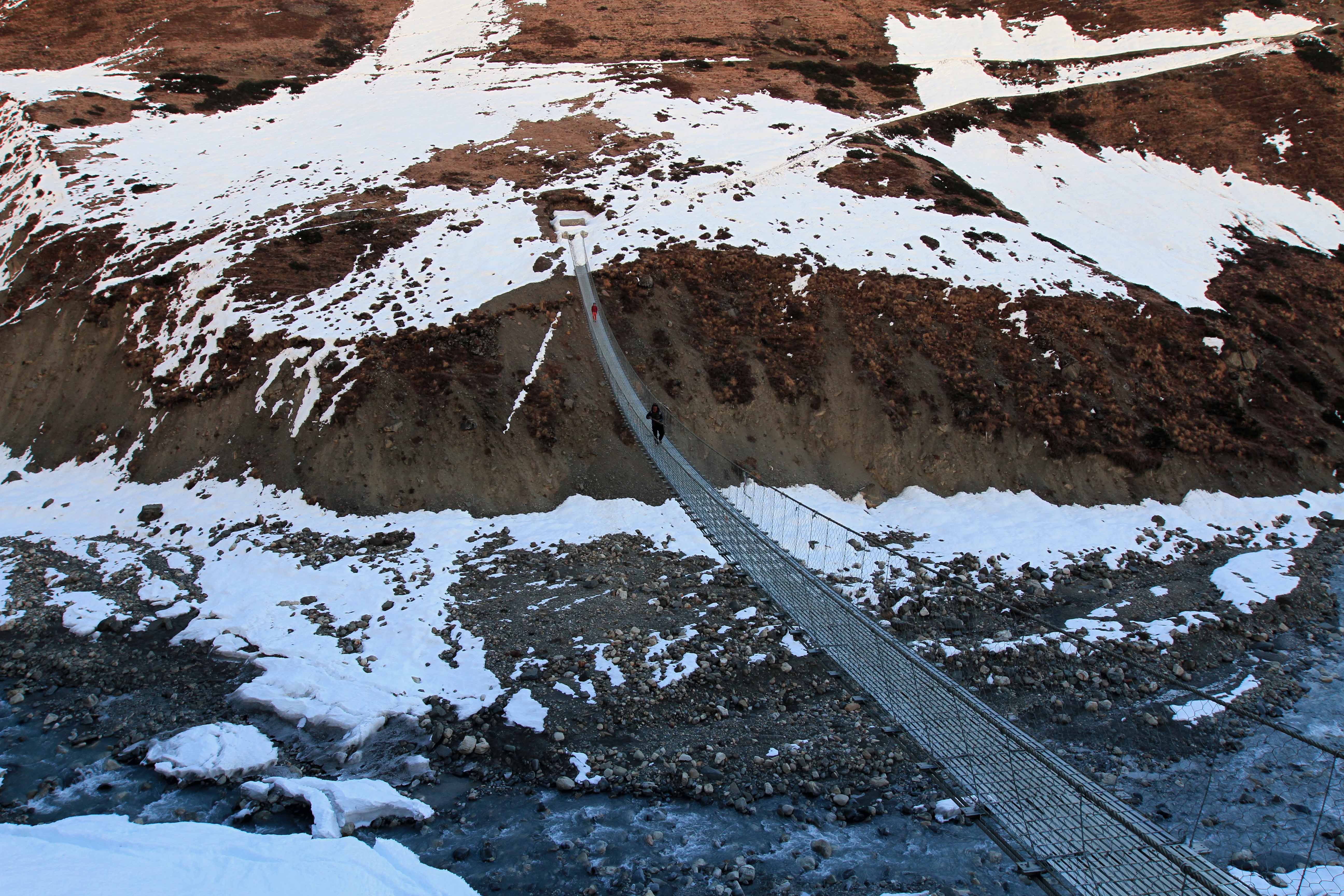
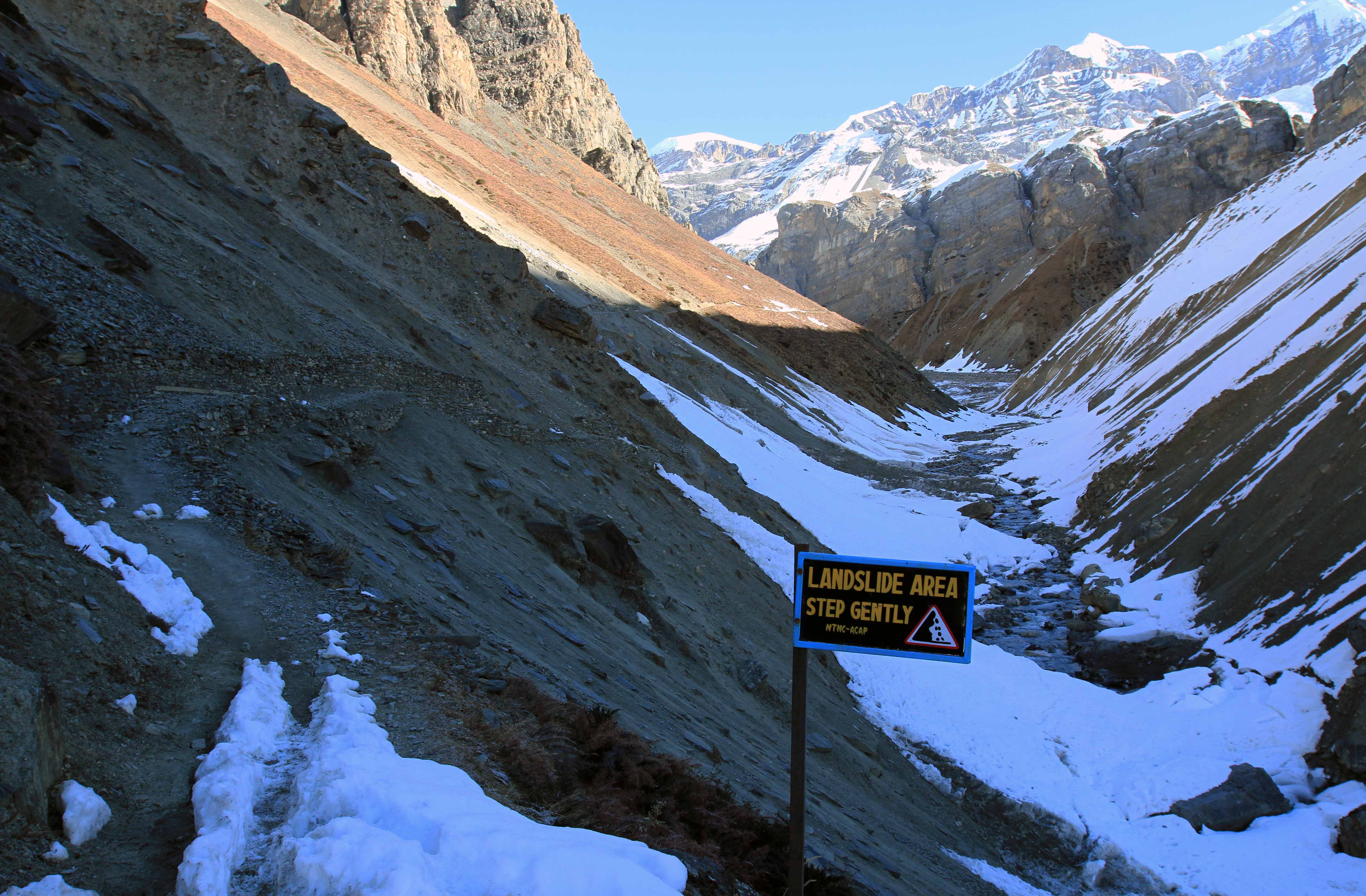
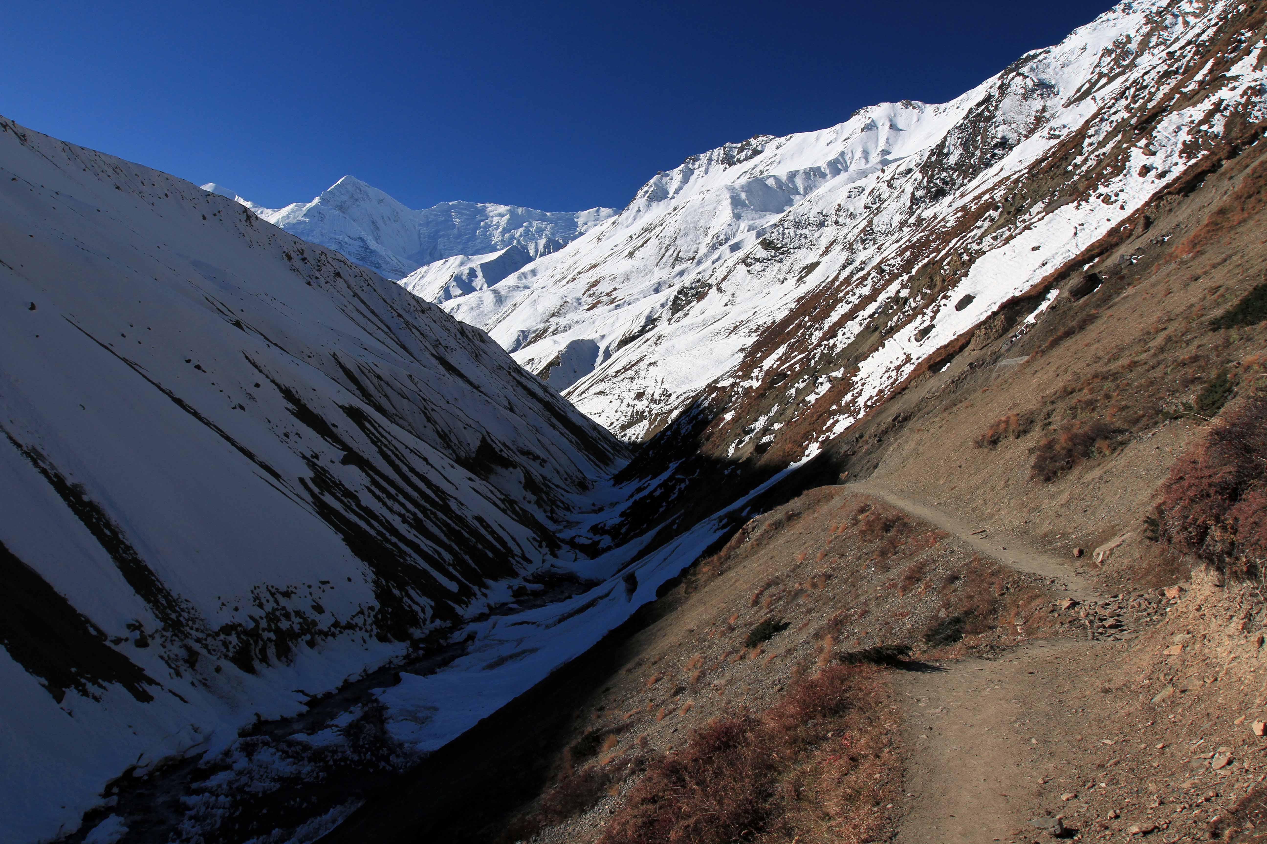
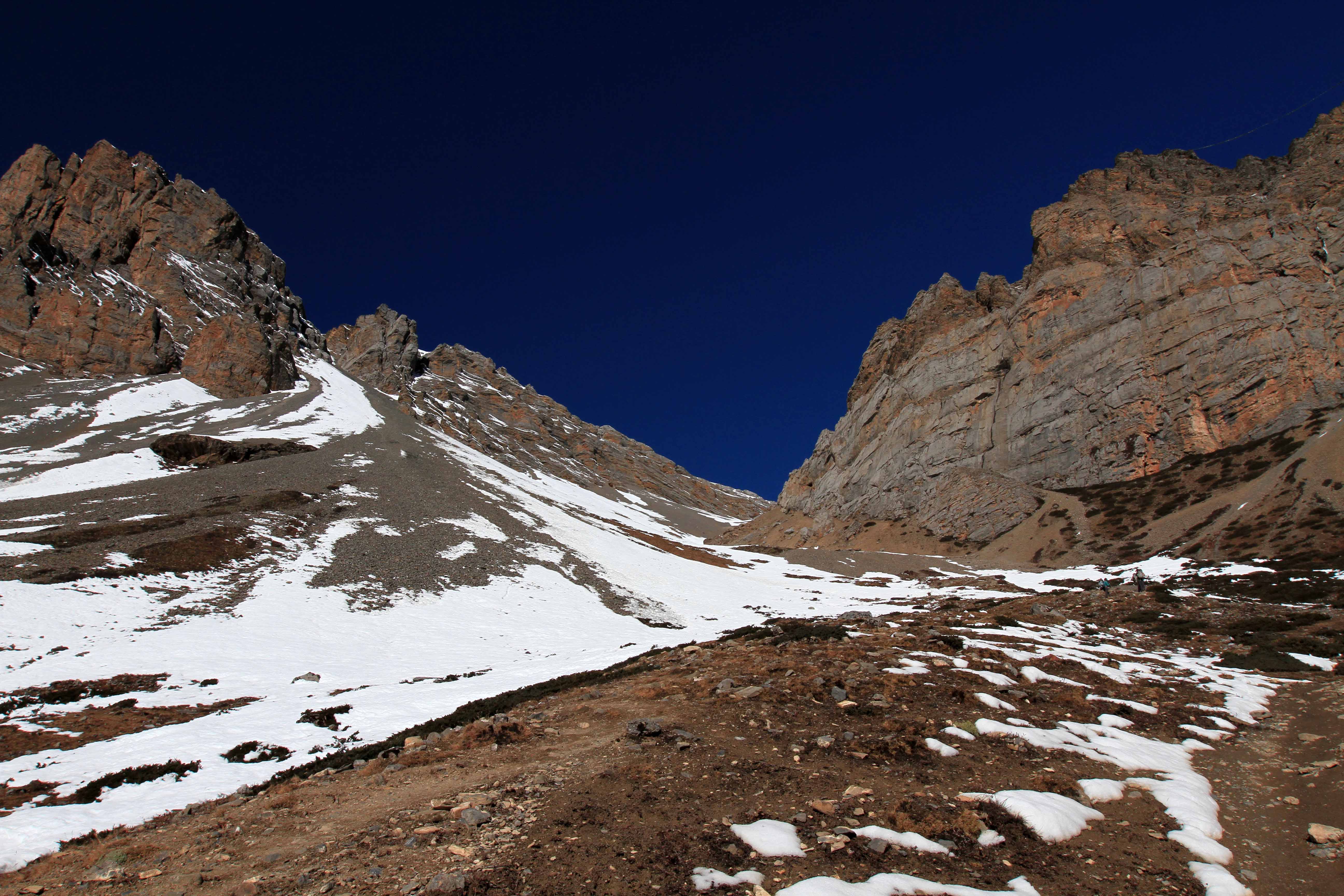
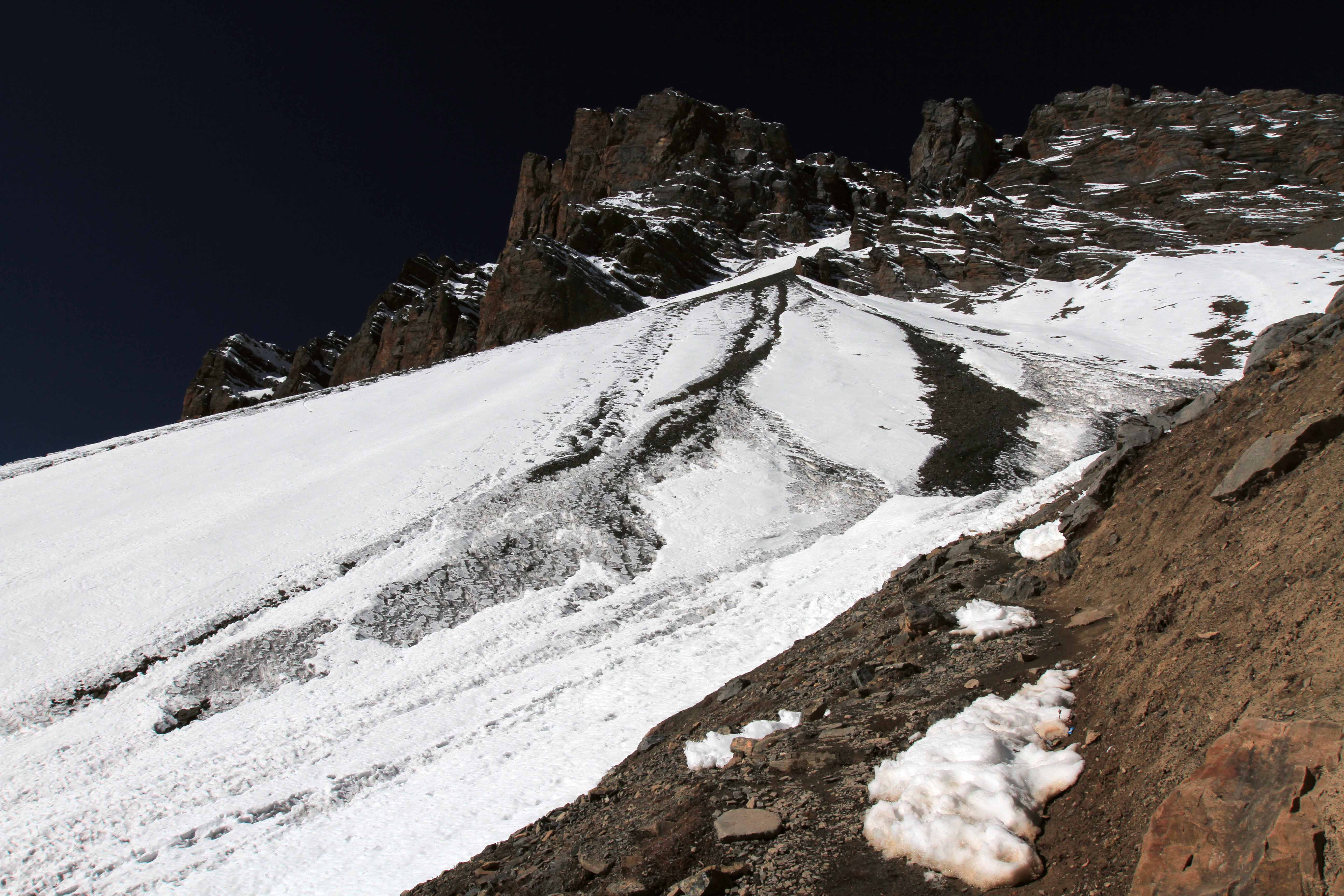
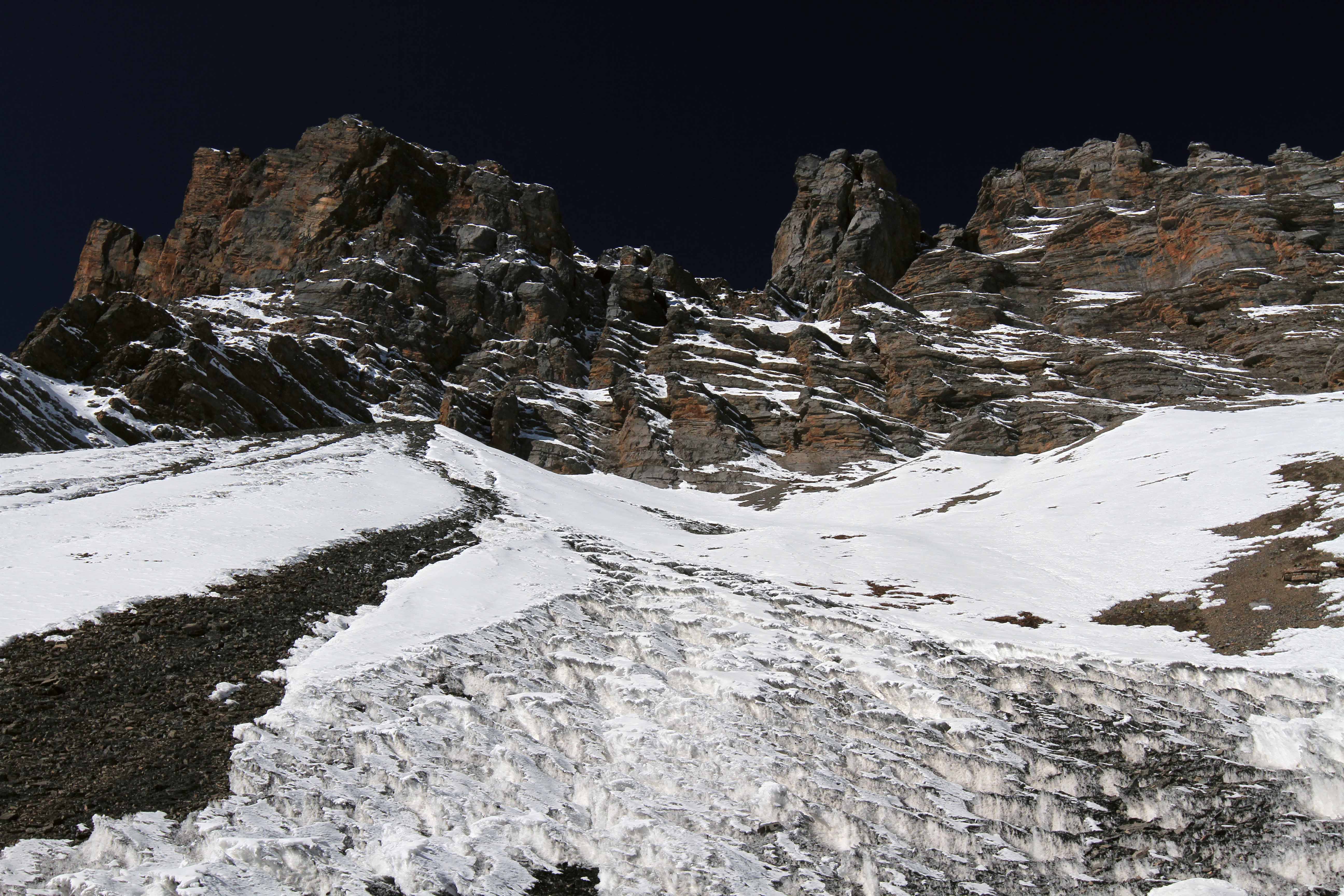
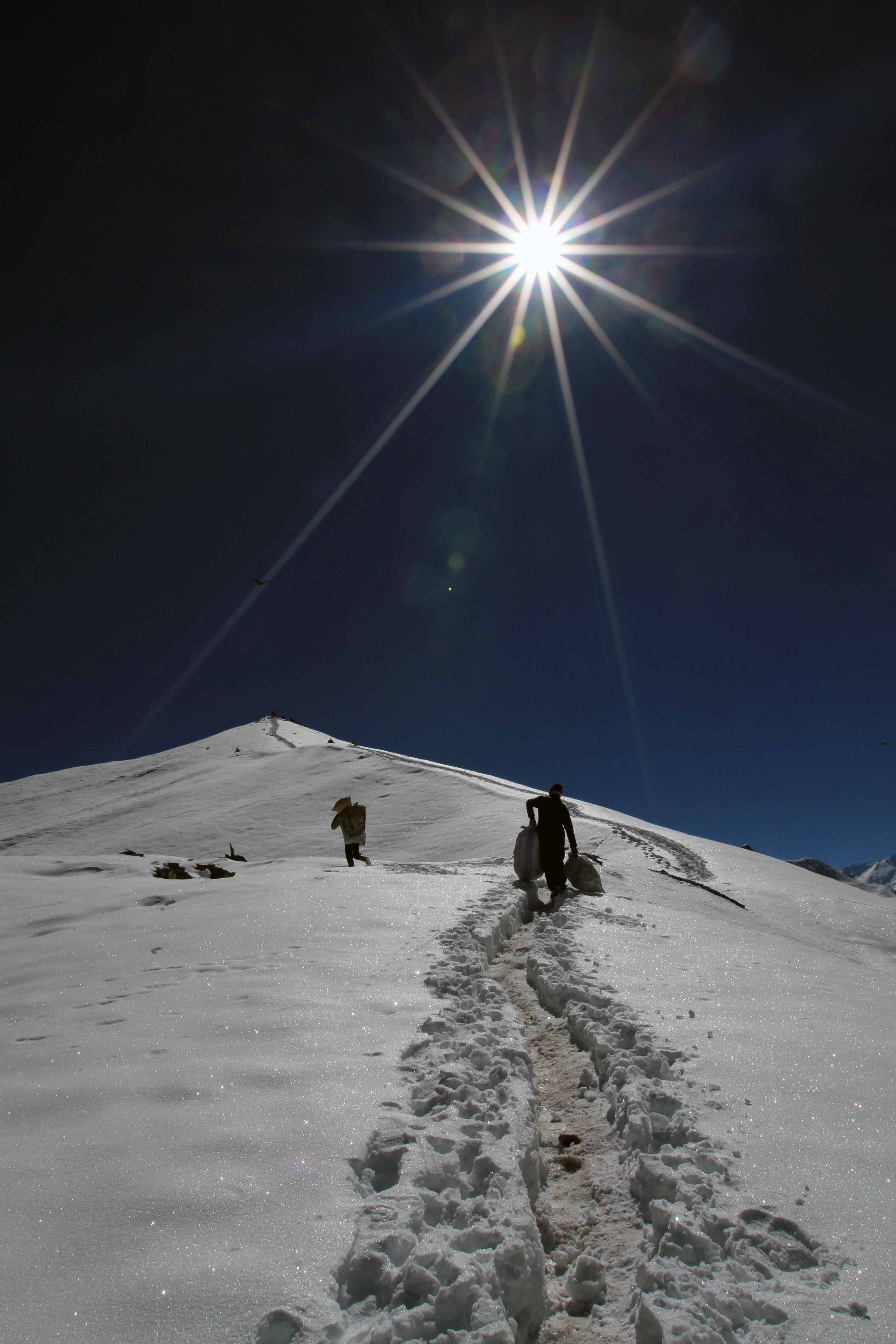
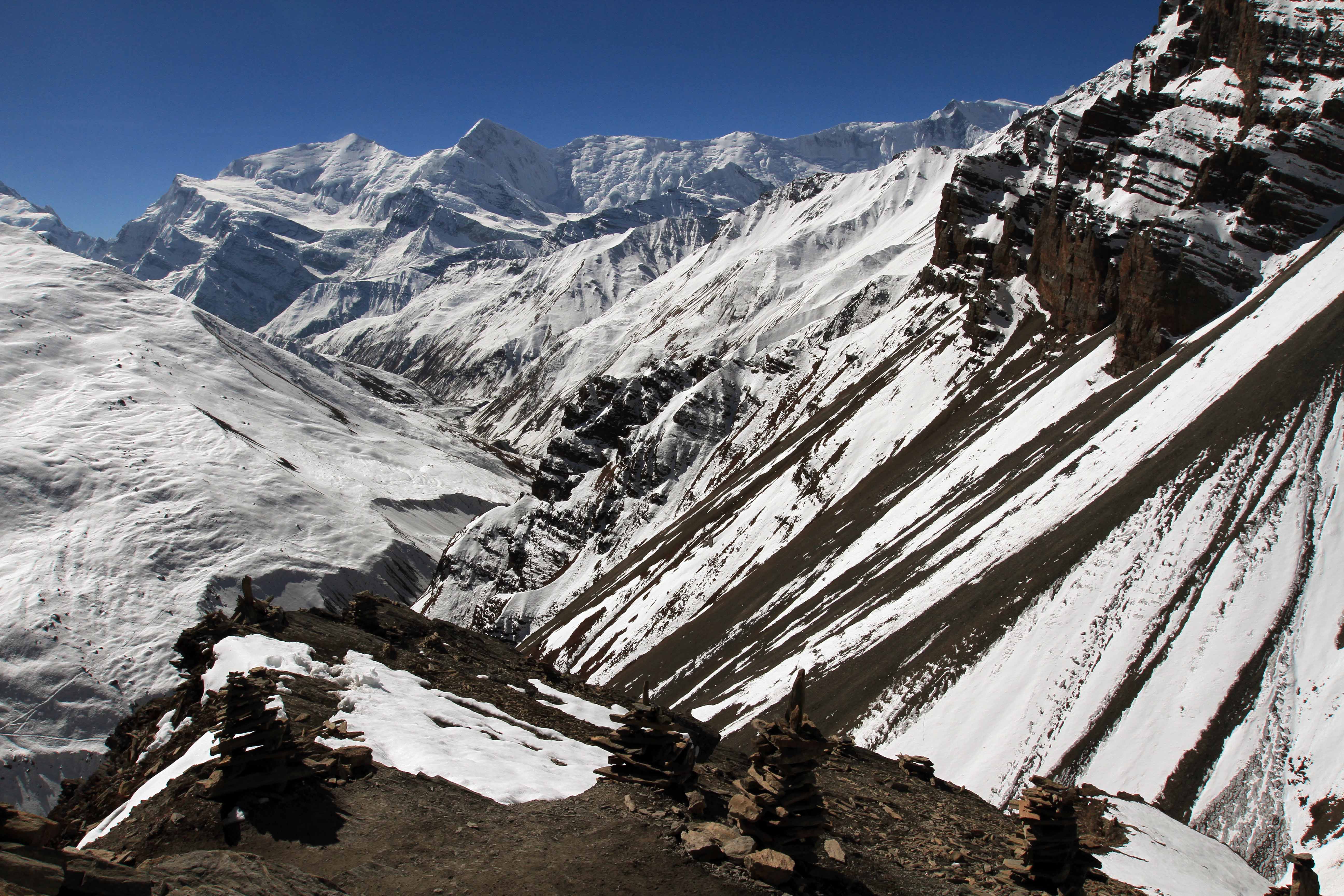
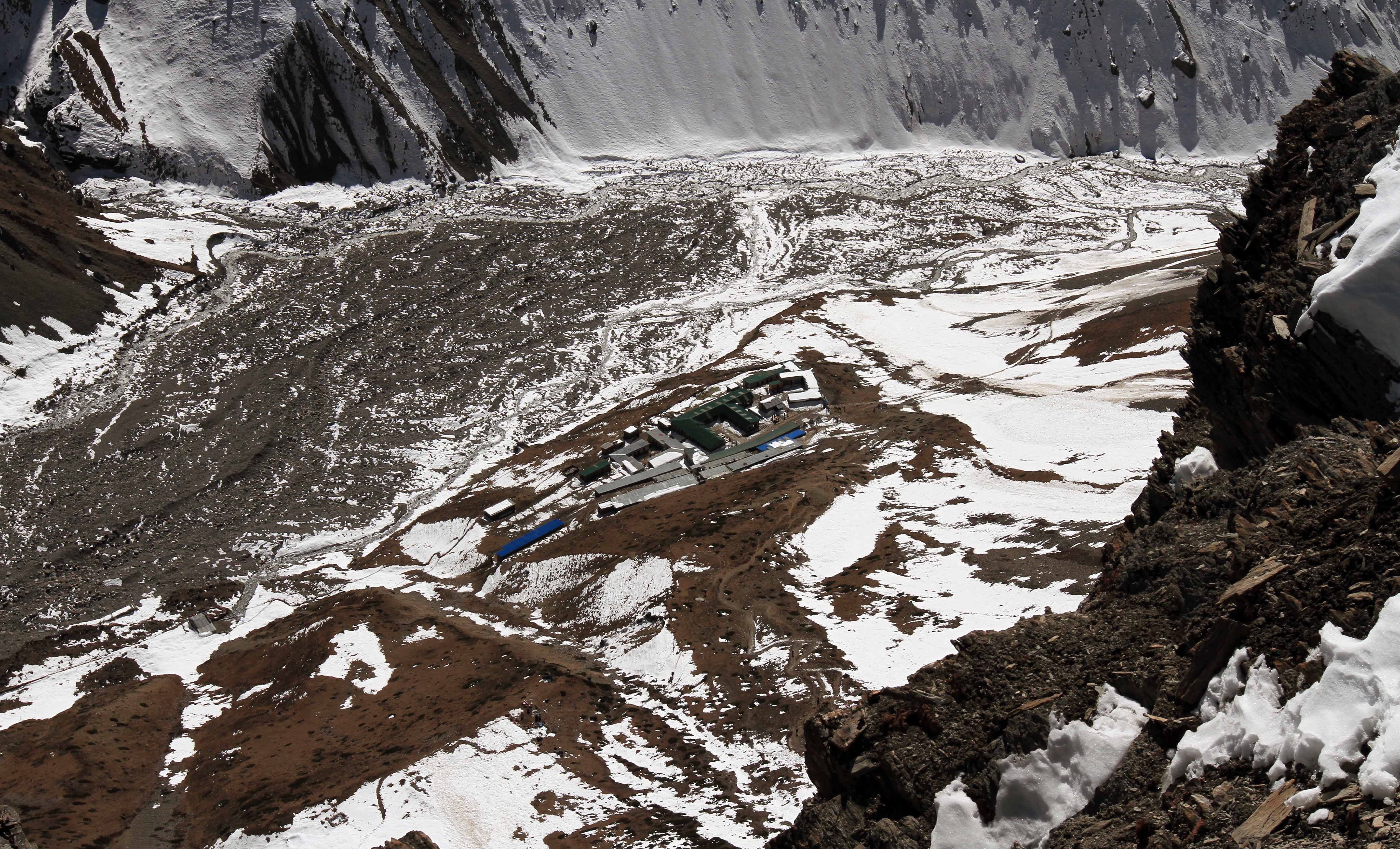
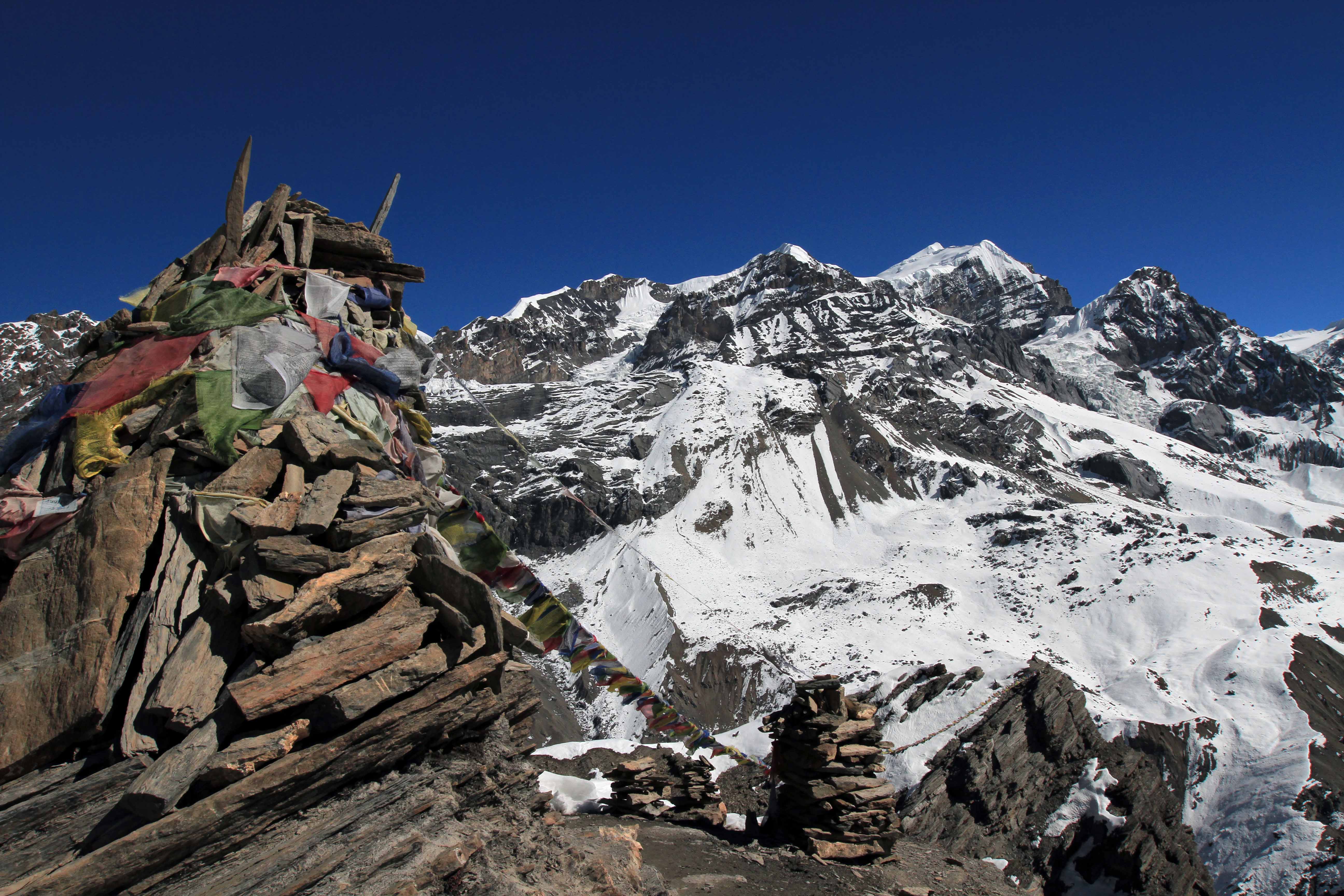
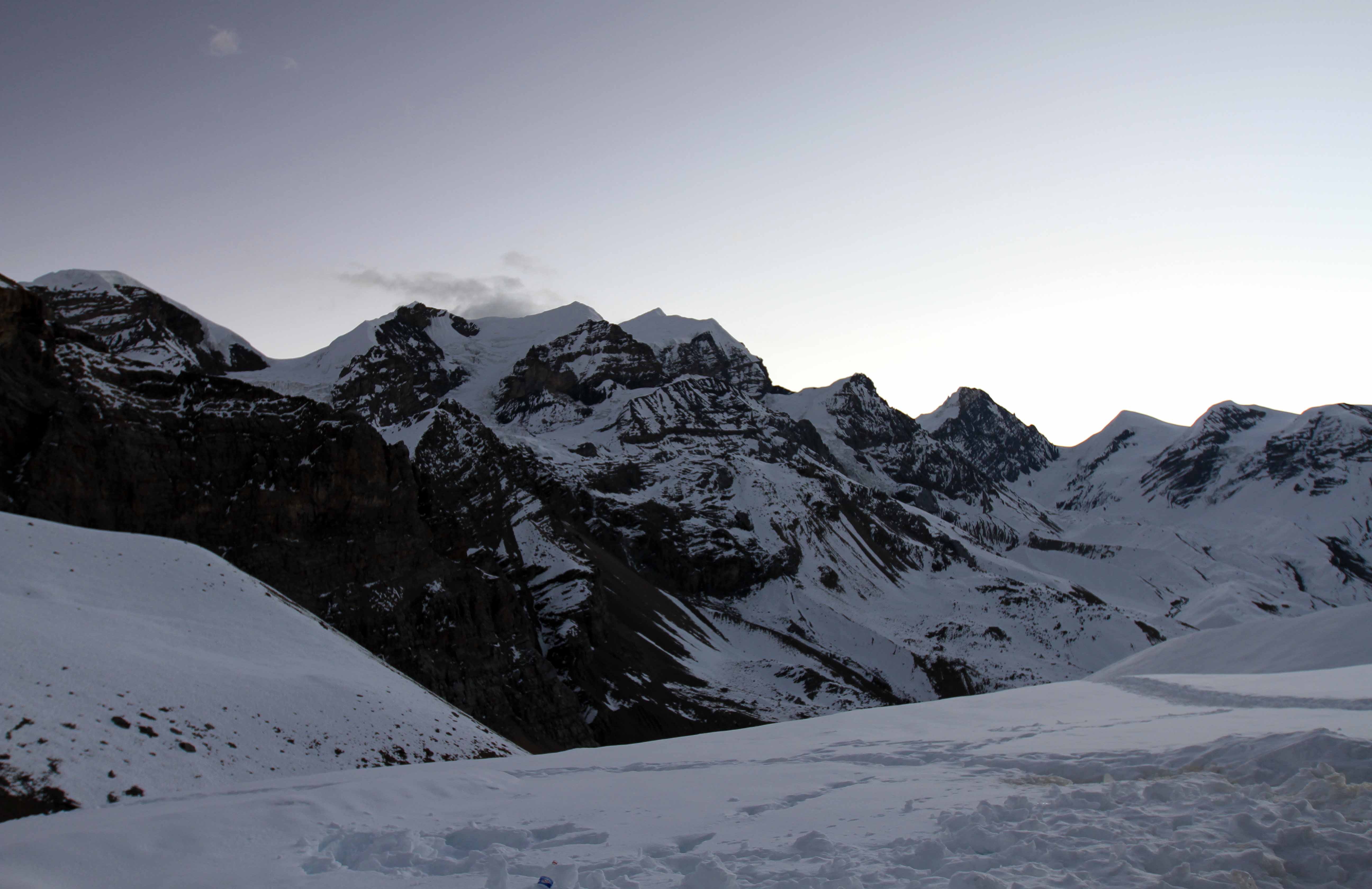
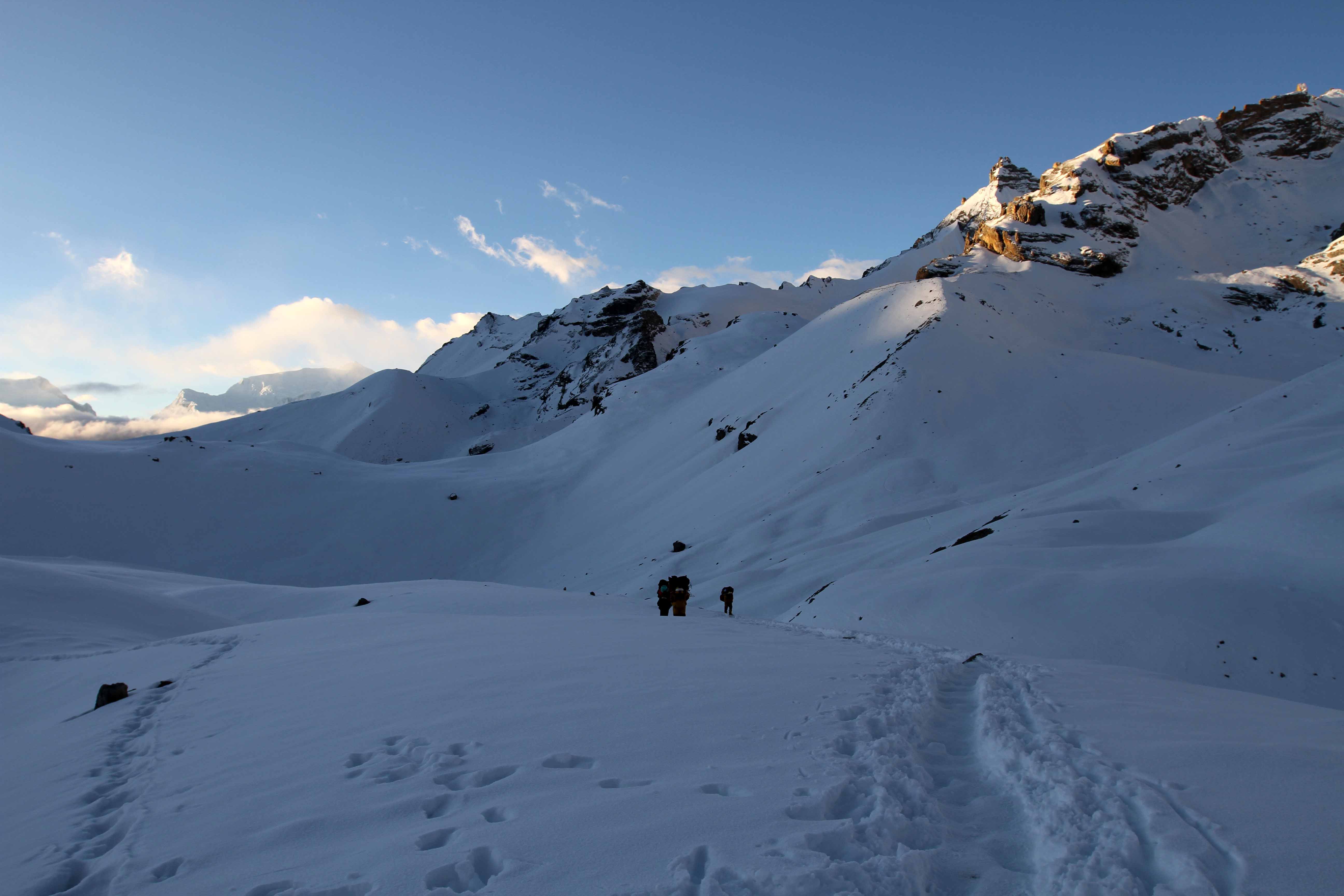
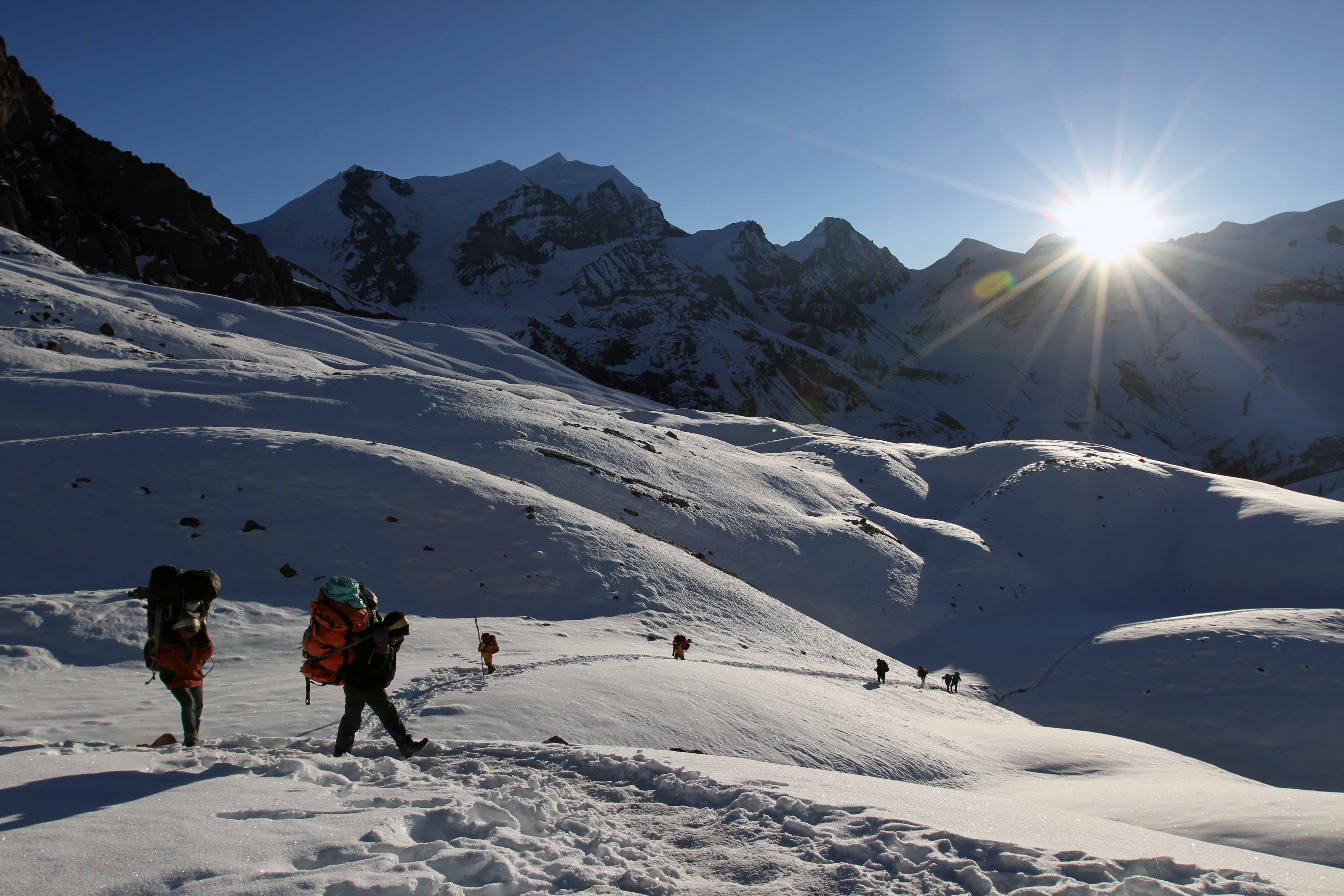
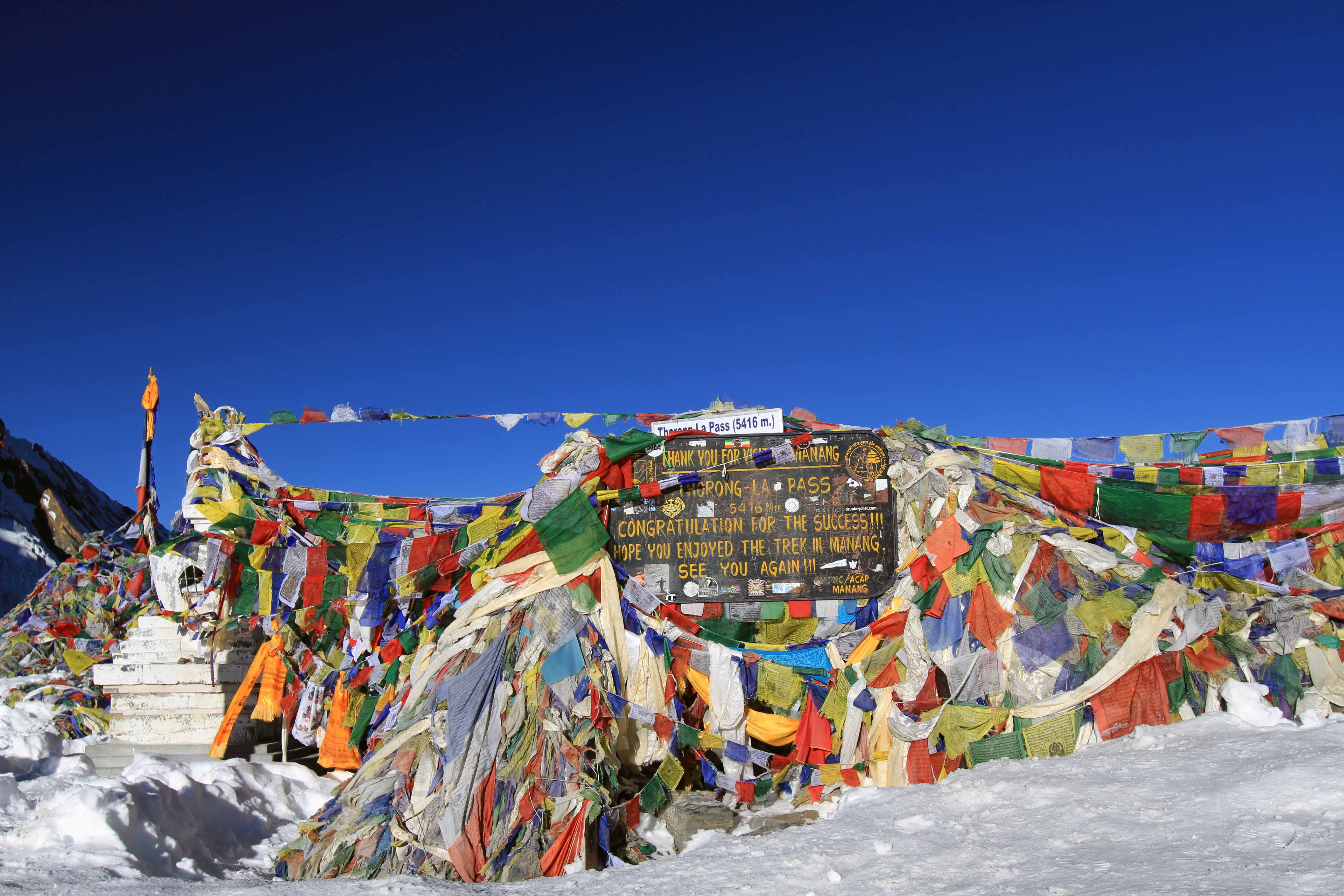
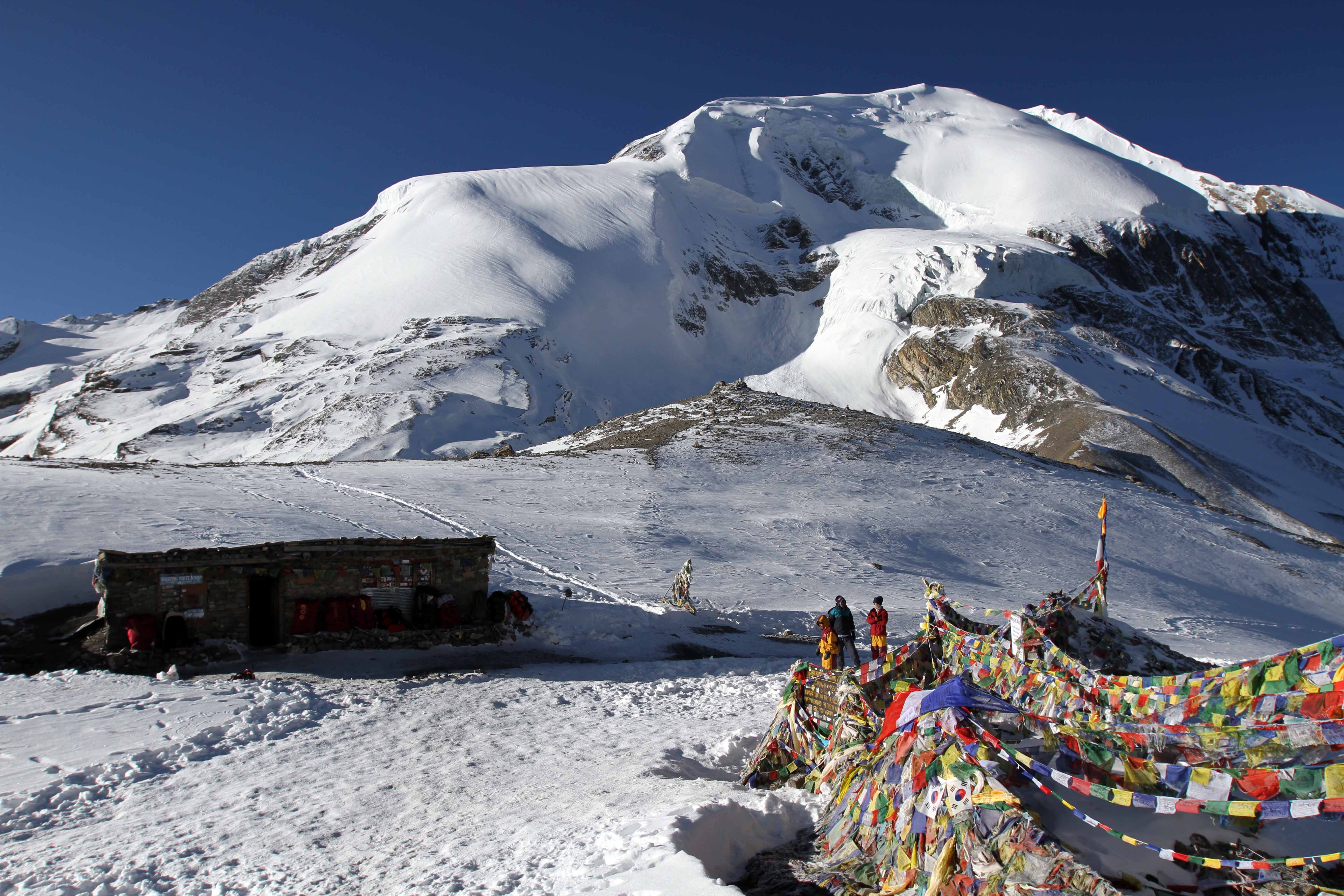
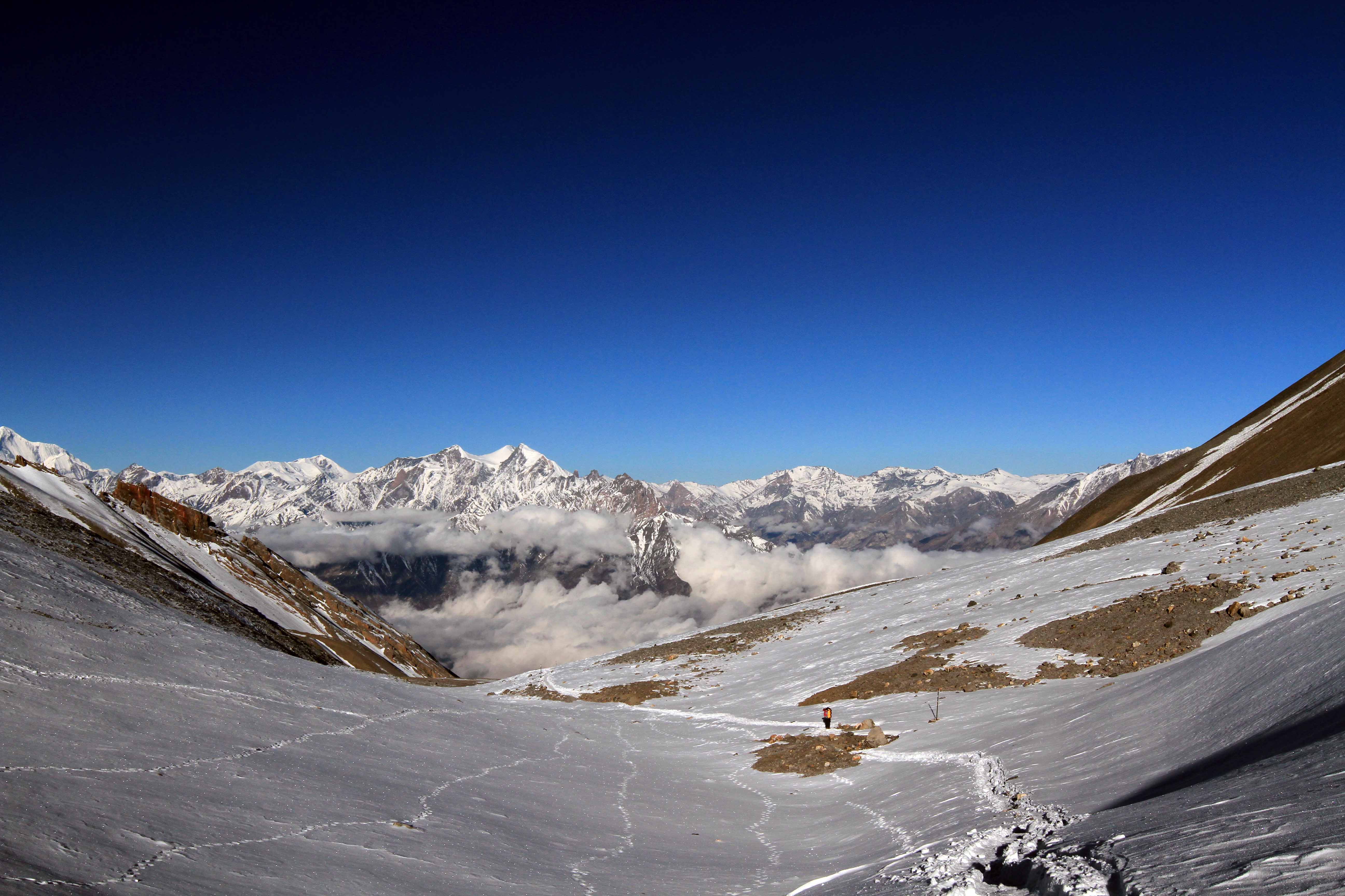
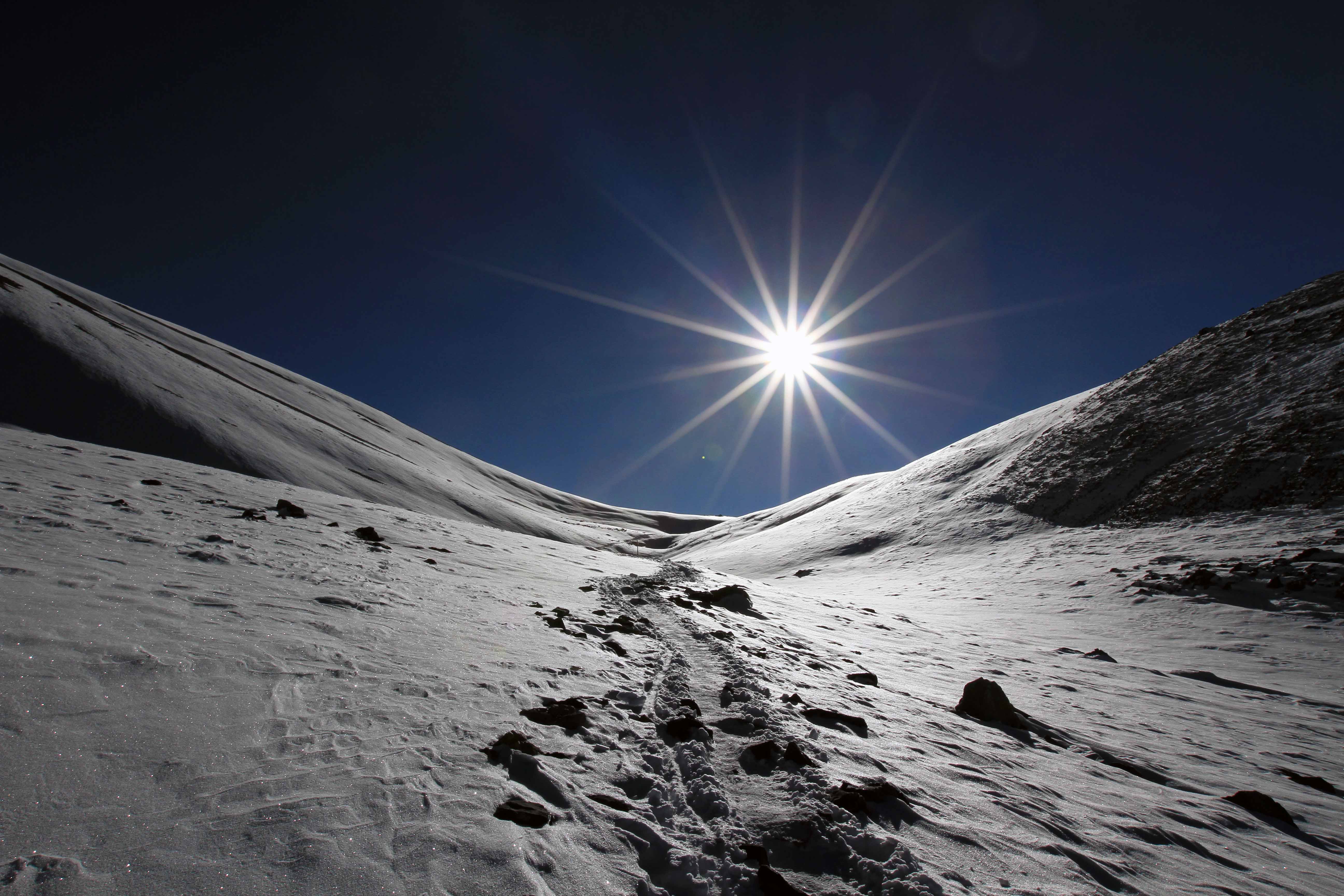
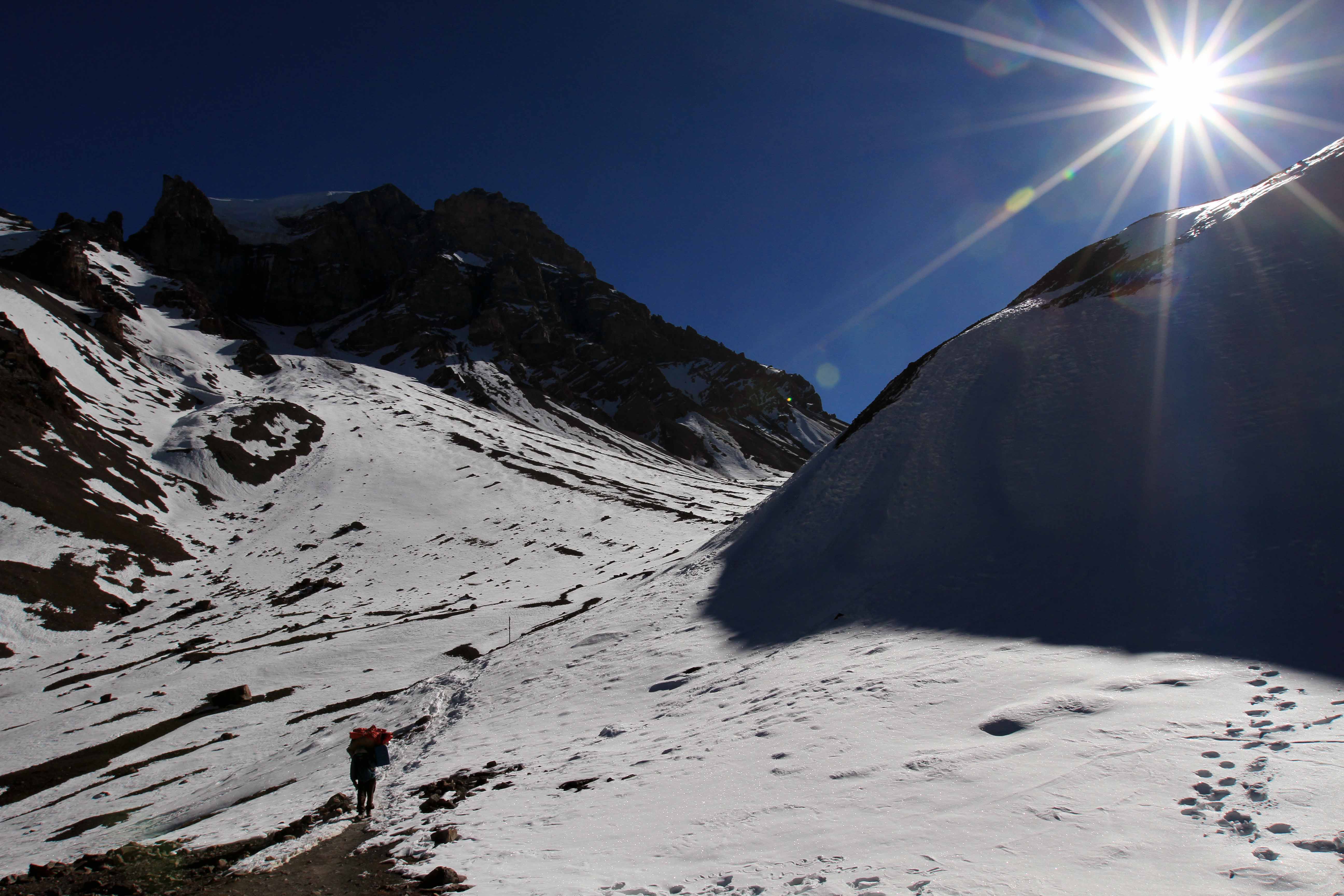
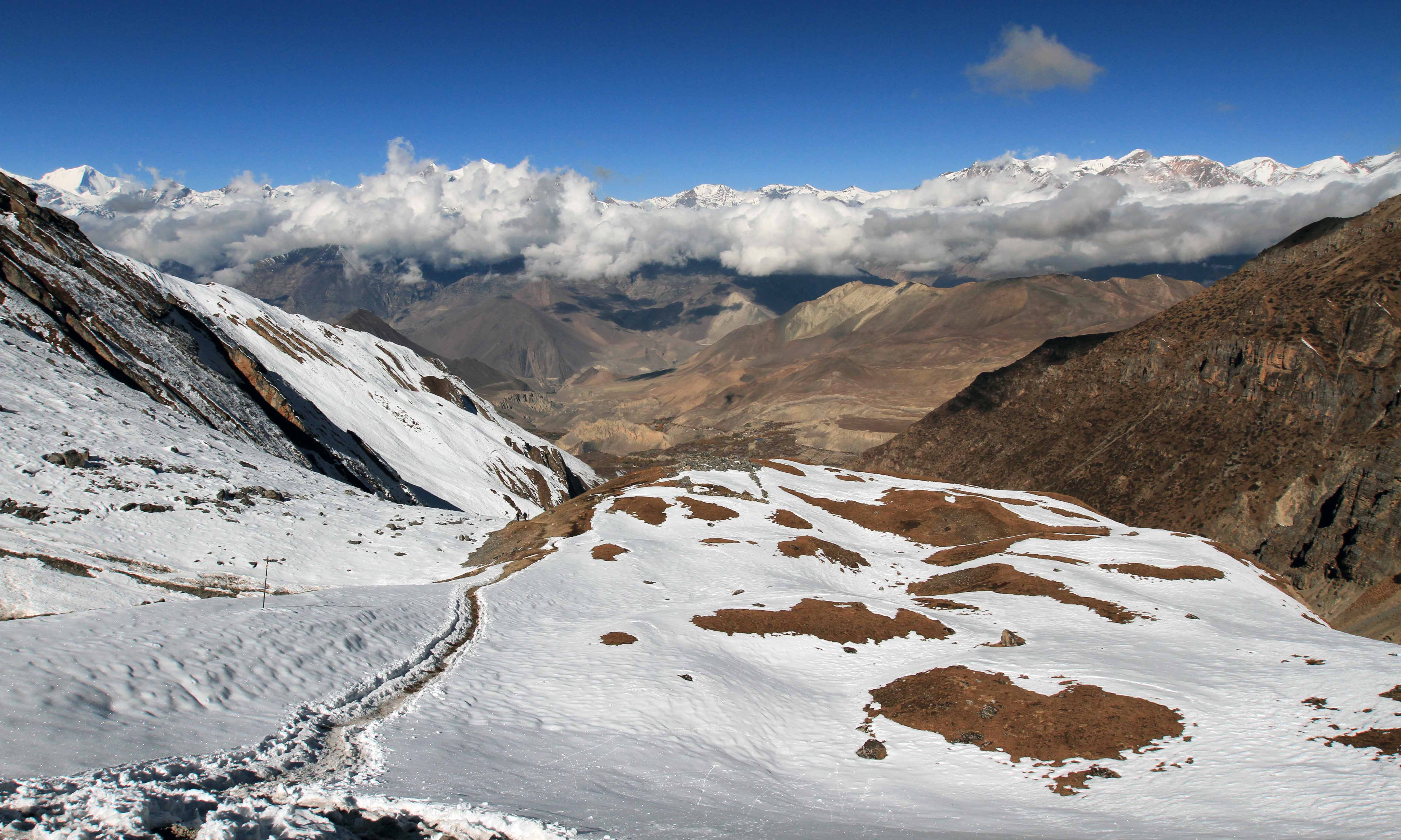
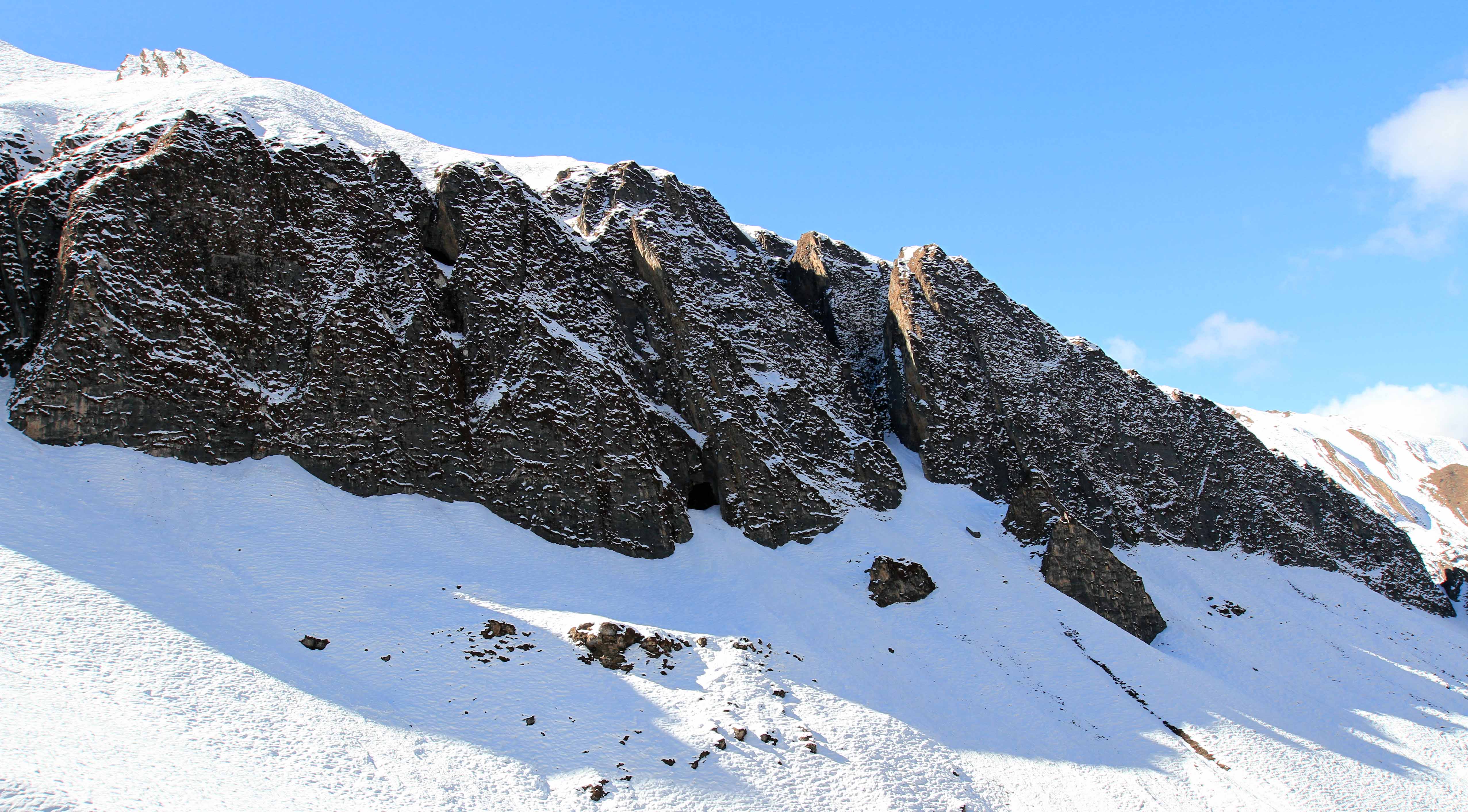
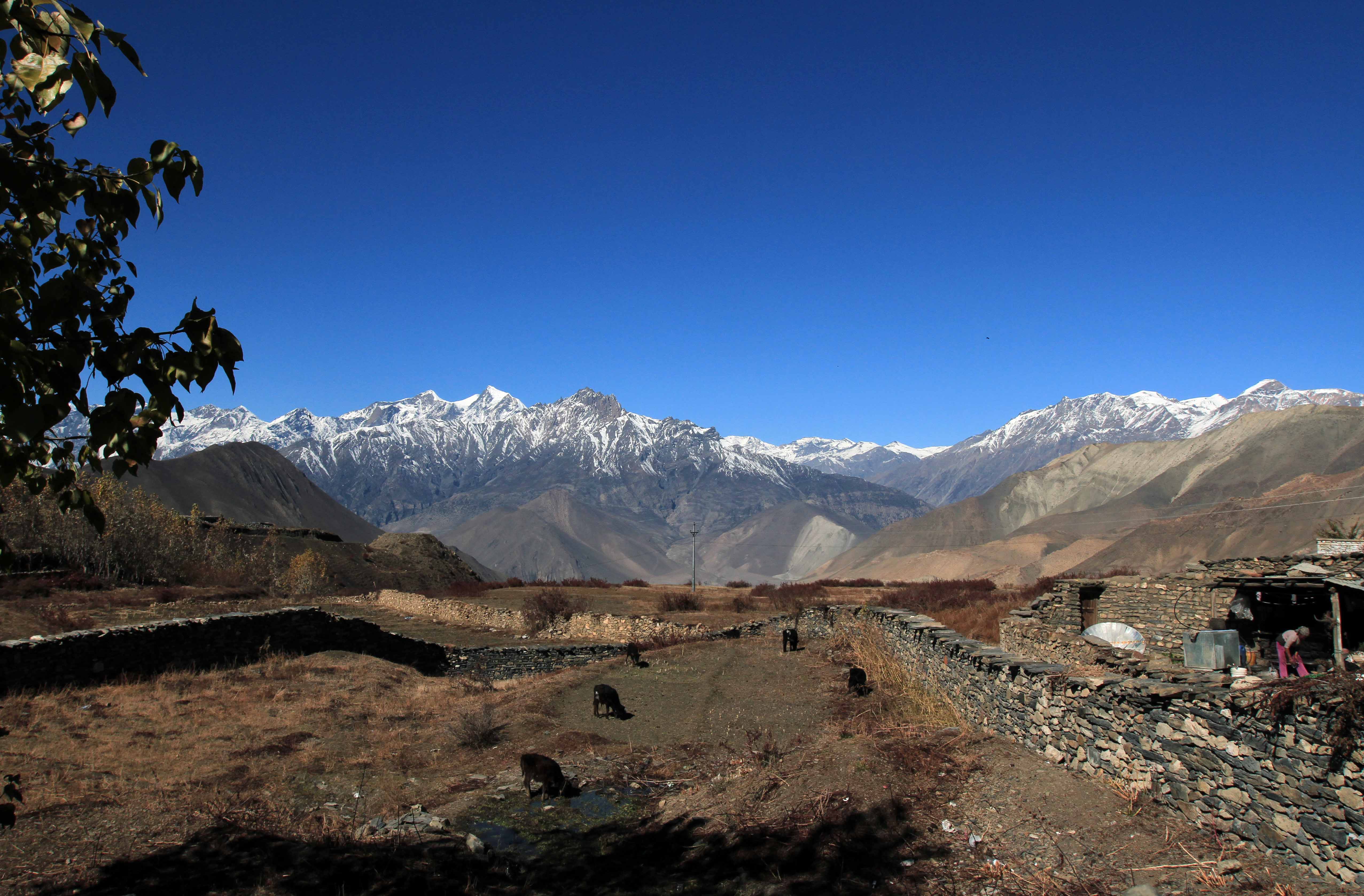
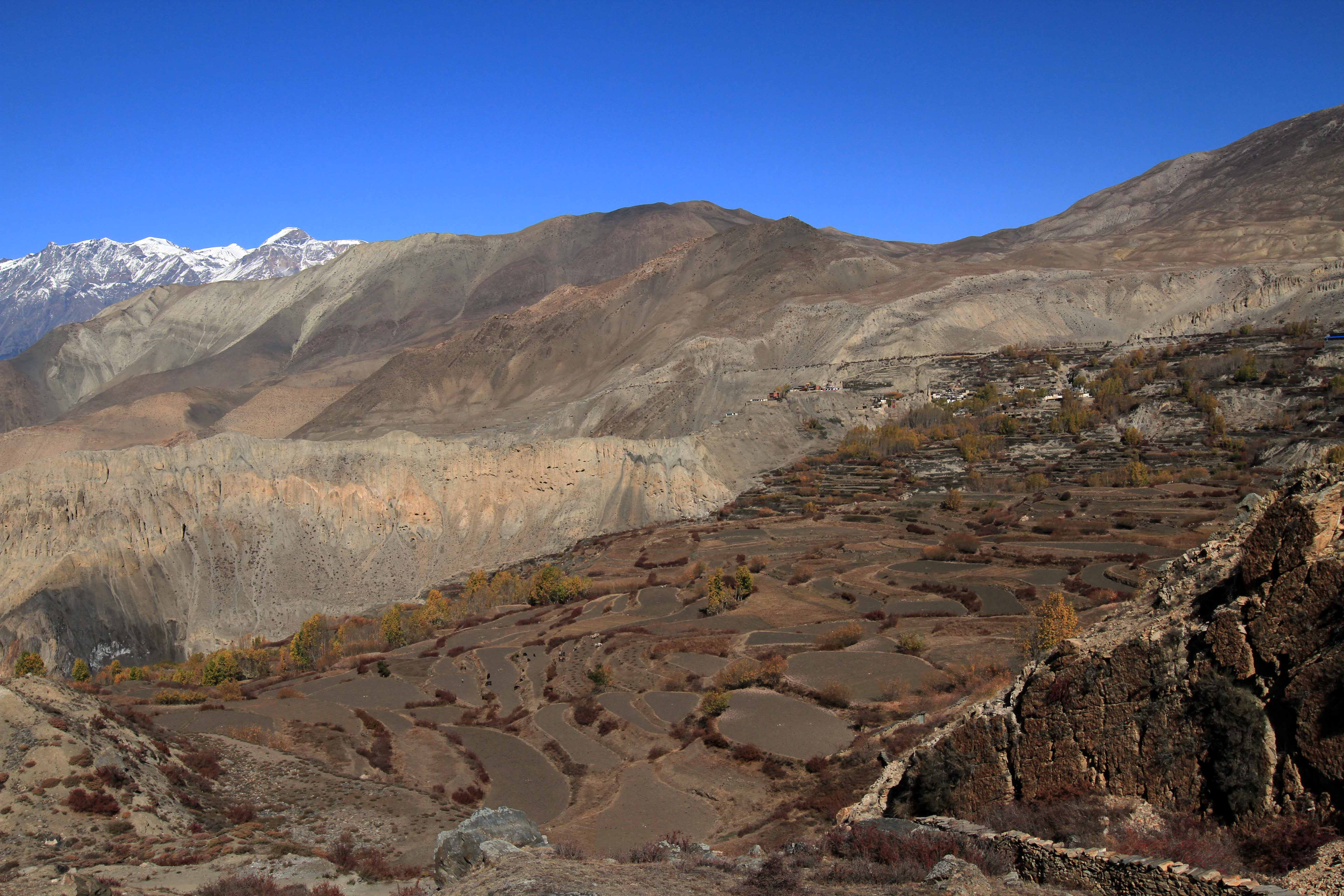
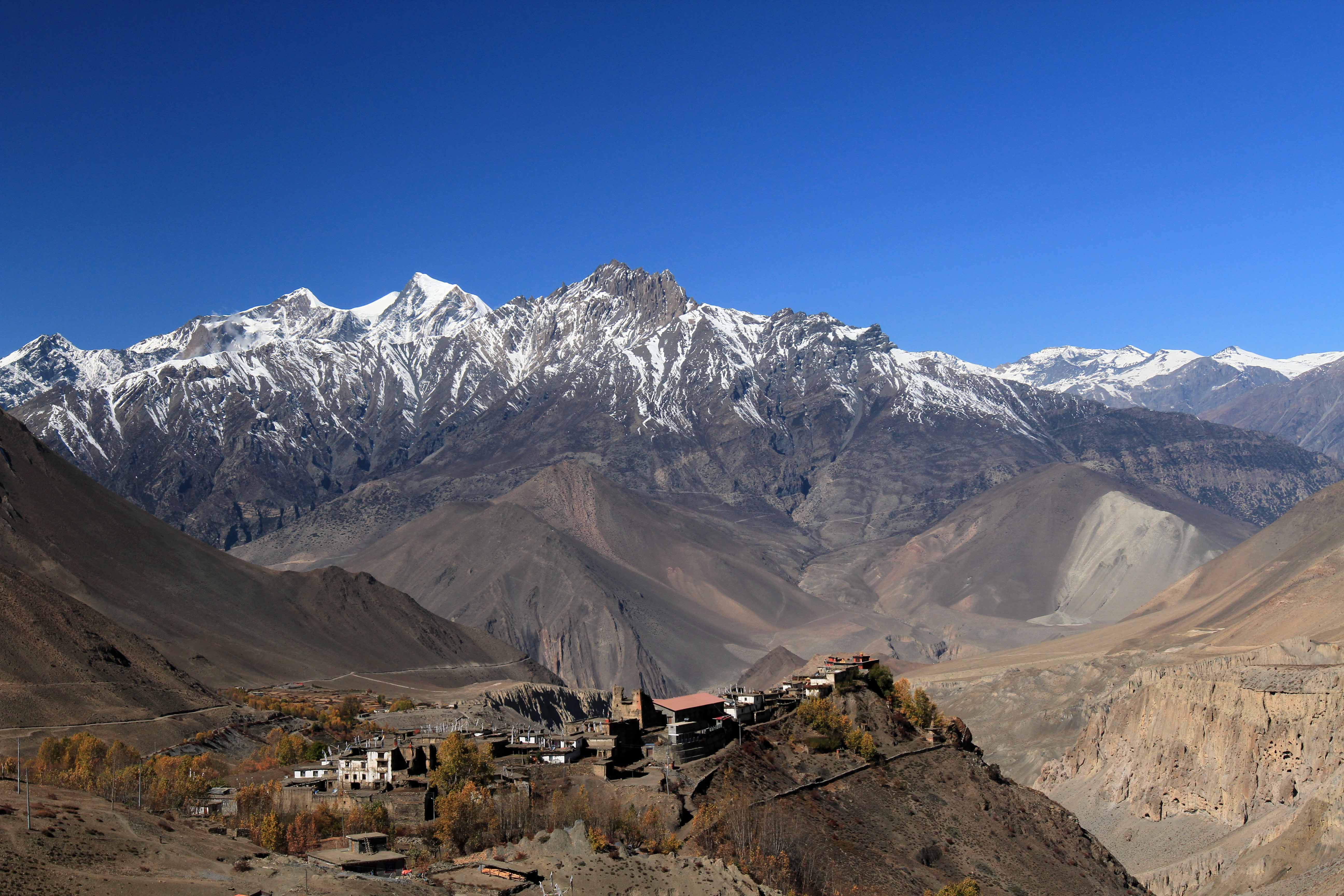
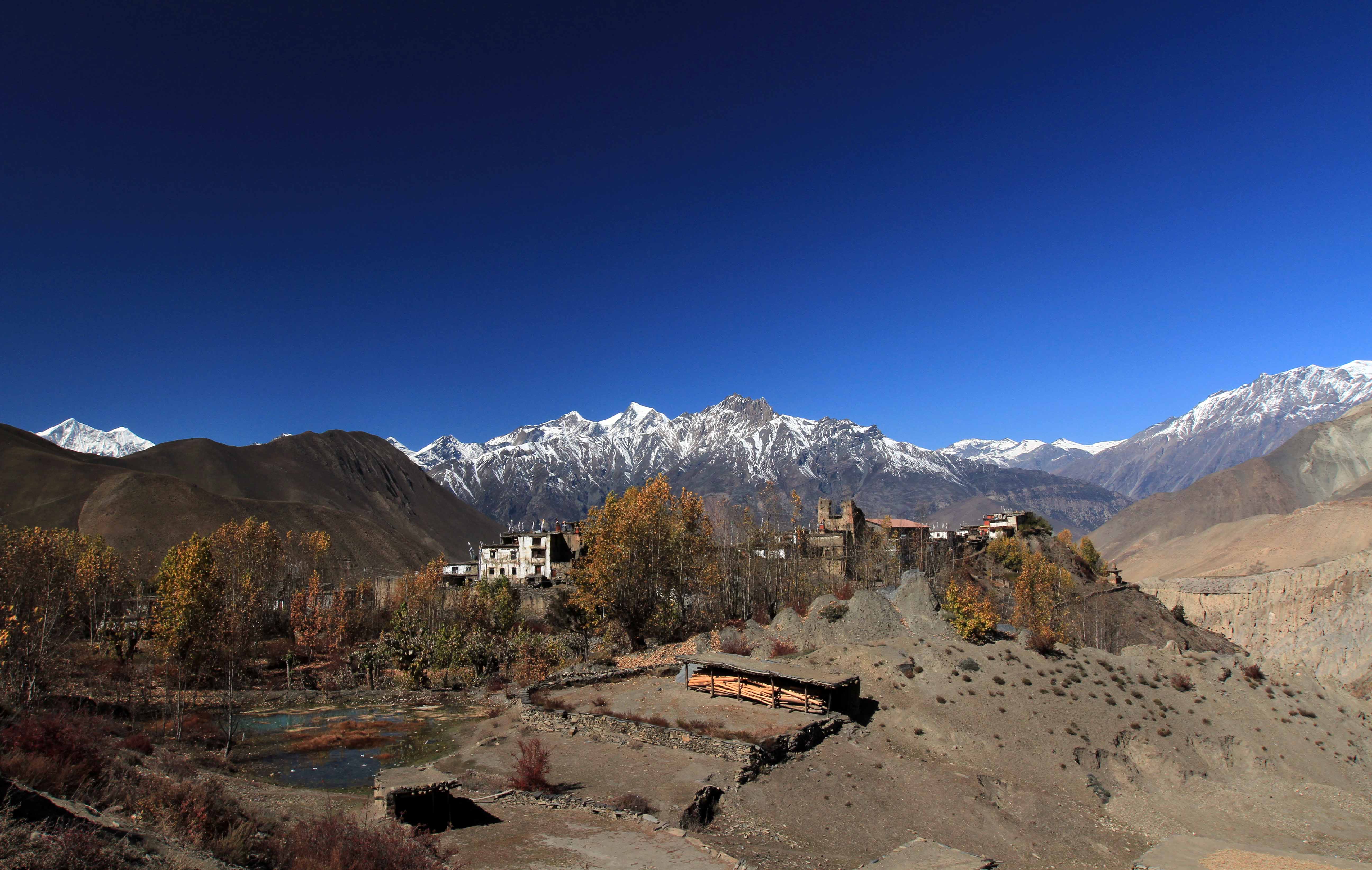
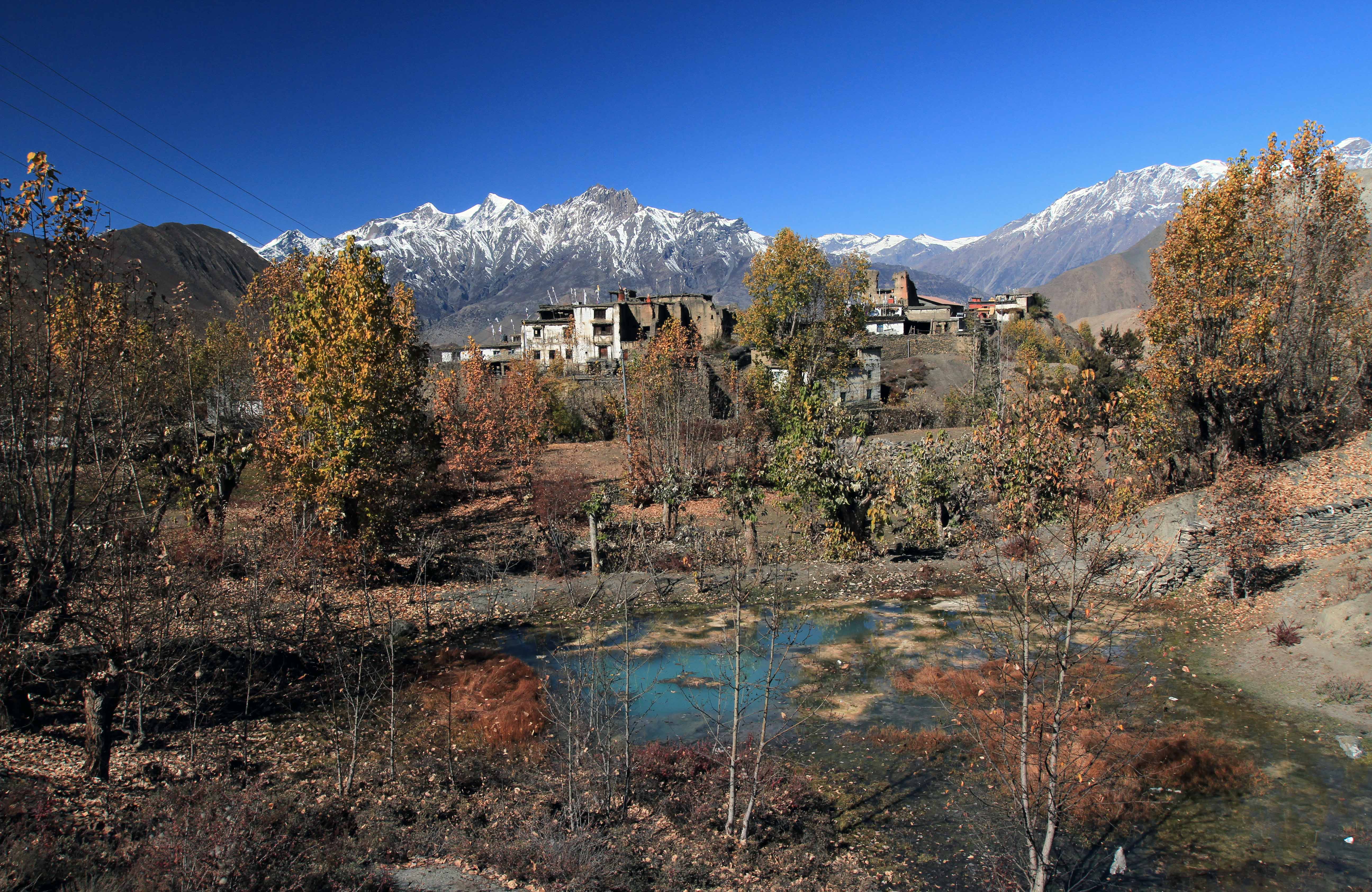
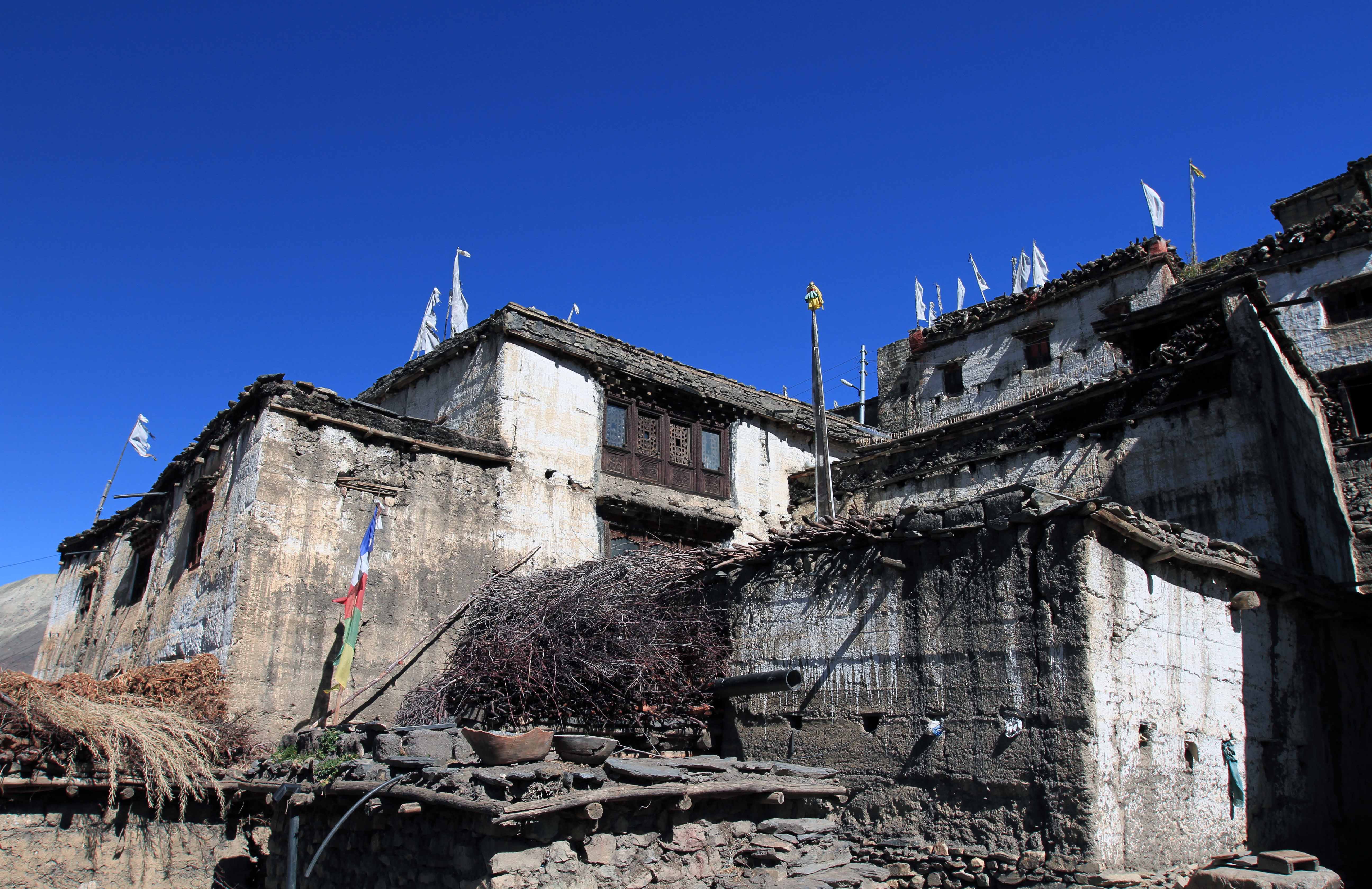
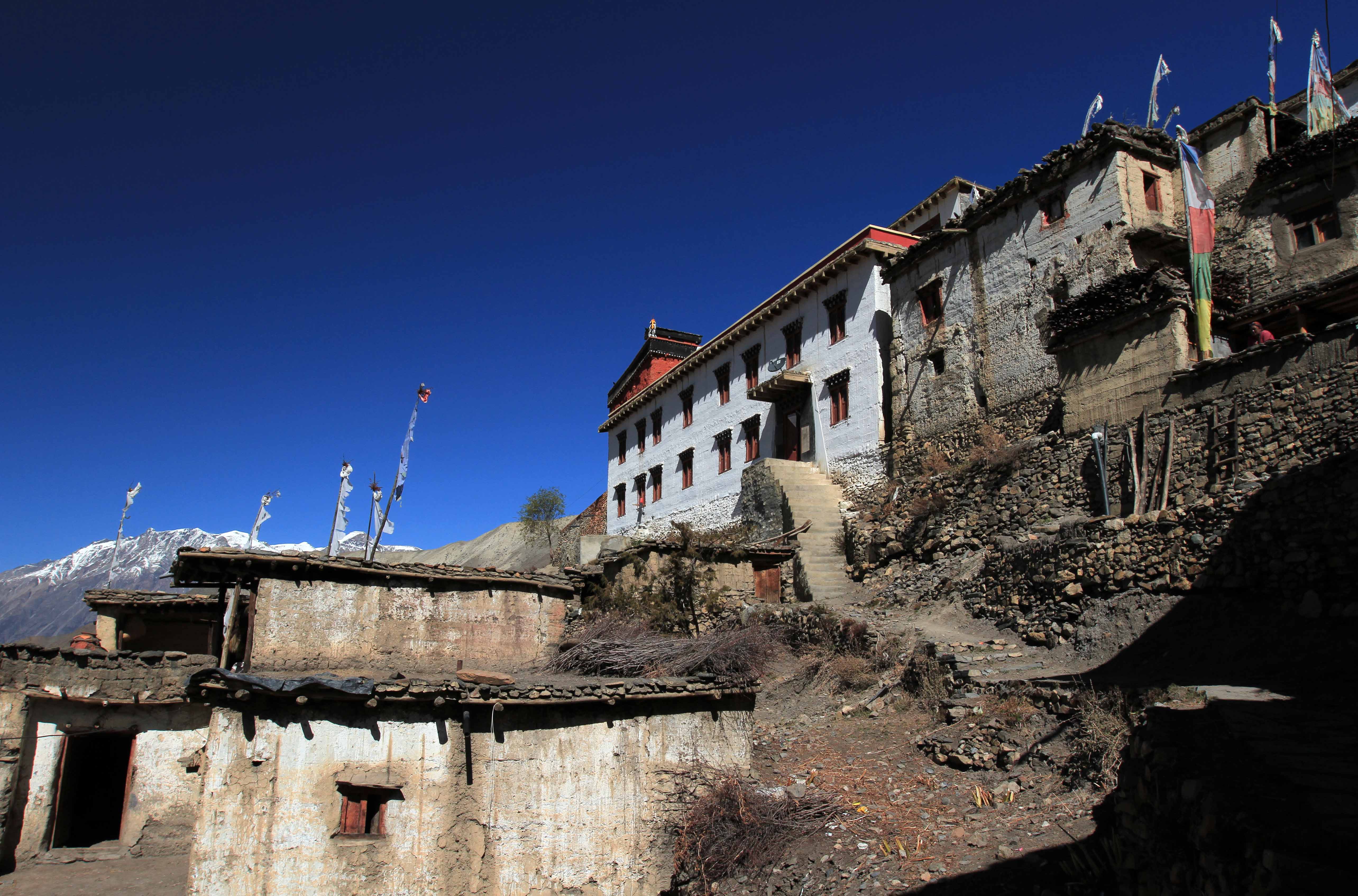
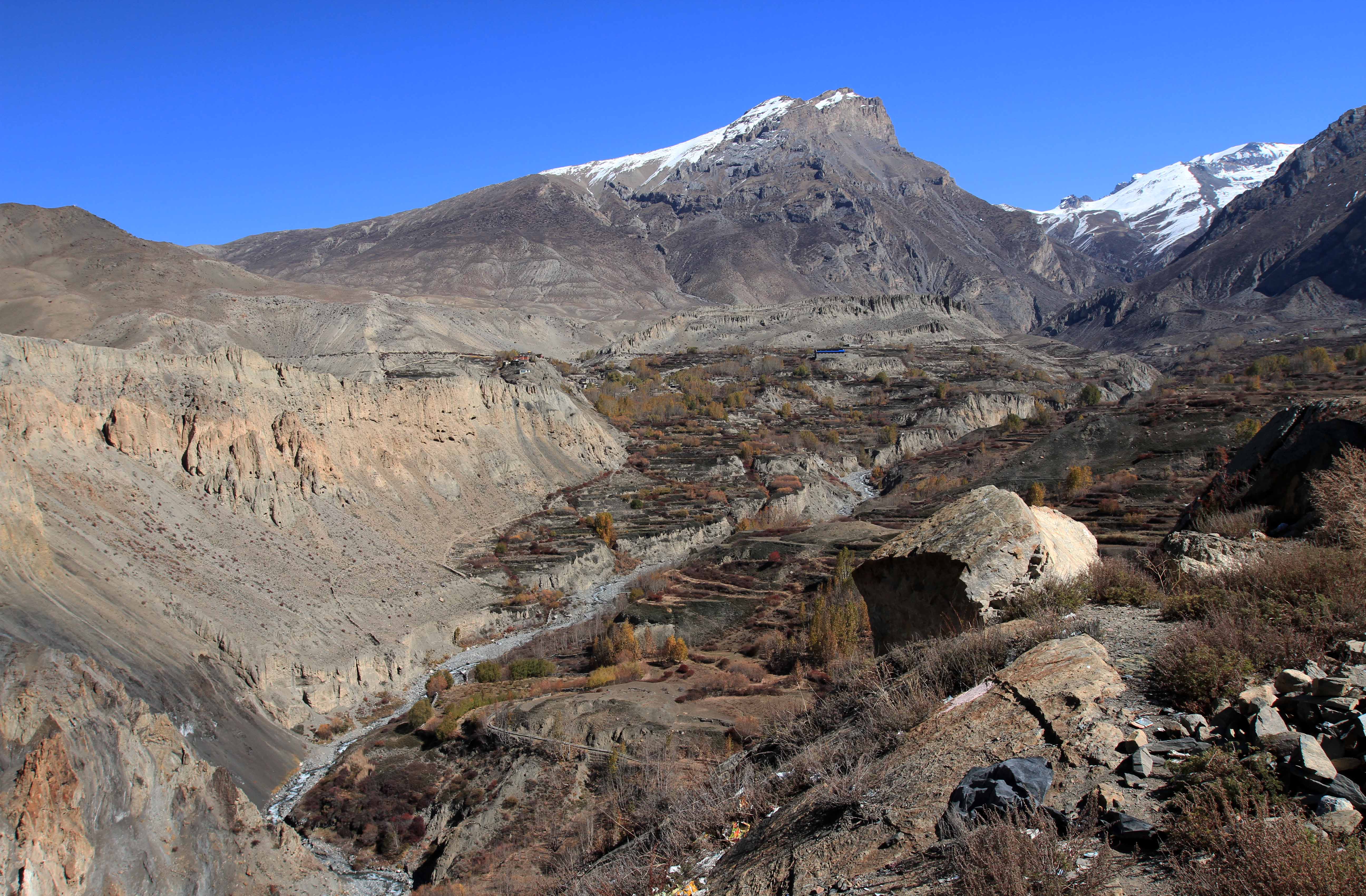
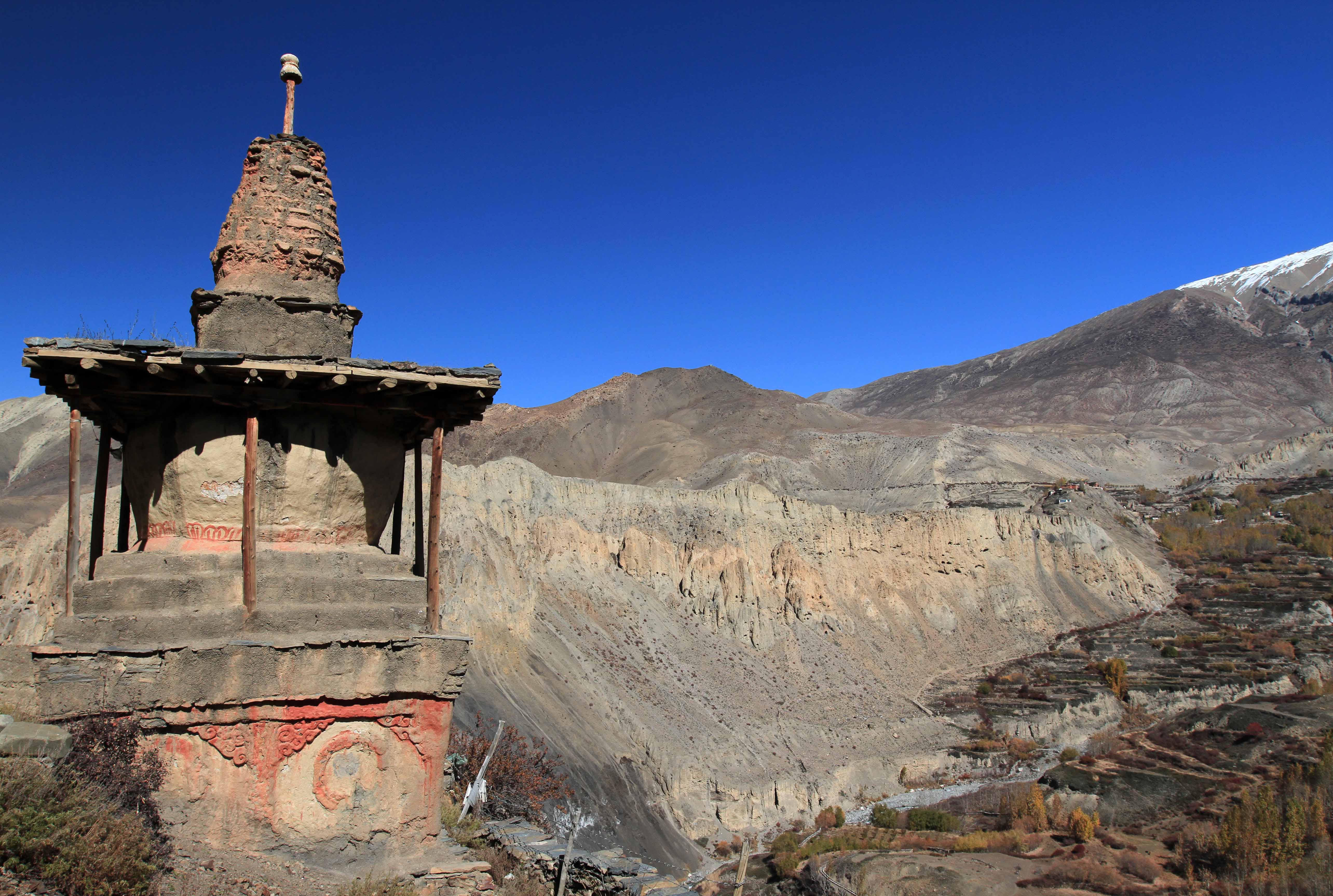
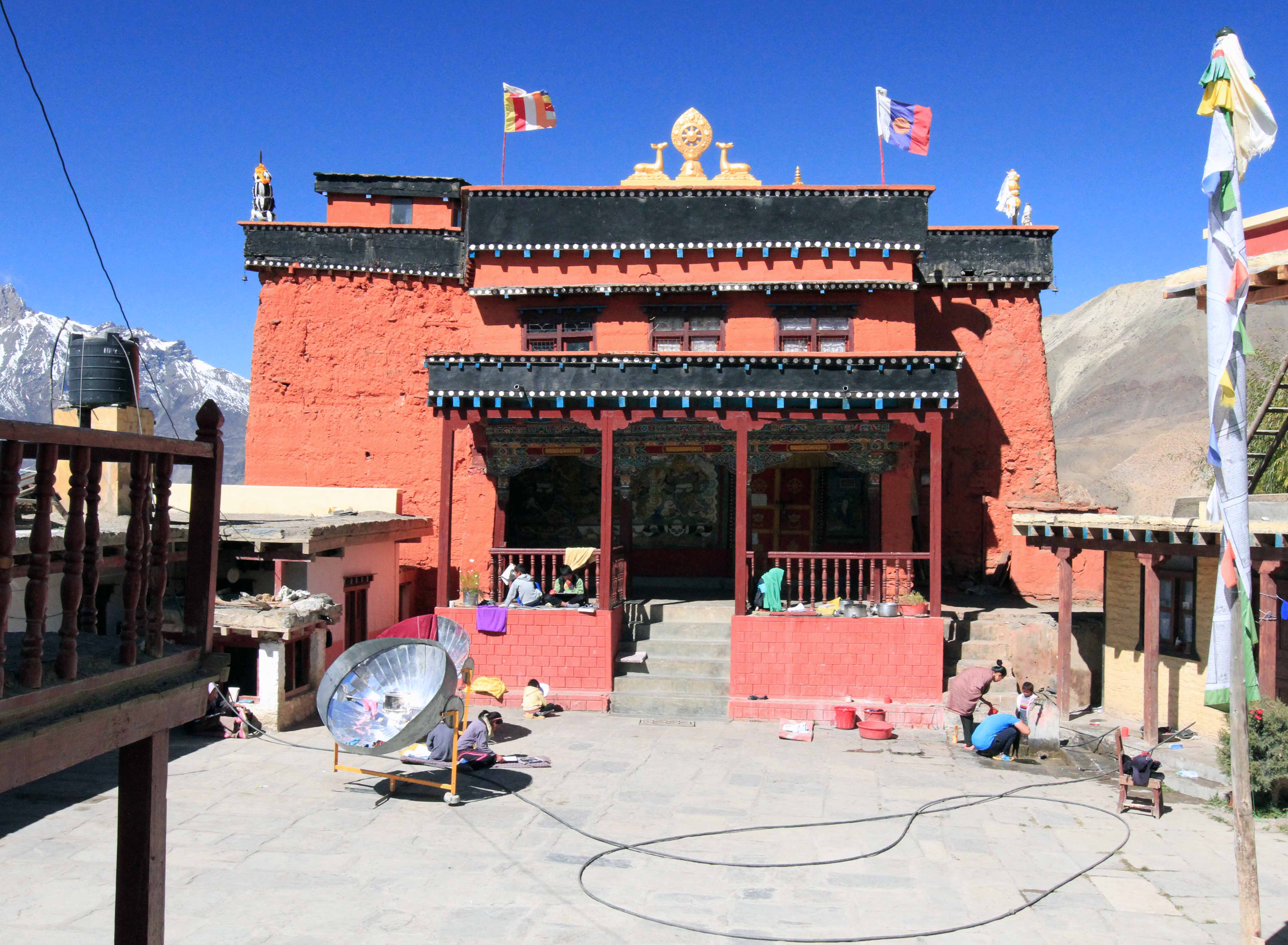
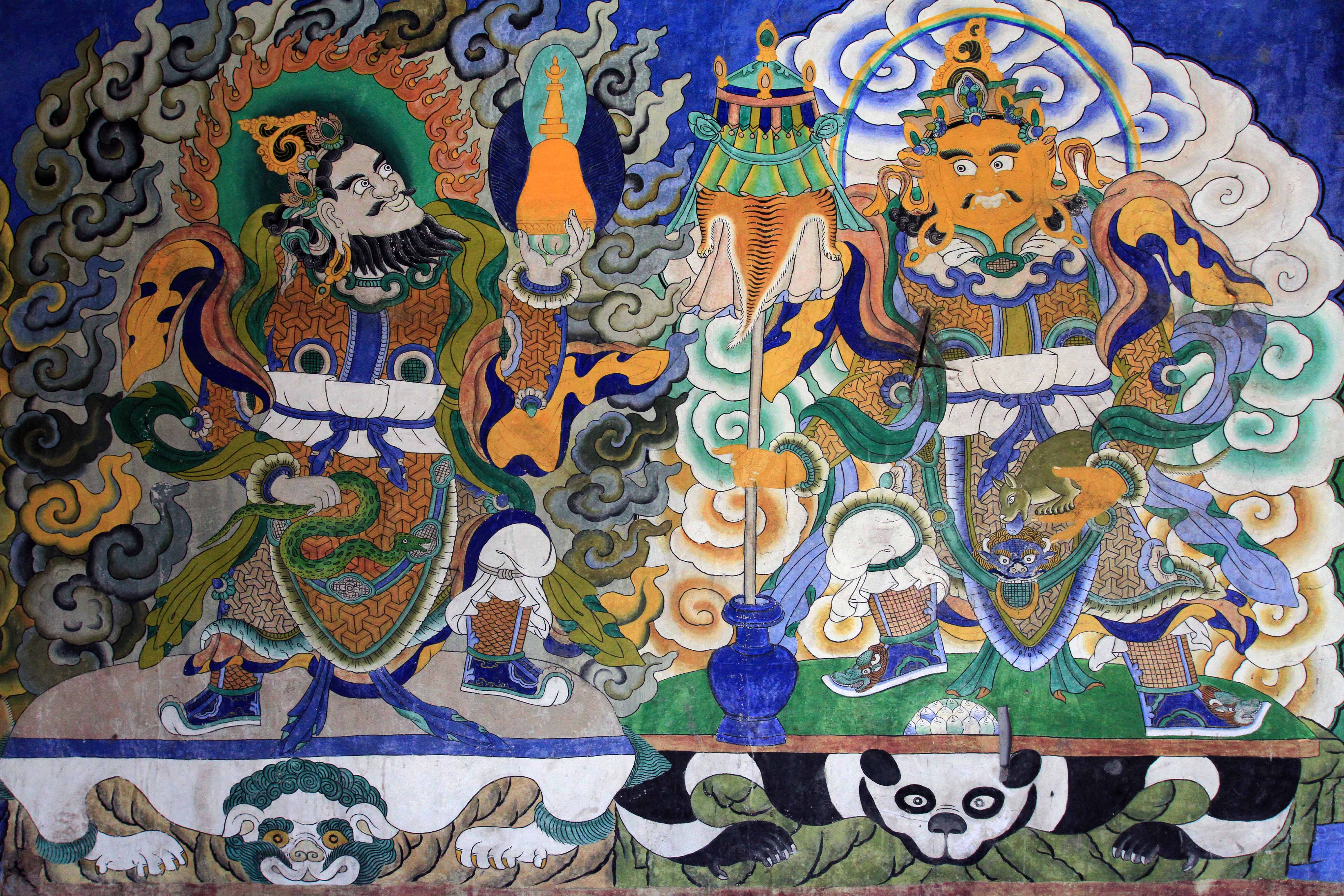
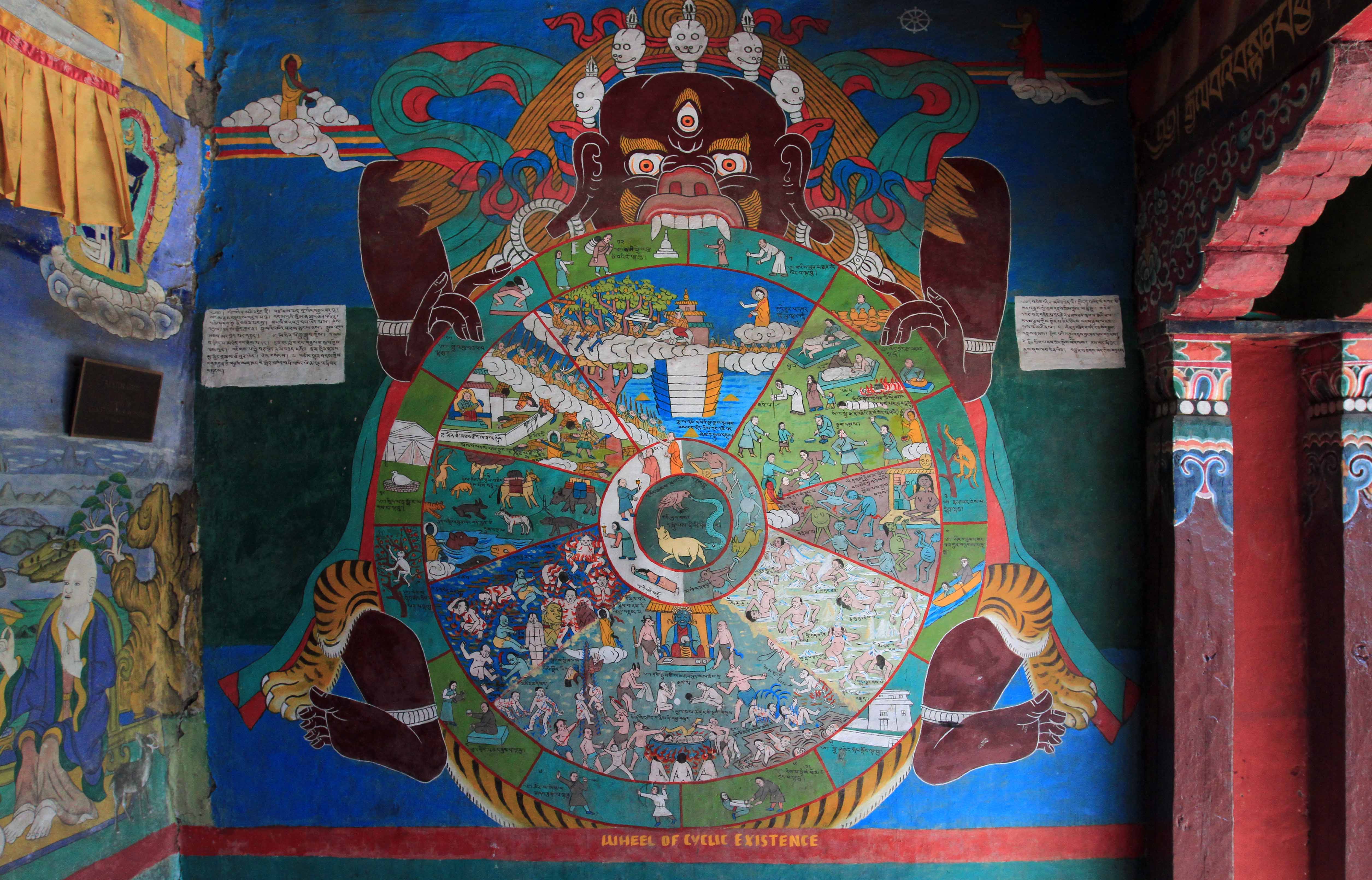
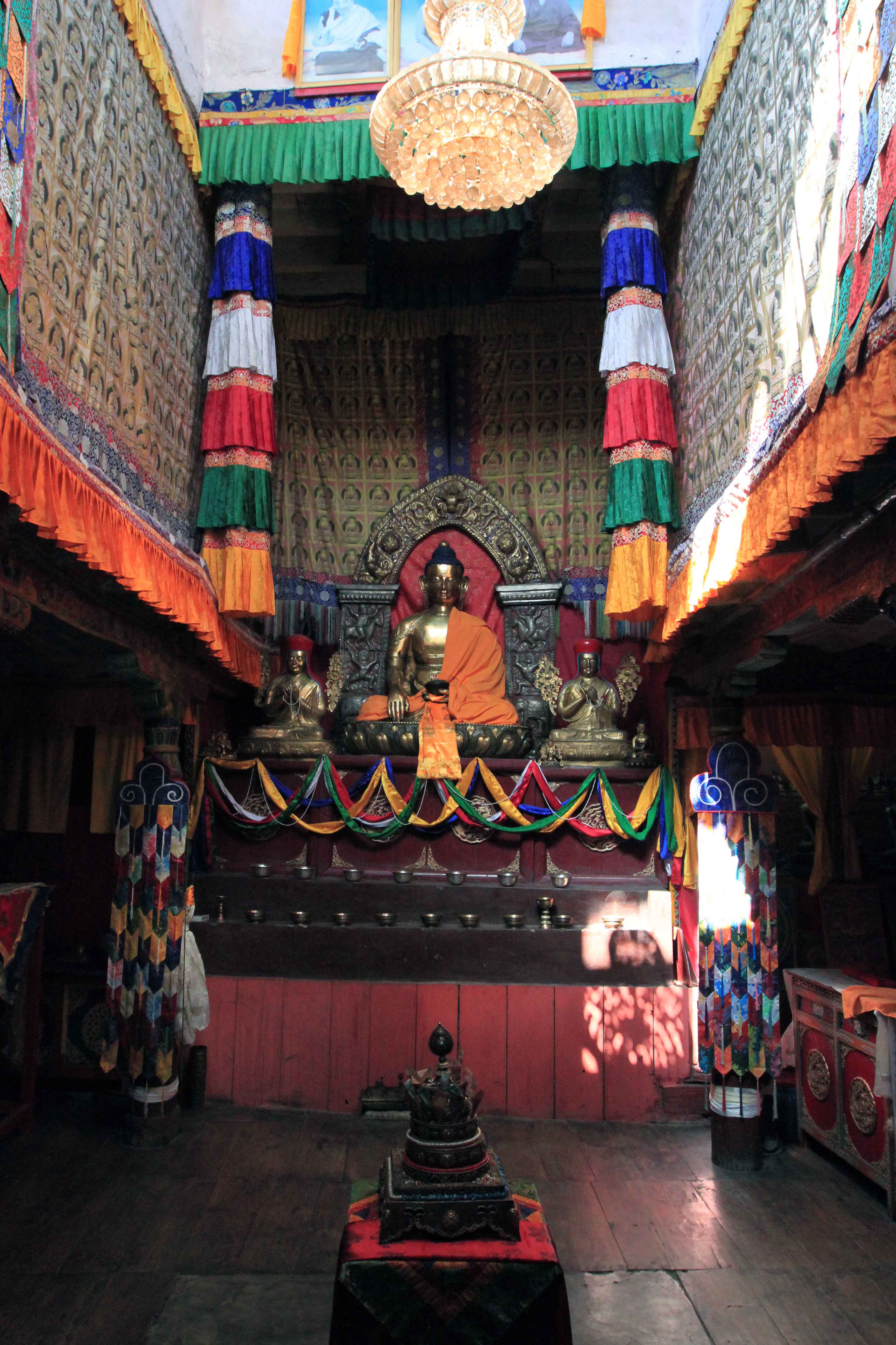
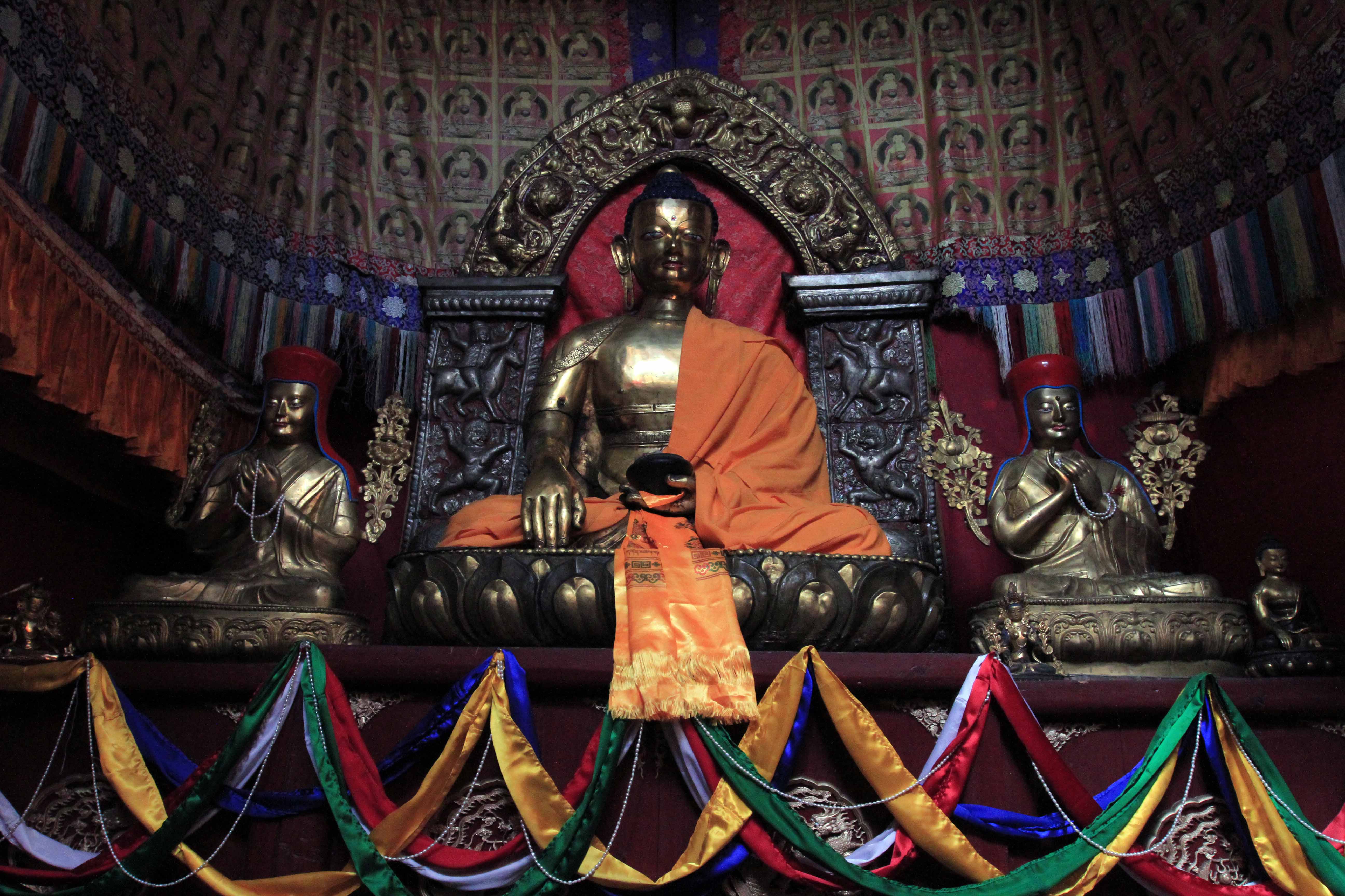
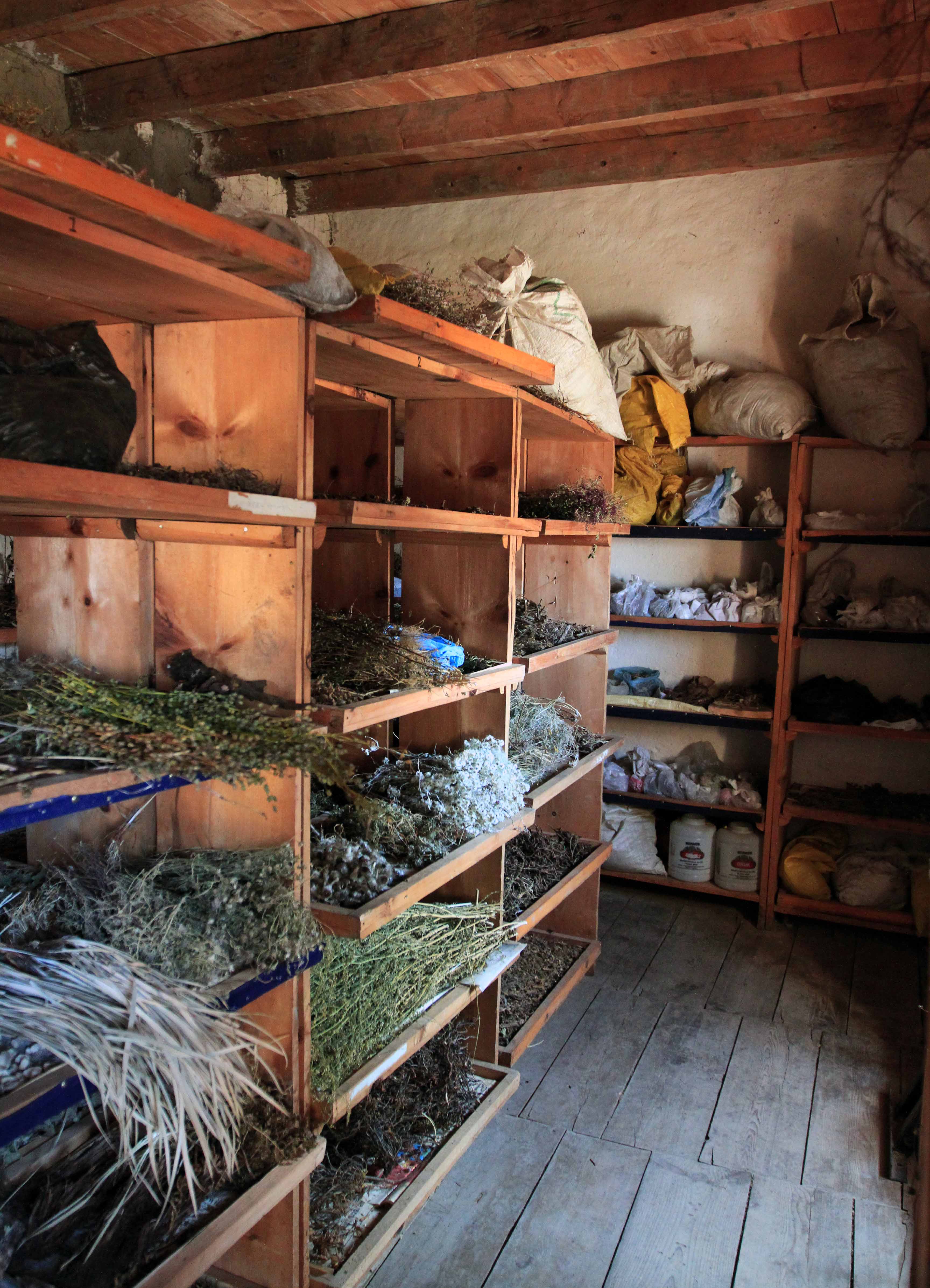
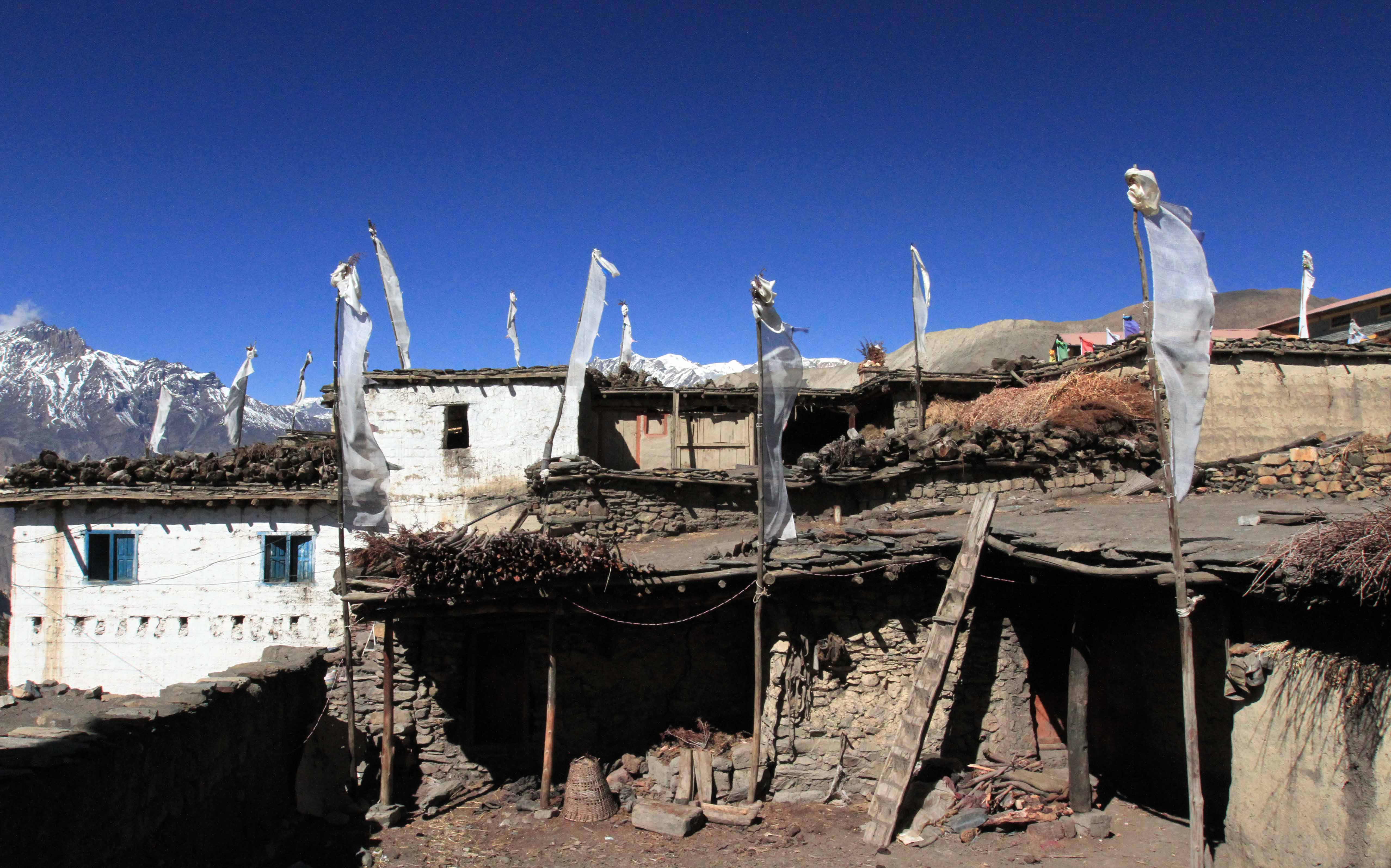
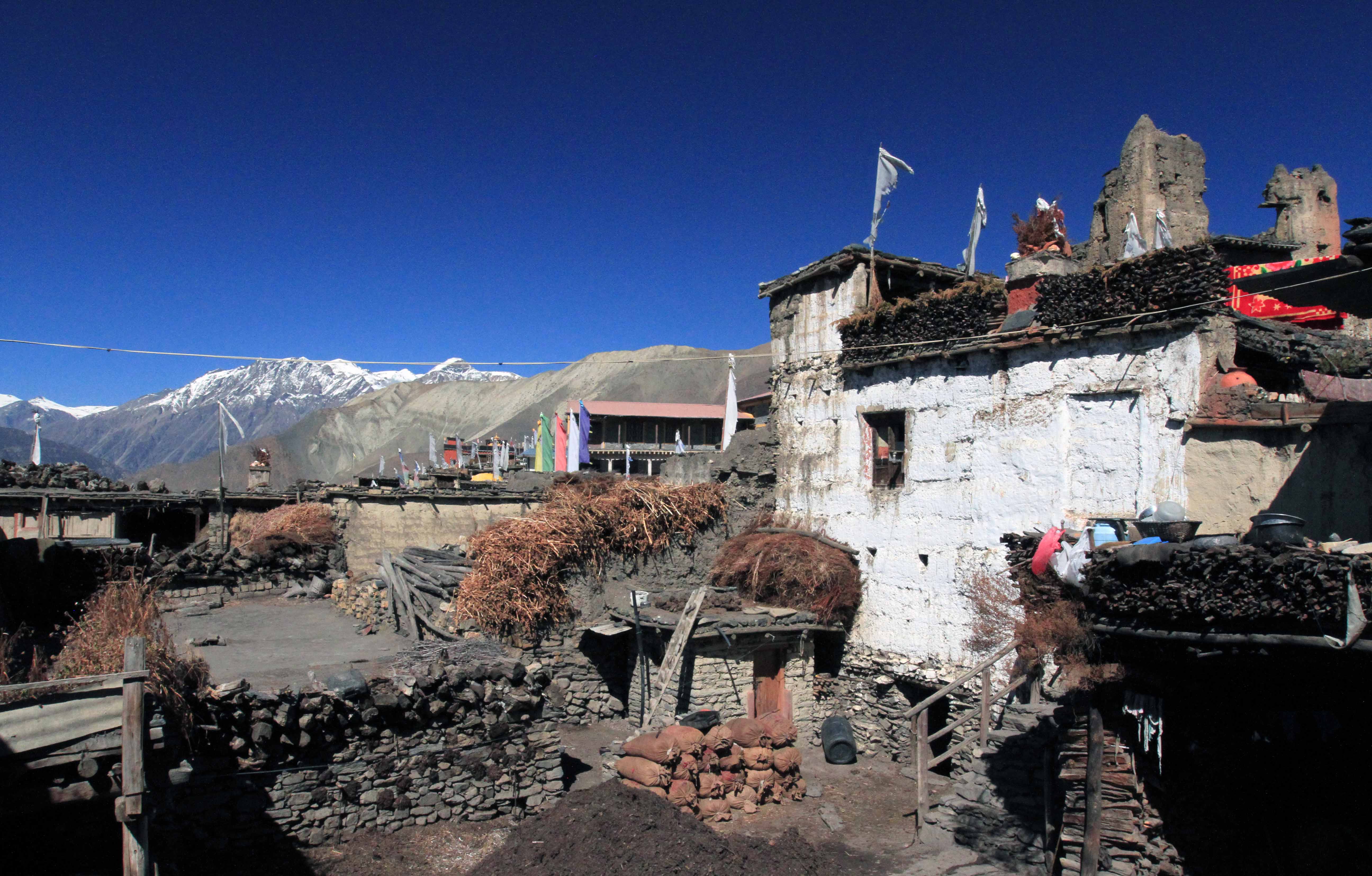
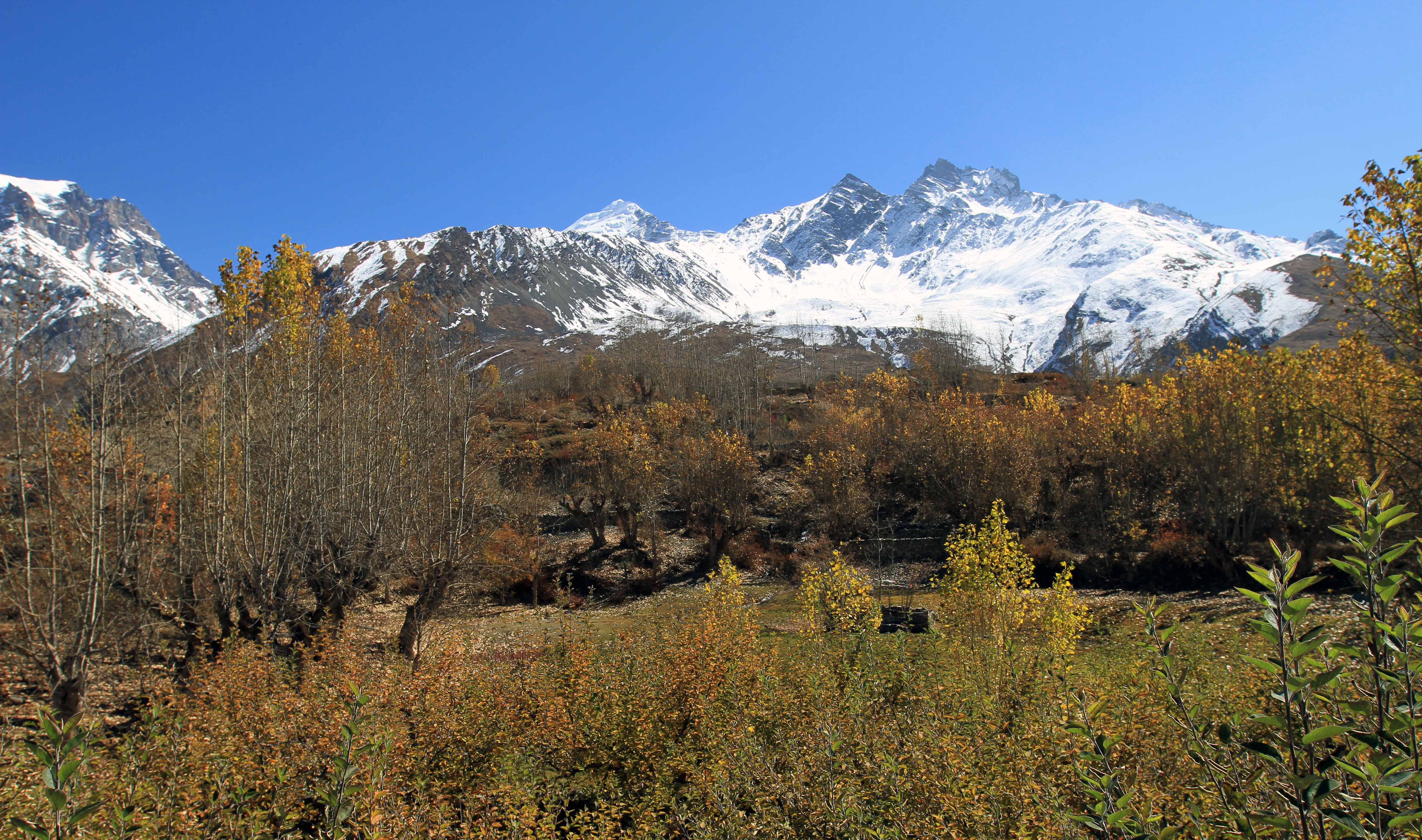
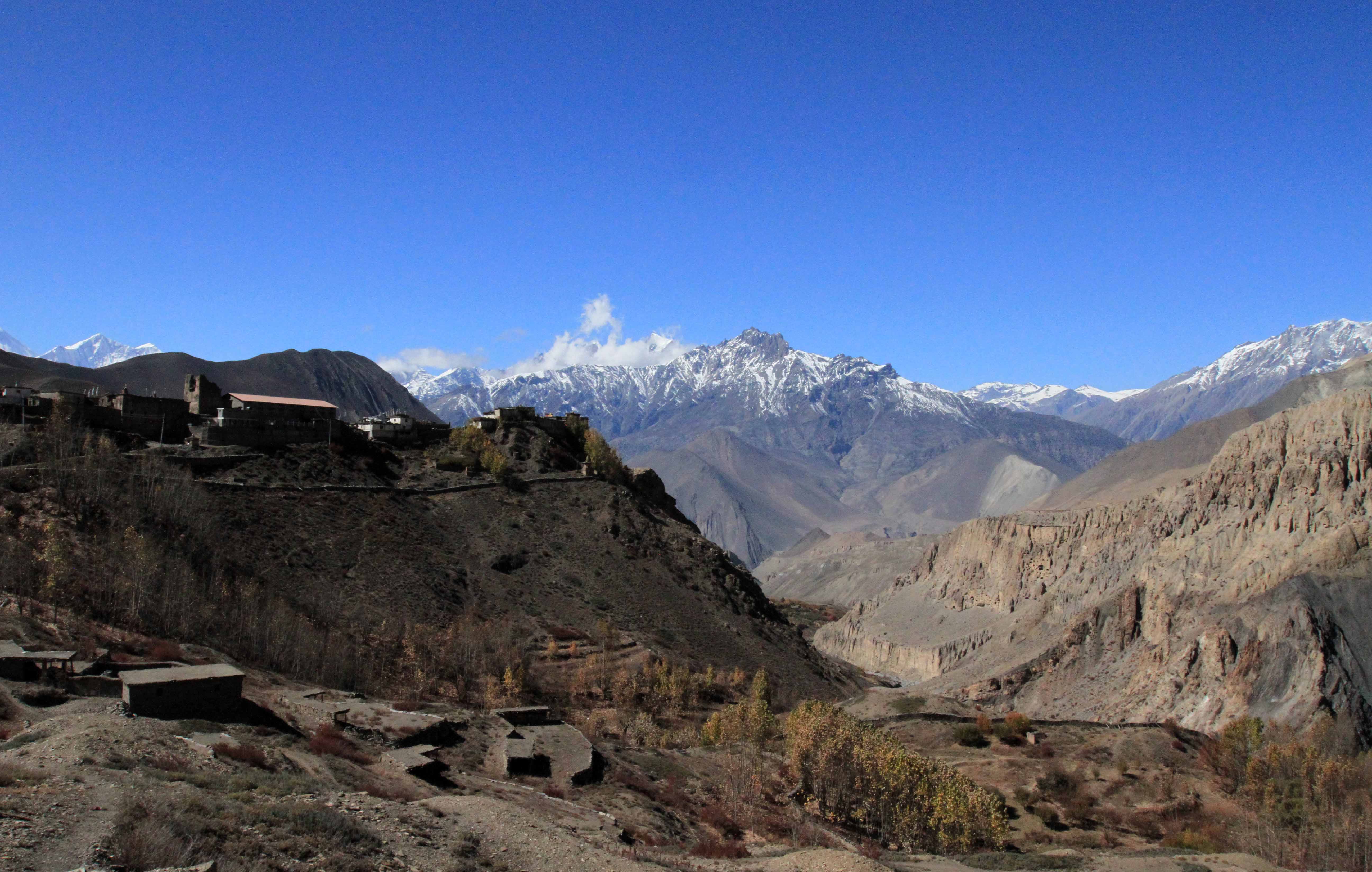
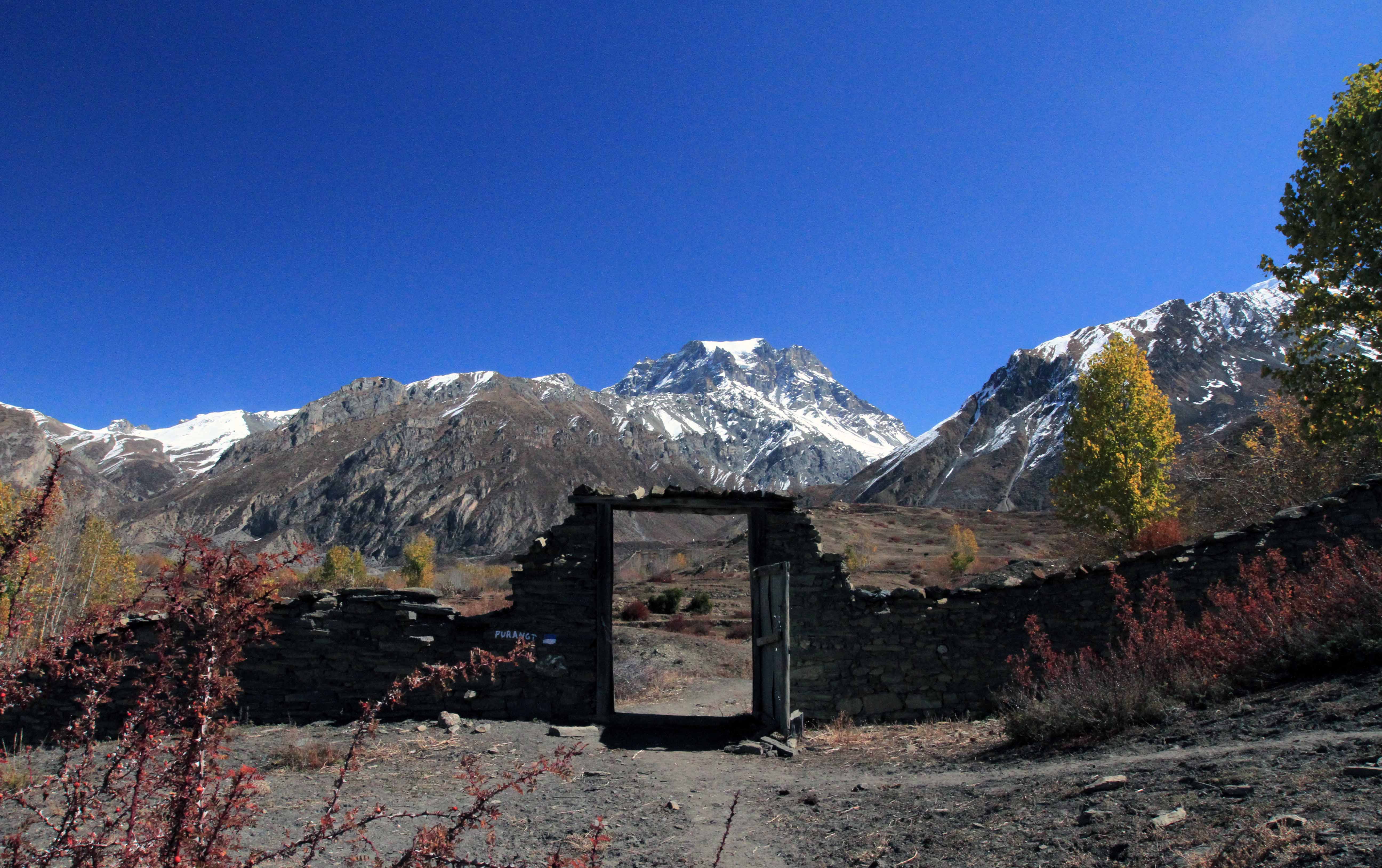
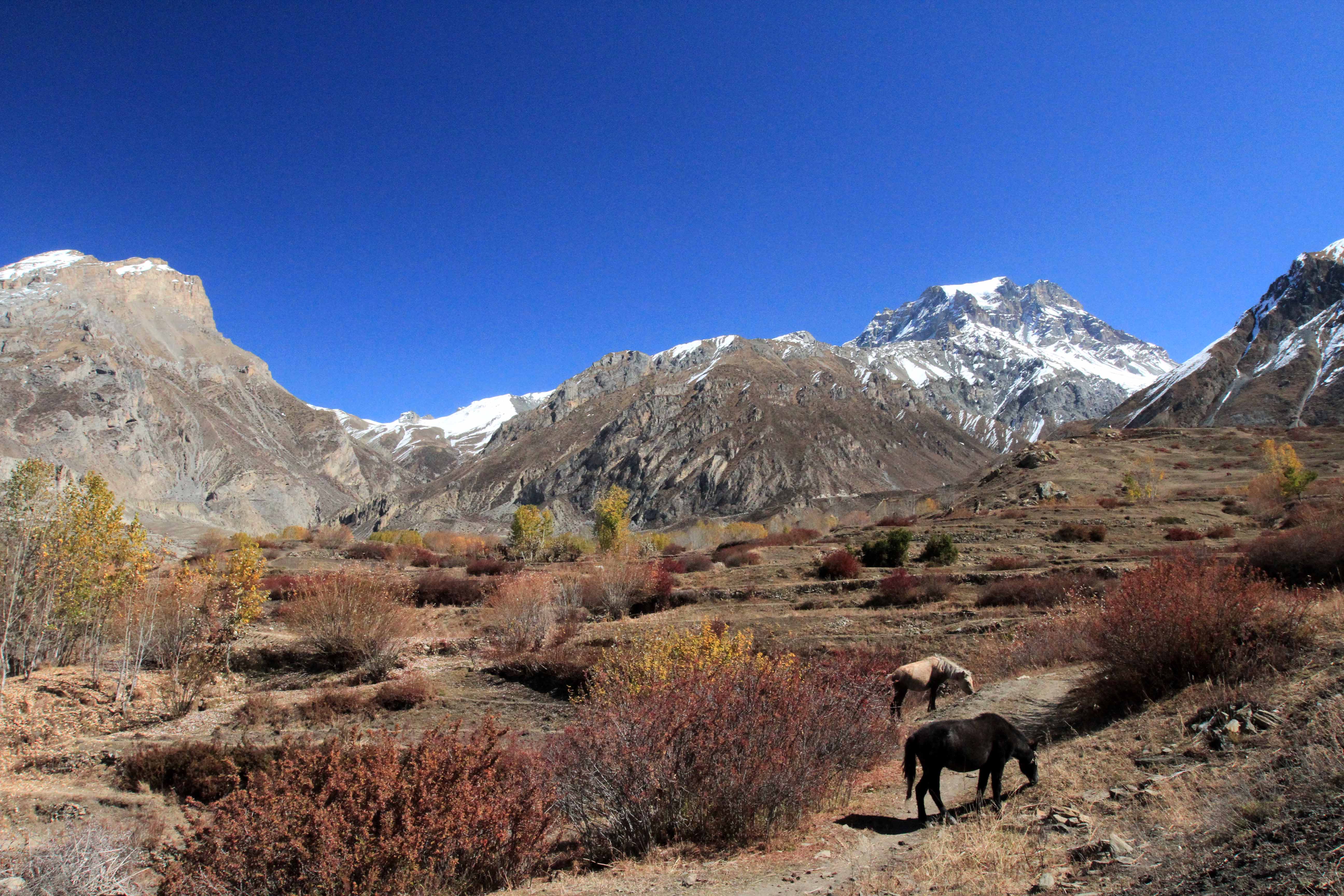
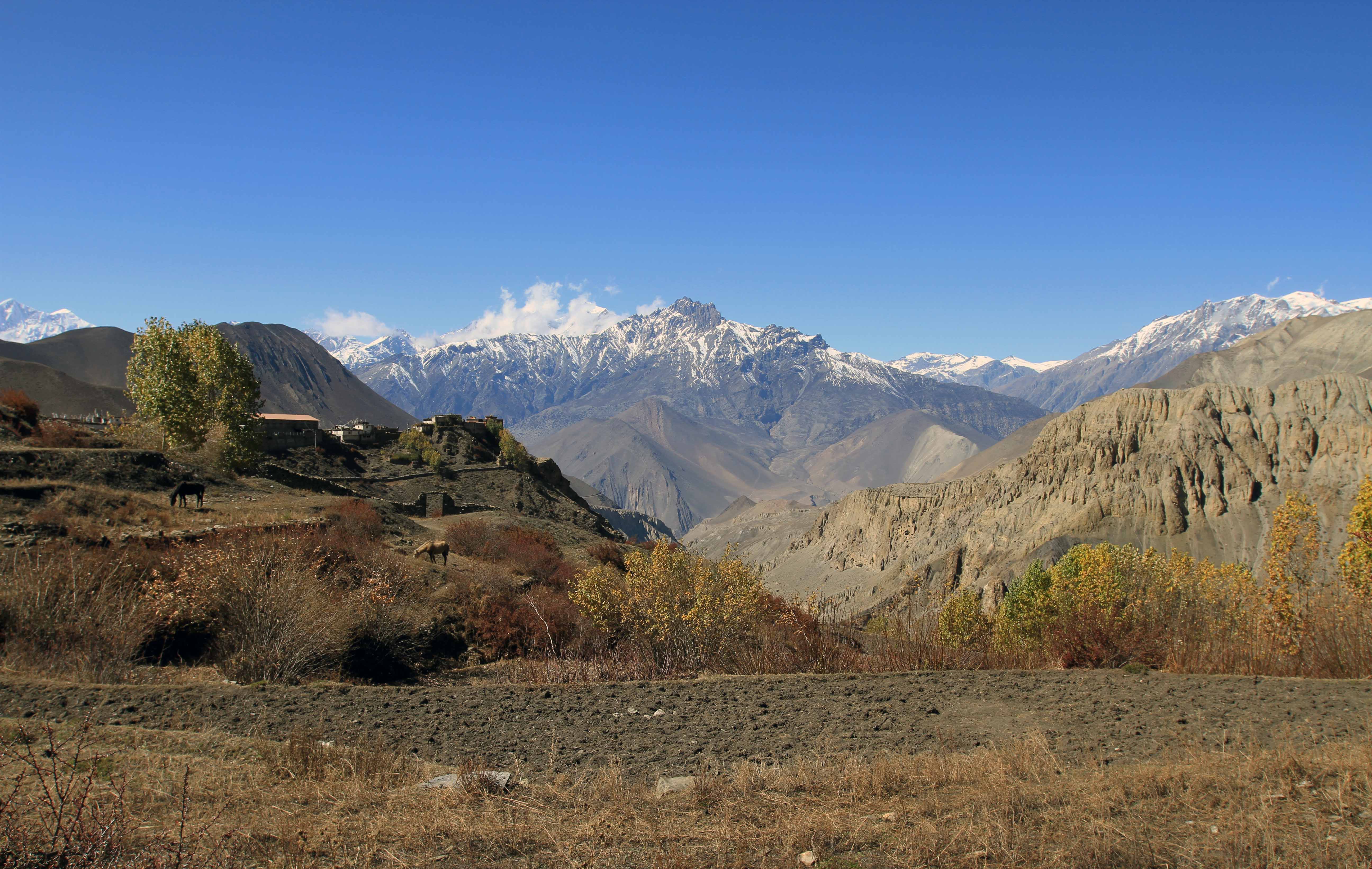
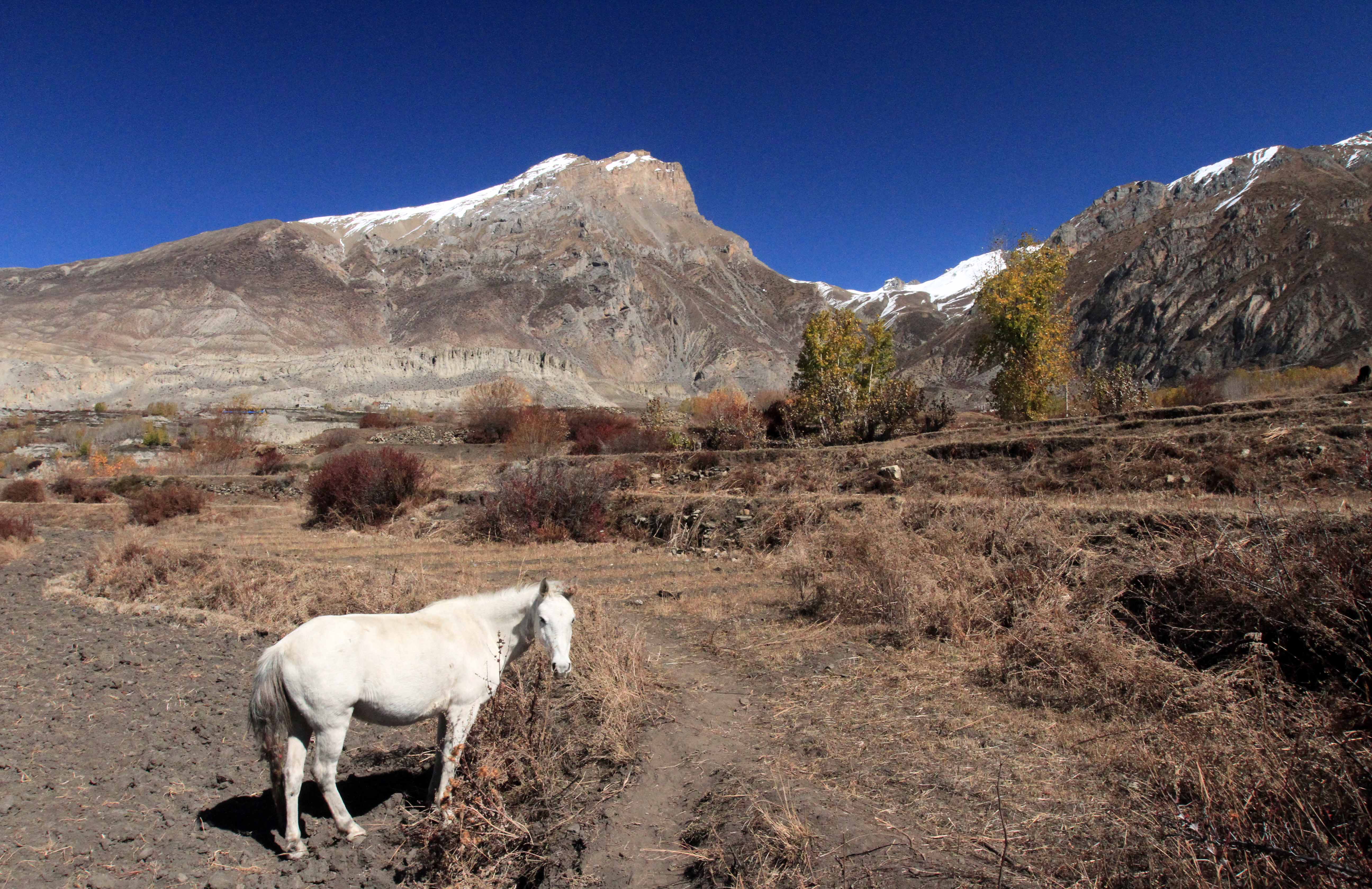
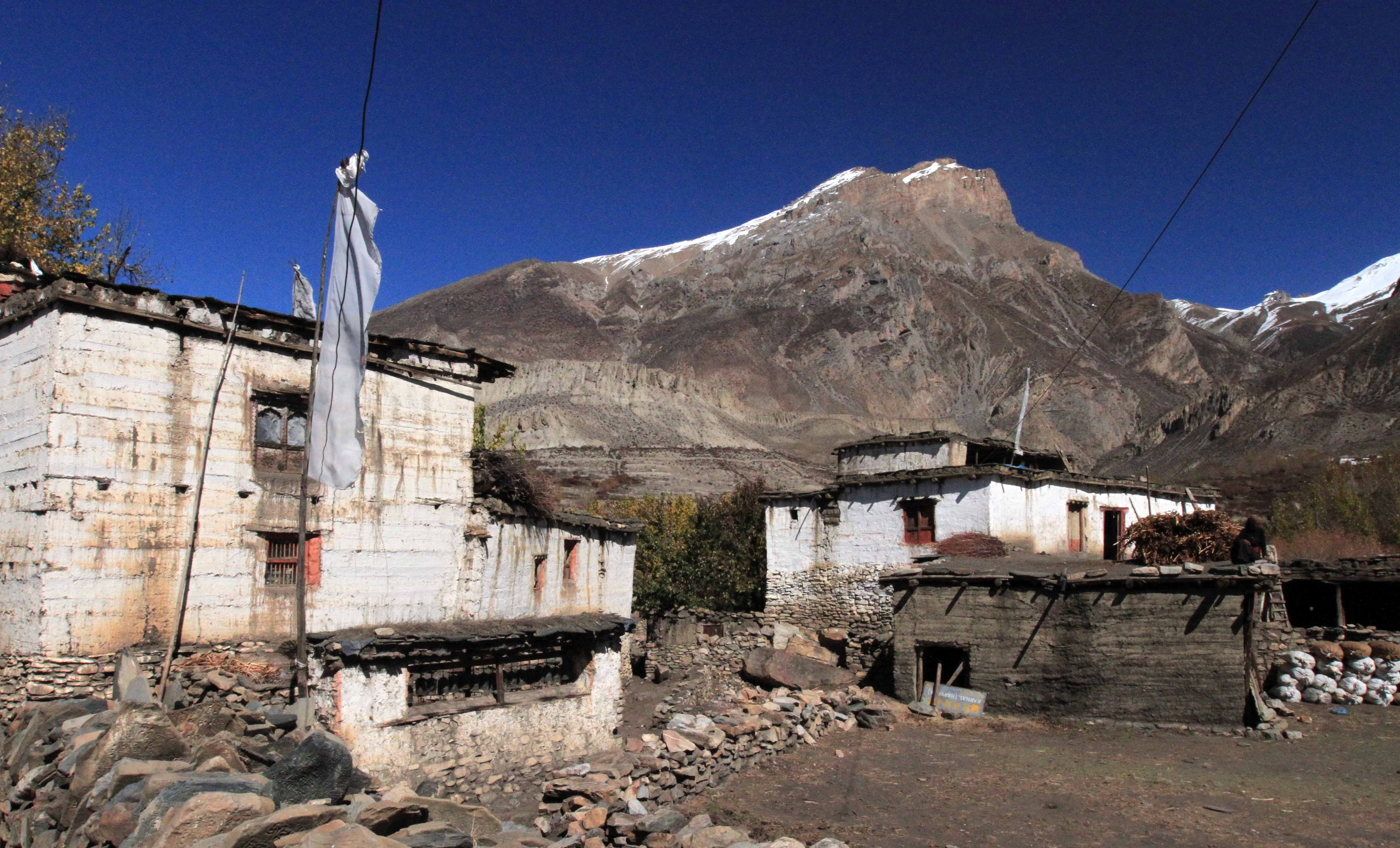
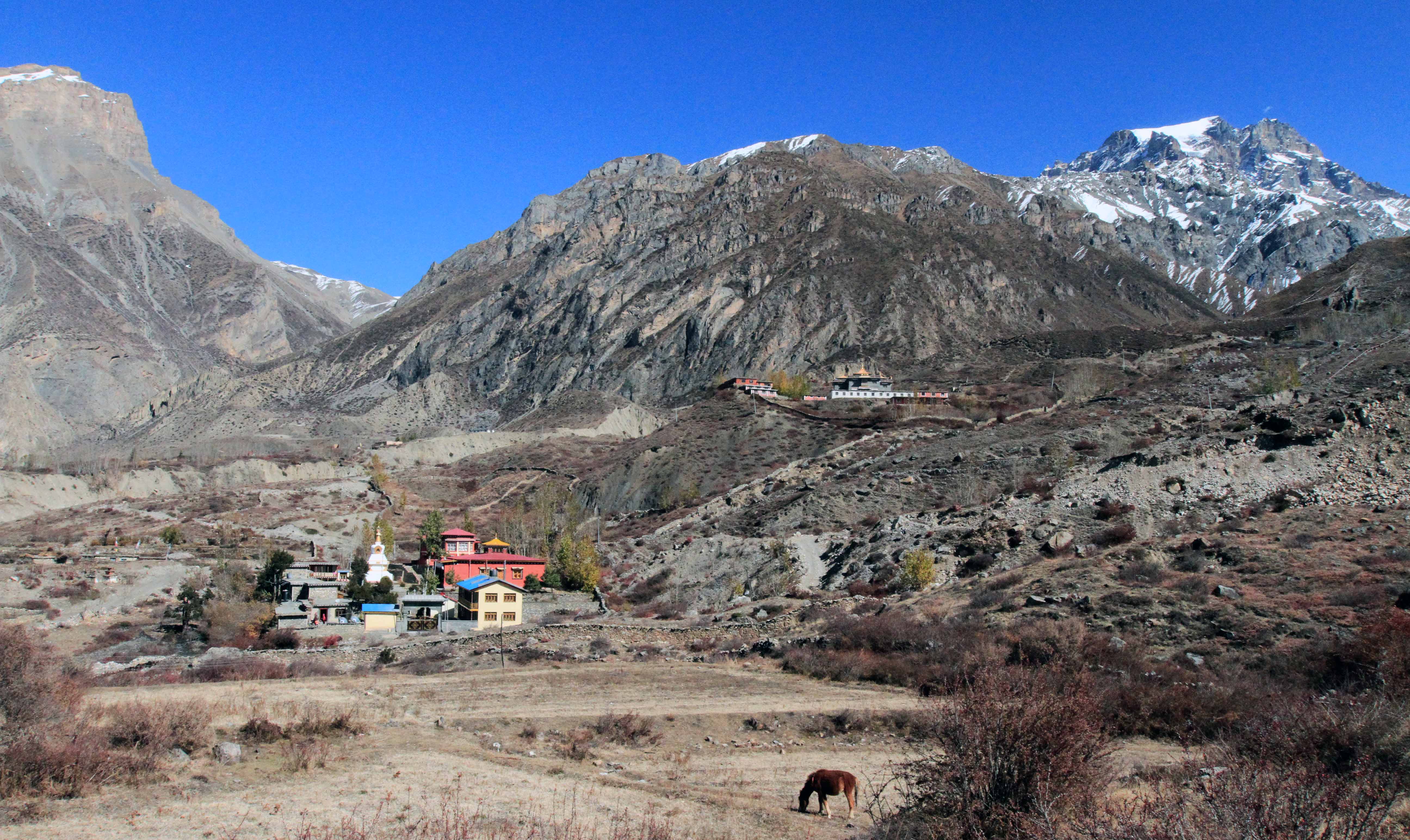
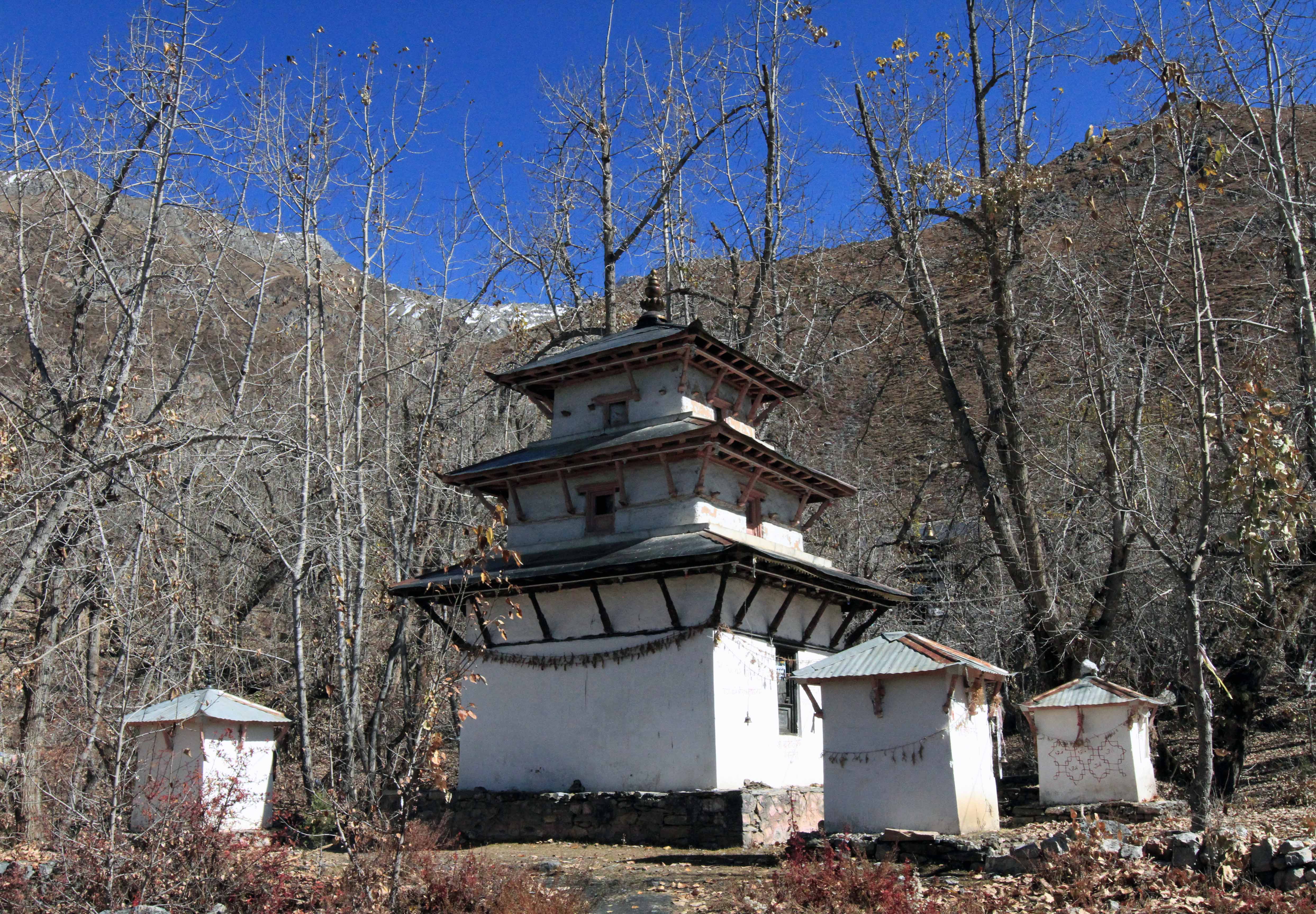
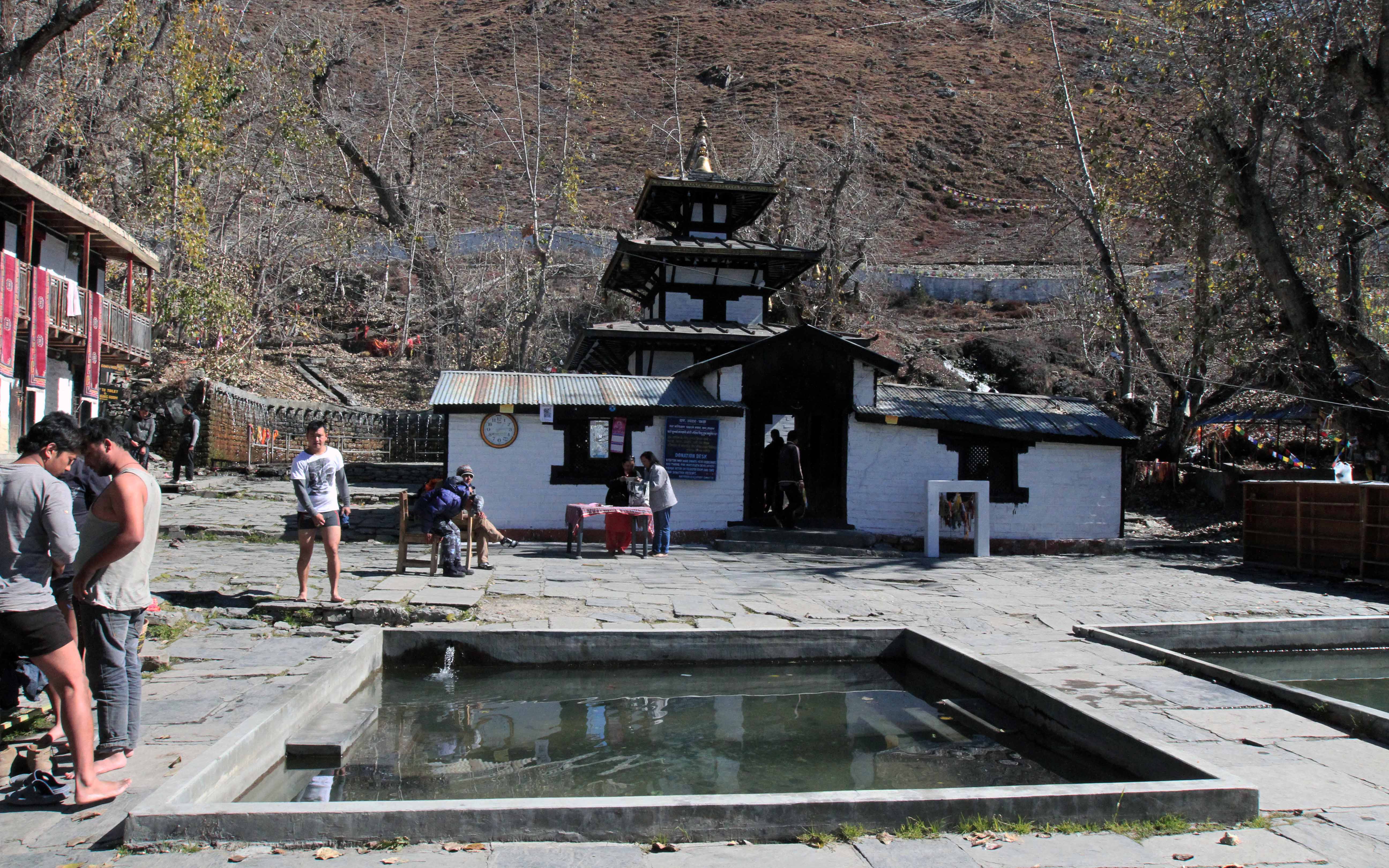
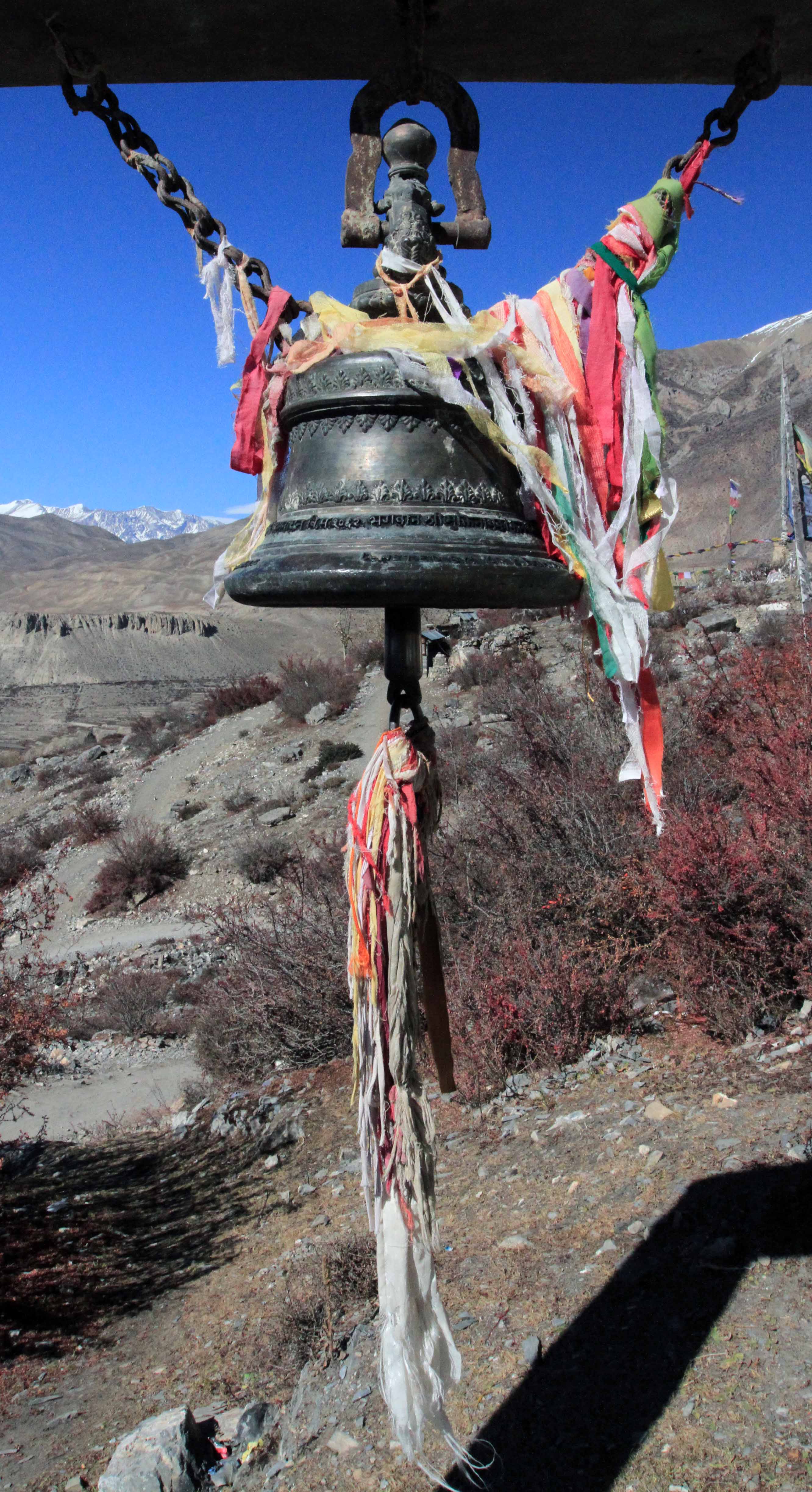
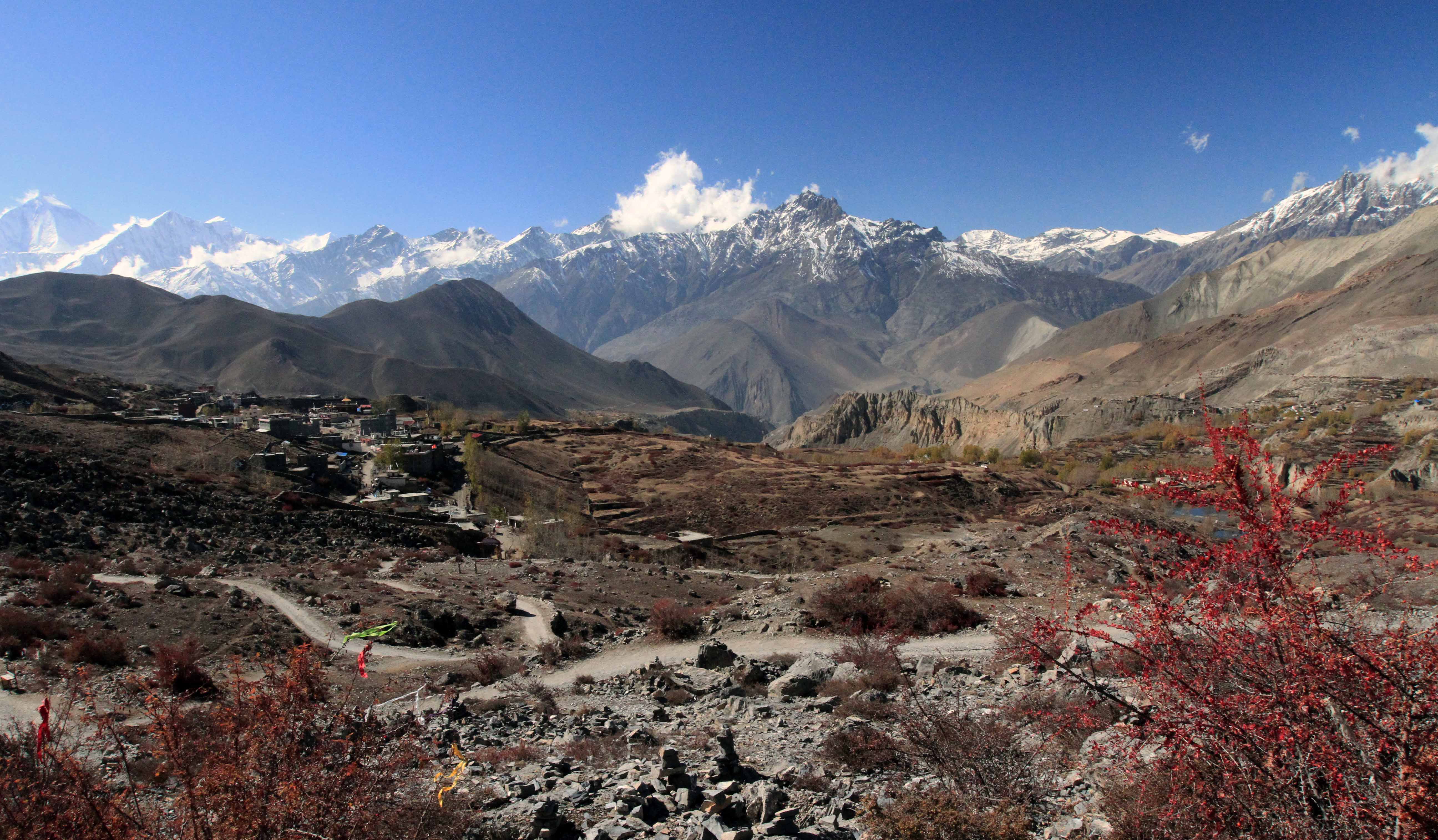
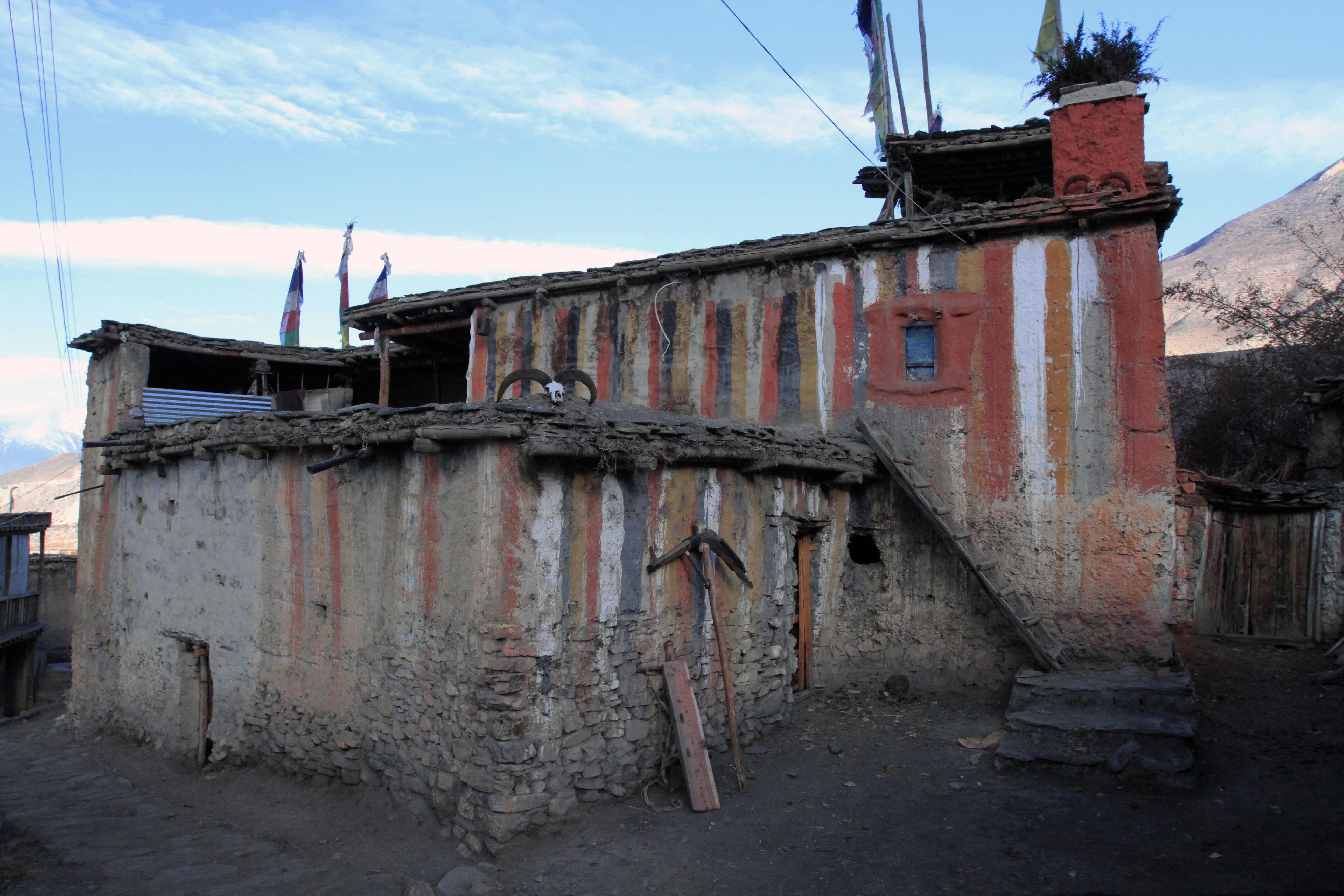
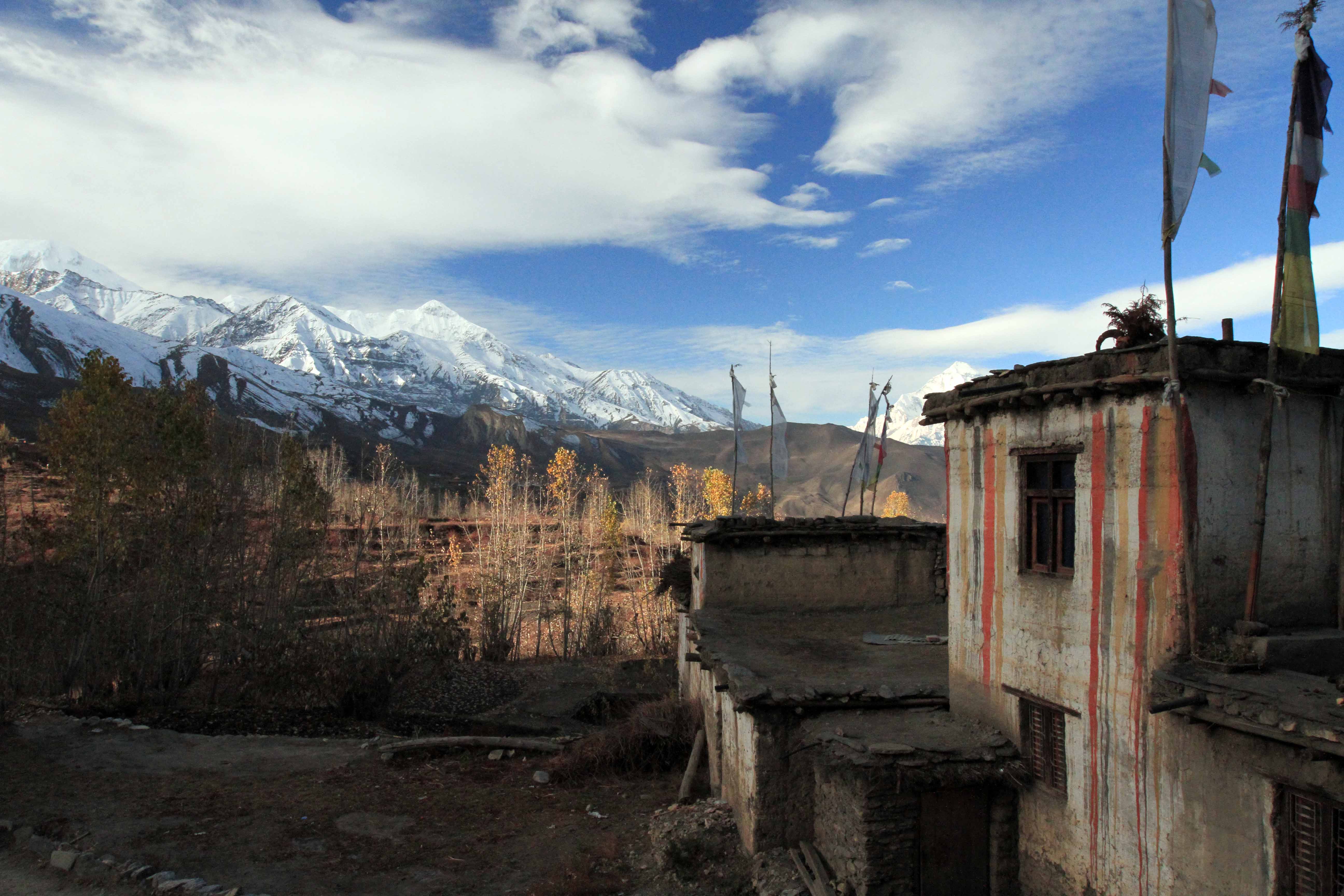
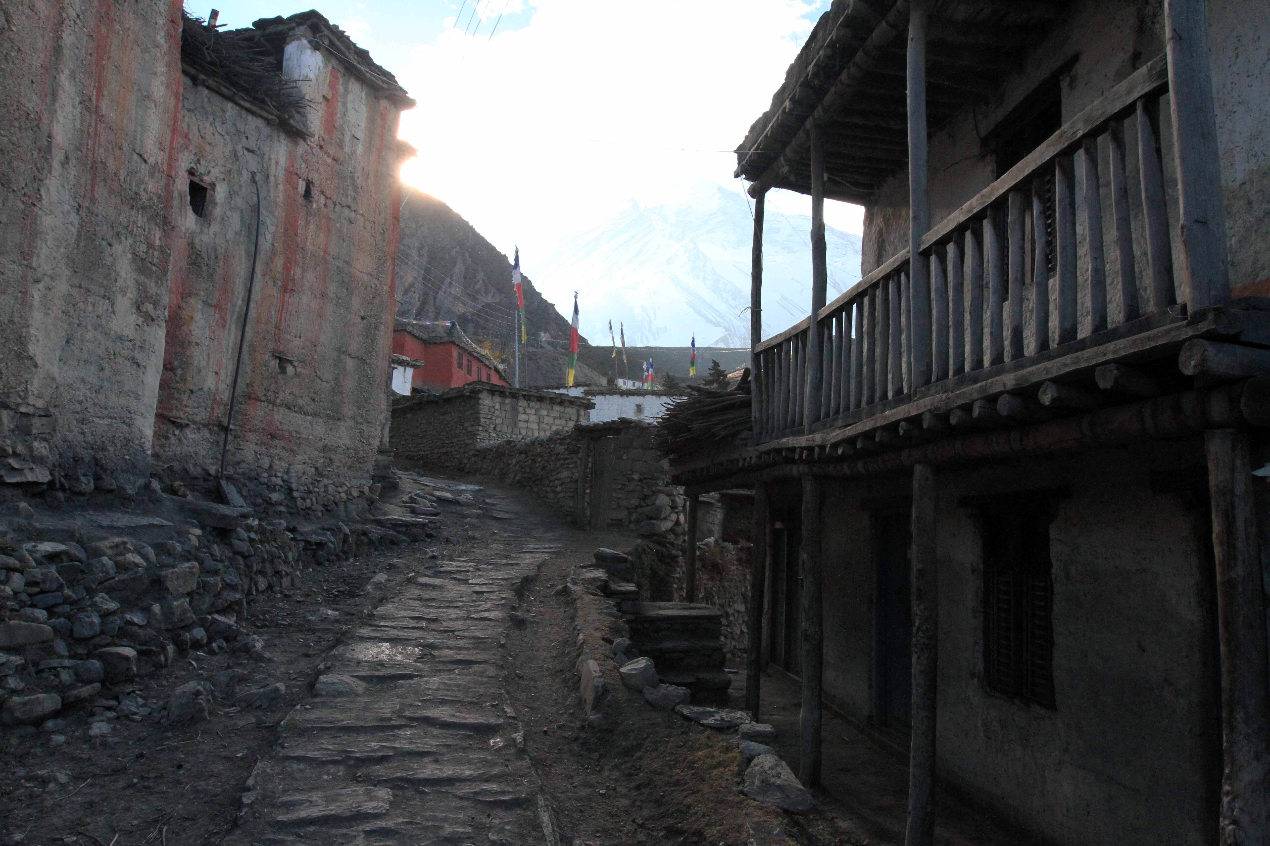
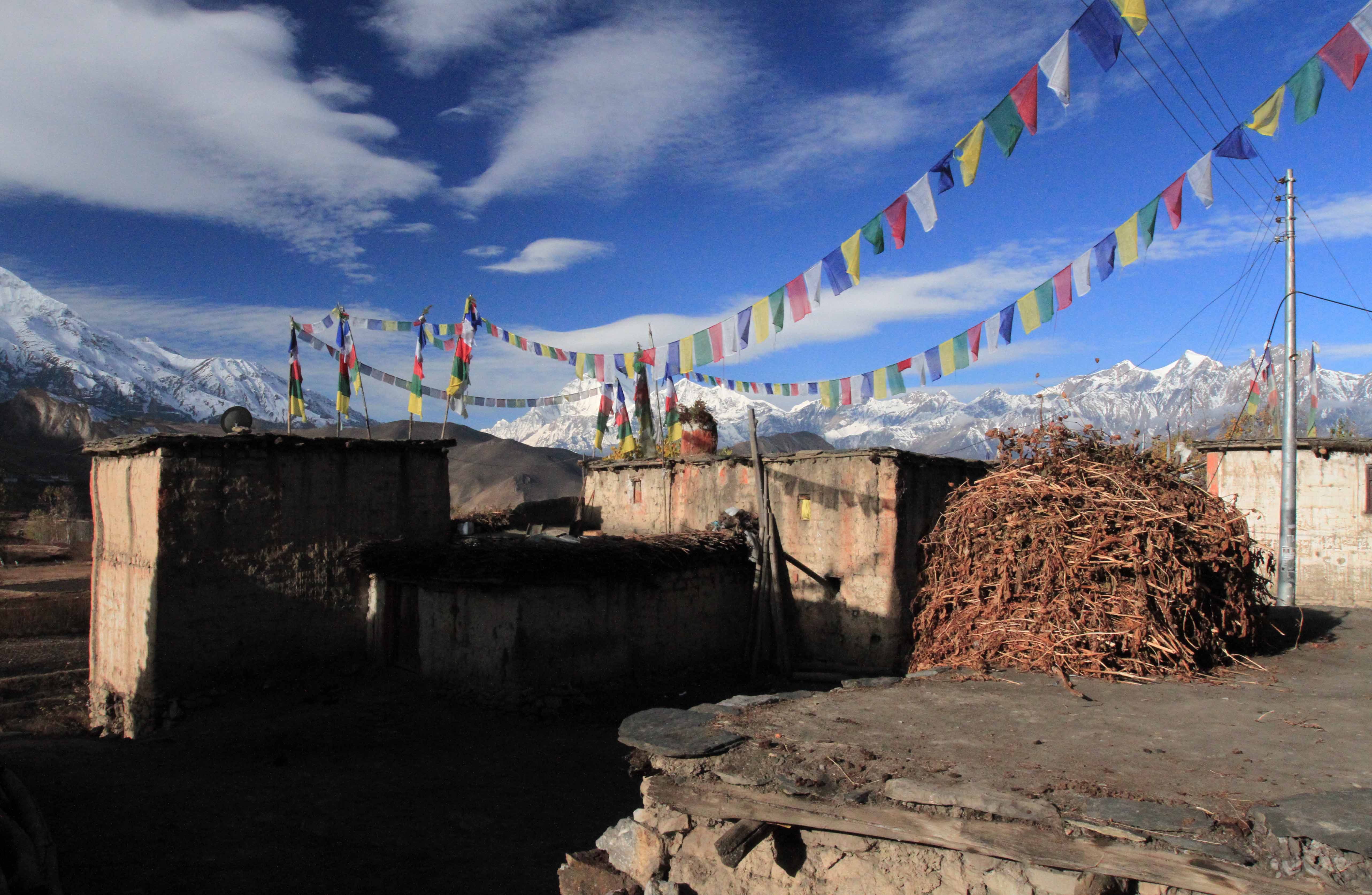
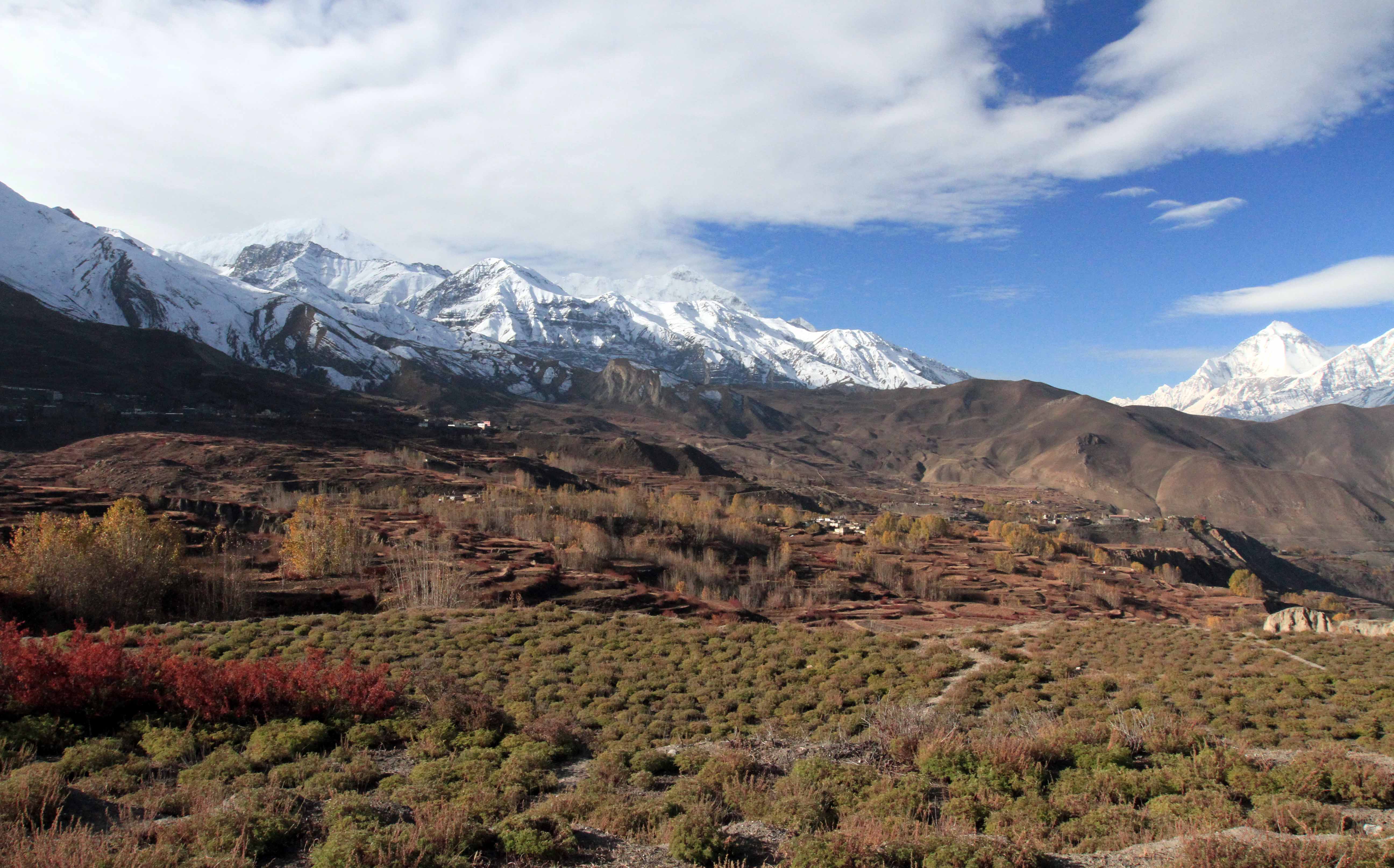
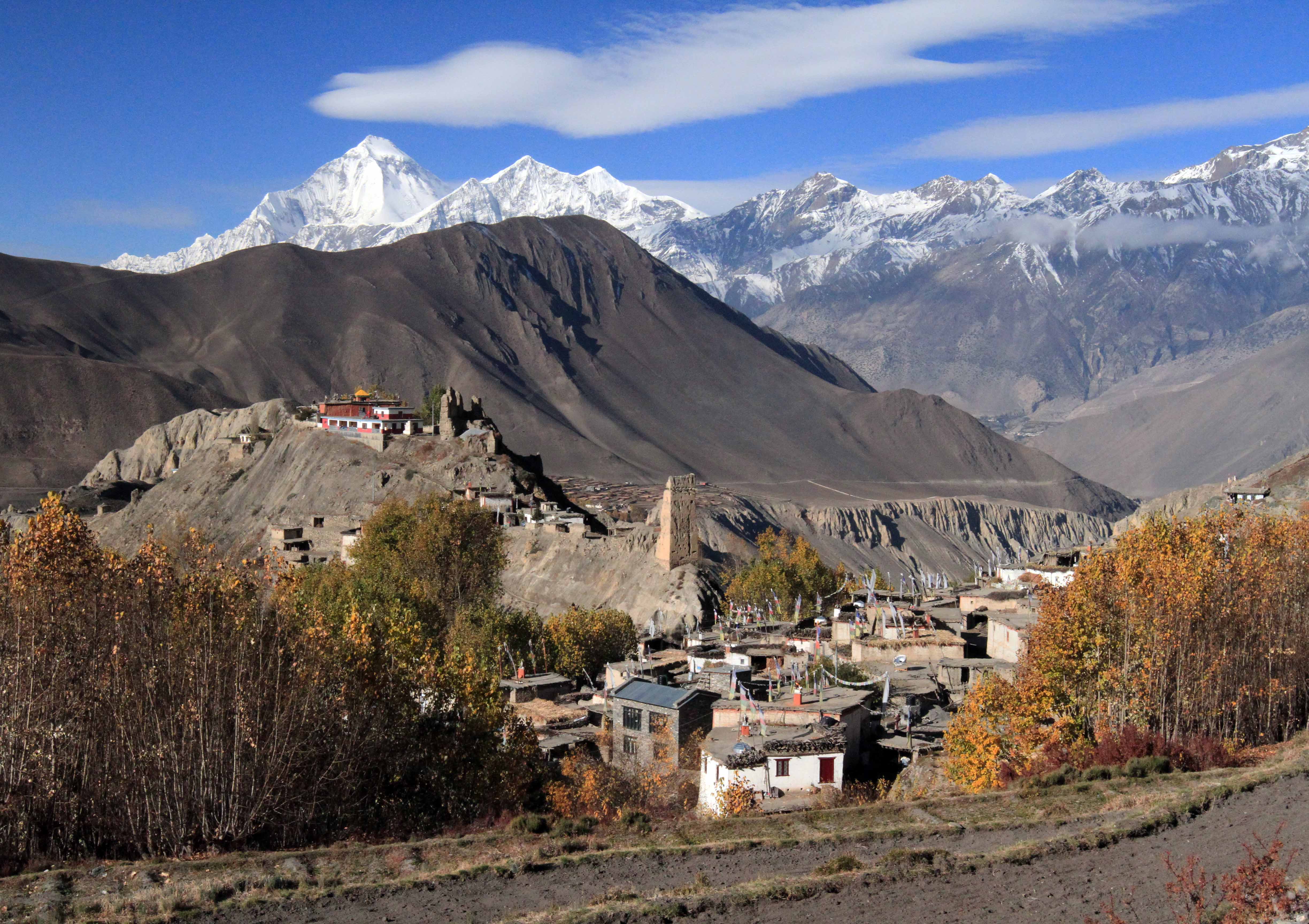
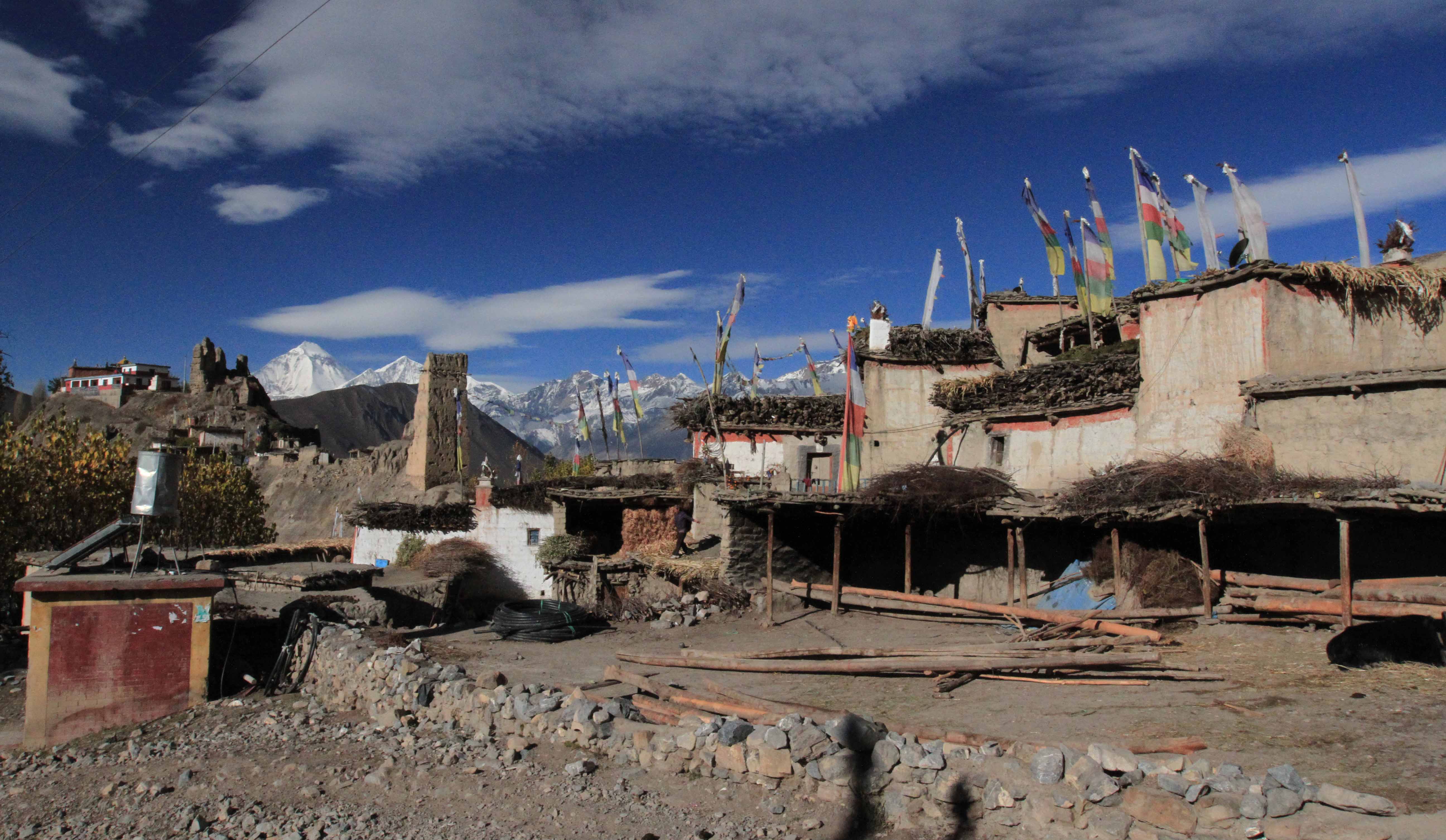
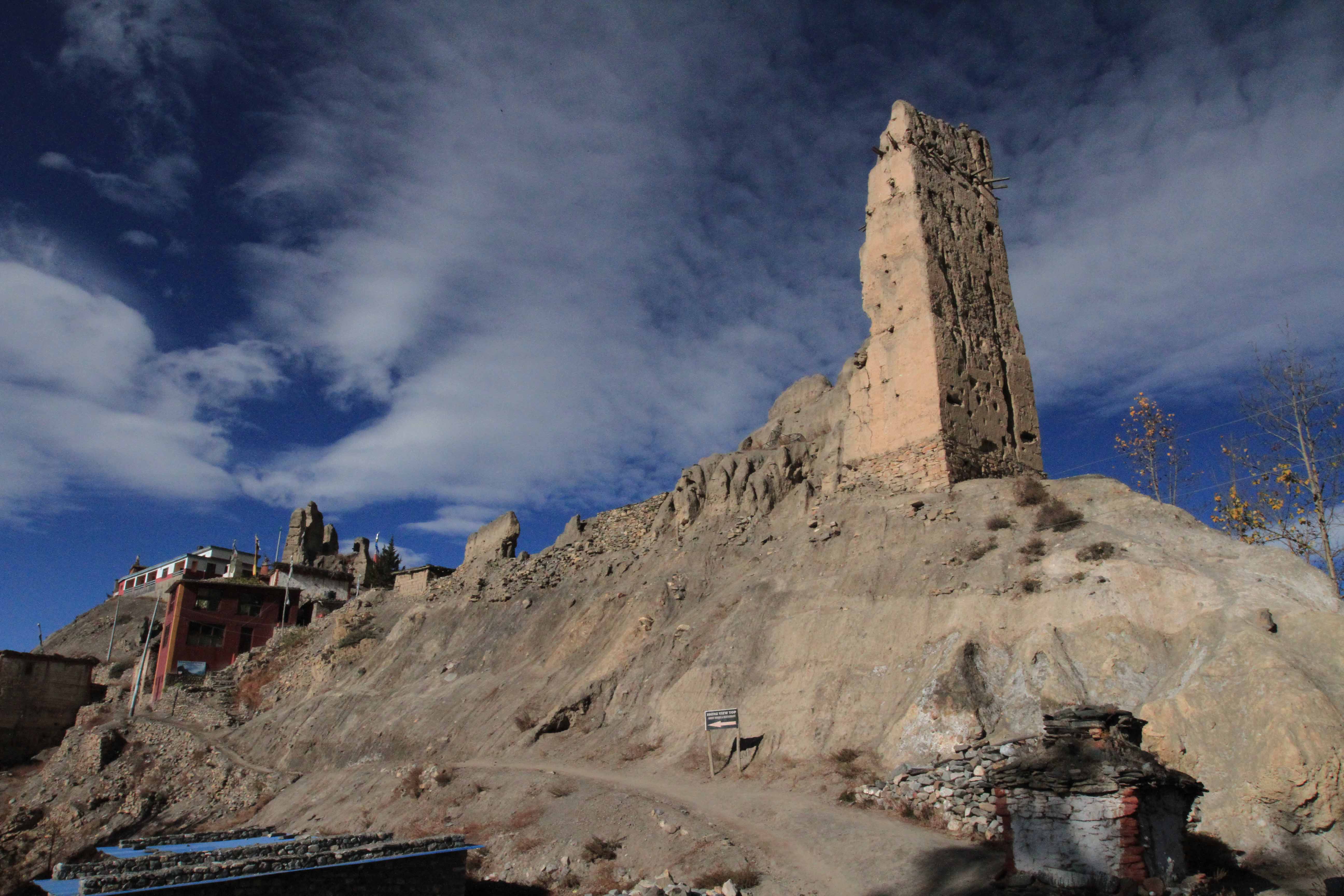
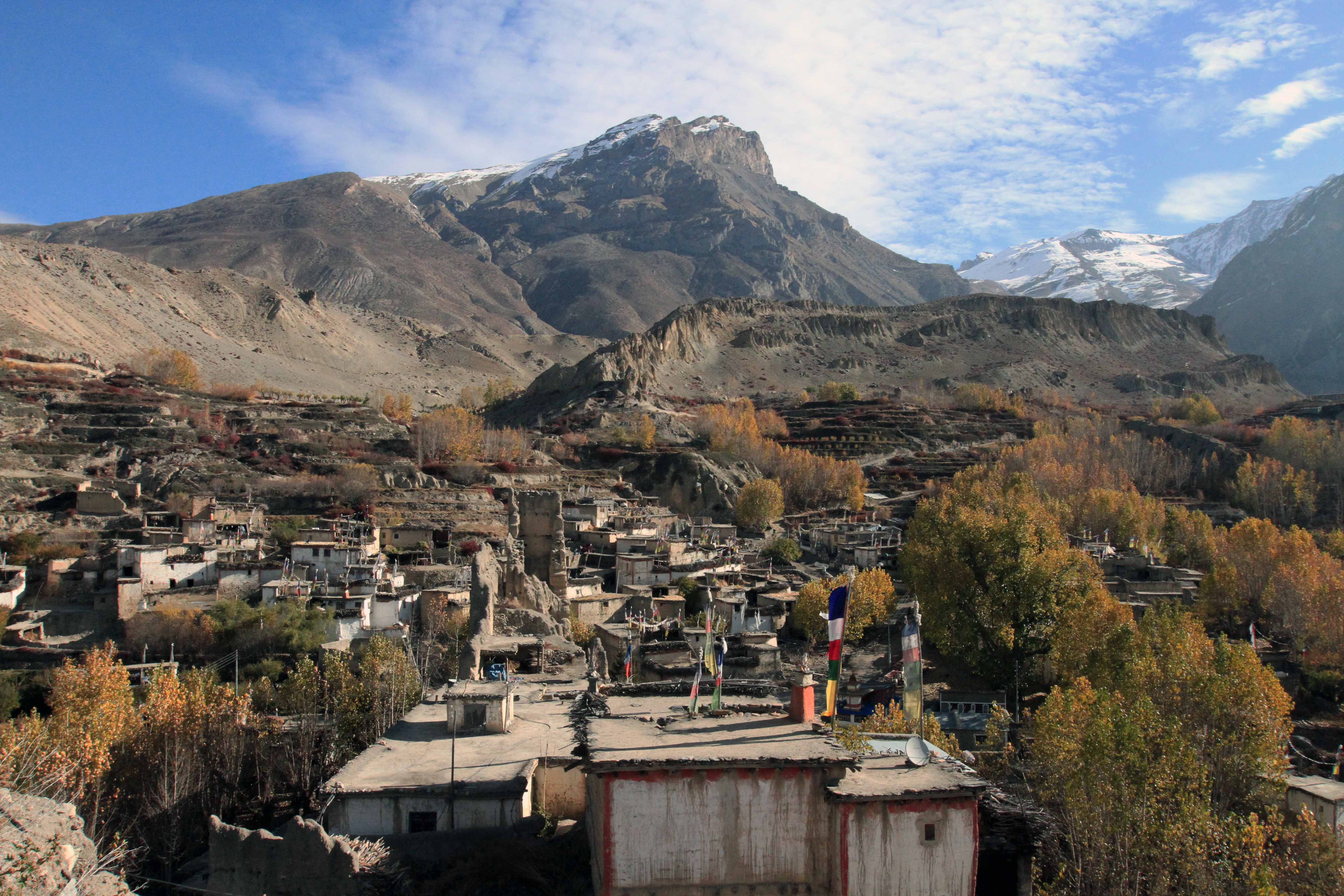
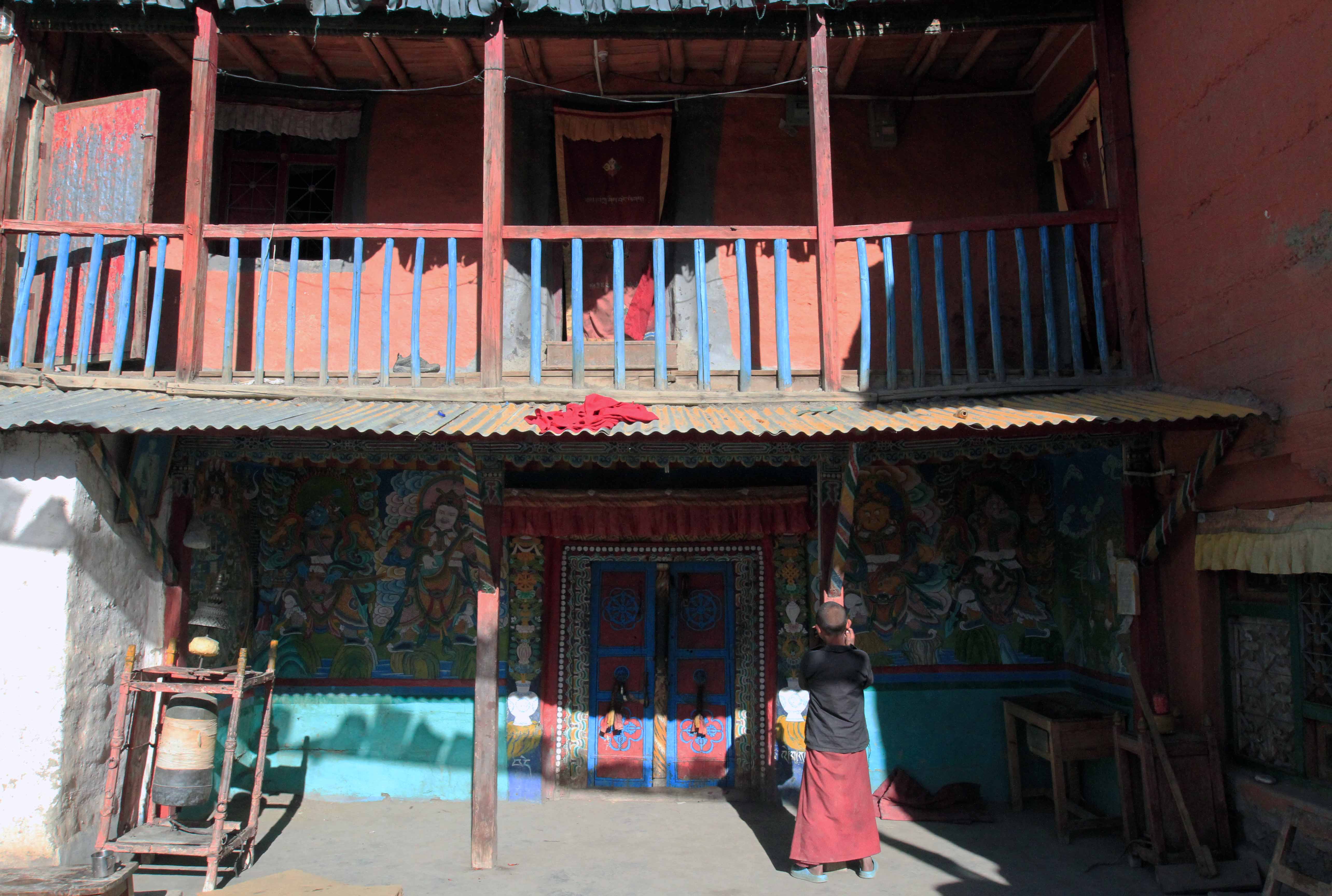
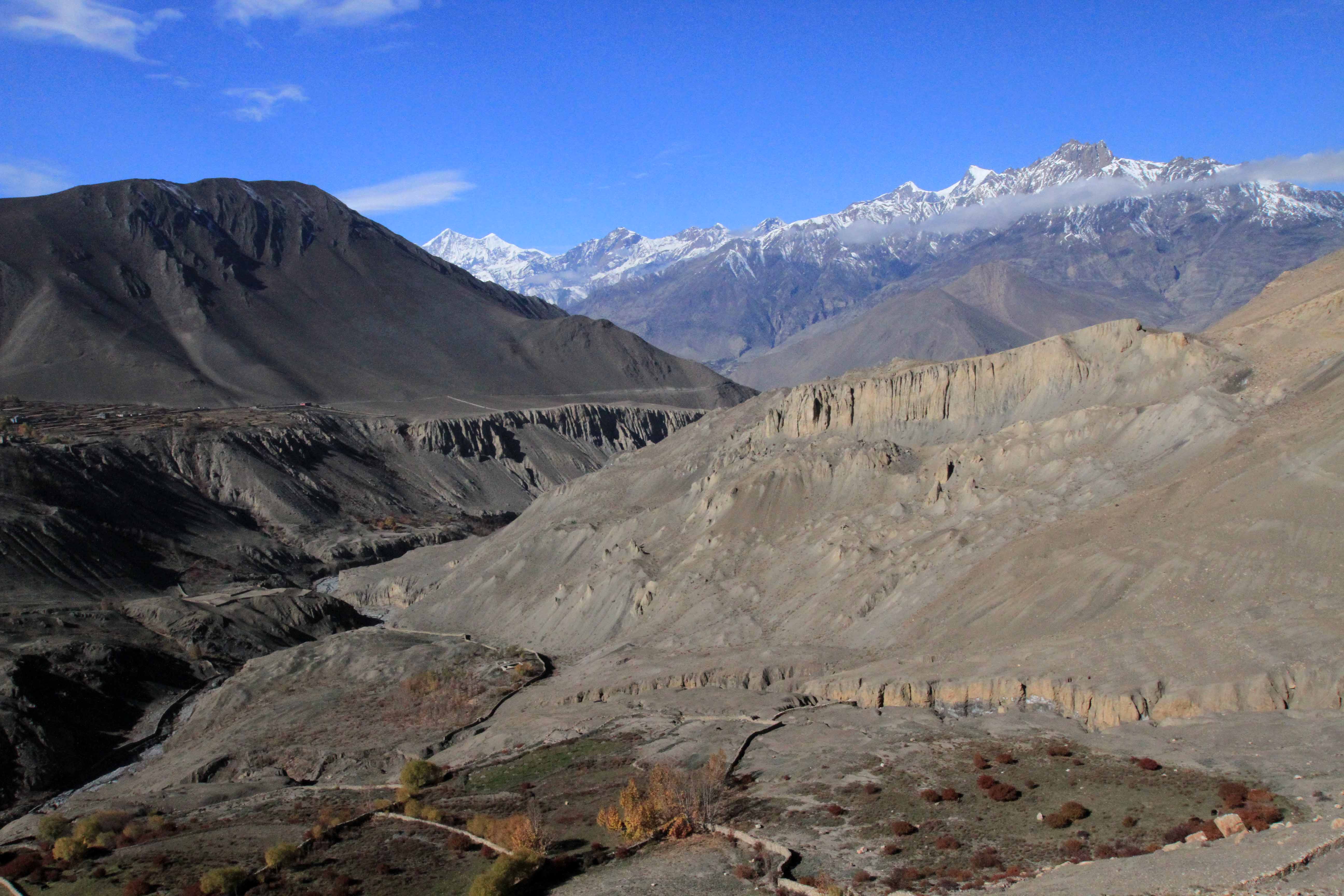
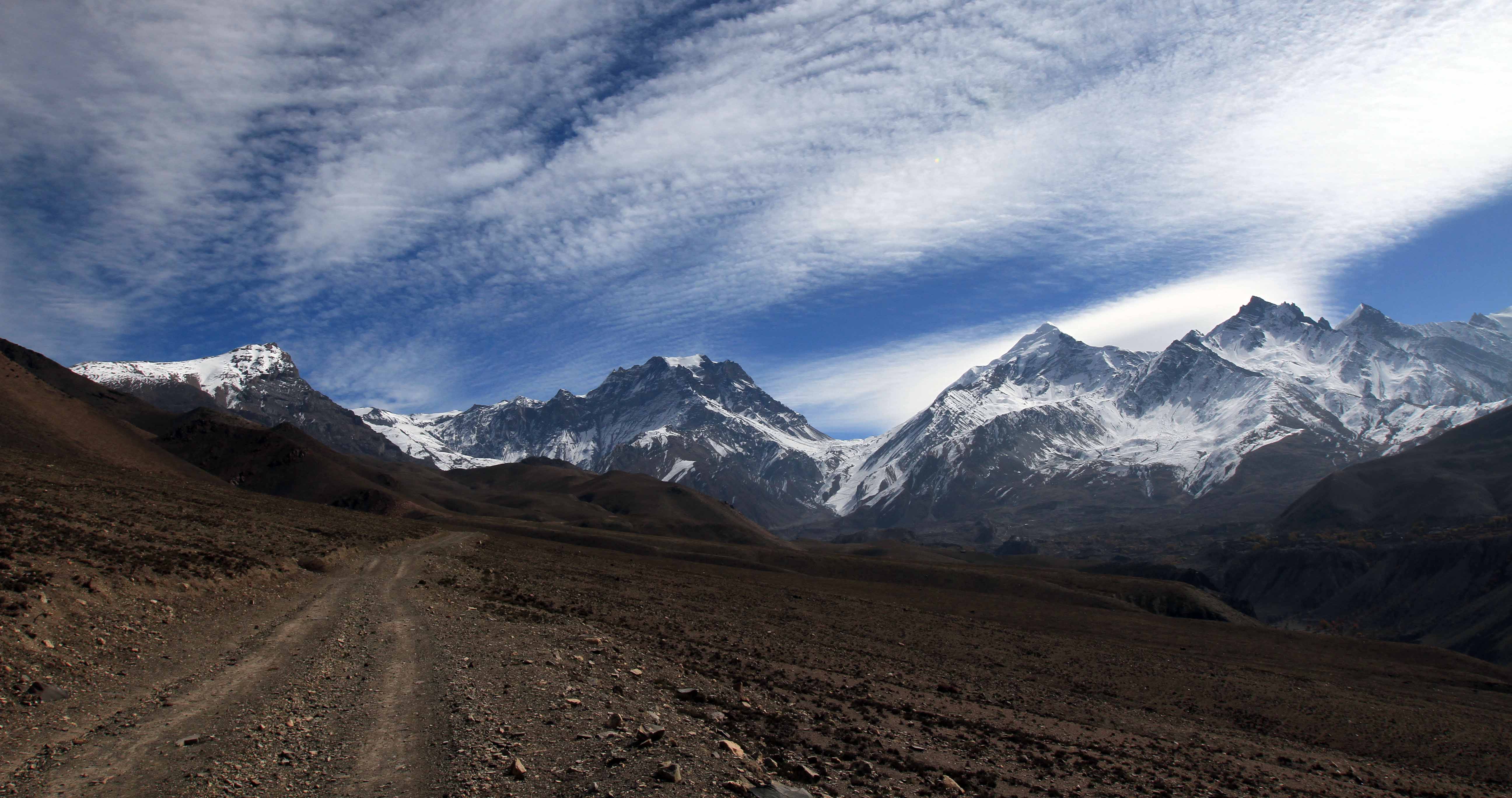
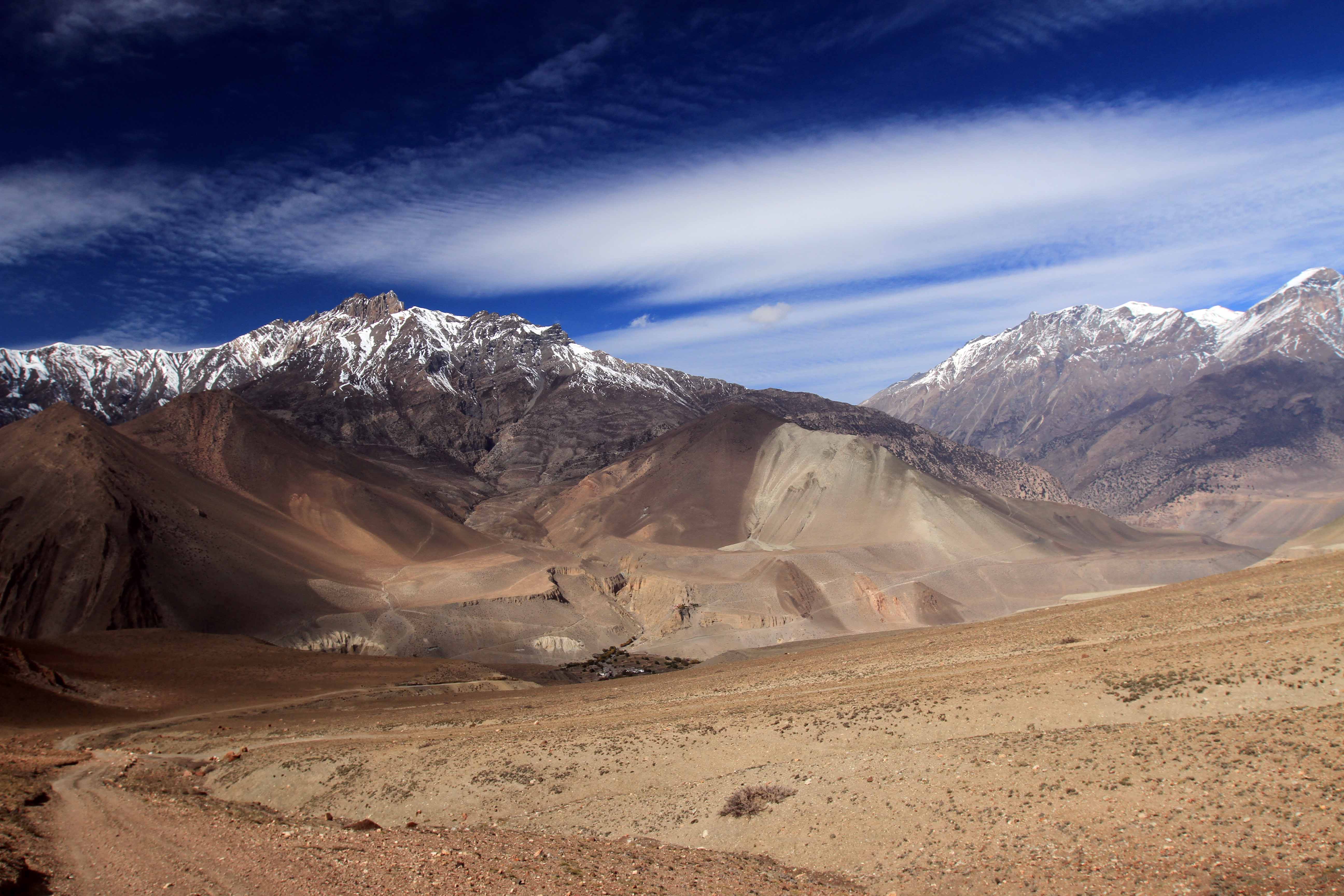
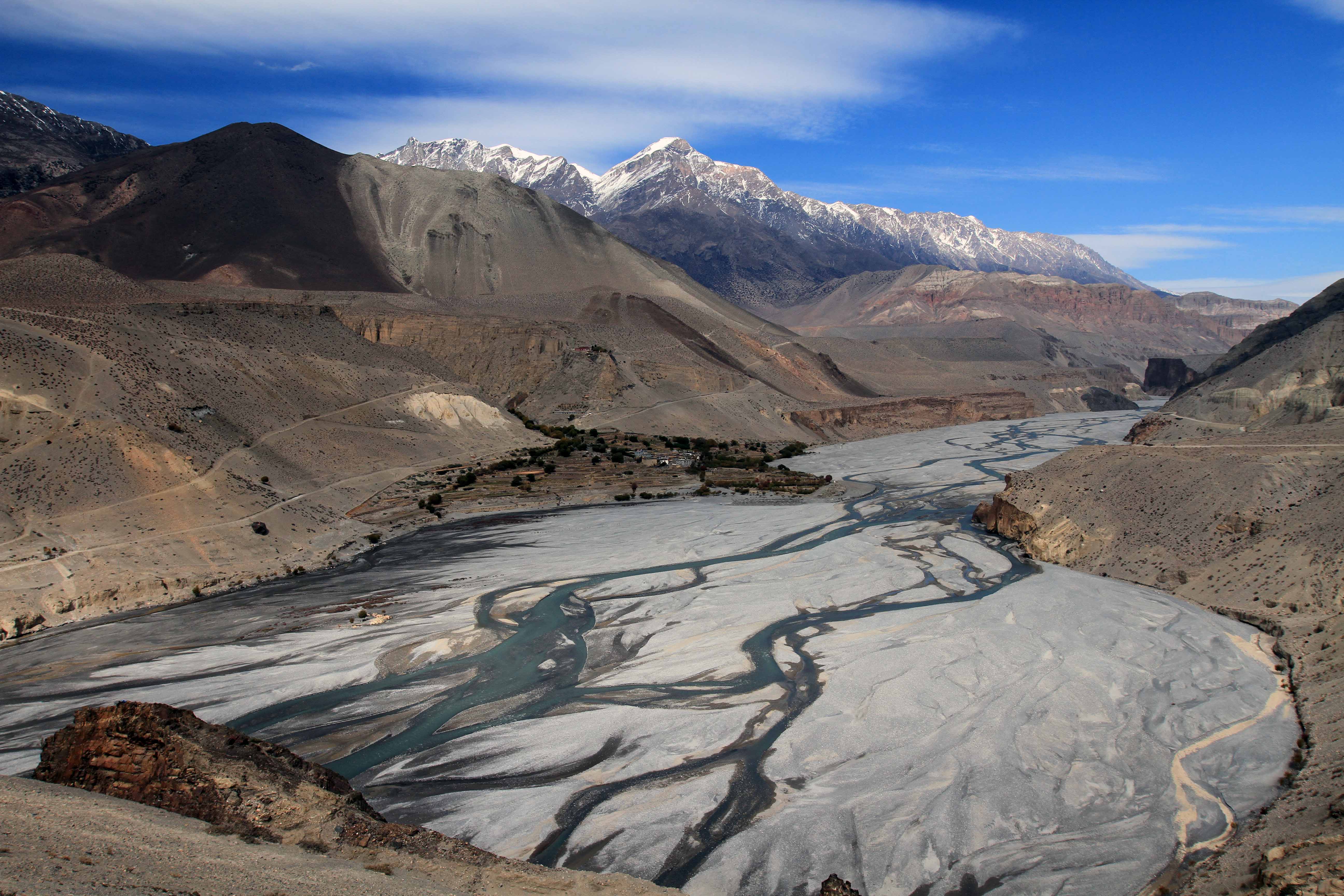
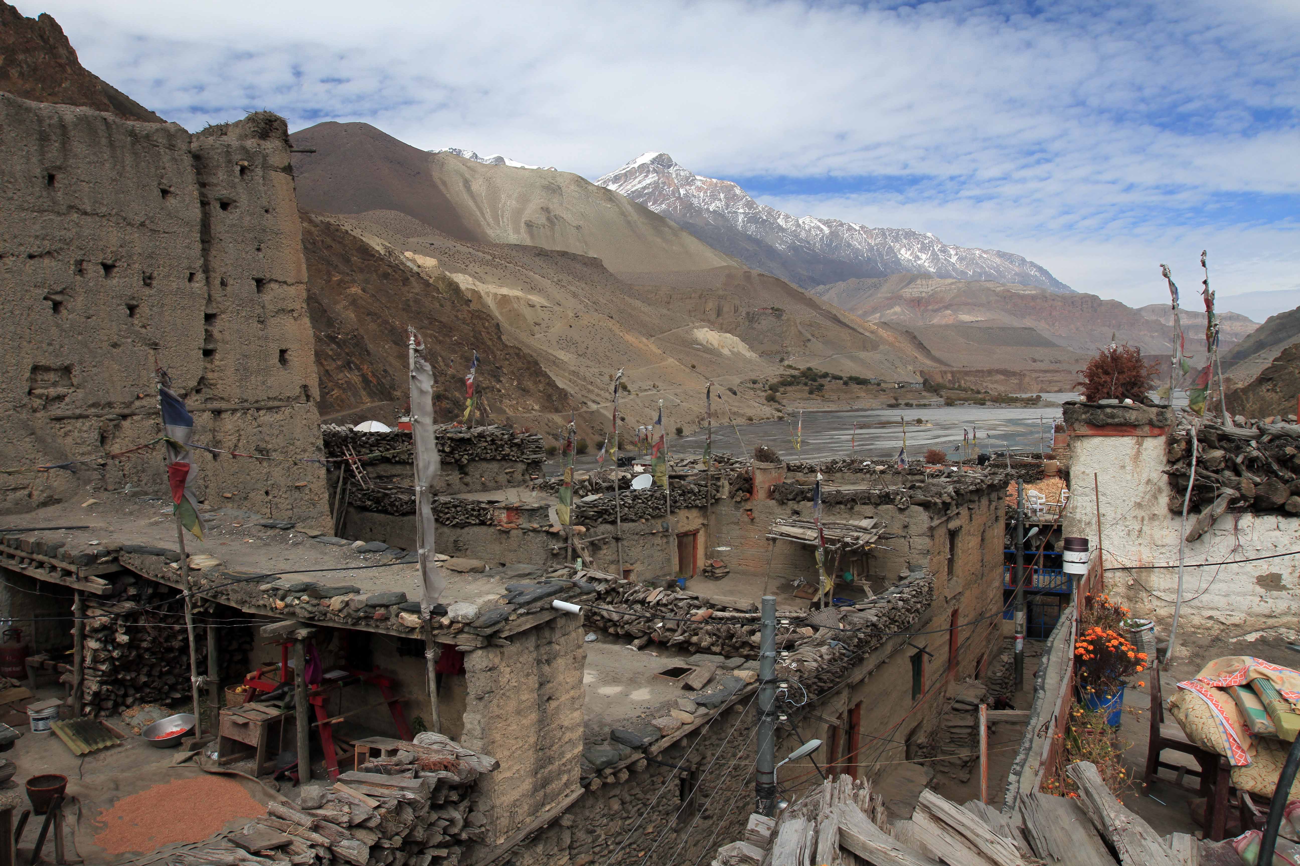
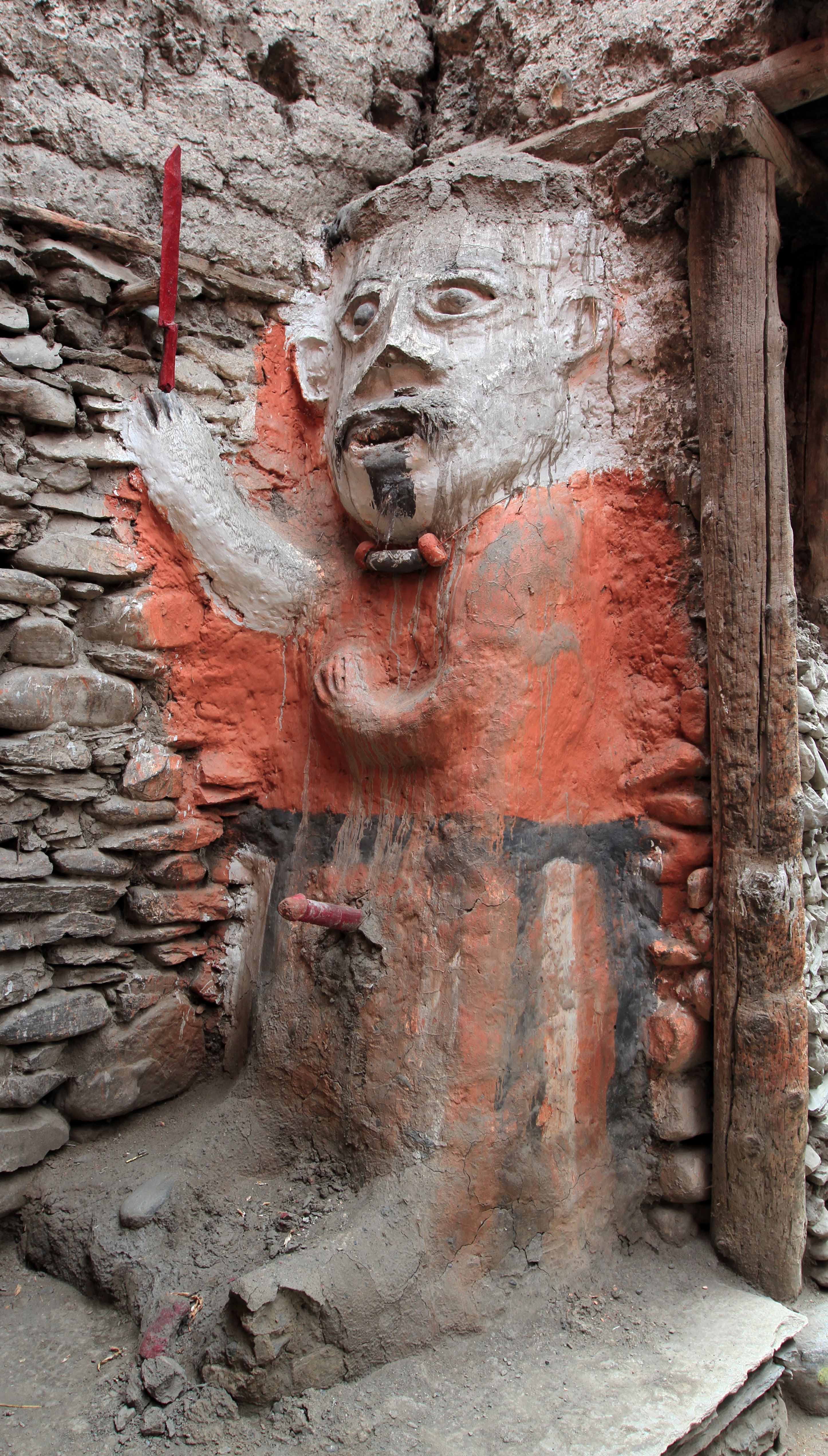
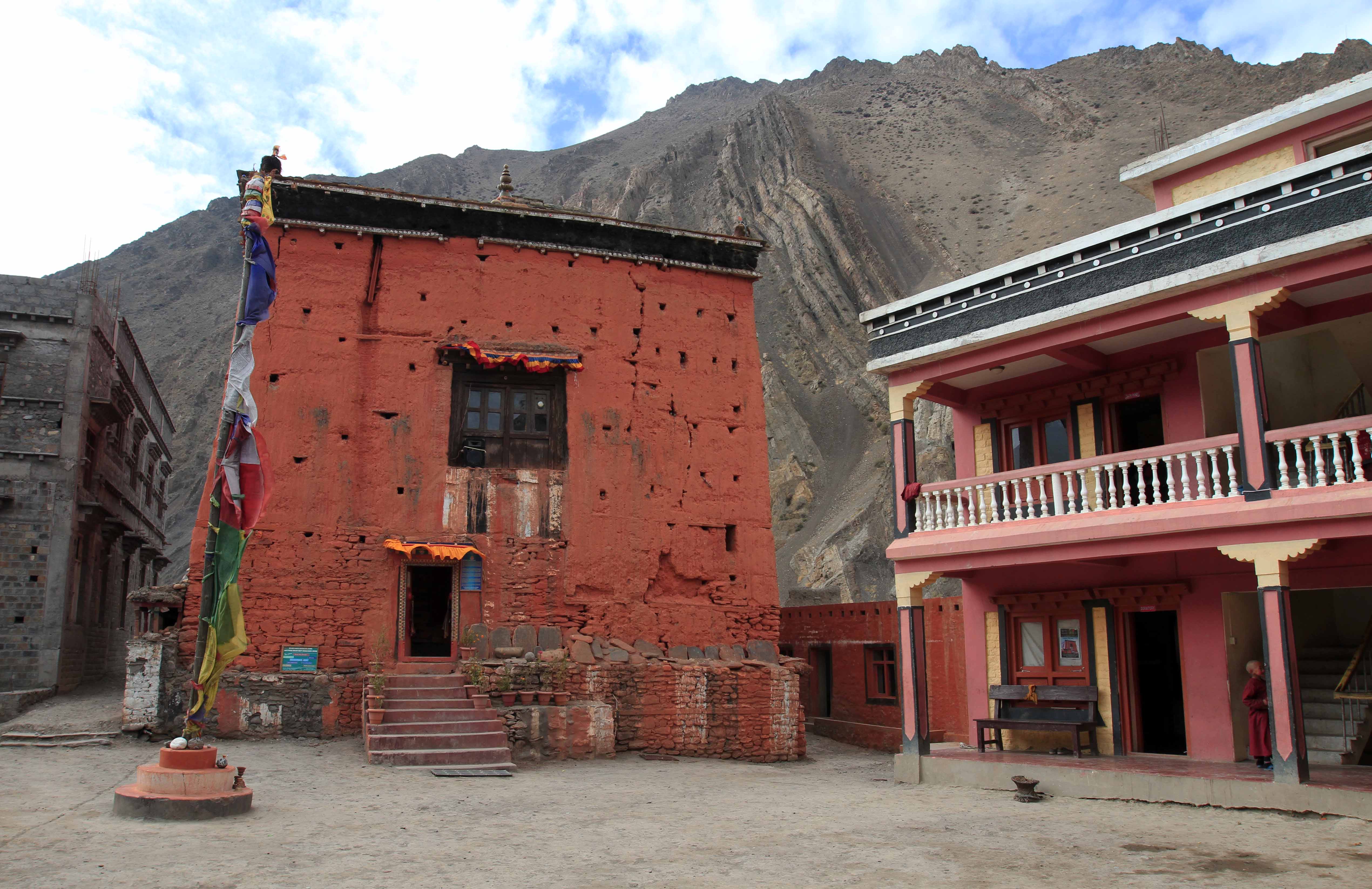
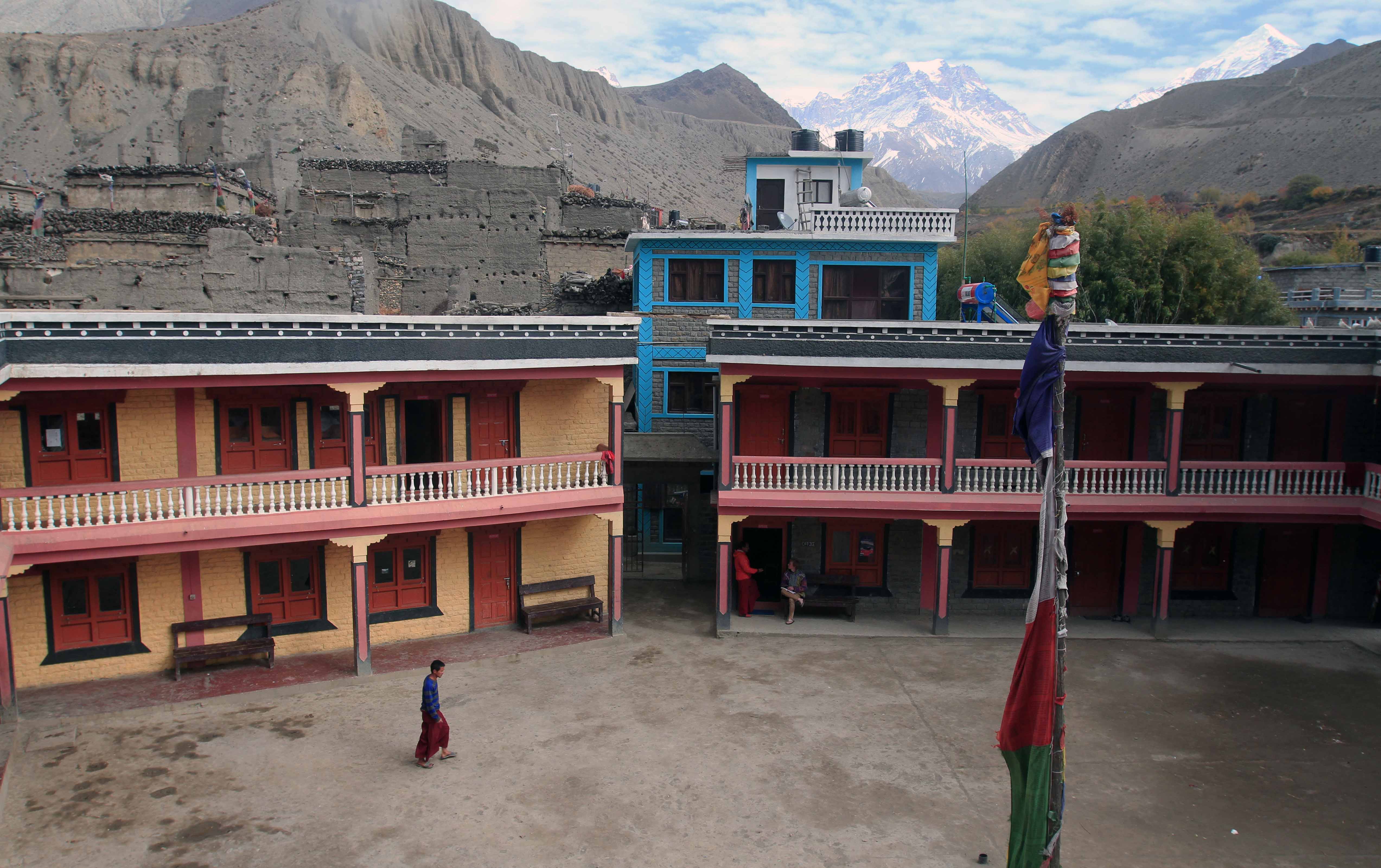
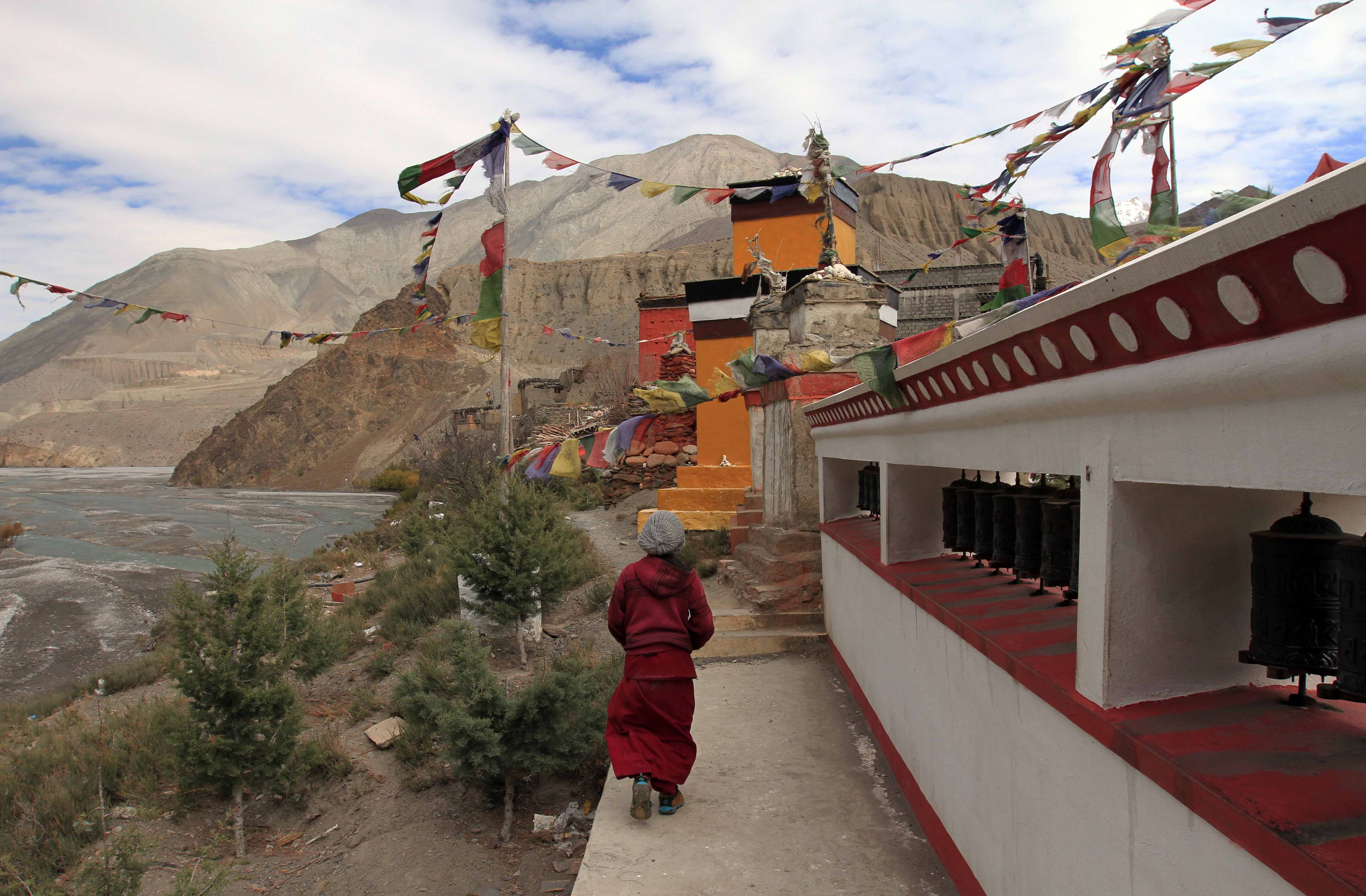
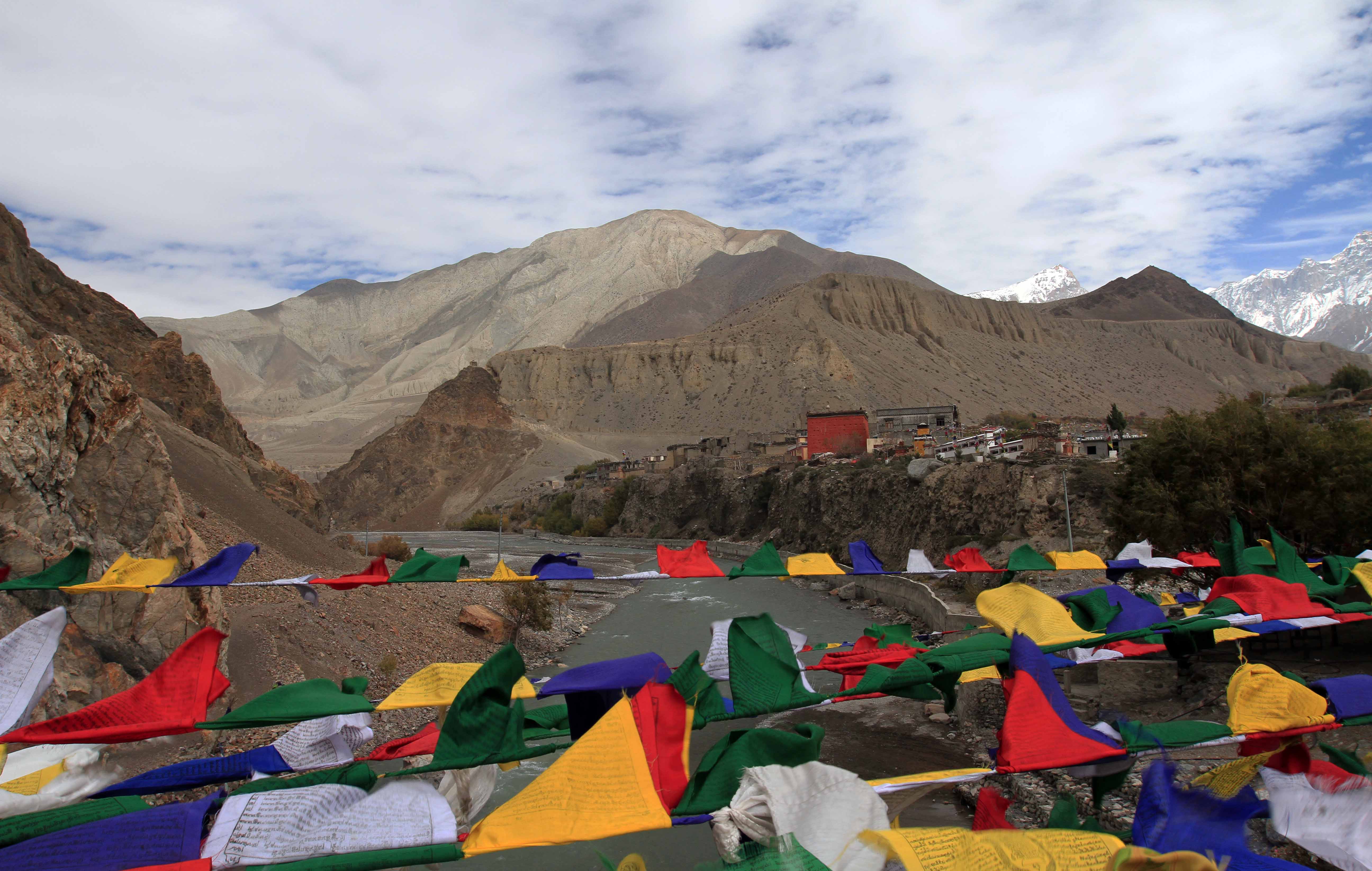
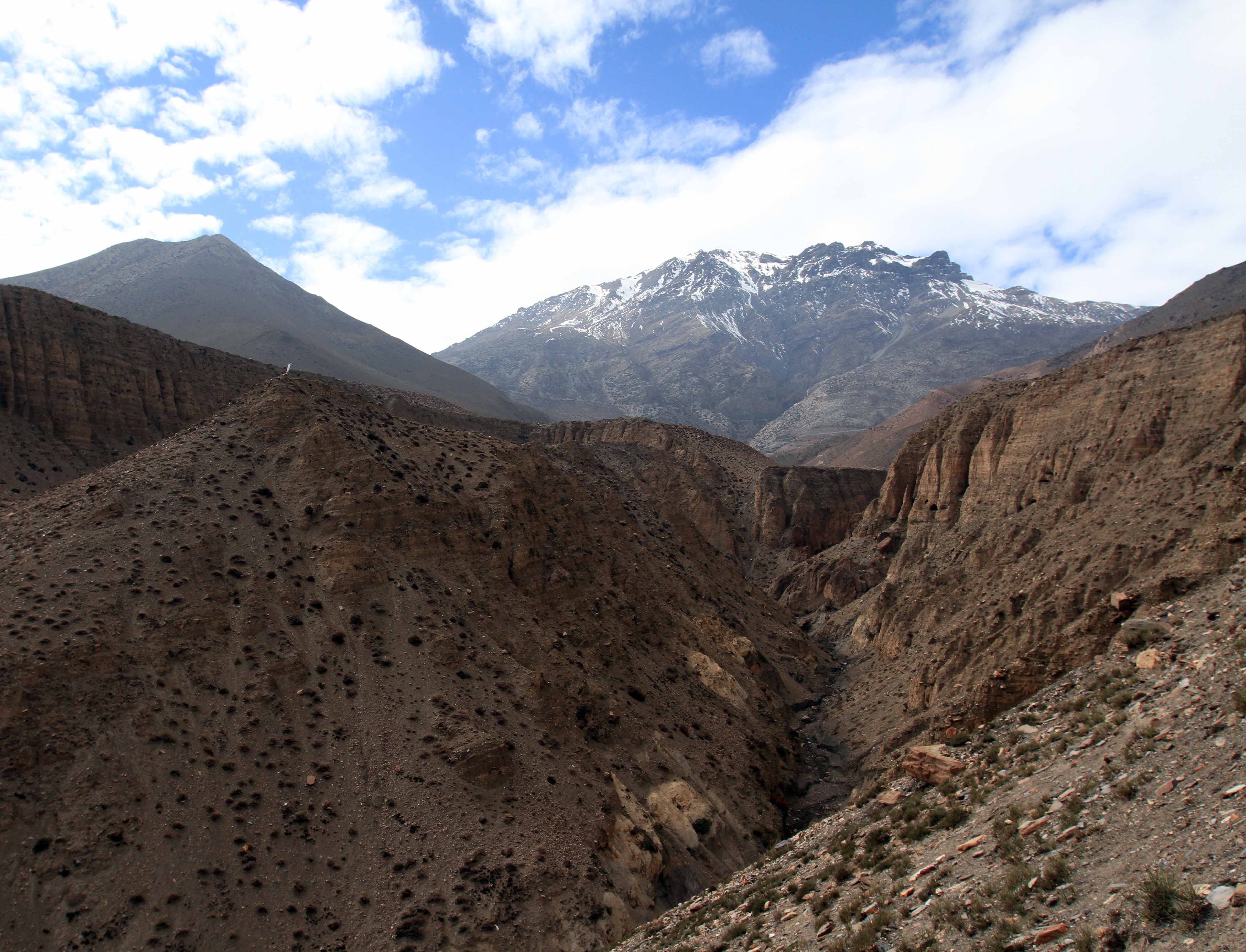
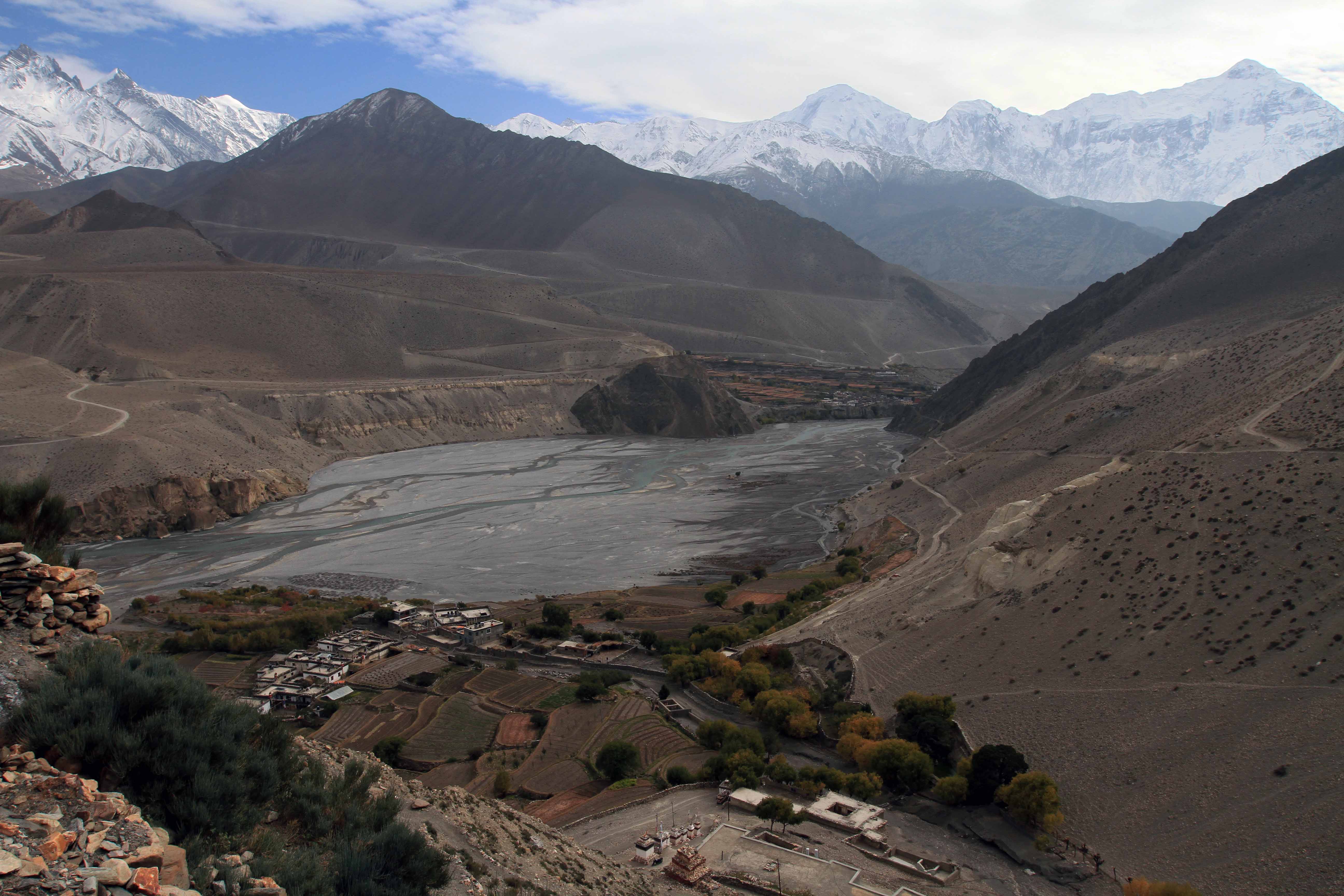
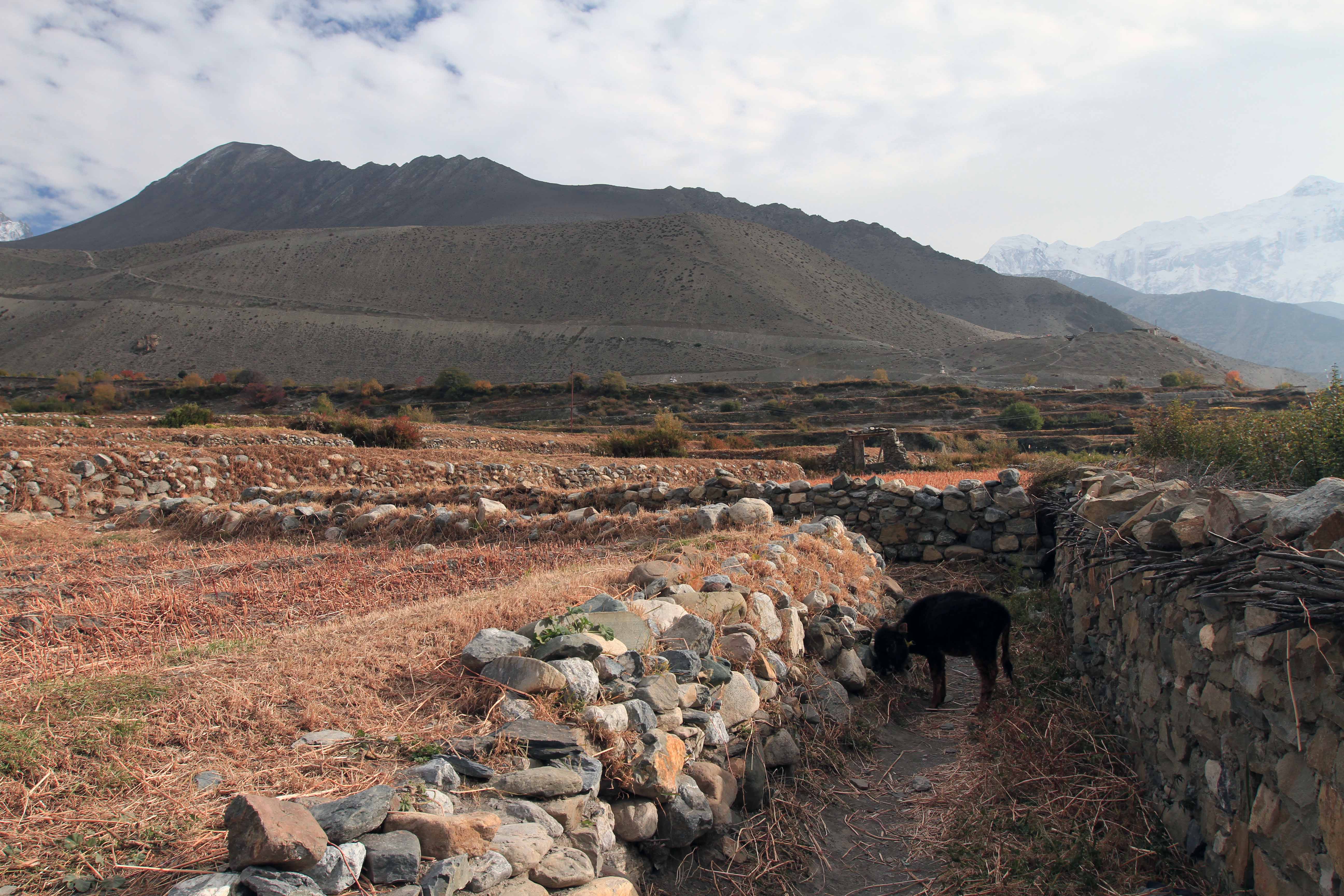
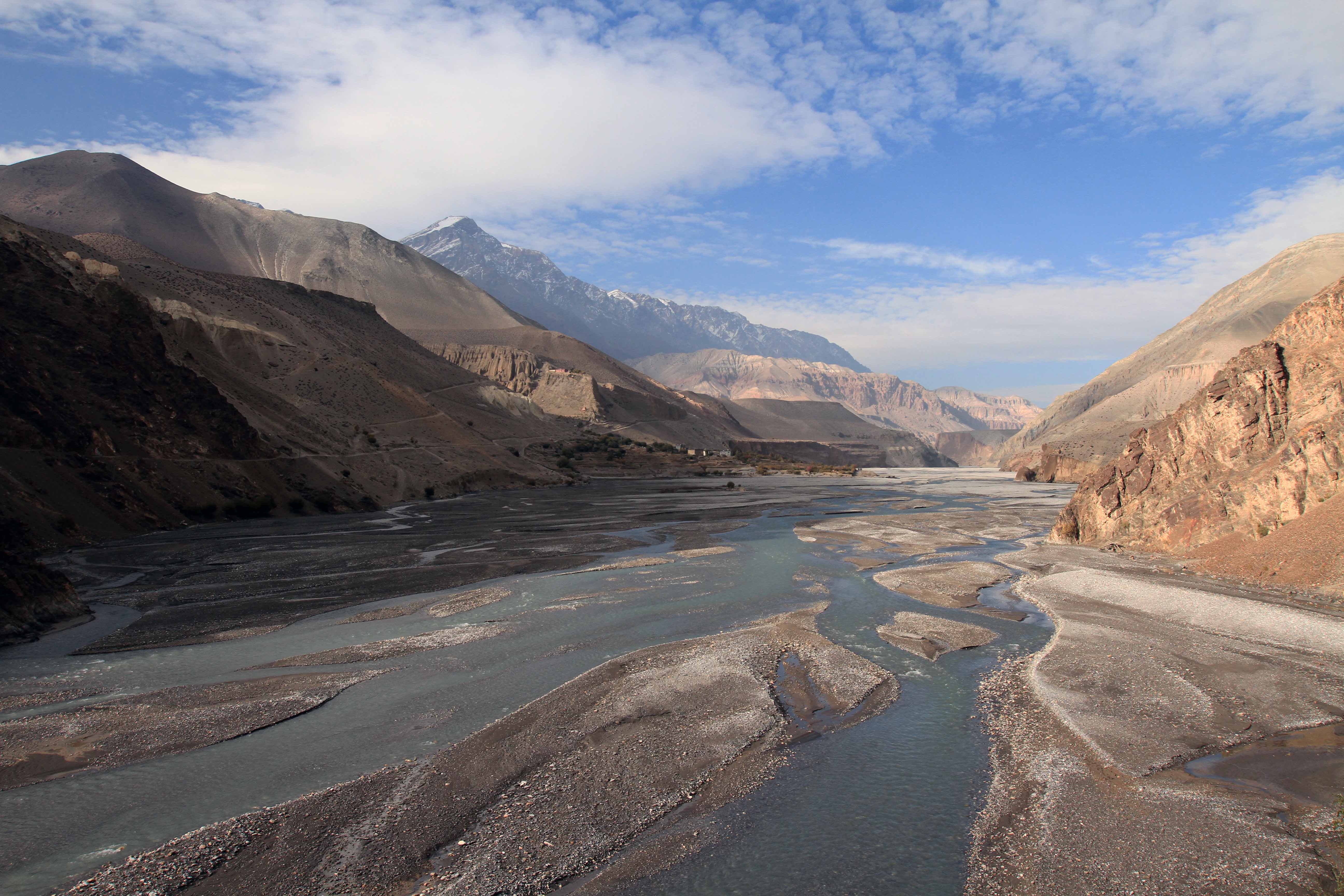
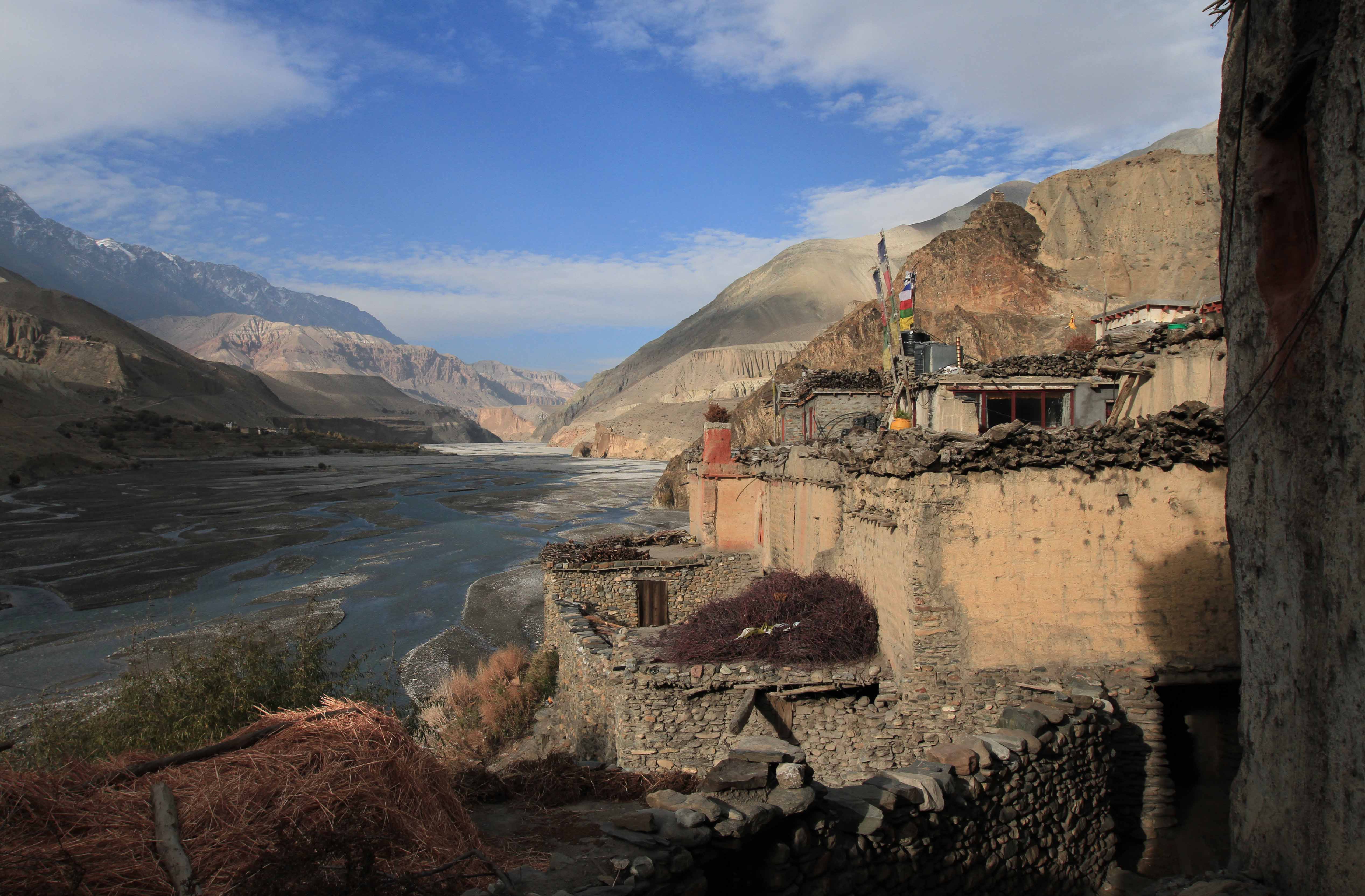
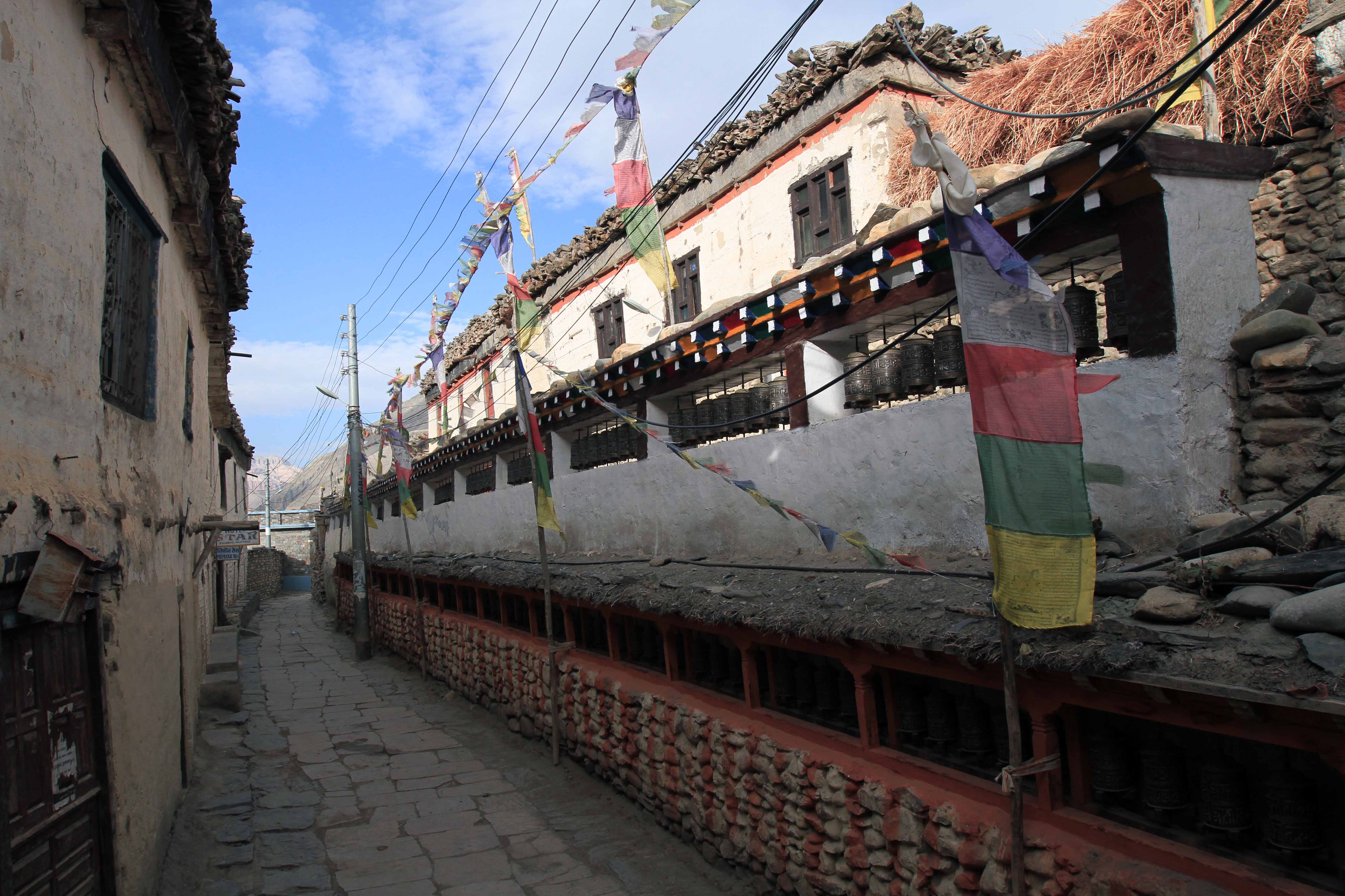
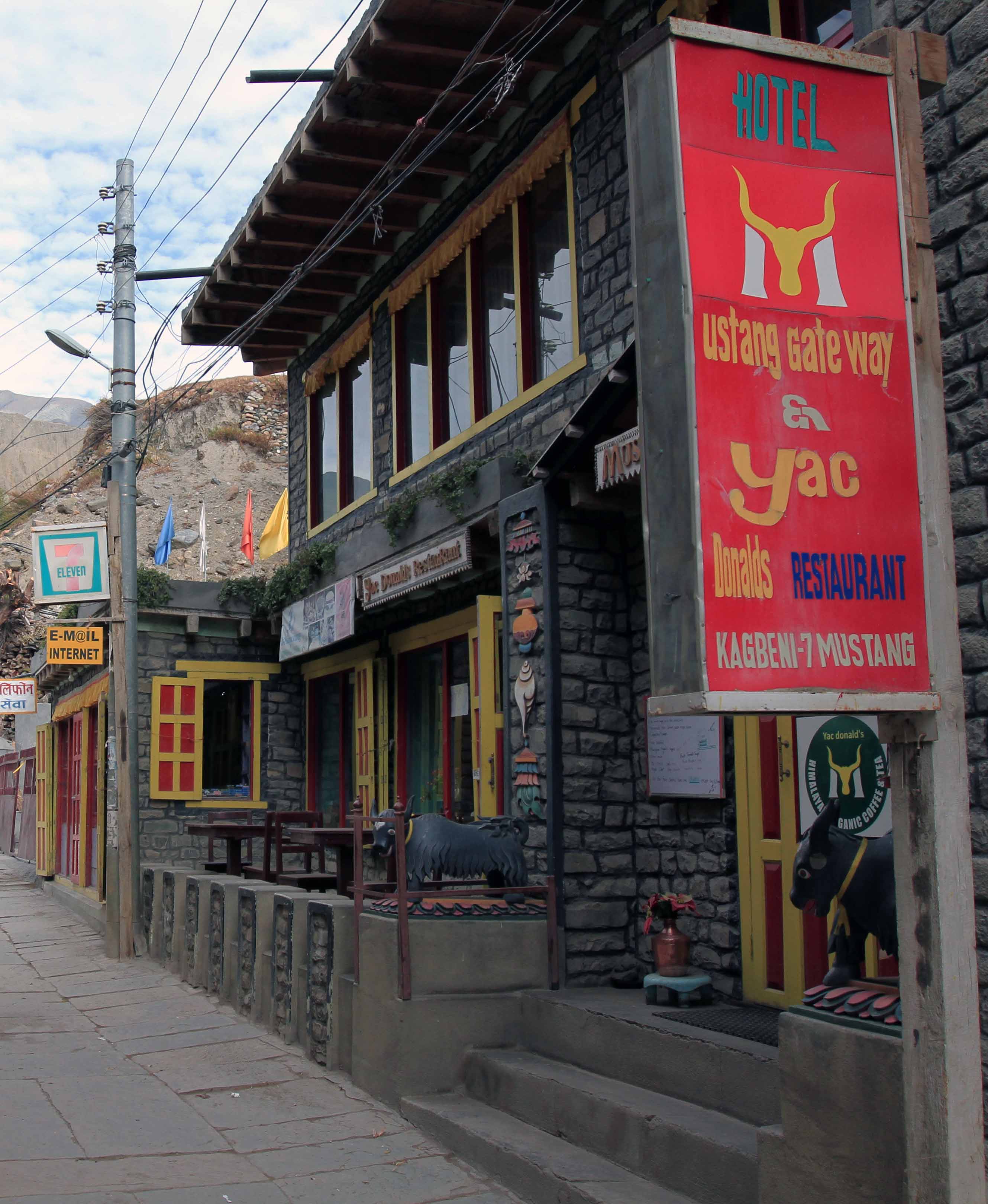
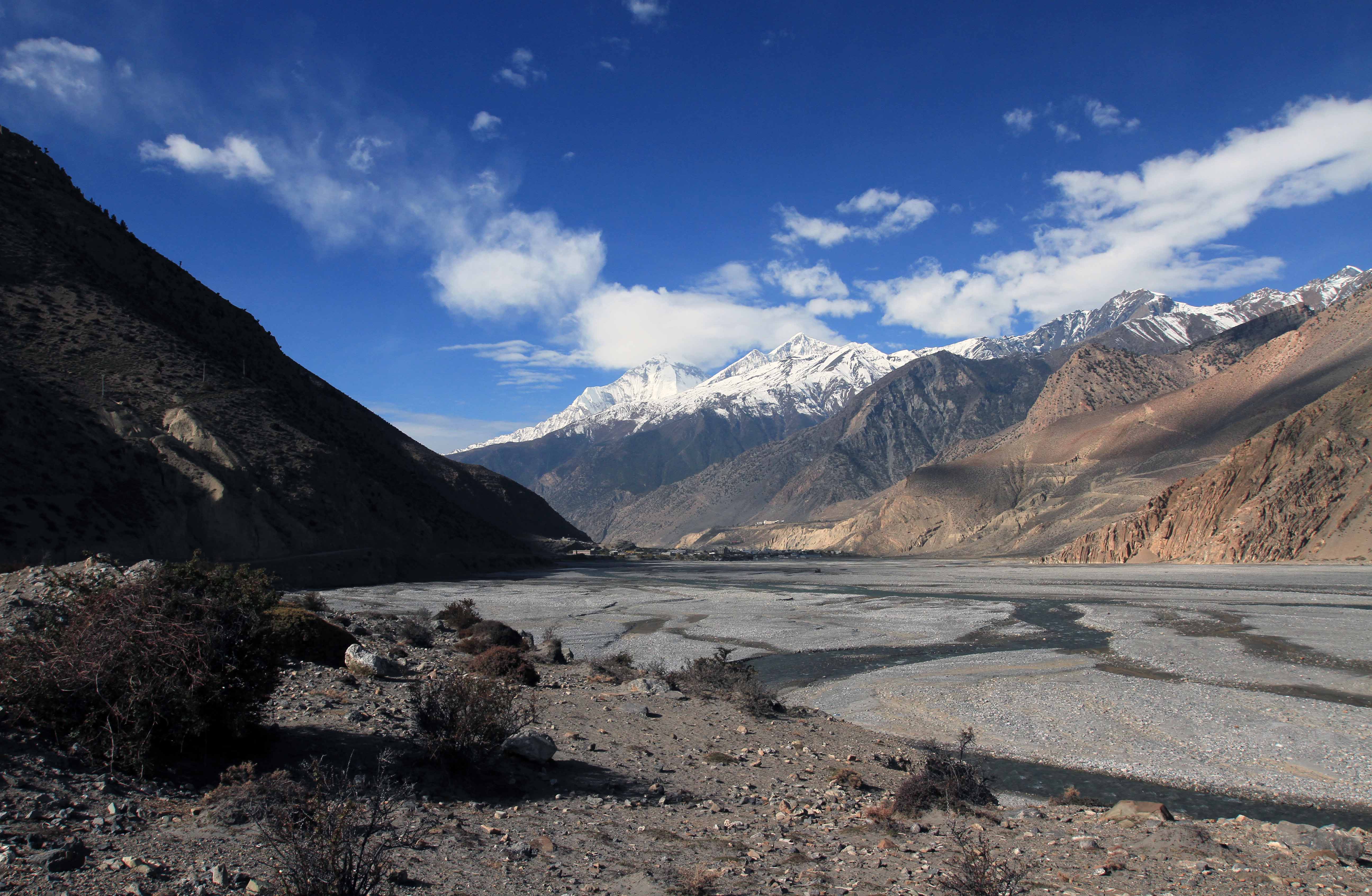
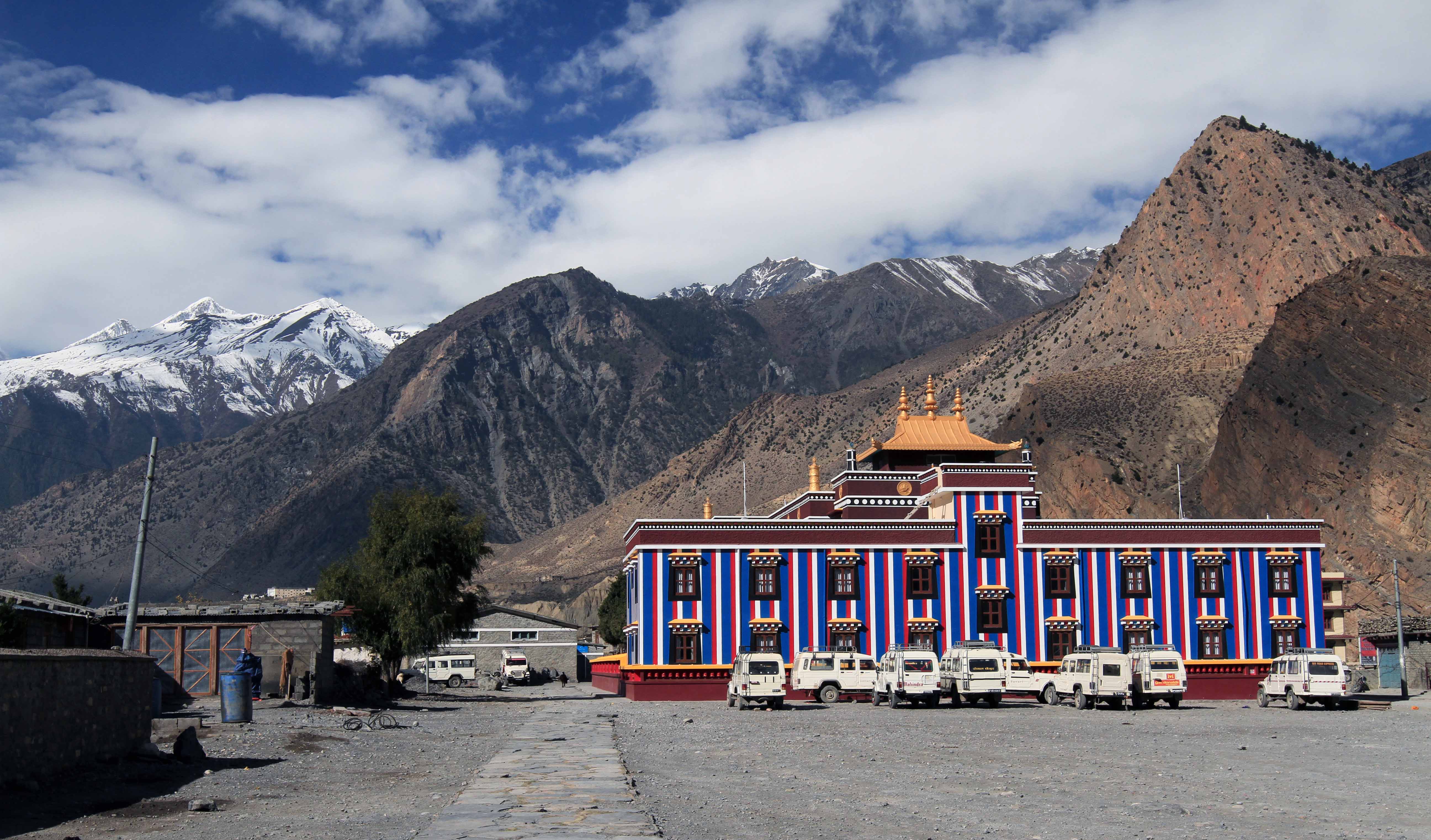
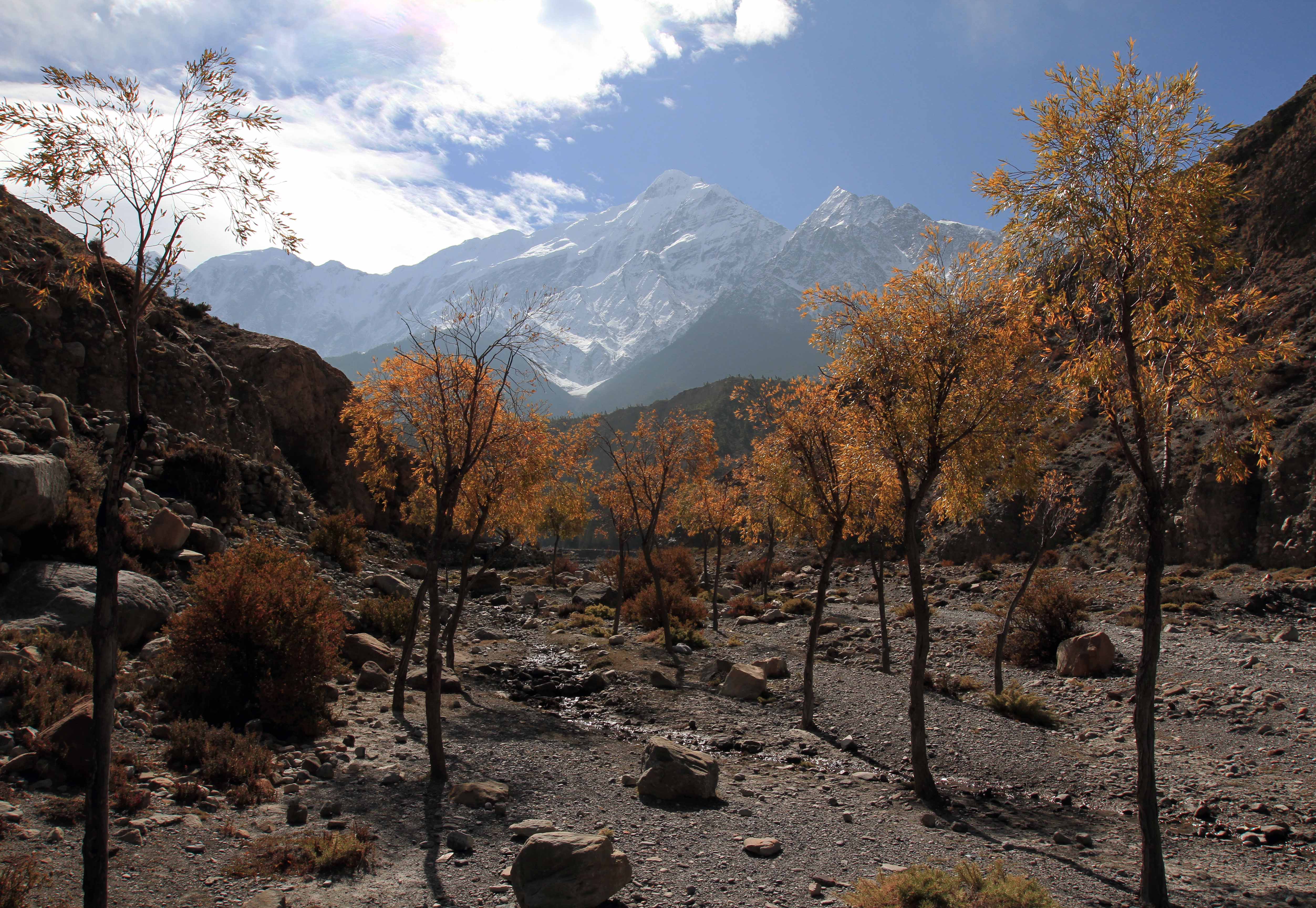
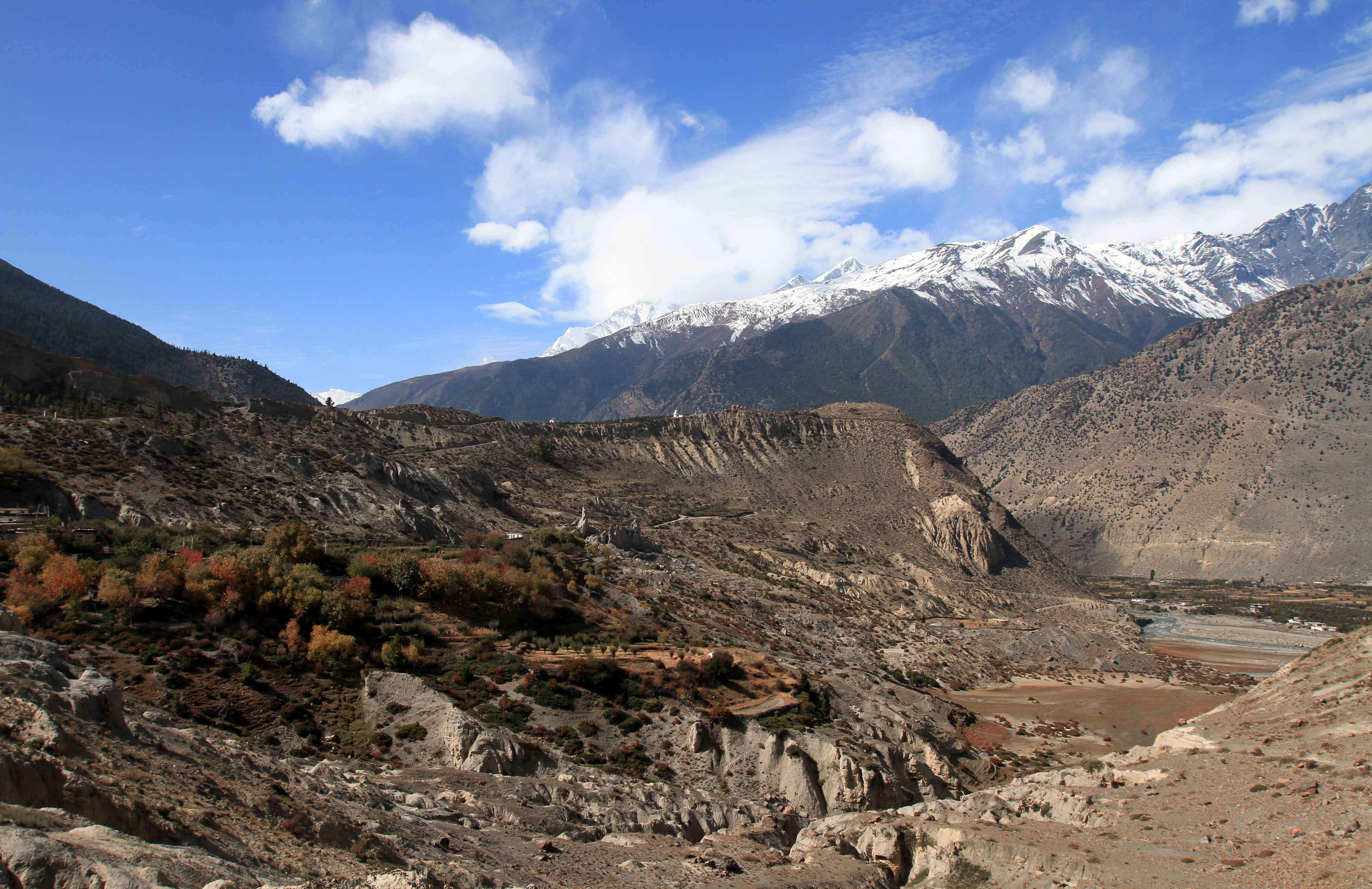
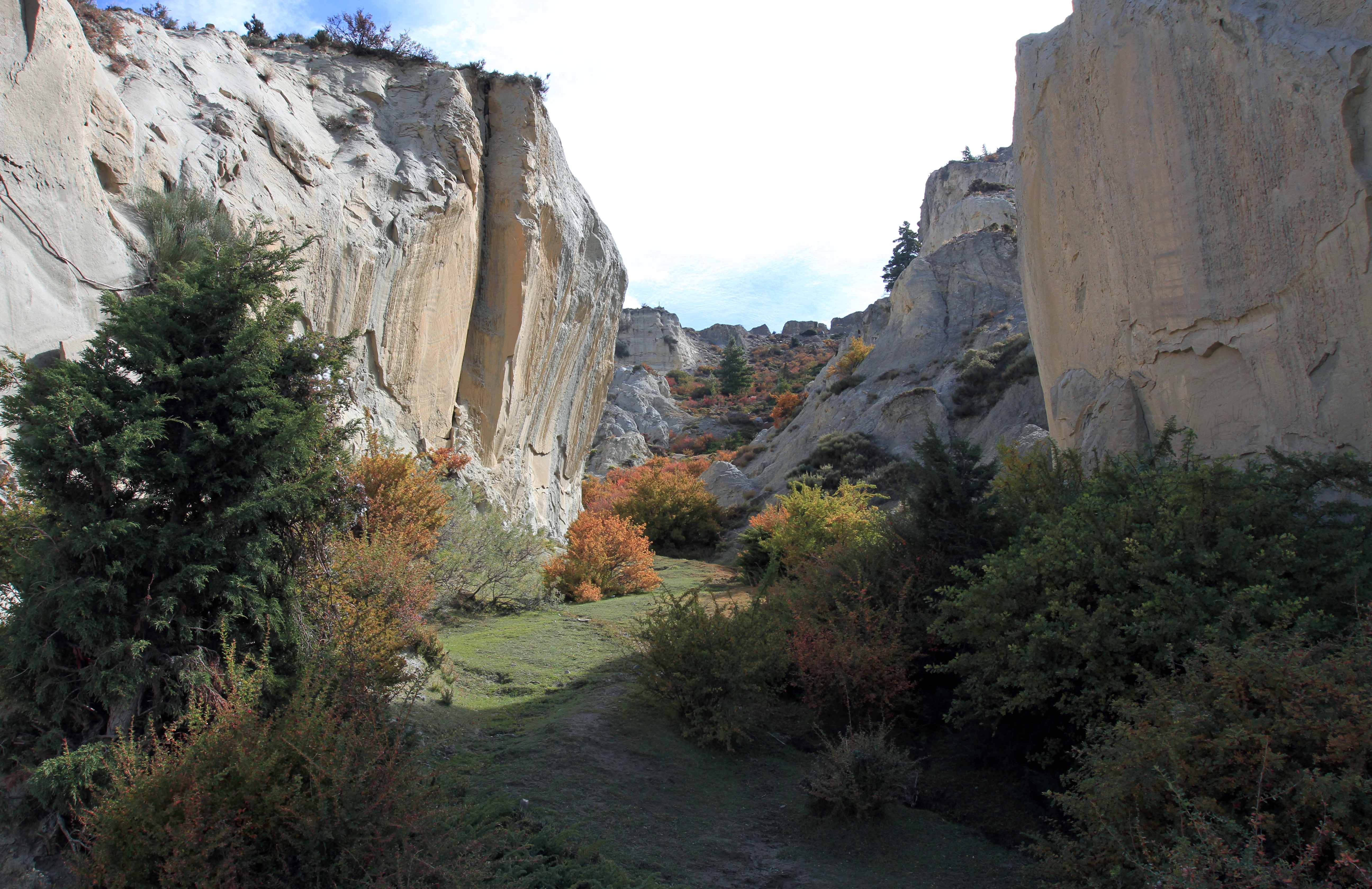
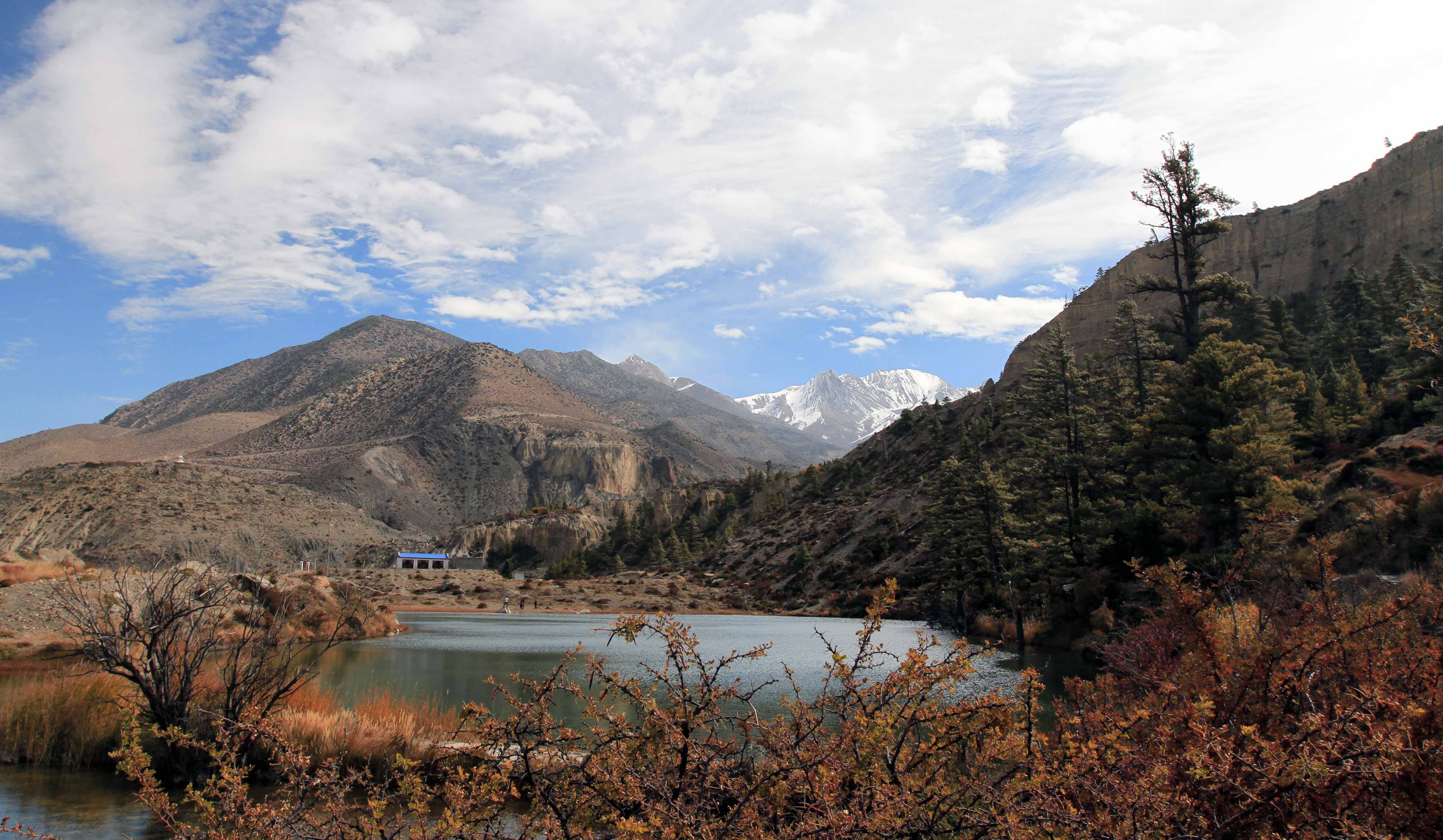
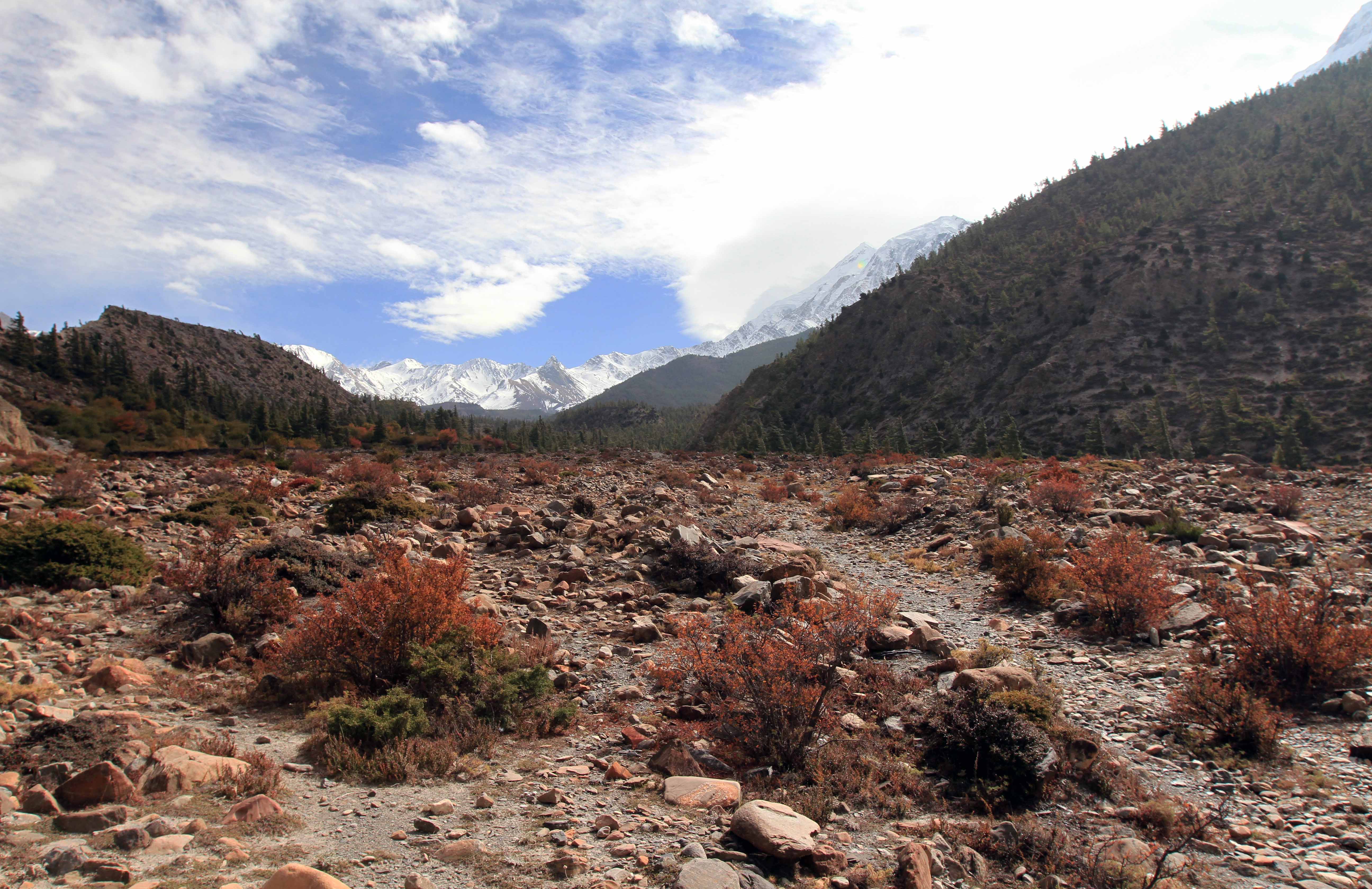
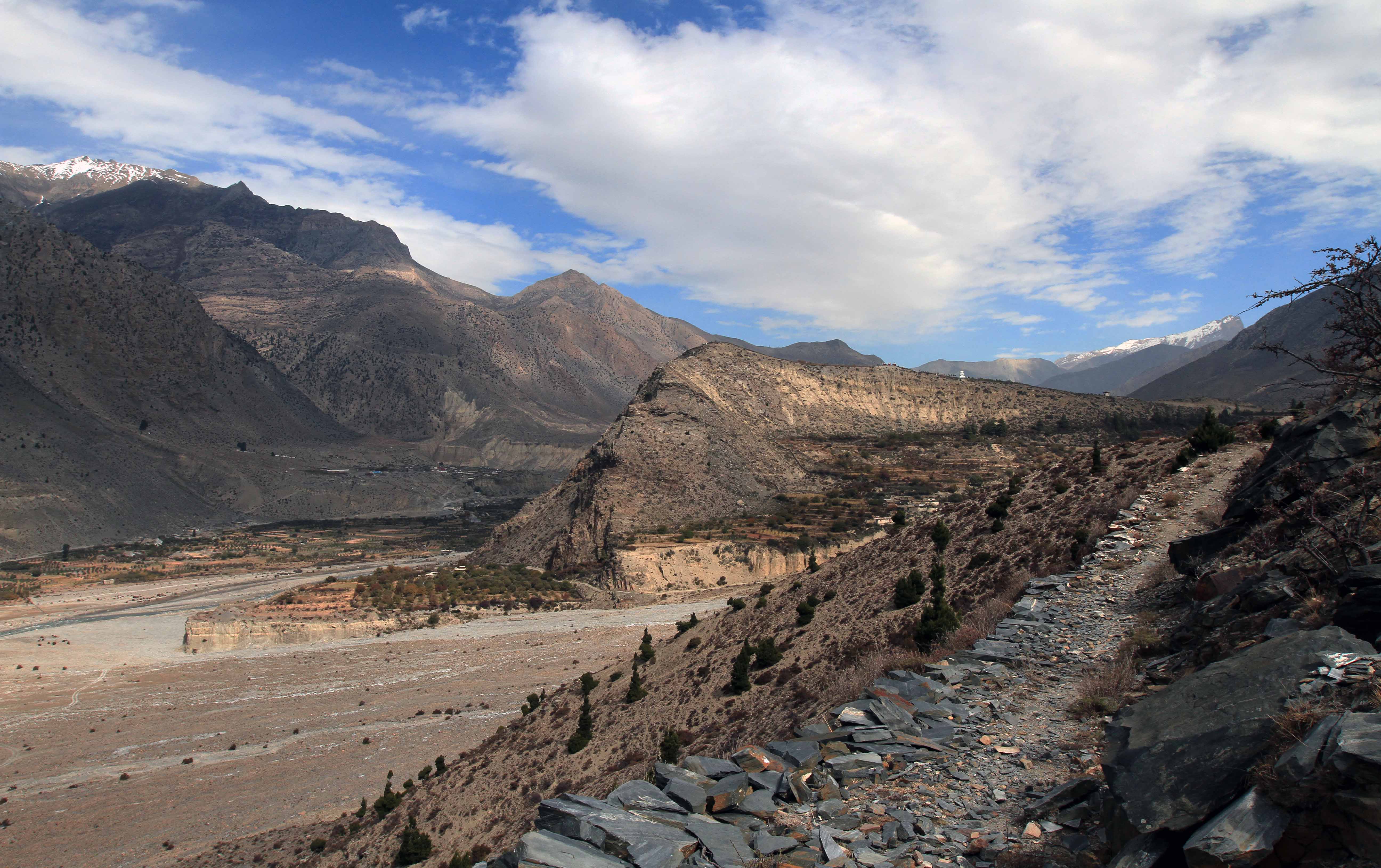
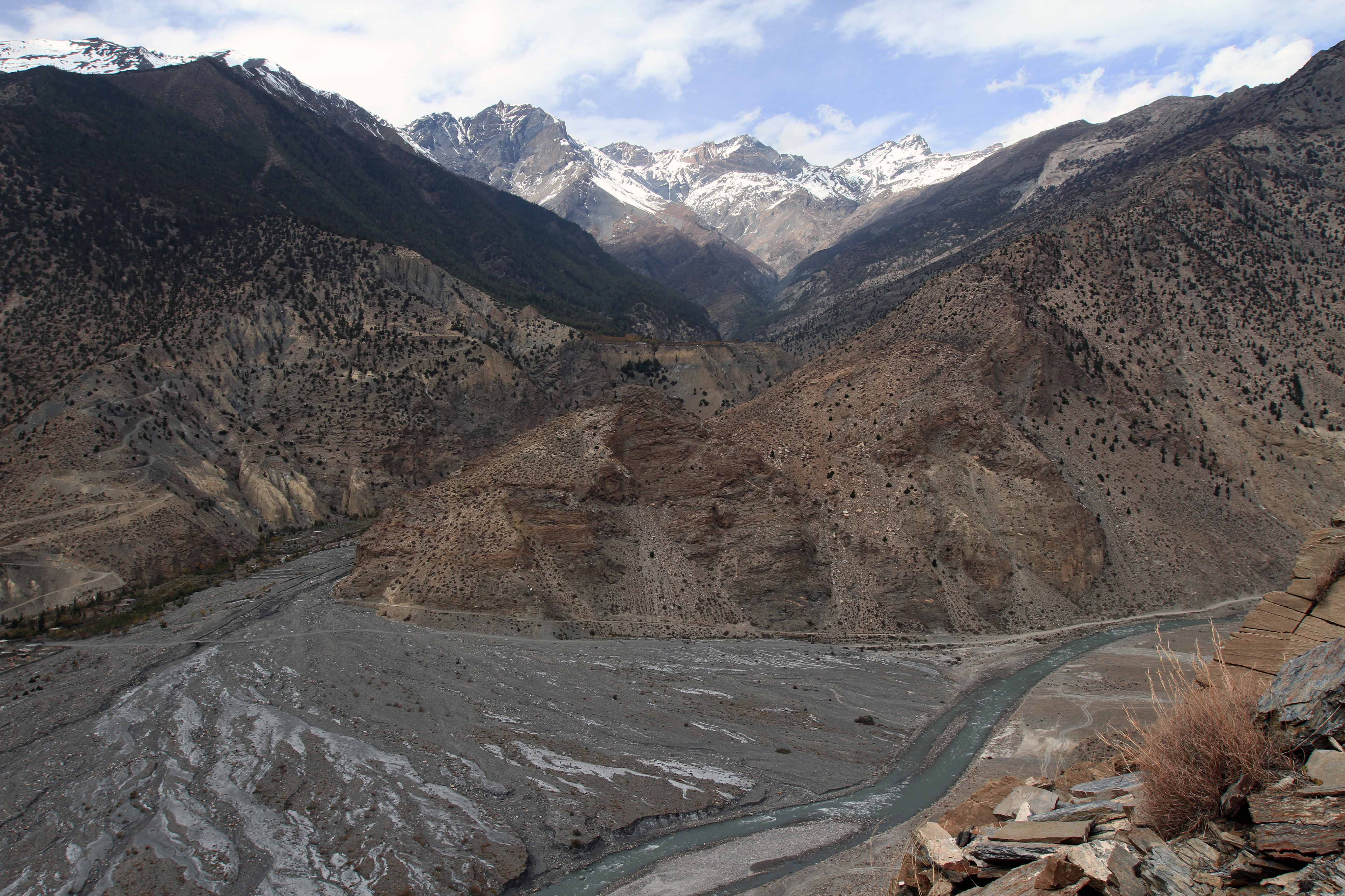
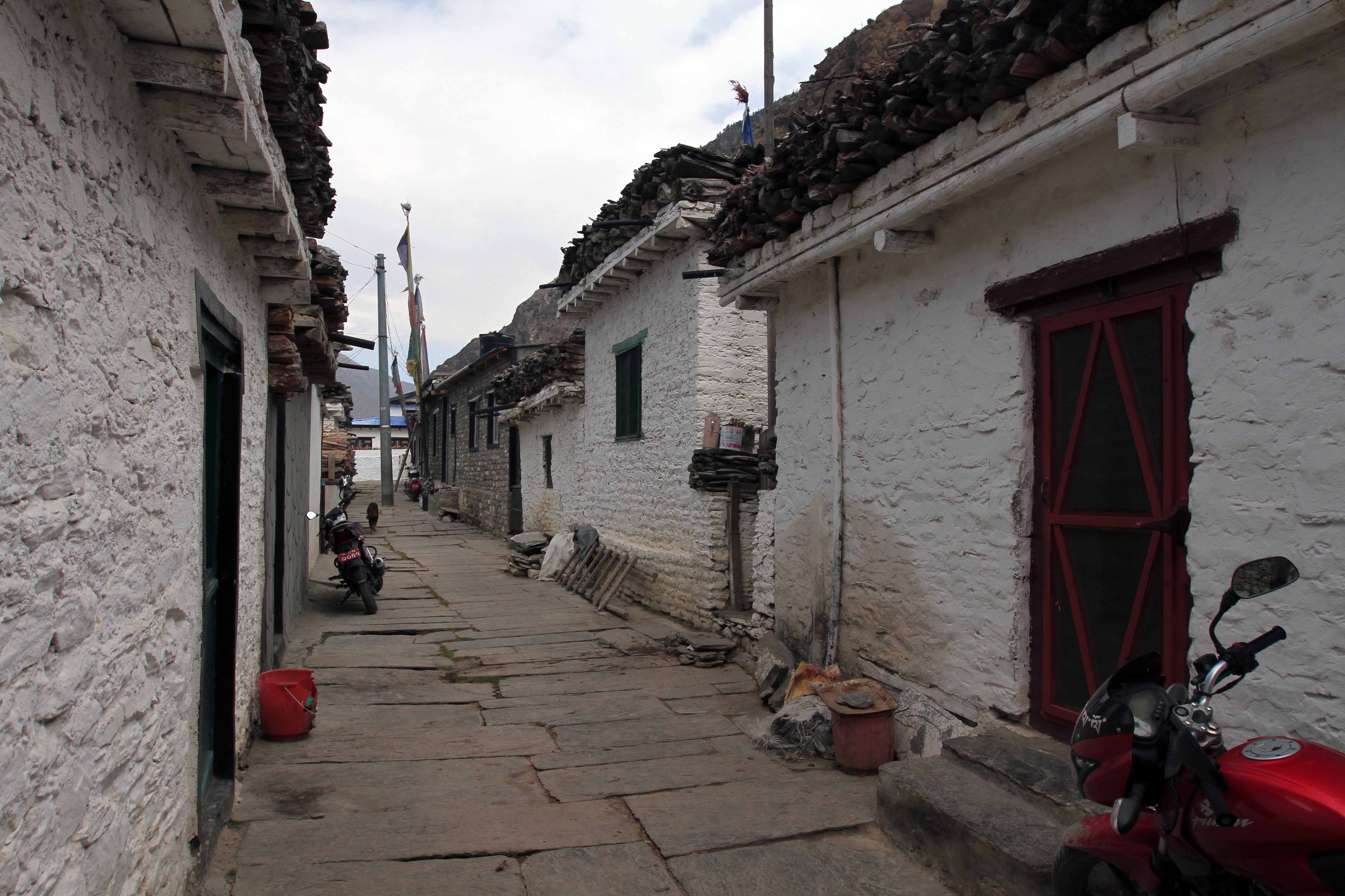
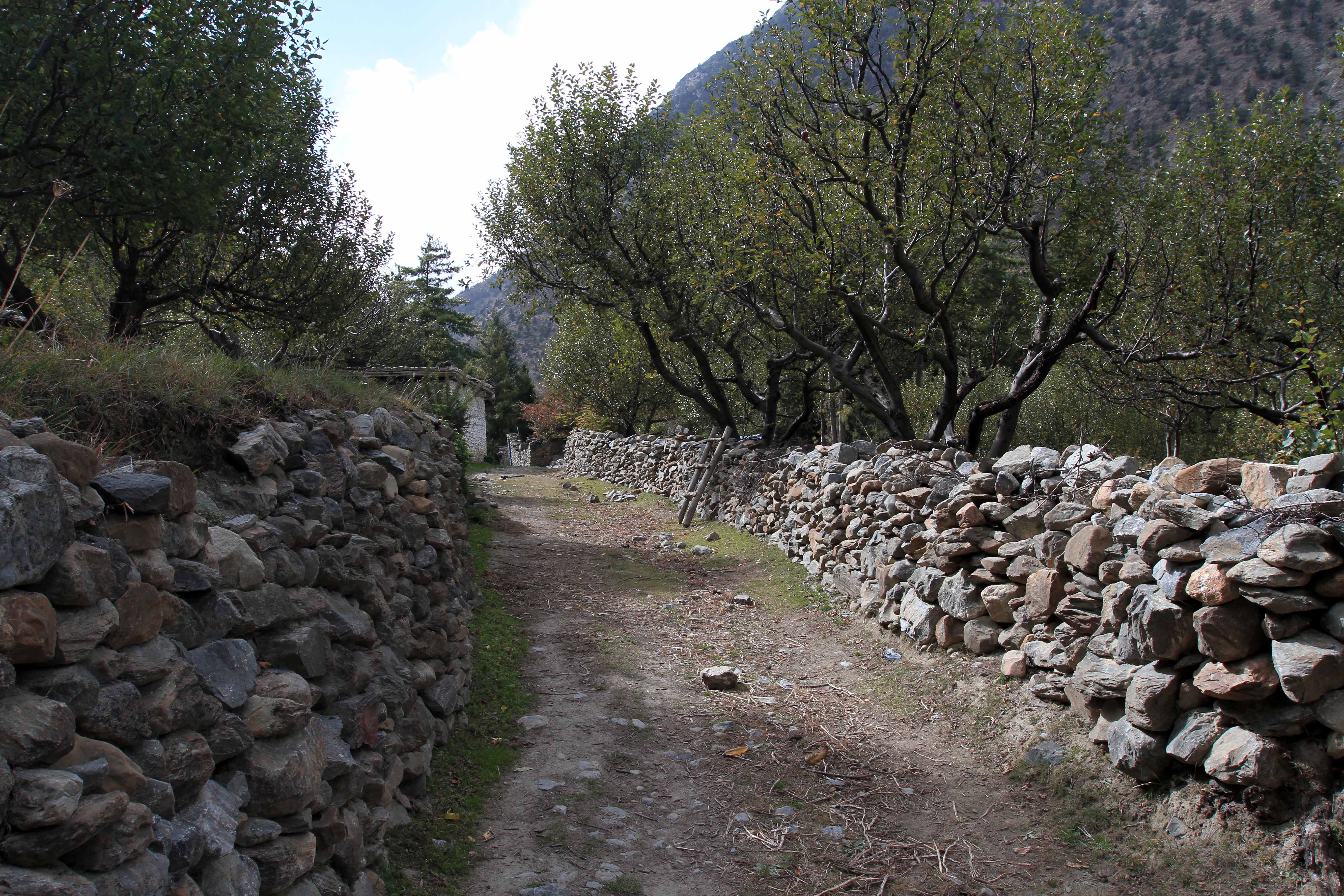
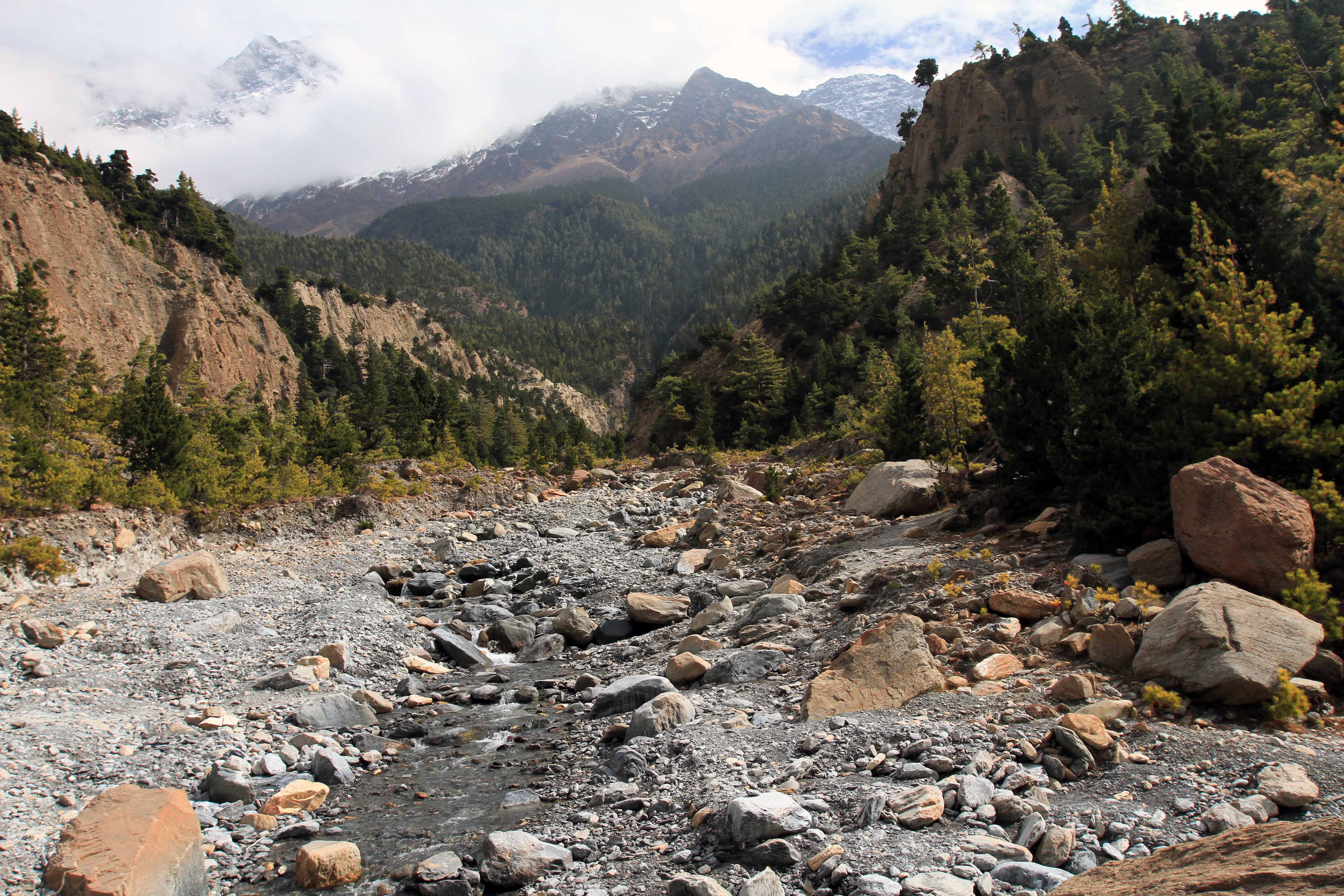
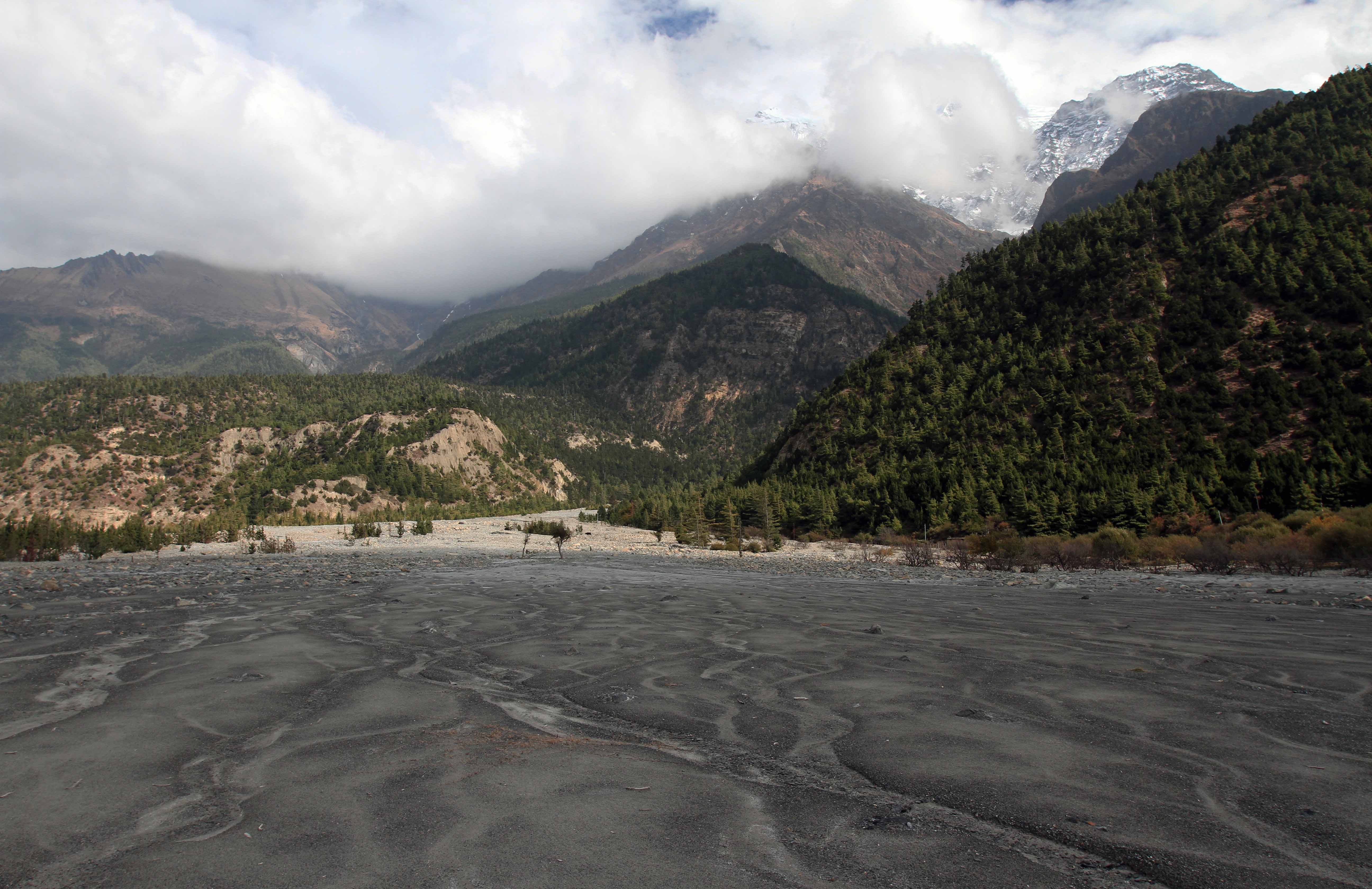
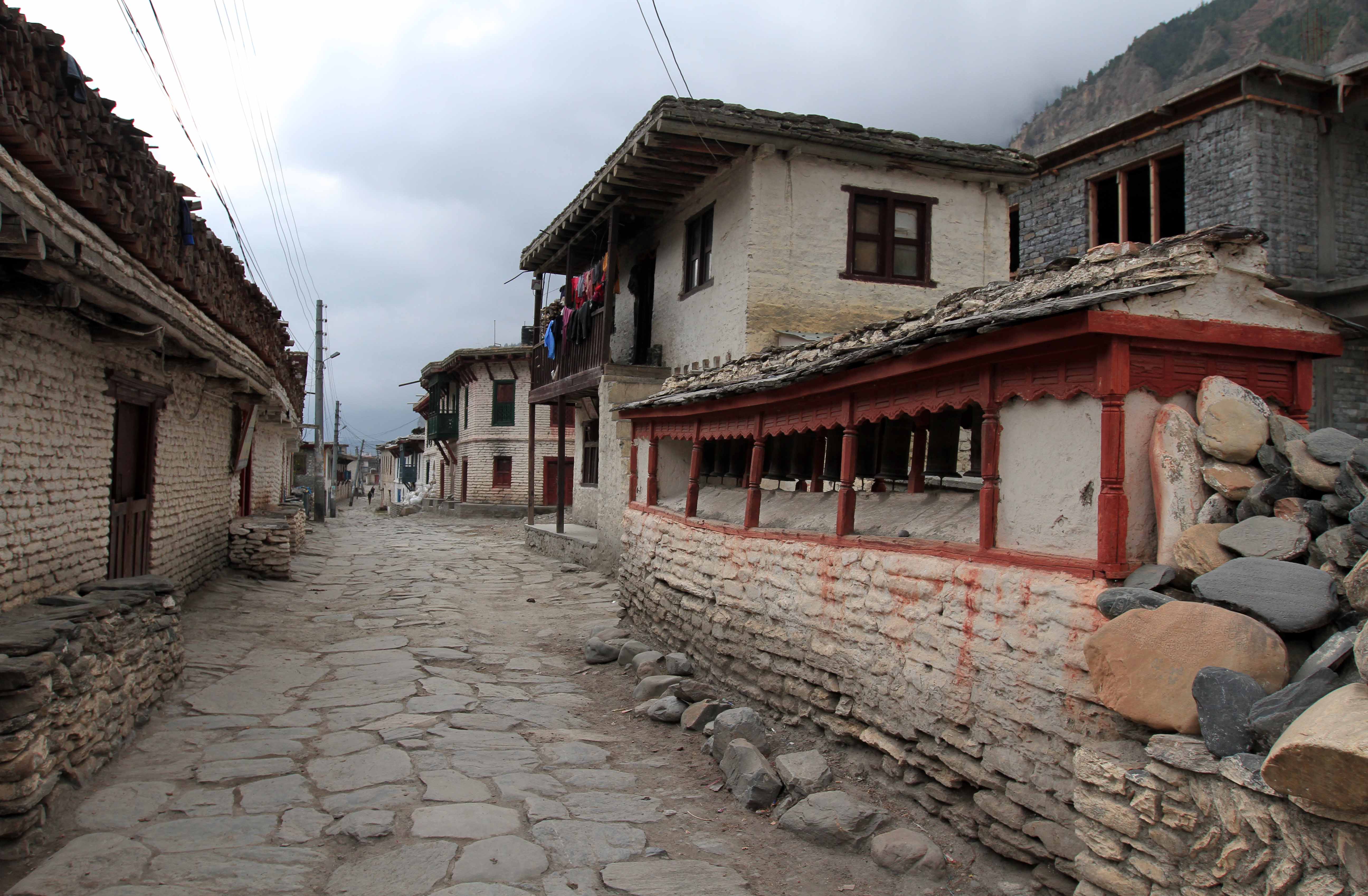
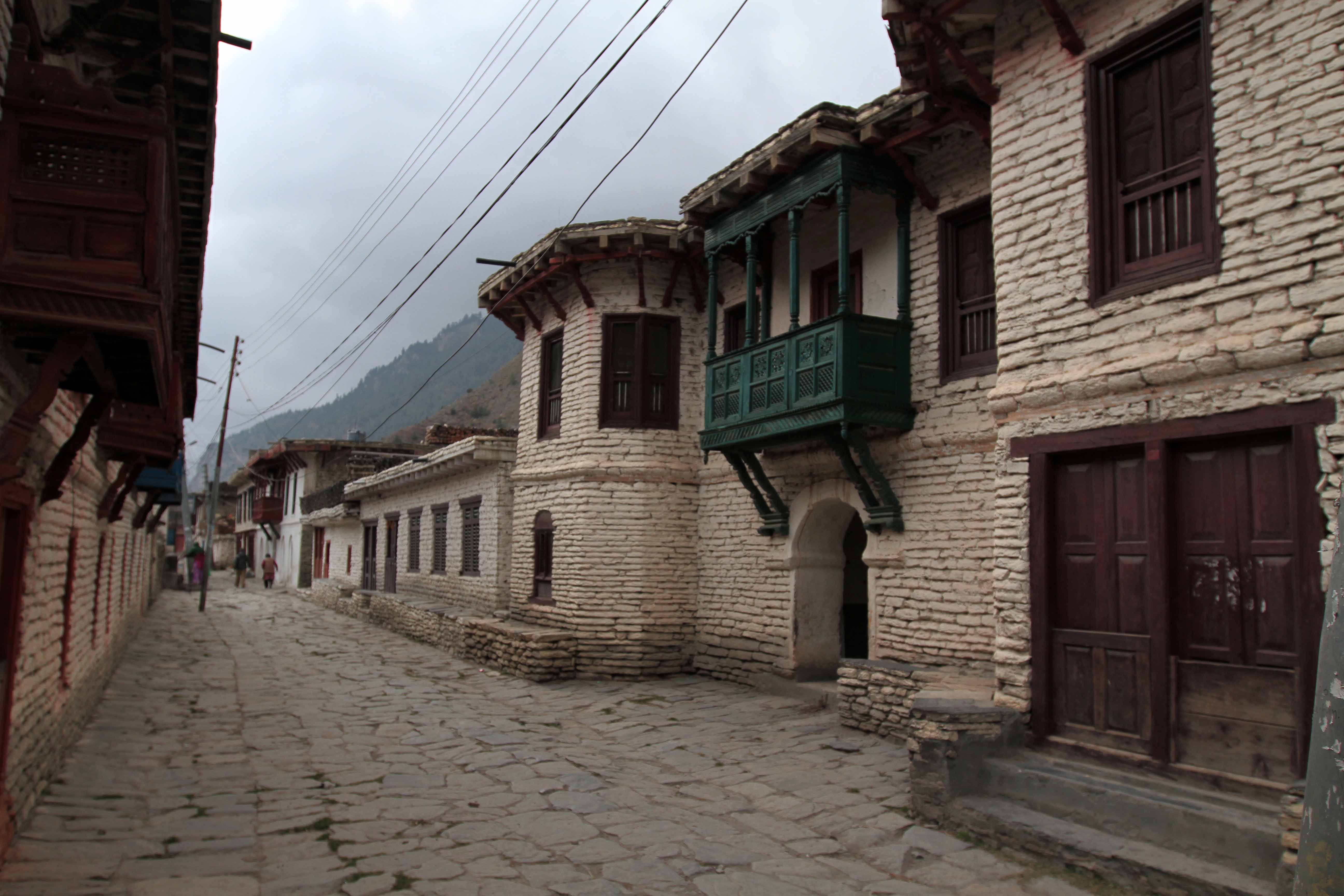
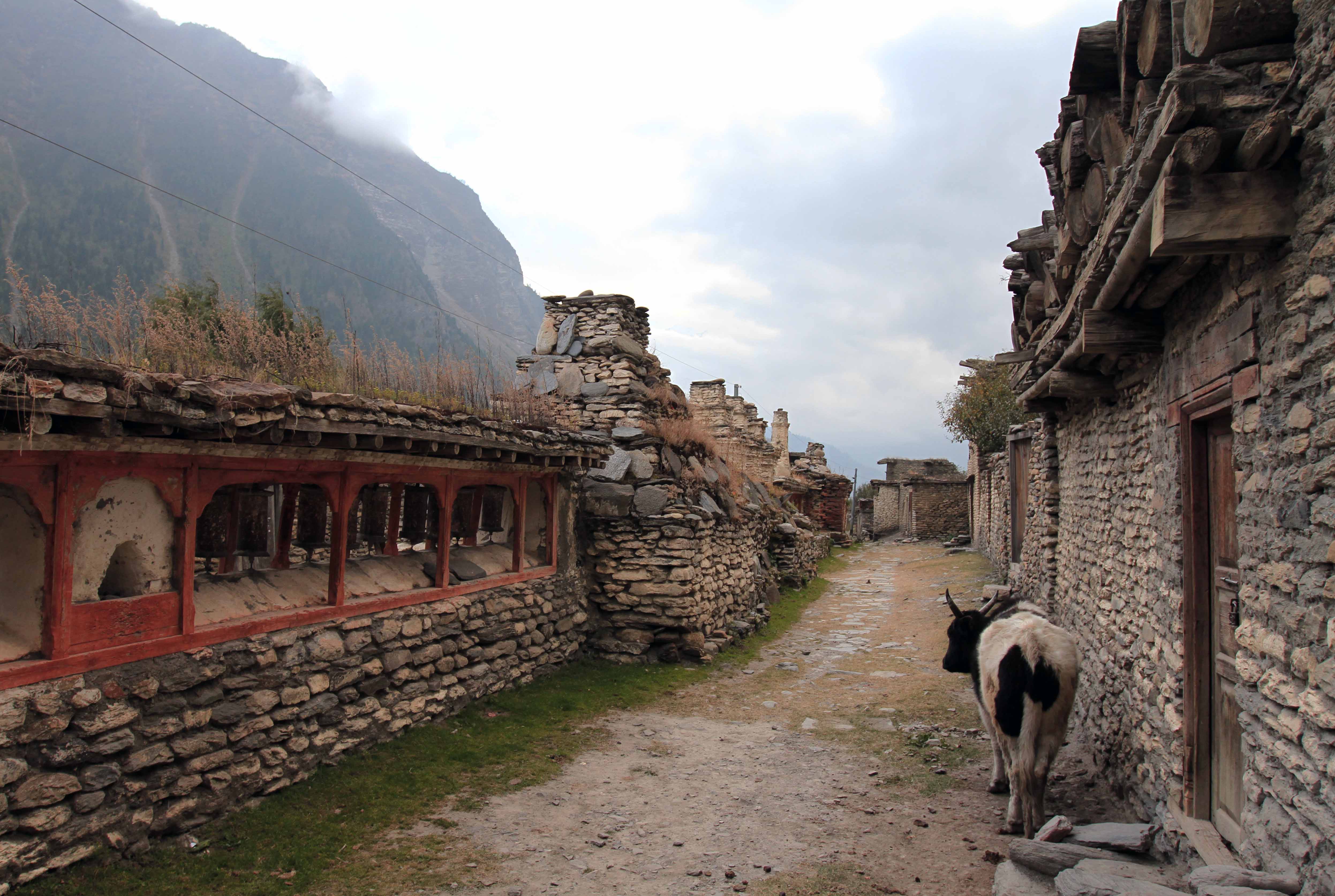
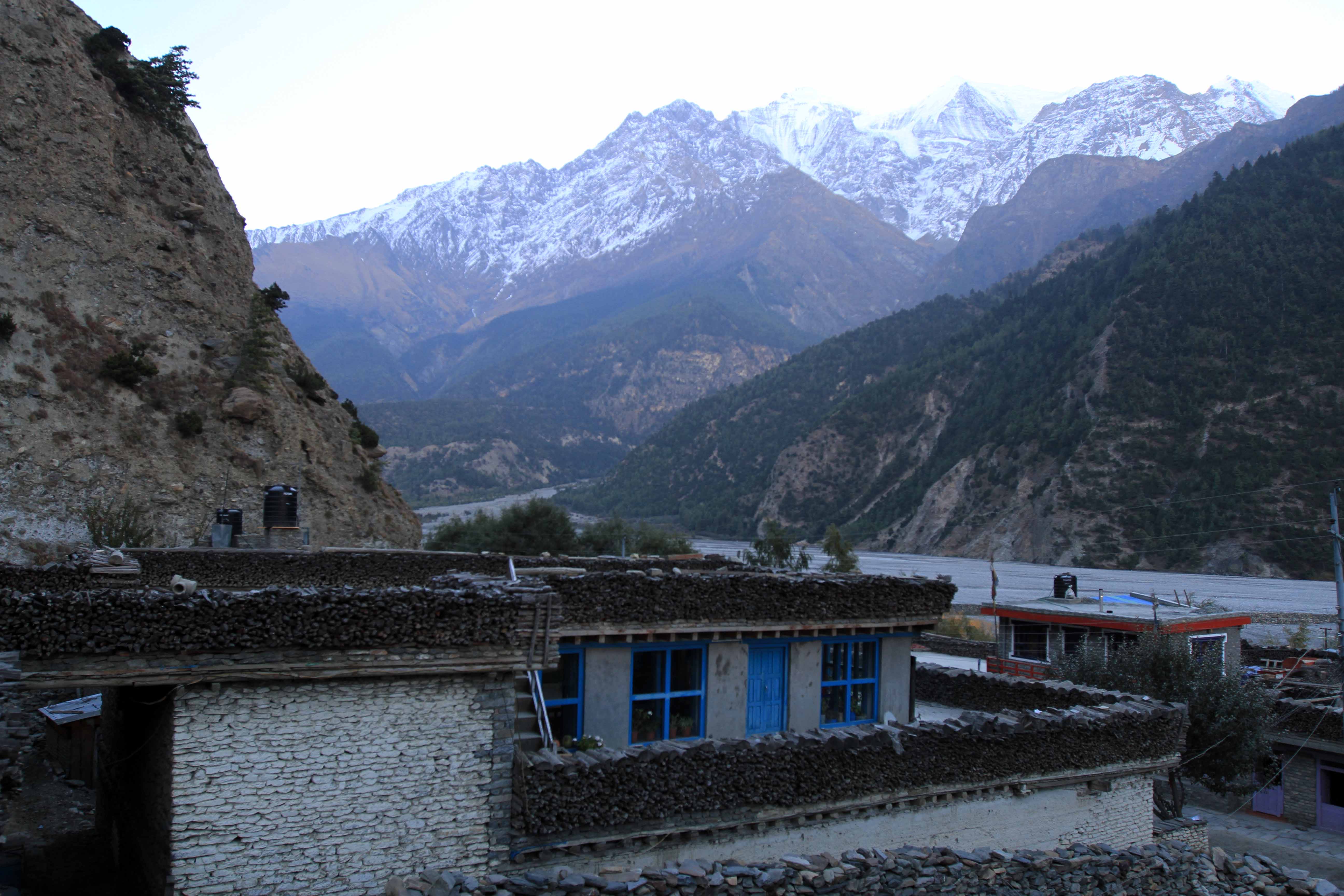
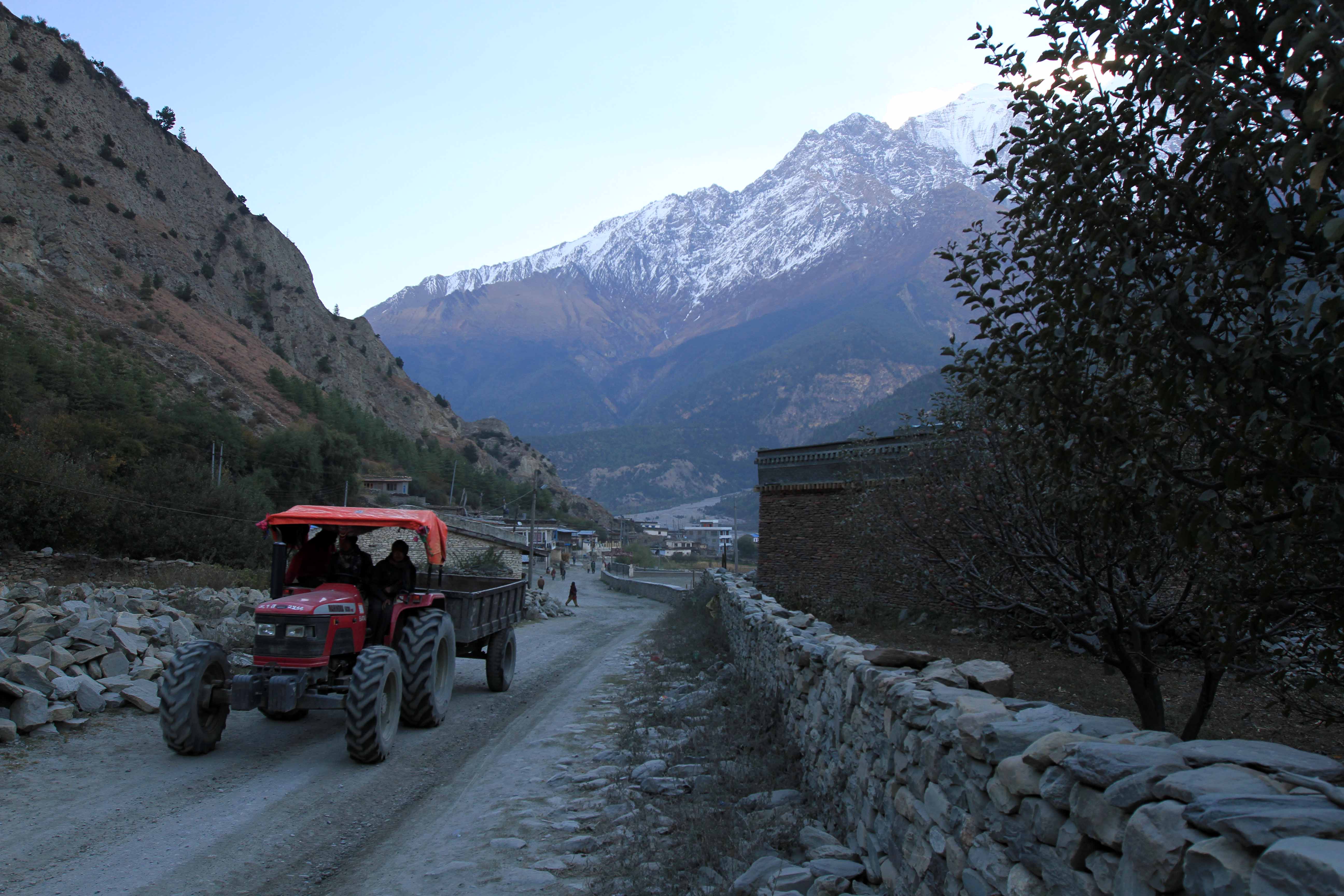
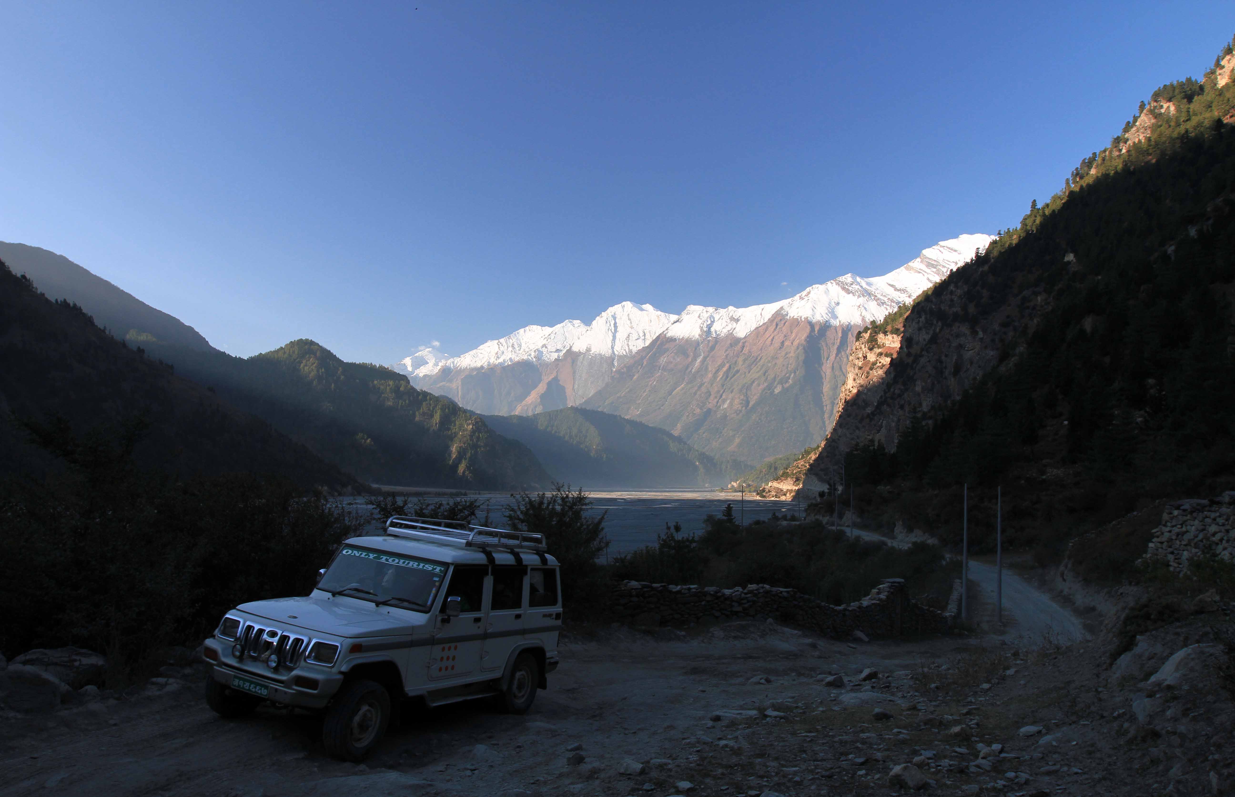
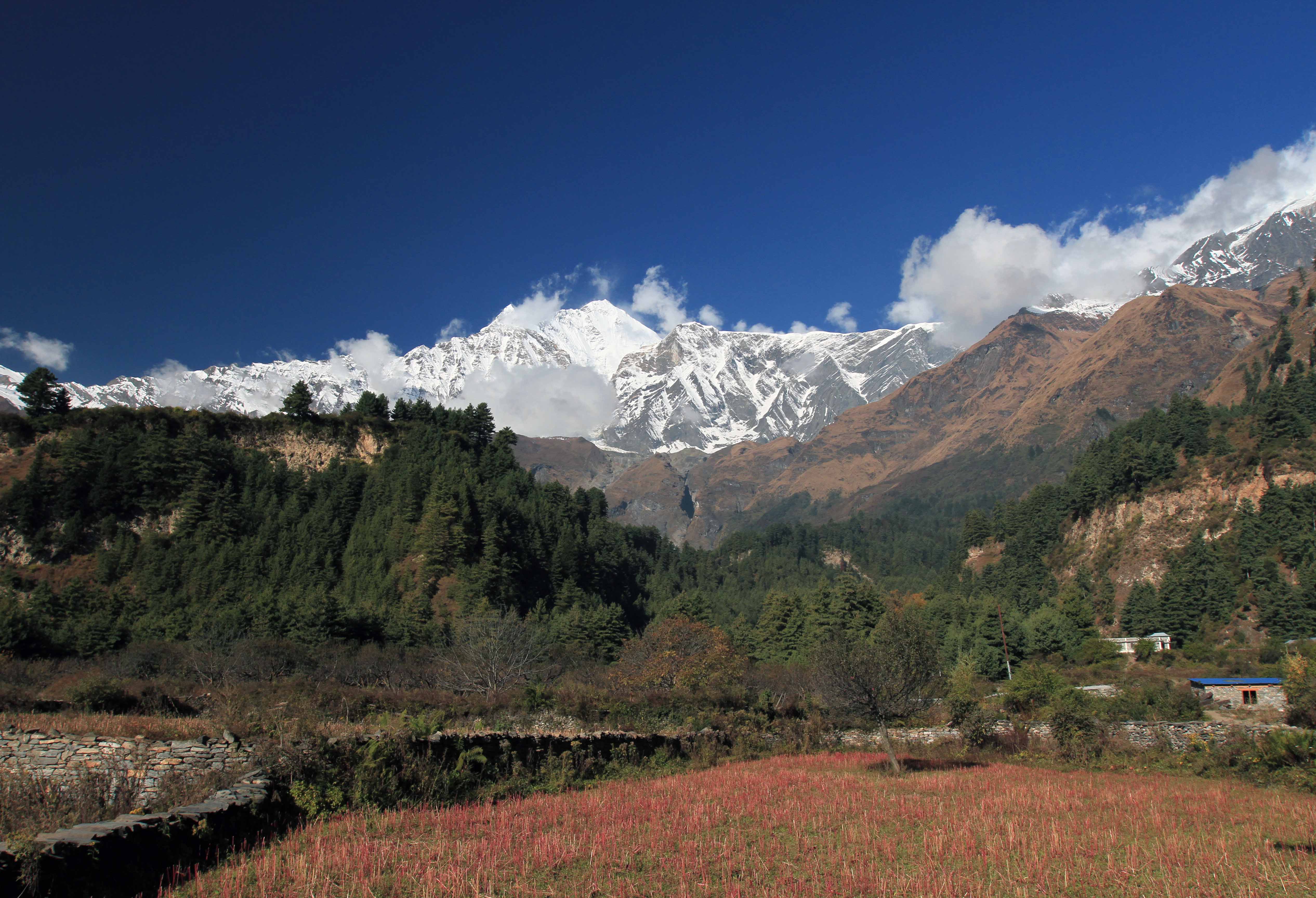
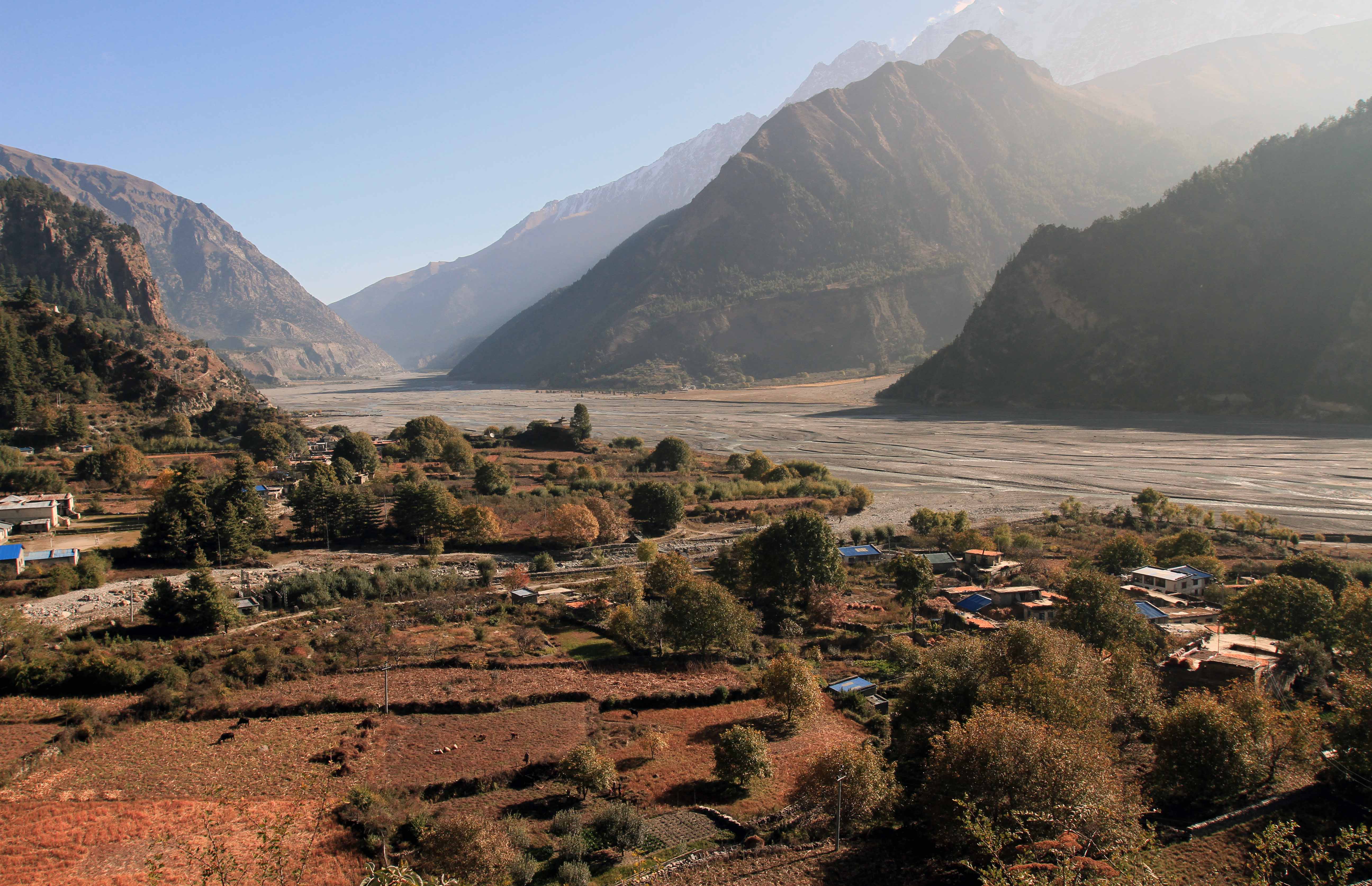
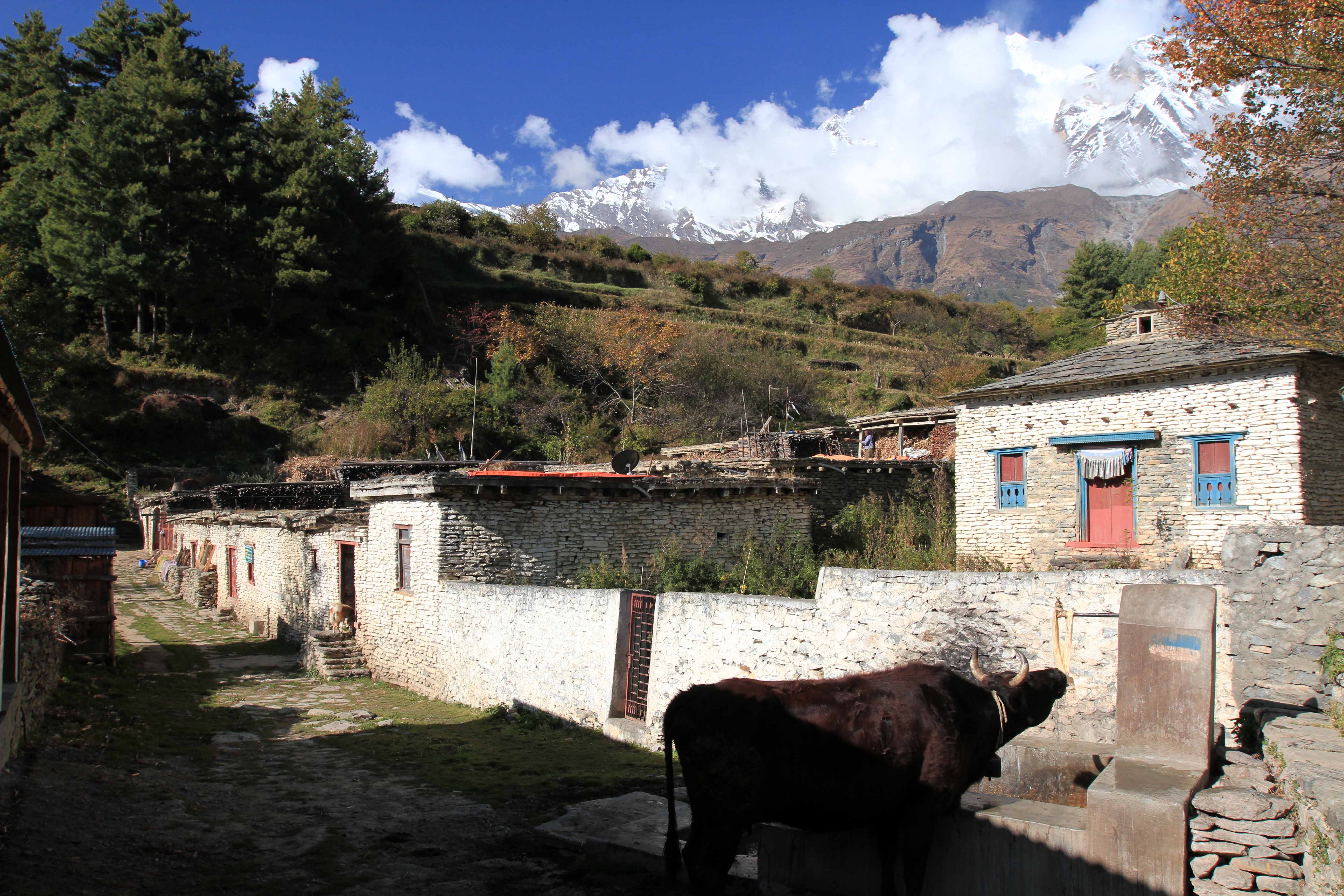
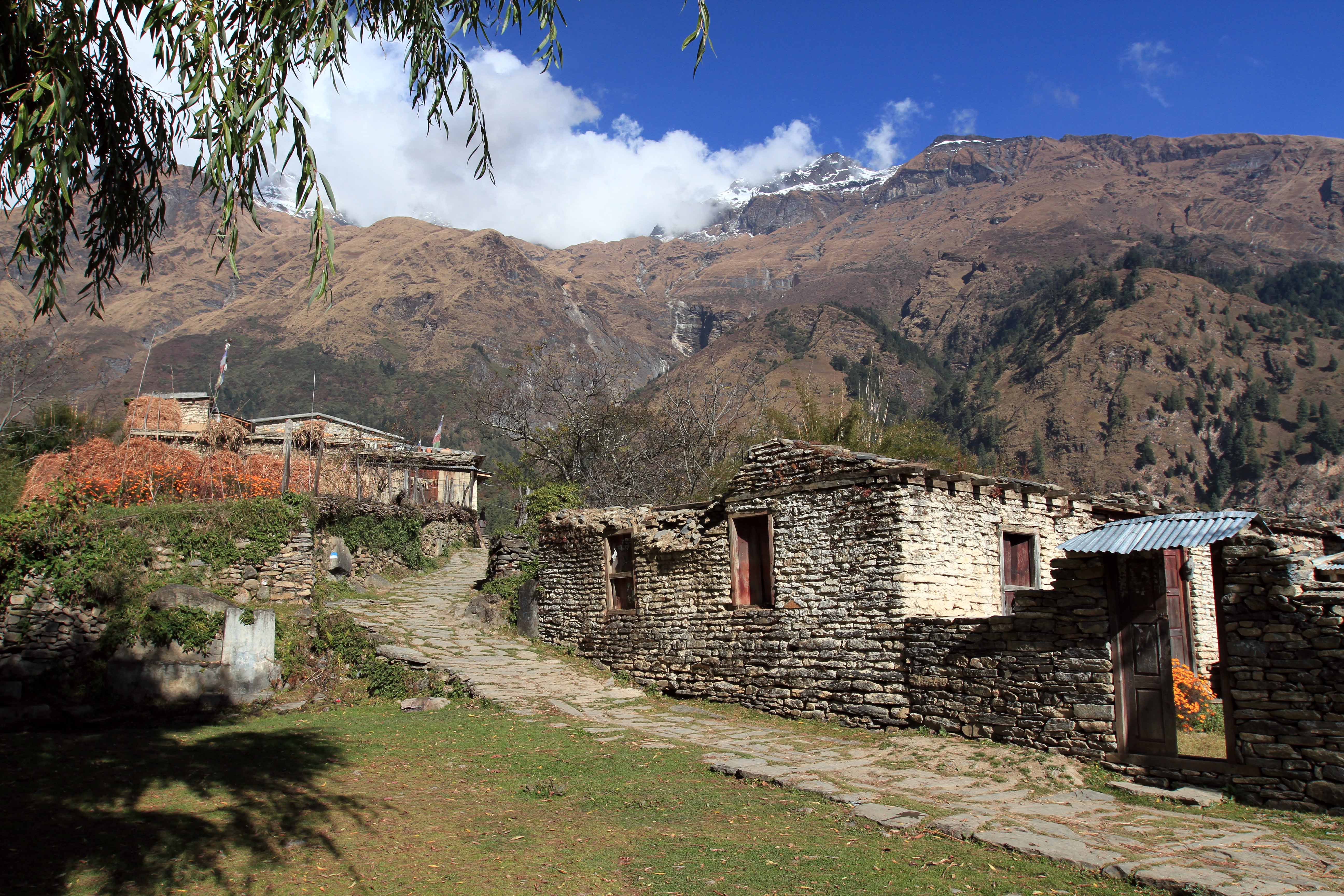
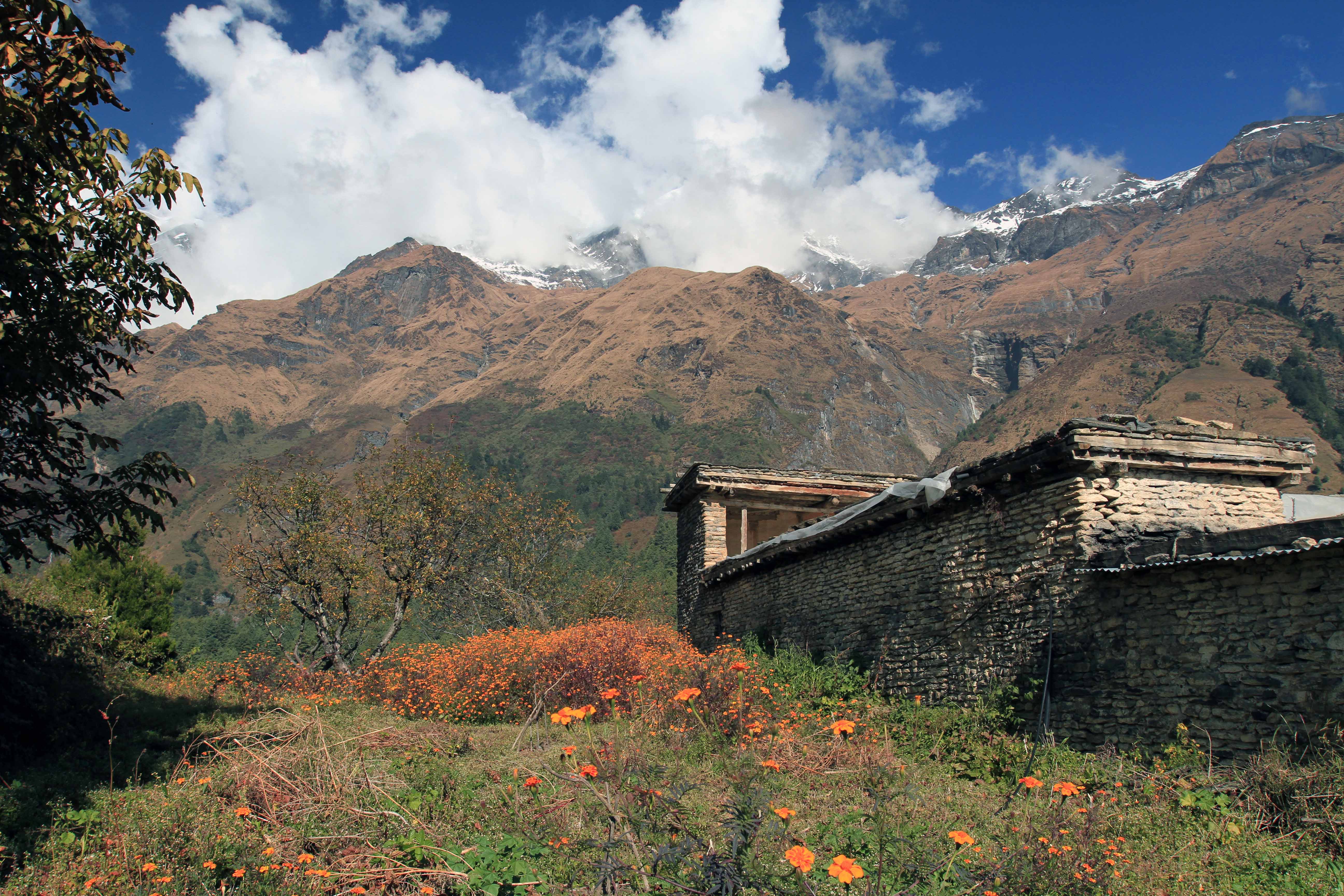
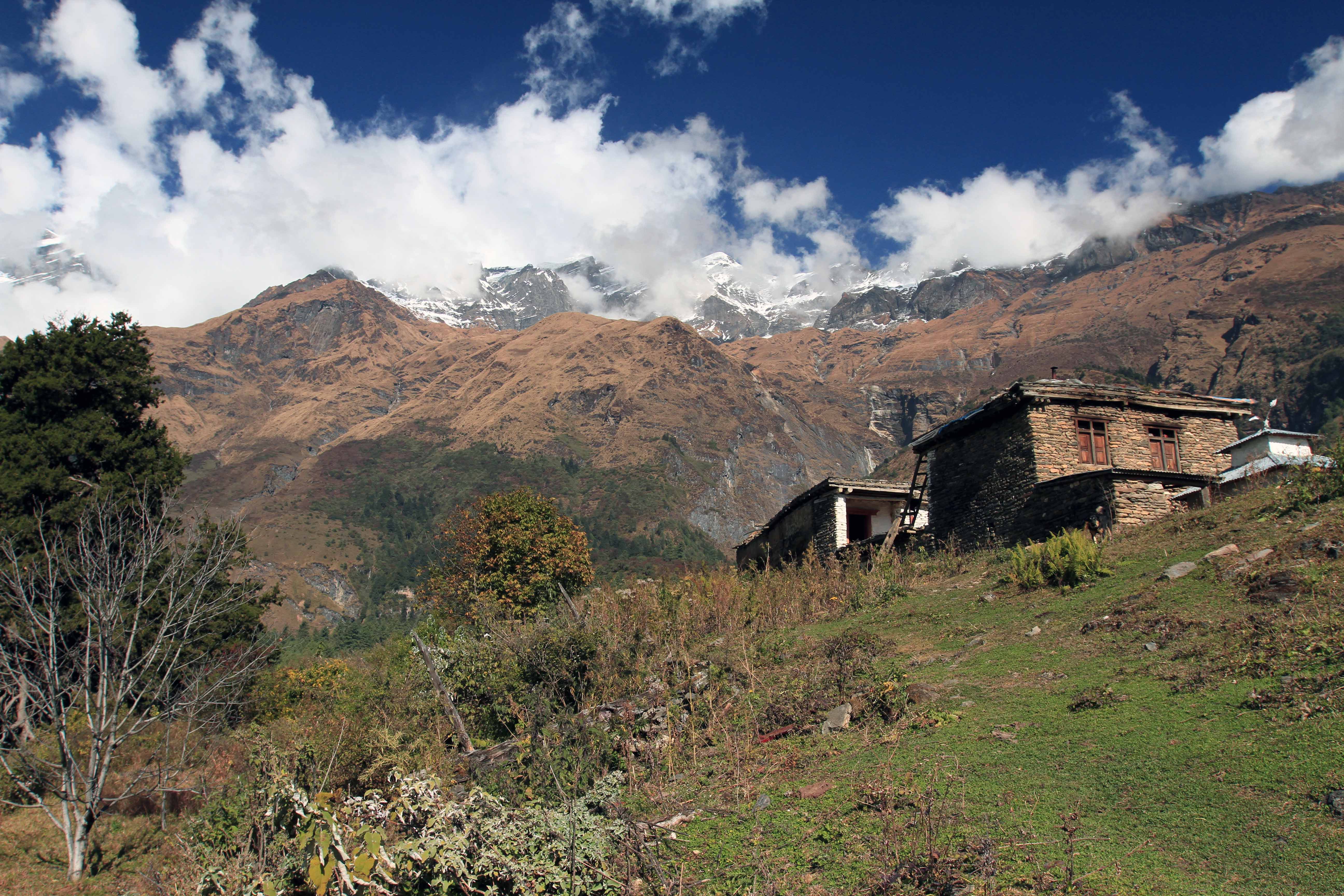
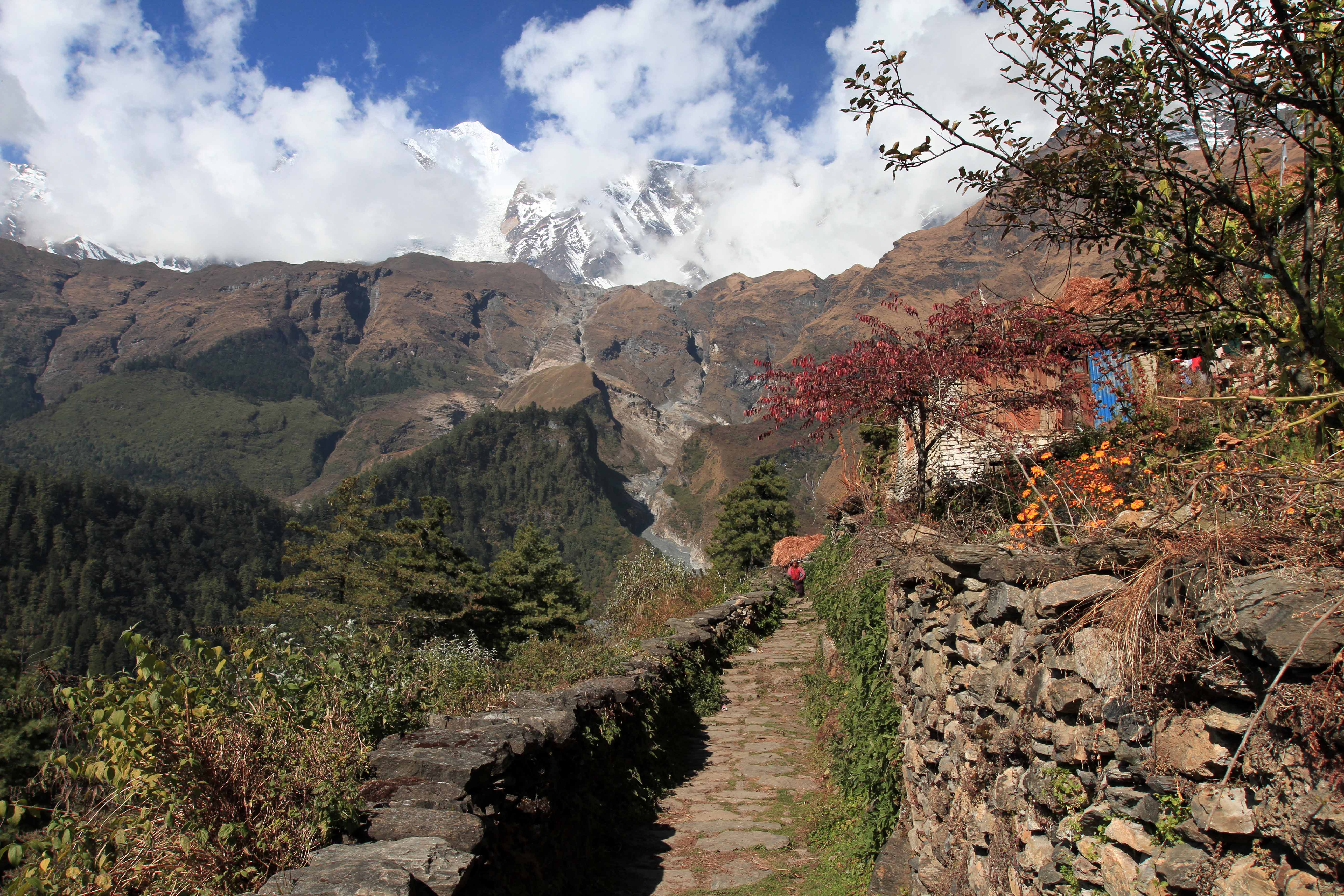
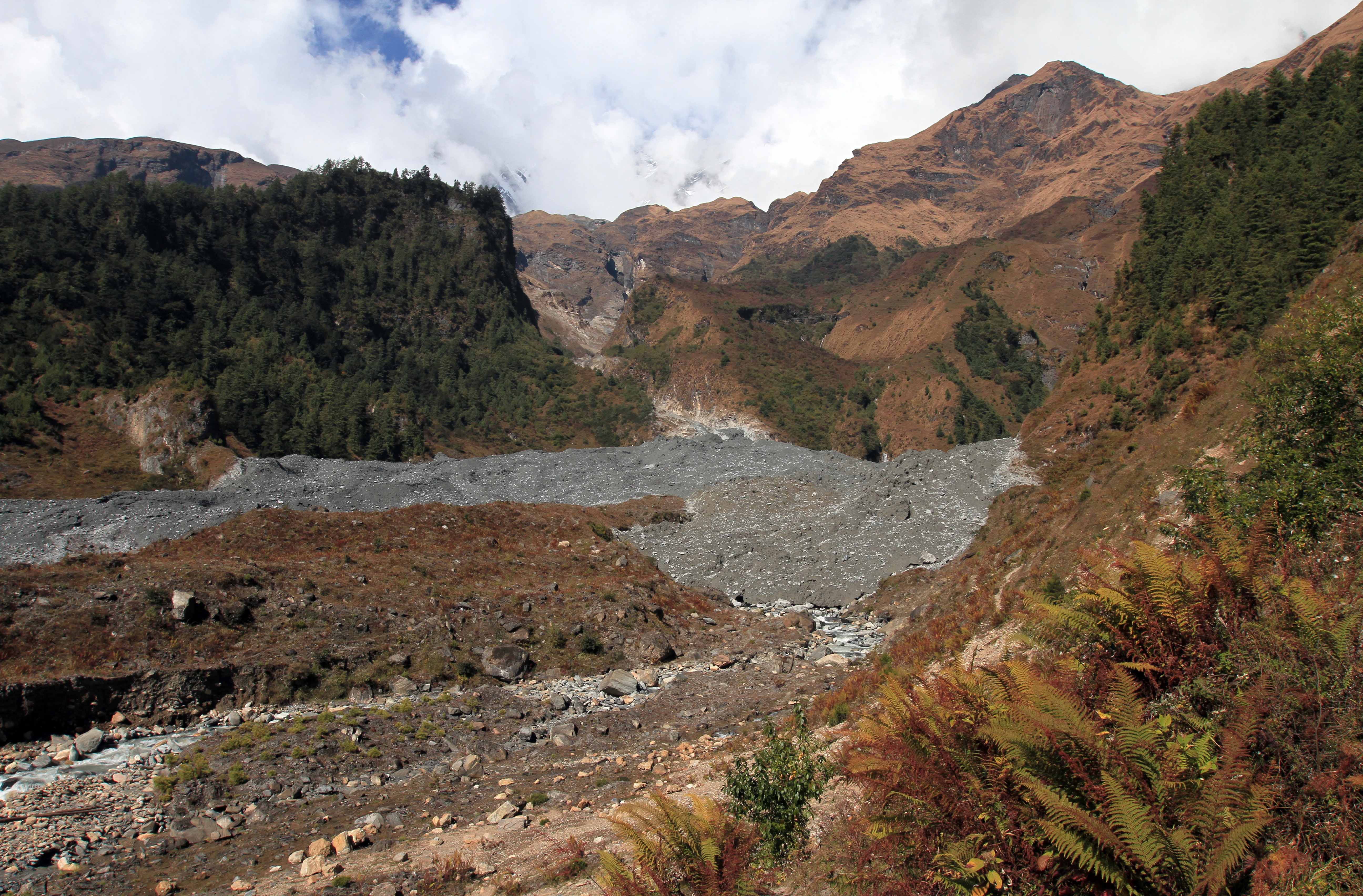
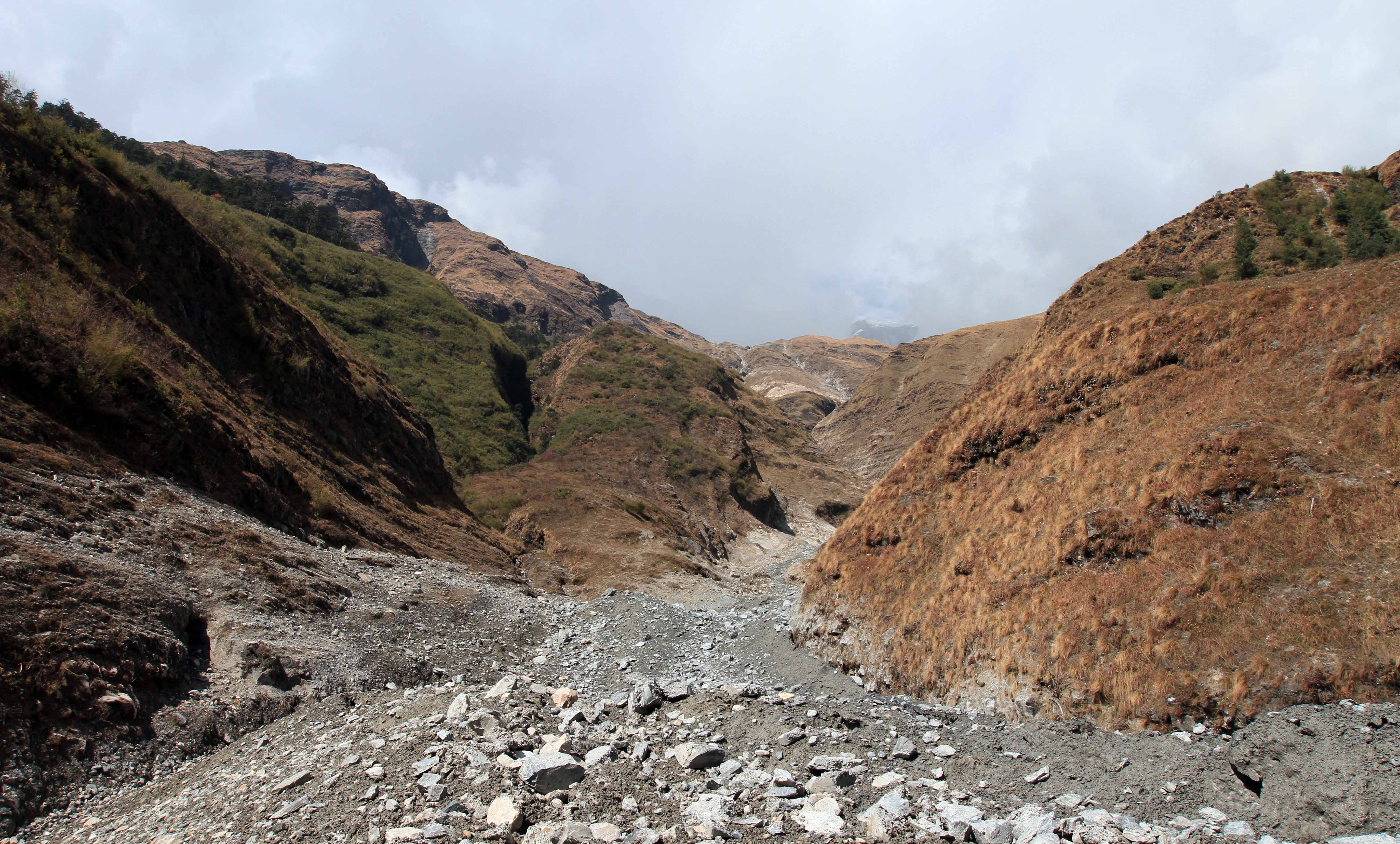
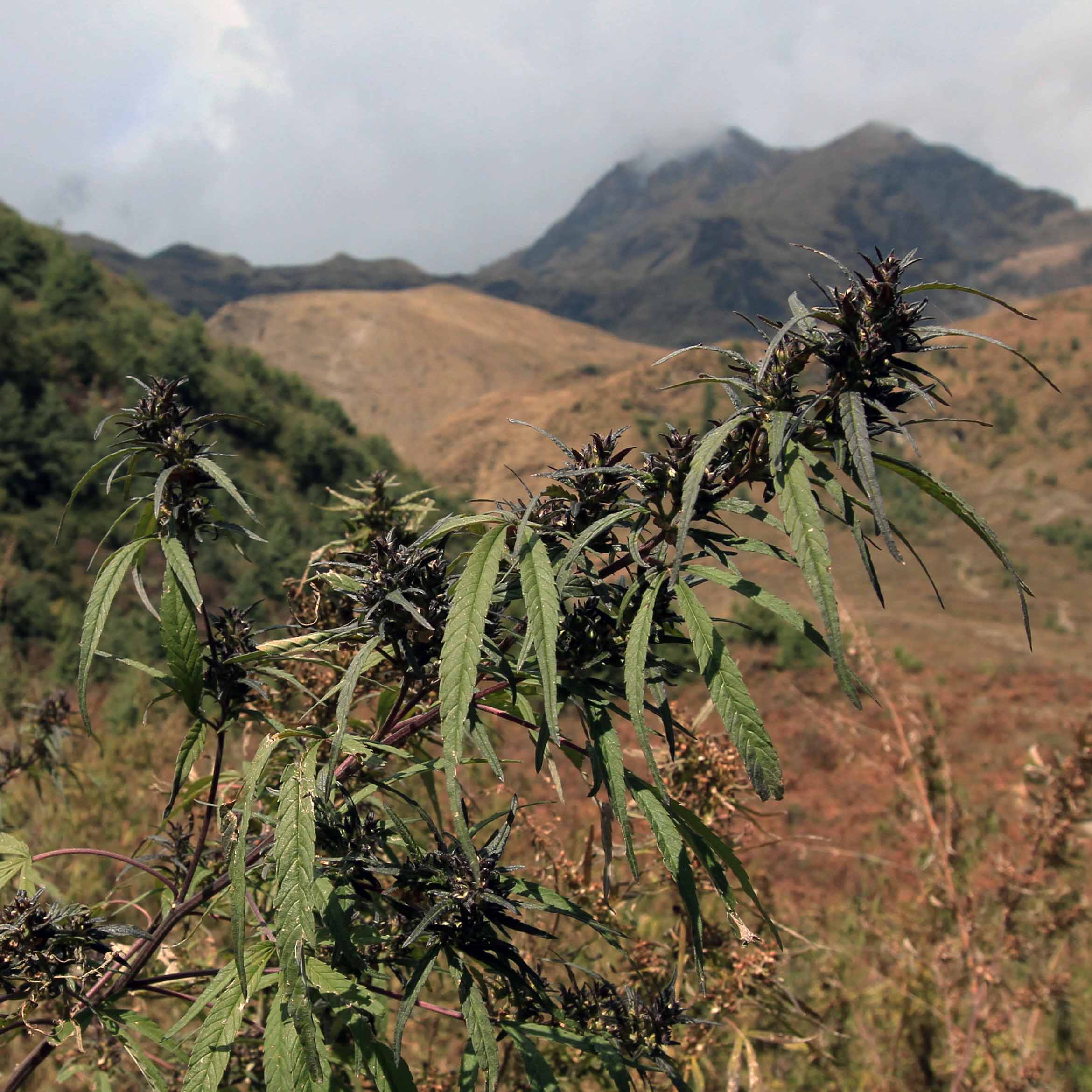
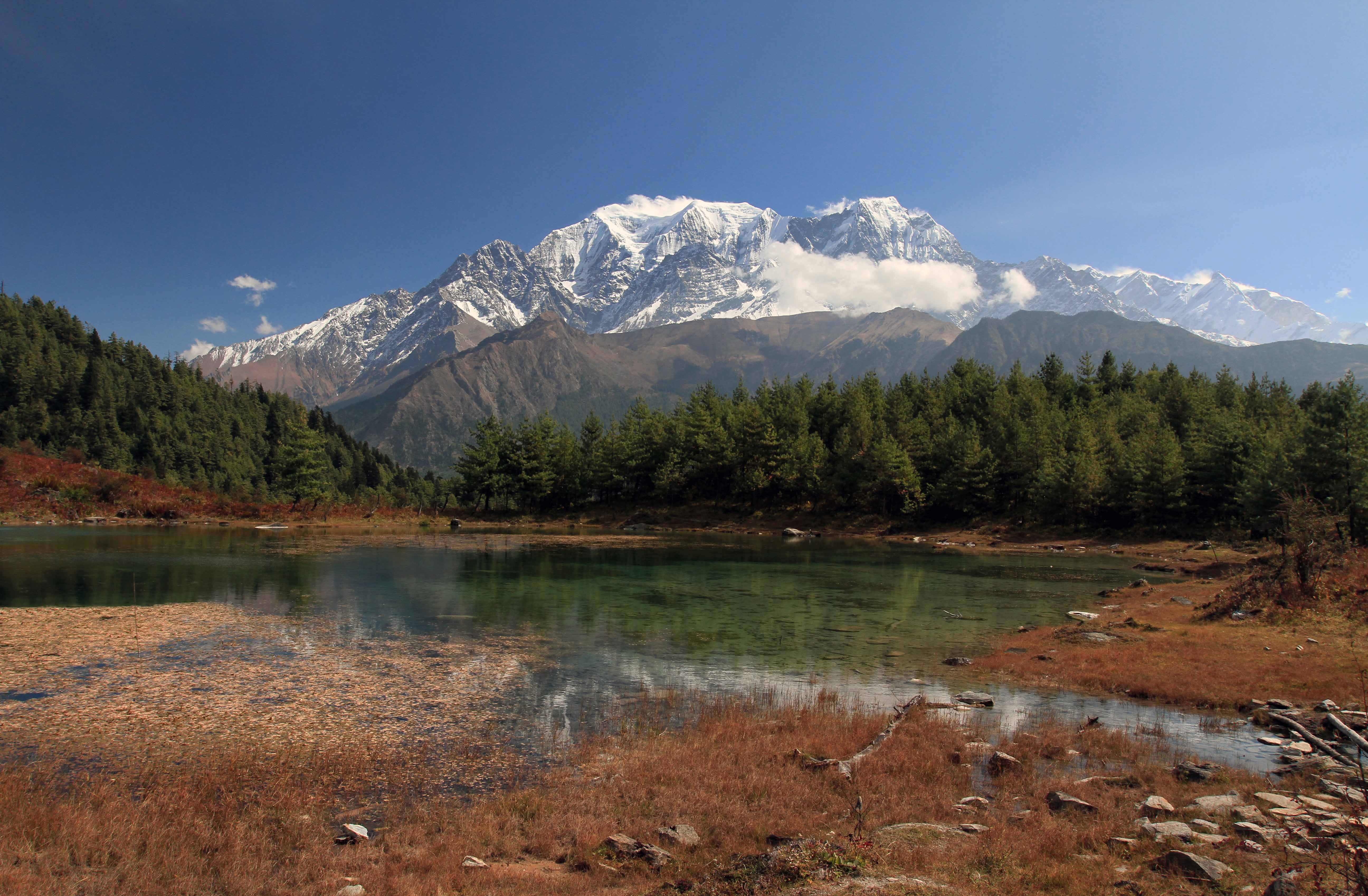
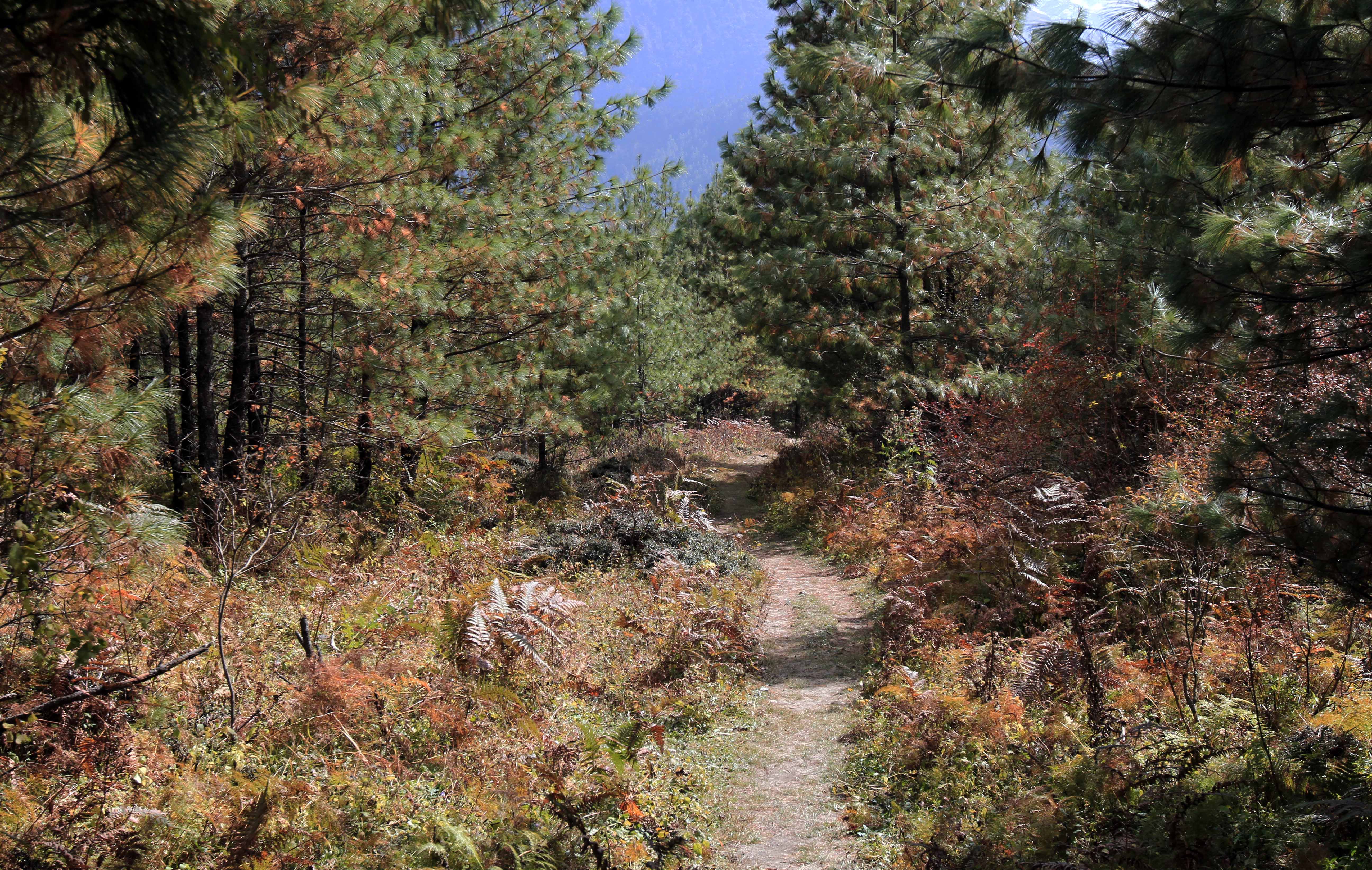
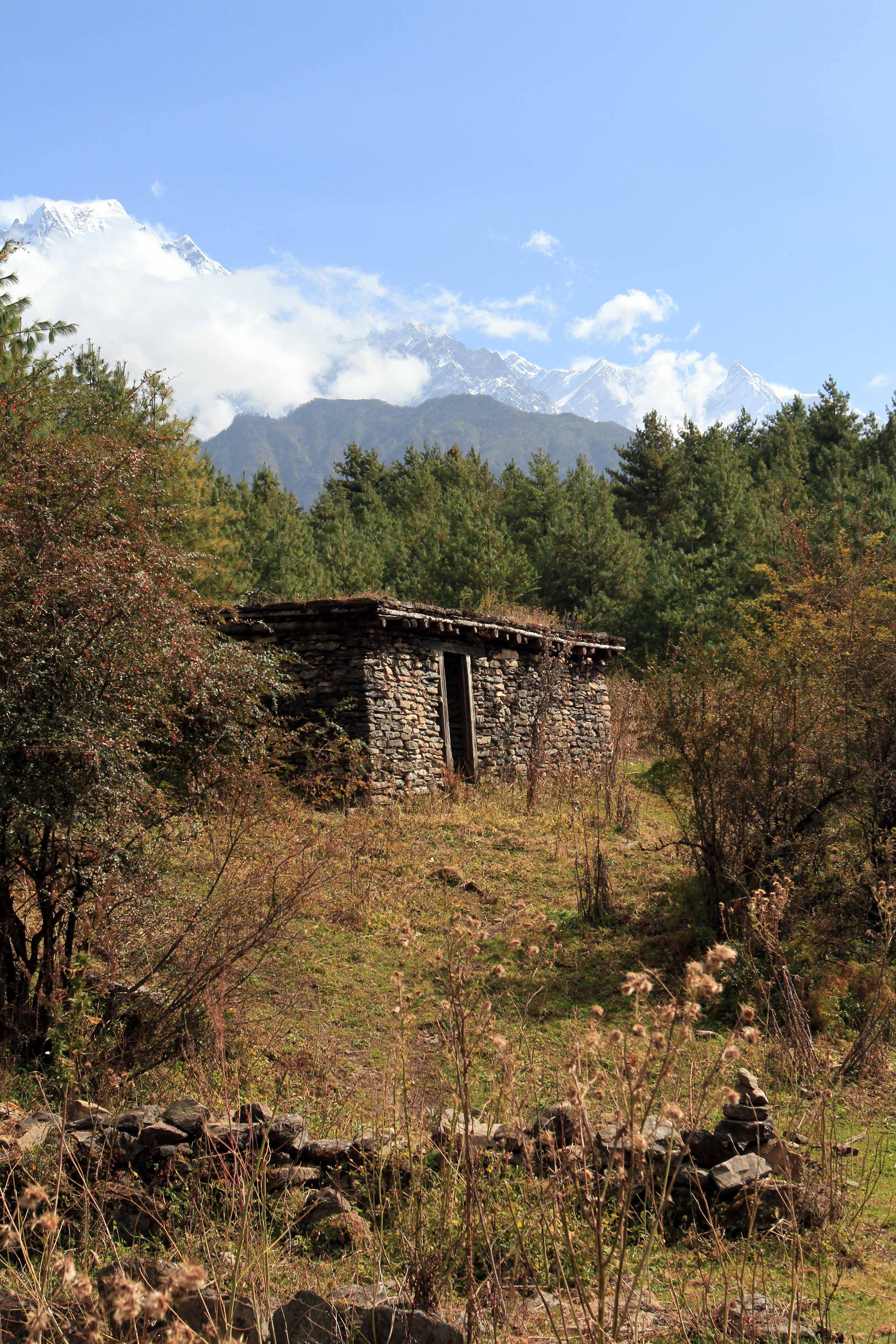
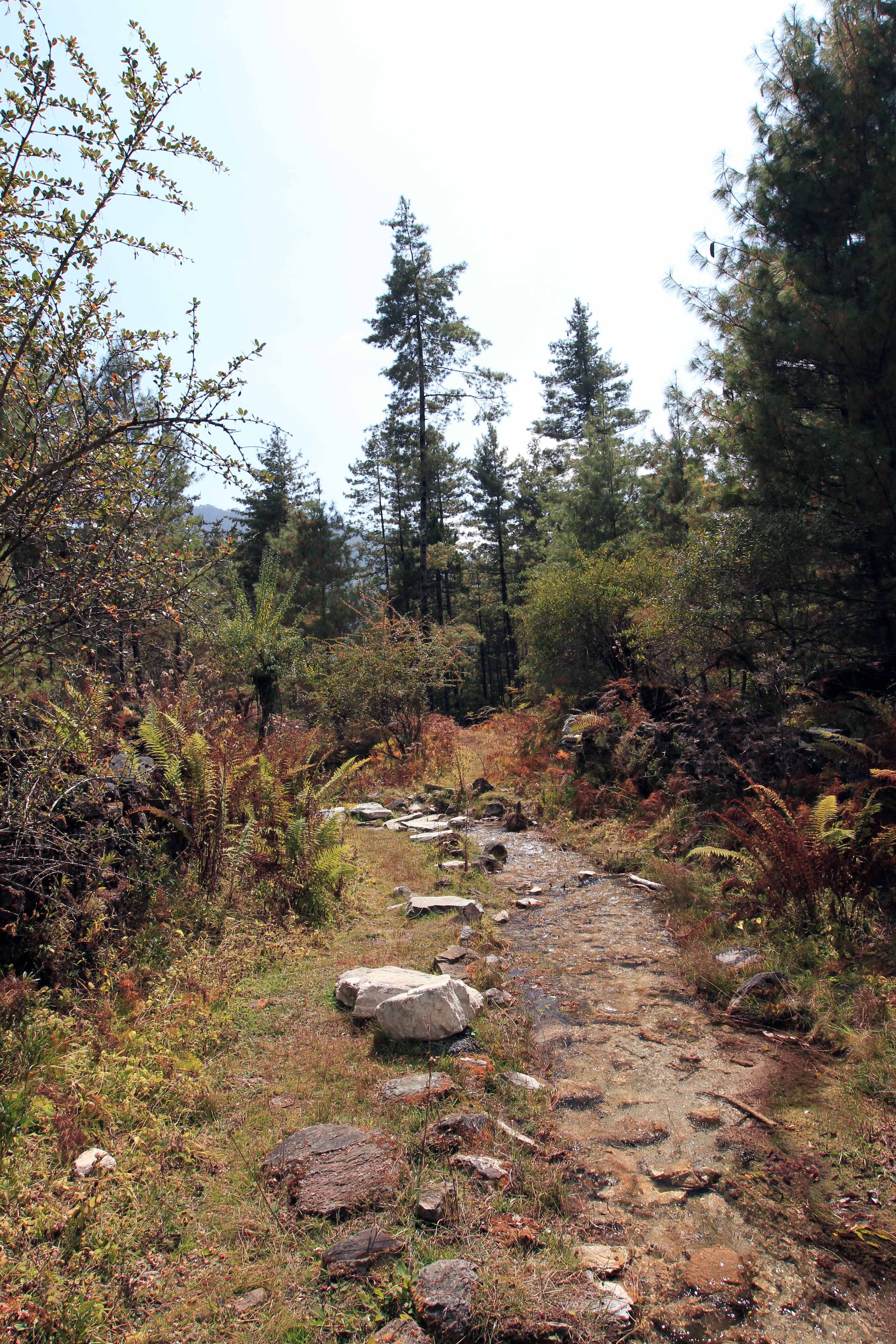
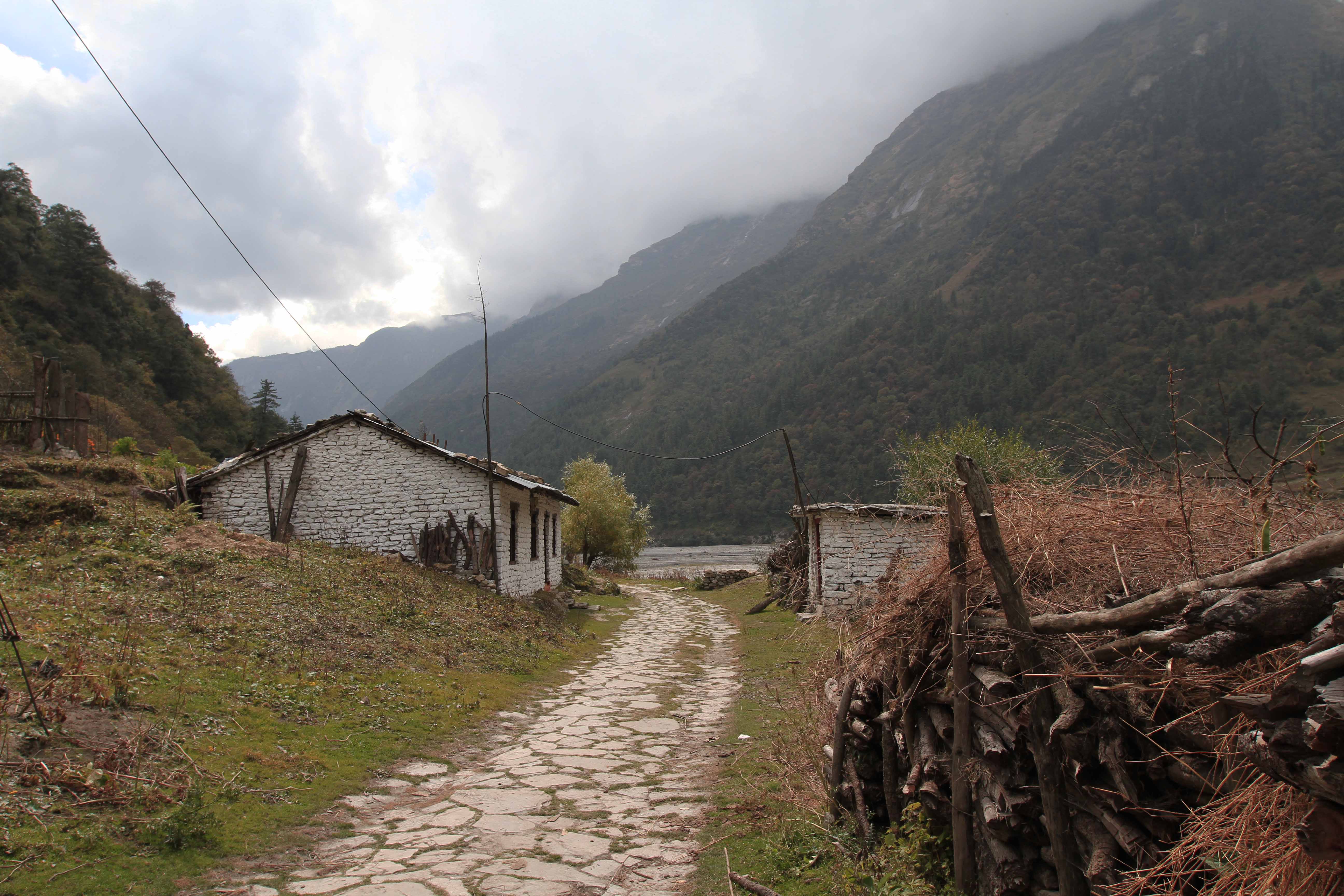
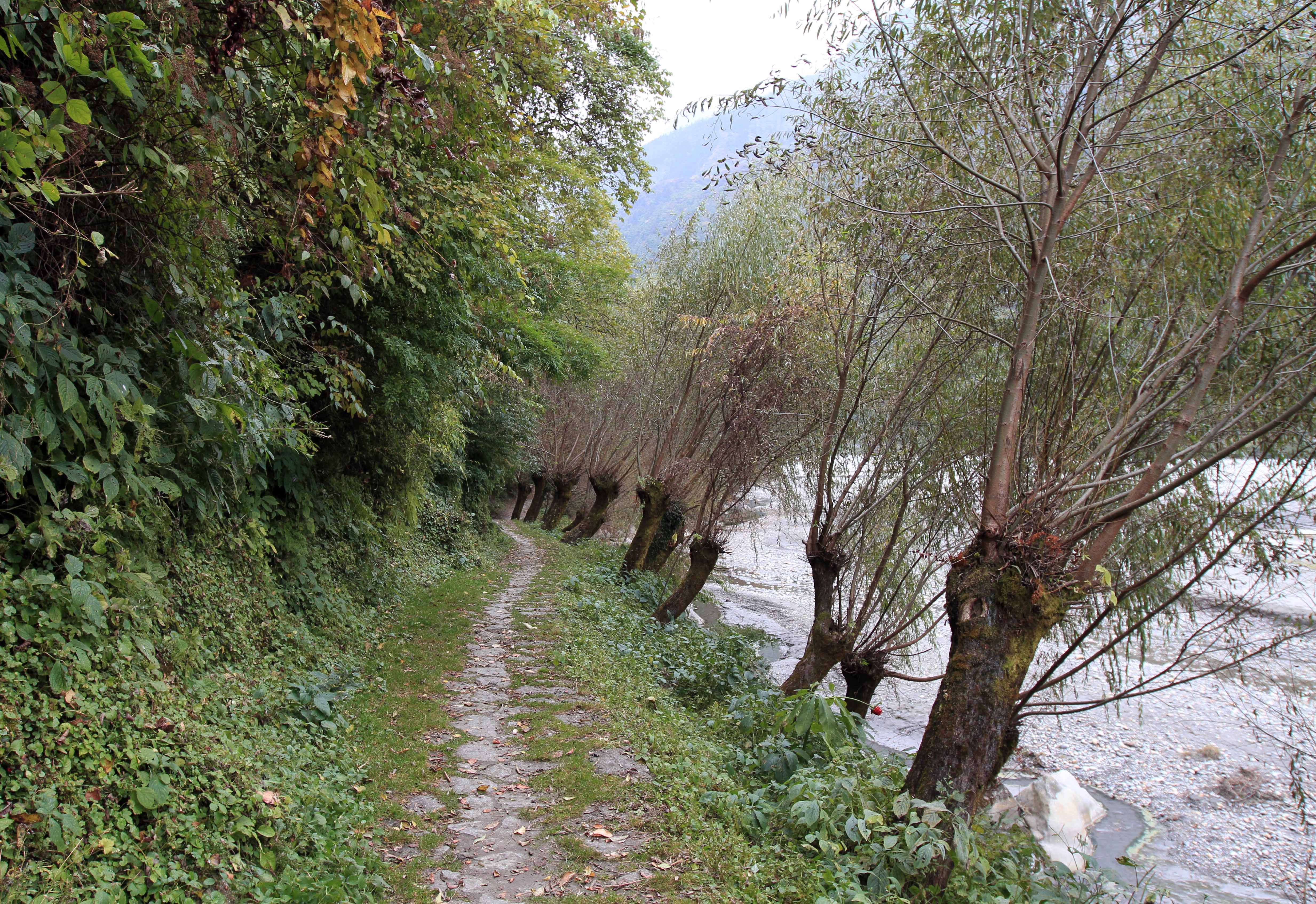
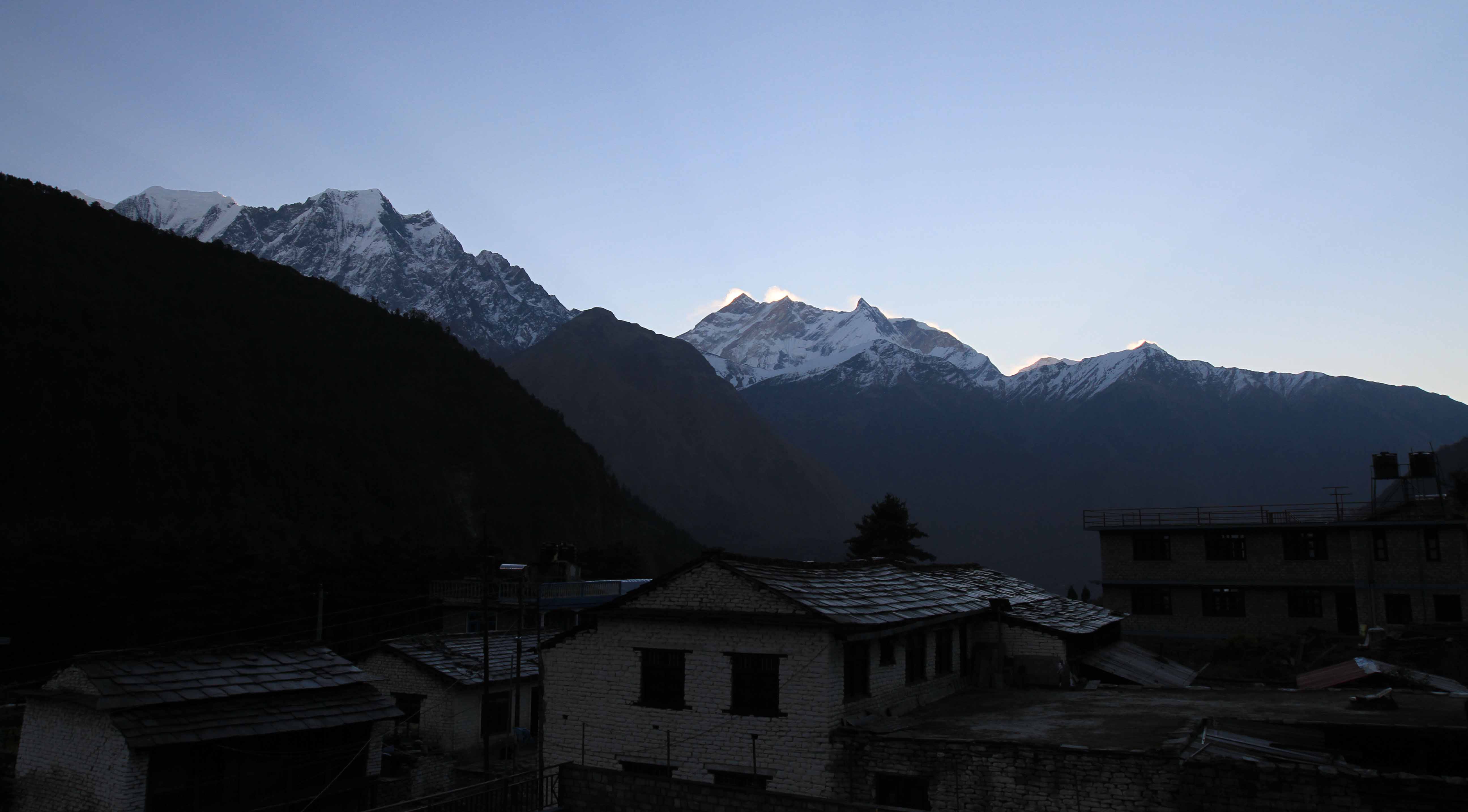
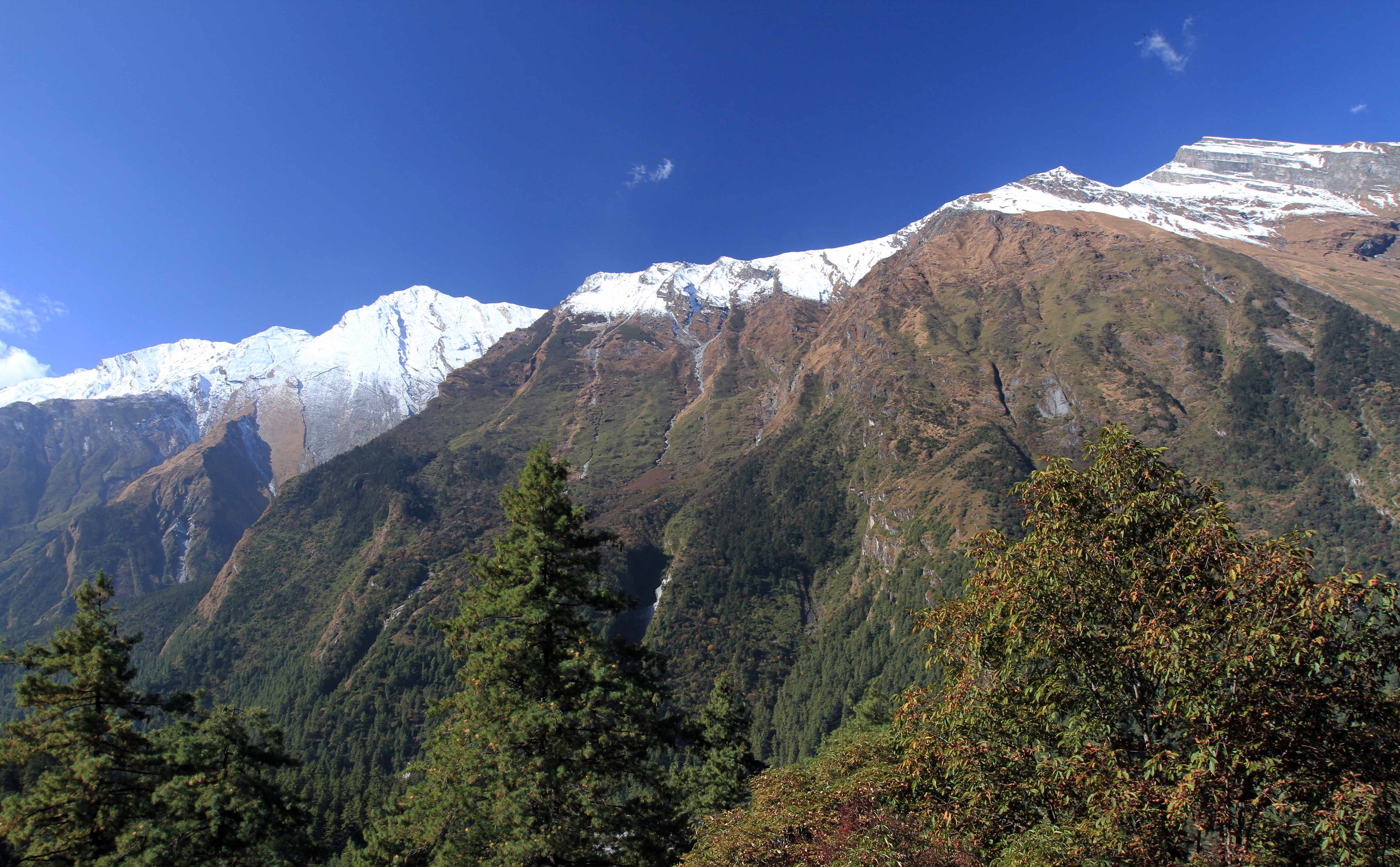
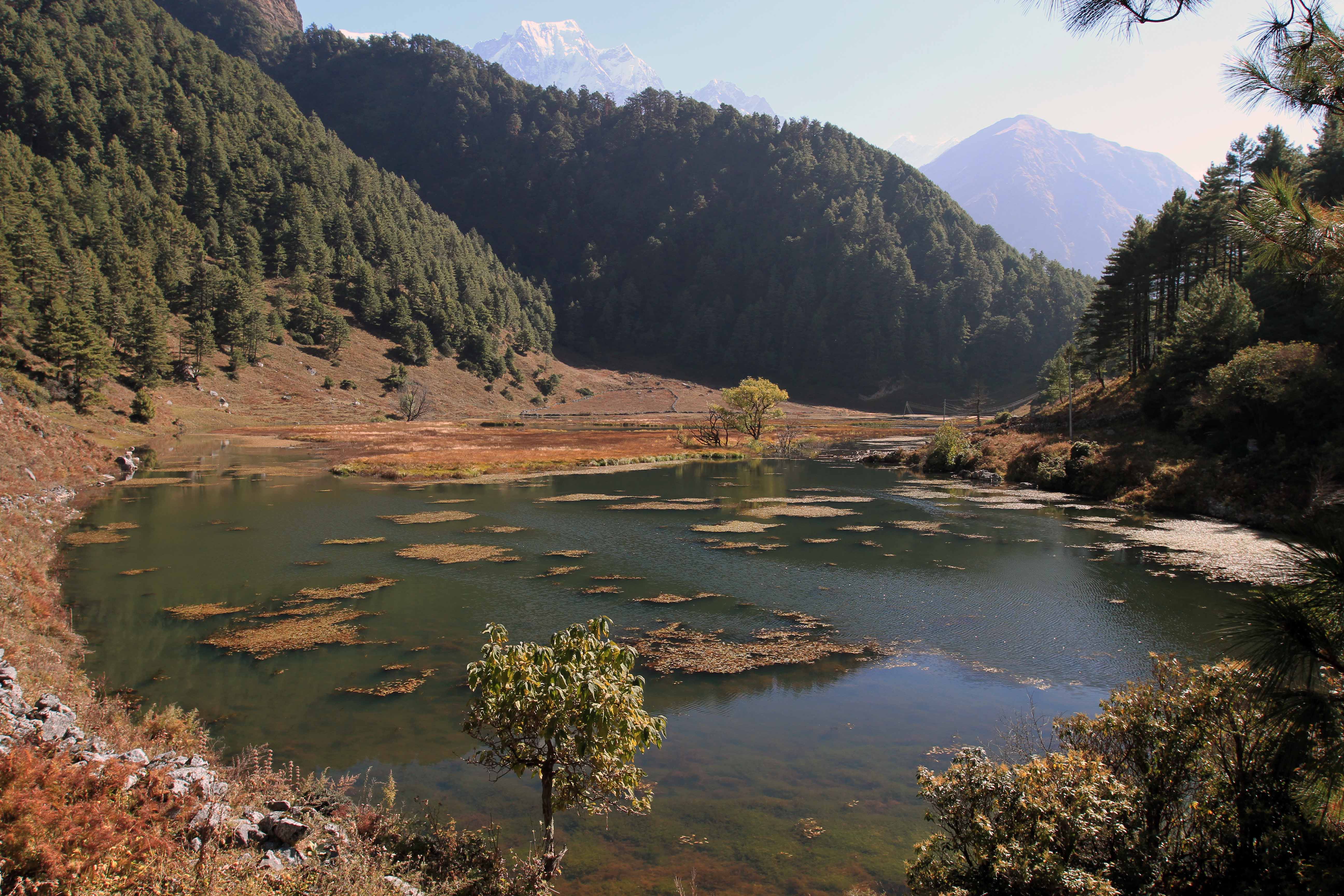
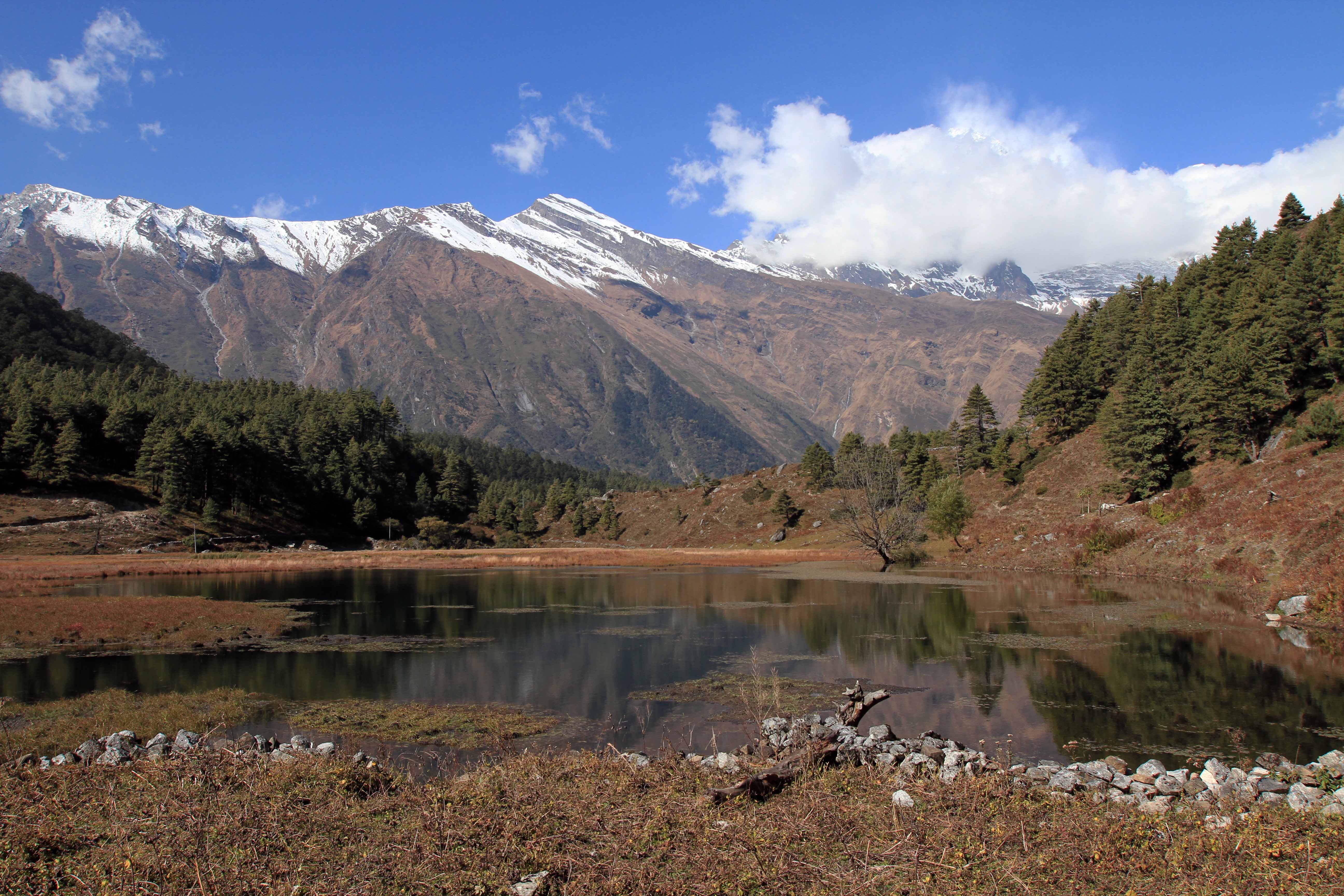
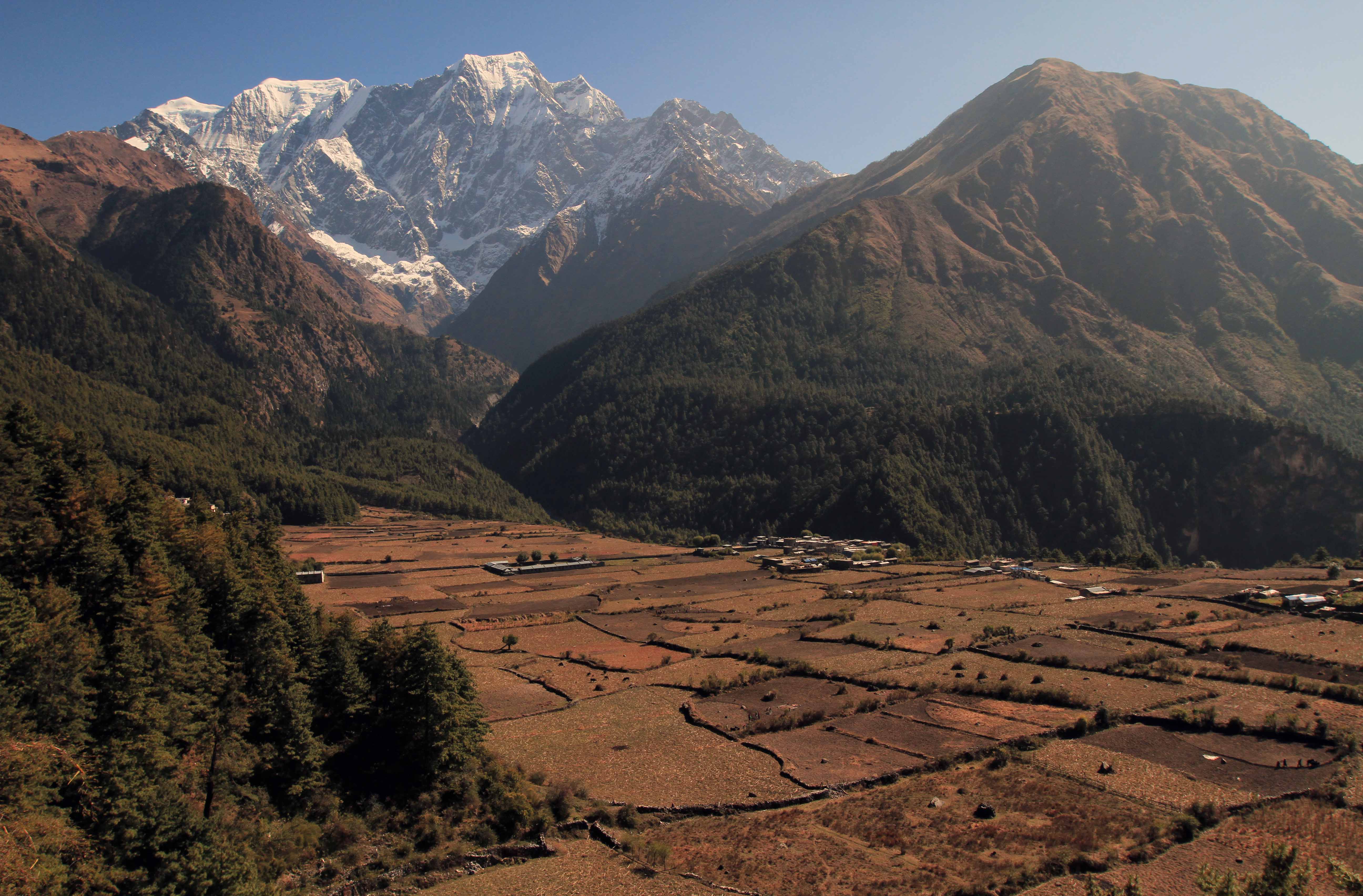
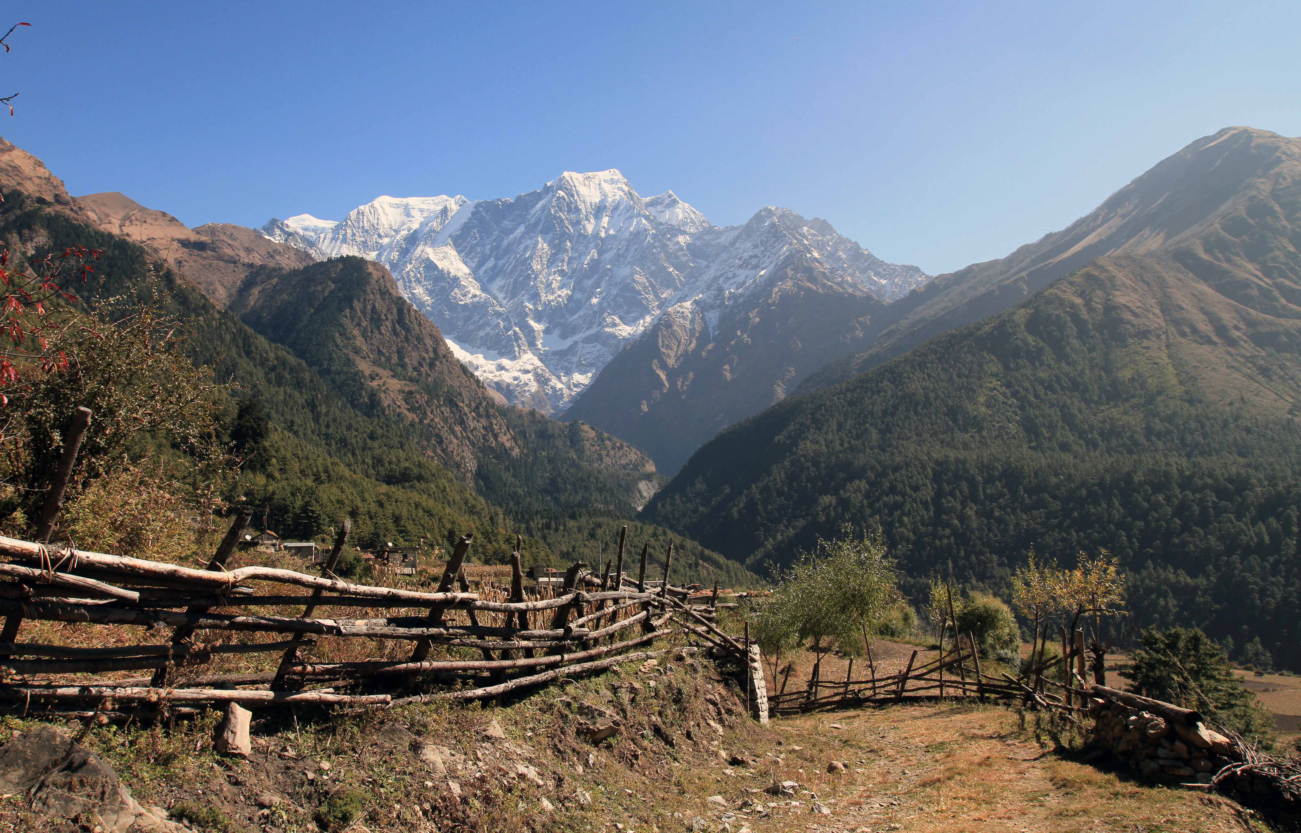
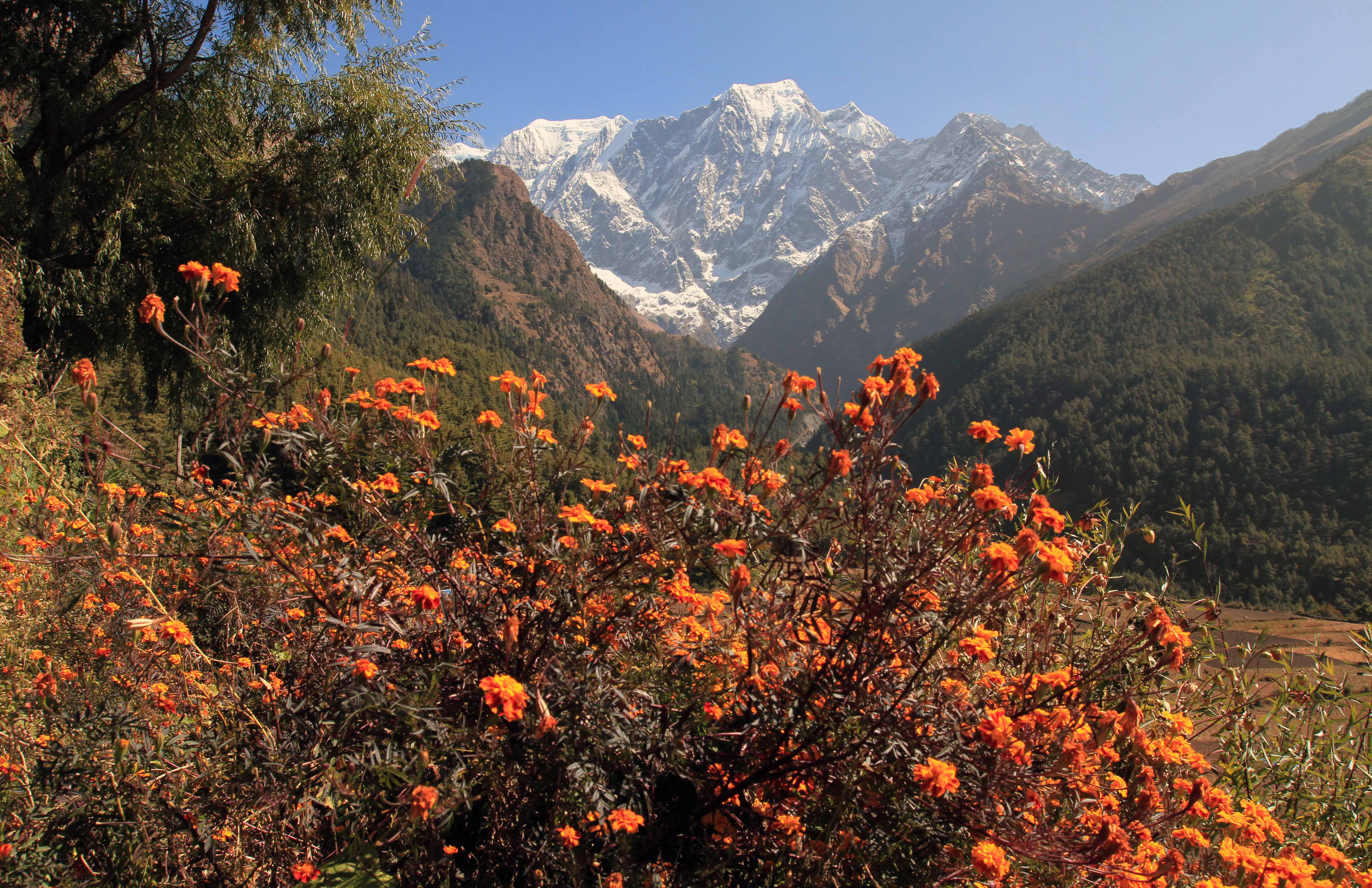
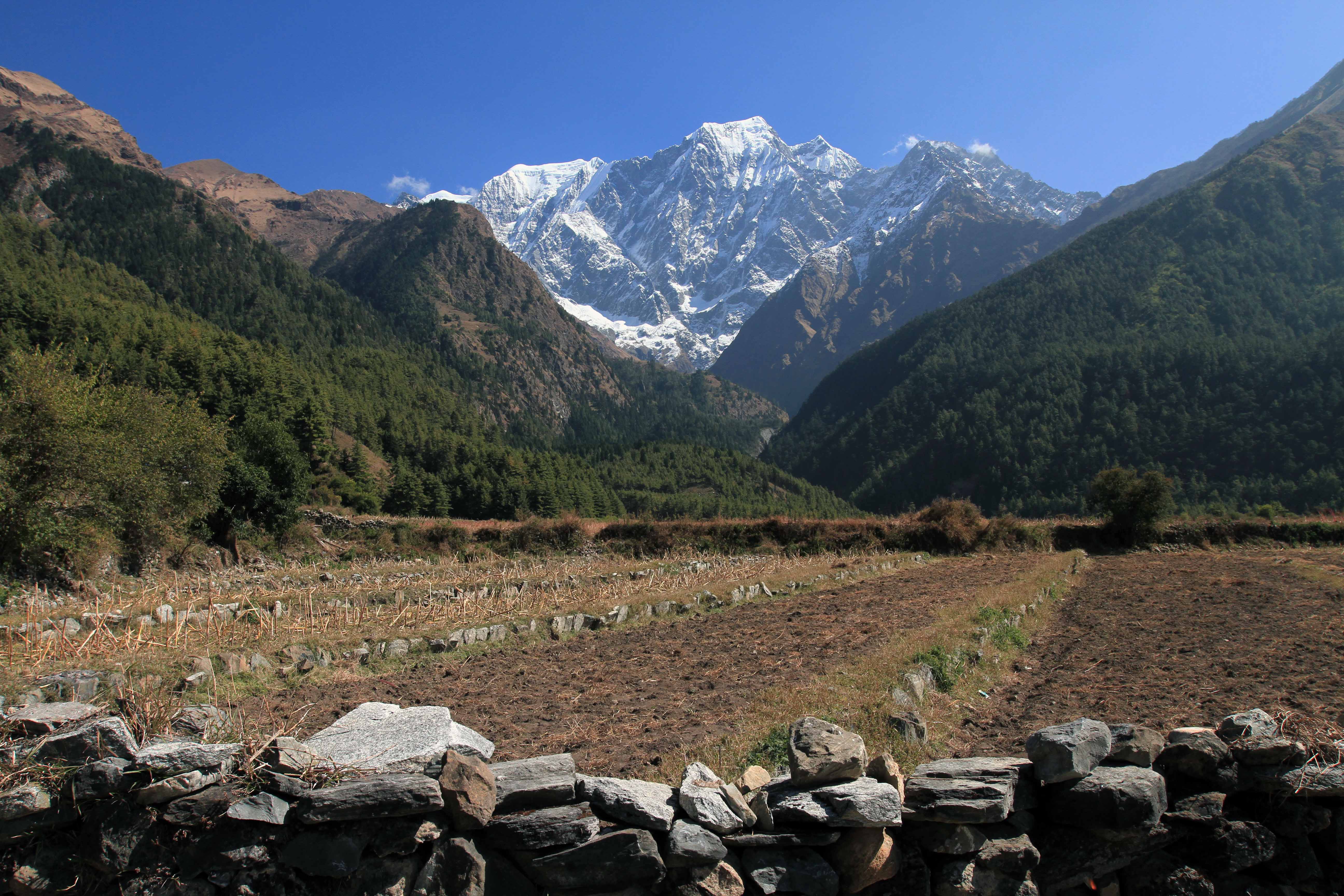
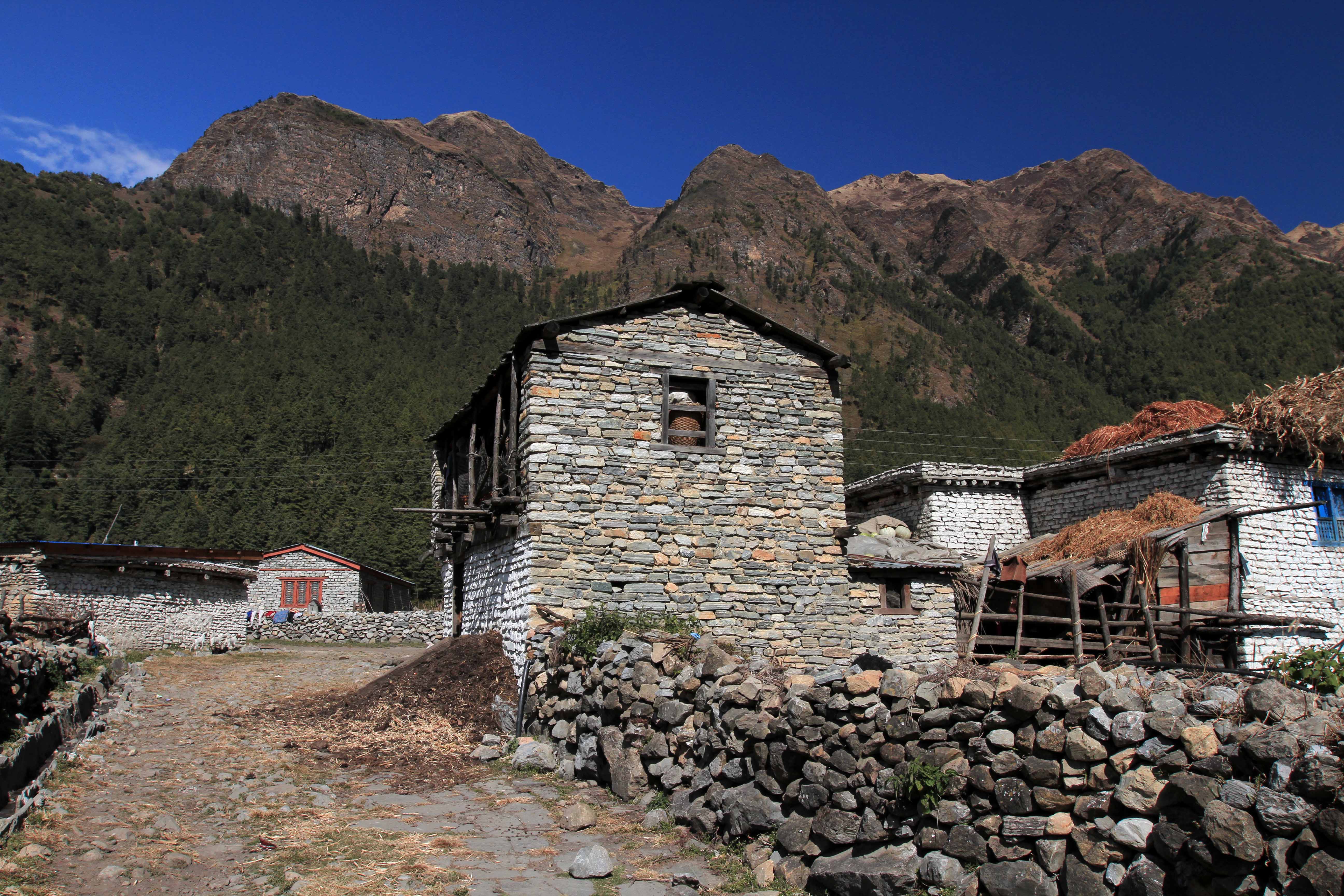
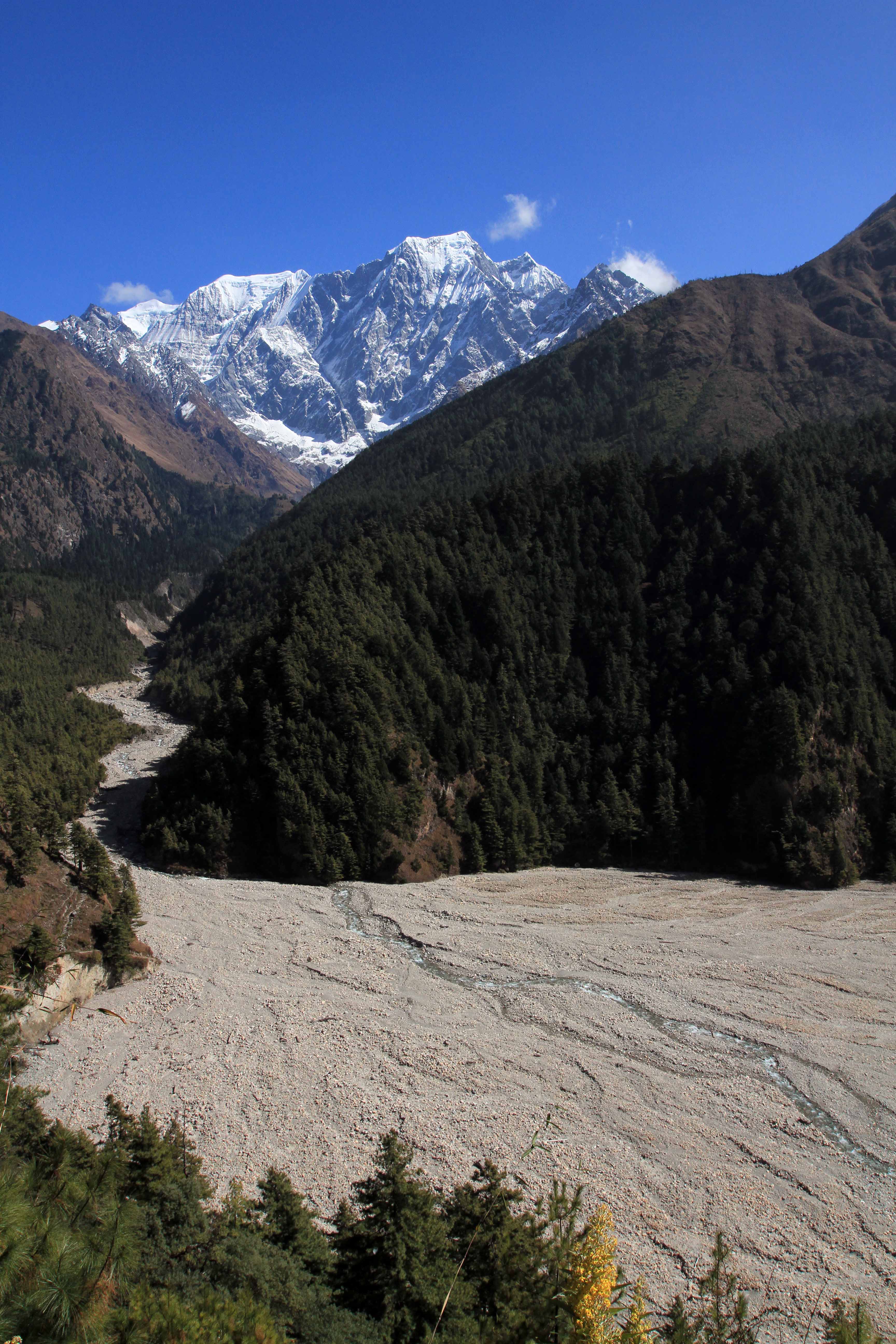
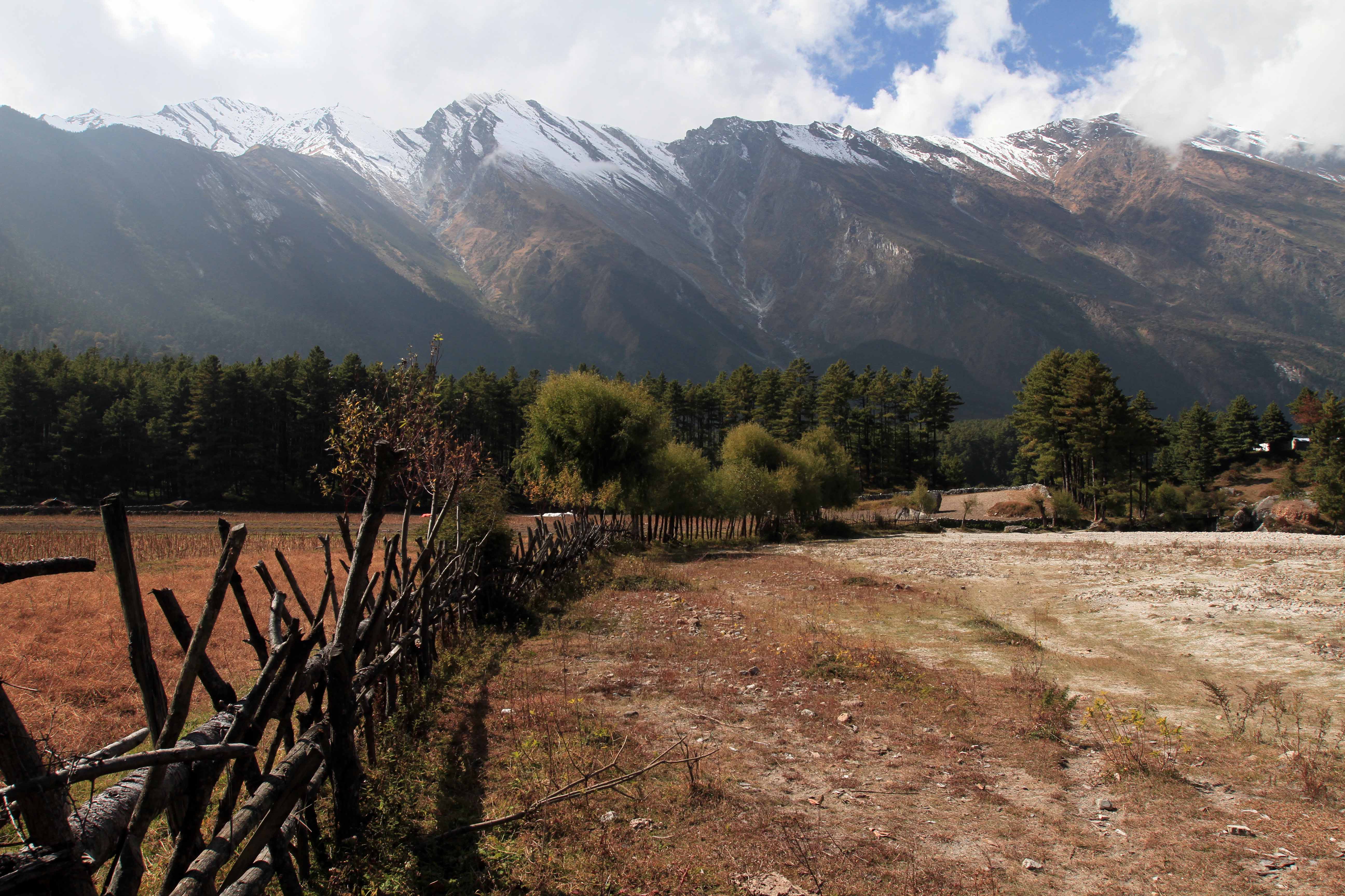
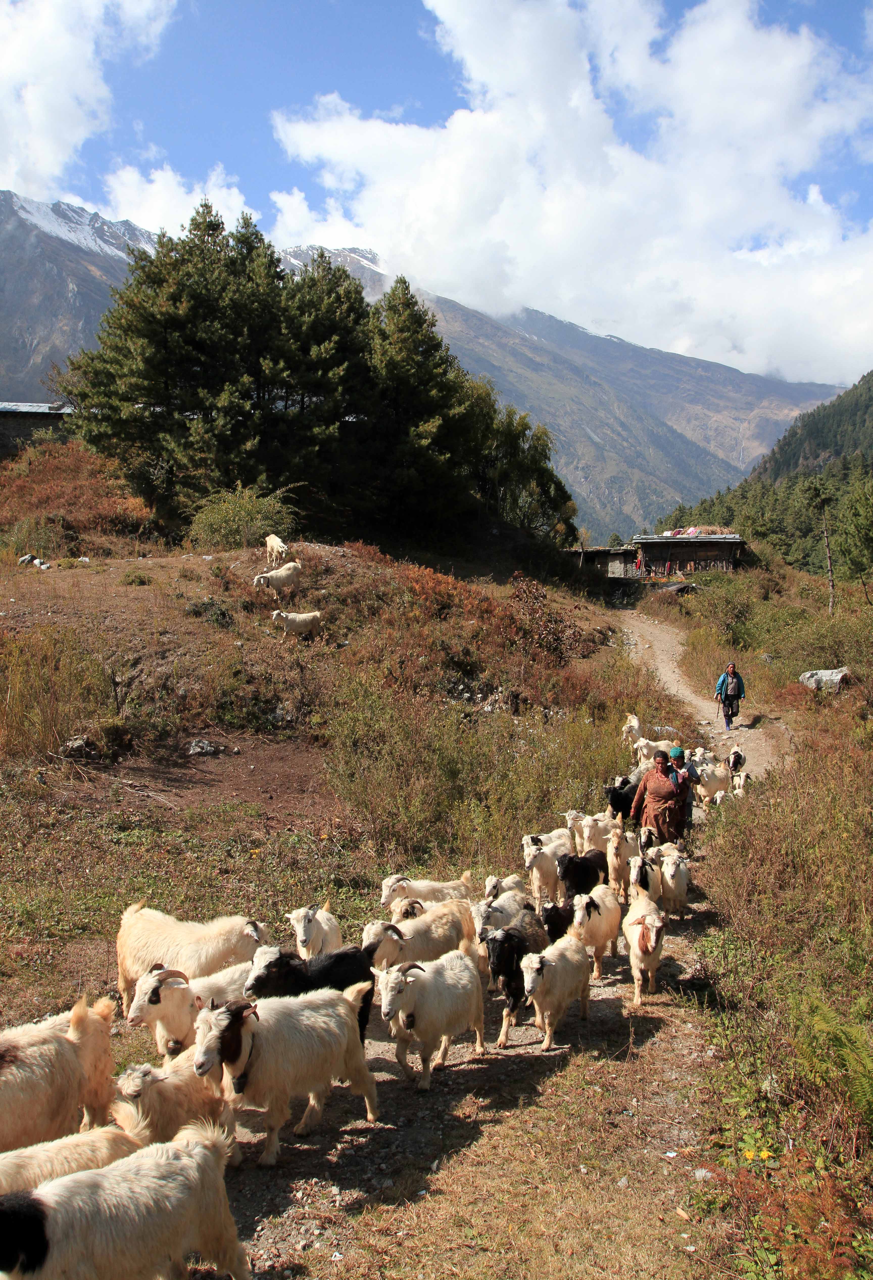
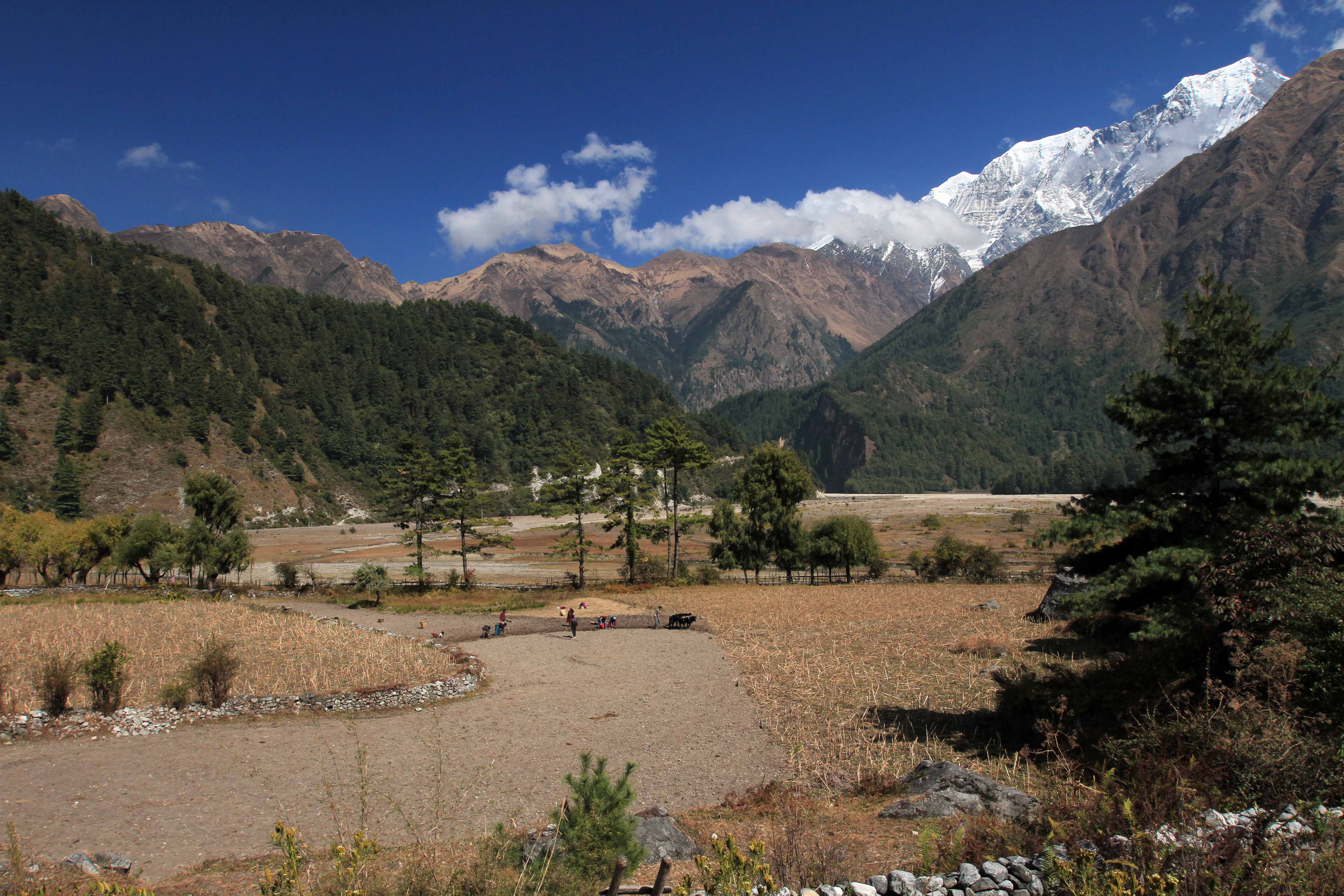
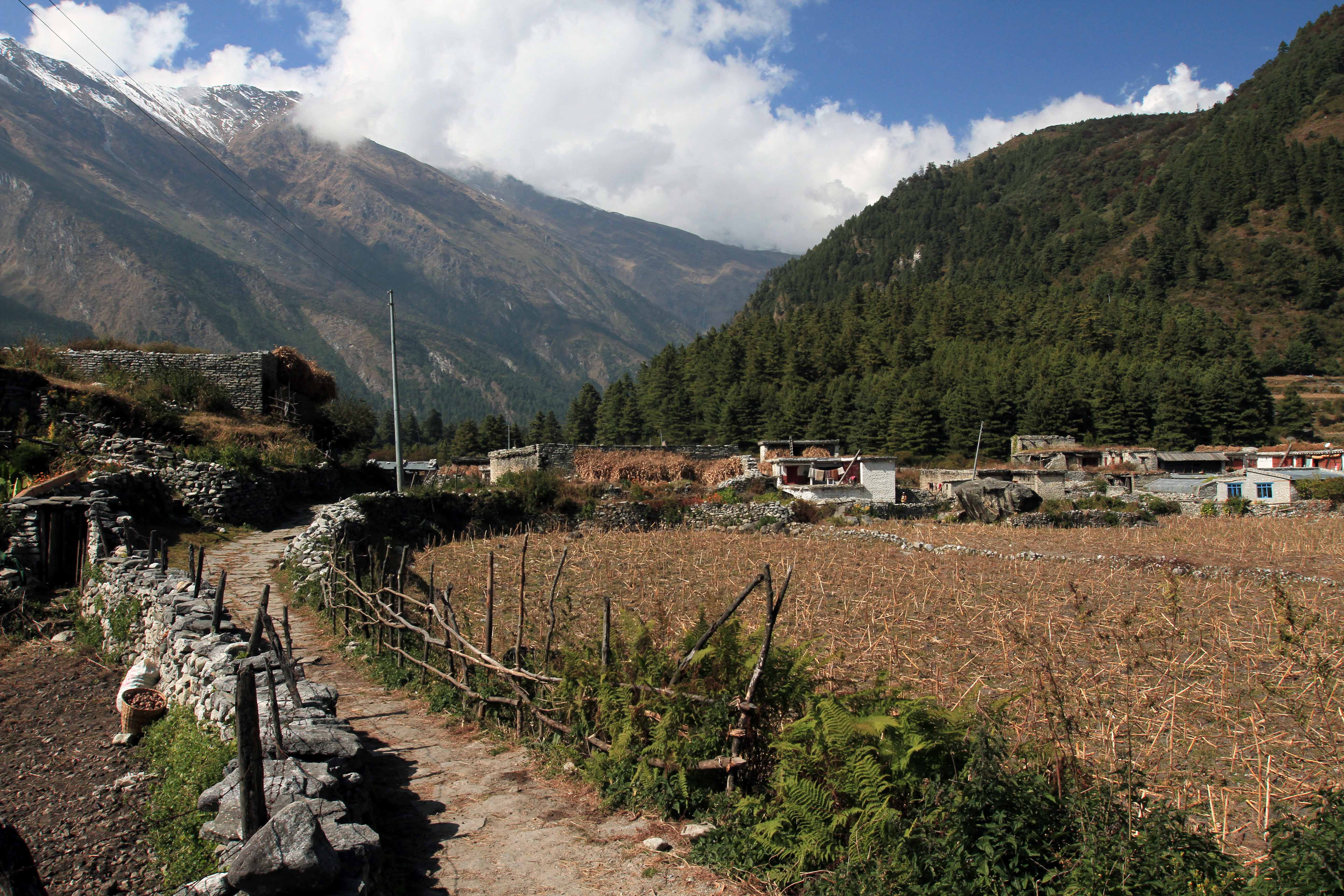
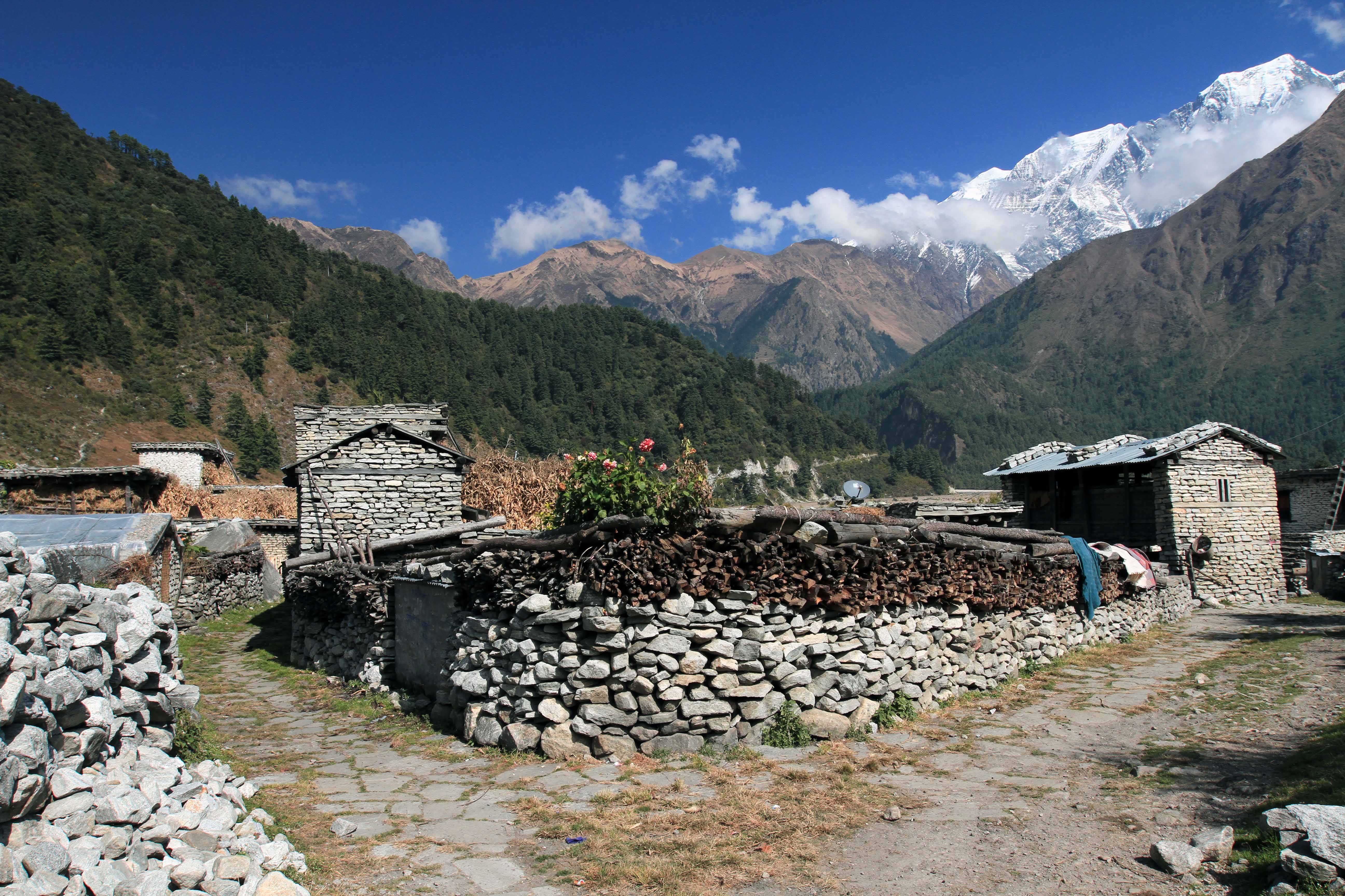
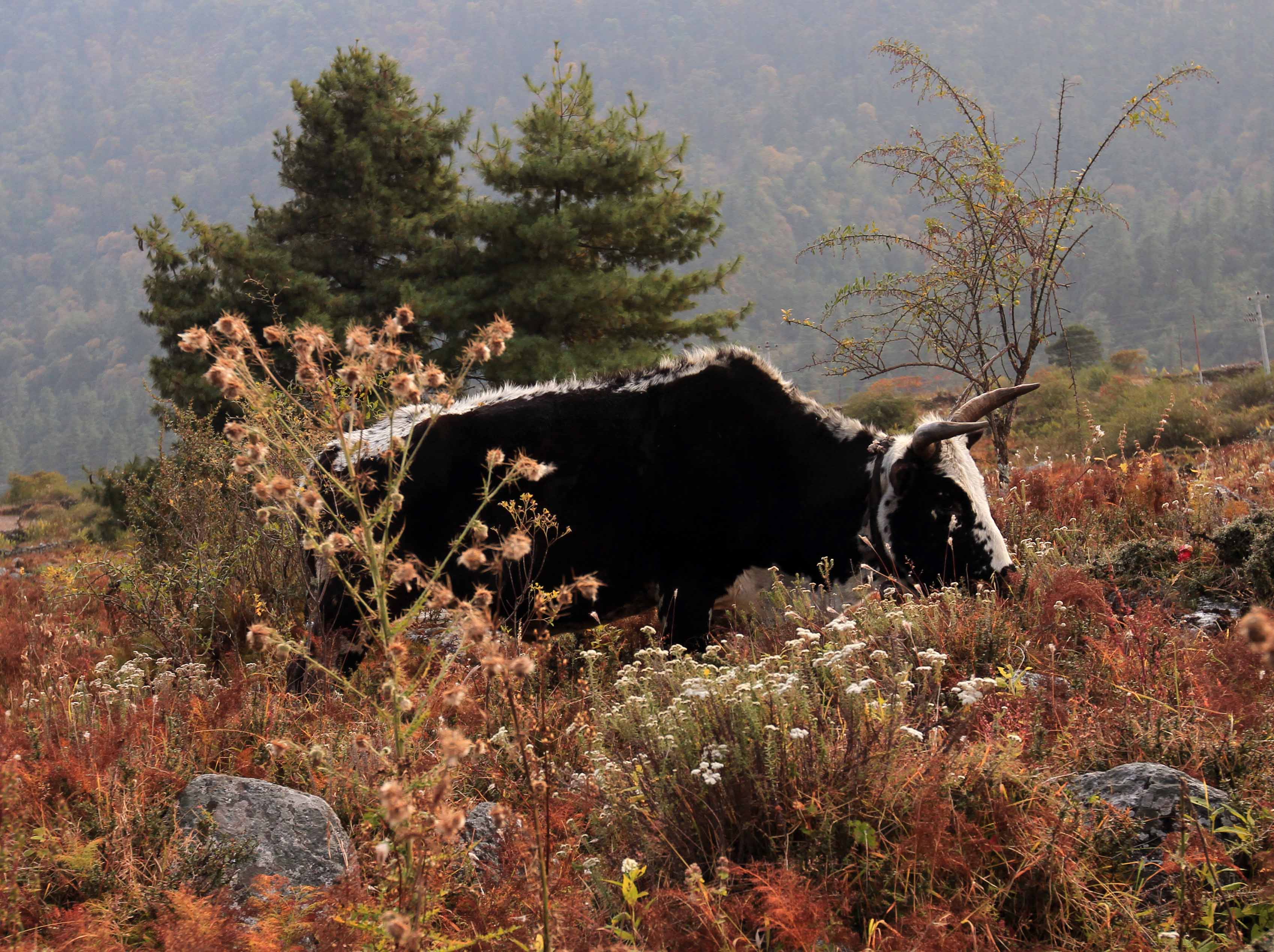
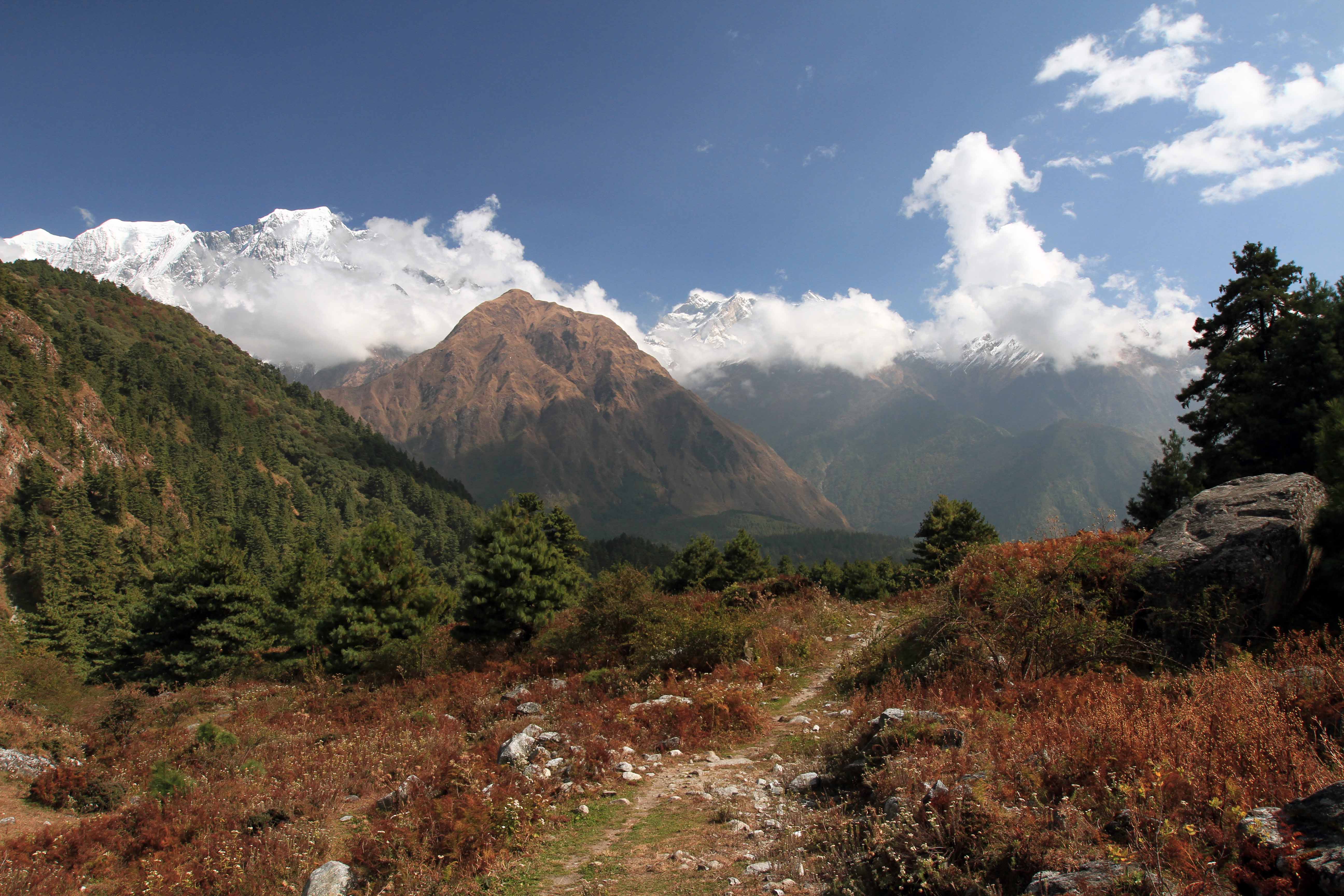
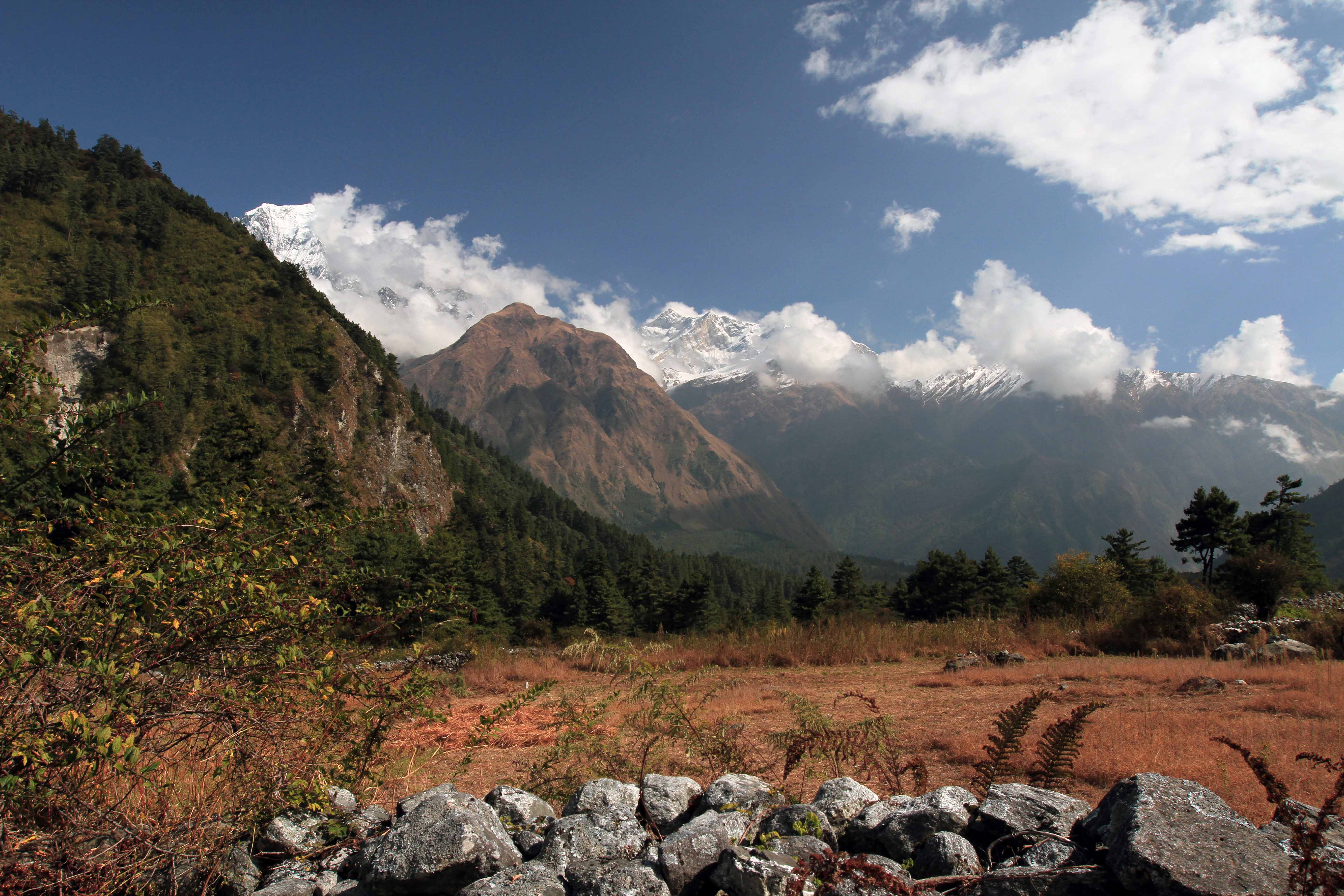
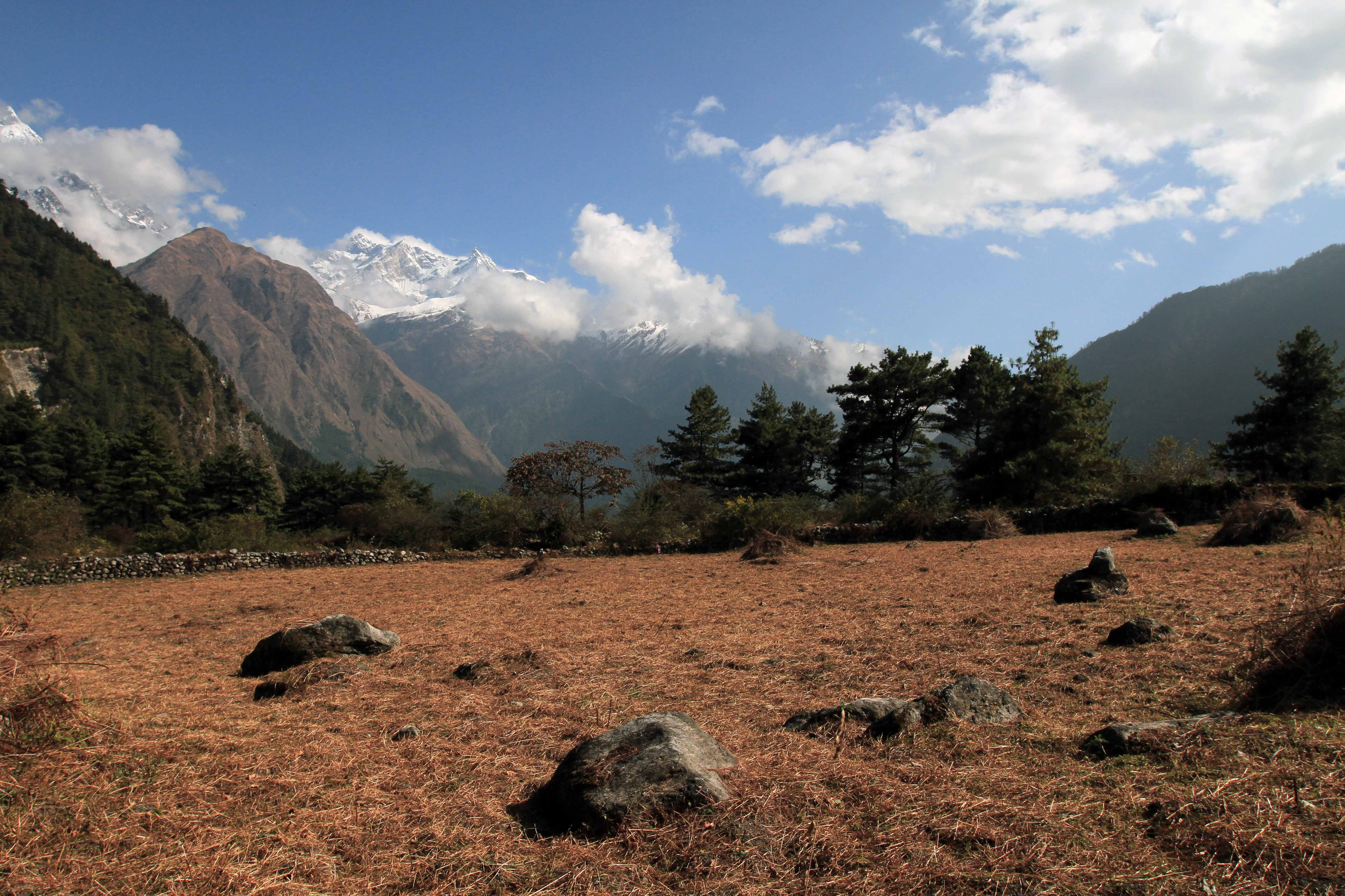
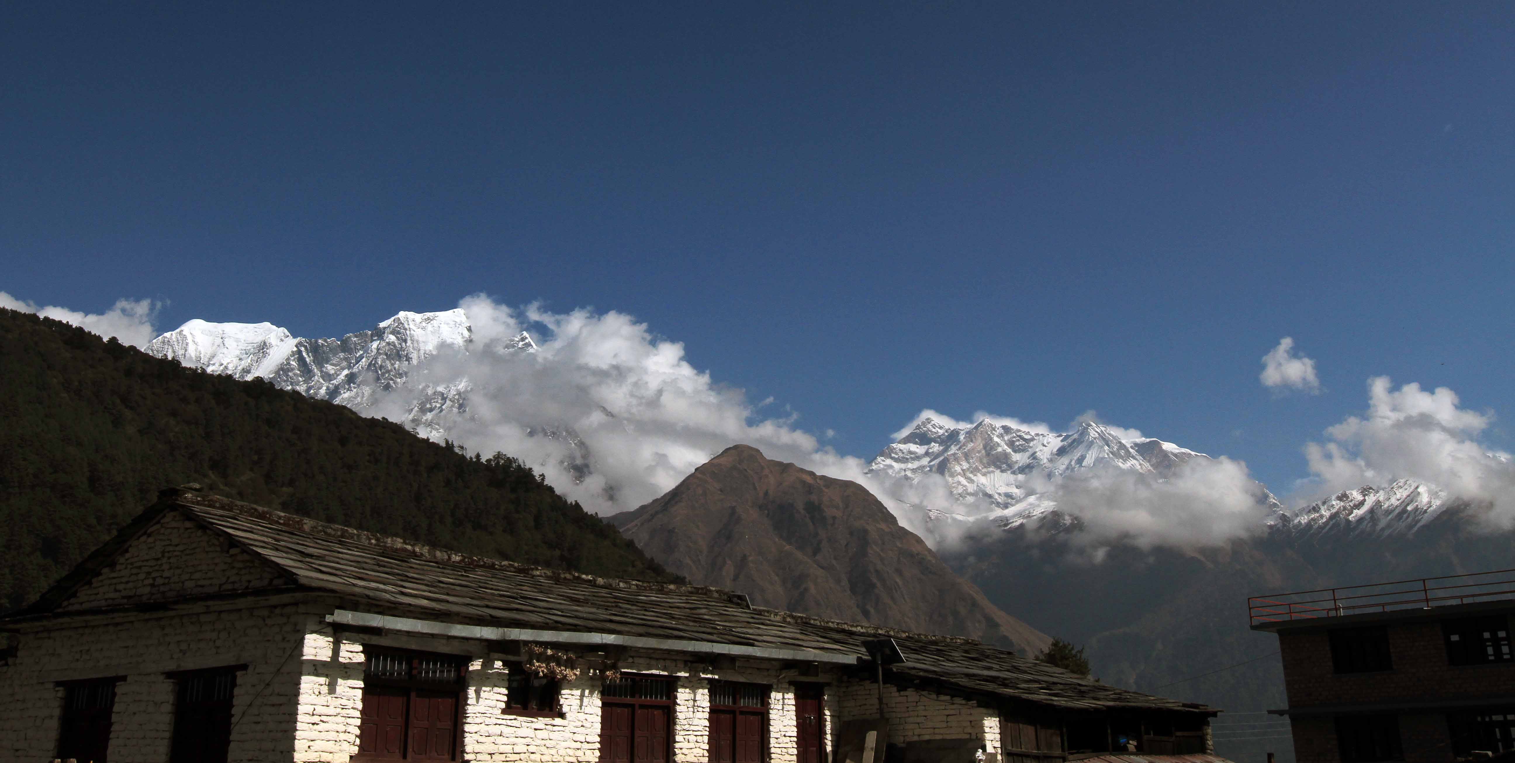
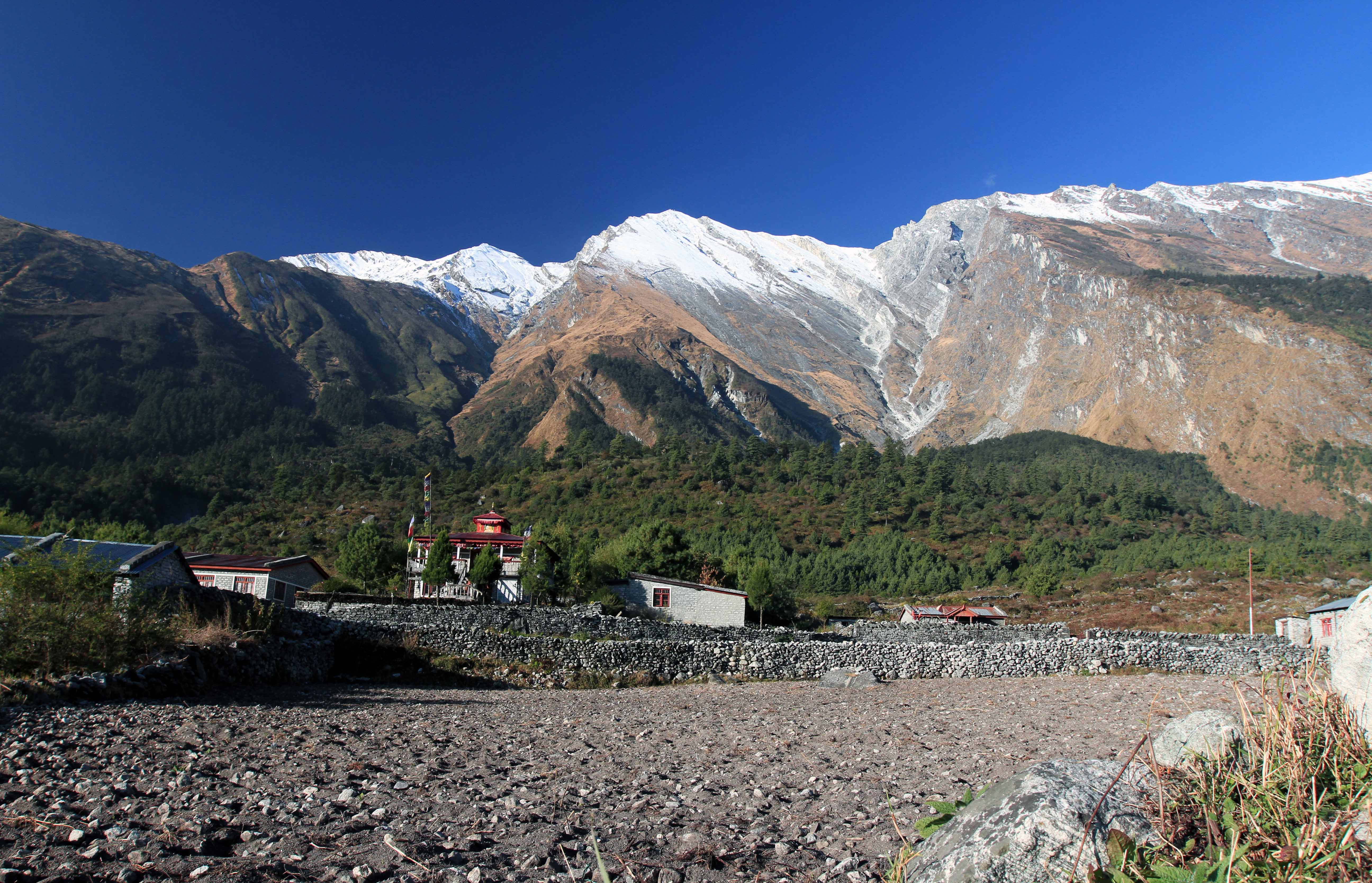
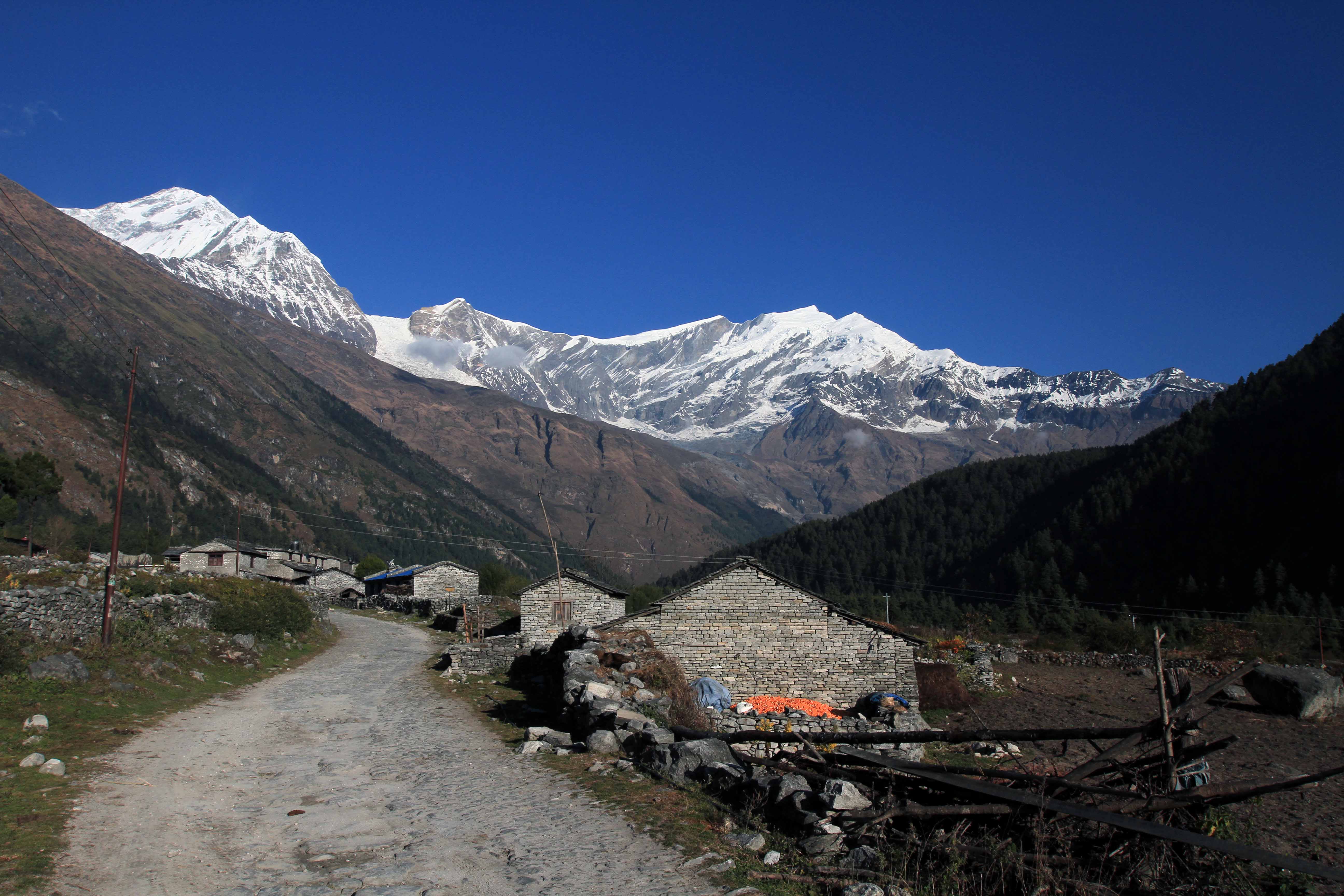
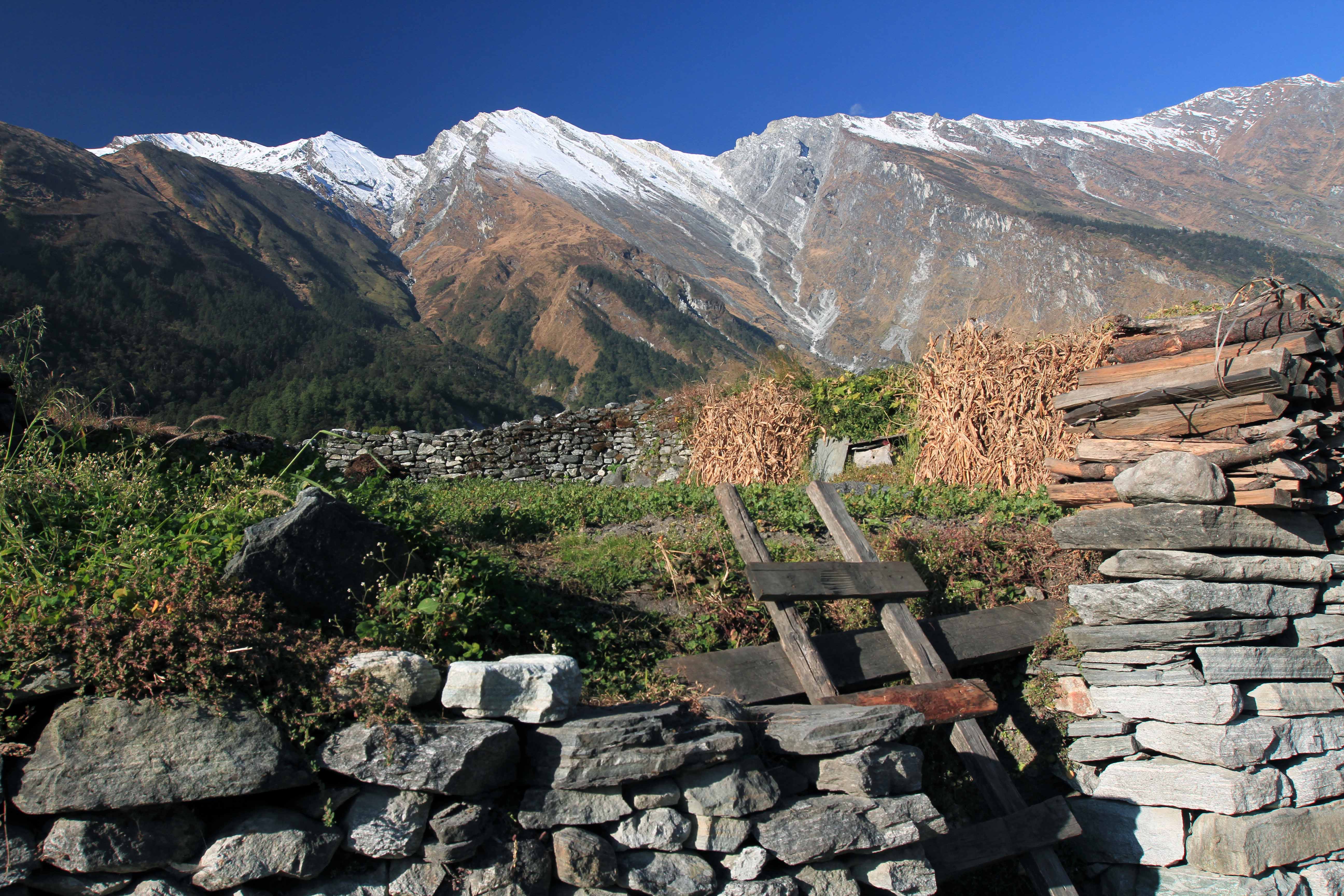
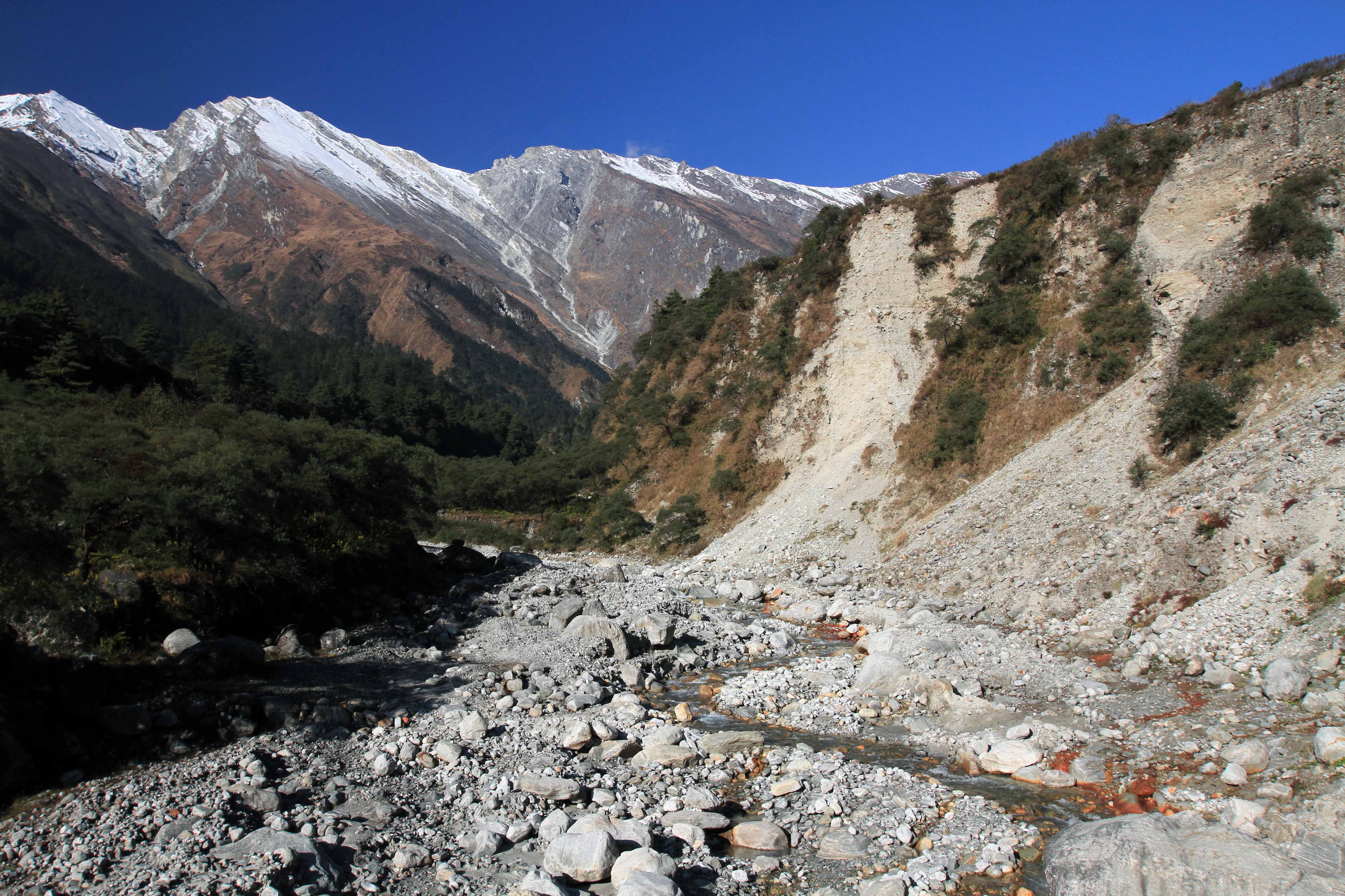
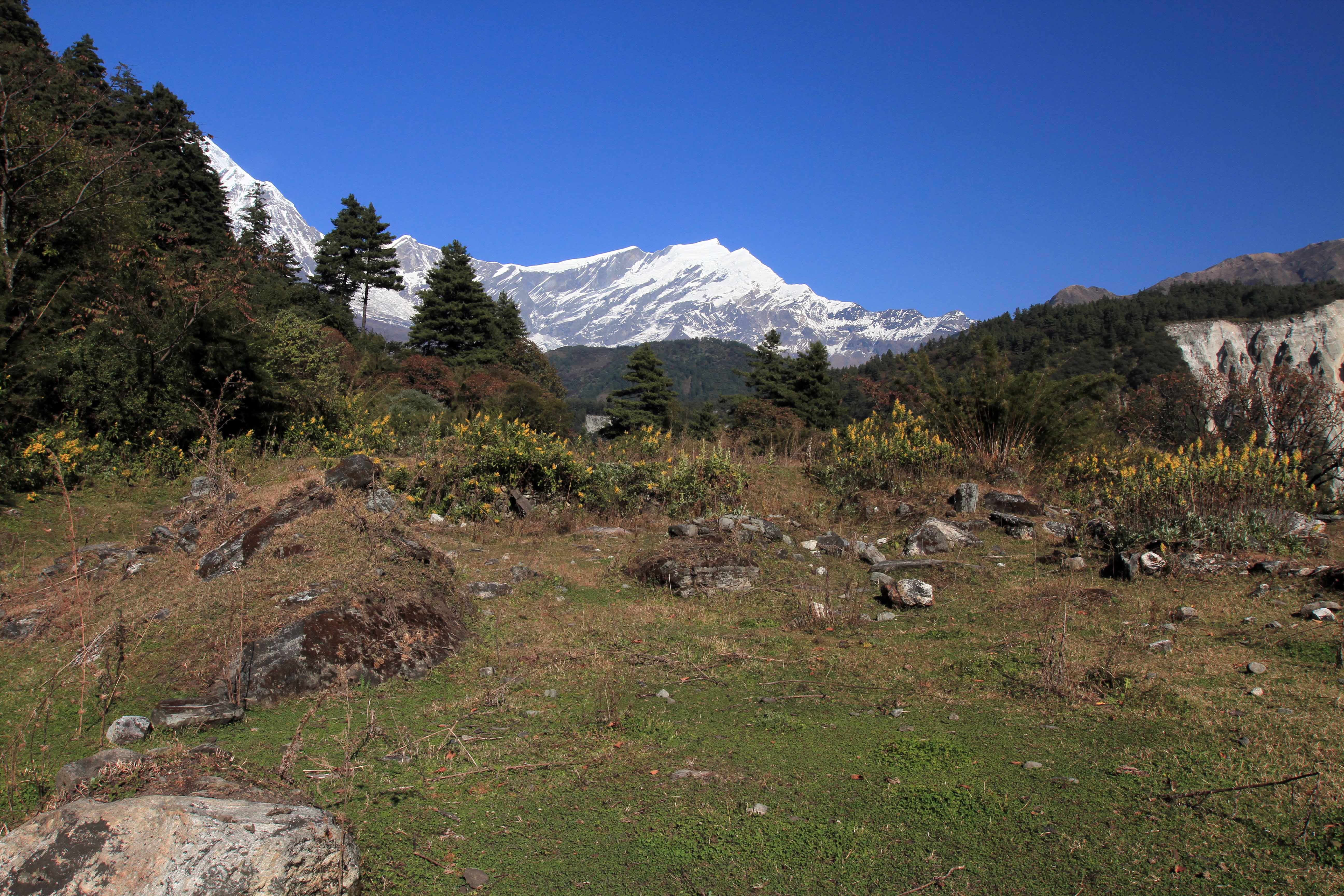
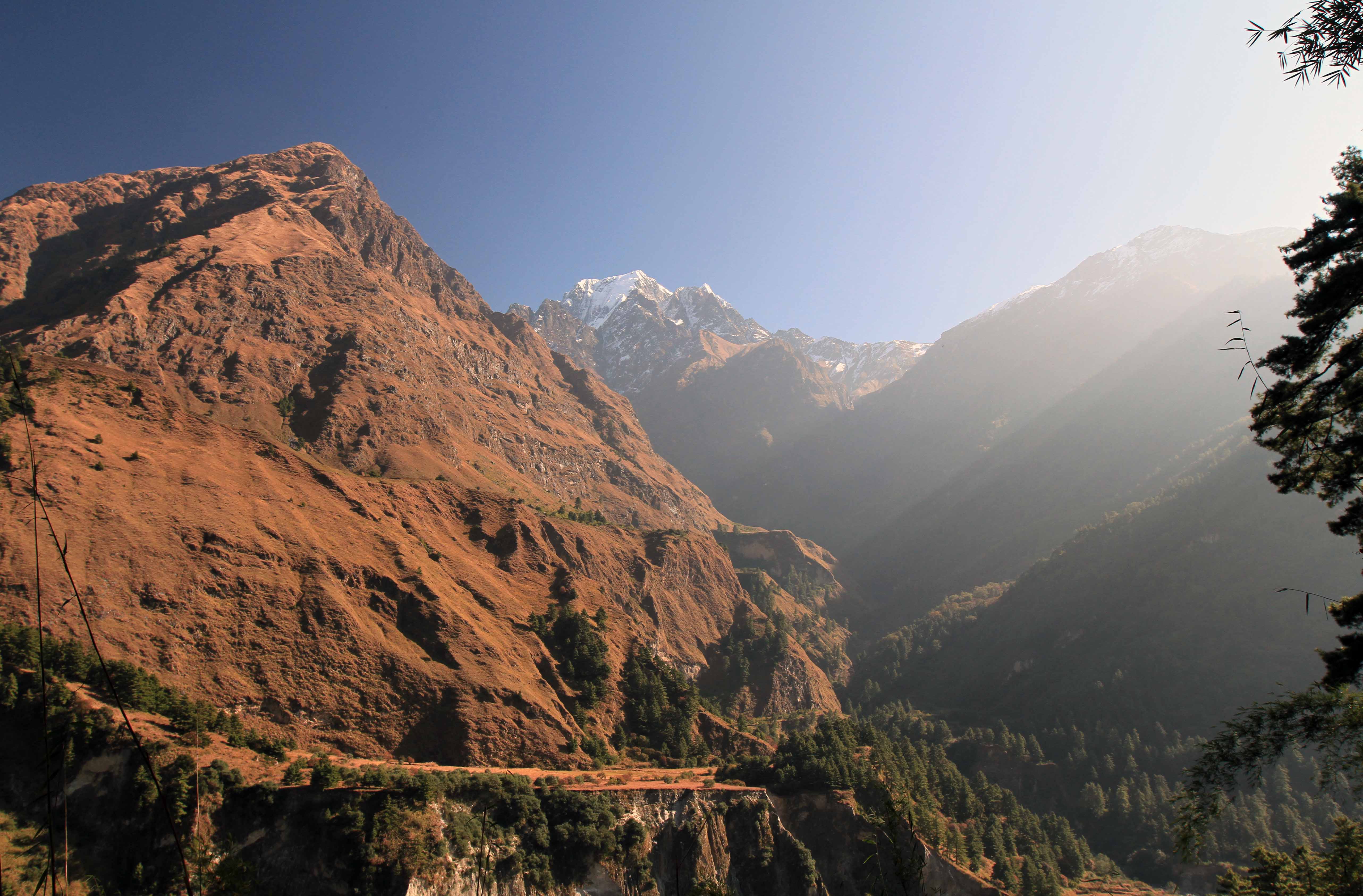
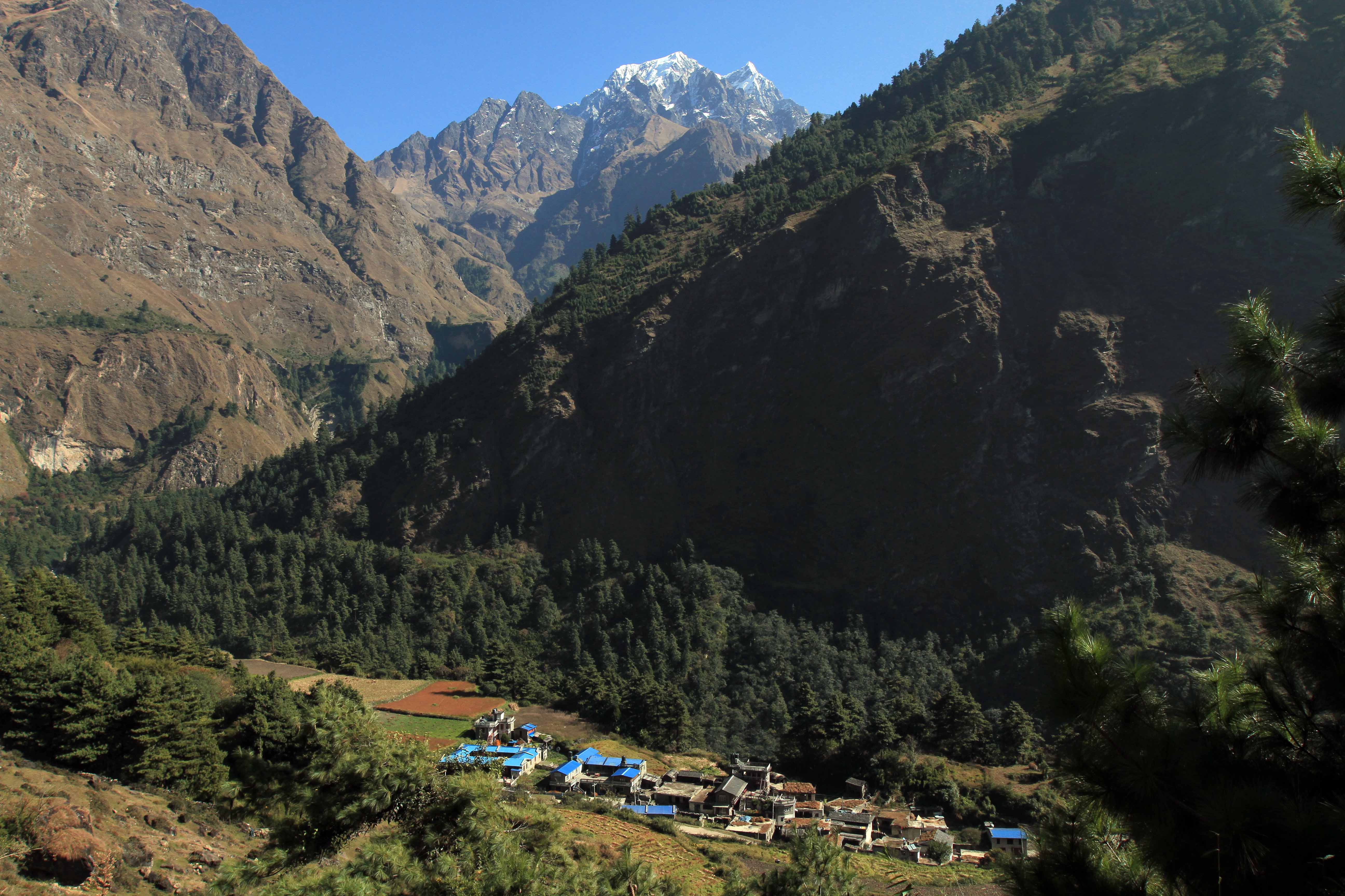
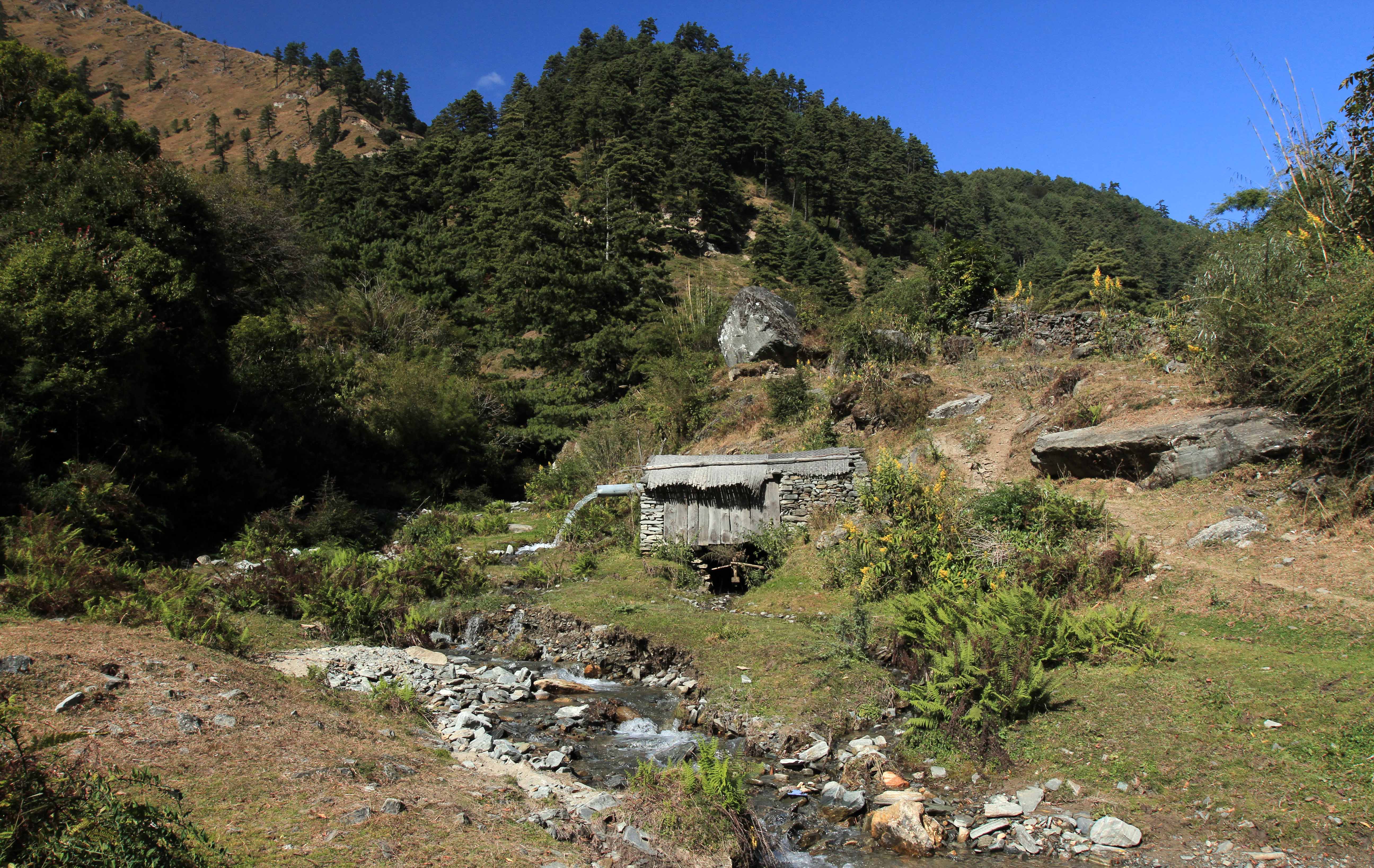
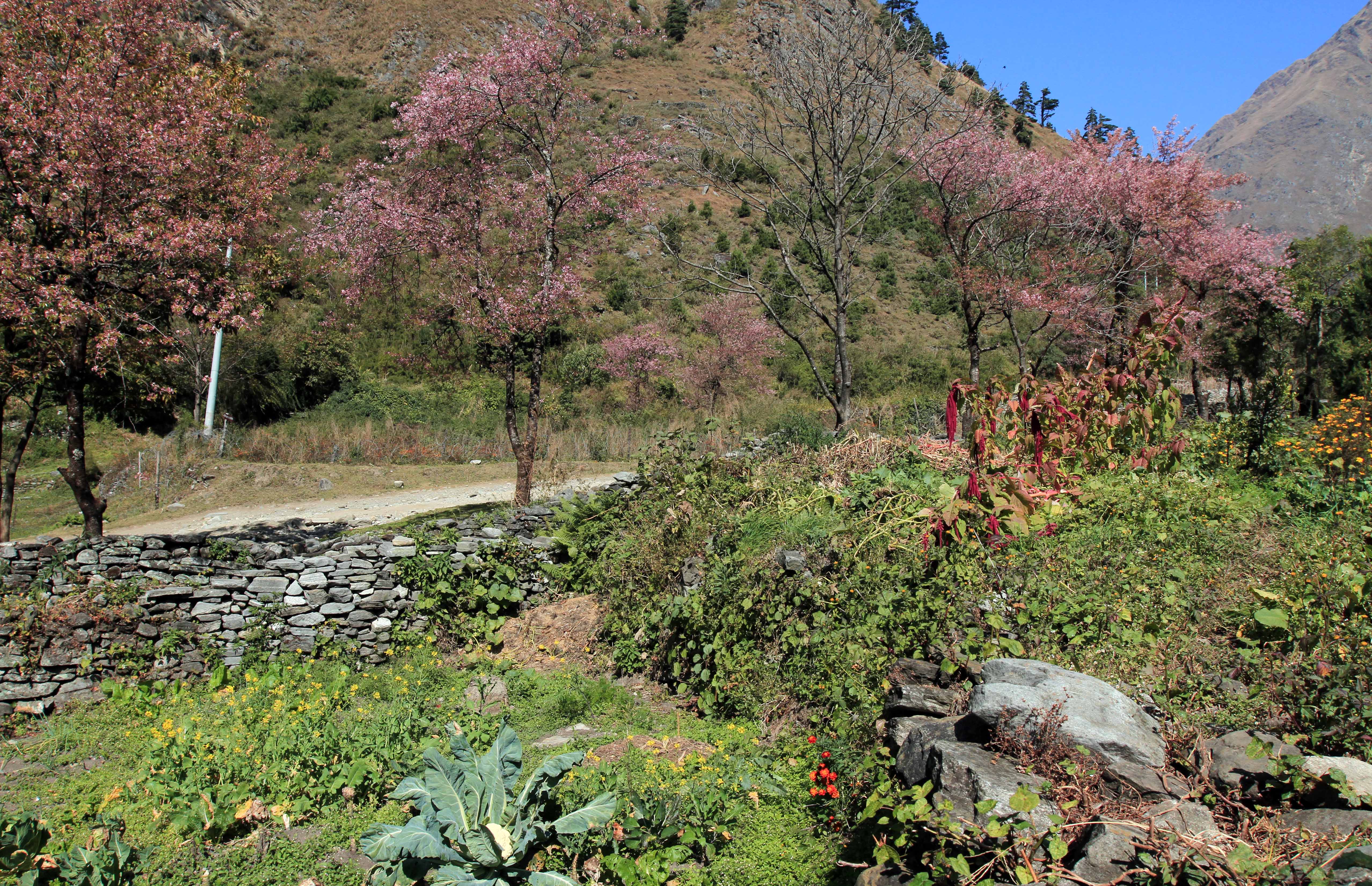
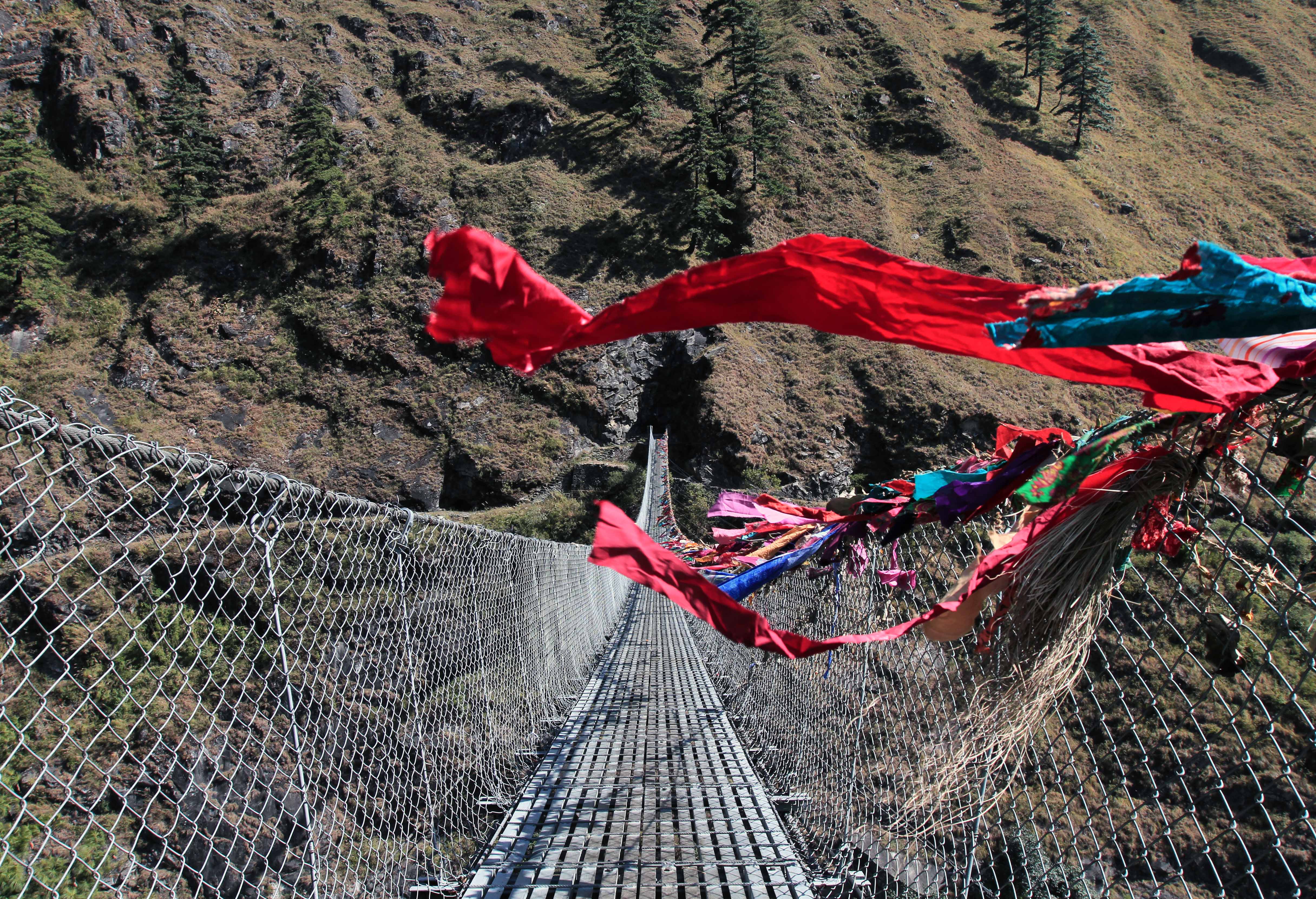
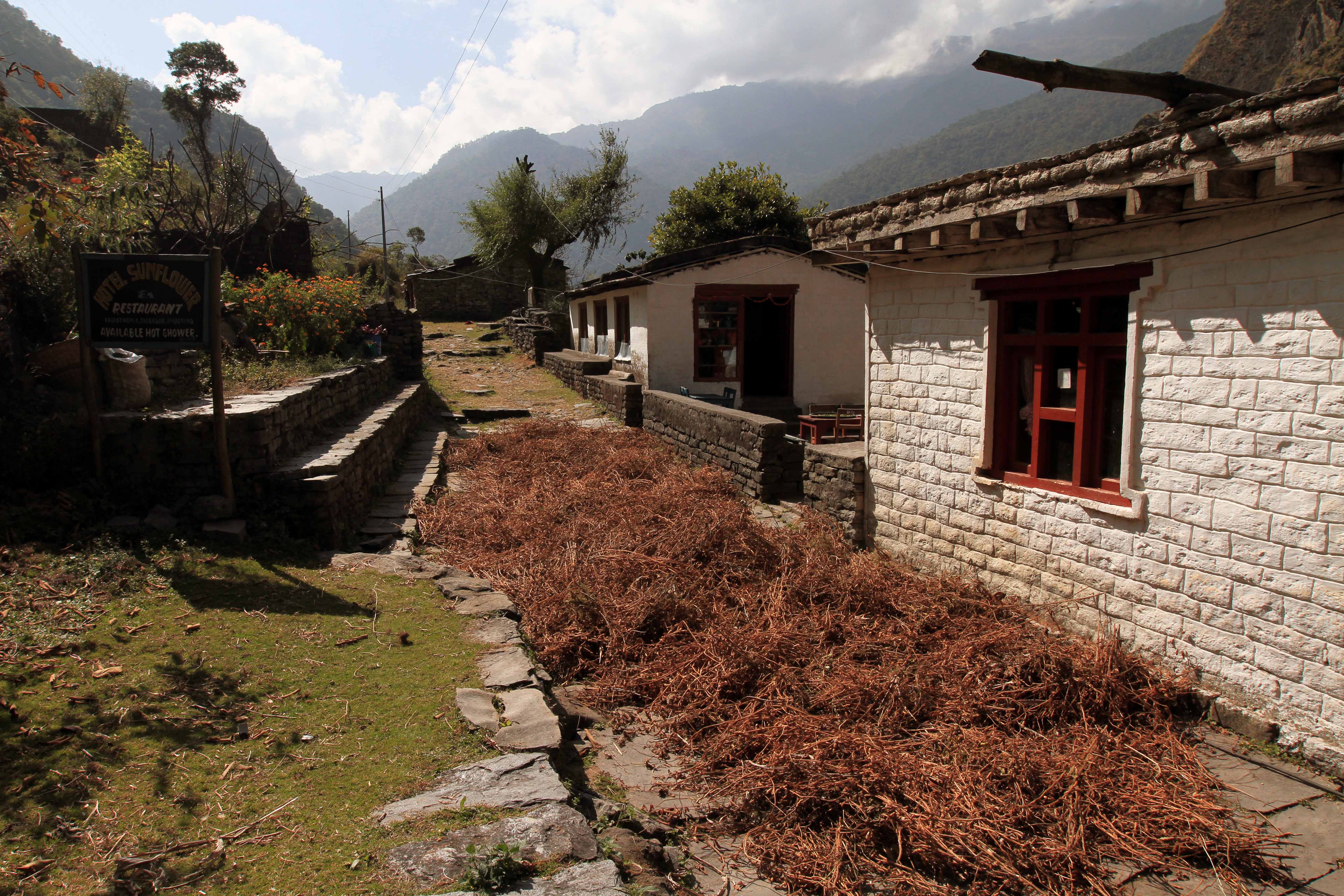
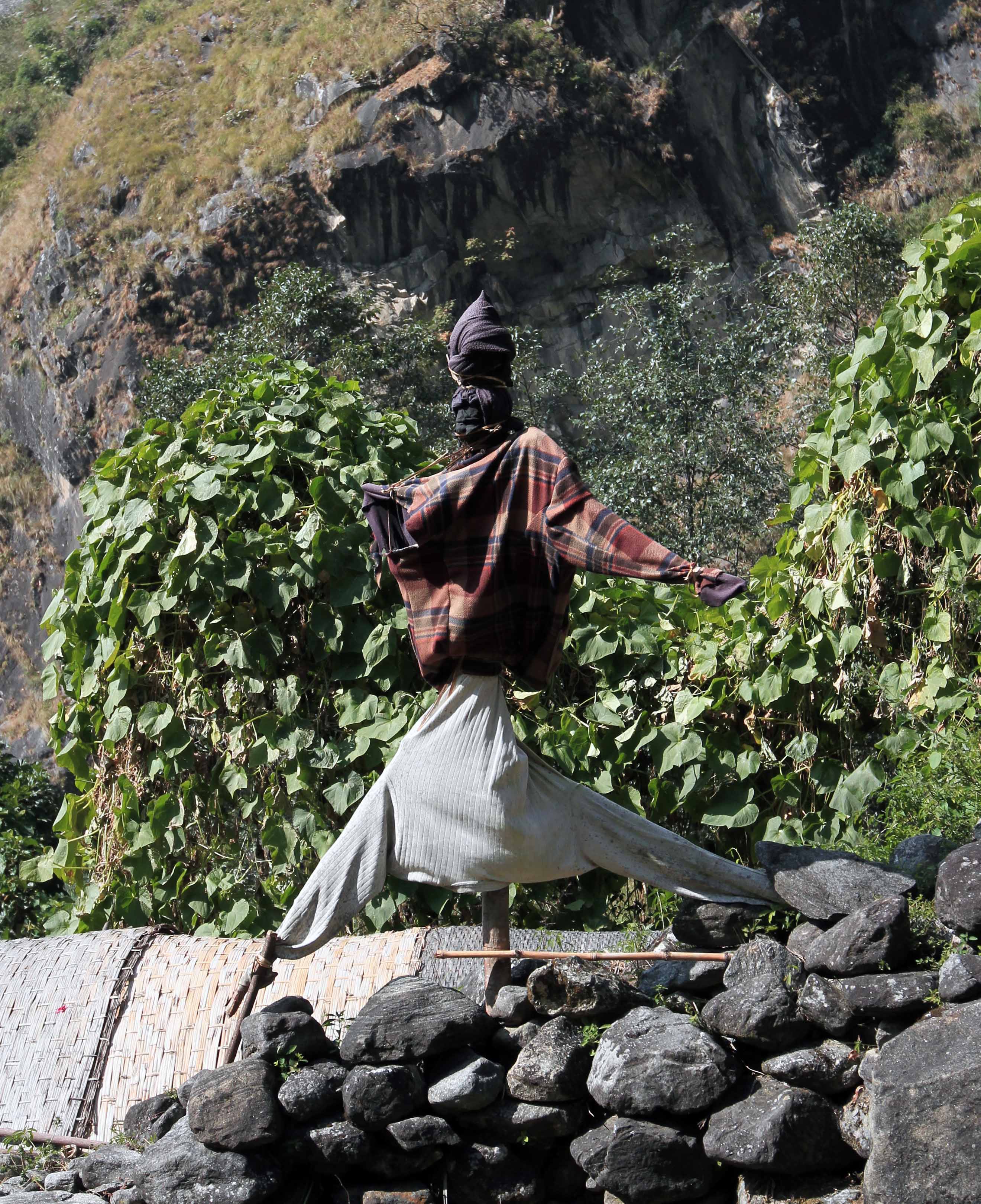
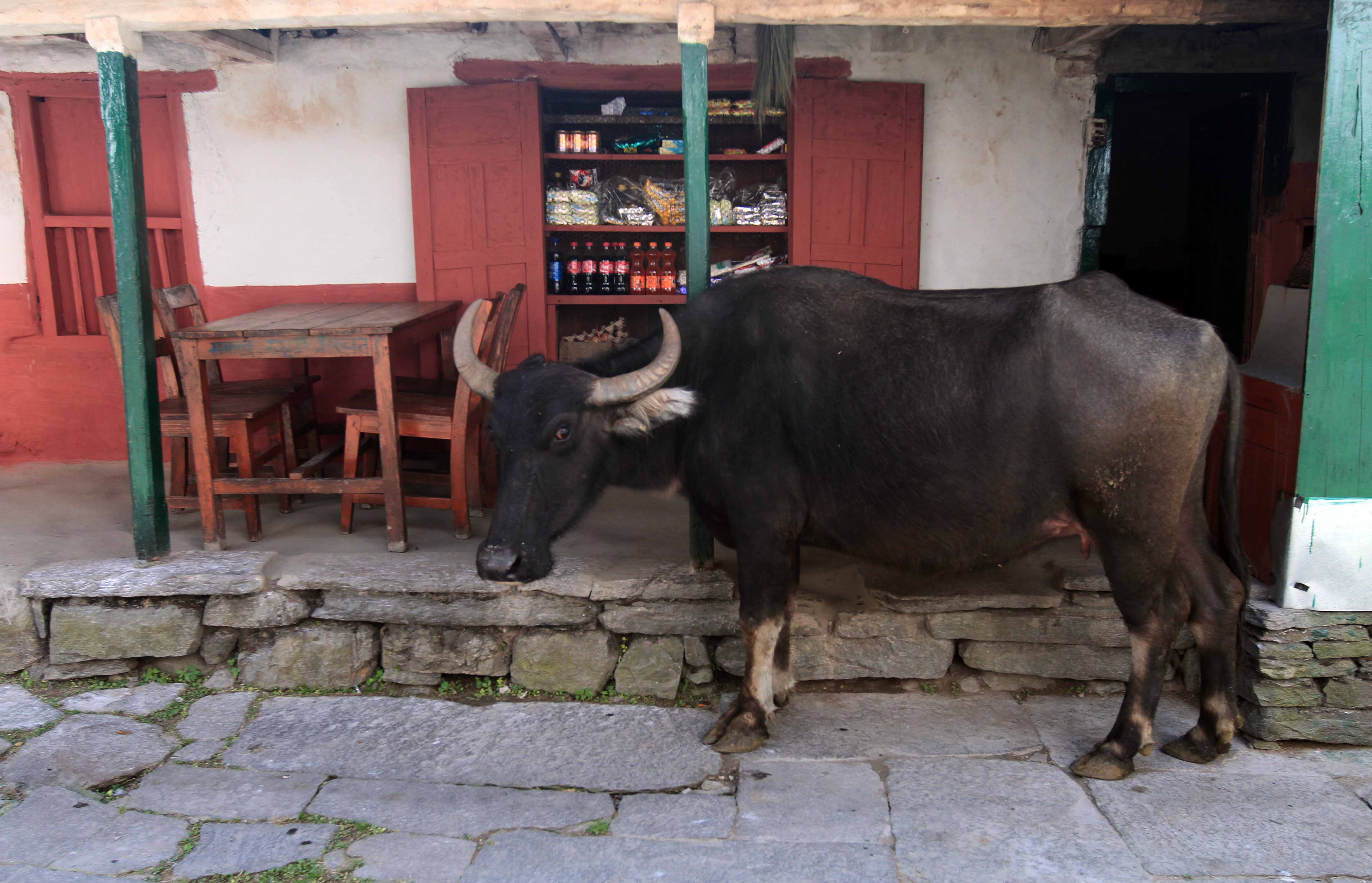
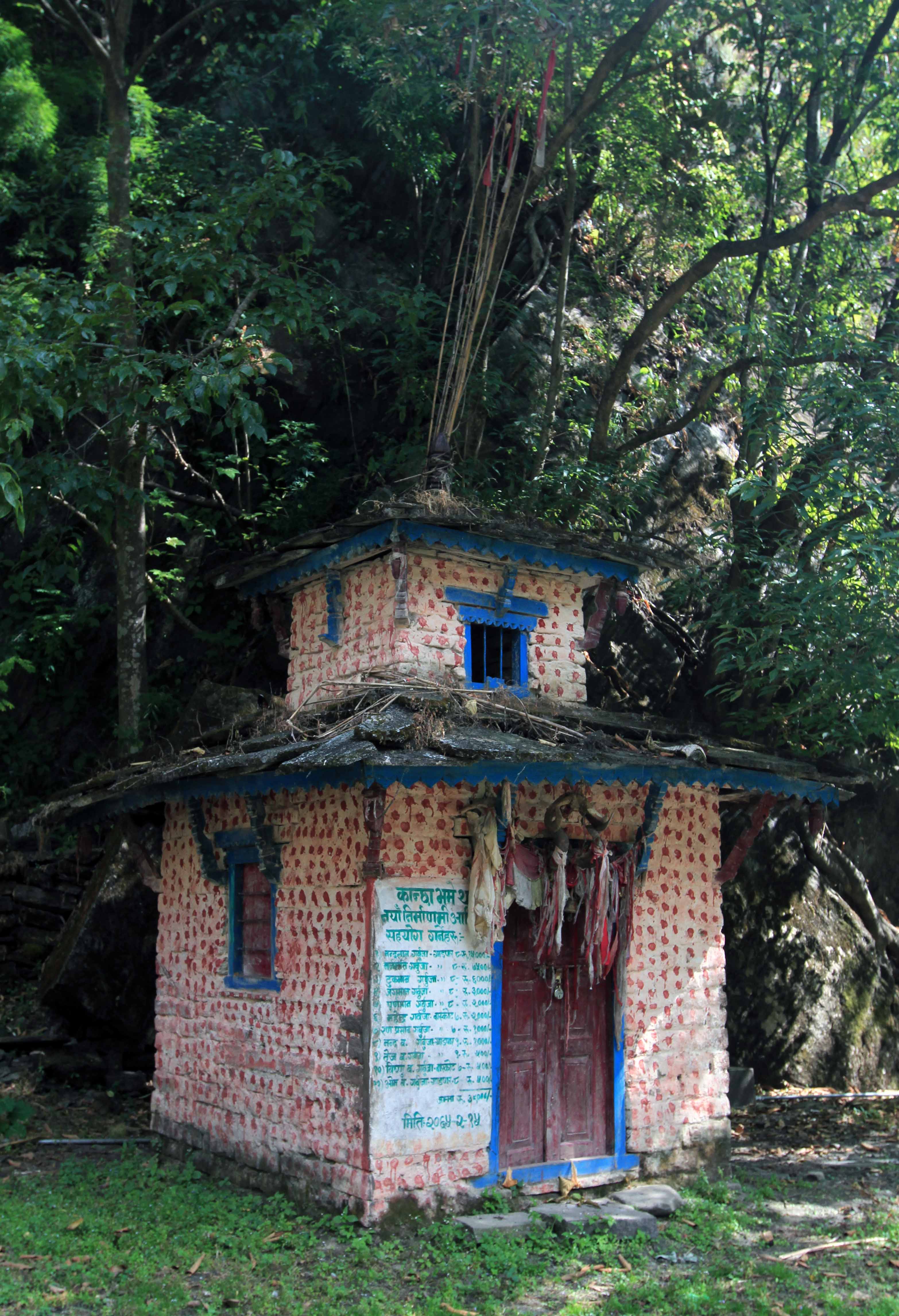
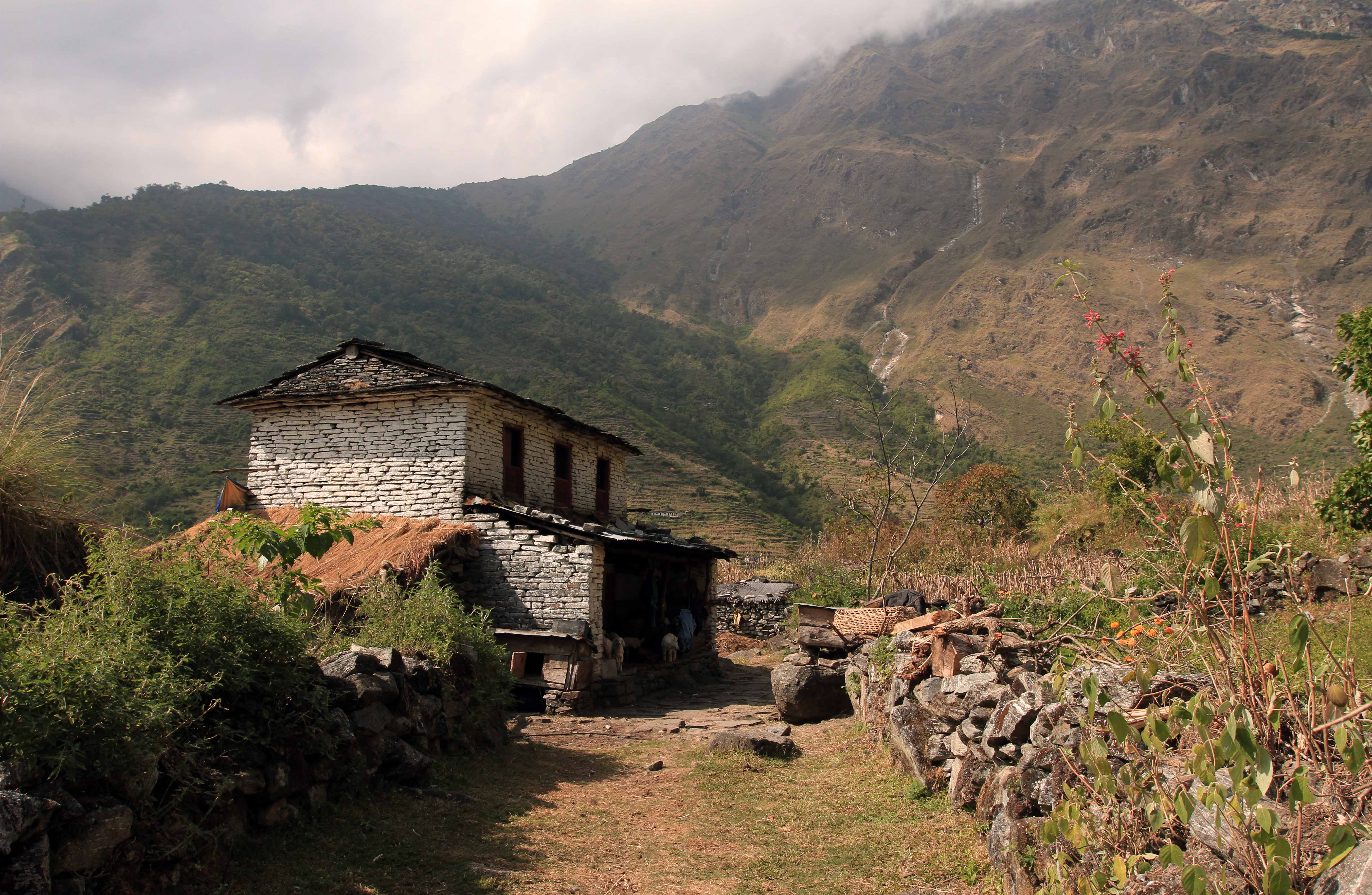
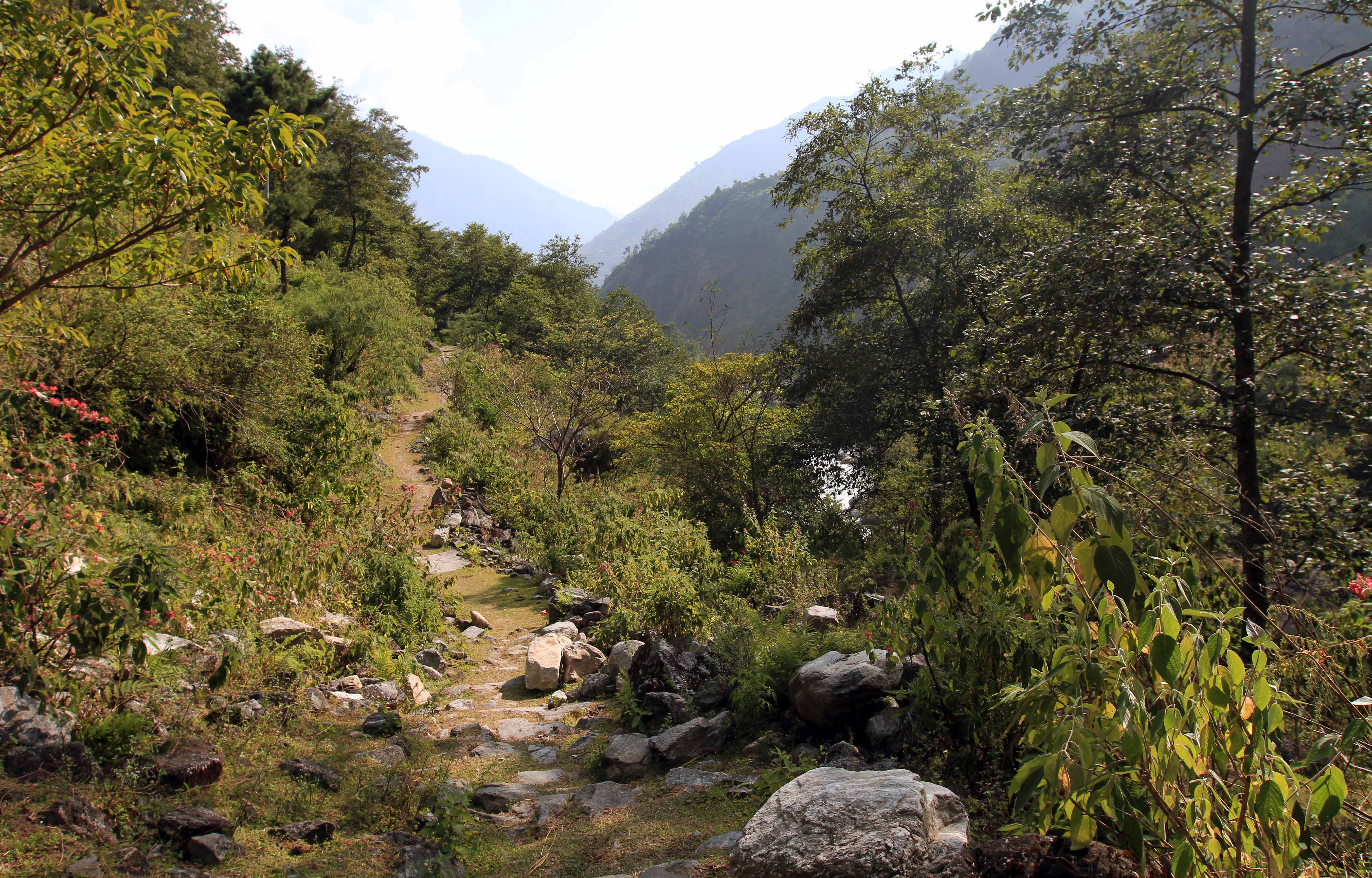
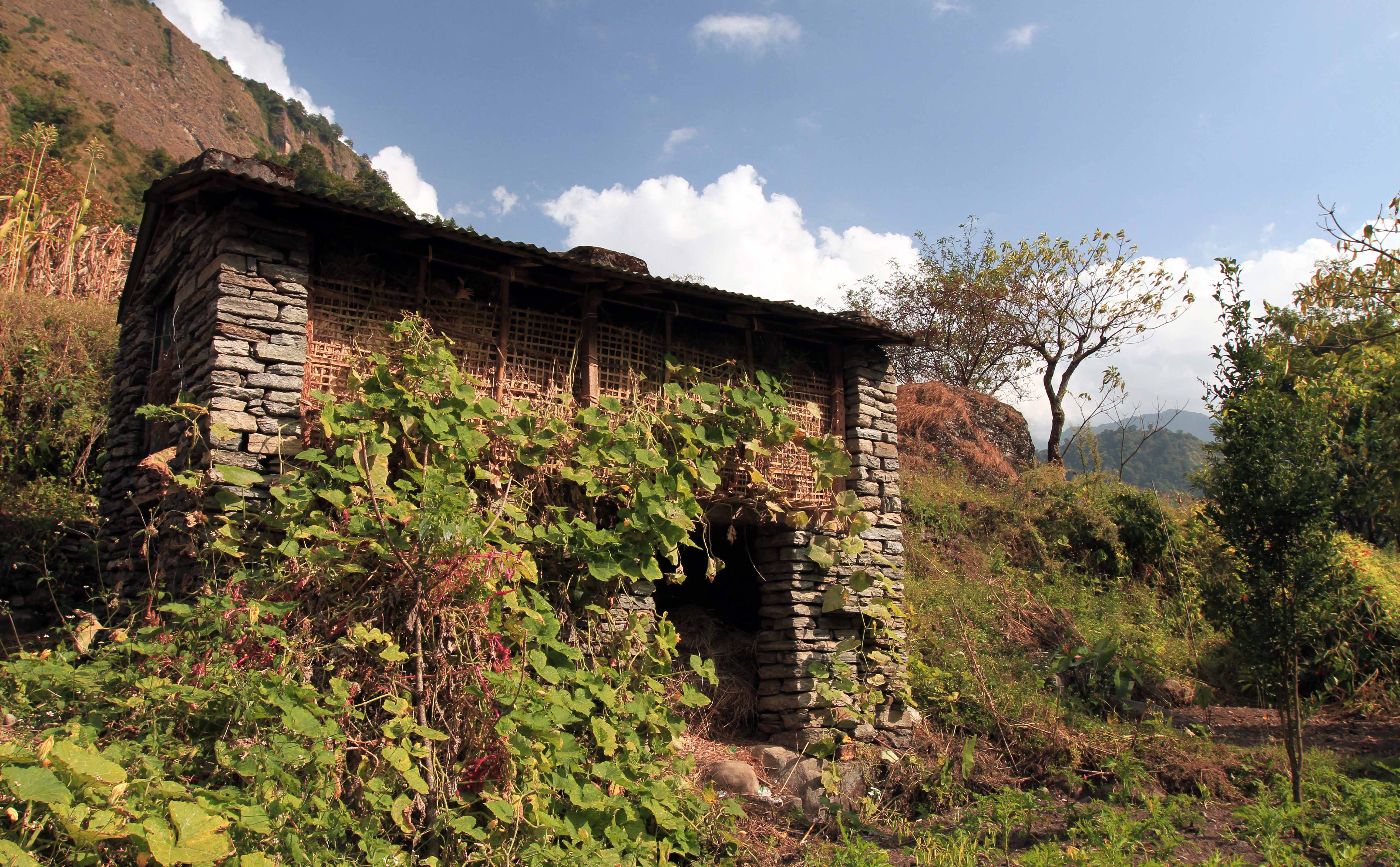
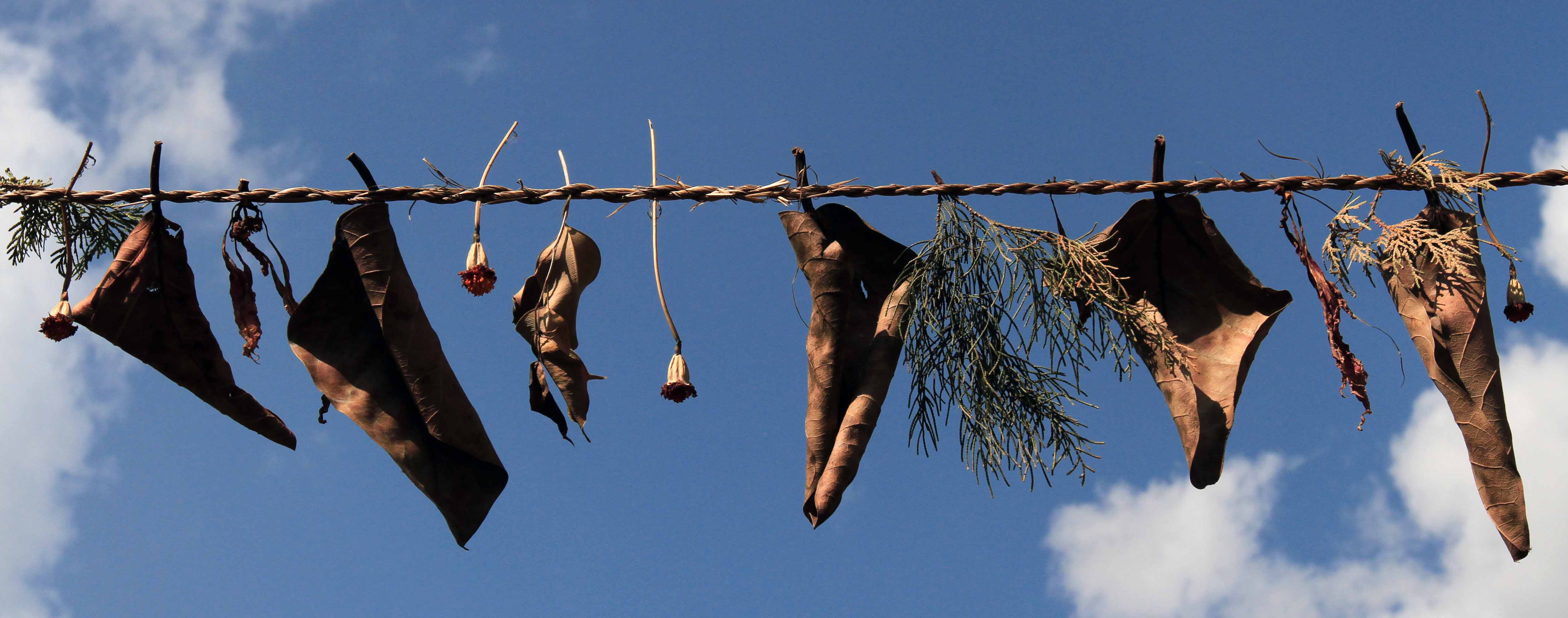
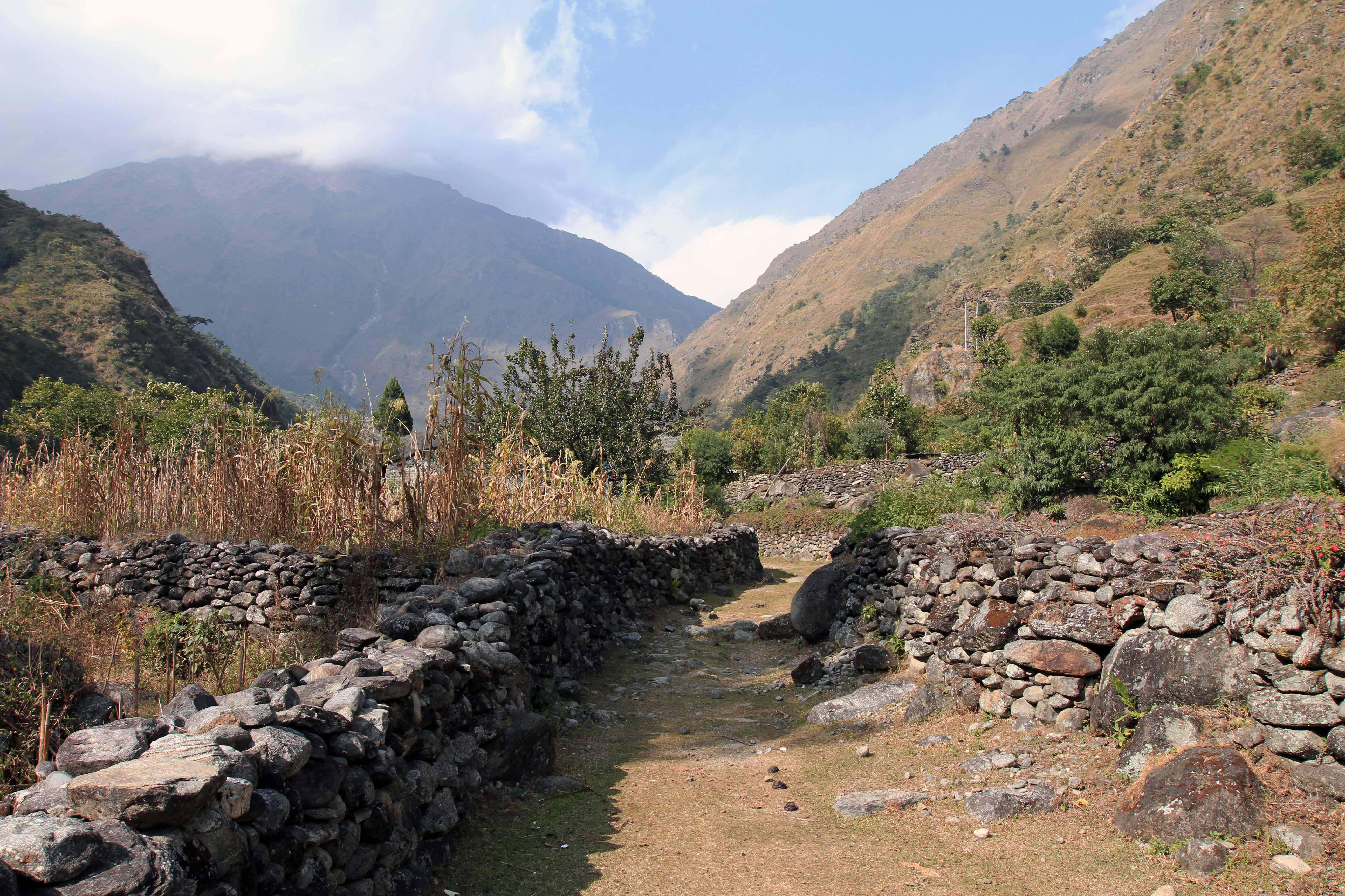
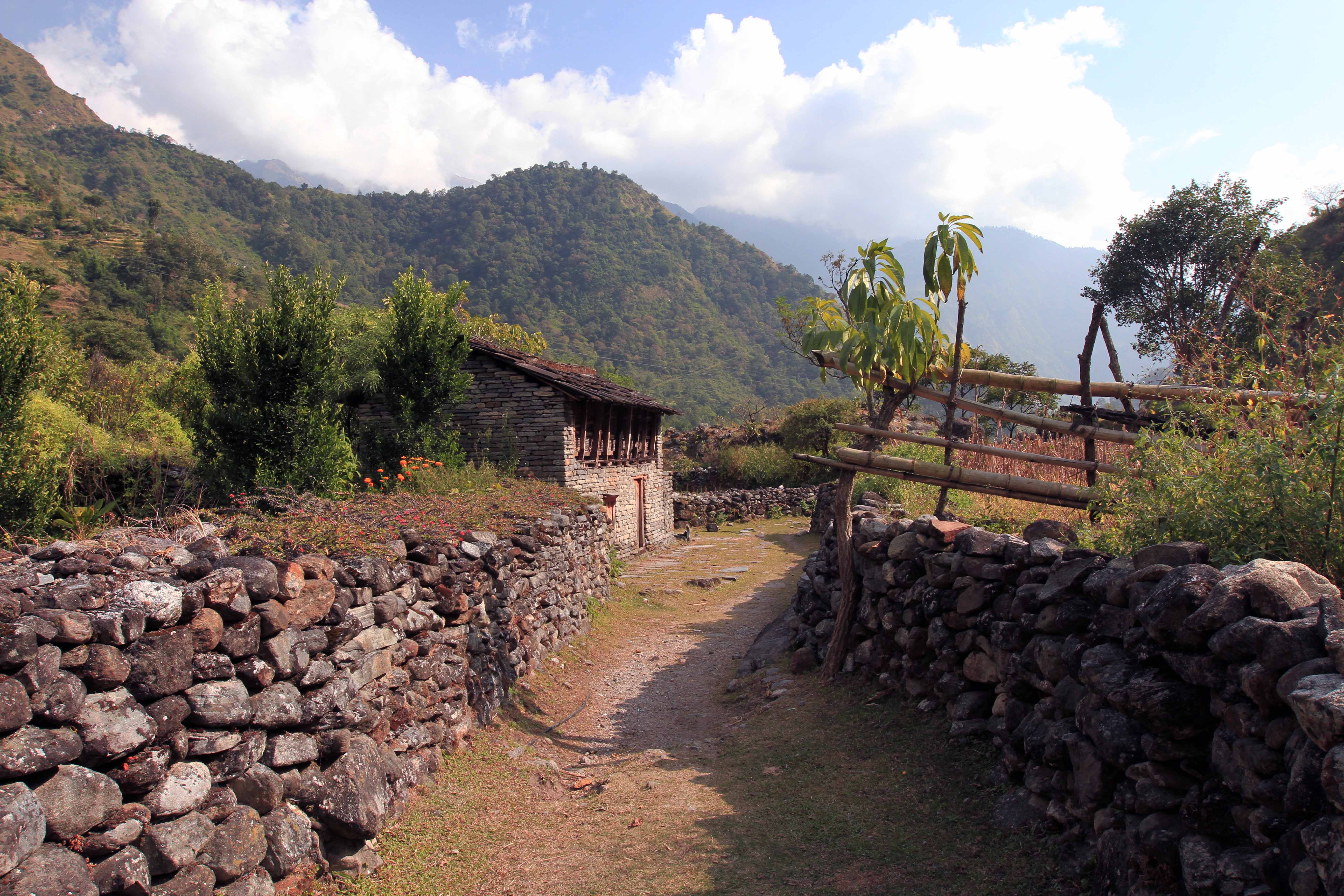
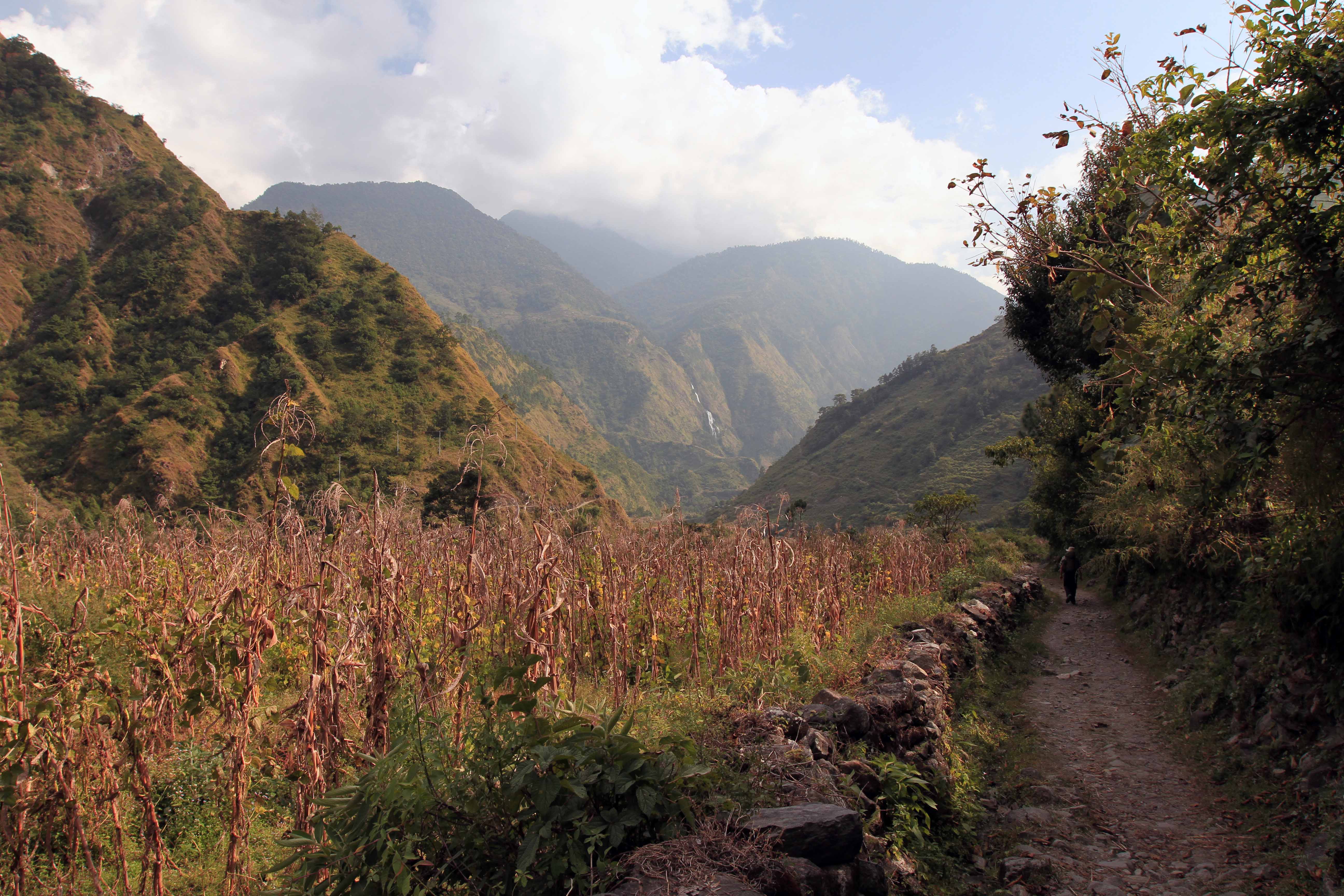
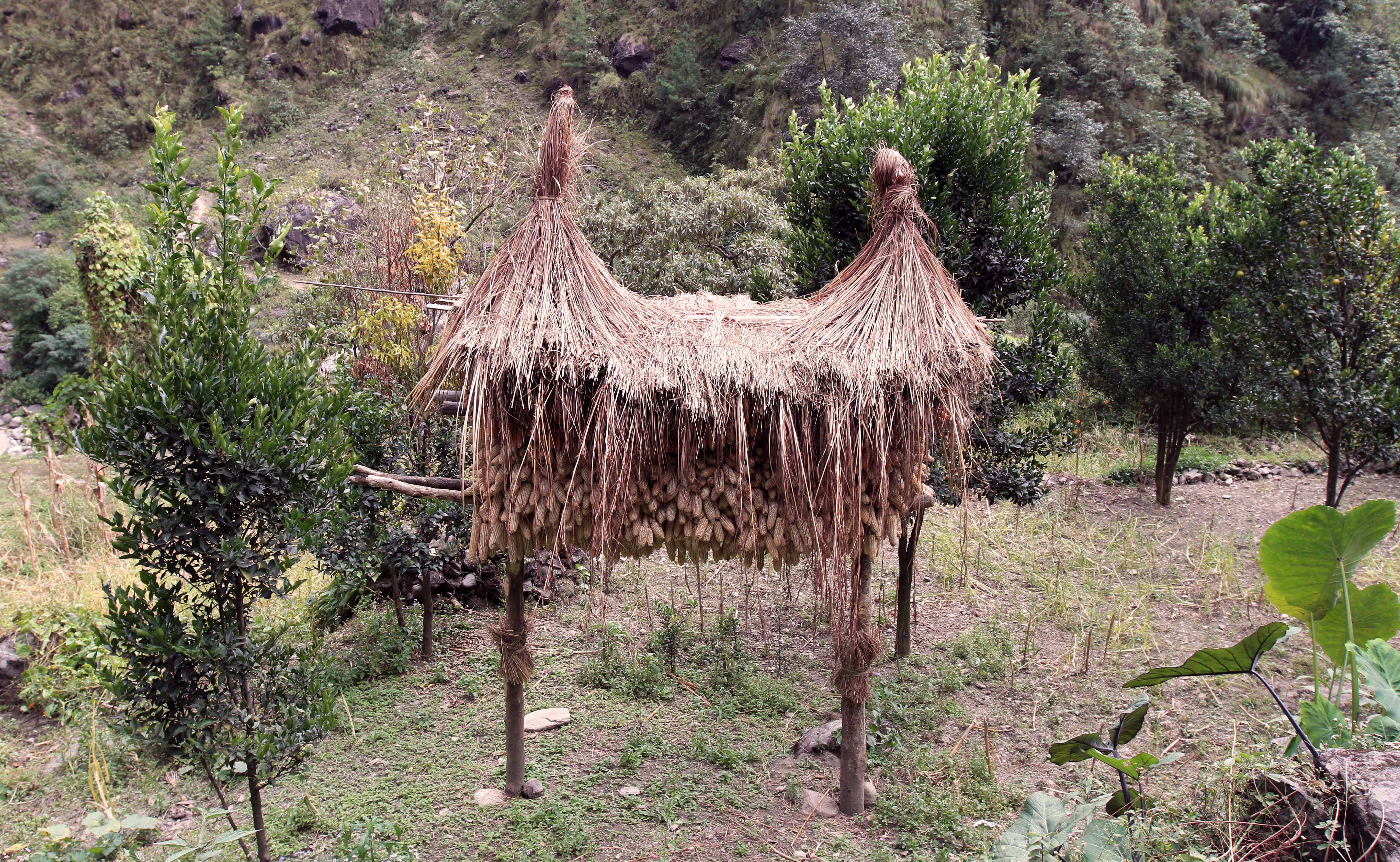
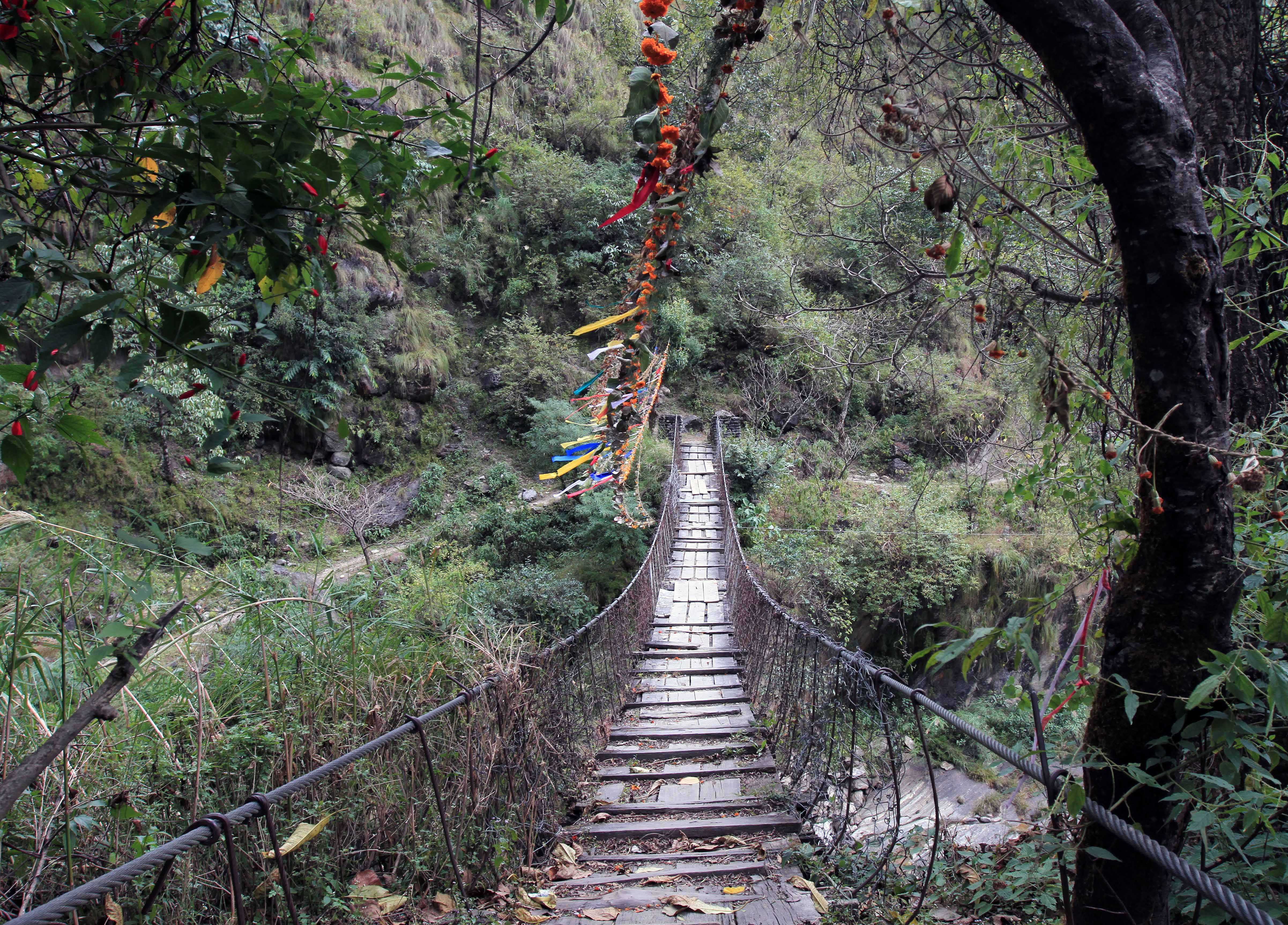
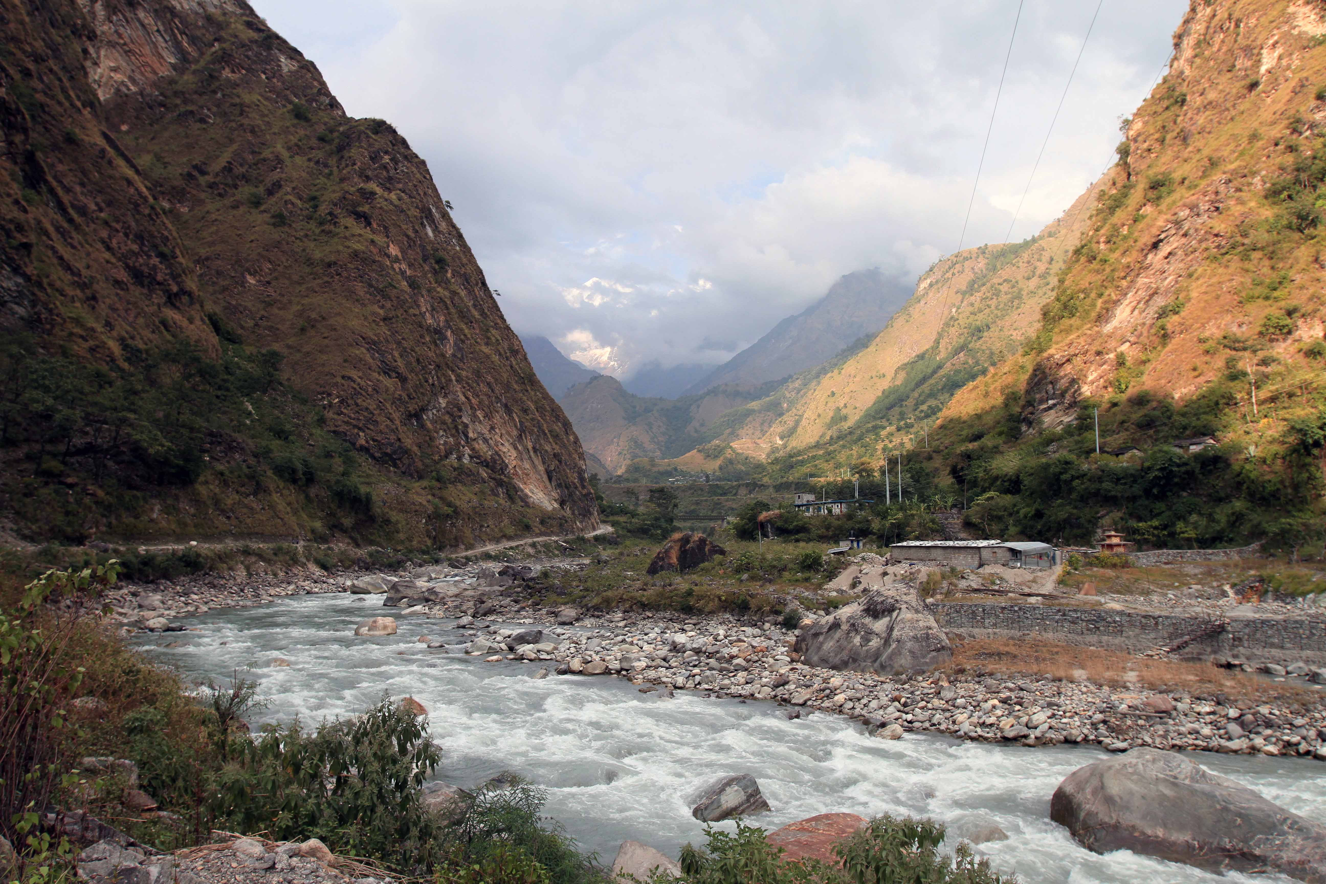
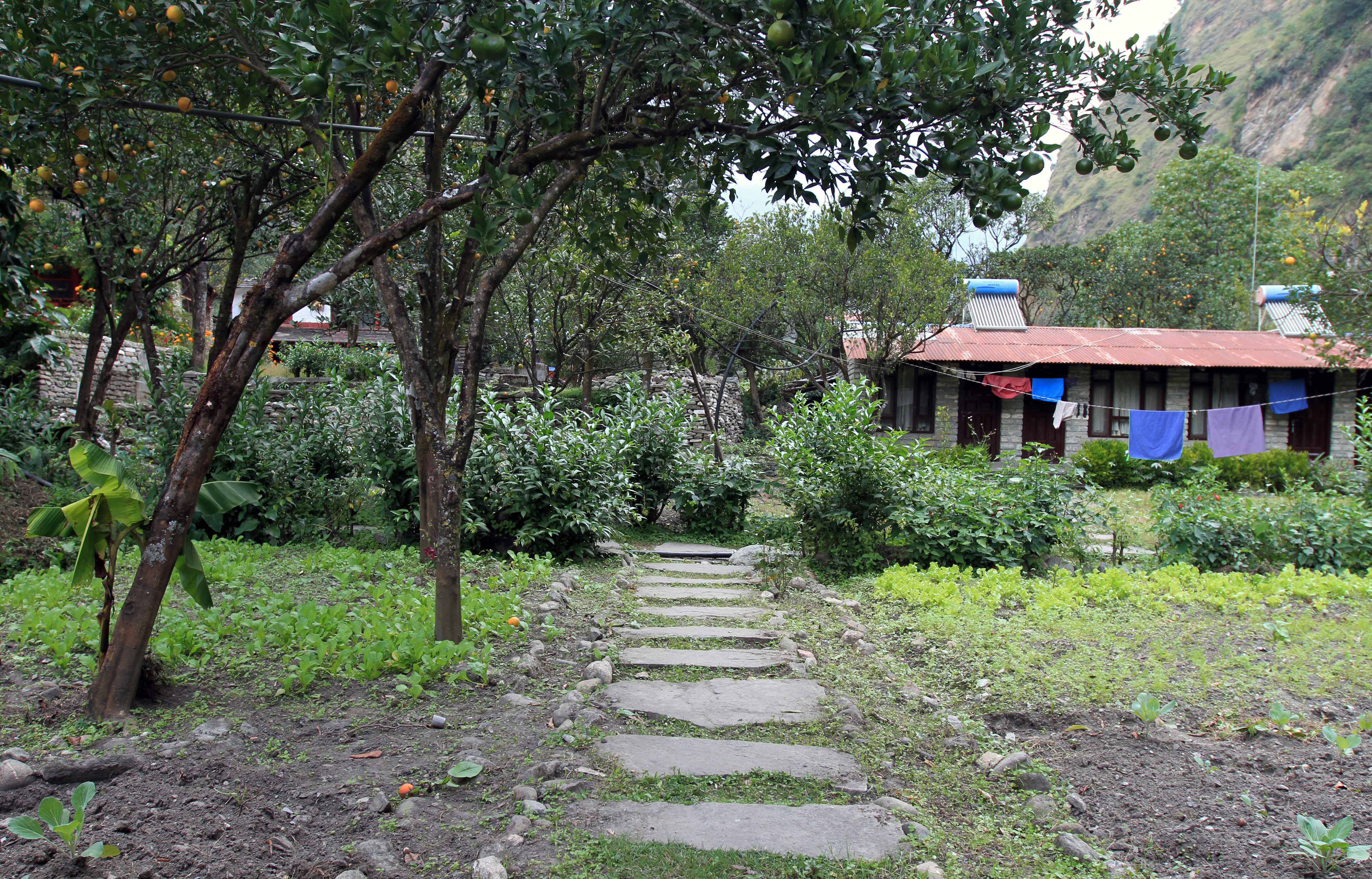
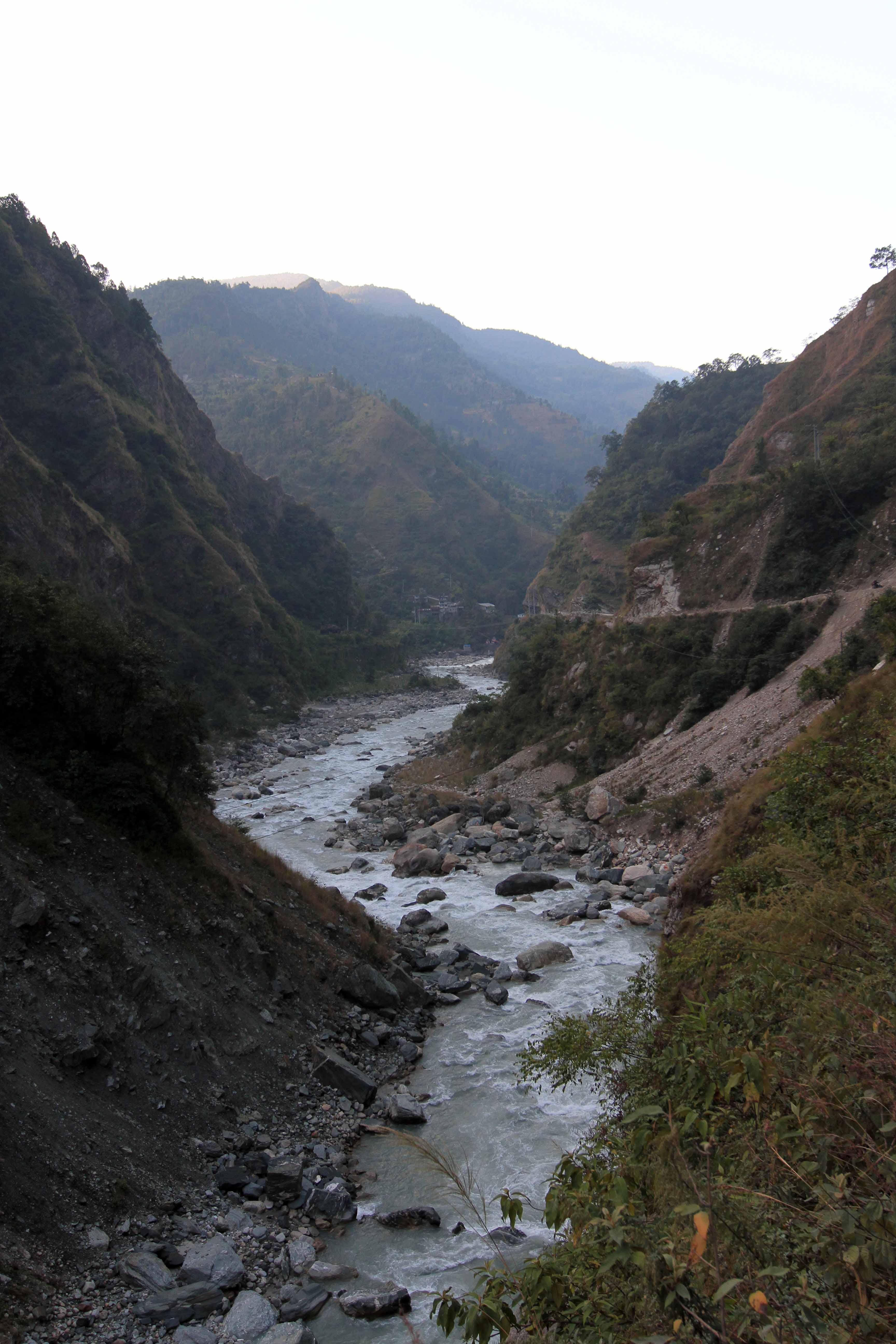
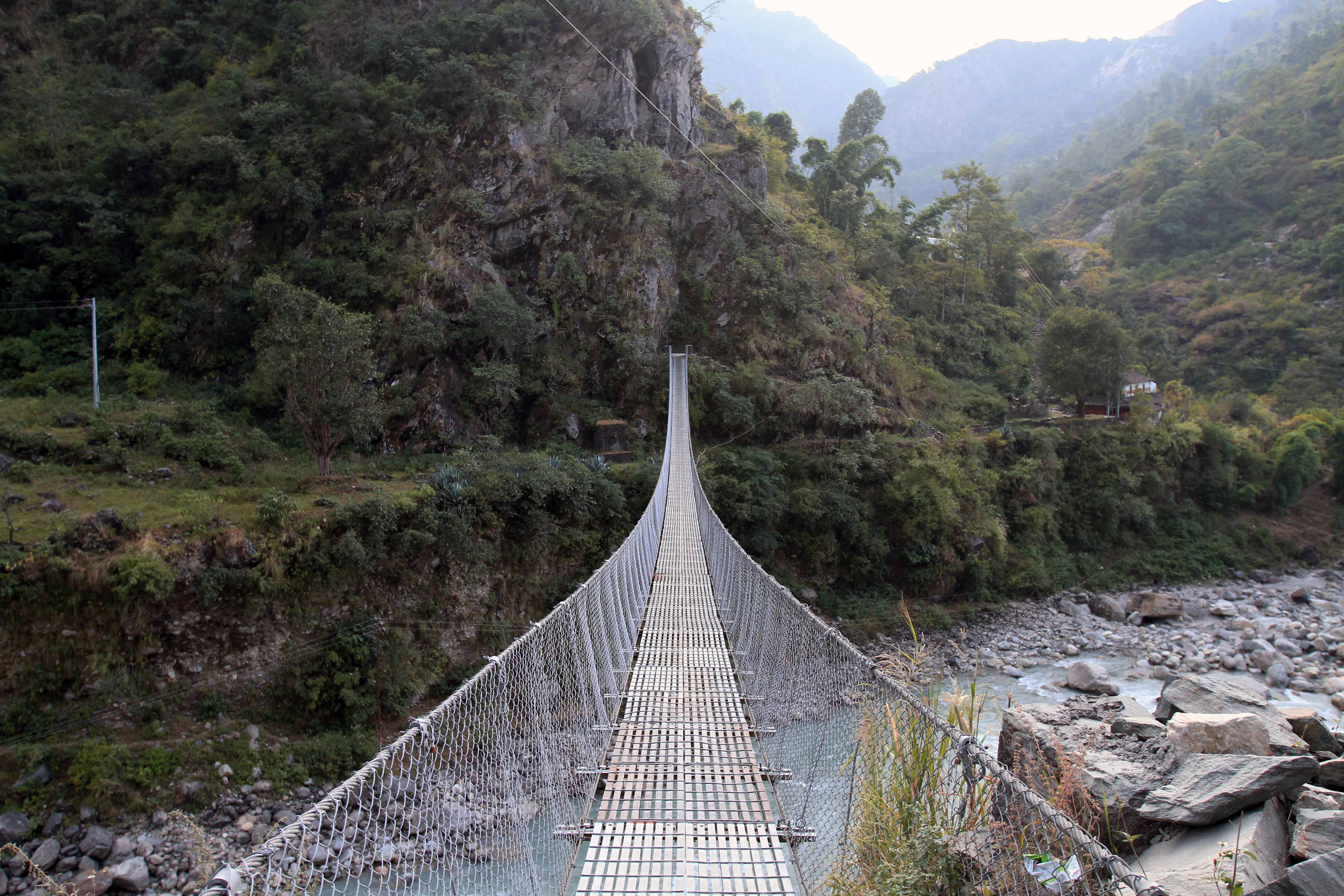
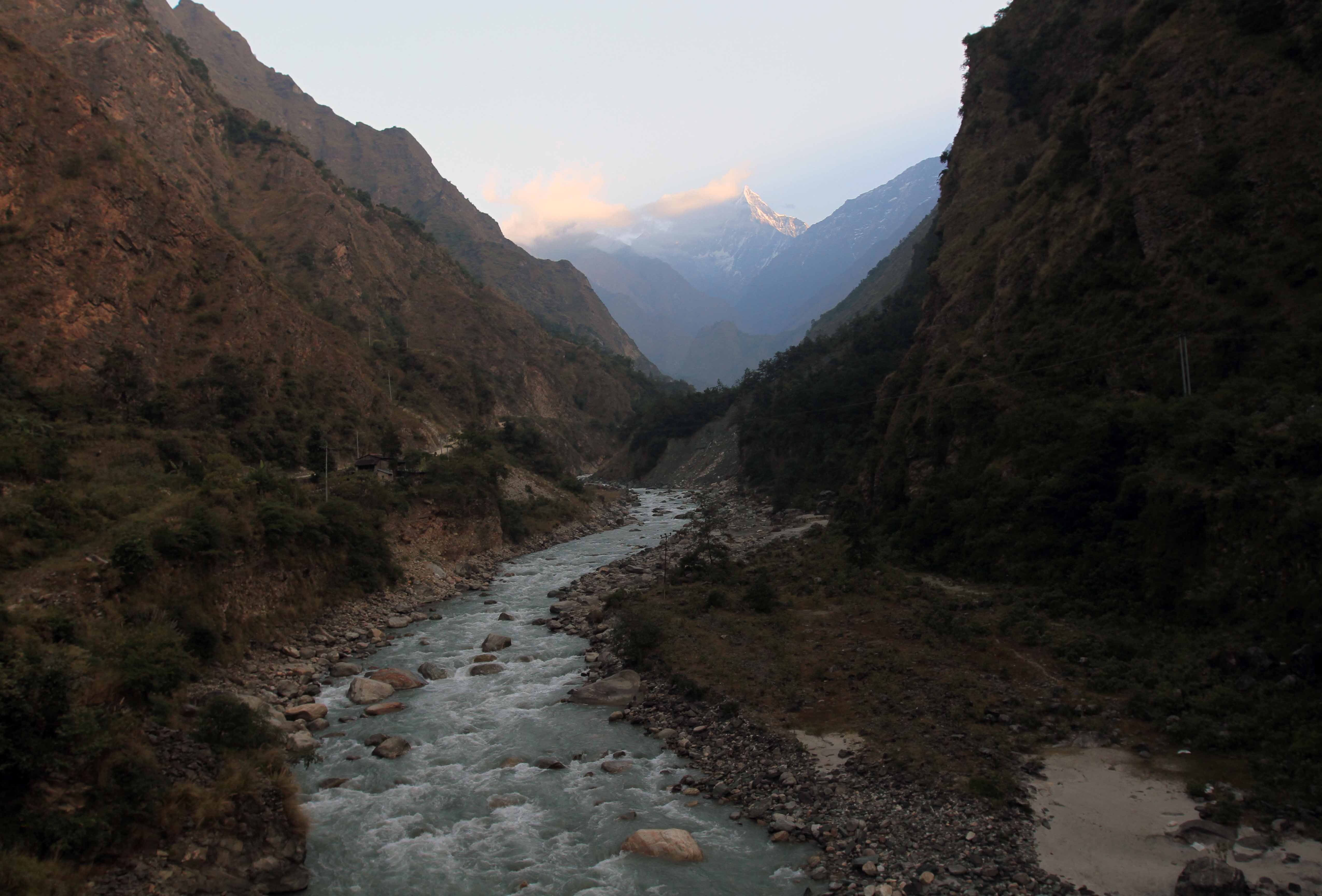
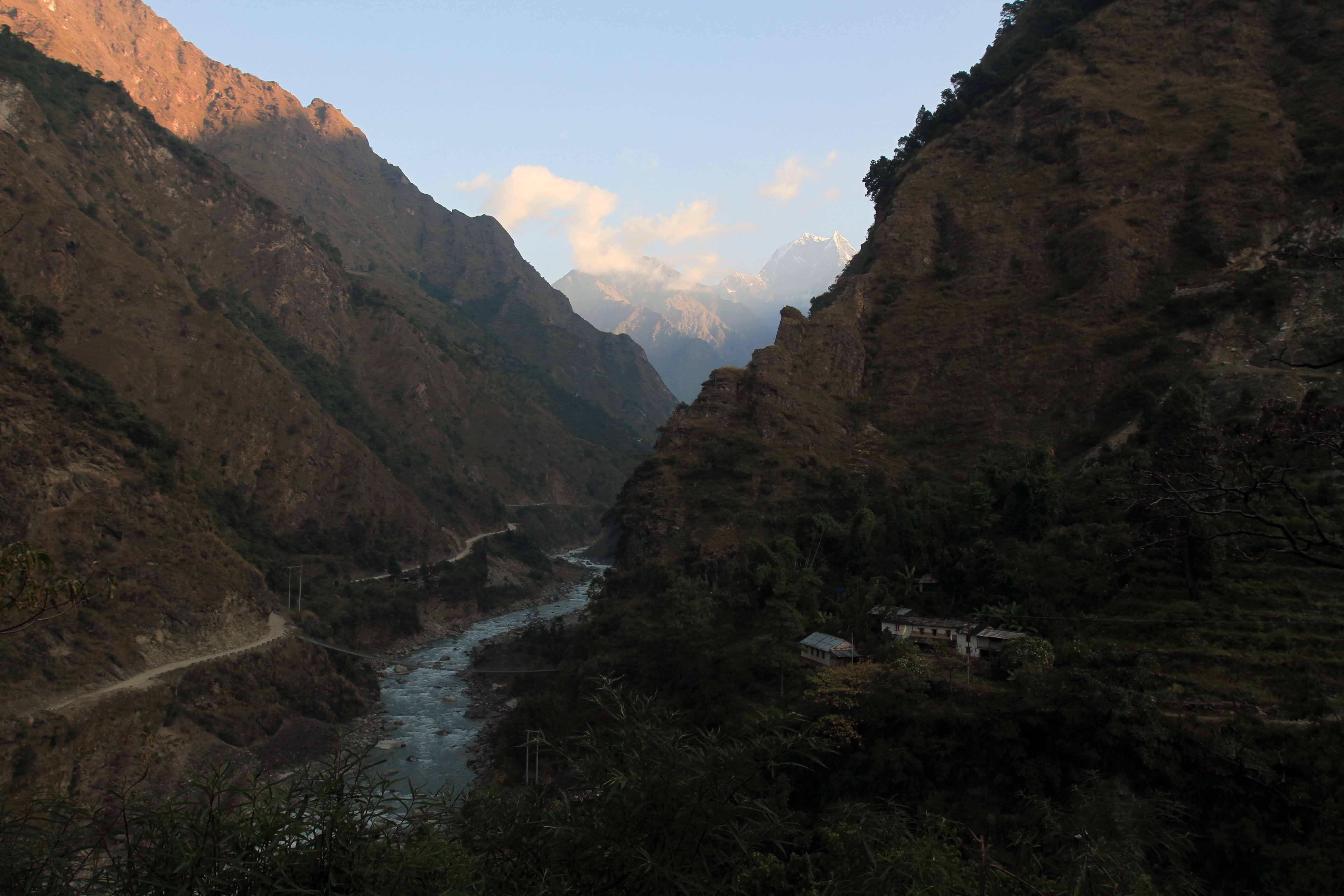
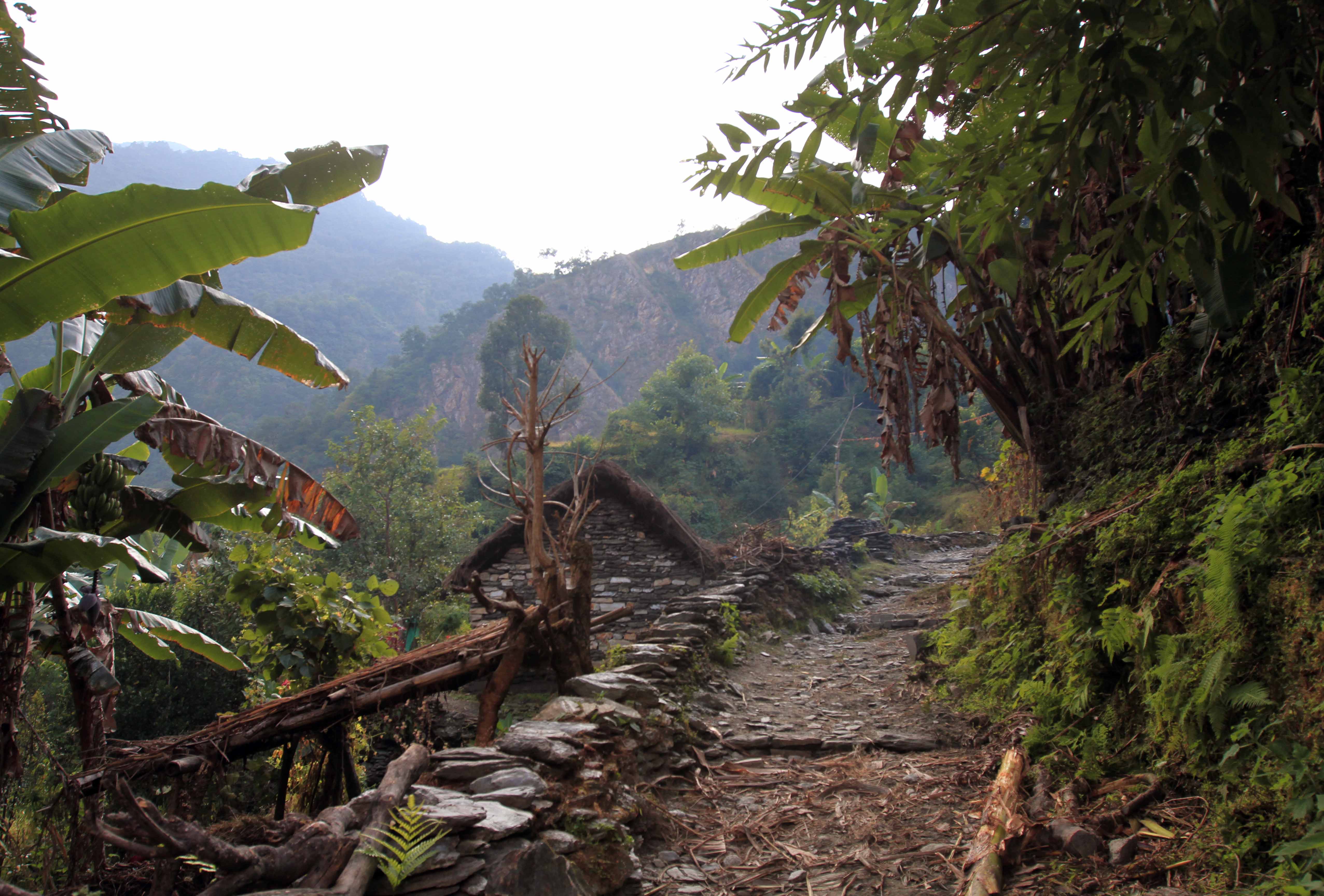
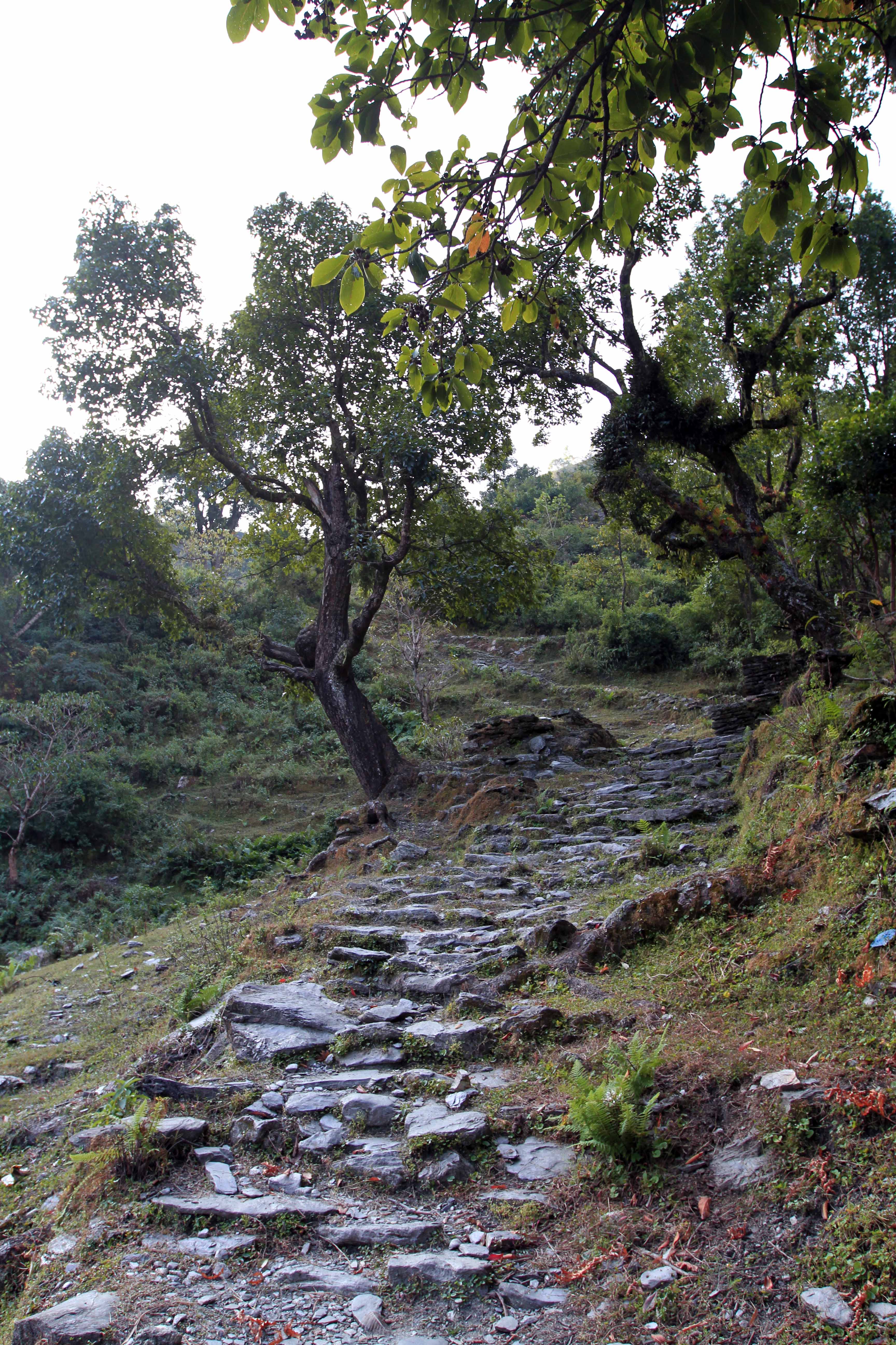
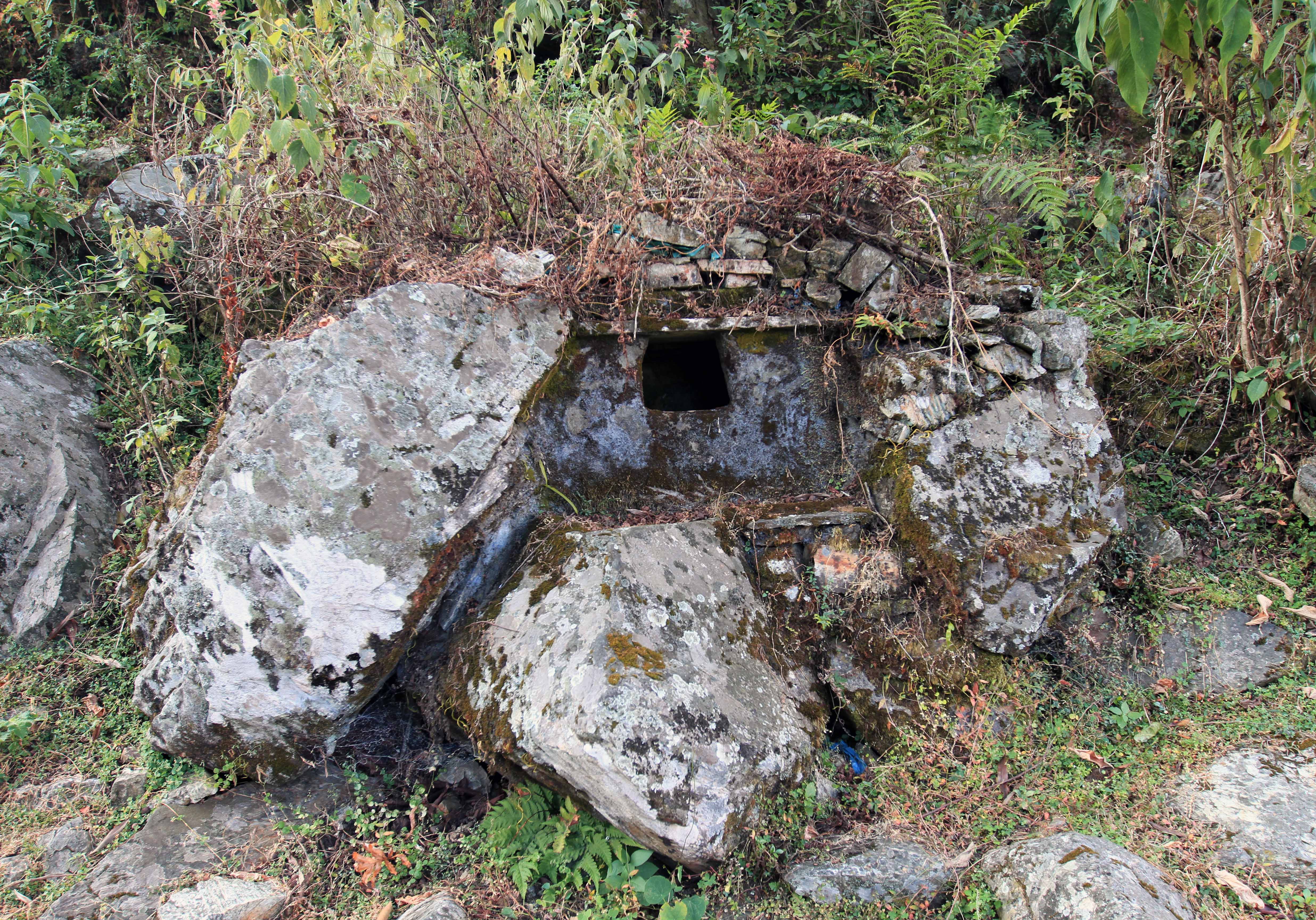
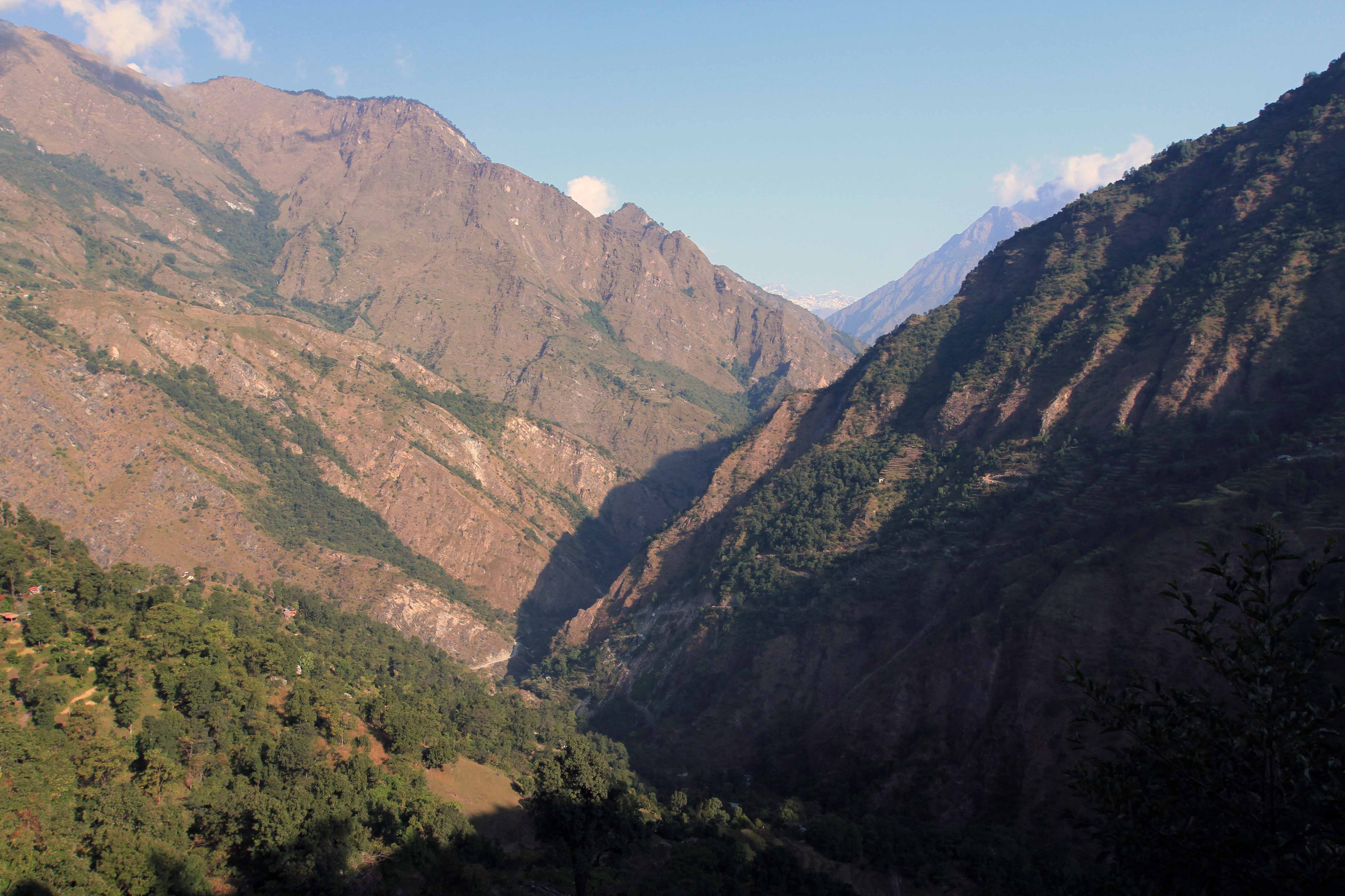
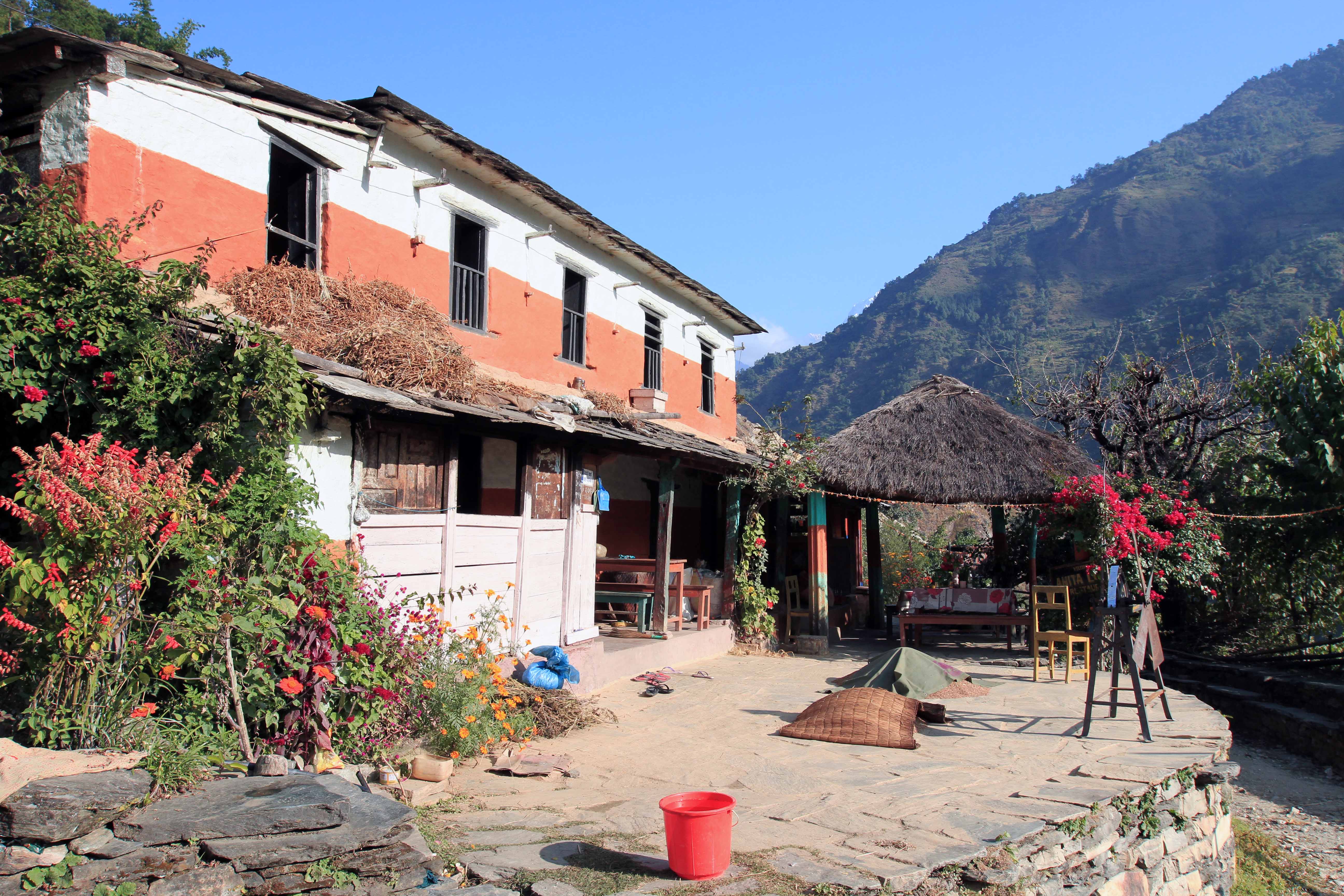
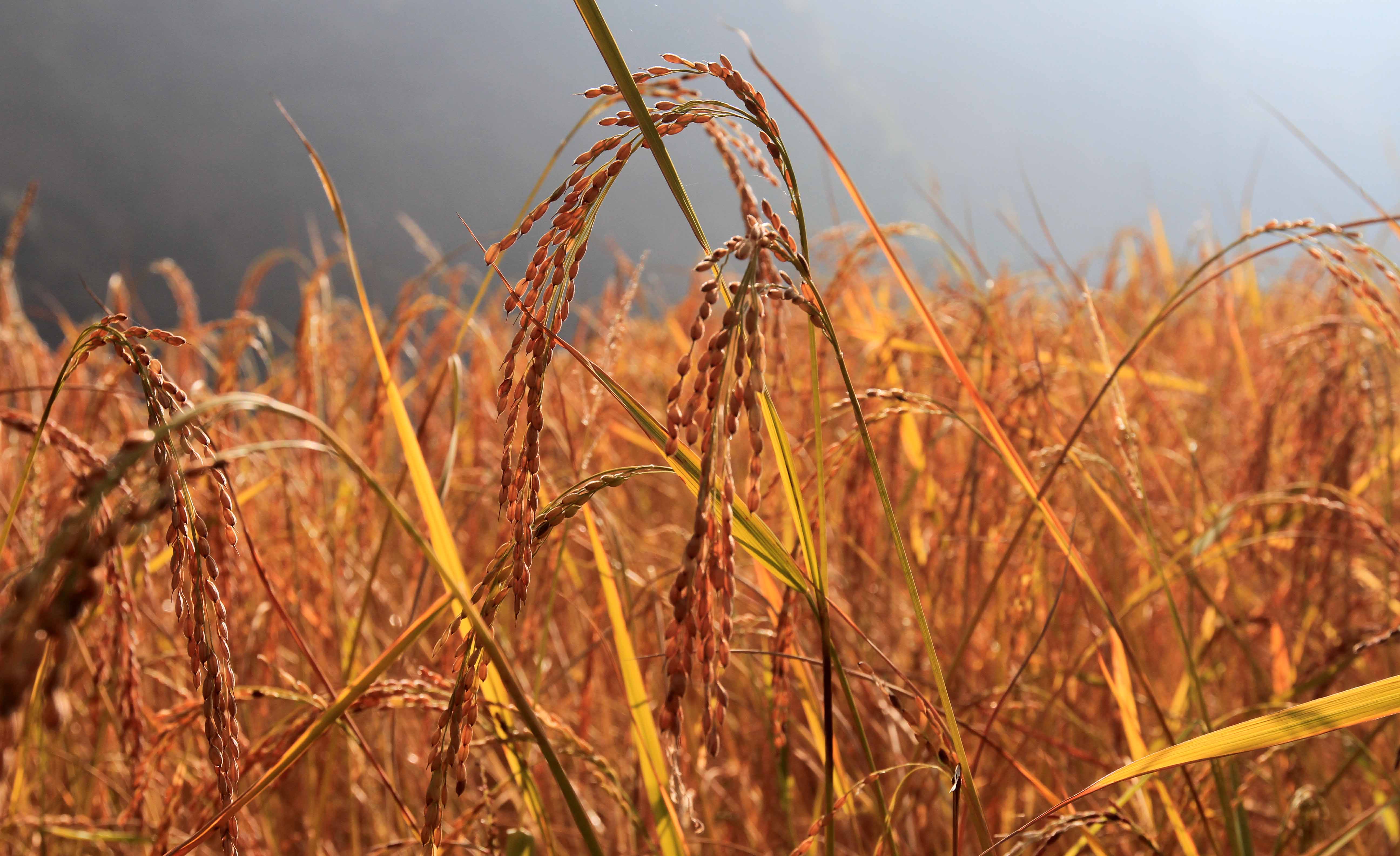
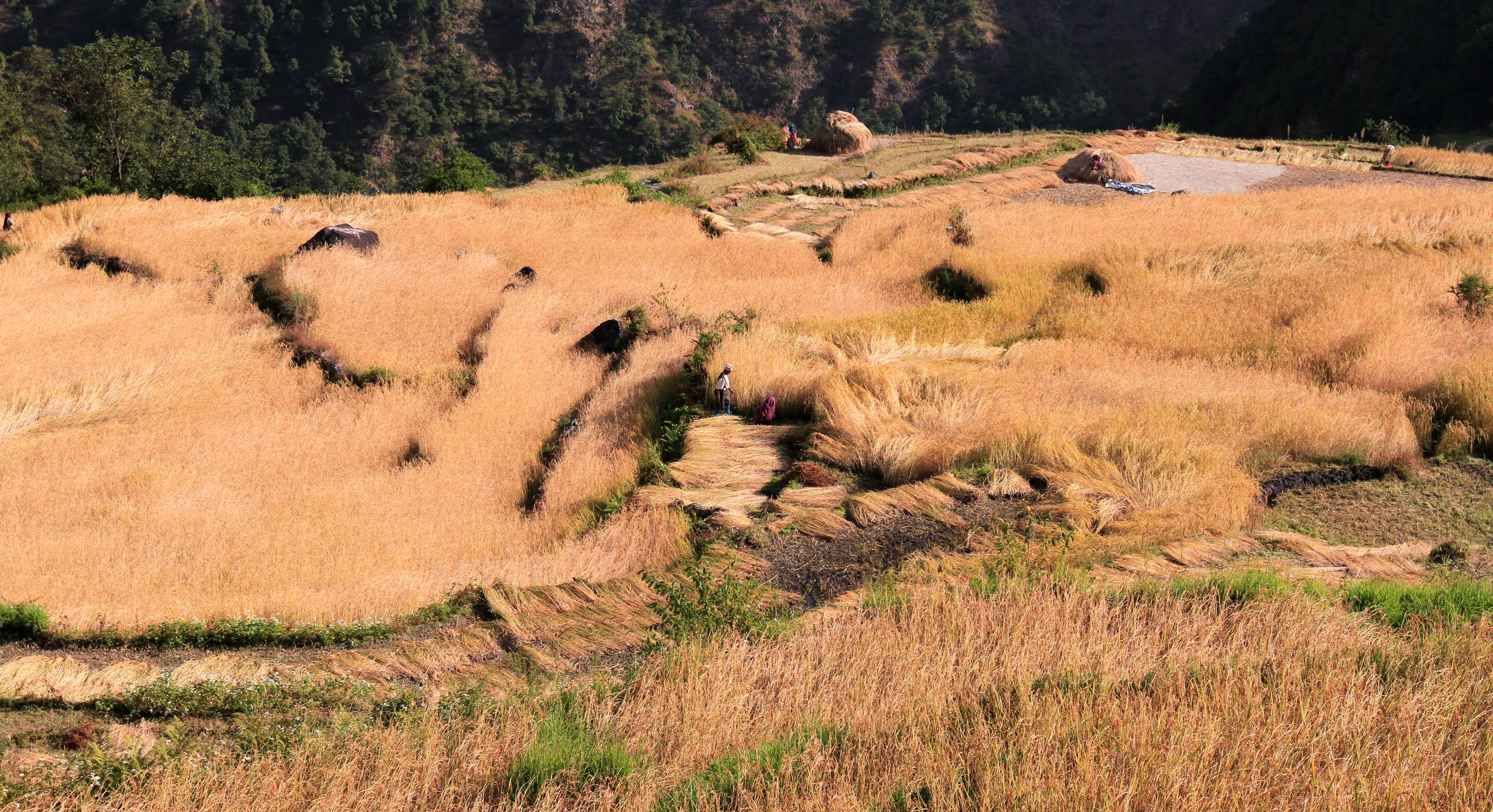
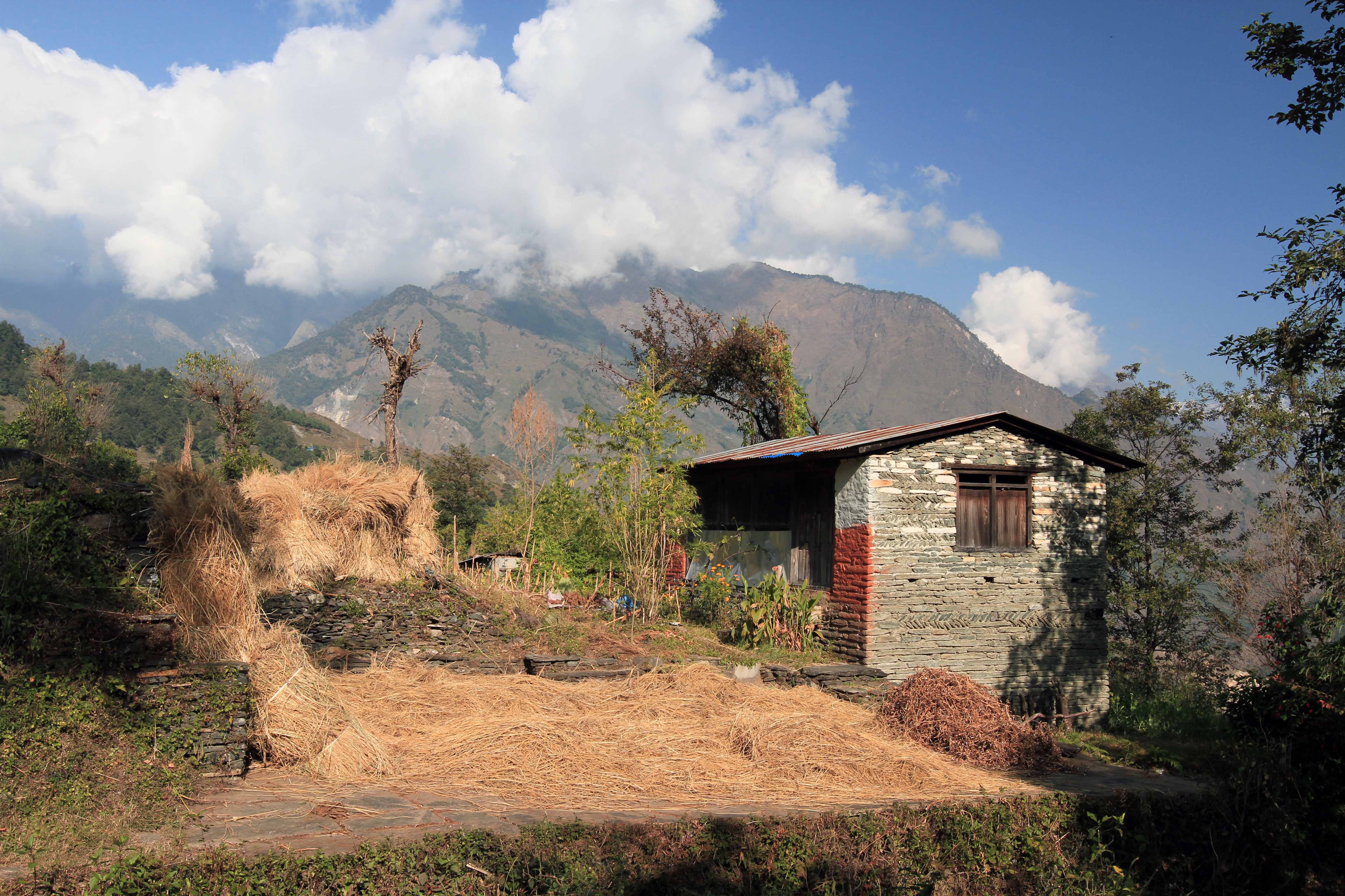
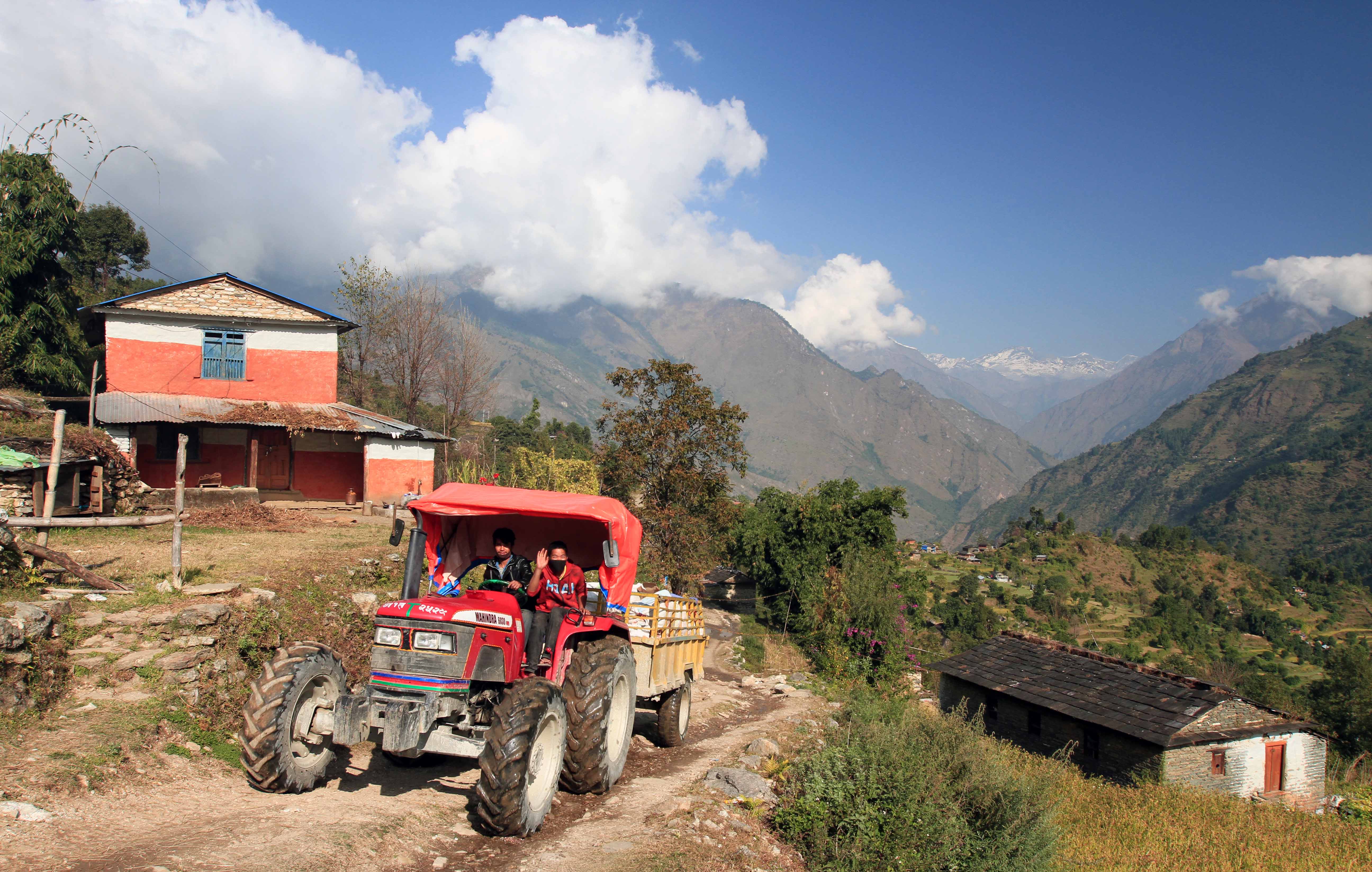
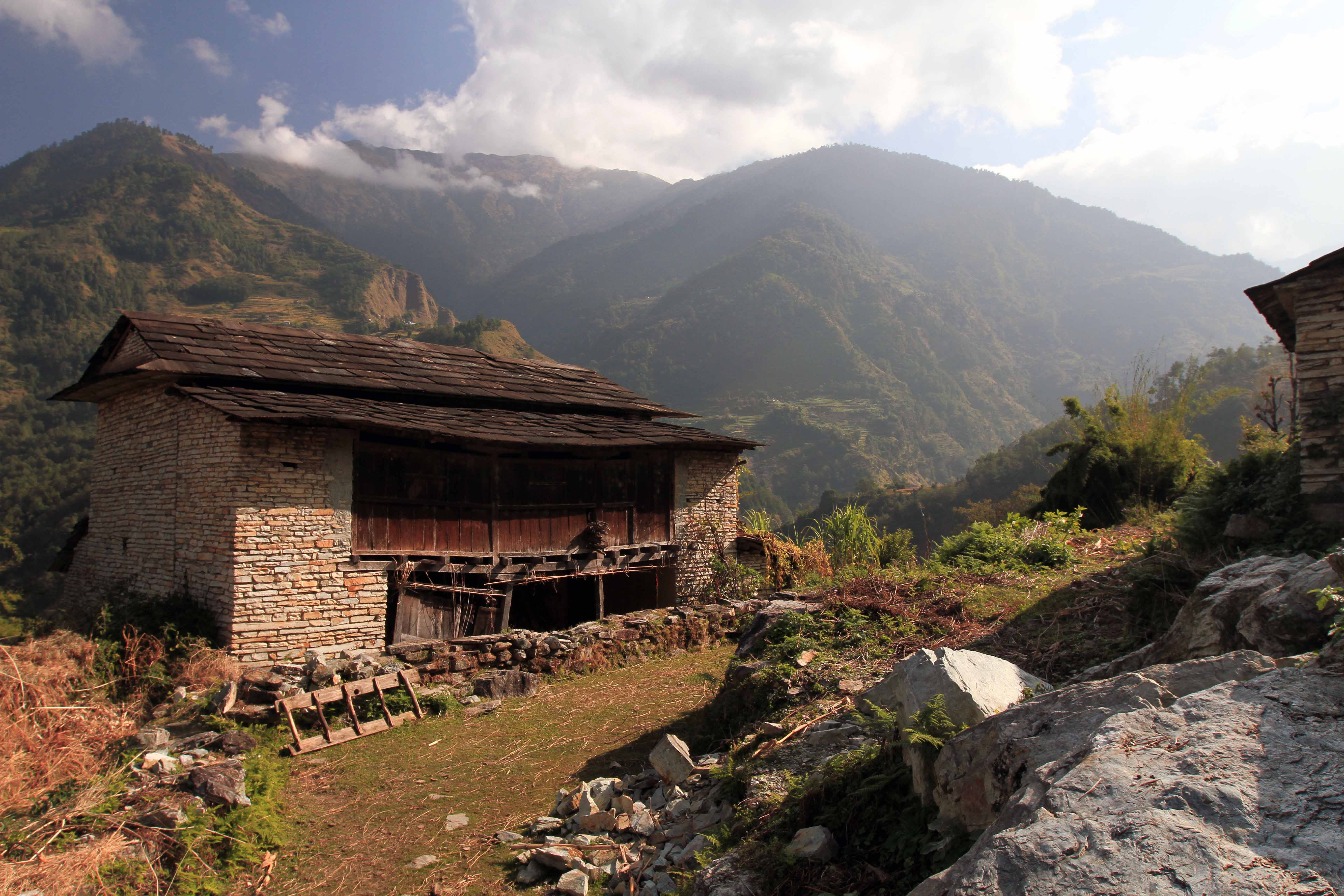
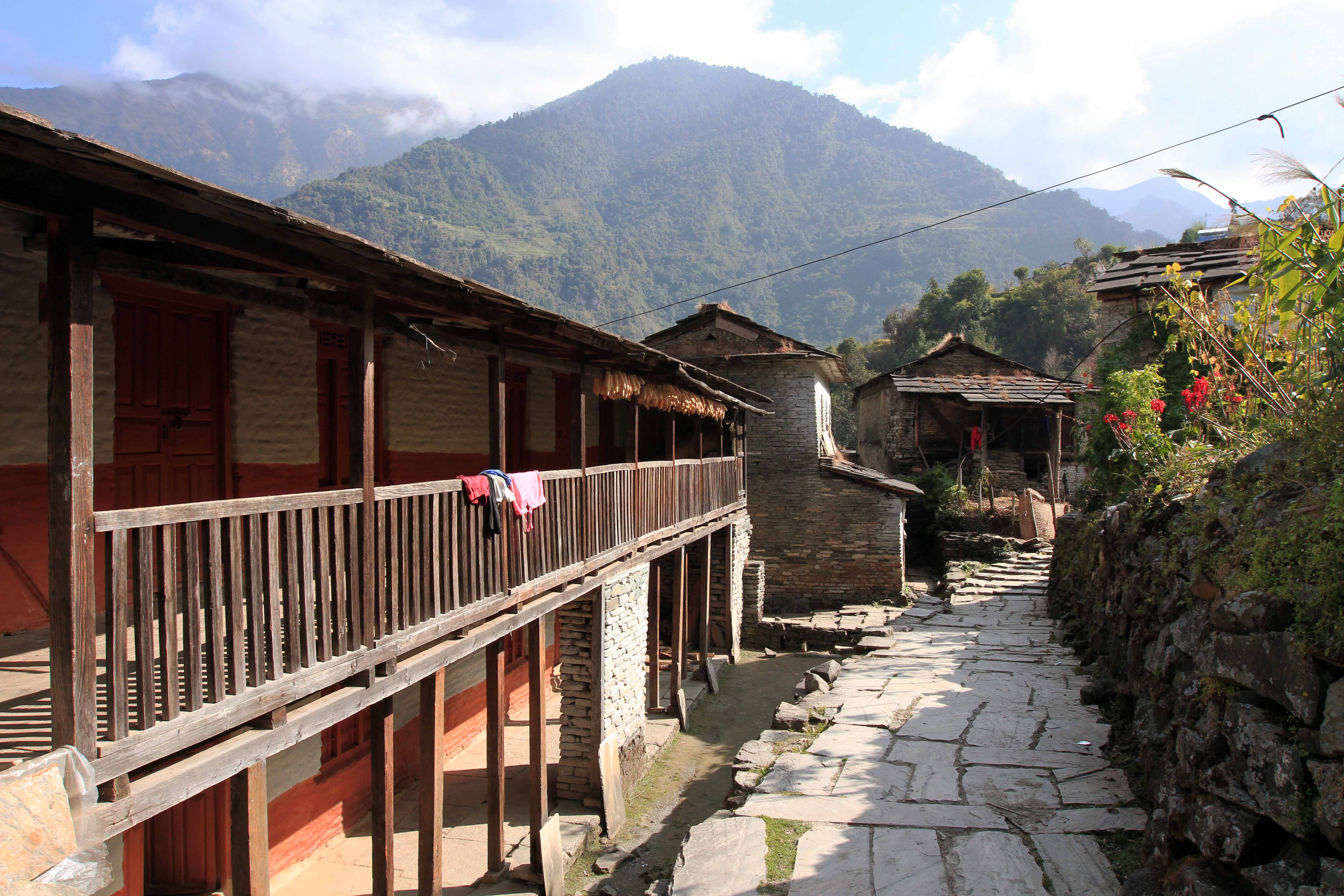
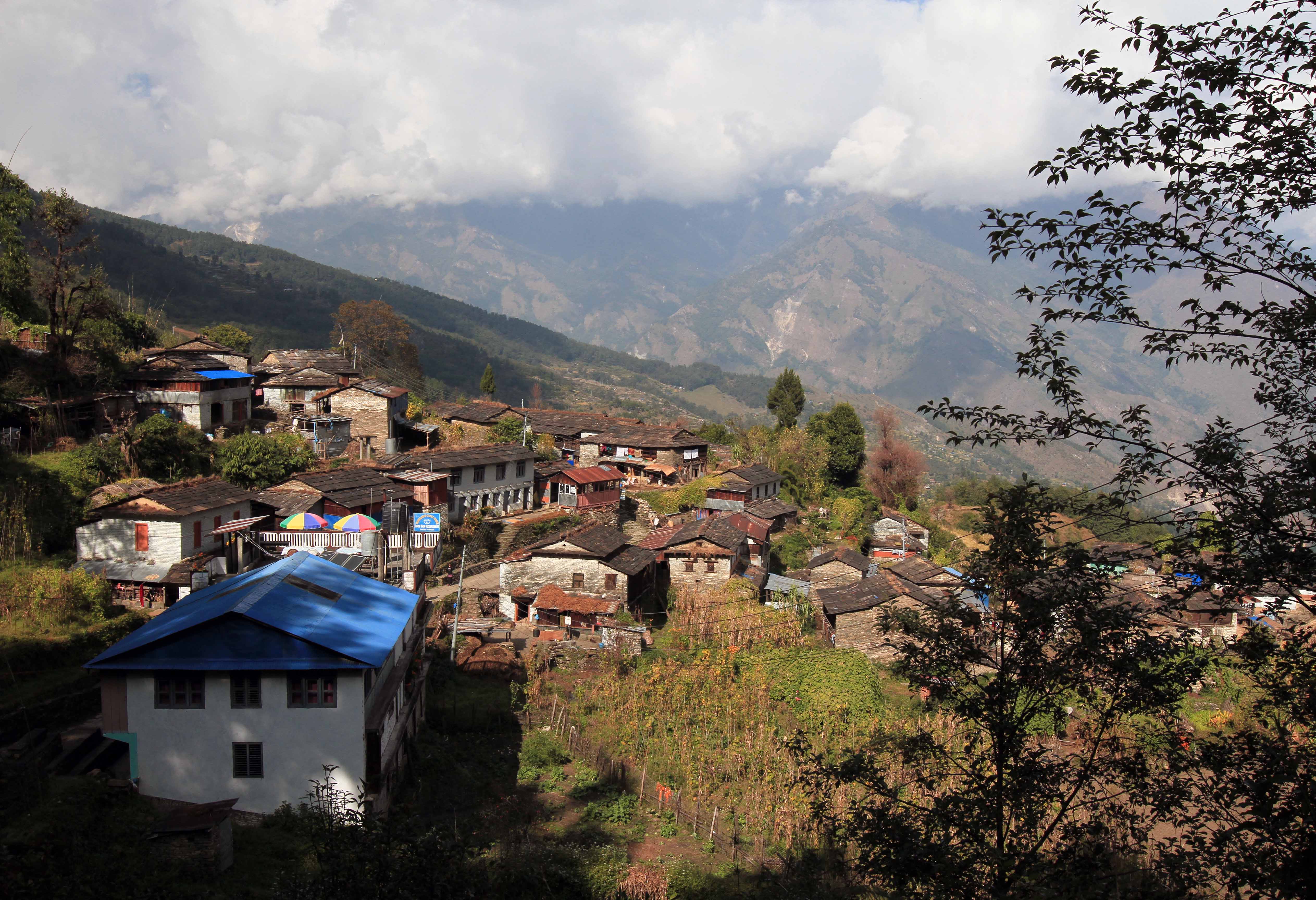
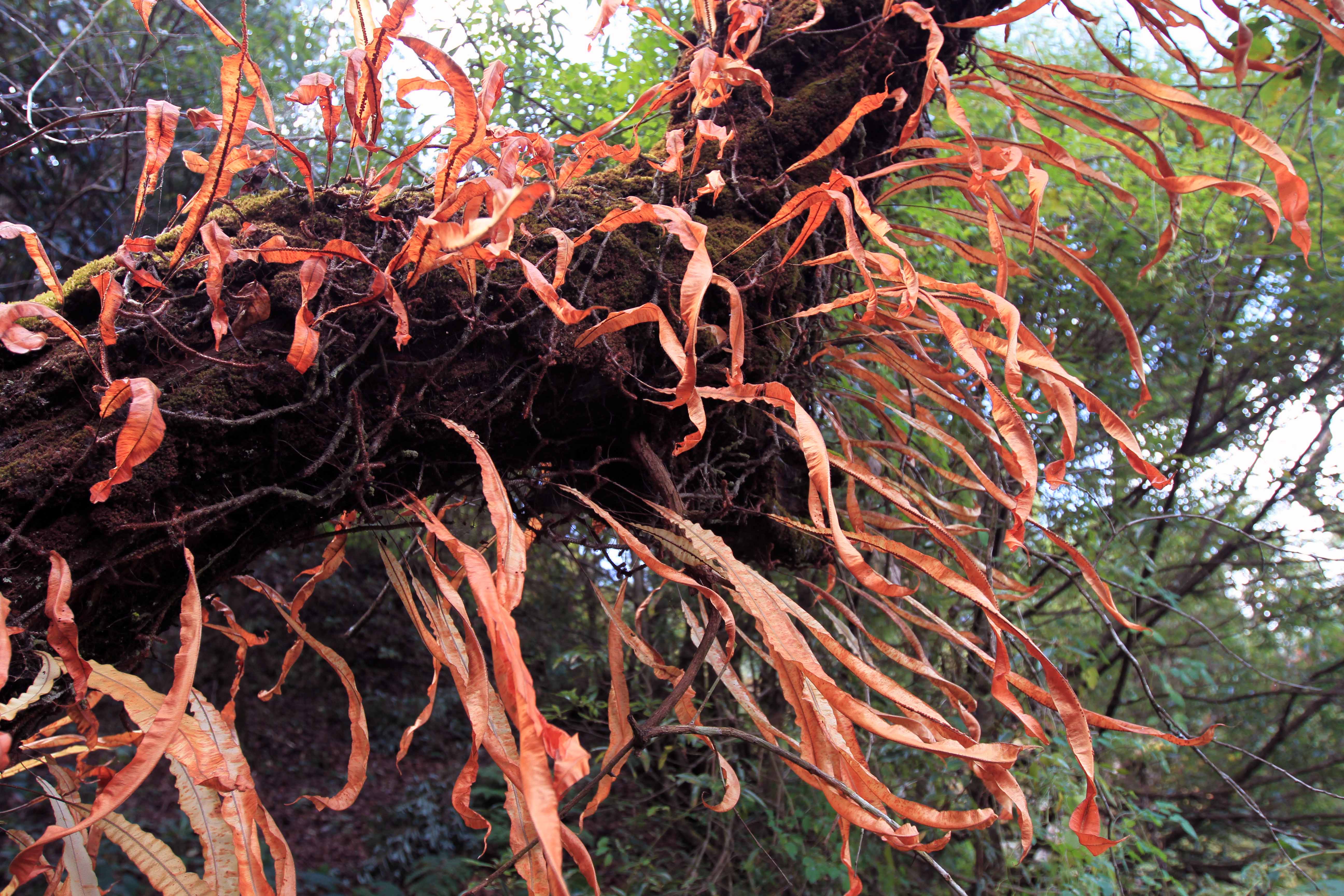
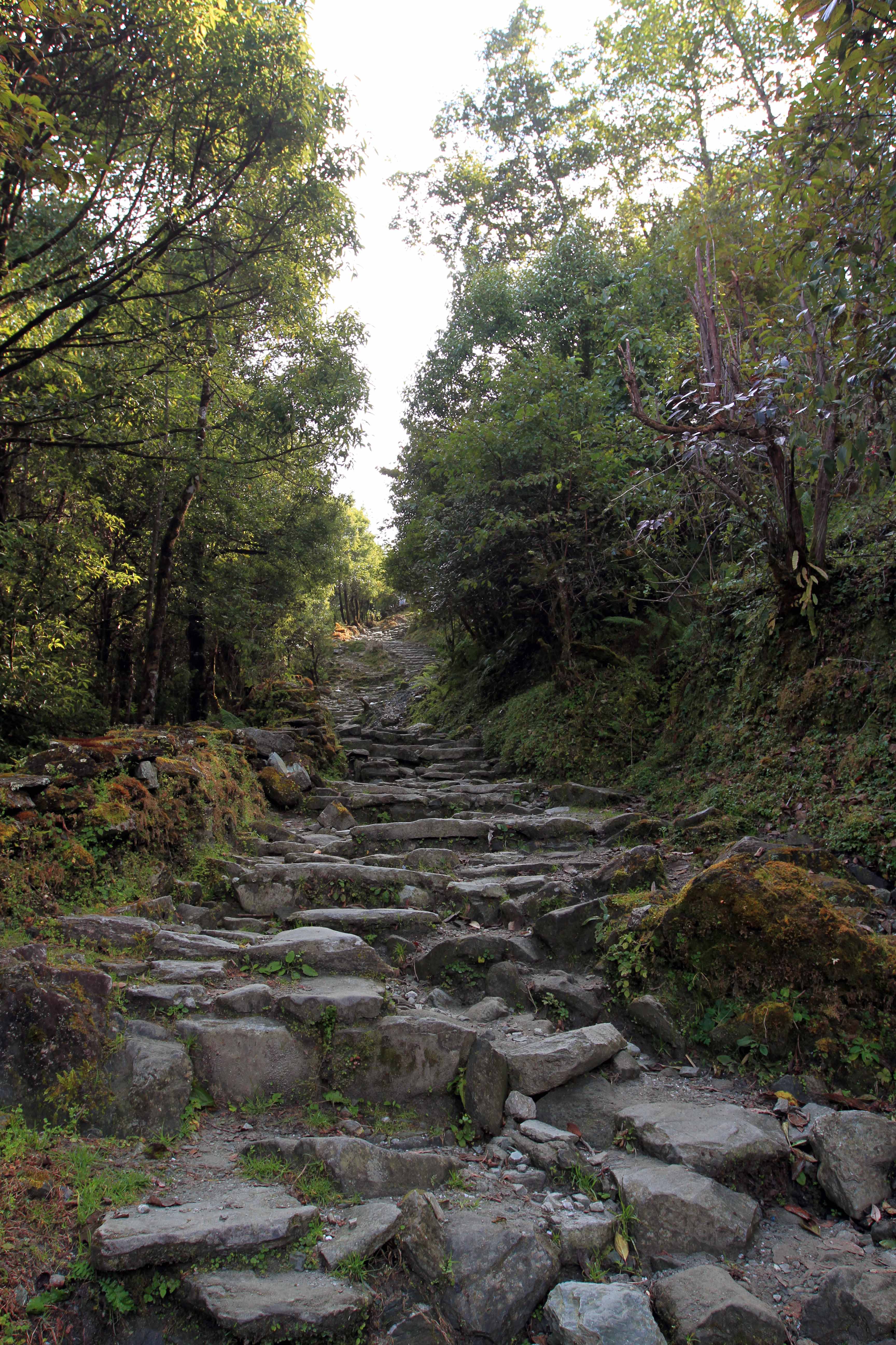
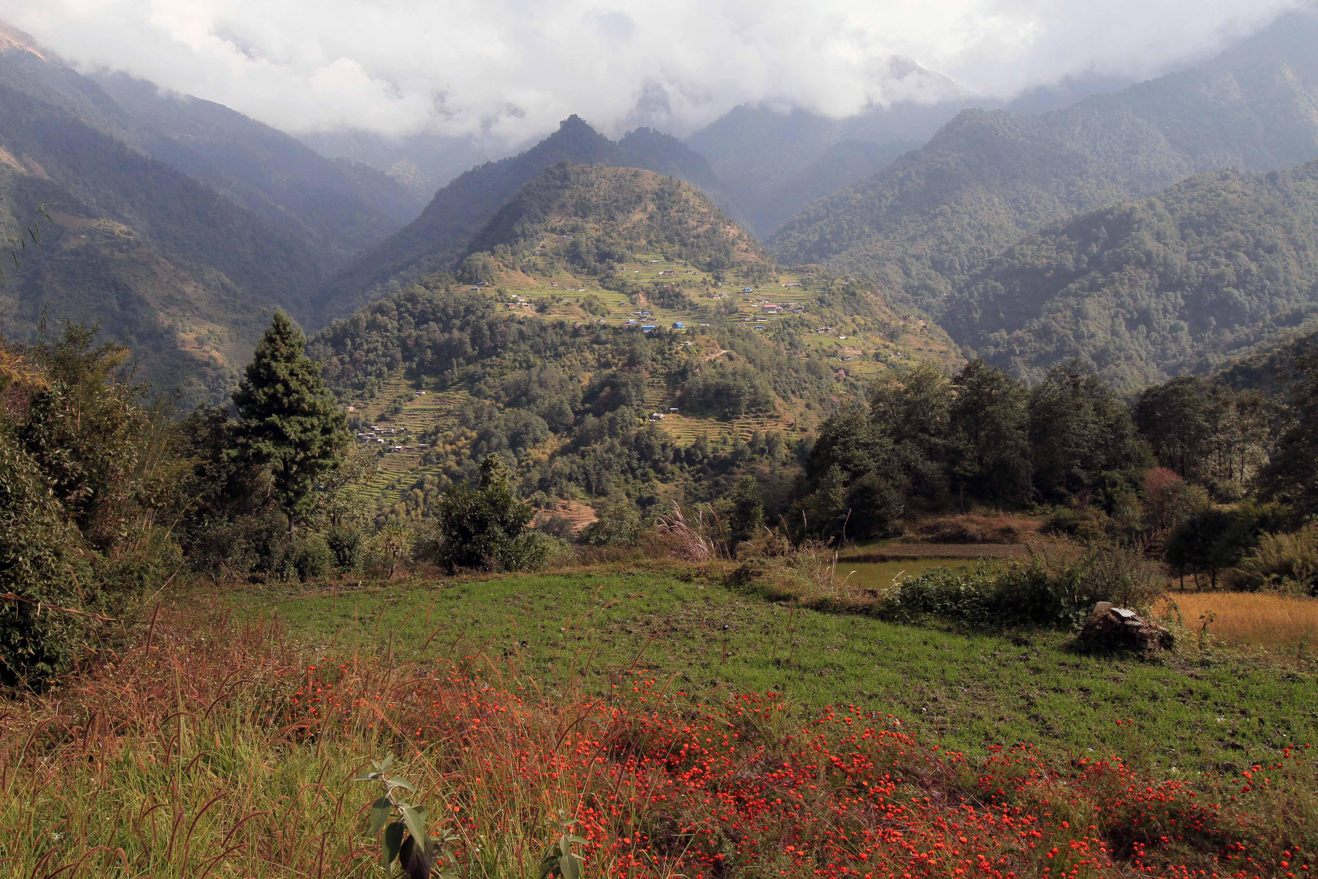
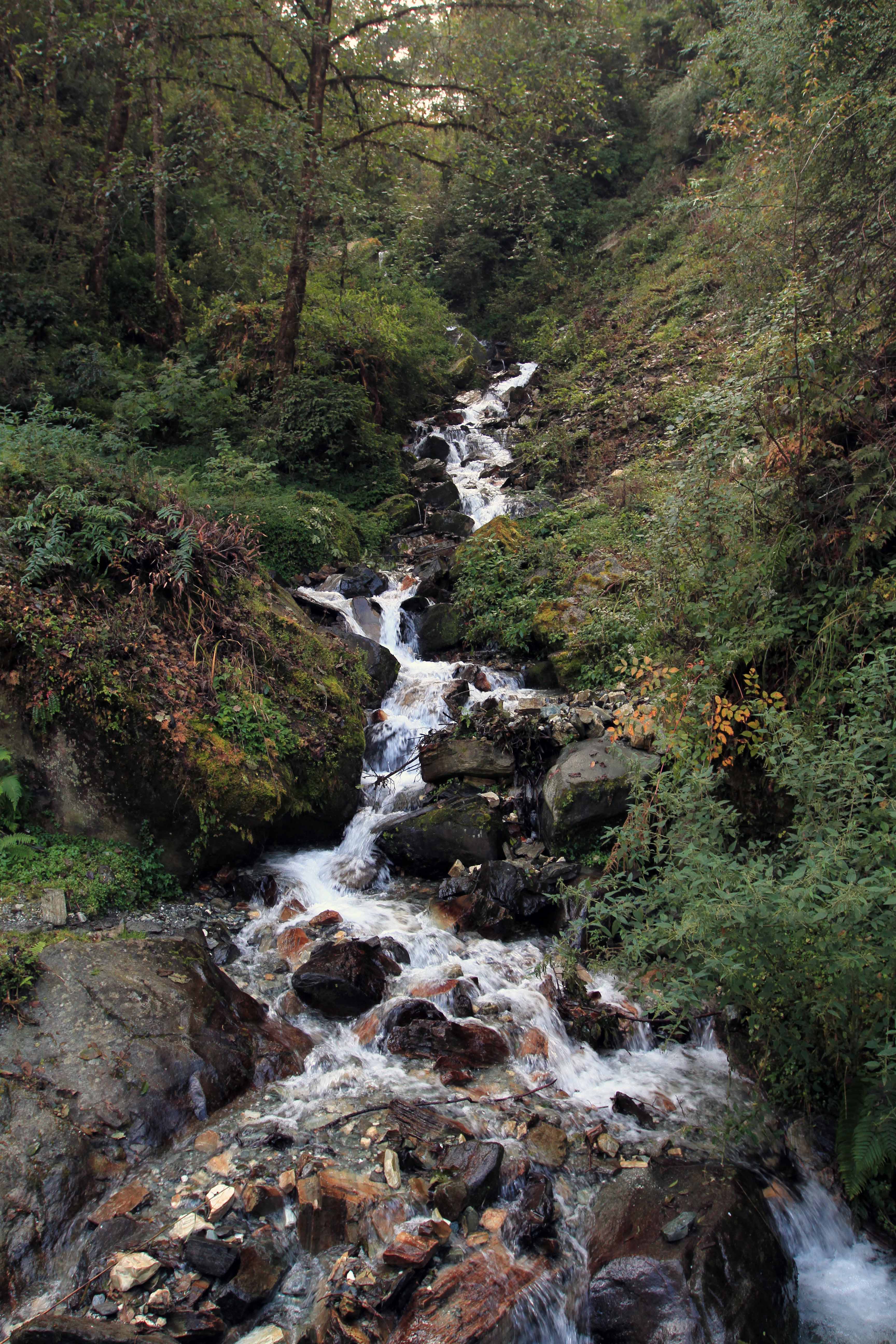
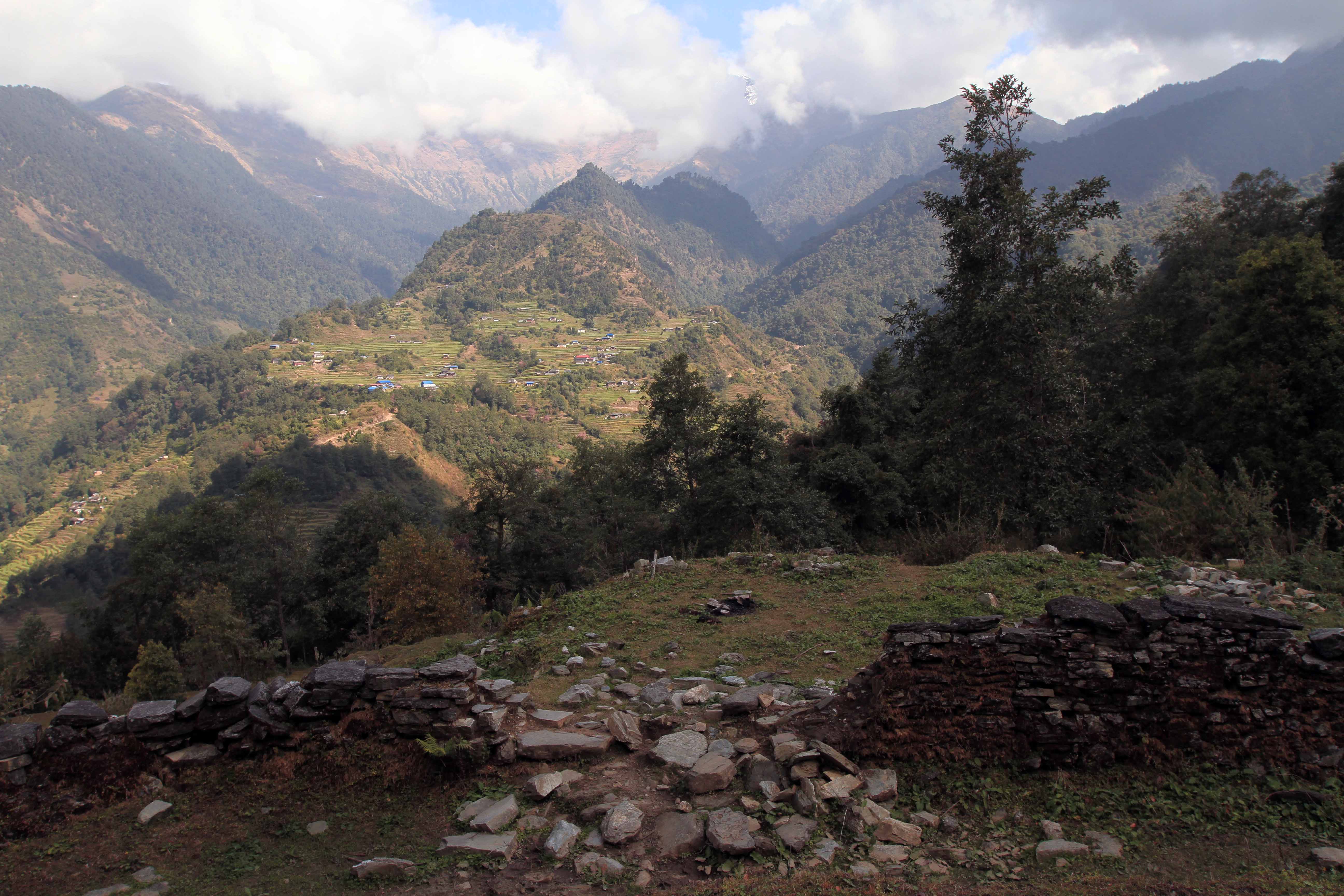
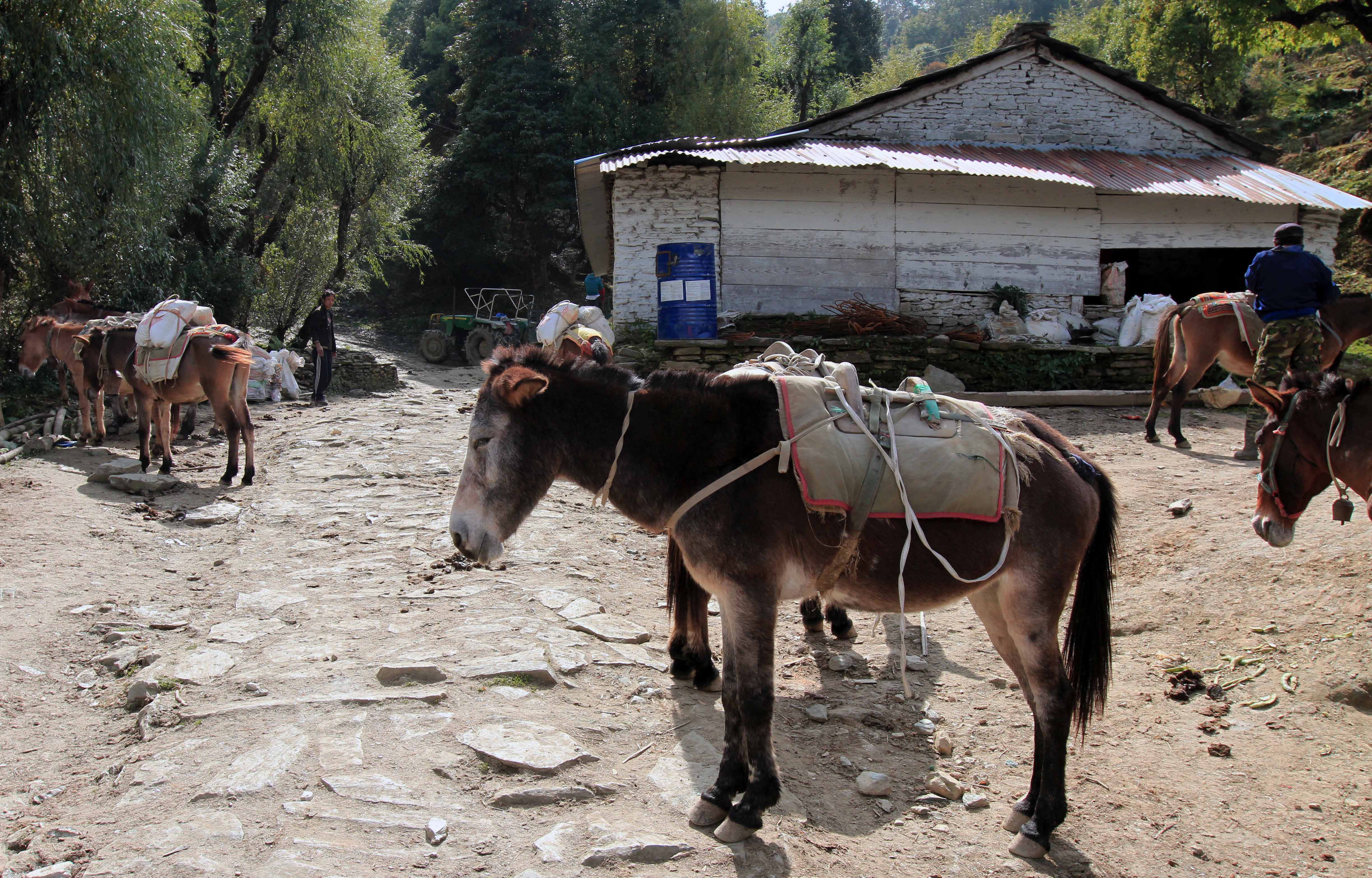
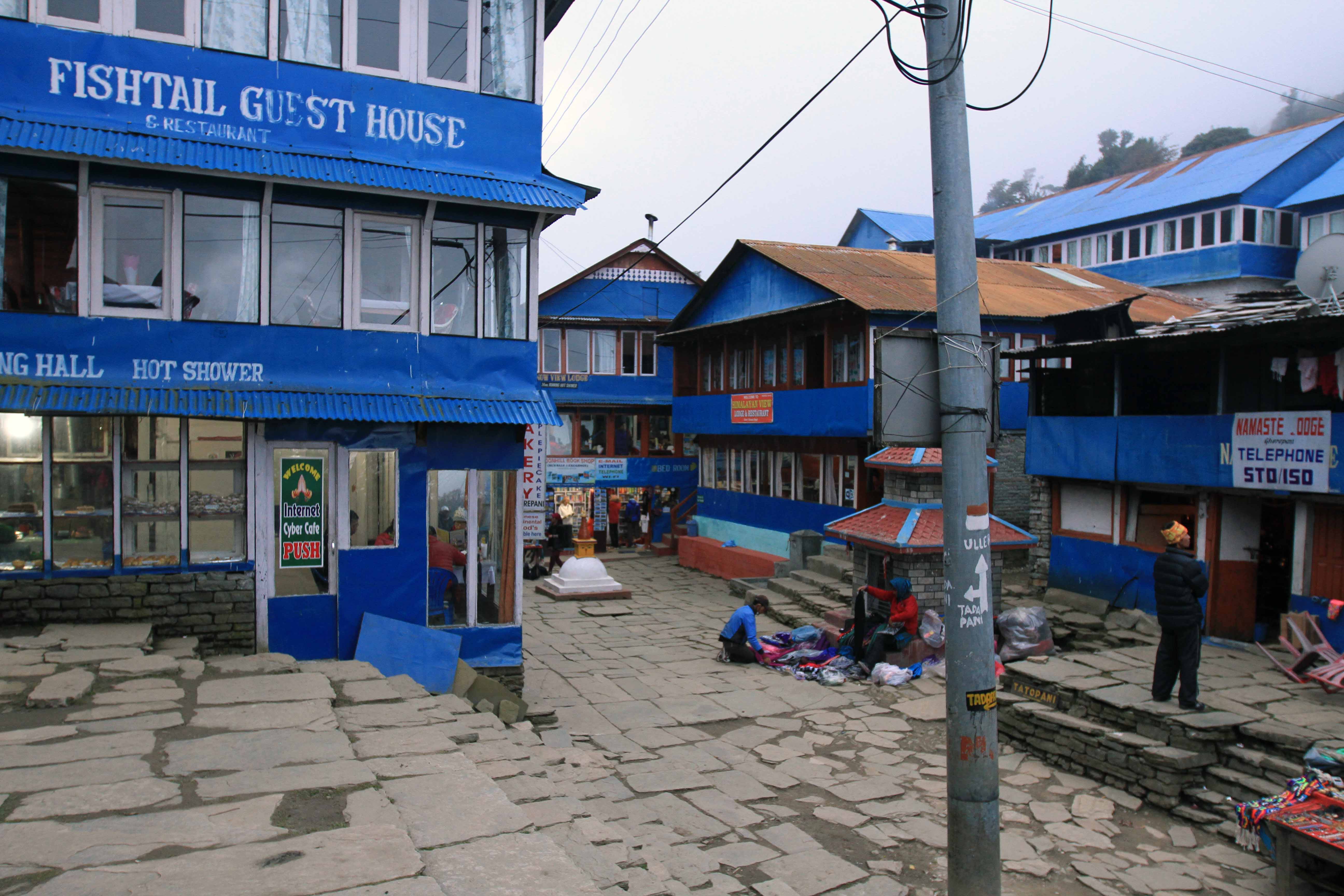
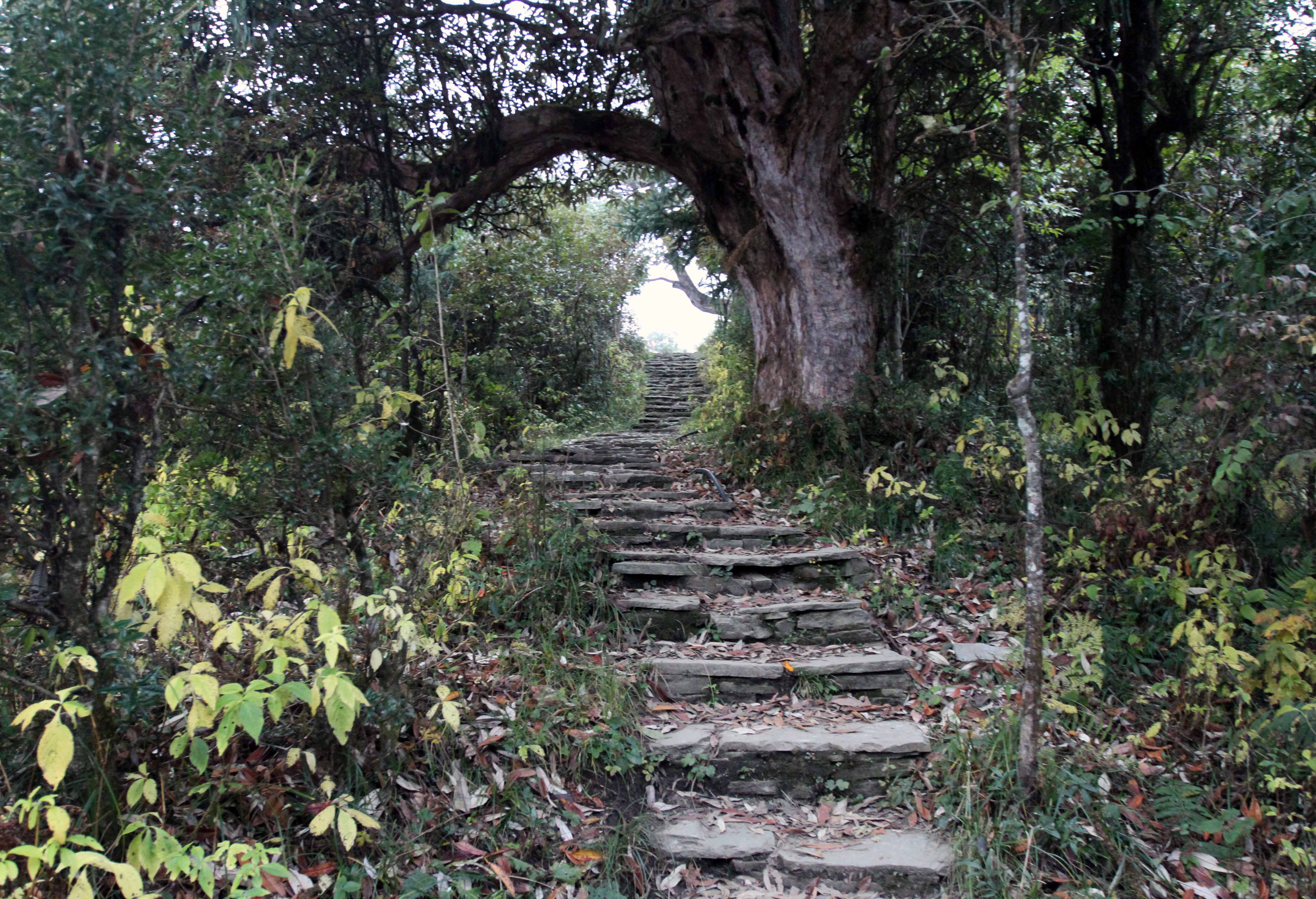
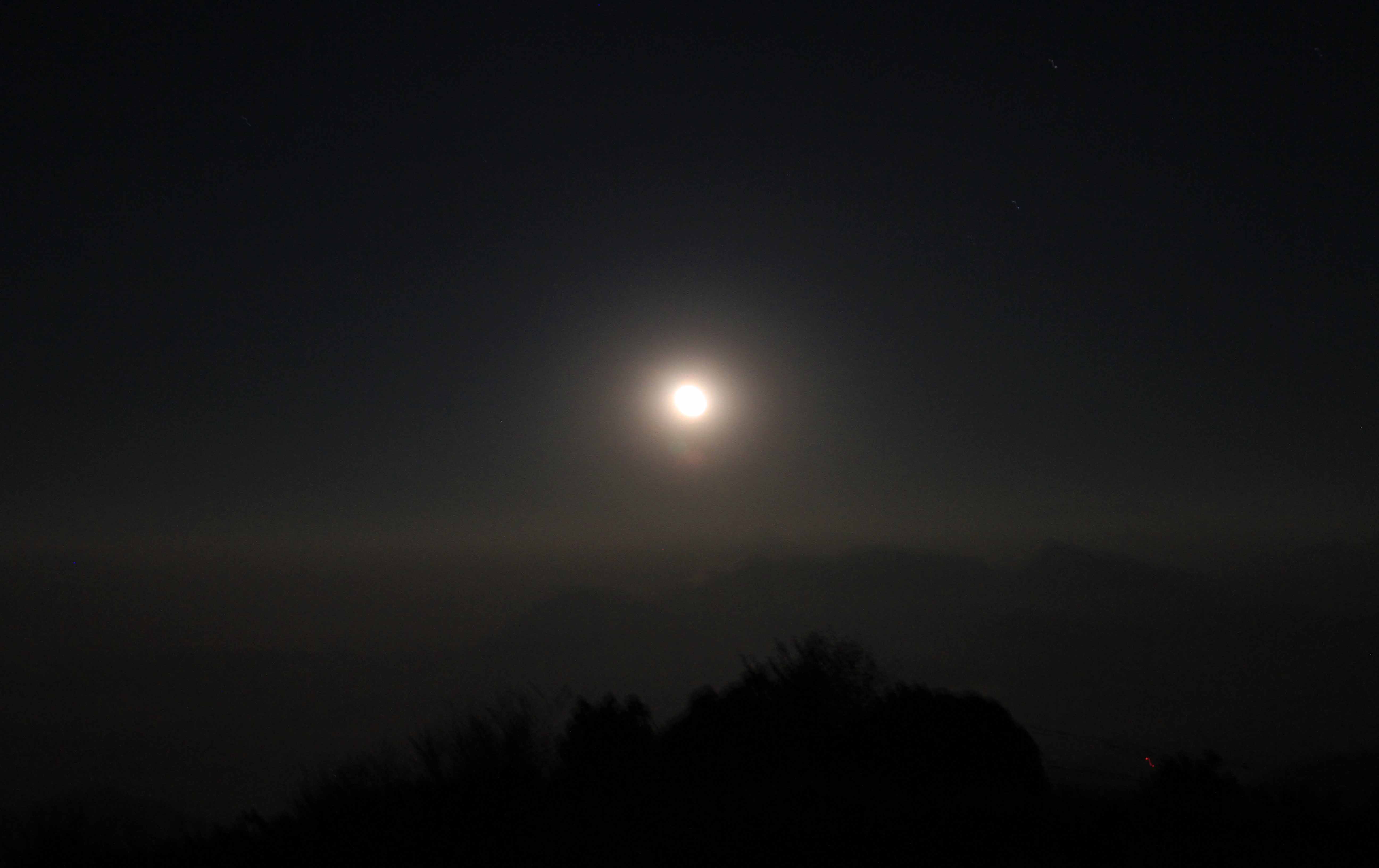
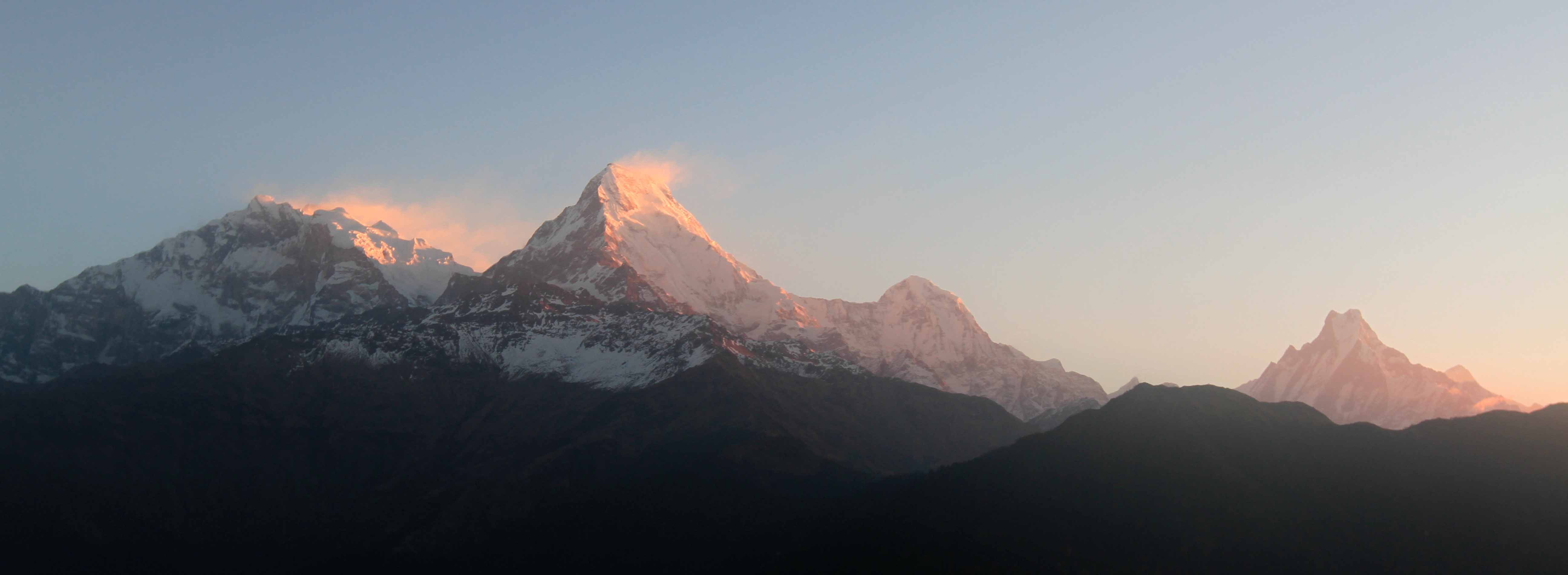
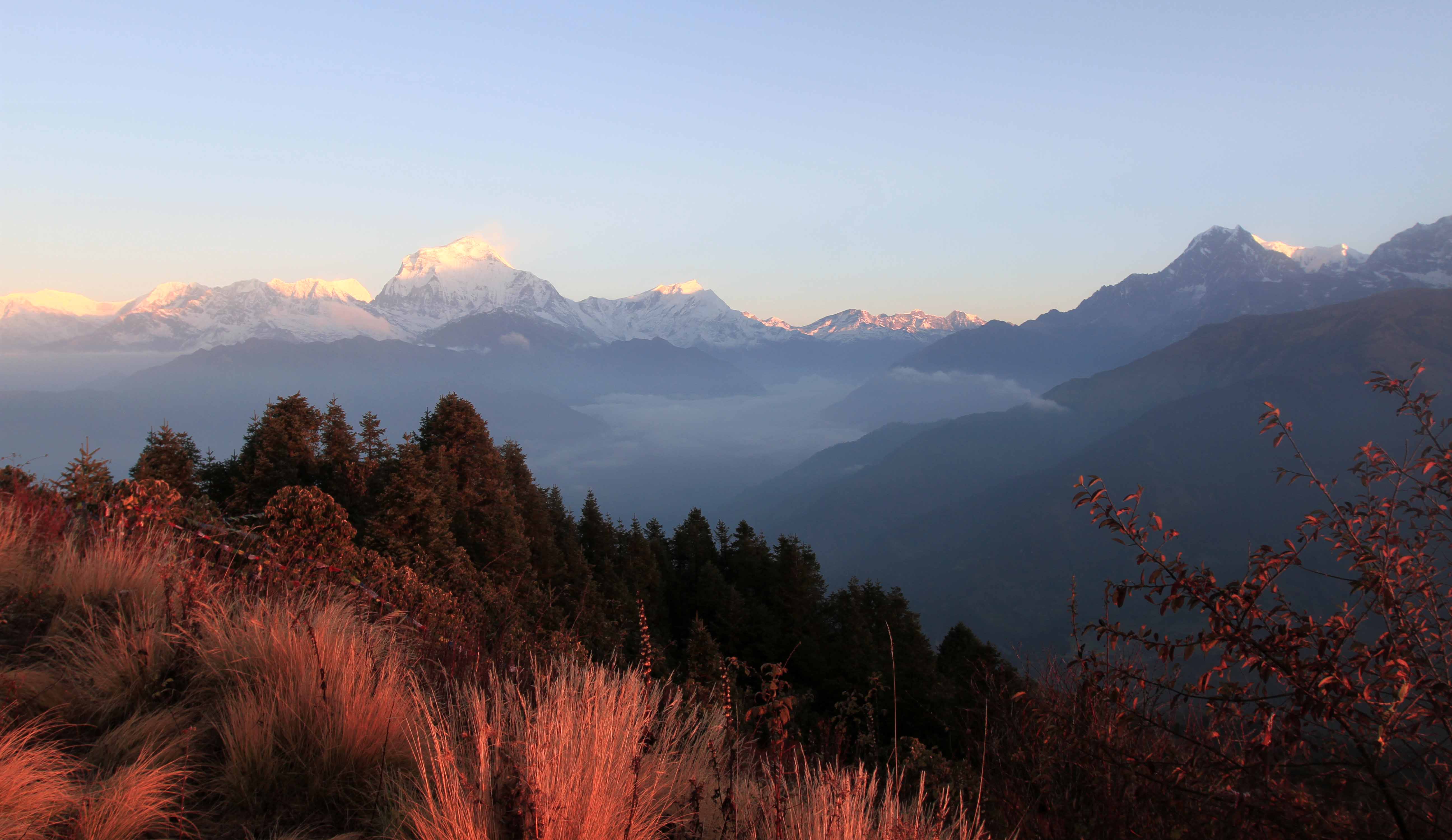
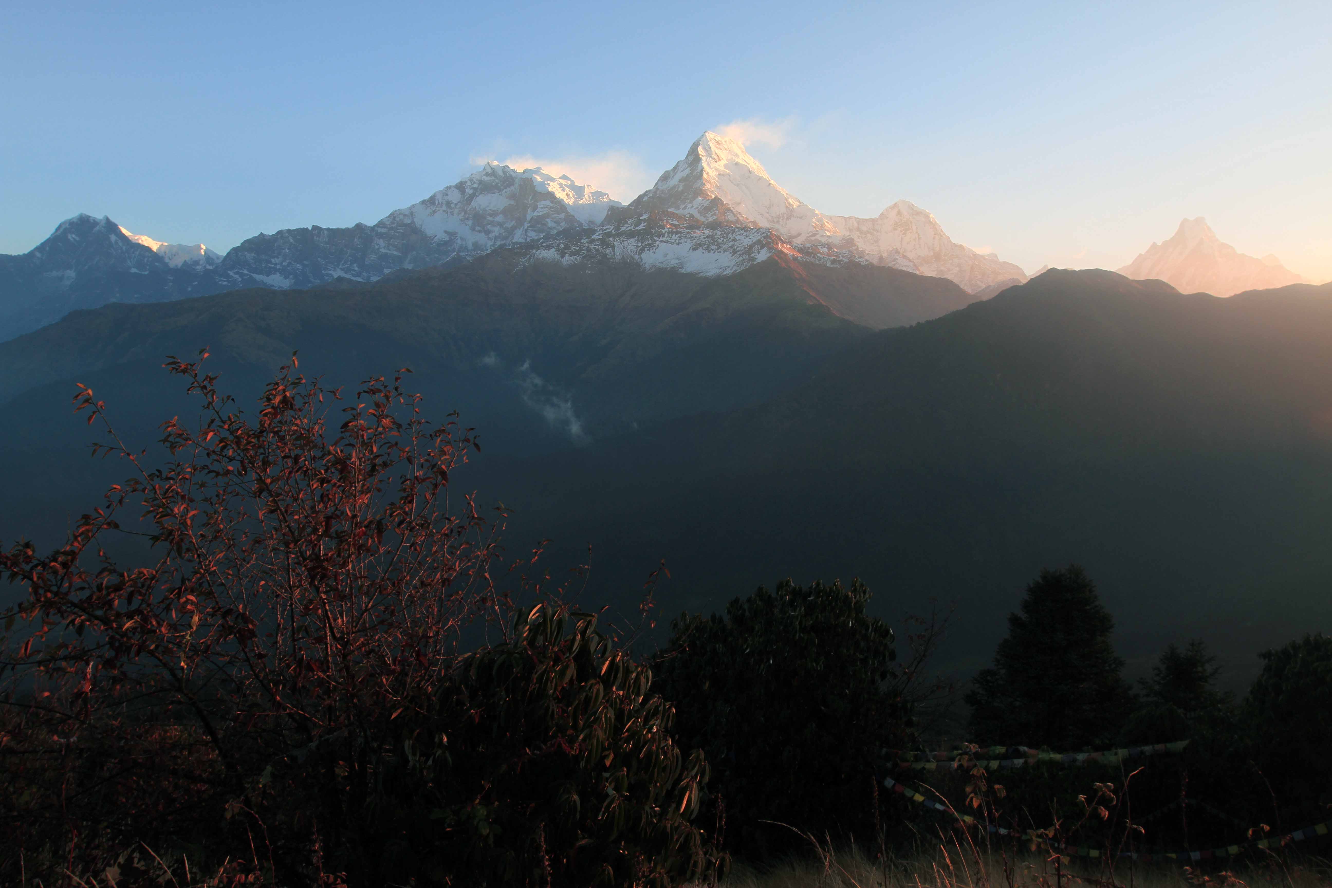
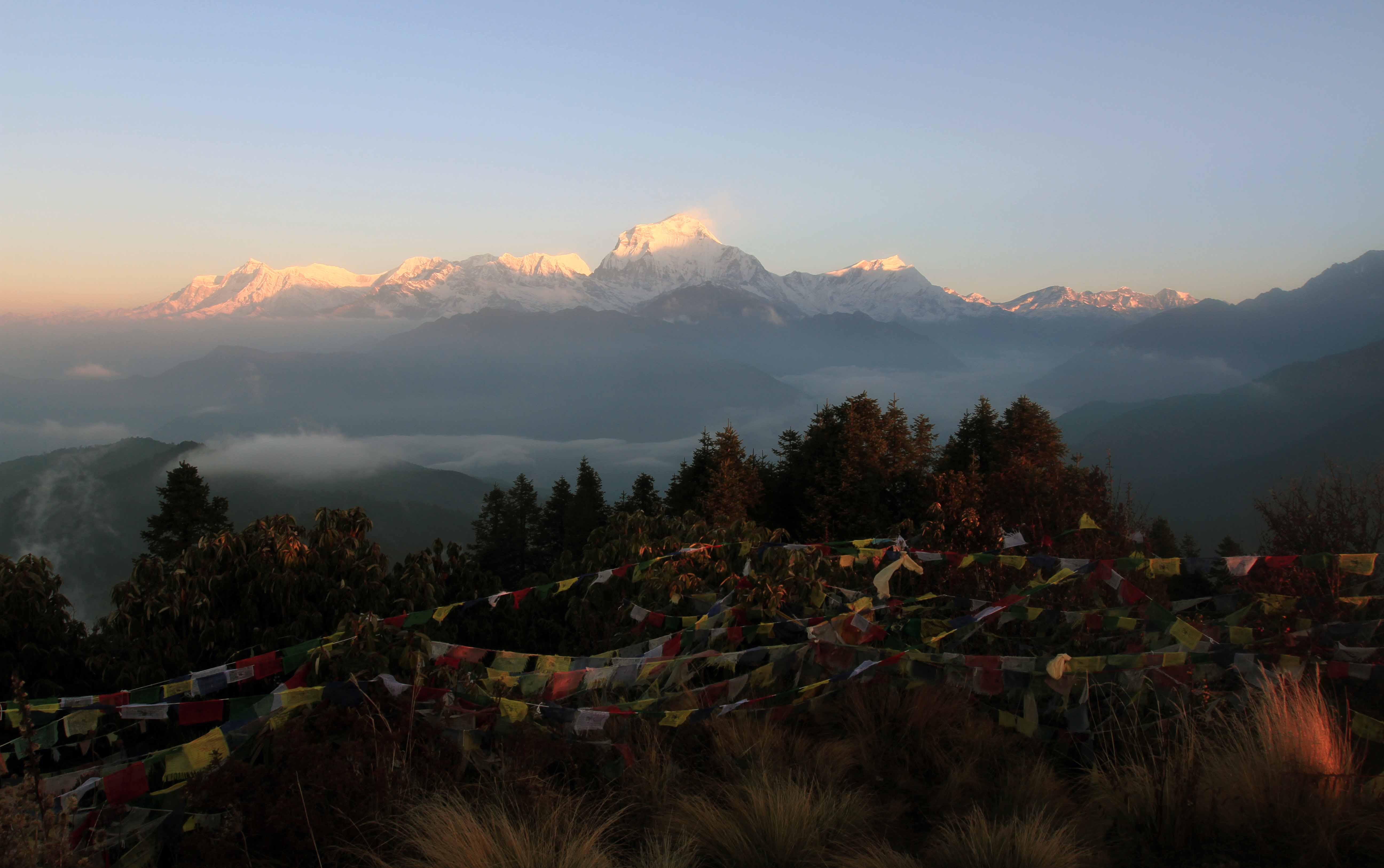
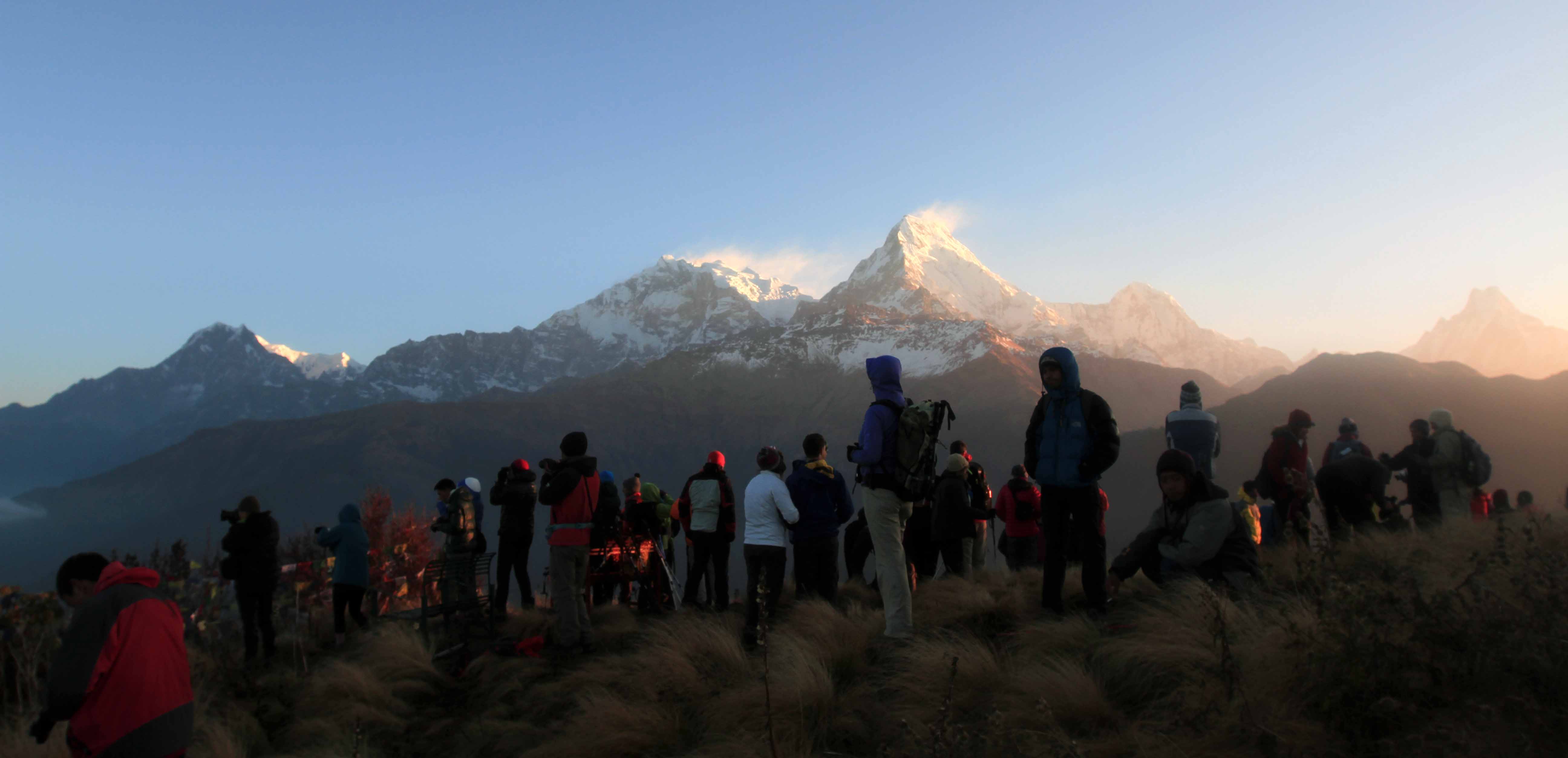
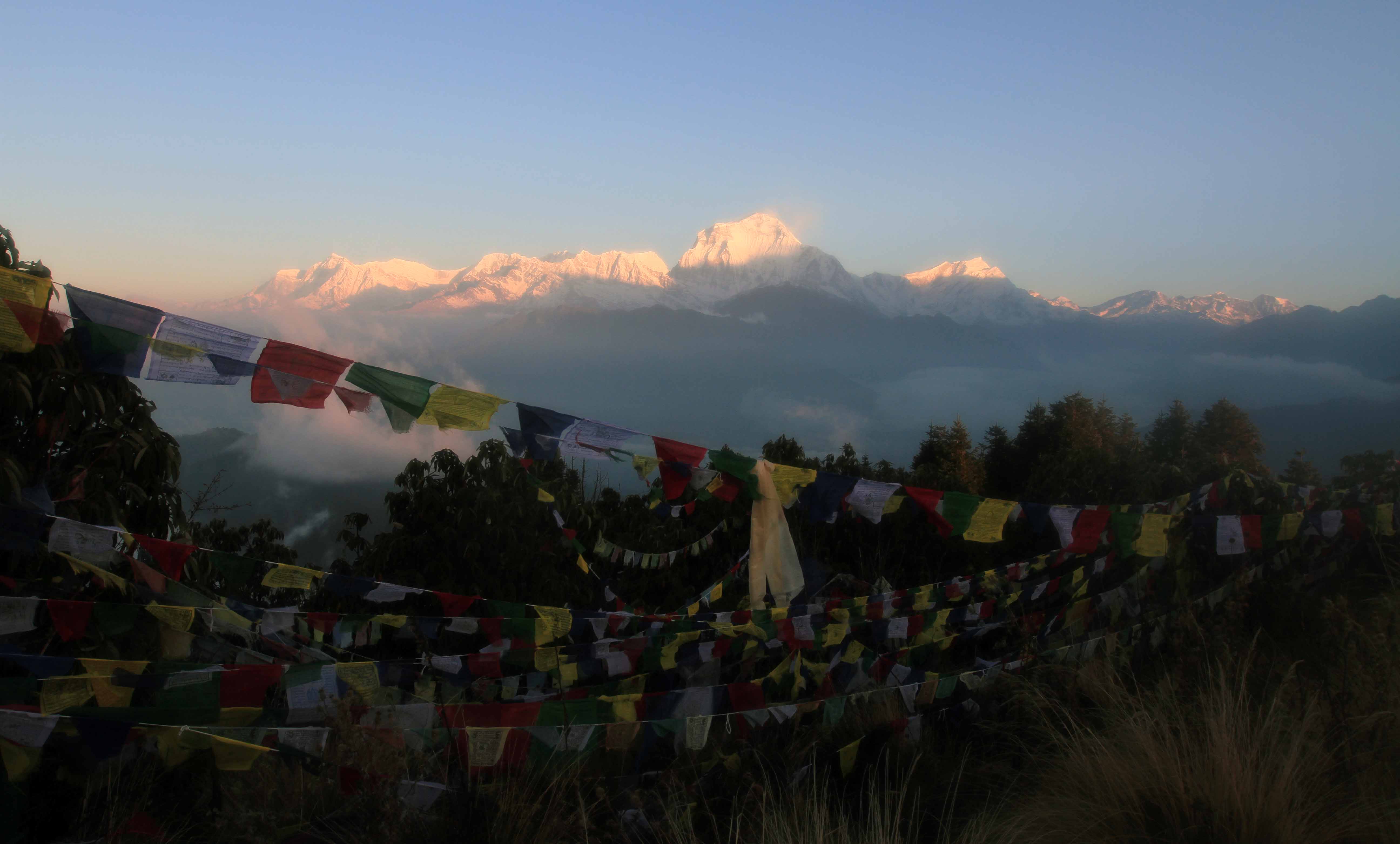
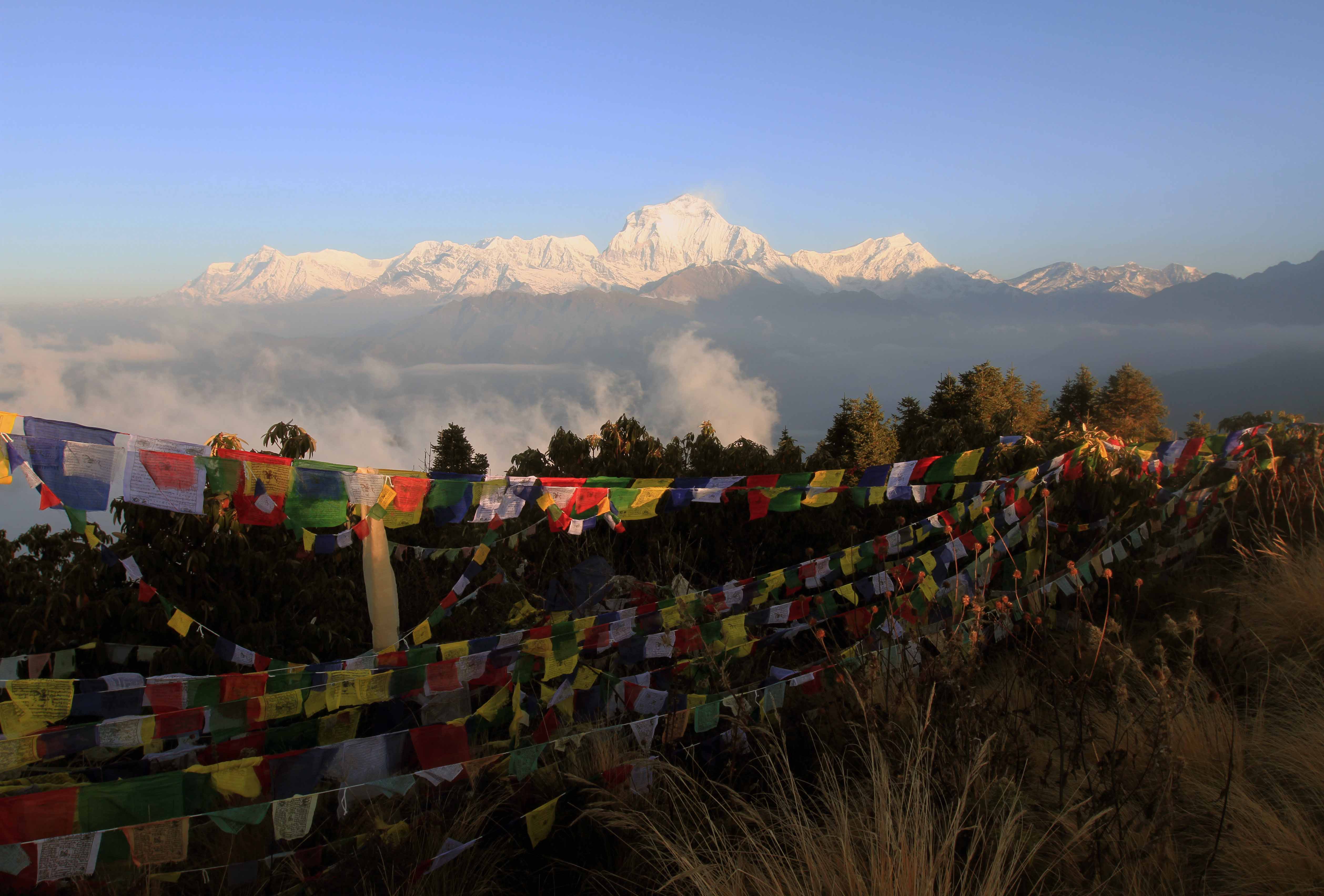
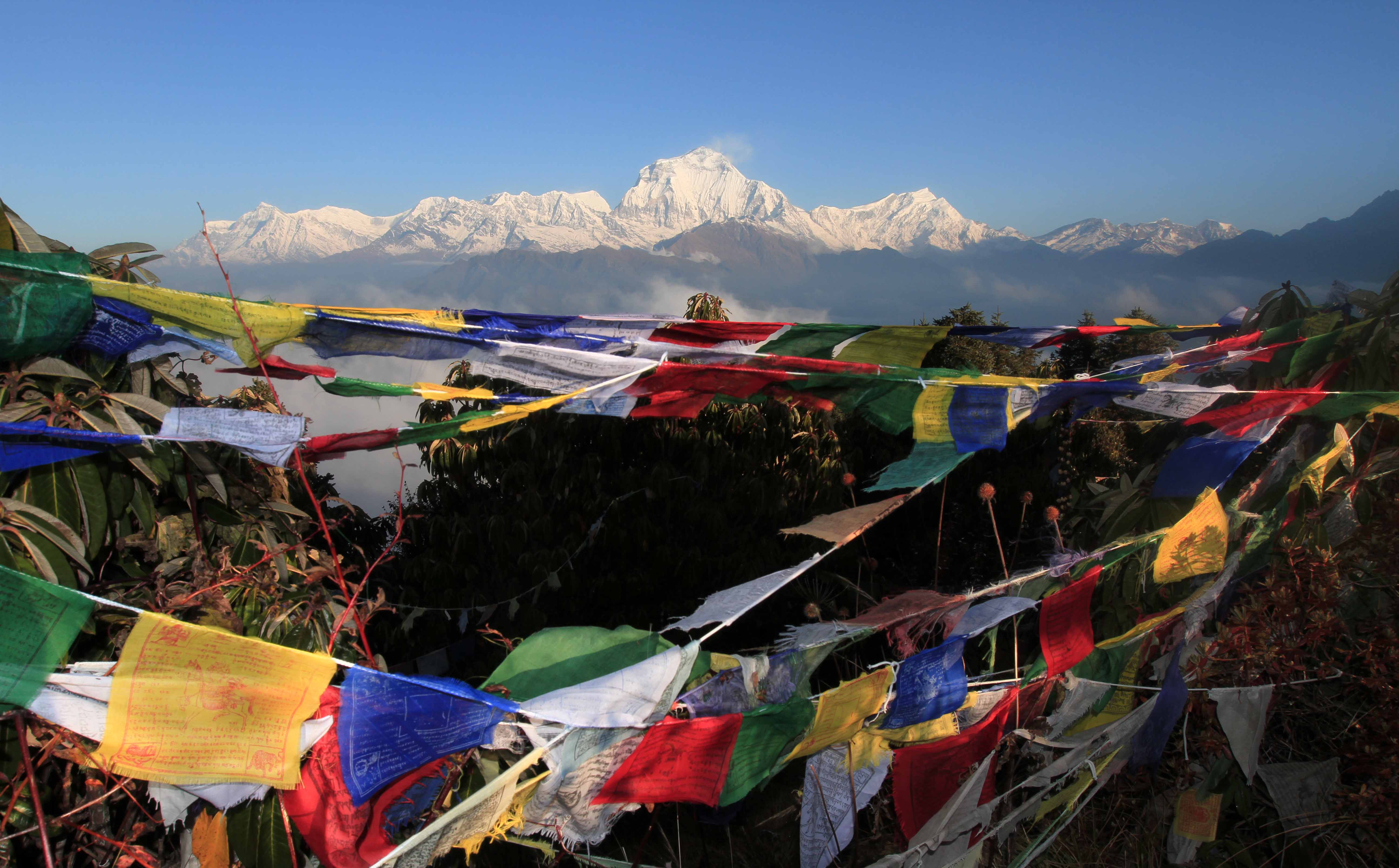
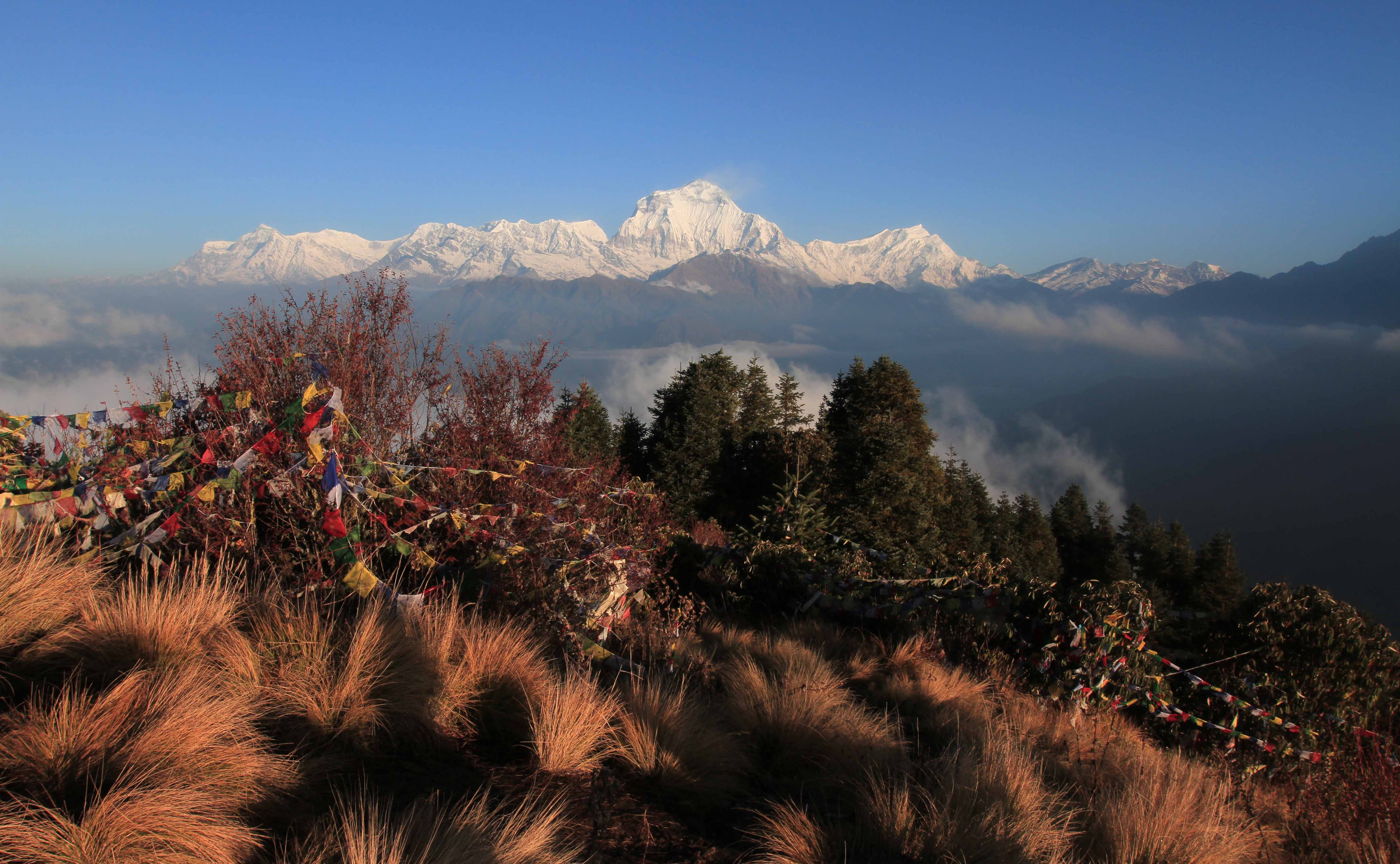
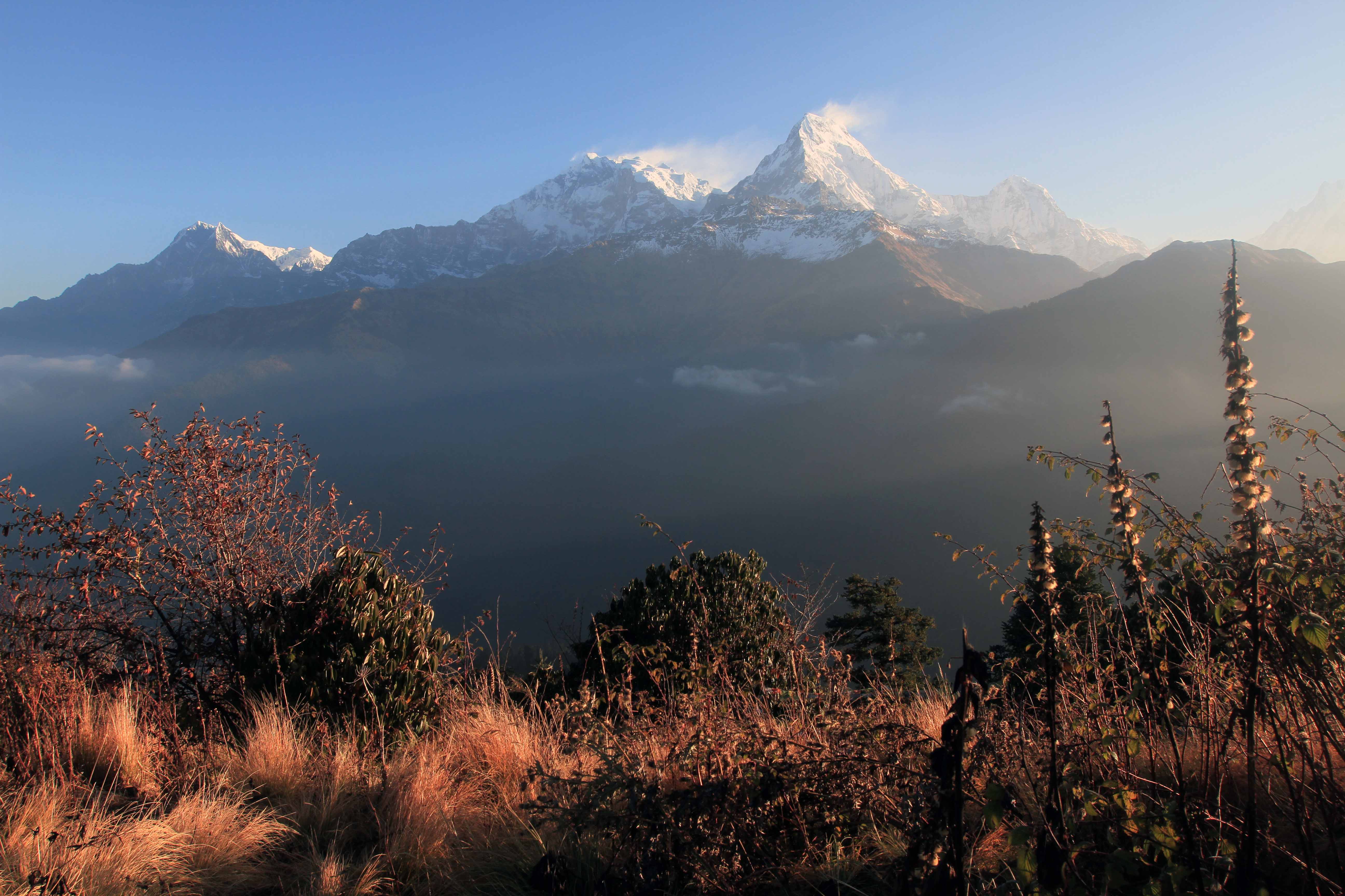
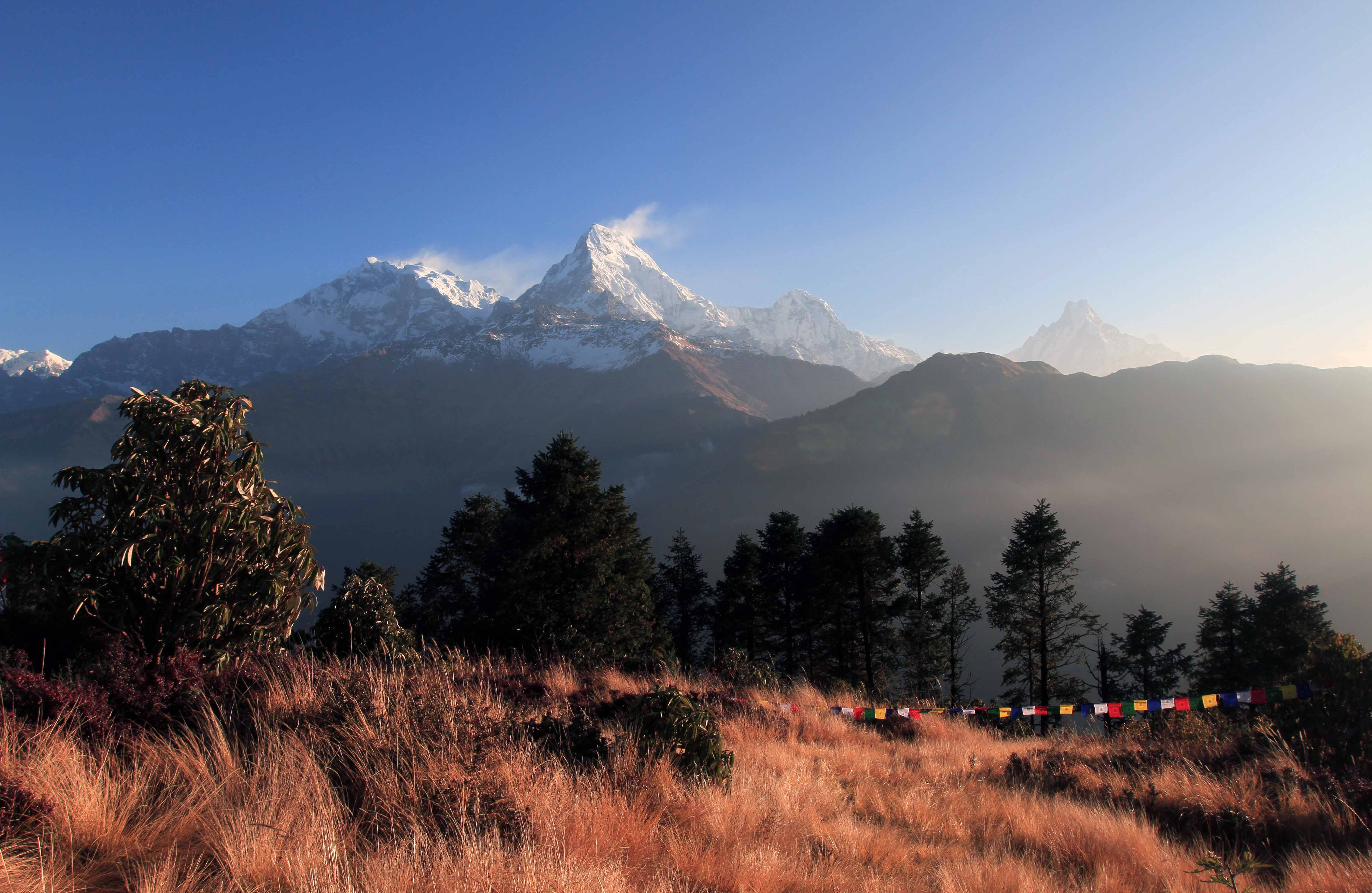
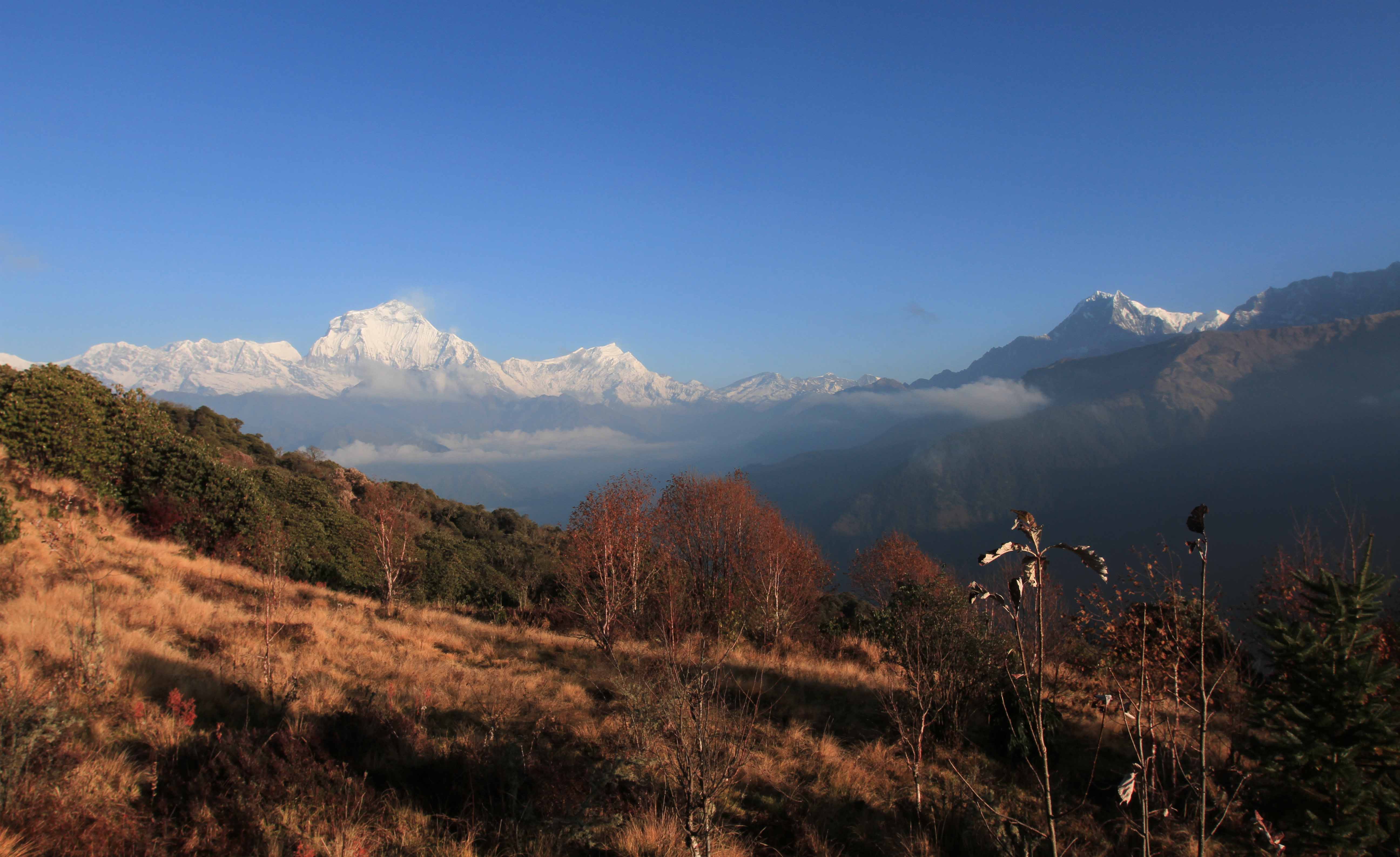
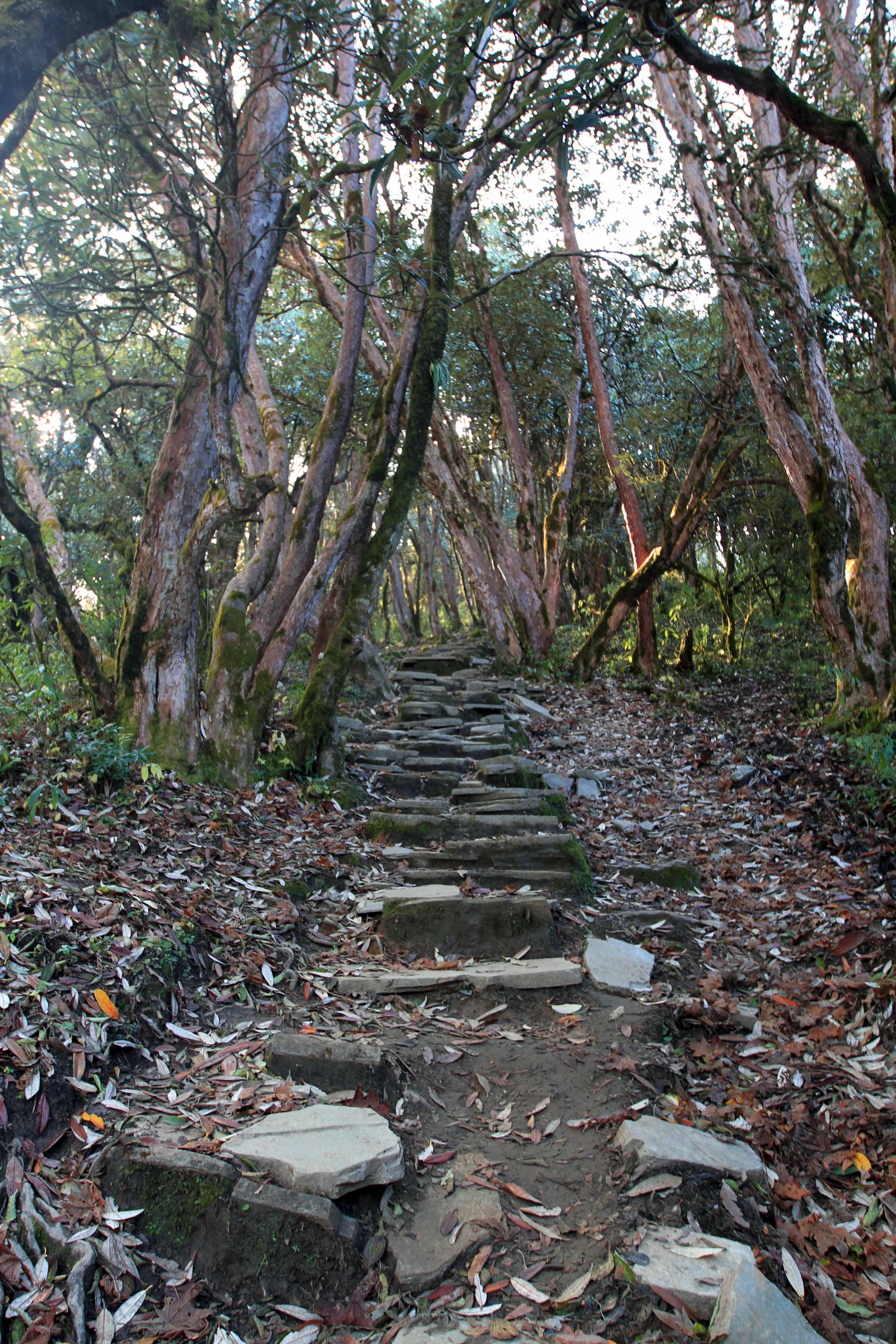
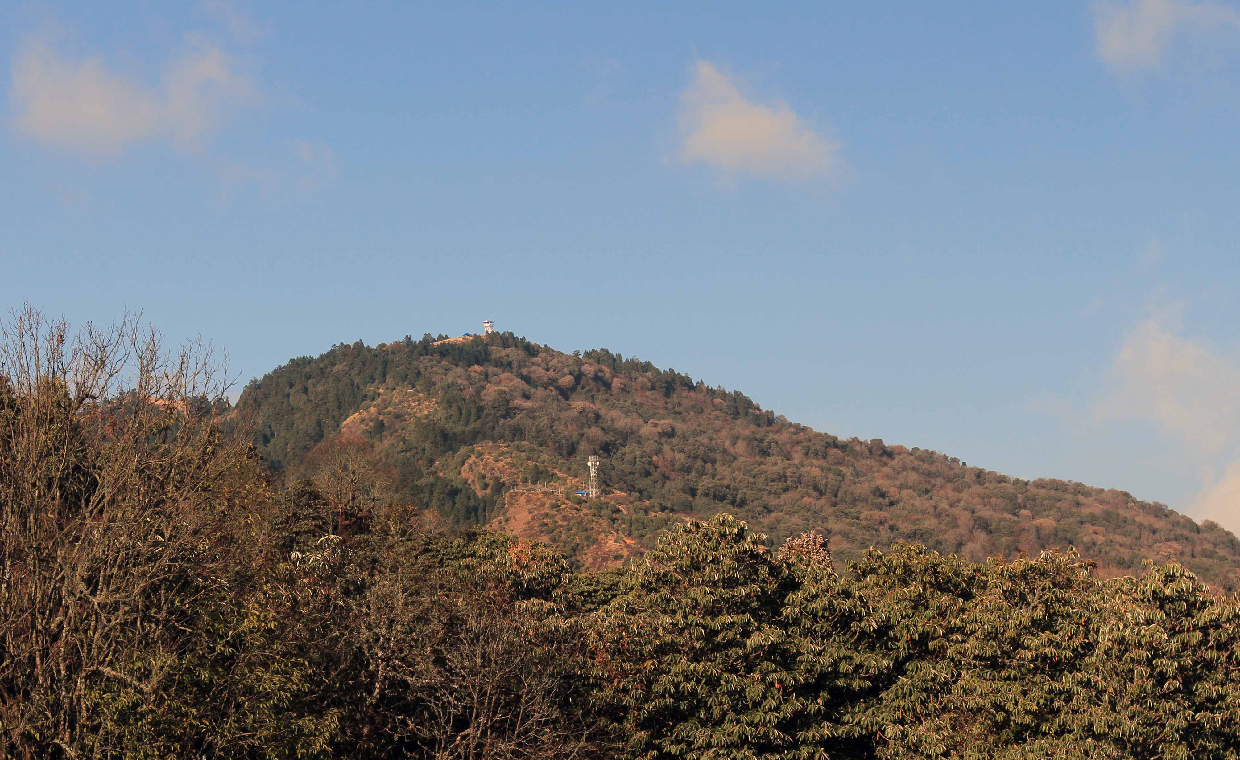
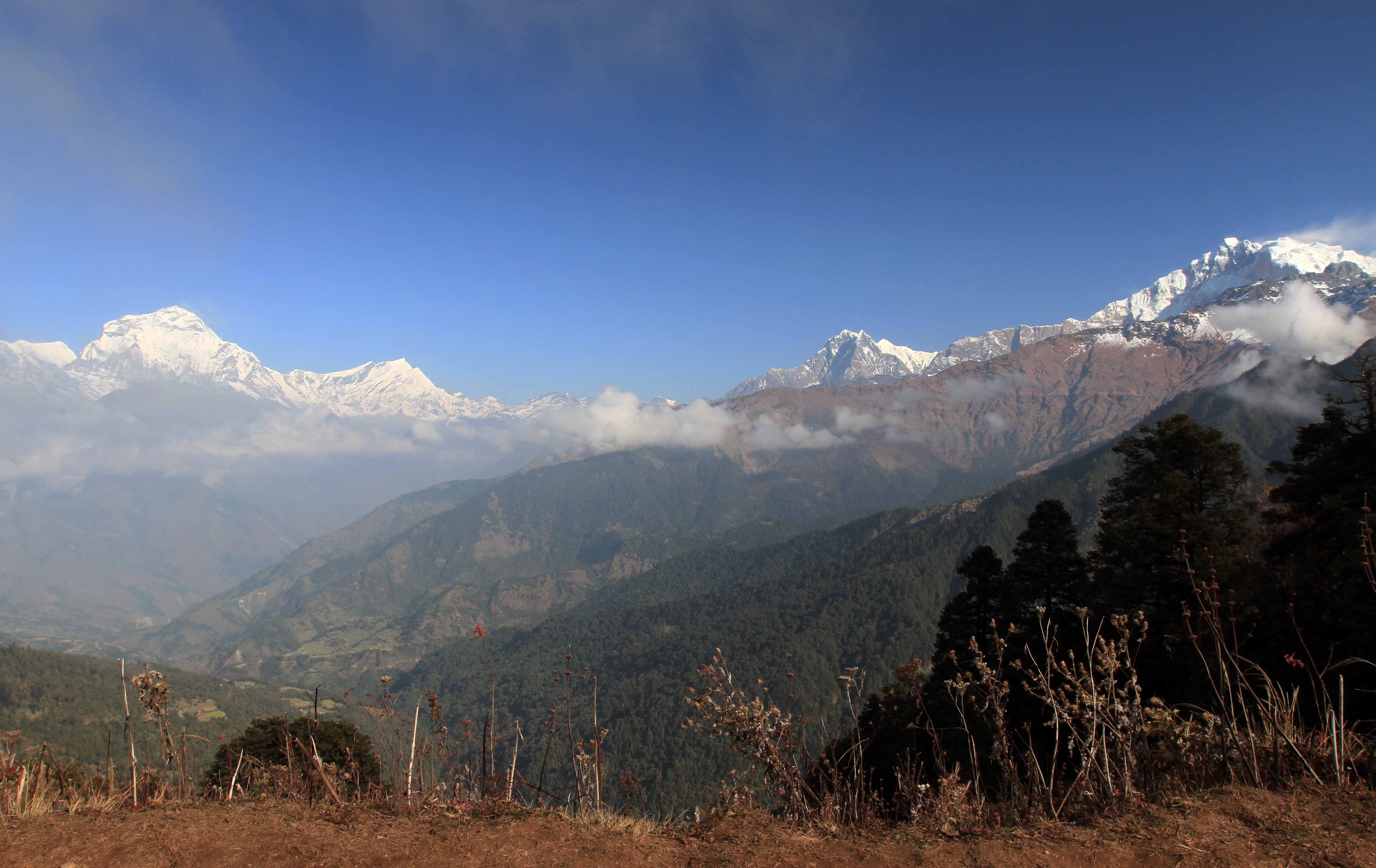
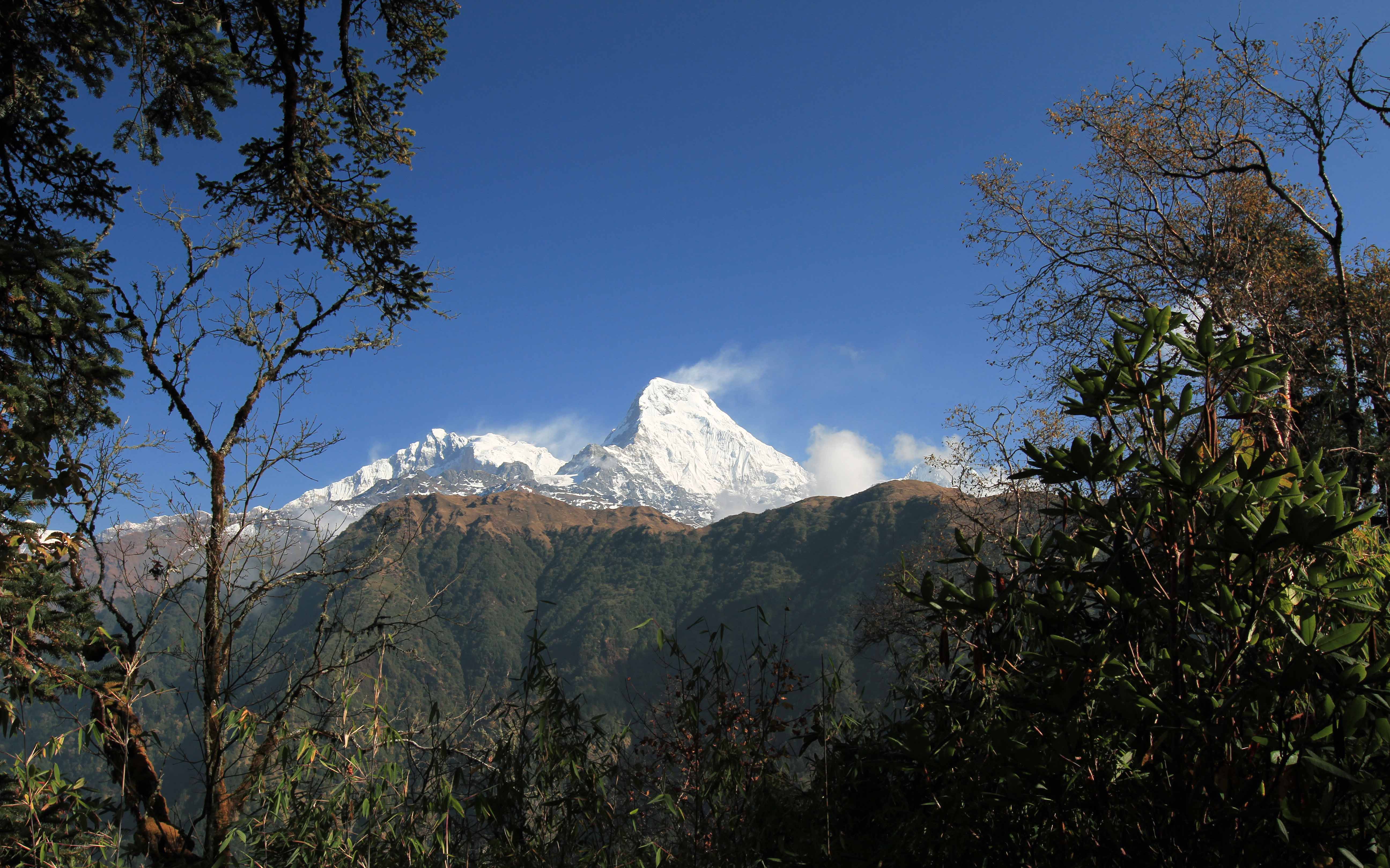
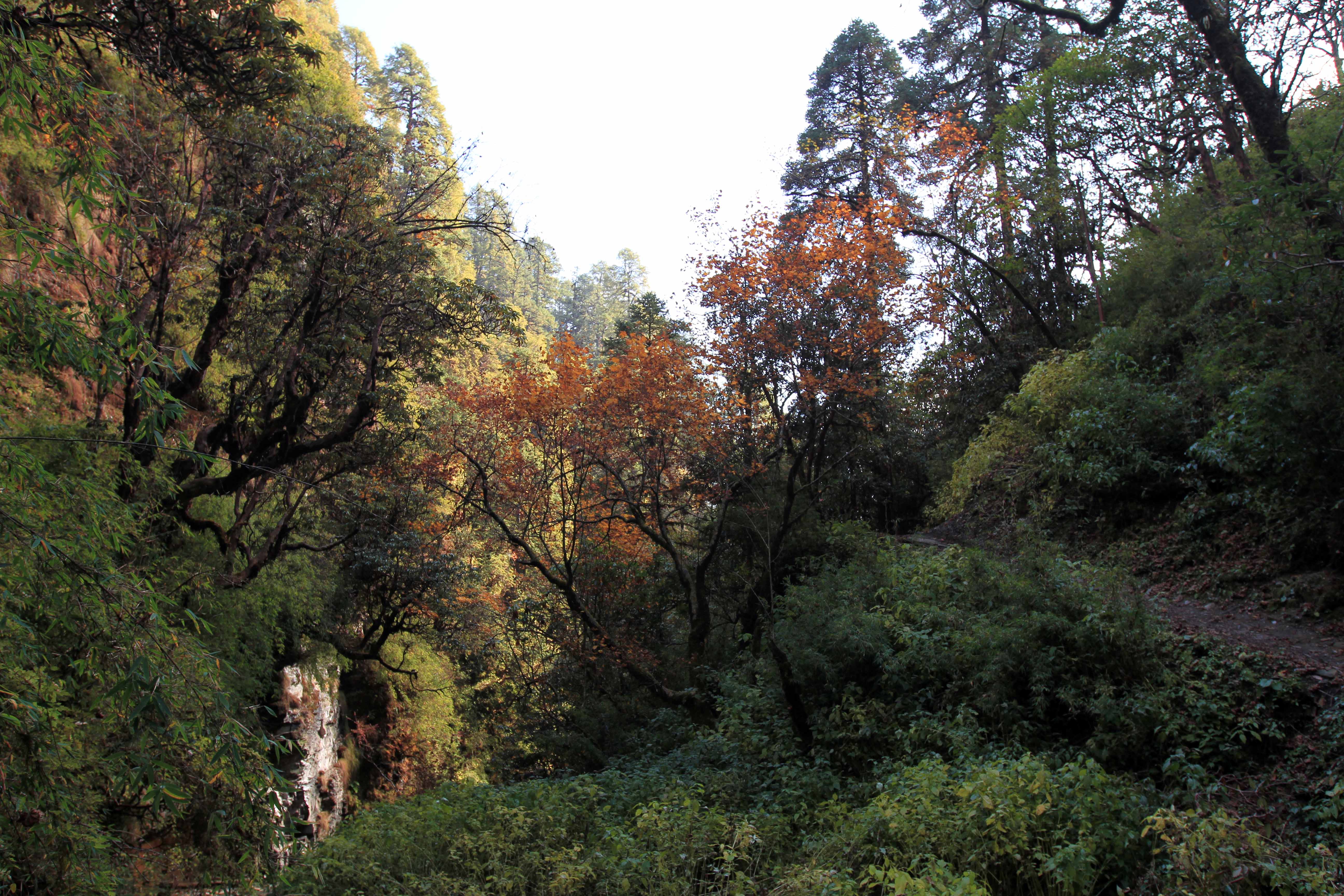
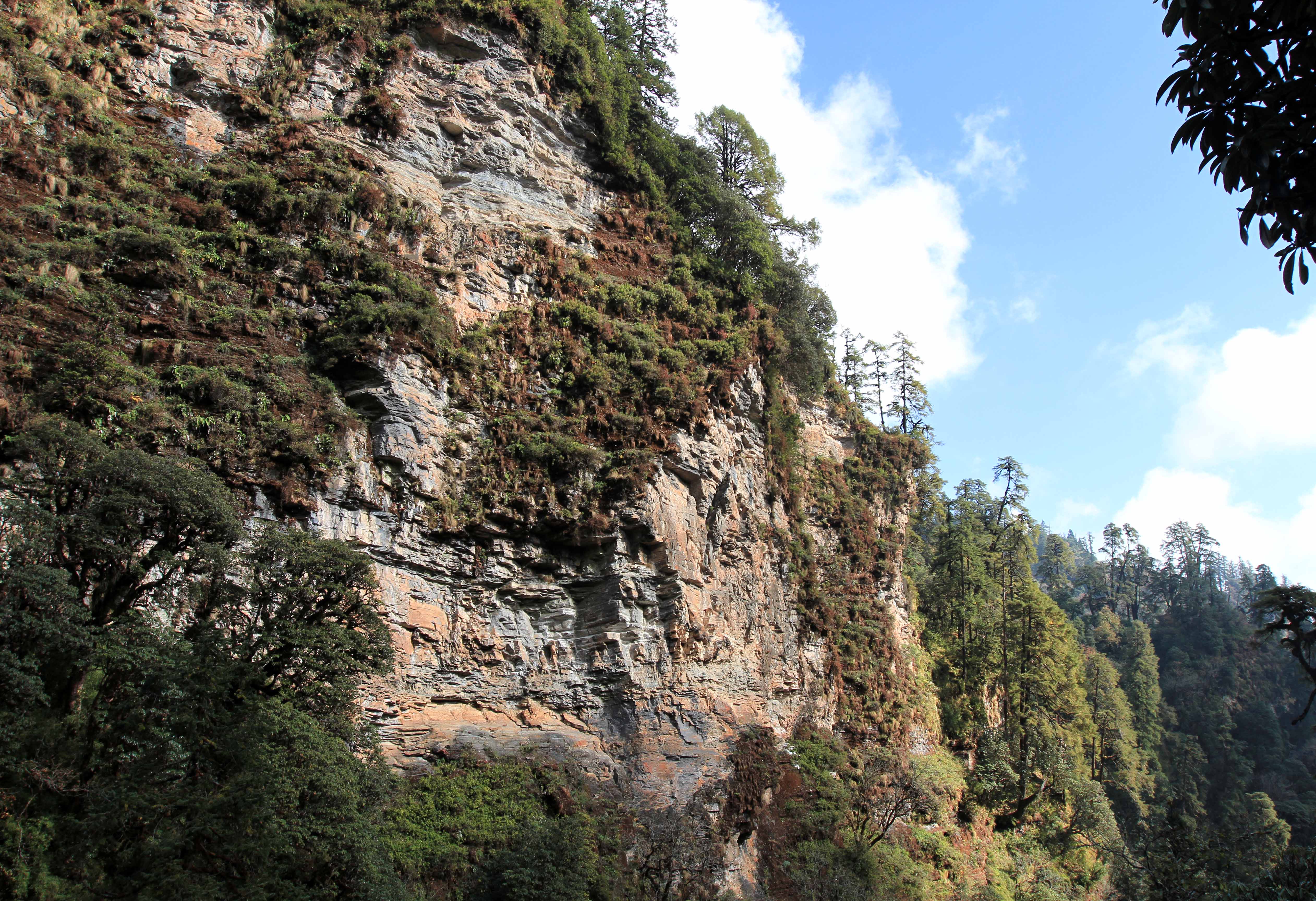
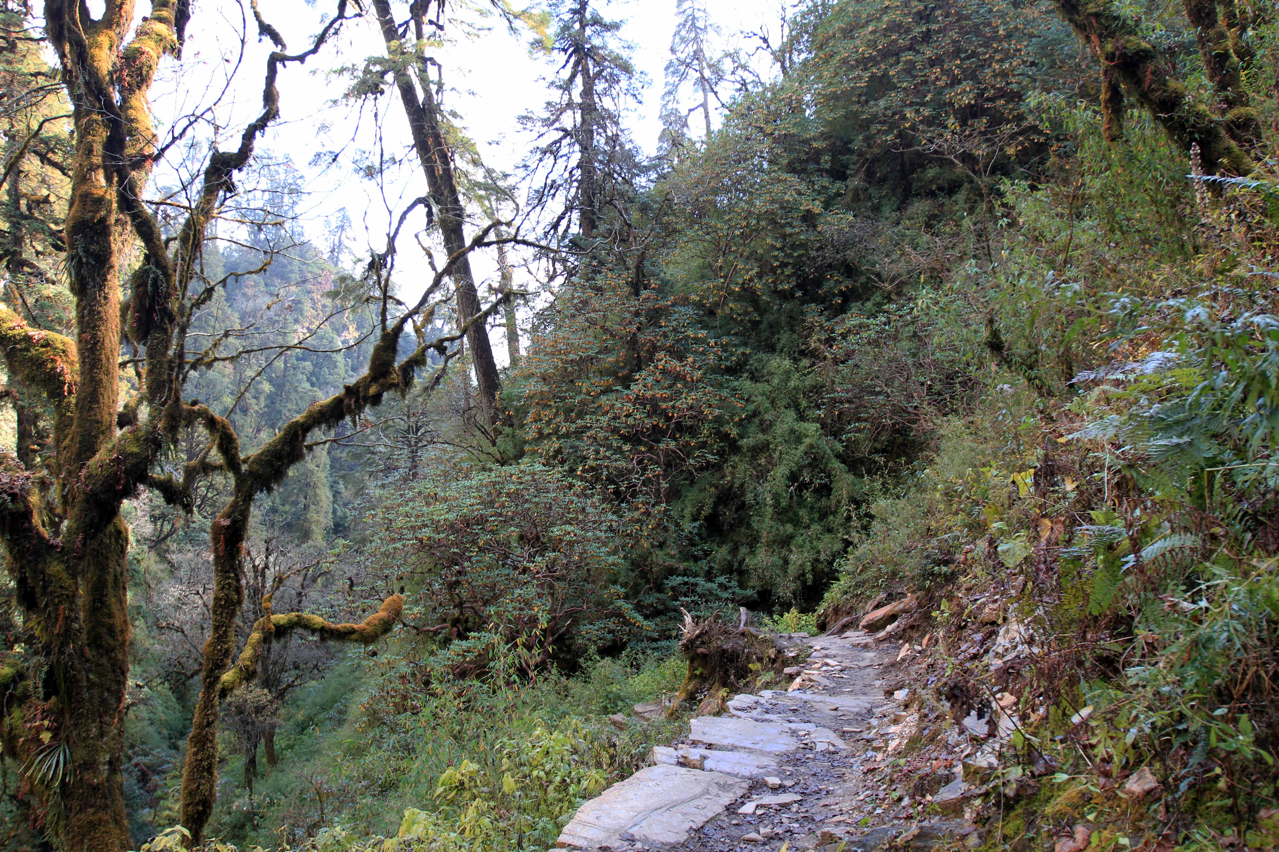
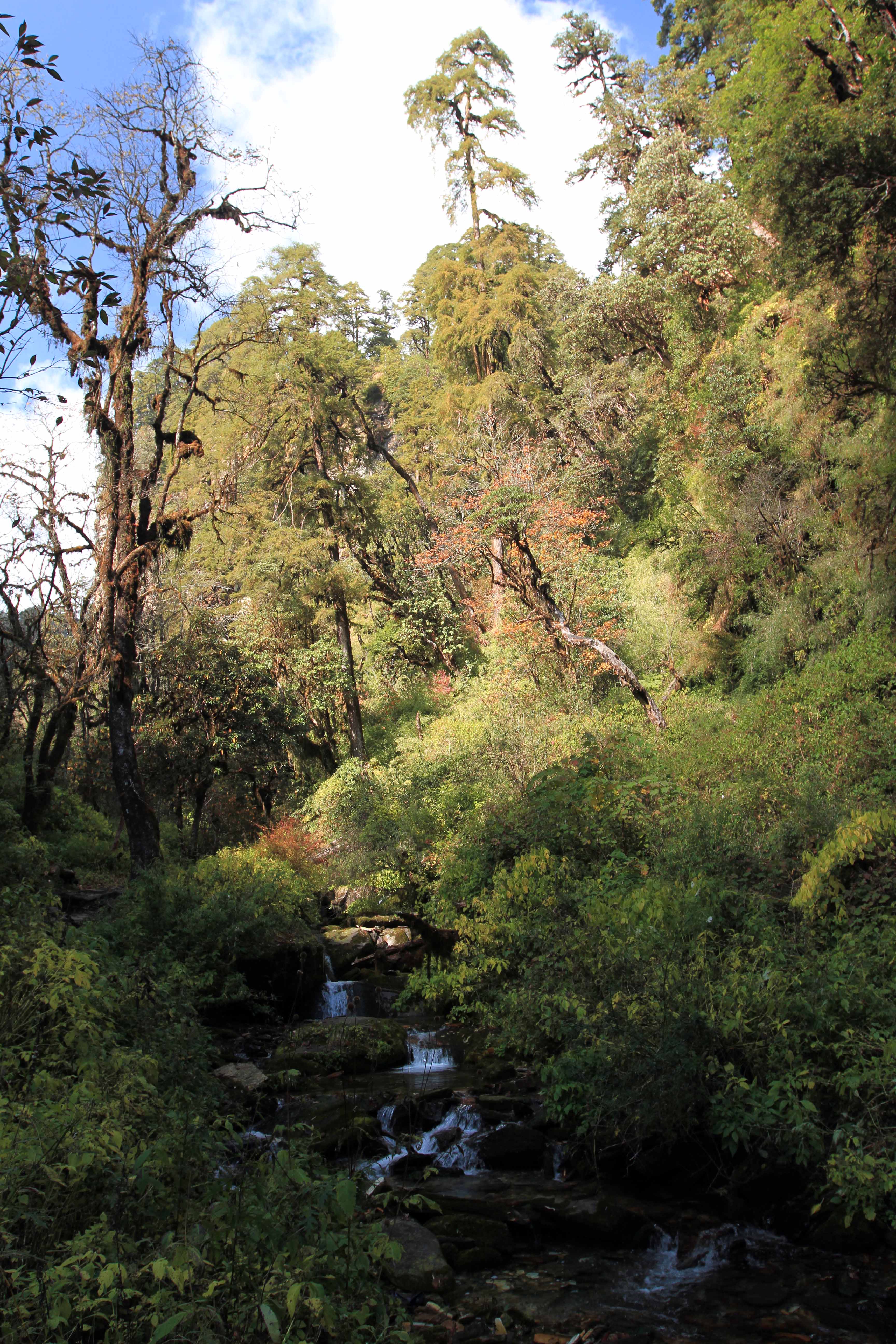
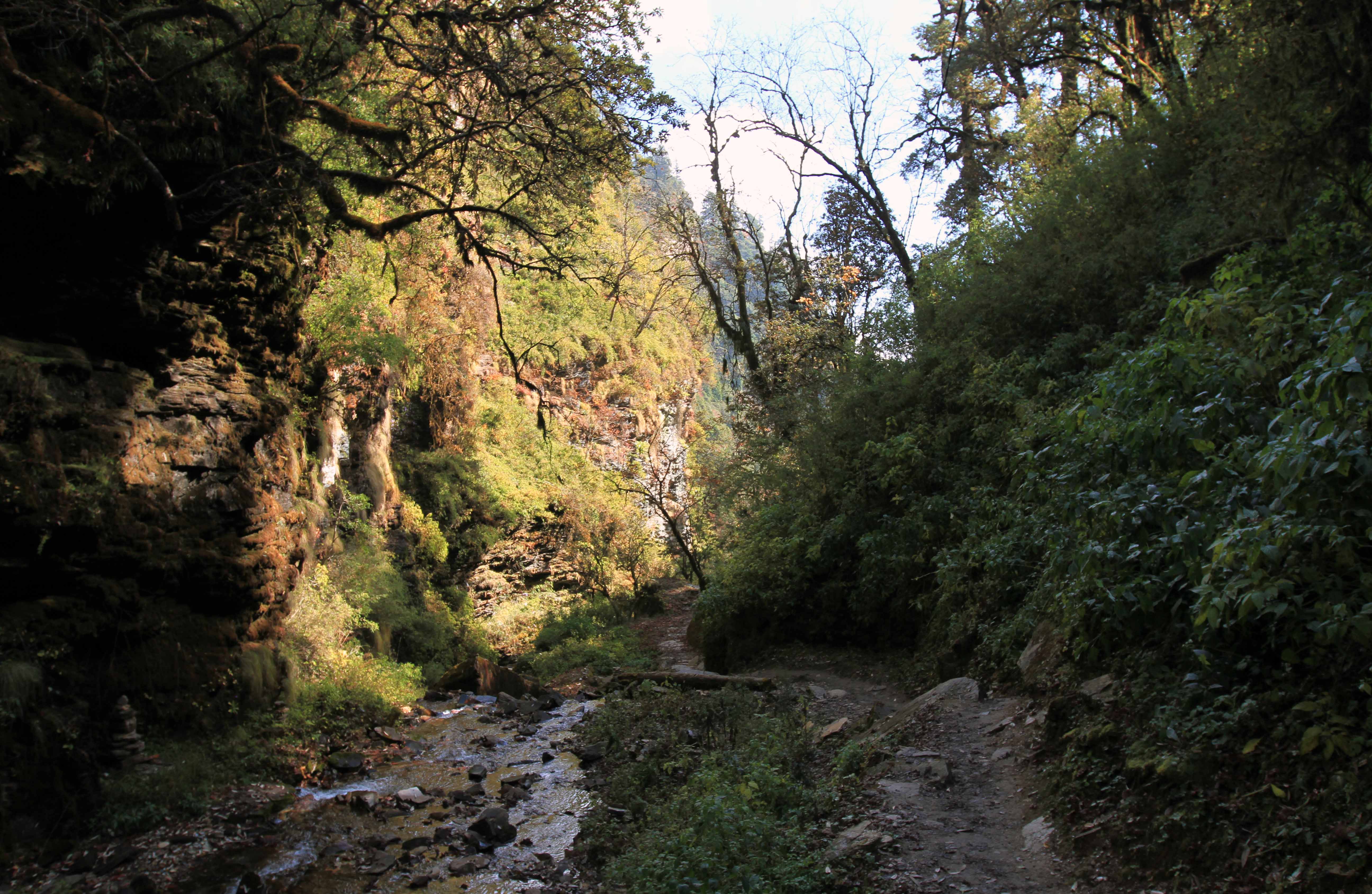
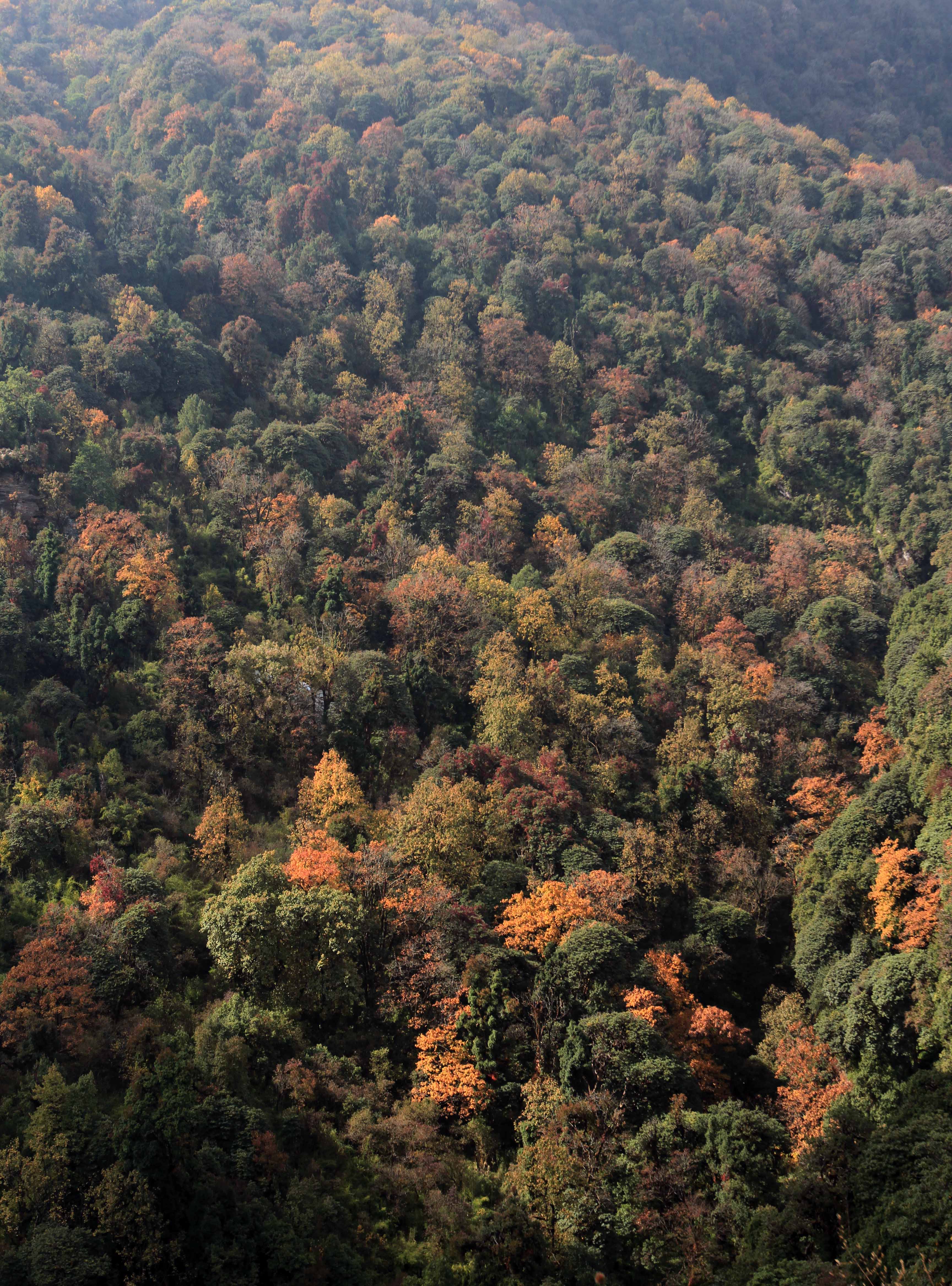
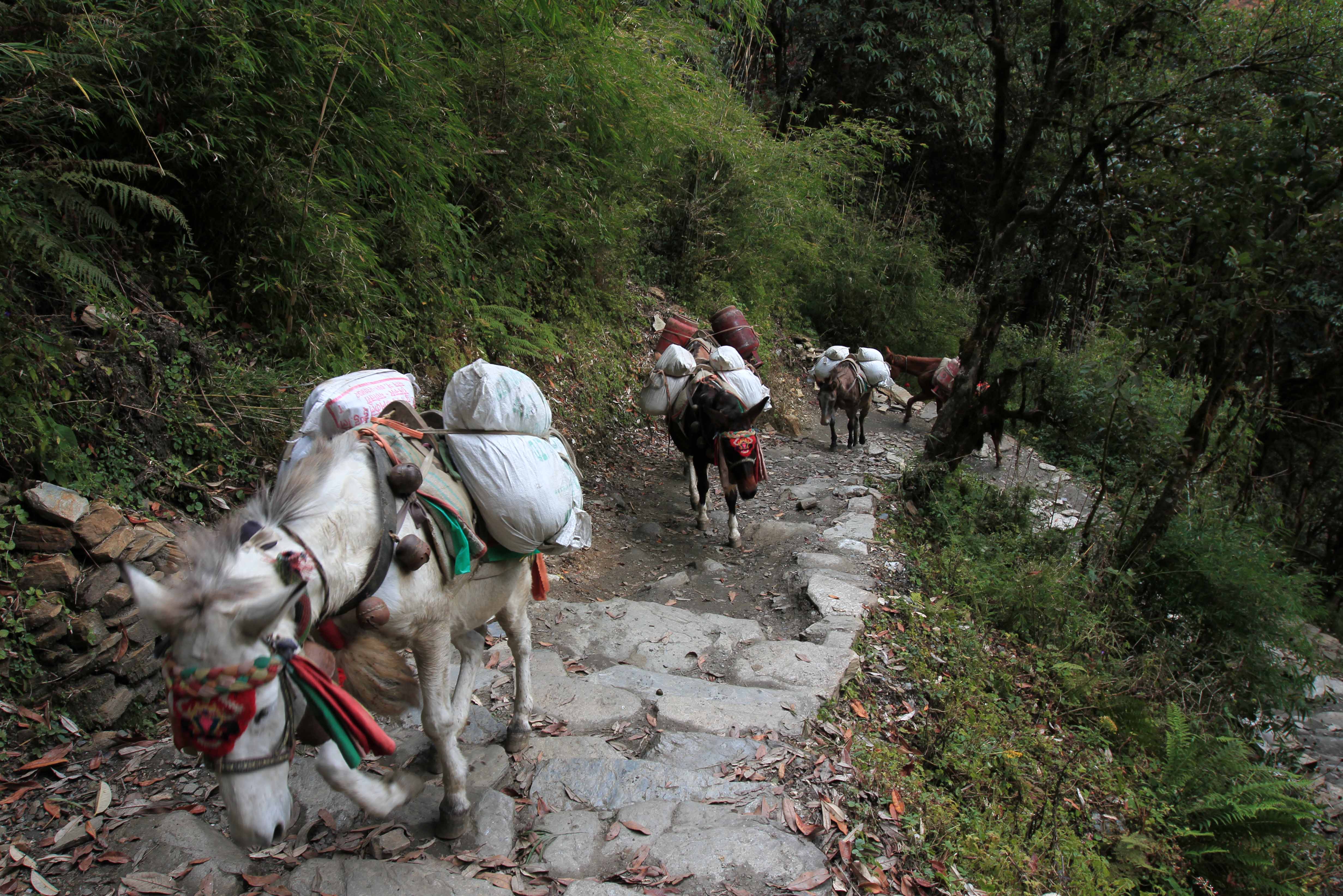
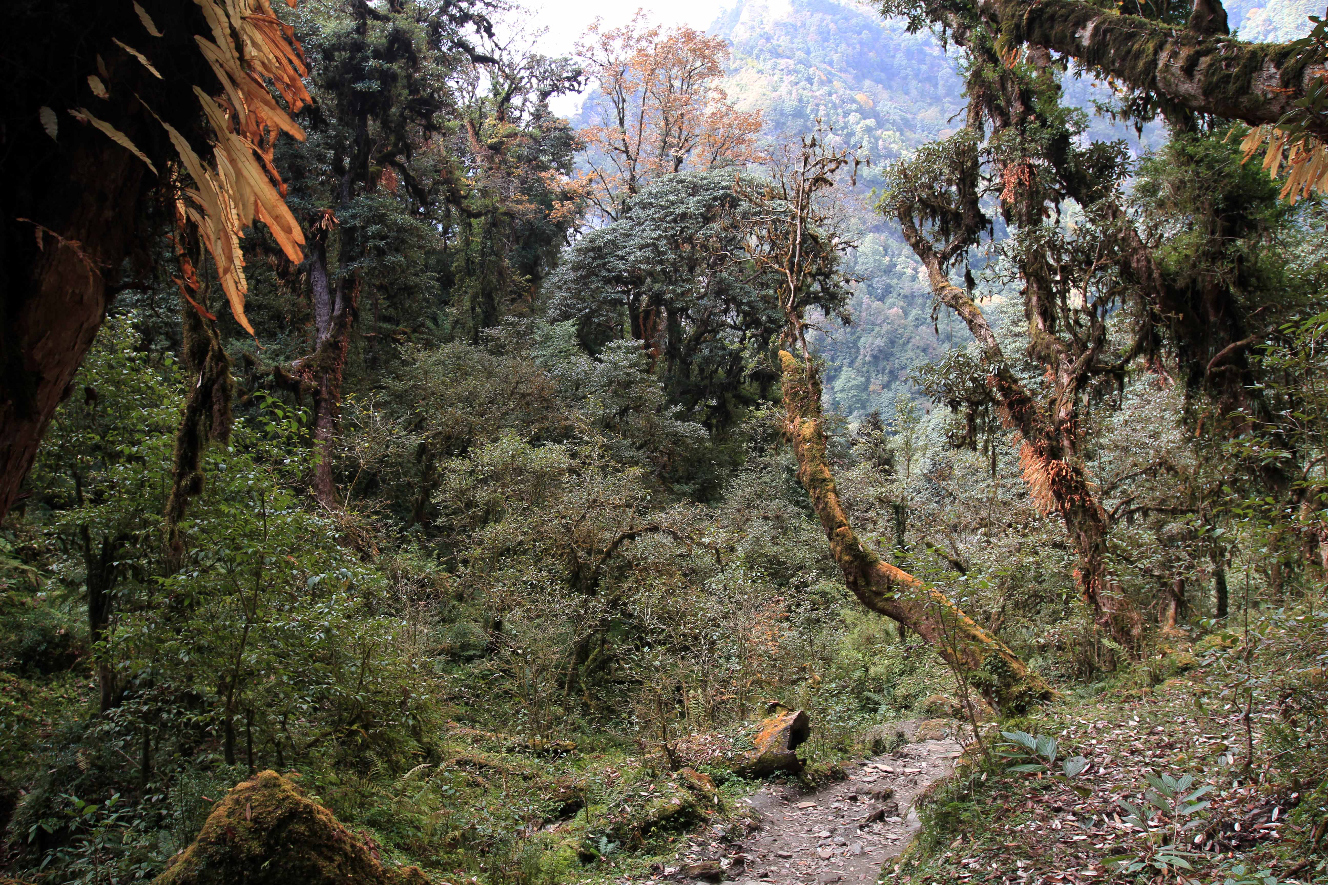
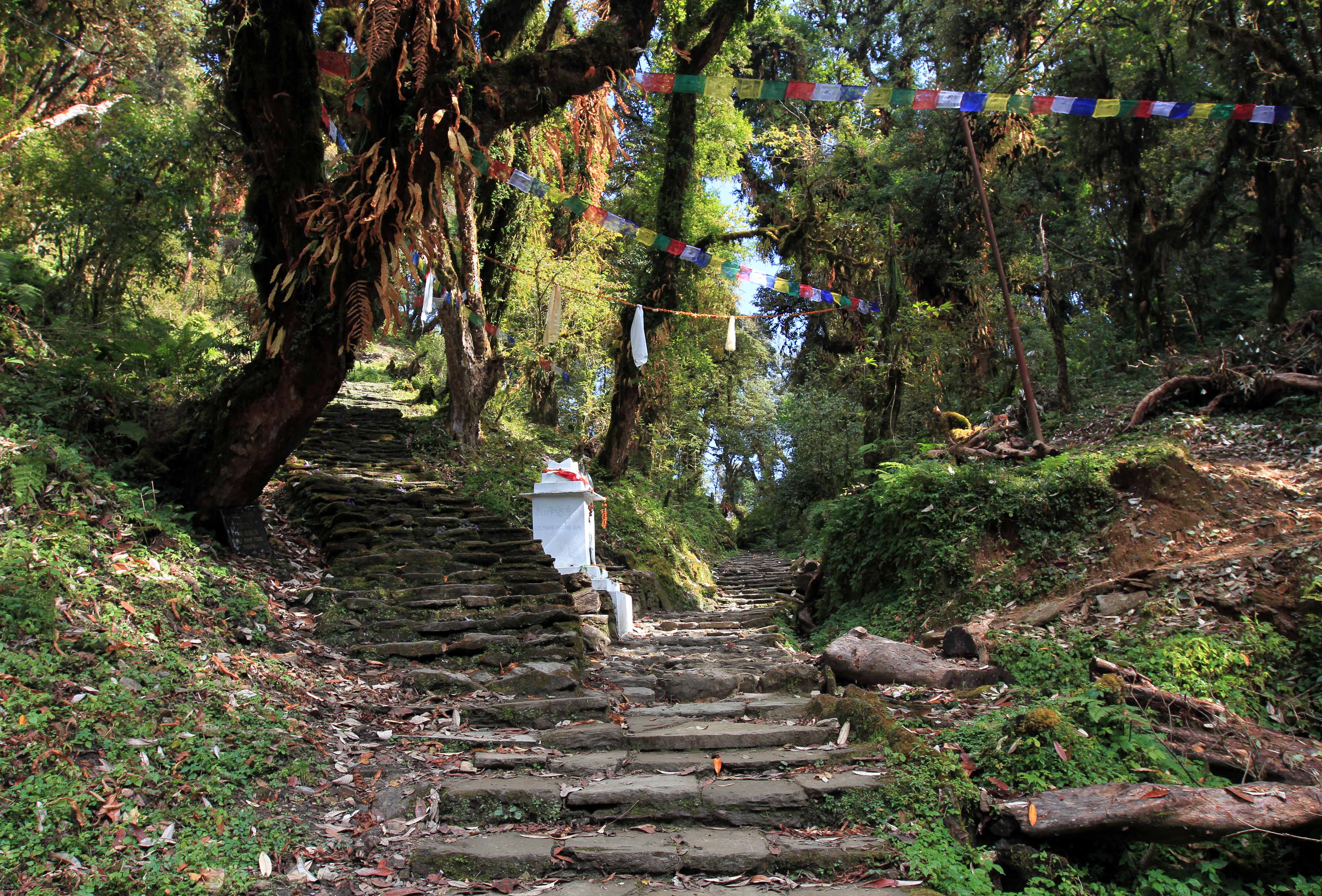
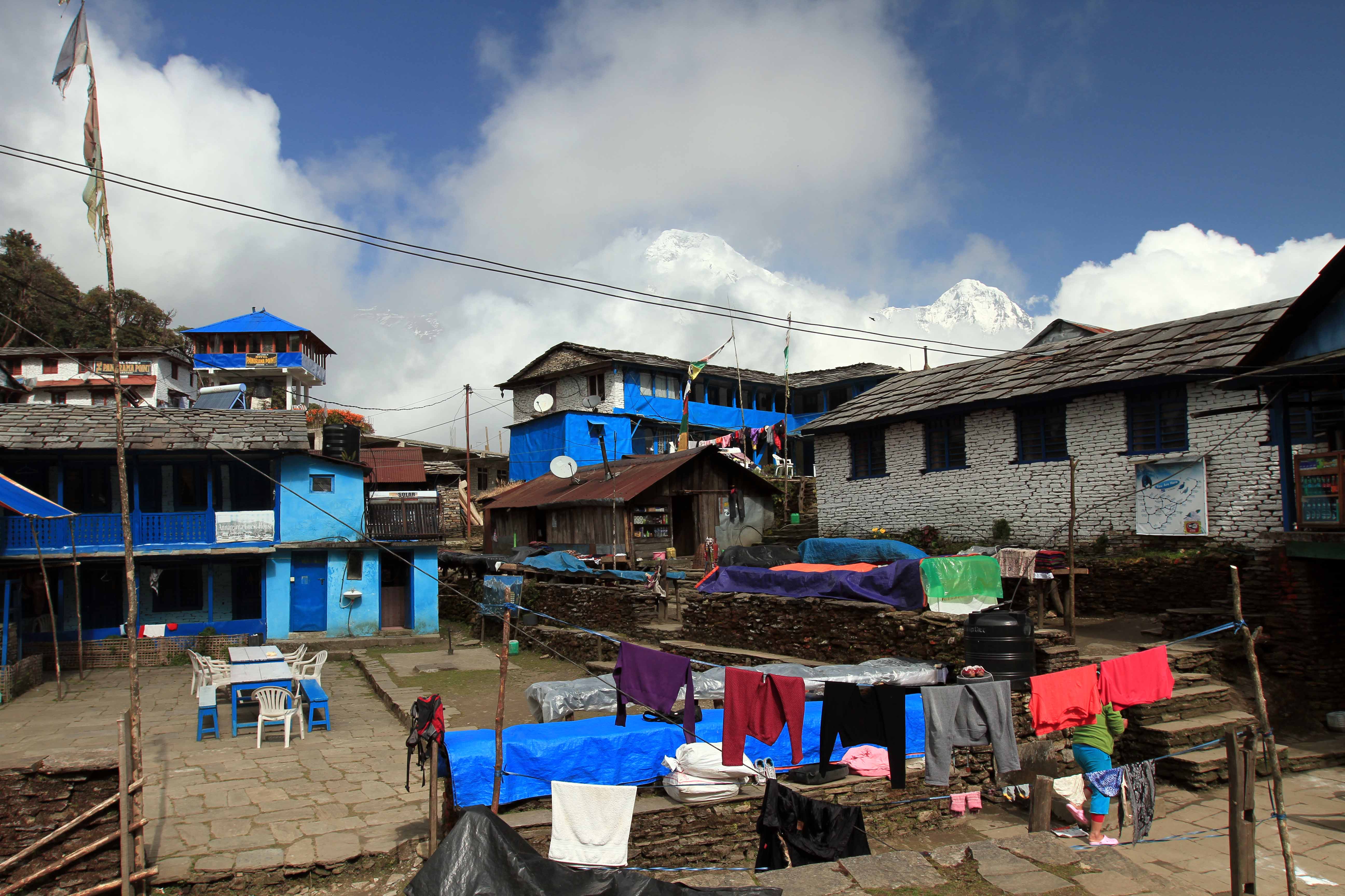
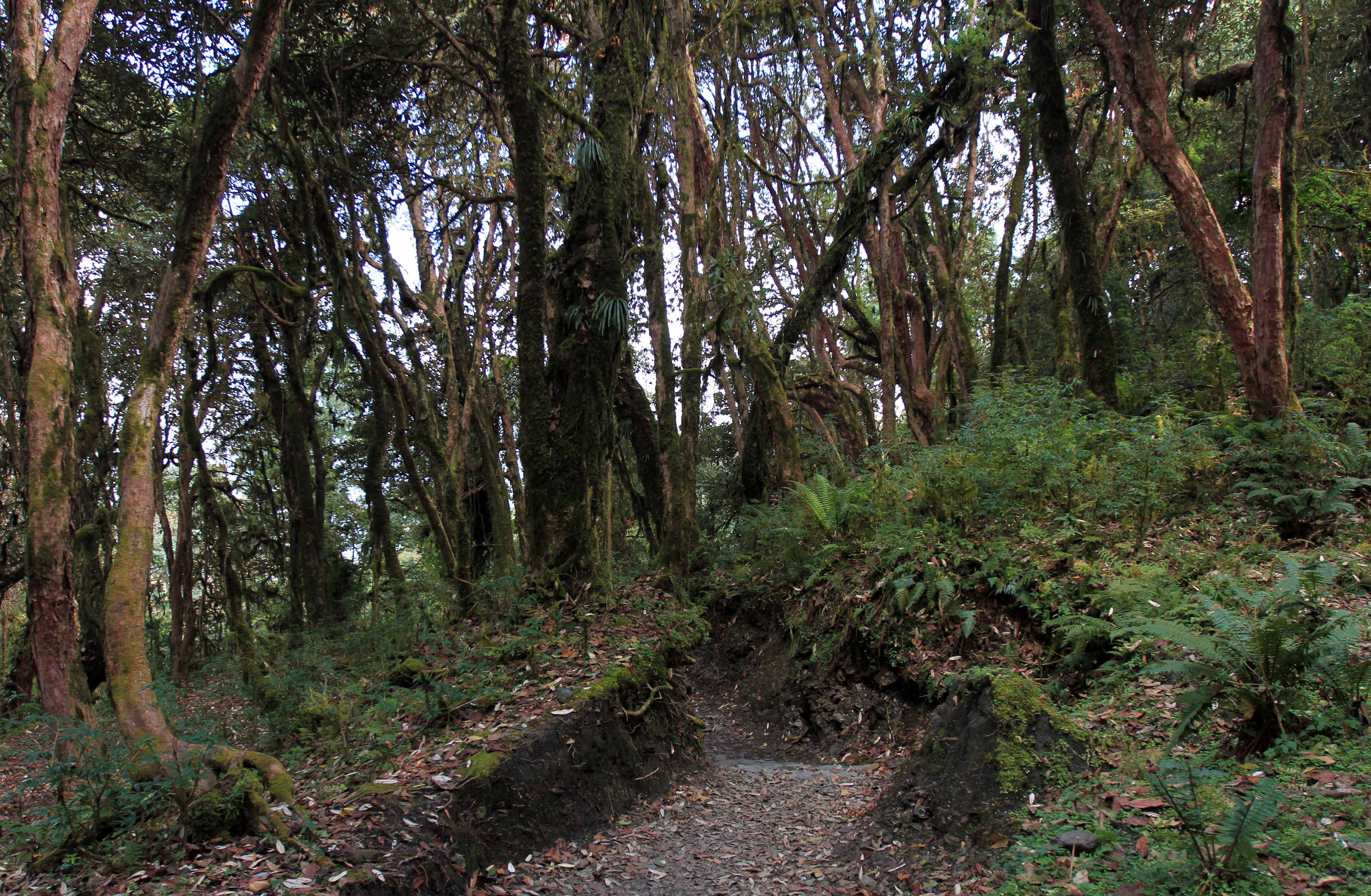
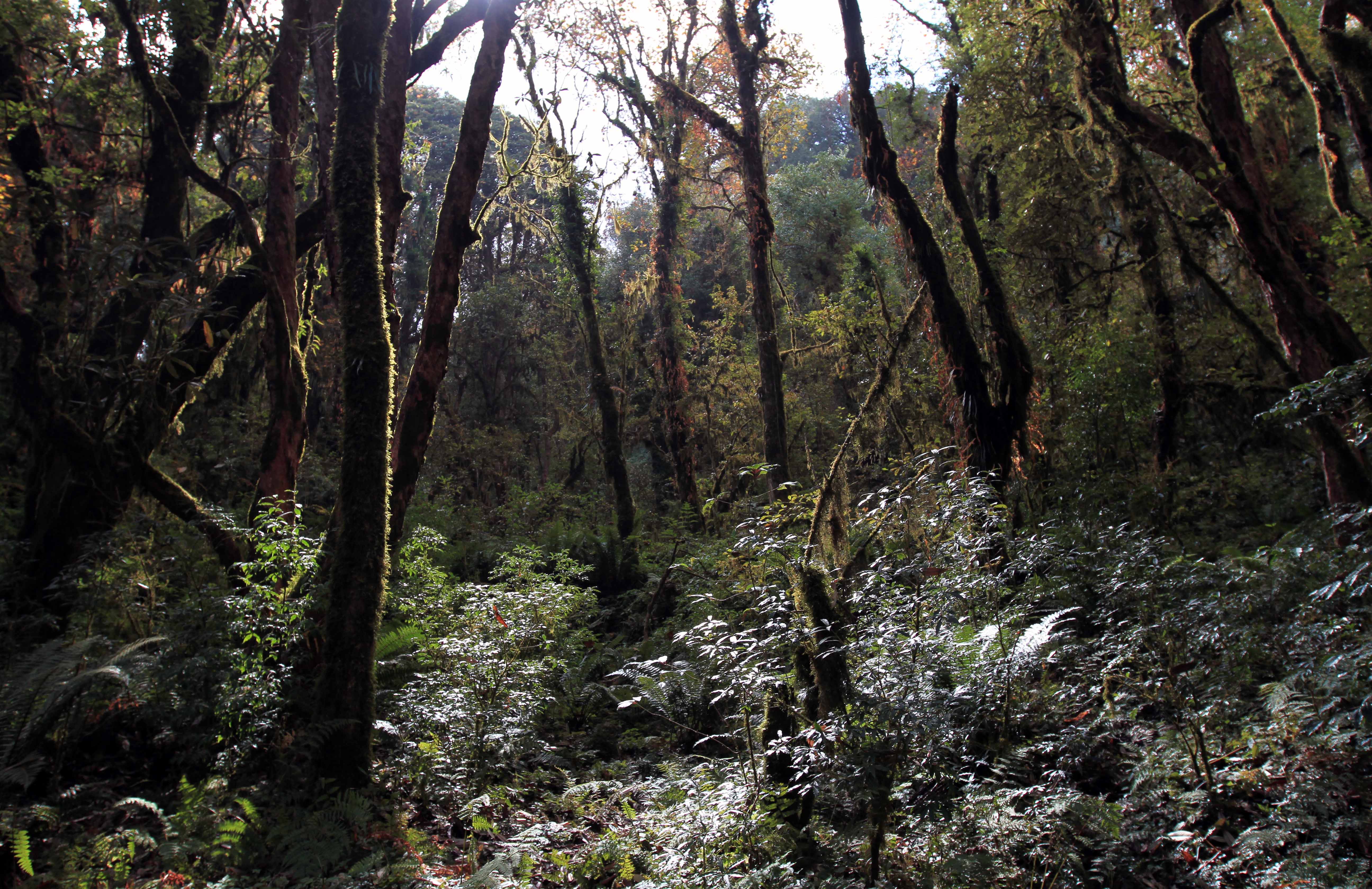
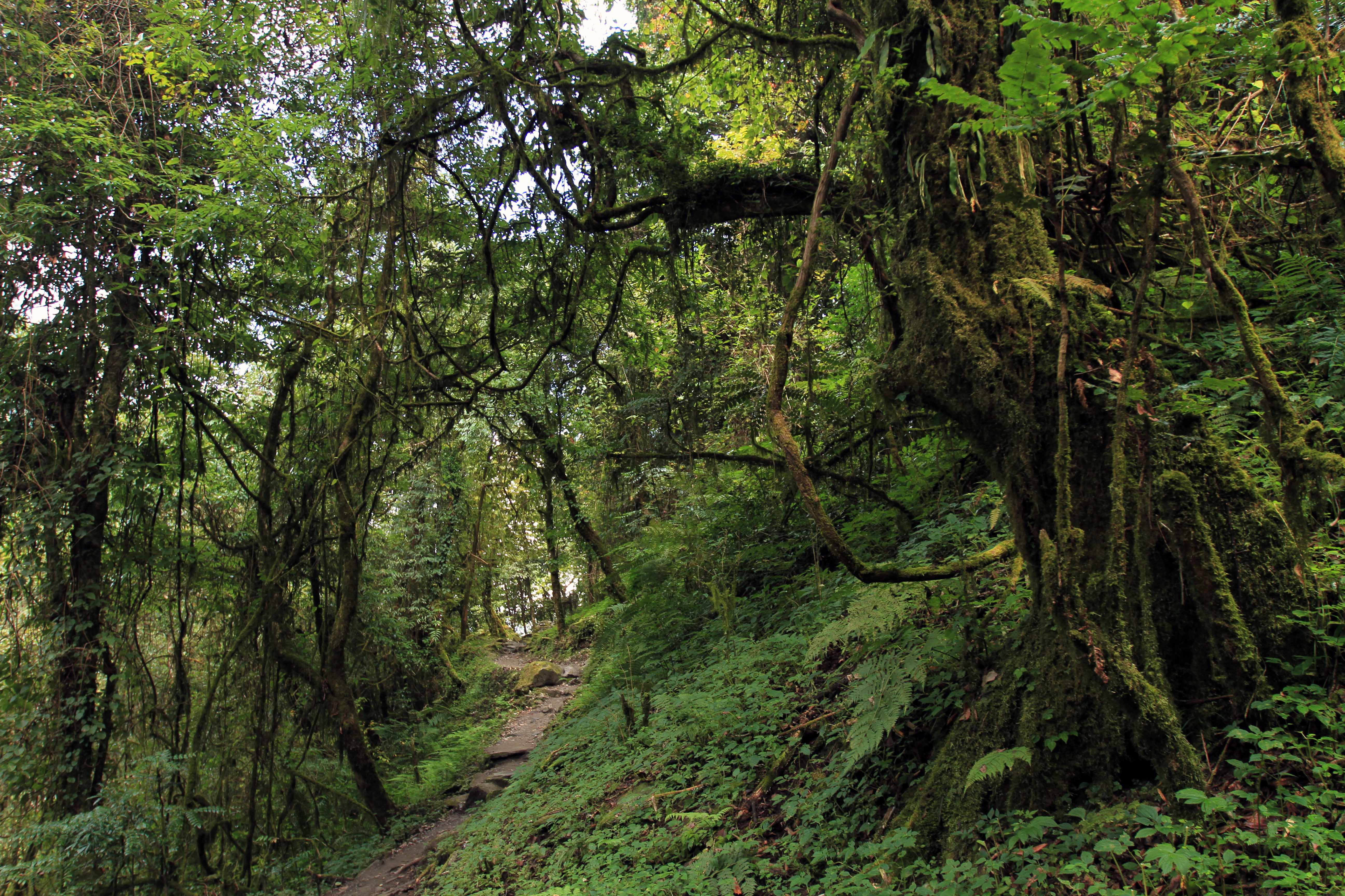
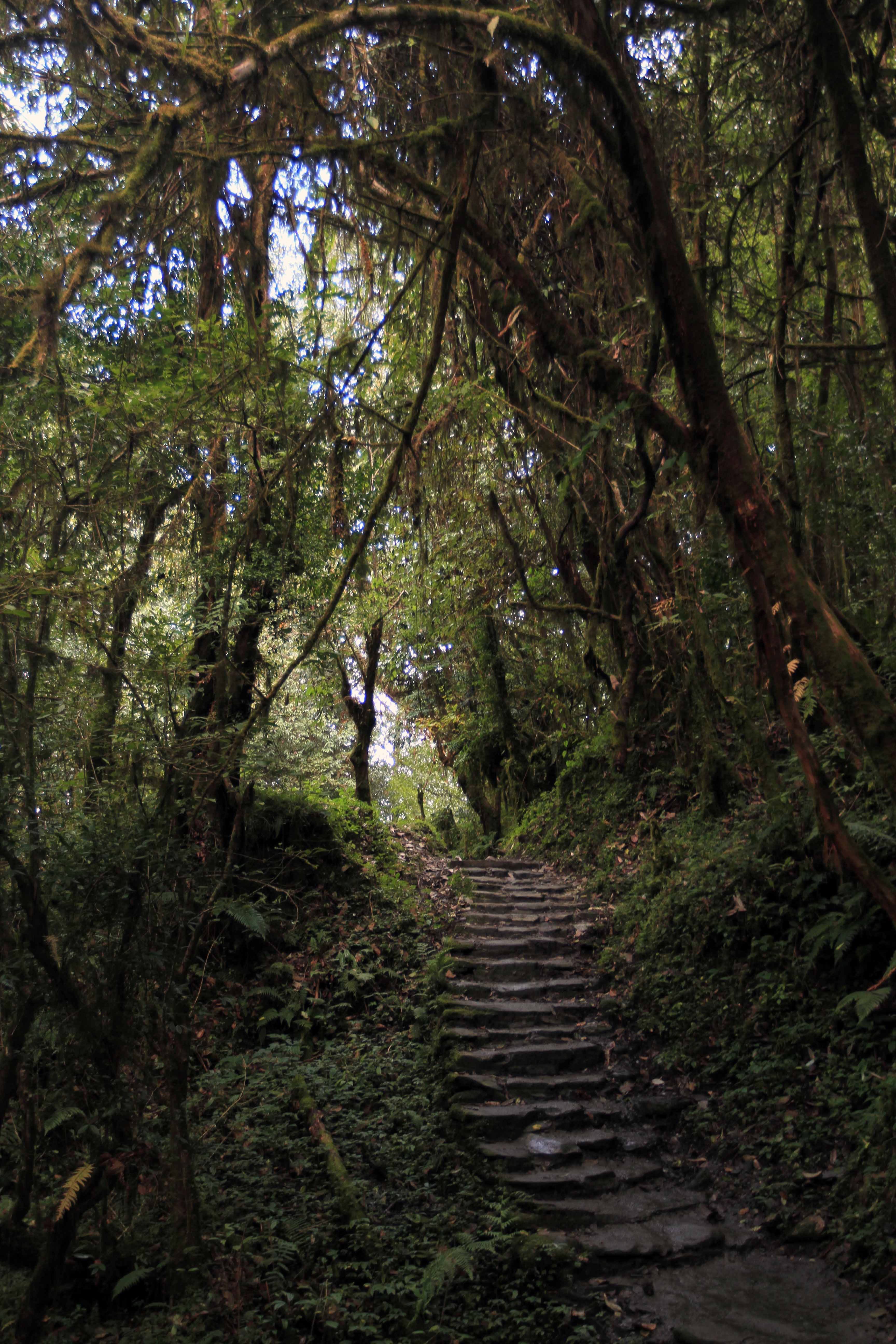
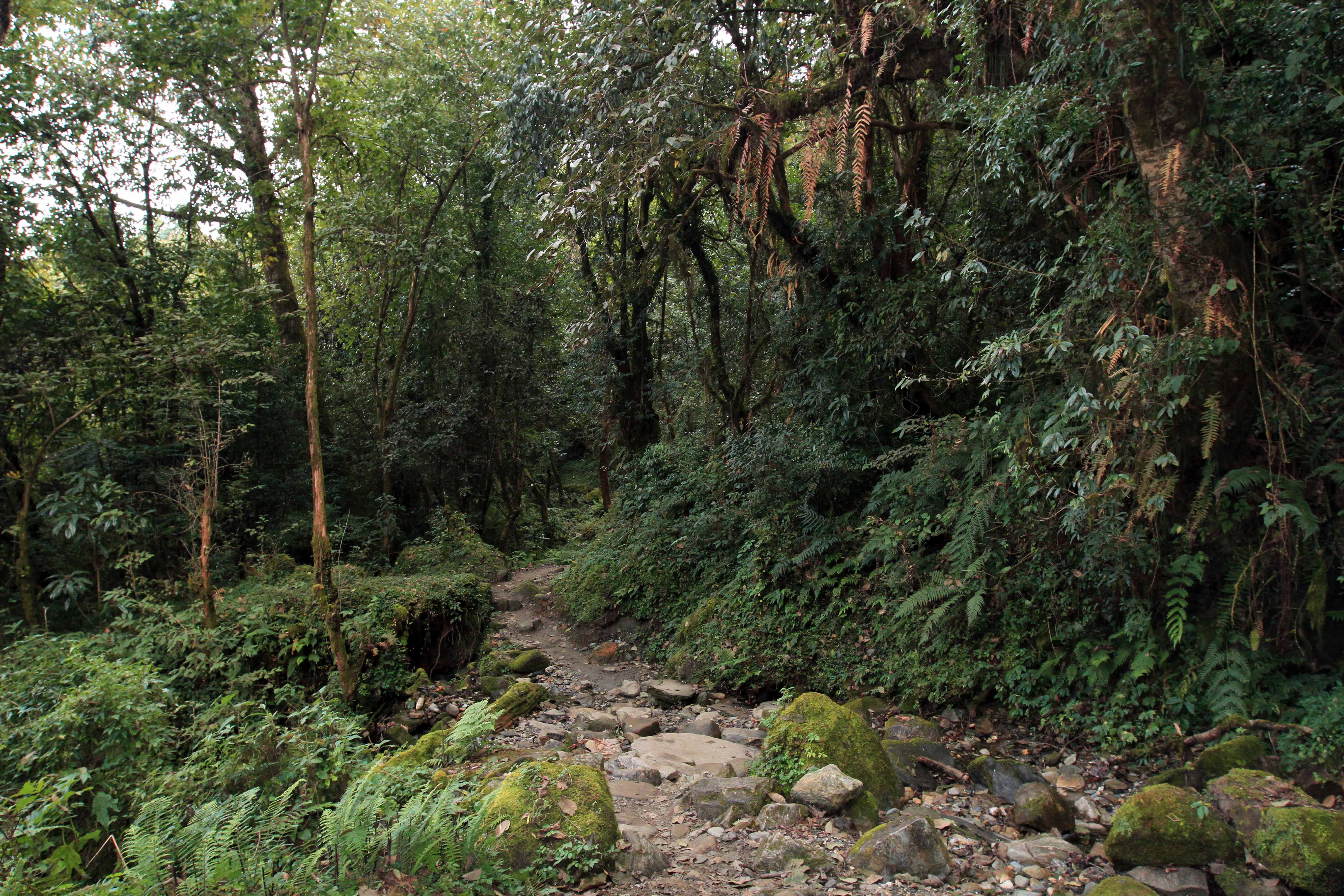
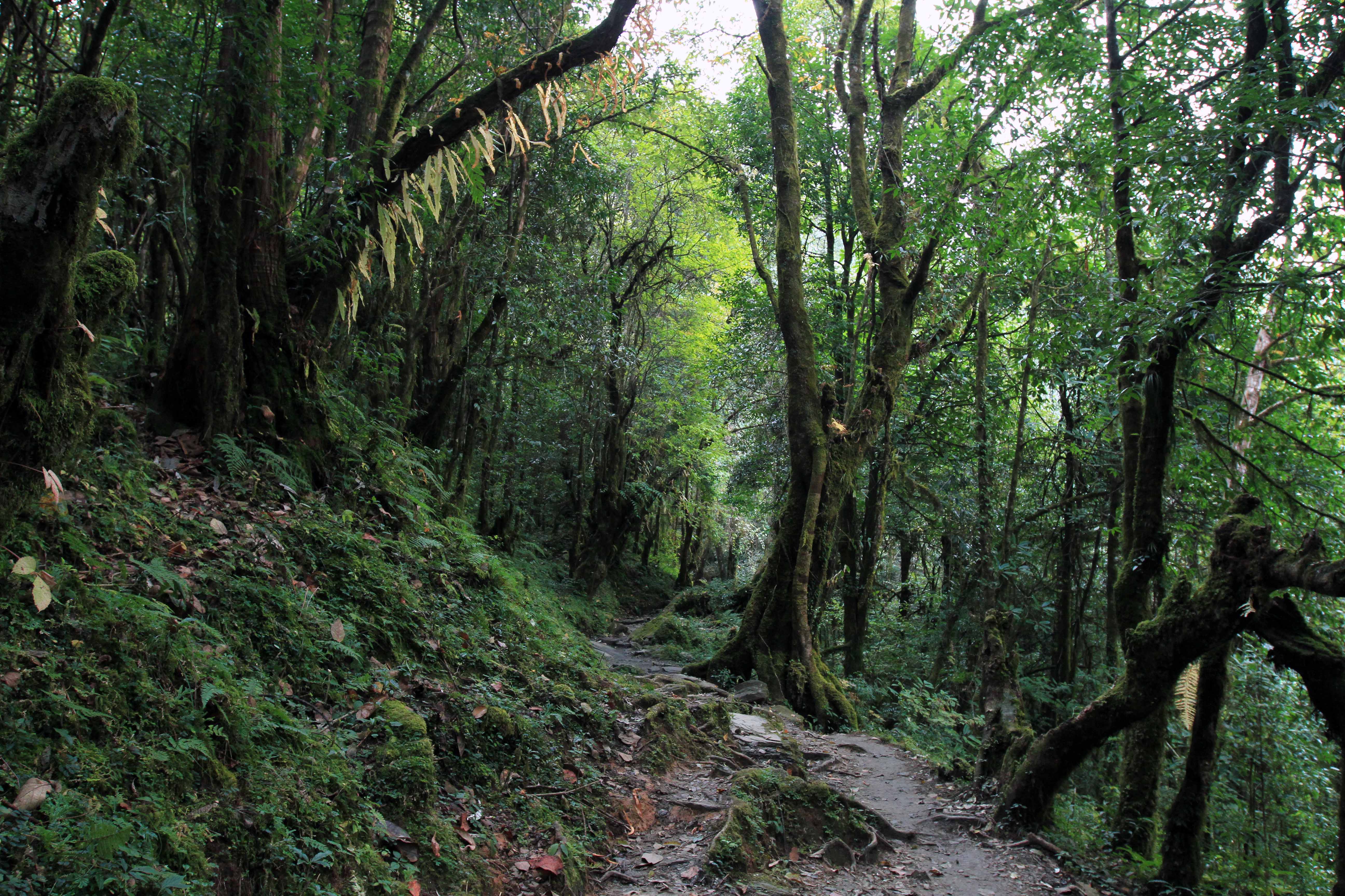
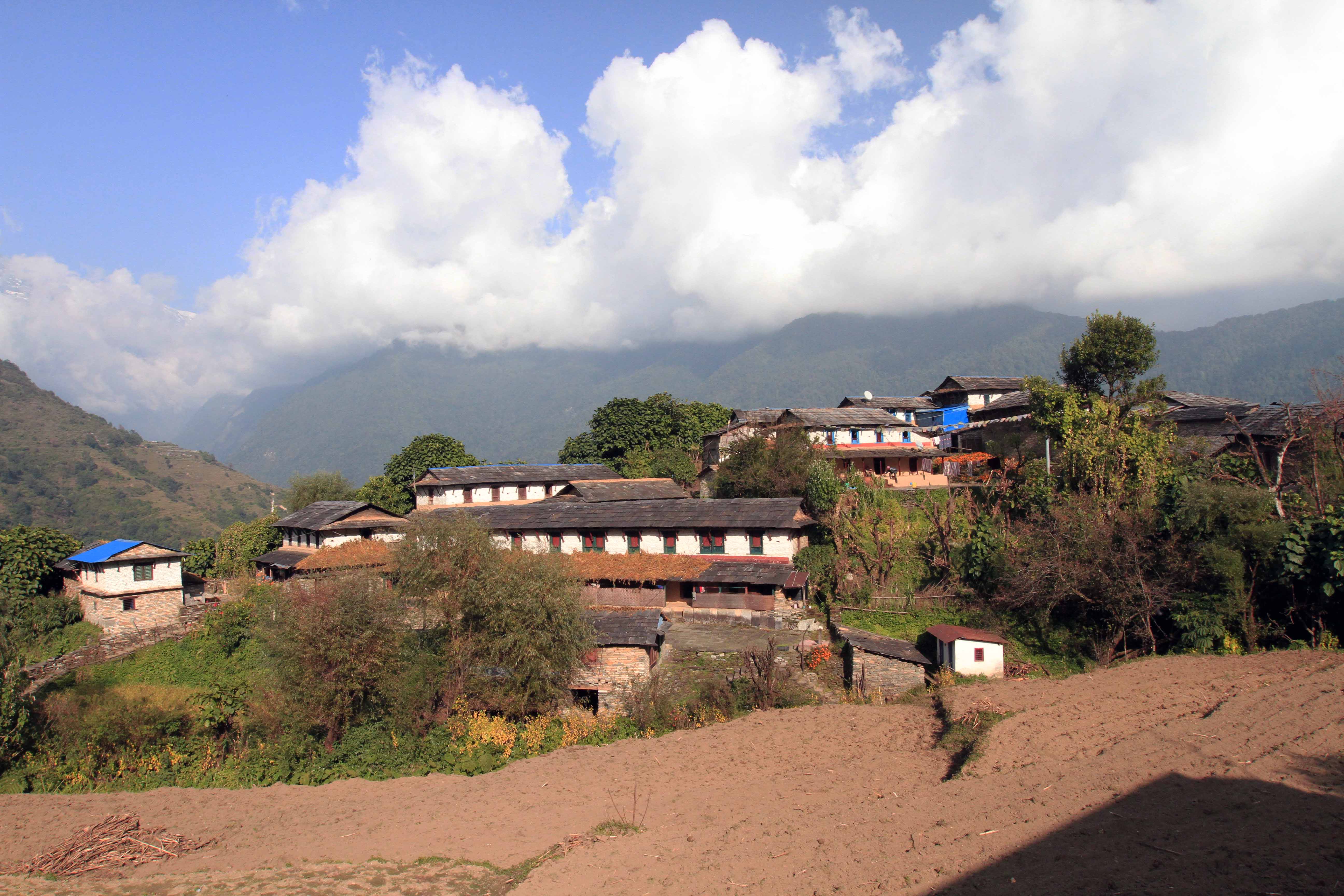
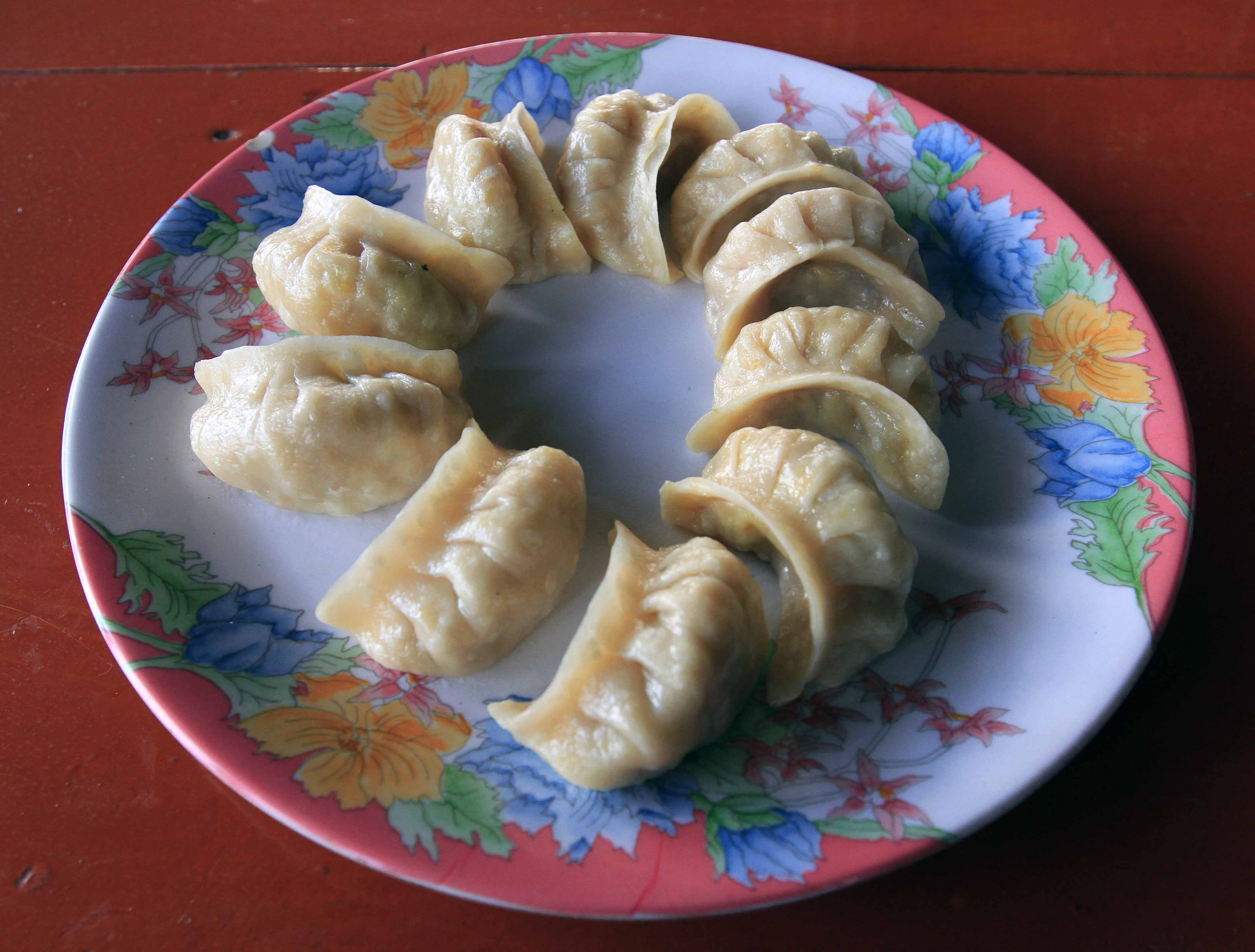
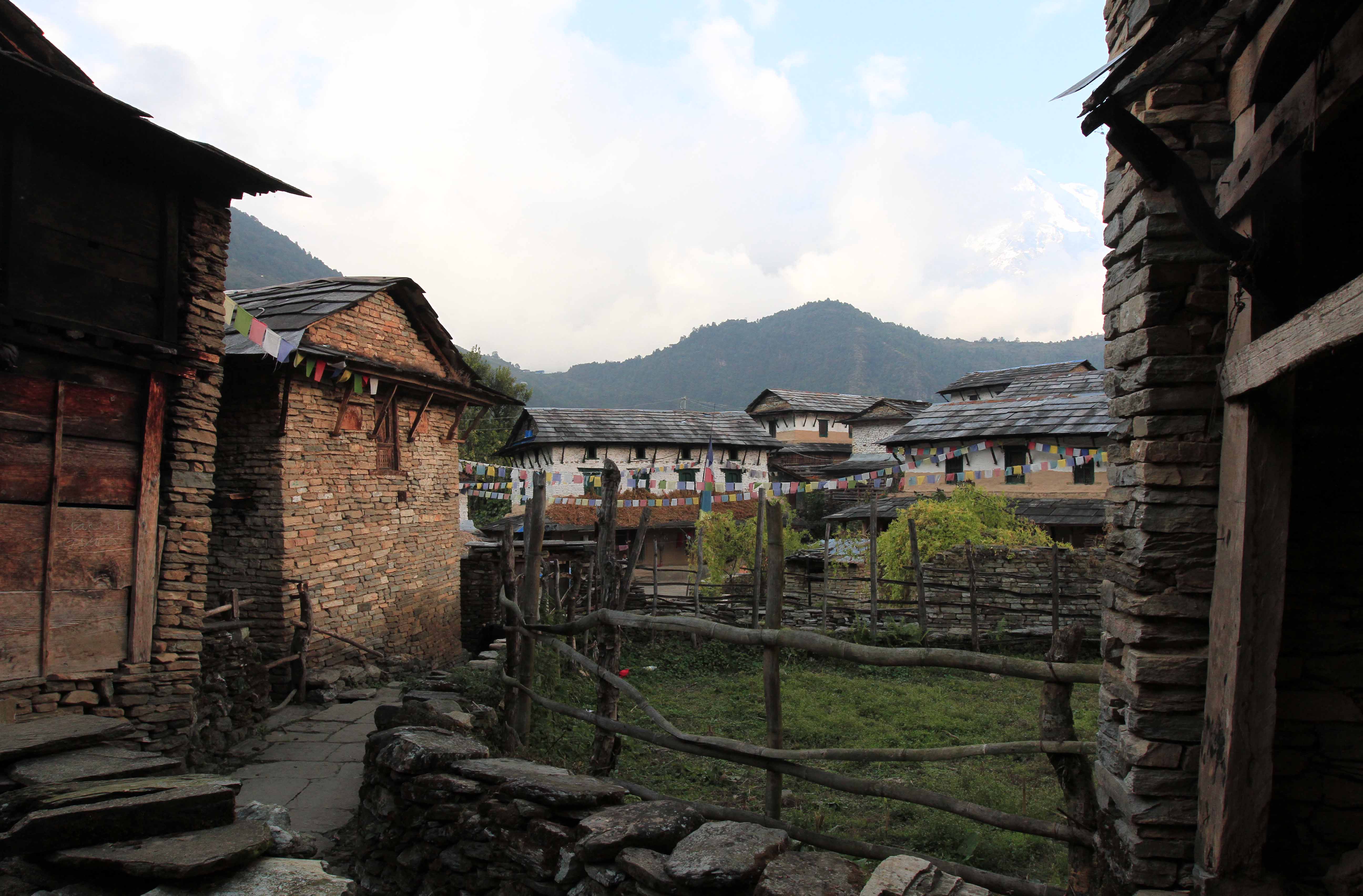
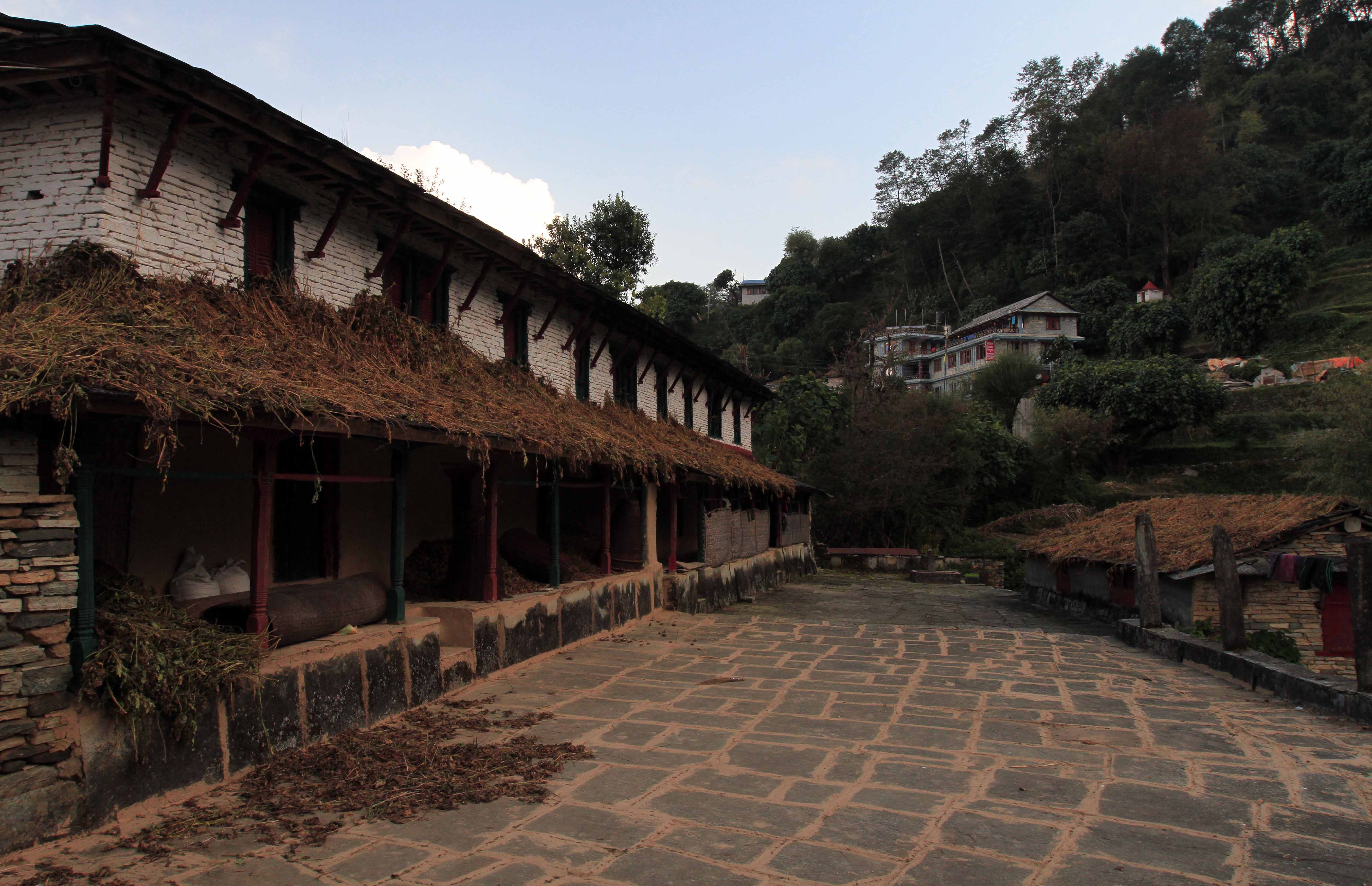
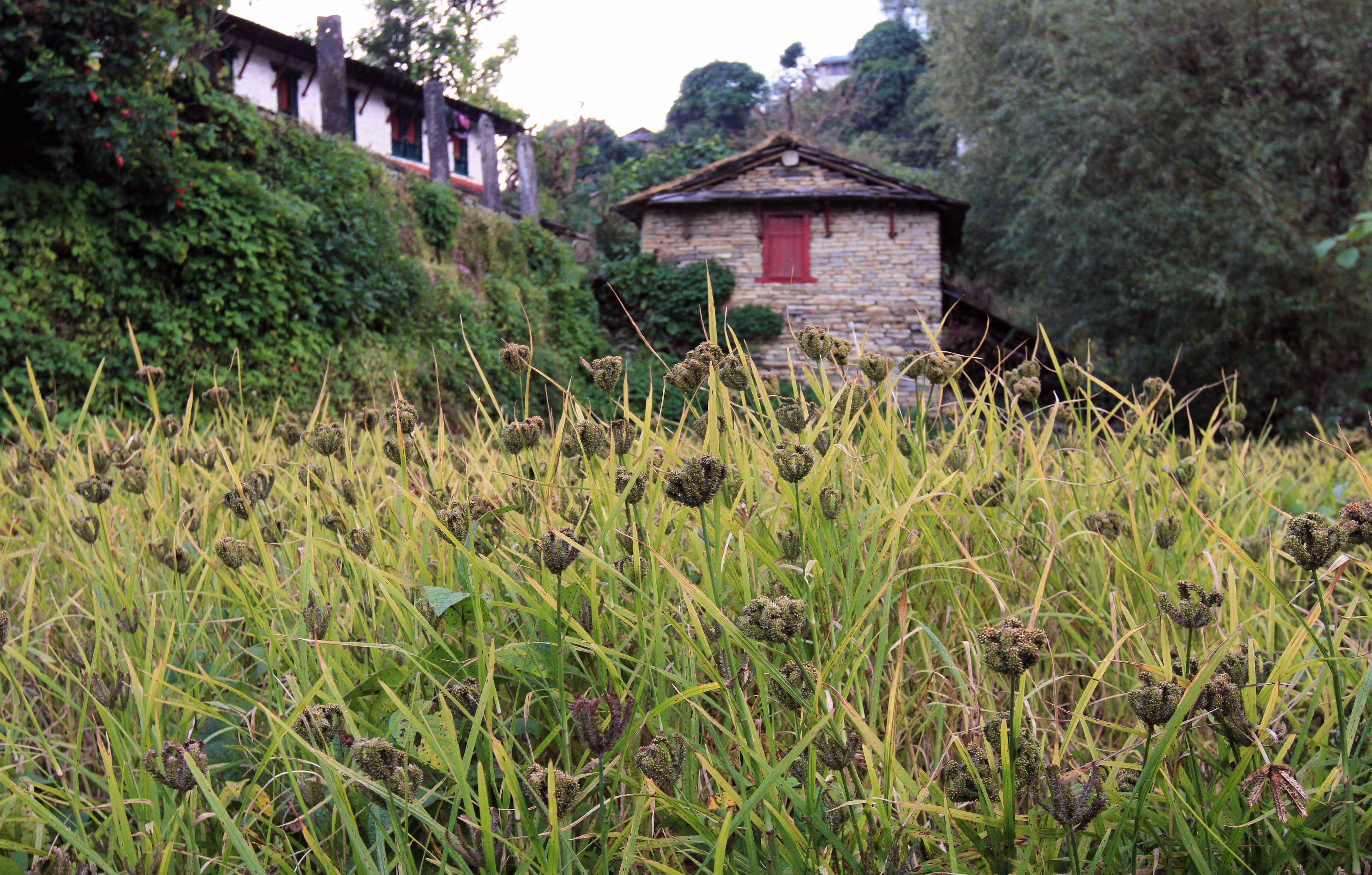
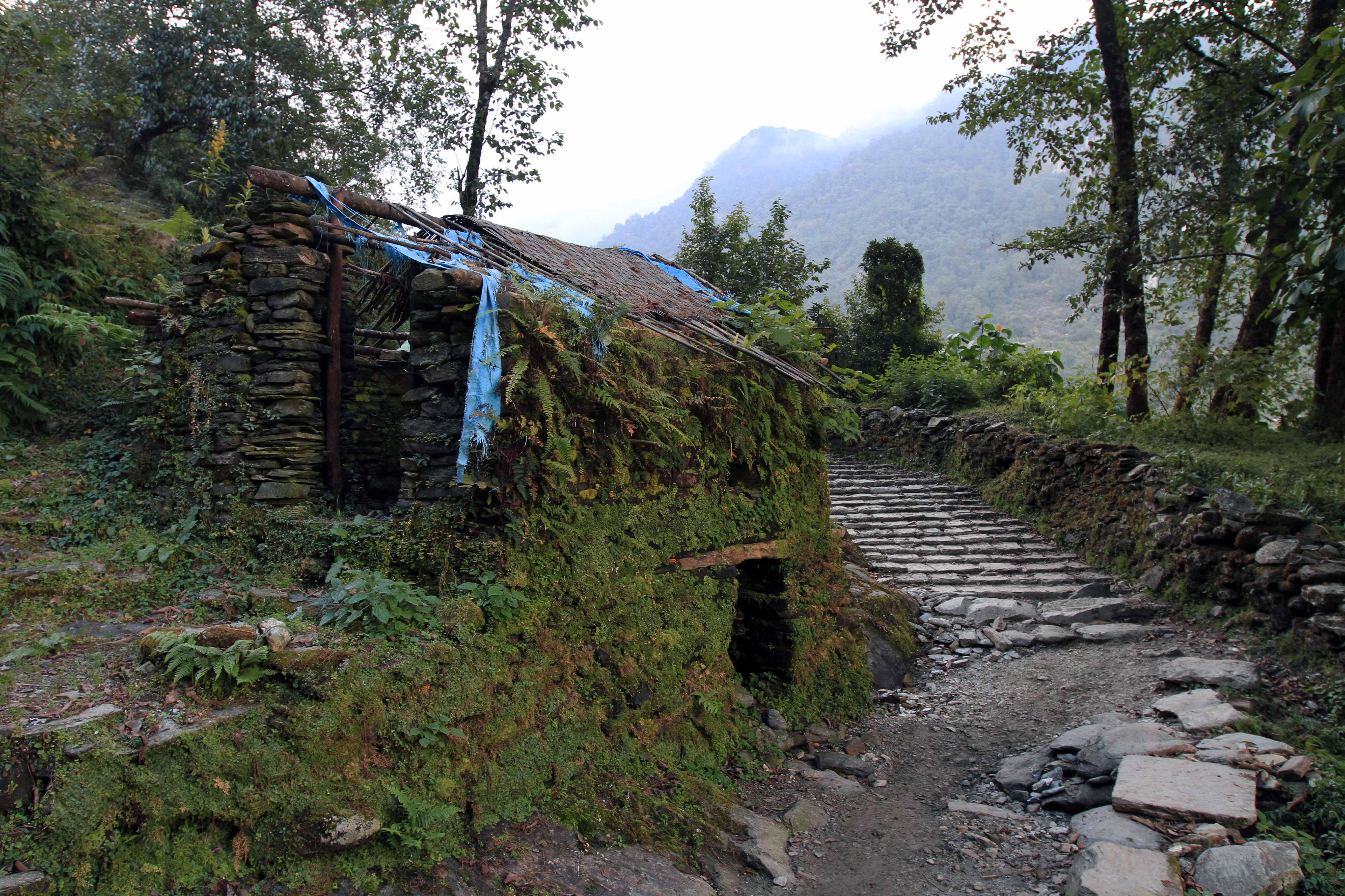
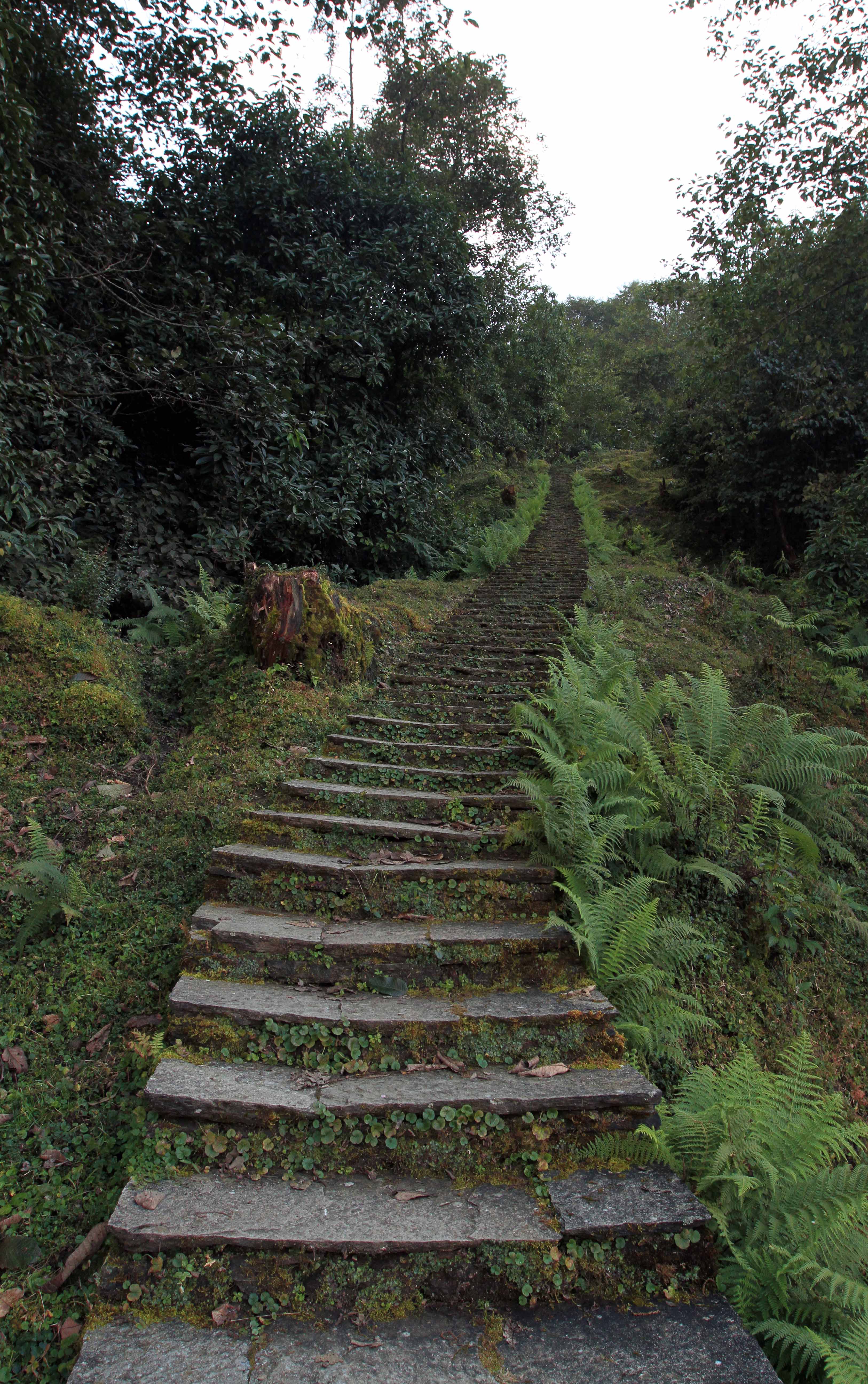
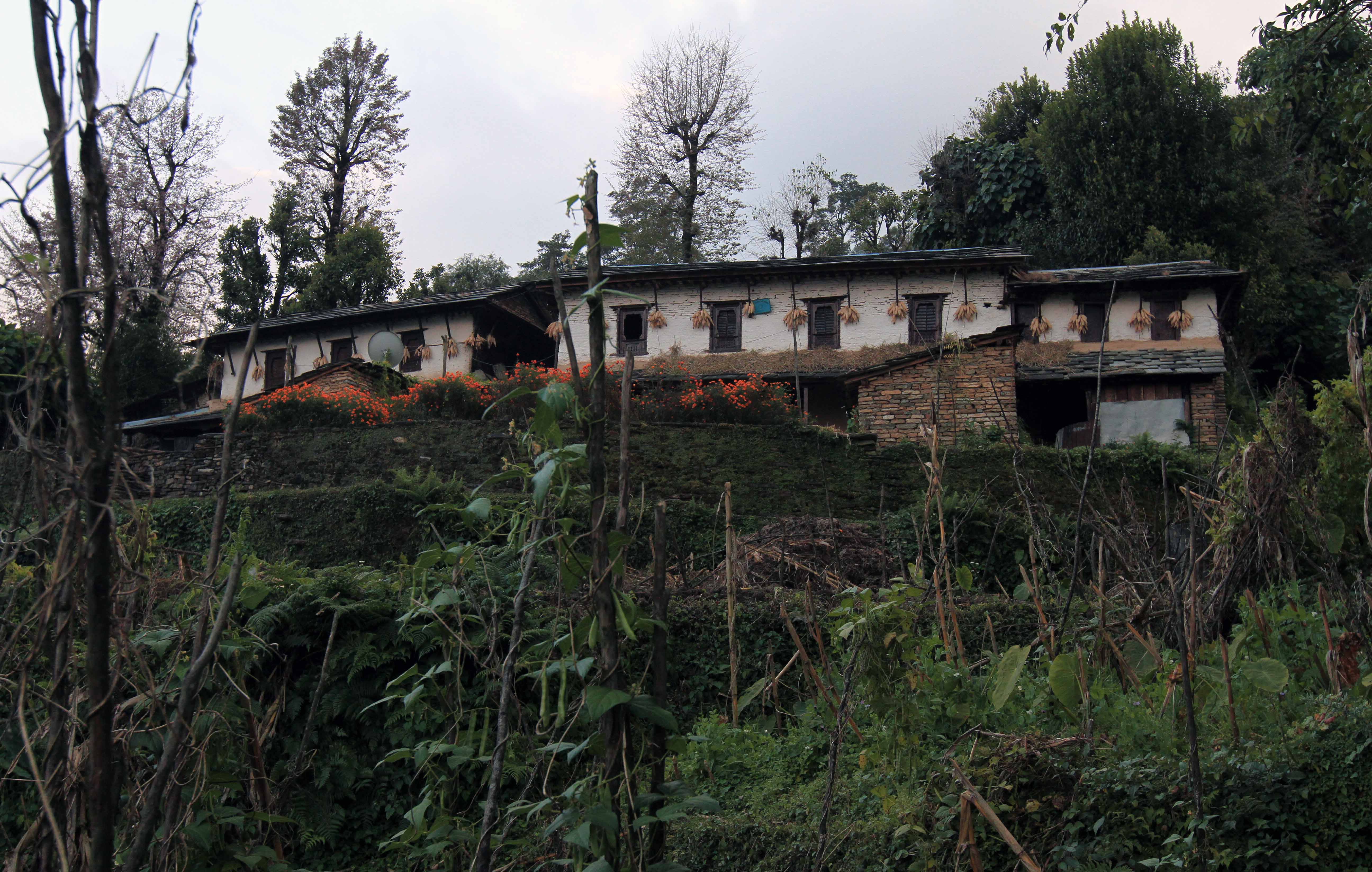
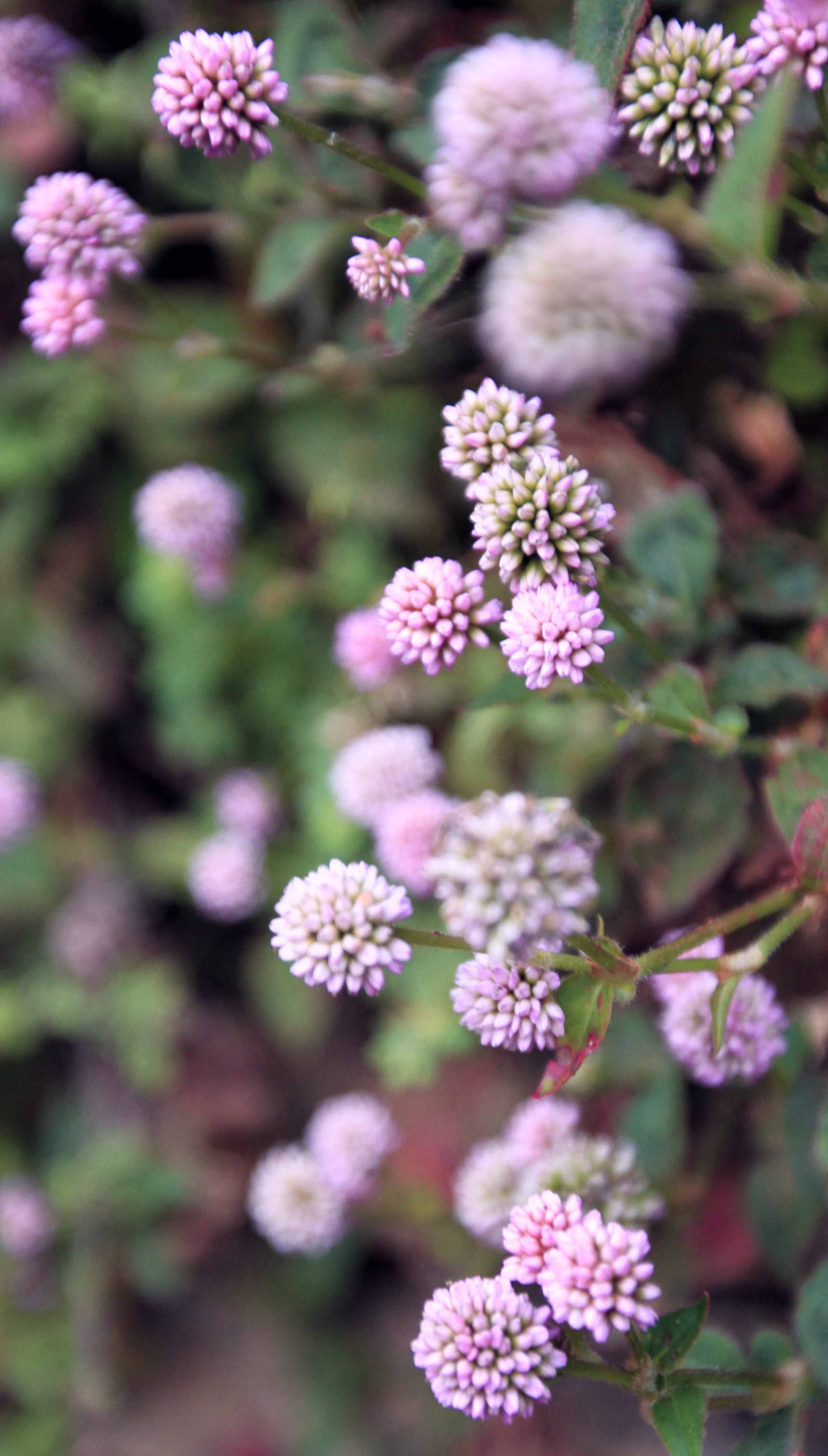
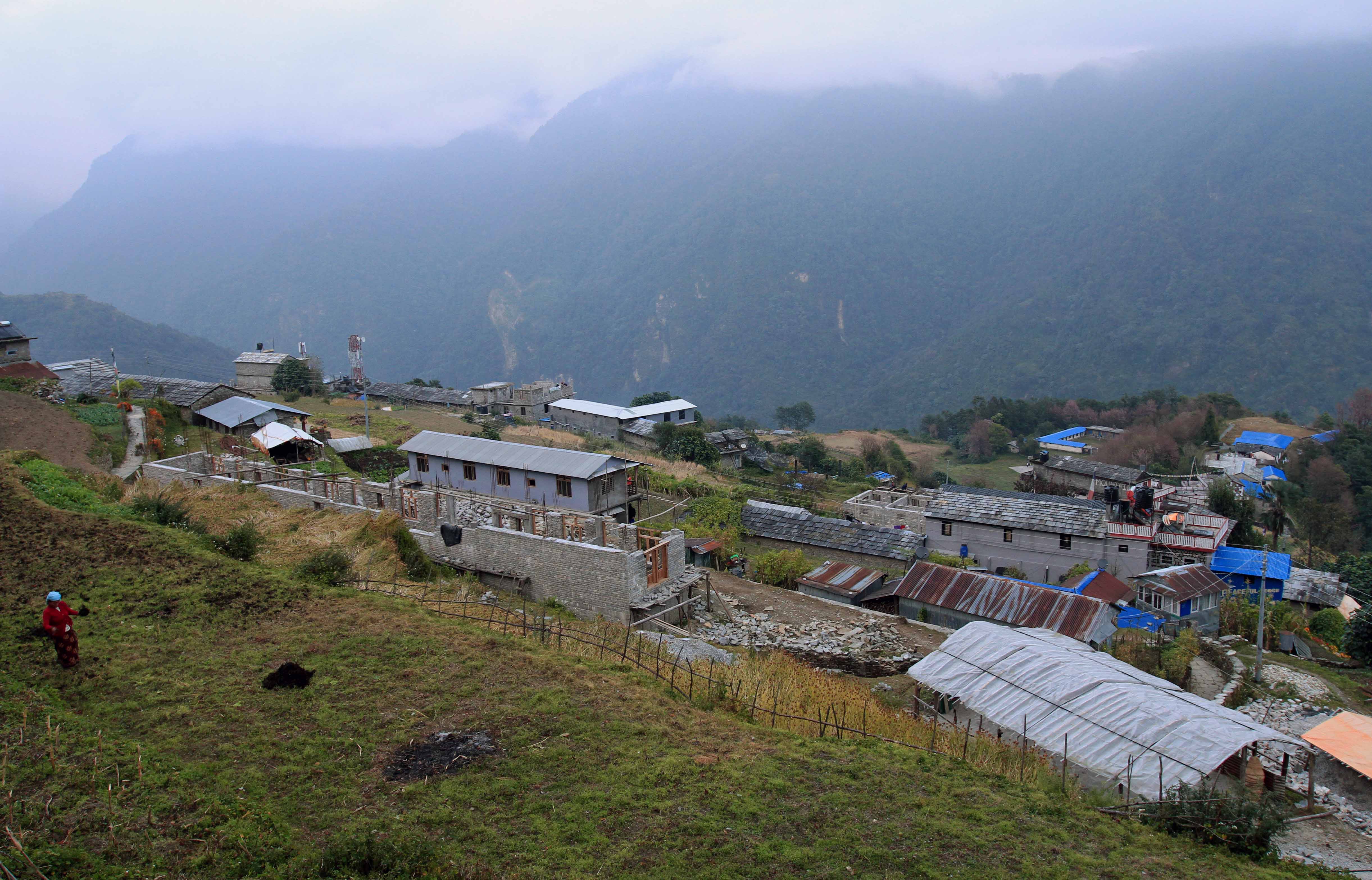
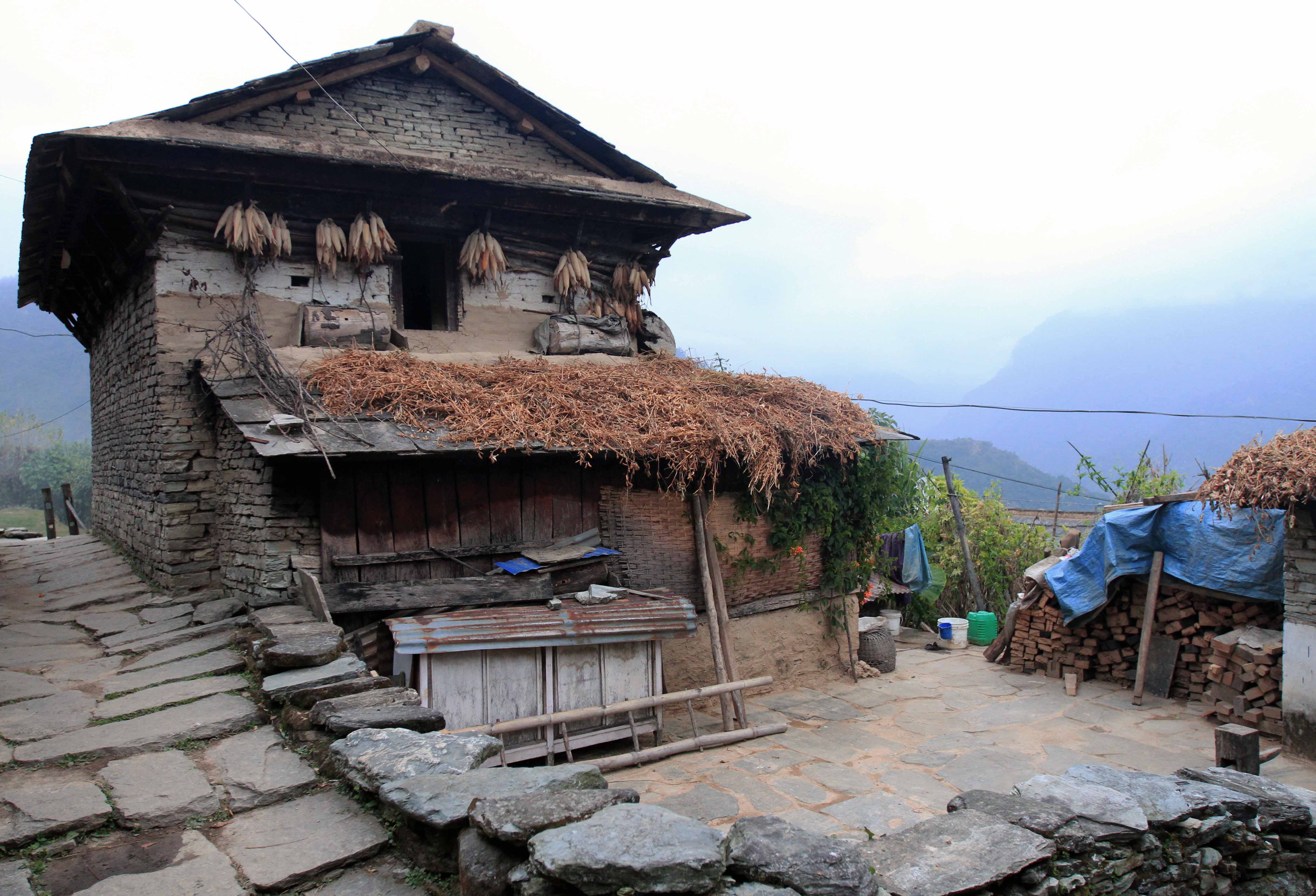
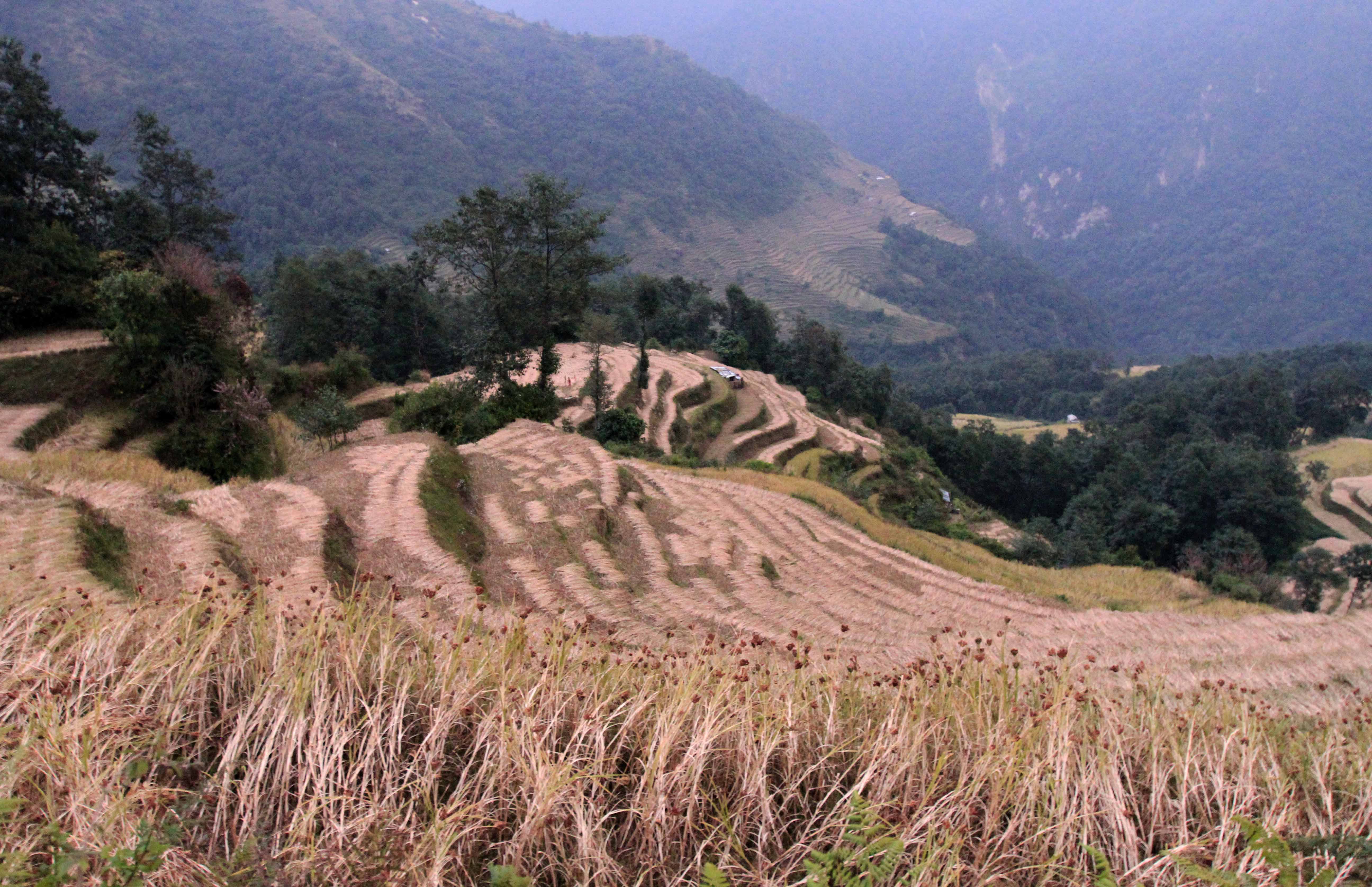
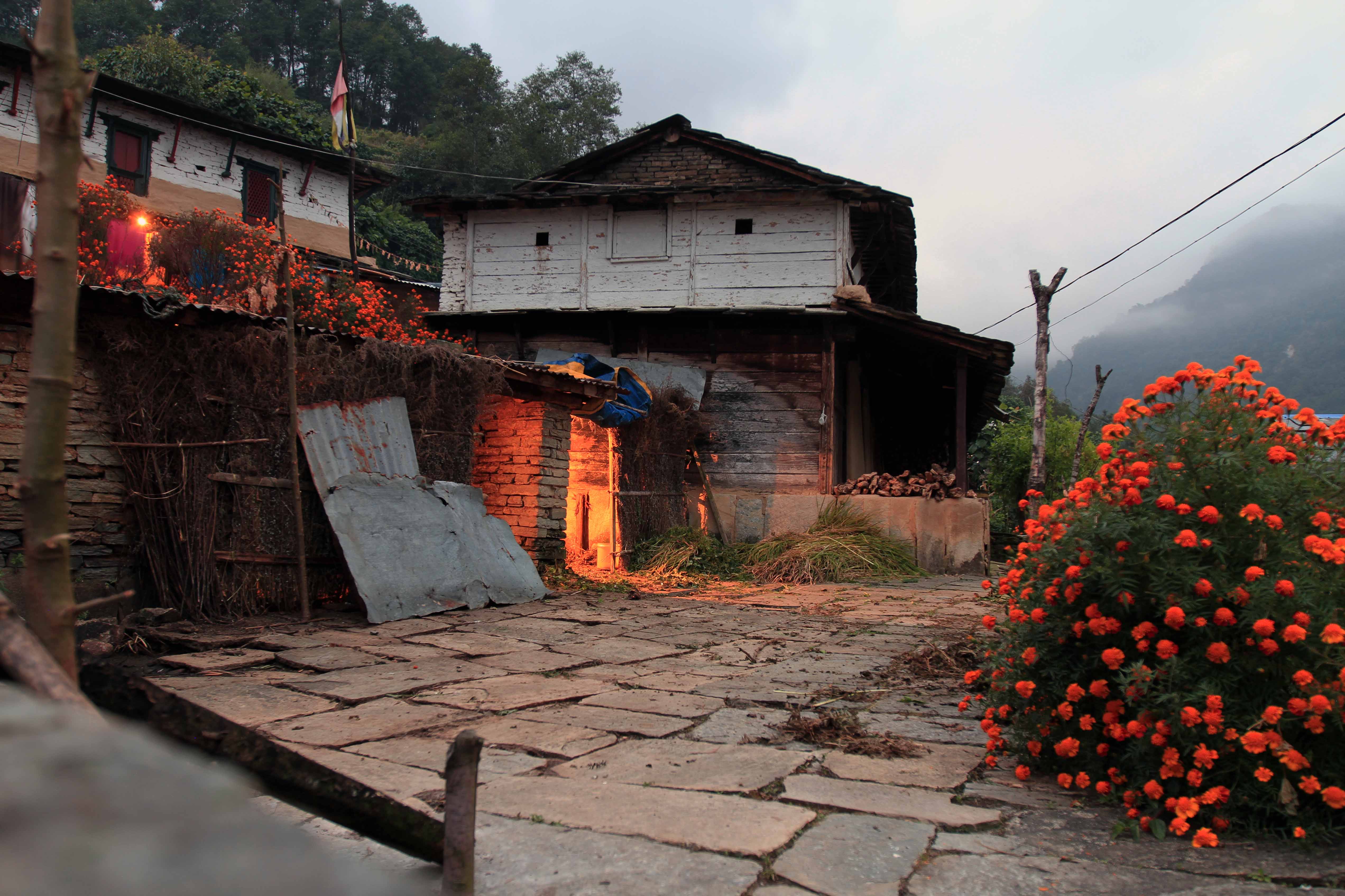
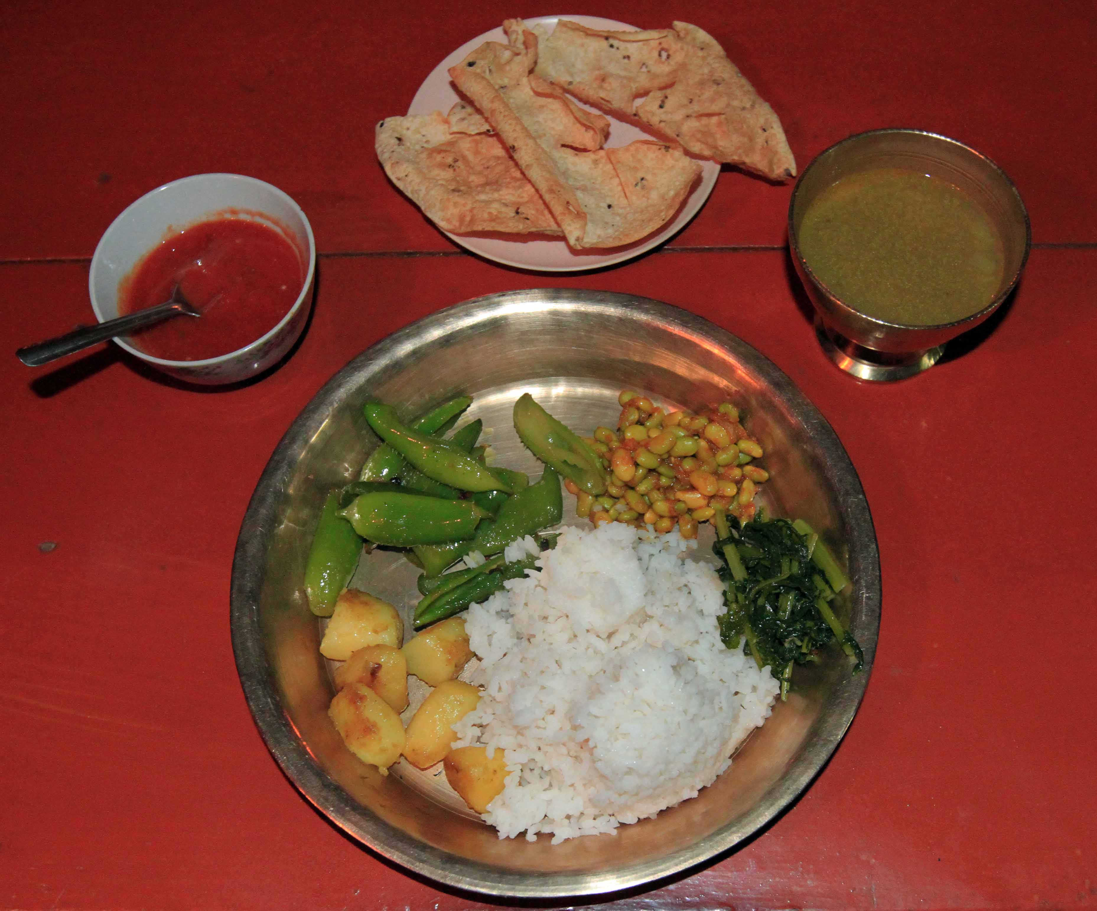
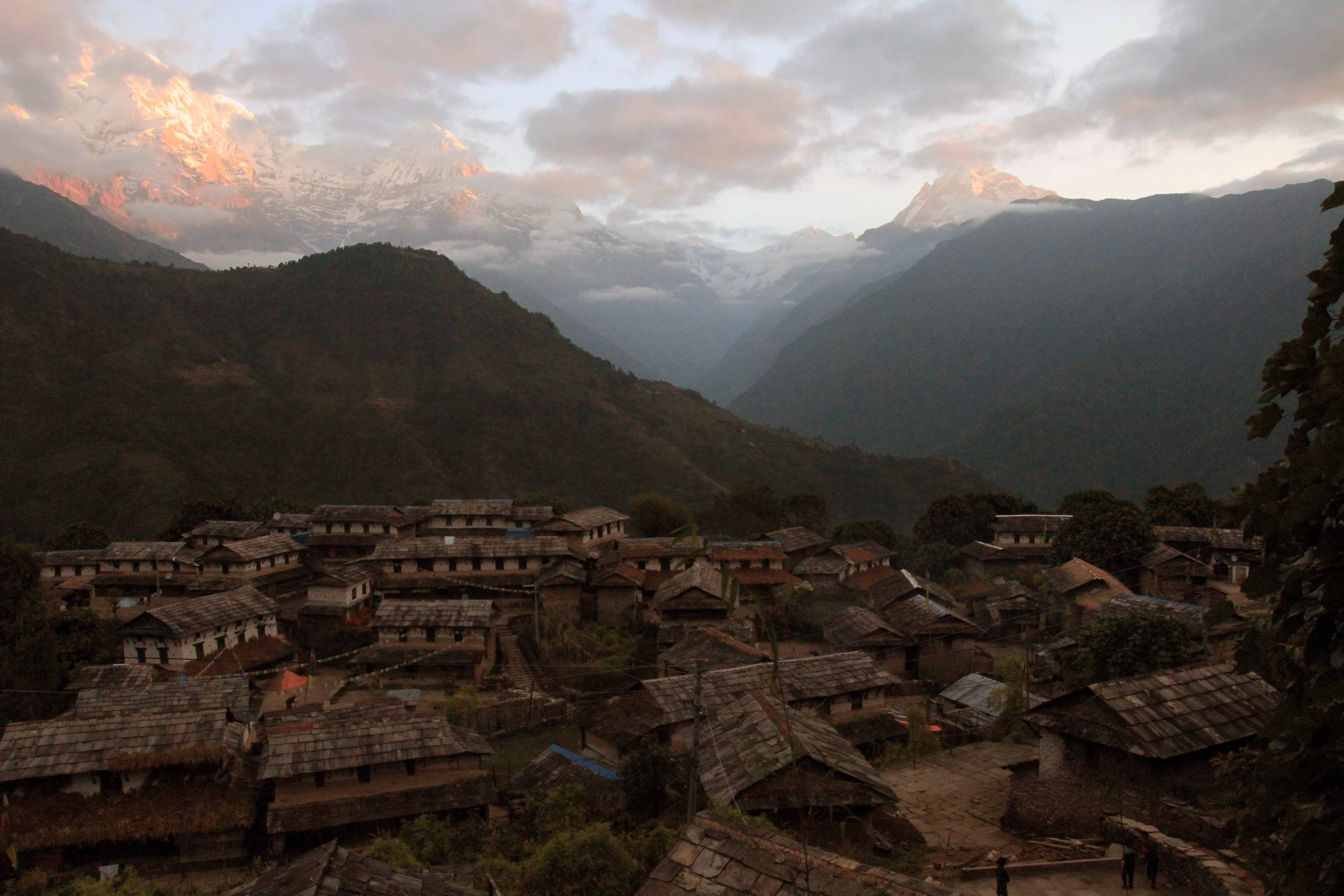
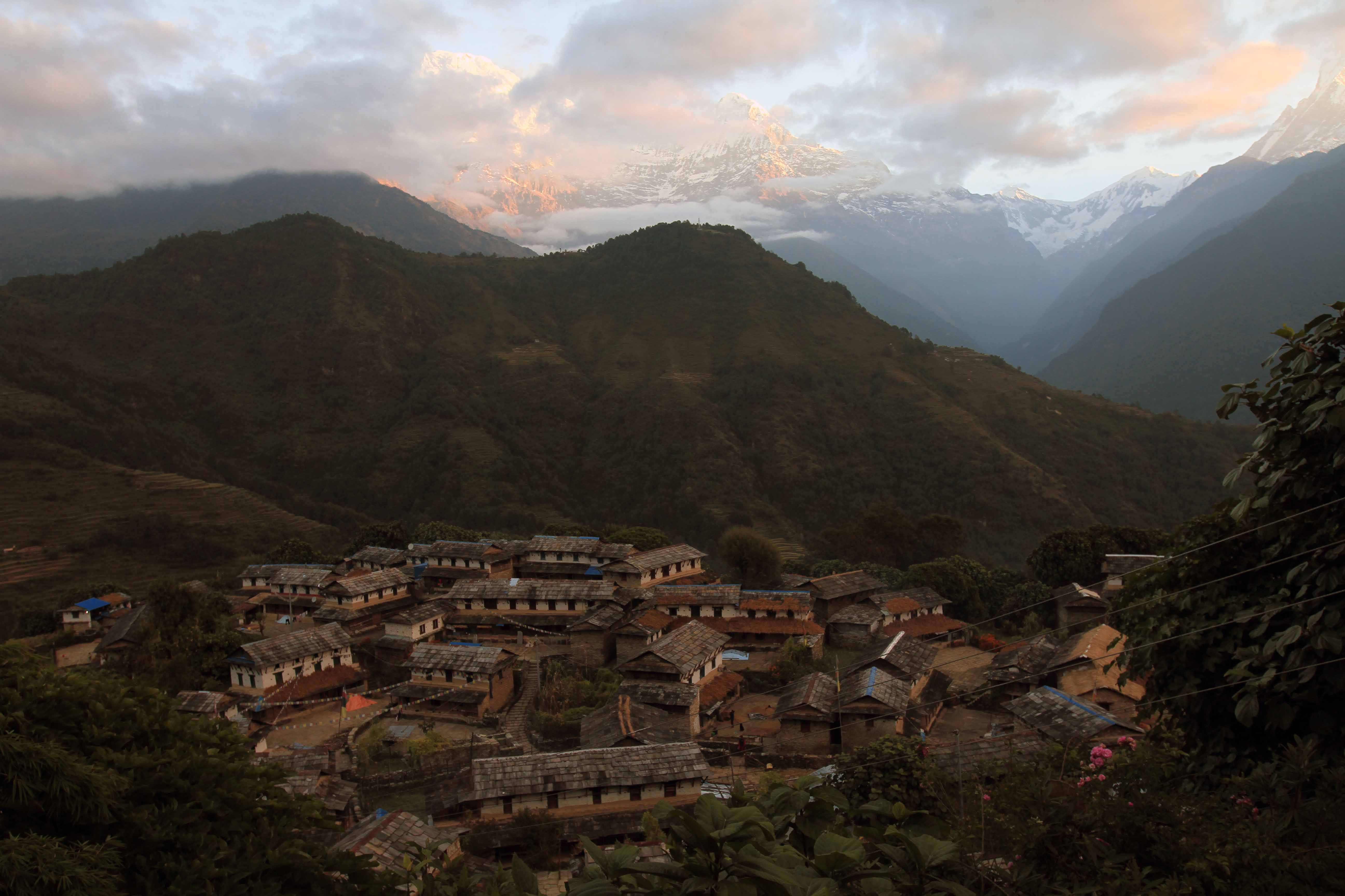
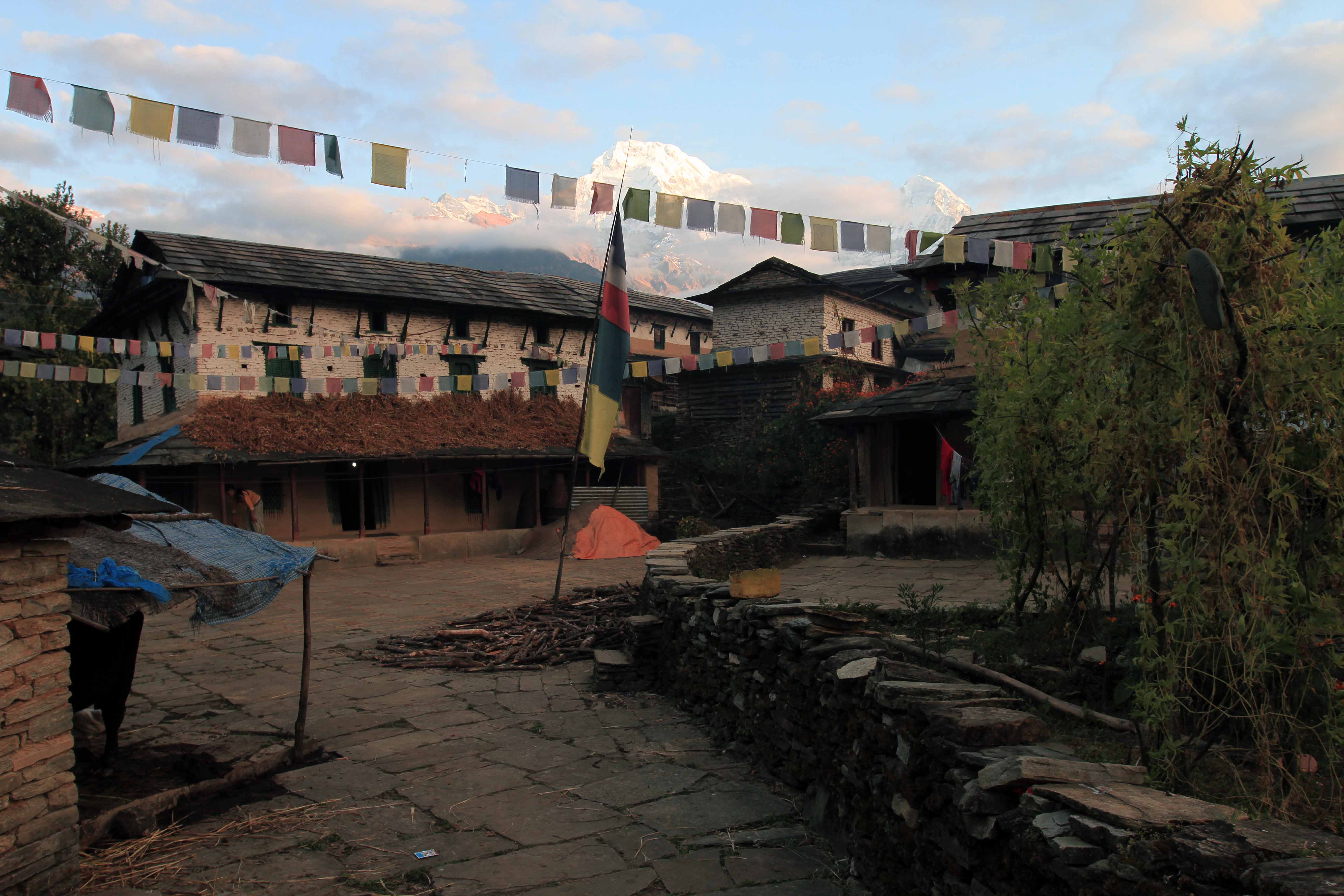
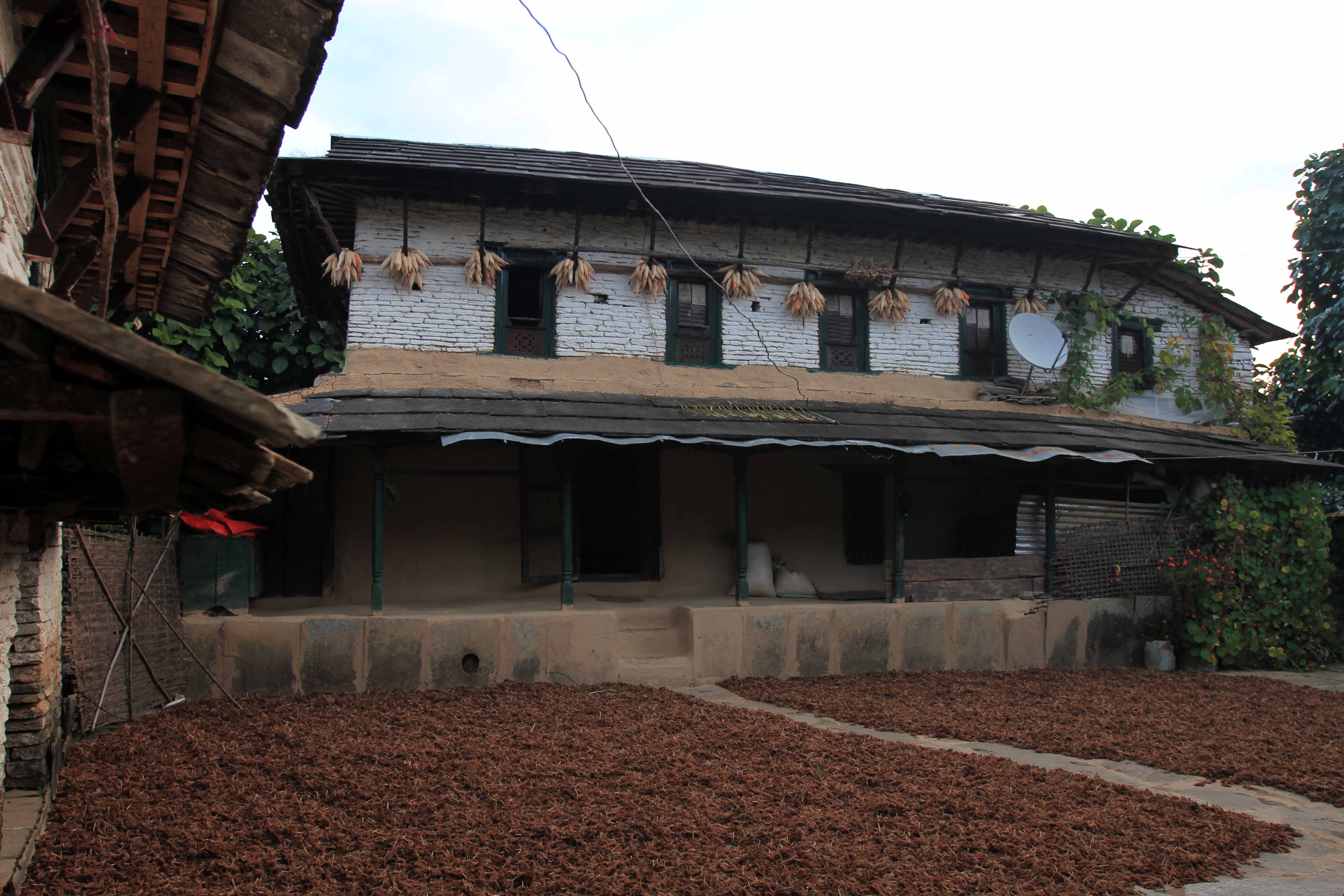
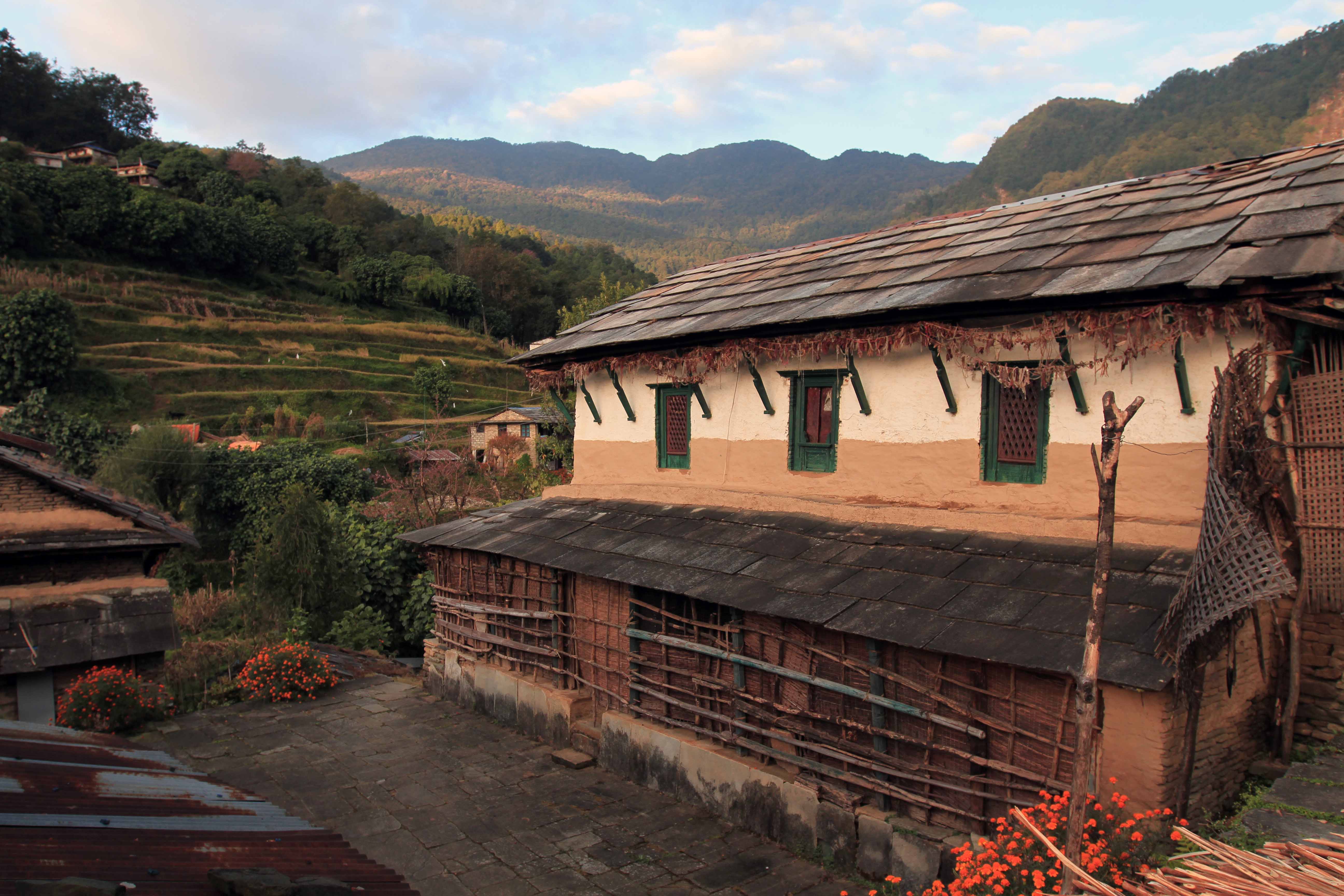
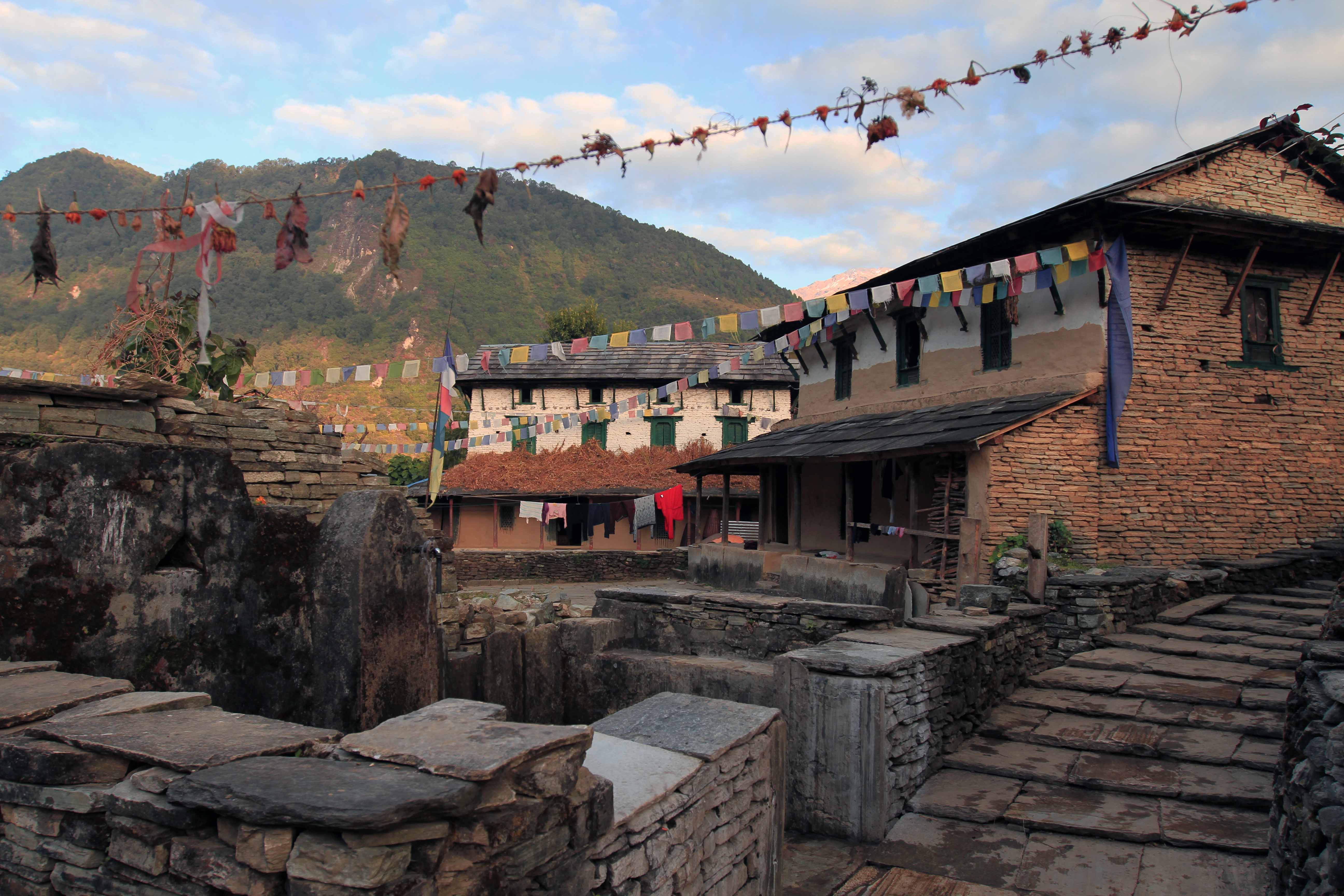
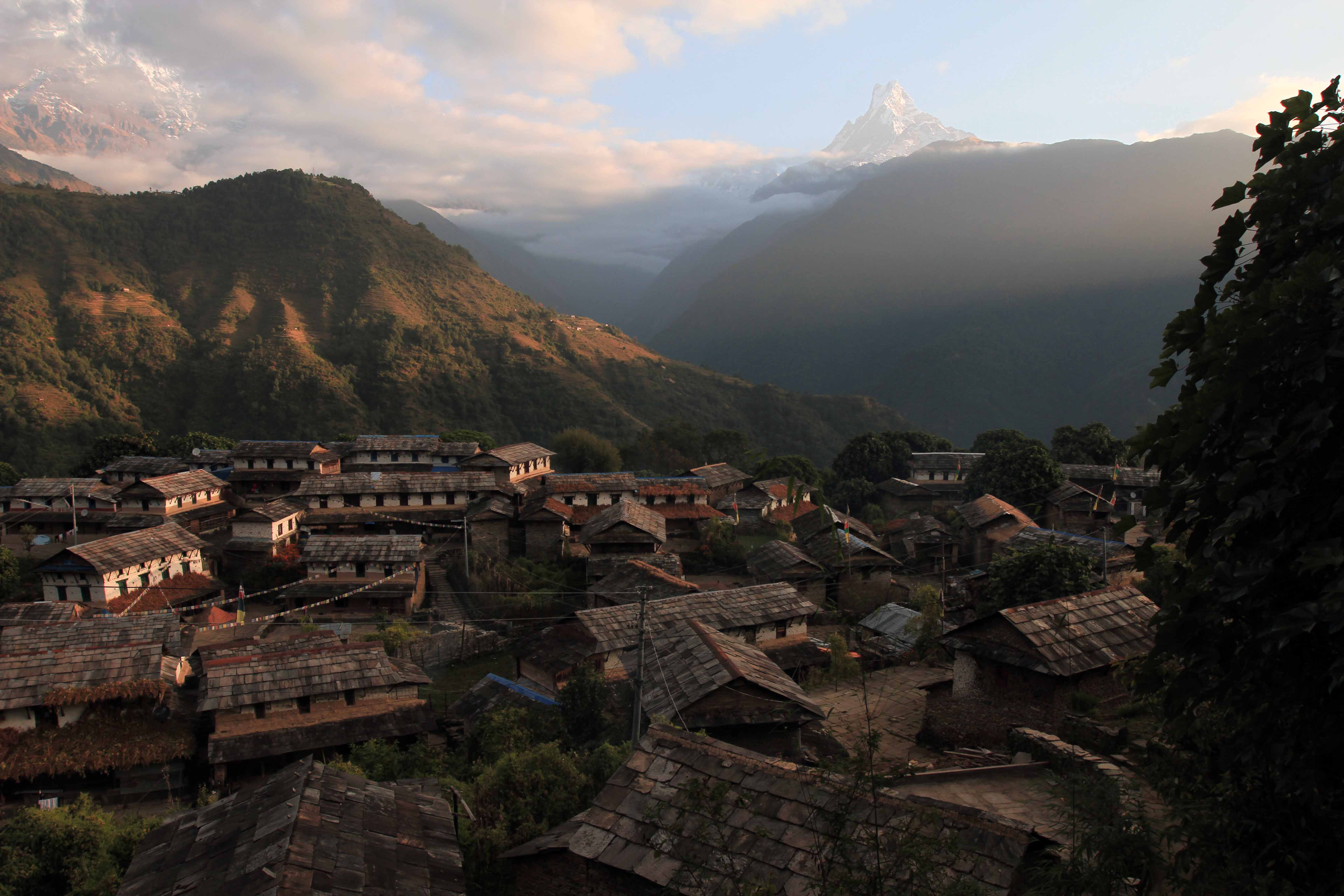
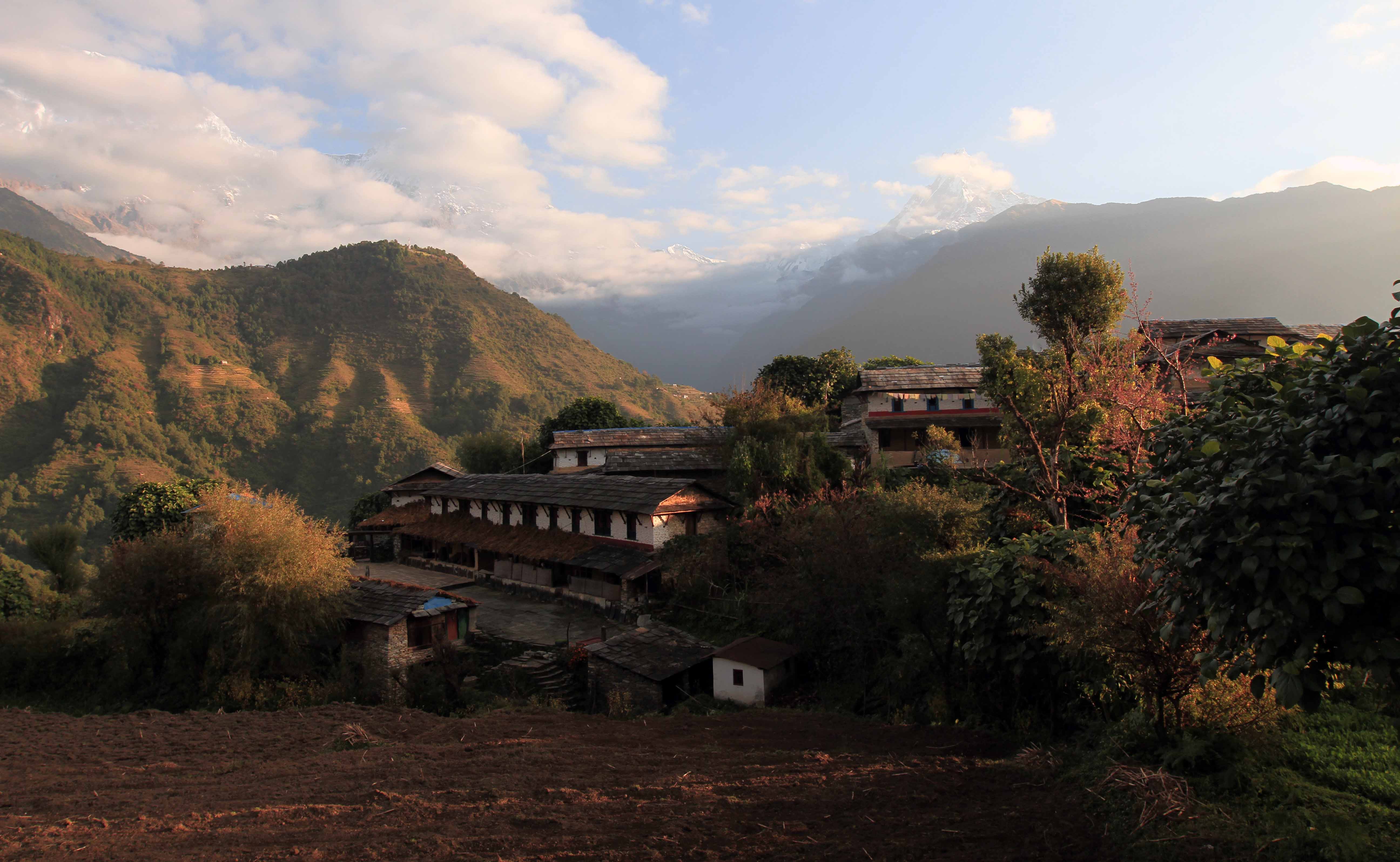
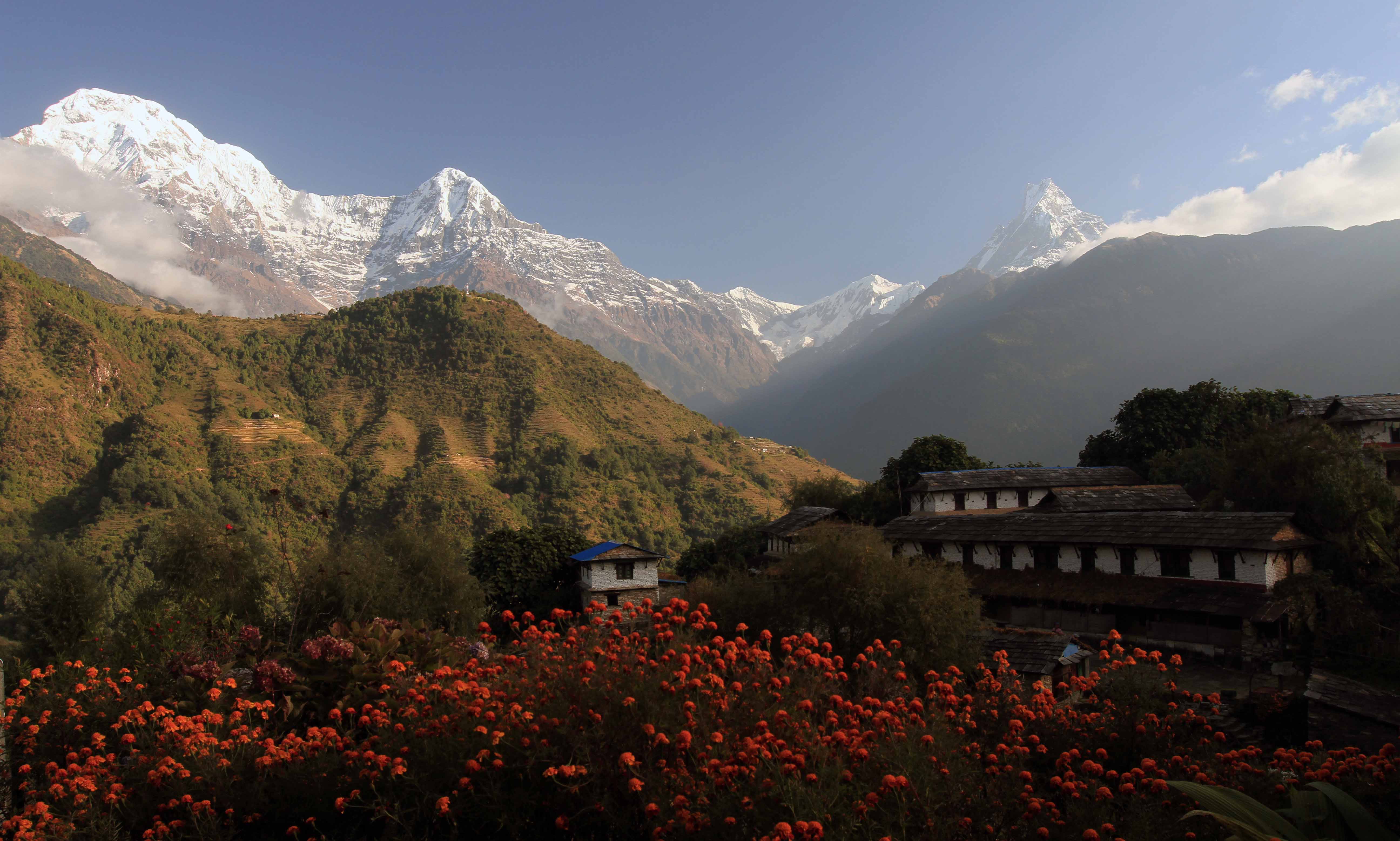
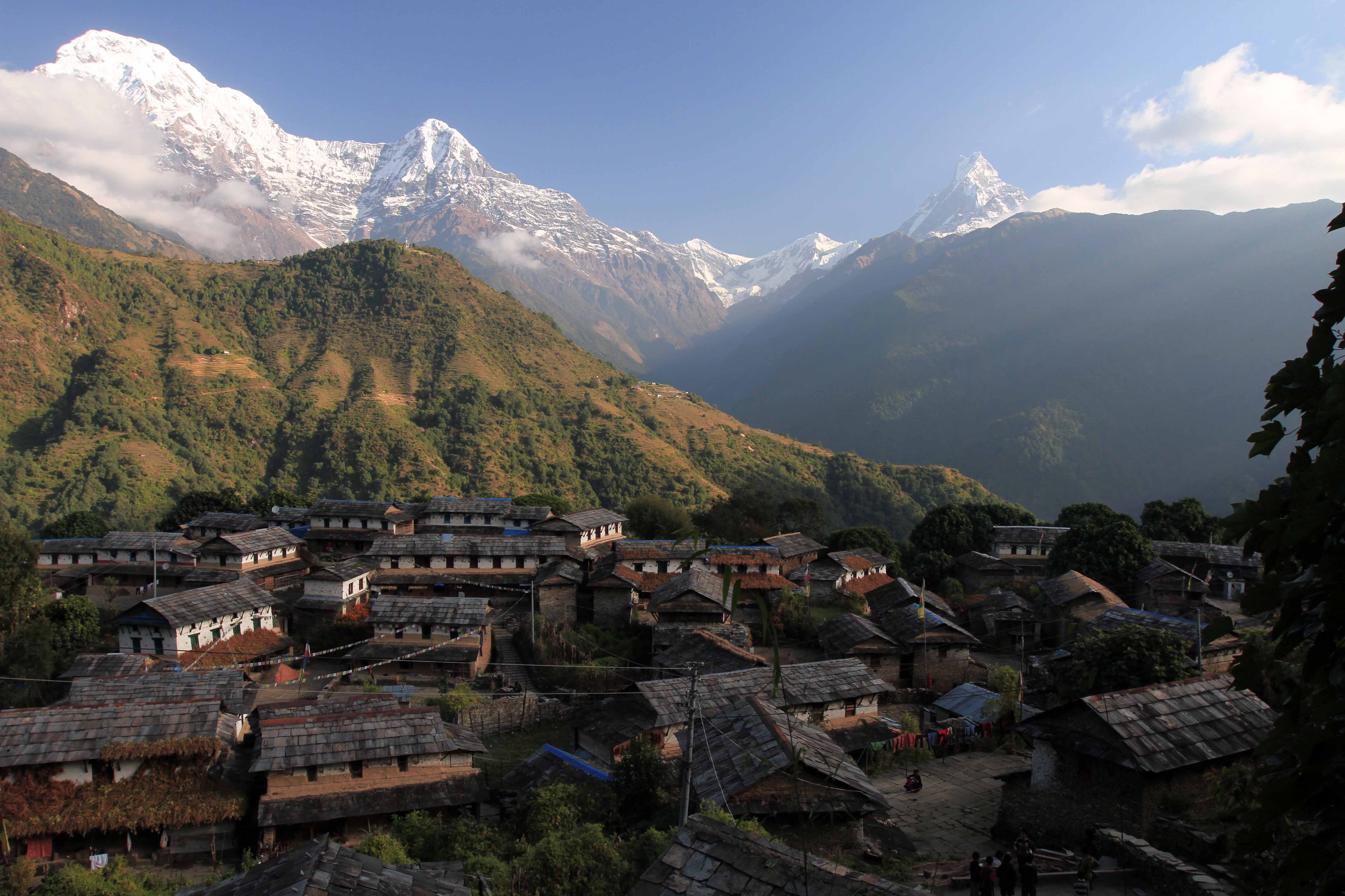
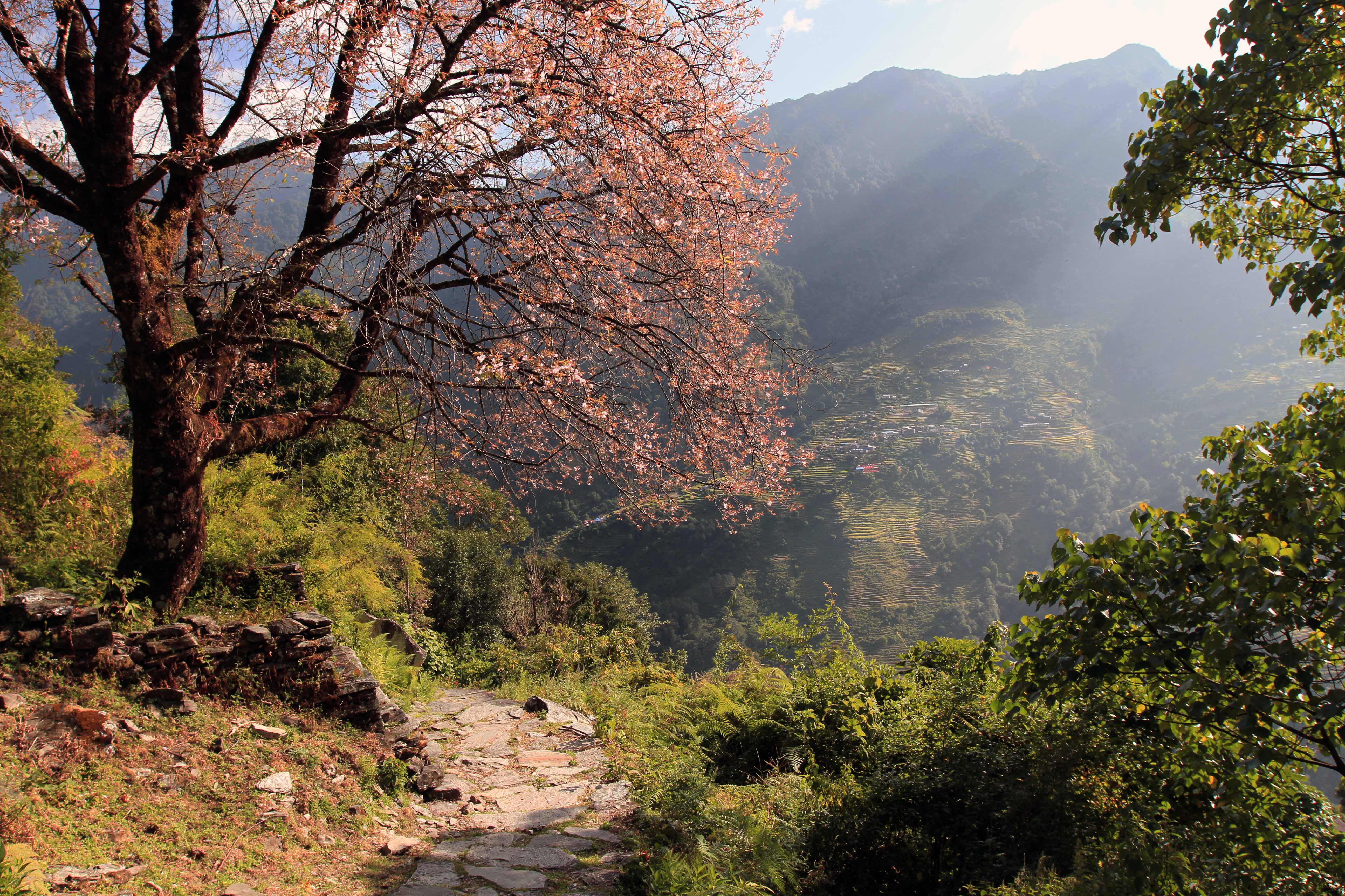
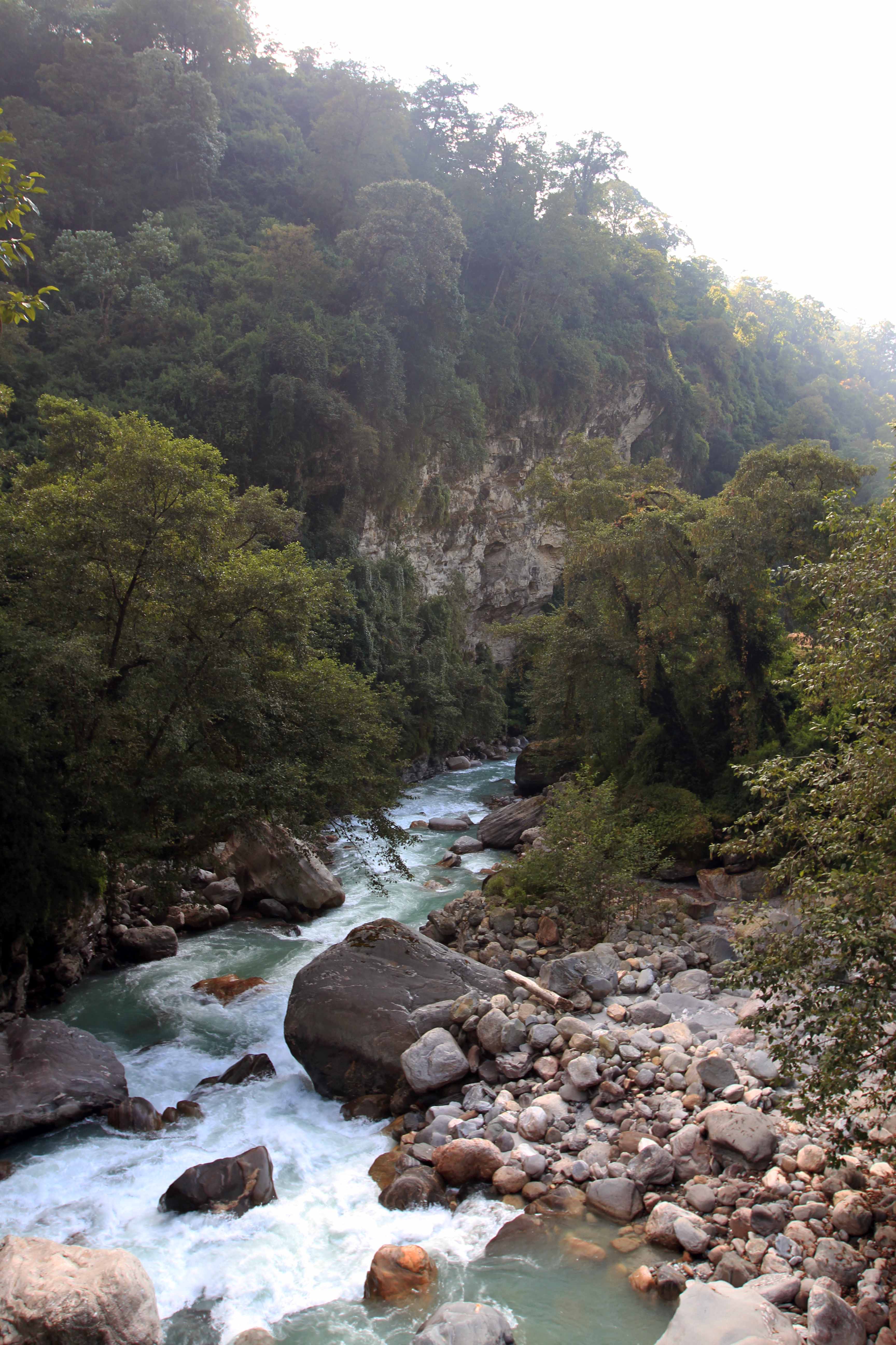
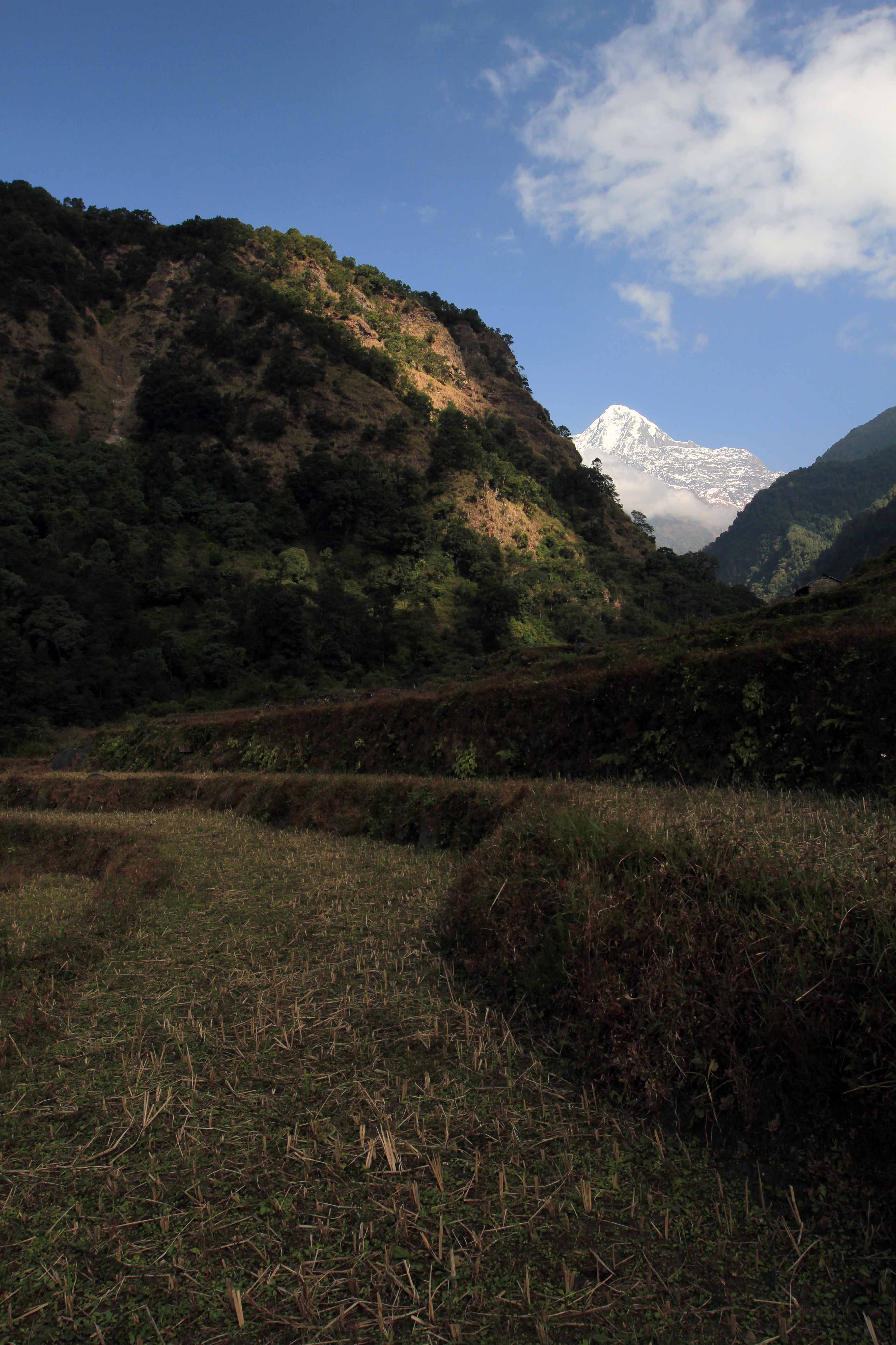
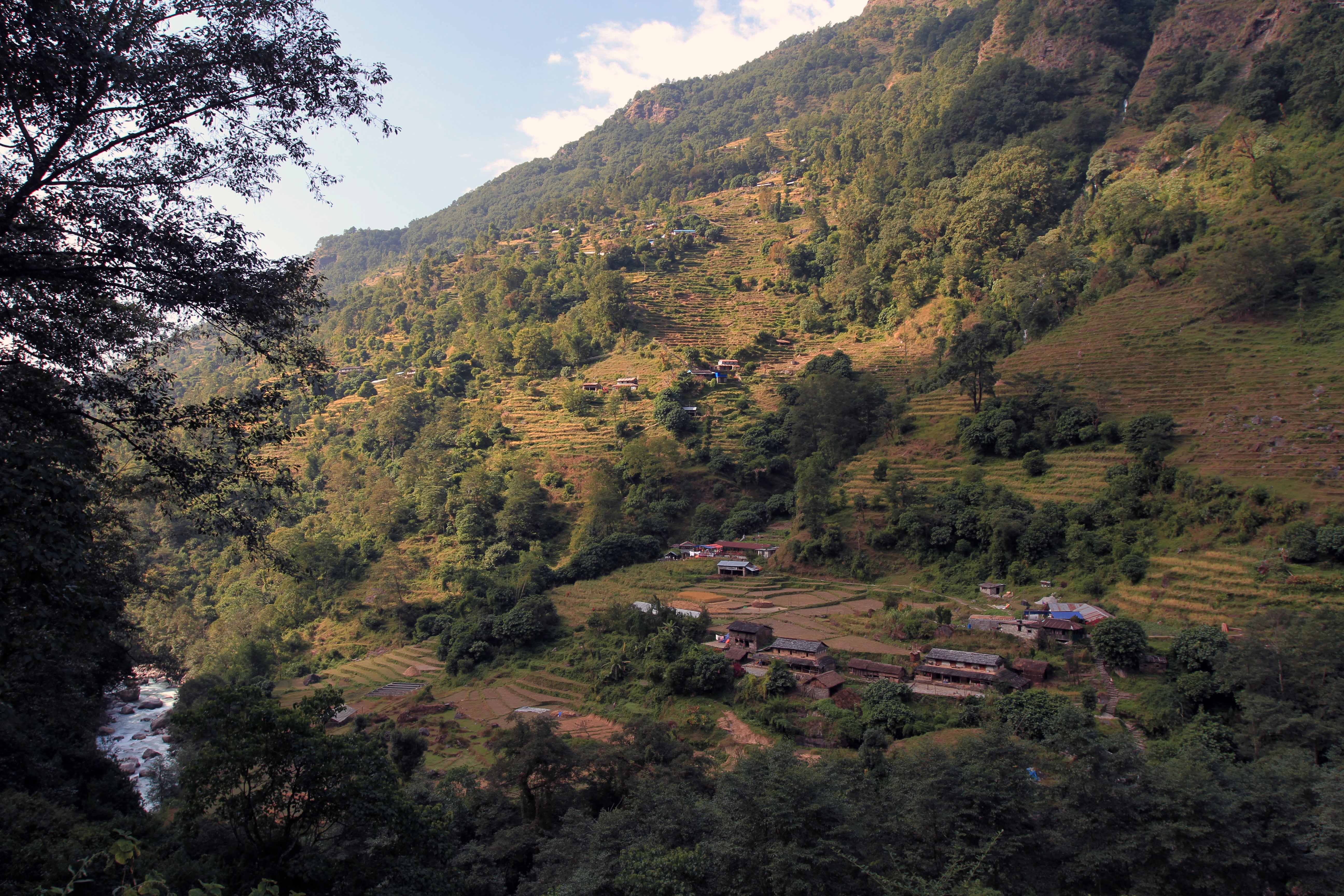
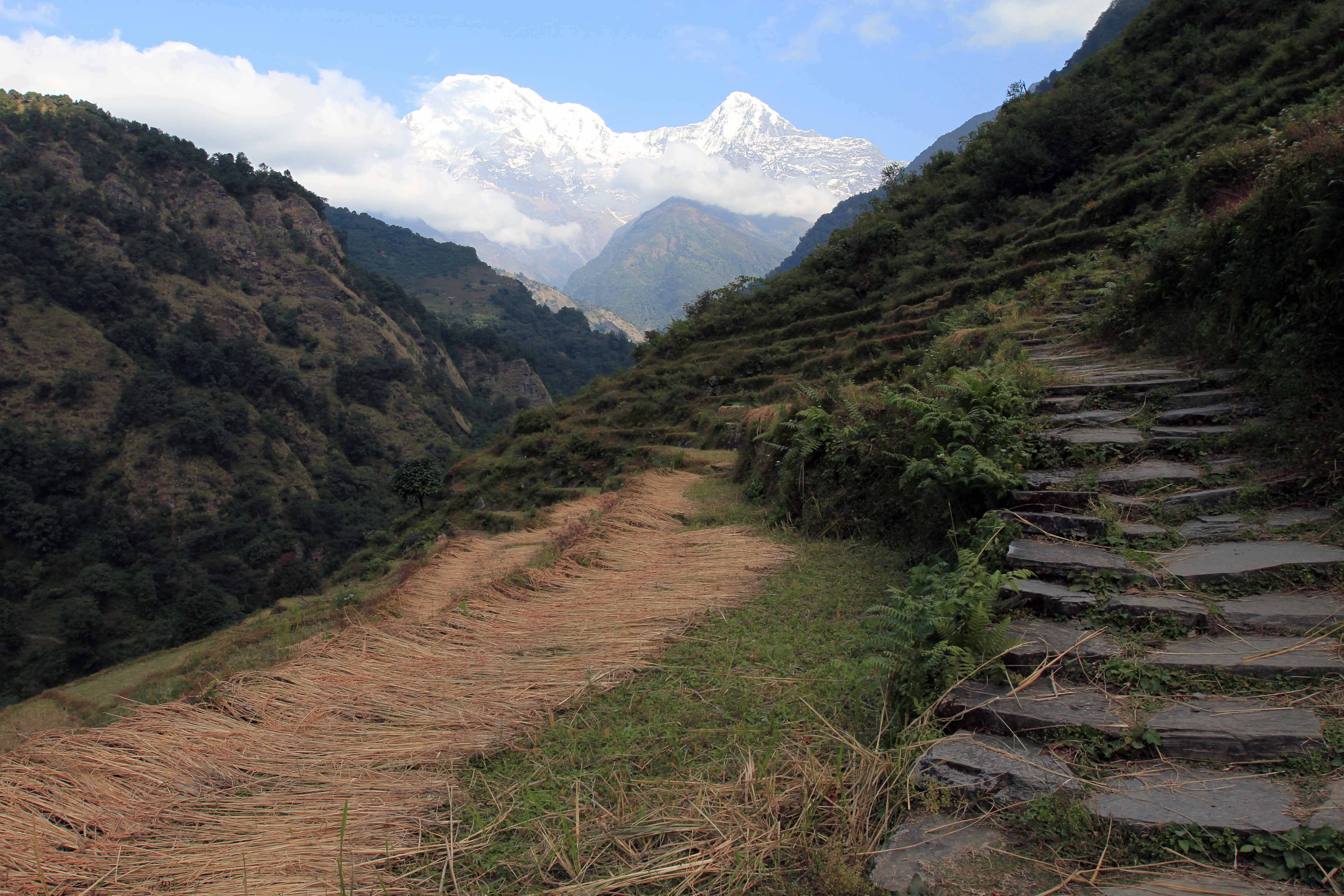
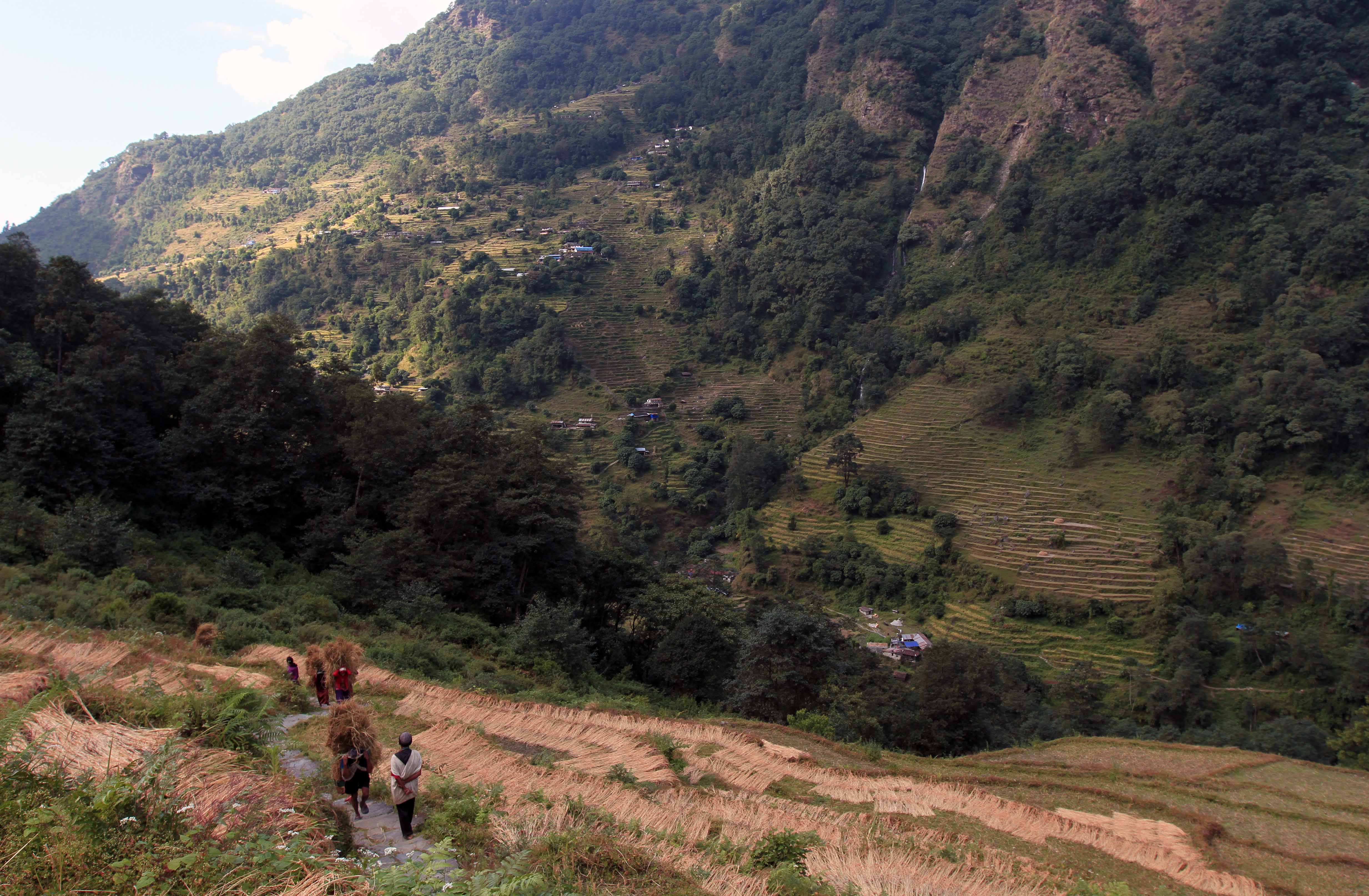
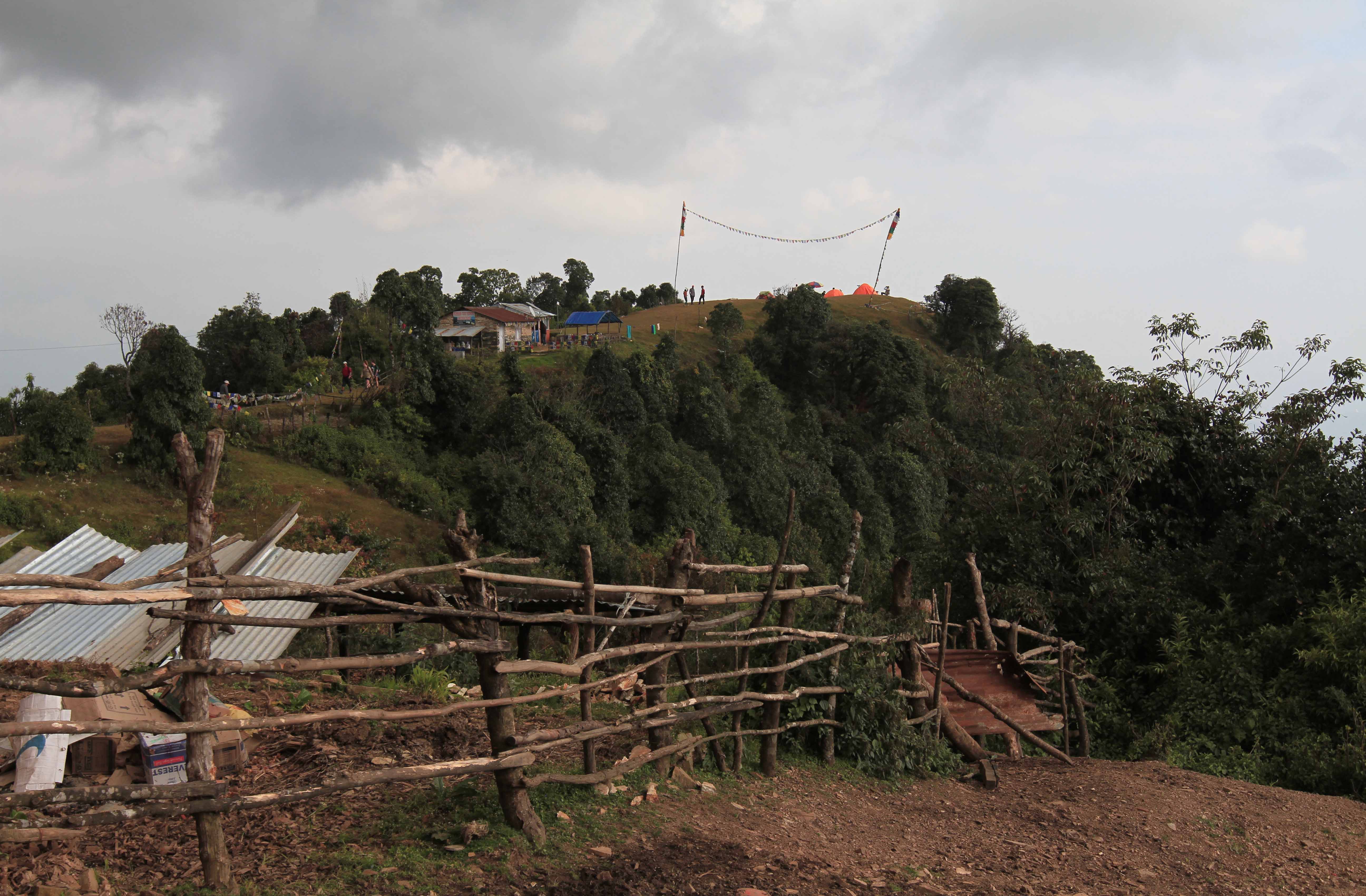
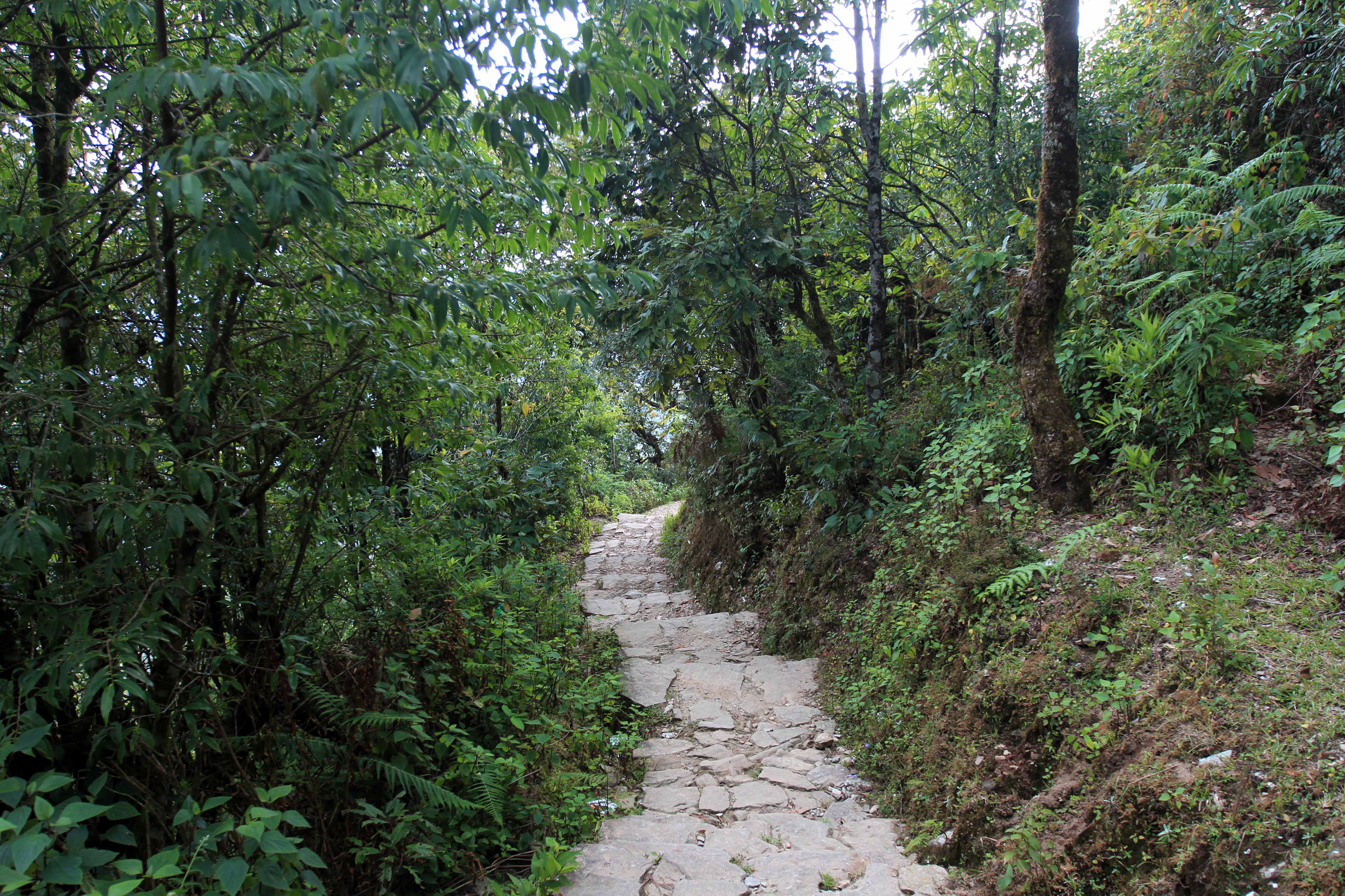
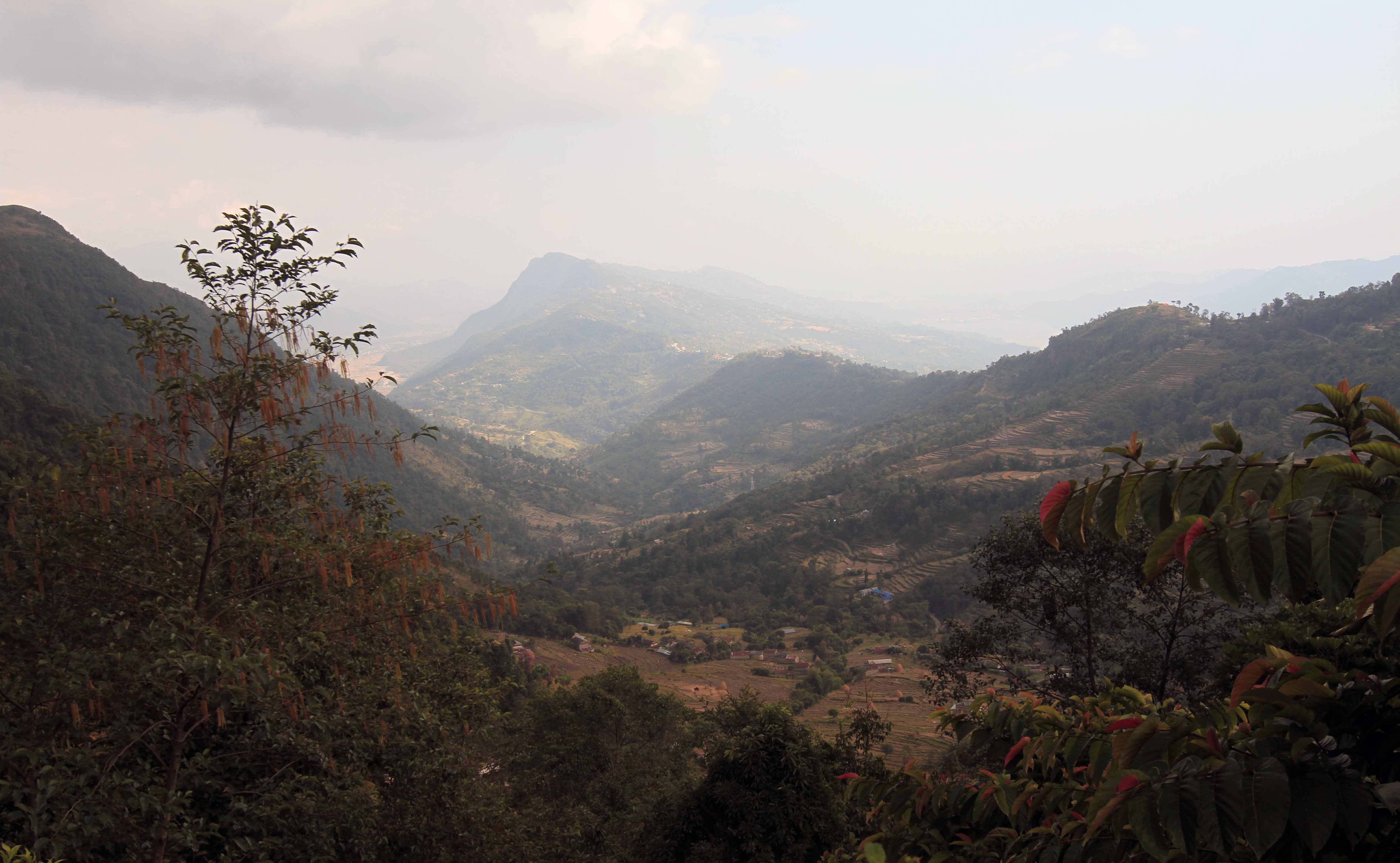
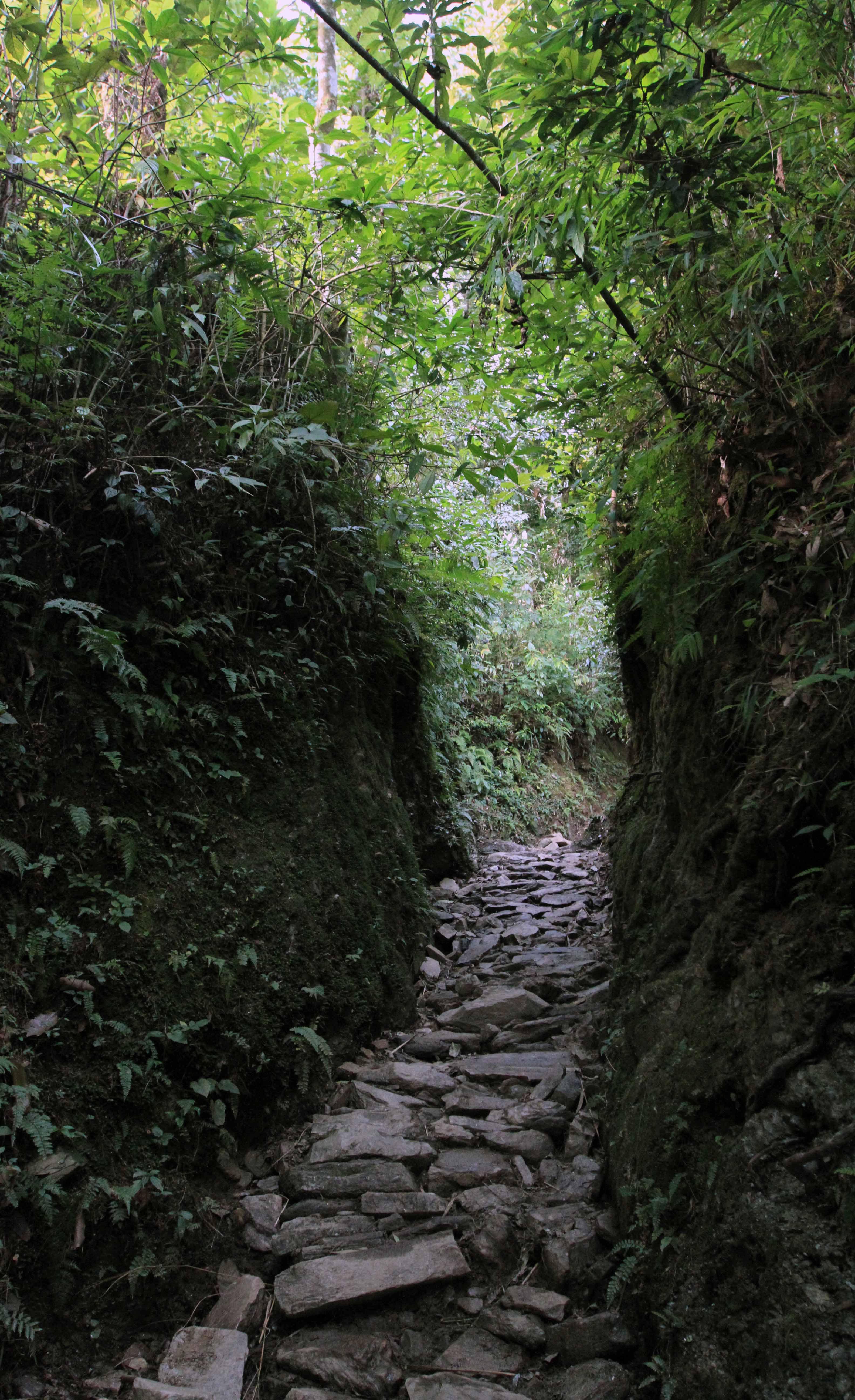
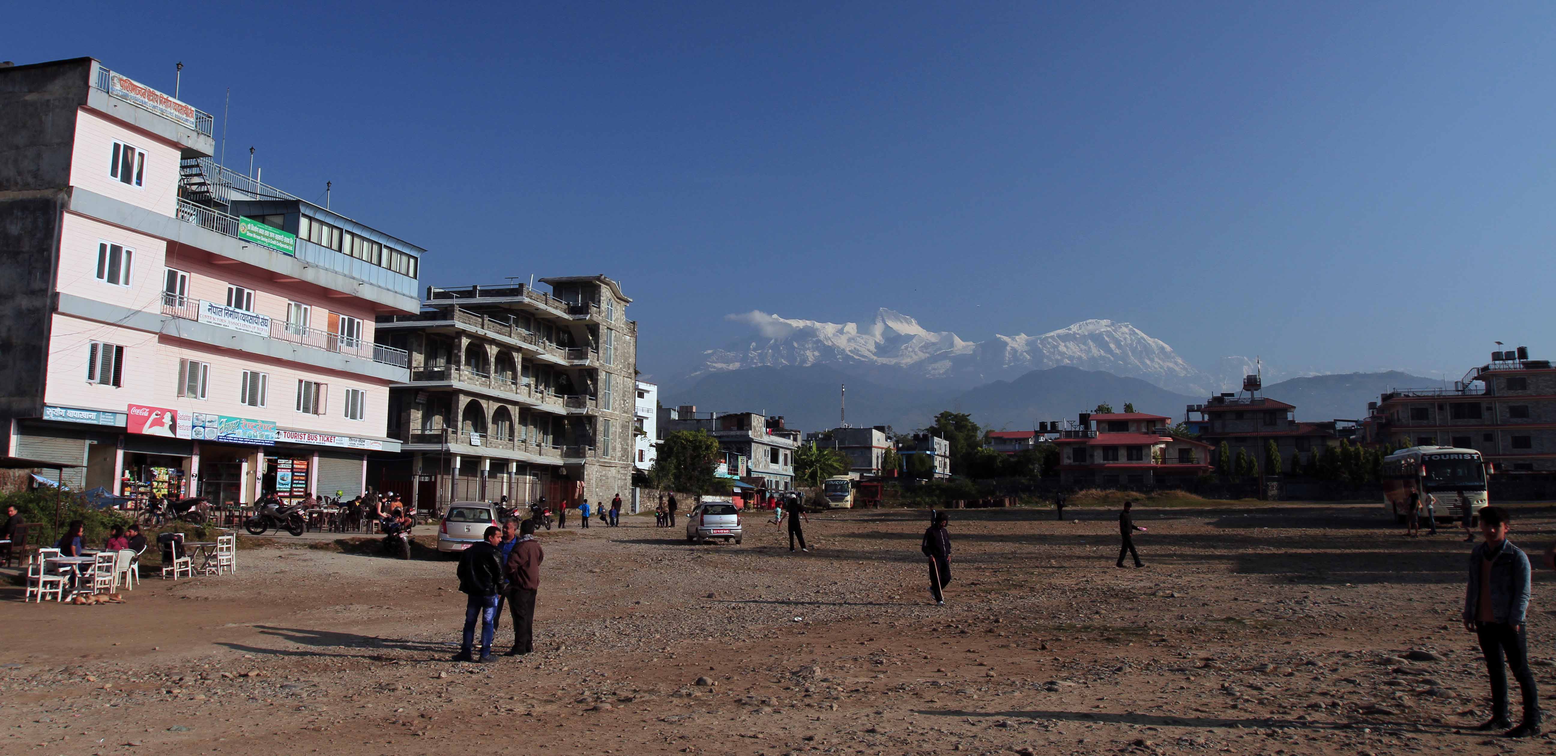
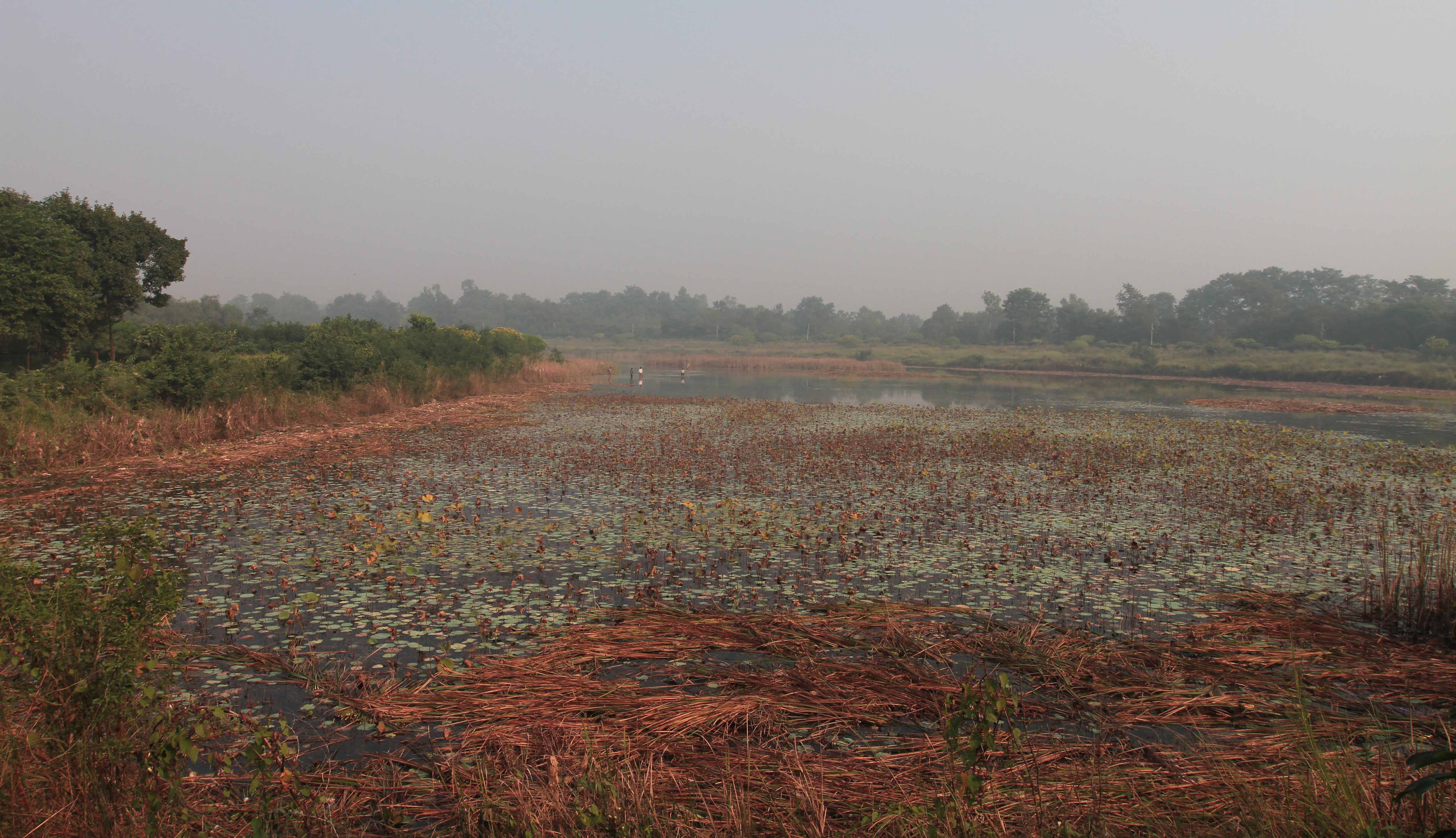
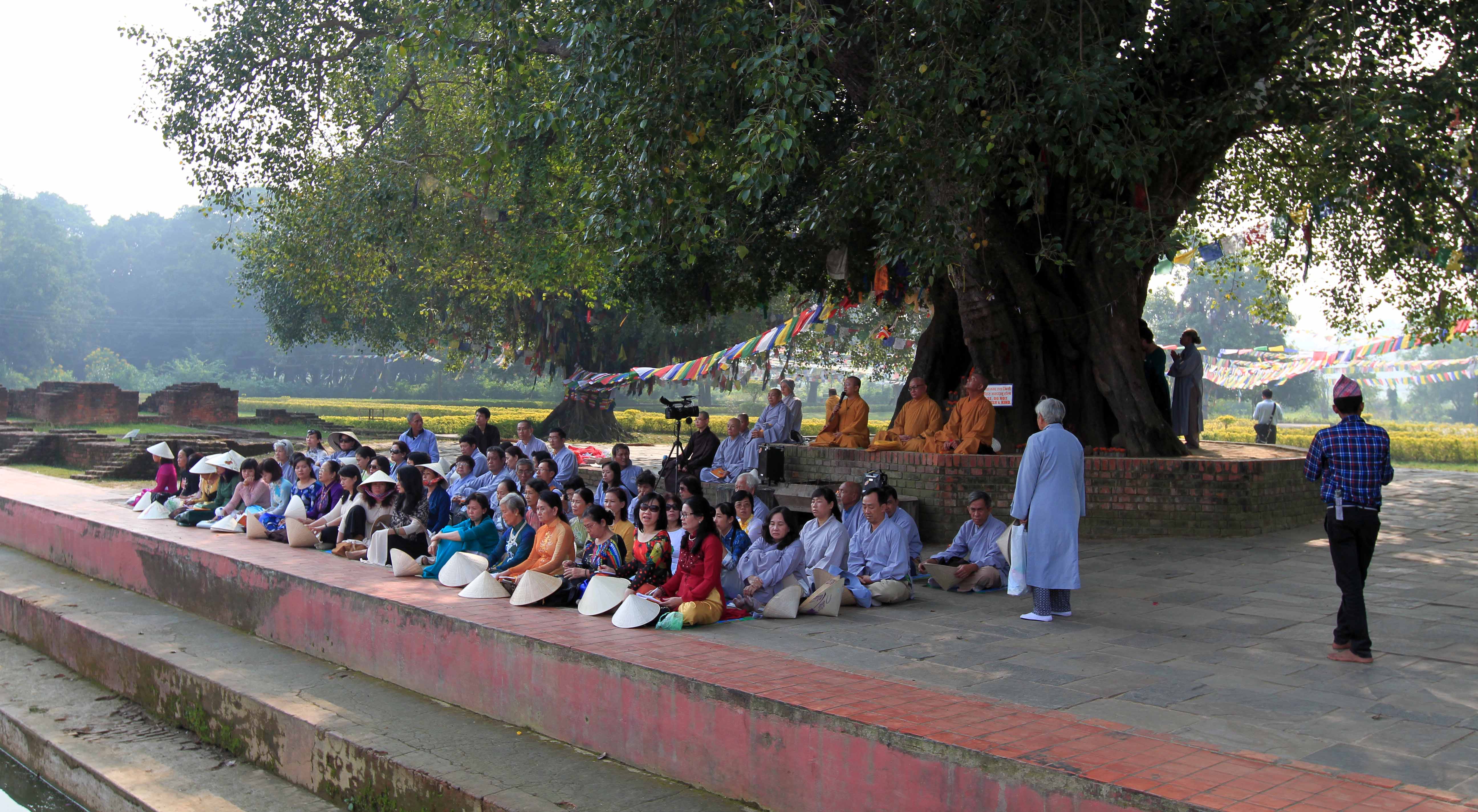
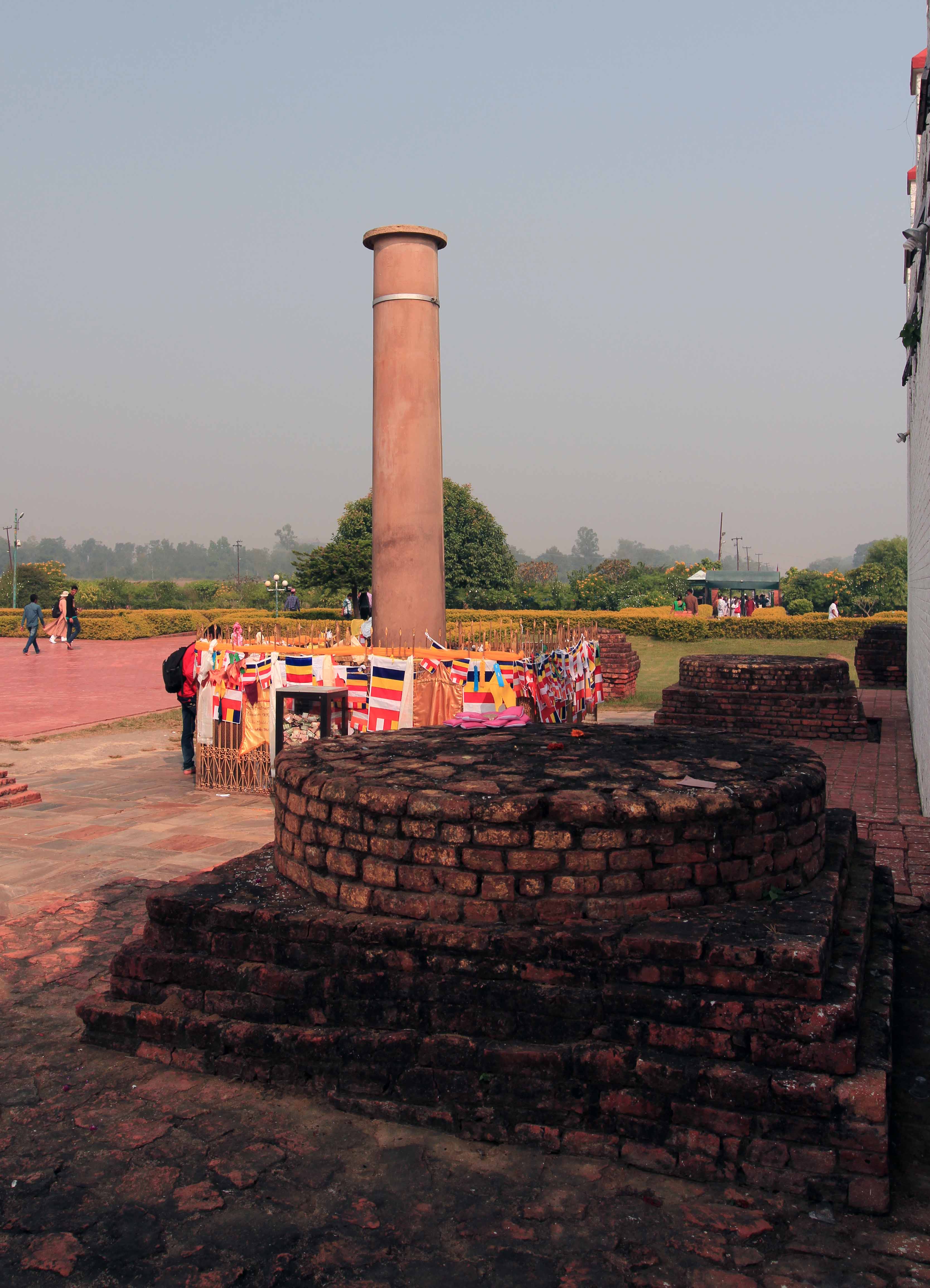
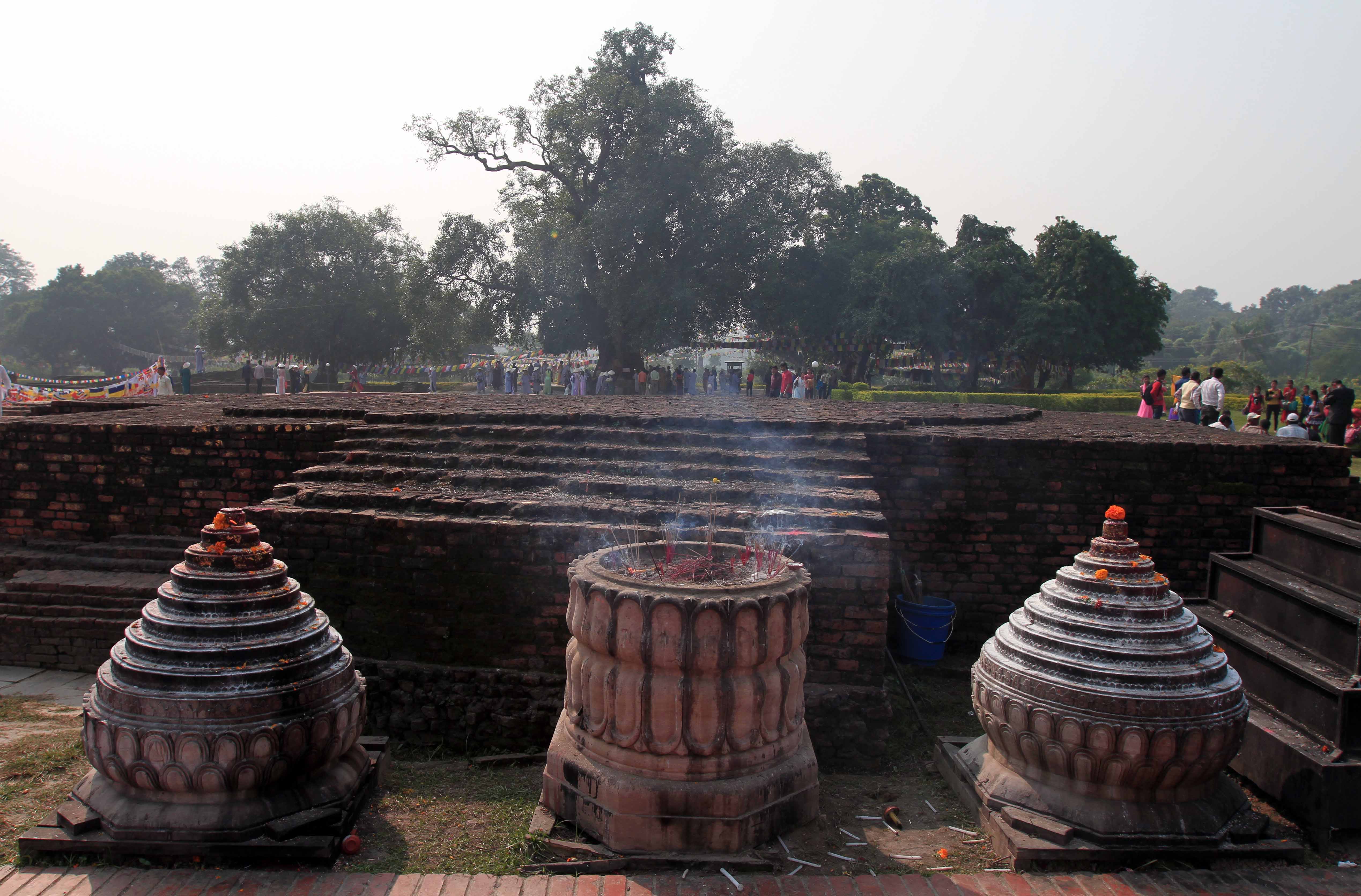
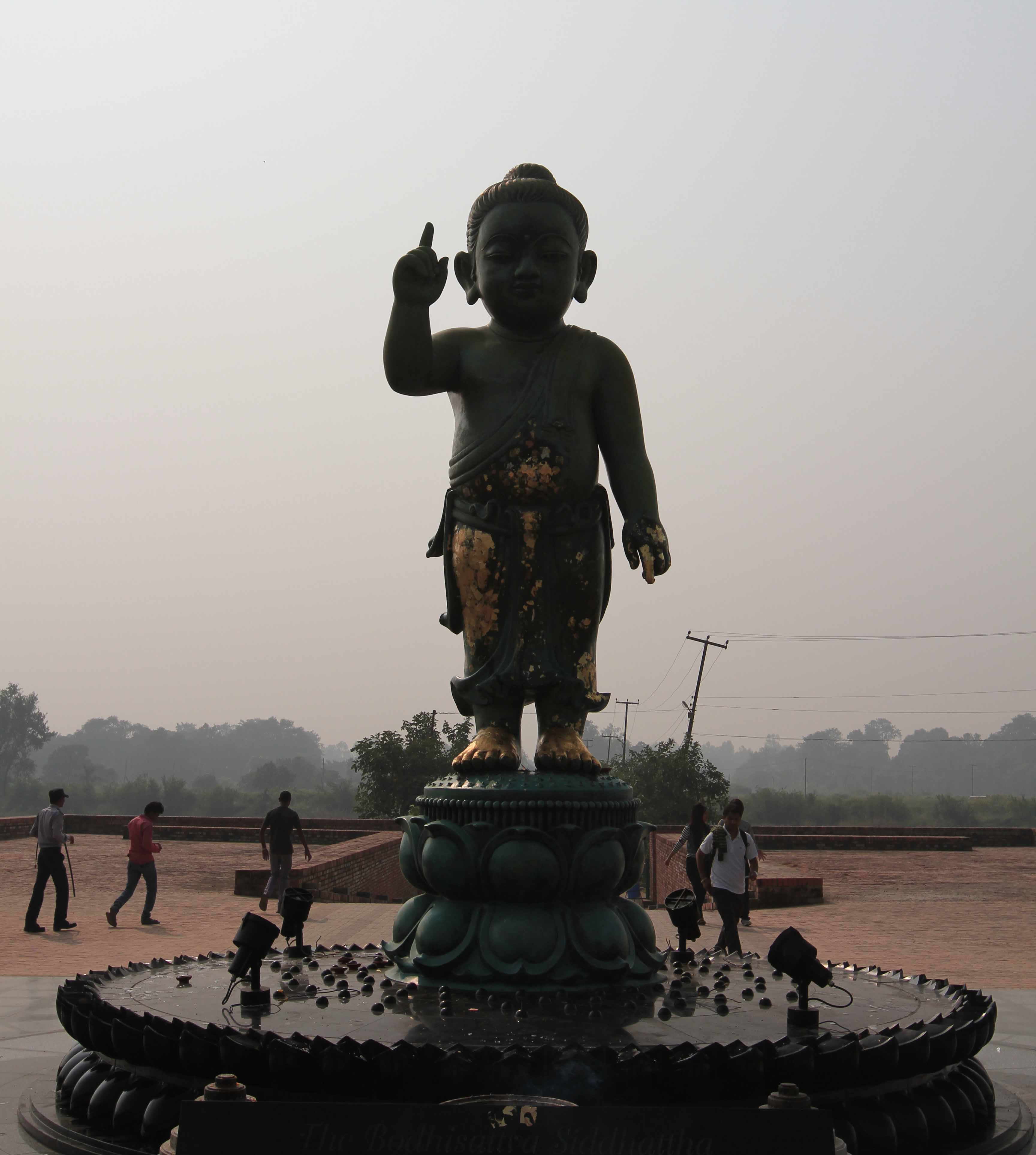
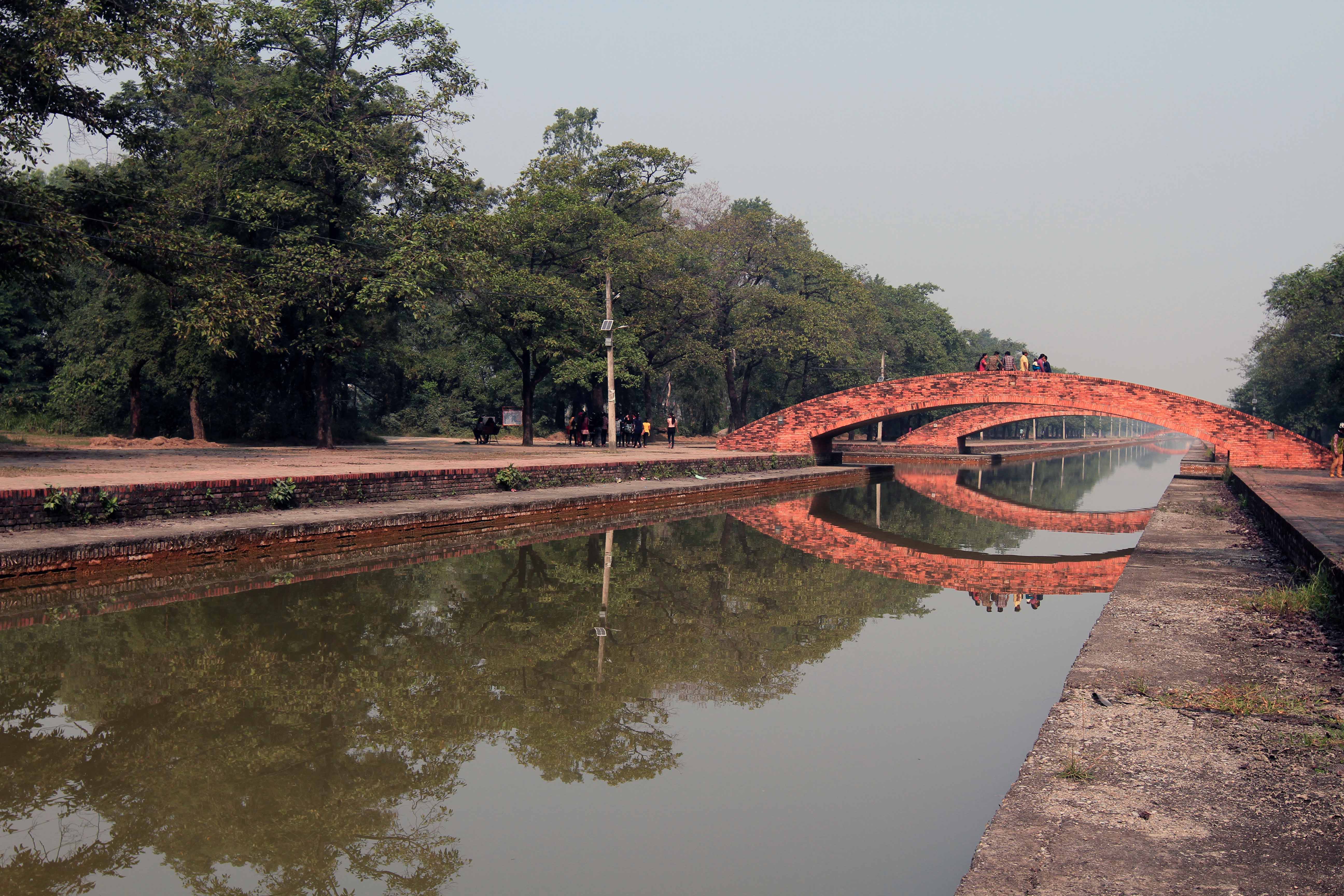
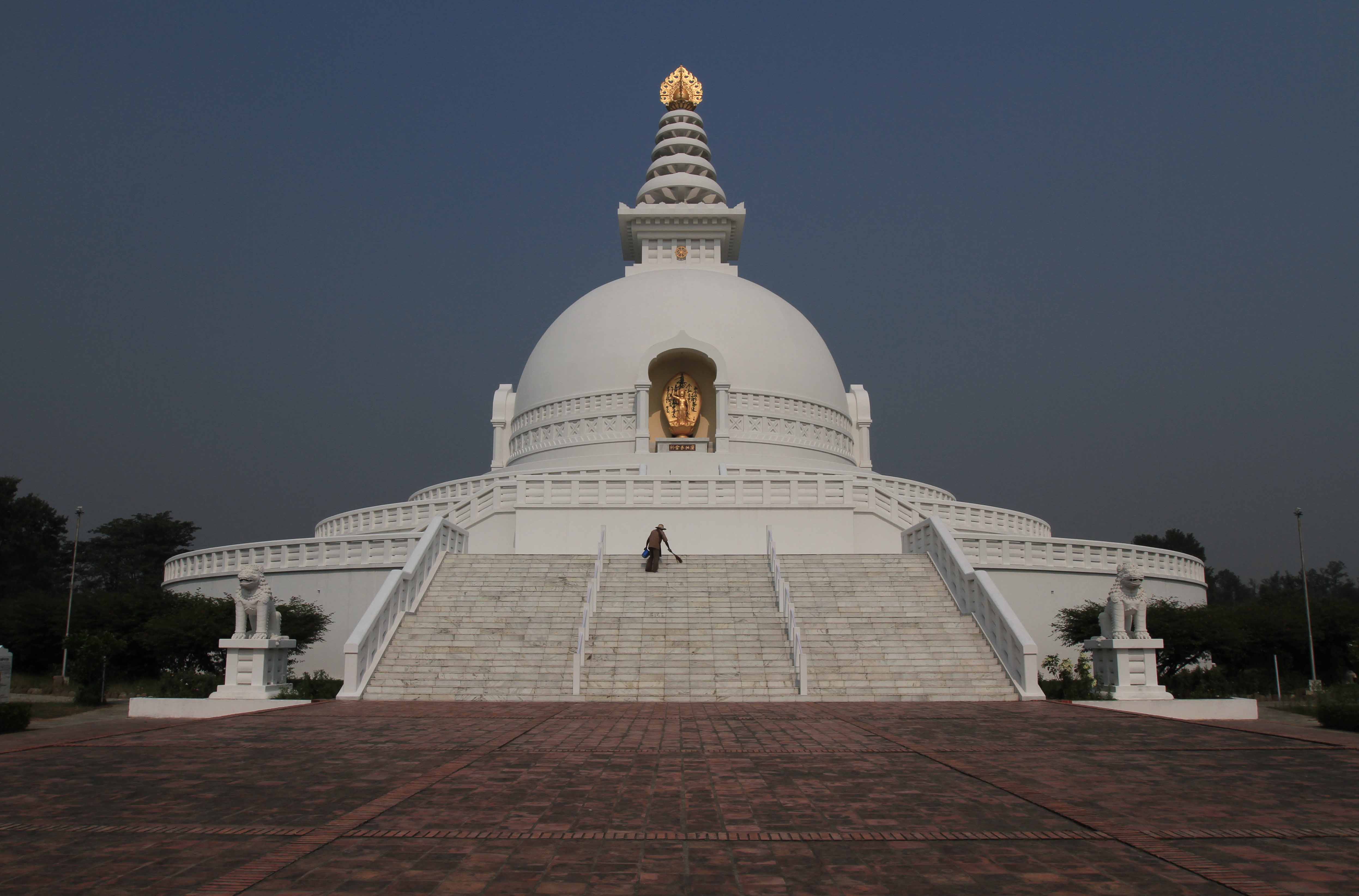
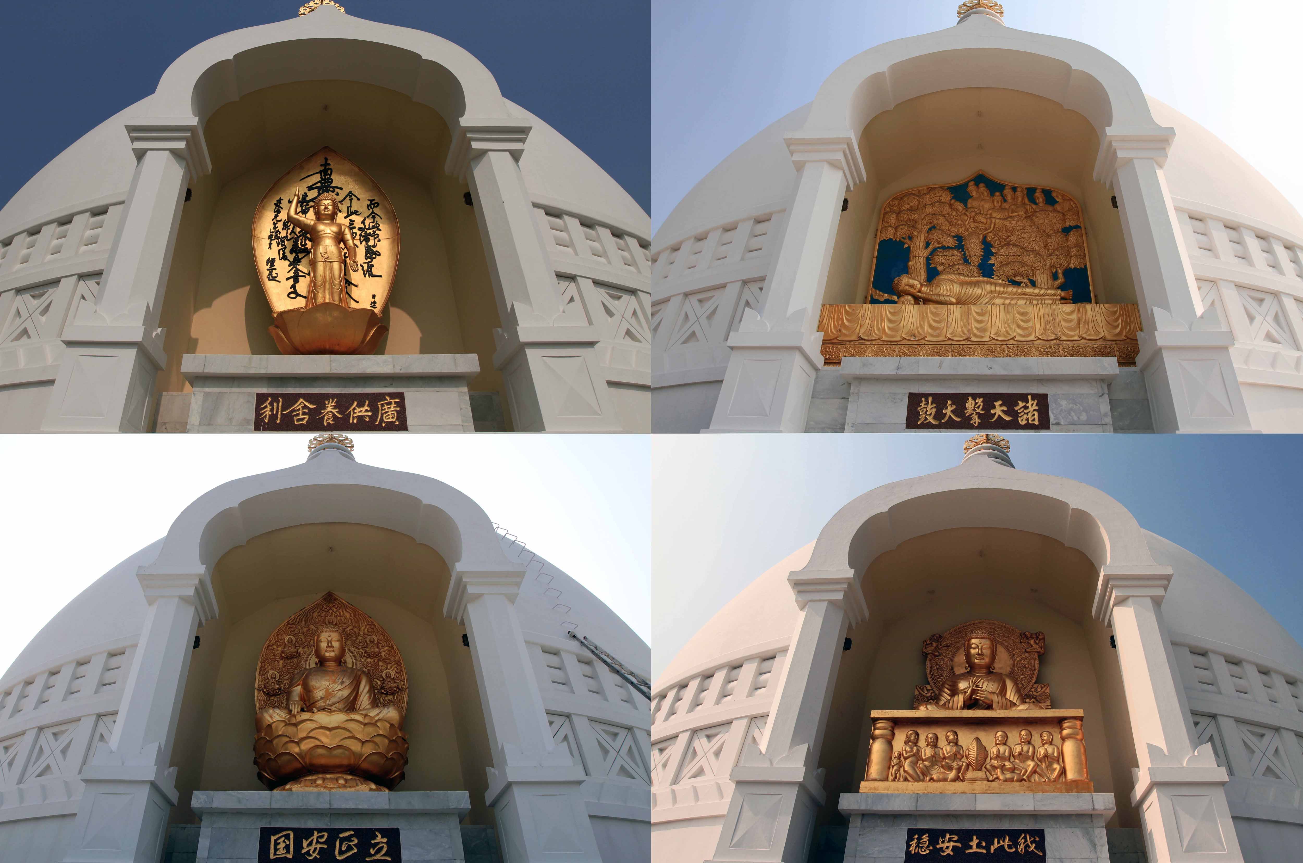
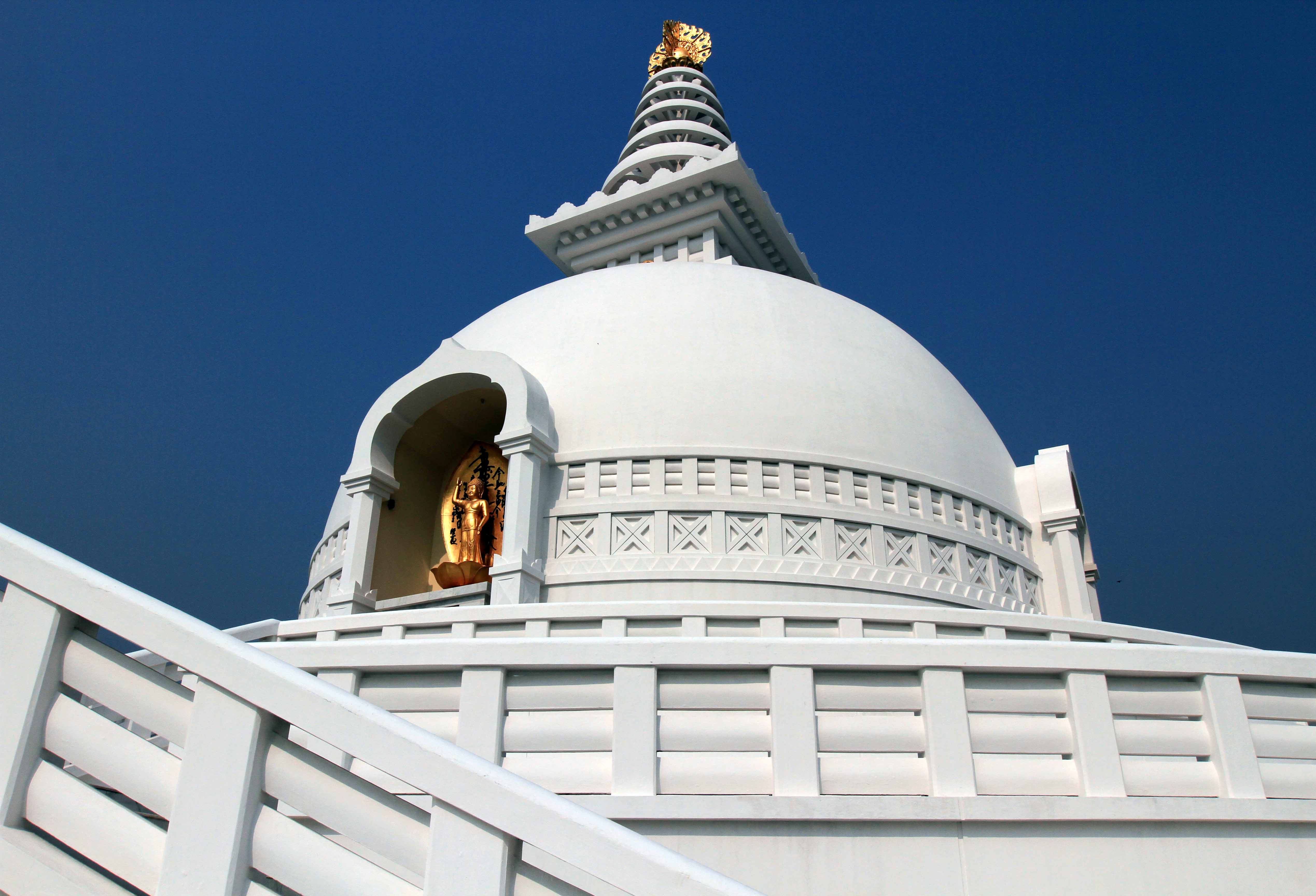
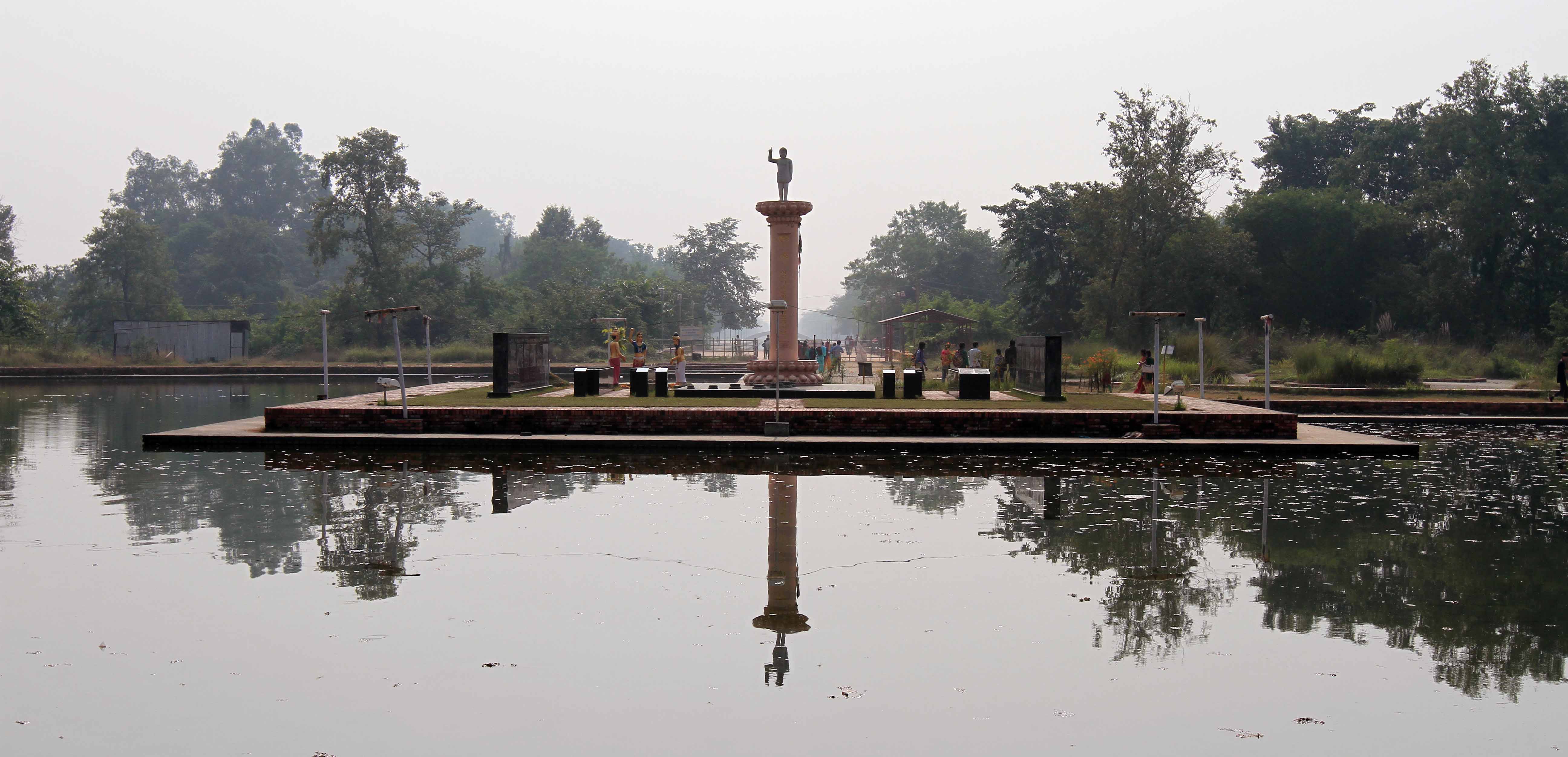
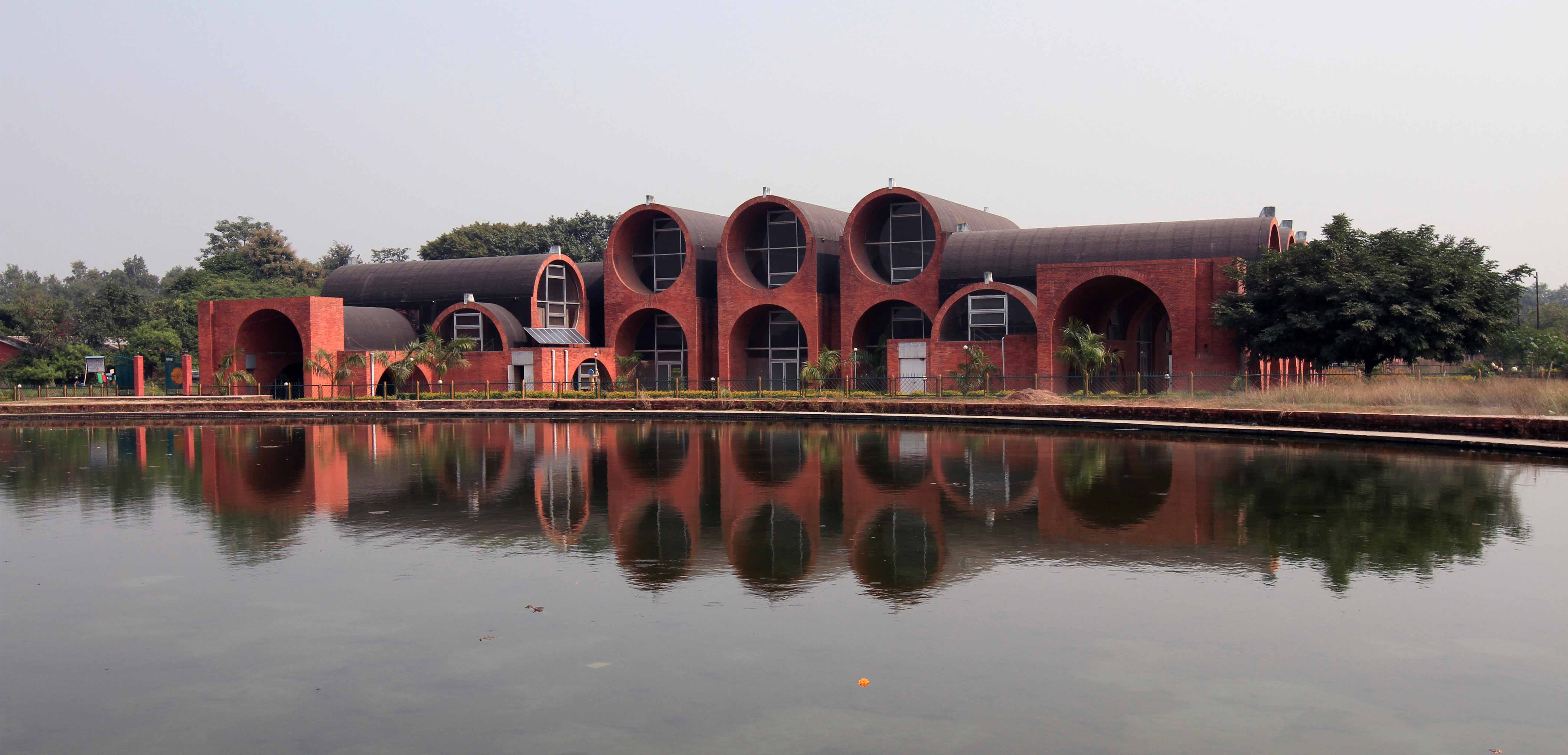
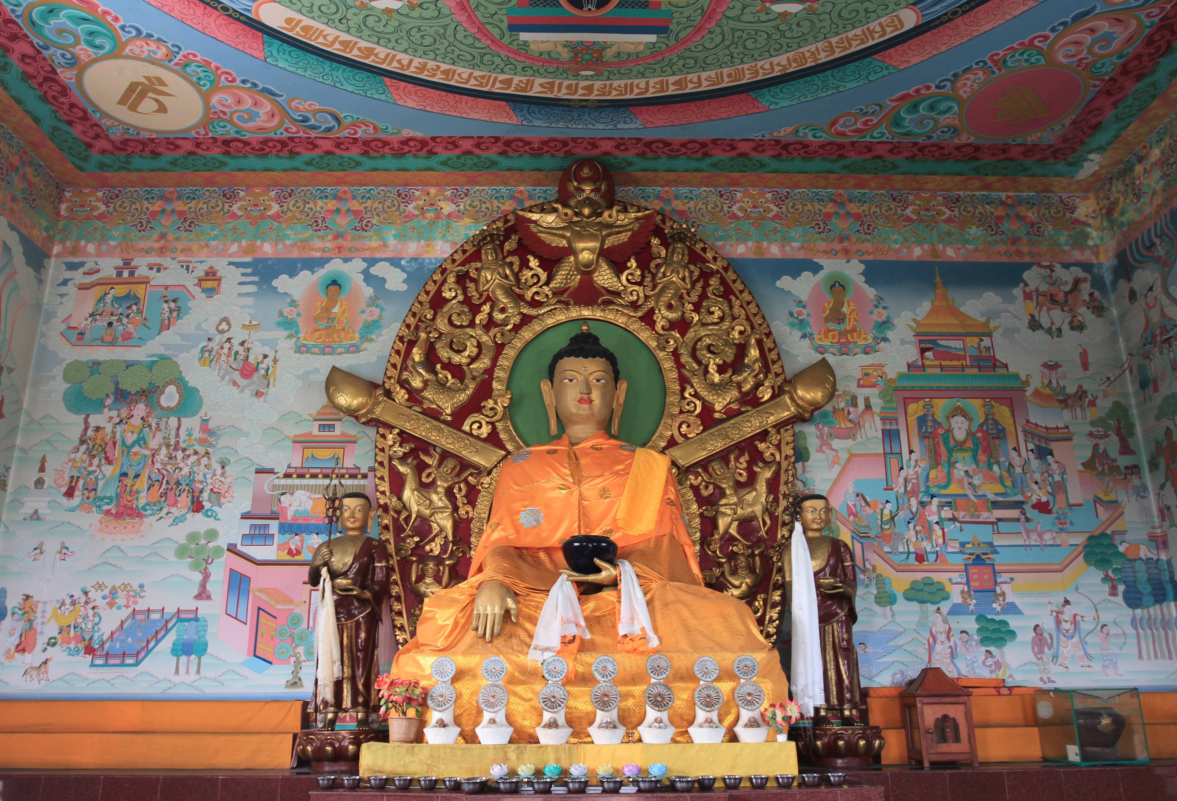
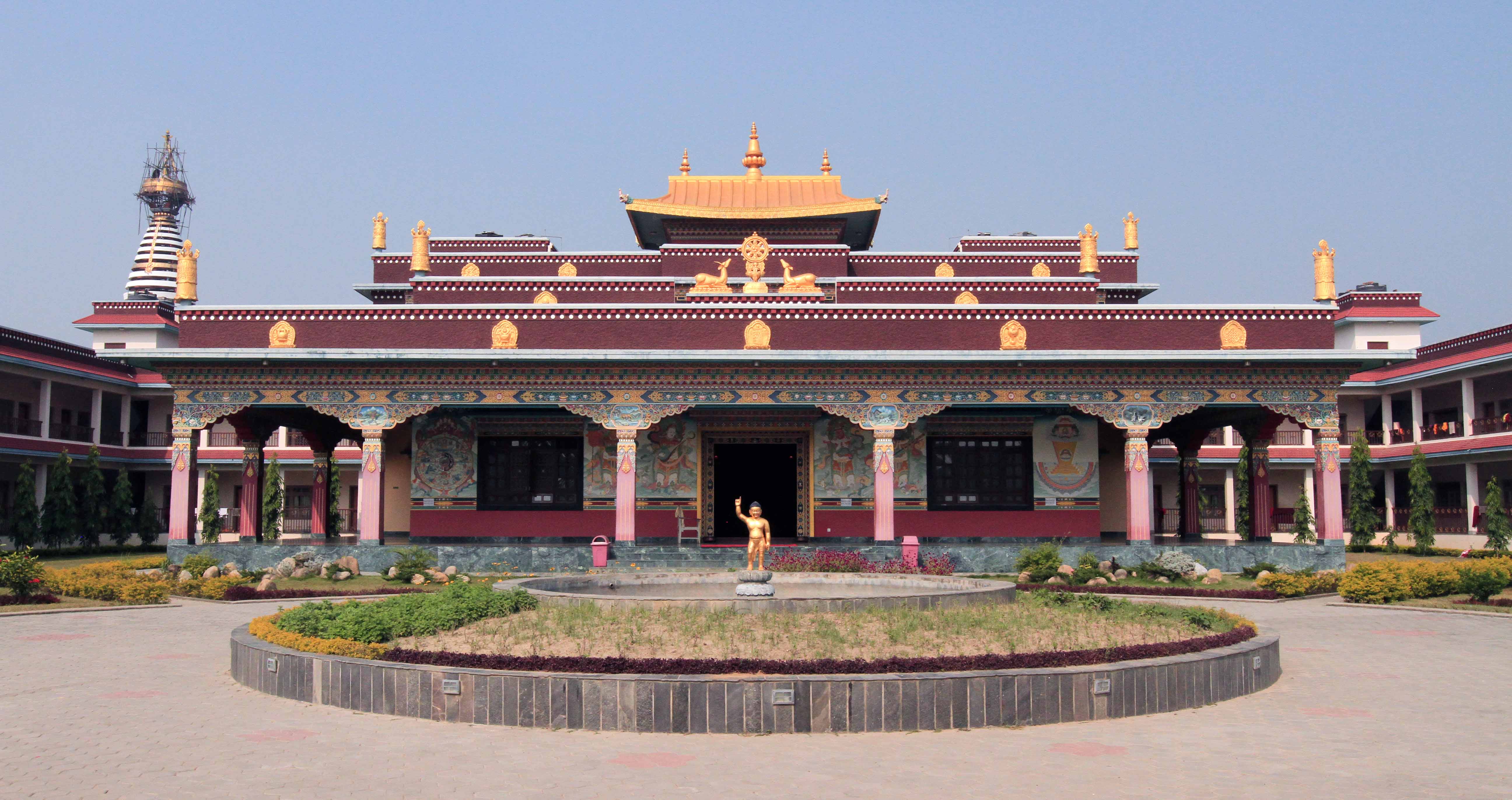
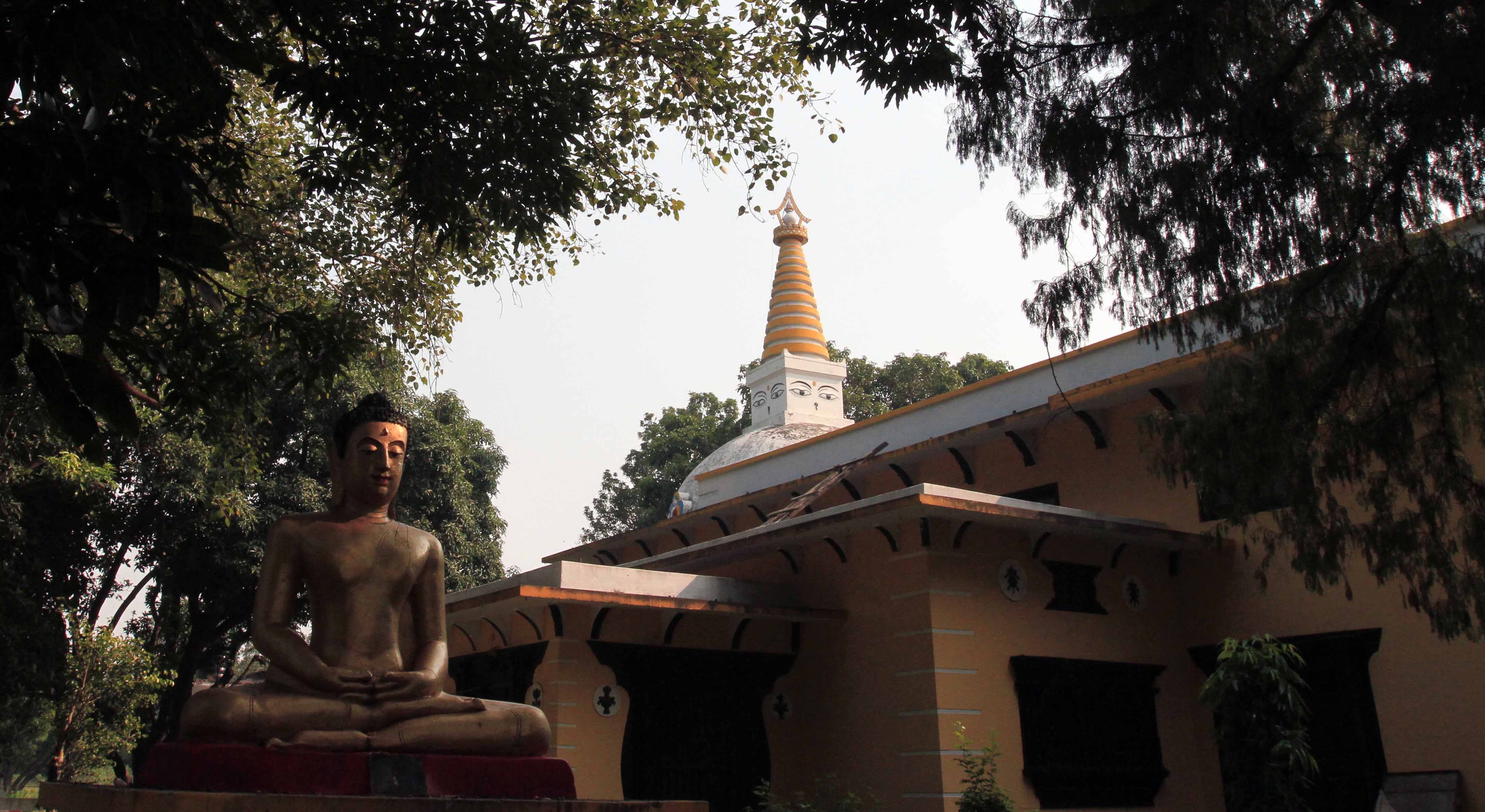
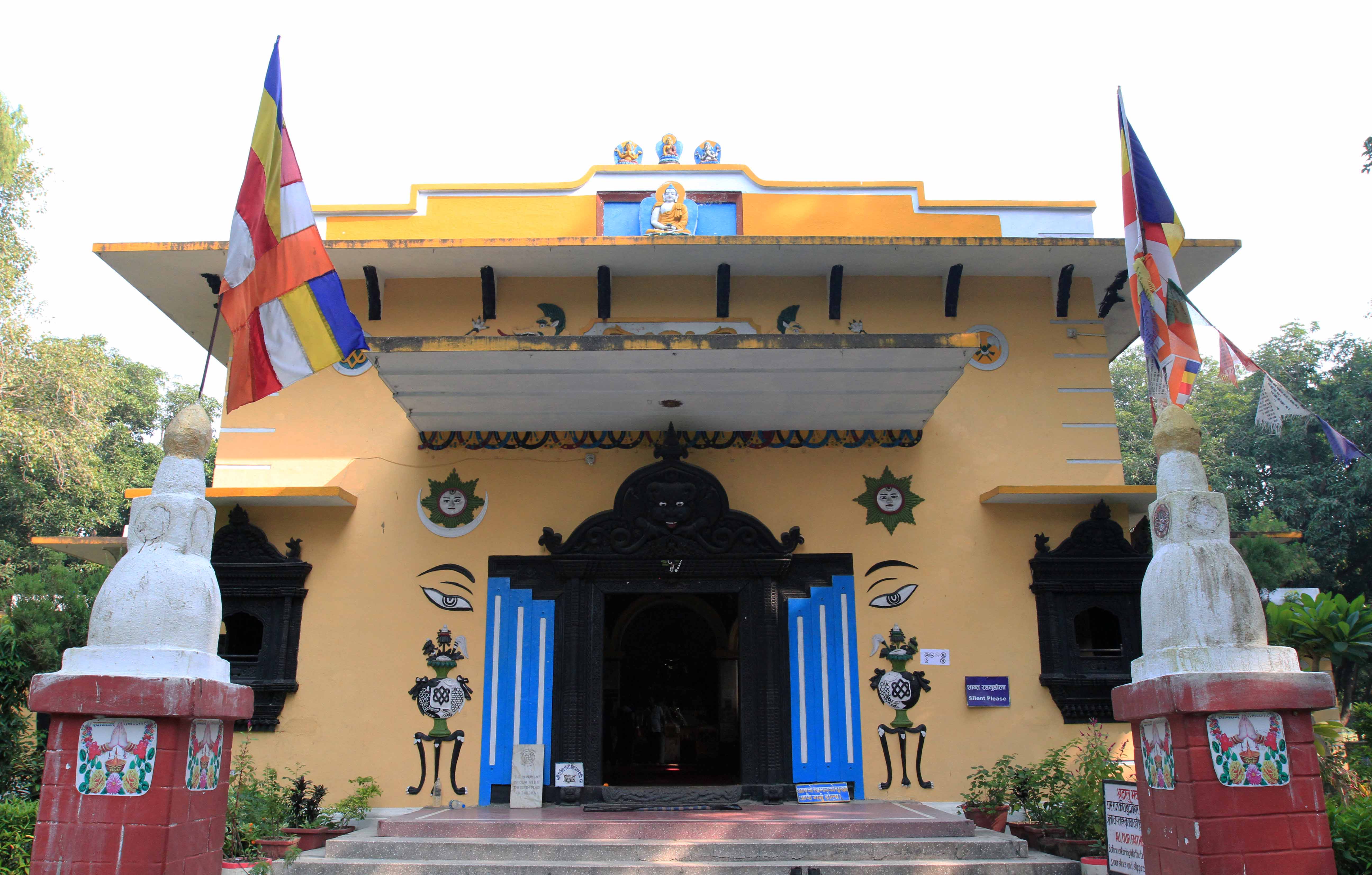
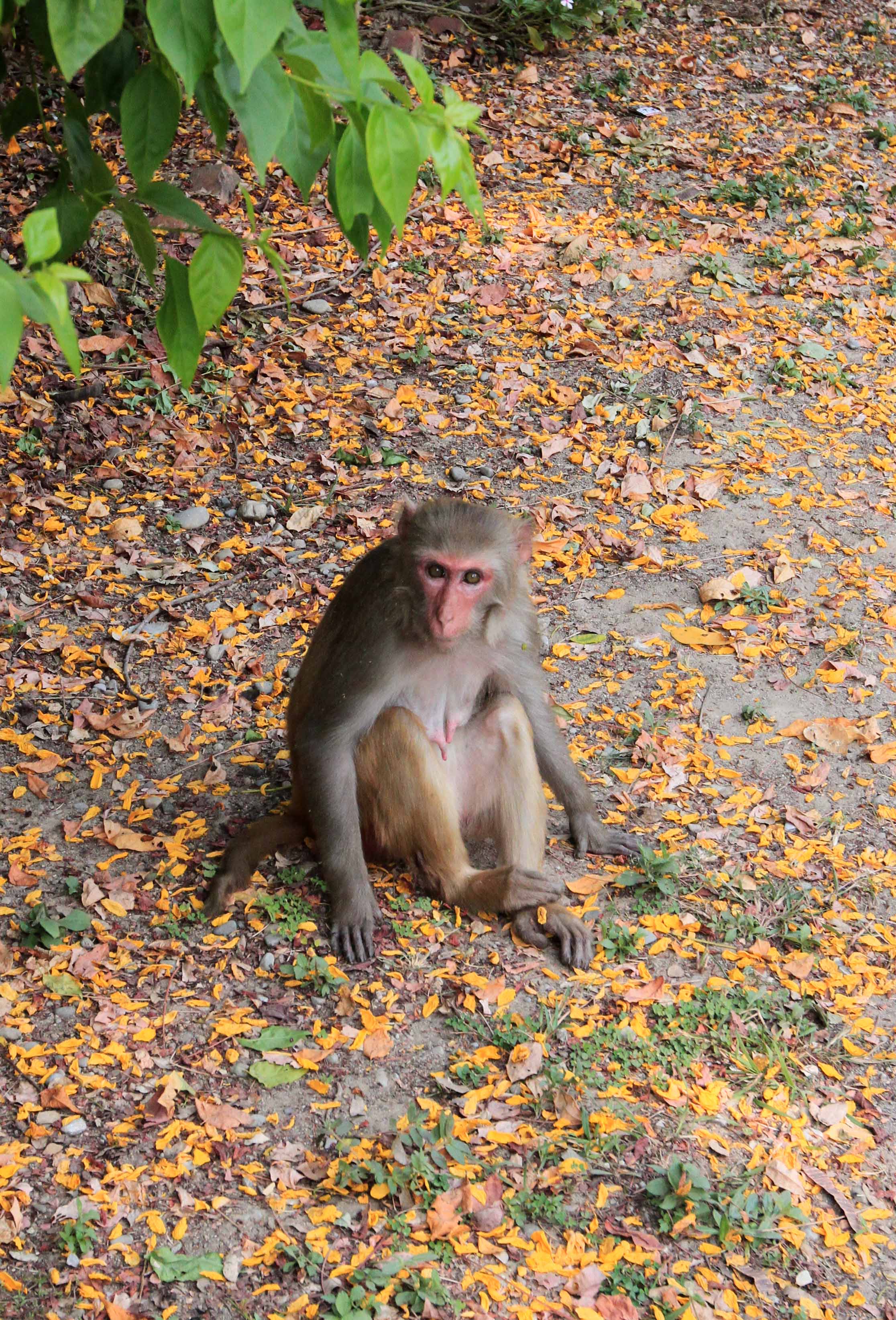
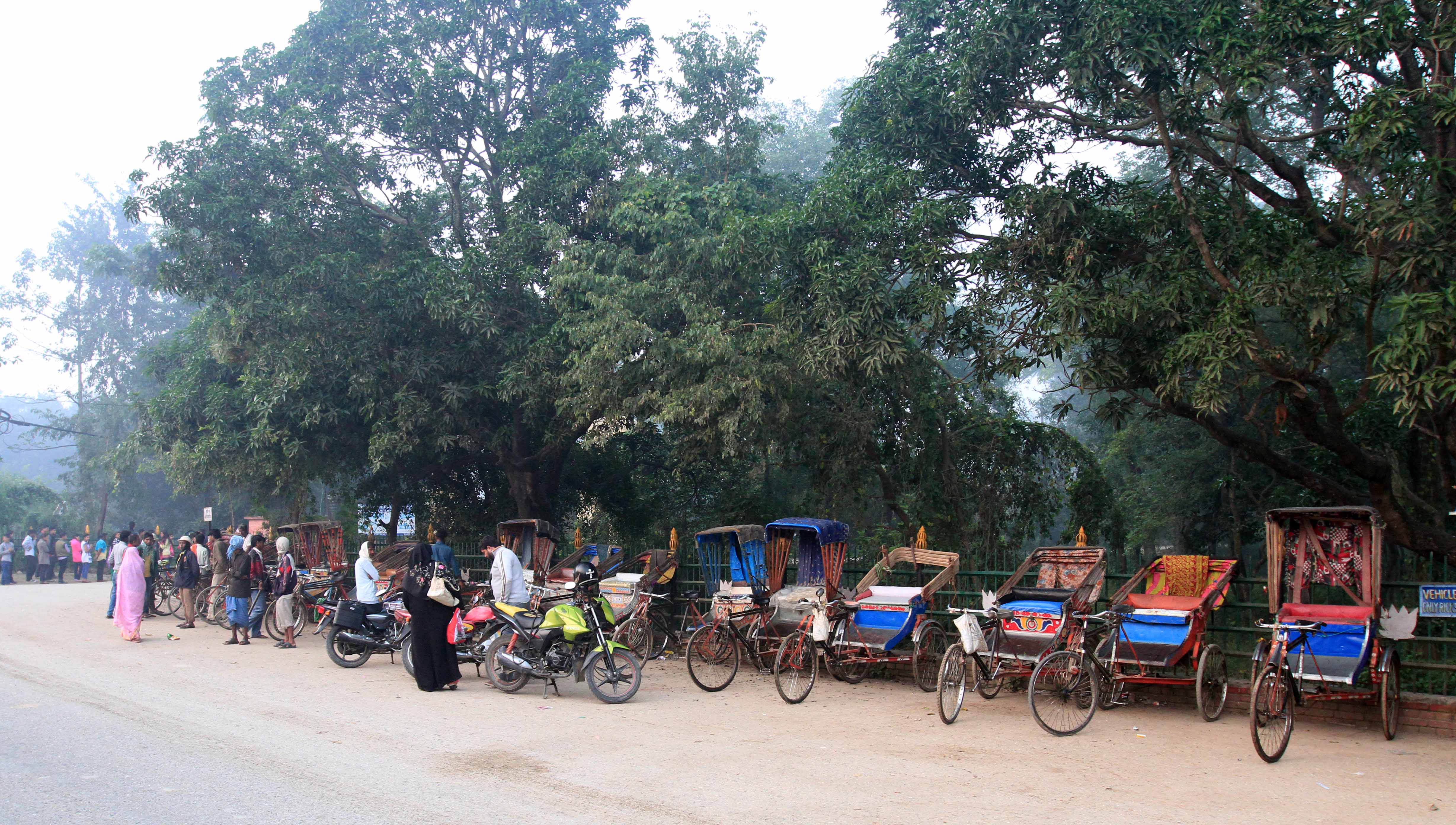
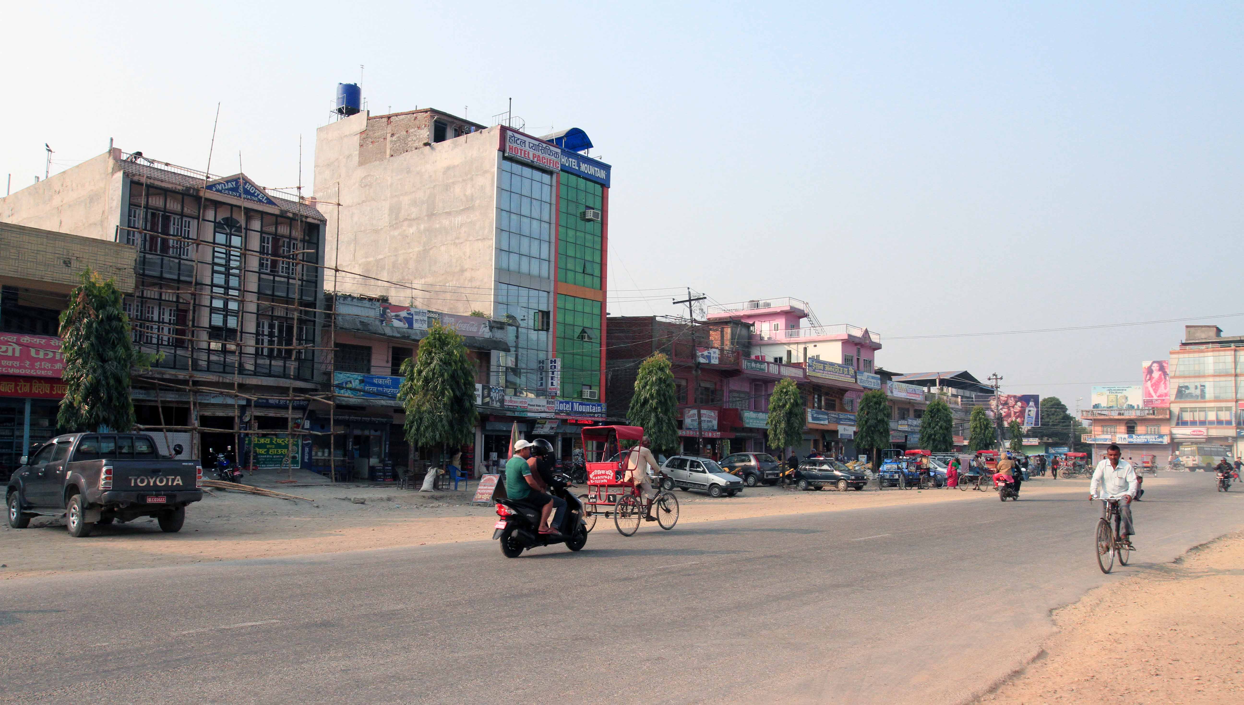
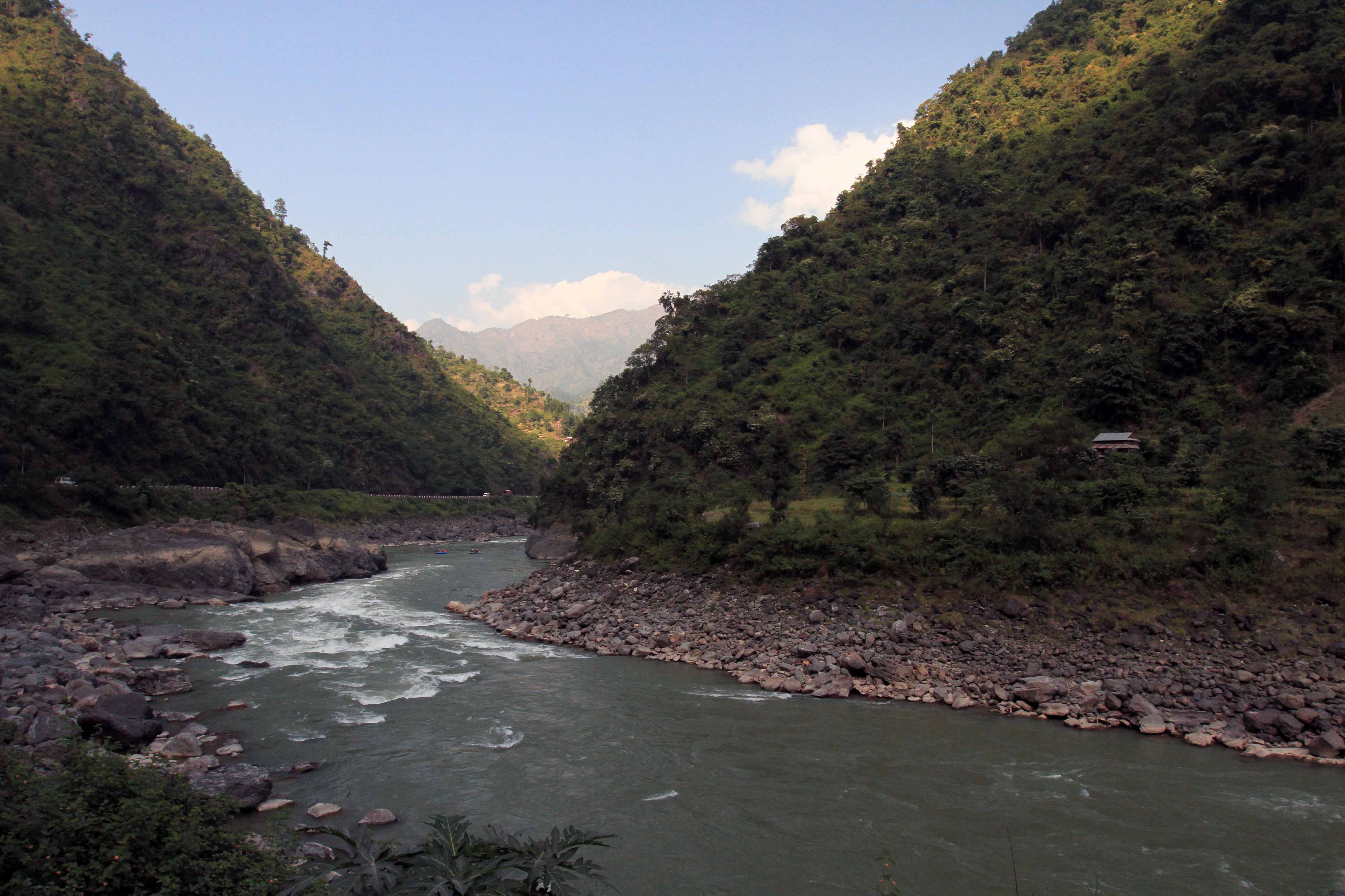
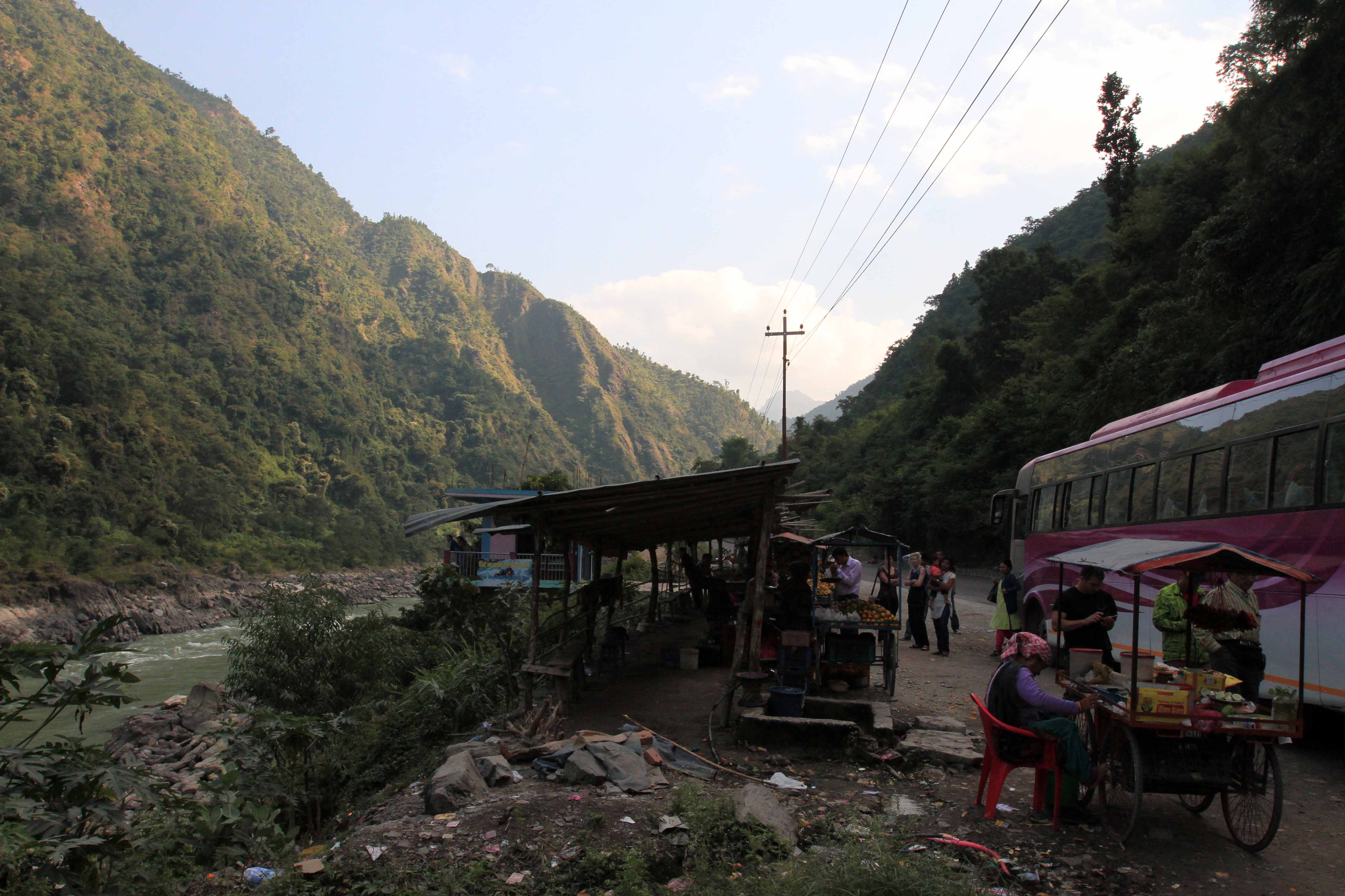
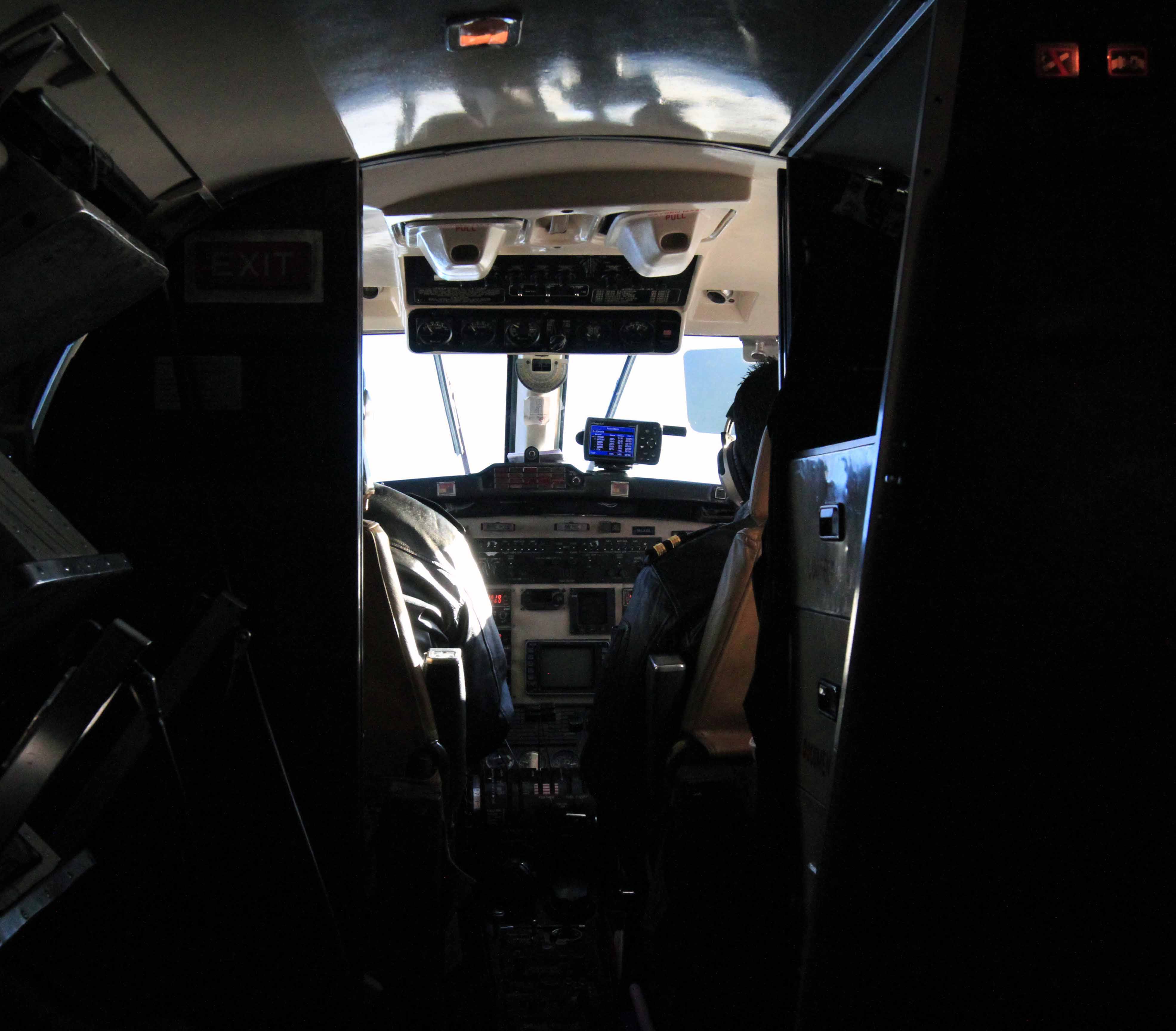
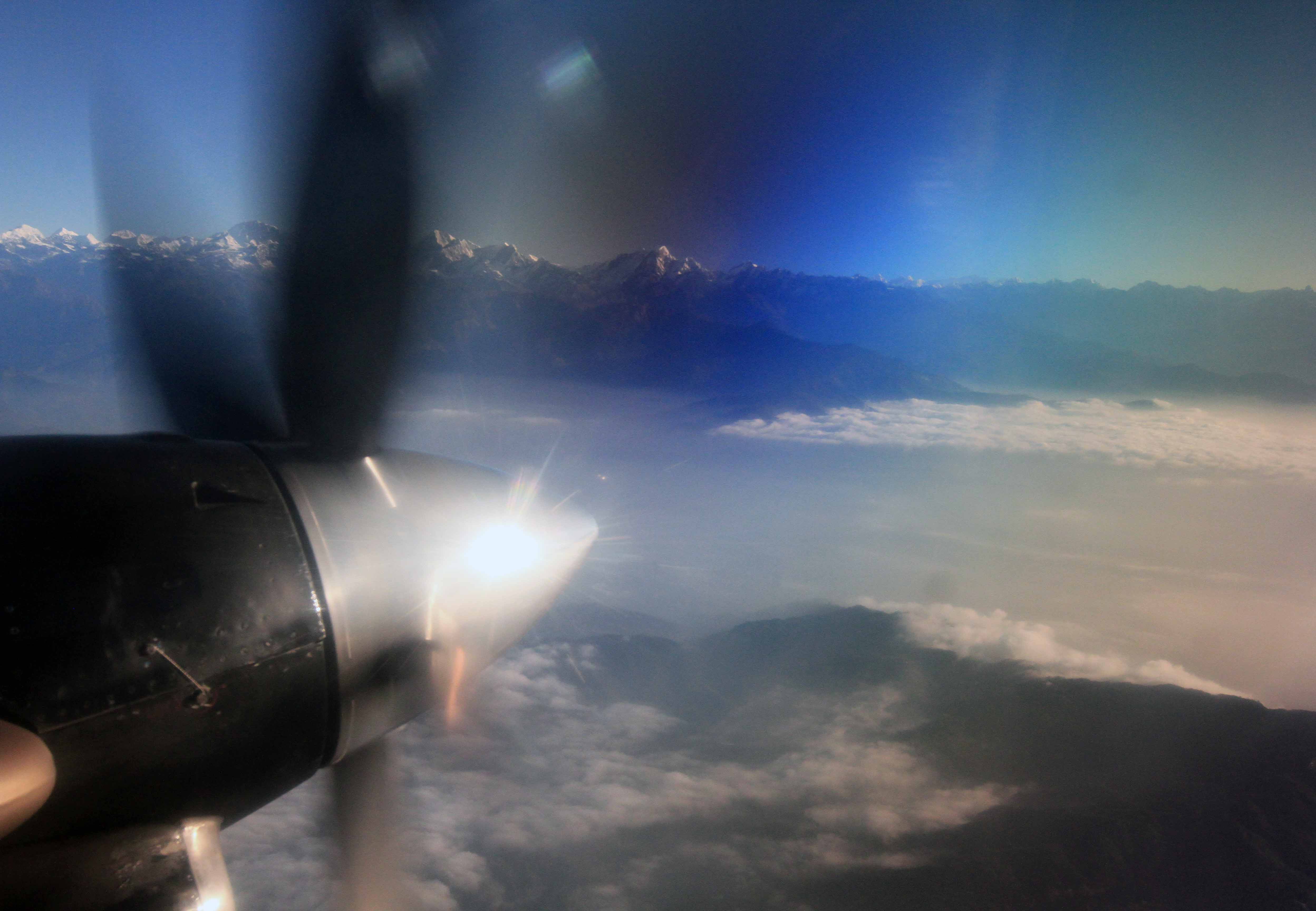
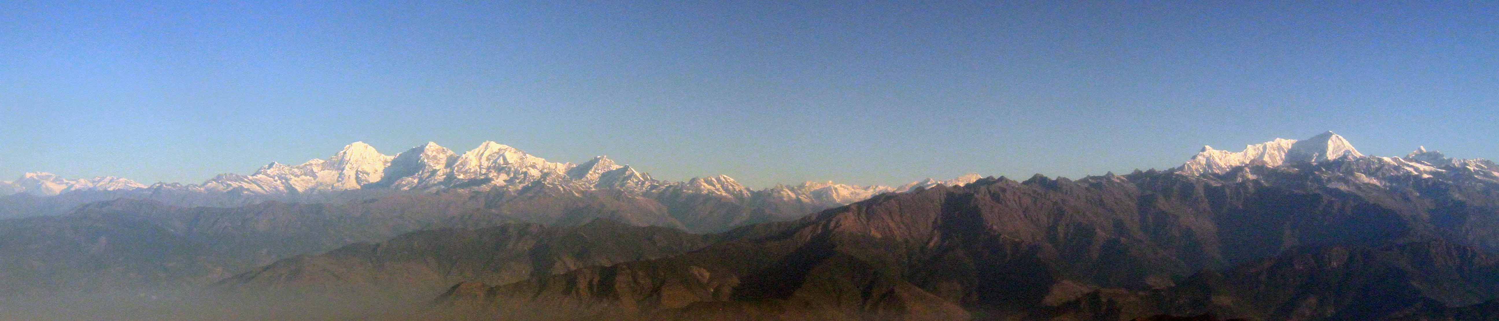
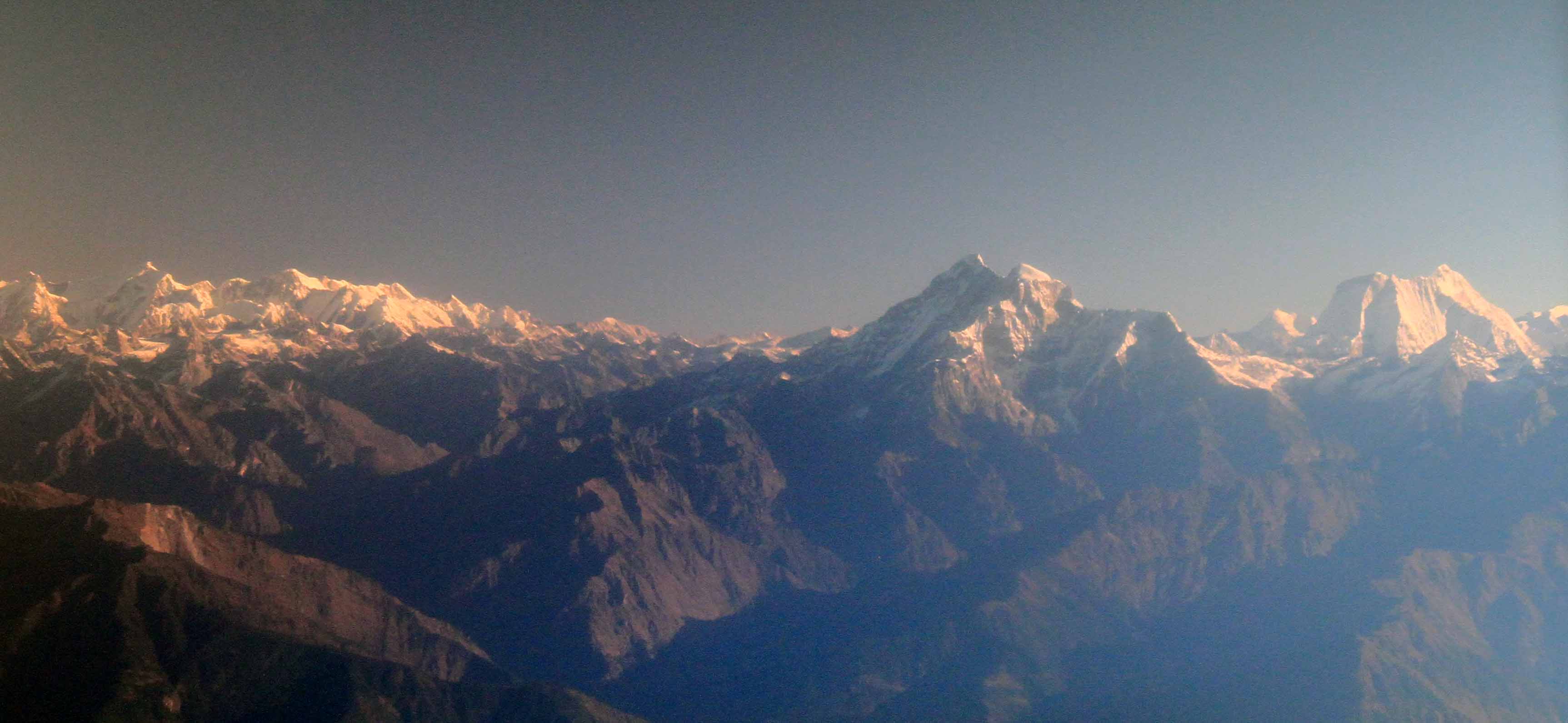
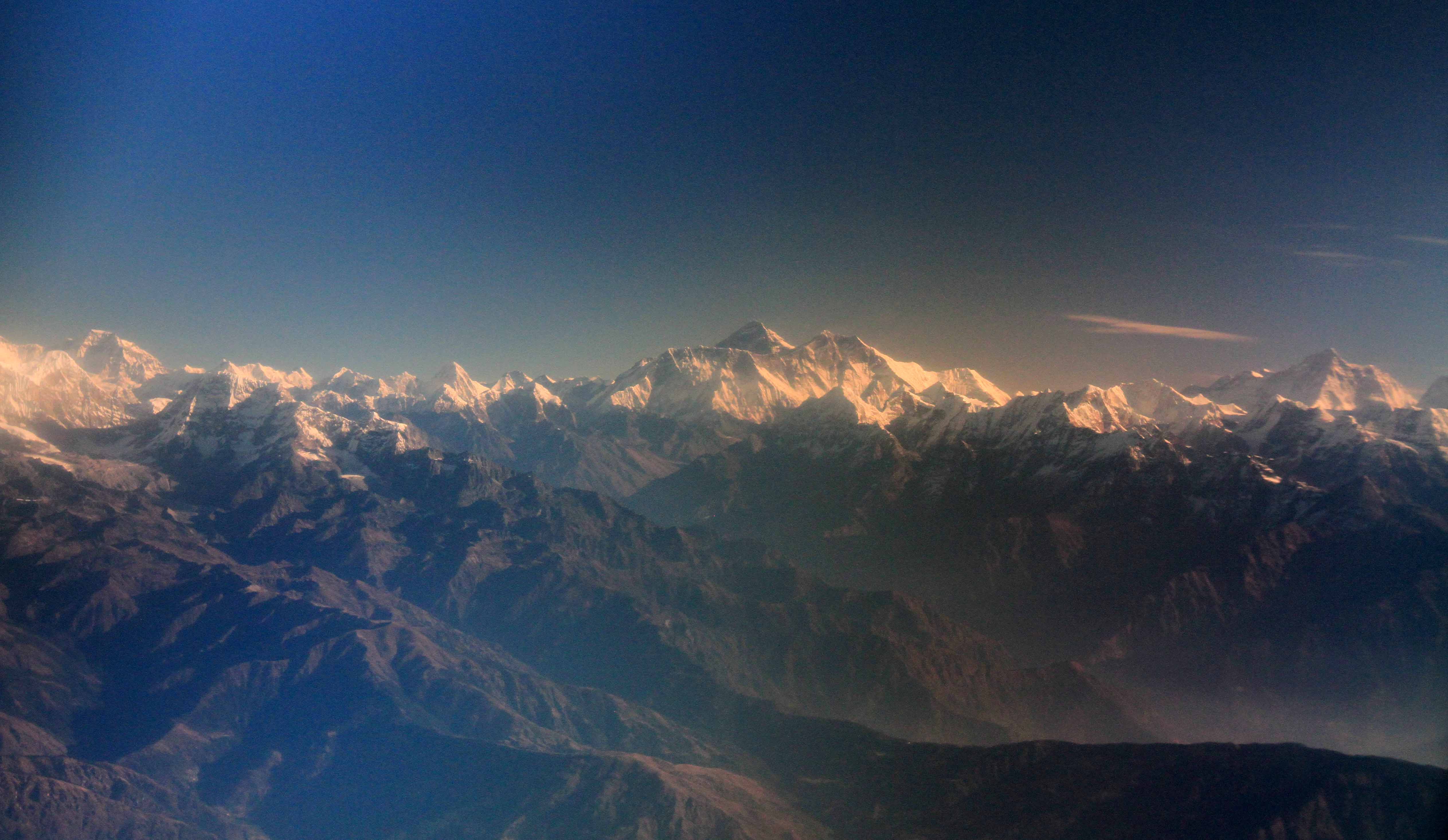
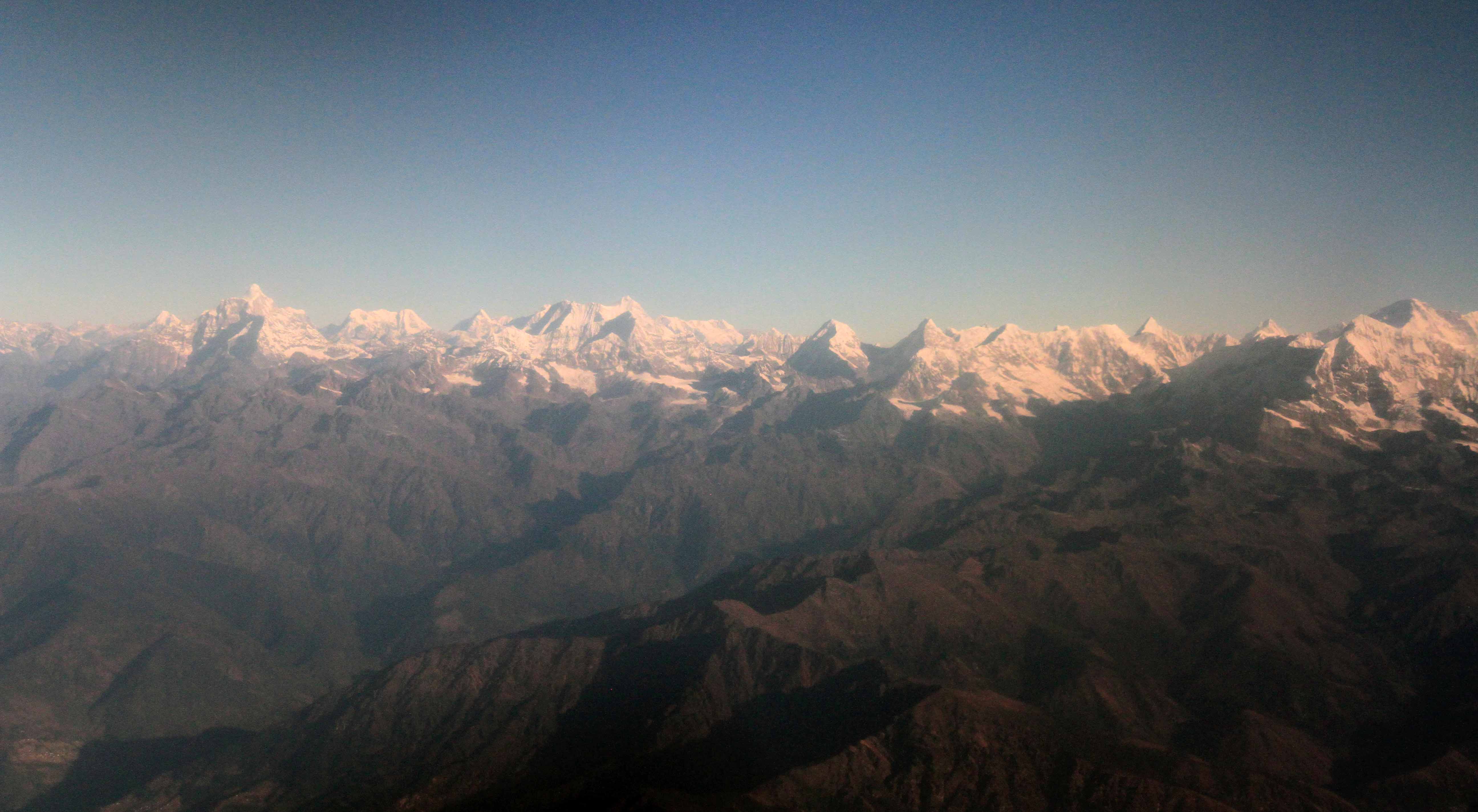
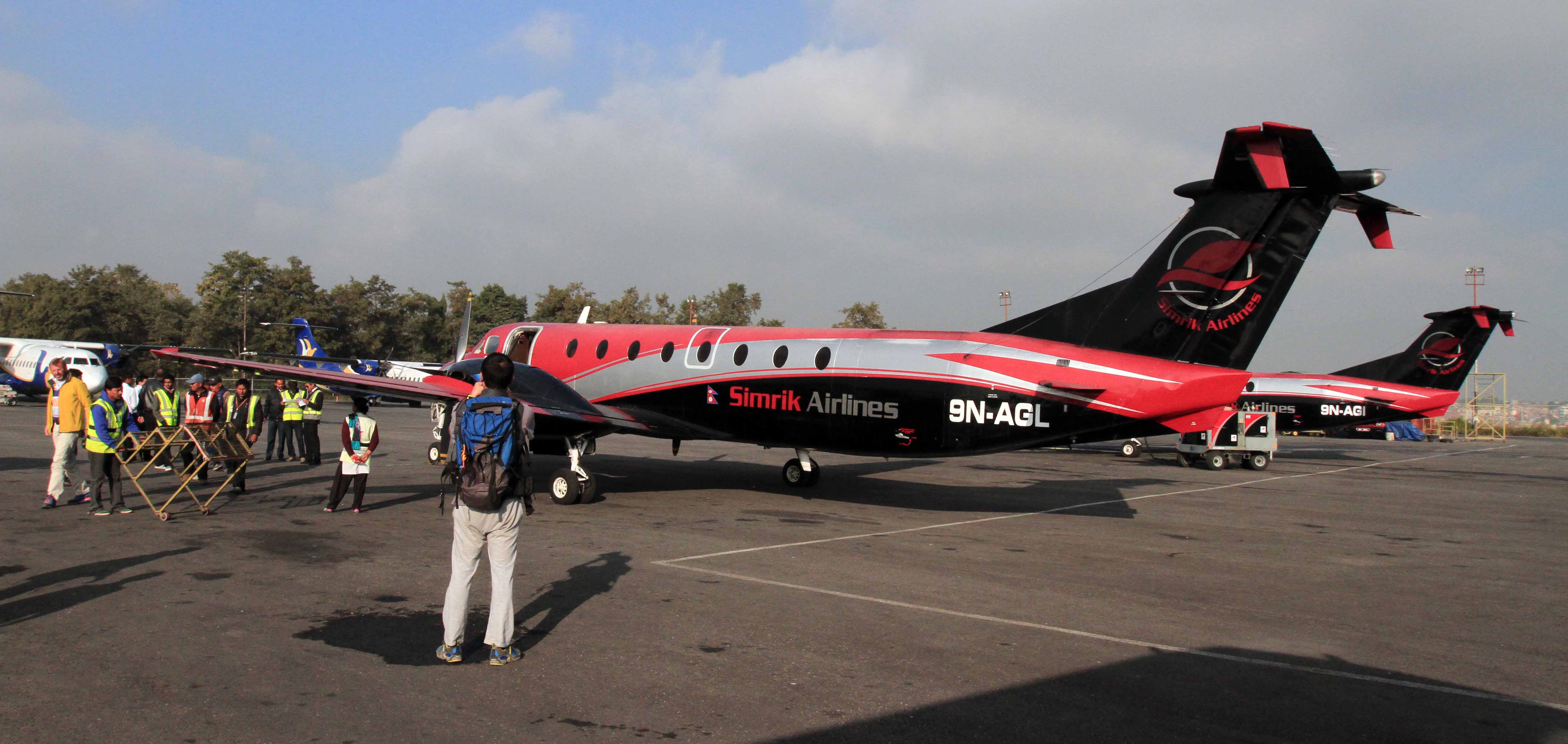
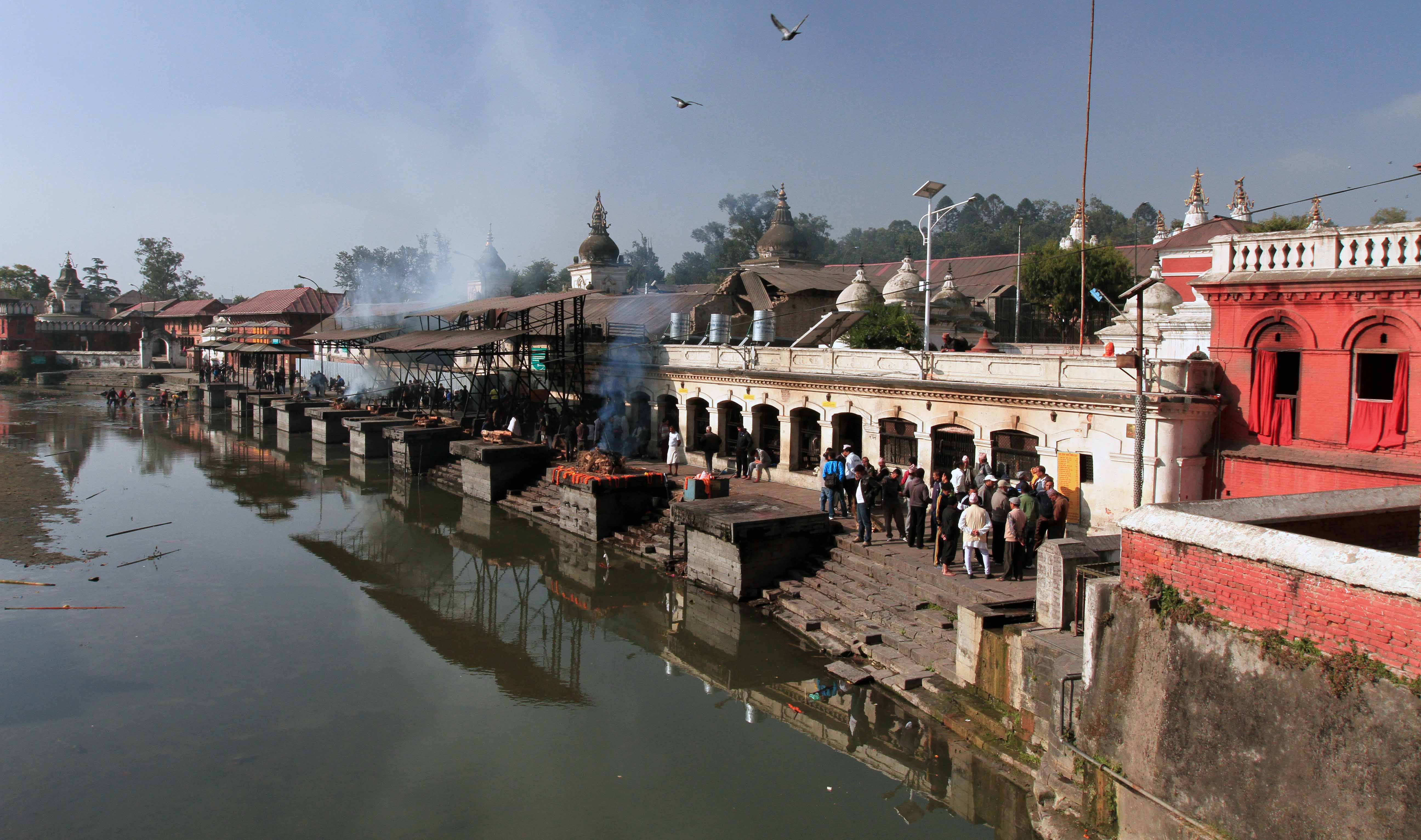
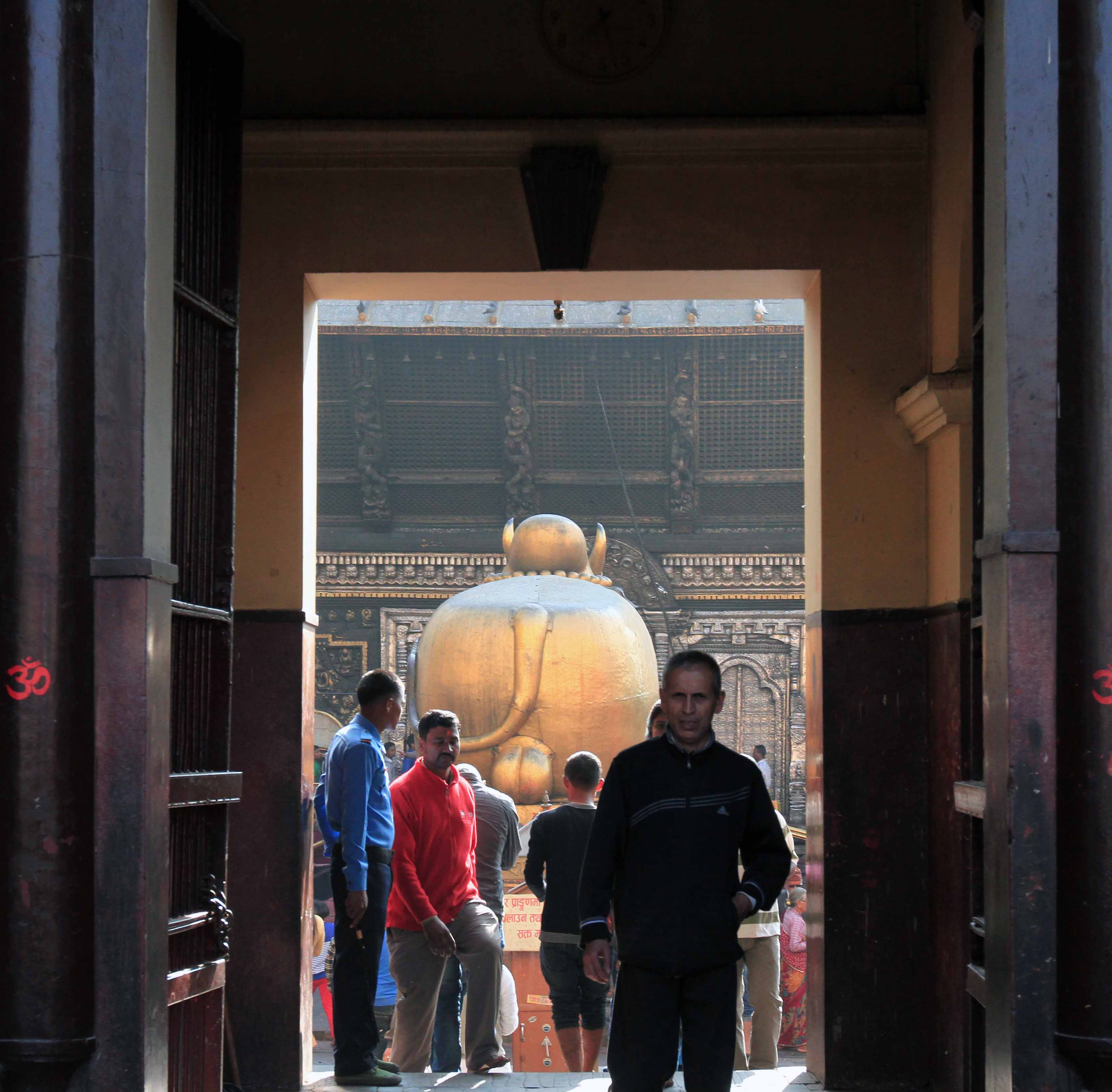
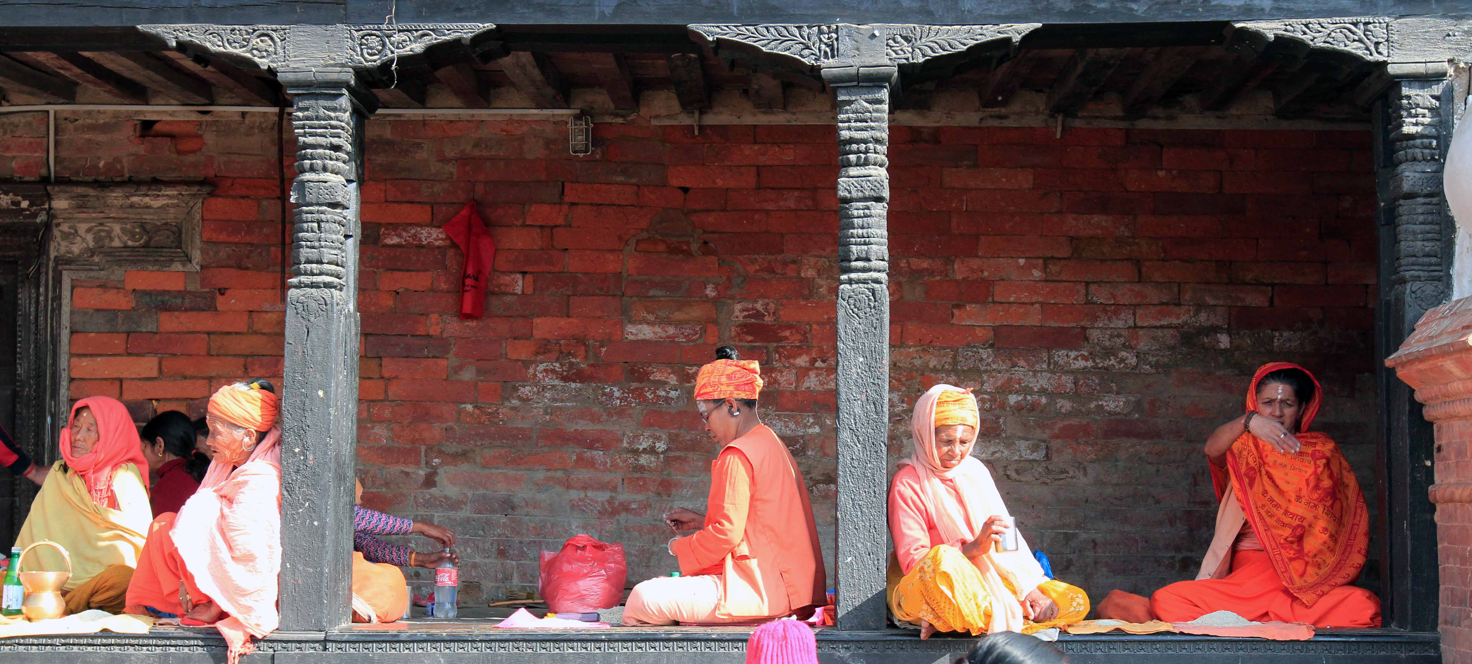
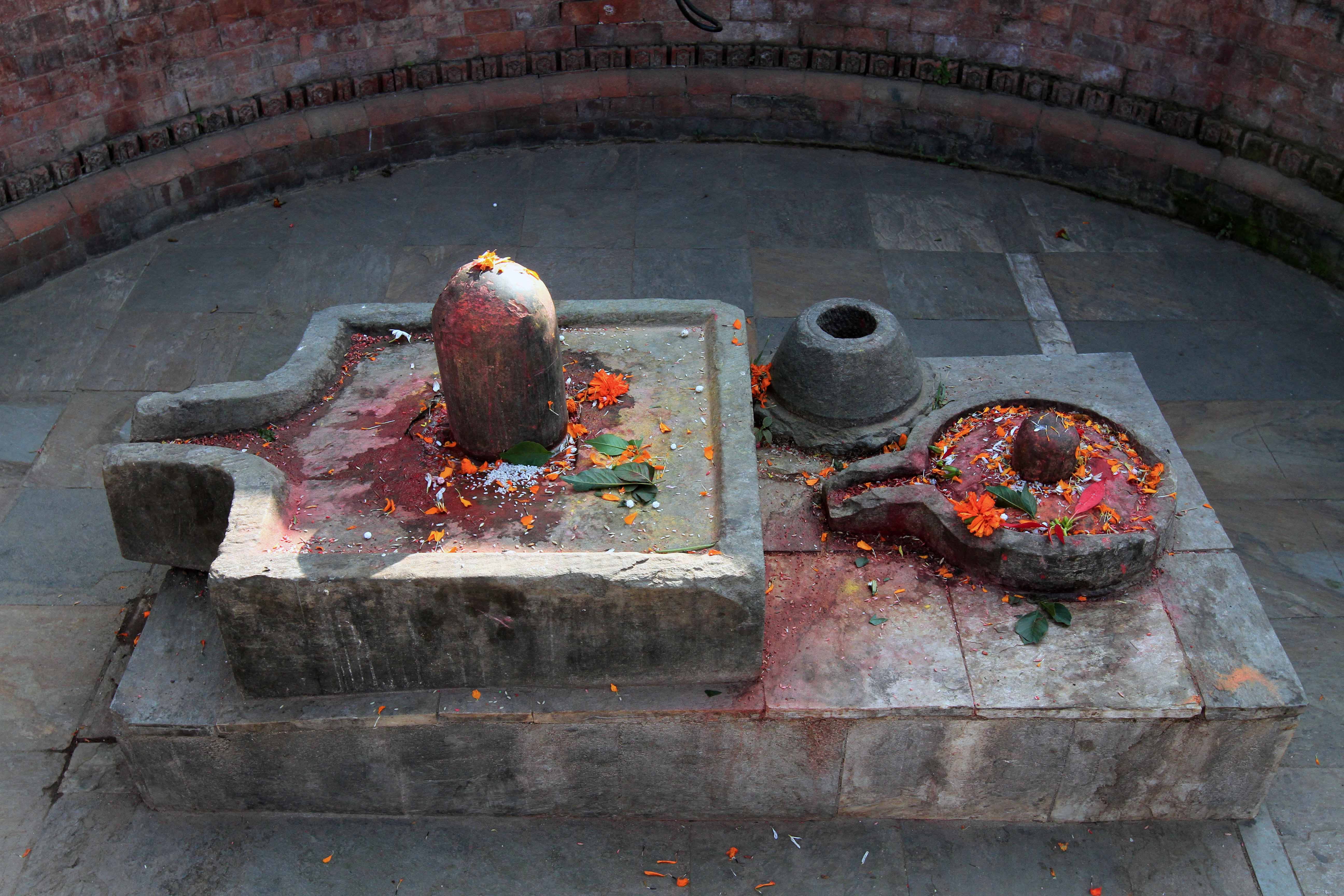
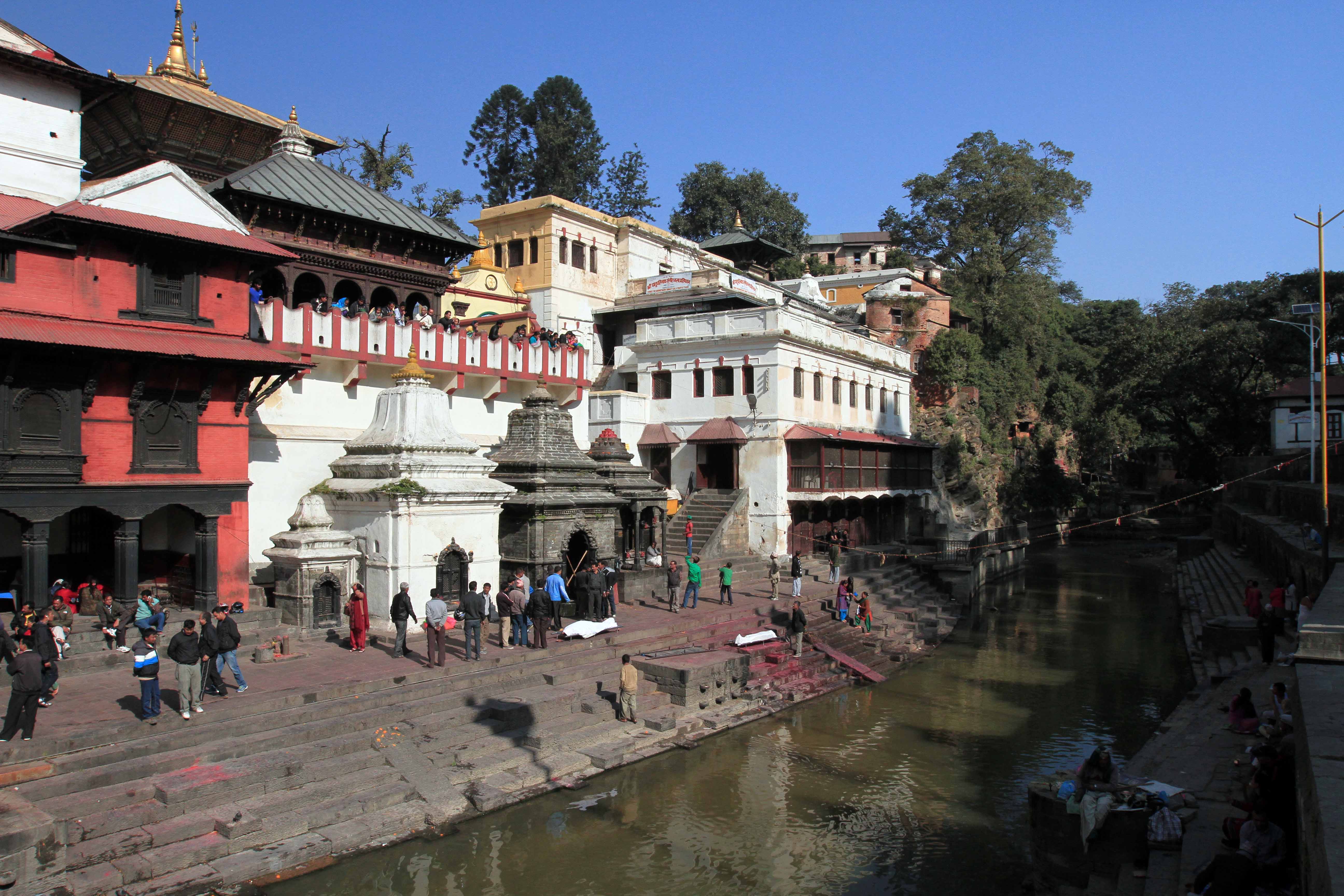
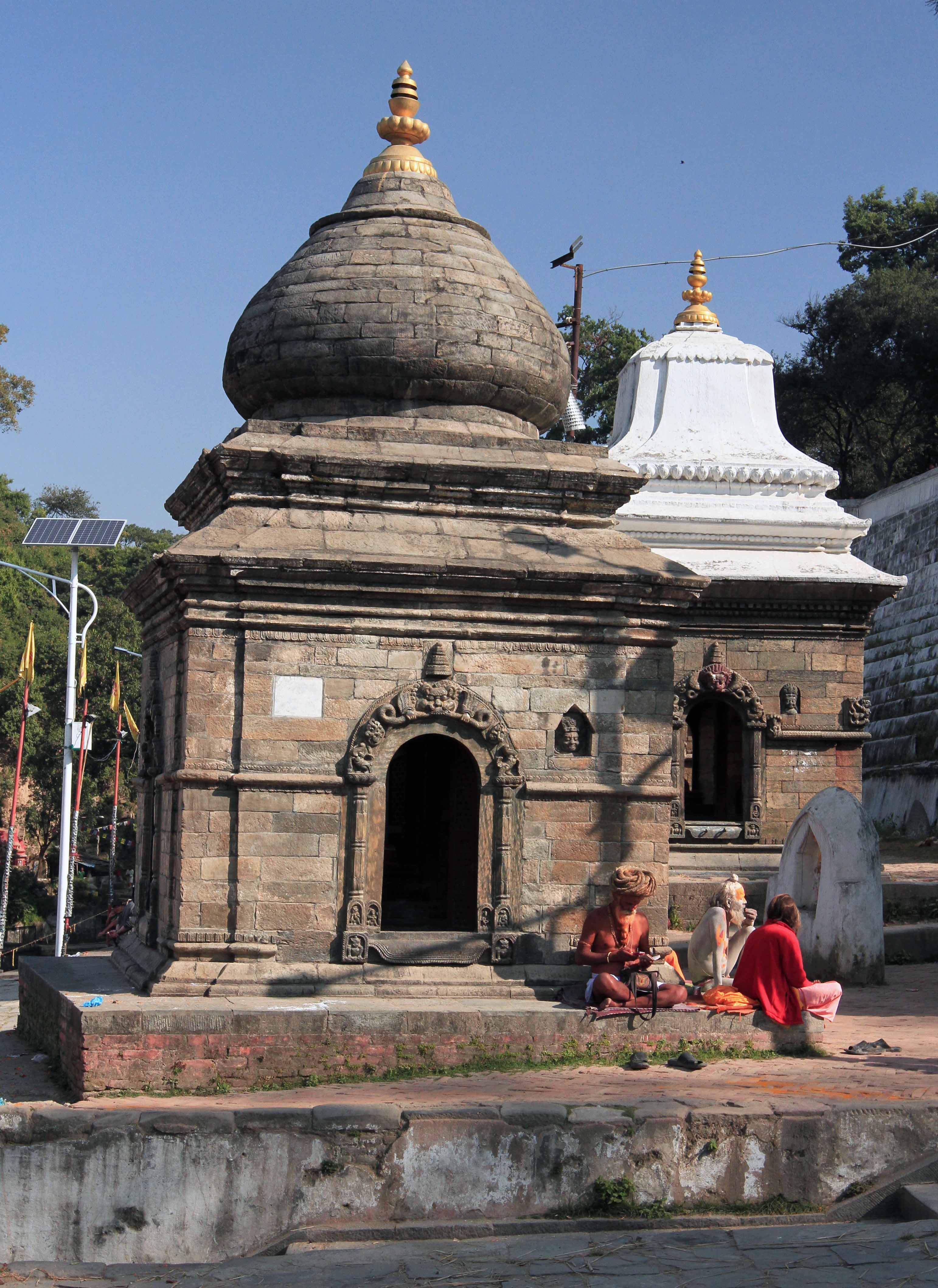
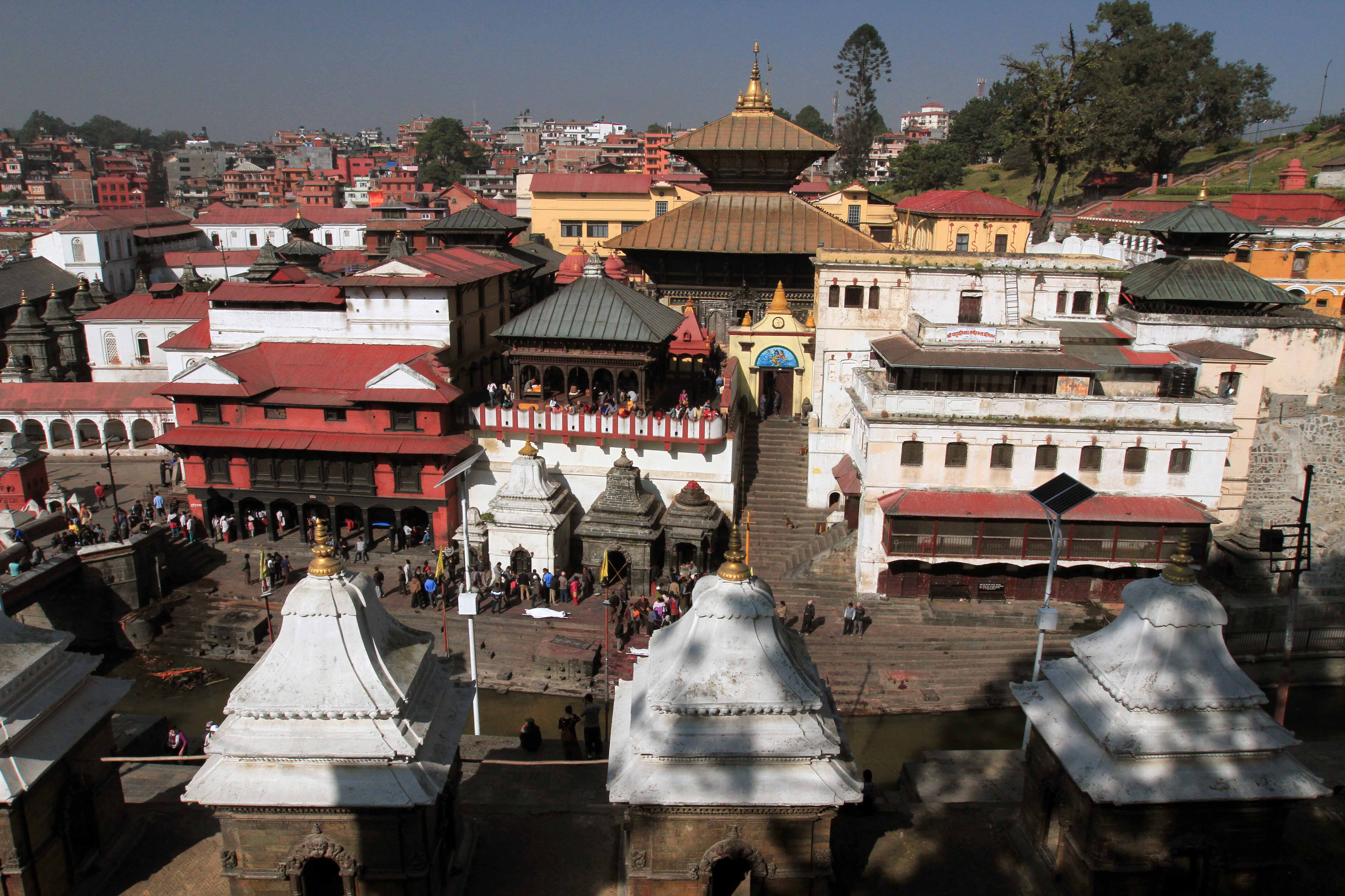
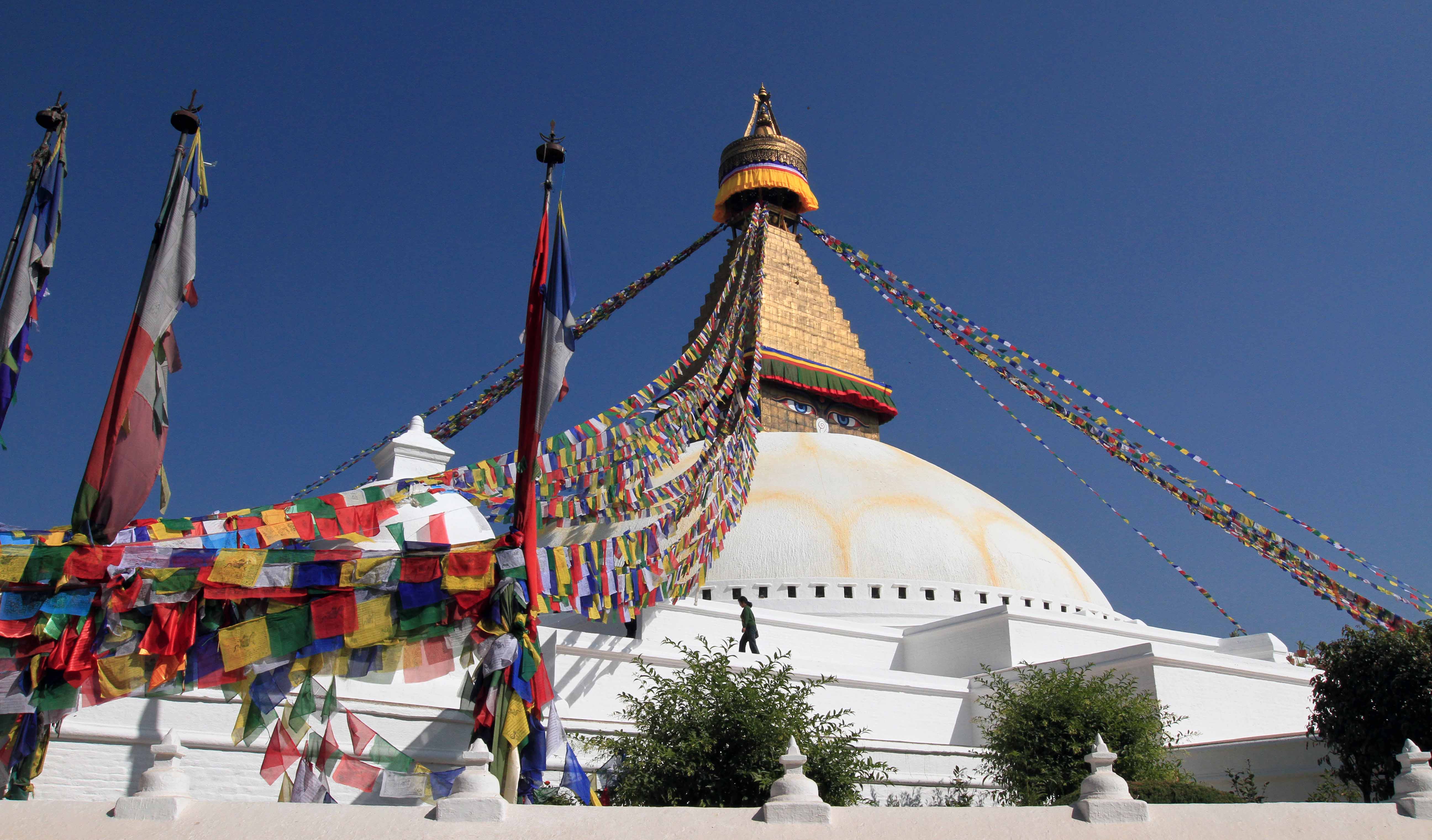
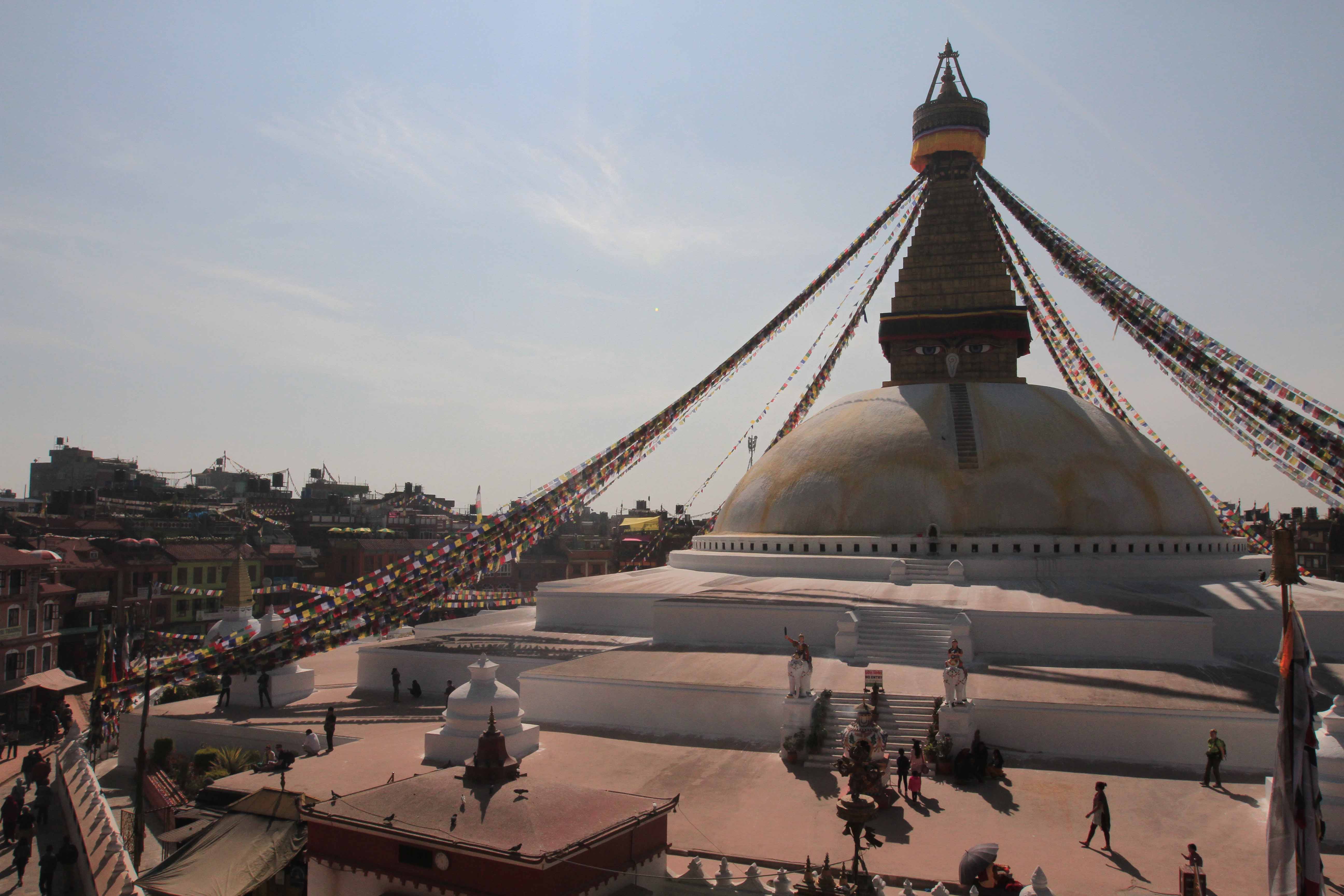
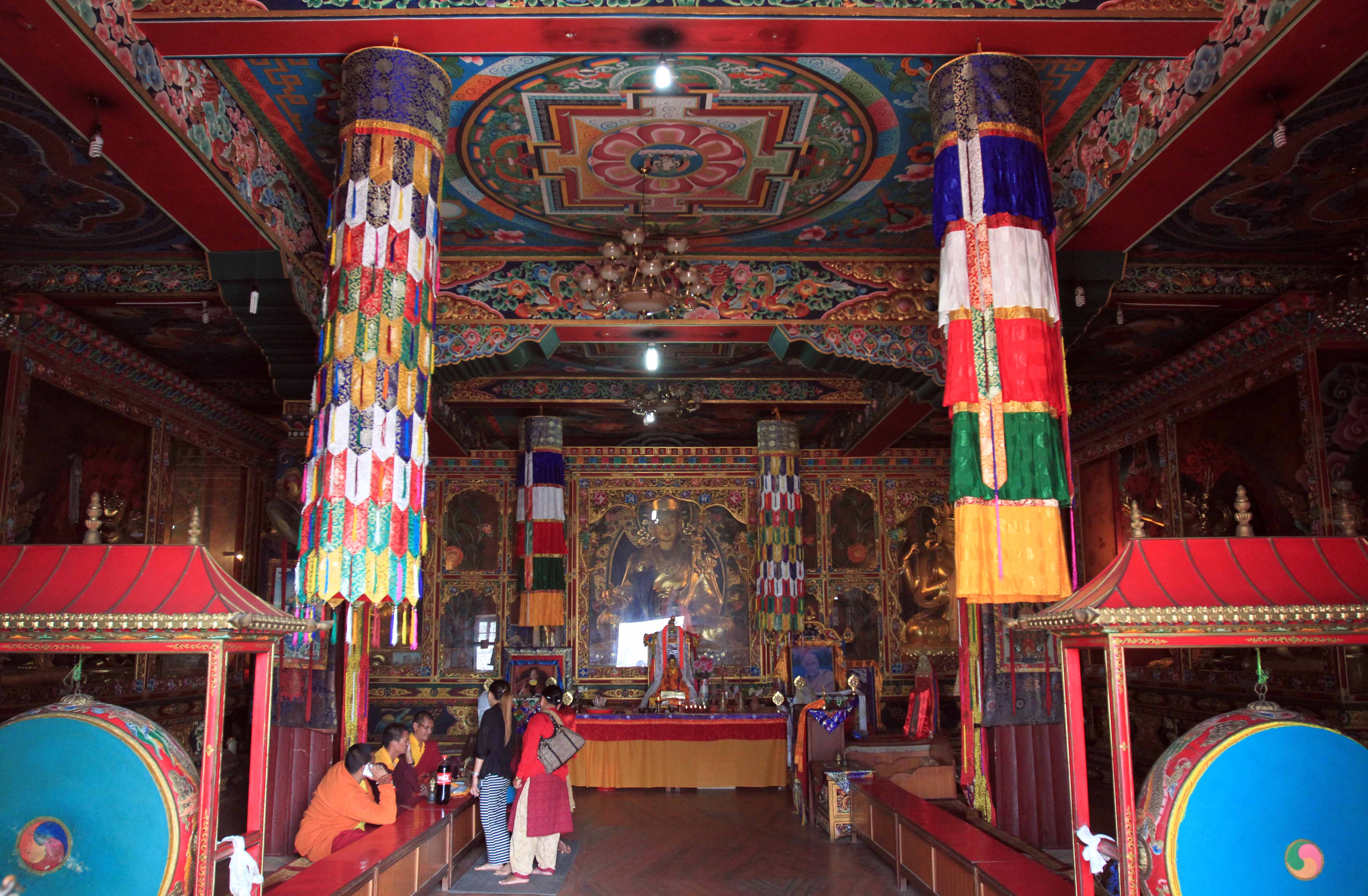
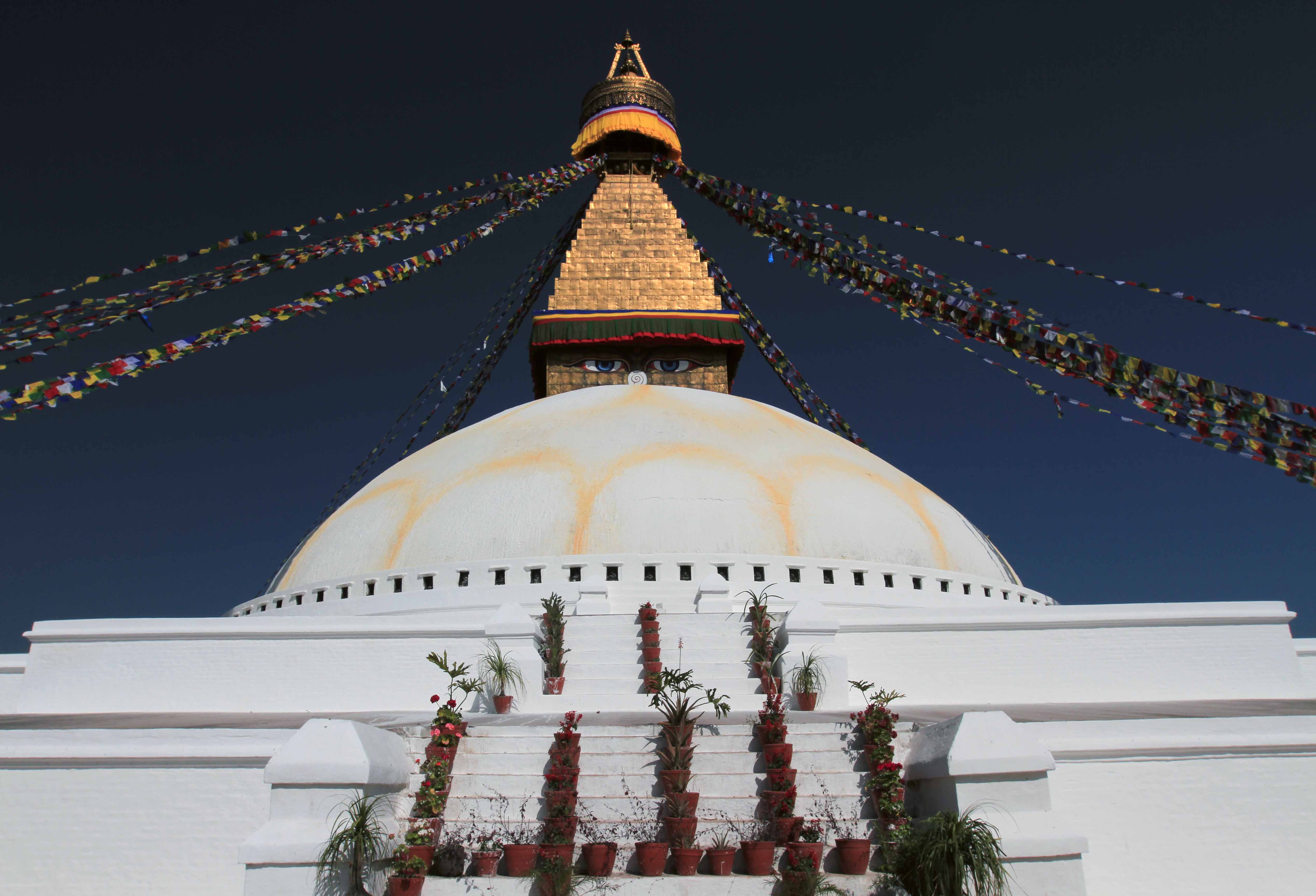
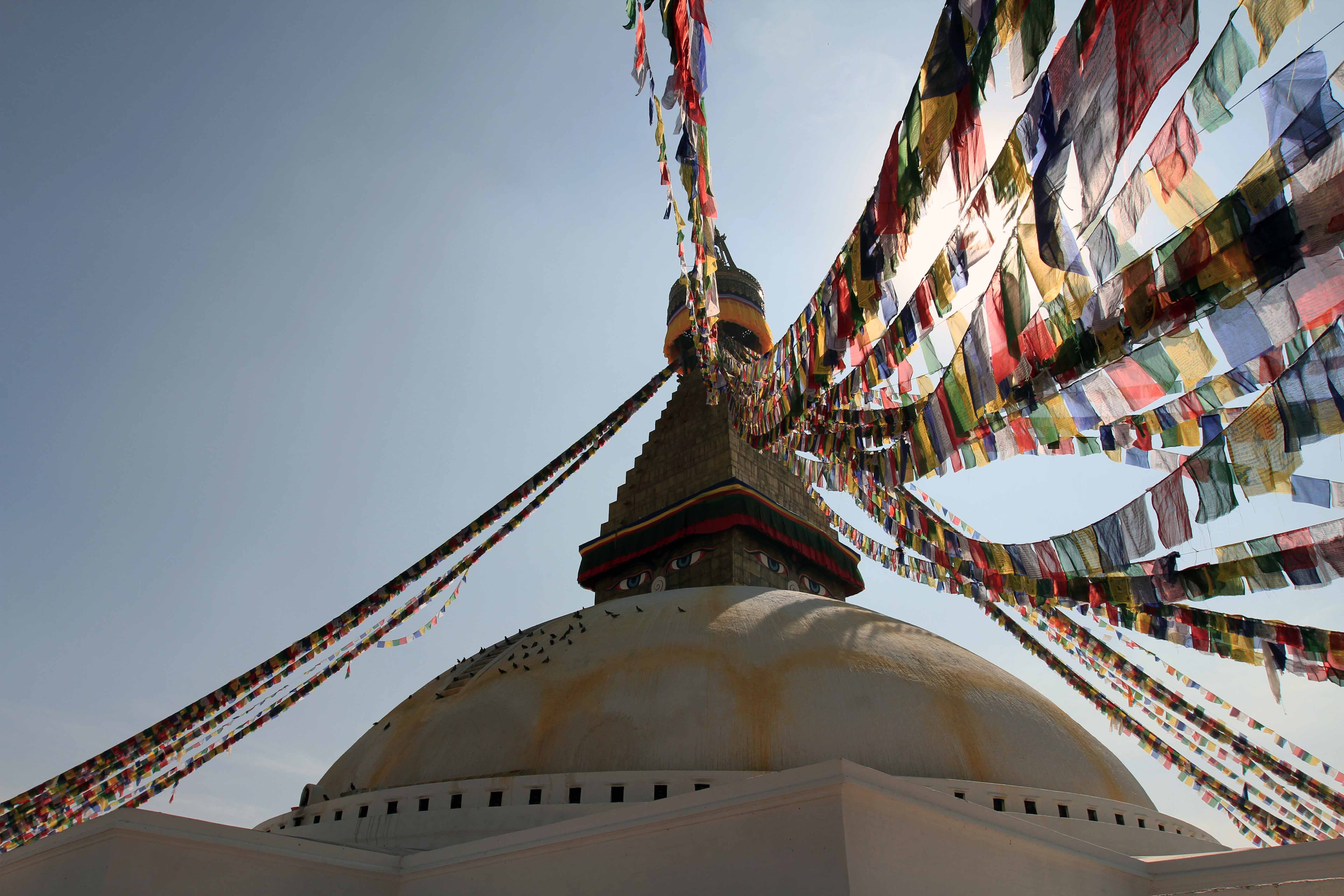
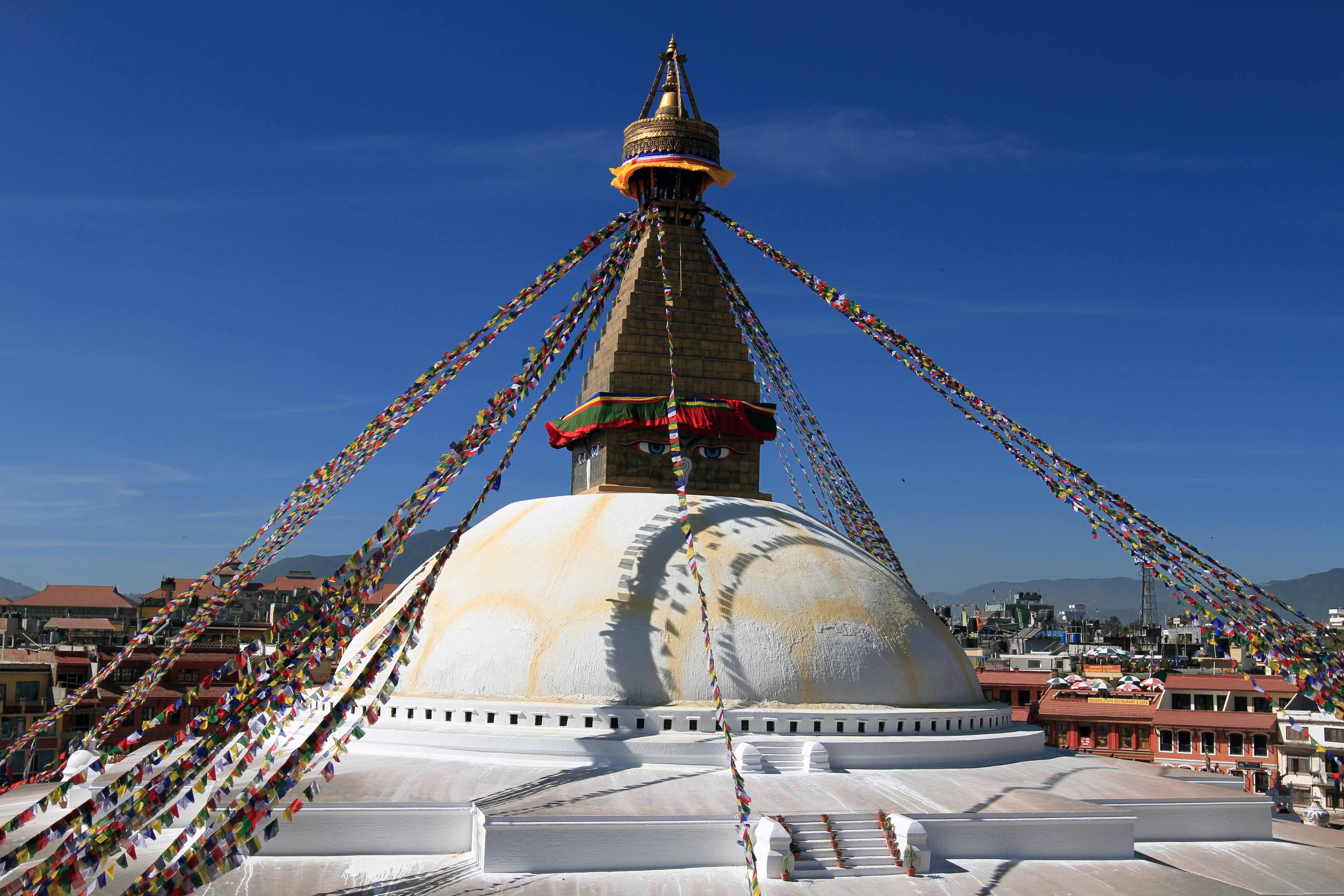
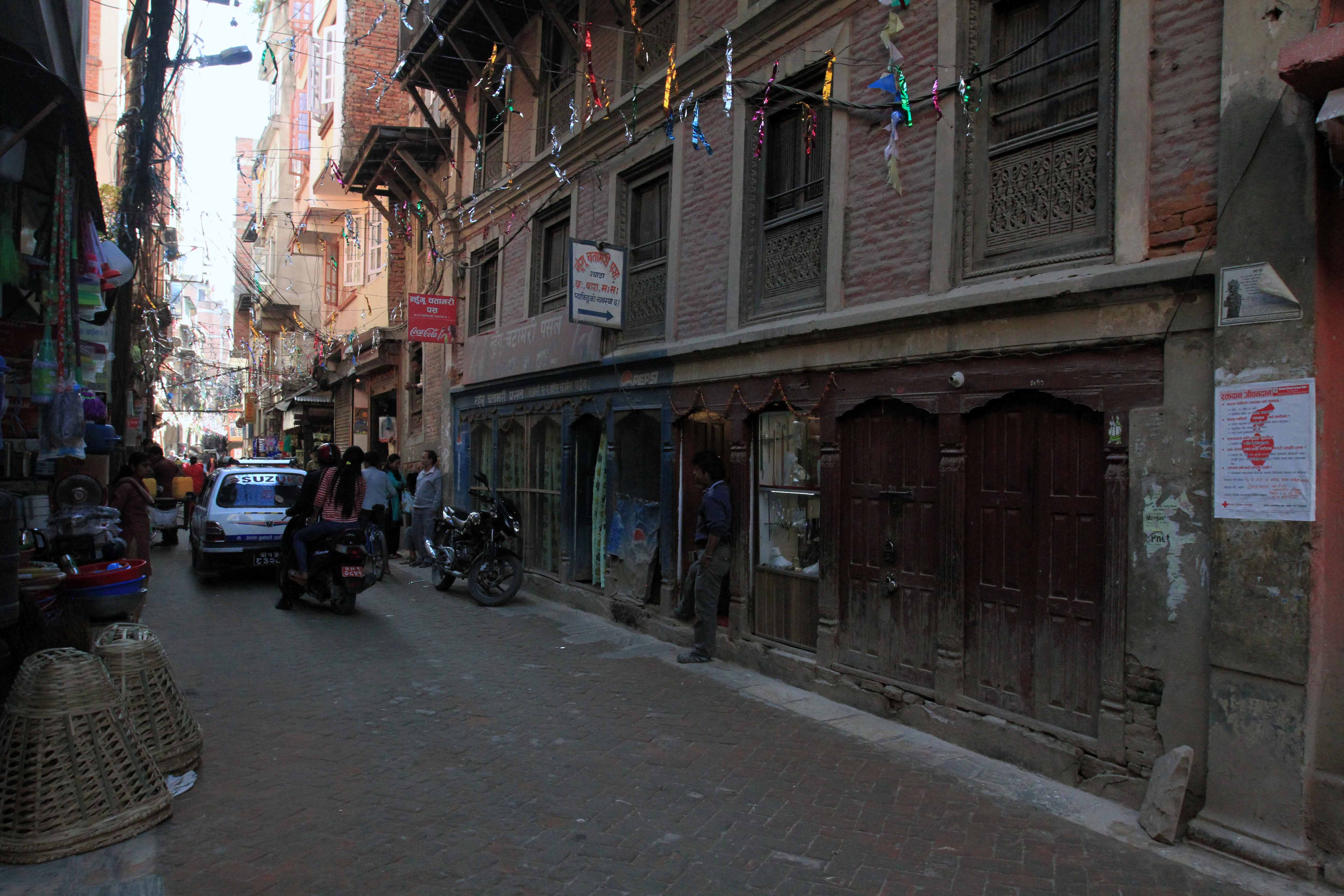
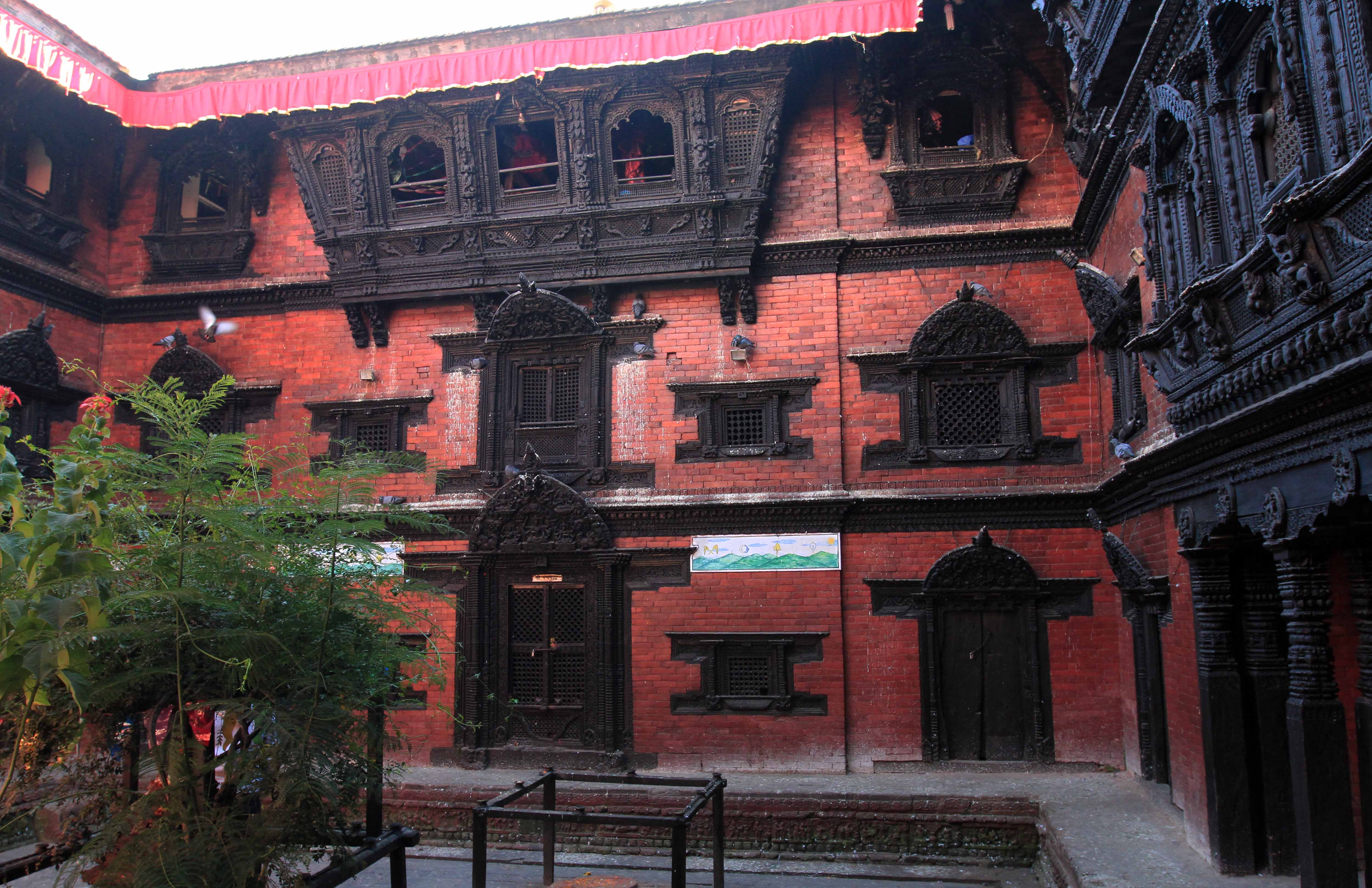
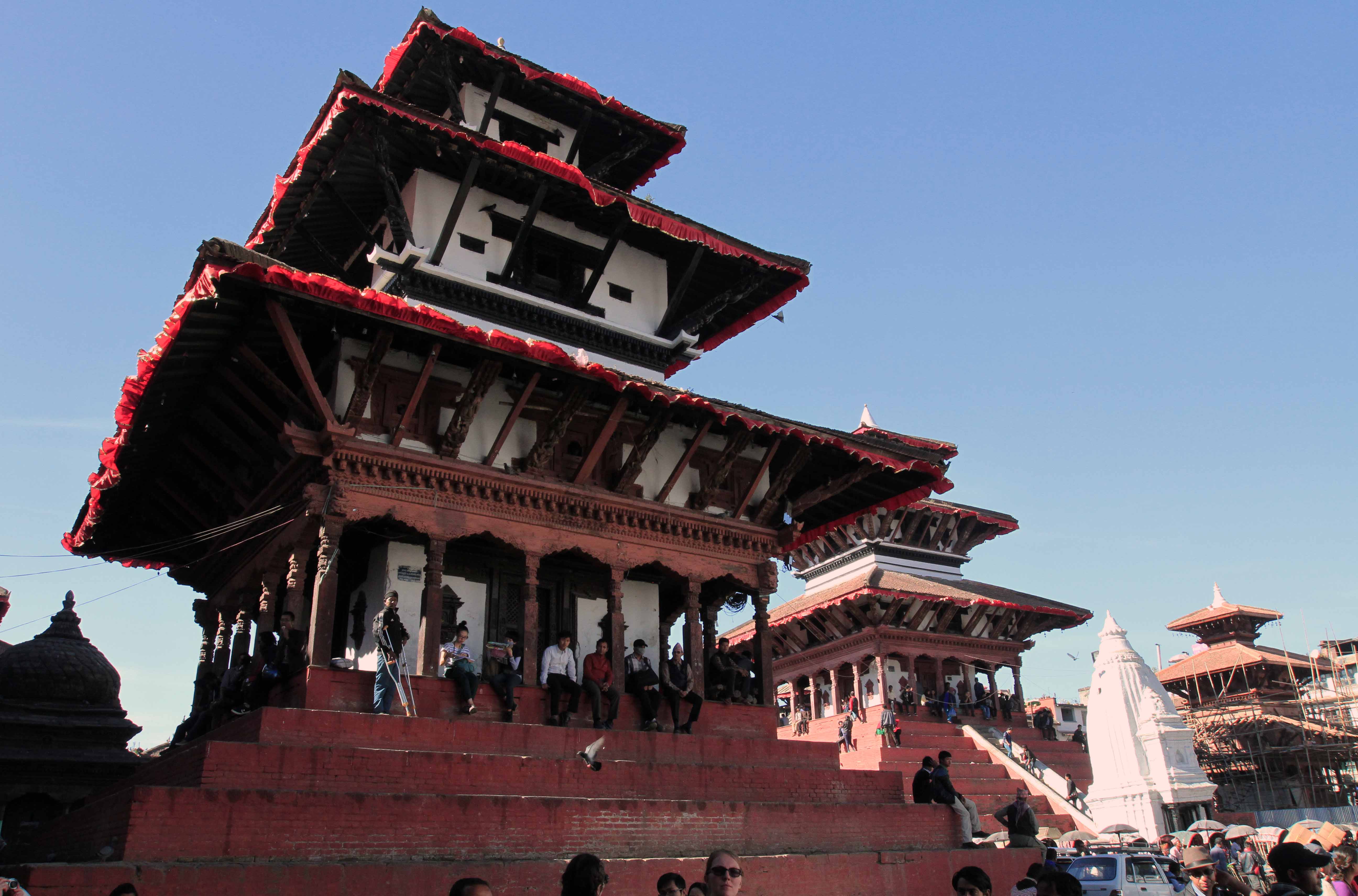
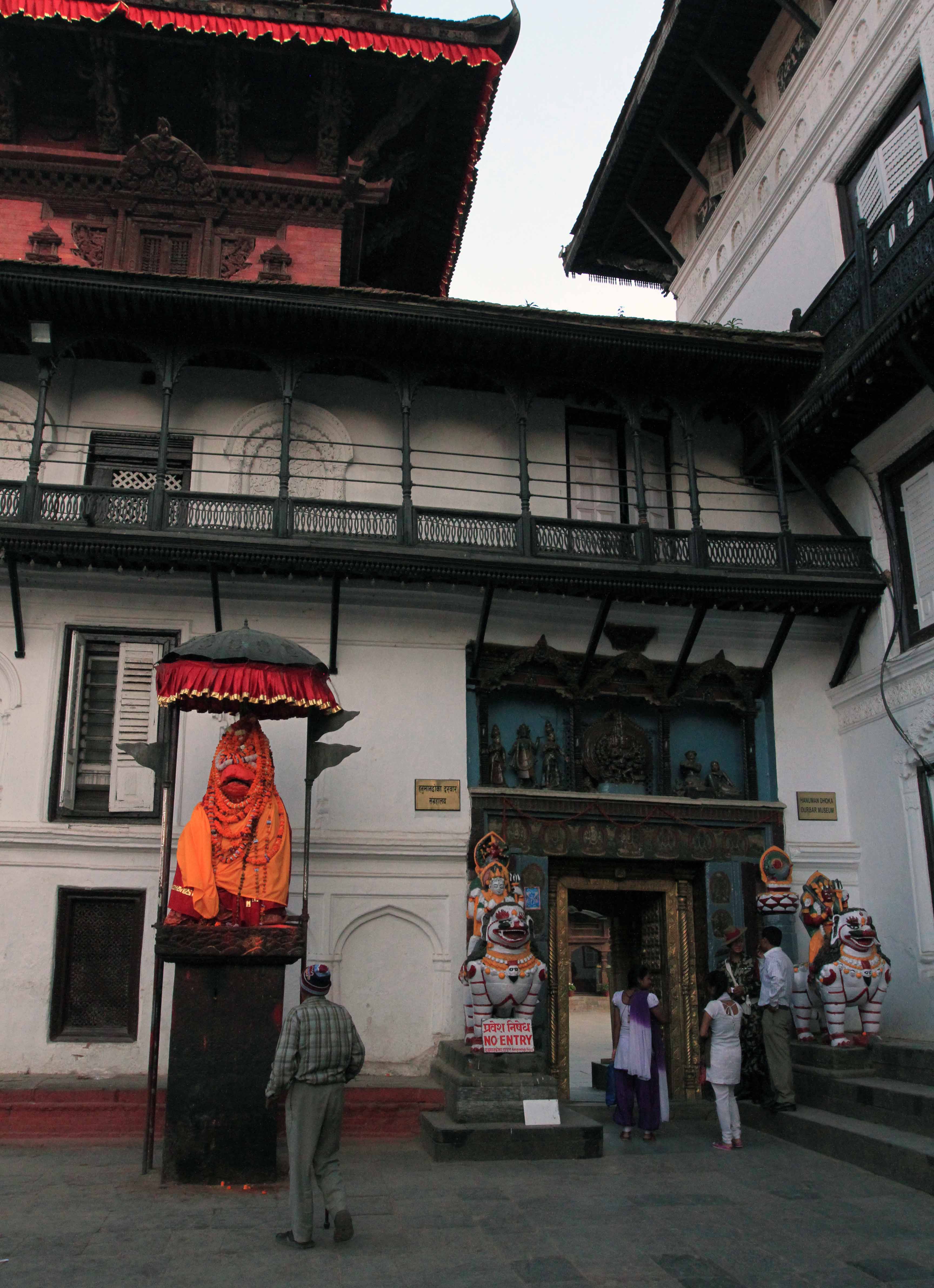
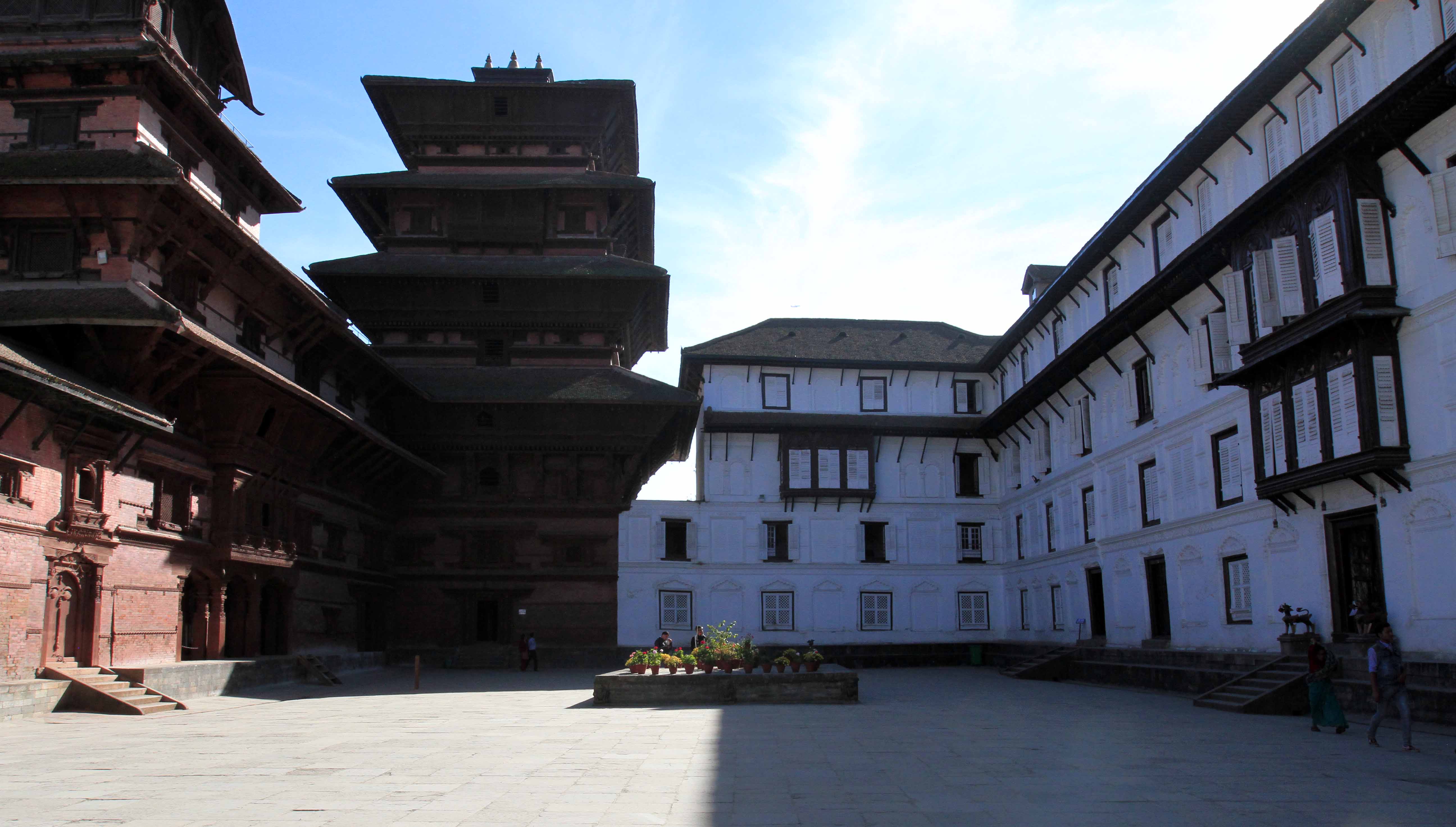
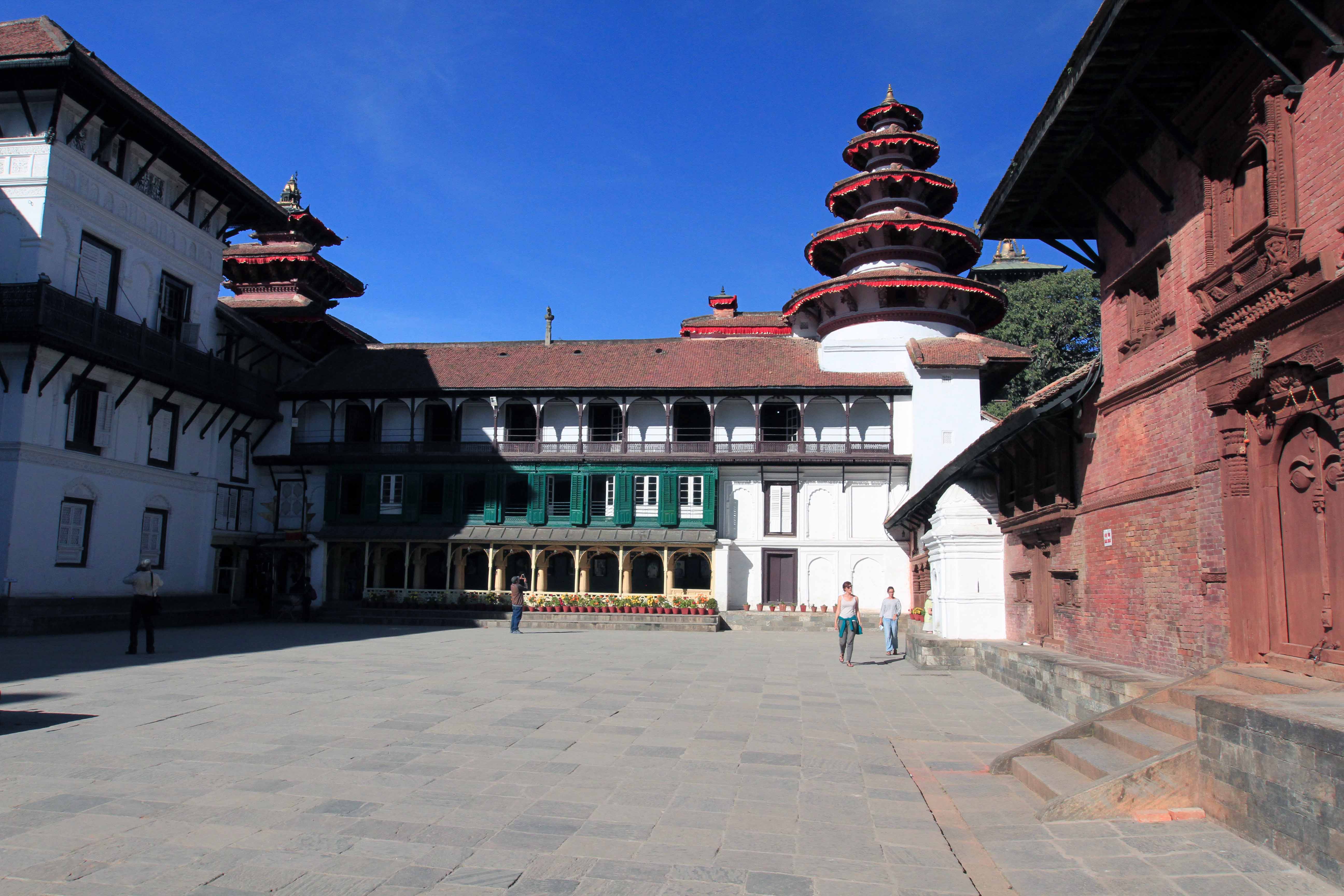
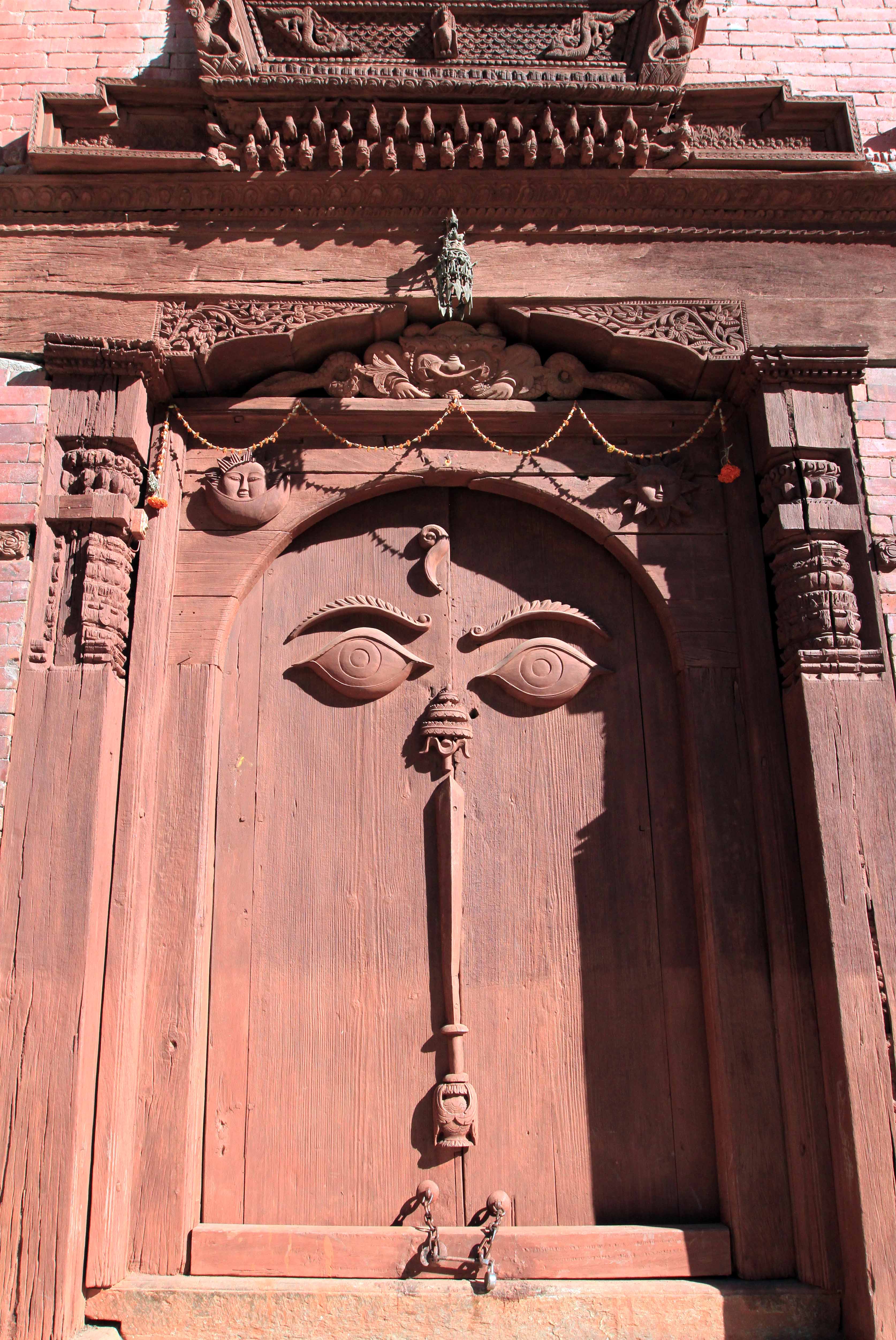
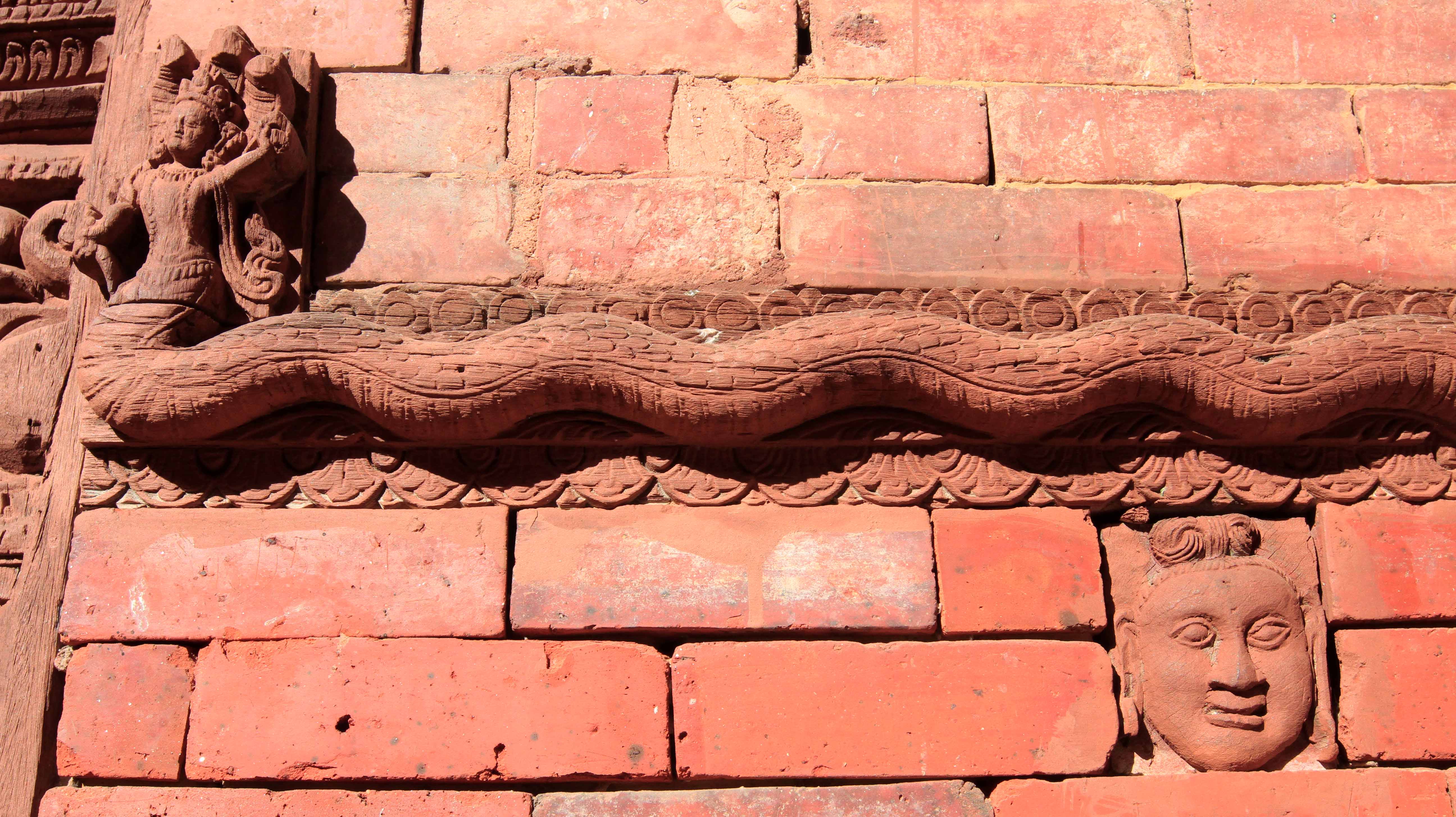
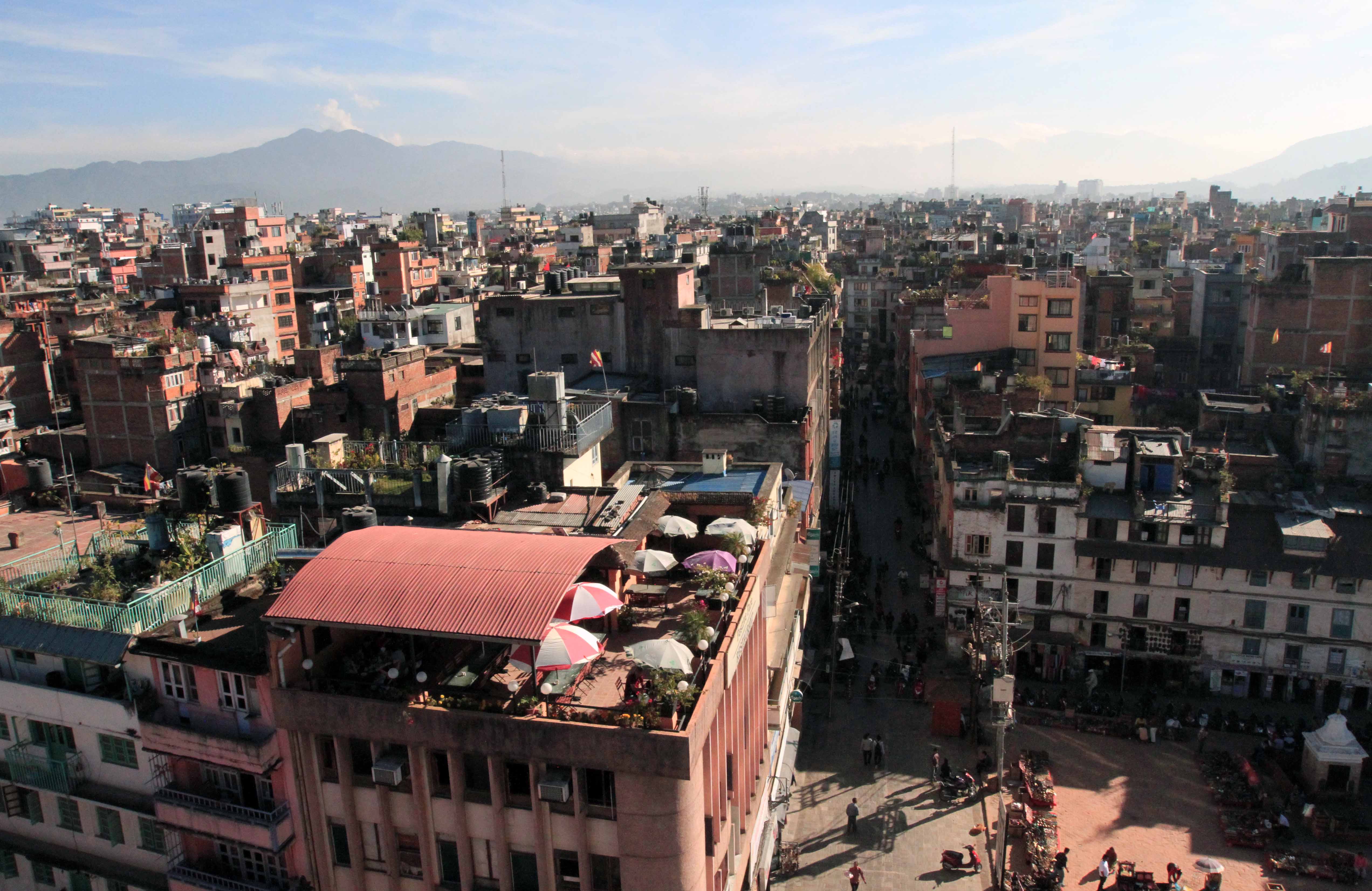
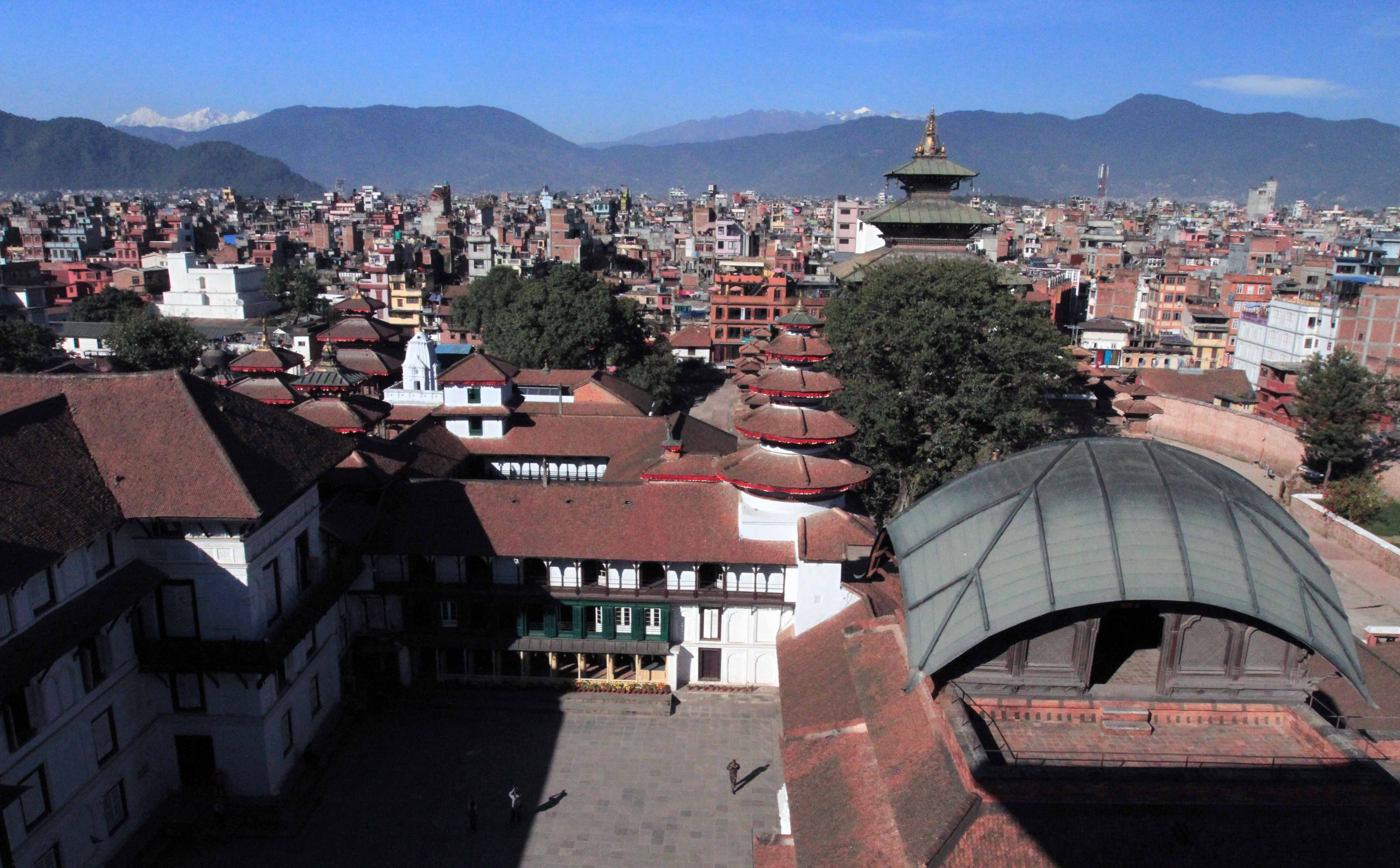
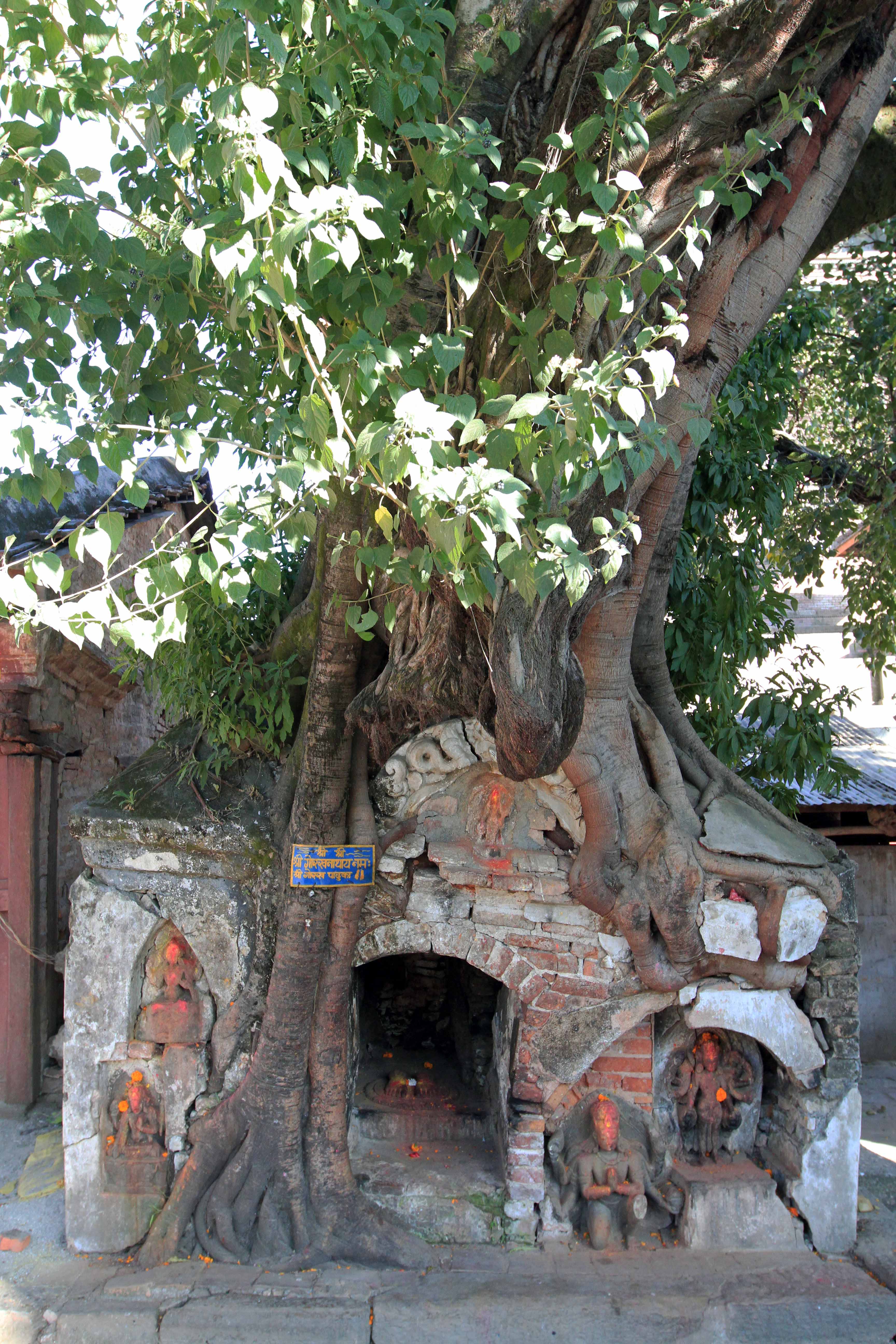
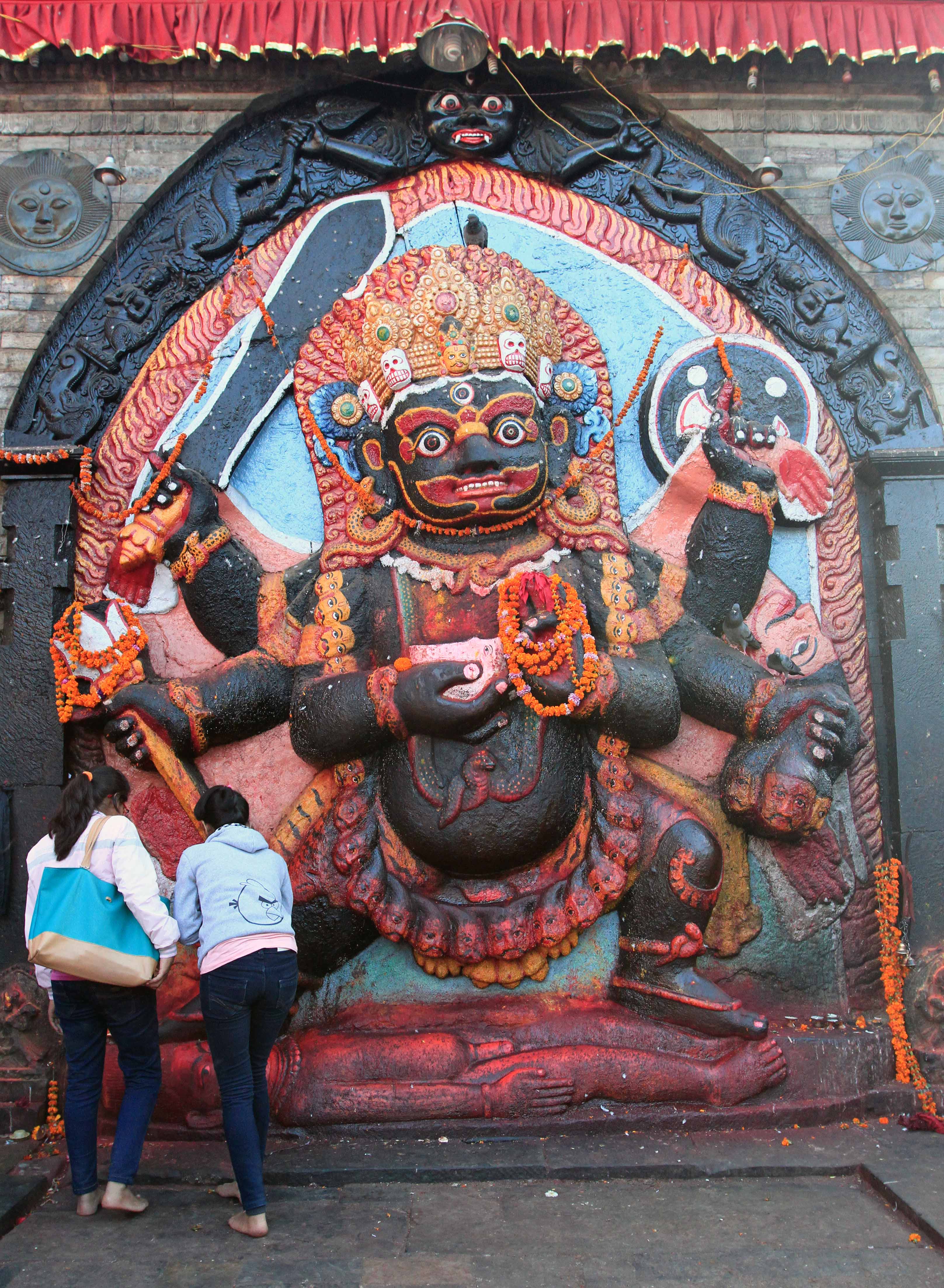
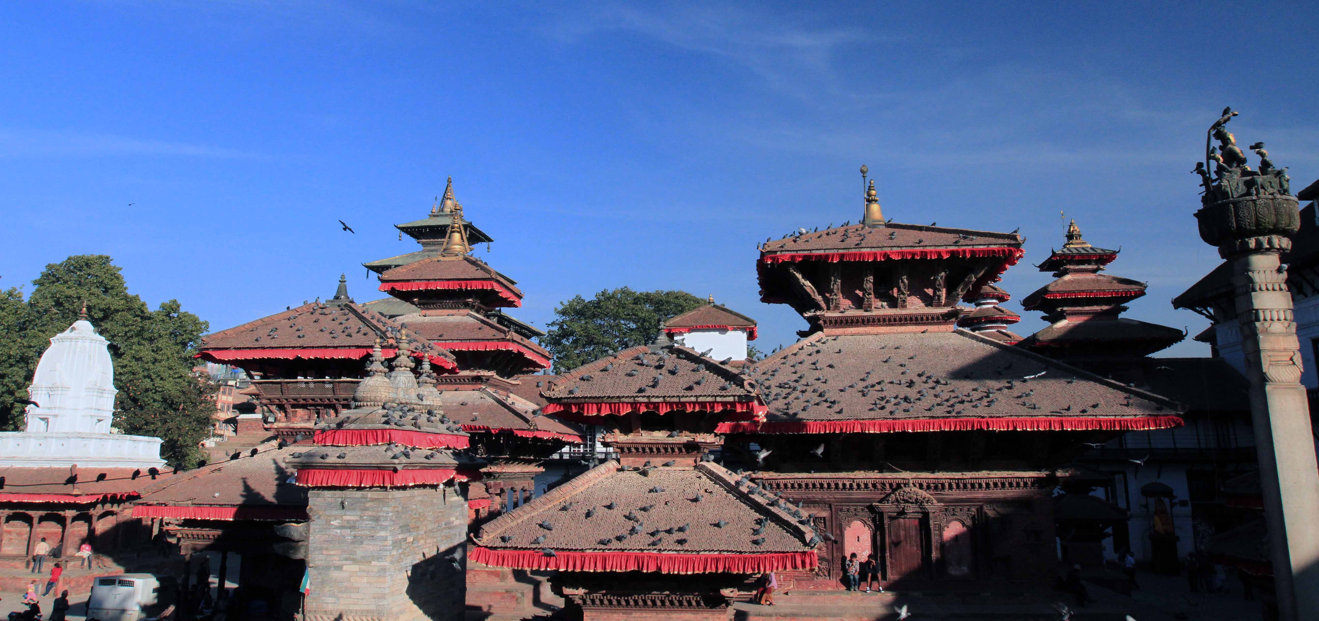
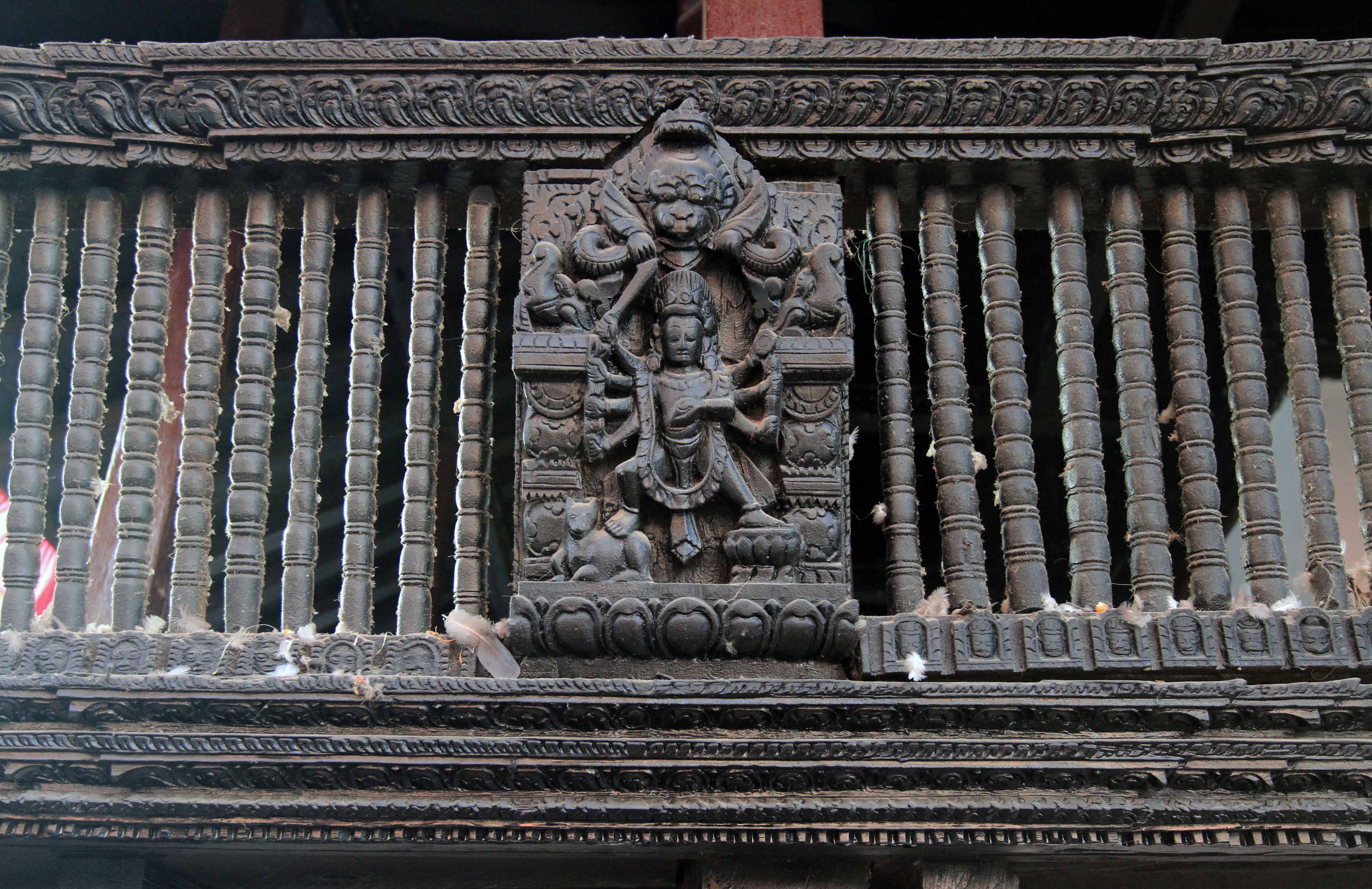
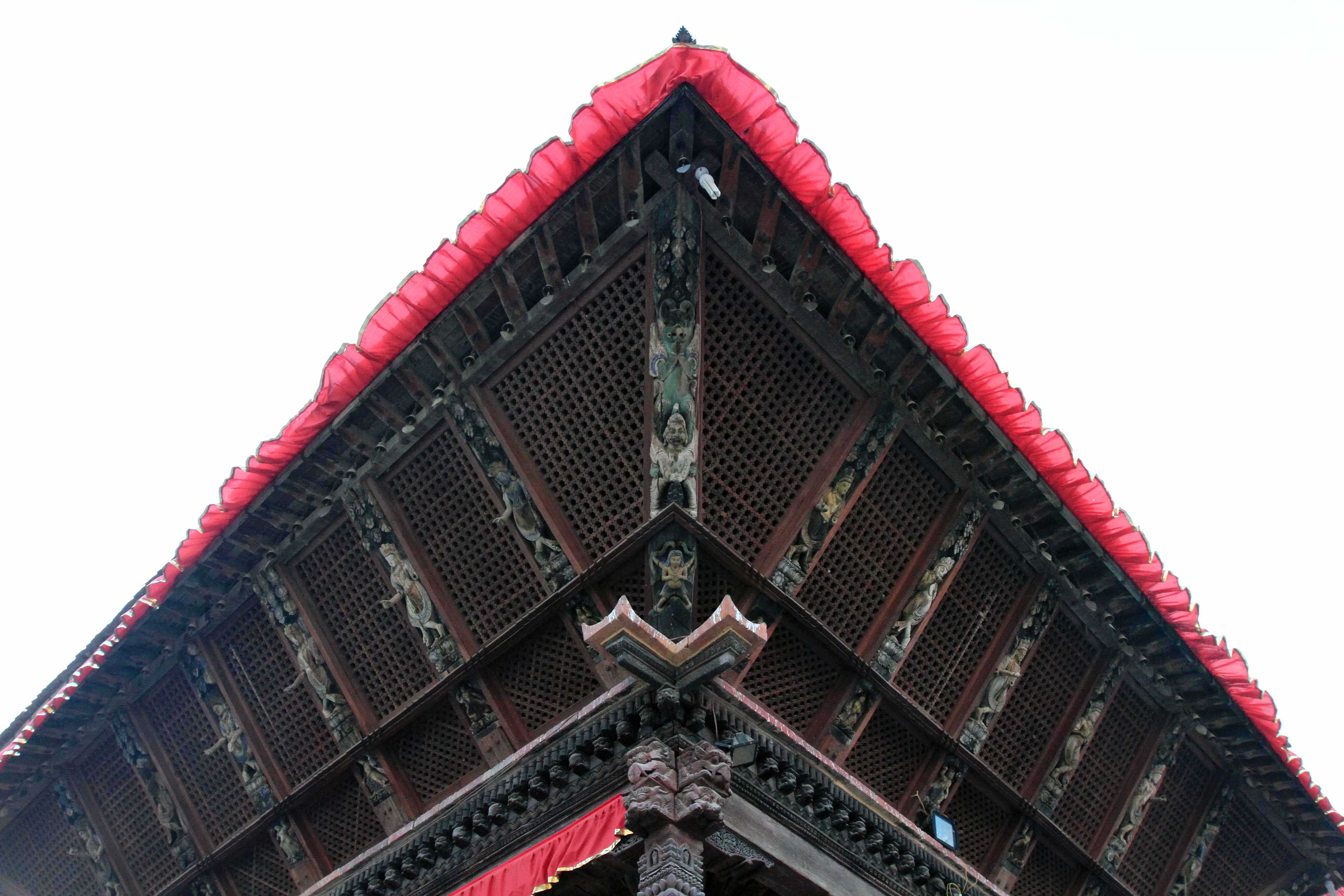
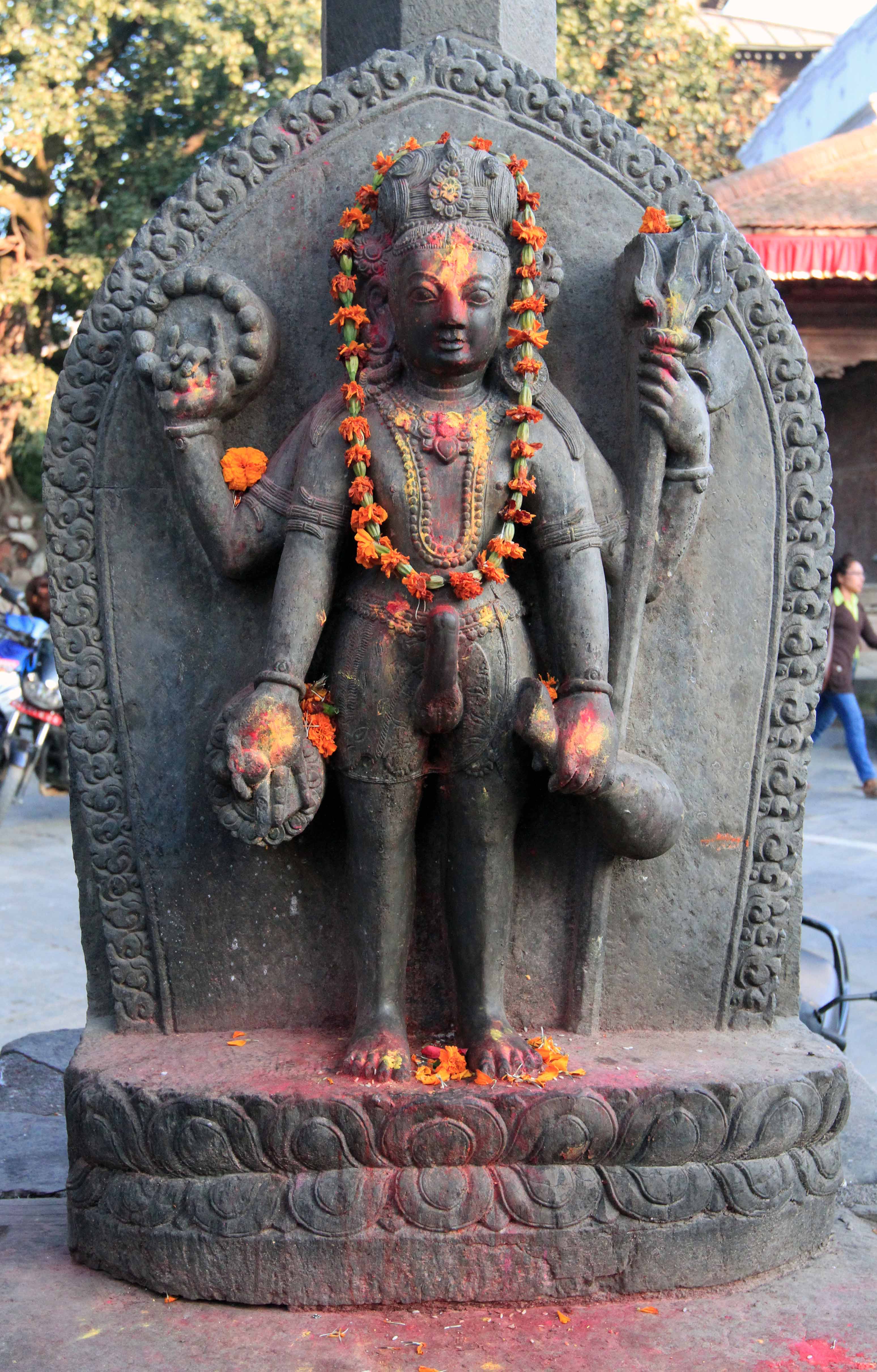
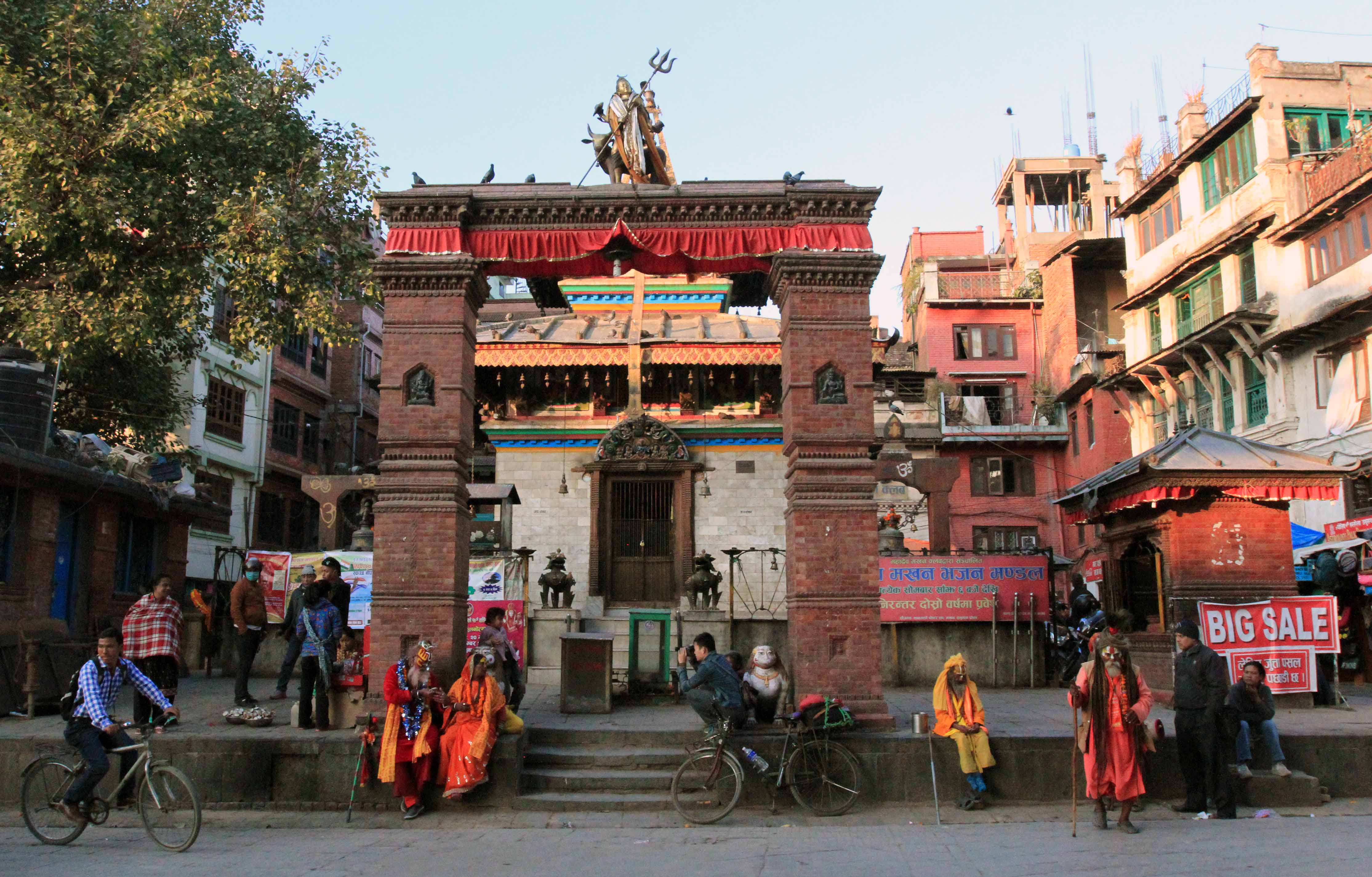
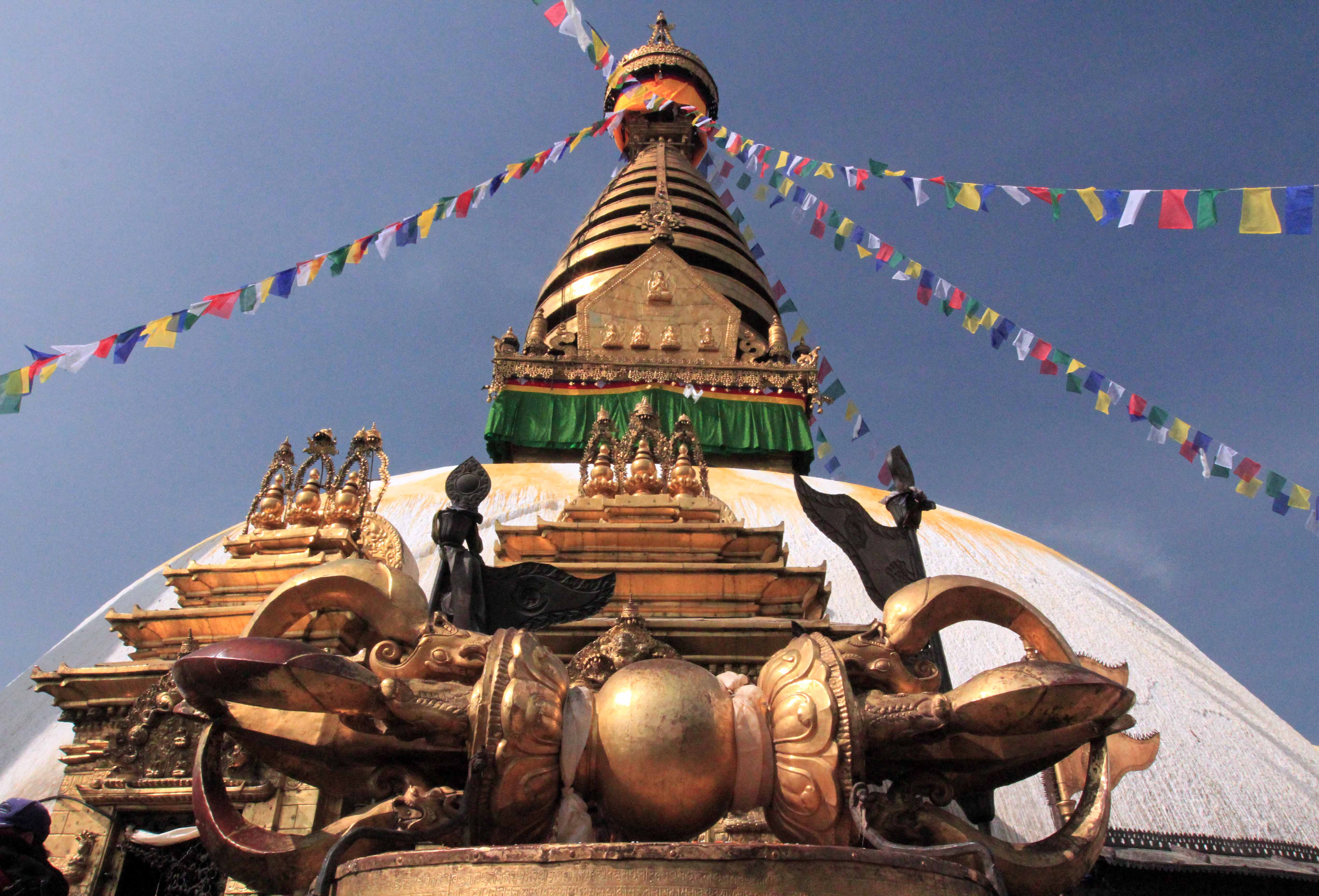
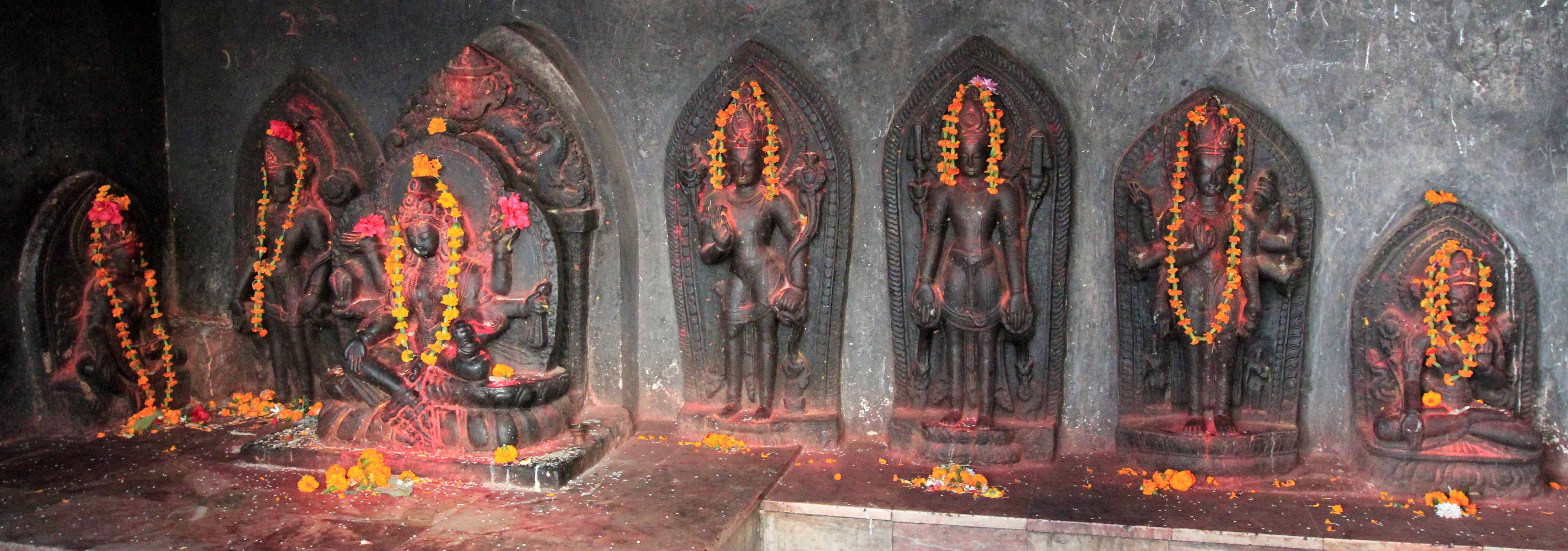
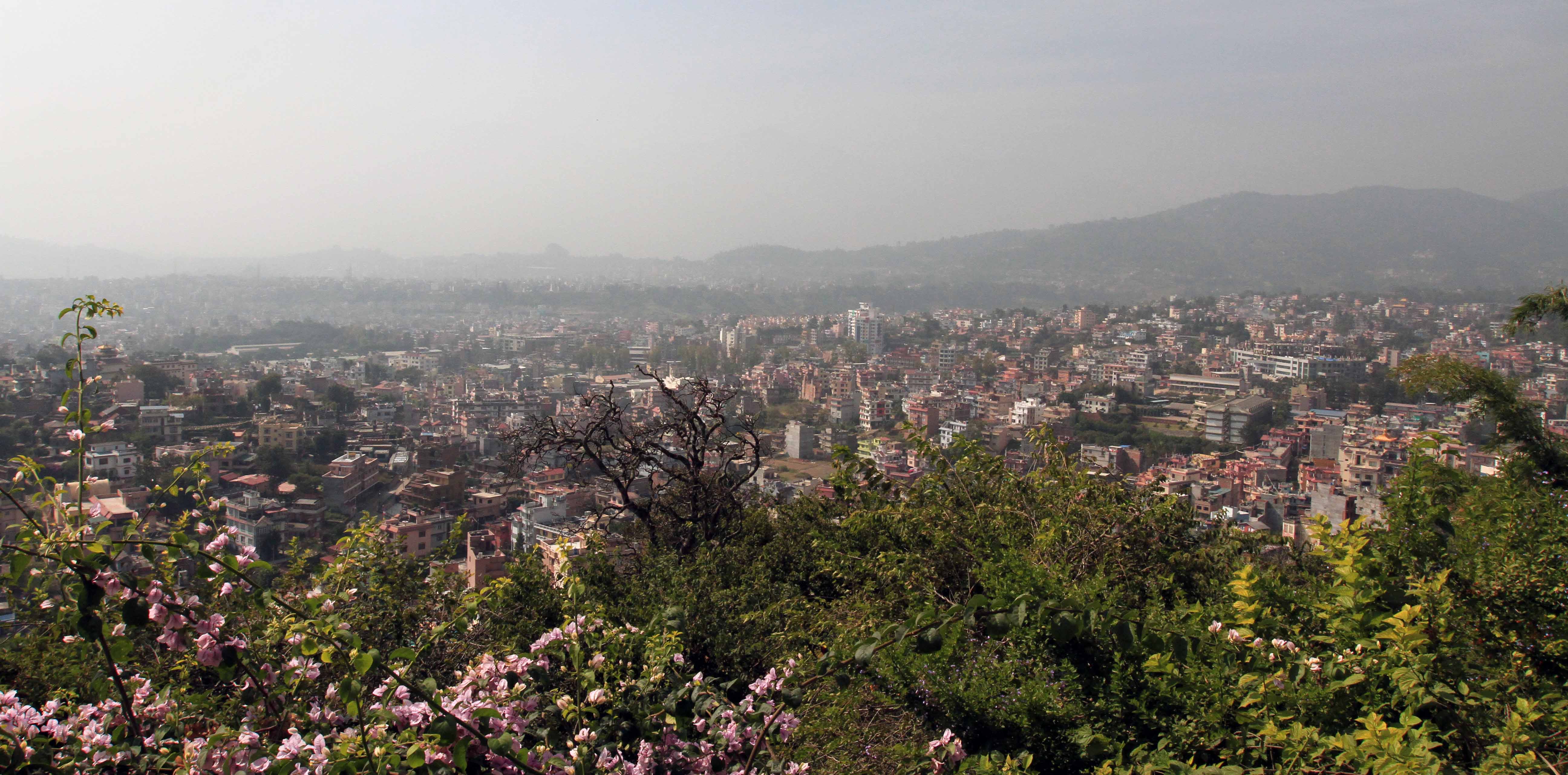
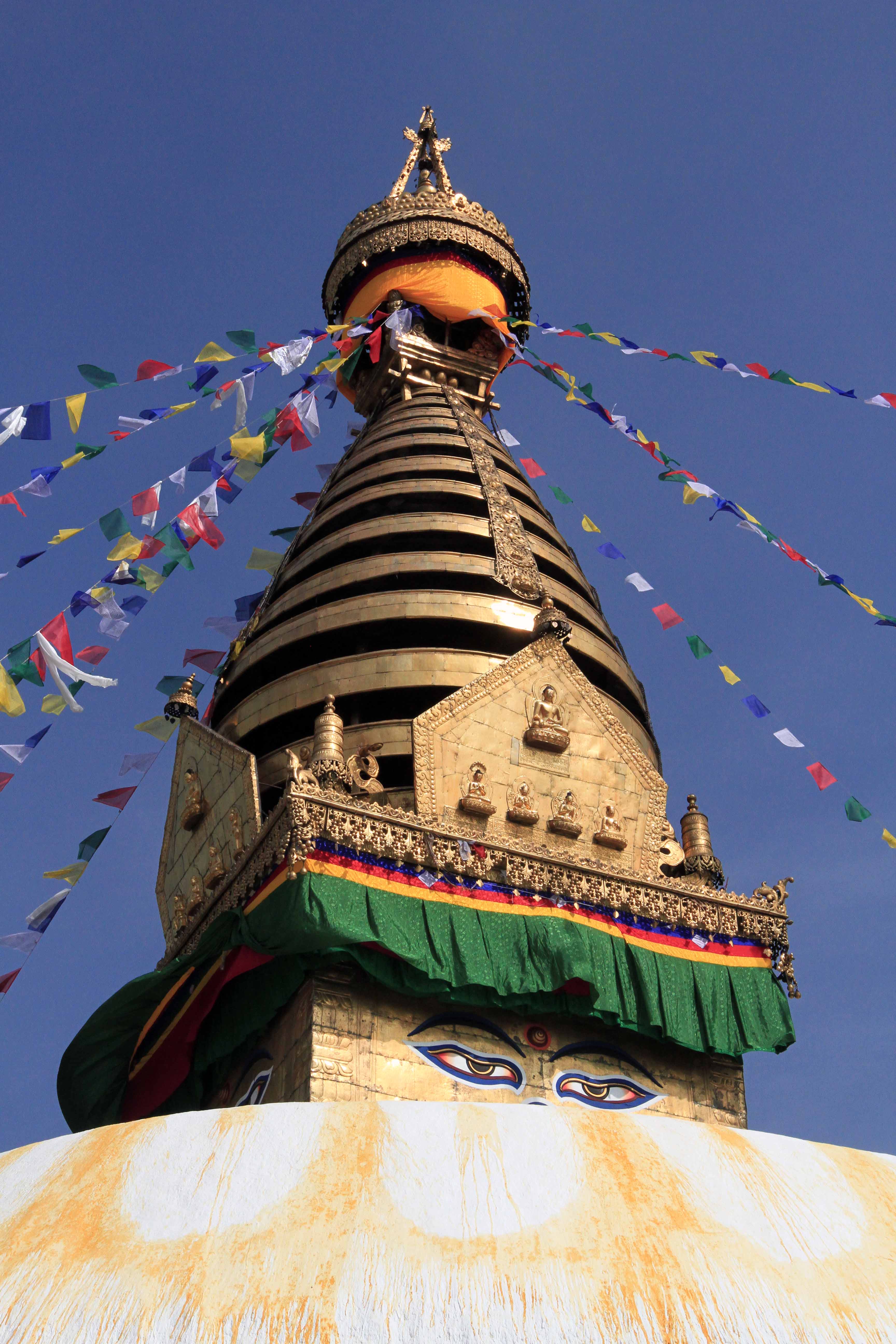
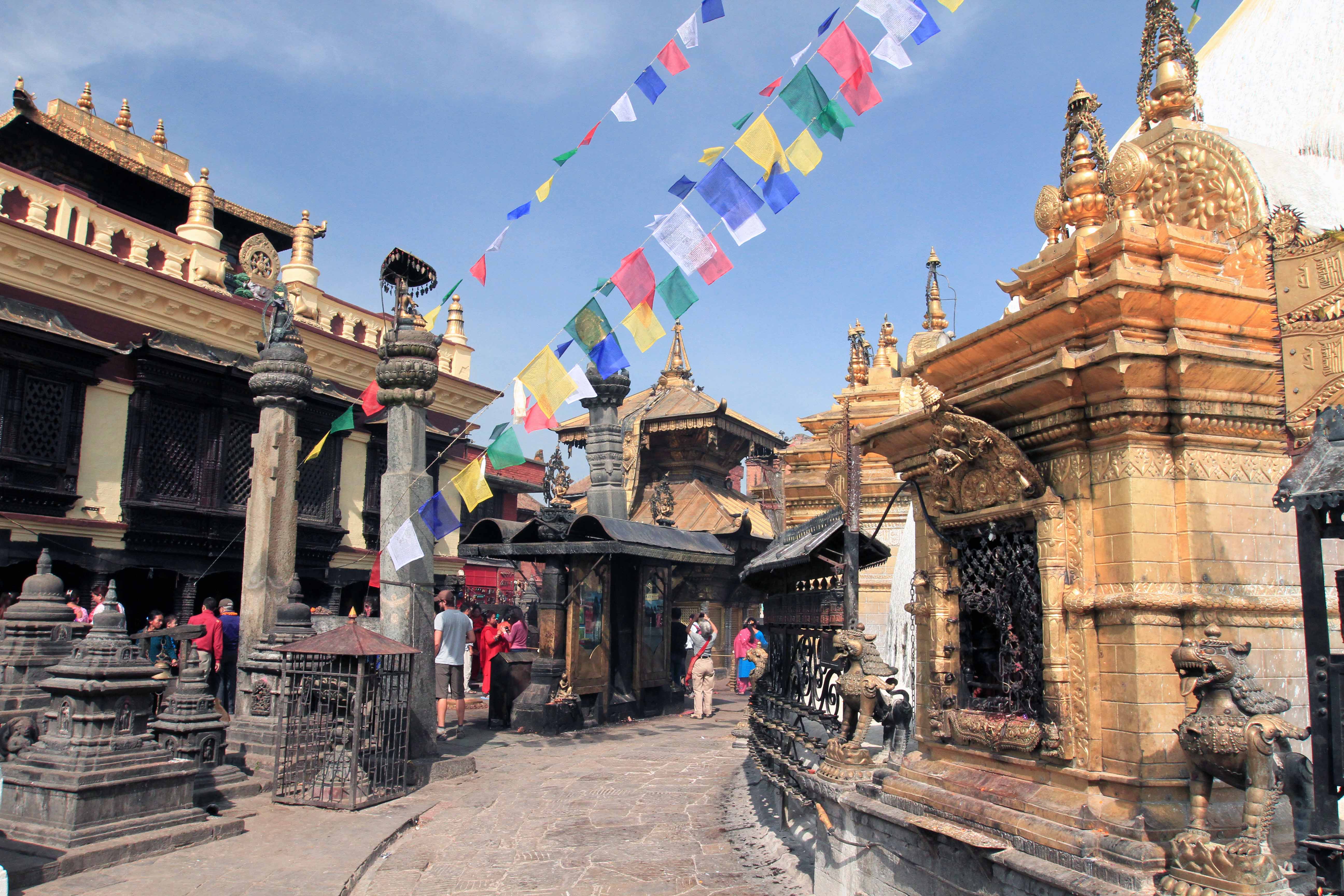
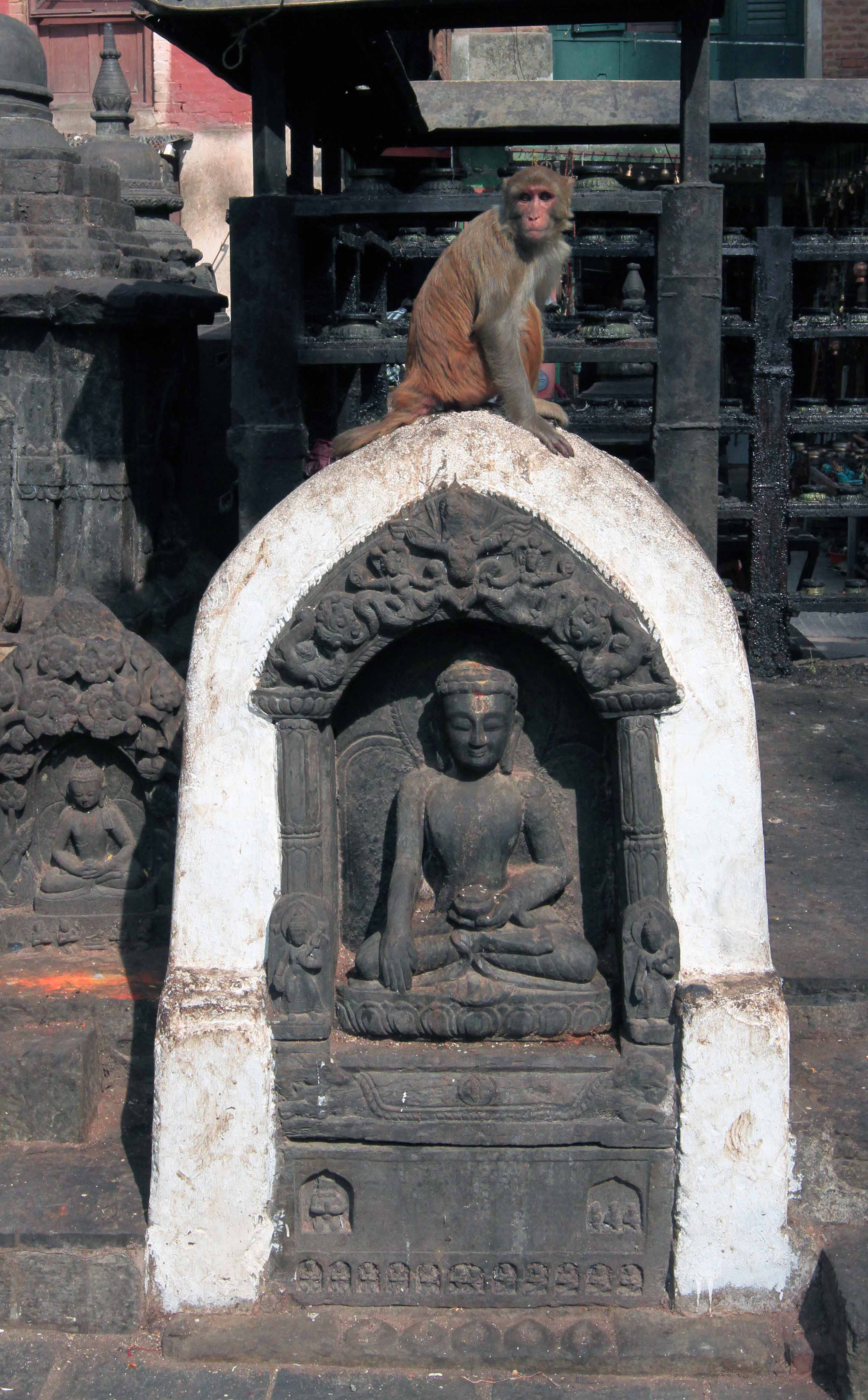
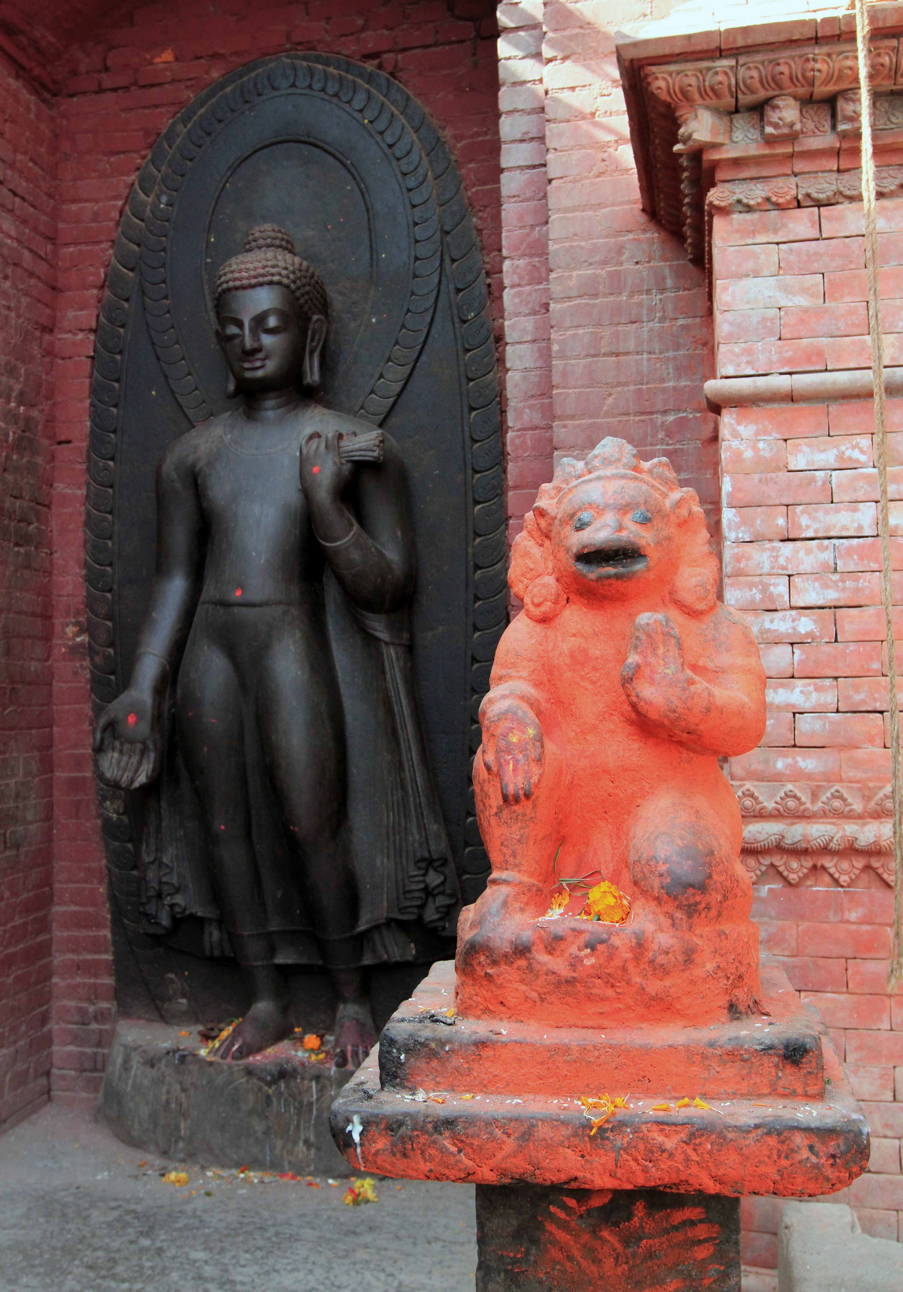
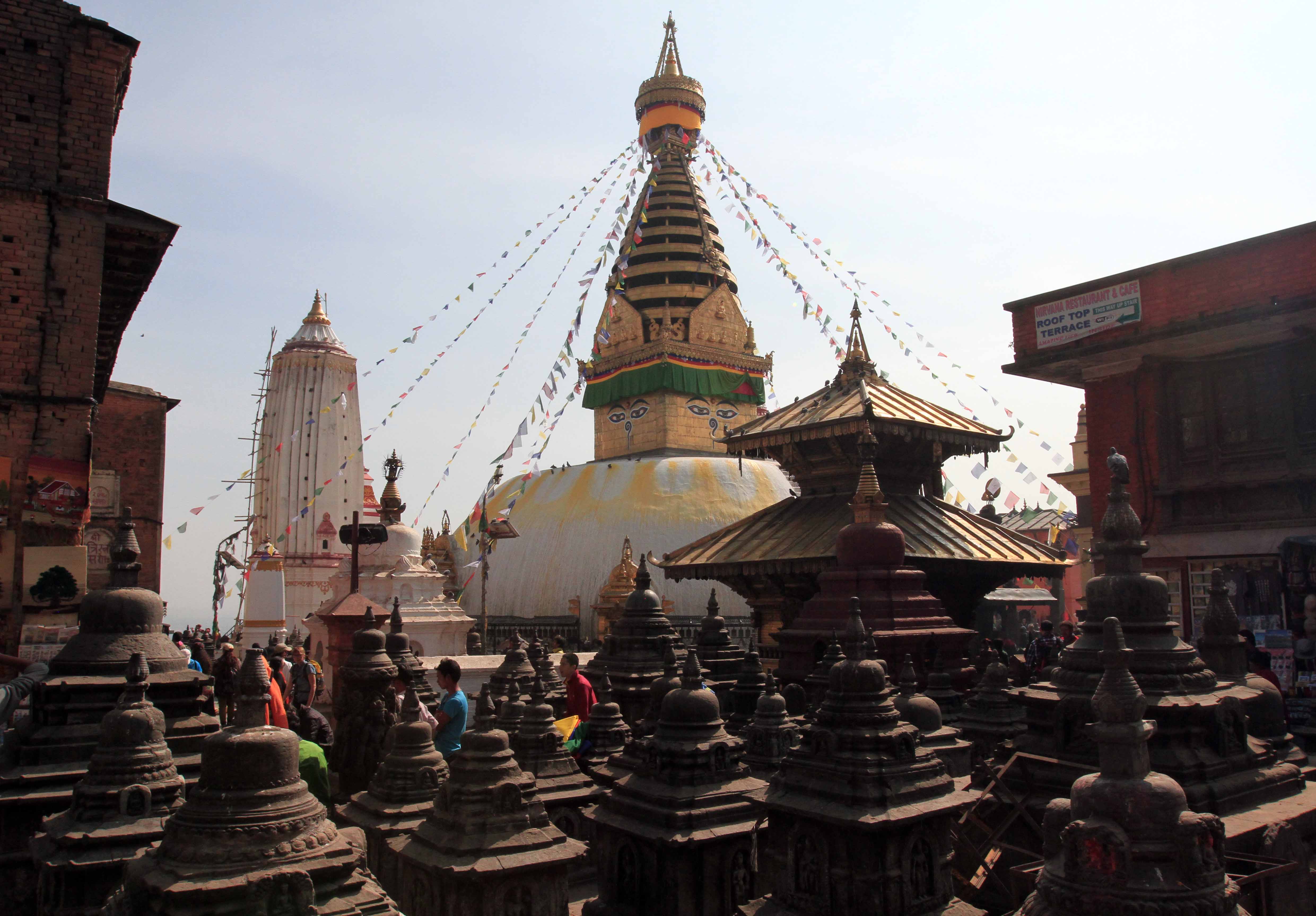
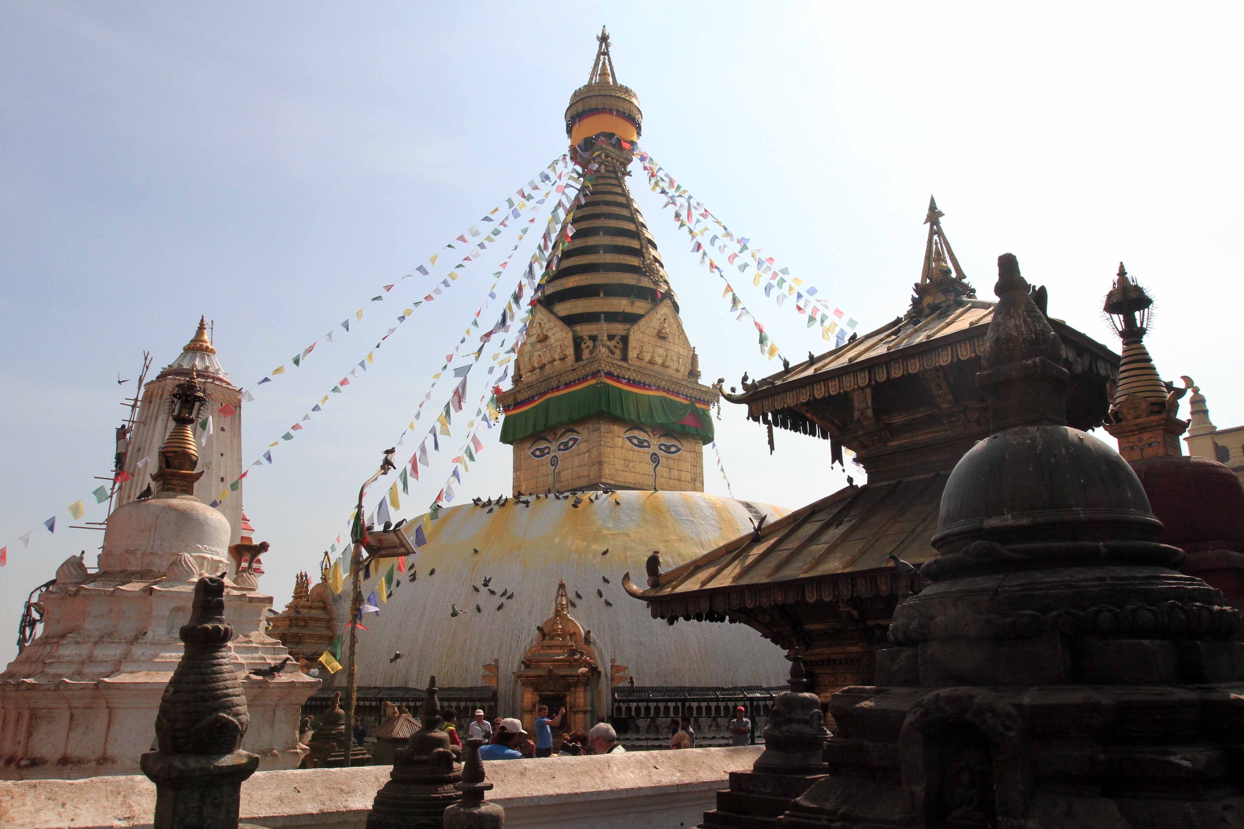
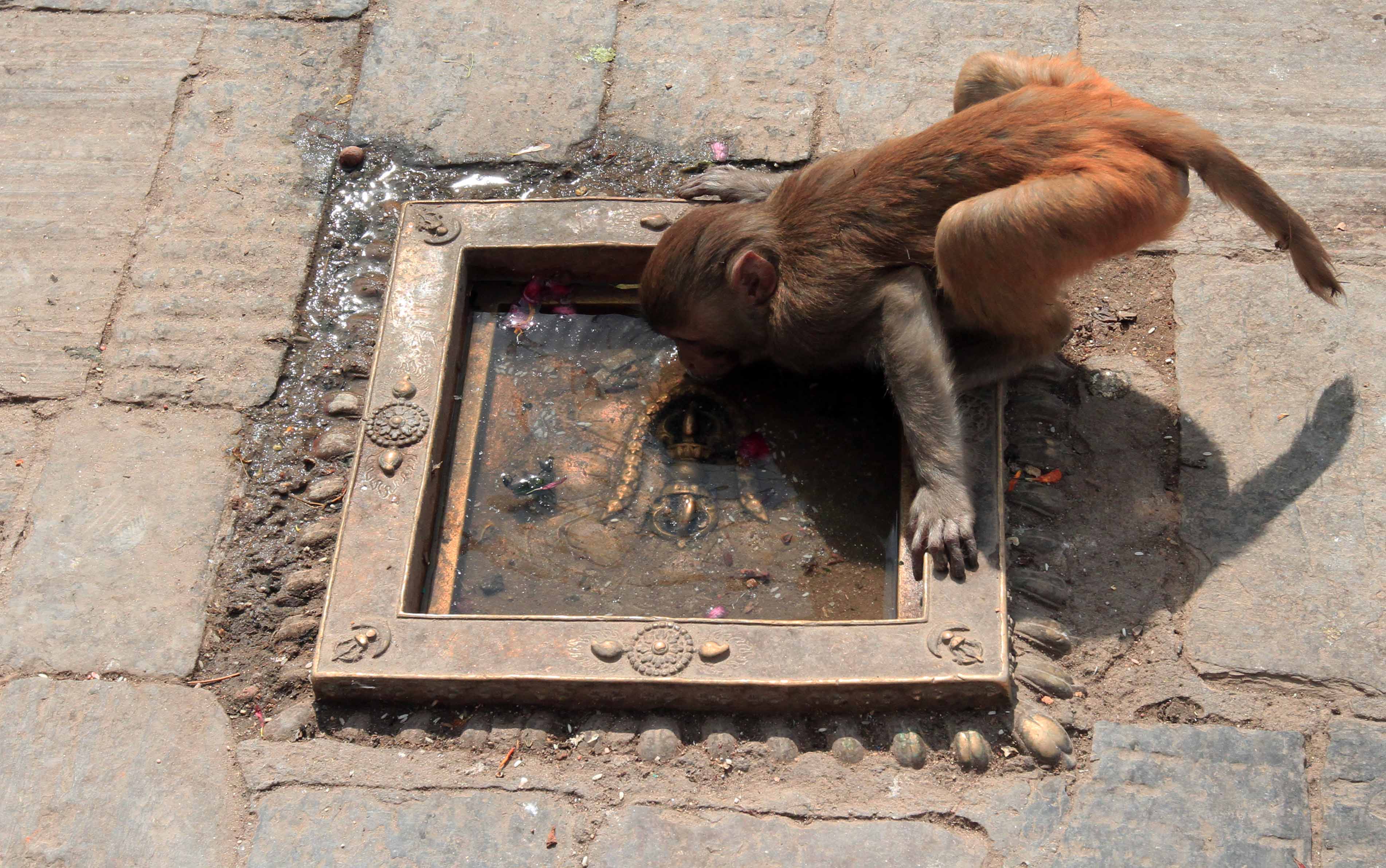
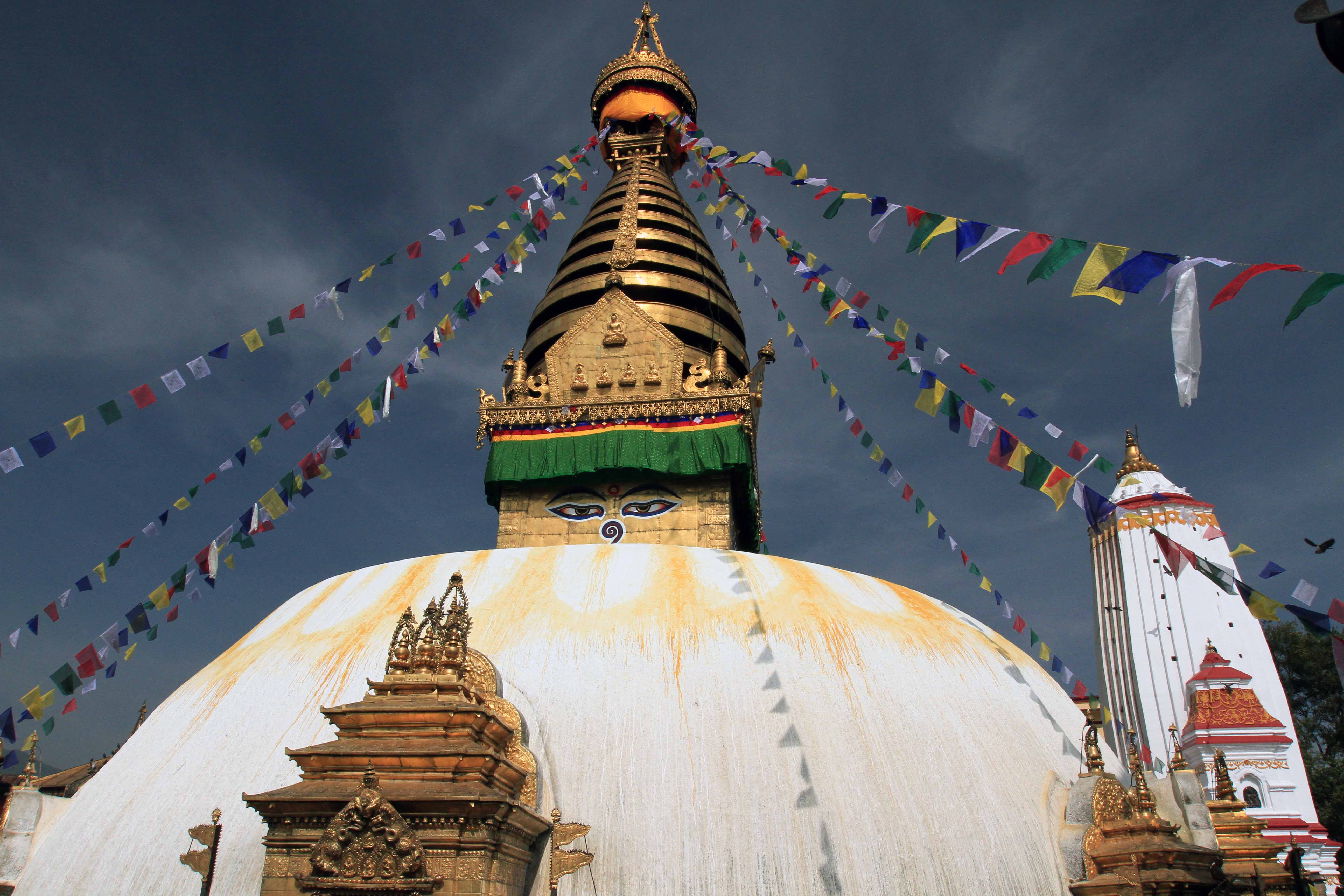
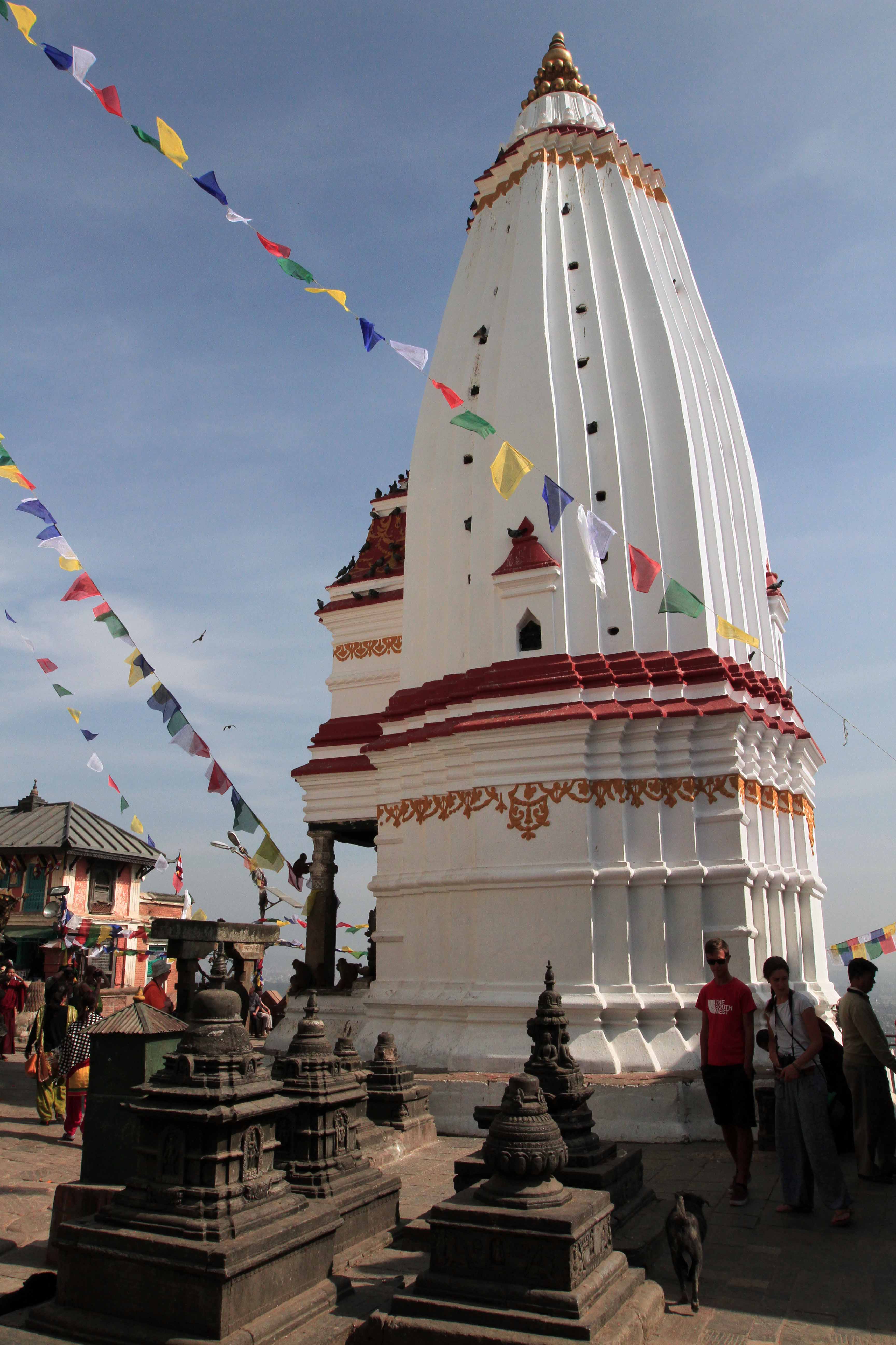
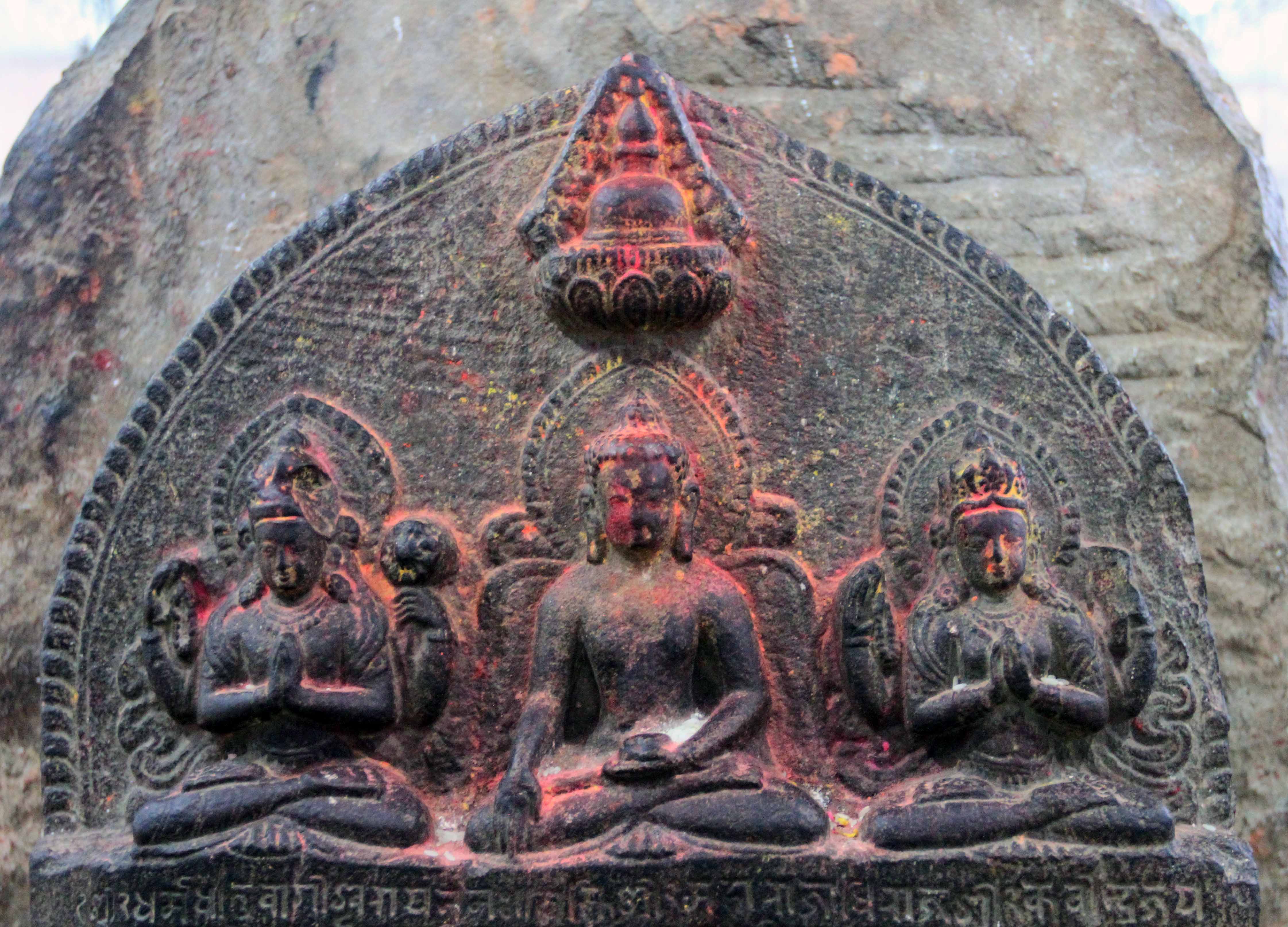
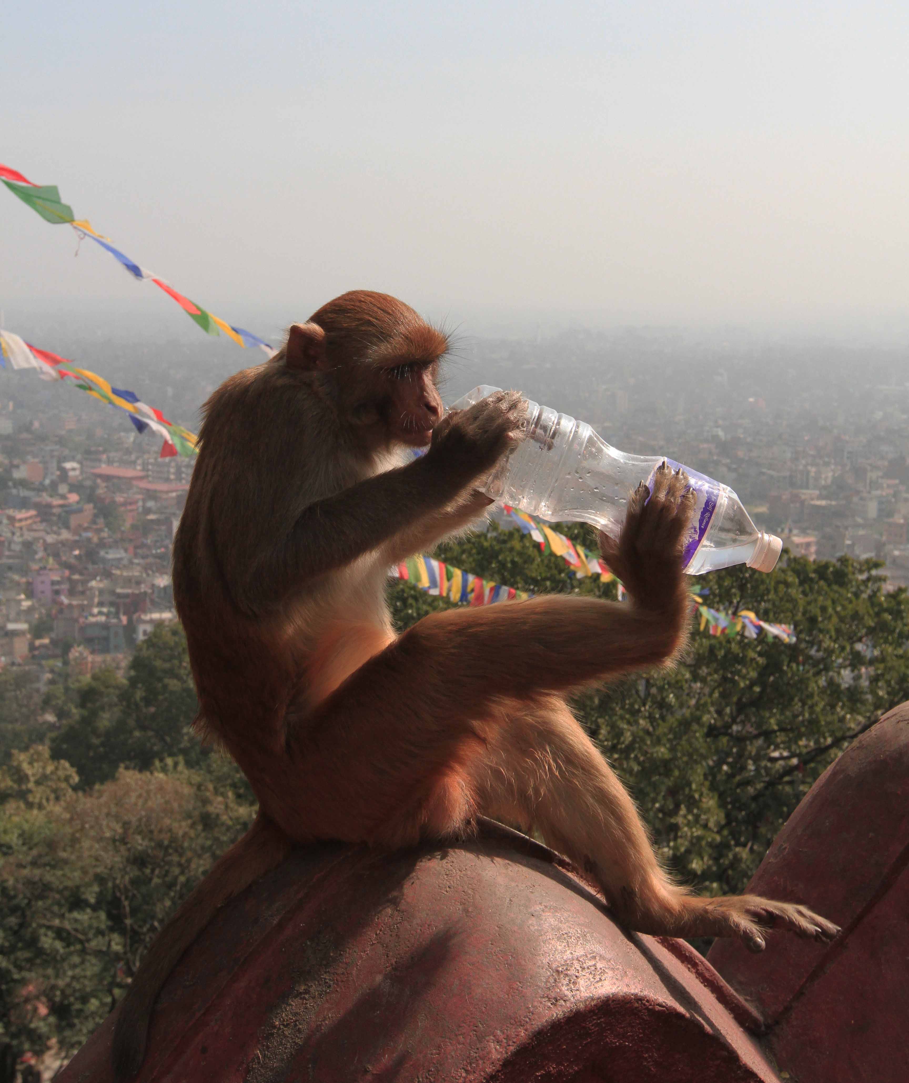
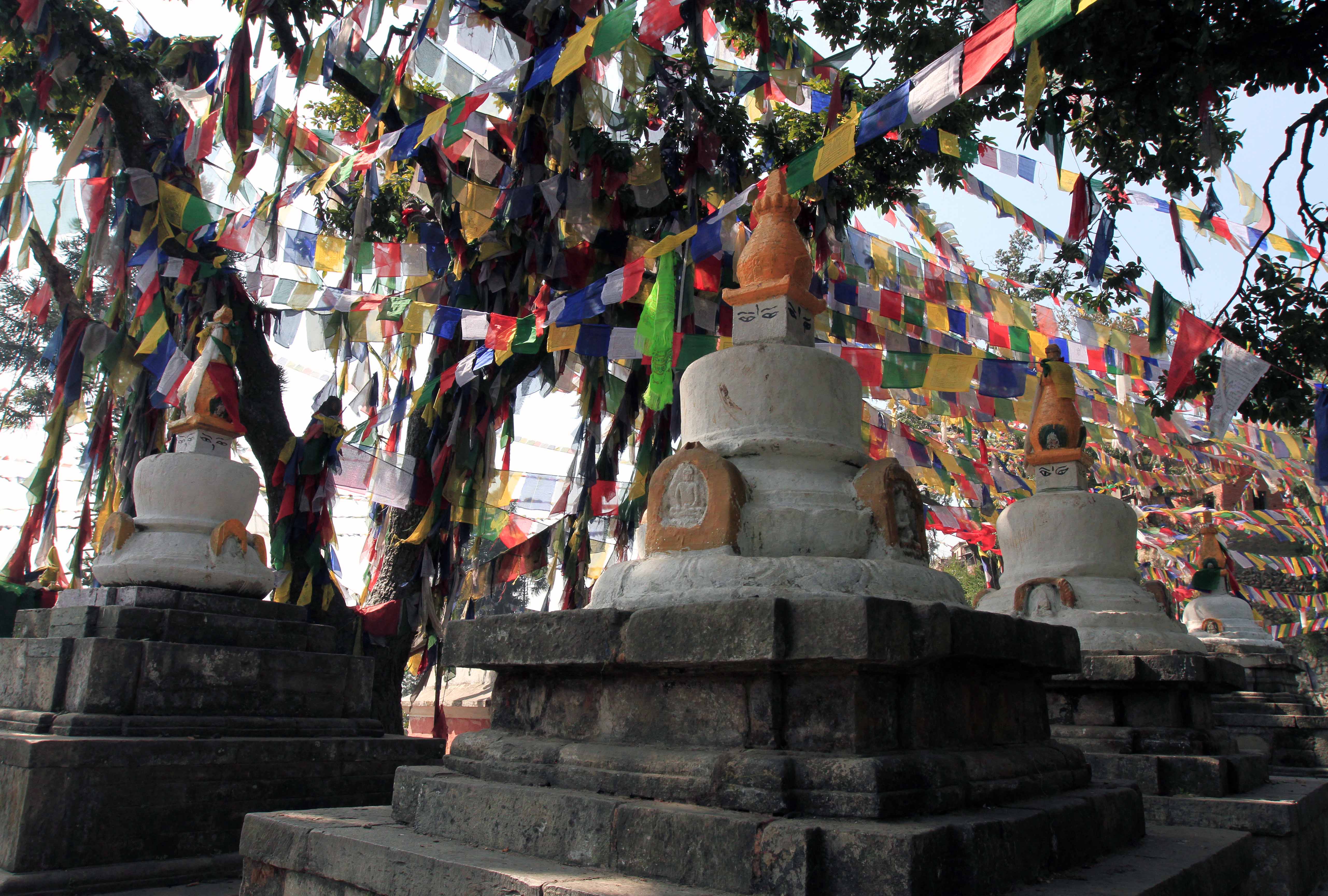
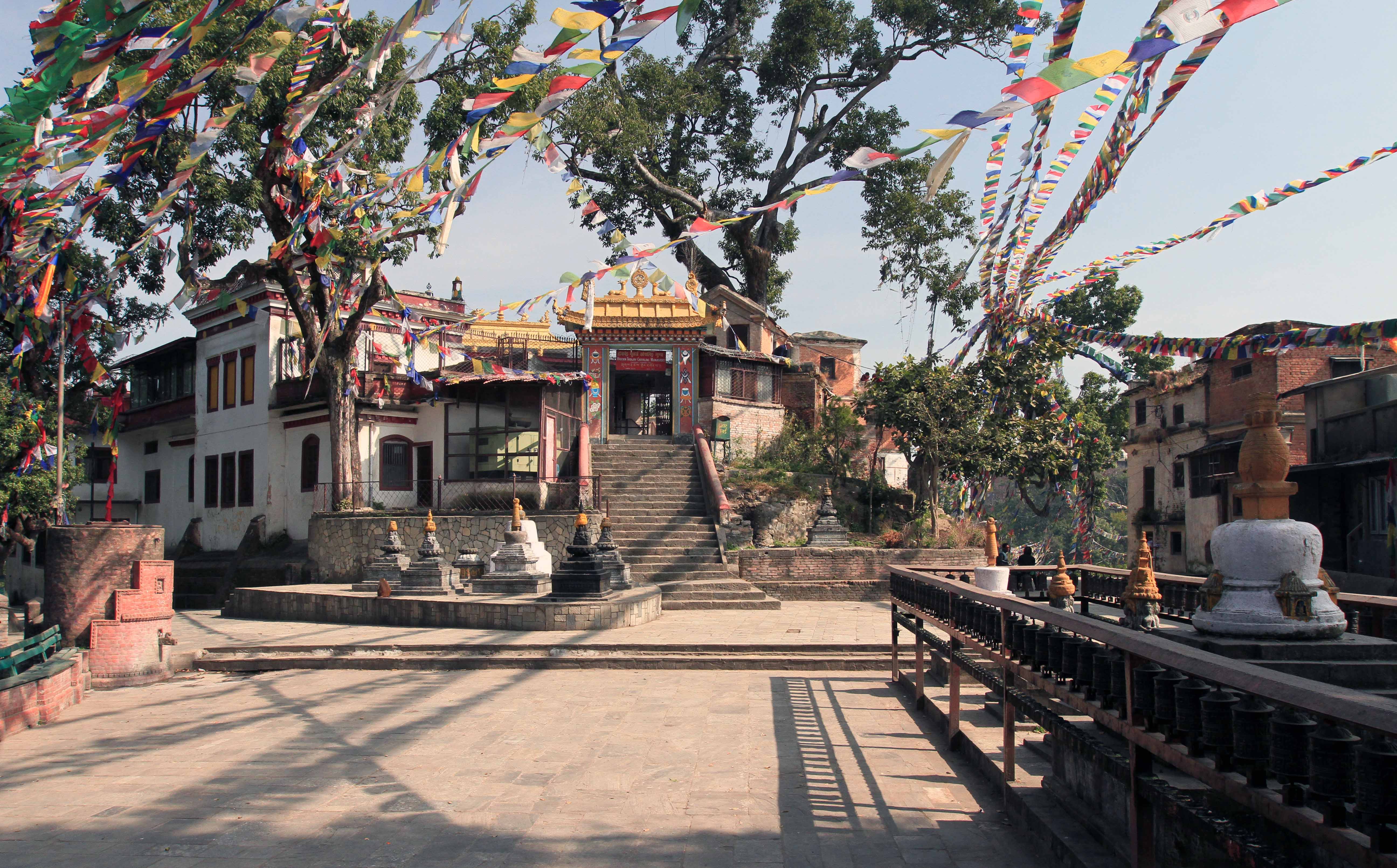
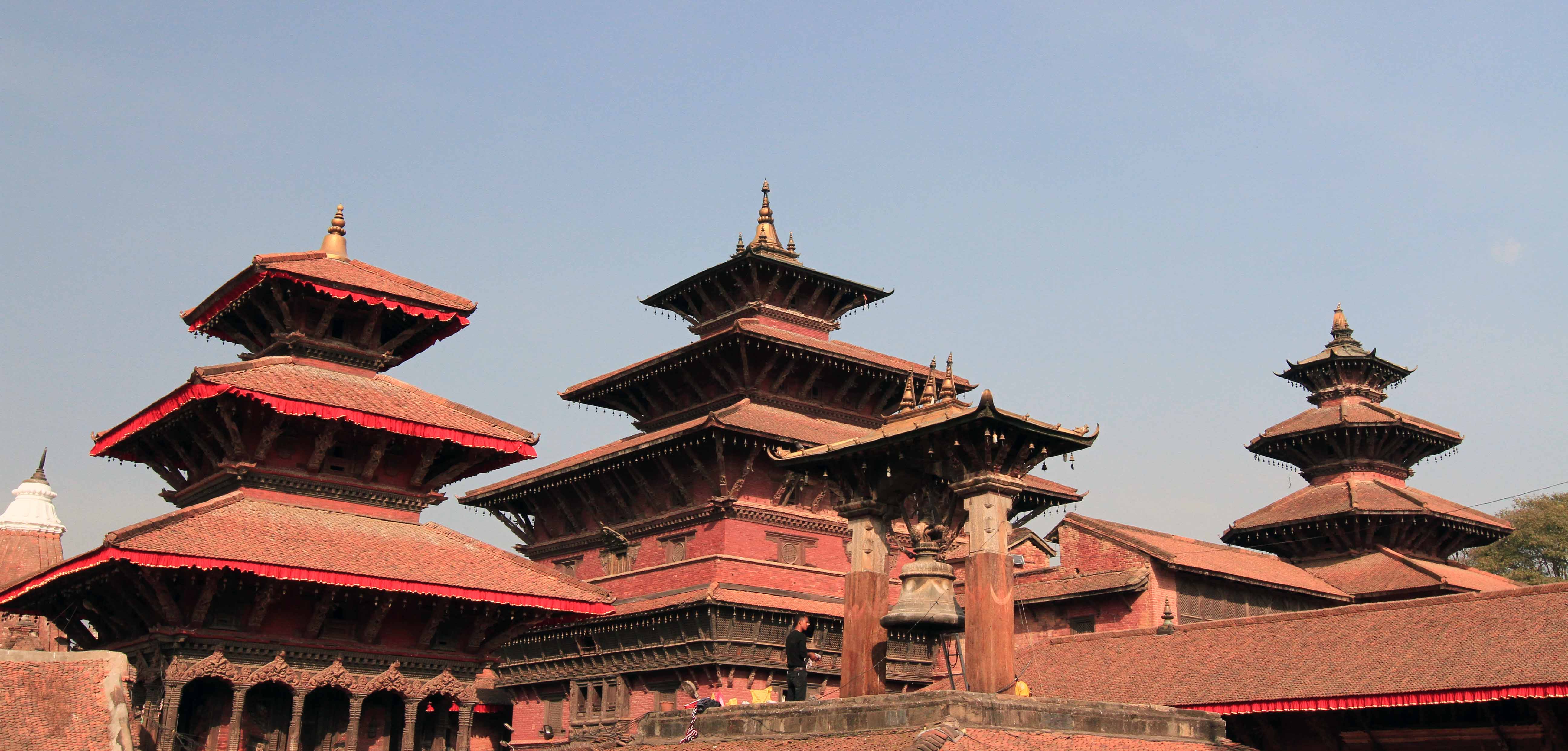
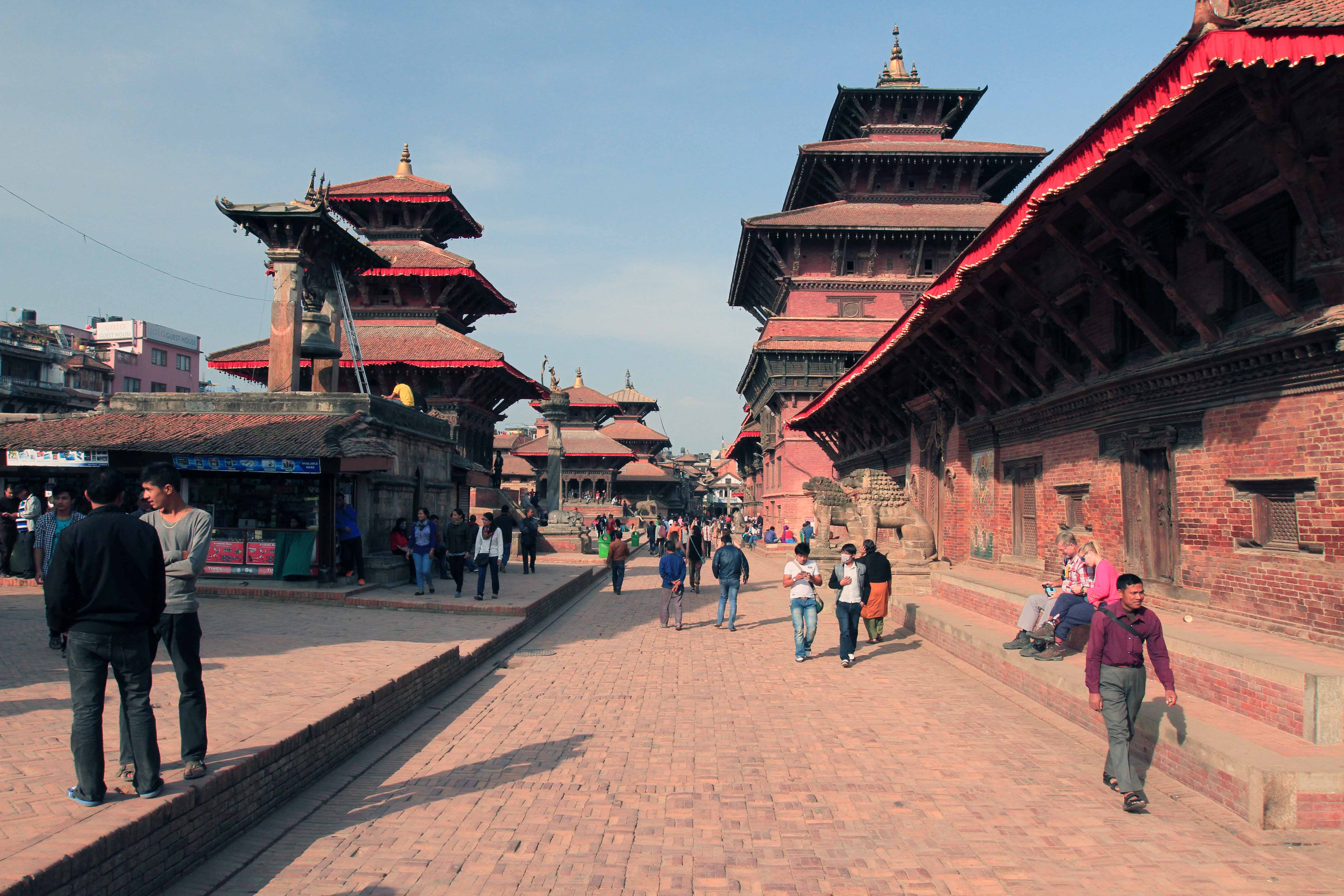
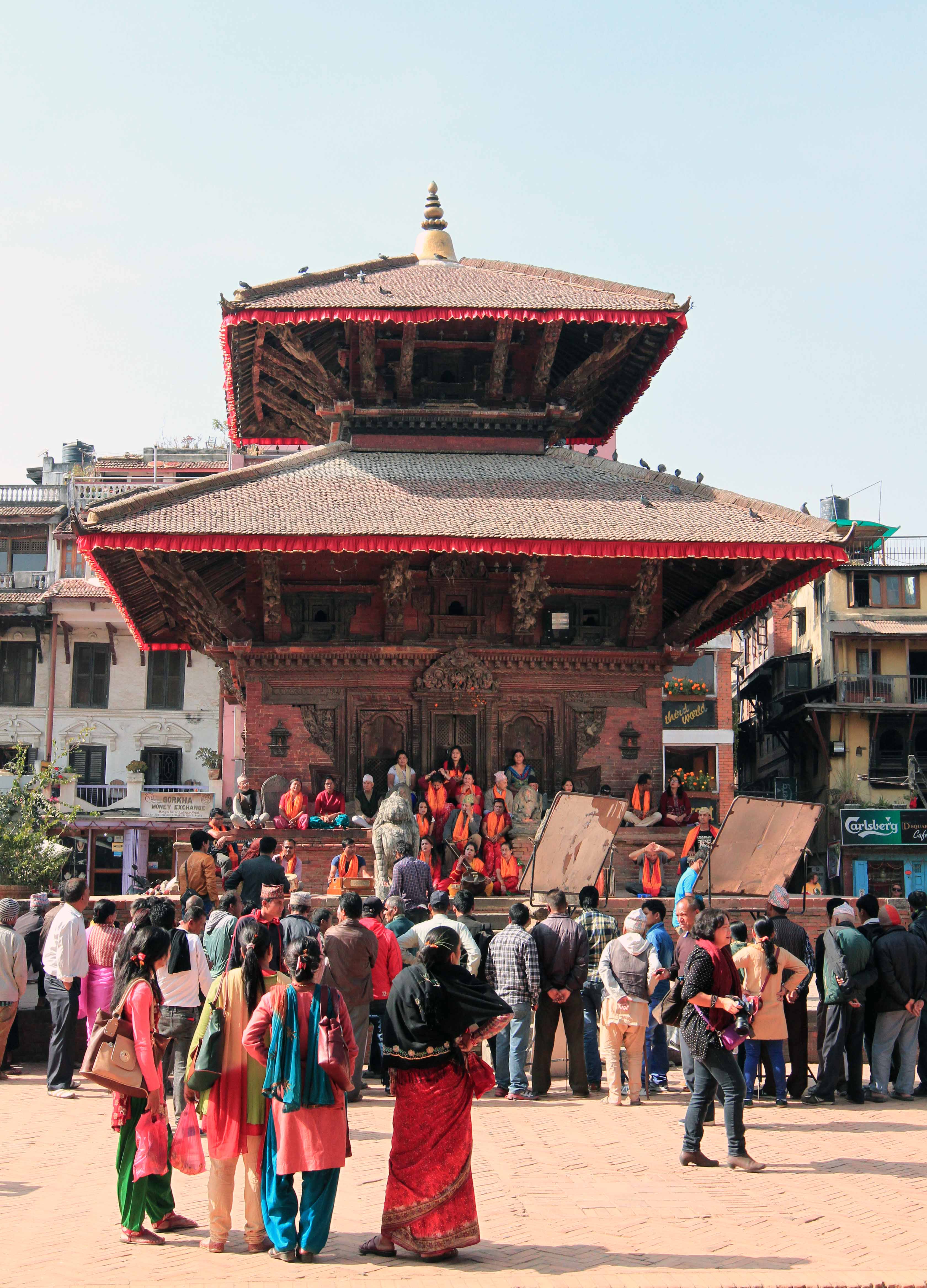
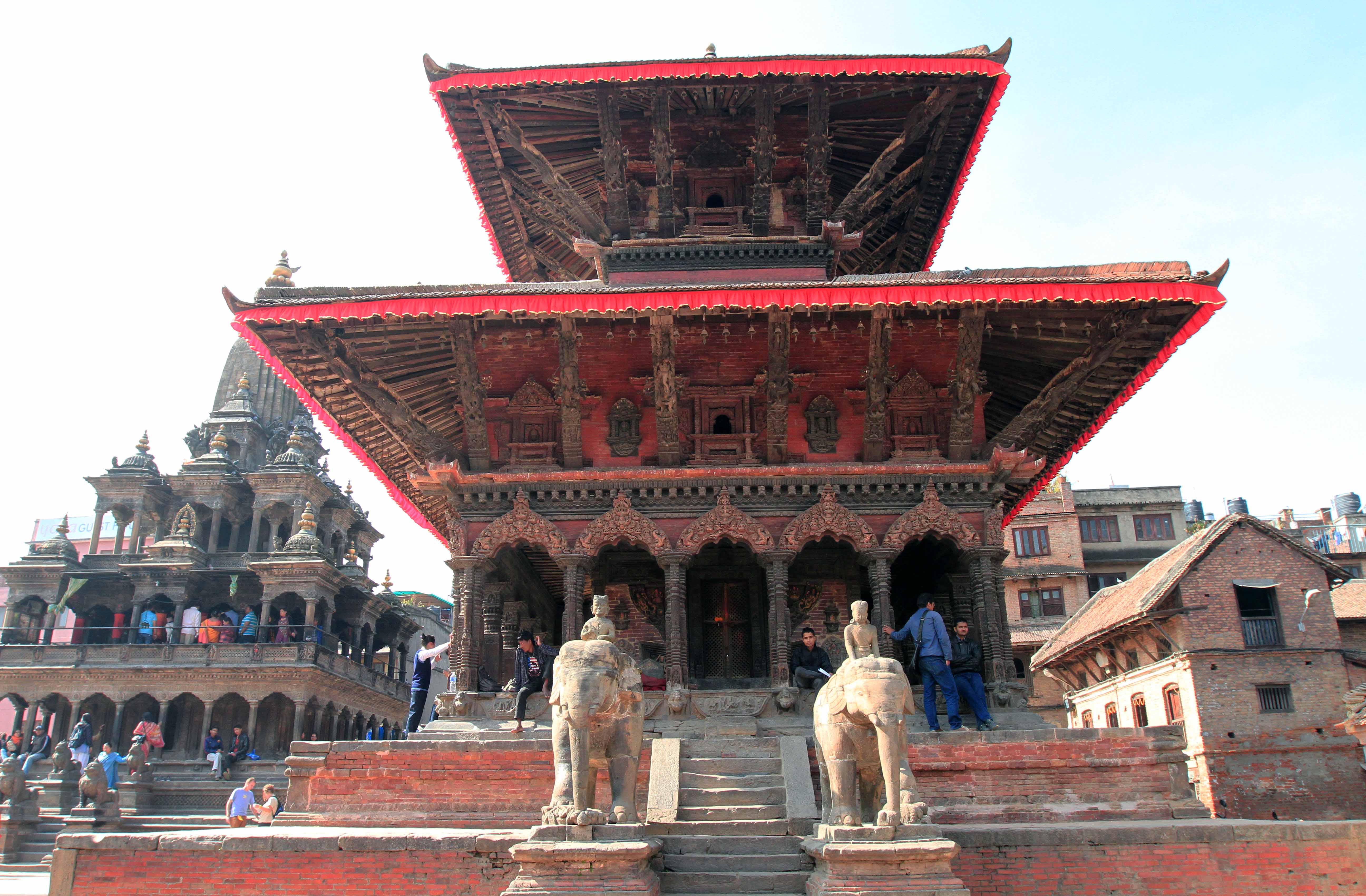
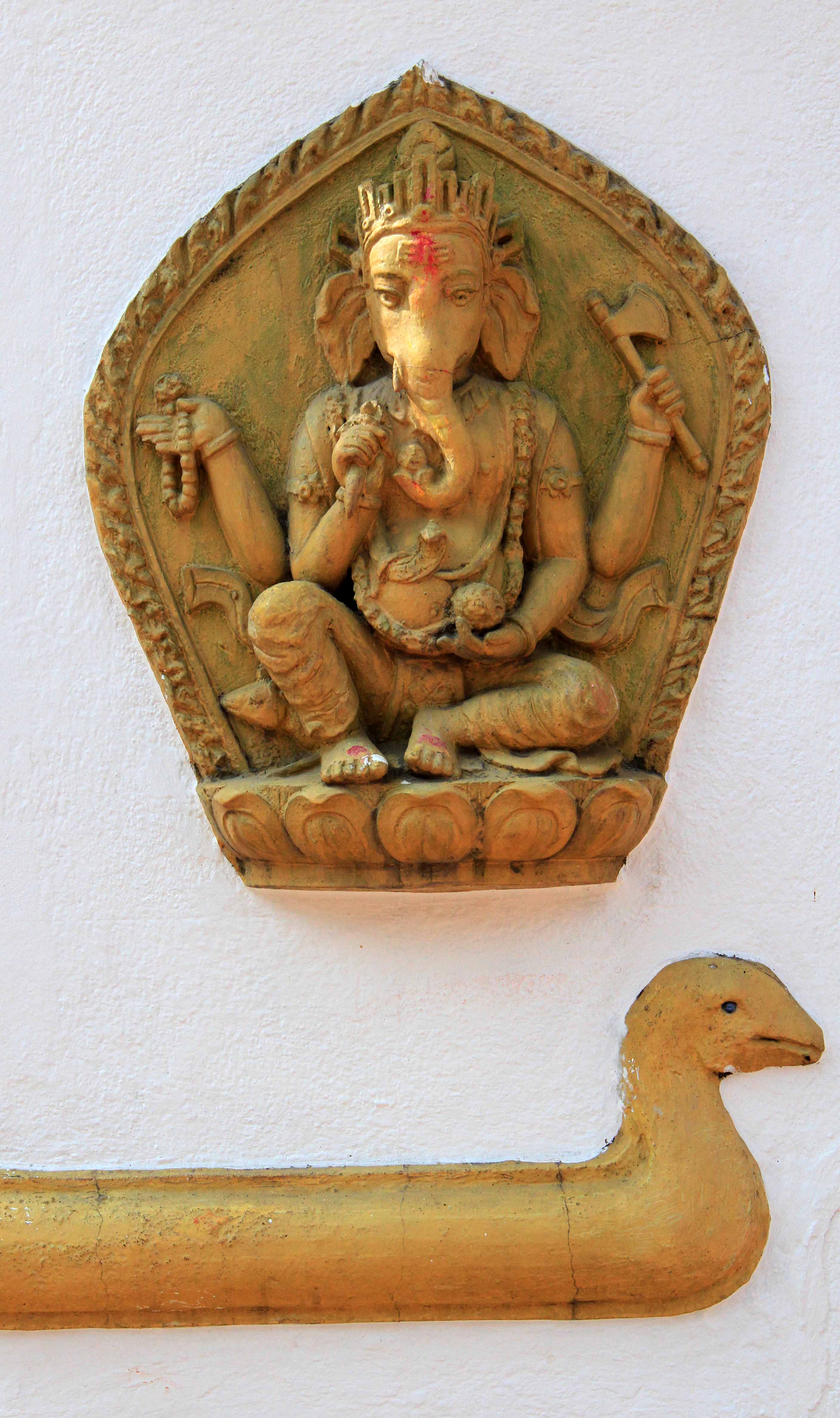
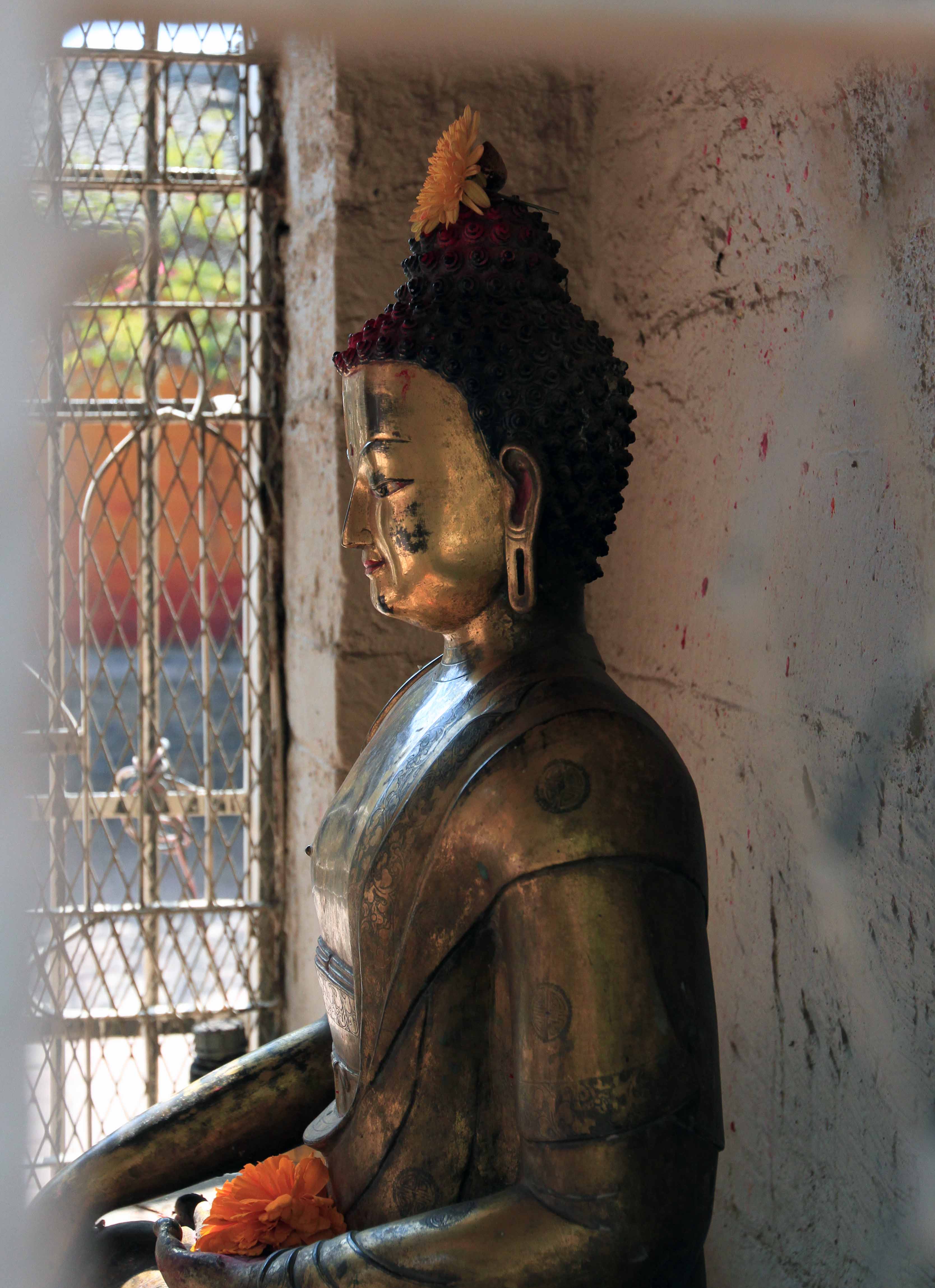
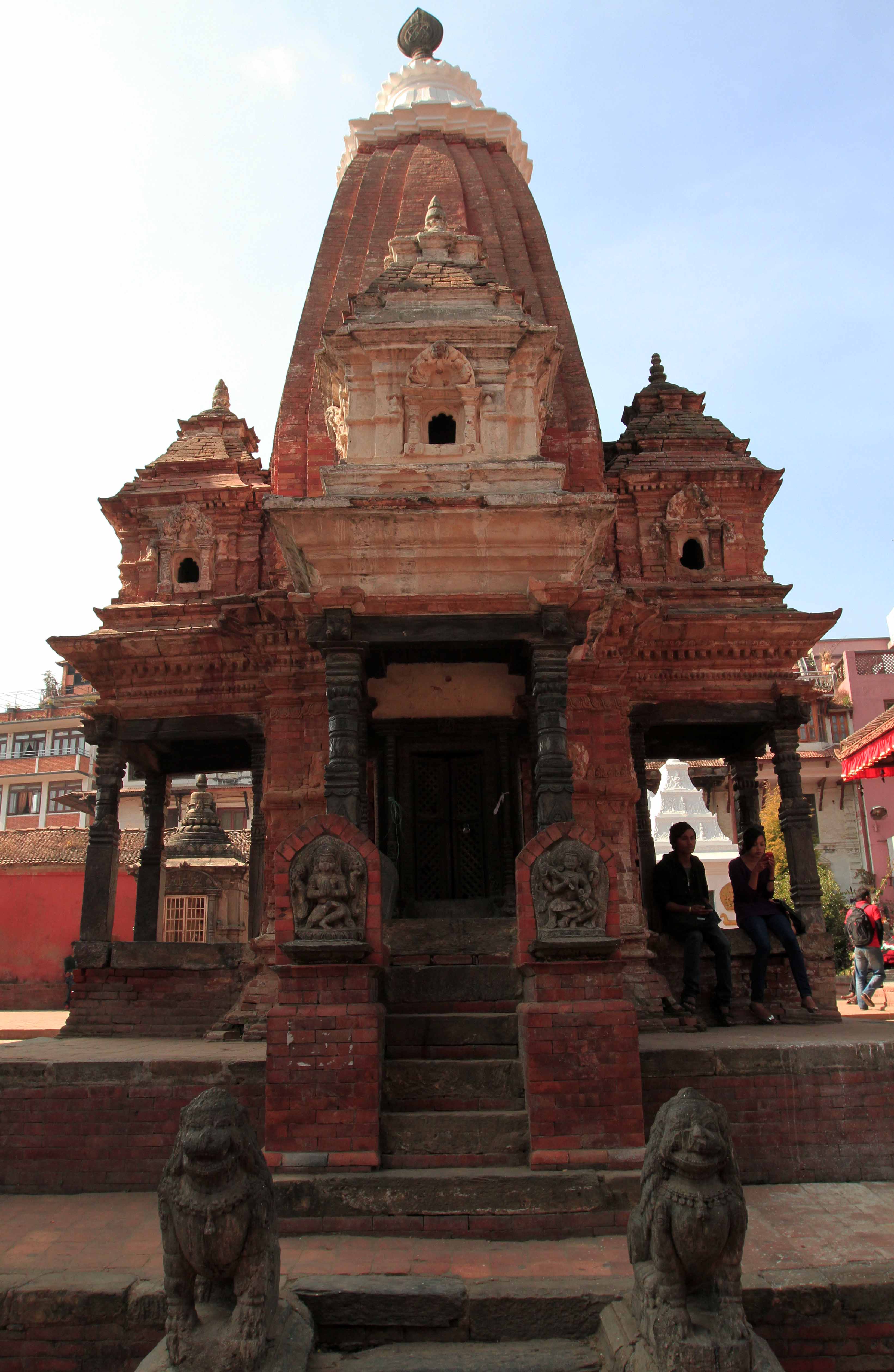
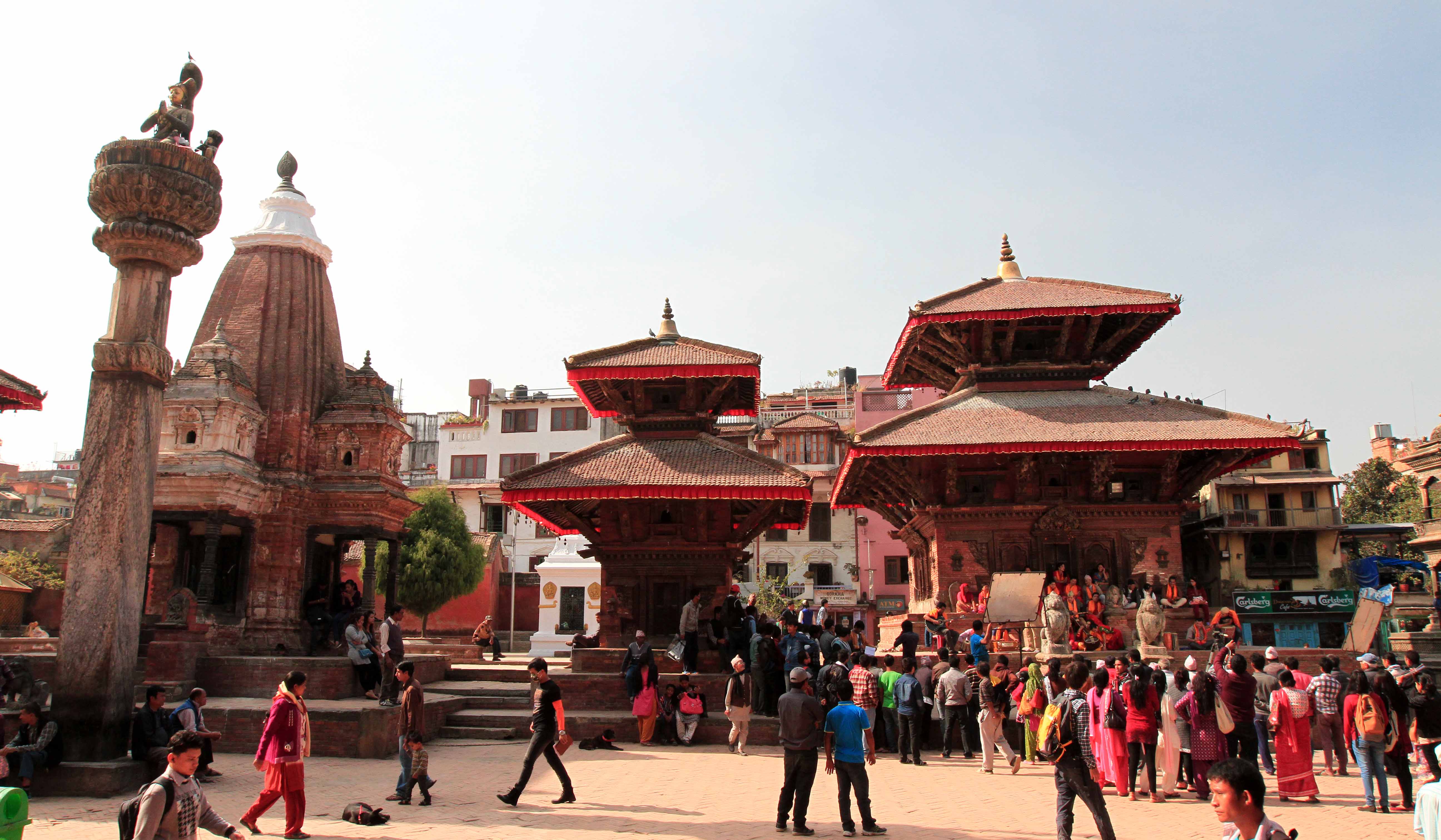
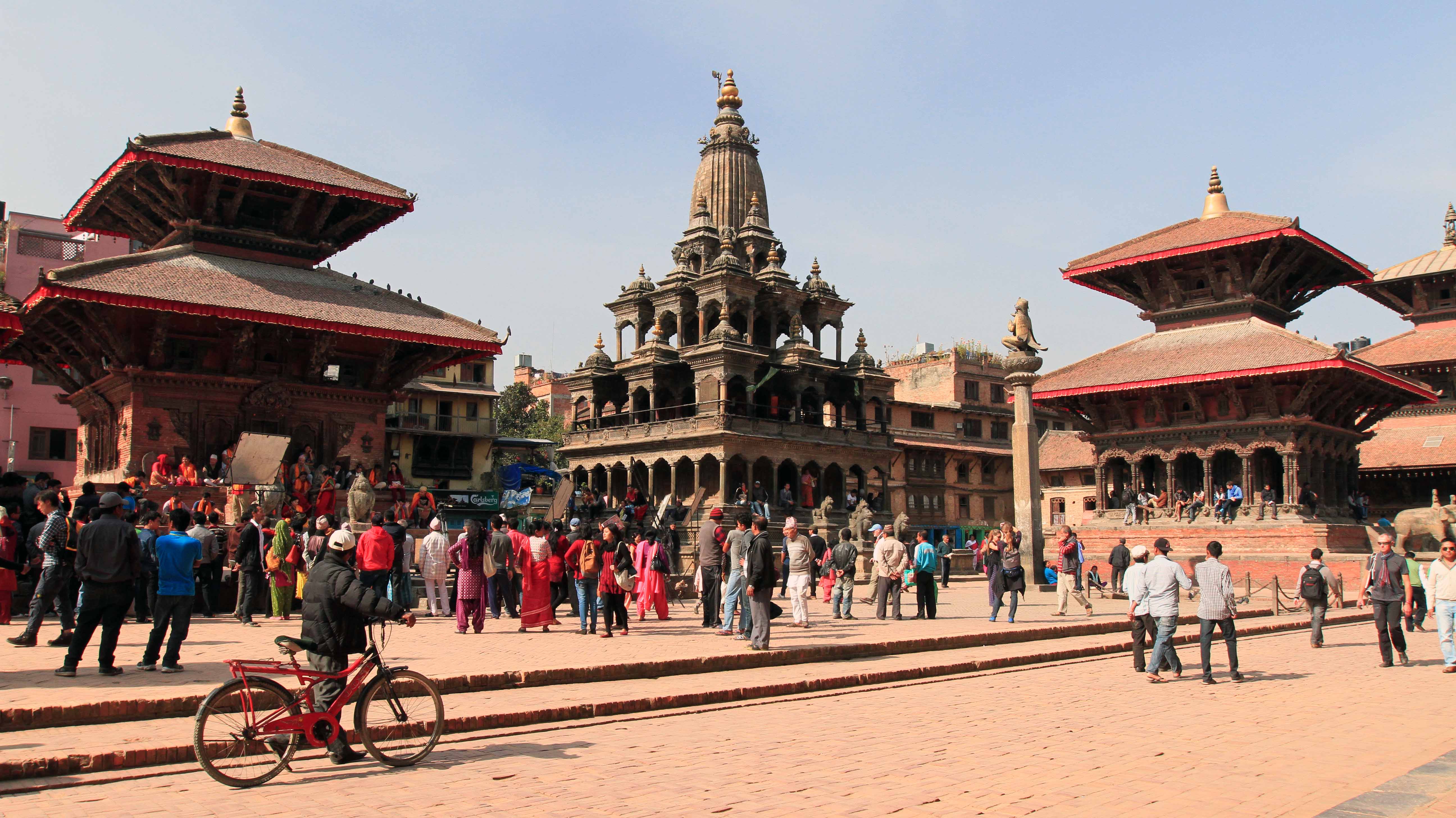
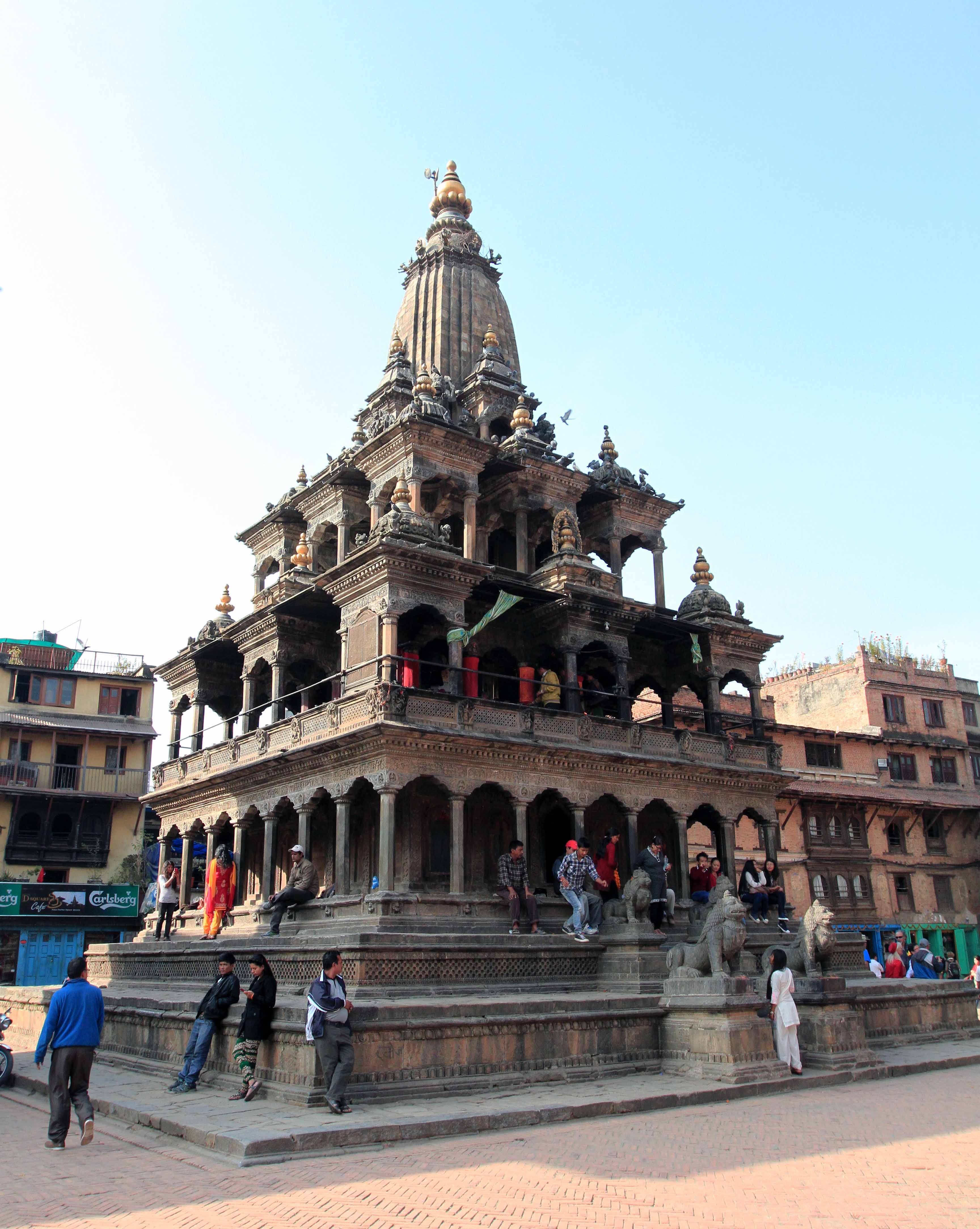
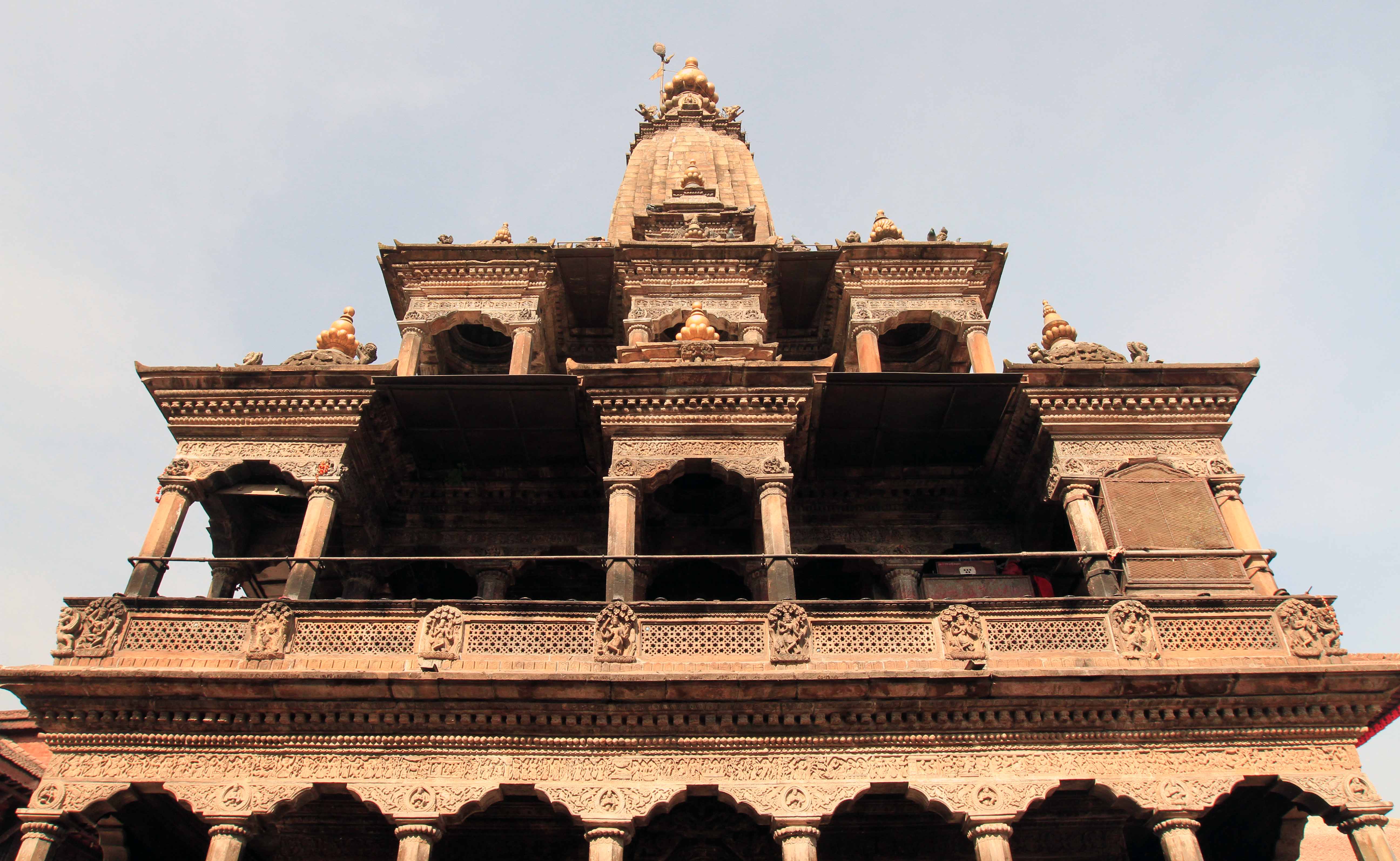
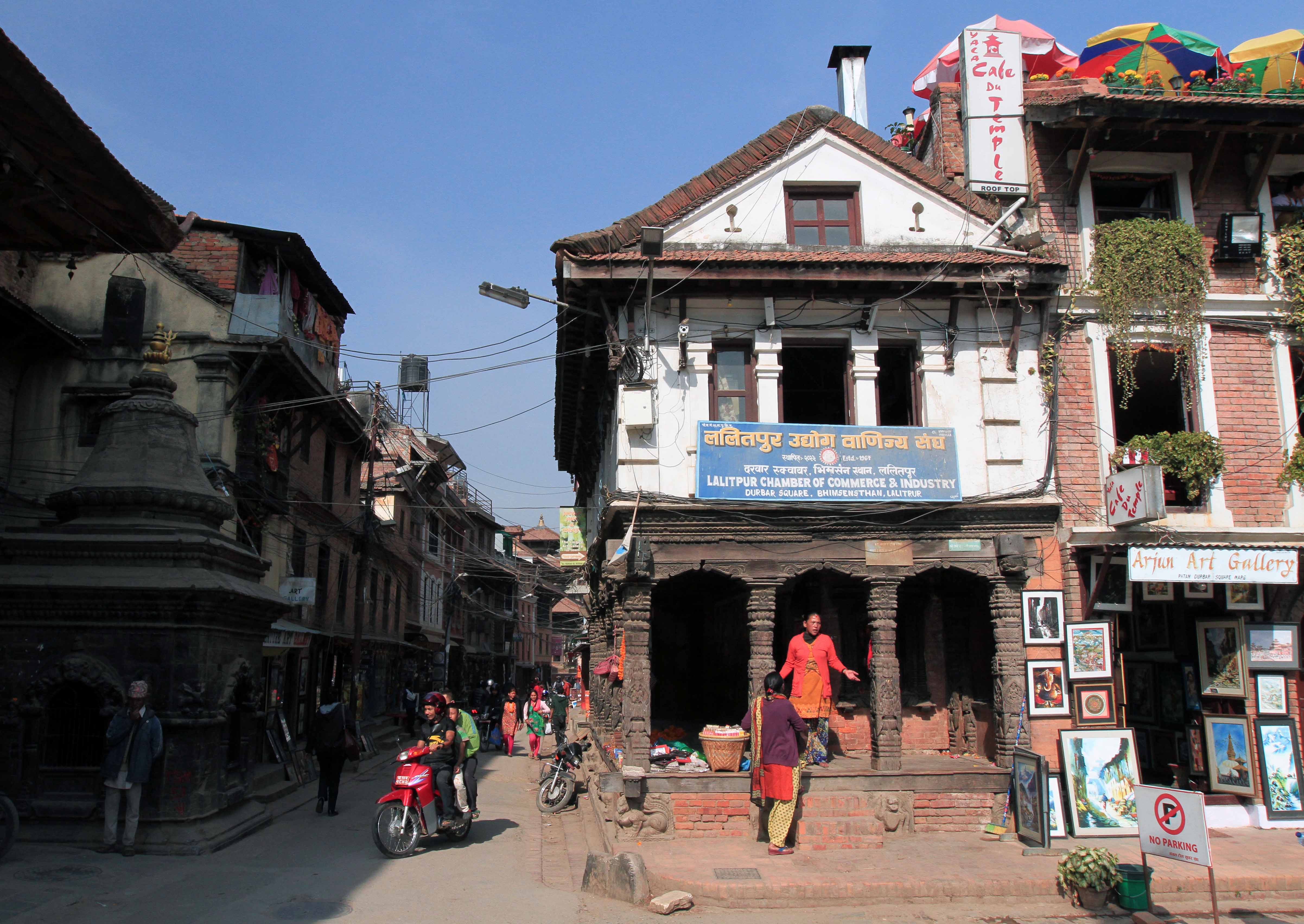
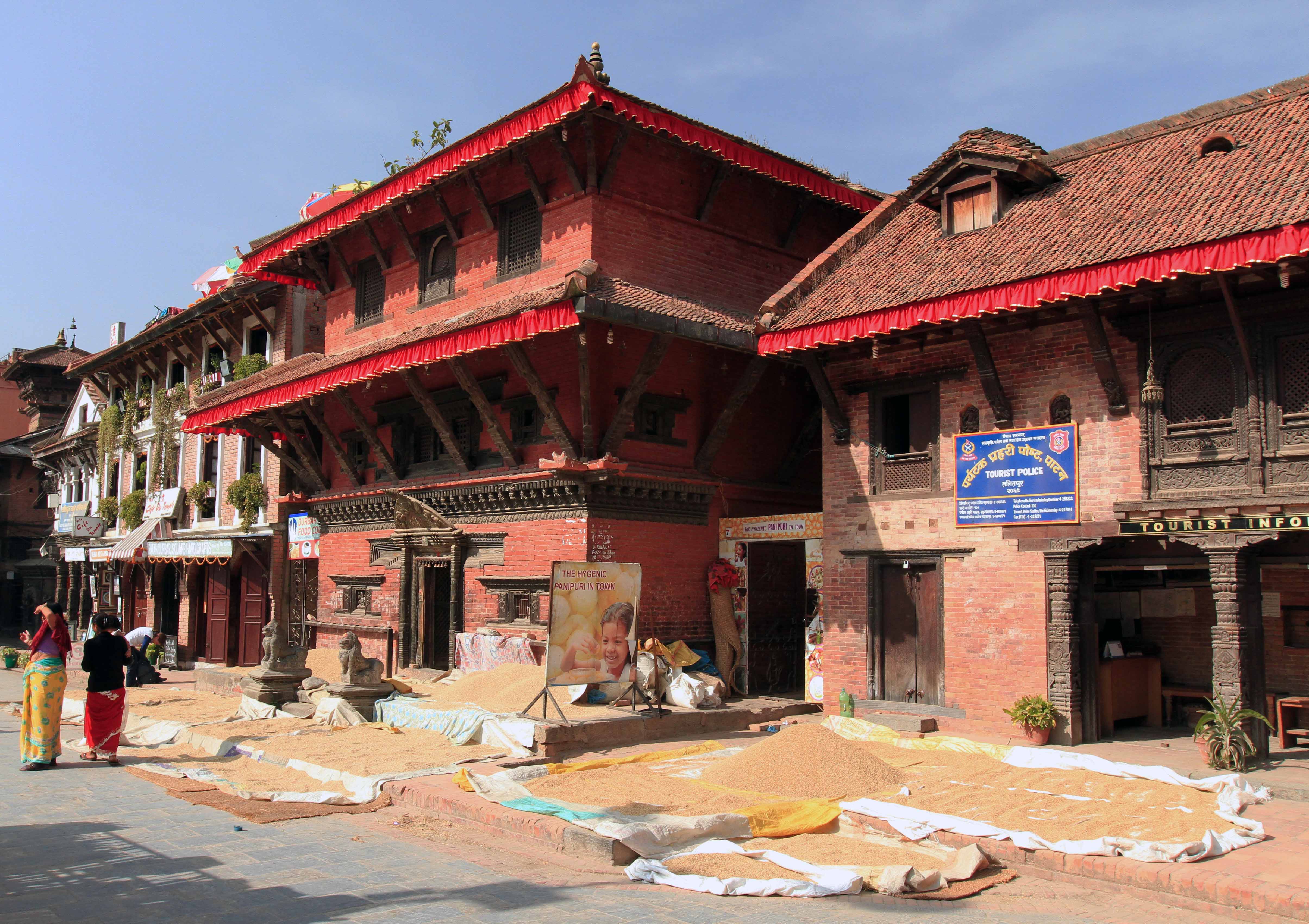
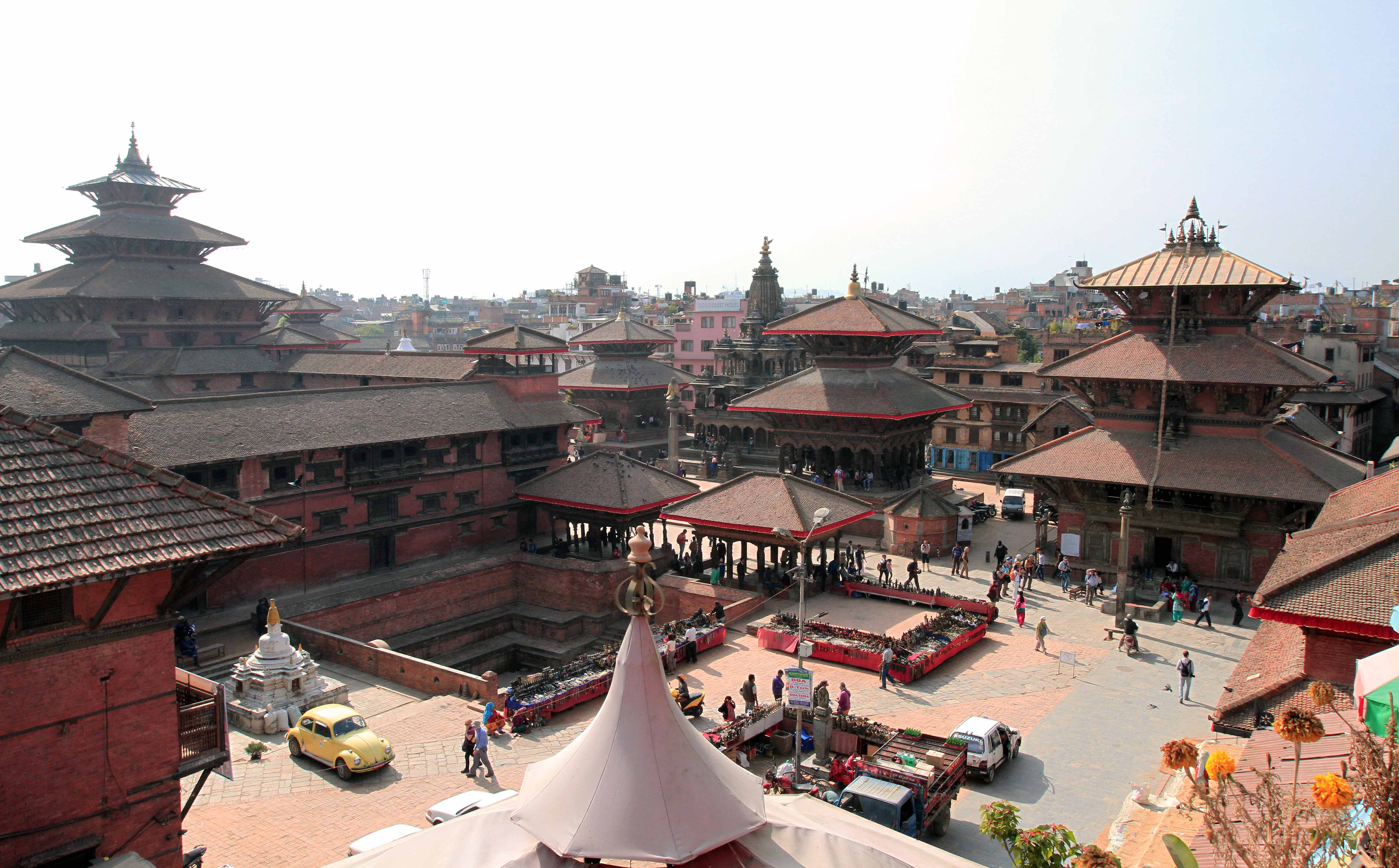
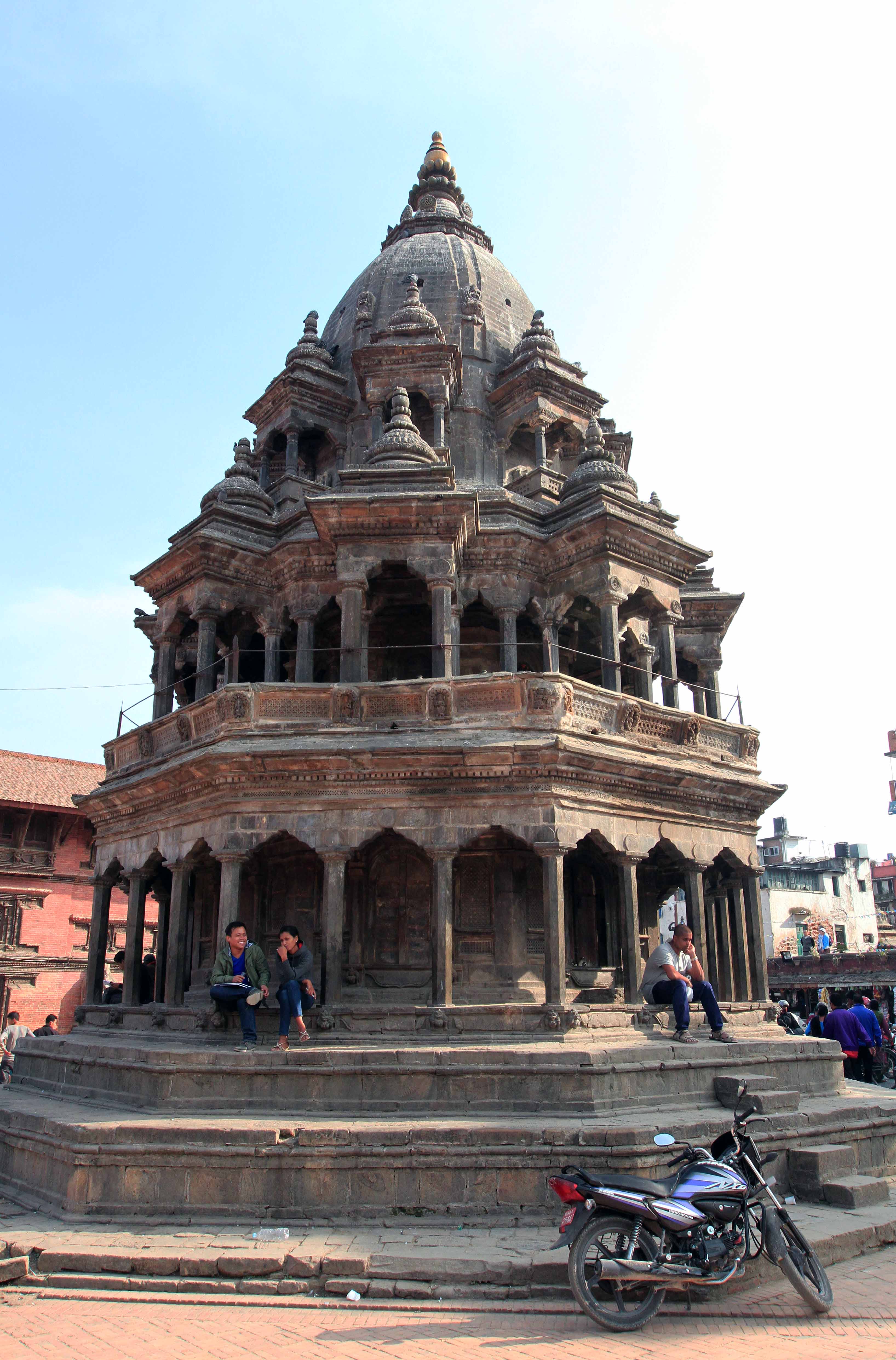
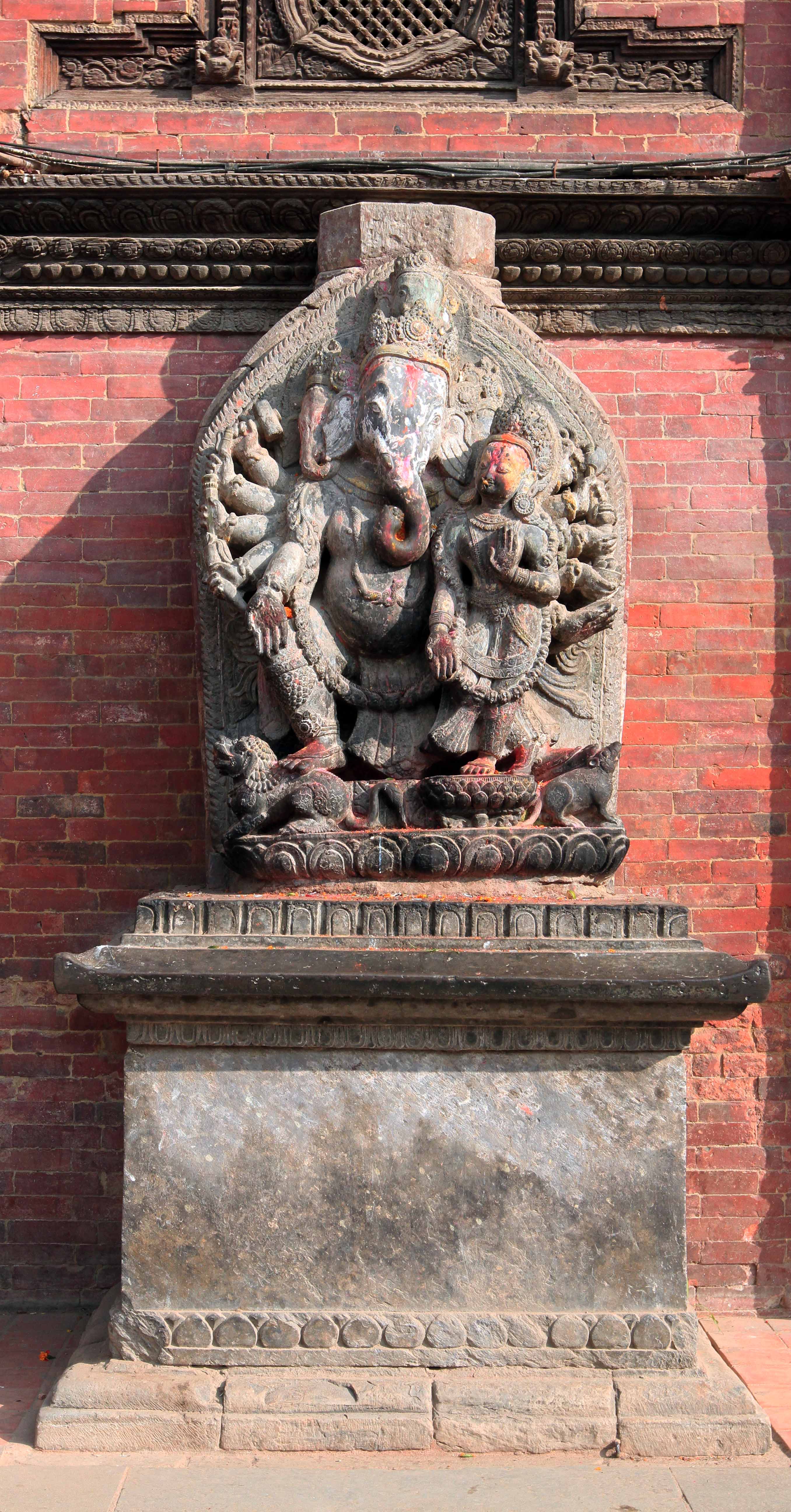
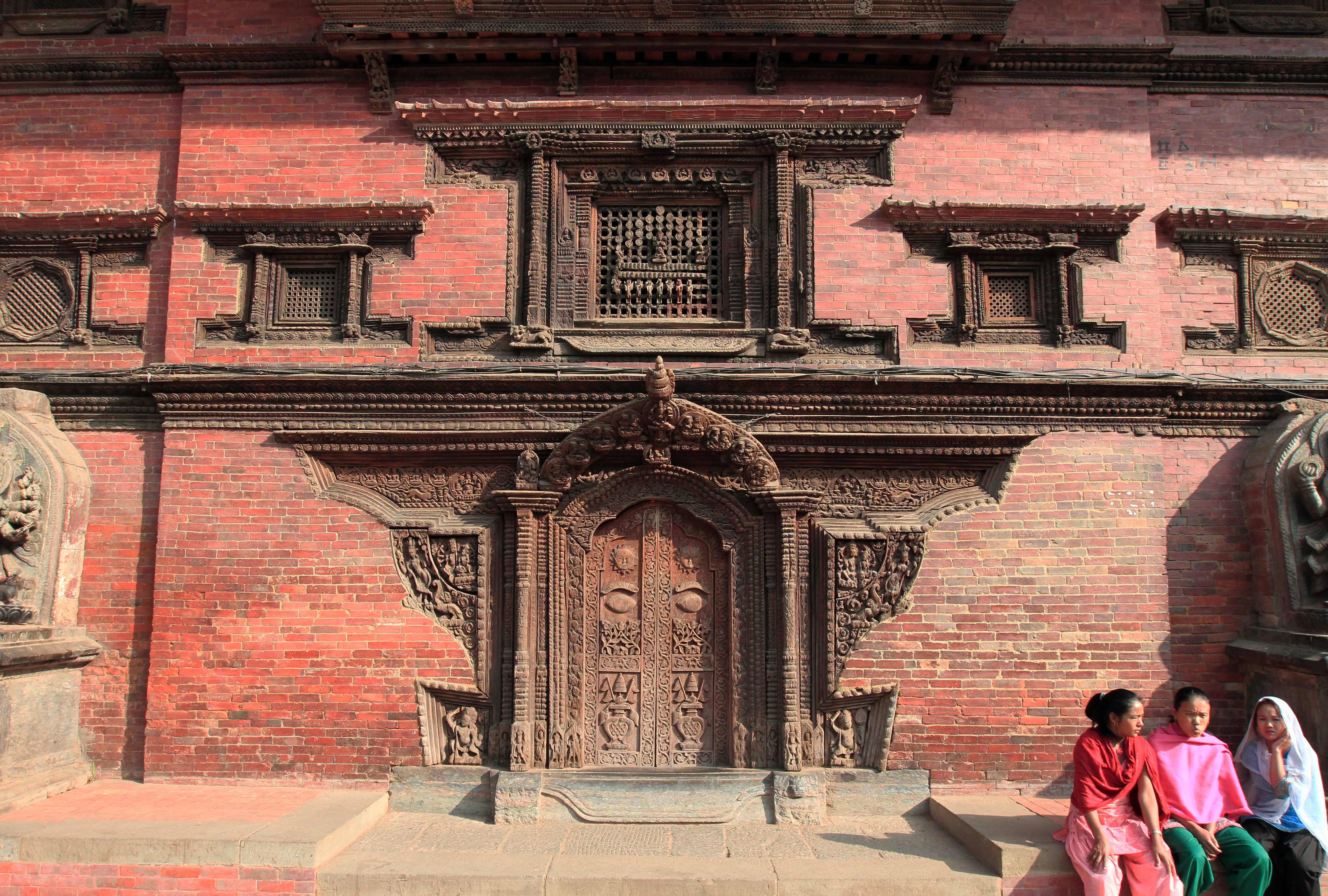
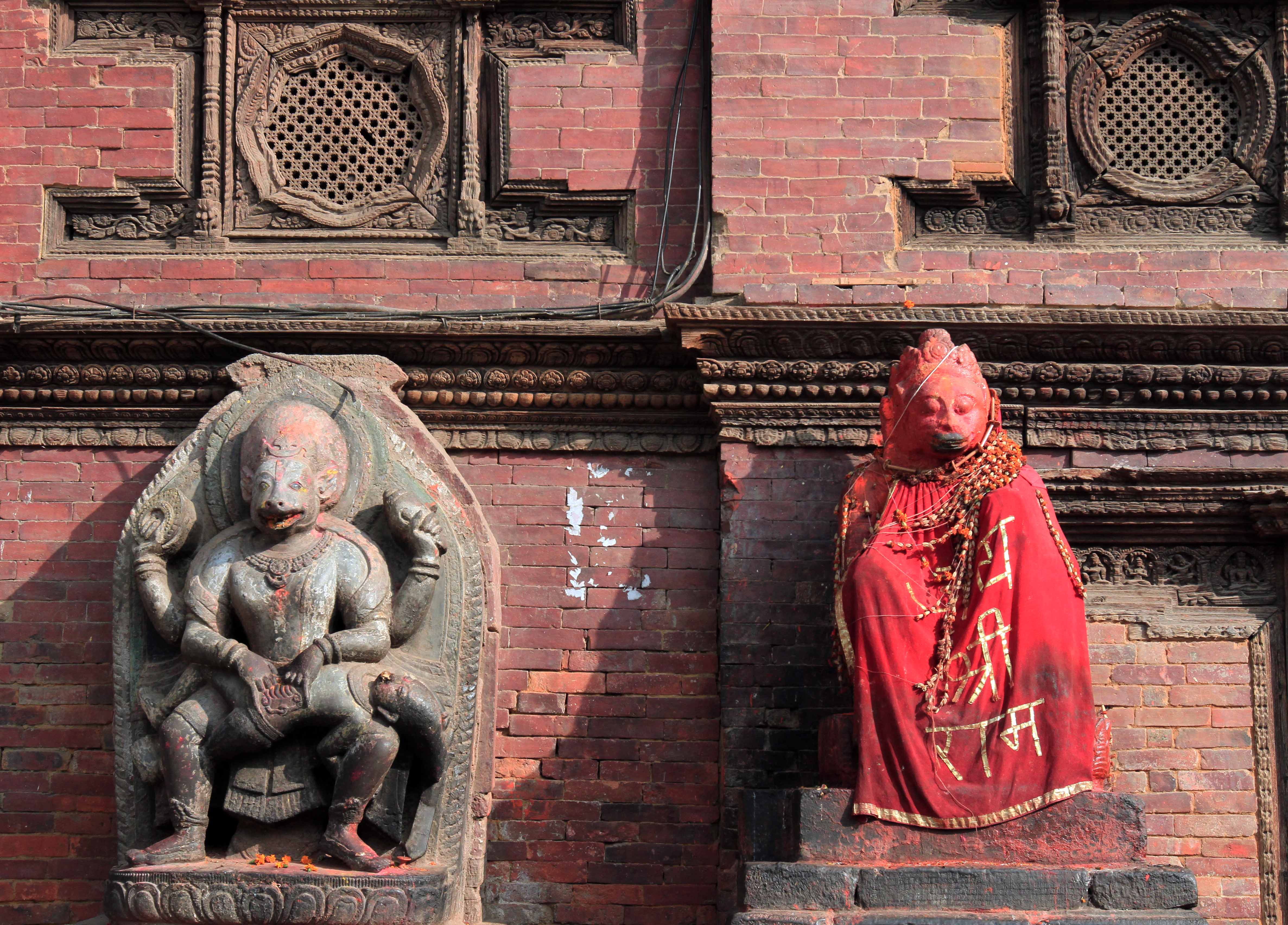
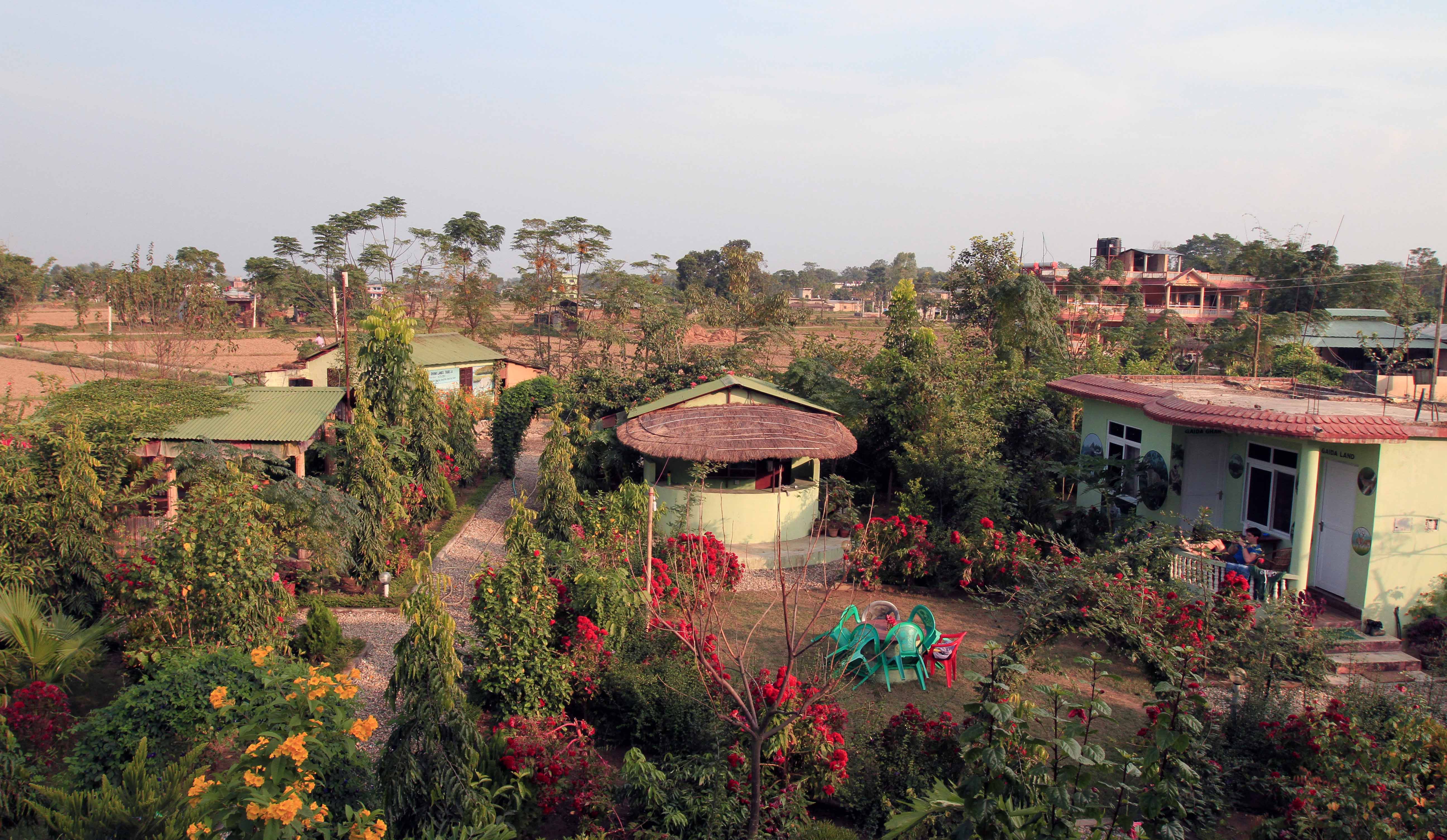
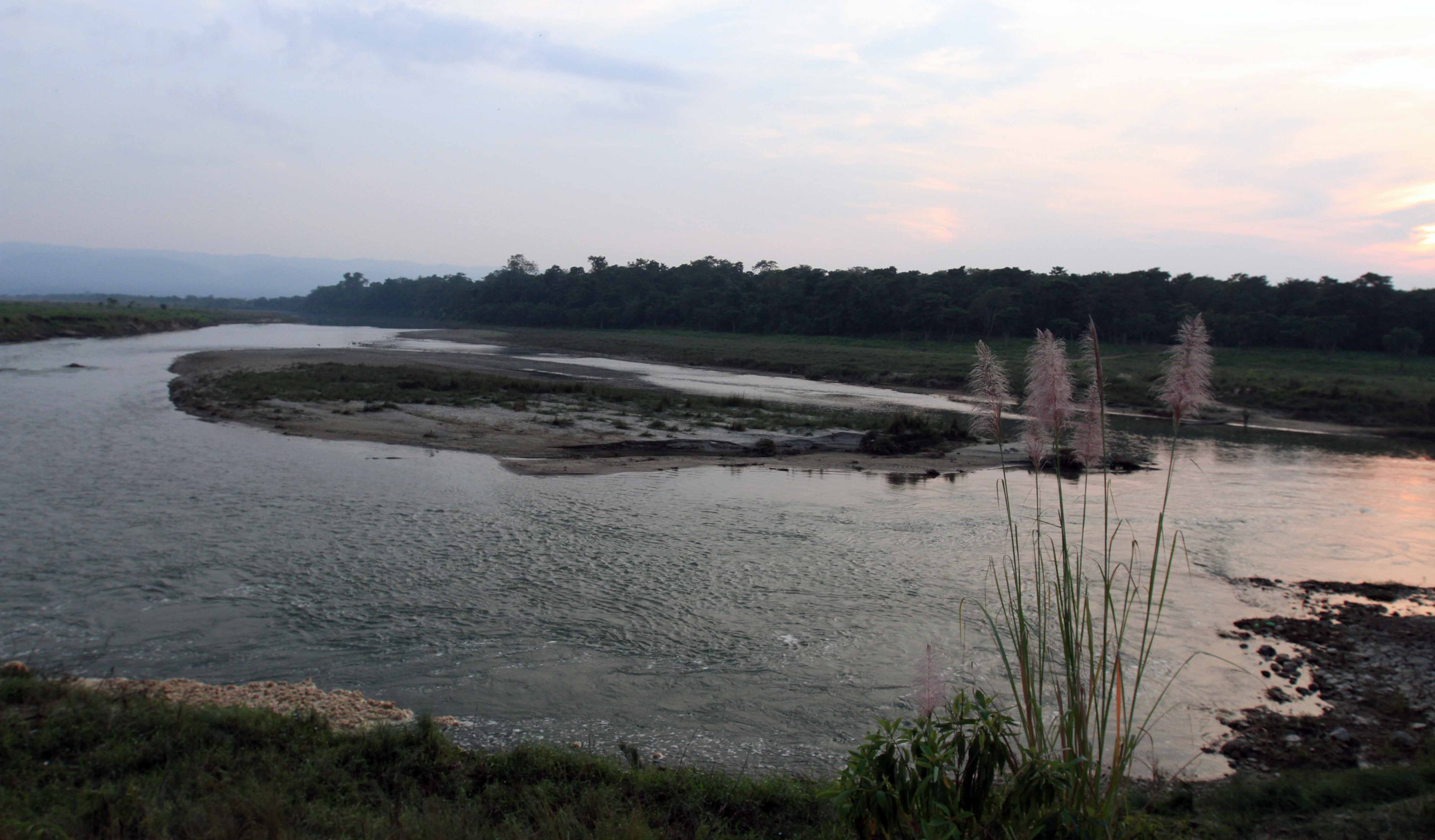
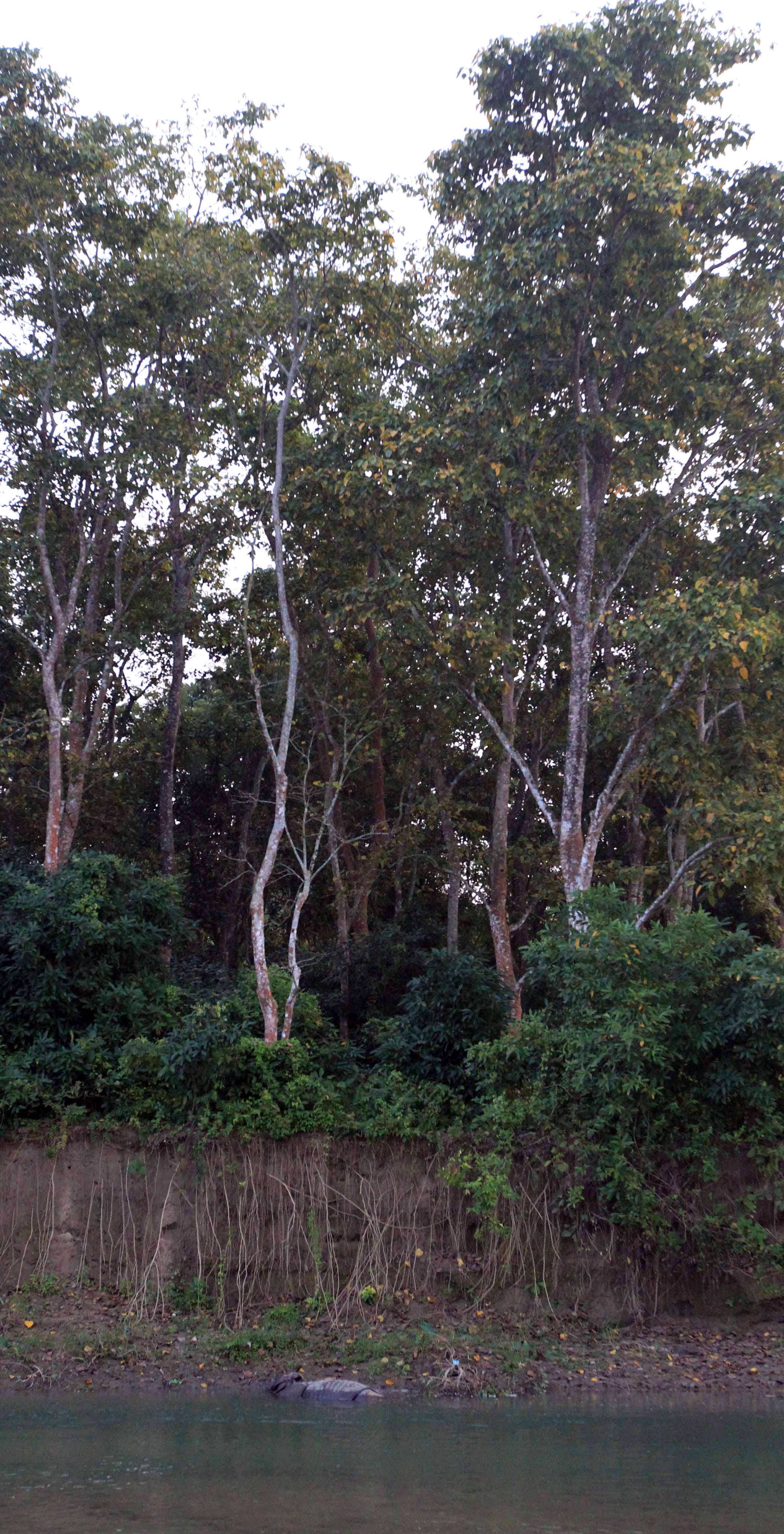
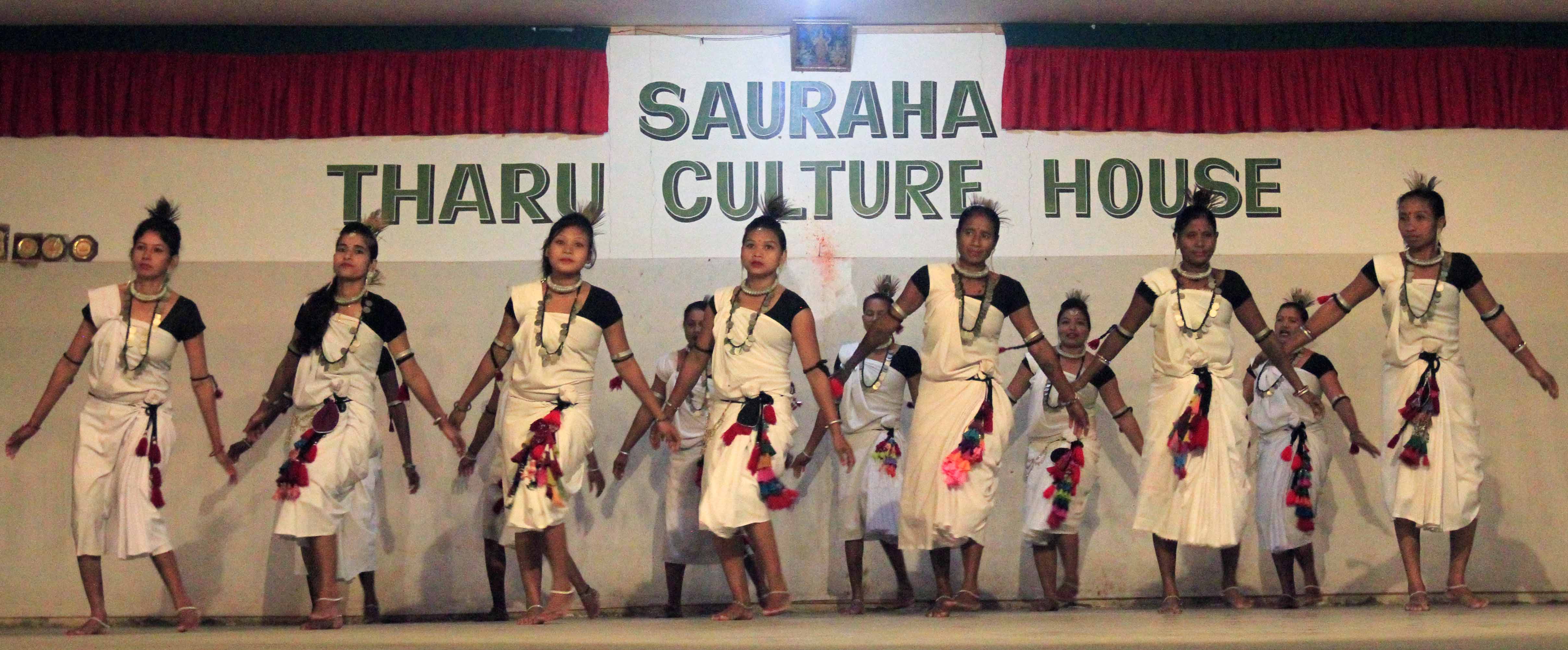
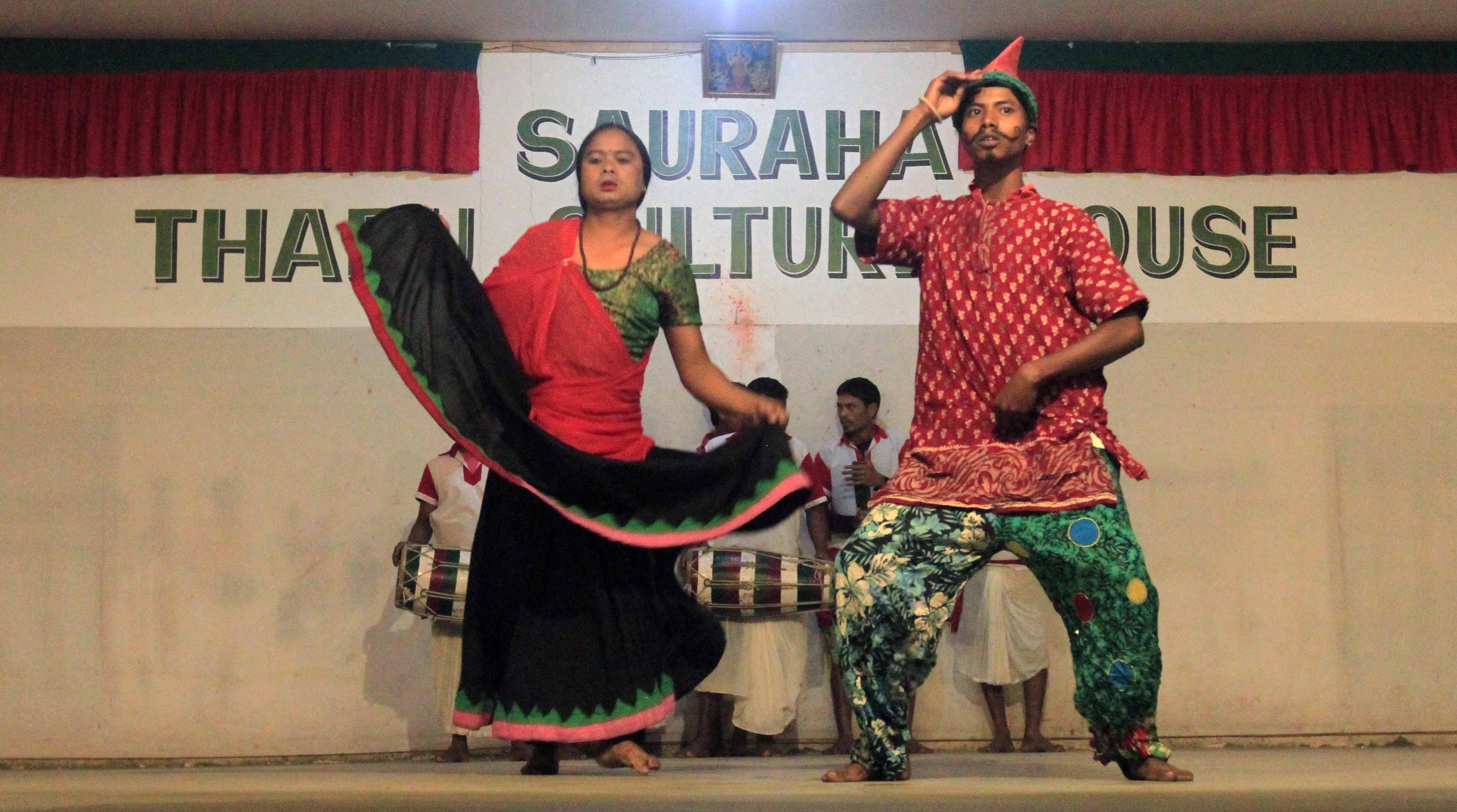
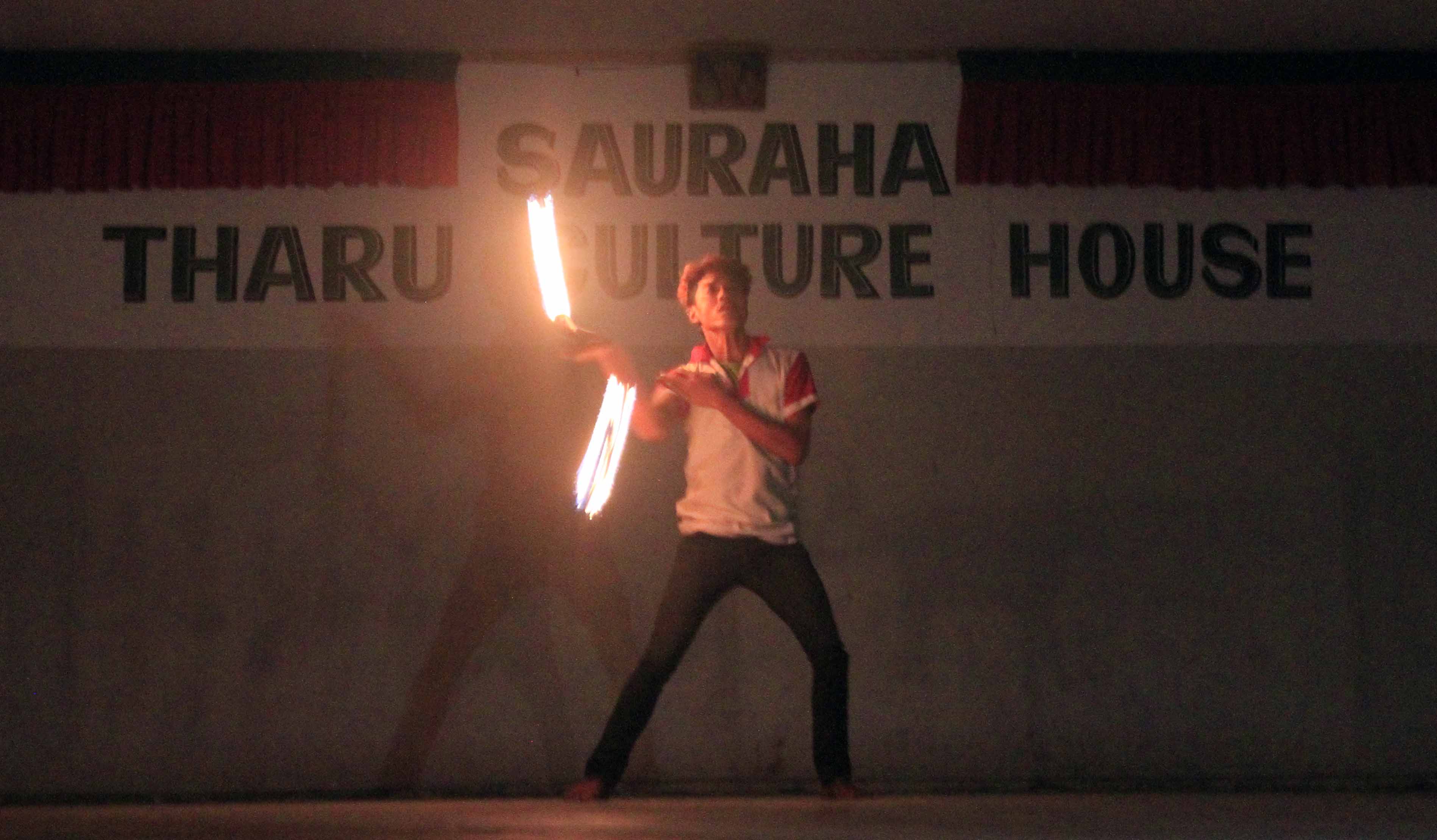
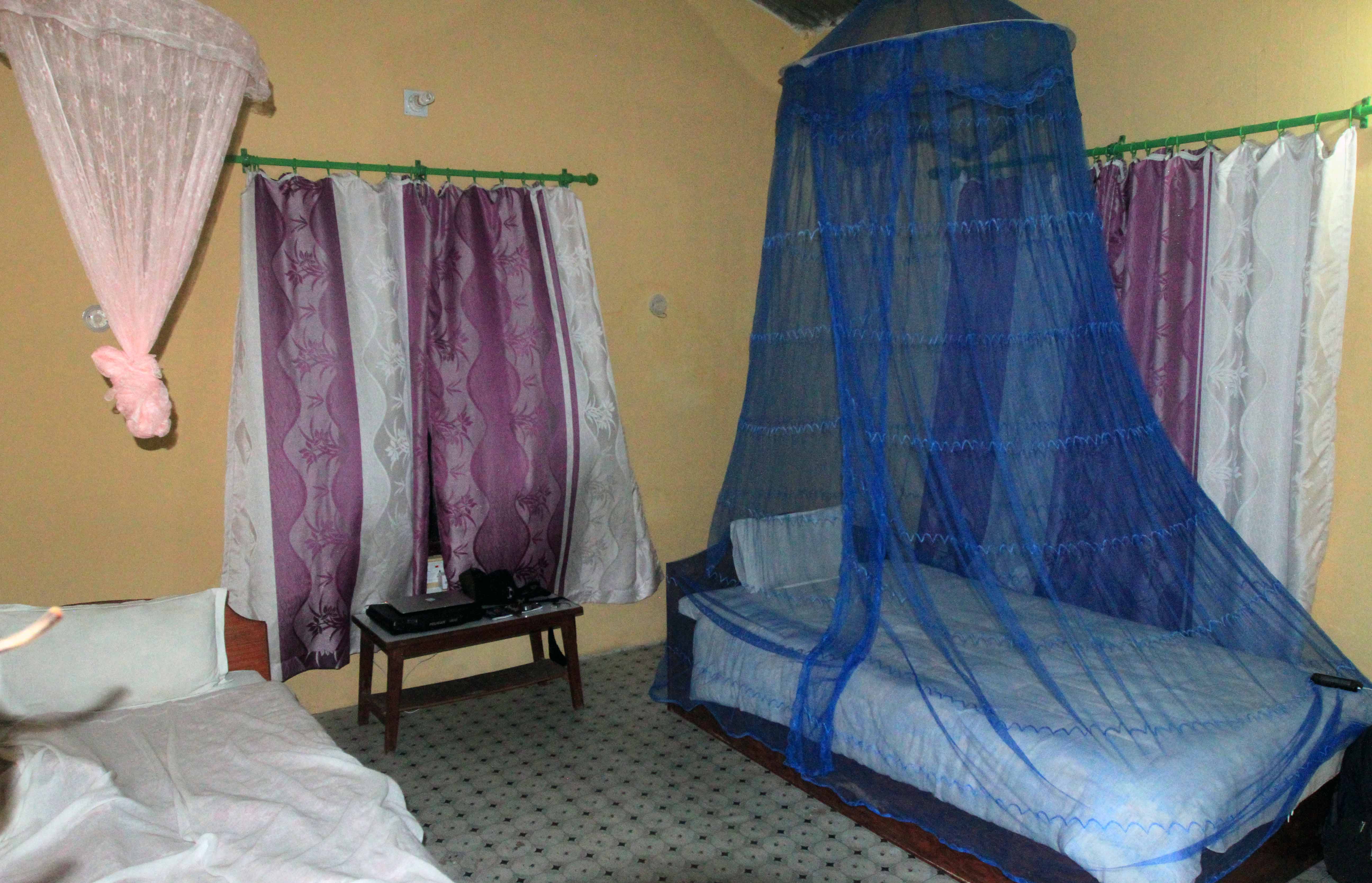
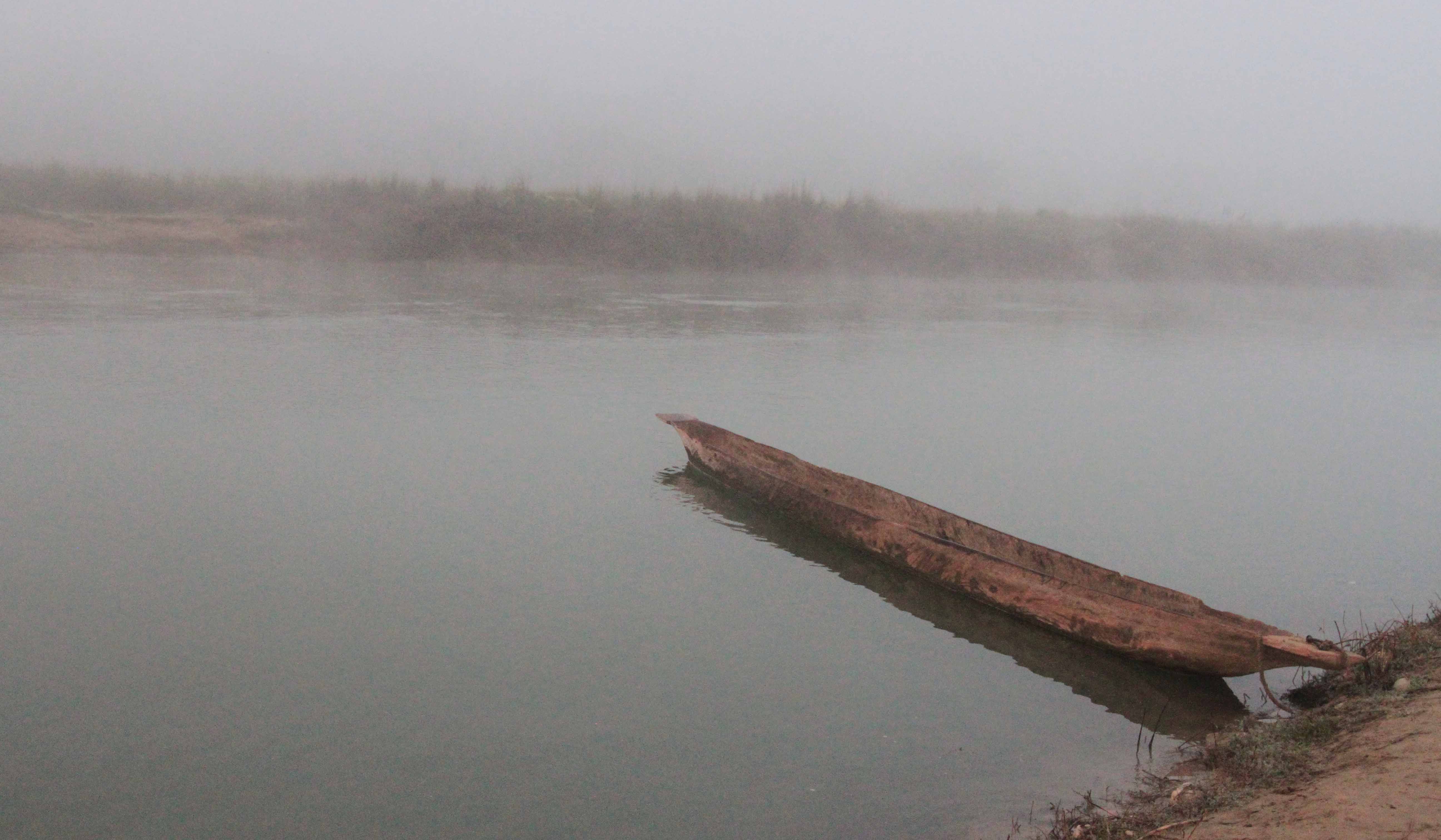
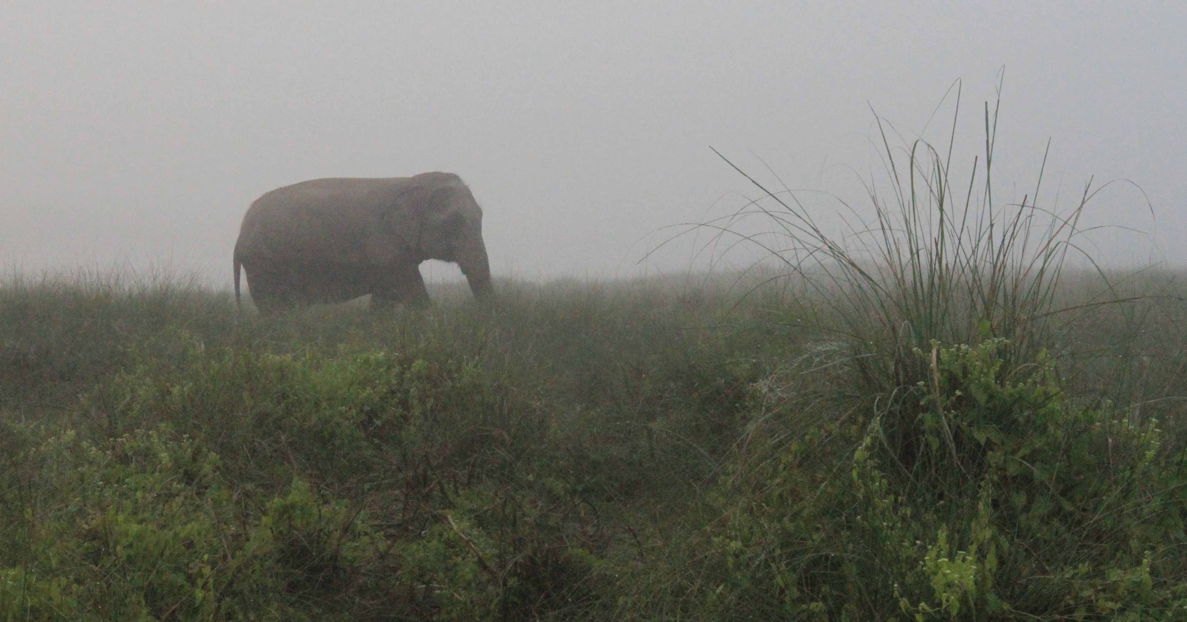
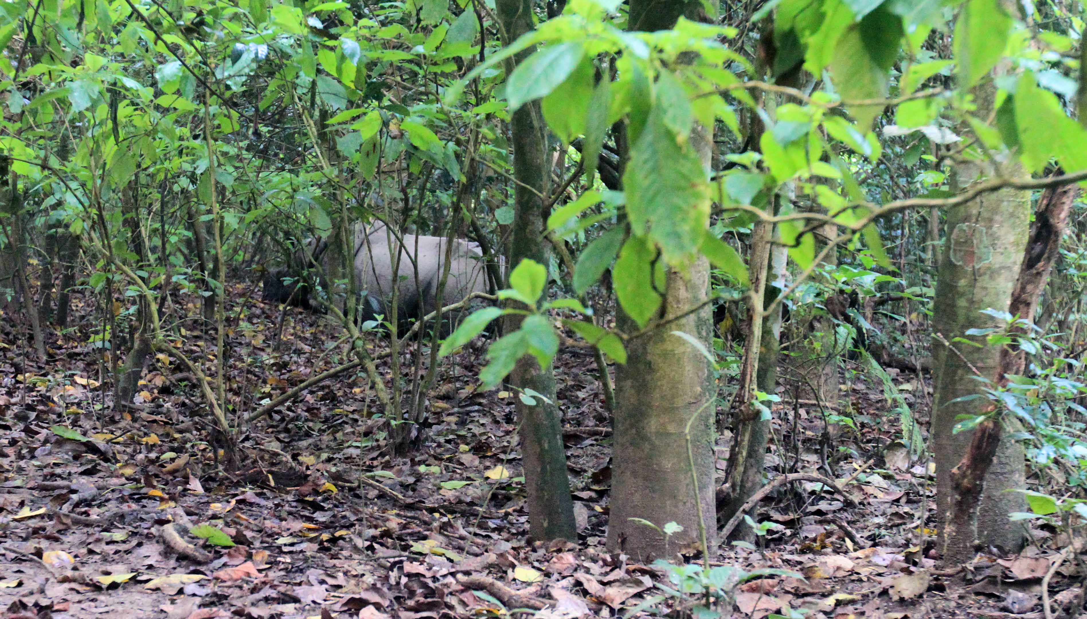
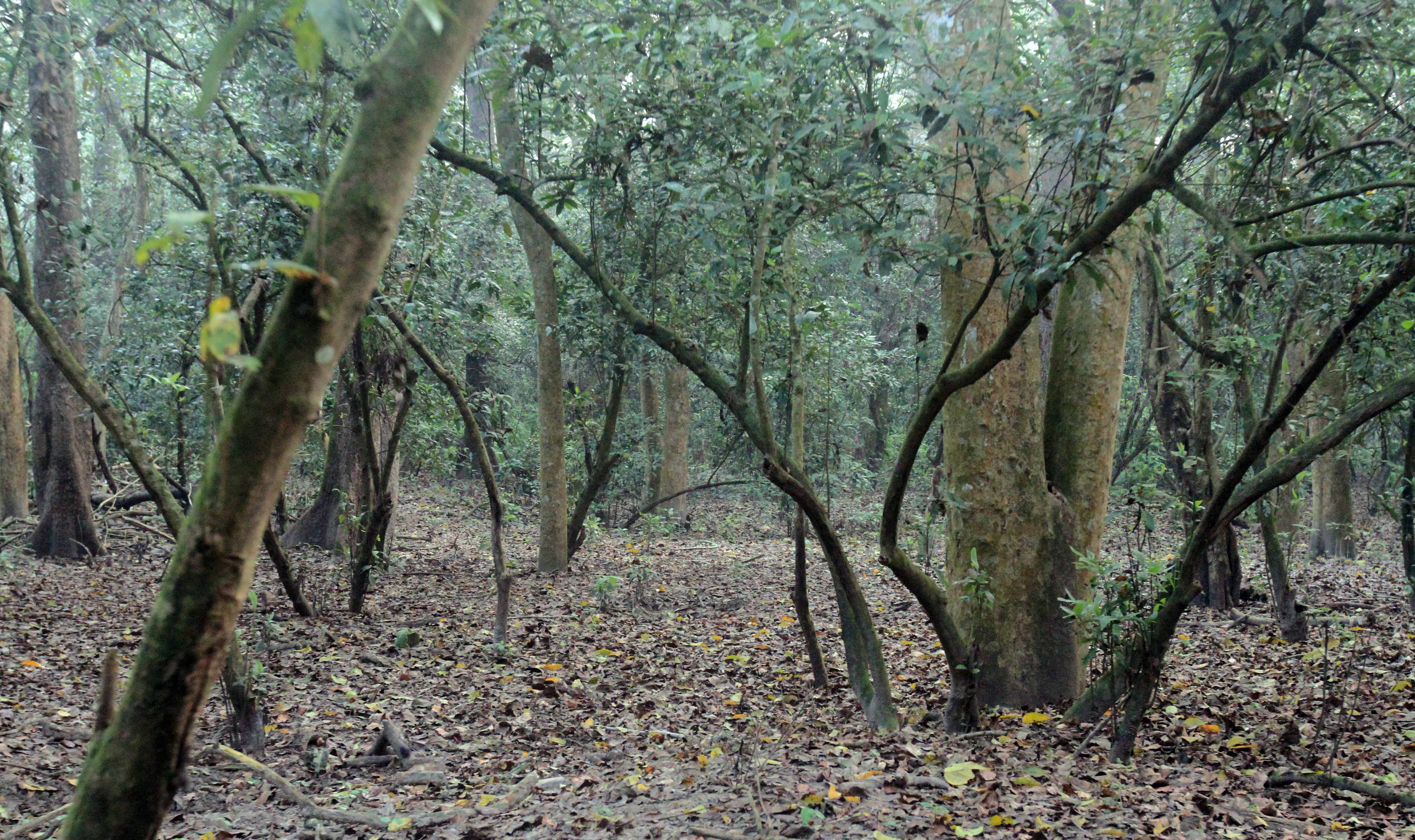
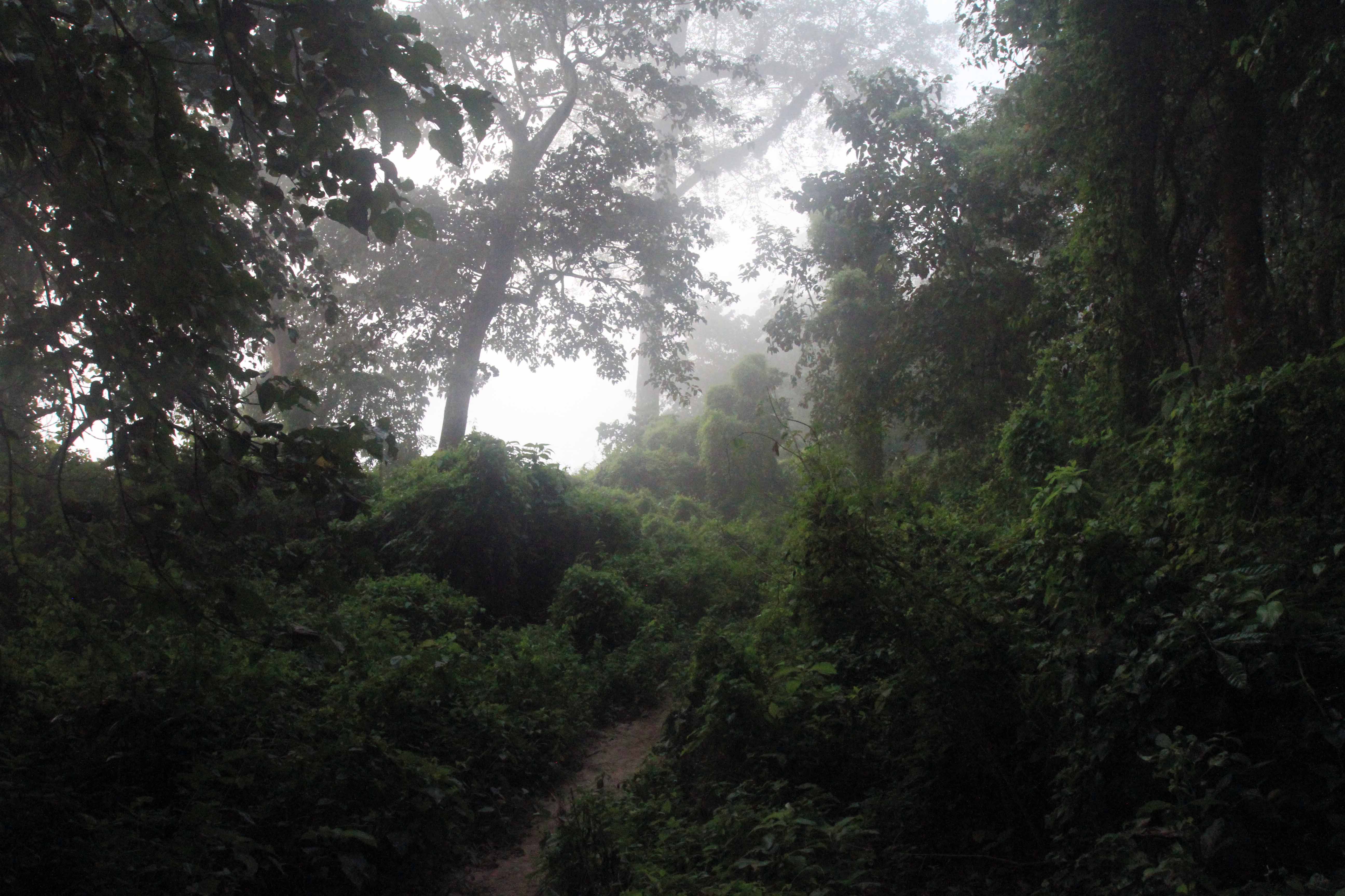
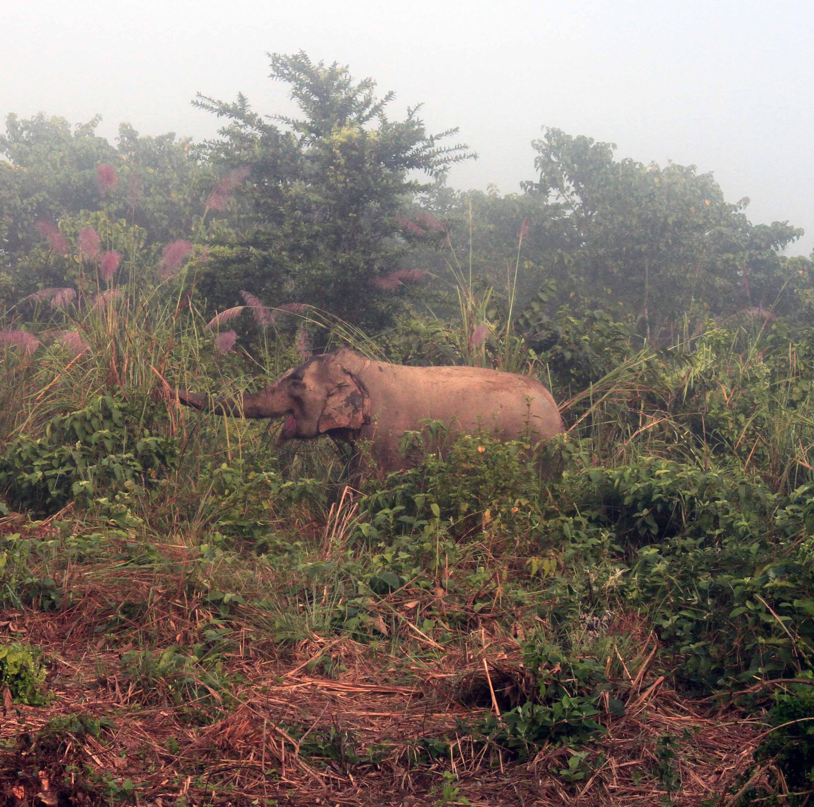
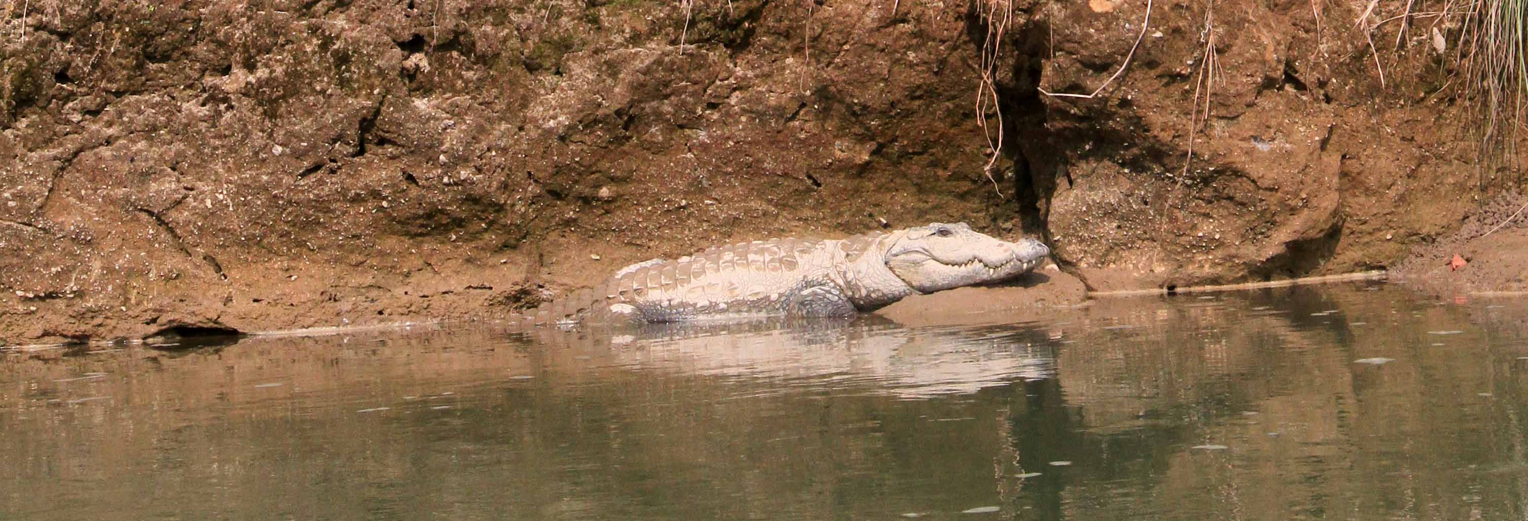
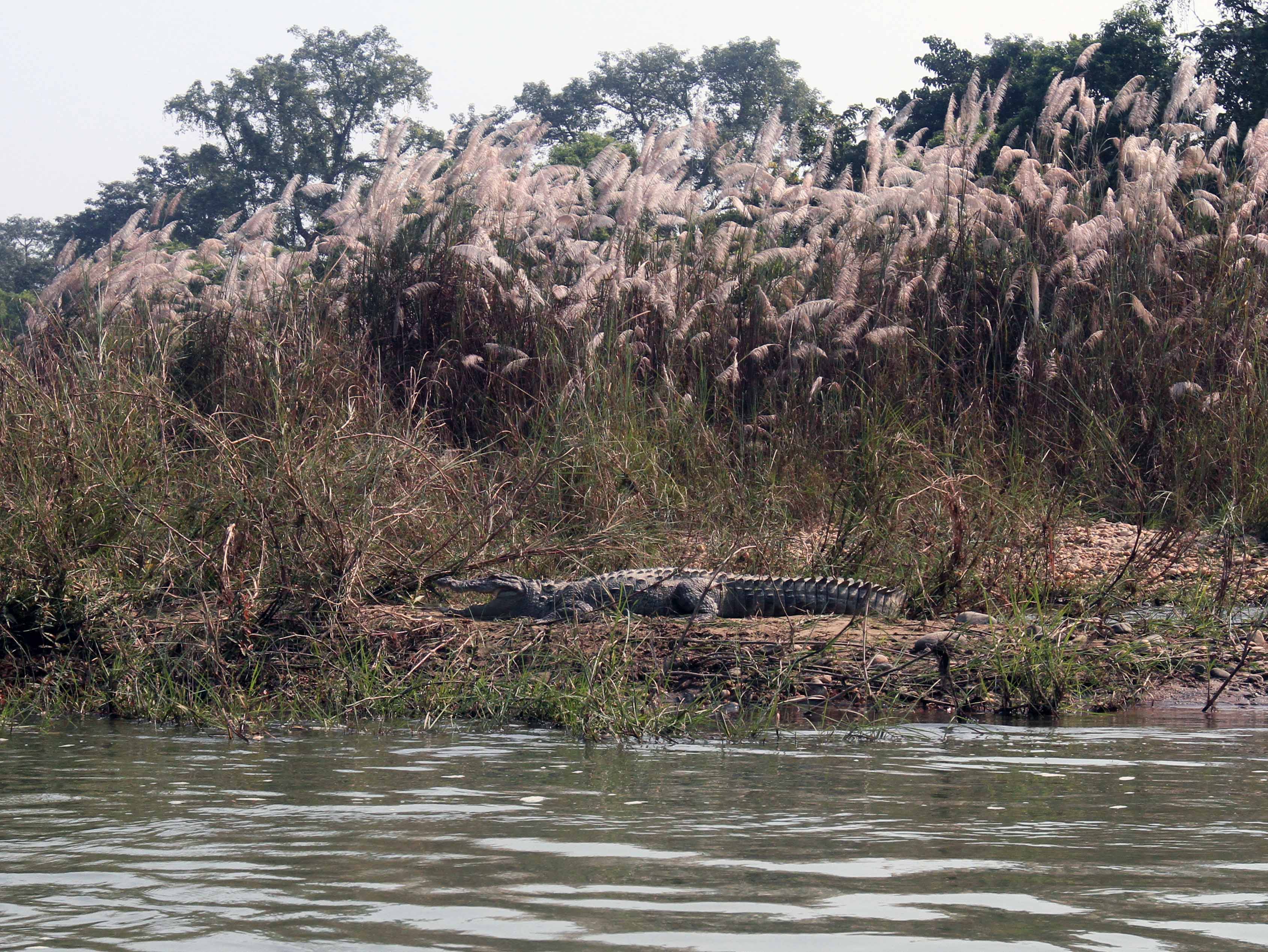
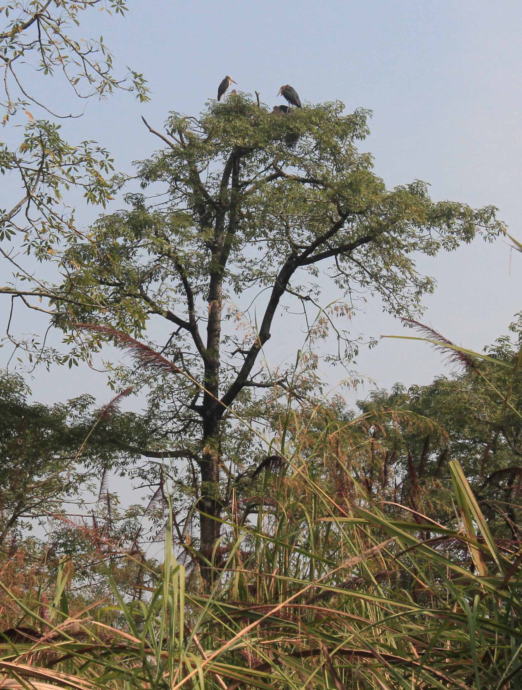
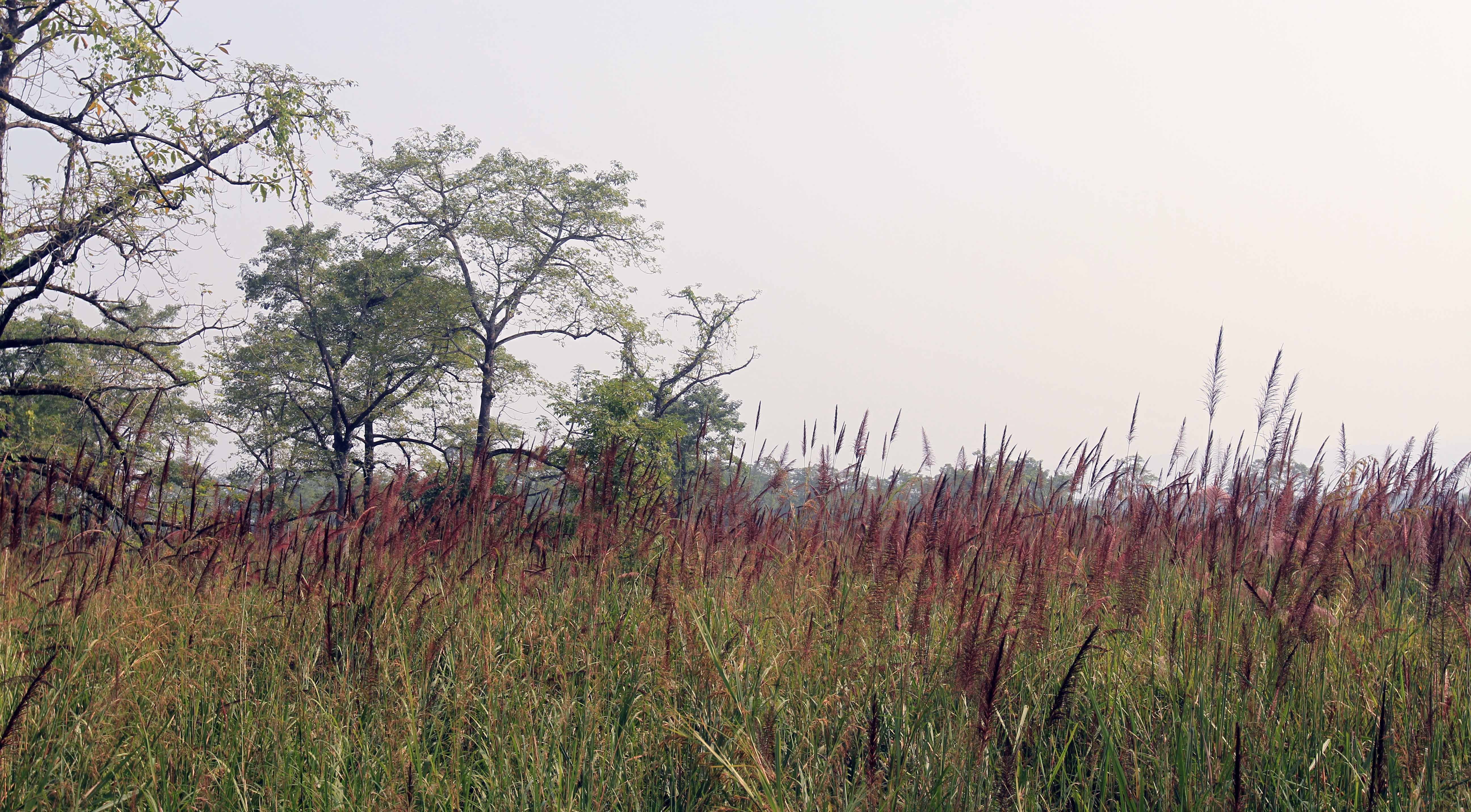
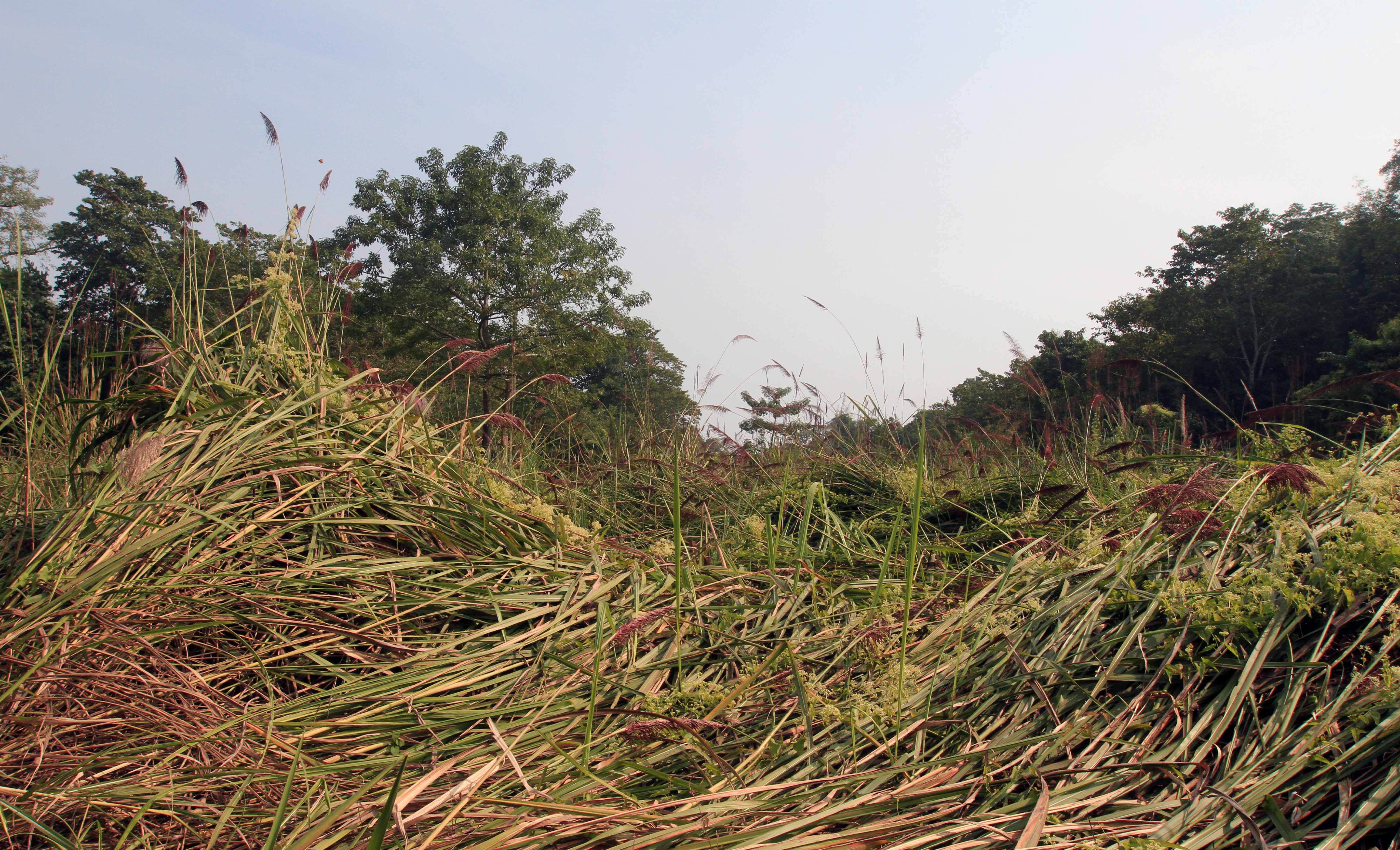
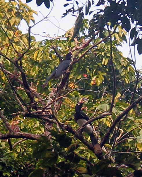
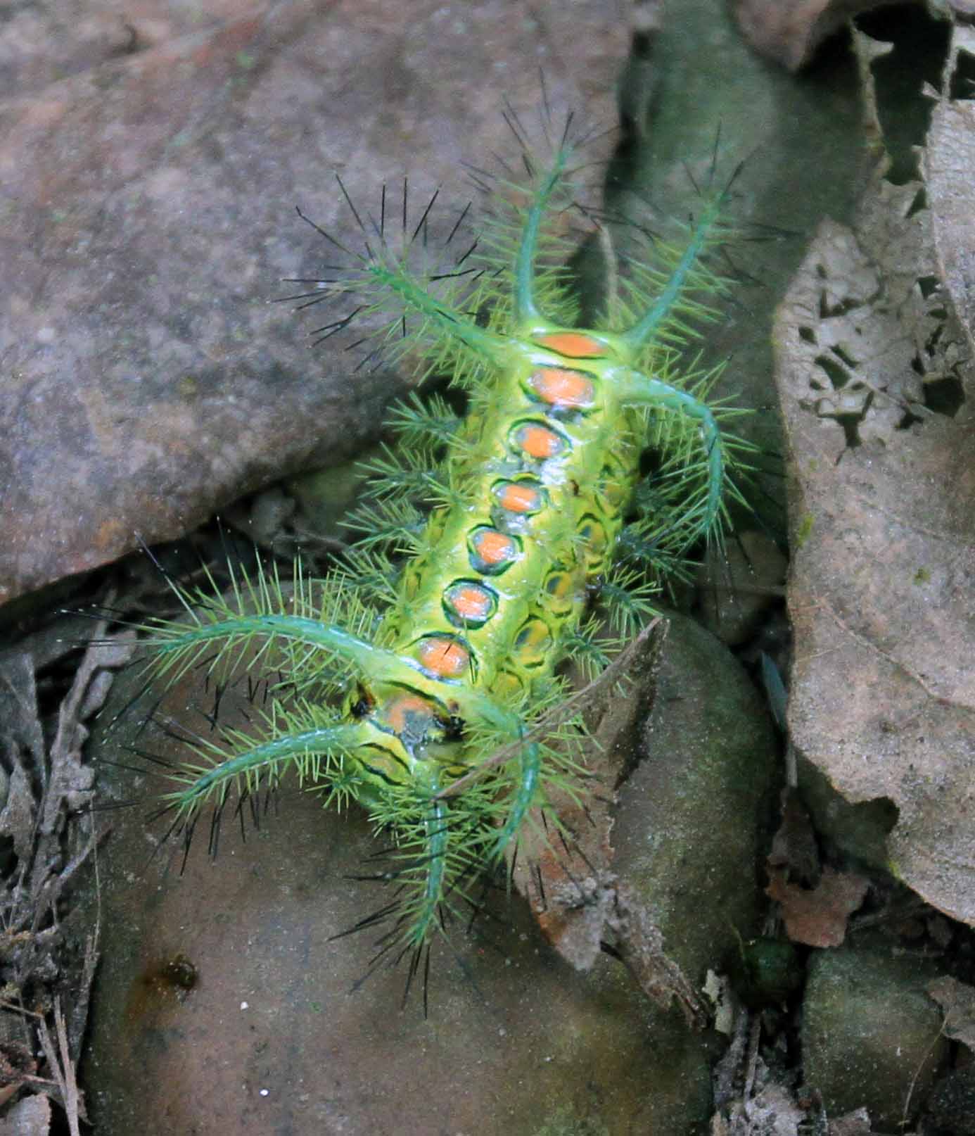
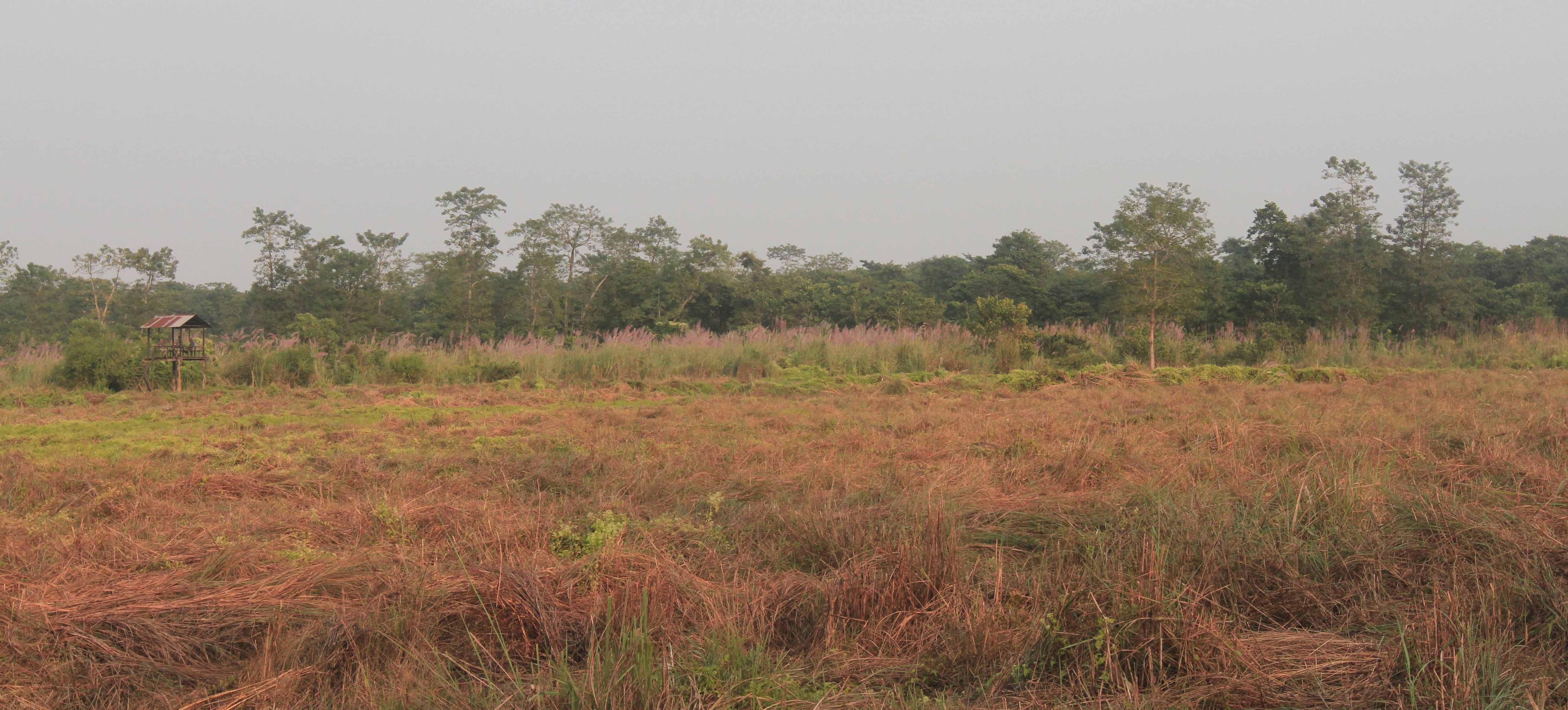
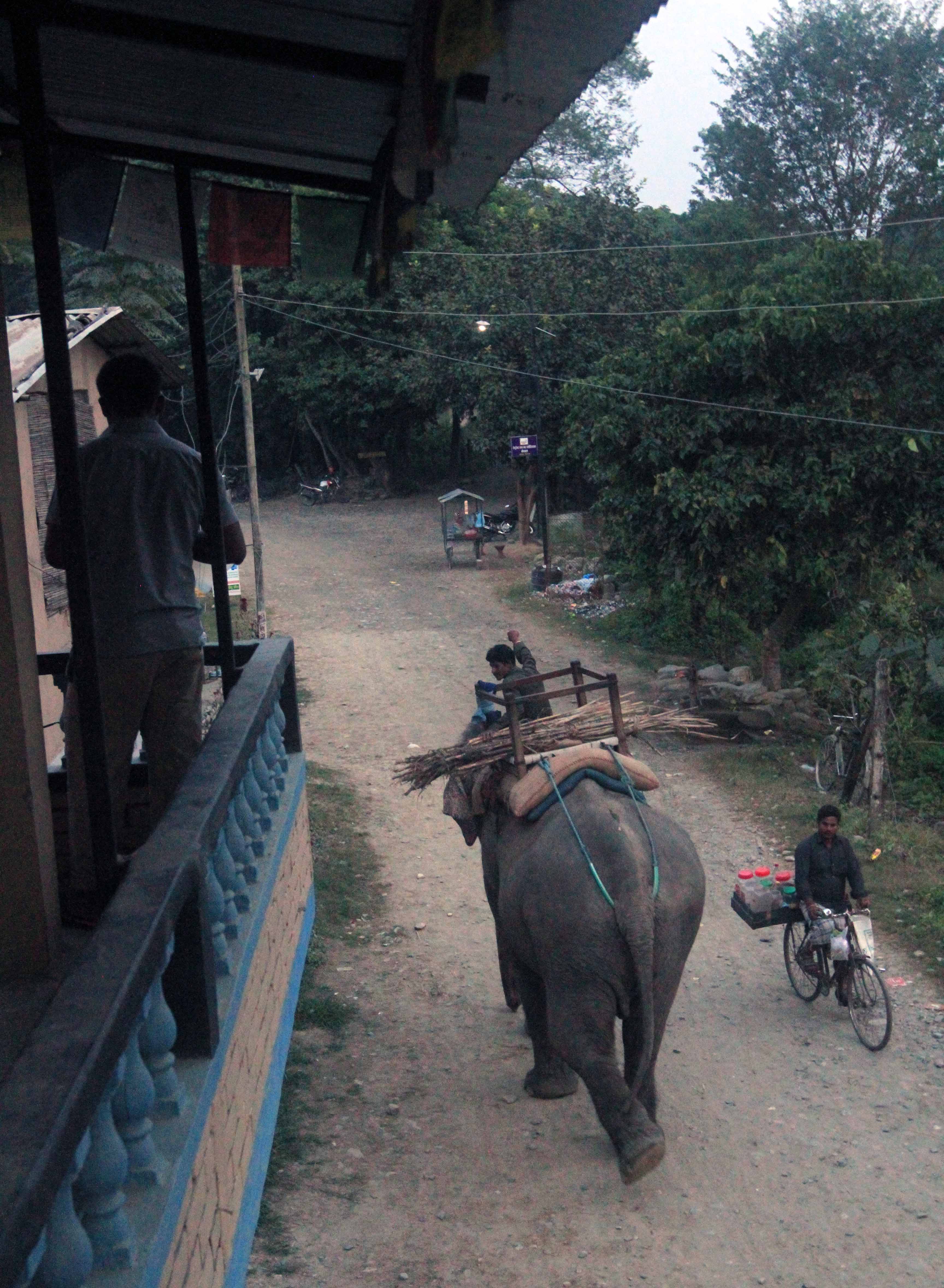
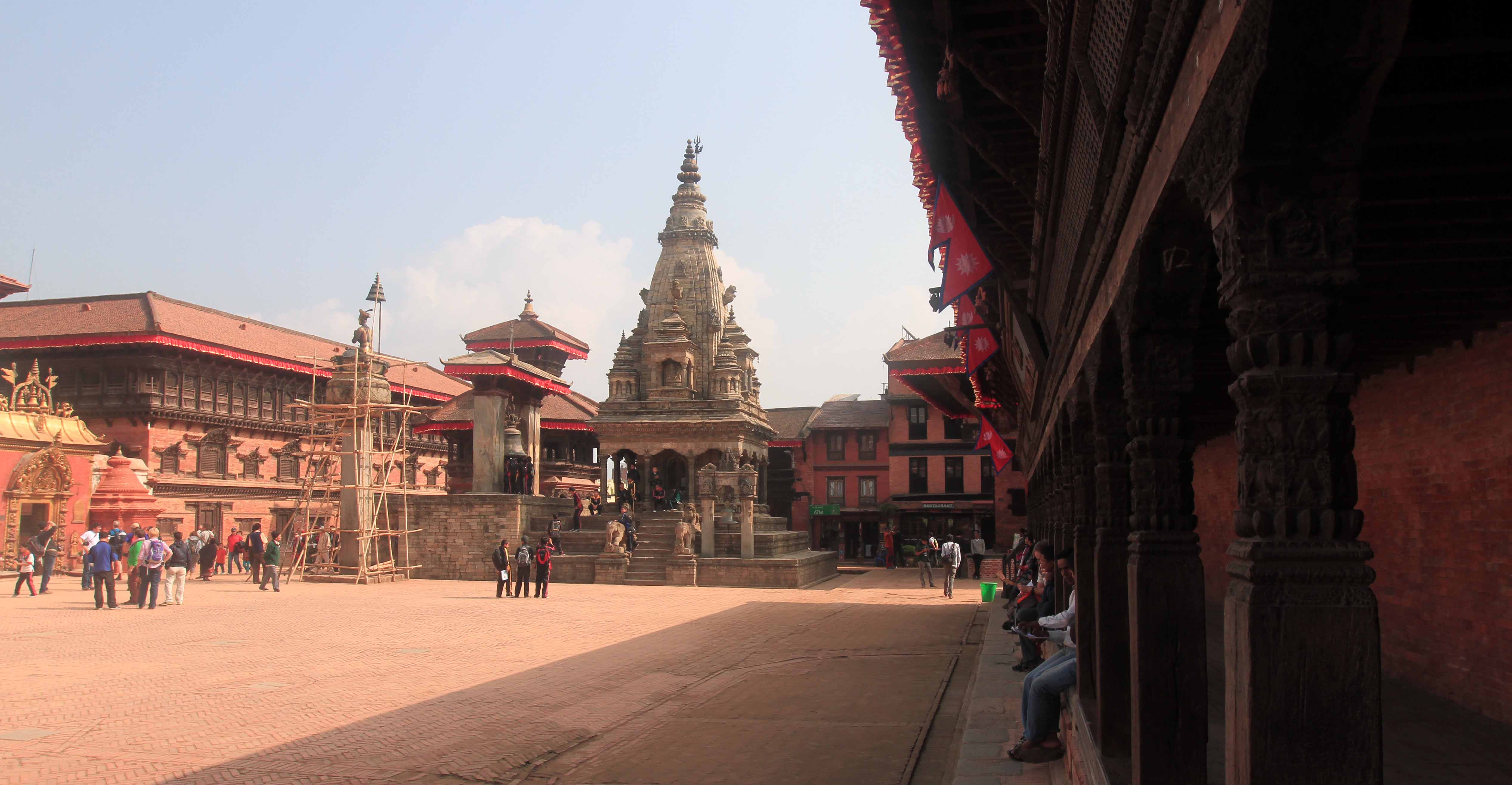
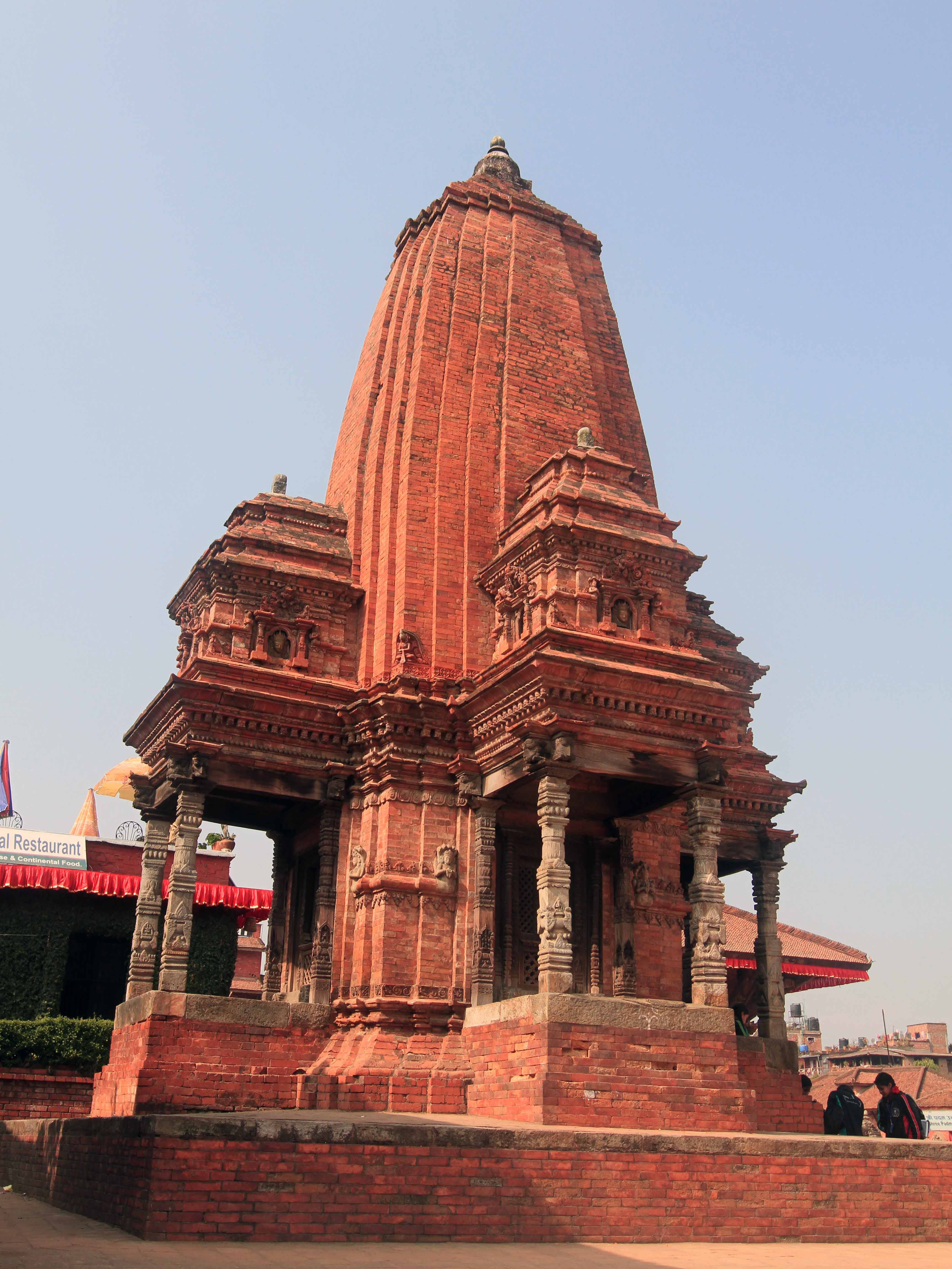
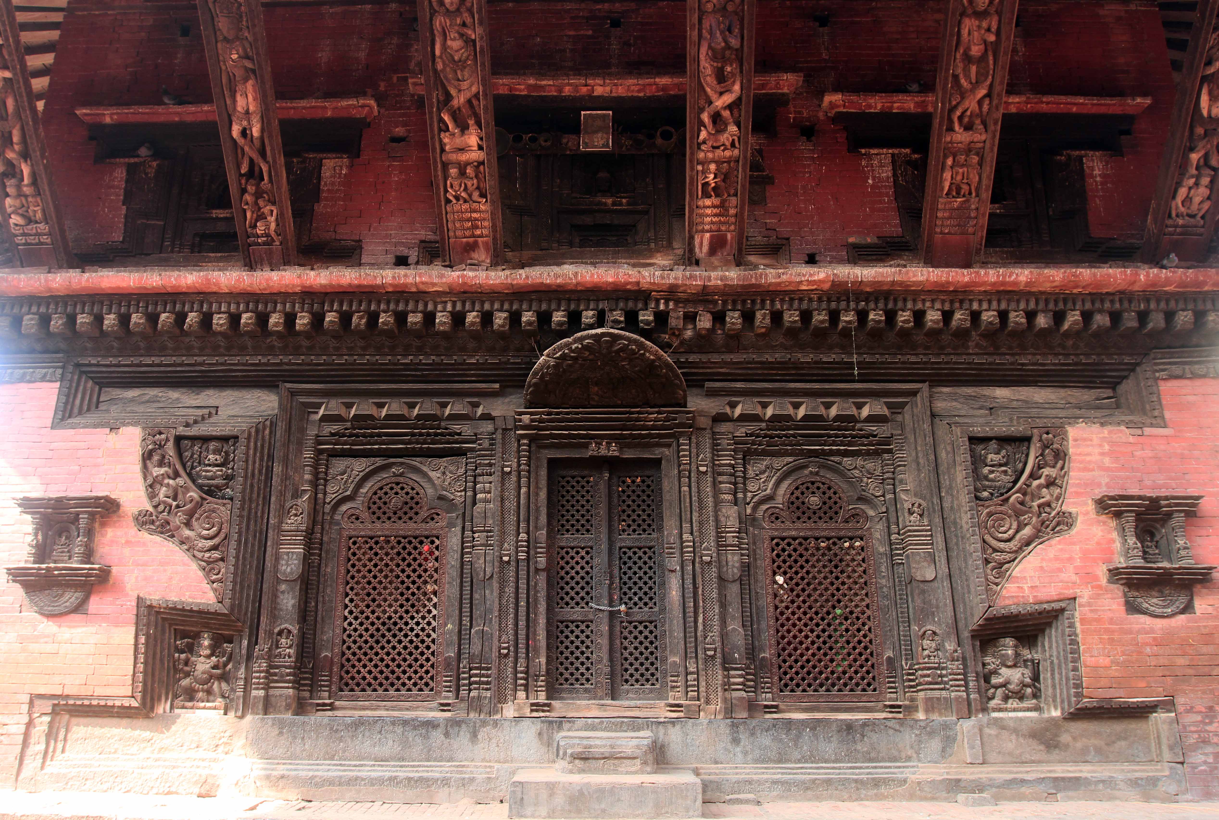
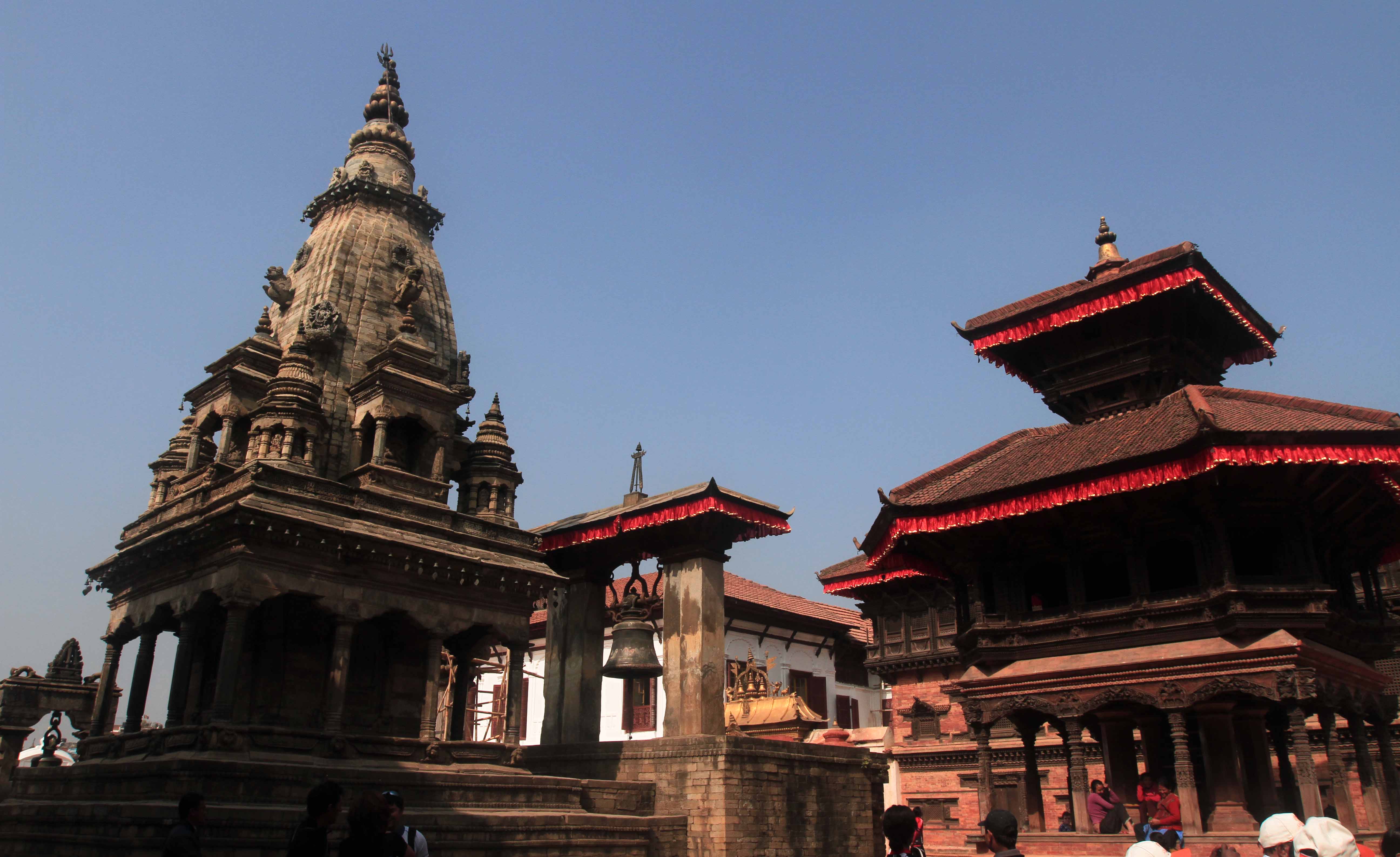
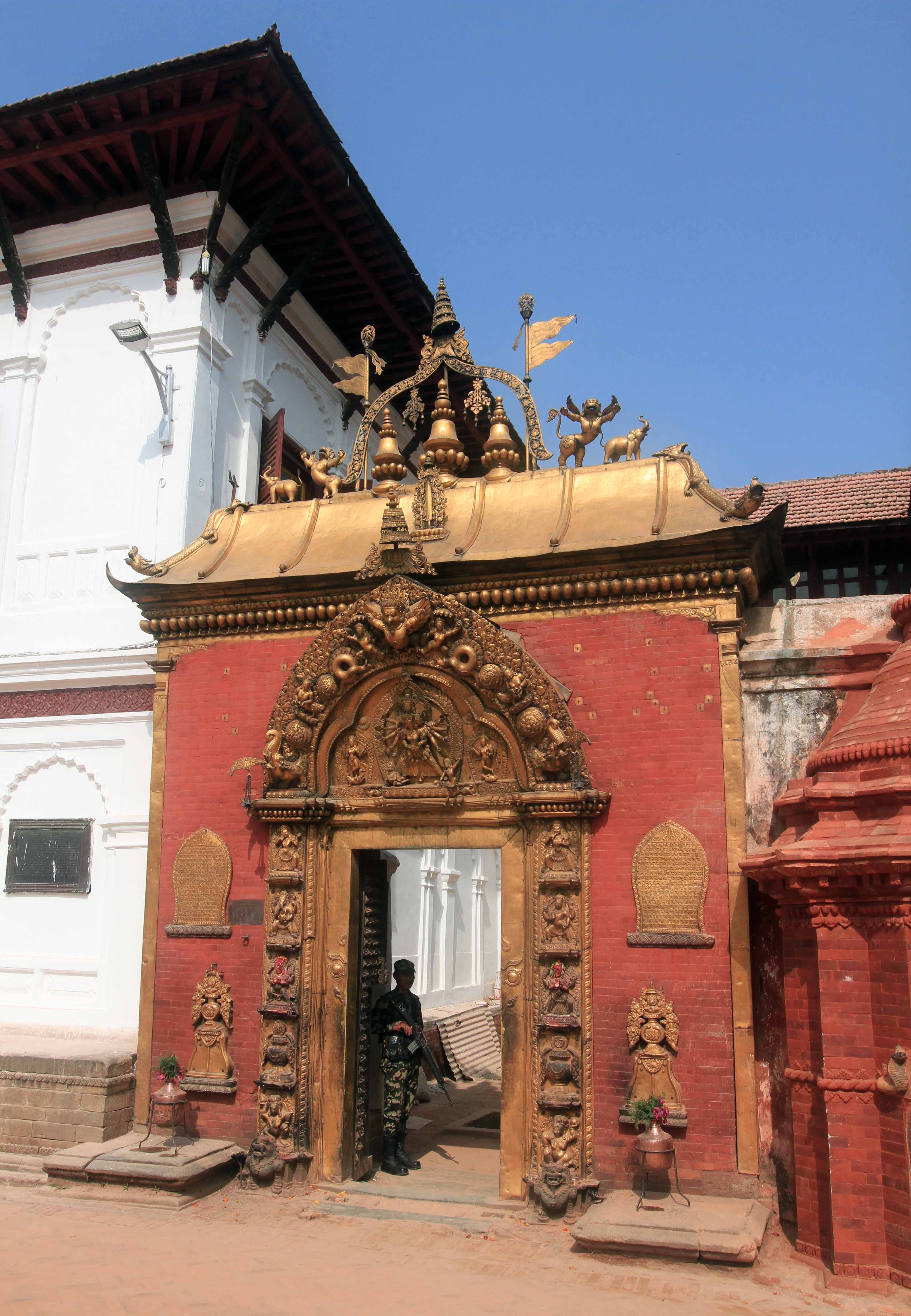
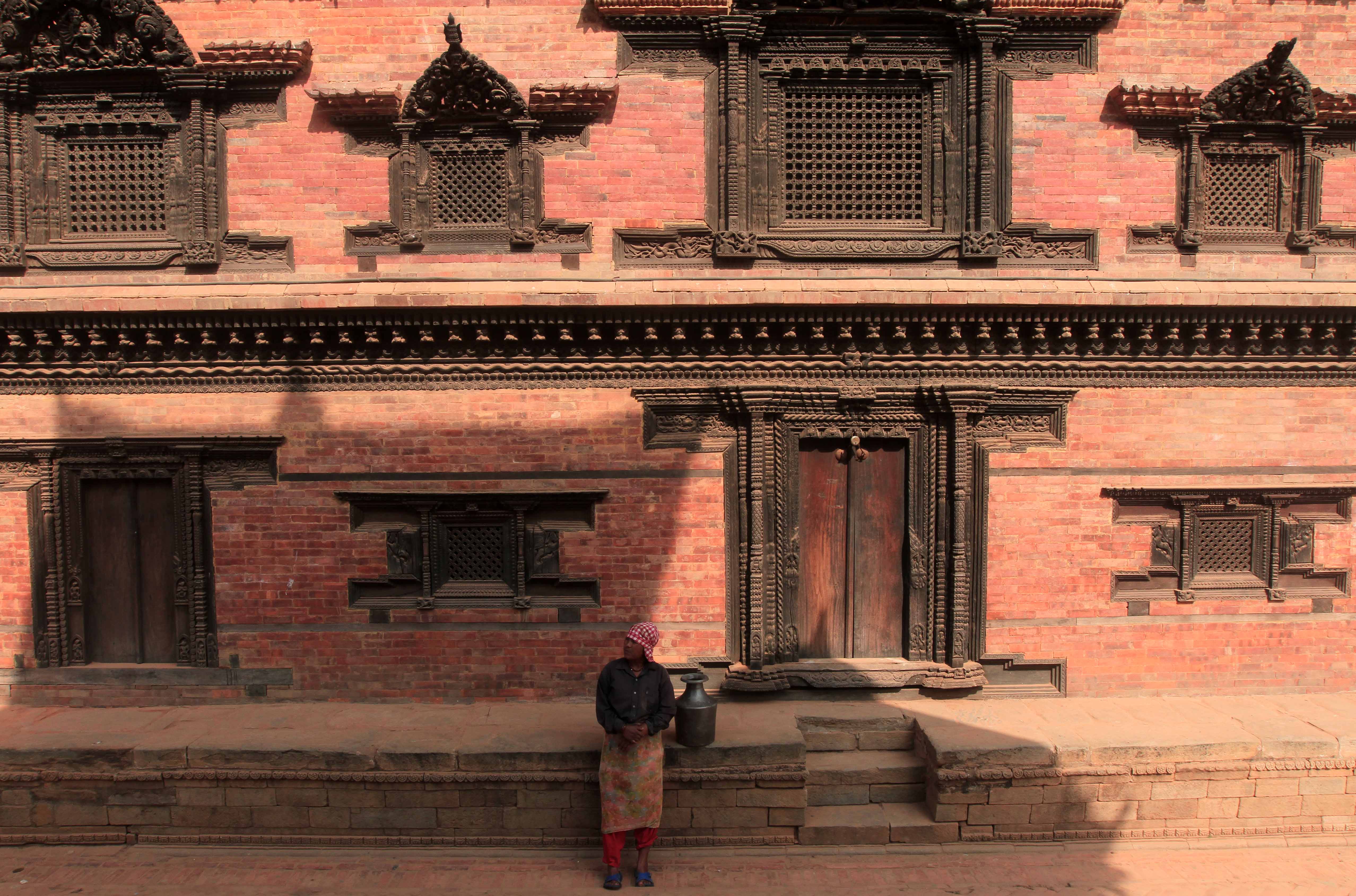
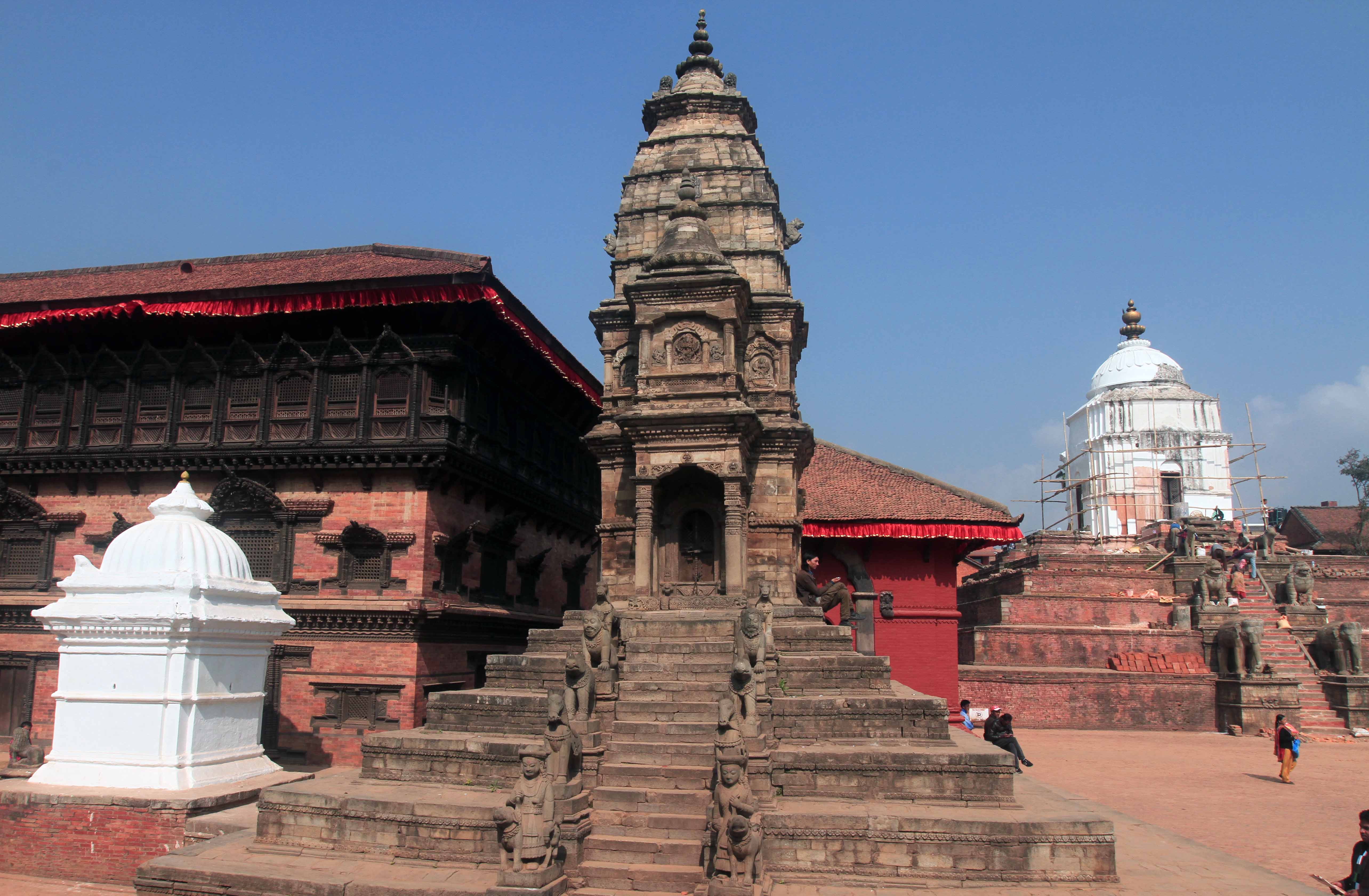
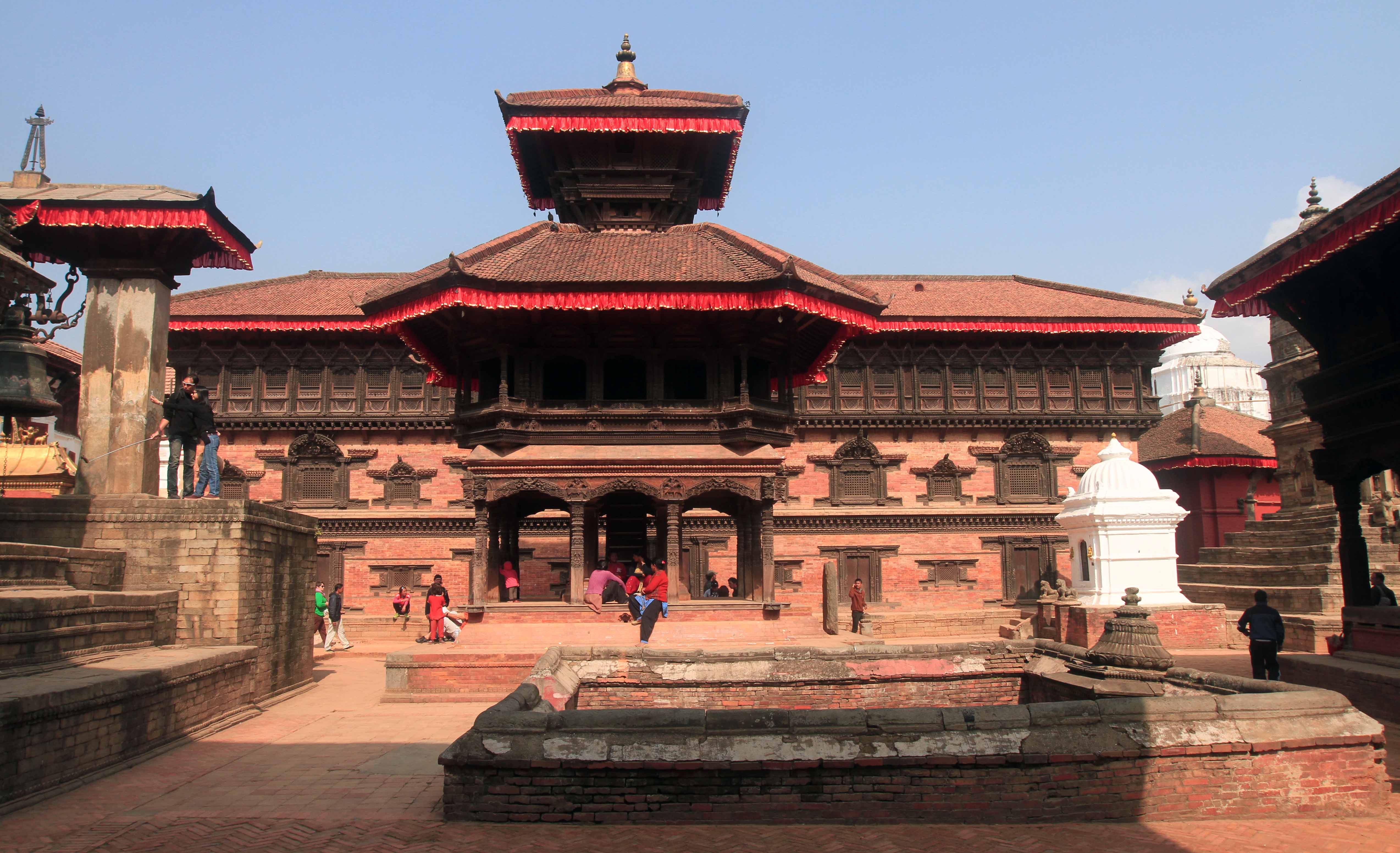
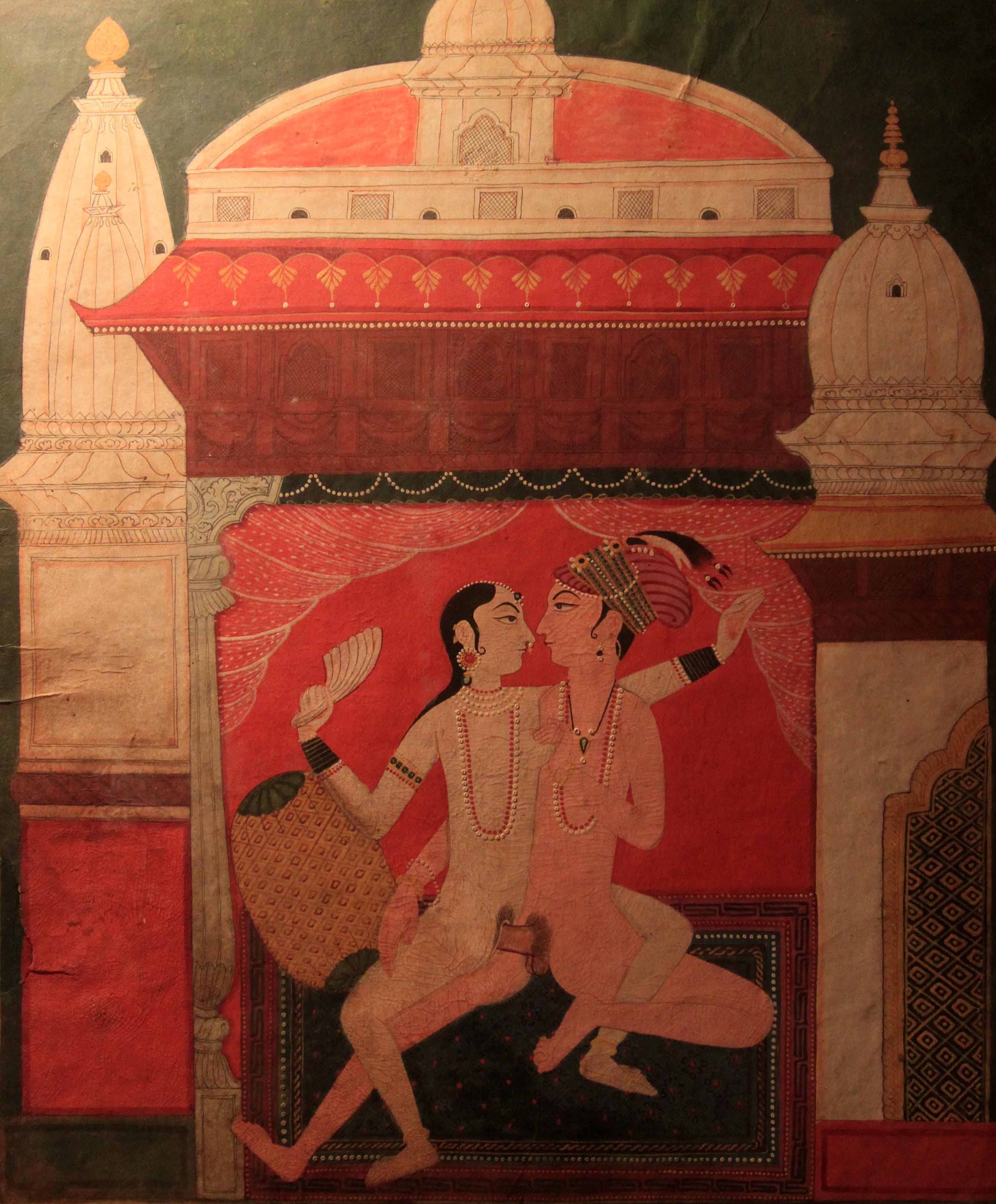
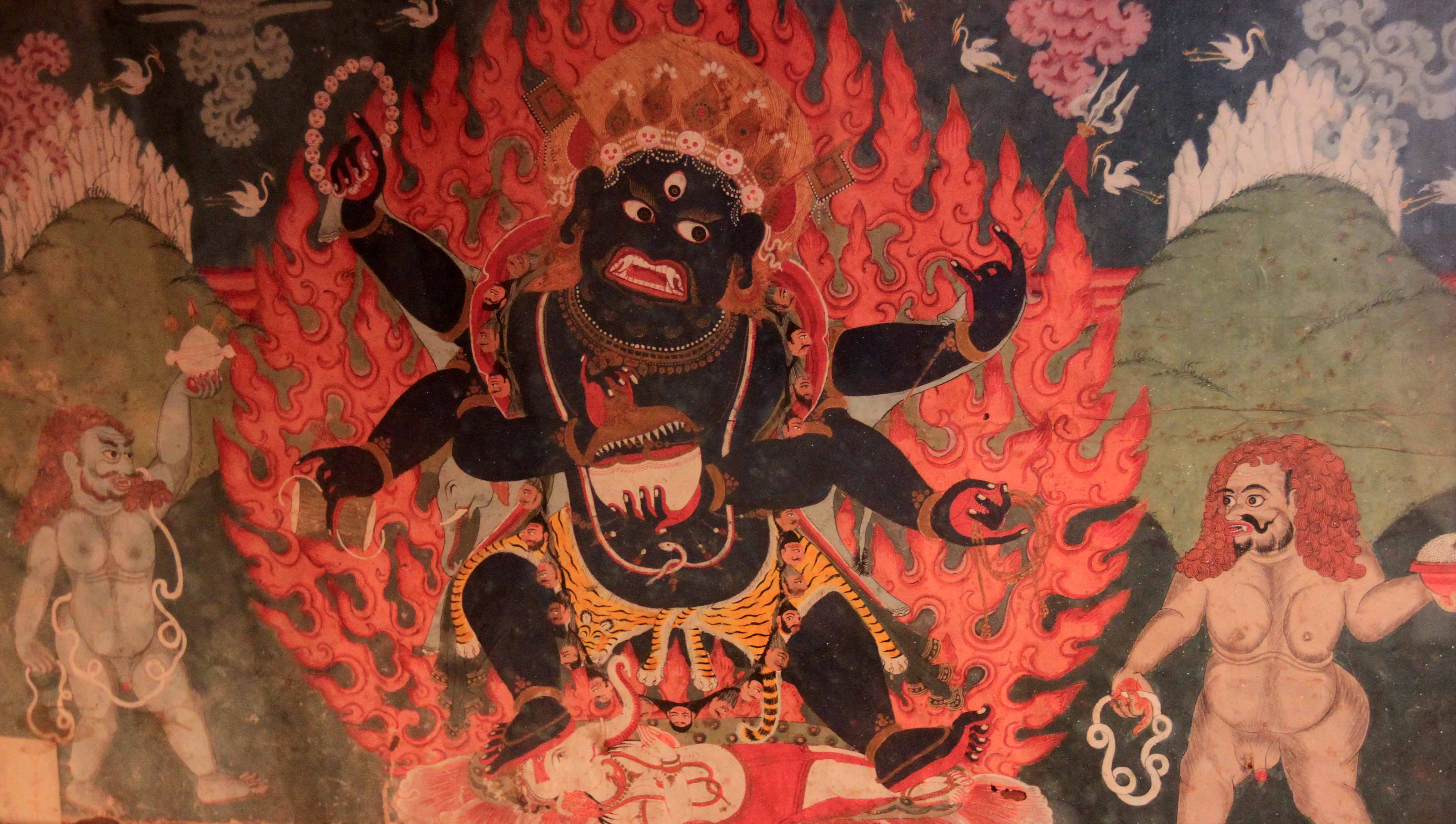
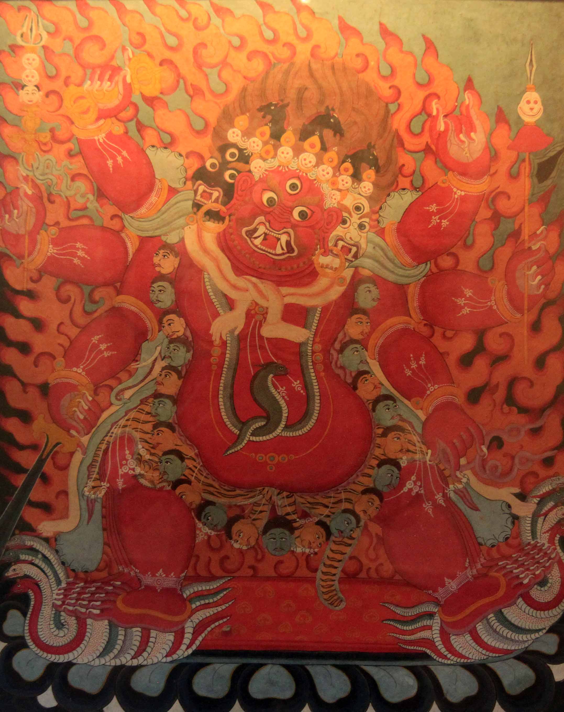
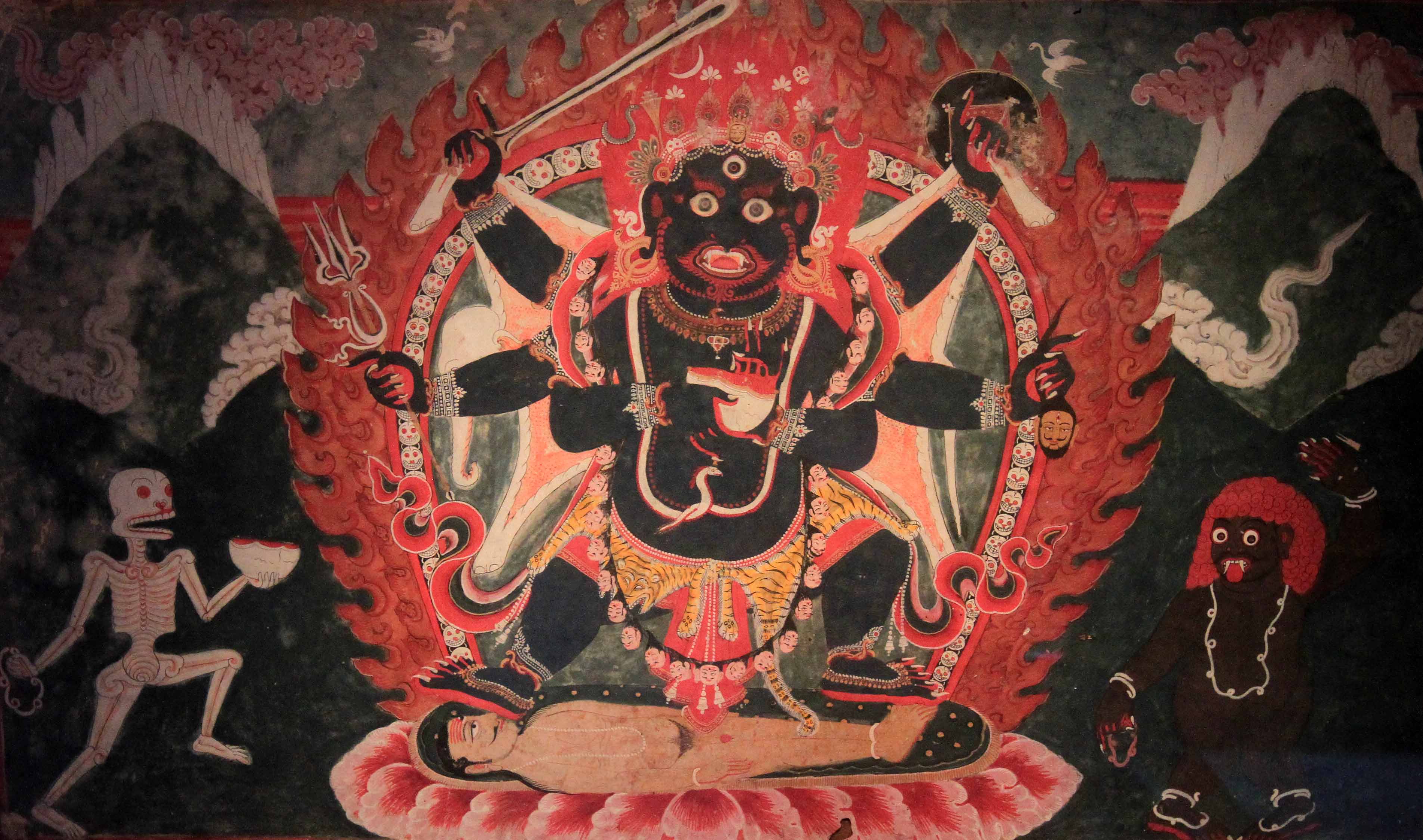
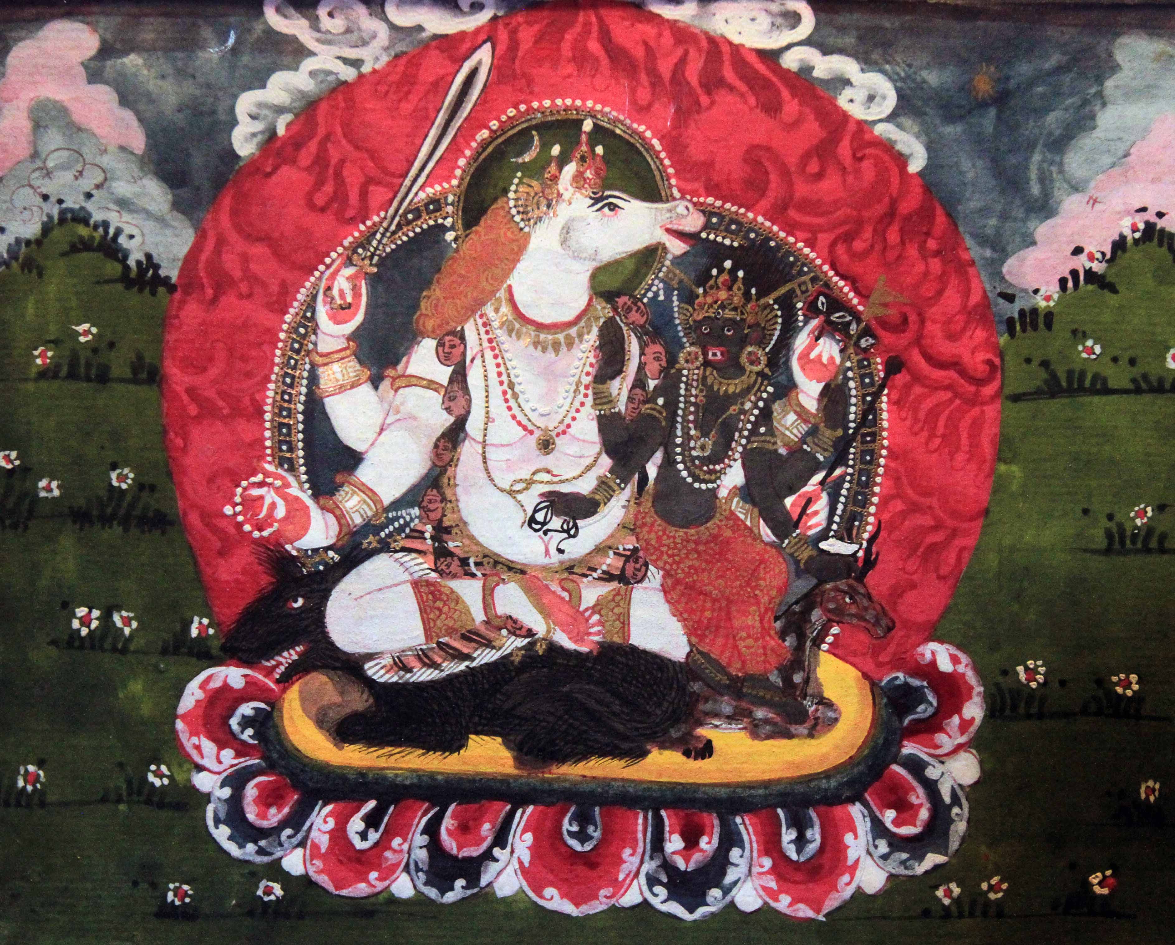
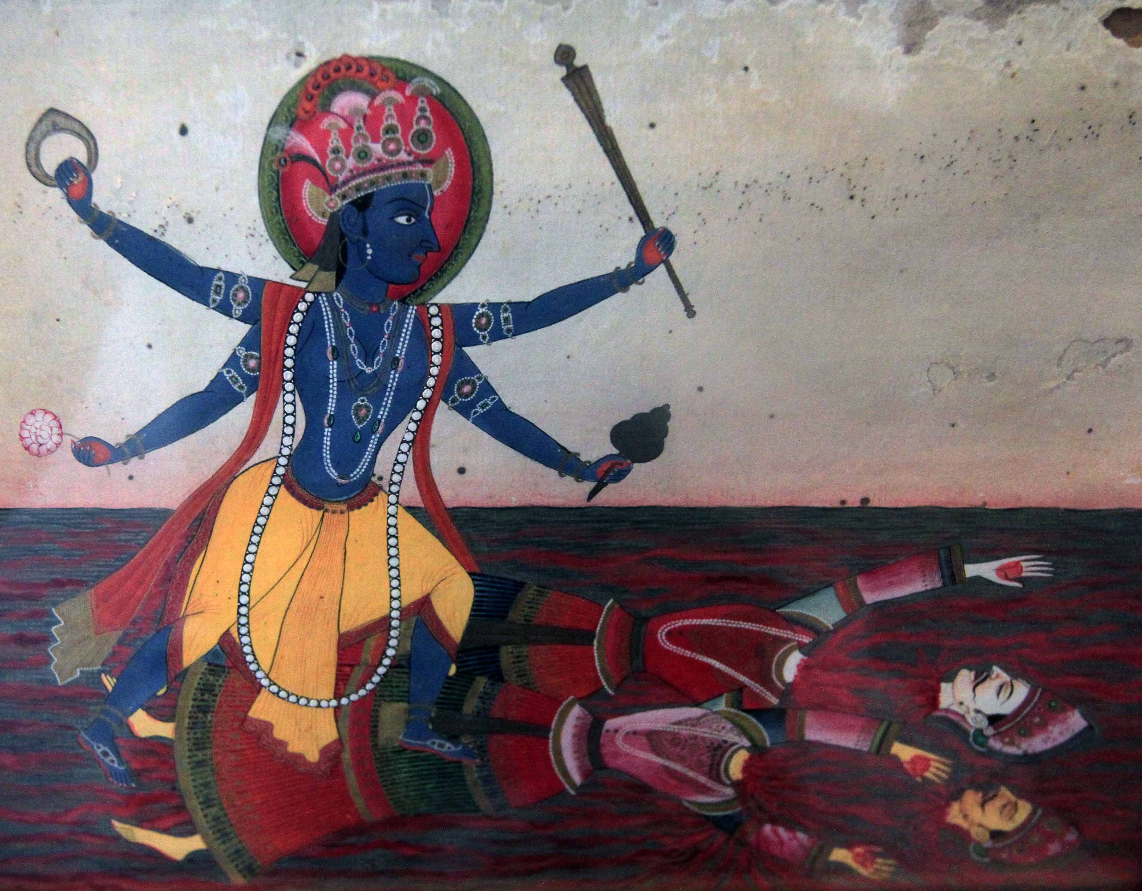
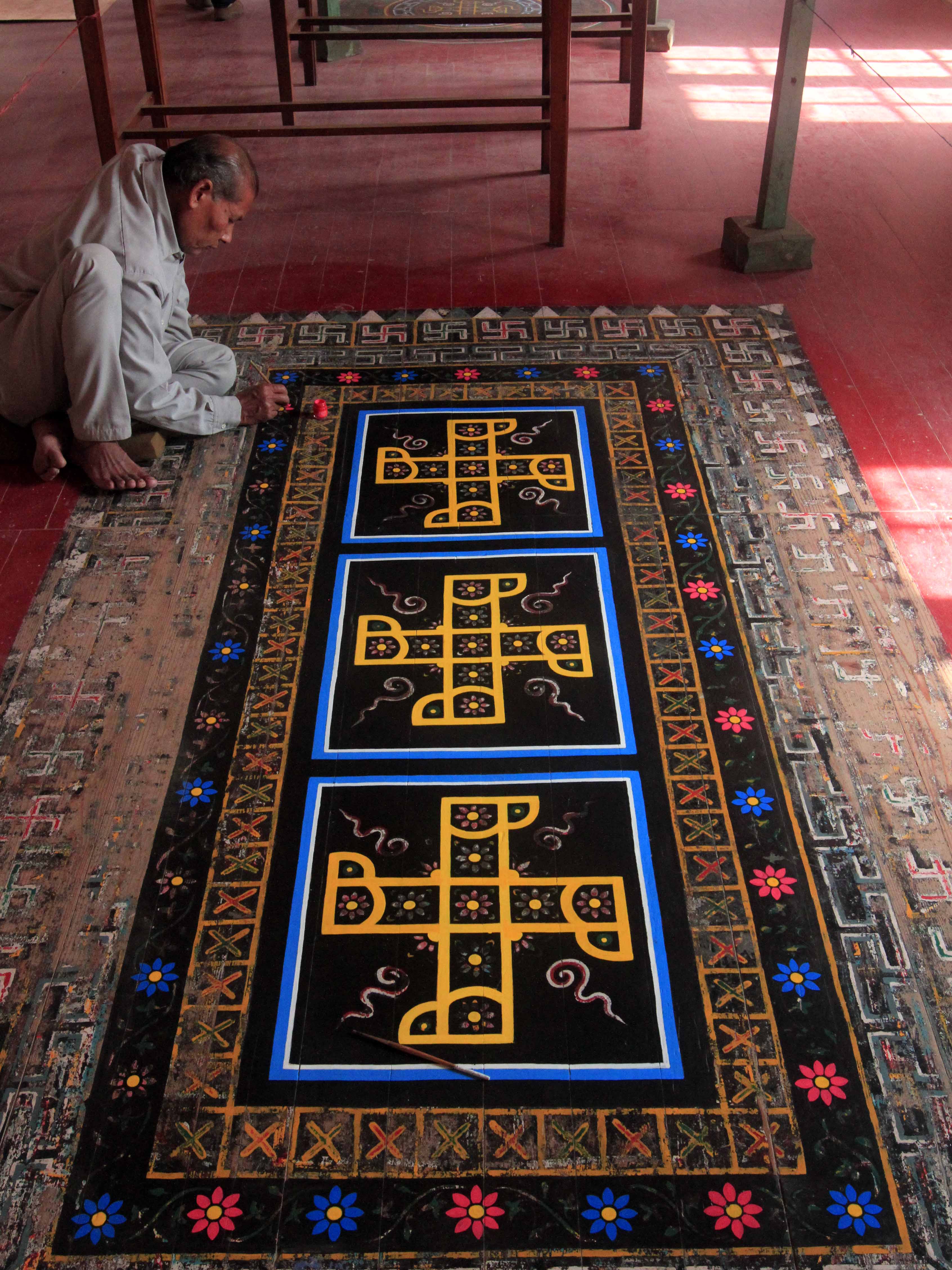
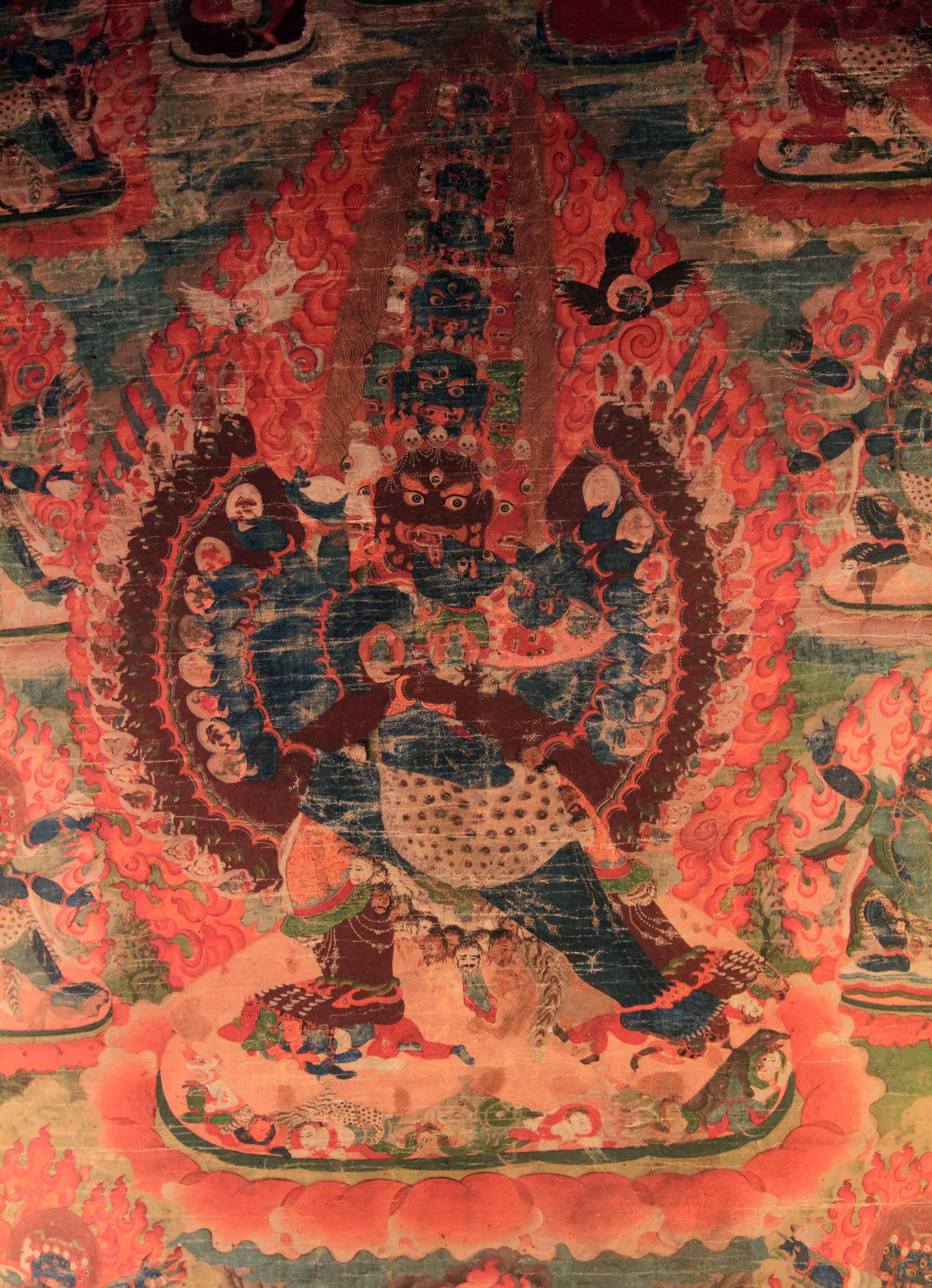
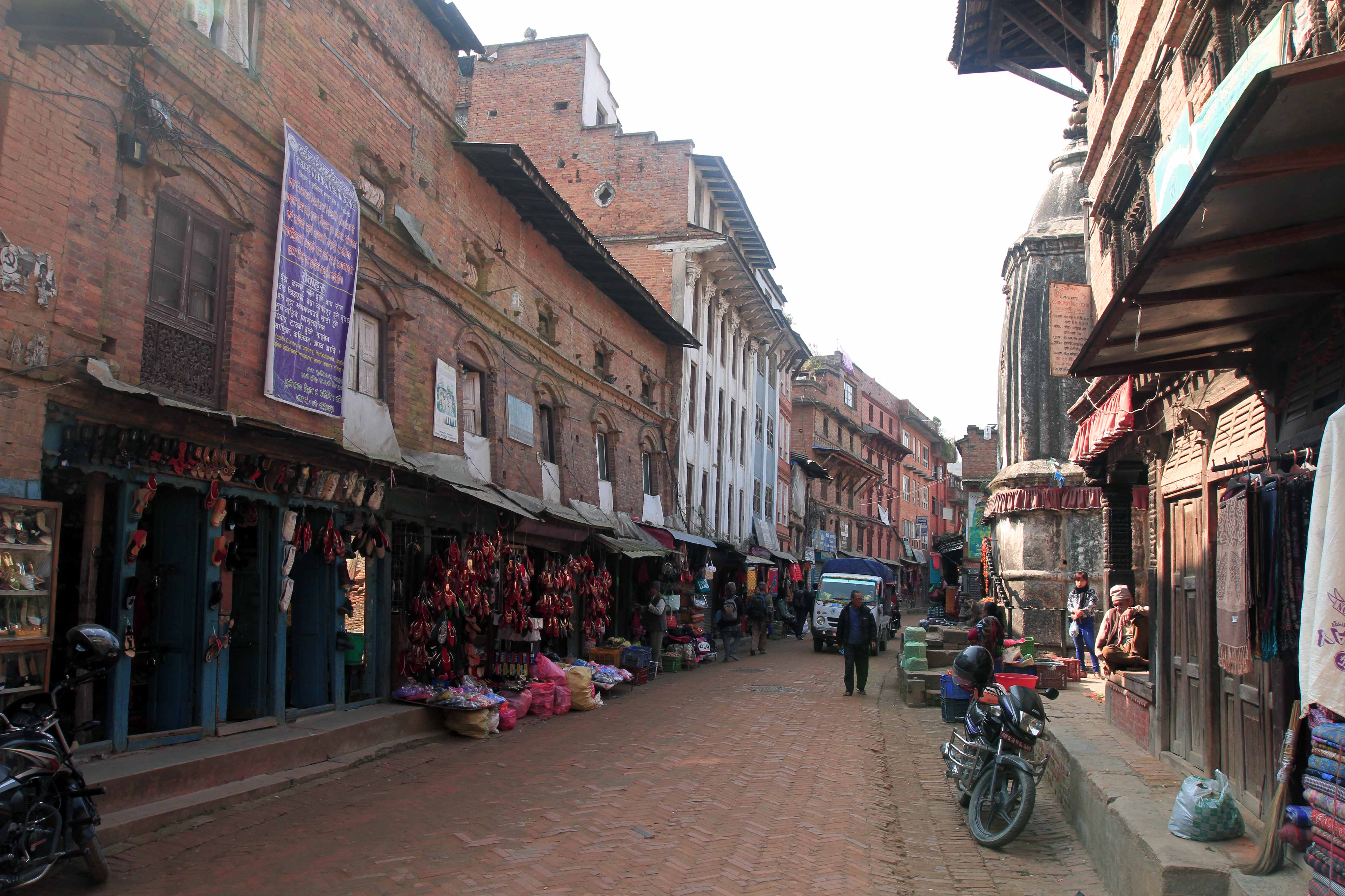
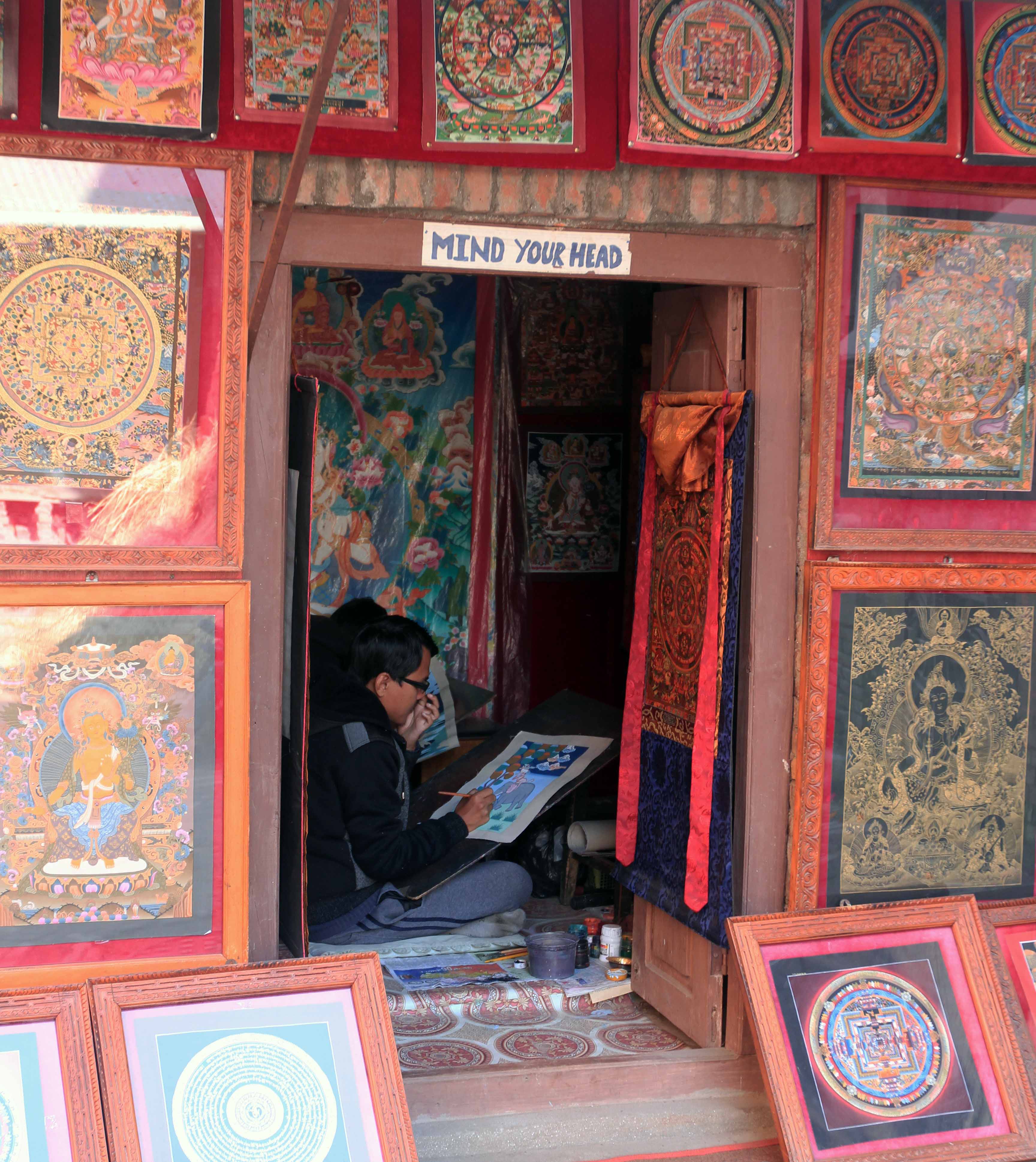
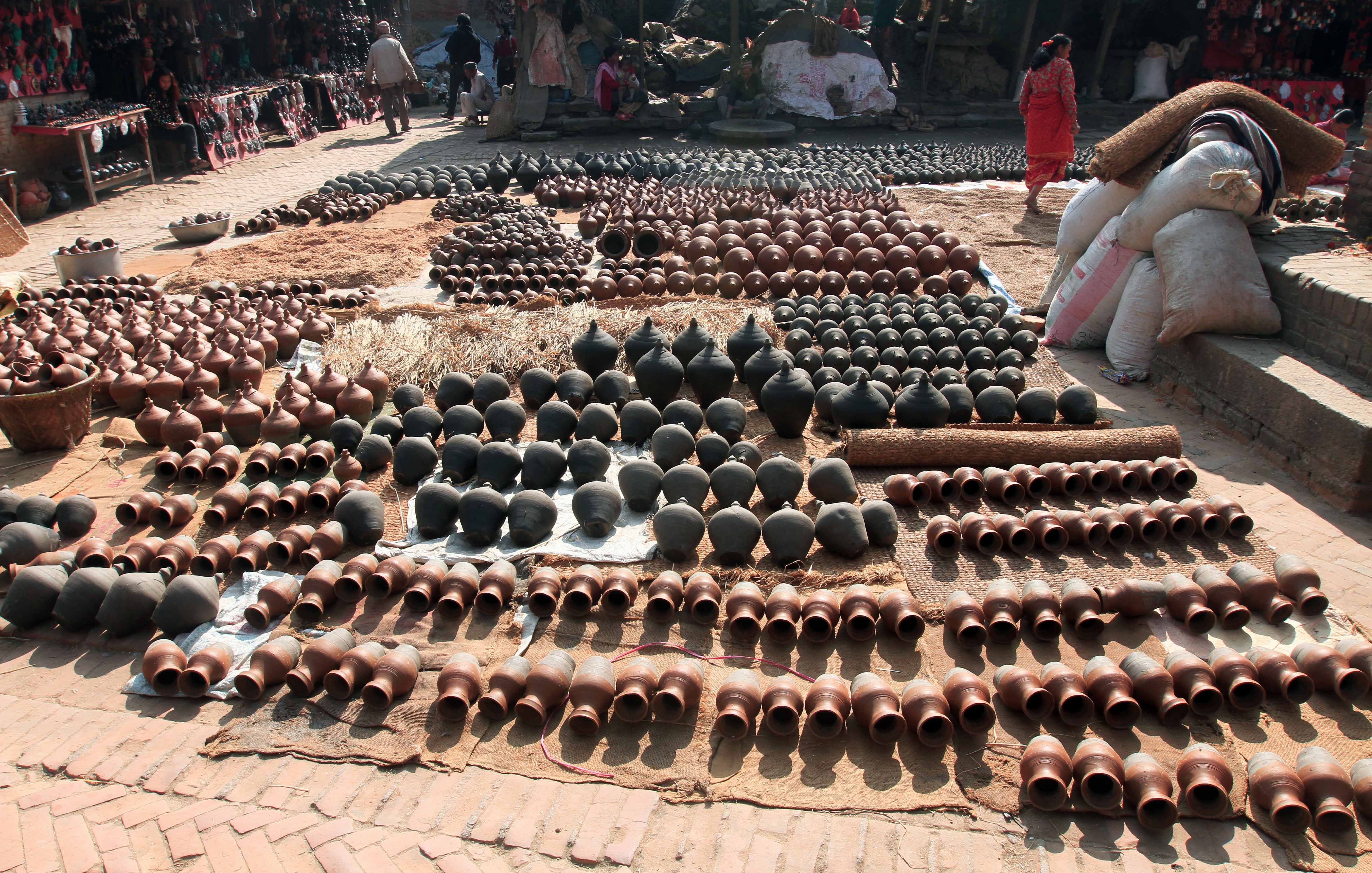
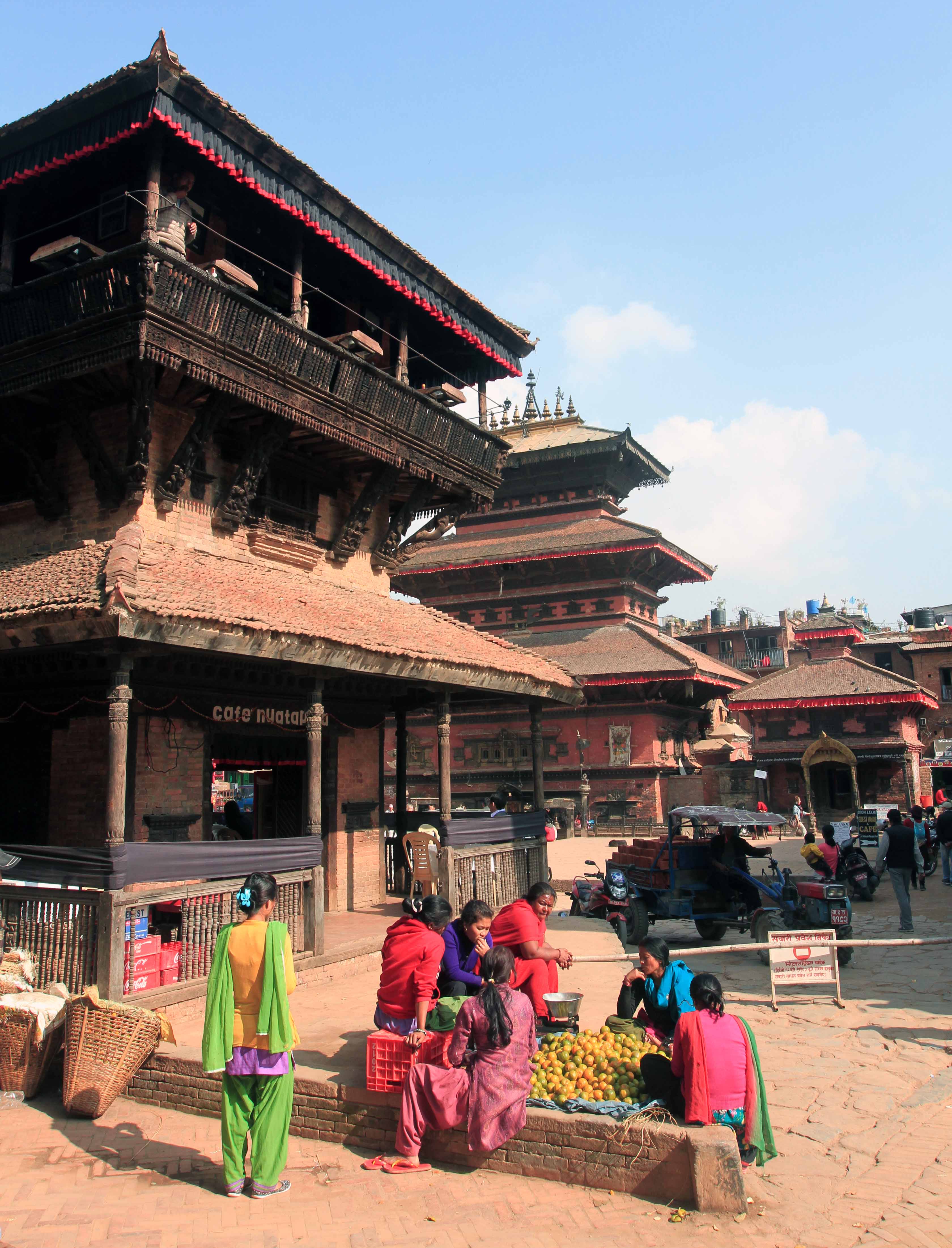
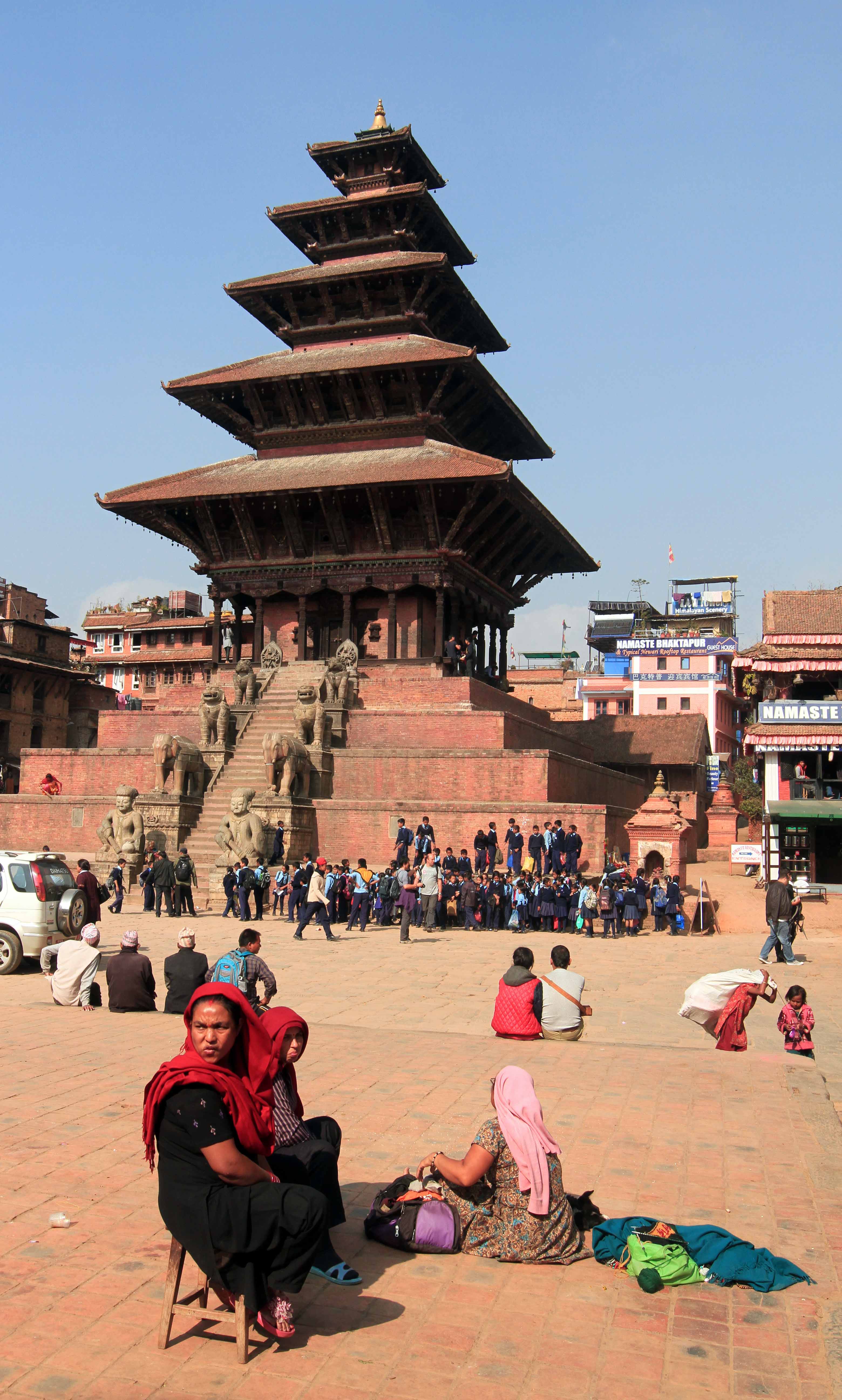
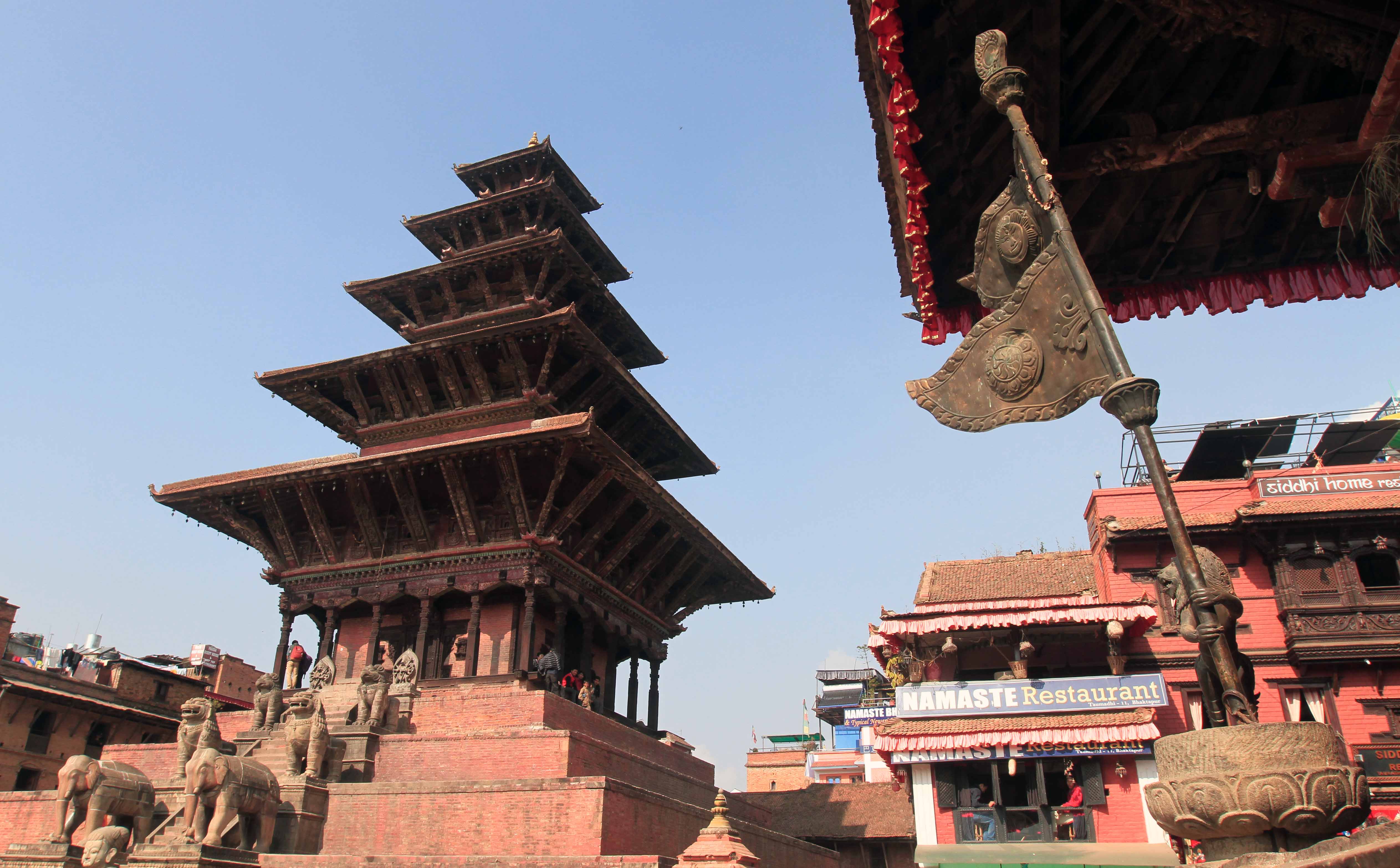
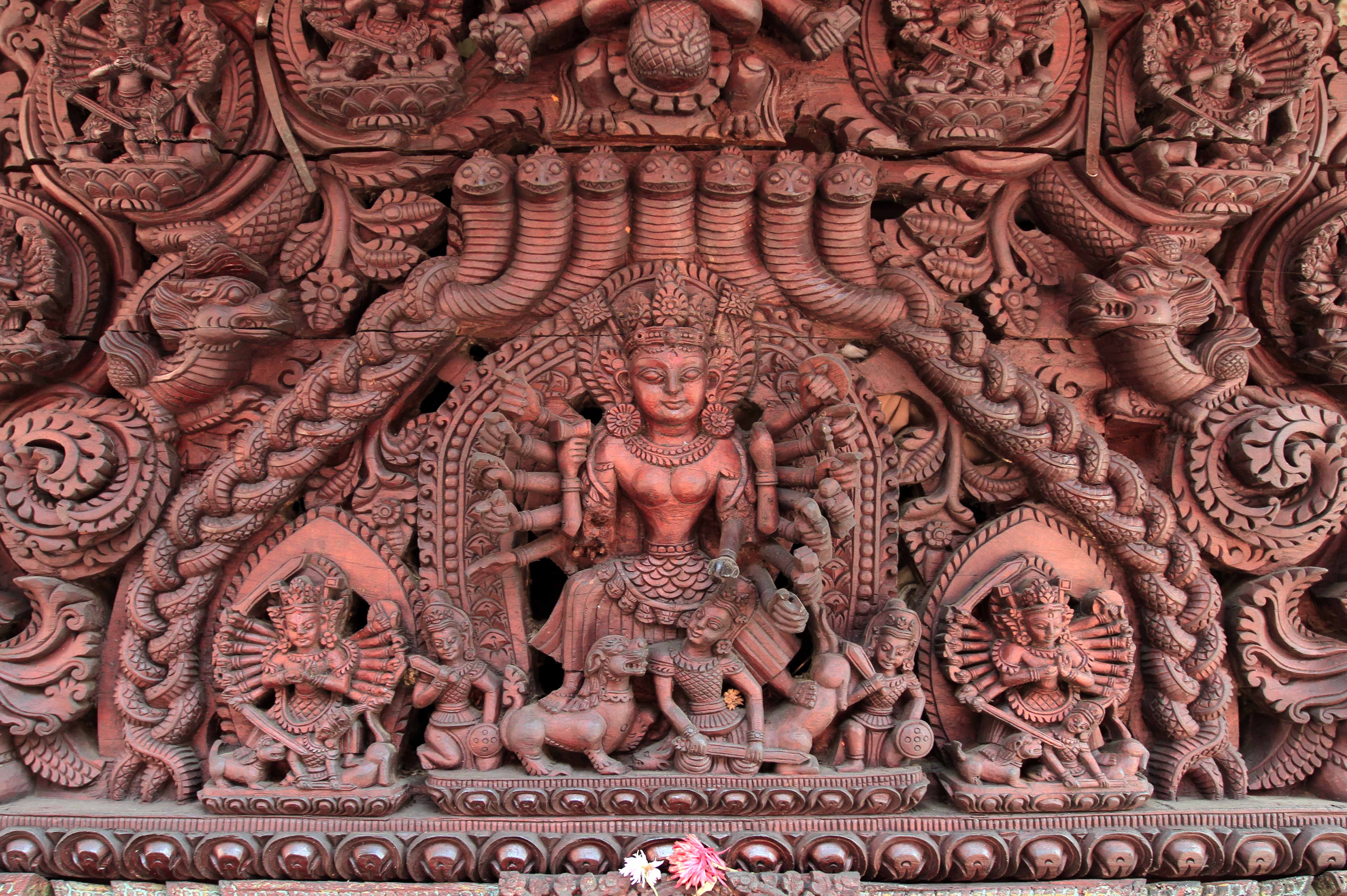
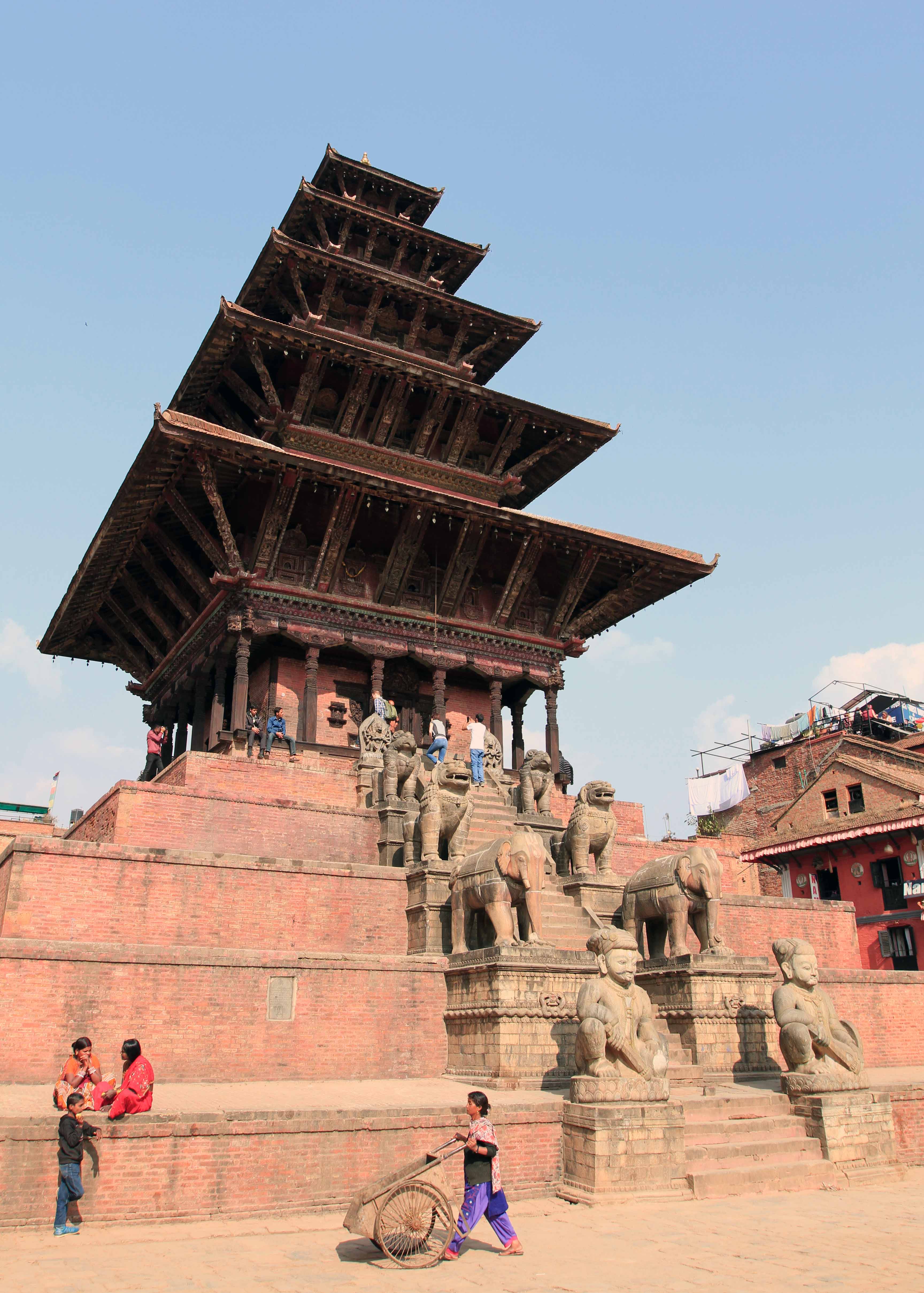
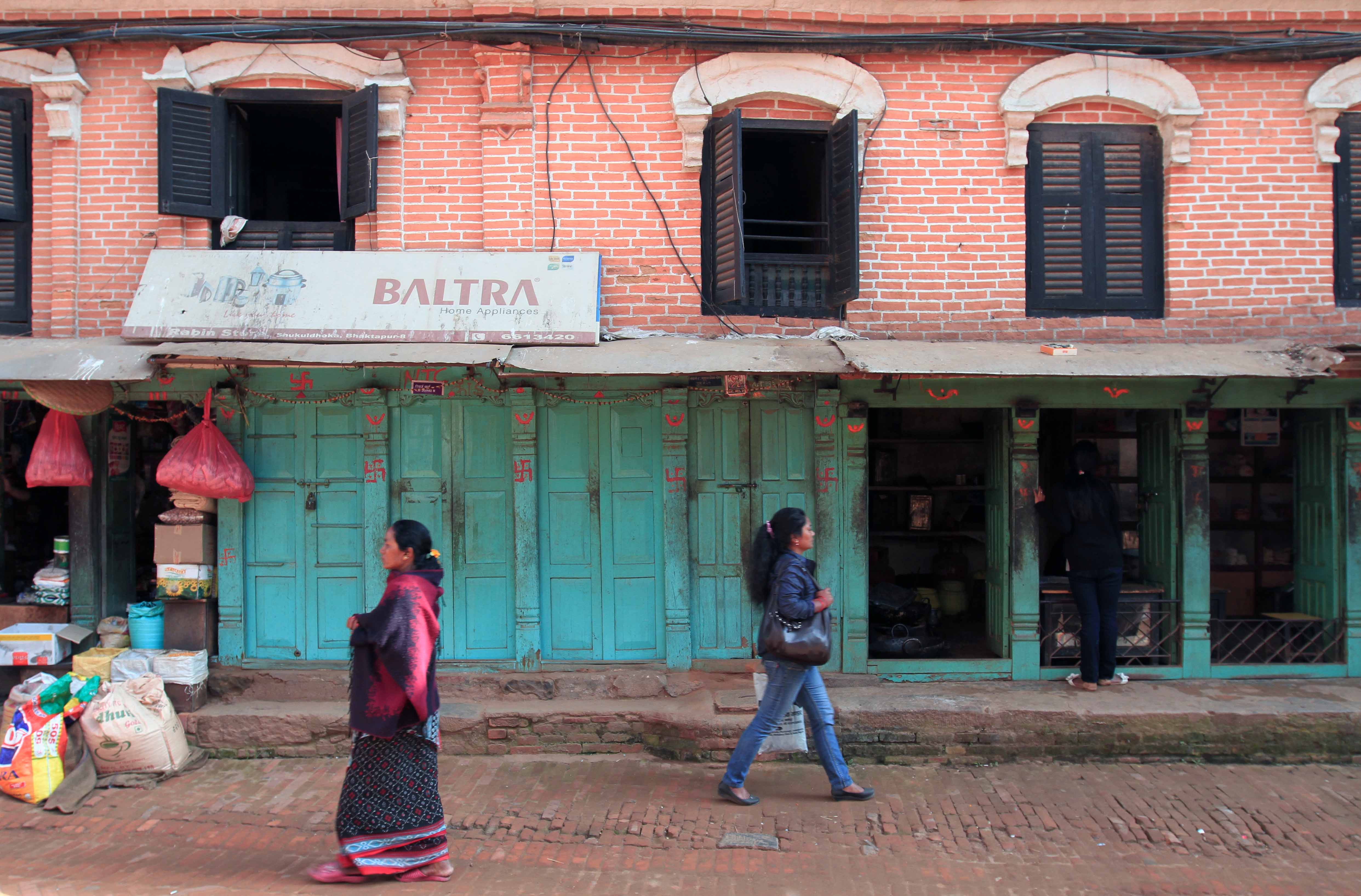
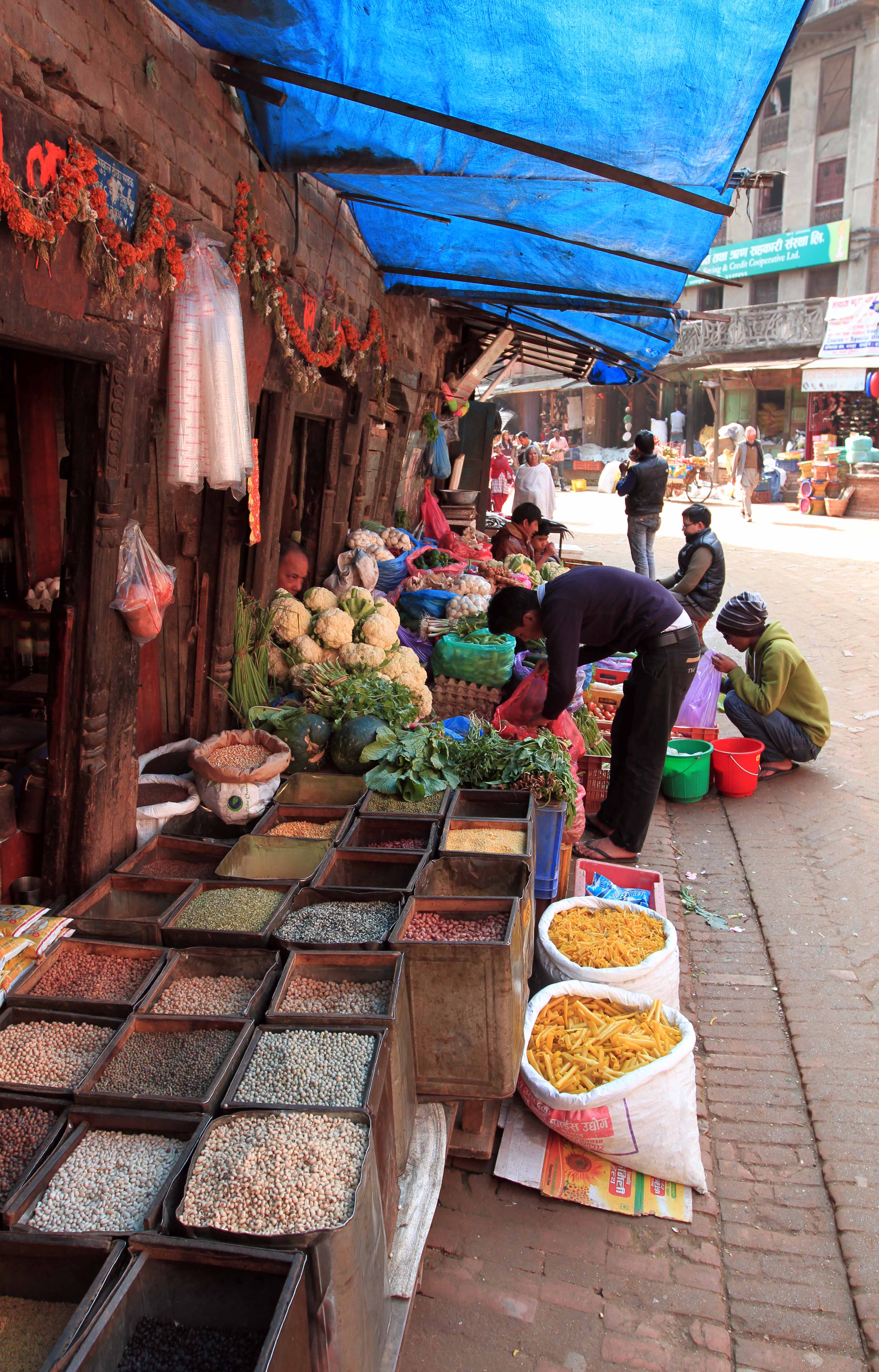
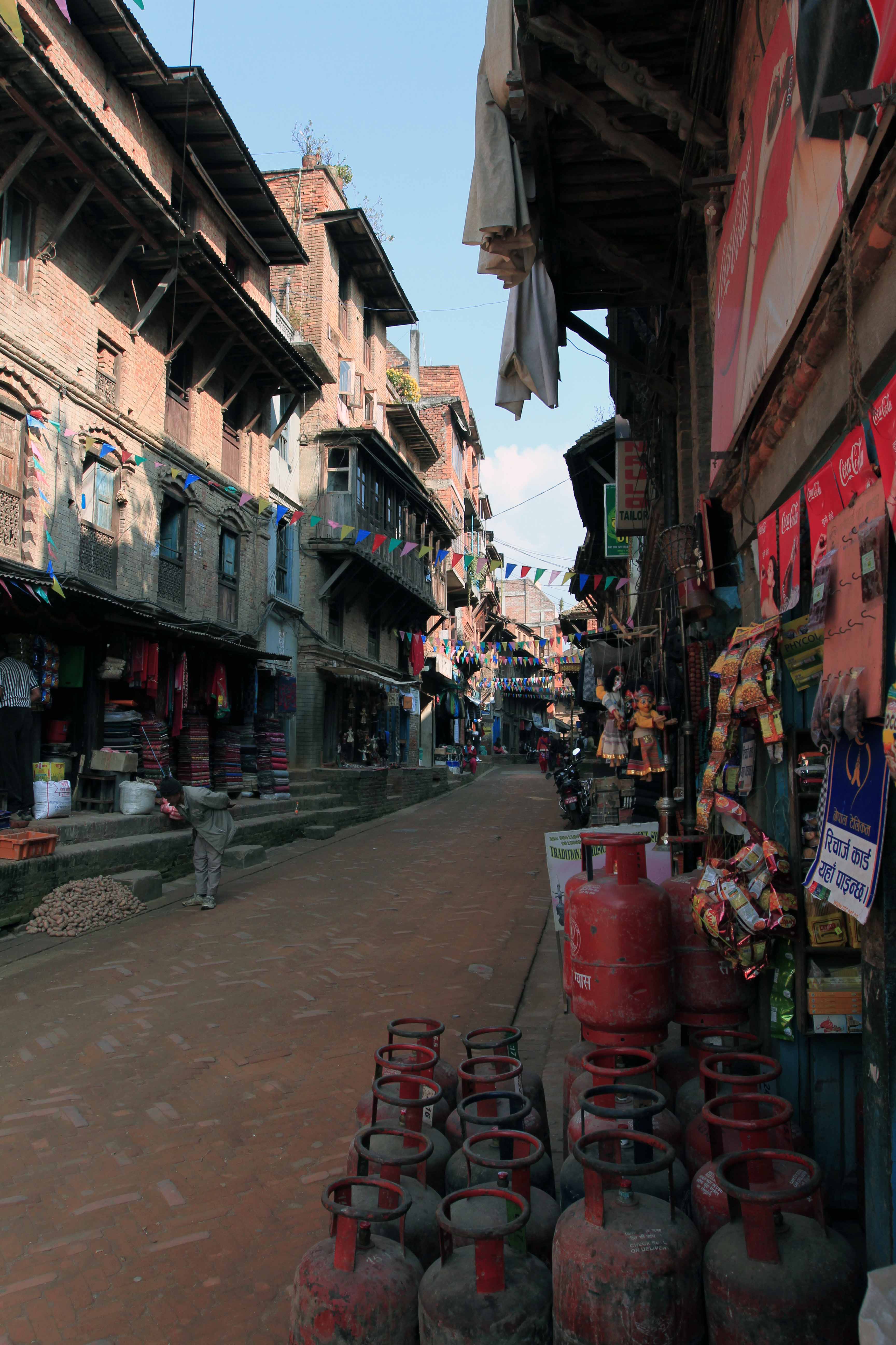
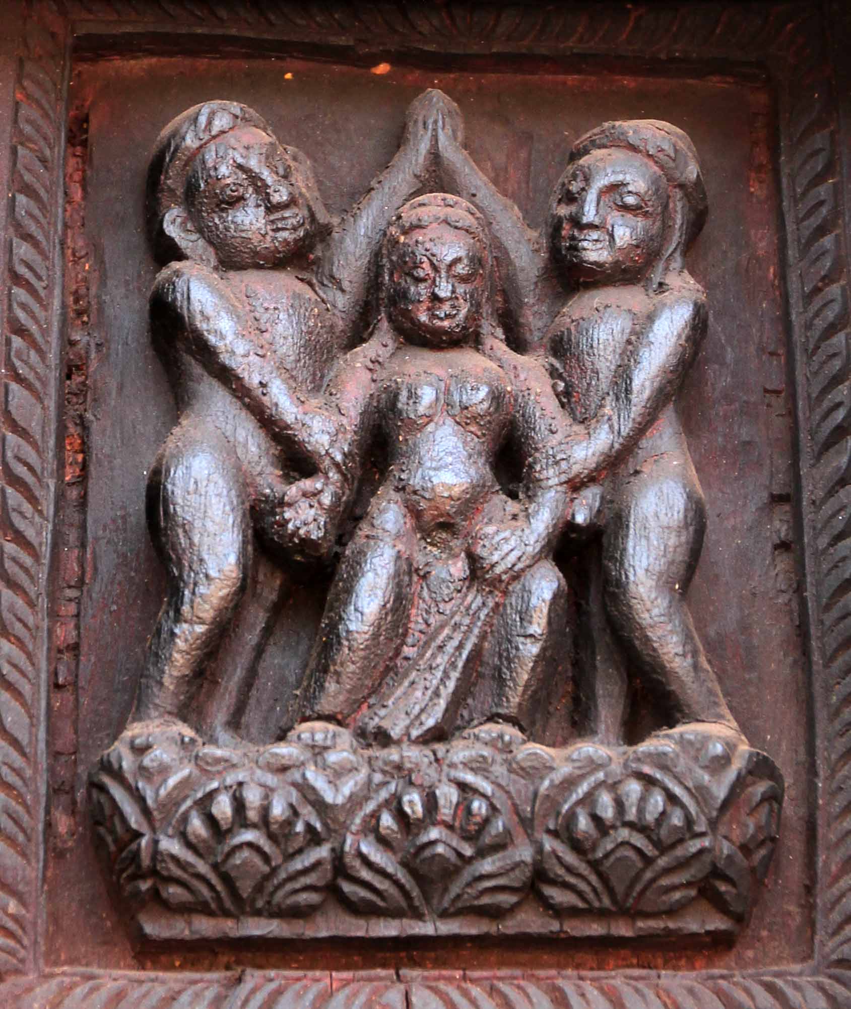
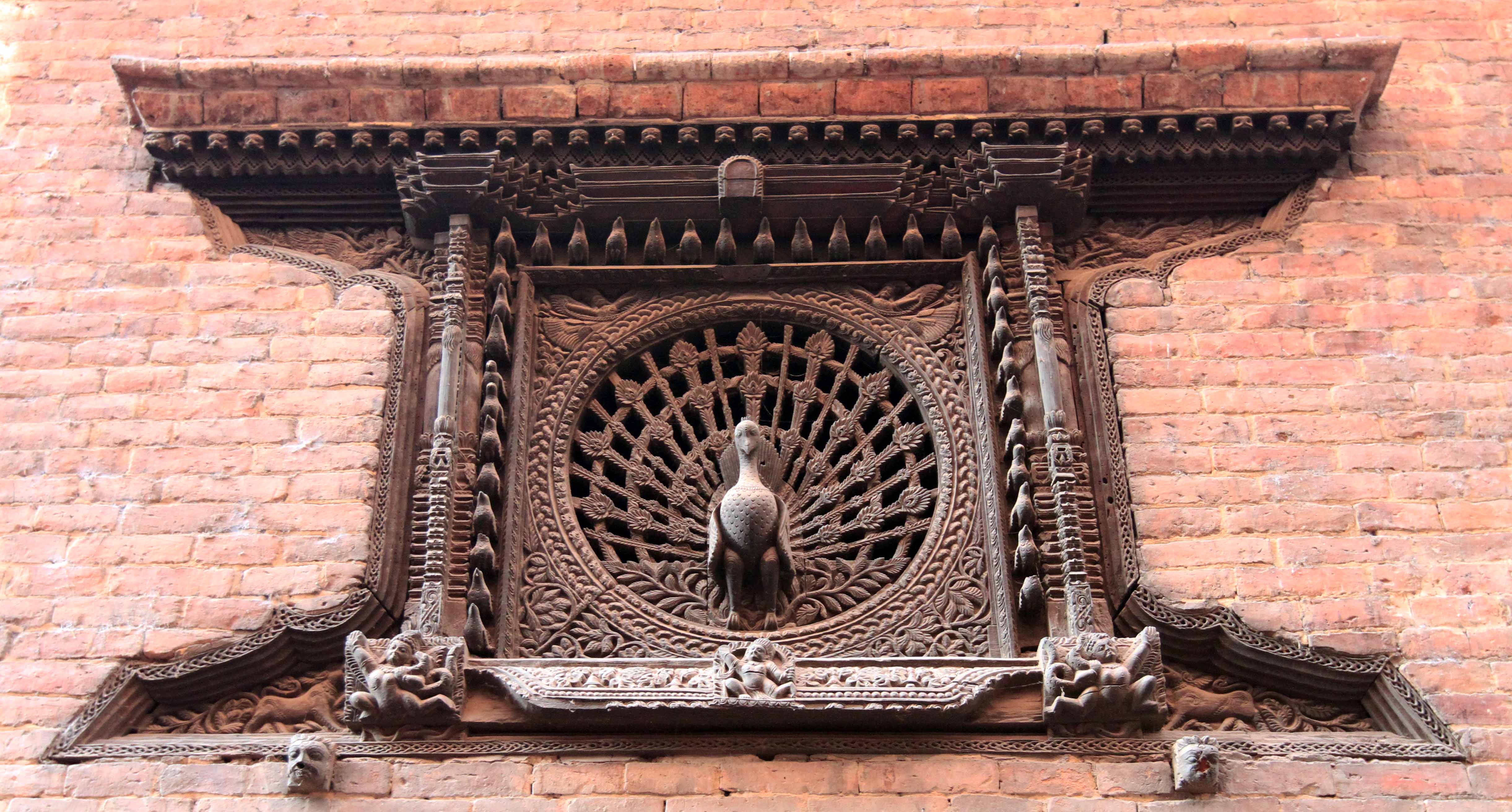
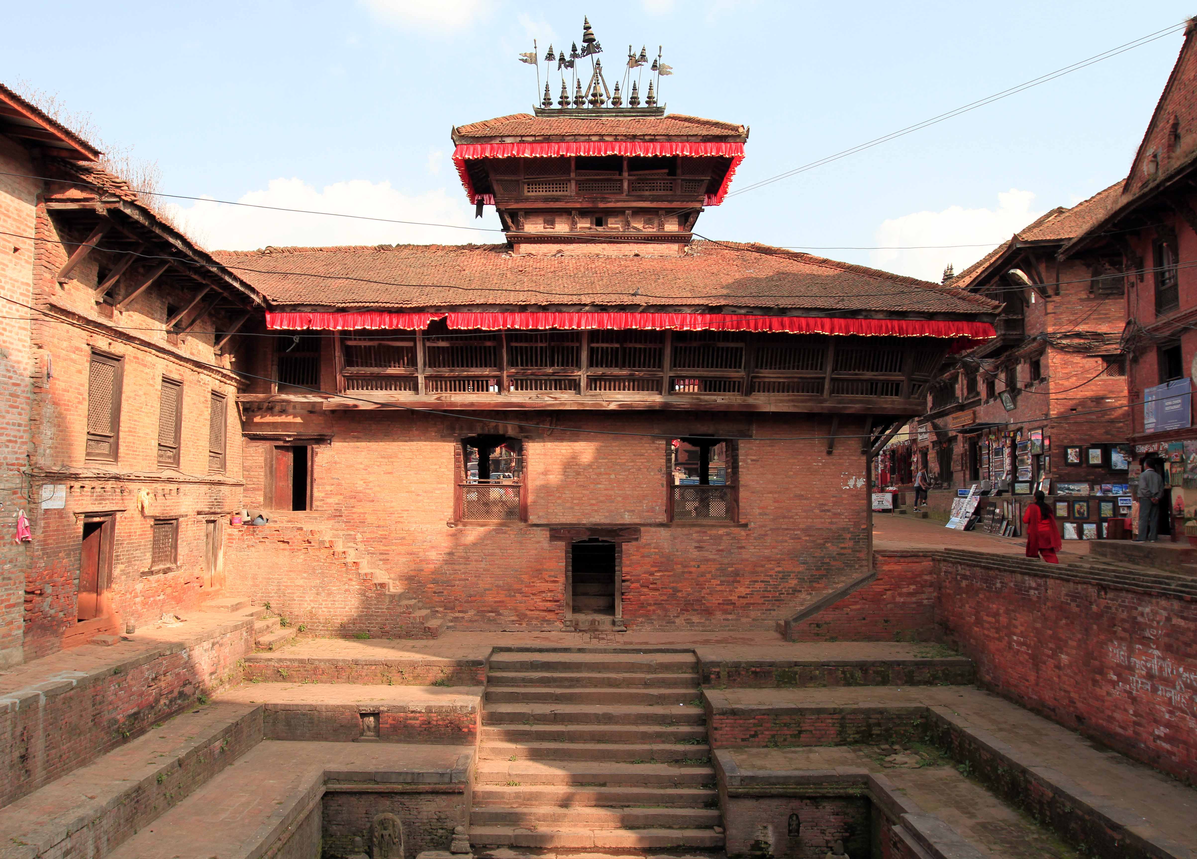
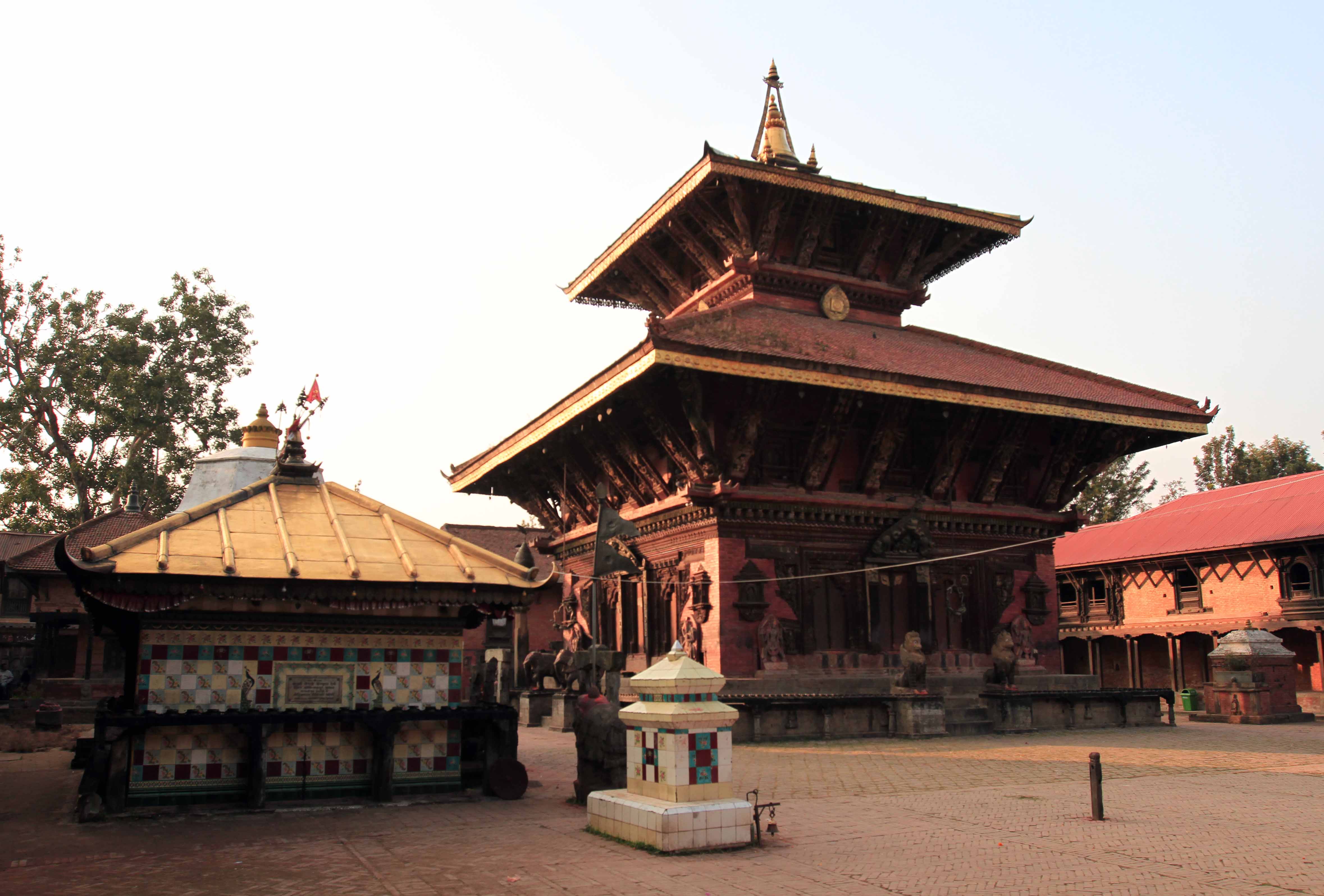
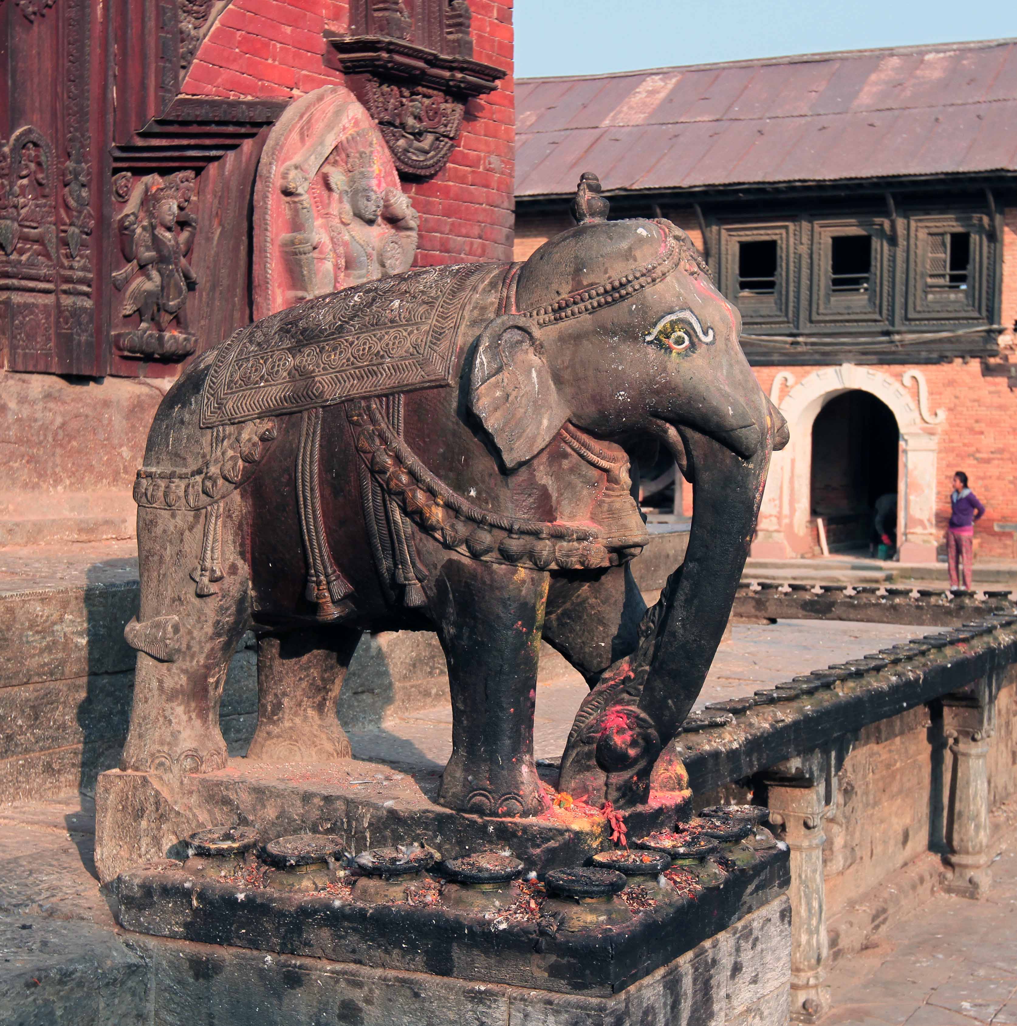
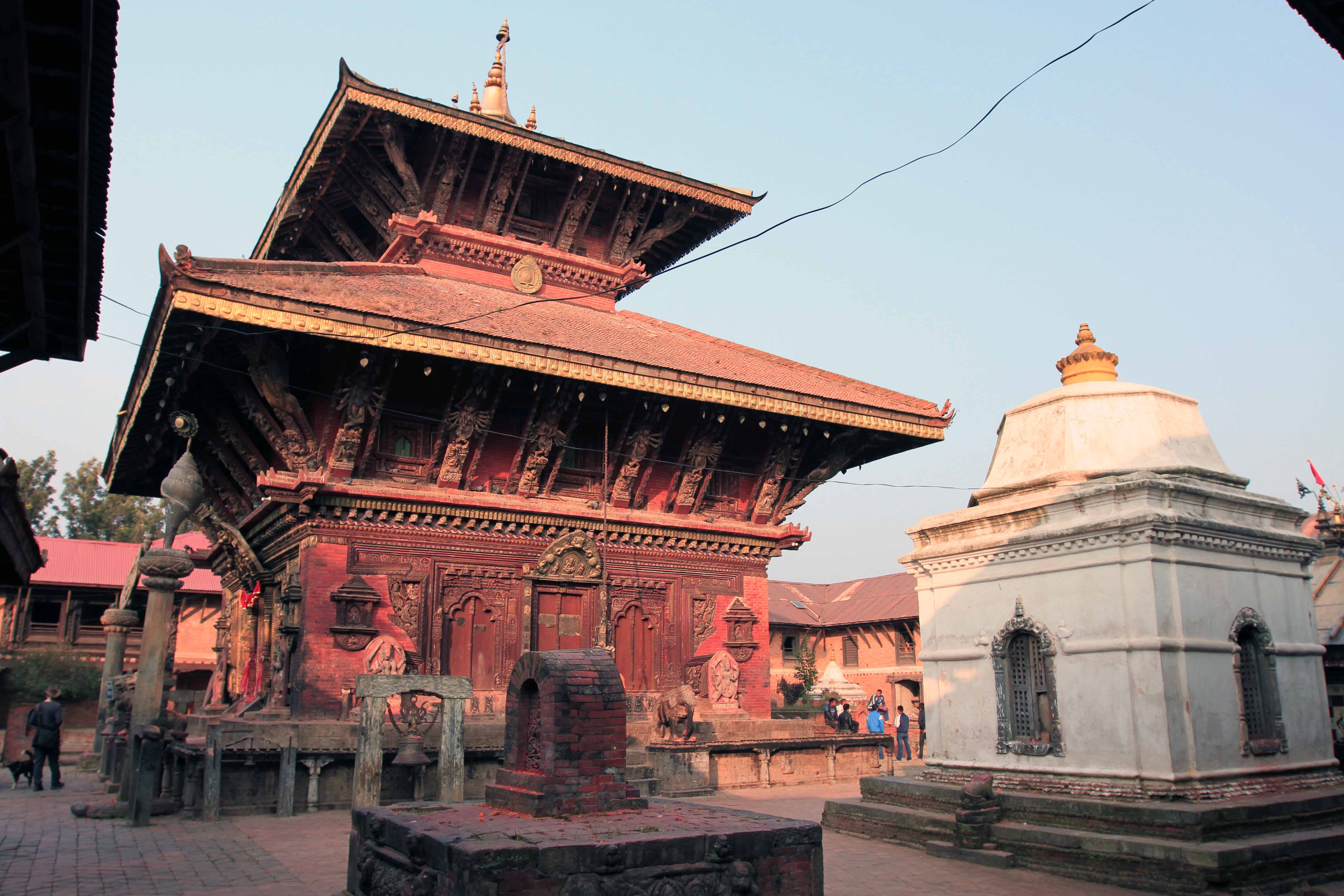
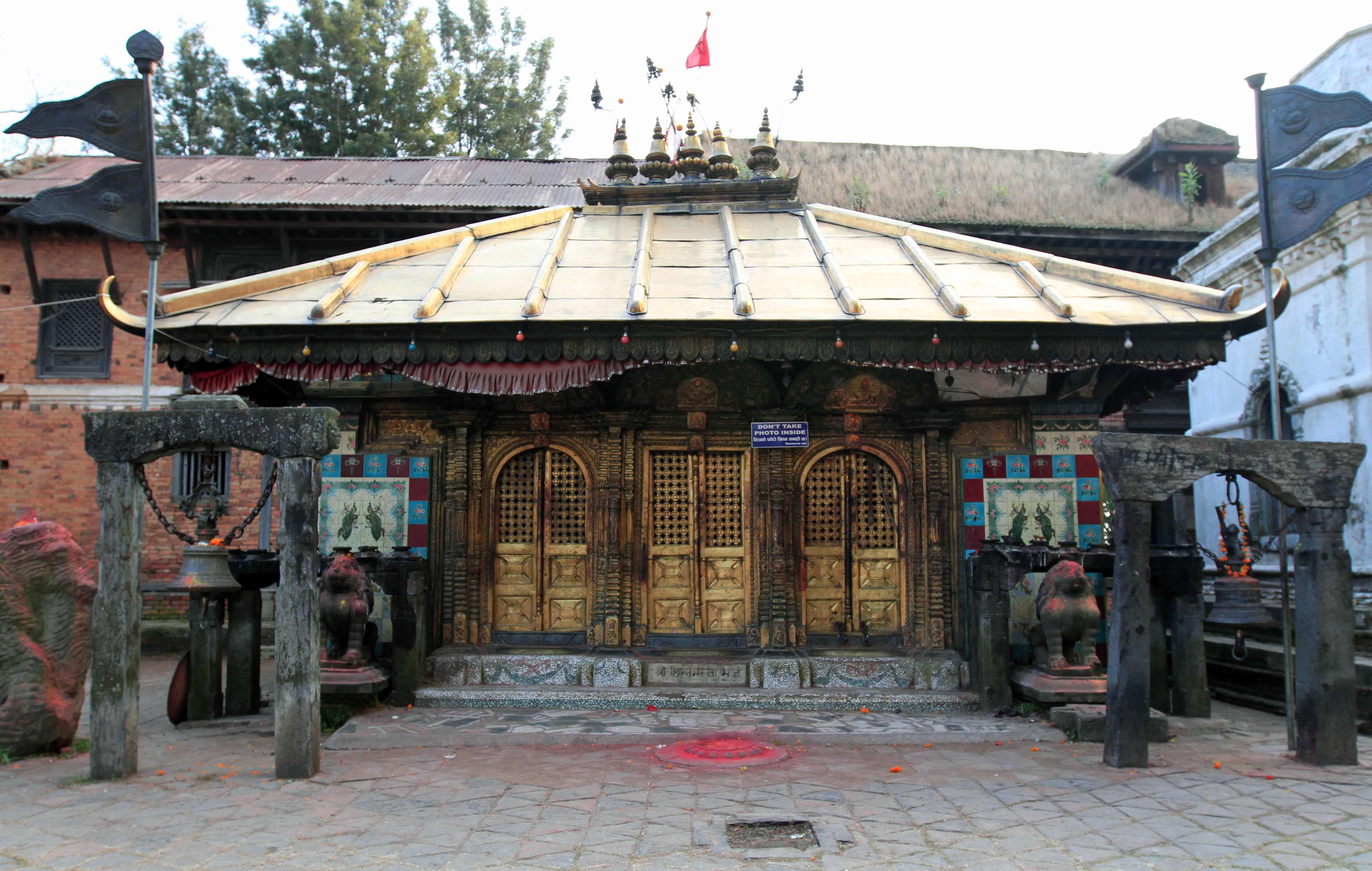
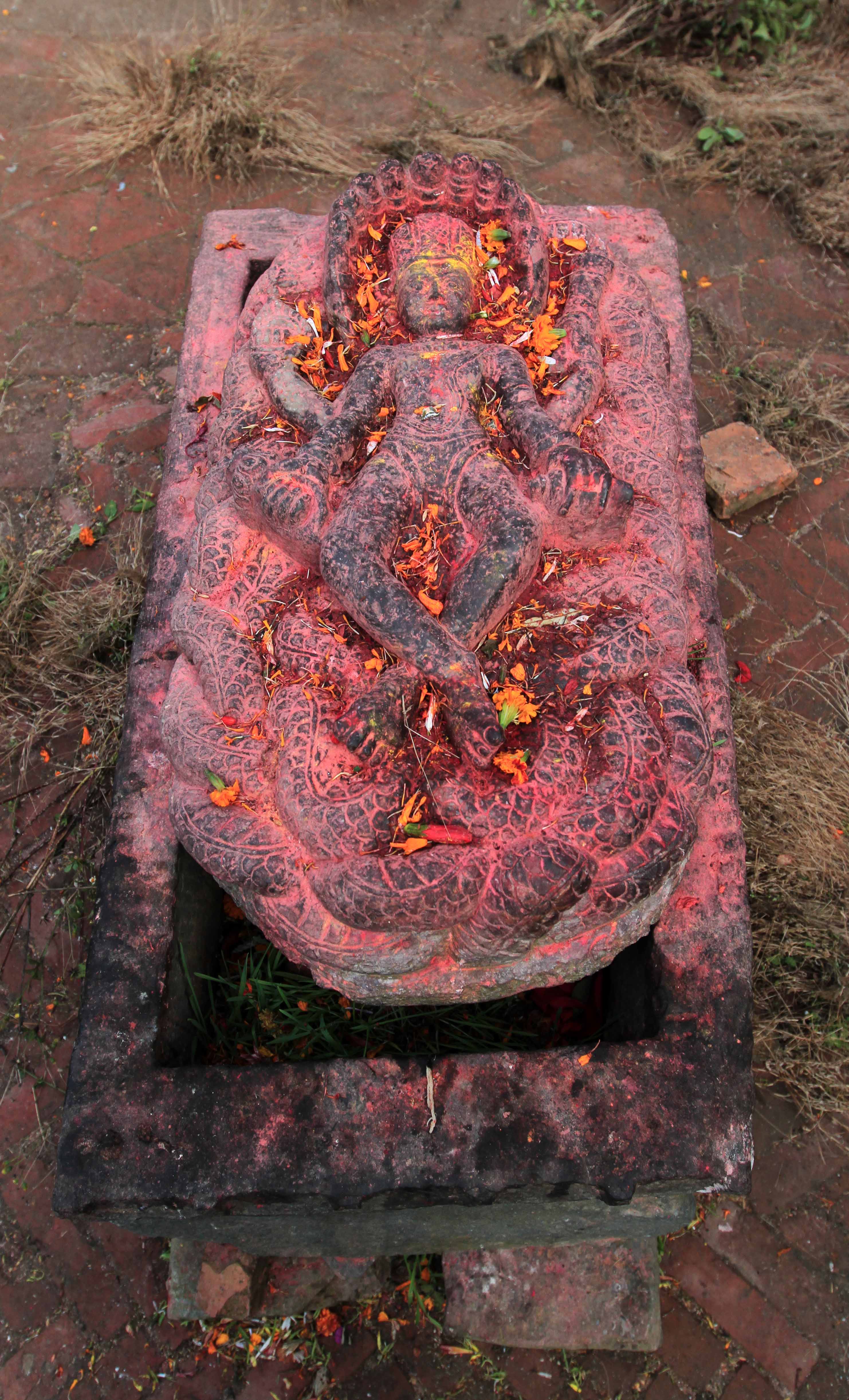
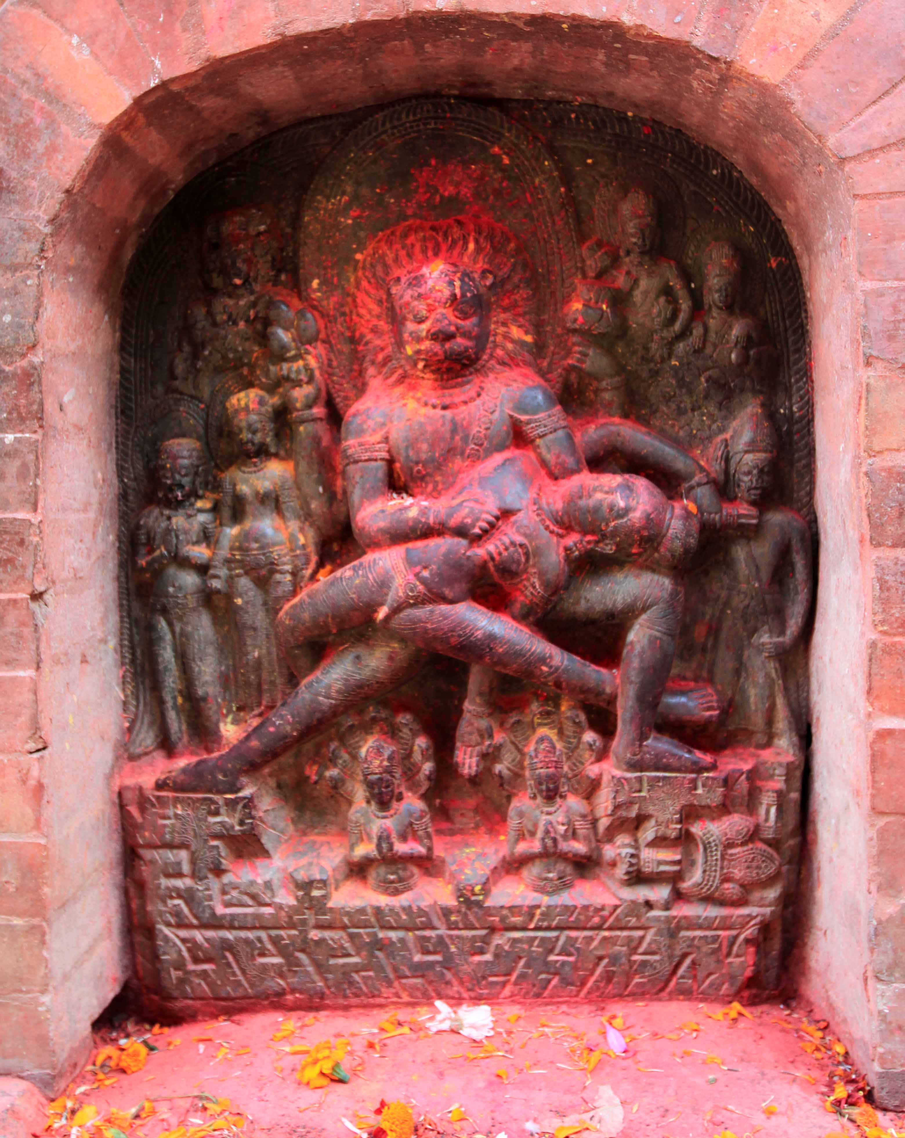
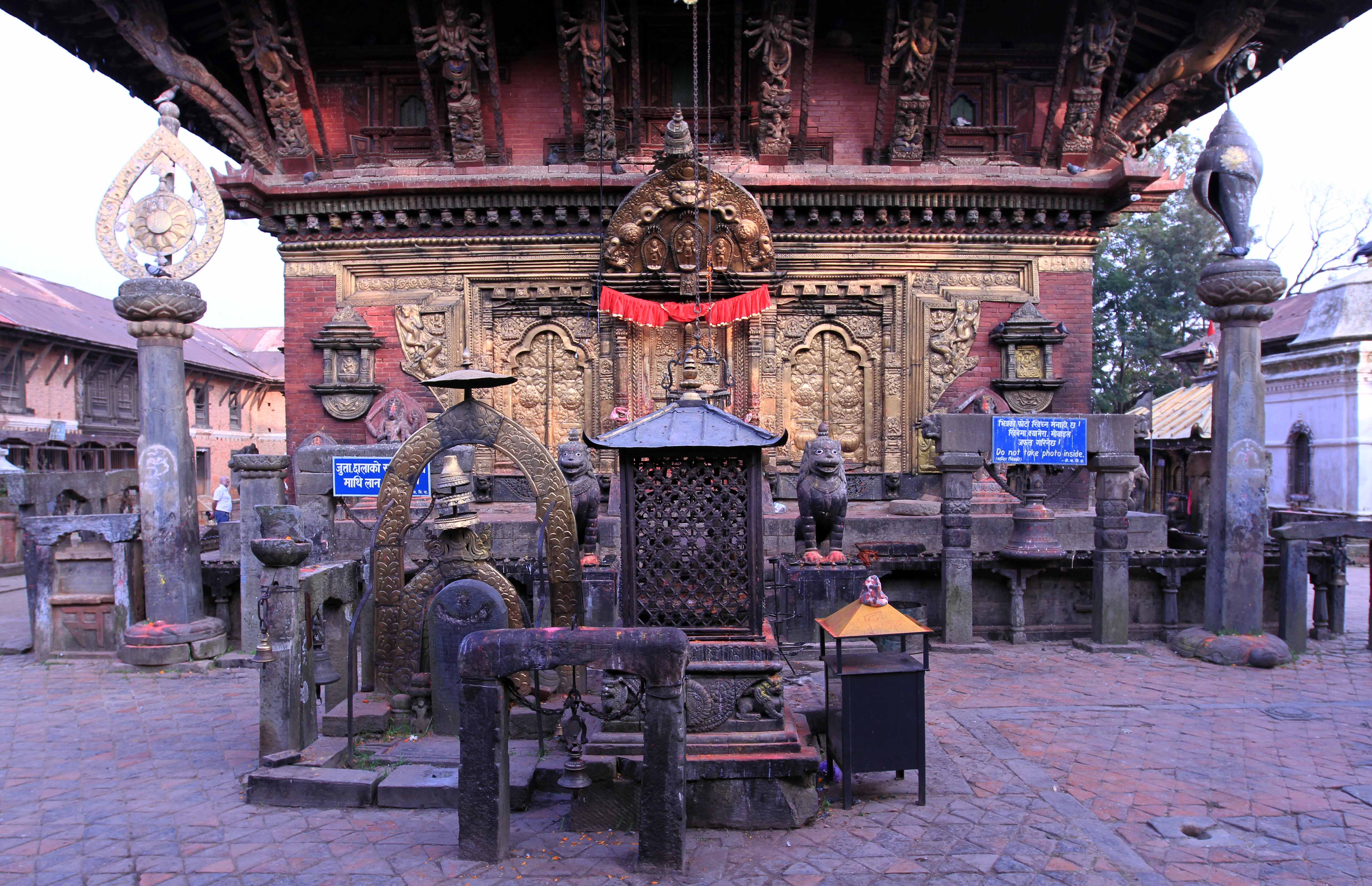
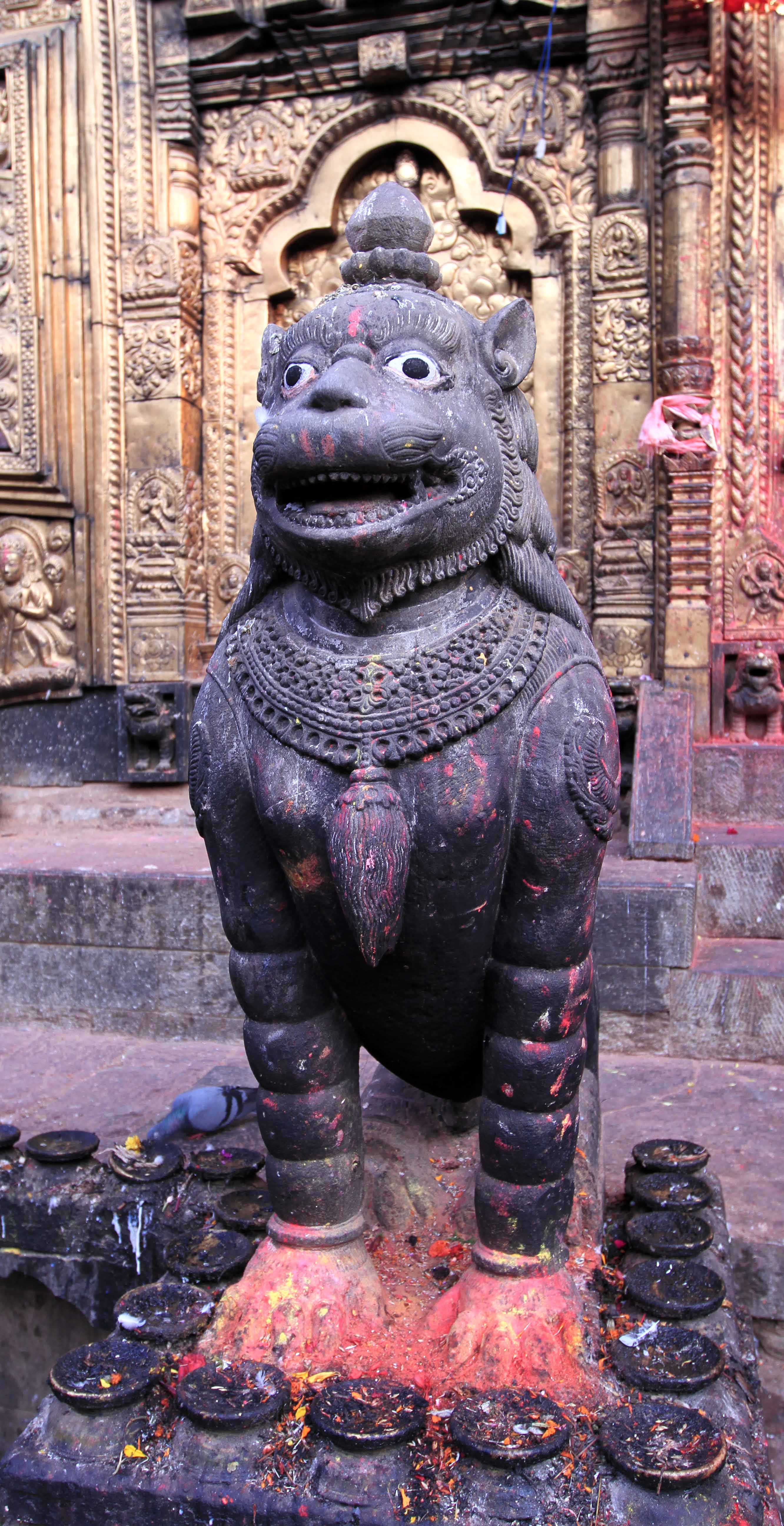
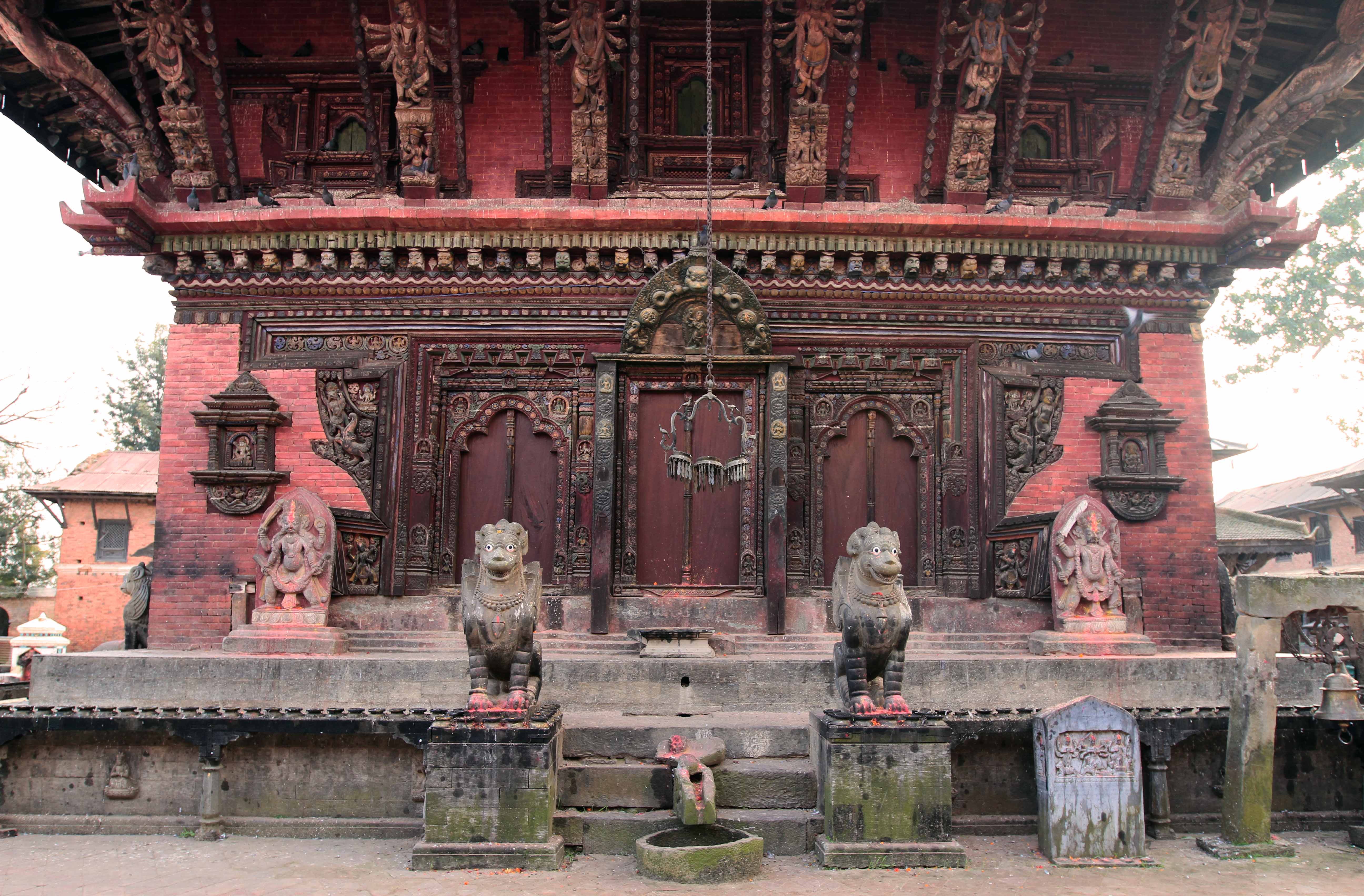
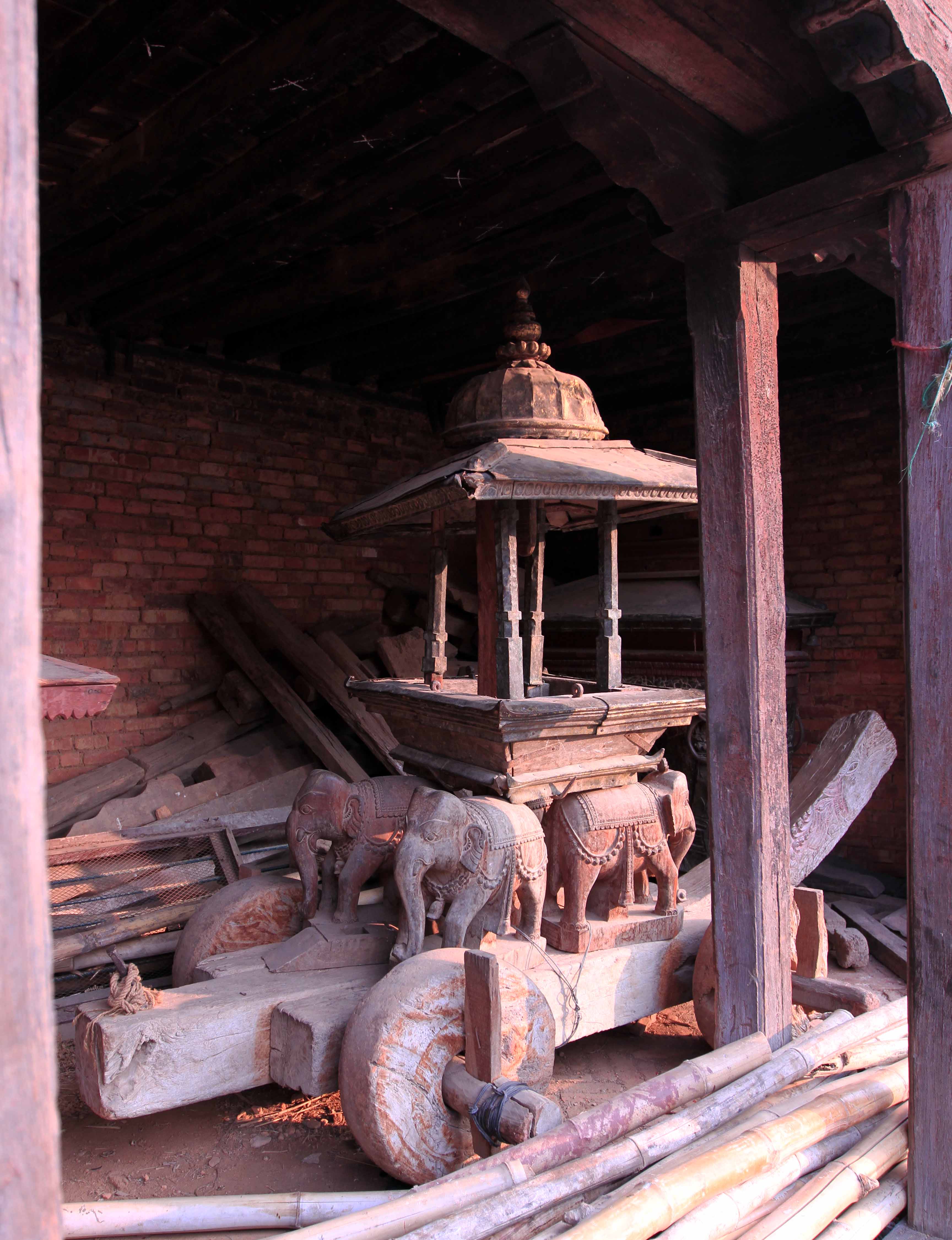
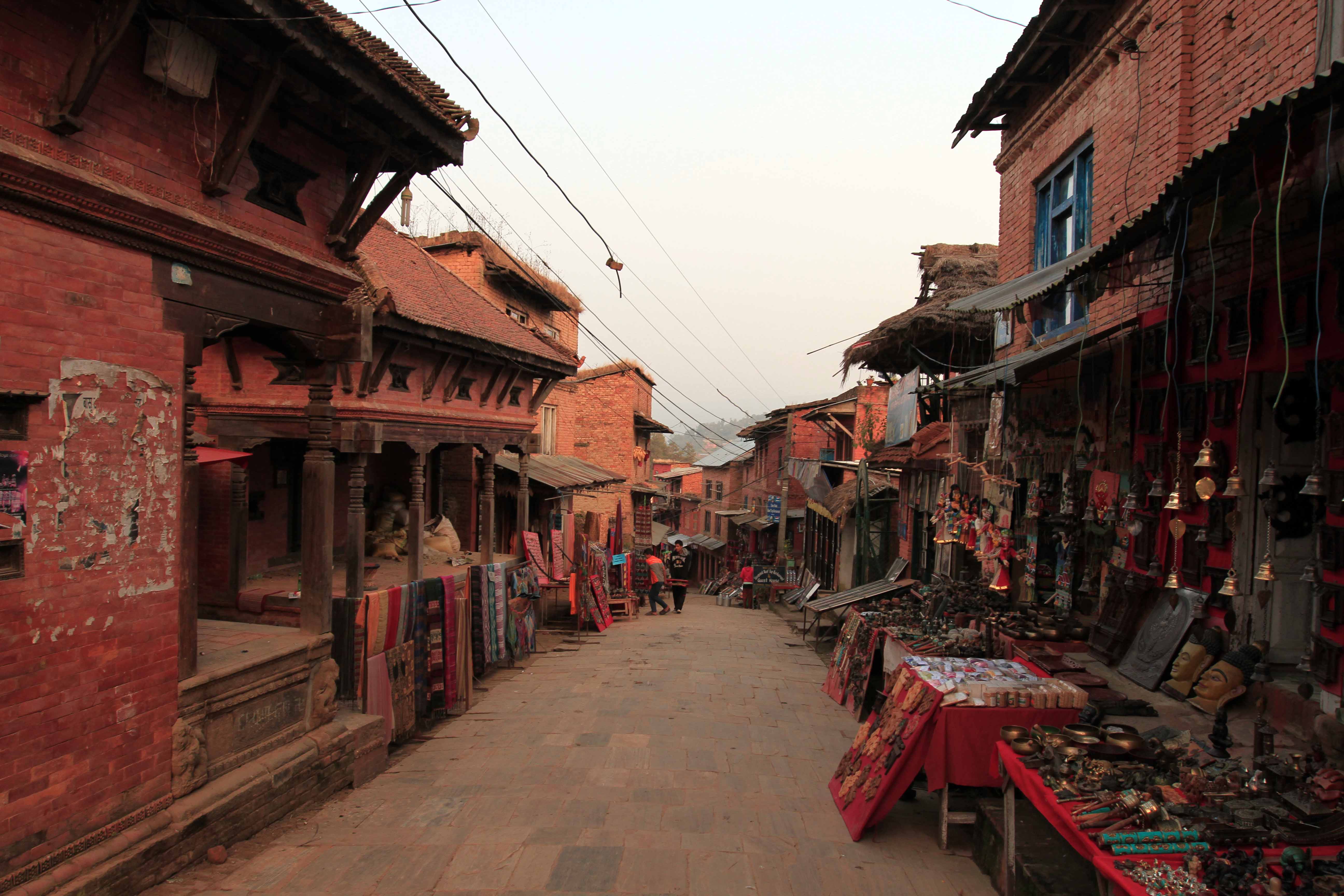
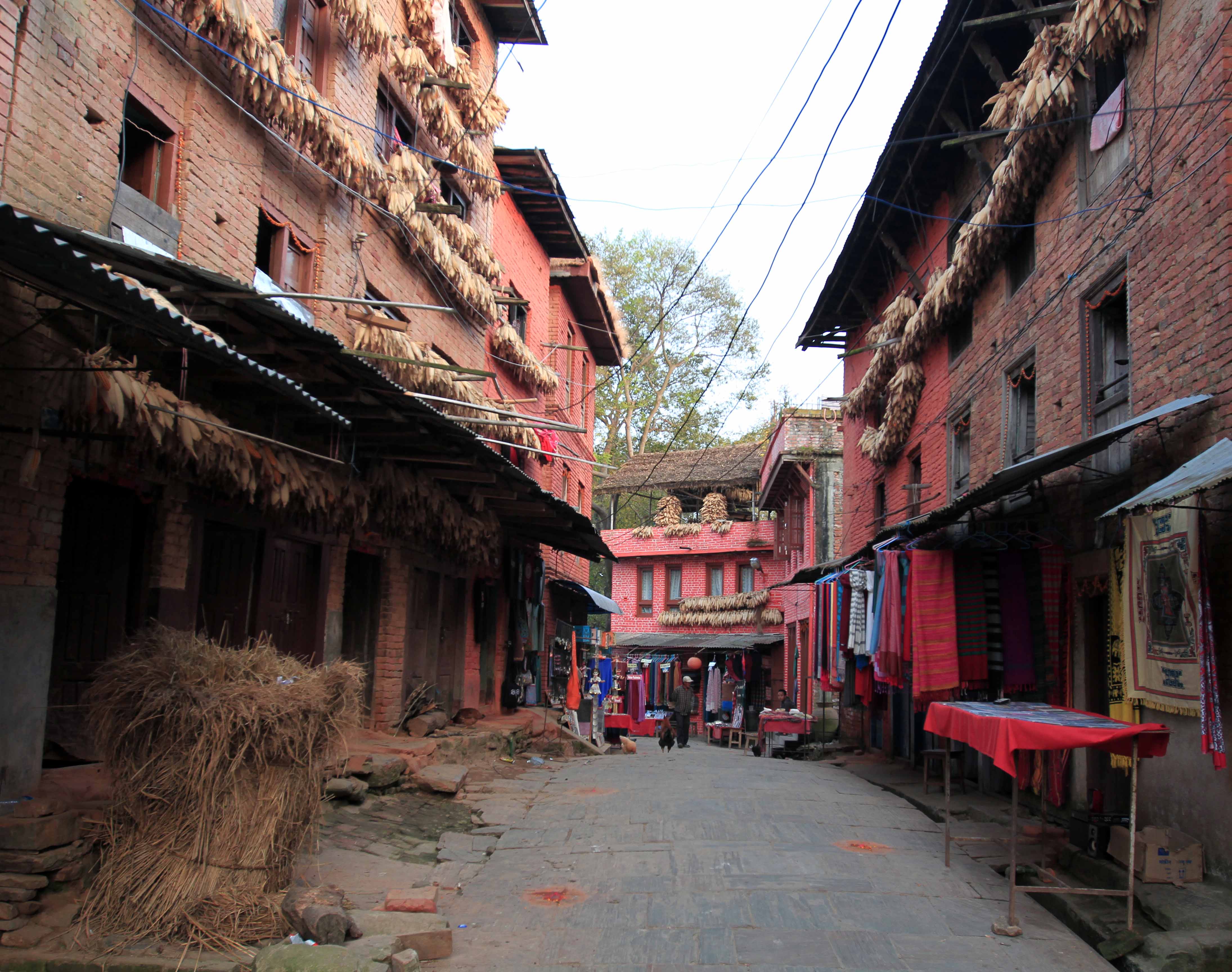
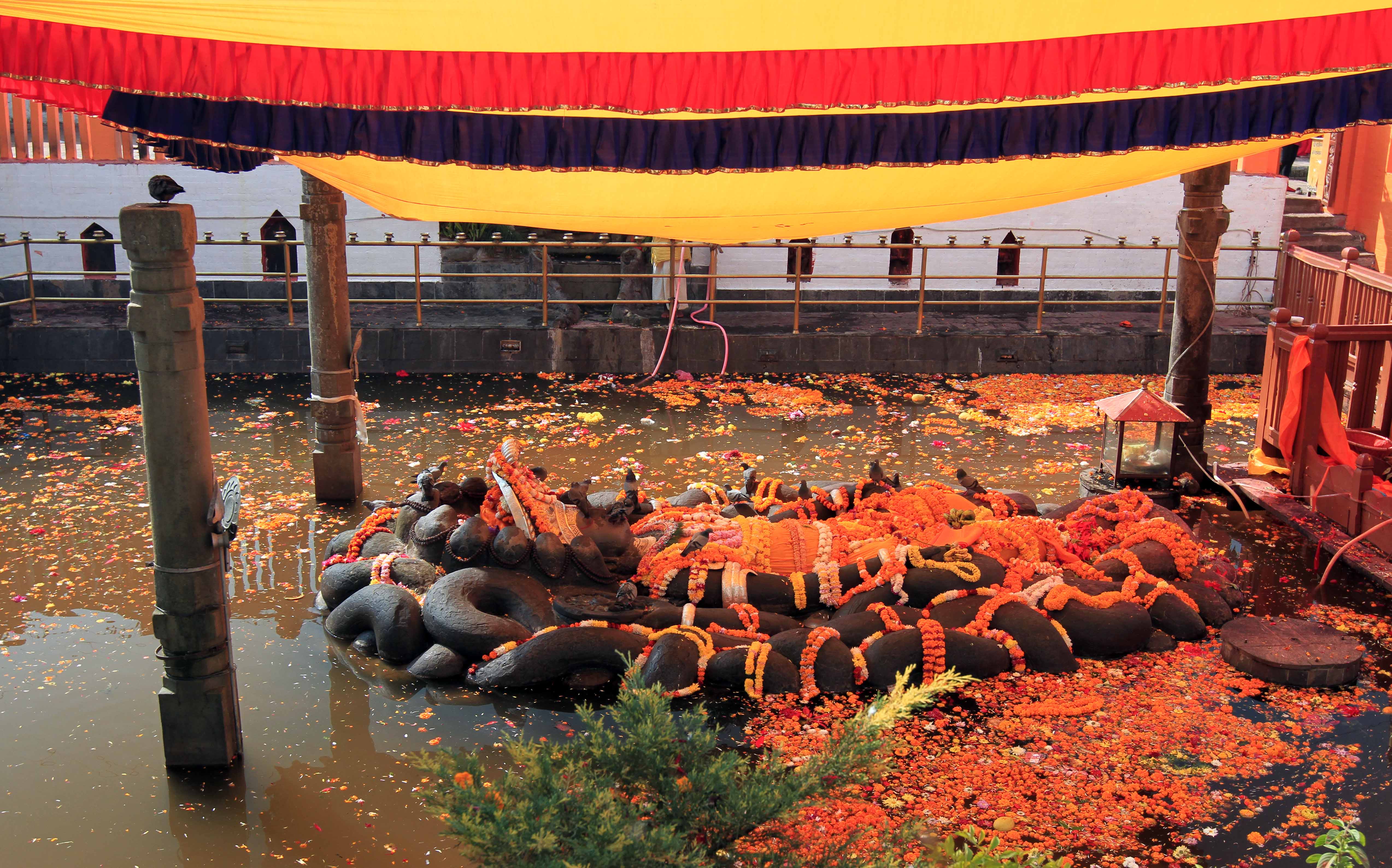
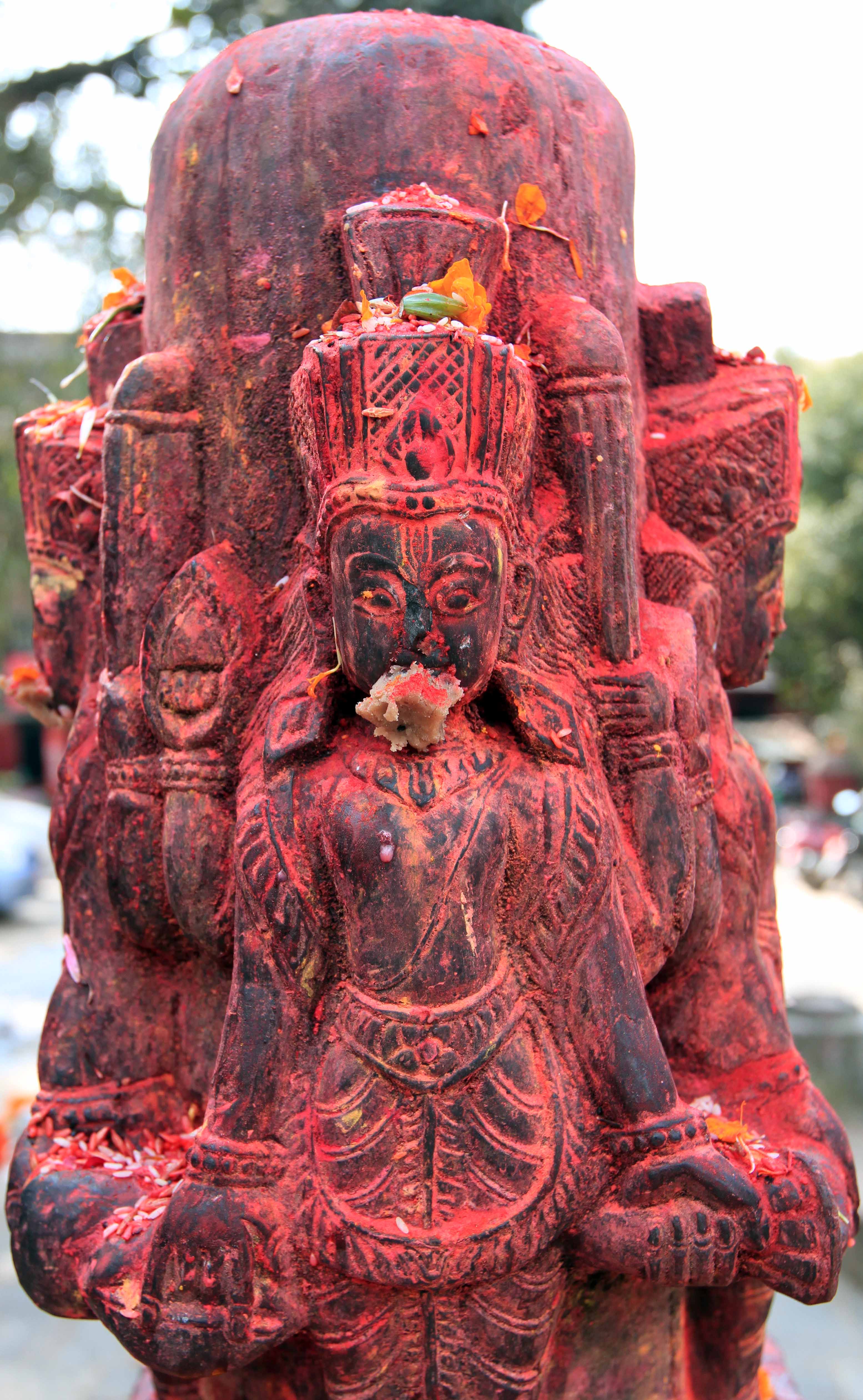
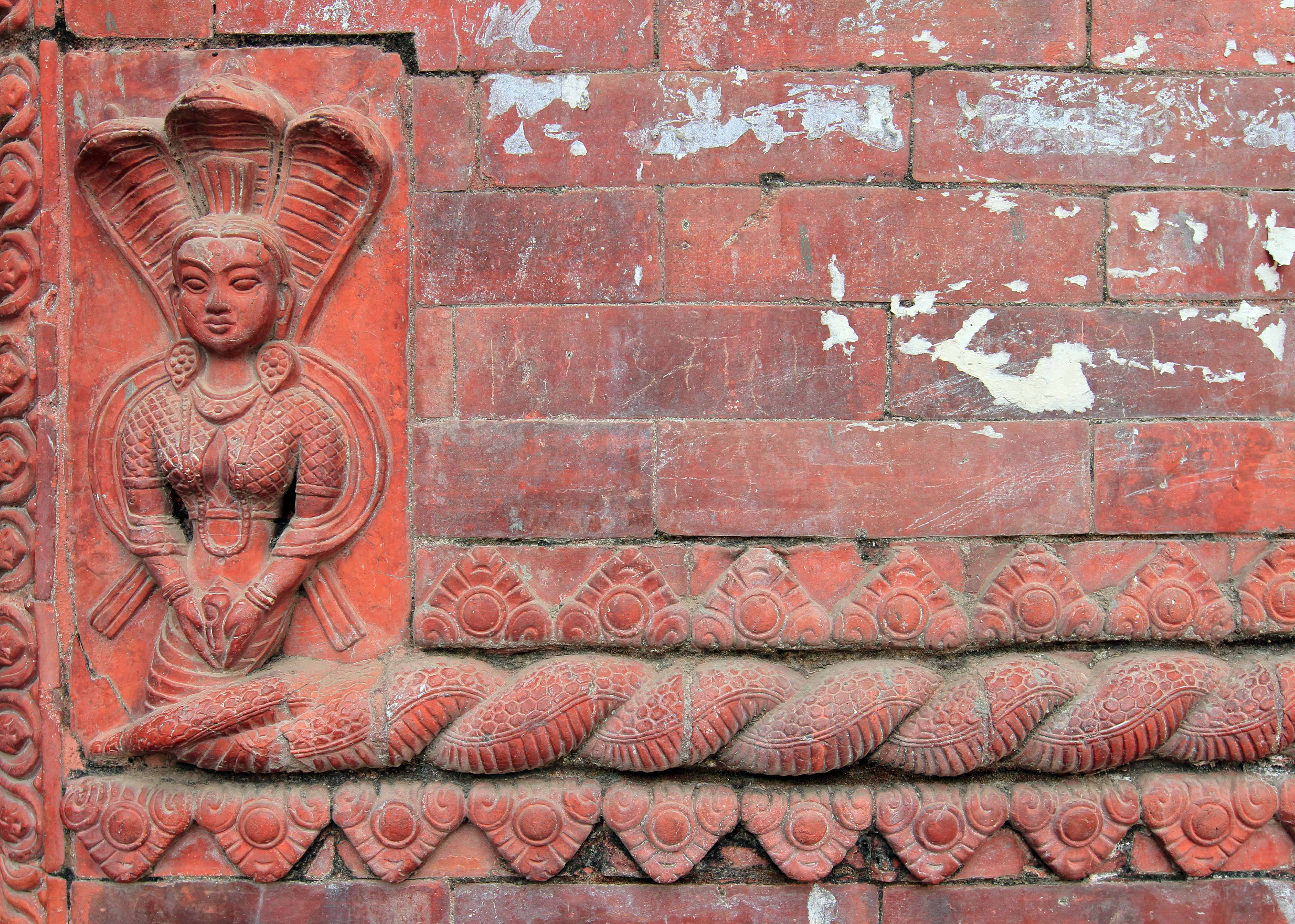
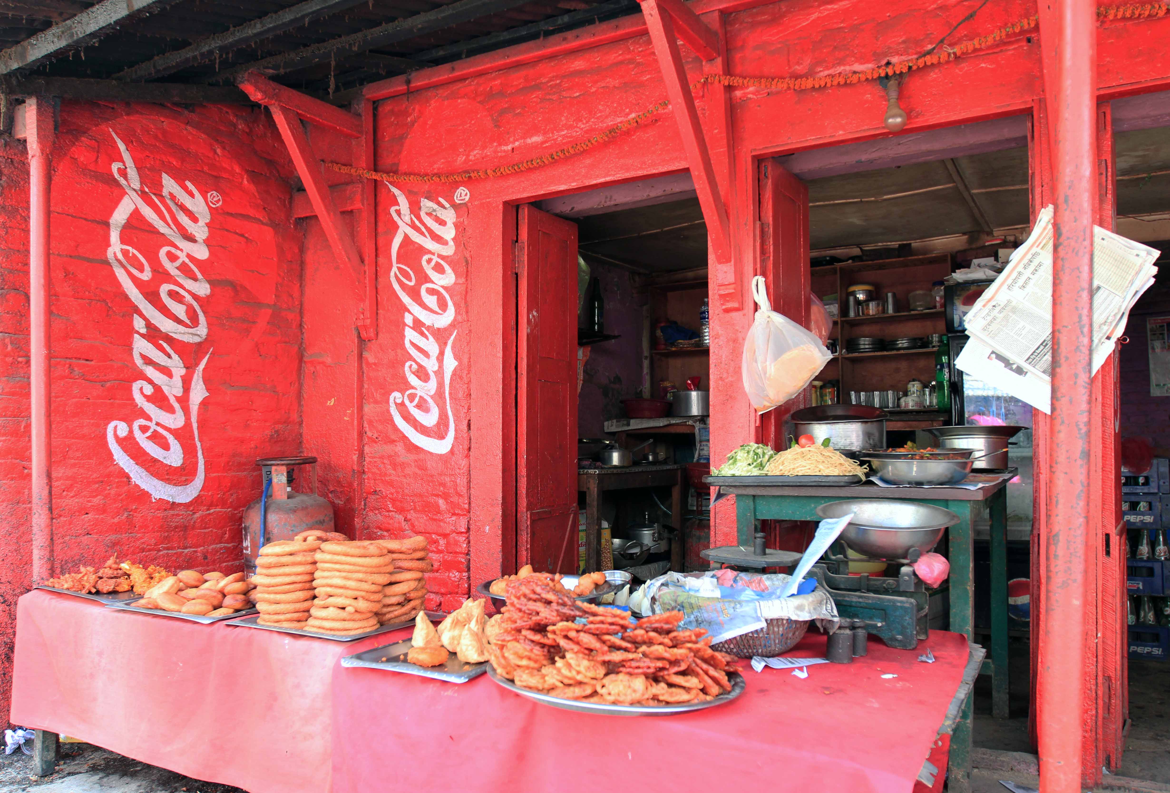
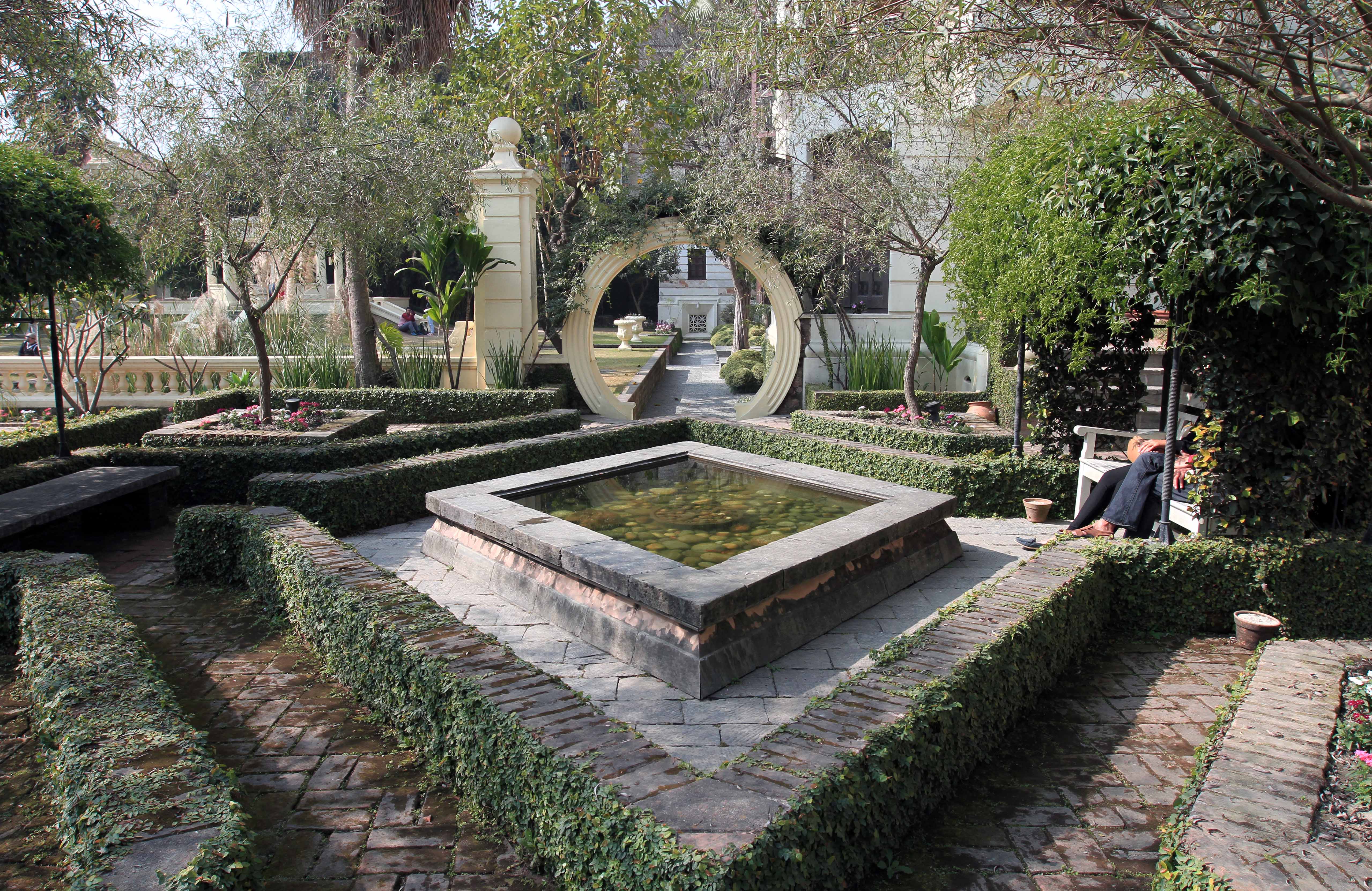
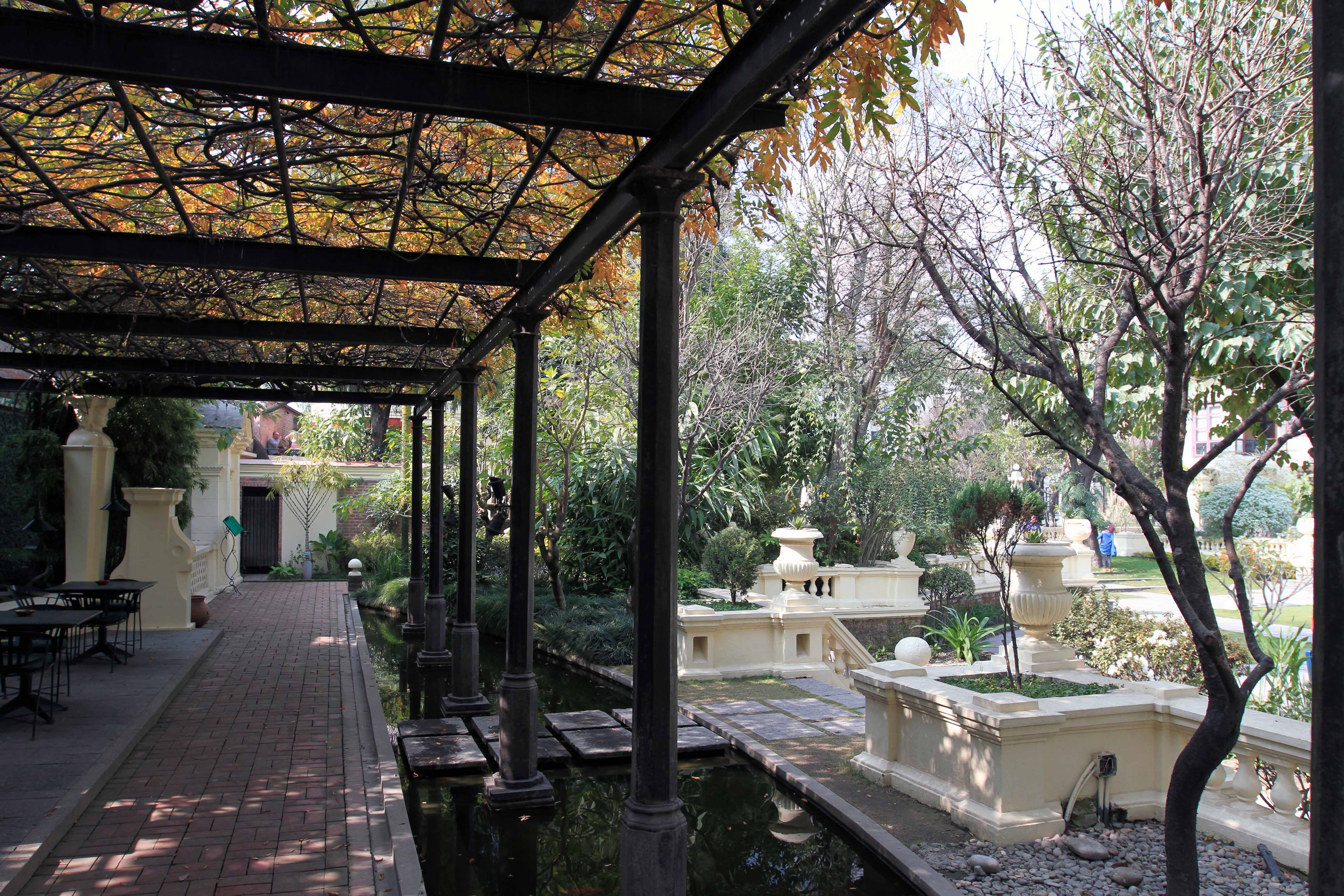
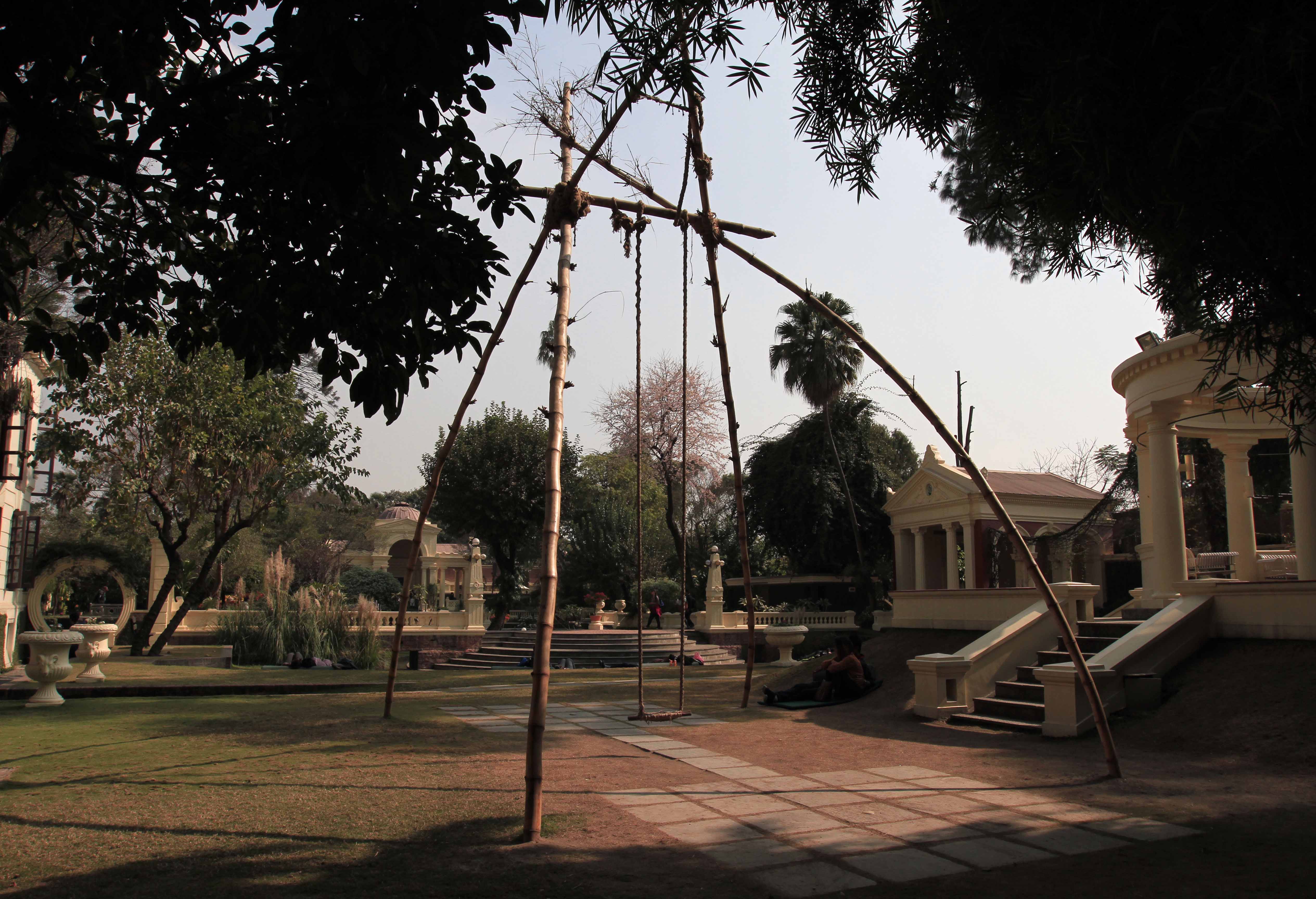
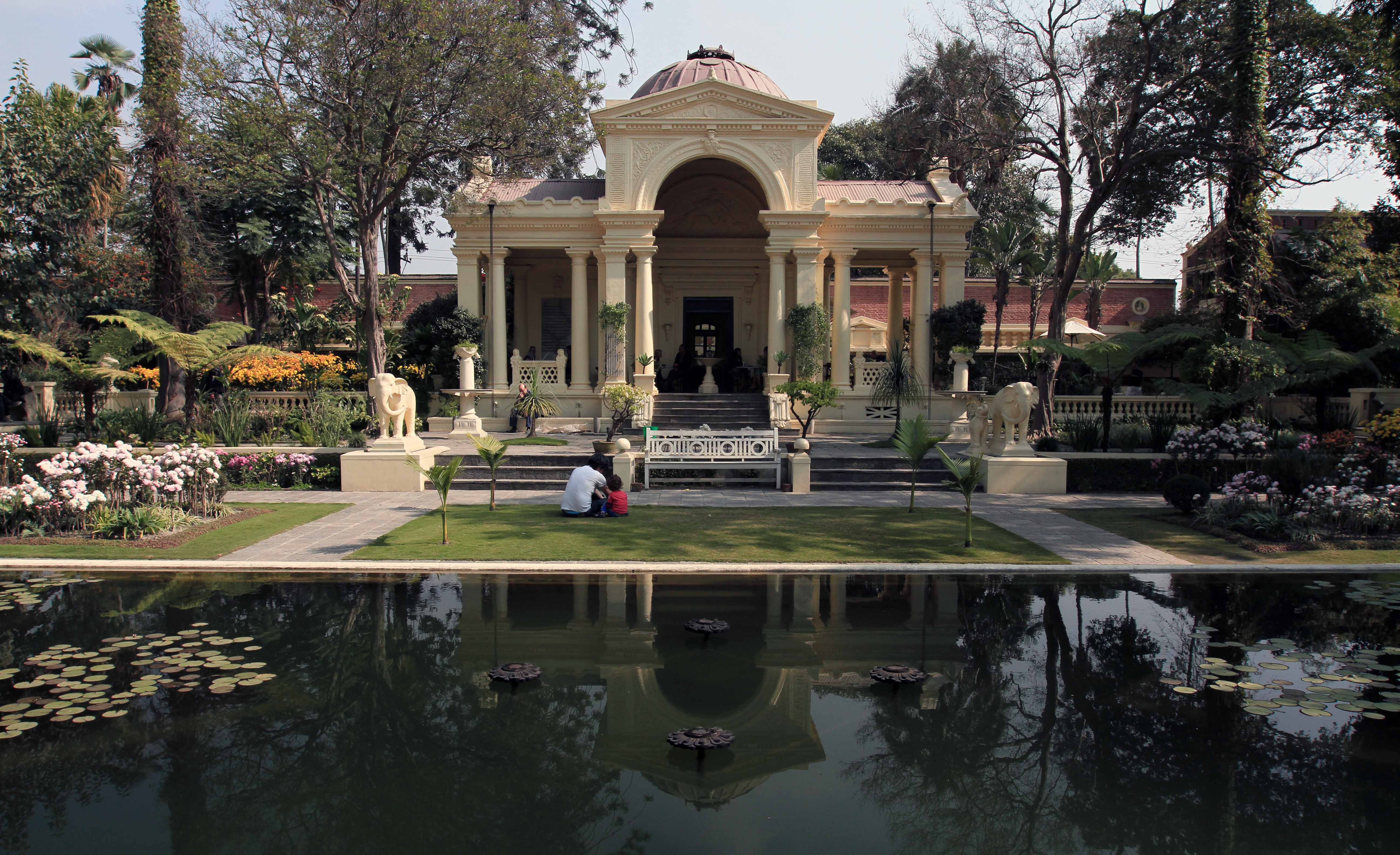
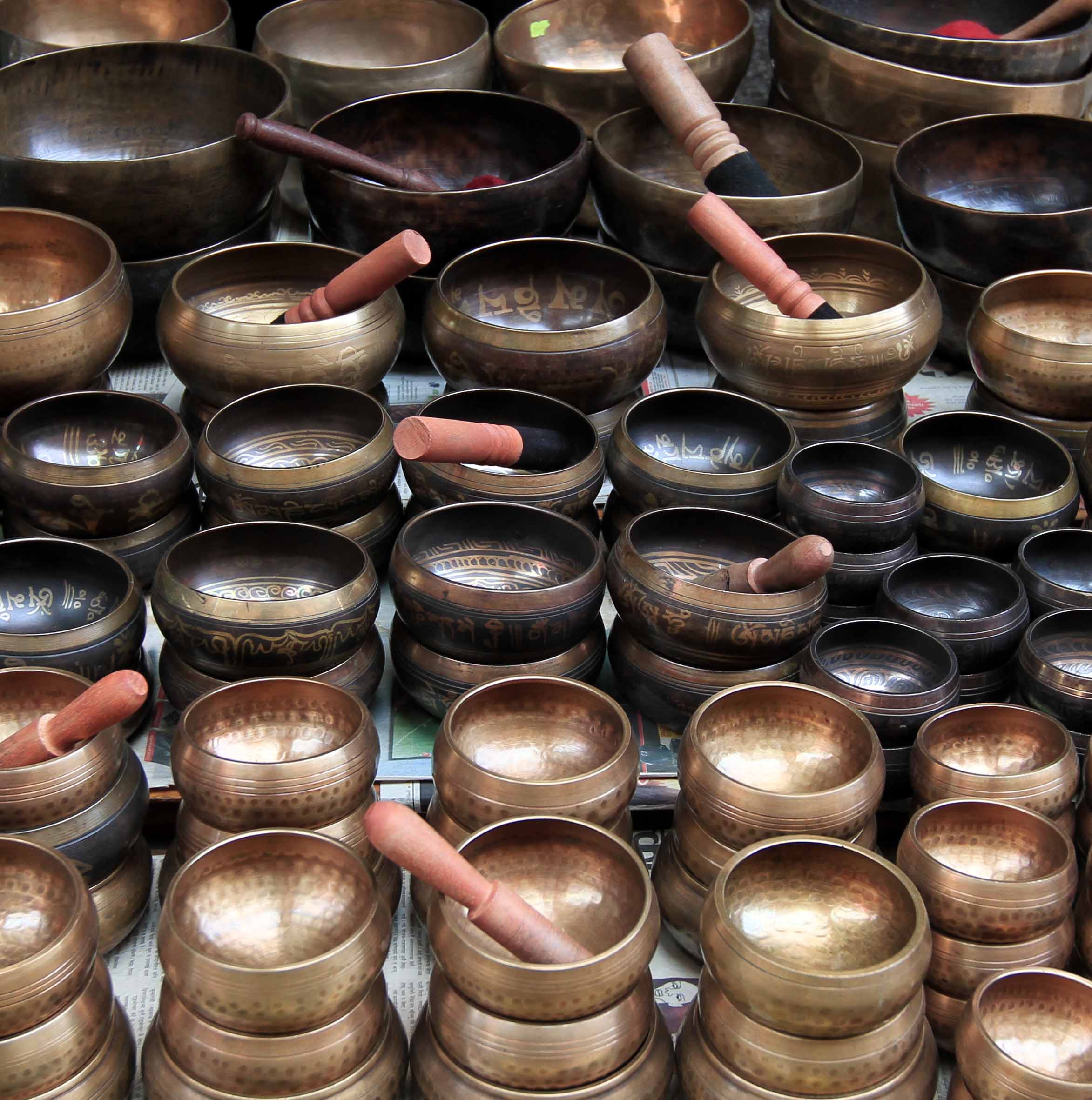
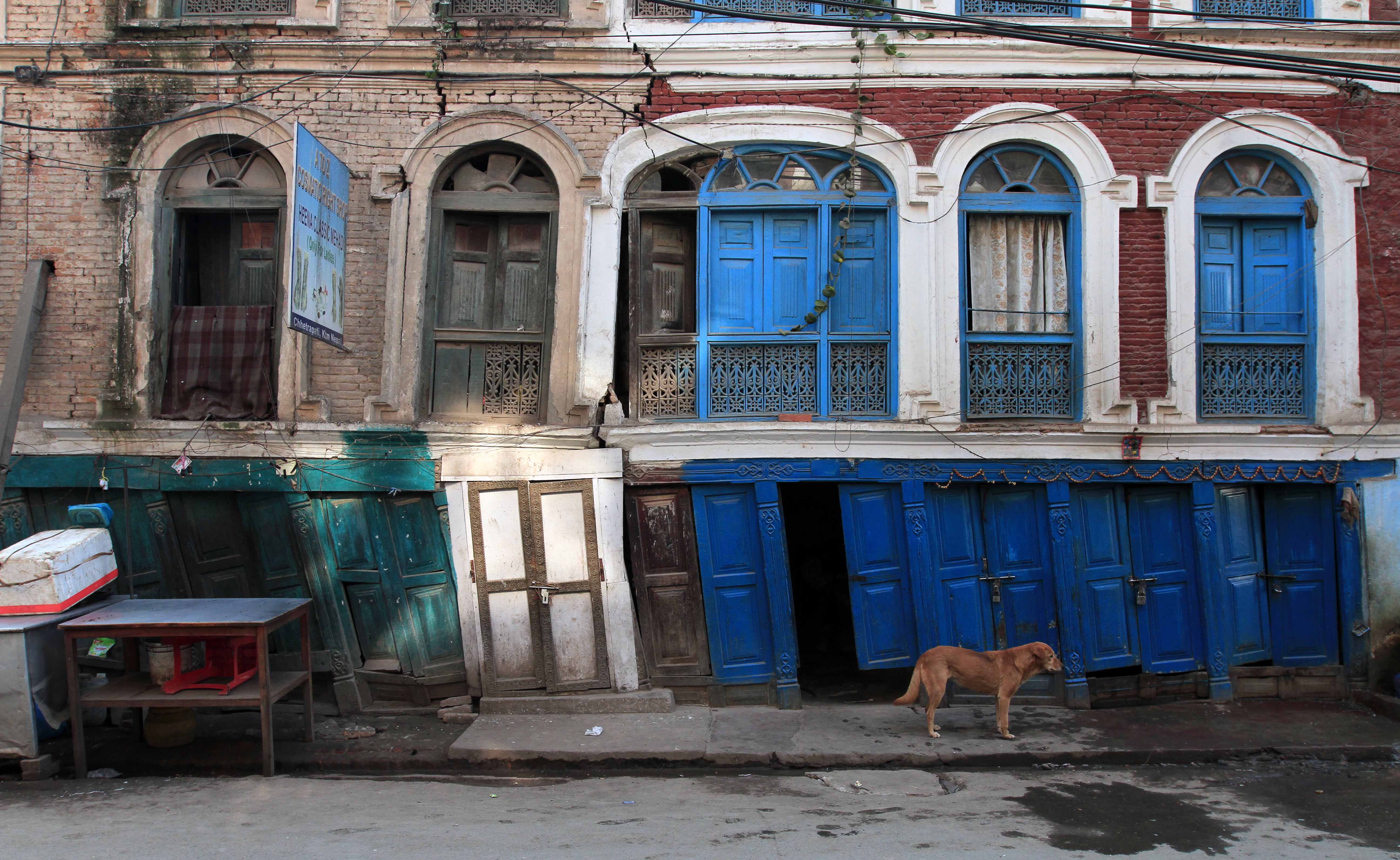
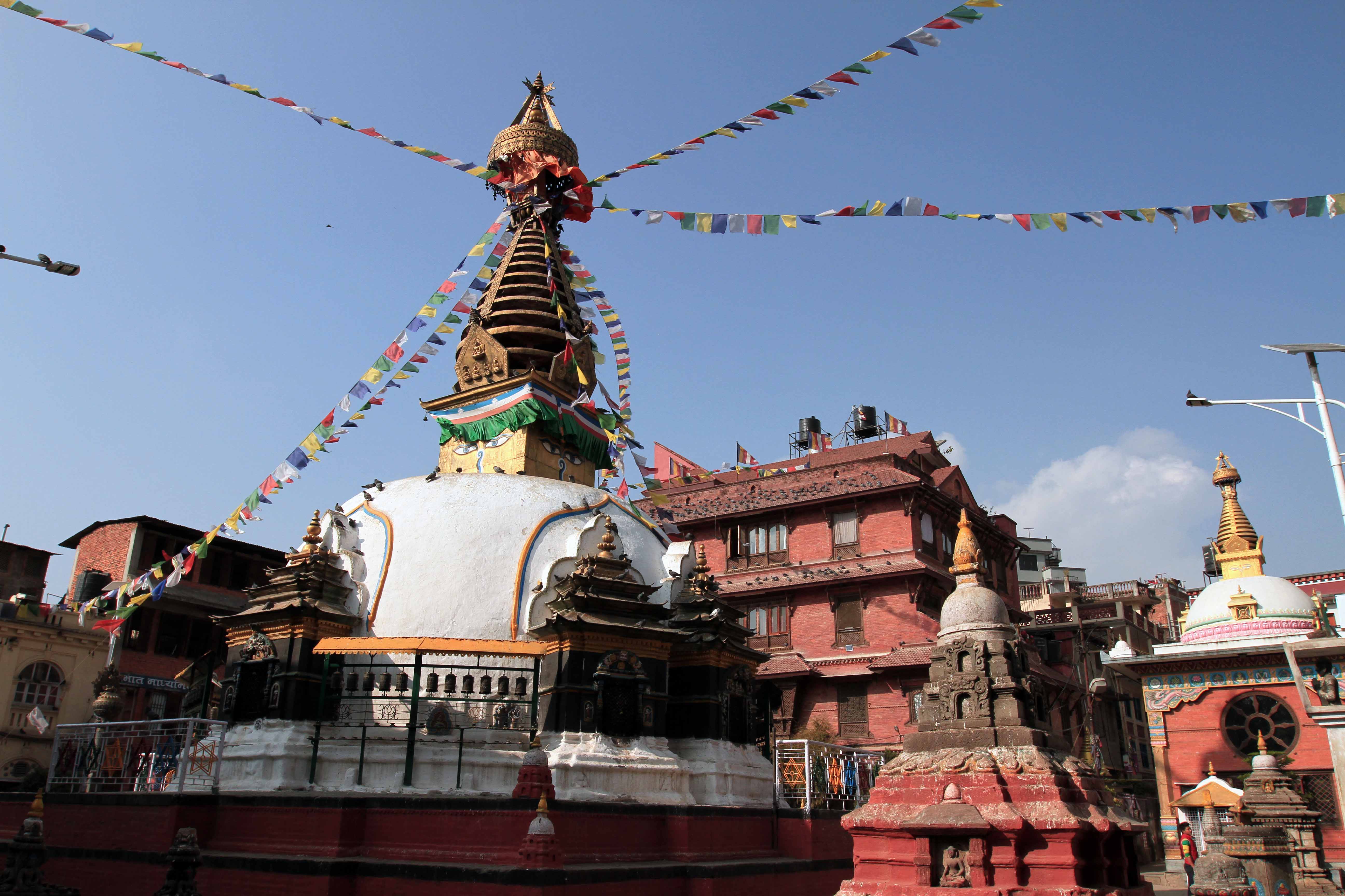
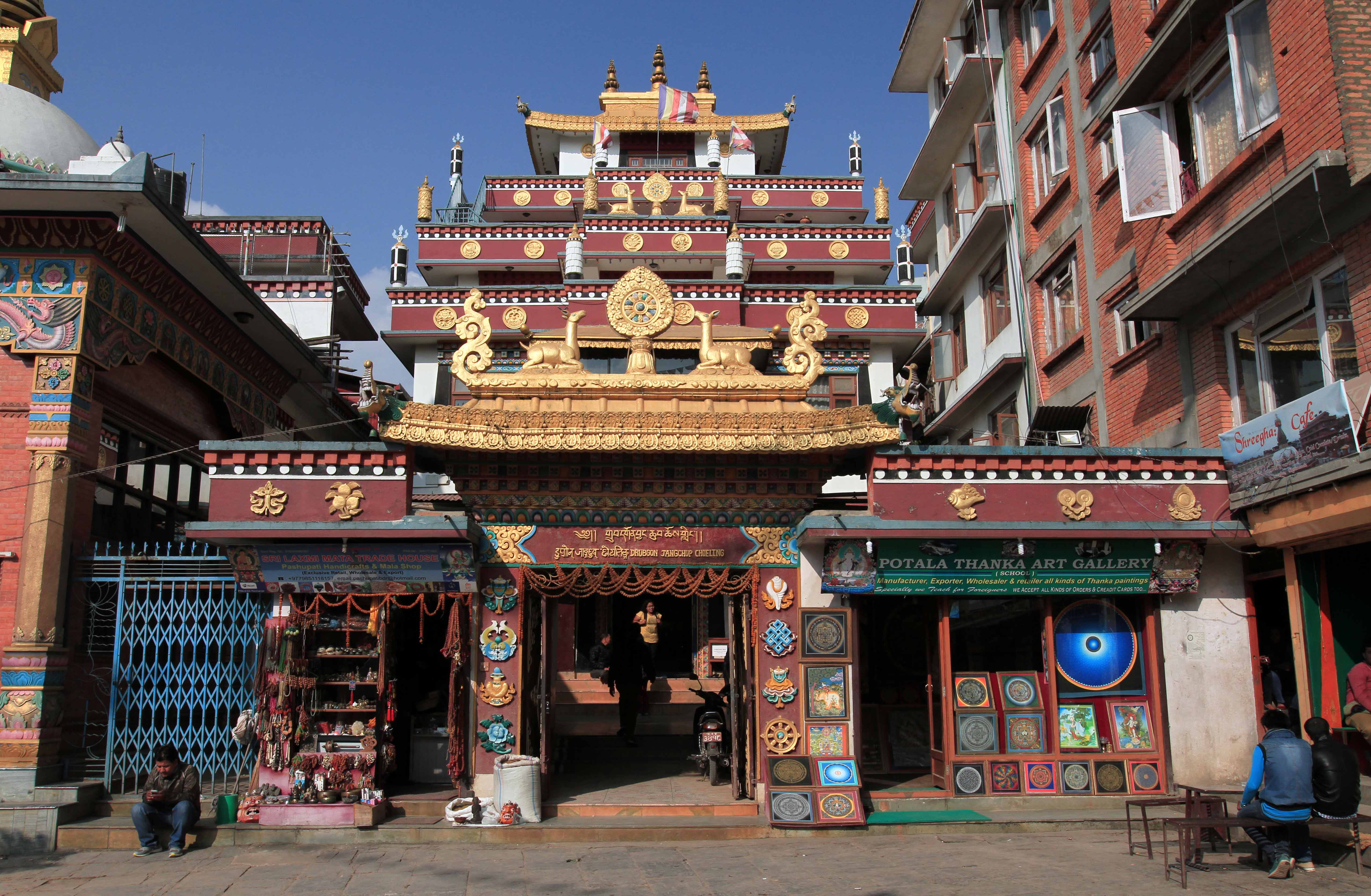
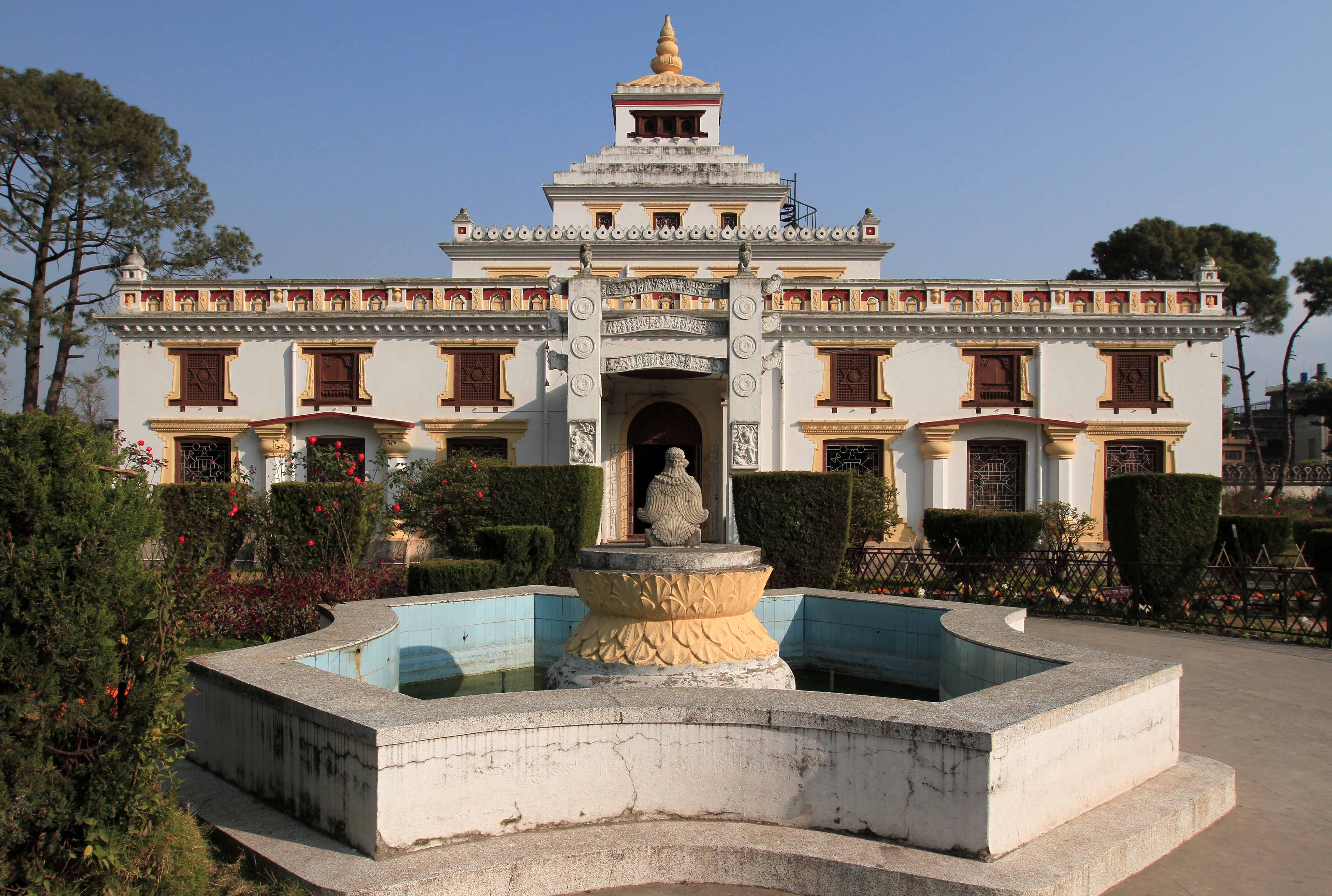
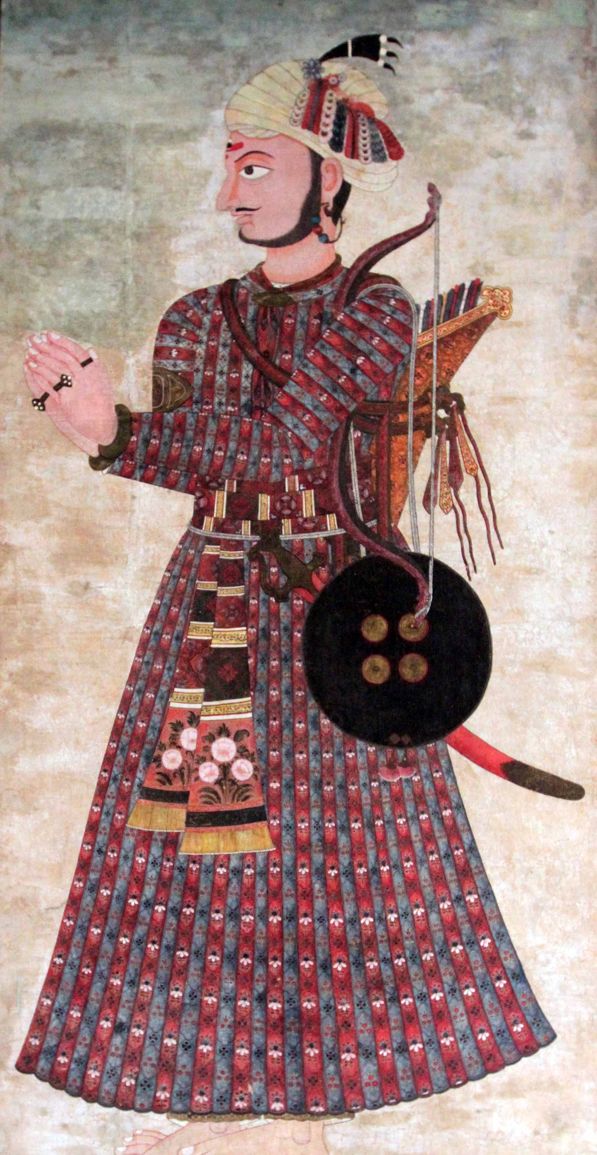
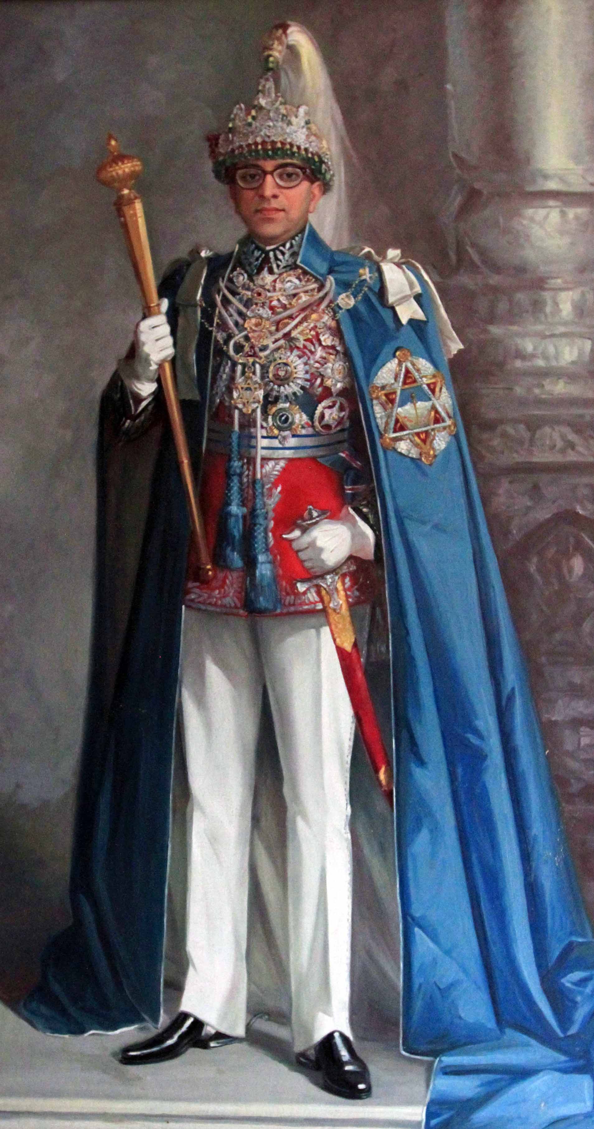
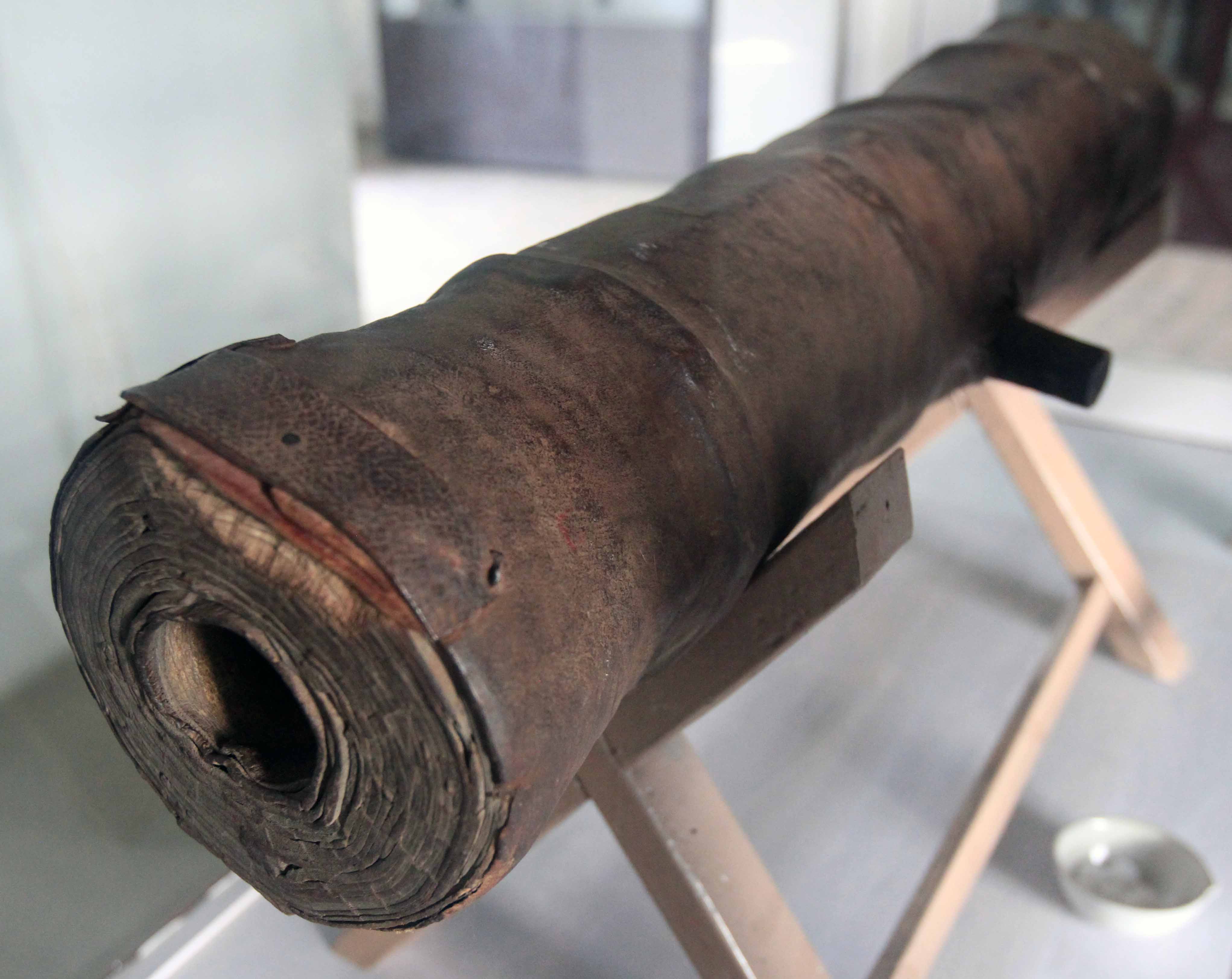
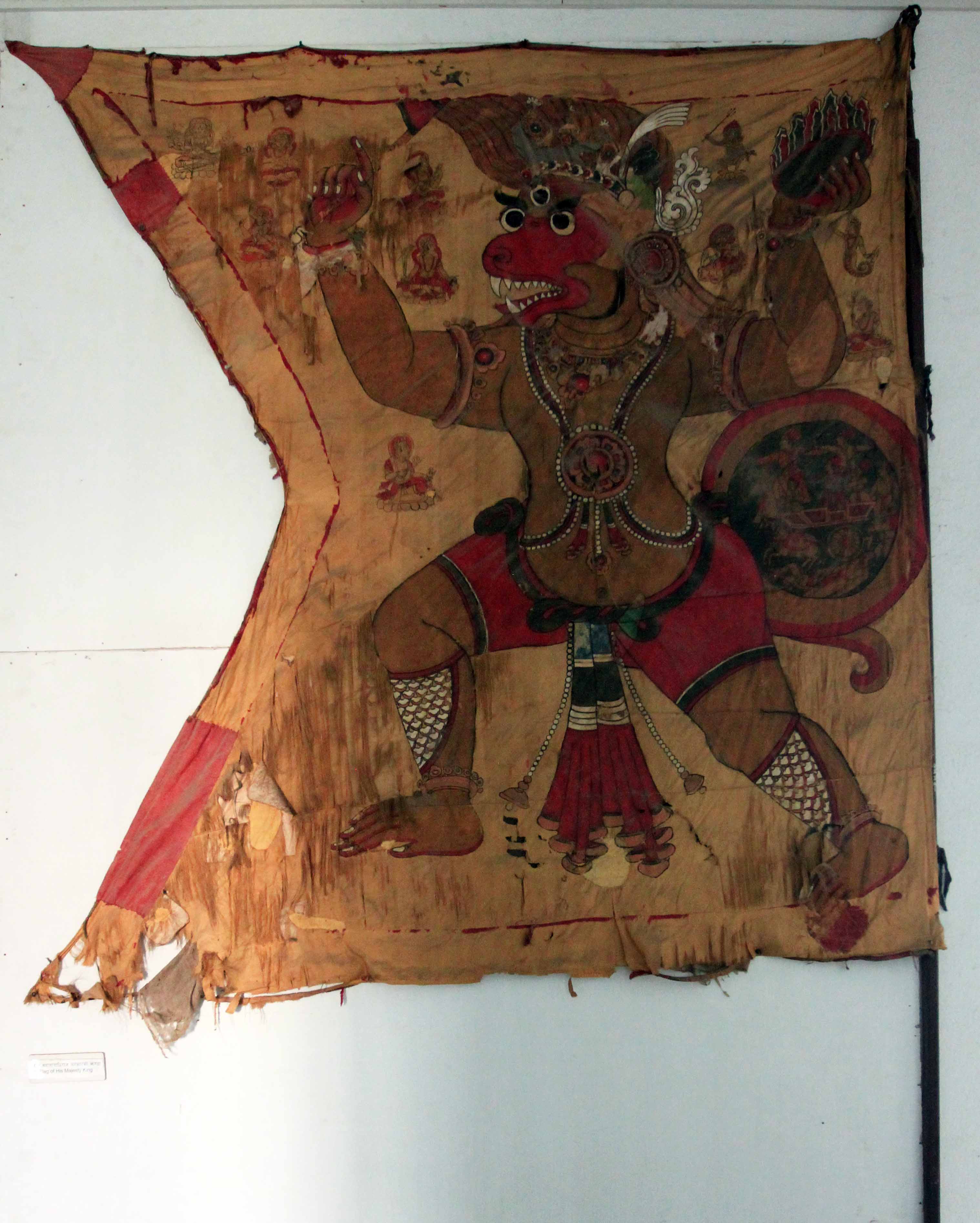
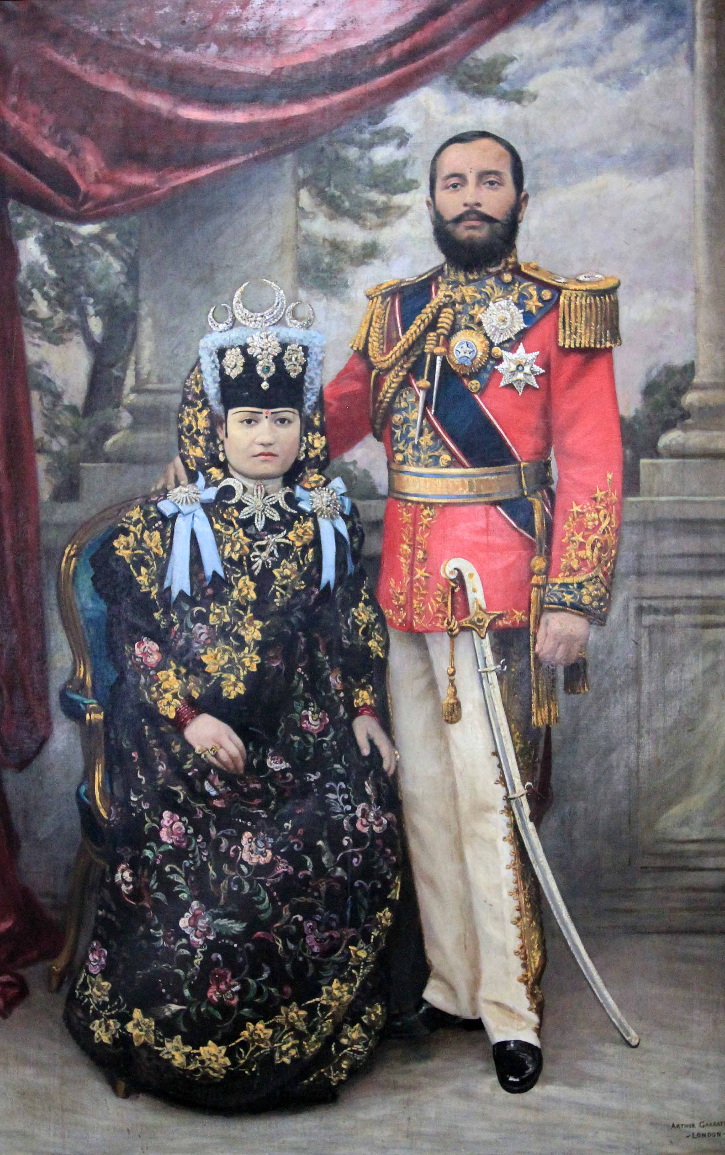
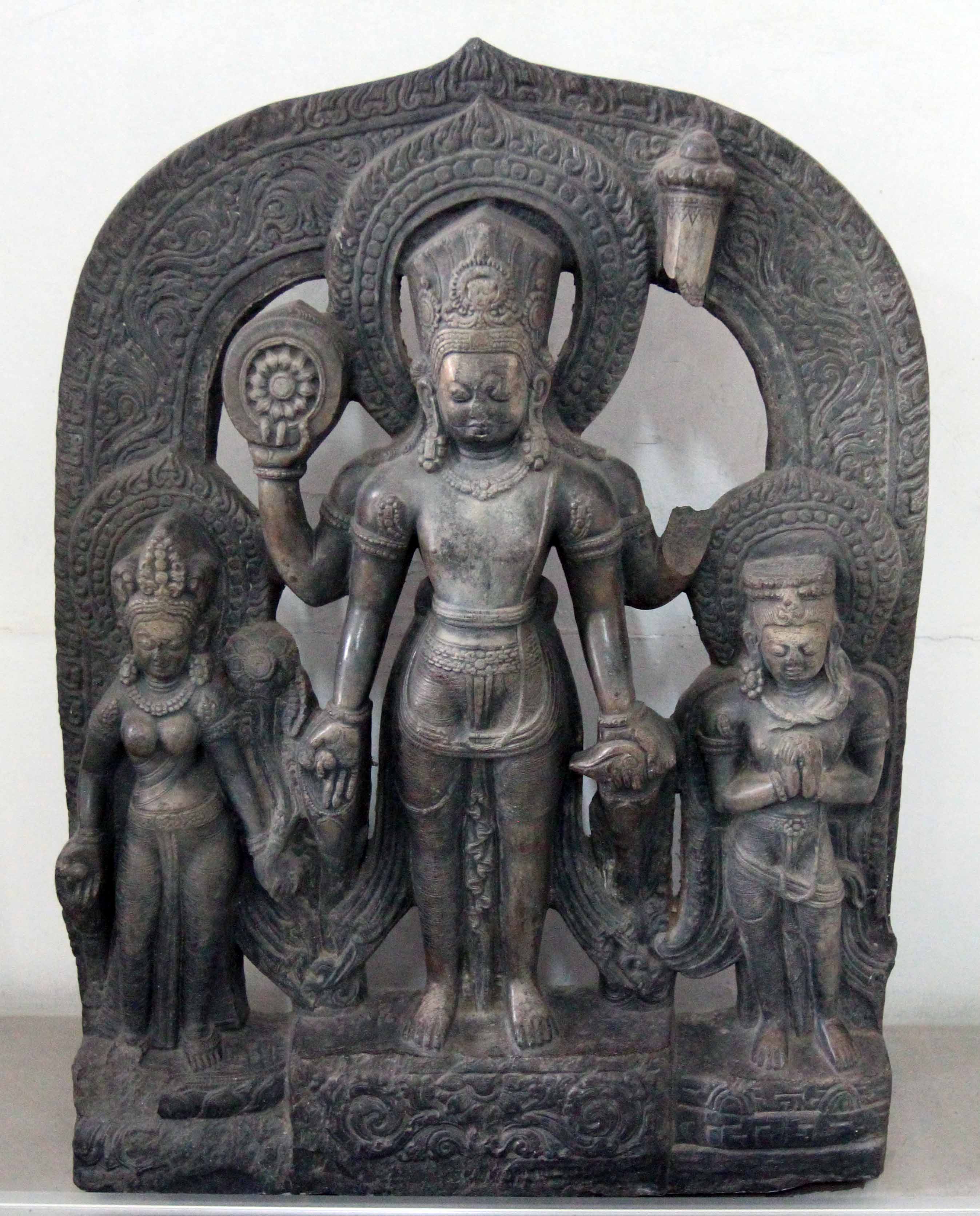
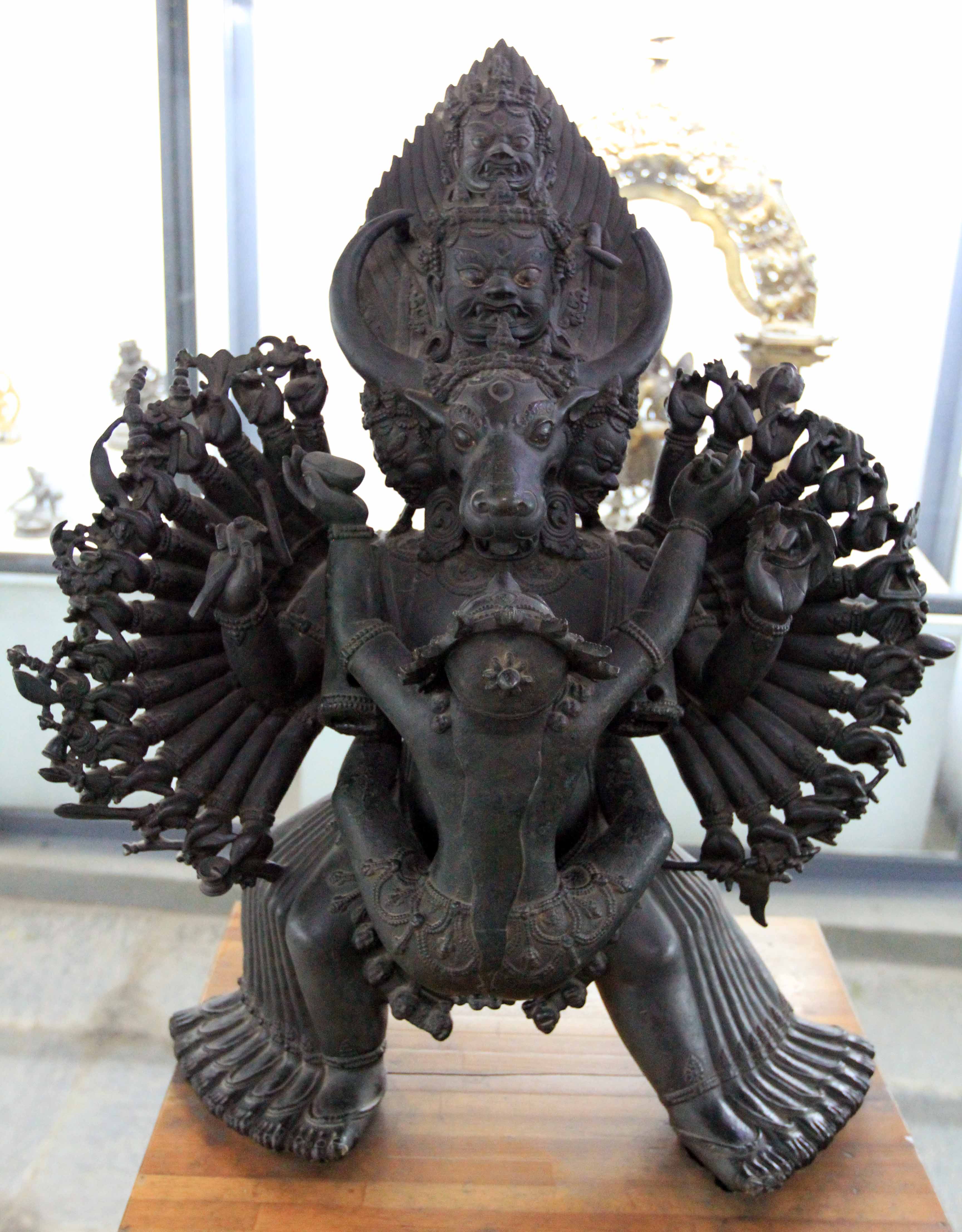
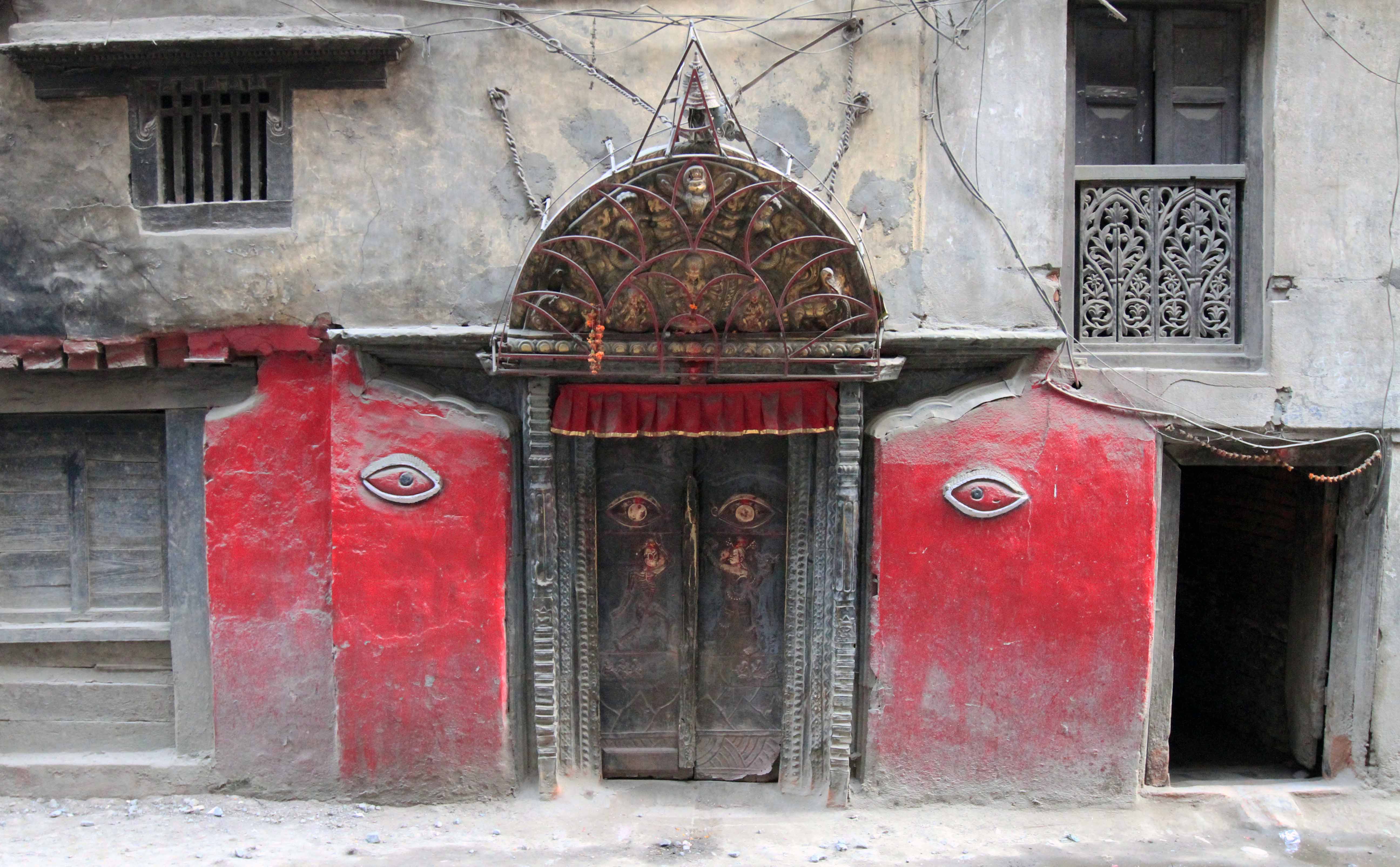
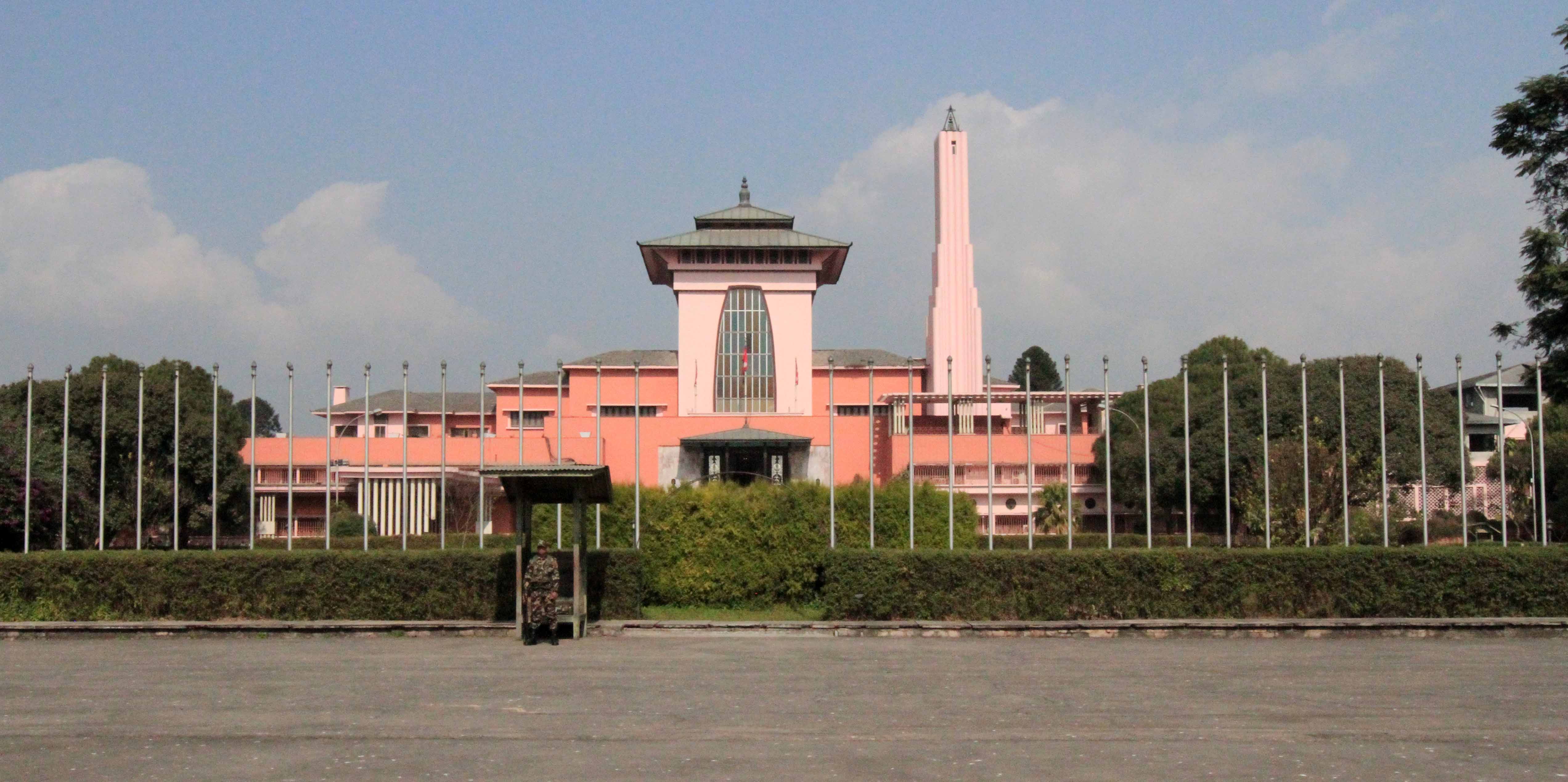
Just the Pictures (Nepal)

Chetrapathi circle in Kathmandu.
Old building and rickshaw in Kathmandu.
Durbar Square in Kathmandu.
Street in Kathmandu.
Doorways to a store in Kathmandu - quite a few buildings had these rows of doors on the ground floor.
Doorways to a store in Kathmandu – quite a few buildings had these rows of doors on the ground floor.
Busy street in Kathmandu.
Fruit and vegetable sellers in Kathmandu.
Rani Pokhari.
Rani Pokhari.
Fruity dry wine "crafted in Nepal".
Fruity dry wine “crafted in Nepal”.
Green hills seen from our first rest stop on the way to Pokhara.
Many empty boats waiting for passengers in Phewa Lake.
Children fishing on the shore of Phewa Lake.
Laundered clothes drying in the last streams of sunshine before dusk, seen from the Lakeside walk in Pokhara.
More boats in Phewa Lake.
Besisahar, the starting point of the Annapurna Circuit trail.
The Marsyangdi Nadi flowing through the valley.
Another view of the valley and Marsyangdi Nadi.
Waterfalls near the town of Bhulbhule.
View of the river and the dirt road trail.
Rice terraces on the edge of the hillside near the river.
Rice terraces on the edge of Bahundanda.
Another view of the rice terraces on the outskirts of Bahundanda.
View of the Marsyangdi Nadi valley near Bahundanda.
The rice terraces and buildings of Bahundanda.
Street in Bahundanda.
Tibetan bread.
Tibetan bread.
The trail in the early morning.
Terraced hills in the valley and tall mountains in the distance.
Closer view of the rice terraces.
The trail passing through the rice terraces.
Stream passing by boulders and rocks near the trail.
The Marsyangdi Nadi valley near Badalbisaunaa.
The trail outside of Badalbisaunaa.
Stream and hillside by the trail.
Garden and home in the valley.
The Marsyangdi Nadi near Ghermu Phant.
Golden-green rice.
Golden-green rice.
View near Syange.
View near Syange.
Walking through the town of Jagat.
The Marsyangdi Nadi north of Jagat.
Waterfall near Sattale.
View of Tal in the distance, next to the Marsyangdi Nadi riverbed.
Stream cascading down the rock-face north of Tal.
Looking back at the suspension bridge over the Marsyangdi Nadi near Karte.
Tree blossoms in October.
Communist poster found in Thoche - silly Maoists.
Communist poster found in Thoche – silly Maoists.
Cattle grazing in the fields.
View of snow-capped mountains from a small garden.
One of many modern lodges found along the Annapurna trek.
Prayer wheel wall found along the trek.
View of the mountains and pine forests near Timang.
The dirt road trail and autumn leaves.
Field near the trail to Timang.
Prayer wheel wall in Chame.
A large prayer wheel cleverly set up to run on hydraulic power so it continually prays.
Suspension bridge on the north side of Chame.
Chorten found on the trail north of Chame.
A Mani wall alongside the trail - a Mani wall consists of stones inscribed with mantras or devotional symbols.
A Mani wall alongside the trail – a Mani wall consists of stones inscribed with mantras or devotional symbols.
The painting ceiling under the chorten found on the trail north of Chame.
Horses saddled up in Talekhu.
The road through Talekhu.
The Marsyangdi Nadi weaving through the mountains.
The Marsyangdi Nadi with the Annapurna Himal in the background.
The trail through apple orchards.
Mountains in the distance.
Wooden and suspension bridges crossing the Marsyangdi Nadi, leading to the Upper Pisang trail.
The Marsyangdi Nadi.
Looking southeast toward the Pangdi Danda.
Horses grazing near the Upper Pisang trail.
Red-leafed bushes crowding the trail with the Pangdi Danda ridgeline in the background.
The village of Upper Pisang.
View from Upper Pisang, looking down toward the town of Lower Pisang.
A long prayer wheel wall.
Prayer wheels with the middle wheel's lid off.
Prayer wheels with the middle wheel’s lid off.
Lower Pisang with the Annapurna Himal in the background.
Closeup of fruit bushes found along the trail.
Mani stones.
Mani stones.
A prayer wheel missing its cover.
The Marsyangdi Nadi valley seen from the Upper Pisang trail.
Another view of the valley, river, and Annapurnas.
The town of Ghyaru.
The town of Ghyaru.
Braga in the evening glow.
The Annapurnas at sunset.
The inside of the guesthouse I stayed at in Ghyaru.
Wood sculpture with yak horns.
Ghyaru in the morning light.
The Annapurna Himal in the morning.
Mountains stretched along the southwestern side of the valley.
Prayer wheel wall in Ghyaru.
Chorten in Ghyaru.
Chorten in Ghyaru.
The painted ceiling inside the chorten.
Rooftops and flags in Ghyaru.
The trail and mountains seen in the distance.
Looking back at Ghyaru (hillside on the left).
A Mani wall west of Ghyaru.
Mani stones piled next to the trail.
Closeup of a Mani stone.
The beautiful trail with the Annapurna Himal on the left.
The town of Nawal.
The town of Nawal.
Another view of the mountains and trail.
Reusing old cream milk cans as prayer wheels.
A long prayer wheel wall with Mani stones piled at both ends.
Stone walls sectioning off farmland.
A small stupa with Annapurna III (the tall peak) in the background.
View of Annapurna III in the distance.
The trail continuing through pine forests.
The Marsyangdi Nadi near Braga.
The old town of Braga built up on the hillside.
View near the topmost levels of Braga, near the Gompa.
Inside the Braga Gompa.
A protector deity near the entrance inside the Braga Gompa.
View of the southeastern part of Braga.
View of Braga at the start of the trail to Ice Lake.
Braga and the Marsyangdi Nadi valley.
The Marsyangdi Nadi valley with Manang in the distance (near Ganggapurna Tal - the small lake).
The Marsyangdi Nadi valley with Manang in the distance (near Ganggapurna Tal – the small lake).
Another view of the valley with Ganggappurna Tal visible.
Ice Lake.
Ice Lake.
Closer view of Ice Lake ("Kicho Tal" in Nepalese).
Closer view of Ice Lake (“Kicho Tal” in Nepalese).
Chorten near Ice Lake.
A small lake frozen over near Ice Lake.
The Marsyangdi Nadi valley with snow flurry laden clouds moving in.
Return to Braga with snow flurries falling from the heavens.
Two-level home in Braga.
More stone houses in Braga.
Prayer wheel wall in Braga with the town's Gompa perched high on the hillside.
Prayer wheel wall in Braga with the town’s Gompa perched high on the hillside.
Chorten in Braga with the Gompa in the distance.
Inside of the lodge I stayed at in Braga.
The Annapurna Himal seen from the Marsyangdi Nadi valley floor.
A long Mani wall on the way to Manang.
Chortens at the end of the Mani wall.
Horses grazing in the valley.
Ganggappurna Tal, its icy waters replenished by the Ganggappurna Glacier (Annapurna III and Ganggappurna are the tall peaks on the left and right, respectively).
Looking back at the valley, with Manang on the left.
The Khangsar Khola and the Thorung Khola (left and right streams) feeding the Marsyangdi Nadi.
Snow covered trail heading up to Khangsar.
Khangsar, seen from the guesthouse's rooftop terrace.
Khangsar, seen from the guesthouse’s rooftop terrace.
Another view of Khangsar.
The rooftop terrace of the guesthouse I stayed at in Khangsar - the yak hide is used to warm your feet.
The rooftop terrace of the guesthouse I stayed at in Khangsar – the yak hide is used to warm your feet.
Prayer flags up near Old Khangsar.
Looking down at the lower part of Old Khangsar, with "New" Khangsar even lower.
Looking down at the lower part of Old Khangsar, with “New” Khangsar even lower.
A herd of Himalayan tahrs on the hillside.
Upper part of Old Khangsar covered in snow.
Fruit bushes found near Old Khangsar.
The abandoned stone dwellings of Old Khangsar.
Looking toward Tilicho Peak and the trail to Tilicho Lake.
The terraced hillside near Khangsar.
Rooftop and log ladder in Old Khangsar.
The trail to "New" Khangsar.
The trail to “New” Khangsar.
A mule grazing near Khangsar.
Cabbage patch and stone buildings in Khangsar.
The roofs of Khangsar in the morning.
Hiking toward Manang in the misty morning.
Manang on the left and Ganggappurna Tal on the right.
Ghusang and Annapurnas behind it.
The trail toward Yak Kharka.
Suspension bridge over the Ghyanchang Khola.
Tea hut and Mani wall on the trail.
The valley of the Thorung Khola.
A yak wearing his bell.
Looking back at the valley.
The Thorung Khola valley with Yak Kharka's blue roofs in the distance.
The Thorung Khola valley with Yak Kharka’s blue roofs in the distance.
The Thorung Khola and Syagang Peak in the distance.
Looking back at the valley, whence I came.
Suspension bridge leading to Churi Ledar.
The Kone Khola valley near Churi Ledar.
Herd of Himalayan tahrs.
Suspension bridge over the Kone Khola.
The Kone Khola residing in the mountains' shadow.
The Kone Khola residing in the mountains’ shadow.
Two hikers crossing the suspension bridge over the Kone Khola.
Part of the trail in a landslide zone.
Looking back on the trail in the Kone Khola valley.
The steep hike up to Thorung High Camp, from Thorung Phedi.
The trail up to Thorung High Camp.
The snow and craggy peaks next to the trail.
Trail through the snow leading up to the viewpoint near Thorung High Camp.
Prayer flags up at the viewpoint.
Looking down at Thorung High Camp.
Cairns up at the view point.
Looking down at Thorung Phedi.
Piles of stones and prayer flags strung up at the viewpoint by Thorung High Camp.
Looking back at the mountains while hiking up to Thorung La Pass.
The snow covered trail ahead to Thorung La.
Hikers trudging through the snow.
The morning sun and early bird hikers making their way up to Thorung La.
The top of Thorung La Pass, with many prayer flags.
Thorung La, 5416 meters - 3,432 meters shy of being at the top of the world.
Thorung La, 5416 meters – 3,432 meters shy of being at the top of the world.
The tea house on top of Thorung La Pass.
The trail leading down to Muktinath, with the mountains of Upper Mustang in the distance.
Looking back toward Thorung La.
A Nepalese porter hiking ahead.
Wind swept snow along the trail.
A porter hiking on the trail to Muktinath.
The trail leading down to Muktinath and the arid valley below.
The mountains speckled with decks of snow.
Stone ruins on the way to Muktinath.
Looking back at Thorung La - the barely visible trail in the snow on the right is an abandoned road project.
Looking back at Thorung La – the barely visible trail in the snow on the right is an abandoned road project.
Suspension bridge over a stream also named "Thorung Khola".
Suspension bridge over a stream also named “Thorung Khola”.
The other Thorung Khola.
The arid valley on the western side of Thorung La Pass.
Looking back at Thorung La.
The Muktinath Temple compound surrounded by a white wall and Muktinath in the distance, on the right.
View of Muktinath from my lodge's balcony.
View of Muktinath from my lodge’s balcony.
Cattle grazing in a field near Muktinath.
Terraced hillside in the valley near Muktinath.
Jharkot, located at the edge of a cliff, with the mountains of Upper Mustang in the background.
The town of Jharkot.
Pond and autumn trees near Jharkot.
Mud buildings in Jharkot.
Steps leading up to the town's Gompa.
Steps leading up to the town’s Gompa.
The arid valley surrounding the town.
Looking west in the valley, from Jharkot.
Looking east toward the terraced hillside, in various shades of brown.
A chorten at the edge of the cliff in Jharkot.
The Jharkot Gompa.
The Jharkot Gompa.
Fresco on the outside of the Gompa.
Another fresco on the Jharkot Gompa.
Inside the Jharkot Gompa.
Buddha statue in the center, on top of an altar, in the Gompa.
Room for drying out plants that will then be used in Tibetan medicine.
A rustic scene from the town of Jharkot.
Another view inside Jharkot.
Trees showing their Autumn colors with the Muktinath Himal in the background.
Looking back on Jharkot.
Wall and gateway leading toward the town of Purang.
Horses grazing between Jharkot and Purang.
Standing in the terraced farmland with Jharkot seen in the distance.
A white horse in the terraced fields.
Homes in the small town of Purang.
Terraced farmland, long since harvested of its crops.
Lake near Purang.
Lake near Purang.
Monasteries near Muktinath.
Pagoda in the Muktinath Temple complex.
The Vishnu Lokhesvara temple with two pools of water for Hindus to bathe in.
Bell at the entrance to the Muktinath Temple complex.
The dirt road leading to Muktinath.
The area near Muktinath, on the way to Chongur.
A home in Chongur, painted in striped colors of the Sakia Order.
Looking out at the Muktinath valley next to a striped home in Chongur.
A street in Chongur.
Prayer flags strung up between homes in Chongur.
A suspension bridge over a khola, on the way to Jhong.
Terraced farms, Autumn trees, and the Muktinath Himal mountain range.
The town of Jhong.
The town of Jhong.
Walking through the town of Jhong.
The ruins of the old fort in Jhong.
View of Jhong from near the Gompa.
The carved up and farmed valley.
The Dzong Chode Shedup Choephel Ling Monastery.
Looking back at Thorung La, through the terraced valley.
Autumn trees making a striking picture in the valley.
The arid environment on the way top Kagbeni.
The arid environment on the way to Kagbeni.
Looking back at the Muktinath valley.
Small ponds with the mountains of Upper Mustang in the distance.
Small rock barrier to protect herders from the wind.
Dirt road with Thorung La Pass far in the distance.
The road leading to Kagbeni.
Herd of goats.
Herd of goats.
Mountains of Upper Mustang.
The town of Kagbeni.
The Kali Gandaki Nadi.
Kagbeni with ruins of the old fort partly visible on the left.
Male protector of Kagbeni - the author of my guidebook refers to him as "Viagra Man".
Male protector of Kagbeni – the author of my guidebook refers to him as “Viagra Man”.
Courtyard in Kagbeni.
The Kag Chode Thupten Samphel Ling Monastery.
The Kag Chode Thupten Samphel Ling Monastery, seen from the second floor of the main prayer hall building.
Long prayer wheel wall at Kag Chode Thupten Samphel Ling Monastery.
The other side of the prayer wheel wall with my young guide.
Suspension bridge over the Kali Gandaki Nadi, with Kagbeni in the background.
The prayer flags streaming in the wind, seen from the suspension bridge.
Chasm near the town of Tiri.
Looking down at Tiri from its local Gompa.
Path flanked by stone walls in Kagbeni.
The Kali Gandaki Nadi seen from the north end of Kagbeni.
Buildings in Kagbeni, located near the riverside.
Prayer wheel wall in Kagbeni.
"Yac Donalds" restaurant with a "7-Eleven" in the background (somebody gonna get his head sued off).
“Yac Donalds” restaurant with a “7-Eleven” in the background (somebody gonna get his head sued off).
Morning view of Kagbeni.
The riverbed of the Kali Gandaki Nadi.
Following the Kali Gandaki Nadi south.
Colorful building in Jomsom with many jeeps parked outside.
Terraced orchard fields of Jomsom.
Jomsom on the opposite side of the river.
Autumn trees along the trail.
Hutsapternga Gompa on top of the ridge in the distance.
Ideal spot for picnicking, found along the trail with perfect grass and nice bushes.
Orchards near Samle.
Dhumbra Tal ("Tal" means "Lake").
Dhumbra Tal (“Tal” means “Lake”).
Trail through a wide and dry stream bed near Dhumbra.
Looking back on the trail, with Dhumbra in the distance.
Where the Pongkyu Khola meets the Kali Gandaki Nadi.
The town of Marpha with its many apple orchards.
Street through the Tibetan Refugee Village near Chhairo.
Idyllic stream along the trail with perfect grass to walk, play, or lay on.
Trail flanked by stone walls and orchard trees on both sides.
The Chokhopani Khola with the Nilgiri mountains in the background.
The riverbed of the Kali Gandaki Nadi.
Prayer wheel wall and Mani stones in the old part of Tukuche.
Historic buildings in Tukuche.
Another prayer wheel wall and more Mani stones in the historic district of Tukuche.
Tukuche in the early morning light.
Tractor on the dirt road from Tukuche.
Jeep on the dirt road trail south of Tukuche.
Rock-walled farmland along the trail in Larjung.
The town of Larjung.
Cow drinking from the local water tap in Naurikot, a traditional Thakali village.
The Kali Gandaki Nadi valley from Naurikot.
Stone pathway through Naurikot.
View of the mountains and flowers from Naurikot.
A house high up in Naurikot.
The wide riverbed of the Kali Gandaki Nadi, seen from Naurikot.
Stone sidewalk in Naurikot.
Remains of a massive landslide on the trail to Sekung Lake.
Standing on the landslide, looking toward its source.
Cannabis plant found along the trail.
Sekung Lake.
Sekung Lake.
Trail through the woods.
Stone hut in the abandoned village of Sekung.
Another section of the trail through the forest.
Stone pathway through Kokhethanti.
The stone laid trail, lined with trees, between Kokhethanti to Kalopani.
Kalopani in the morning with Annapurna I (8,091 meters) in view.
The Kali Gandaki Nadi.
Mountains seen from the trail to Titi Tal.
Titi Tal.
Titi Tal.
Another view of Titi Tal.
Farms near Taglung and Kunjo with the Nilgiri mountains in the background.
Wood fences in Taglung and the Nilgiri mountains.
Flowers and the Nilgiri mountains.
Stone wall separating the trail and farms between the villages of Taglung and Kunjo.
Stone buildings, walls, and pathways in Kunjo.
The wide stream bed of the Bhuttro Khola.
The woods near Chhoya.
Wood fenceline near Chhoya.
Herding goats out of Chhoya.
Plowing the fields in Chhoya.
The town of Chhoya.
The town of Chhoya.
Split path in Chhoya.
The trail leading back to Kalopani, from Chhoya.
The Kali Gandaki Nadi.
Cow in the field near Kalopani.
The trail near Kalopani.
View of the Nilgiri mountains, farmland, and rock walls, seen from the trail to Kalopani.
The trail winding between two rock walls, separating fields.
Harvested field near Kalopani.
Annapurna I in the afternoon, slightly covered in clouds.
Field in Kalopani.
Field in Kalopani.
Looking back at Kalopani with Dhaulagiri peak (8,167 meters) in the background.
Stone walls and flowers in Kalopani.
Ladder leading up to an elevated piece of farmland.
The Lete Khola.
The Lete Khola.
Small field on the trail to Ghasa.
The valley in the pre-noon sun.
The town of Ghasa.
The town of Ghasa.
Stream south of Ghasa.
Blossoming trees and flowering gardens south of Ghasa.
Suspension bridge over the Kali Gandaki Nadi.
The trail near Pairothapla.
Harvested grain laying on the path through Pairothapla.
Scarecrow in Kopchepani.
Cow checking out a convenience store in Kopchepani.
Interesting structure near Kopchepani.
The trail through the small town of Bhalebas.
Waterfall across the valley, from Bhalebas.
Cacti along the trail.
A wildflower.
A wildflower.
The trail north of Gadpar.
A rustic stone hut along the trail.
Leaves, flowers, and other plant matter hung up over the town of Gadpar.
The pathway through Gadpar.
House along the trail in Gadpar.
Crossing the Kali Gandaki Nadi, yet again.
Corn crops along the trail.
Cobs of corn hung out to dry.
A creaky wooden suspension bridge over the Kali Gandaki Nadi.
The Kali Gandaki Nadi near Tatopani.
The organic garden interspersed between the guestrooms at the lodge I stayed at in Tatopani.
The Kali Gandaki Nadi, seen from just south of Tatopani.
Suspension bridge over the Kali Gandaki Nadi.
The Kali Gandaki Nadi with the morning sun's rays hitting the distant mountains.
The Kali Gandaki Nadi with the morning sun’s rays hitting the distant mountains.
A decommissioned wooden suspension bridge, missing more than a few planks.
The Kali Gandaki Nadi seen near the Ghar Khola.
The tropical trail leading up to Hellekharka.
Stone steps on the trail.
Stone structure with a cavity inside (presumably for offerings to whatever deities the locals want to worship).
Looking back at the valley.
Home found along the trail to Ghara.
Golden rice.
Golden rice.
The trail leading up to Ghara.
Rice being harvested in the terraced fields below.
Harvested and bundled rice outside of a stone house along the trail.
Tractor traveling on the dirt road in Ghara.
A rustic home outside of Ghara.
The trail, looking back at Ghara in the distance.
Street through the town of Shikha.
The town of Shikha.
The town of Shikha.
Epiphytes on a tree, along the trail toward Ghorepani.
More stone steps found along the trail - they make great photographs, but are a pain on the knees.
More stone steps found along the trail – they make great photographs, but are a pain on the knees.
The hills near Phalate and Chitre, with the town of Swanta on the otherside of the valley..
Stream found on the trail.
A ruined stone wall with Swanta in the distance.
Pack mules - looking in to their eyes is like looking in to a slave's eyes - there is no hope, no love, and no peace.
Pack mules – looking in to their eyes is like looking in to a slave’s eyes – there is no hope, no love, and no peace.
Ghorepani, the town square at the top of the pass.
The trail leading up to Poon Hill.
The moon setting over the mountains.
Dhauligiri, seen from Poon Hill.
Annapurna I, Annapurna South, Hiunchuli, and Machhapuchhre (from left to right, the four obvious peaks).
Looking toward Dhauligiri.
Looking toward Annapurna I and Annapurna South.
The prayer flags and Dhauligiri in the distance.
All the early morning spectators on Poon Hill.
The prayer flags on Poon Hill.
Another photograph of the prayer flags.
Yet another, with Dhauligiri more clearly visible in the morning sun.
Closeup of the web of prayer flags.
Another view of Dhauligiri.
Nilgiri, Annapurna I, Annapurna South, and Hiunchuli peaks (left to right).
Another view of Annapurna I and Annapurna South, plus accompanying mountain peaks.
View of the mountains, returning from the top of Poon Hill.
The trail from Ghorepani to Deurali Pass.
Poon Hill in the distance, with the viewing tower on top.
The mountains seen from the trail.
Annapurna South seen through the woods.
An idyllic, fairy tale, part of the trail.
Beautiful cliff face with trees balanced where ever they're able to grow.
Beautiful cliff face with trees balanced where ever they’re able to grow.
The trail through the woods.
Stream flowing alongside the trail, surrounded by lush vegetation.
Continuing down the trail to Tadapani.
Walking through the rhododendron forest.
View of forested hillsides seen from the trail.
Deciduous trees standing out among the evergreens.
Pack mules wearing bells, marching up the stone steps toward Ghorepani.
Beautiful woods surrounding the trail.
A split in the stone steps, just west of Tadapani.
The town of Tadapani.
The trail from Tadapani to Ghandruk.
The green forests along the trail.
Stream cascading down near the trail.
Moss covered trees, dominating the trail view.
A beautiful stream passing by the trail.
Stone steps through the rain forest.
Trail passing through the lush green vegetation.
"Everything's so green!"
“Everything’s so green!”
Hanging flowers found at the guesthouse I stayed at in Ghandruk.
View of Old Ghandruk from the guesthouse I stayed at.
Gurung bread.
Gurung bread.
Vegetable momos.
Vegetable momos.
Old Ghandruk.
Old Ghandruk.
Courtyard in Old Ghandruk.
House in Old Ghandruk, drying out the harvested grain on the porch roof.
Millet crop in Ghandruk.
Stone hut slowly turning completely green.
Stone steps leading to a shrine outside of Ghandruk.
Home in Ghandruk.
Home in Ghandruk.
Small flowers like puffballs found on a wall in Ghandruk.
The town of Ghandruk - in the foreground, a woman is collecting and piling up manure.
The town of Ghandruk – in the foreground, a woman is collecting and piling up manure.
Stone home in Ghandruk.
Terraced fields in Ghandruk being harvested.
Firelight emanating from a home in Old Ghandruk during dusk.
Fried potatoes.
Fried potatoes.
A local variety of dal bhat.
Old Ghandruk in the early morning.
Another view of Old Ghandruk.
Old Ghandruk in the morning light.
Central courtyard in Old Ghandruk.
Homes in Old Ghandruk.
Harvested millet drying out in front of a house.
House with harvested crops drying on the porch roof.
Home in Old Ghandruk.
Local water tap in Old Ghandruk.
Looking out at Old Ghandruk in the morning light again.
Terraced fields and Old Ghandruk.
Annapurna South, Hiunchuli, and Machhapuchhre peaks (from left to right) towering above Ghandruk.
Old Ghandruk in full light.
Walking through the old paret of Ghandruk one last time.
The stone trail with Landruk in the distance, on the opposite hillside.
Millet drying out in the sun.
The Modi Khola - the rock face in the distance has giant bee hives that are harvested by the "Honey Hunters of Nepal".
The Modi Khola – the rock face in the distance has giant bee hives that are harvested by the “Honey Hunters of Nepal”.
Terraced fields by Landruk.
Terraced fields on the west side of the Modi Khola.
Stone steps leading past harvested fields.
Locals carrying bundles of harvested rice up to Landruk.
Flower along the trail in Landruk.
Terraced hillside by Landruk.
An old wooden suspension bridge, patched up with logs, near Tolka.
Stone steps leading up to Bhichok Deurali.
The town of Pothana.
Hill with tents and prayer flags in the Australian Camp.
Stone trail in the woods, leading toward Kande.
View of the valley near Kande.
Trail leading through a very eroded path, just outside of Kande.
The Tourist Bus Park in Pokhara.
Marsh in Lumbini, near Siddhārtha Gautama's birthplace.
Marsh in Lumbini, near Siddhārtha Gautama’s birthplace.
The Maya Devi Temple.
Long line of pilgrims waiting to enter the Maya Devi Temple and see the "exact spot" where Siddhārtha Gautama ("Lord Buddha") was born.
Long line of pilgrims waiting to enter the Maya Devi Temple and see the “exact spot” where Siddhārtha Gautama (“Lord Buddha”) was born.
Gatherers outside, near the giant pond where Siddhārtha's mother bathed before giving birth.
Gatherers outside, near the giant pond where Siddhārtha’s mother bathed before giving birth.
The pond and Maya Devi Temple.
The Ashokan pillar.
The Ashokan pillar.
Ruins and incense near Maya Devi Temple.
Maya Devi Temple with Ashokan pillar on the right side.
Statue of Boy Buddha.
The eternal flame and the canal behind it.
Brick bridges over the canal.
Trees and grasses near Siddhārtha's birthplace.
Trees and grasses near Siddhārtha’s birthplace.
The Japan Peace Stupa.
Four depictions of Buddha on four sides of the Japan Peace Stupa.
Angled view of the Japan Peace Stupa.
More natural vegetation near the birthplace in Lumbini.
Pillar and statue near the Lumbini Museum.
The Lumbini Museum.
The Lumbini Museum.
Very poorly maintained photograph found in the Lumbini Museum - the museum curator needs to be fired.
Very poorly maintained photograph found in the Lumbini Museum – the museum curator needs to be fired.
Another poorly maintained photograph, disintegrating through time.
Buddhist hat, worn my a particular order of monks.
A modern Buddhist temple seen in the distance.
The Dharmodaya Sabha Stupa.
The Manang Sewa Samaj Stupa.
Buddha statue inside the Manang Sewa Samaj Stupa.
The Nepal Mahayan Temple.
The Royal Buddha Bihar Temple.
Entrance to the Royal Buddha Bihar Temple.
Monkey on the side of the road in the park in Lumbini.
Rickshaws waiting for suckers outside the park entrance in Lumbini.
Street in a city somewhere near Lumbini - possibly Butwal.
Street in a city somewhere near Lumbini – possibly Butwal.
The Chitwan Condom House in Narayangarh - they really did sell condoms, as well as other tools for human sexual intercourse.
The Chitwan Condom House in Narayangarh – they really did sell condoms, as well as other tools for human sexual intercourse.
Using broken liquor bottles to keep criminals off one's property.
Using broken liquor bottles to keep criminals off one’s property.
The Trishuli River.
The Trishuli River.
Road-side stop next to the Trishuli River.
View of the cockpit during the mountain flight.
My window view during the mountain flight.
The Himalayas.
The Himalayas.
Gauri Shankar and Melungtse peaks on the right-hand side (from left to right).
Mount Everest (8,848 meters) - it's the tall pyramid-looking one near the center of the photograph.
Mount Everest (8,848 meters) – it’s the tall pyramid-looking one near the center of the photograph.
Another view of the majestic Himalayan mountain range.
The plane that I traveled on to view Mount Everest.
Body being cremated along the Bagmati River at the Pashupatinath Temple complex.
Cremations along the Bagmati River.
Looking through the entrance of the Pashupatinath Temple, at the giant golden bull with massive cojones.
Women sitting around at the Pashupatinath Temple complex.
Linga and yoni sculptures.
Statue nearly covered in red dye at Pashupatinath.
Two deceased bodies covered in cloth, awaiting cremation in Pashupatinath.
"Holy men" hanging around for tourists to pay them to take their picture.
“Holy men” hanging around for tourists to pay them to take their picture.
Ill woman on a stretcher, surrounded by helpers, with her feet dipped in to the Bagmati River.
Another view of Pashupatinath Temple - the actual temple is the golden-roofed pagoda in the center.
Another view of Pashupatinath Temple – the actual temple is the golden-roofed pagoda in the center.
View of Pashupatinath Temple across the river (entrance is for Hindus only).
"I'm a flea bit peanut monkey . . . I'm a monkey!"
“I’m a flea bit peanut monkey . . . I’m a monkey!”
Bouddhanath Stupa with many prayer wheels along its walls.
Bouddhanath Stupa with many prayer flags hanging from each corner.
Bouddhanath Stupa seen from the rooftop of Guru Lhakhang Monastery.
Another bird's eye view of Bouddhanath Stupa.
Another bird’s eye view of Bouddhanath Stupa.
Inside Guru Lhakhang Monastery.
Steps leading up to the topmost level of the stupa.
Prayer flags hanging from the stupa's umbrella.
Prayer flags hanging from the stupa’s umbrella.
A miniature stupa in front of Bouddhanath Stupa.
Bouddhanath Stupa seen from the rooftop restaurant I ate lunch at, with snow-capped mountains in the distance.
Bouddhanath Stupa, with those Buddha eyes and Nirvana nose.
Street in Kathmandu.
The Kumari-ghar.
The Kumari-ghar.
Pagoda temples in Kathmandu Durbar Square.
Entrance to the Old Royal Palace.
Inside Nasal Chowk, with a guard, a Hindu statue, and a disinterested woman.
Nasal Chowk, with the coronation platform half illuminated in the center.
The north end of Nasal Chowk in the Old Royal Palace.
Door with Buddha eyes - he's always watching.
Door with Buddha eyes – he’s always watching.
Cool wood sculpture built right in to the brick wall.
View of Kathmandu from the topmost level of Basantapur Durbar.
Nasal Chowk seen from Basantapur Durbar.
A tree overtaking a shrine.
Kal Bhairav.
Kal Bhairav.
The temple roofs in Kathmandu Durbar Square.
Many pigeons flying in the square.
Sculpture of Hanuman (the monkey god).
Brick temple in Kathmandu Durbar Square.
Wood carved railing on one of the temples in the square.
Relief statue of Ganesha.
Kathmandu Durbar Square in the late afternoon with the Kal Bhairav relief statue in view.
Well carved wood struts adorning the ceiling of one of the temples.
Hindu statue with a boner.
The entrance to Taleju Temple - open once a year for Hindus.
The entrance to Taleju Temple – open once a year for Hindus.
"Holy men" near Mahendreshwor temple.
“Holy men” near Mahendreshwor temple.
Taleju Temple towering above merchandise stalls.
Street in Thamel.
Street in Thamel.
Sadly, some people have to be reminded . . .
Swayambhunath on the hill in the distance.
Buddha statue along the steps leading up to Swayambhunath.
The steps up to Swayambhunath.
The large, central stupa at Swayambhunath with a large Vajra sculpture in front.
The Swayambhunath stupa with its Buddha eyes.
Sculpted reliefs in one of the shrines in Swayambhunath.
View of Kathmandu from Swayambhunath.
Closeup of the Swayambhunath stupa with the dome, eyes of Buddha, pentagonal torans, thirteen tiers, and an umbrella on top.
Walking clockwise around the Swayambhunath stupa.
Monkey on top of a Buddha relief statue.
Another Buddha statue, speckled with red and yellow.
Buddha relief statue in the back and a Hanuman statue in front.
The Swayambhunath stupa and manys maller stupas.
Another view of the Swayambhunath stupa.
Monkey drinking from water pooled on top of a Vajra relief sculpture.
Swayambhunath stupa.
Temple in the Swayambhunath complex.
Buddhist relief sculpture in Swayambhunath.
Monkey biting in to the bottom of a water bottle to drink its contents.
Small stupas at the back side of the Swayambhunath complex.
The Whochen Thokjay Choyaling Monastery.
Pagoda temples in Patan Durbar Square.
Main walkway in Patan Durbar Square.
Small concert being filmed at Jagannarayan Temple.
Jagannarayan Temple with Krishna Mandir on the right.
Vishwonath Temple.
Vishwonath Temple.
Ganesha relief on a wall in Patan Durbar Square.
Caged Buddha statue.
Beautifully wood-worked door on aone of the temples in Patan.
Narasimha Temple.
Narasimha Temple.
Narasimha Temple, Vishnu Temple, and Jagannarayan Temple.
Krishna Mandir in the center.
Closer view of Krishna Mandir.
Looking toward the top of Krishna Mandir.
Street north of Patan Durbar Square.
Grain laid out to dry near Patan Durbar Square.
Patan Durbar Square seen from the rooftop restaurant I ate lunch at.
Doorway flanked by Buddha eyes.
Southern end of Patan Durbar Square.
Krishna Temple (Chyasim Deval).
Ganesha relief statue.
Beautiful wood doorway and lattice windows adorning the facade of a building.
Hindu sculptures in Patan.
View from the balcony at the hotel I stayed at in Sauraha.
The Rapti River with Chitwan National Park on the other side.
One-horned Rhinoceros laying in the river.
Elephant and five-day old calf in the government-run stables.
Clapping dance at the Sauraha Tharu Culture House.
Peacock dance.
Peacock dance.
Jhumra dance.
Jhumra dance.
Fire dance.
Fire dance.
My hotel room with mosquito netting over the bed - the mosquitoes actually weren't too bad this time of year.
My hotel room with mosquito netting over the bed – the mosquitoes actually weren’t too bad this time of year.
Dugout canoe in the Rapti River.
Retired government employee enjoying new found freedom.
Red cotton bugs.
Red cotton bugs.
Large male rhinoceros sleeping in the subtropical broadleaf forest in Chitwan National Park.
The subtropical broadleaf forest.
Trail through the forest, heavily covered in vines.
The retired pachyderm seen again, this time feeding on some tall grass.
Traditional huts along the Rapti River.
A gharial, with its long and thin snout, seen on the river bank.
Mugger crocodile.
Mugger crocodile.
A steersman pushing his canoe along the river.
another mugger crocodile.
Another mugger crocodile.
Two ospreys with their nest at the top of the tree.
The grassland of Chitwan National Park.
Tall grass pressed down by rhinos.
Oriental pied hornbills in the tree.
Poisonous caterpillar - a real work of art.
Poisonous caterpillar – a real work of art.
Watchtower in the grassland of Chitwan.
Sauraha on the north side of the Rapti River.
Two dugout canoes and a steersman washing his face at sunset.
Privately owned elephant slave returning to its stable.
Bhaktapur Durbar Square.
Temple in Bhaktapur.
Wood-carved entrance and lattice windows to one oft he temples in the square.
Bhaktapur Durbar Square with bell and temples.
Lu Dhowka (the "Golden Gate").
Lu Dhowka (the “Golden Gate”).
Lattice window.
Lattice window.
Woman taking a break in front of the "Palace of Fifty-five Windows".
Woman taking a break in front of the “Palace of Fifty-five Windows”.
Stone temple in Bhaktapur.
"Palace of Fifty-five Windows" in the background and a sunken public water tap in the foreground.
“Palace of Fifty-five Windows” in the background and a sunken public water tap in the foreground.
Hindu sculpture with flower wreaths.
Hindu pornography - taken from the Kama Sutra.
Hindu pornography – taken from the Kama Sutra.
Vighnantaka, the clearer of dangerous obstacles.
Hayagriva, a wrathful tantric Buddhist meditation deity.
Mahakala - Shiva as lord of time; he assumes this form when leading all things to final dissolution.
Mahakala – Shiva as lord of time; he assumes this form when leading all things to final dissolution.
Bhairava, the god of wrath and terror, in one of his many forms with his consort.
Depiction of the murder of two demons (Madhu and Kaitava) by lord Vishnu, based on a religious story.
Man painting some art work on the museum's floor.
Man painting some art work on the museum’s floor.
Mahasamvara, the custodian (the "great defender"), depicted here in yub-yum and embracing his consort.
Mahasamvara, the custodian (the “great defender”), depicted here in yub-yum and embracing his consort.
Street in Bhaktapur.
Pottery drying out in the sun near Pottery Square.
Potter Square in Bhaktapur.
Painters creating artworks to sell.
Another view of Pottery Square.
Nepalese musical instruments for sale as souvenirs.
Women in colorful clothing at Taumadhi Square.
Nyatapola Temple in Taumadhi Square.
Nyatapola Temple.
Nyatapola Temple.
Intricate wood carving above a doorway.
Nyatapola Temple with its animal statues flanking both sides of its steps.
Storefront along the street in Bhaktapur.
Spices and vegetables being sold in Bhaktapur.
Duttatraya Square.
Duttatraya Square.
Street near Duttatraya Square.
Erotic wood relief found on the temple in Duttatraya Square - the two guys are high-fiving each other as a woman gives them each a hand-job.
Erotic wood relief found on the temple in Duttatraya Square – the two guys are high-fiving each other as a woman gives them each a hand-job.
The peacock window near Duttatraya Square - a masterpiece of wood-carving.
The peacock window near Duttatraya Square – a masterpiece of wood-carving.
Temple in Duttatraya Square with a sunken water tap in the foreground.
The main temple of Changu Narayan.
Elephant scuplture guarding one of four entrance-ways to the temple.
Changu Narayan temple.
Shrine with golden doors in Changu Narayan.
Krishna (with his crossed legs) relief sculpture at Changu Narayan.
Vishnu laying on a bed of snakes, a relief sculpture at Changu Narayan.
Hindu sculpture covered in red dye.
Vishnu Vikranta (I think) relief sculpture.
Hindu sculptures in Changu Narayan.
The main entrance to the temple at Changu Narayan.
Another guardian sculpture protecting the temple, this one at the main entrance.
Another side of the Changu Narayan temple.
A wood push cart, most likely used in festival ceremonies.
Street that leads up to Changu Narayan, lined with souvenir stands.
Street to Changu Narayan, with corn hanging from the walls of the buildings.
Rani Pokhari with the clock tower in the background.
Large sculpture of Vishnu sleeping on a bed of snakes in the pond at Buddha Nilkantha Temple.
Sculpture (looks like a Shivalinga) with food stuffed in the mouth of the god.
Terracotta sculpture adorning a building at Buddha Nilkantha Temple.
Fried food being sold along the dusty street near Buddha Nilkantha Temple.
The Garden of Dreams with the Basanta ("Spring") Pavilion in the background.
The Garden of Dreams with the Basanta (“Spring”) Pavilion in the background.
Labyrinth around a rhomboid structure in the garden.
The pergola in the garden.
Laxmi, the goddess of wealth and abundance - originally it was Nike, until it was redone.
Laxmi, the goddess of wealth and abundance – originally it was Nike, until it was redone.
Traditional Nepalese swing made of bamboo and rope.
The Basanta pavilion seen from the main pond.
Many singing bowls (or "rin gongs") on sale for tourists in Kathmandu.
Many singing bowls (or “rin gongs”) on sale for tourists in Kathmandu.
Building in Kathmandu that doesn't look structurally sound.
Building in Kathmandu that doesn’t look structurally sound.
Stupa in Shree Gha Temple complex.
The temple at Shree Gha.
The National Museum, specifically, the building containing the Hindu art treasures.
King Jaya Prakash Malla.
King Mahendra Bir Bikram Shah.
Cane Helmet.
Cane Helmet.
Leather canon seized during the First Nepal-Tibet War in 1792 AD.
Flag of His Majesty the King.
Sabre with a revolver pistol built in to the handle.
Wood carved struts.
Wood carved struts.
Portrait of a royal couple.
Carving depicting Buddha's nativity.
Carving depicting Buddha’s nativity.
Sridhara Vishnu.
Sridhara Vishnu.
Sukhavara Samvara sexing with his consort.
Doorway in Kathmandu with Buddha eyes.
Narayanhiti Palace Museum, the former royal palace in Kathmandu.

Leave a Reply

Your email address will not be published.

An open journal or an exercise in narcissism.