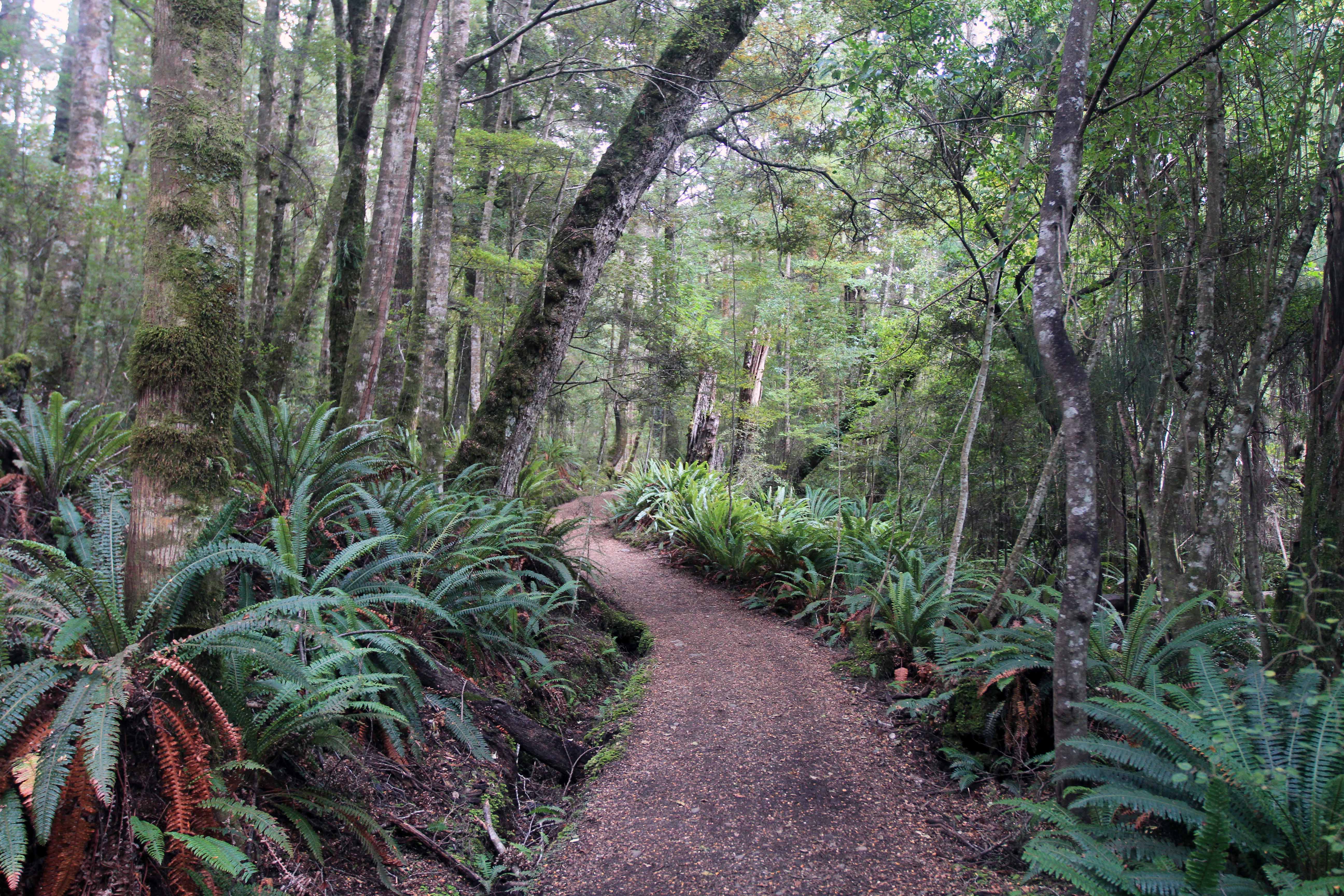
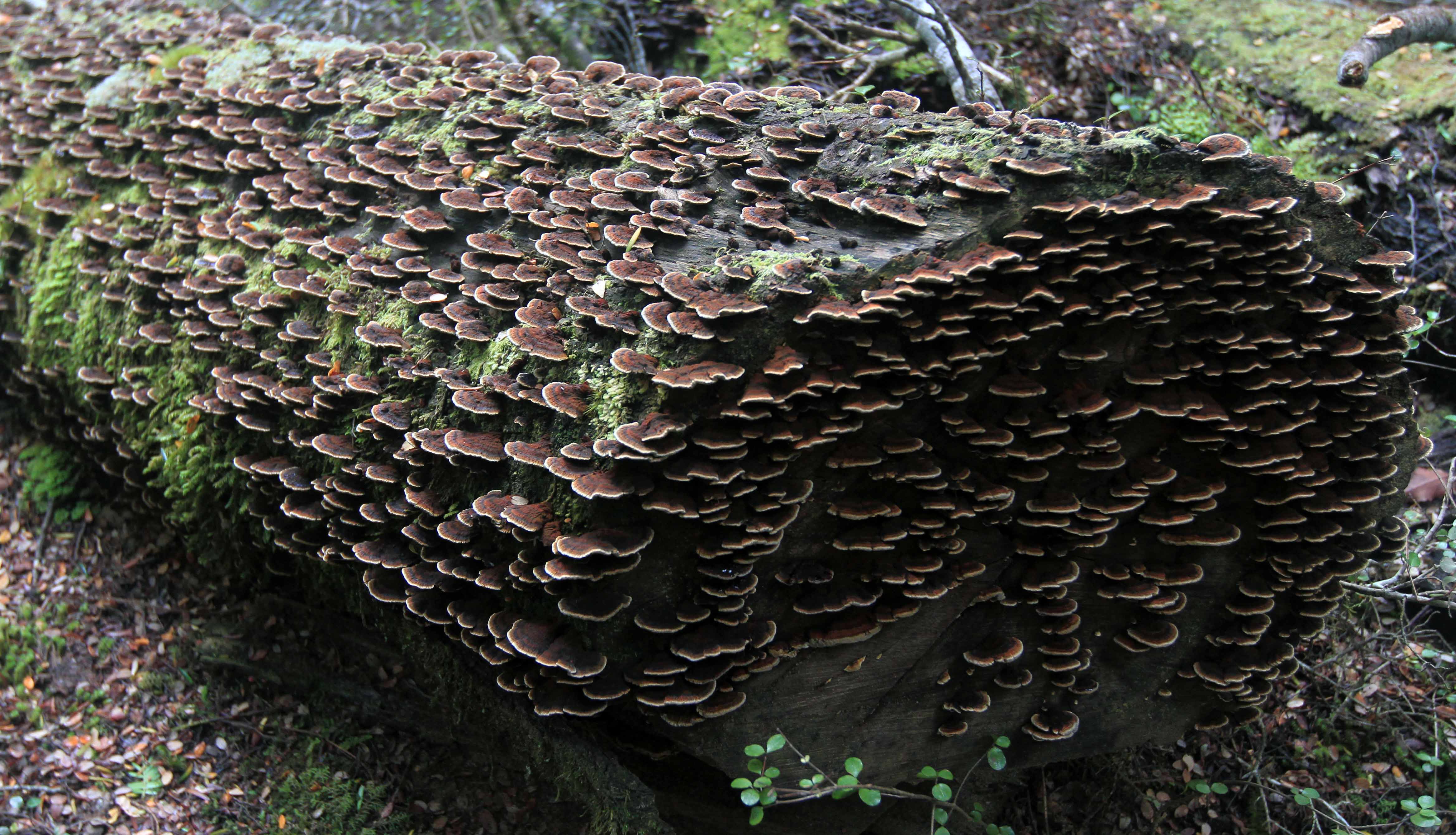
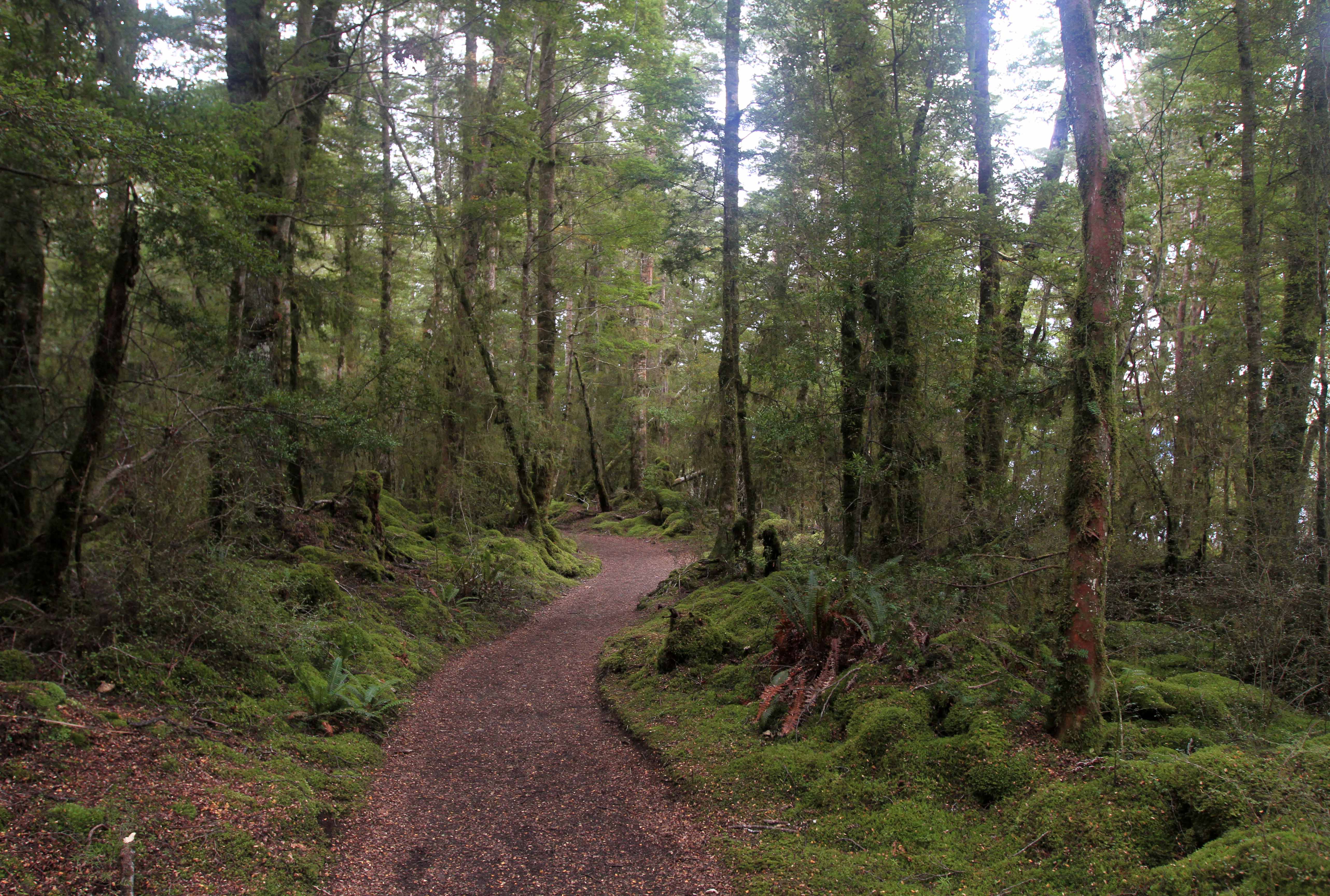
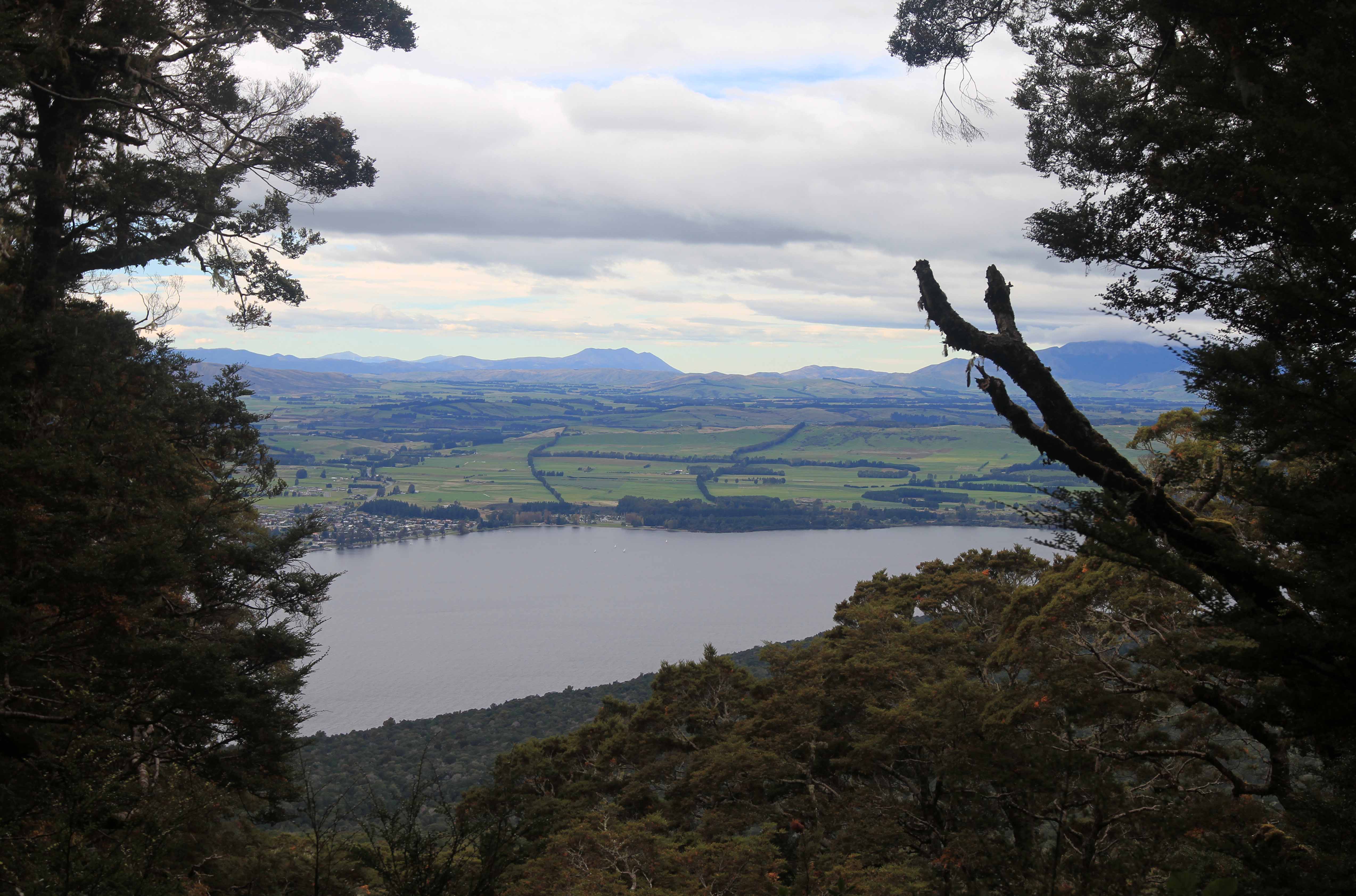
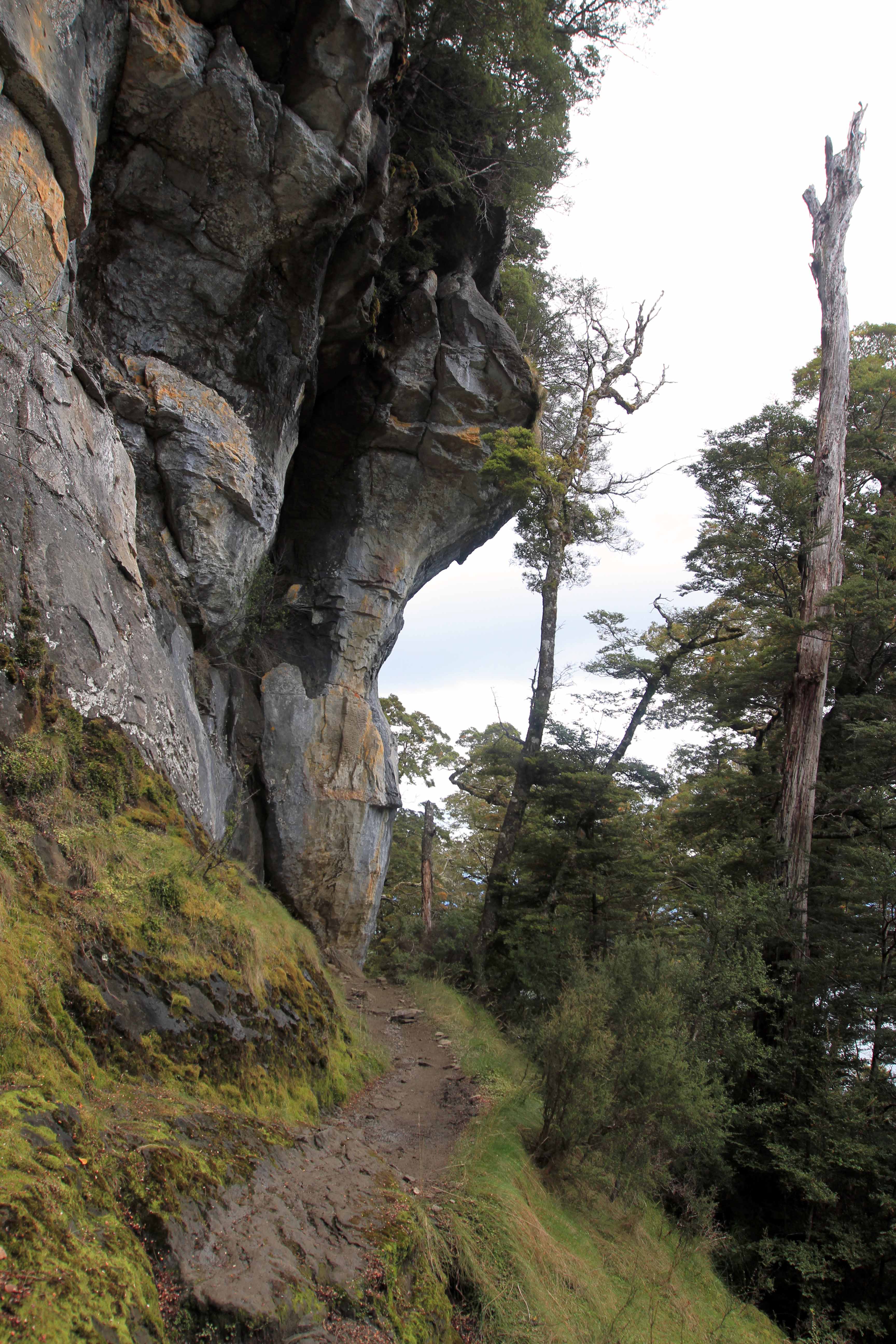
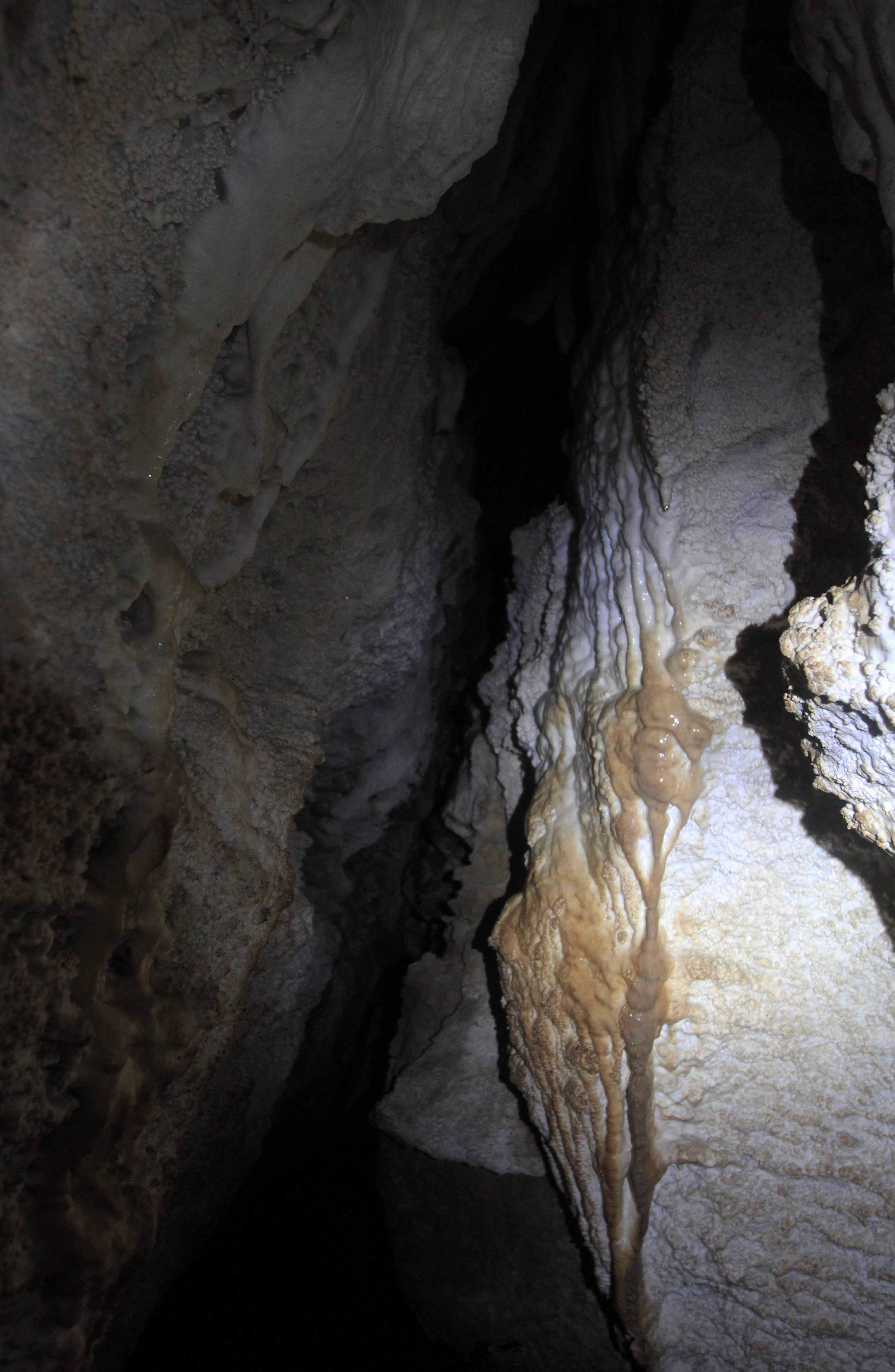
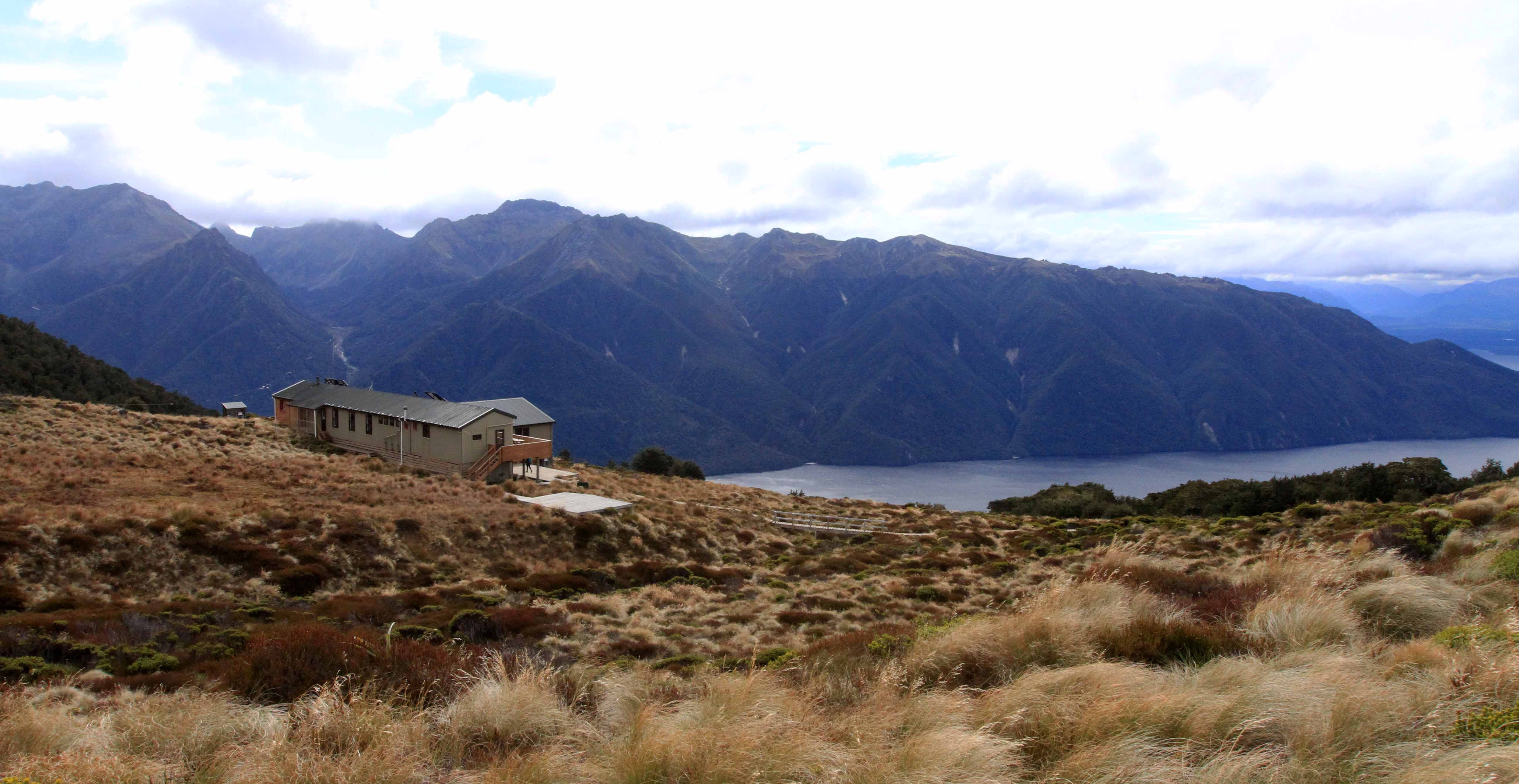
Kepler Track

Day One:                                                                                                                                    (Te Anau to Luxmore Hut)

Rough tree ferns on the Kepler Track.
A toadstool along the trail.
The trail gently ascending through ferns and trees.
A log covered with fungi.
Moss covering the ground on both sides of the trail.
View of Te Anau and the surrounding countryside, seen through an opening in the trees.
Limestone bluffs along the trail.
View of Lake Te Anau above the treeline.
The trail passing through alpine tussock grasslands, above the treeline.
The mountains on the north side of the South Fiord of Lake Te Anau.
The Murchison Mountains on the north side of the South Fiord of Lake Te Anau.
Inside Luxmore Cave, looking back at the entrance.
Walking through Luxmore Cave.
View of Luxmore Hut, the South Fiord of Lake Te Anau, and the mountains on the other side.
View of Luxmore Hut, the South Fiord of Lake Te Anau, and the Murchison Mountains on the other side.


Day Two:                                                                                                                                     (Luxmore Hut to Iris Burn Hut)

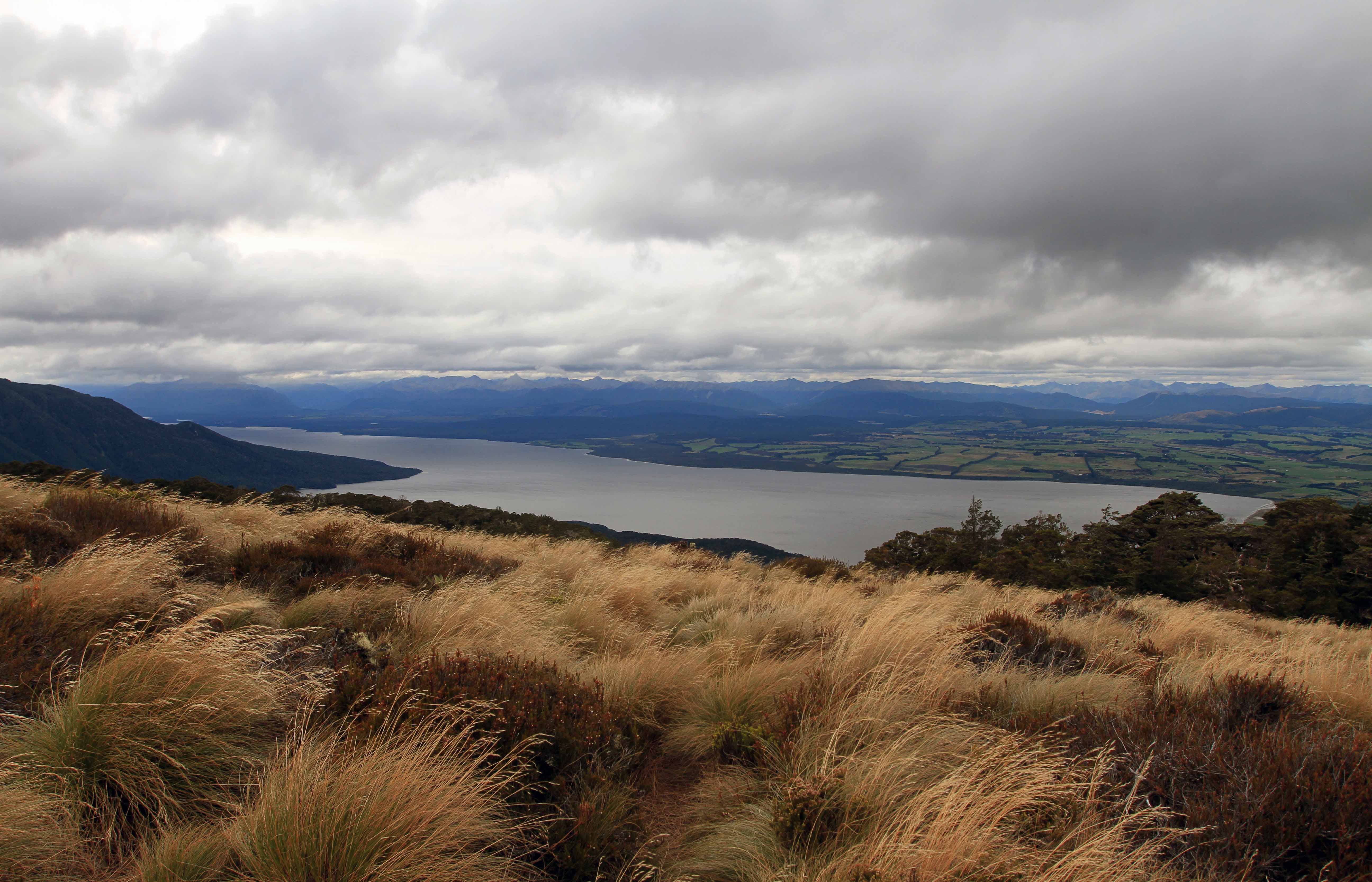
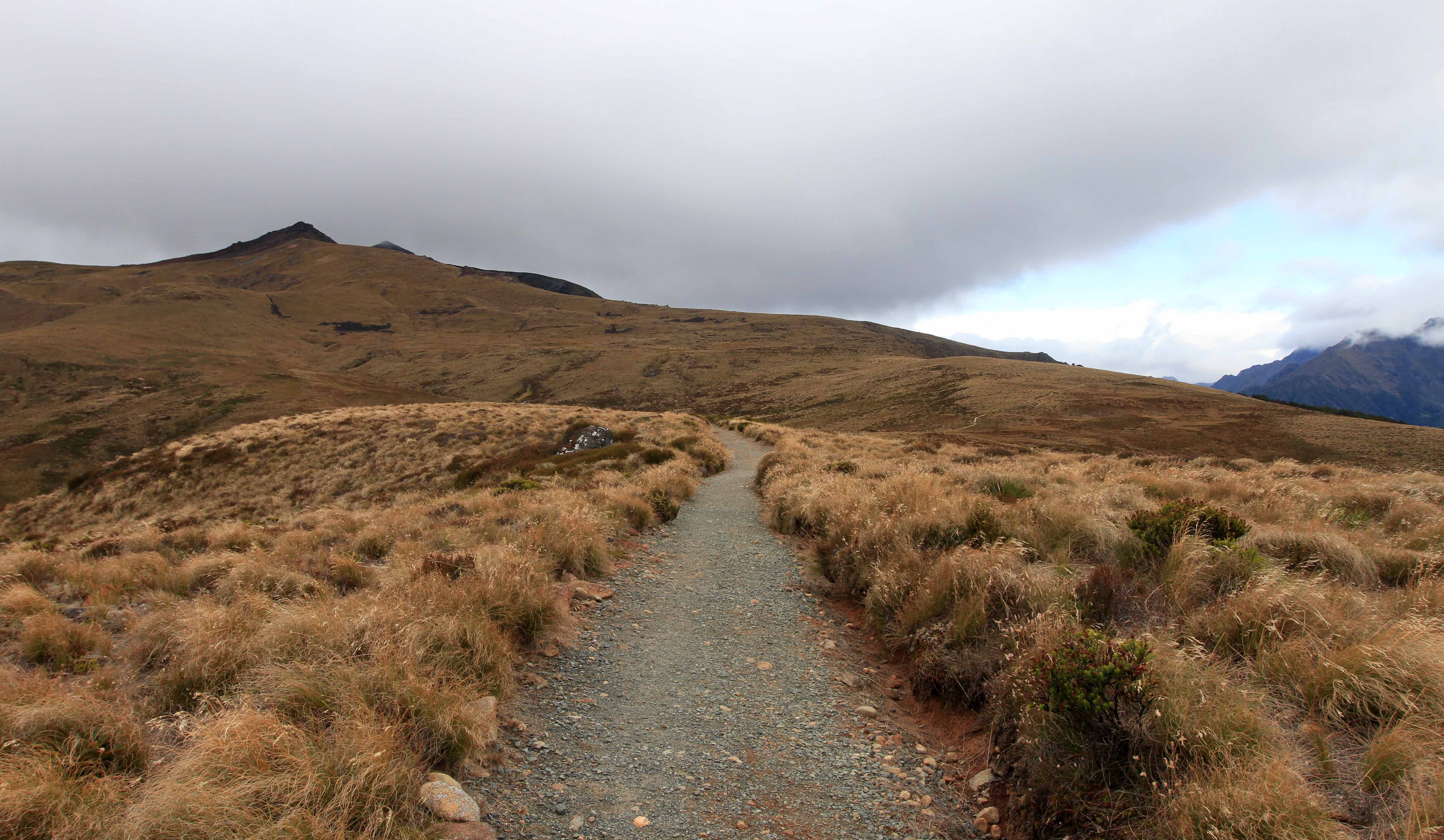
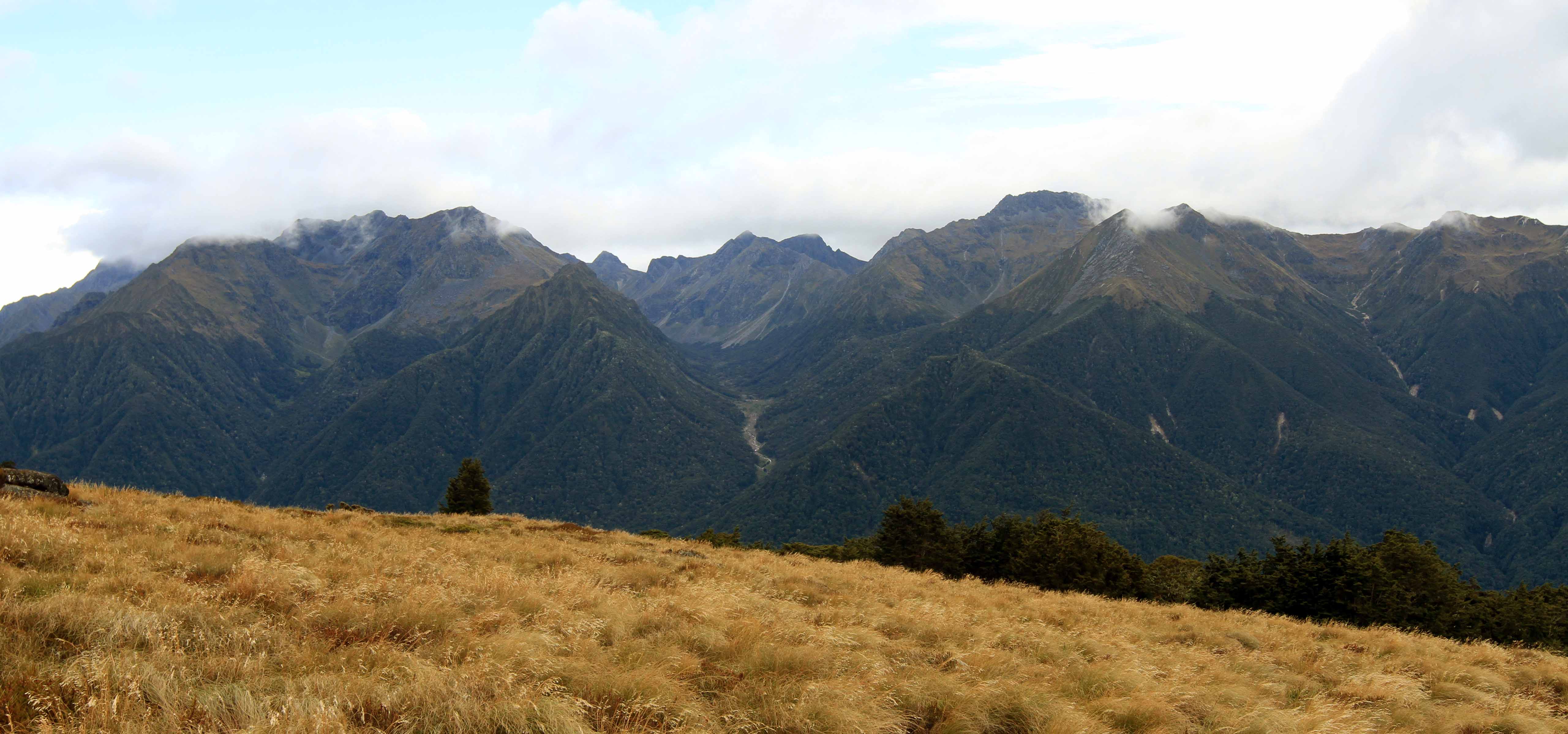
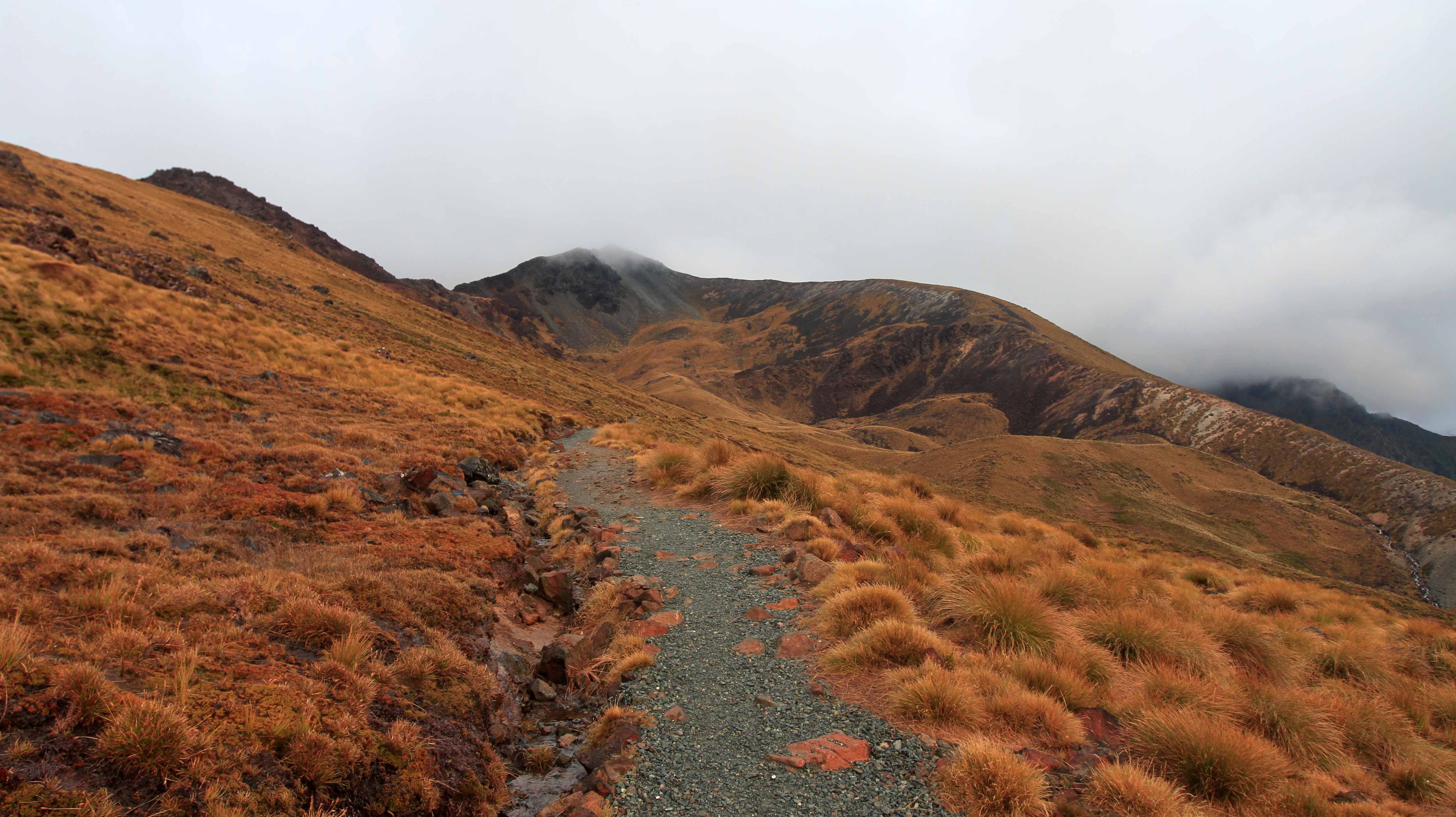
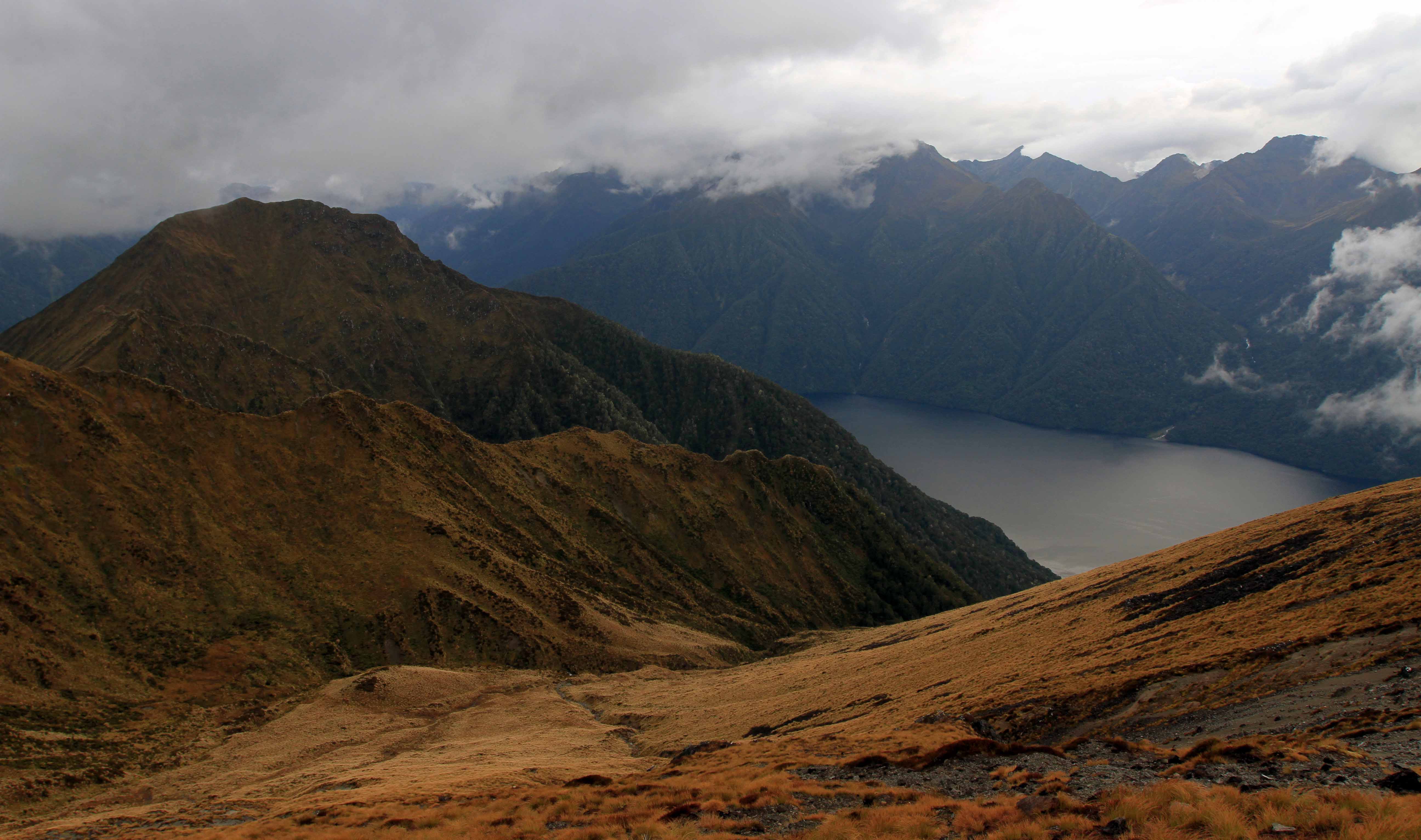
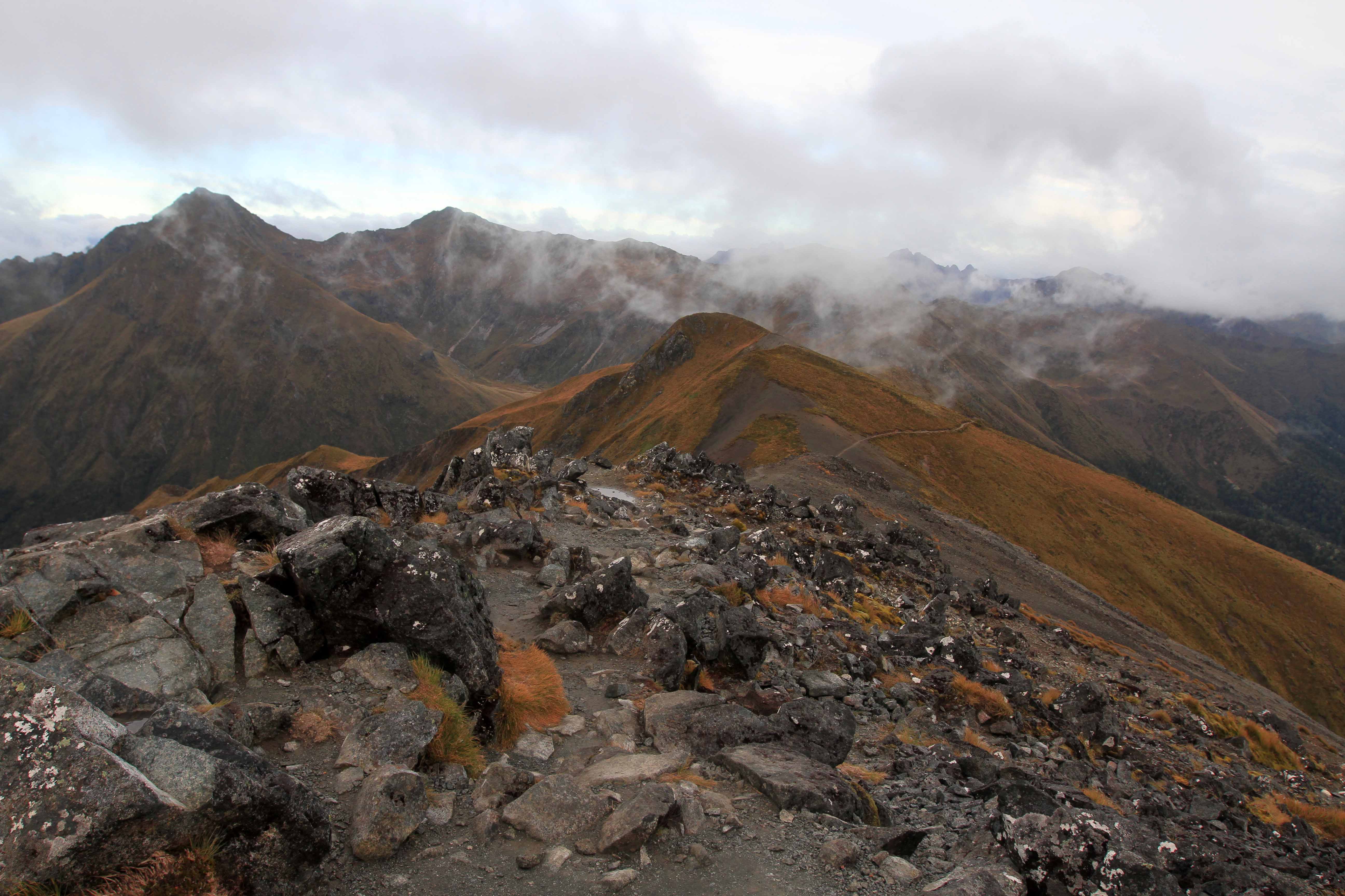
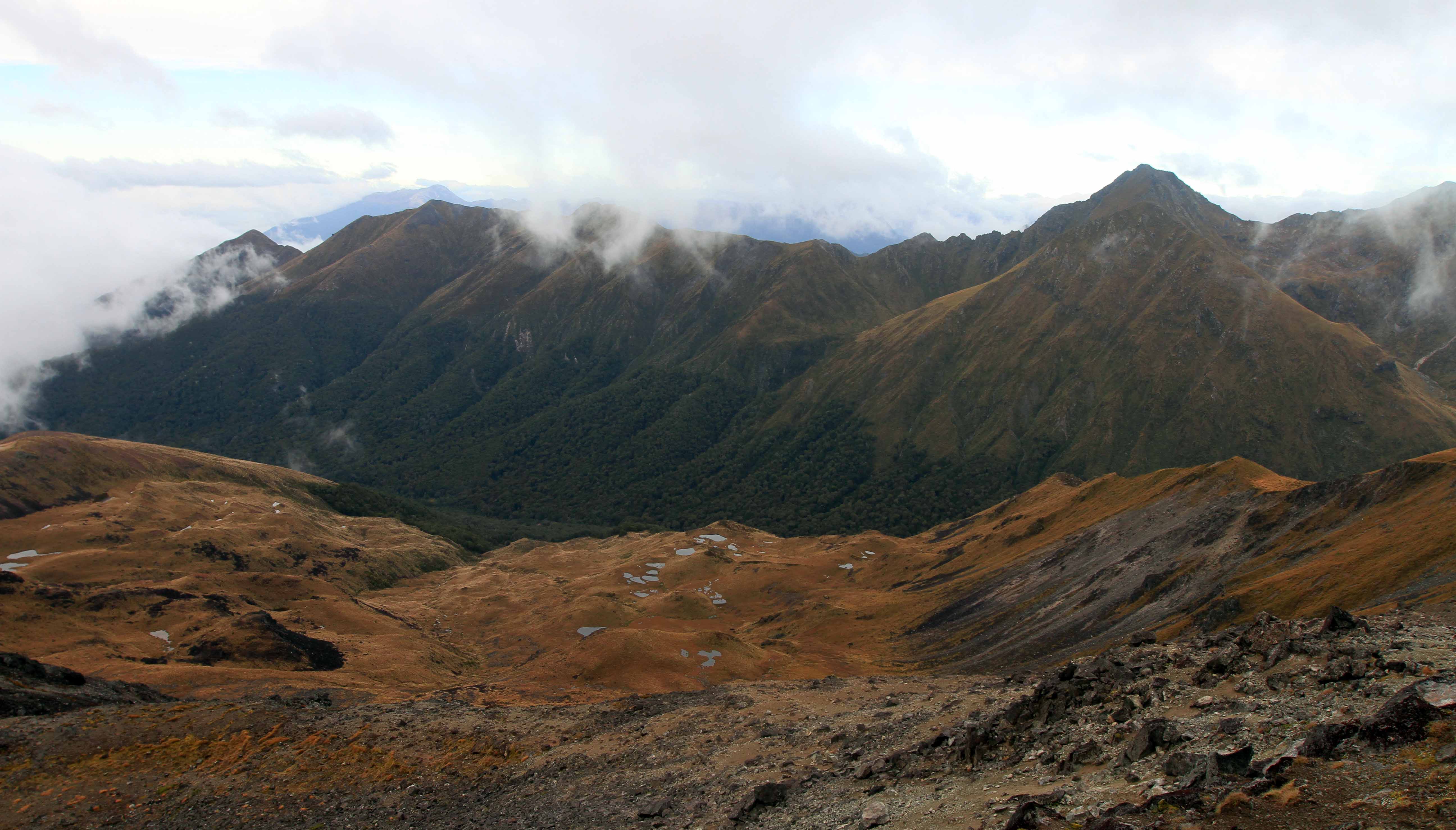
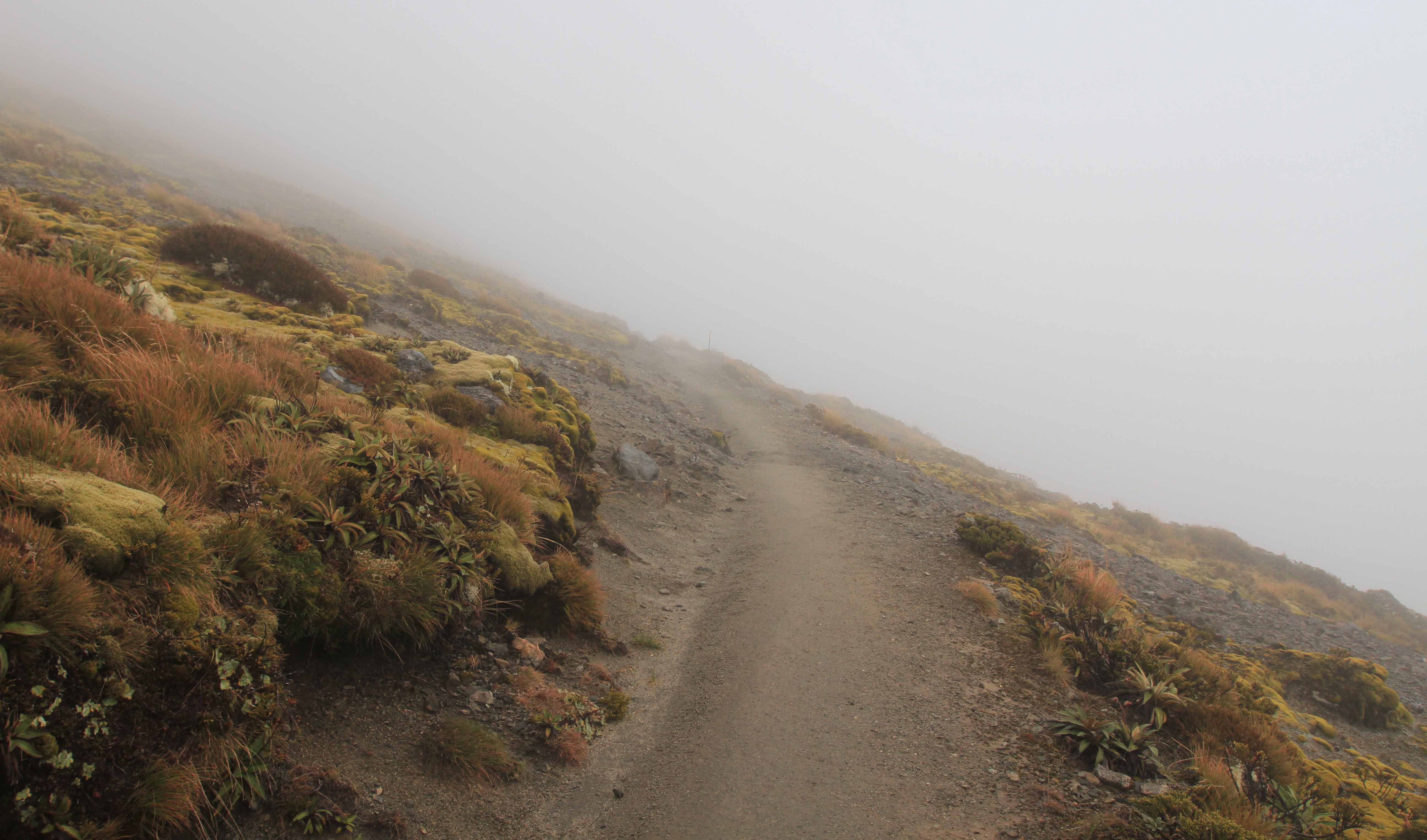
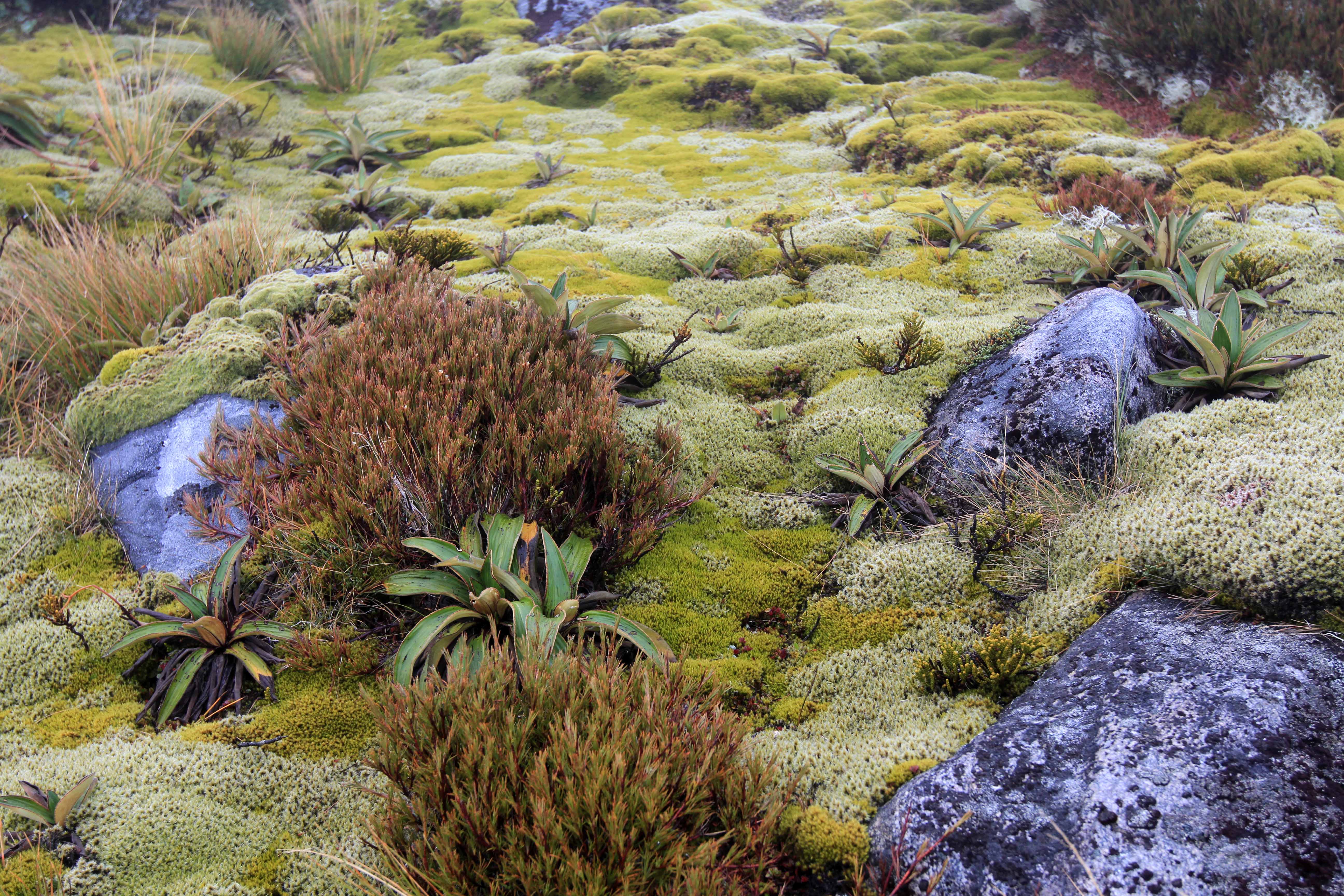
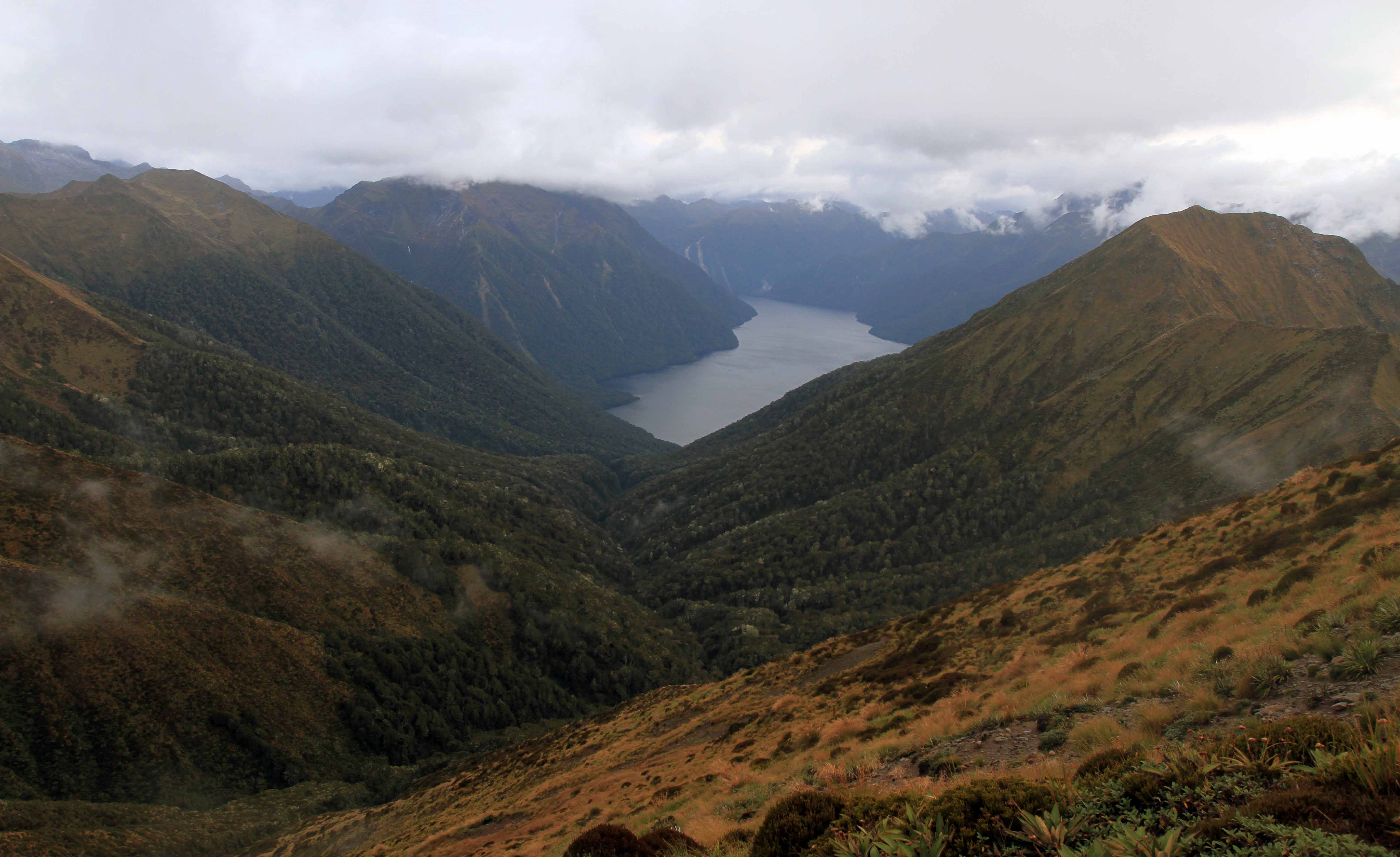
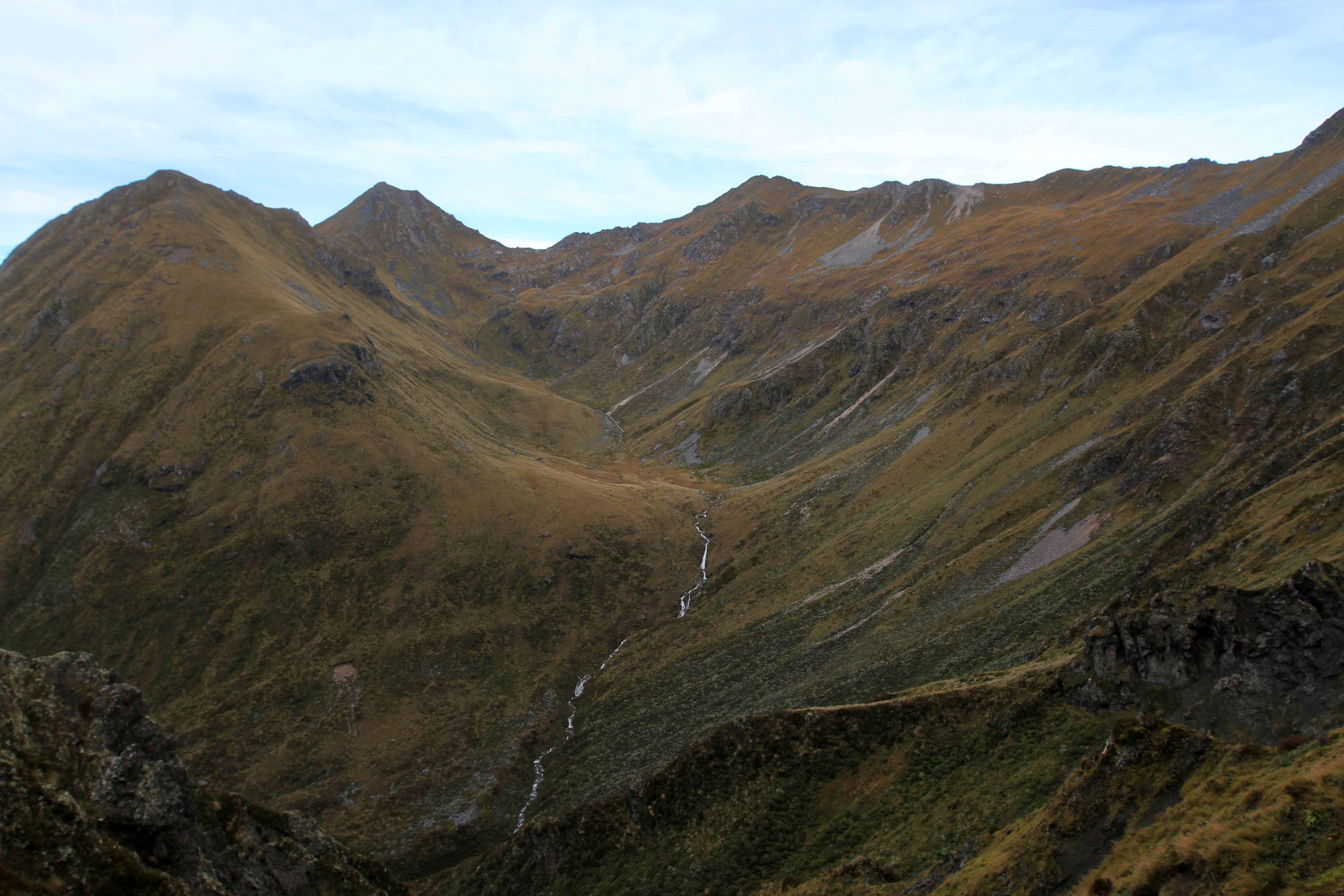
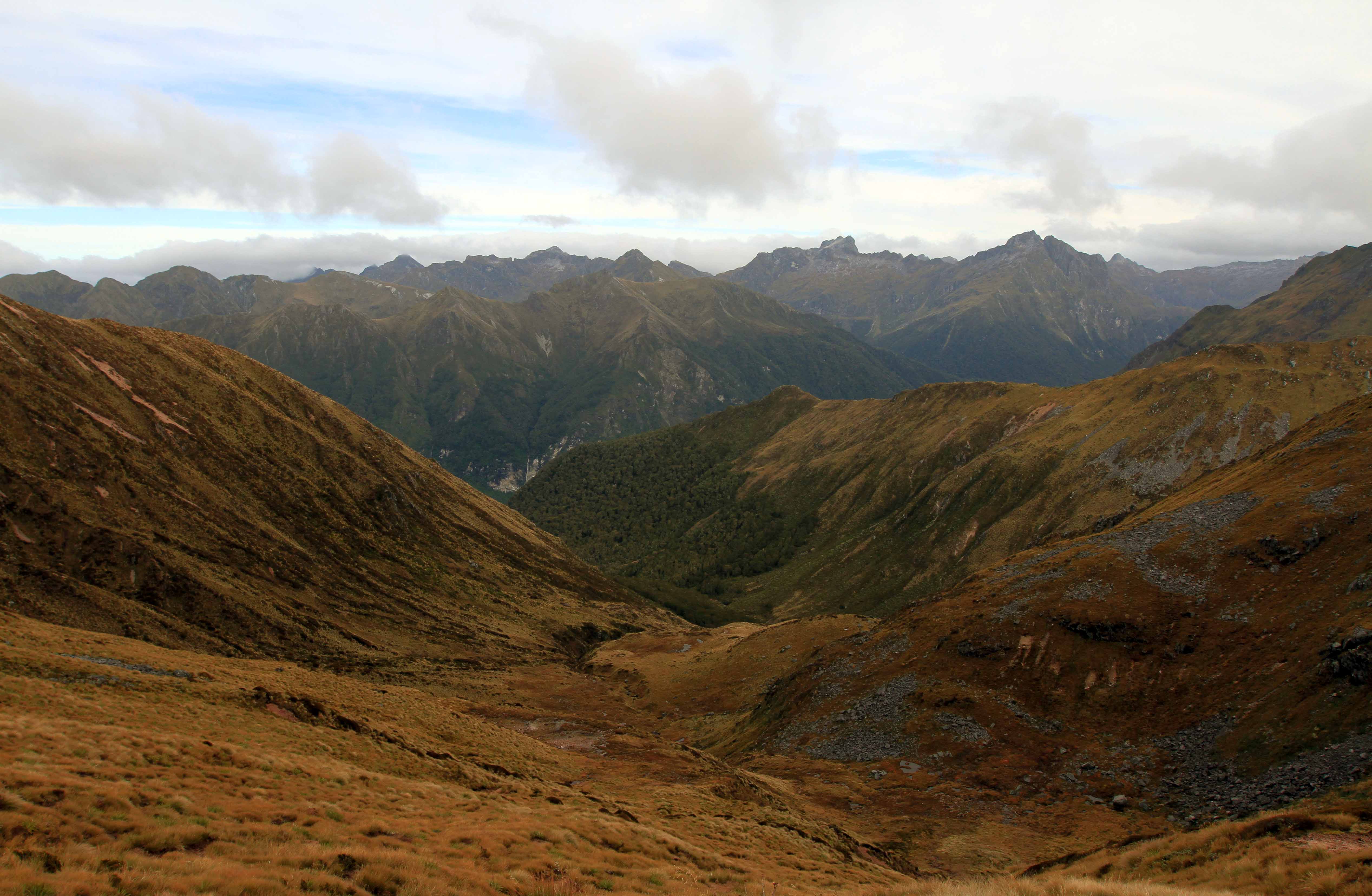
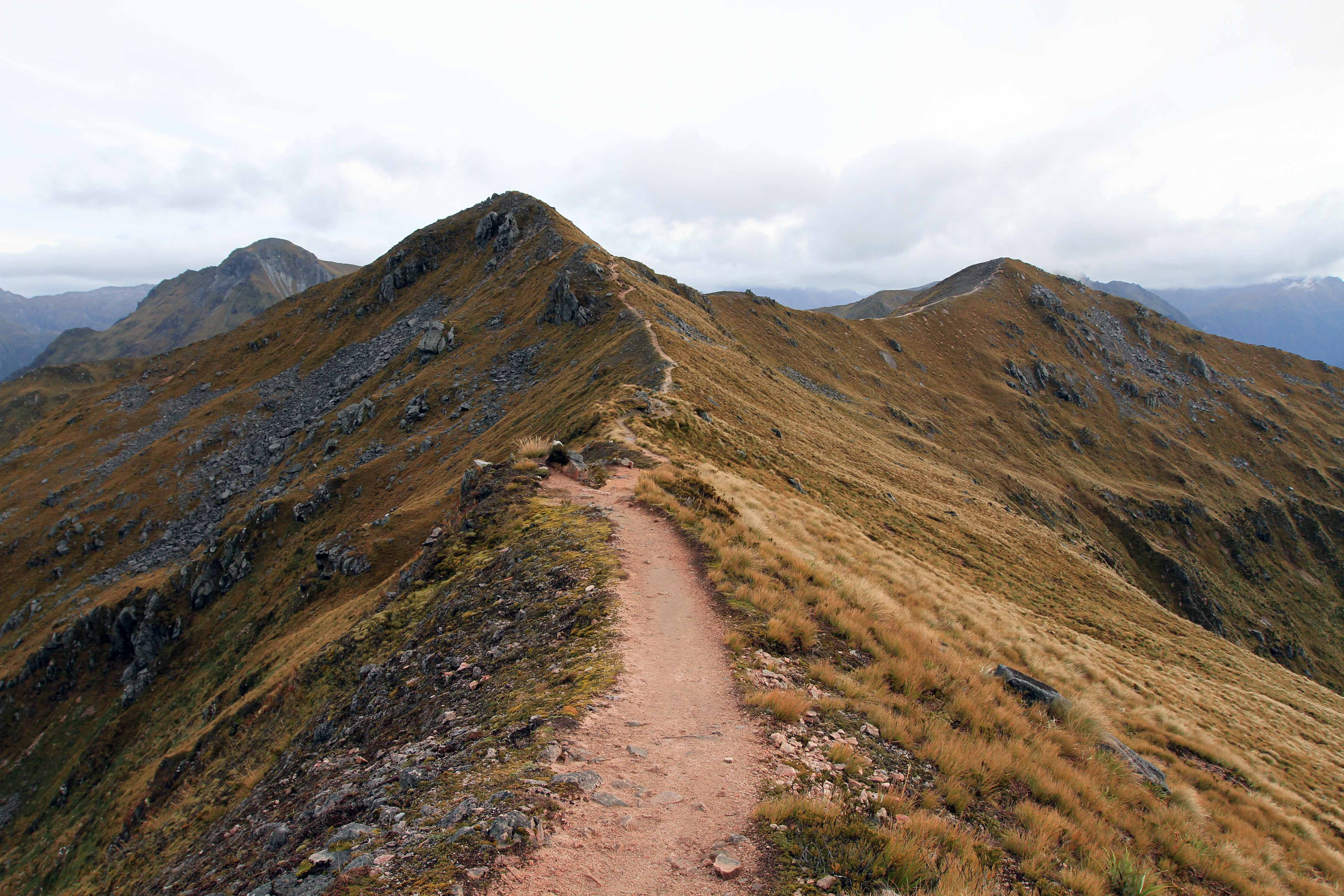
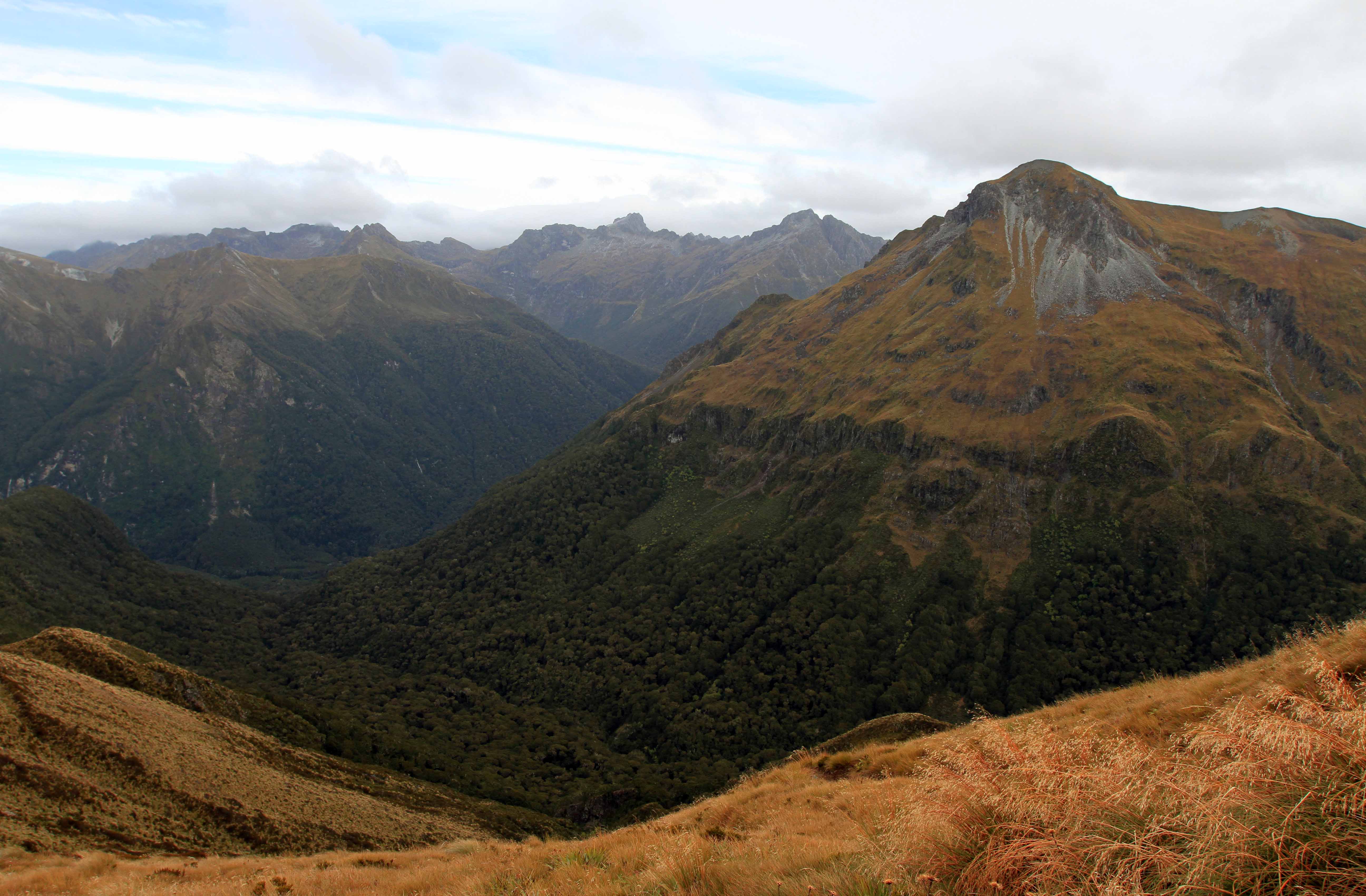
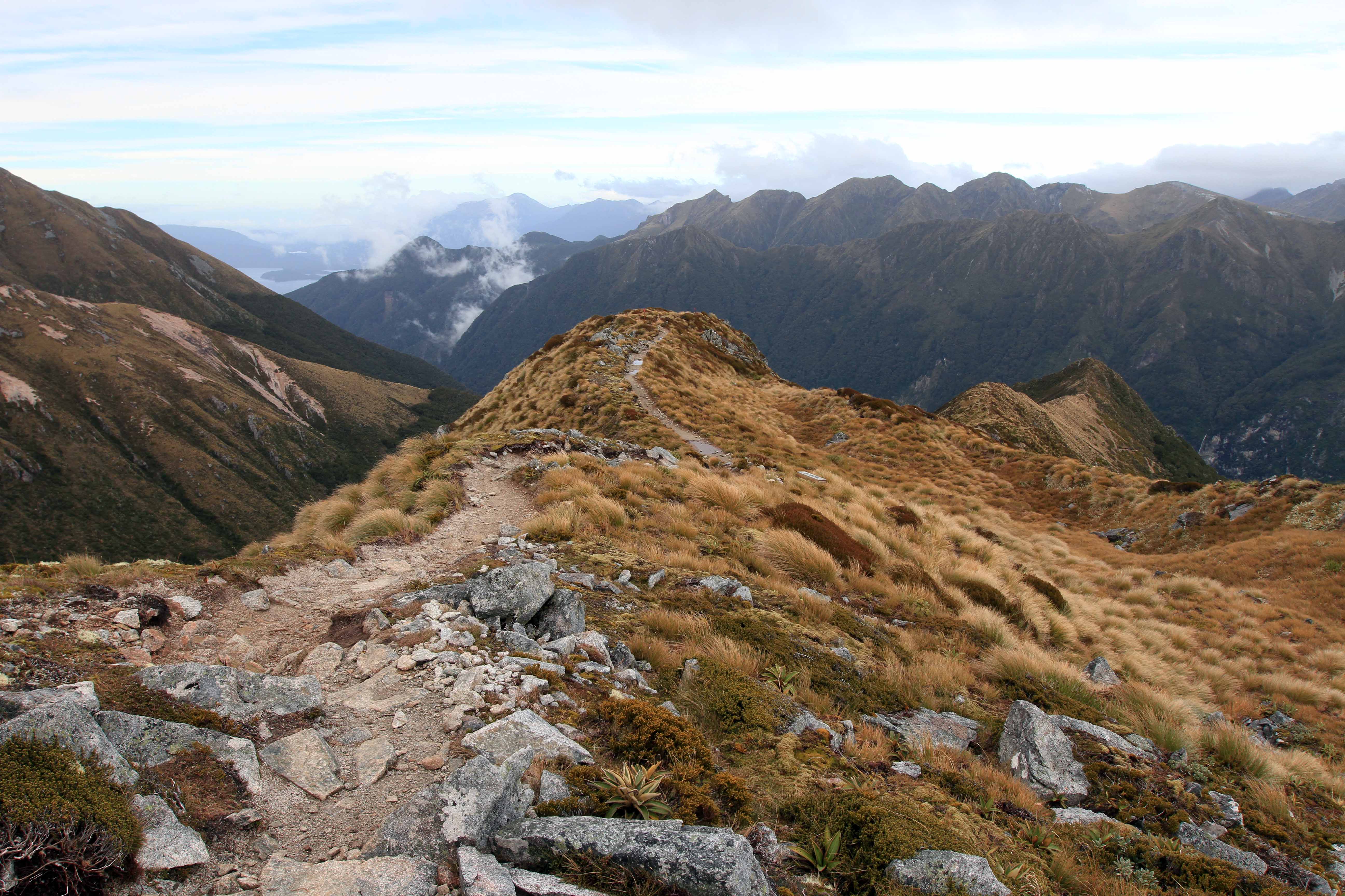
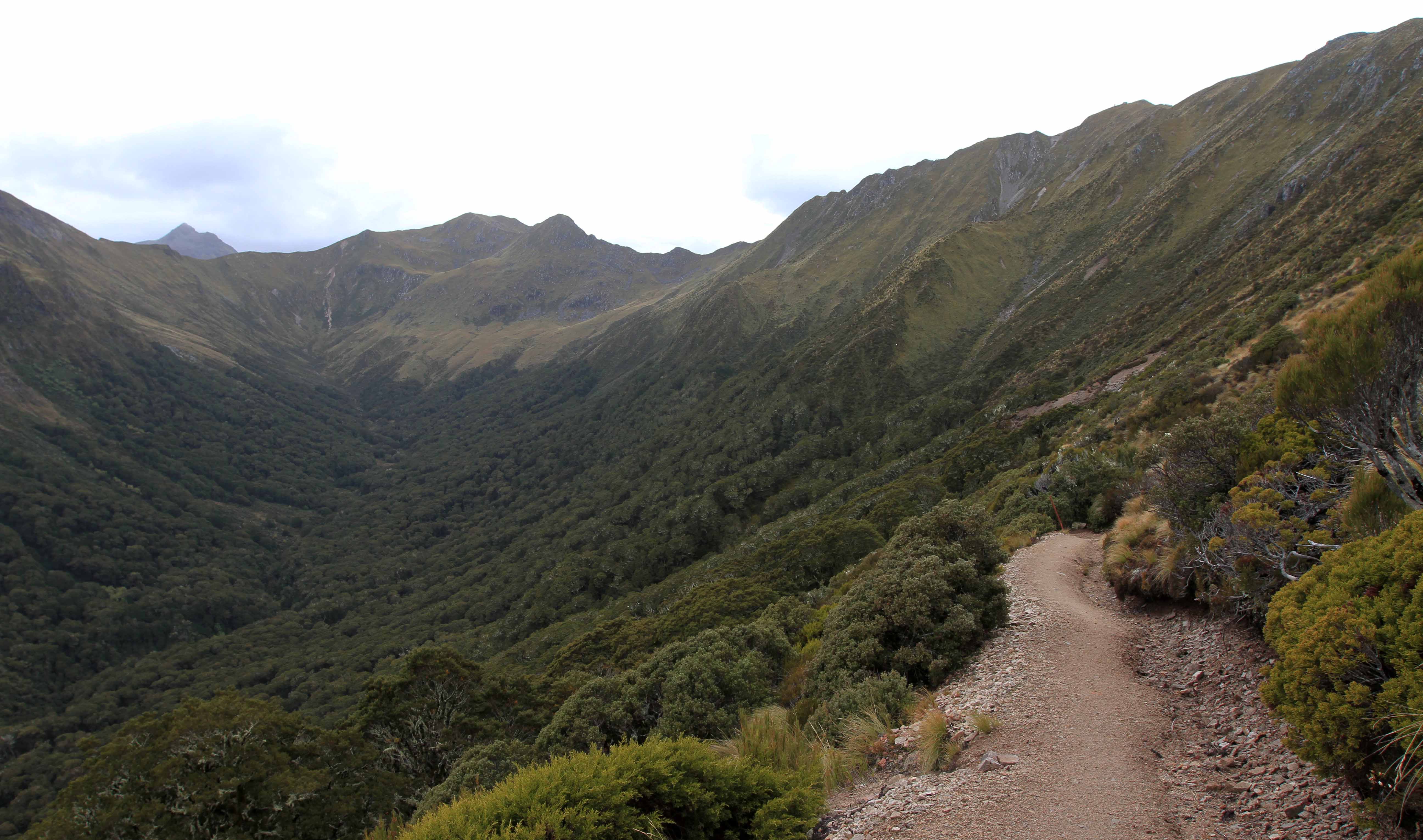
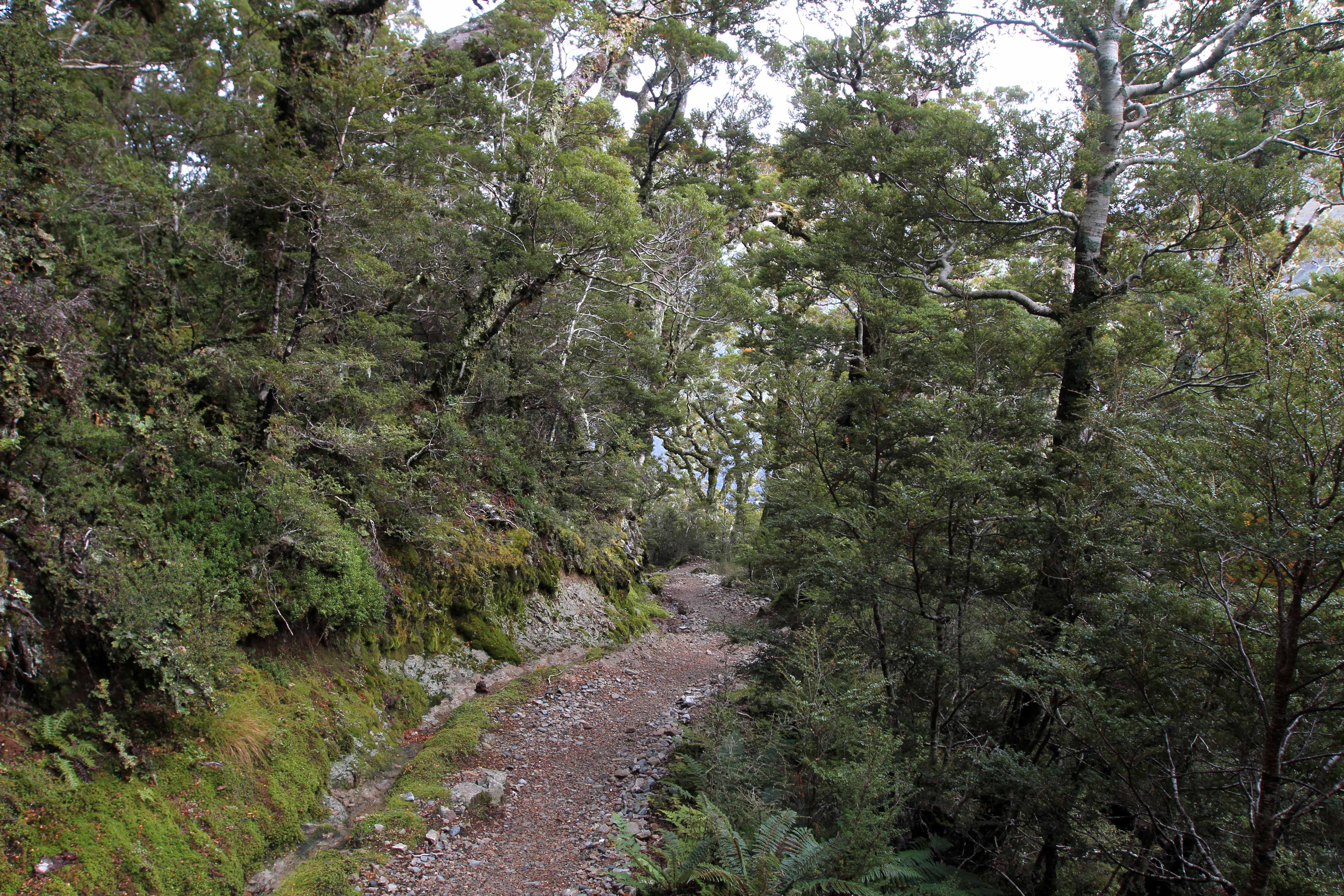
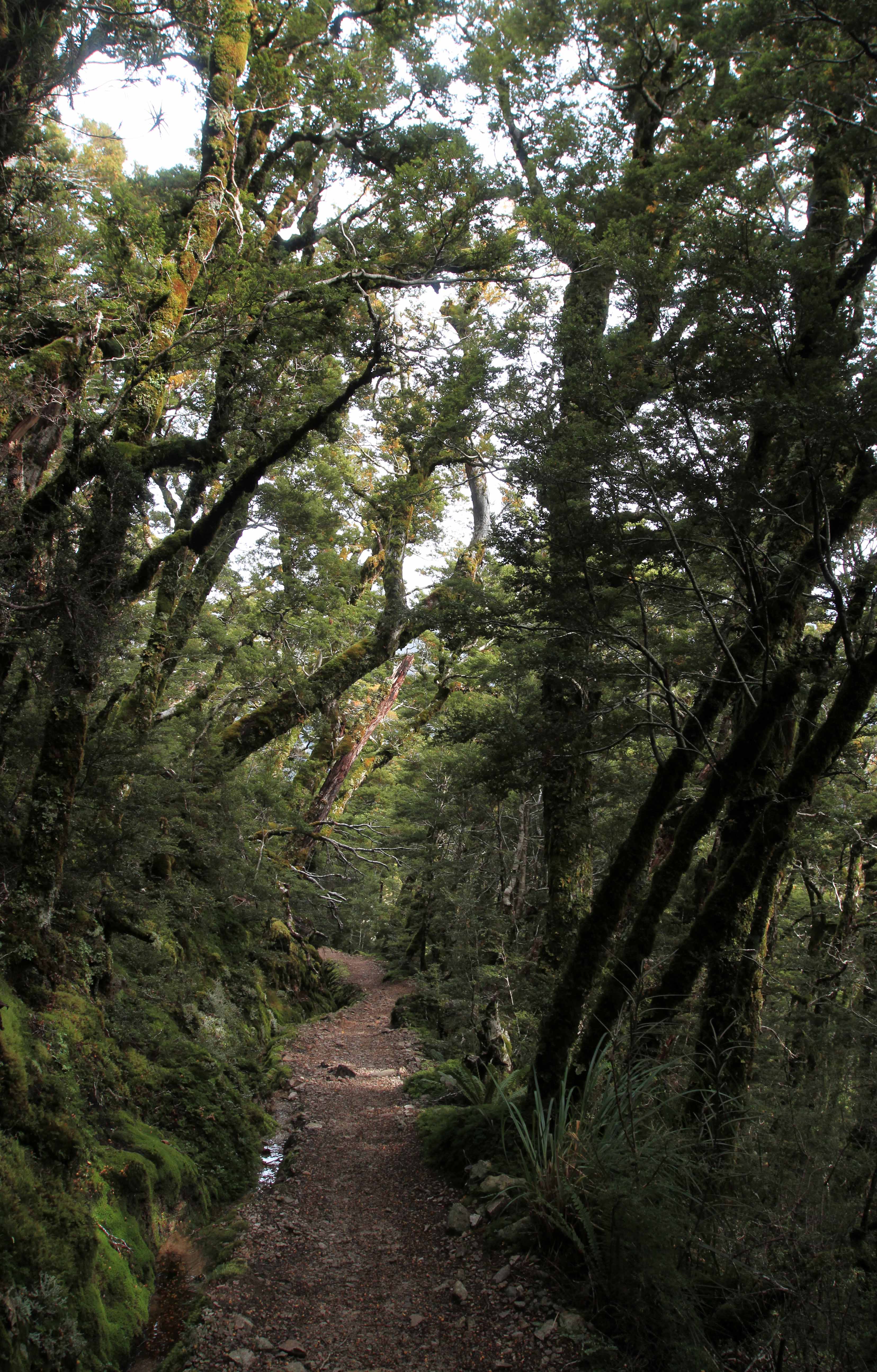
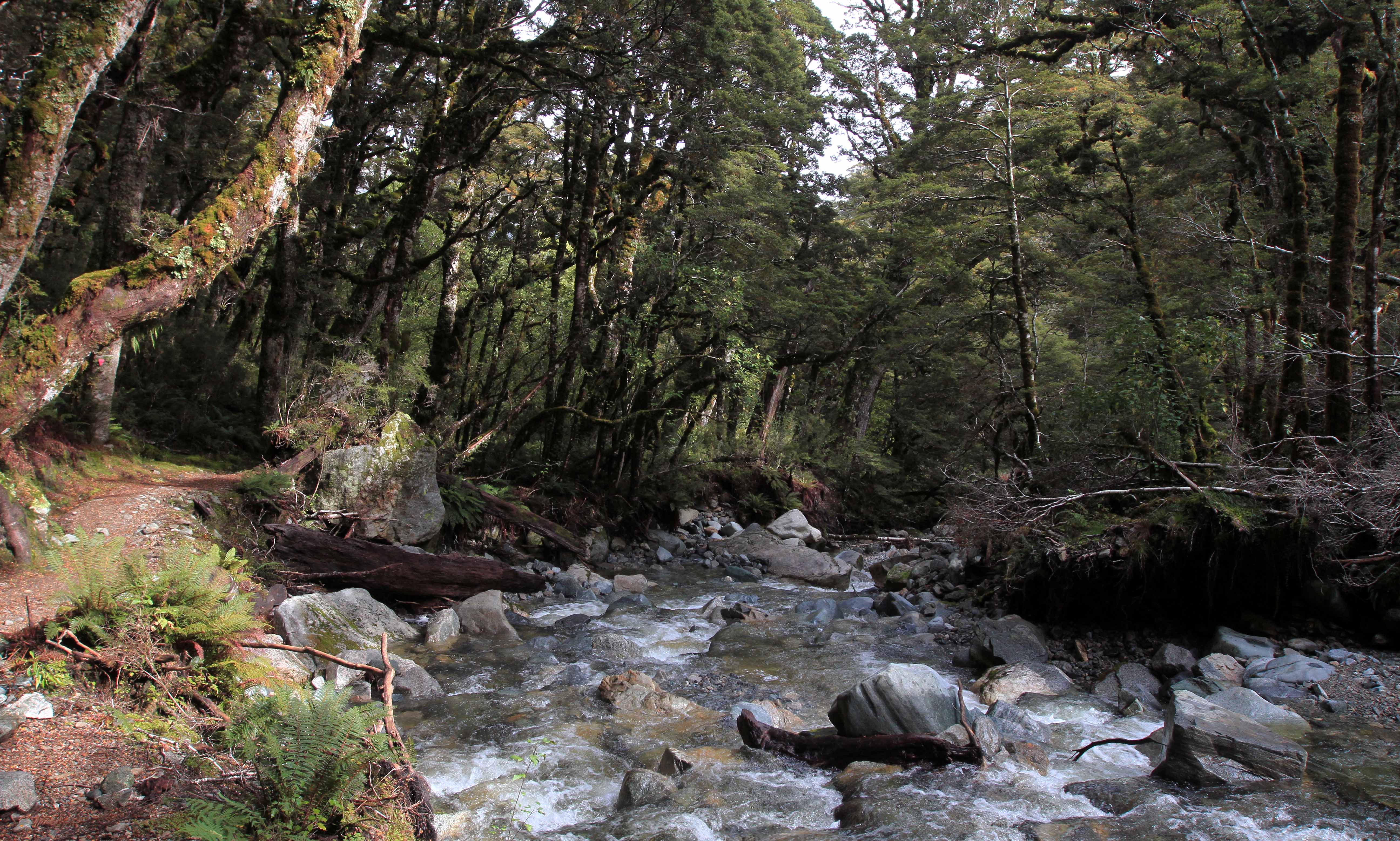
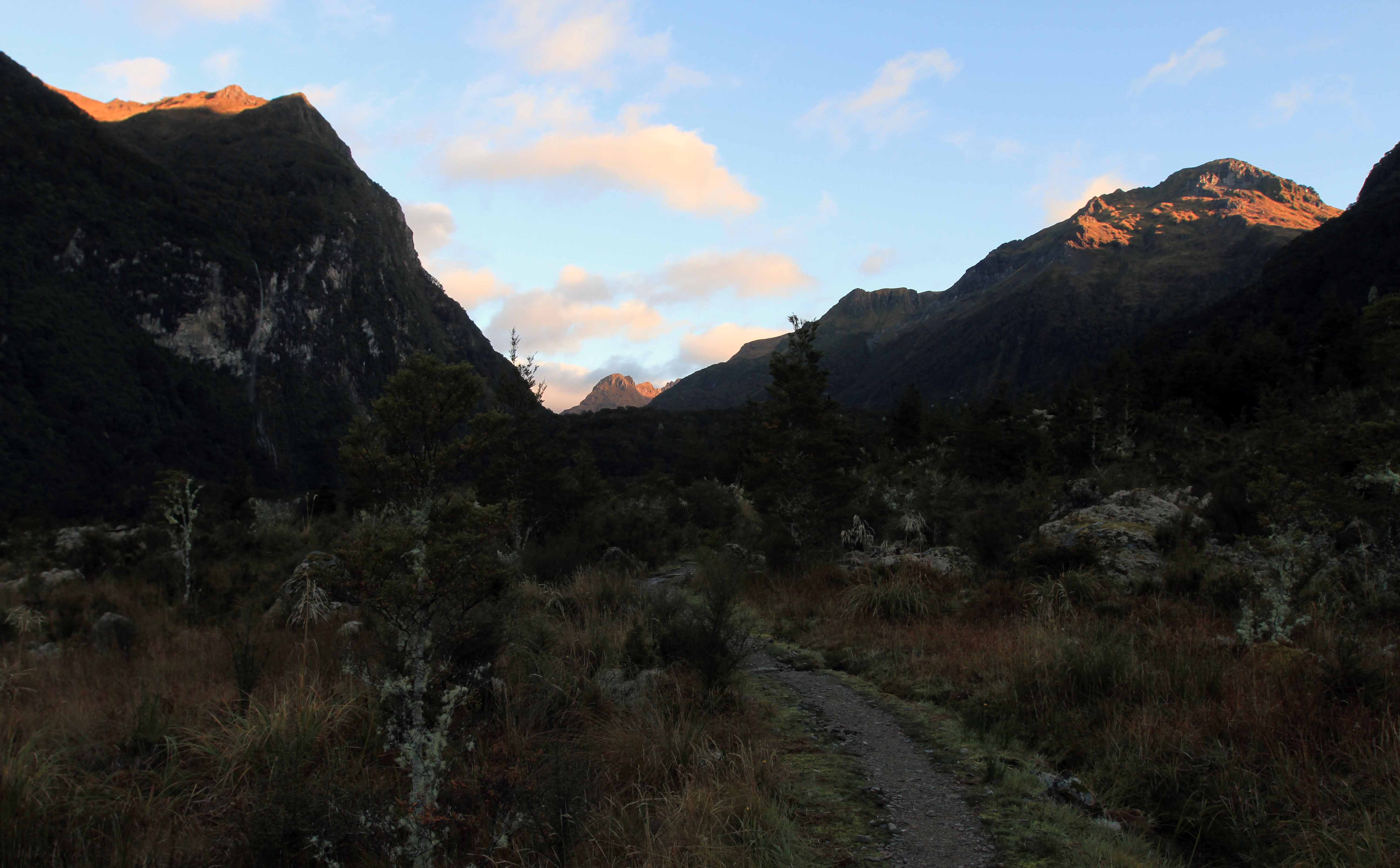
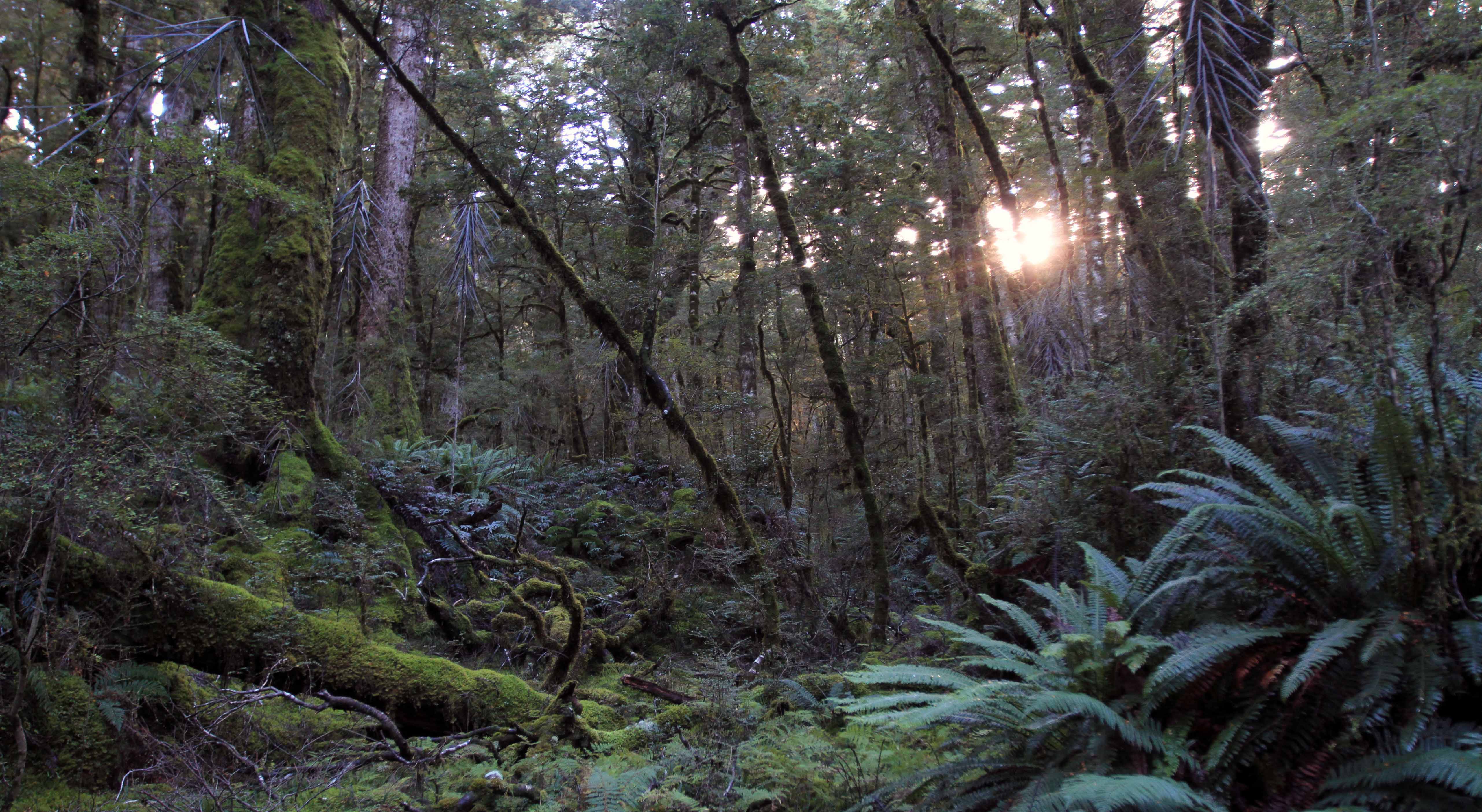
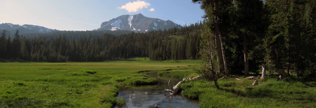
The trail leading up toward Mount Luxmore.
The South Fiord of Lake Te Anau and a cloudy sky.
Forward Peak (on the left) and the South Fiord.
A slug on Mount Luxmore.
On top of Mount Luxmore, looking west at the trail.
The Jackson Peaks, seen from the top of Mount Luxmore.
Back on the Kepler Track, looking back at Mount Luxmore.
Hiking through a cloud.
Some of the fragile plant life found in the Fiordland's alpine environment.
Some of the fragile plant life found in the Fiordland’s alpine environment.
Forward Peak (on the right) and the South Fiord.
A stream flowing down from the Jackson Peaks.
The Kepler Mountains seen from the ridgeline.
The Kepler Mountains seen from the trail on the ridgeline.
The Kepler Track following the ridgeline.
Looking back (toward the east) on the Kepler Track.
Mount Tinsley (the peak on the right).
The trail with the Kepler Mountains in the background.
The trail just before descending below the treeline.
Back in the woods.
Back in the woods.
The trail continuing through the woods.
A stream with ferns and moss covered rocks and trees.
The trail on the edge of the Hanging Valley Stream (a tributary of the Iris Burn River).
Iris Burn Waterfall.


Day Three:                                                                                                                         (Iris Burn Hut to Moturau Hut)

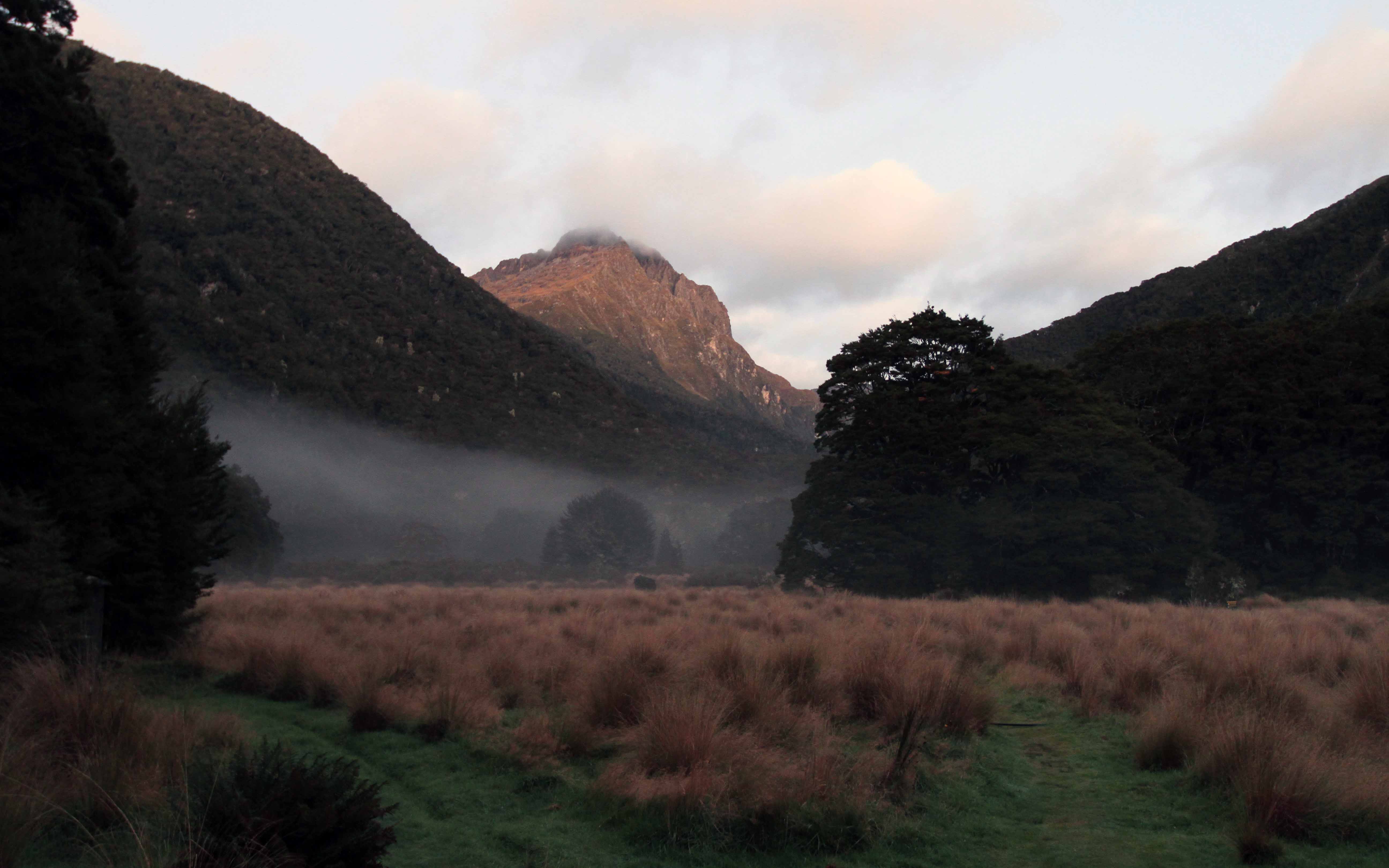
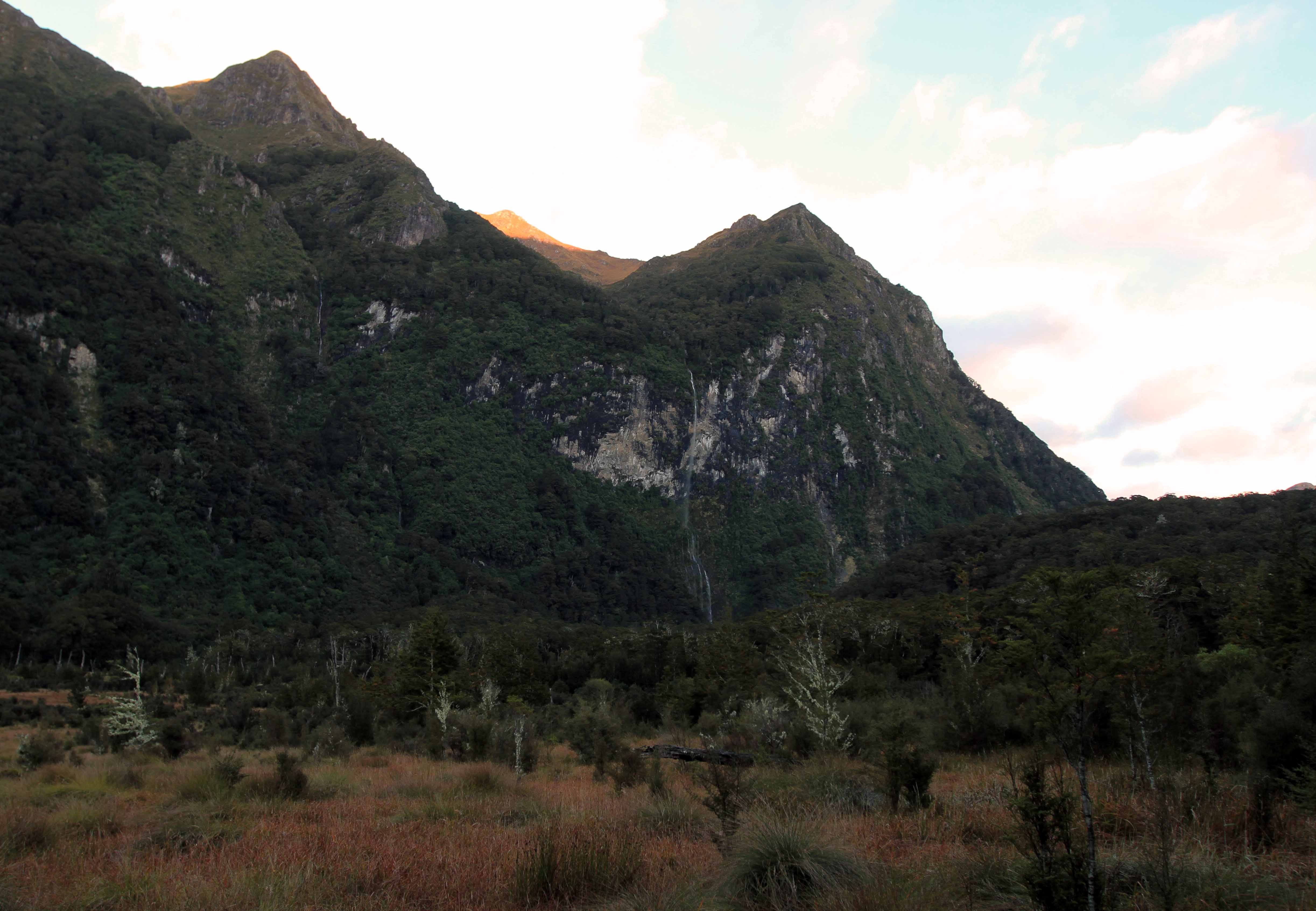
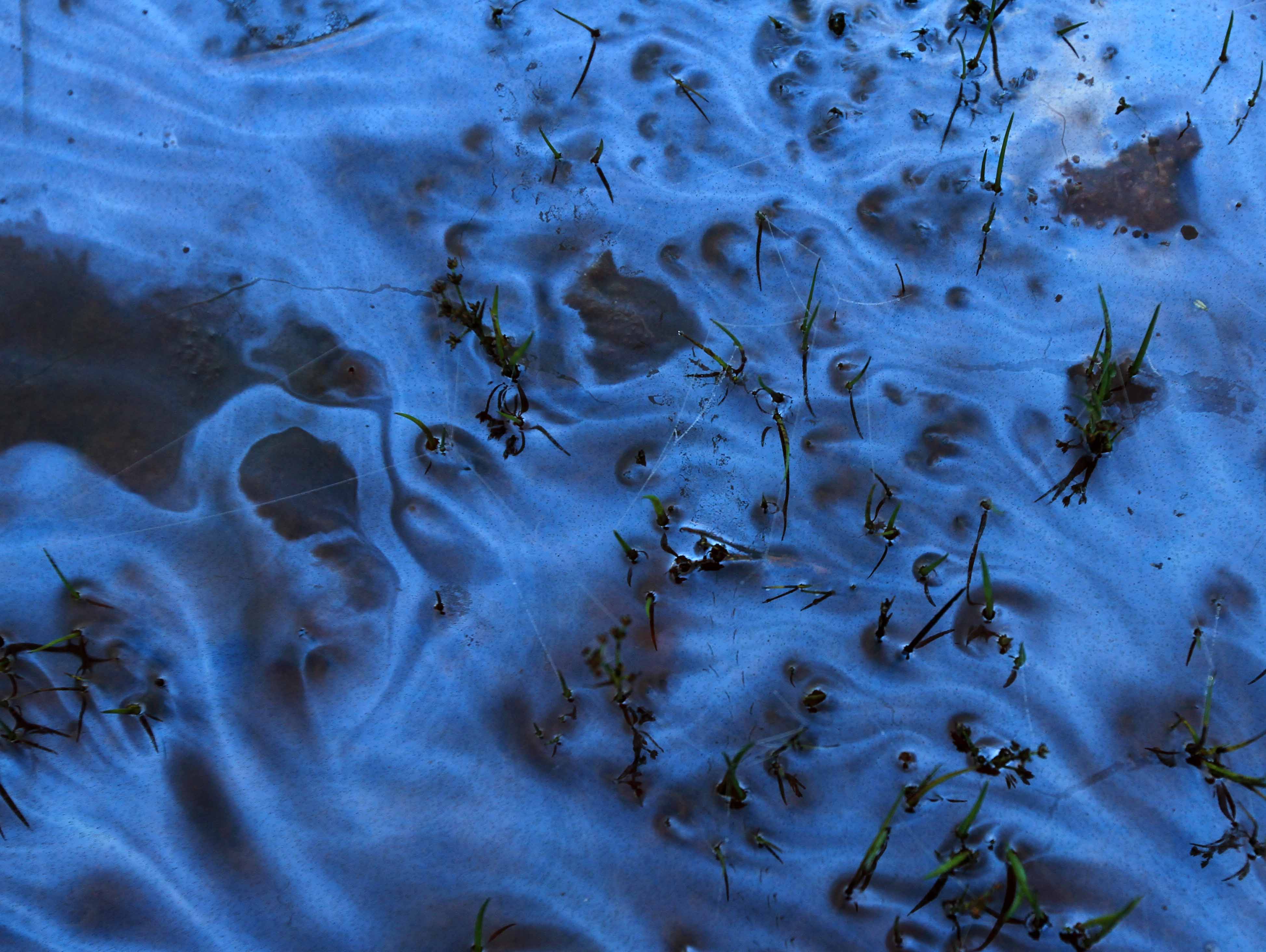
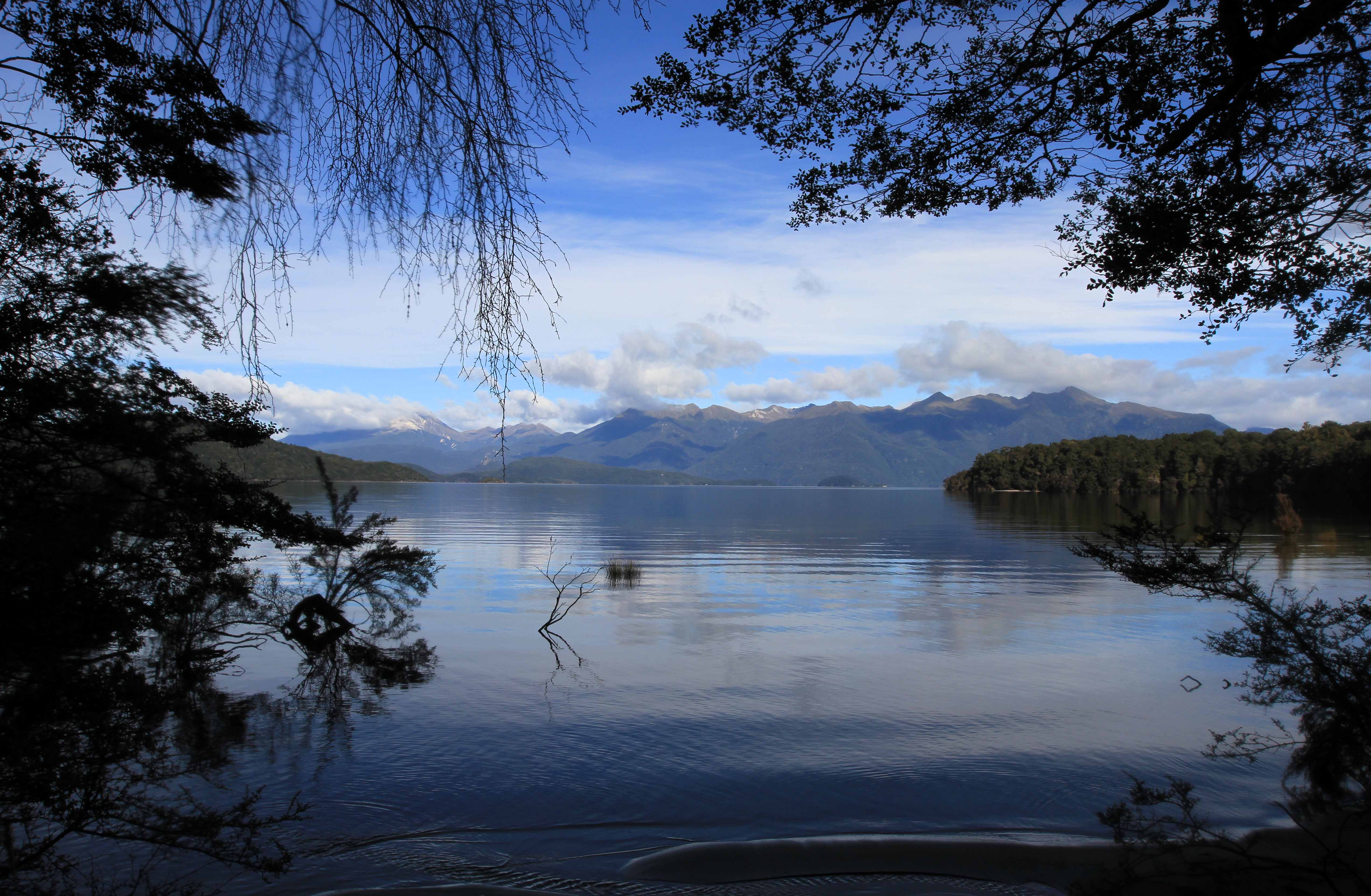
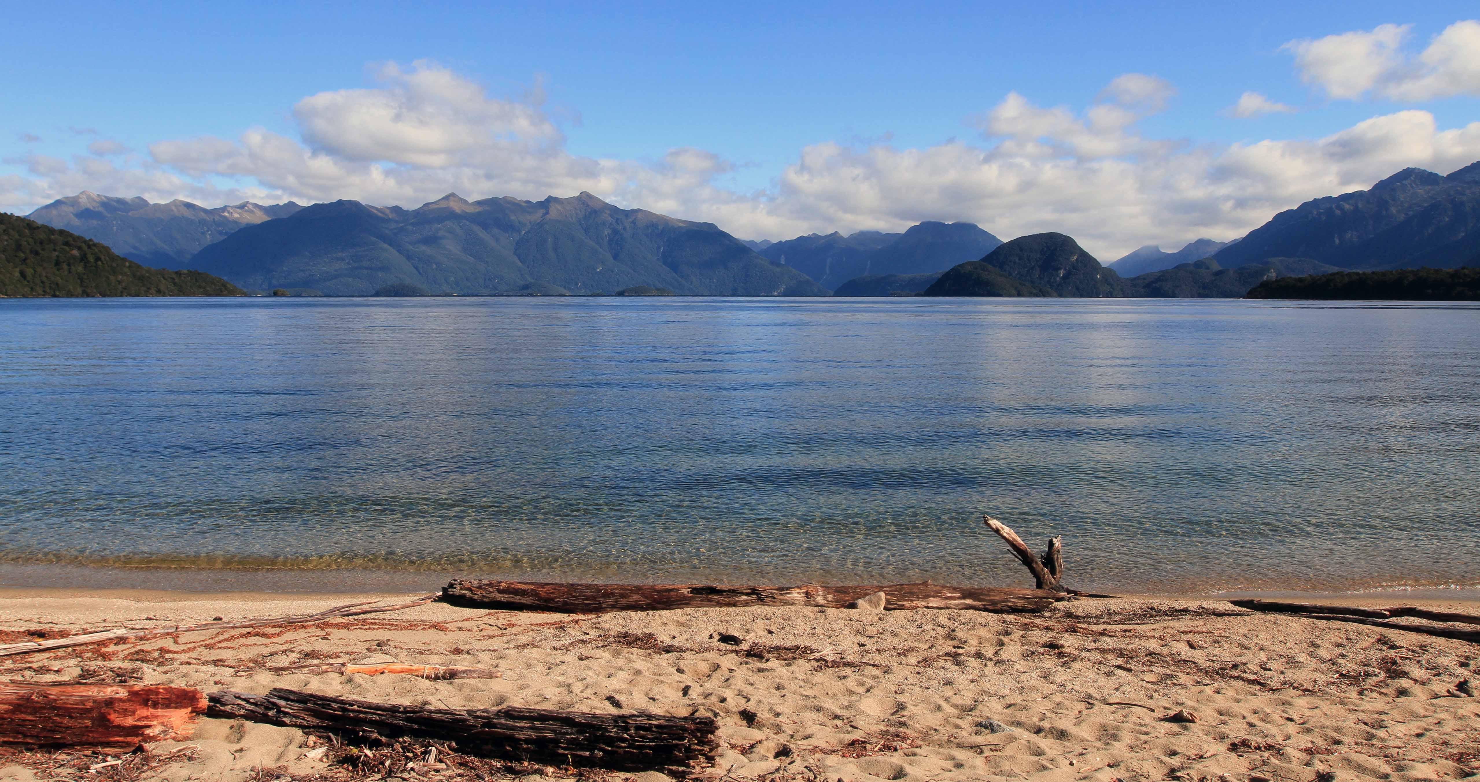
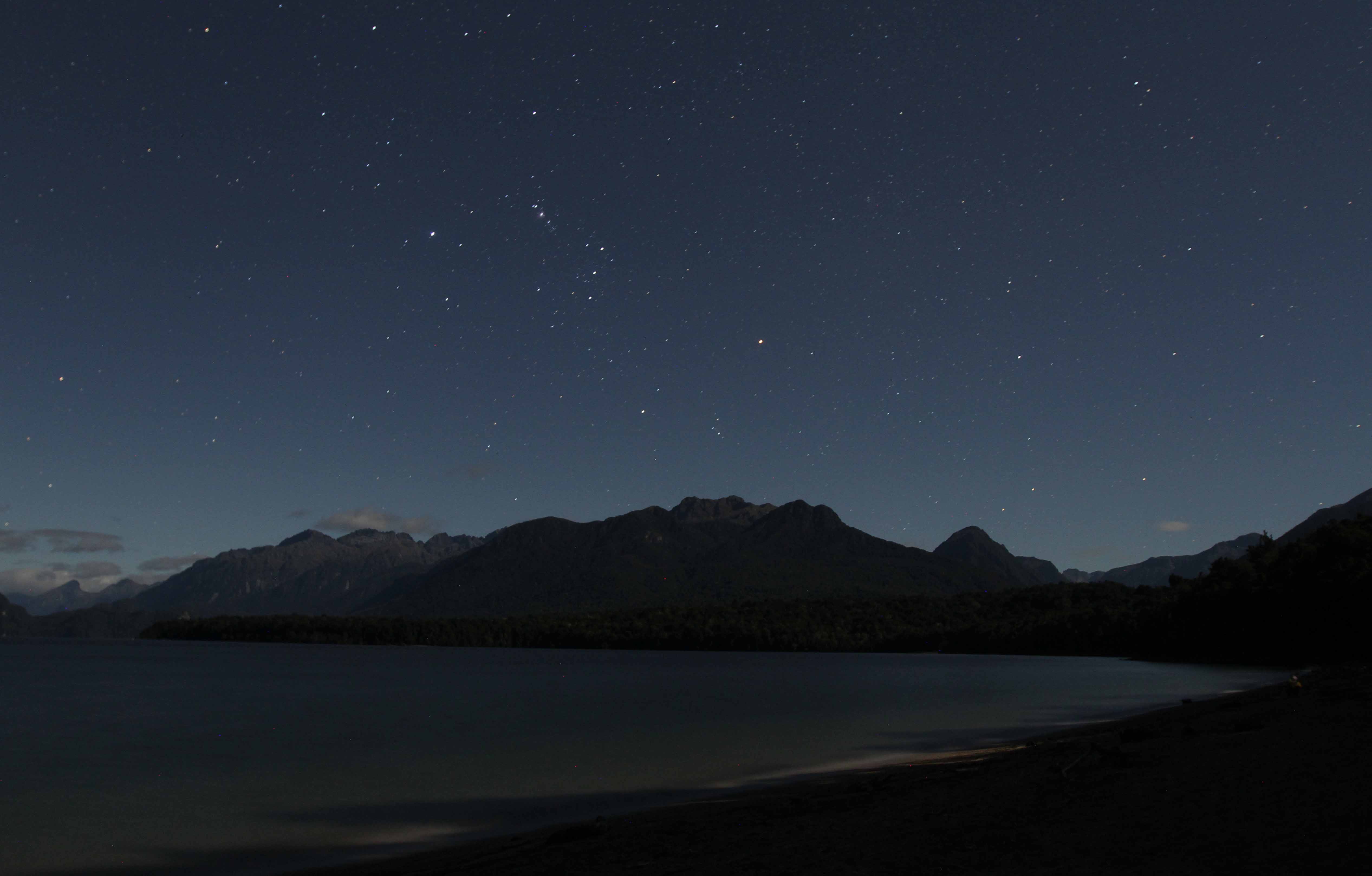
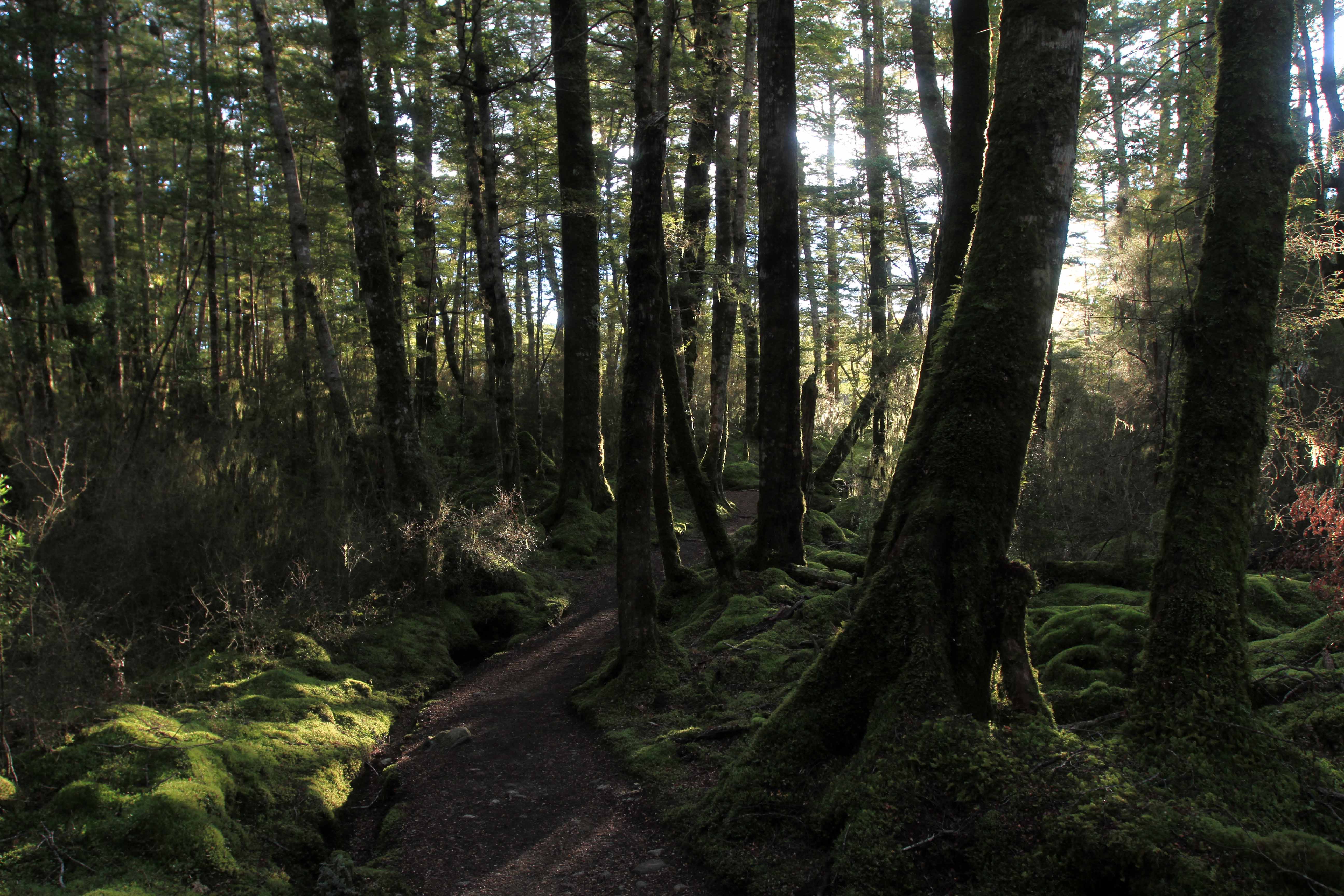
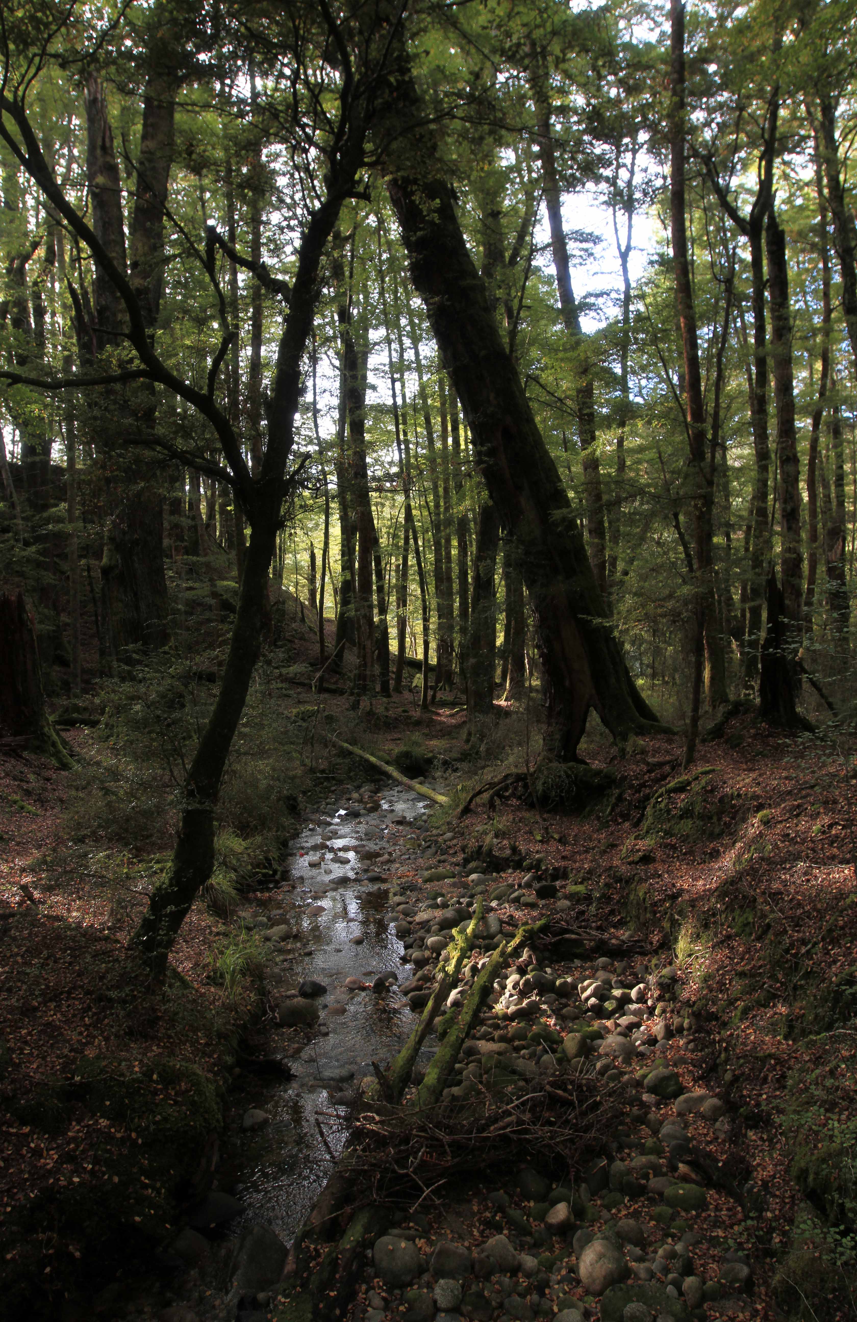
Morning view with mist, seen from Iris Burn Hut.
The trail in the Iris Burn Valley.
Looking at a narrow waterfall in the Iris Burn Valley.
A stream covered with some unidentified substance.
Looking back (northwesterly) in the Iris Burn Valley.
Fungi found on the forest floor.
The Iris Burn River.
A South Island robin.
The sun shining through the forest.
Lake Manapouri.
Lake Manapouri with the Hunter Mountains on the far side.
Lake Manapouri seen from the beach at Moturau Hut.
Lake Manapouri at night with the constellation Orion (seen upturned in the Southern Hemisphere).


Day Four:                                                                                                                                    (Moturau Hut to Te Anau)
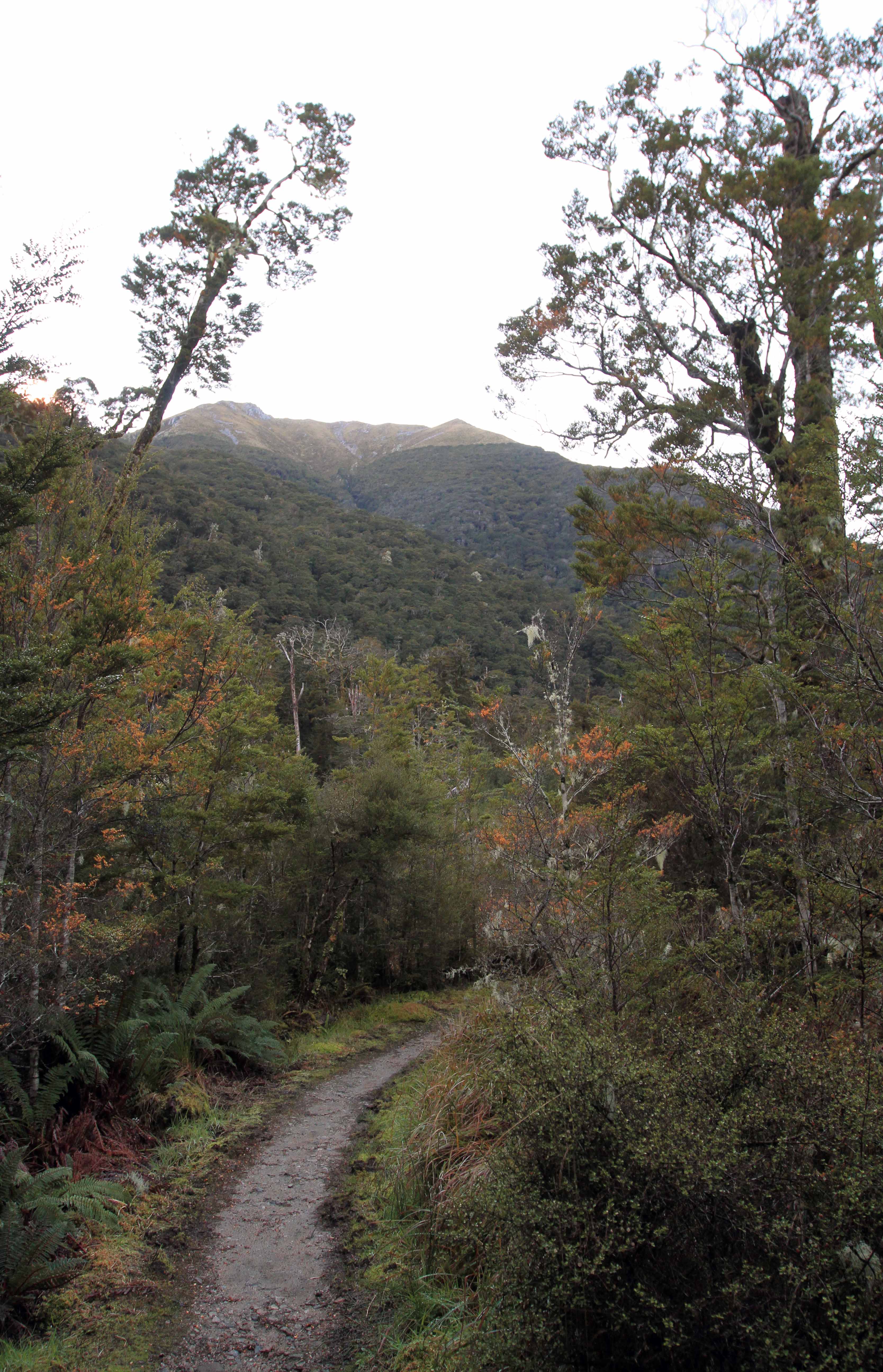
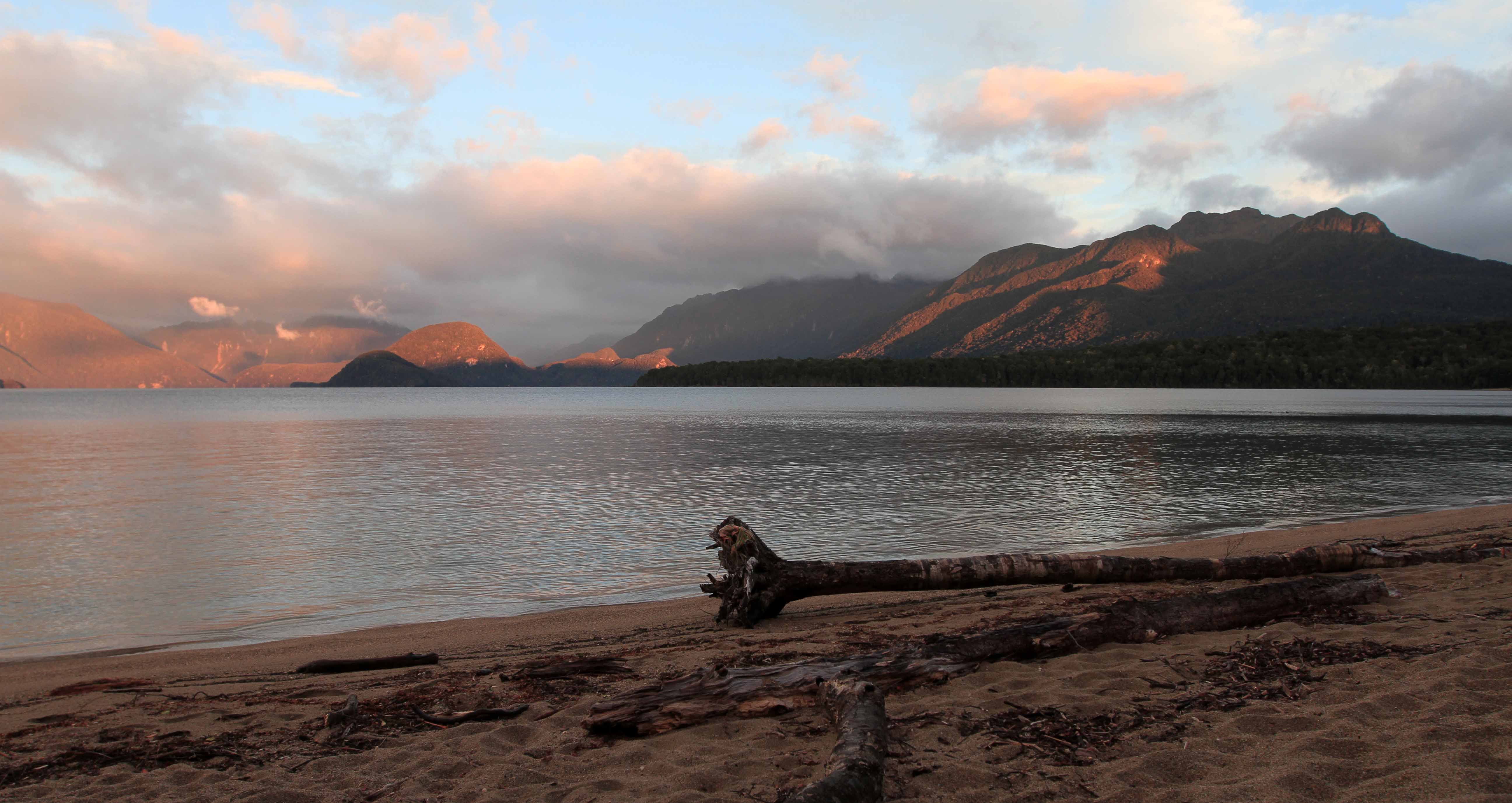
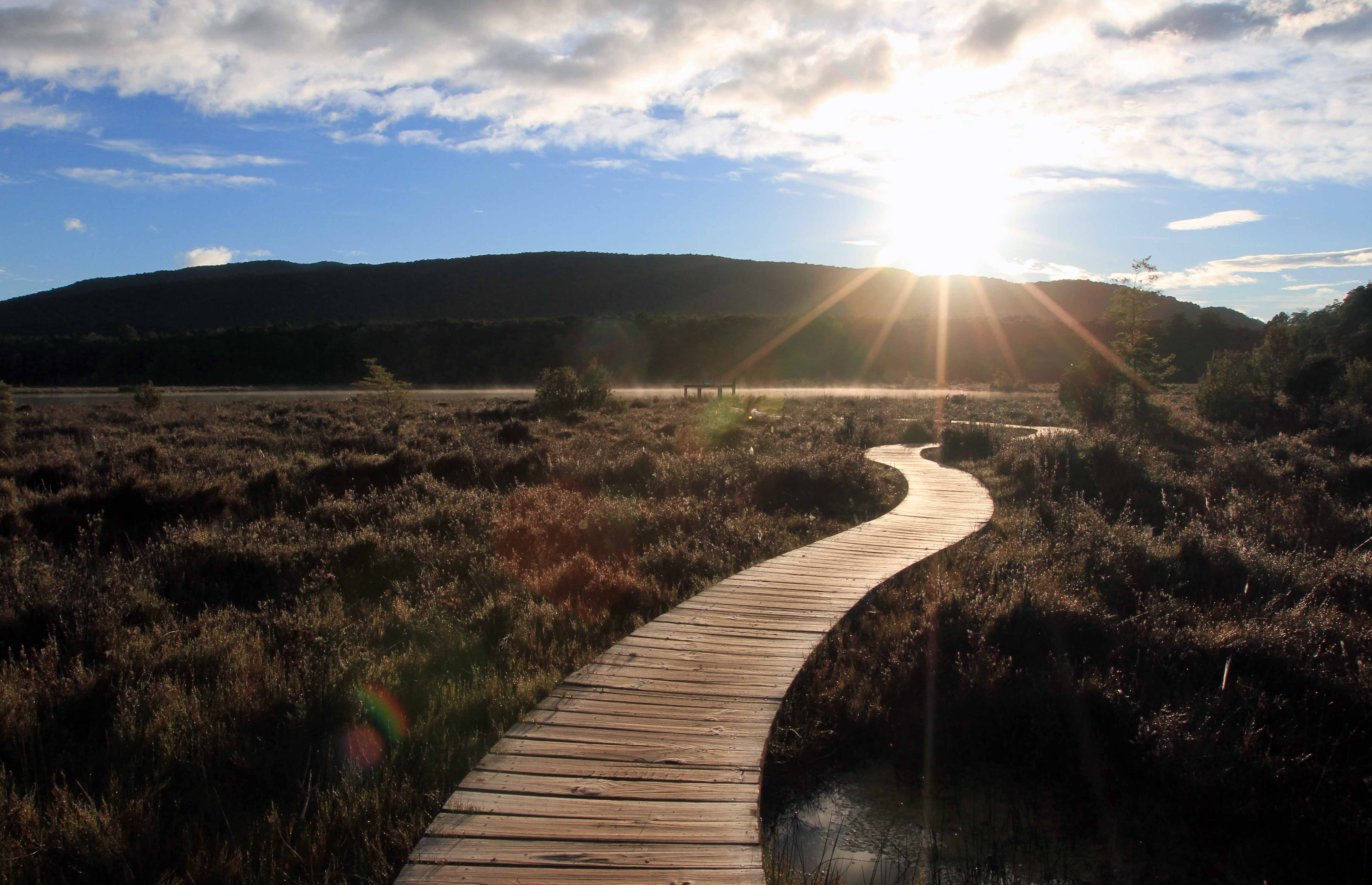
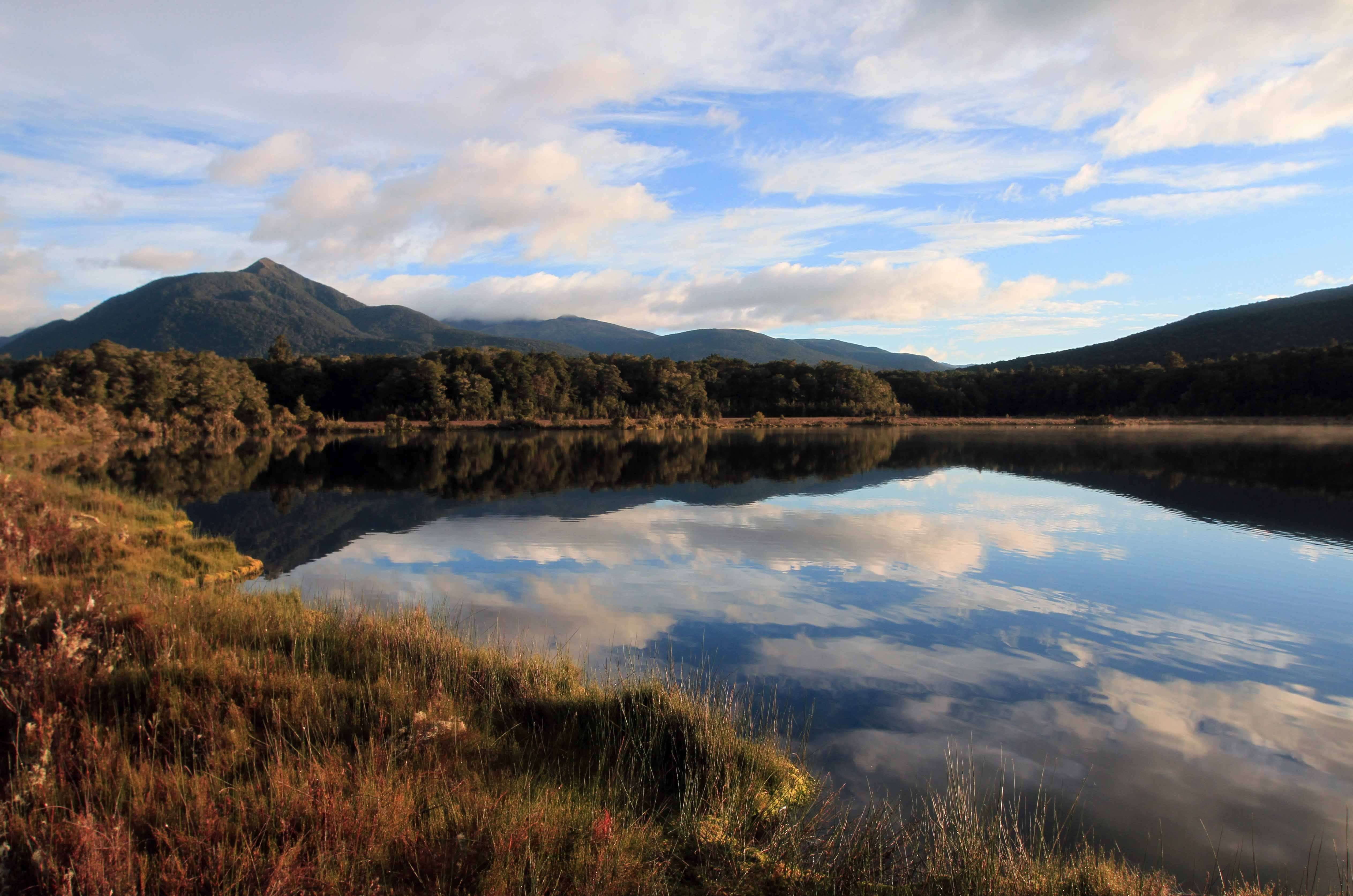
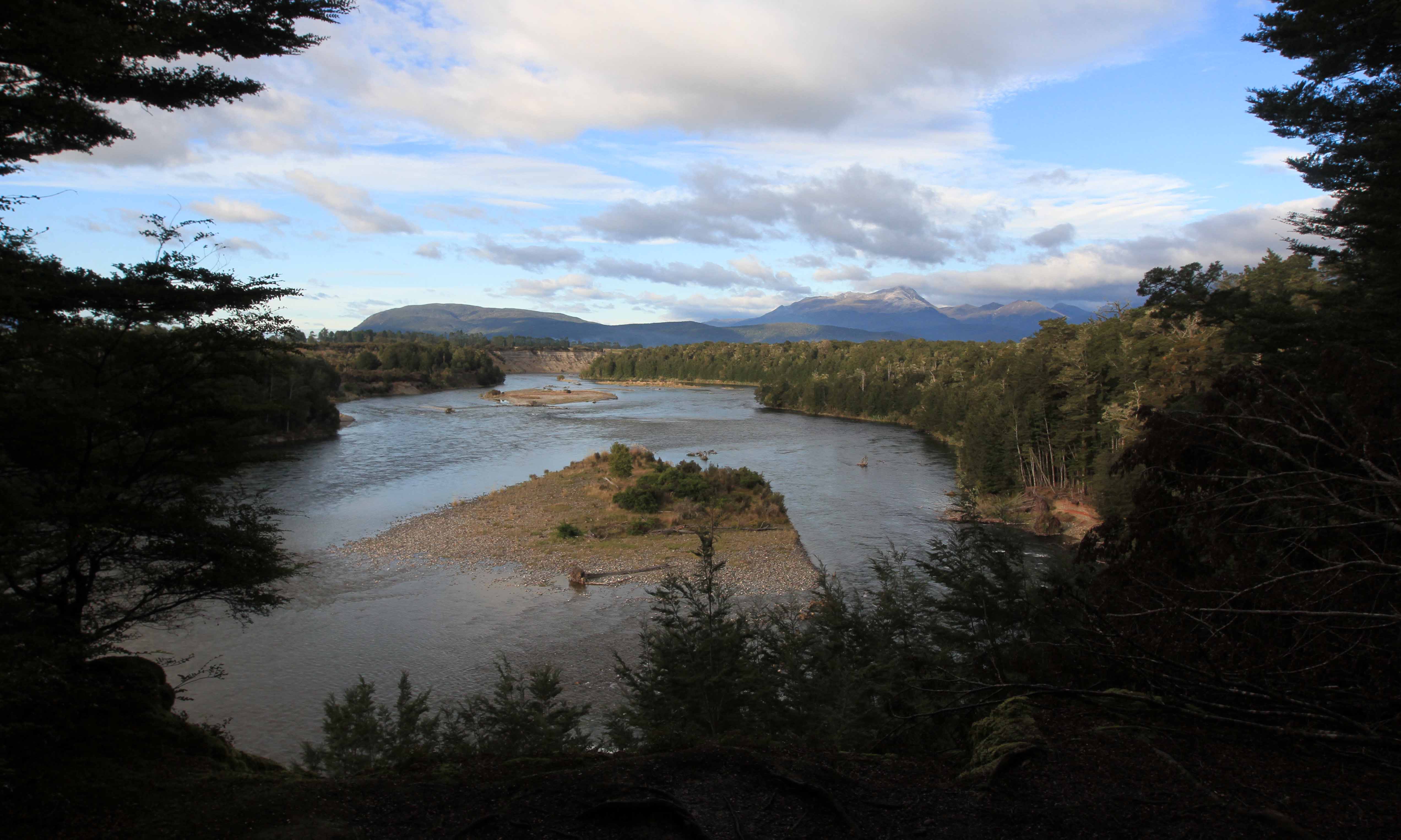
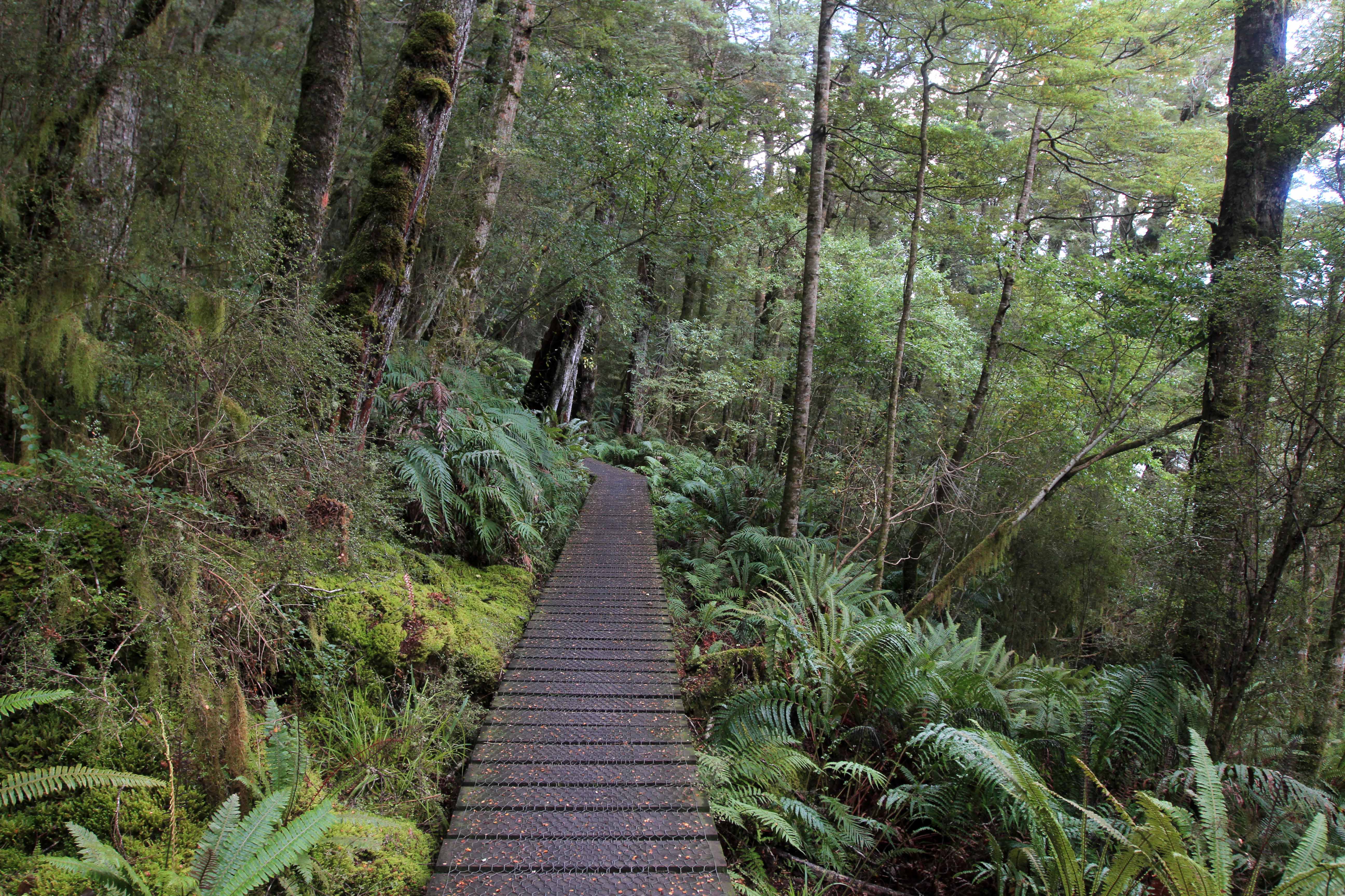
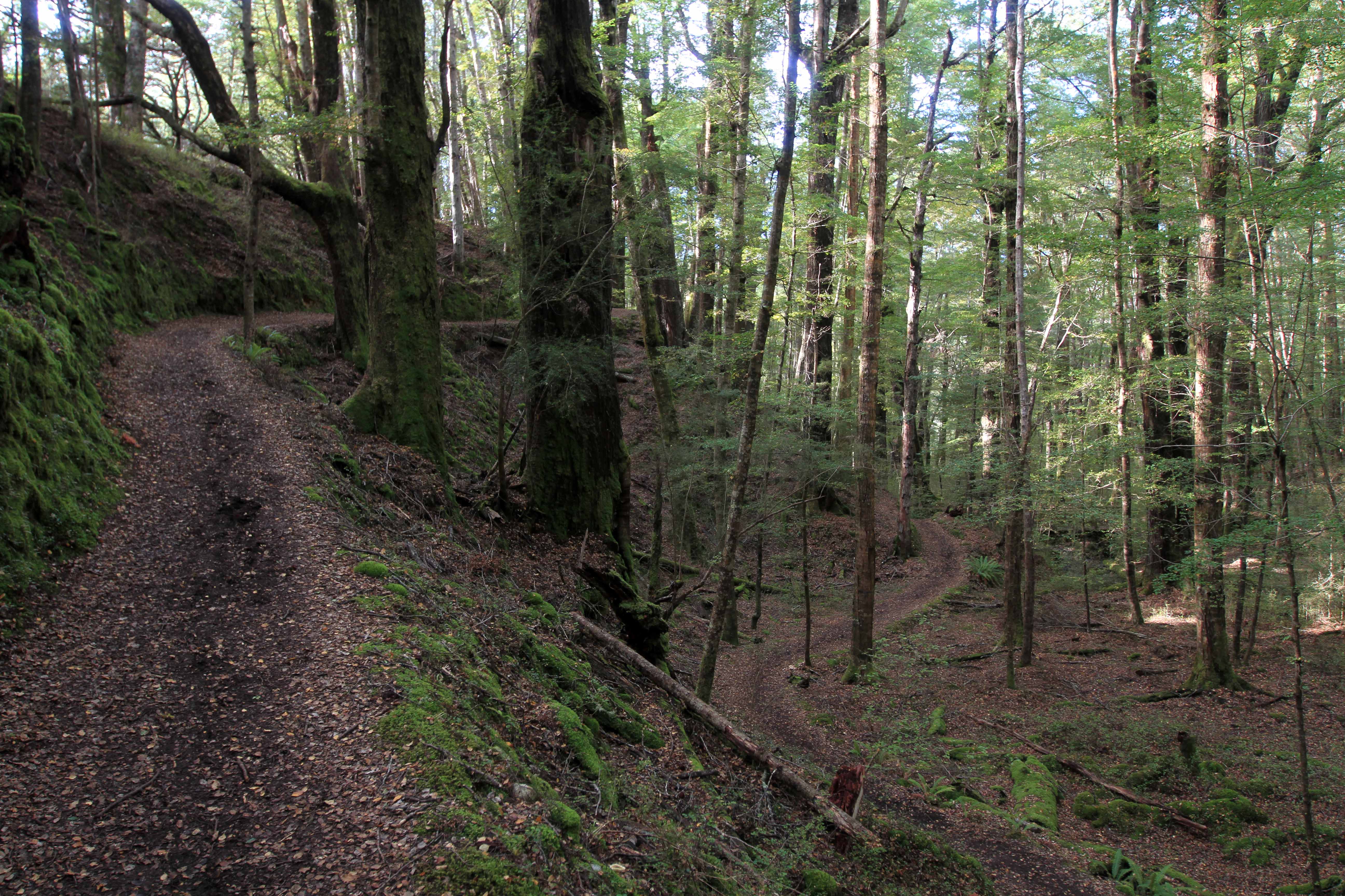
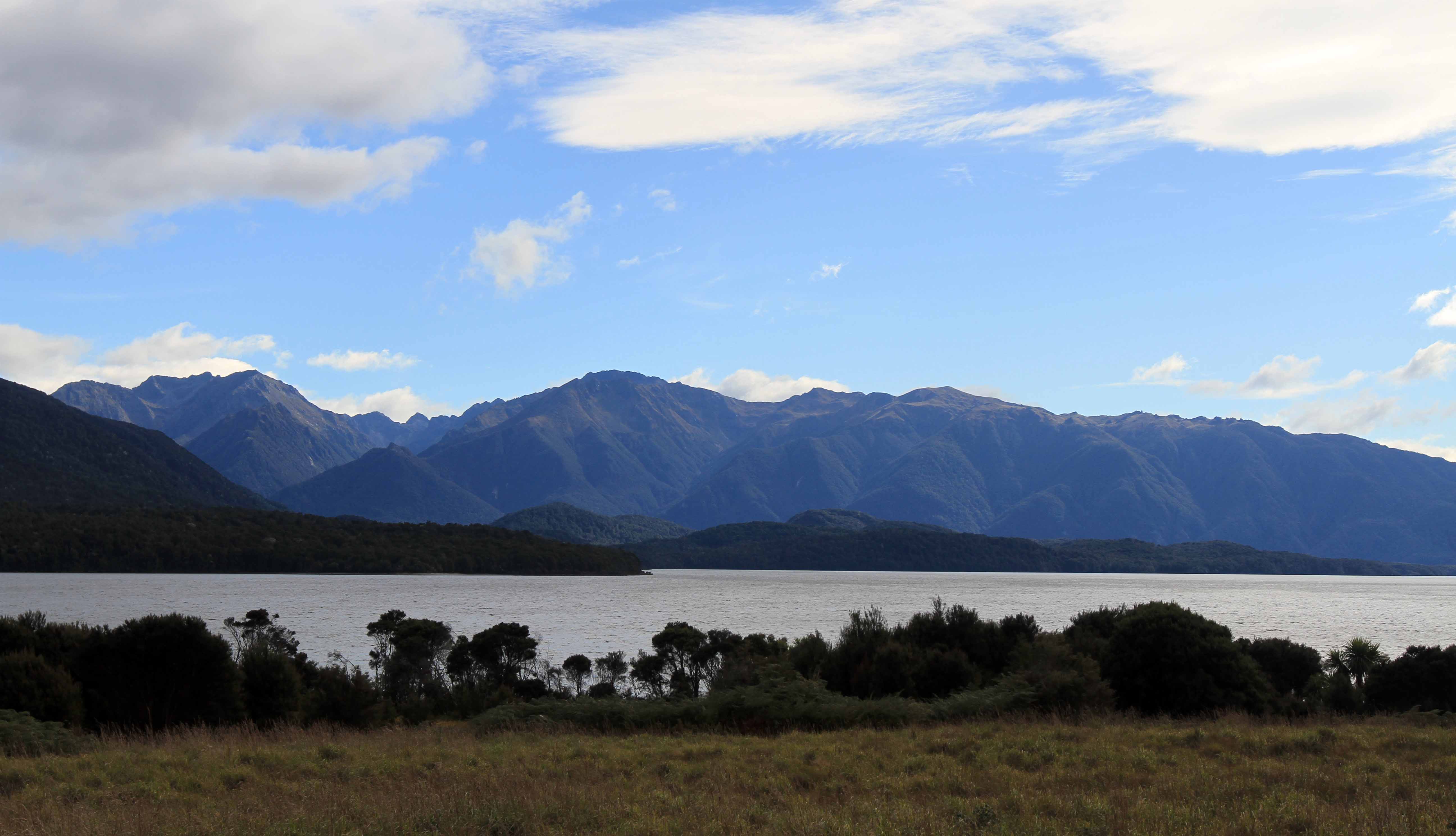
Lake Manapouri in the morning.
Mossy forest in the morning light.
A short side-trail boardwalk in to the Kepler marshes.
A small lake in the Kepler marshland.
The Waiau River.
The Waiau River.
A short boardwalk section of the Kepler Track passing through a fern forest.
A small stream in the woods.
The trail on the edge of a short spur.
Lake Te Anau, seen from the Lakeside Track (the trail that connects the Kepler Track to the town of Te Anau).

An open journal or an exercise in narcissism.