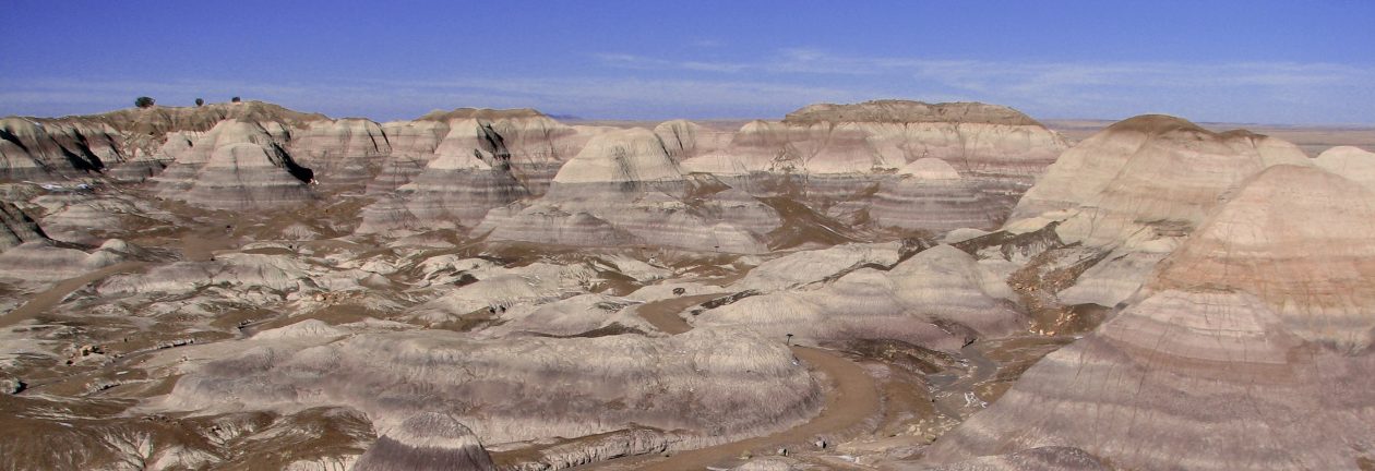
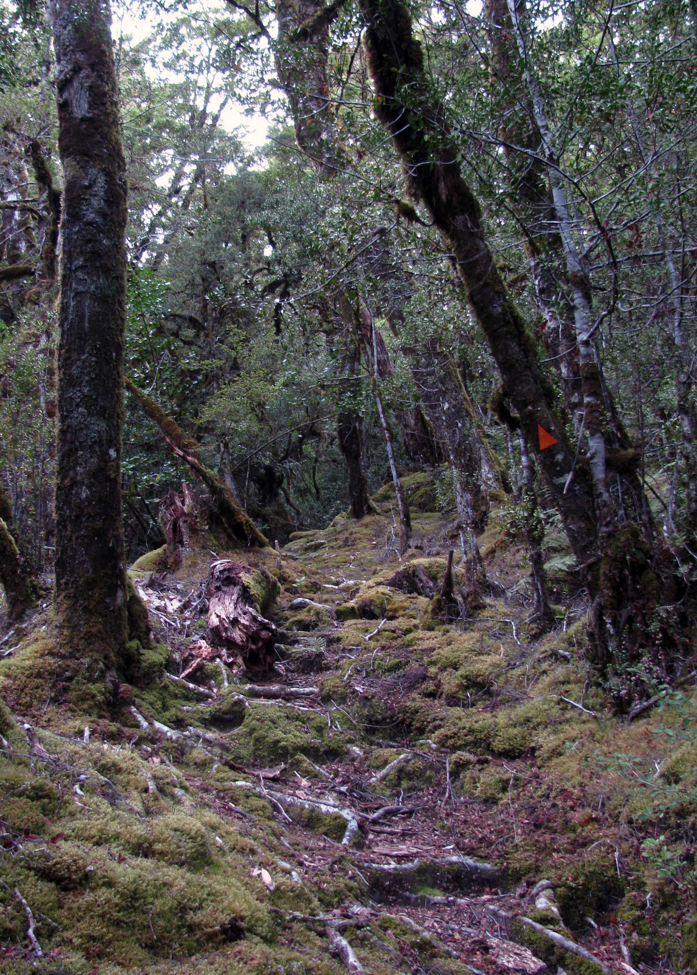
Being the springboard to many adventurous activities and natural wonders, I’ve traveled to Queenstown many times and explored several places in Otago. I first visited Otago during a trip to New Zealand in January 2013, when I hiked the Routeburn Track and then traveled to Queenstown before catching a flight to Taupo on the North Island to hike the Tongariro Northern Circuit. Later, when I lived in New Zealand (from February 2016 to August 2019), I visited Otago several more times and even lived and worked there for a while. What follows are photographs I took from these multiple visits.
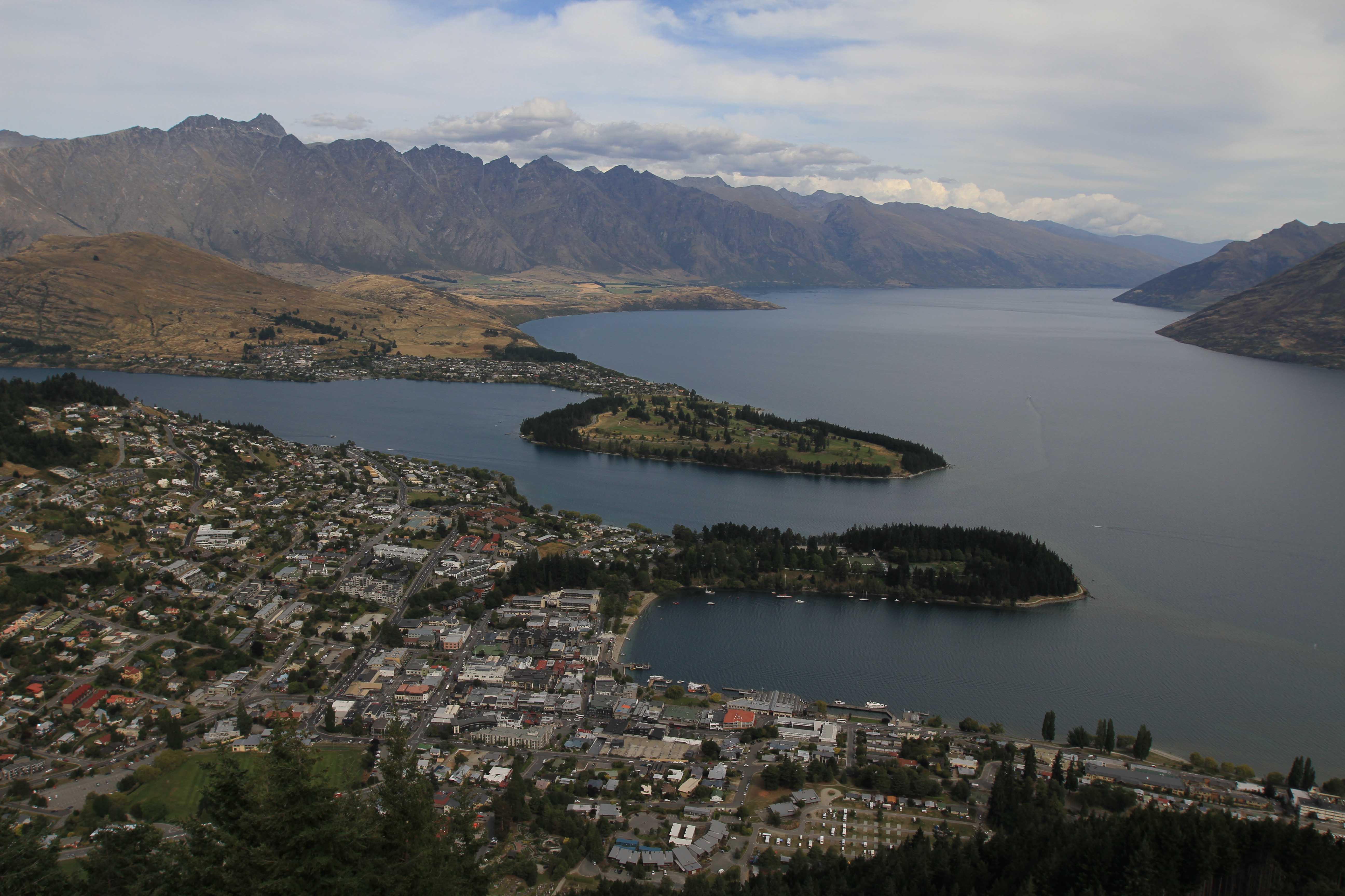
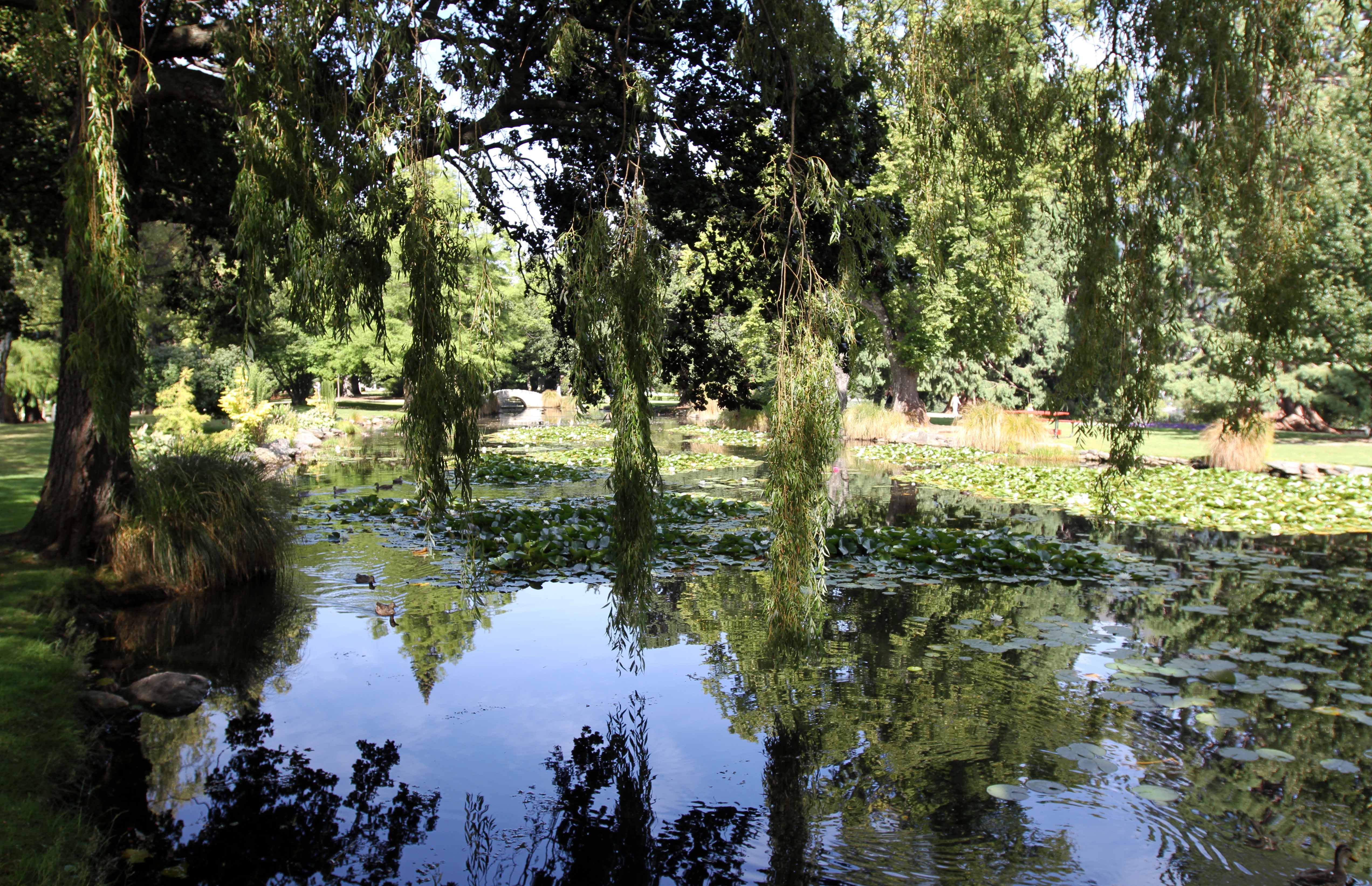
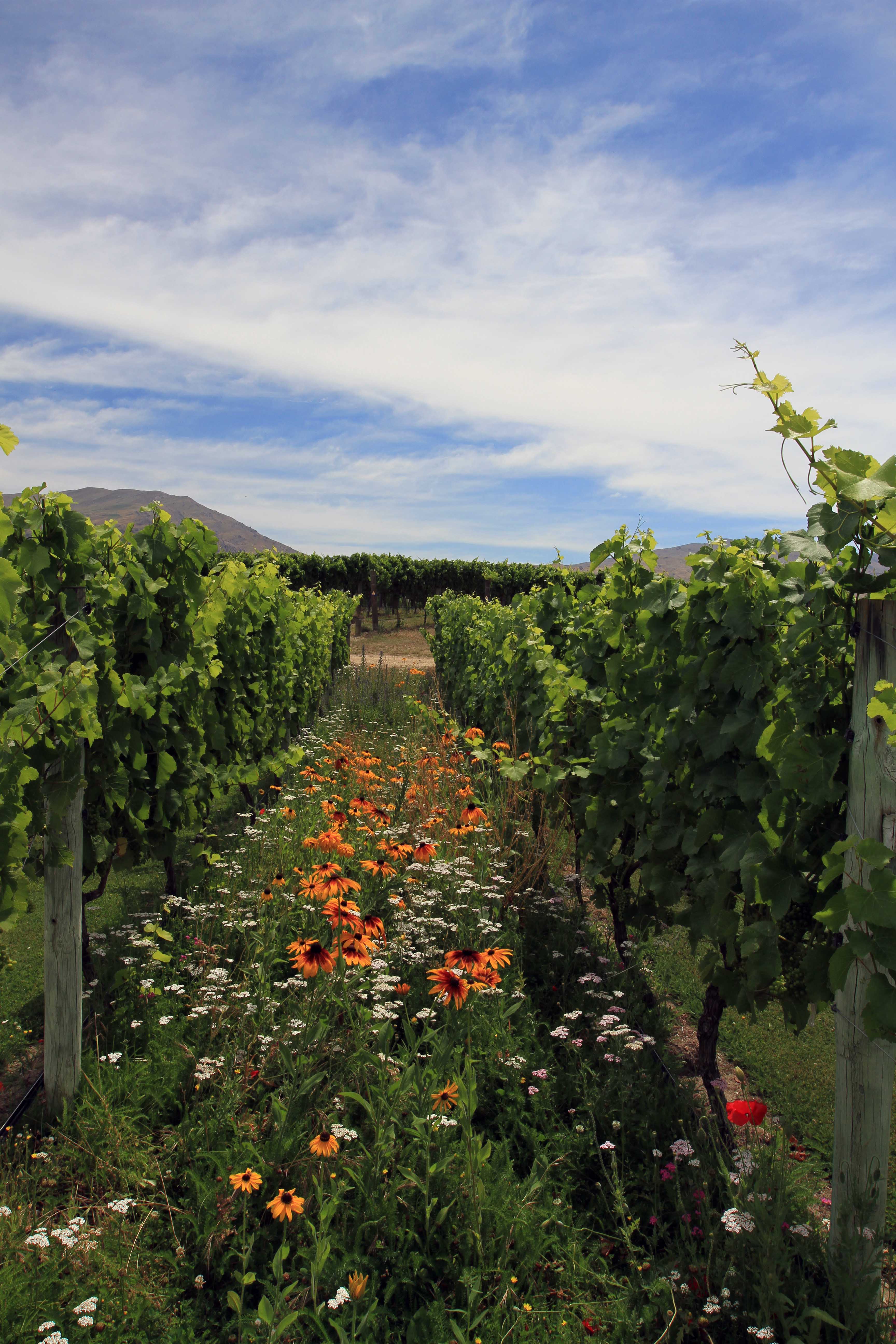
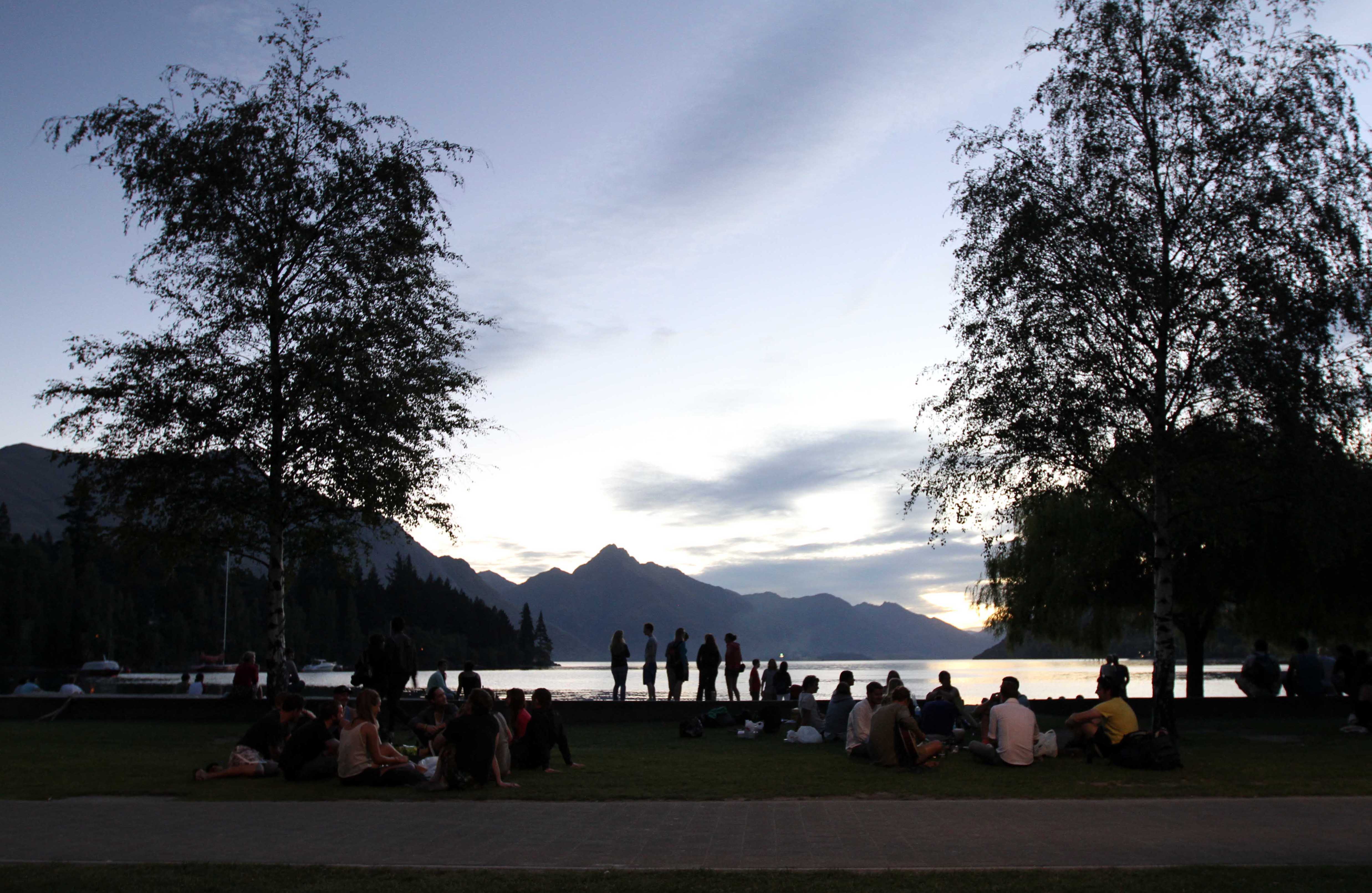
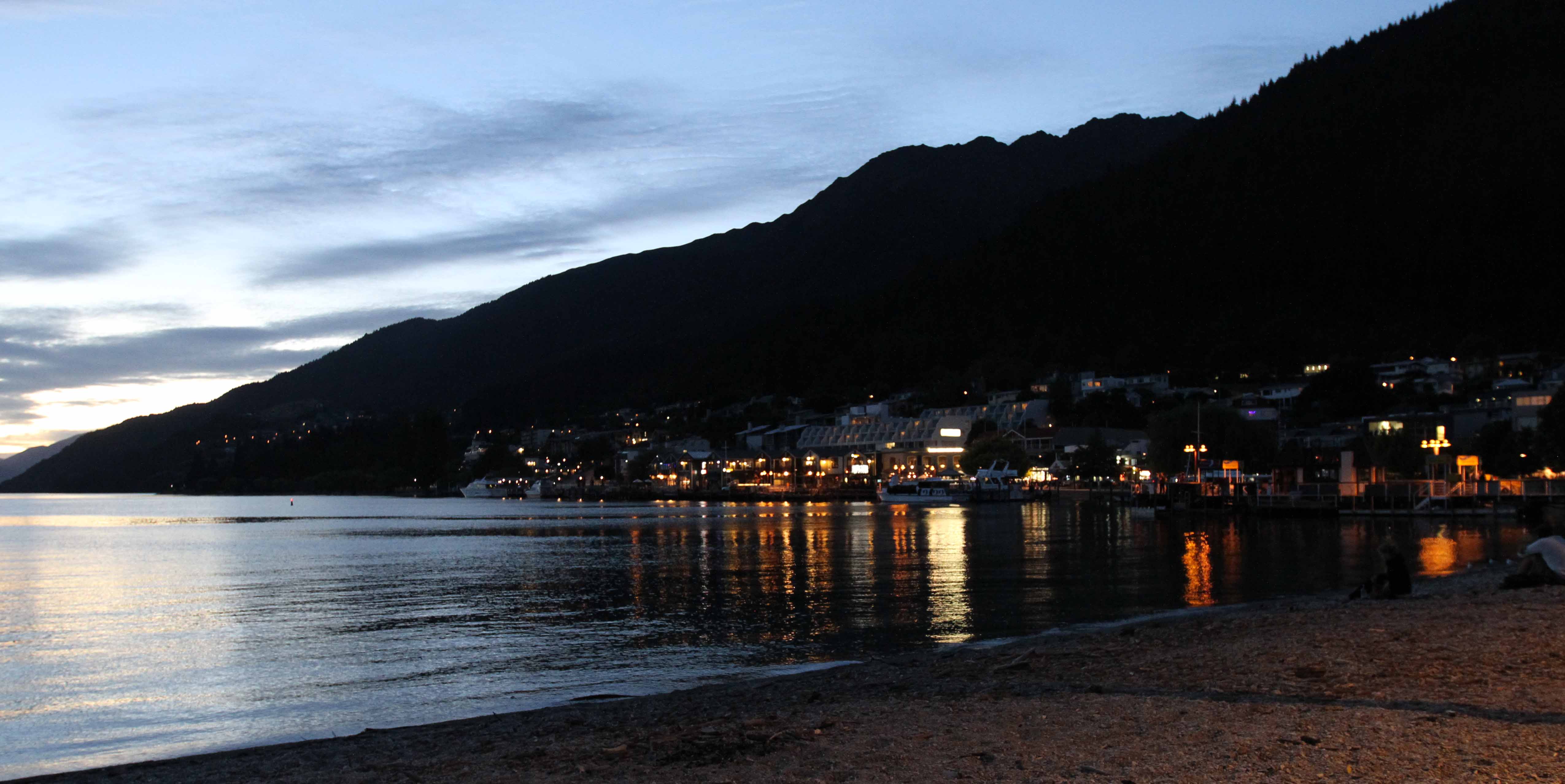
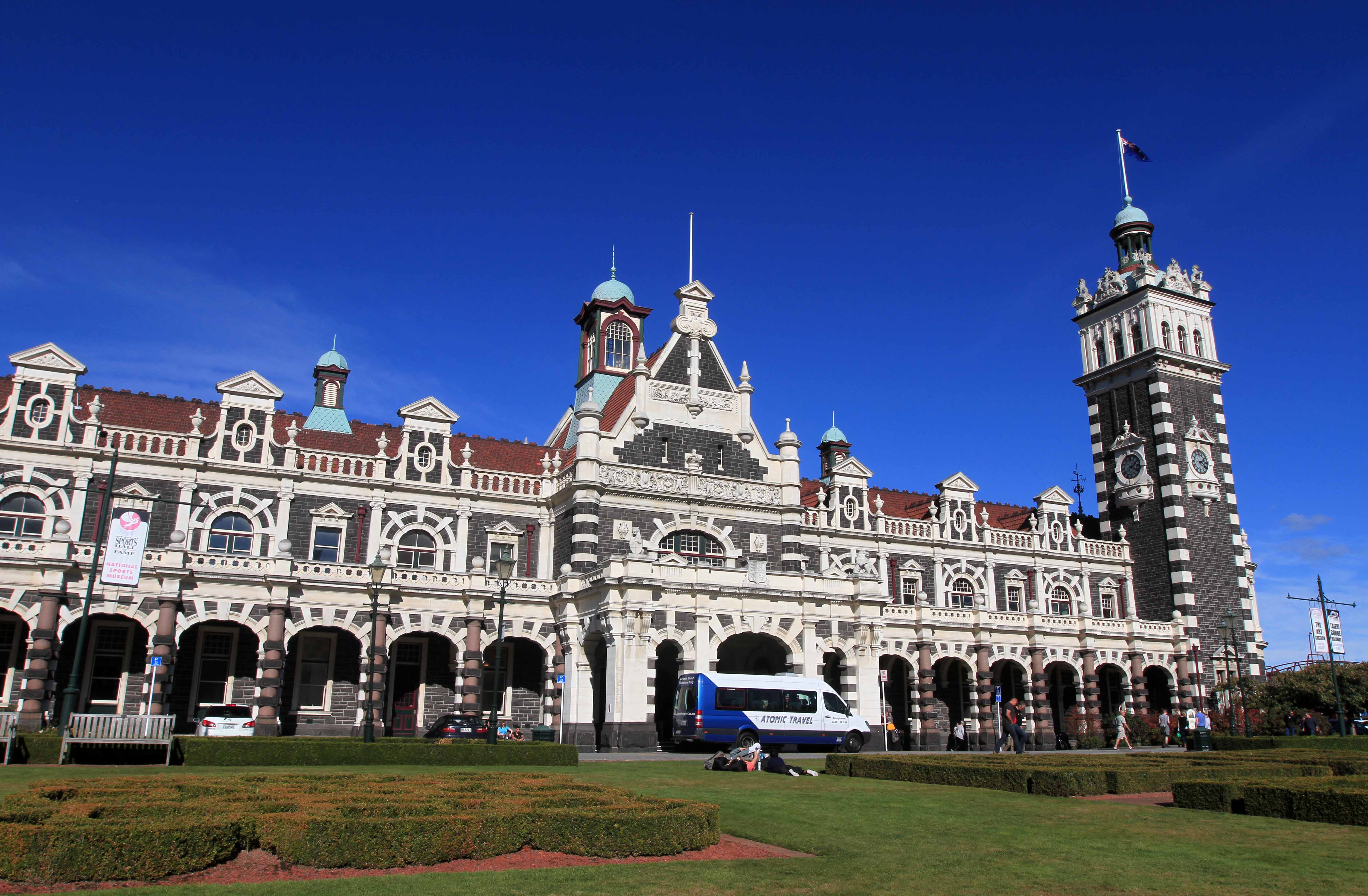
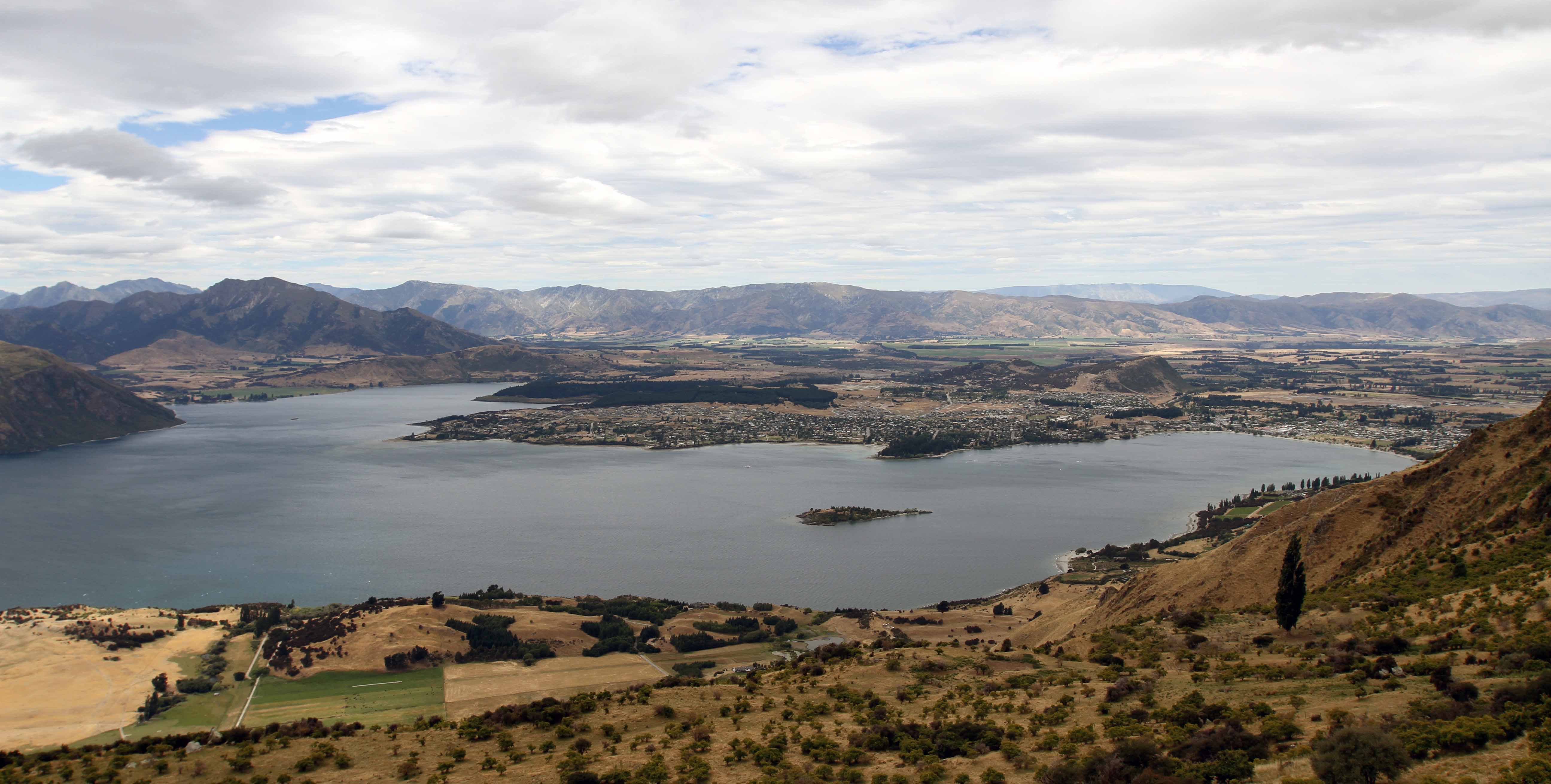
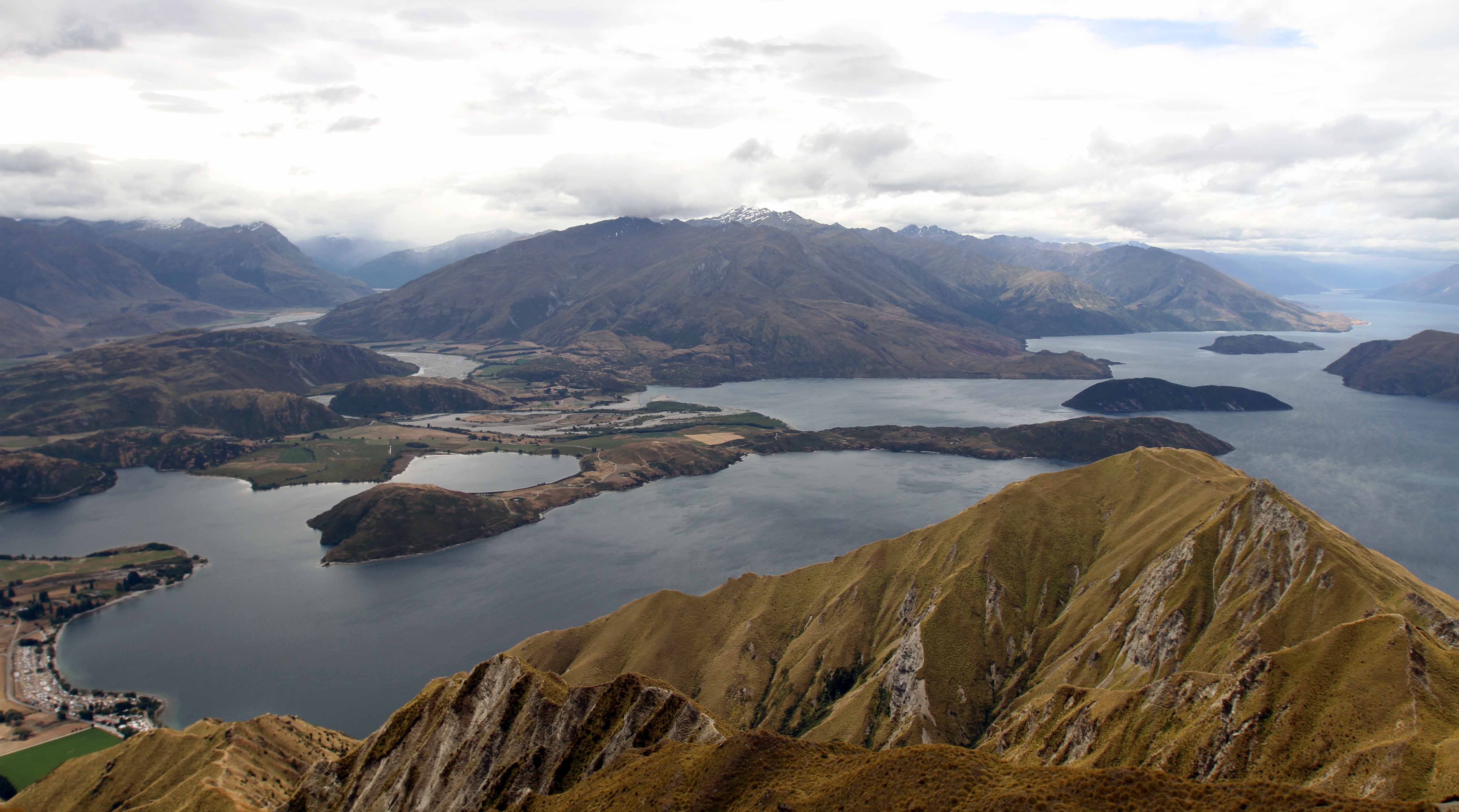
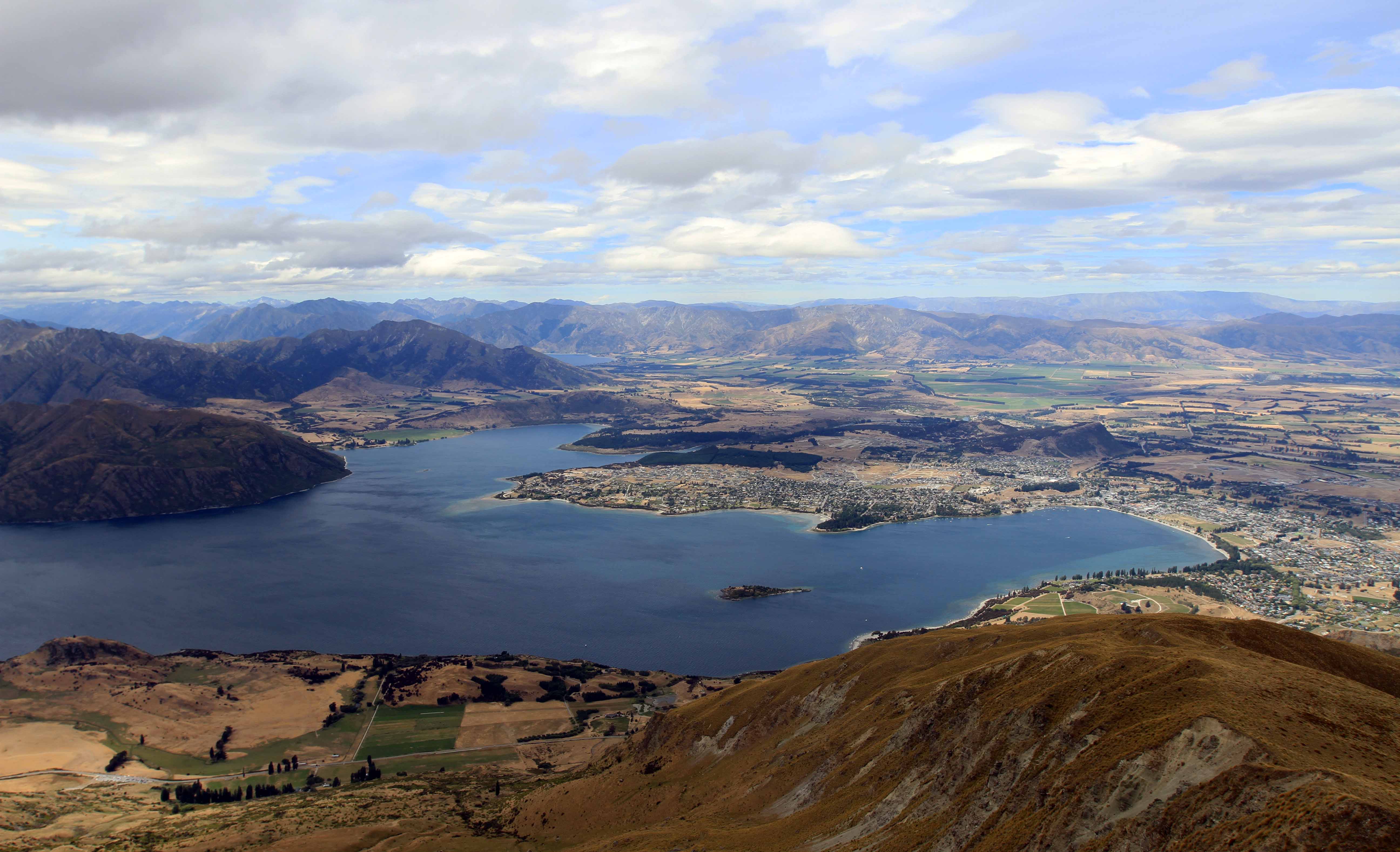
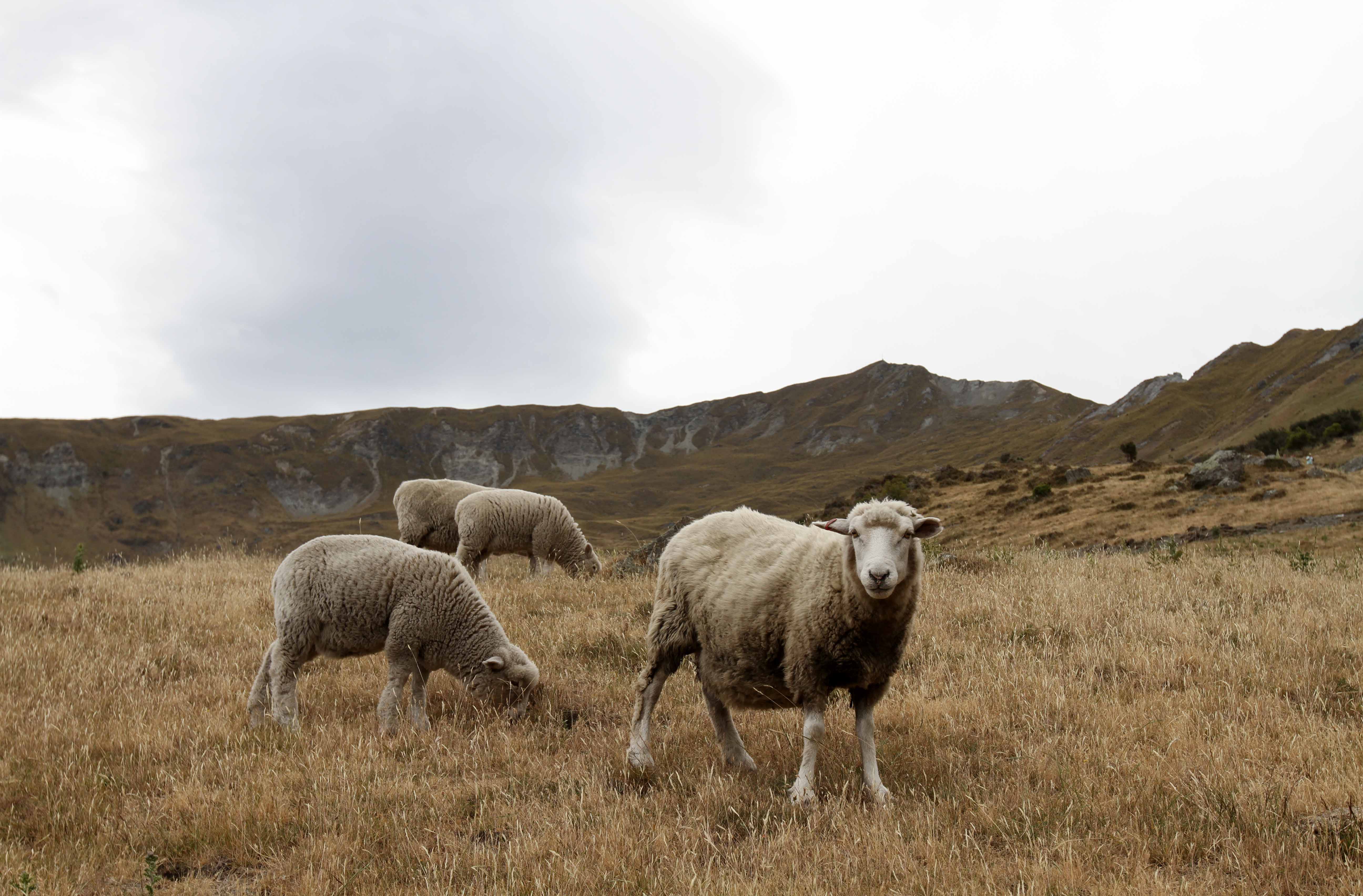
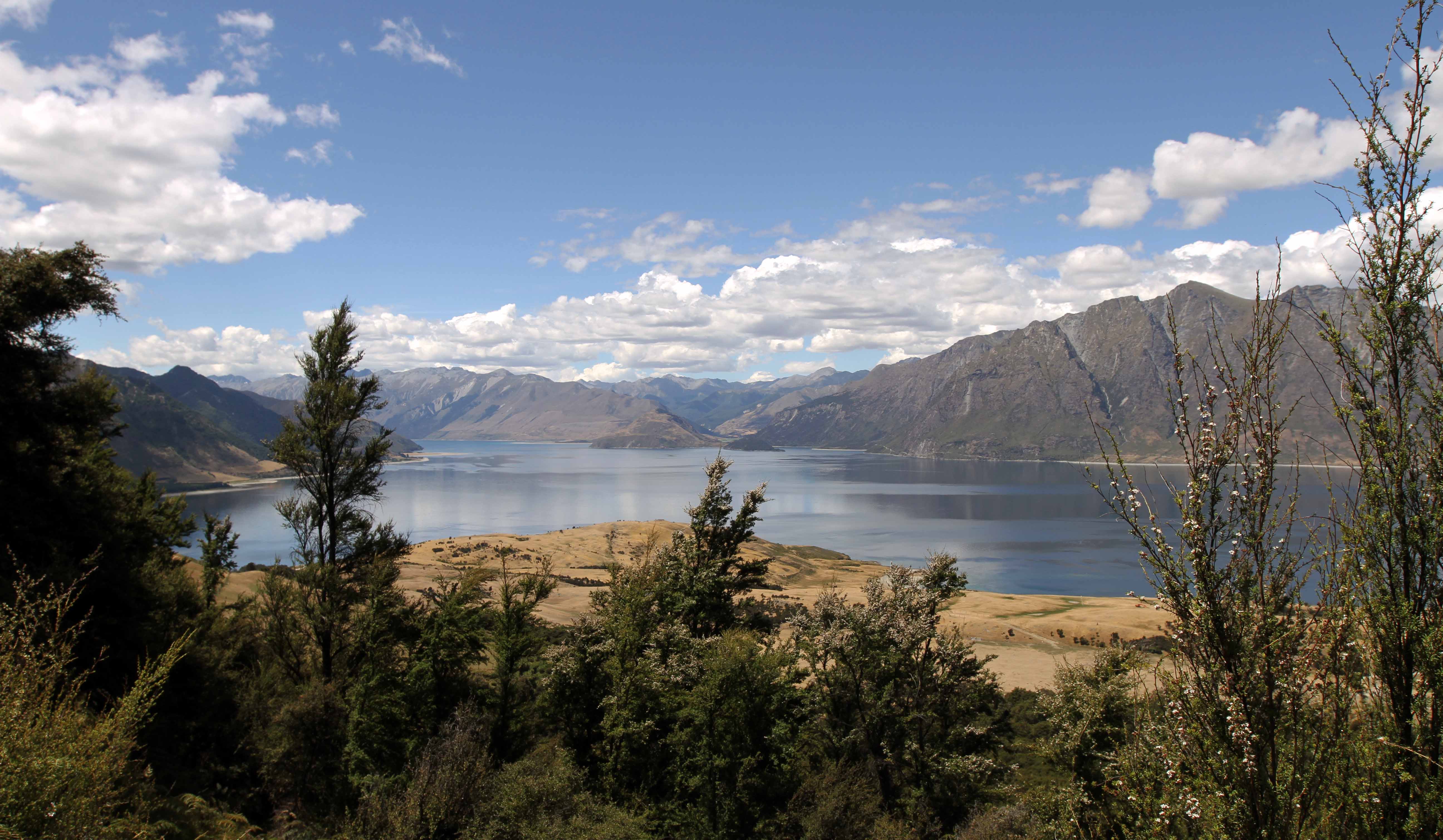
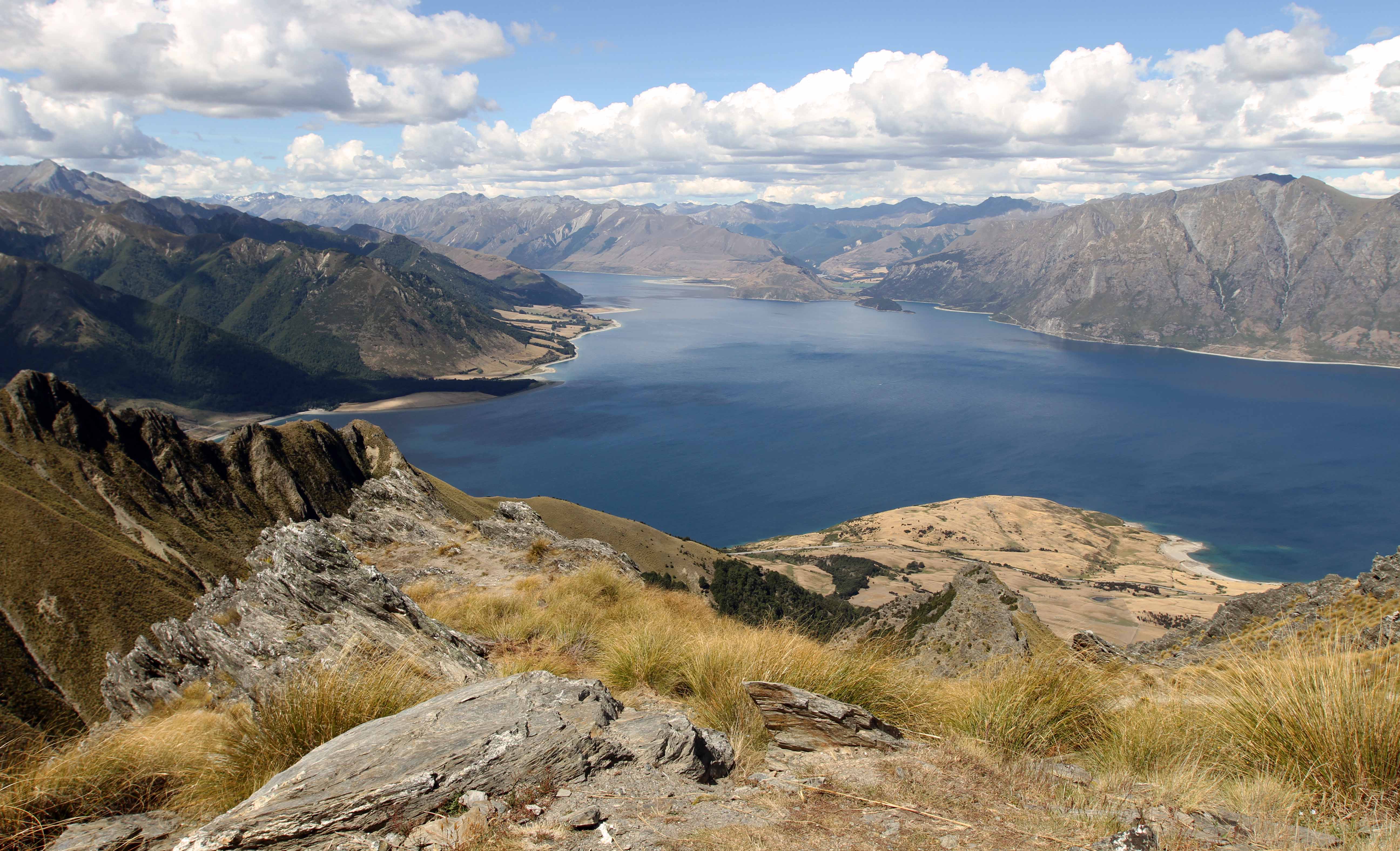
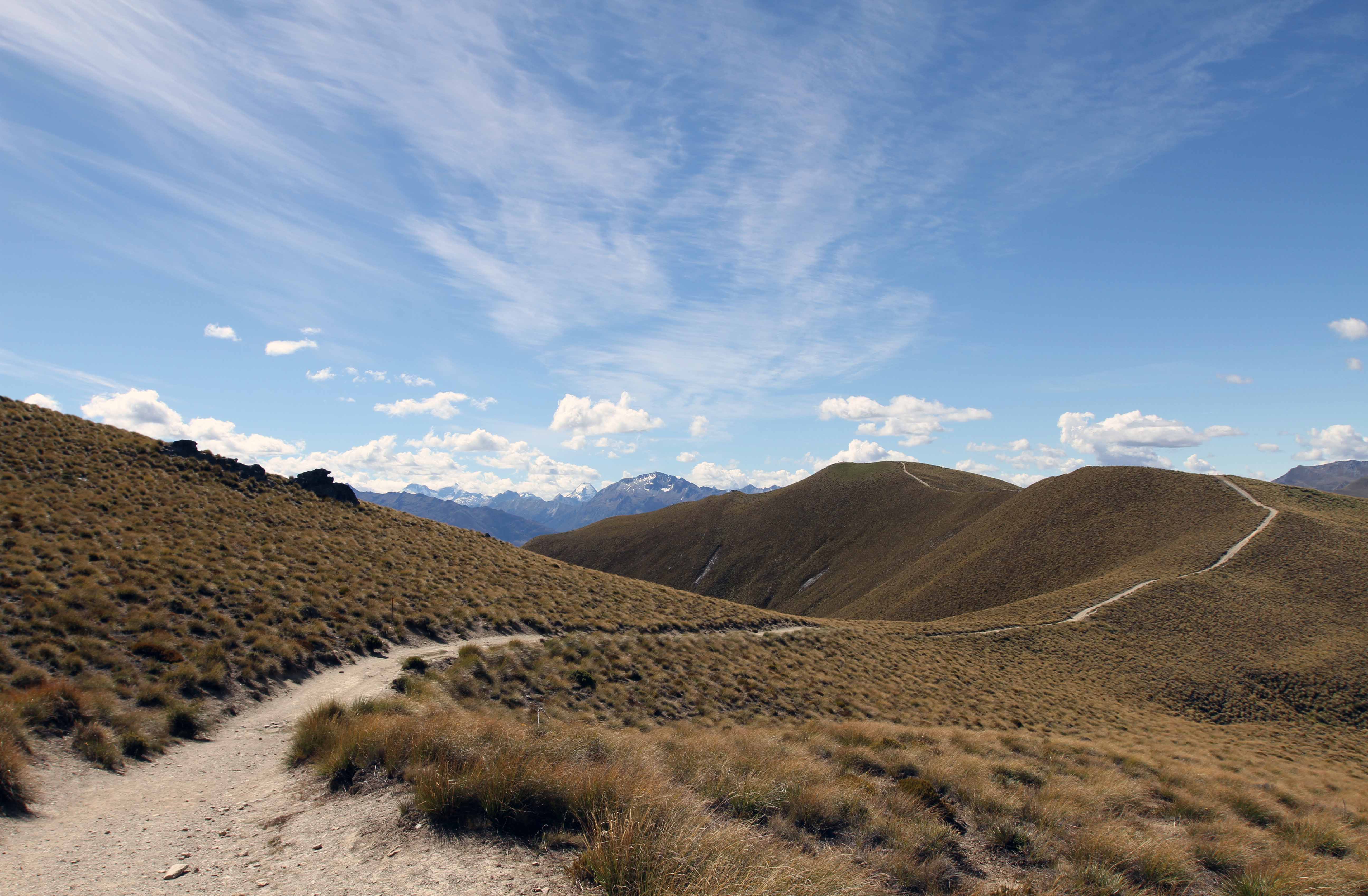
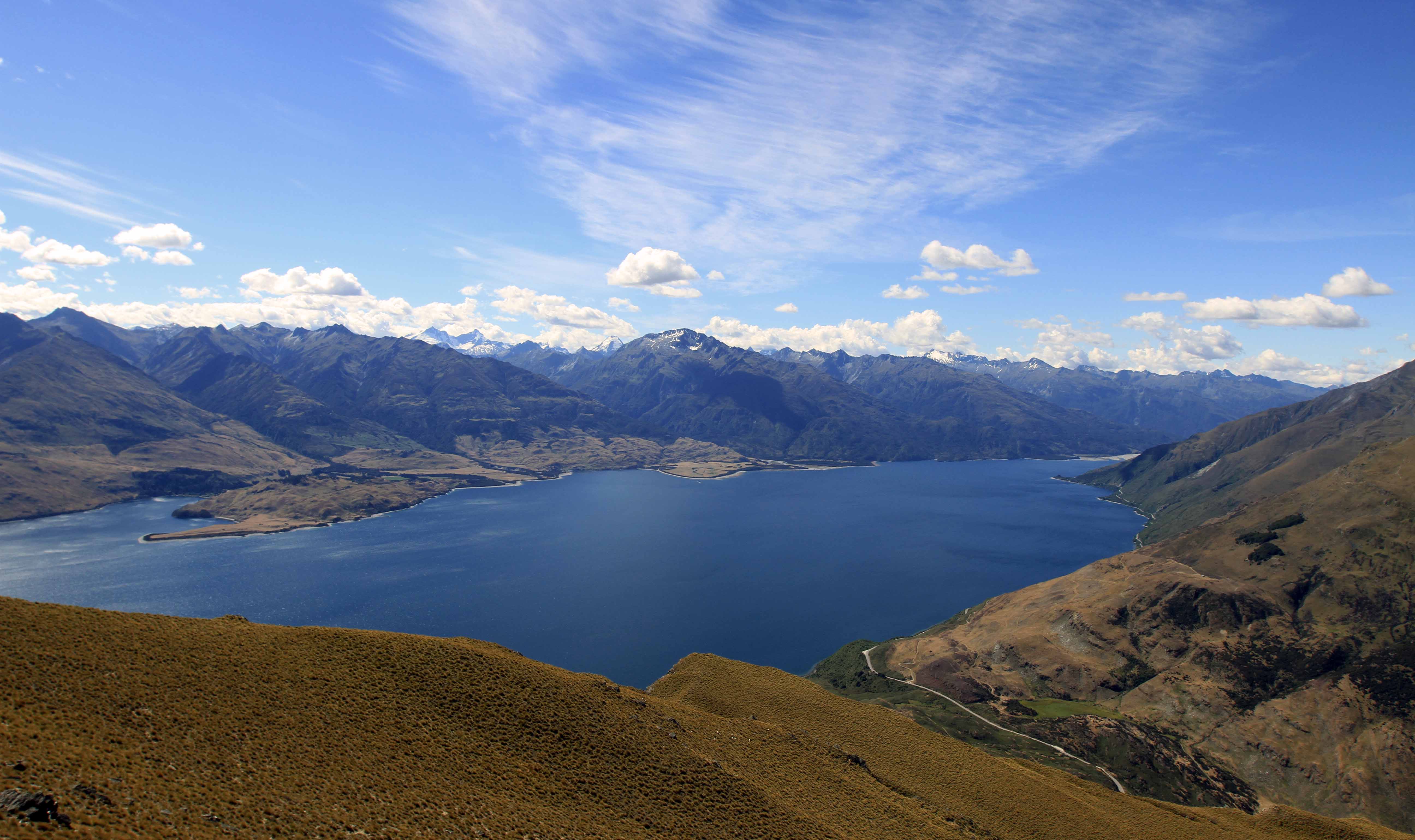
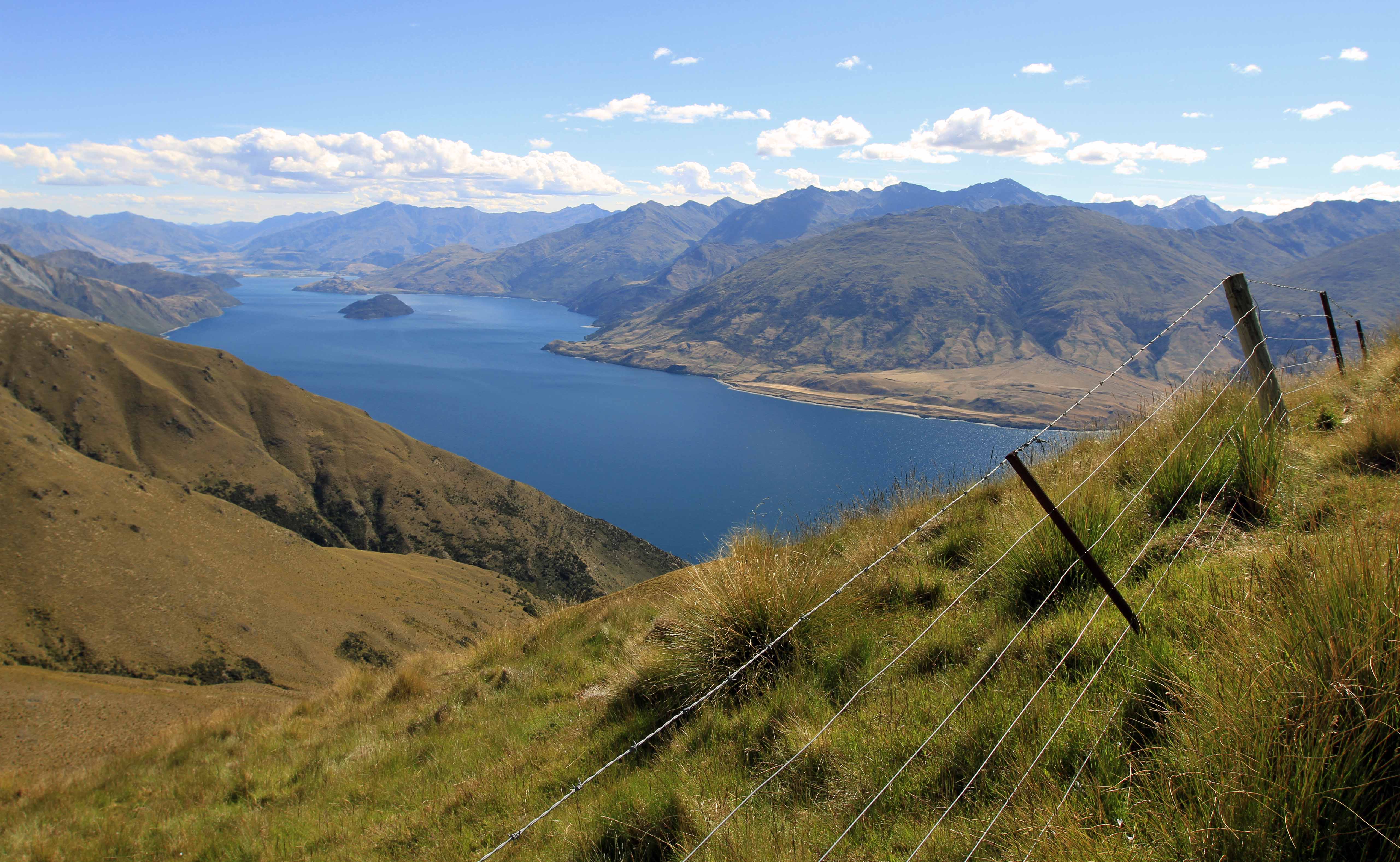
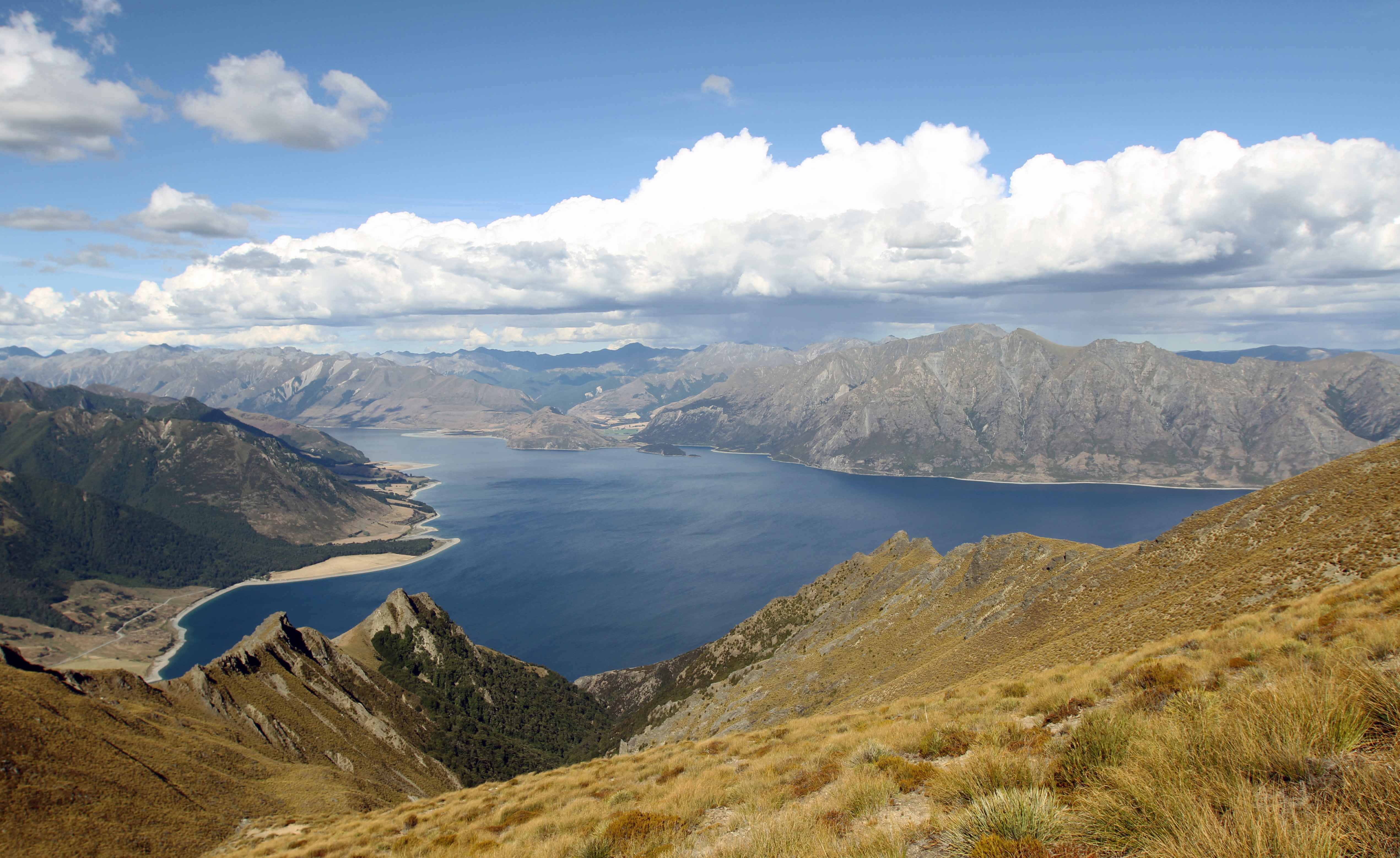
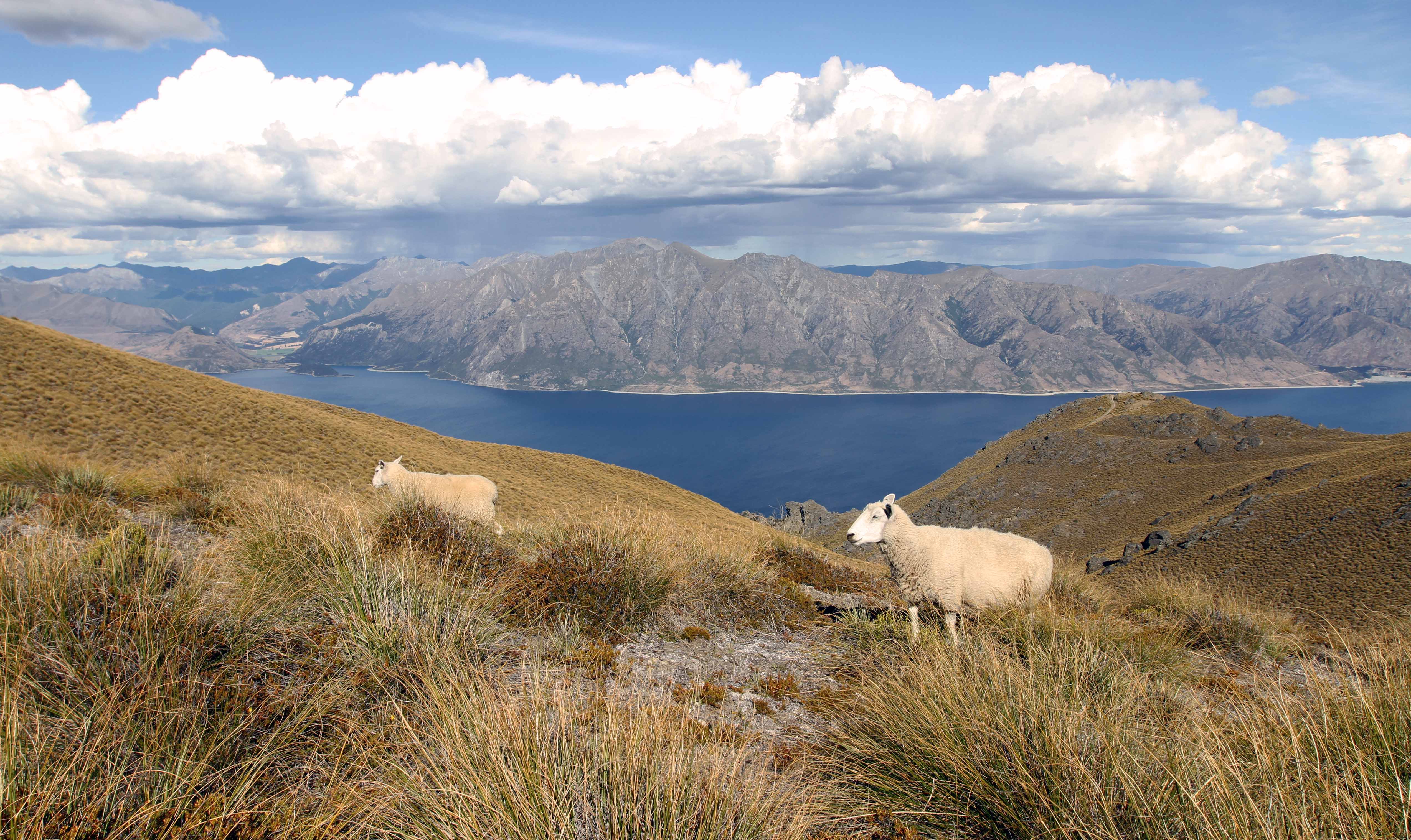
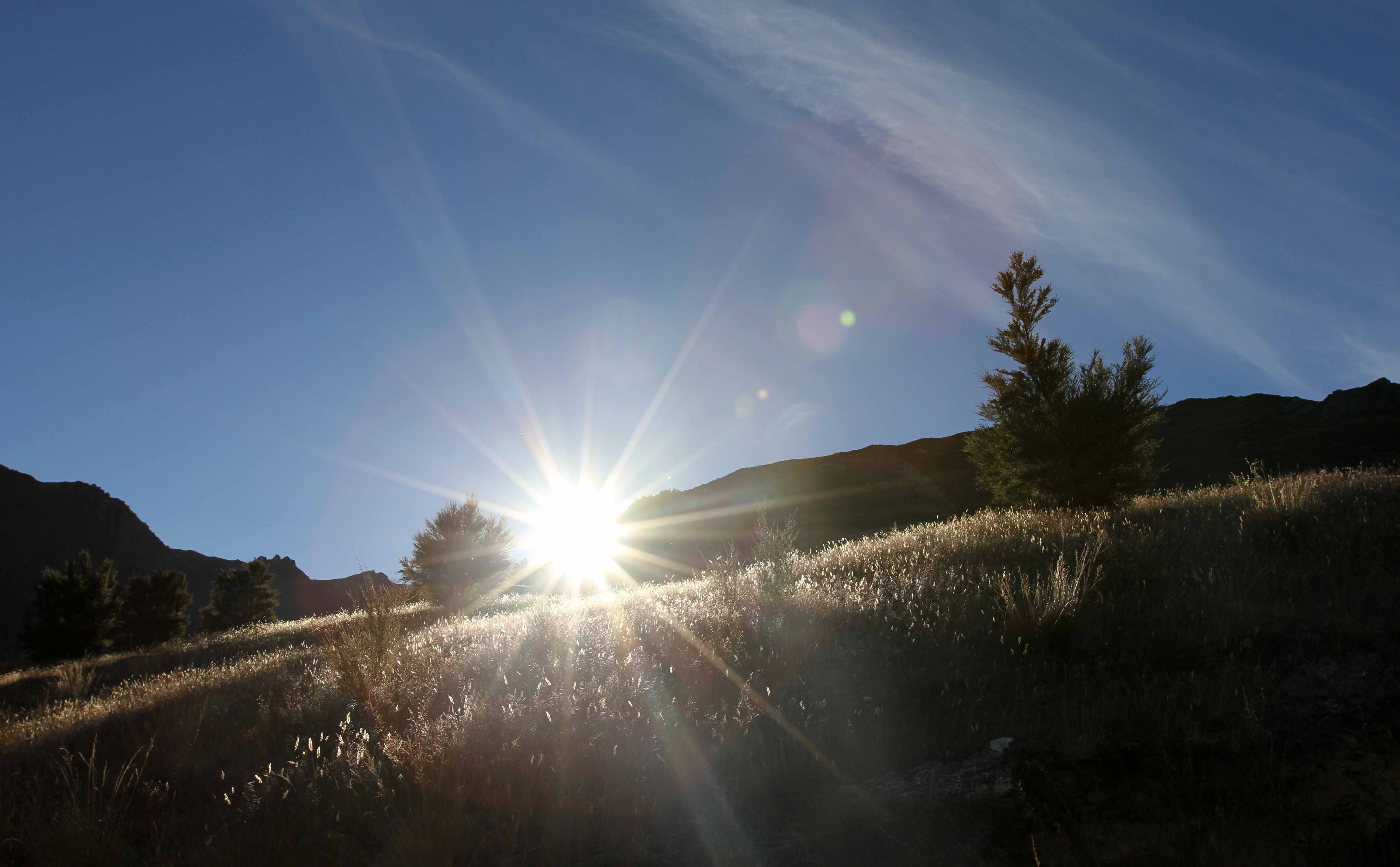
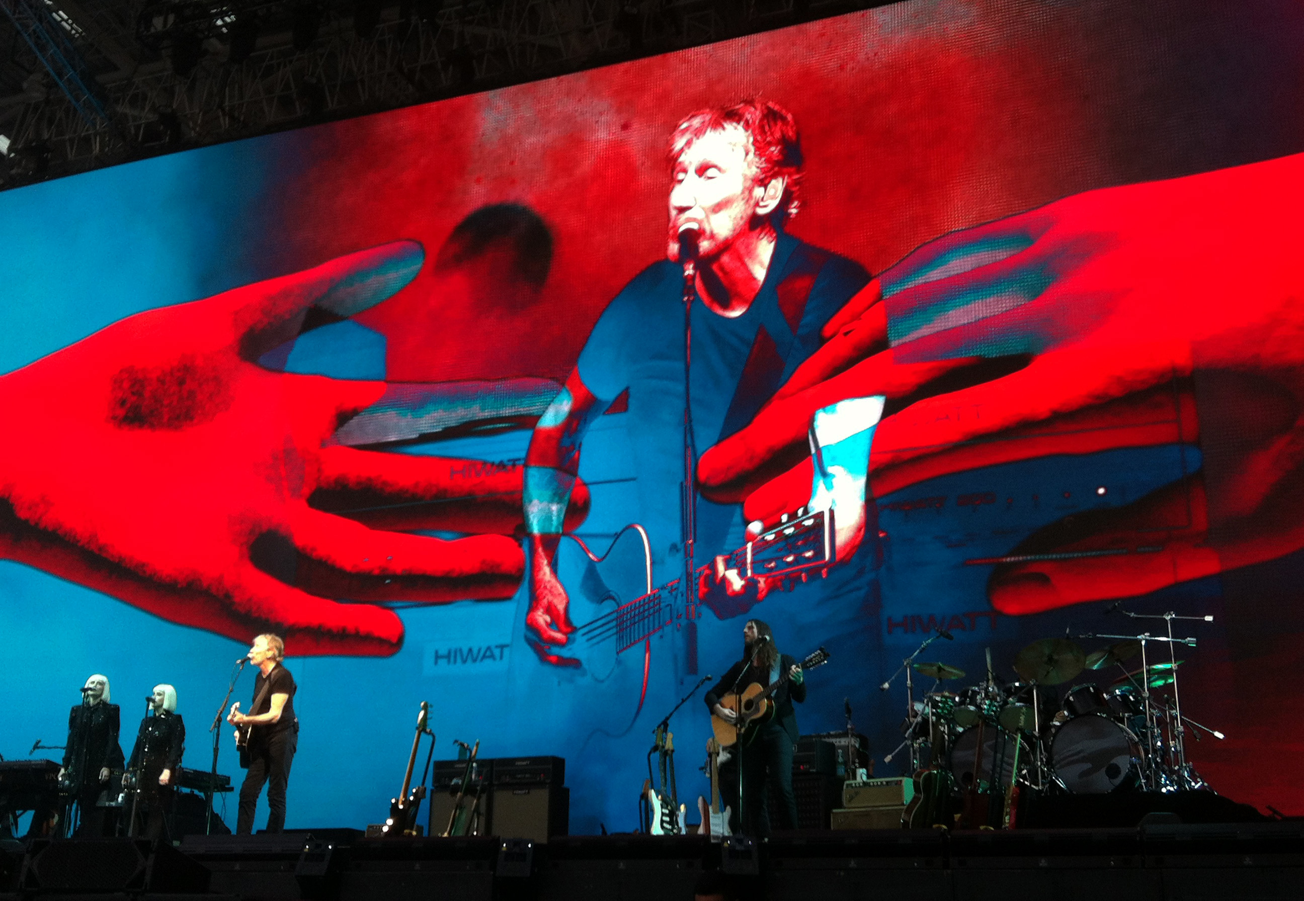
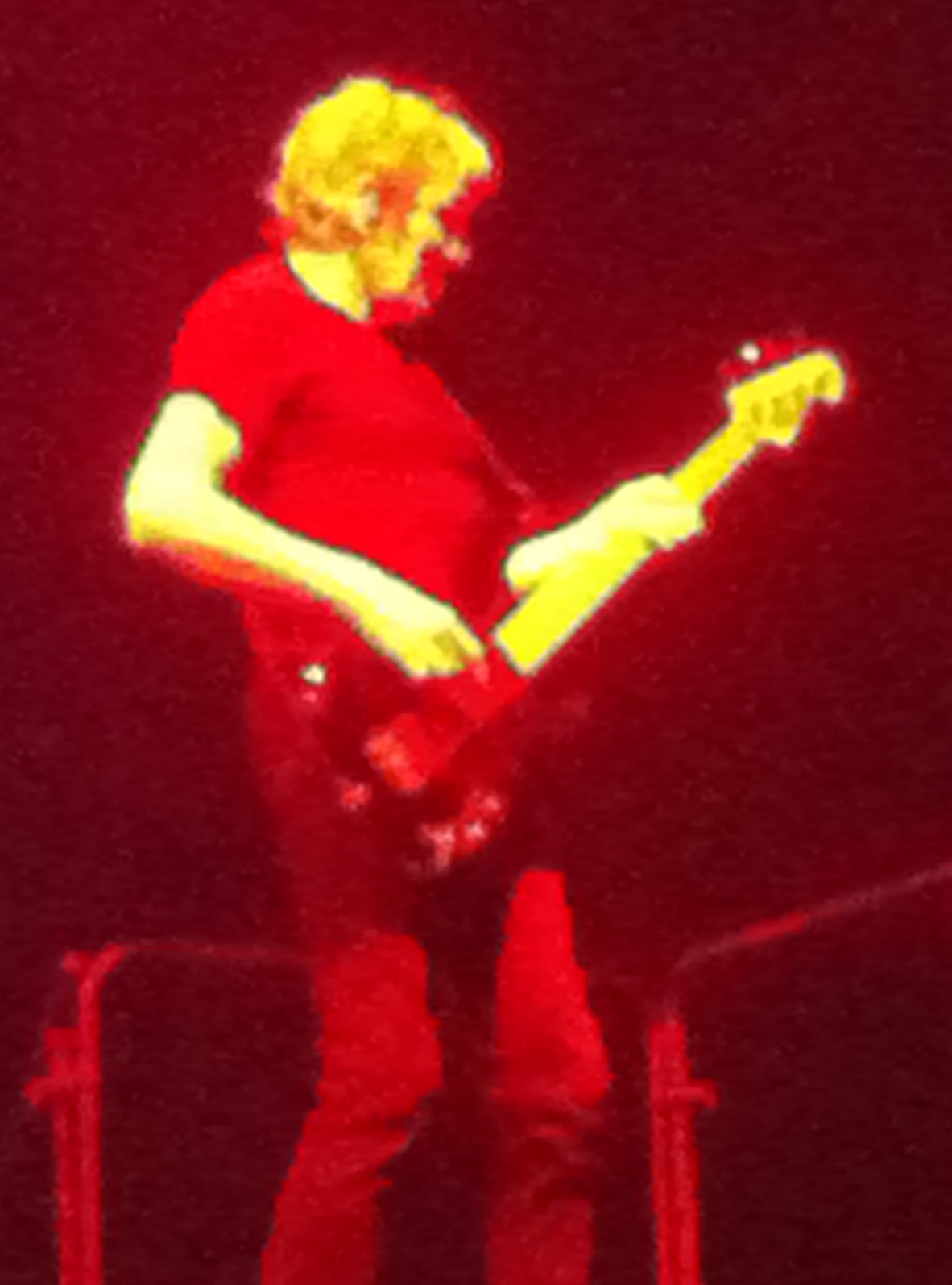
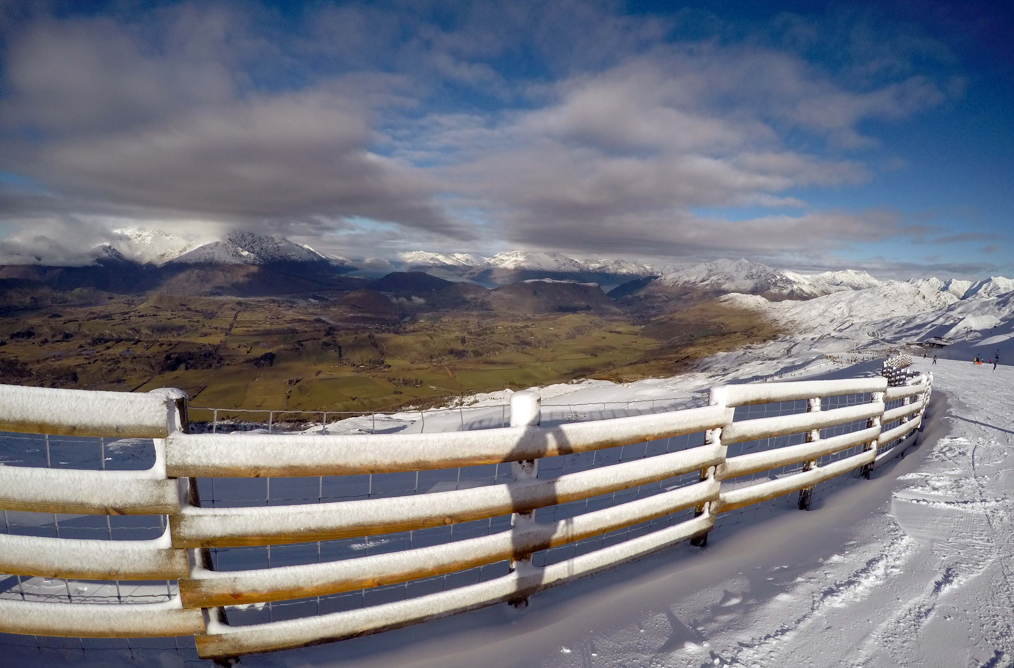
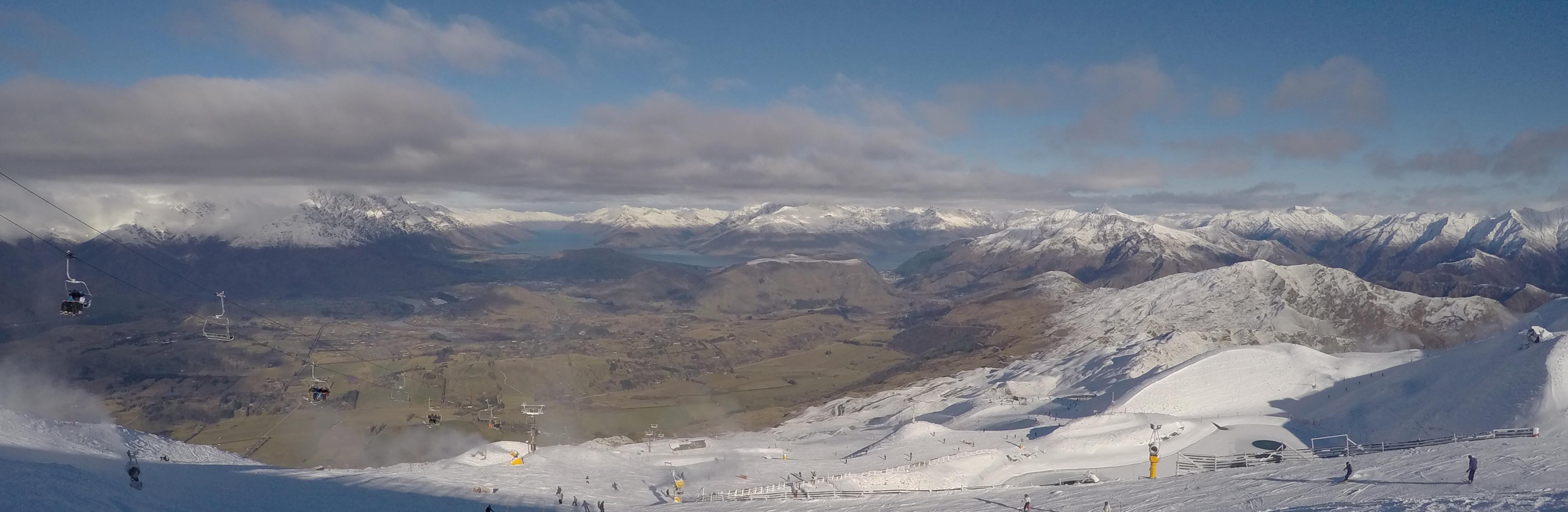
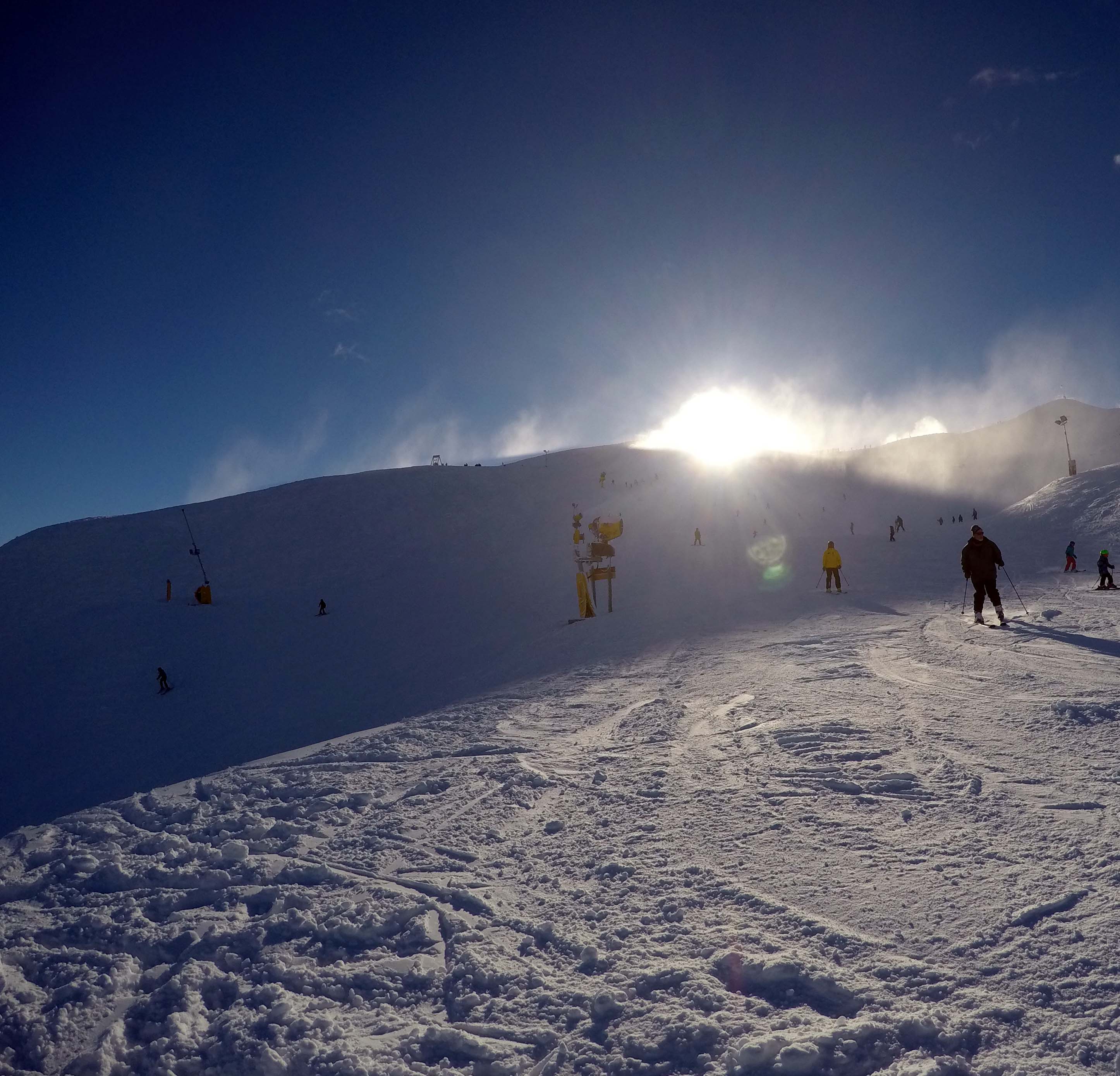
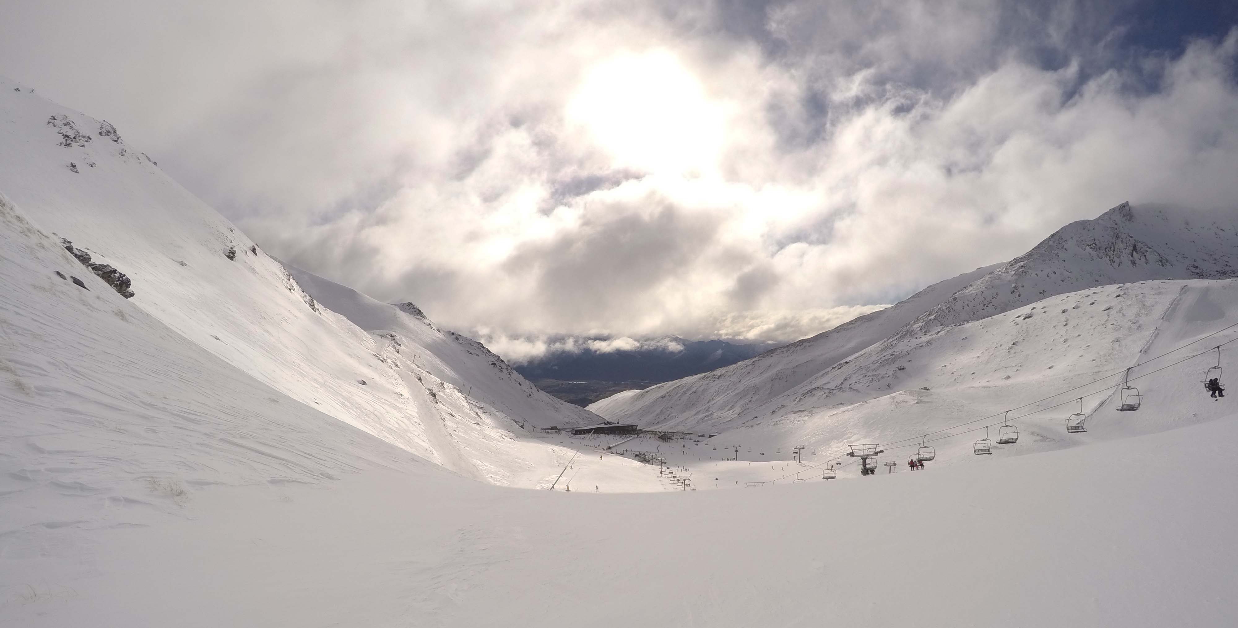
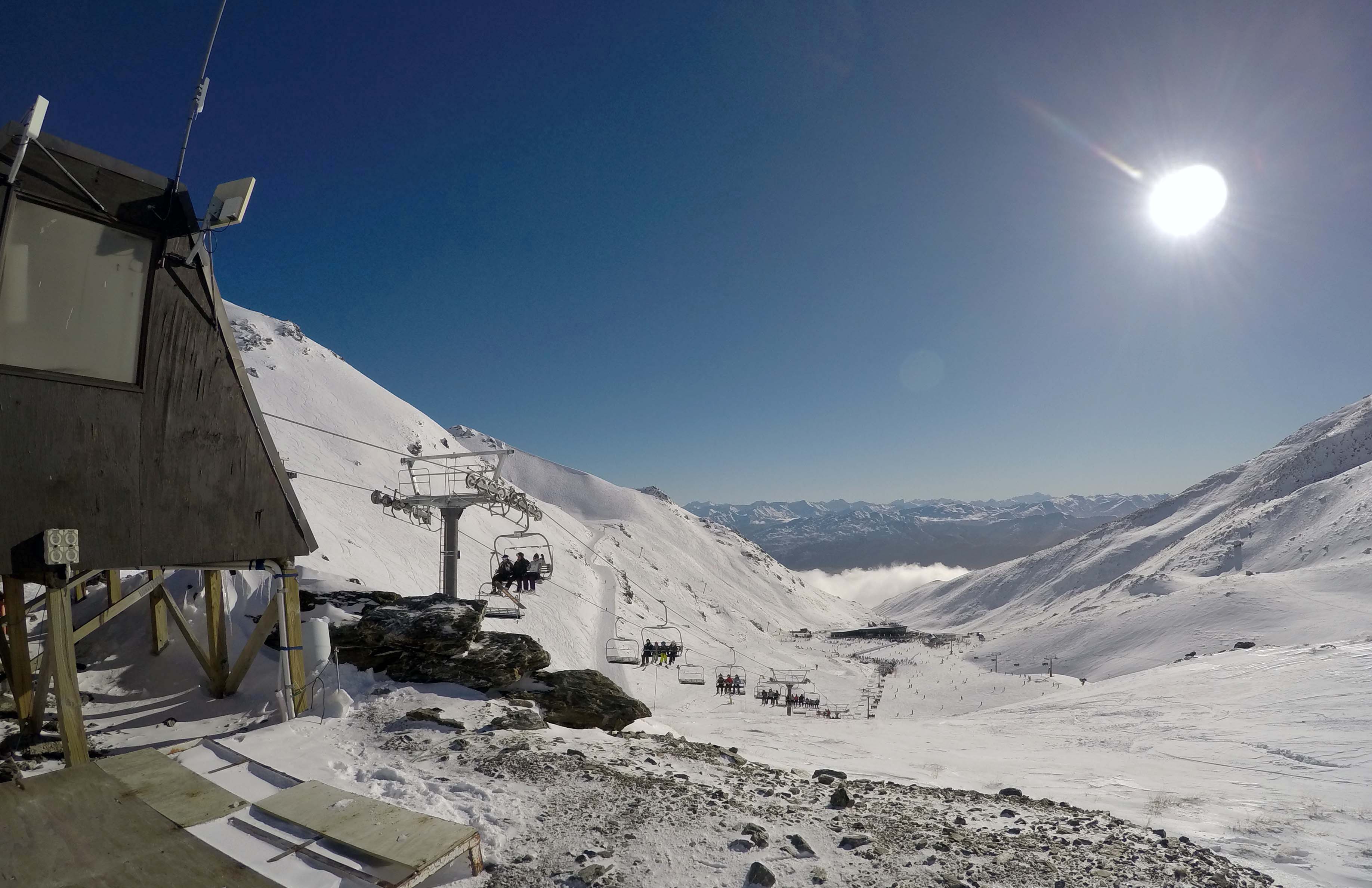
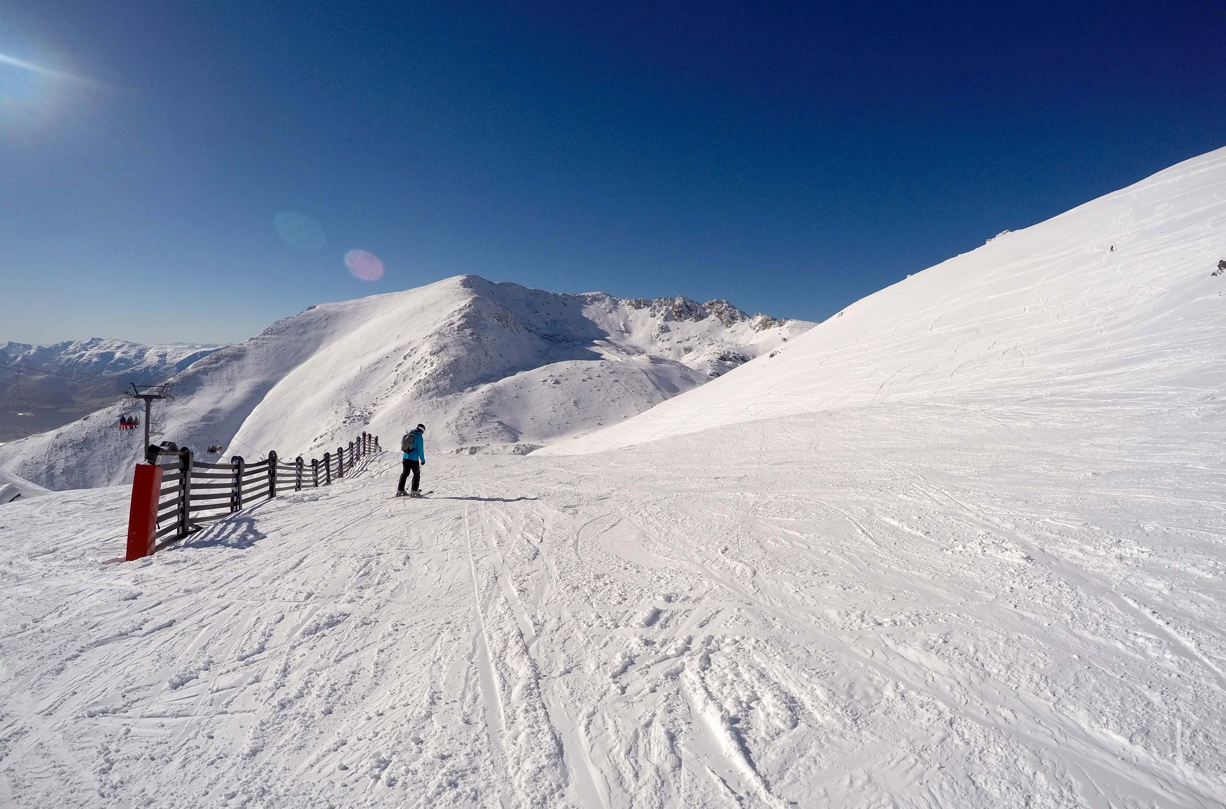
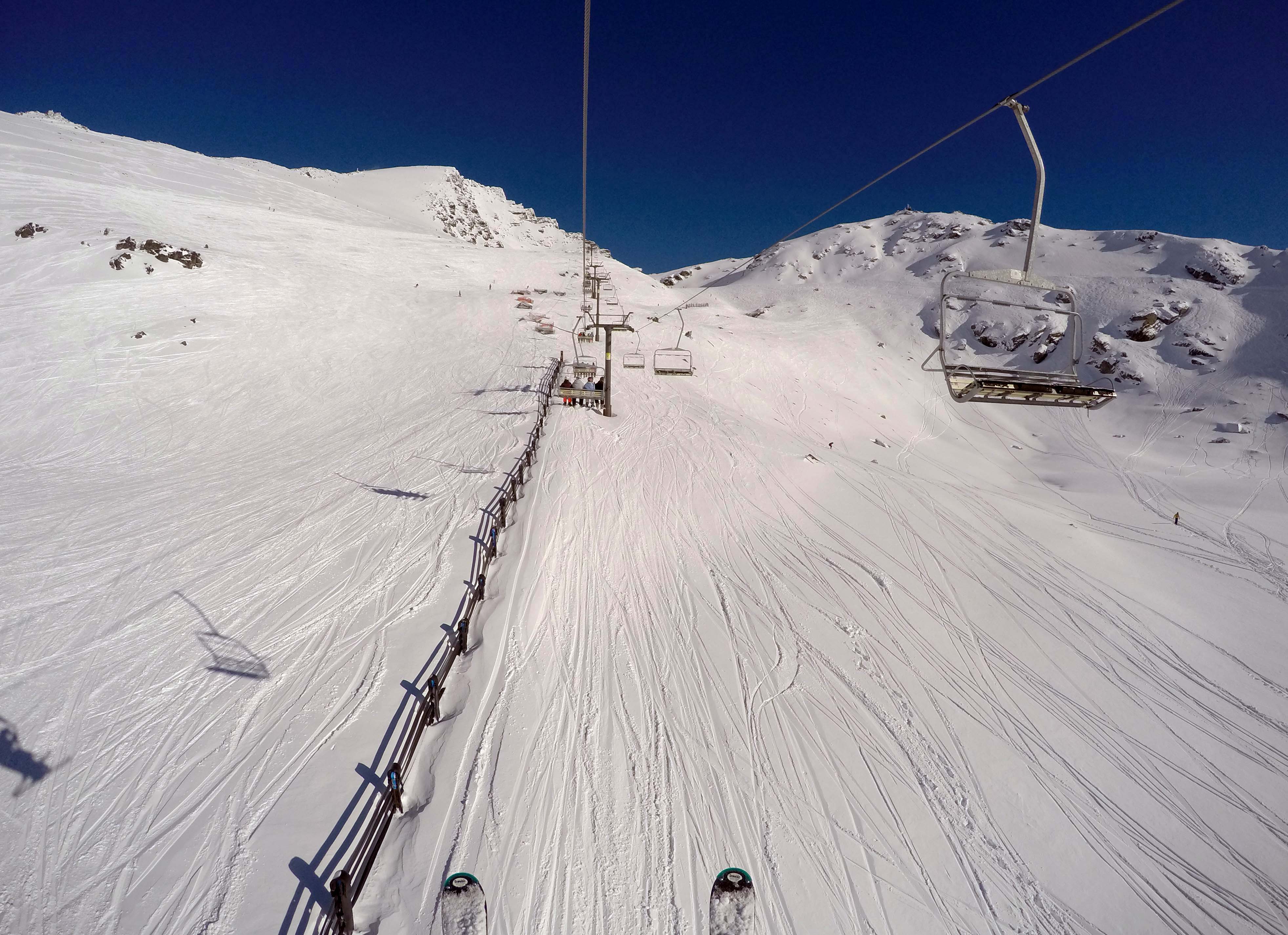
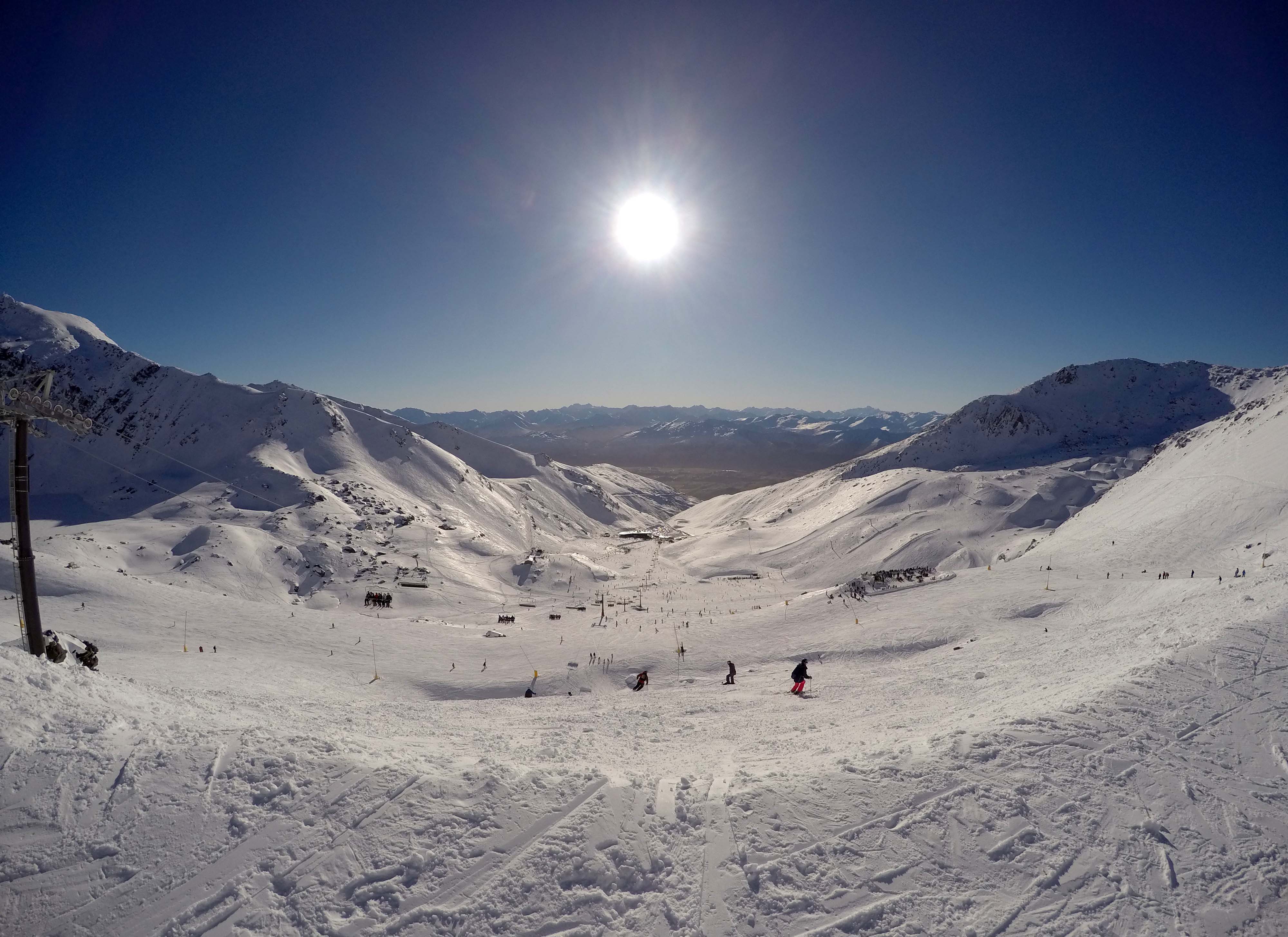
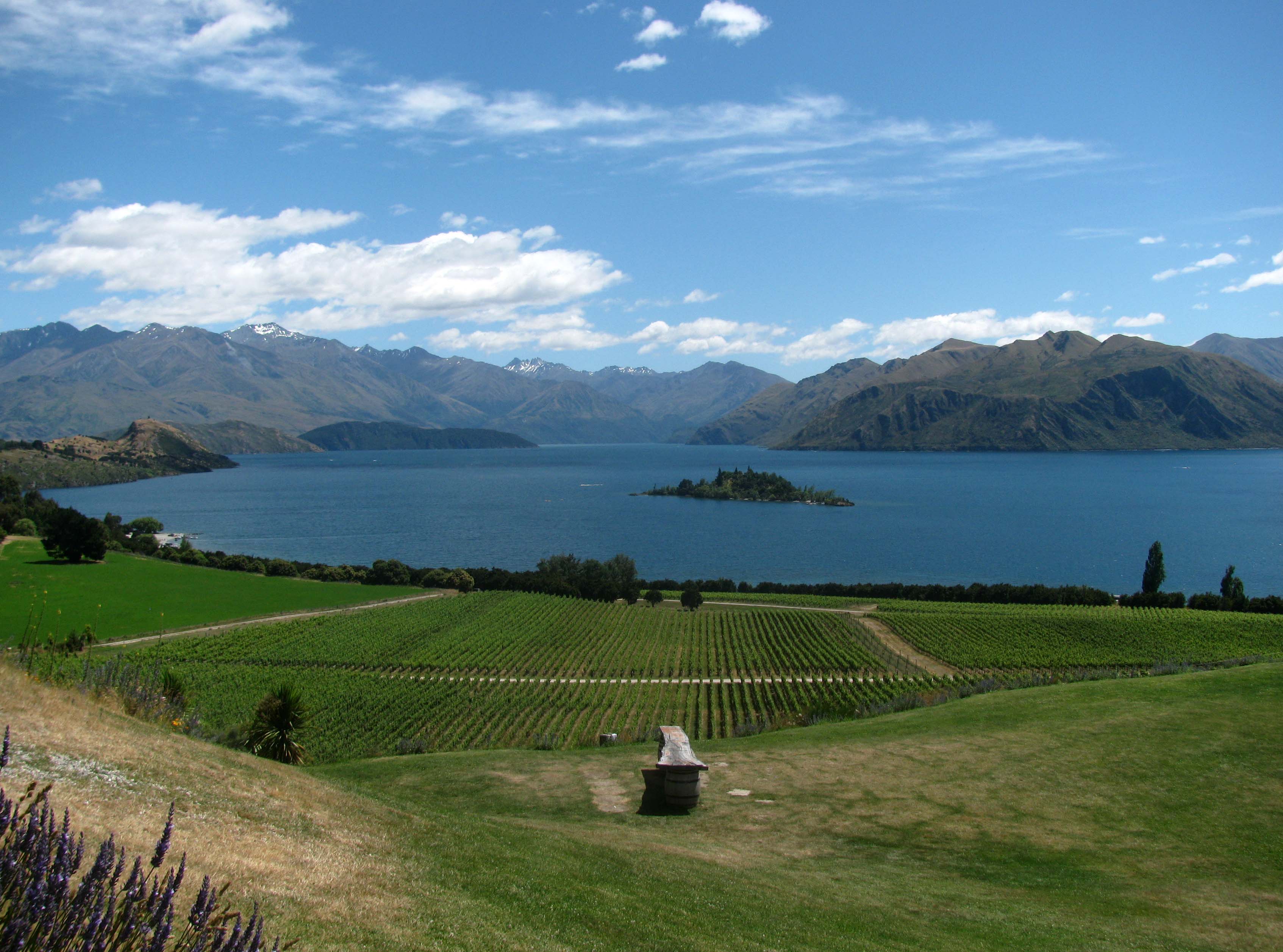
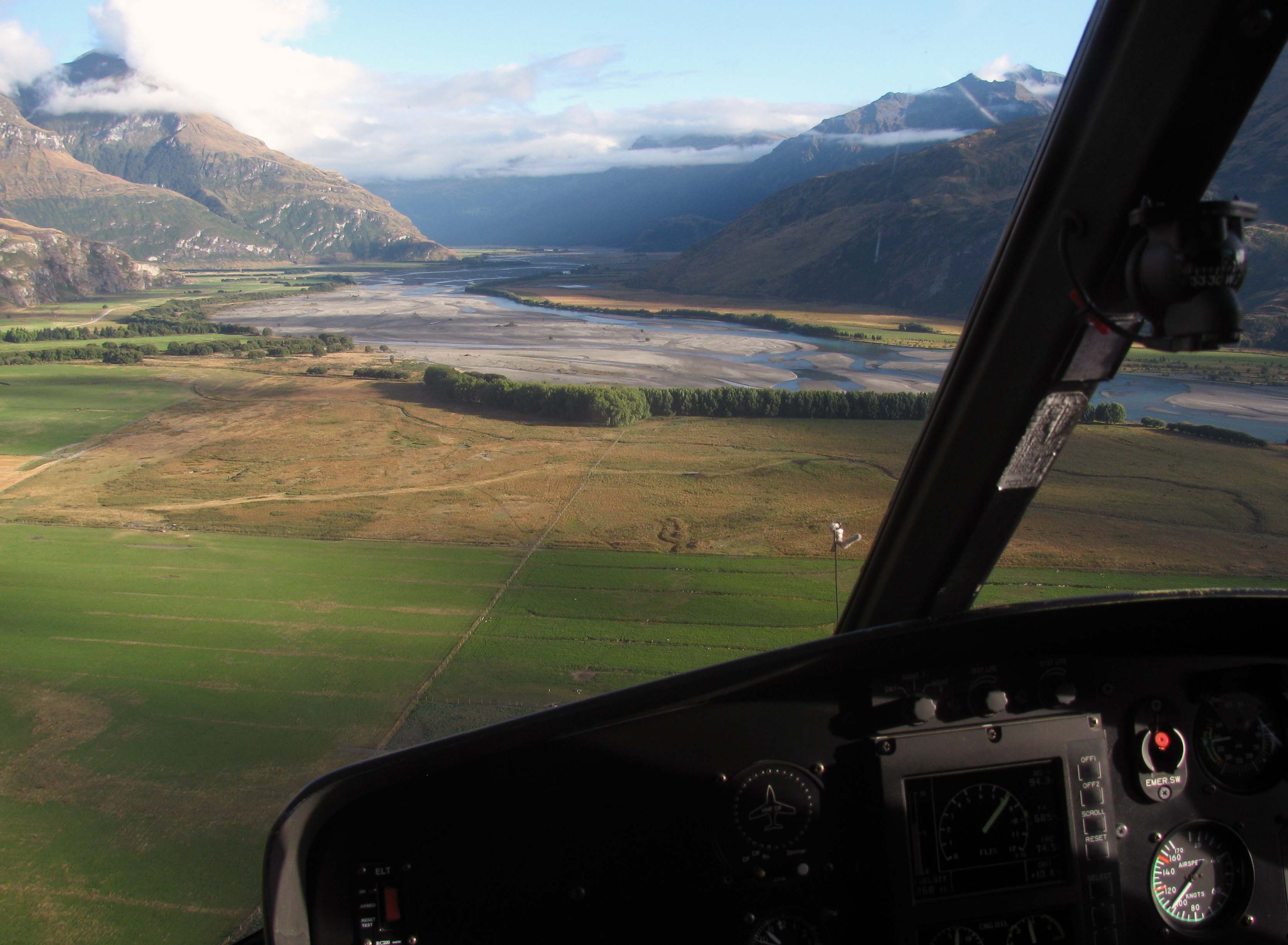
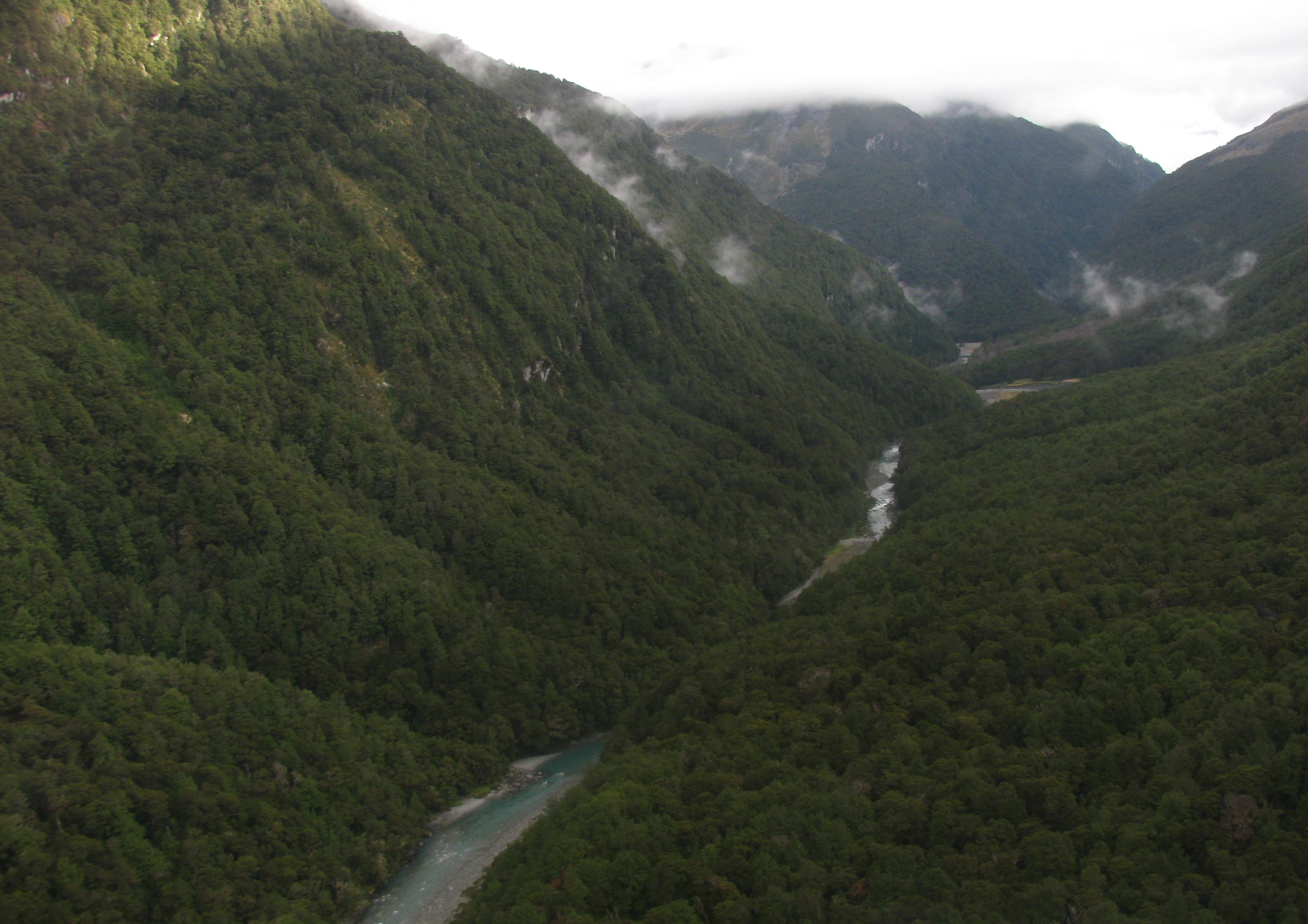
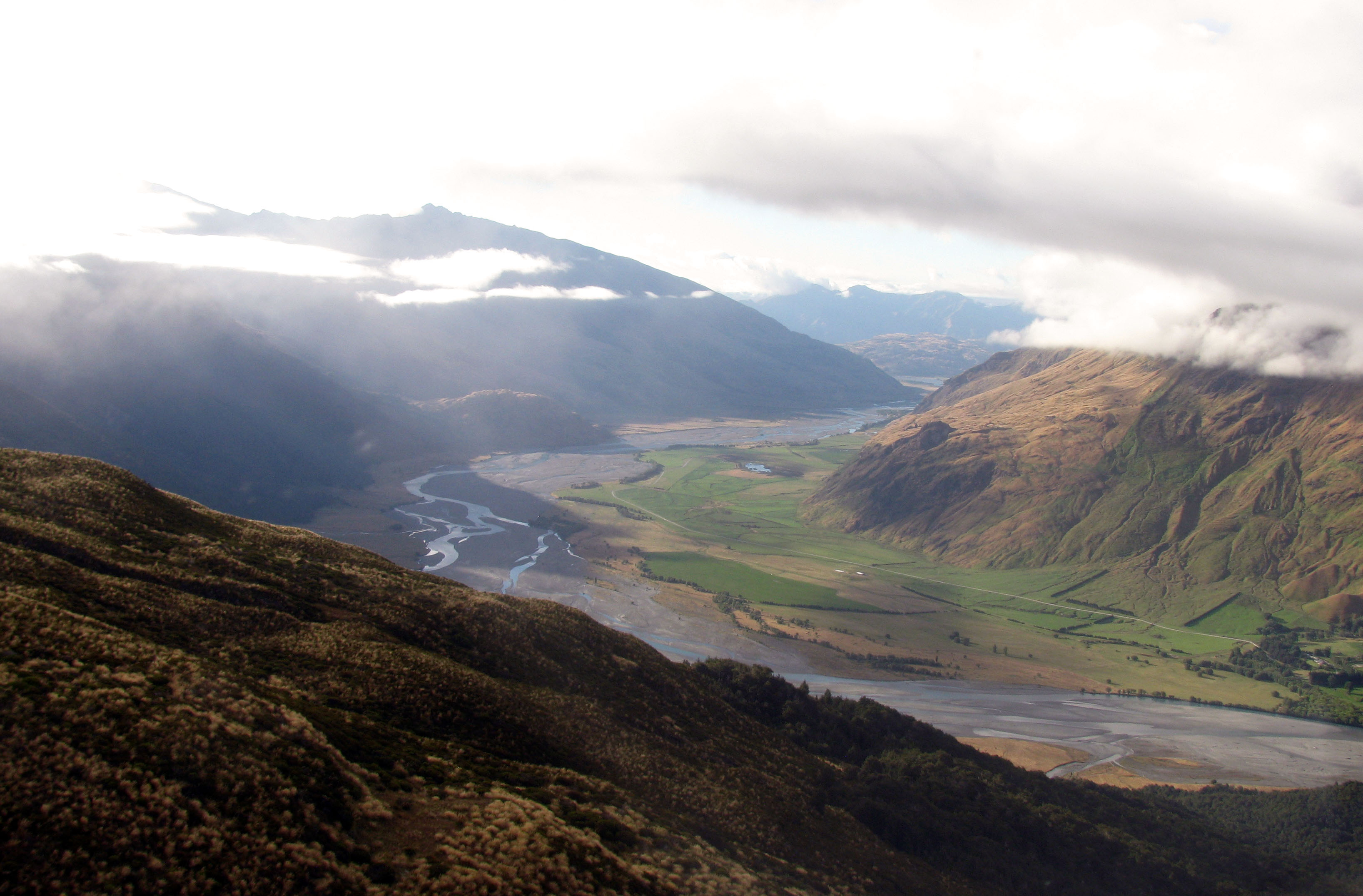
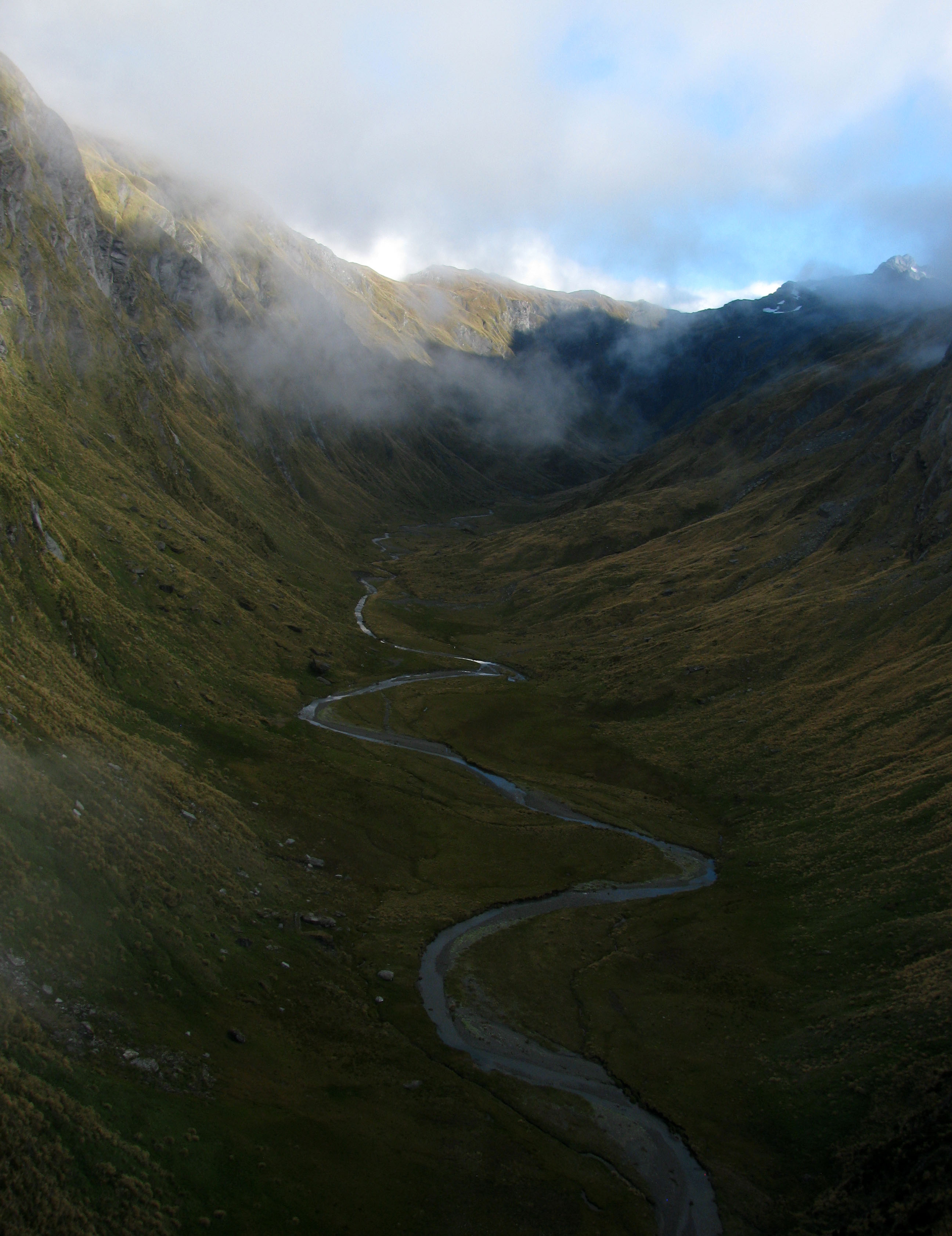
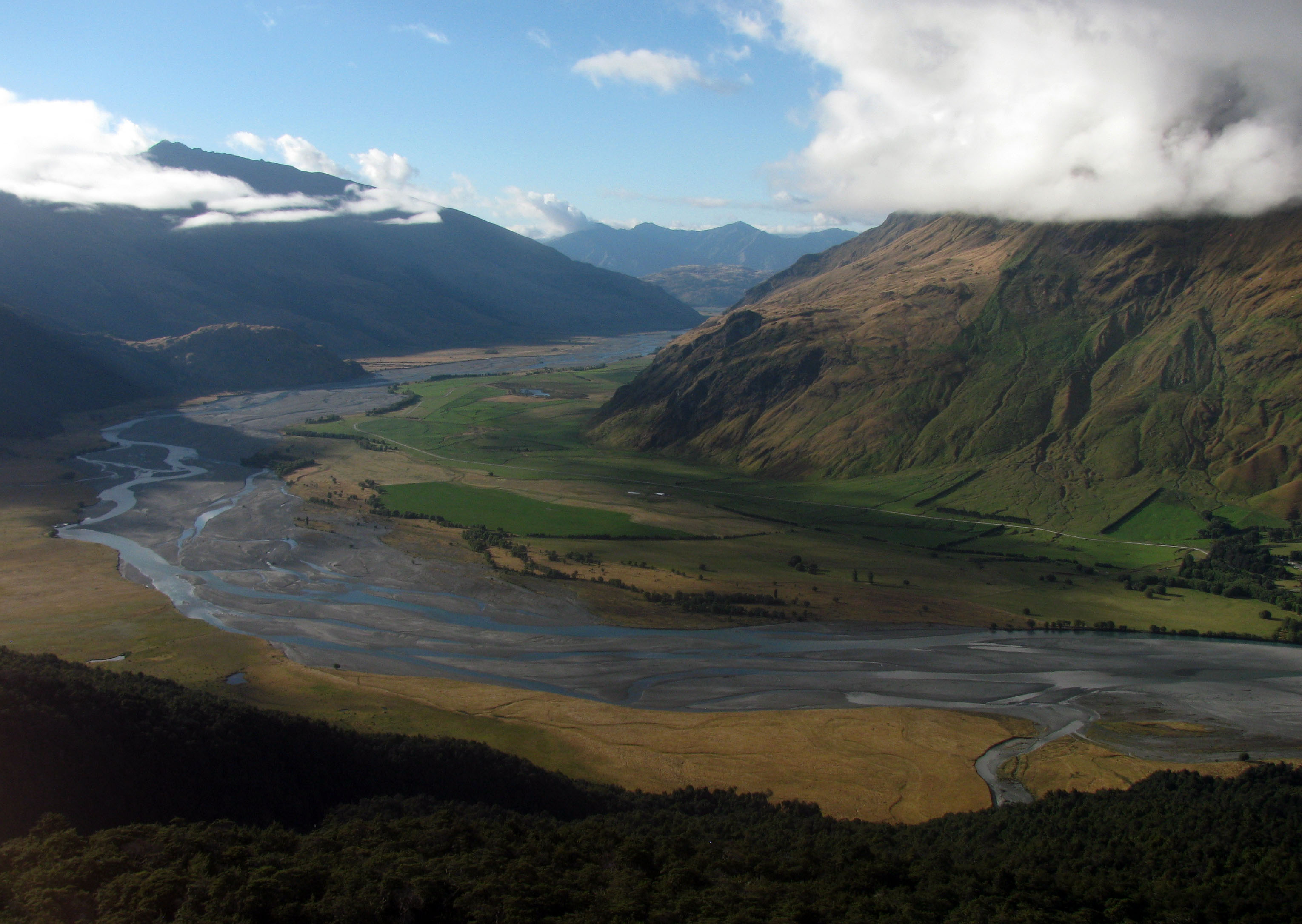
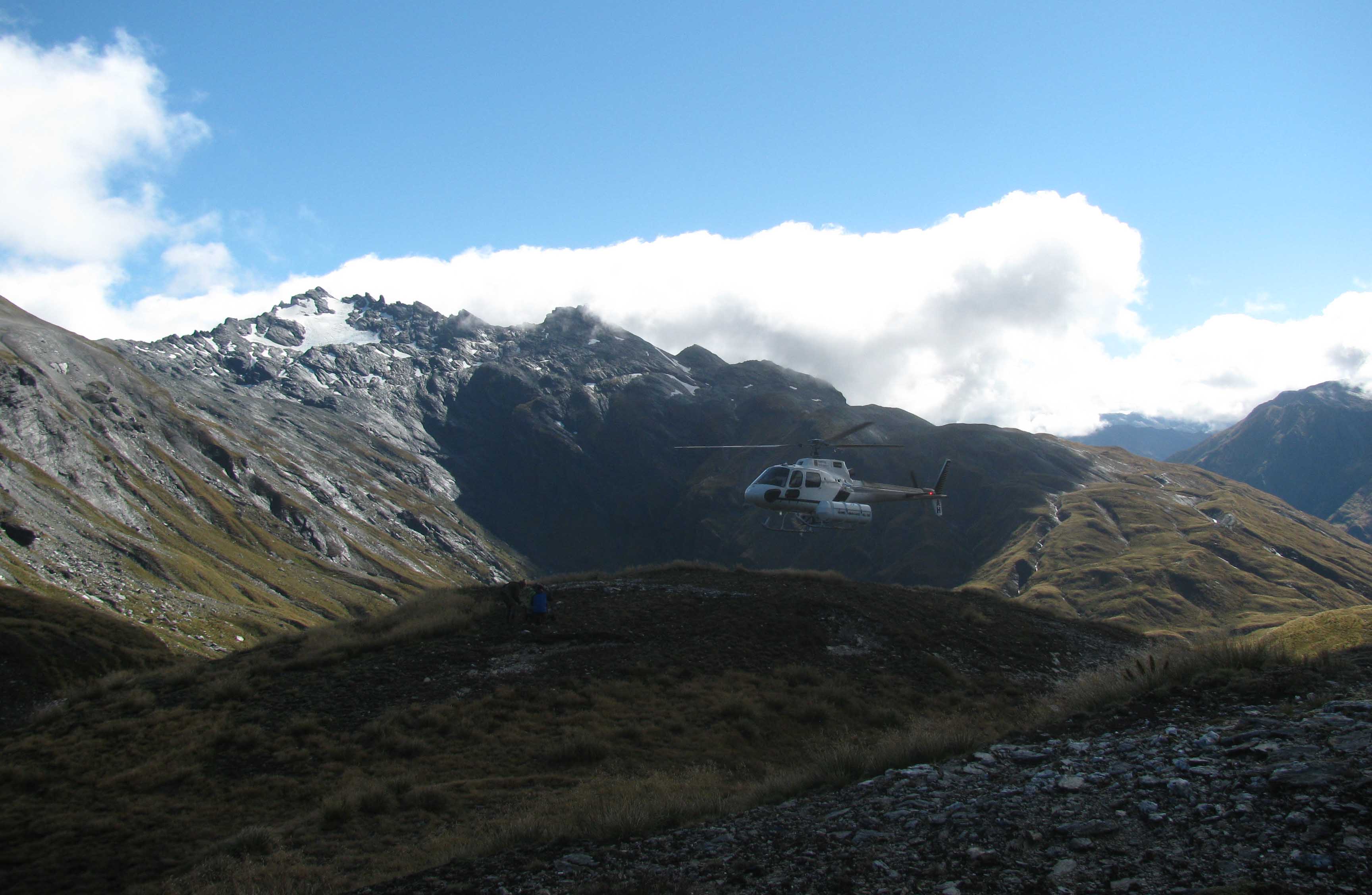
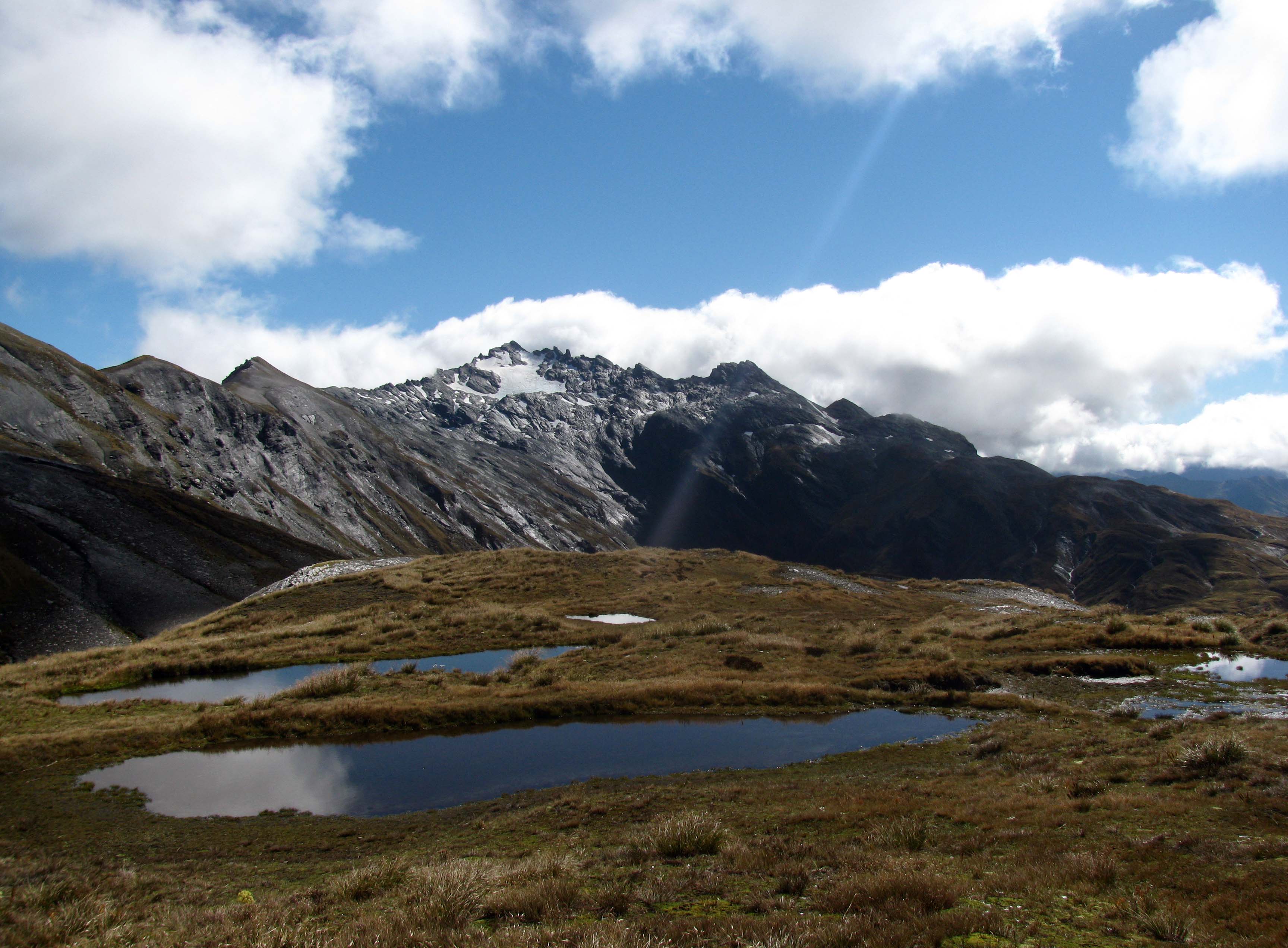
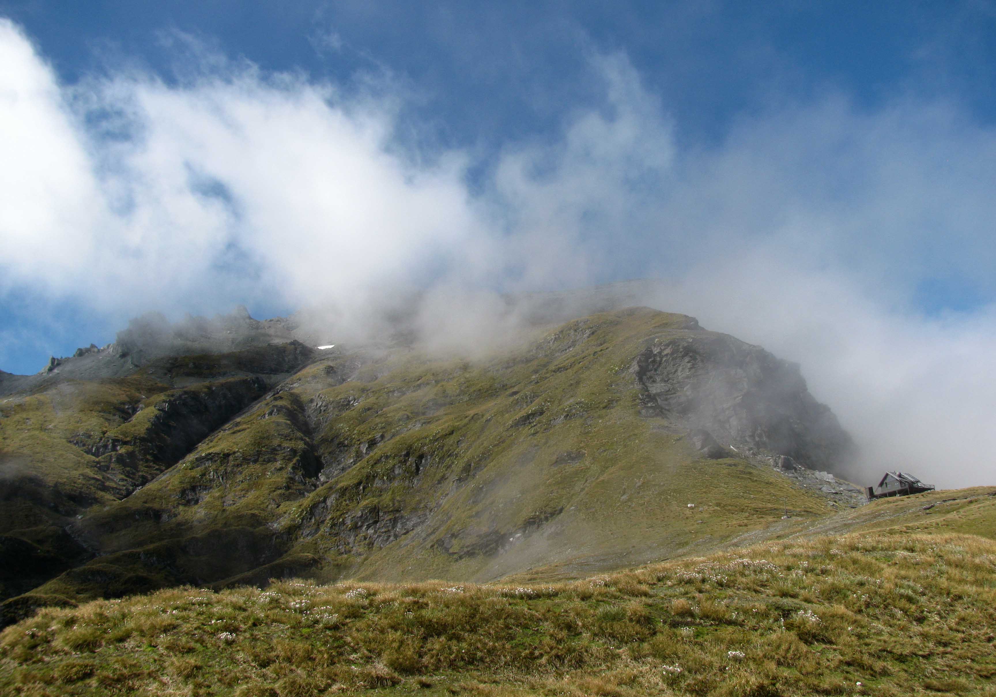
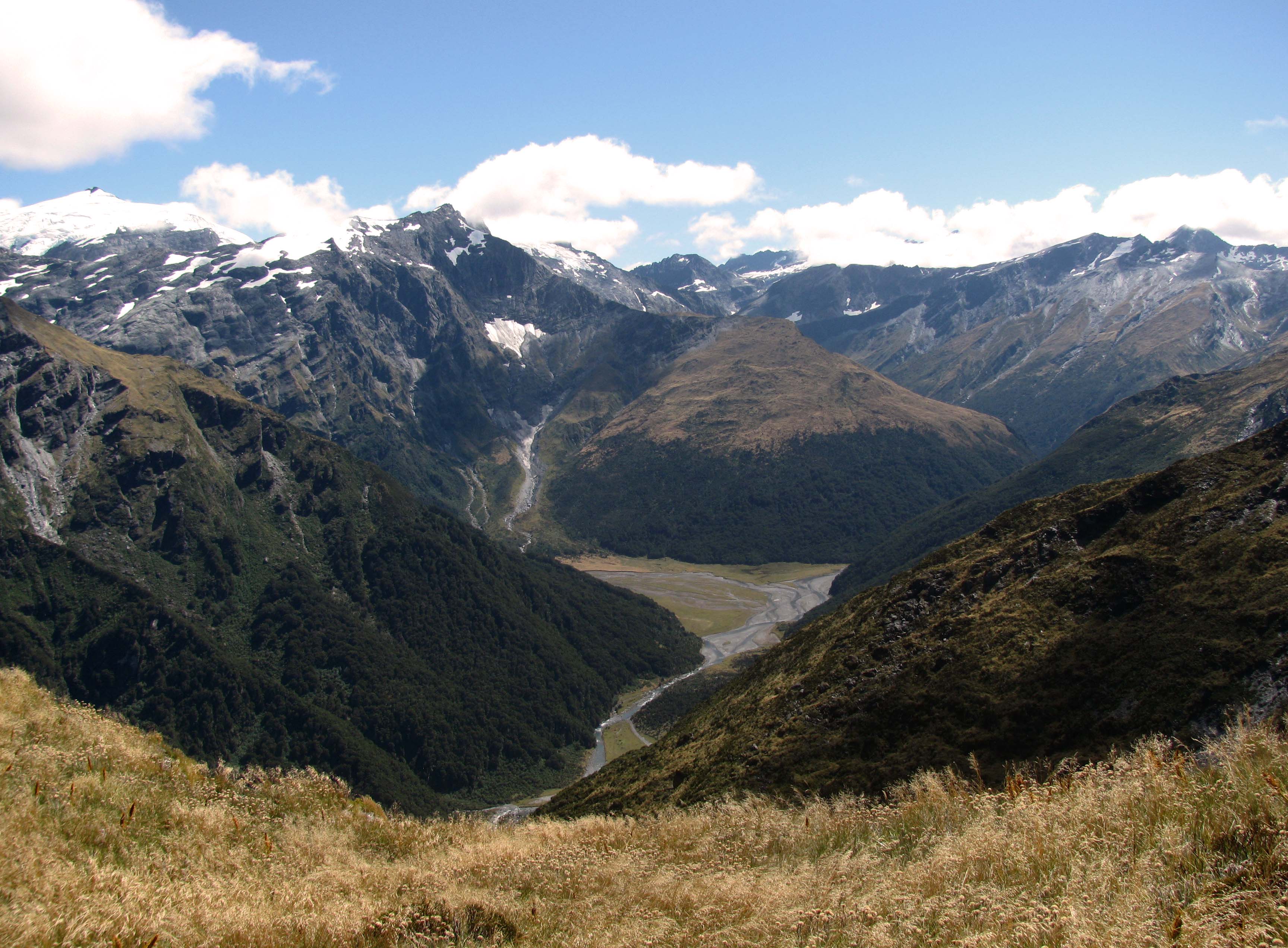
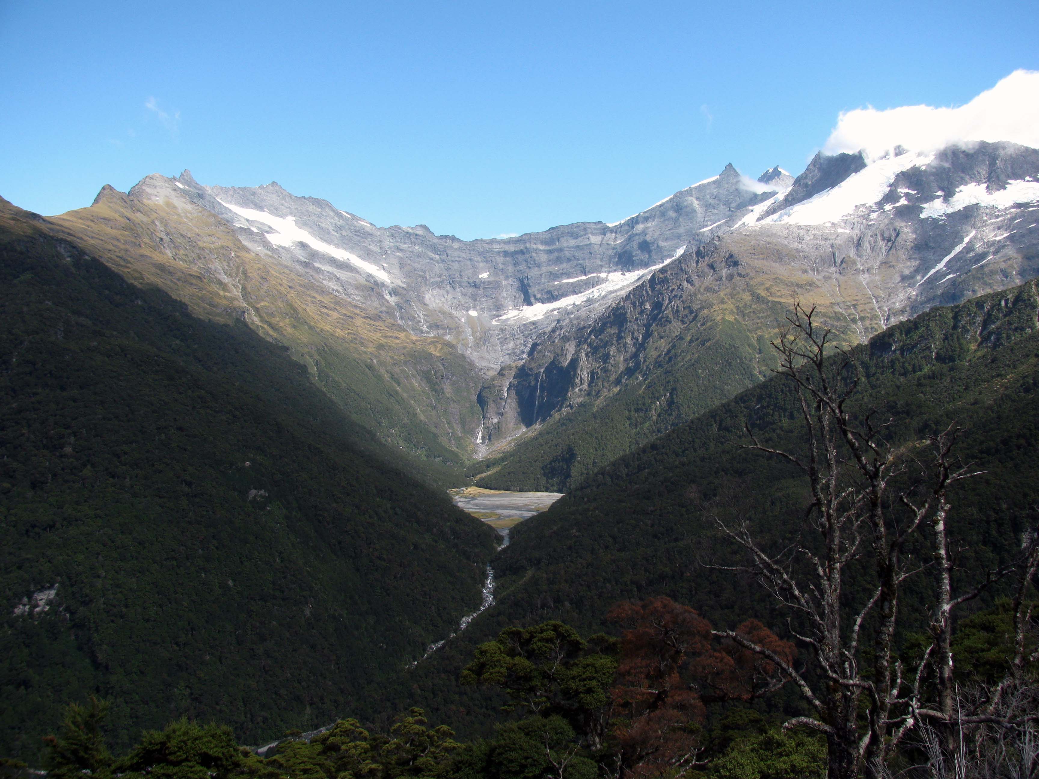
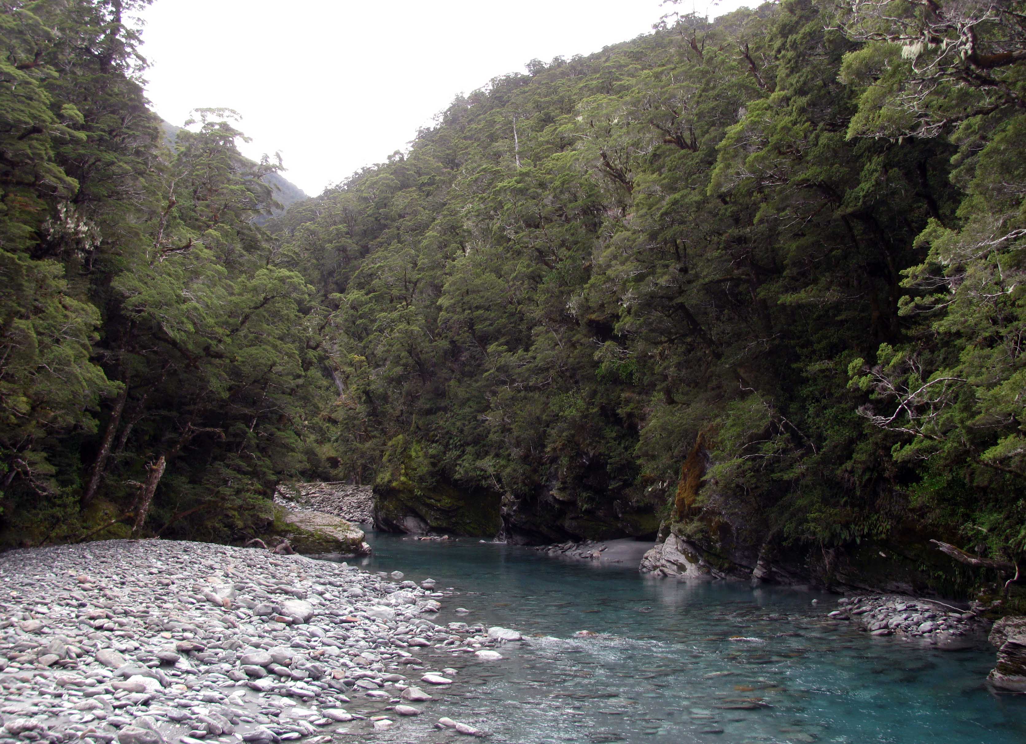
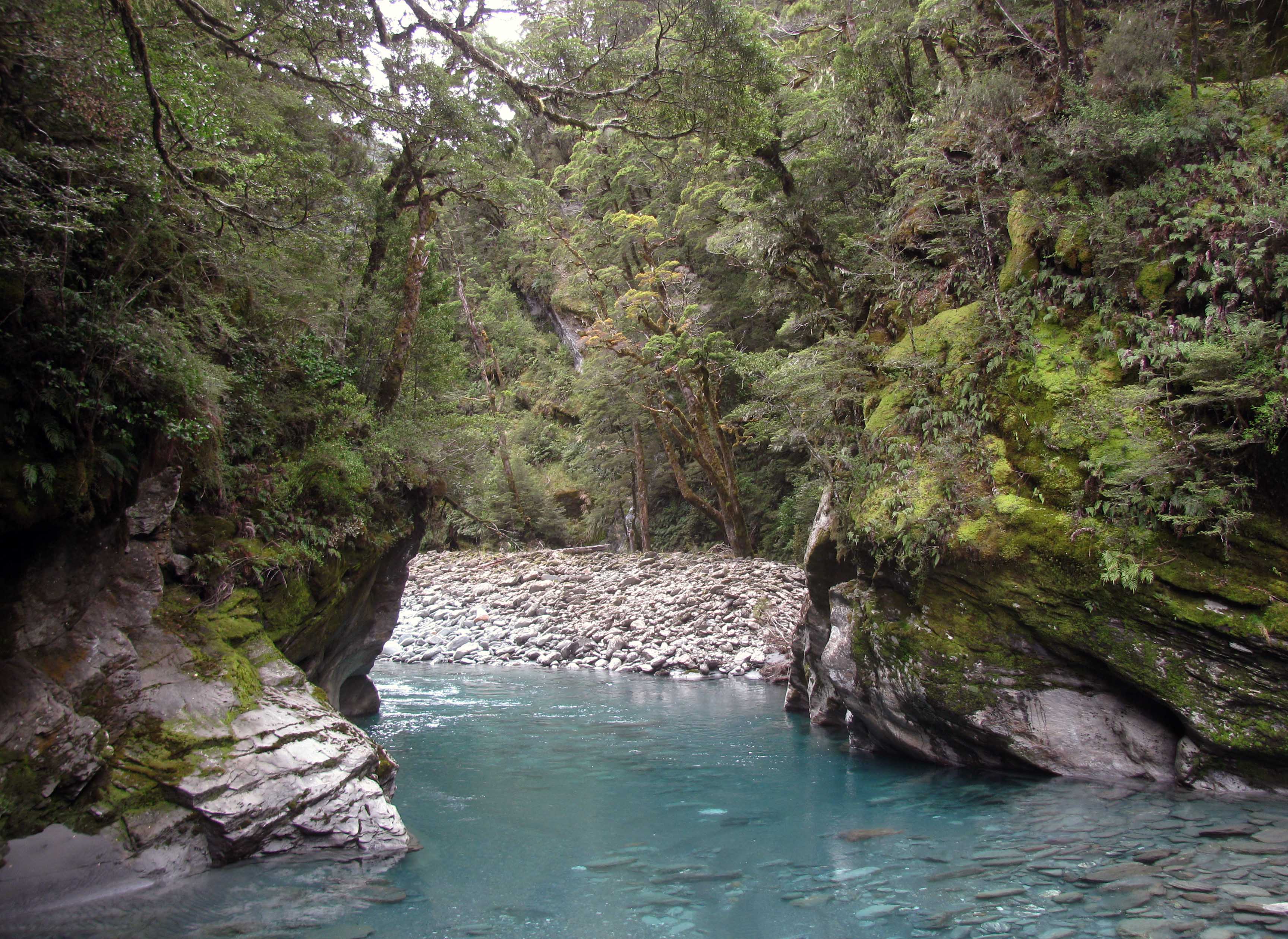
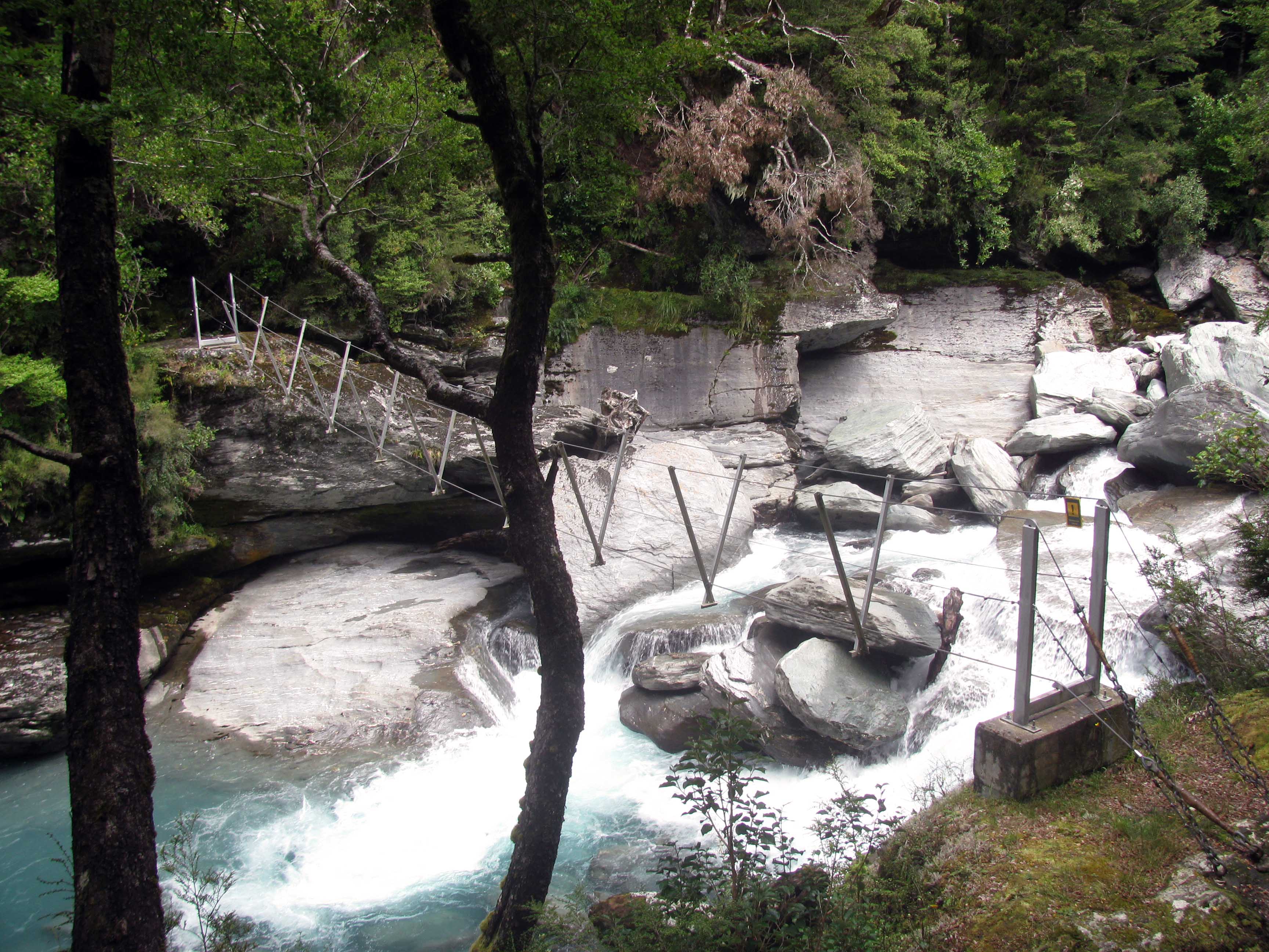
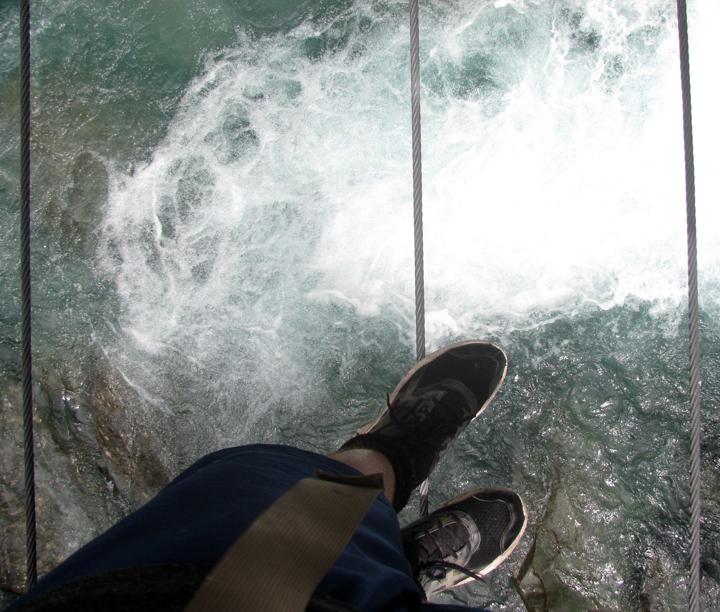
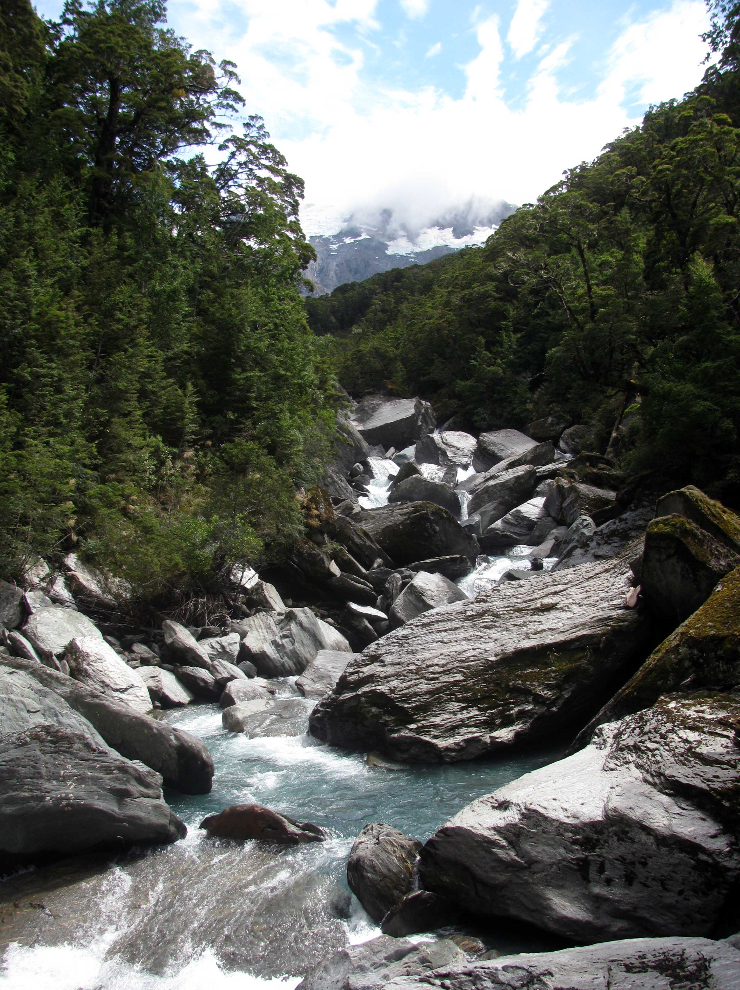
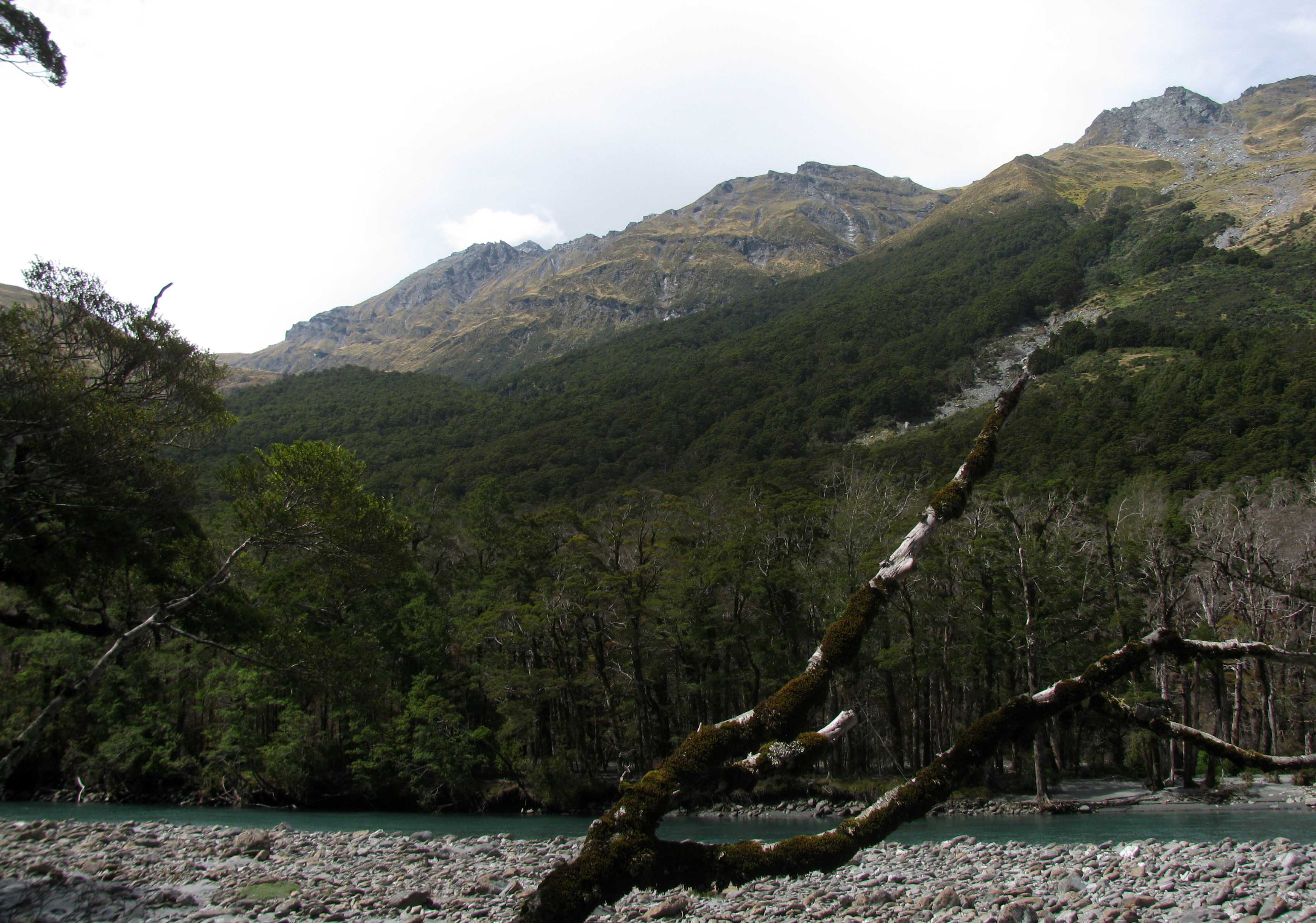
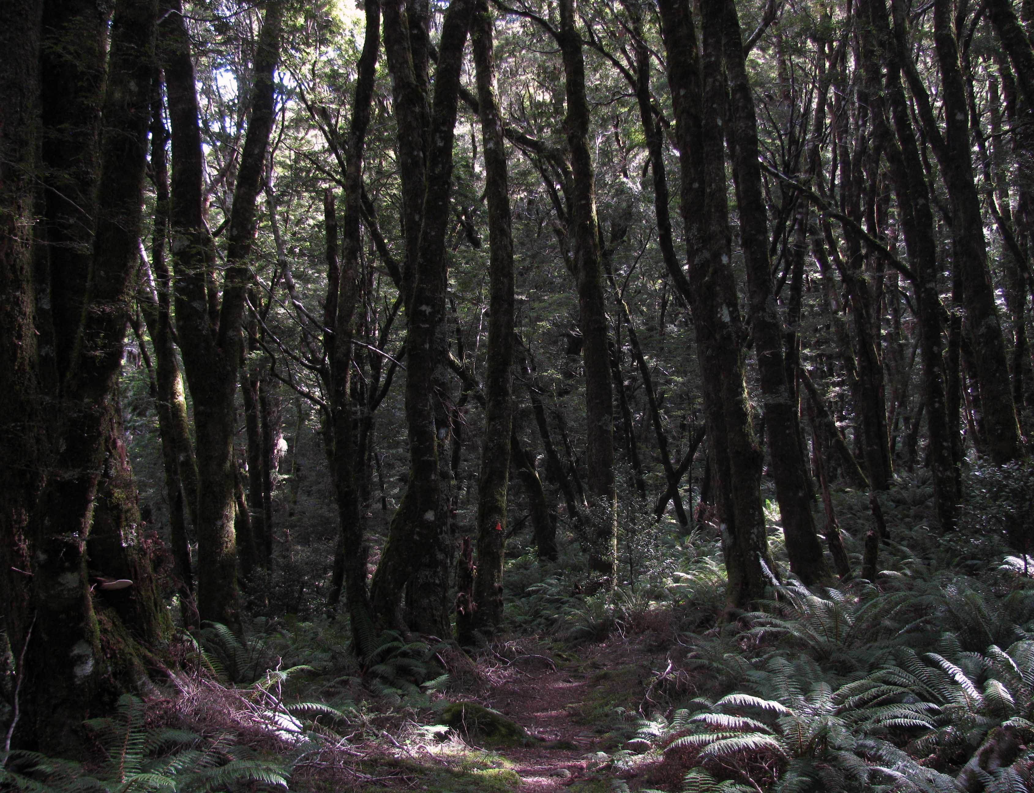
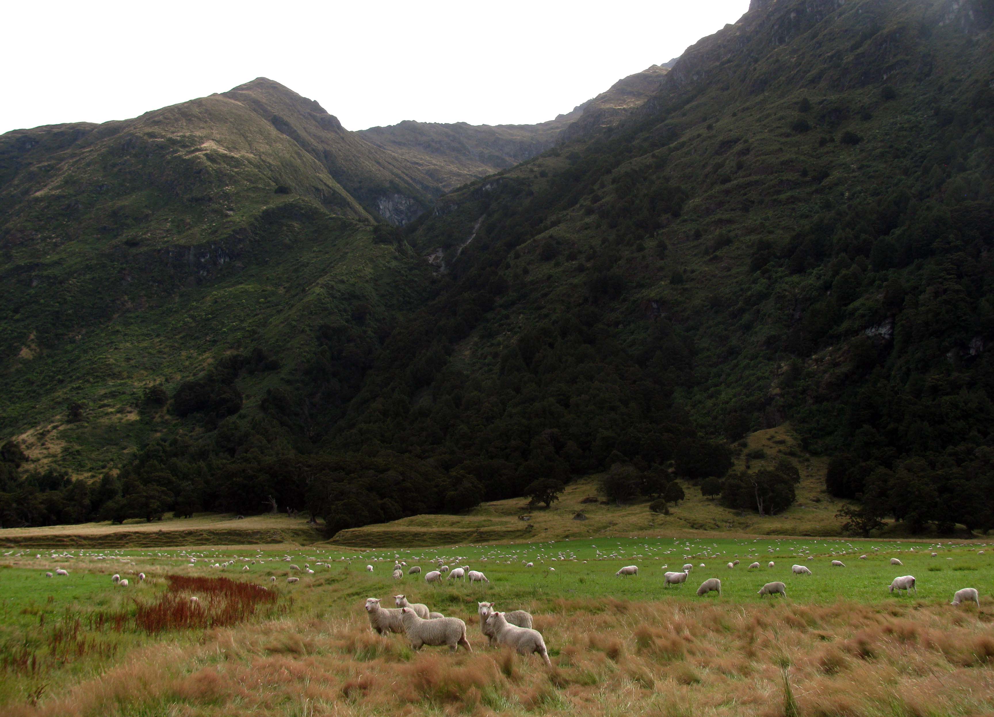
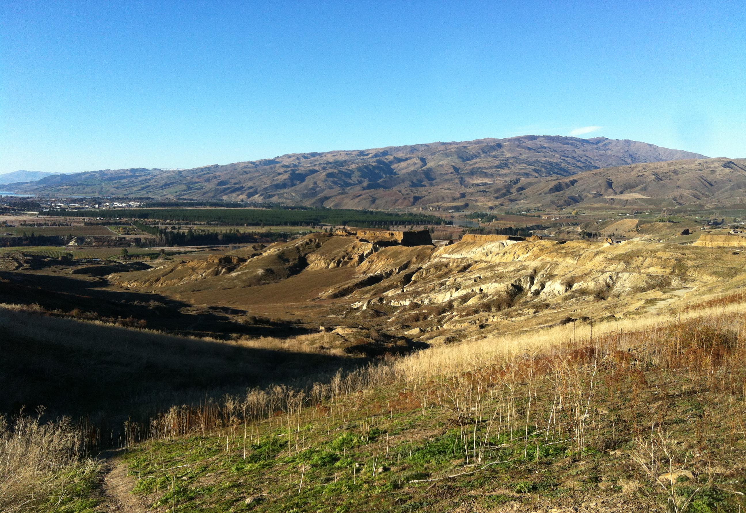
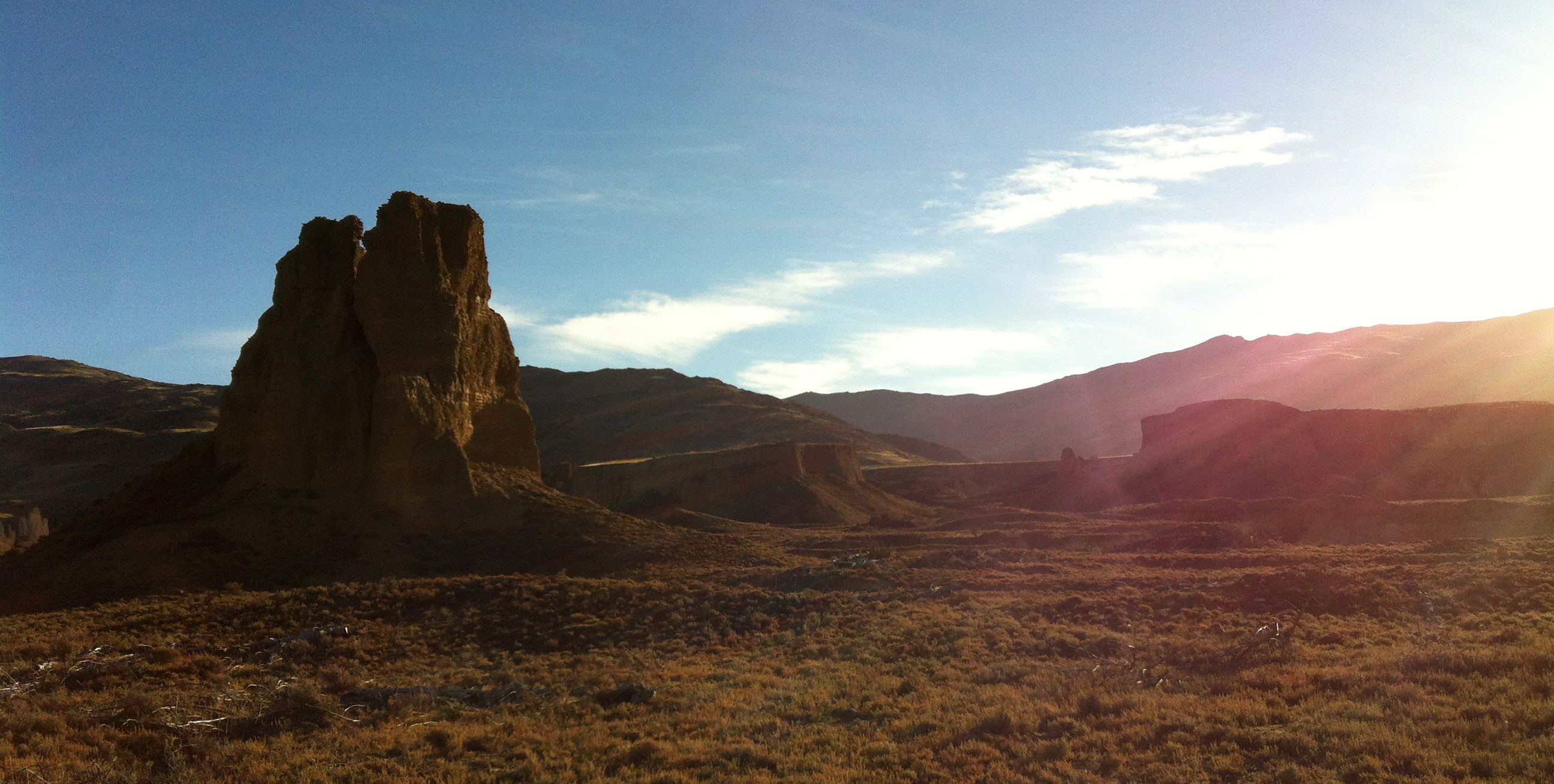
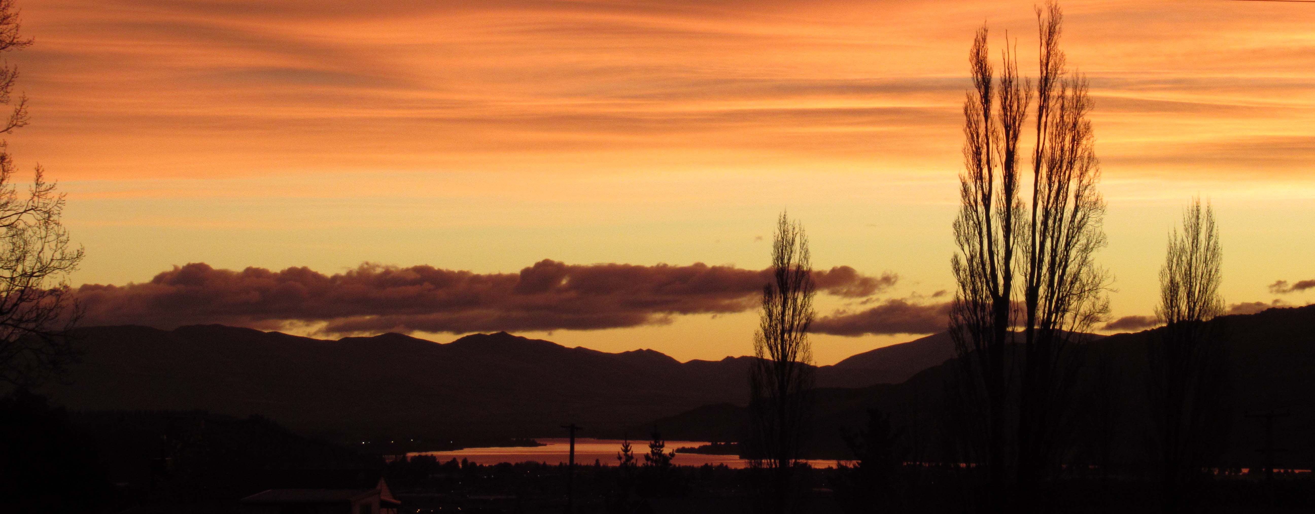
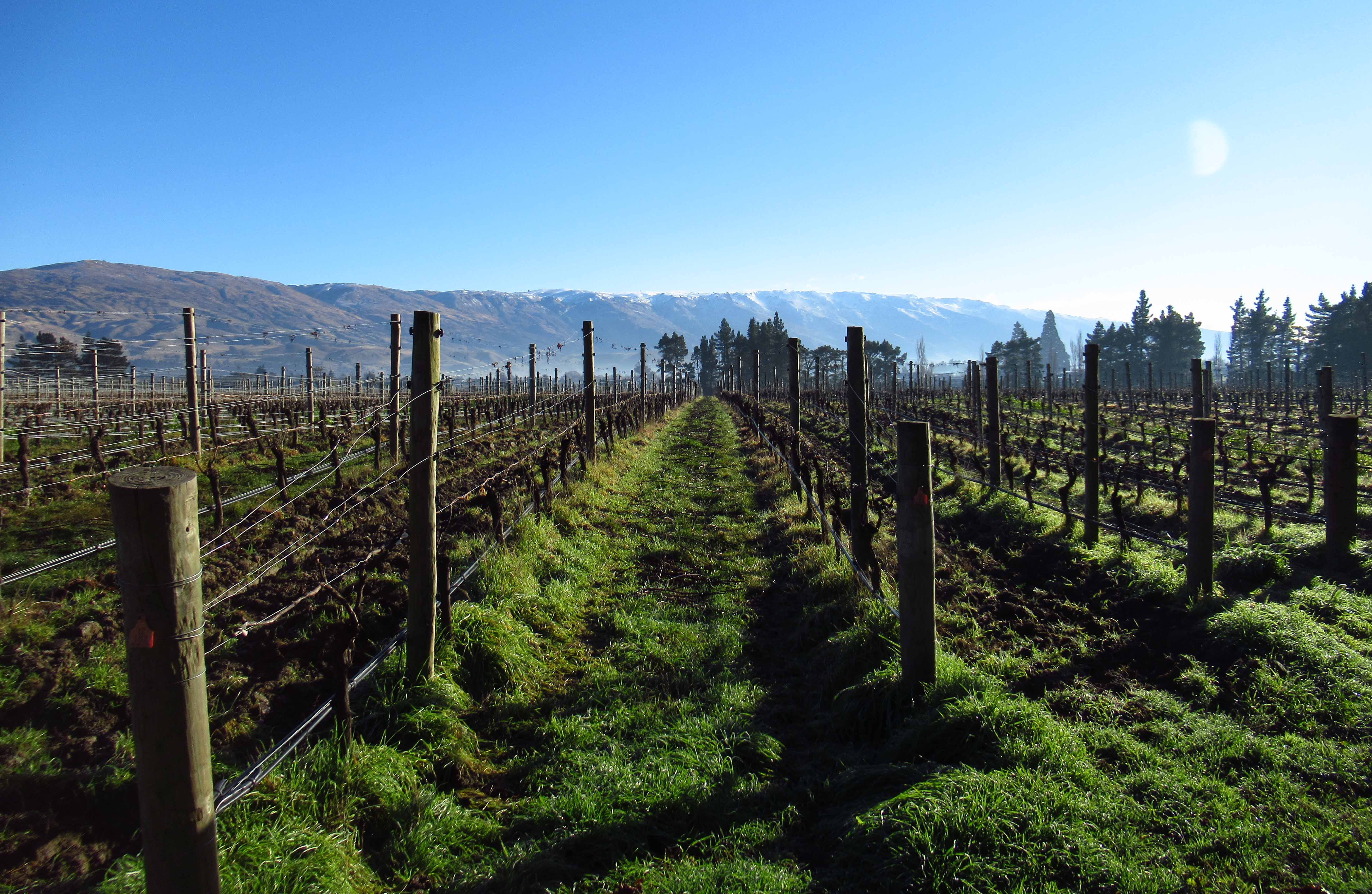
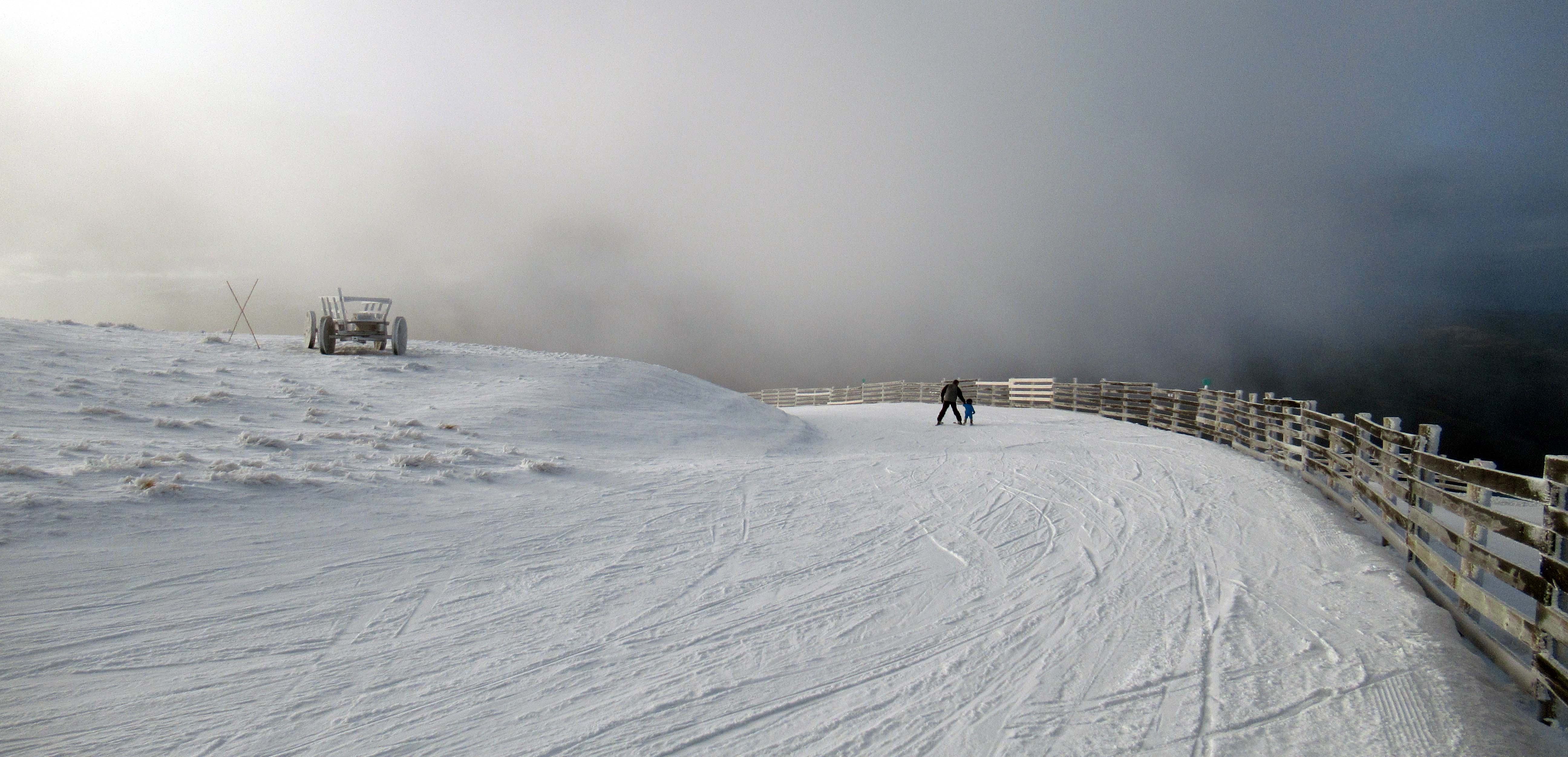
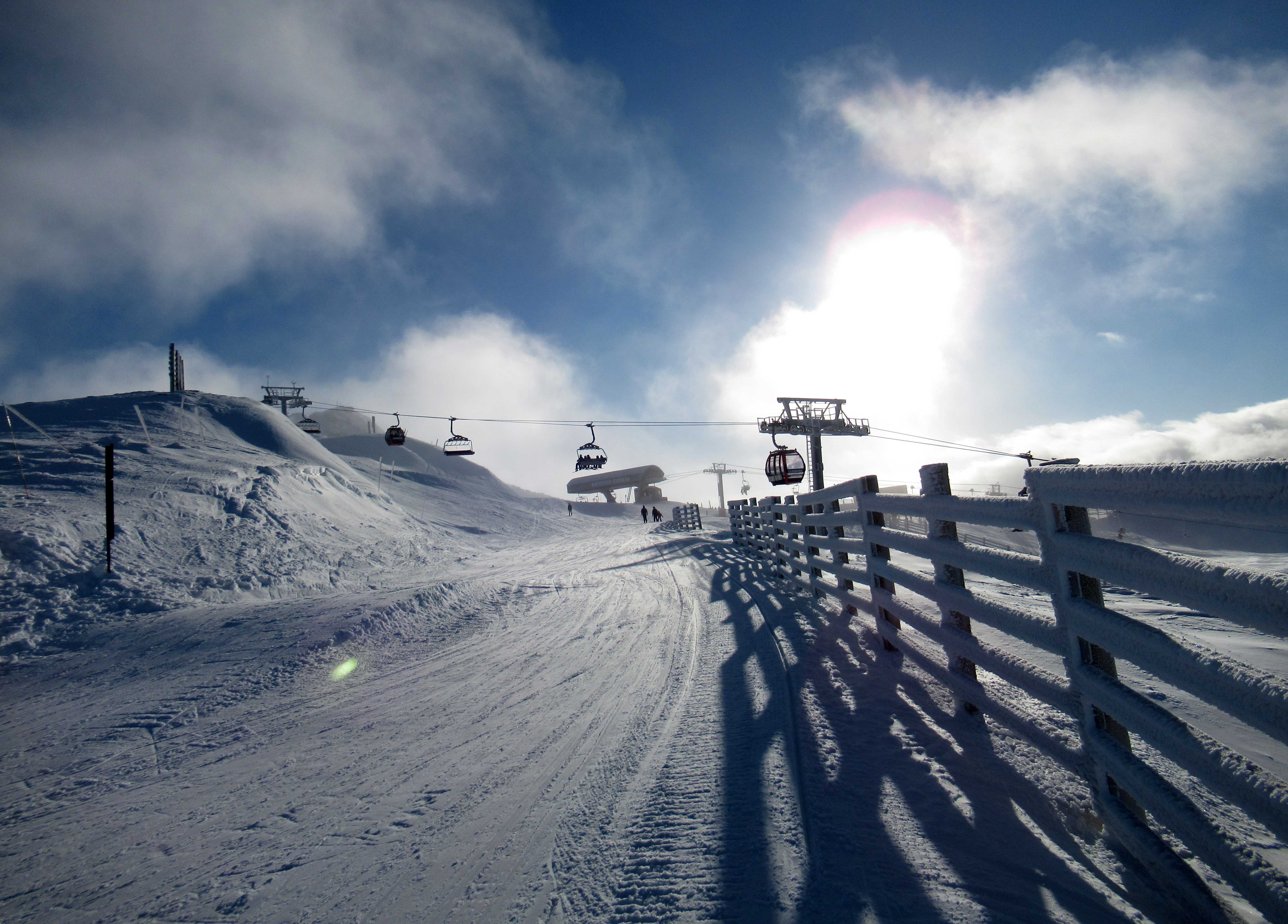
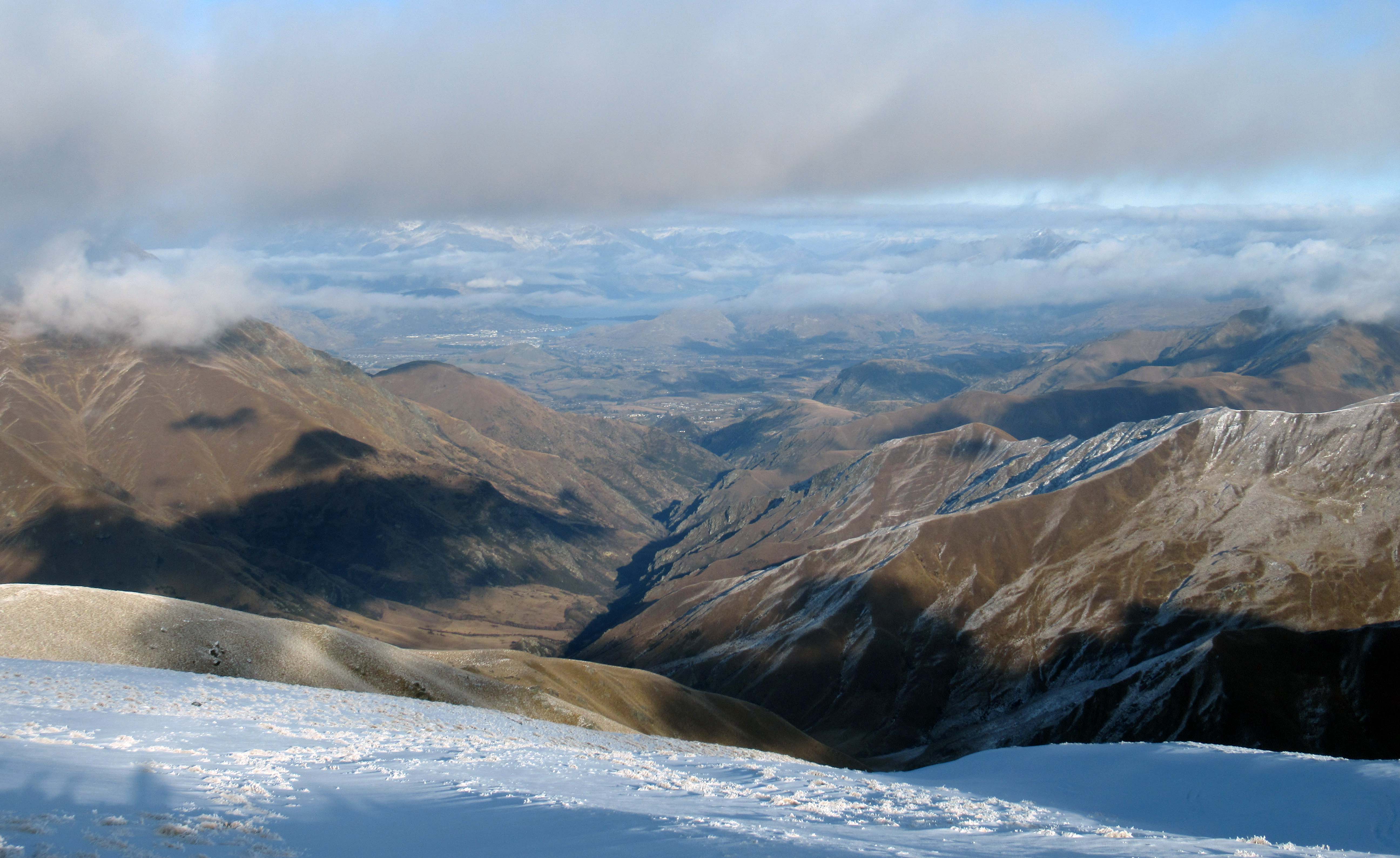
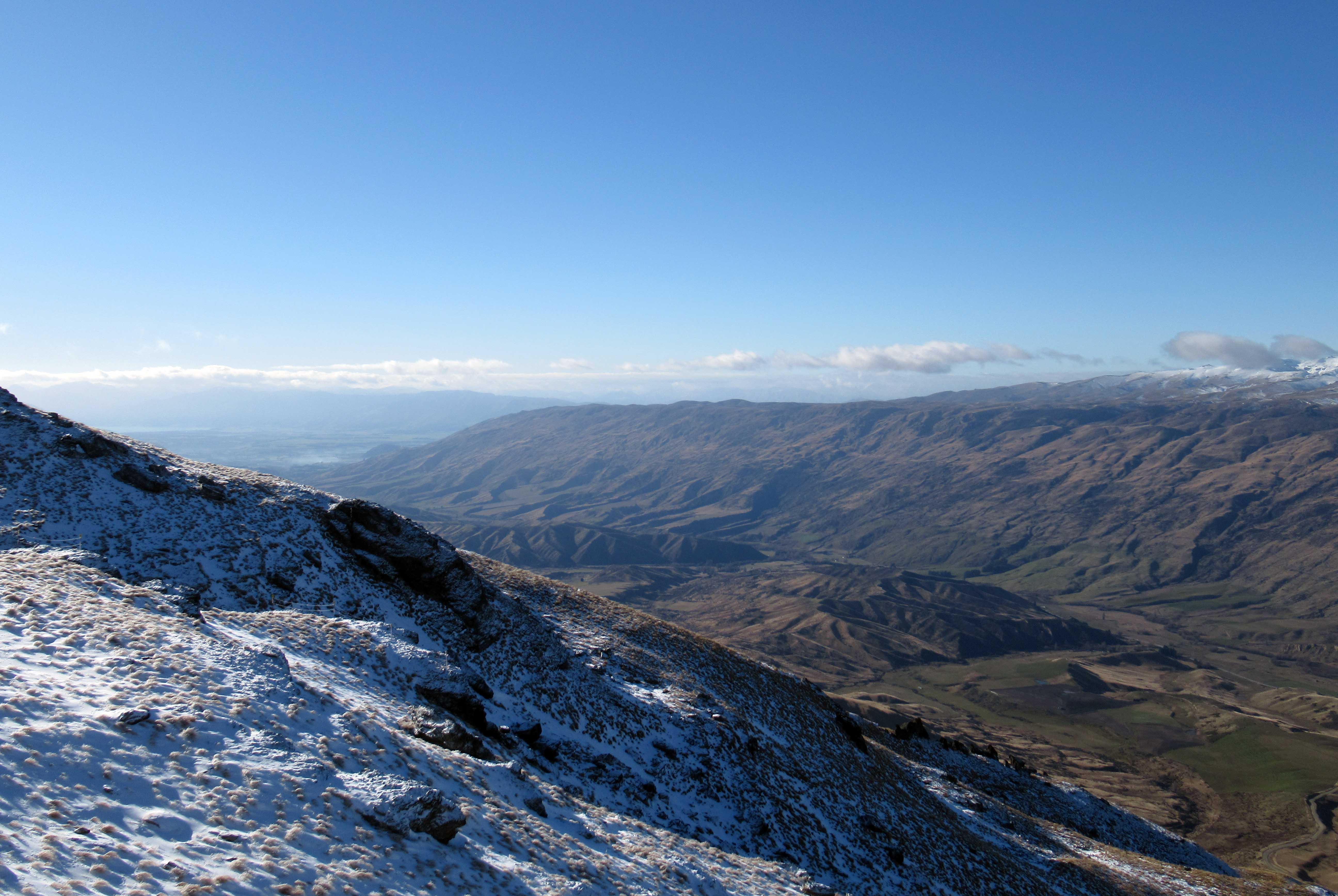
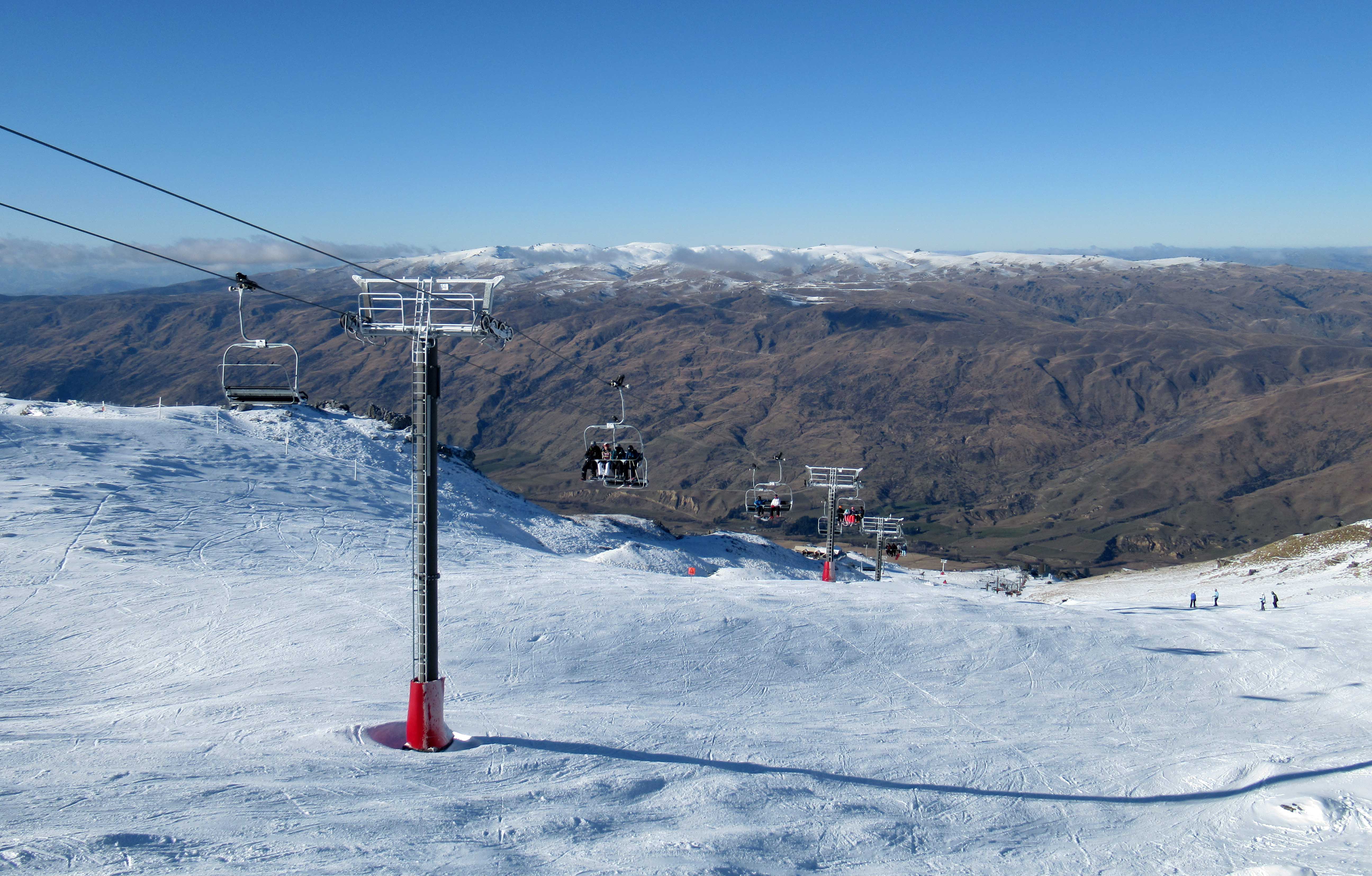
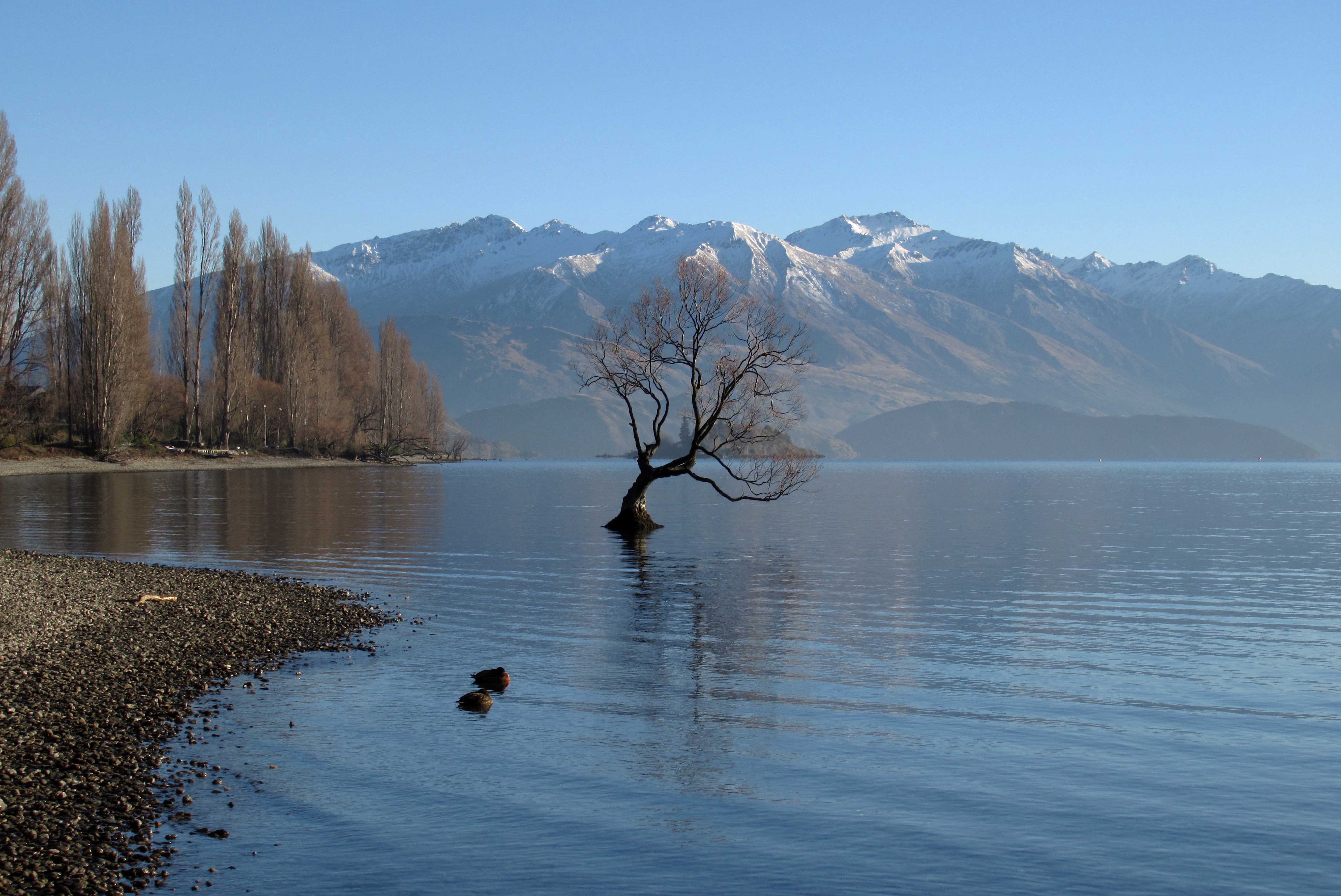
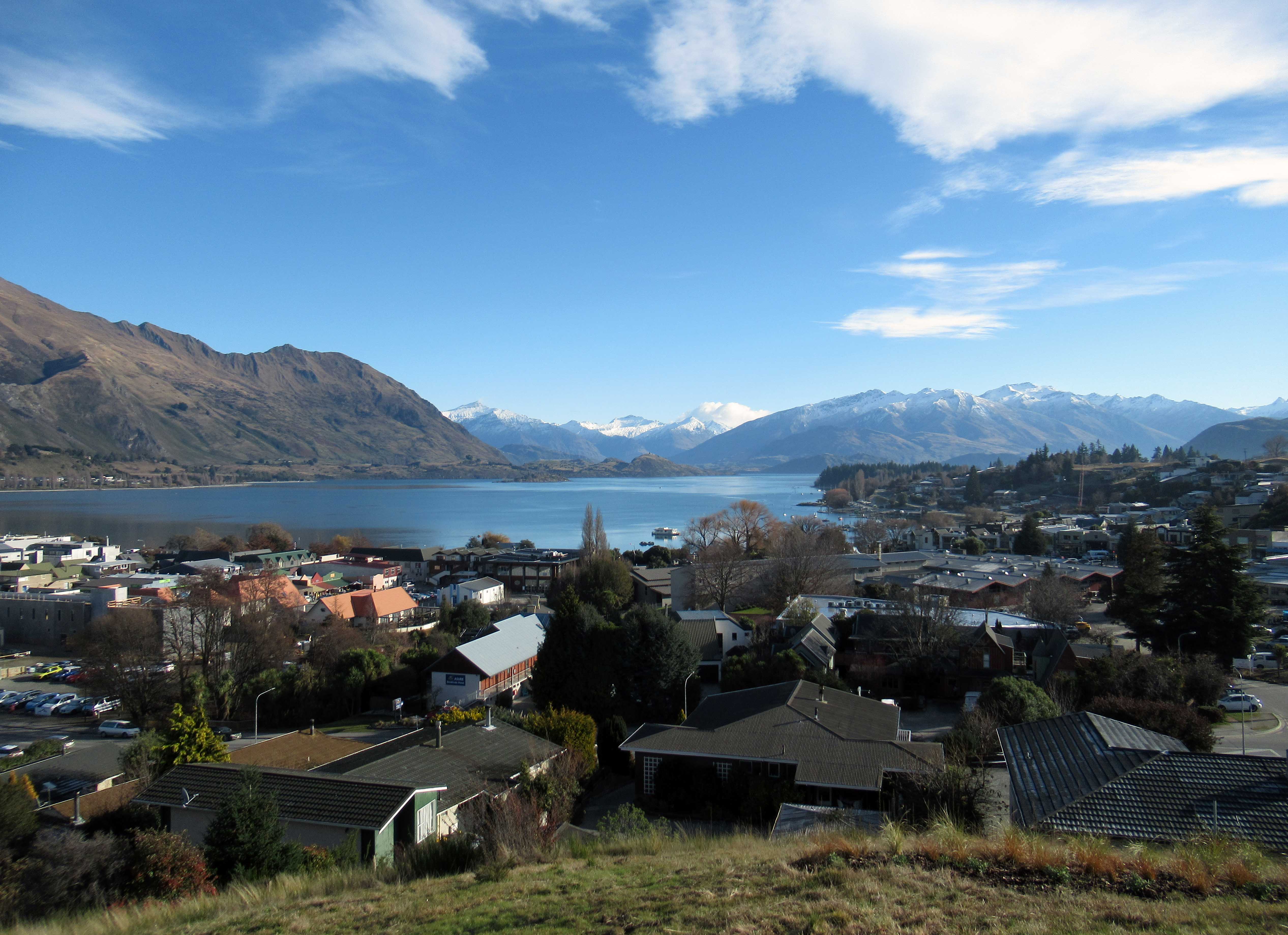
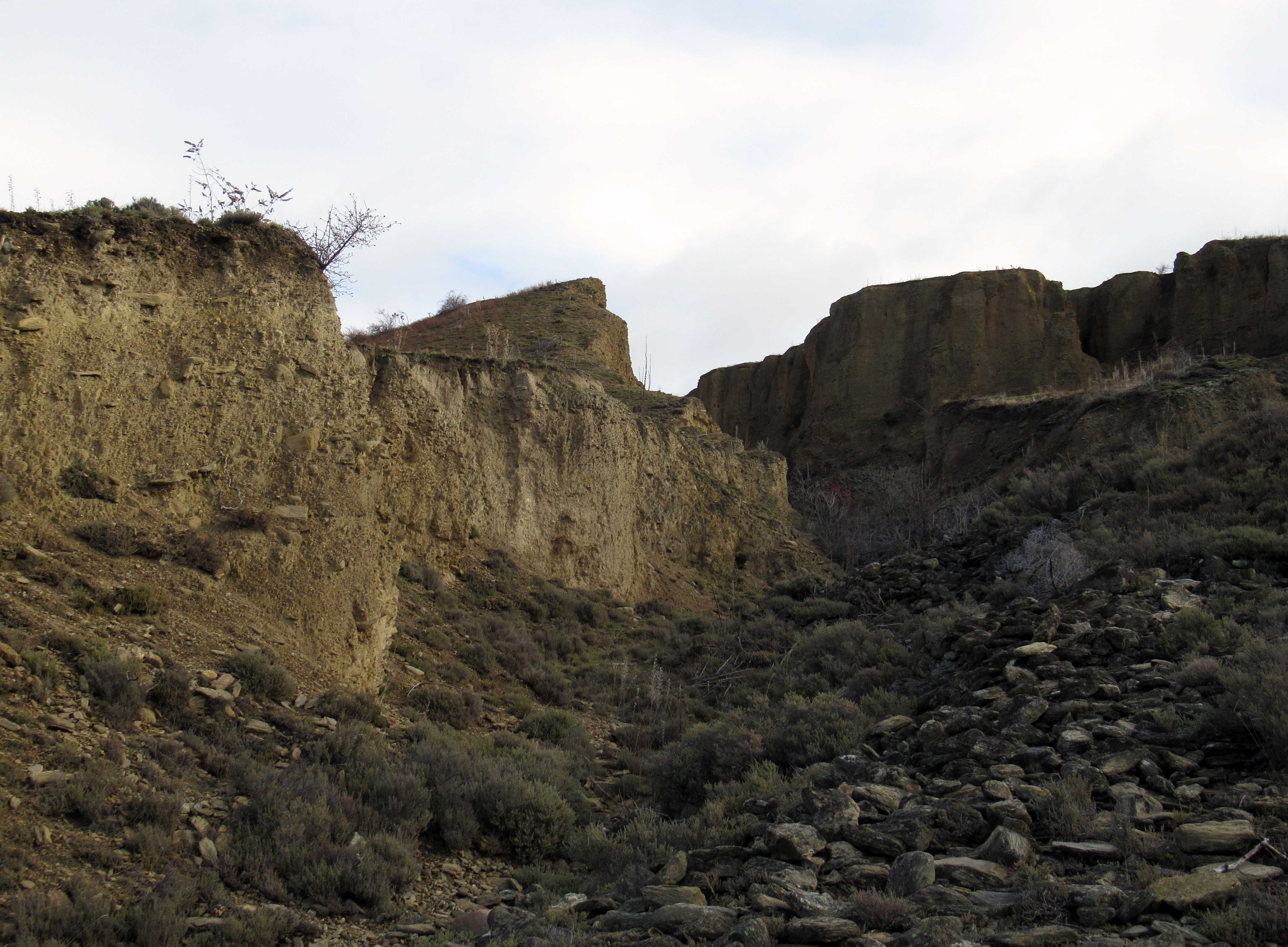
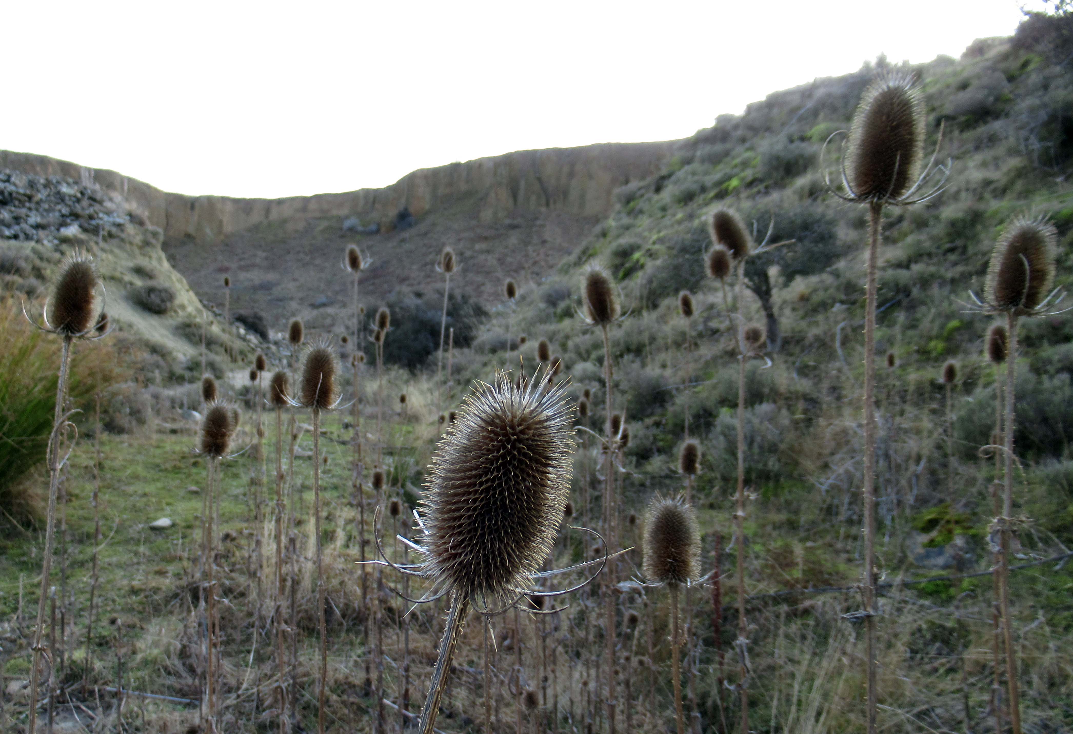
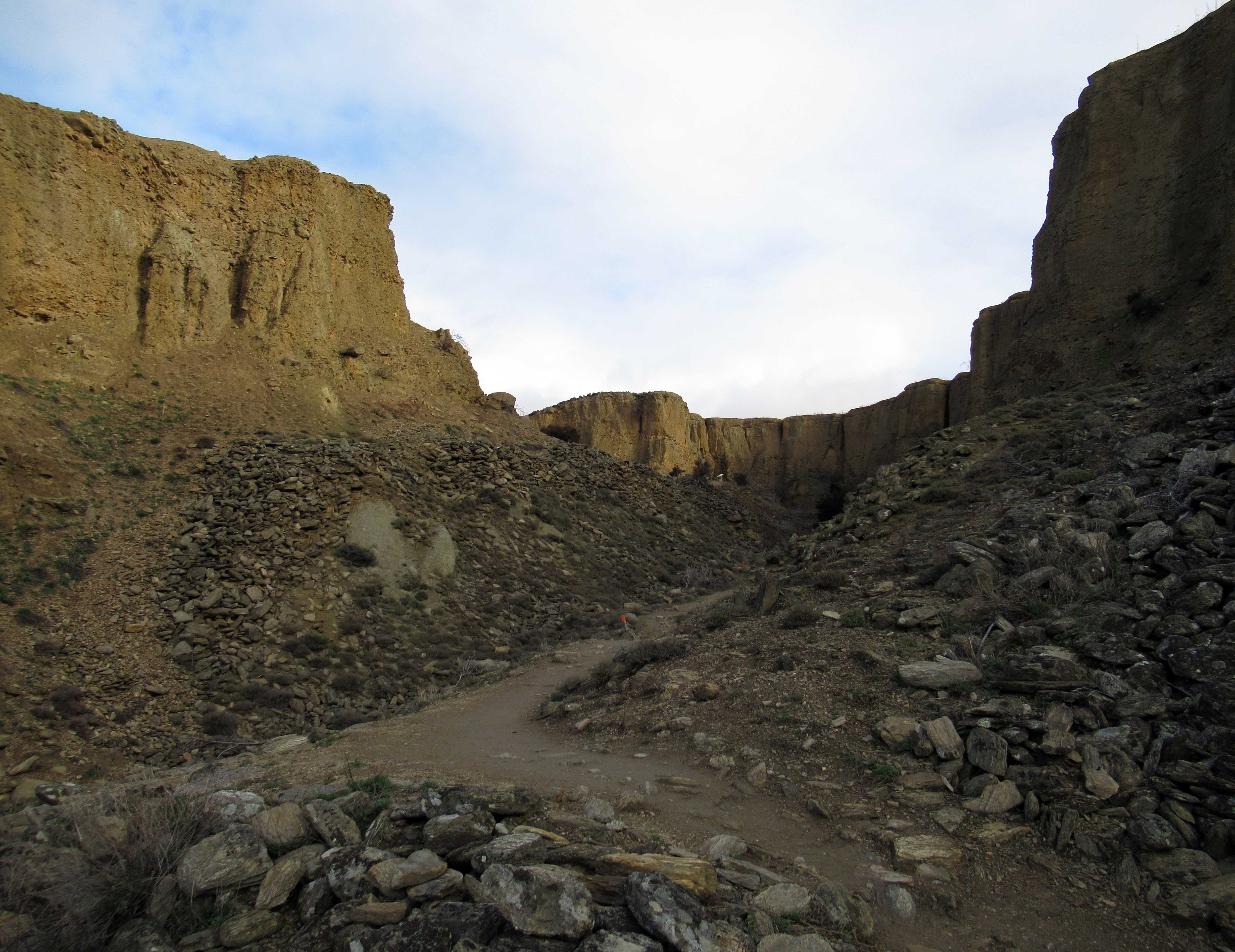
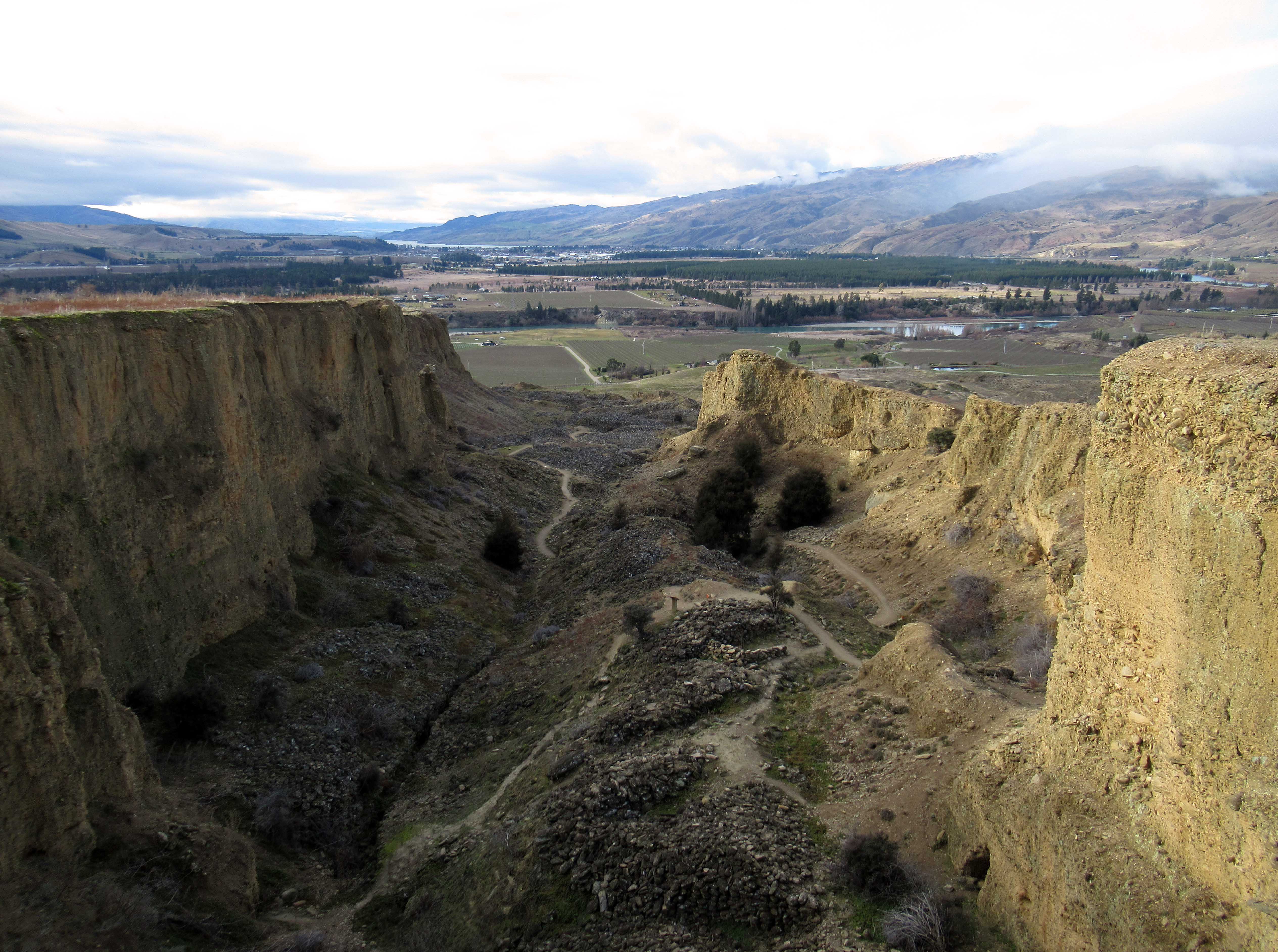
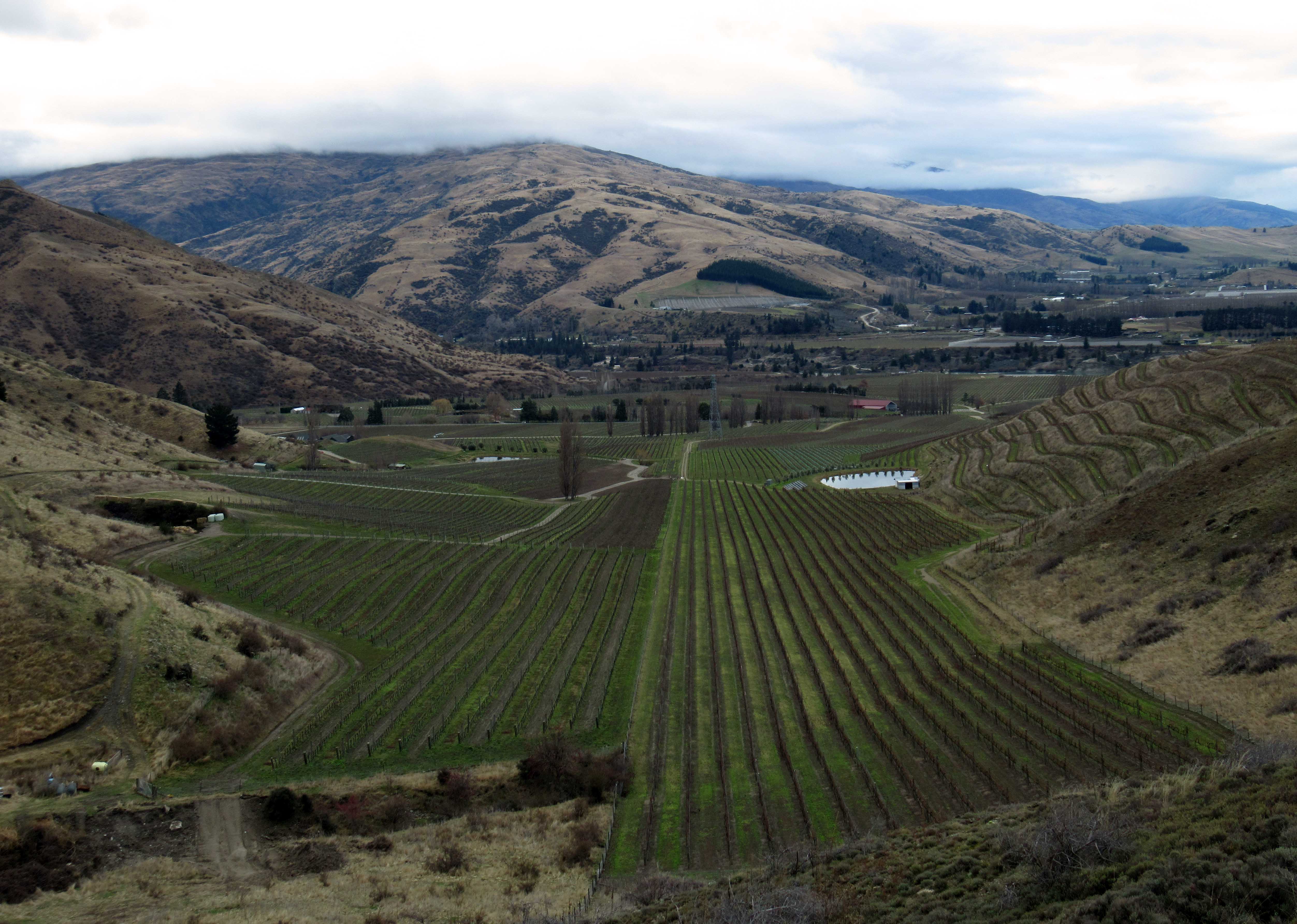
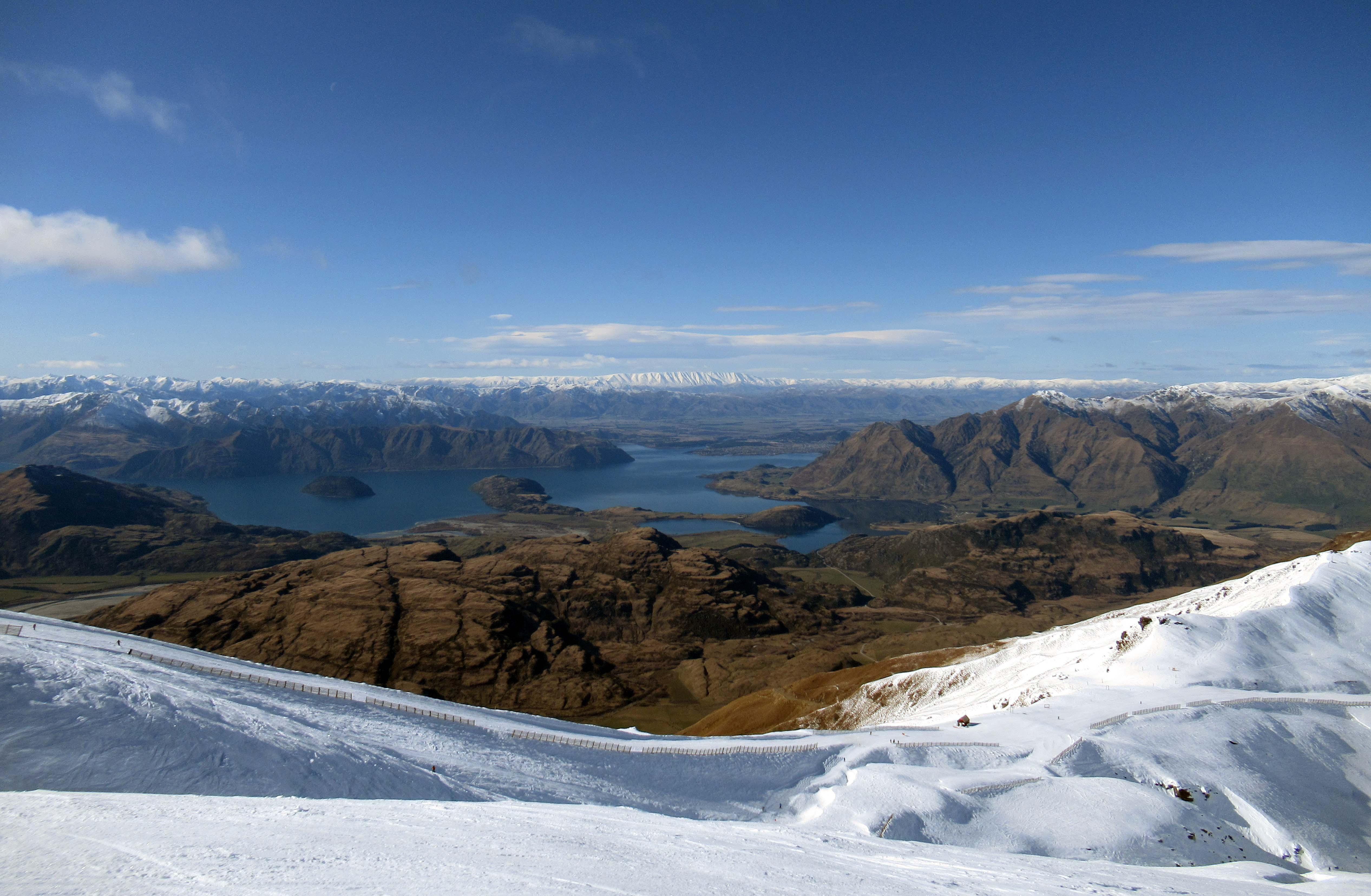
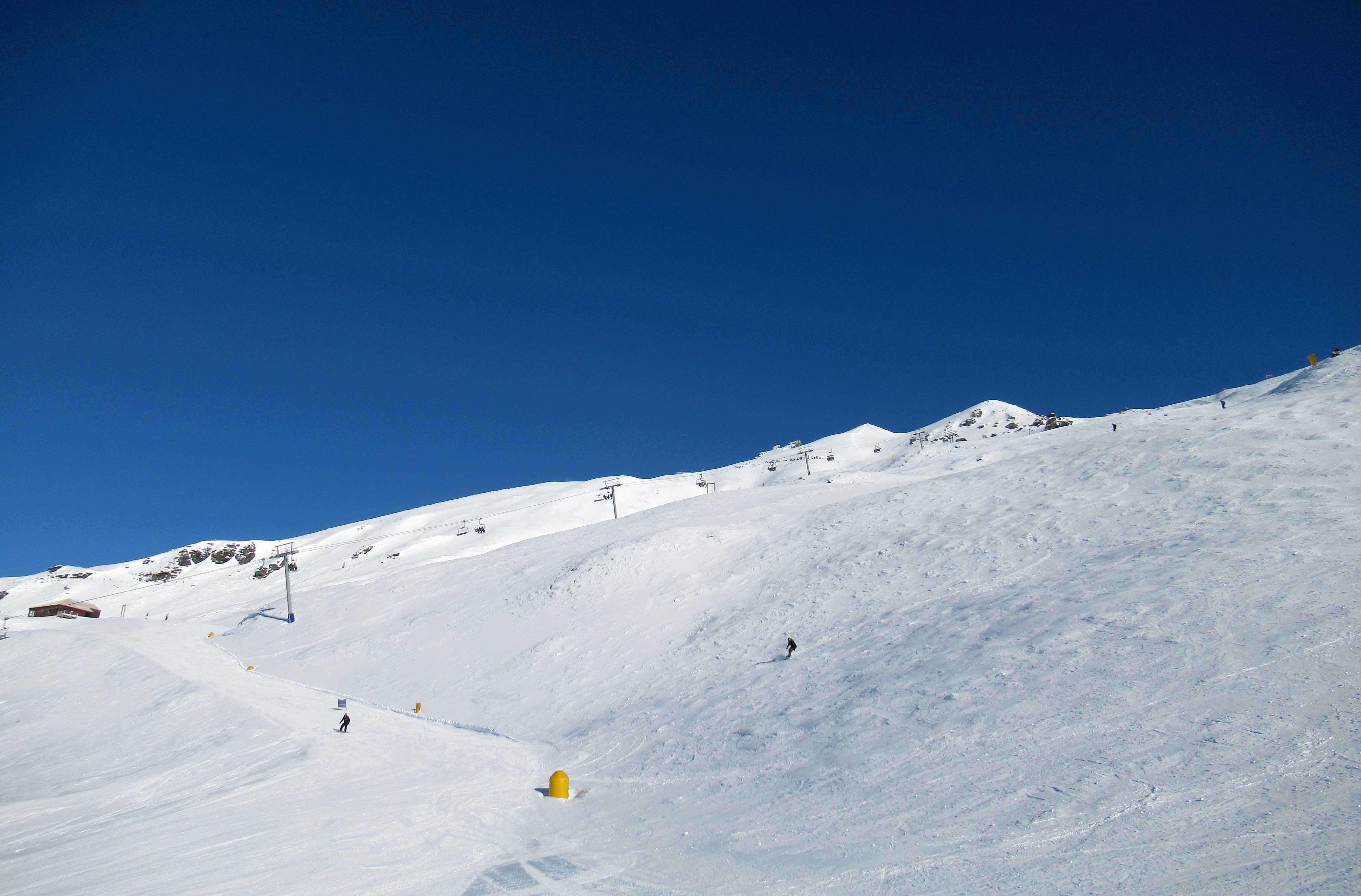
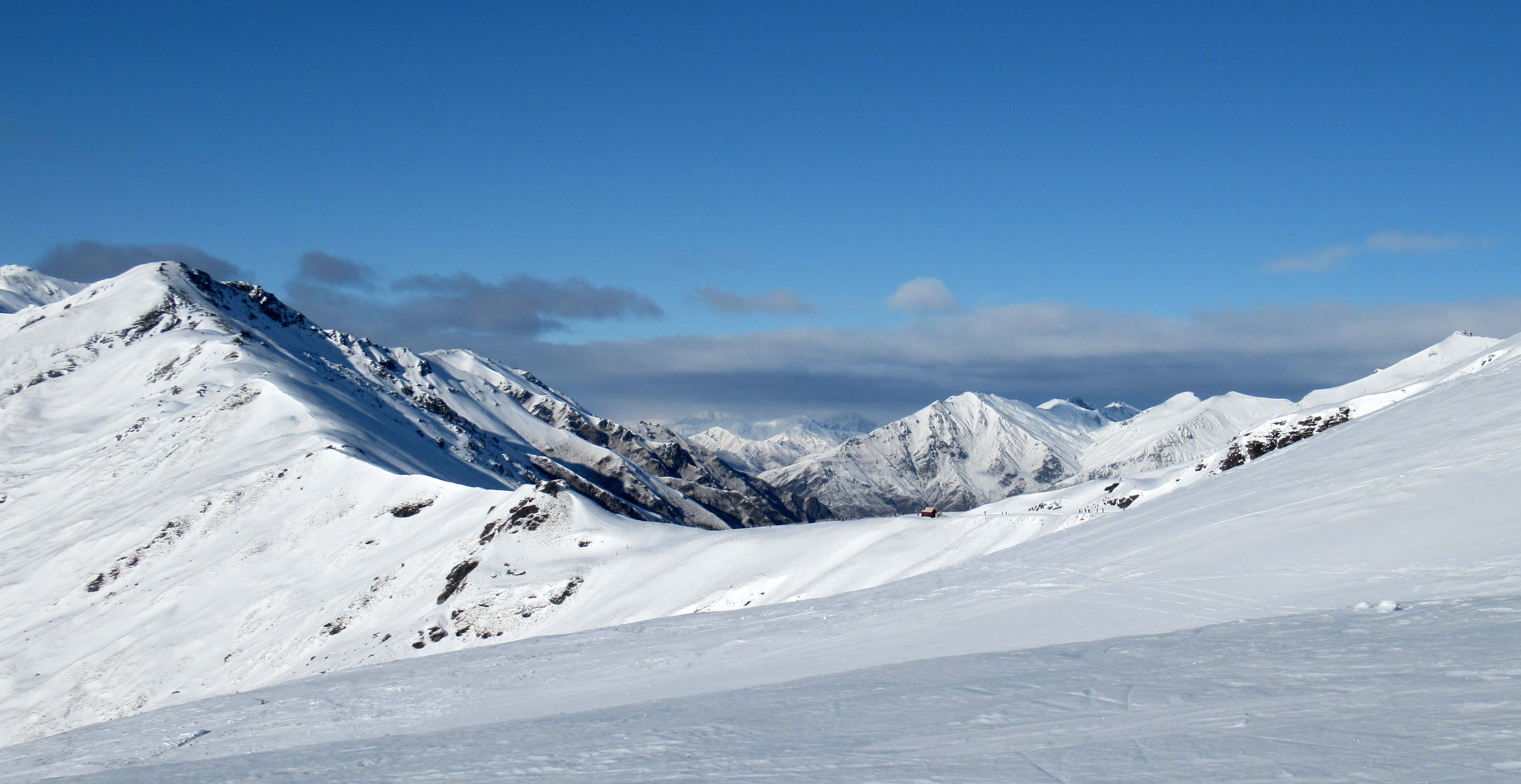
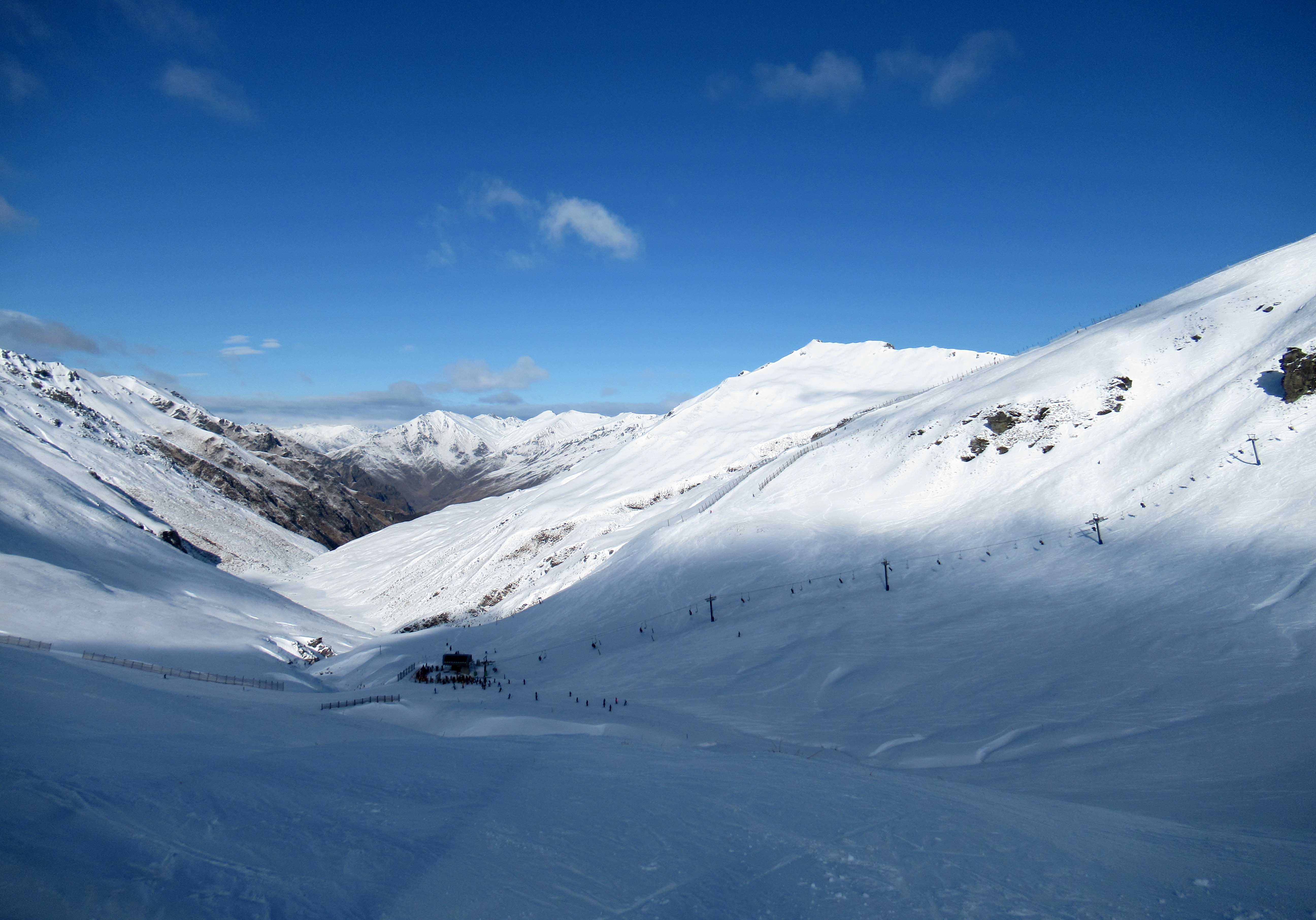
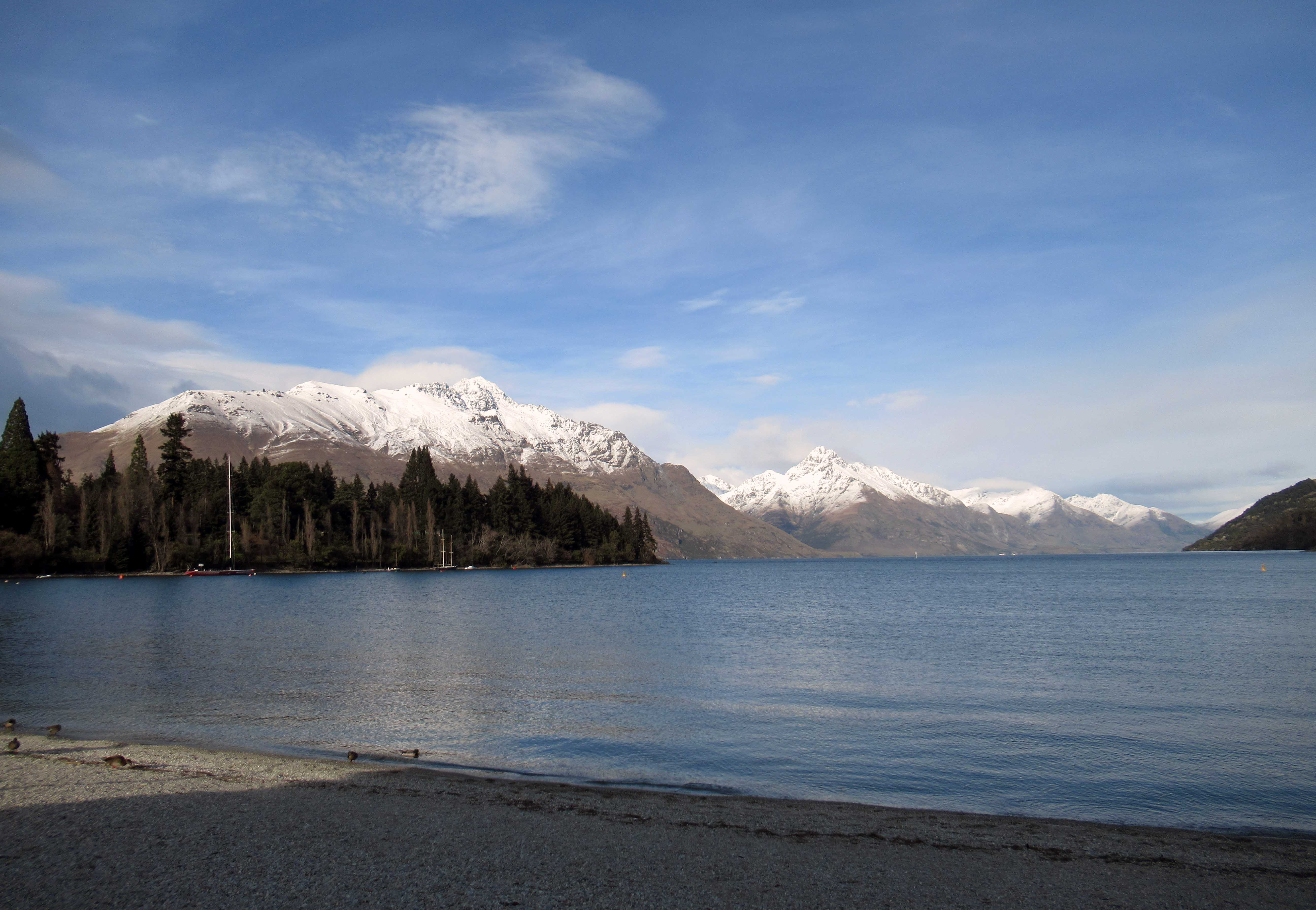
Riding in a Skyline Queenstown gondola, up to Bob’s Peak.Luge on Bob’s Peak.View of Queenstown from Bob’s Peak.Man sleeping in on Queenstown Beach.Pond in Queenstown Gardens.Willow tree next to the pond in Queenstown Gardens.Vineyard in Otago.Groups of people gathering in the park for some late evening drinking in Queenstown.Queenstown Beach at night.Train station in Dunedin.Lake Wānaka, seen from the trail to Roys Peak.View of Bishops Bay from Roys Peak.Looking back at Wanaka from Roys Peak.Sheep checking me out on the descent from Roys Peak.Lake Hawea, seen on the trail to Isthmus Peak.Another view of Lake Hawea from the trail to Isthmus Peak.Trail to Isthmus Peak.Looking at the northern end of Lake Wānaka from Isthmus Peak.Looking at the southern end of Lake Wānaka from Isthmus Peak.Another view of the southern end of Lake Wānaka.Returning to Lake Hawea.Sheep grazing near the trail.Sun shining down on the Isthmus Peak trail.Roger Waters on stage in Forsyth Barr Stadium in Dunedin.Roger Waters singing a classic Pink Floyd tune.Pig balloon floating over the crowd at Forsyth Barr Stadium.74-year old man rocking like he’s a 19-year old punk (black t-shirt, jeans, and all).Skiing on Coronet Peak and looking toward Queenstown and Lake Wakatipu.Another view of the valley and Lake Wakatipu from Coronet Peak.Looking up at Coronet Peak and being blinded by the sun.The Remarkables Ski Area.Ski lift in the Remarkables.Piste in the Remarkables.Riding the Shadow Basin ski lift.Skiing back down to the base in the Remarkables Ski Area.View of Lake Wānaka from Rippon Vineyards.Helicopter ride through the Matukituki River Valley, heading north to Mount Aspiring.Further up the Matukituki River.Flying up the Matukituki East Branch Valley.Looking south at the Matukituki River Valley.Creek up in the mountains, near Albert Burn Saddle.Another photo of the Matukituki River Valley.Waiting in a field in the valley for the cloud coverage to clear so the helicopter can land on the mountain for our hike.This is honestly how I’d like to go – to be nourishment for millions of microbes and whatever macro-fauna stops by to join in the feeding frenzy (i.e. give back to the earth with my life; not be embalmed with toxic chemicals or cremated to add to the greenhouse gases).Helicopter dropping off more hikers near Whare Kea Chalet.Ponds on the mountain.Whare Kea Chalet on the mountain.Looking toward Mount Aspiring on the other side of the valley.Descending the mountainside.Looking northward, up the Matukituki East Branch, toward Mount Pollux.Looking southward at the Matukituki East Branch (toward where it meets the West Branch to form the Matukituki River).Looking at Mount Aspiring (the tallest peak) and the Kitchener River Valley.Another view looking southward down the Matukituki East Branch Valley.Closer view of the Kitchener River Valley.My tent with Mount Aspiring in the background.Hiking through the woods, descending toward the Matukituki East Branch.Matukituki East Branch.Another view of the Matukituki East Branch.Cable bridge over the cascades.Walking across the cable bridge.Looking upstream at the cascades.Looking up, toward the mountains I had just hiked down from.Small beach on the Matukituki East Branch.Hiking through the forest.Cows in the southern end of the Matukituki East Branch Valley.Herd of sheep feasting on the Matukituki East Branch Valley.Trail through Bannockburn Sluicings Historic Reserve.View of the sluicings from the southwest.Sun setting over the Bannockburn Sluicings.Sunset over Lake Dunstan and Bannockburn.Vineyards at Cornish Point, near Cromwell.Skiing at Cardrona Alpine Resort.Skiing down to the base at Cardrona Alpine Resort.Looking back at a ski lift on Cardrona.View of Arrow River Valley, with Lake Wakatipu in the far distance.Looking northward, up Cardrona Valley, toward Wanaka.Looking across Cardrona Valley, near a ski lift.That tree in Lake Wānaka that everyone takes a photograph of.Wanaka and Lake Wānaka, seen from Wanaka Hill.Return to the Bannockburn Sluicings Historic Reserve.Some dead stalks in the sluicings.Trail through the sluicings, which were carved out by high-pressure water in an effort to find gold.Looking down on the Bannockburn Sluicings from a vantage point.Felton Road Vineyard on the left and Domain Road Vineyard on the right.Abandoned stone hut in what used to be Stewart Town – the mining town next to the Bannockburn Sluicings.View of Lake Wānaka from the Treble Cone Ski Area.Piste and ski lift at Treble Cone.Mountains around Treble Cone.Skiing back down to a lift station at Treble Cone Ski Area.Lake Wakatipu, seen from Queenstown Beach.