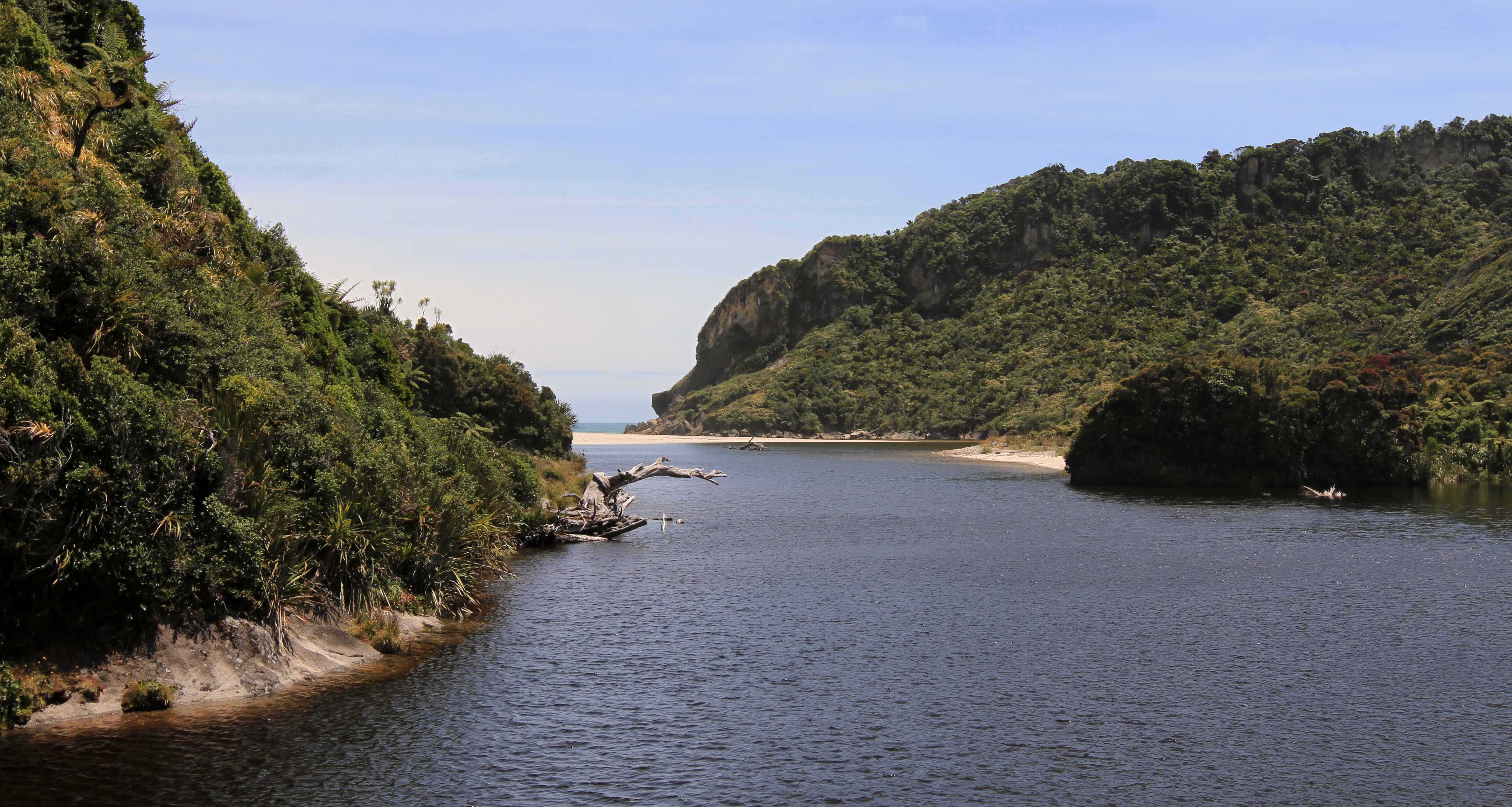
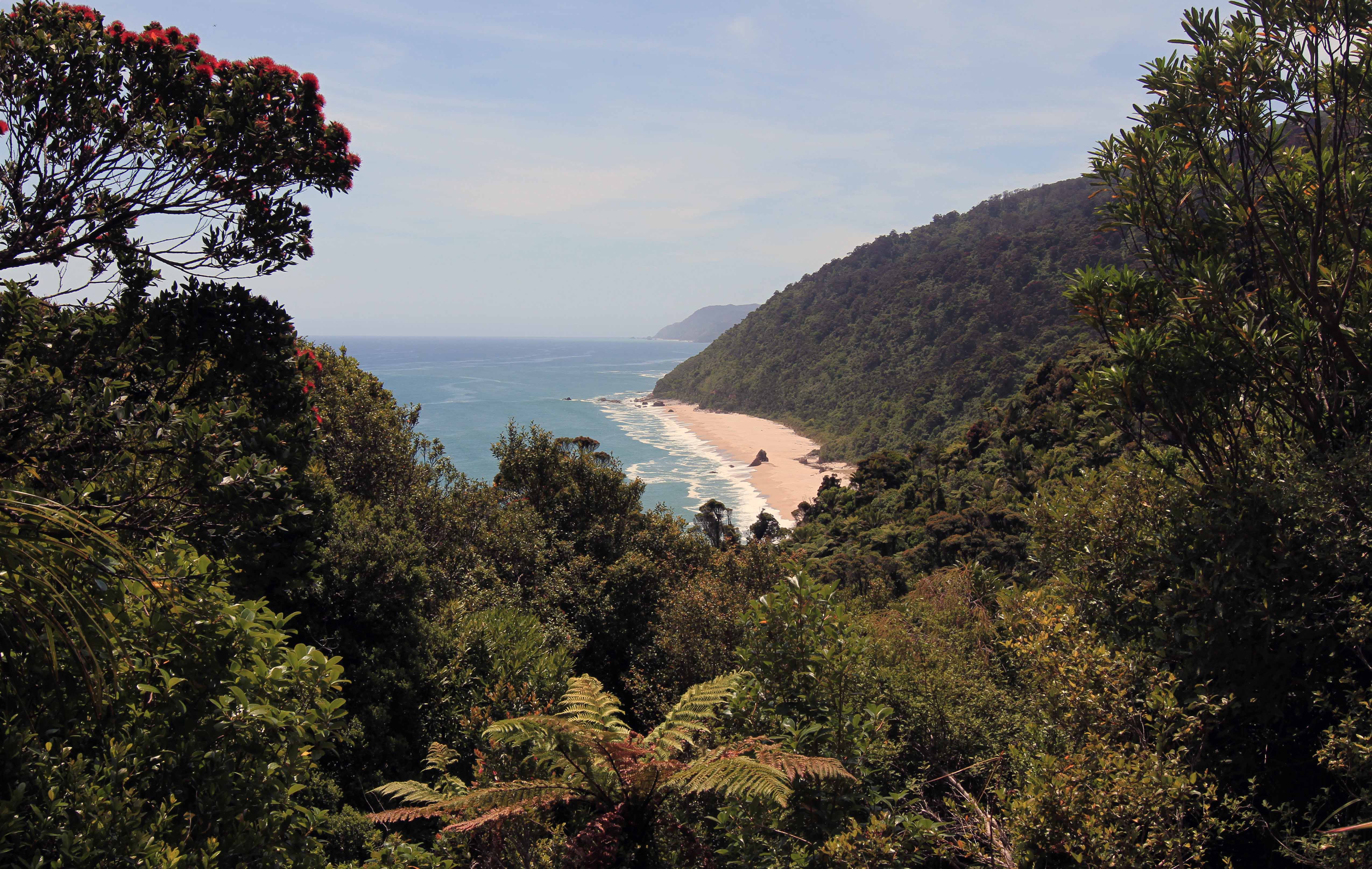
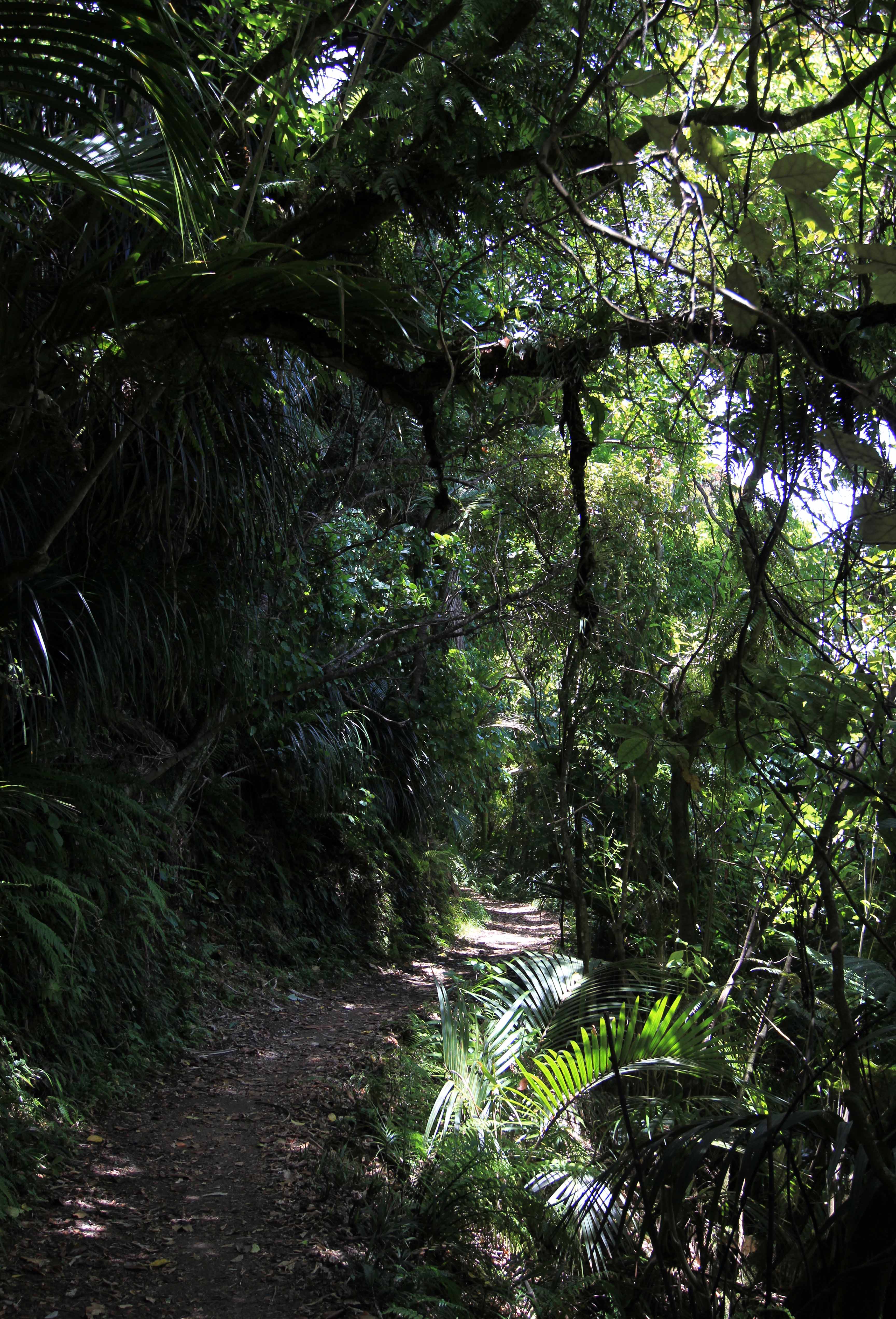
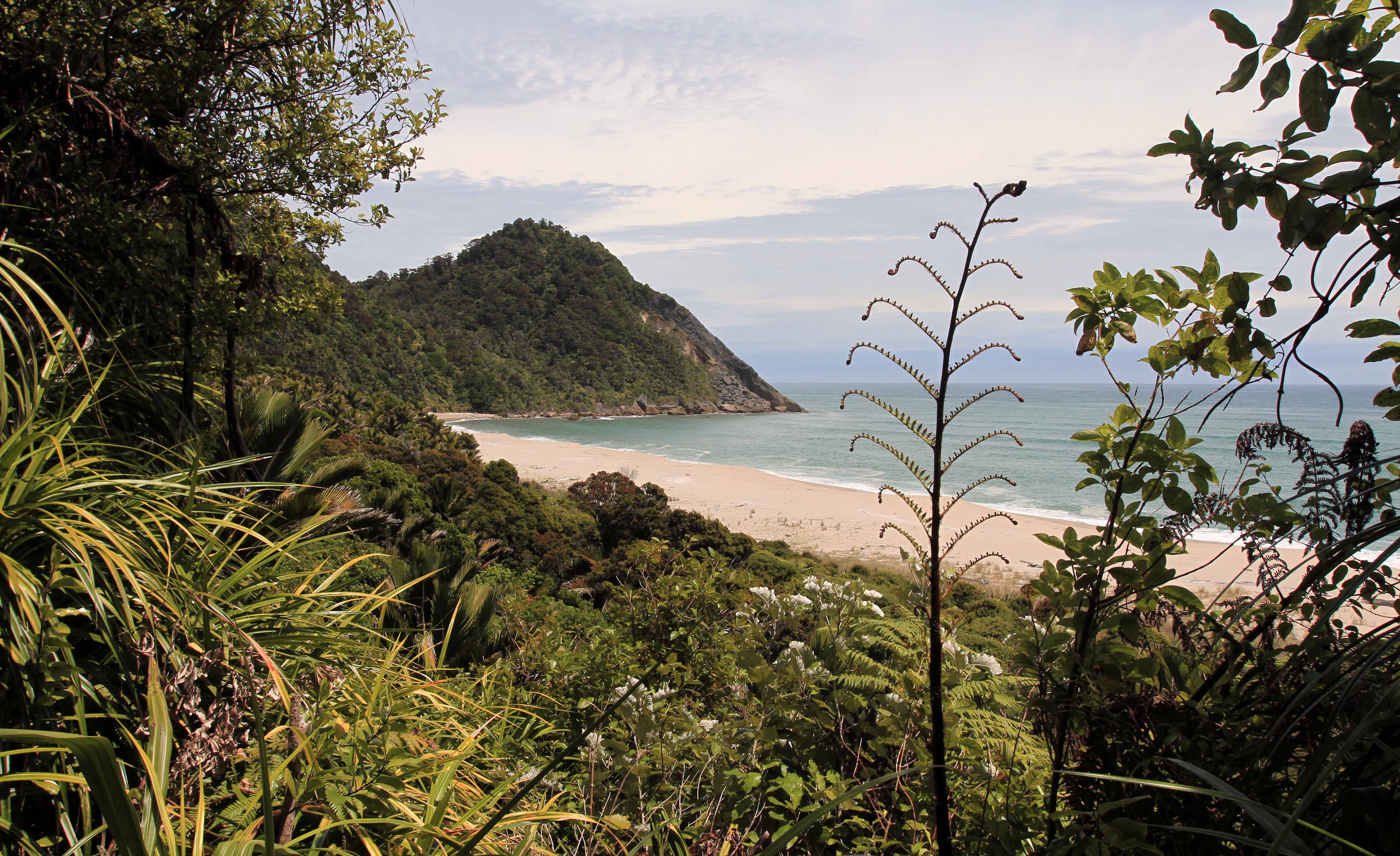
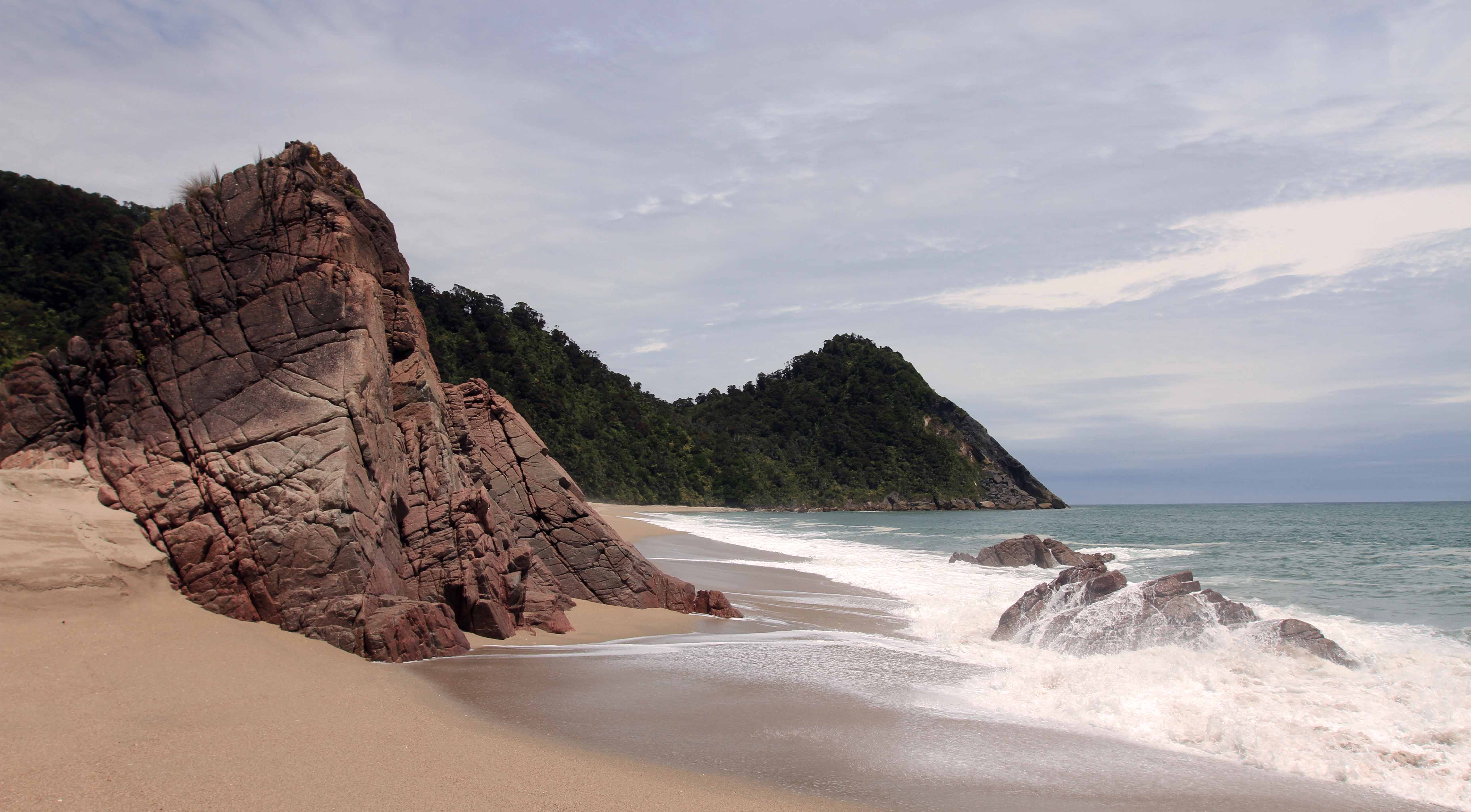
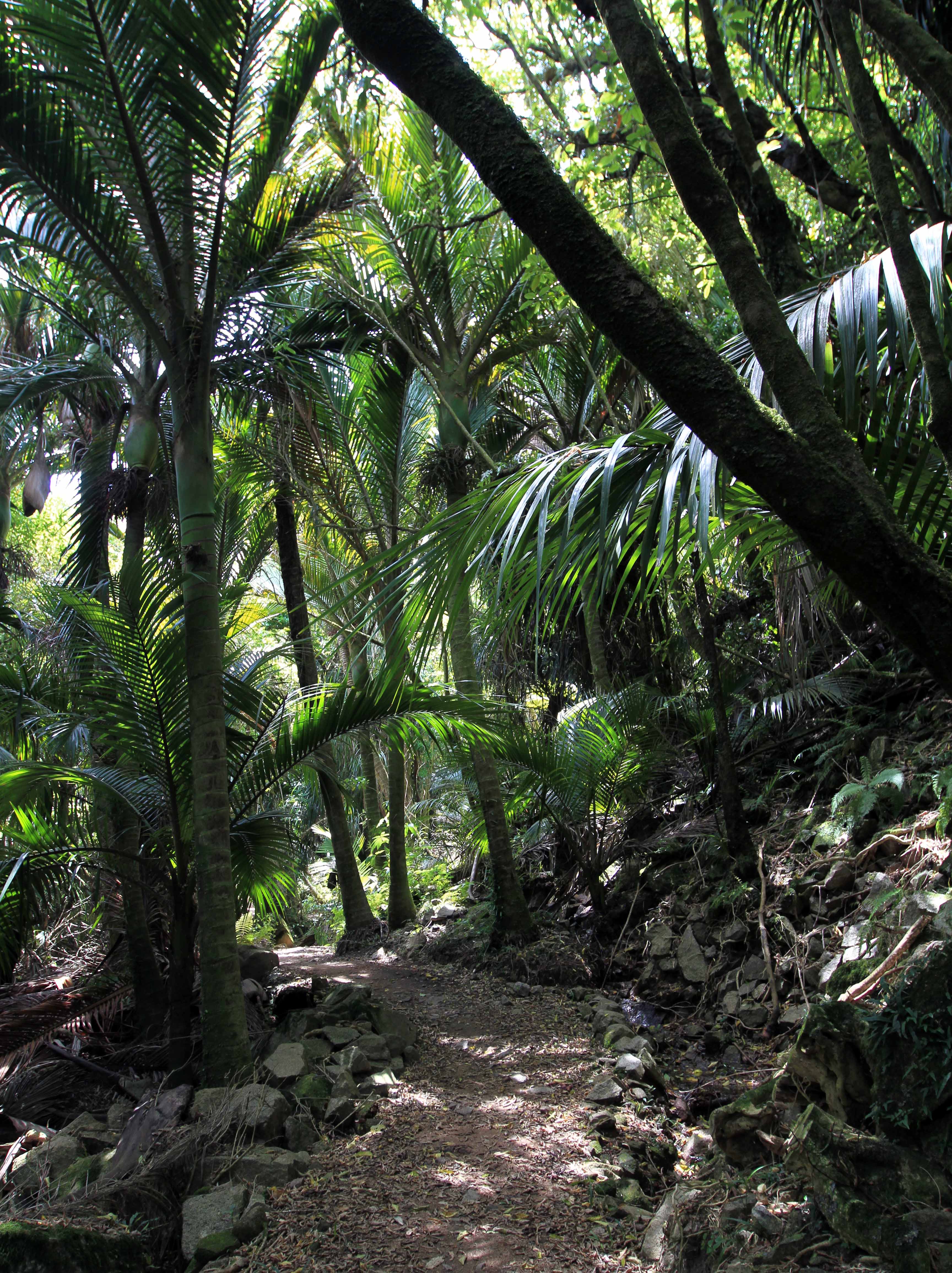
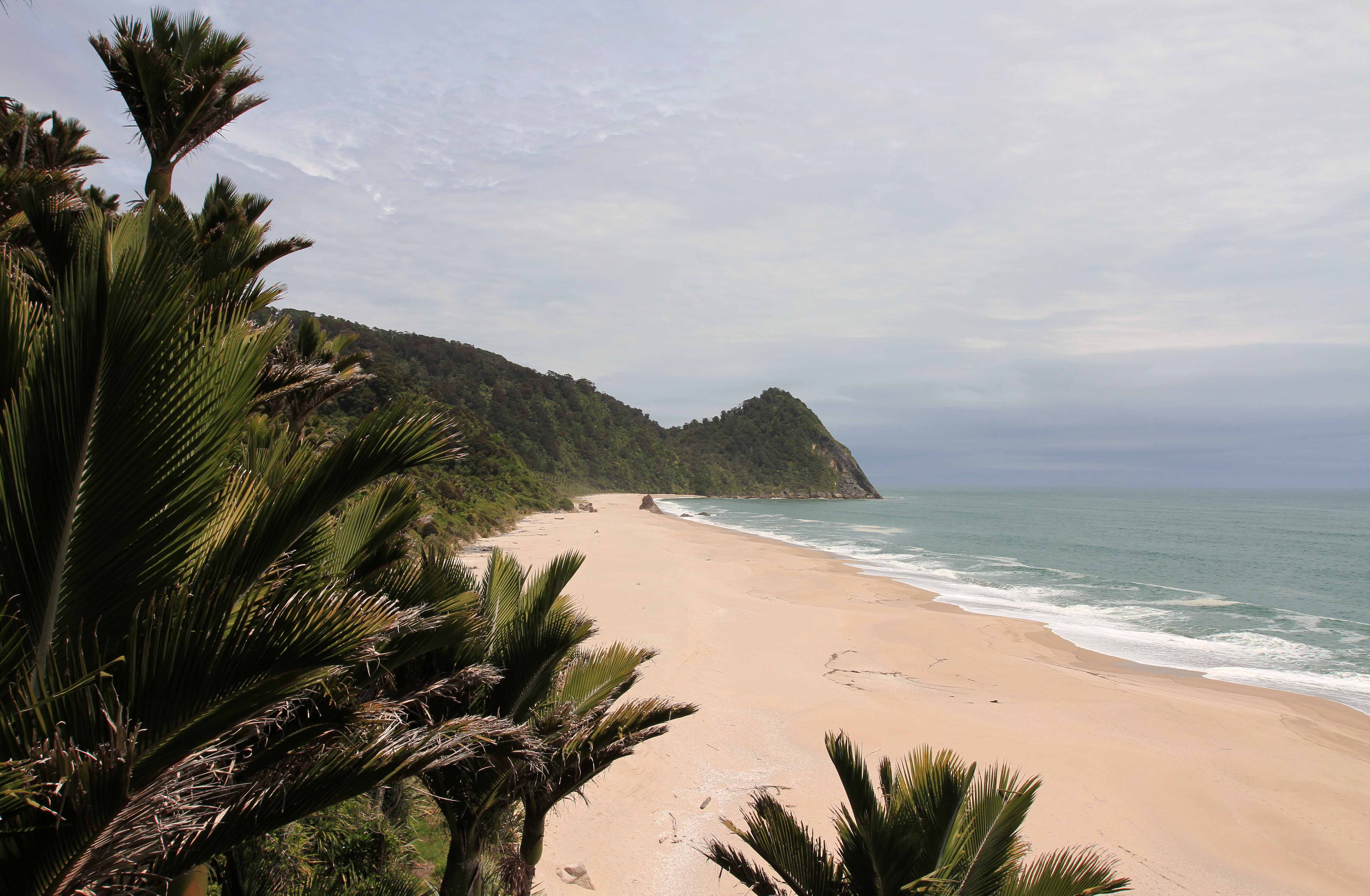
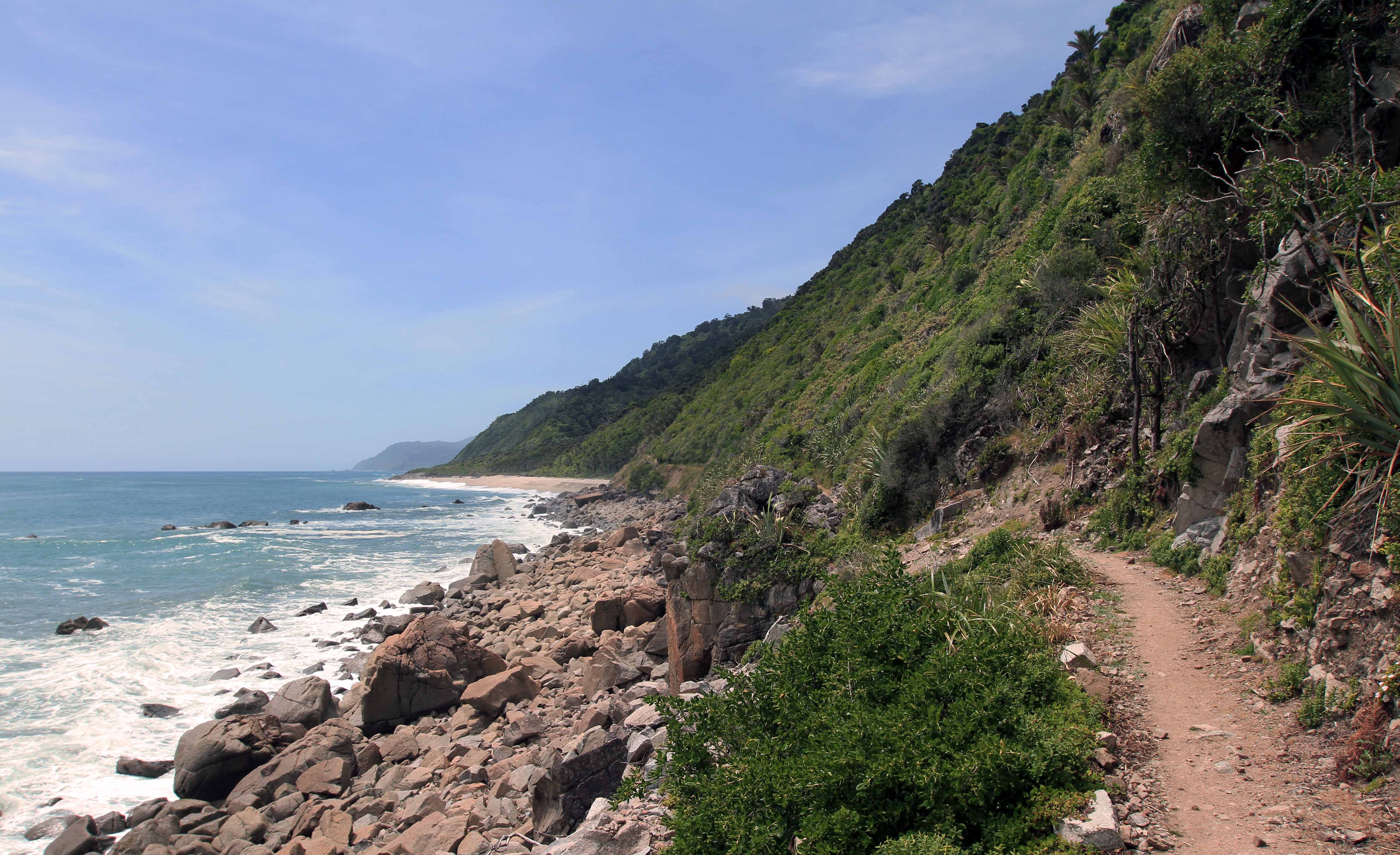
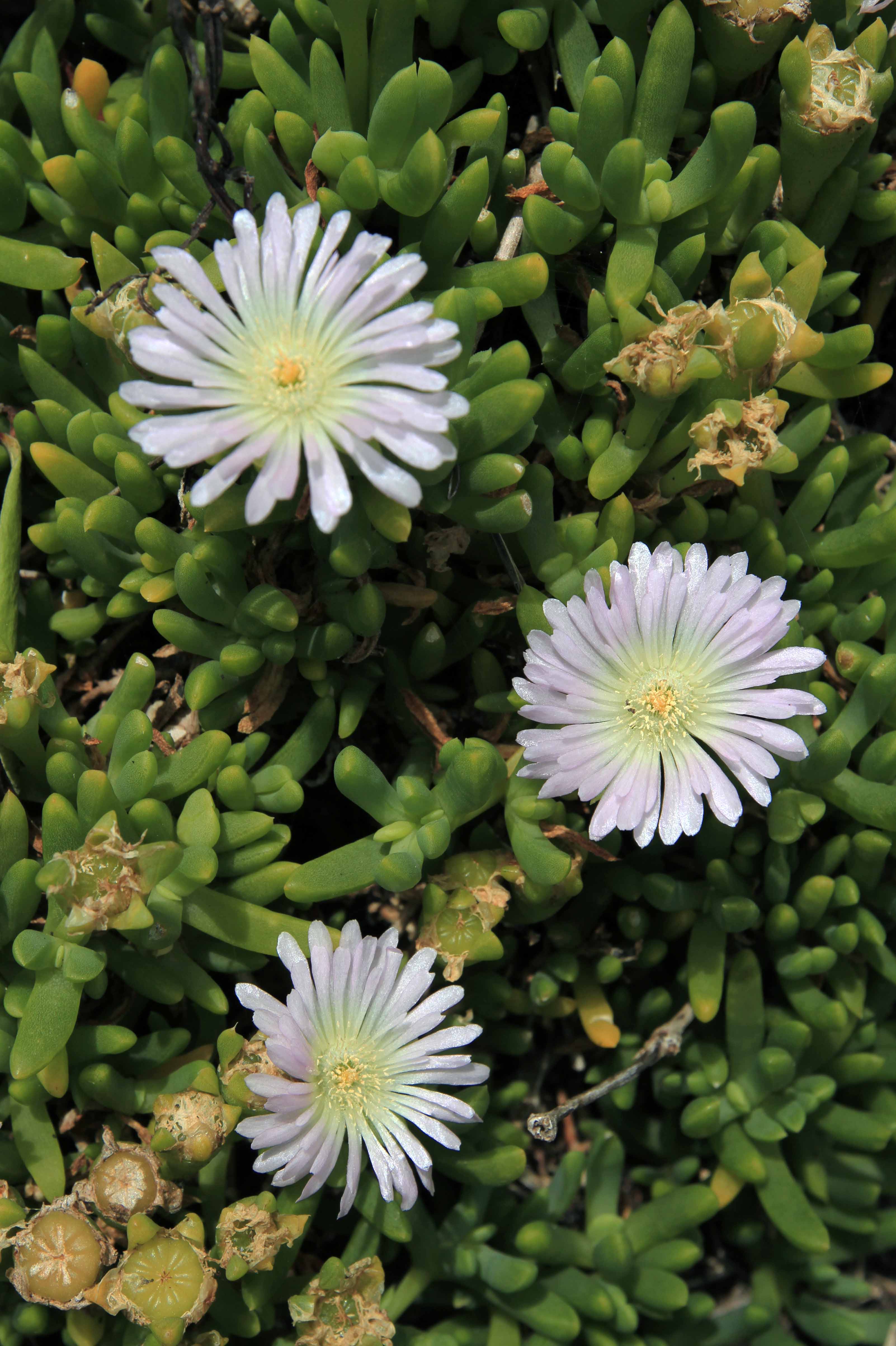
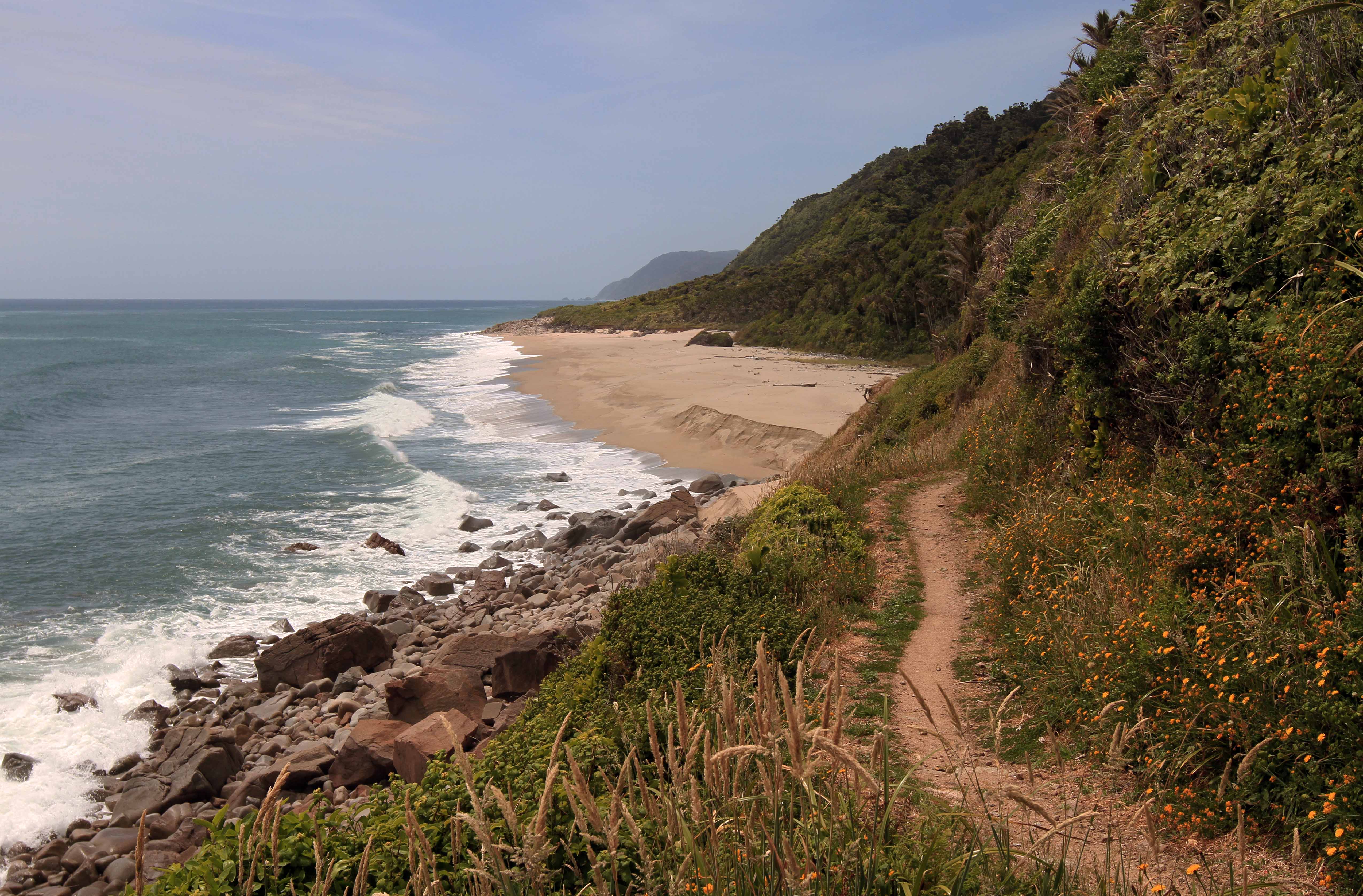
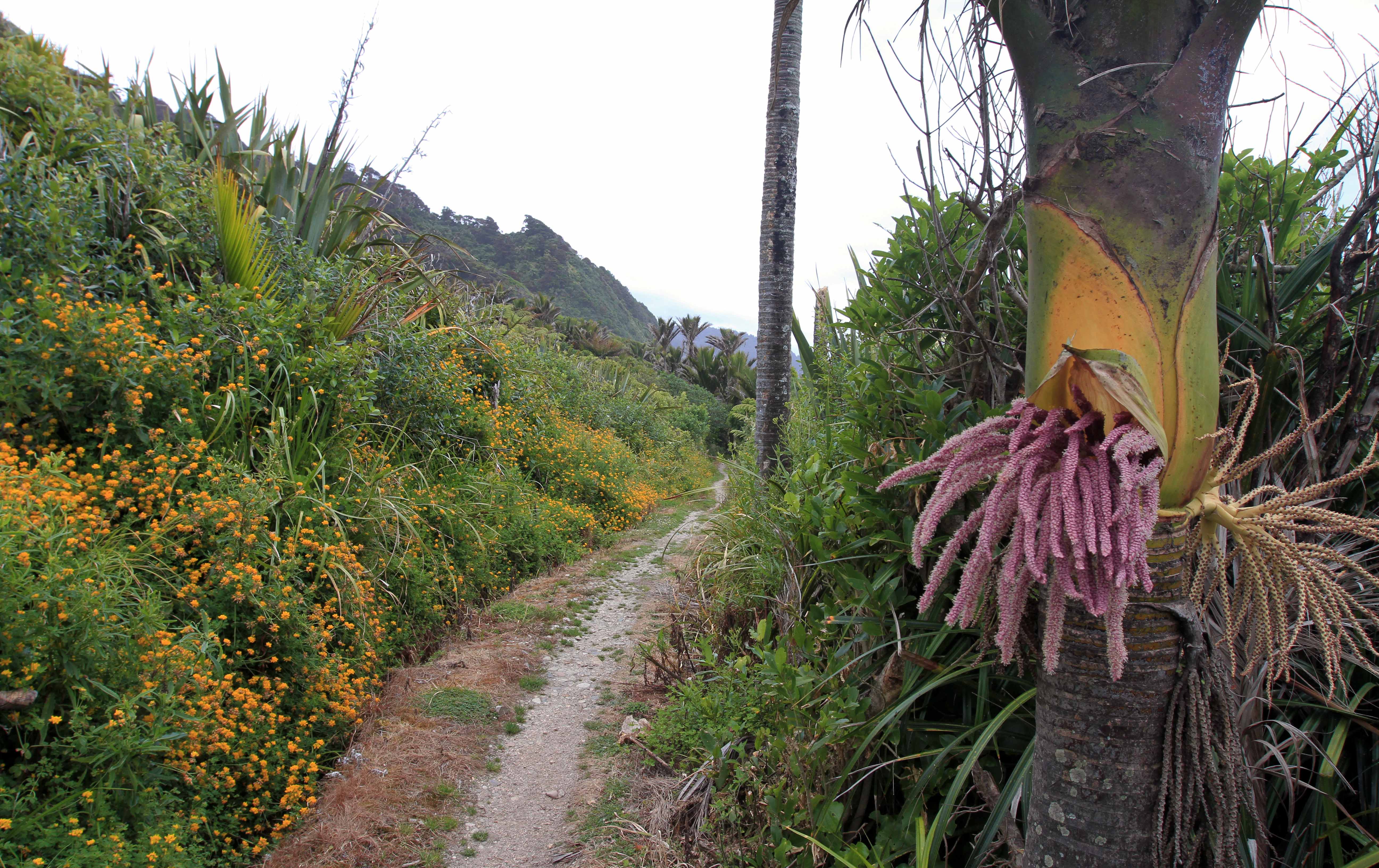
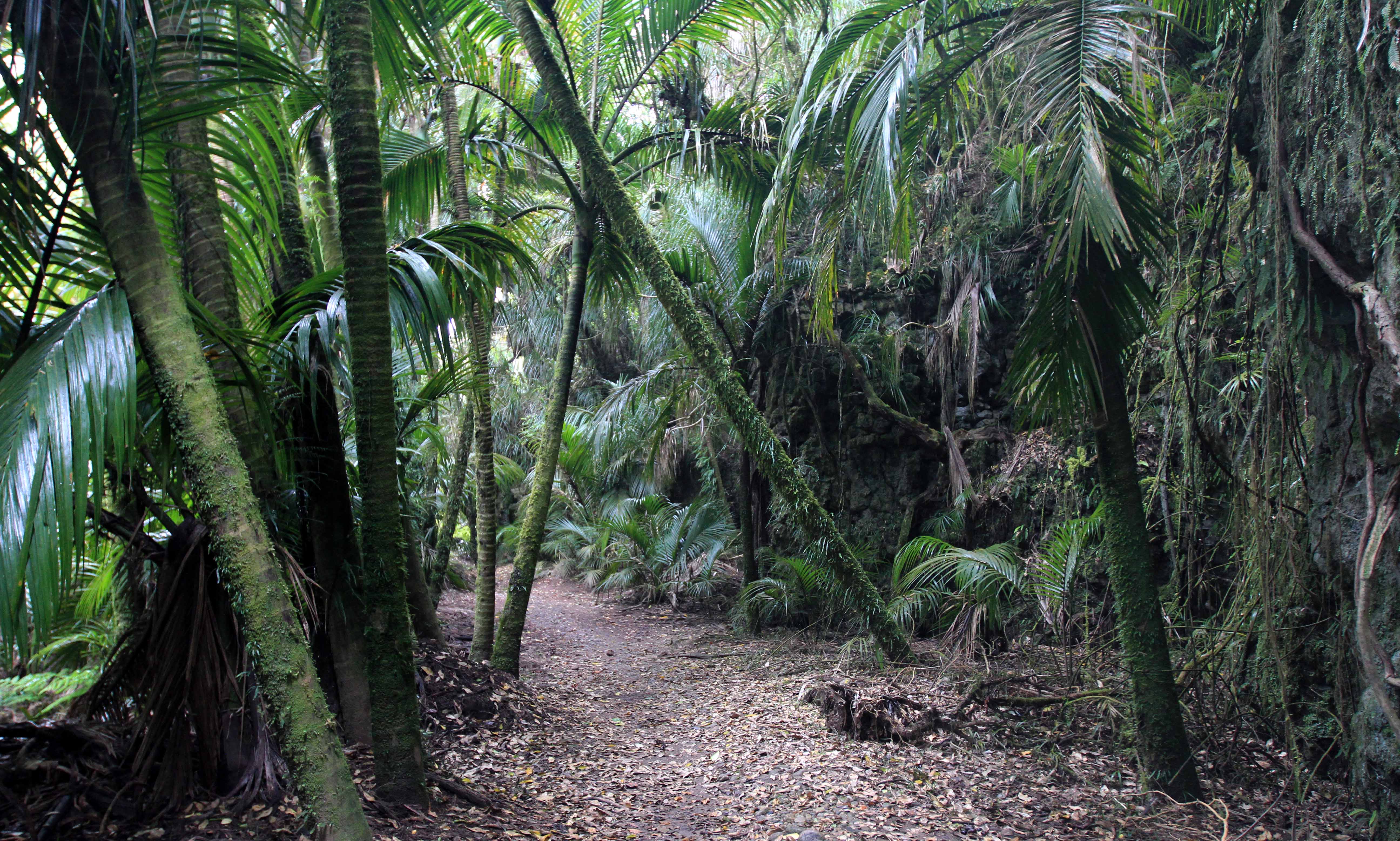
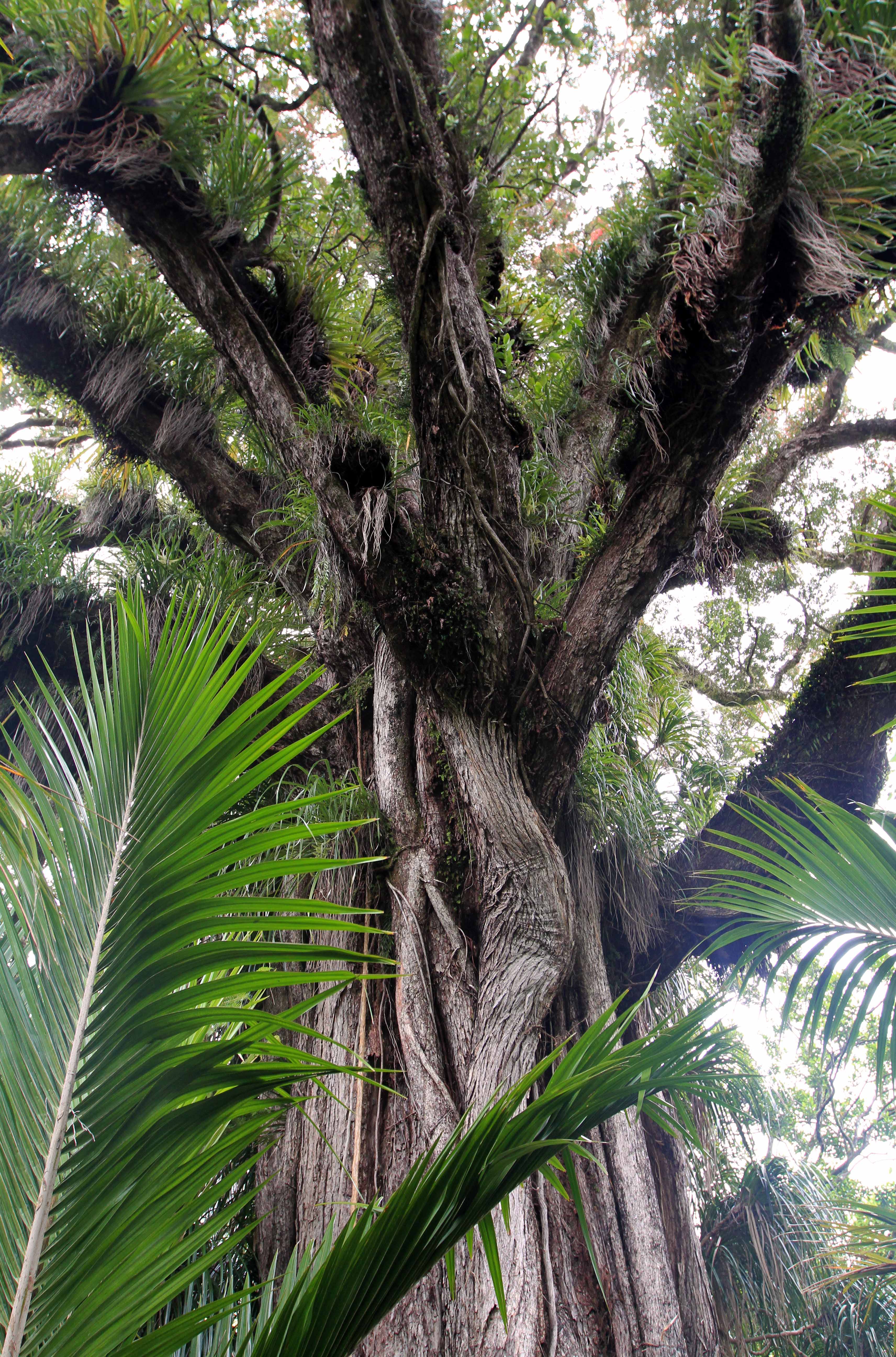
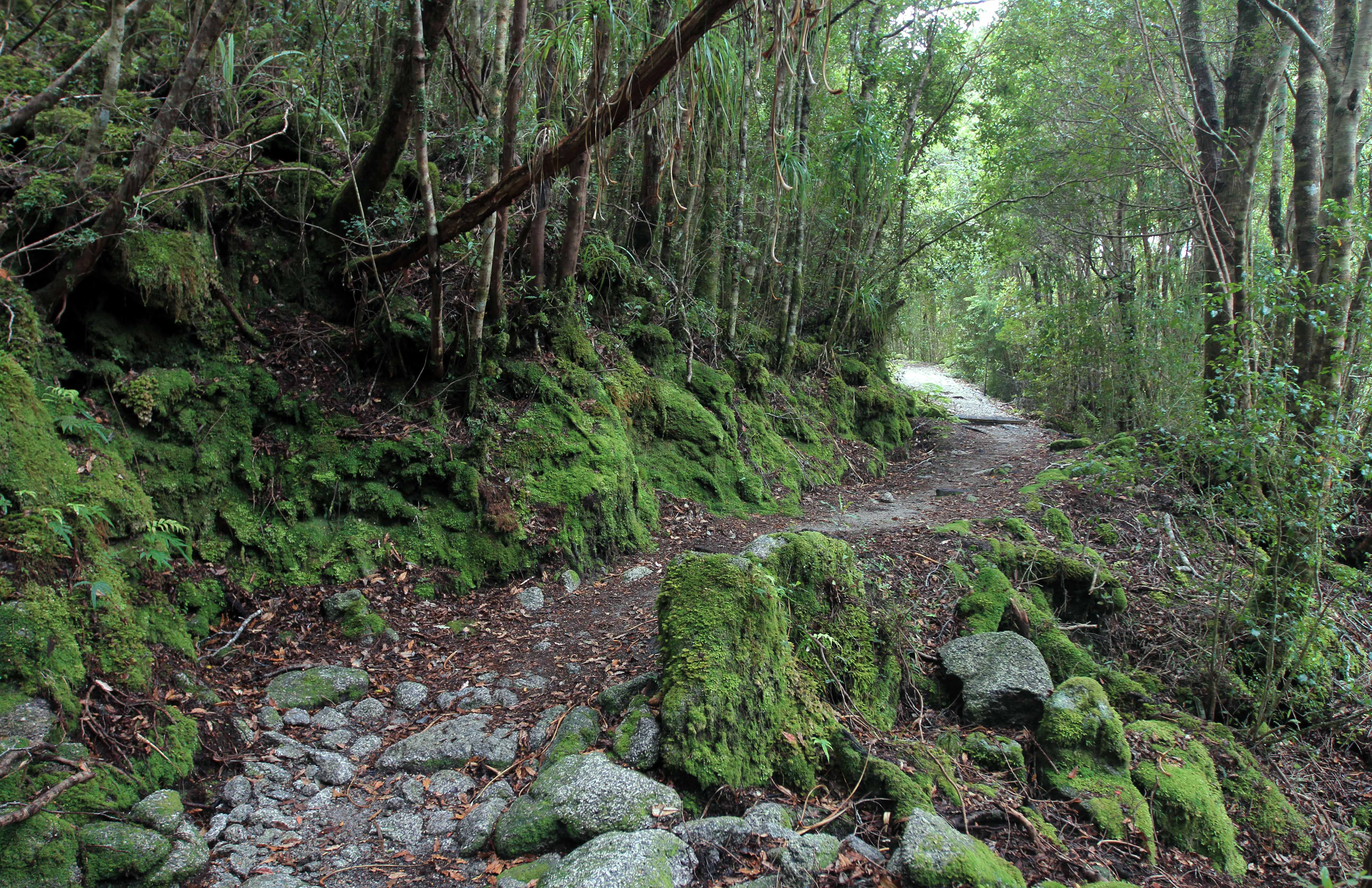
Bridge over the Kohaihai River, near the south/west end of the Heaphy Track.Kohaihai River flowing into the Tasman Sea.Scotts Beach, seen from Kohaihai Bluff.Hiking the Heaphy Track through a nikau palm forest.Scotts Beach with Kohaihai Bluff at the end.Another view of Kohaihai Bluff, seen from Scotts Beach.Nikau palms along the trail.Looking south from the northern end of Scotts Beach.Heaphy Track along the coast with Big Rock Beach in view.Horokaka (or “Maori ice plant”) flowers.Another view of Big Rock Beach.More nikau palms along the trail.Passing by Swan Burn at the northern end of Big Rock Beach.Trail just south of Twin Beach.Nettle Beach.Heaphy Beach.Wildflowers along the trail near Heaphy Beach and Heaphy Hut and Campsite.
Day Two: (Heaphy Campsite to James Mackay Campsite)
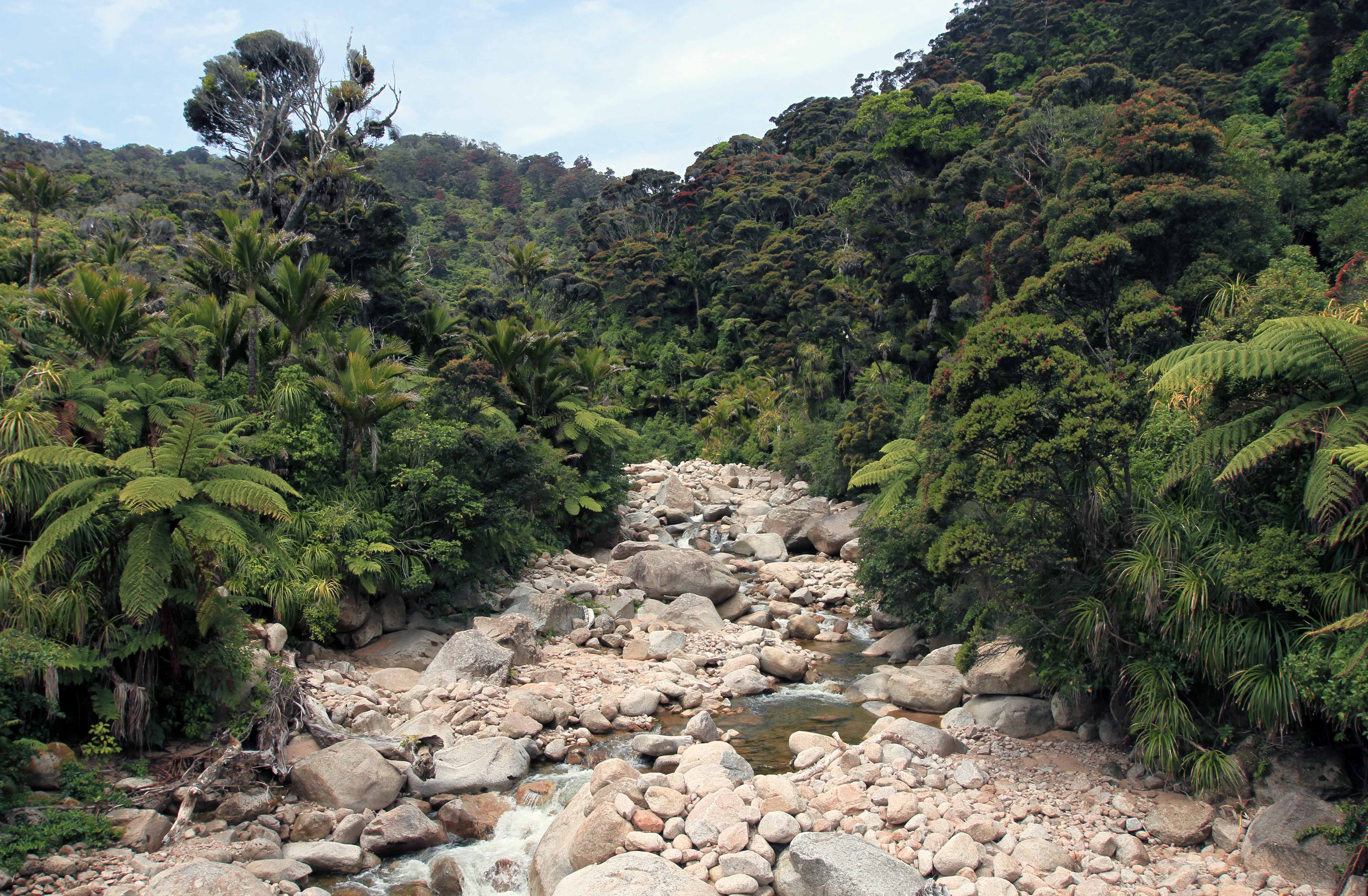
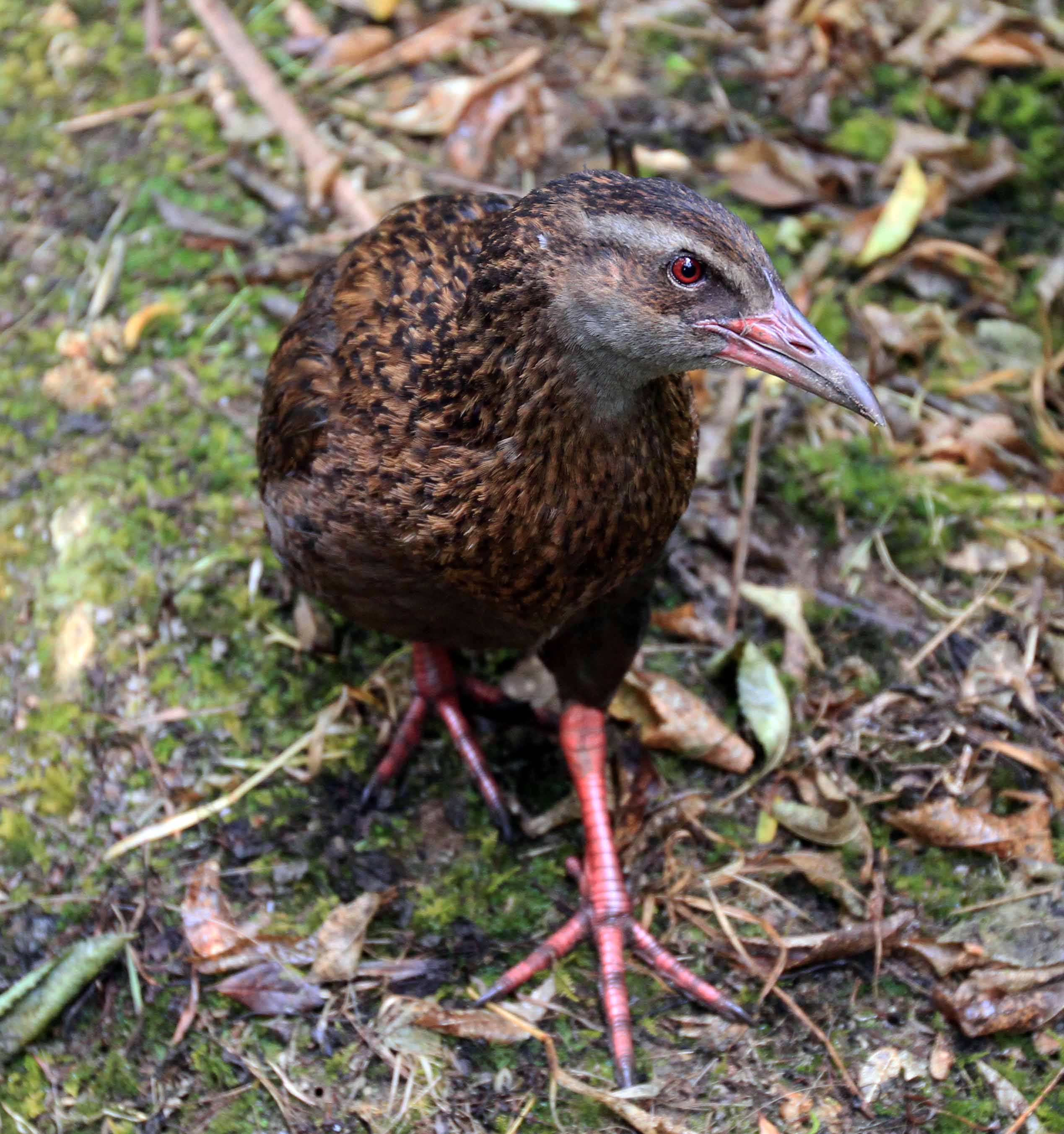
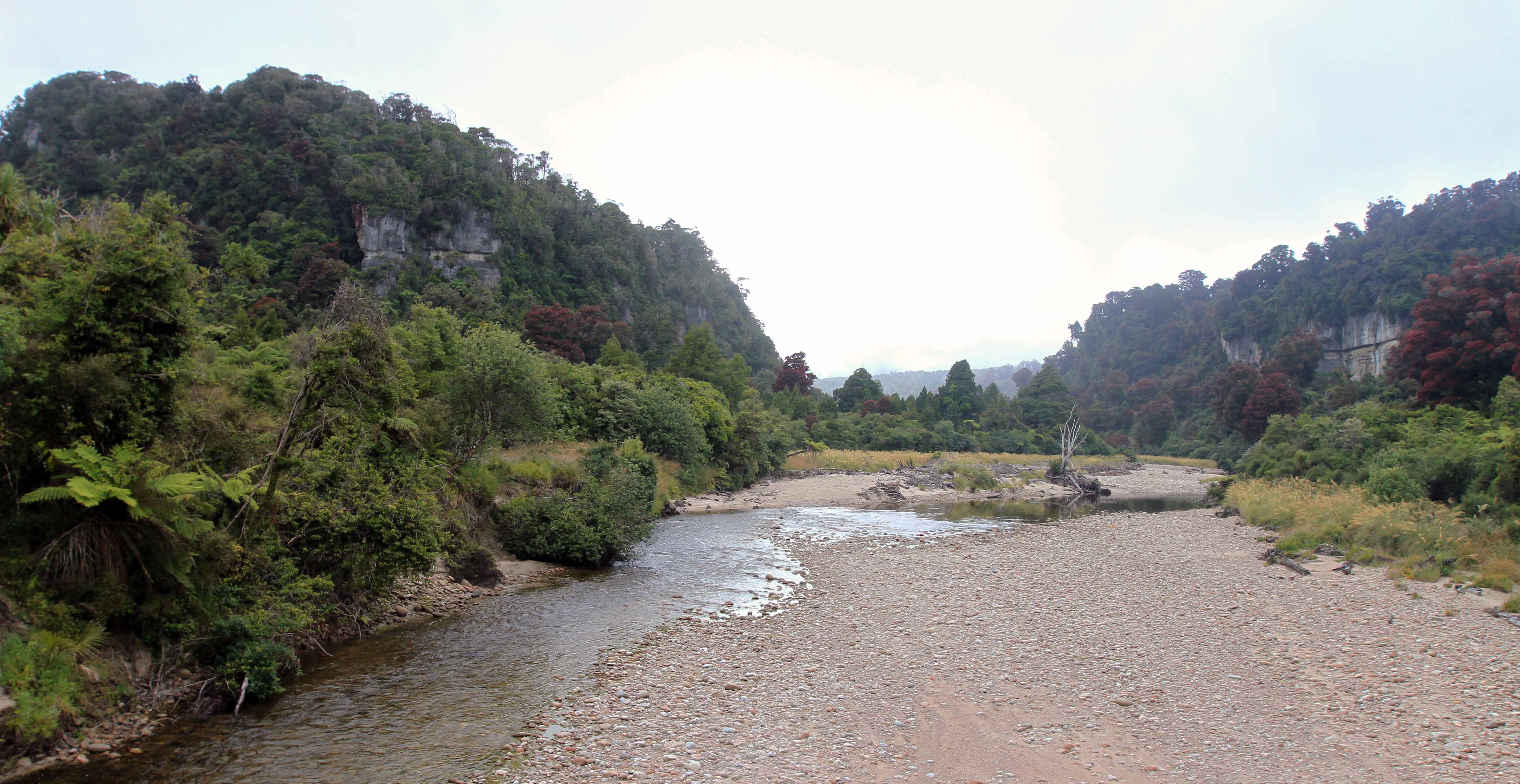
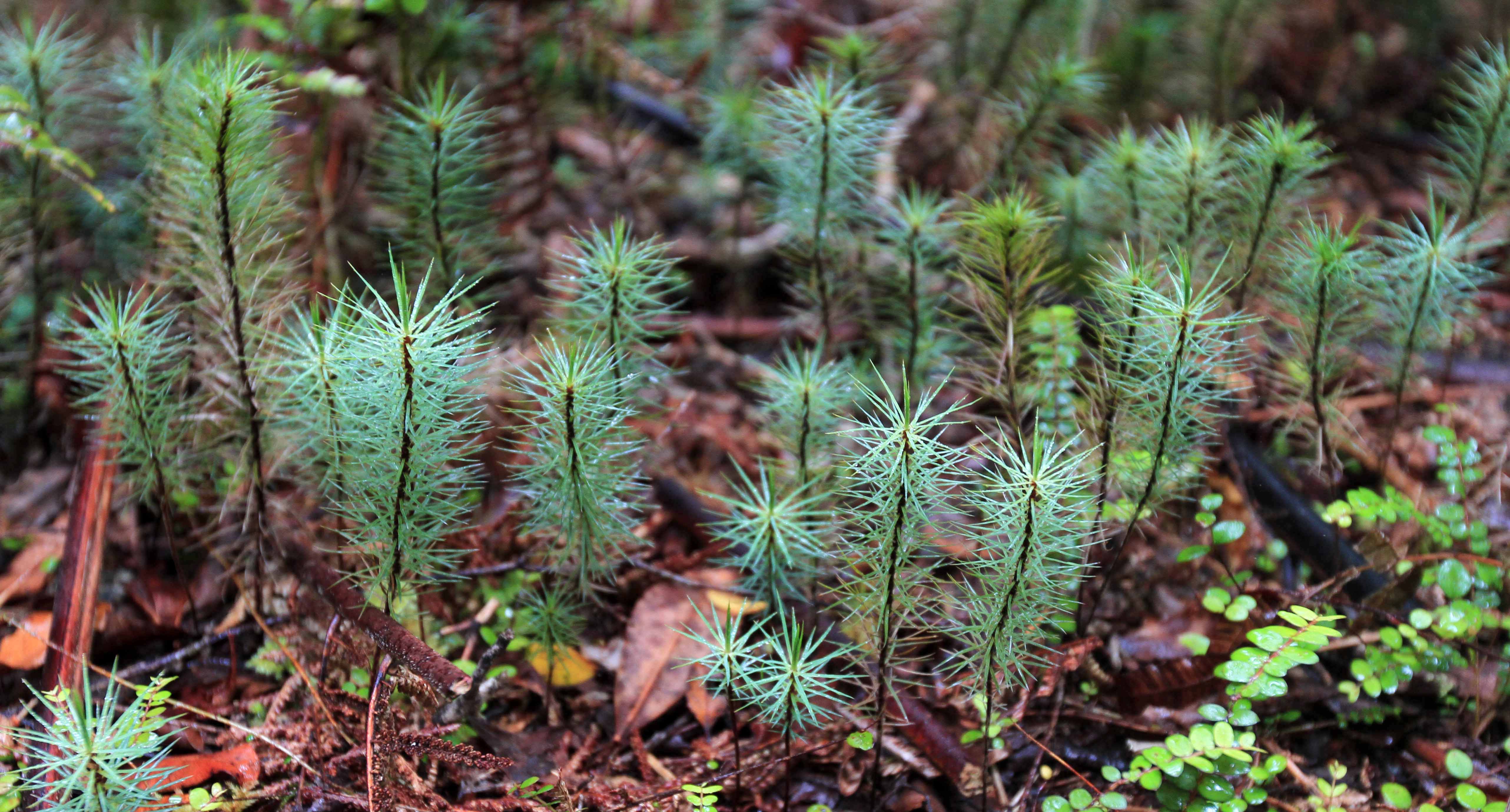
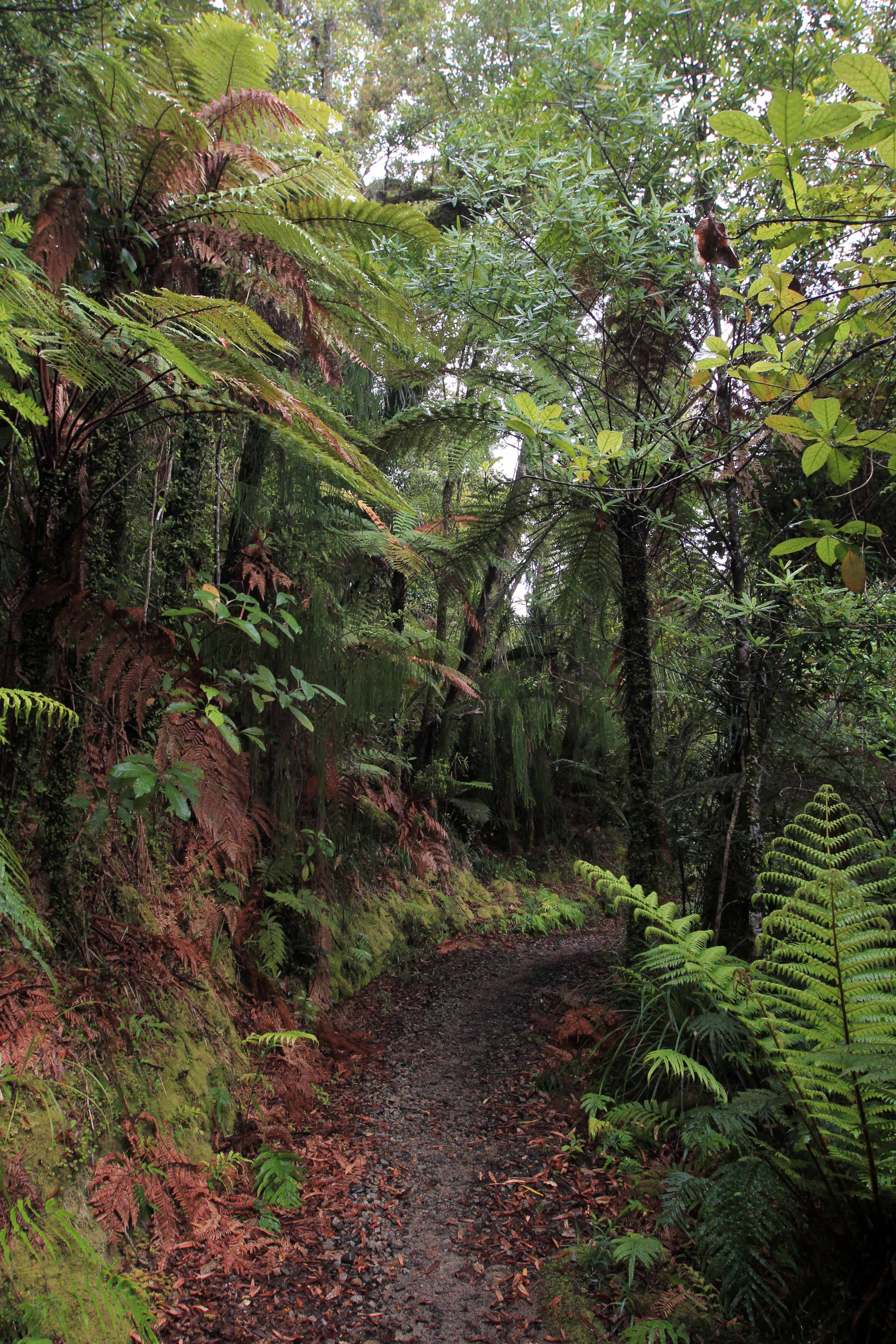
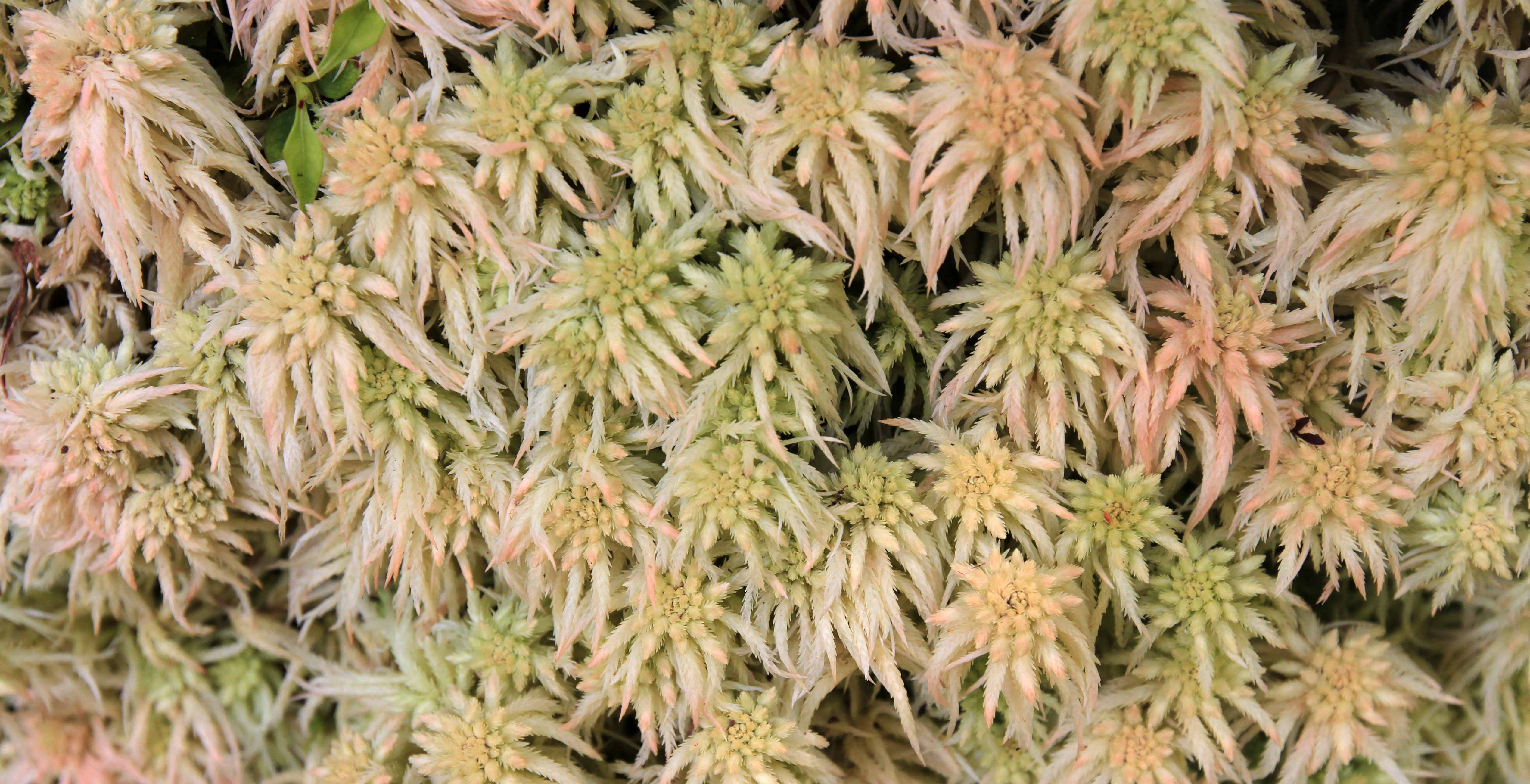
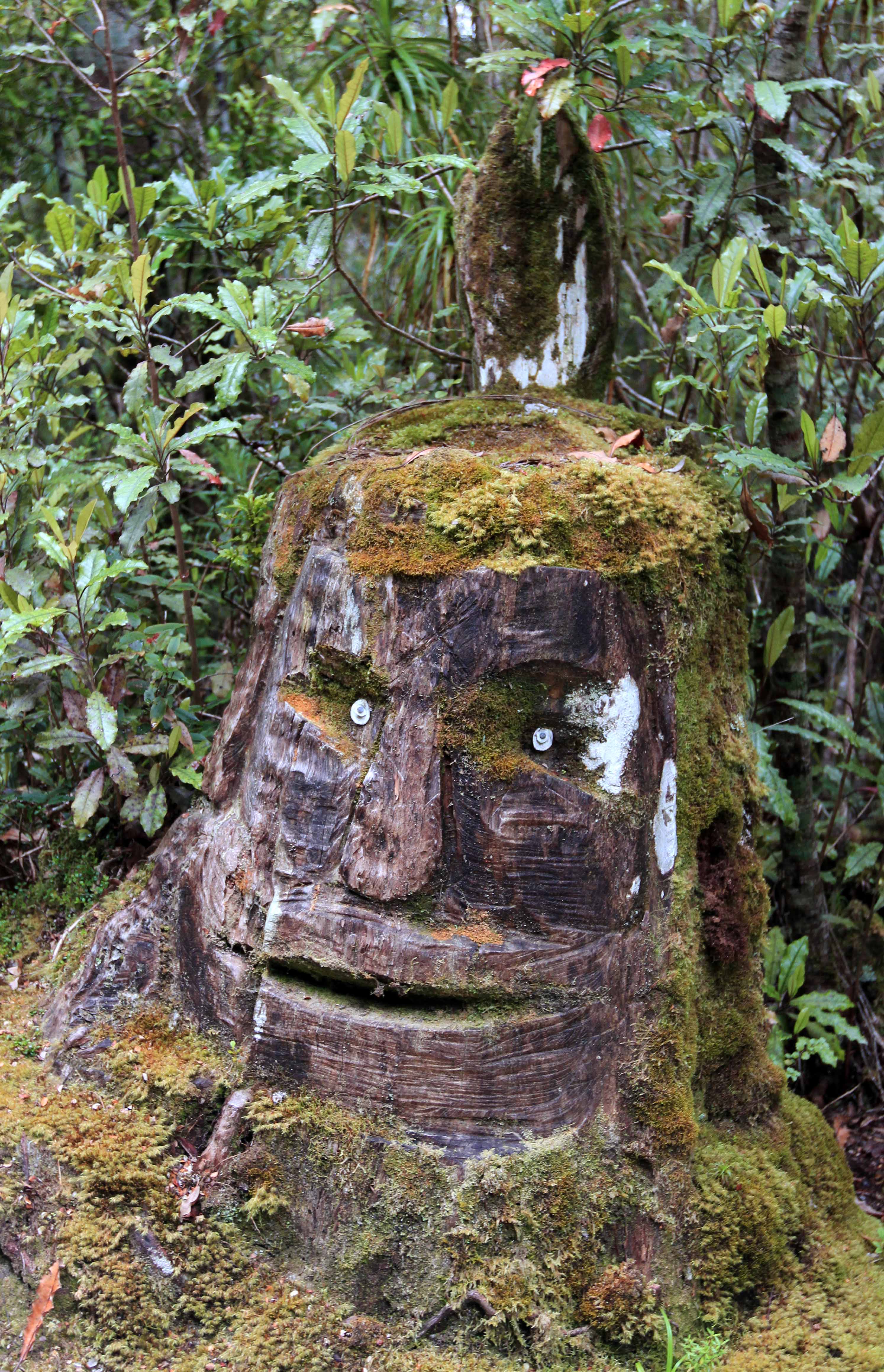
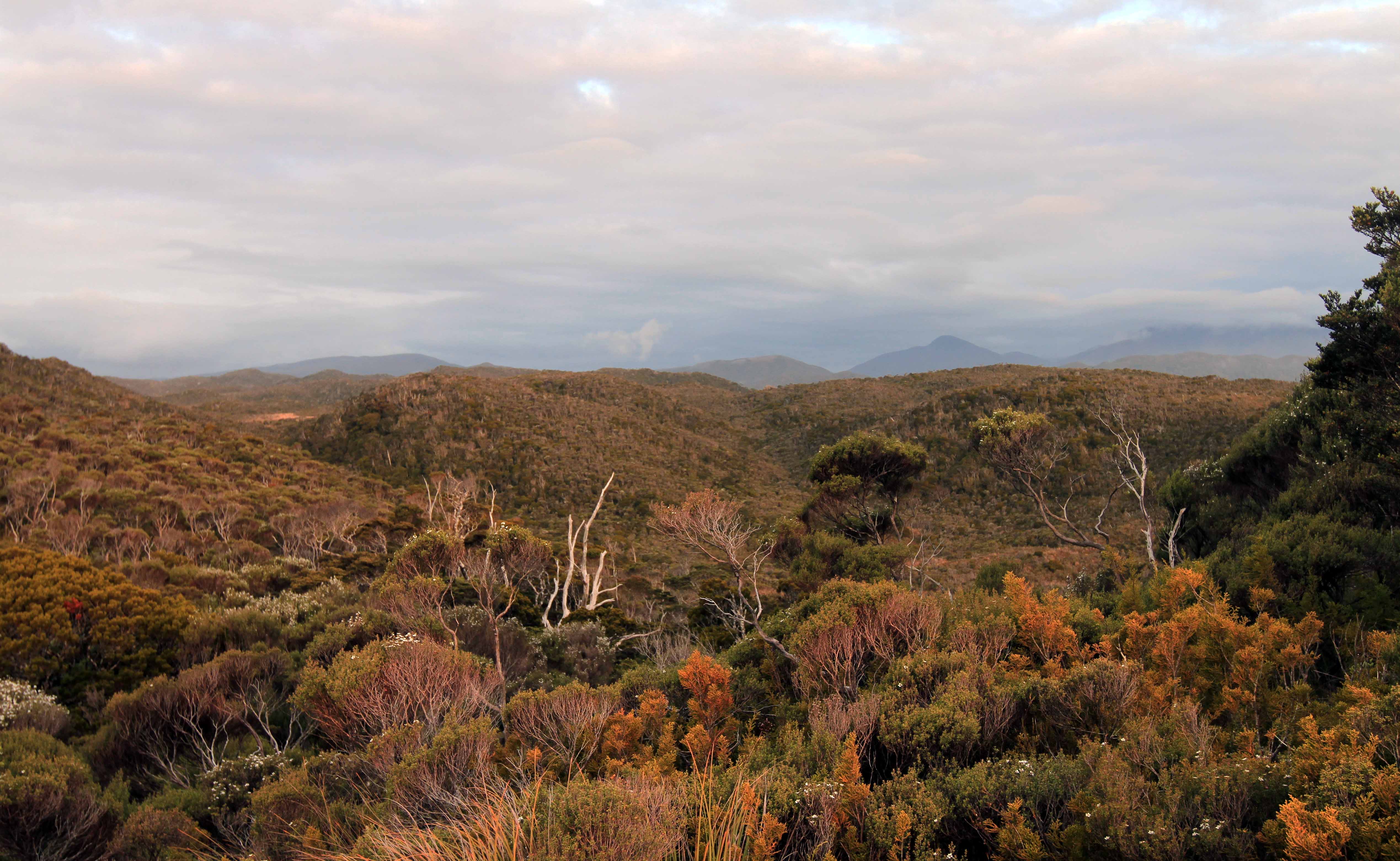
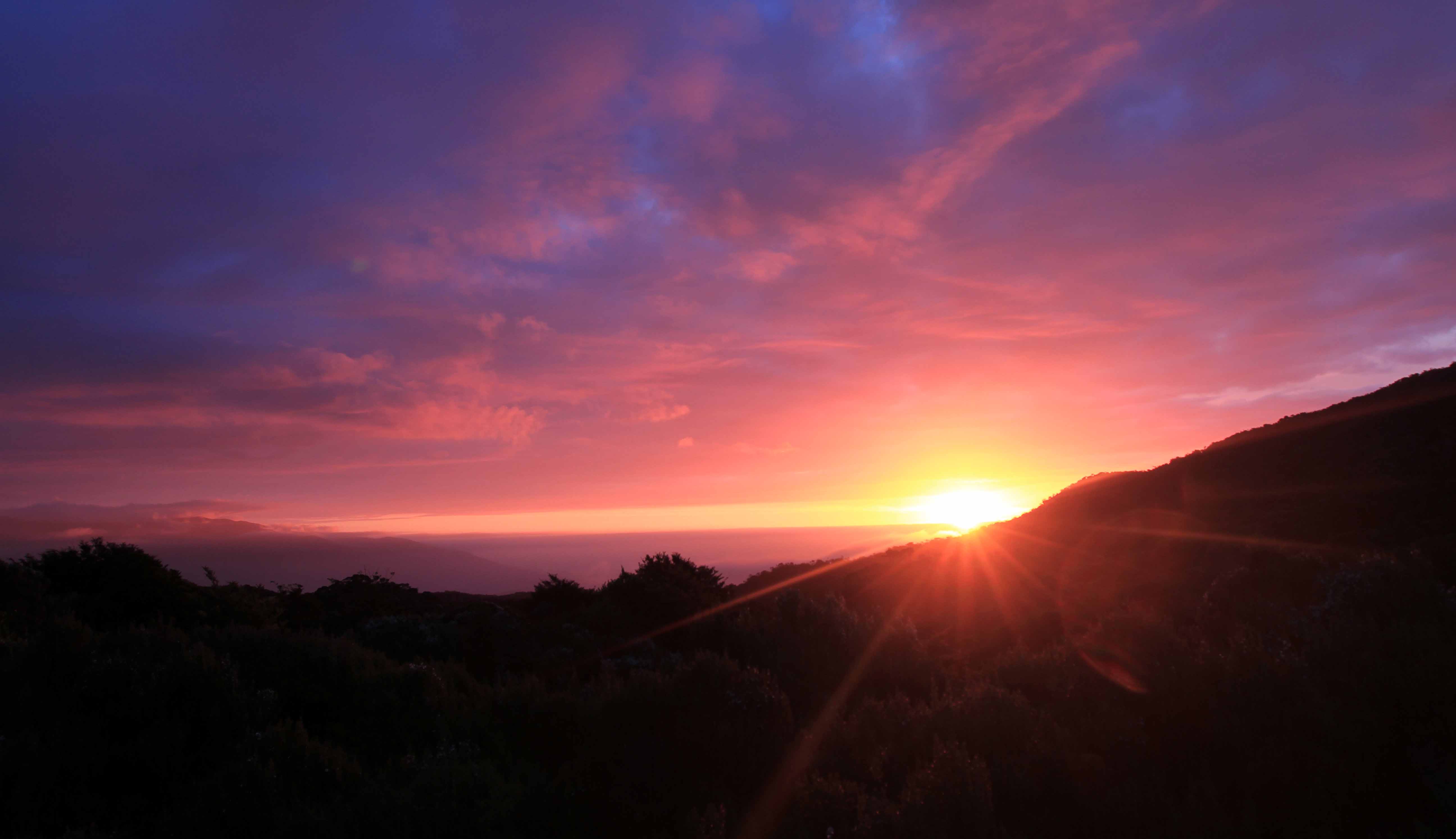
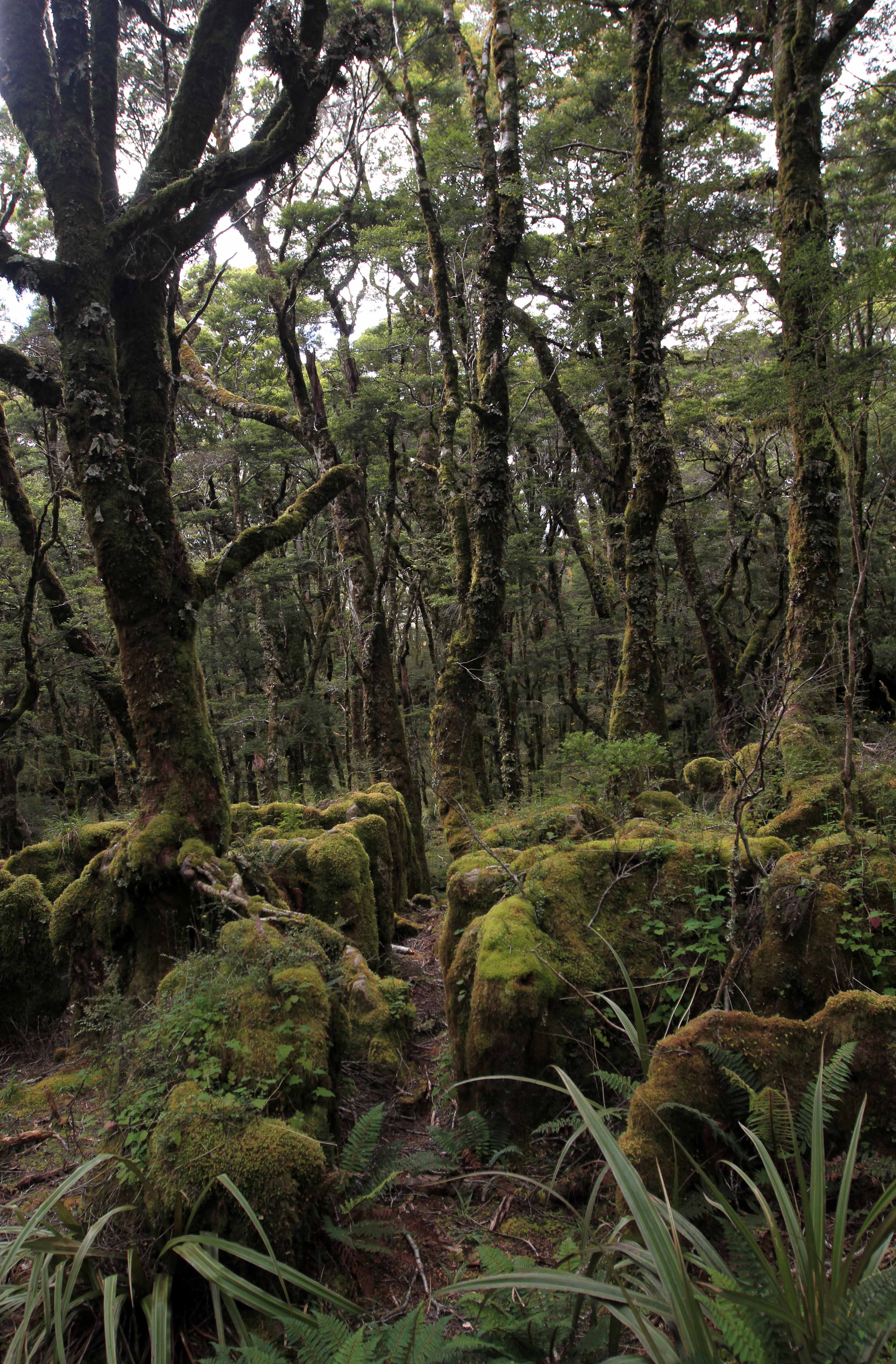
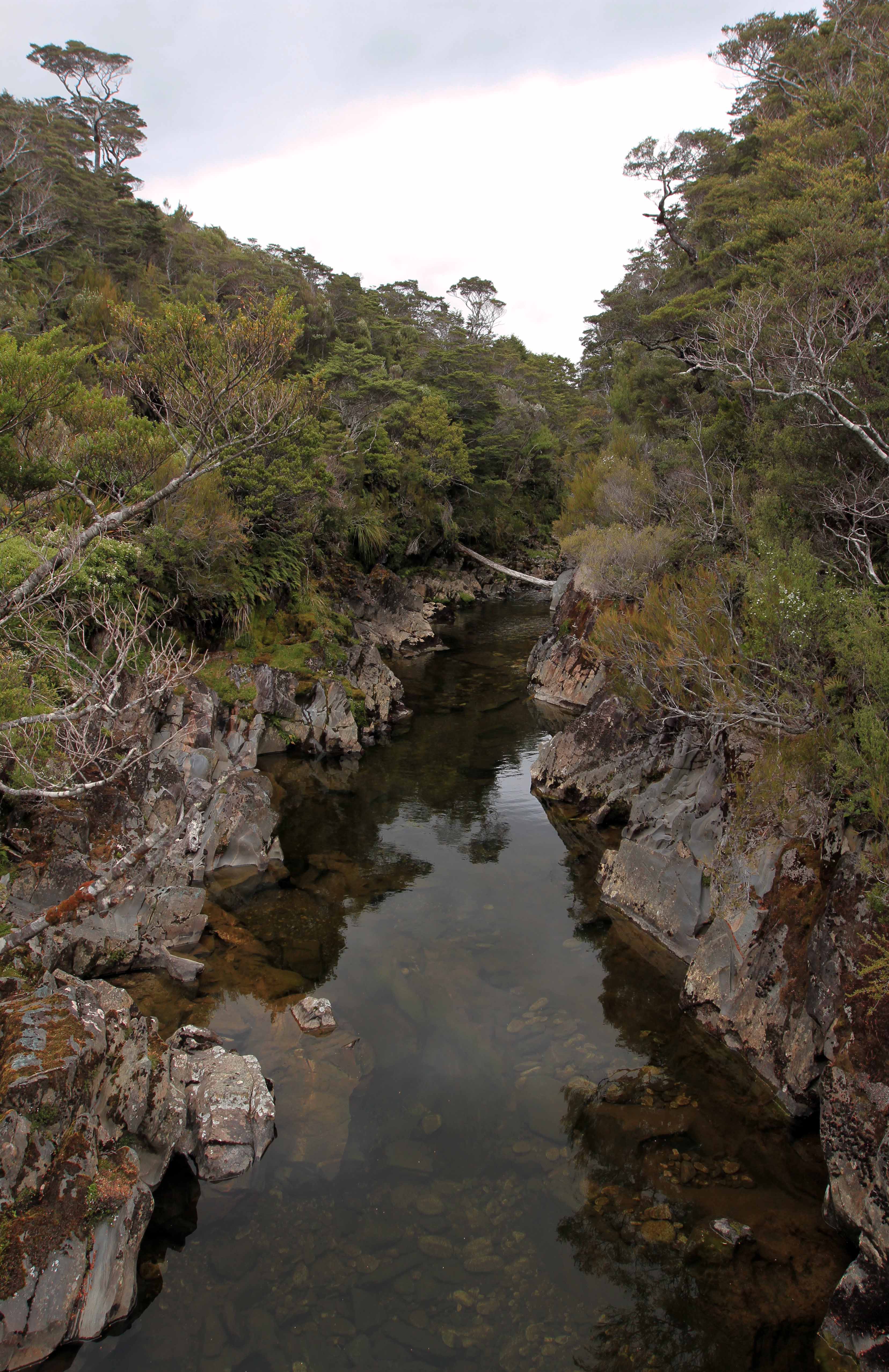
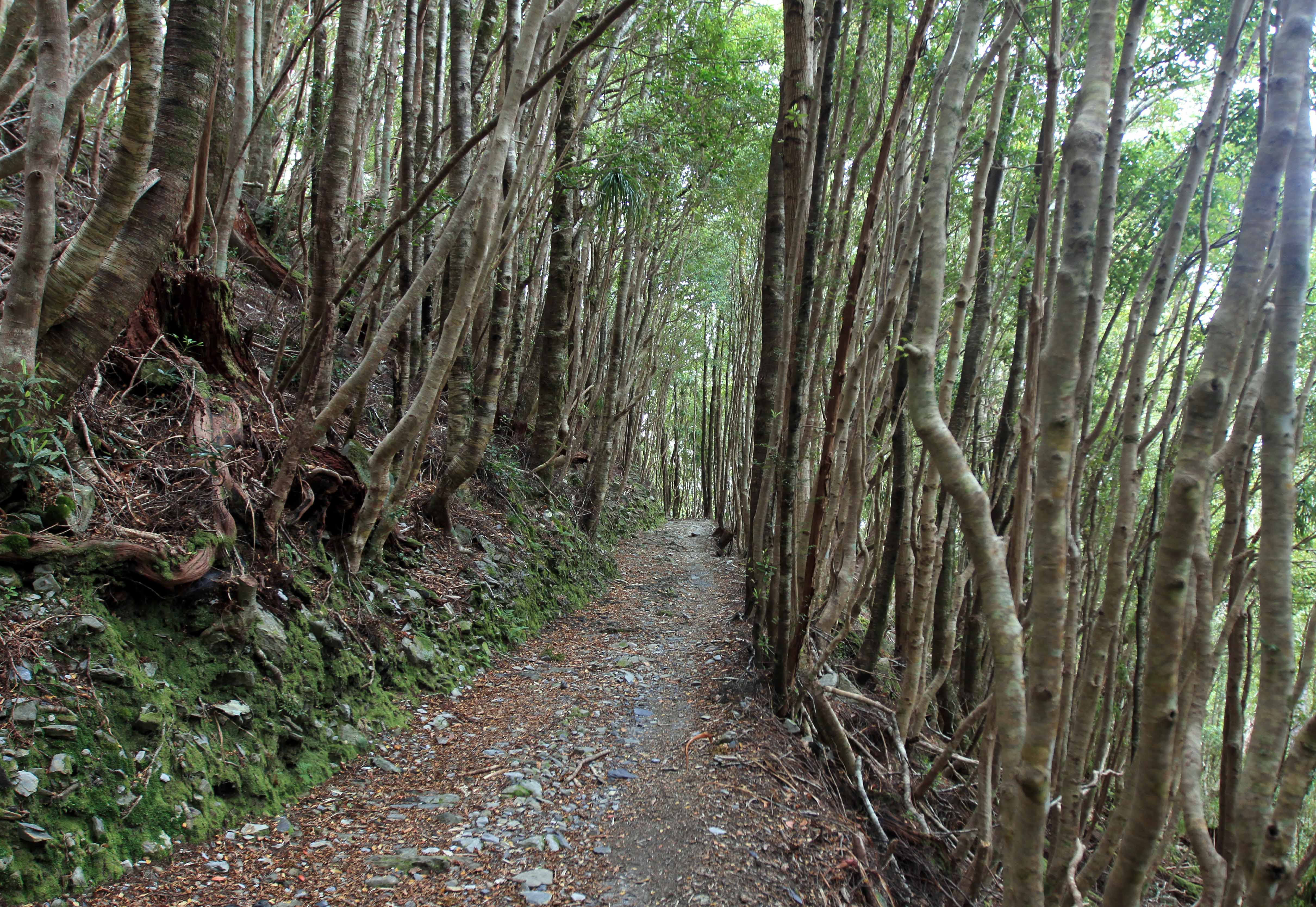
Early morning at the Heaphy River.Hiking eastward, alongside the Heaphy River.Passing under palm trees.Weka on the trail.Forest of tree ferns.Trail passing through more tree ferns.Gunner River passing between two bluffs.Looking up at a big rata tree.Dawsonia superba, the tallest self-supporting moss in the world.Hiking through more forest.Sphagnum moss.Trail ascending through a forest.Trees on the ridge near James Mackay Hut and Campsite.Carved stump on the trail, near James Mackay Hut.View from Otepo – the high point next to James Mackay Hut.Watching the sunset from James Mackay Campsite.
Day Three: (James Mackay Campsite to Perry Saddle Campsite)
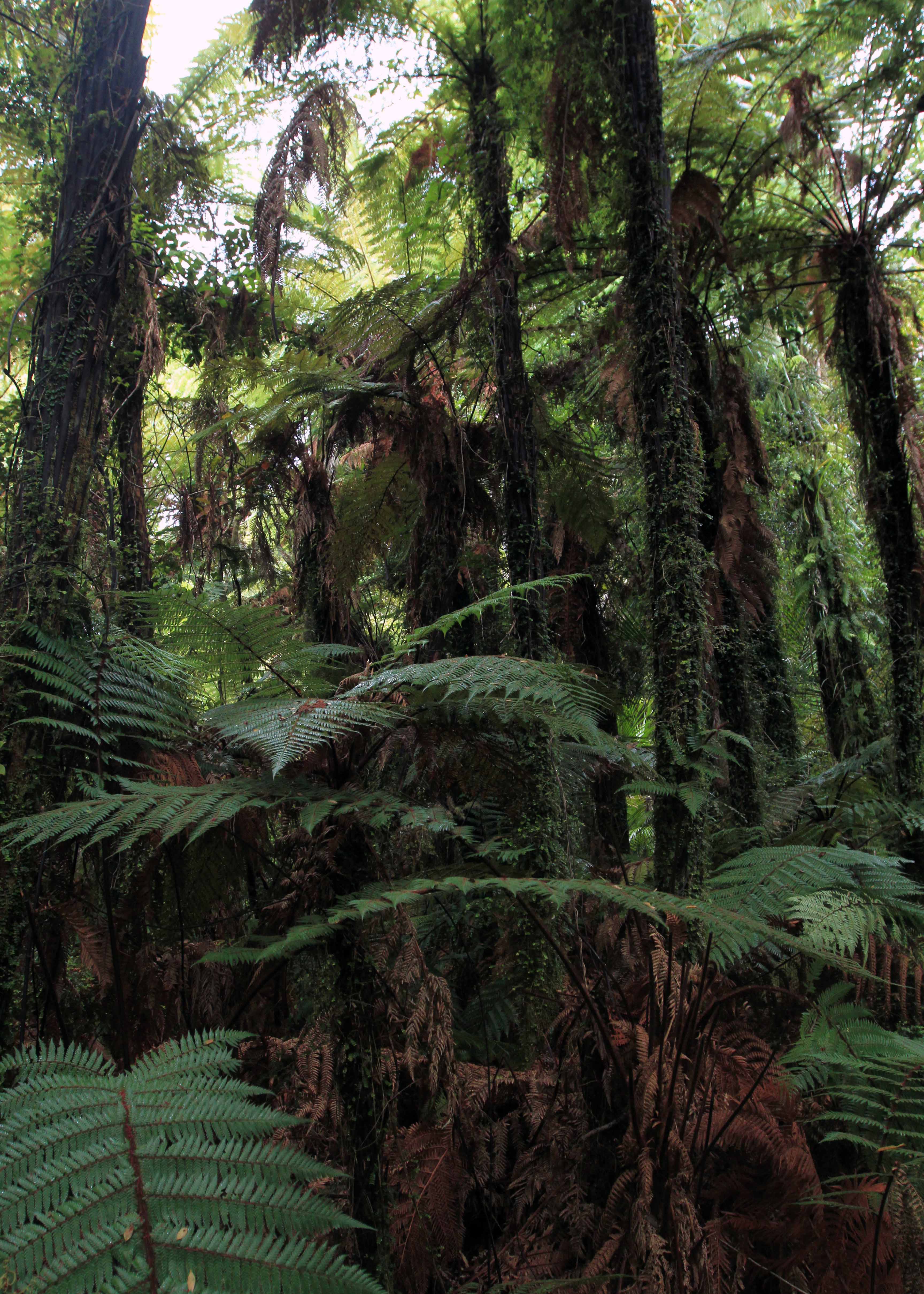
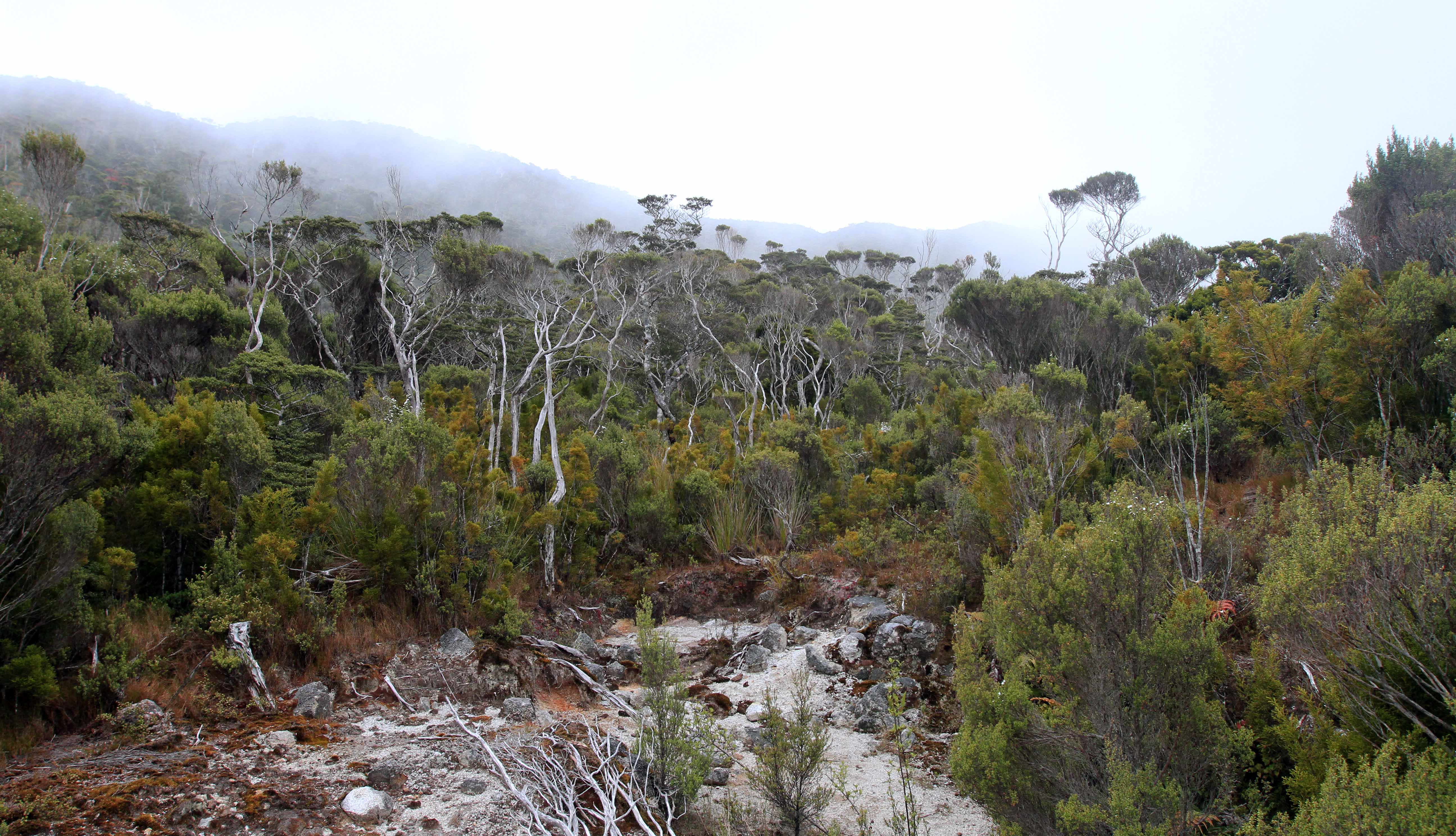
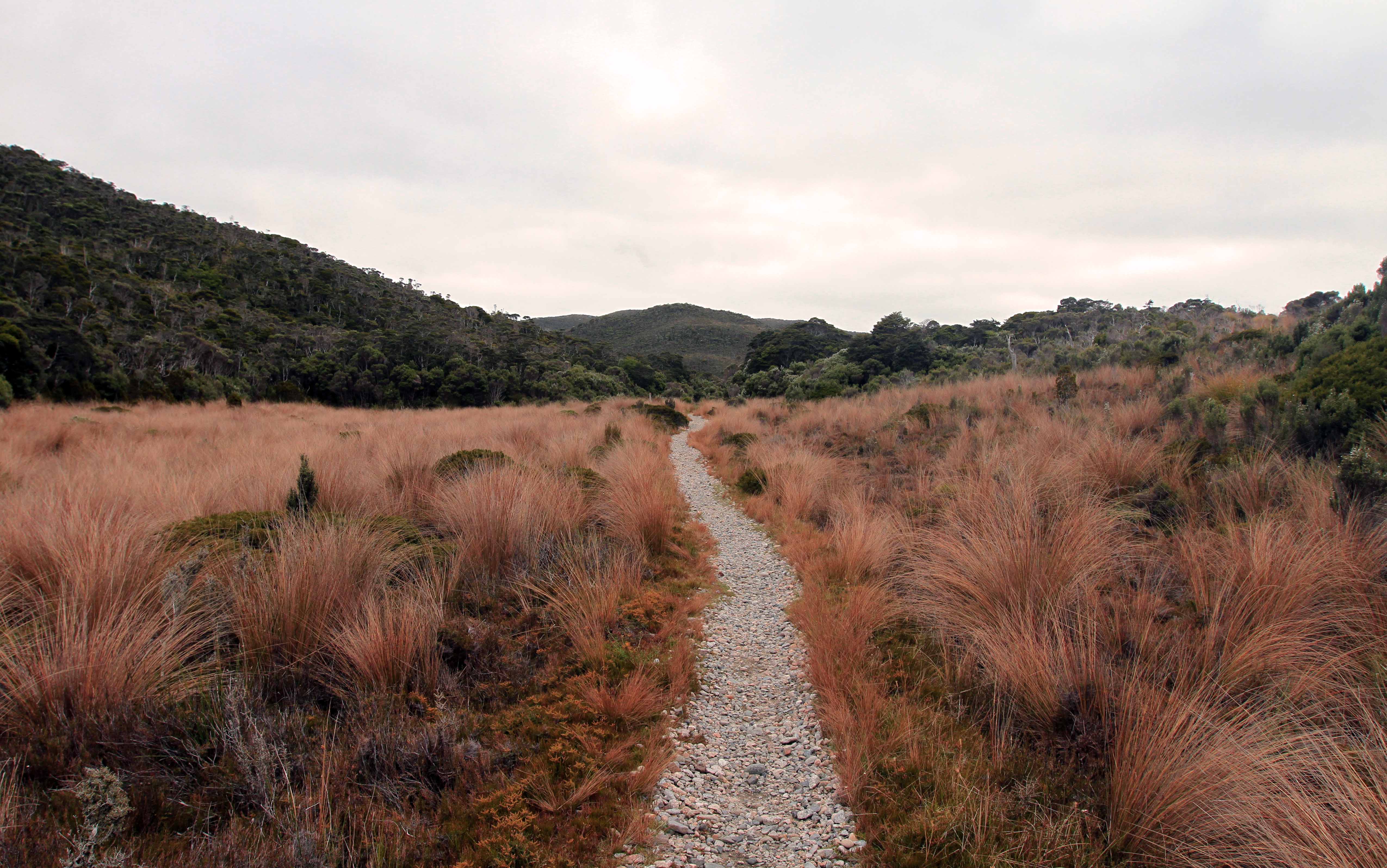
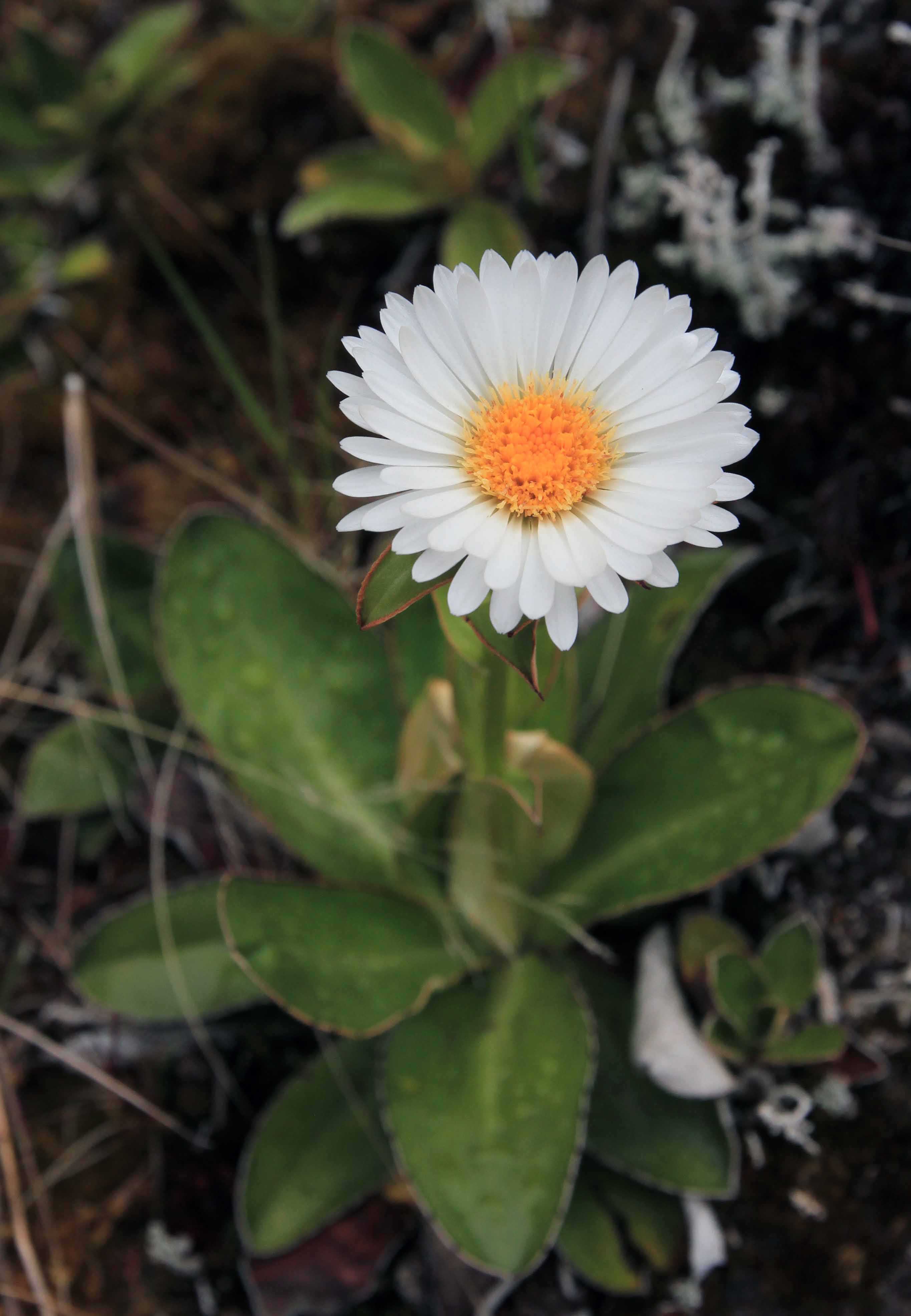
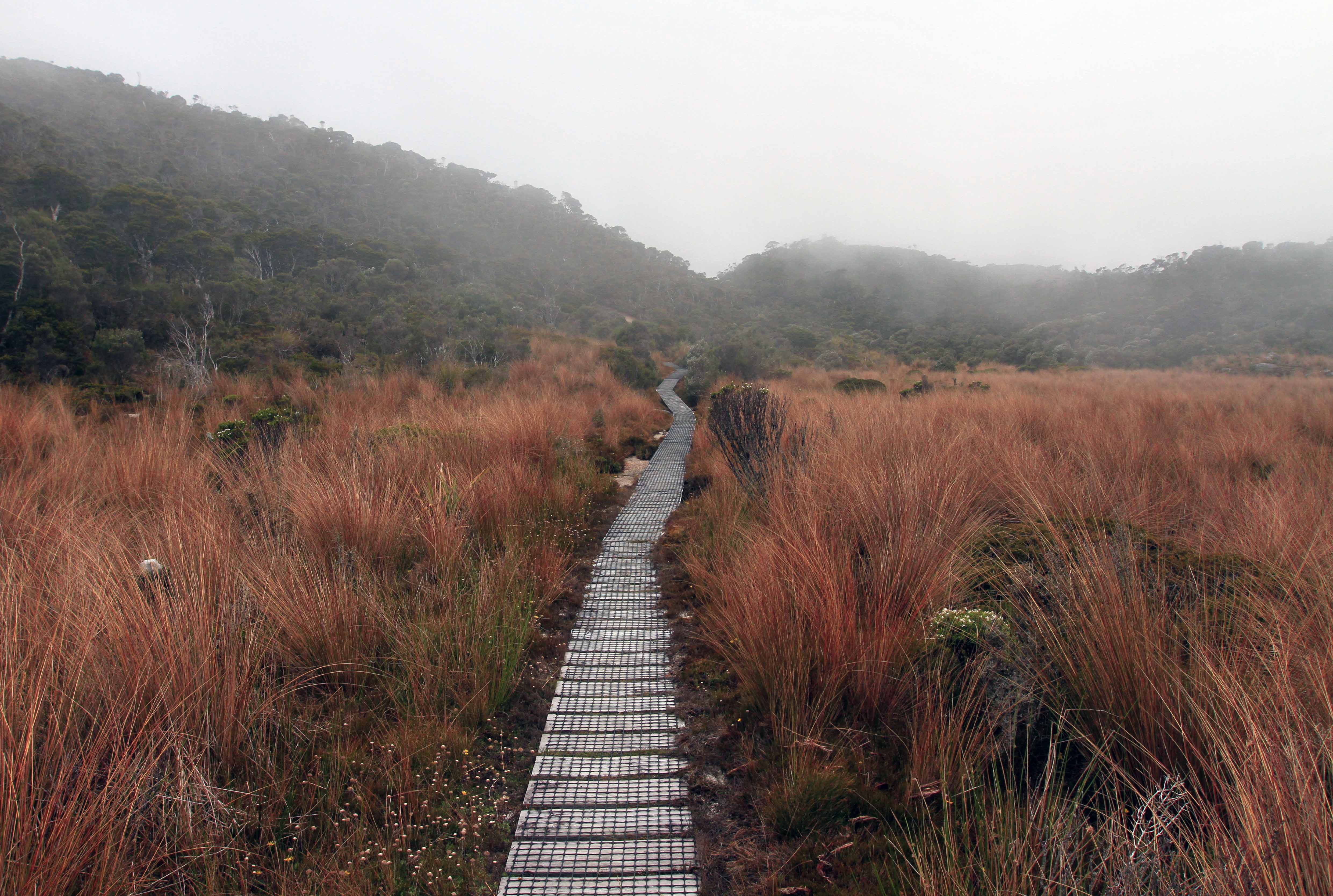
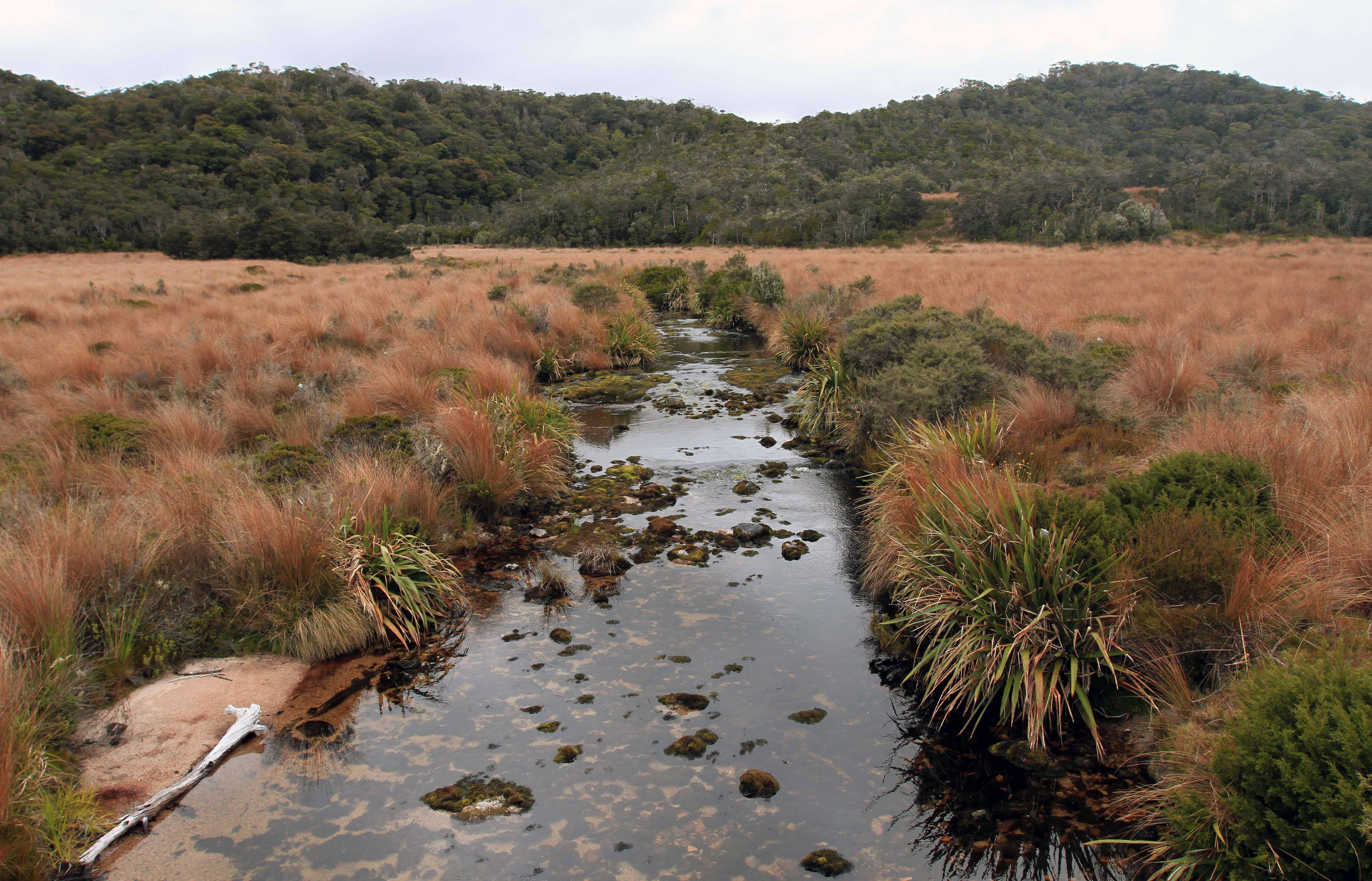
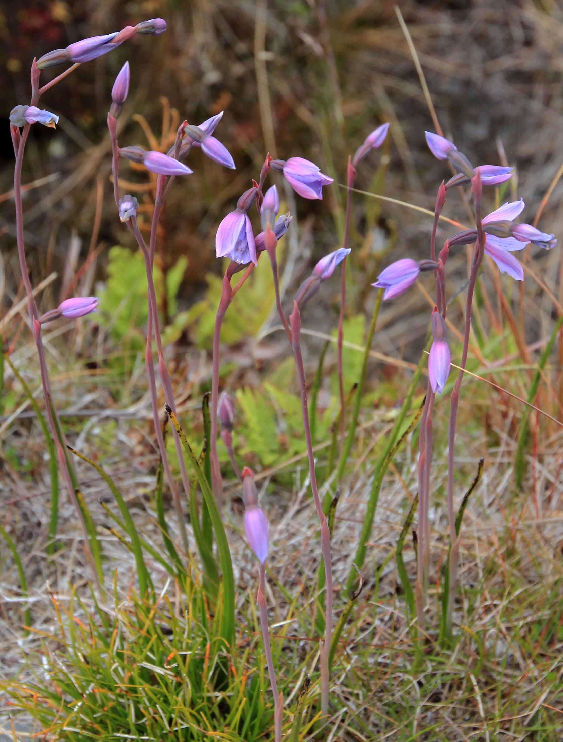
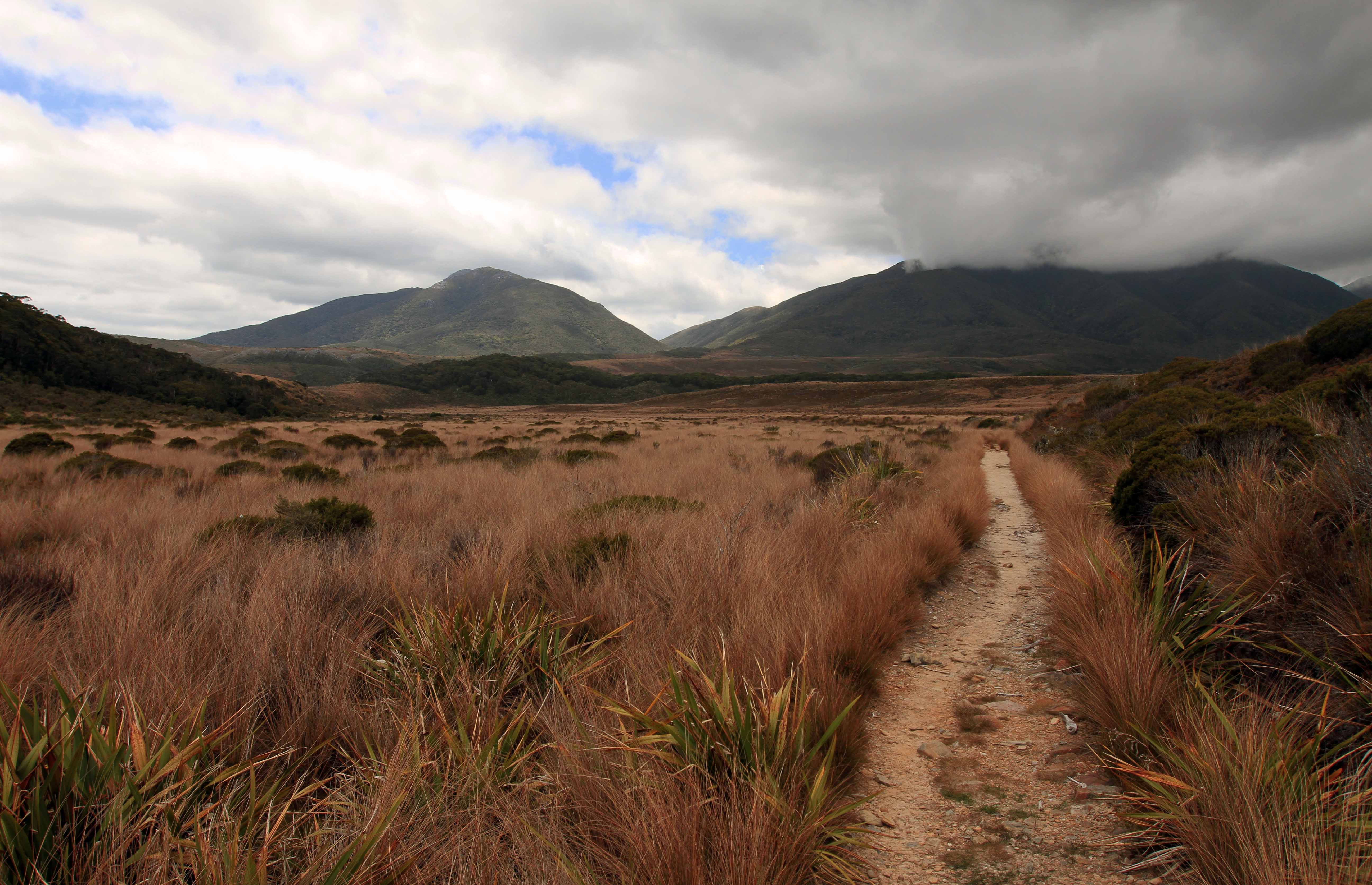
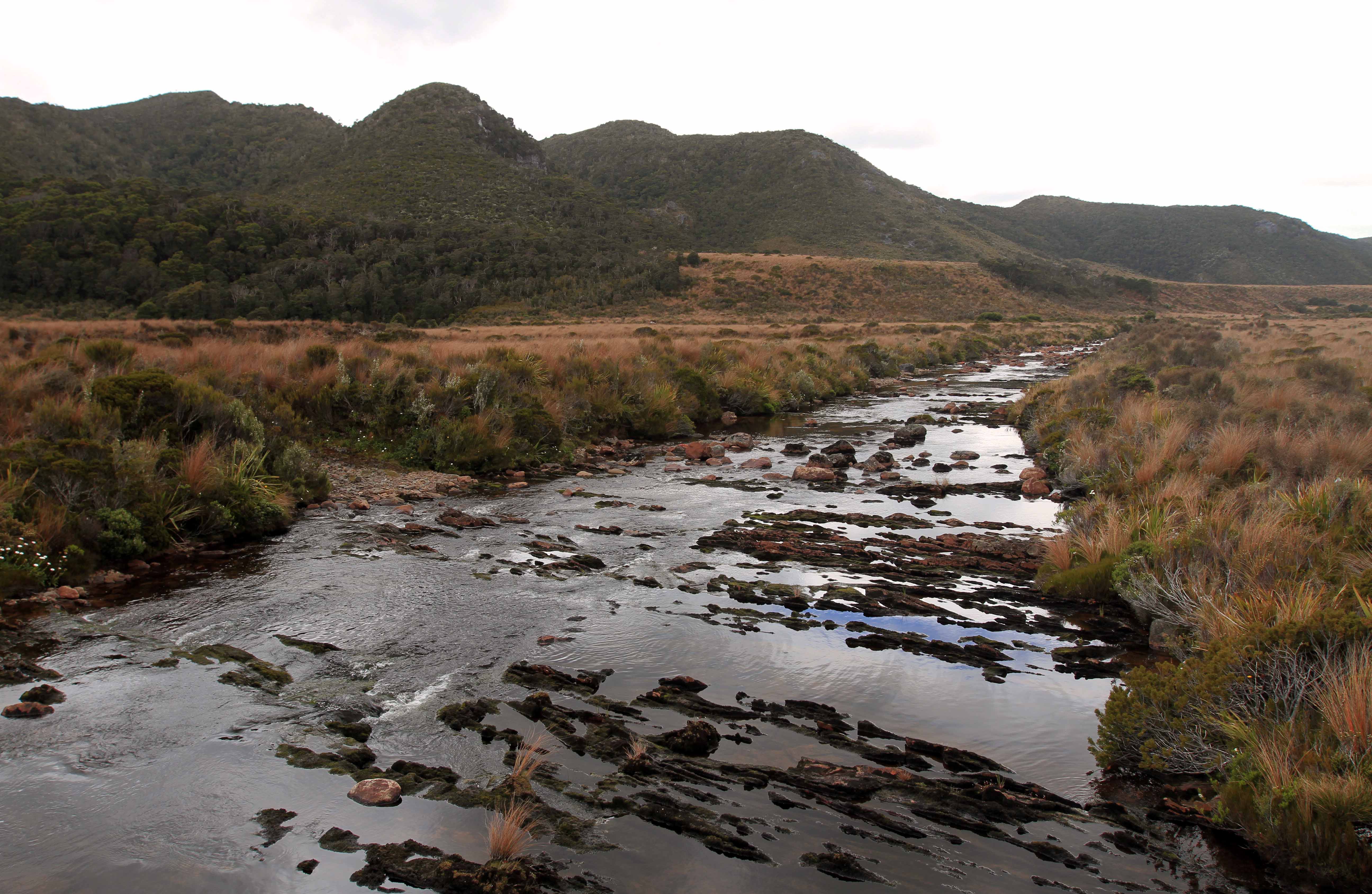
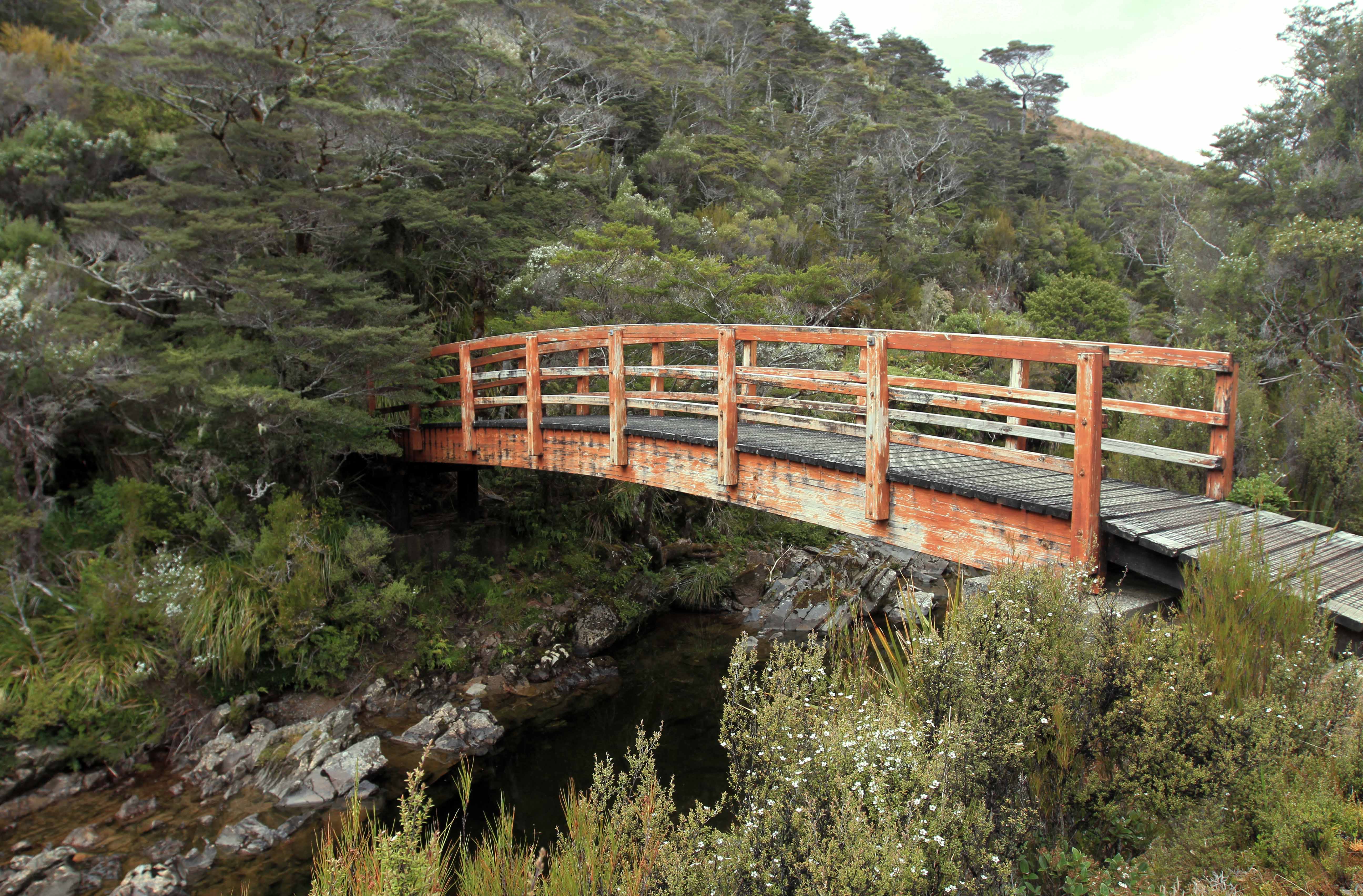
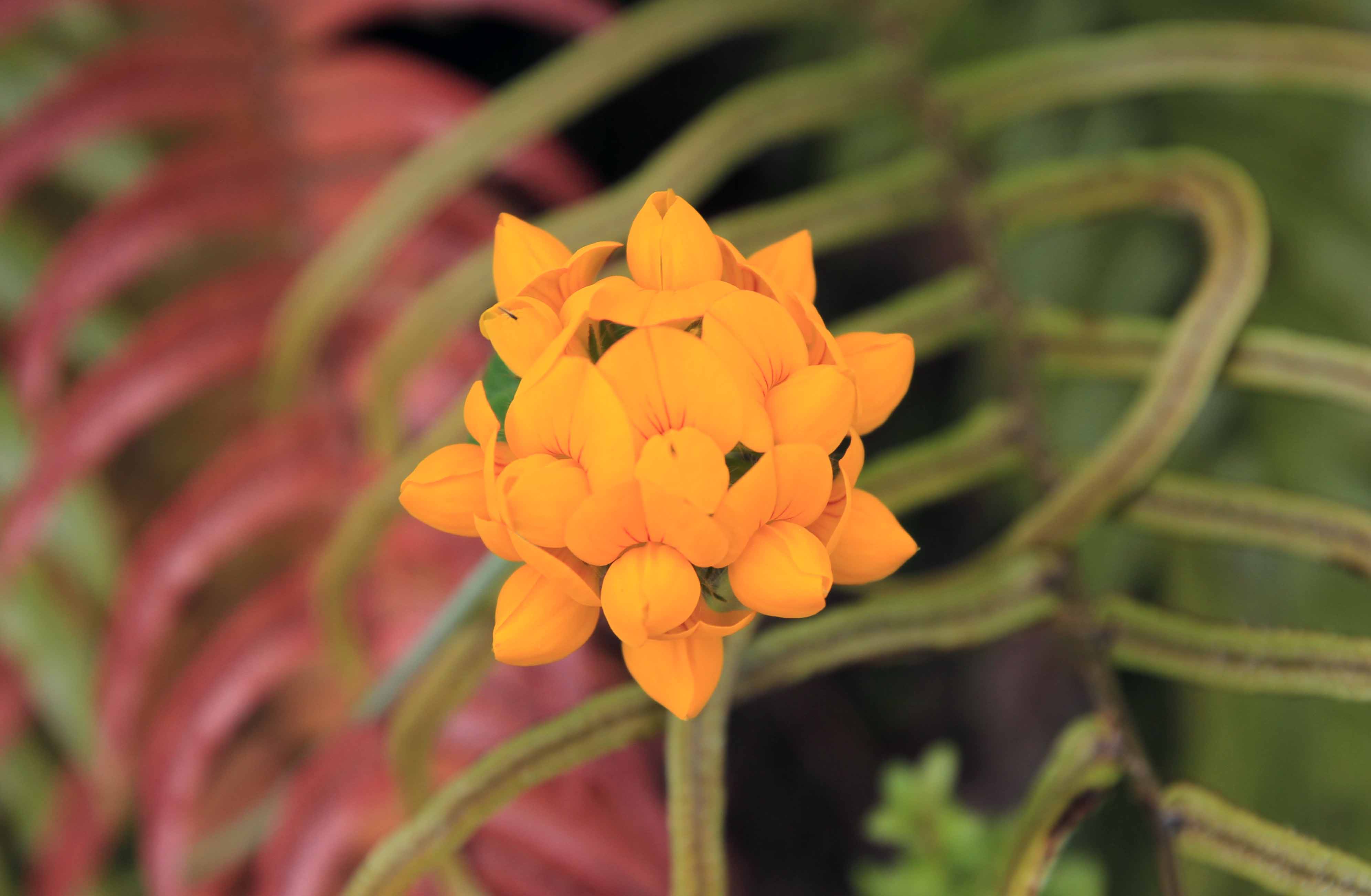
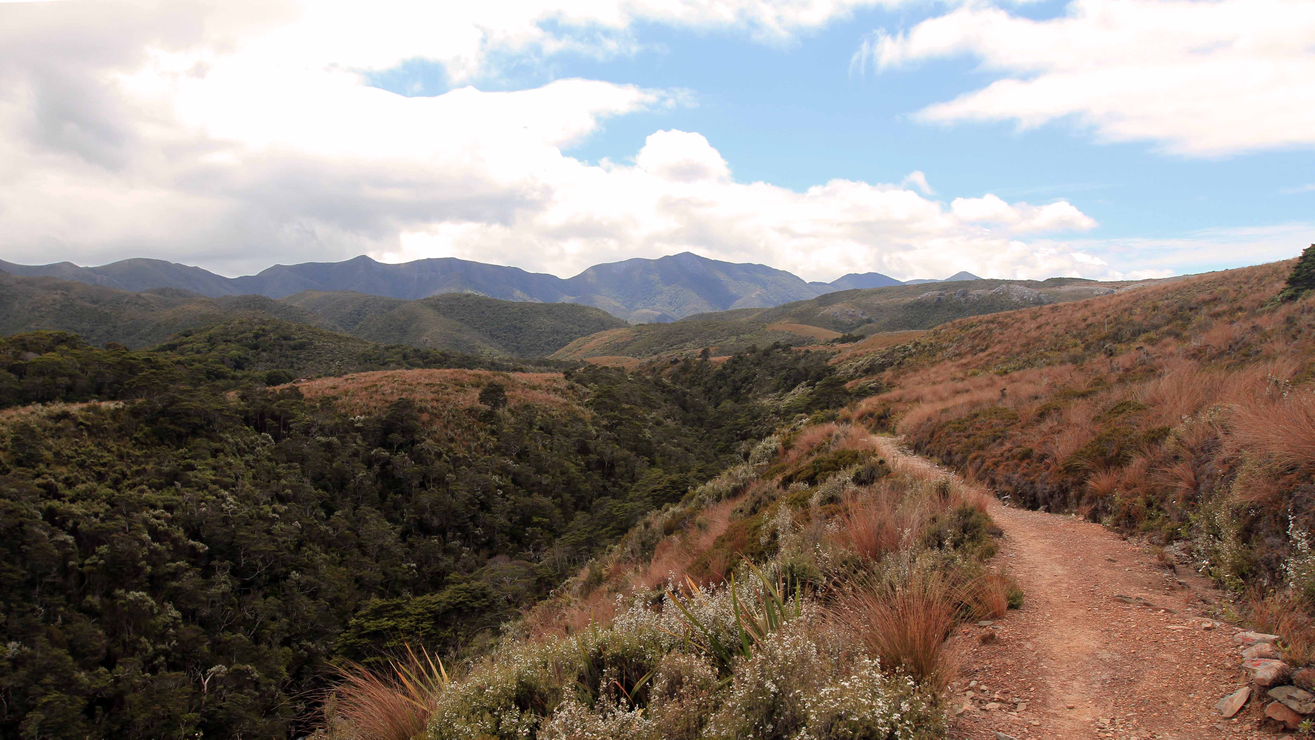
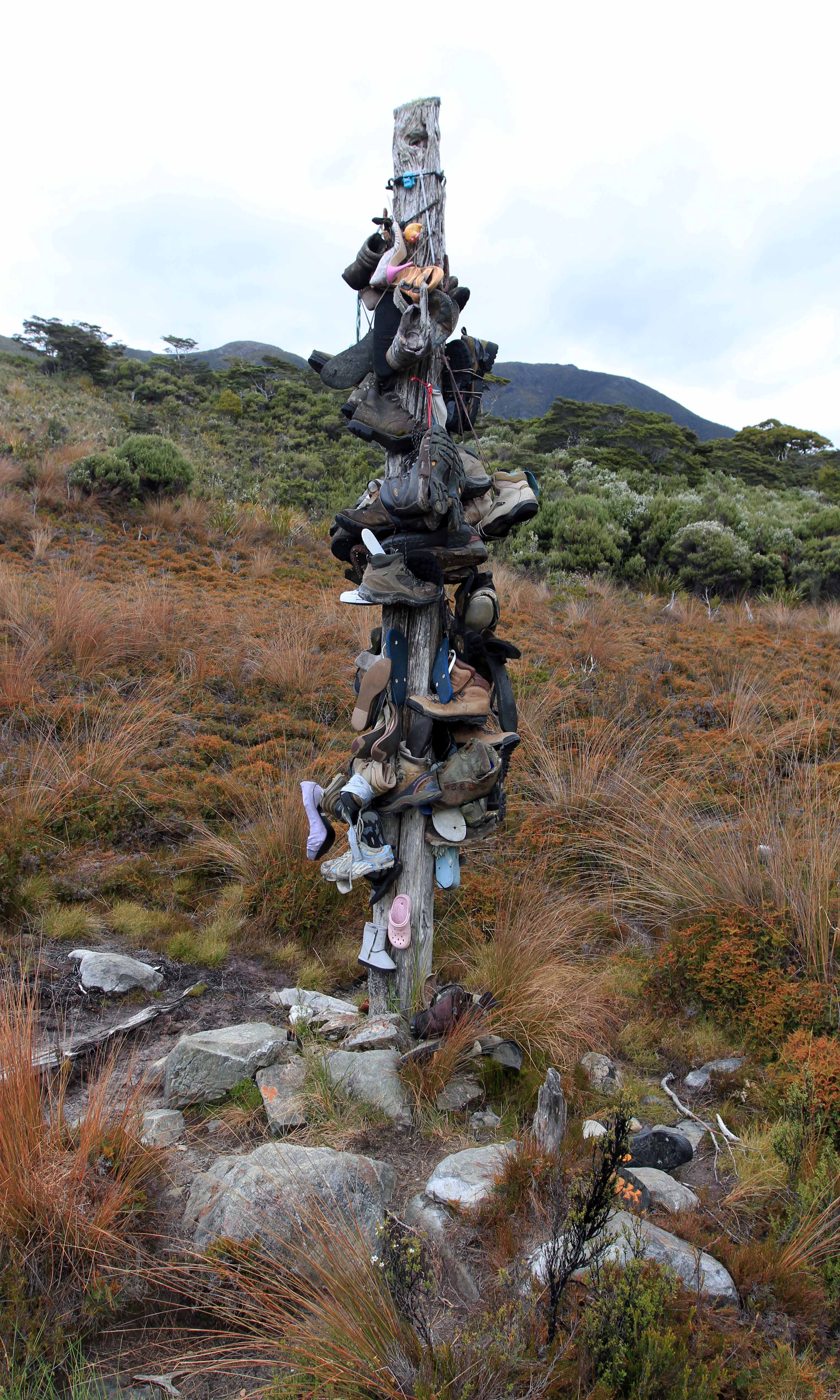
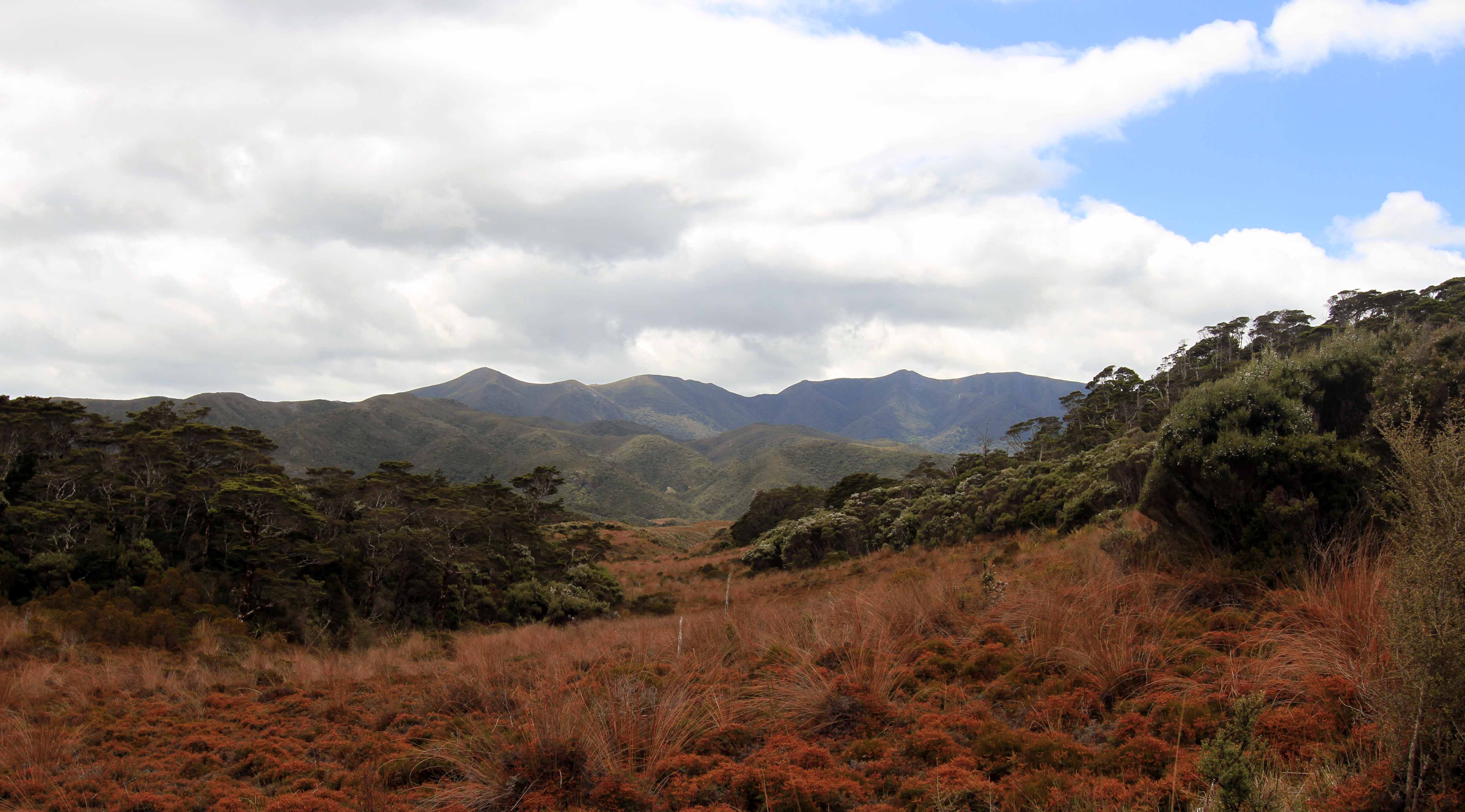
Trail cutting through red tussocks.Mountain daisy.Boardwalk on the Heaphy Track.Trail ascending through more mossy trees.Blue Duck Creek.Purple flowers along the trail.View of Gouland Downs.Close-up of lichen found along the Heaphy Track.Trail passing through Gouland Downs.Crossing the Big River in Gouland Downs.Moss-covered rocks in the forest.Bridge over Cave Brook.Cave Brook, viewed from the bridge.Bird’s Foot Trefoil (Lotus corniculatus).Trail toward the eastern end of Gouland Downs.“Boot Pole Corner,” which has a pole for hikers to hang their worn-out boots (as well as some others that have no business being on the trail).Looking northward from the eastern edge of Gouland Downs.Looking east from Perry Saddle at the mountains on the far side of the Aorere River Valley.
Day Four: (Perry Saddle Campsite to Brown River Campsite)
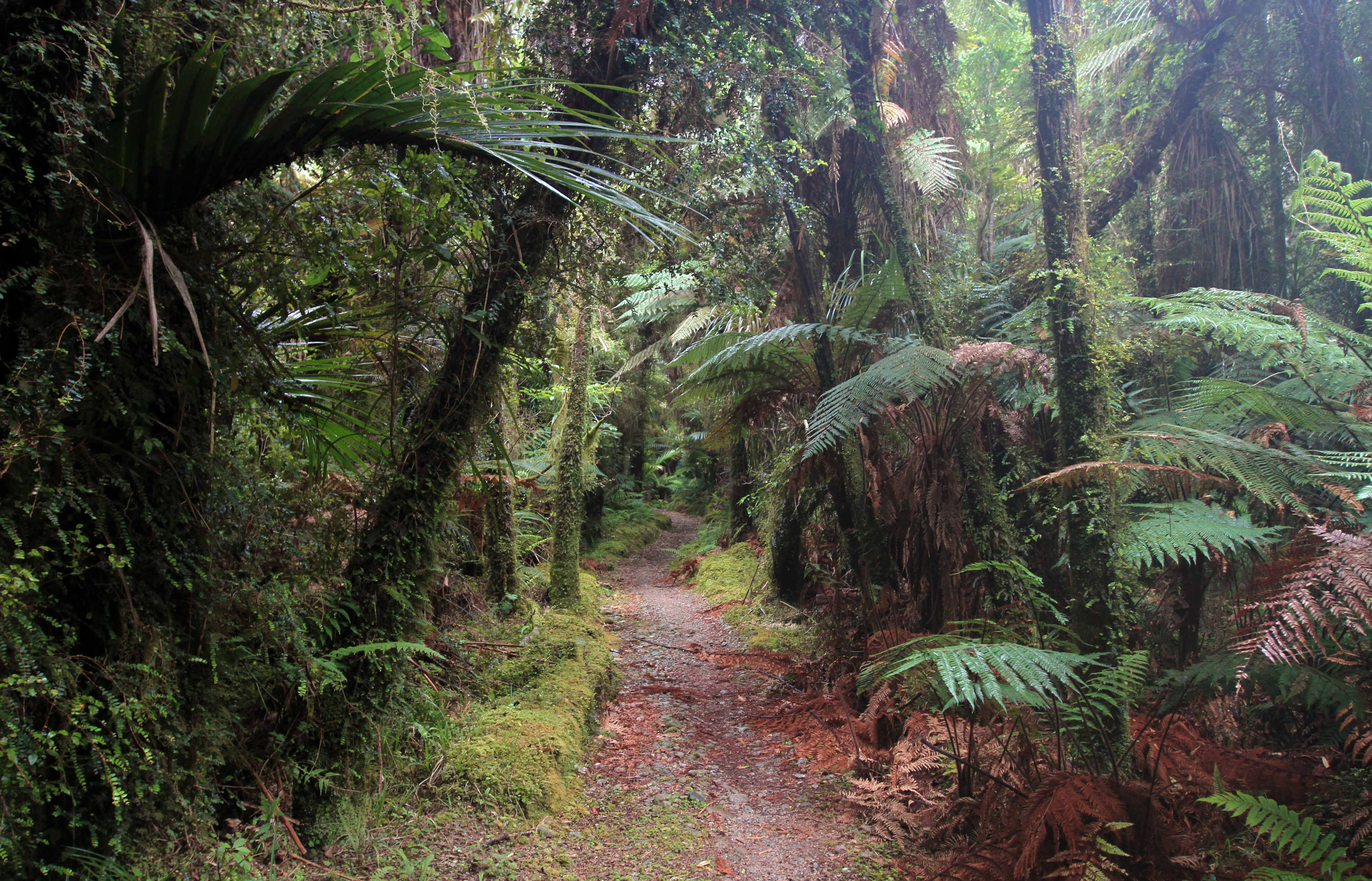
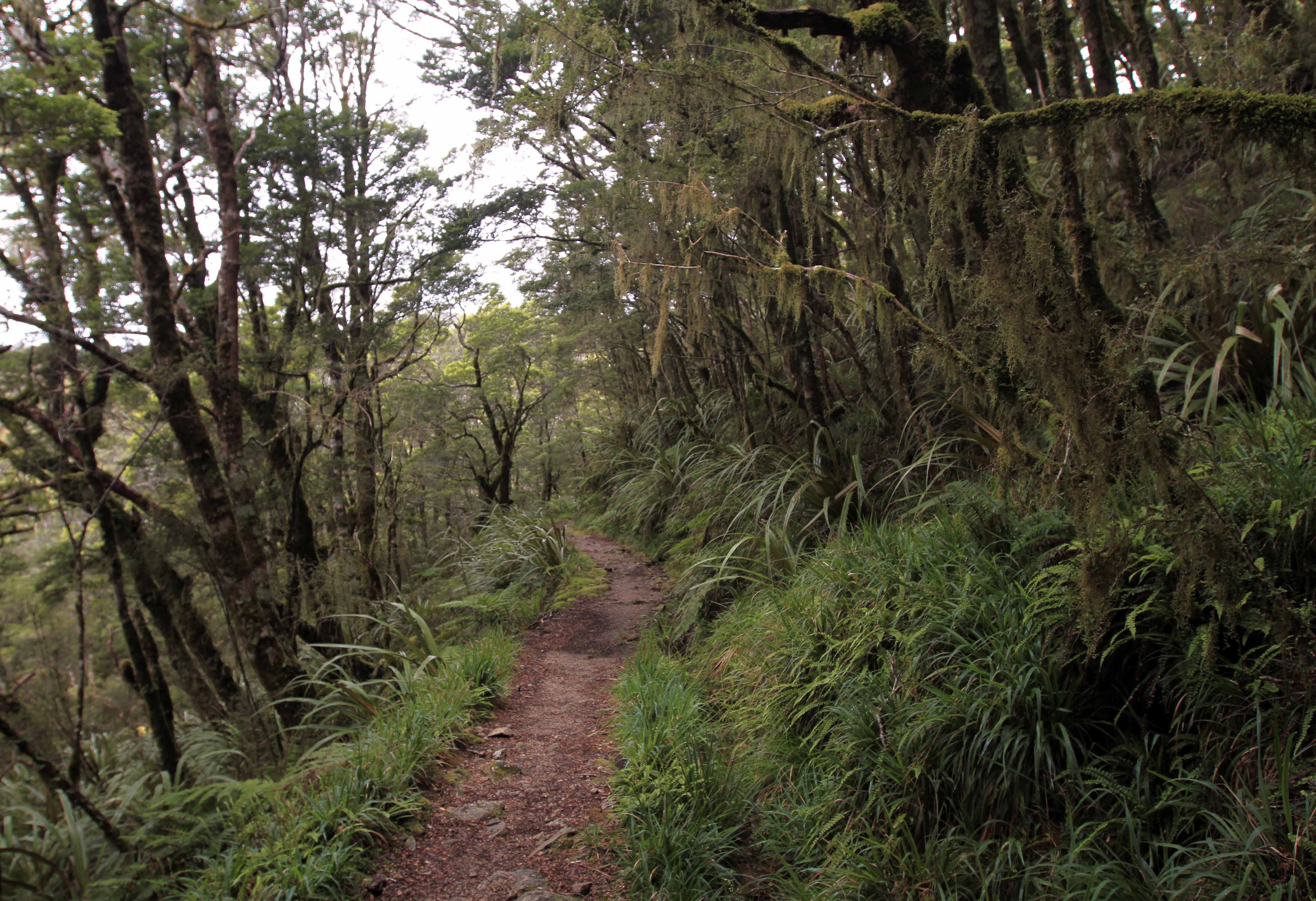
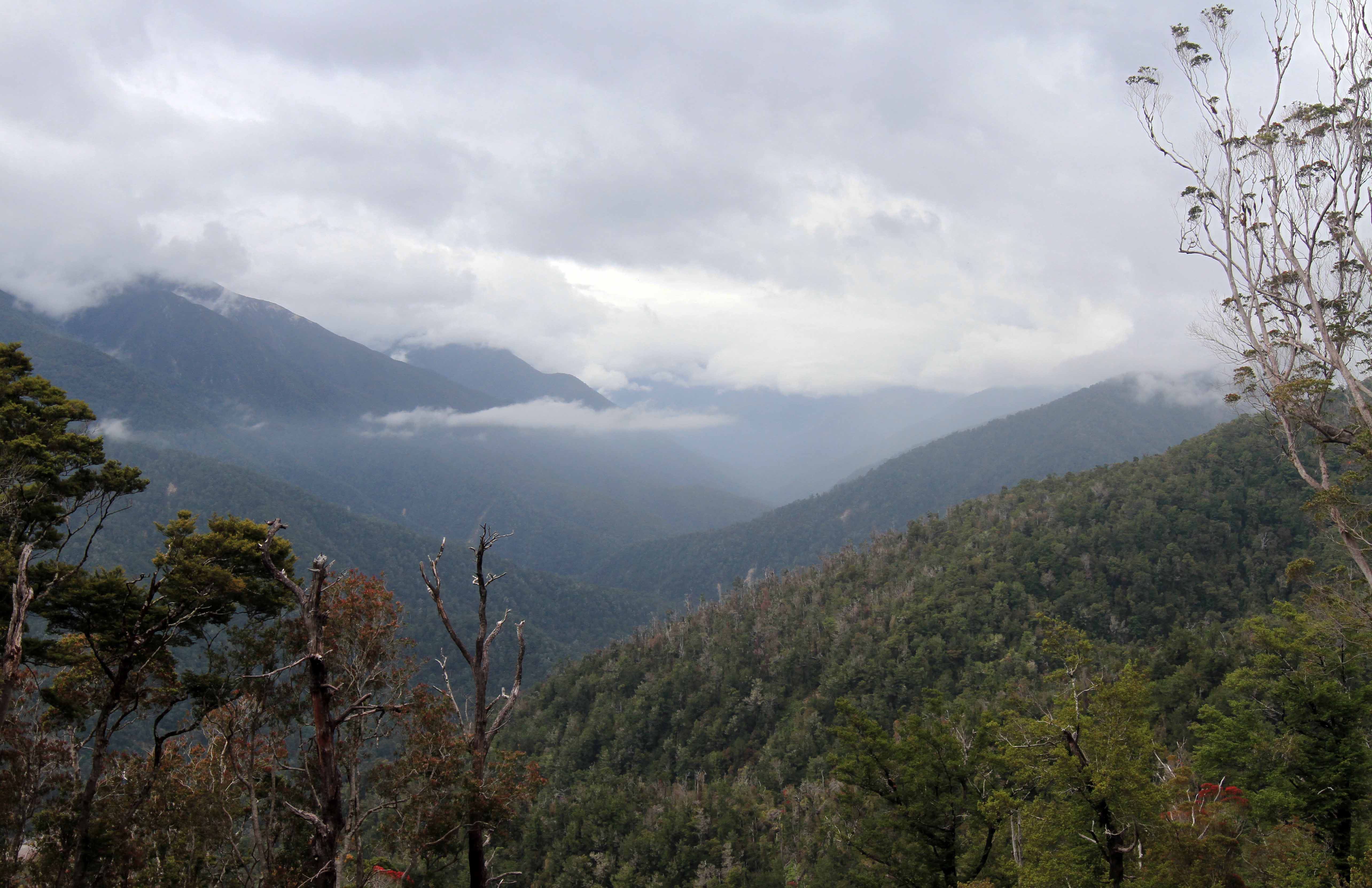
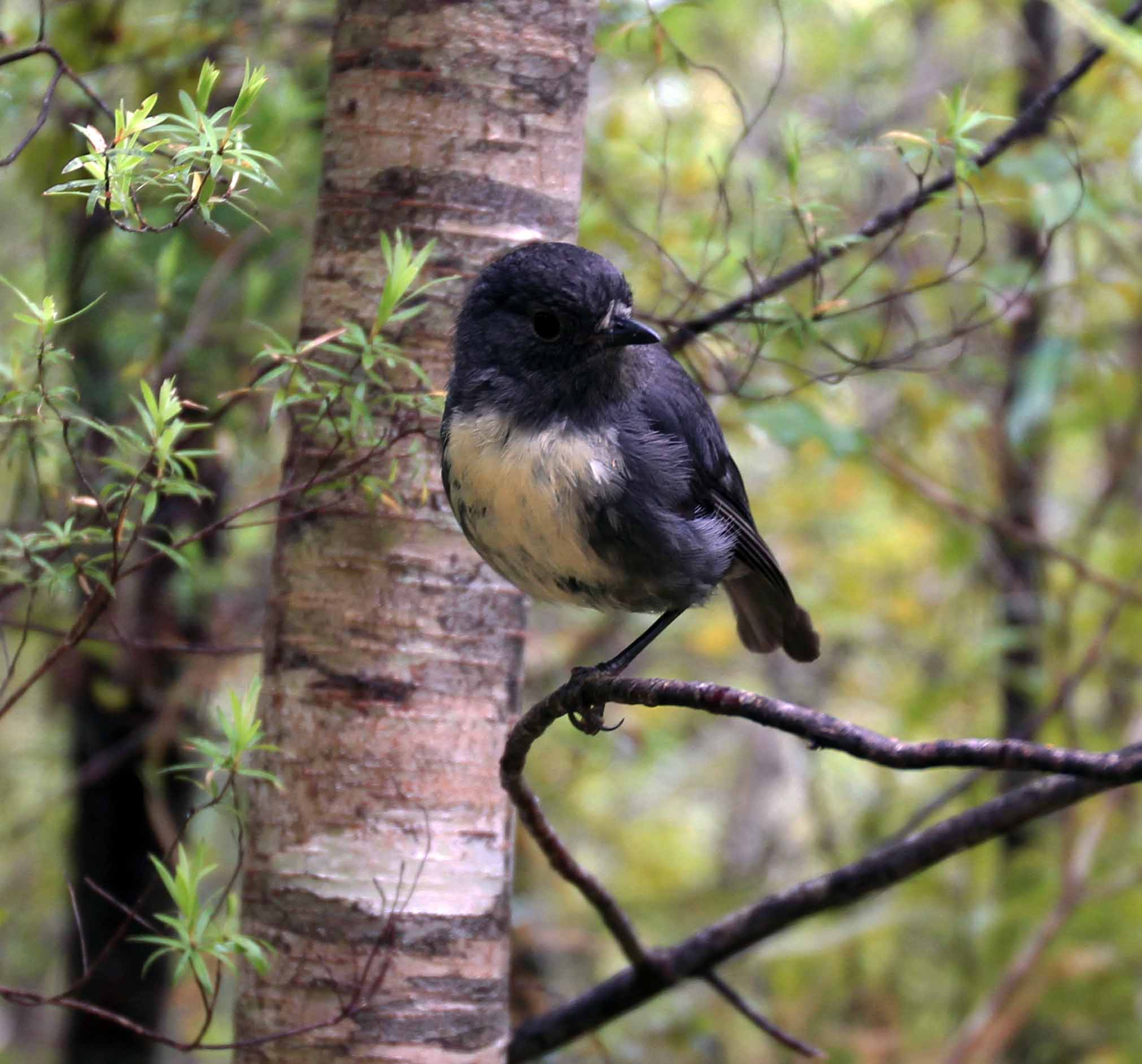
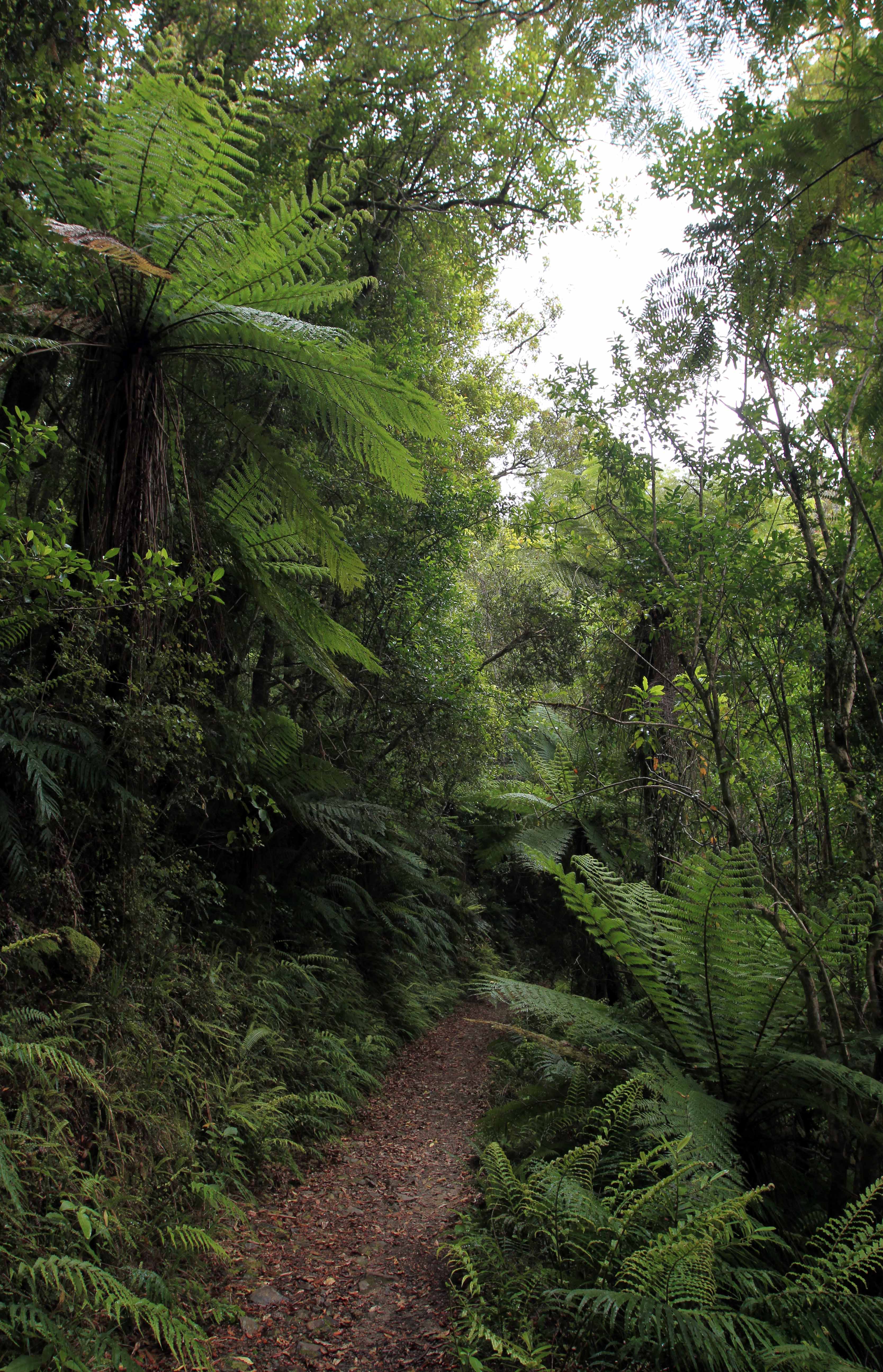
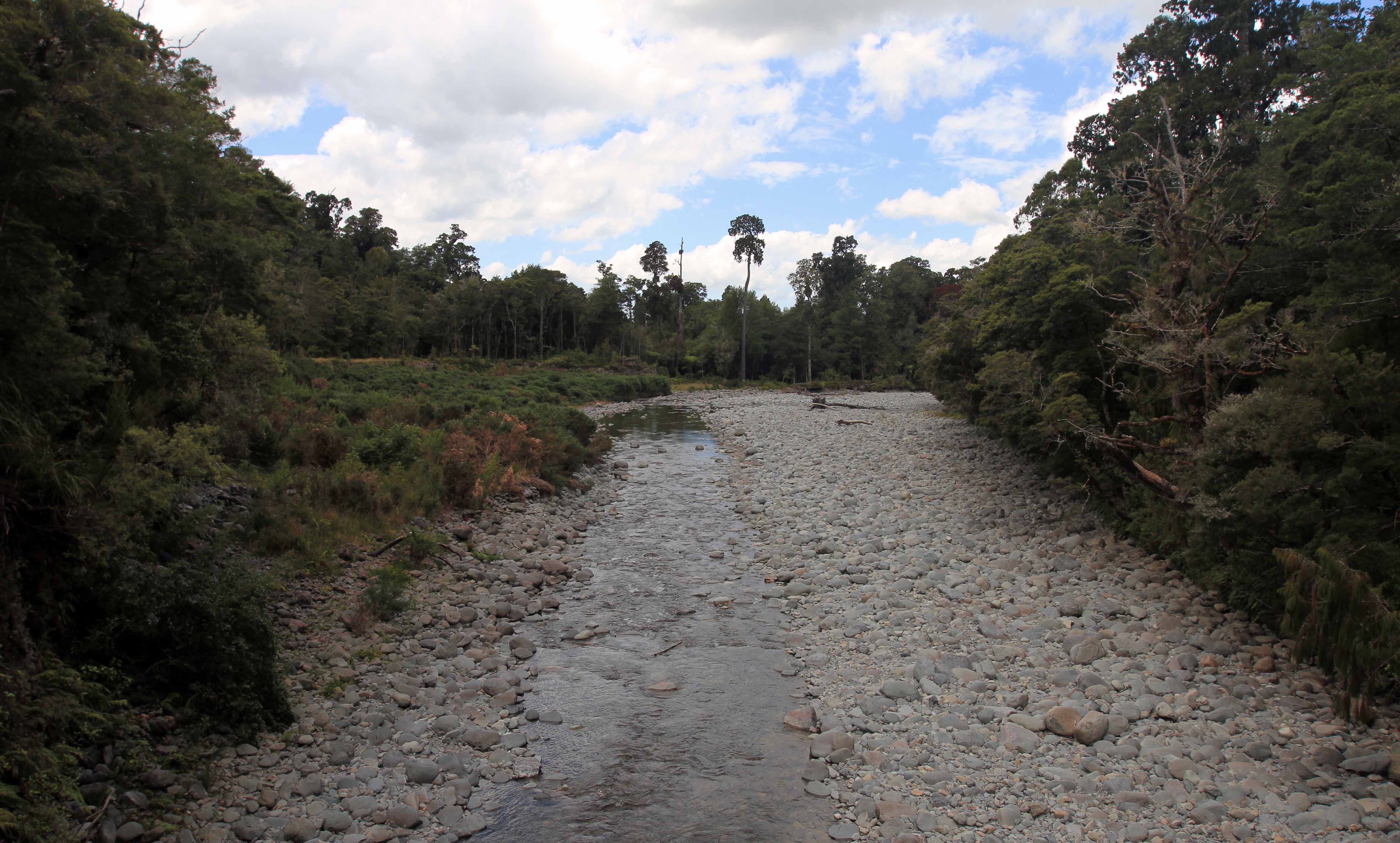
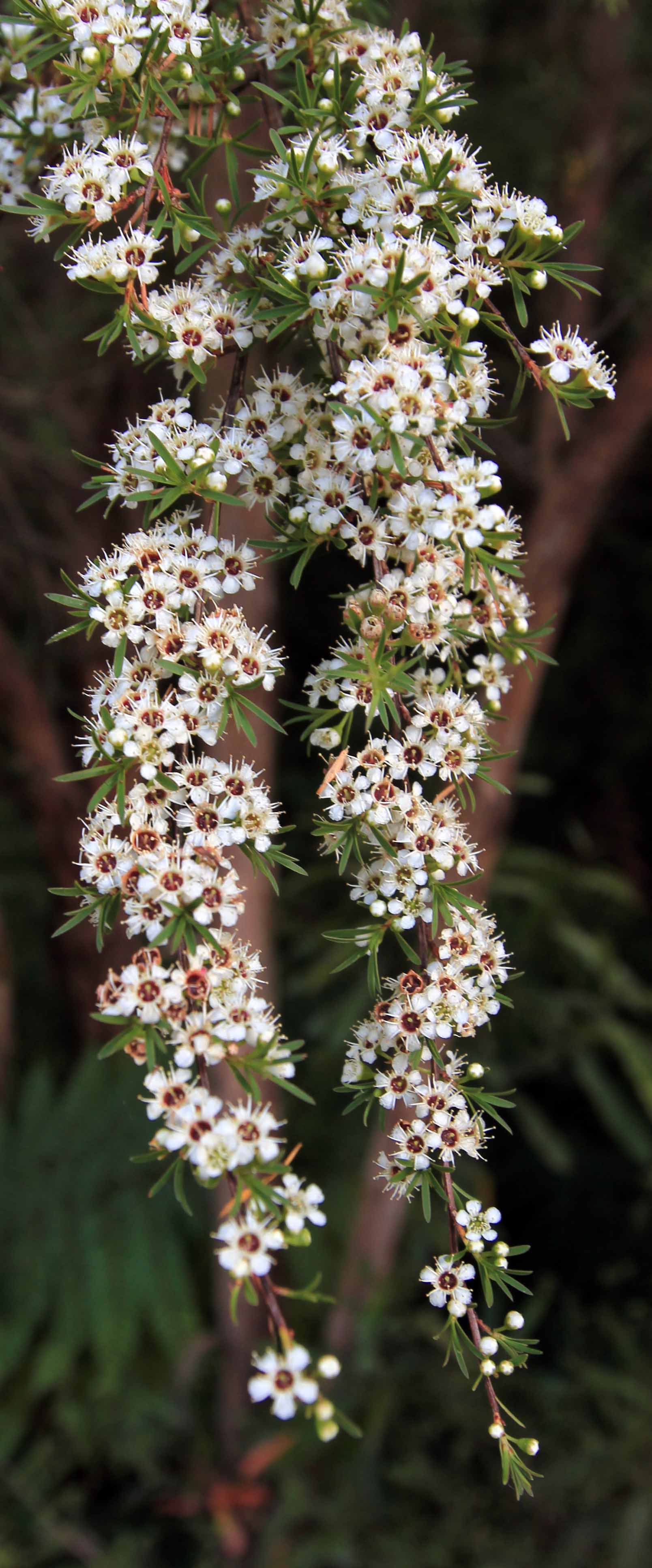
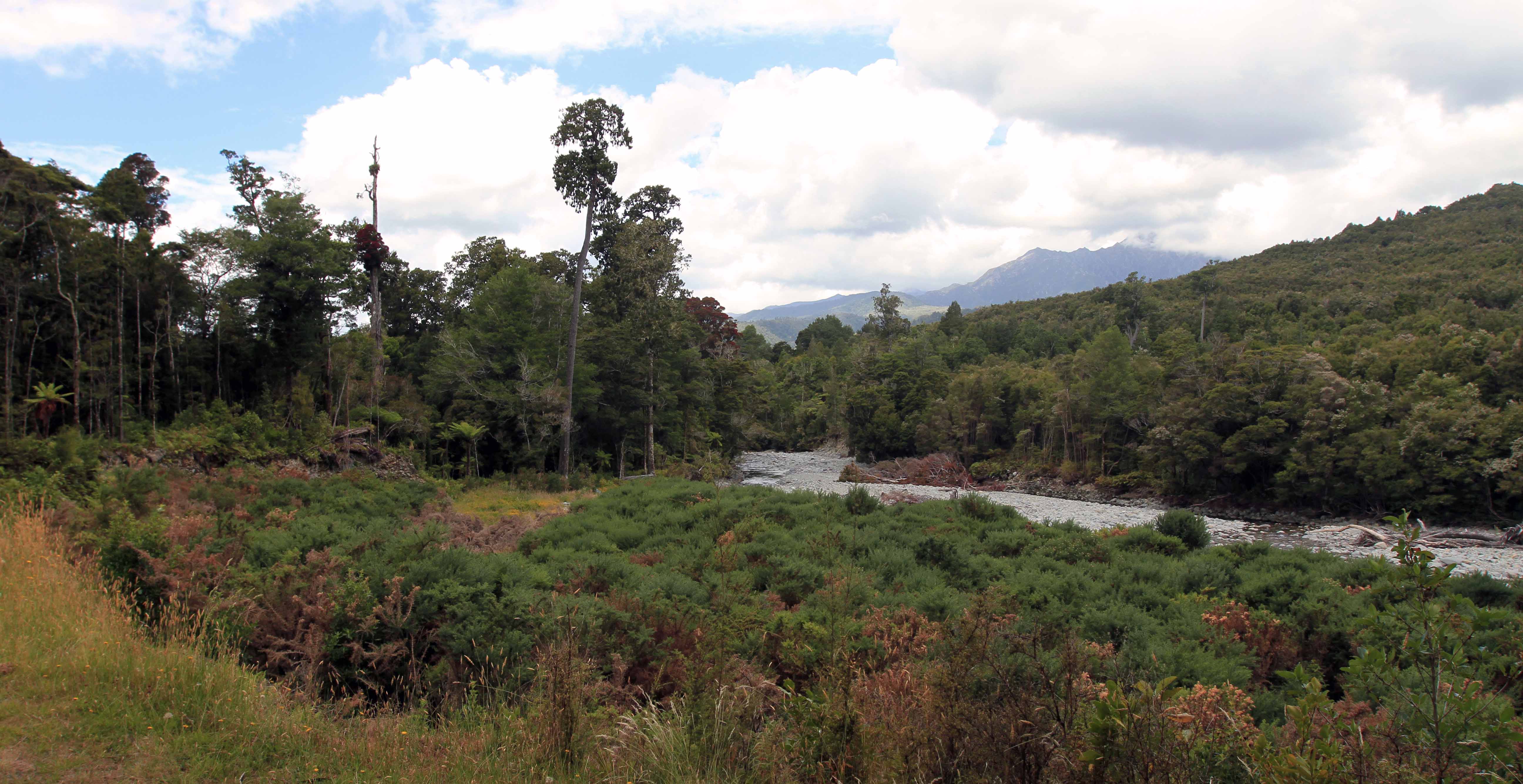
Densely wooded portion of the trail.View of the Aorere River Valley.South Island robin.Tree ferns and regular ferns flanking both sides of the trail.Looking up at some tall tree ferns.Brown River.Manuka flowers.Heaphy Track near Brown Hut.Brown River, seen from Brown Hut, which is at the east/north end of the Heaphy Track.