Annapurna Circuit, Nepal
Day 02 (Bahundanda to Tal)


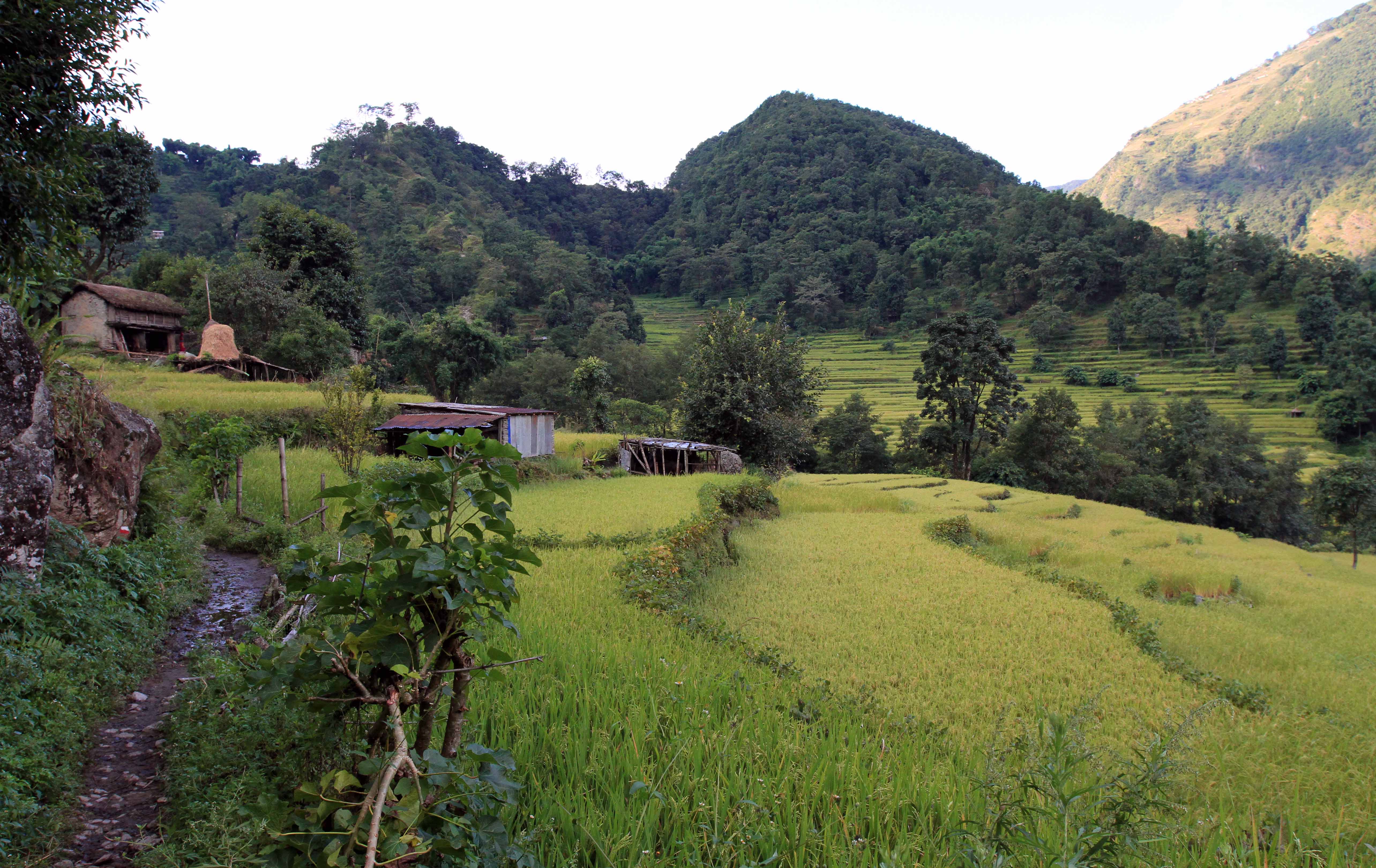

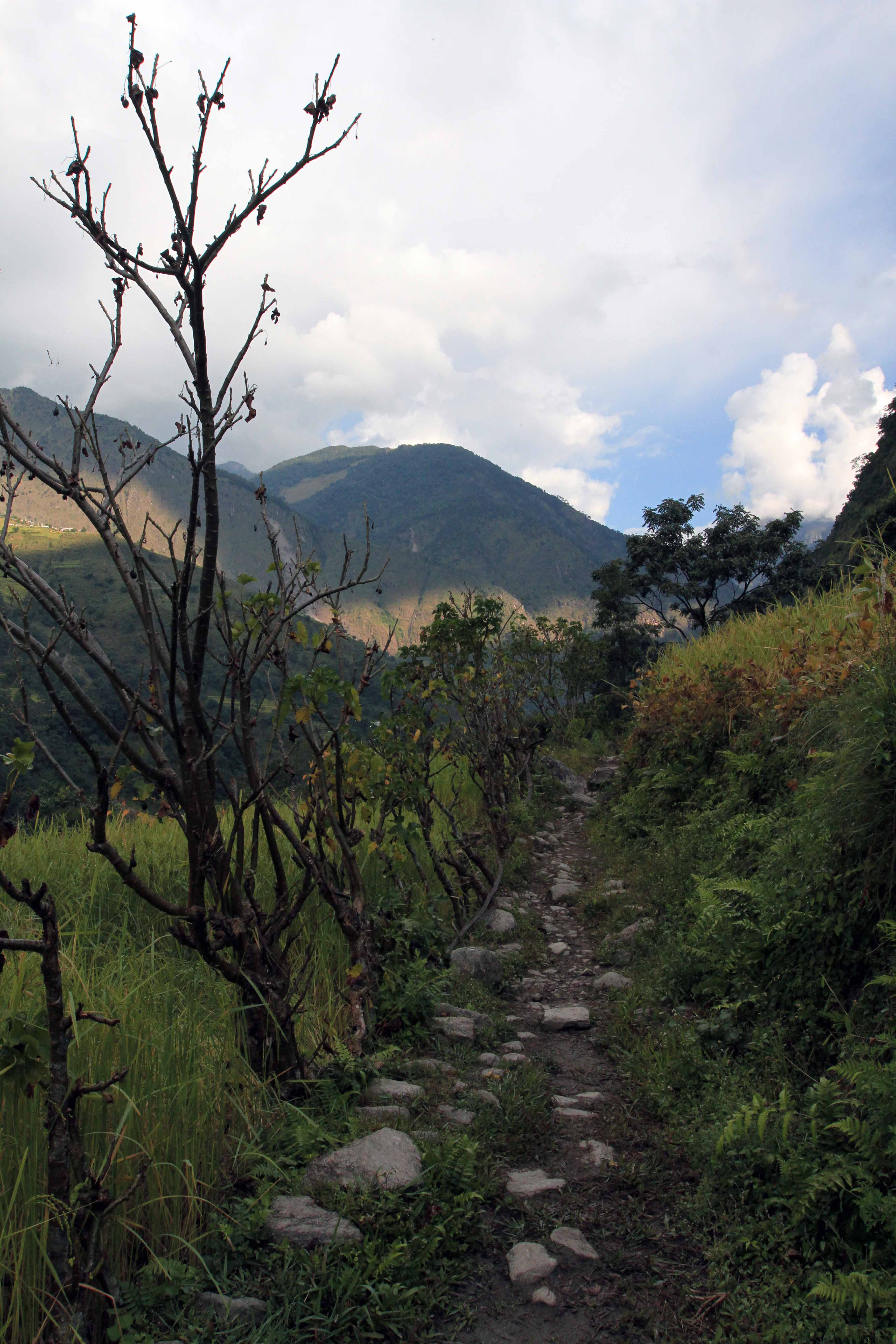

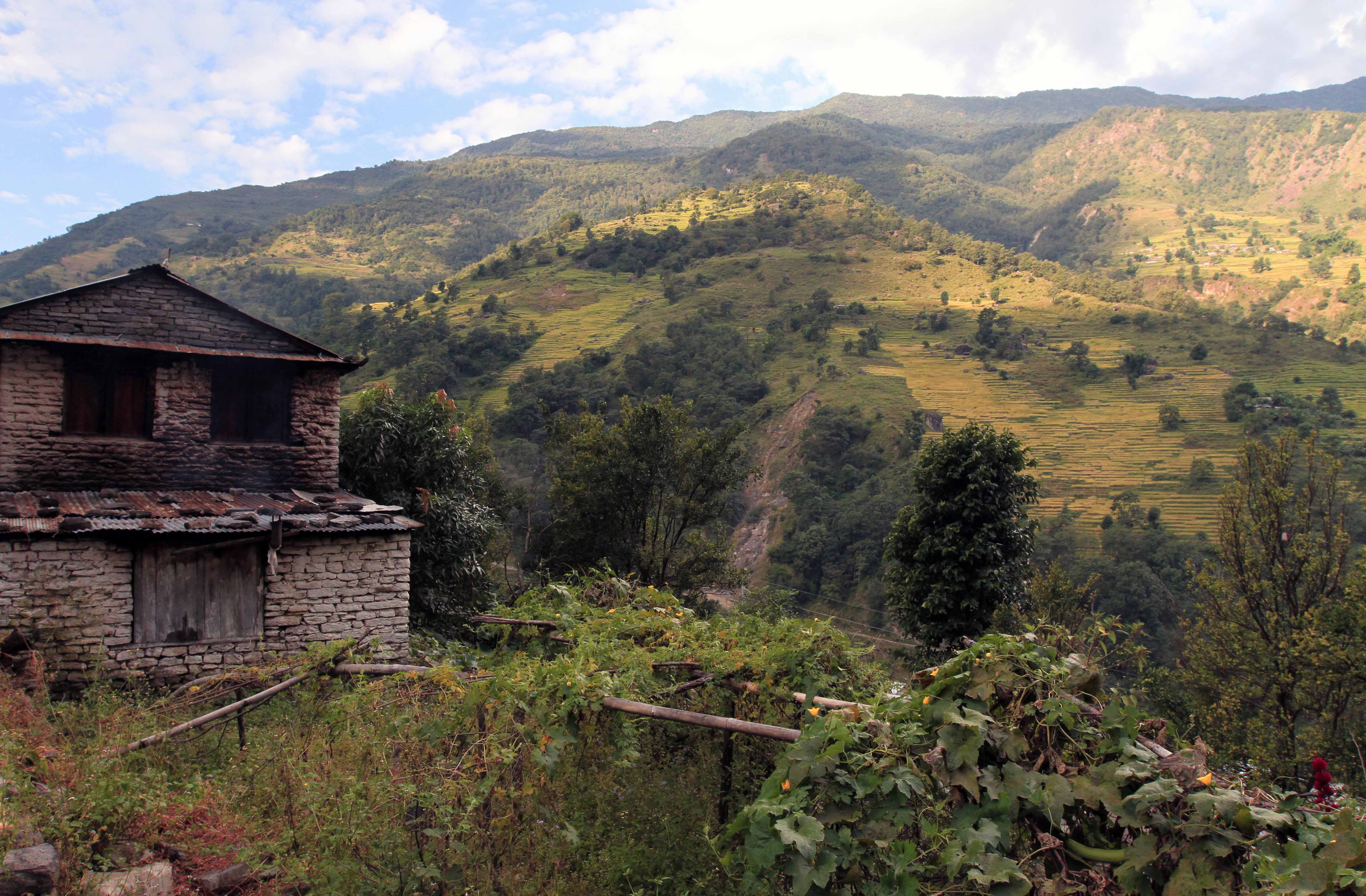
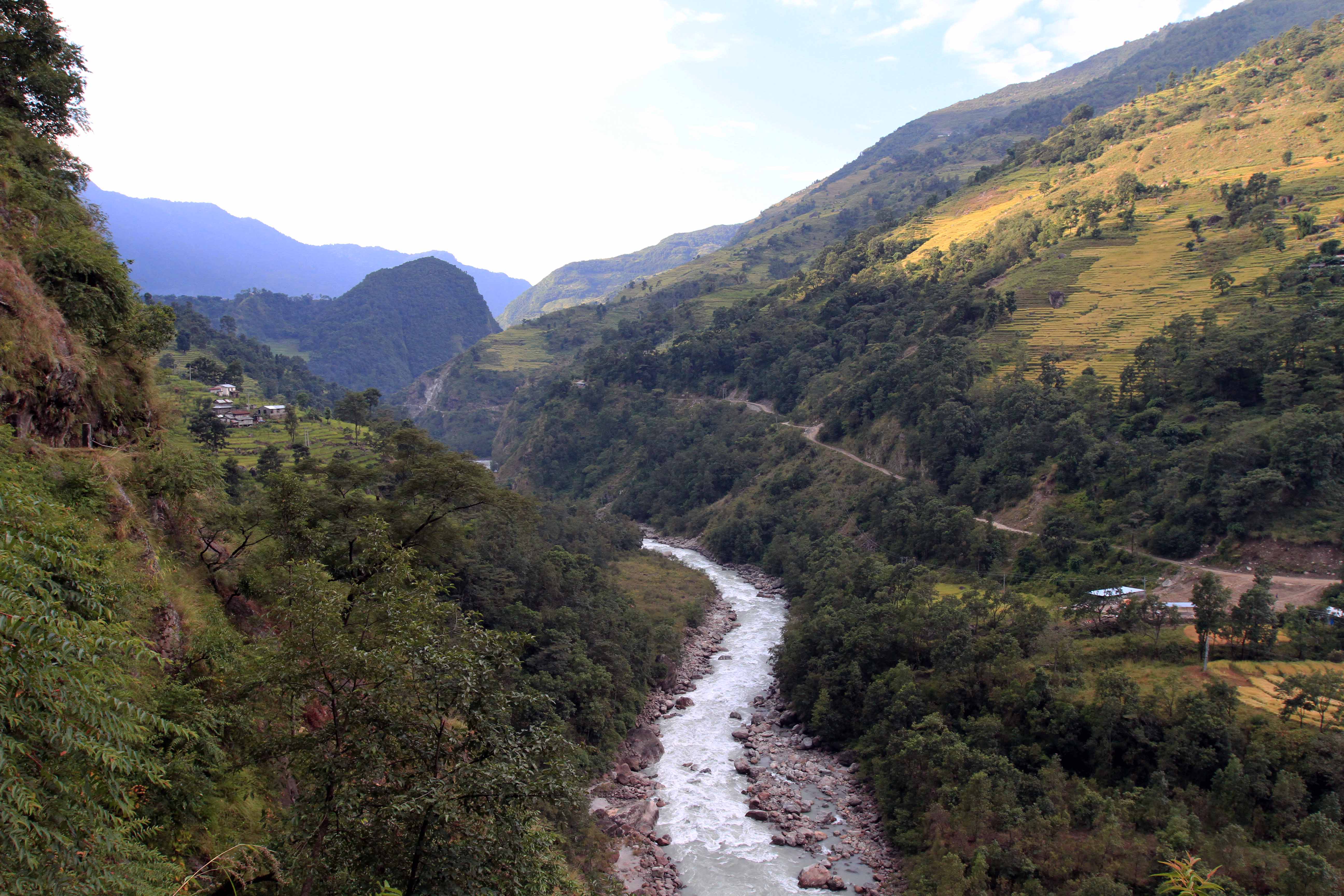
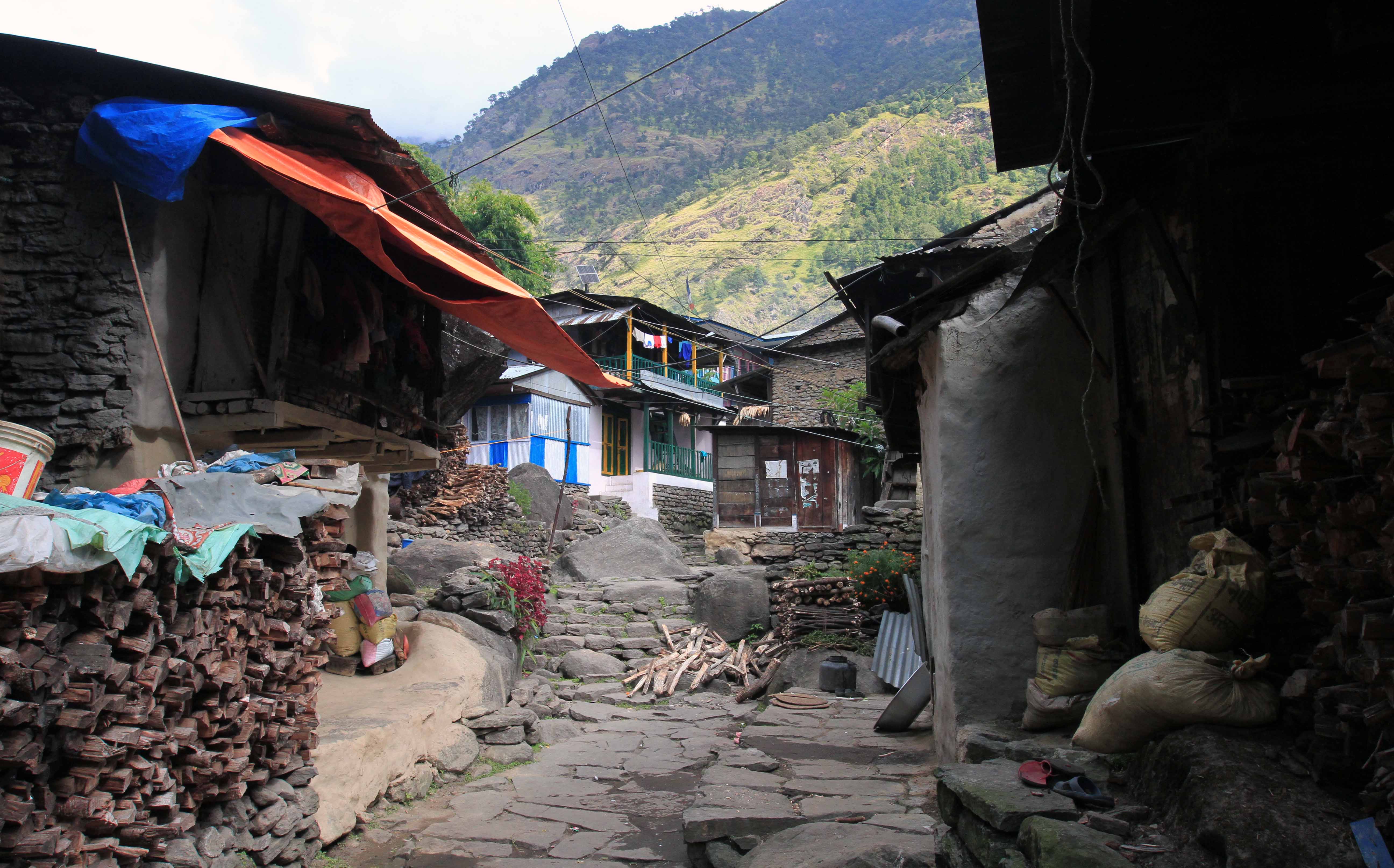

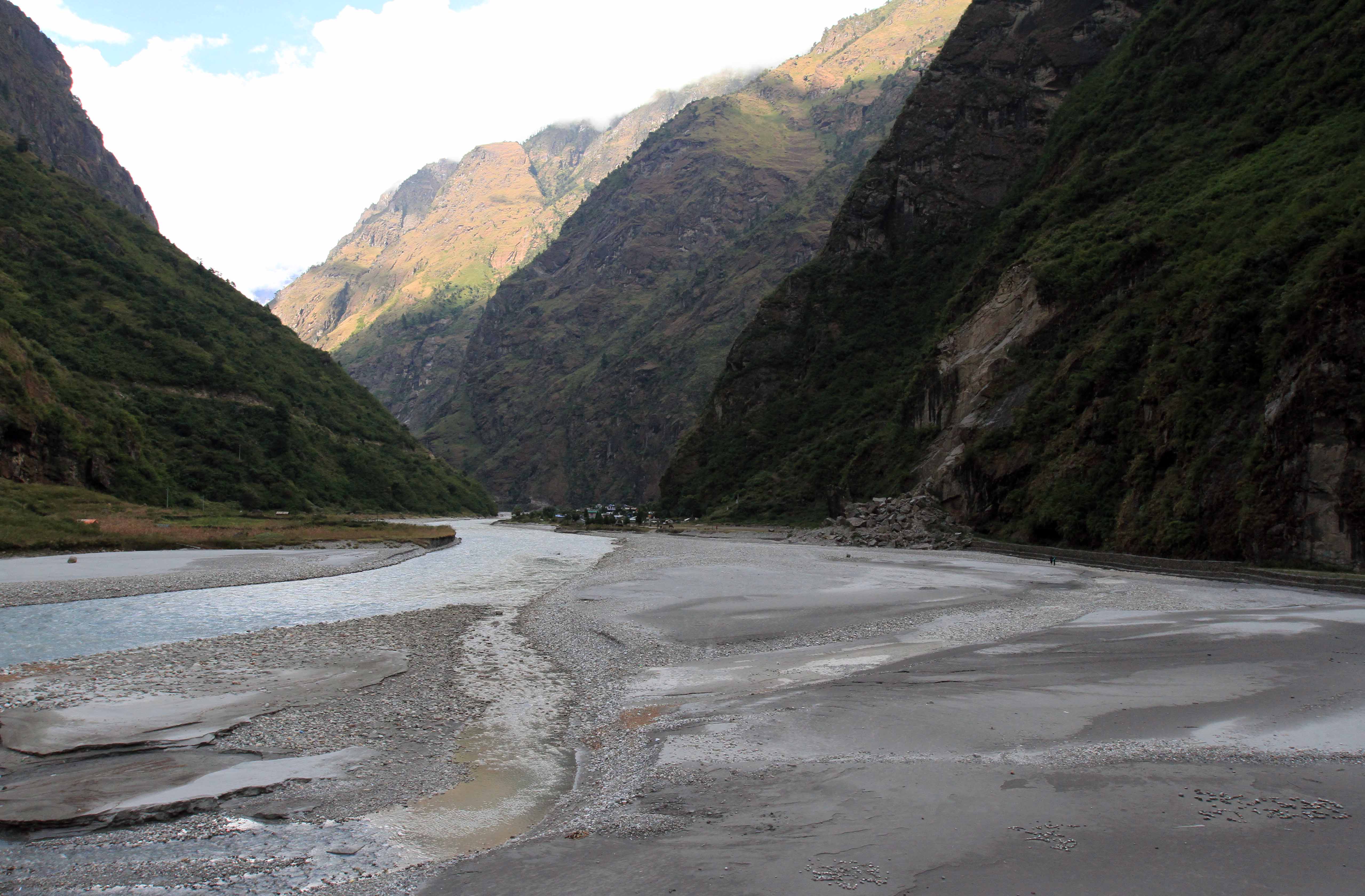
I got up today at 06:00, packed my bag, and started trekking. I walked through some more terraced rice paddies just out of Bahundanda and had fantastic views of the valley. I then walked past the part if the trail near Lili Bhir, which was on the side of a steep cliff (there were at least handrails on the edge). I then made it to Ghermu Phant and crossed a bridge over the Marsyangdi River to the village of Syange, at this point the trail followed a dirt road again and a number of jeeps and one motorcycle passed by me while I was walking on the road. Next, I passed through the dismal town of Jagat and then continued on to Chamje (at one point the trail left the road and entered in to green forests; it returned to the road at Chamje). Shortly after passing through the town, I crossed a suspension bridge, returning to the east side if the Marsyangdi River. I passed by a group of pack mules carrying loads of backpacks near Sattale and throughout much of the day I passed many Nepali porters carrying multiple backpacks and clothing; it doesn’t take much to figure out the individuals this gear belonged to; it is sad seeing it coming back down this way; also, I met many other hikers returning to Besisahar today, having to turn back since the trail was closed where the avalanches occurred; I am hoping that it will be open when I reach that section; certainly the locals would like to see it open as well since their livelihood depends on it.
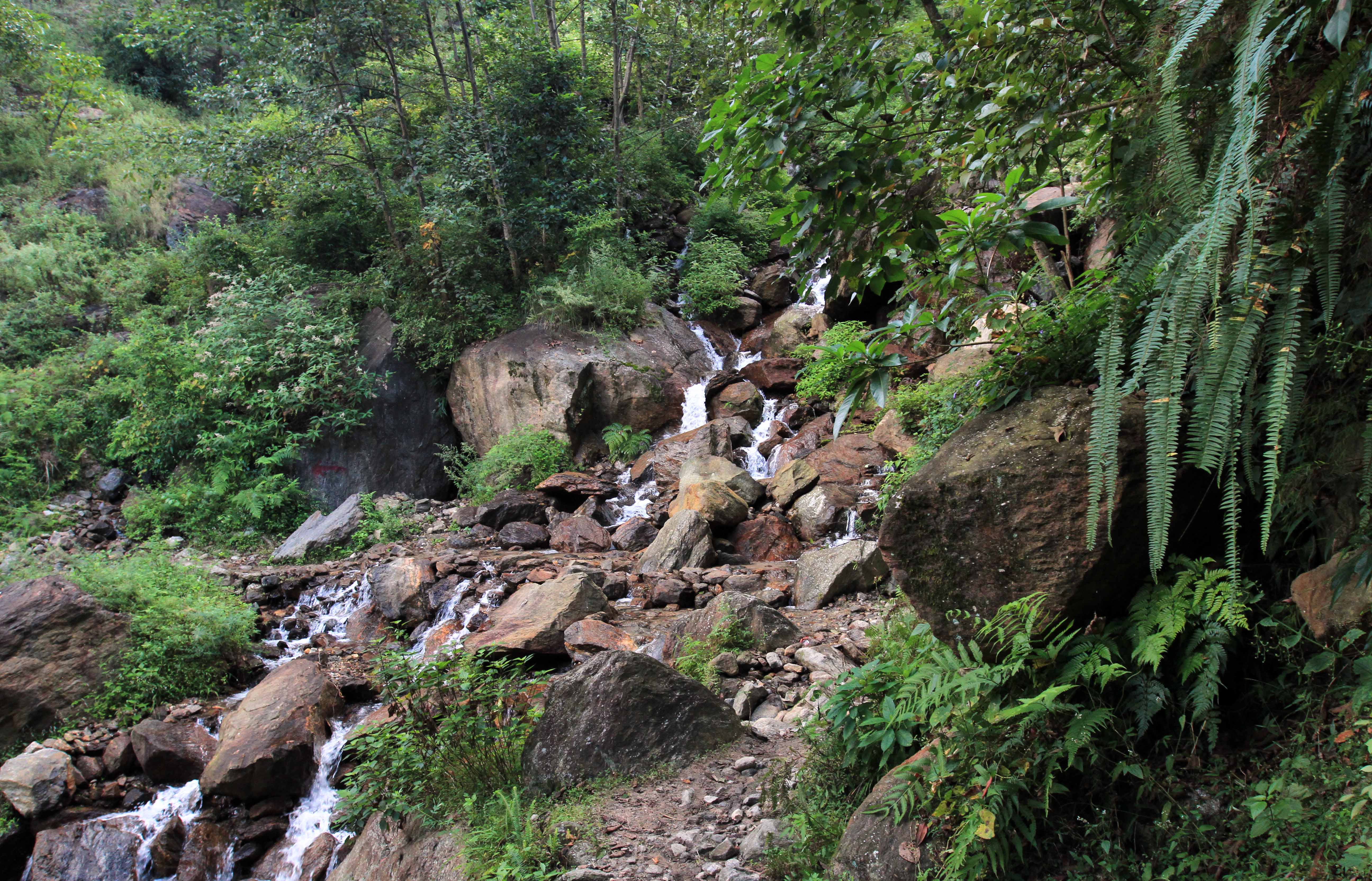
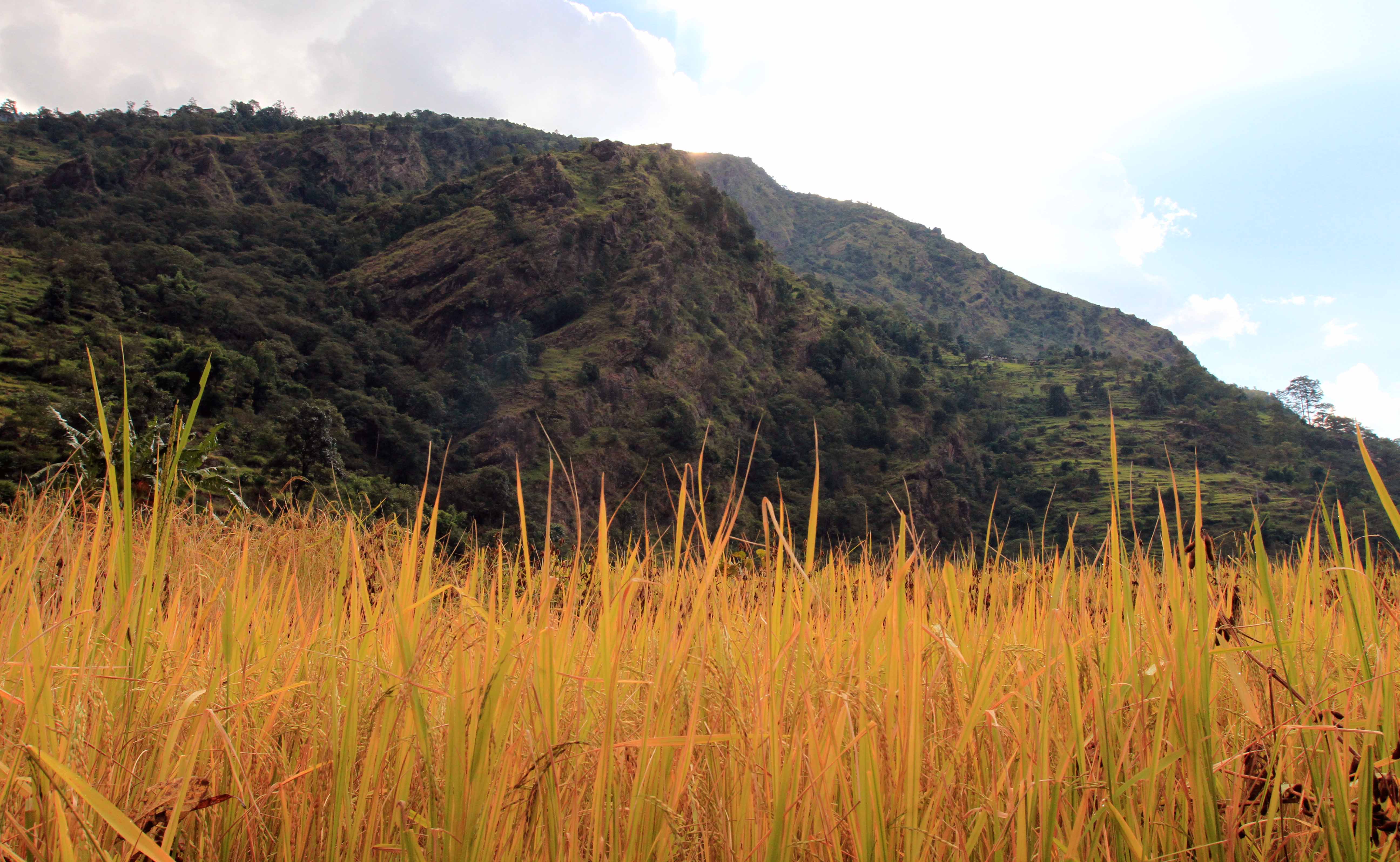
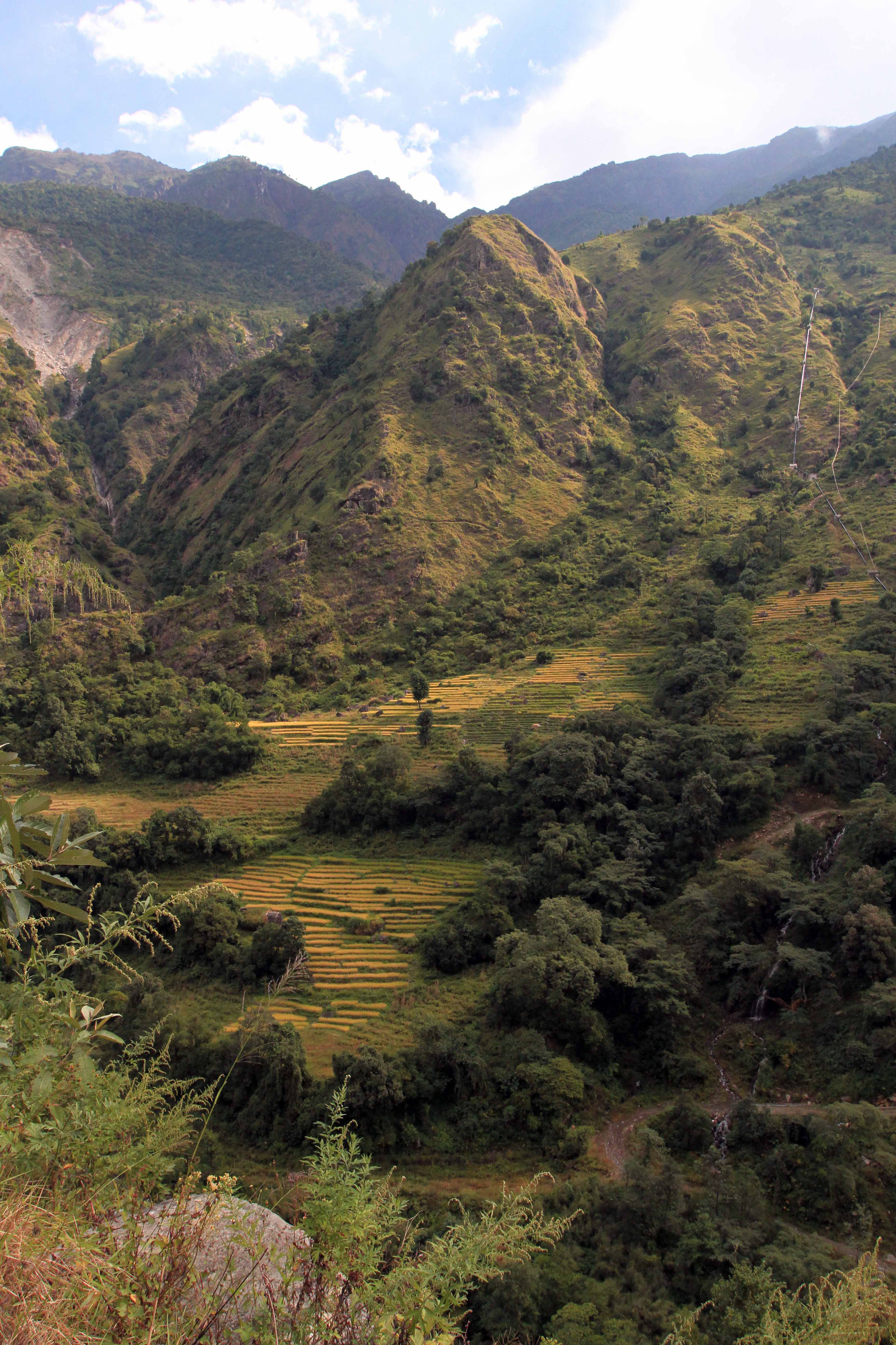
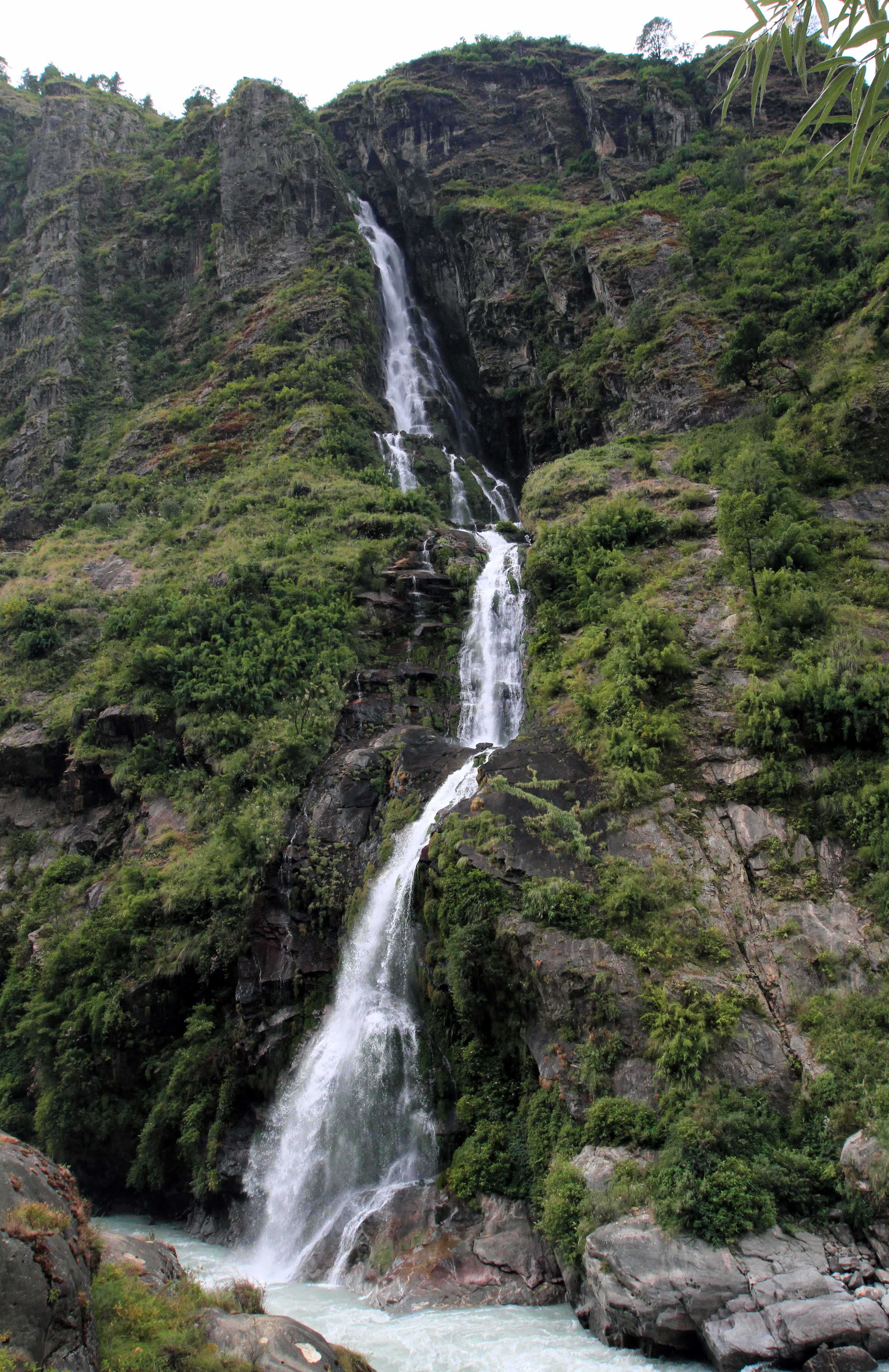
At Sattale I was exhausted and needed a break, so I sat down at a restaurant where two German girls were eating; I had a Red Bull, ginger and lemon tea, and Tibetan bread with honey (honey most likely harvested nearby on rock cliffs near the village of Mathillo Chipla; there can be found large bee hives that locals collect honey from, they call it “rock honey”). After that pleasant meal, I filled up my one liter bottle with water from a nearby fountain and used my Steripen to disinfect it, but I am concerned about residual water inside, near the top that the Steripen obviously never touched; hopefully I don’t get sick, but I did see a local man drink straight from the fountain, so I might be okay. I then continued on, passing by a section on my map called “Fields of Marijuana” (“Field of Dreams” is more like it!); sadly the fields look like they were long since harvested and based on graffiti found nearby, I gather it was planted in 2011; on that note, both yesterday and today, as I was passing by a lodge that had staff trying to entice me to spend money there, I was asked if I wanted some hashish as a last resort to get me to stay with them – I guess everyone’s doing it these days. Right after the field of weeds, I had a steep ascent on switchbacks and after an exhausting hike up, I reached the top of a ridge and a nice view if the valley, looking back in the direction I came from. Then, it was a short hike to the village of Tal, located right next to the river and a couple of waterfalls; this village also had several horses grazing nearby and a large sandy beach (if it wasn’t cool outside, I would’ve probably put my board shorts on and jumped in the water). I then settled on a place to stay for the rest if the day and coming night, where I relaxed, typed today’s journal entry, and filled up on water at a safe drinking station in town (apparently the locals disinfect the water here and make it safe for Western stomachs to consume). At 17:00, I ordered dinner and had chapati bread, vegetable fried rice, fried potatoes with cheese, lemongrass tea, and lemon ginger tea. During dinner, I talked with an American couple that was heading back, they were doing the combined Manaslu-Annapurna trek, but had to turn back at Manang and settle on finishing just the Manaslu trail. After that large dinner and lengthy conversation, I went to sleep, to the not to distant noise of festive dances that the townspeople were having in celebration of the Hindu holiday of Tihar (“Festival of Lights”), a five day festival that takes place each year on the fifteenth day of Kartika, which is celebrated with singing, dancing, candles, and lanterns.