Annapurna Circuit, Nepal
Day 17 (Tatopani to Ghorepani)
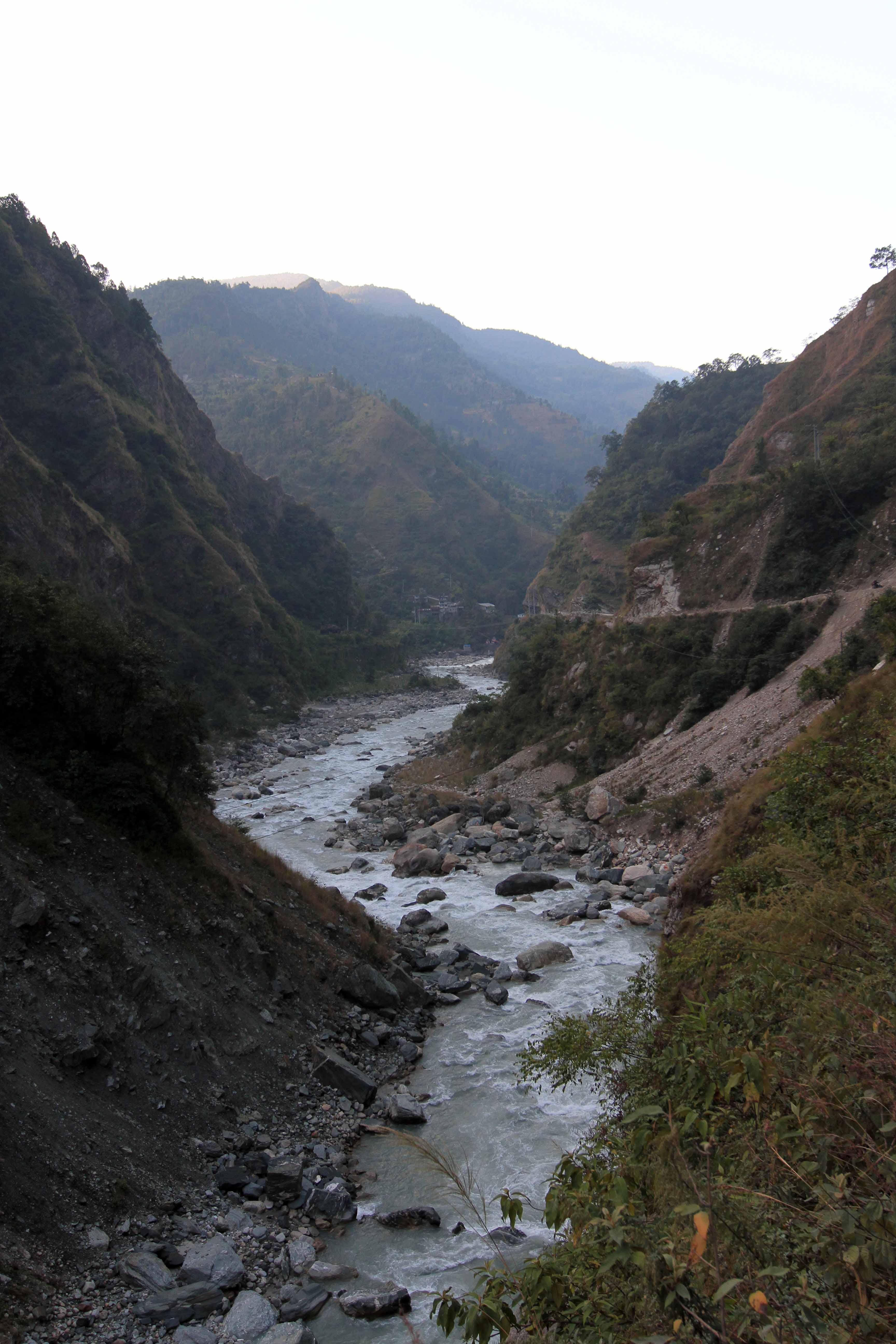
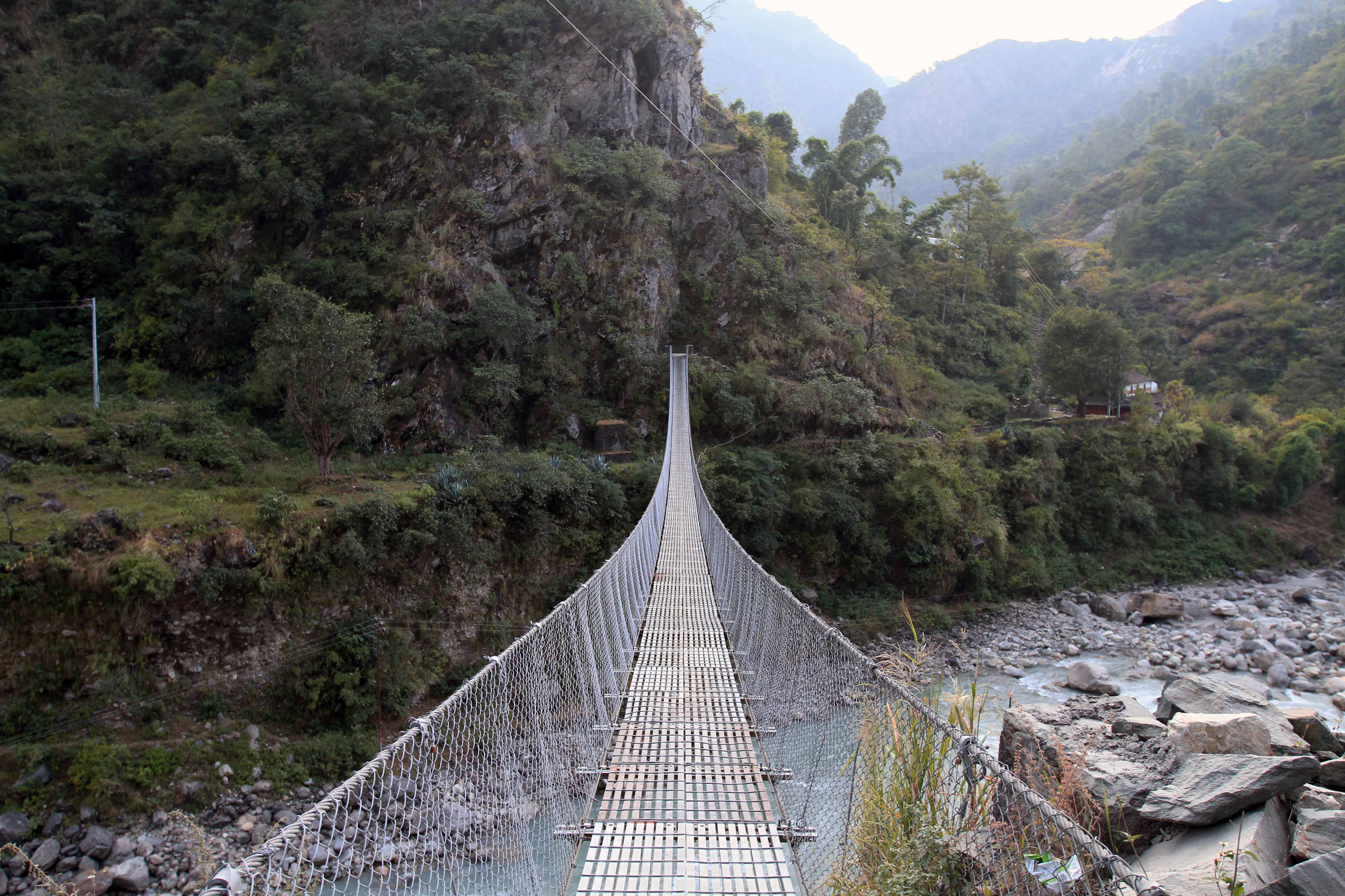
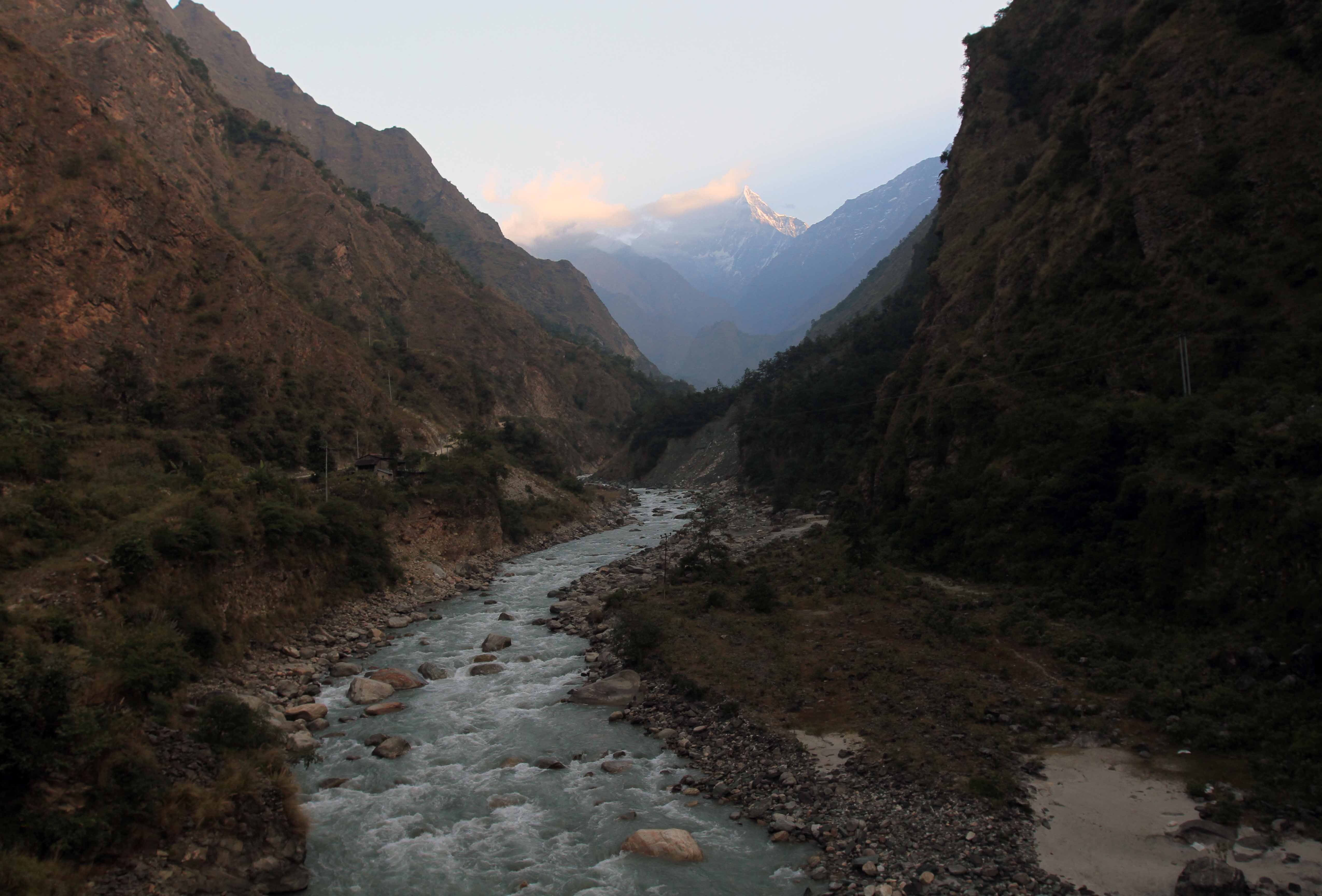

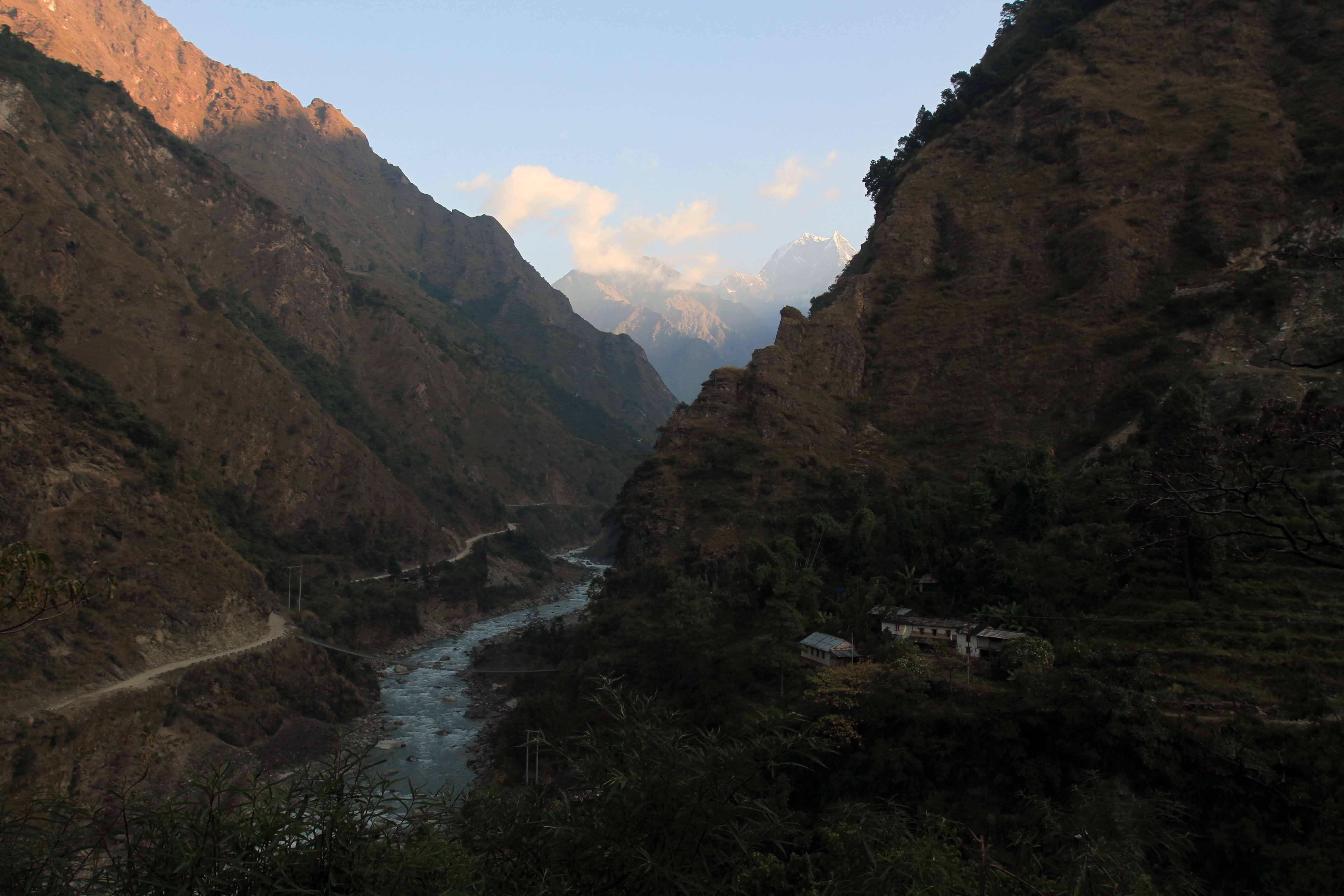
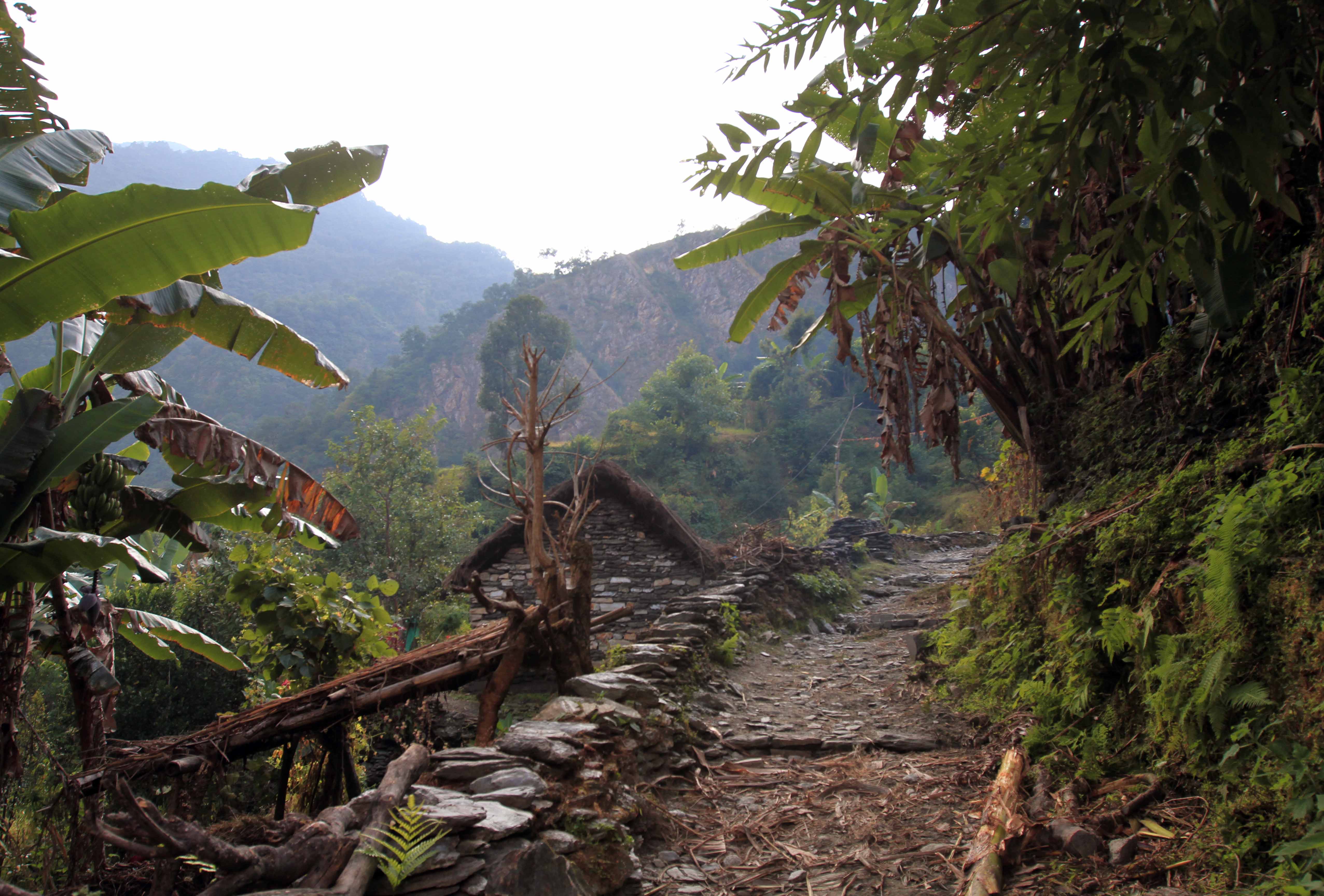
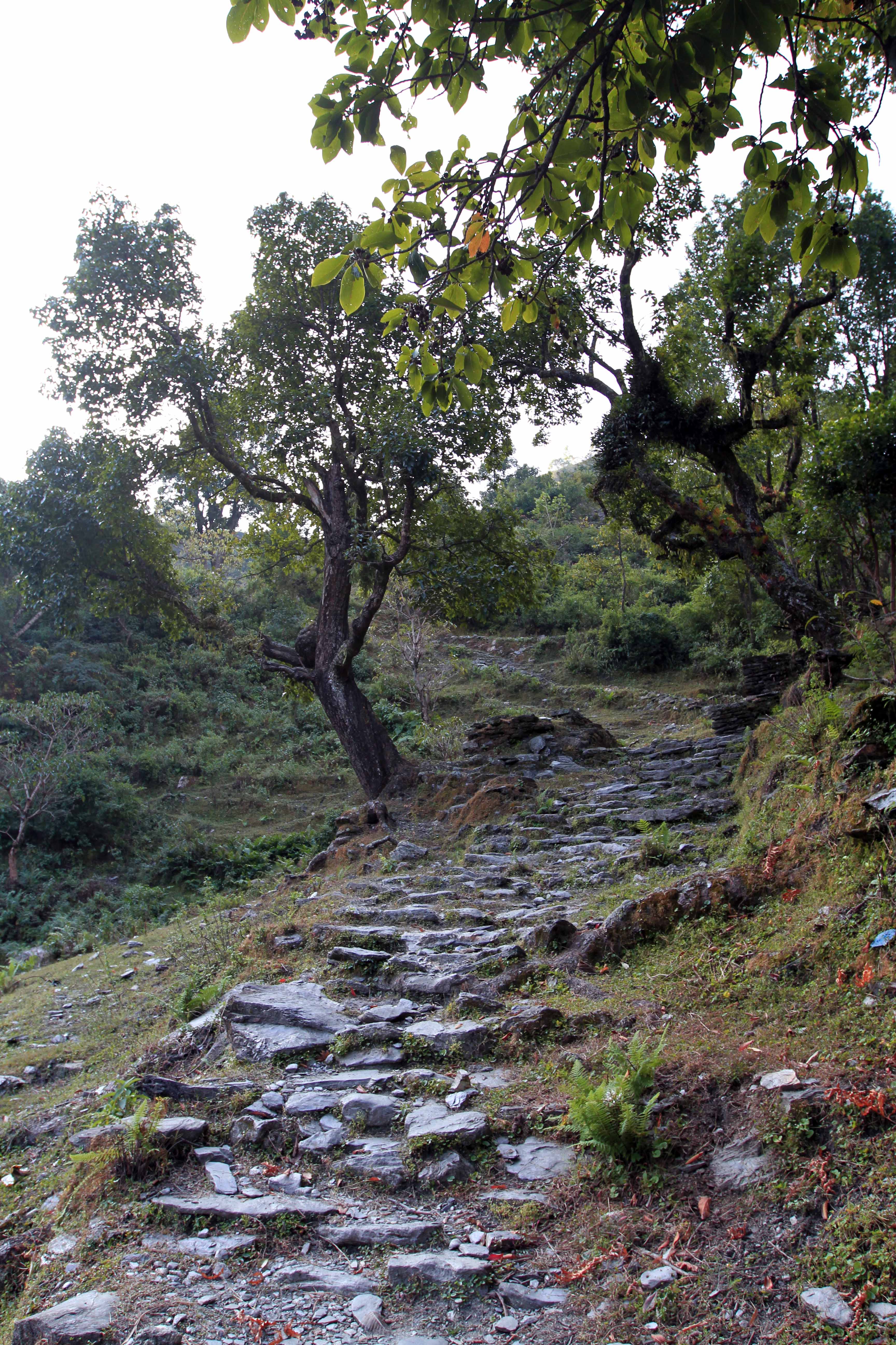
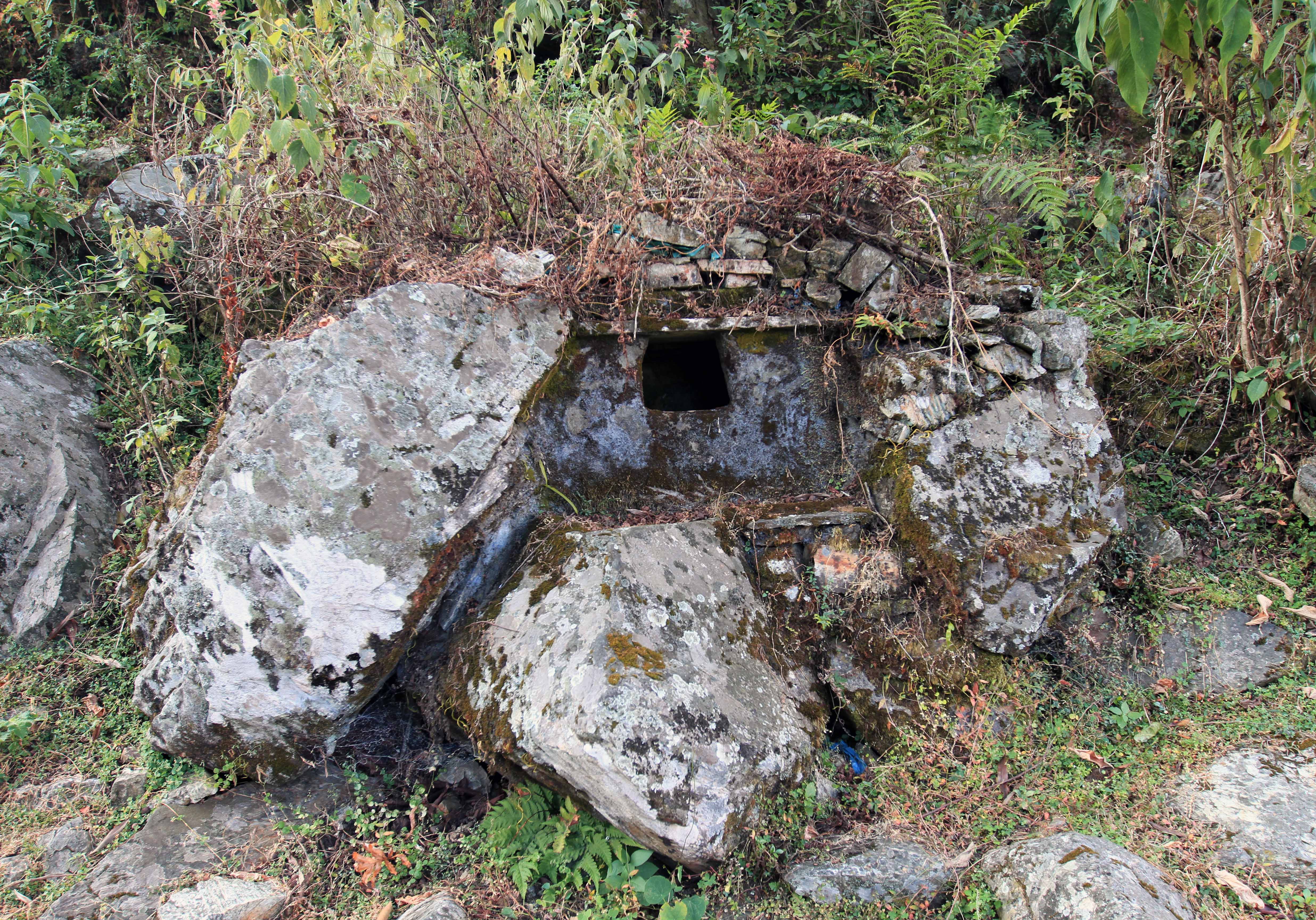
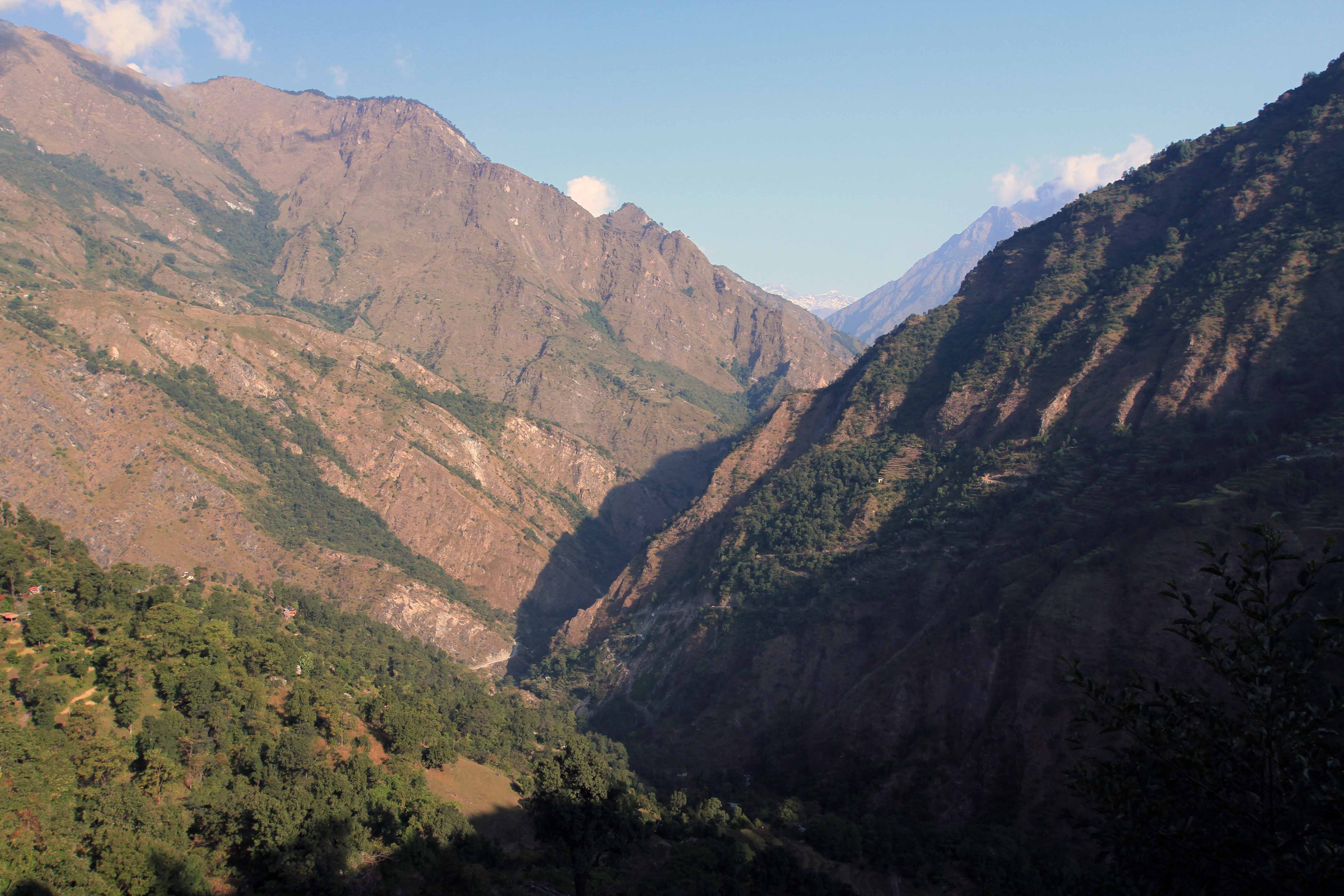
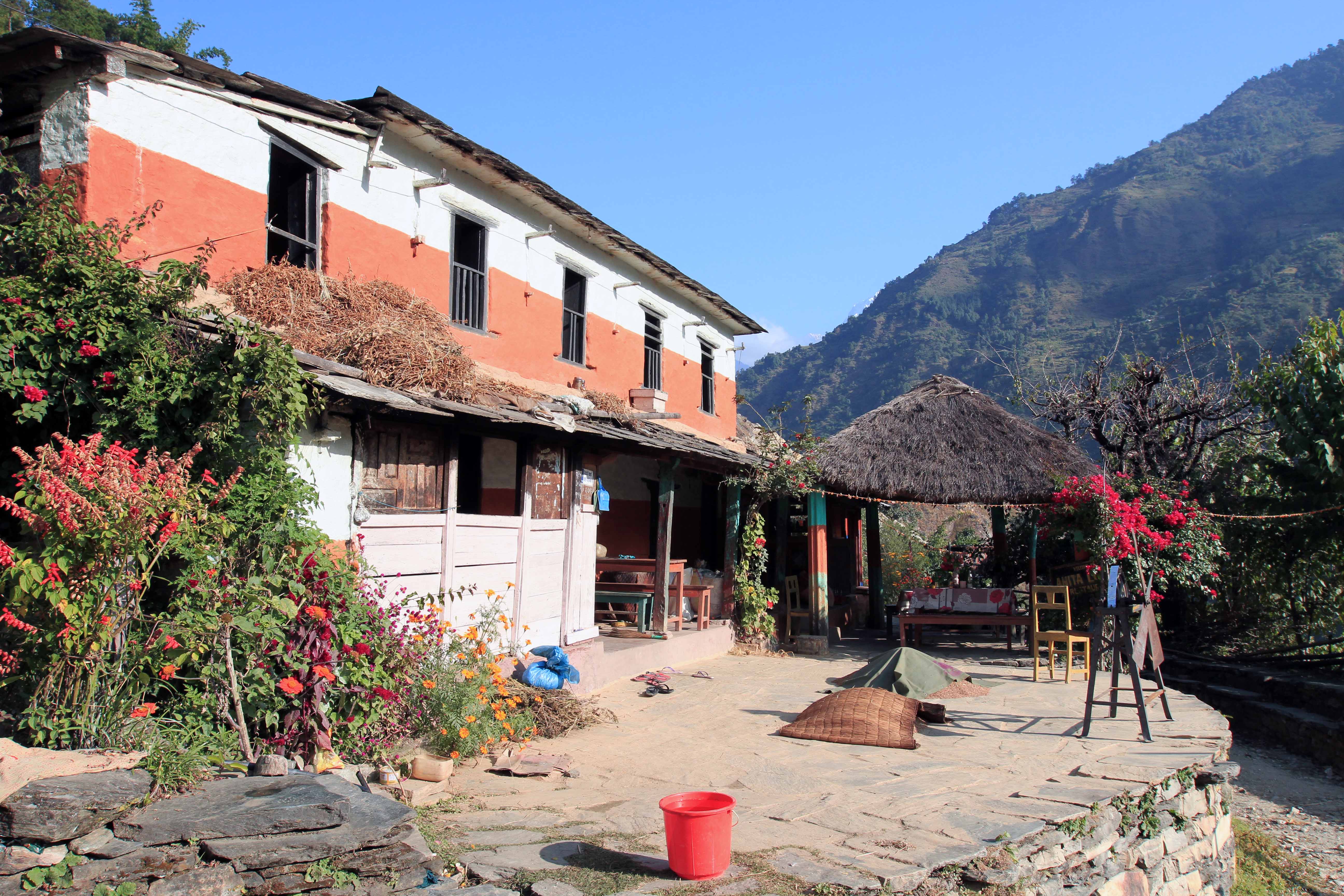

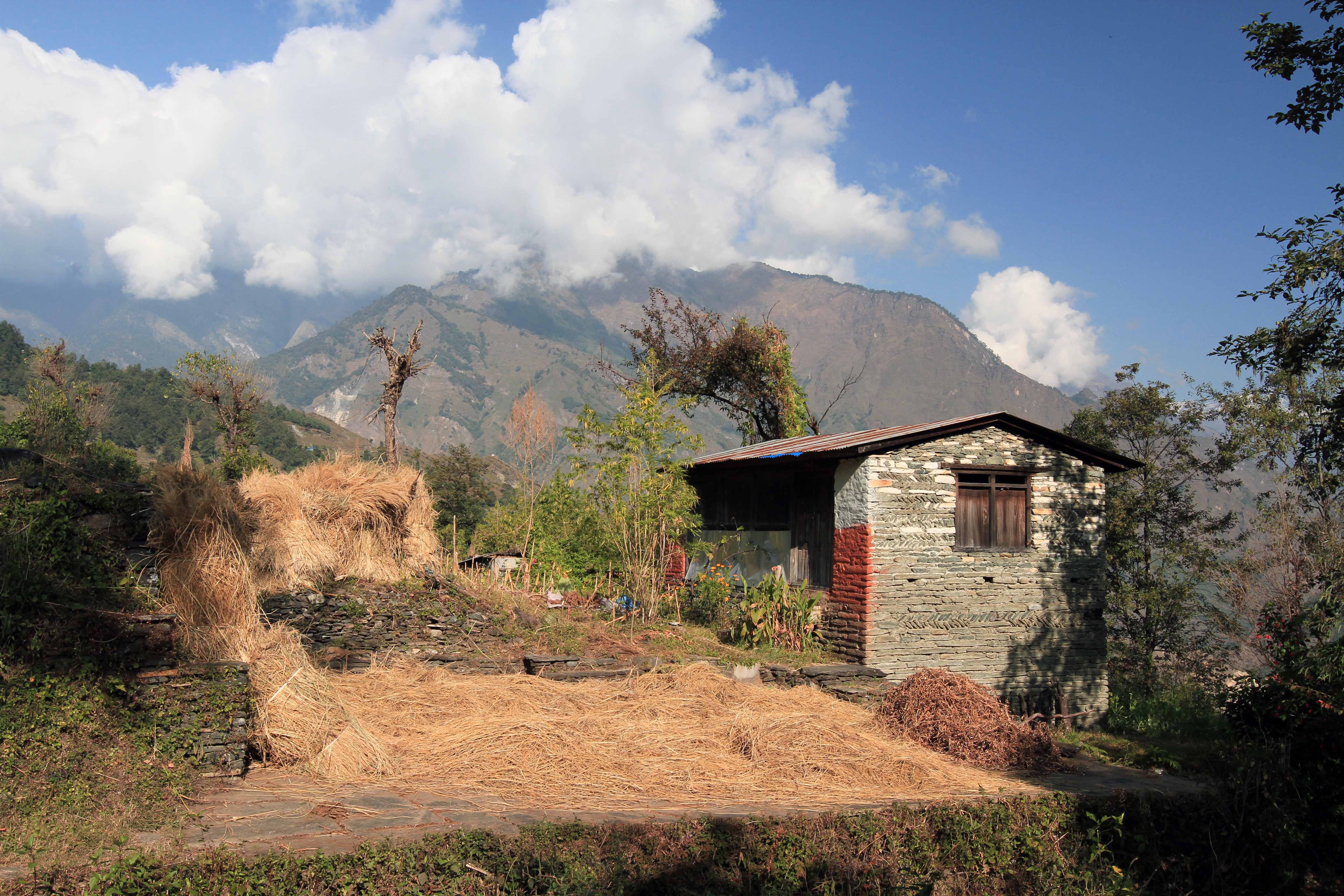
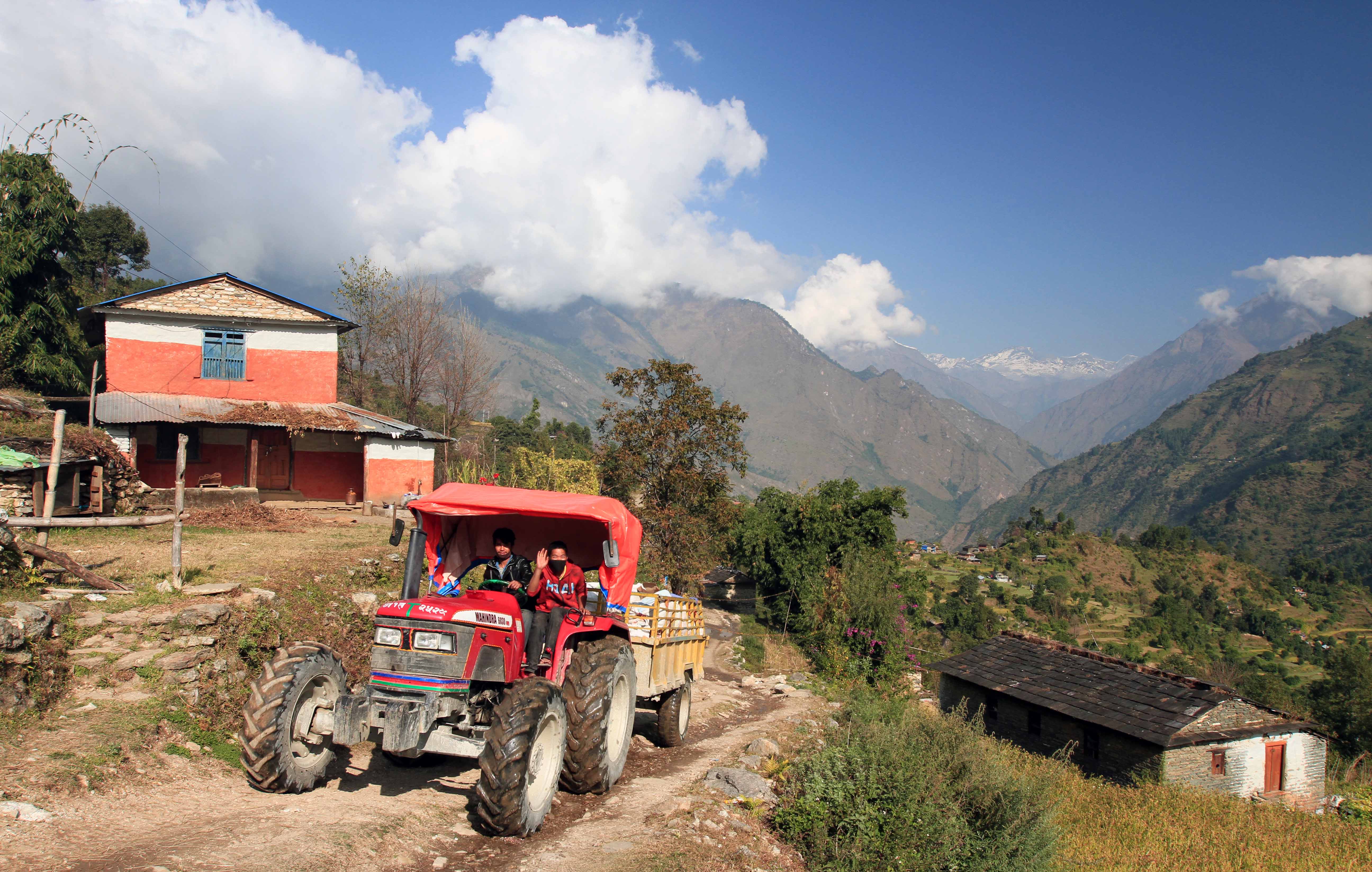
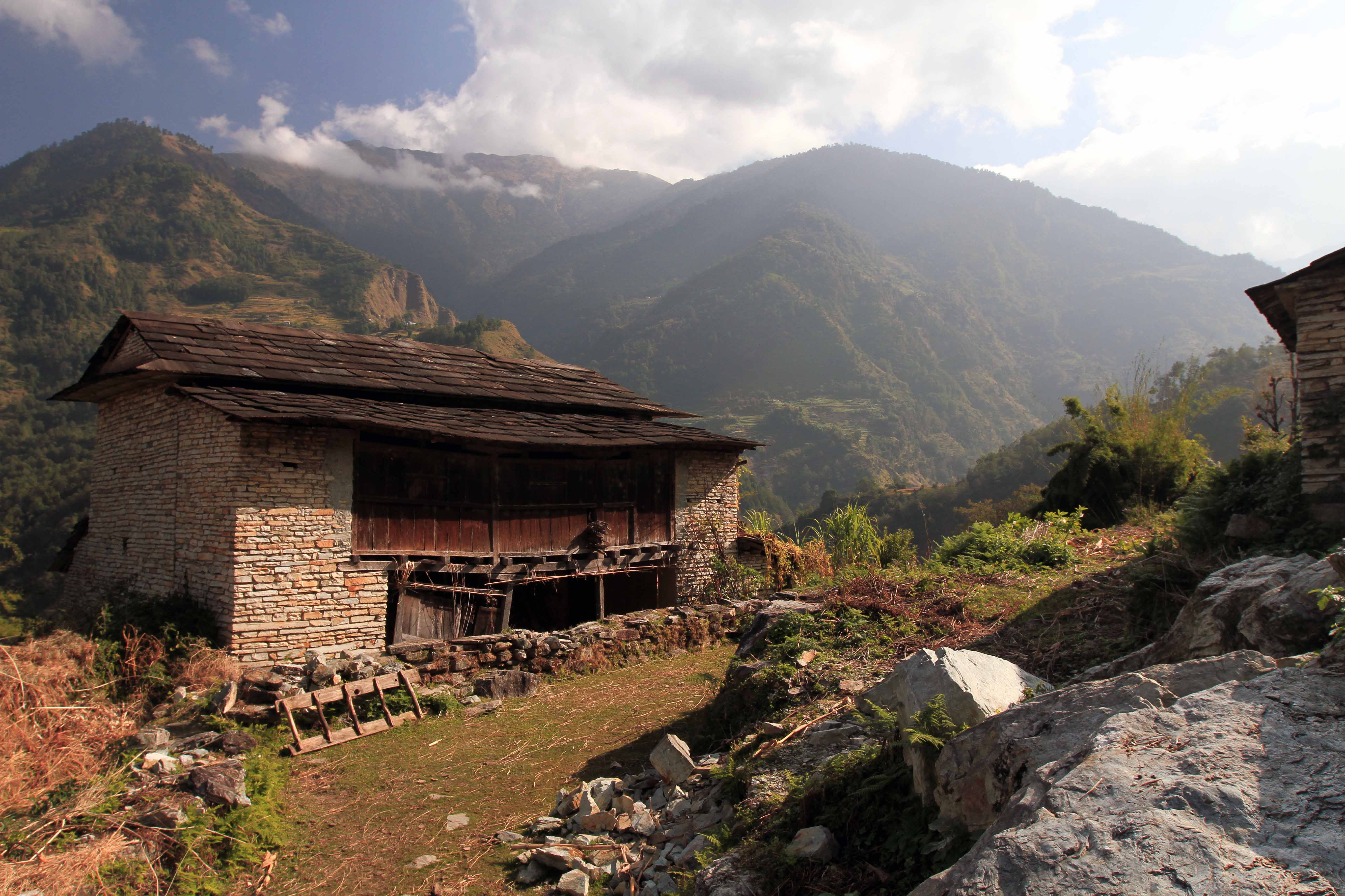

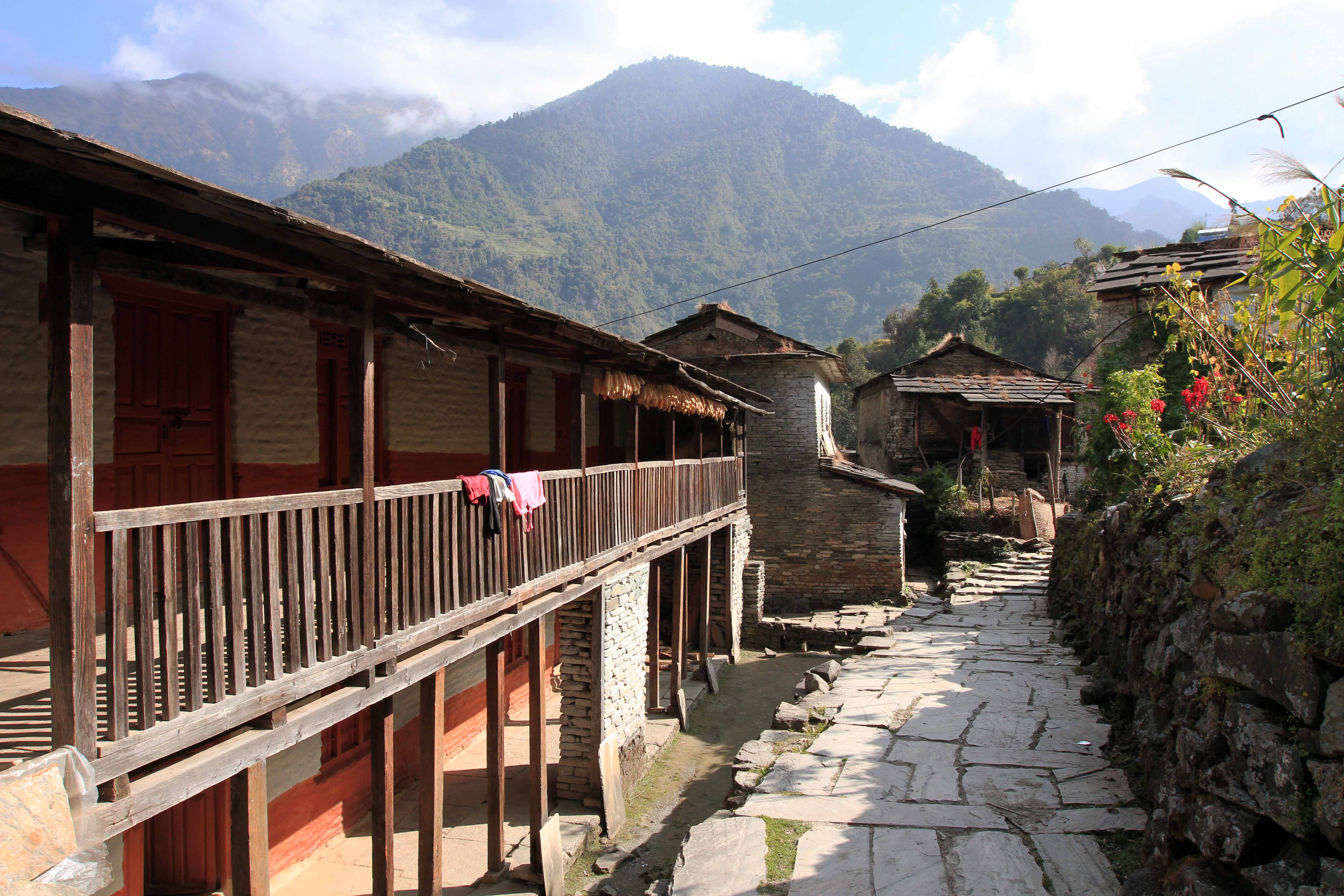
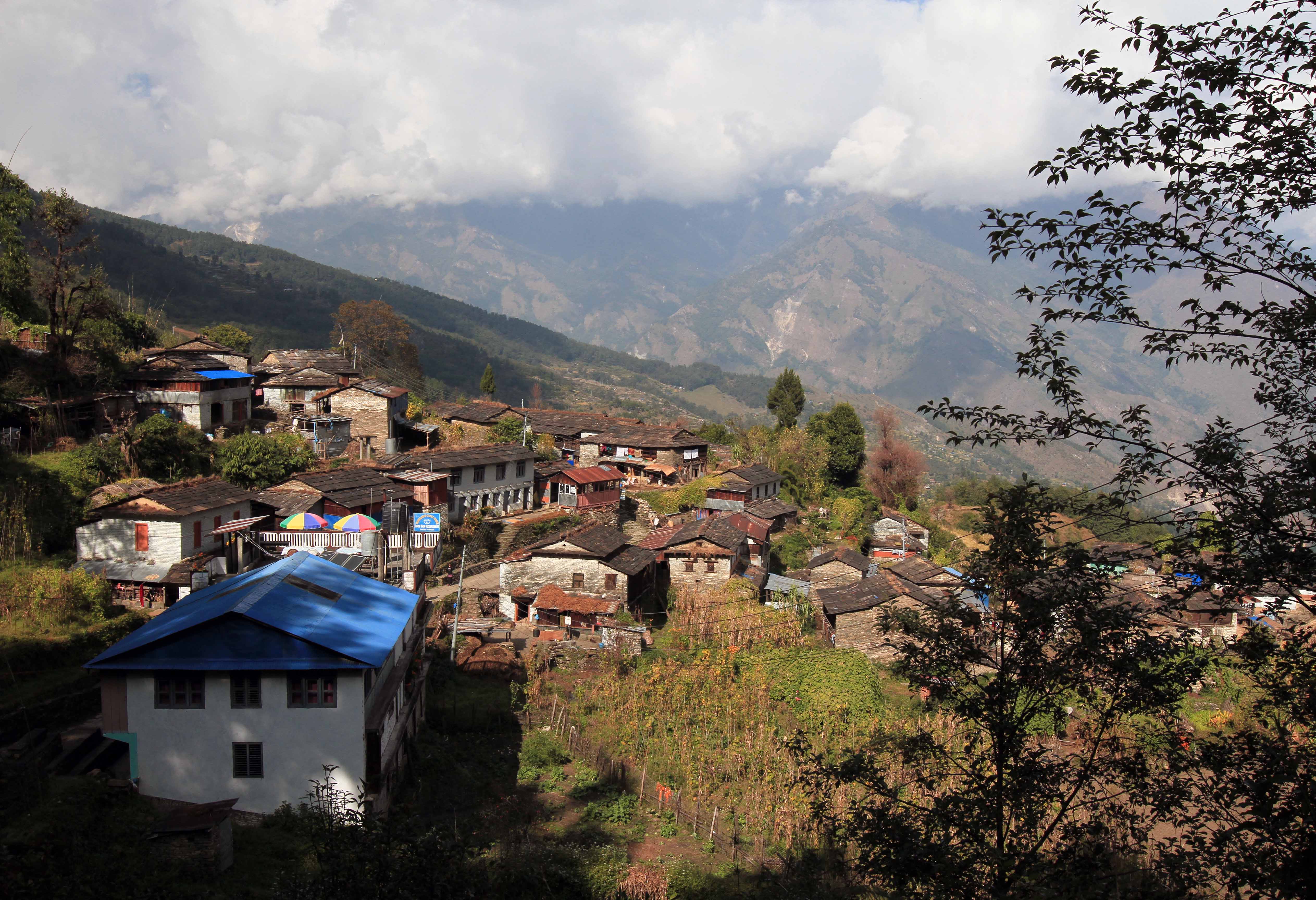
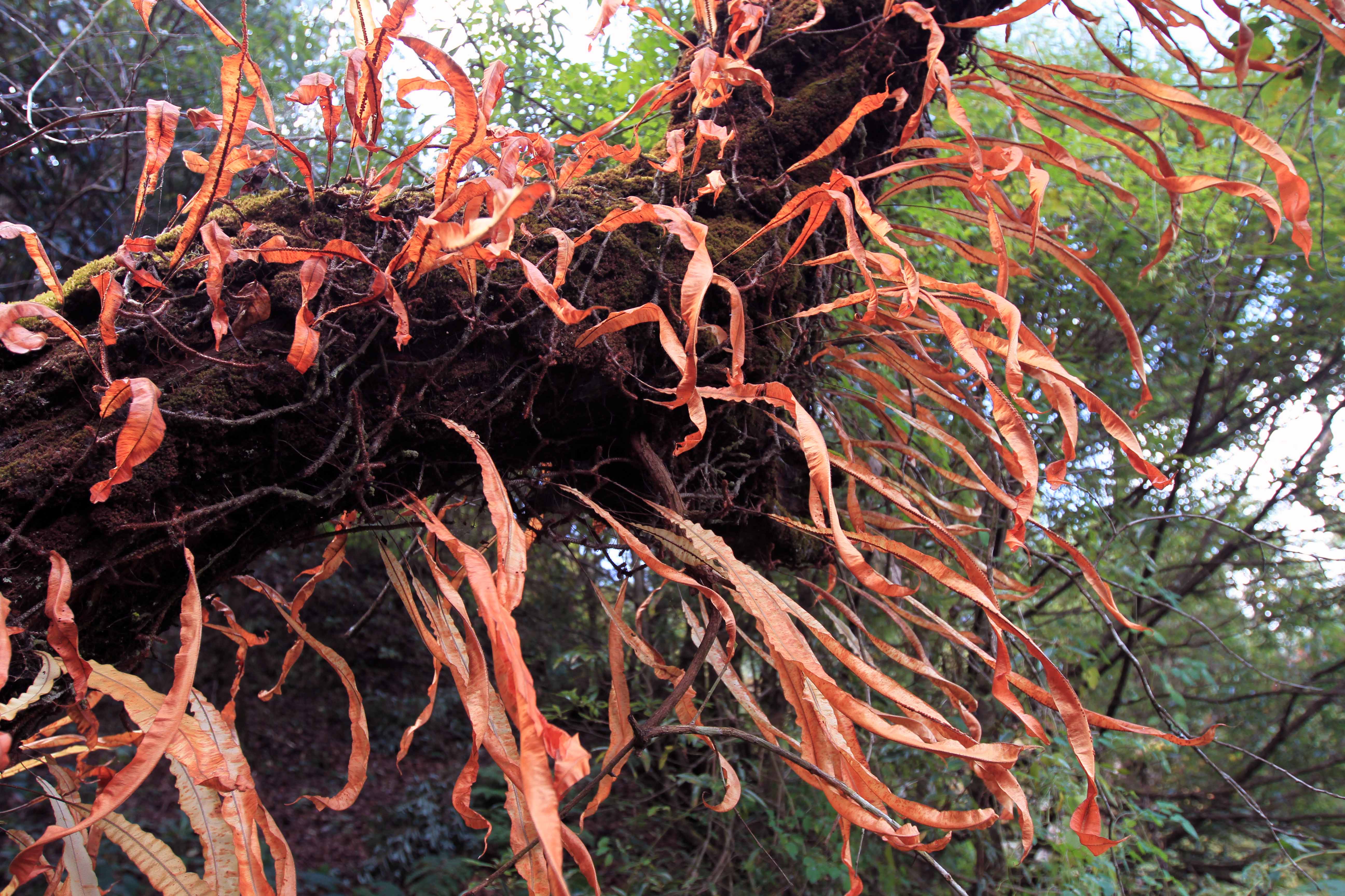
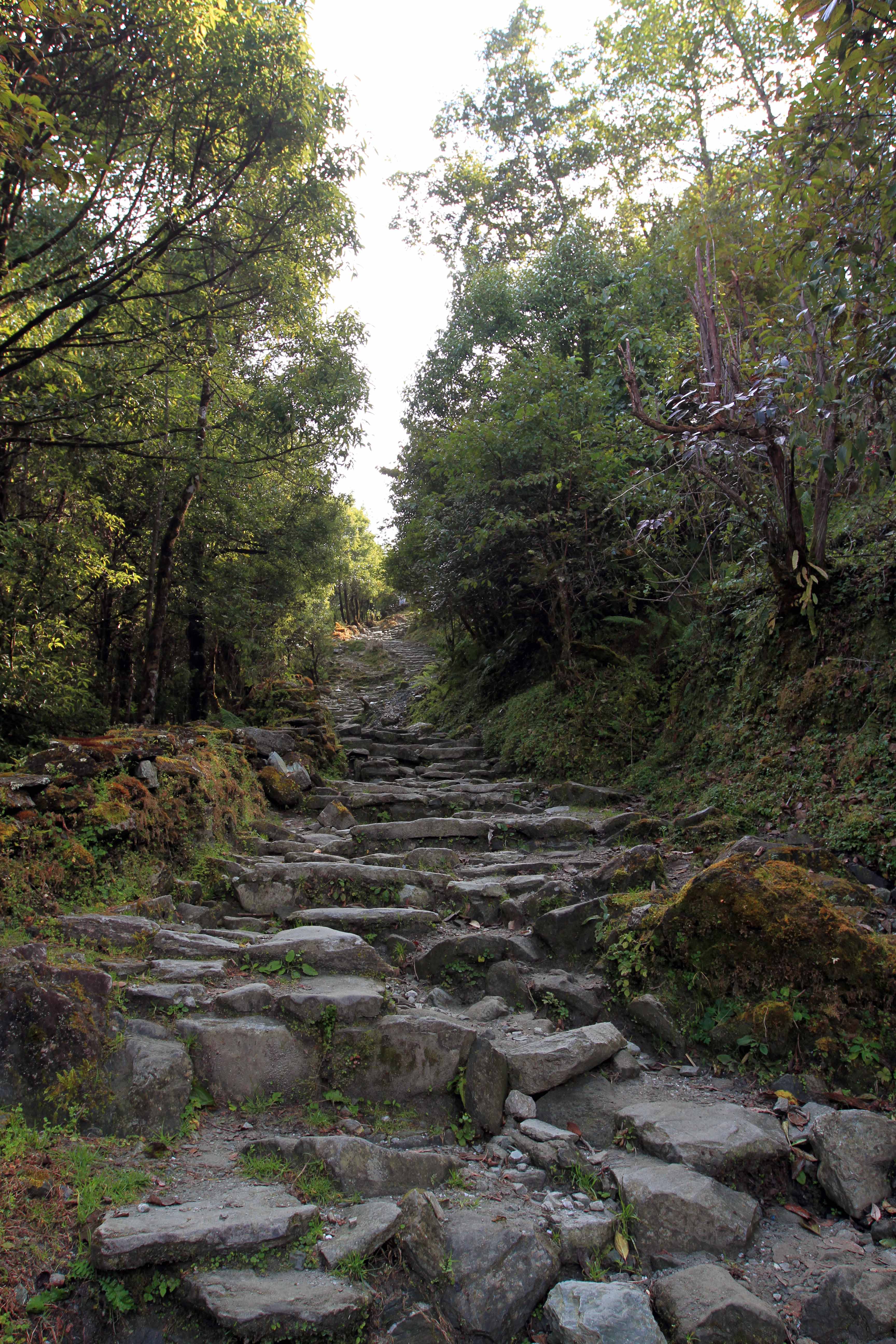
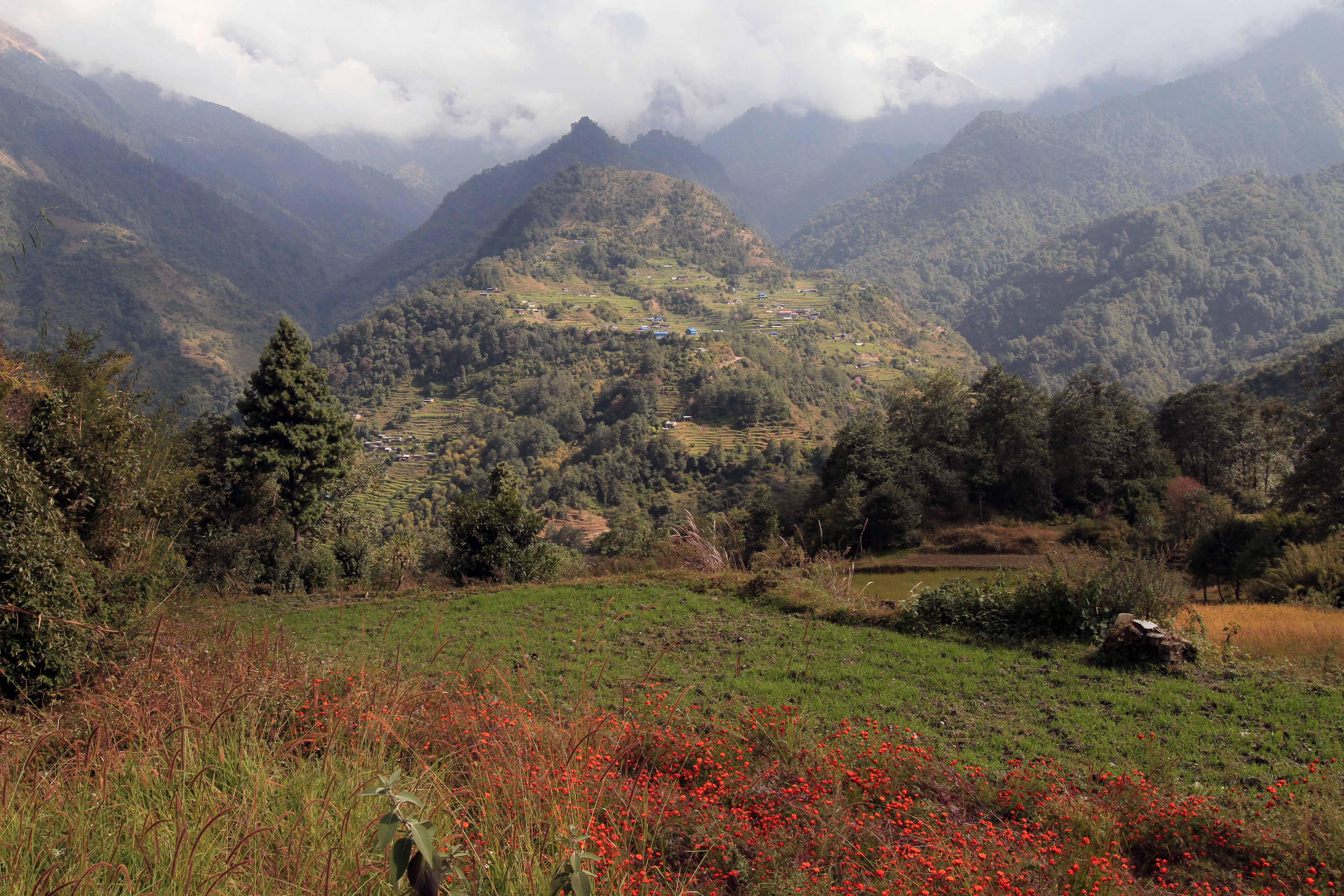
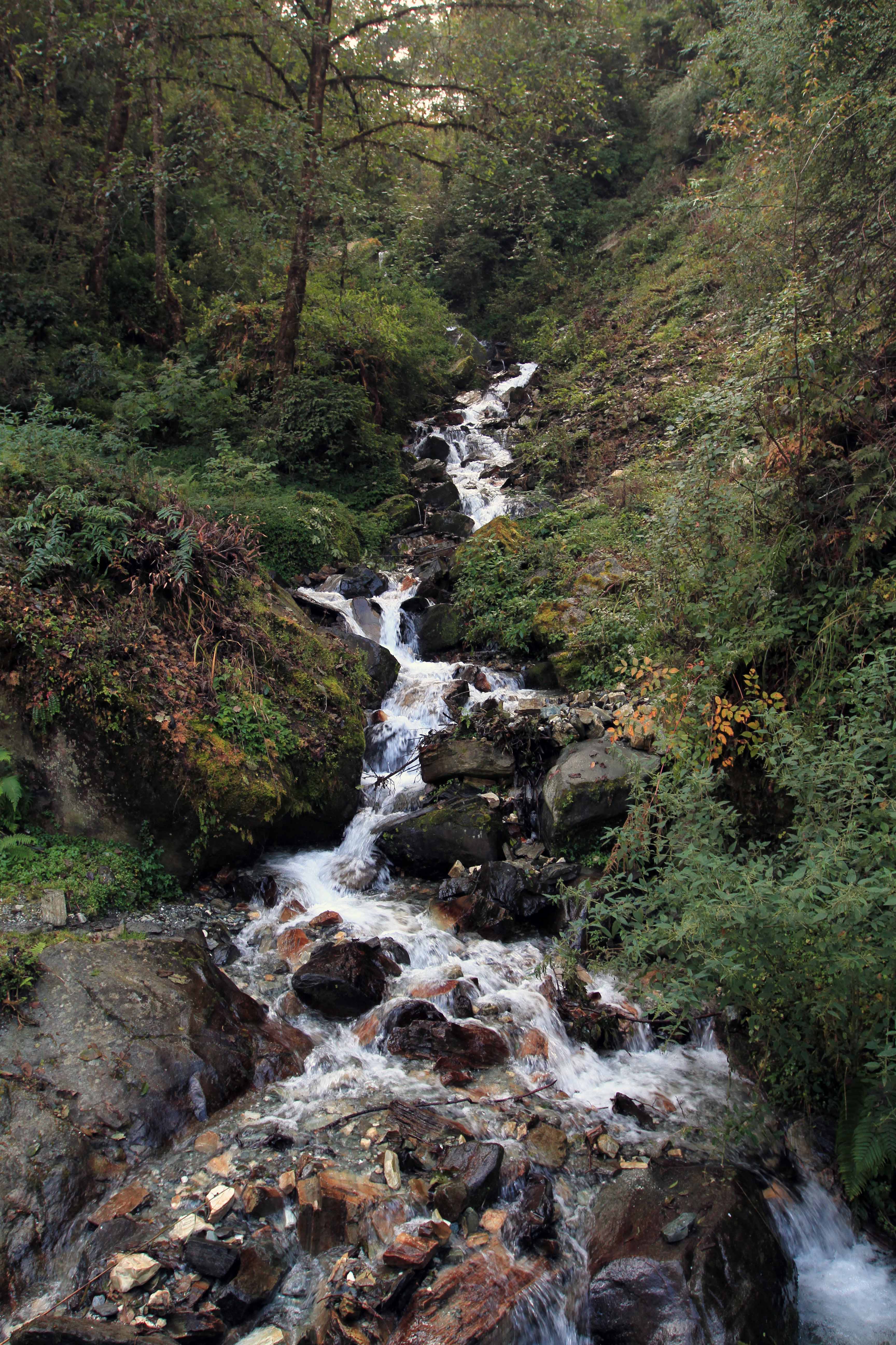
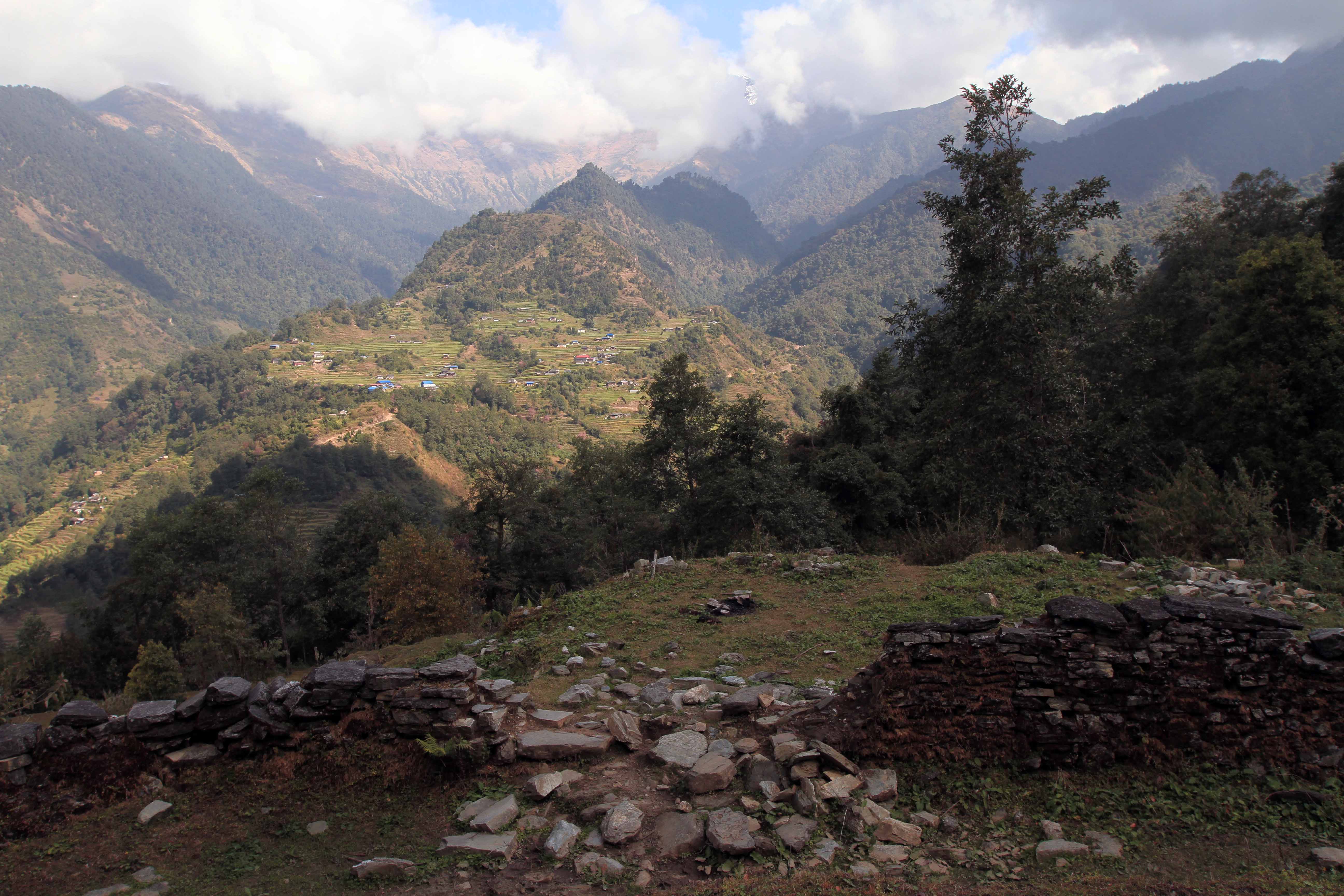
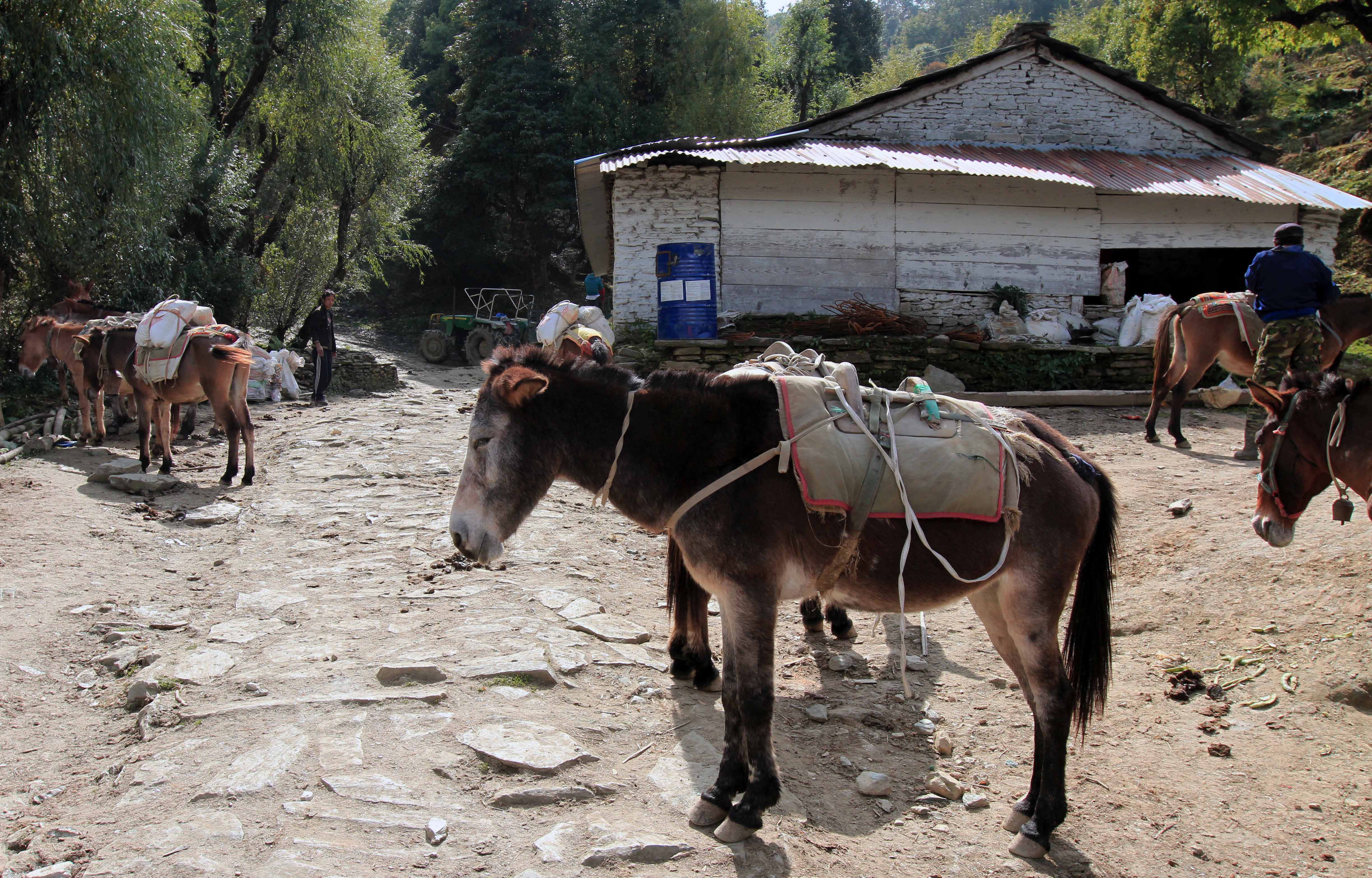
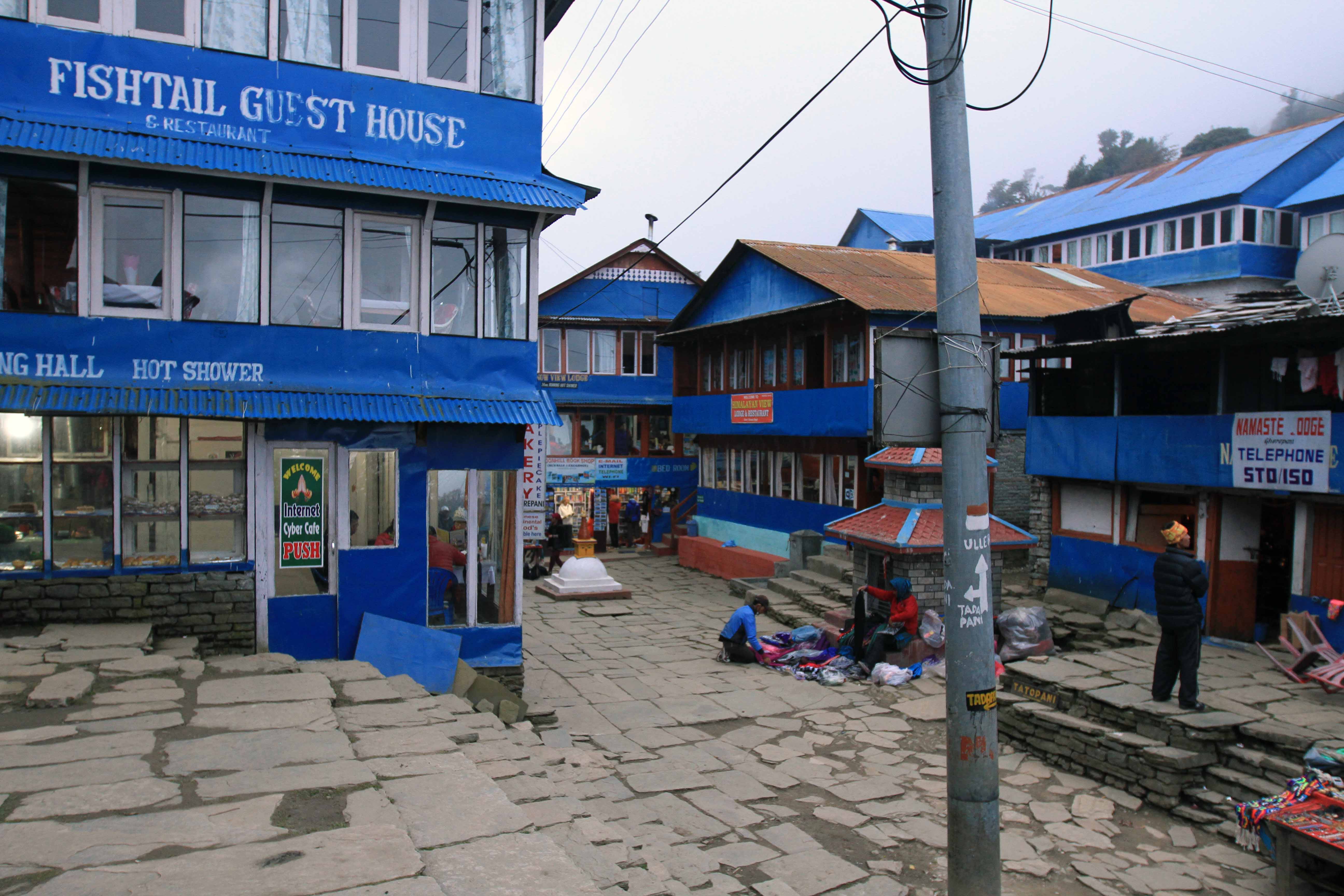
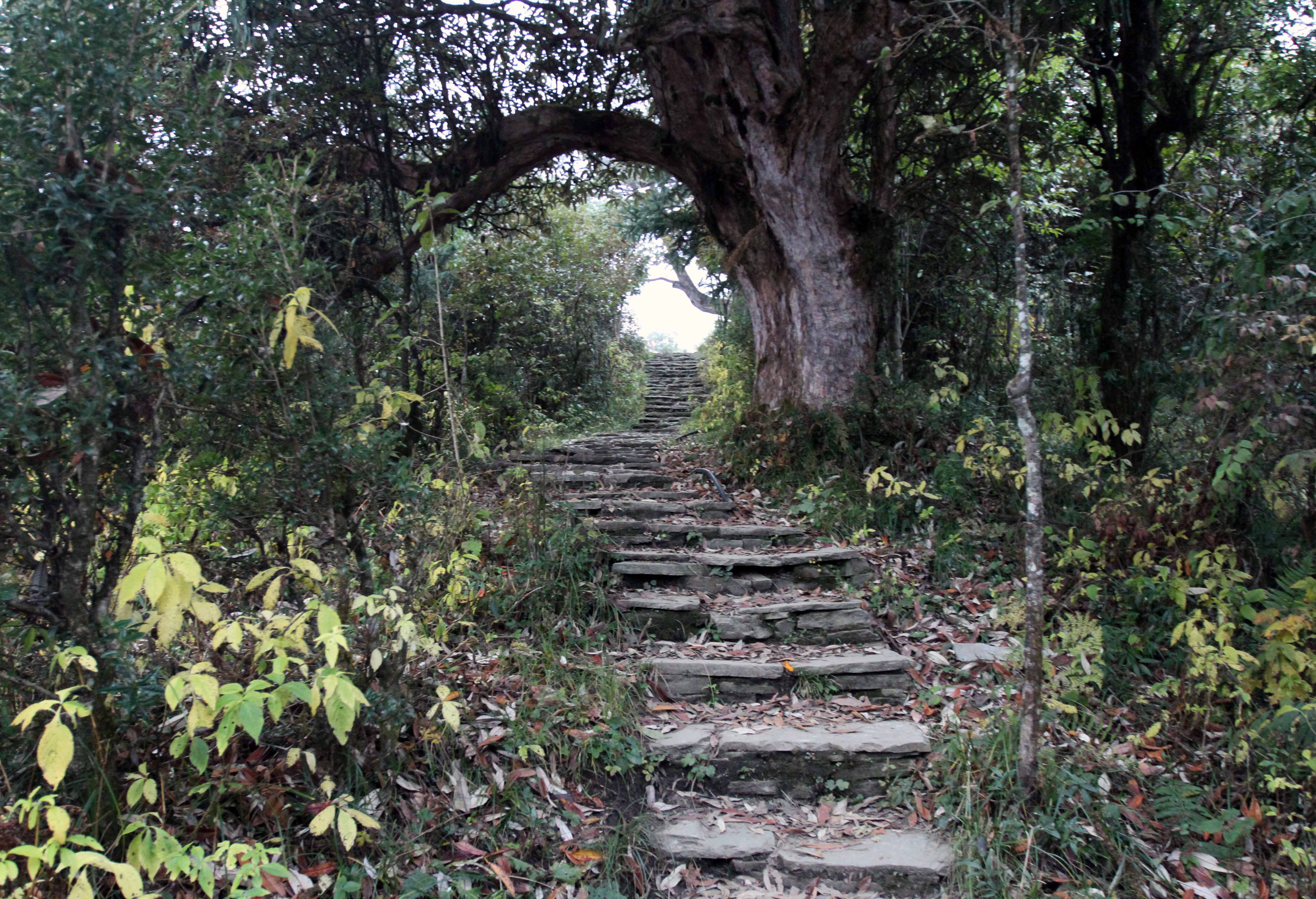
Today was a very strenuous day. I woke up at 05:50, got ready, ate breakfast (fried eggs, fried potatoes with onions and tomatoes, toast with butter and jam, and a cup of coffee), settled my bill, and took off hiking. Shortly after beginning my hike for the day, I stopped at a TIMS checkpoint in Tatopani to register in their record books (the first checkpoint I’ve come across since crossing Thorung La Pass, due to the alternate trails I’ve been taking). I then continued on the dirt road heading south until I came to a suspension bridge, which I crossed, and then I crossed a wooden bridge over the Ghar Khola. From there, I walked on a trail alternating between dirt roads and stone steps most of the rest of the way today. At one point I came across a stone structure with a large cavity inside, most likely used for offerings to what ever deities the locals worship; I decided to stop and use this structure to reenact the famous scene from ‘Roman Holiday’ for my camera (hopefully such a reenactment will not offend anyone, certainly no harm and disrespect was intended). After two and a half hours if walking, I came to the Hindu village of Ghara with its red and white painted houses; I originally intended to stay here for the night (this is in accordance with my original plan of spending last night in Dana, not Tatopani), but it seemed absurd to me to only hike for such a short period; so I continued on. I them walked through the stretched out village of Shikha where I stopped at another checkpoint along the trail. I then hiked on to Phalate and I briefly walked on a side trail (blue and white marked as opposed to red and white) to avoid the dirt road. I climbed up this side trail to the nearby village of Chitre where I once again returned to the dirt road; I continued on upward leaving the dirt road and climbing up many stone steps. I then met a Chilean man who had actually come from Ghorepani this morning and had mistakenly hiked toward Tatopani as opposed to Tadapani (a town I intend on passing by on tomorrow’s hike); we continued on up together, taking a number of short breaks on this incredibly exhausting hike (I’m not sure how much weight I have in my bag and I don’t want to know until after completing this trail, but I do know it’s at least over twenty kilograms); after a long climb, we finally reached Ghorepani (at 13:30), 1,670 meters (5,479 feet) higher than when I began this morning. We then checked in to the hotel that the Chilean had checked out of this morning. After taking off my sweat soaked shirt and changing in to something dryer, I had lunch with the Chilean (I had an onion pizza, French fries, and a beer). After lunch, I relaxed and warmed up inside my room until I felt some minor hunger pains; I returned to the dining hall (now very lively with a large group if Italians) and had popcorn and another beer while I typed out today’s journal entry (up to this point anyway). I then grabbed my camera and walked around Ghorepani where the town’s square is located directly on the mountain pass; next I reconnoitered the path to Poon Hill for tomorrow’s early morning hike (it is supposed to offer magnificent views of the surrounding mountain ranges, weather permitting); up at the hotel near the entrance to the trail to Poon Hill, I talked with a French couple that had hiked from Kalopani to Tatopani the same day I did (I ran in to them a few times on the trail); we also had glimpses of Annapurna South (I think) during the sunset when the surrounding clouds momentarily cleared (Ghorepani has been covered with clouds for a few hours now and I’m hoping that tomorrow morning they will have cleared – I don’t want a repeat of my early morning Mount Bromo hike in Indonesia). I then walked back down to the town square, bought some snacks for tonight and tomorrow, and then returned to my hotel for dinner, where I had vegetable momos, a ginger lemon tea, and spaghetti with vegetables, mushrooms, and chicken. After dinner, I then went back to my room and slept for the night.