Annapurna Circuit, Nepal
Day 16 (Kalopani to Tatopani)
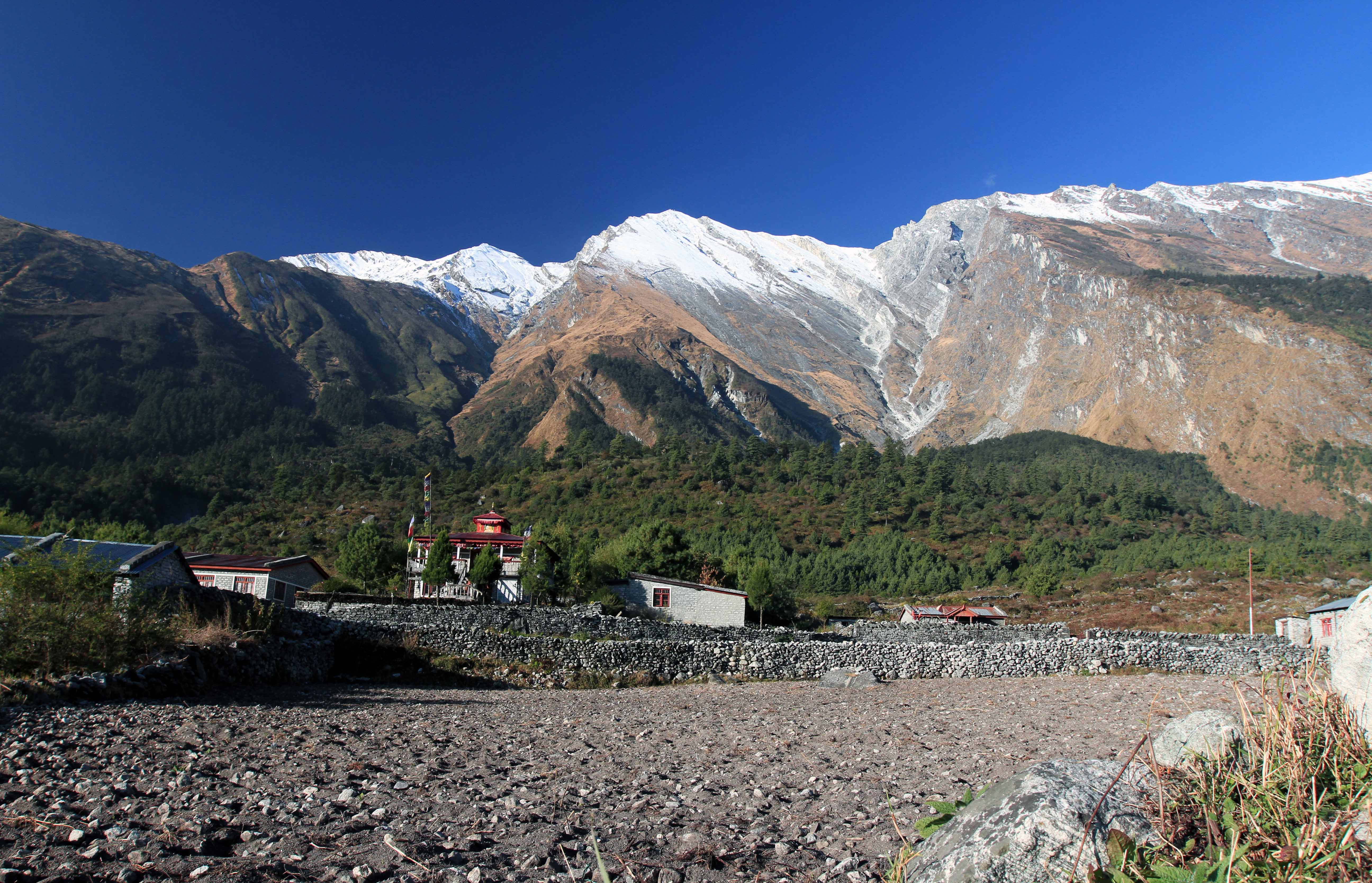
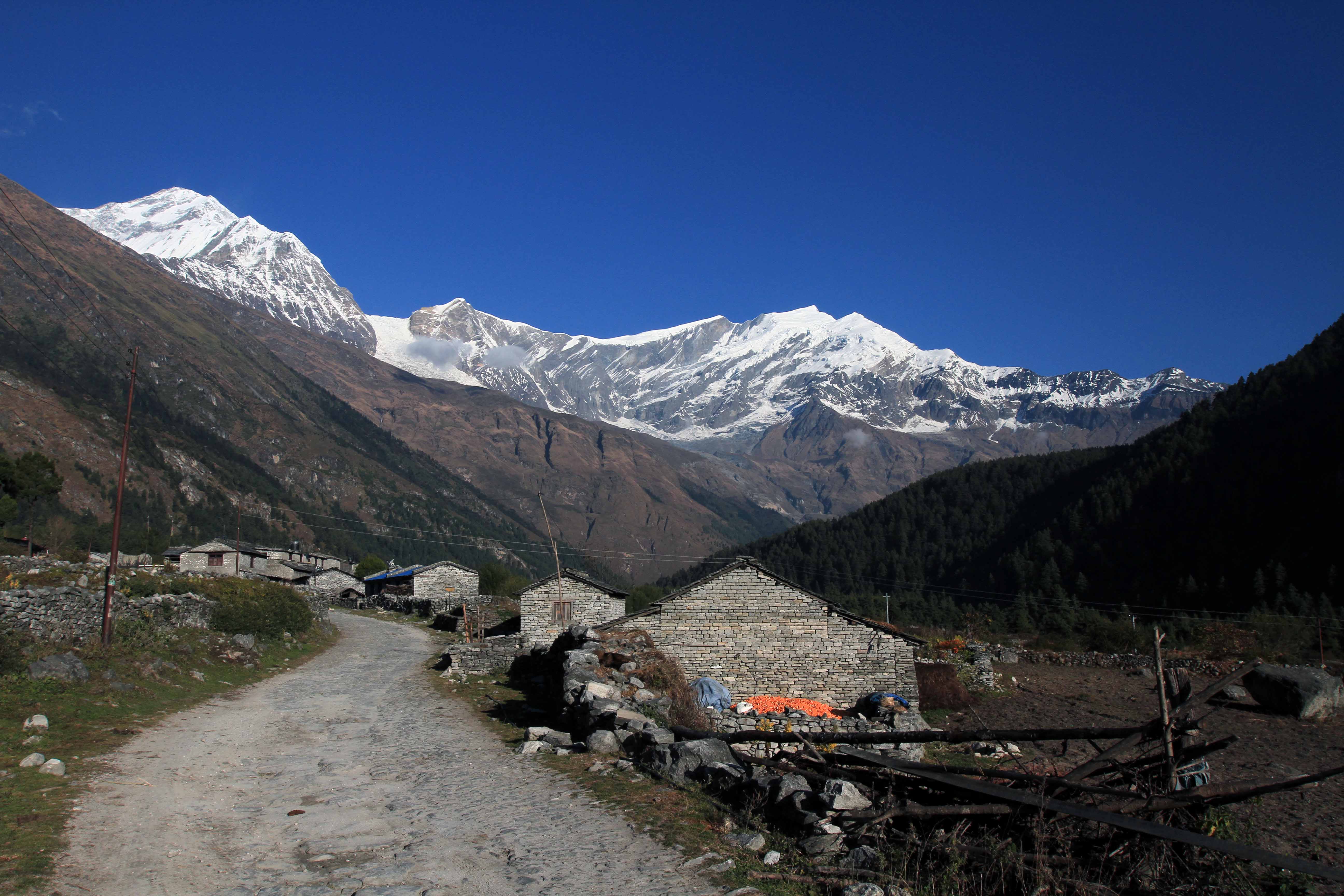

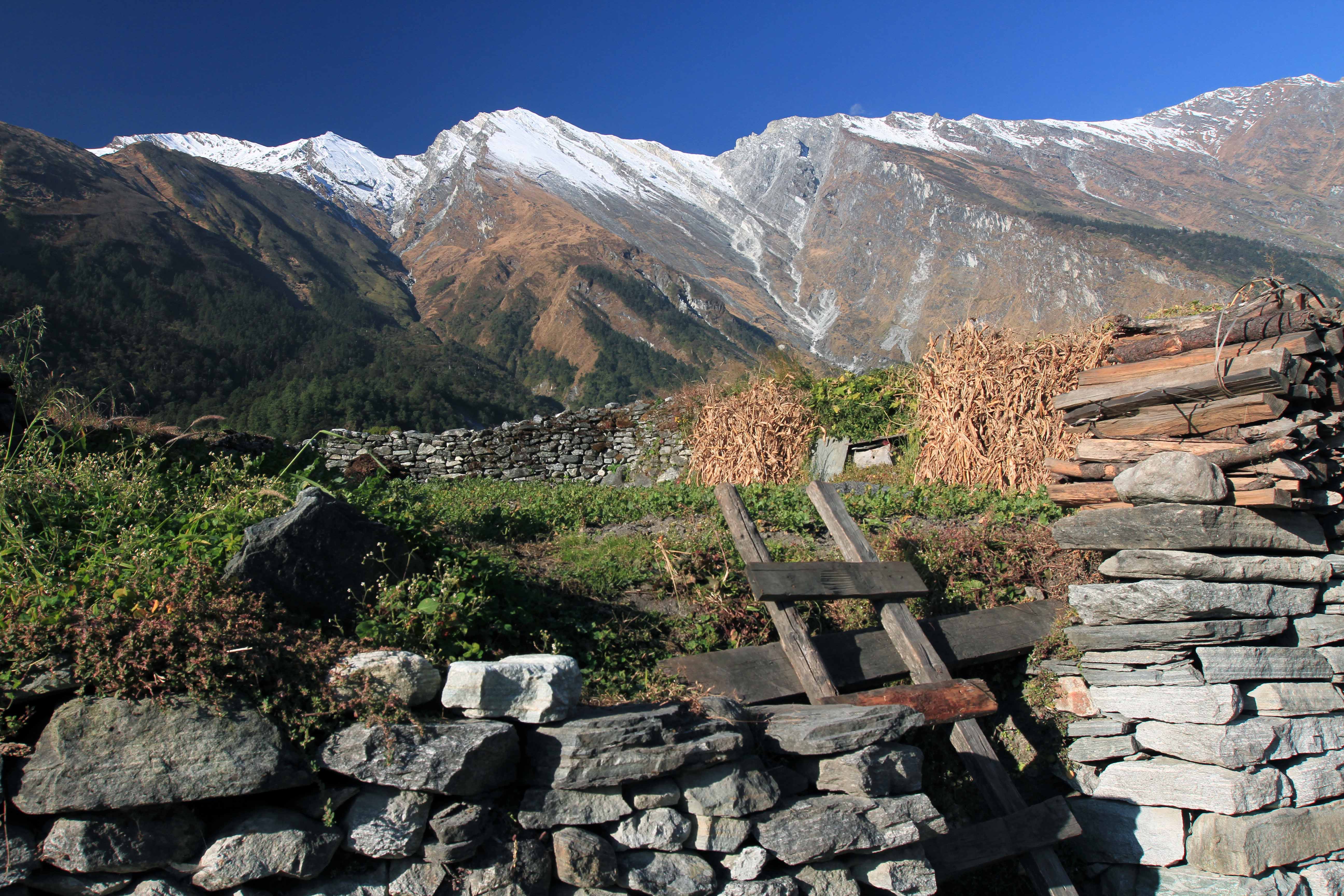
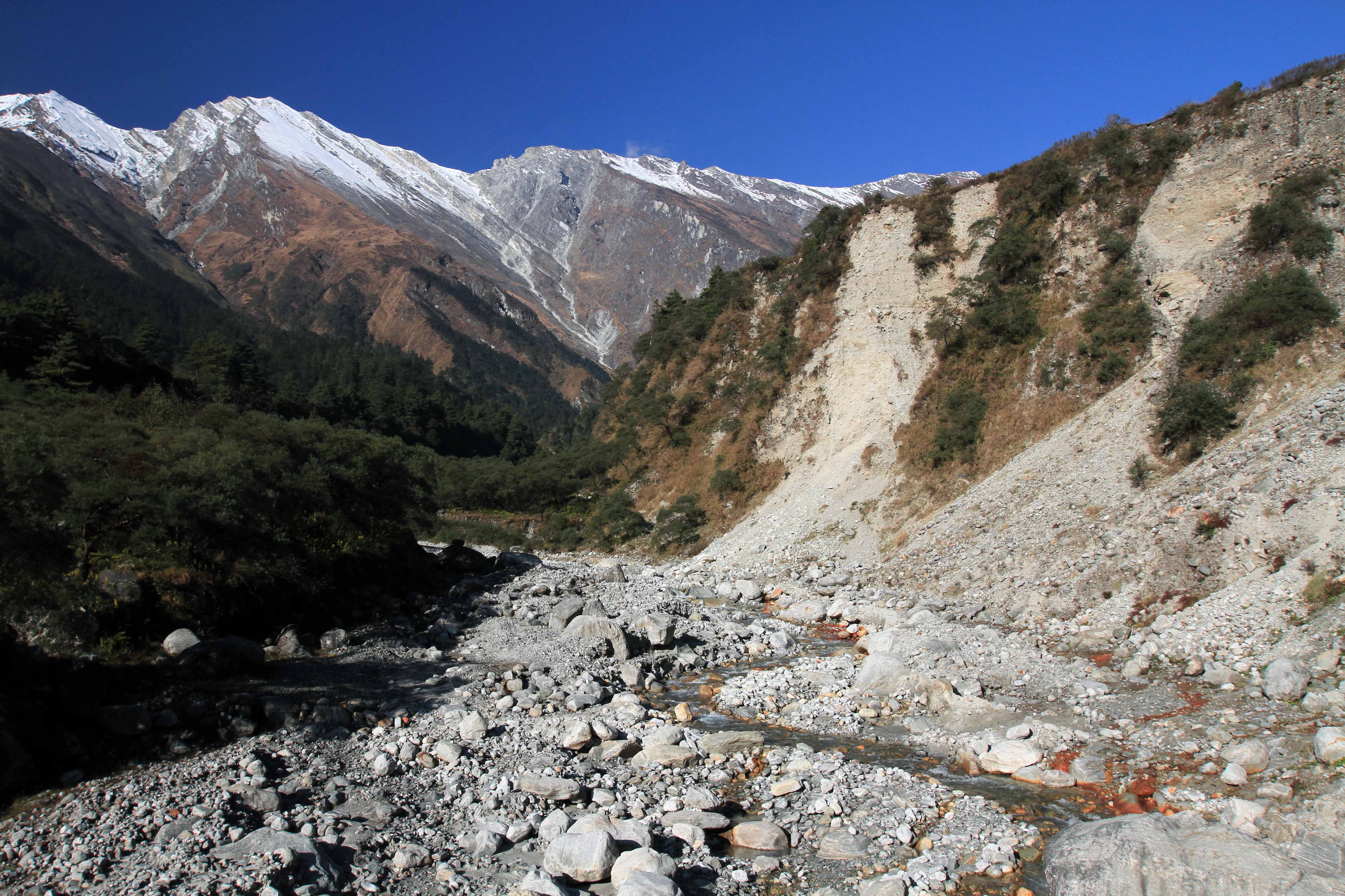
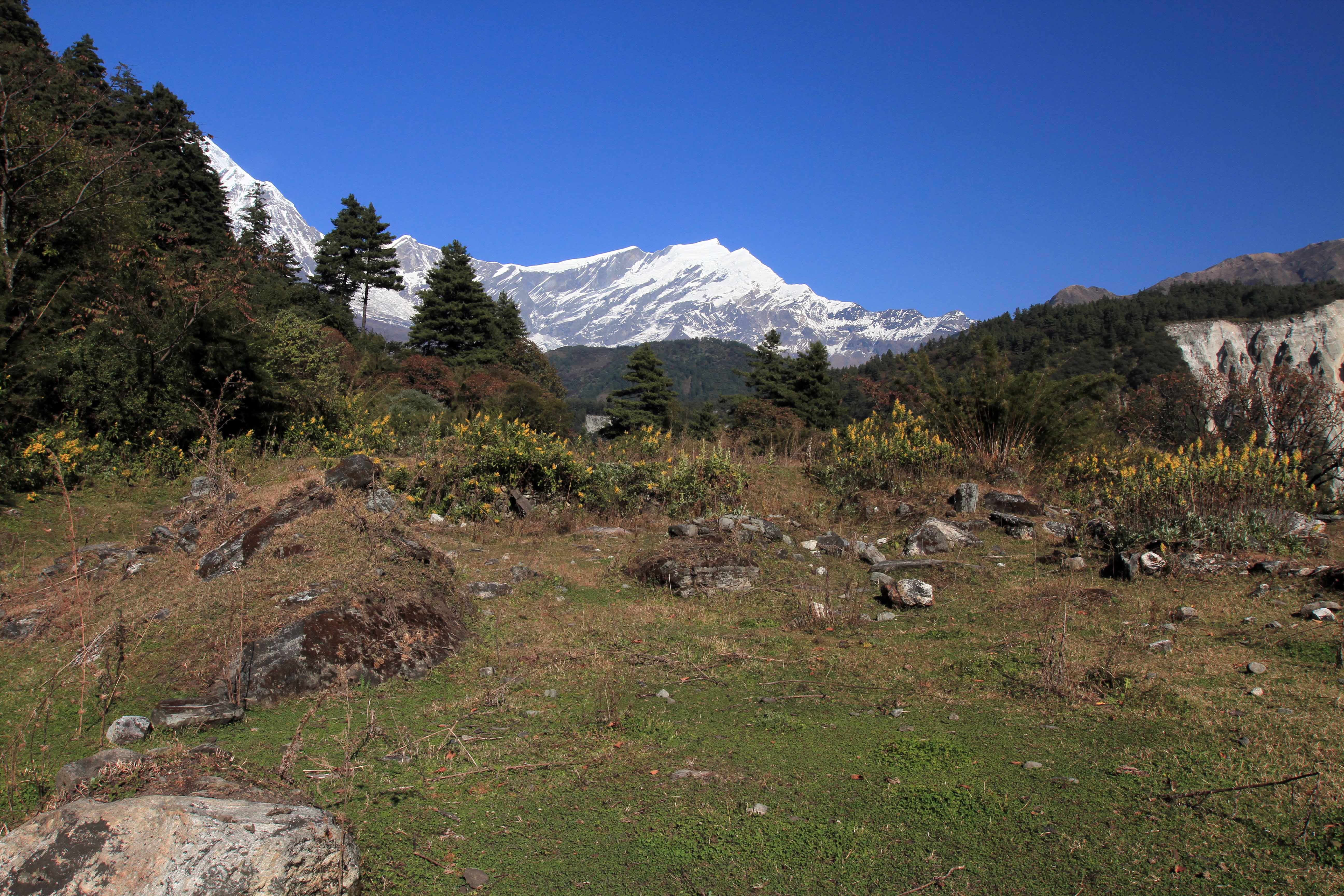
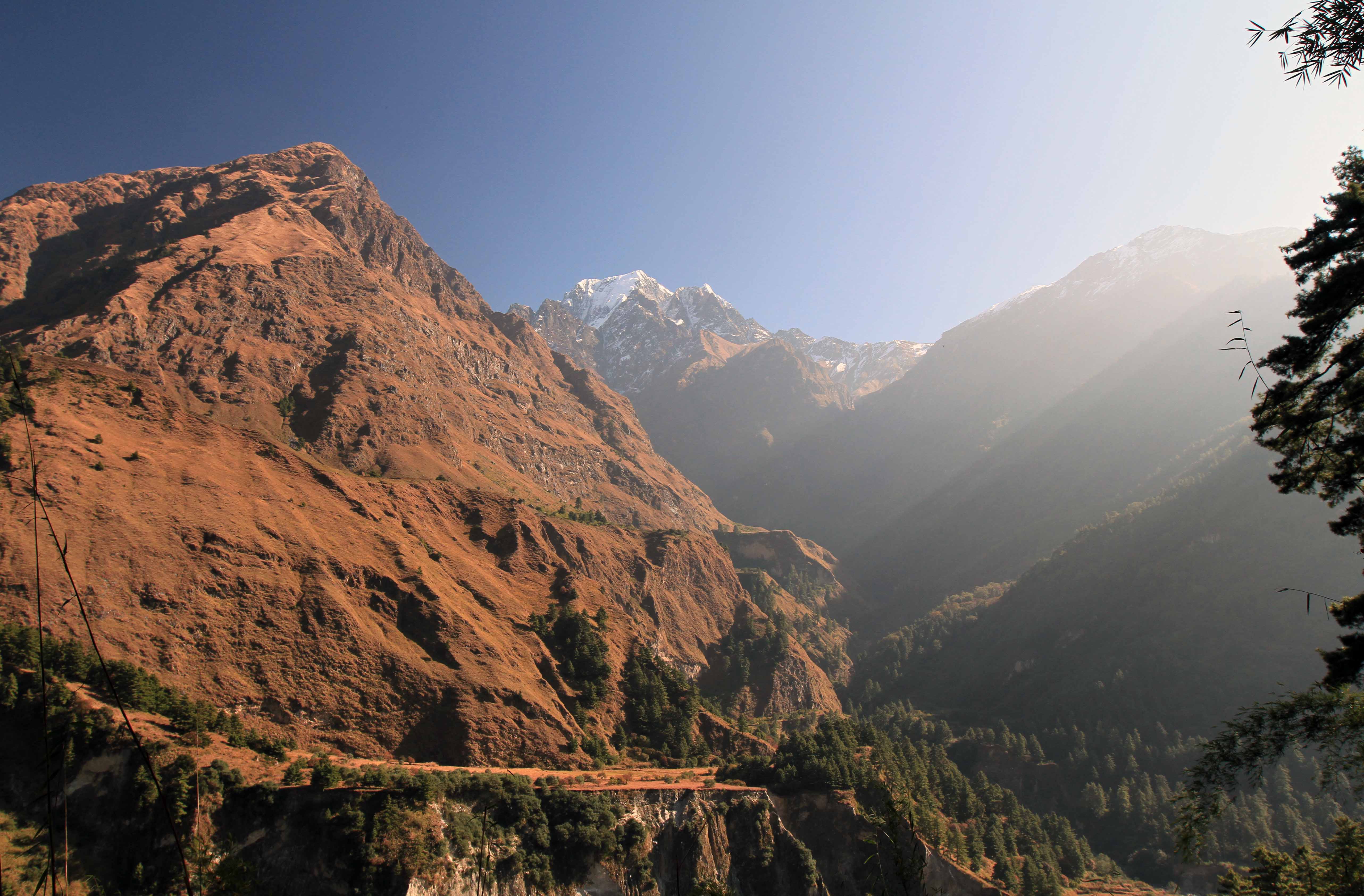
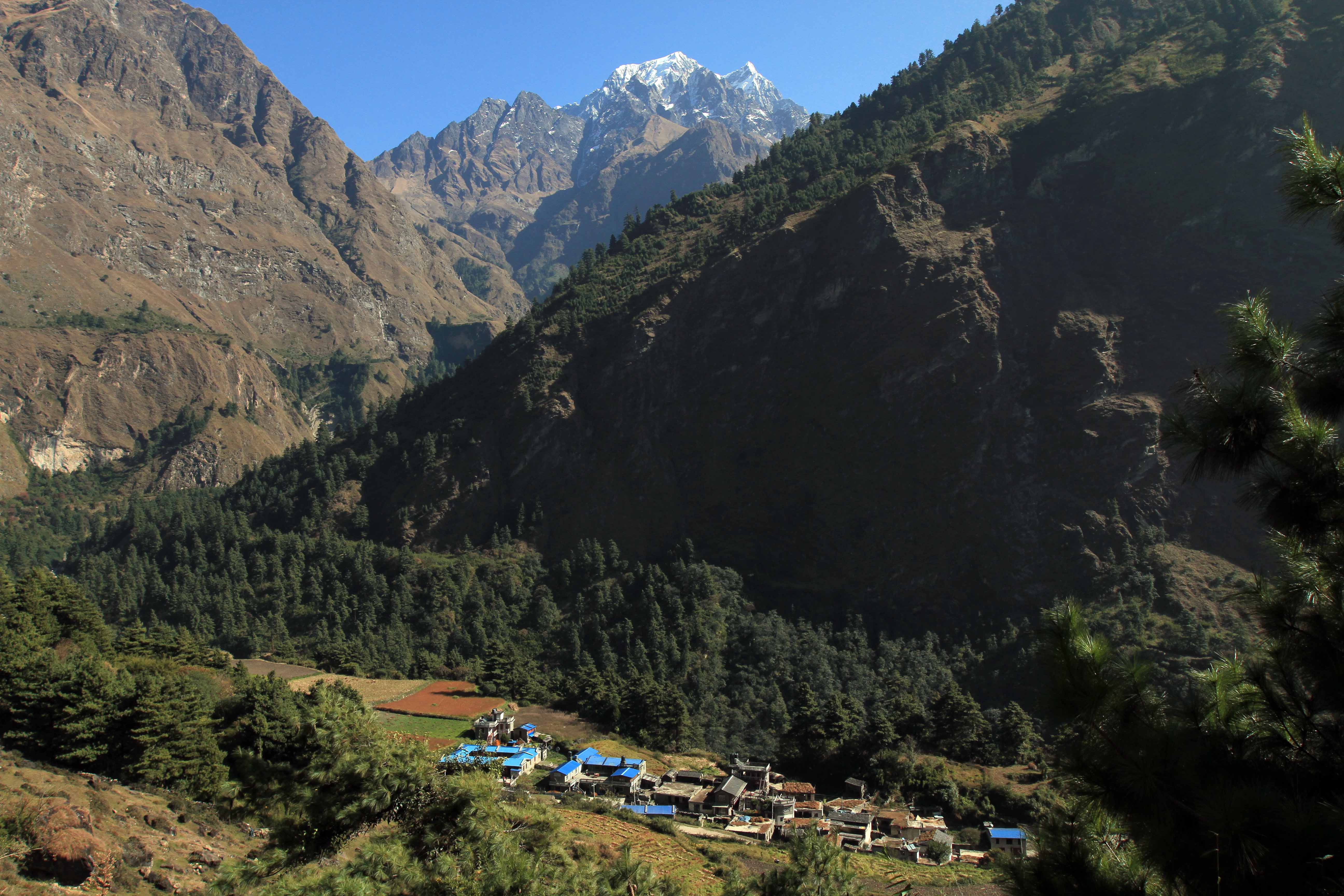
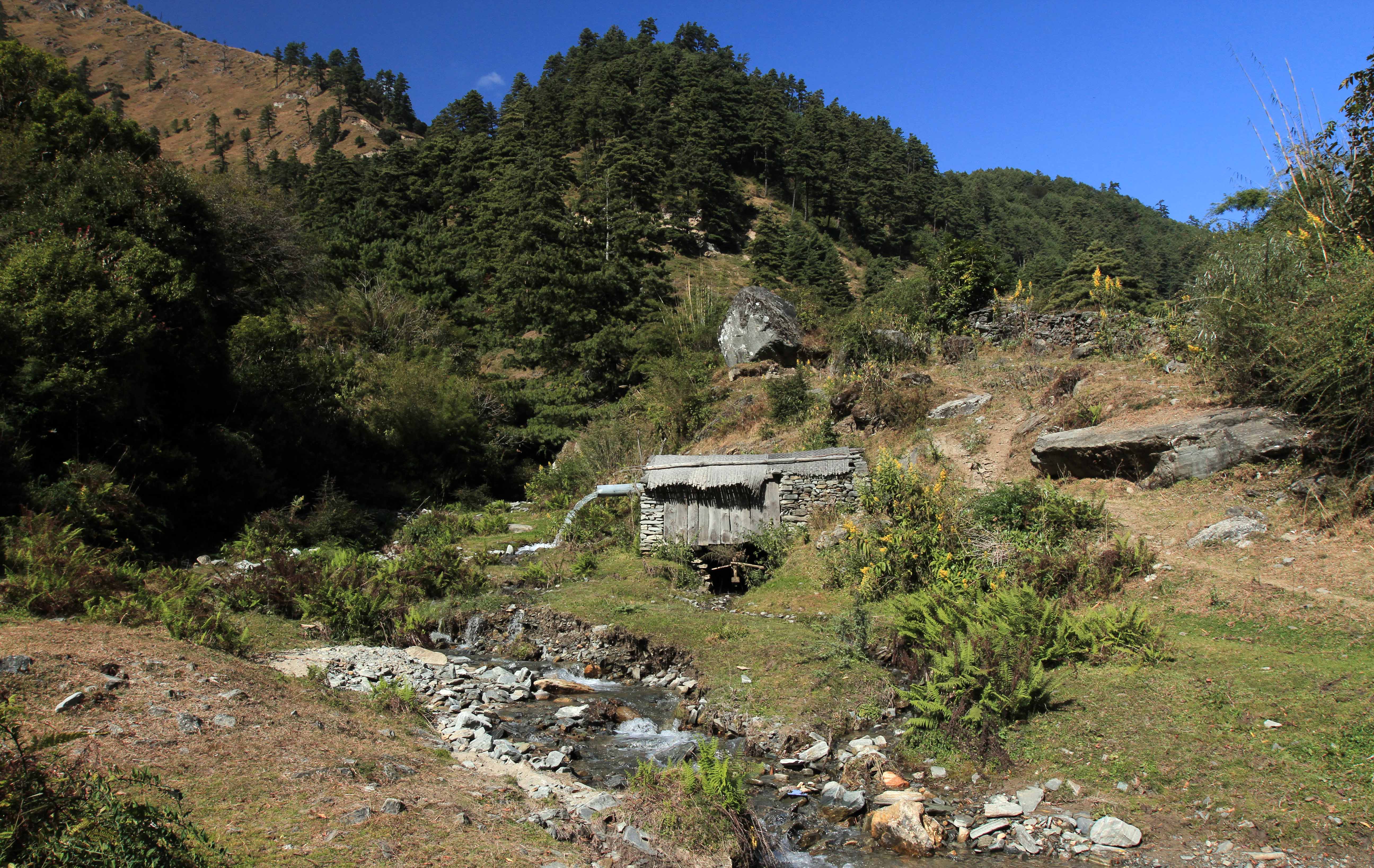
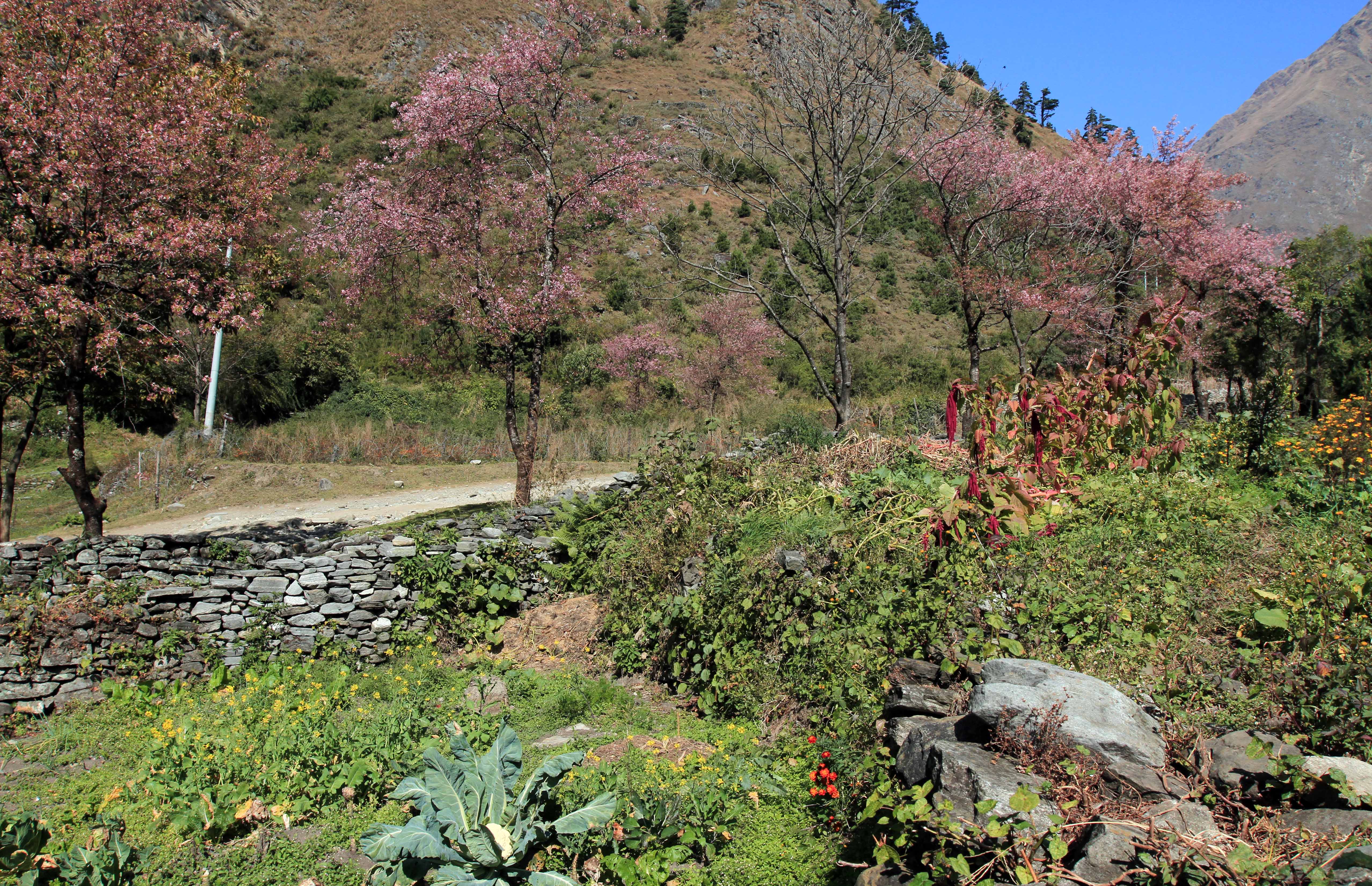
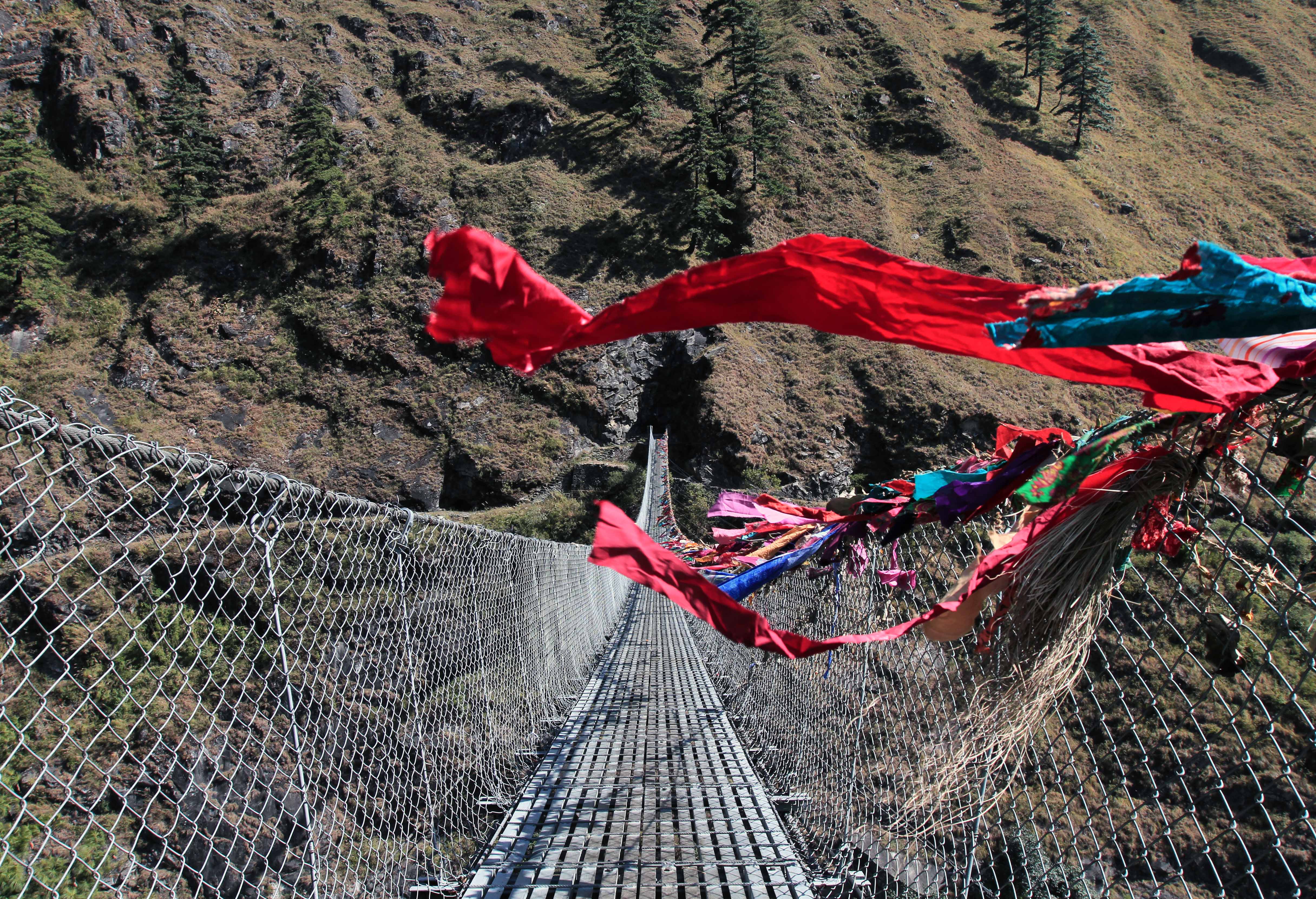

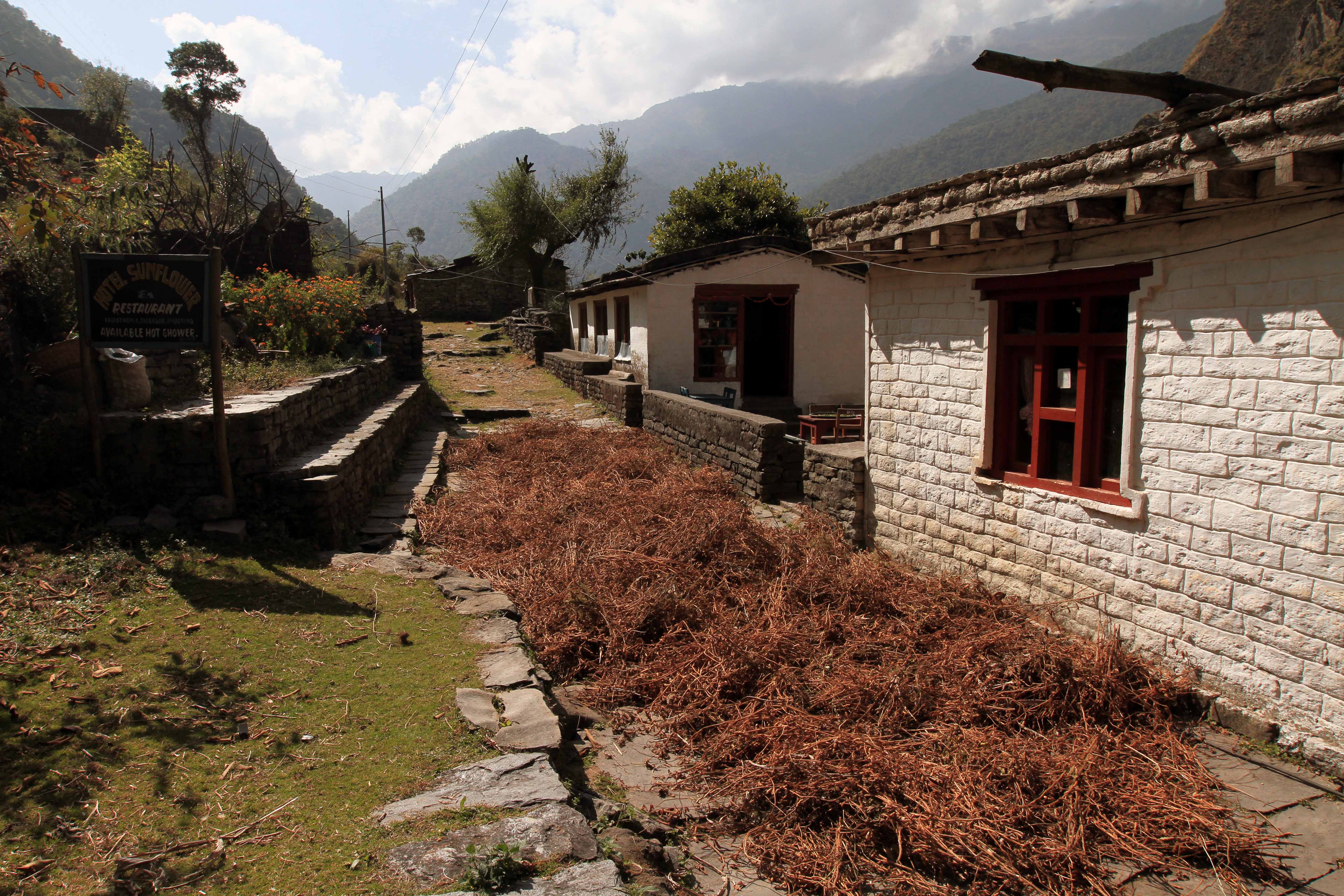
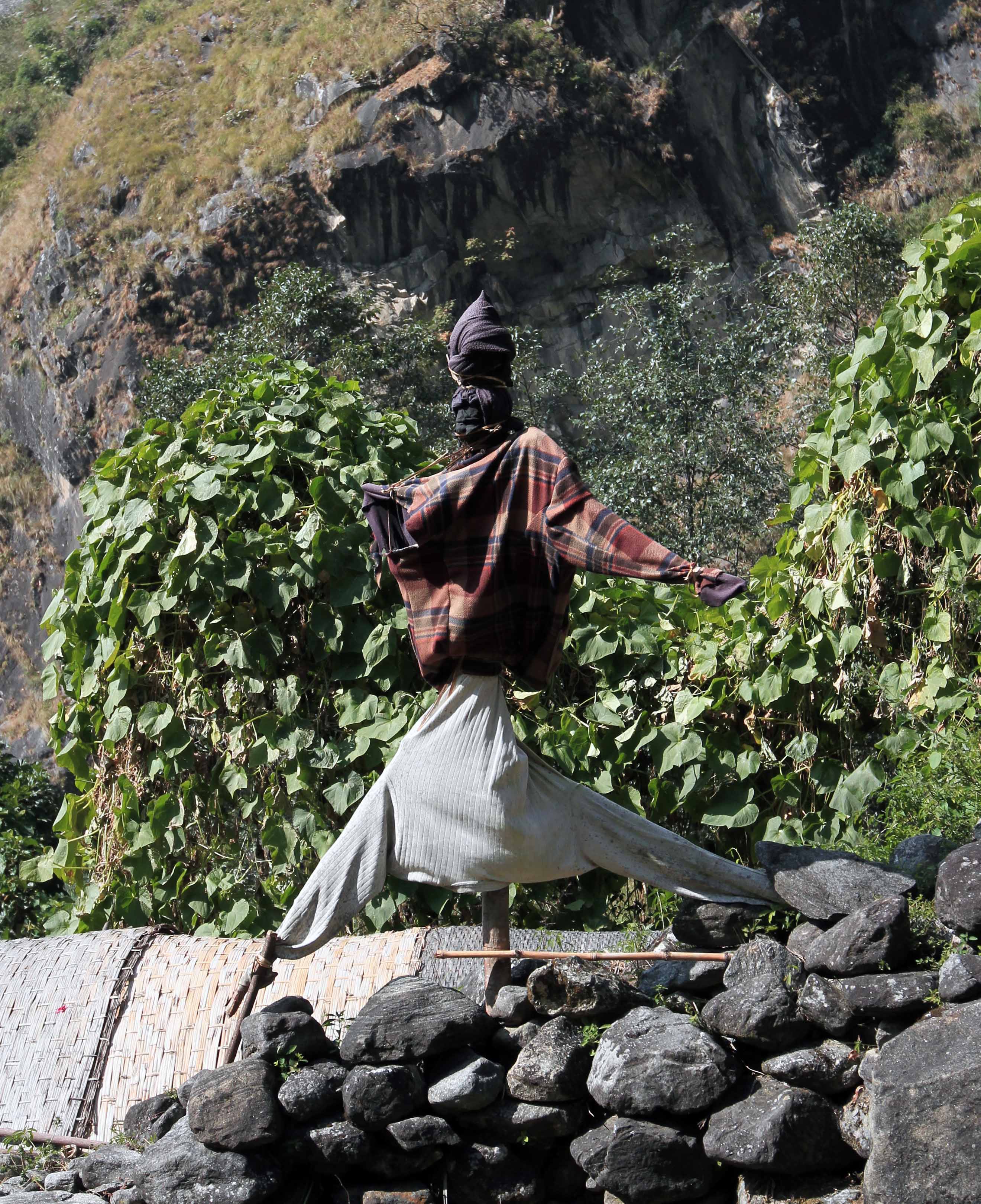
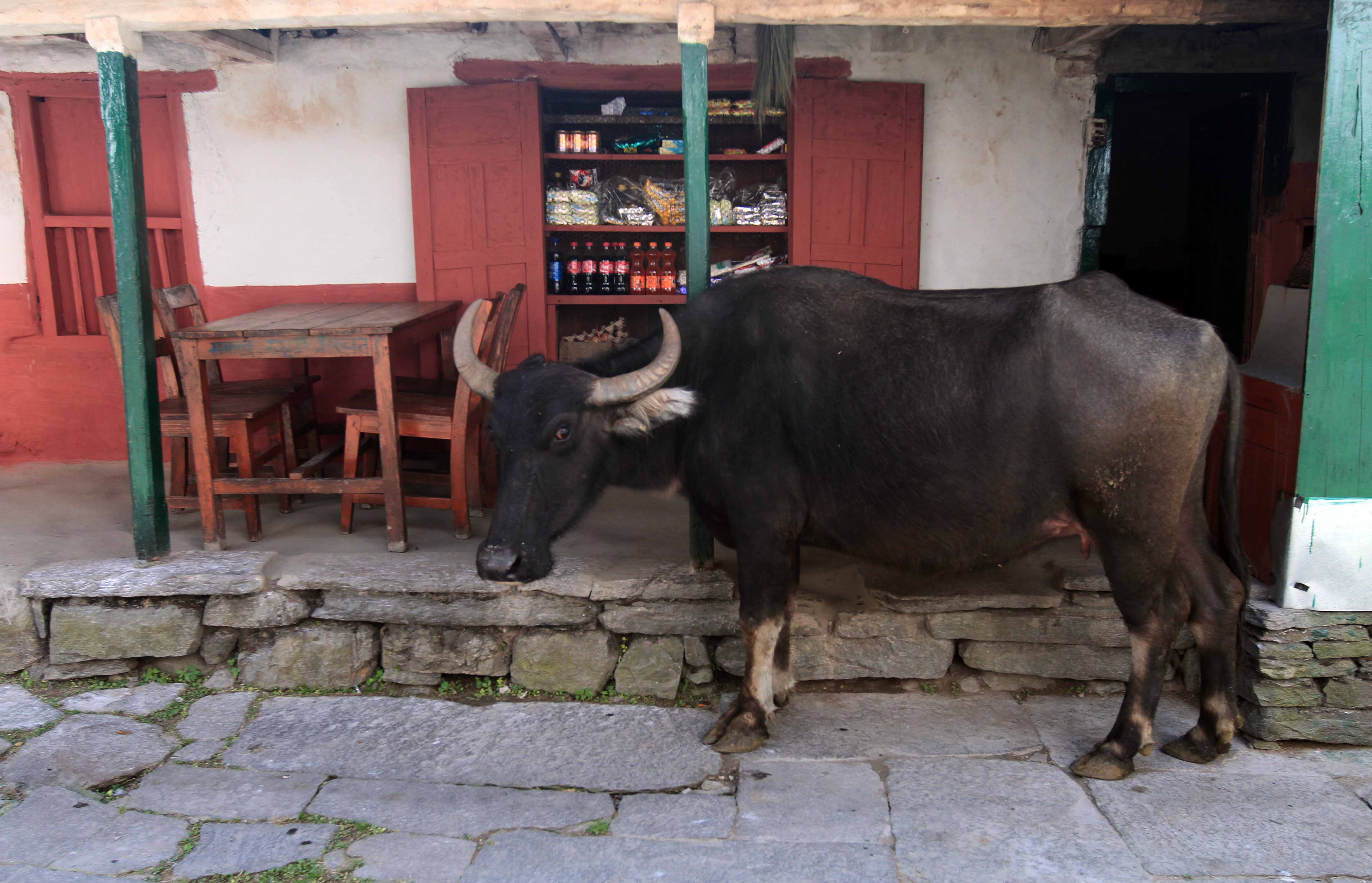
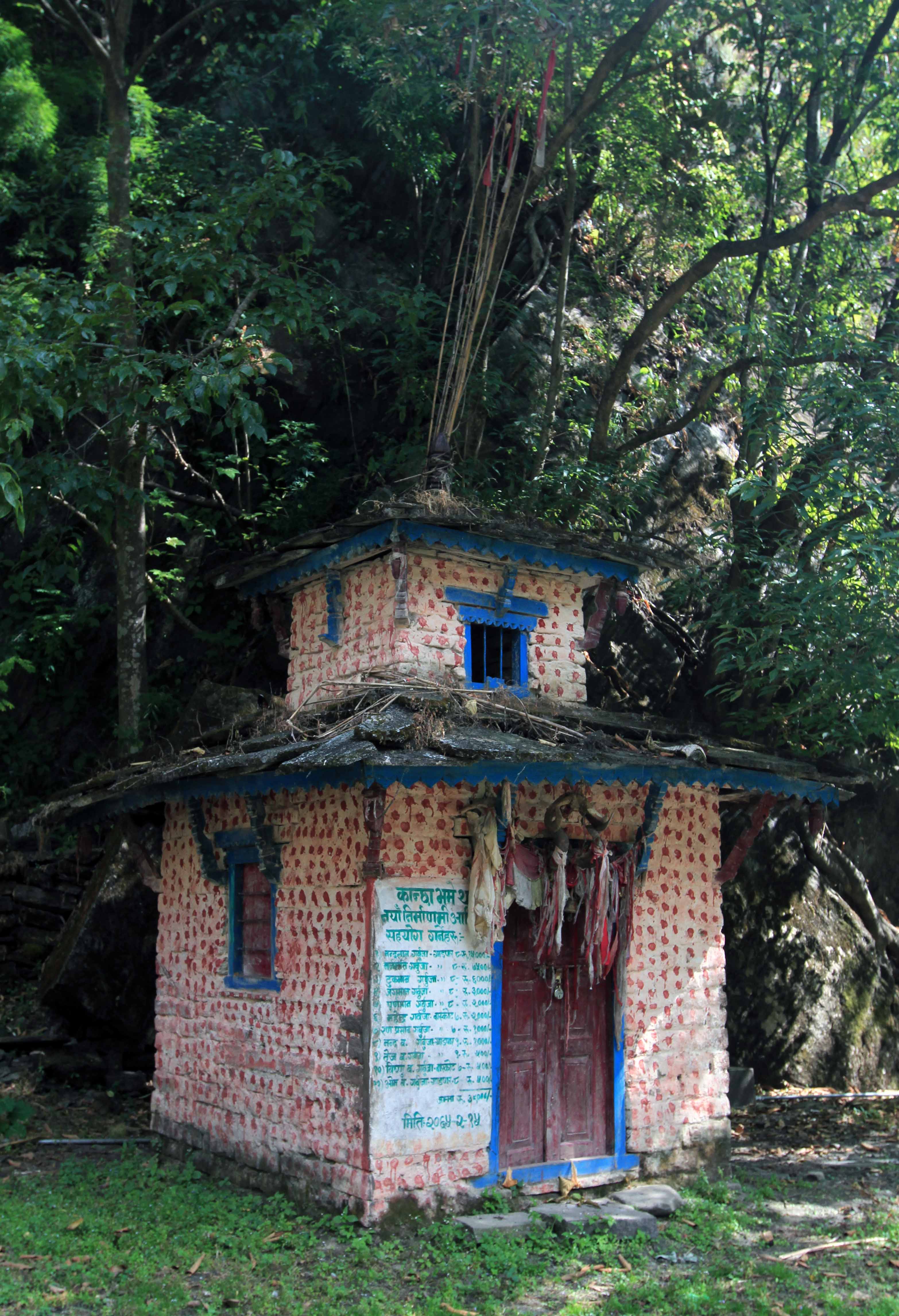
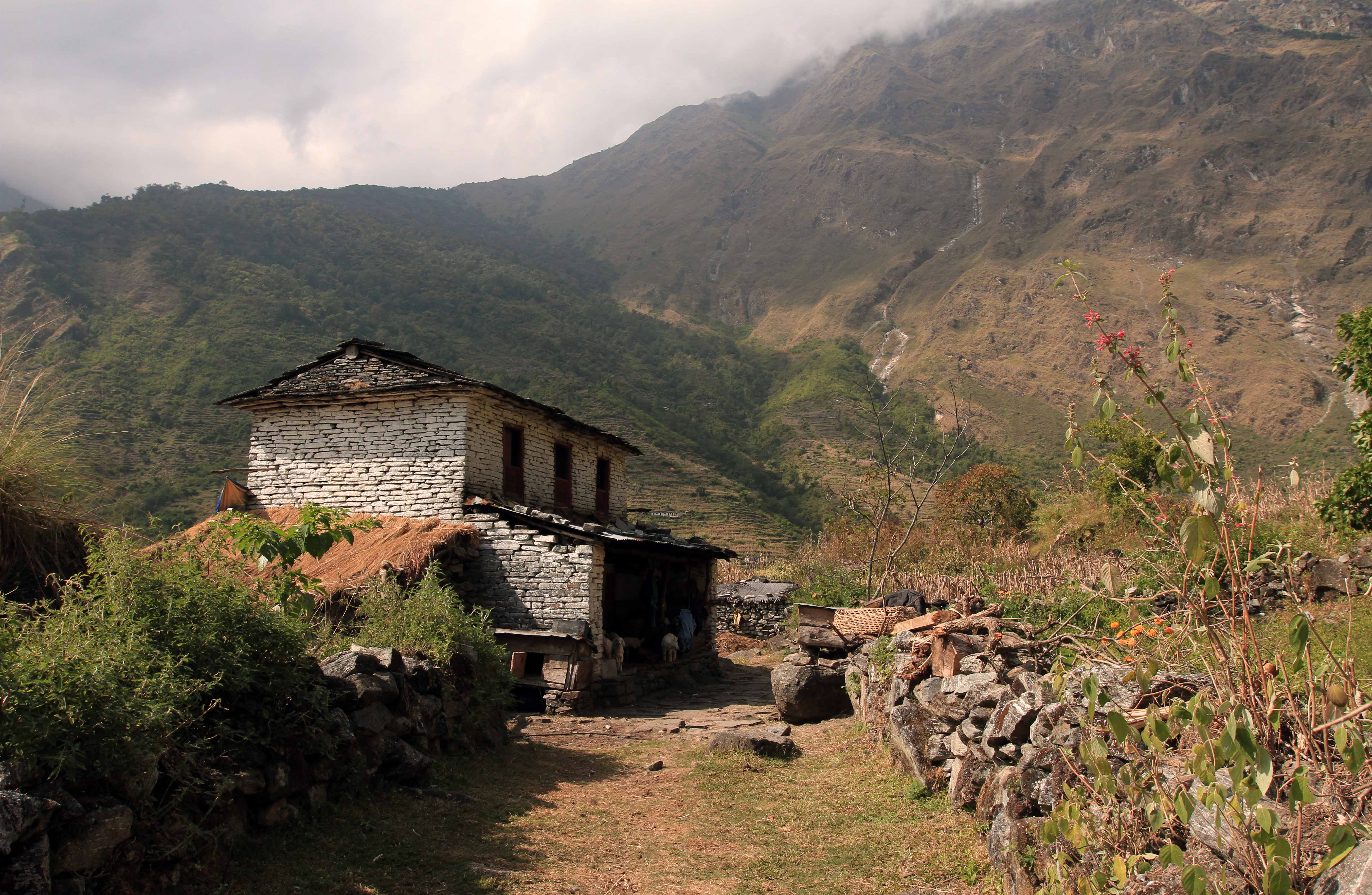


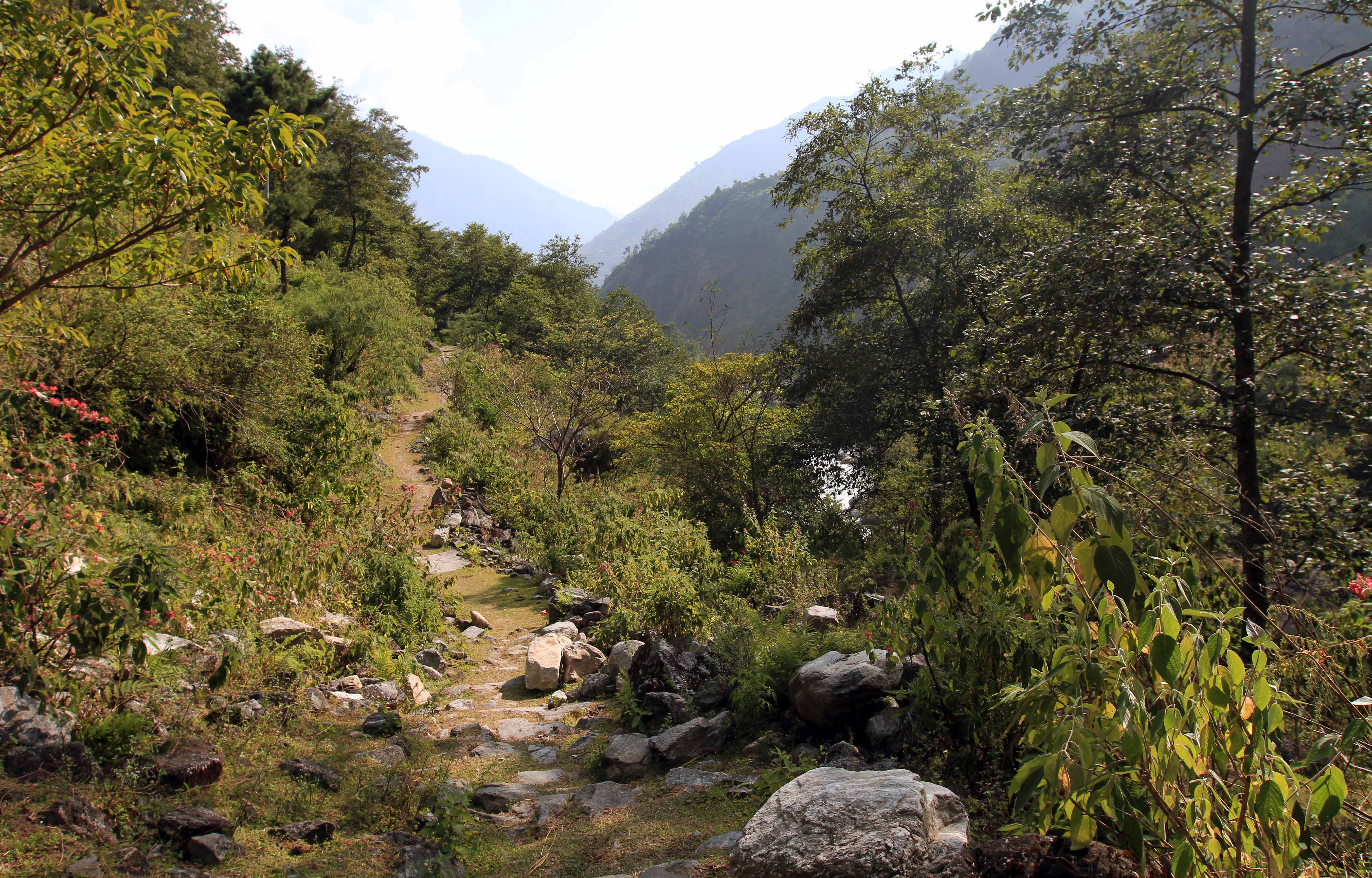
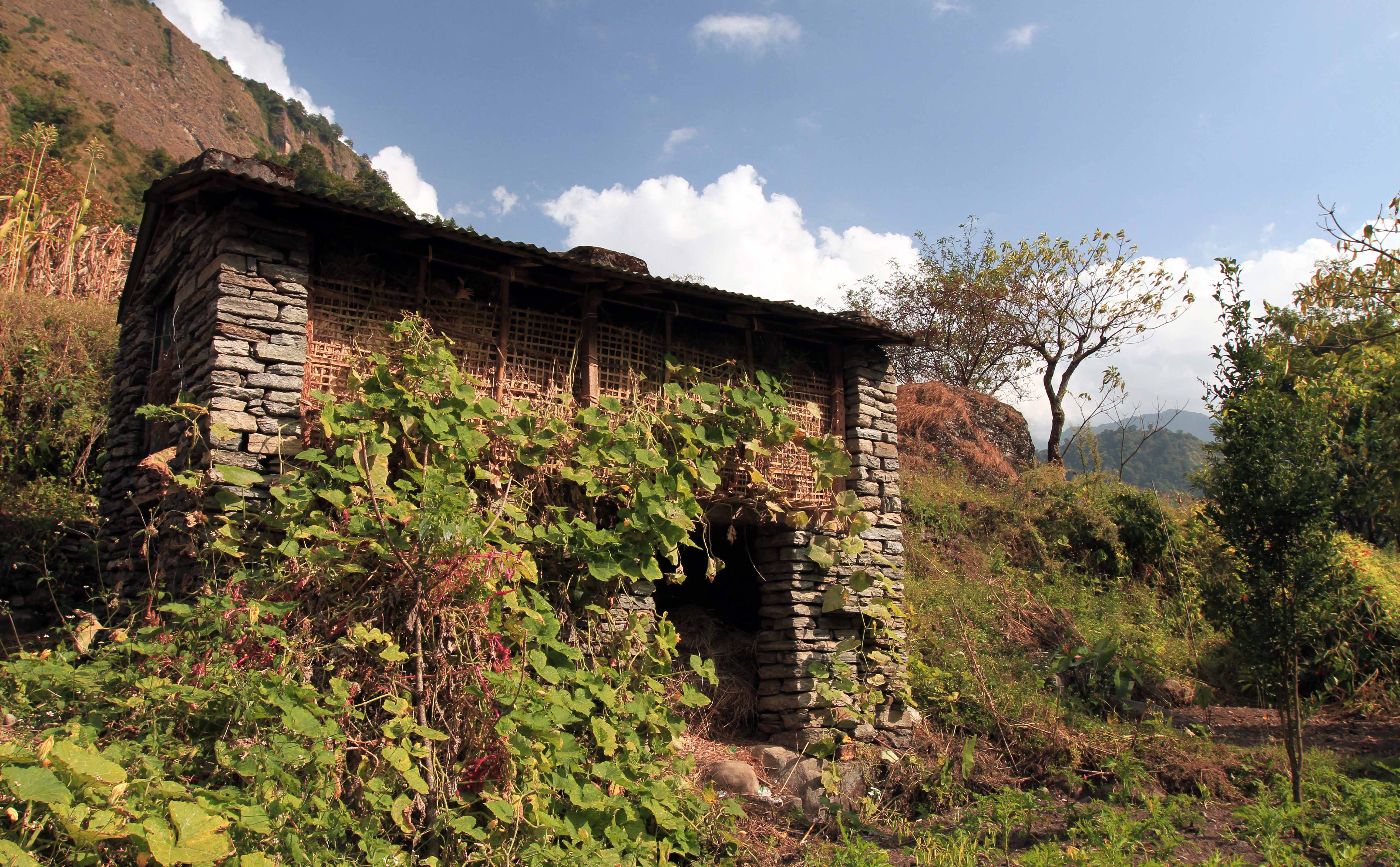
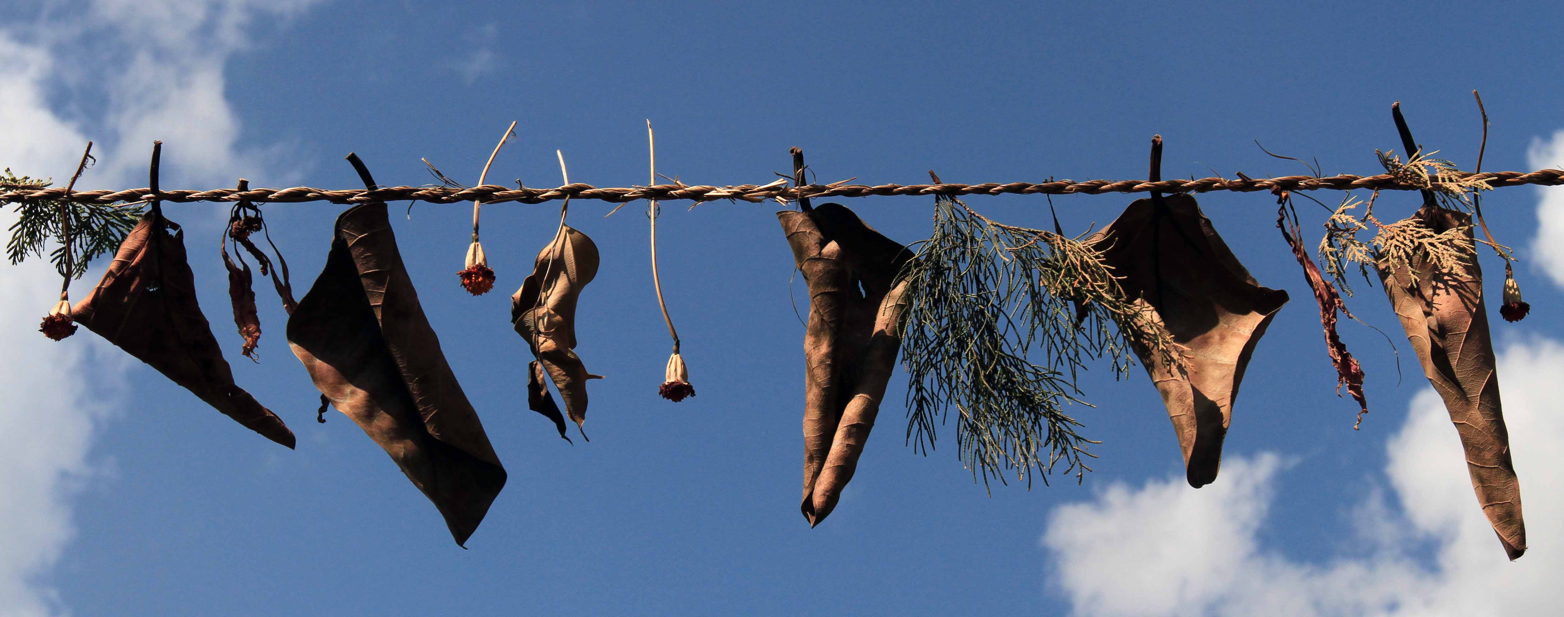
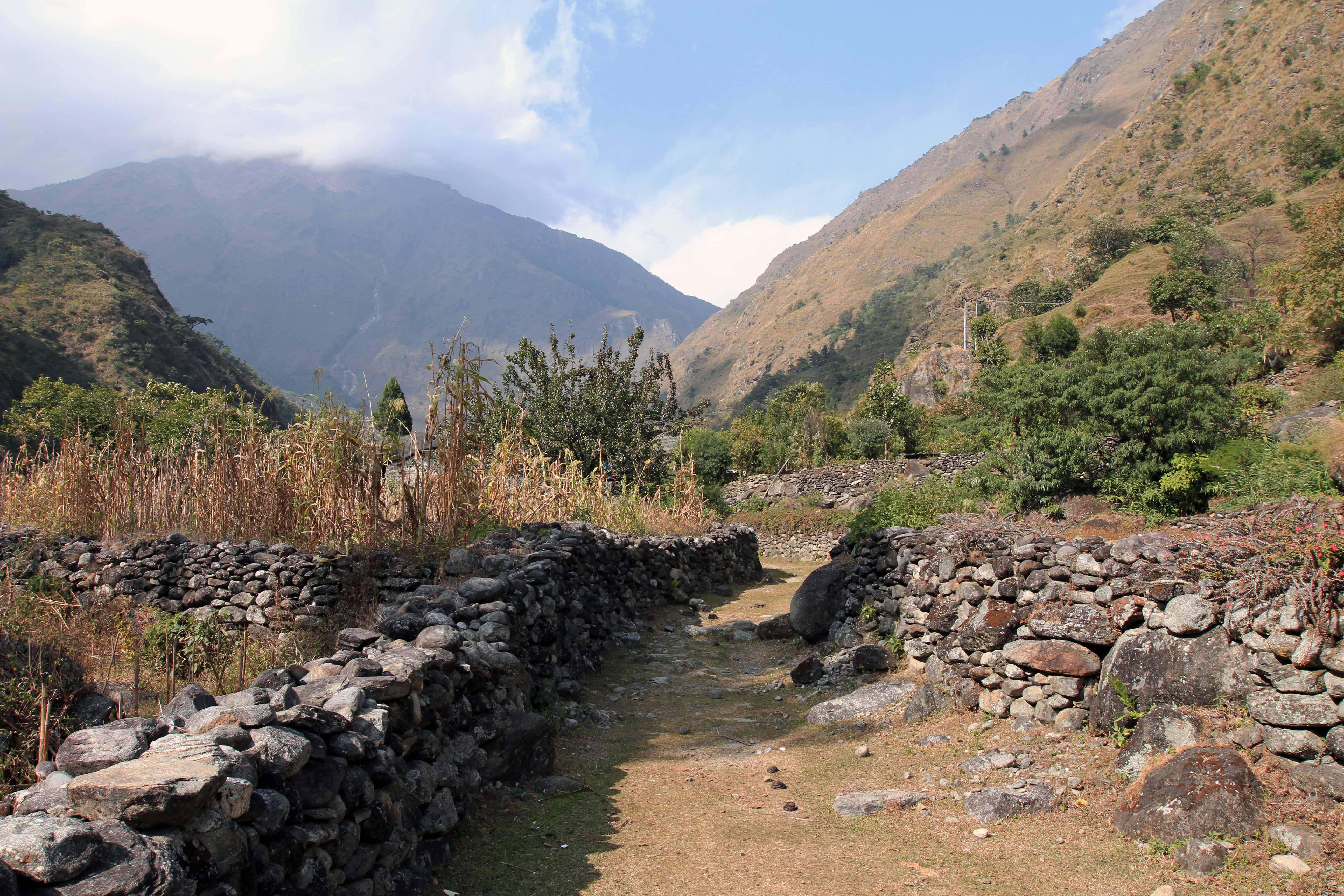
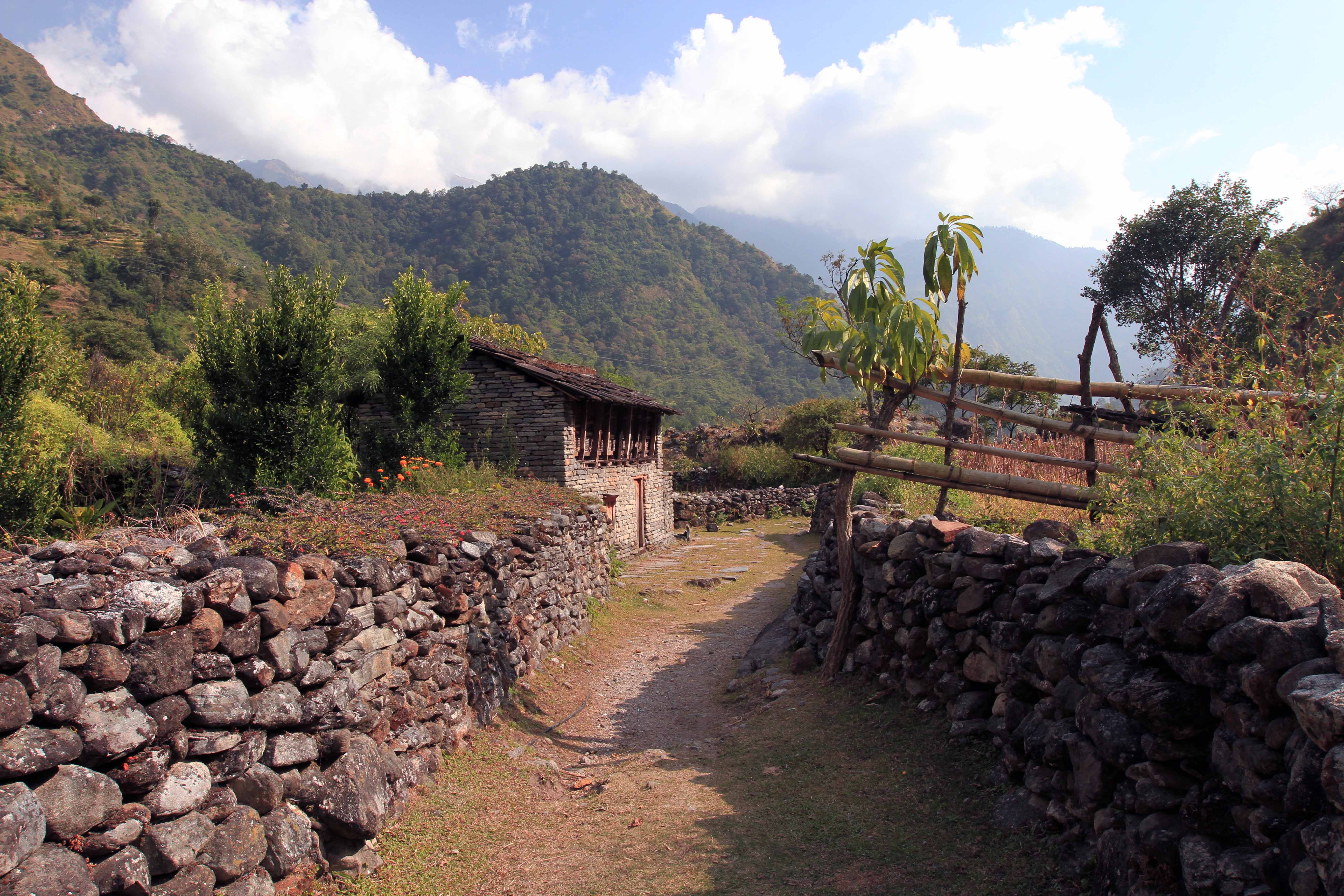

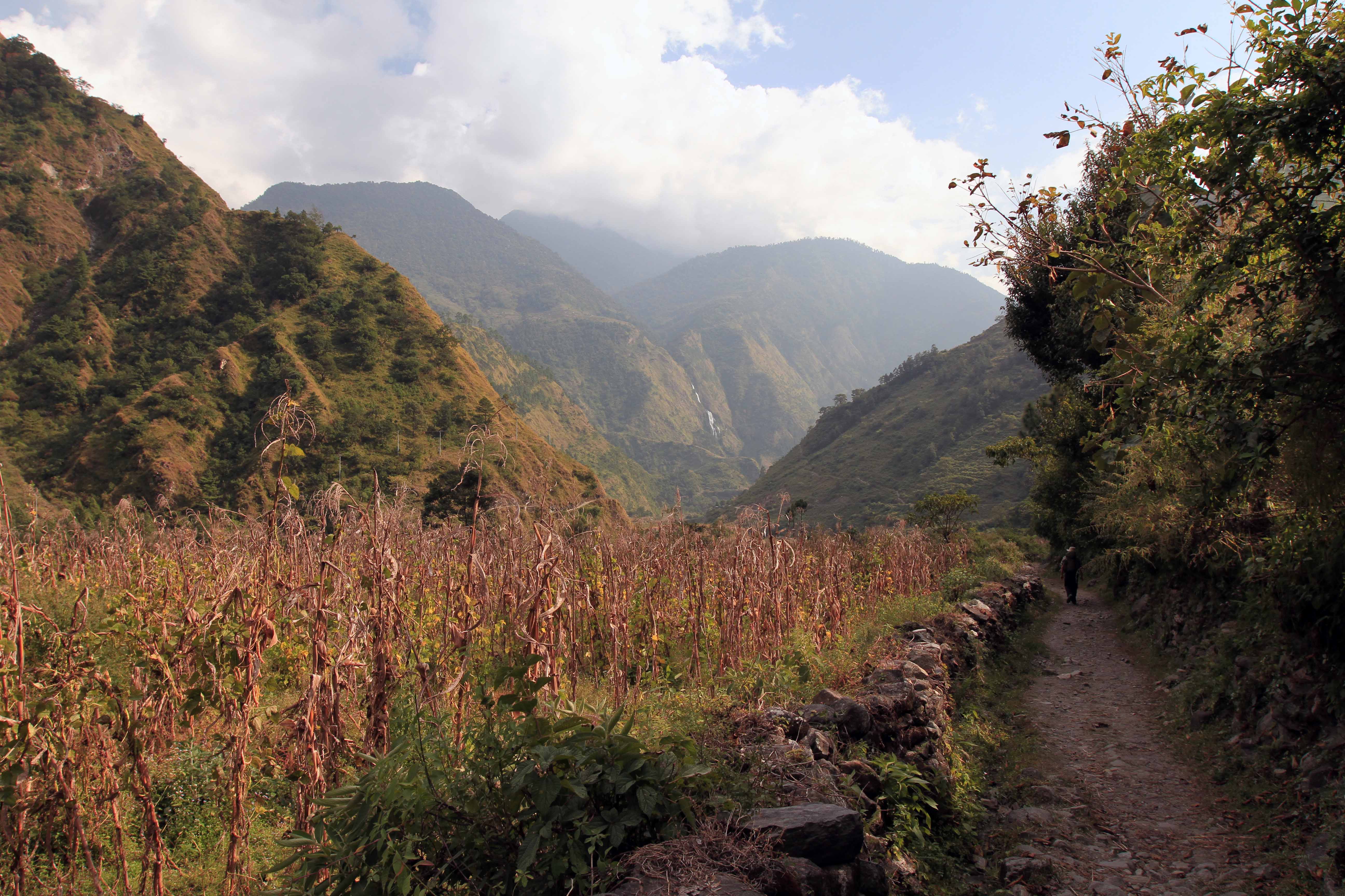
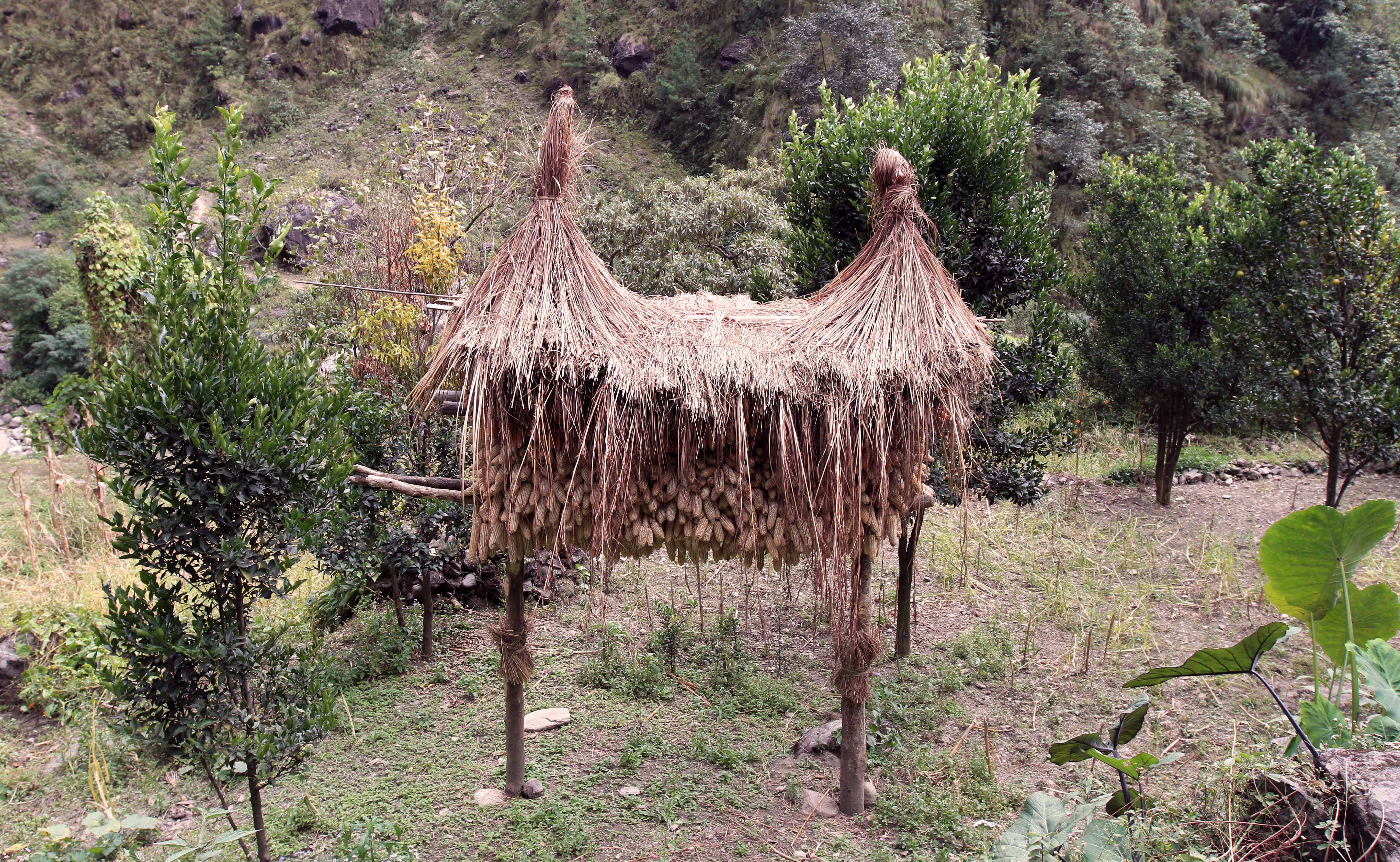
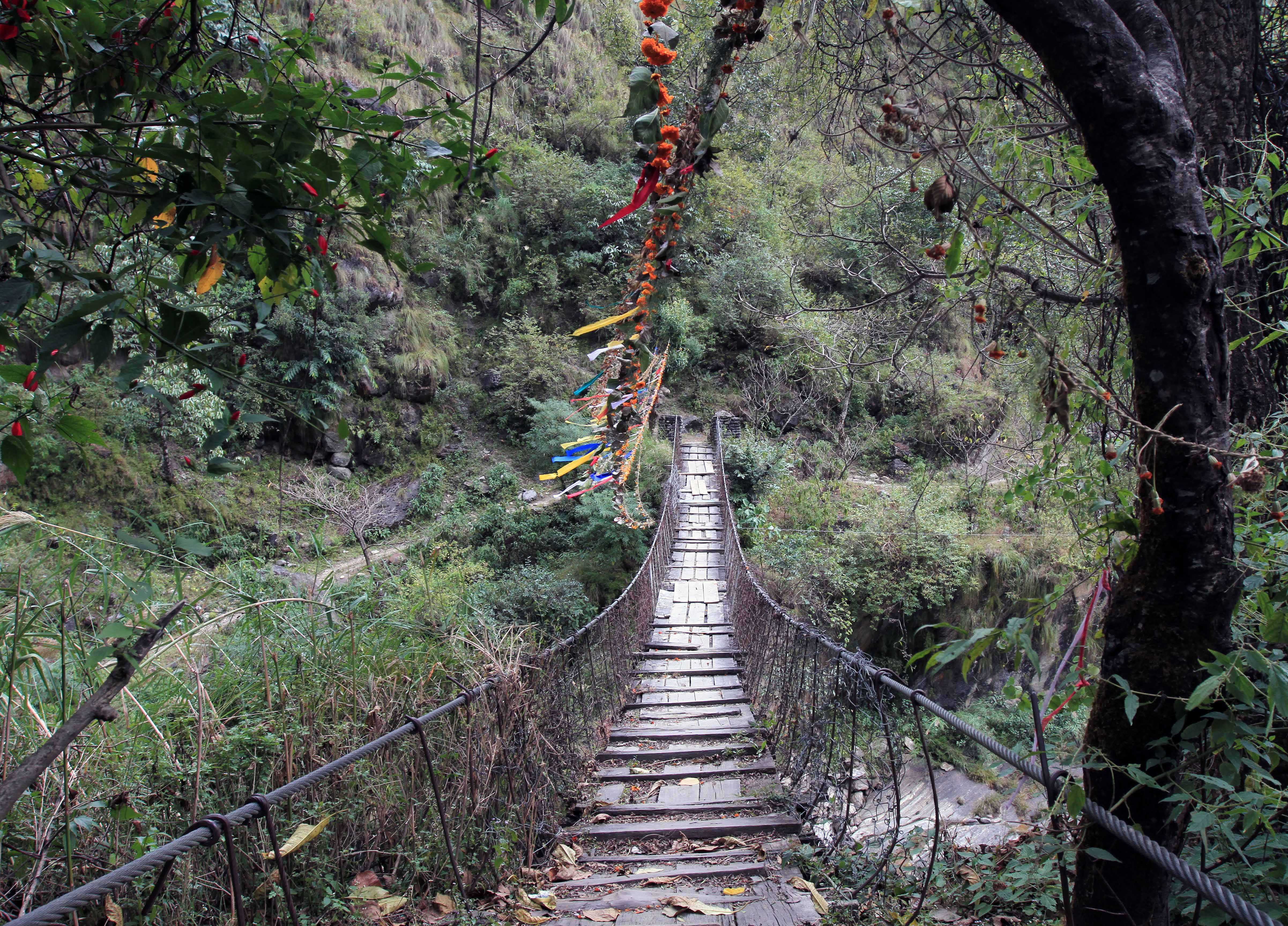
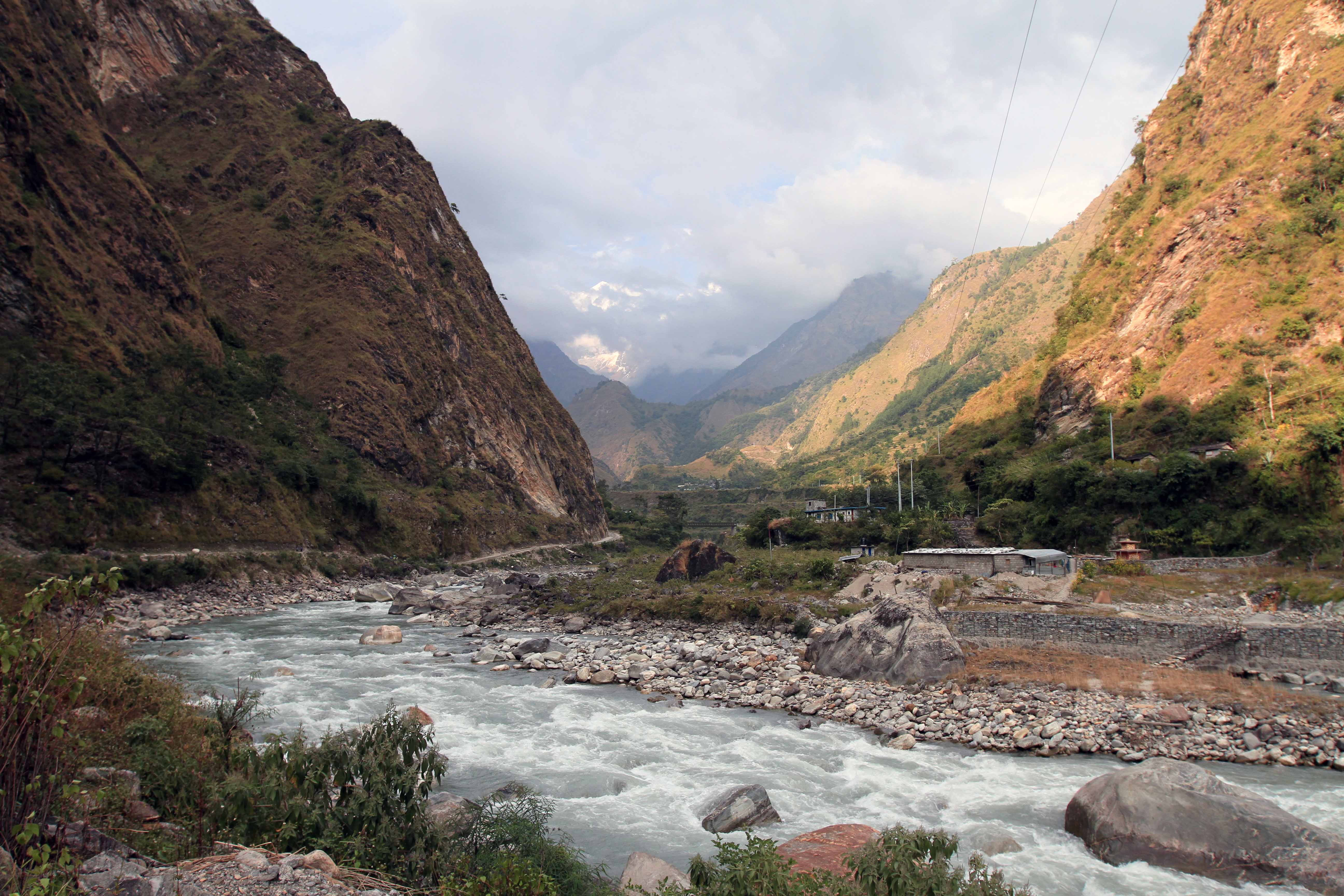
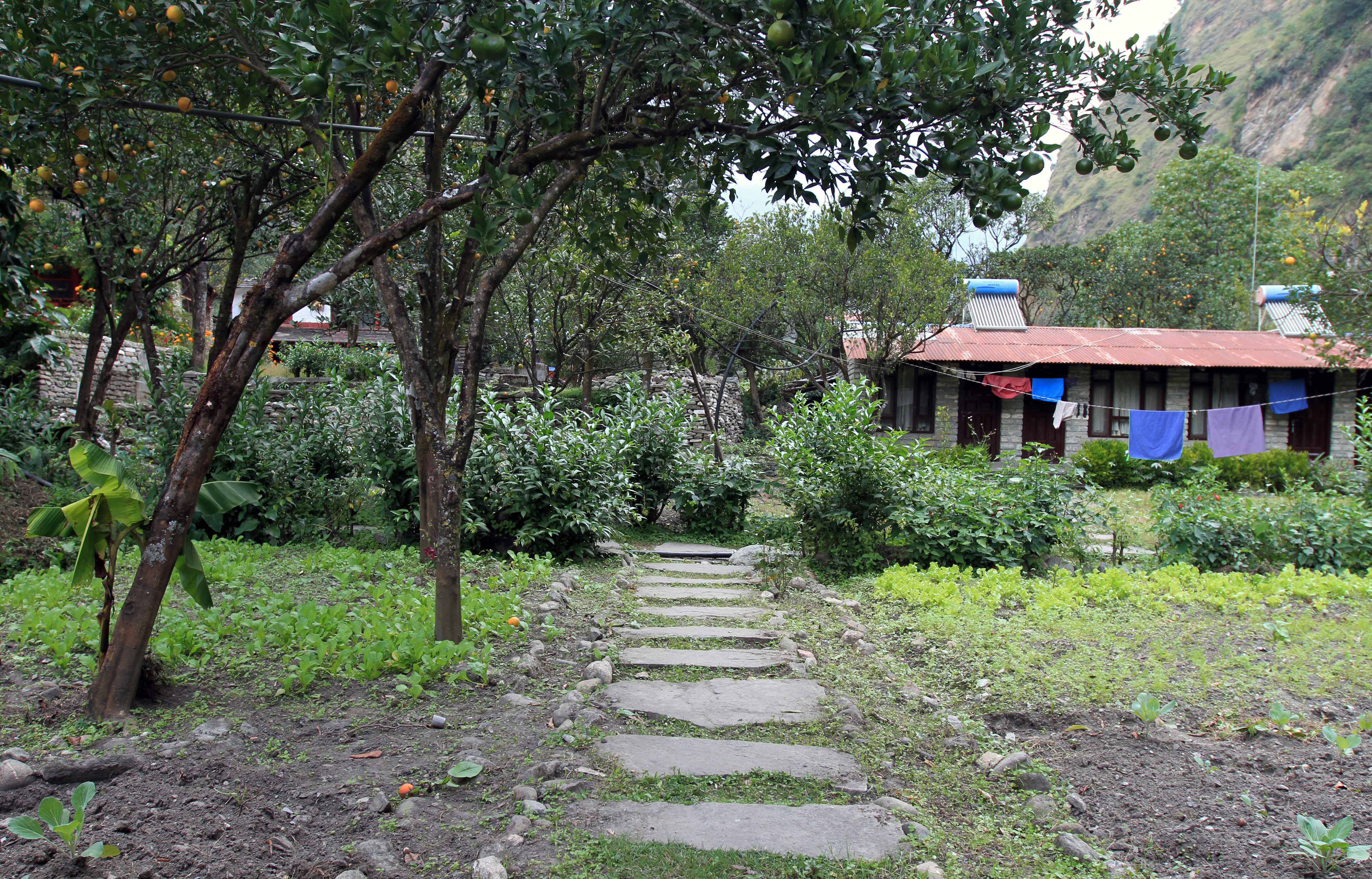
I woke up, had breakfast (fried eggs, fried potatoes, toast, and coffee), settled my bill, got ready, and left the hotel shortly after 07:30. I walked down the dirt road through Kalopani and the the neighboring town of Lete. After crossing a bridge, I left the dirt road and entered on to a trail through a beautiful forest, passing by a goat herder’s camp; I then descended the trail back to the dirt road for a short period, crossed another bridge, and then left the road again to enter on to another side trail; this trail once again led back down to the road after a short time. I then spotted another trail and decided to take it even though it didn’t have any appropriate trail markings; this trail led me up a steep ridge through some dense vegetation; once on the other side of the ridge, I entered a steep grassy area used for grazing; I continued along until I came to some pastures with stone walls and then a dirt road; I followed the road for a while, but realized it kept going up the mountain and I wanted to continue south or descend; I then found remnants of a trail that took me down to the southern end of Ghasa, which I had great views of on this non-trail; I passed by a creek, a yak herder, and a hut, before continuing on past some farms and finally reaching the dirt road and effectively skirting the town of Ghasa. I then continued on the road to another suspension bridge, which crossed the Kali Gandaki Nadi; from here (on the eastern side of the river), I walked through the towns of Pairothapla and Kopchepani; I stopped for a short break in Kopchepani and had a refreshing Sprite before continuing on; I then reached the town of Gadpar and recrossed the Kali Gandaki Nadi on another suspension bridge to the town of Dana. Originally I had planned on spending the night in Dana, but the town, which was an important toll stop for the salt trade, was not much to look at (at least not the part I was walking through); so I decided to continue on to Tatopani. I walked on a stone path that ran parallel to the dirt road through the town of Duwarikholagaon before coming back to the dirt road; I then continued on to the town of Guithe where I crossed the Kali Gandaki Nadi on an old and somewhat rotten wood suspension bridge (one of the more perilous bridges I’ve crossed in my time); I then climbed up some stone steps, passed by a military complex with a helicopter landing site, and then crossed another bridge over the Mristi Khola; at this point I finally rejoined the actual trail (after my excursion to Dana) and continued on southward, bypassing the town of Narchyang, to Tatopani. Finally, after crossing the Kali Gandaki Nadi yet again (that’s four times today), I walked a short distance on the dirt road to the town of Tatopani. I then checked in to the Dhaulagiri Lodge, which has an organic garden of vegetables and citrus trees interspersed between the guest rooms, relaxed in my room, and figured out the plan for tomorrow and the ensuing two days. I then had a dinner composed of a vegetables, onion, and garlic pizza, yak cheese pakodas, and a sprite. After dinner, I filled my camel-back with water in preparation for tomorrow’s long hike and went to sleep.