Annapurna Circuit, Nepal
Day 13 (Kagbeni to Tukuche)


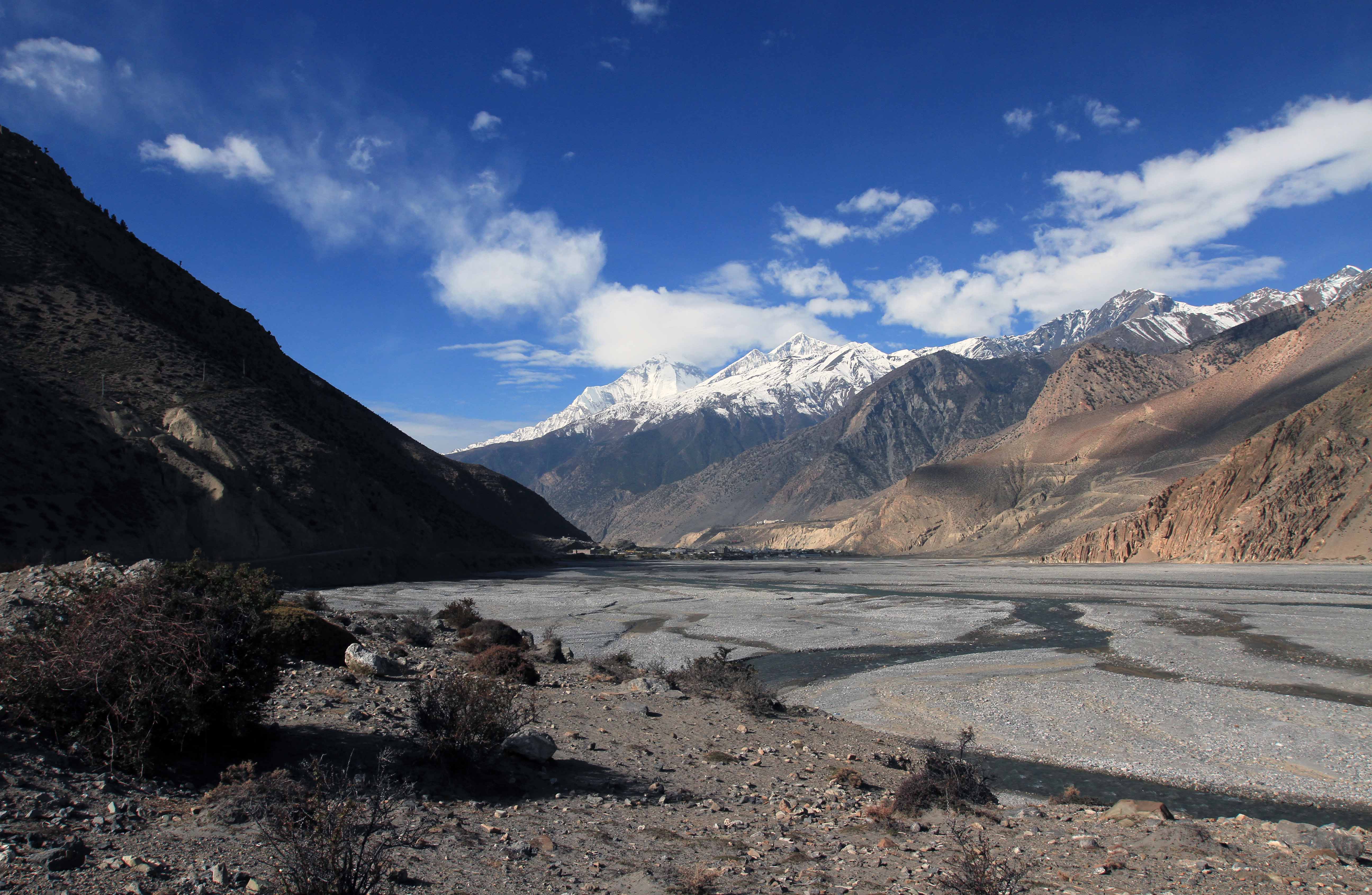
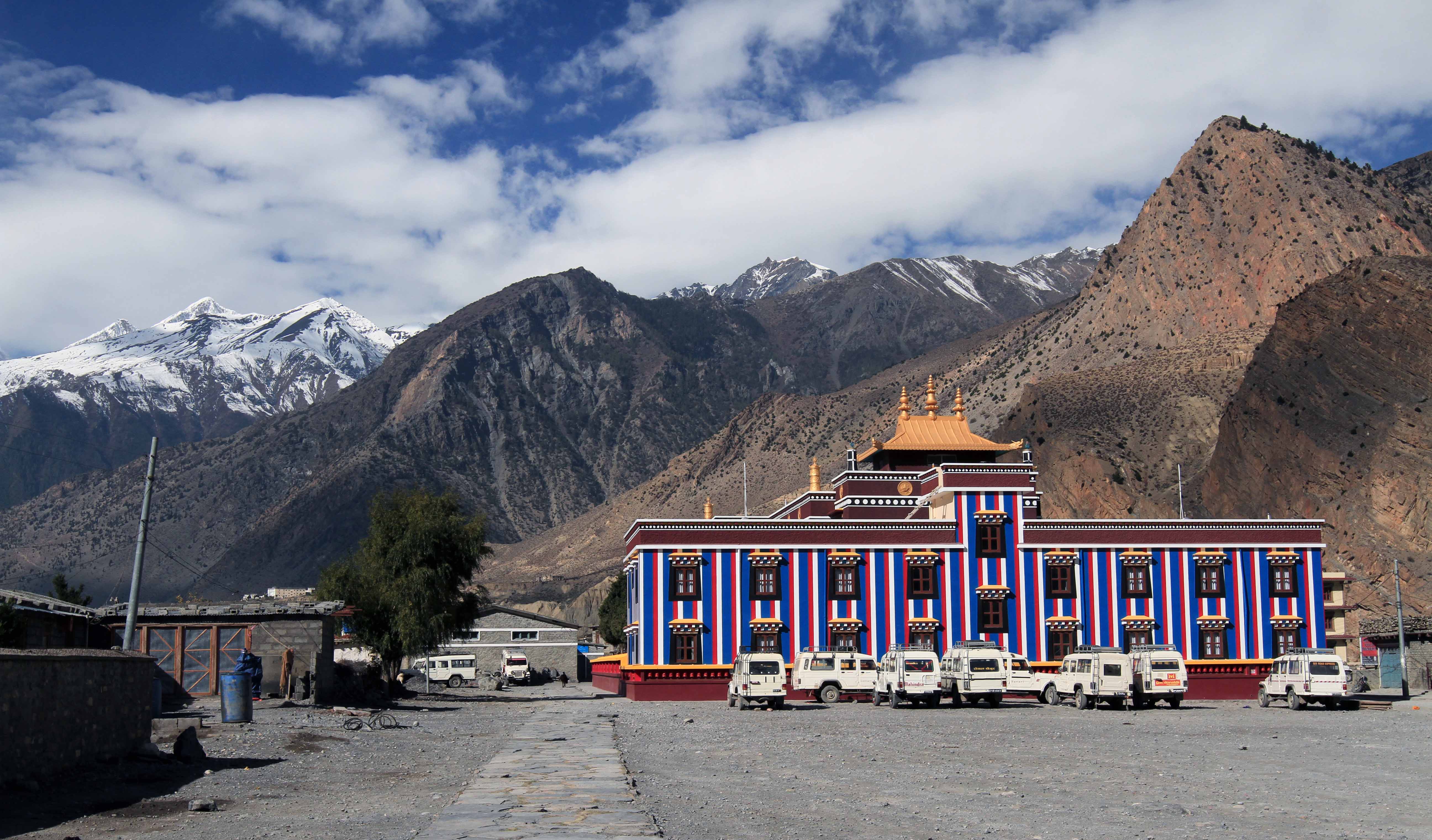


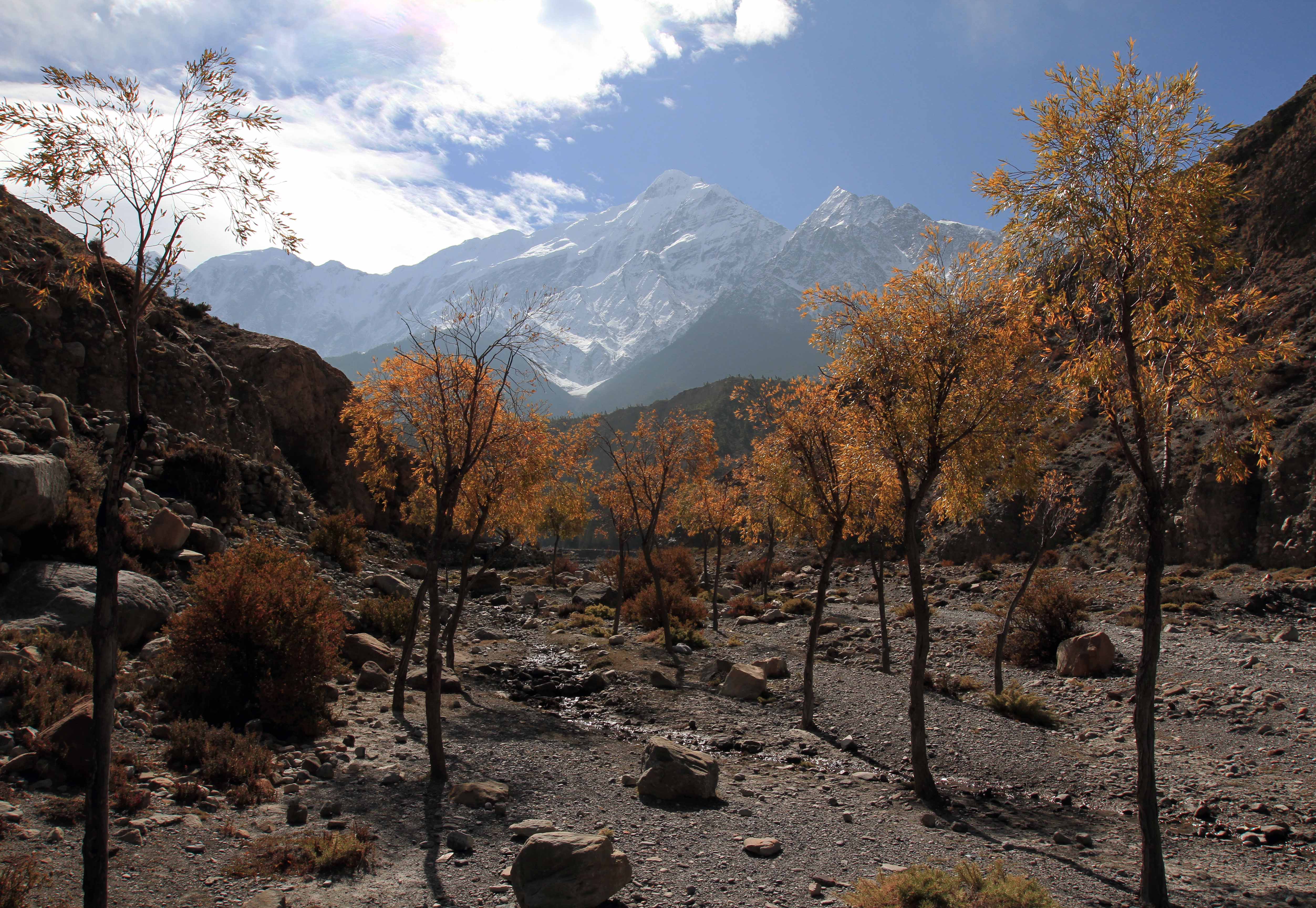
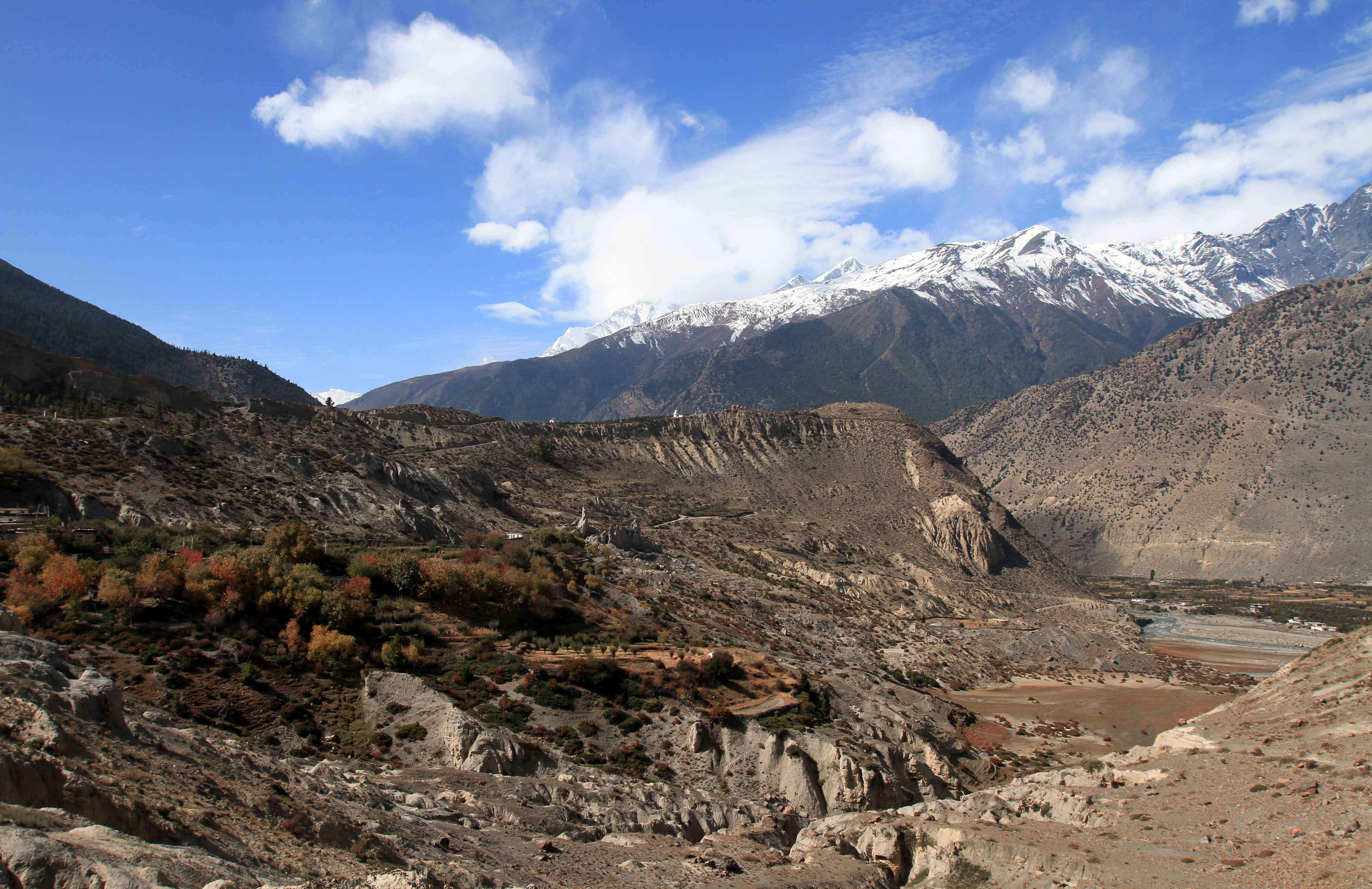
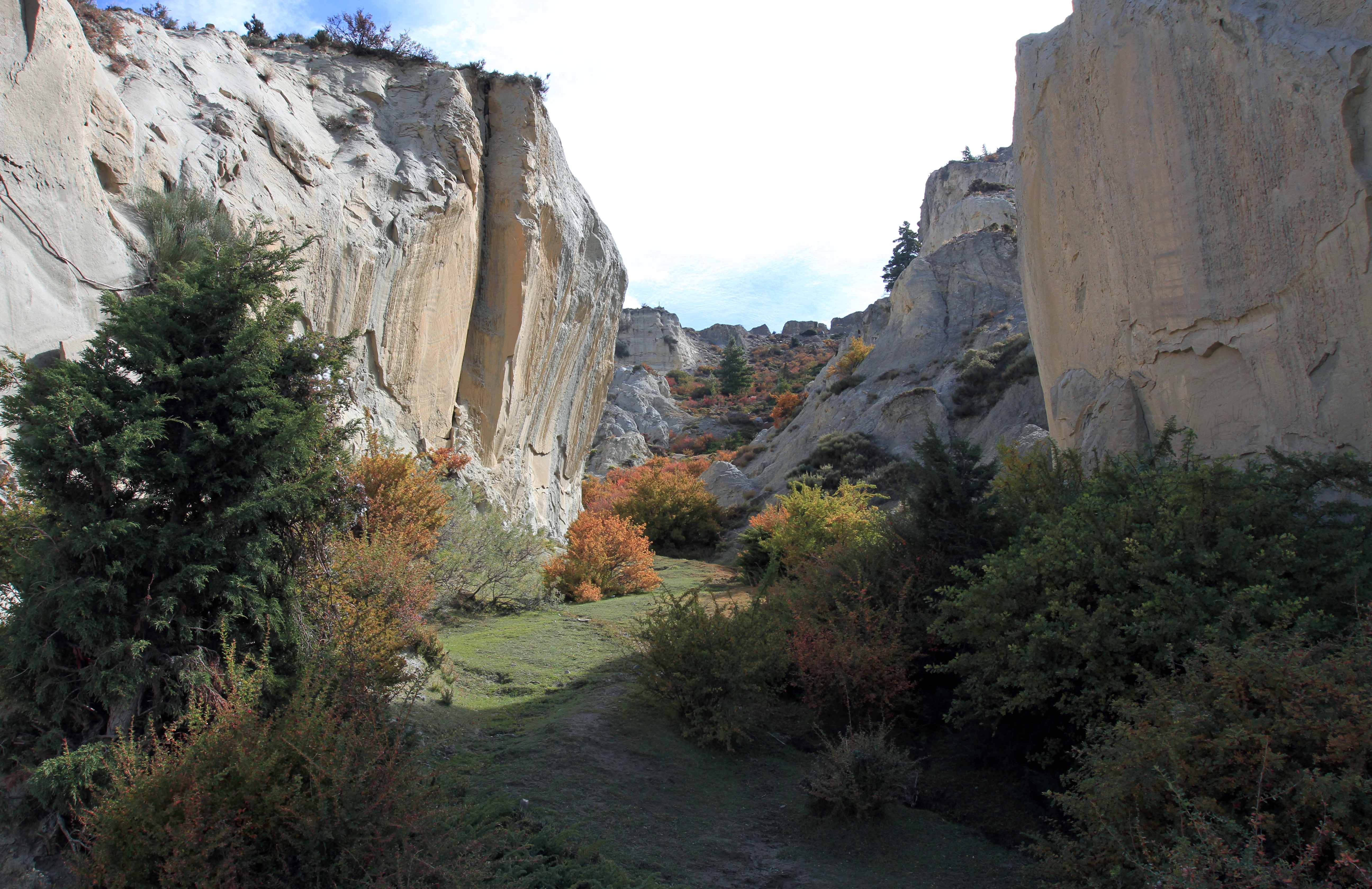

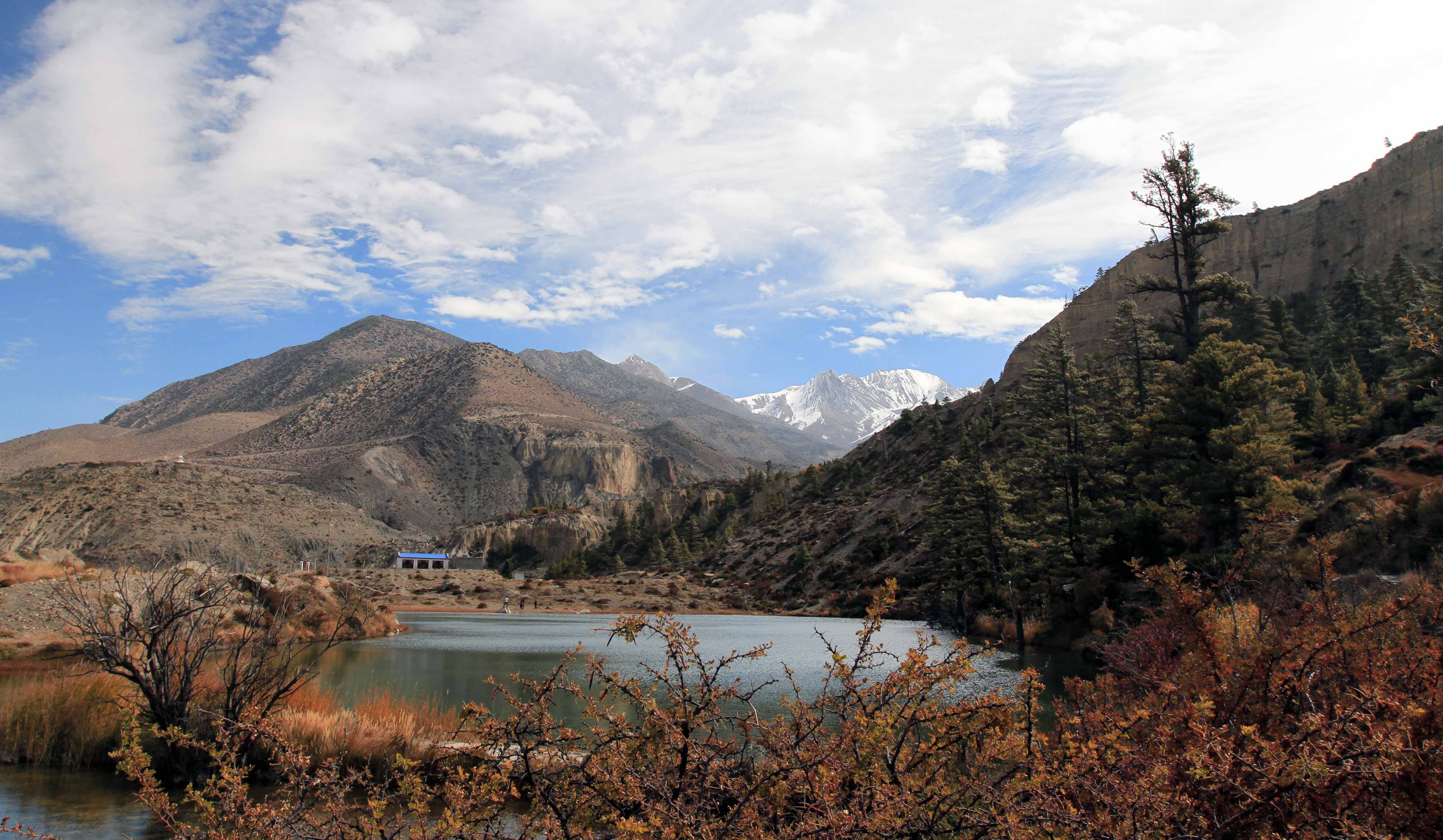
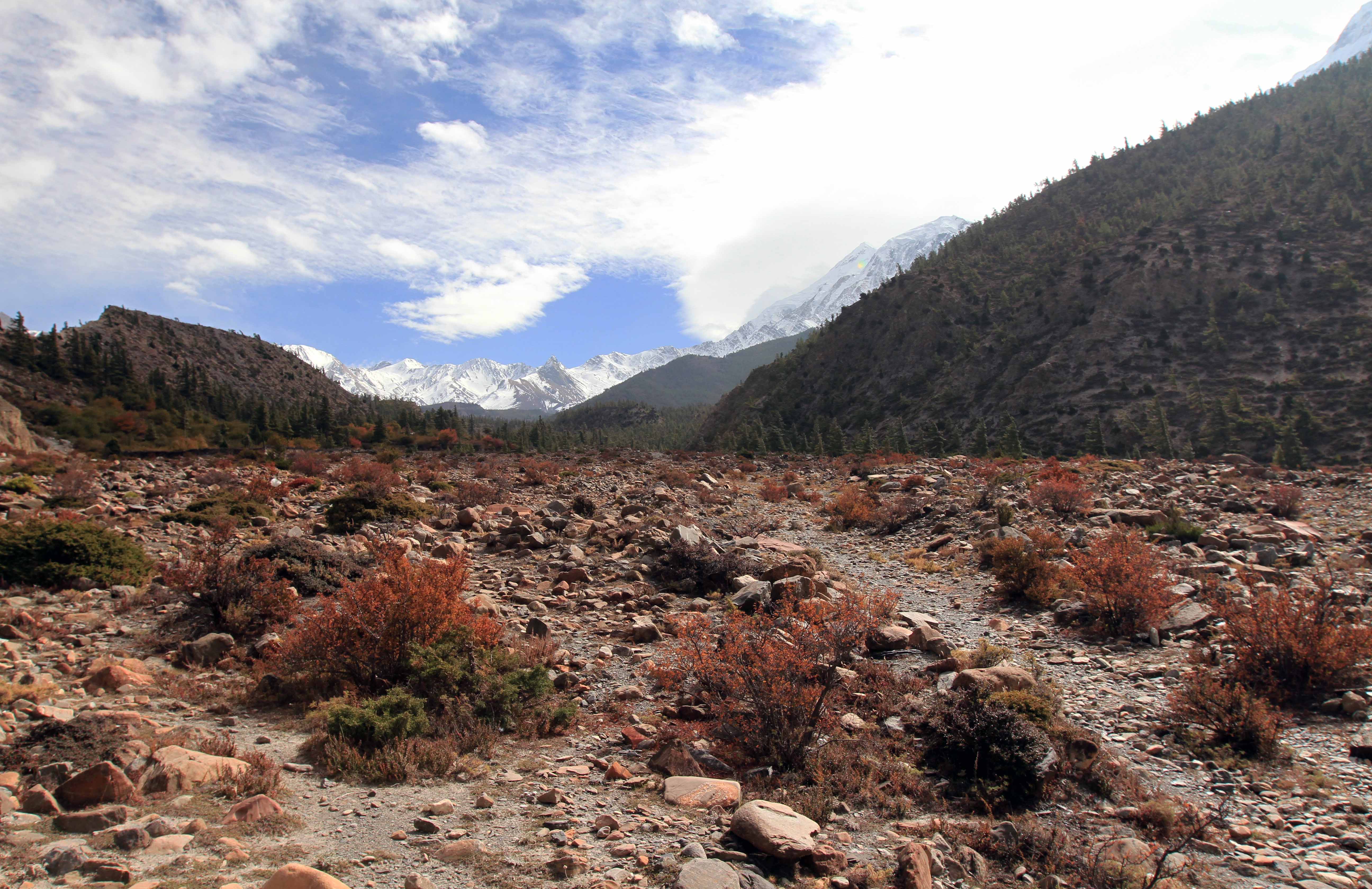
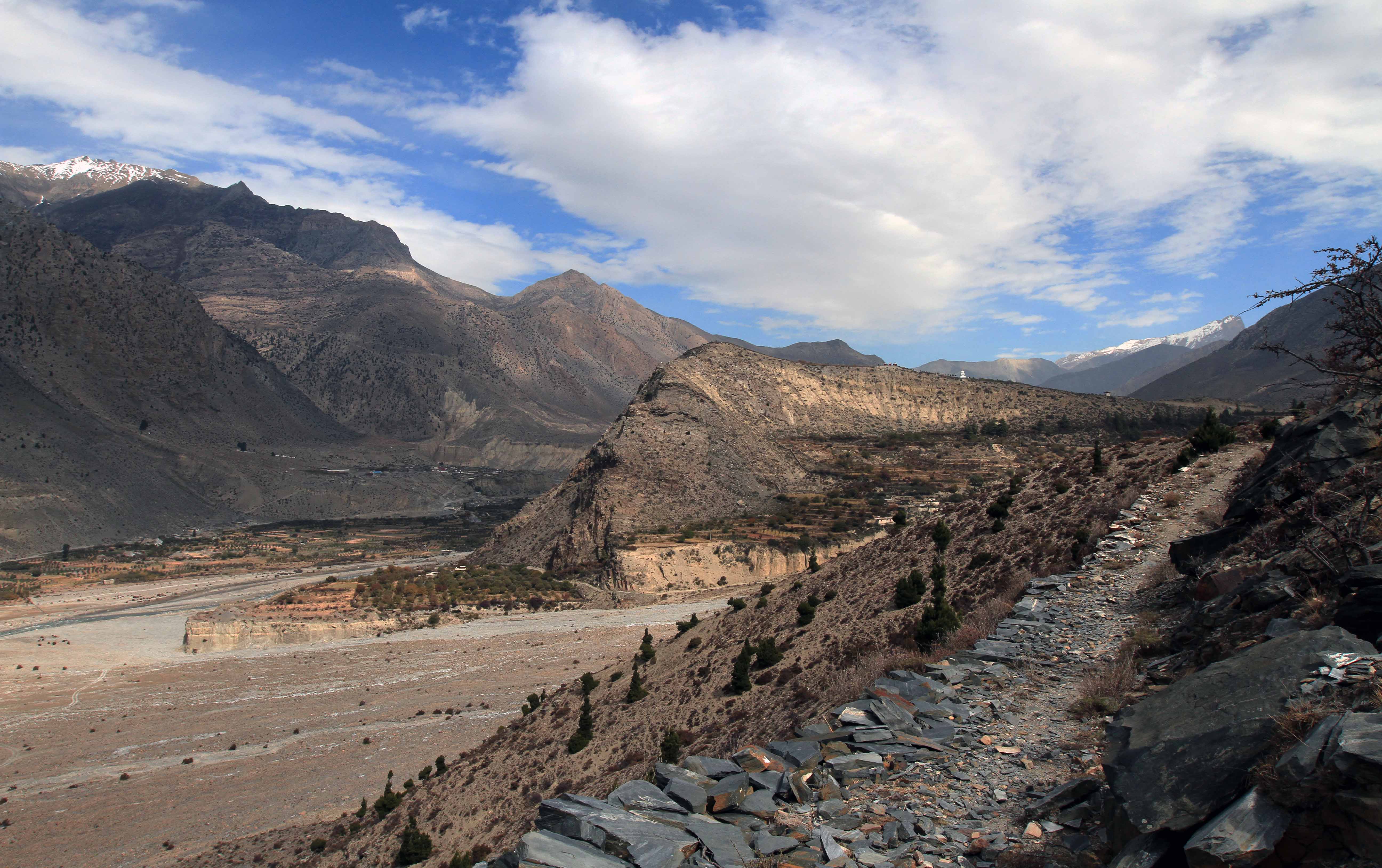
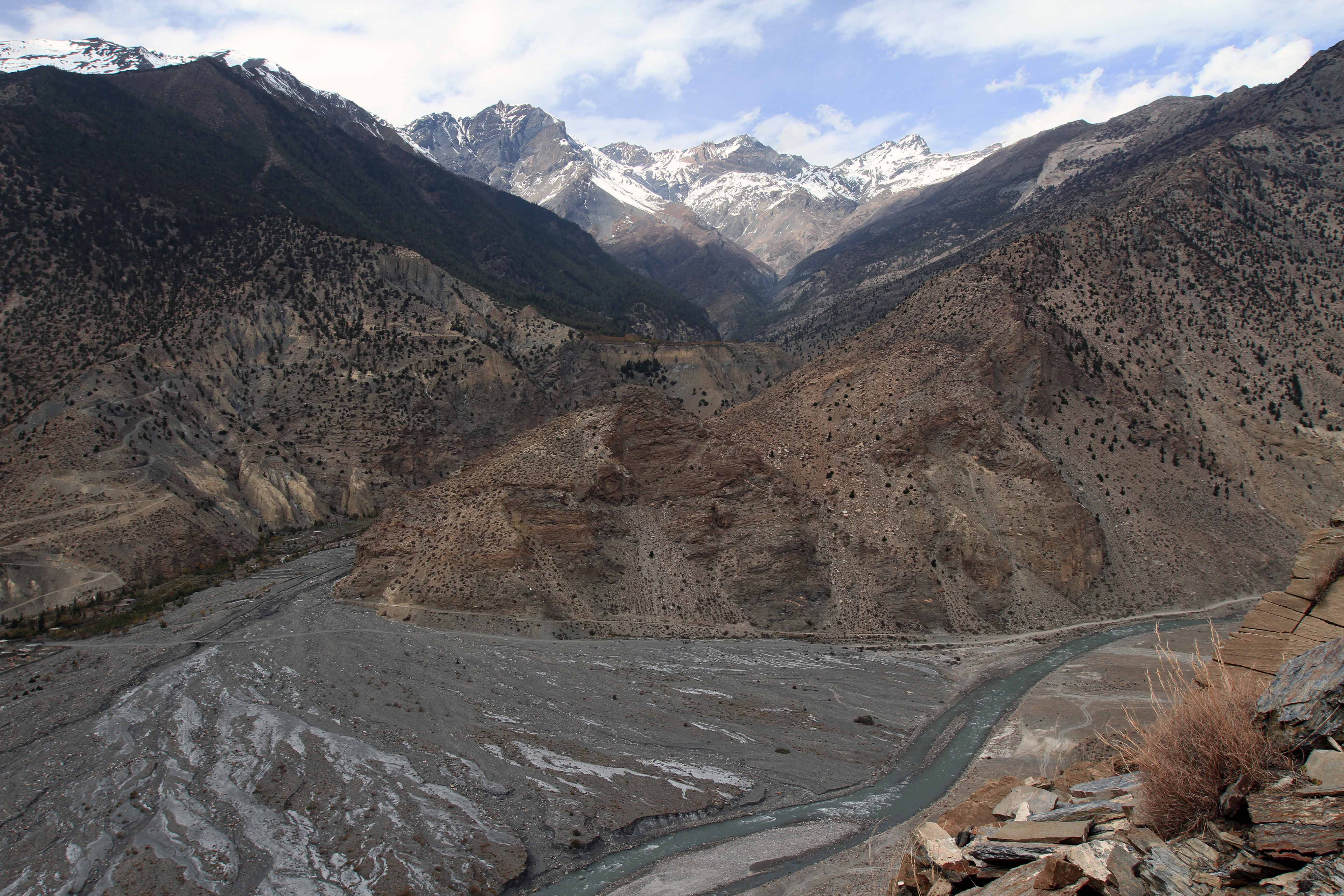

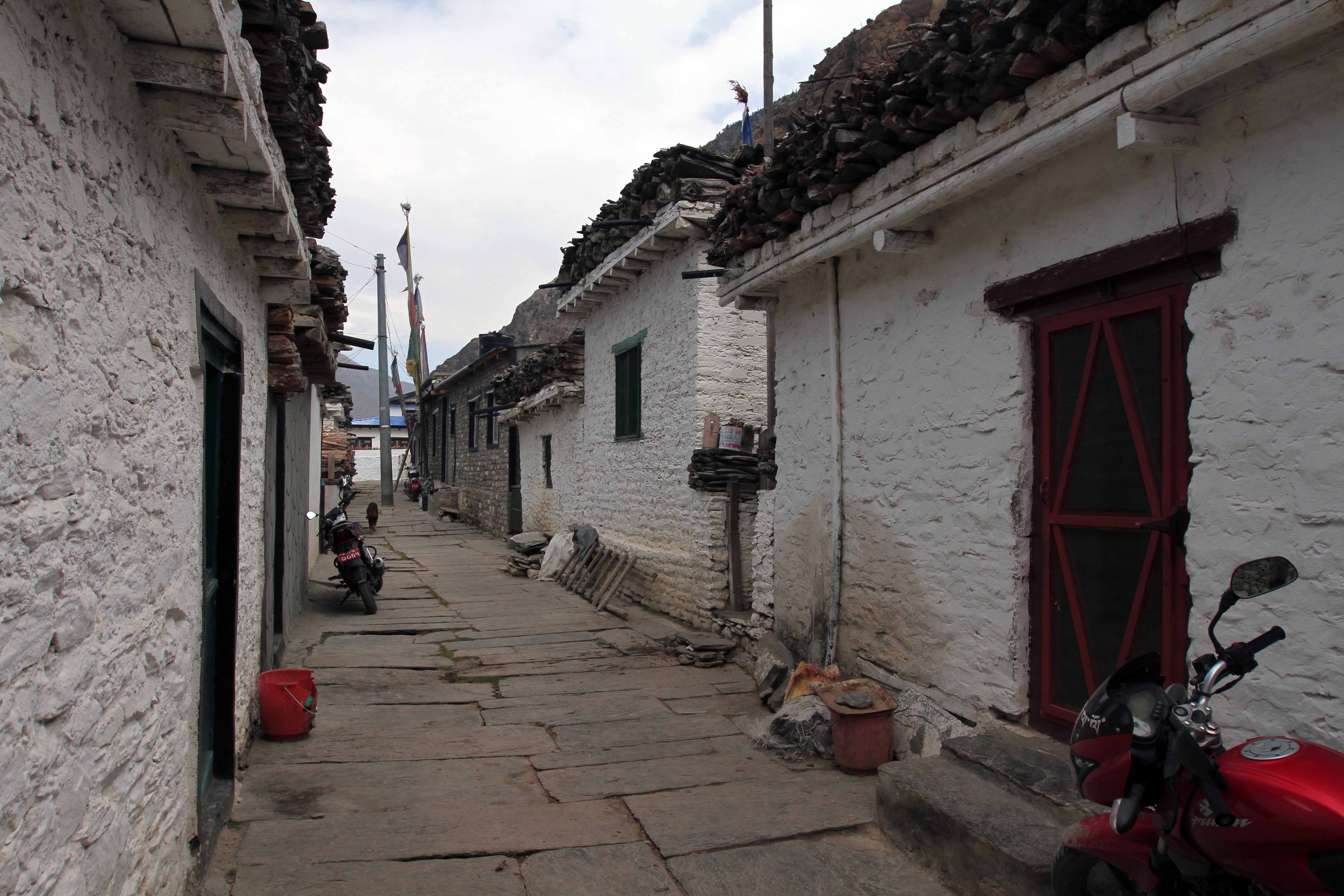

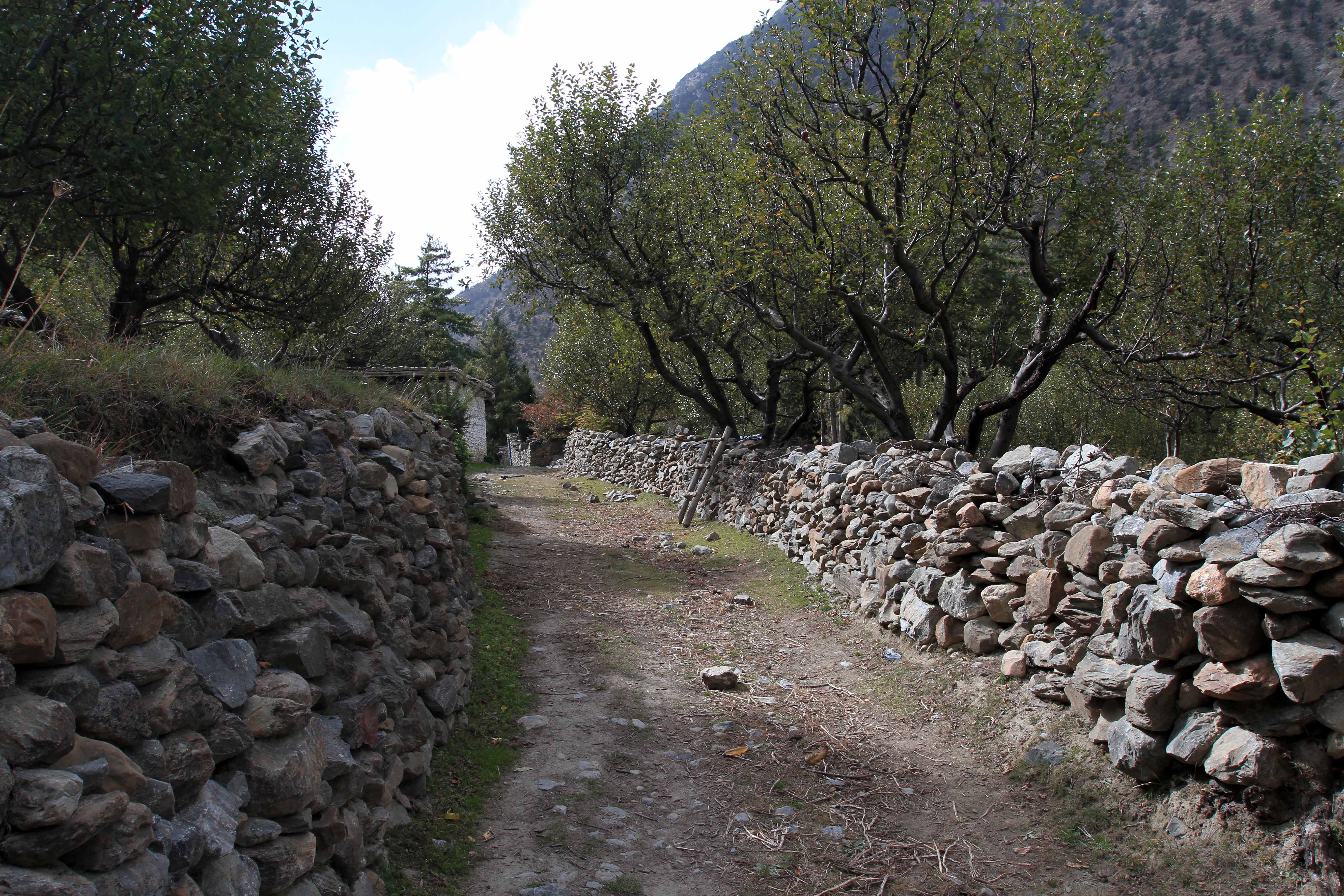
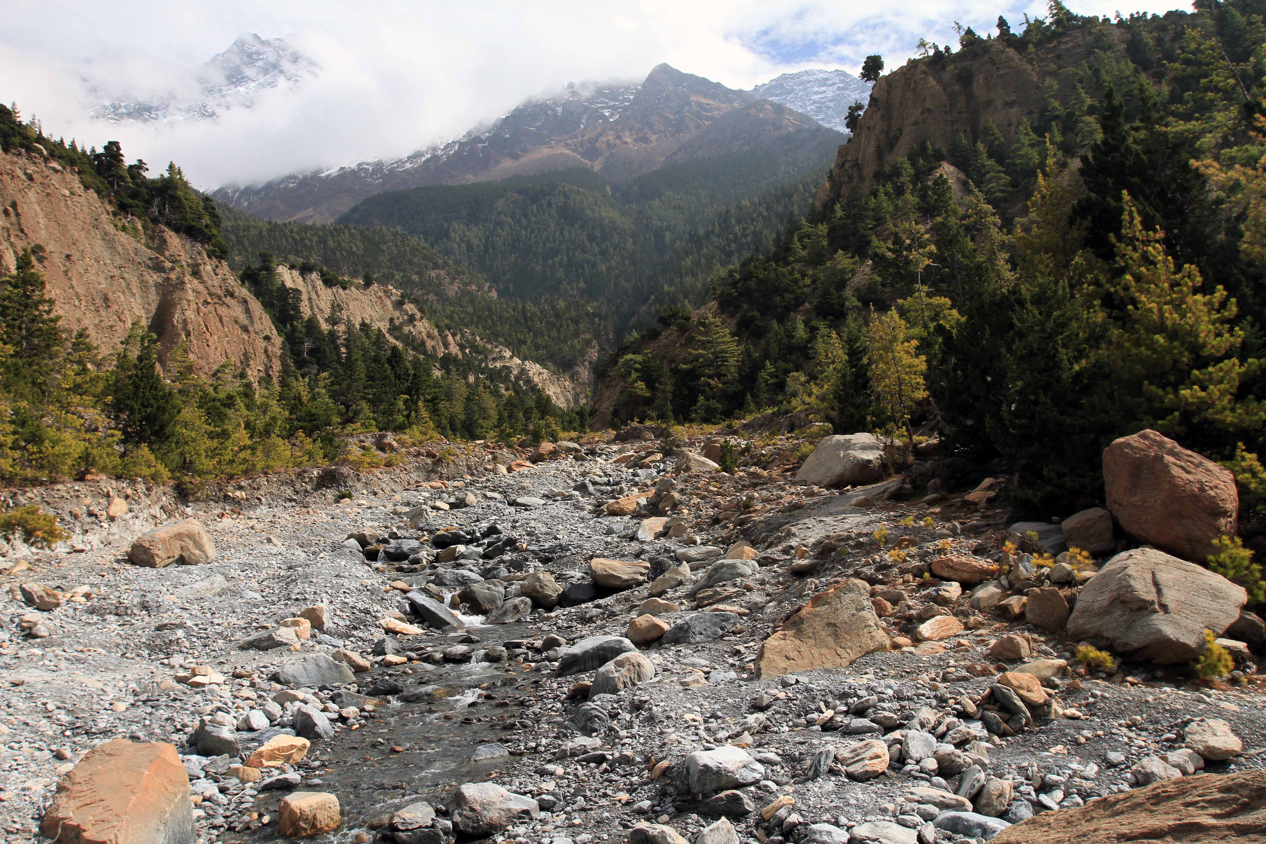
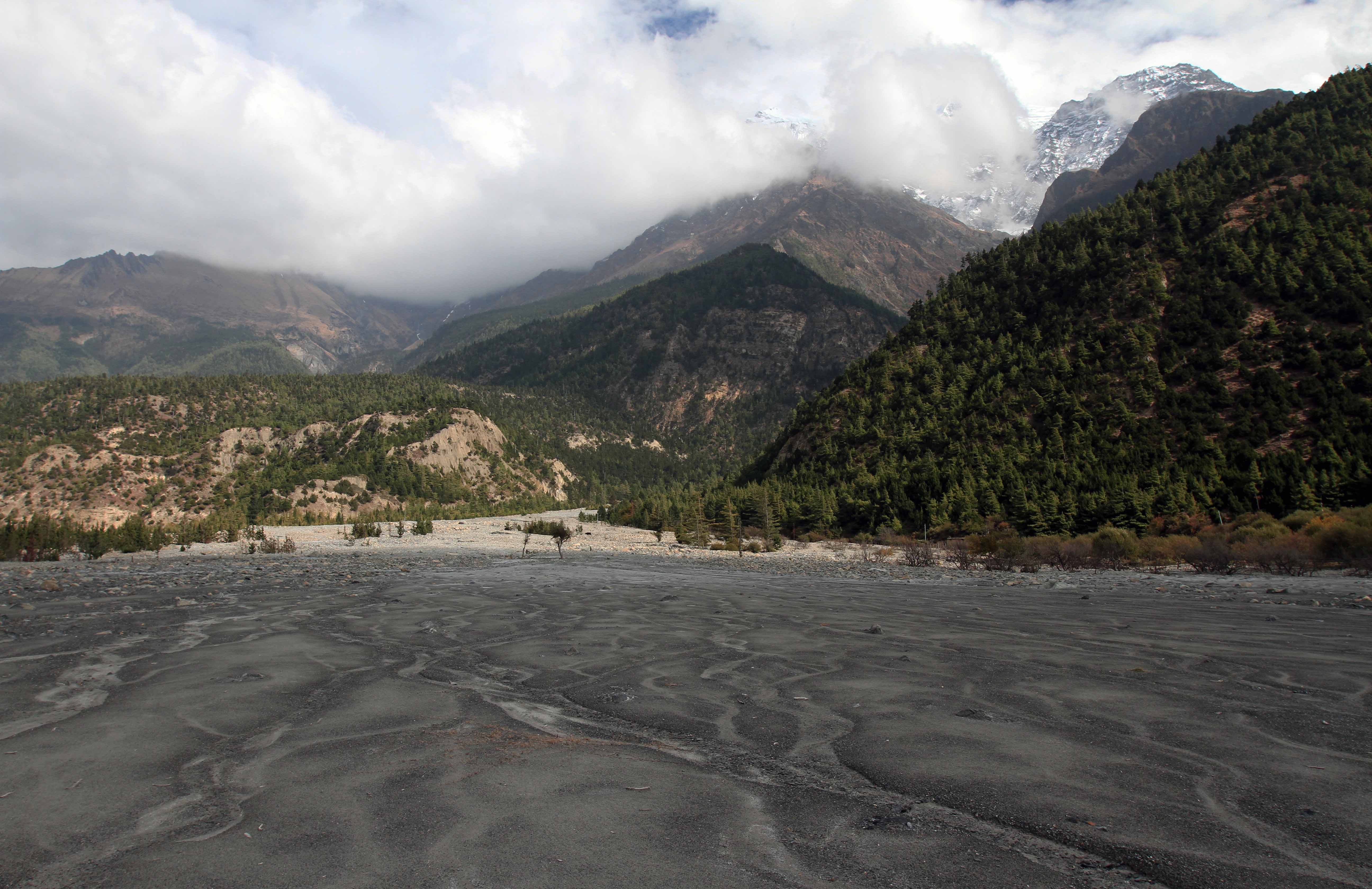
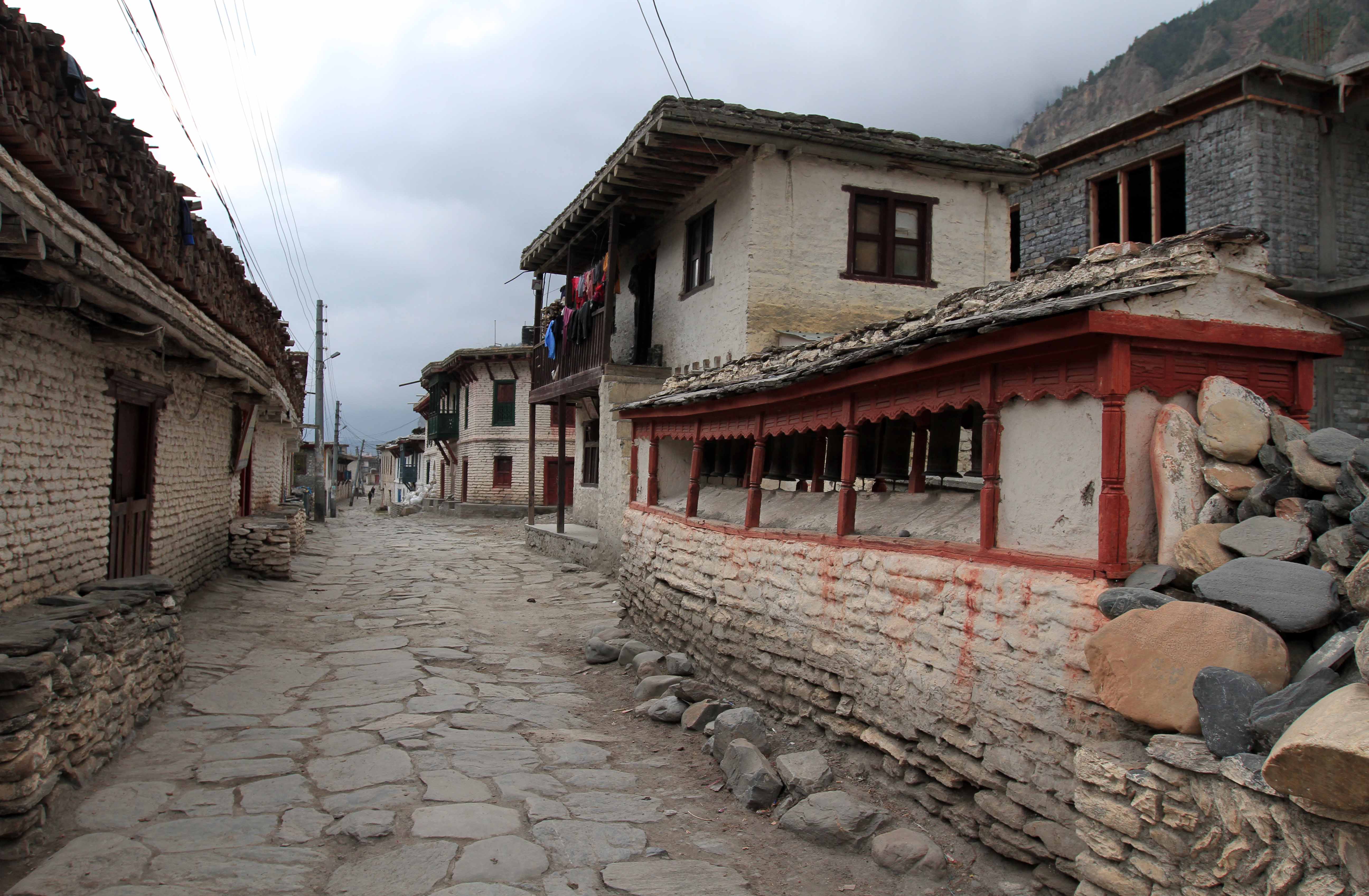
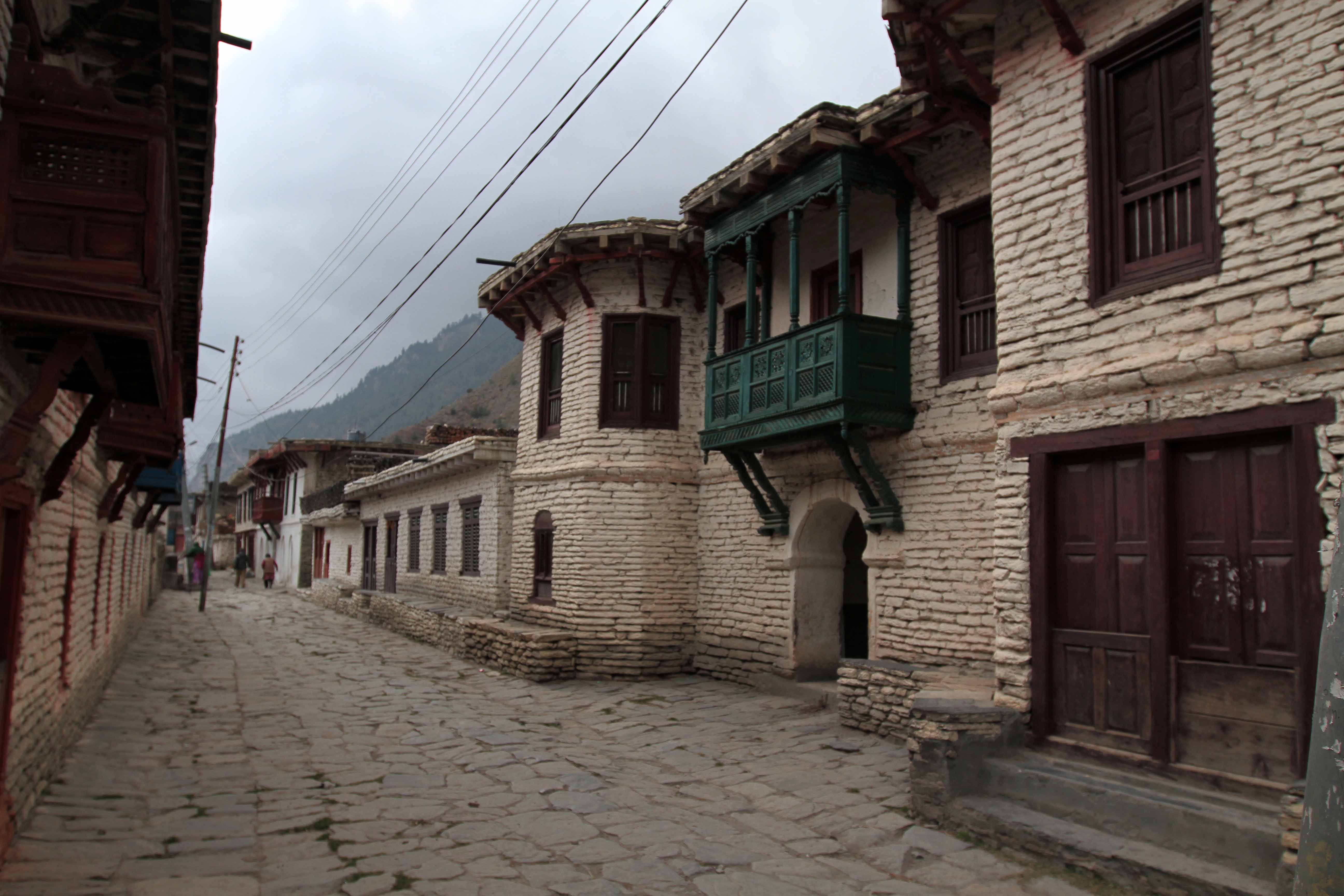
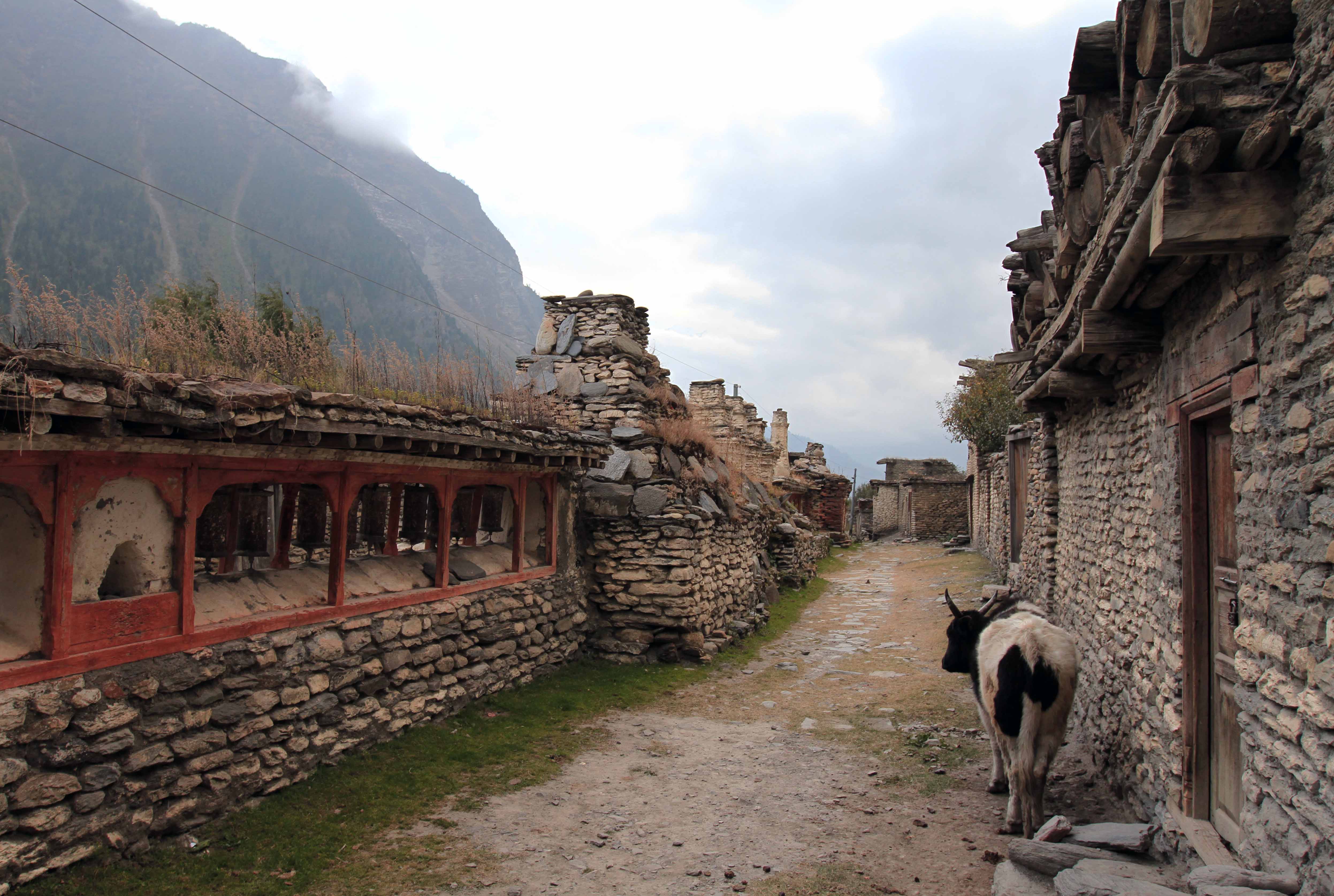
I woke up today at 06:00, had breakfast (tea, scrambled eggs, fried potatoes and vegetables, slices of sausage, and toast with butter, jam, and honey) with the Englishman and Frenchman, settled my bill, packed my bags, and left the lodge at 07:30. I walked south down the dirt road to Ekle Bhati and then followed a trail along the eastern bank of the Kali Gandaki Nadi. I reached the old town of Jomson and walked through it to the trail leading up to Thini, a nice village painted in white and perched up high enough to see all of Jomsom and the surrounding farm lands. I then continued on the trail past the small towns of Samle and Dhumbra; after Dhumbra, I crossed a wide stream bed and the trail hugged the steep hillside over the Kali Gandaki Nadi; soon I was able to see the large town of Marpha (a large apple growing community) on the opposite side of the river. As I was hiking down toward the Tibetan Refugee Village near Chhairo, I met up with the Englishman from Ice Lake and we hiked down together. At the Tibetan Refugee Village, we were shown a lodge by one of the locals, but it was fully booked by a guided tour; so we walked down to Chhairo, but amazingly that town did not have a single lodge or restaurant (we were both hungry); originally I planned to spend the night in Marpha, but since it was only 13:00, the Englishman and I decided to continue on the trail to Tukuche (another town made prosperous by their apple orchards); so we continued on the trail, passing by the towns of Chimang and Chokopani; we then reached a wide stream bed that we crossed and then we tried to cross the Kali Gandaki Nadi, but it was a fruitless effort – we did see a truck cross the river at one section, but being uncertain of how deep or how cold the river was, we chose not to walk across the river; so we walked back up near Chokopani and took the suspension bridge across the water to the dirt road on the western bank (effectively wasting an hour of our time); we then hiked down to Tukuche and found a decent lodge to spend the night (at roughly 15:00). I then planned out my next three days on the trail whilst in my room before going downstairs to the restaurant to have a fine meal of apple cider, apple momos, and vegetable and egg fried rice. After our late afternoon meal was consumed, the Englishman and I walked out to explore the old town of Tukuche; there were some unique brick buildings lined up sling the main stone avenue (though I think the new dirt road has taken much of the business away from this old street) – the architectural style found in Tukuche is unlike anything I’ve encountered on the trail thus far and I can’t quite place the influence. We walked along a very long mani wall with many prayer wheels and came to the old distillery (I was told by the didi at the hotel that the operation had shut down and moved to Kathmandu); we then walked back to the hotel, ordered our dinners for 18:30, and then relaxed in our rooms until supper time. For dinner I had dal bhat (with generous seconds dished upon my plate) with a bottle of apple brandy I had purchased earlier (it was in a reused beer bottle and was quite strong for the quantity given (650 mL), but not the 40% alcohol generally associated with brandy, it was maybe 20%). I then had an apple pie and I finished off my brandy before going to bed.