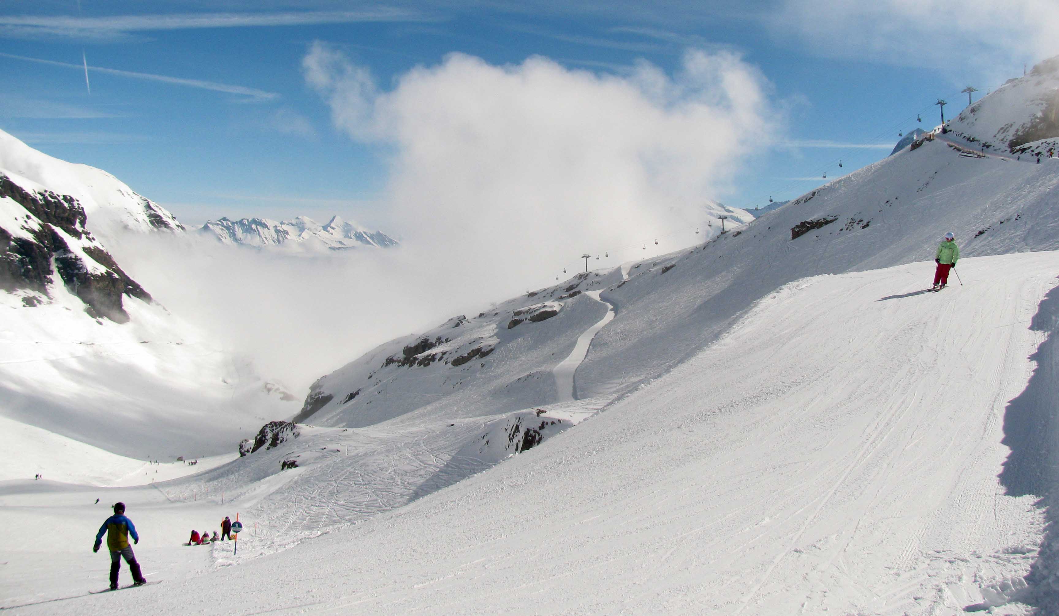
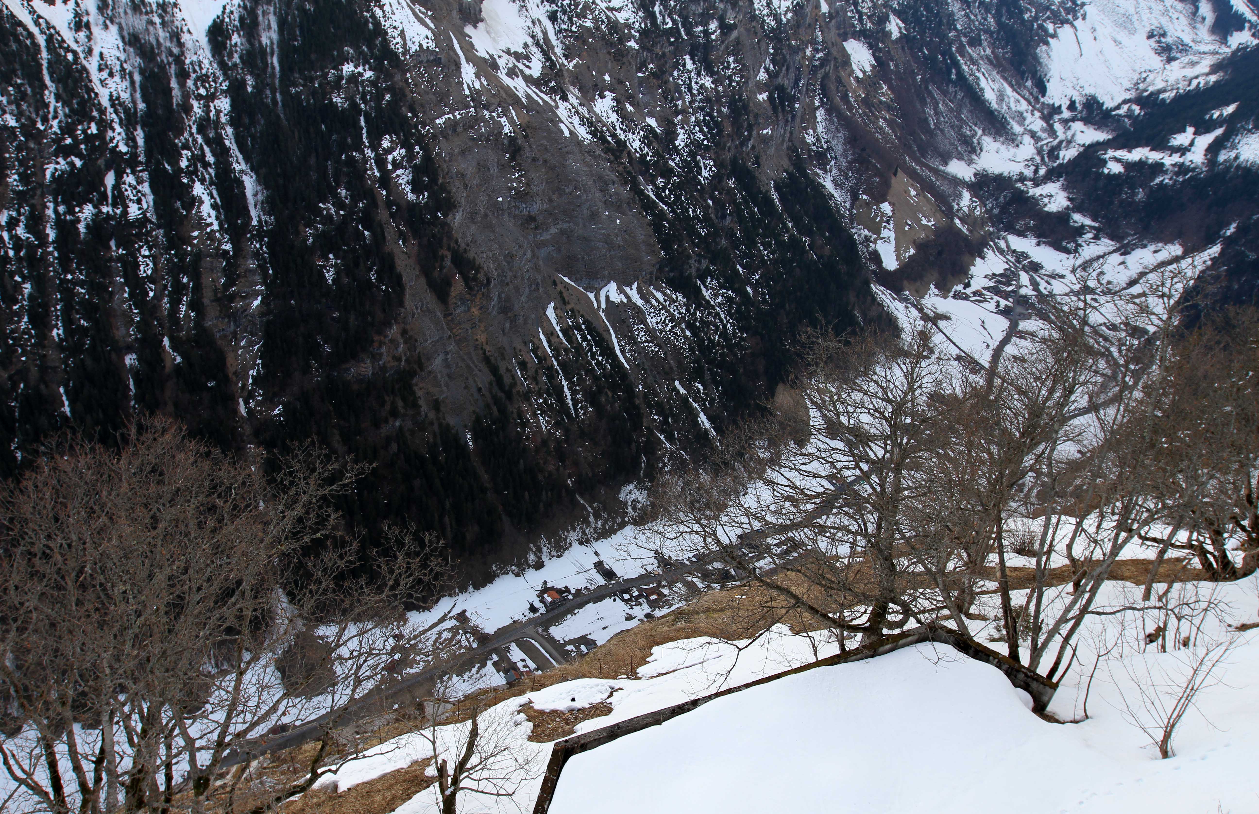
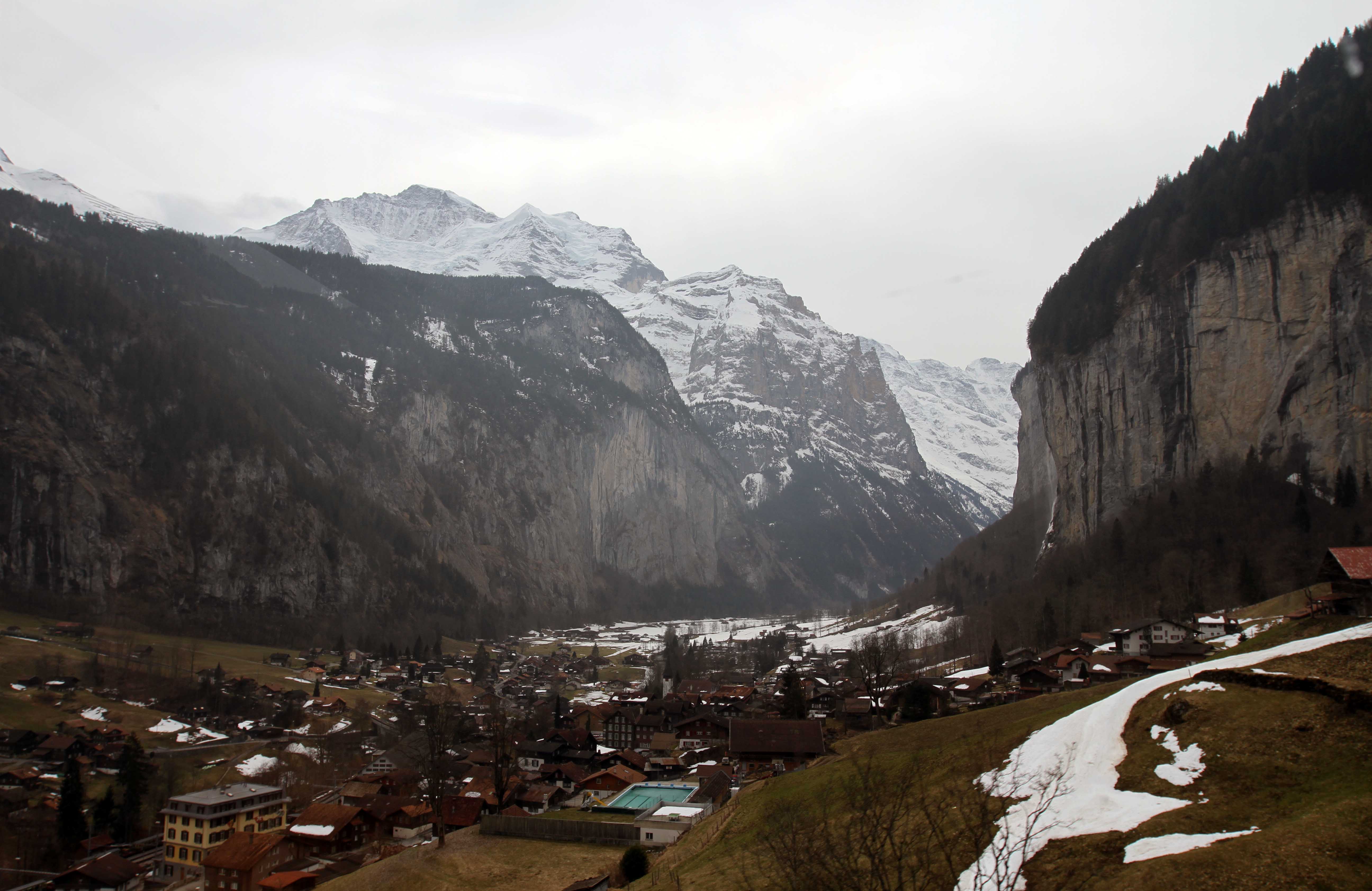
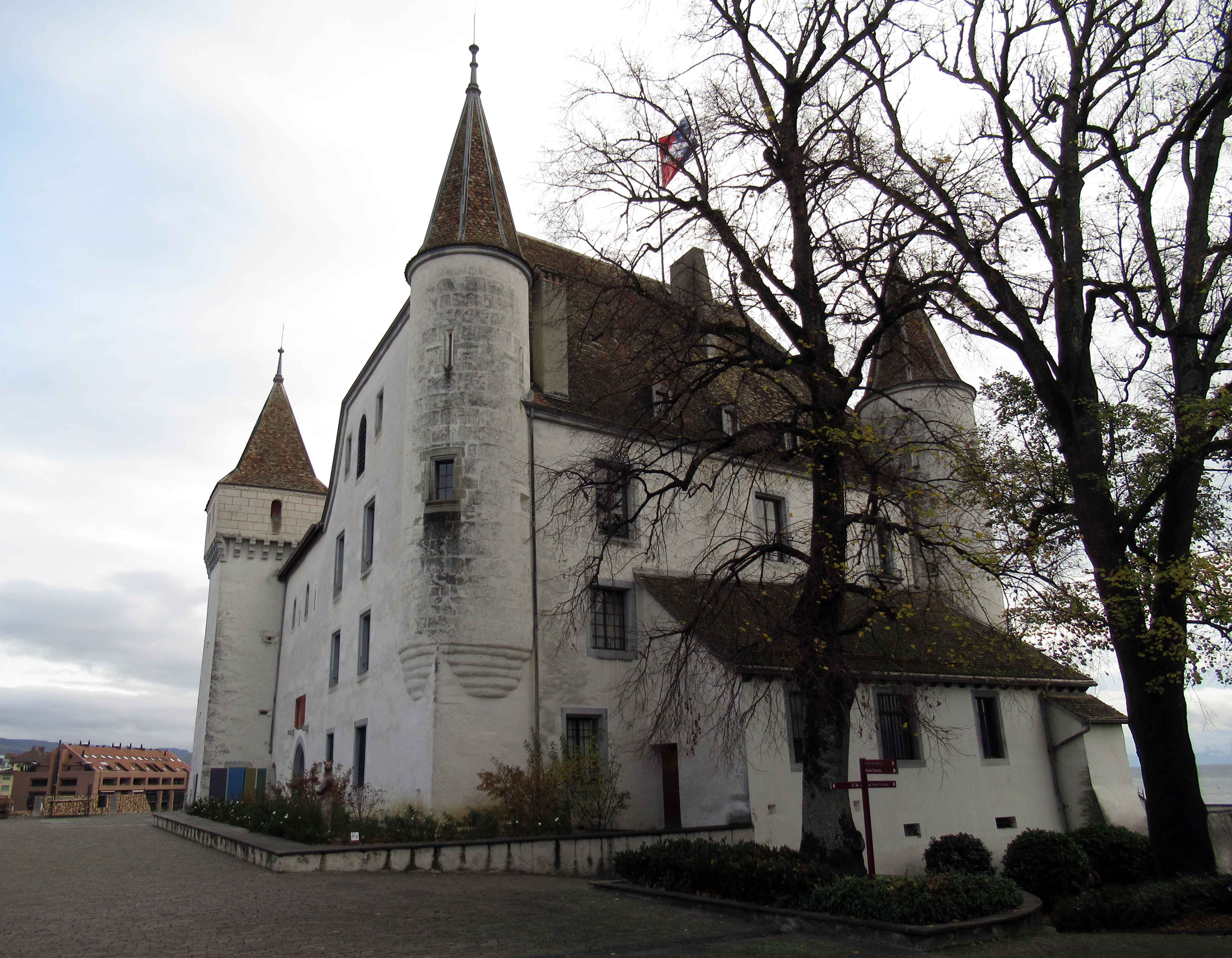
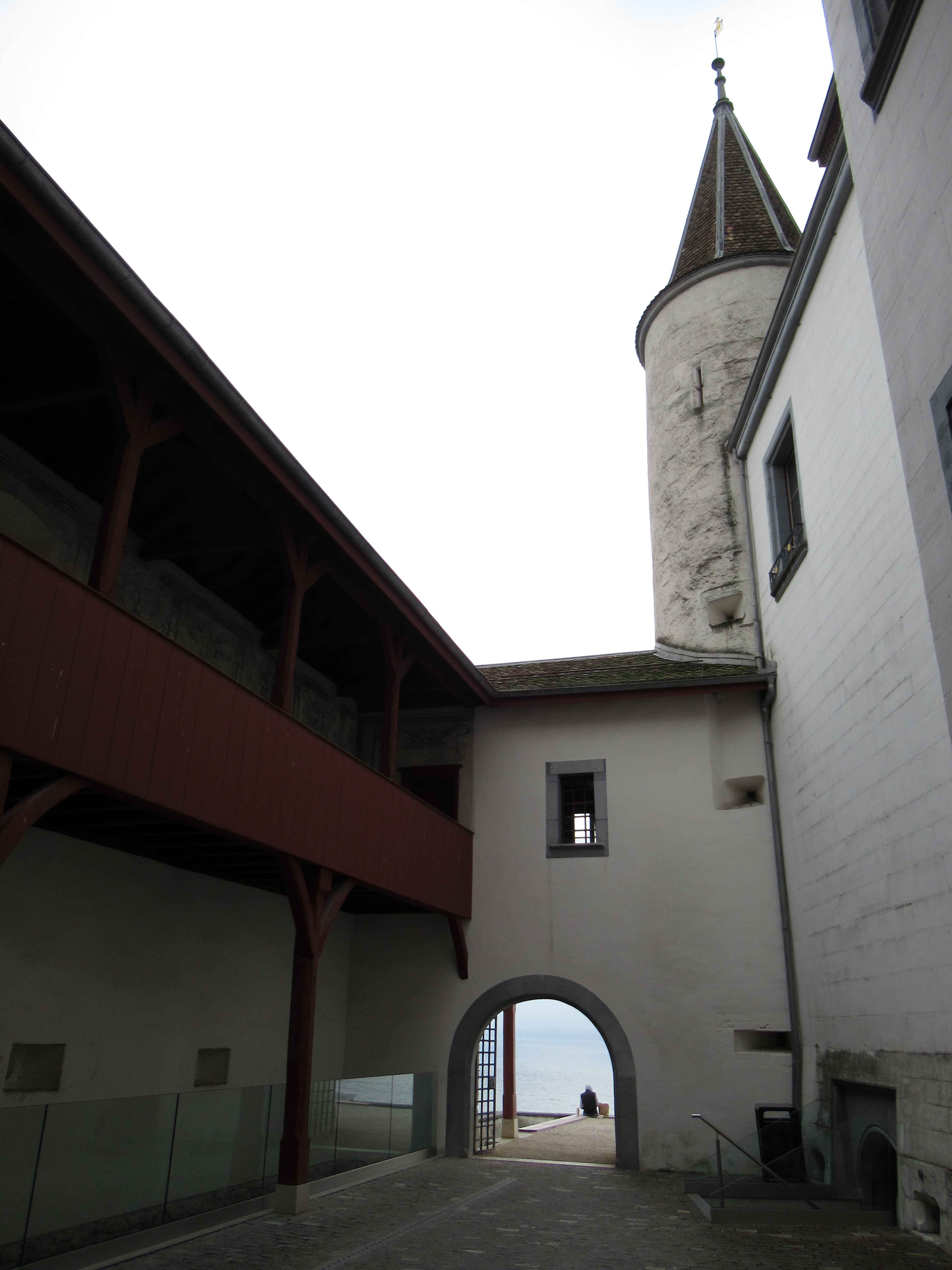
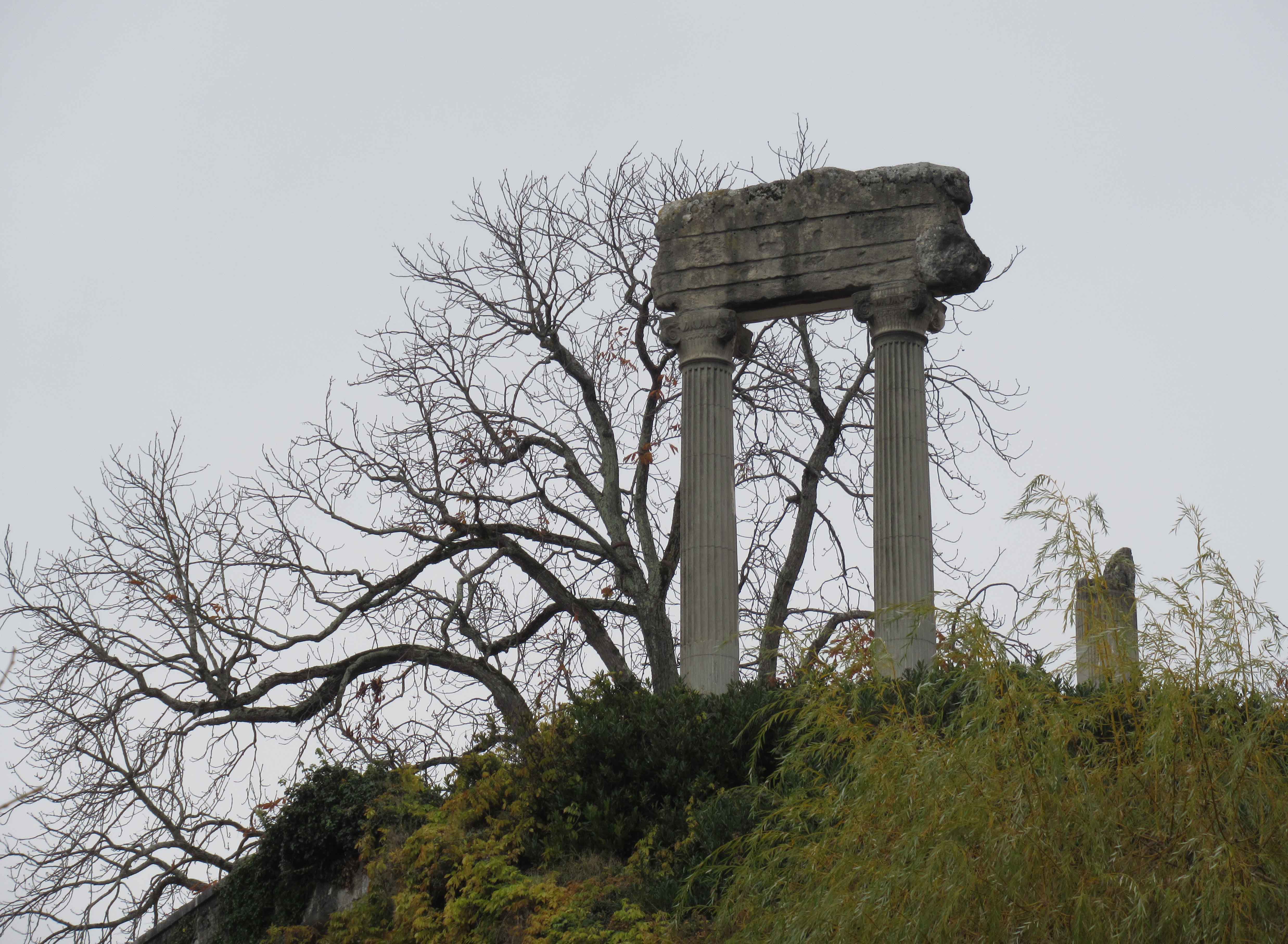
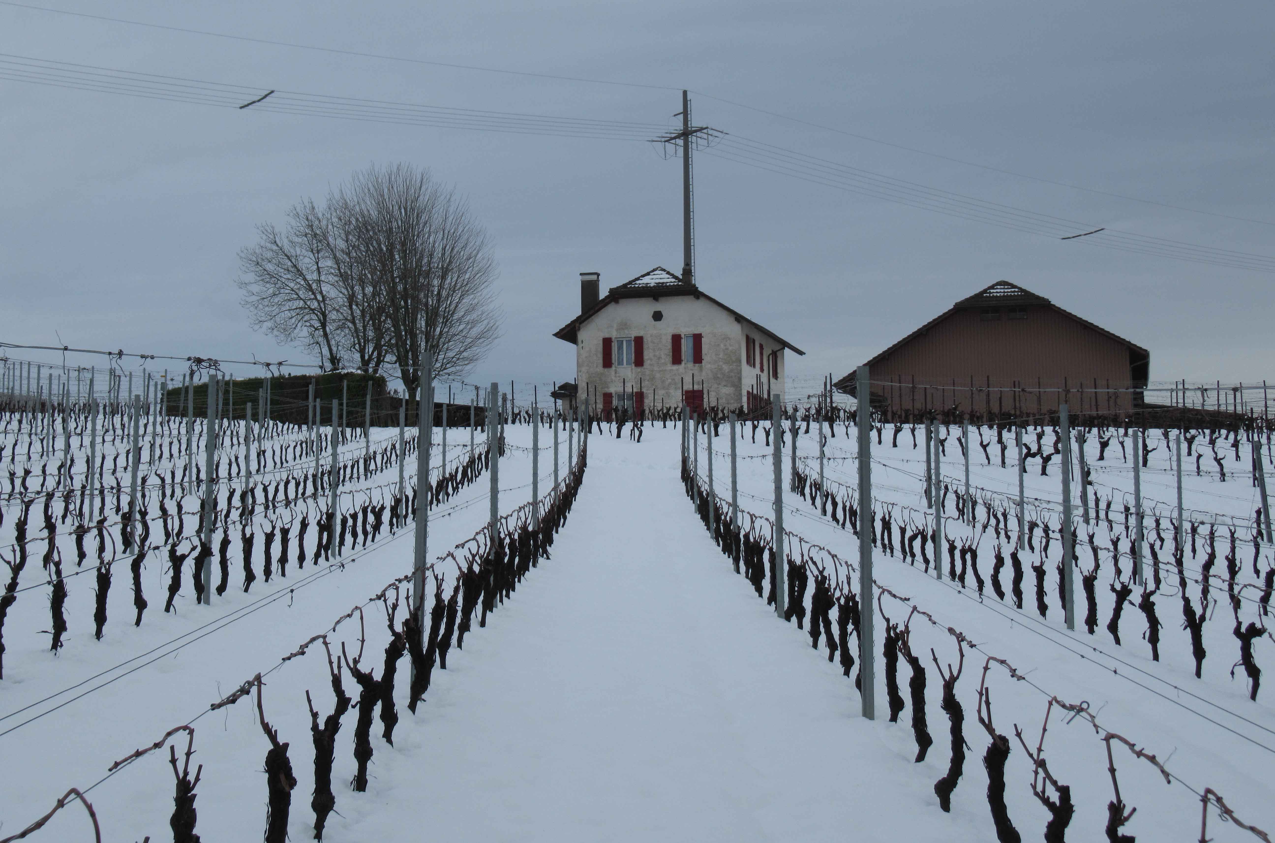
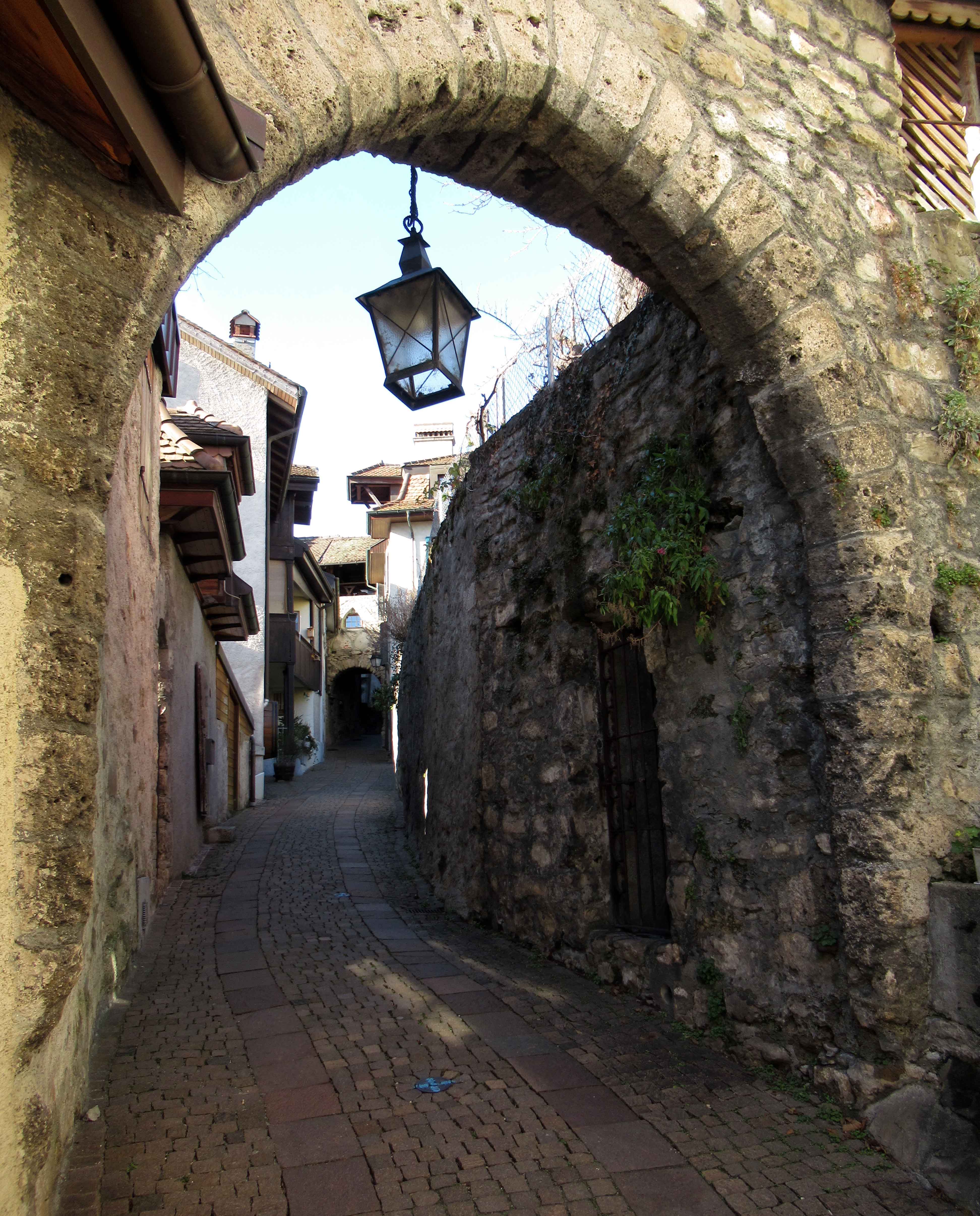
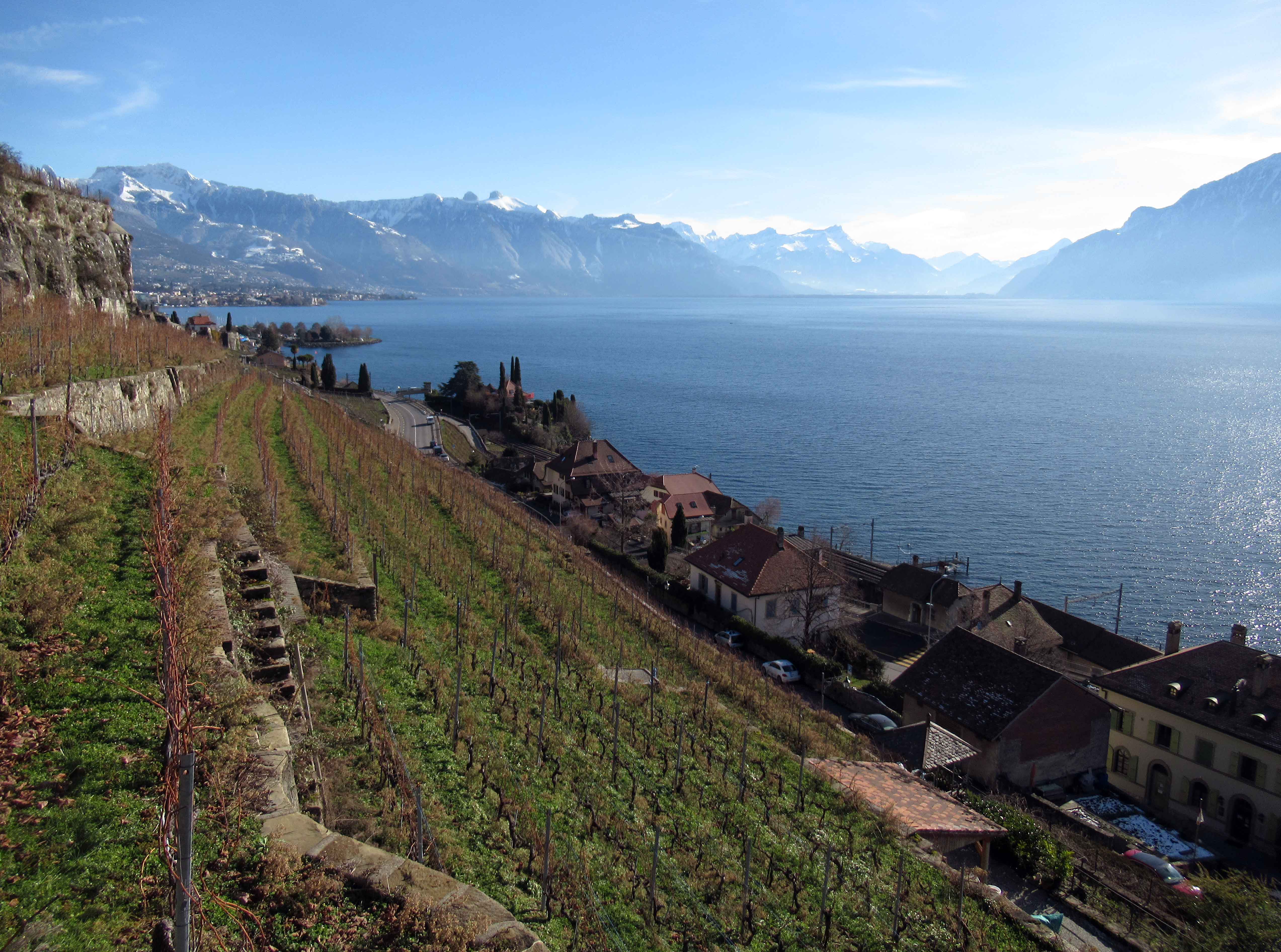
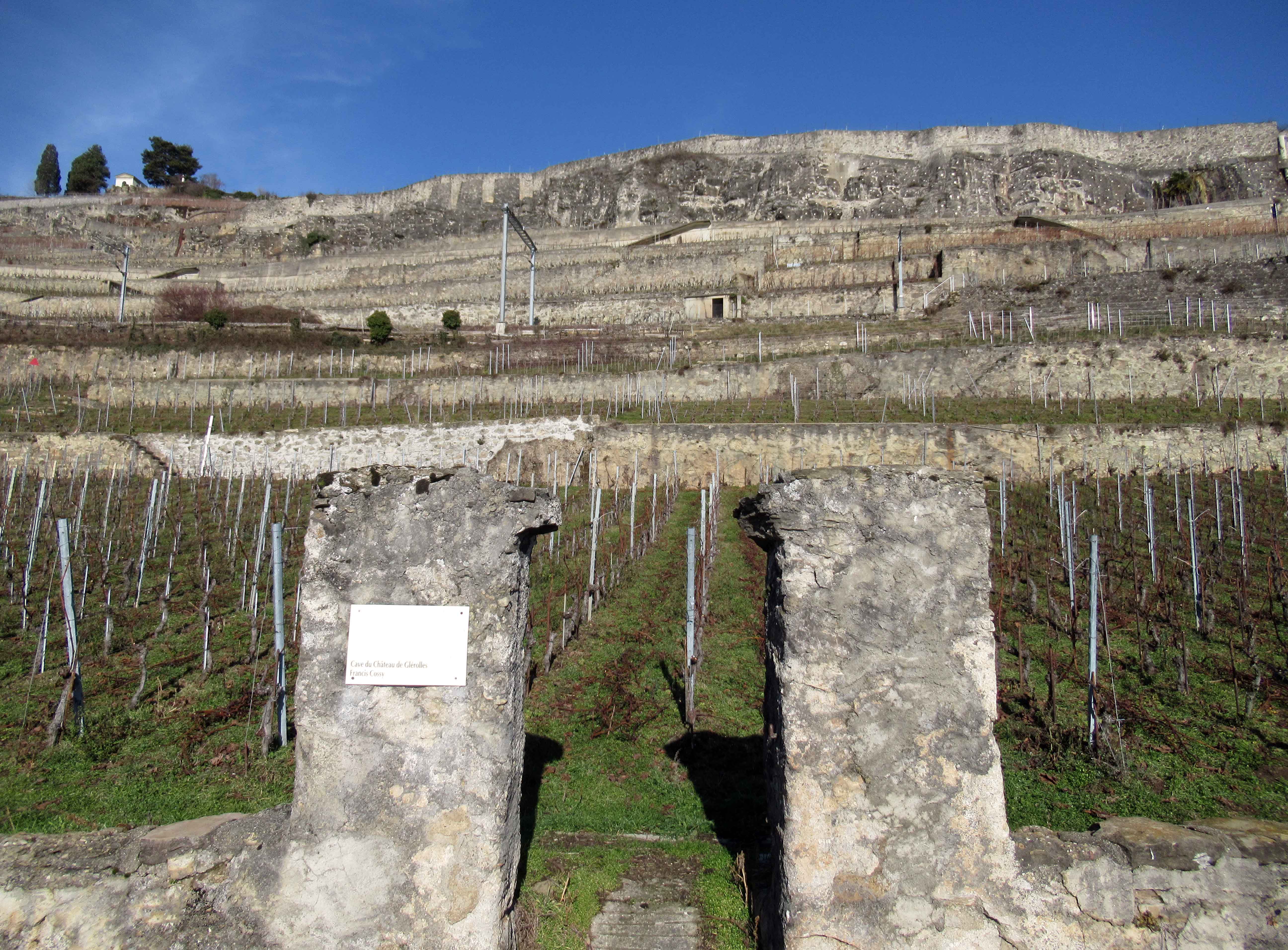
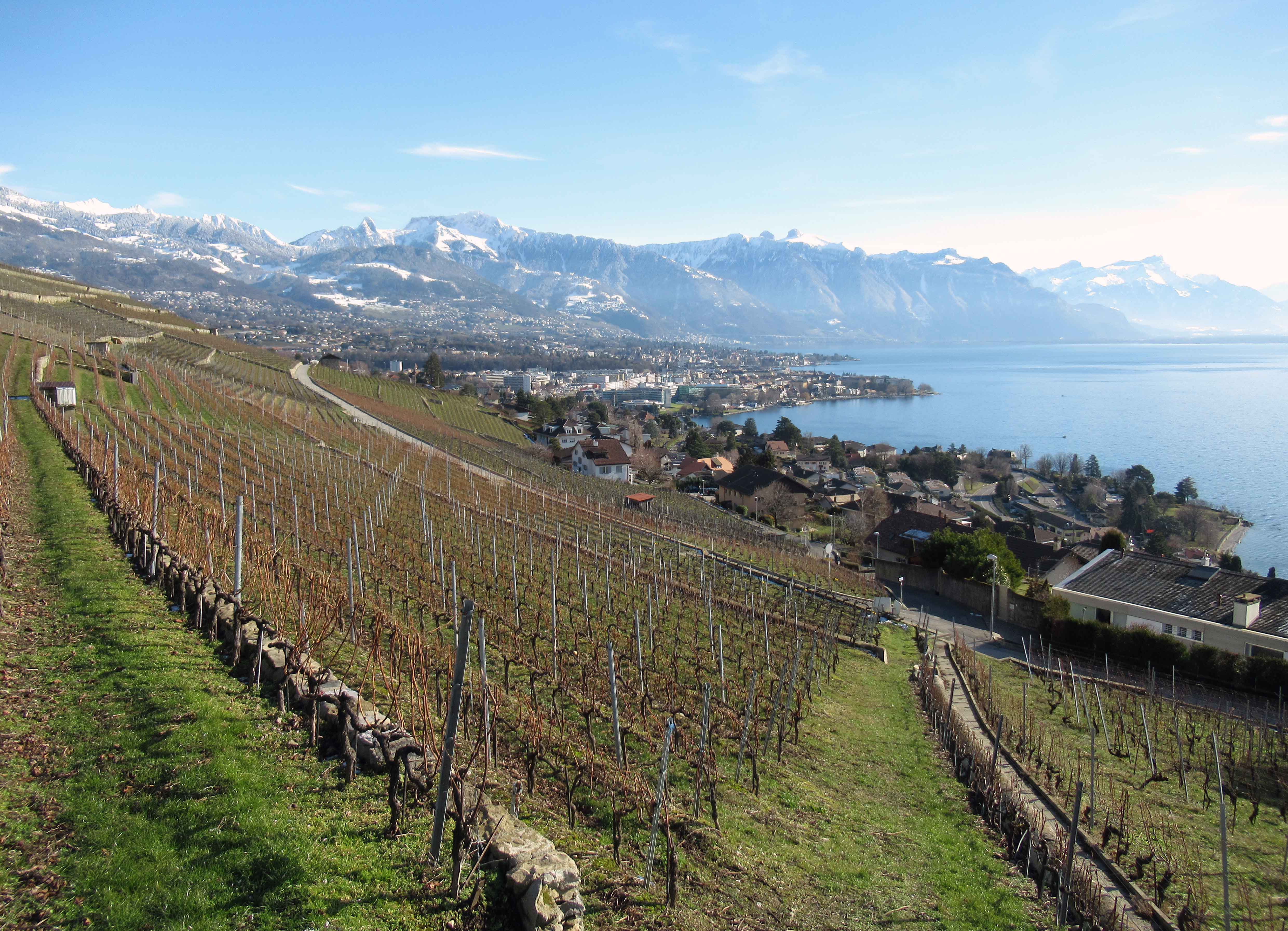
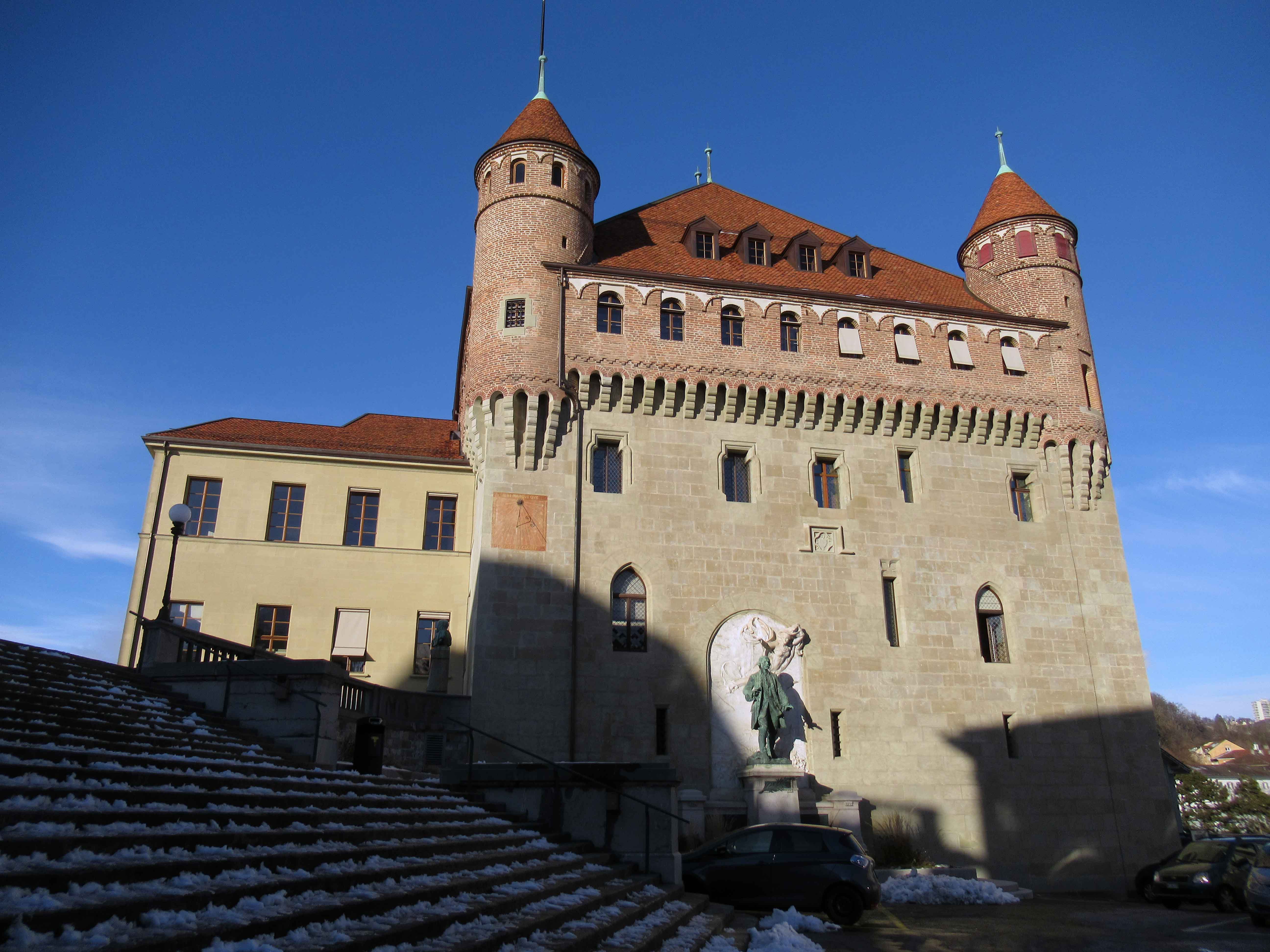
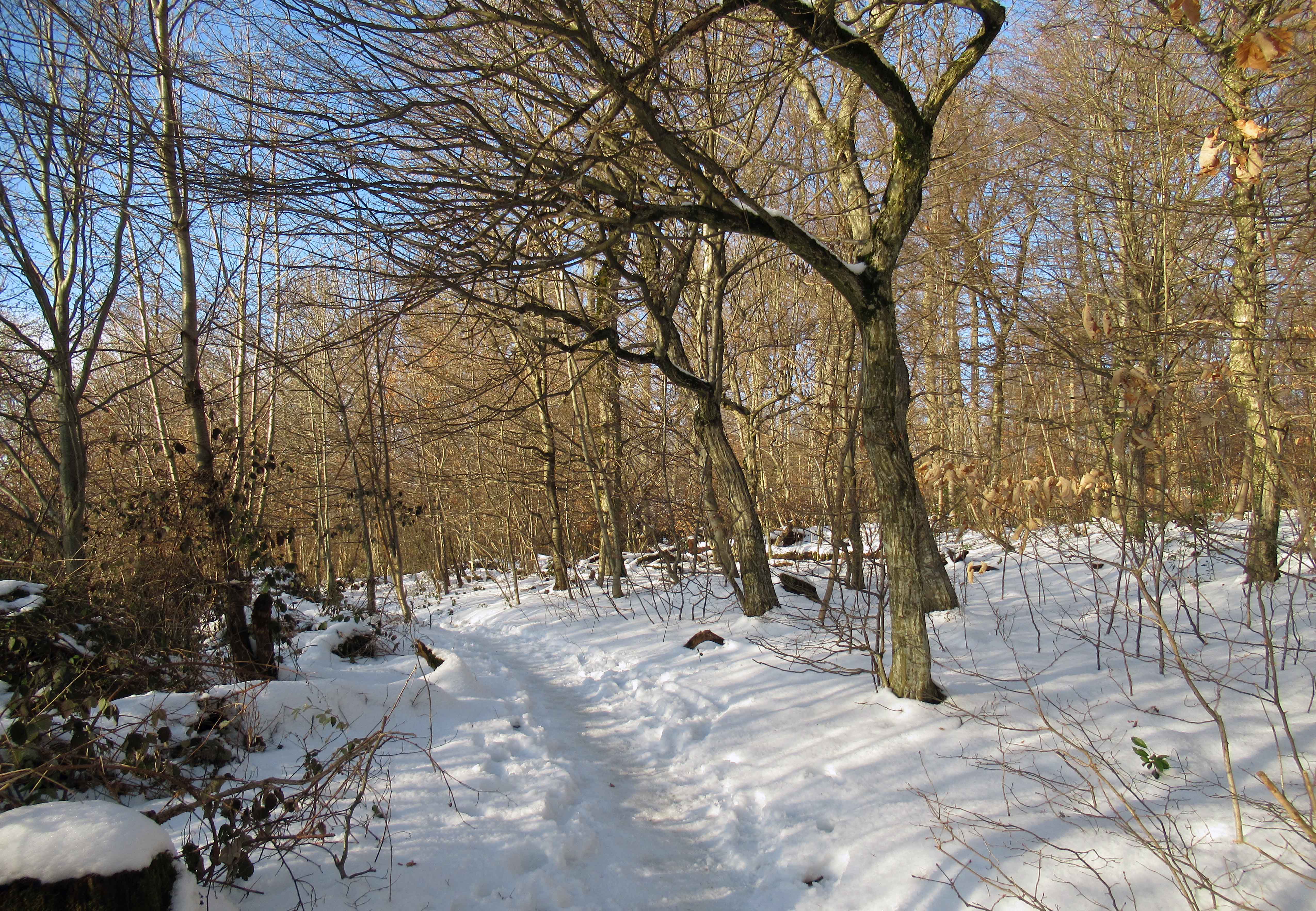
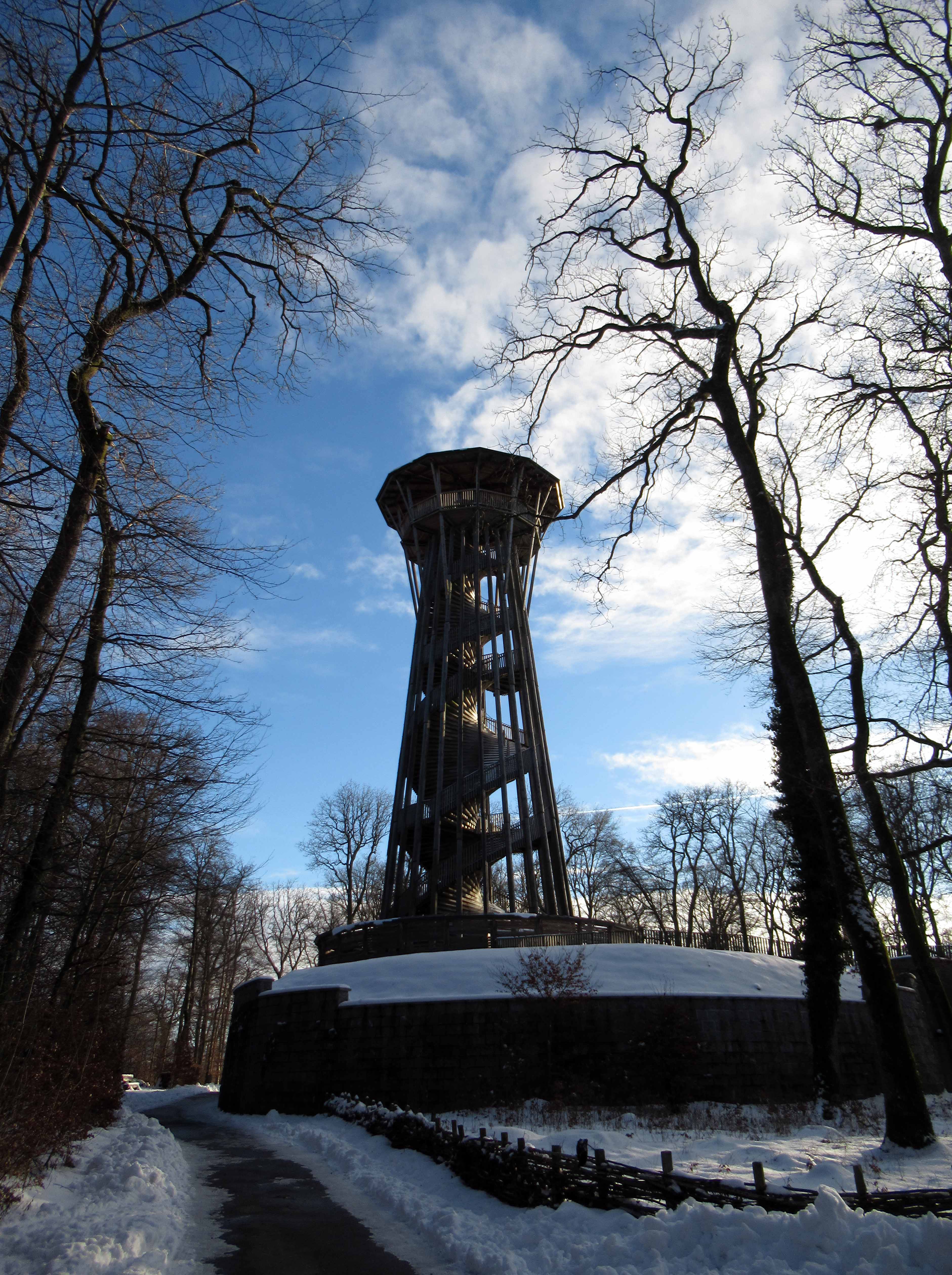
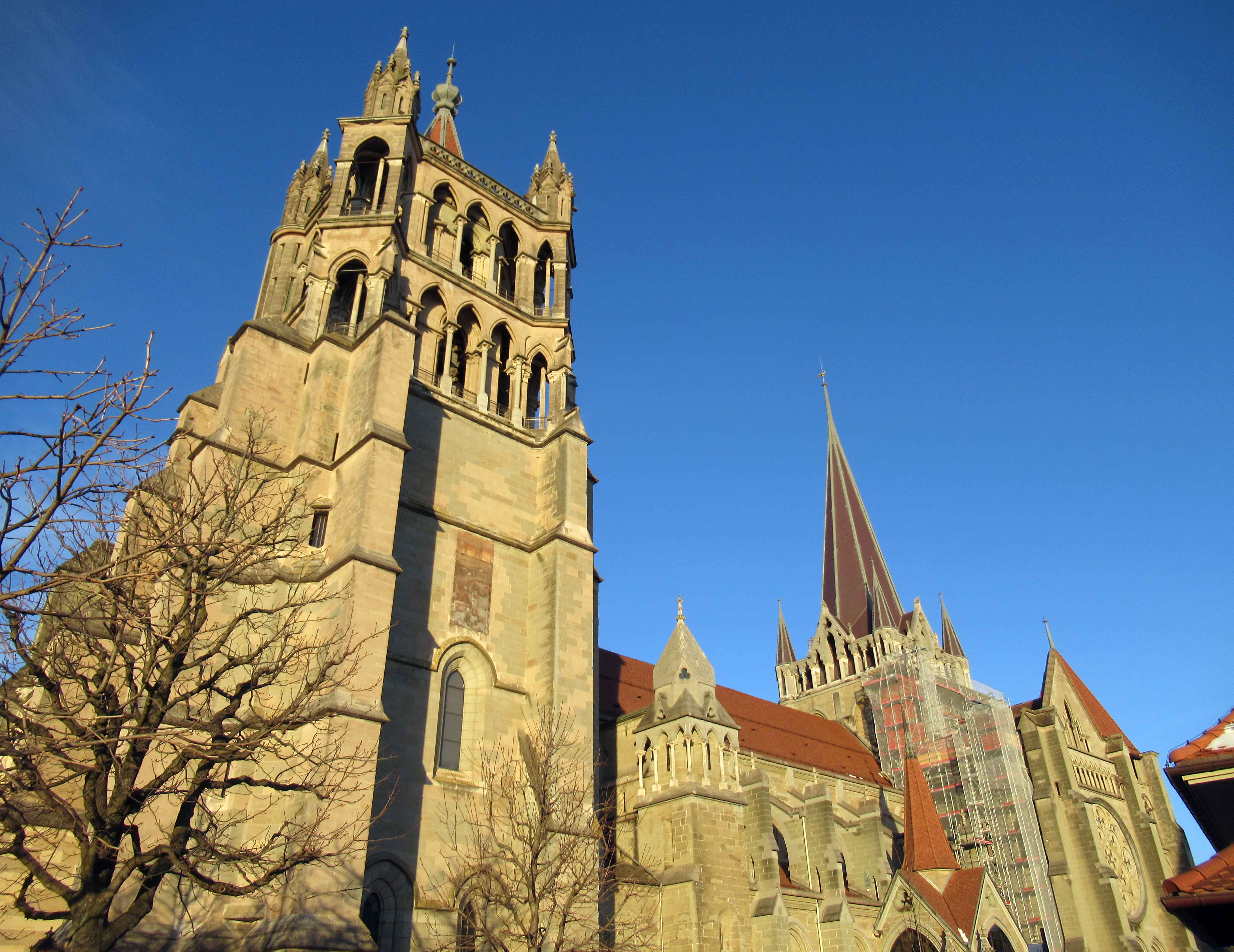
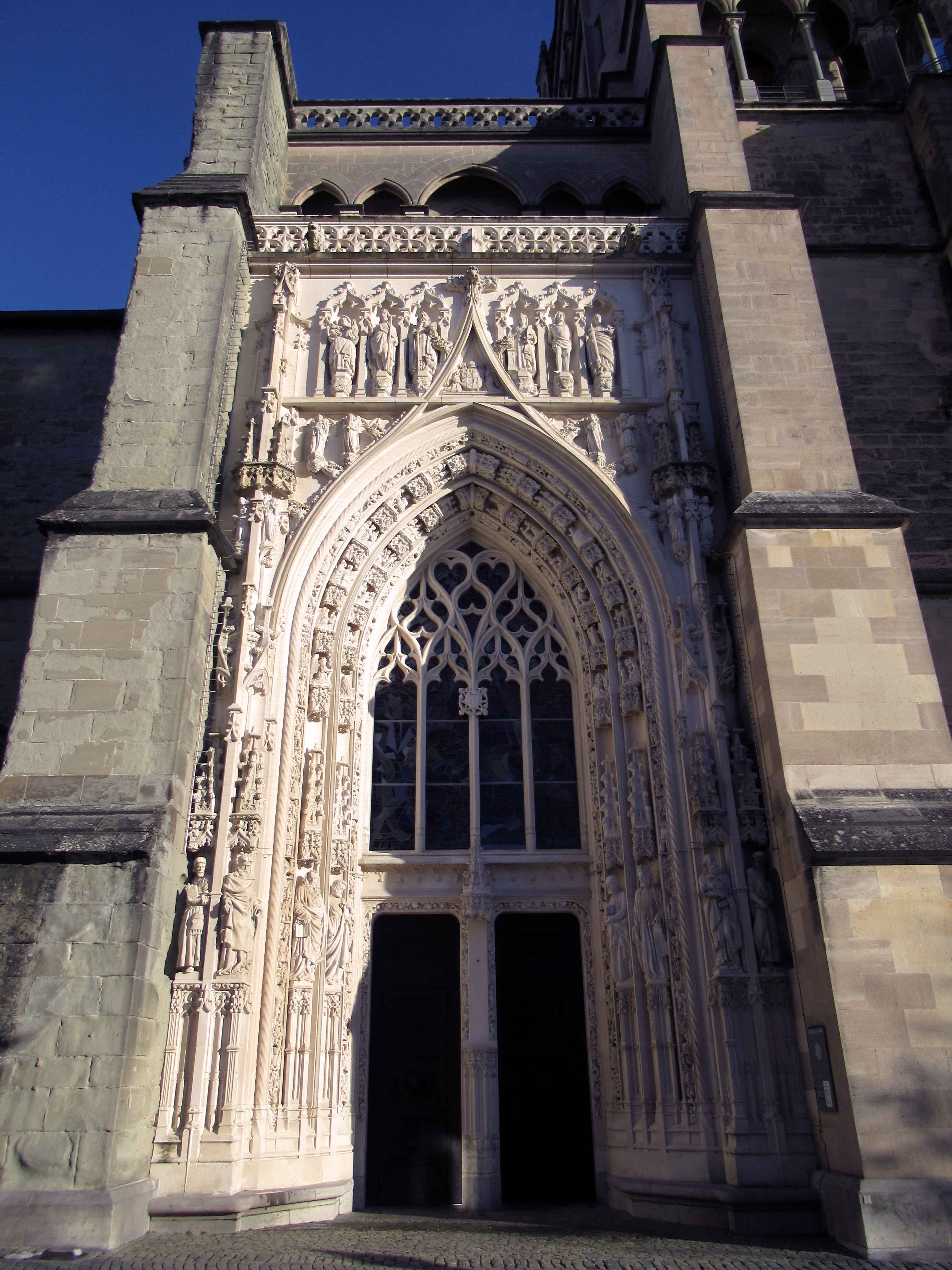
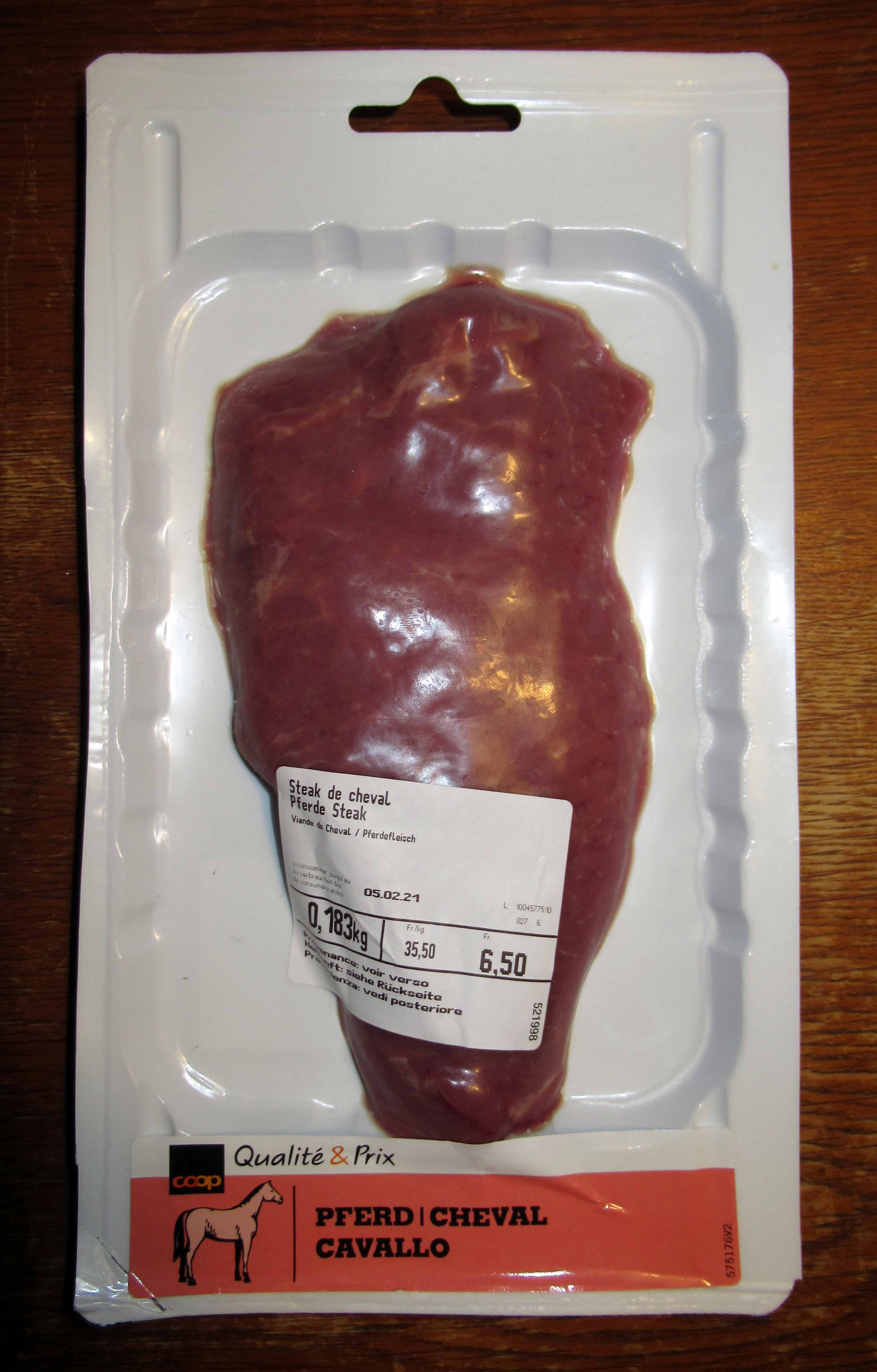
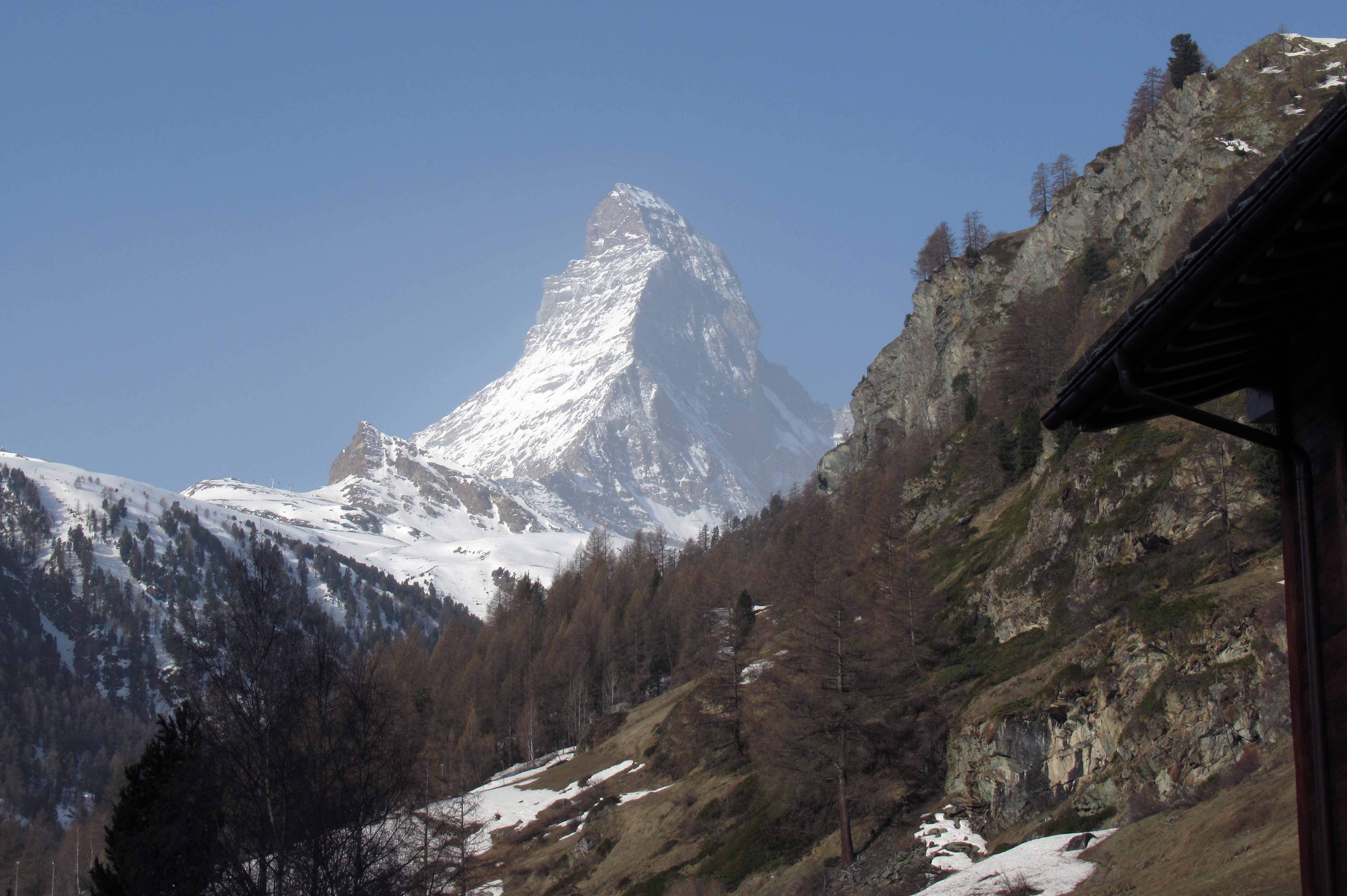
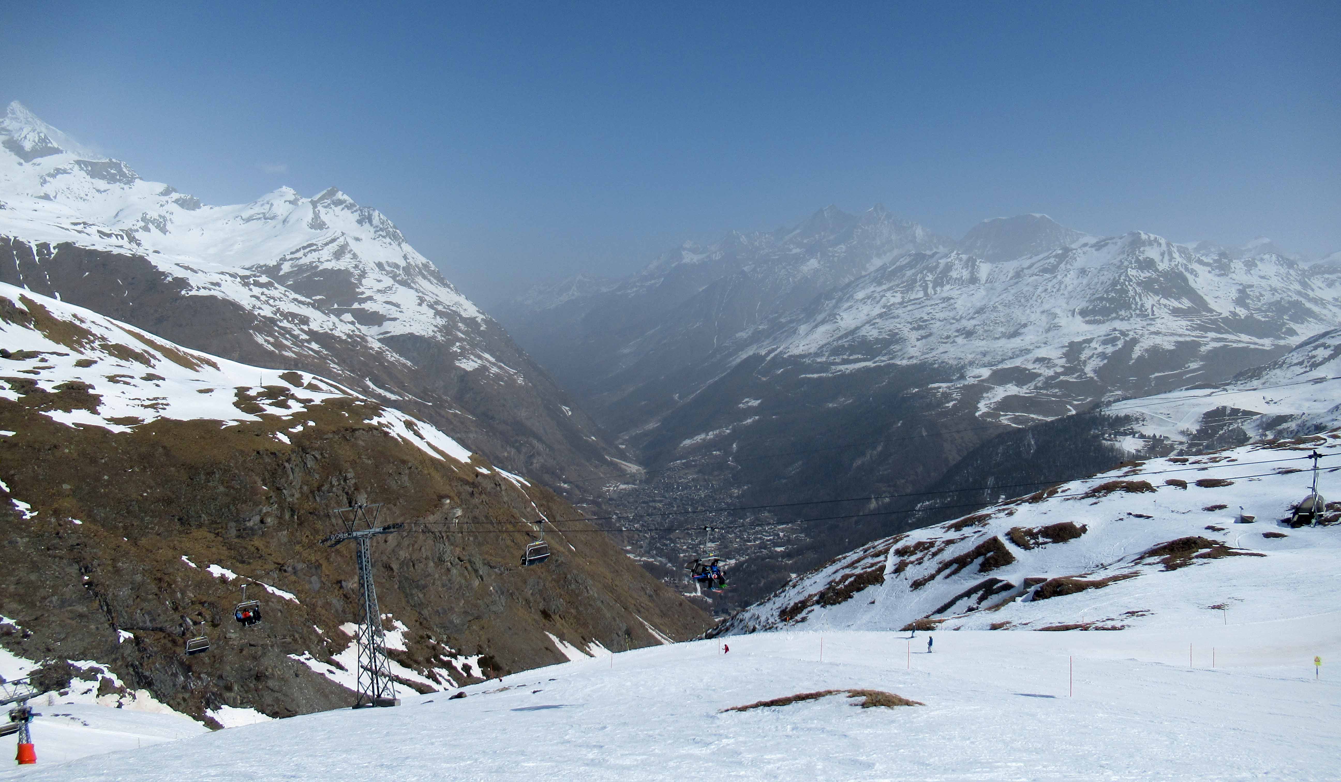
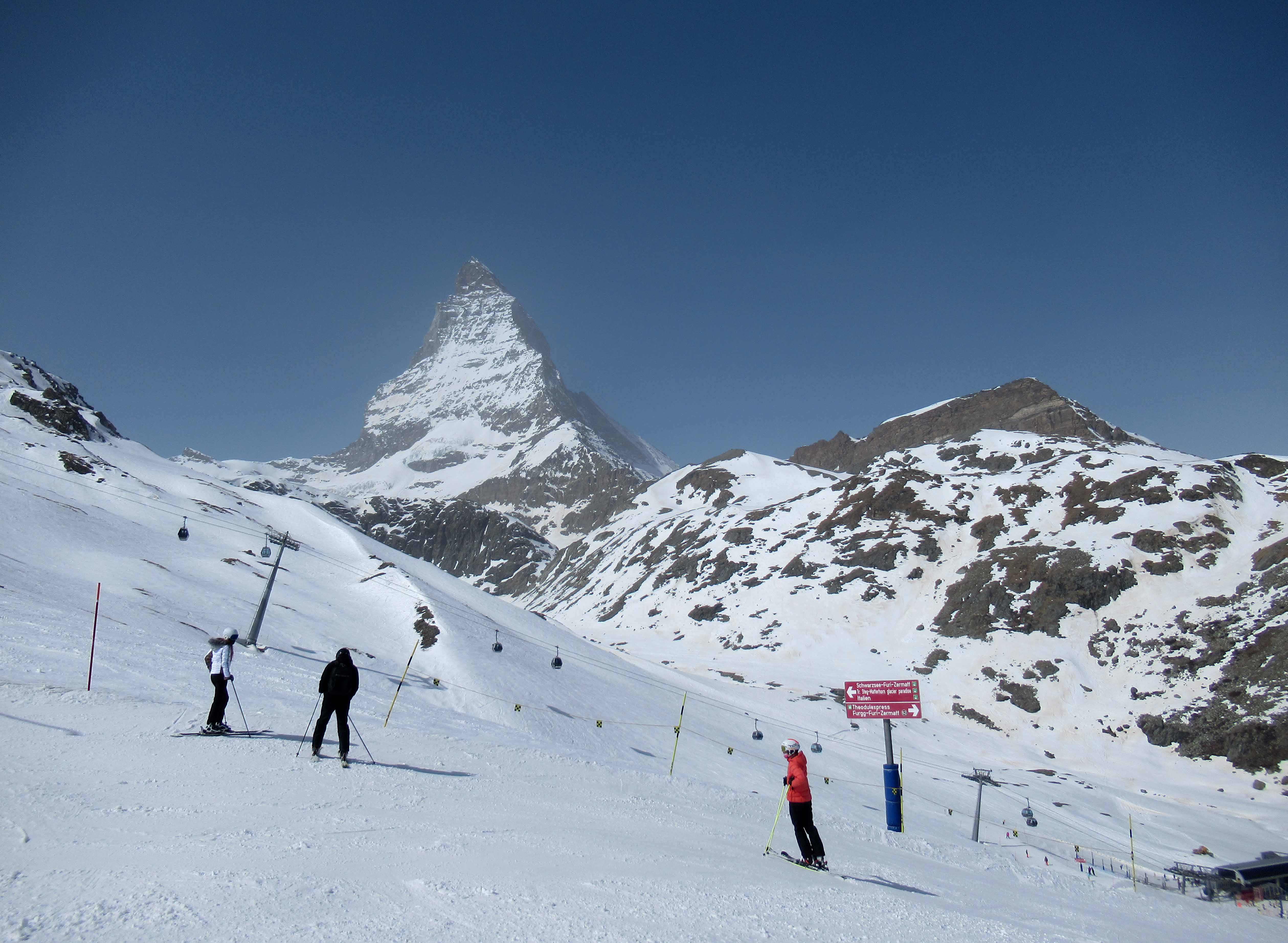
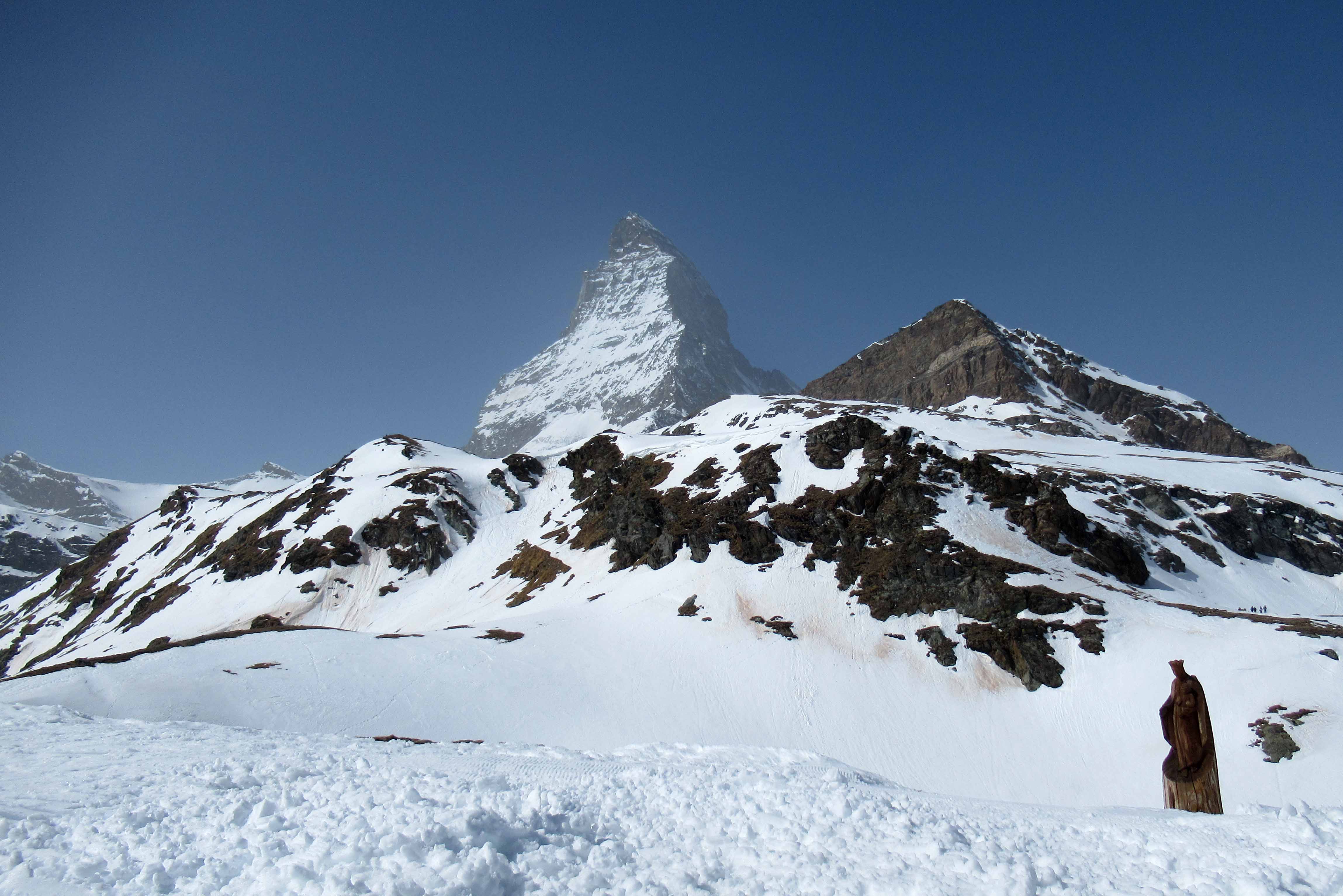
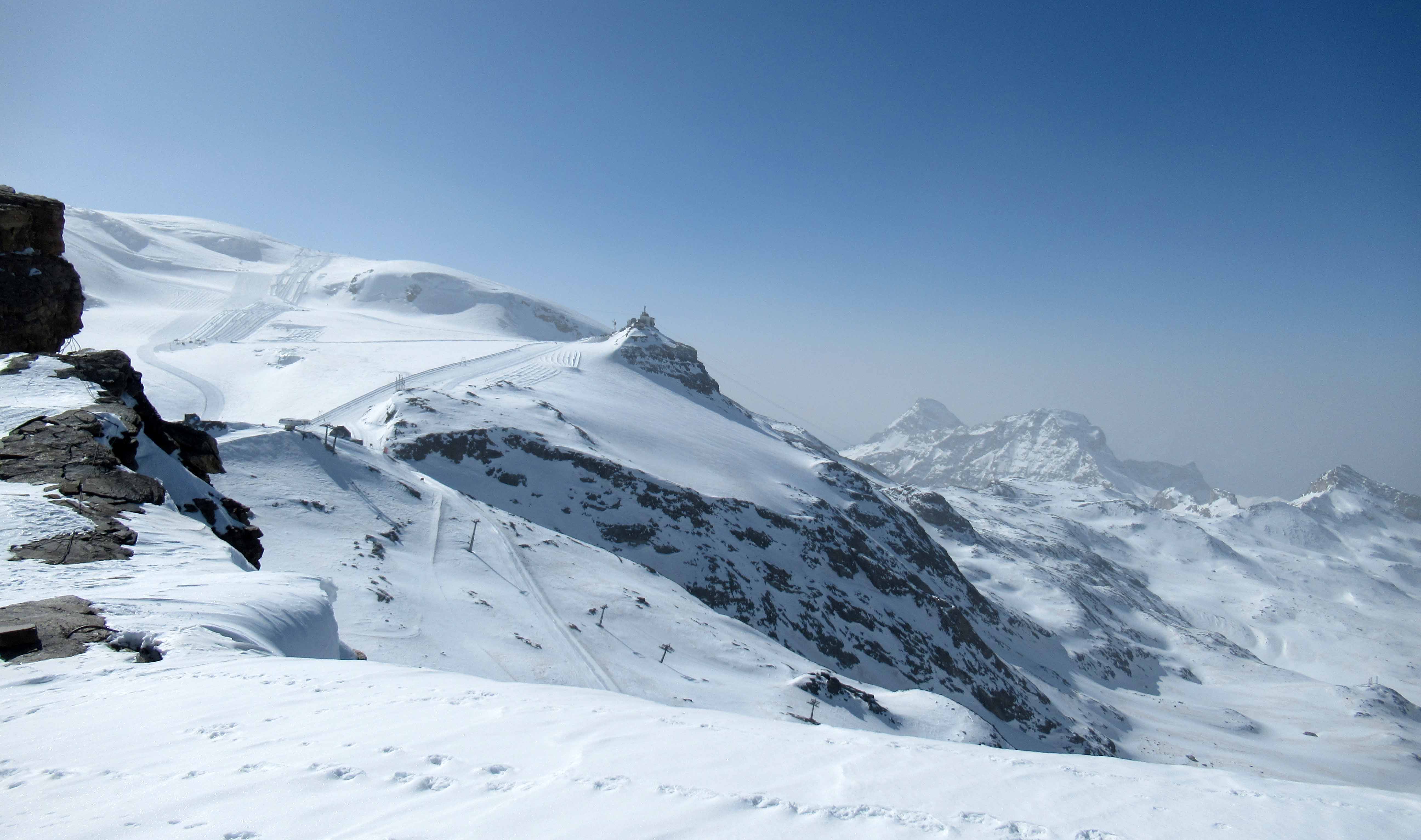
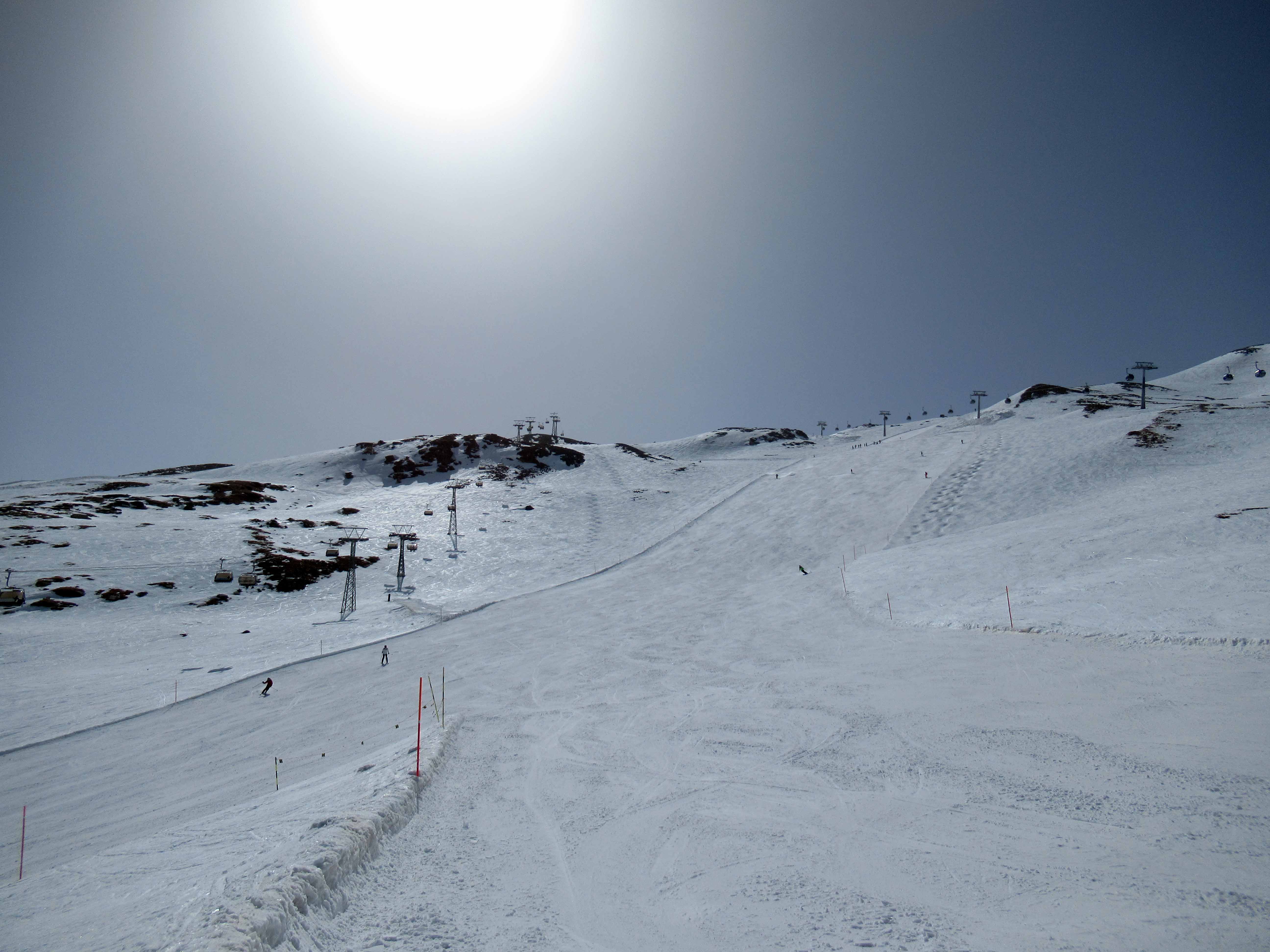
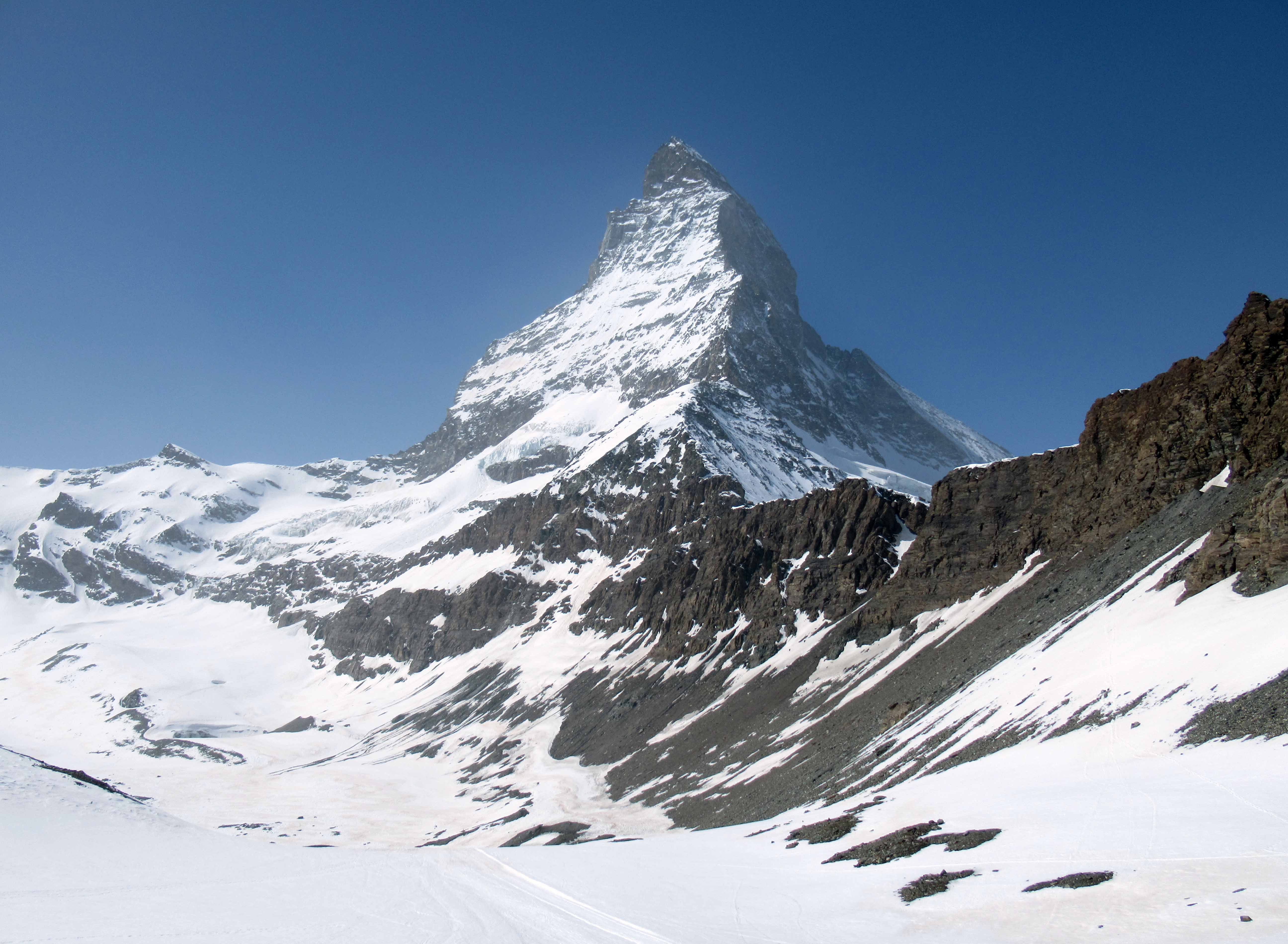
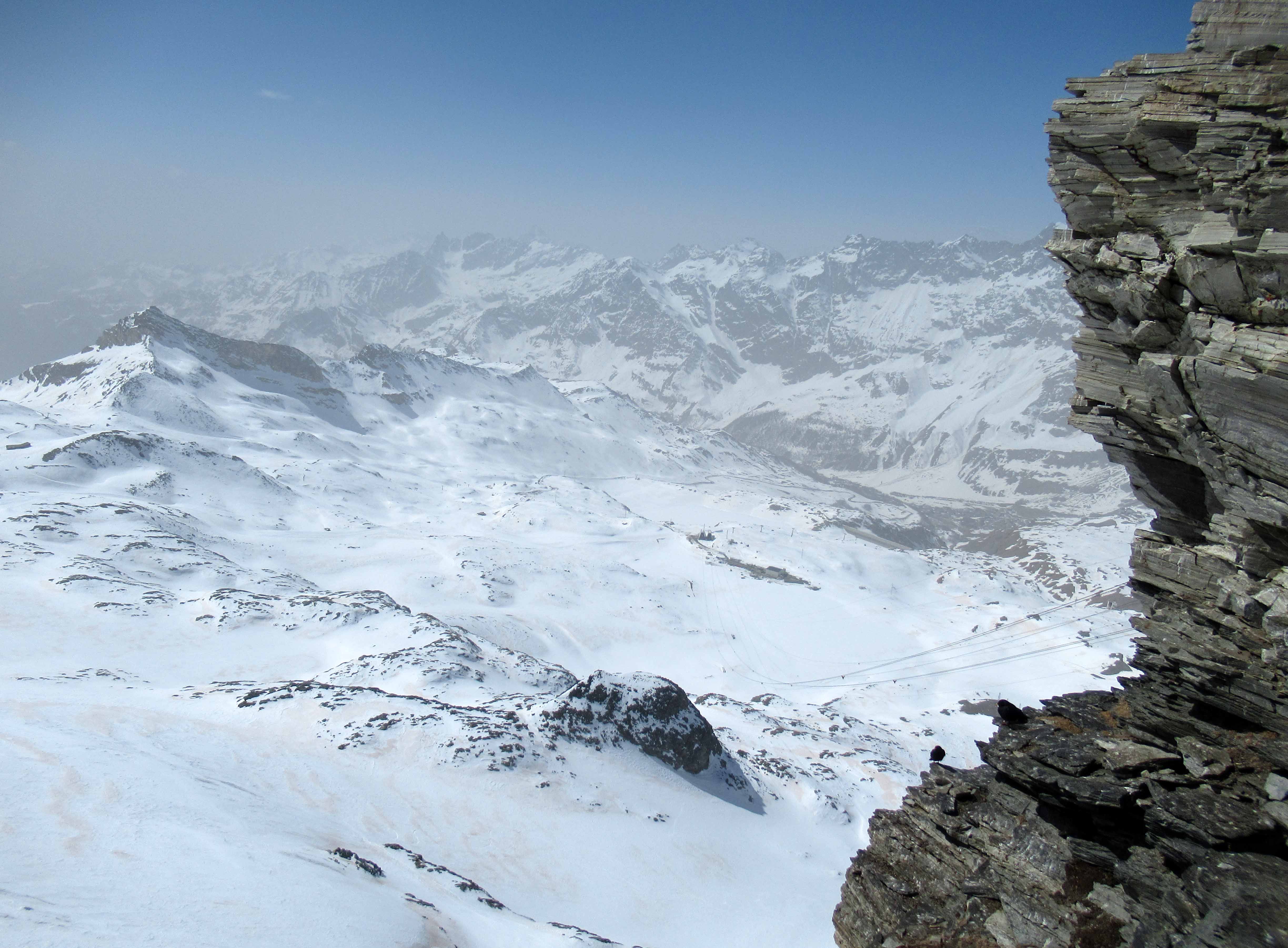
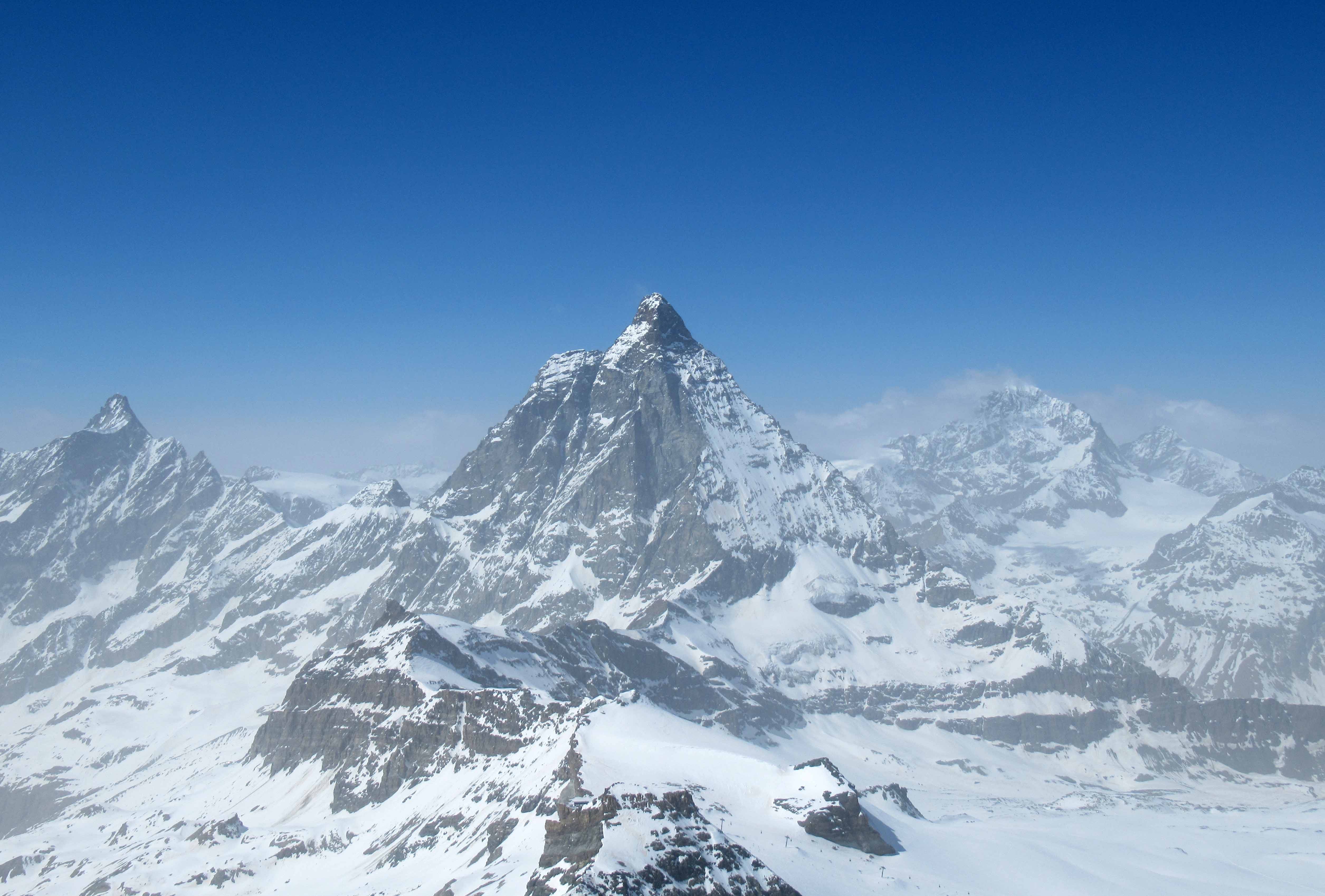
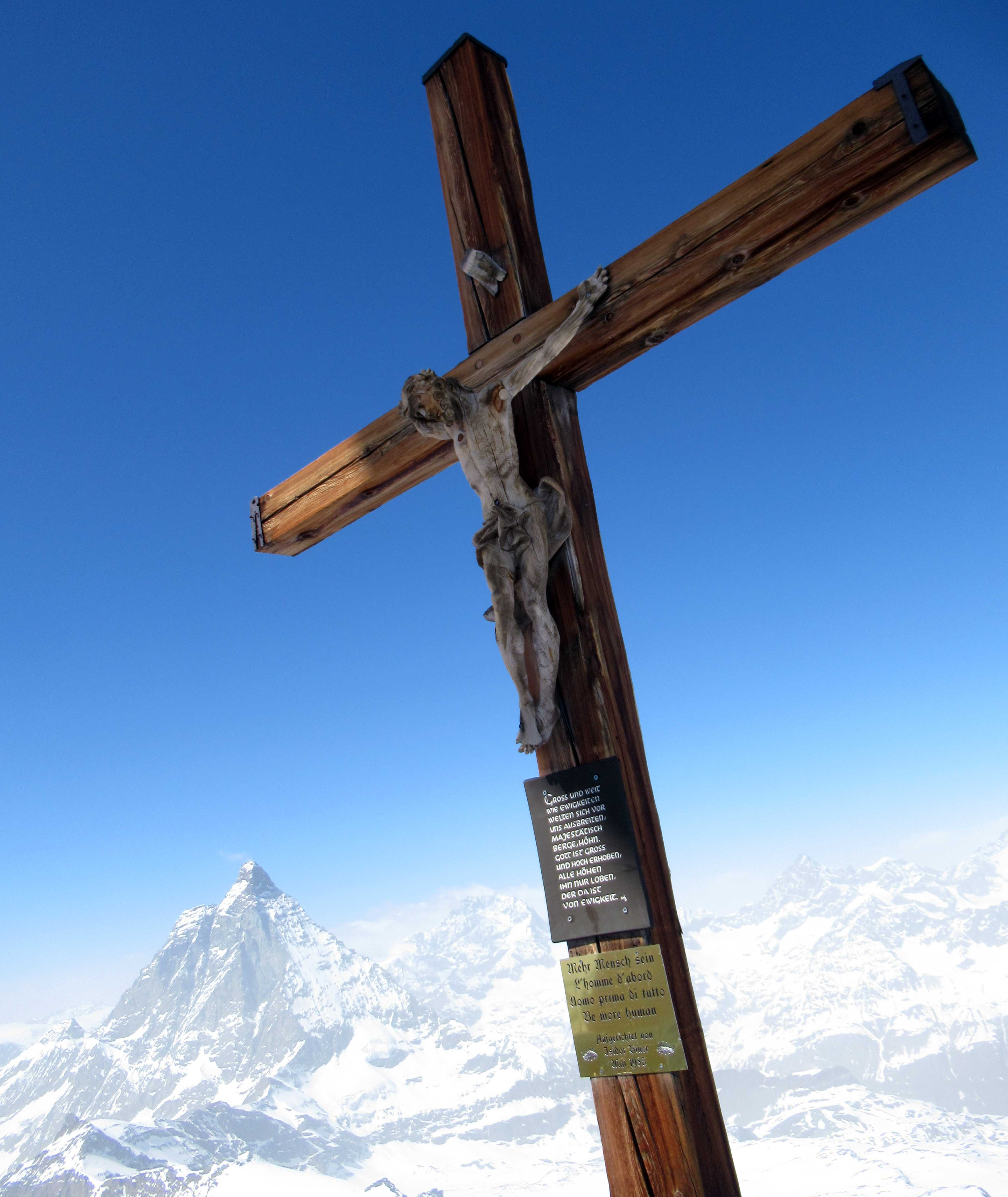
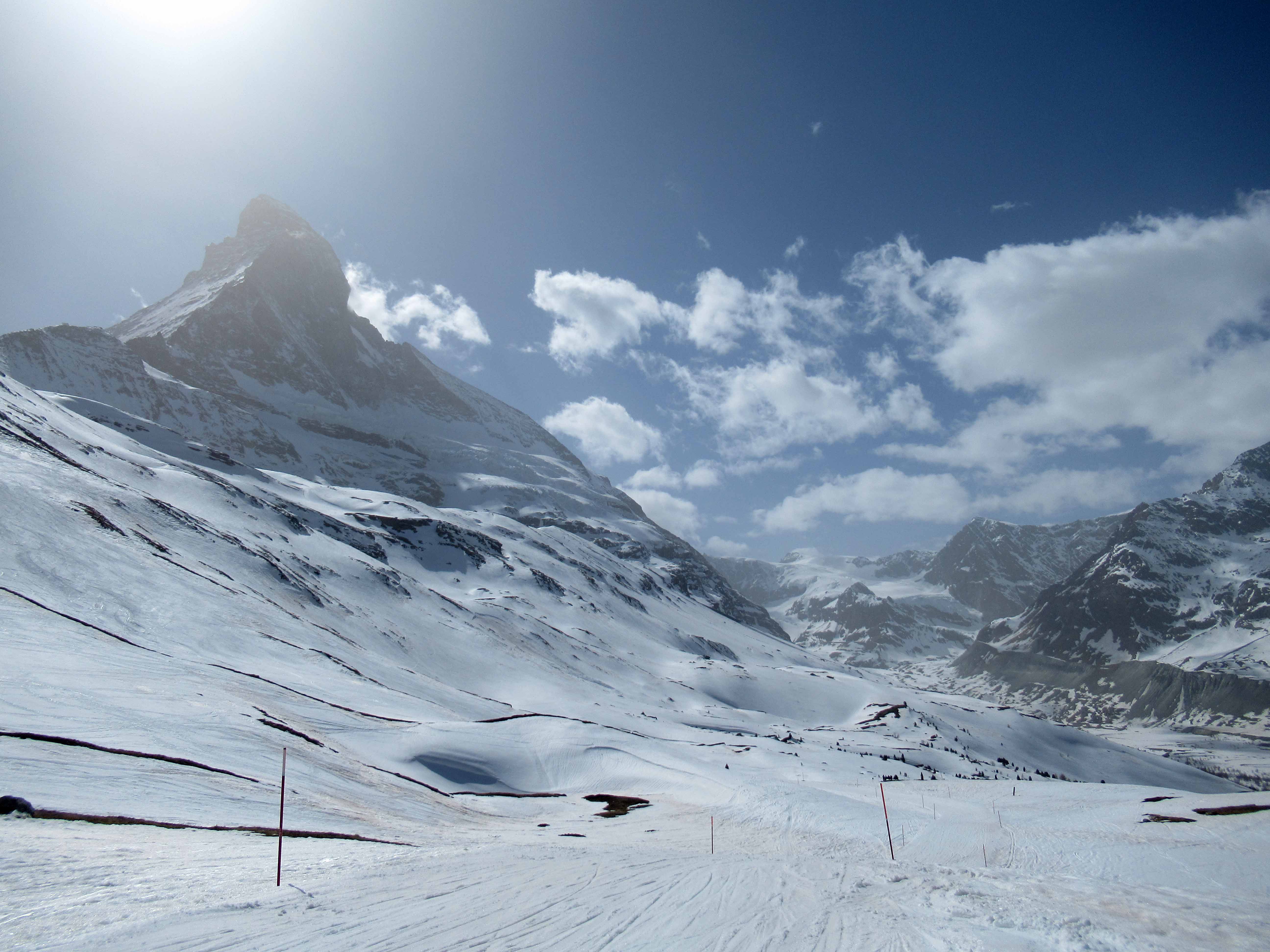
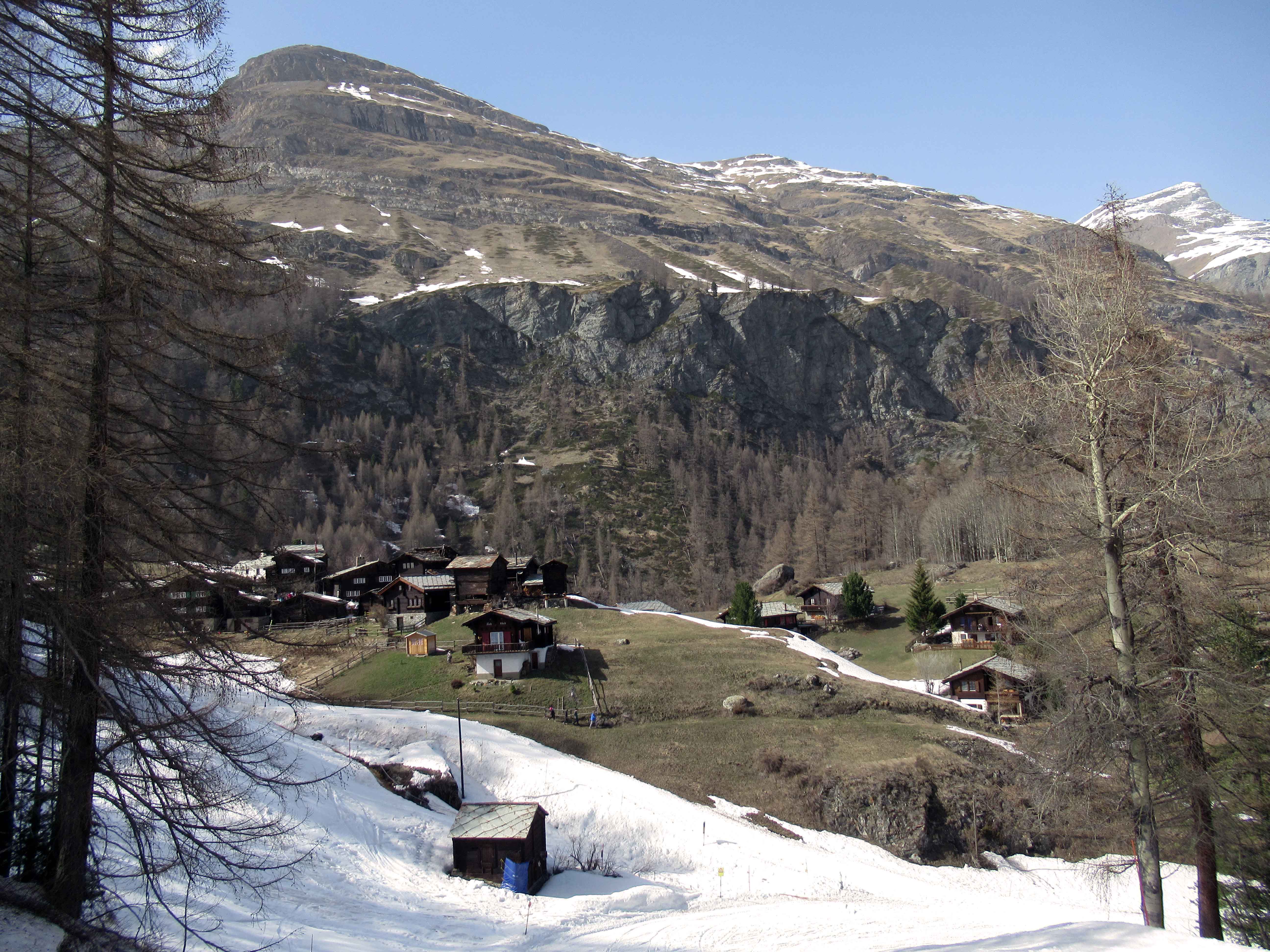
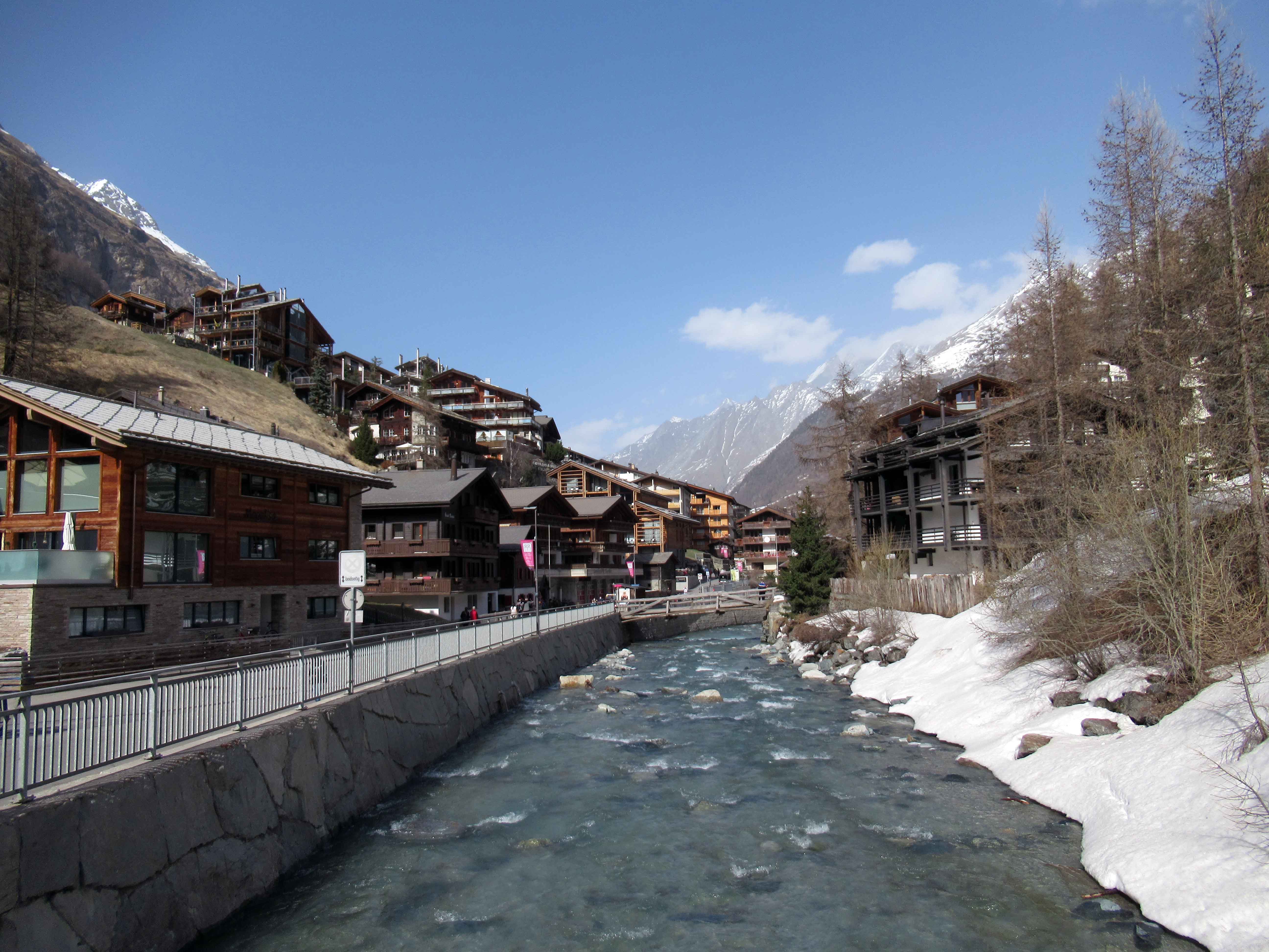
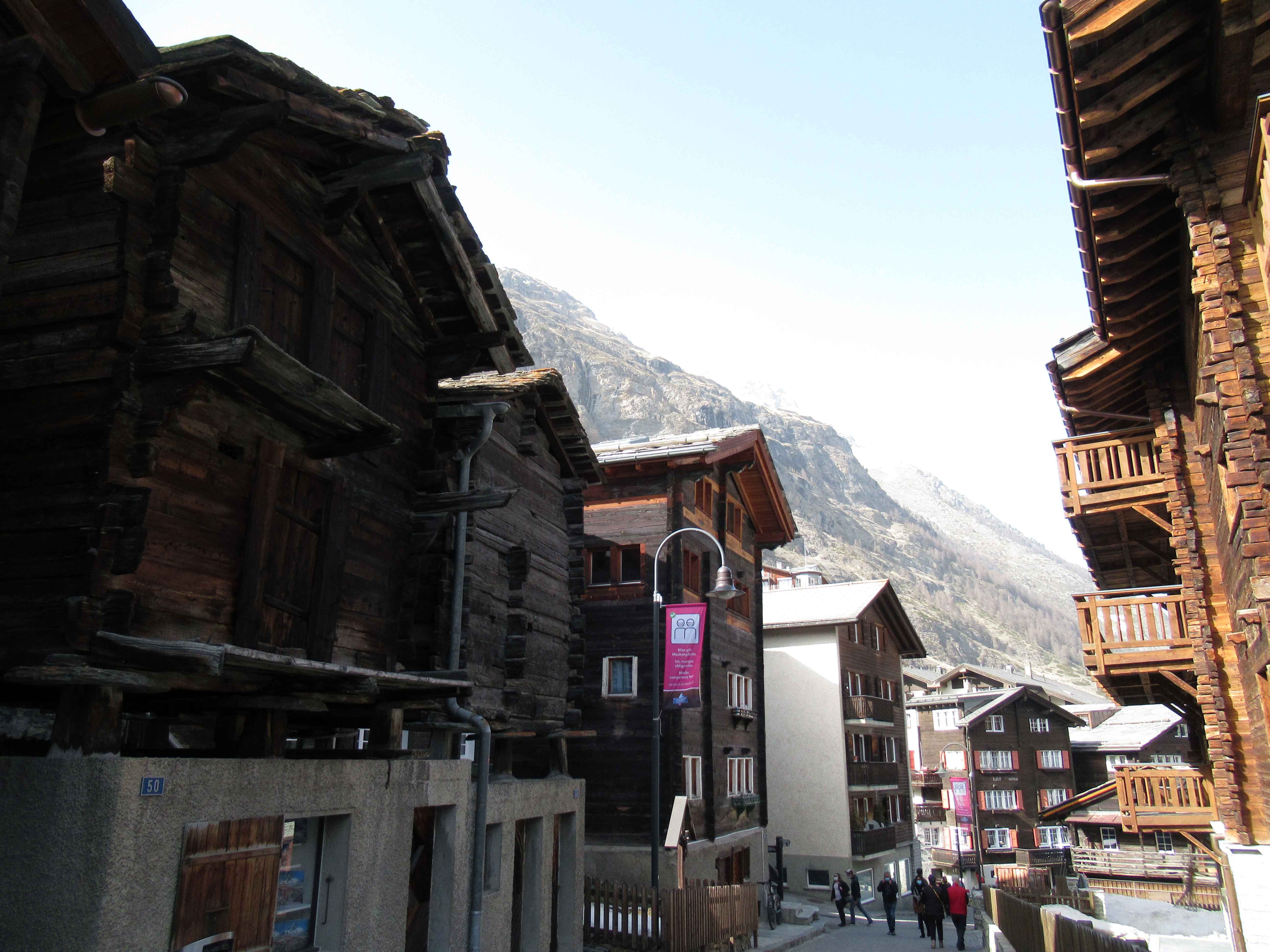
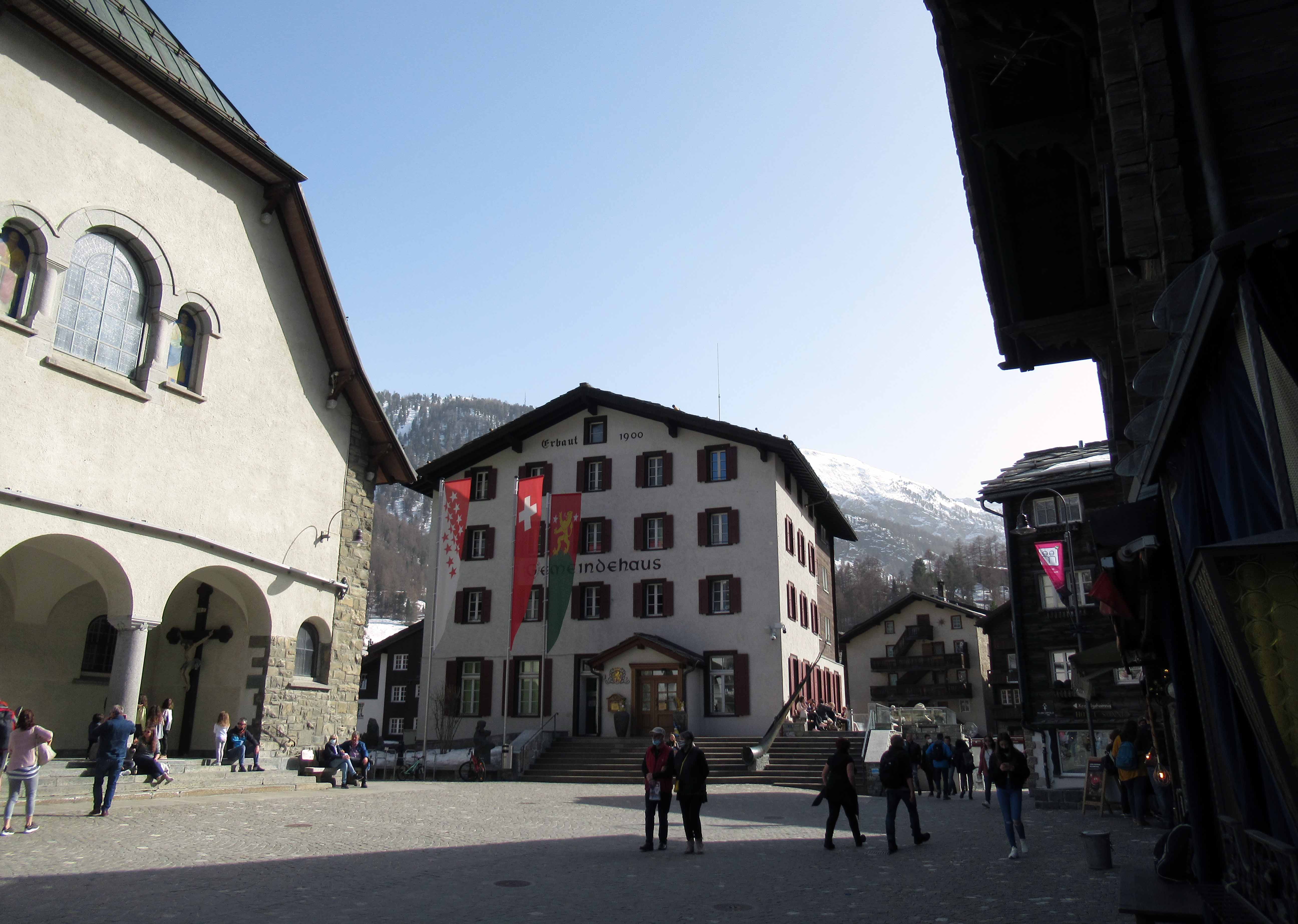
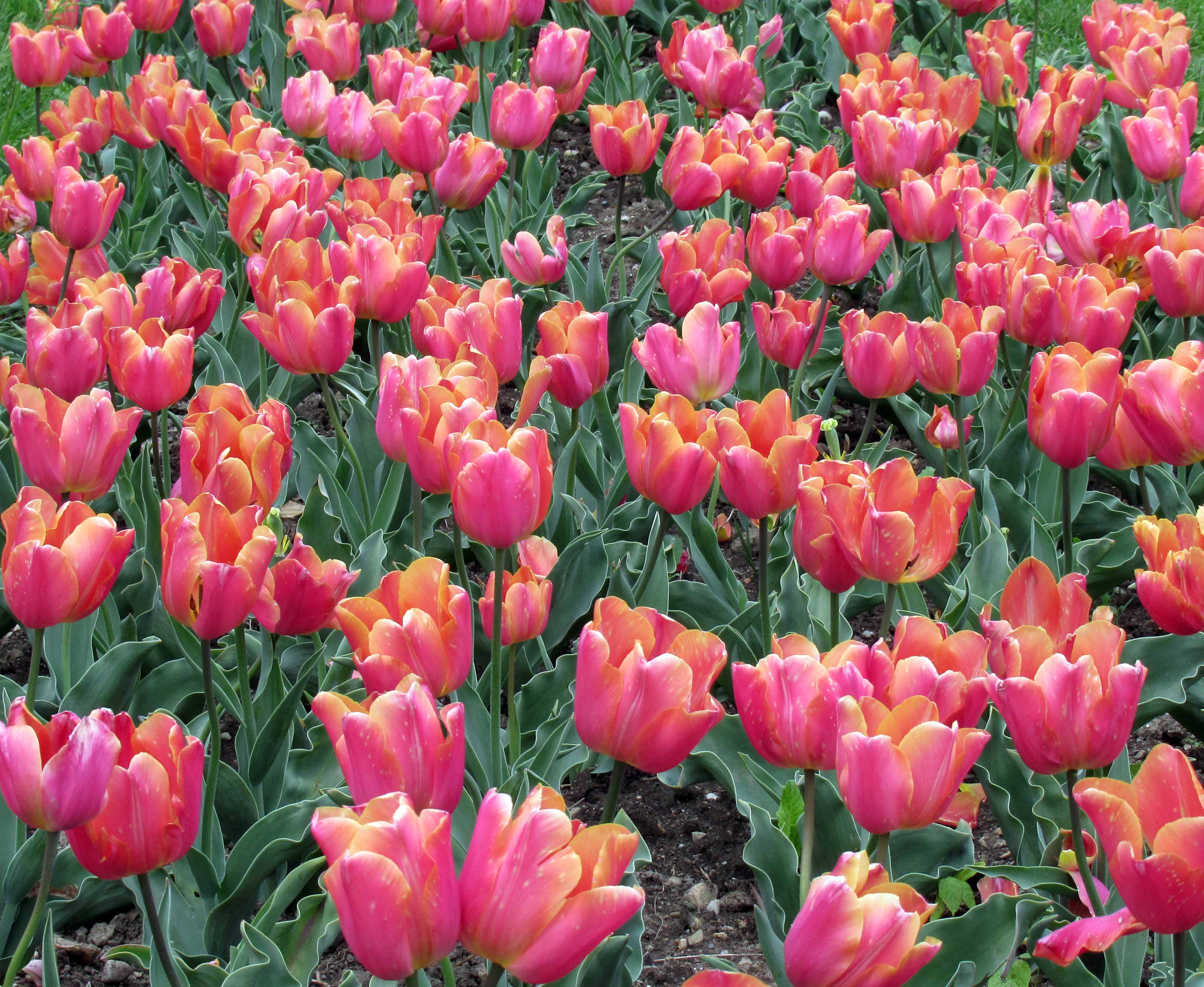
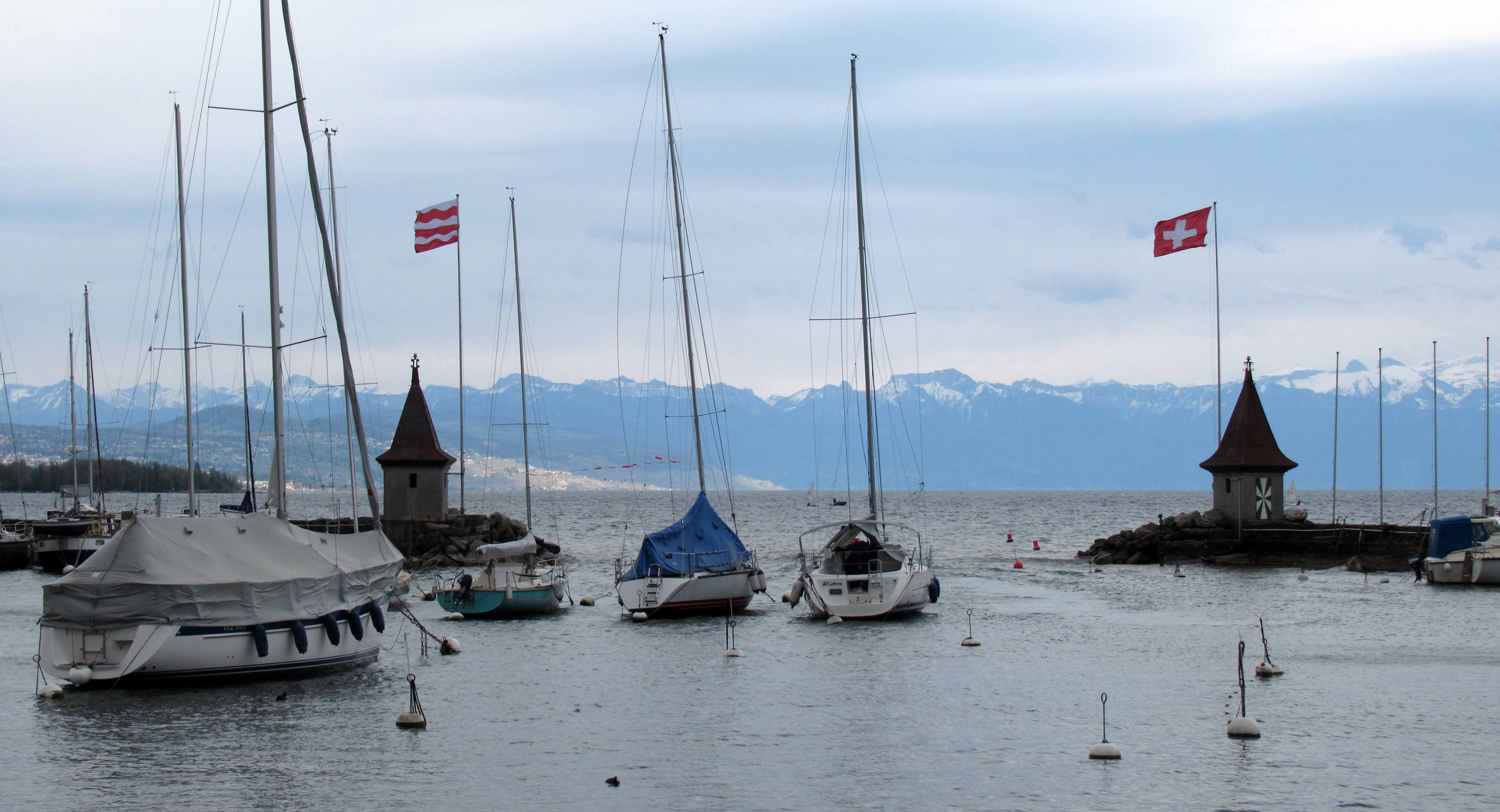
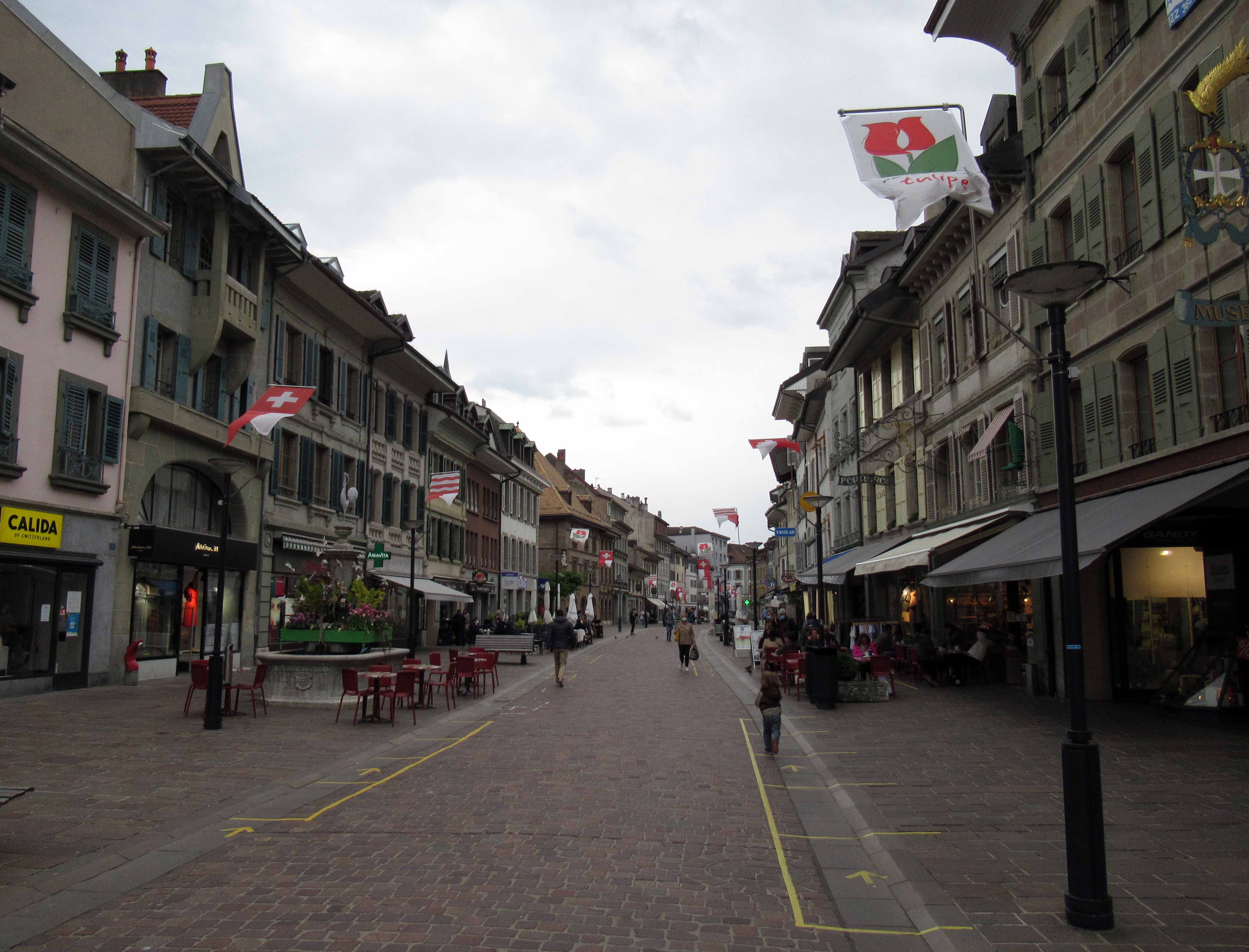
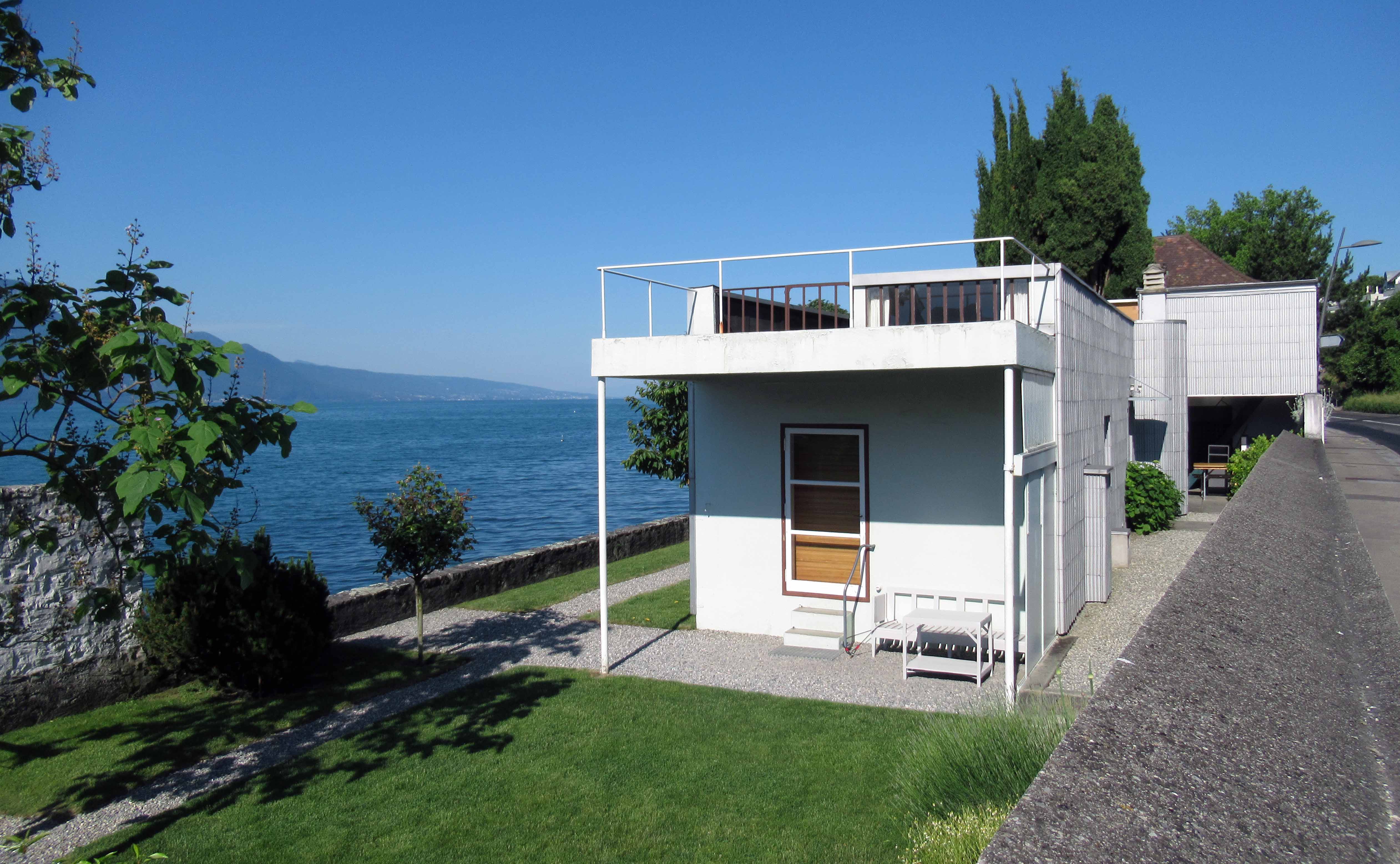
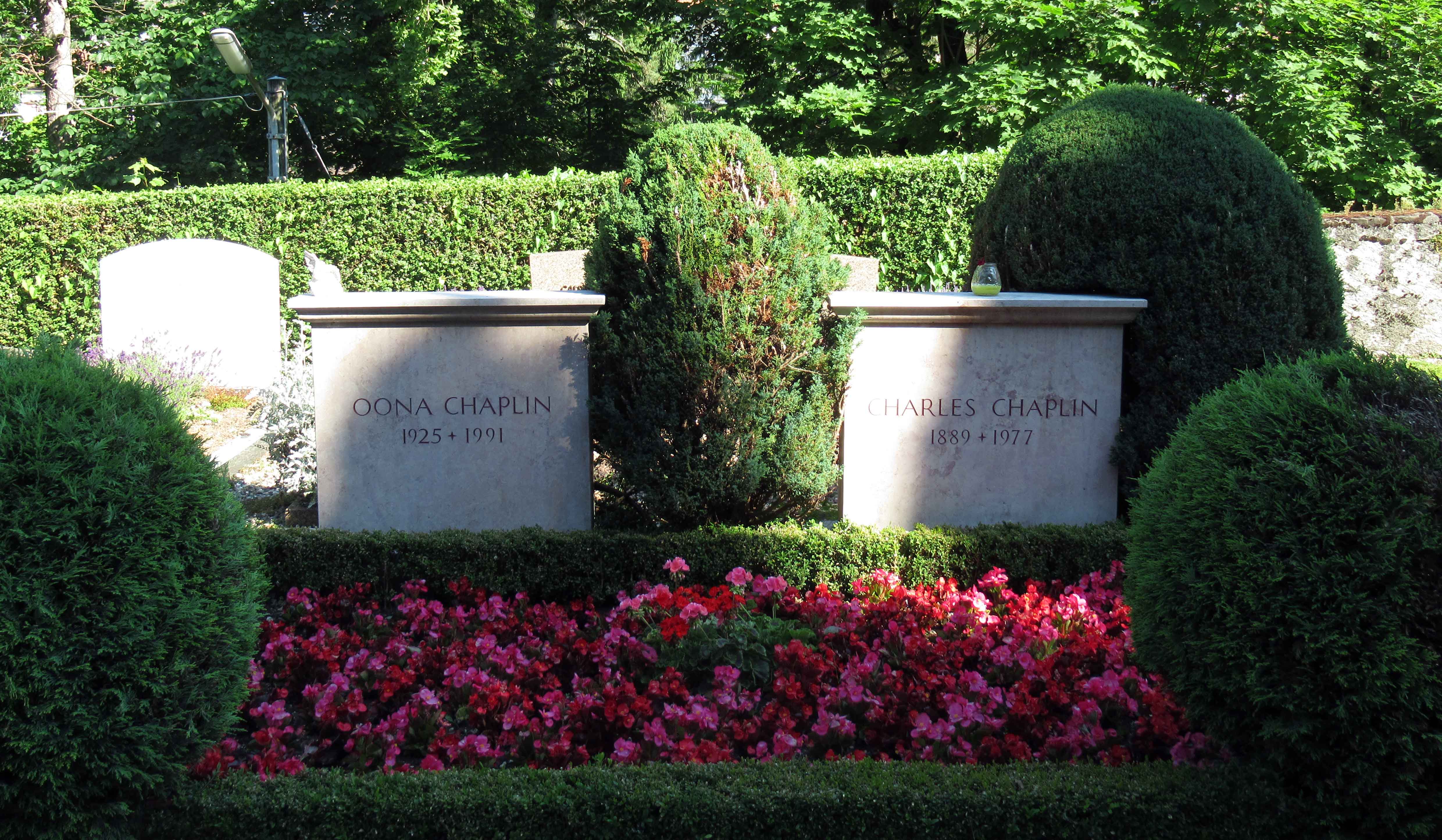
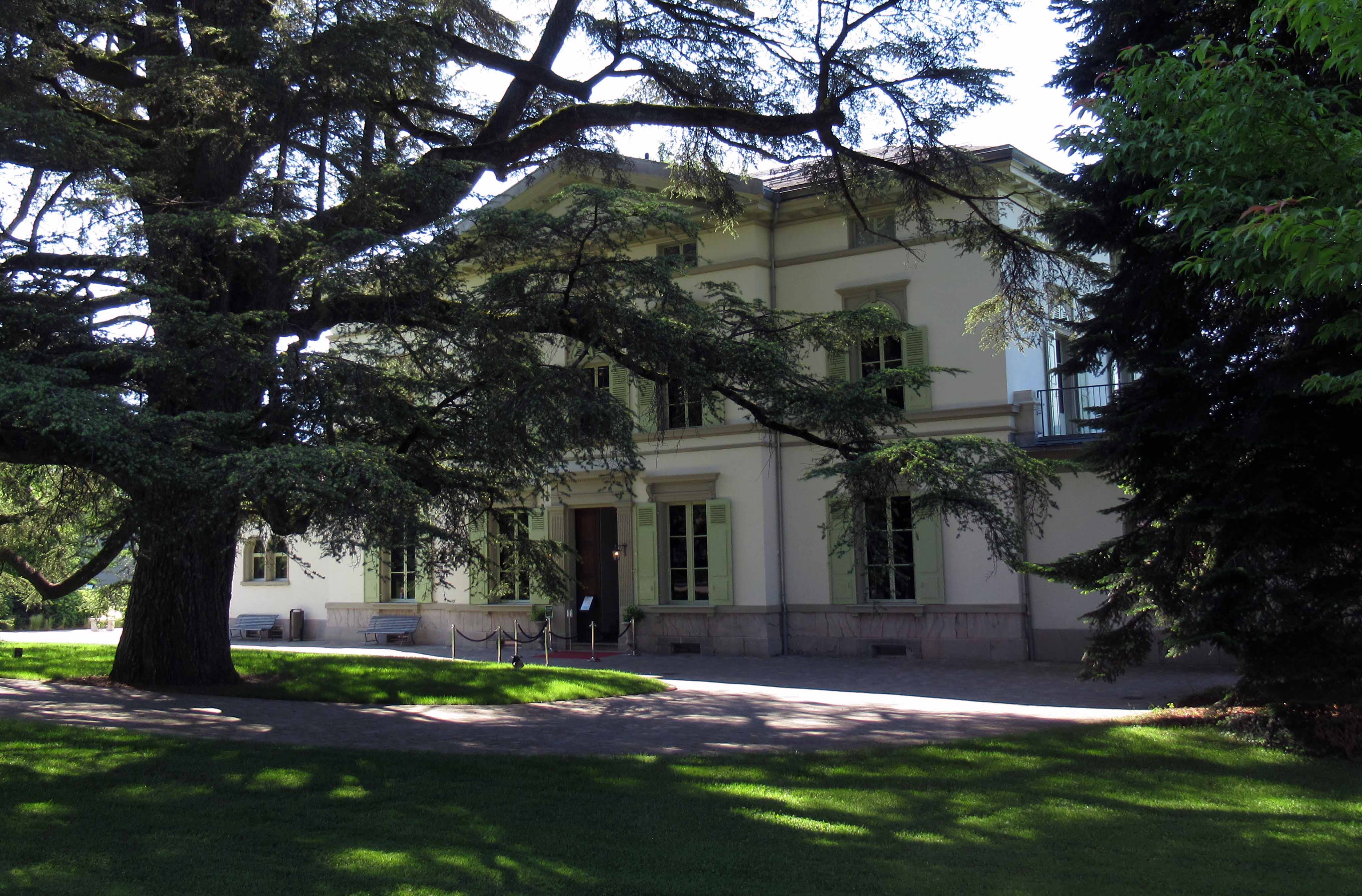
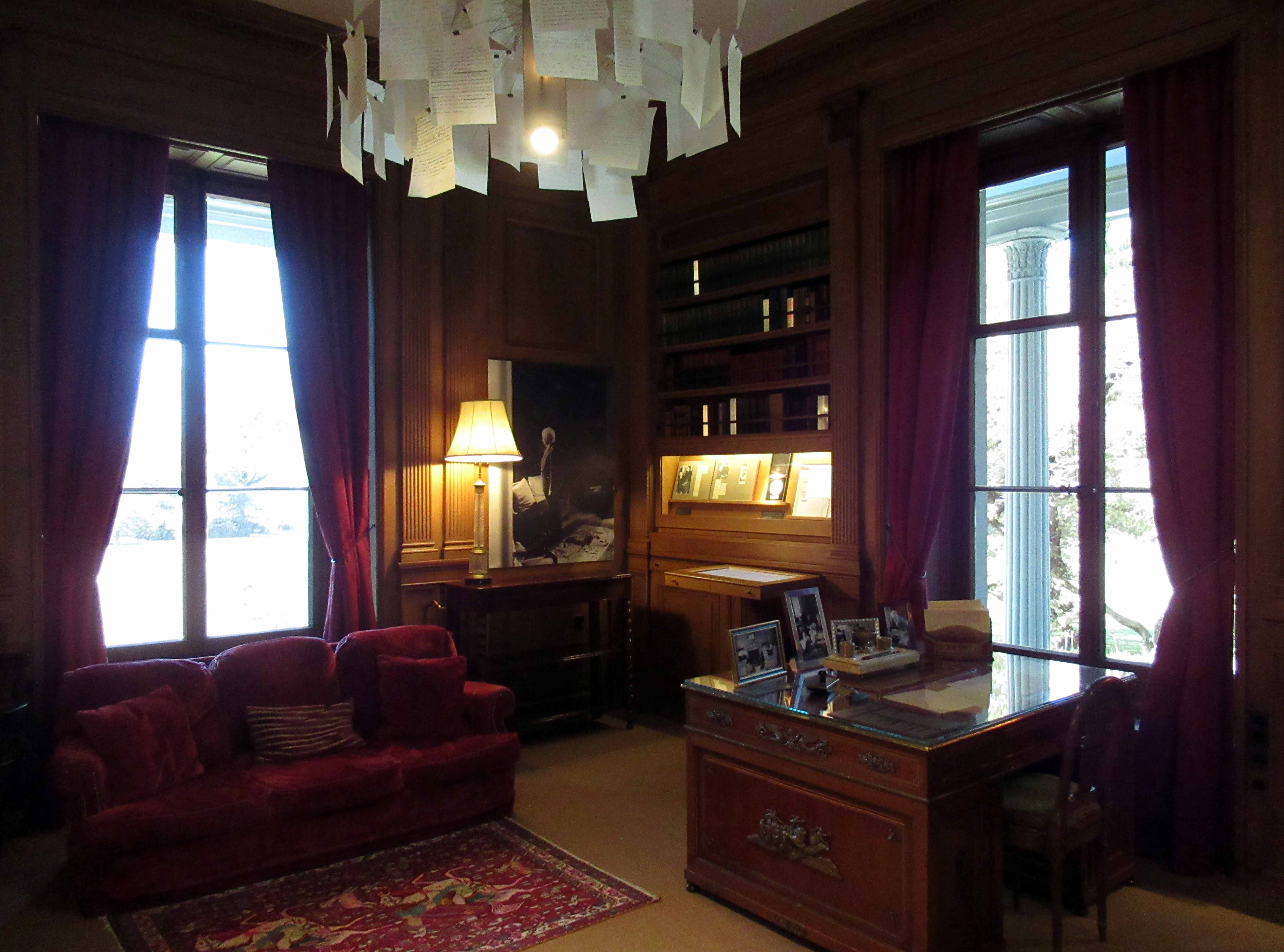
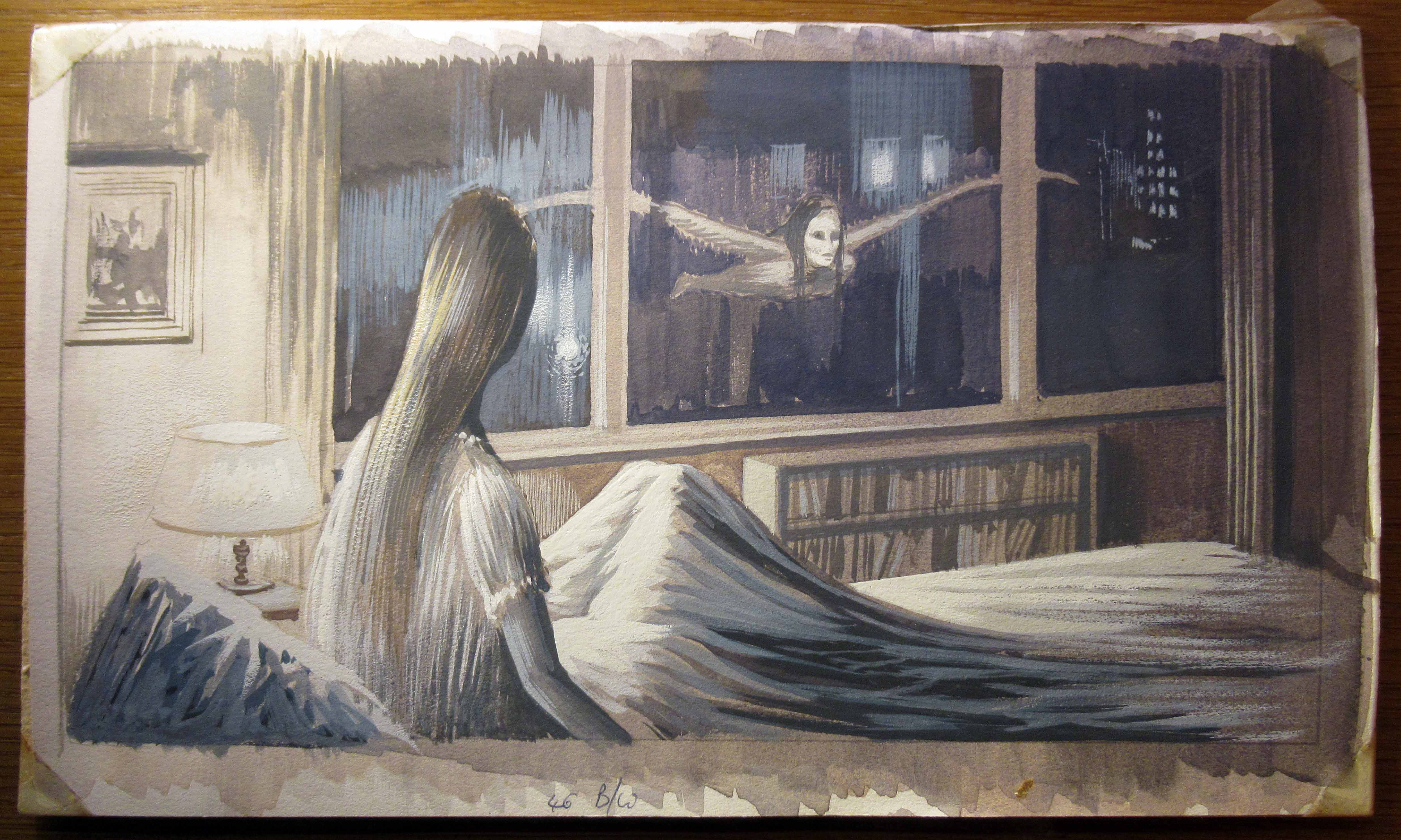
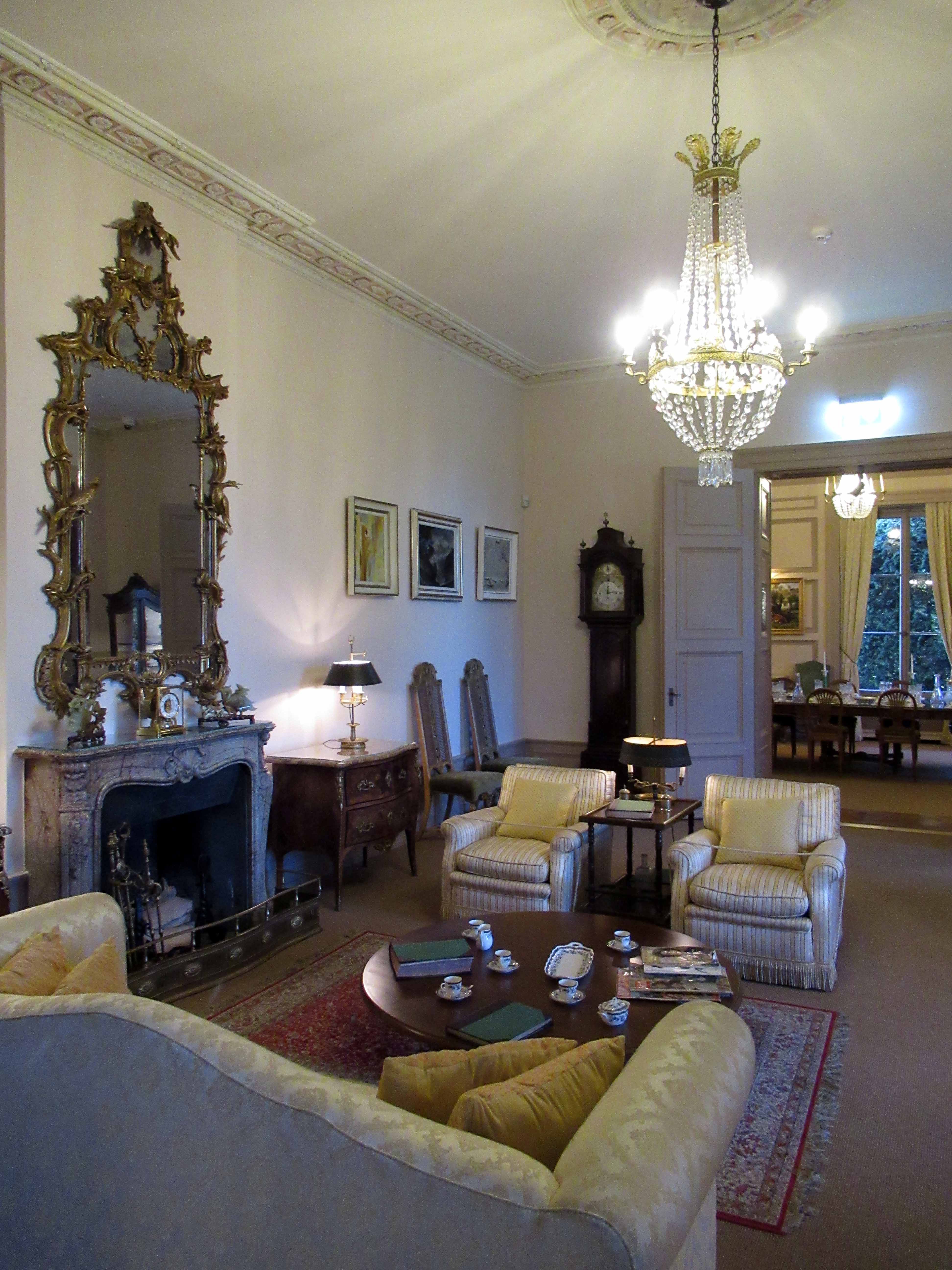
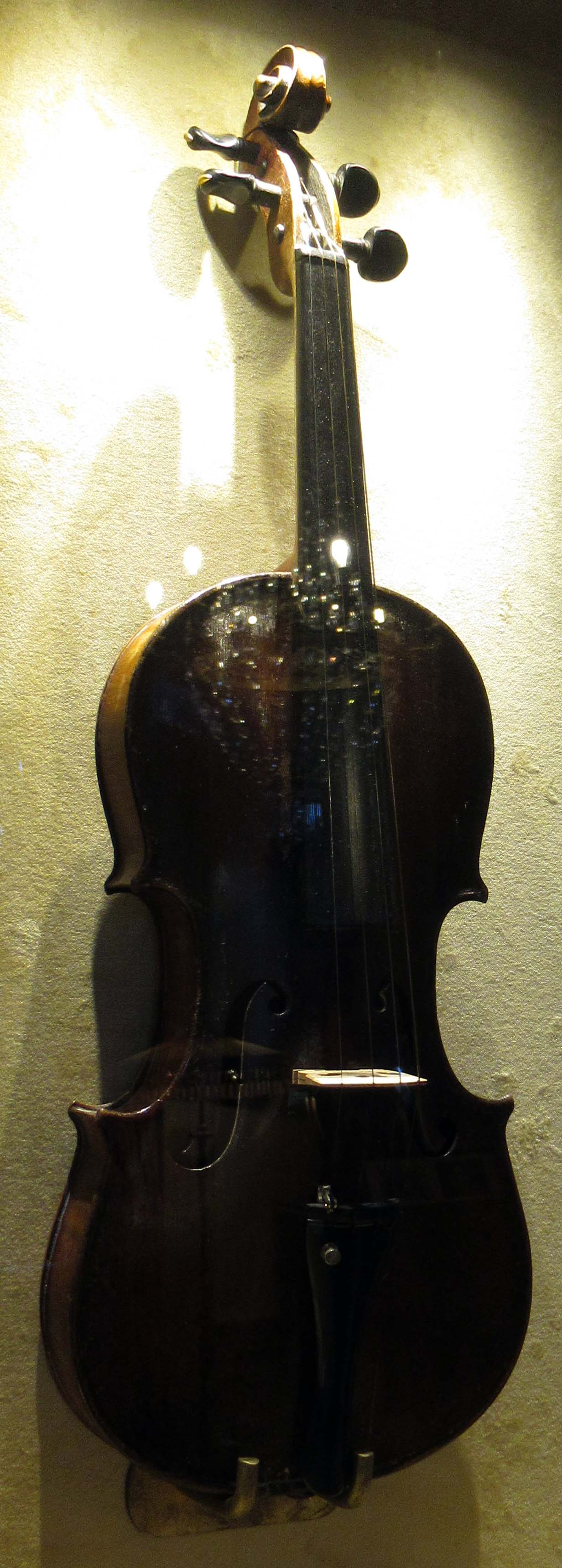
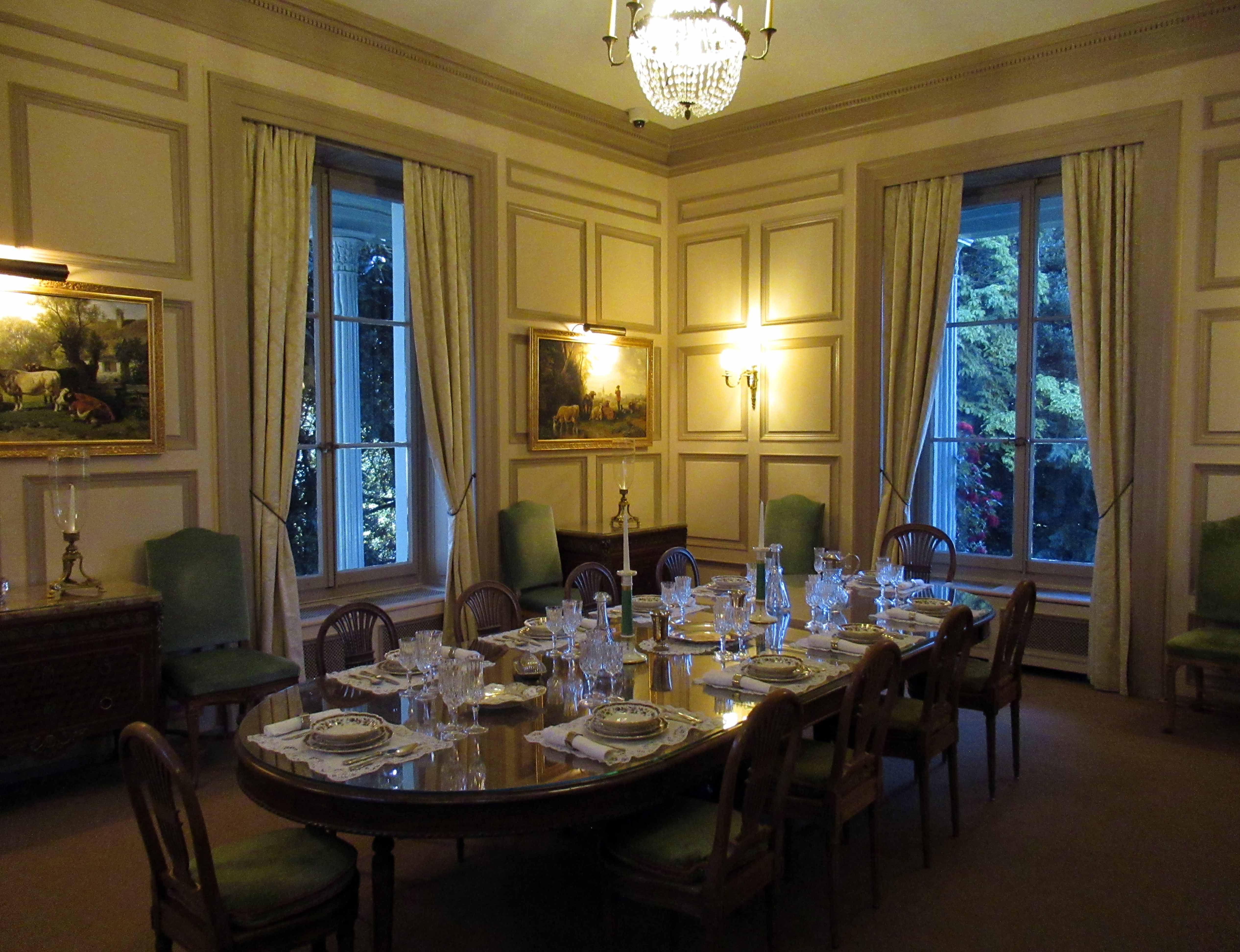
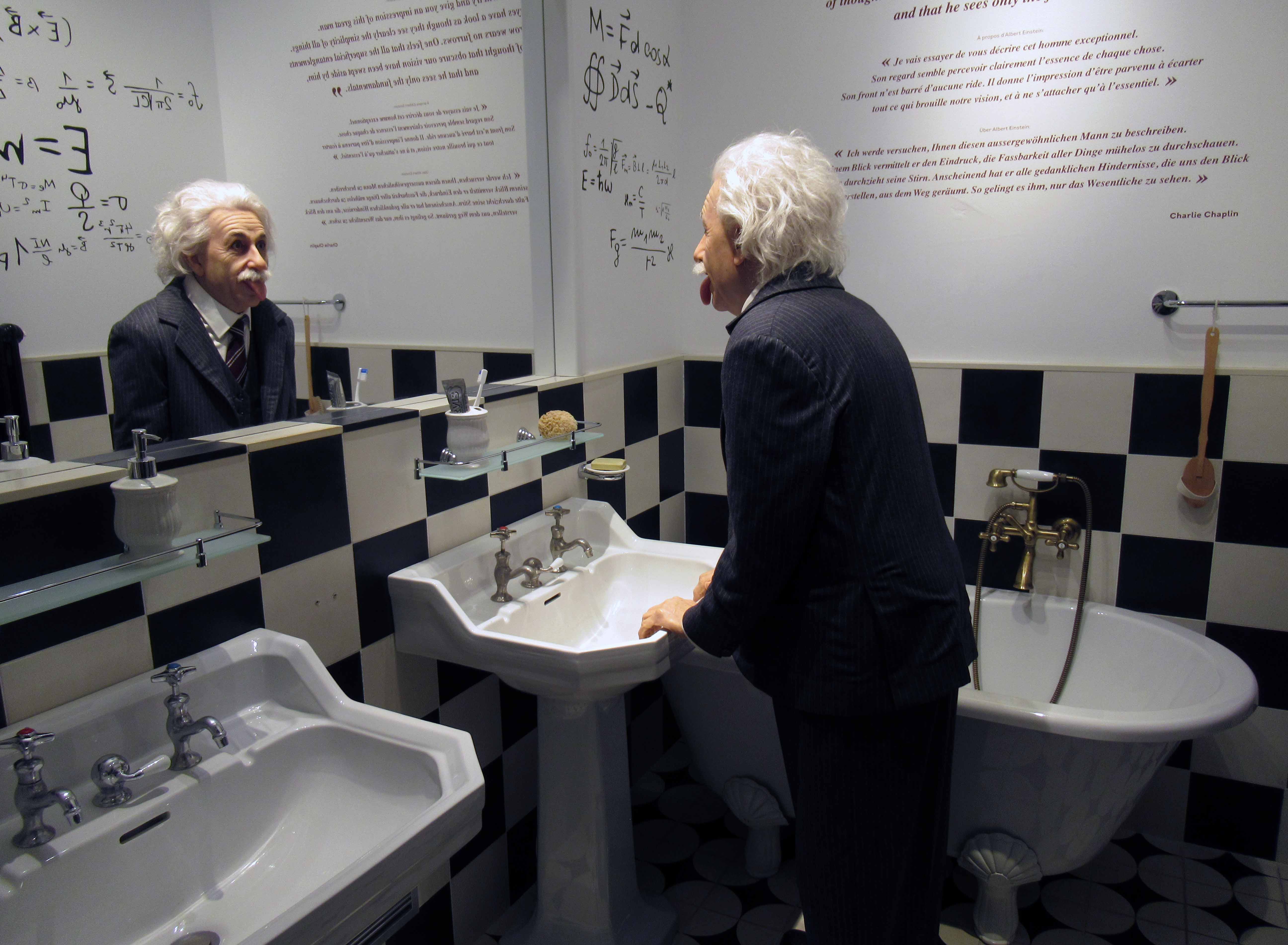
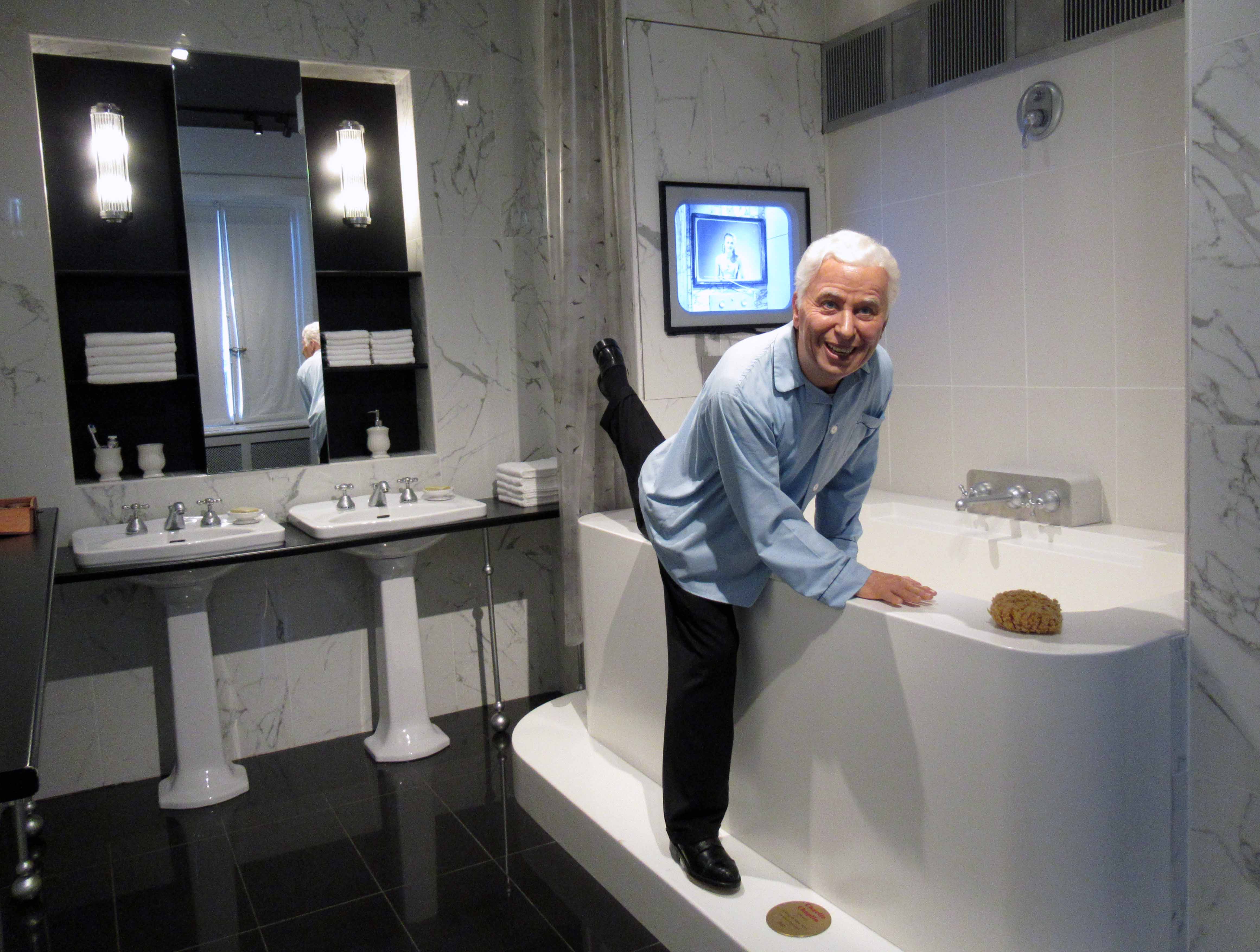
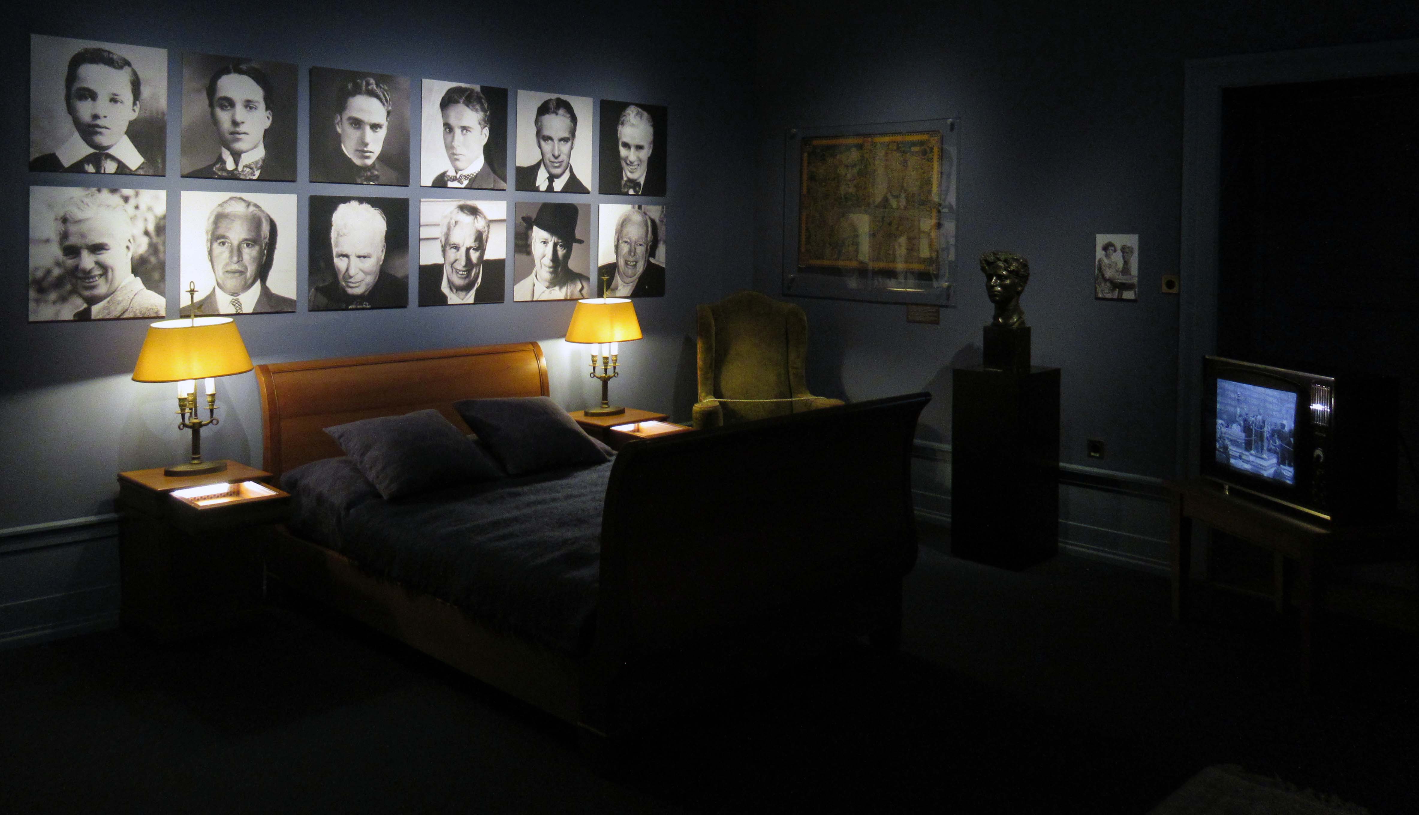
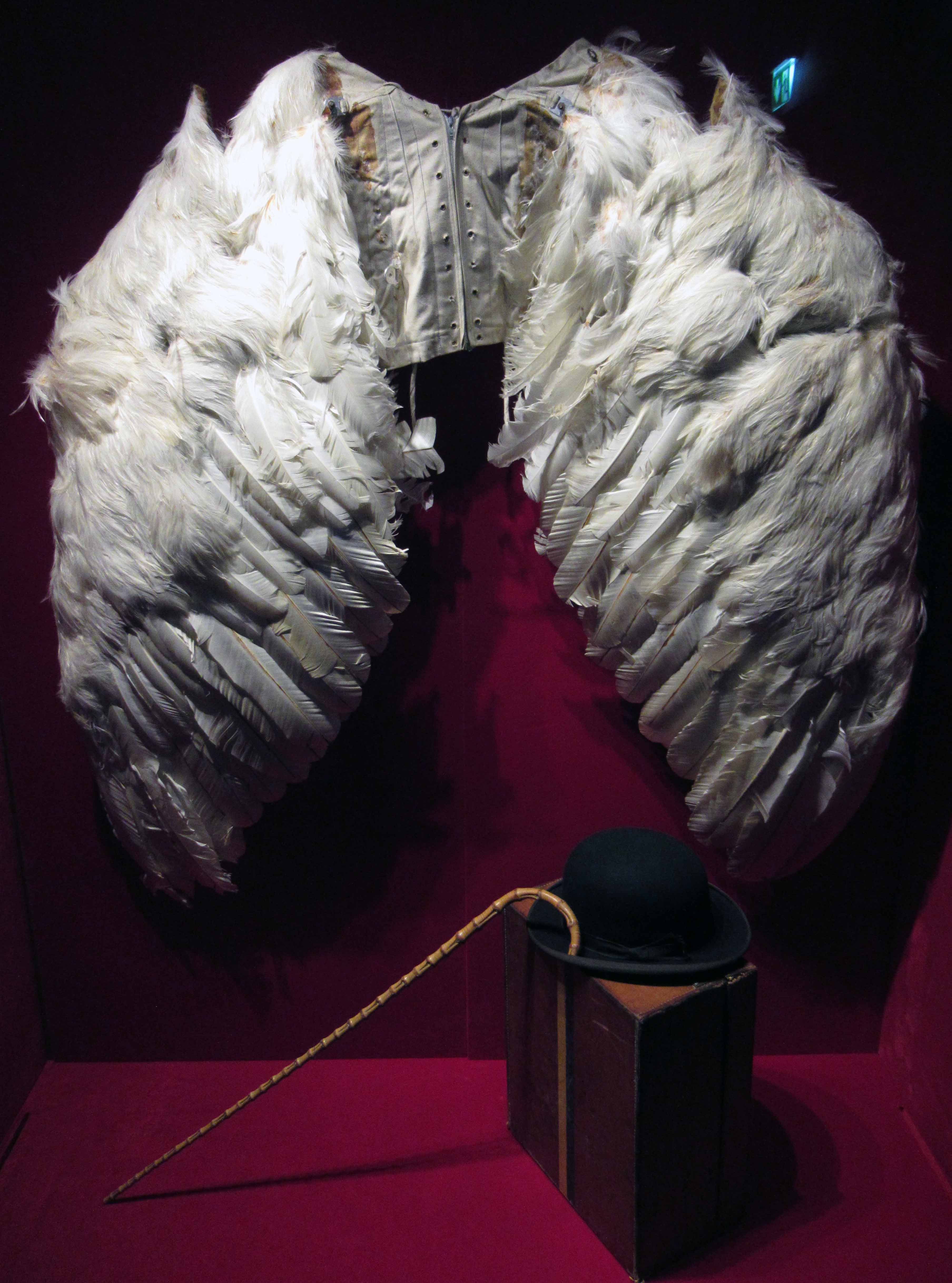
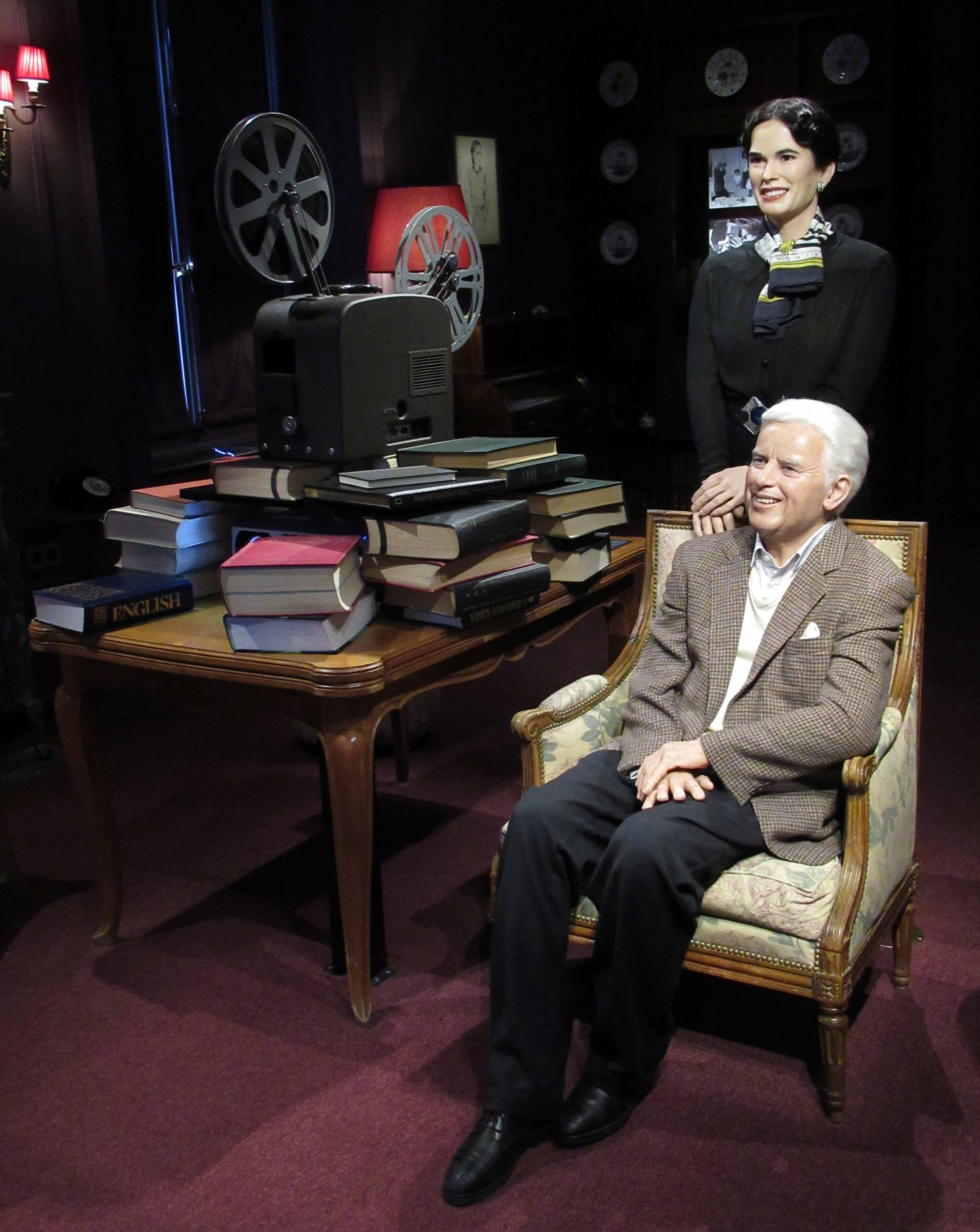
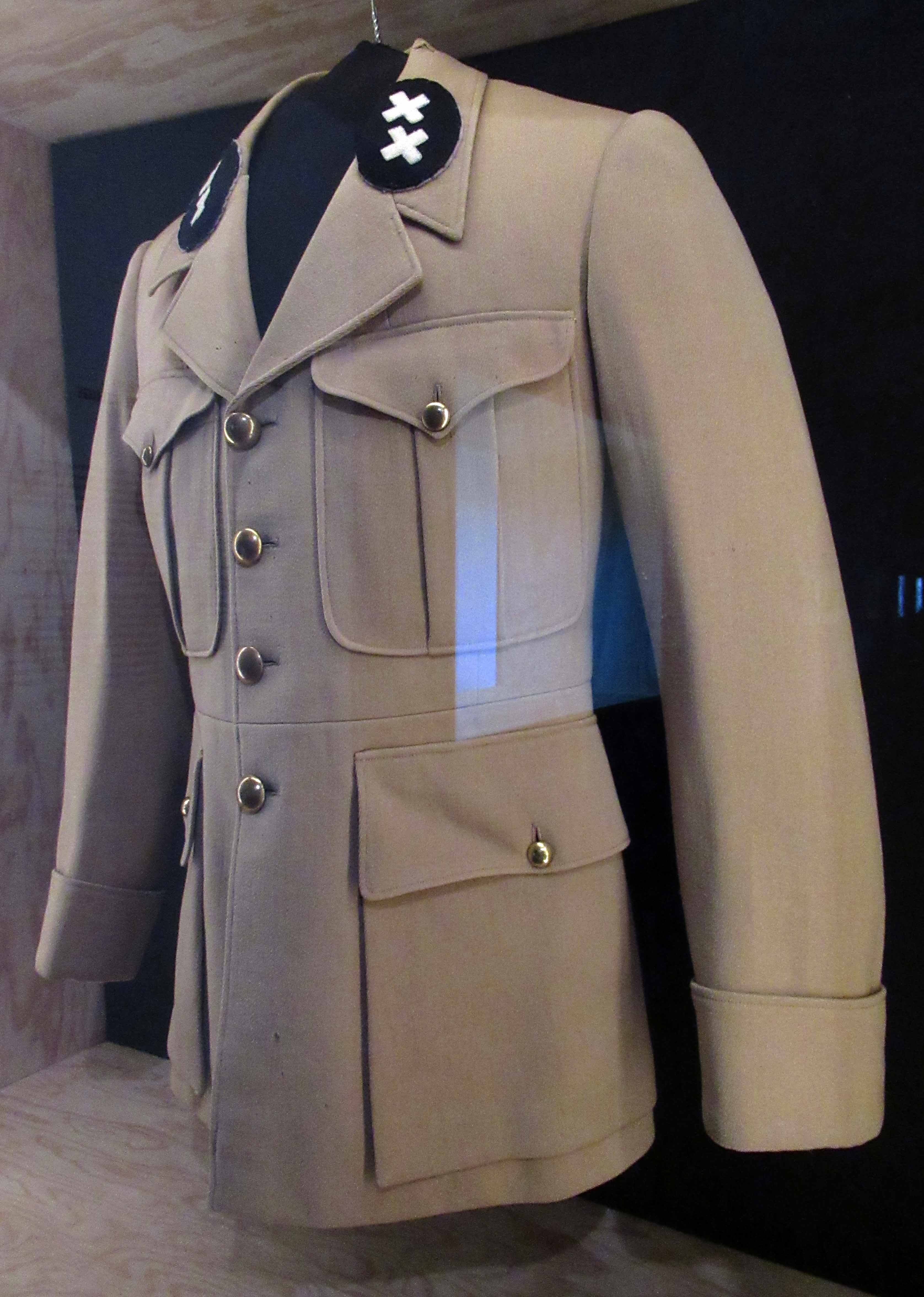
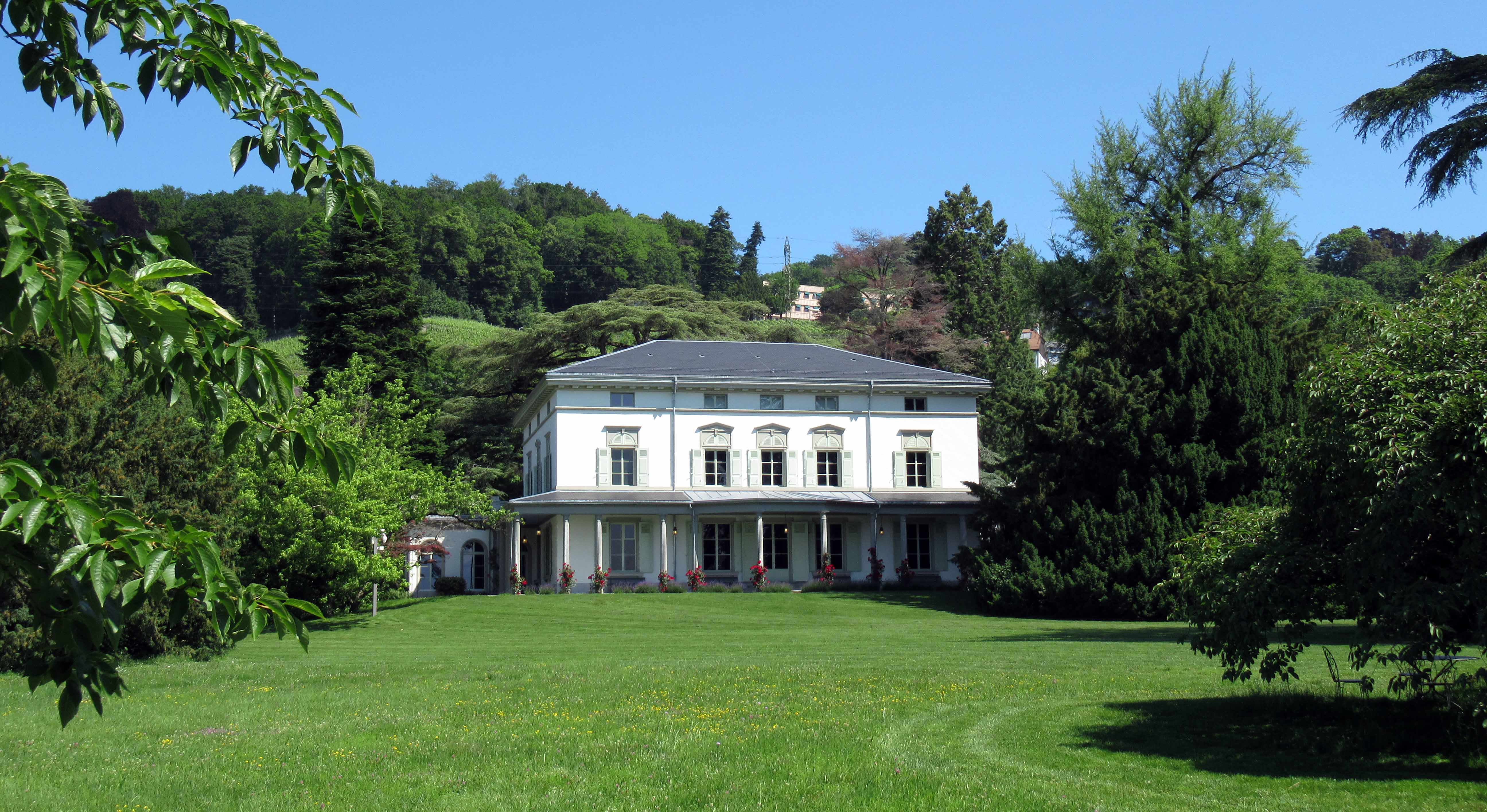
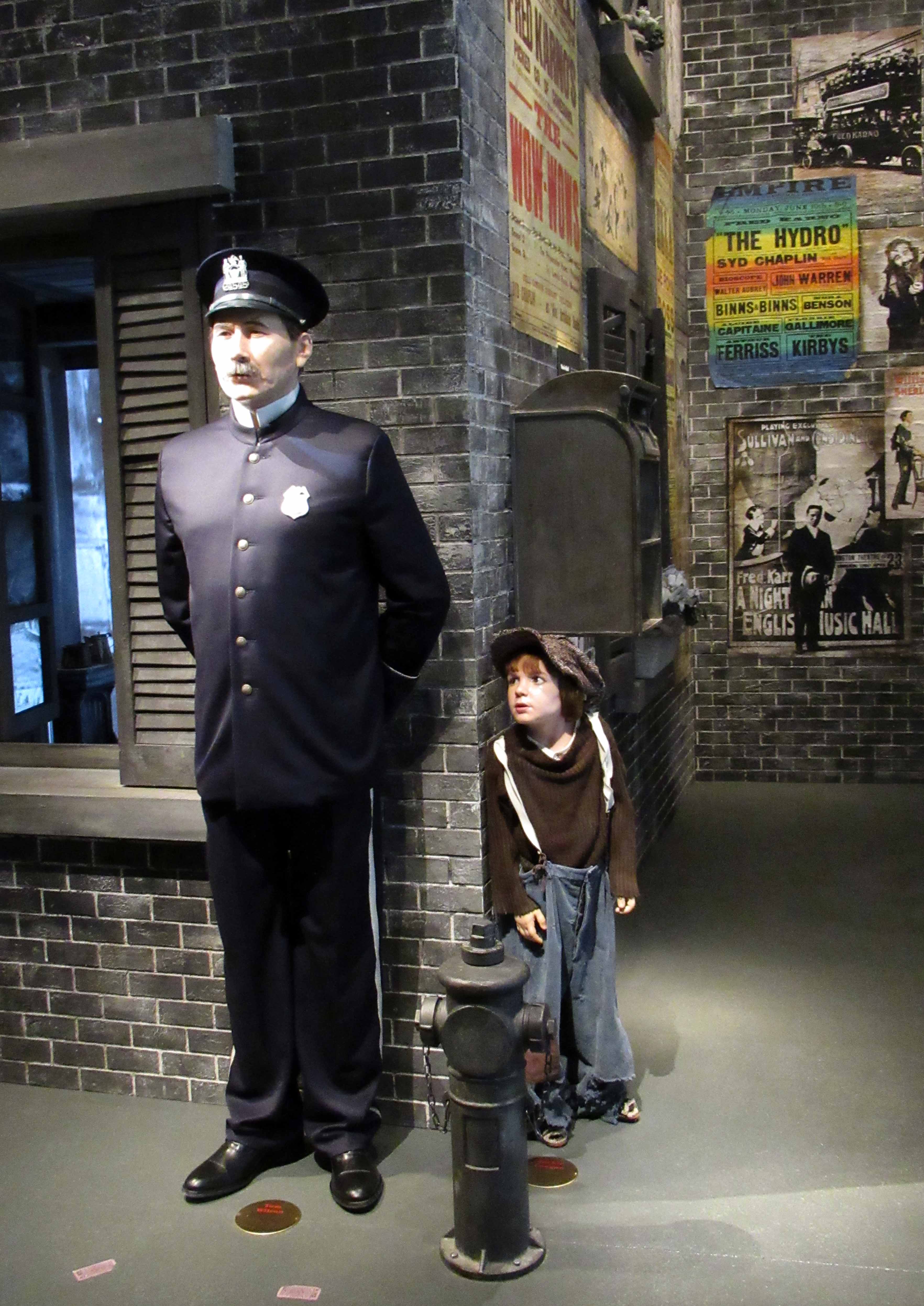
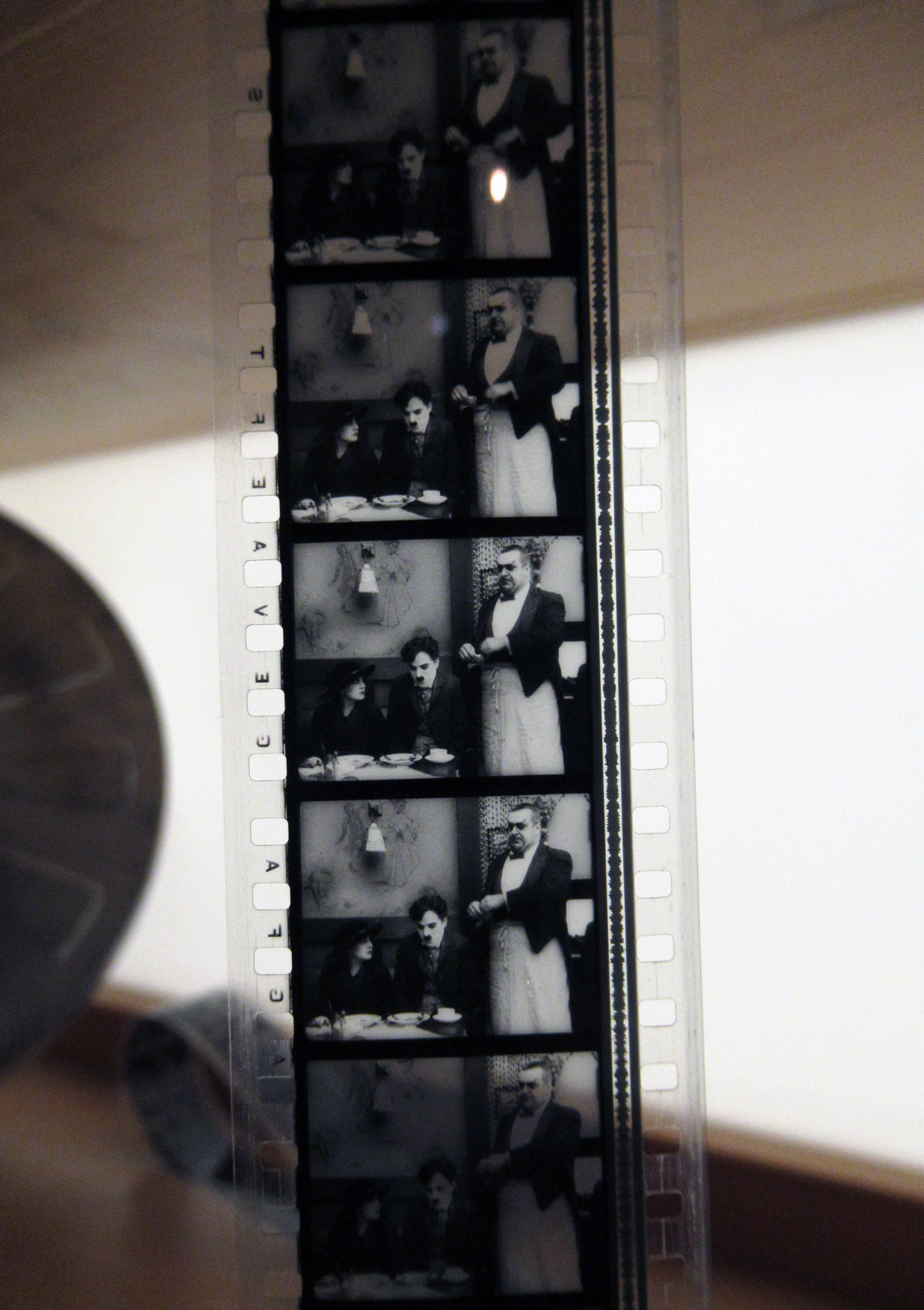
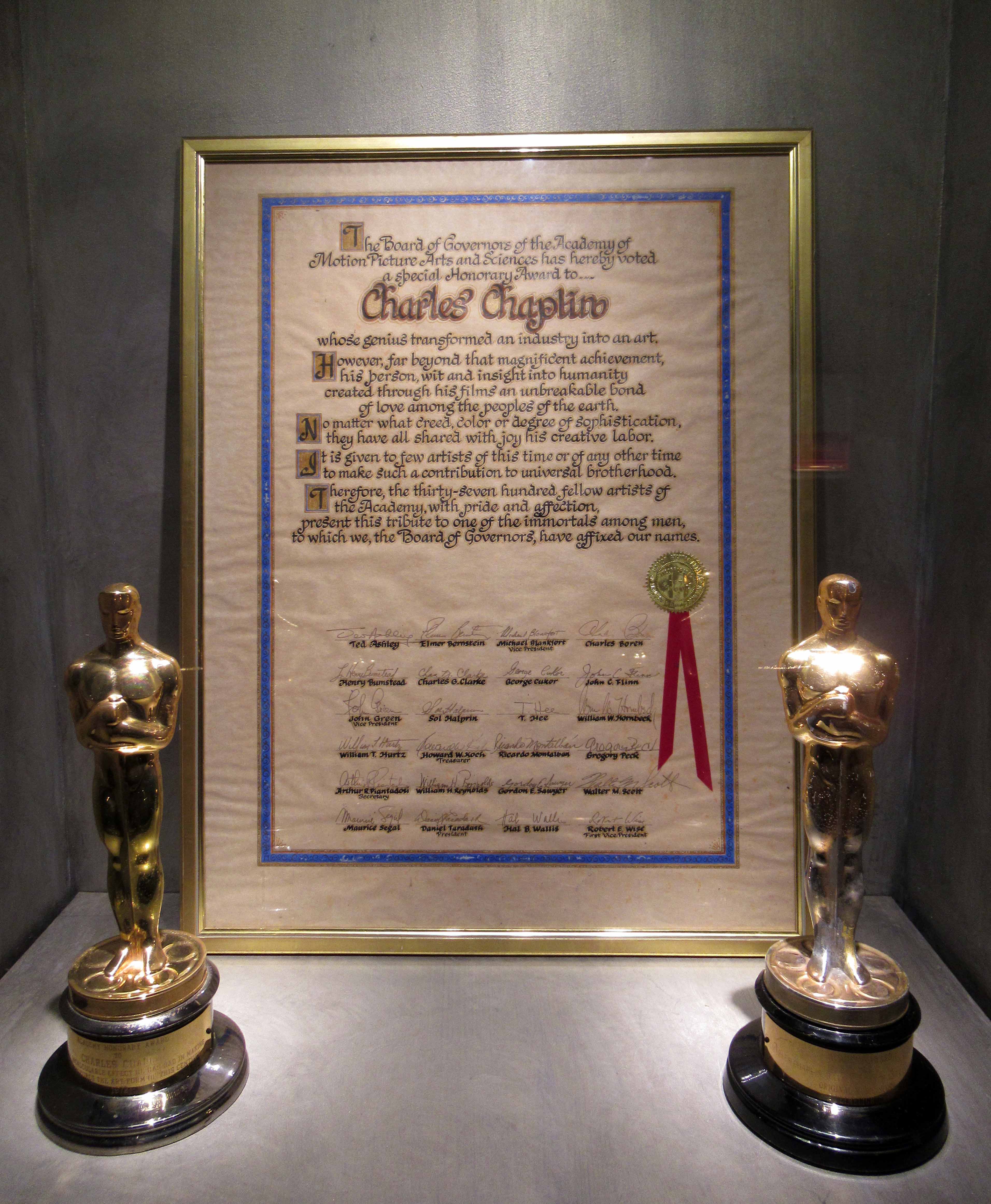
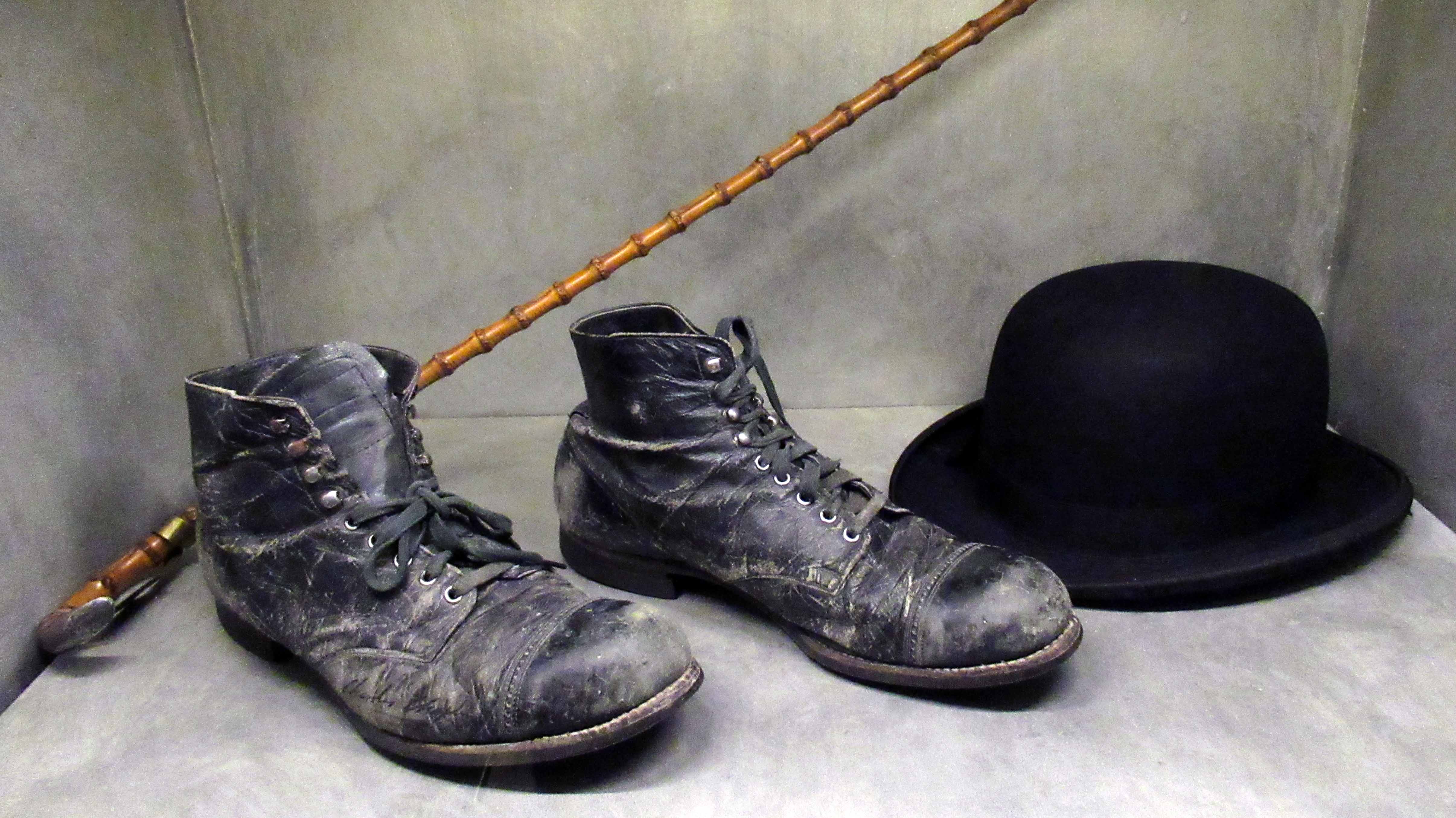
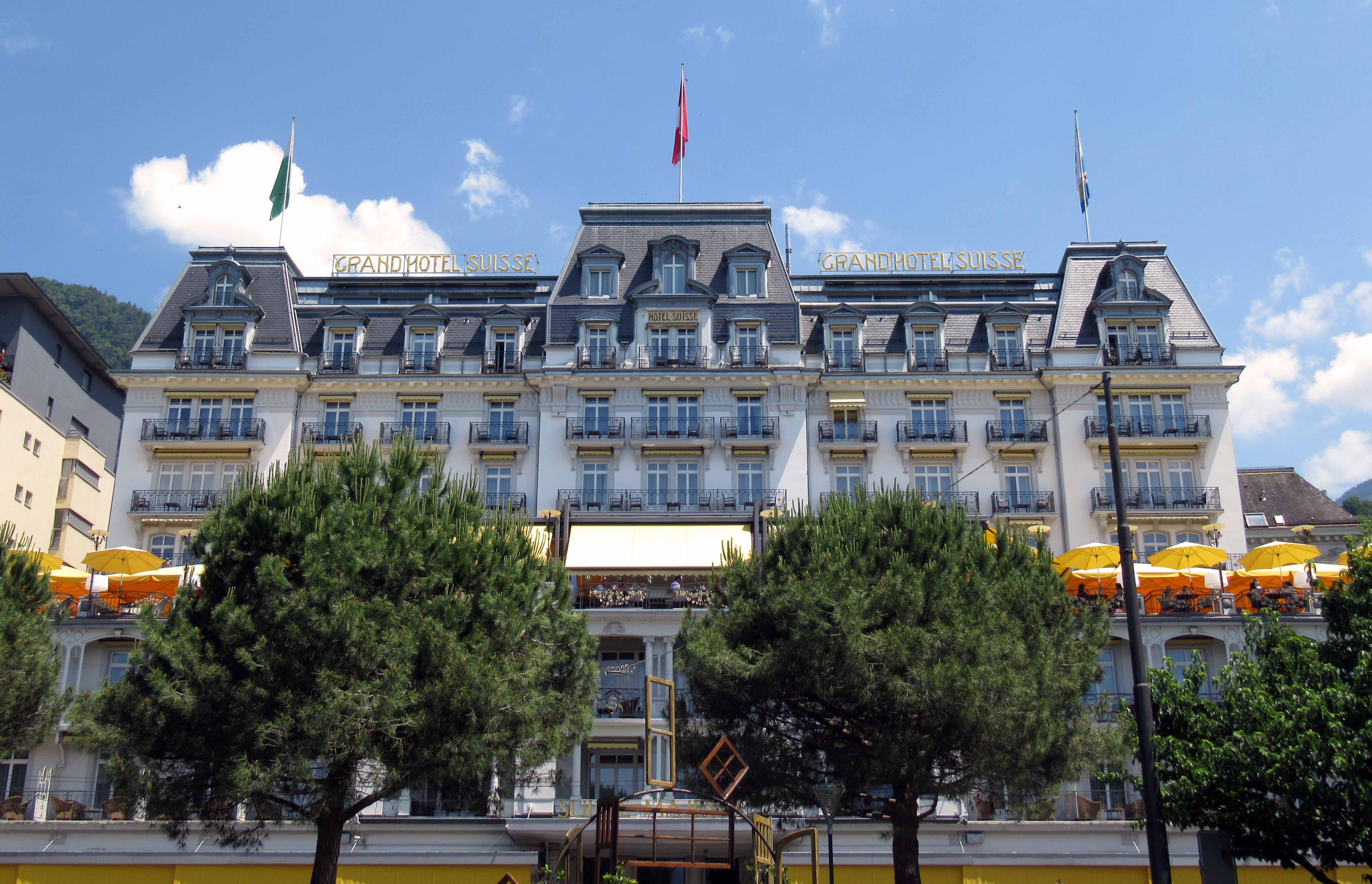
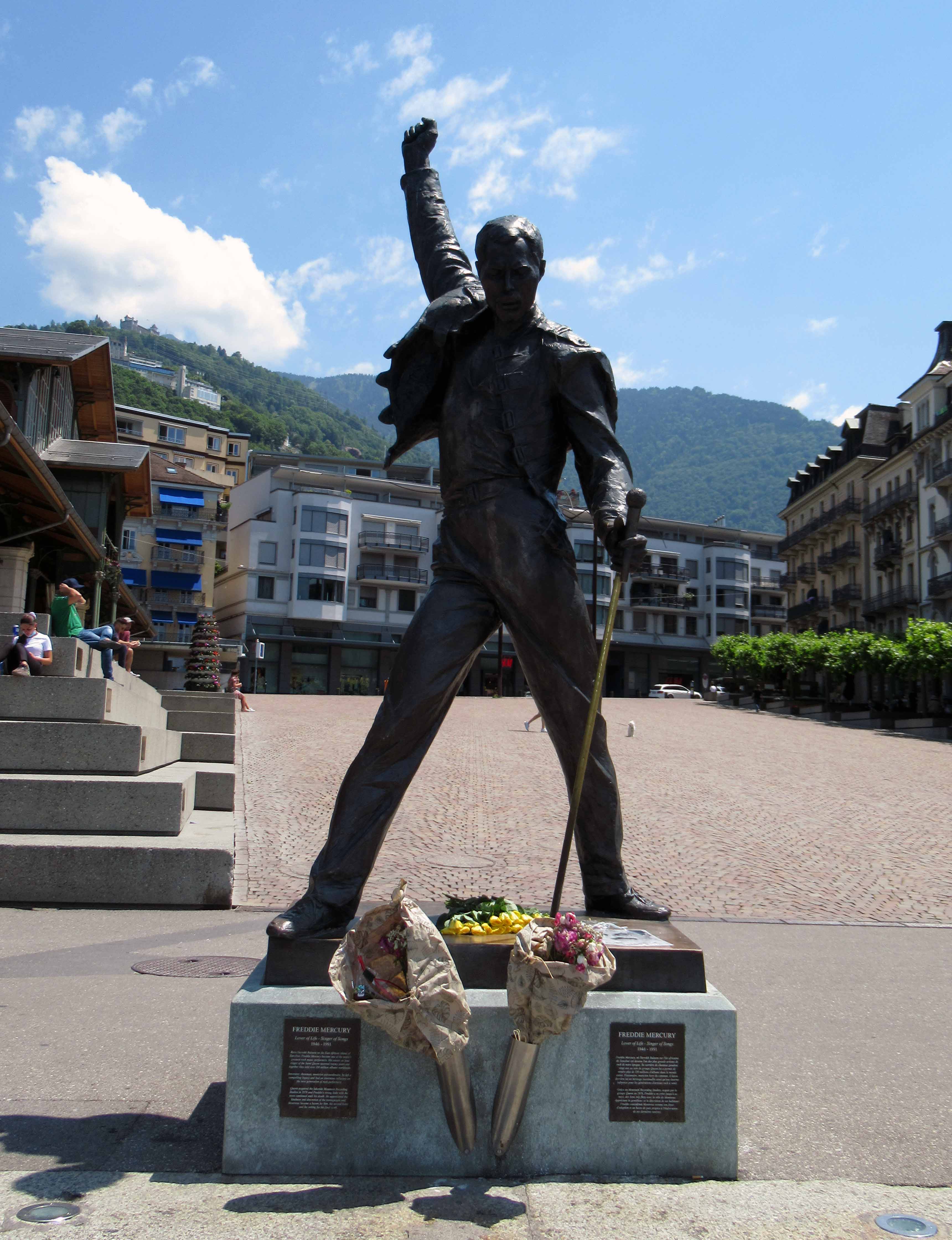
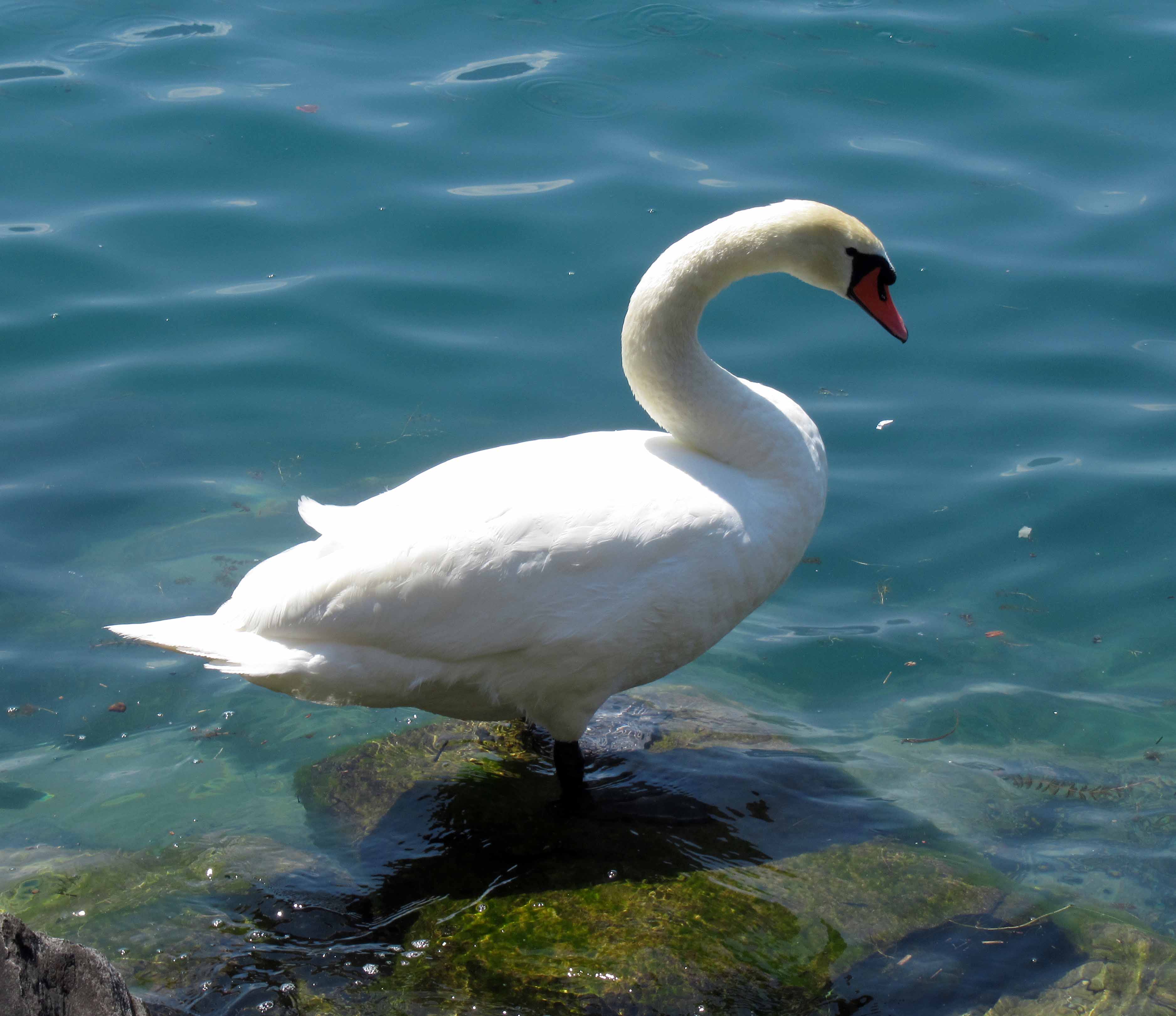
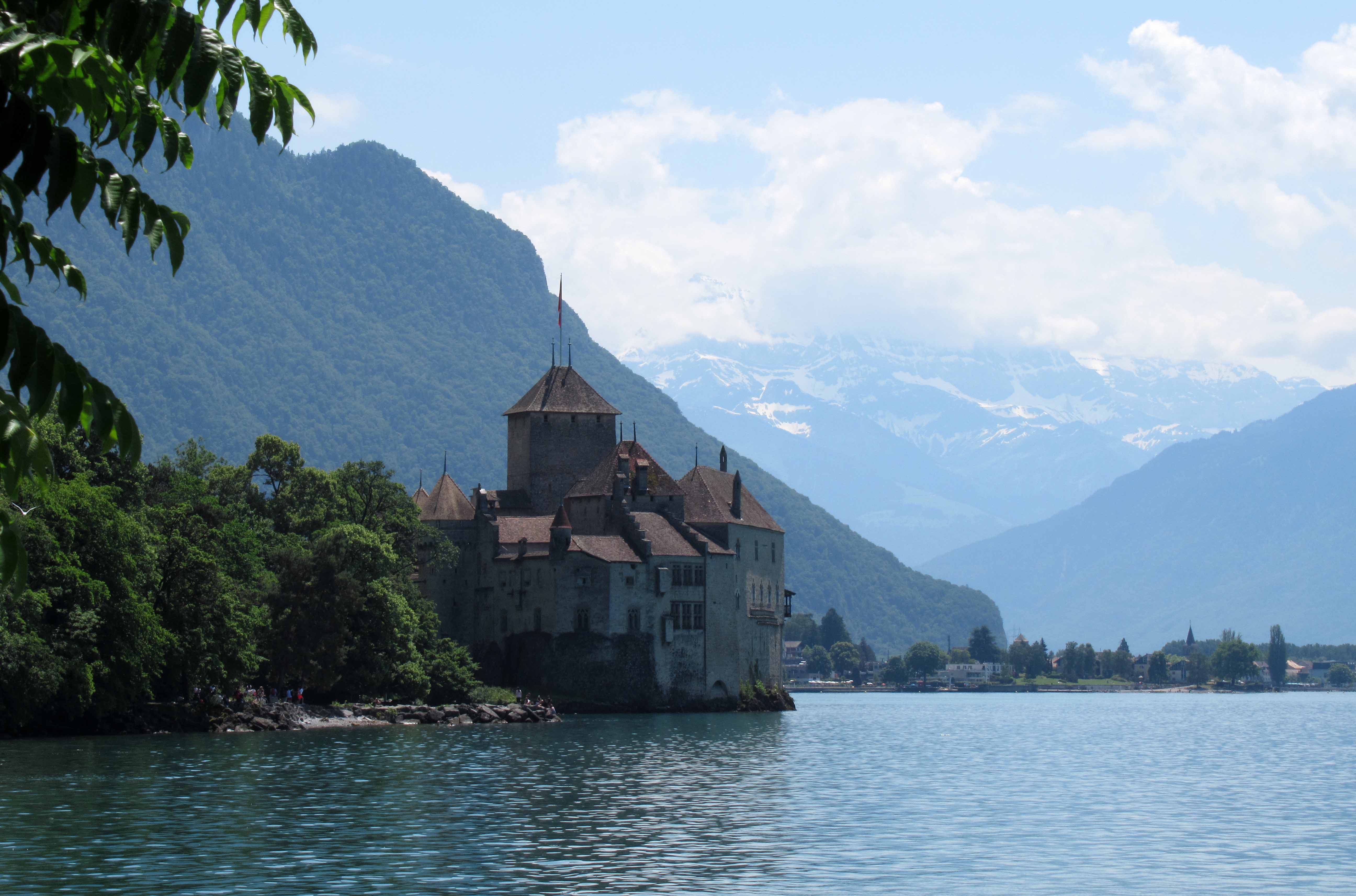
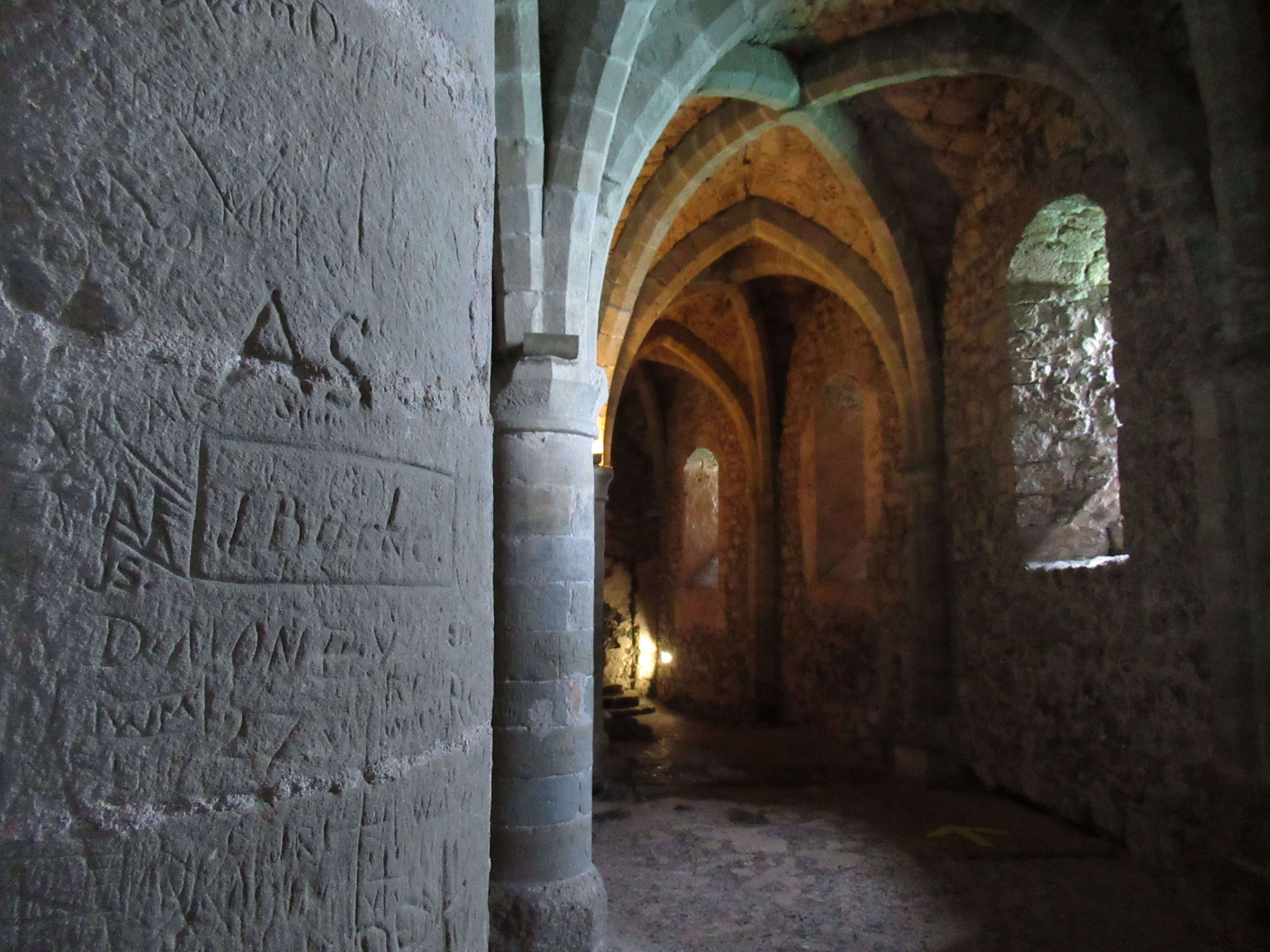
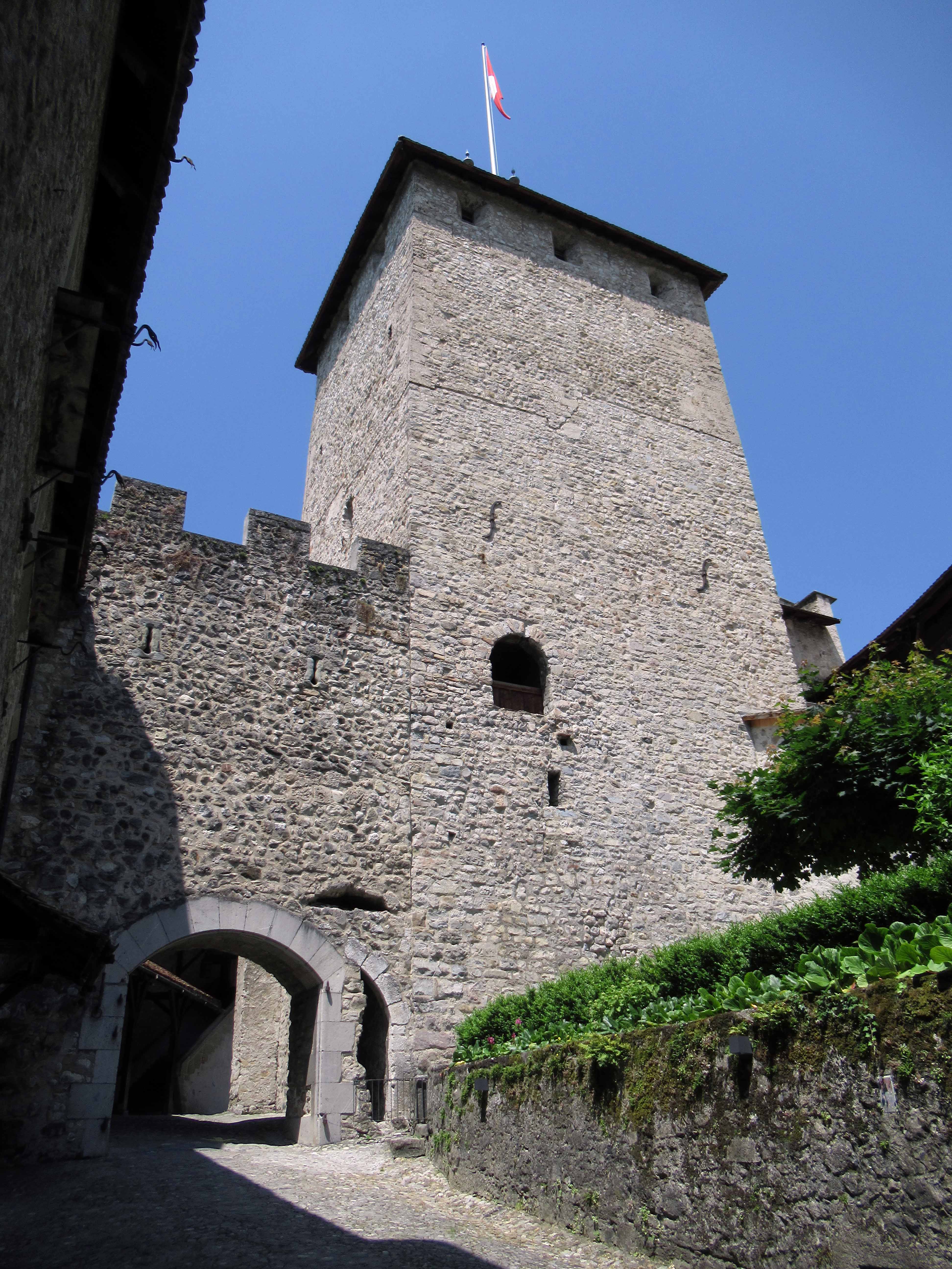
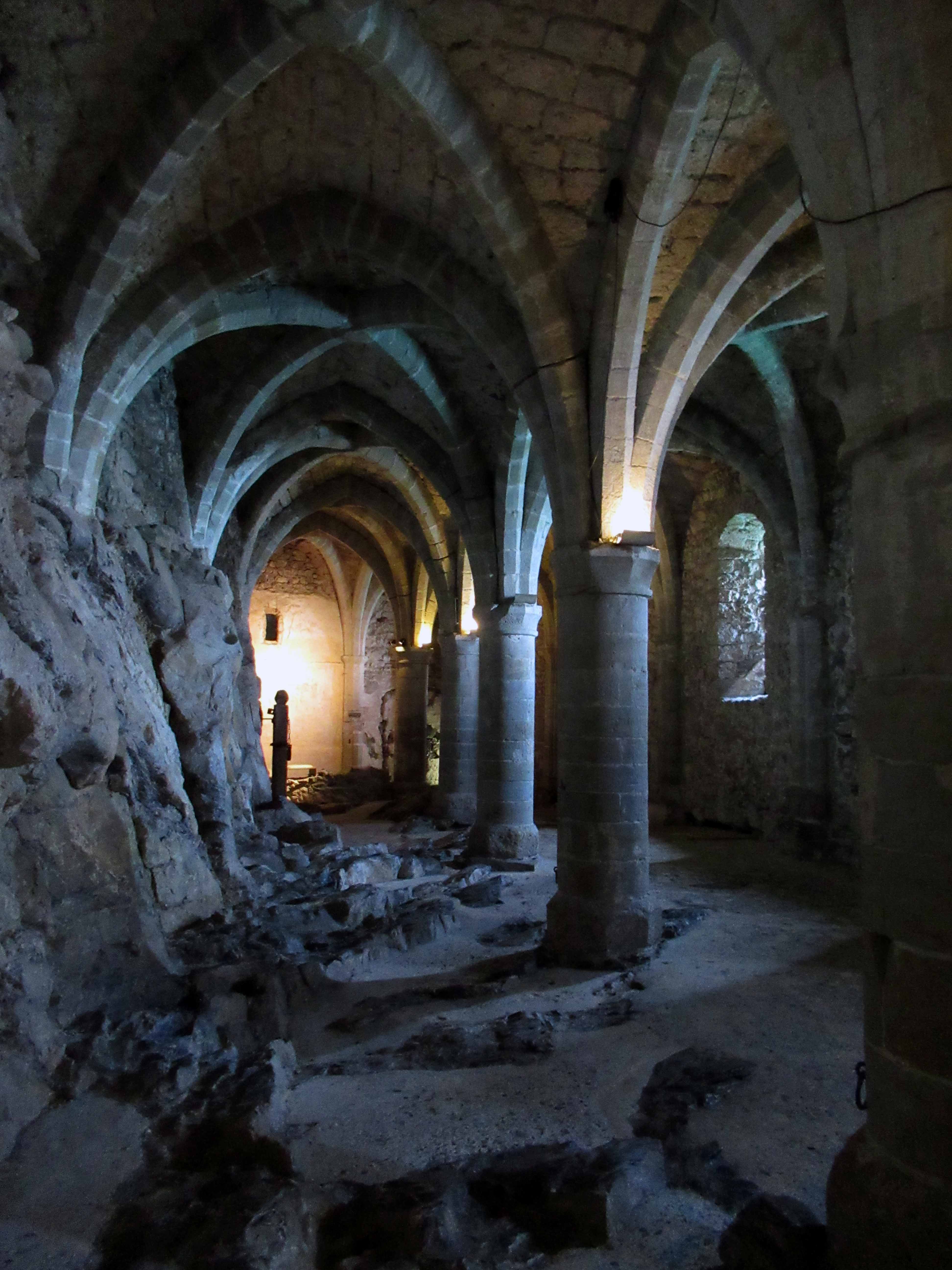
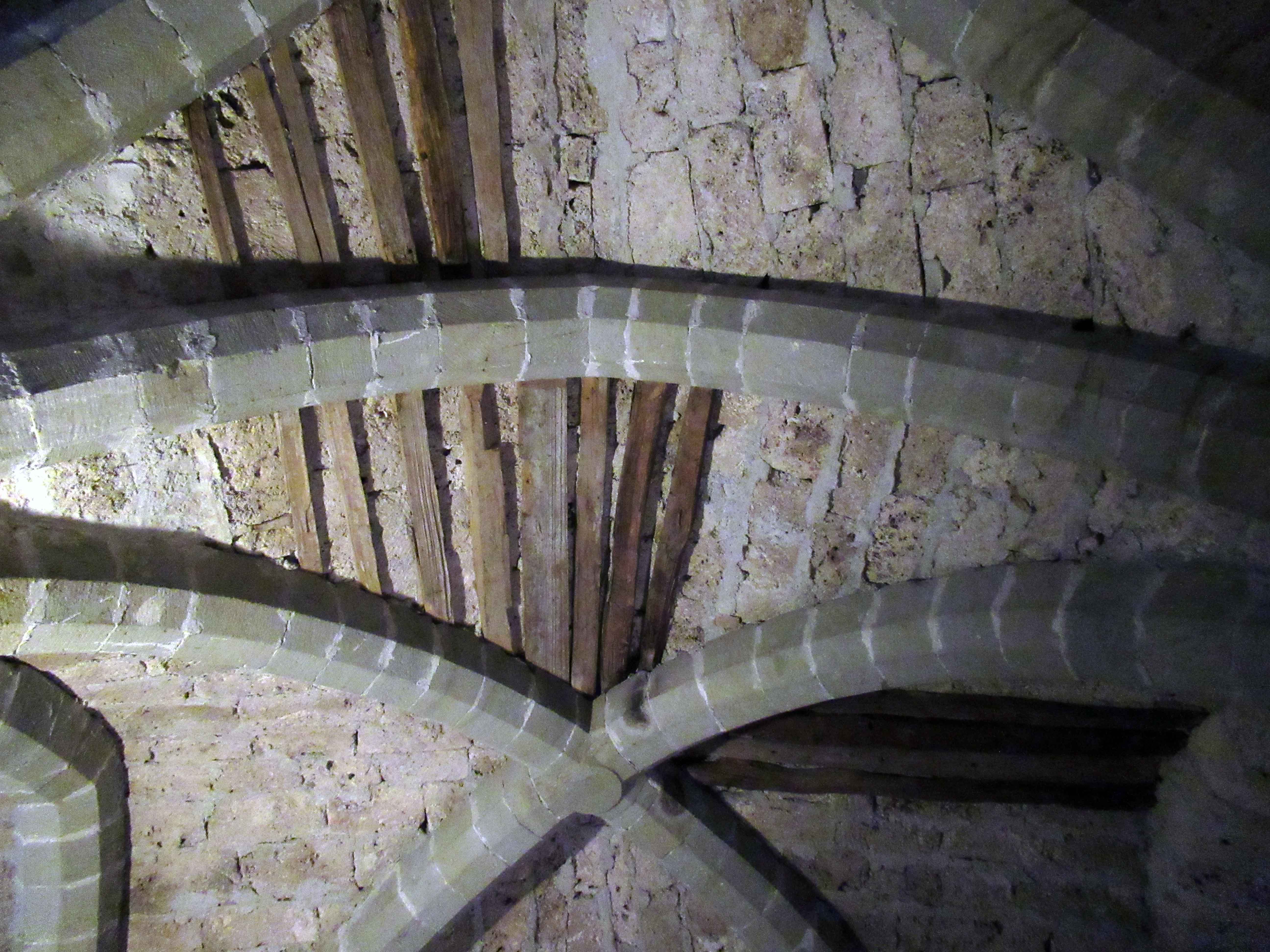
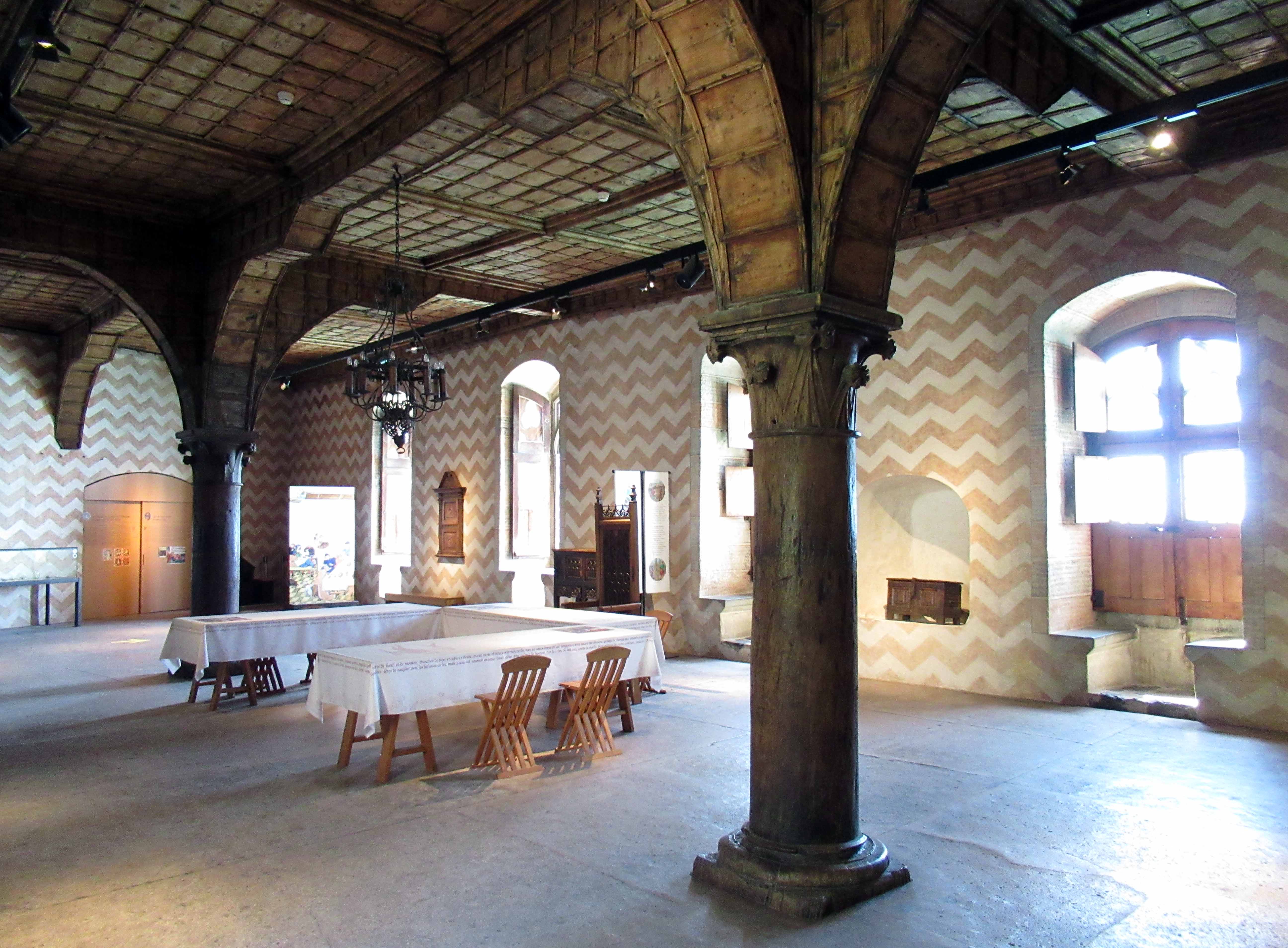
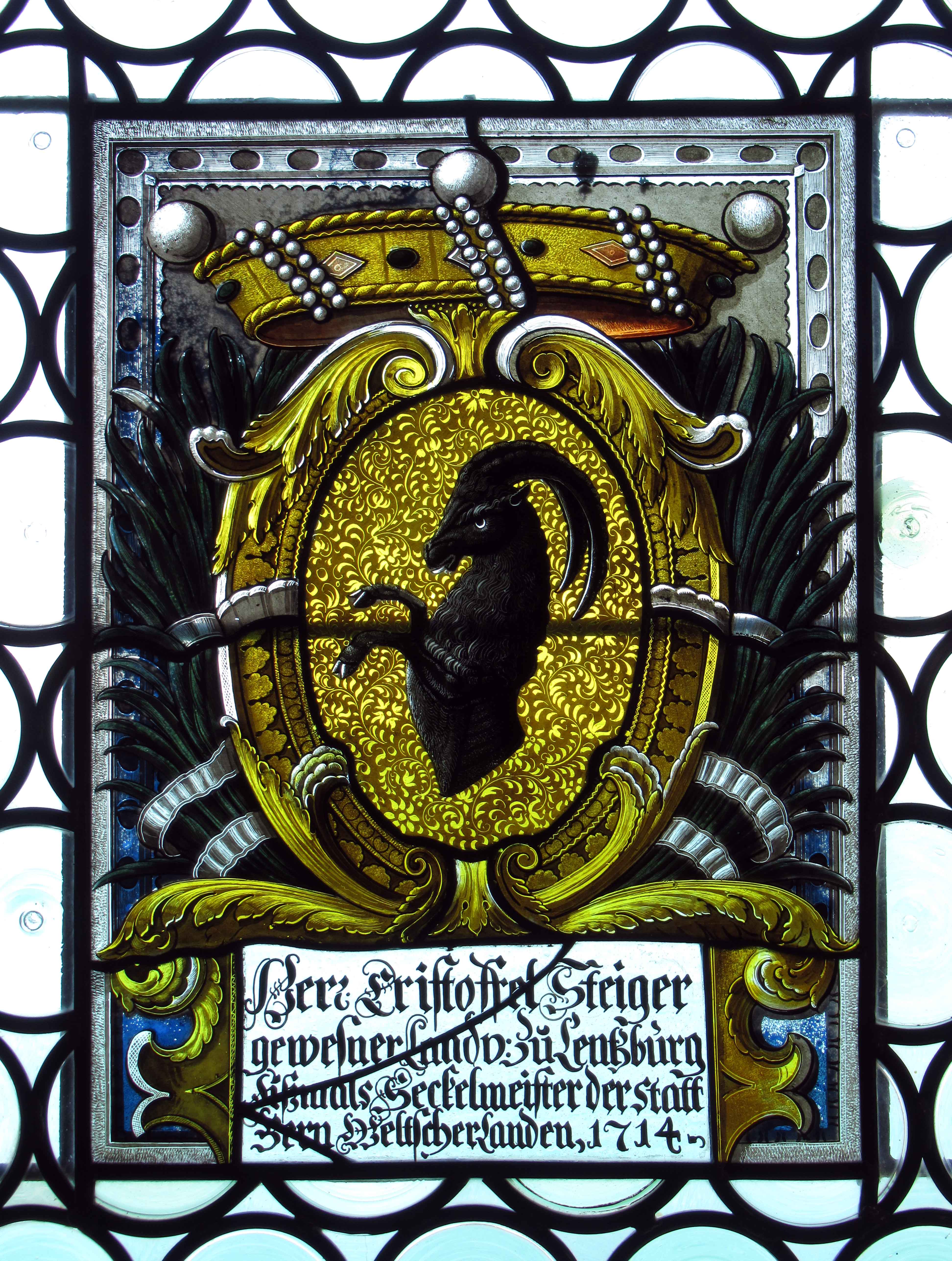
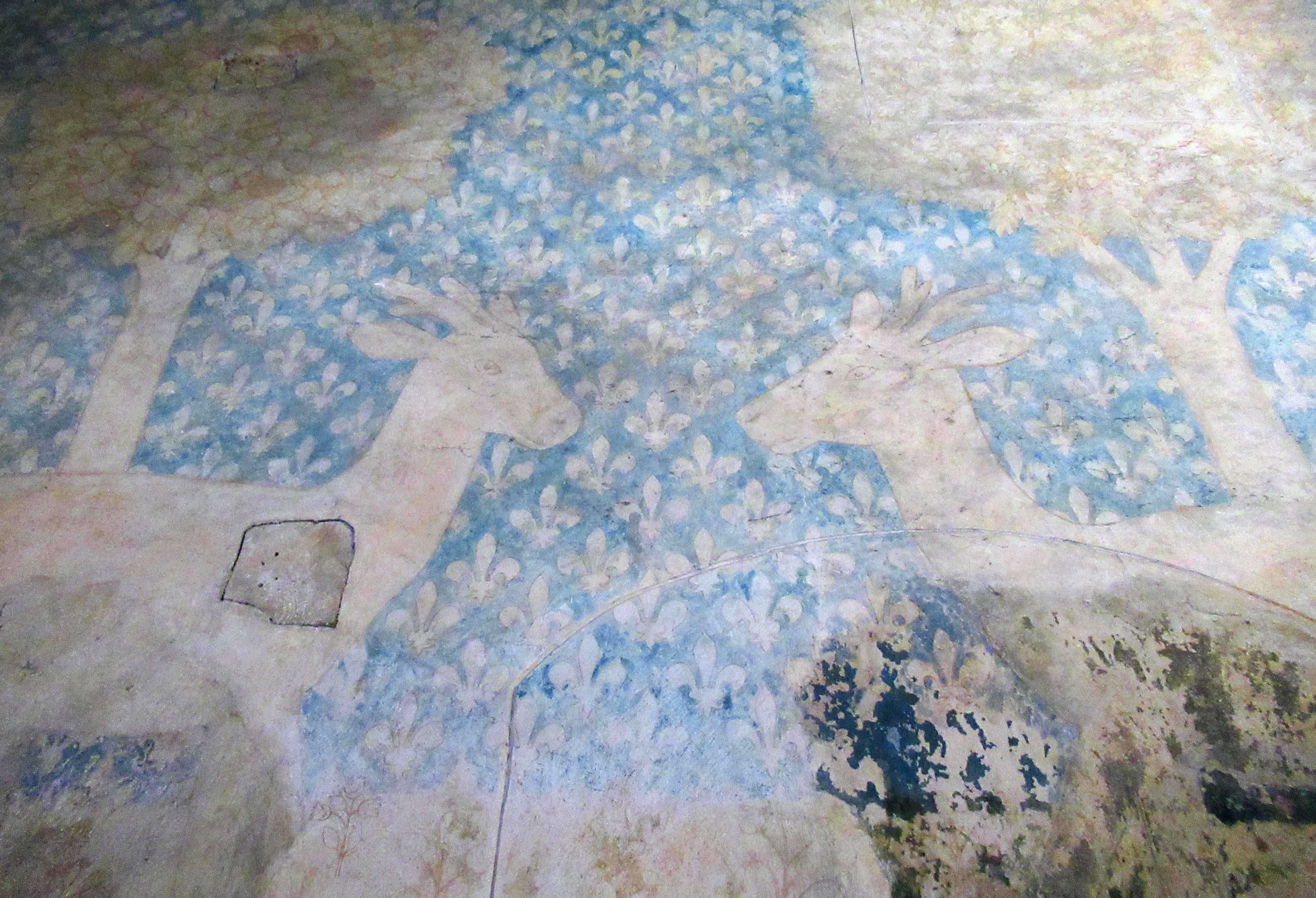
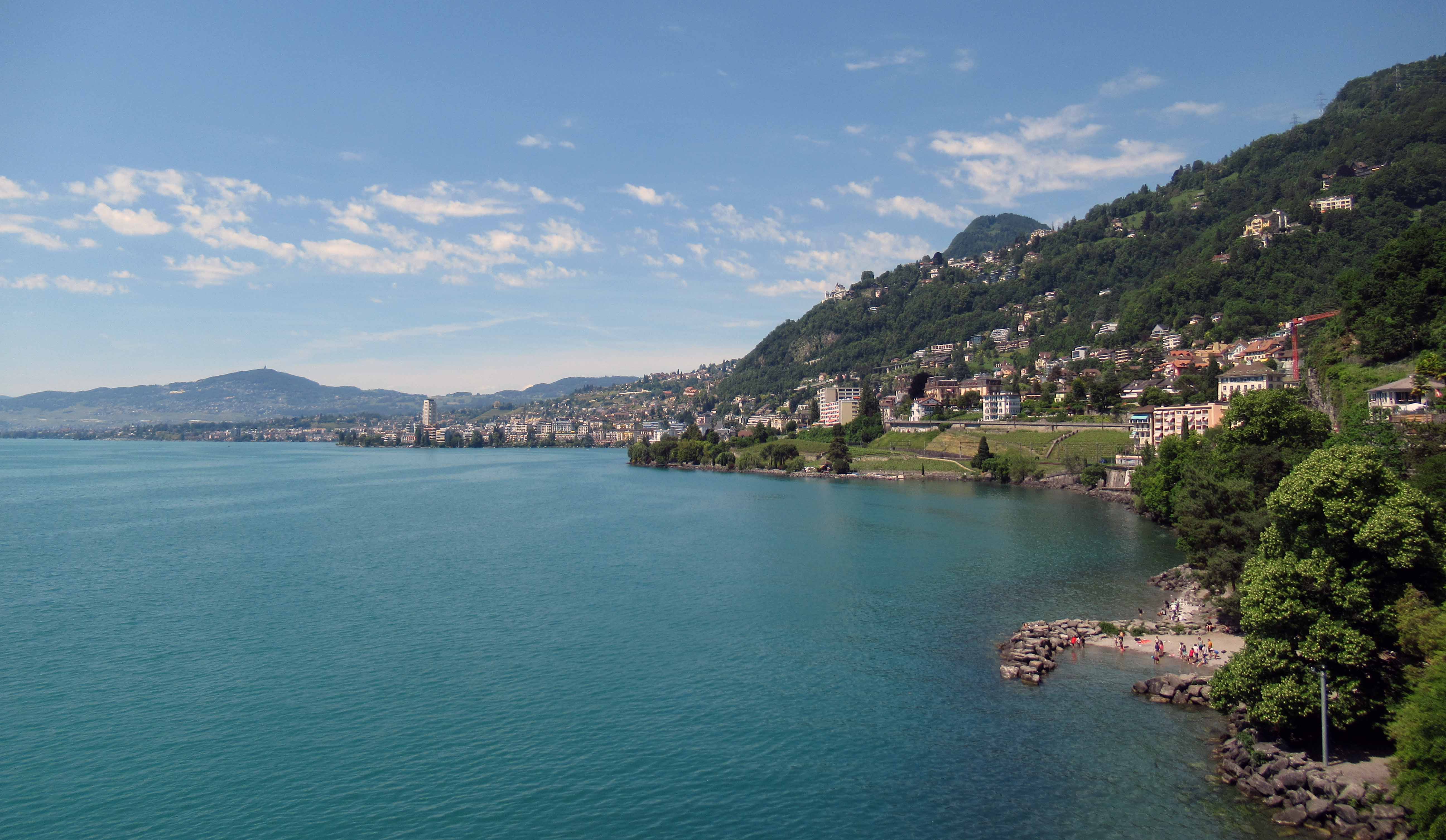
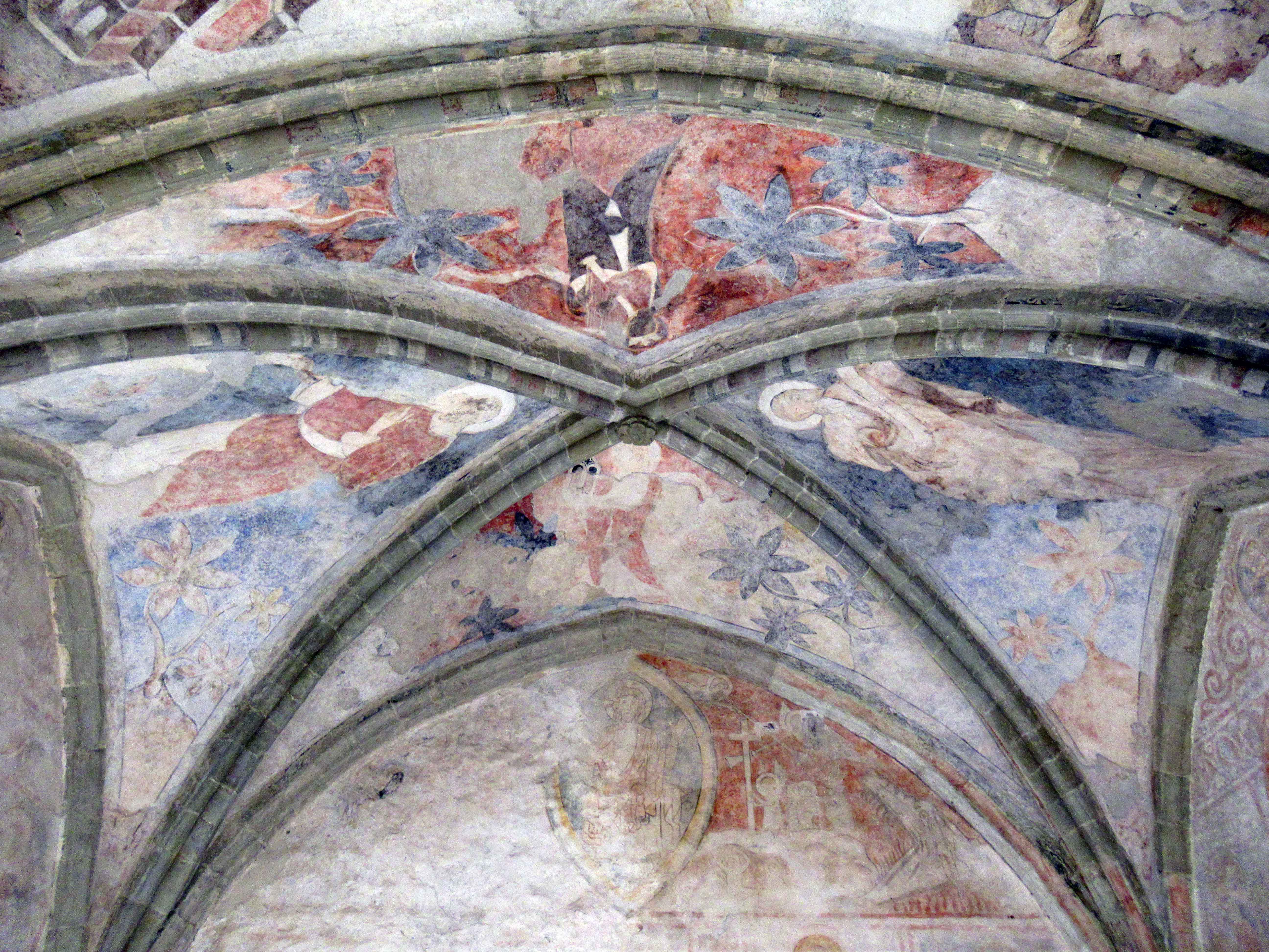
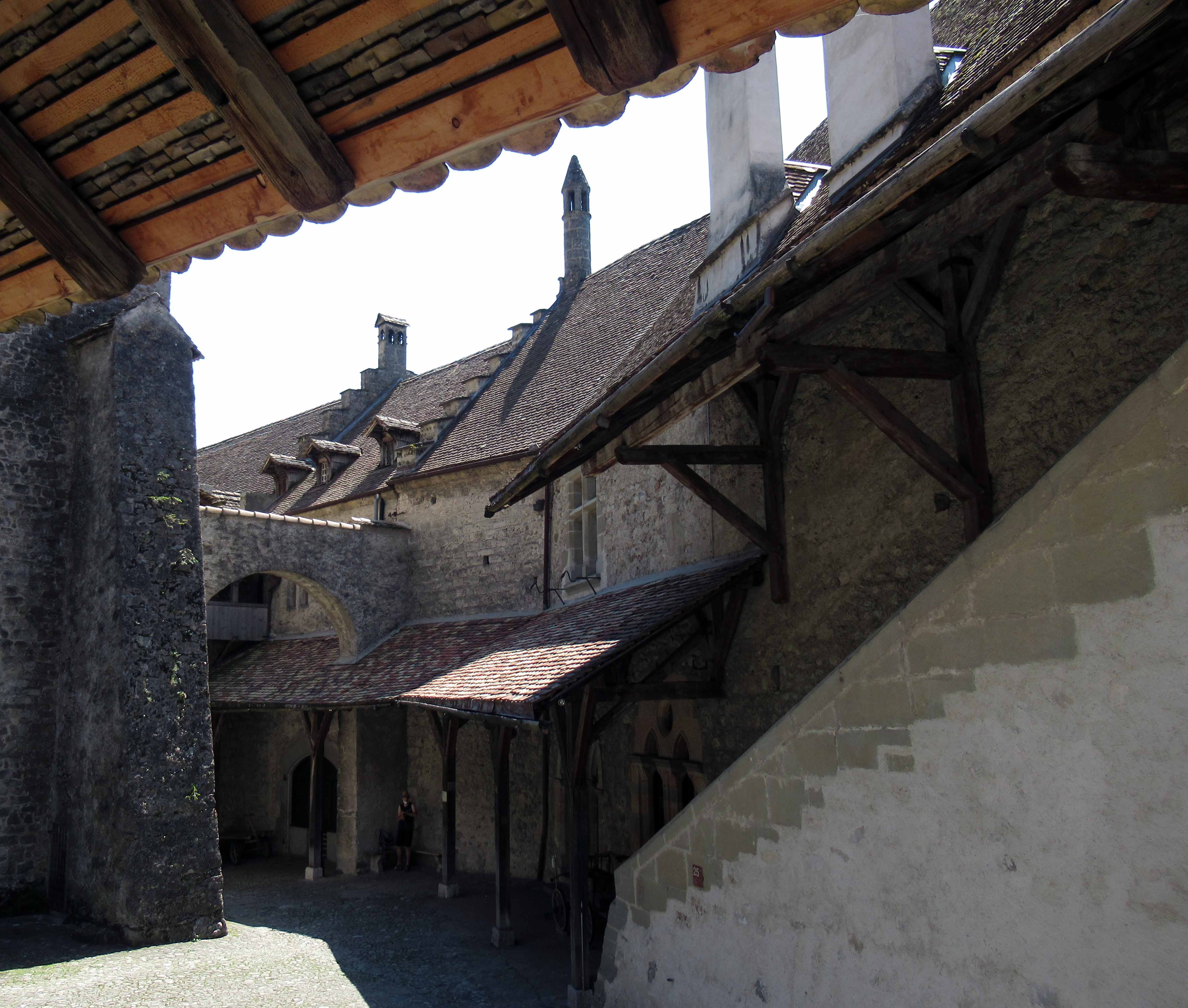
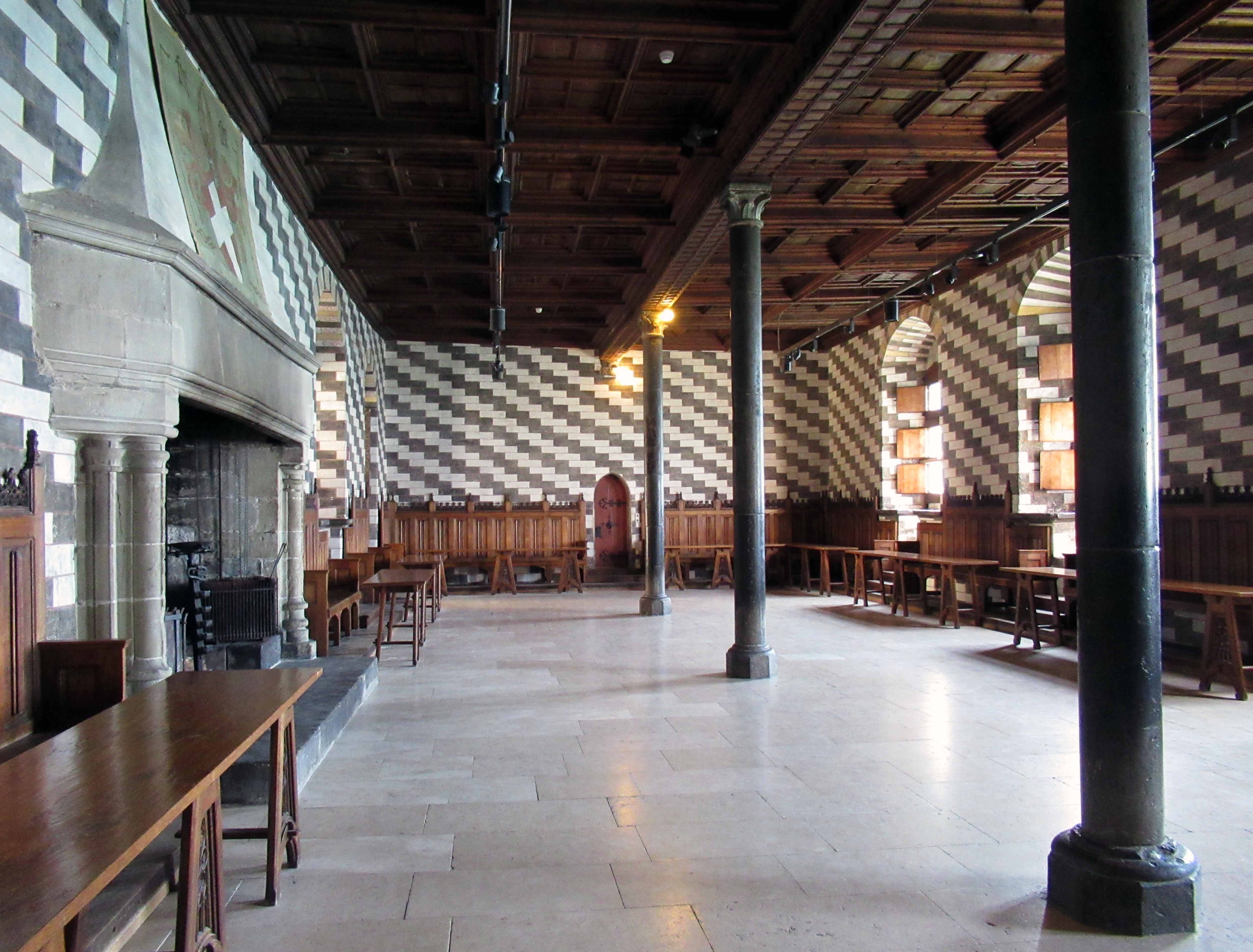
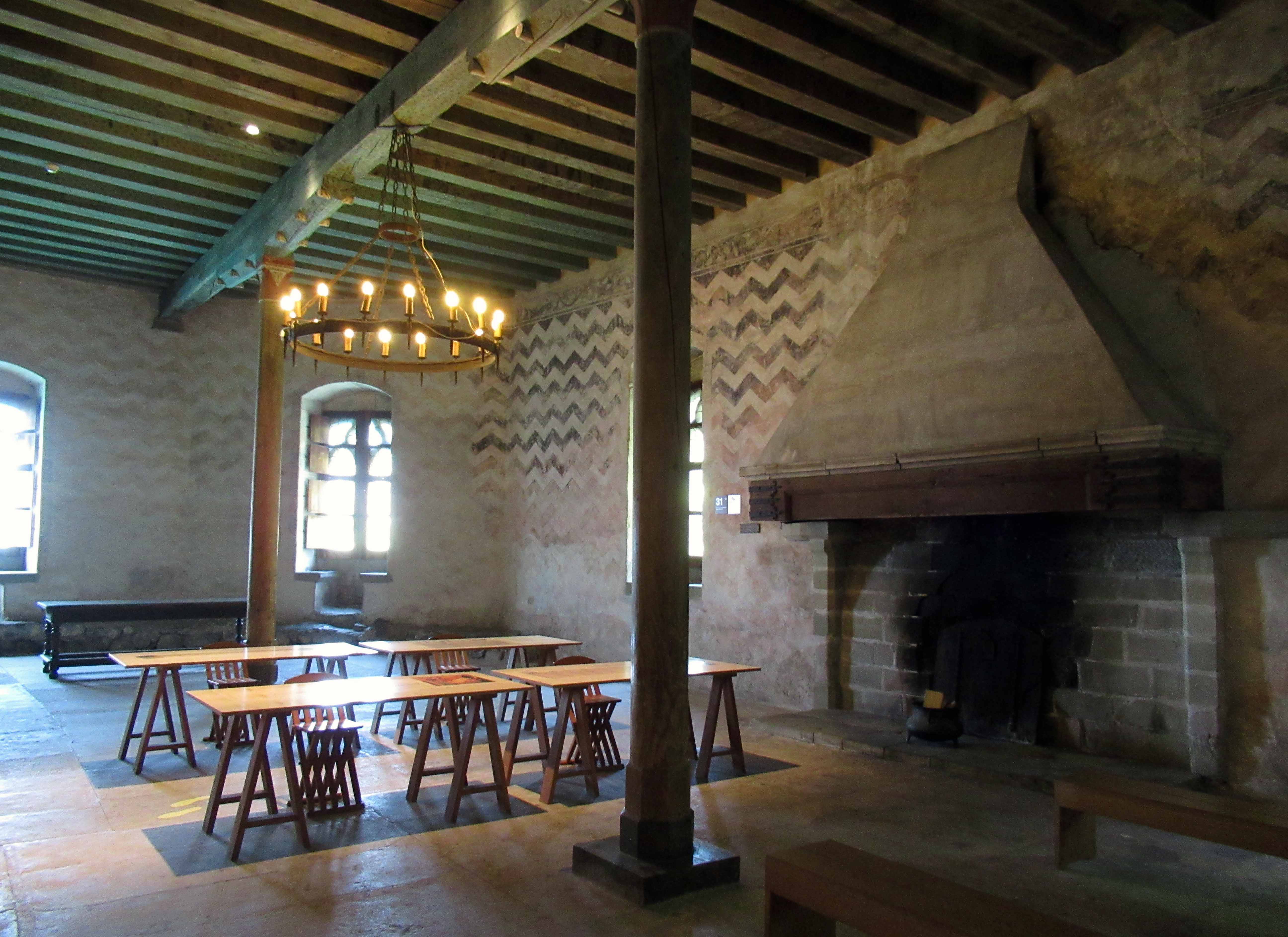
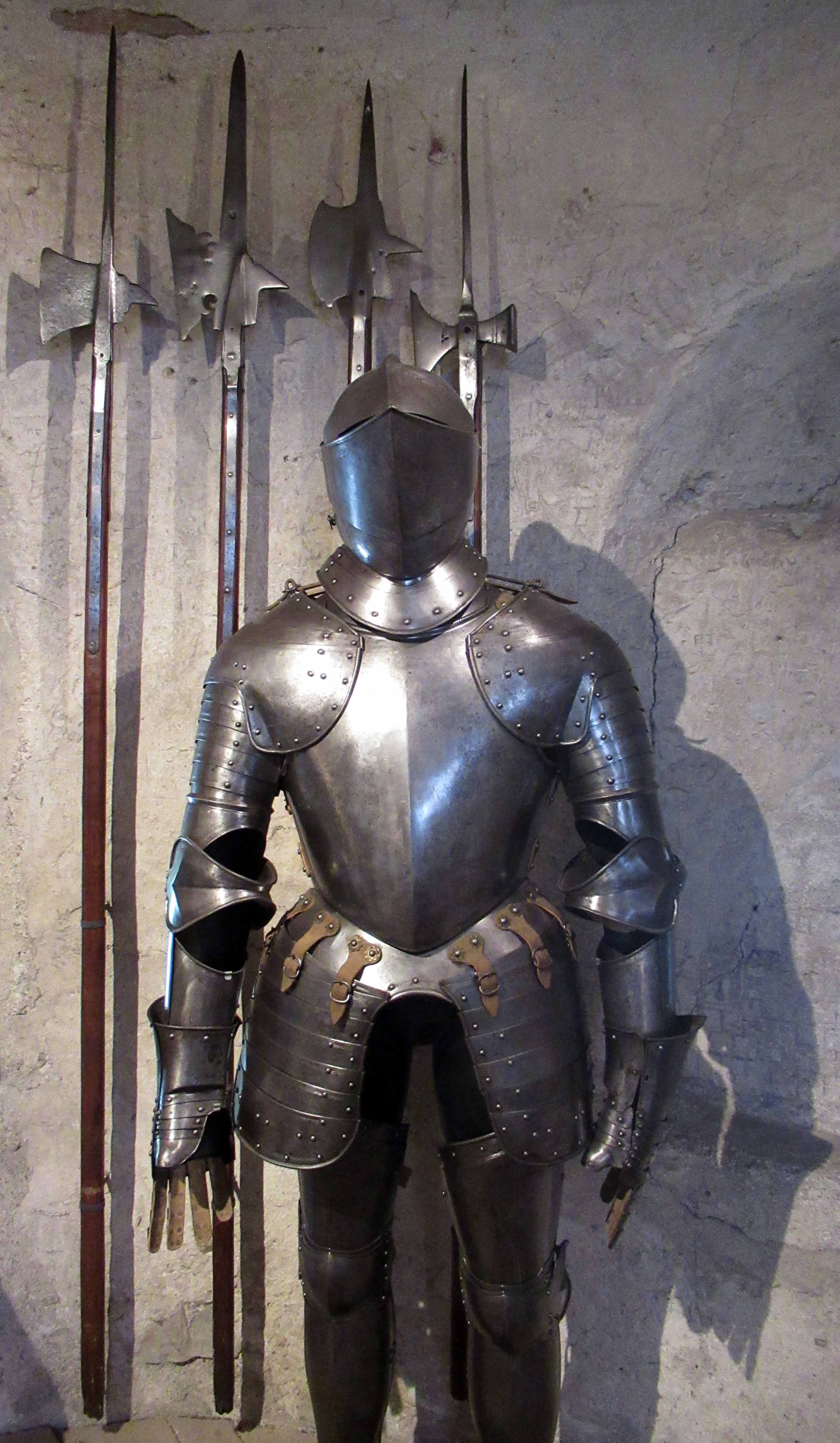
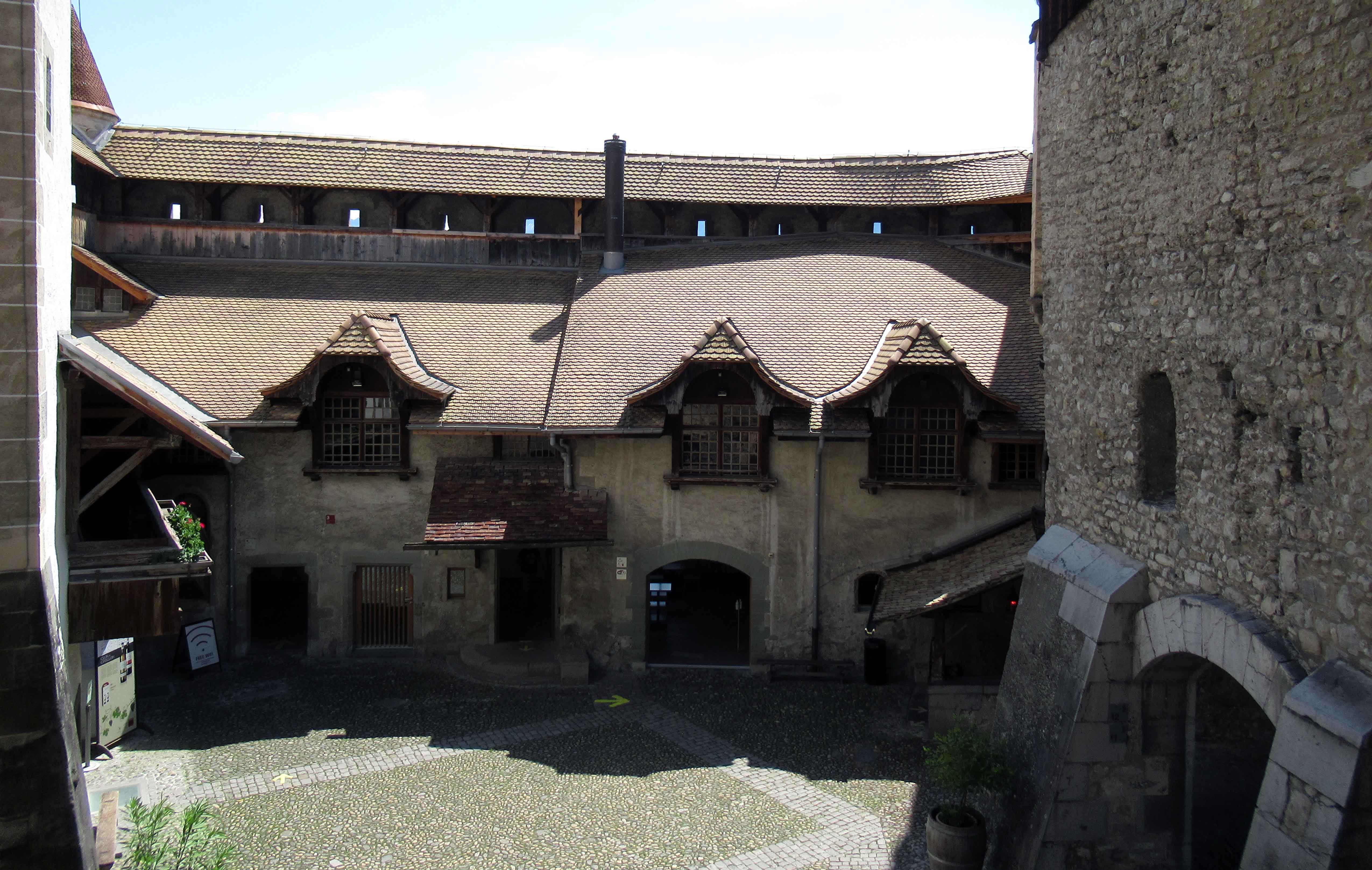
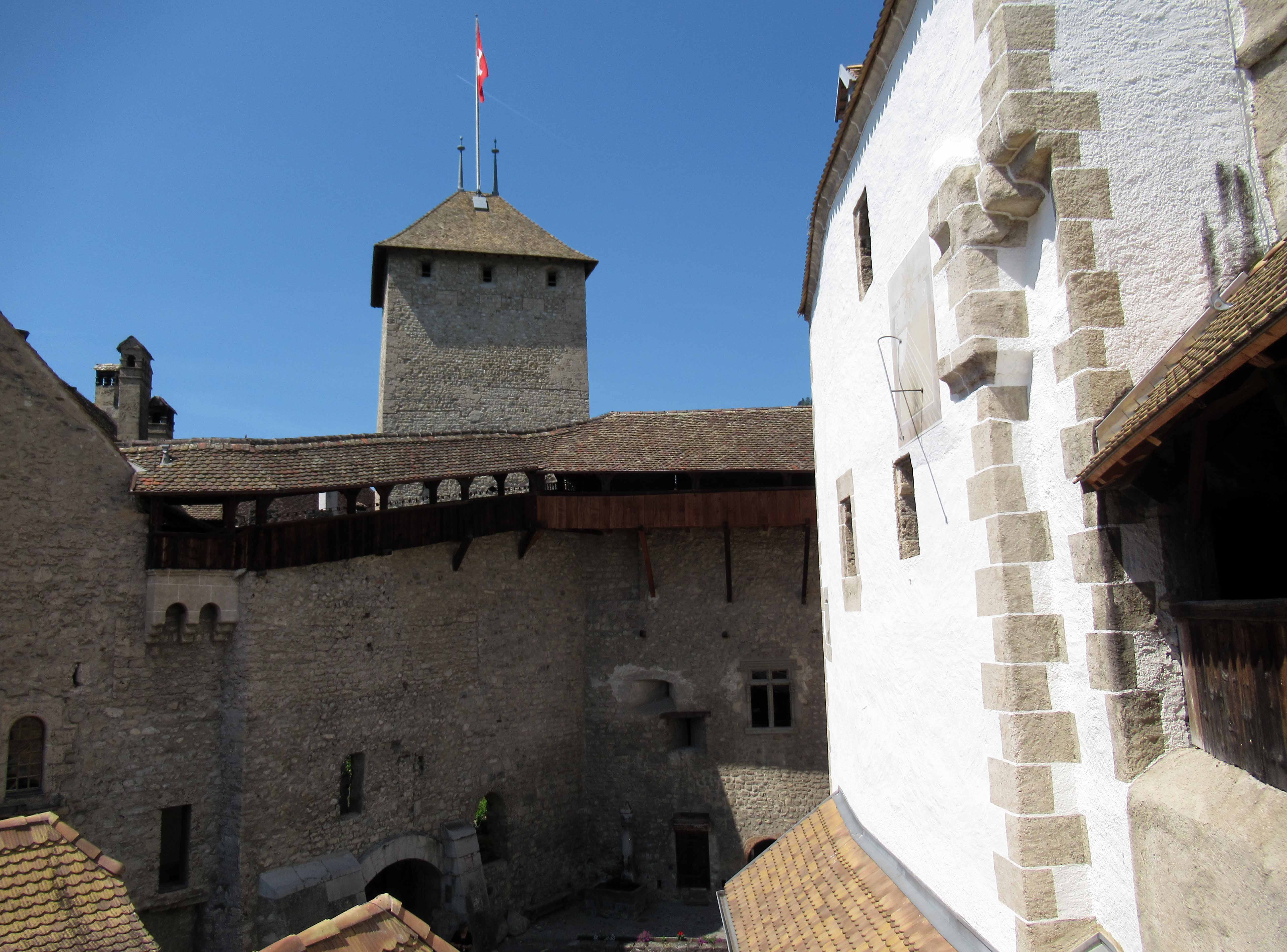
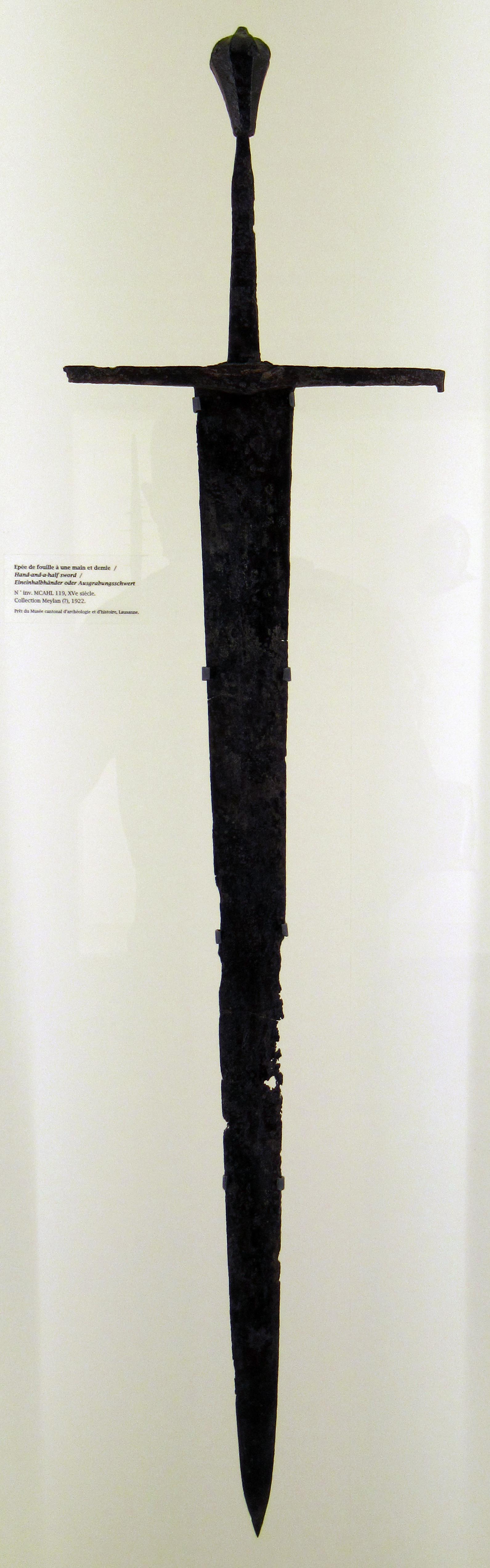
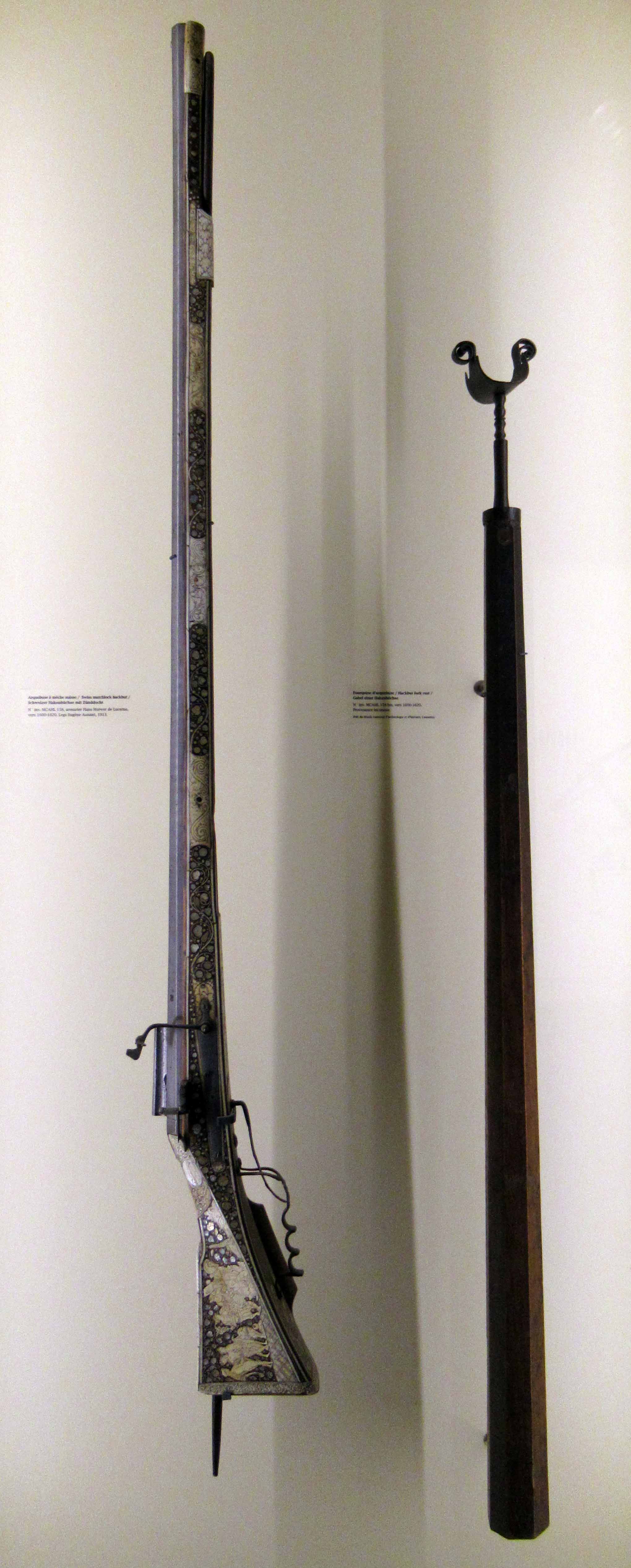
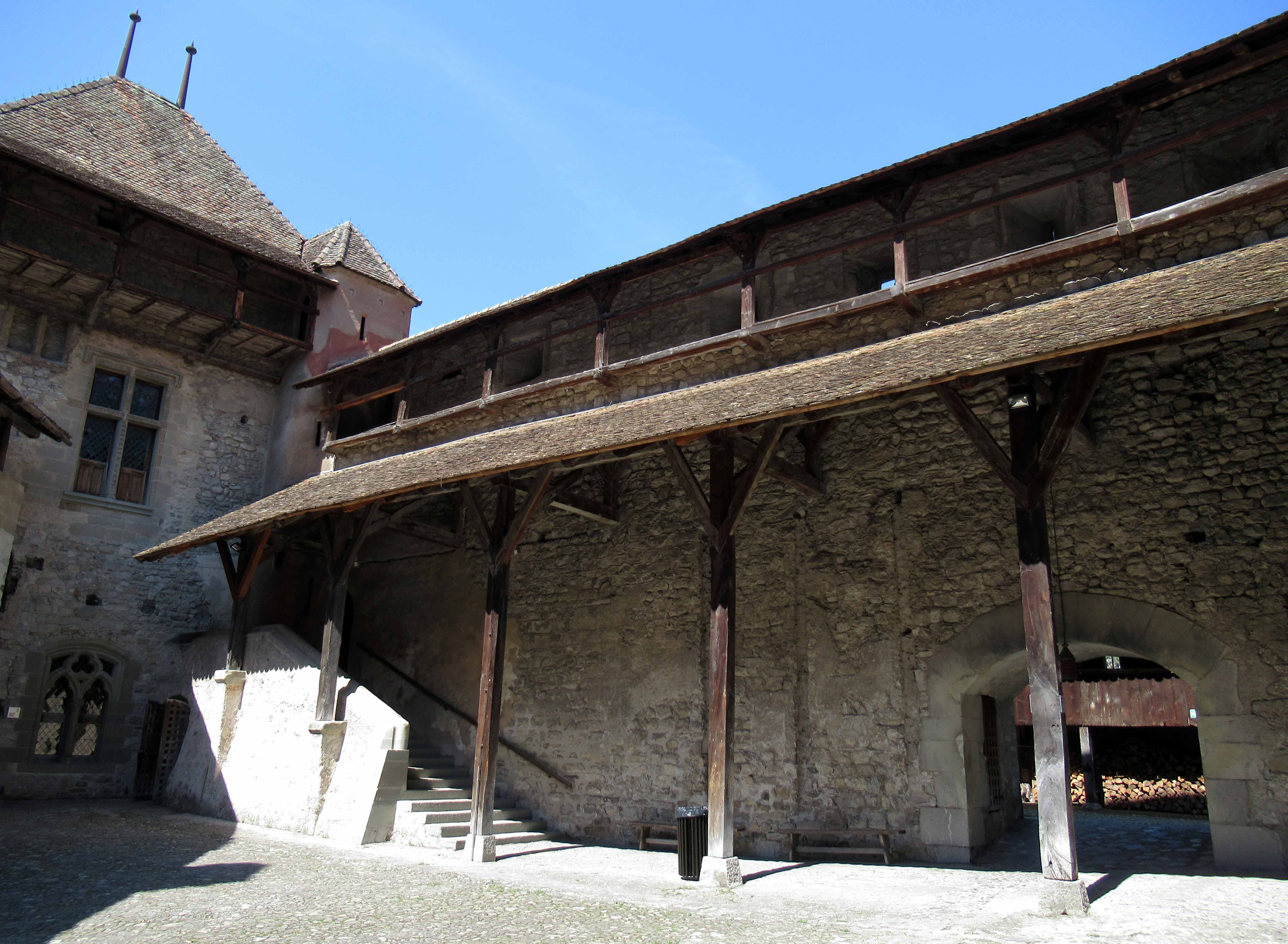
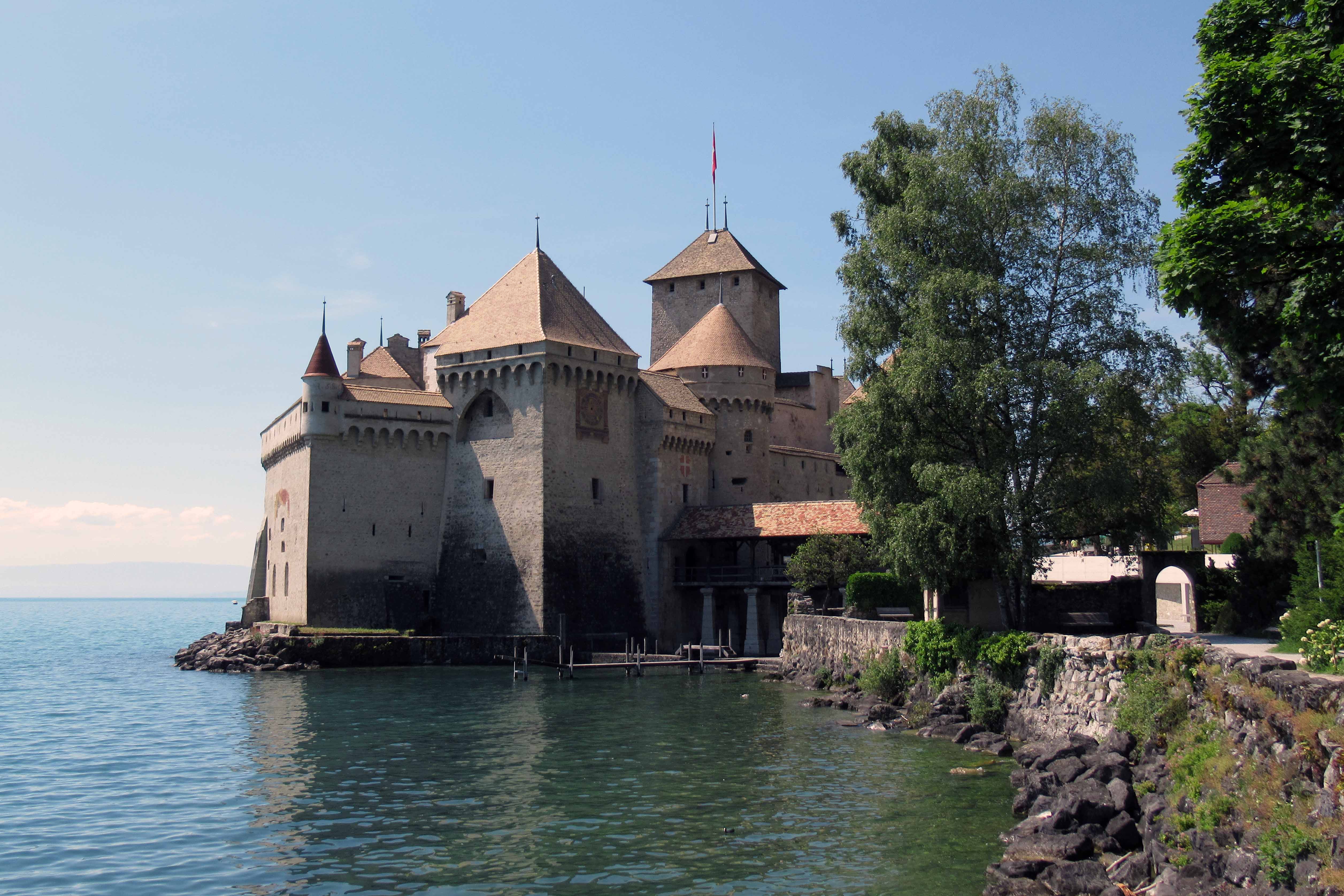
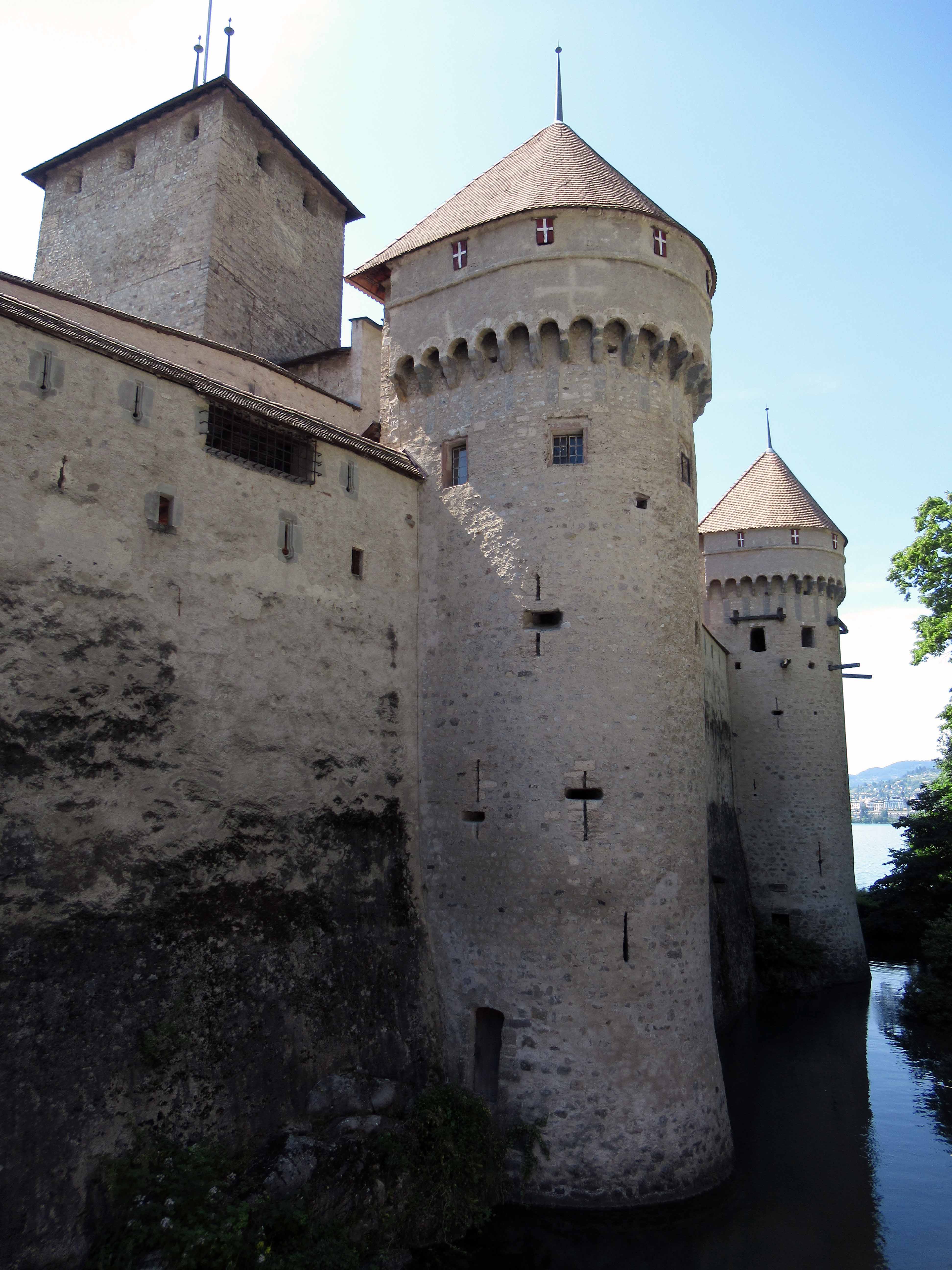
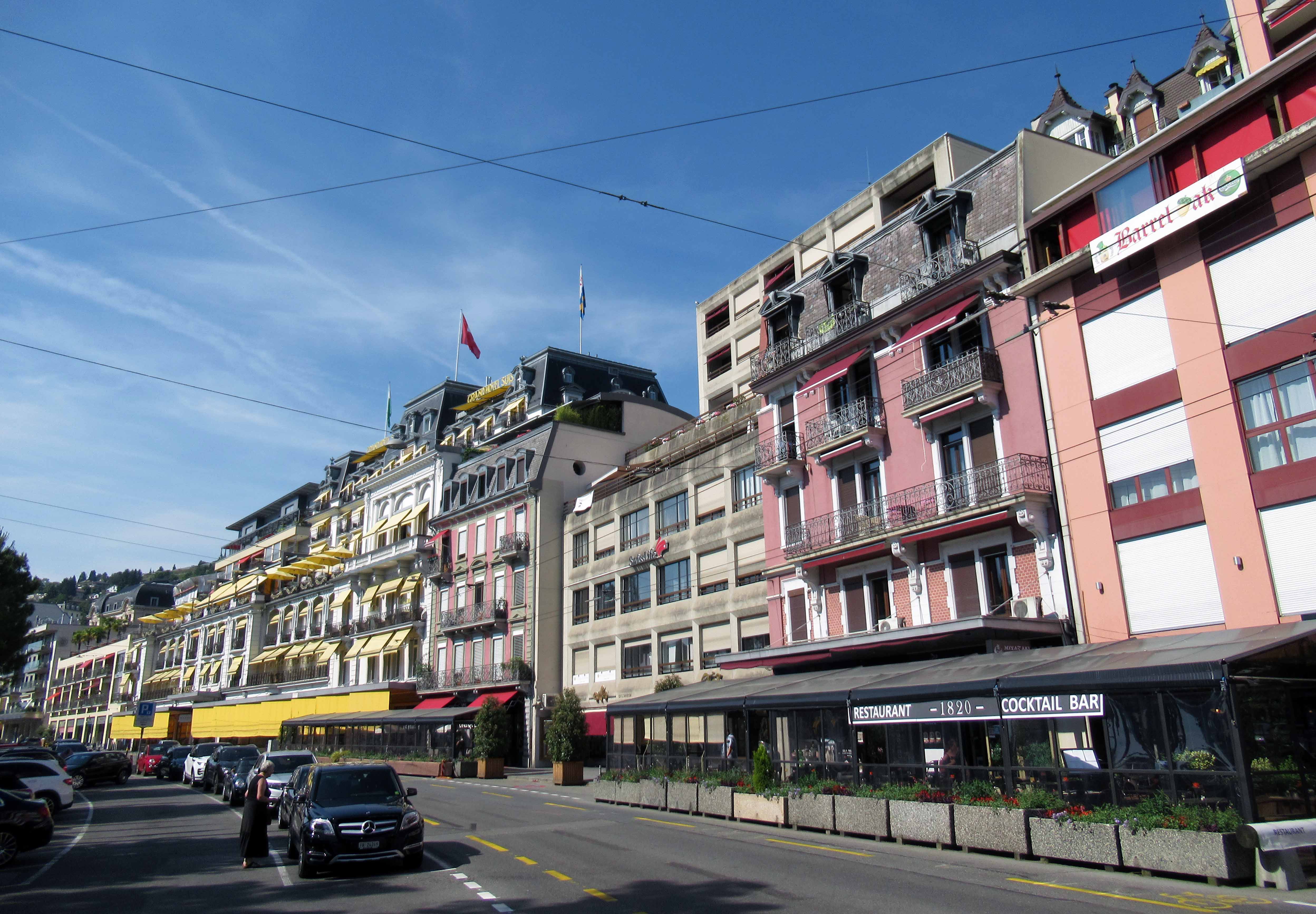
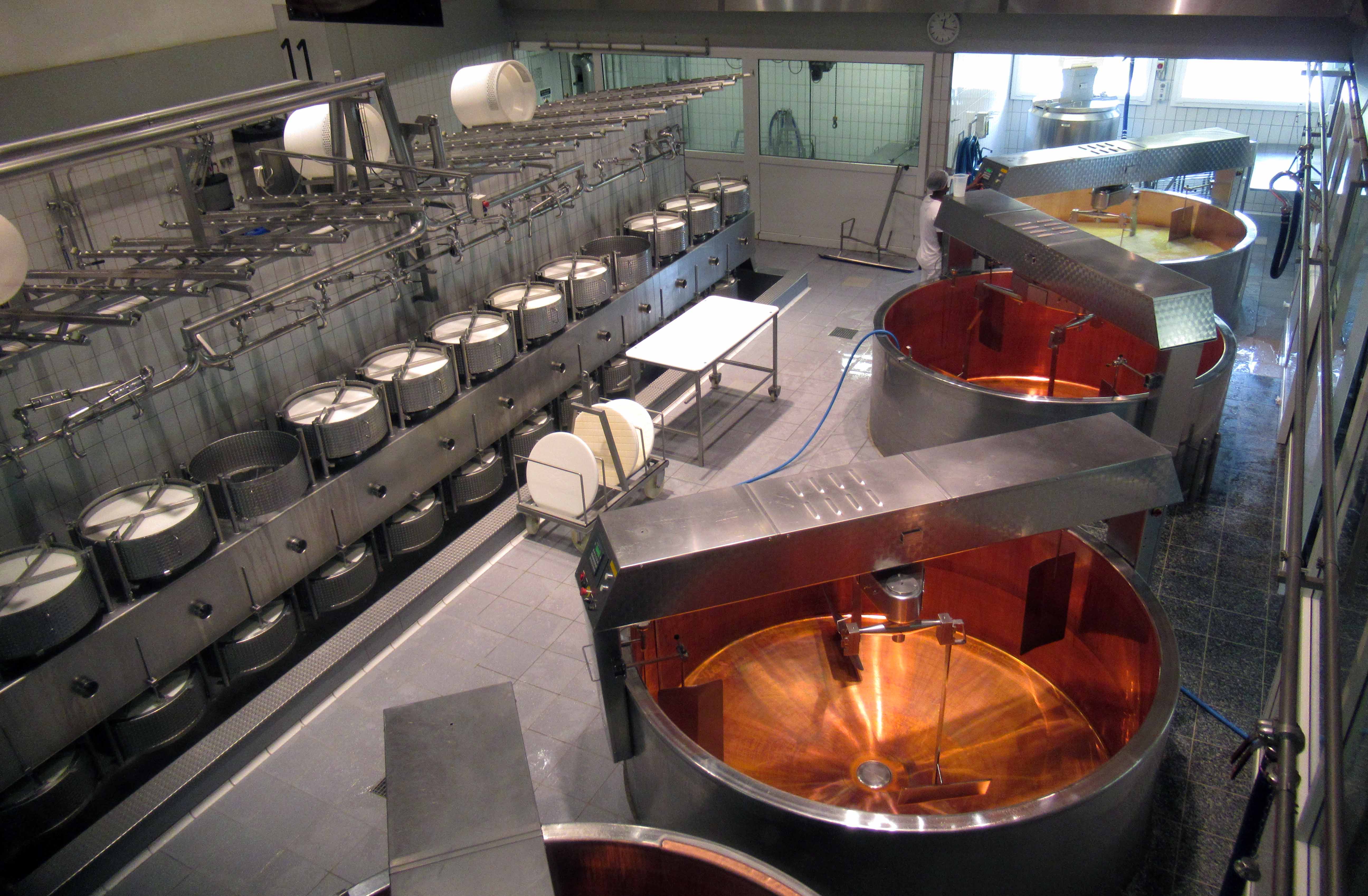
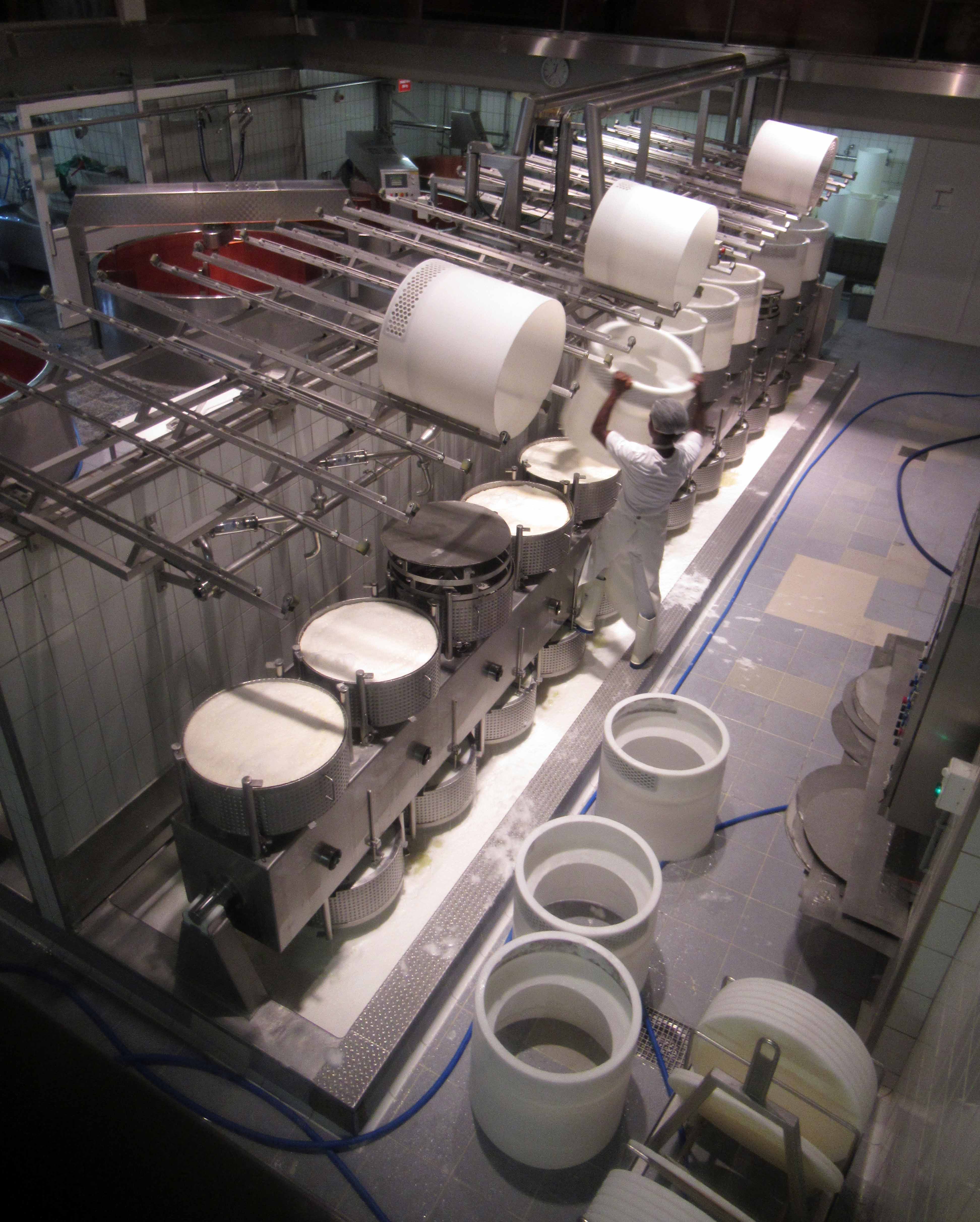
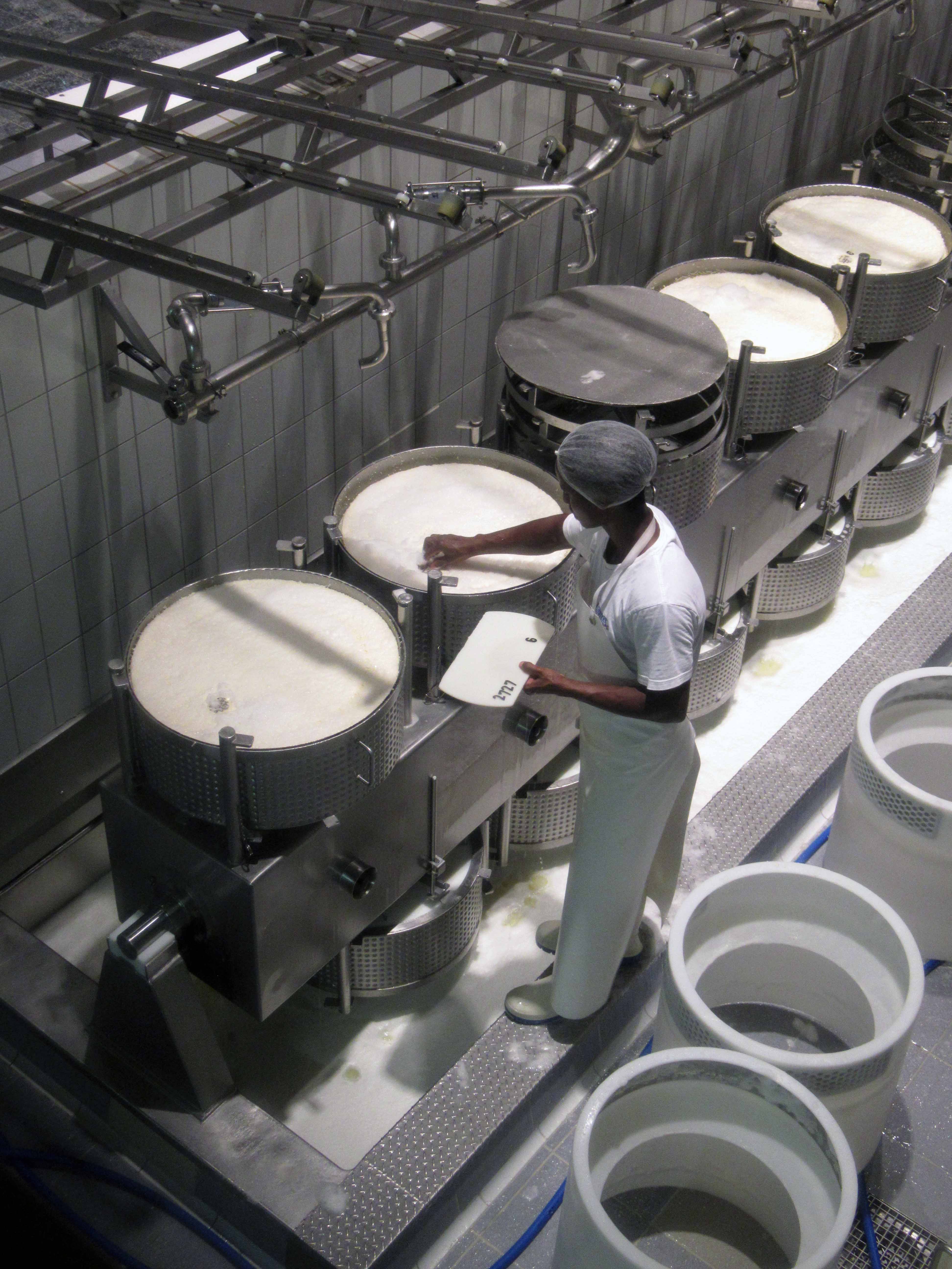
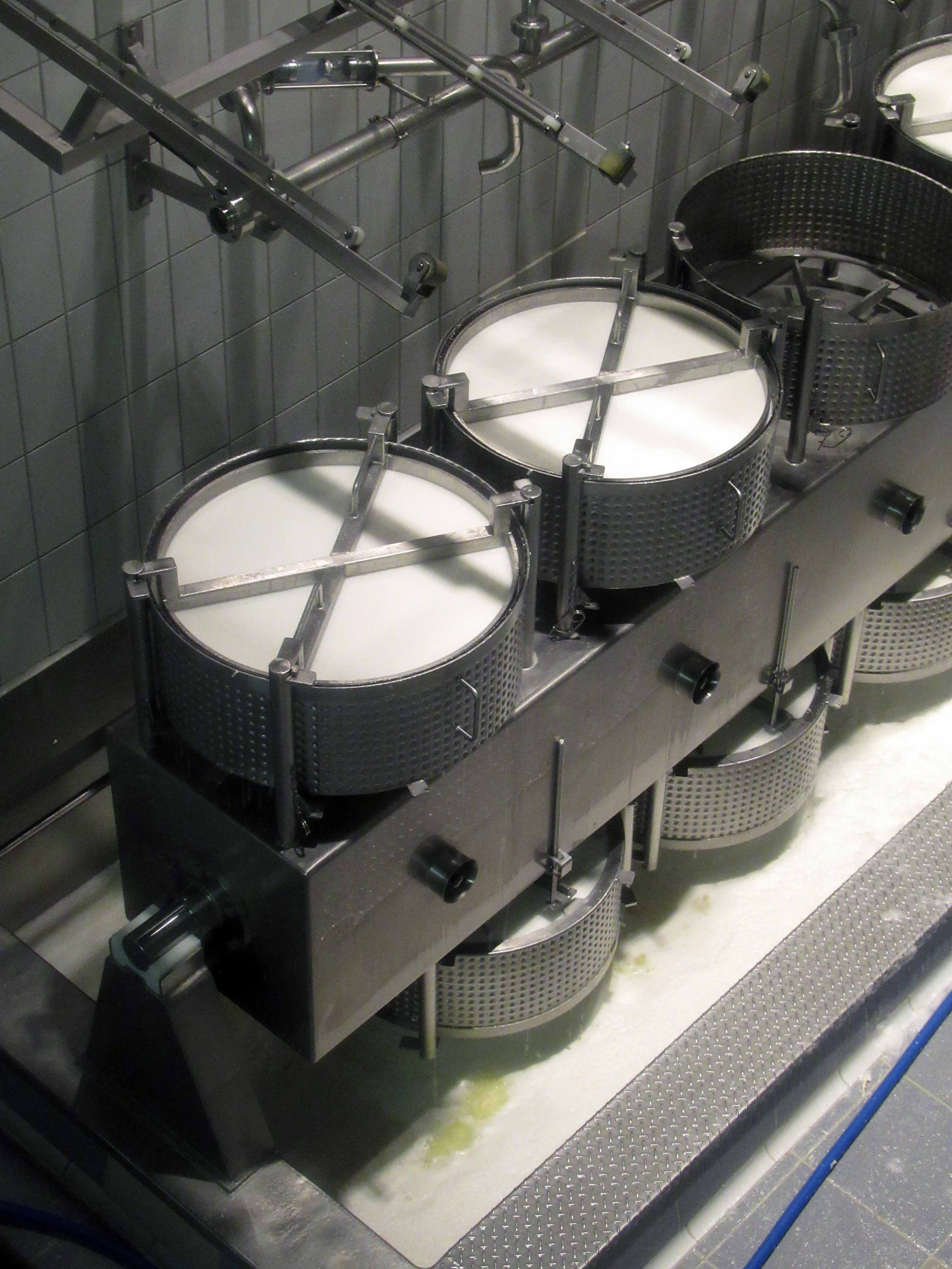
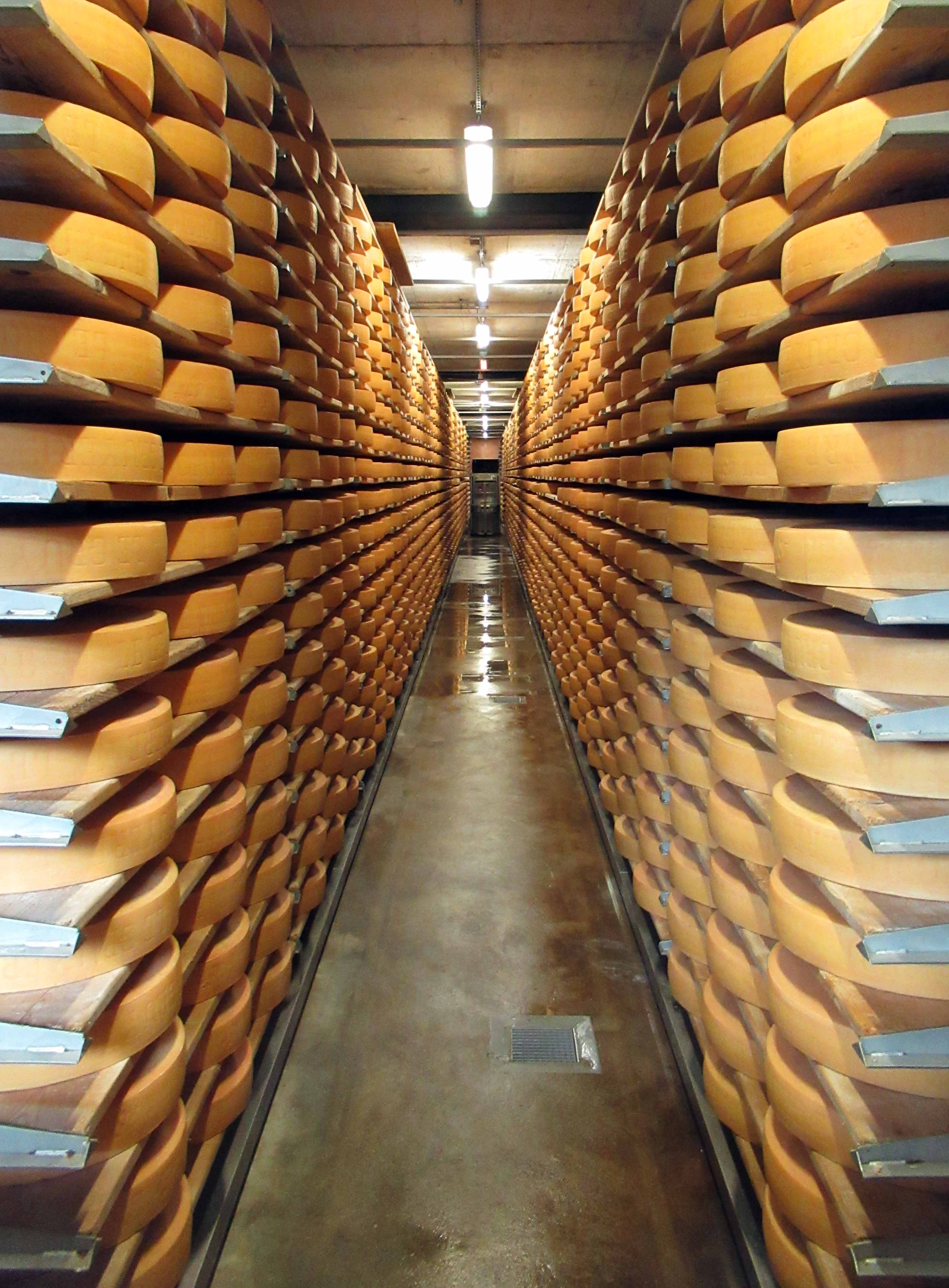
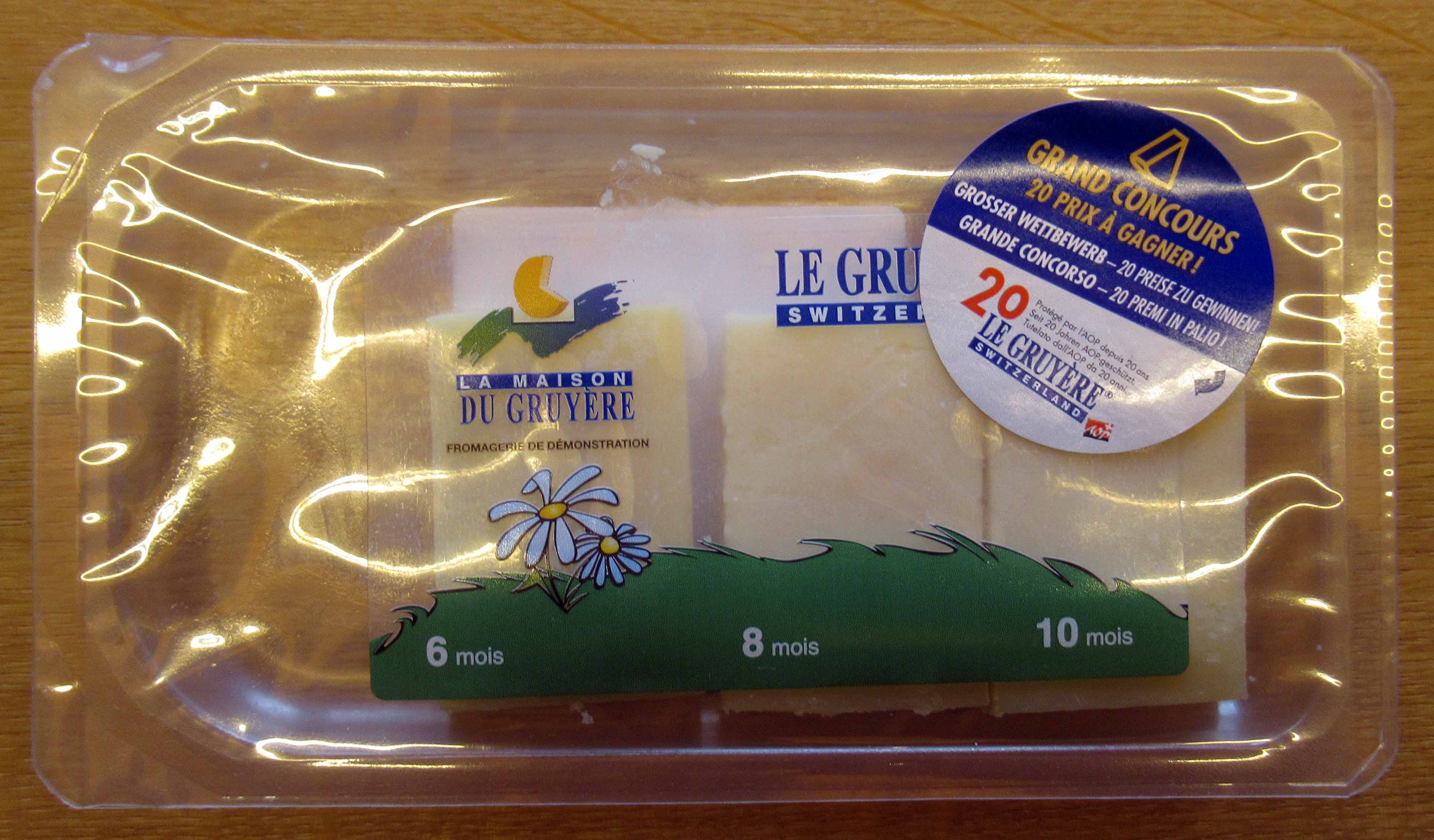
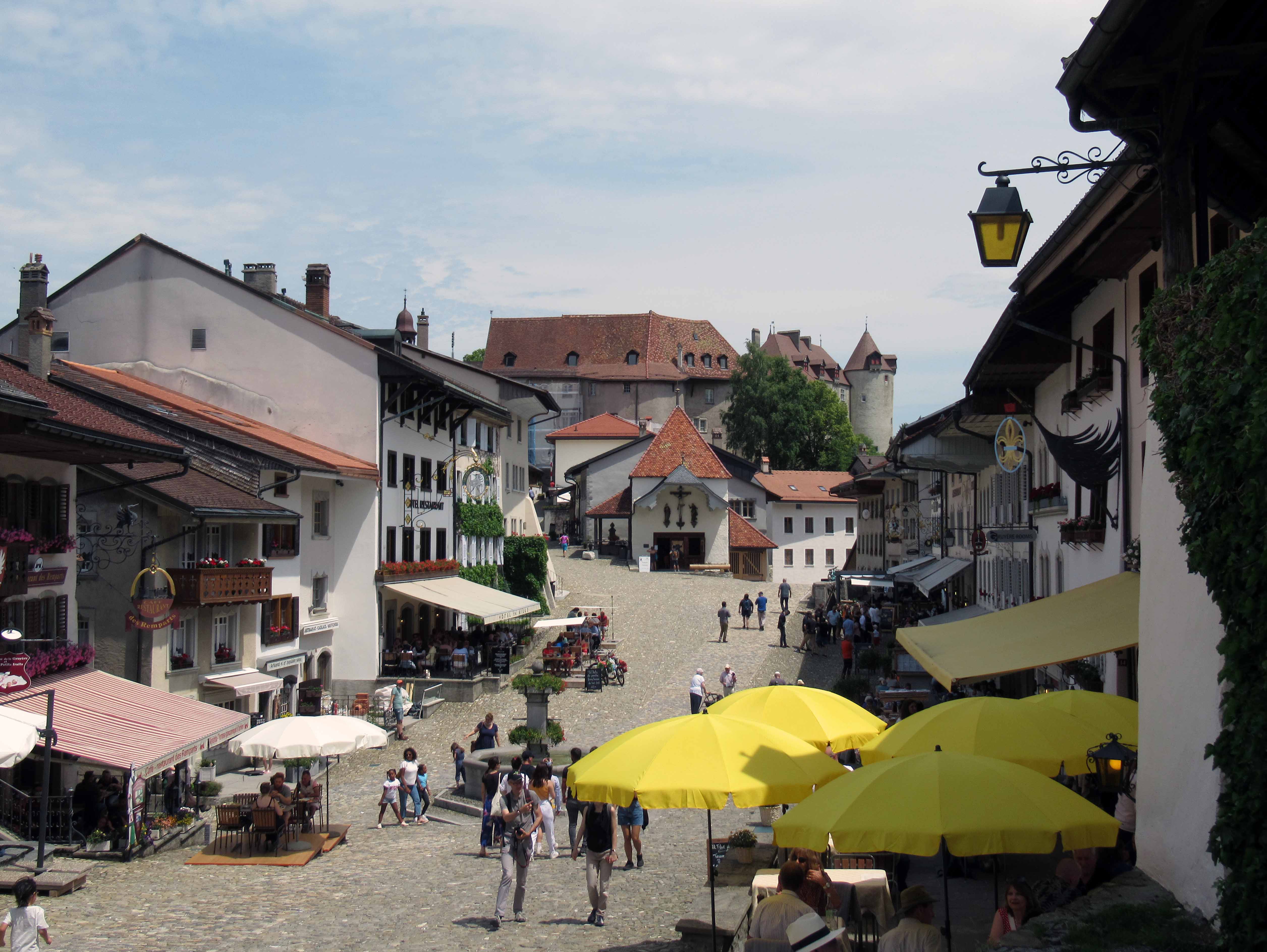
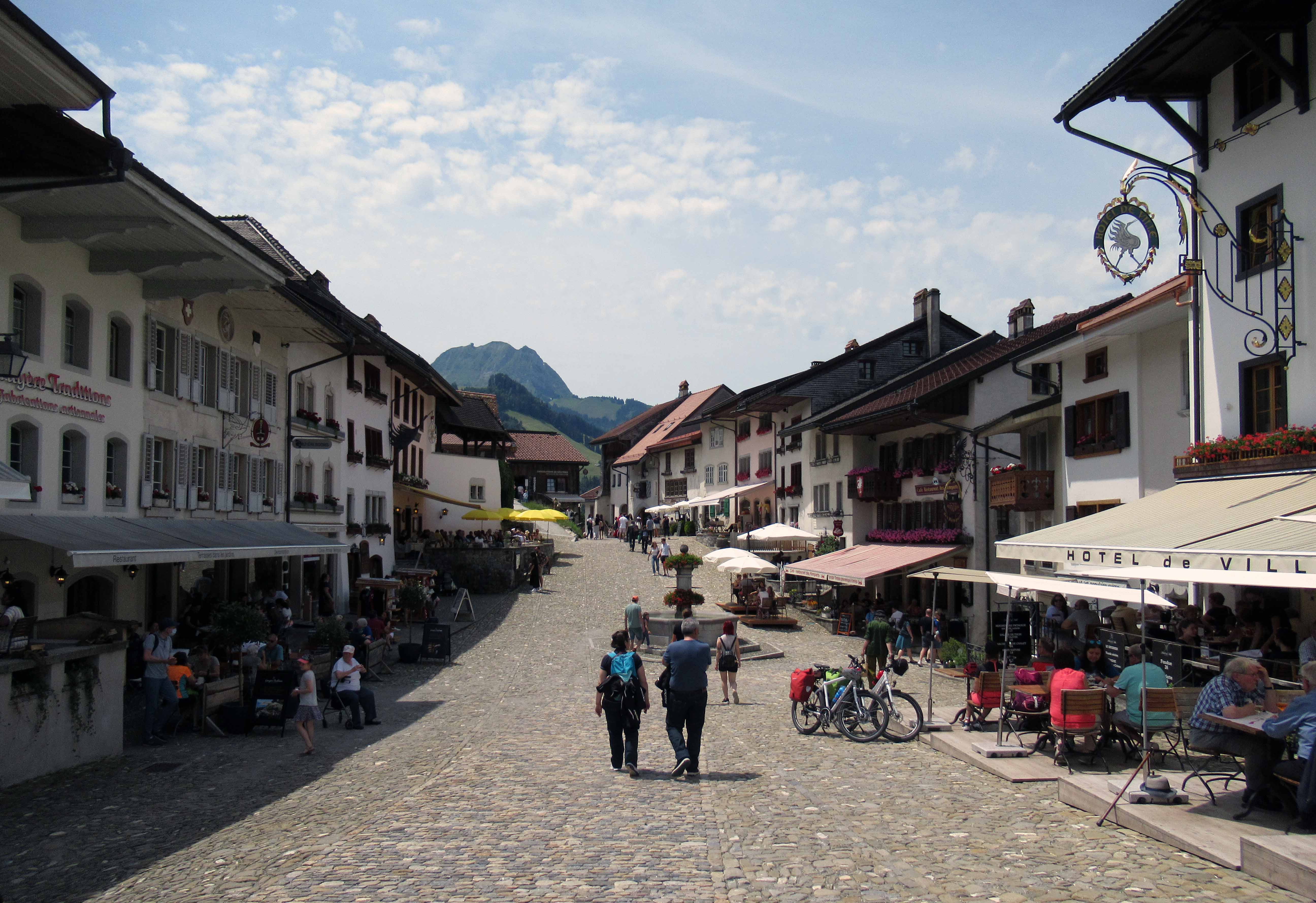
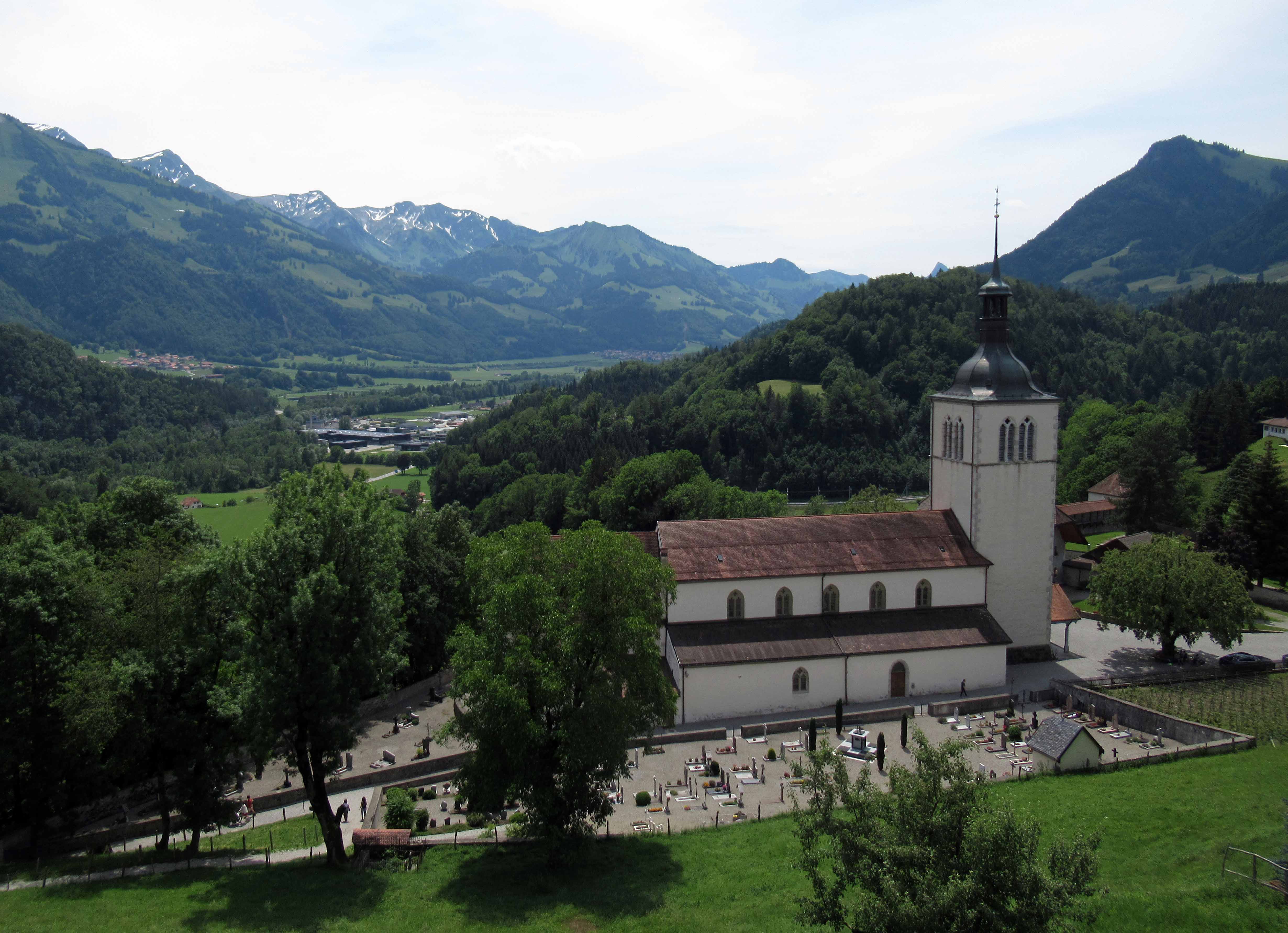
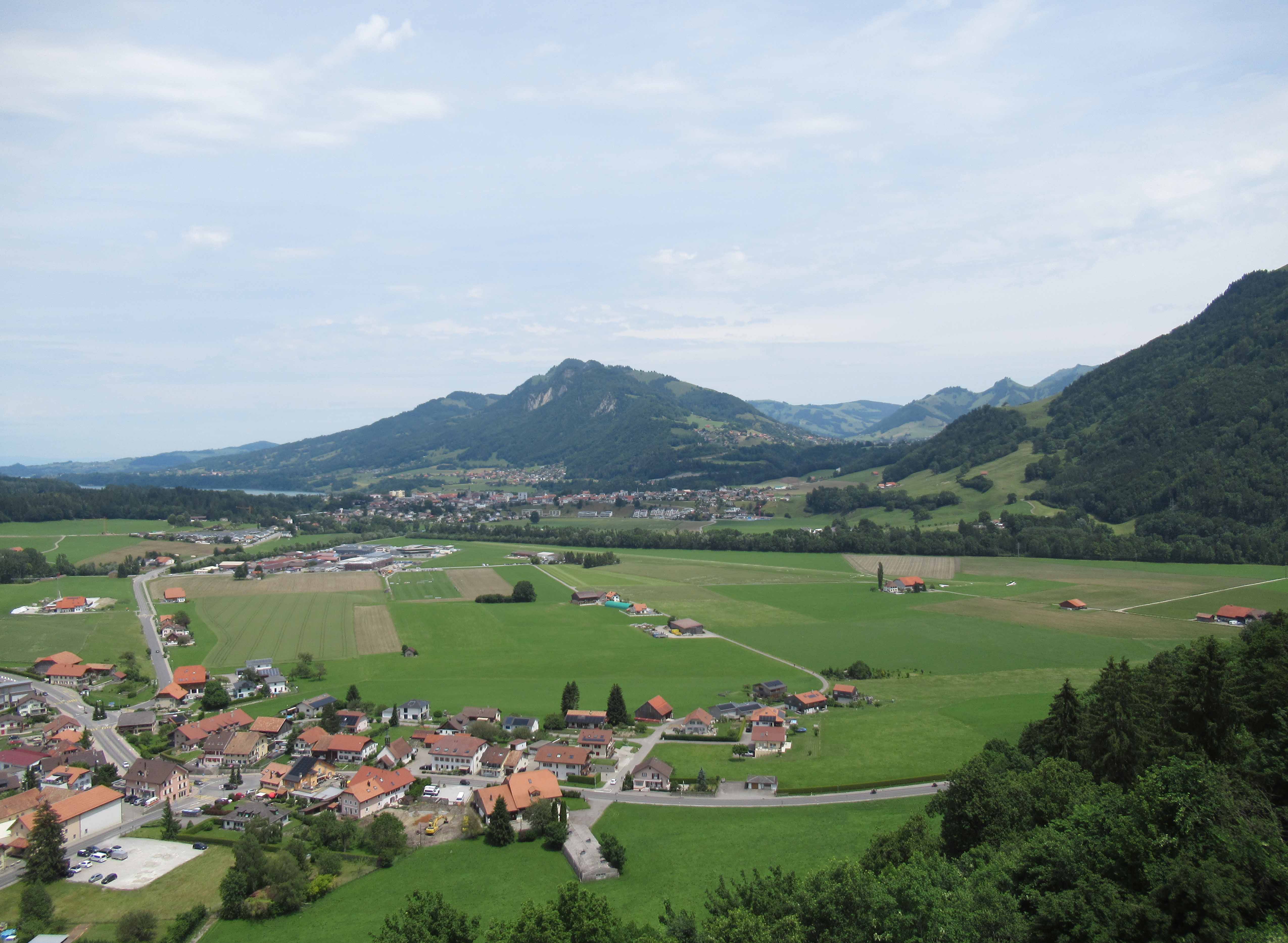
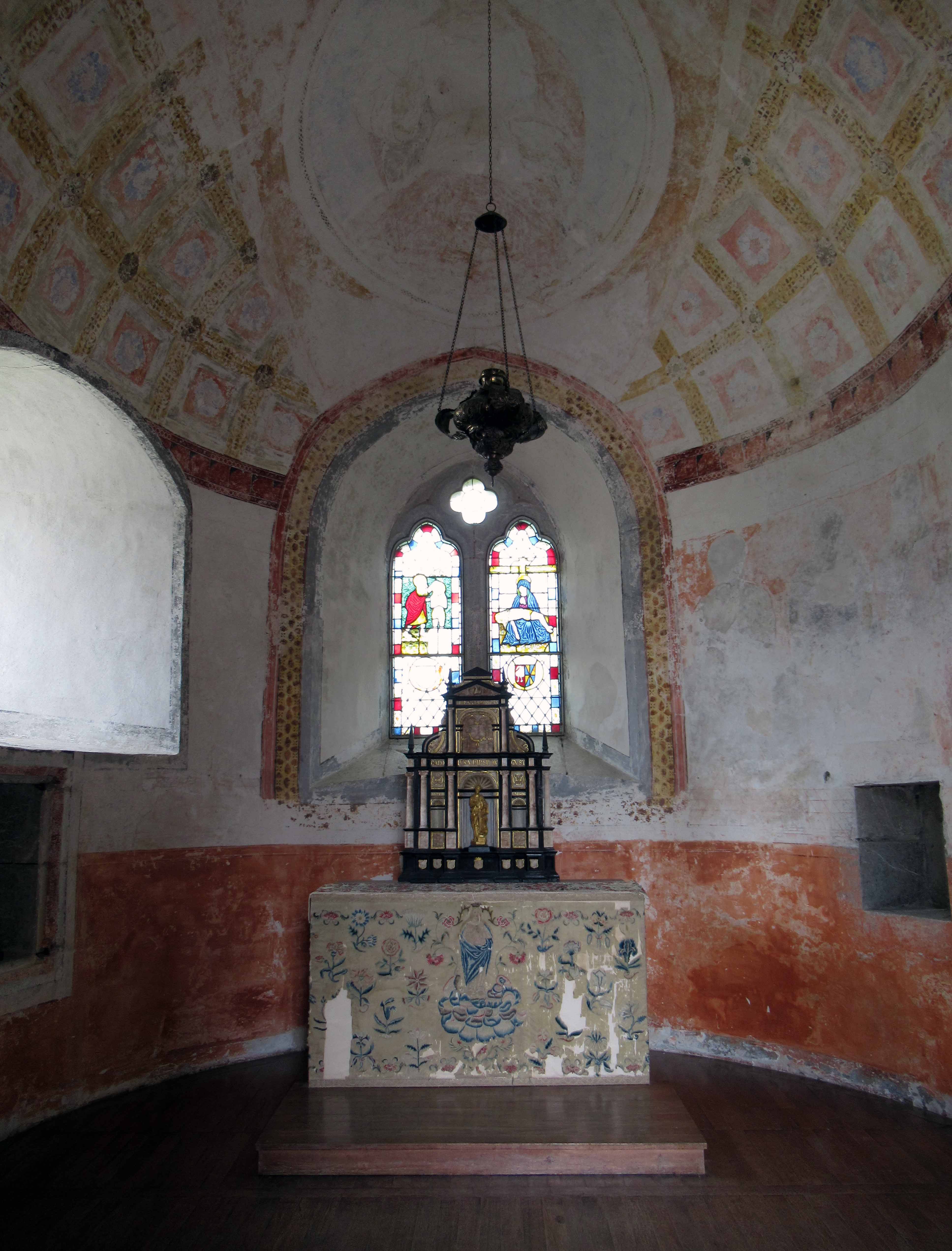
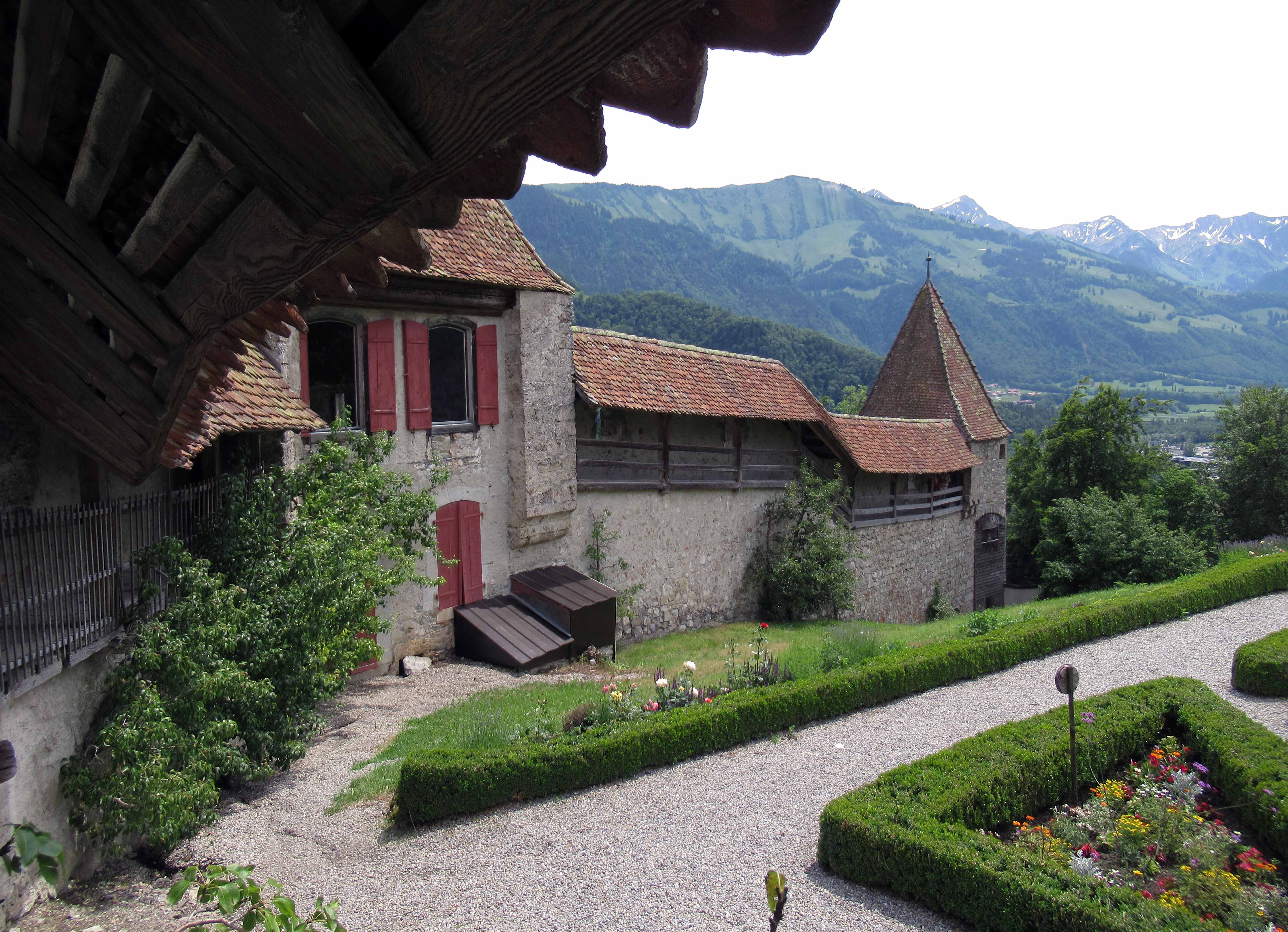
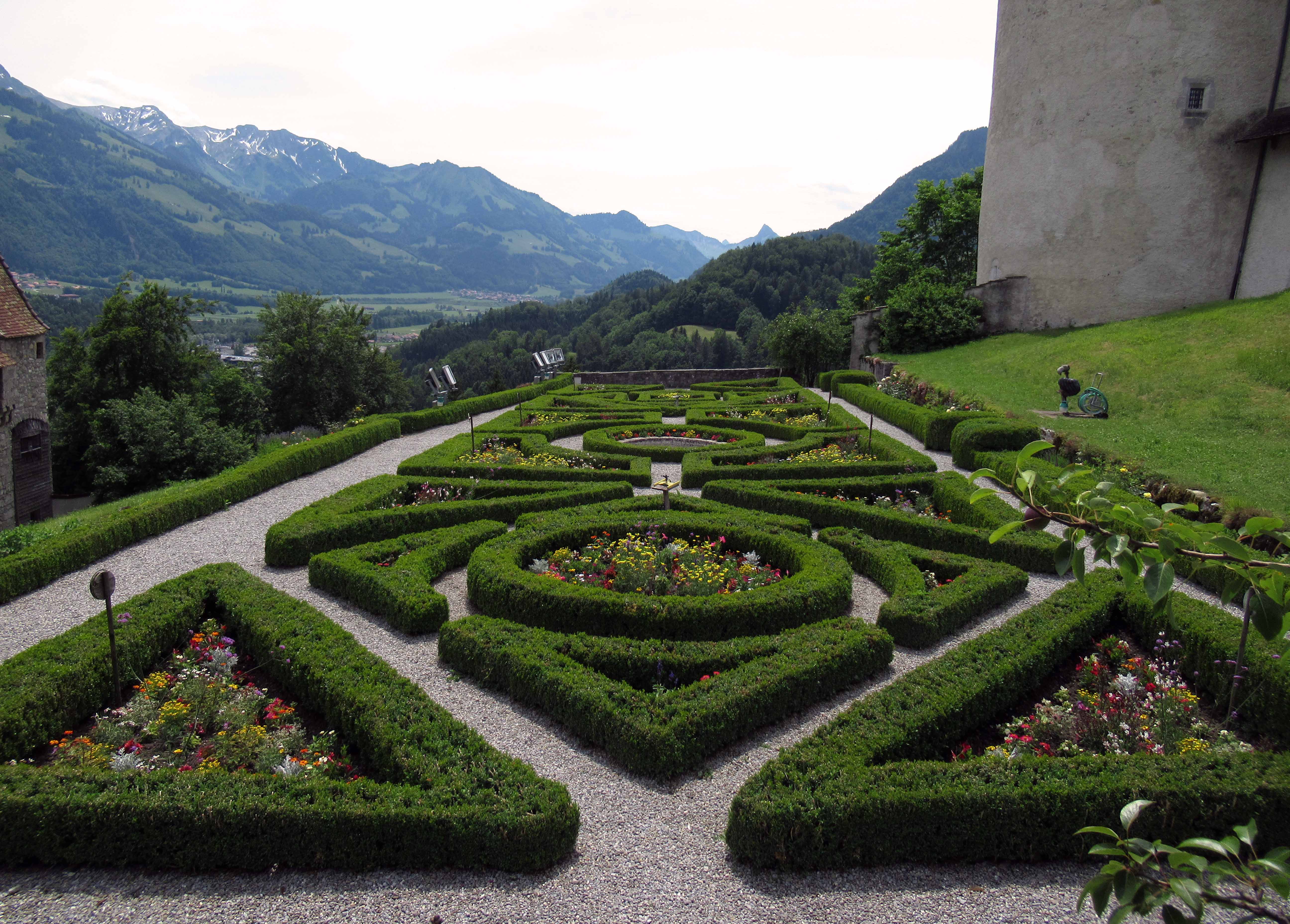
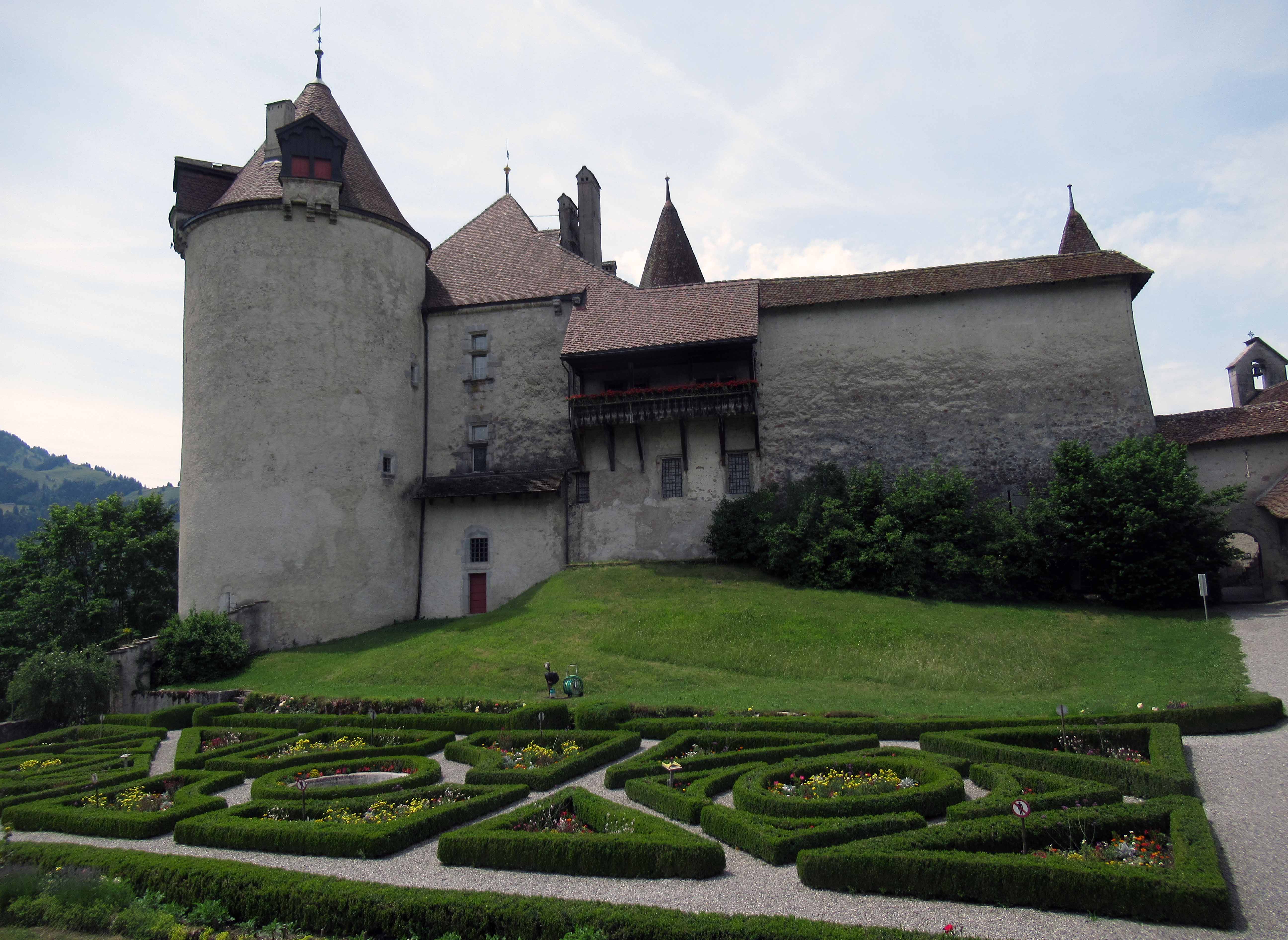
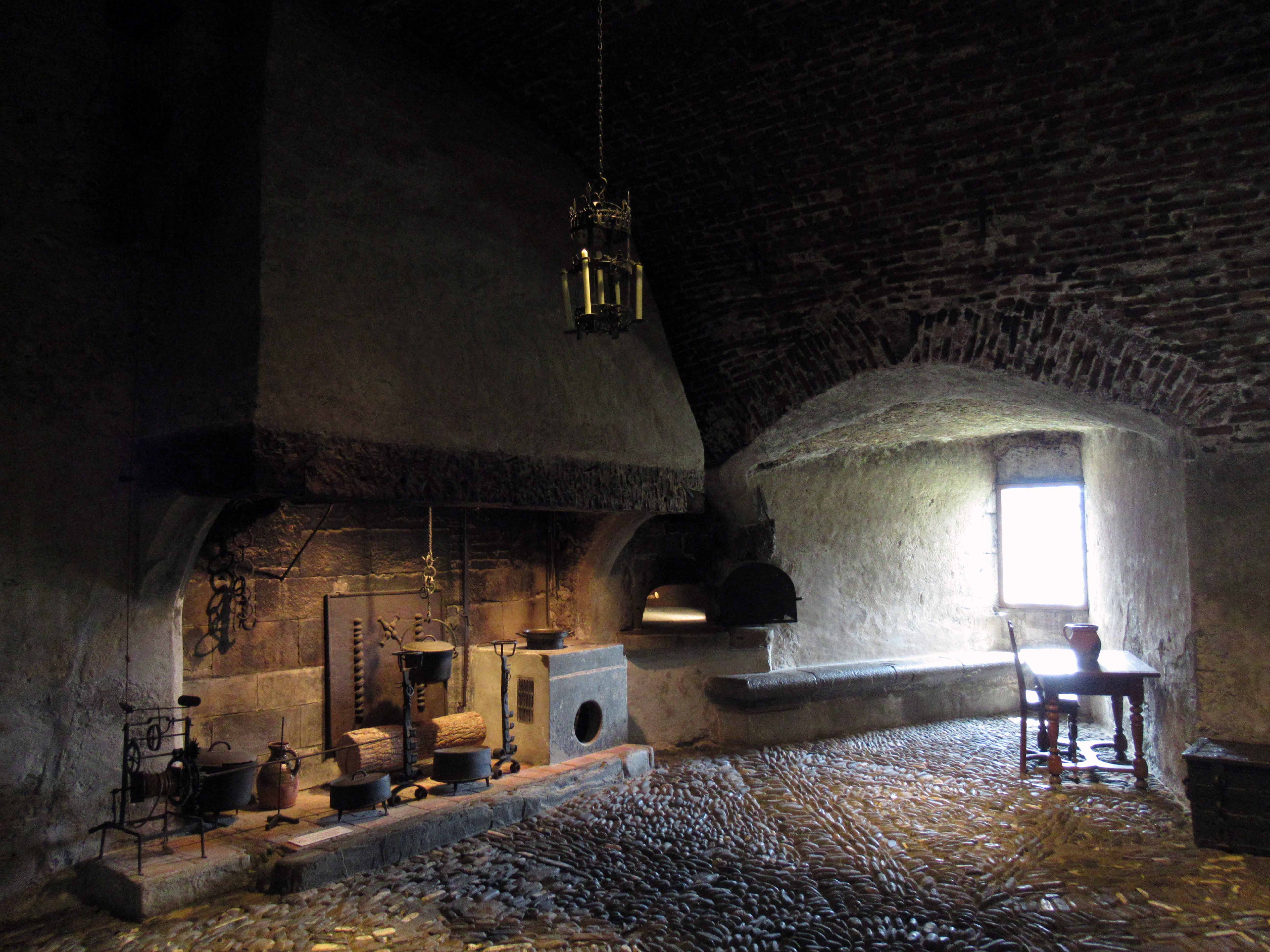
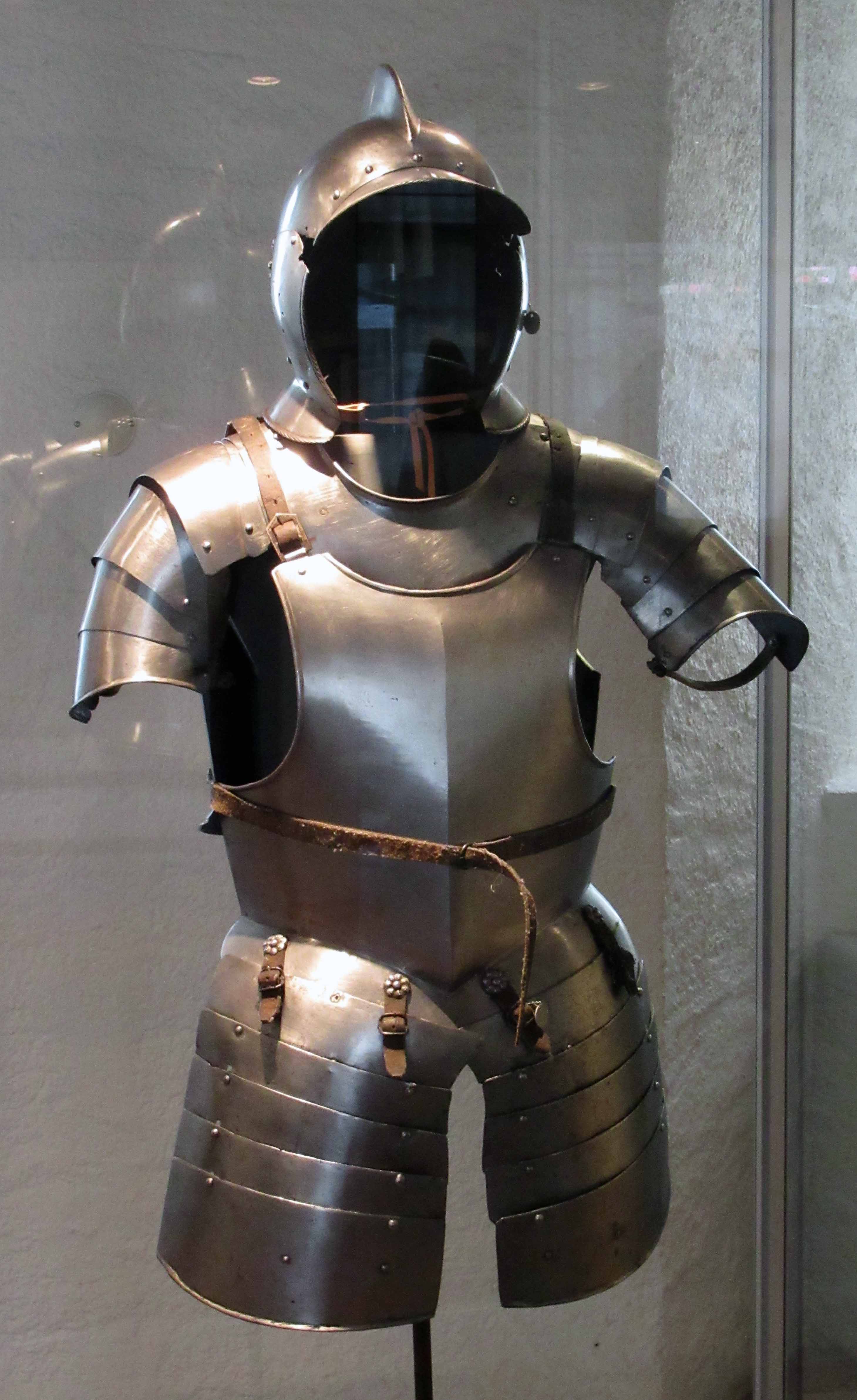
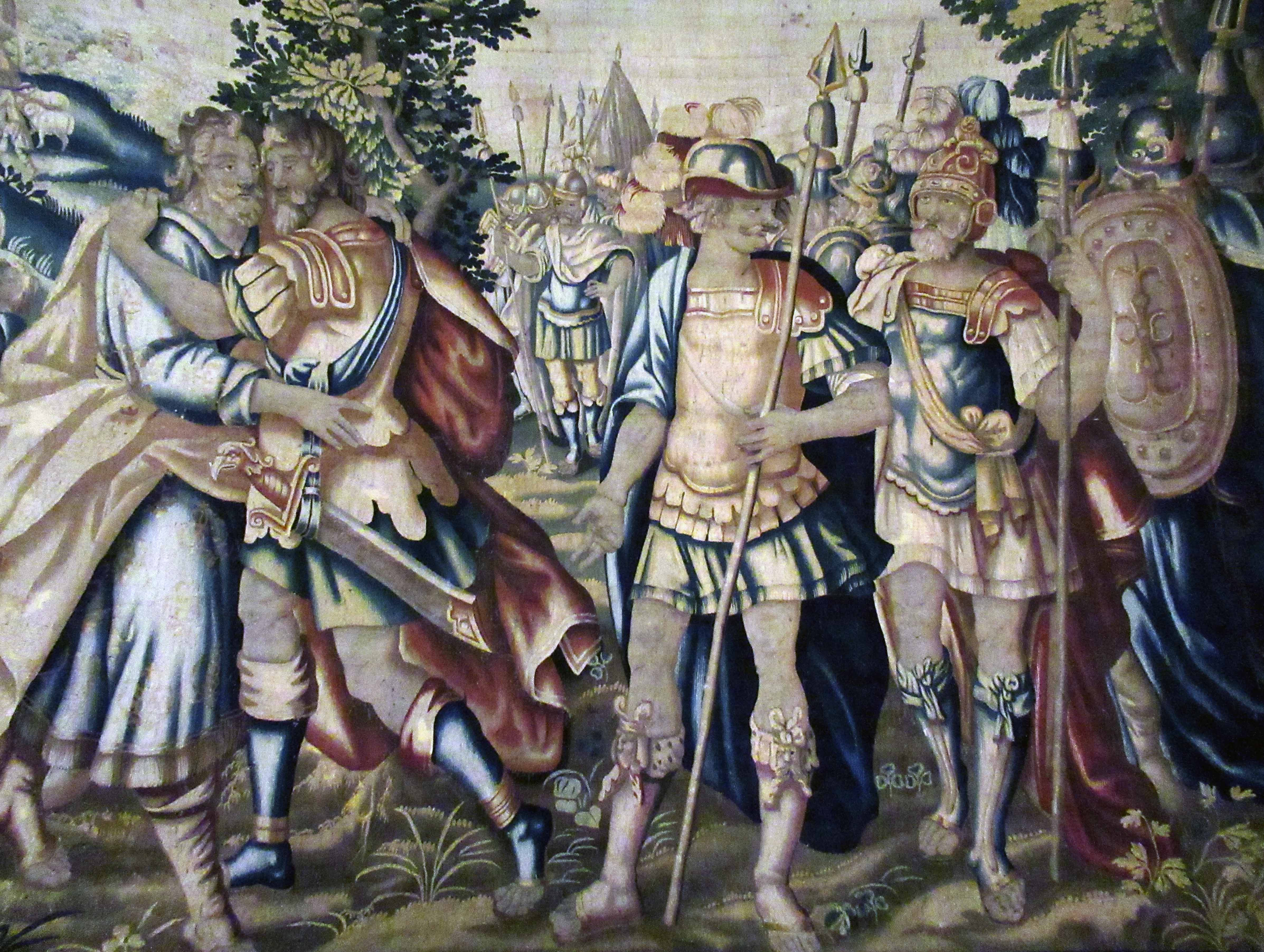
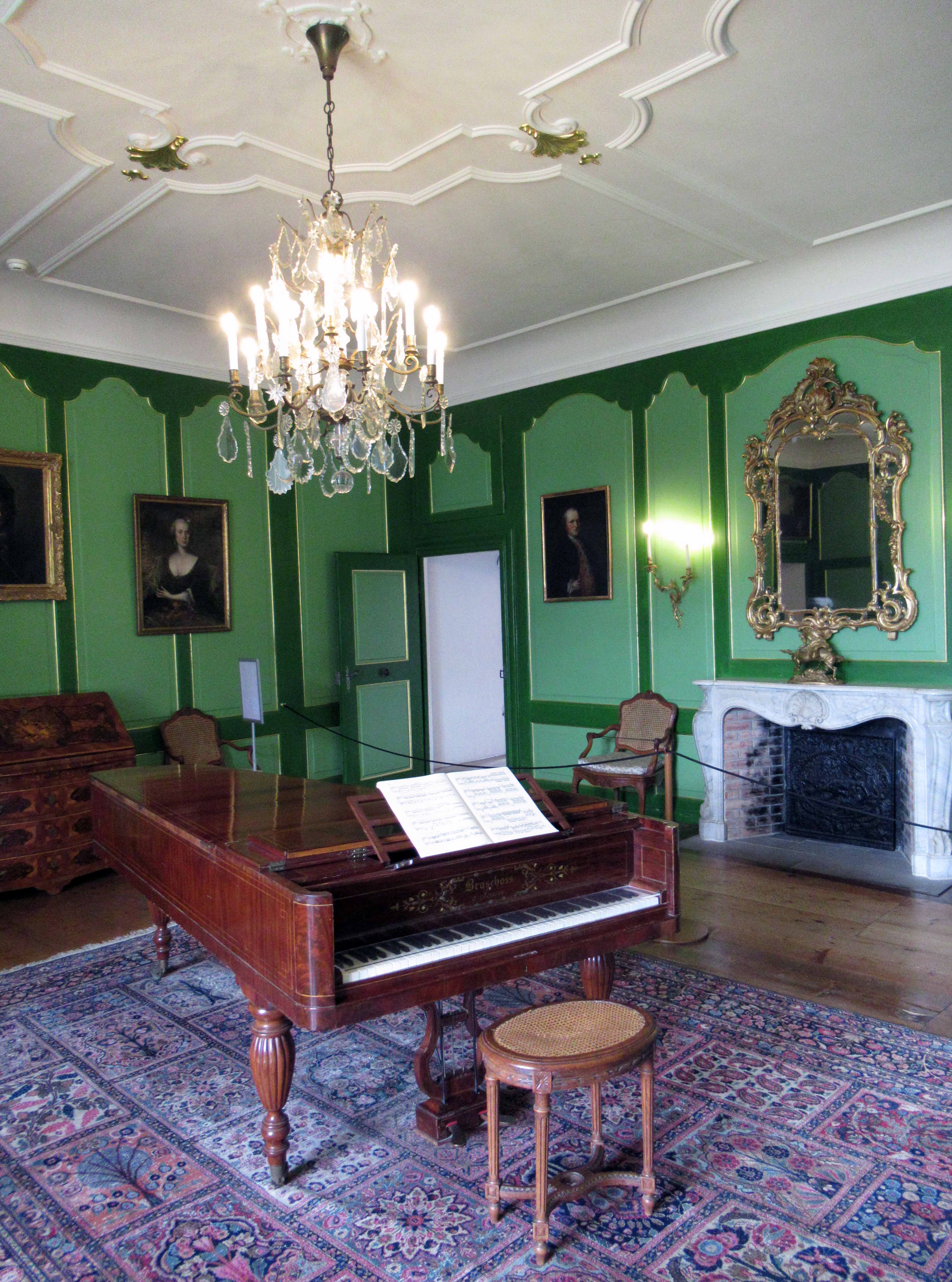
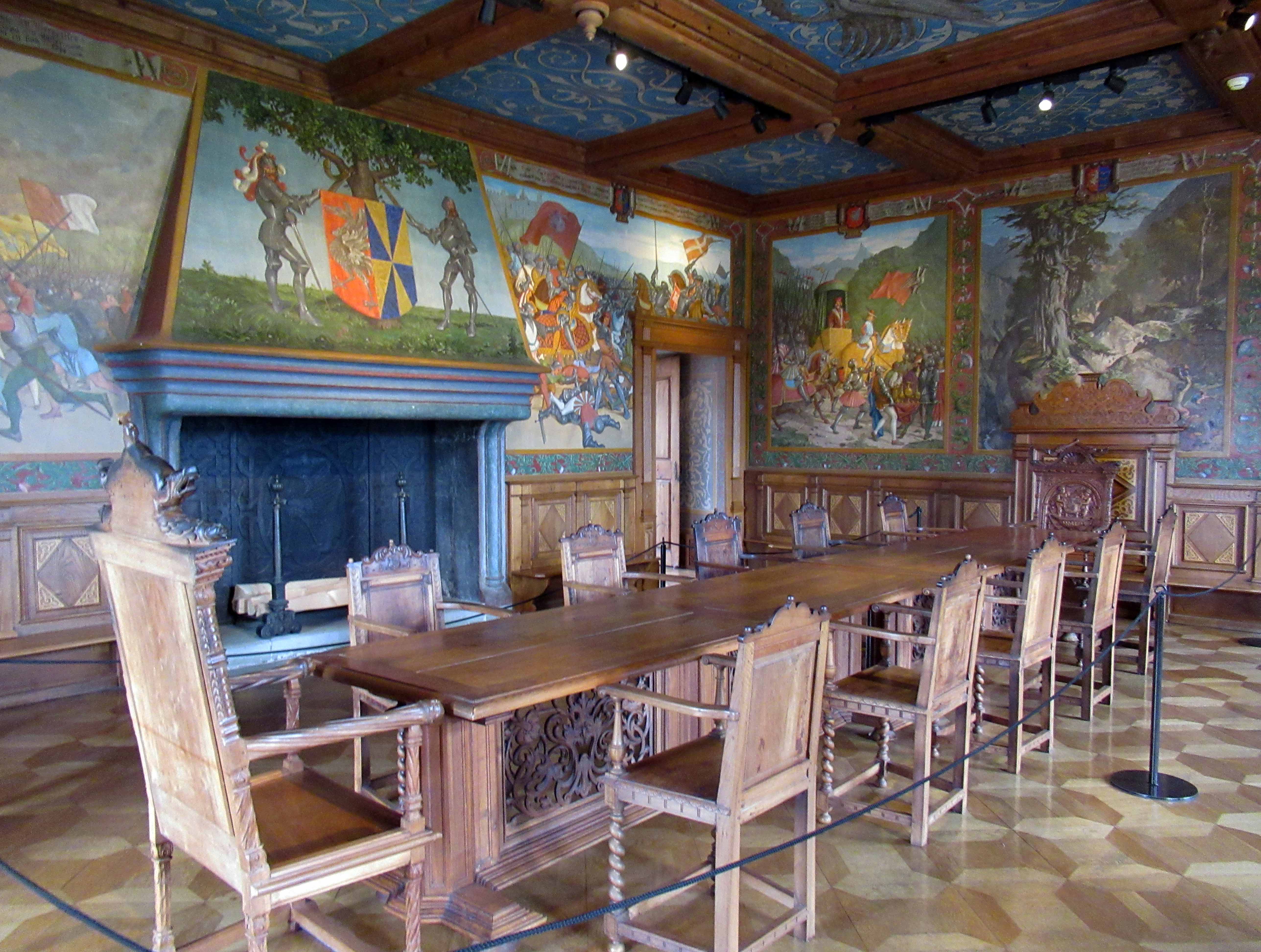
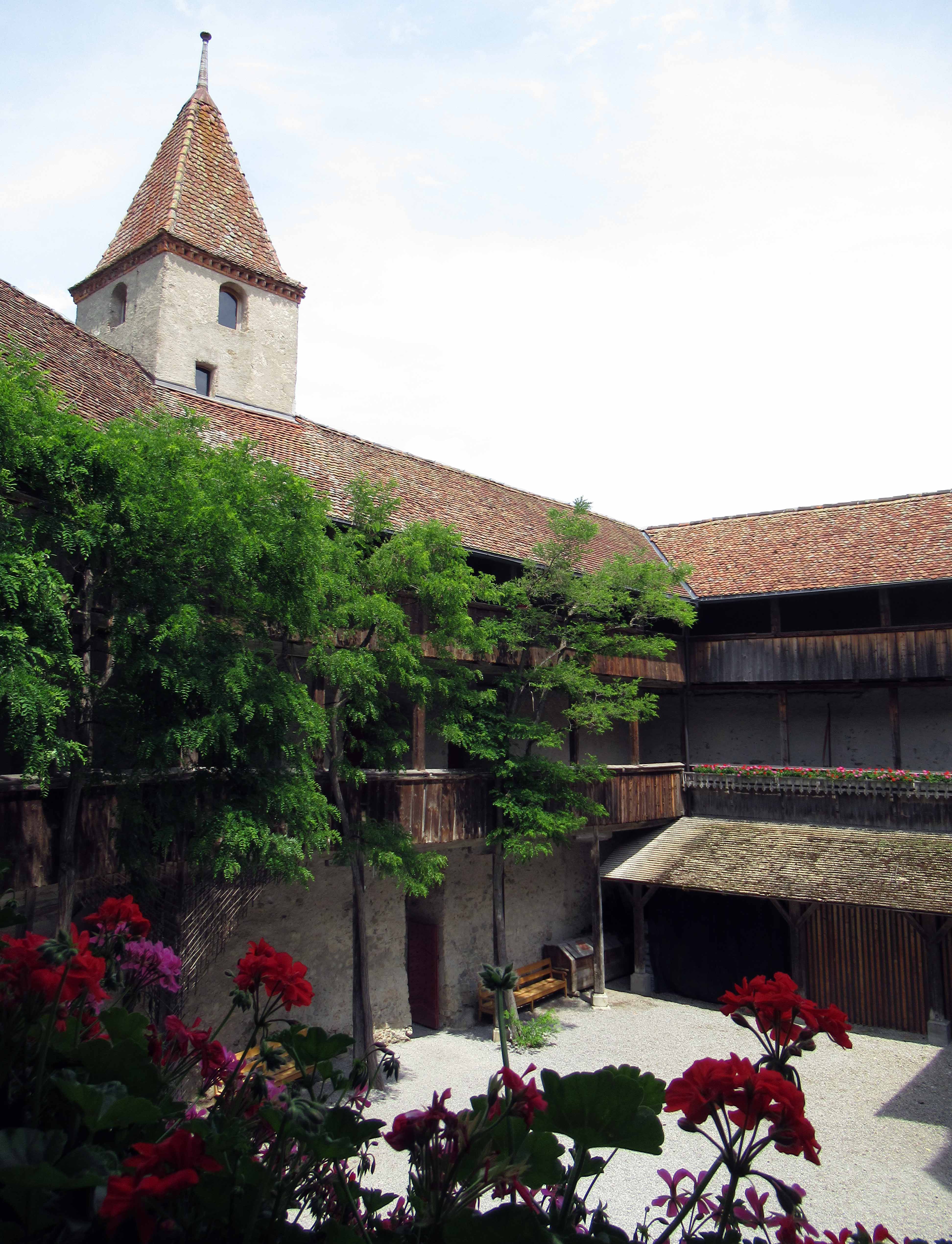
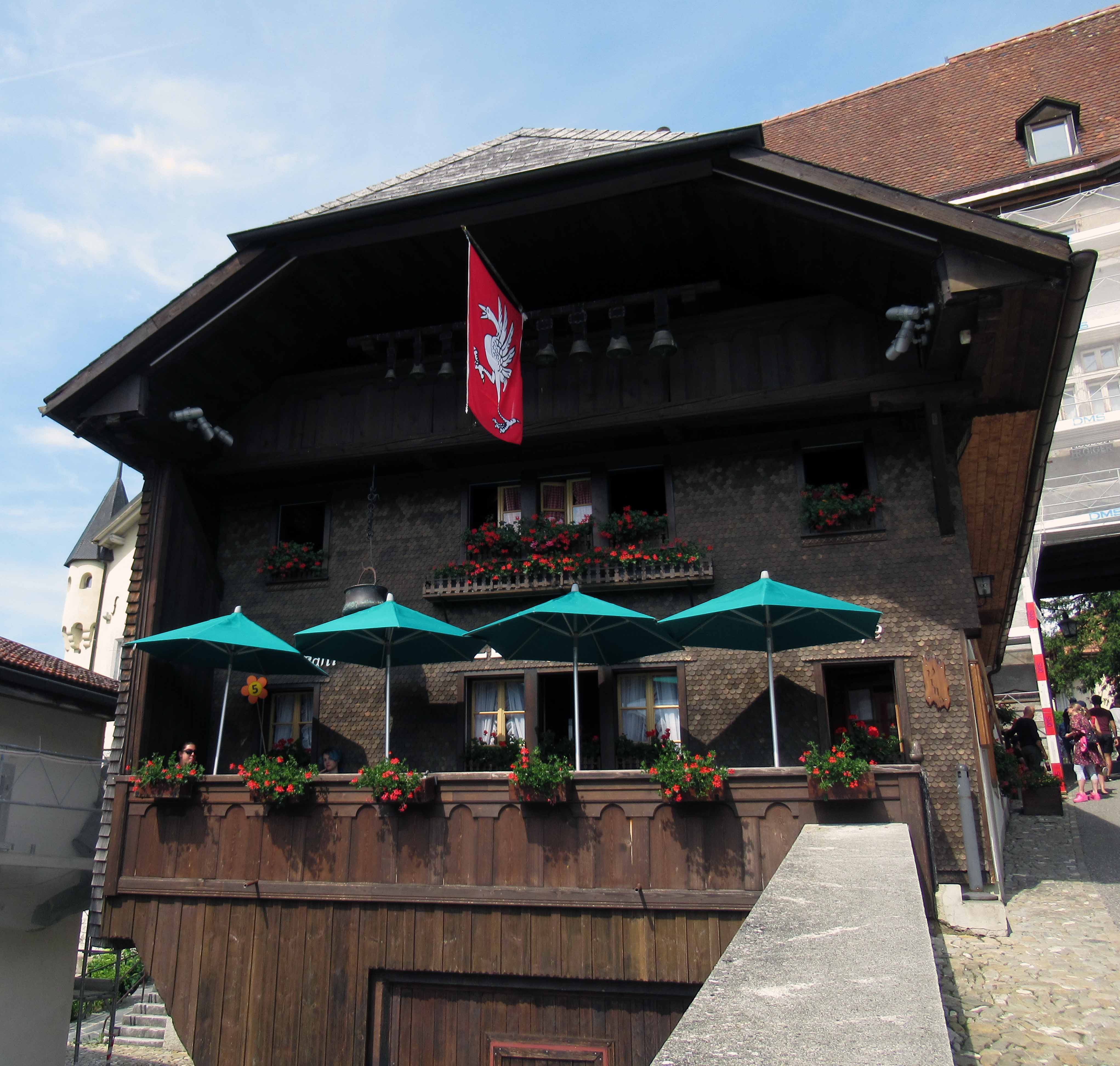
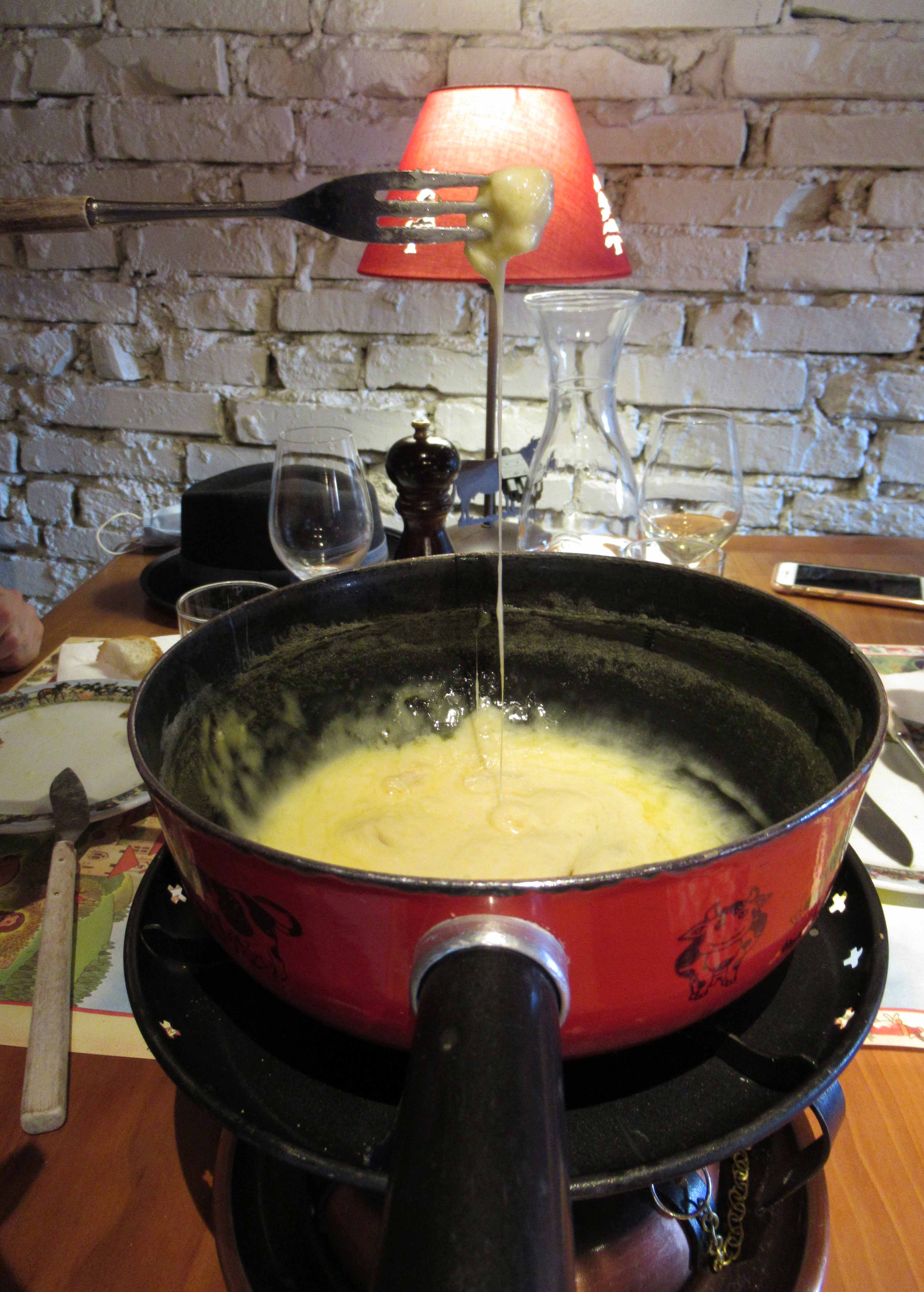
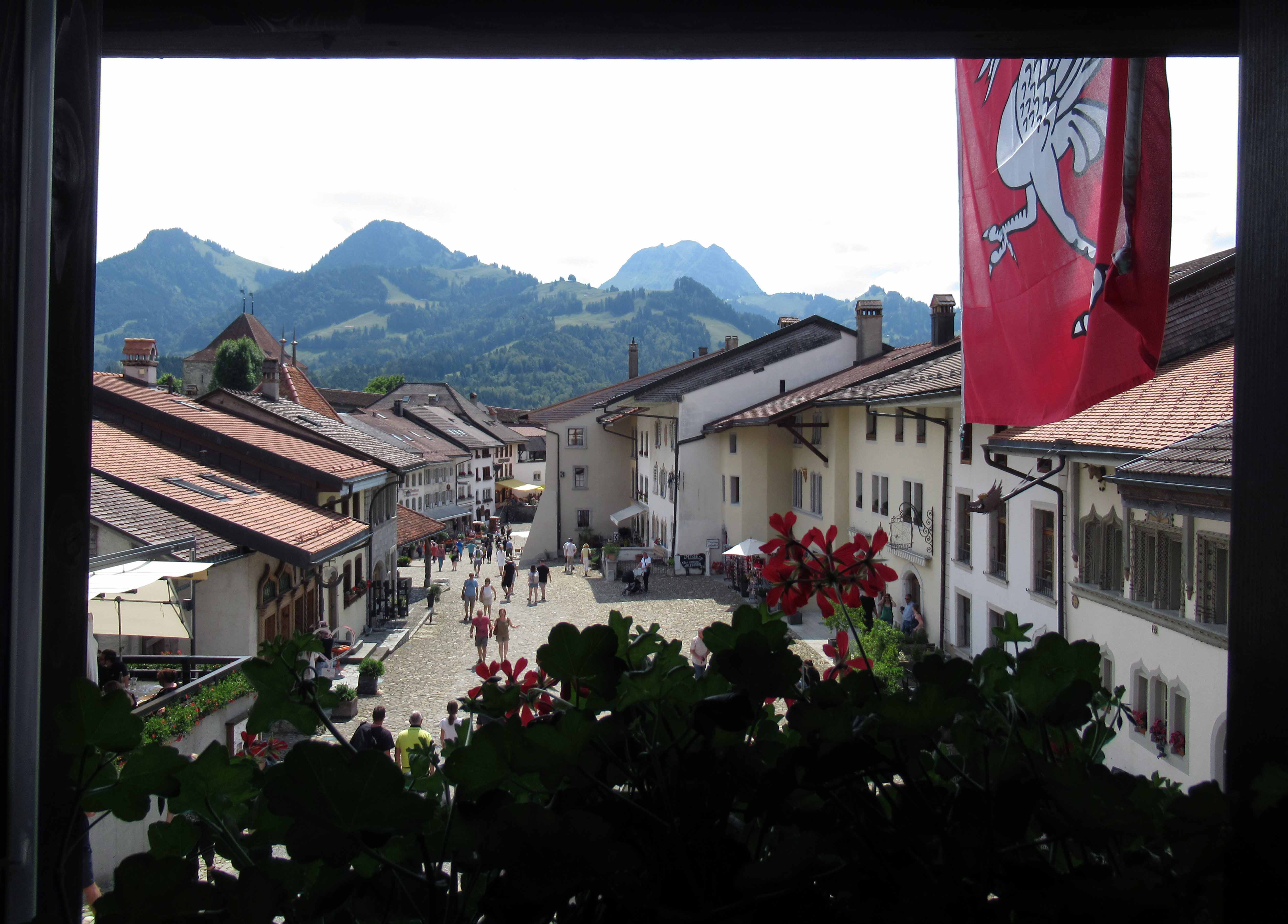
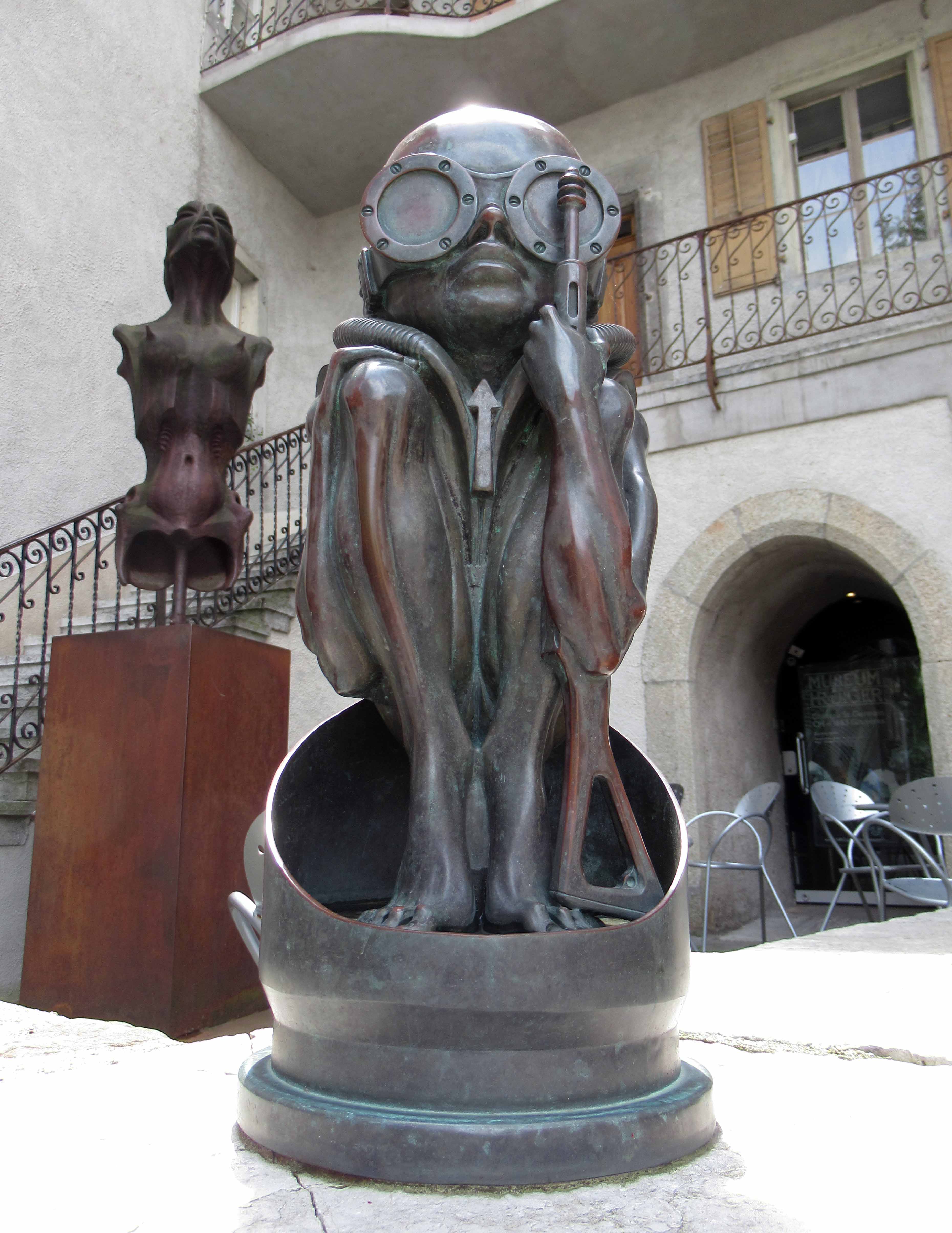
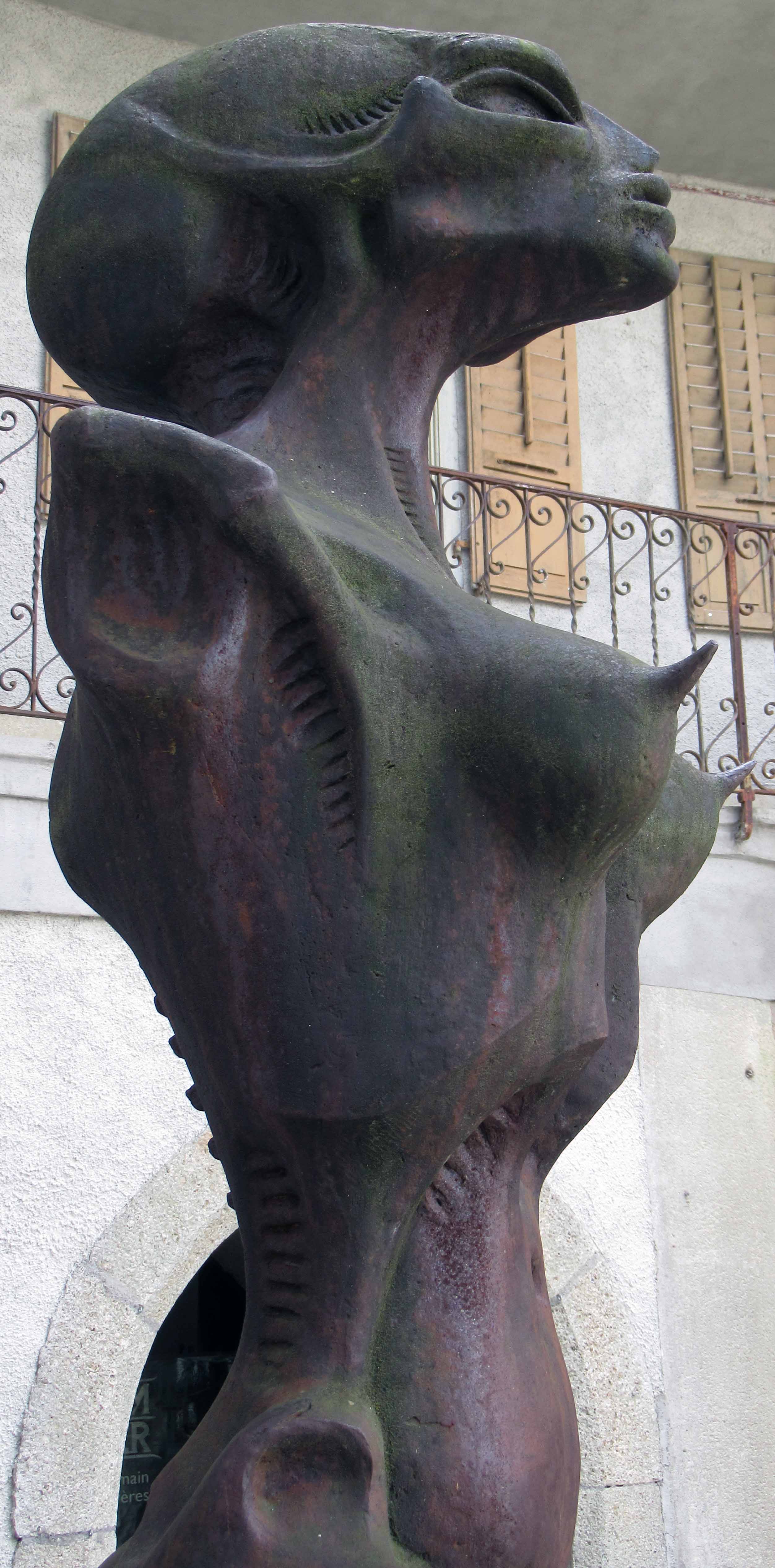
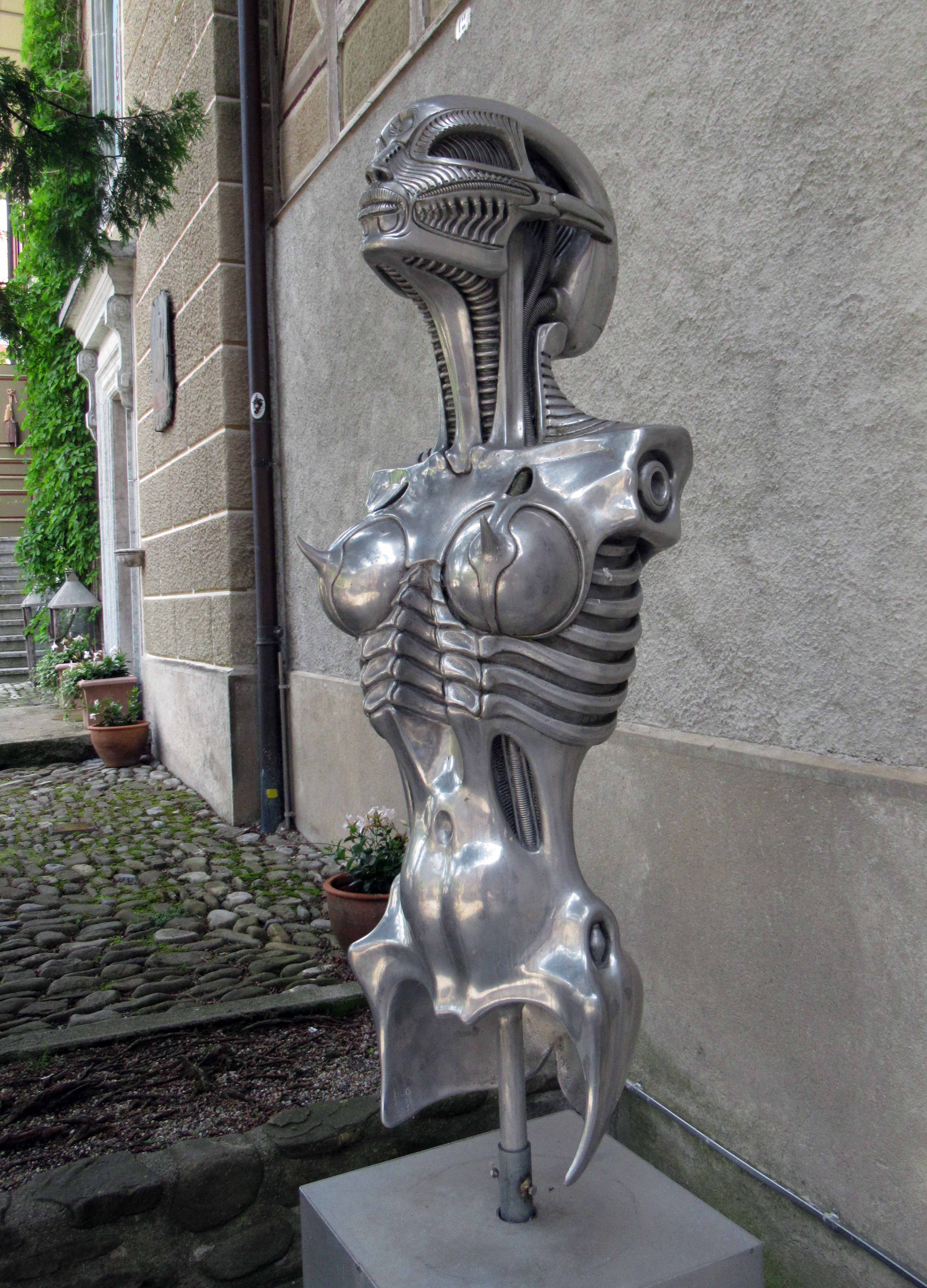
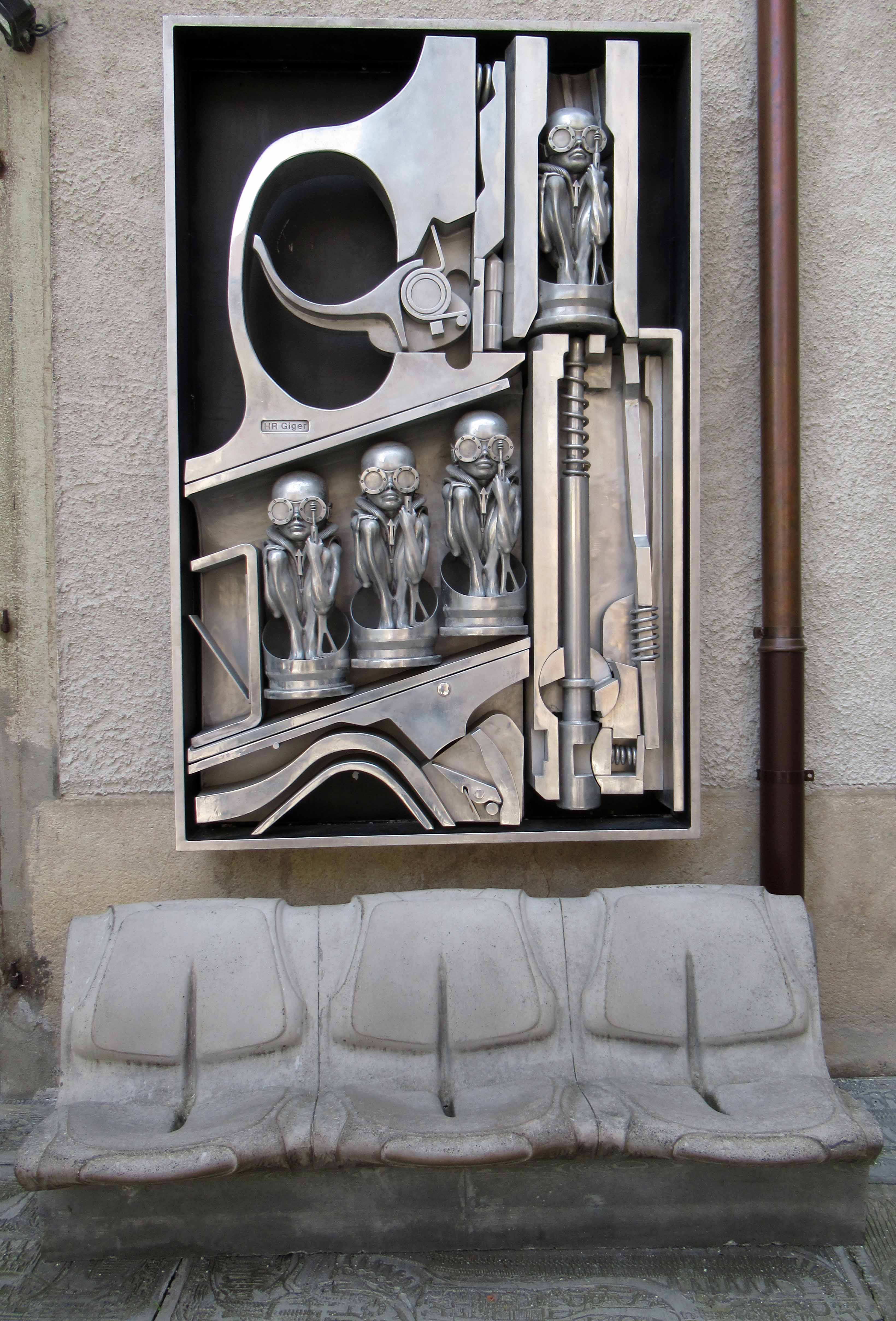
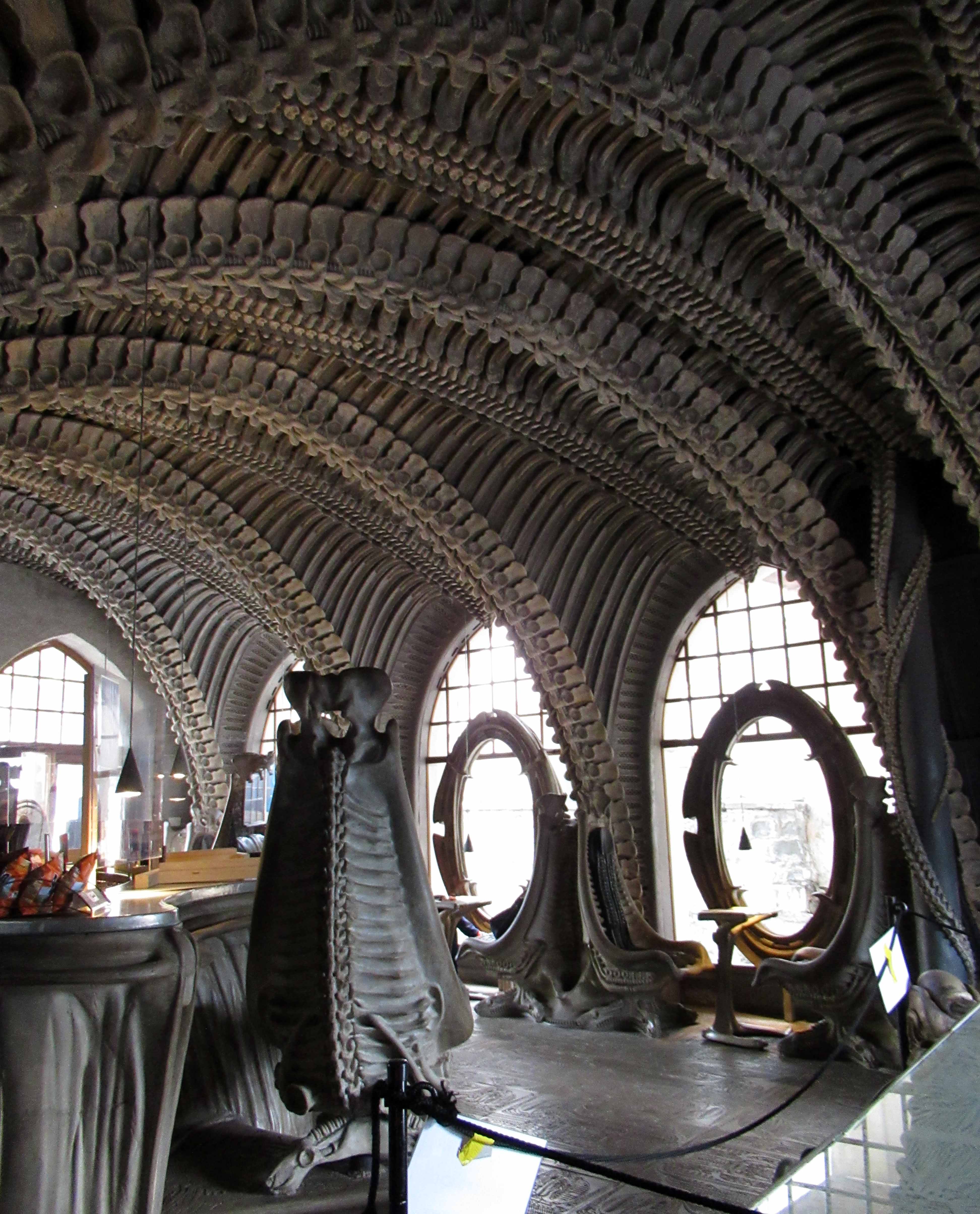
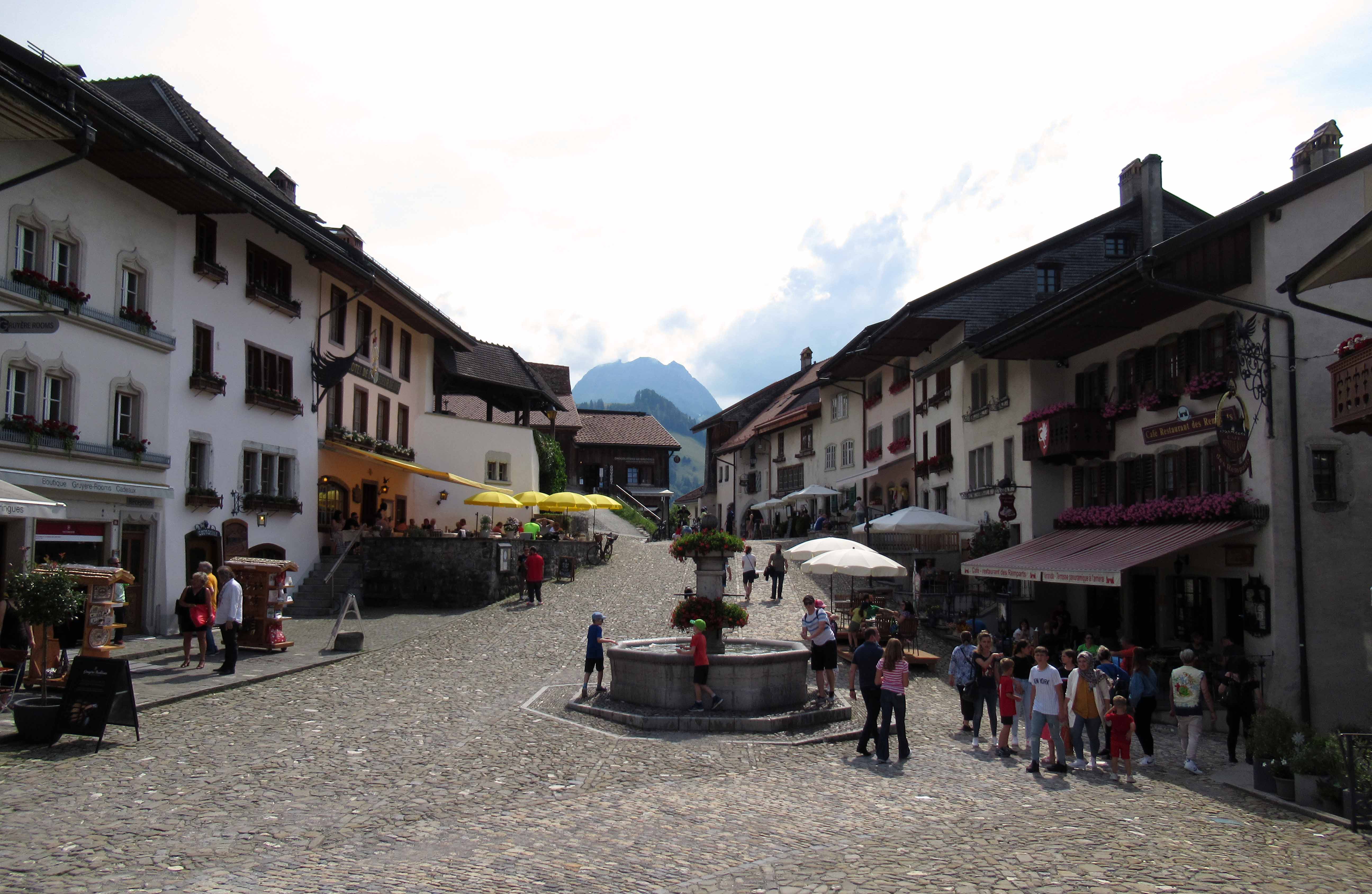
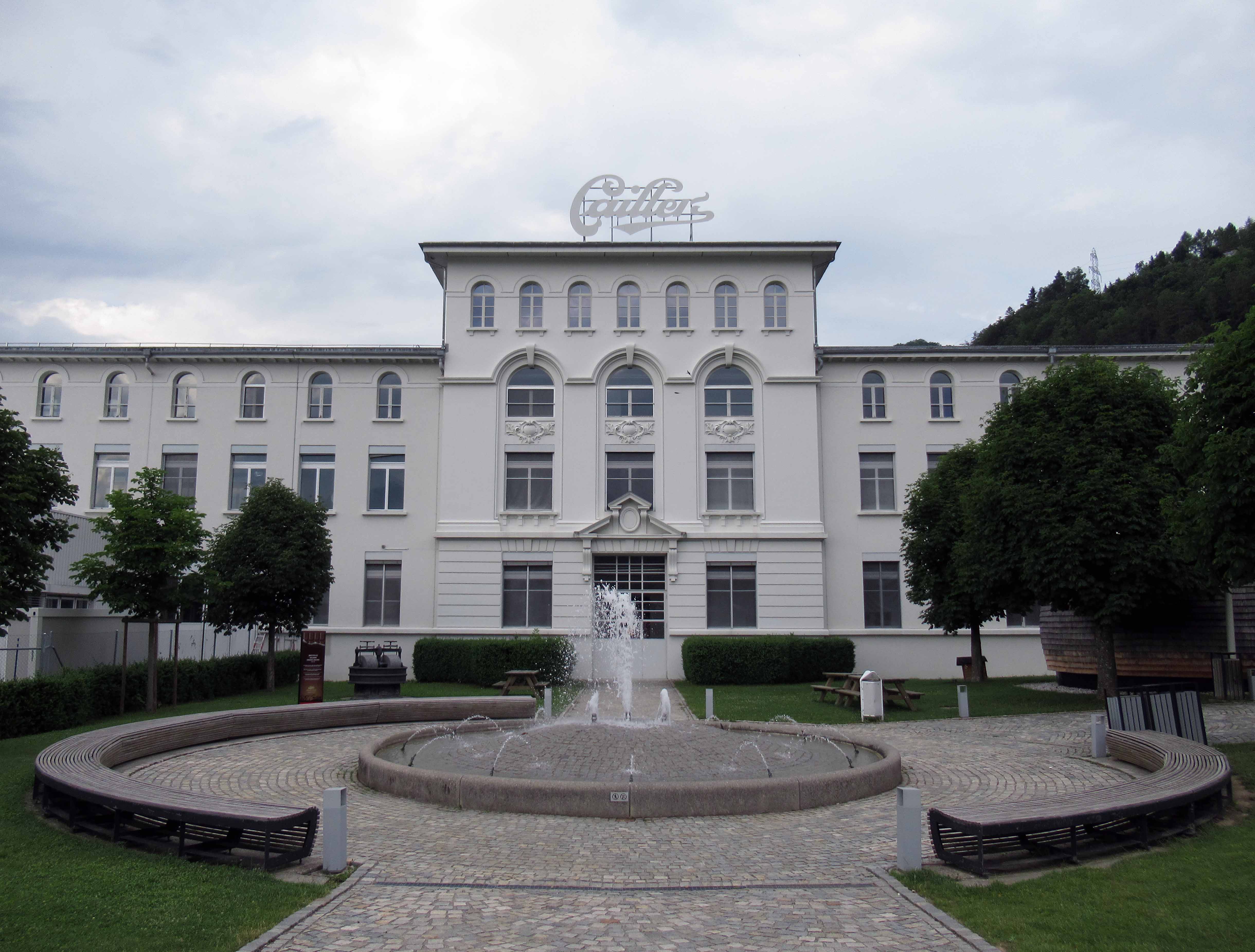
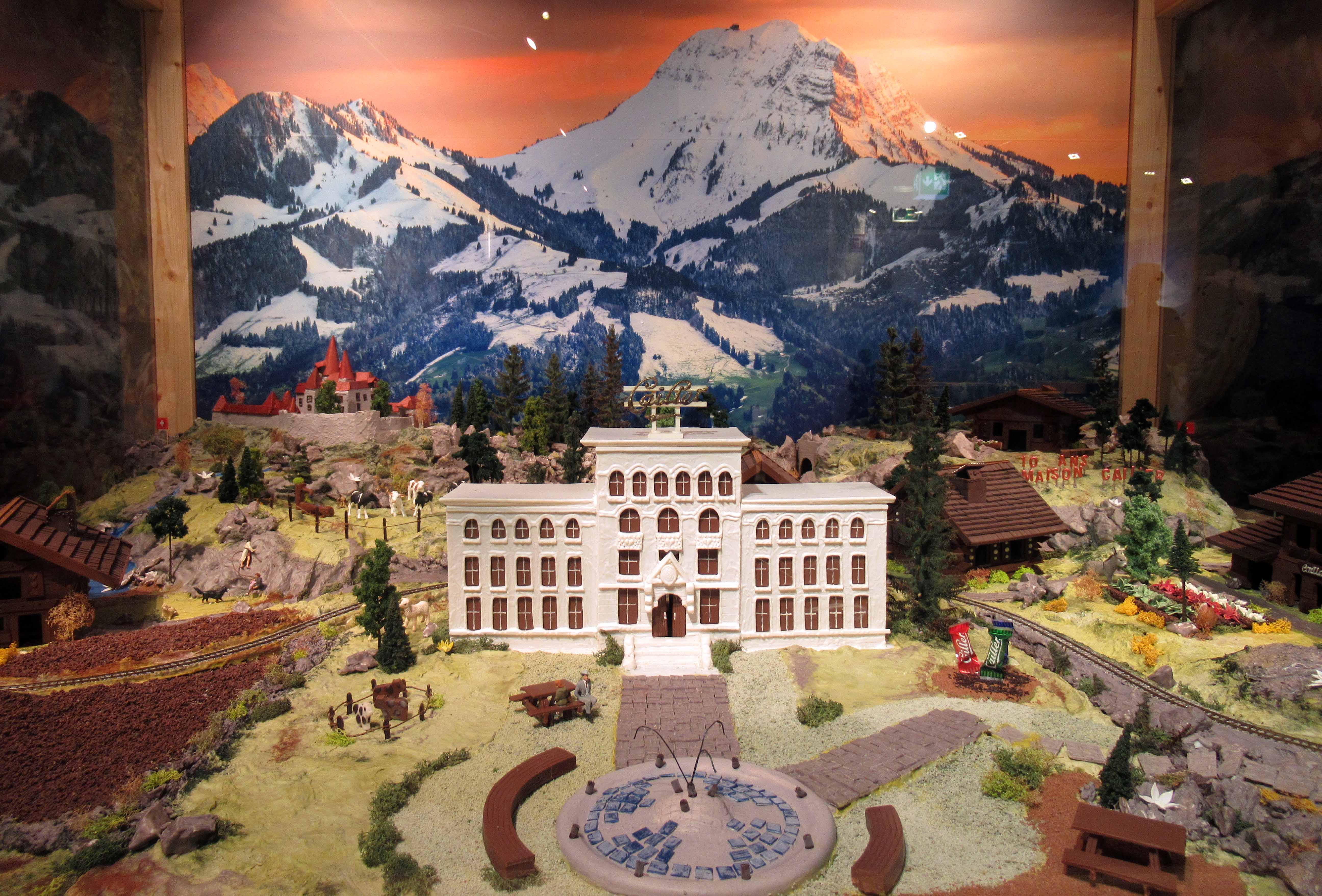
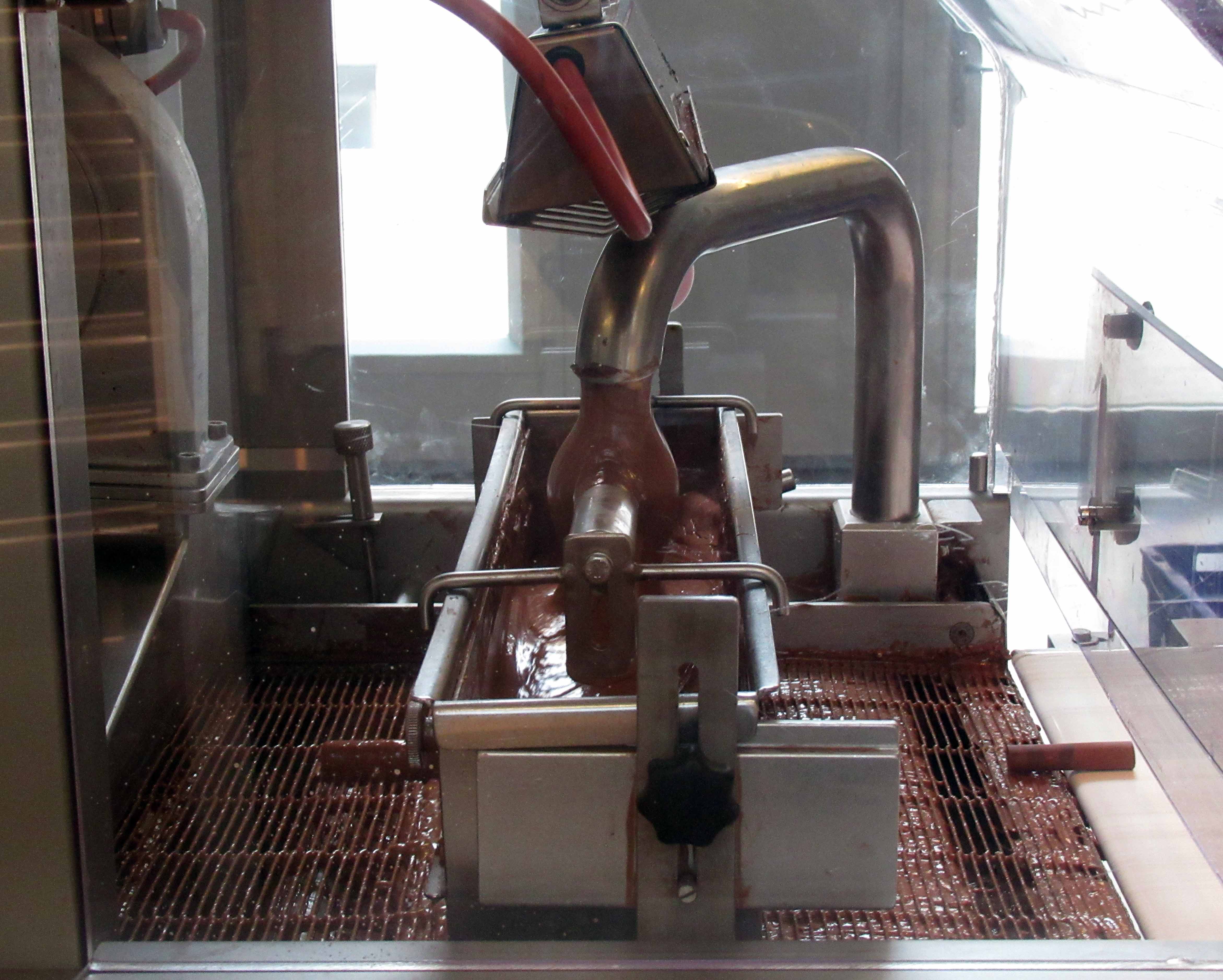
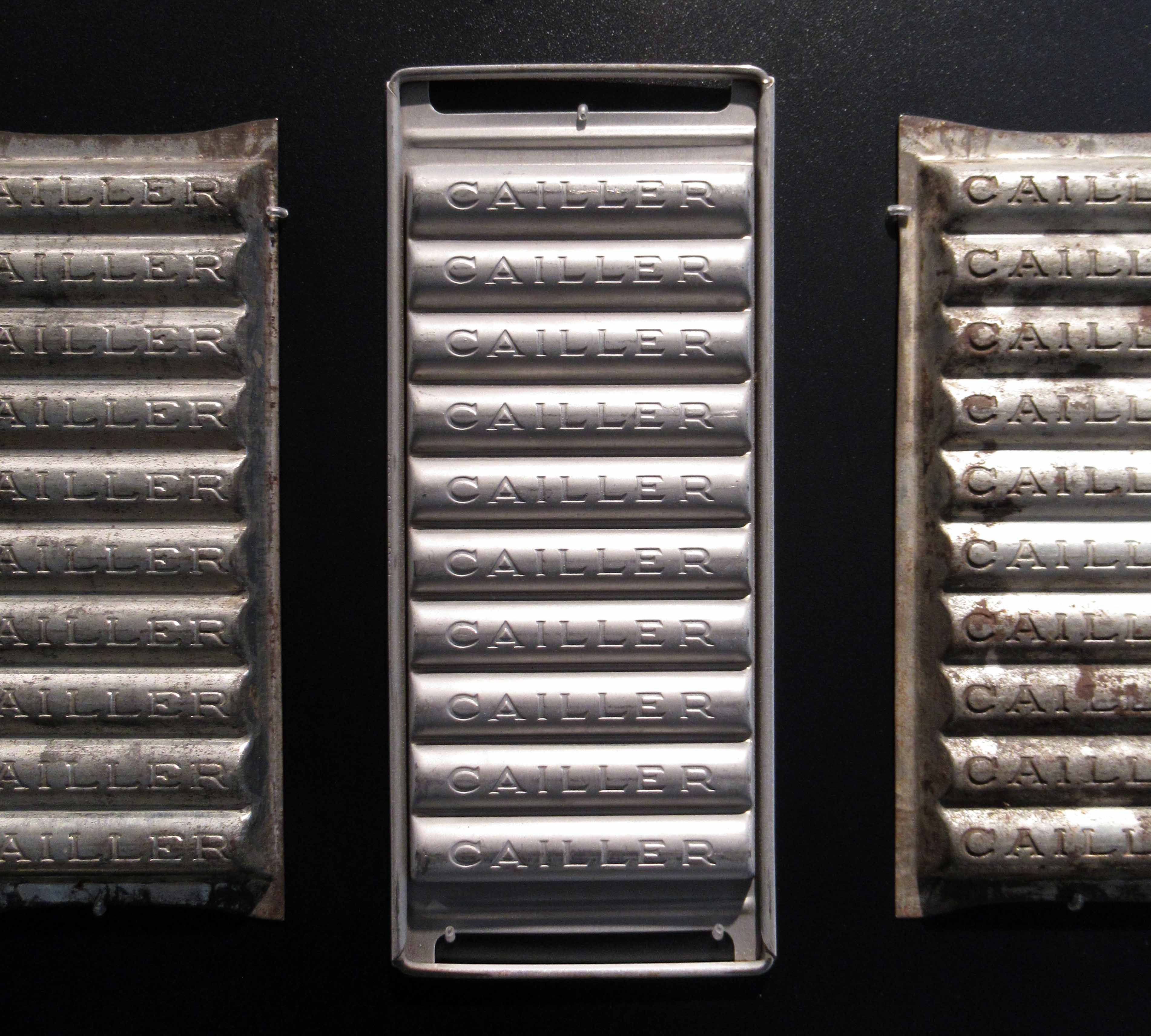
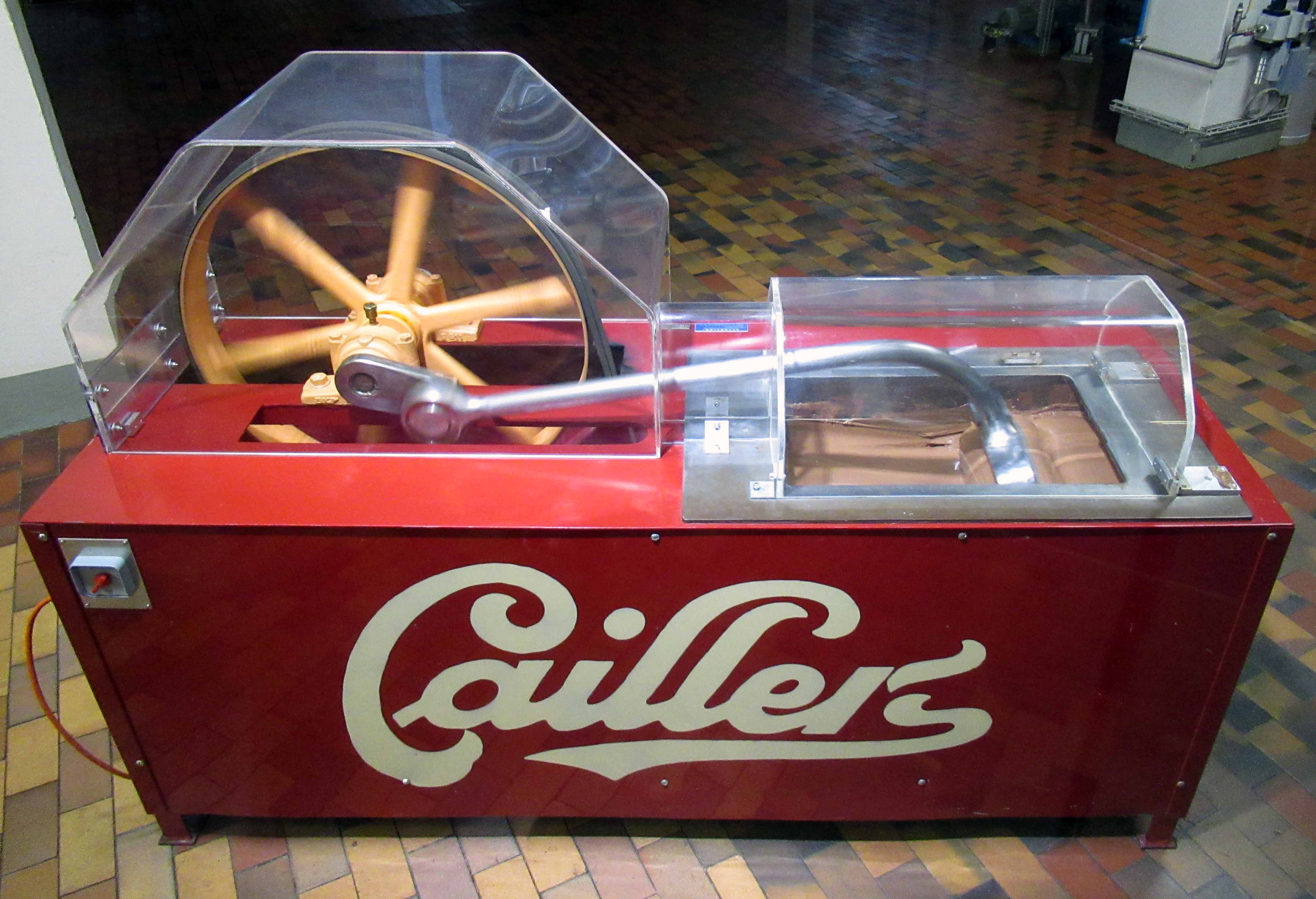
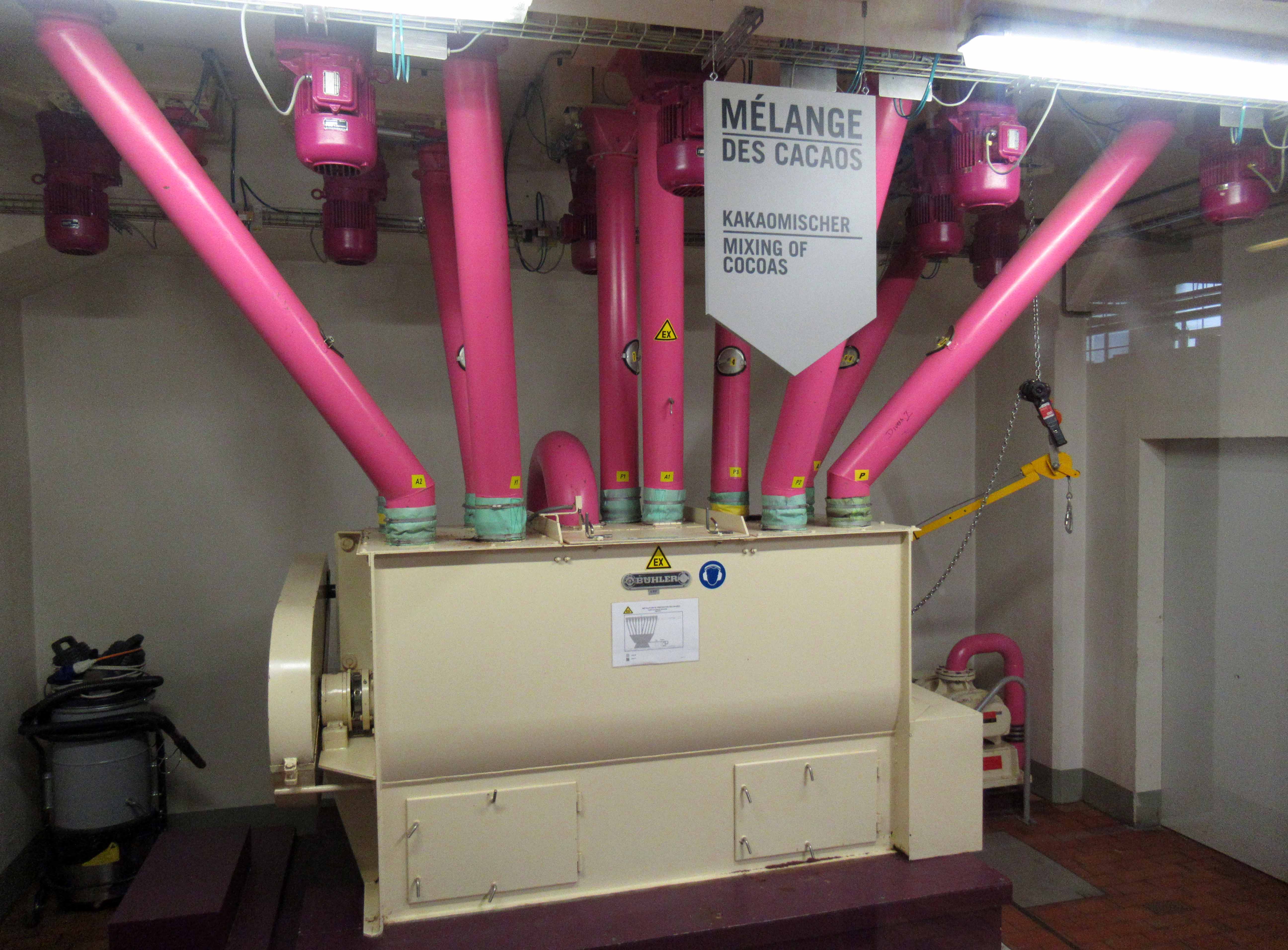
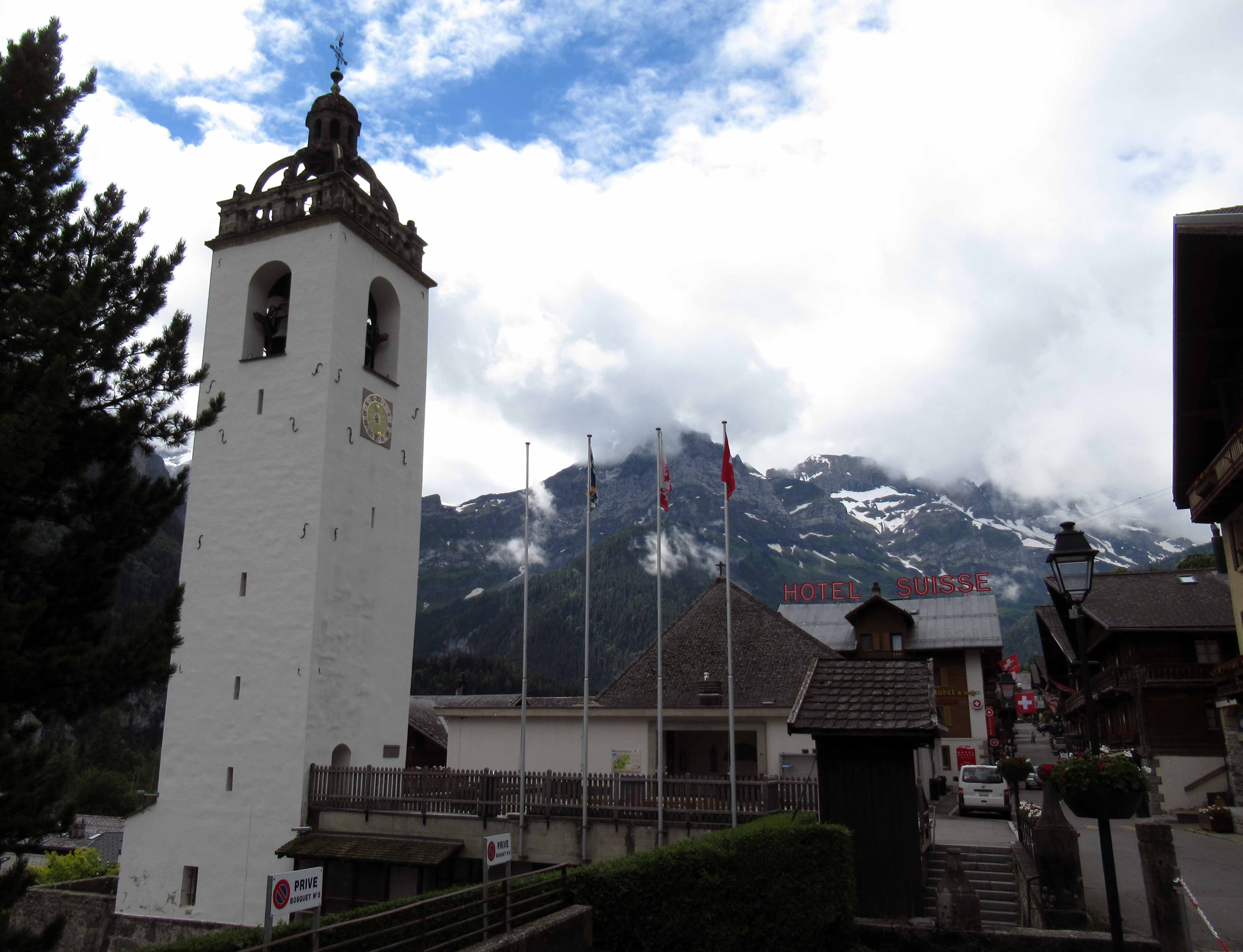
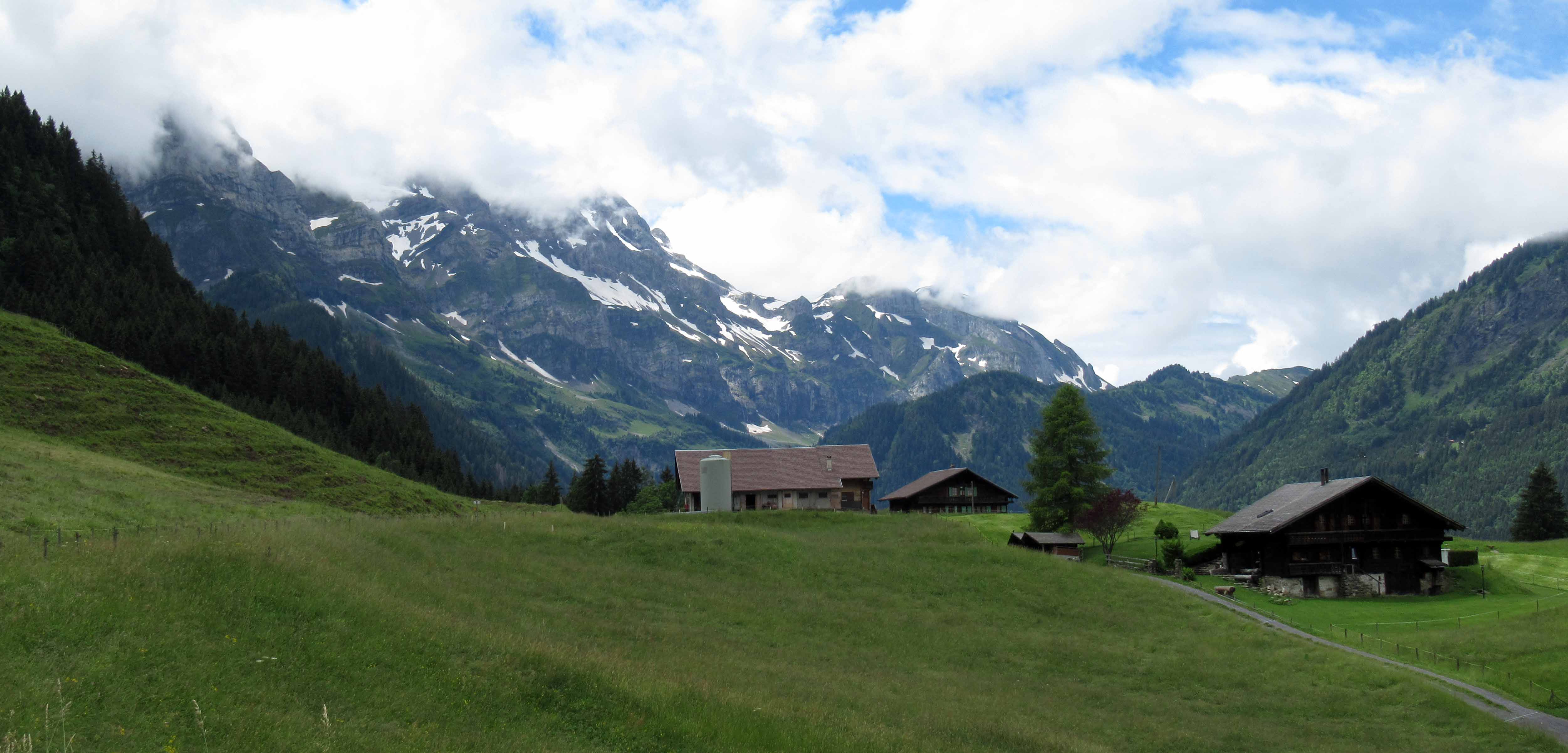
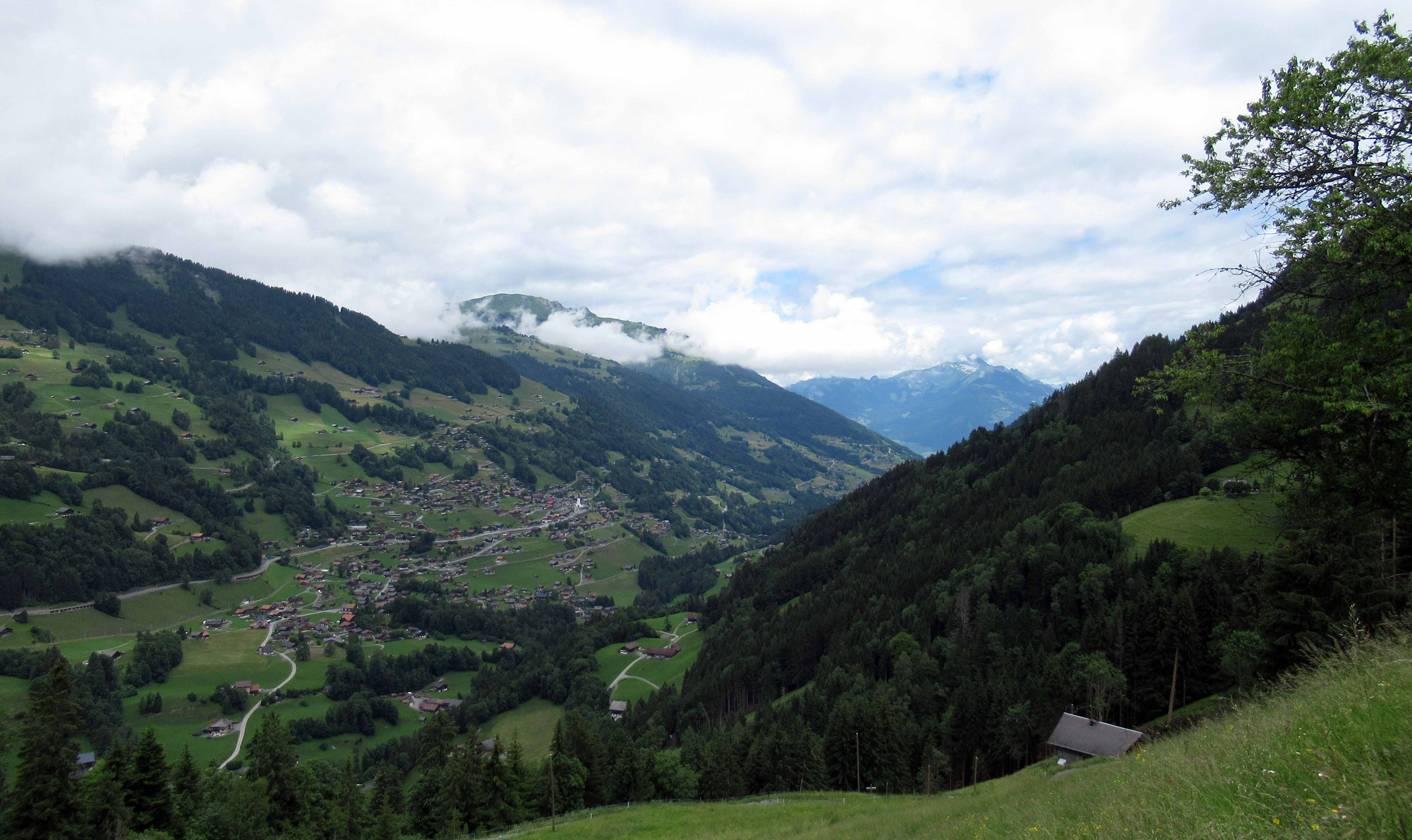
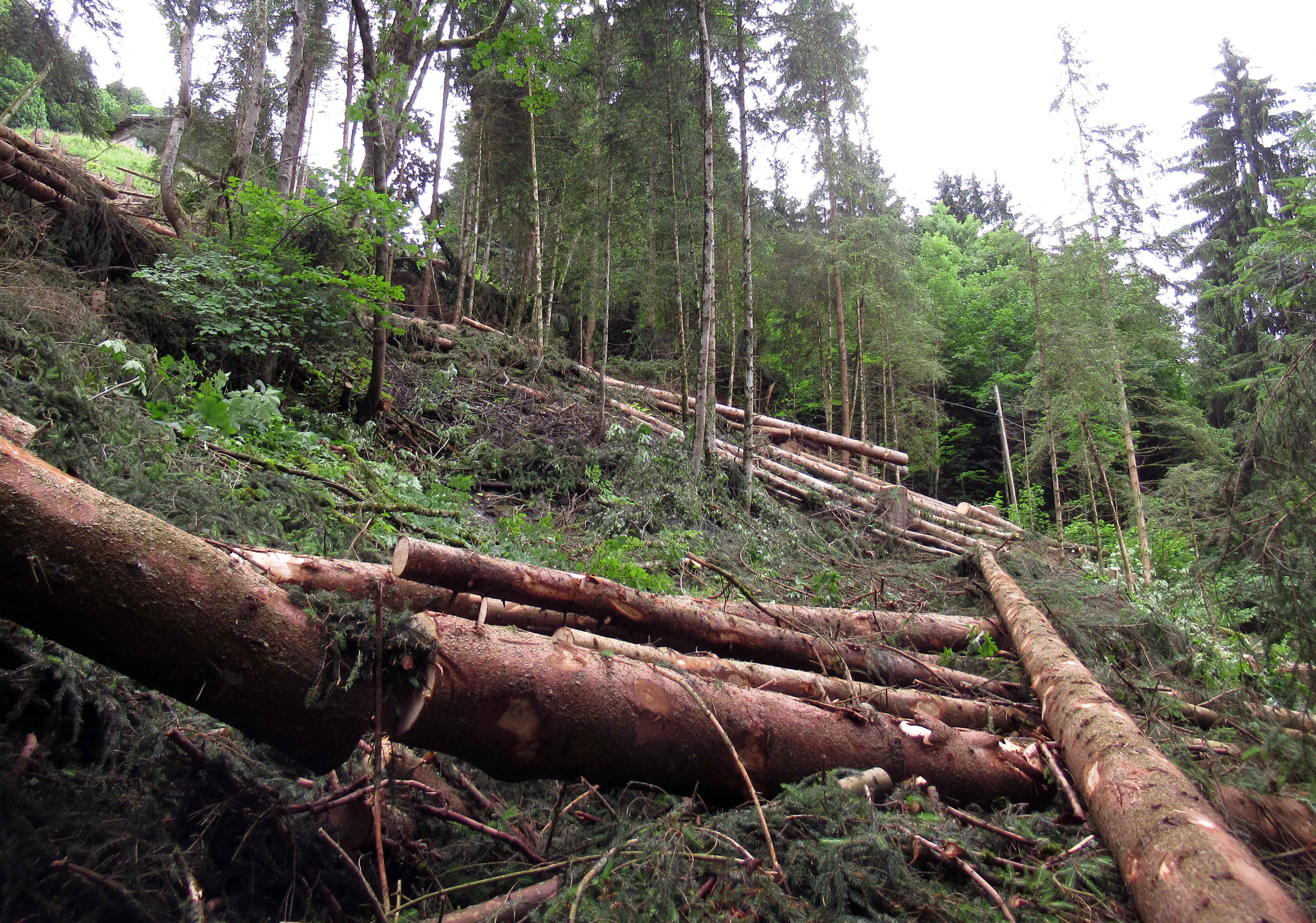
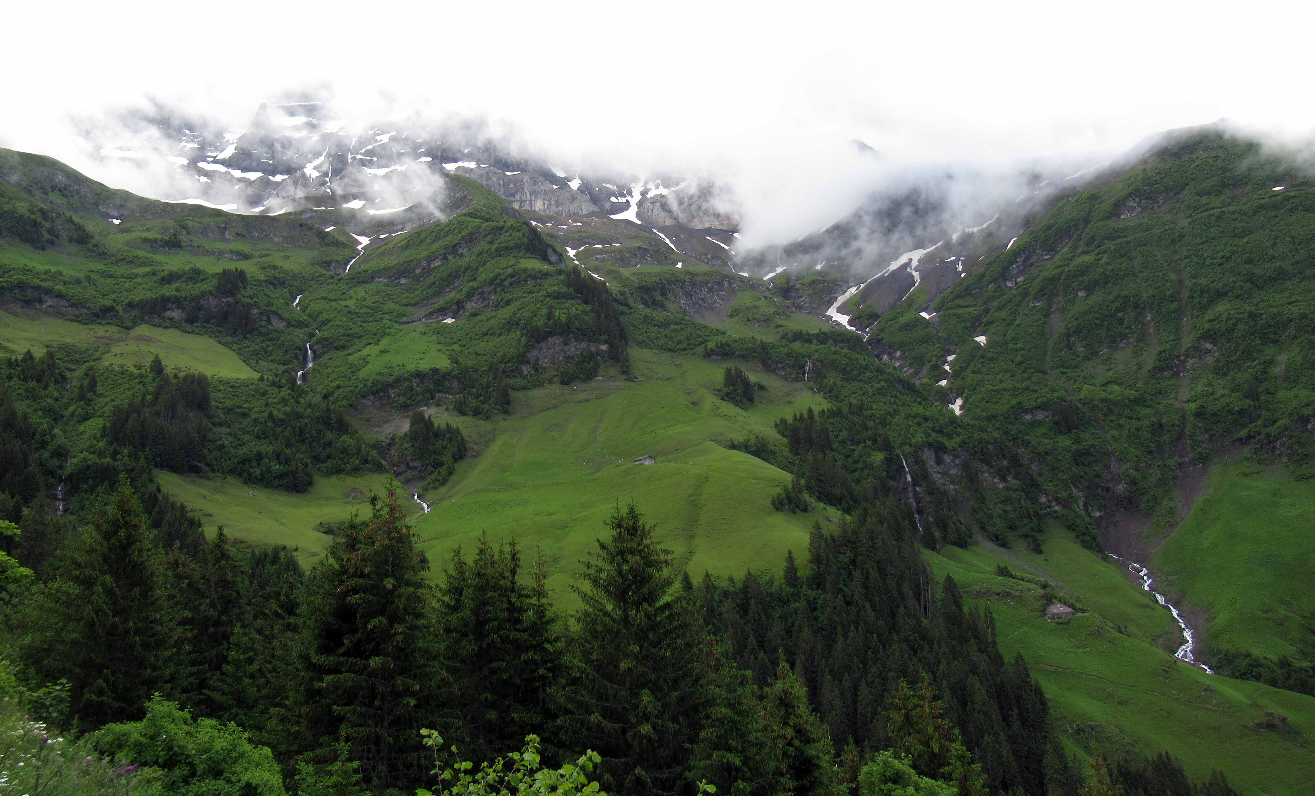
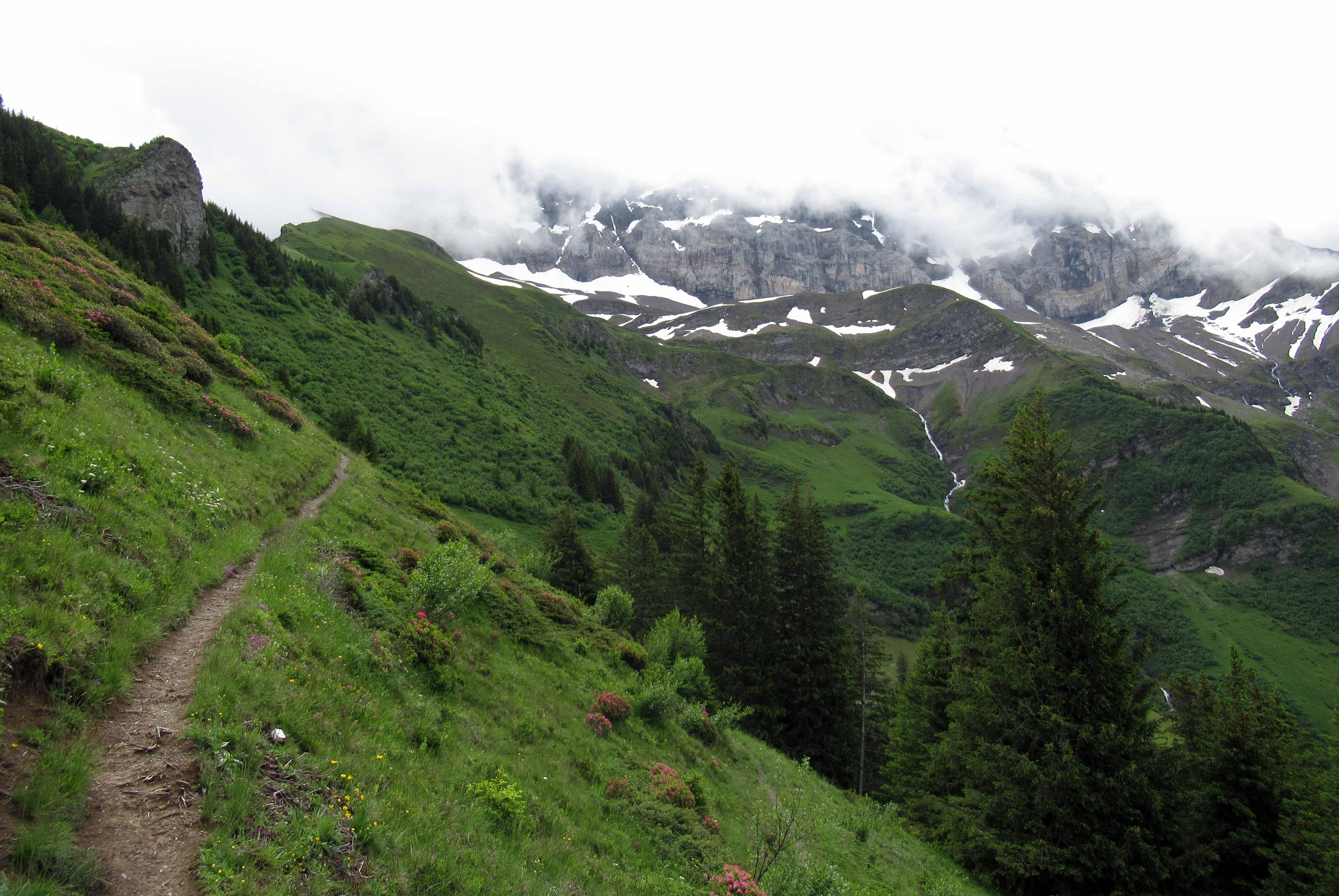
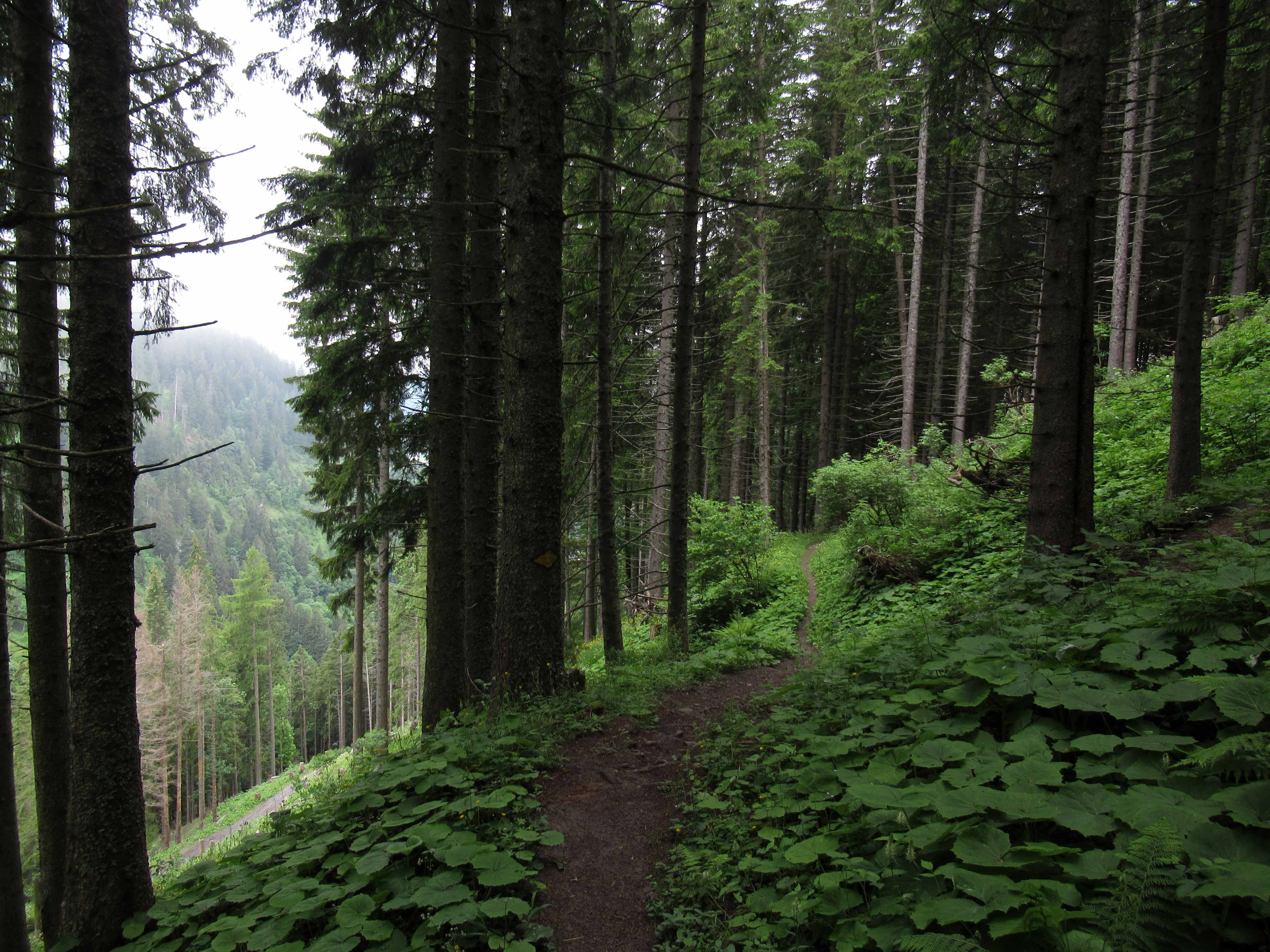
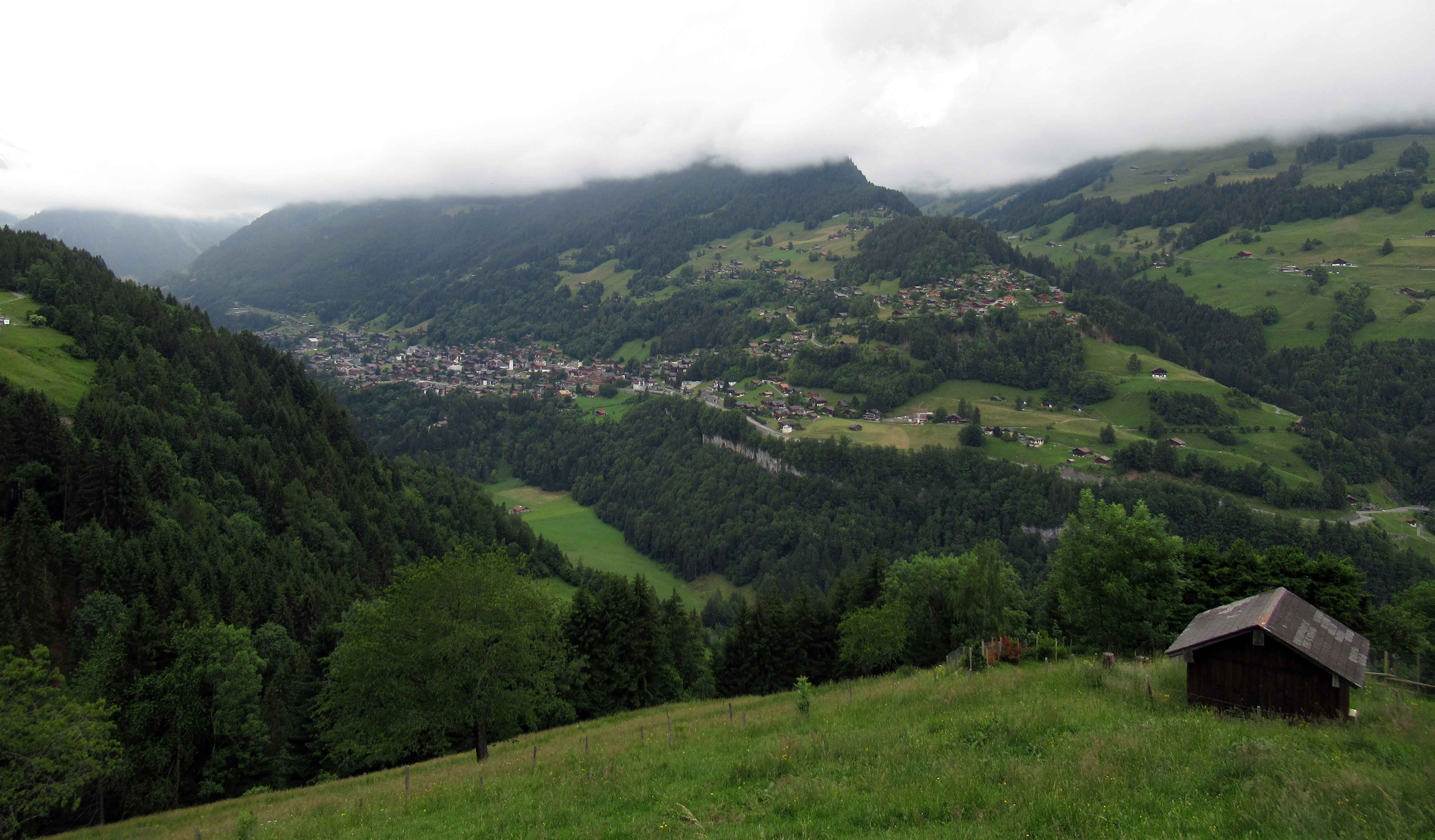
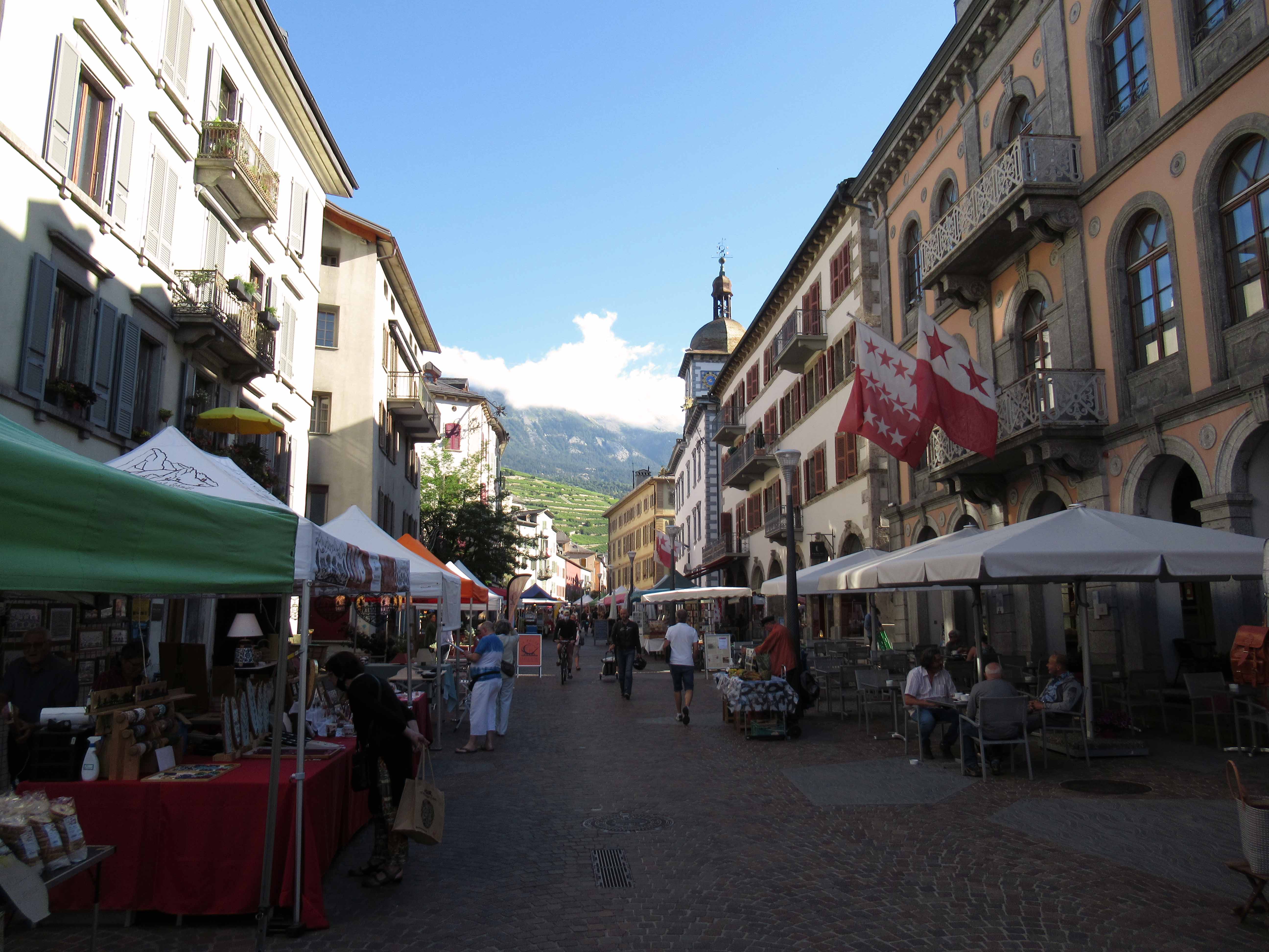
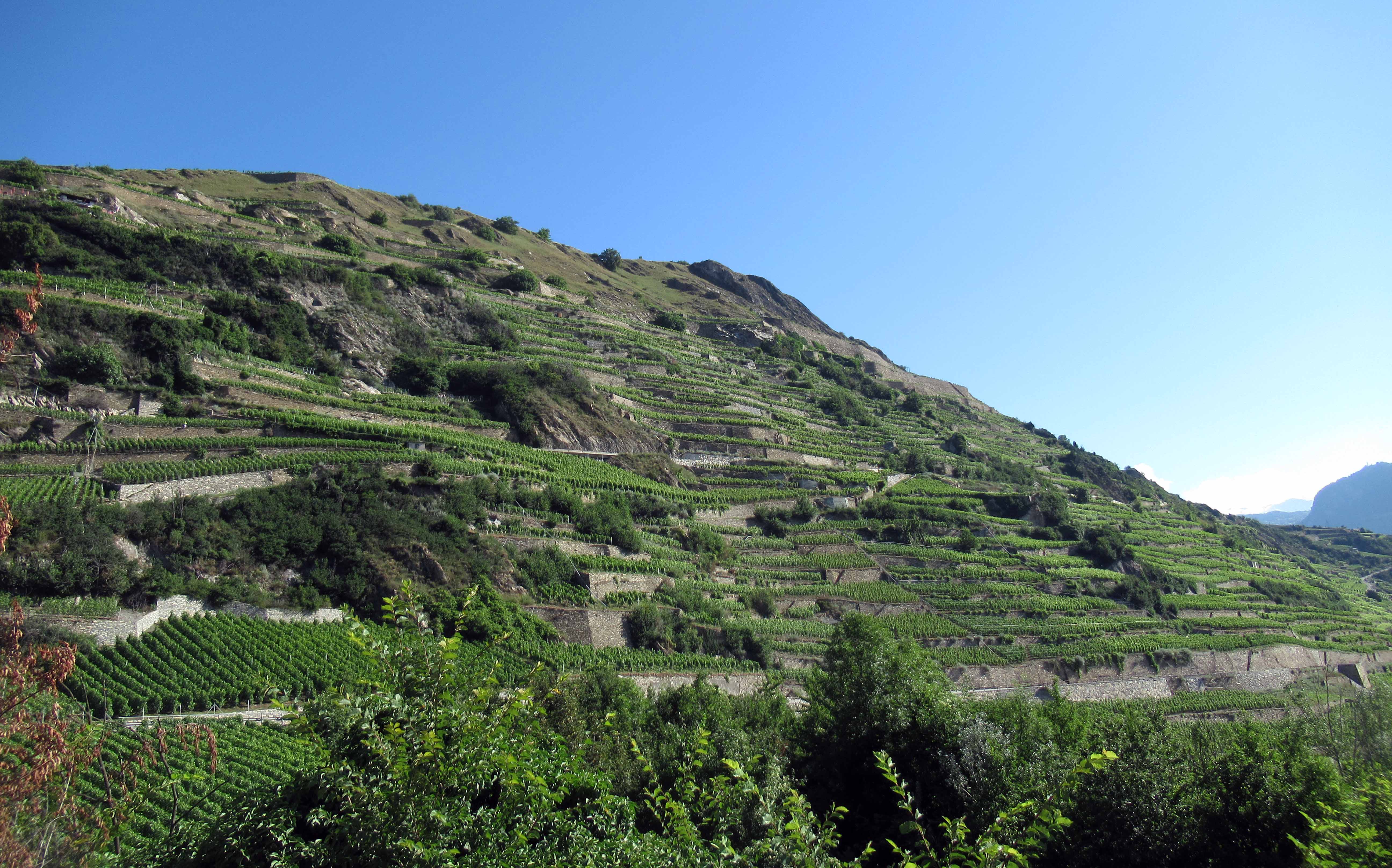
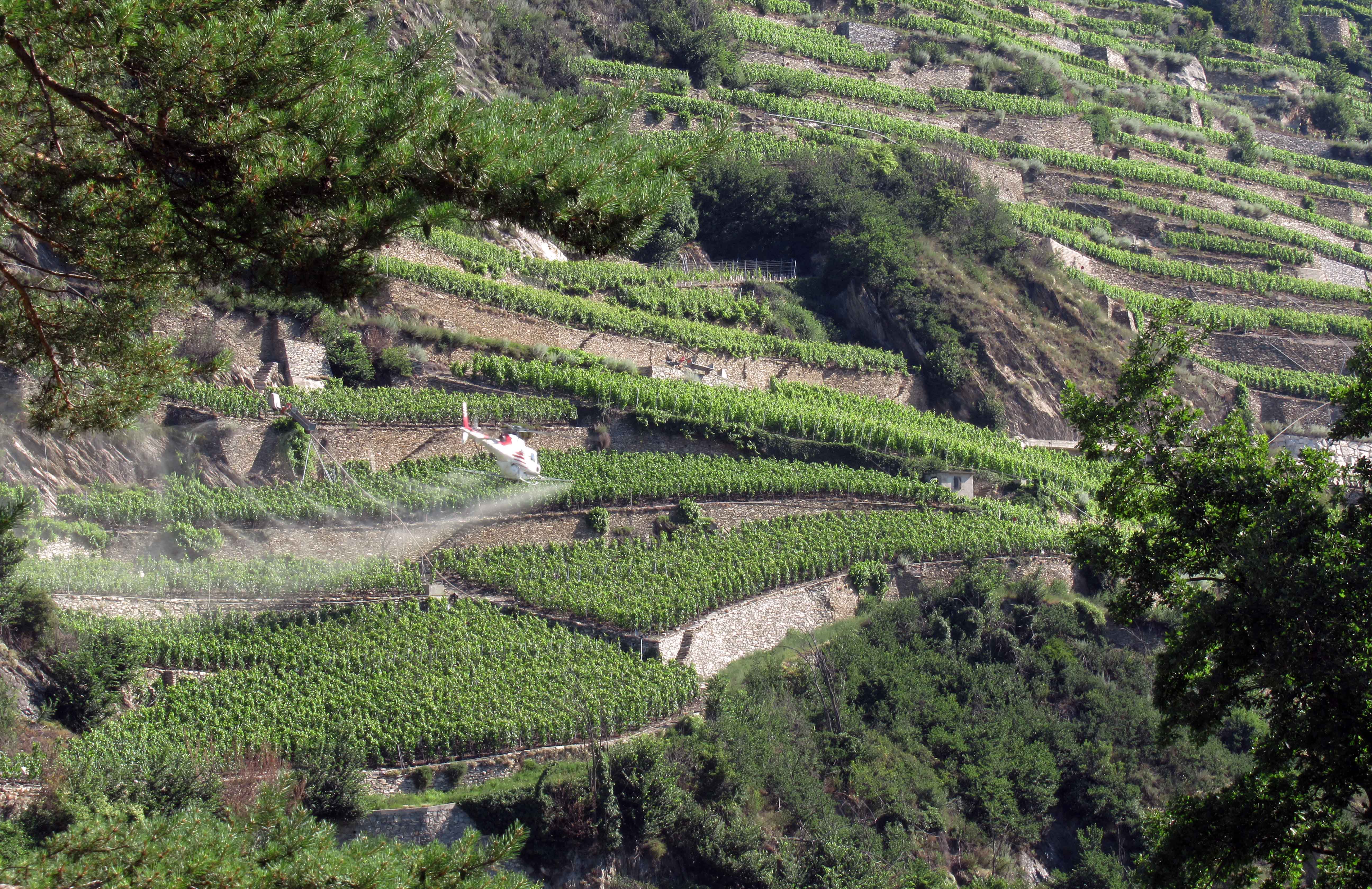
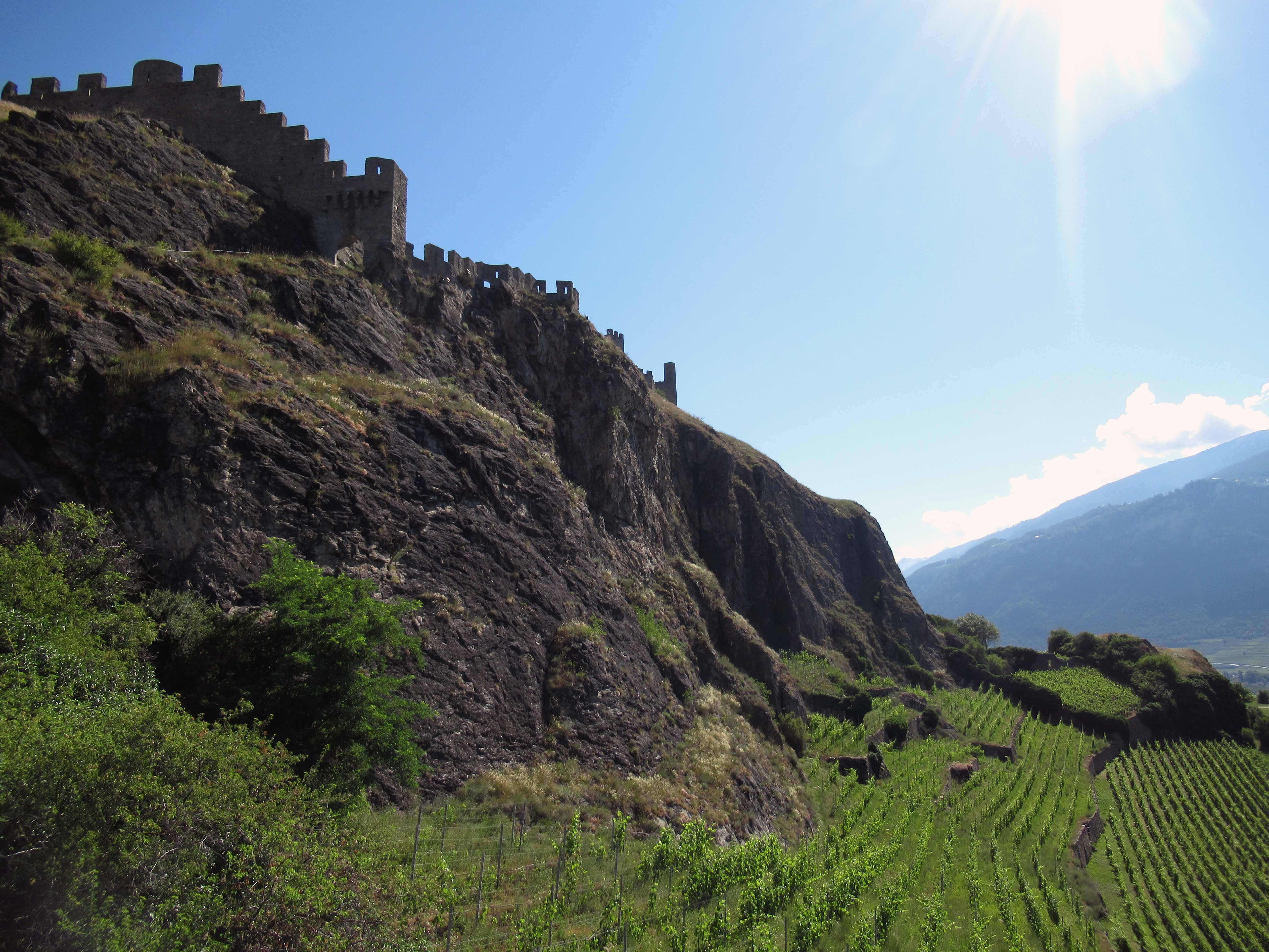
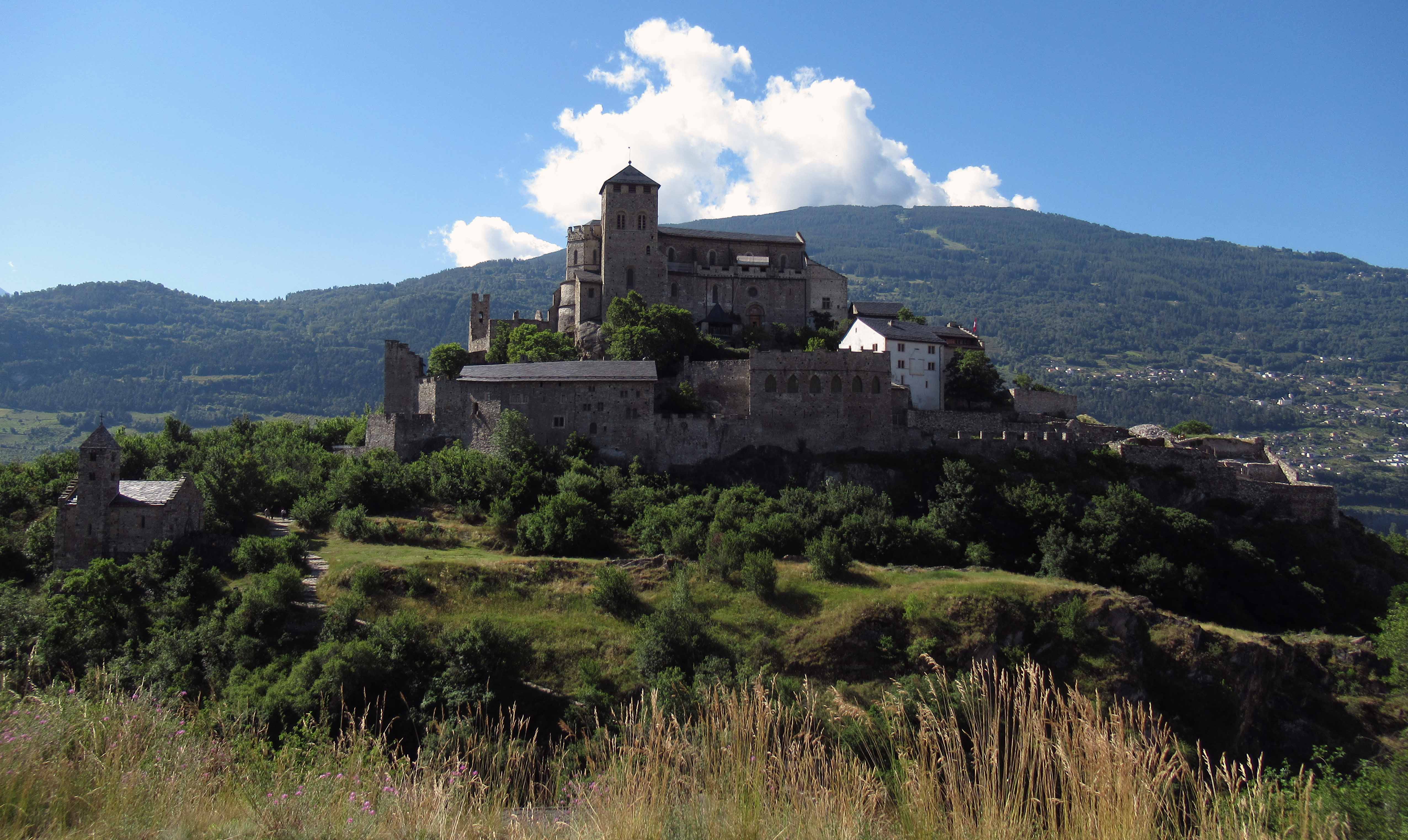
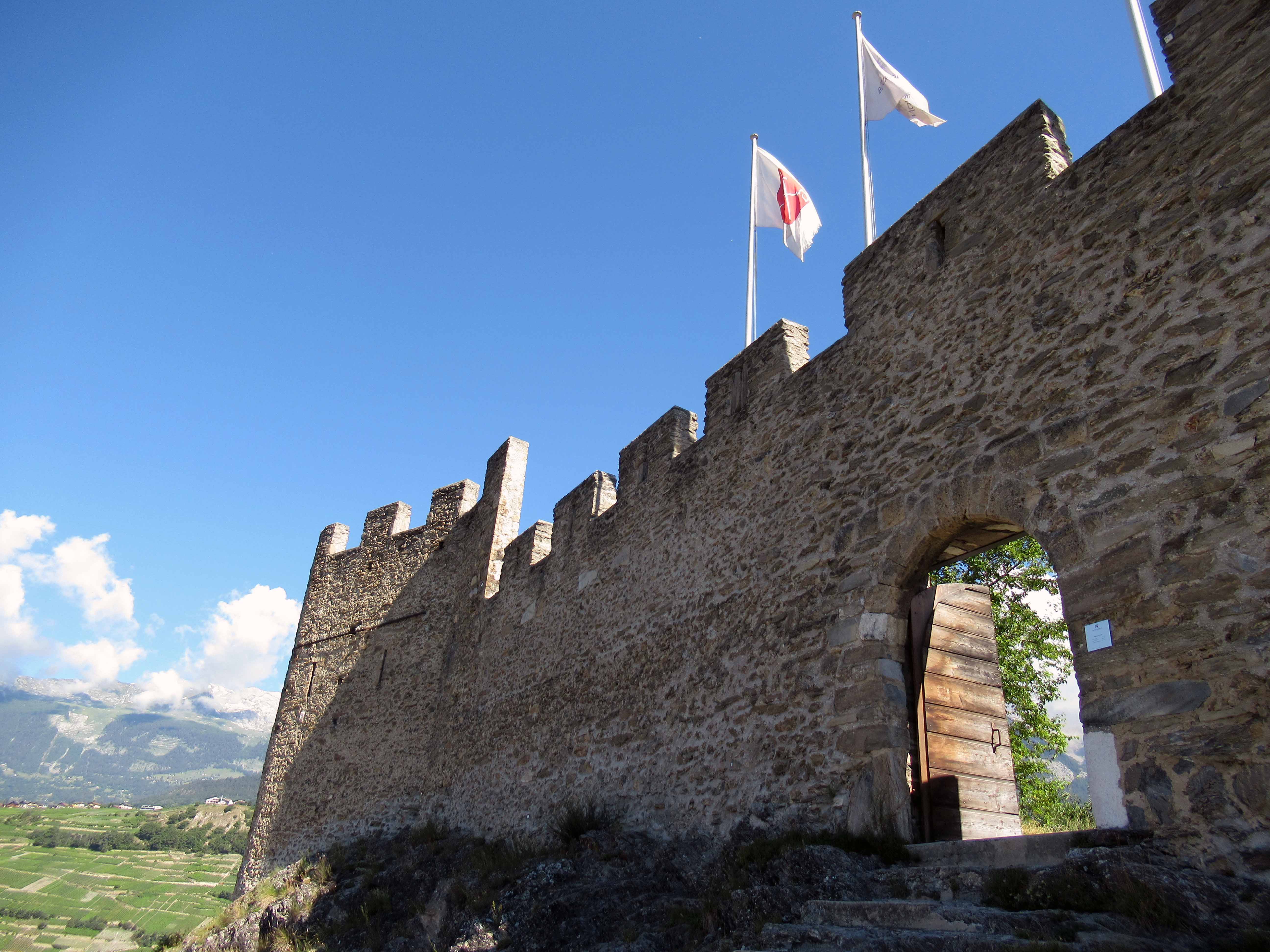
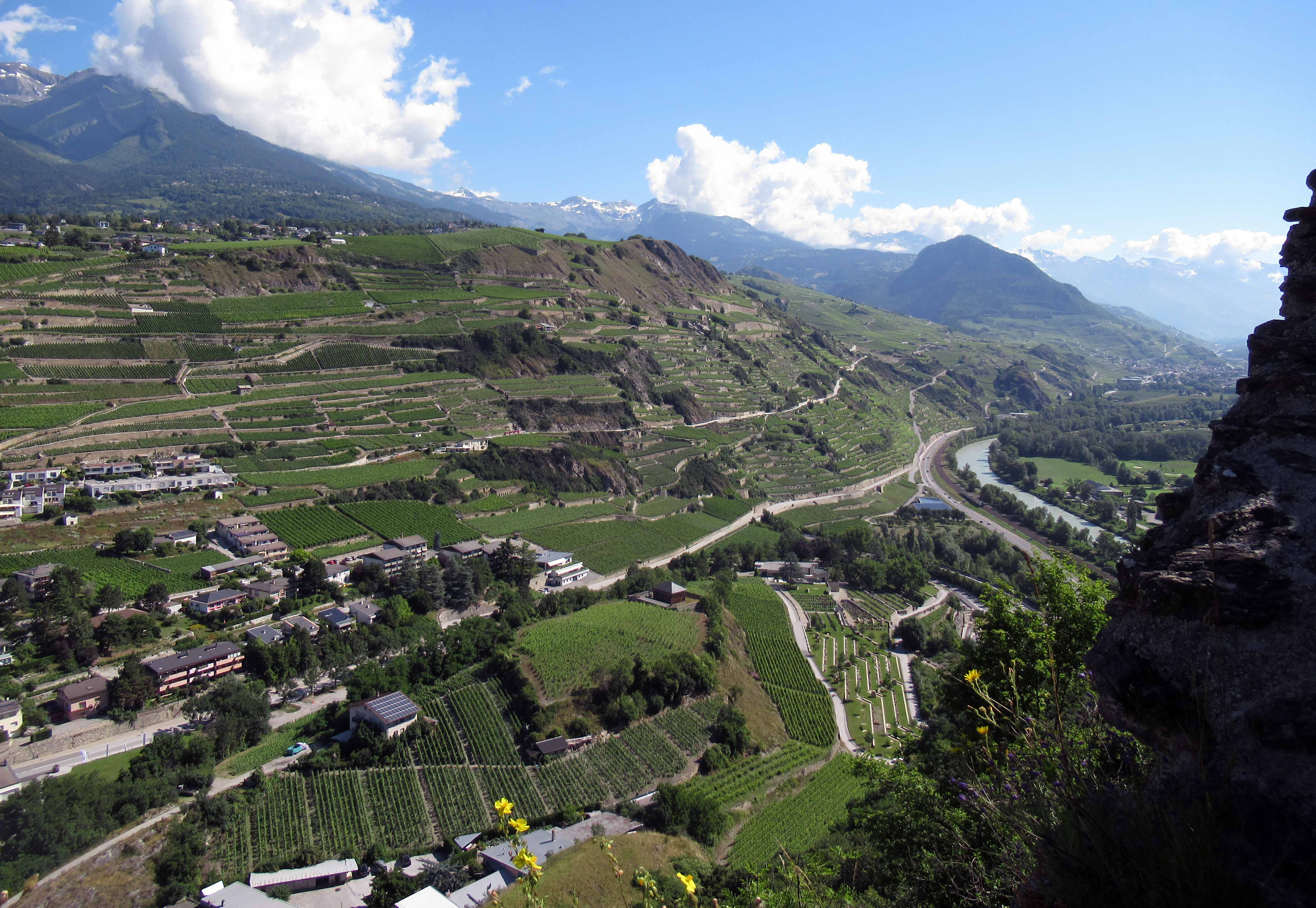
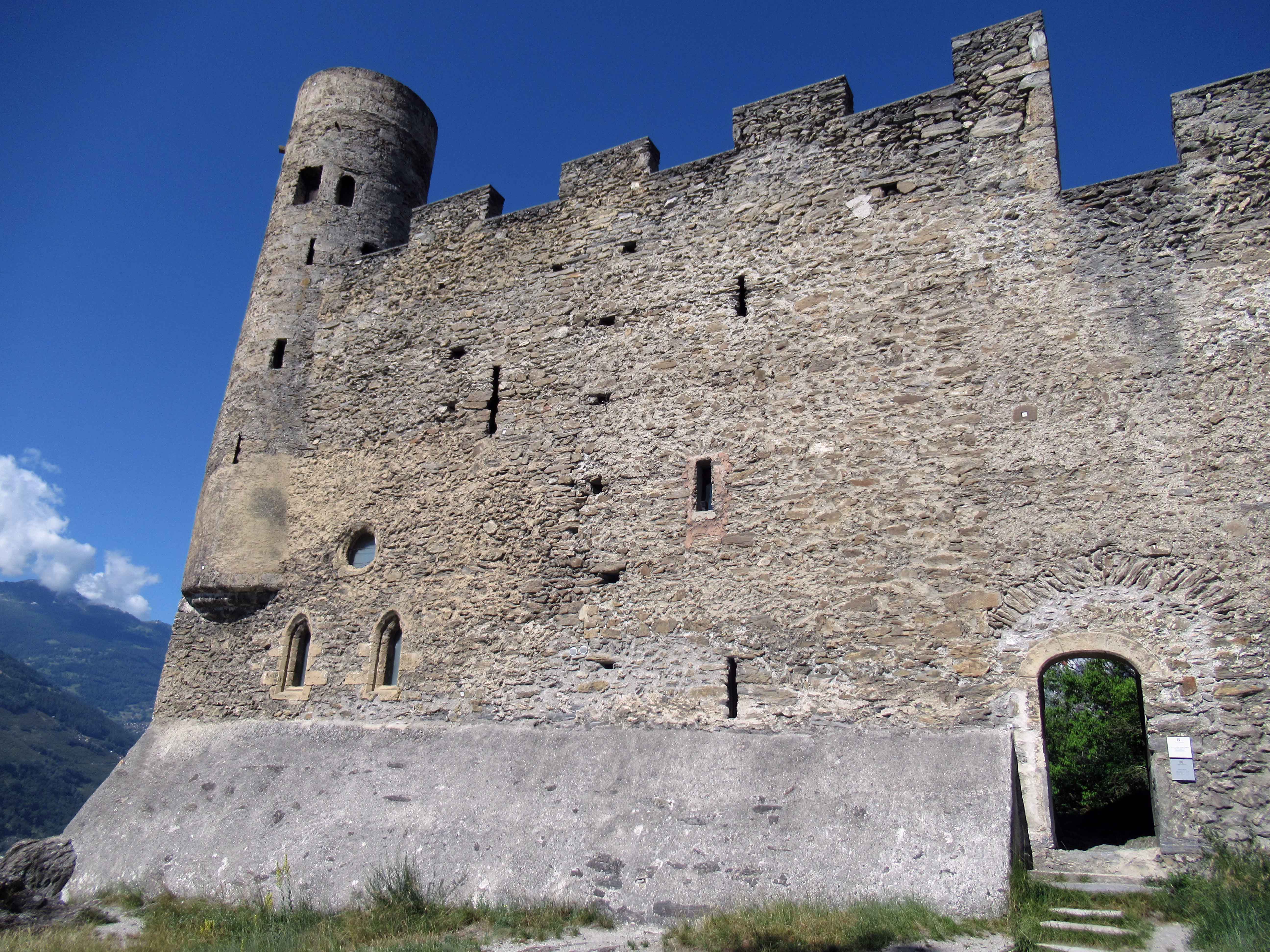
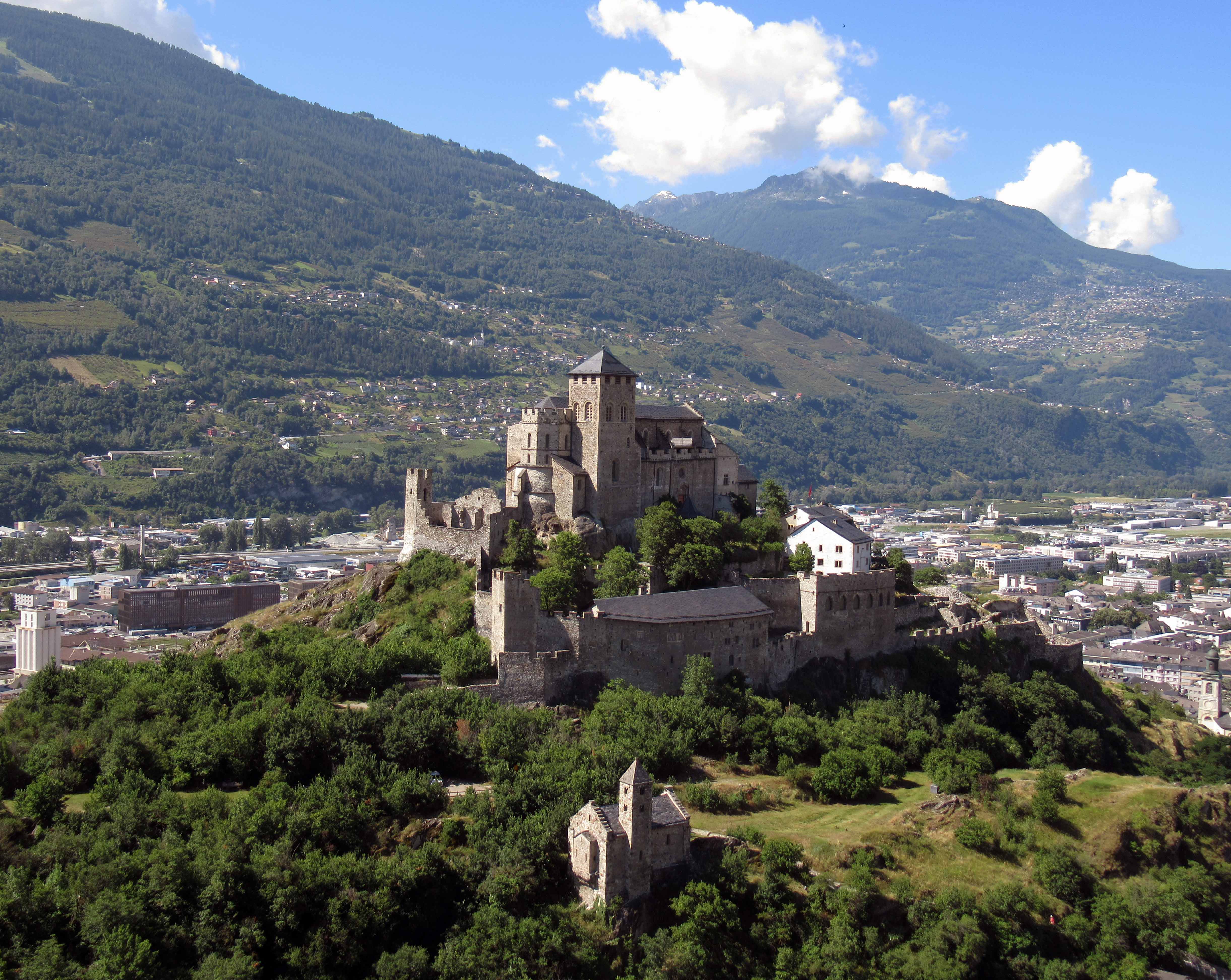
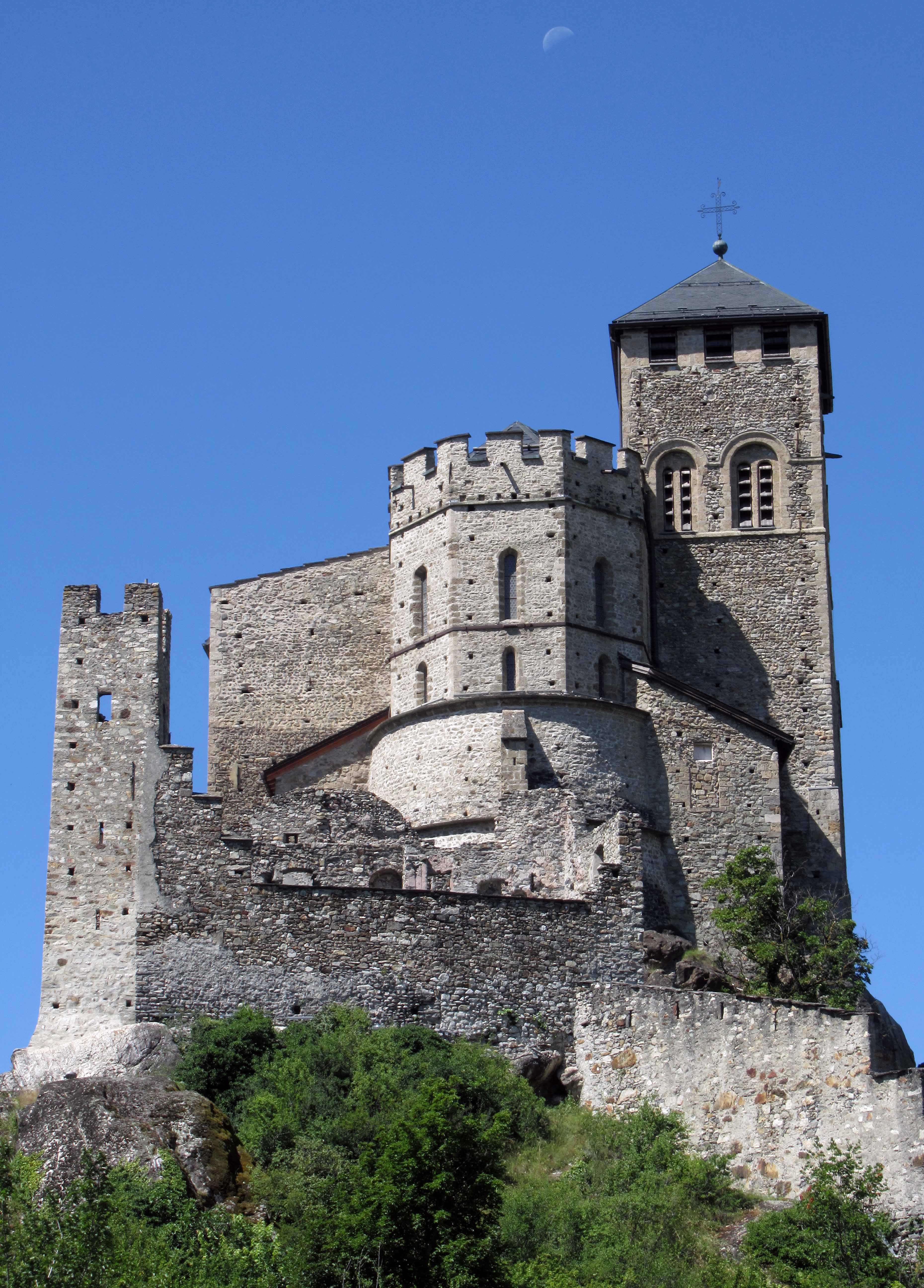
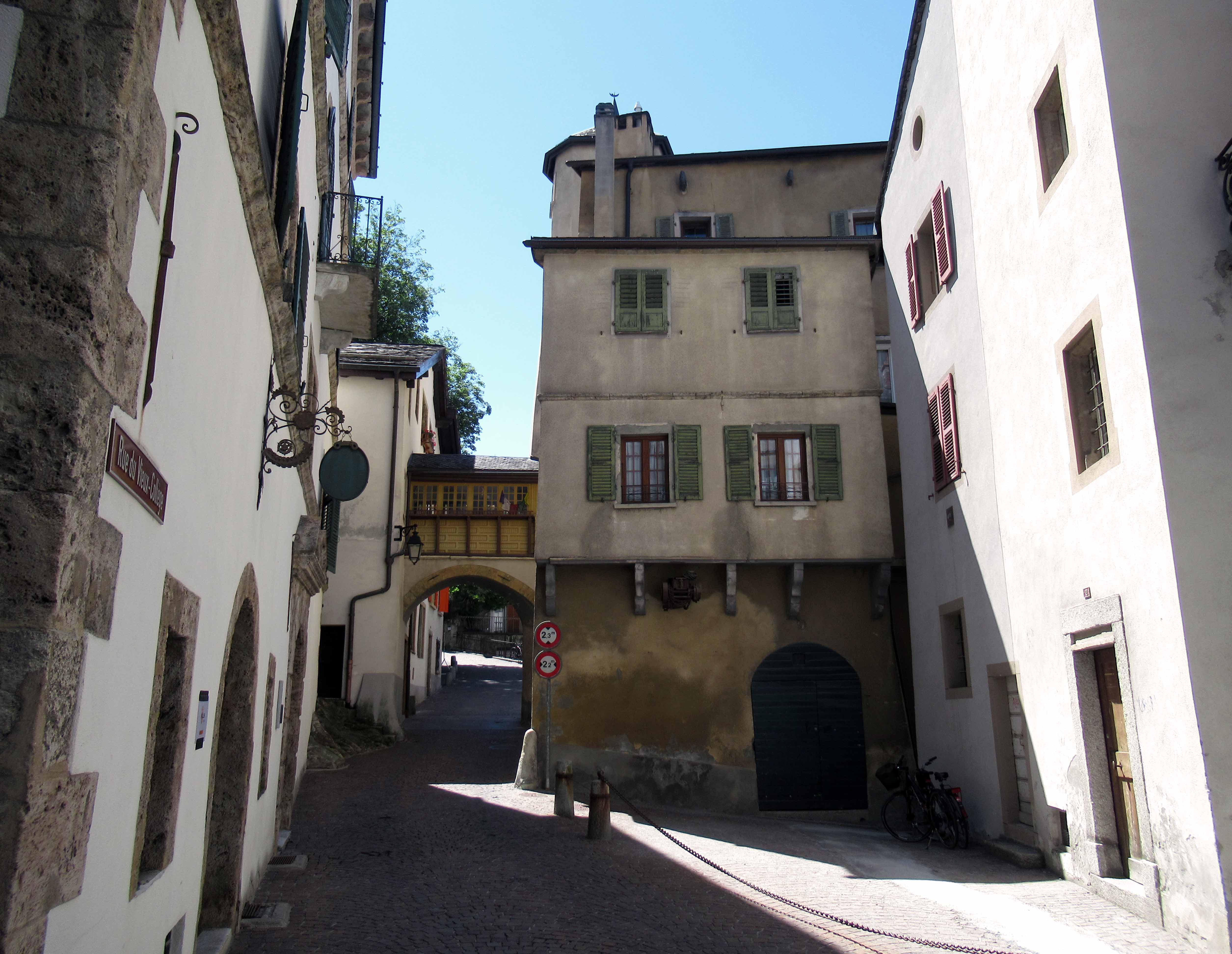
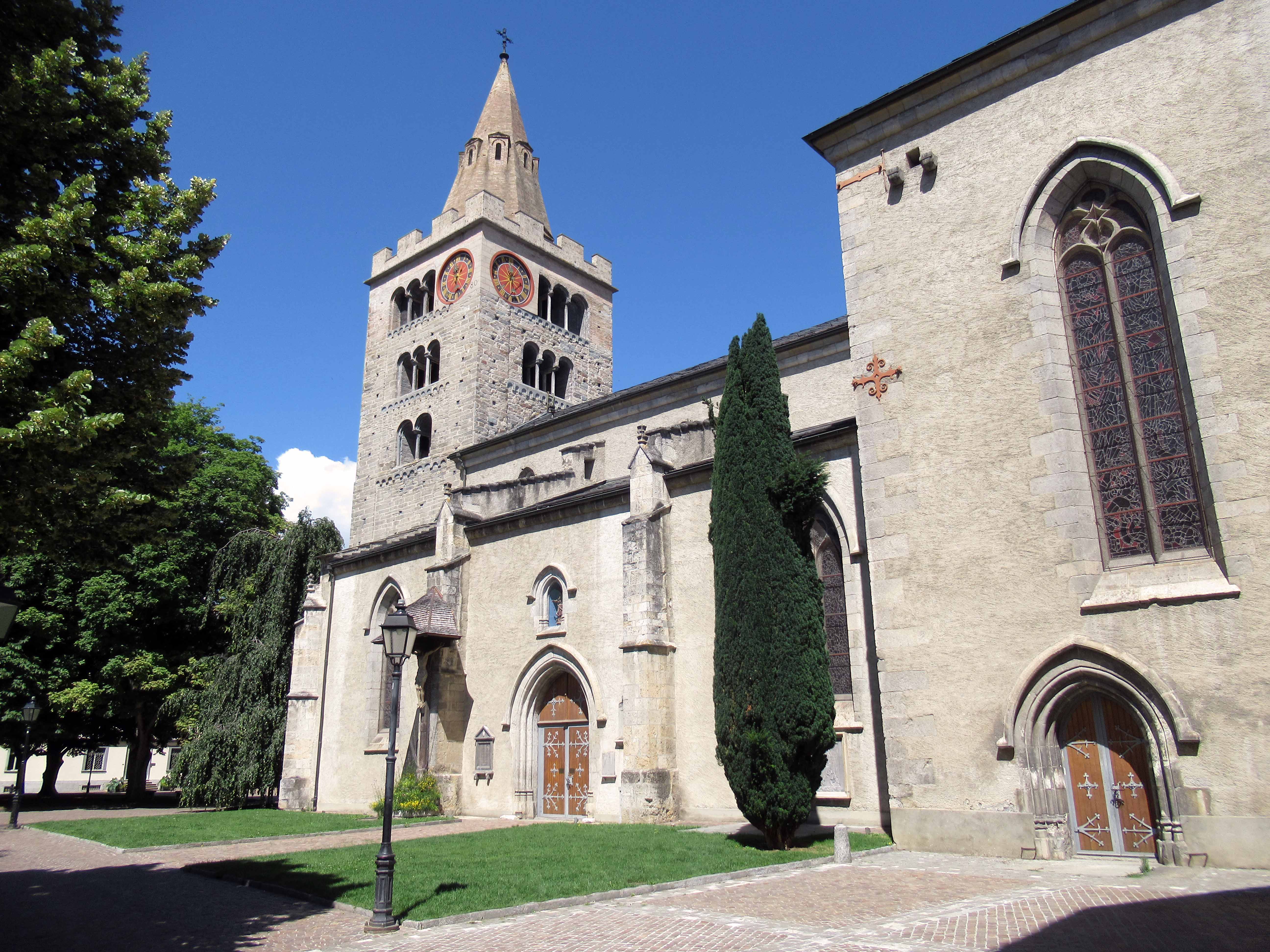
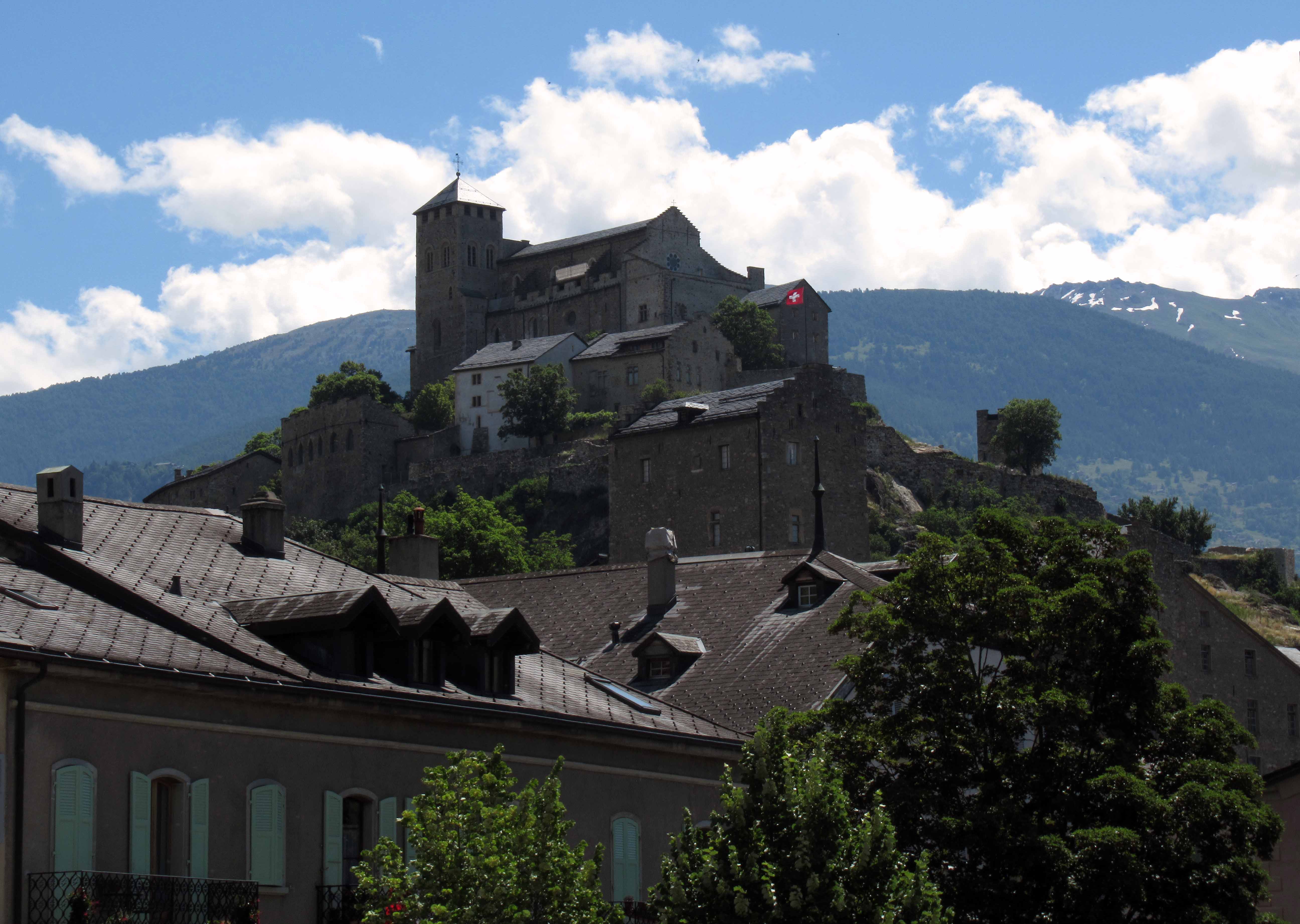
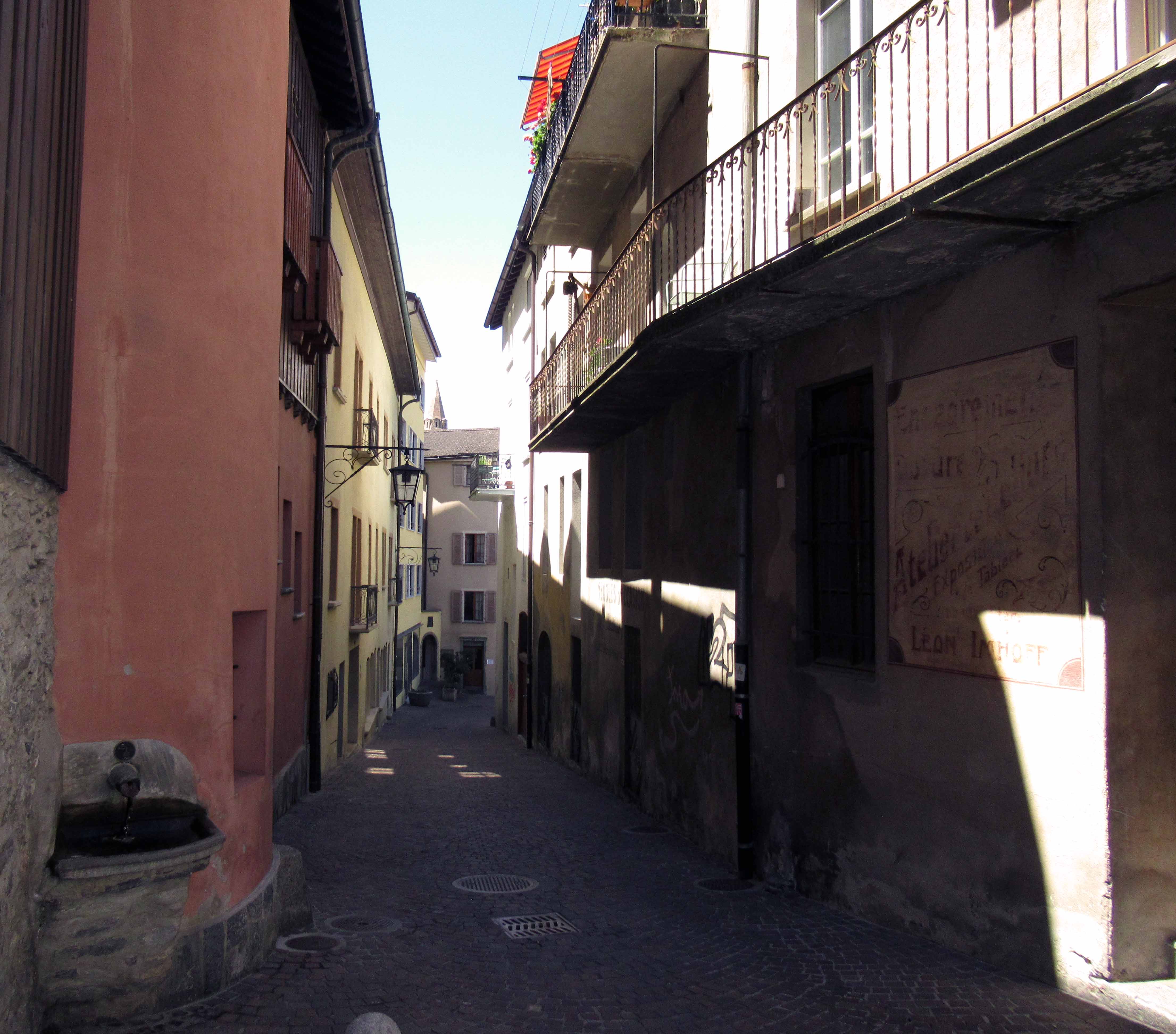
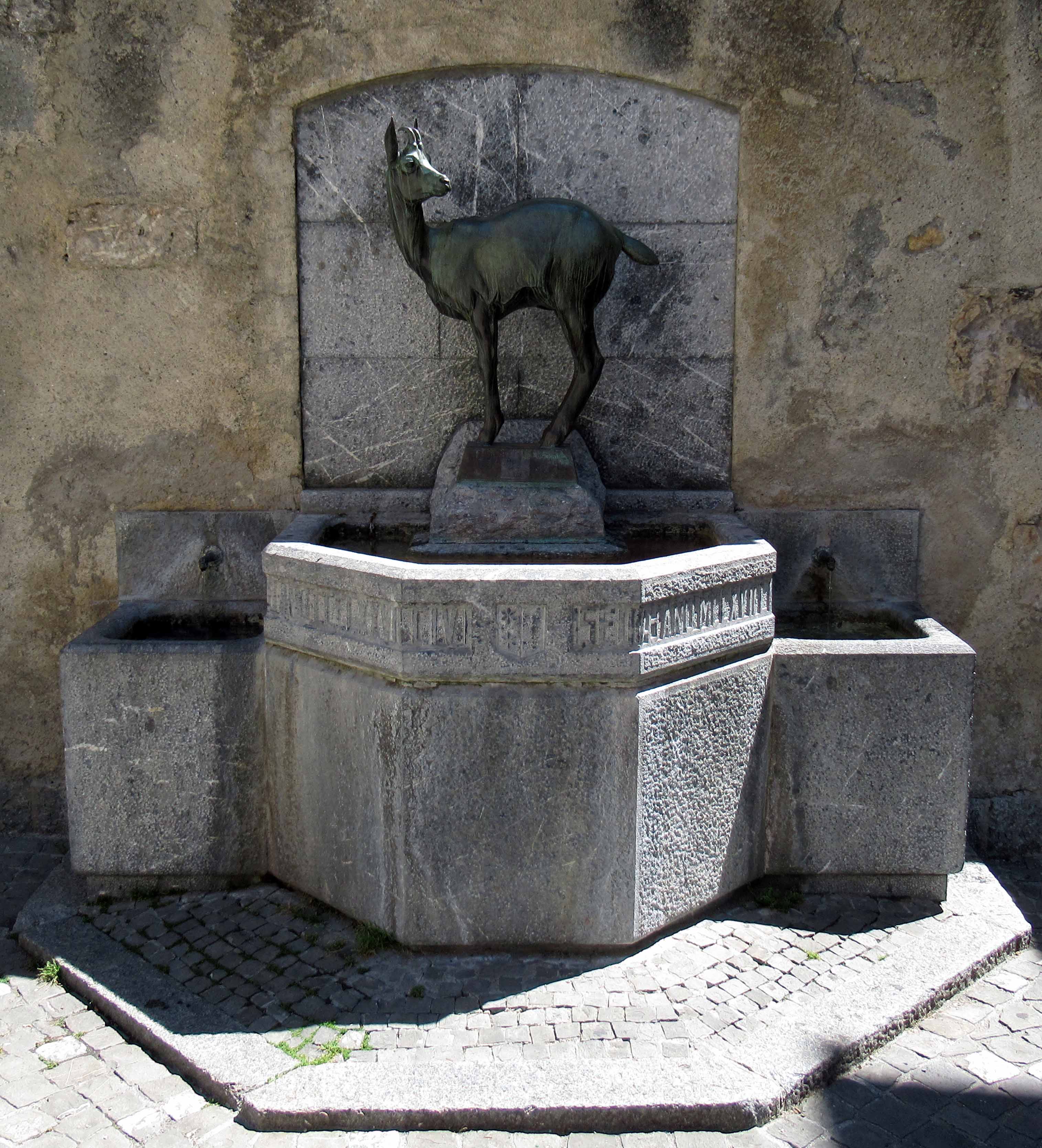
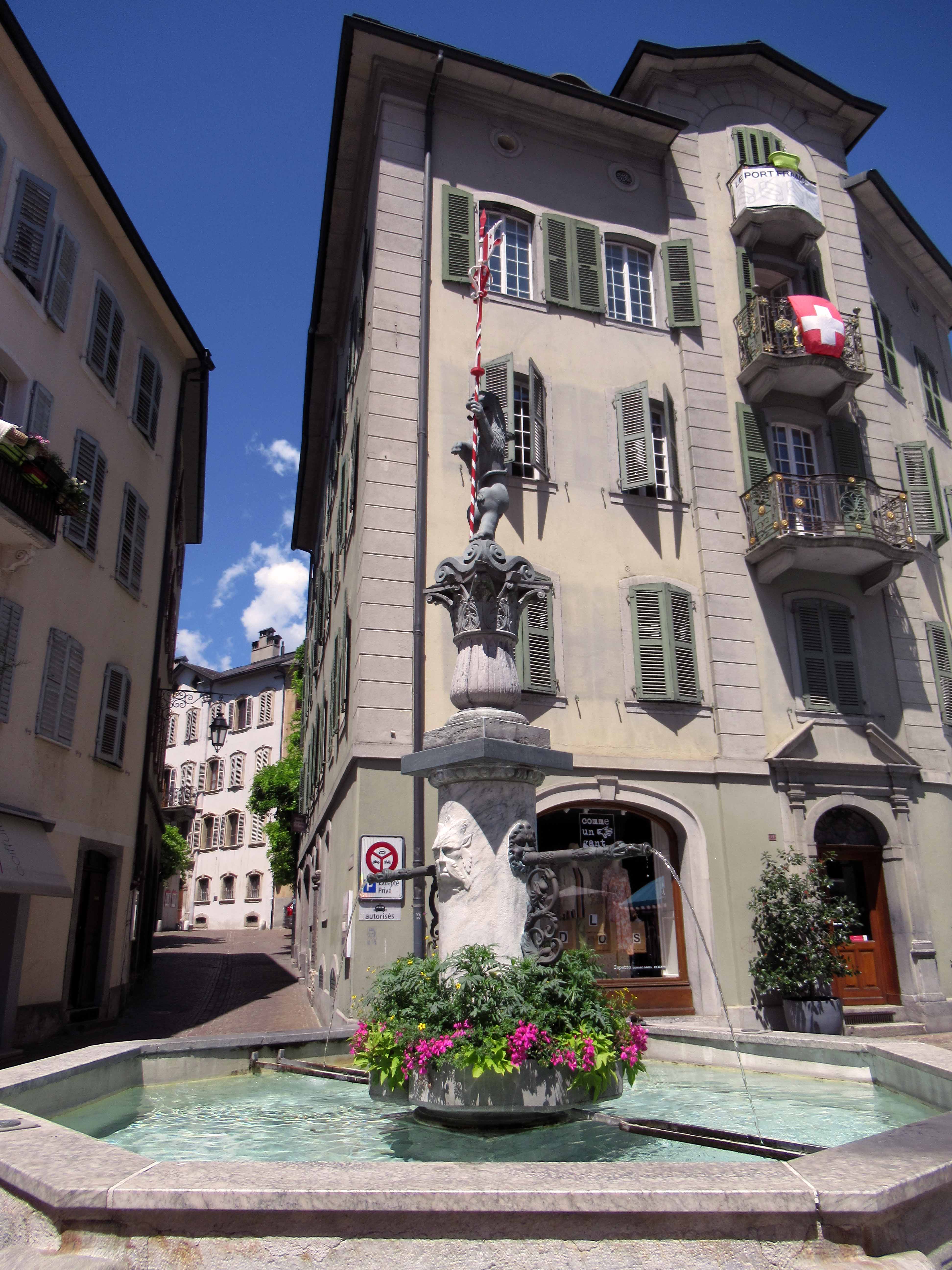
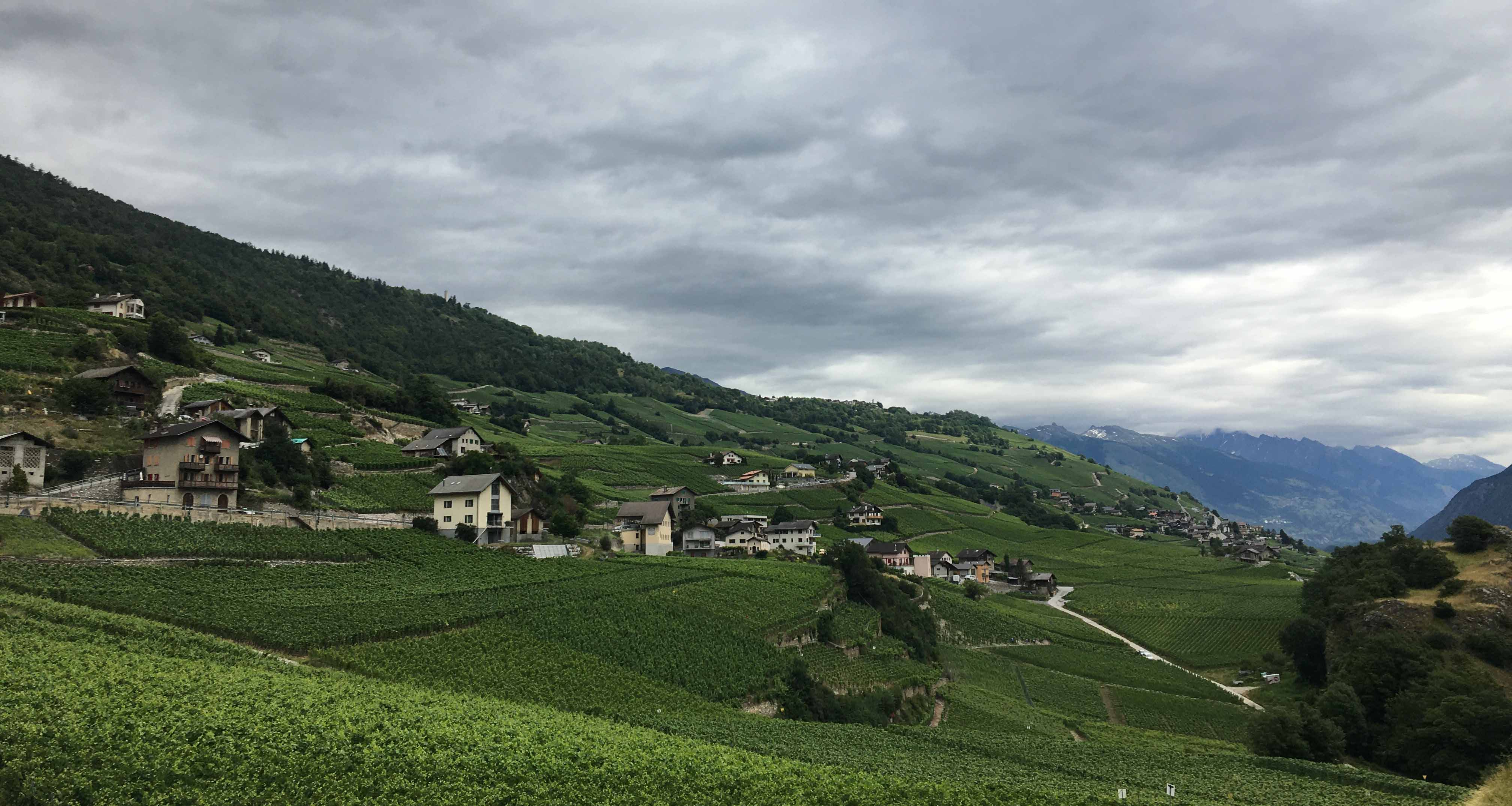
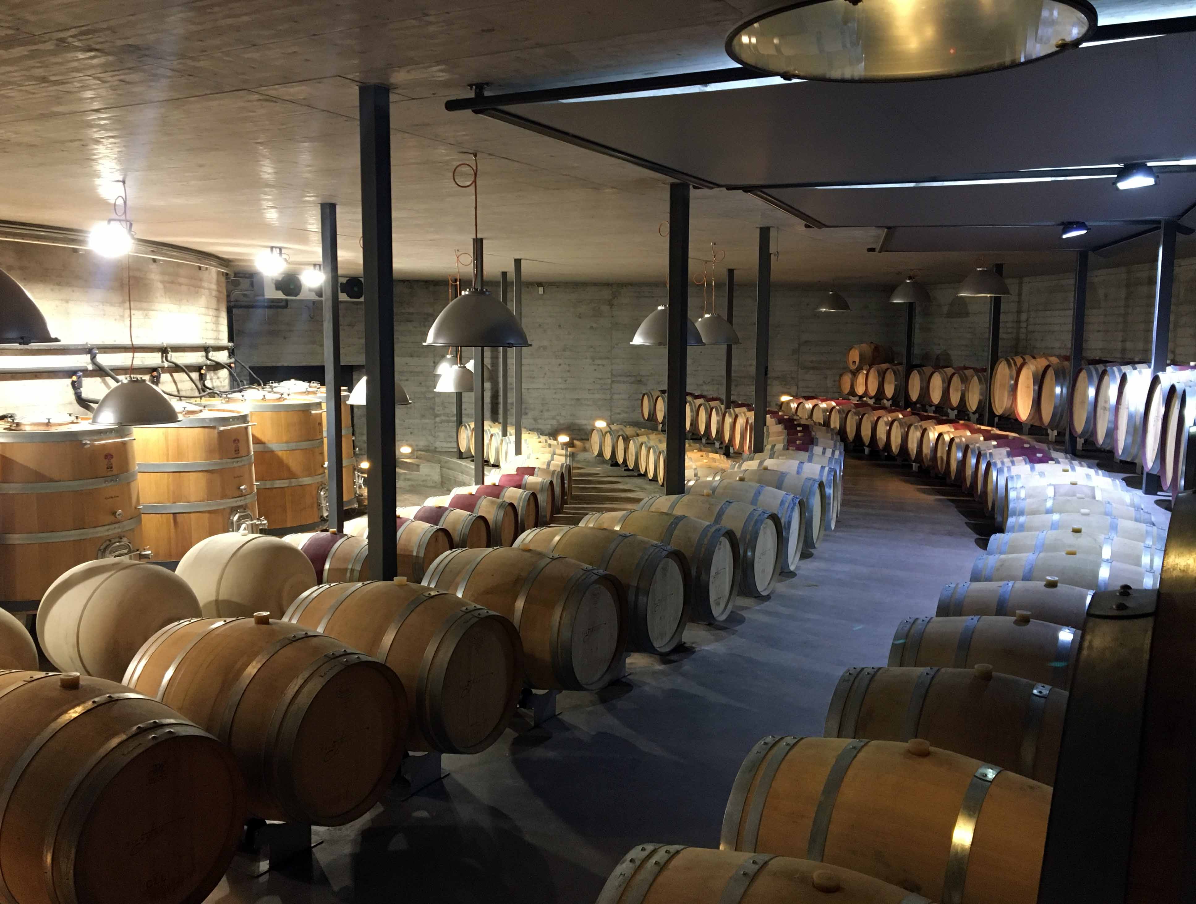
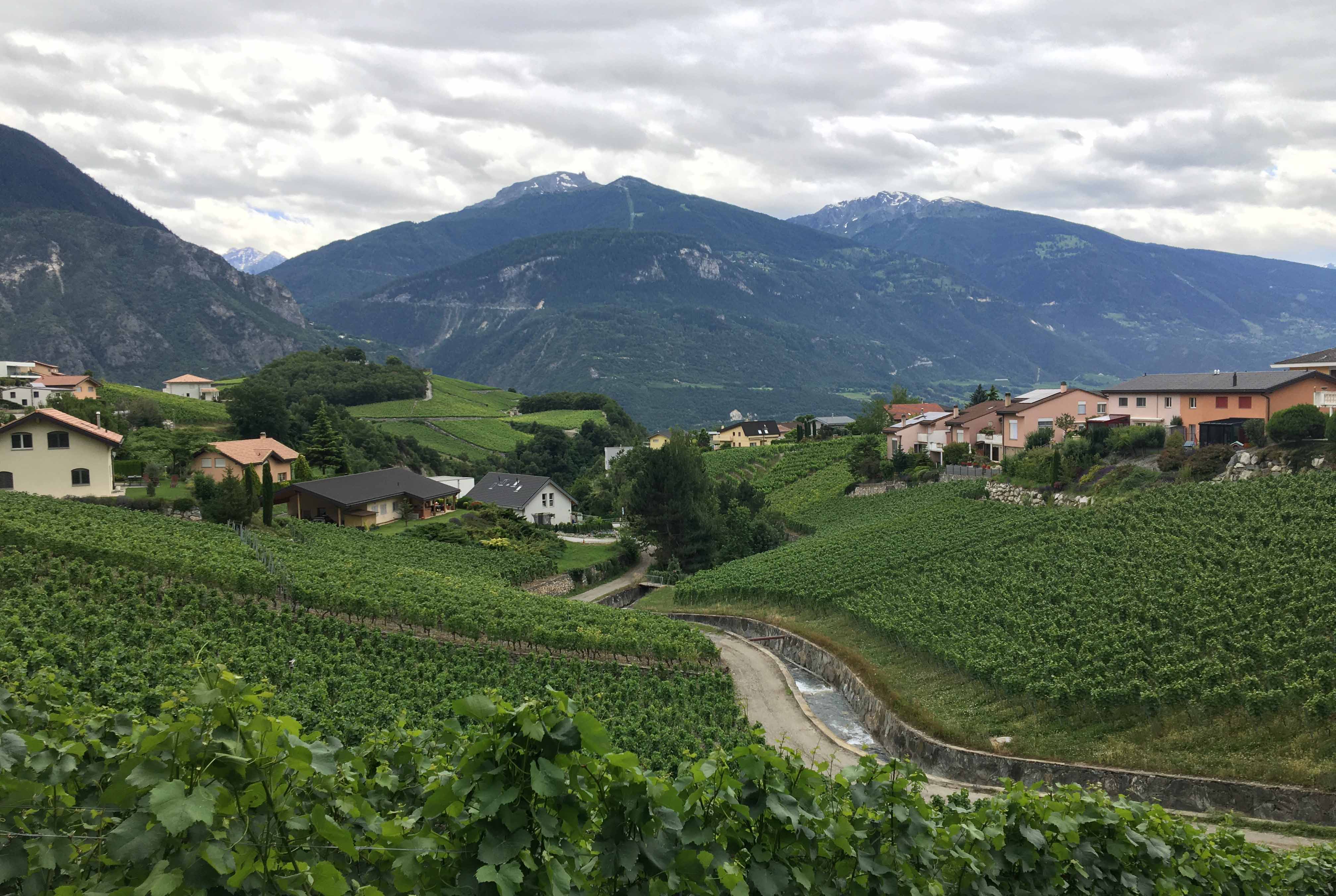
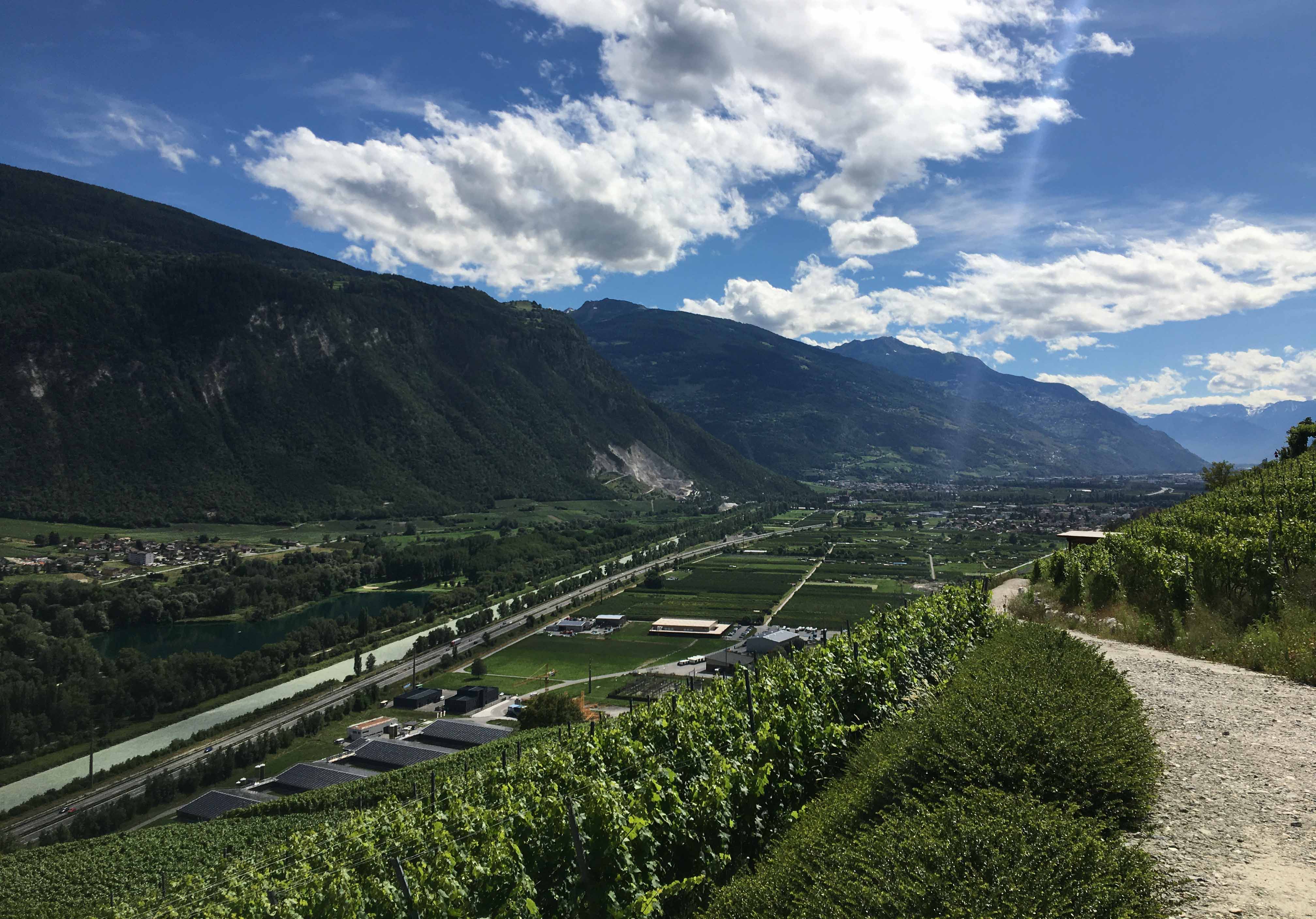
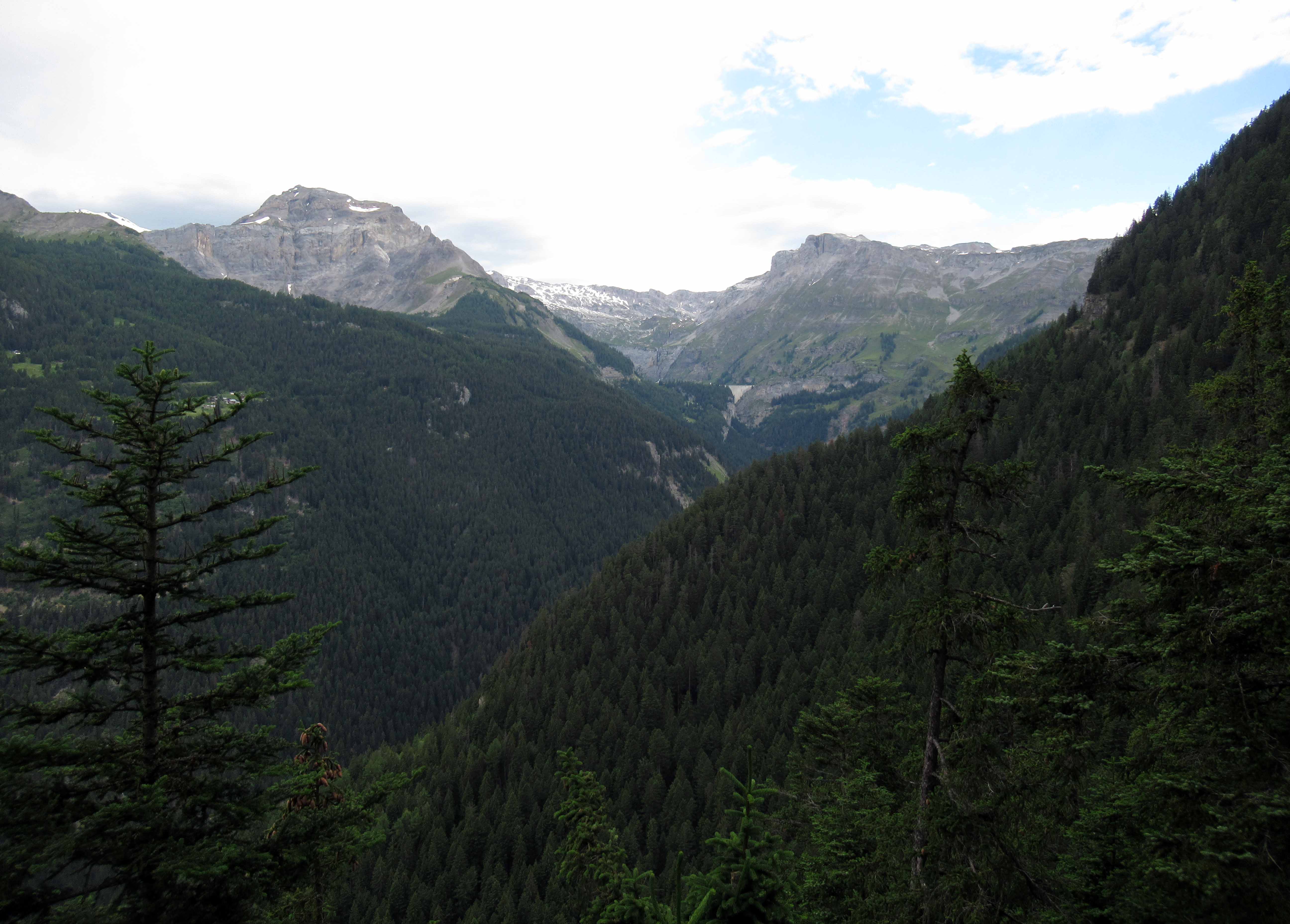
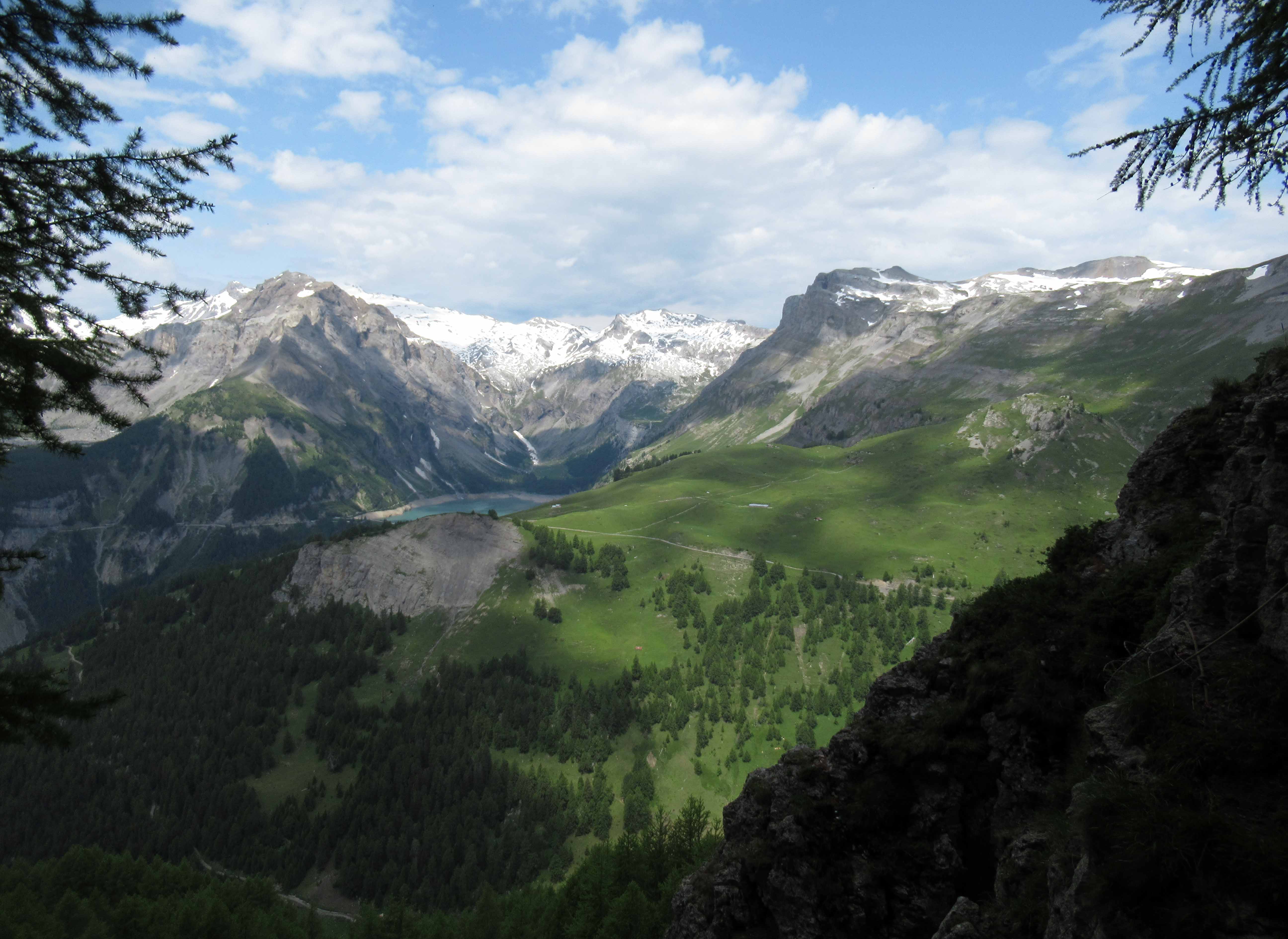
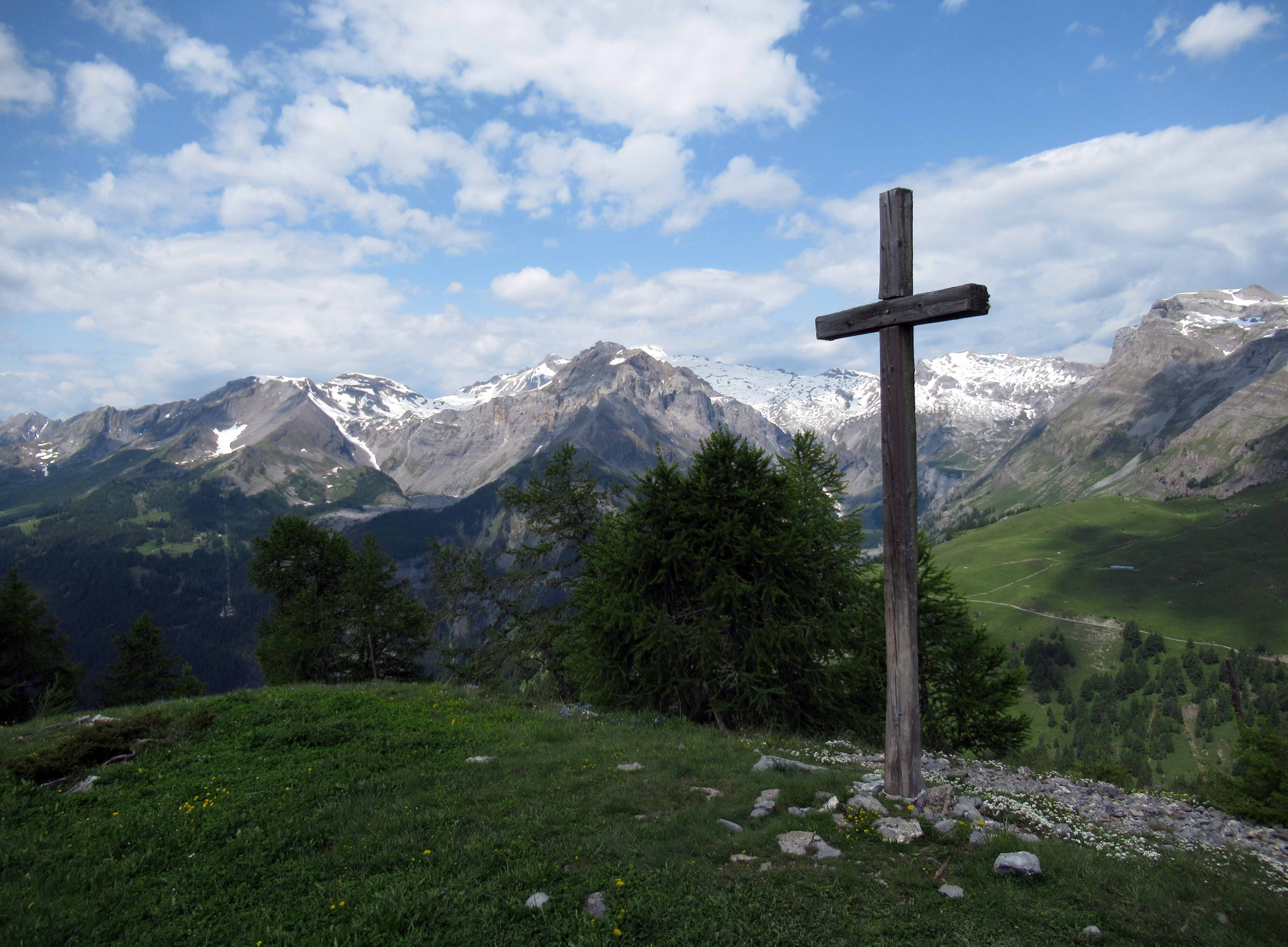
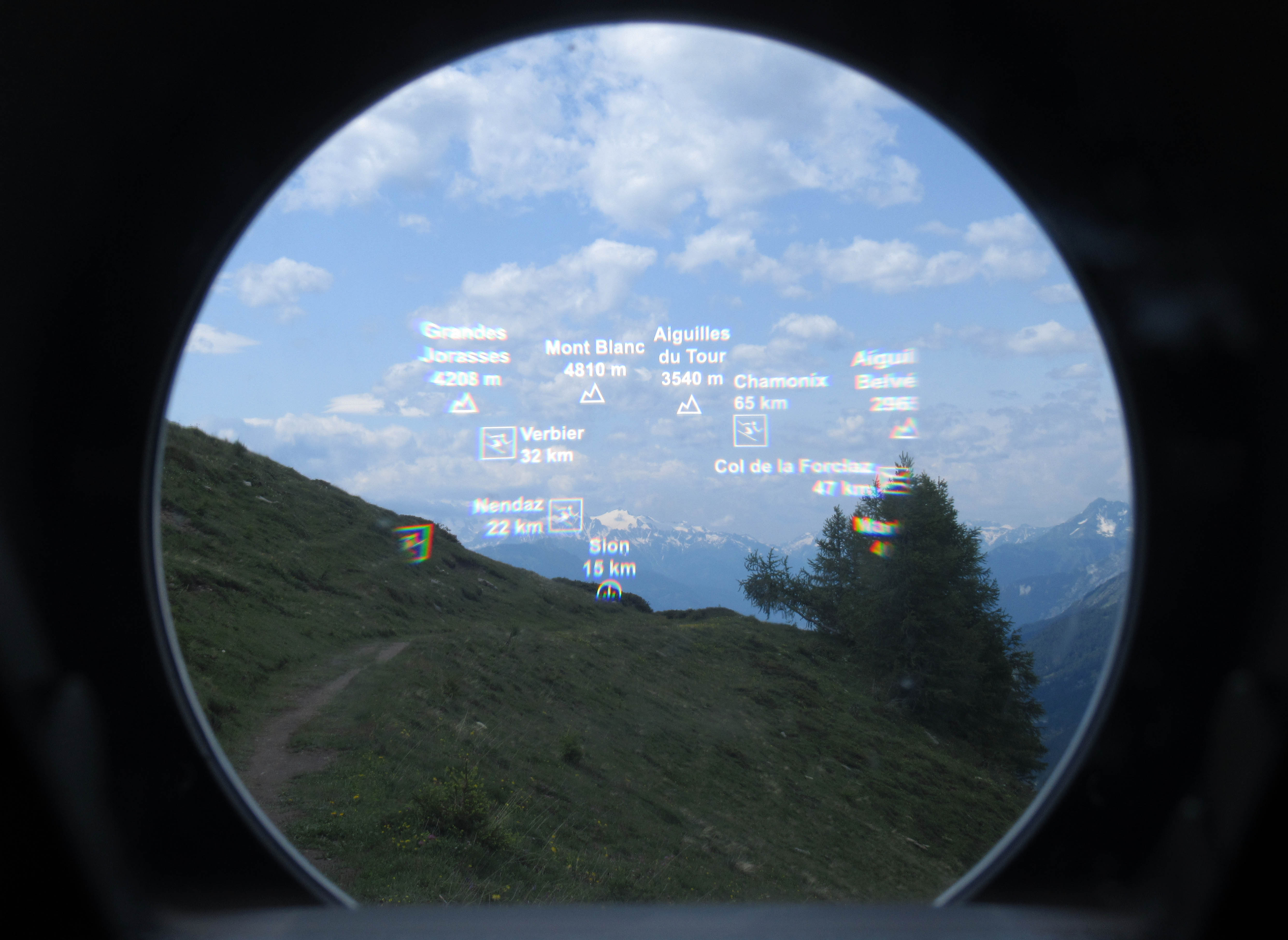
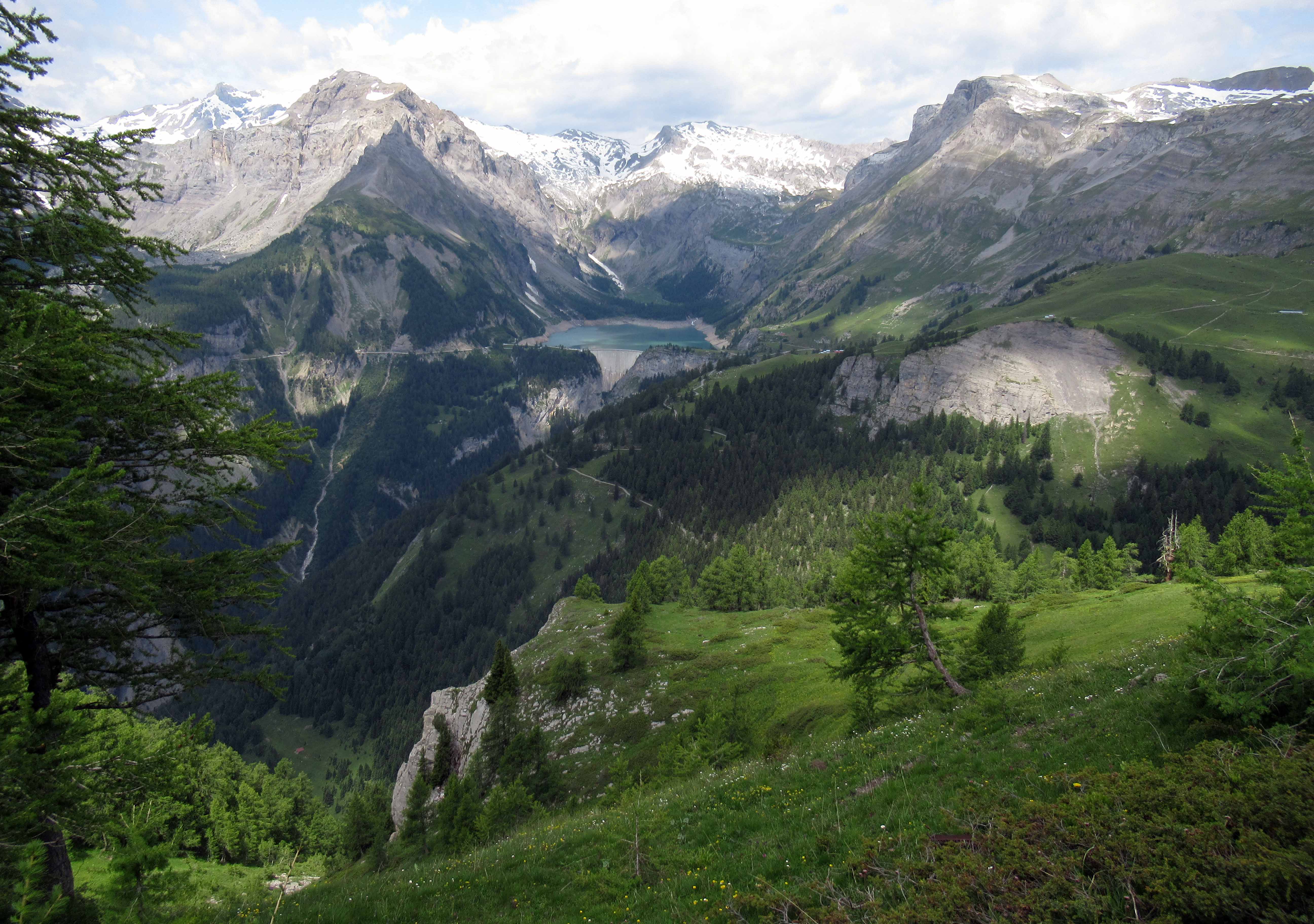
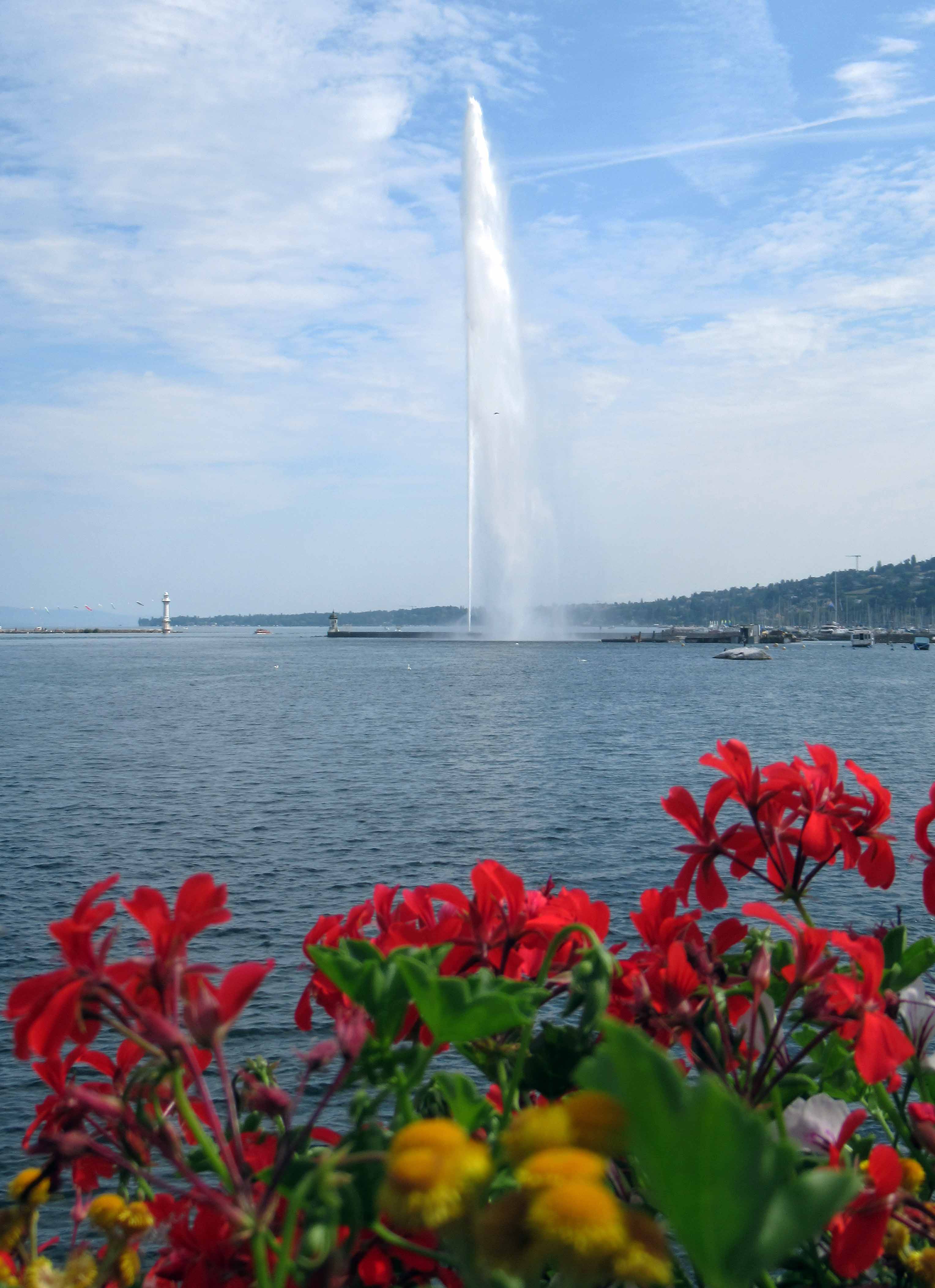
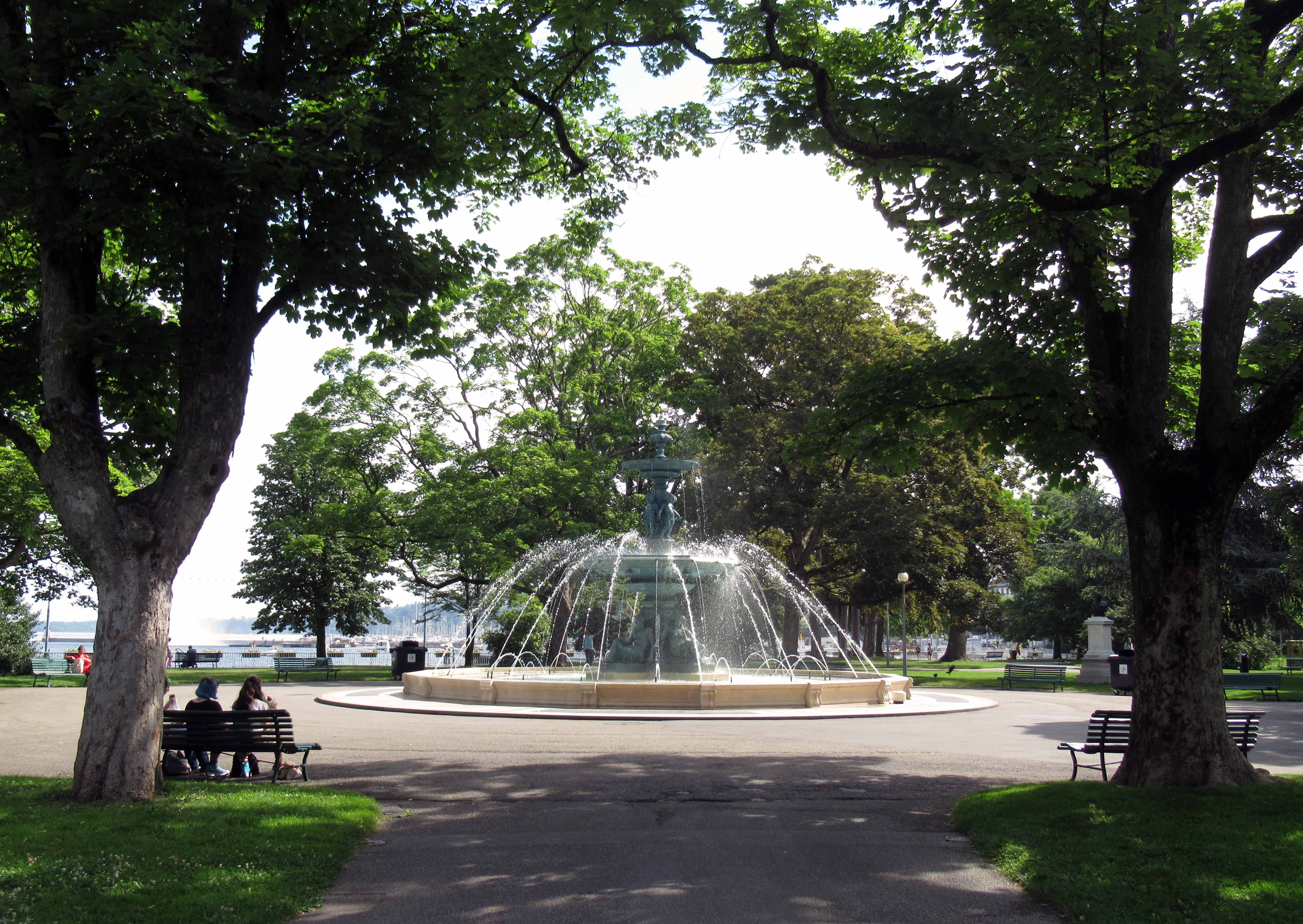
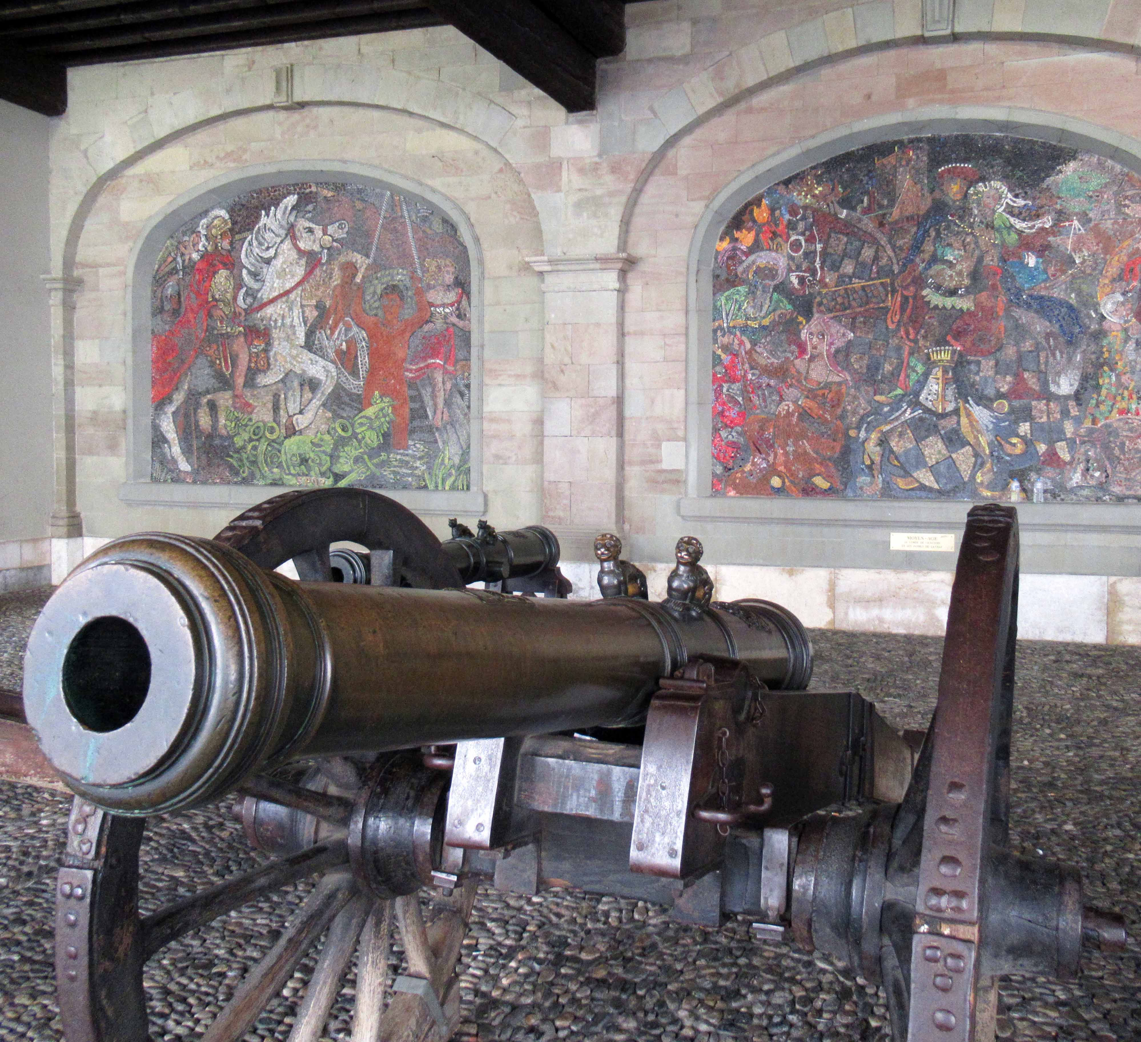
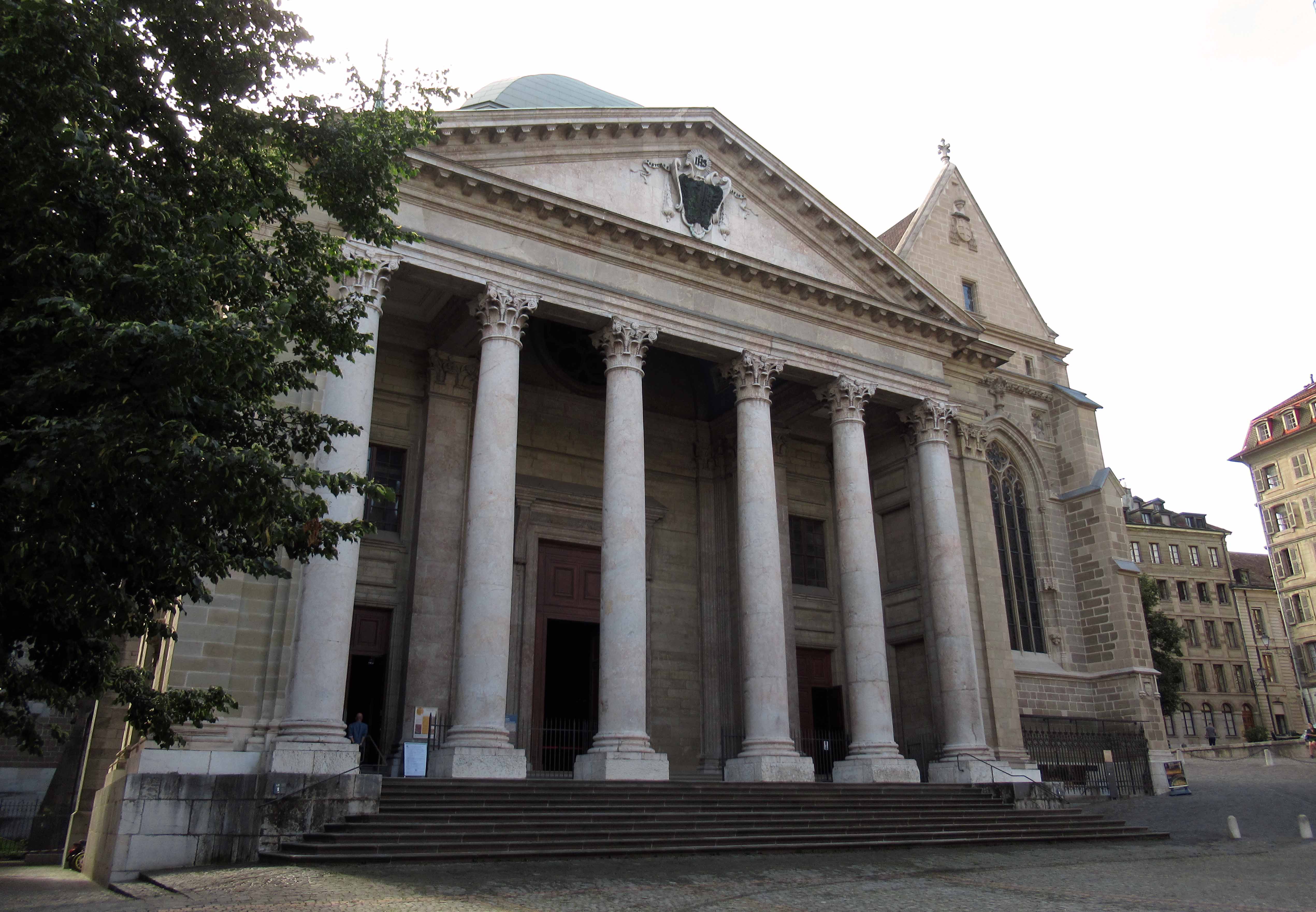
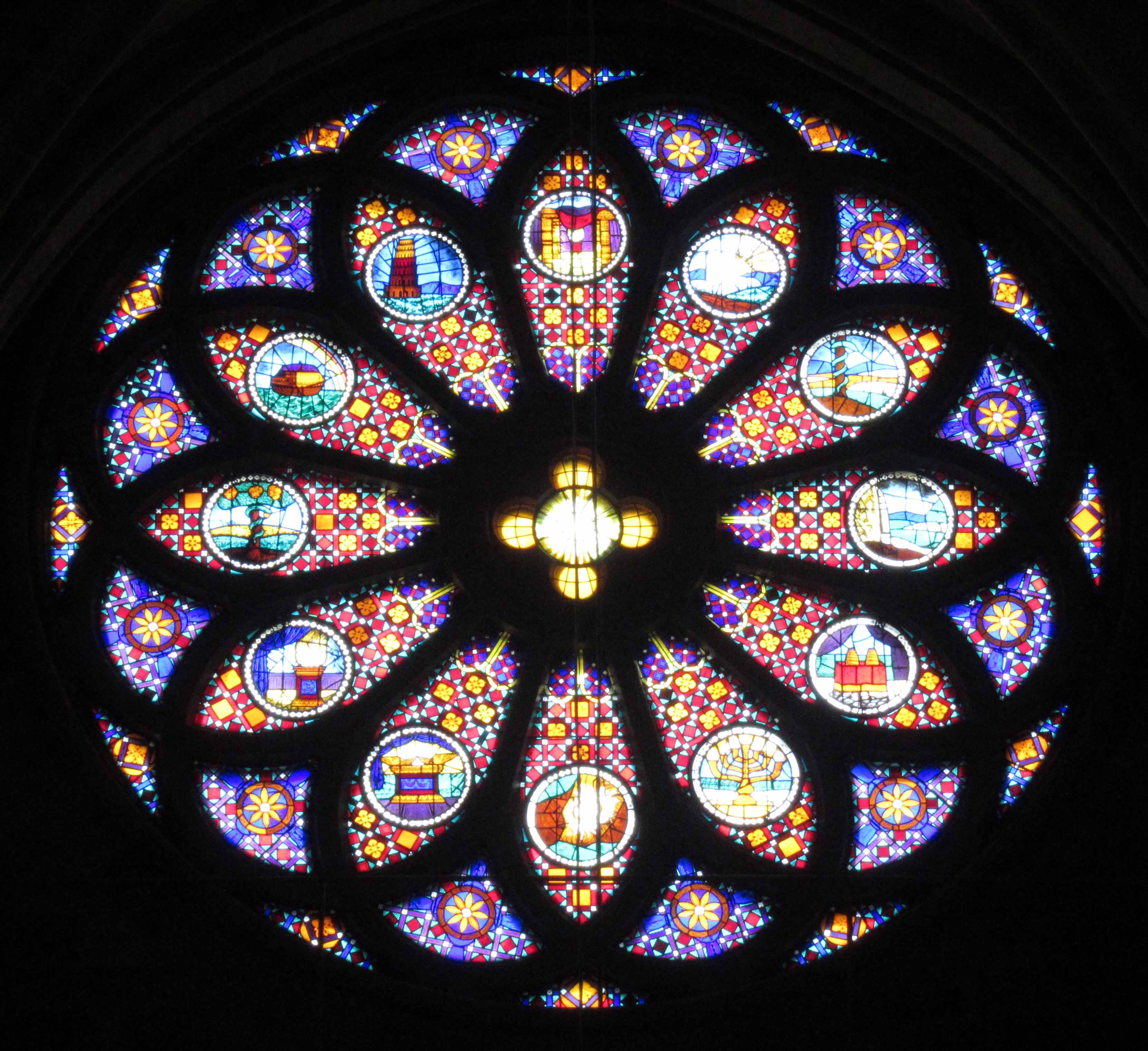
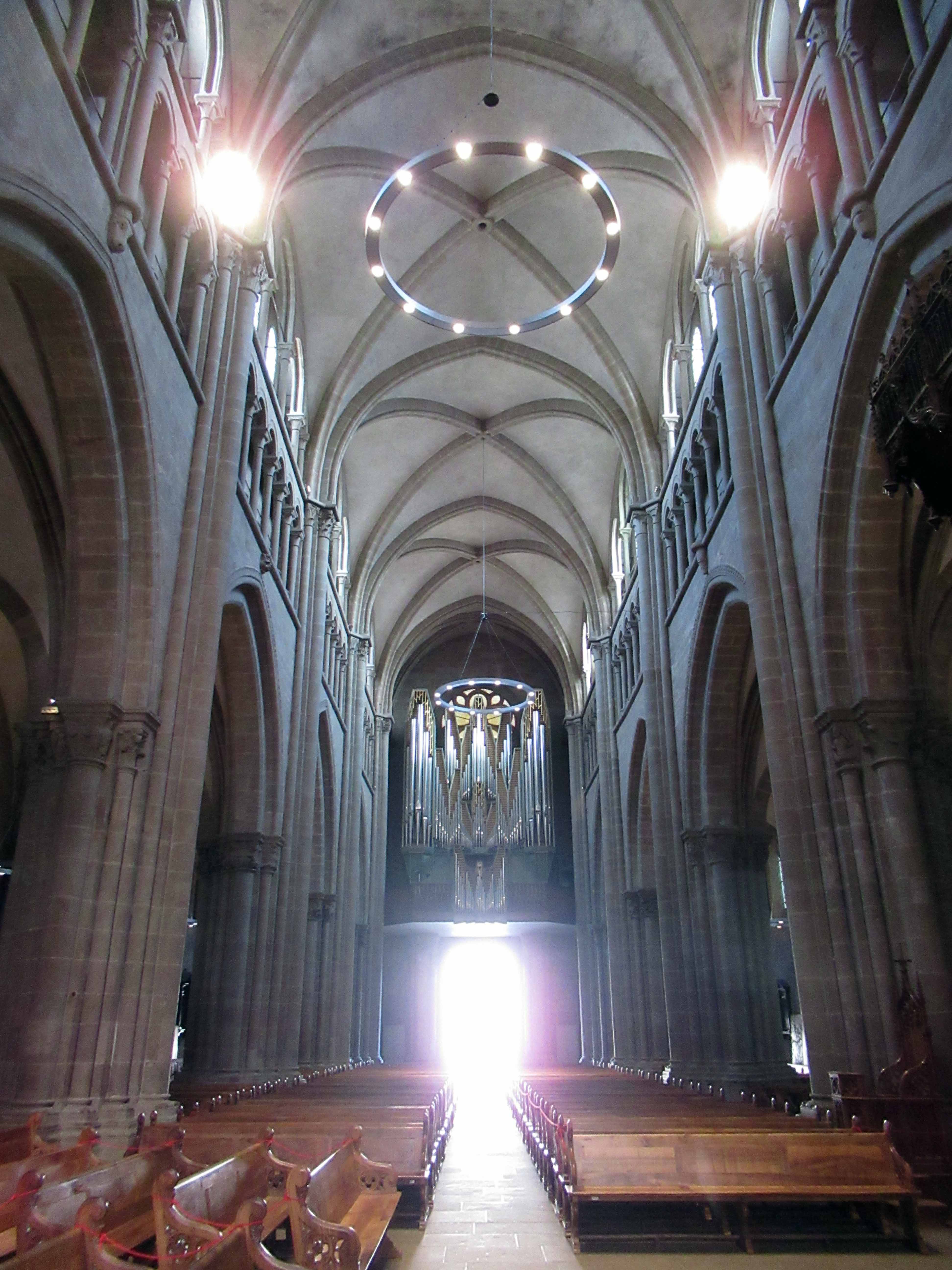
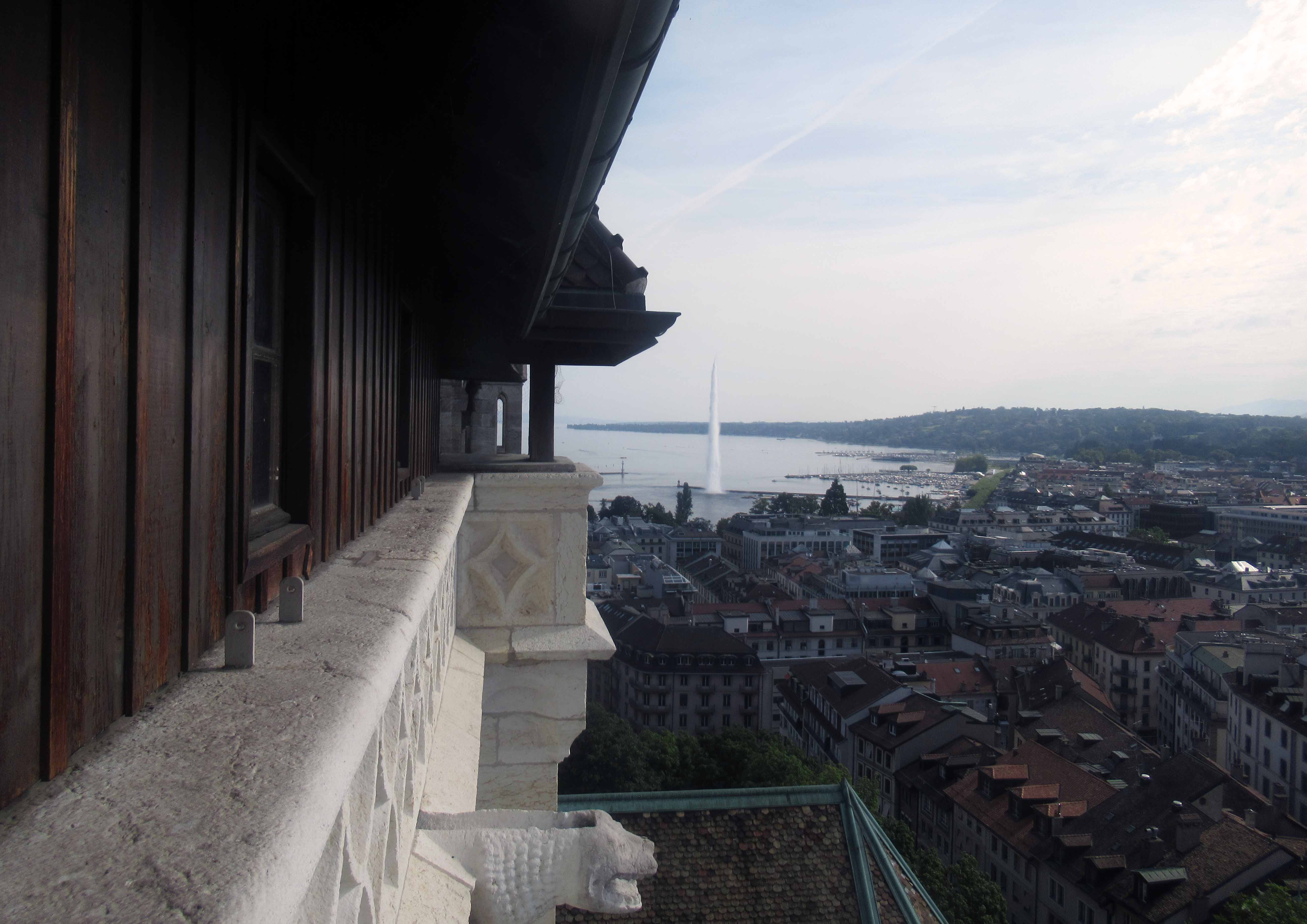
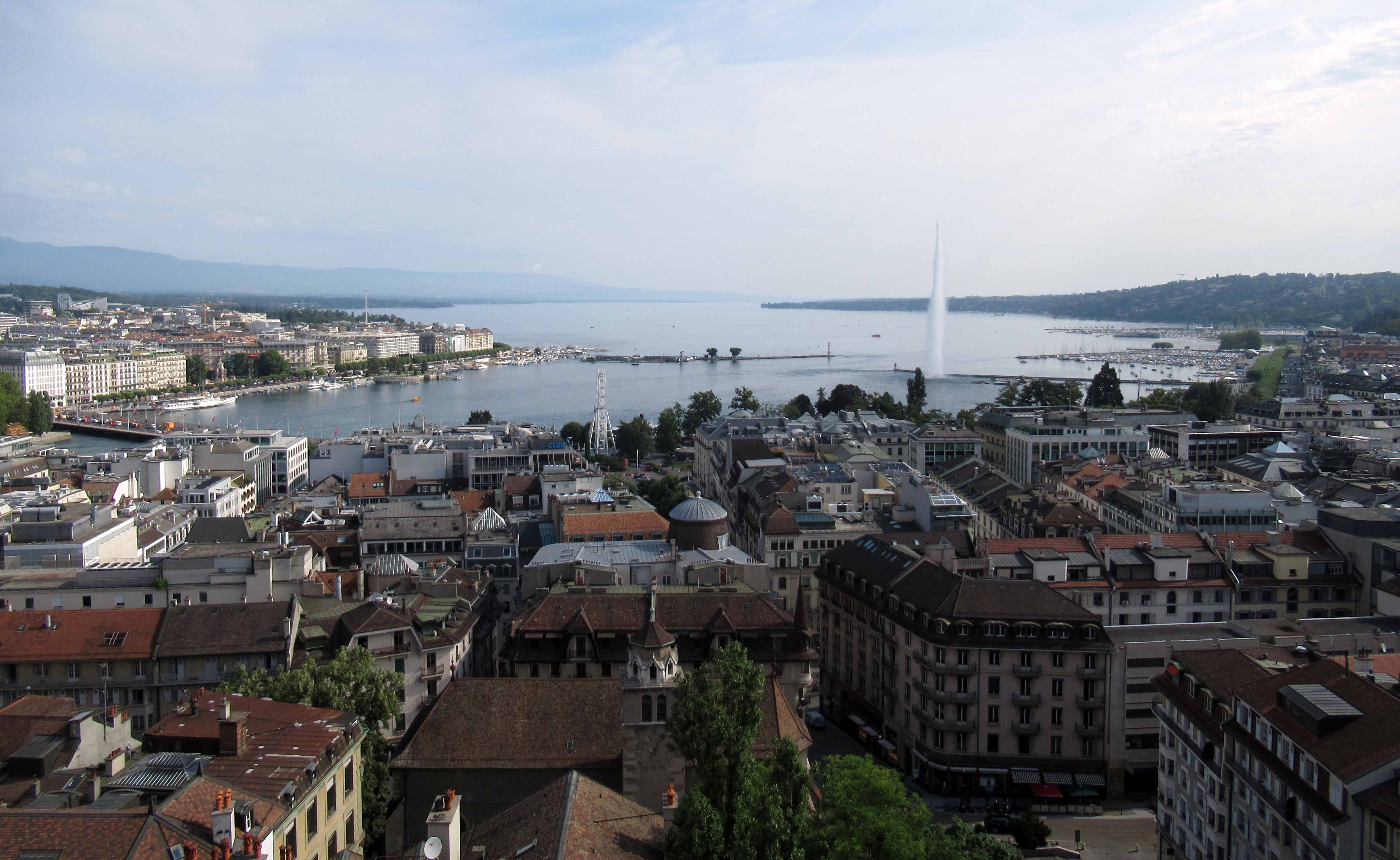
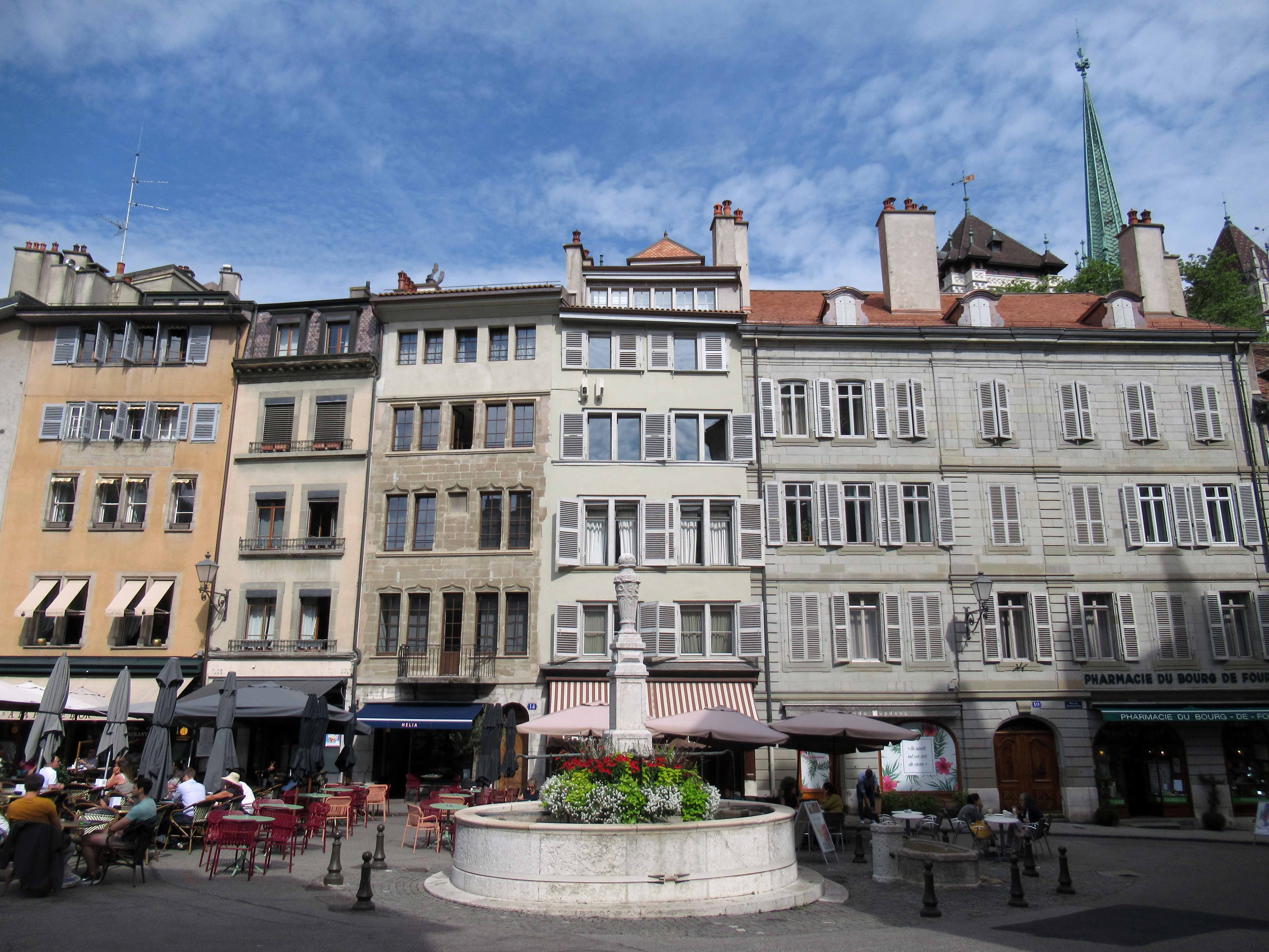
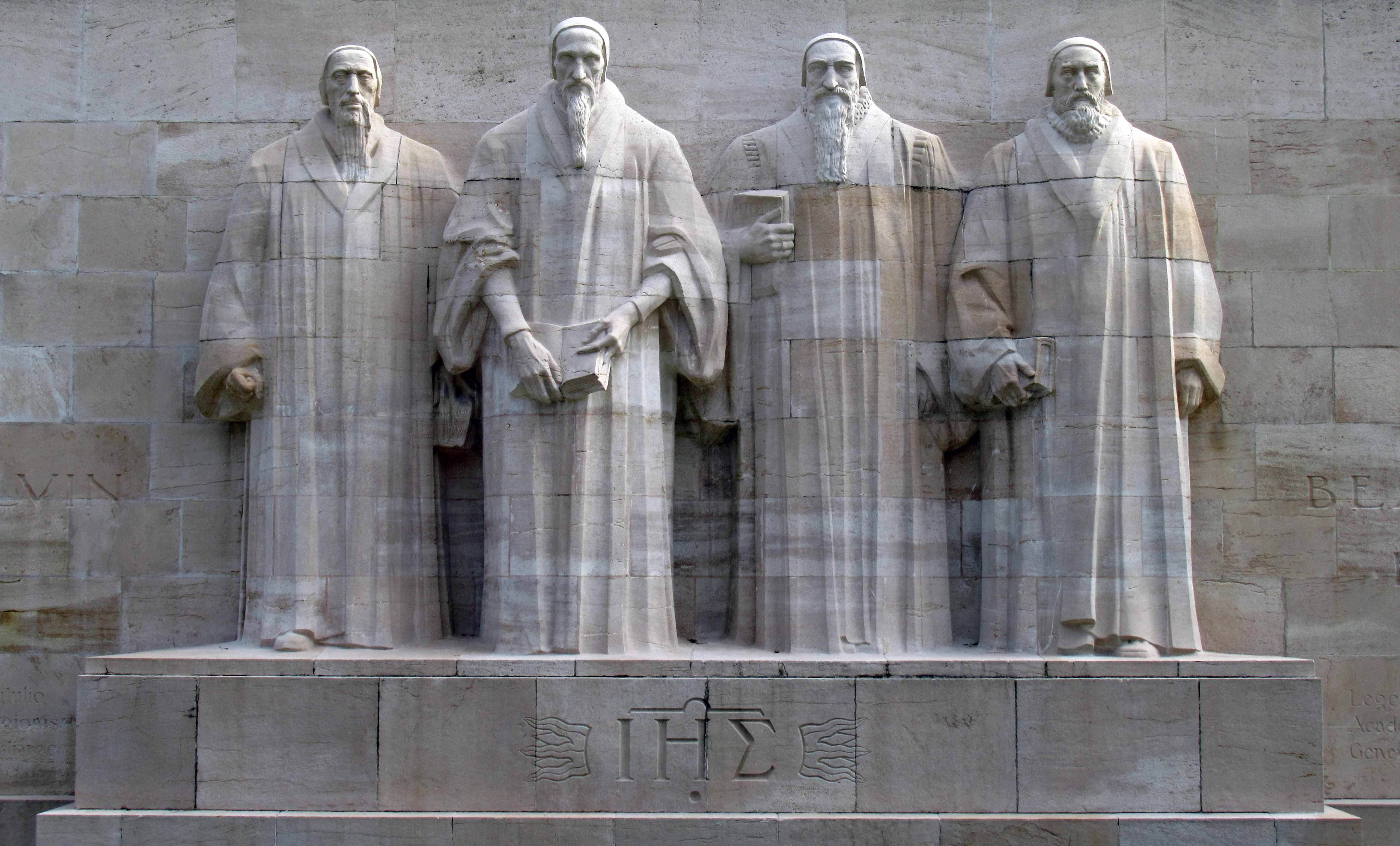
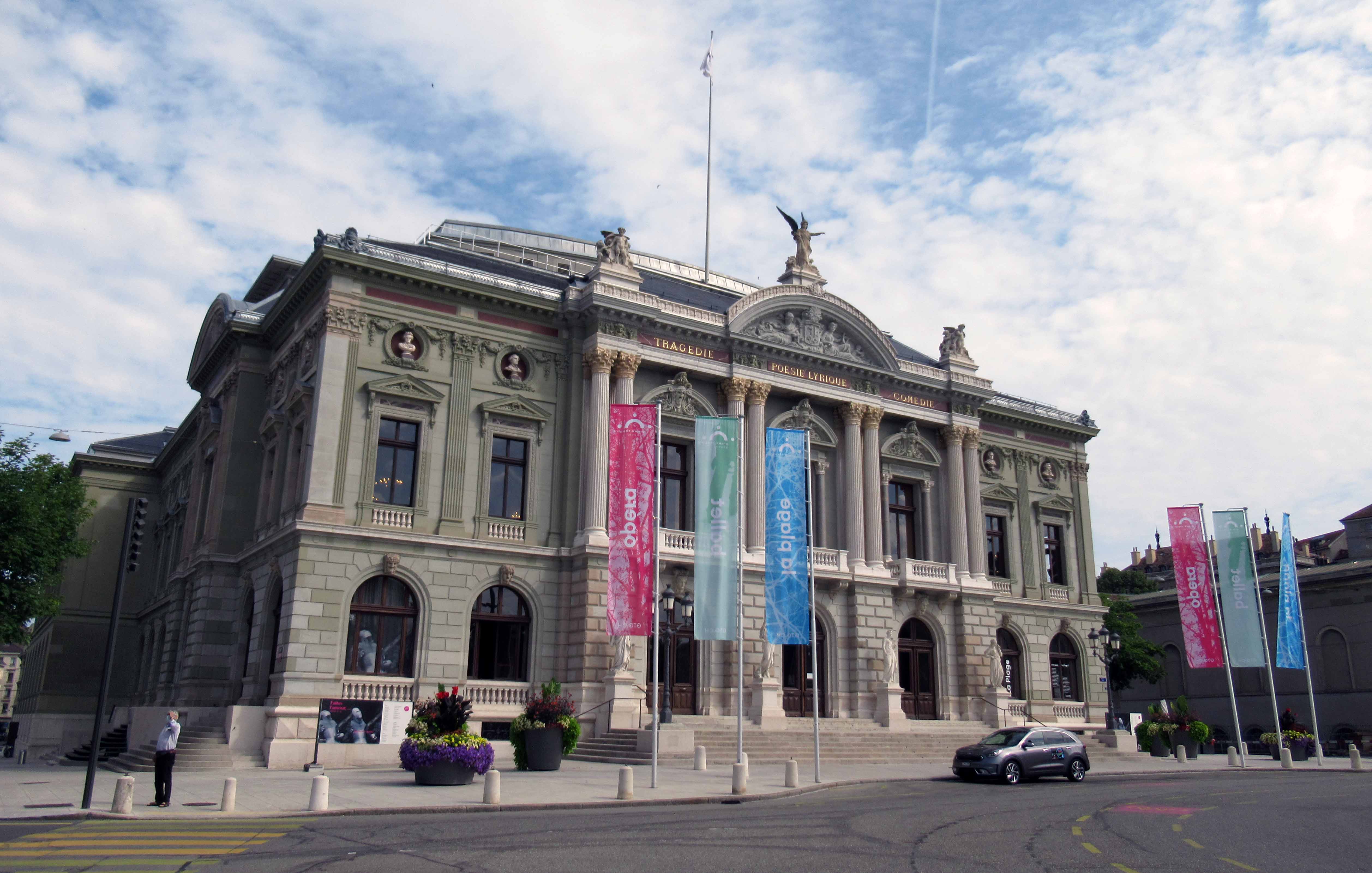
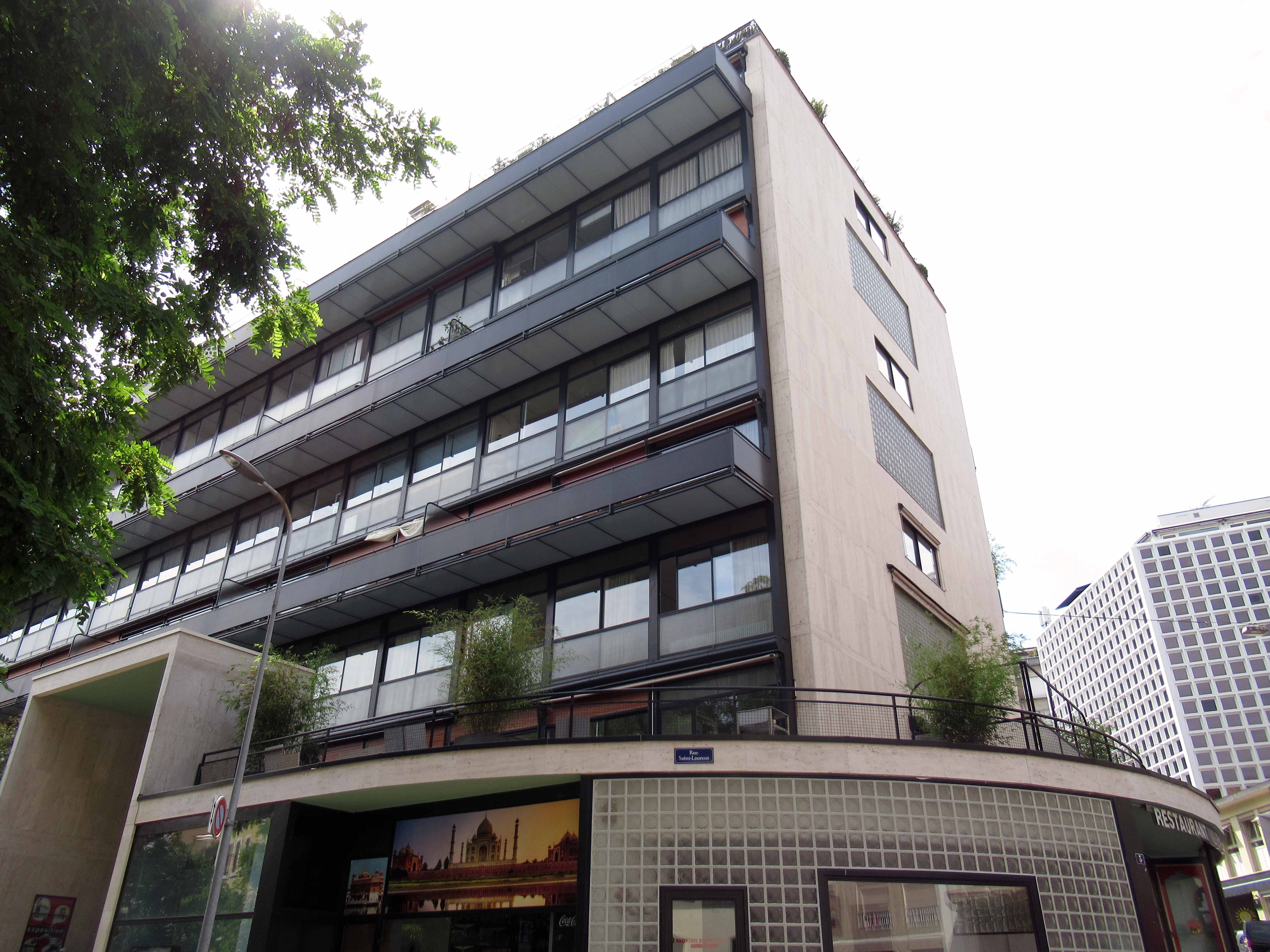
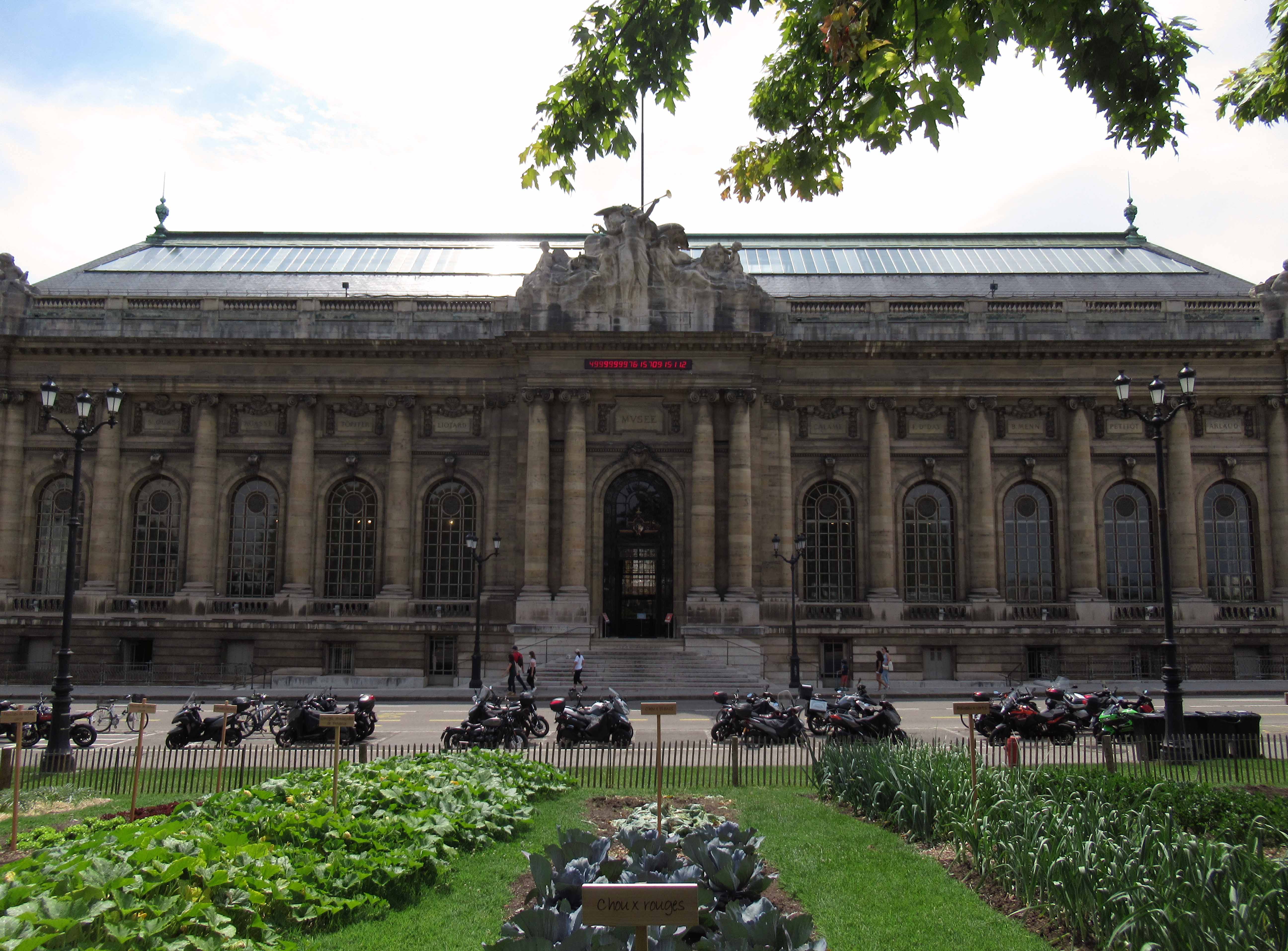
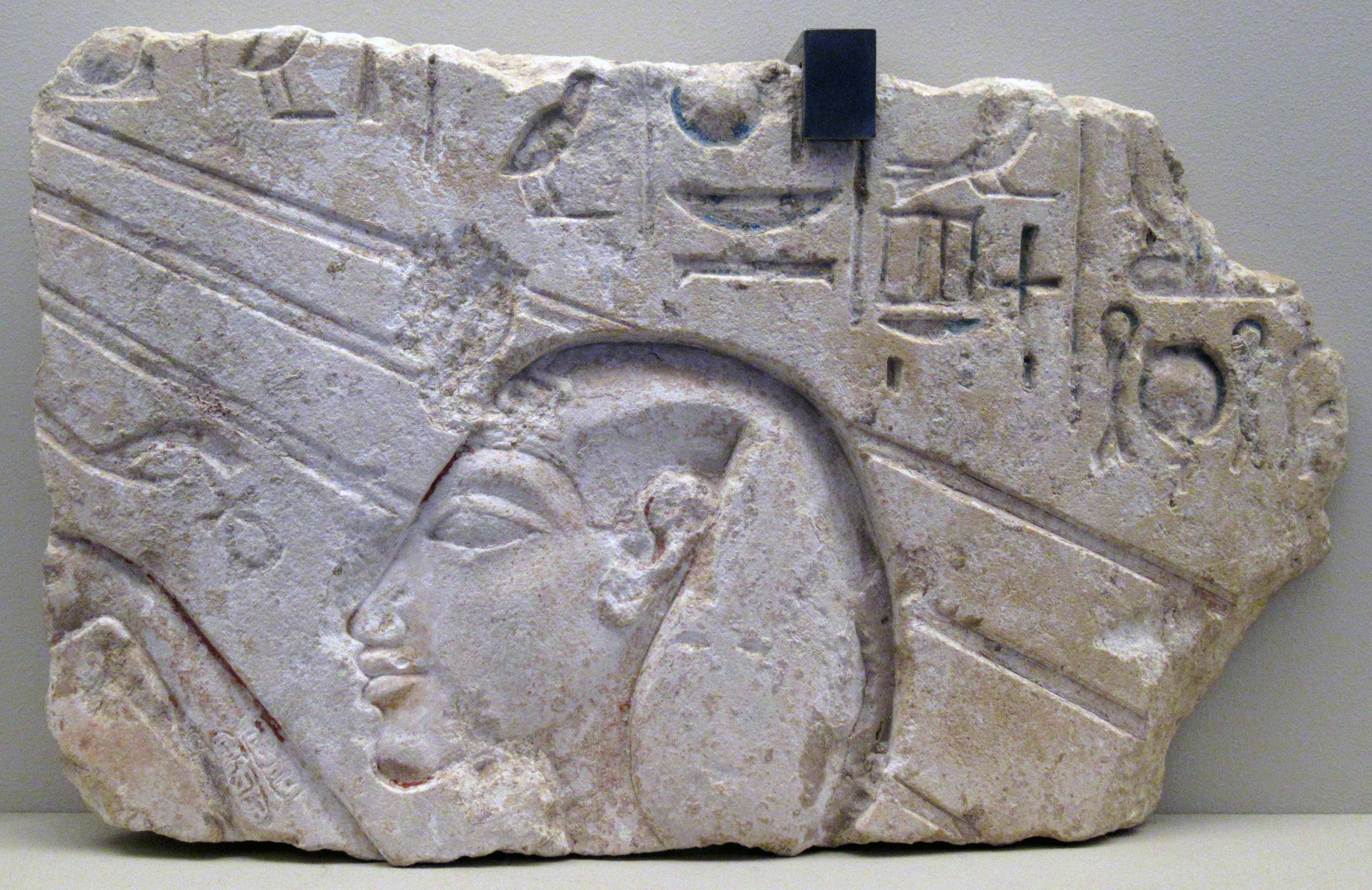
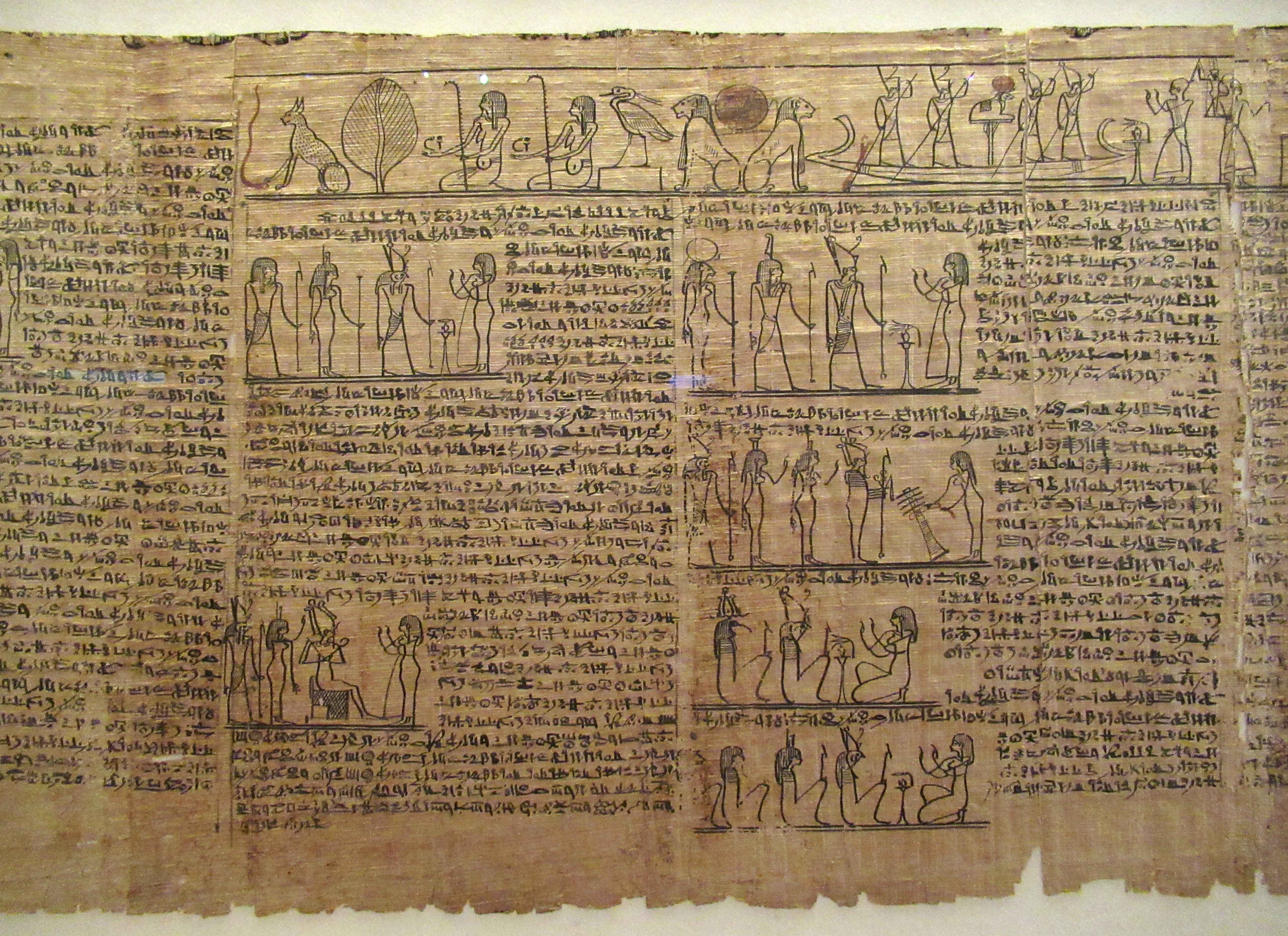
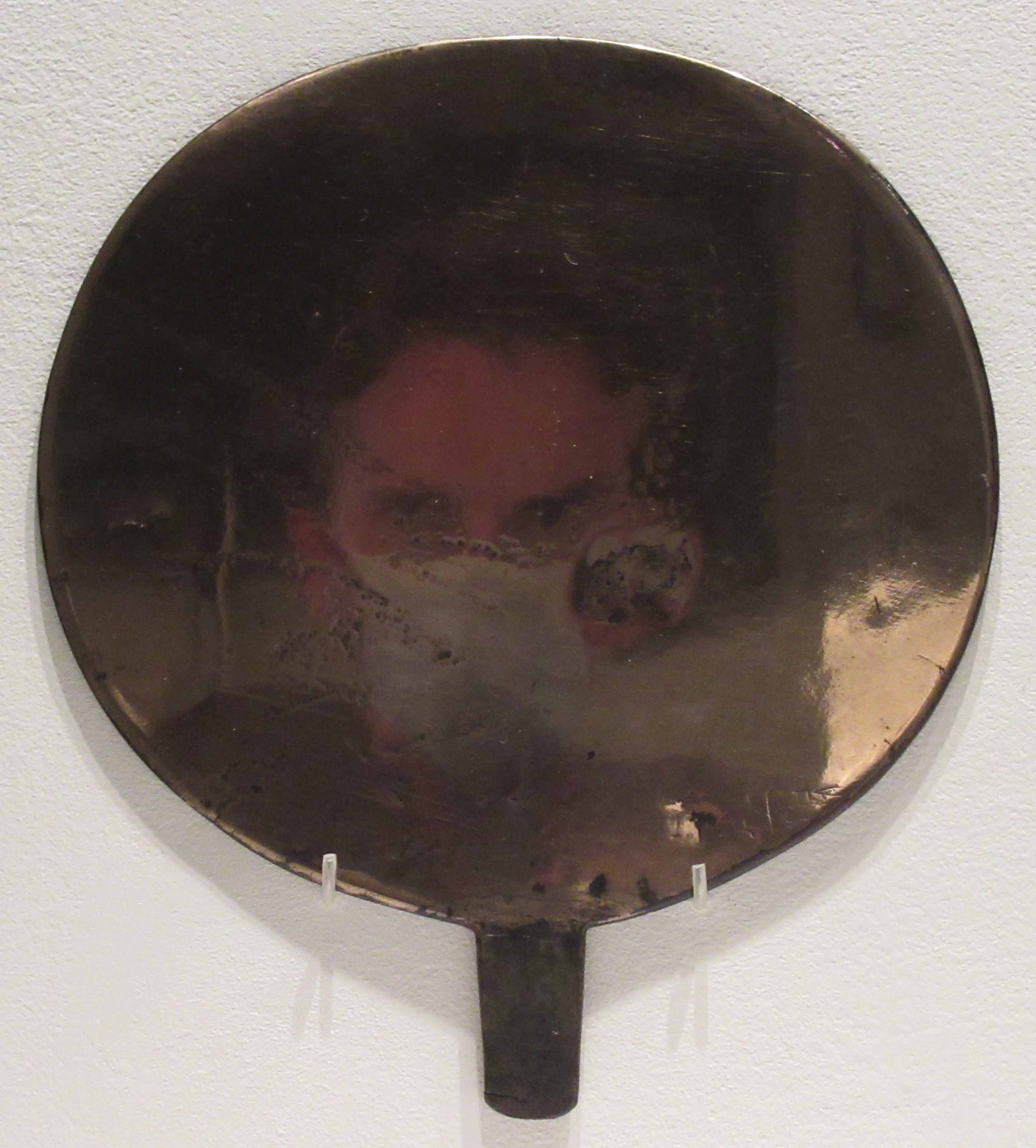
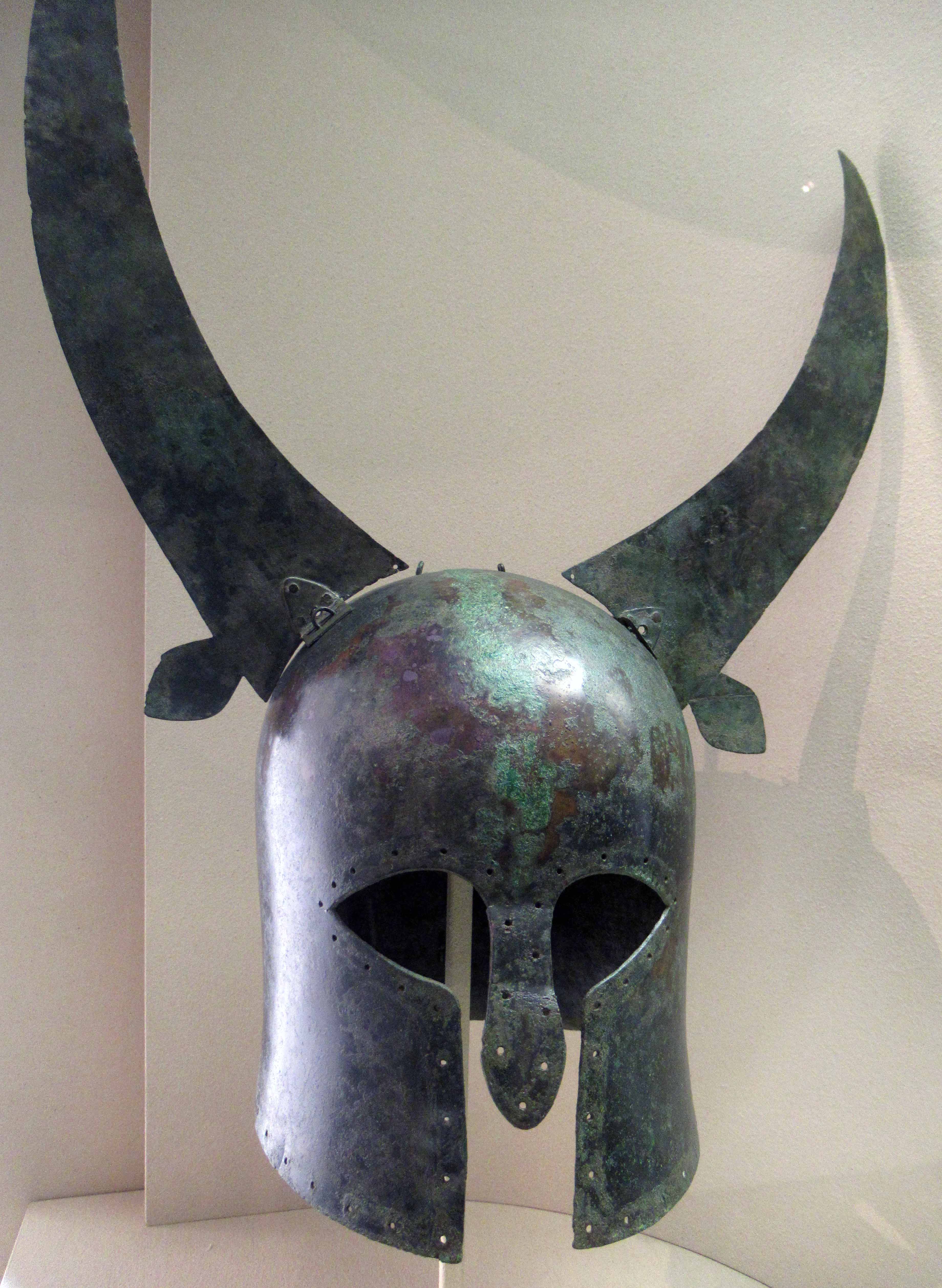
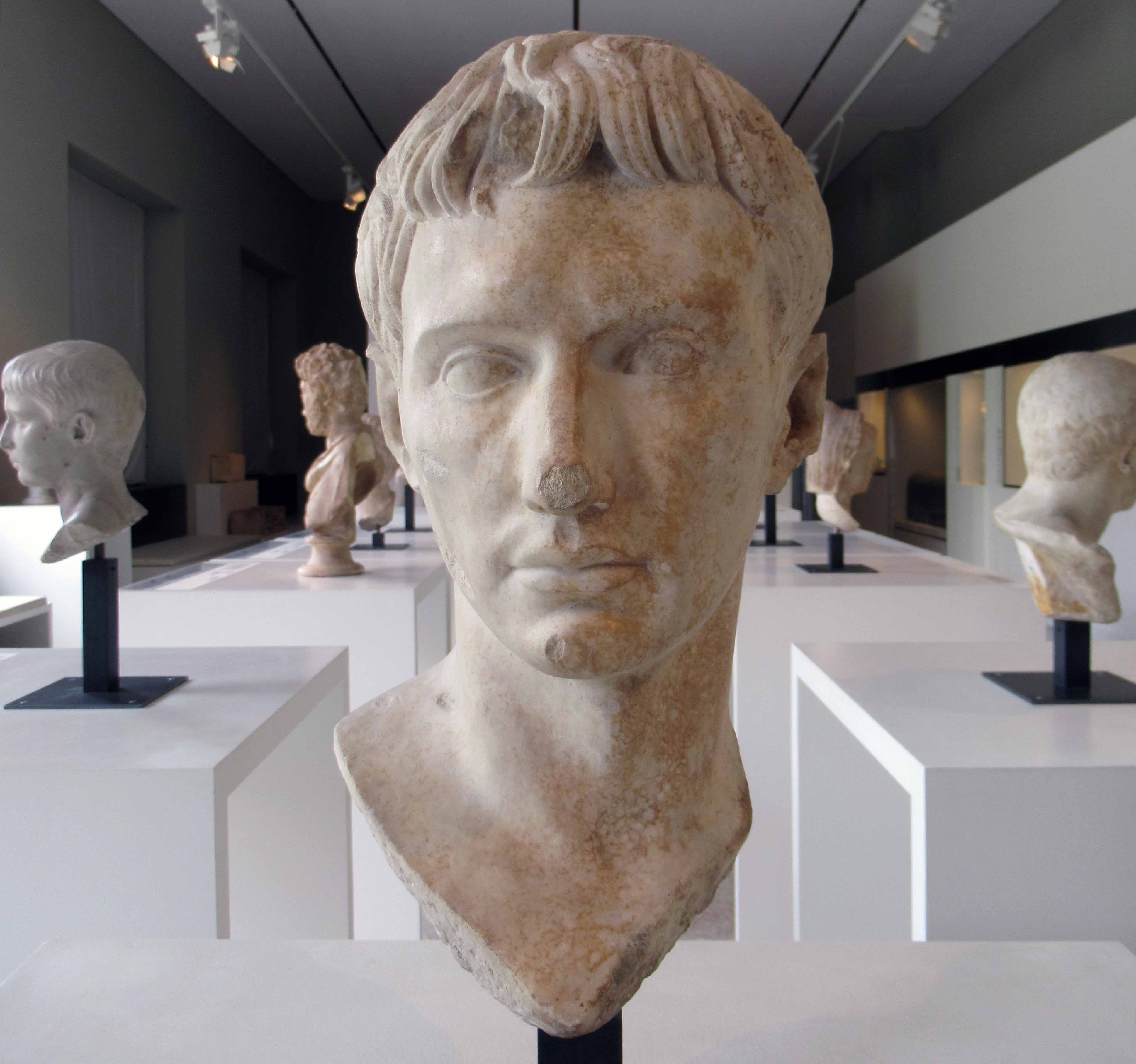
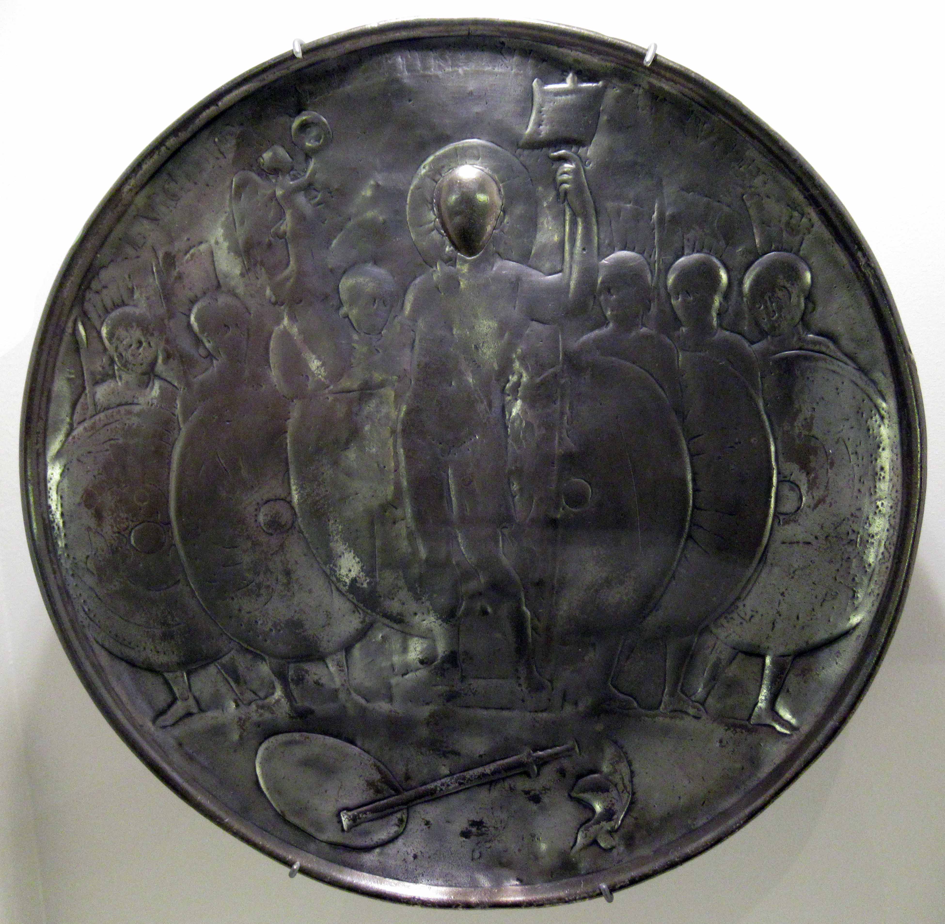
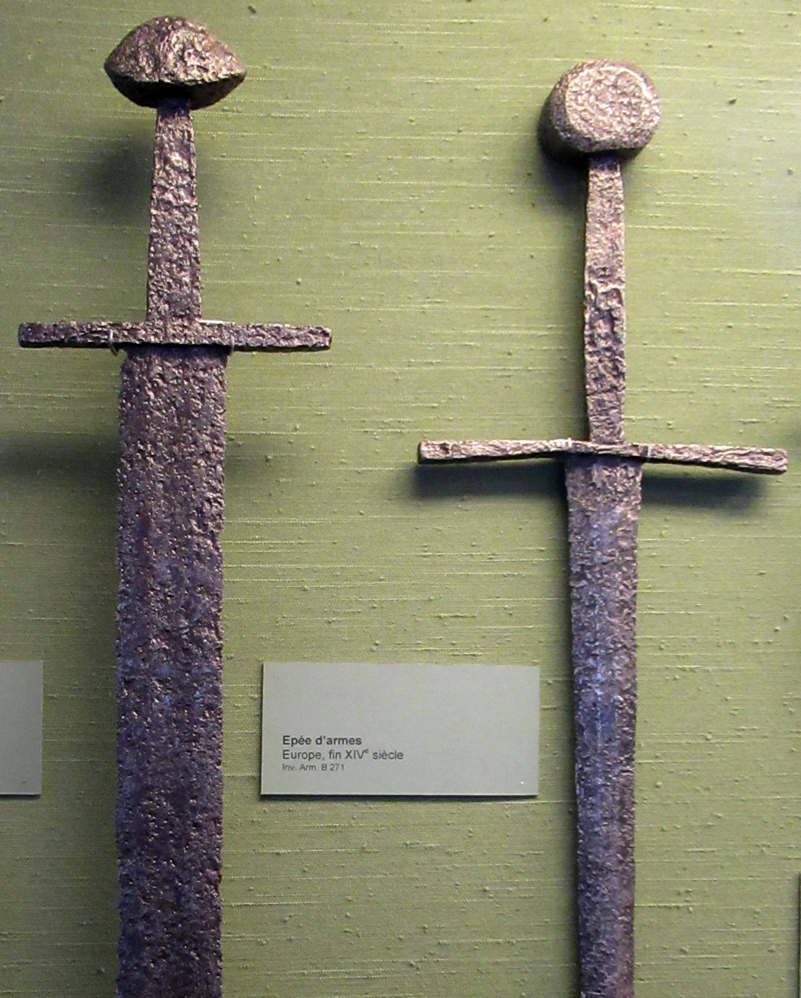
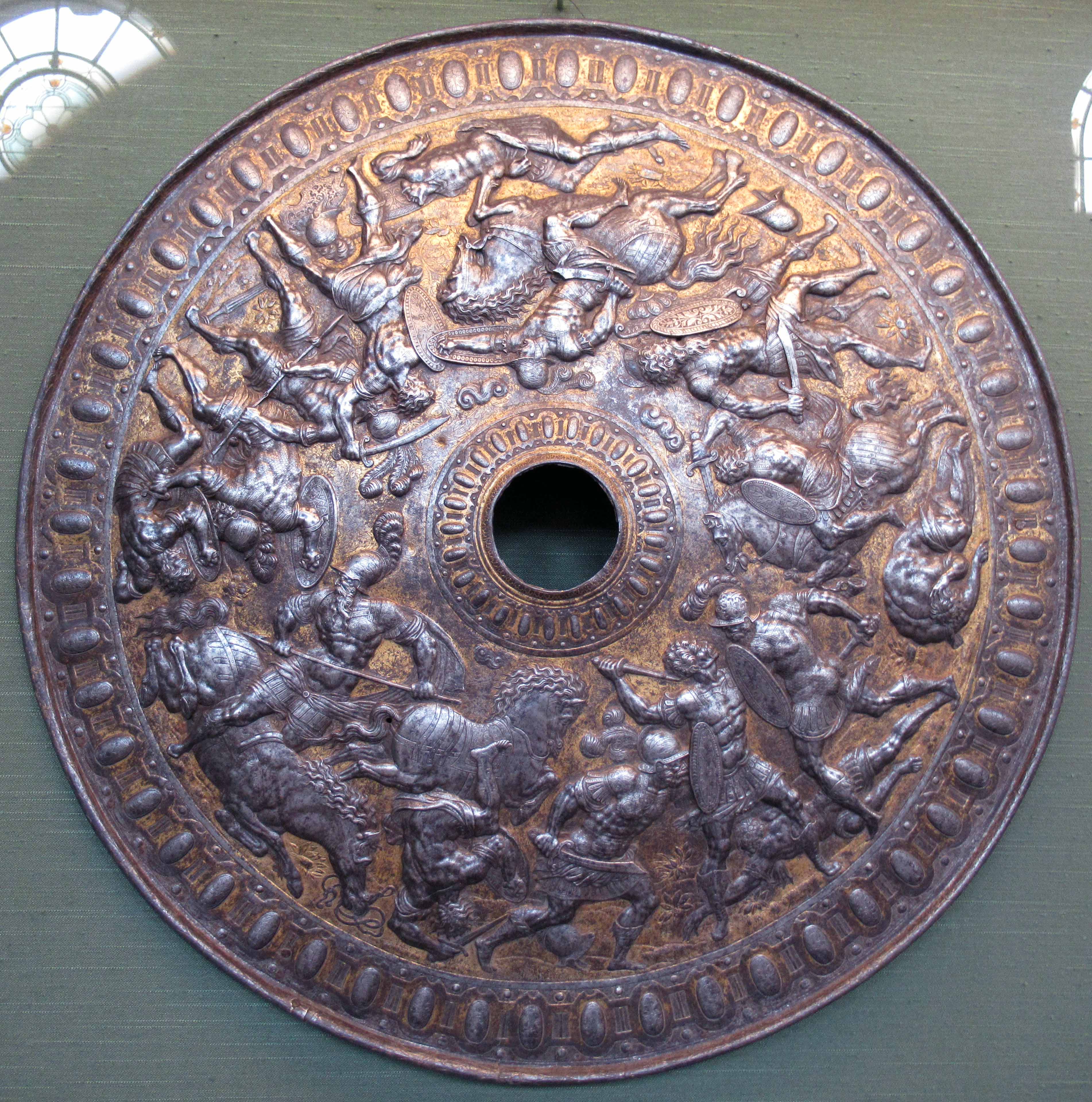
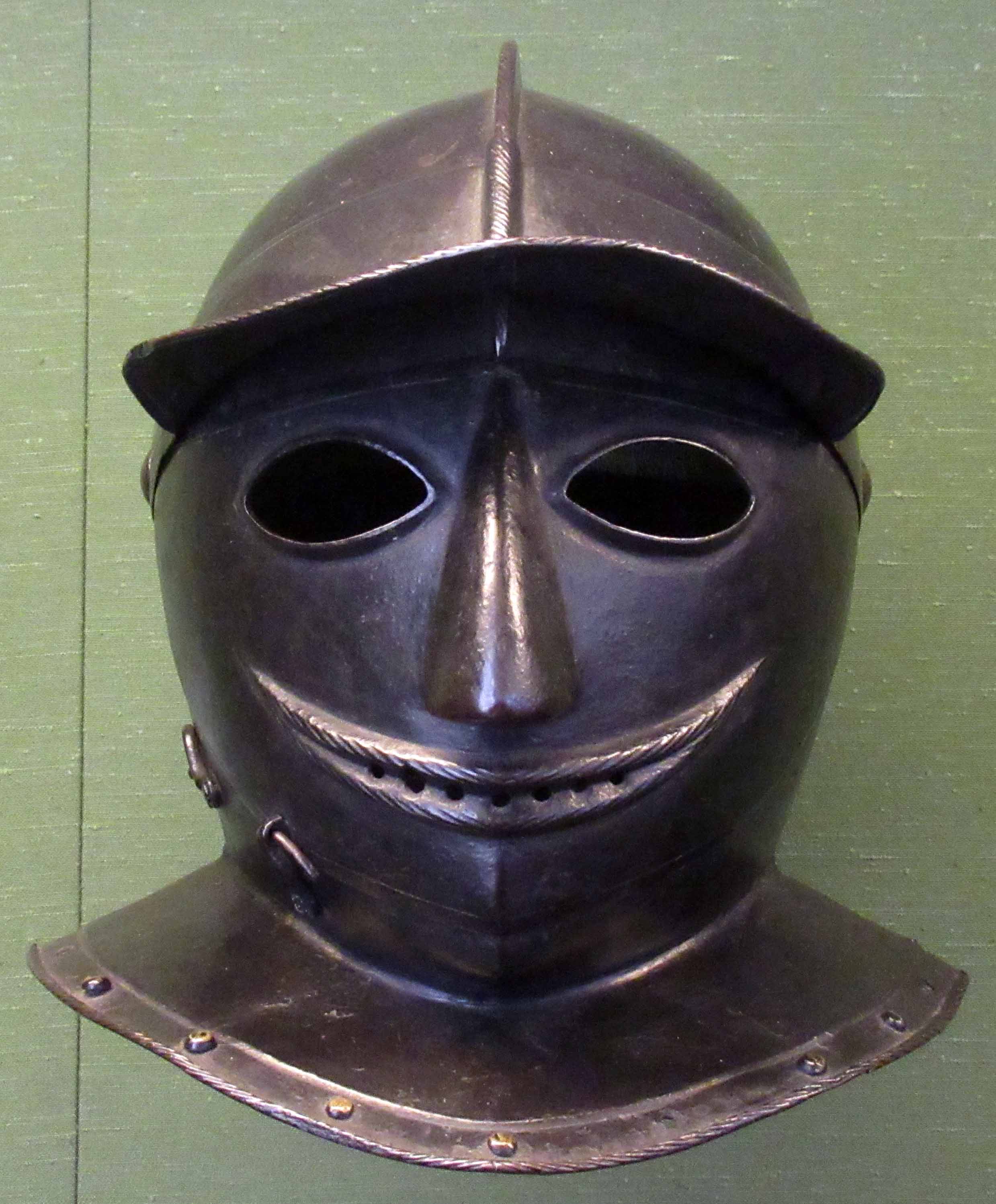
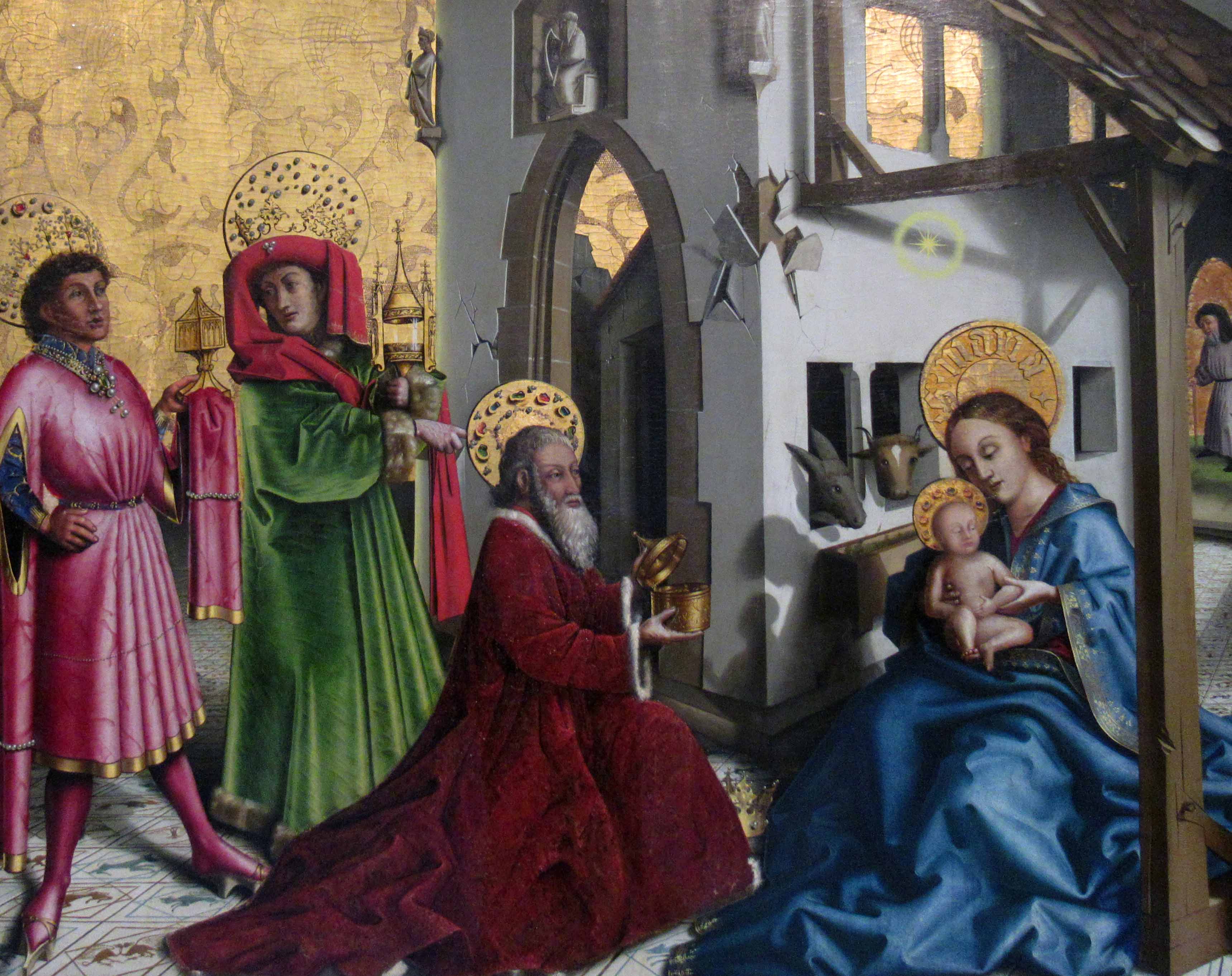
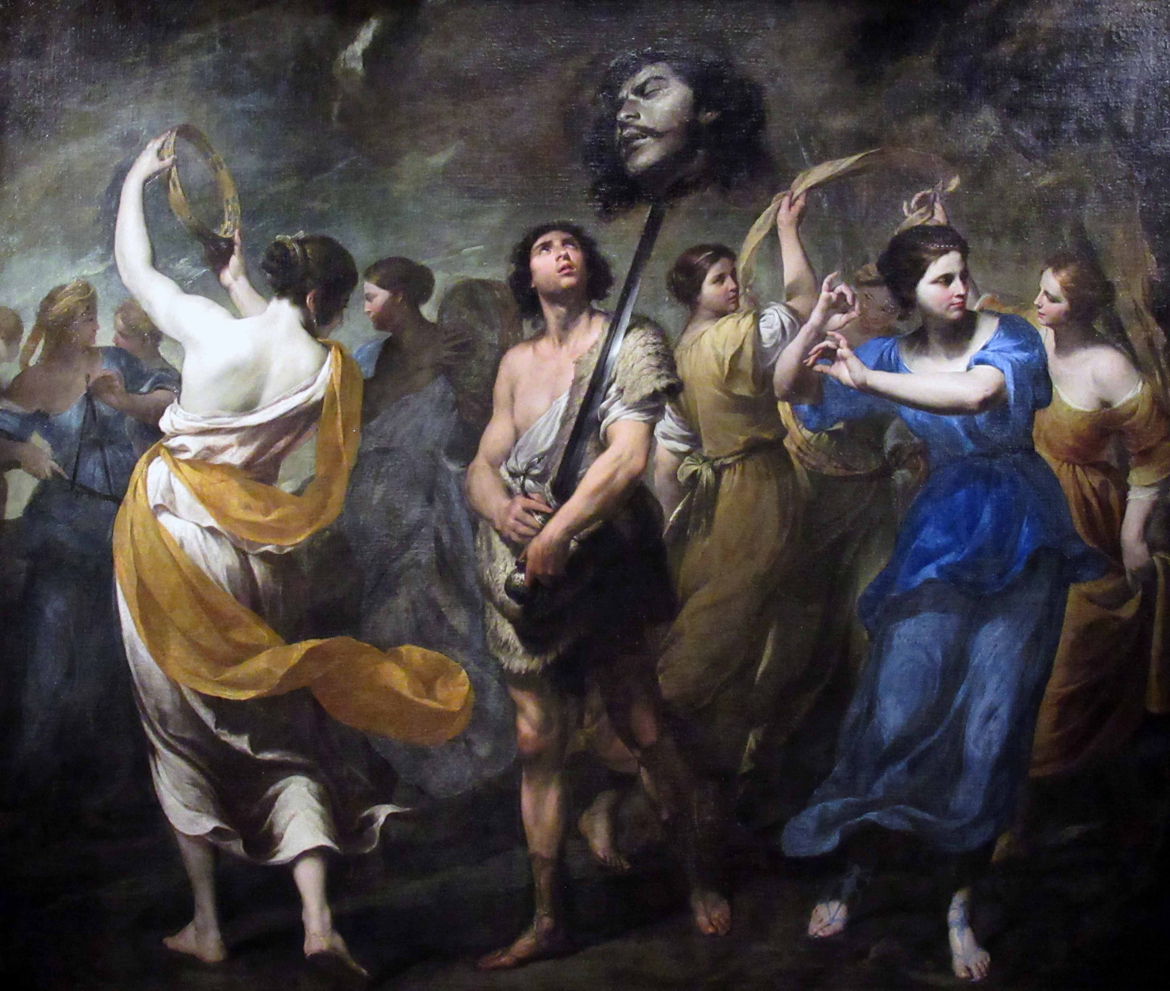
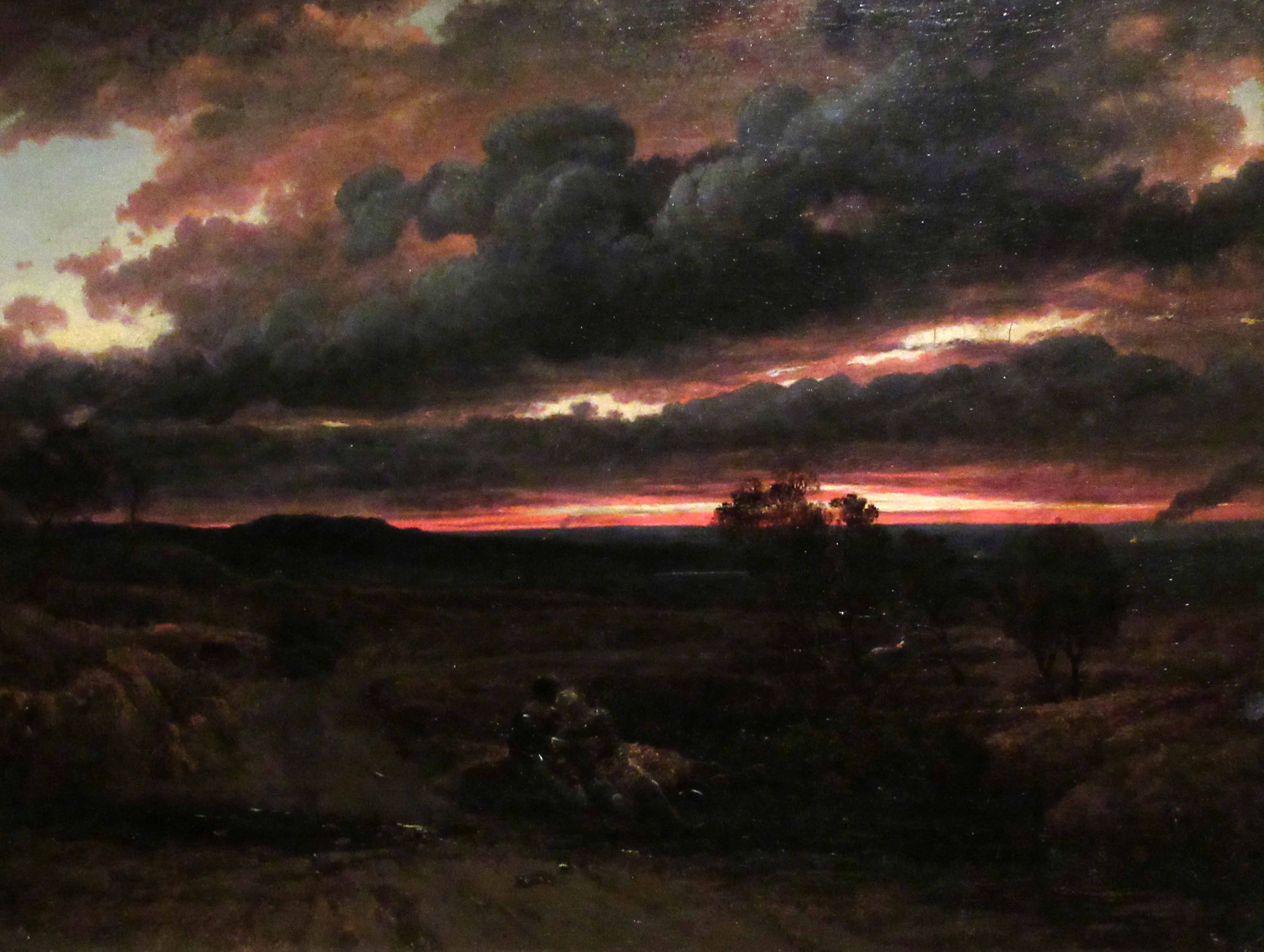
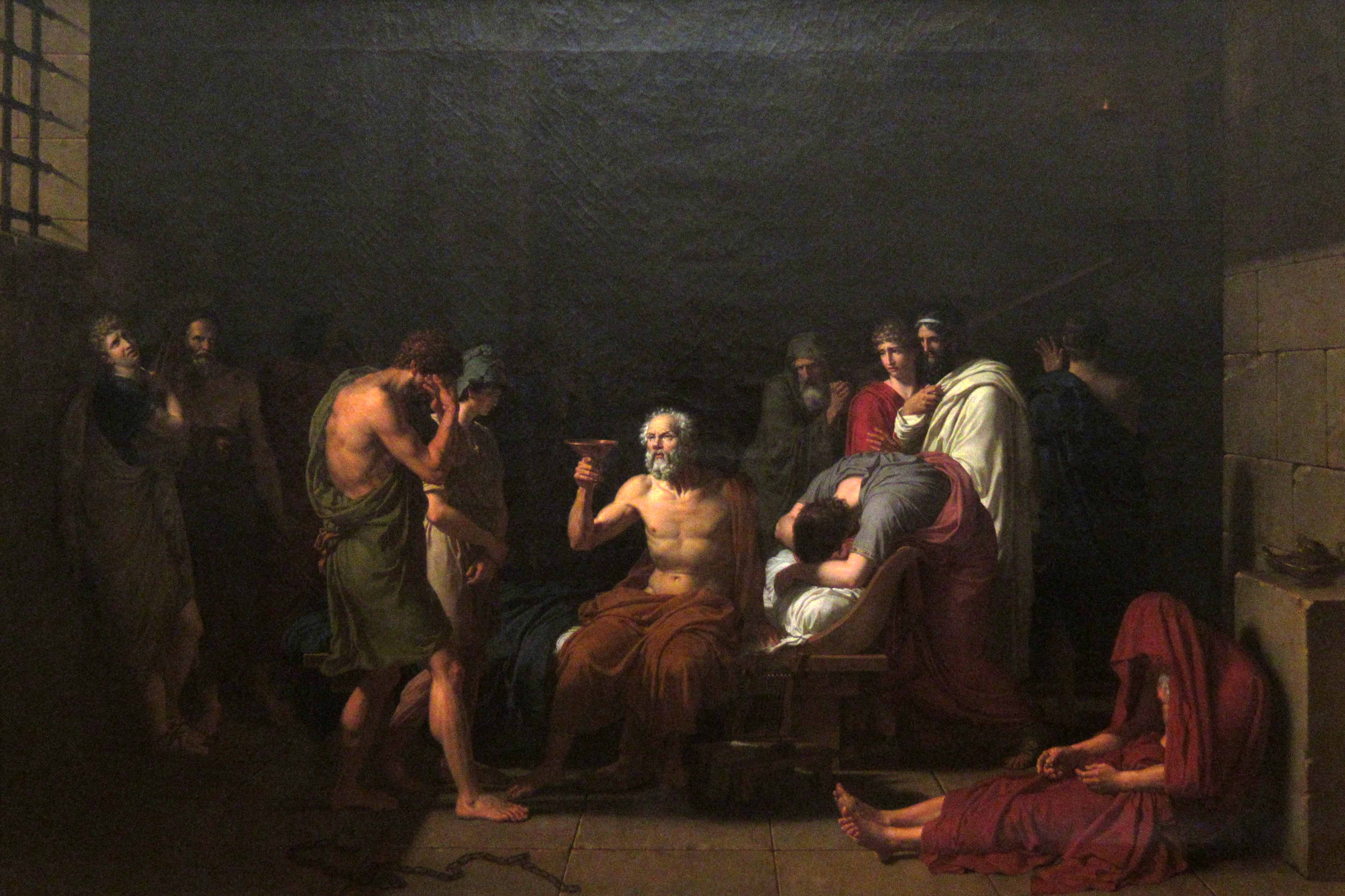
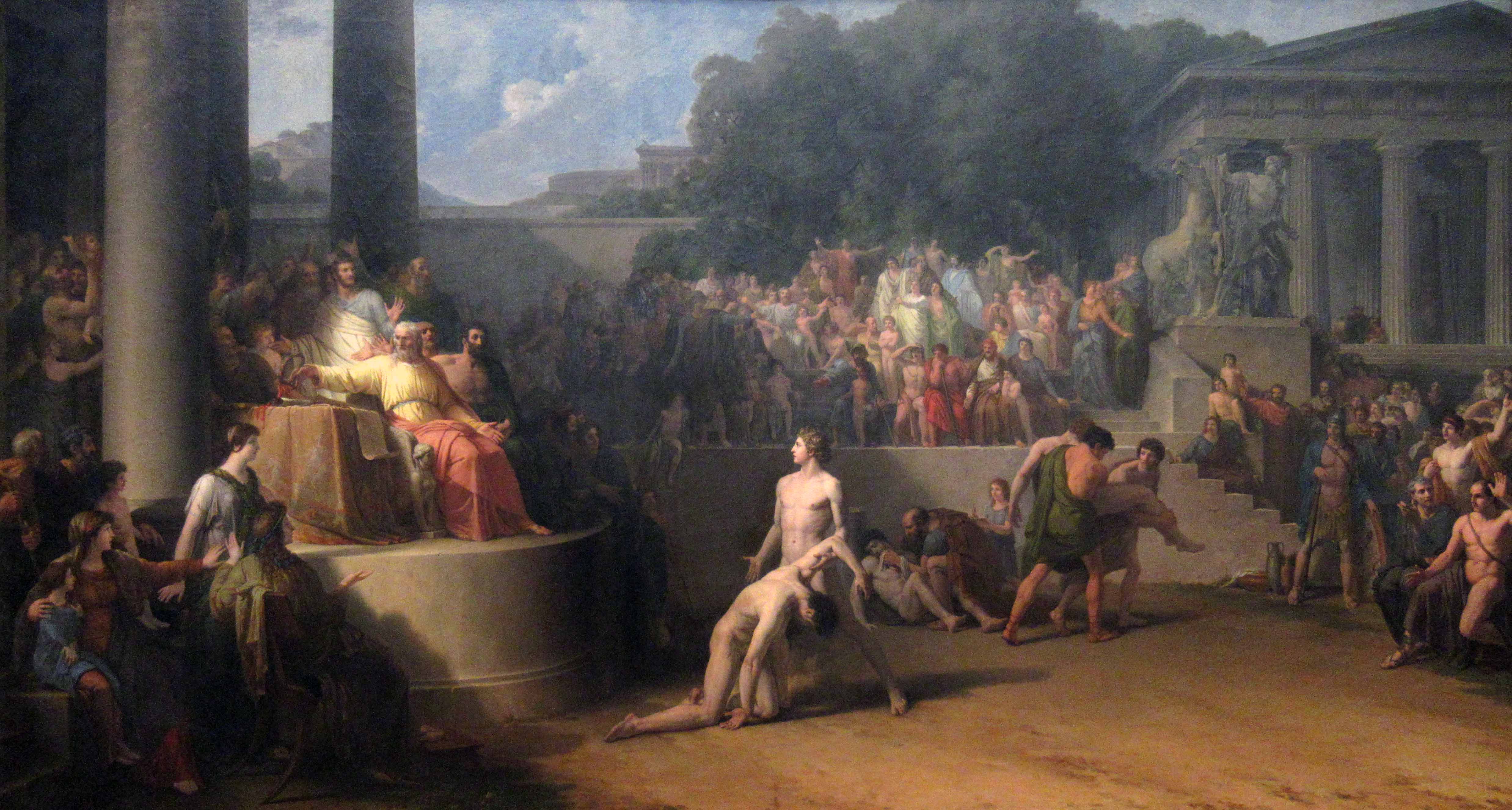
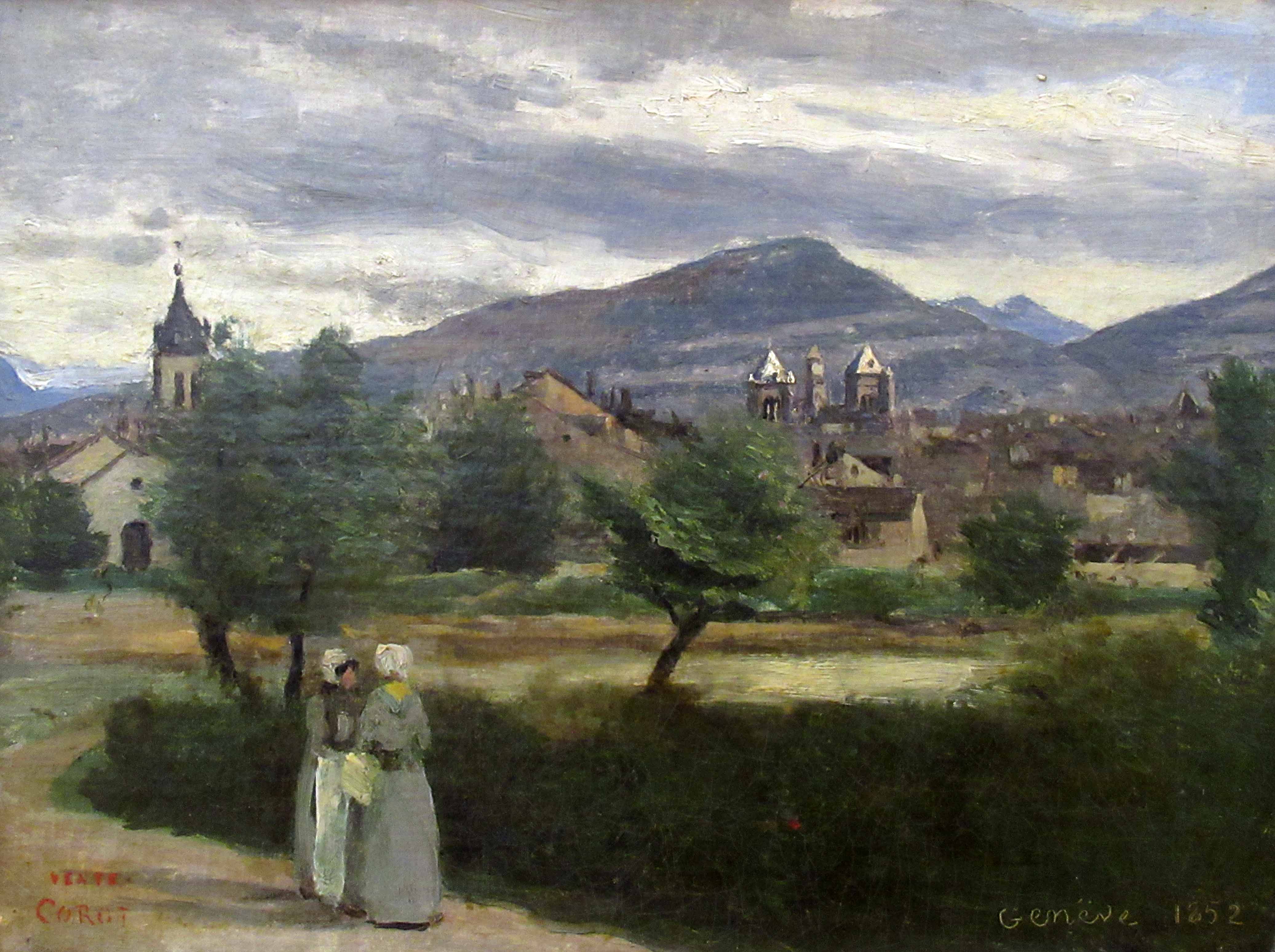
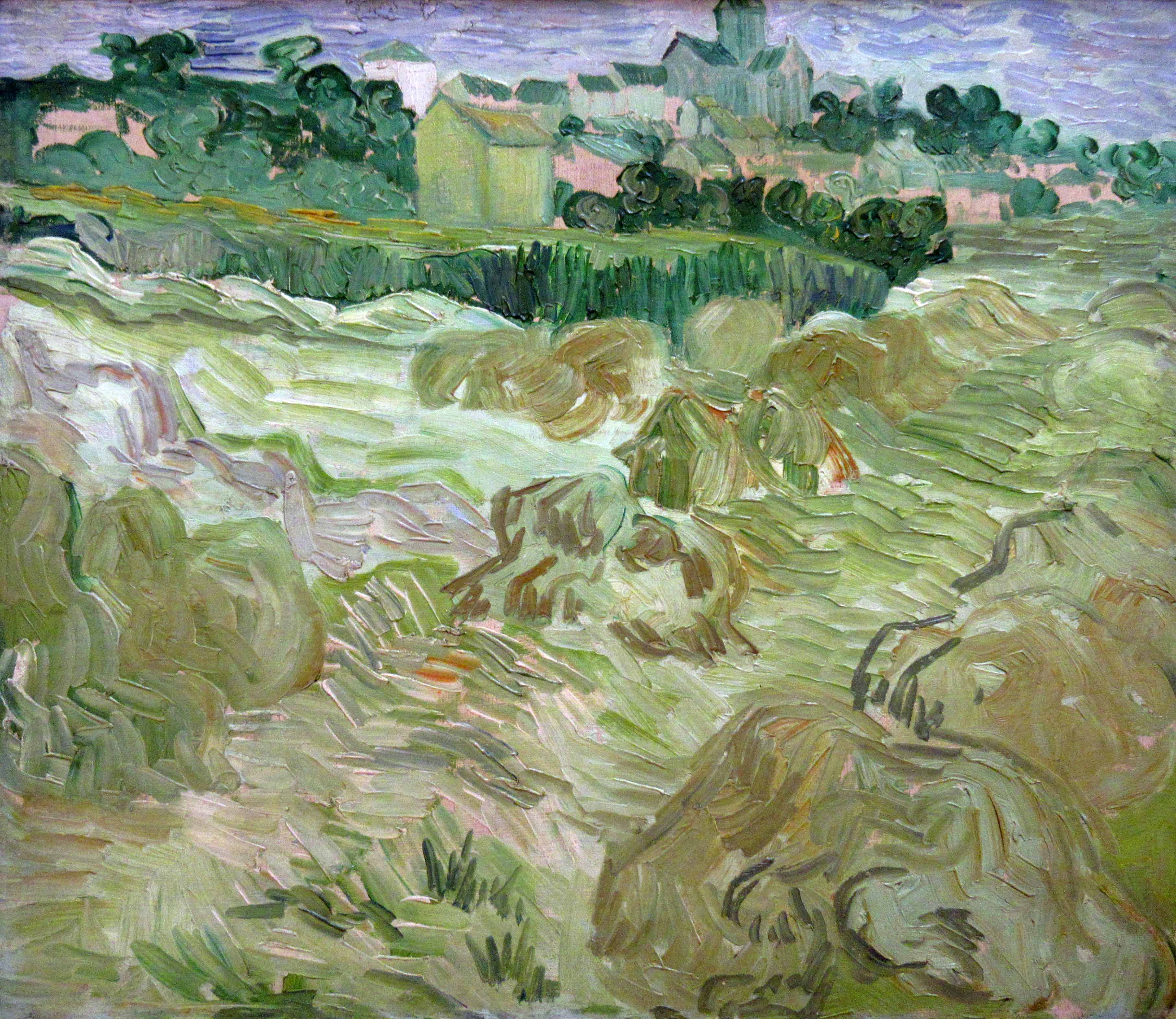
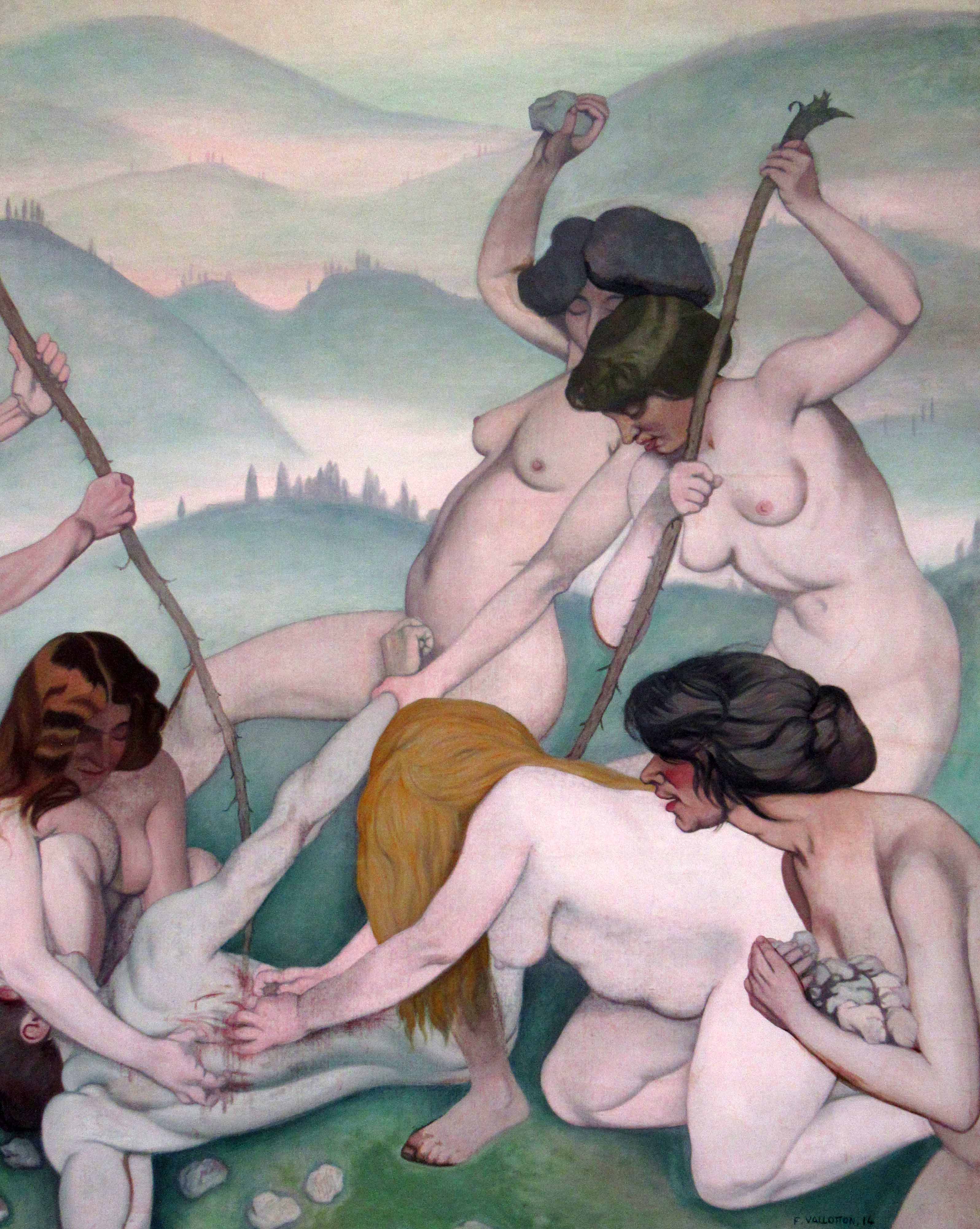
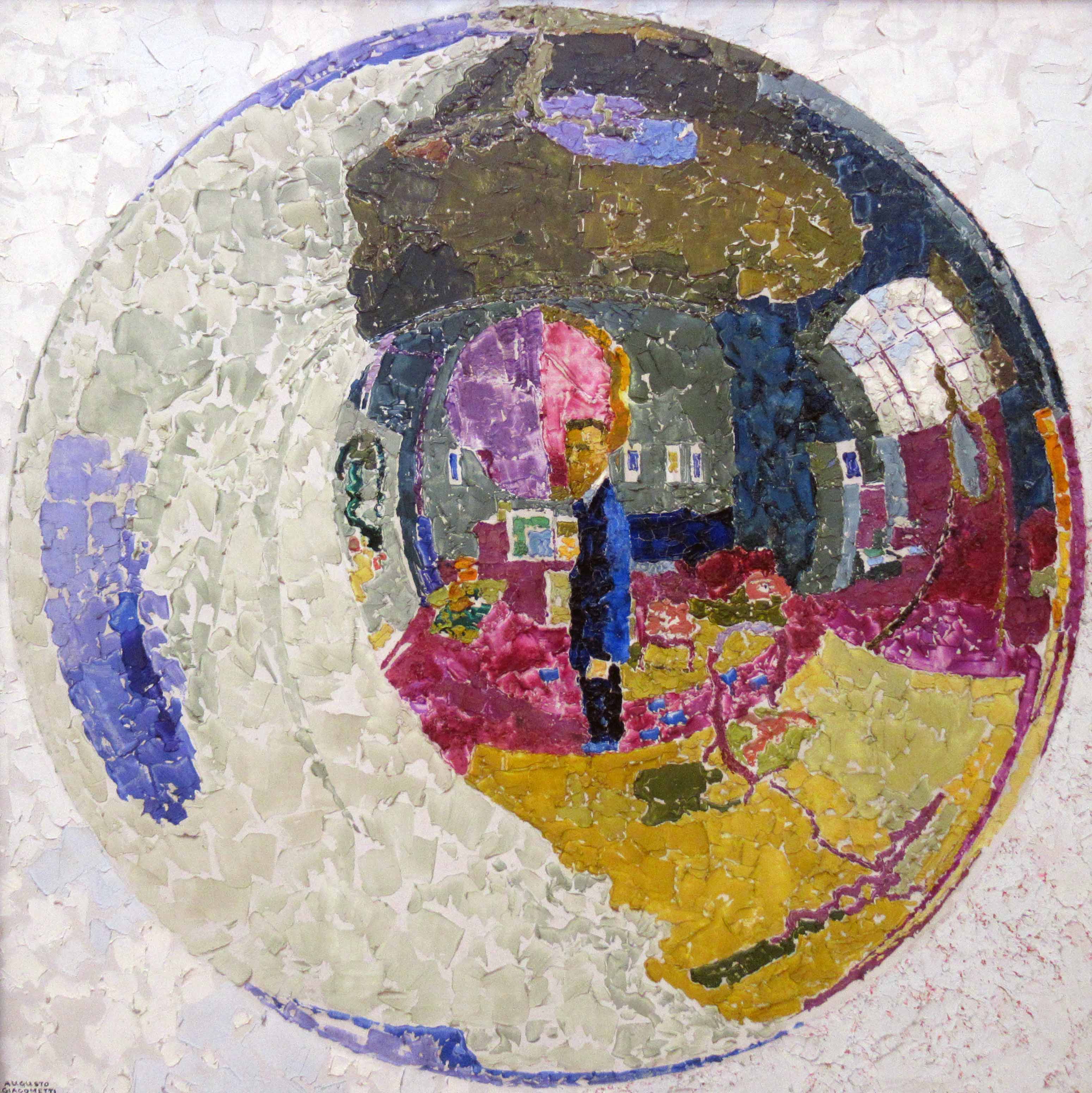
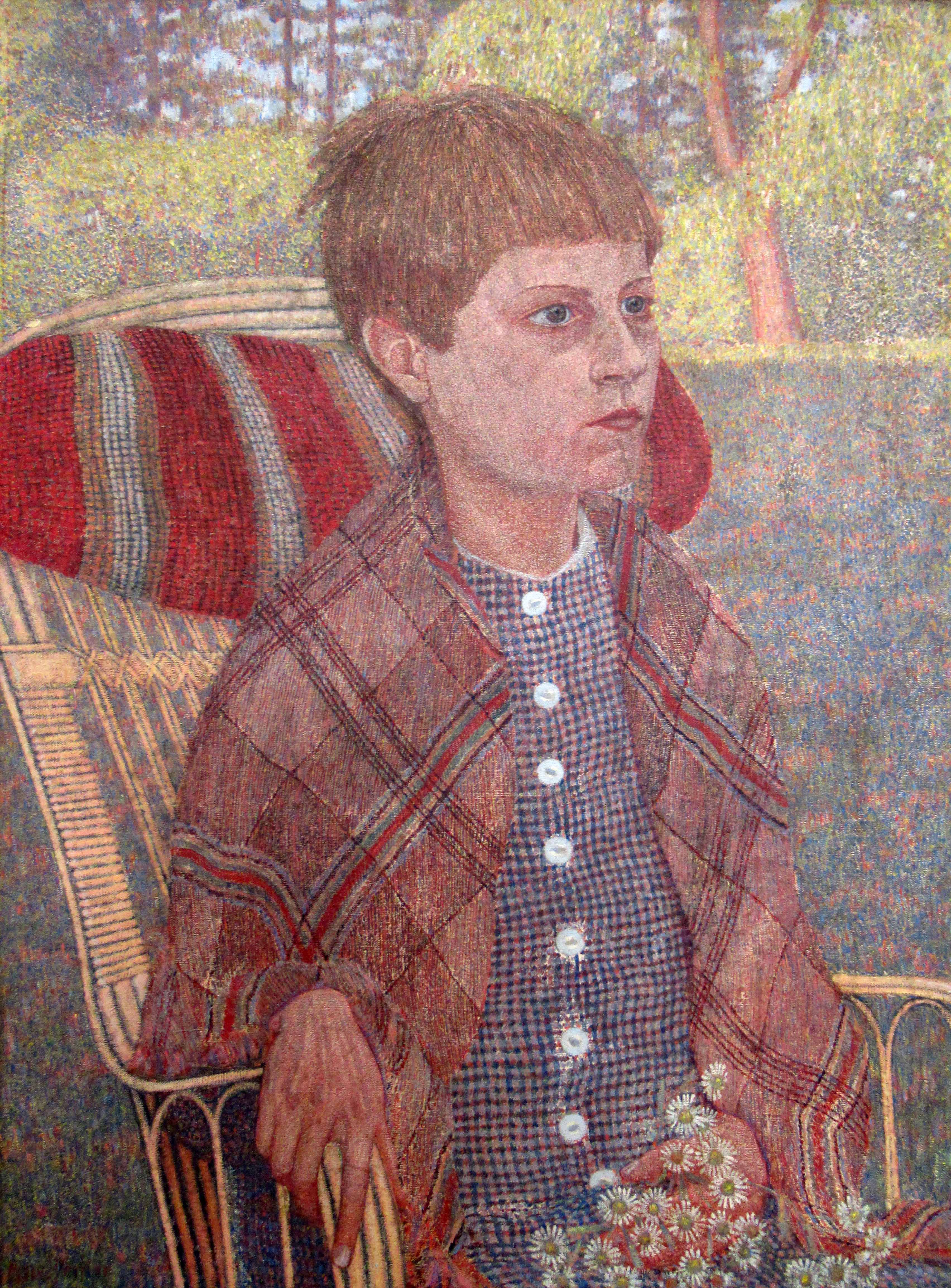
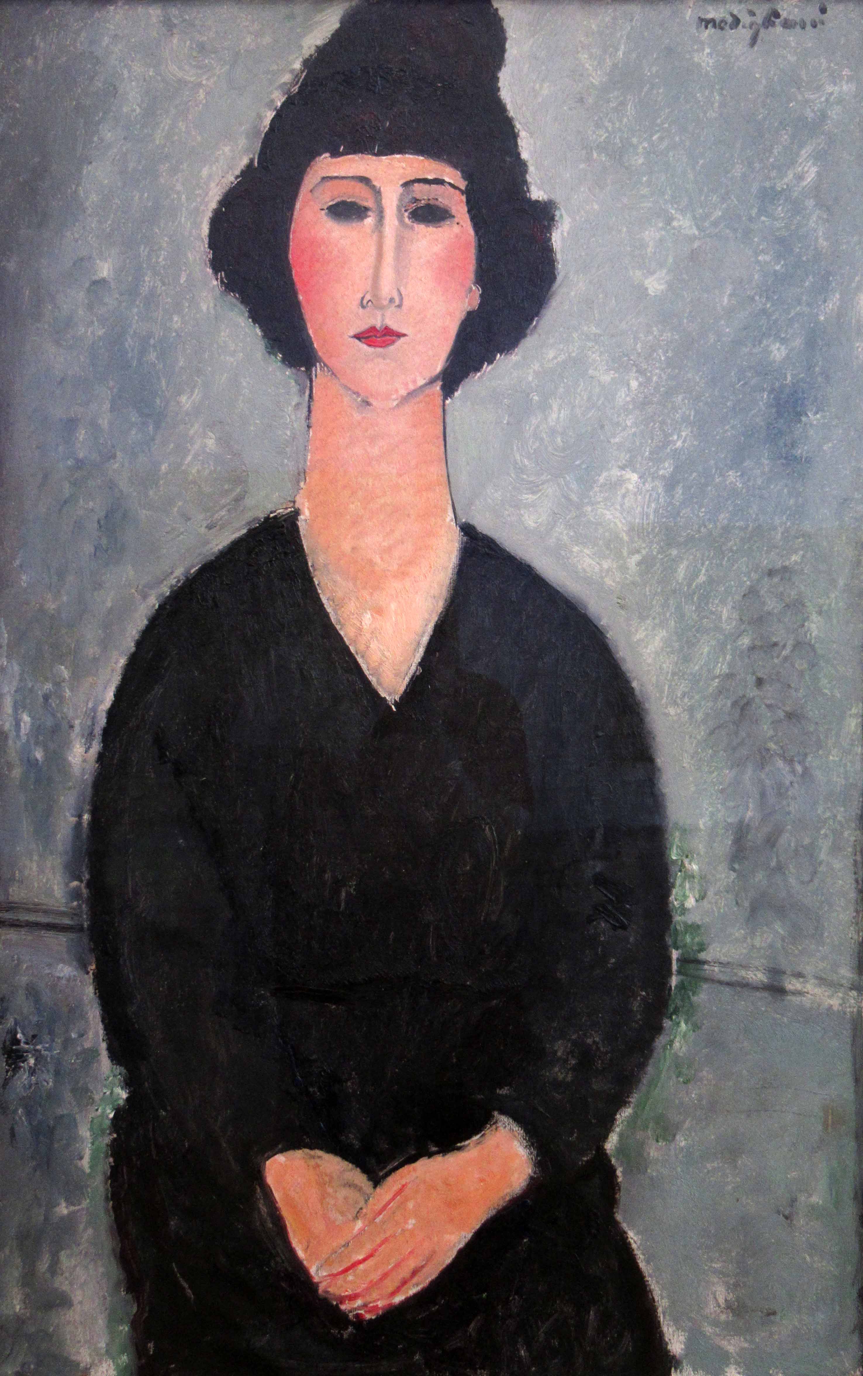
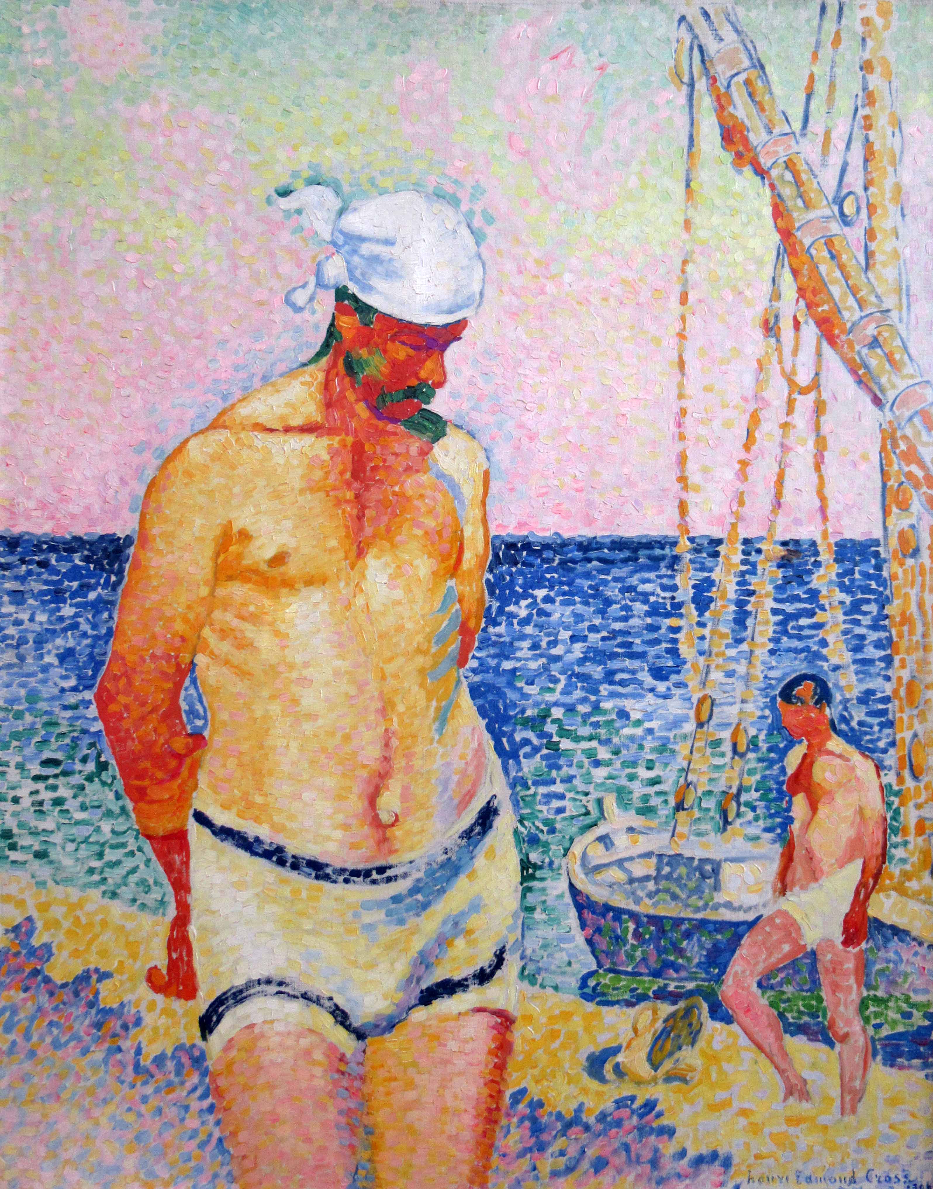
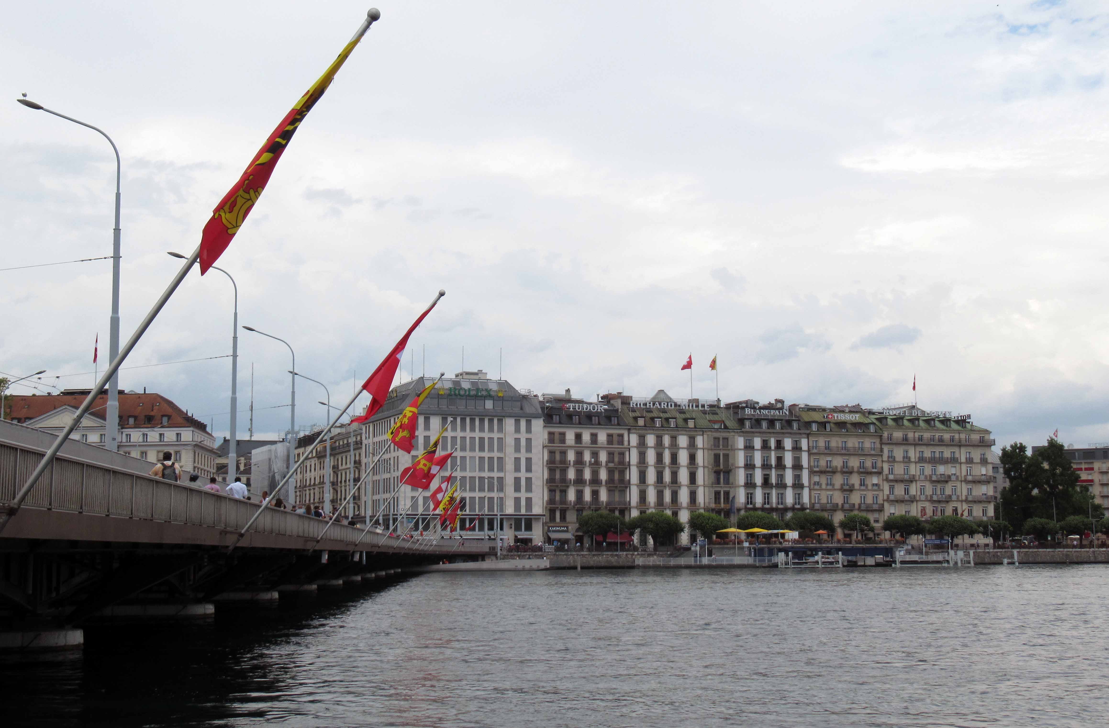
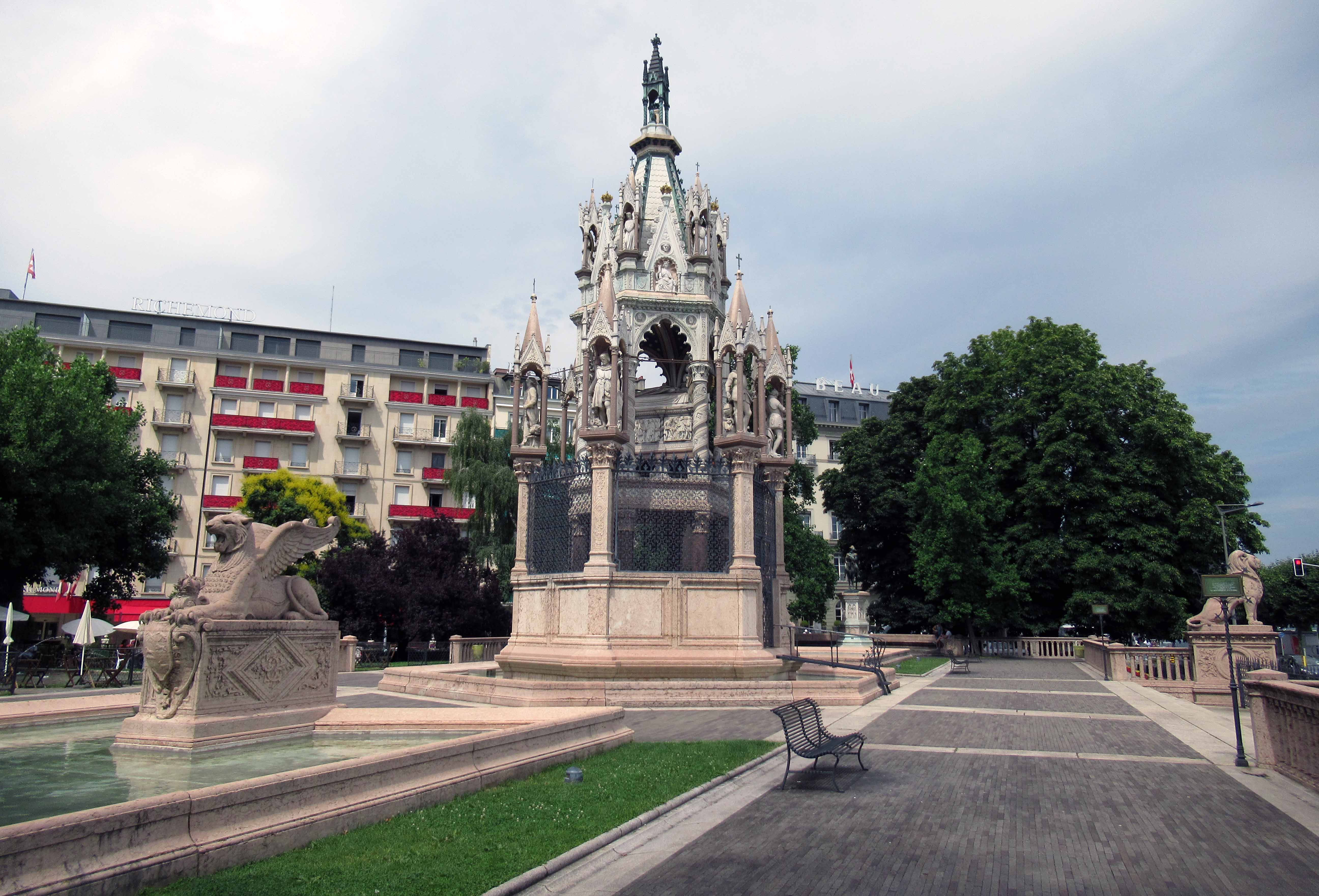
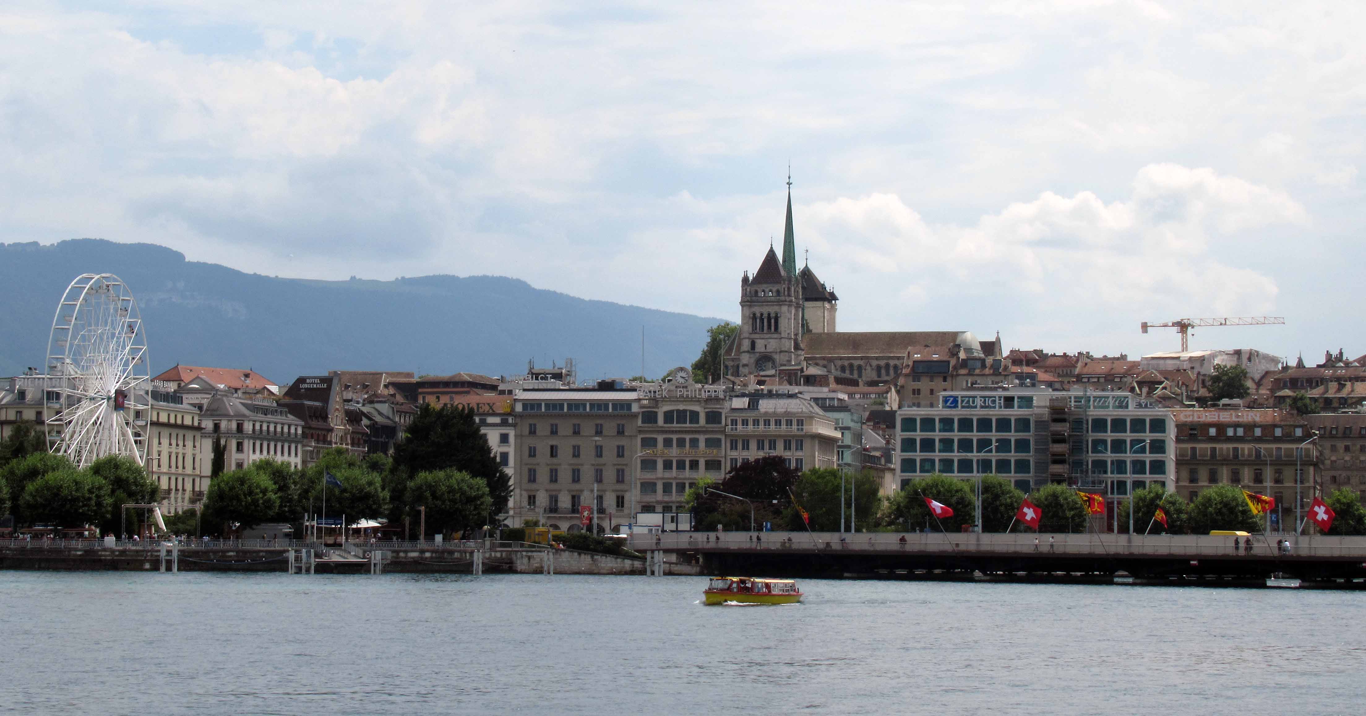
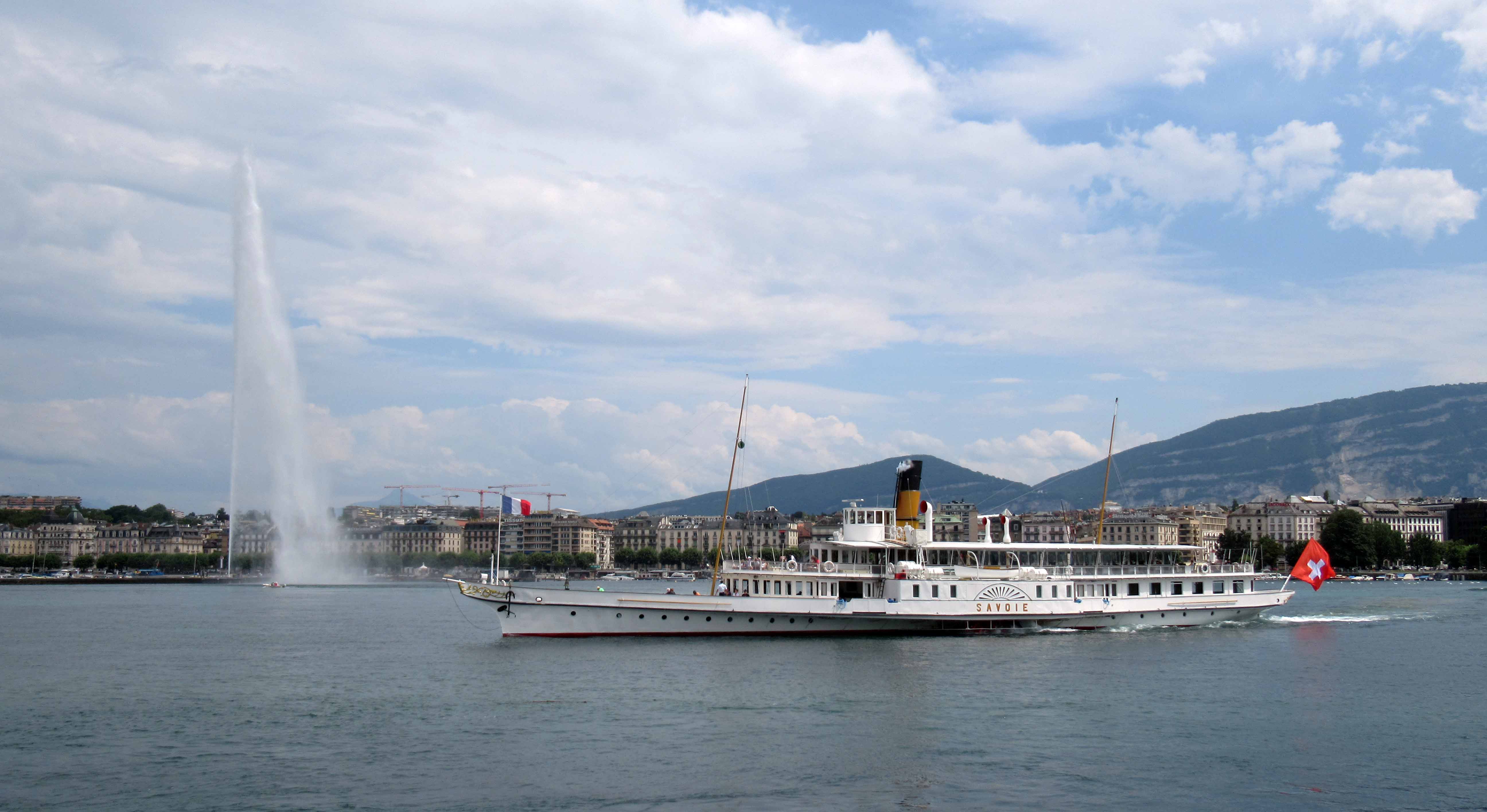
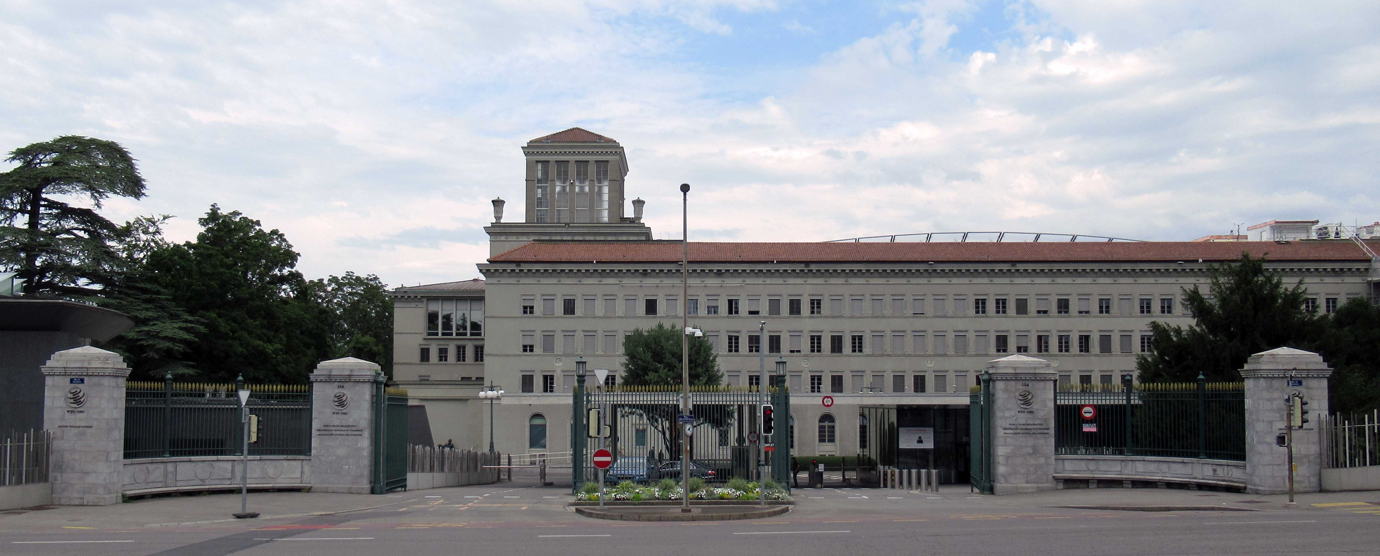
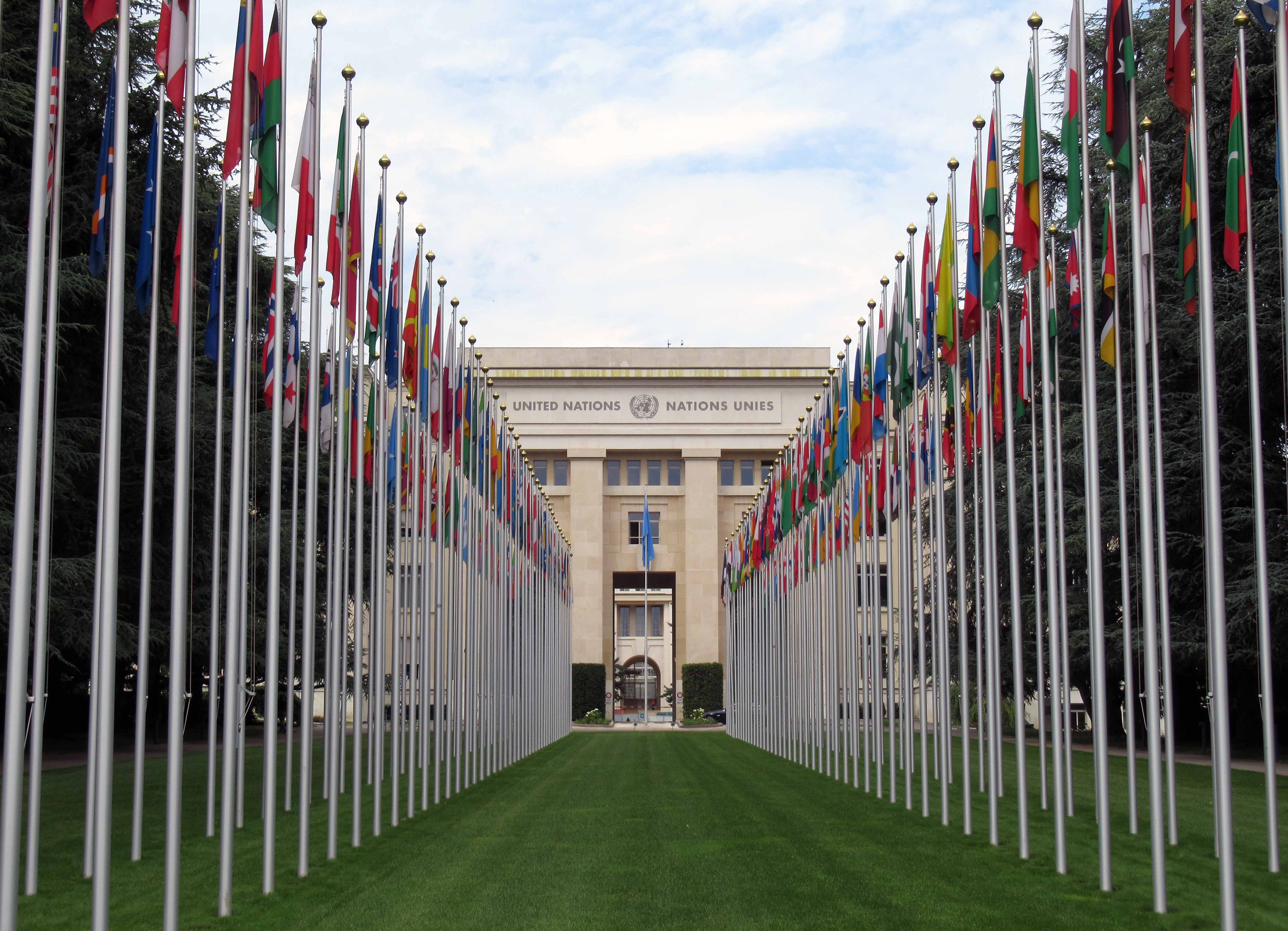
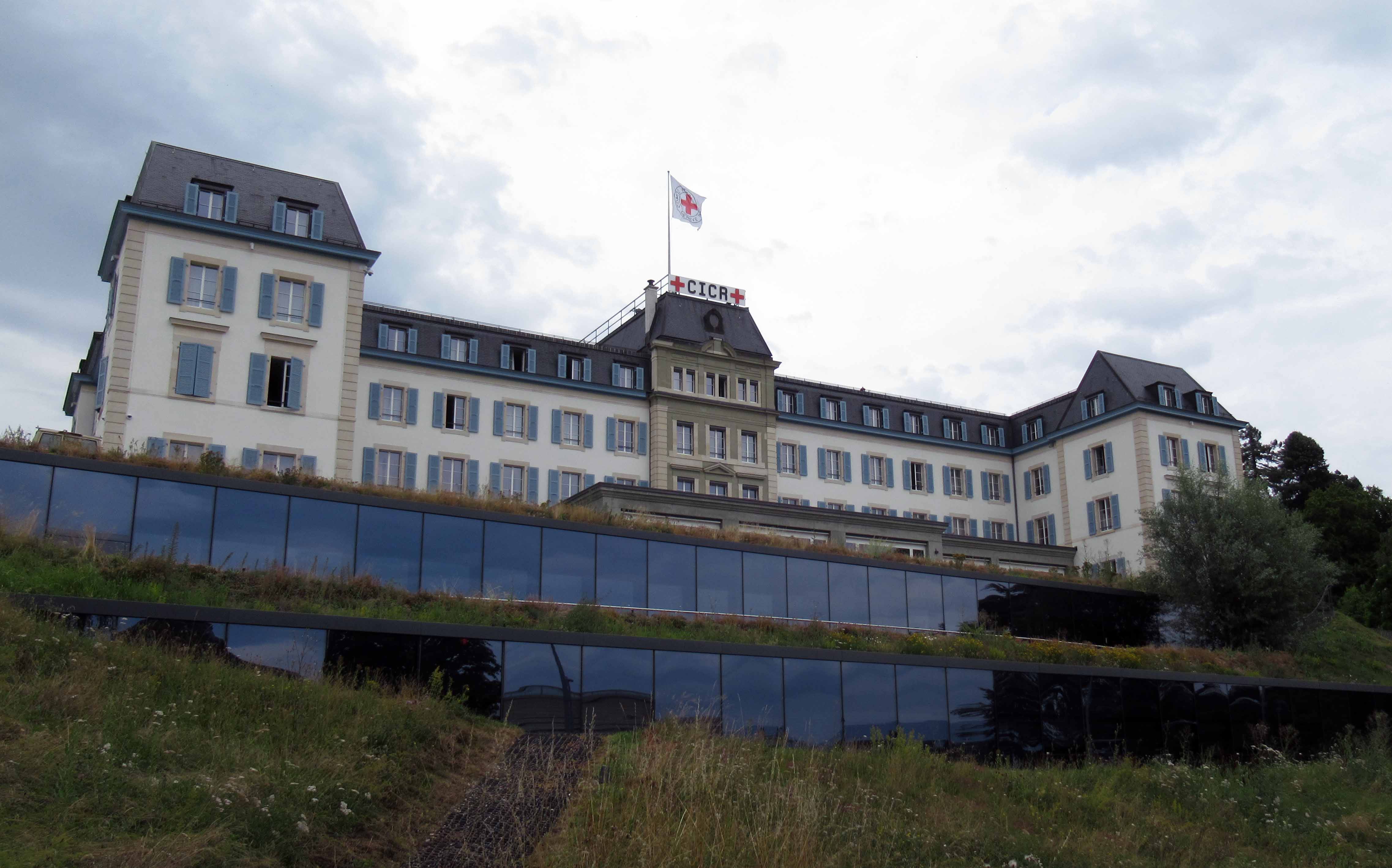
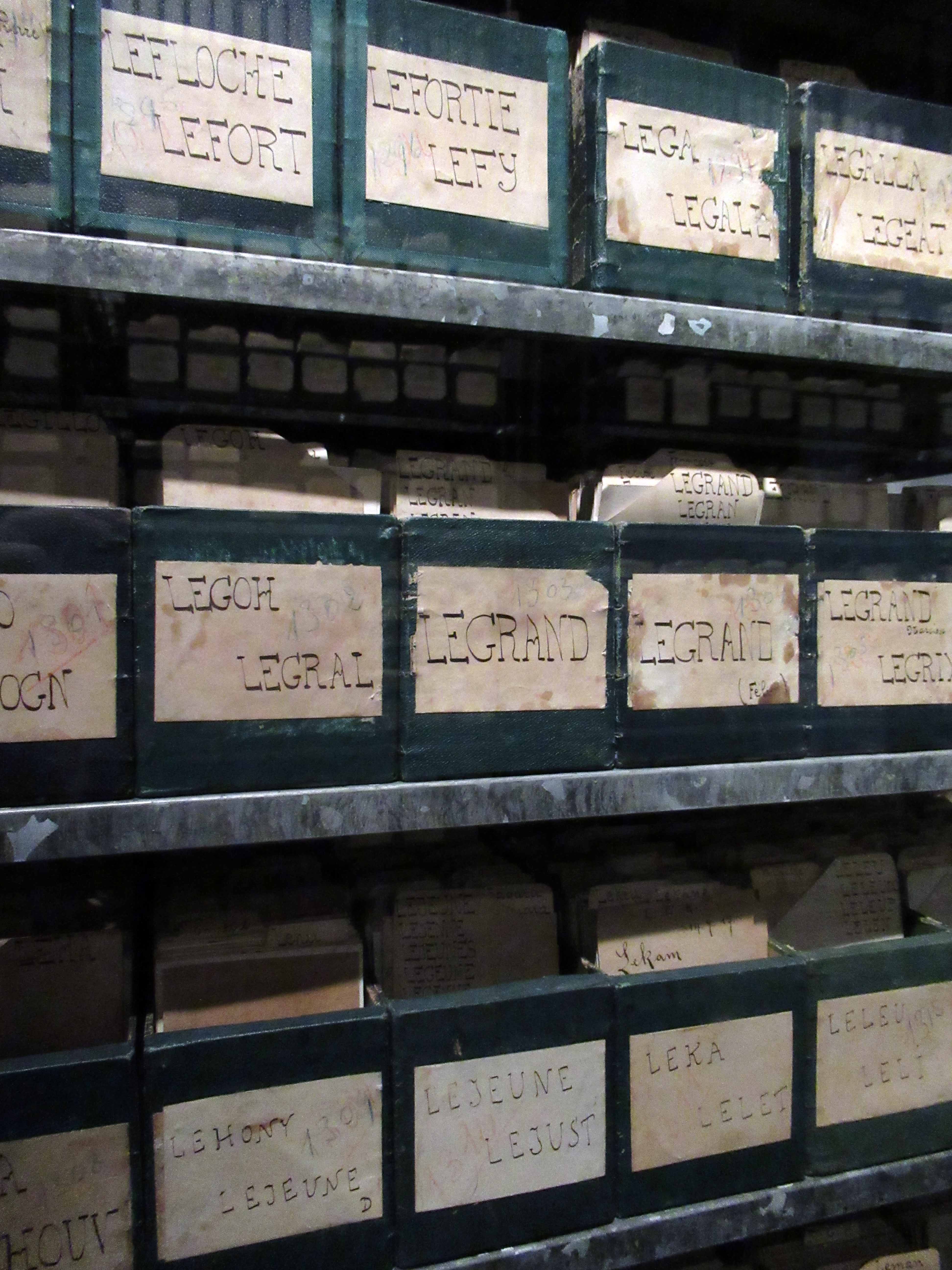
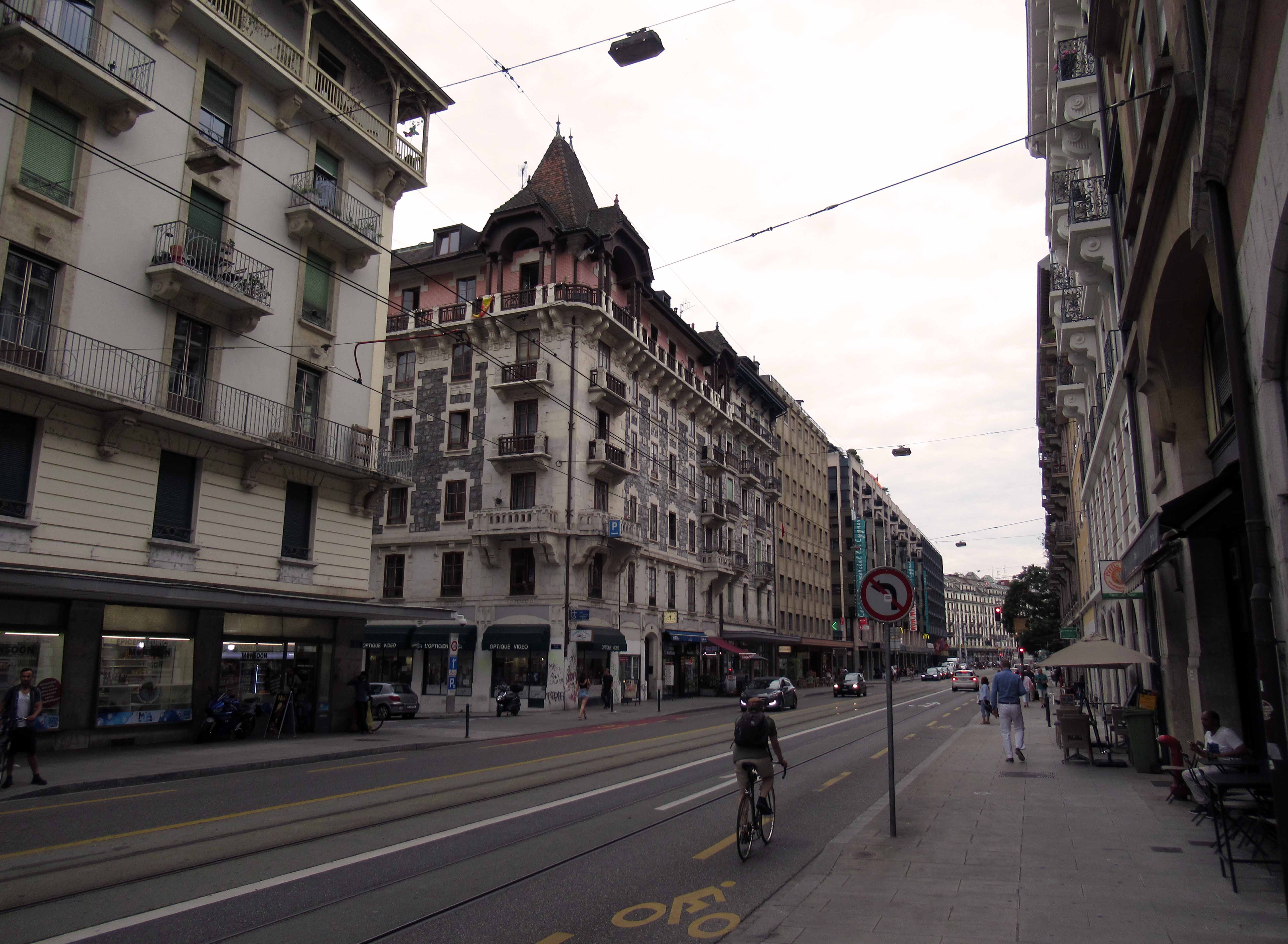
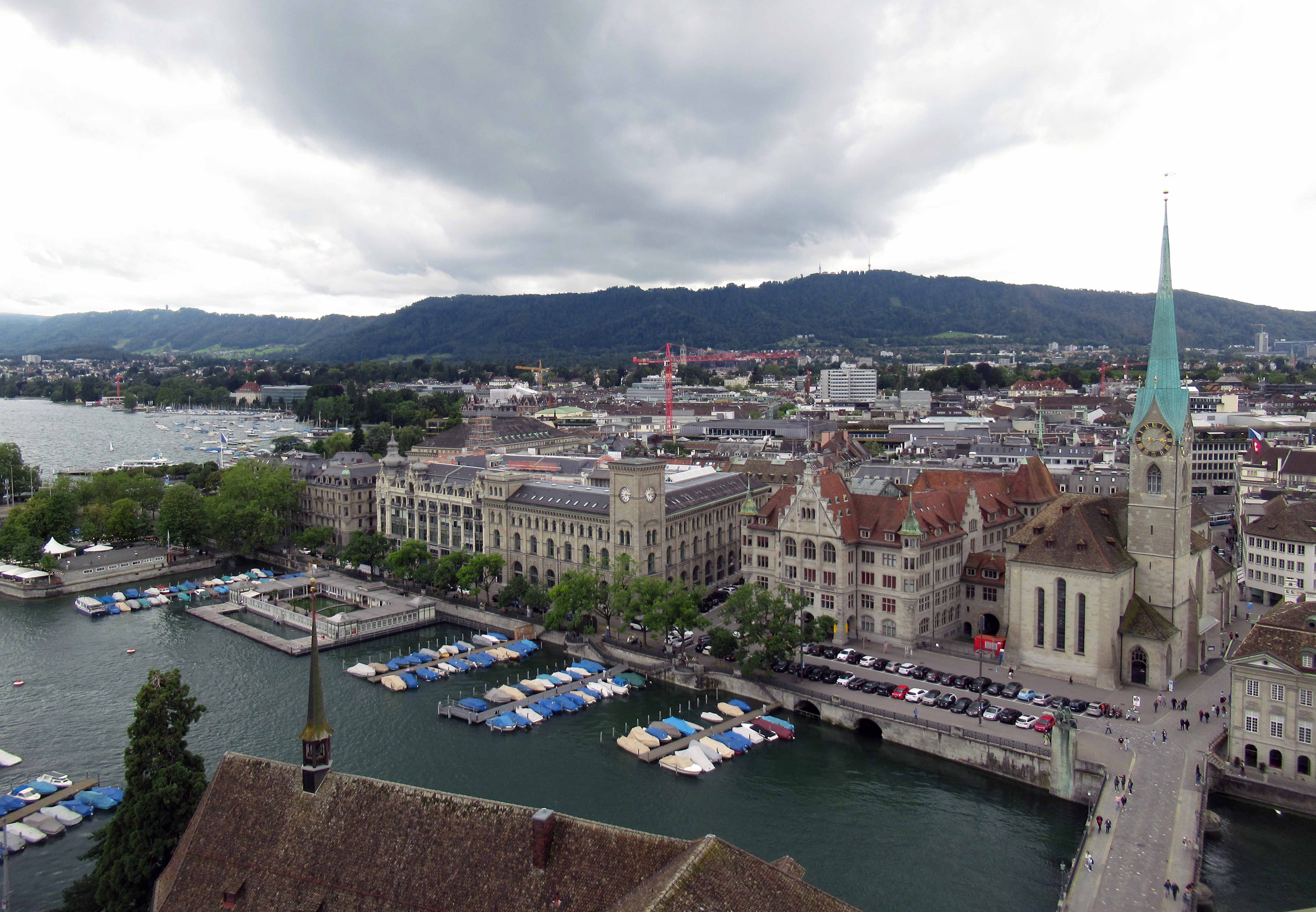
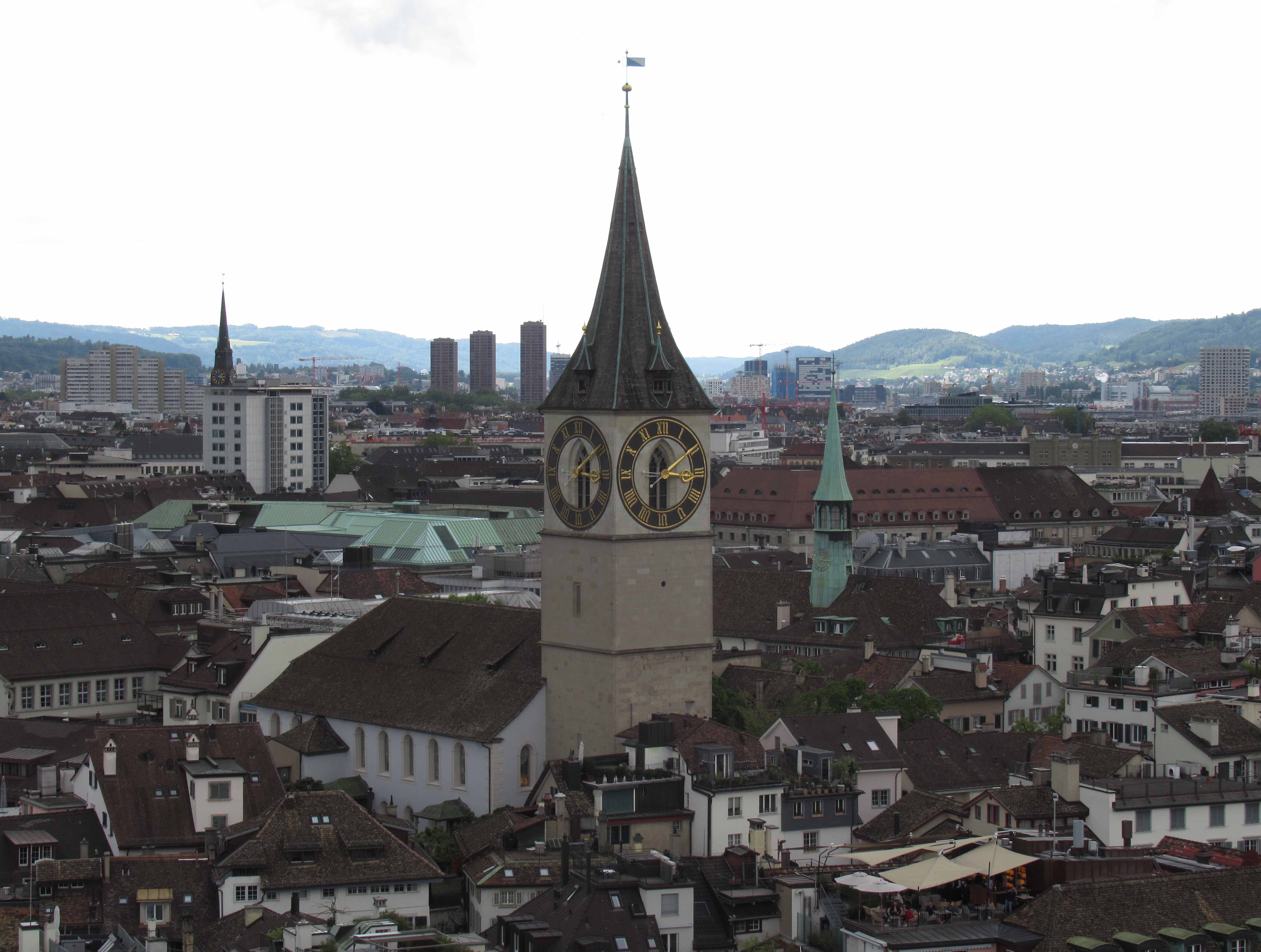
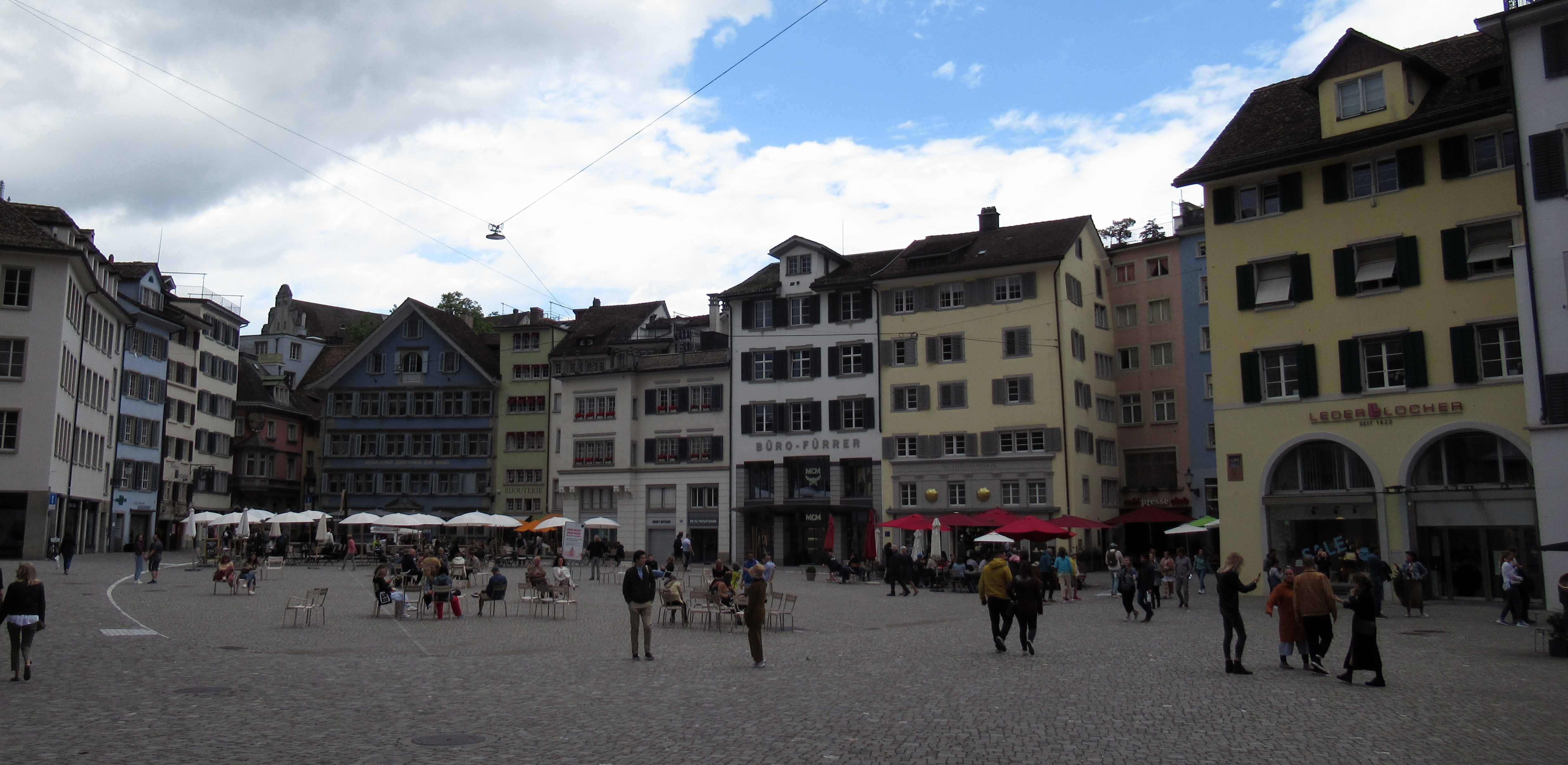
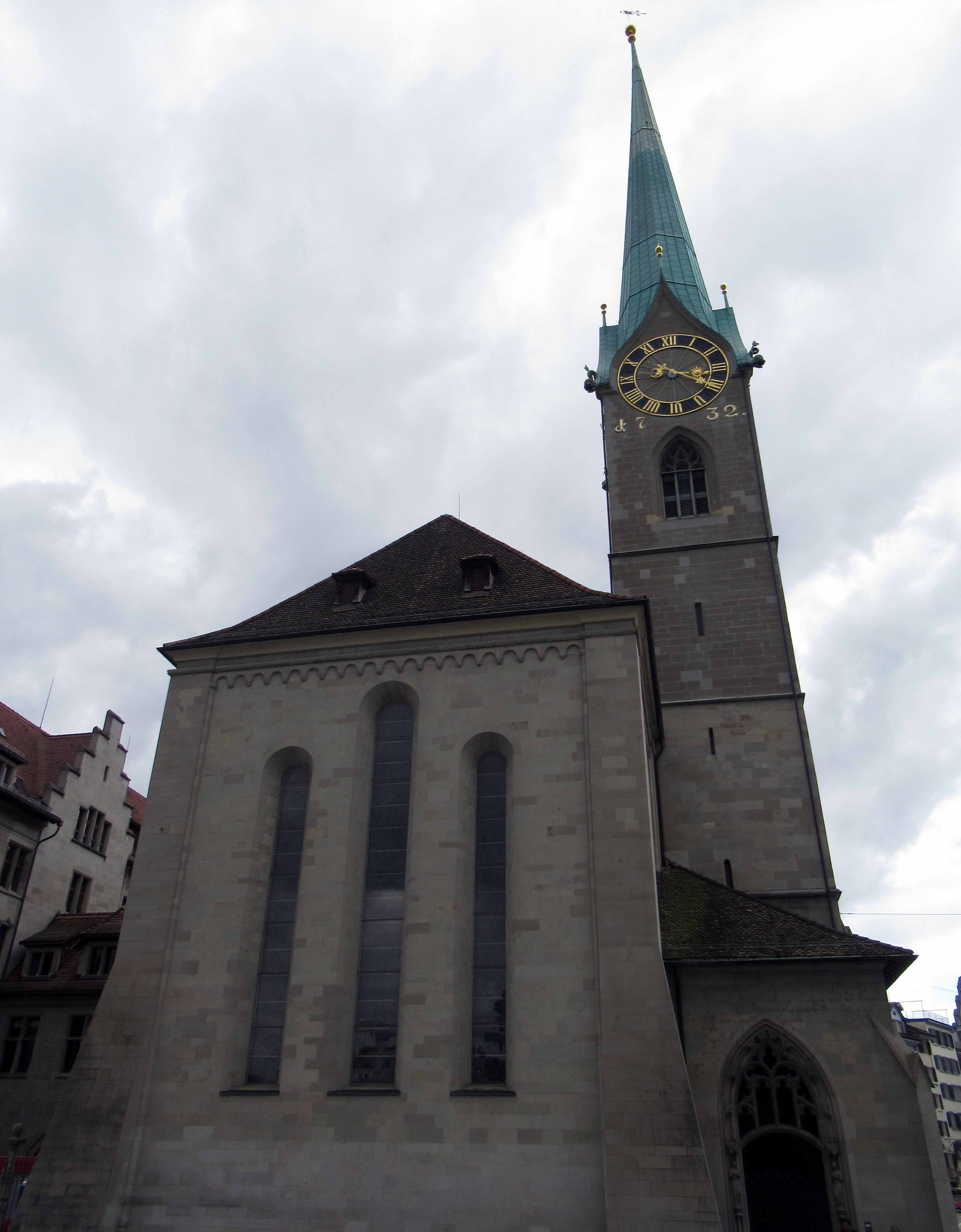
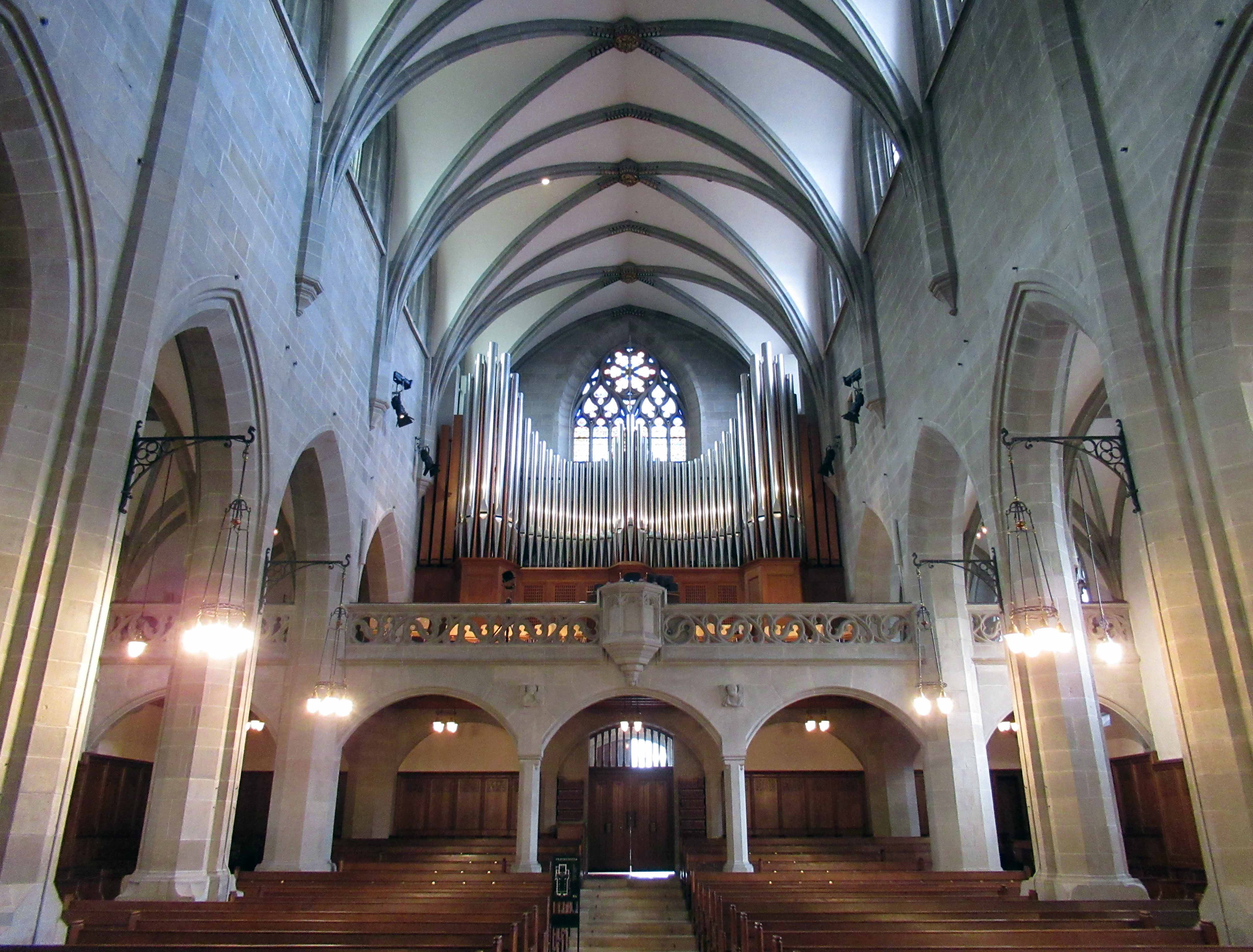
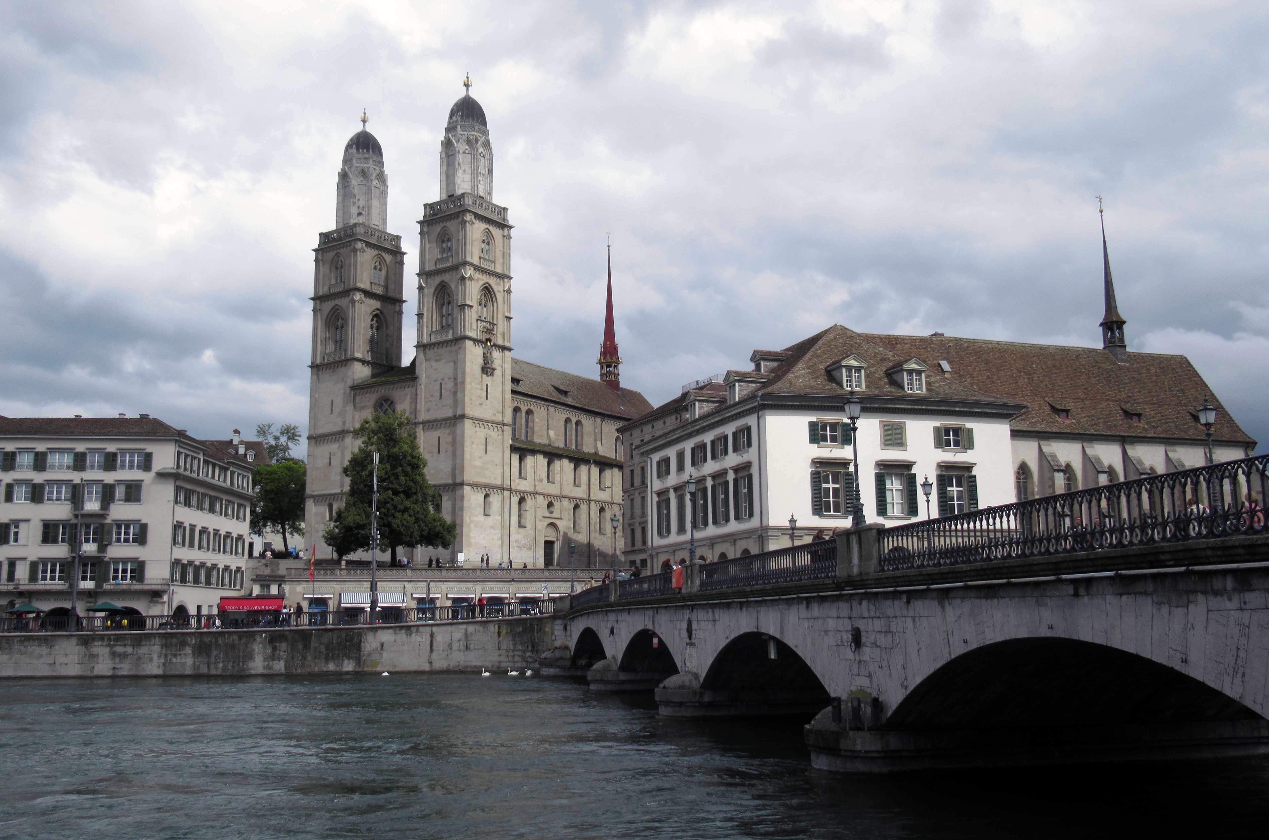
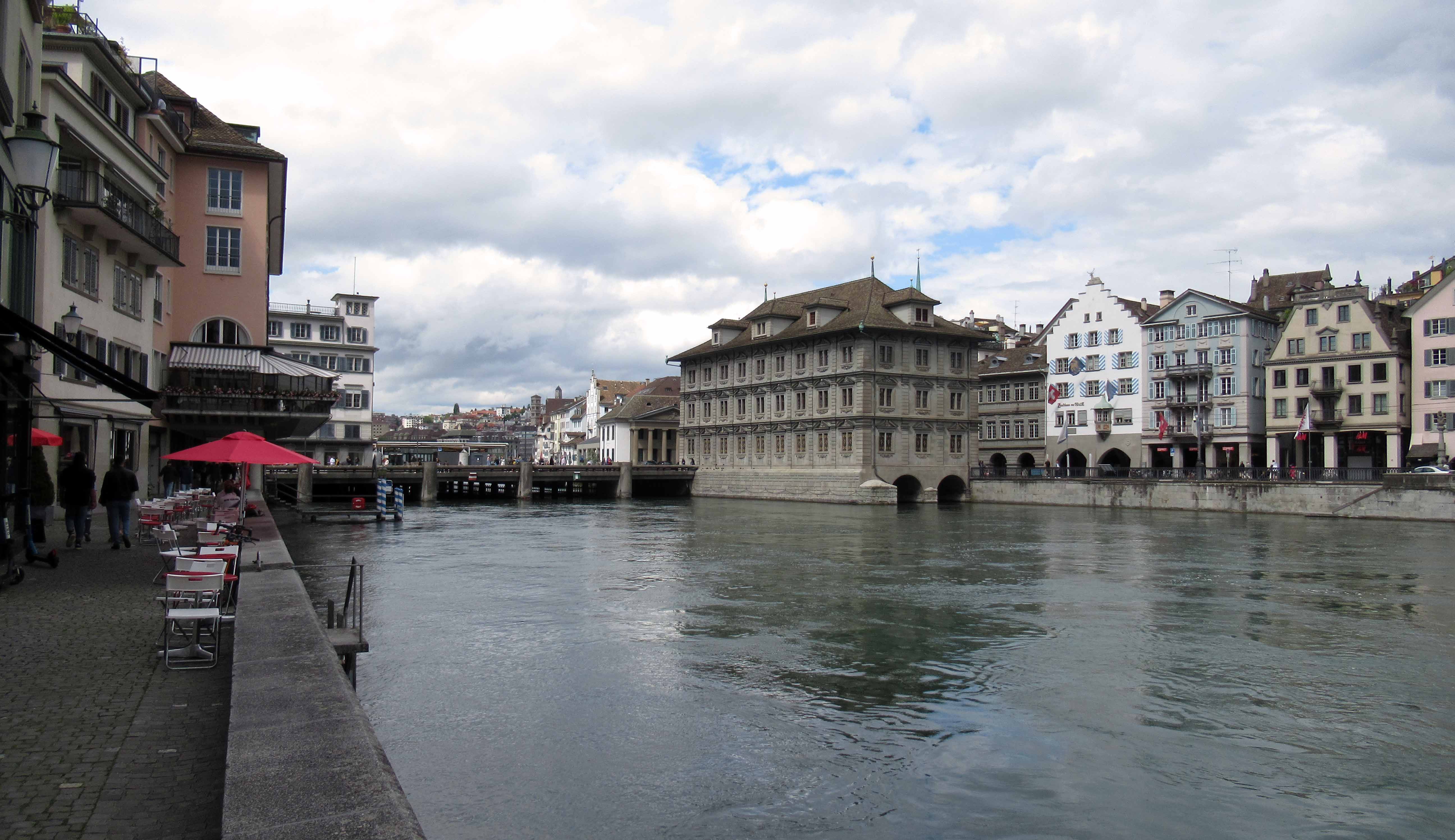
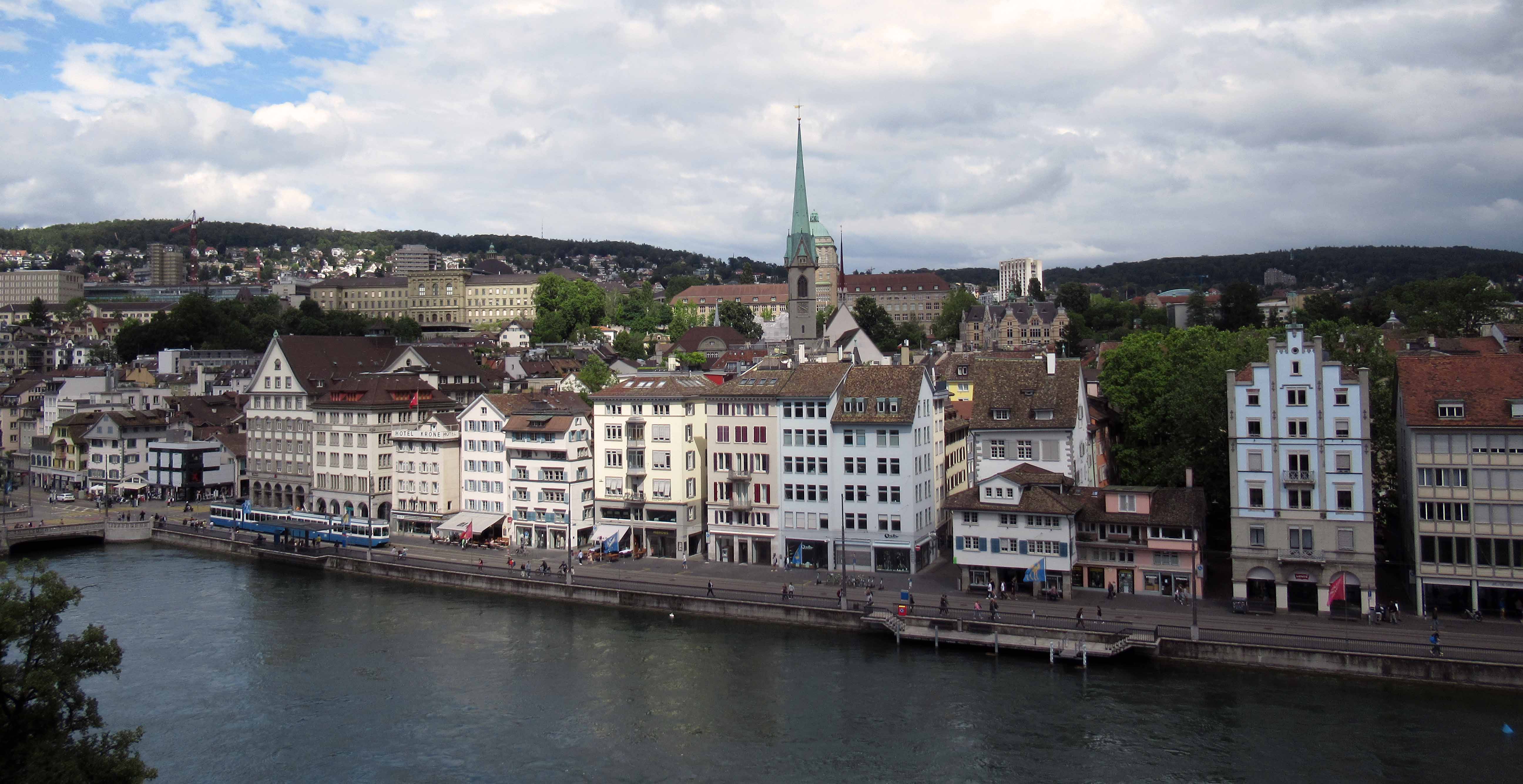
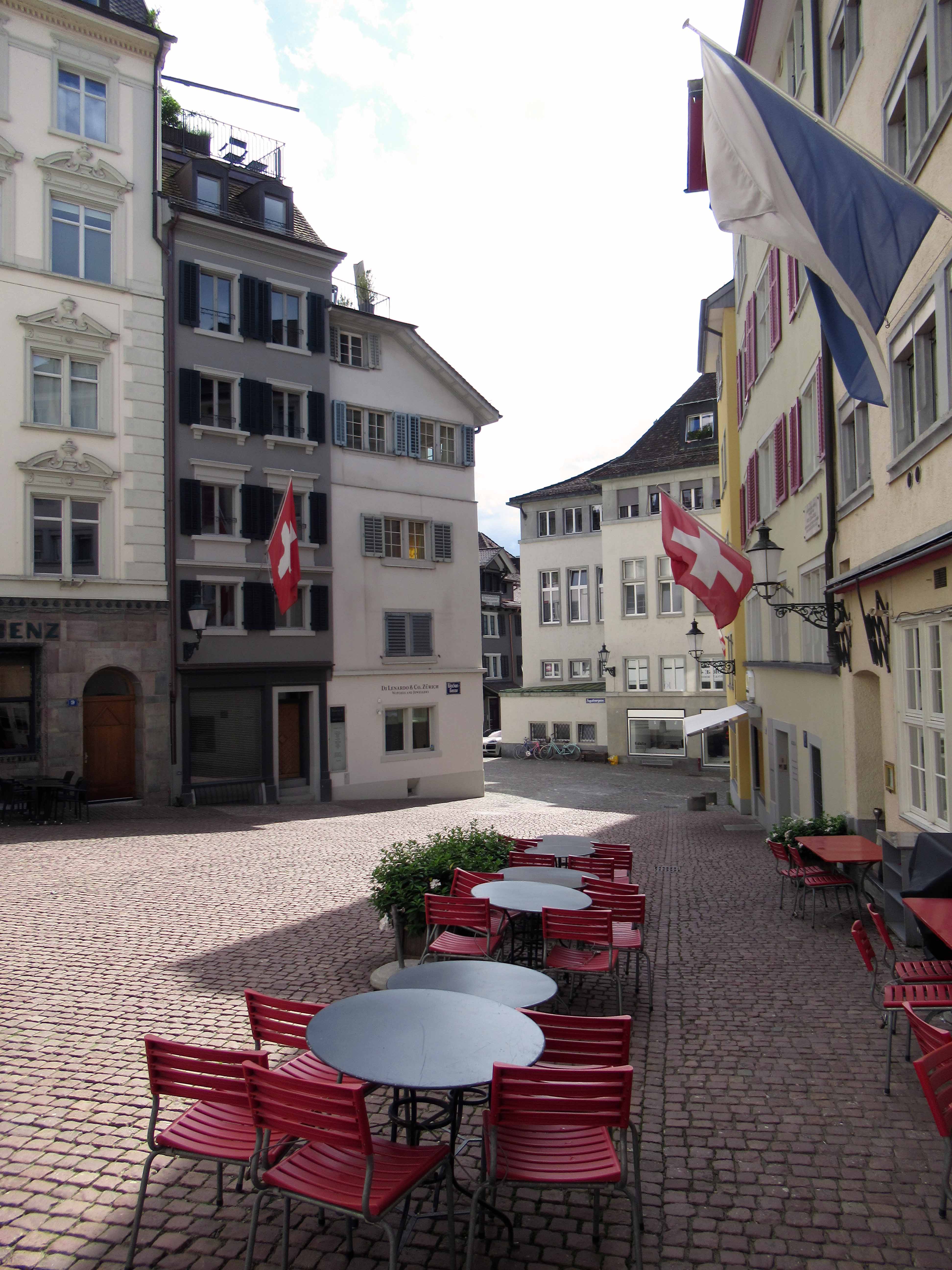
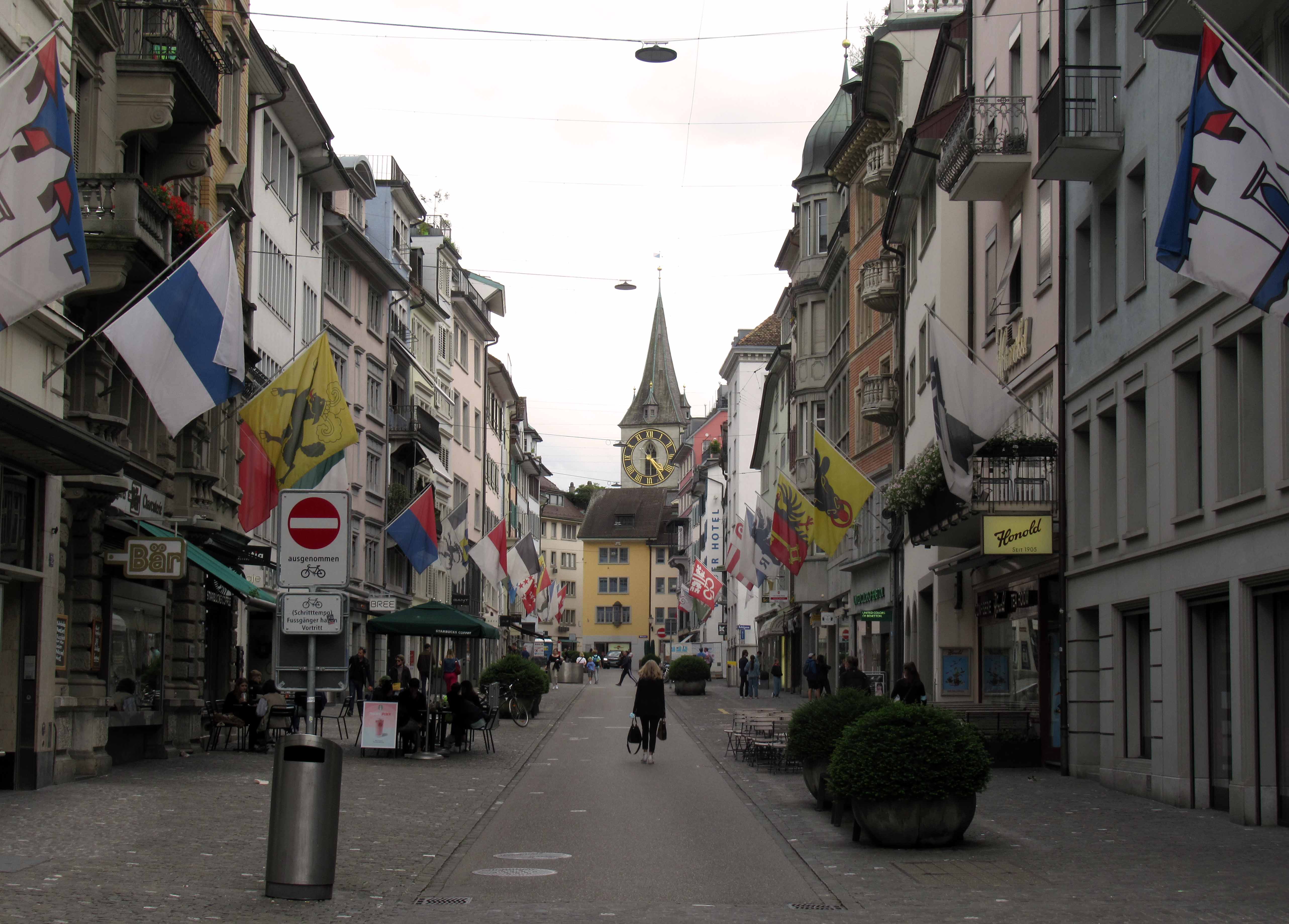
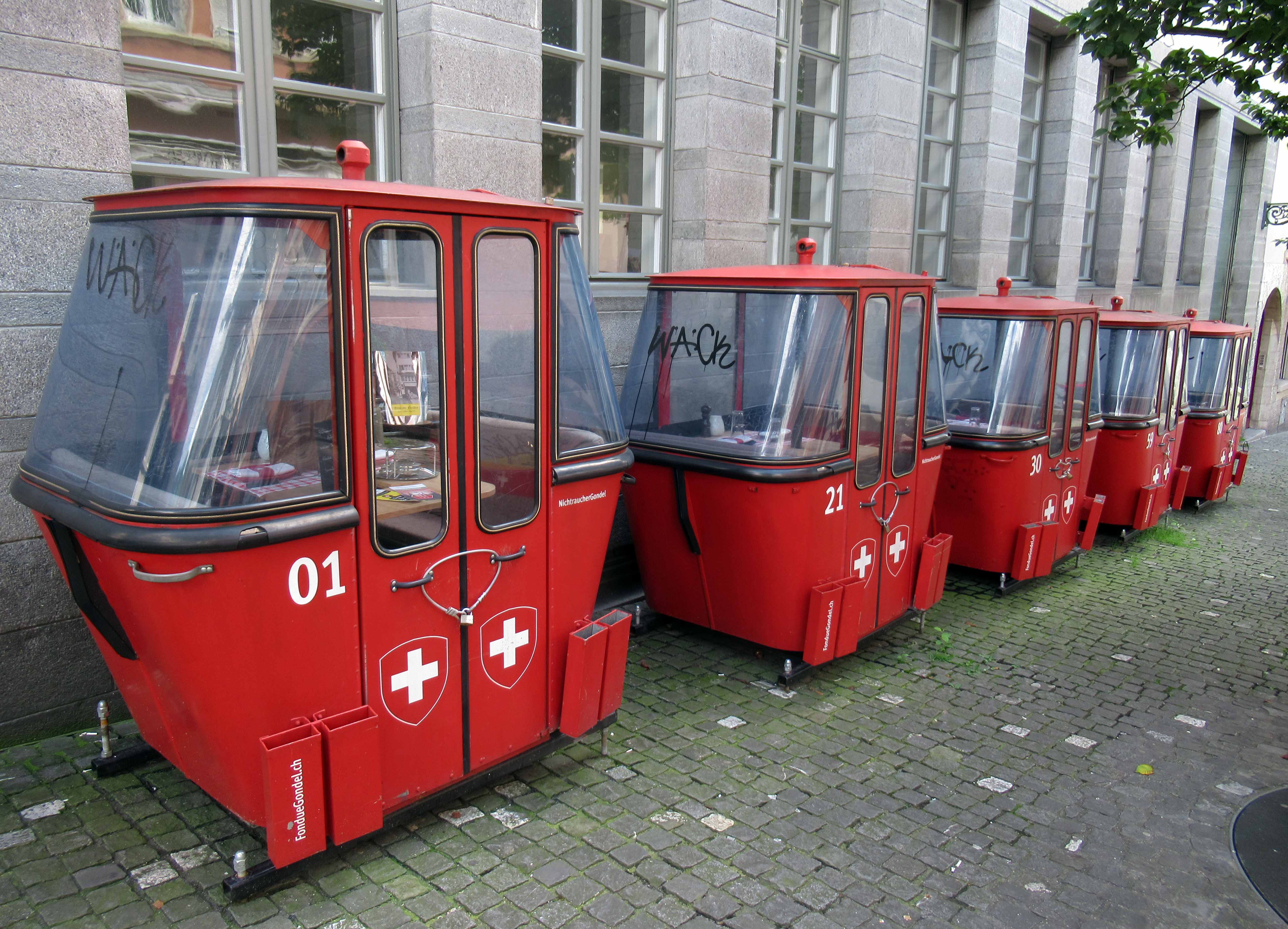
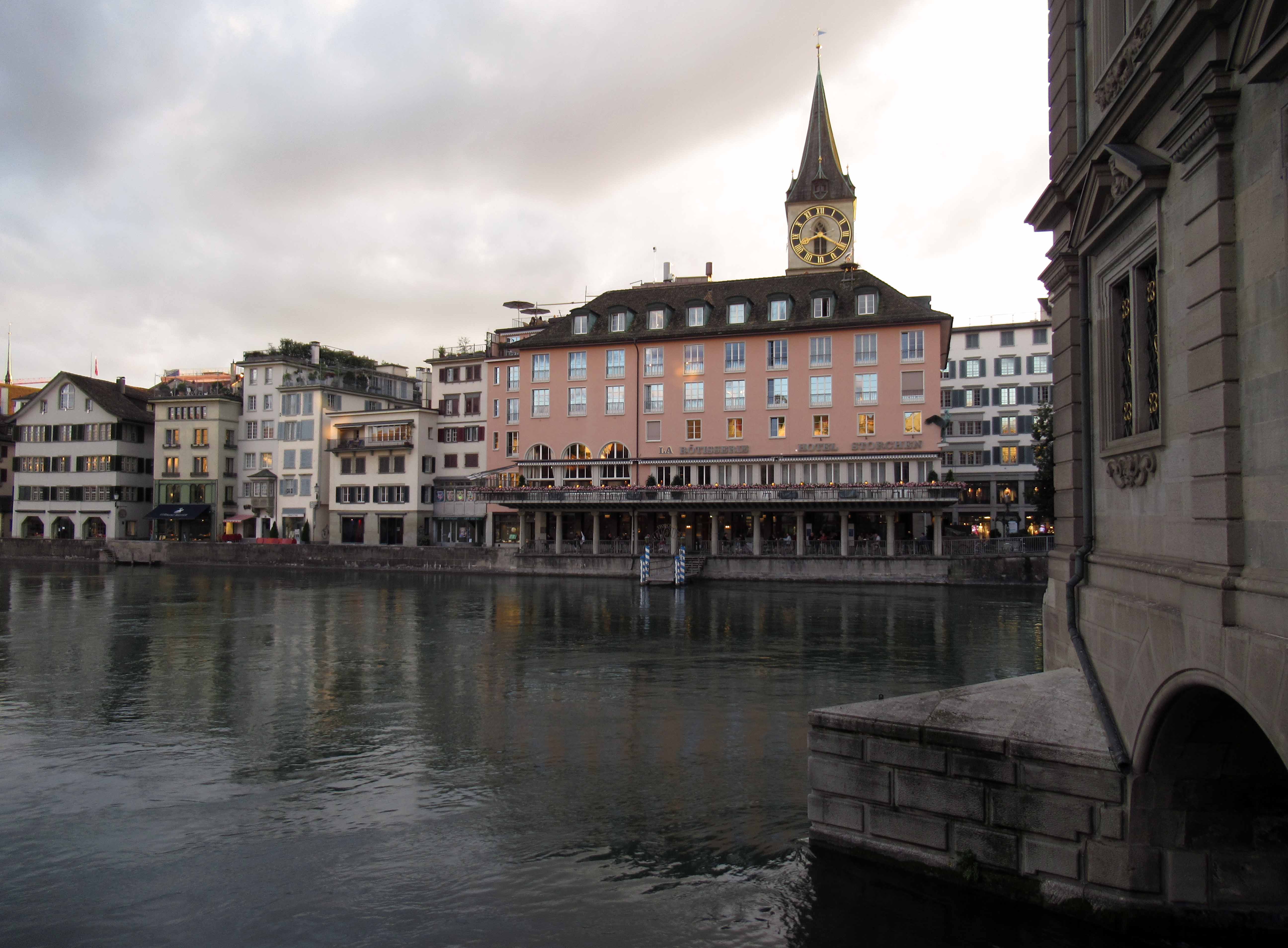
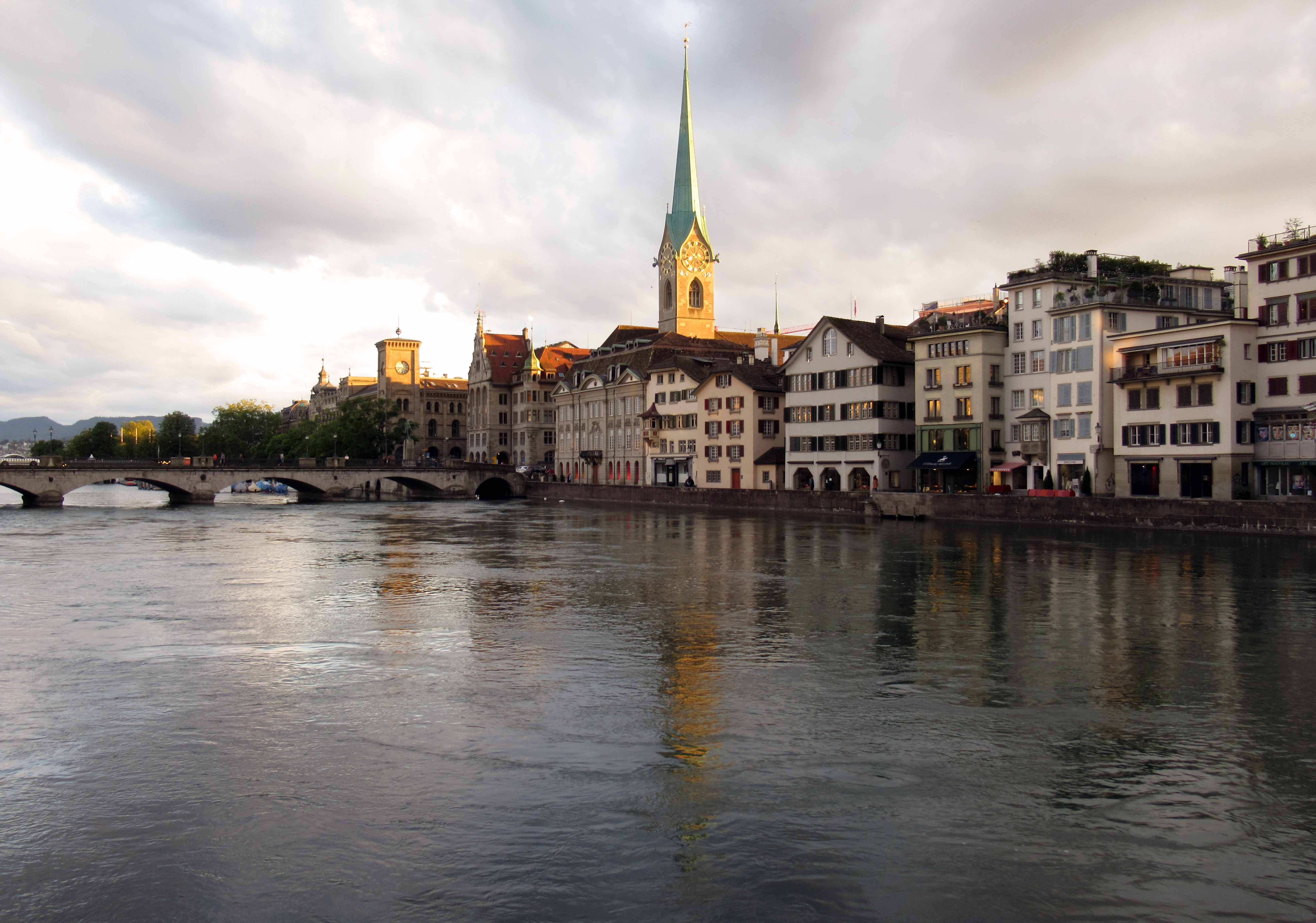
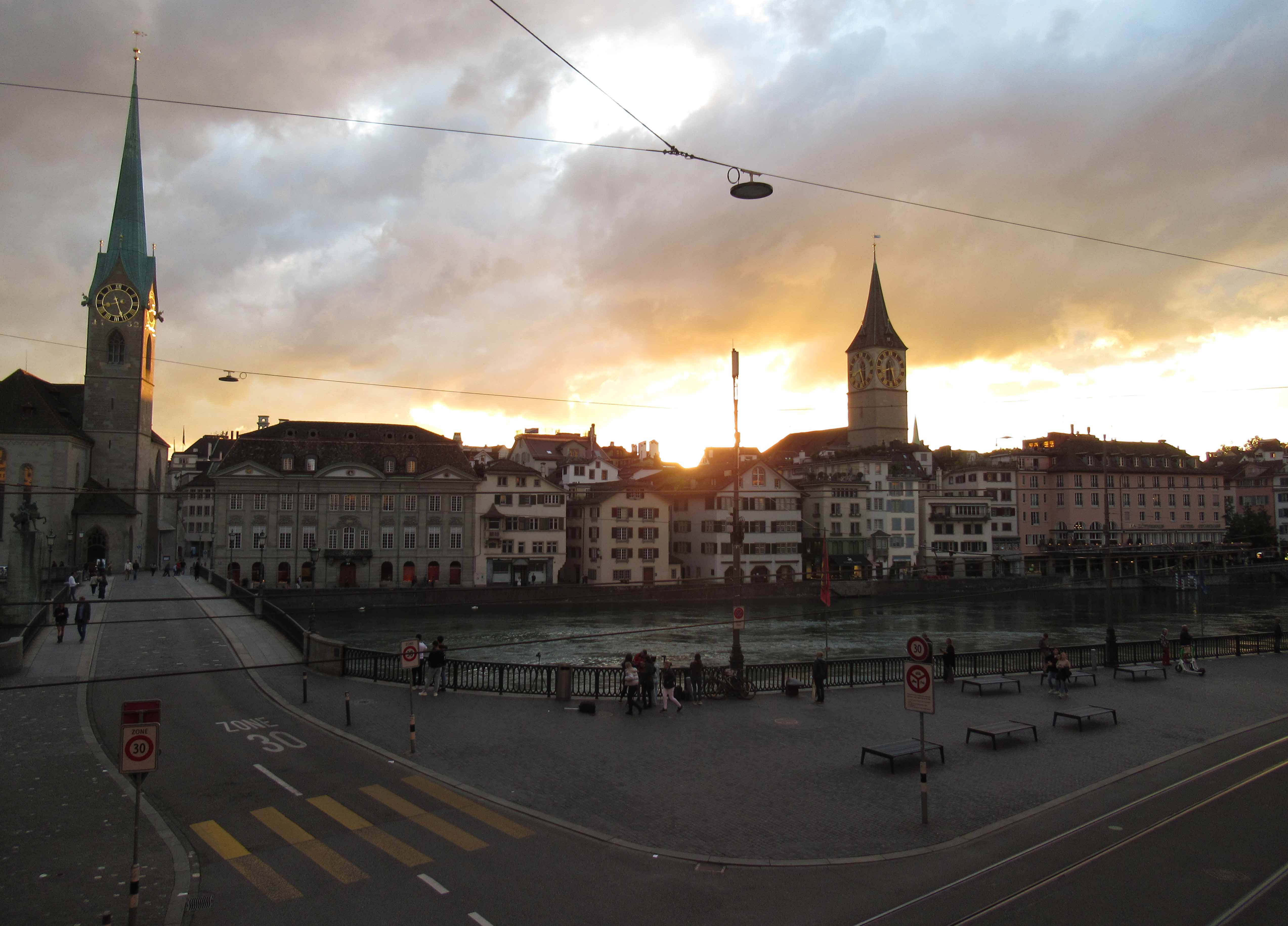
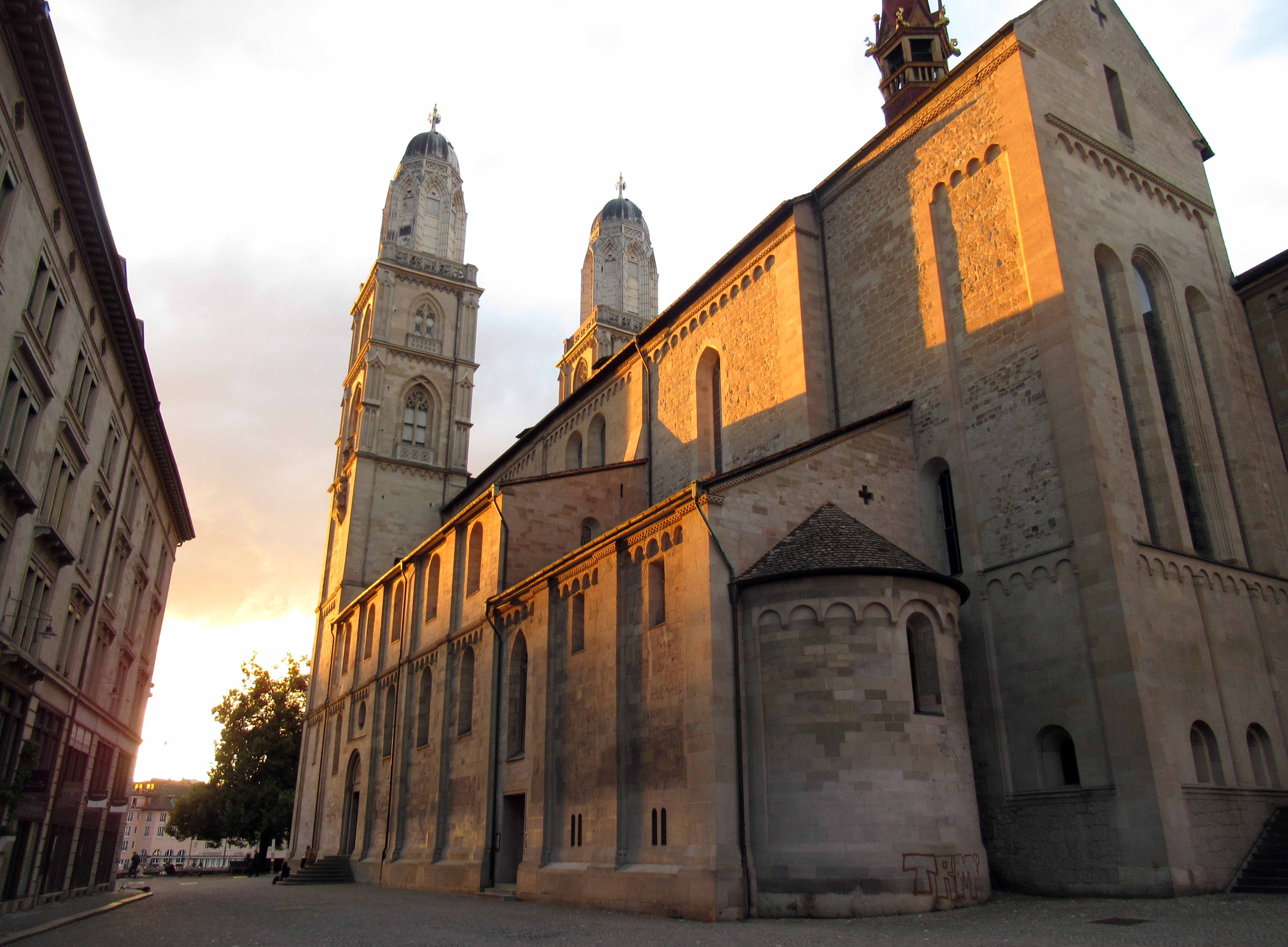
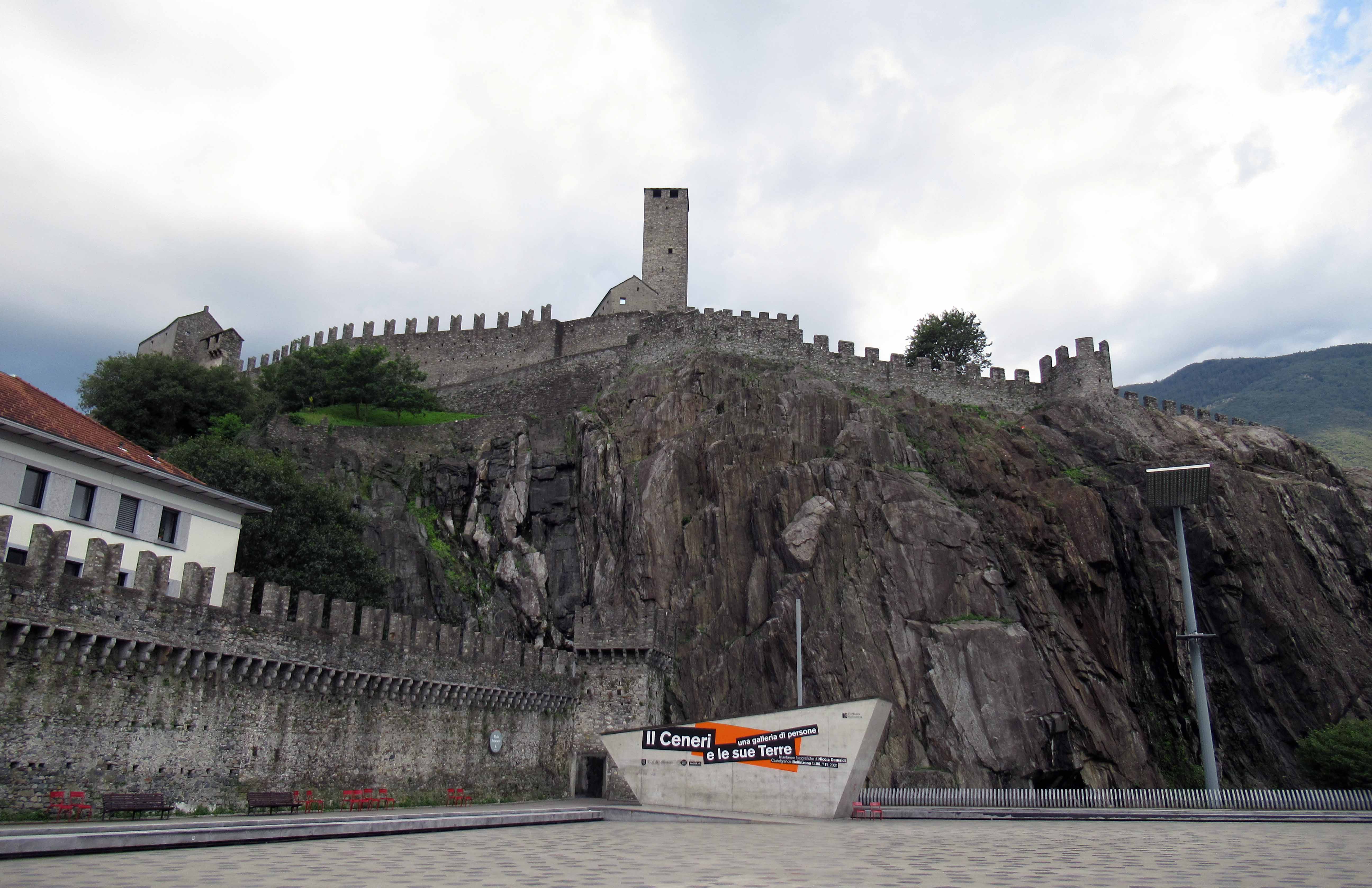
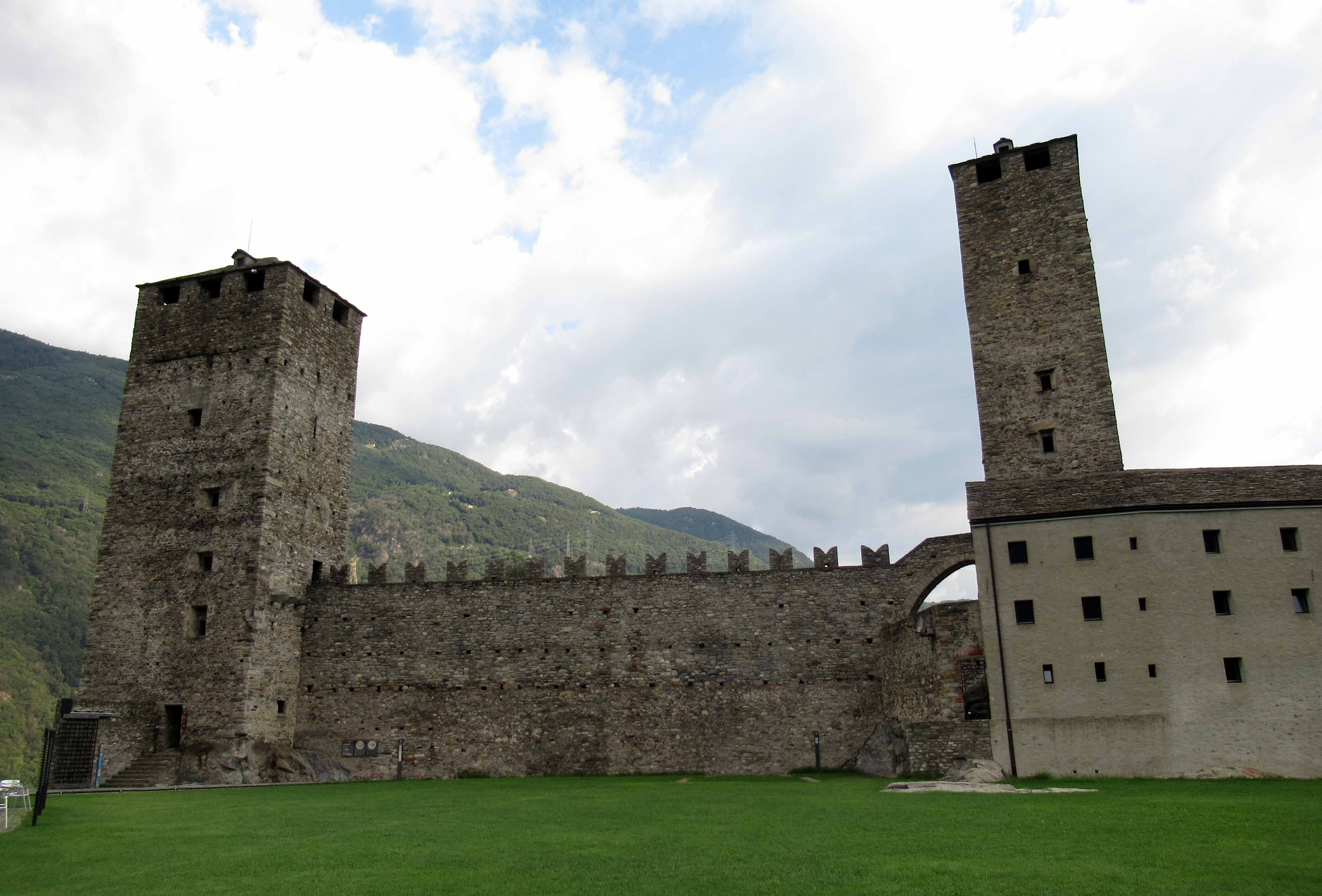
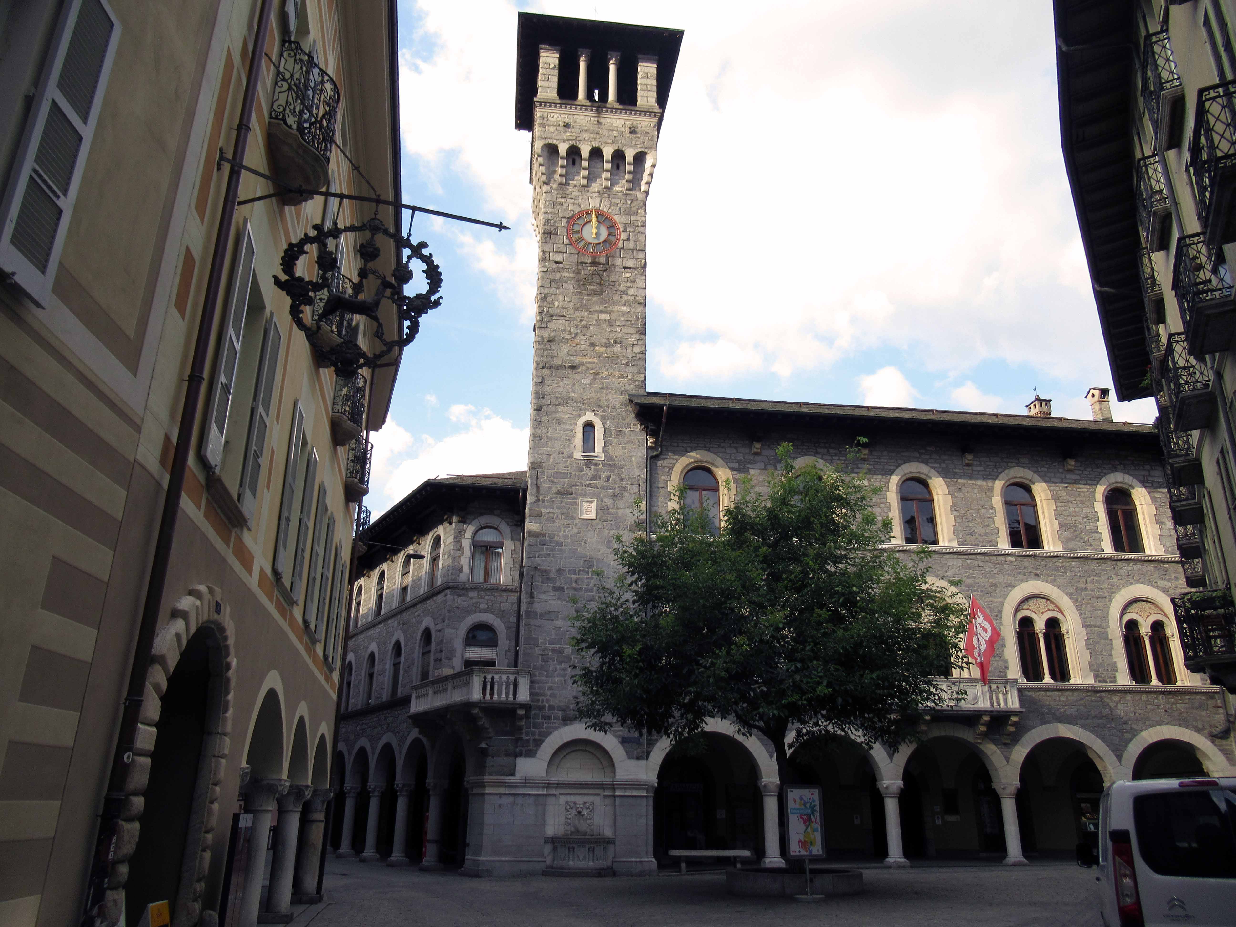
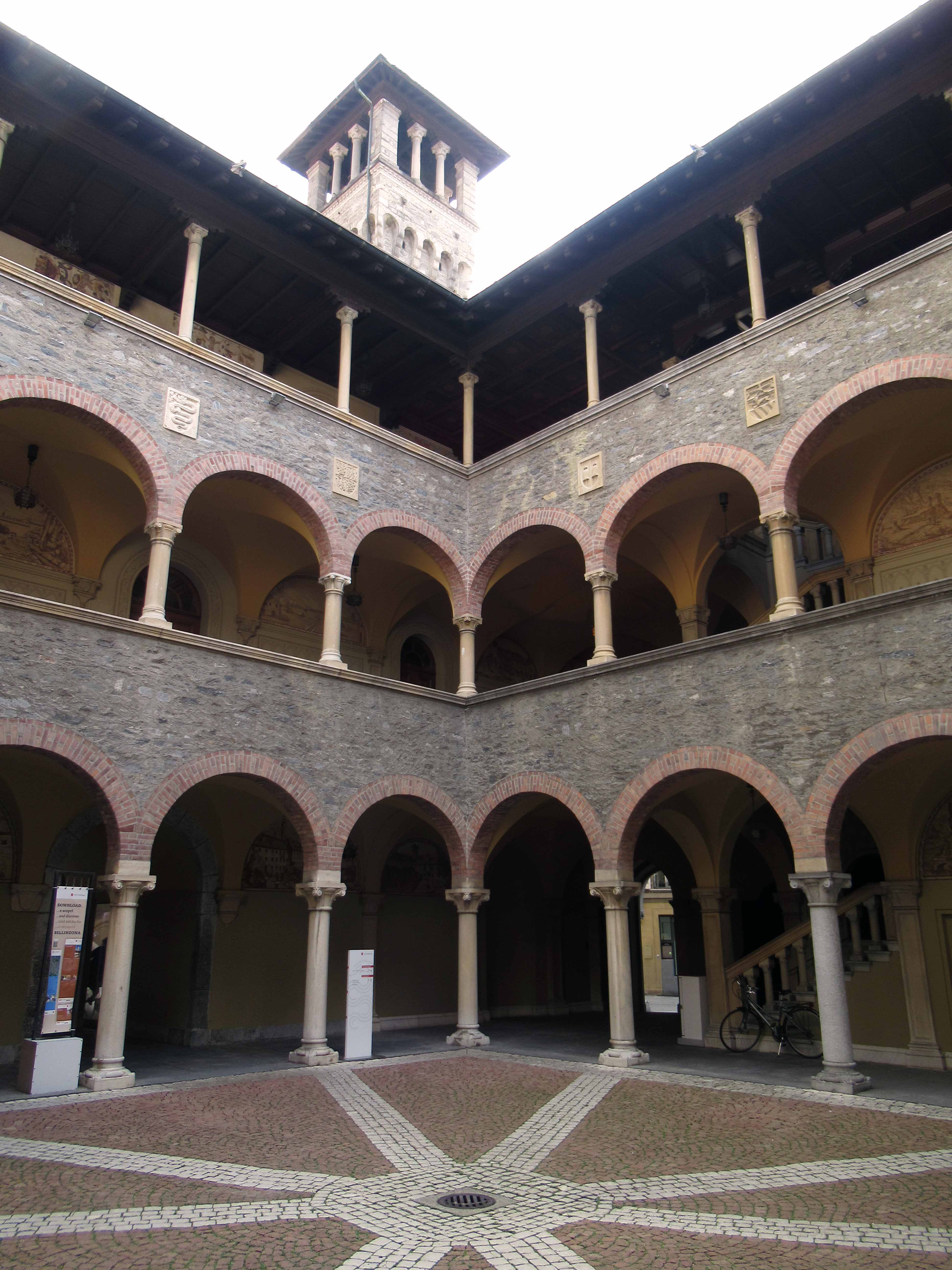
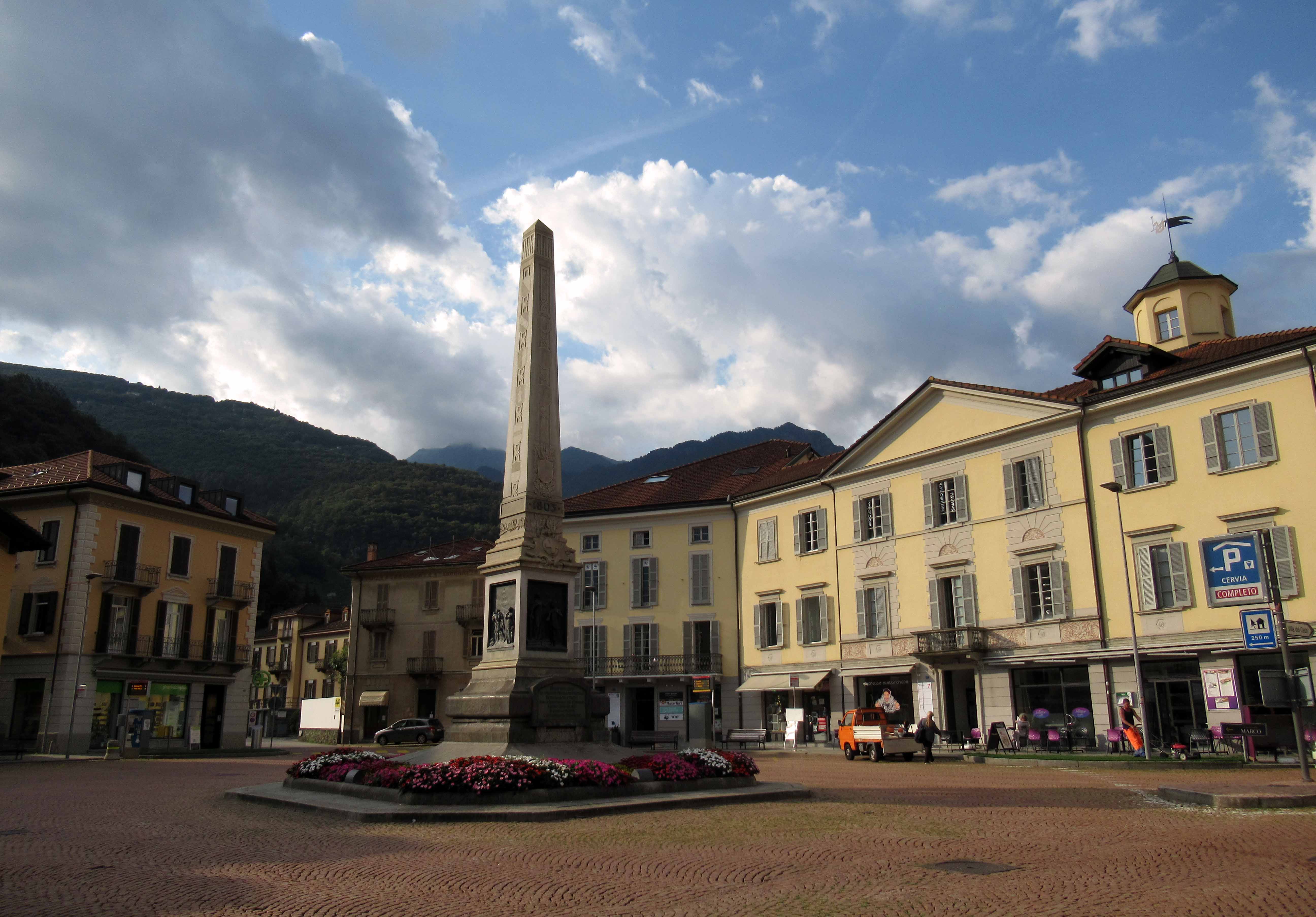
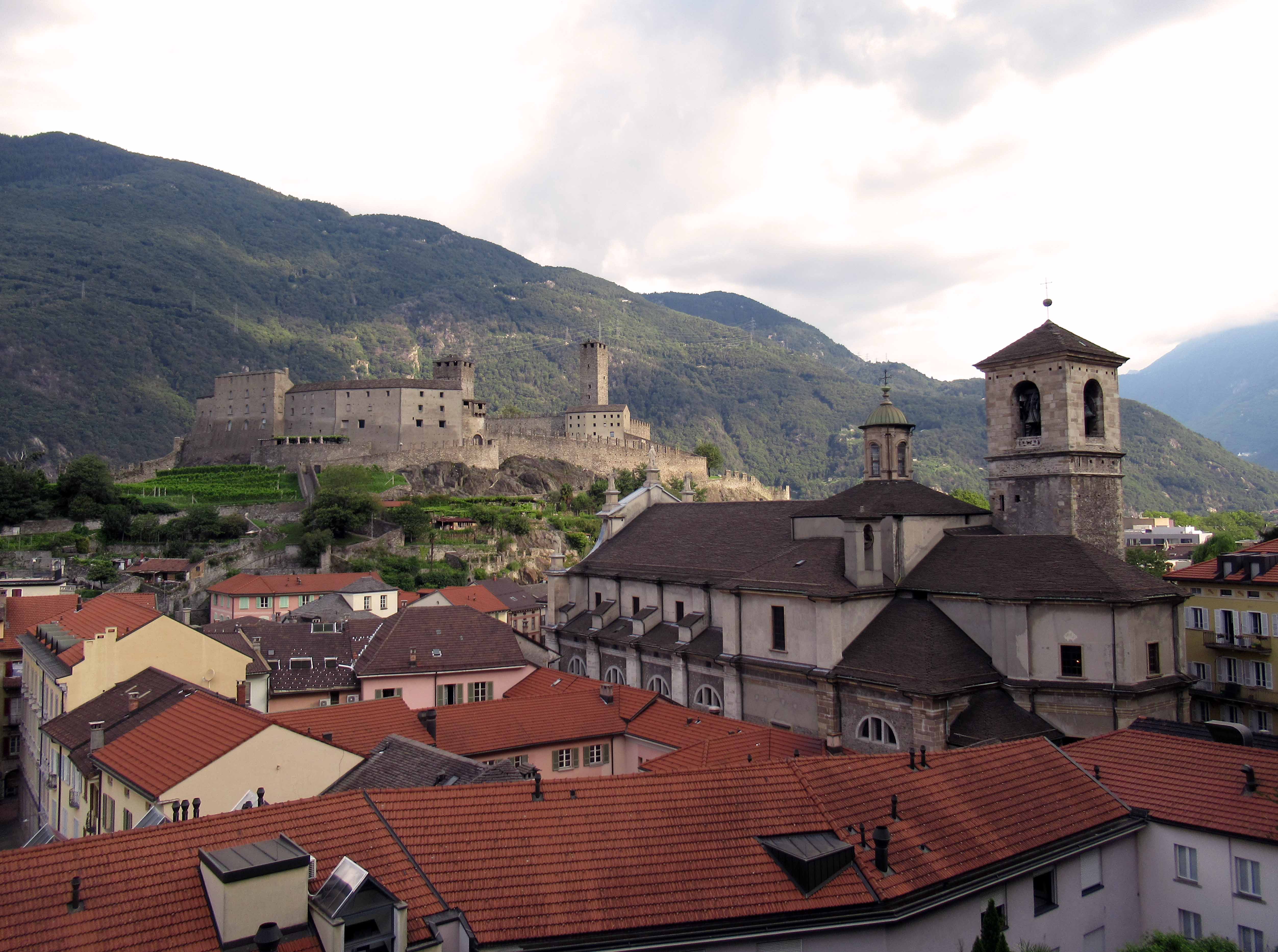
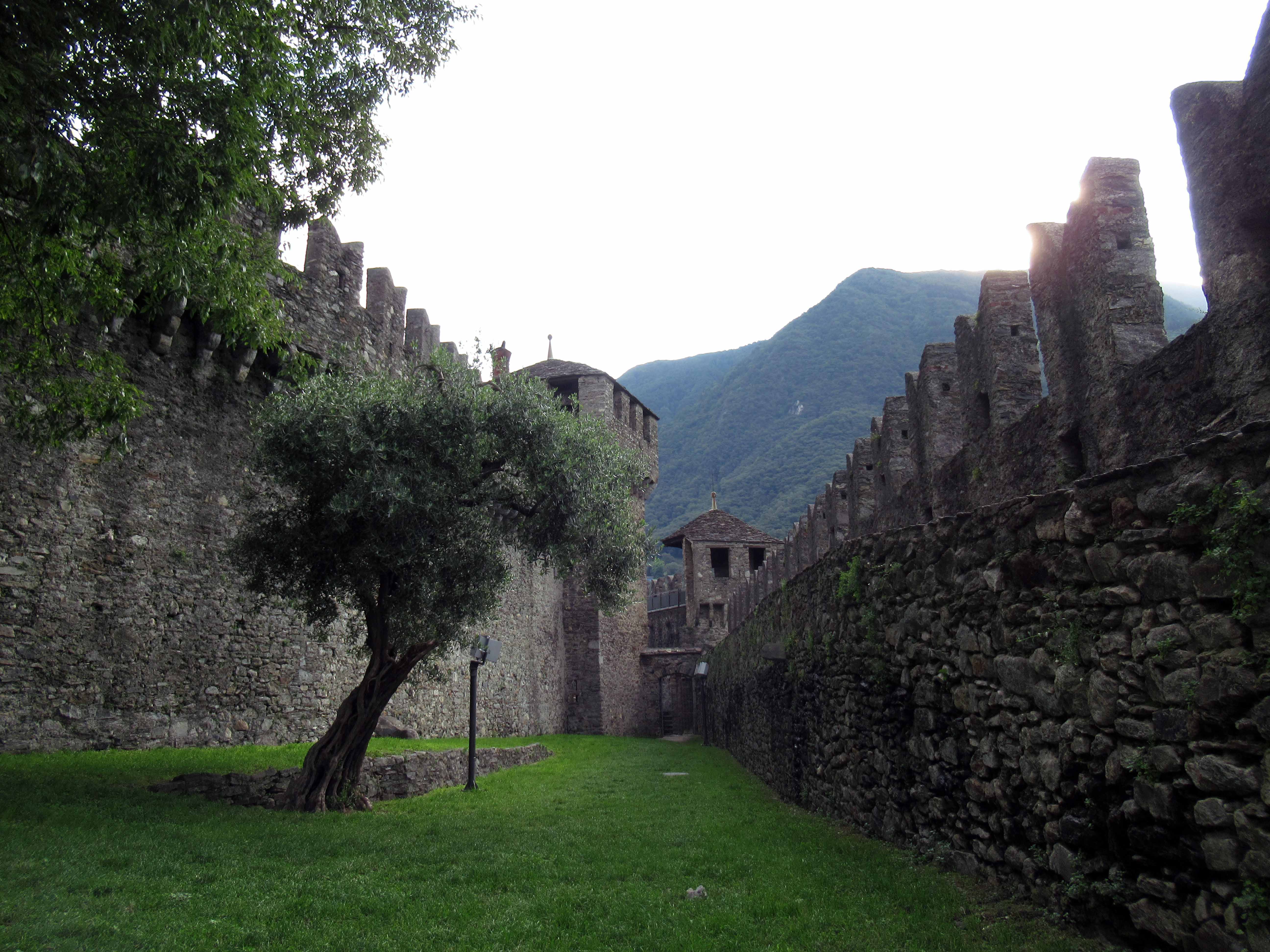
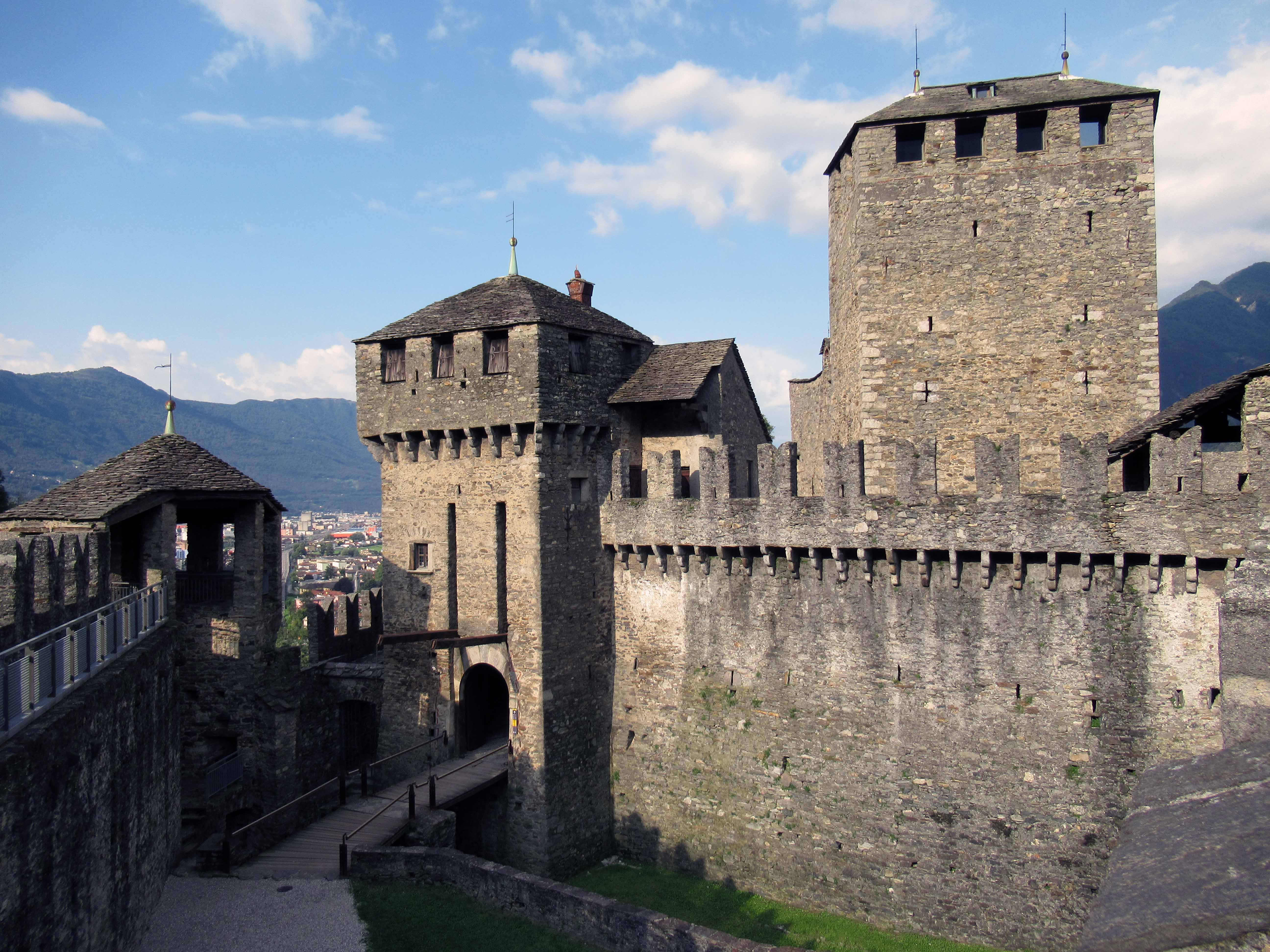
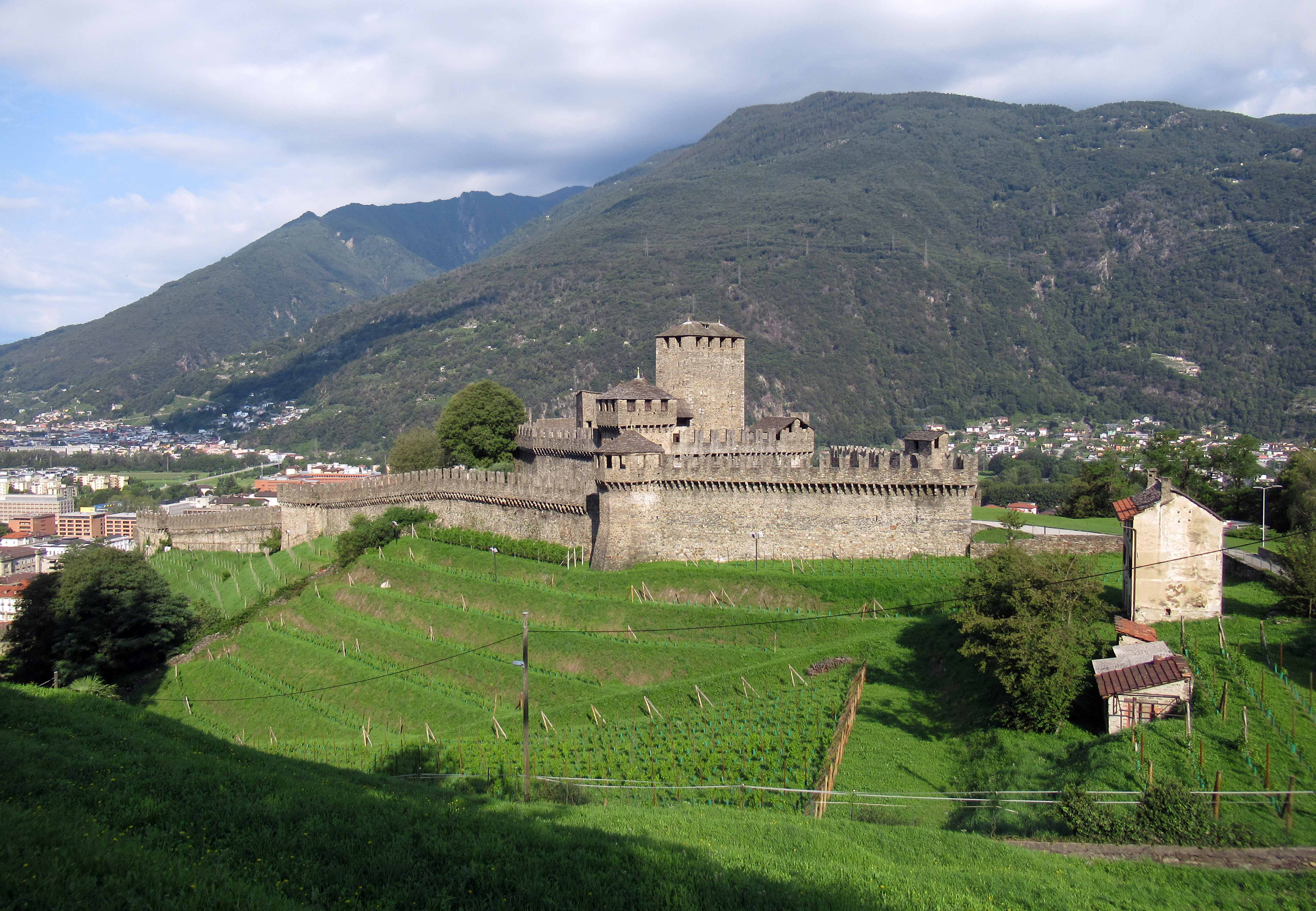
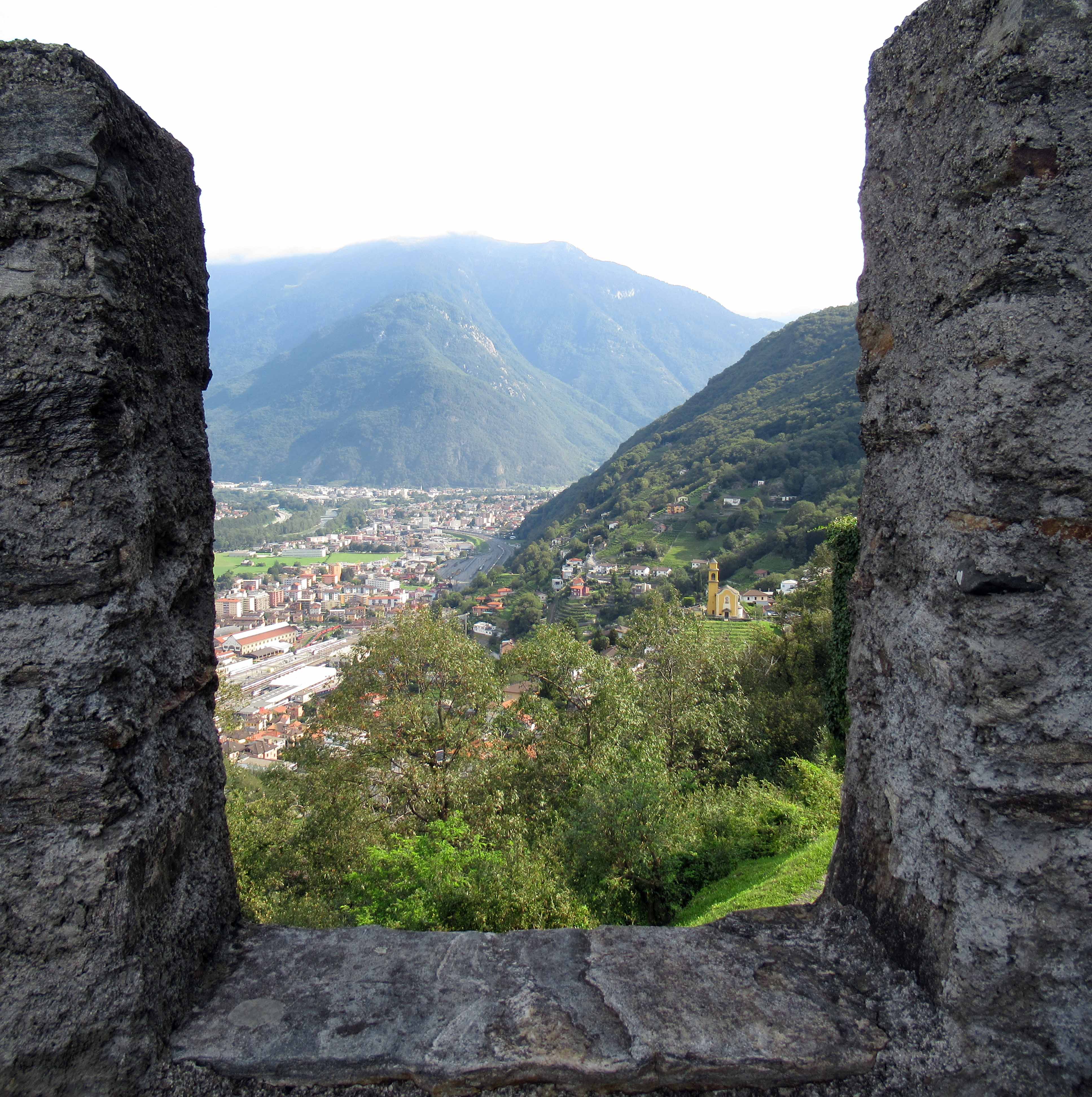
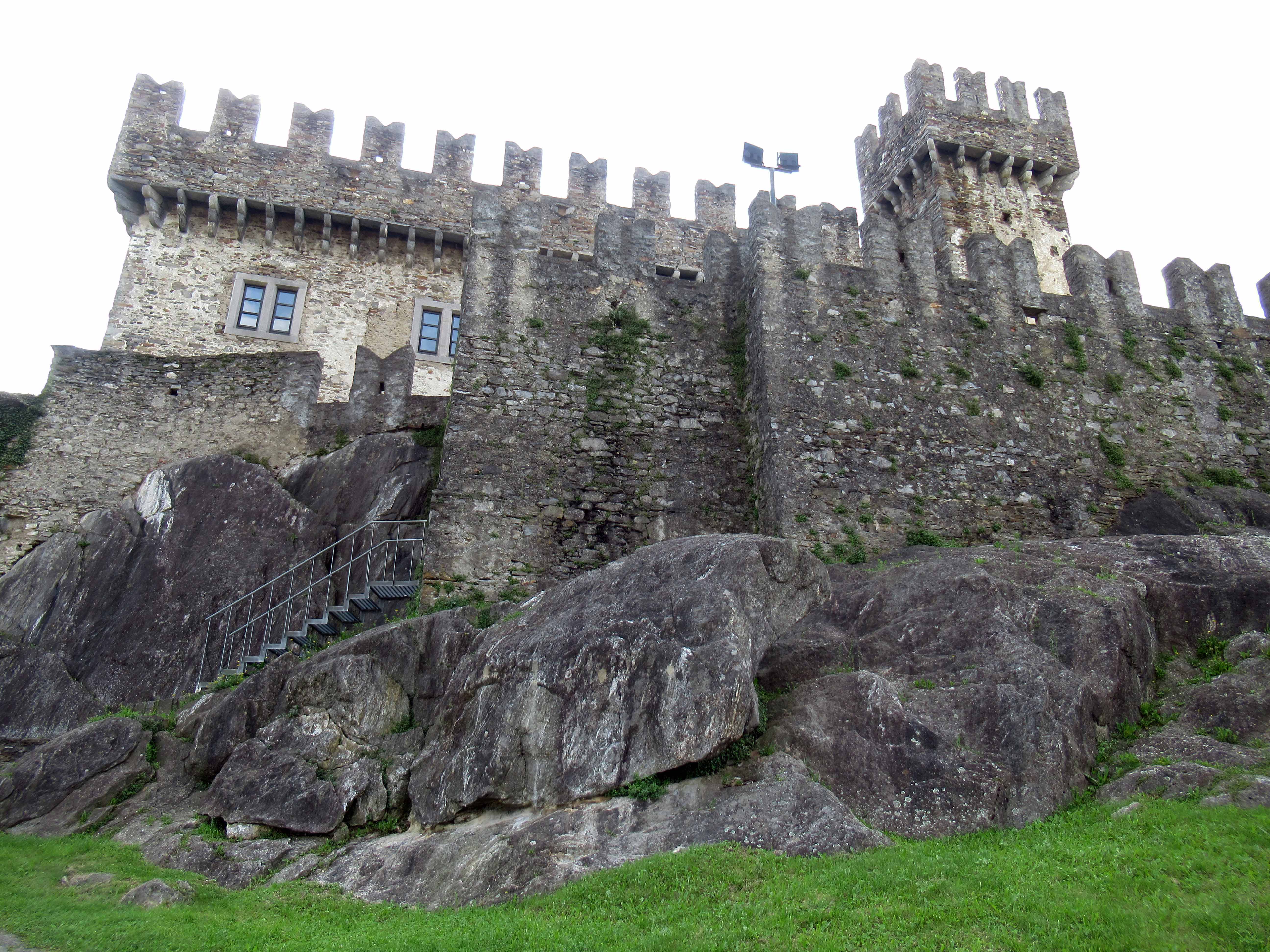
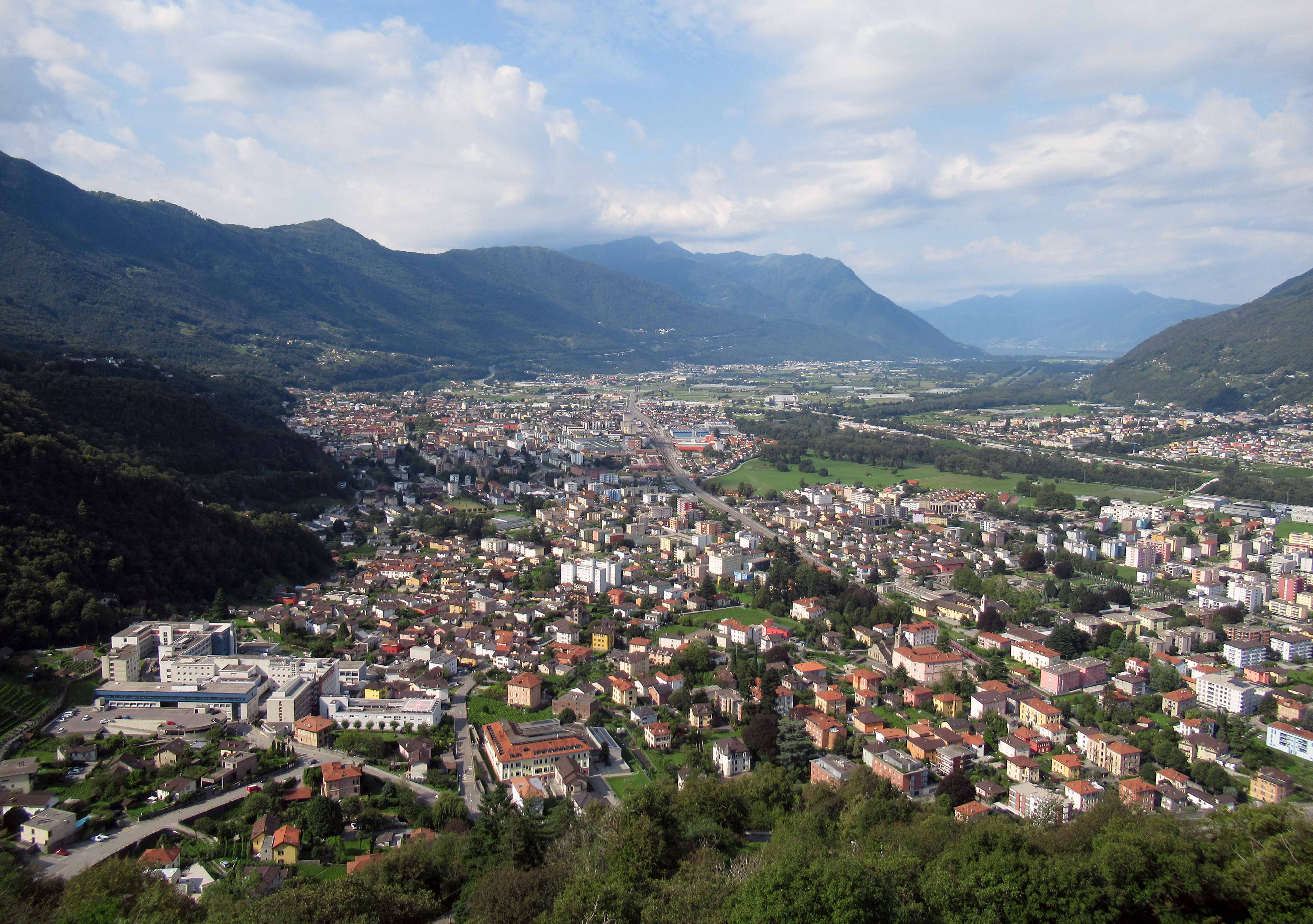
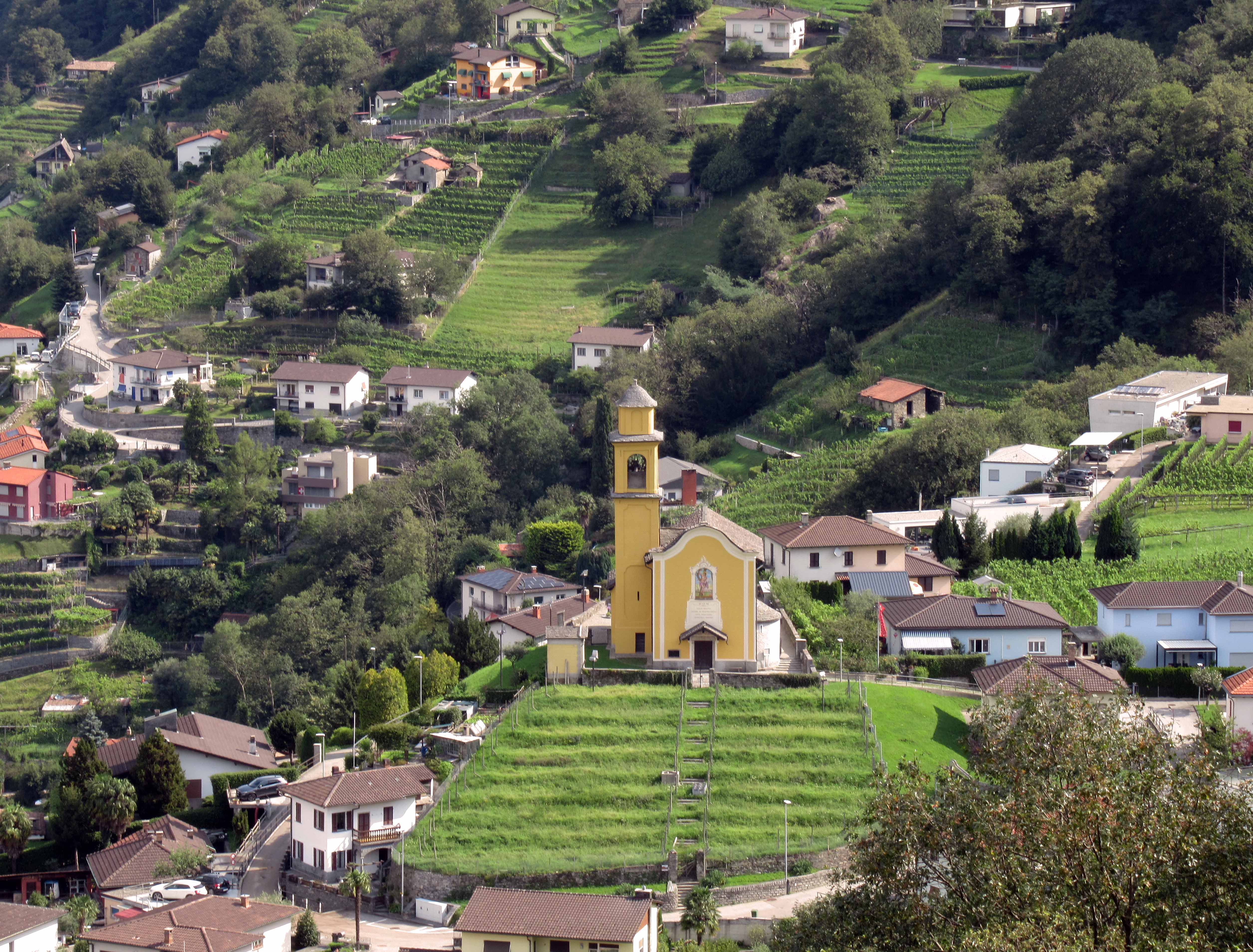
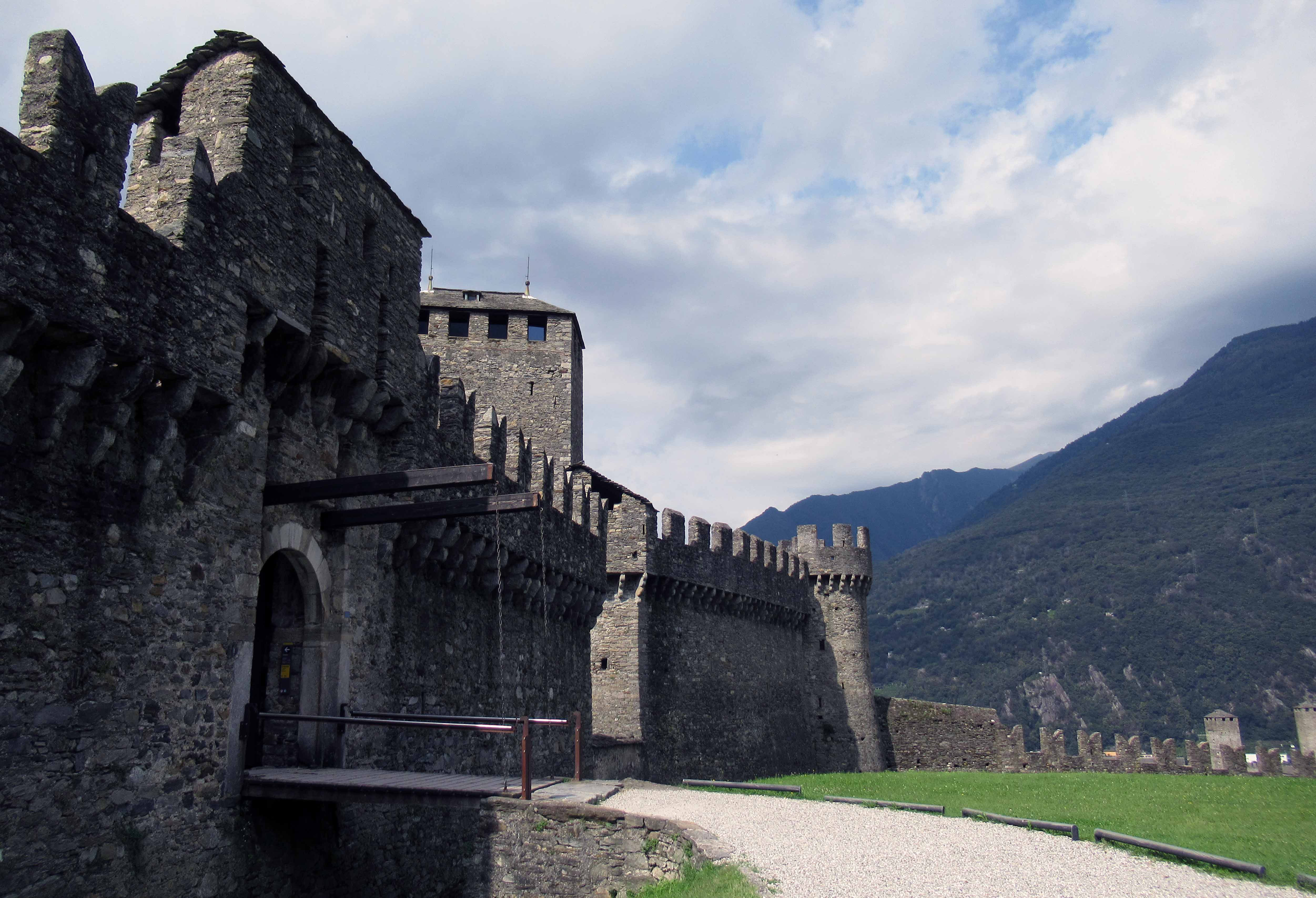
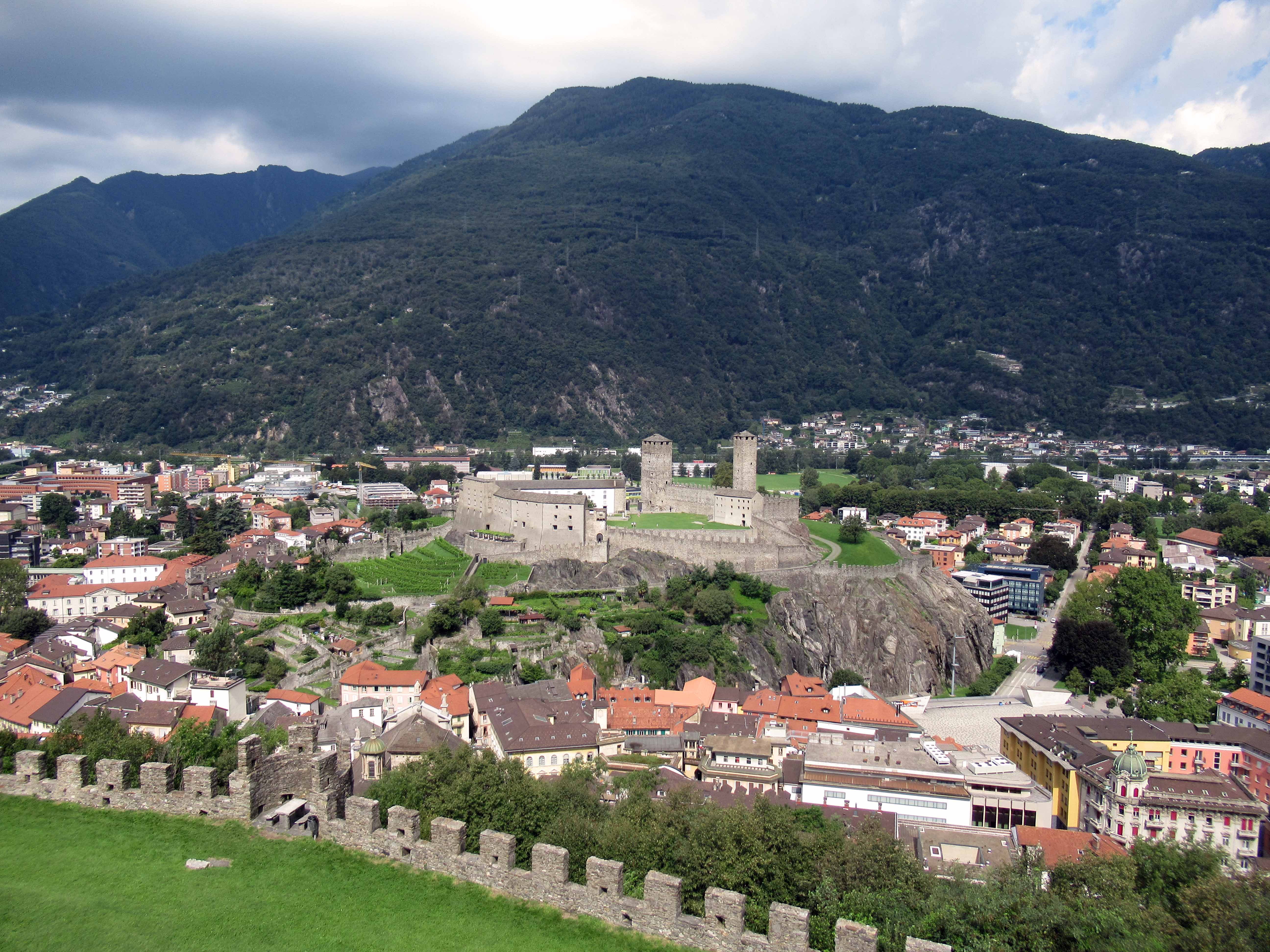
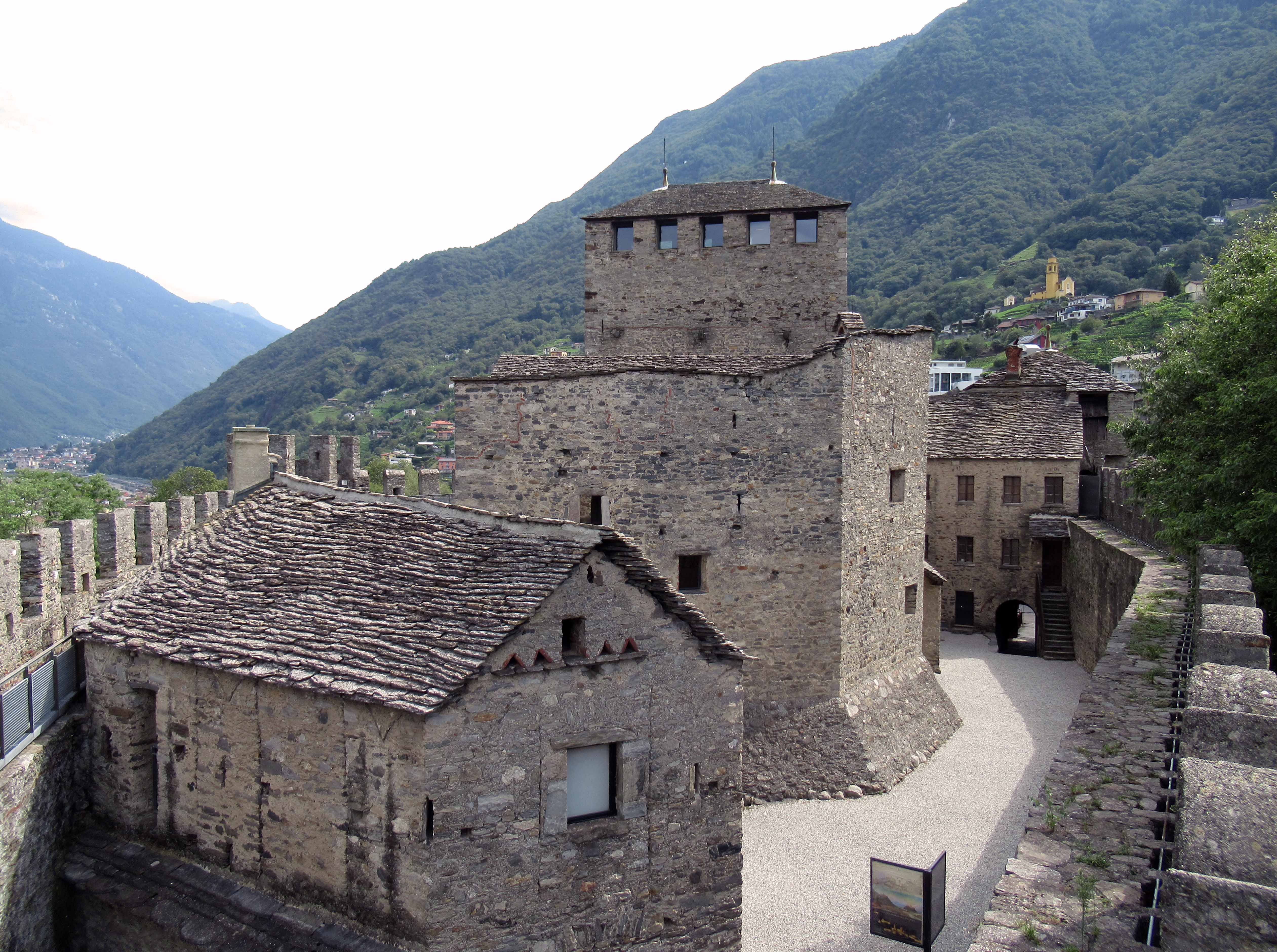
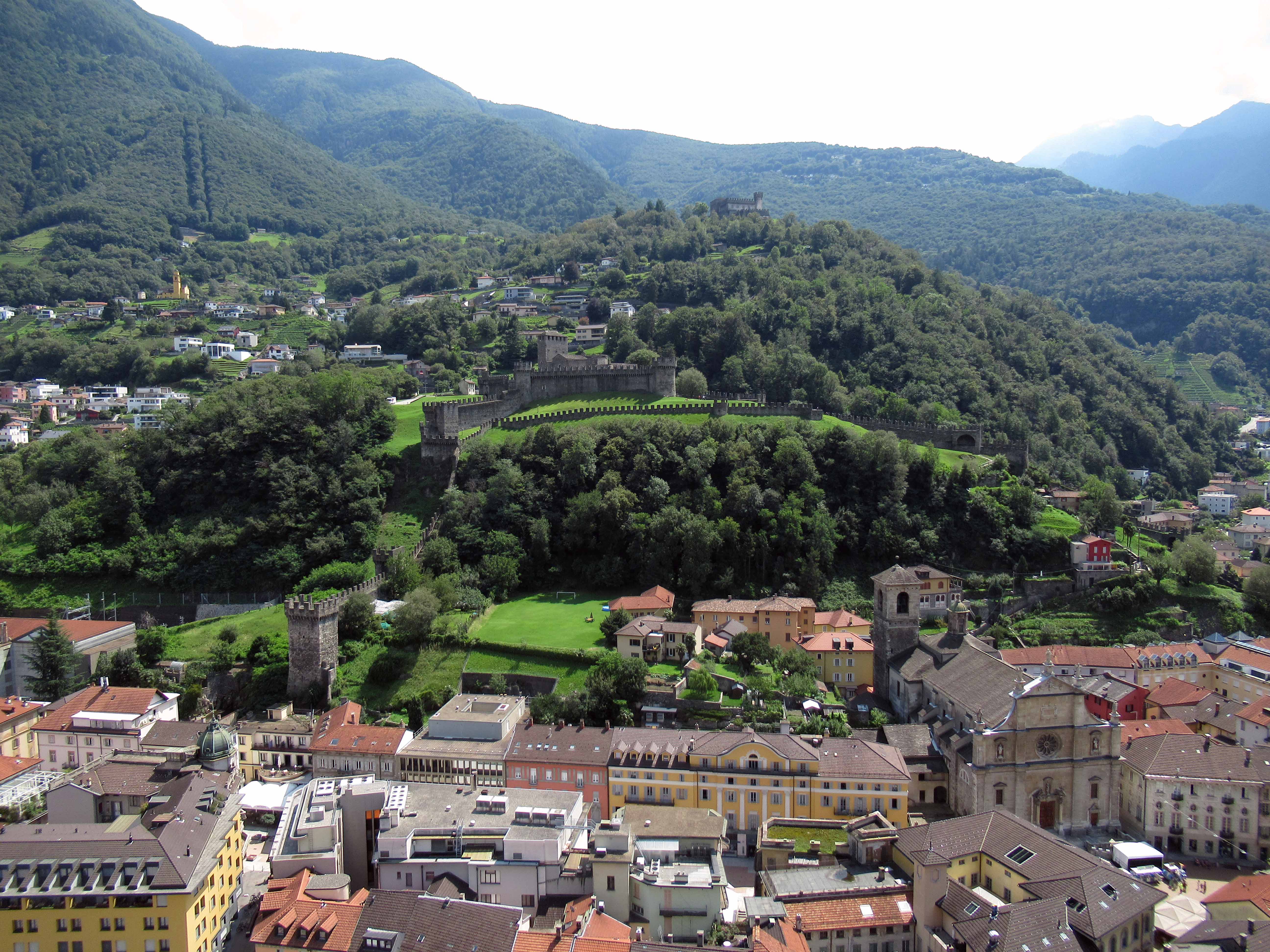
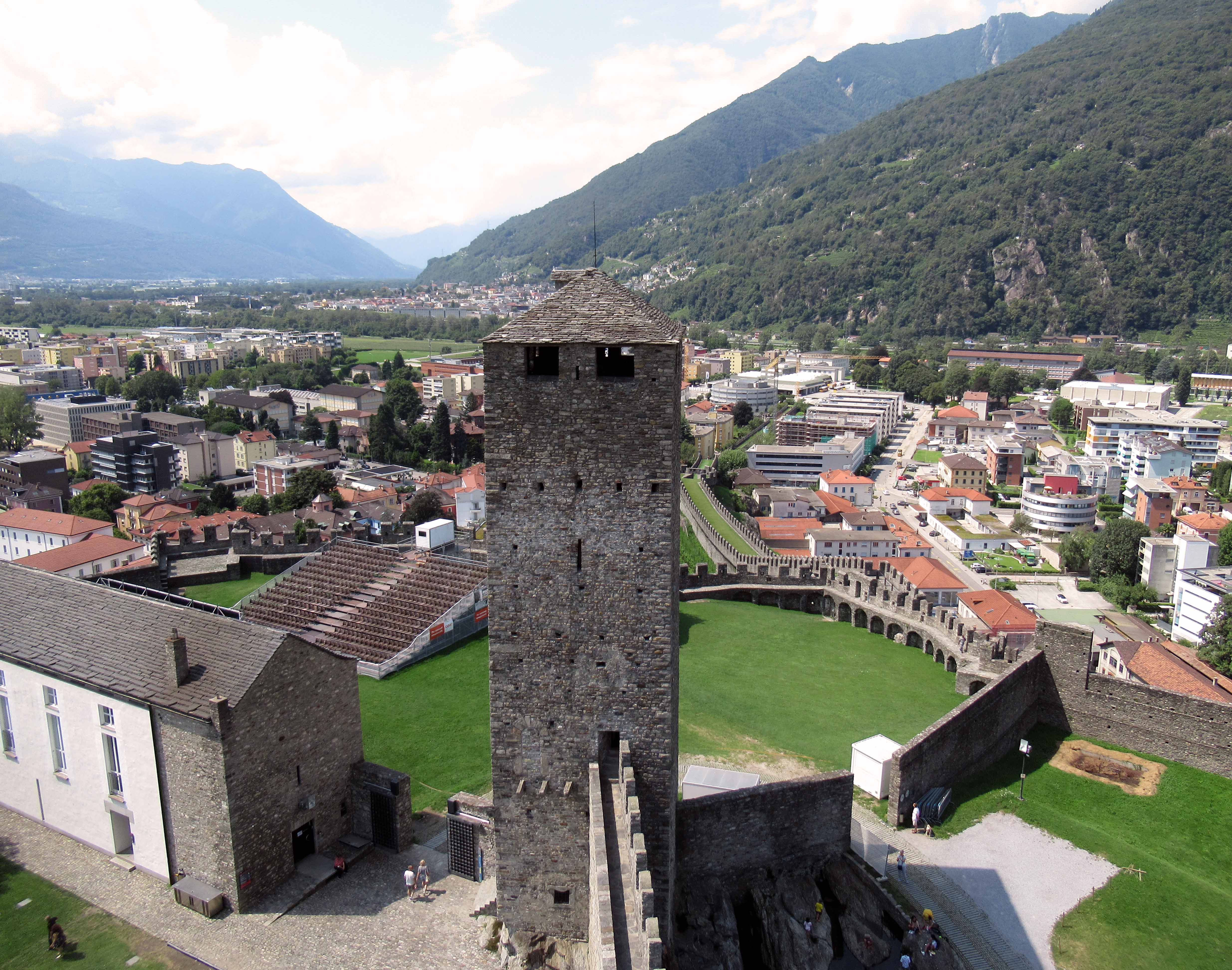
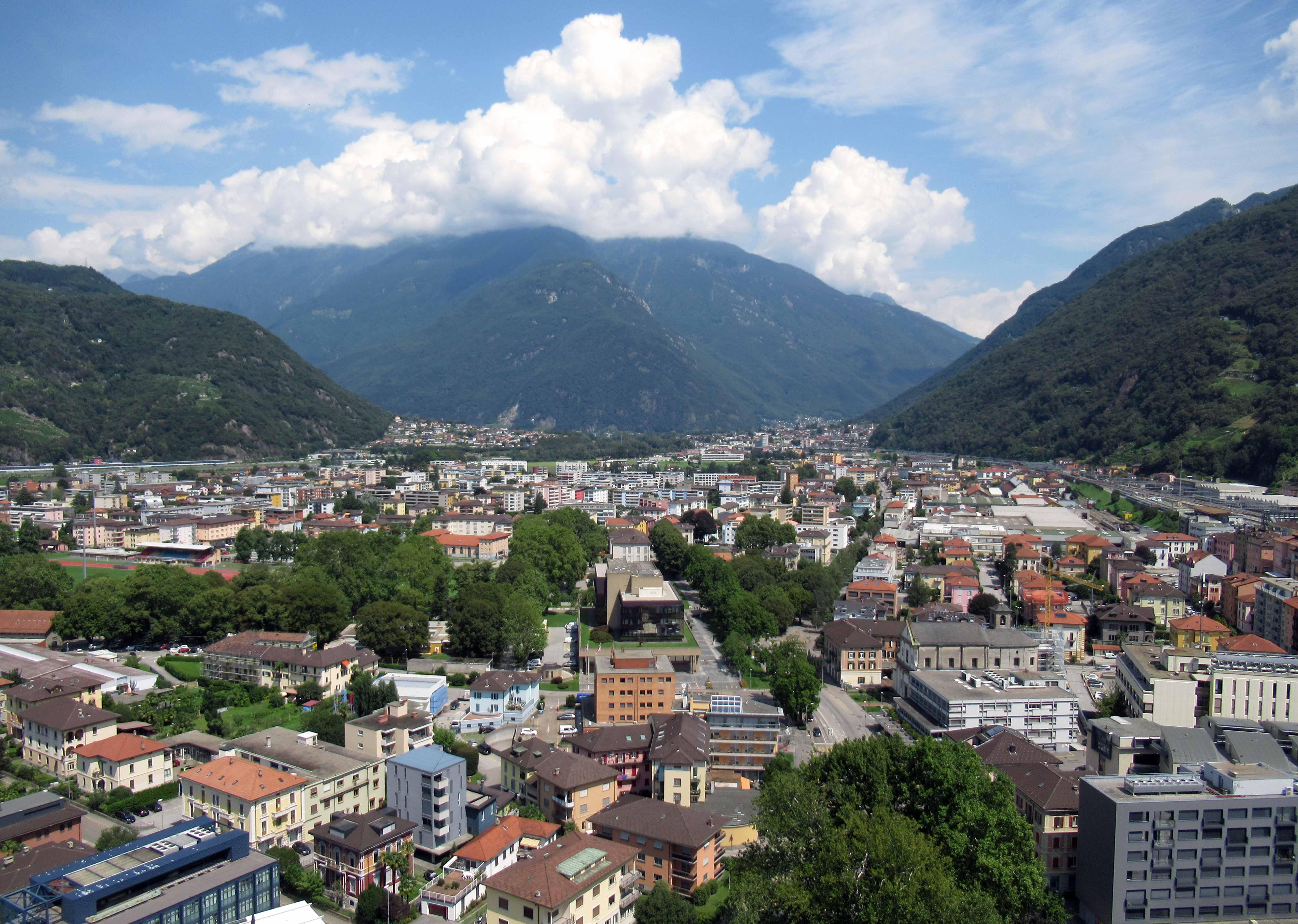
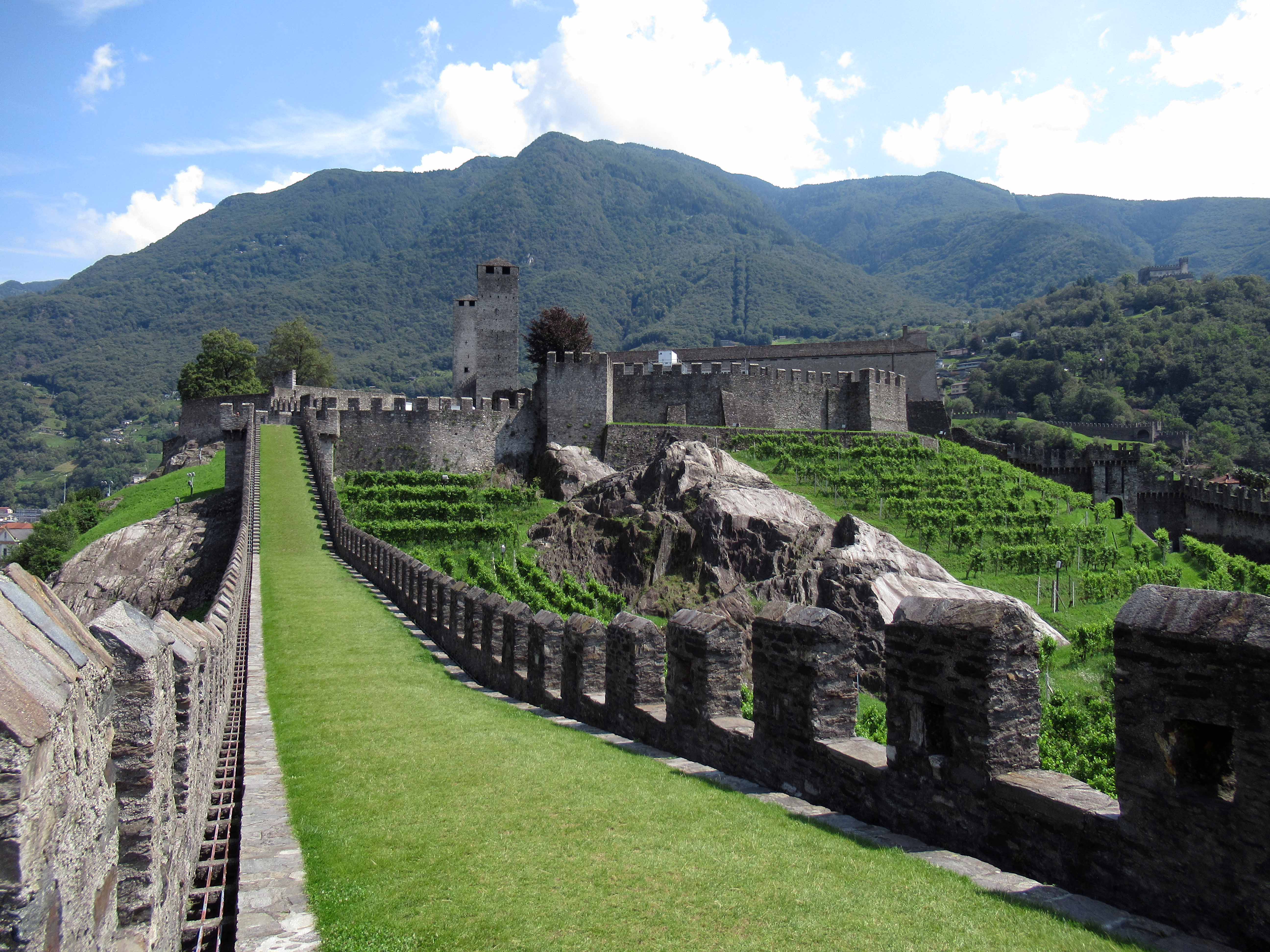
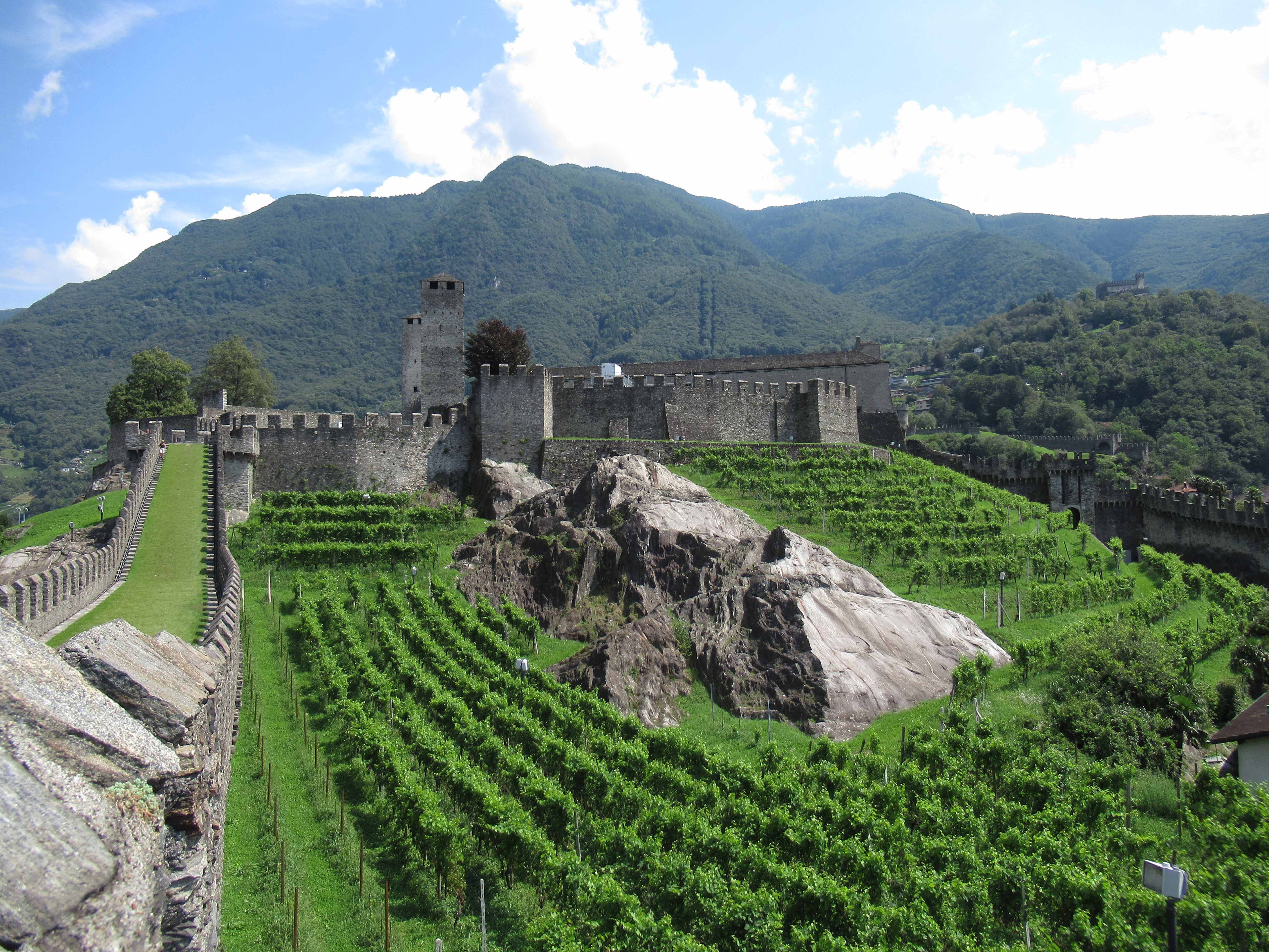
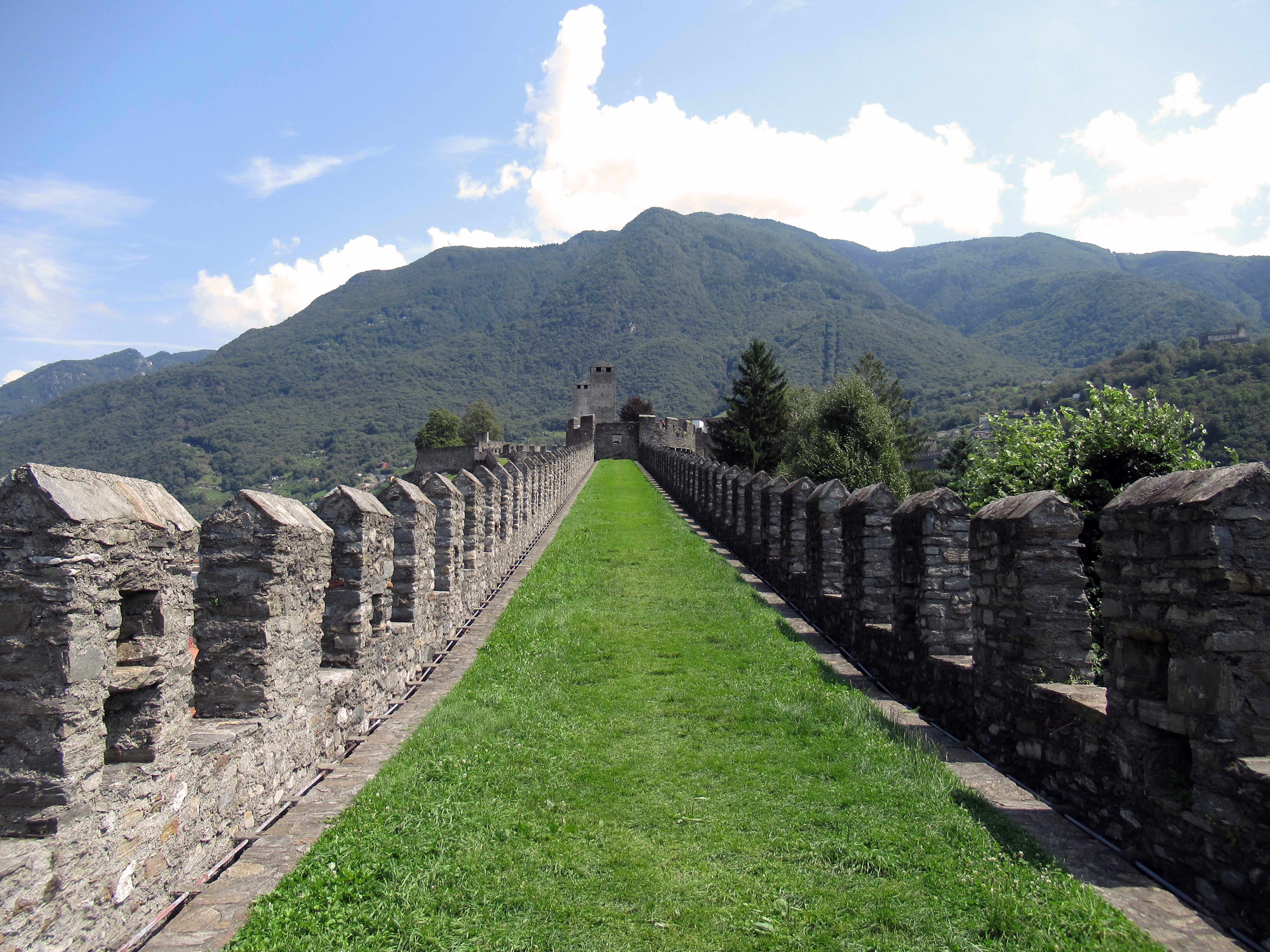
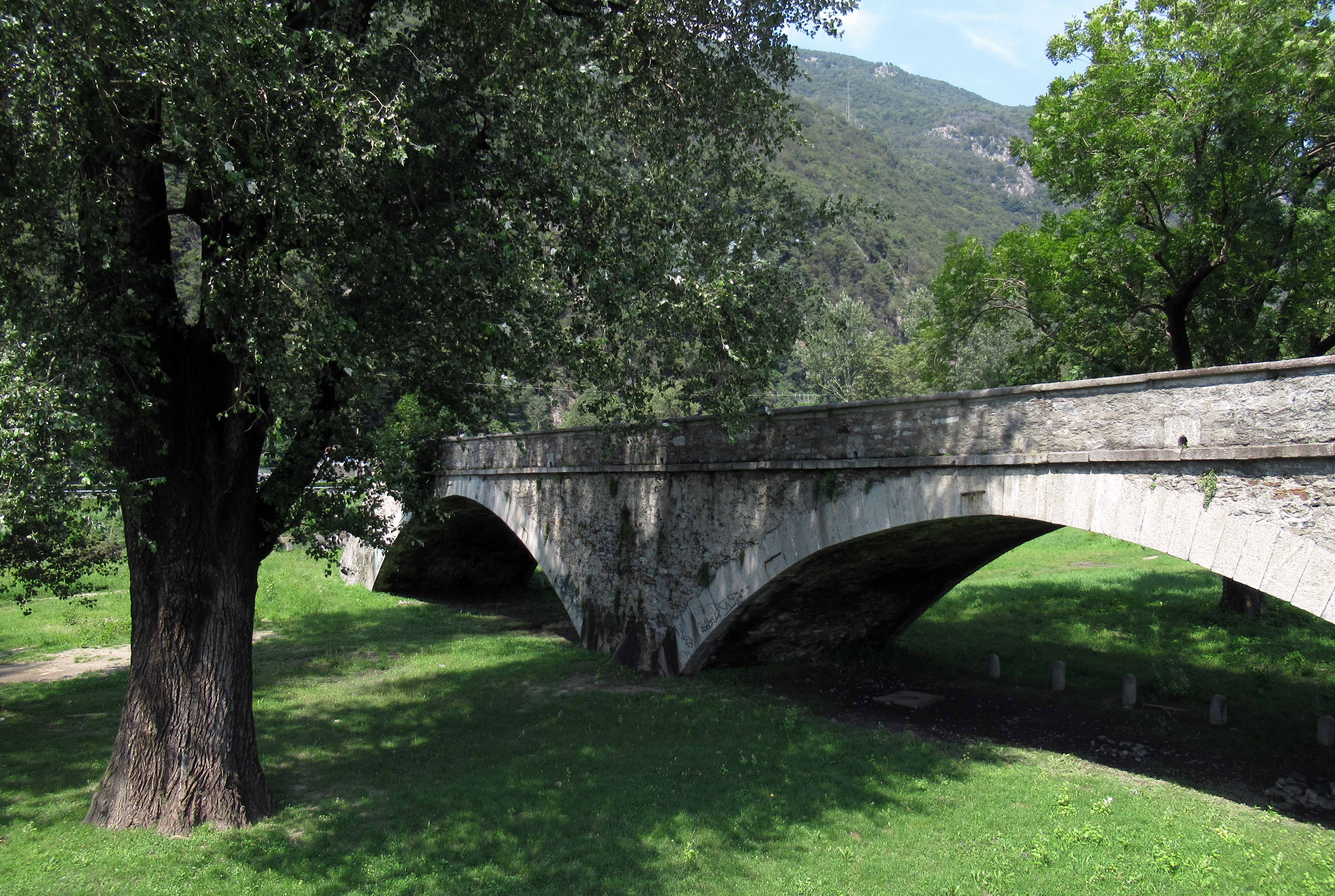
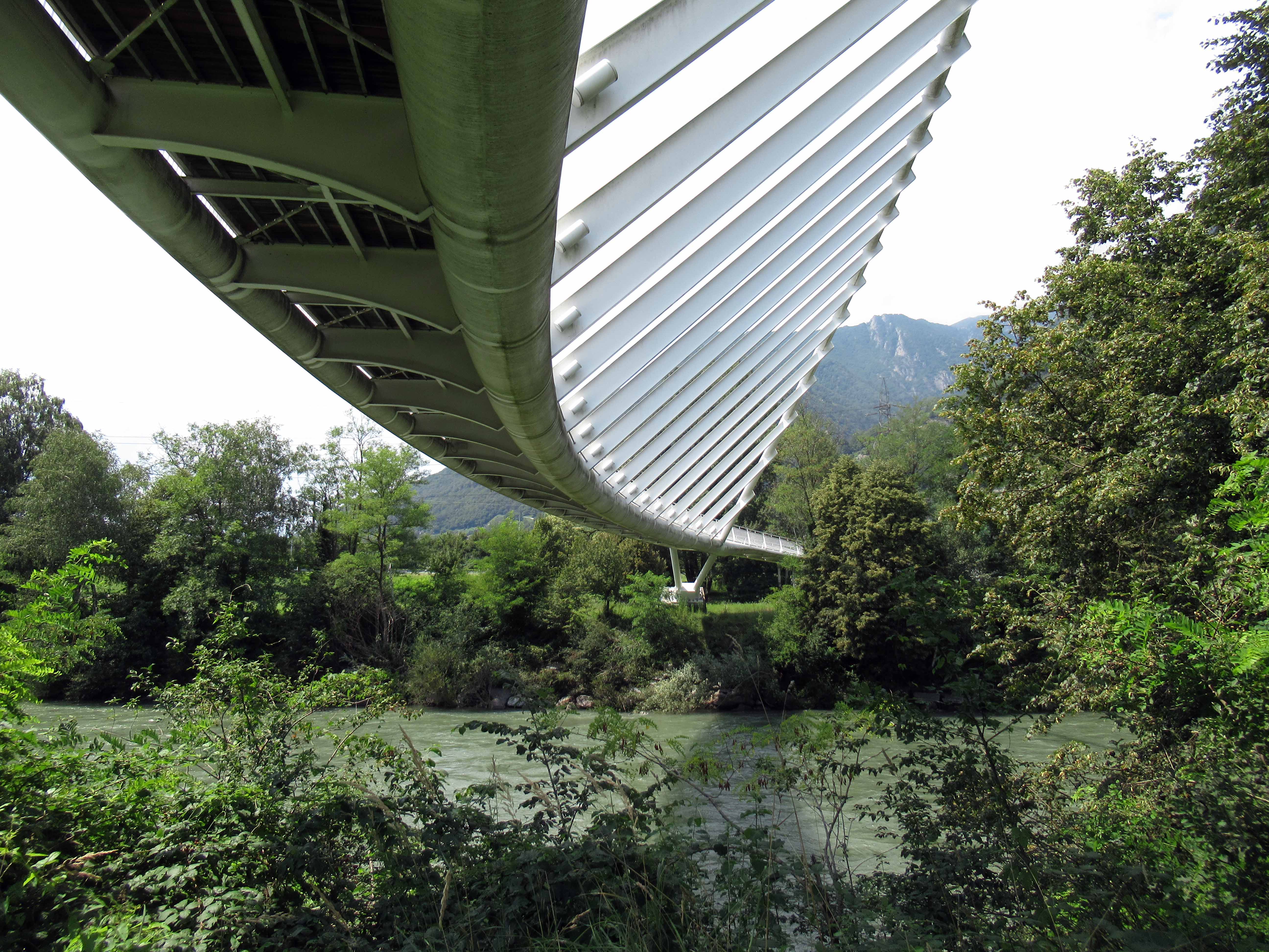
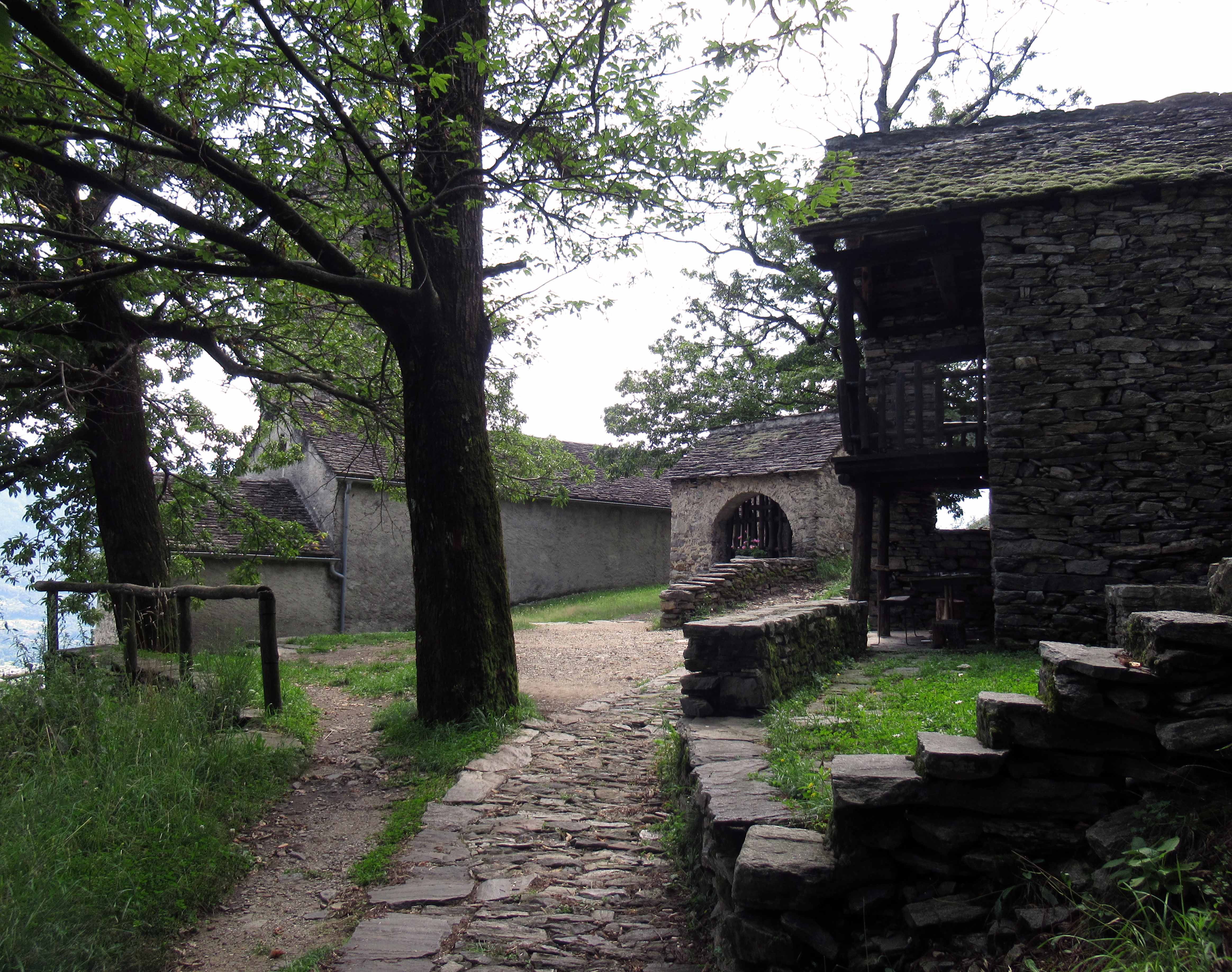
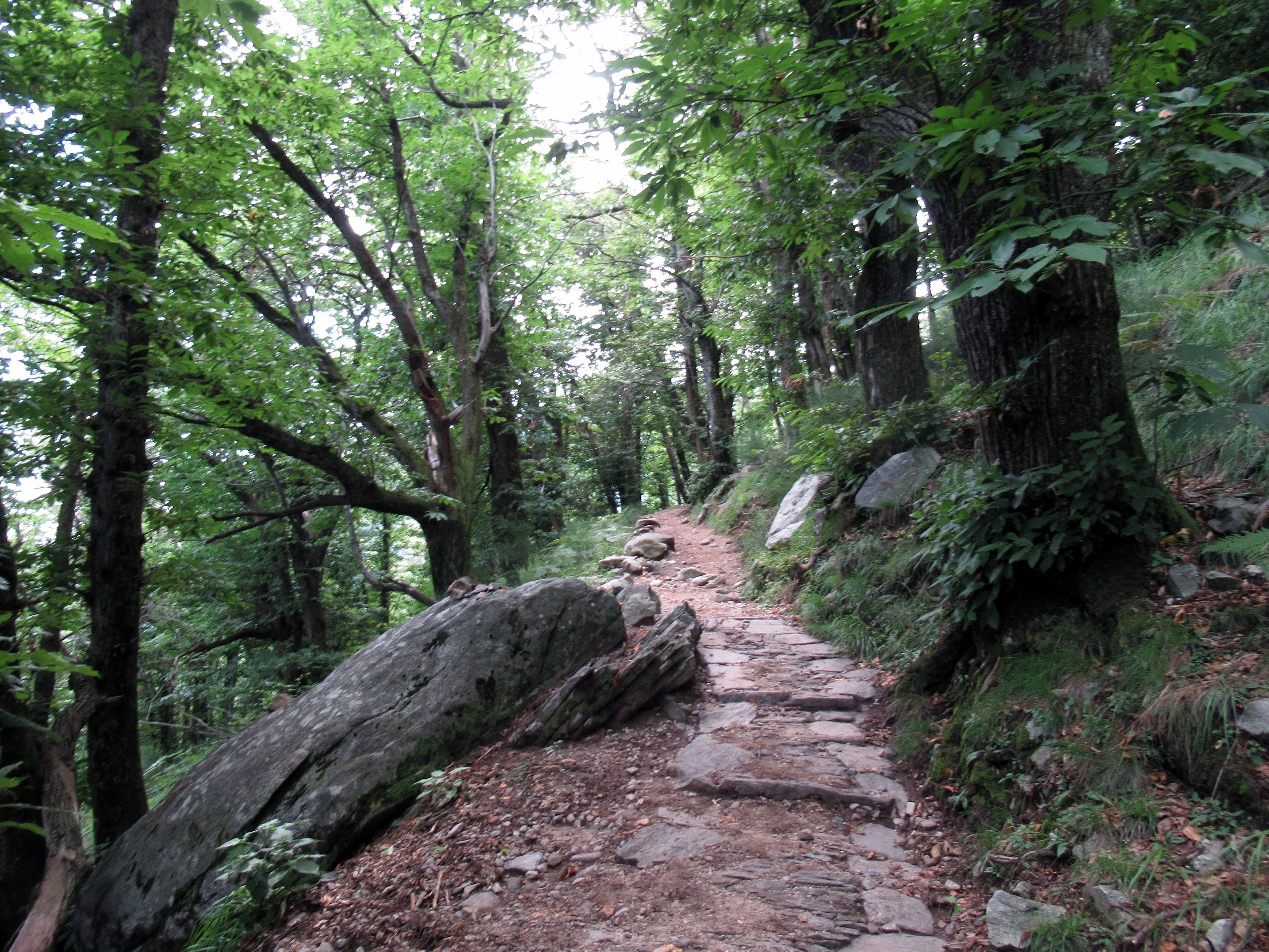
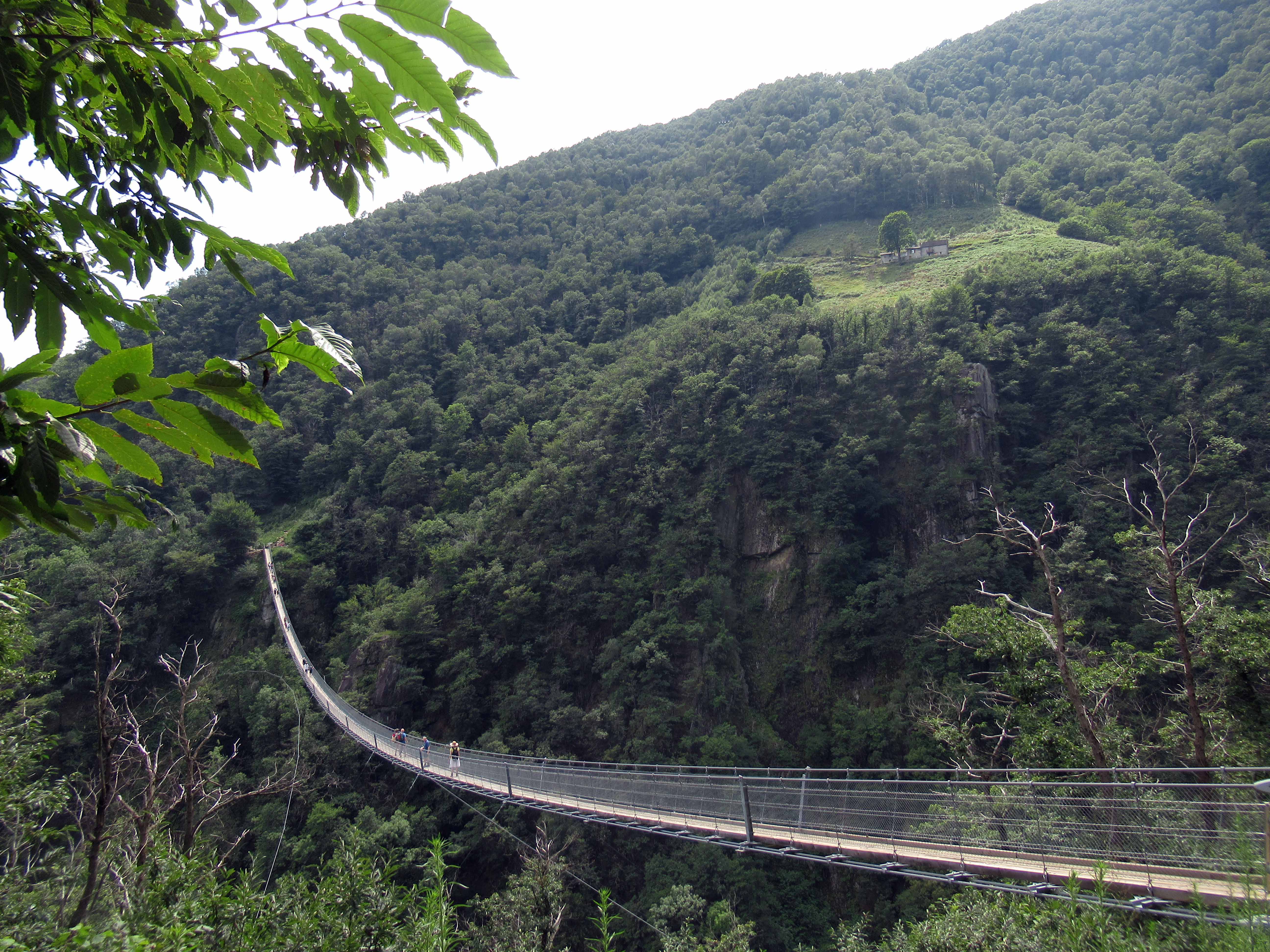
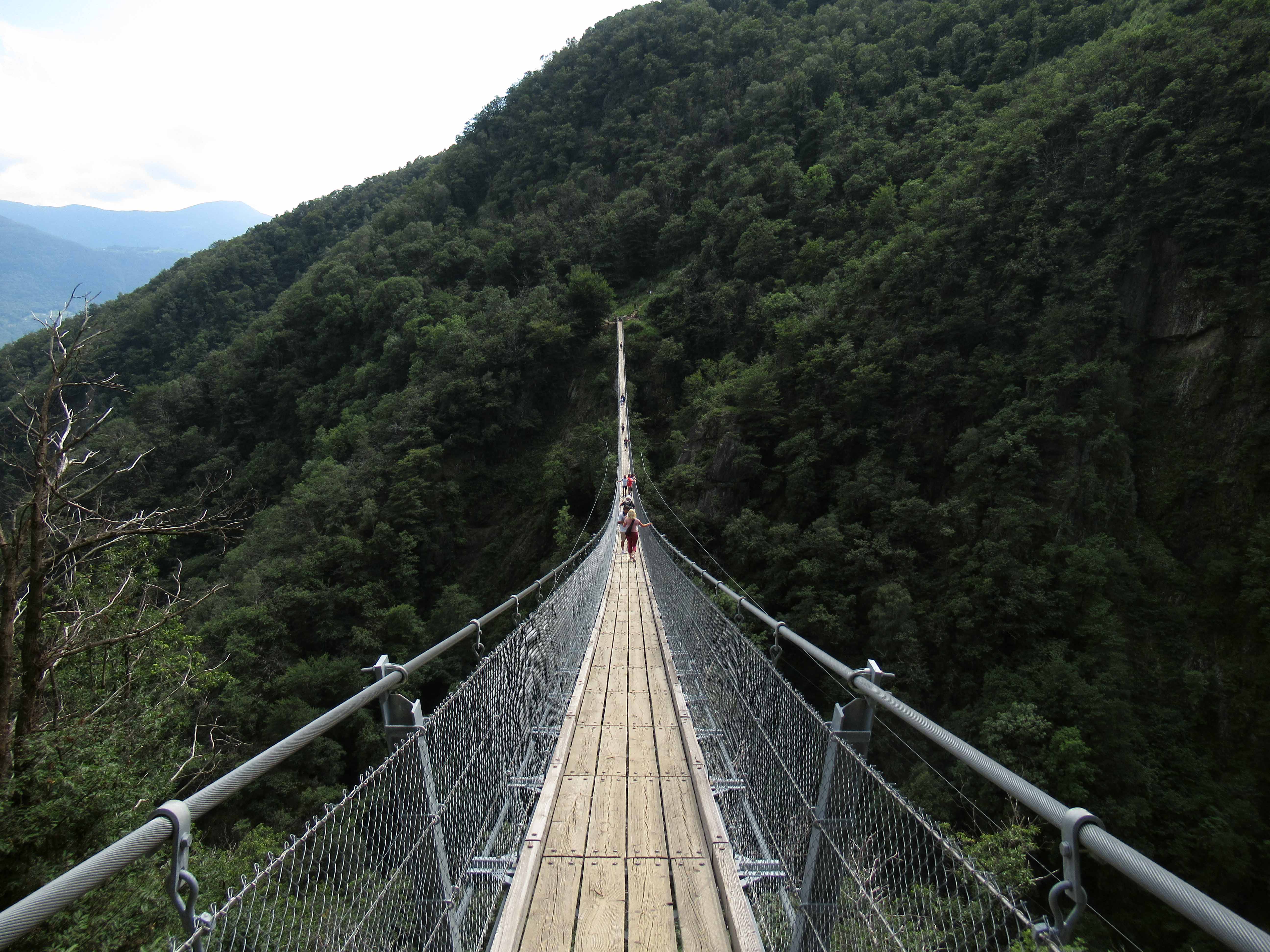
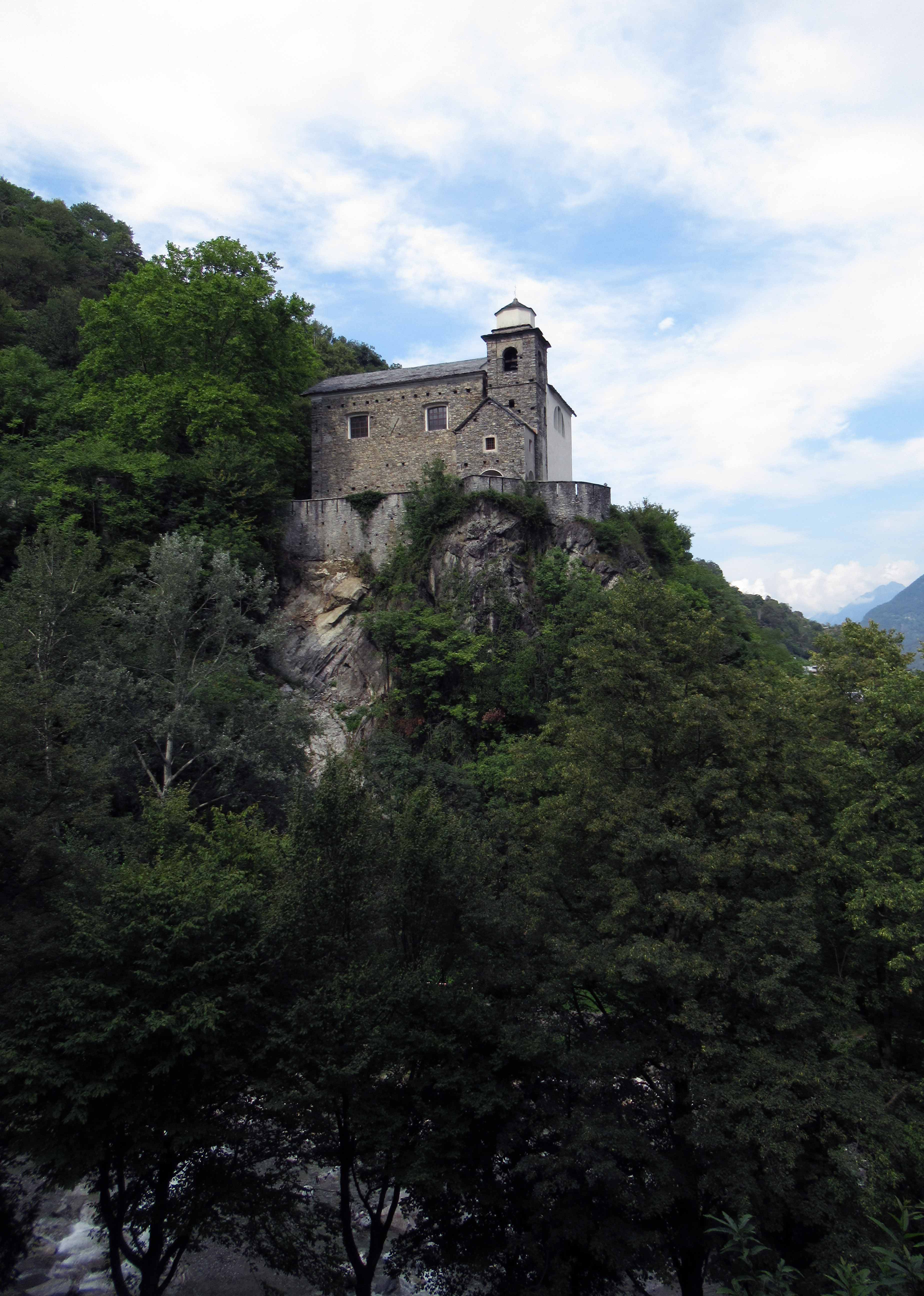
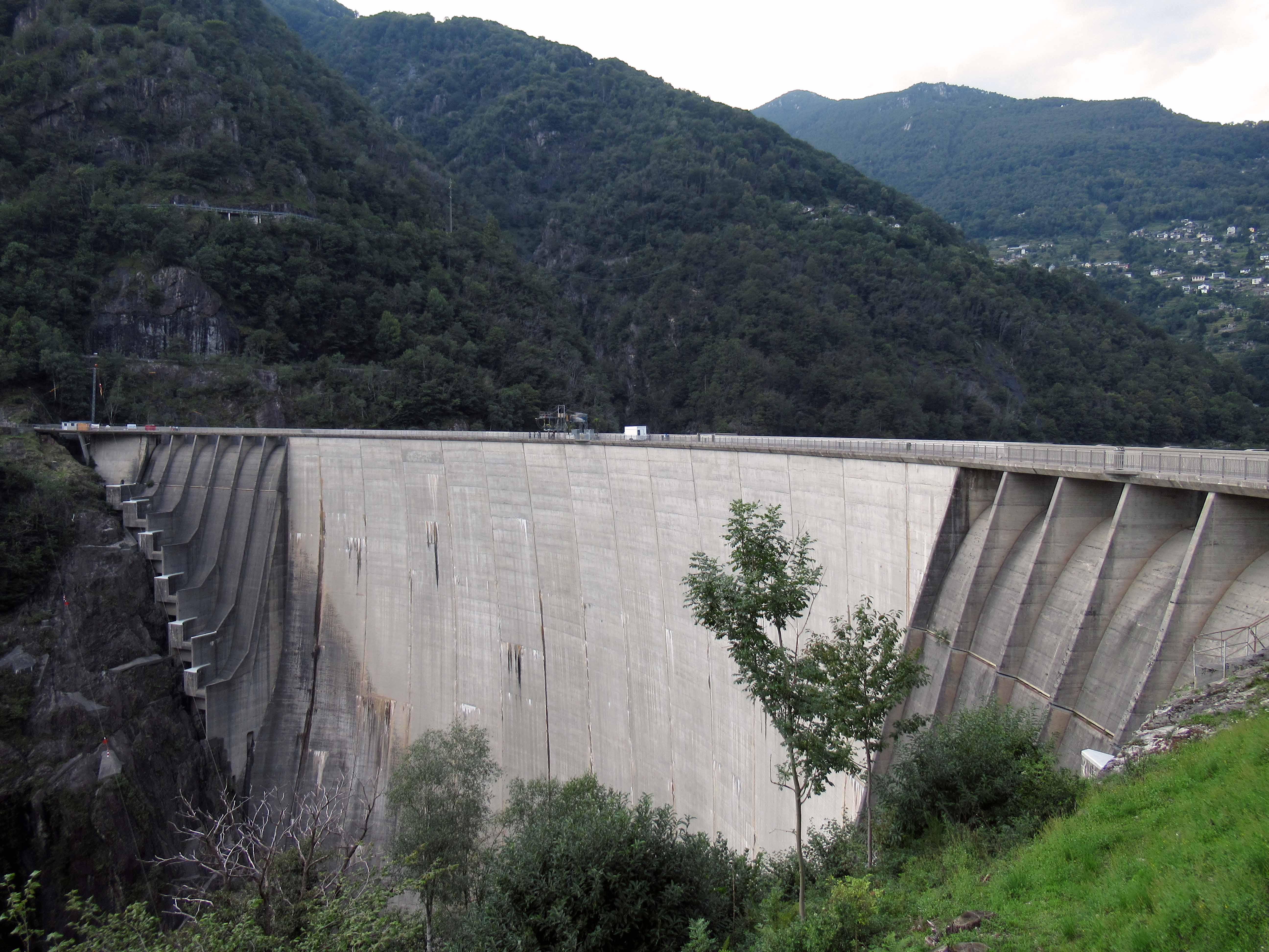
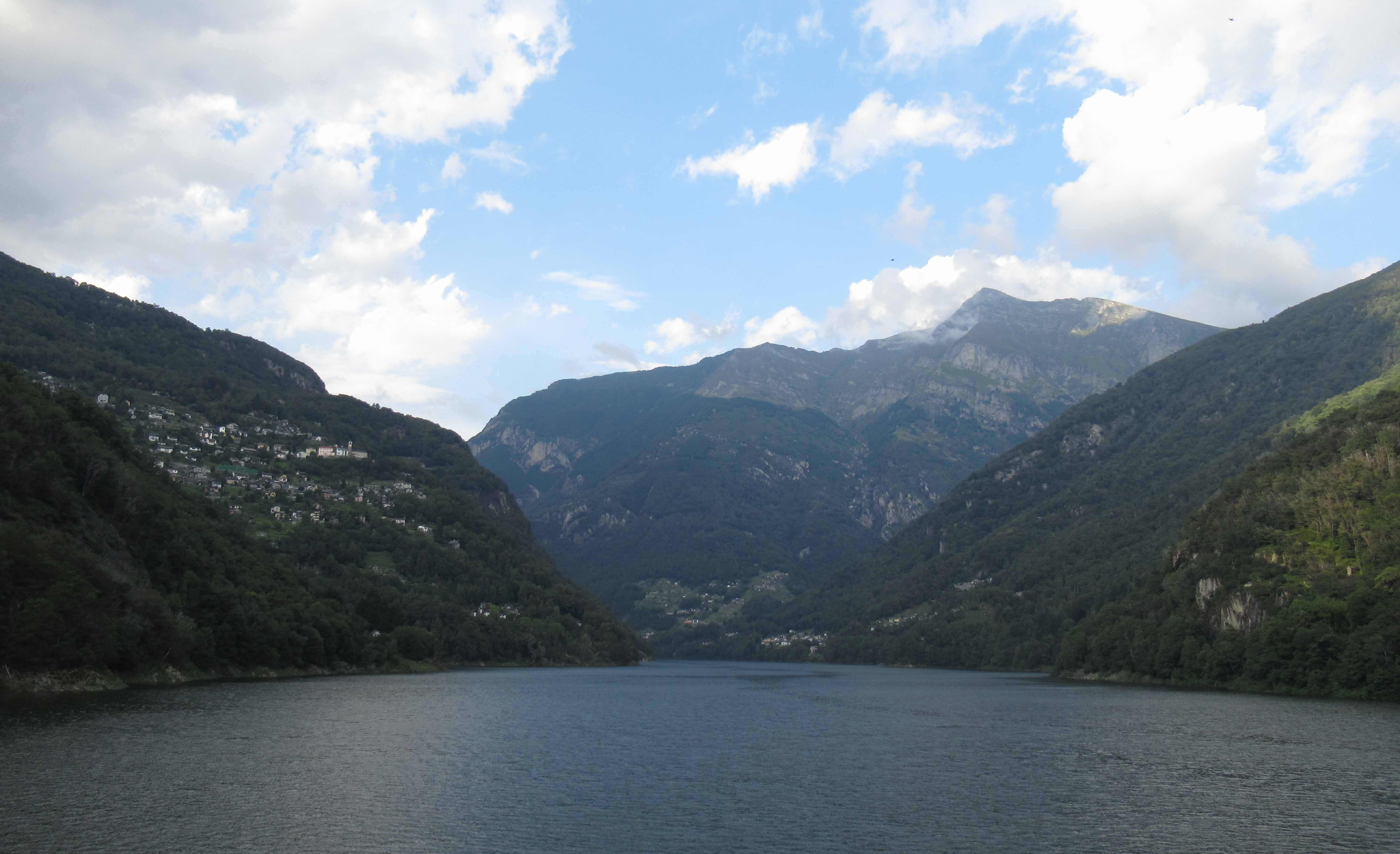
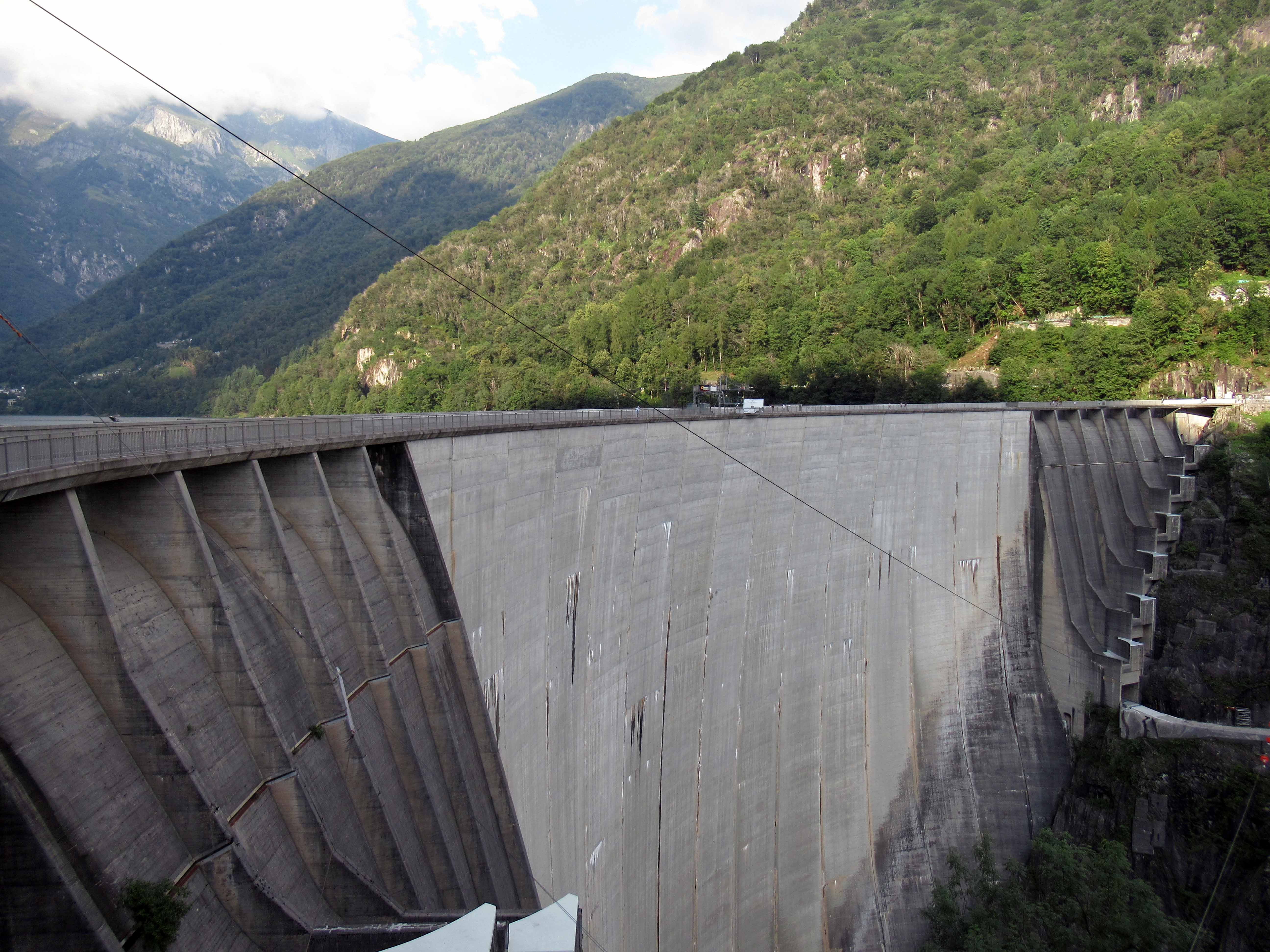
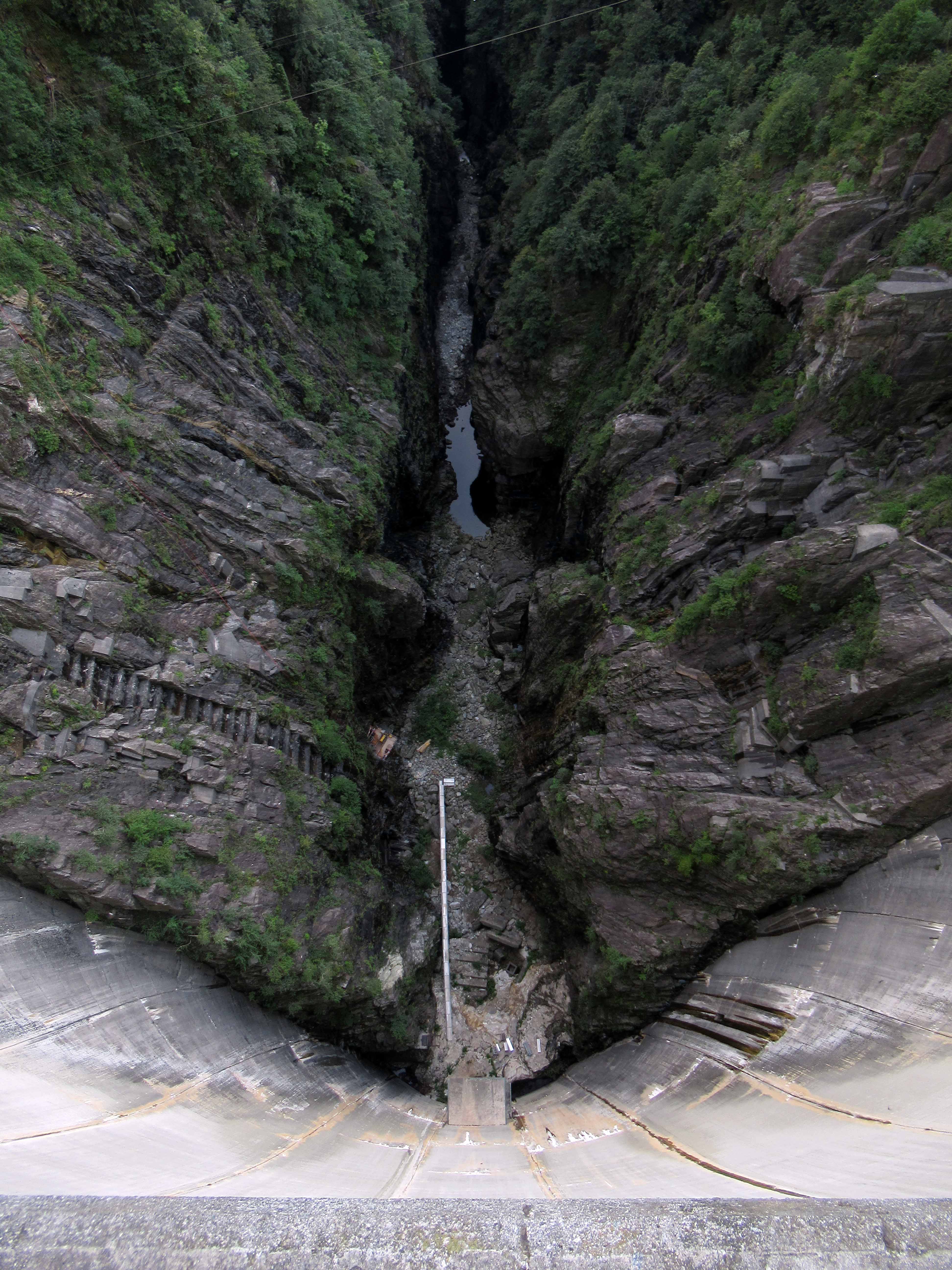
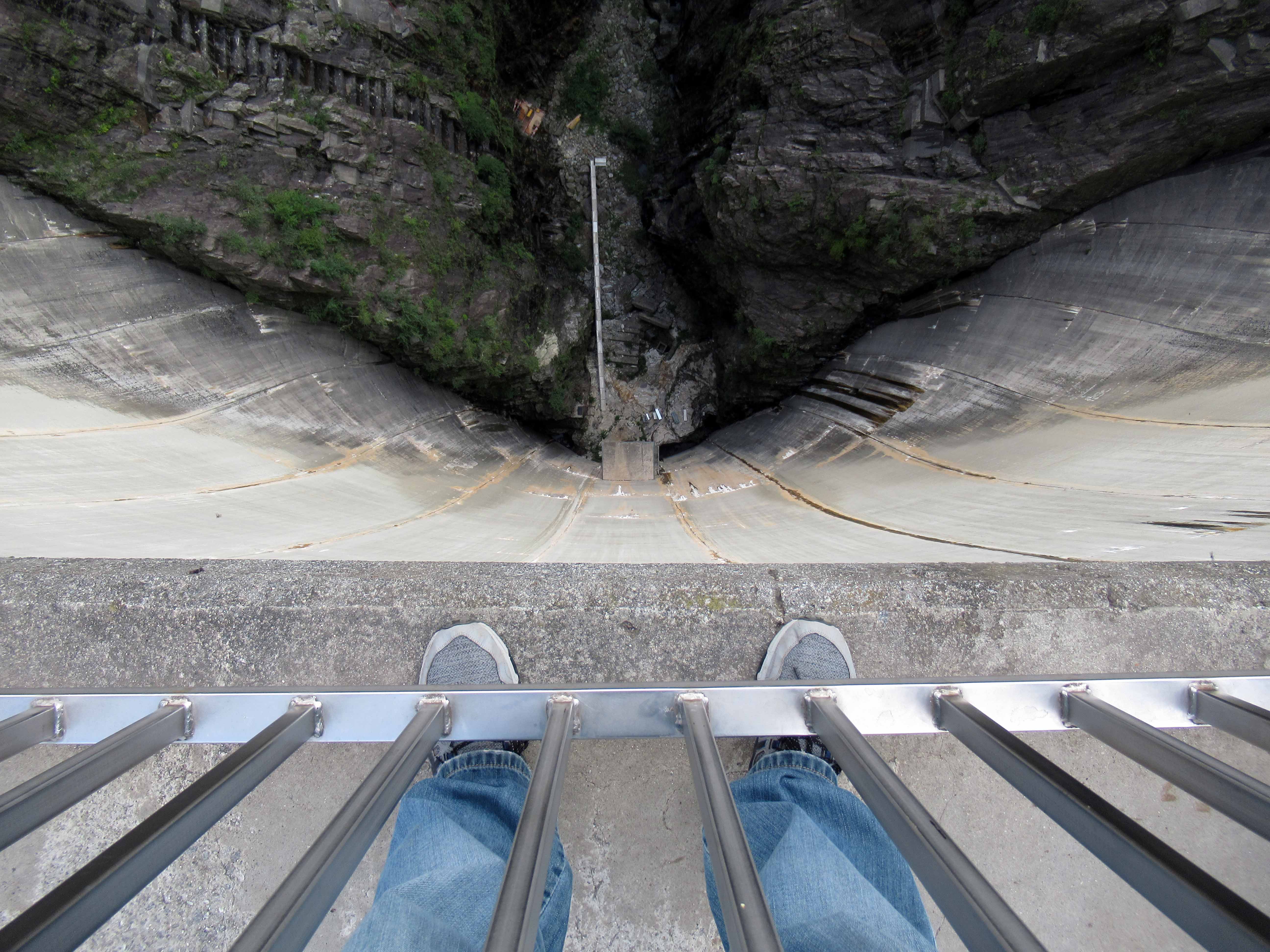
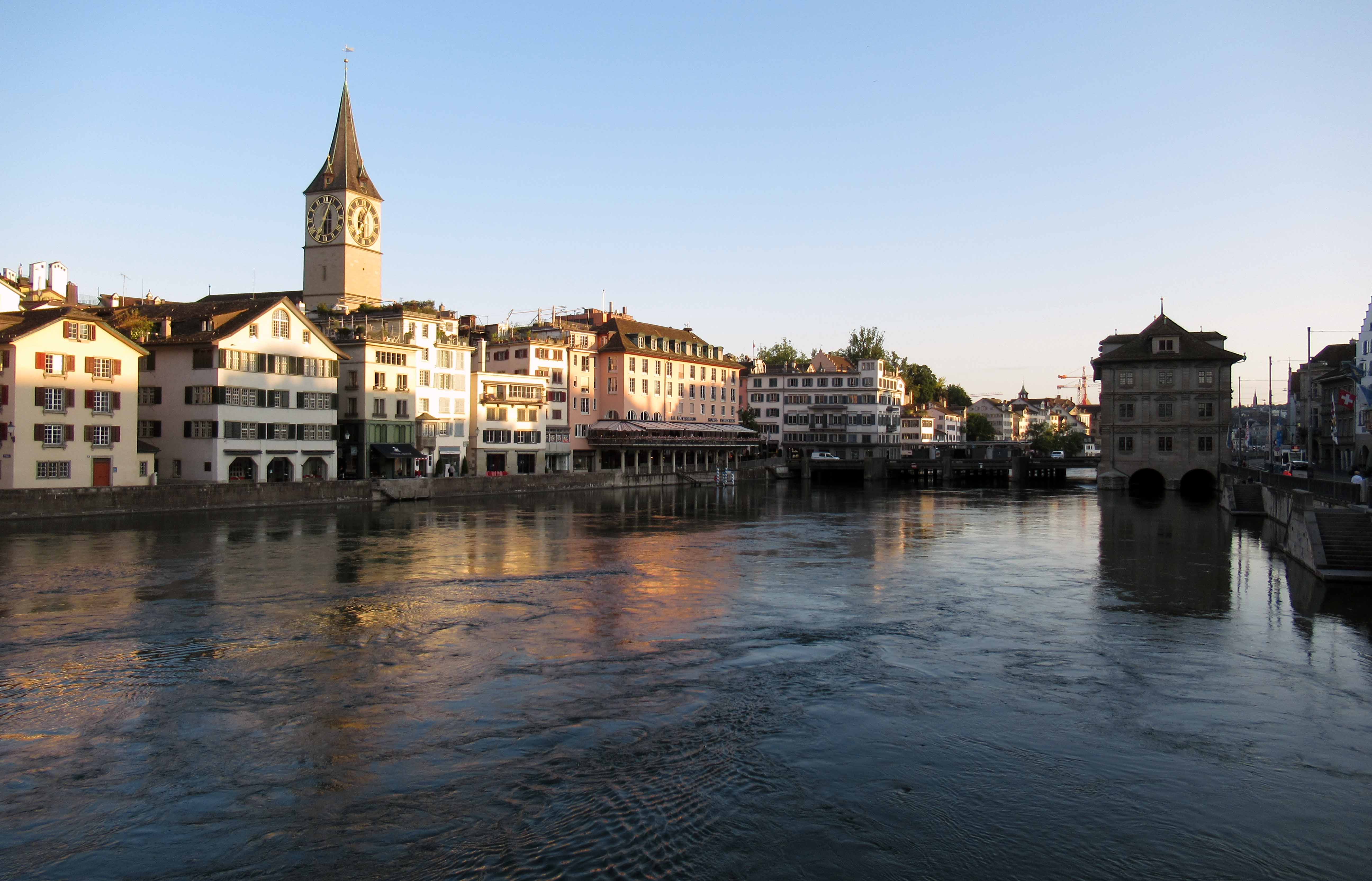
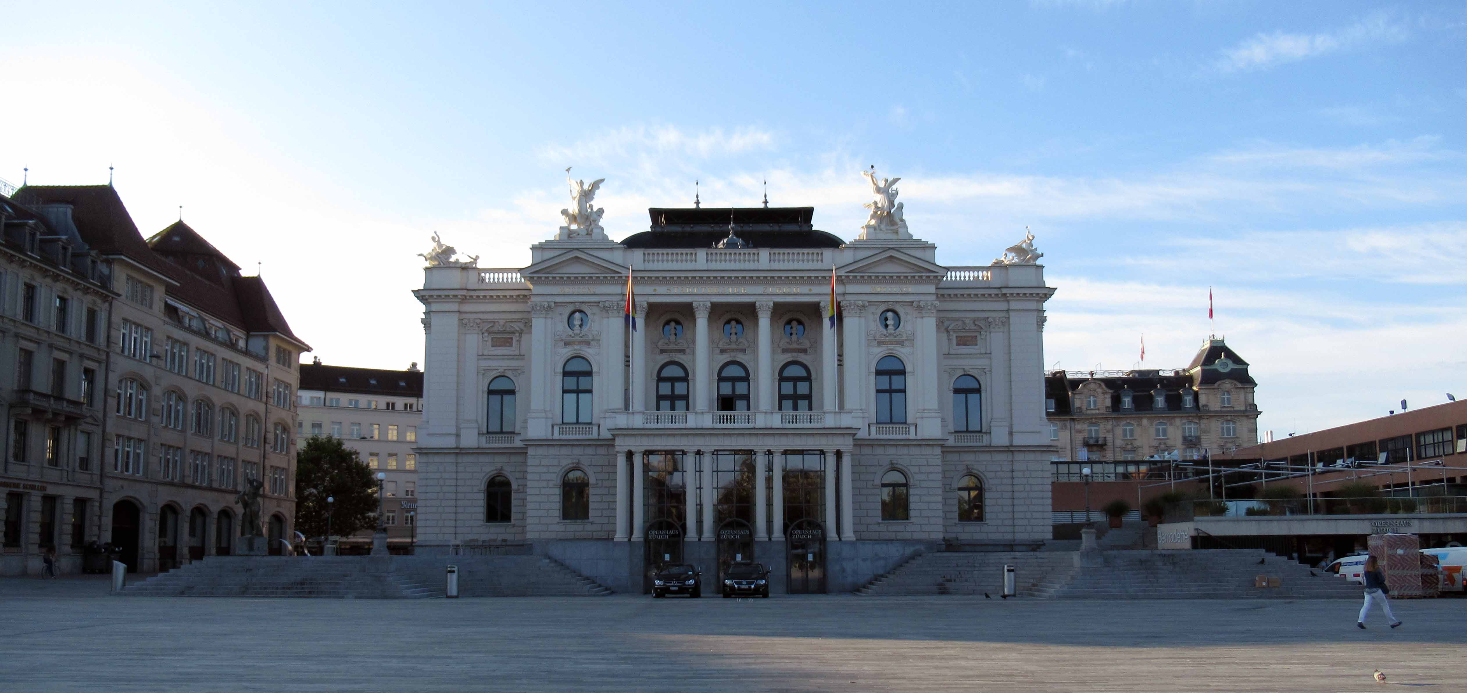
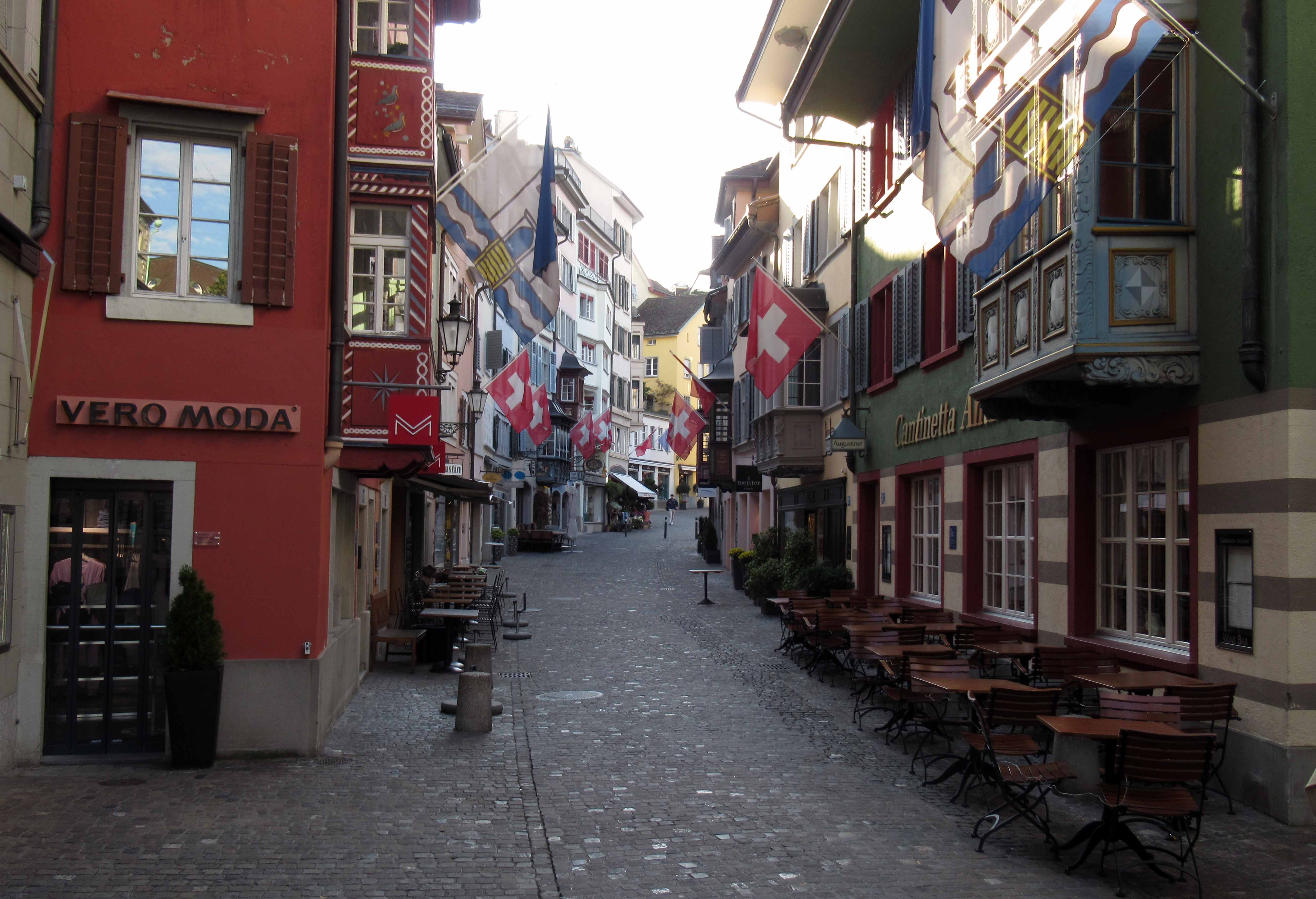
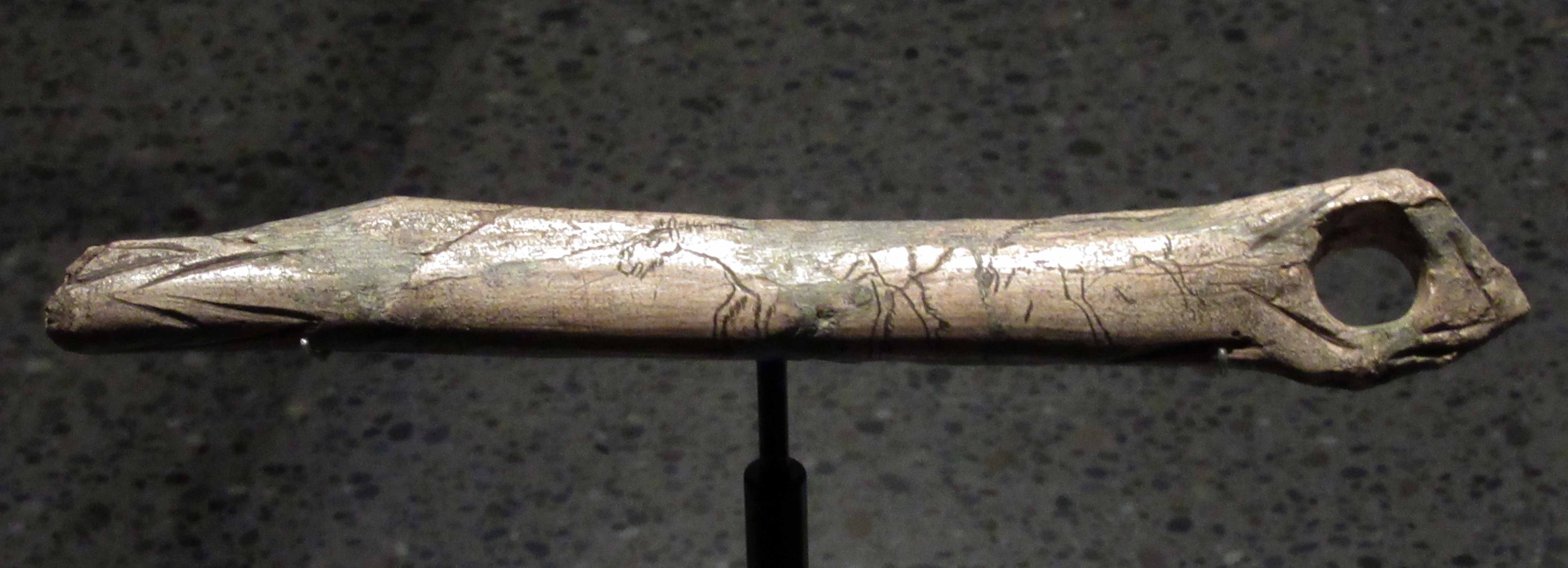
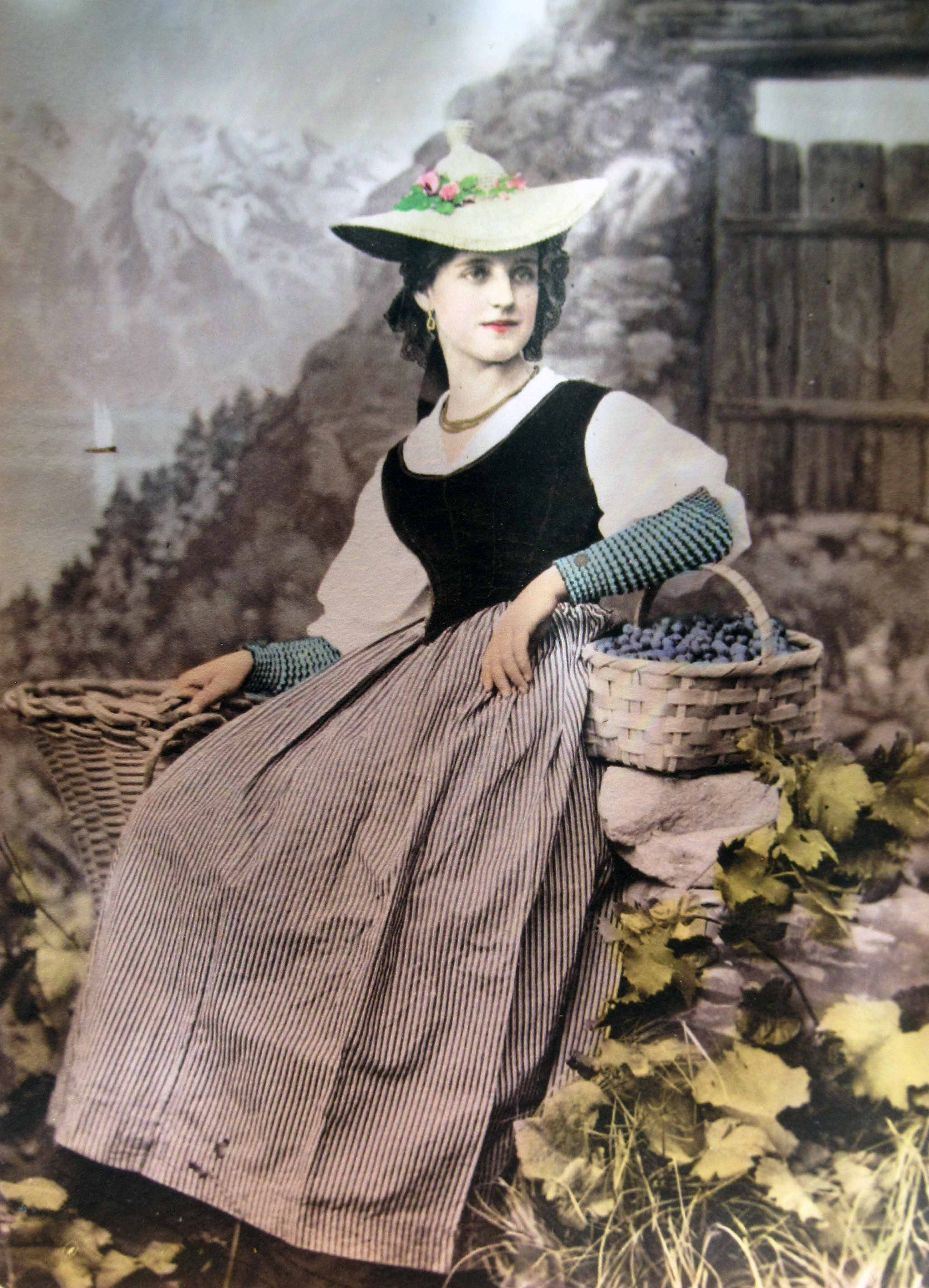
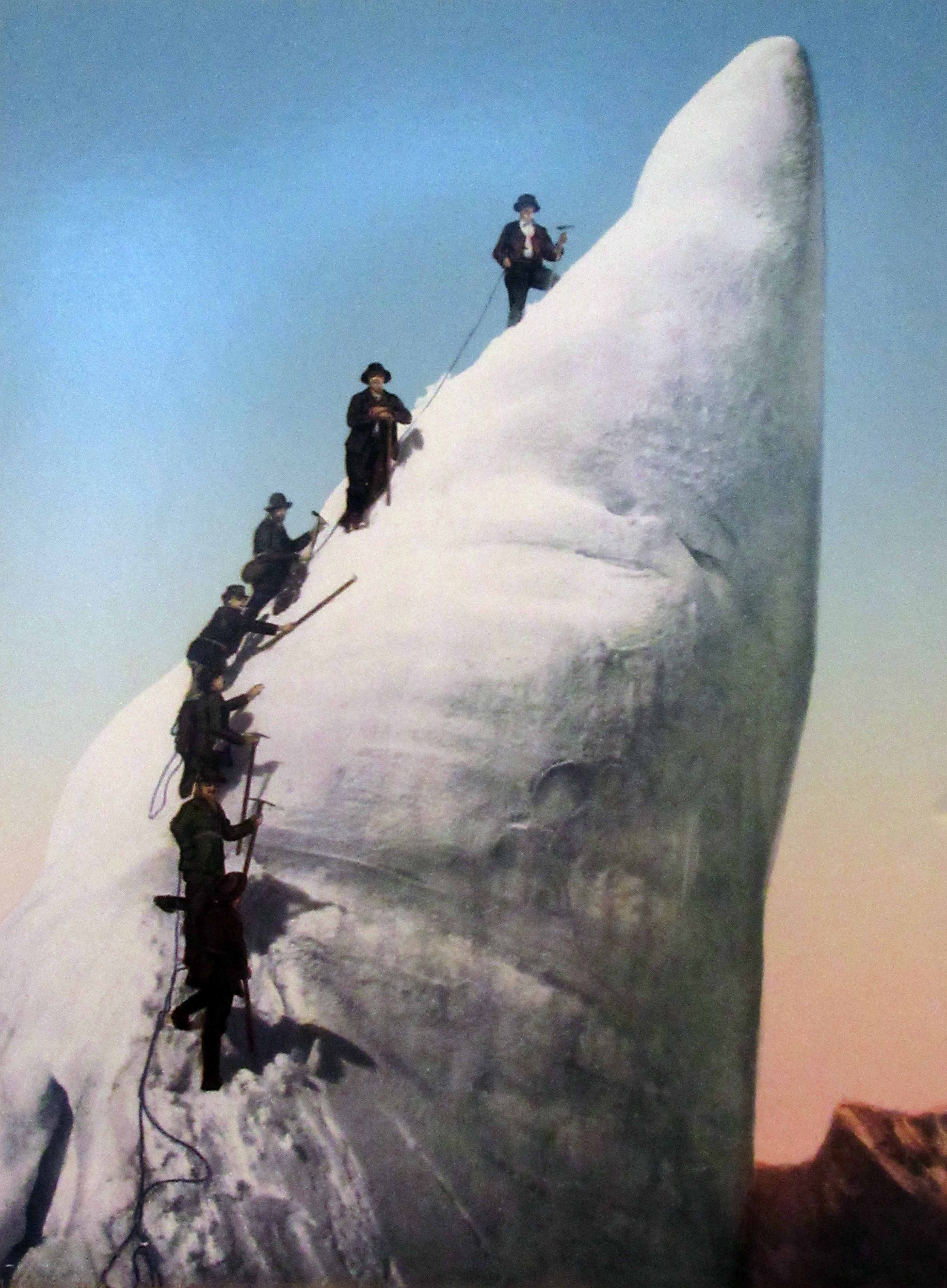
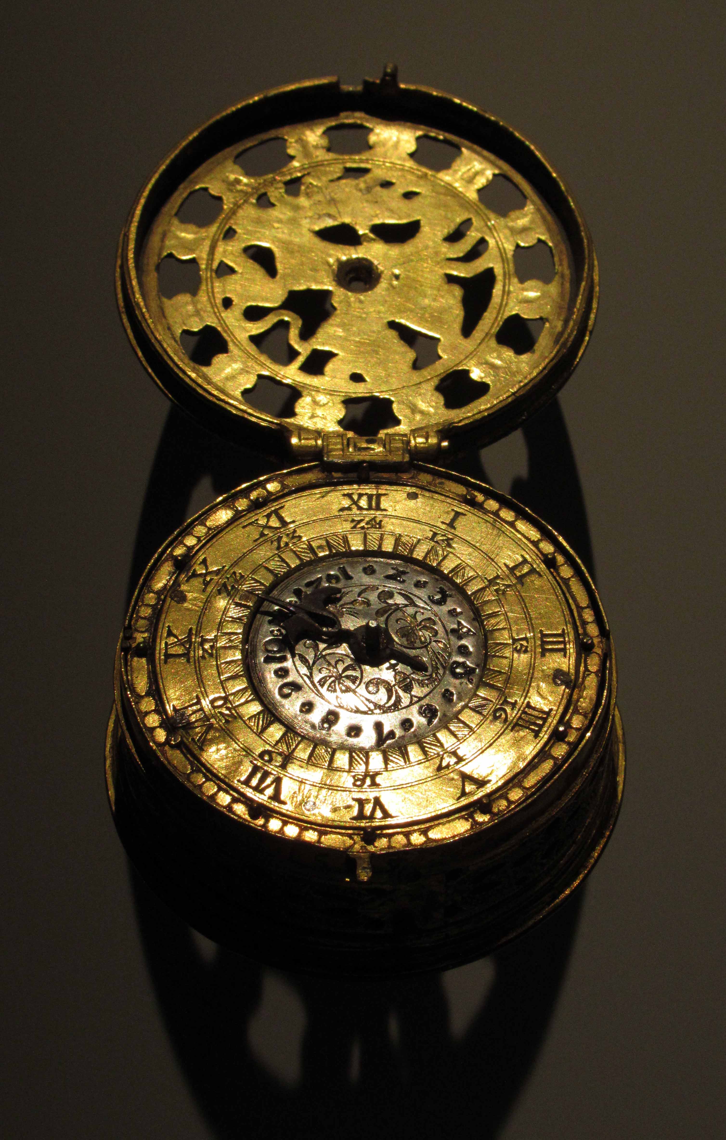
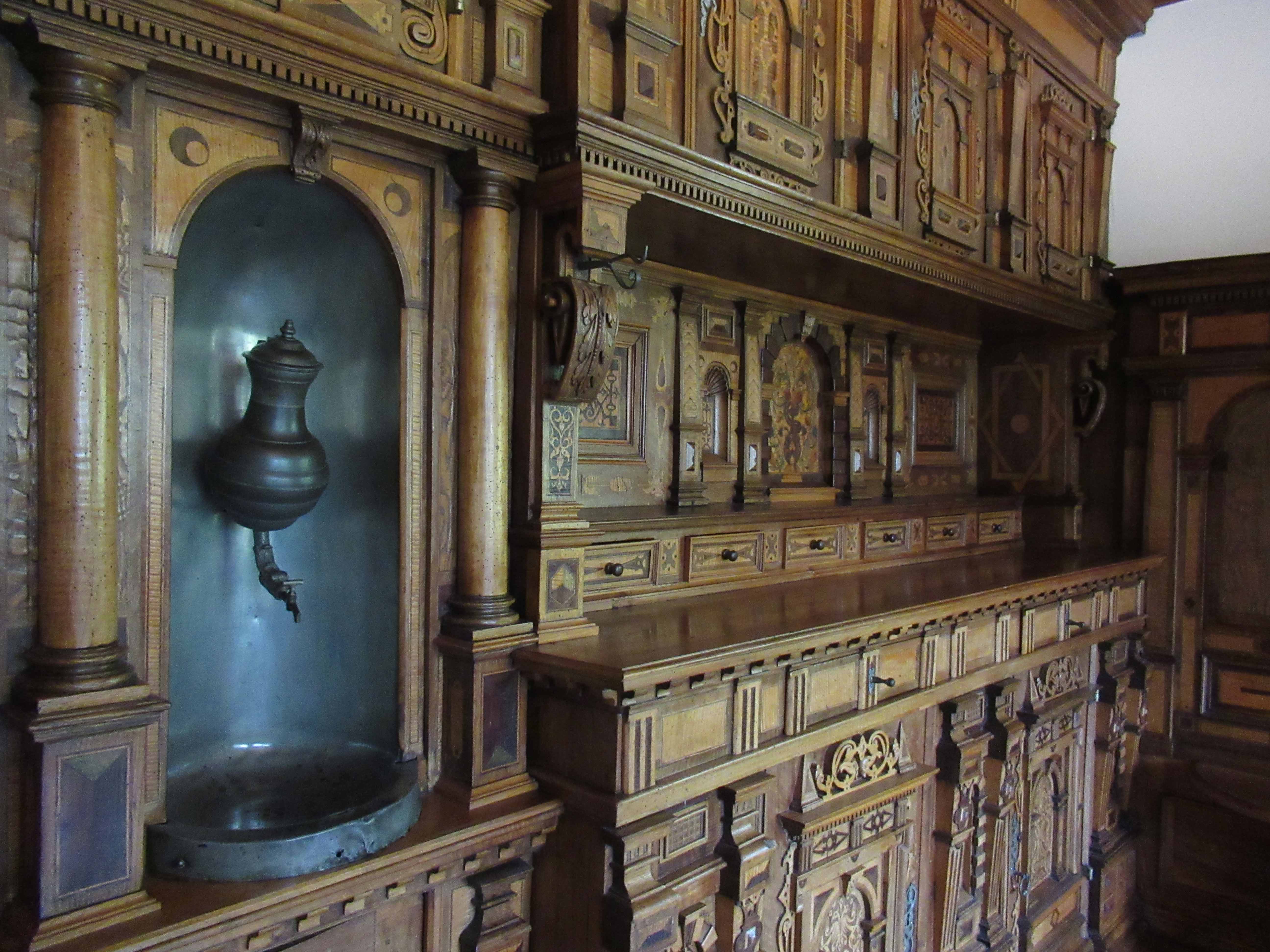
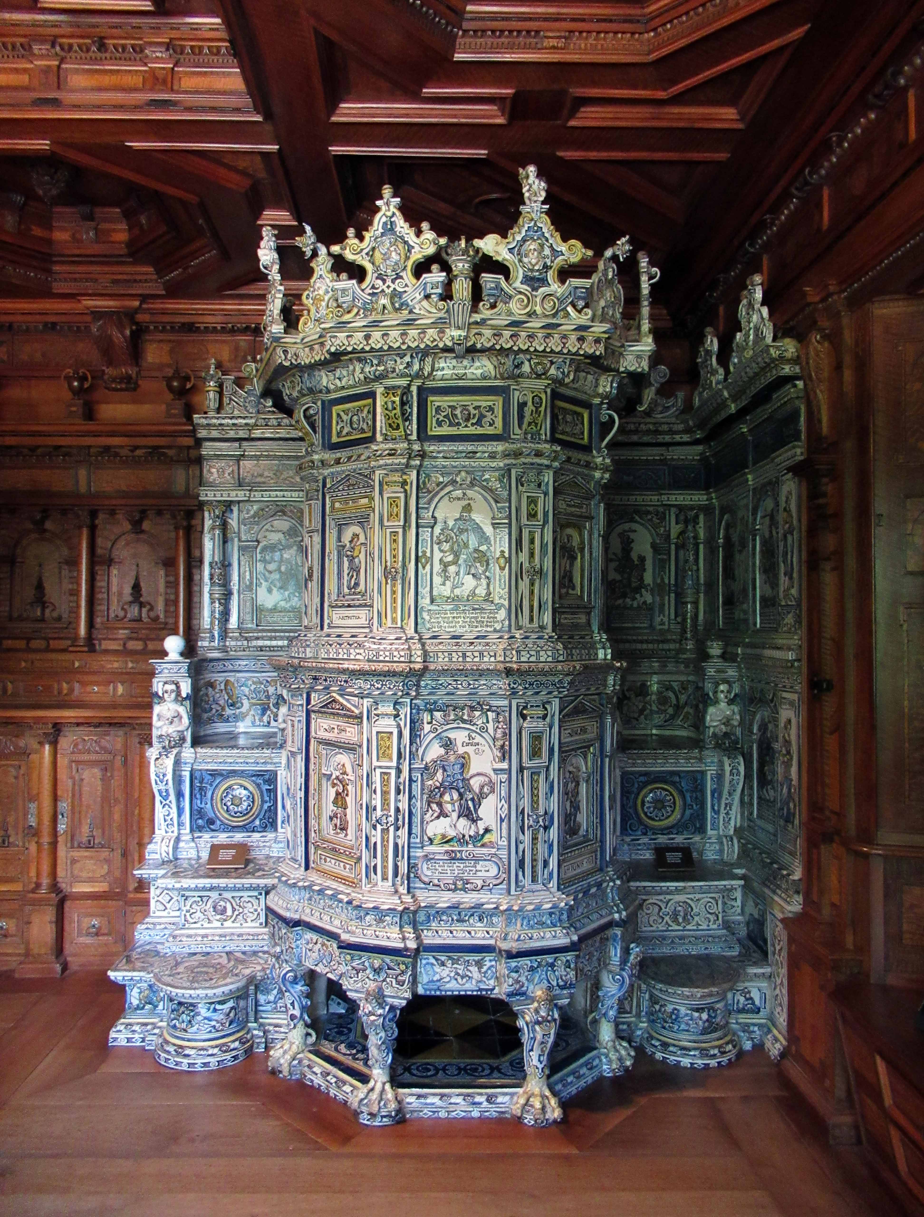
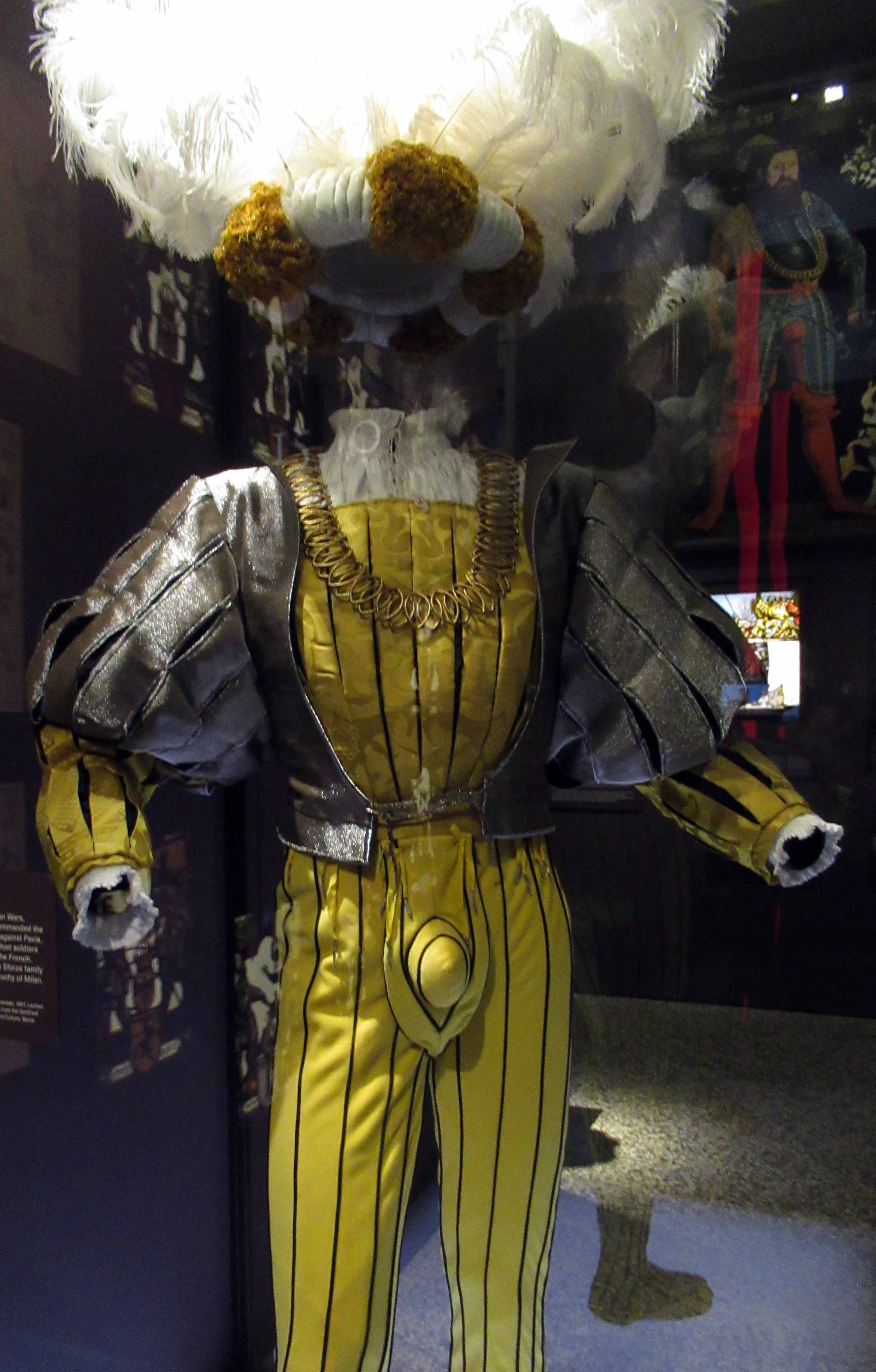
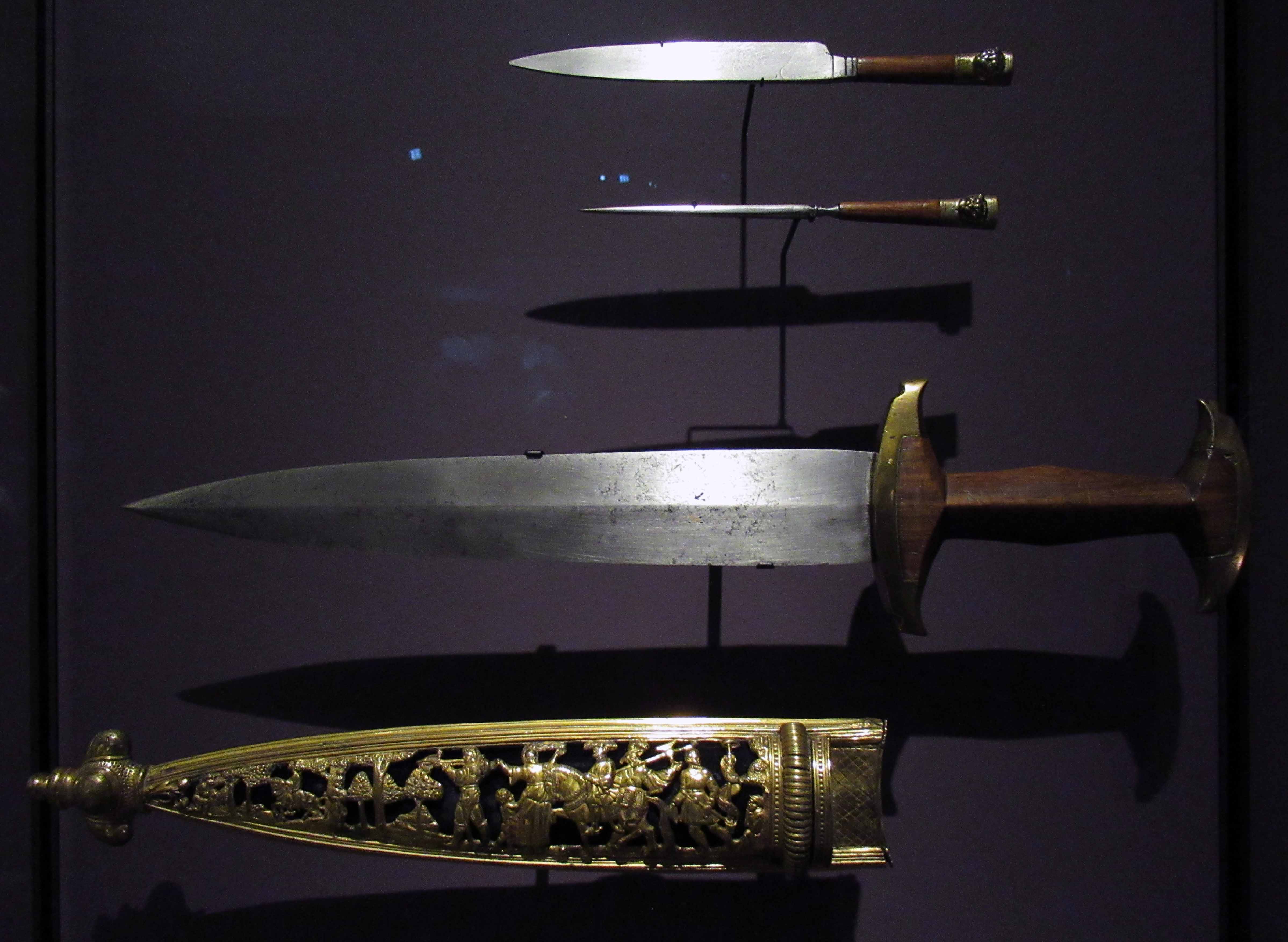
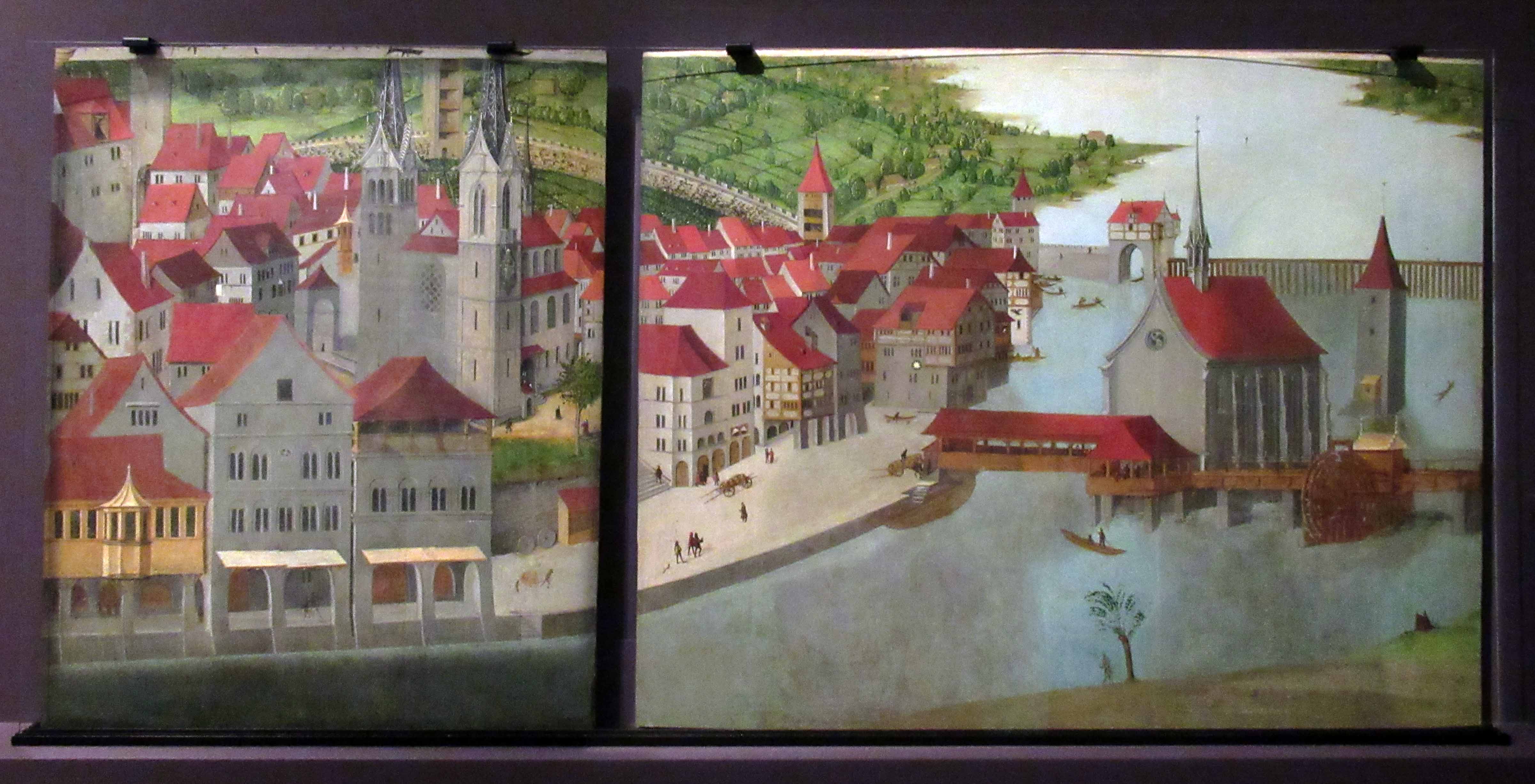
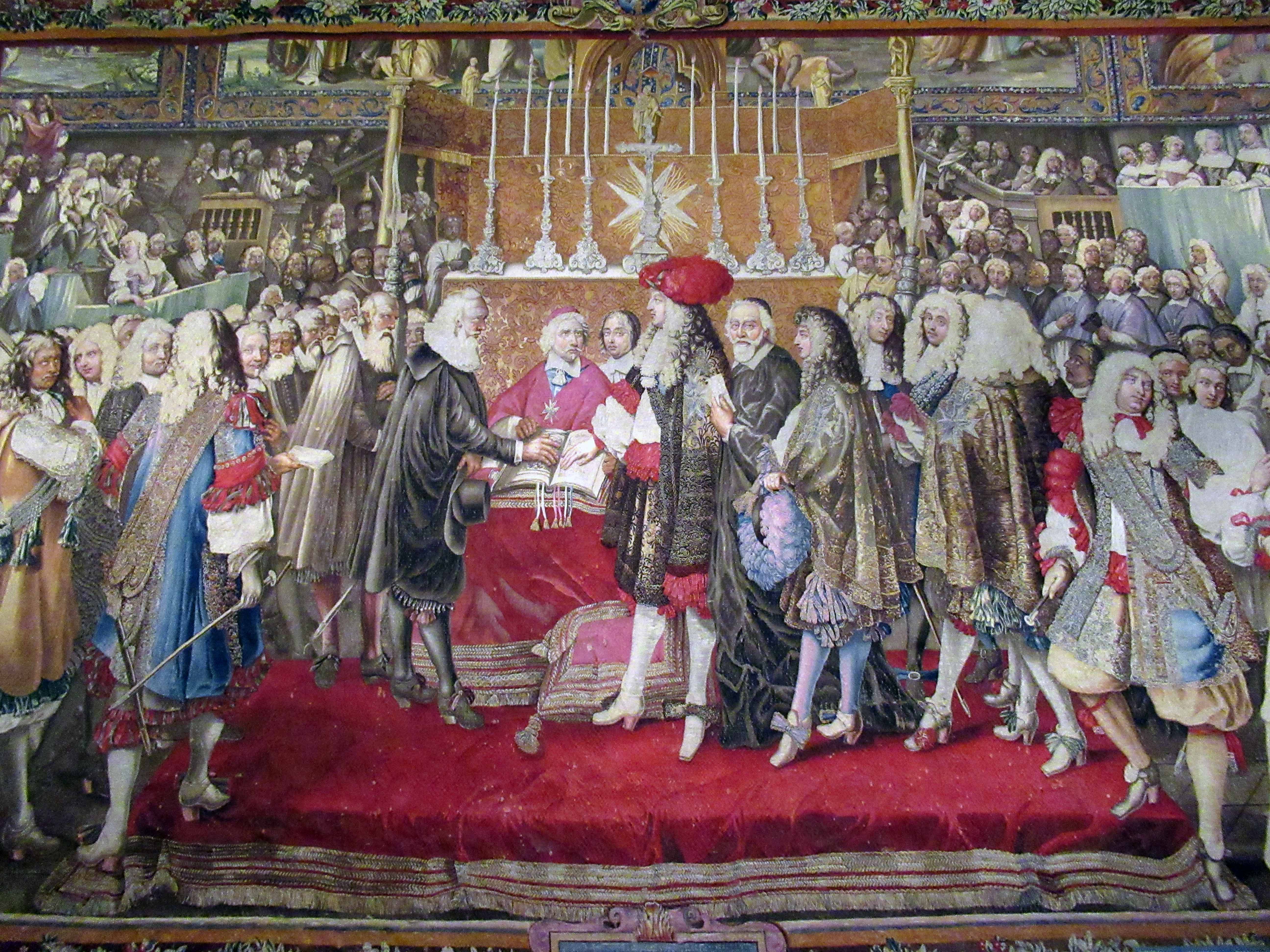
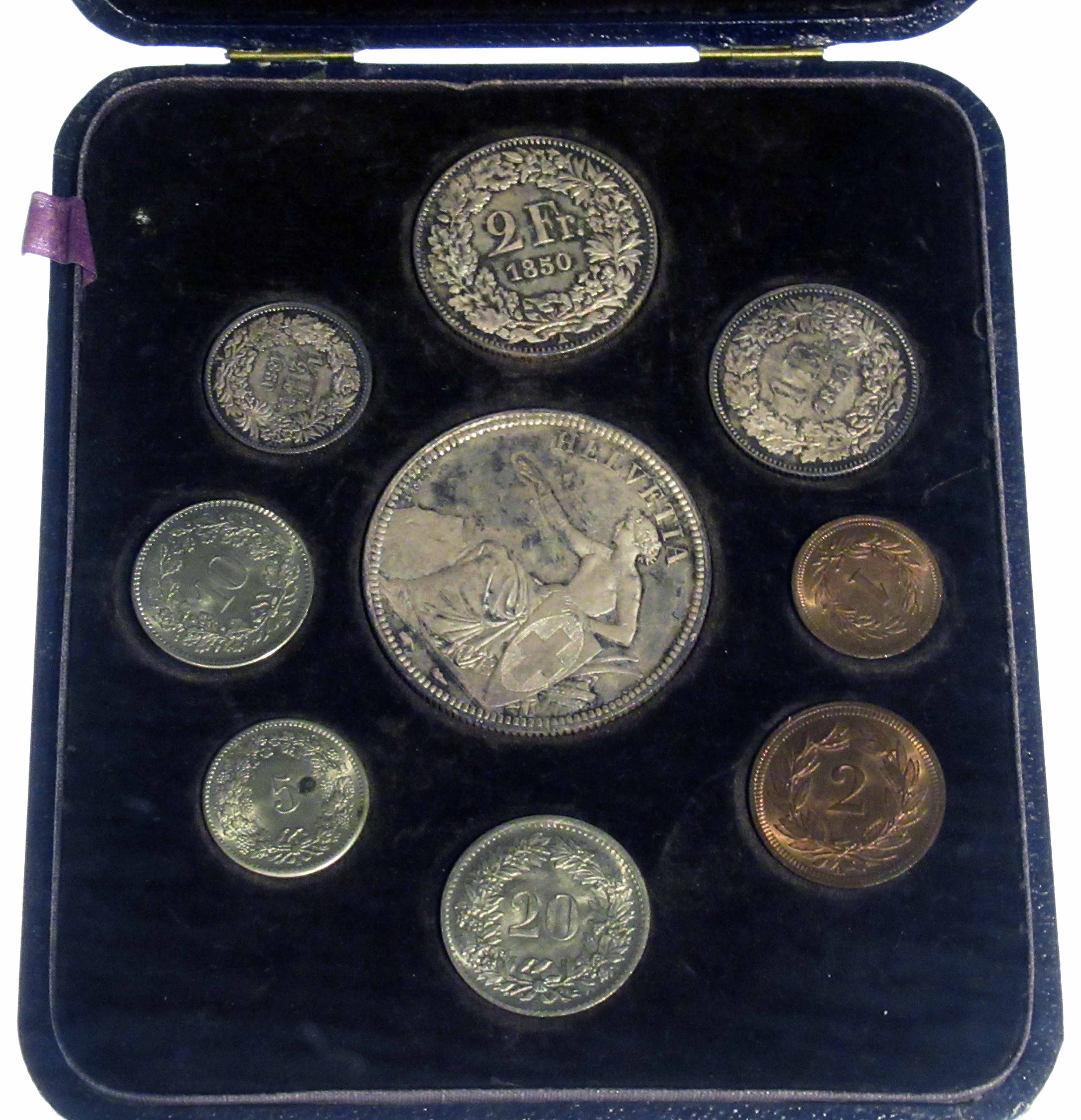
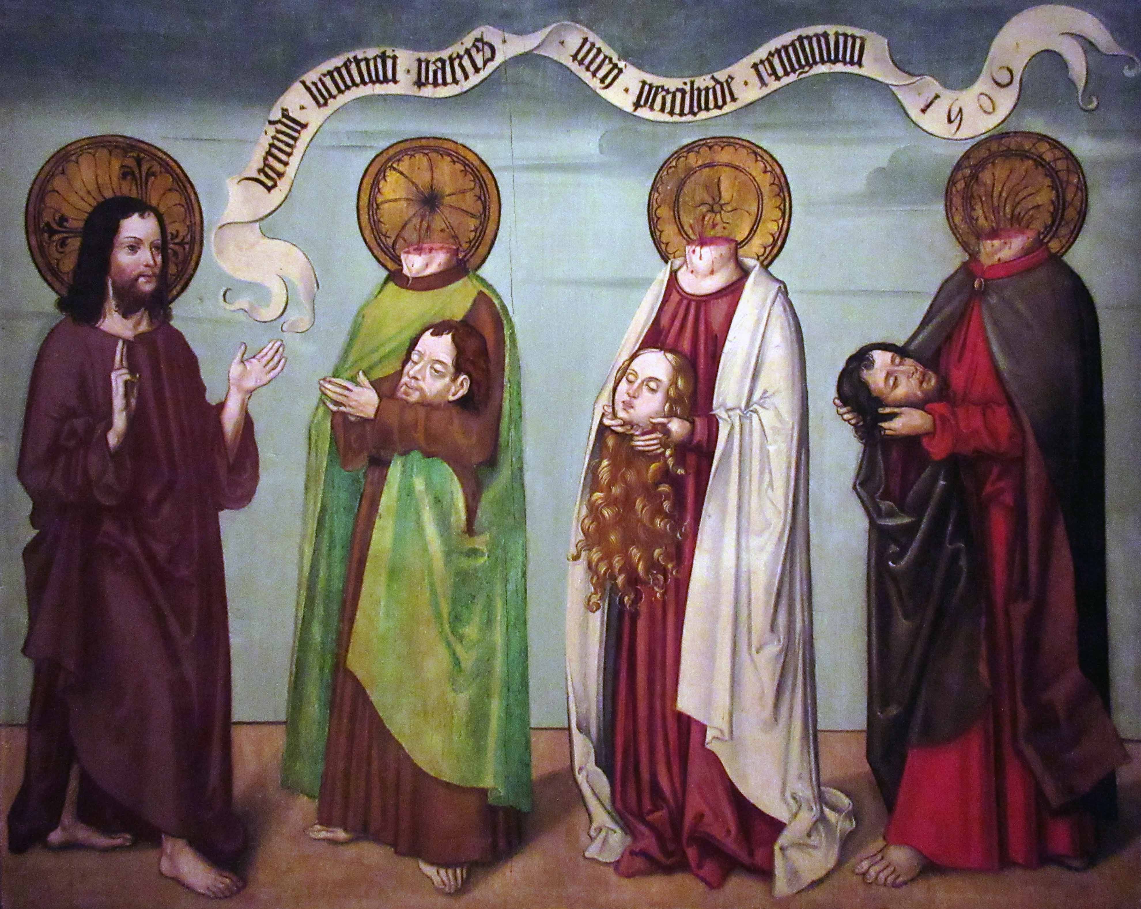
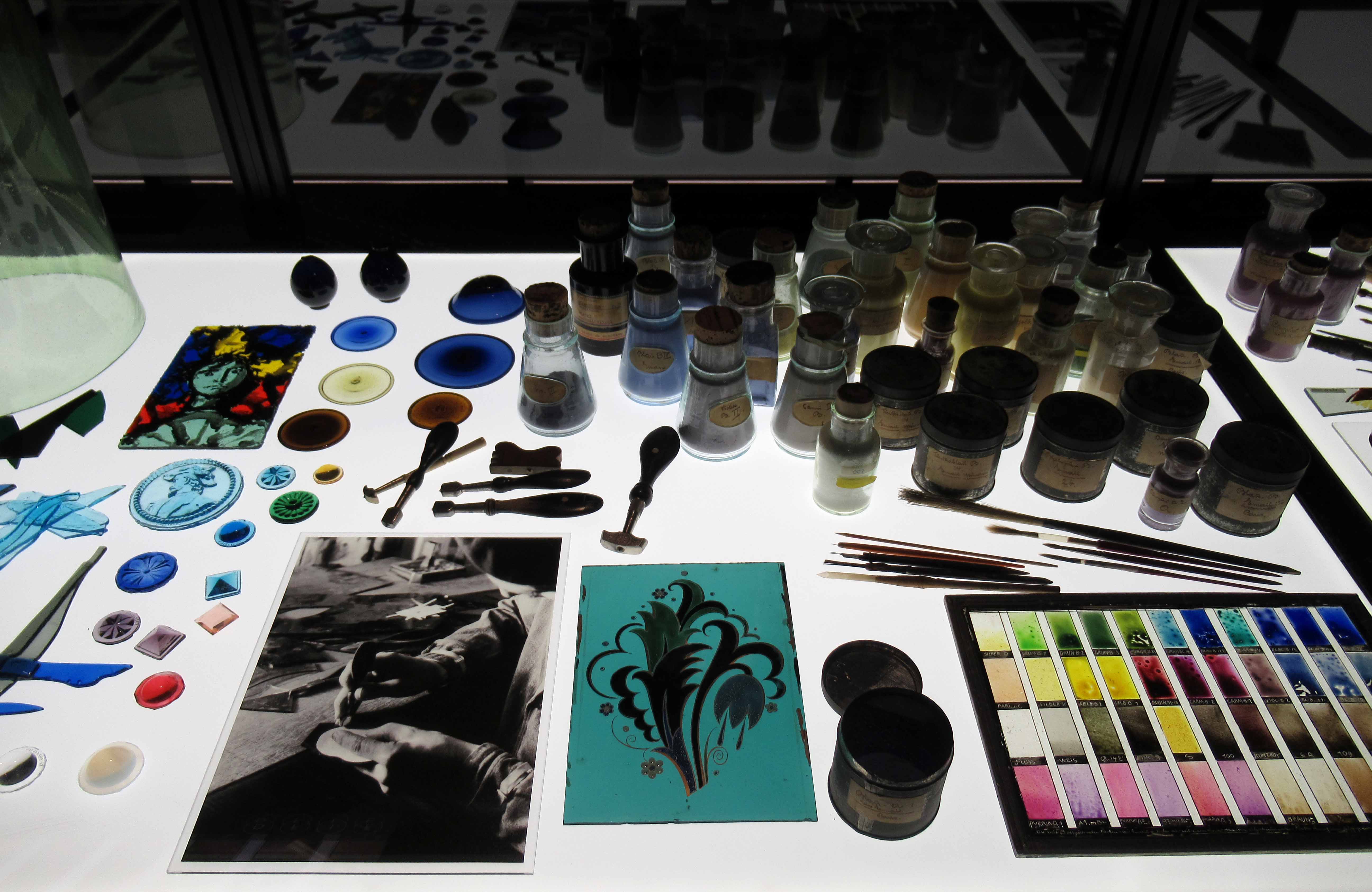
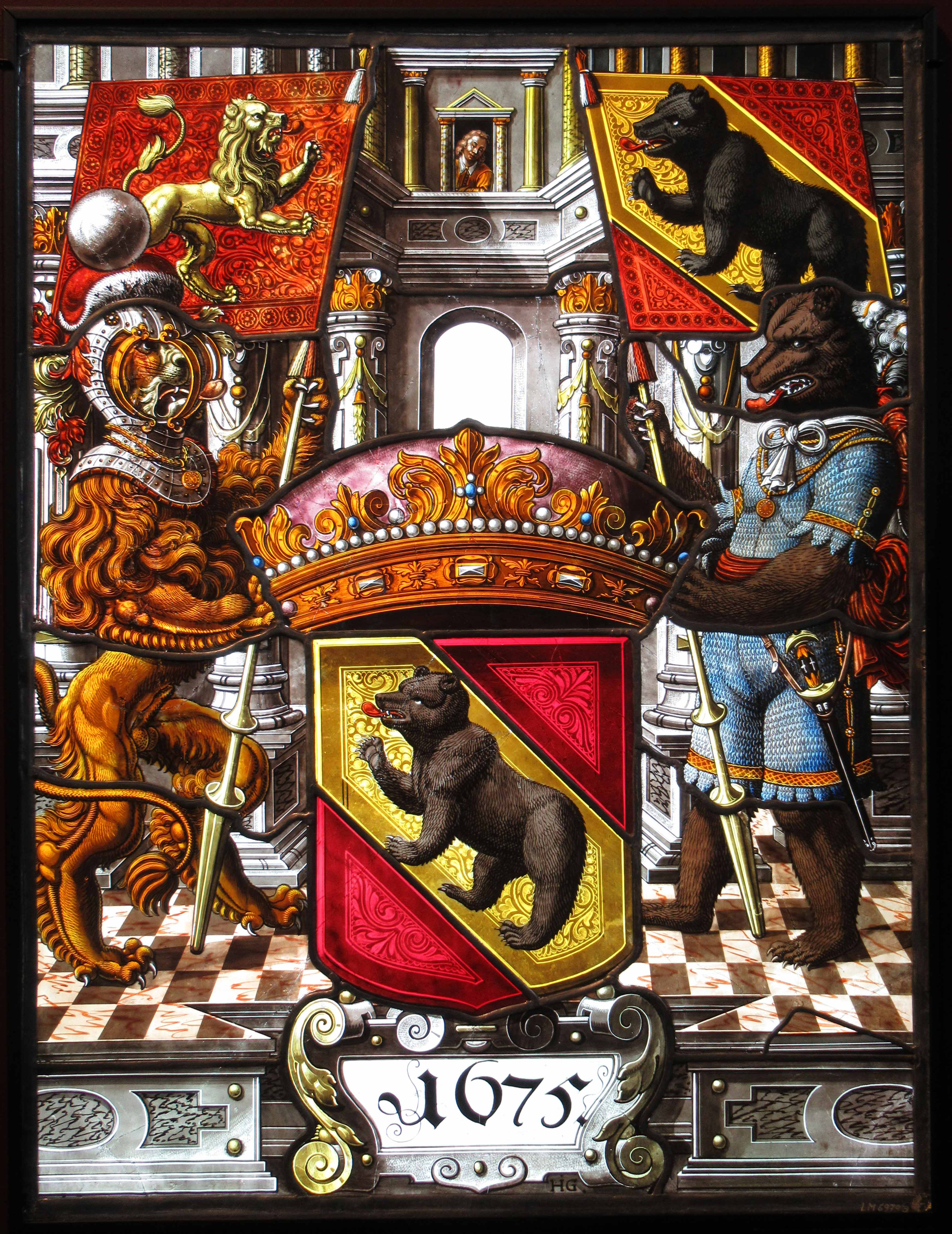
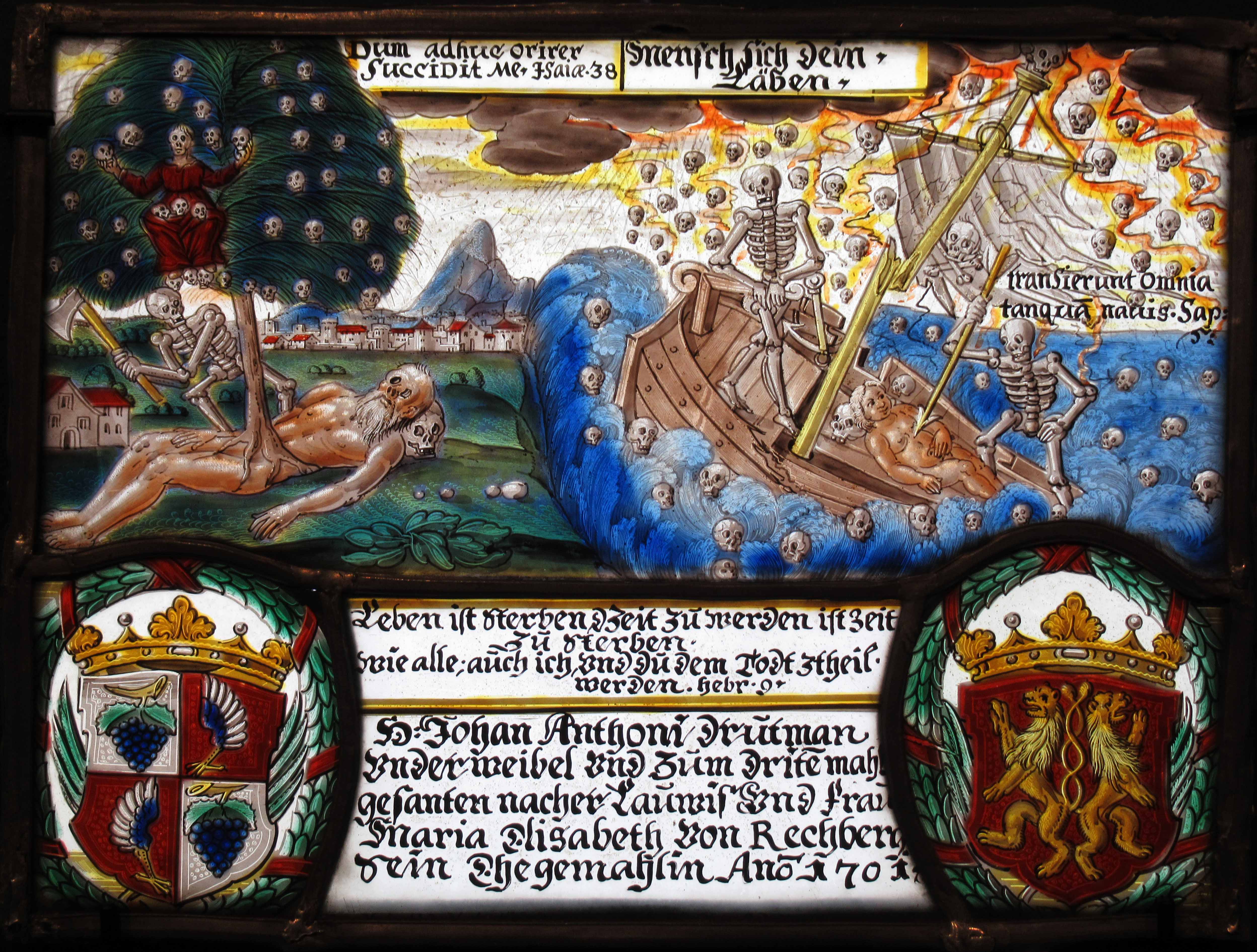
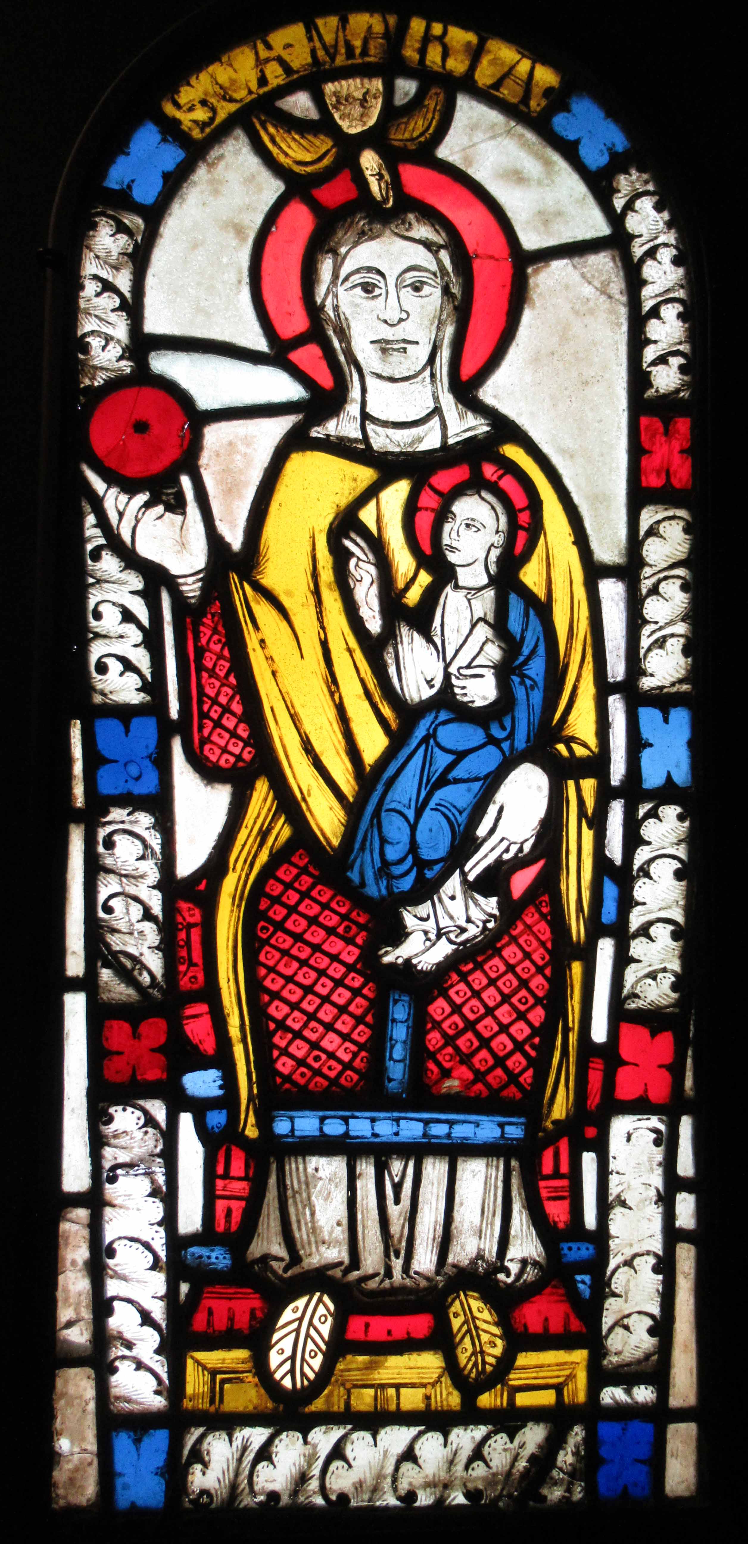
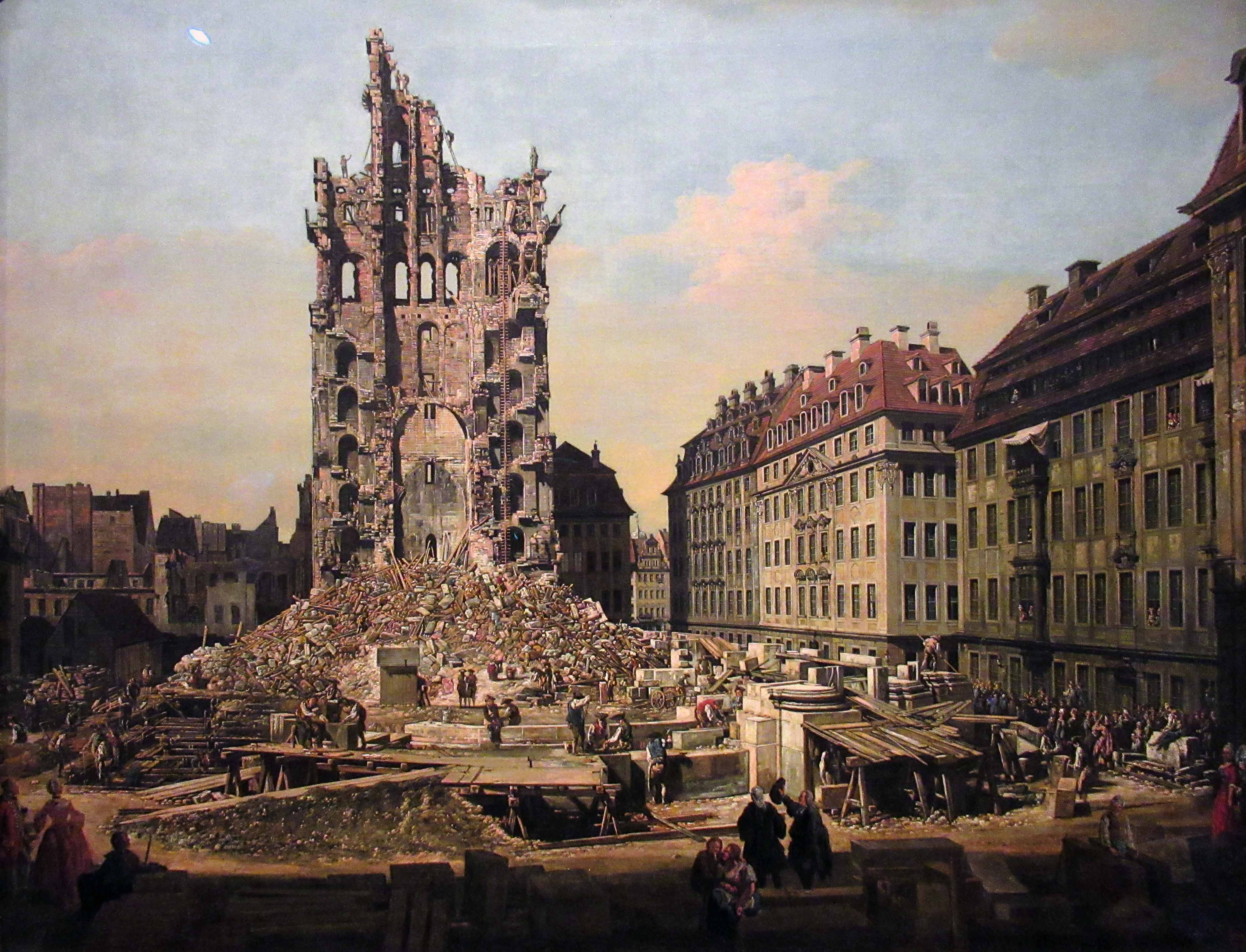
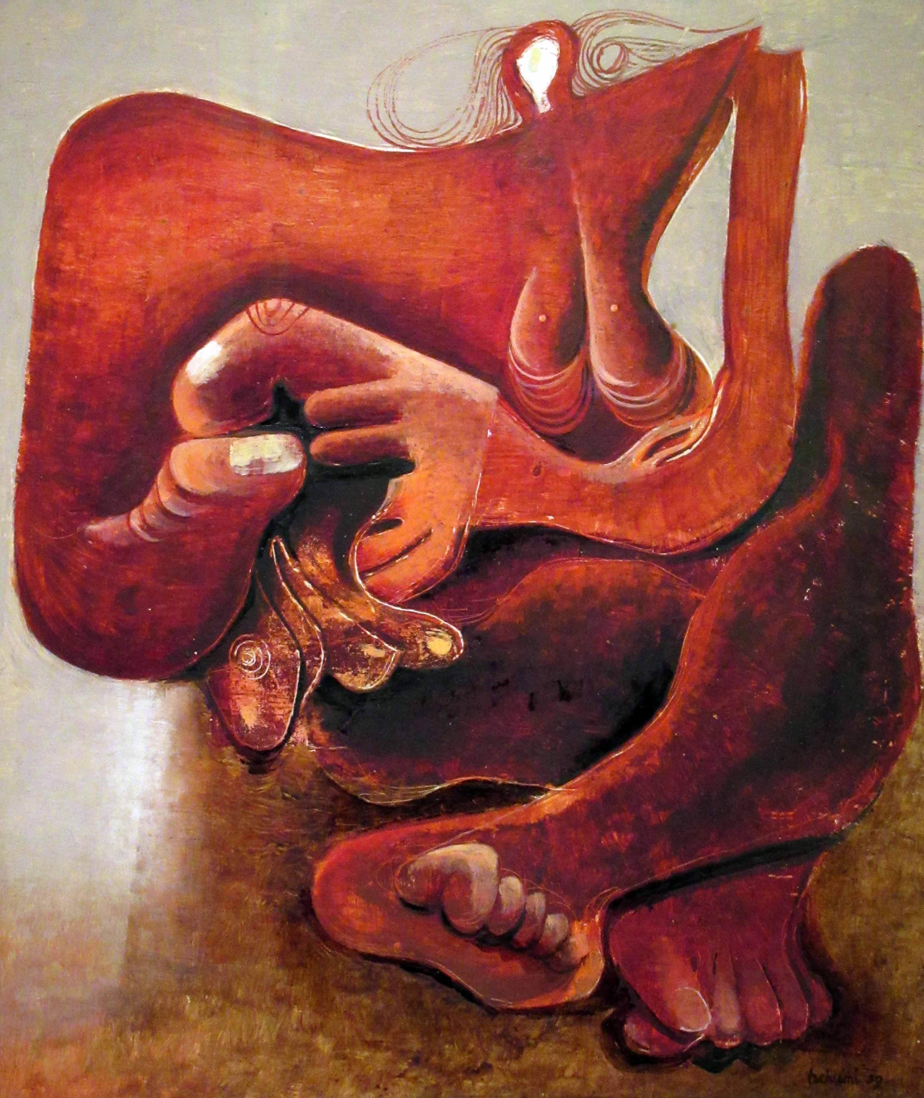
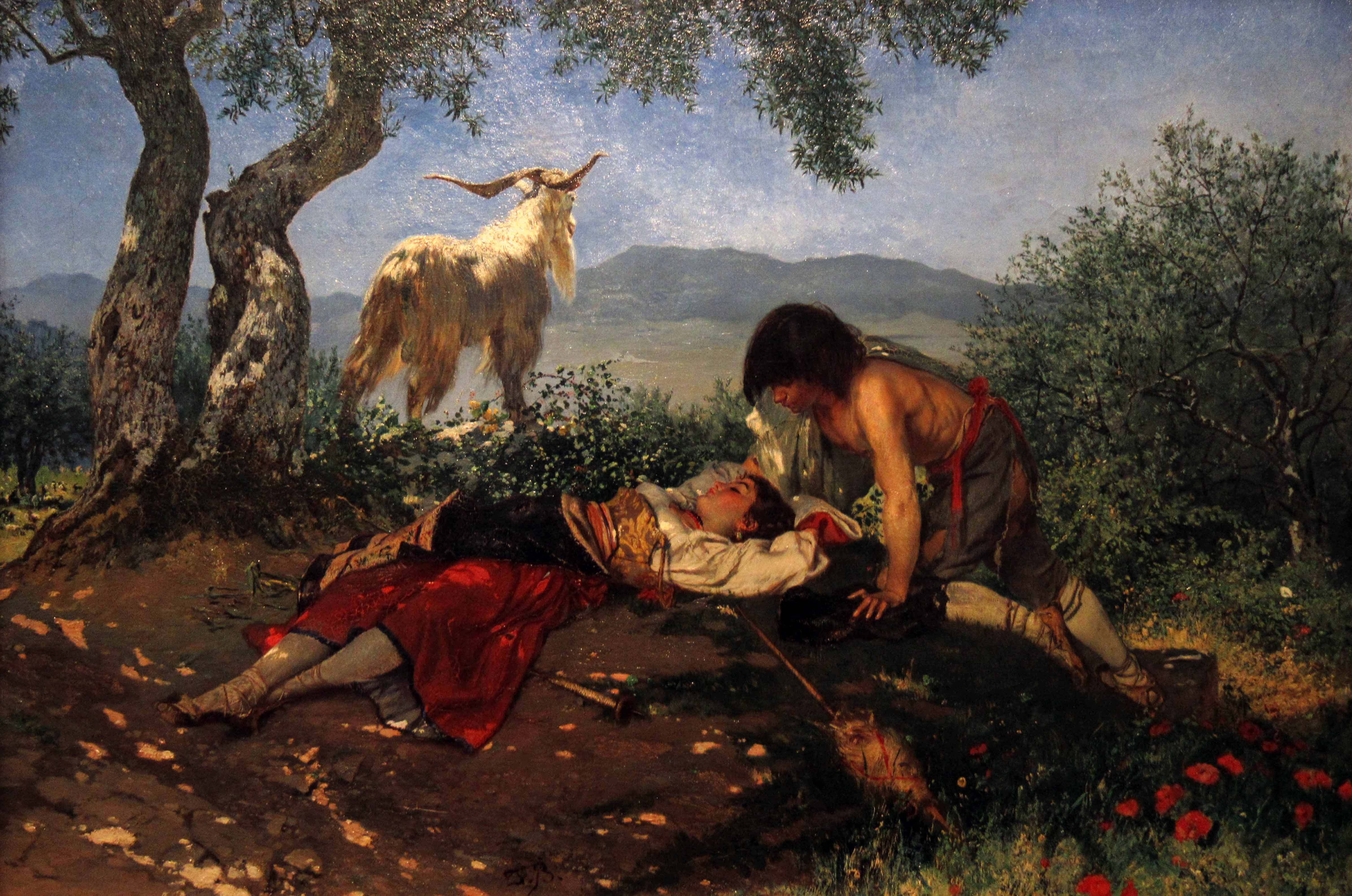
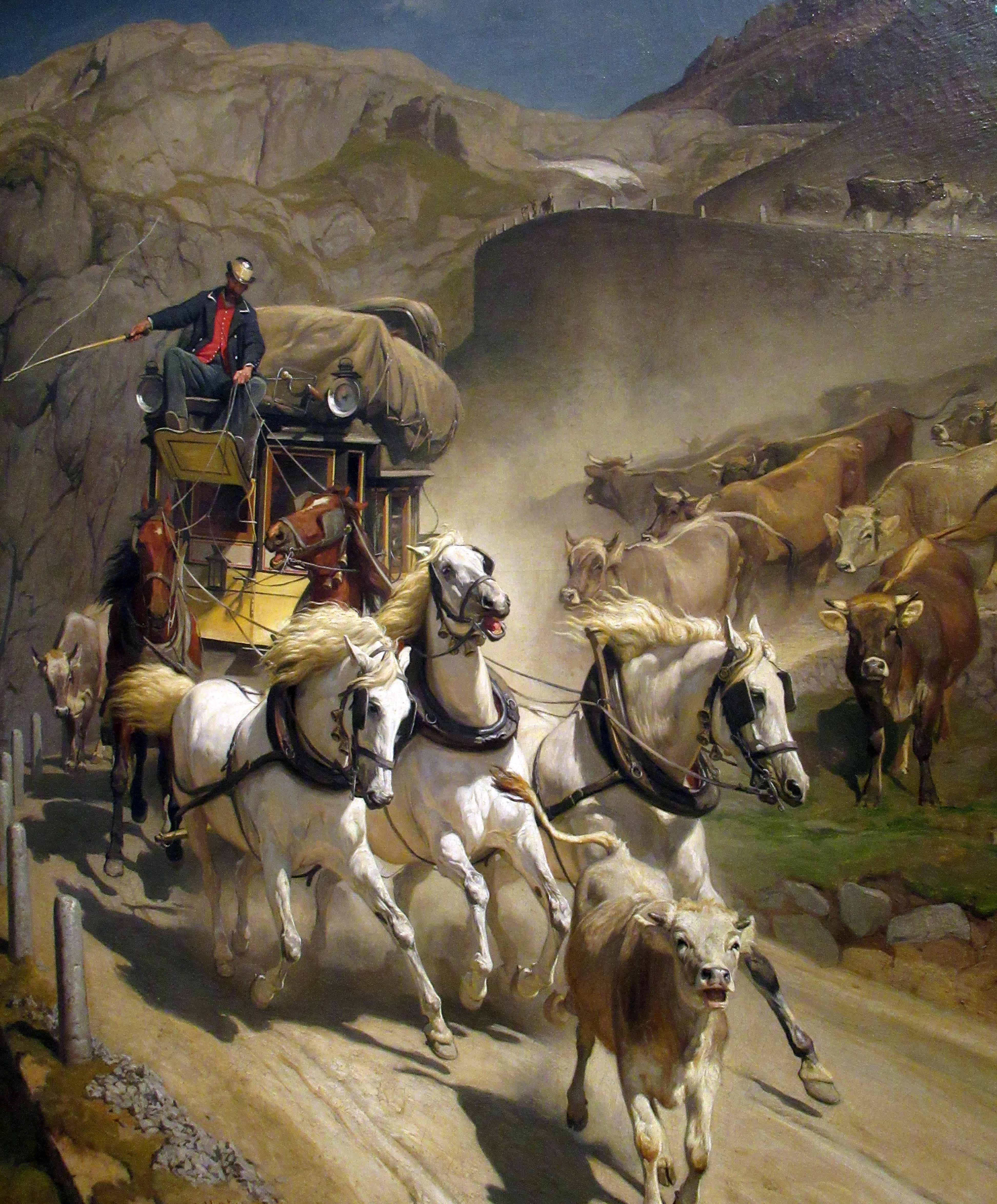
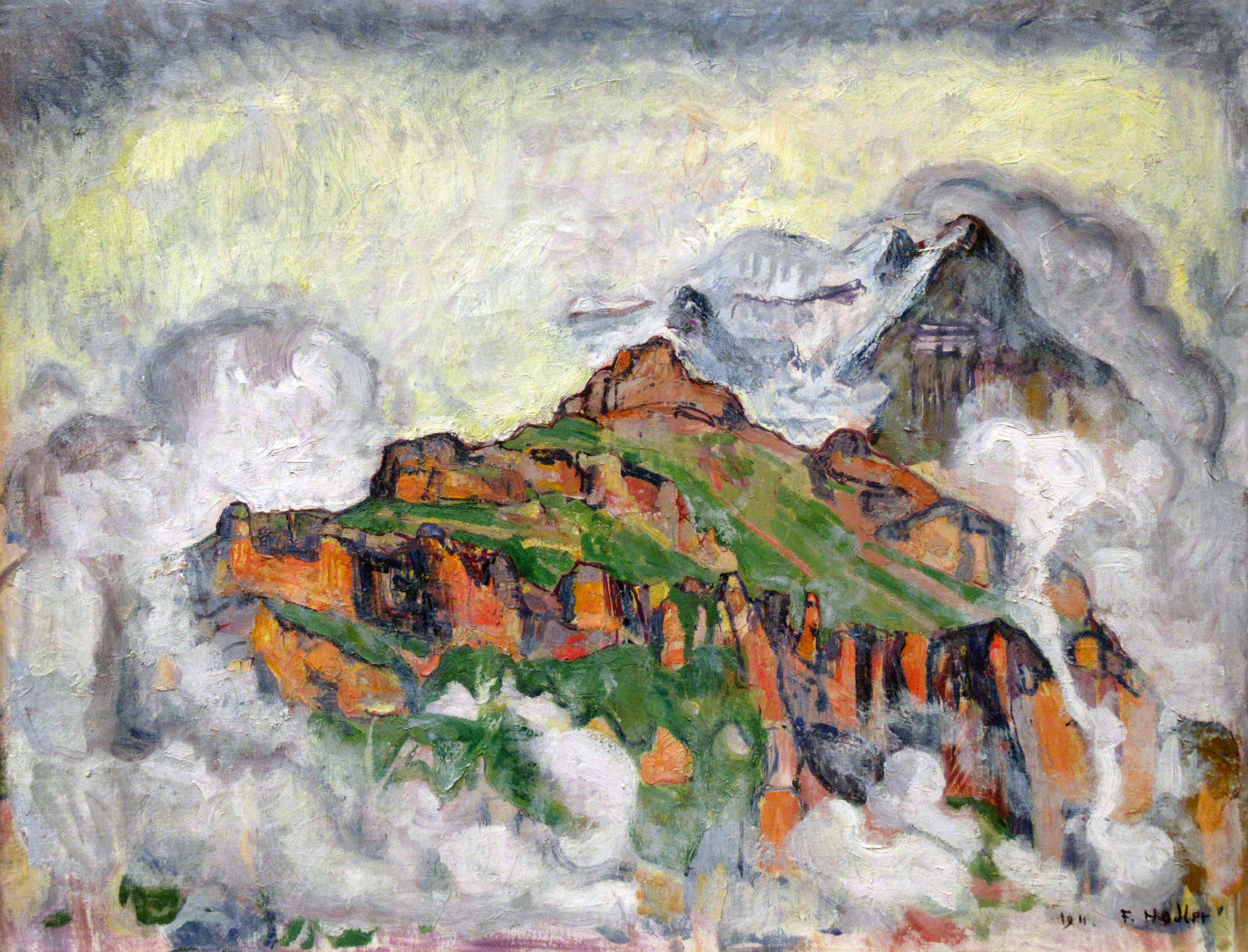
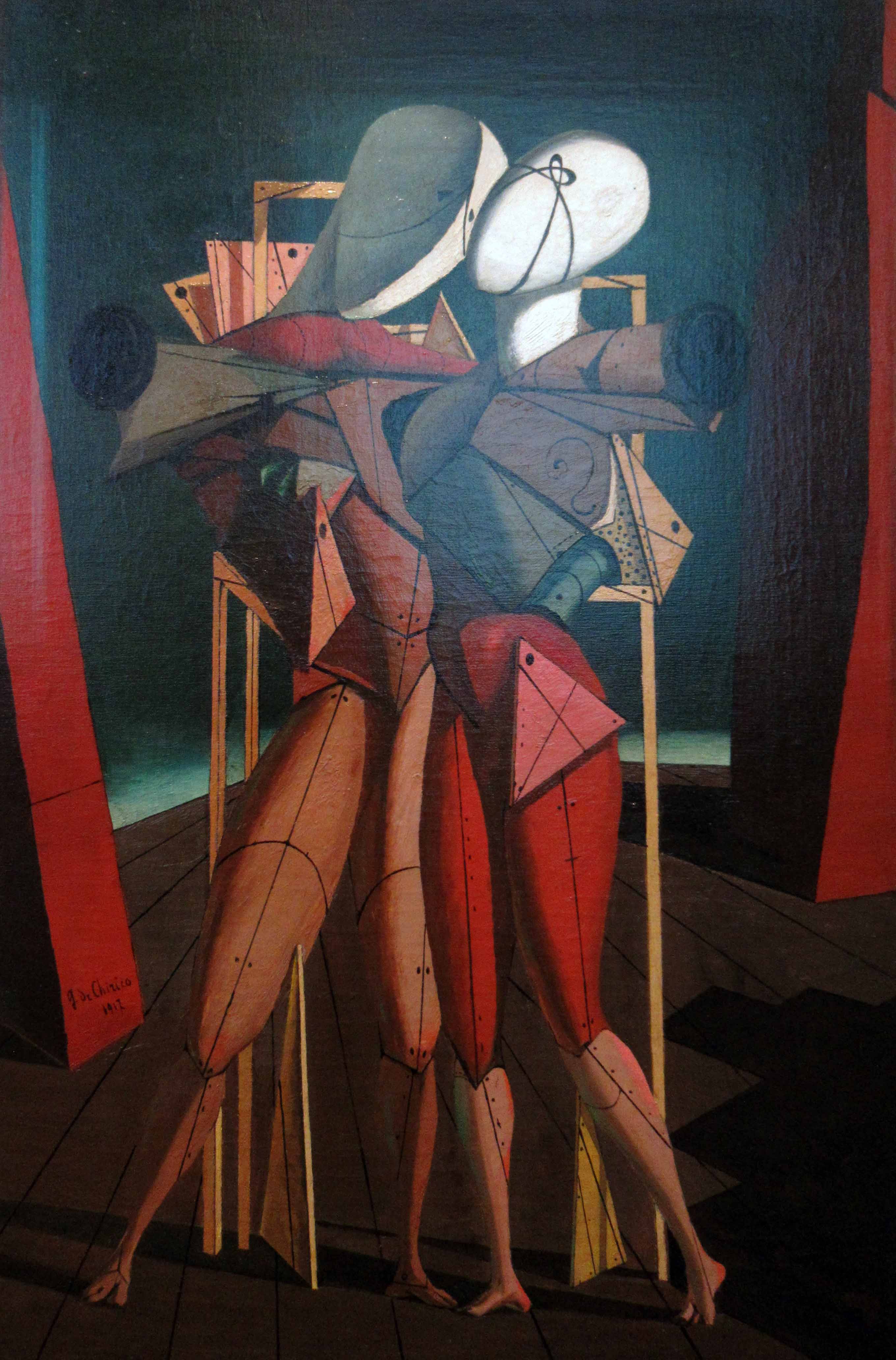
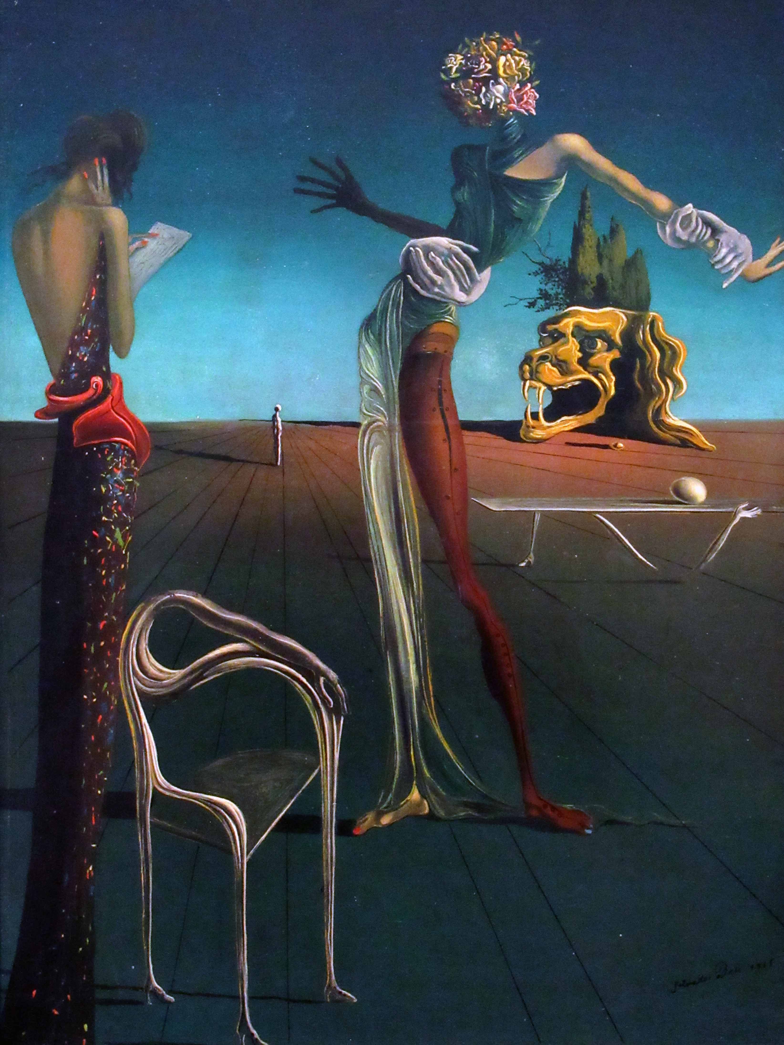
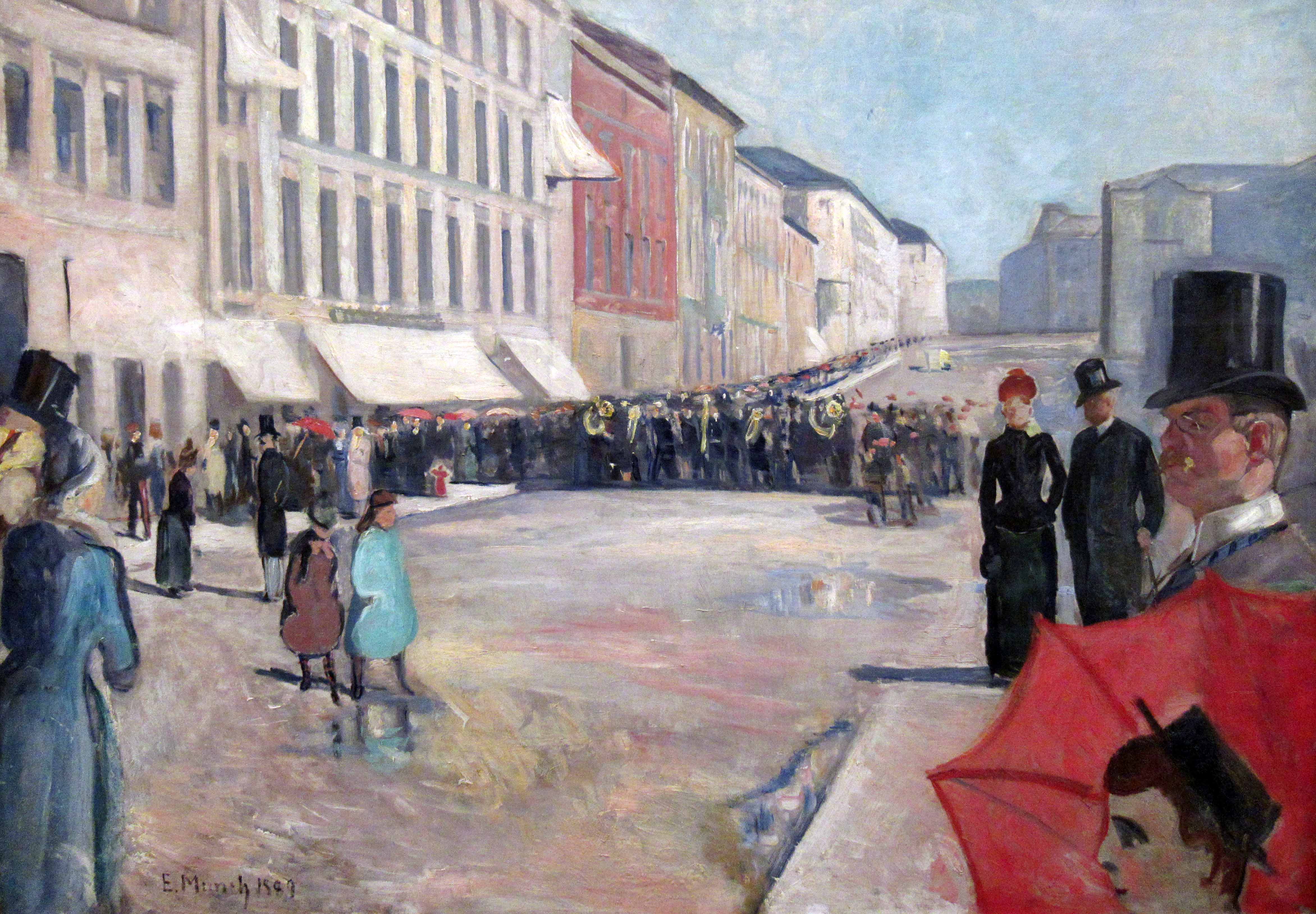
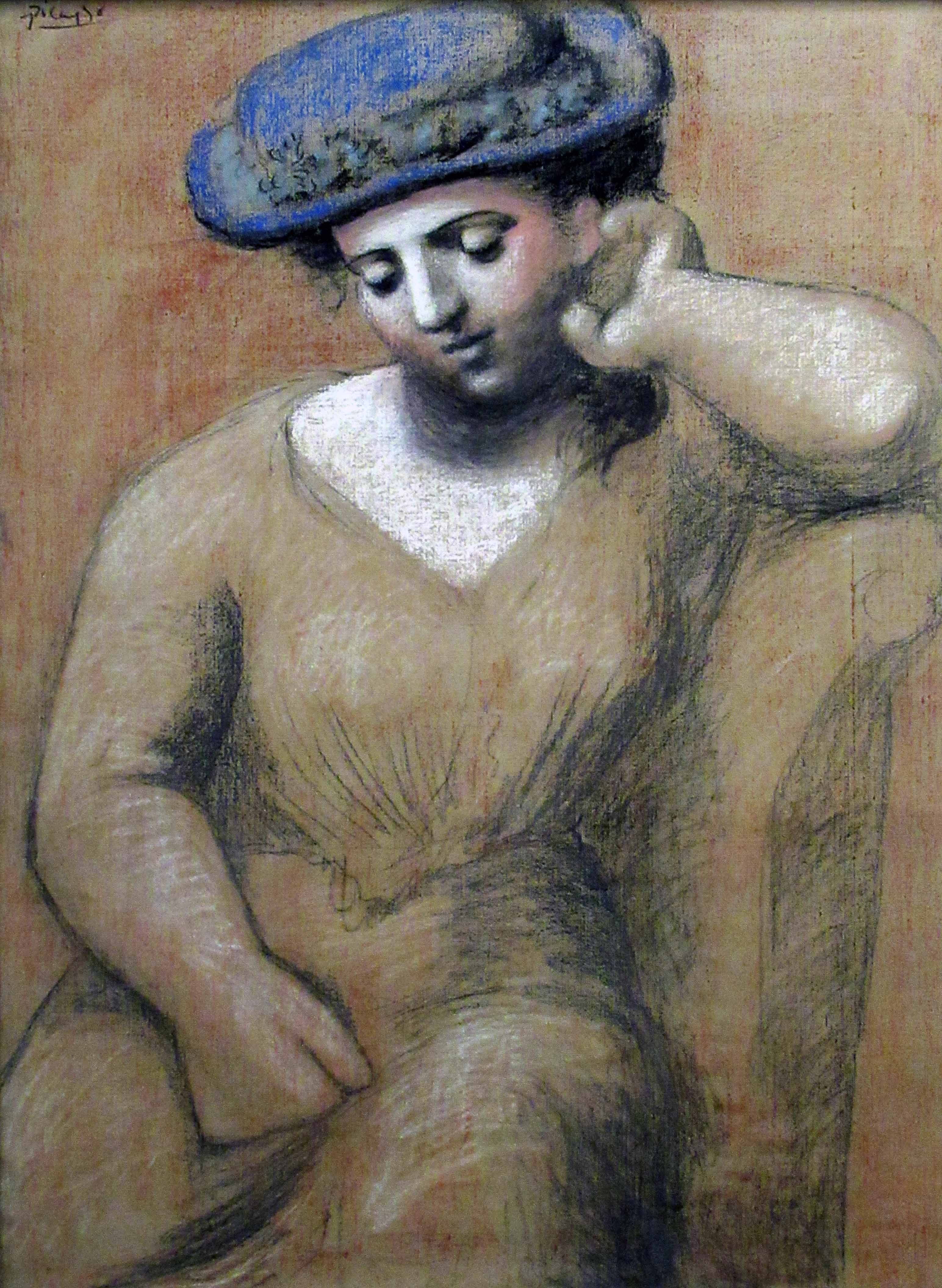
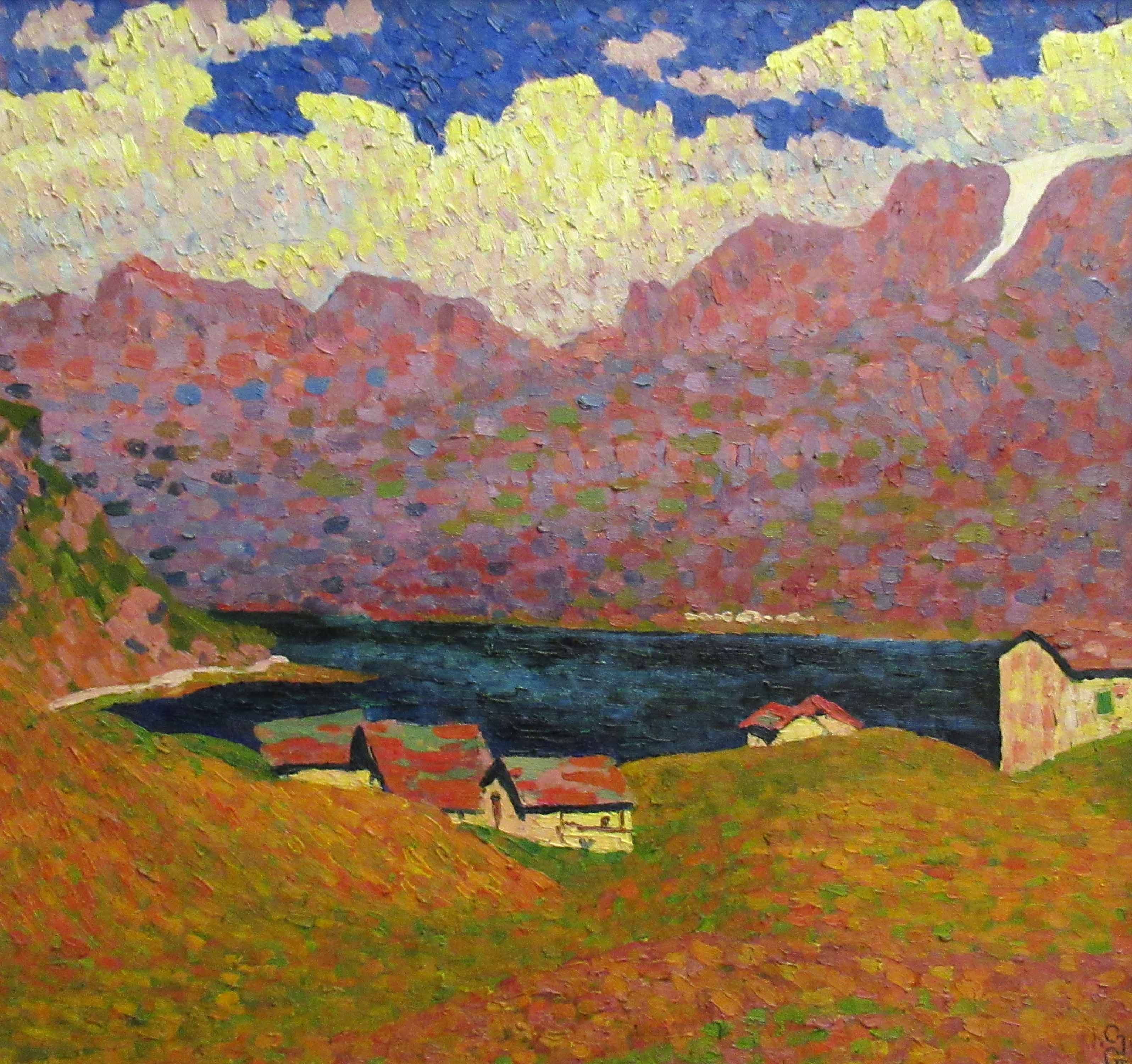
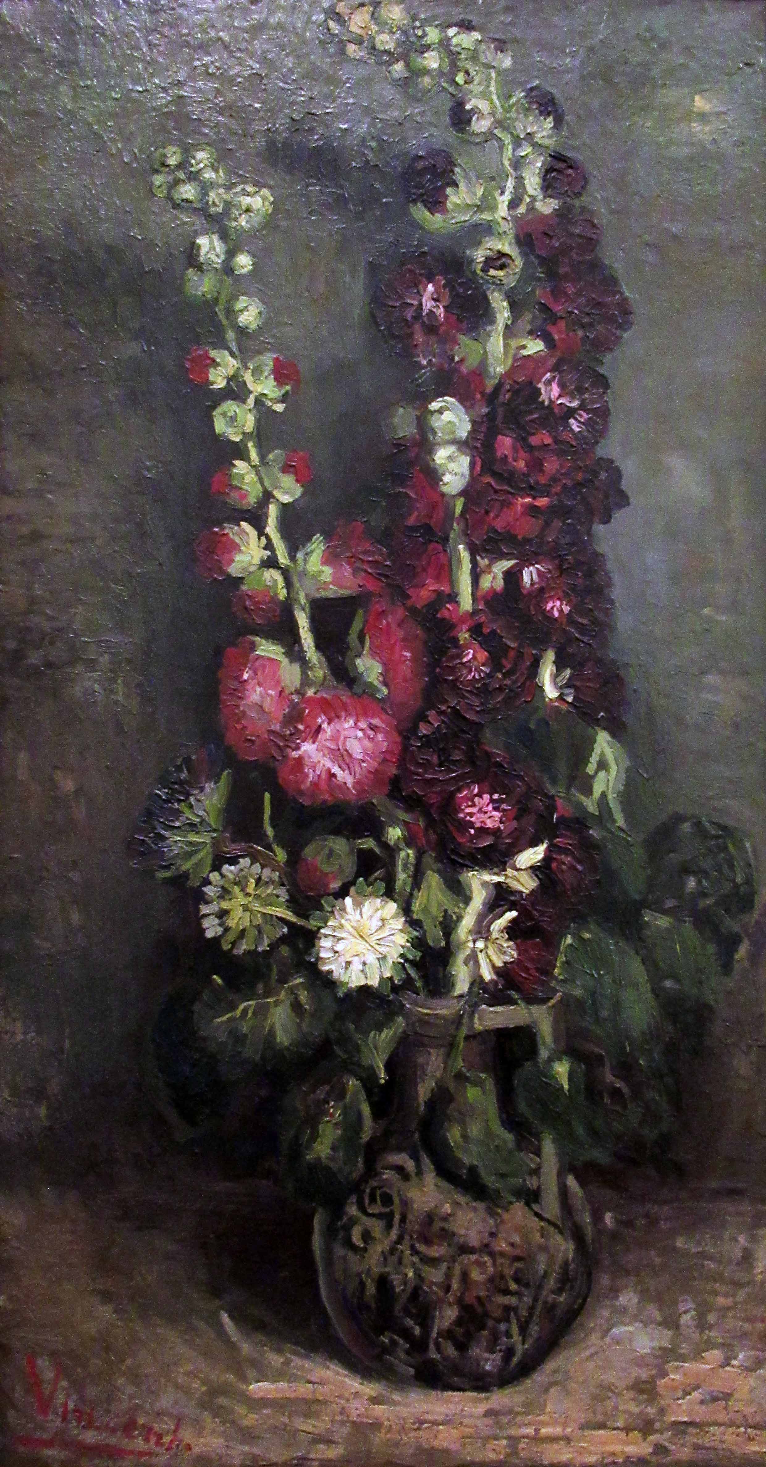
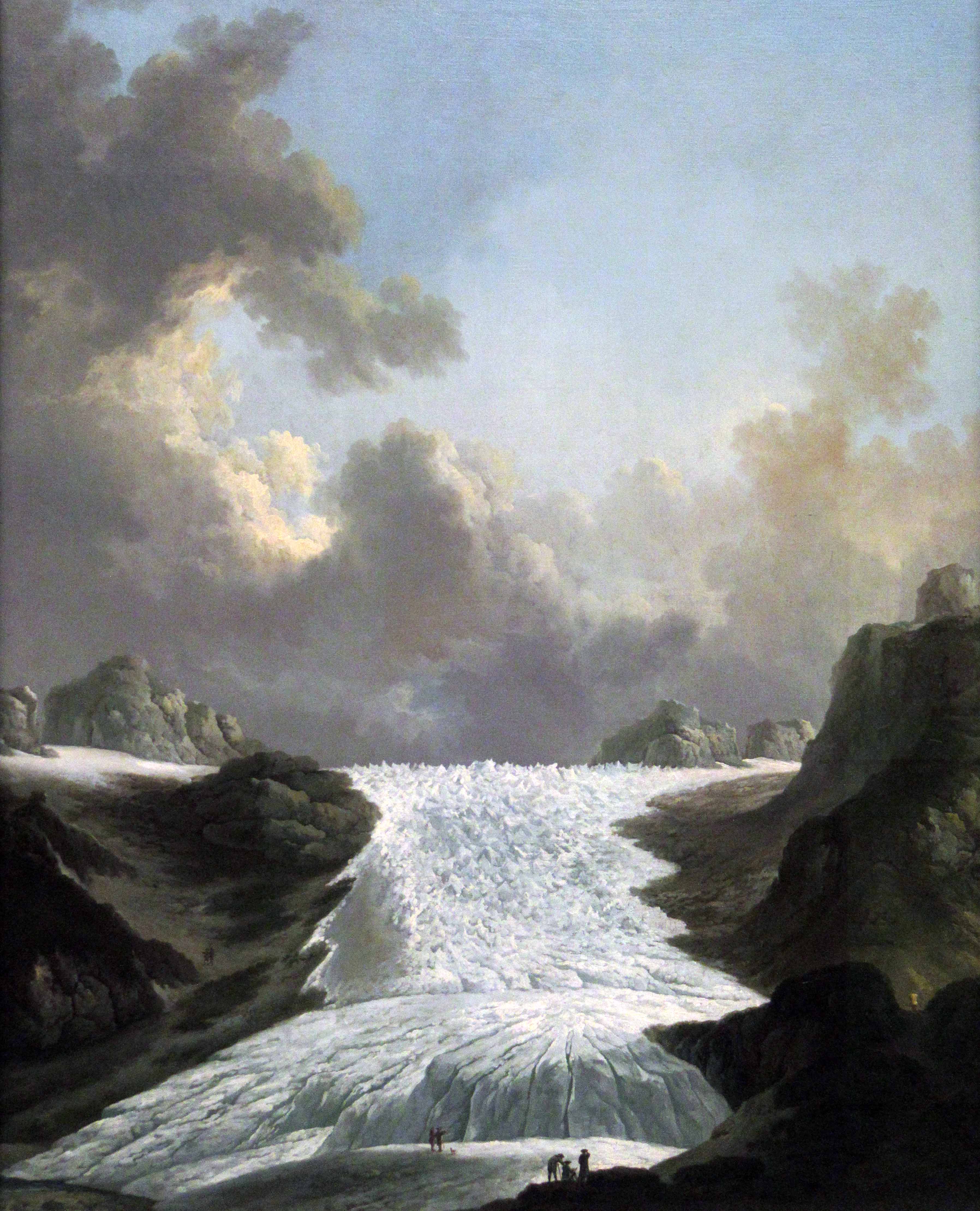
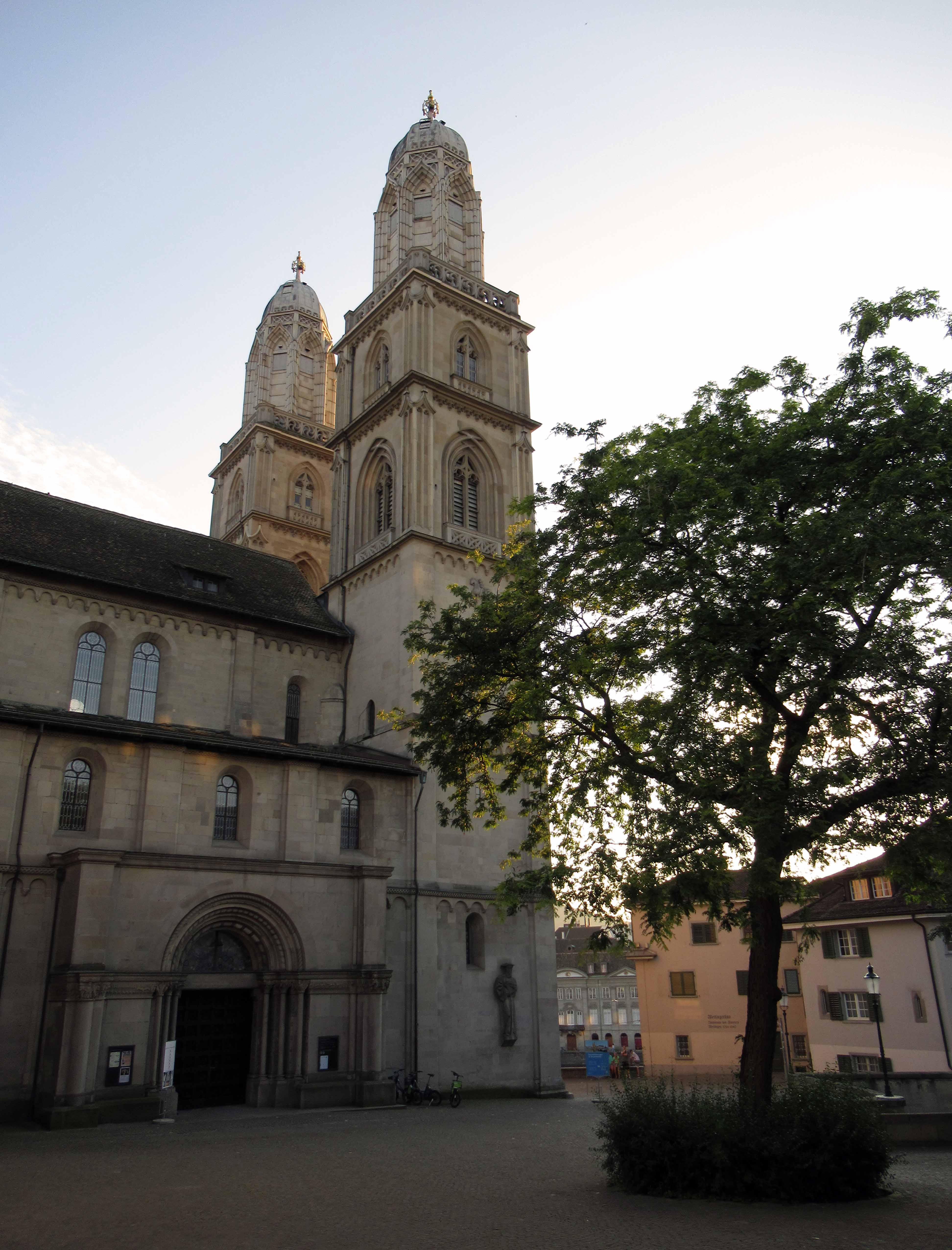
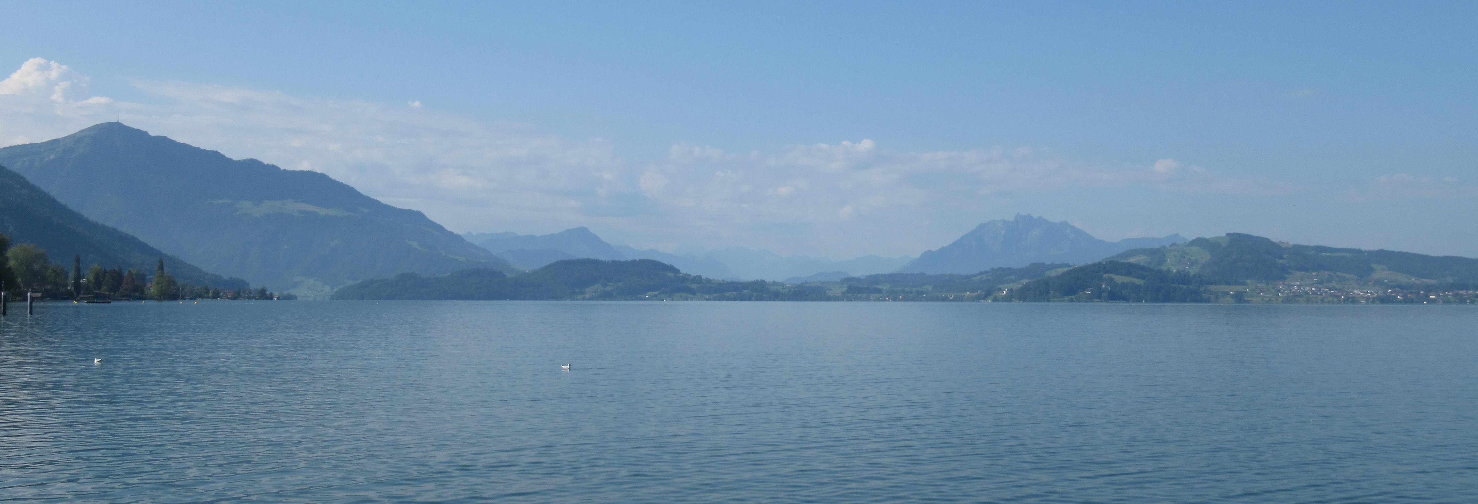
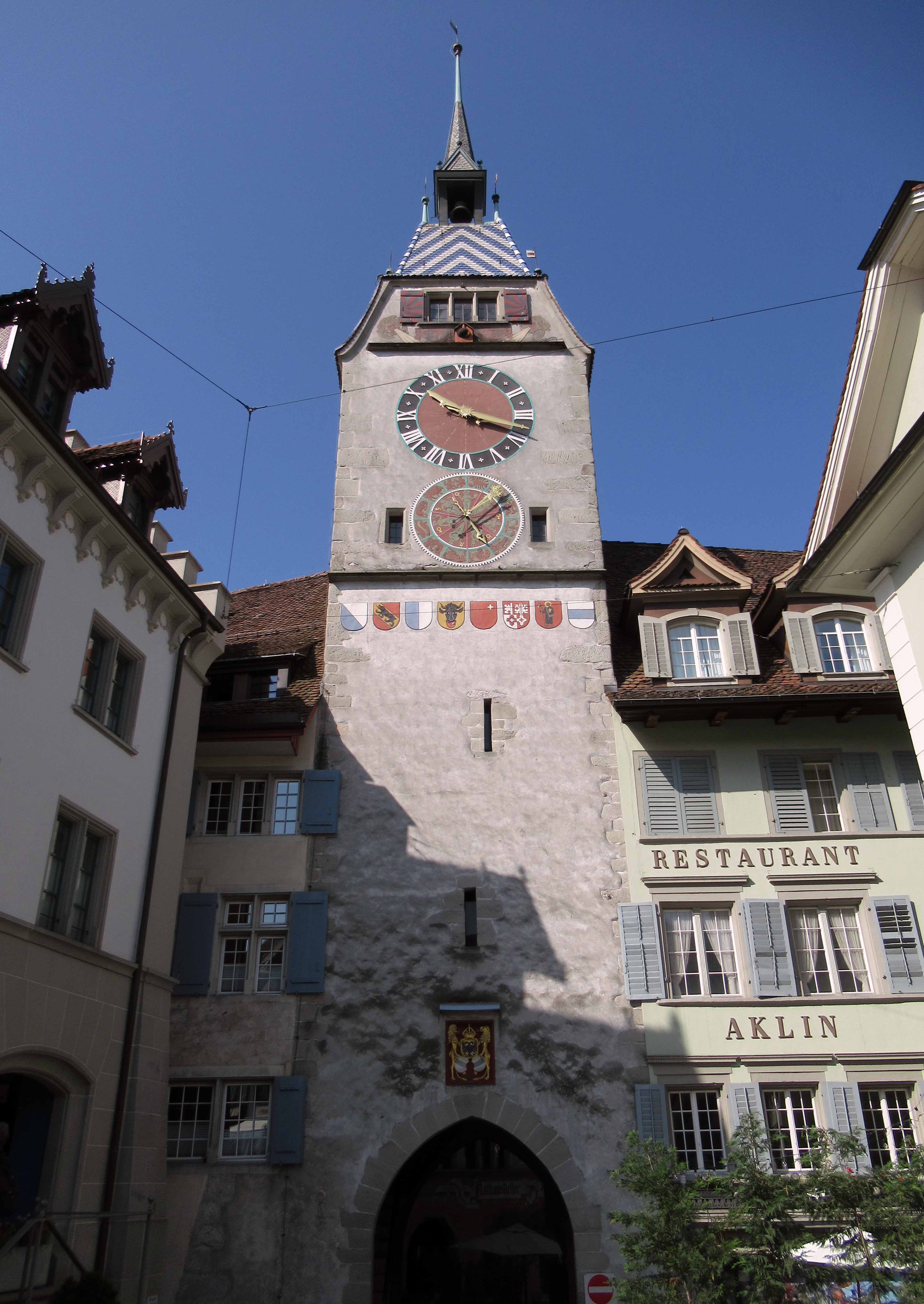
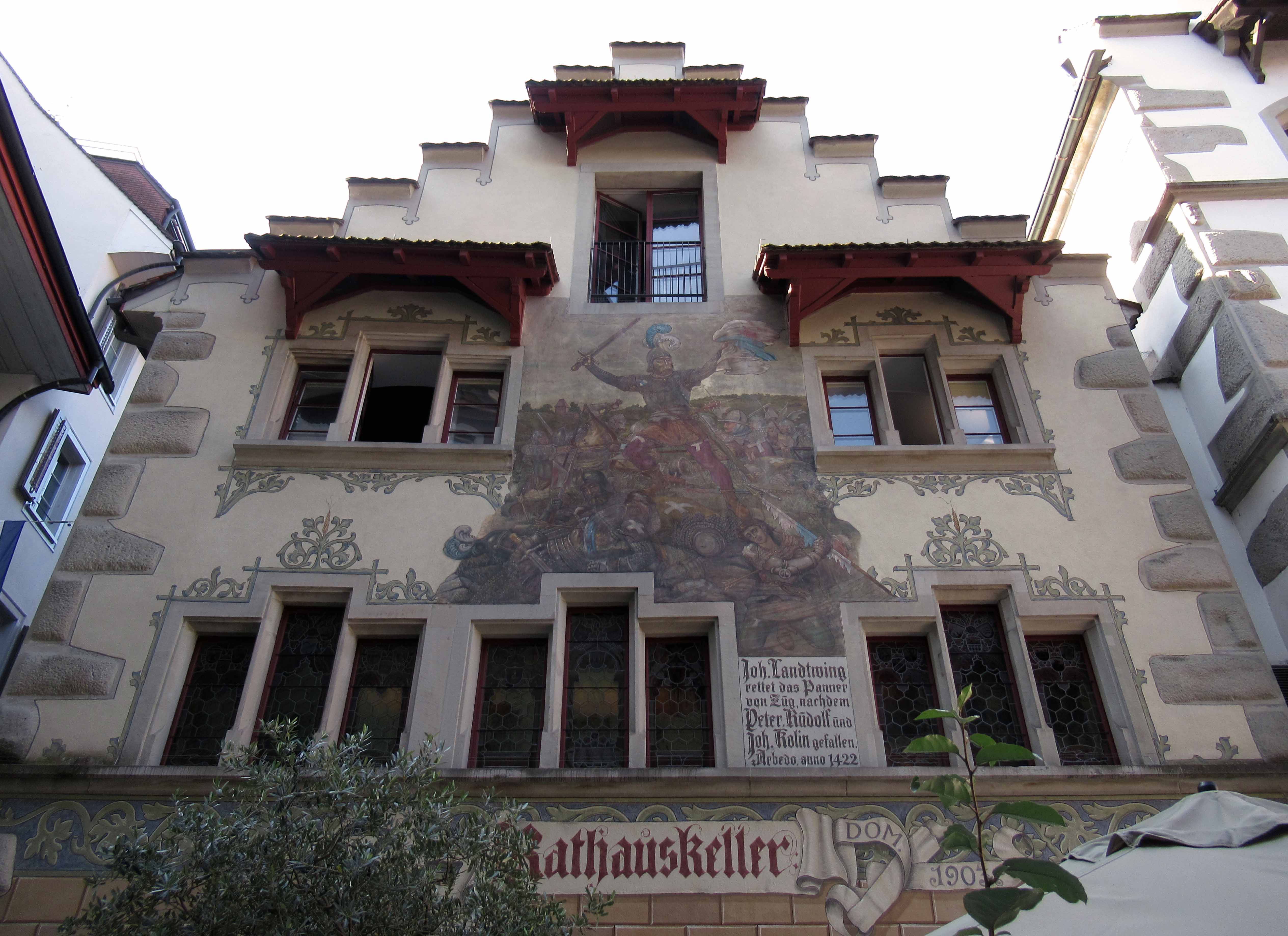
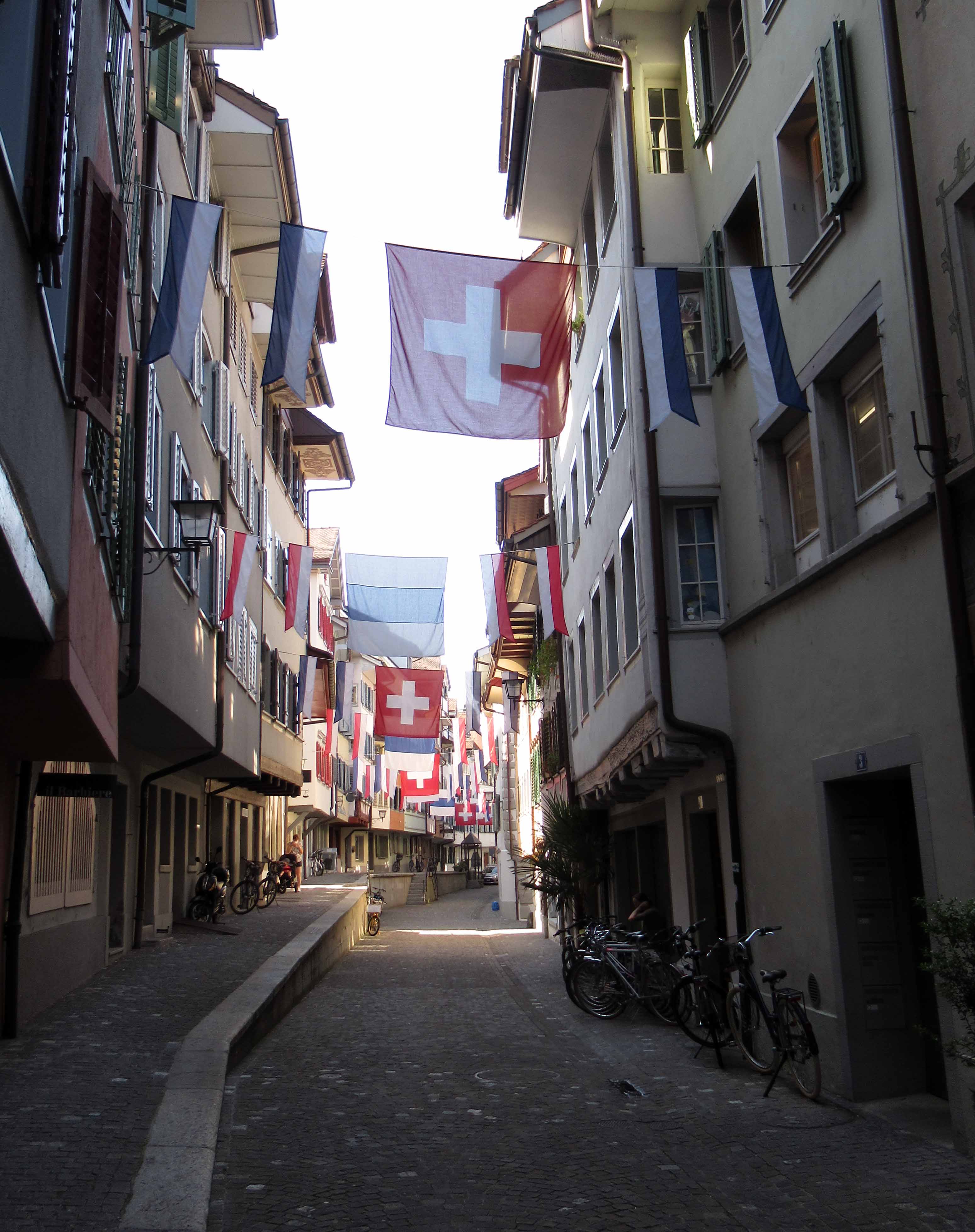
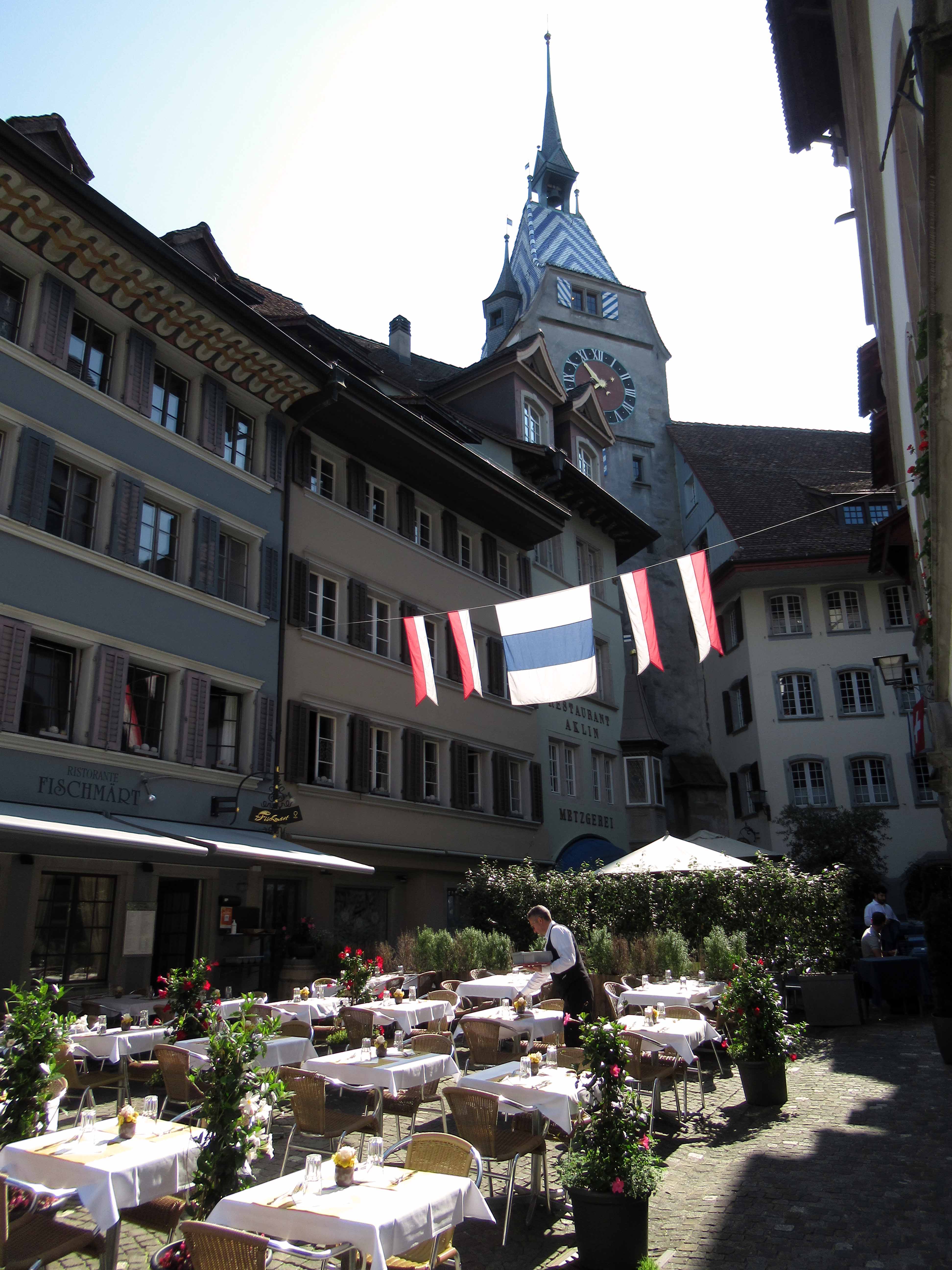
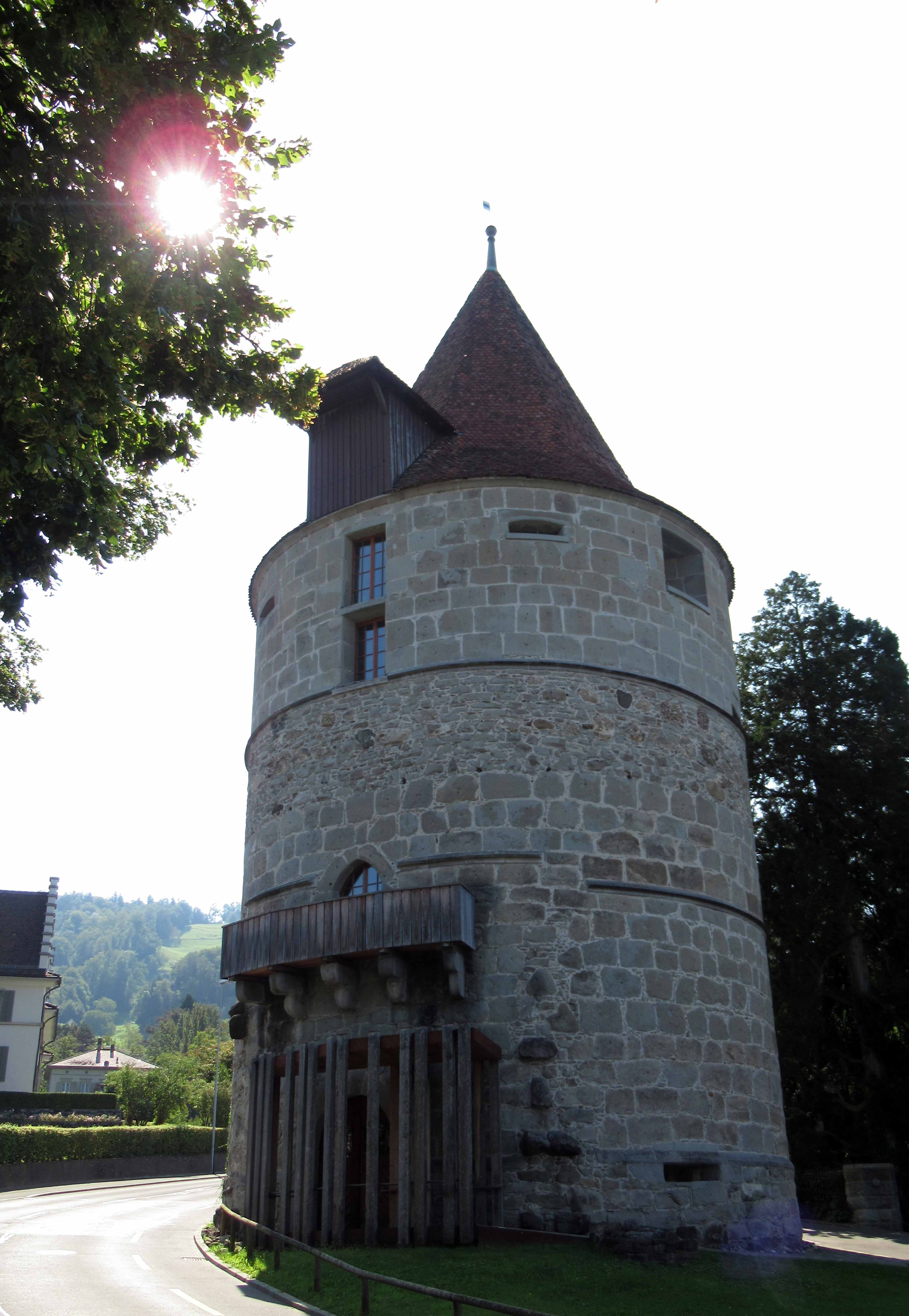
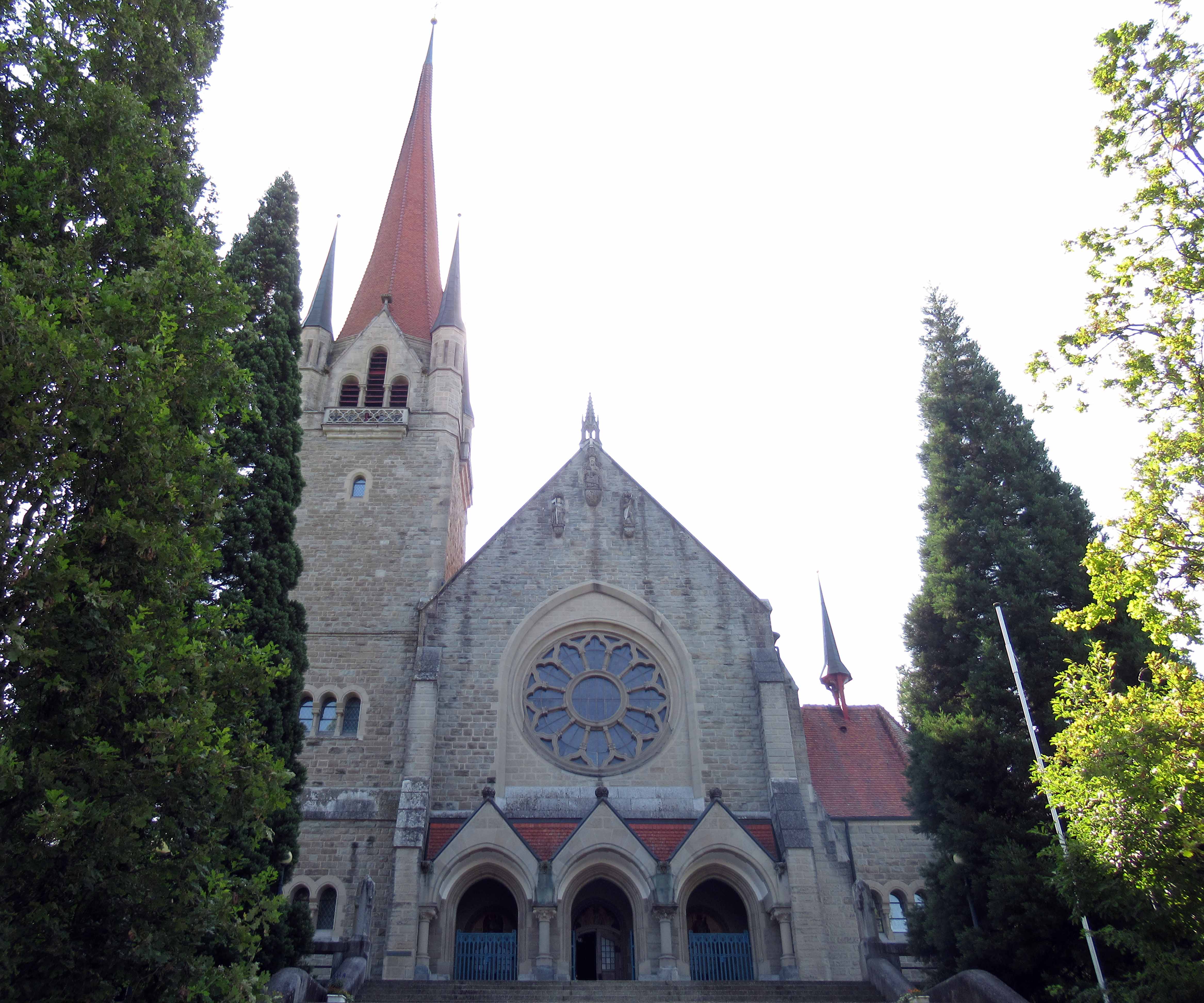
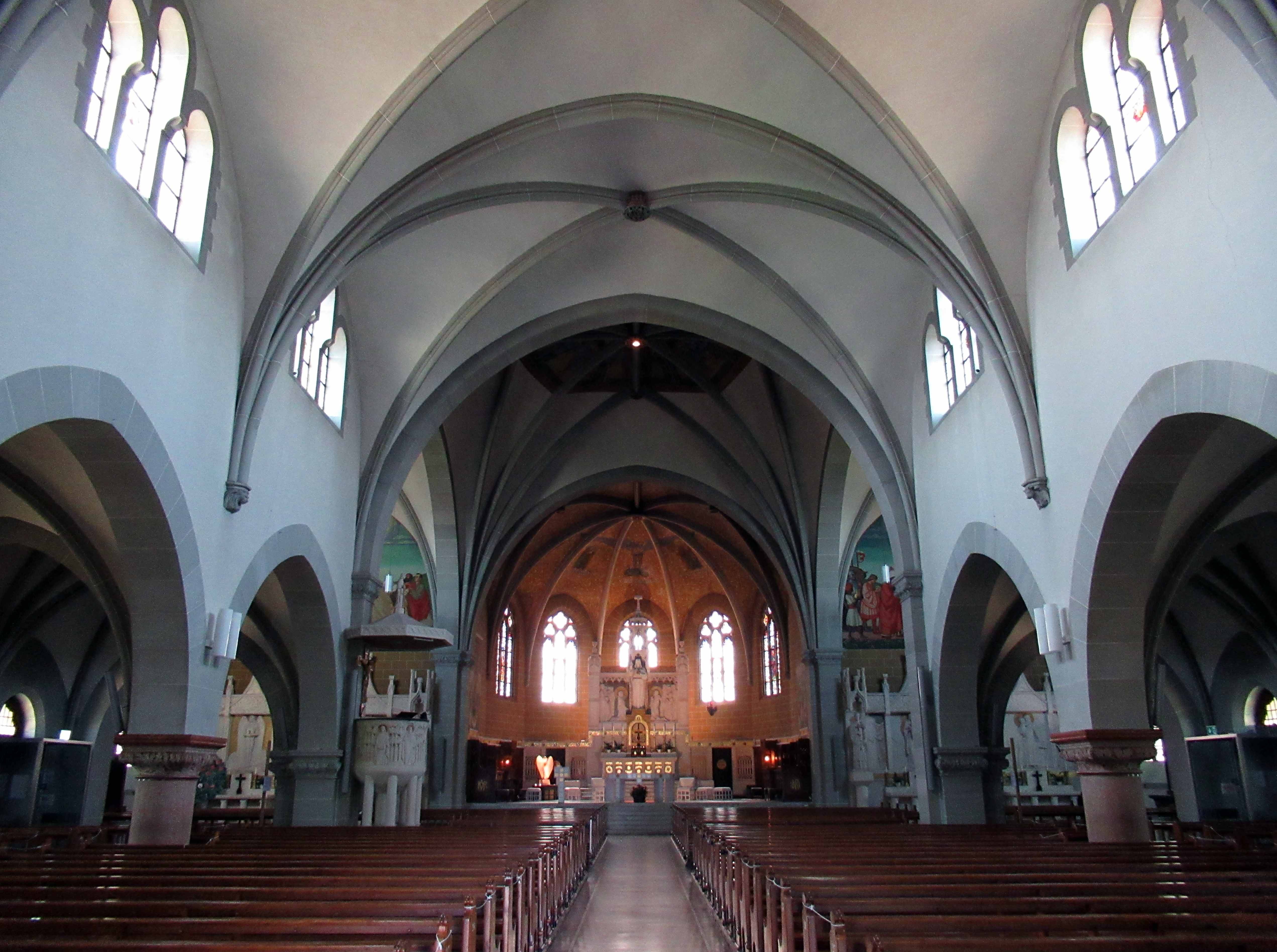
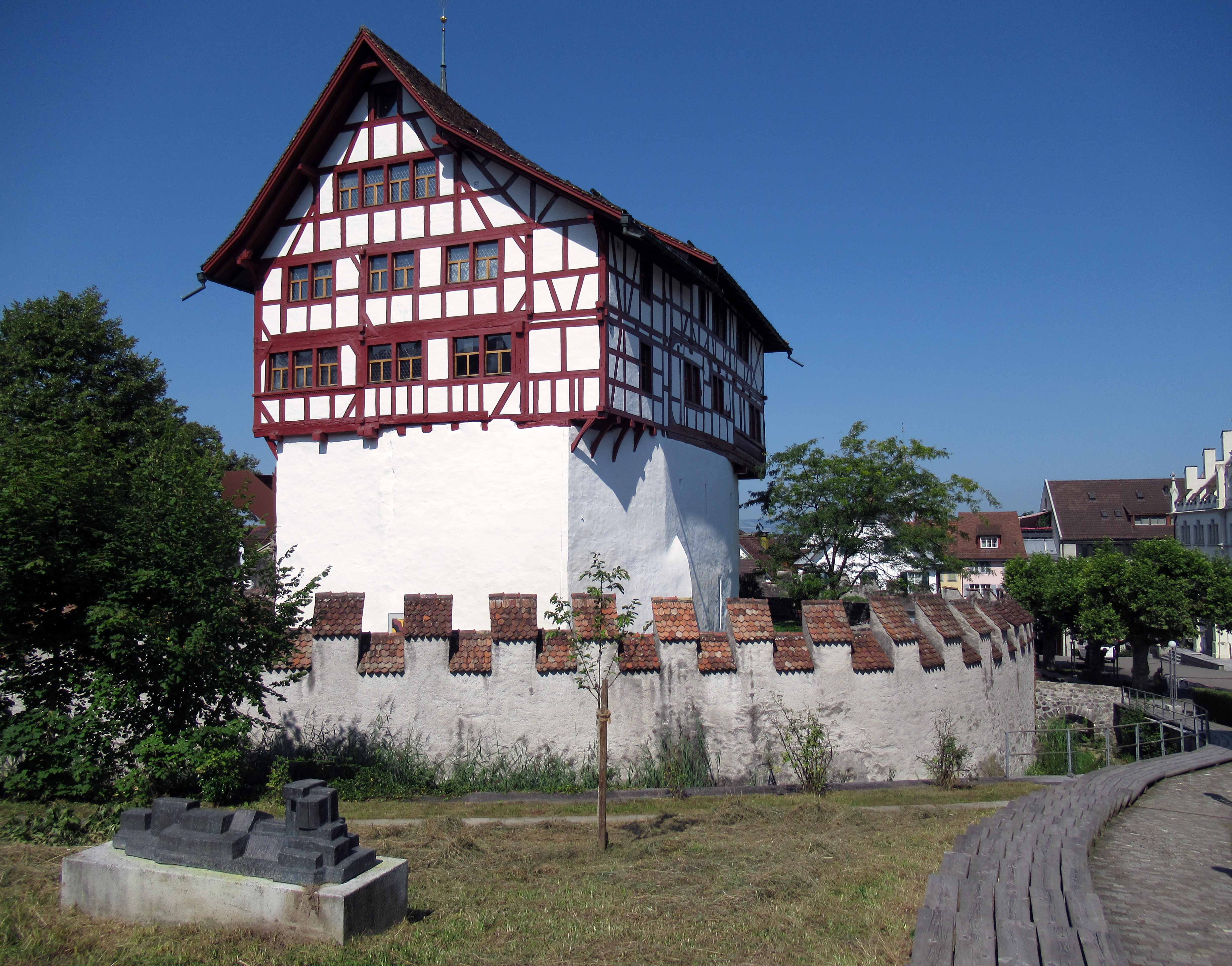
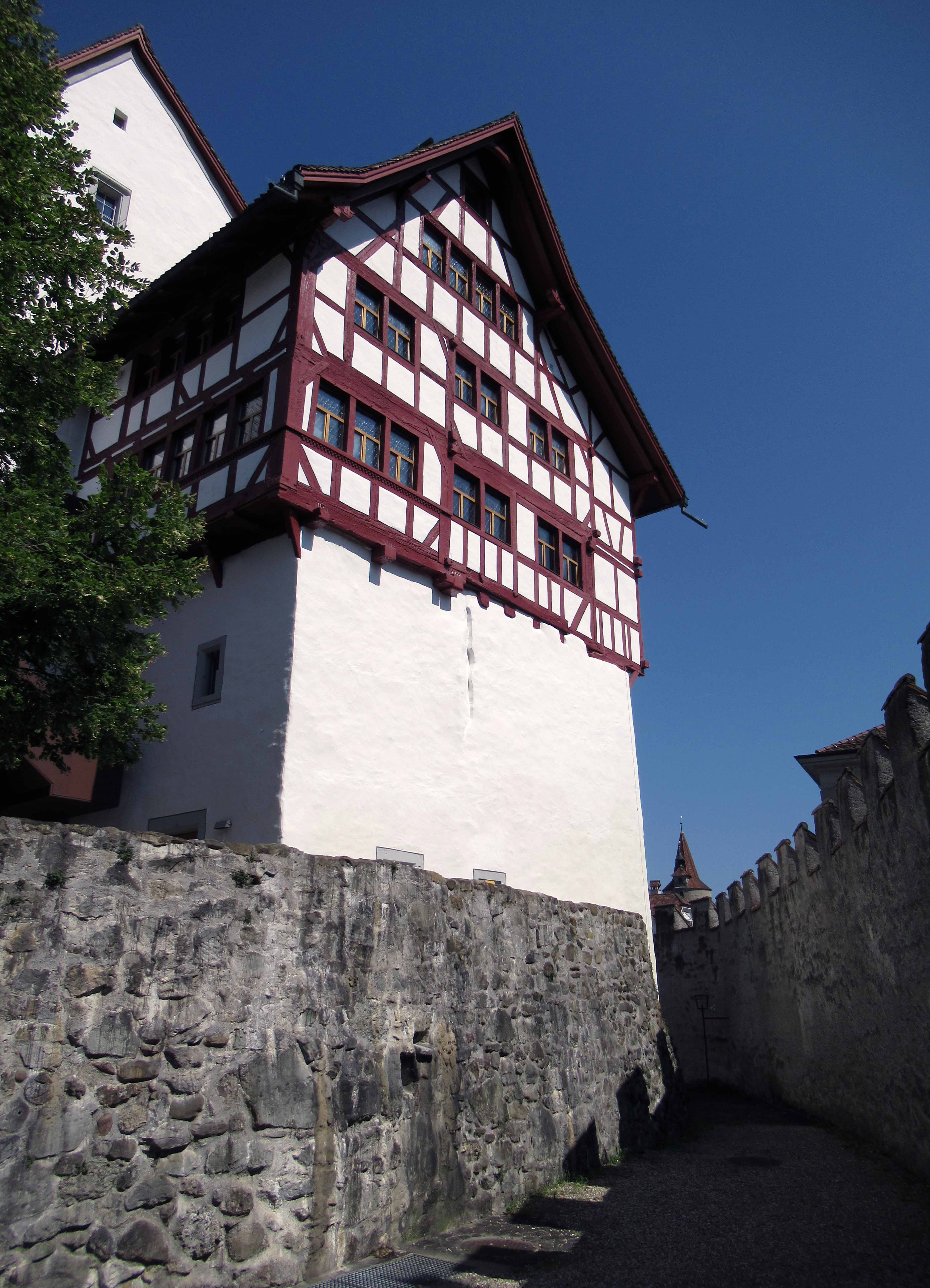
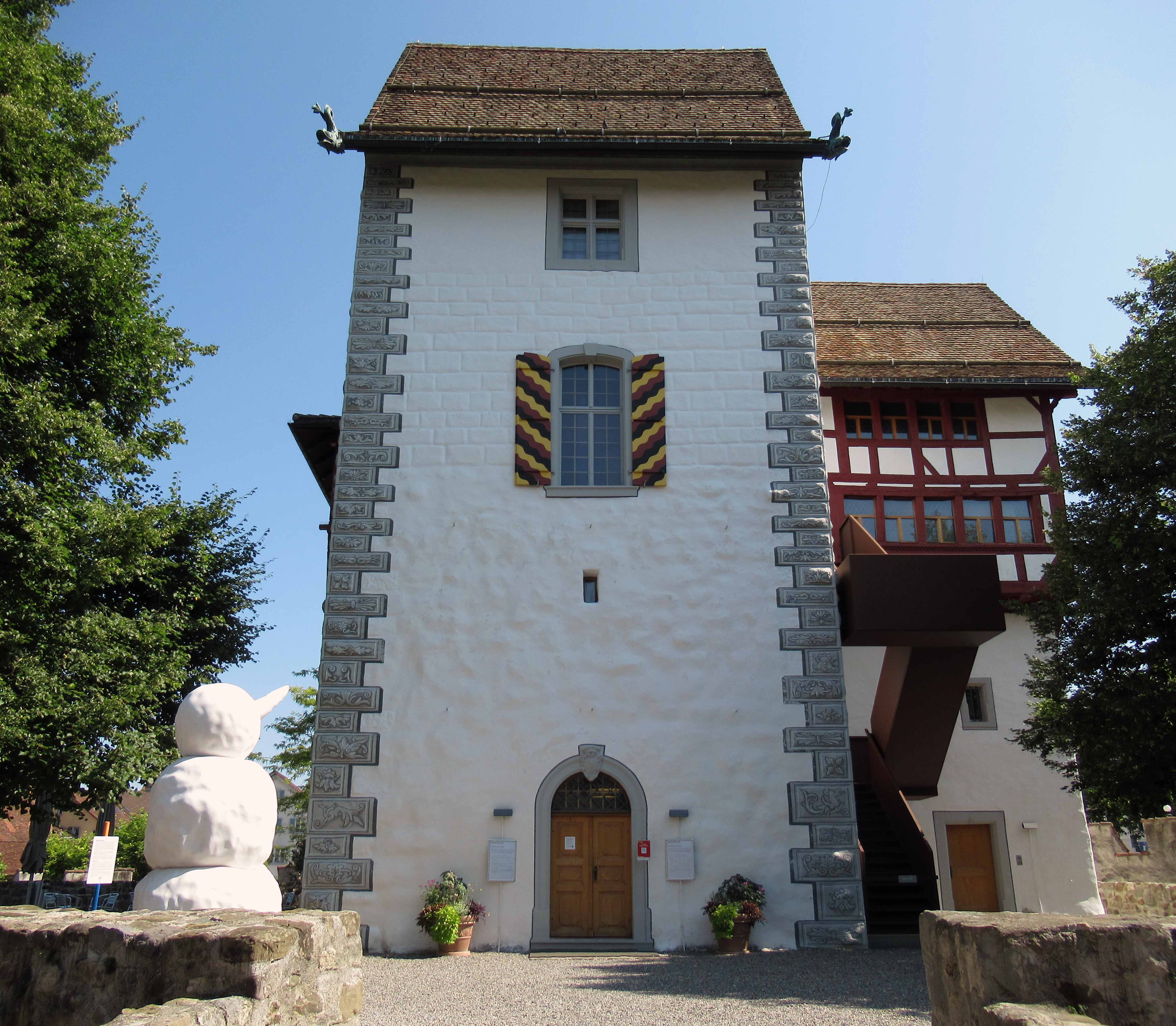
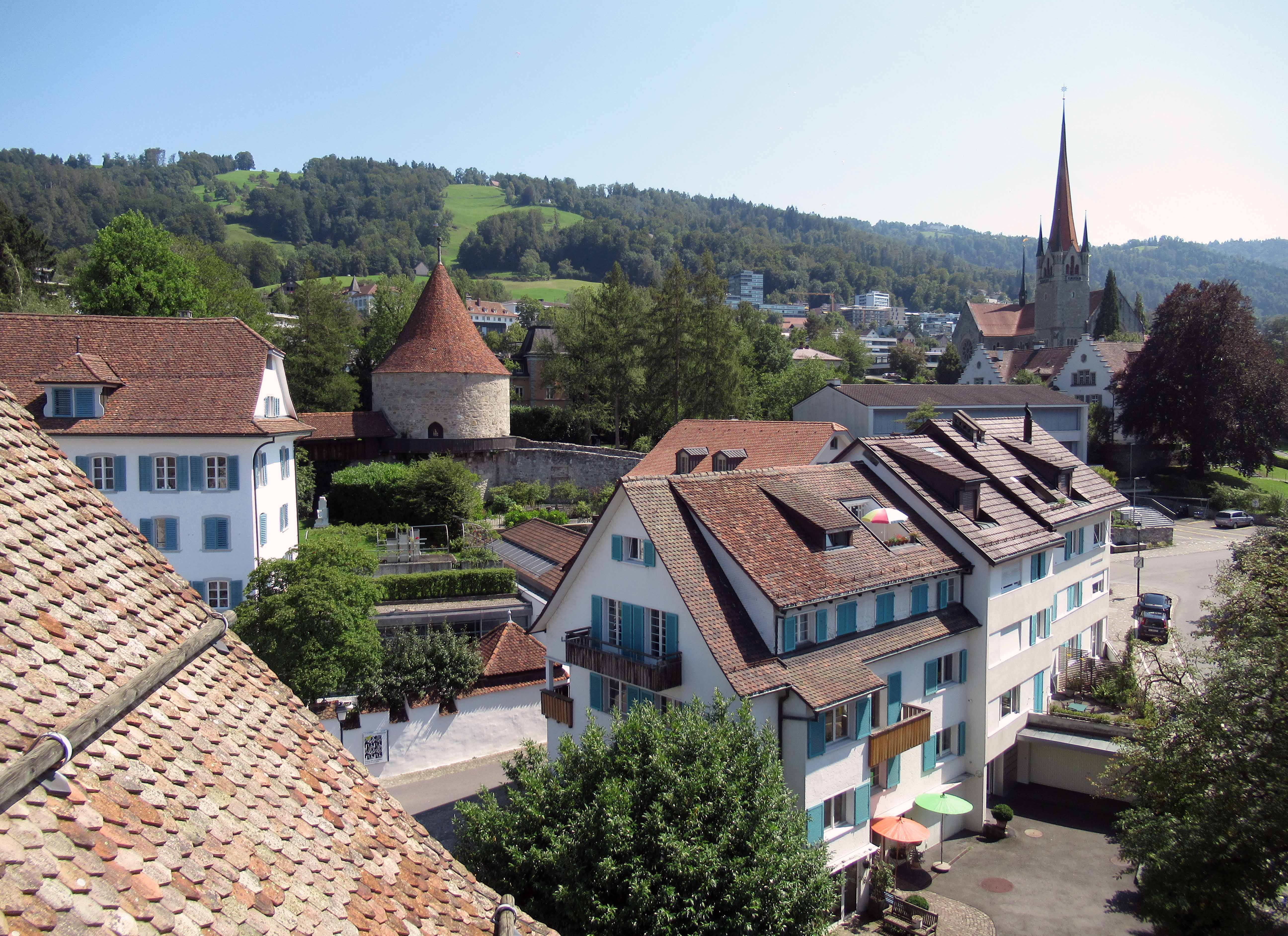
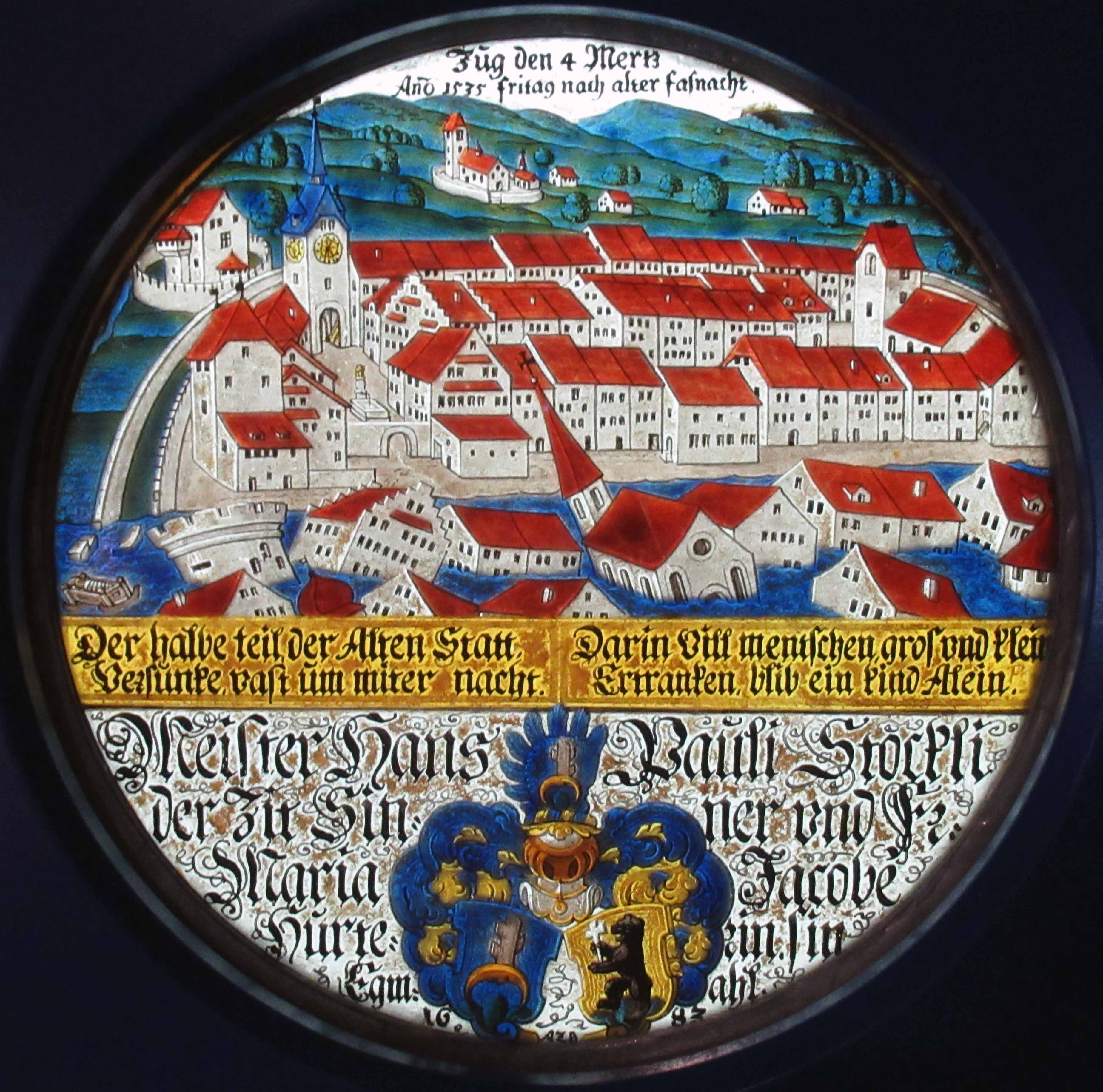
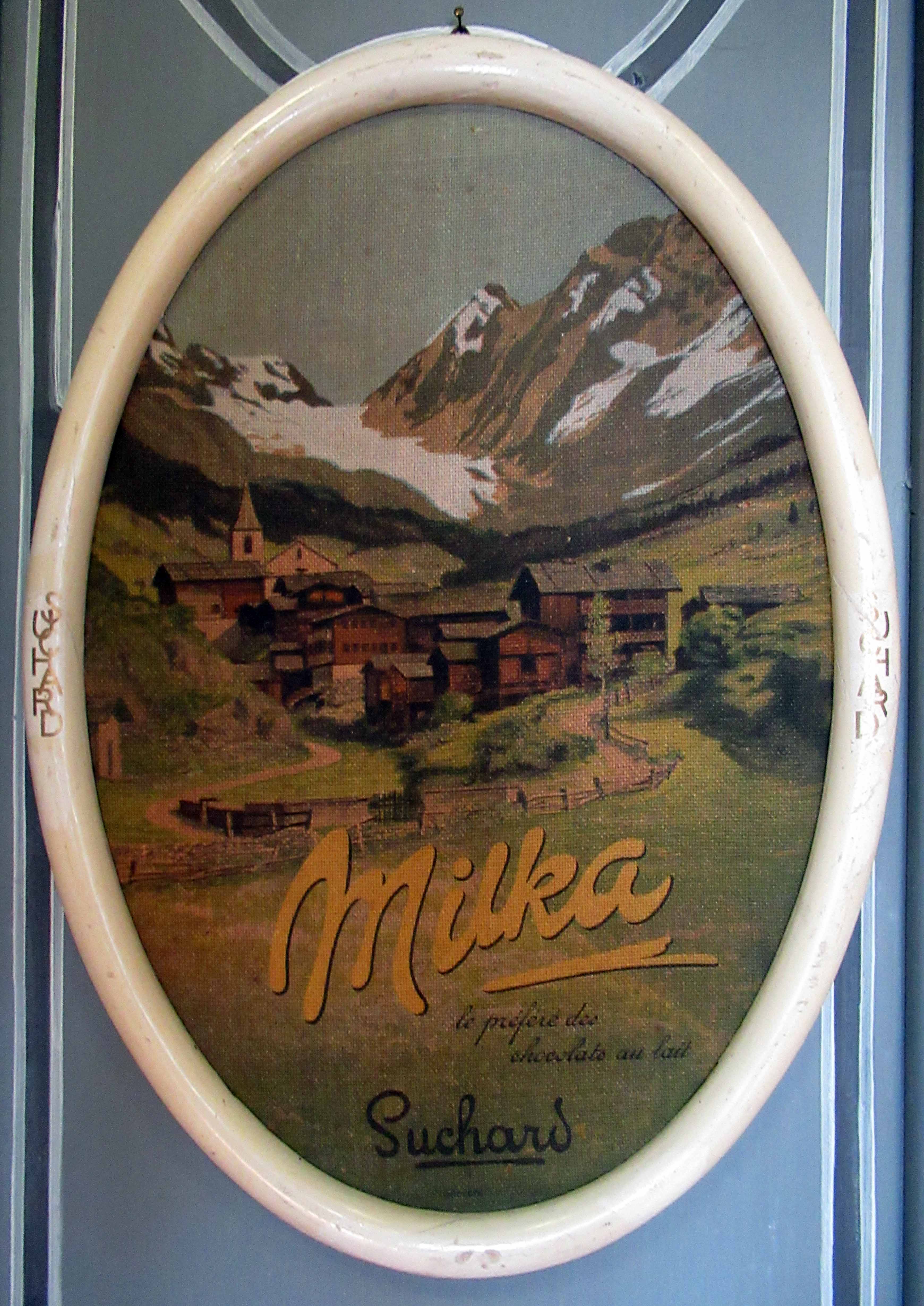
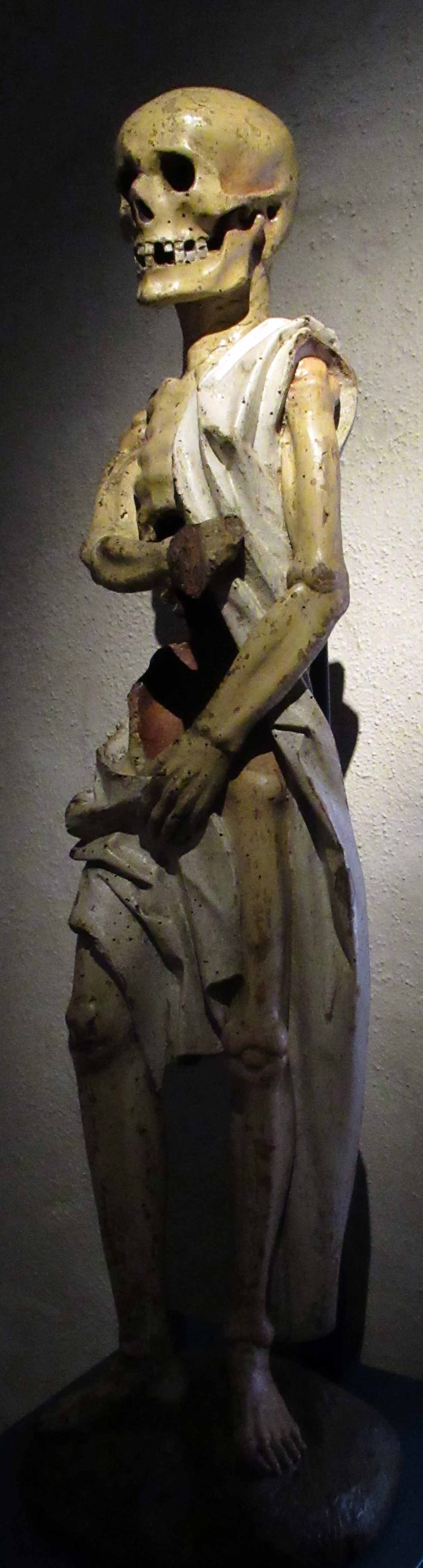
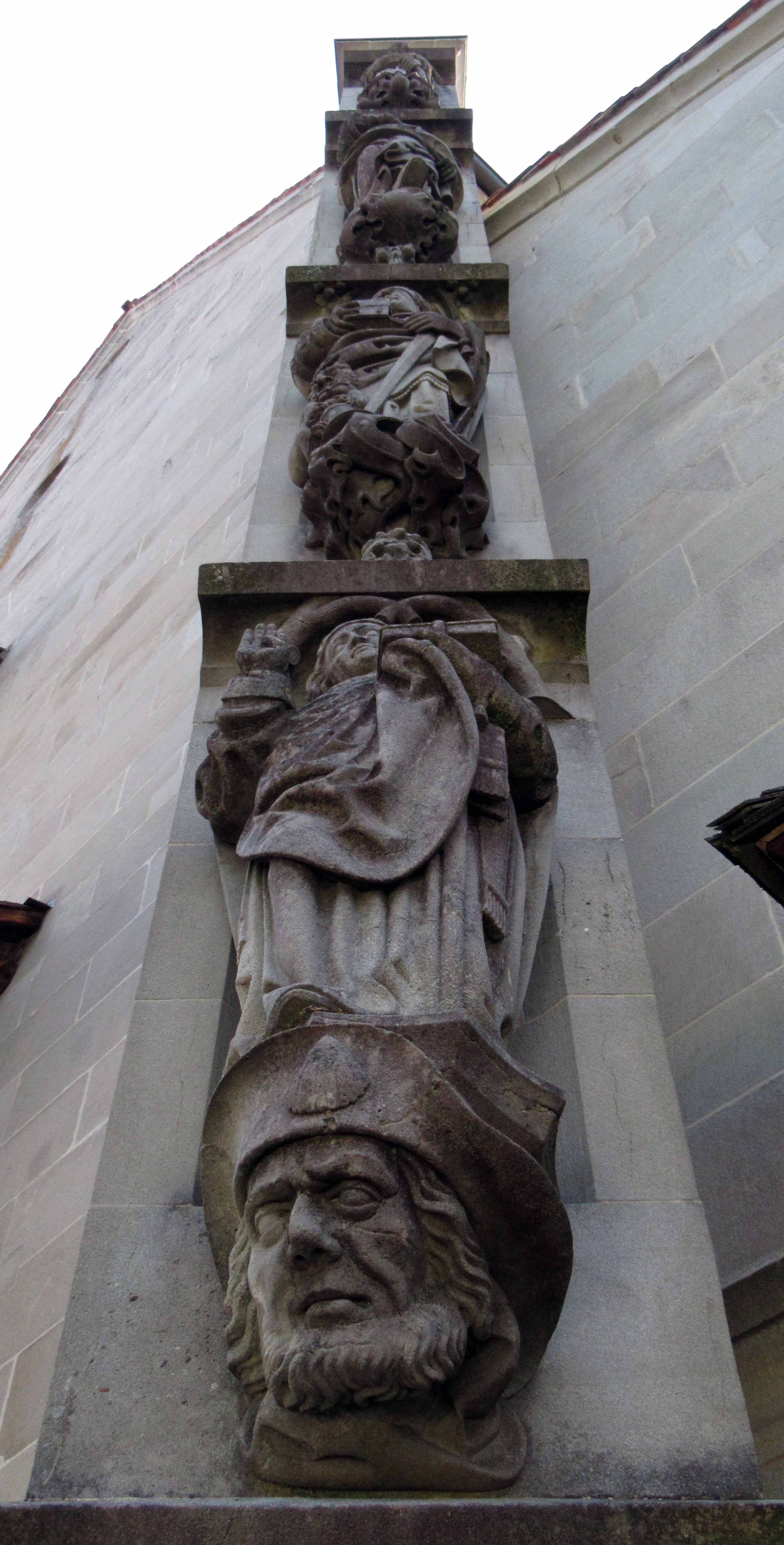
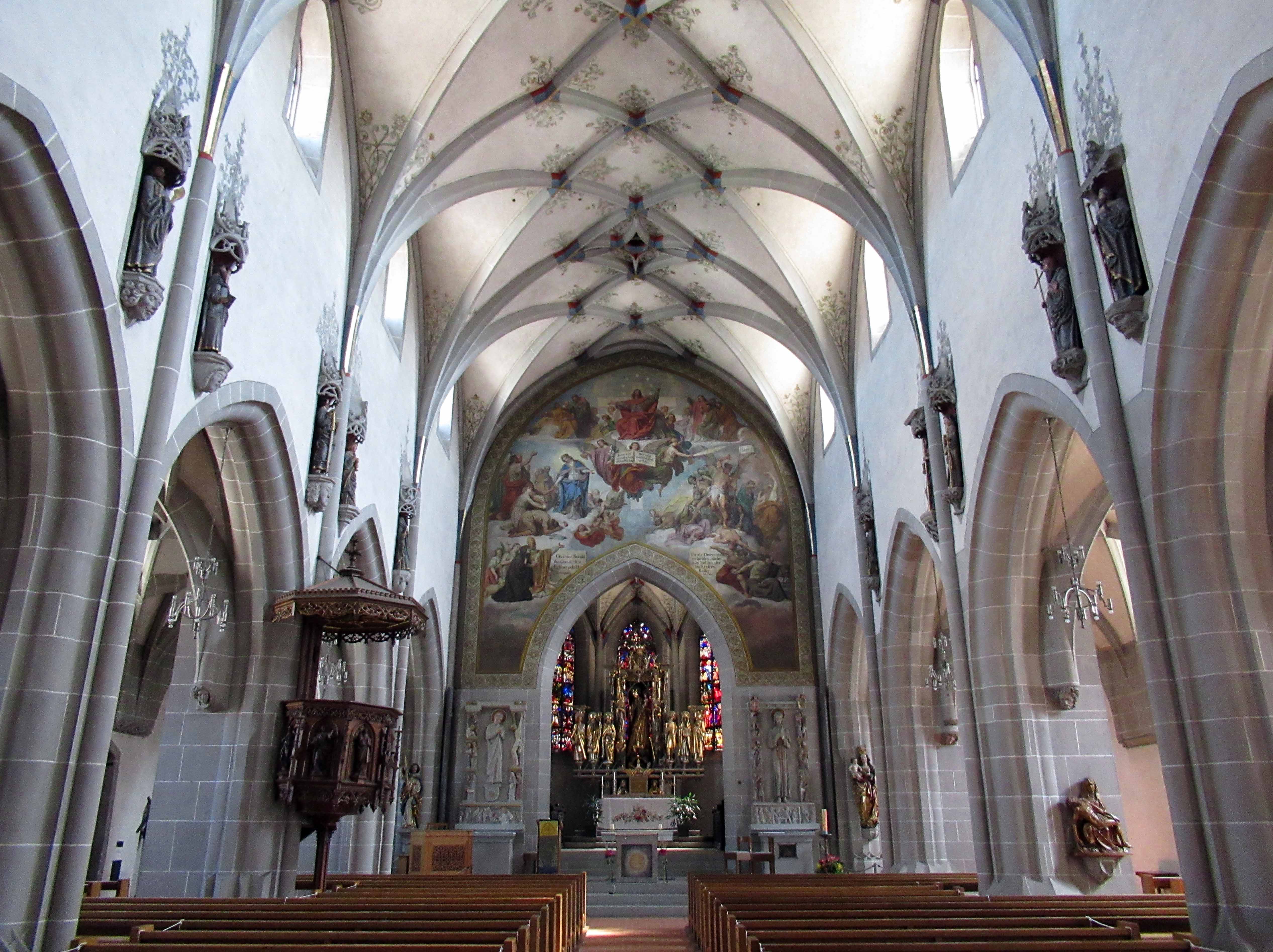
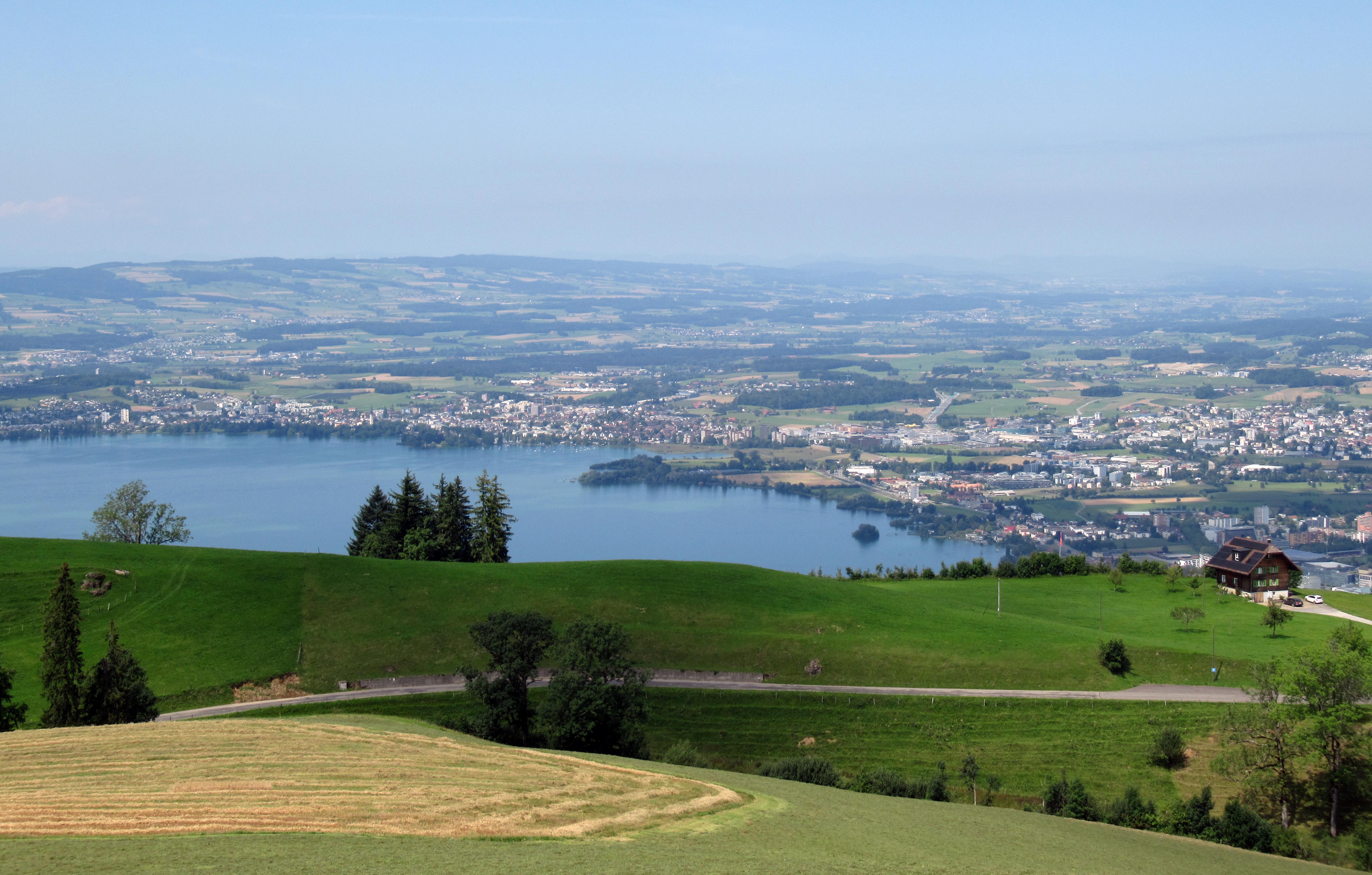
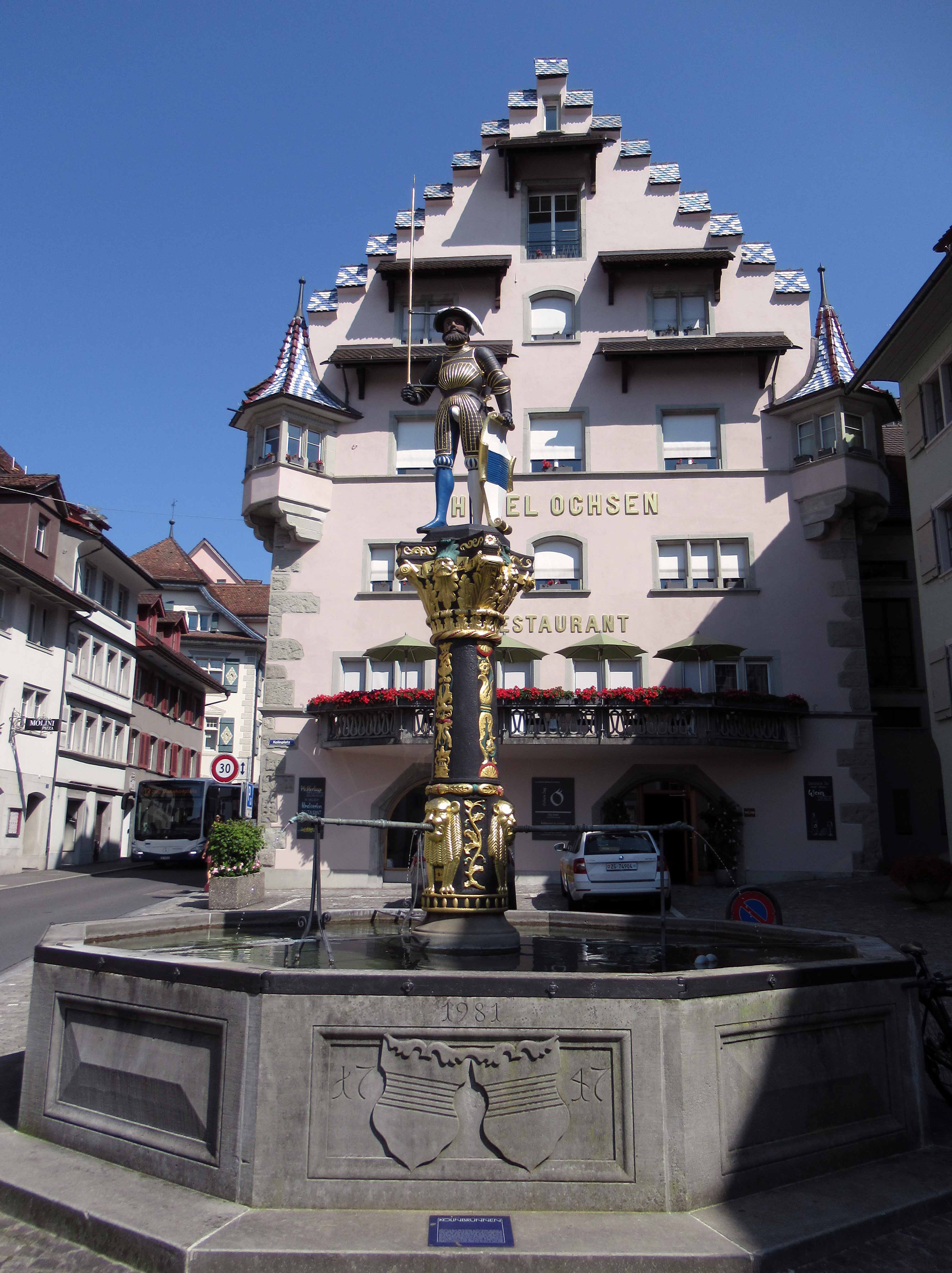
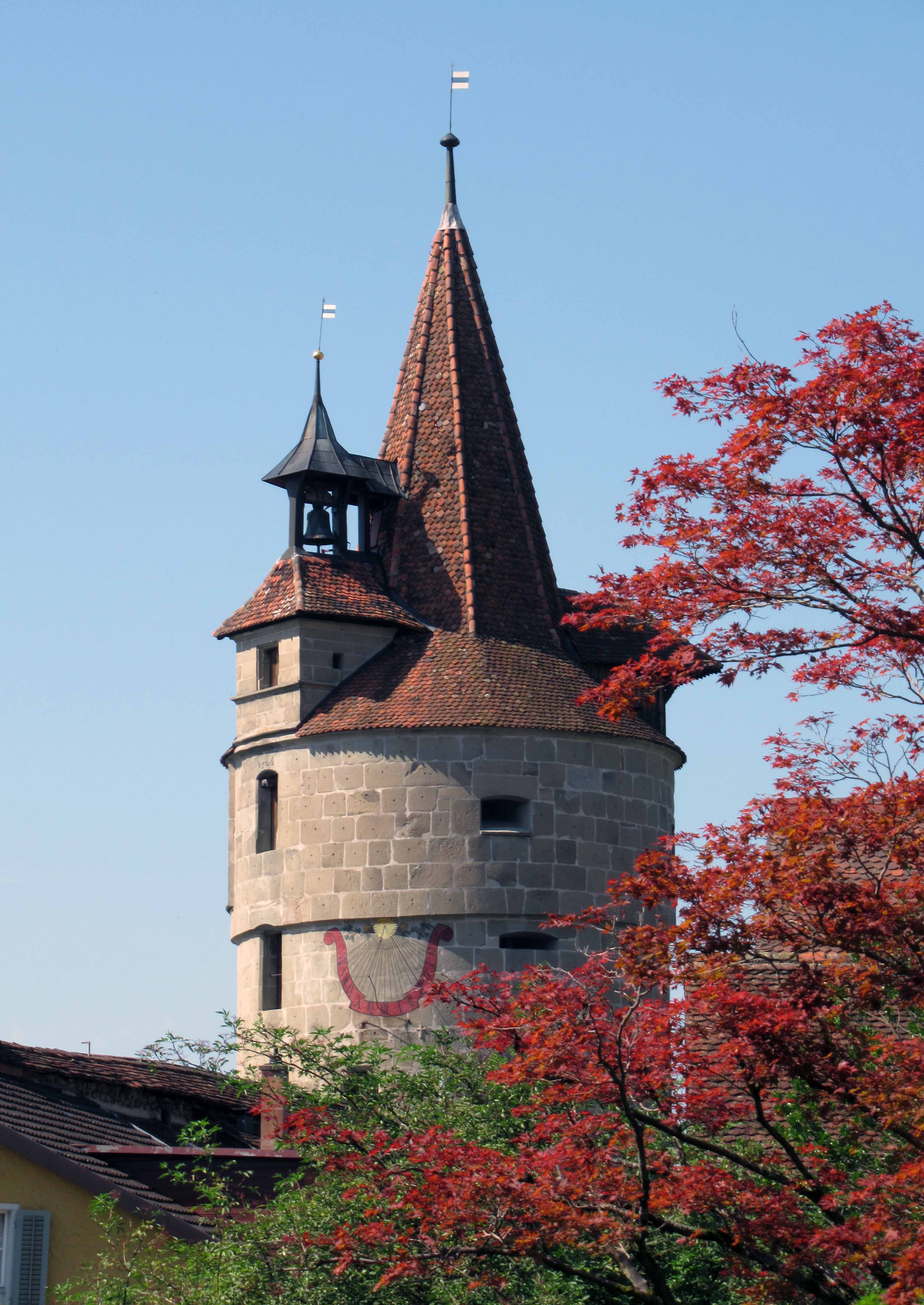
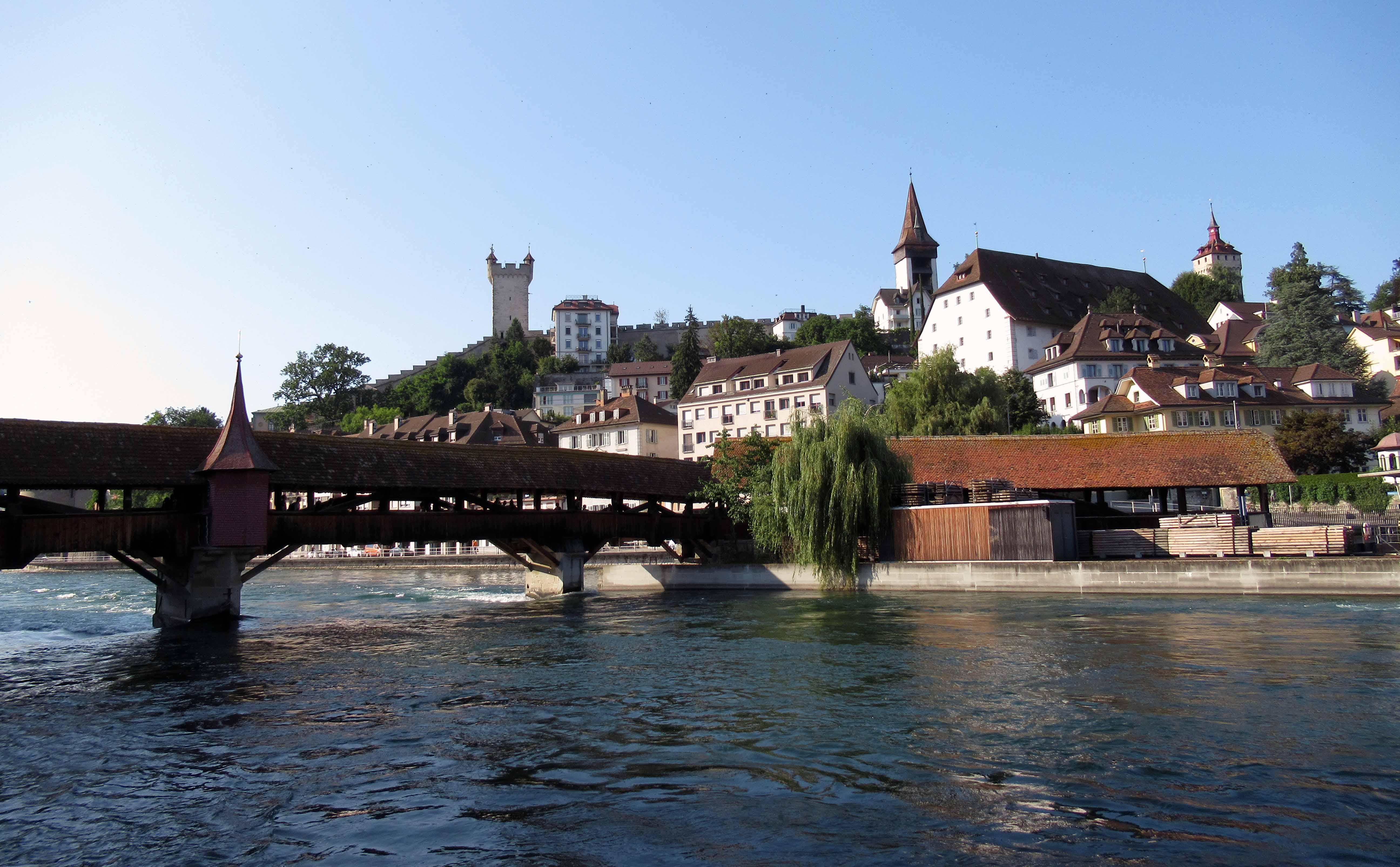
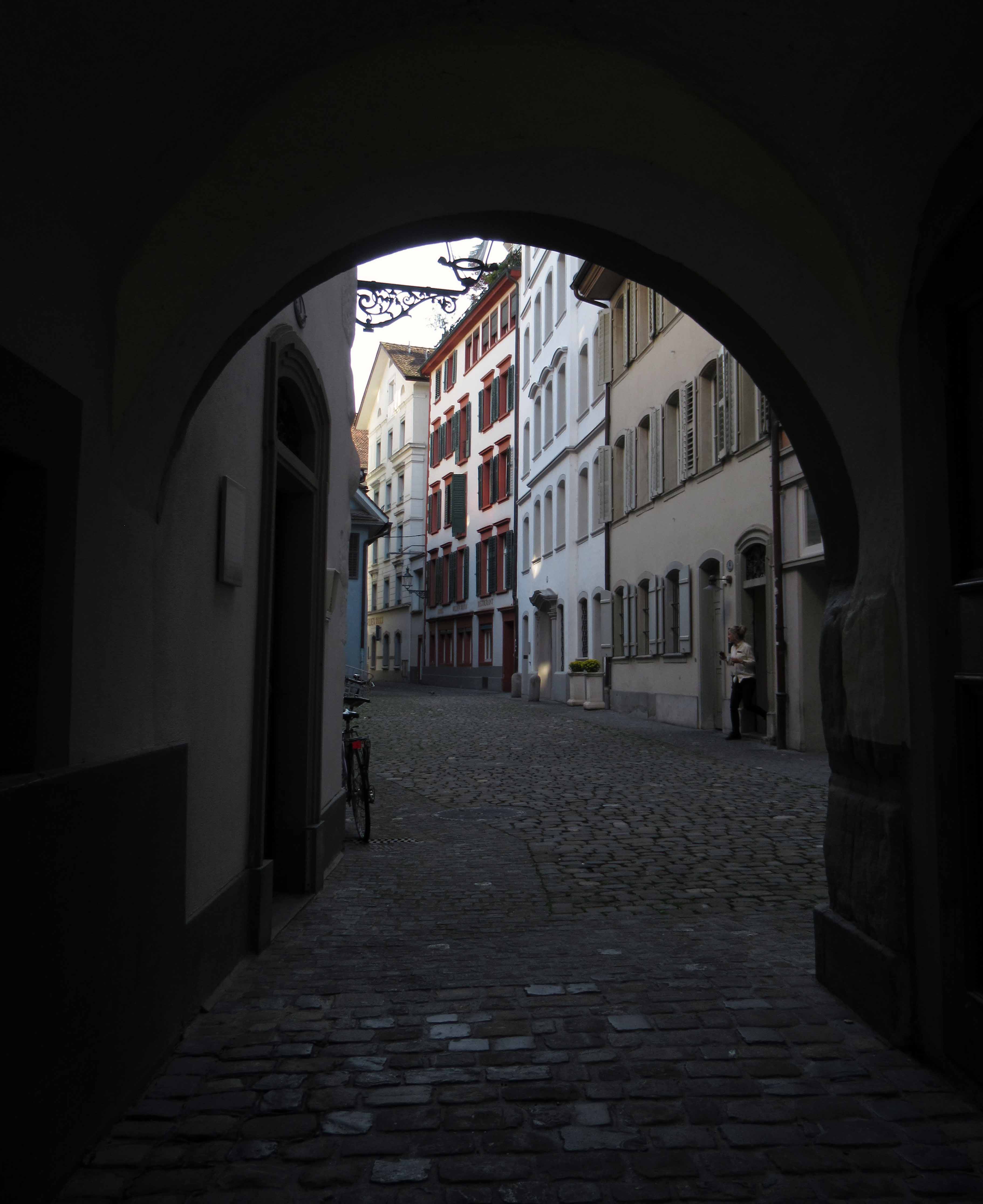
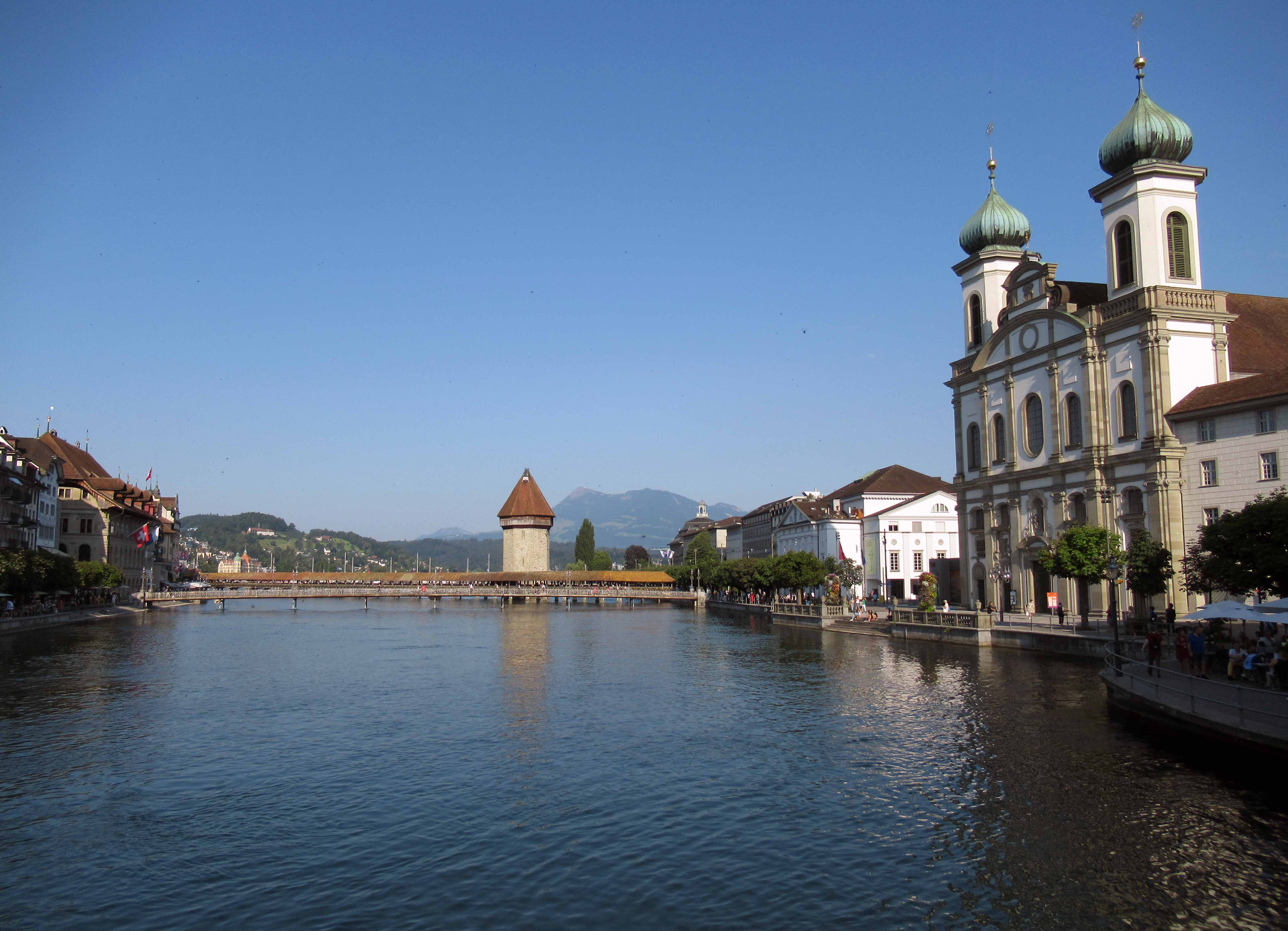
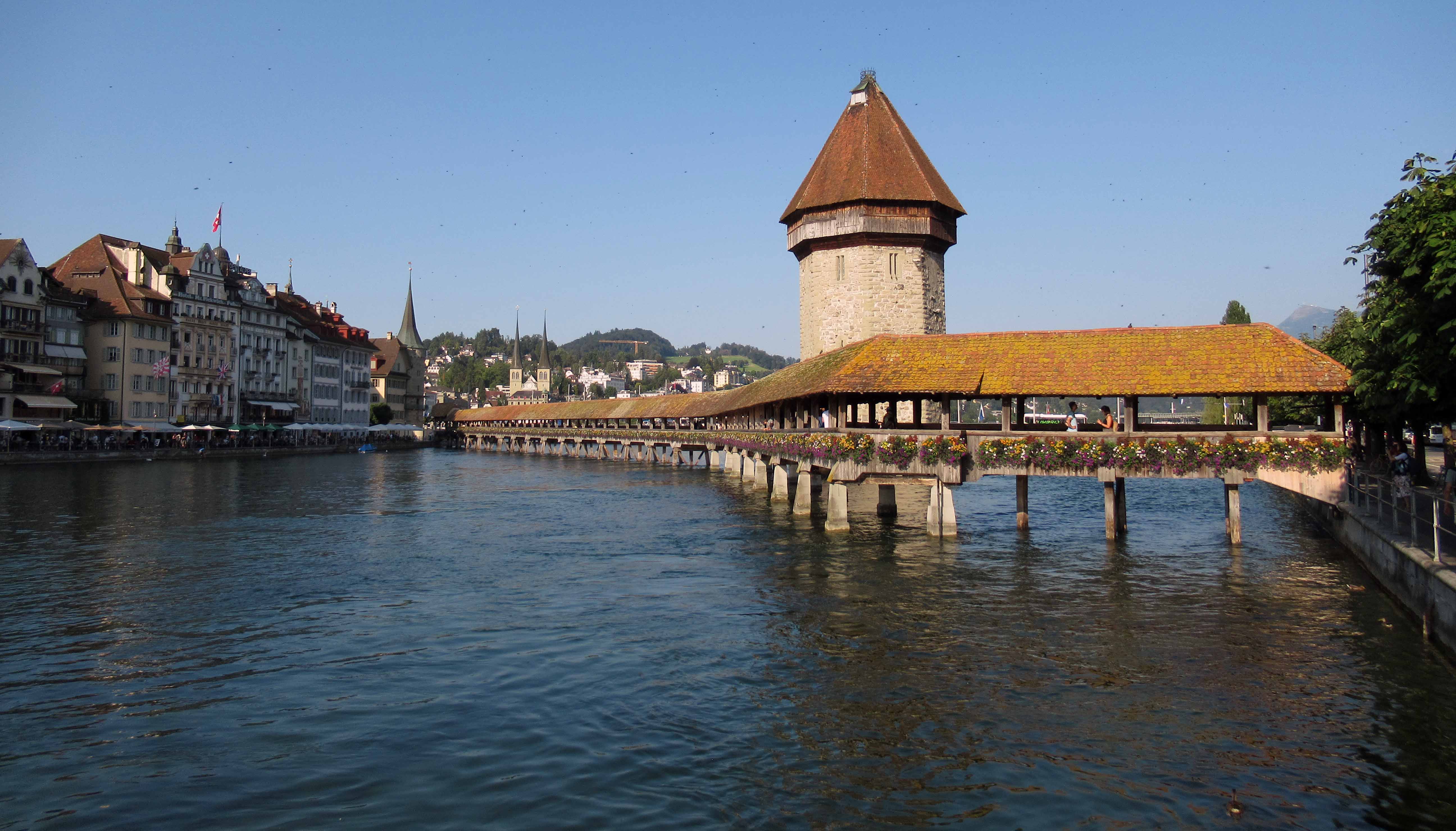
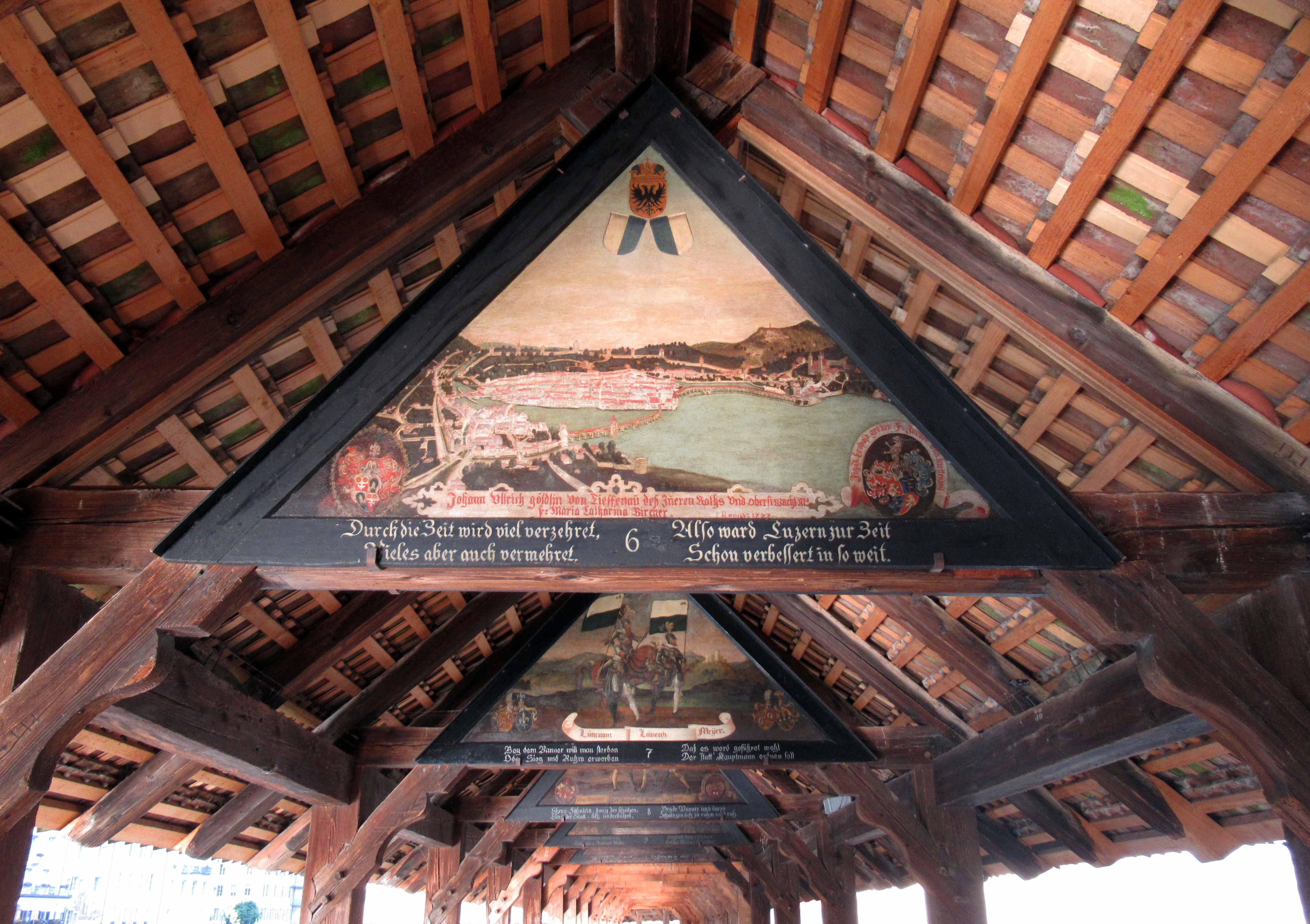
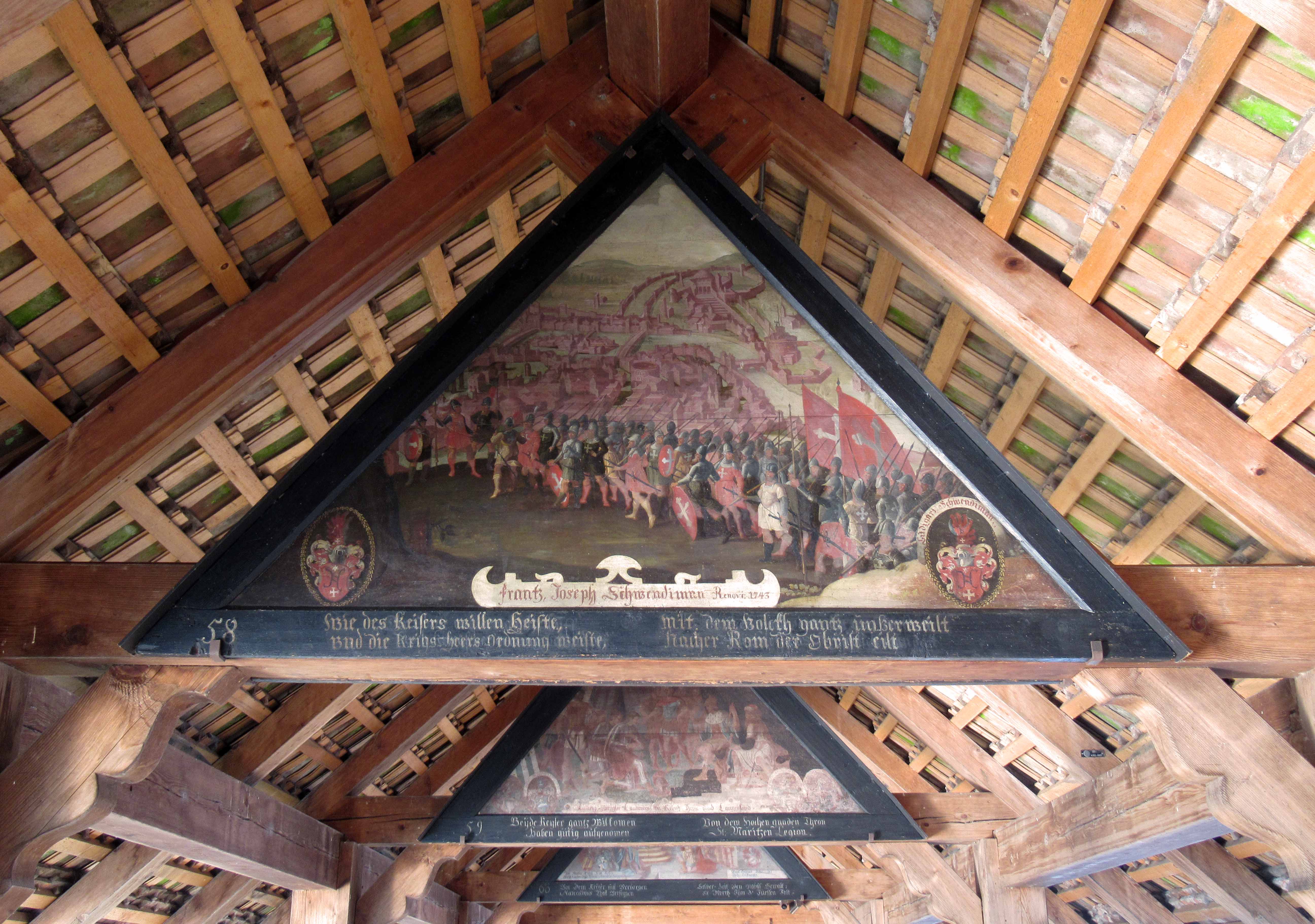
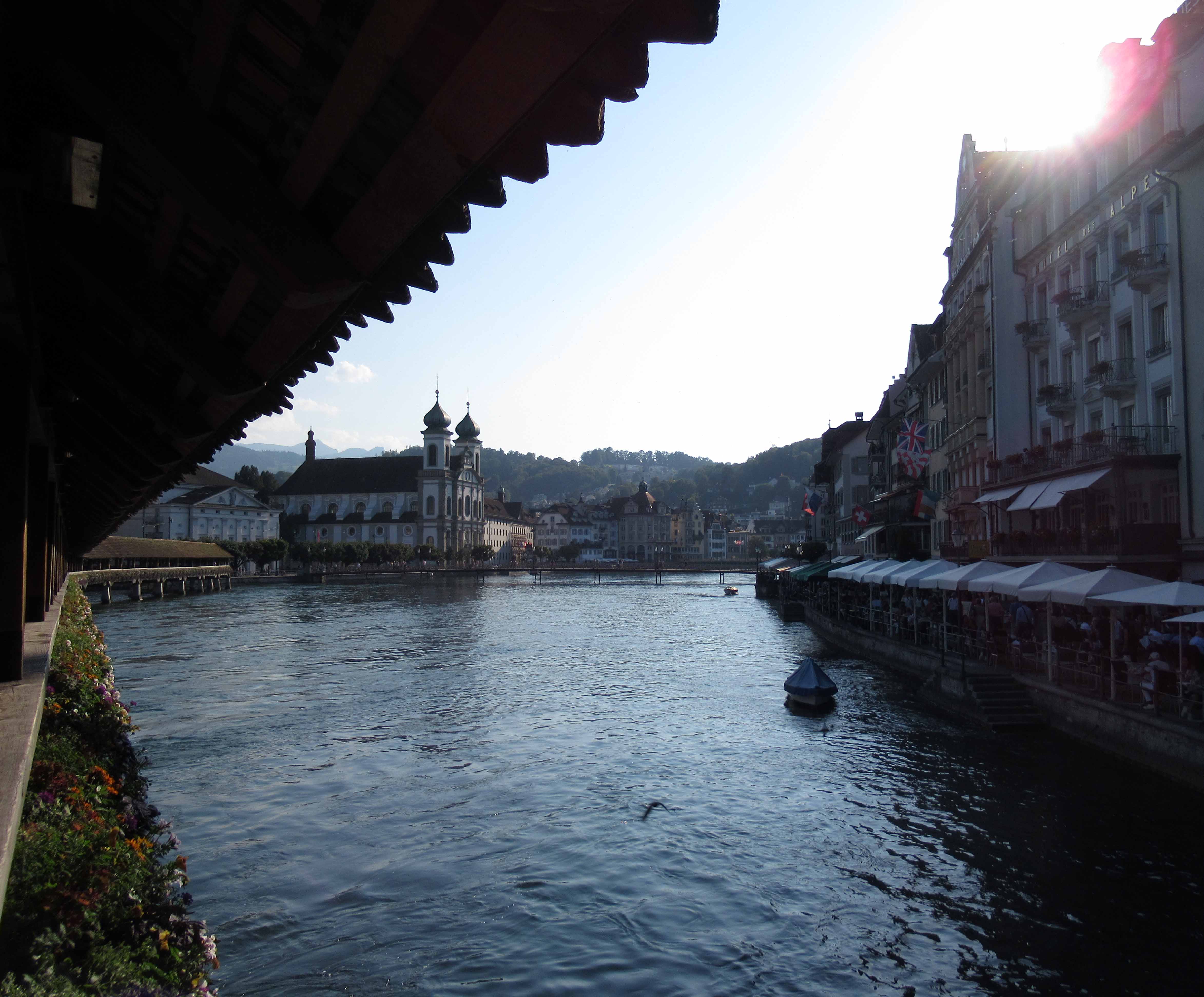
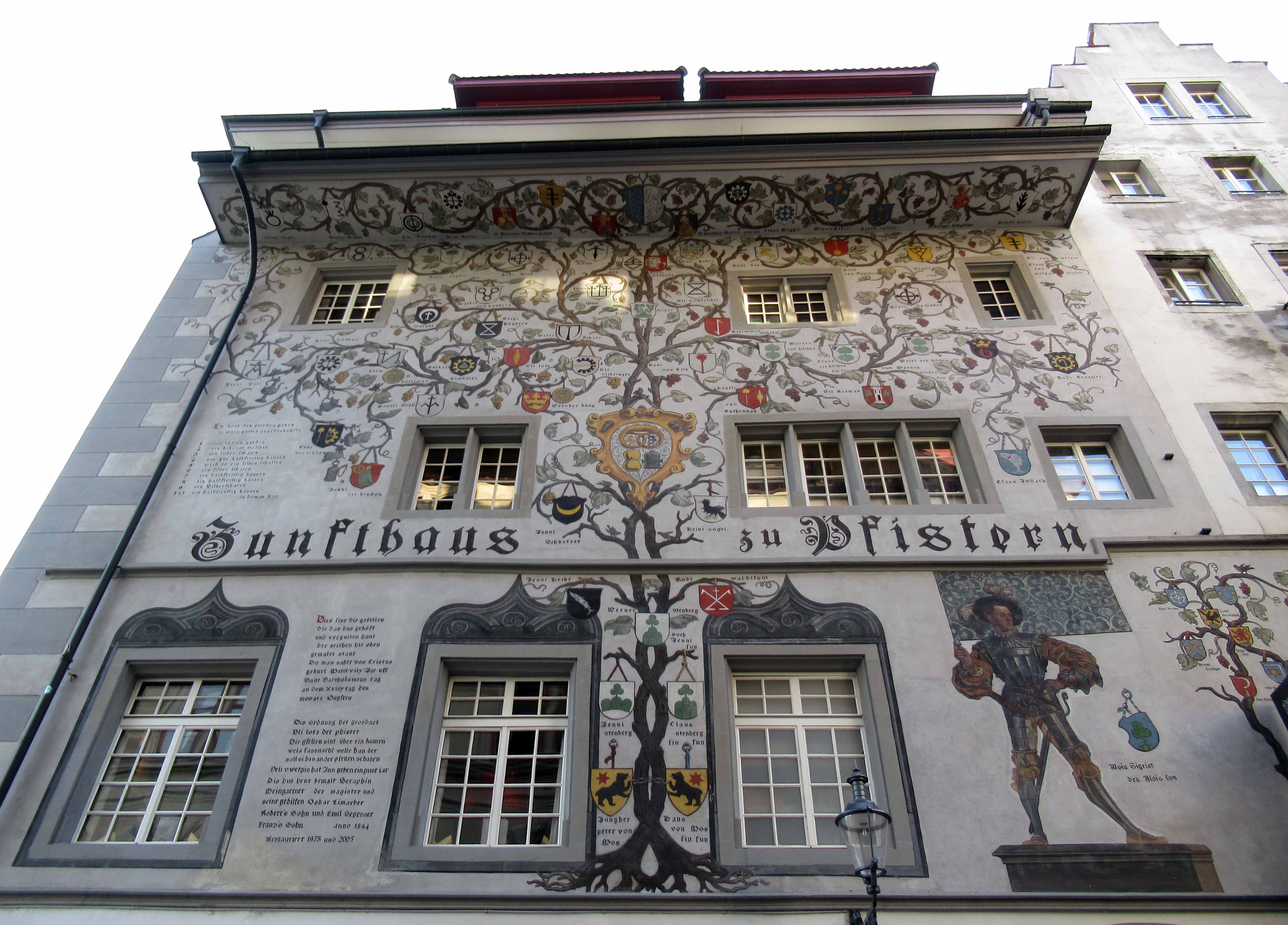
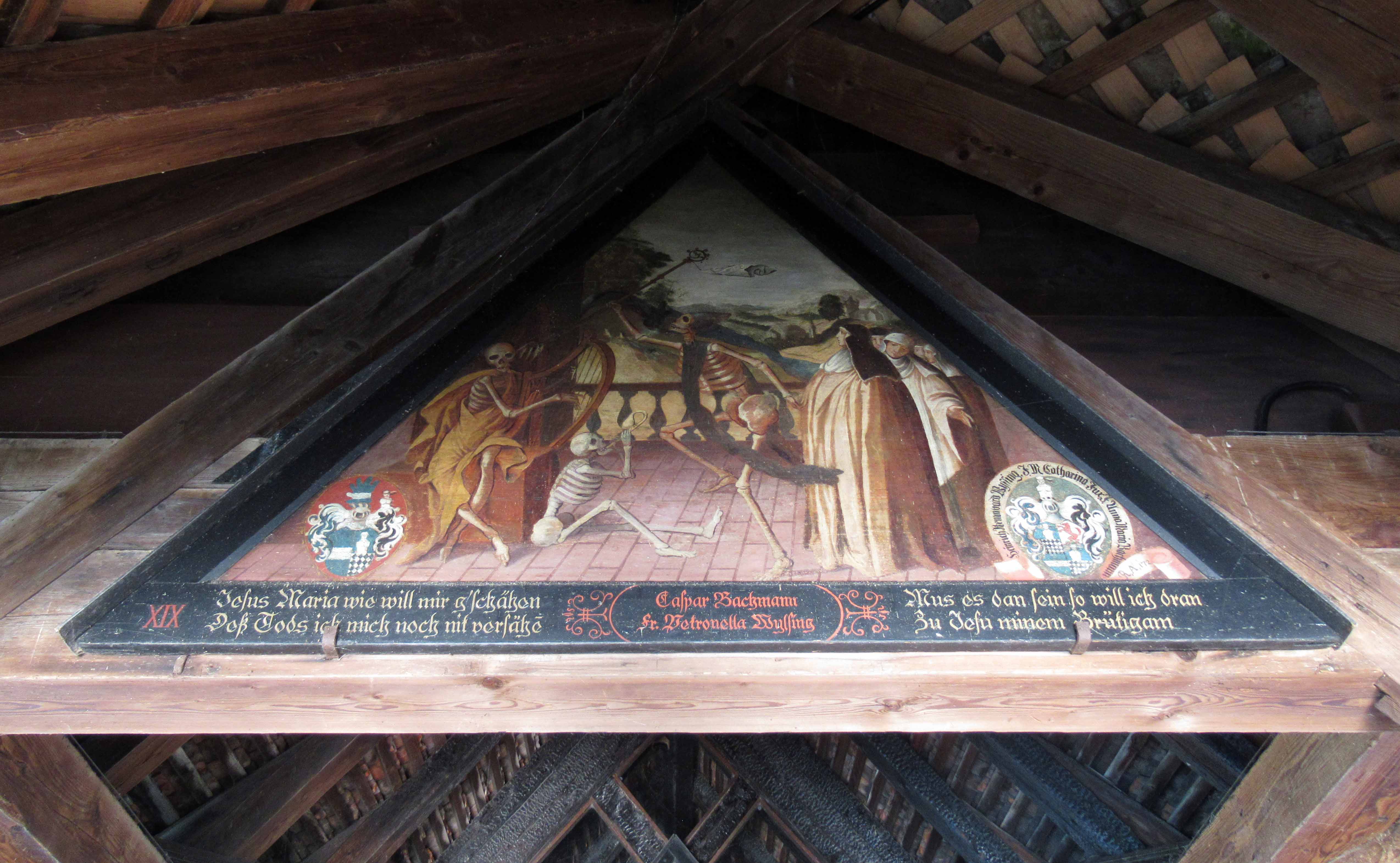
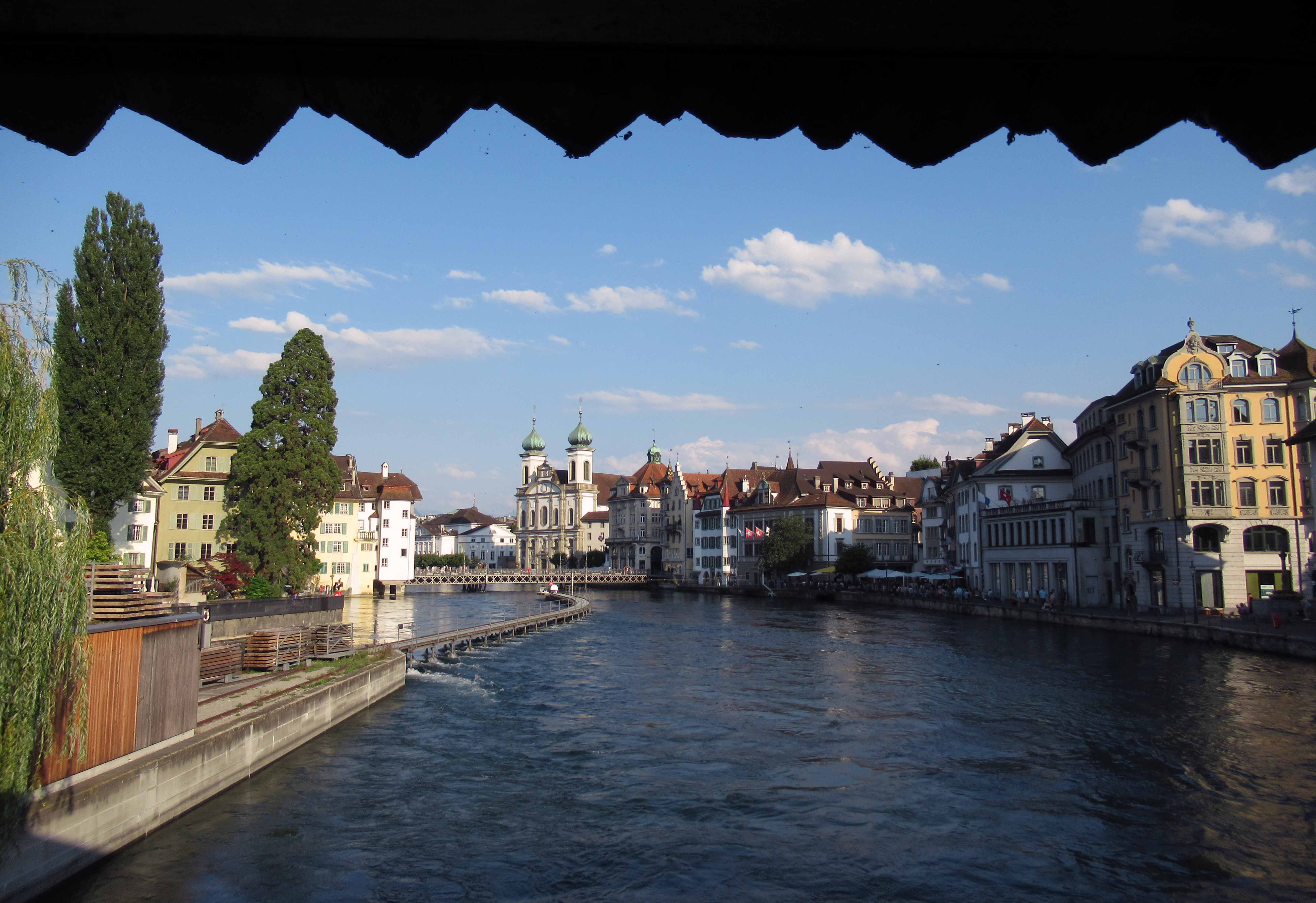
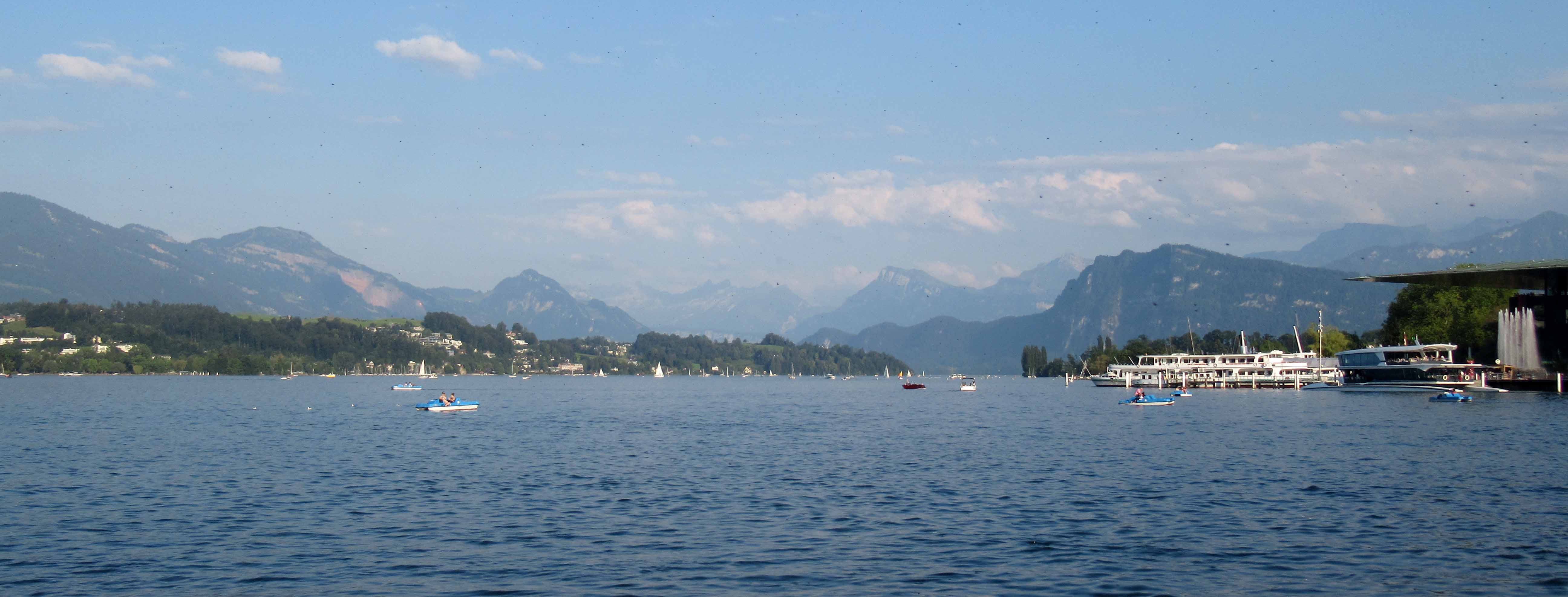
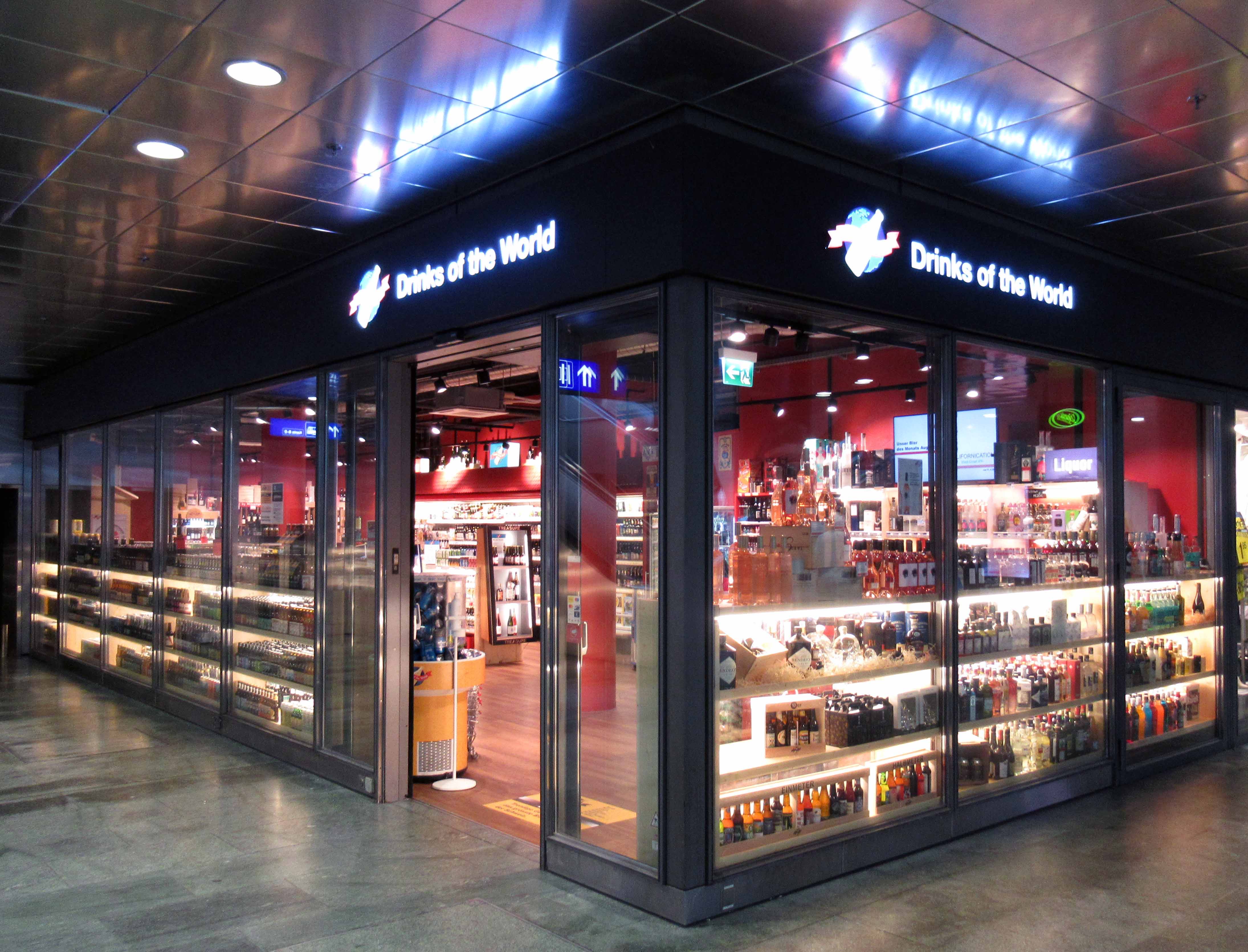
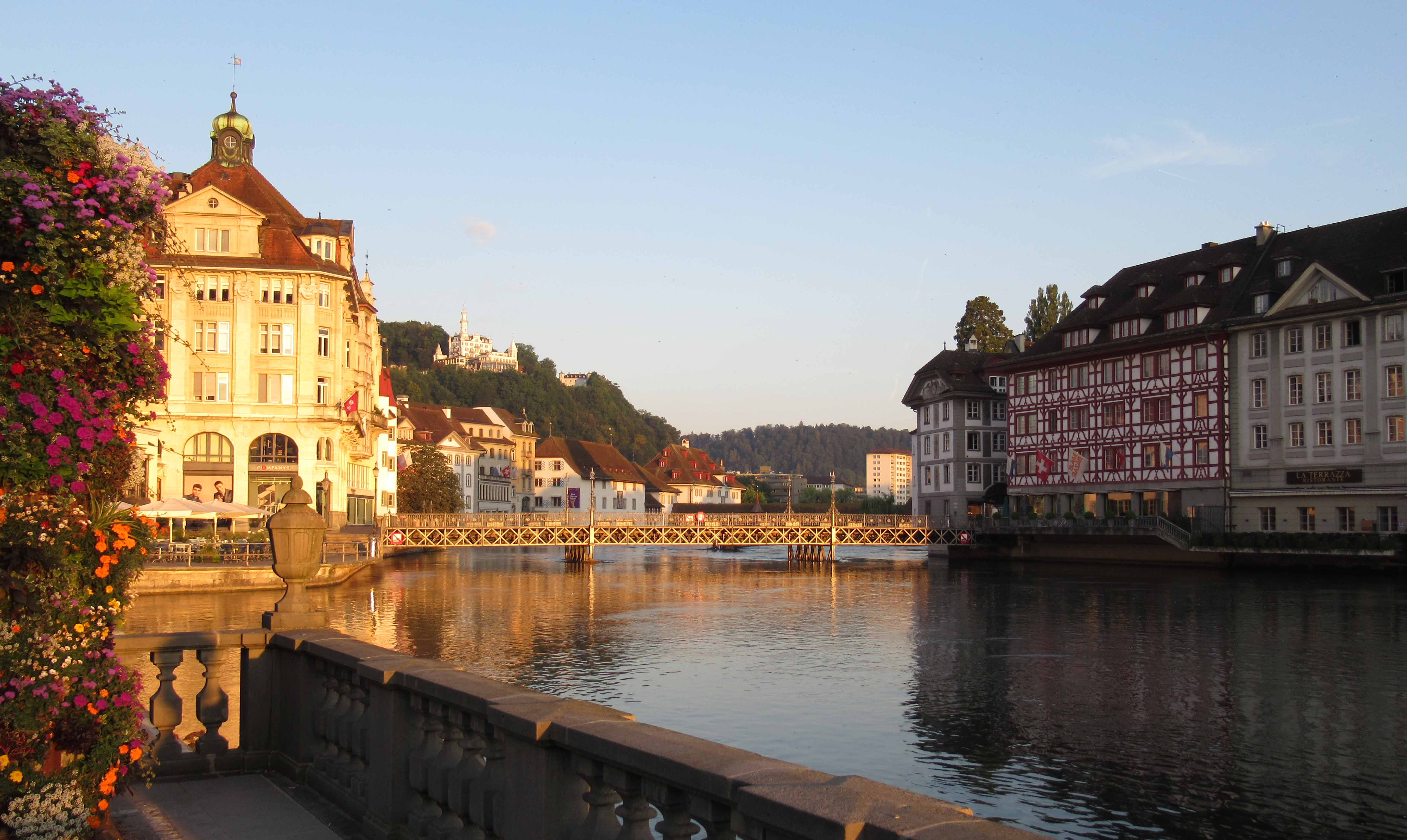
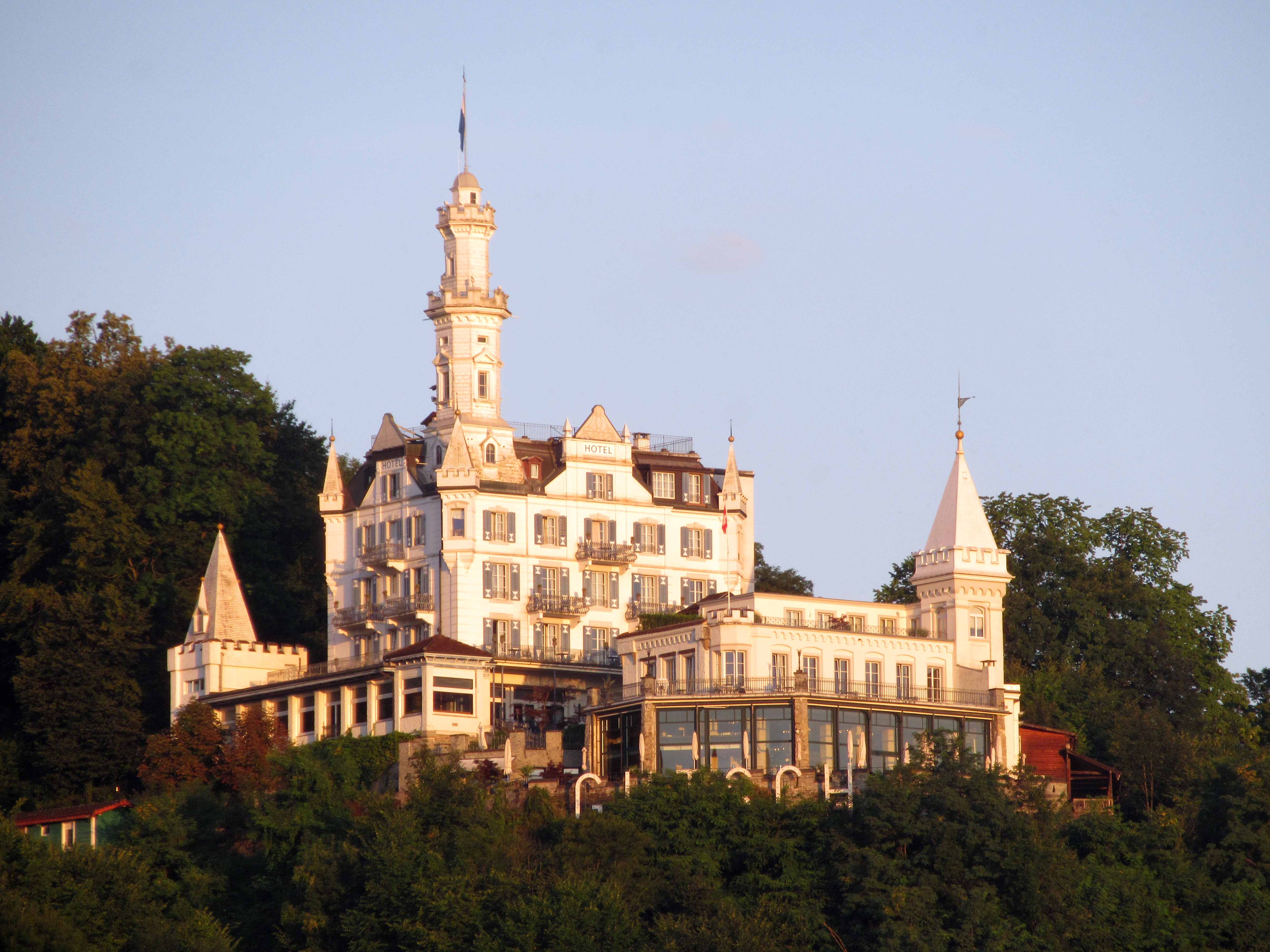
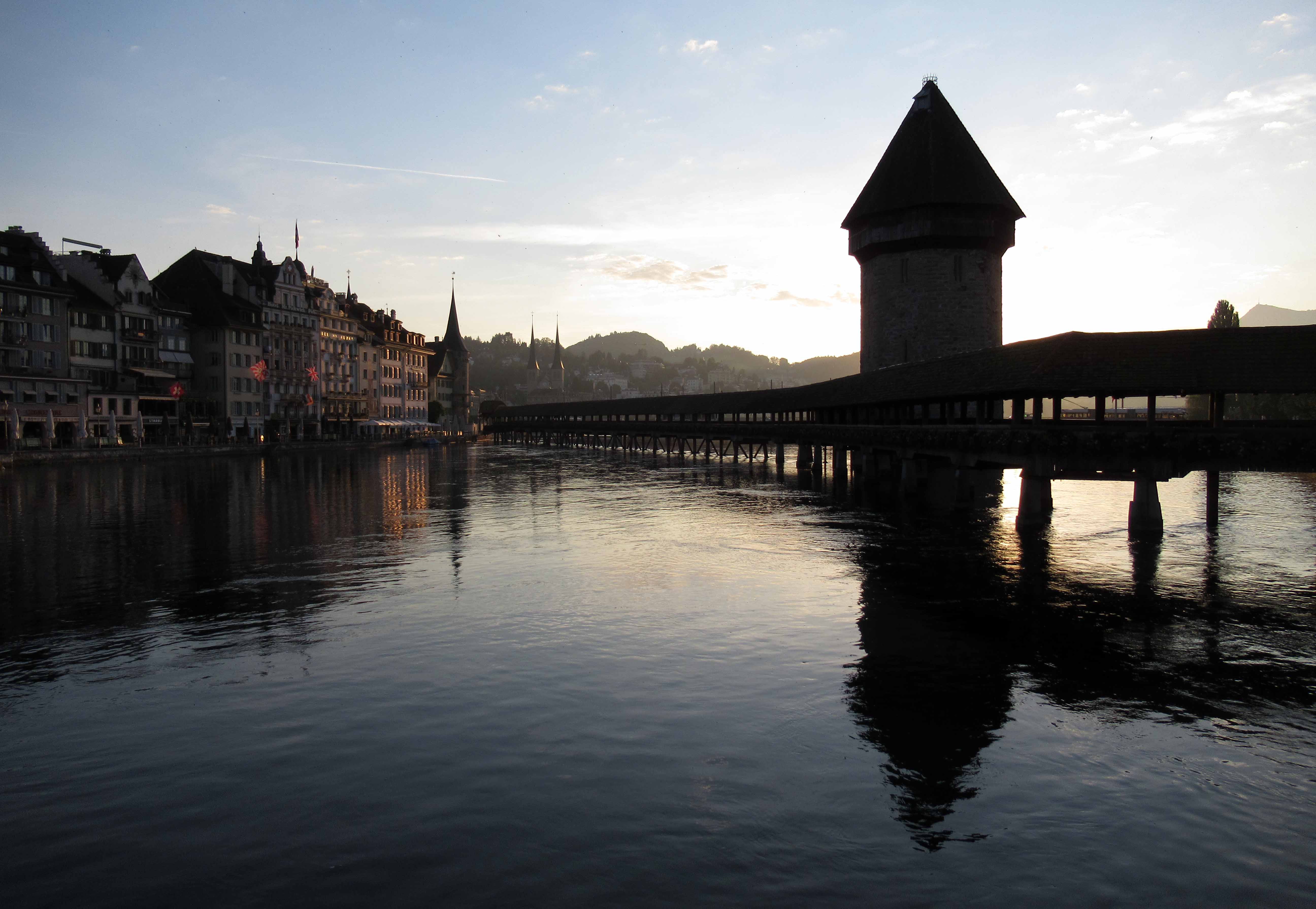
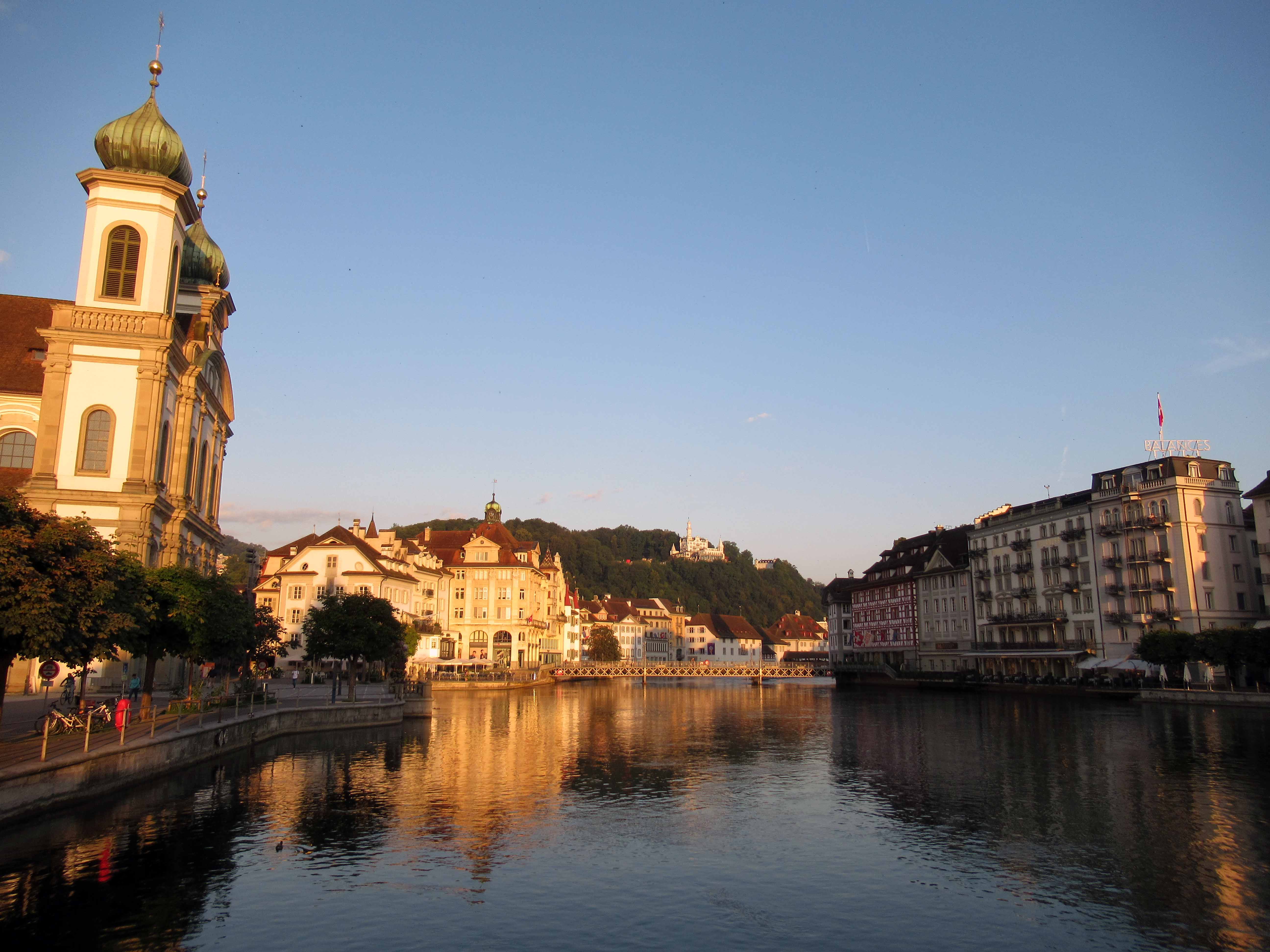
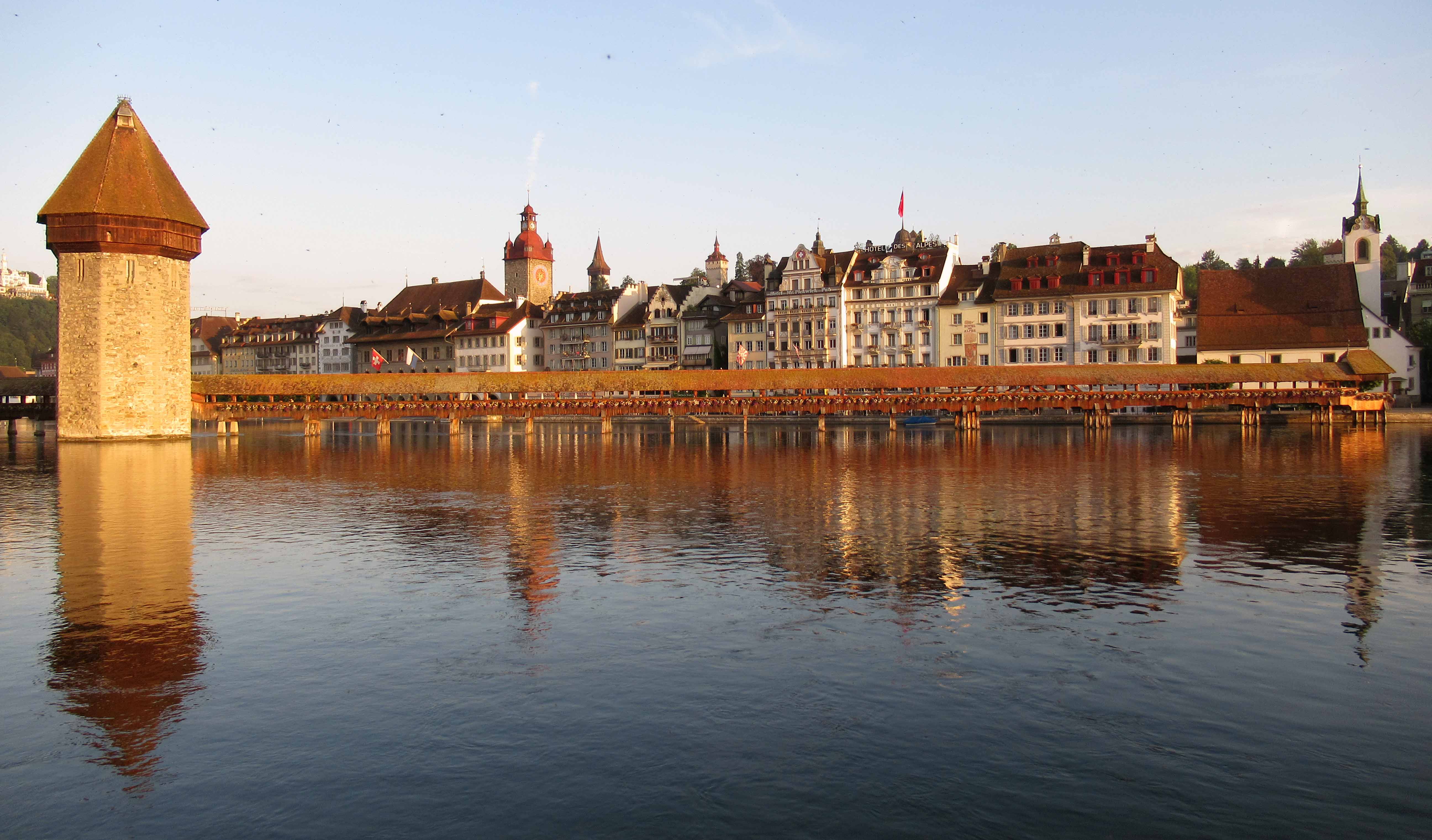
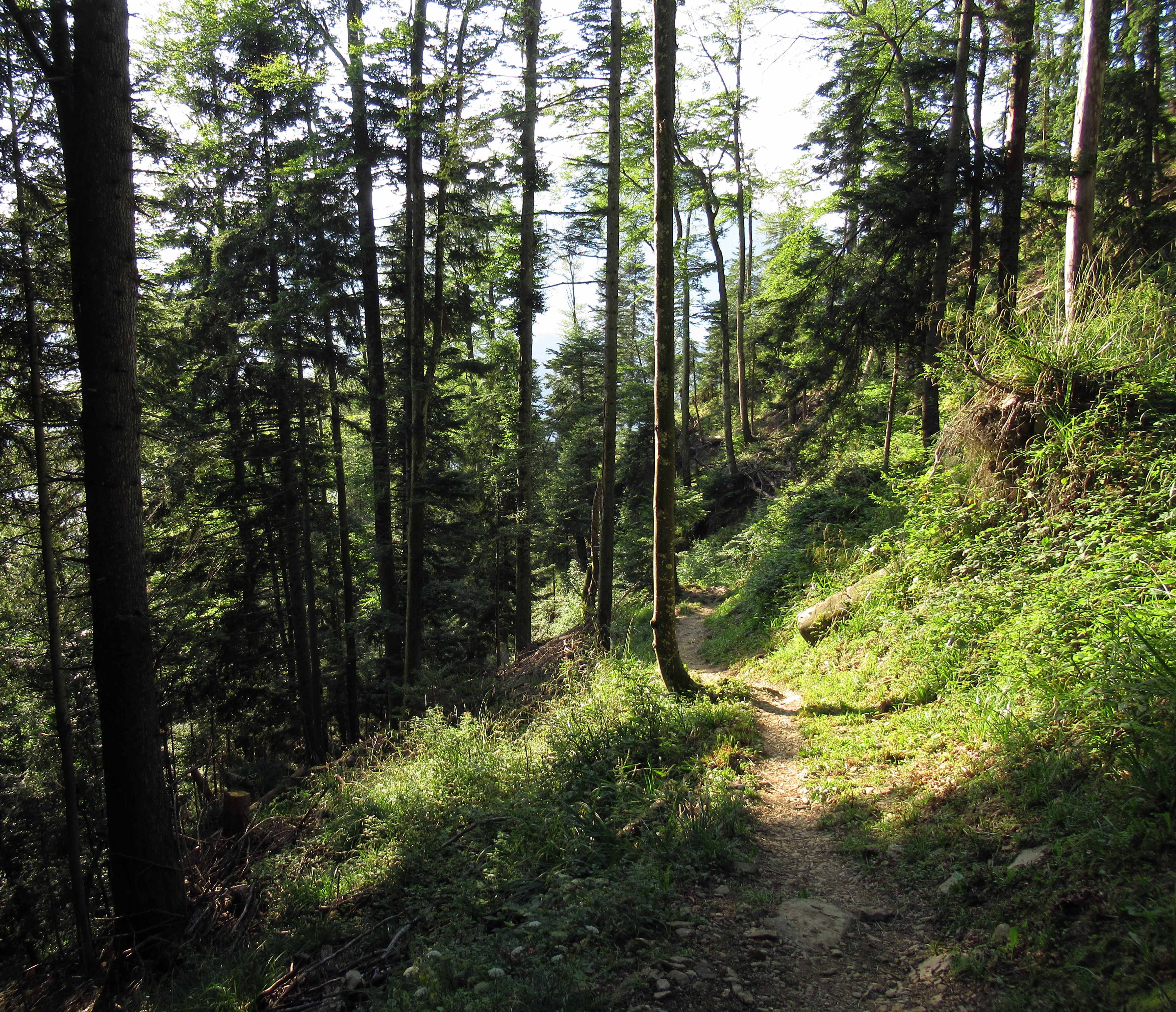
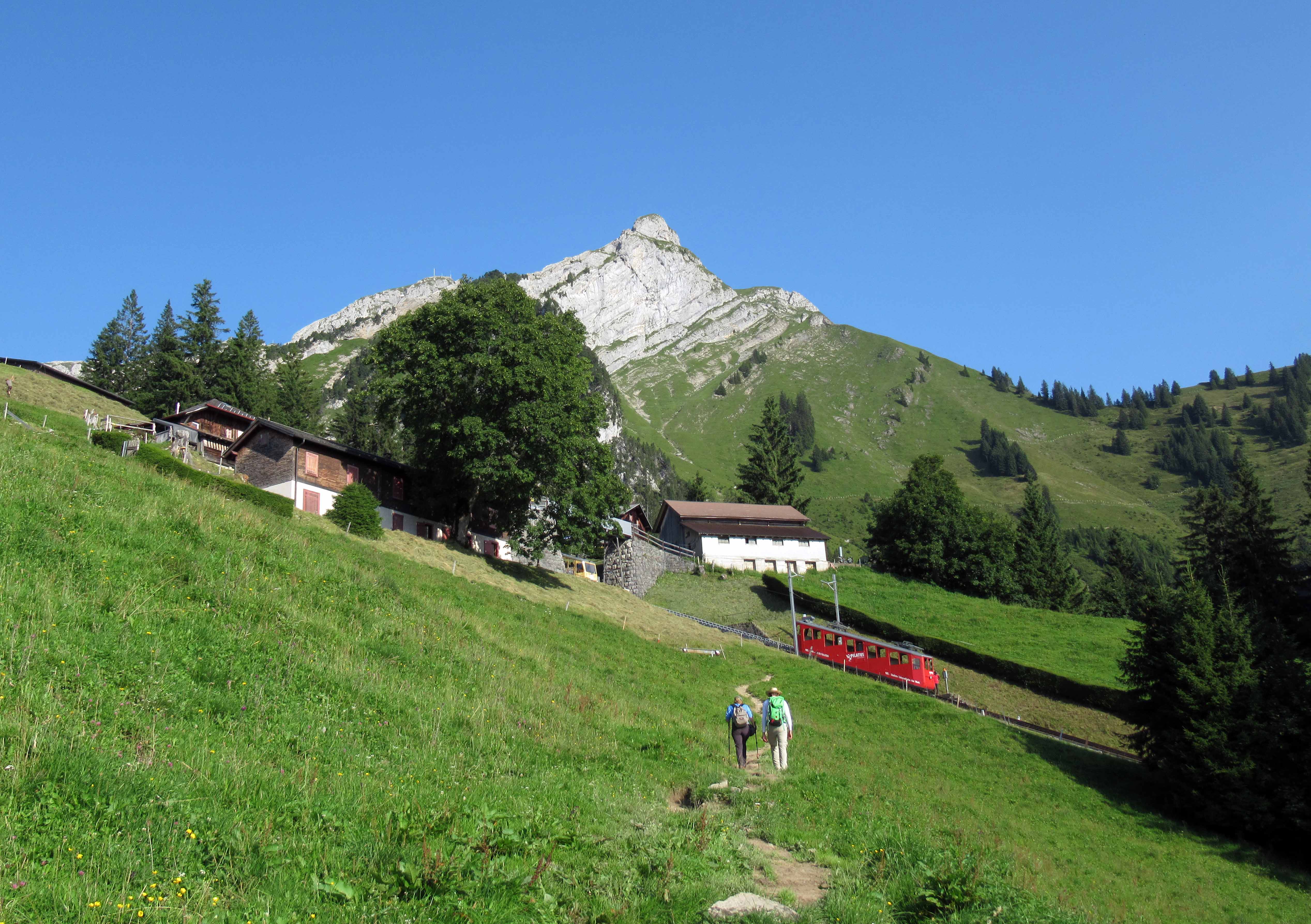
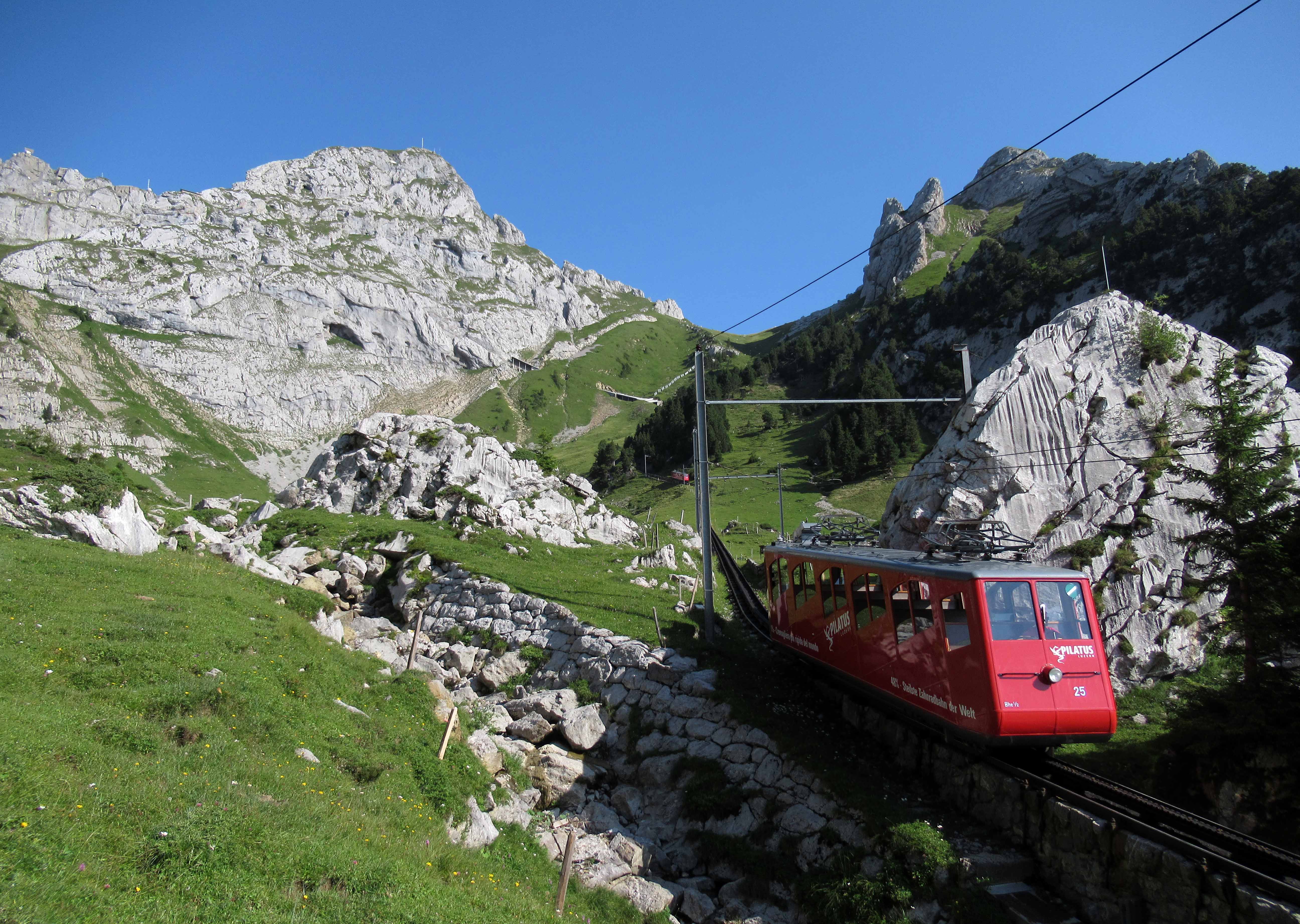
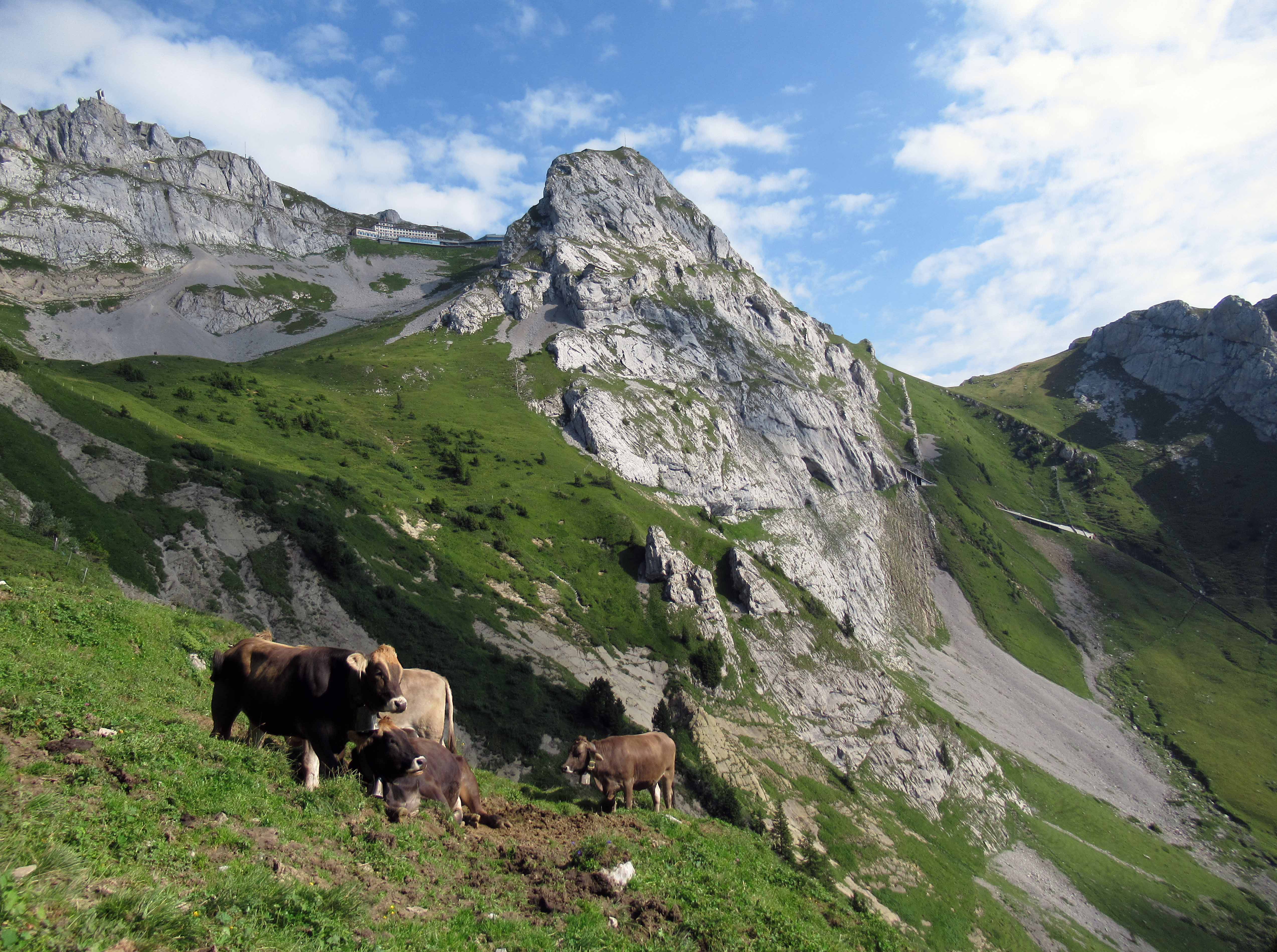
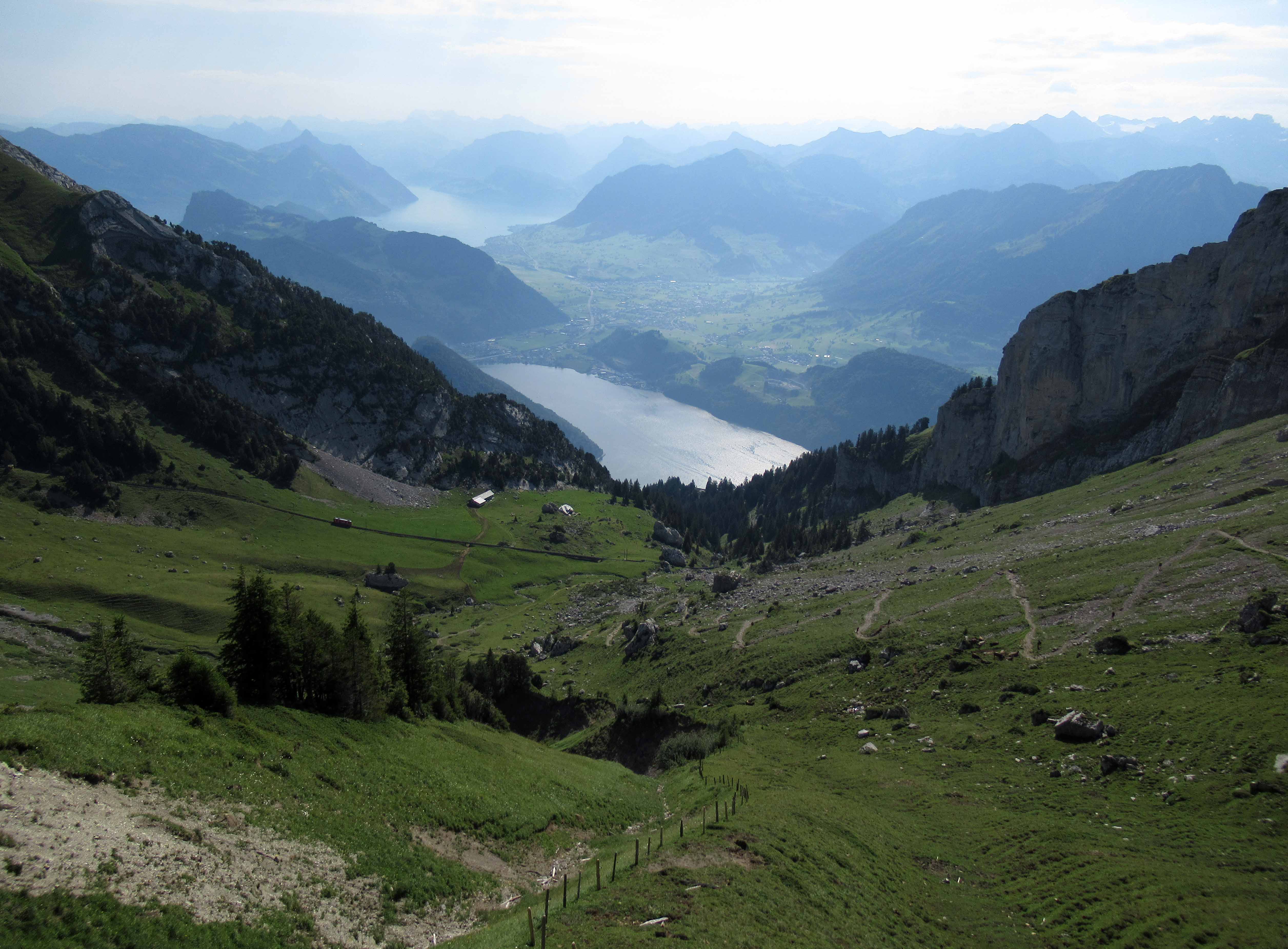
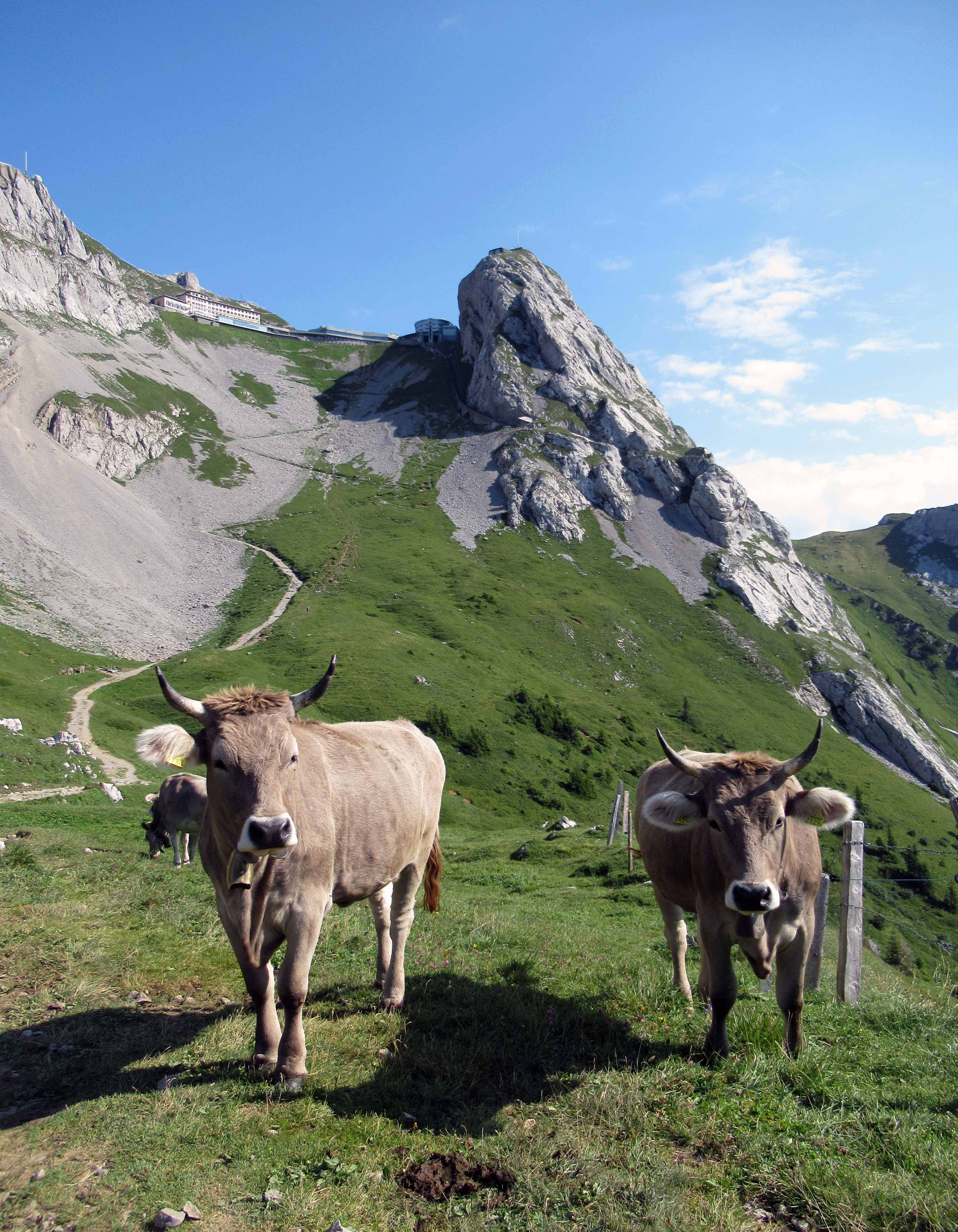
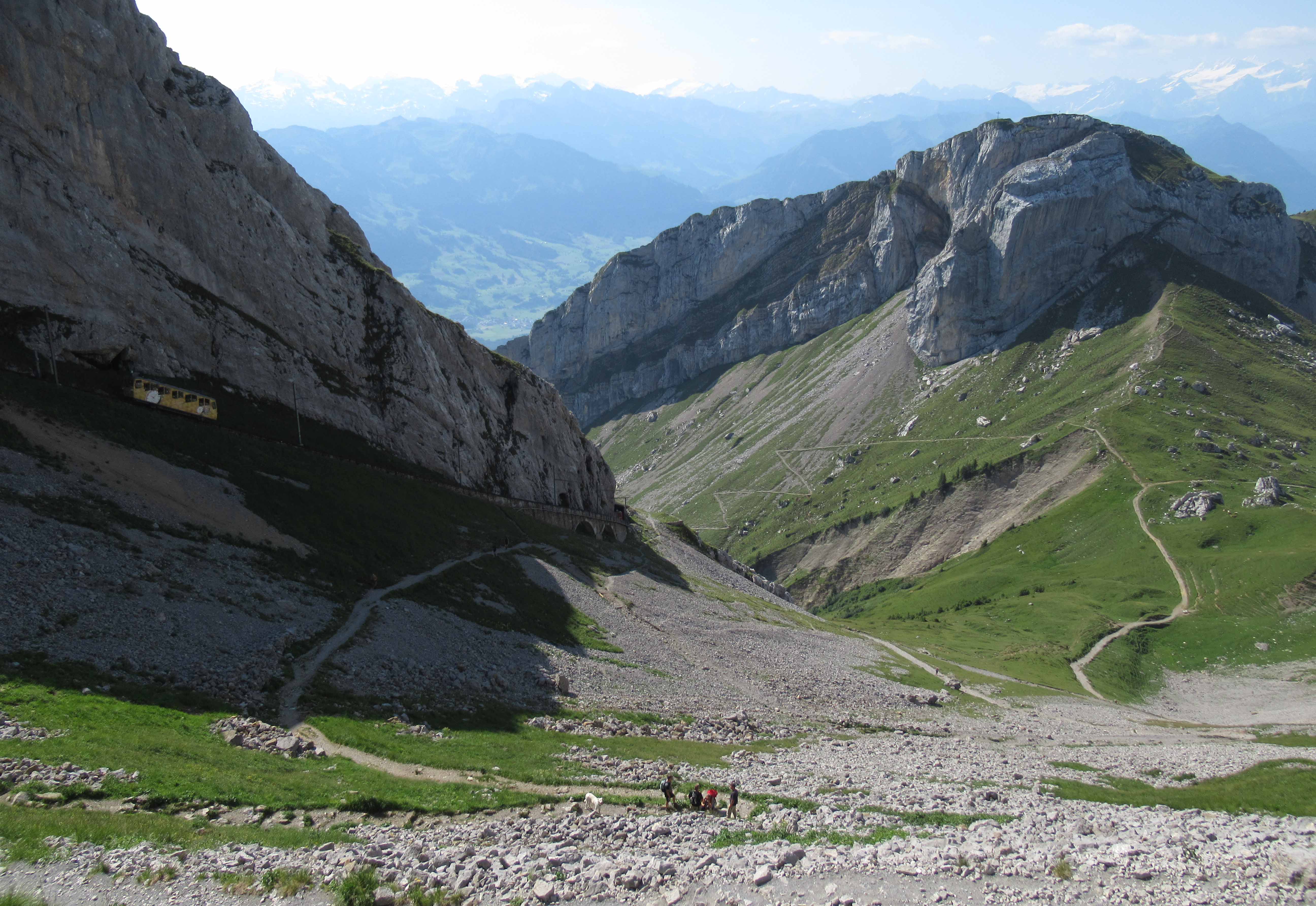
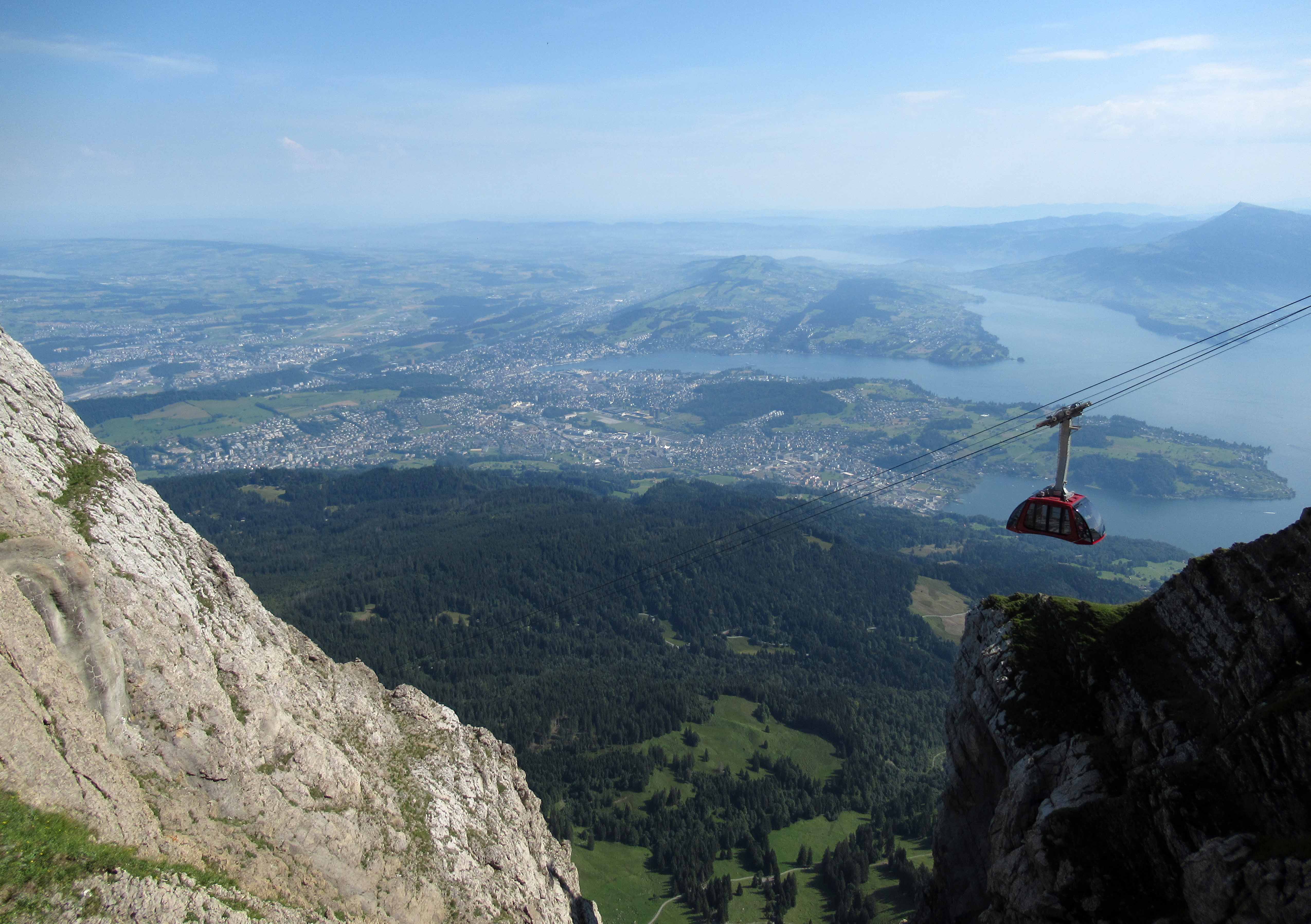
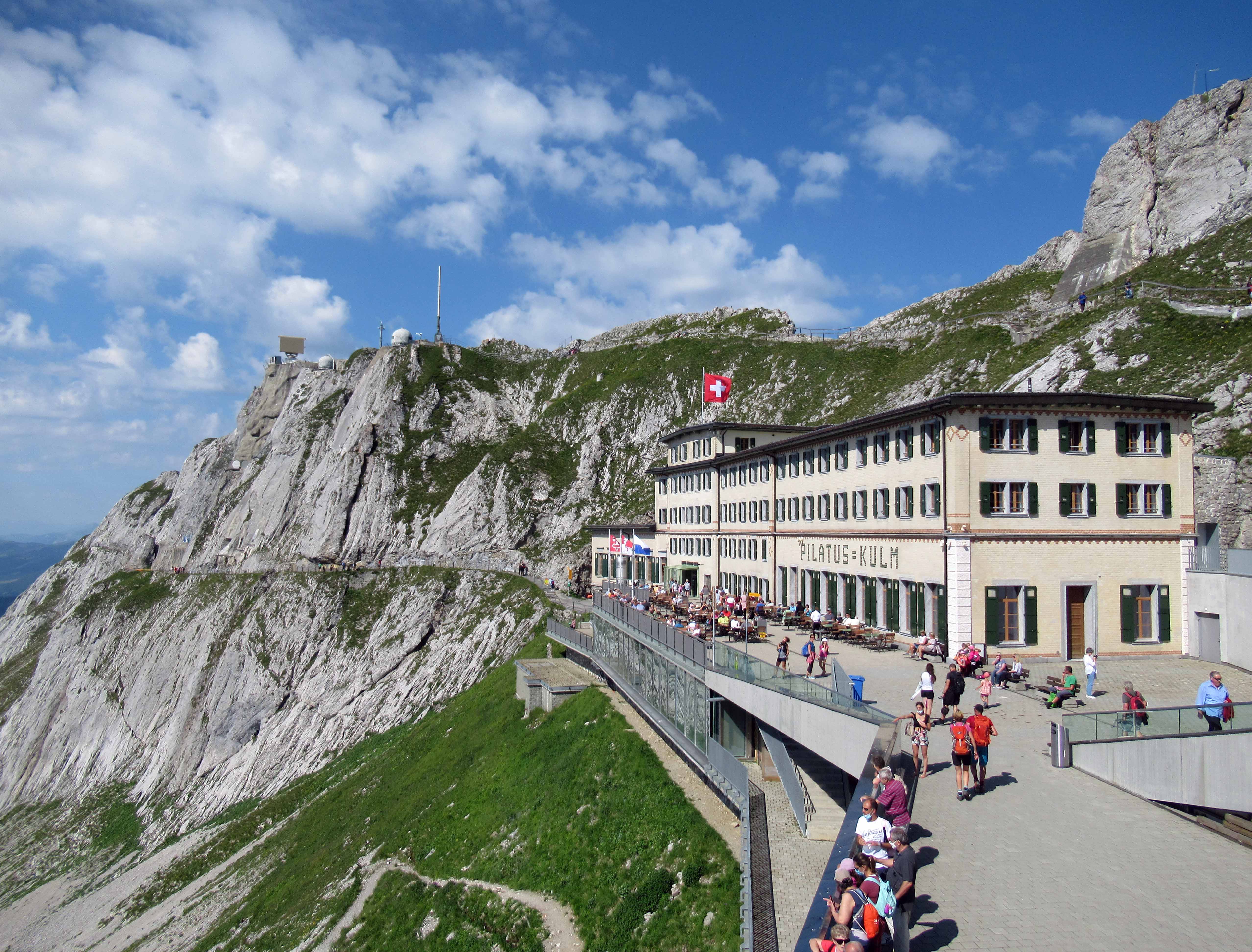
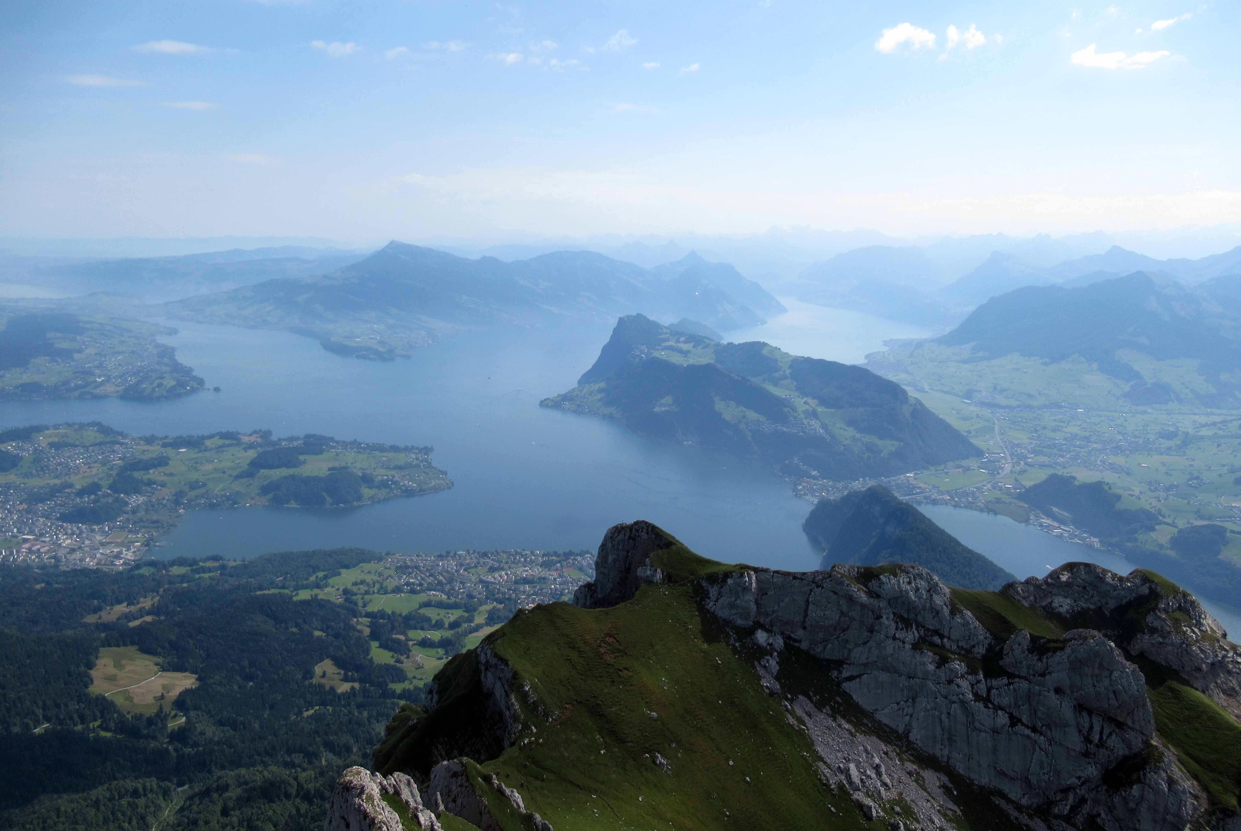
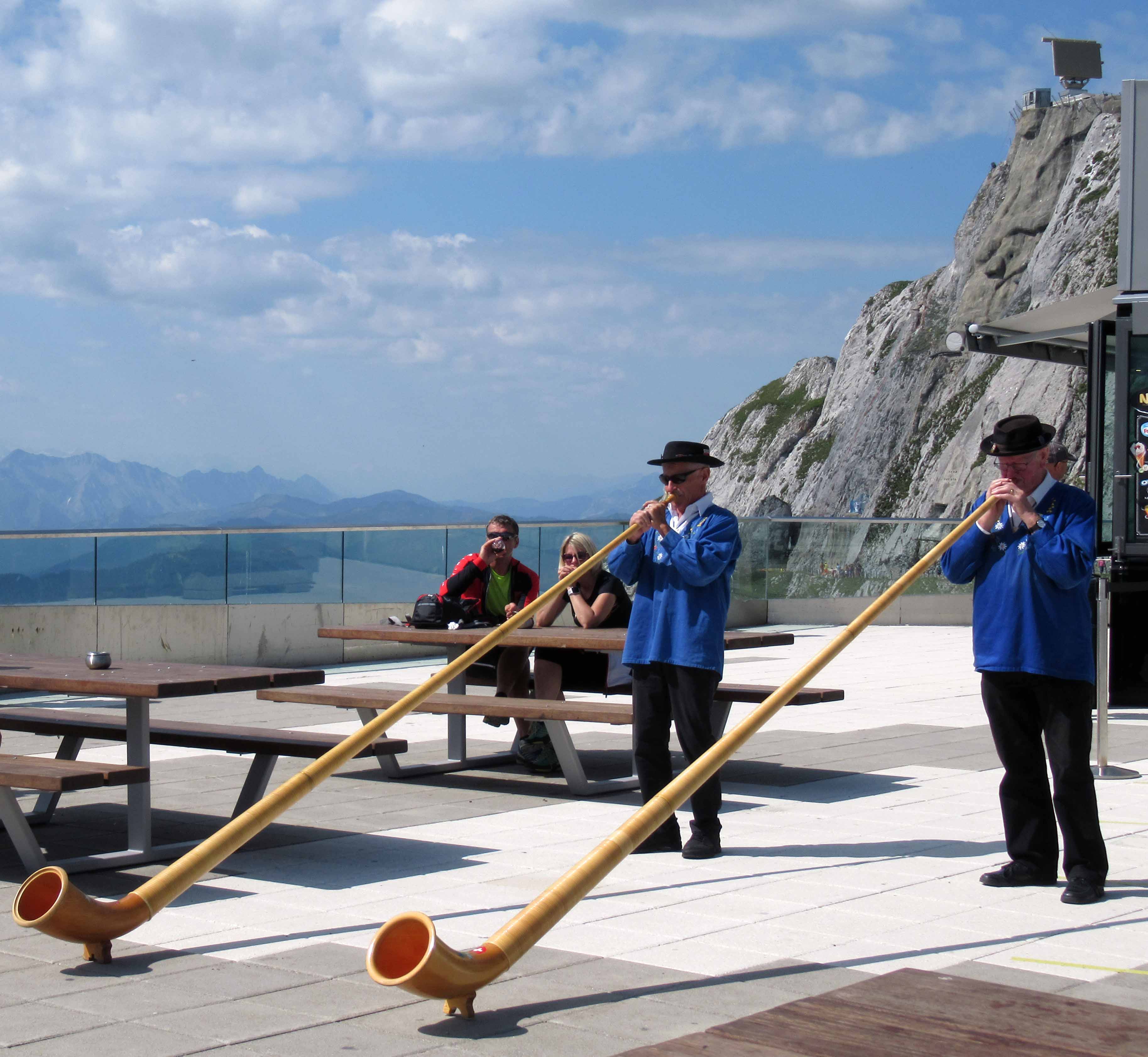
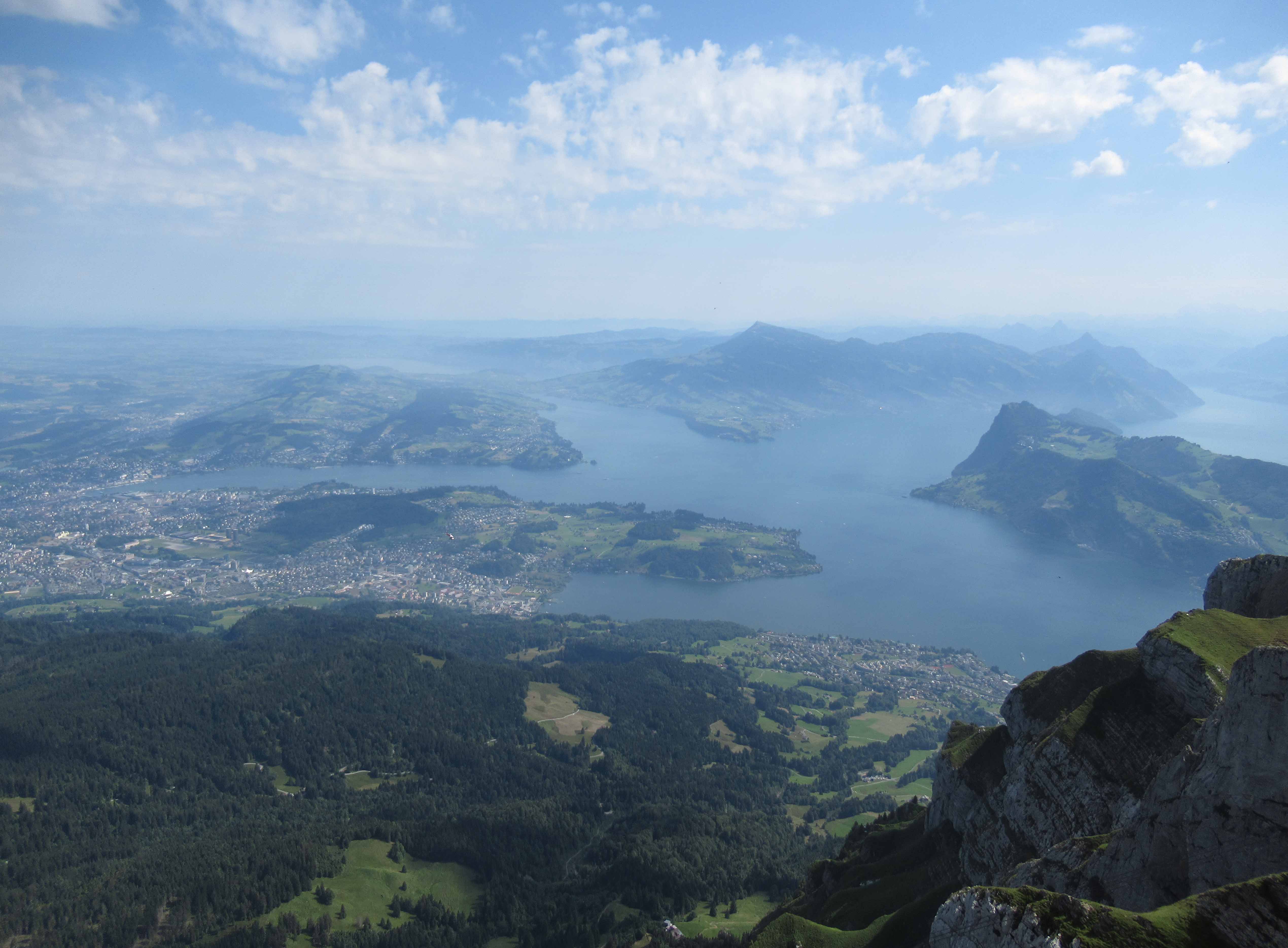
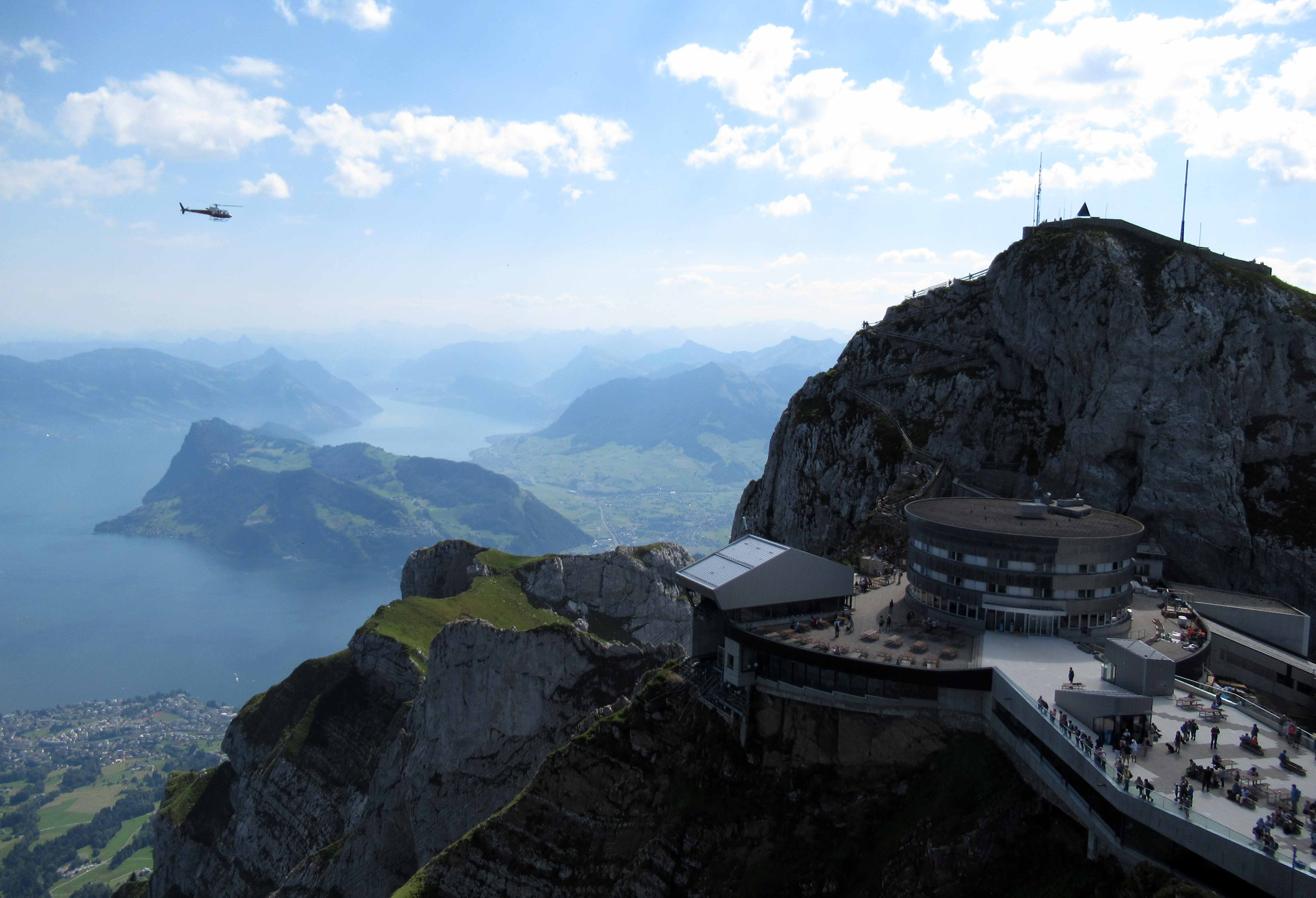
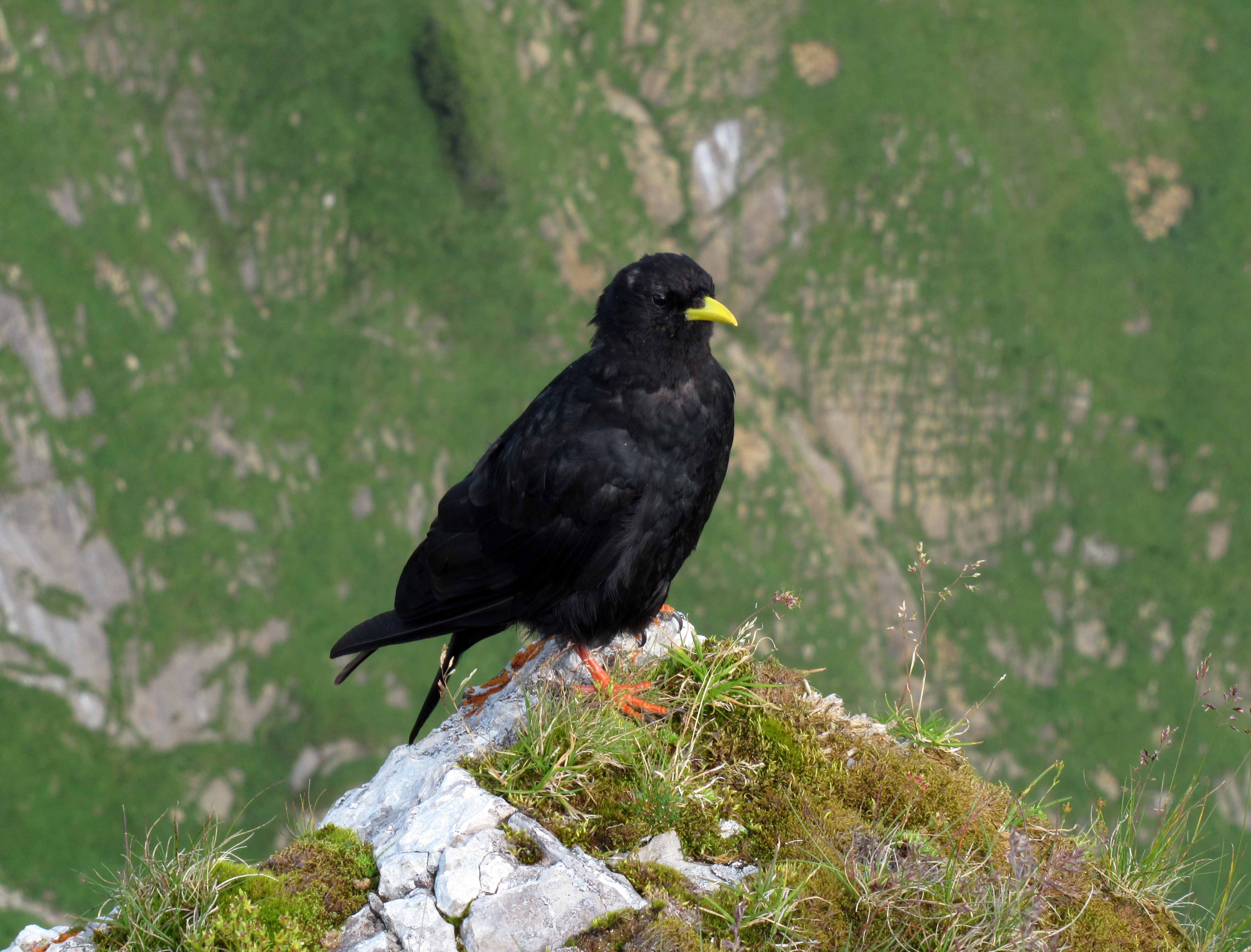
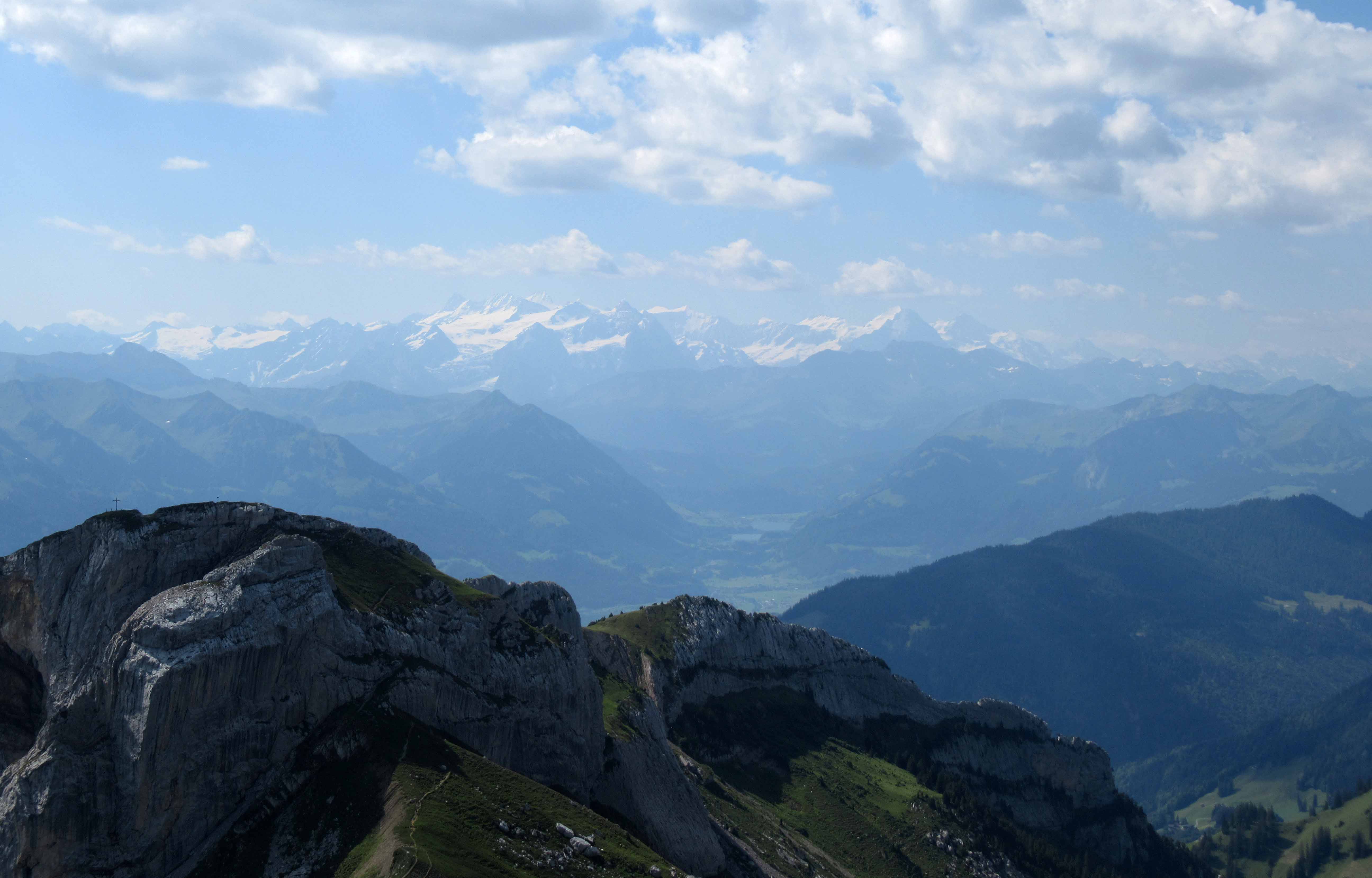
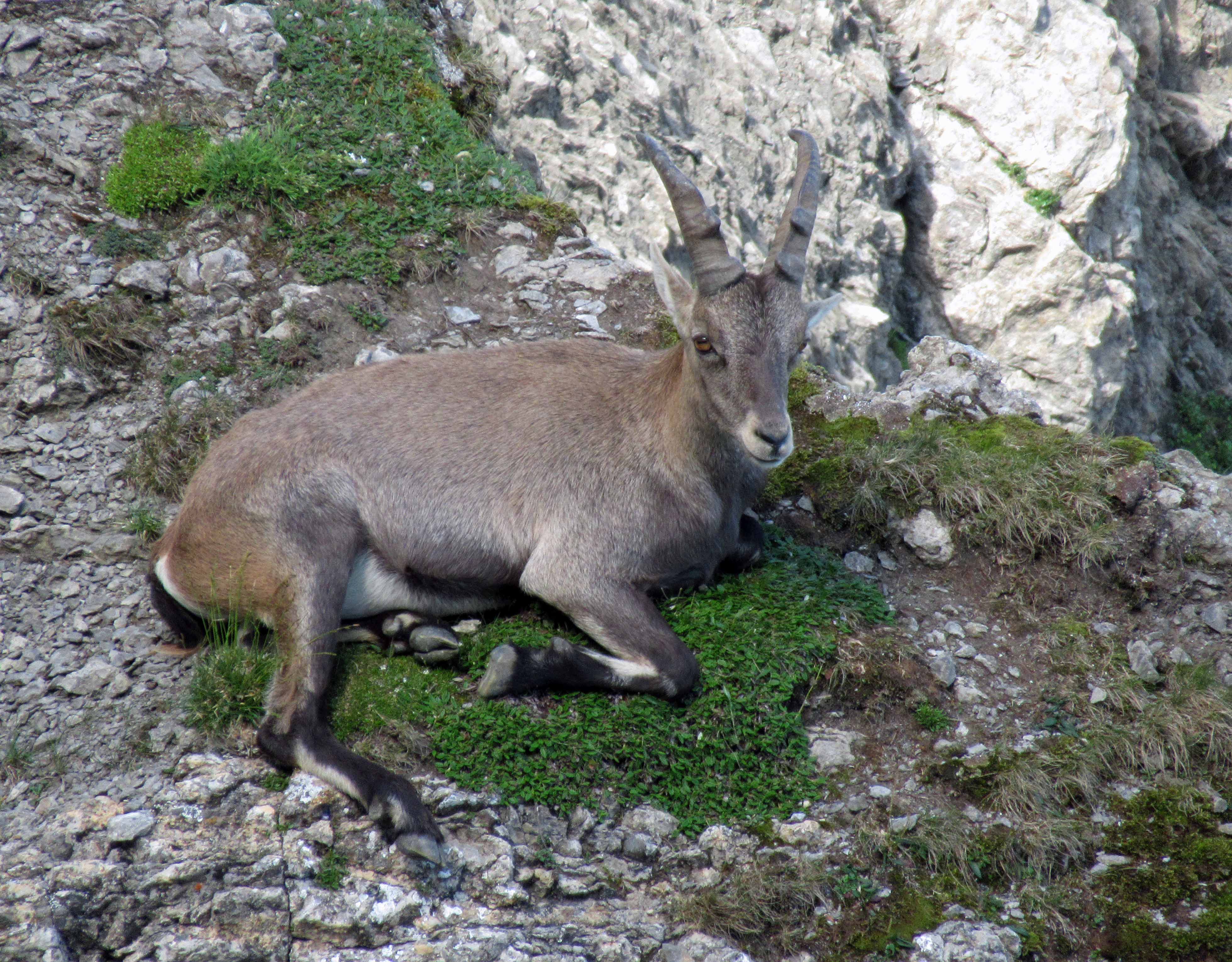
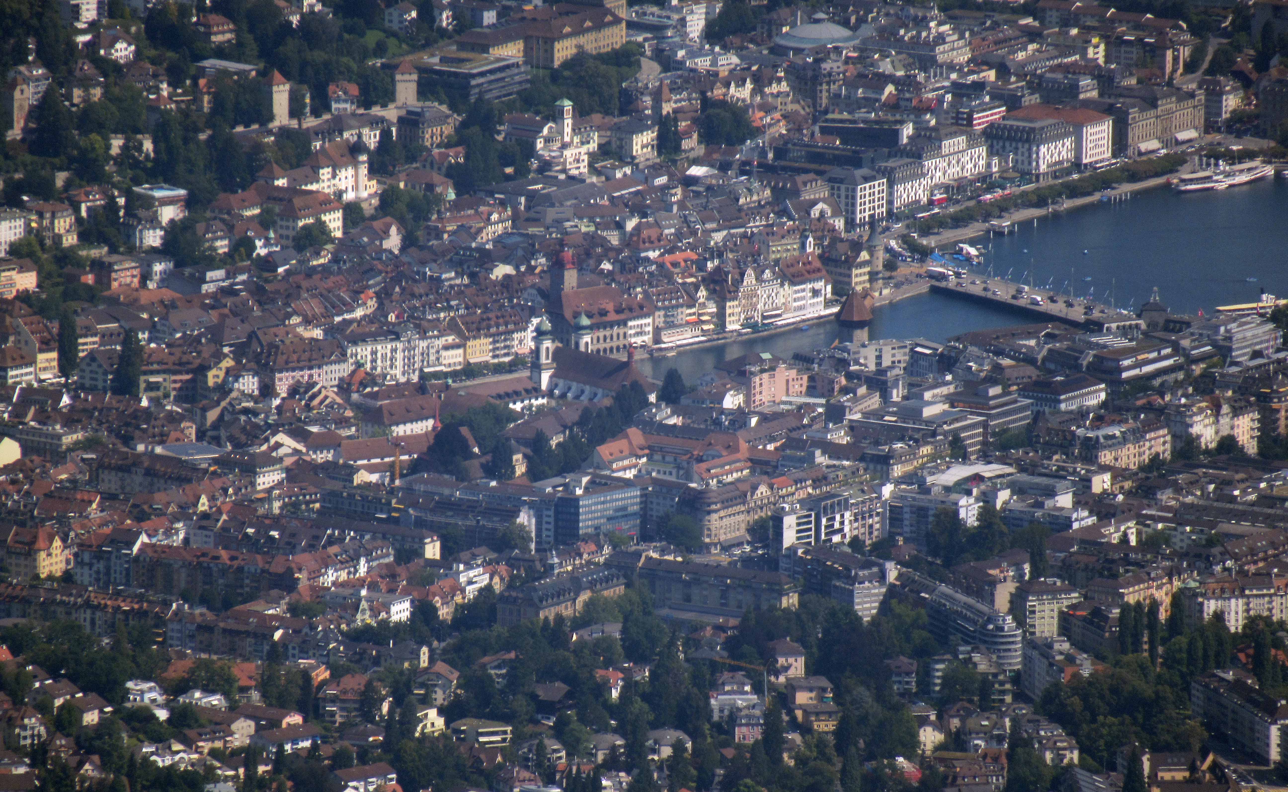
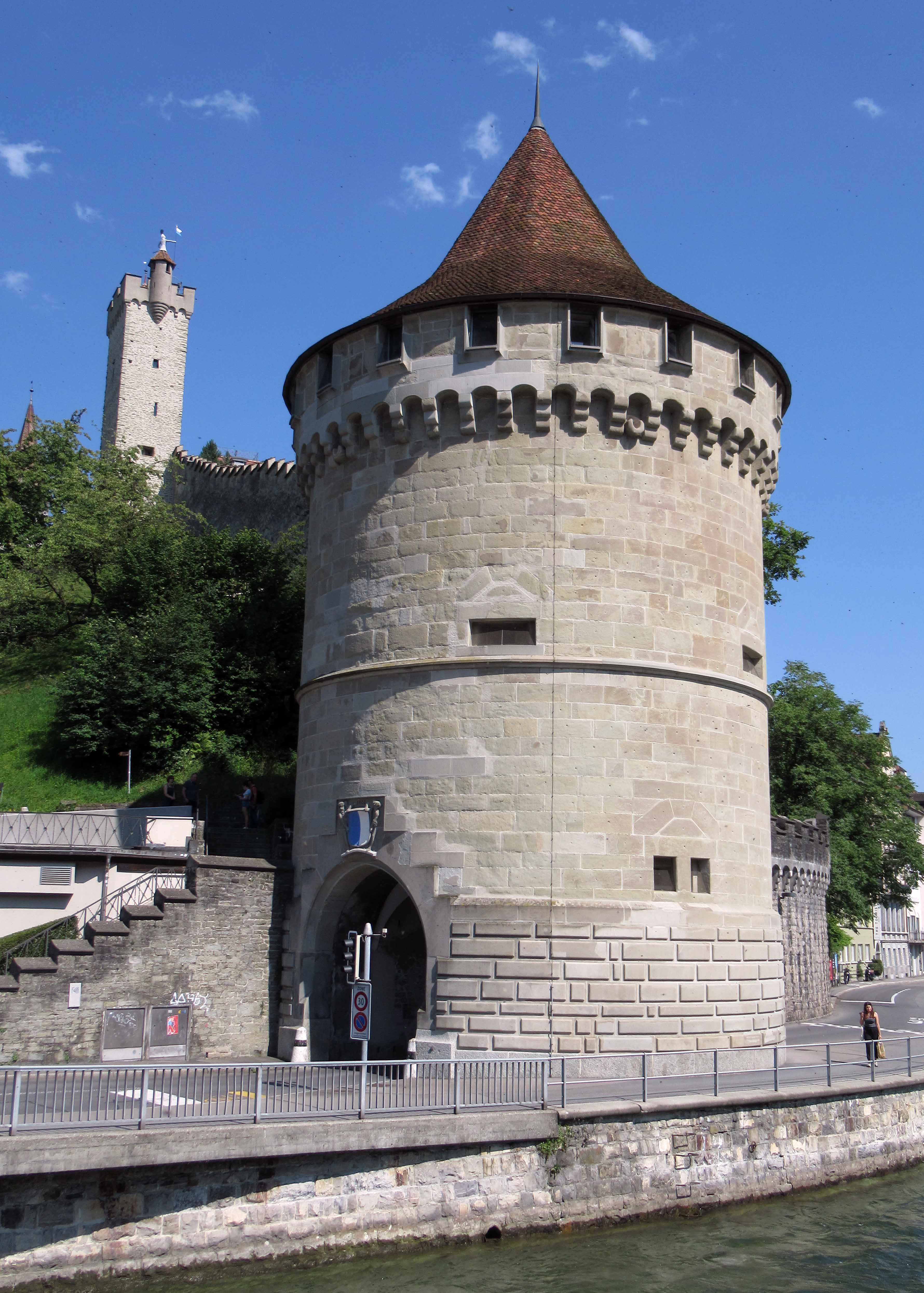
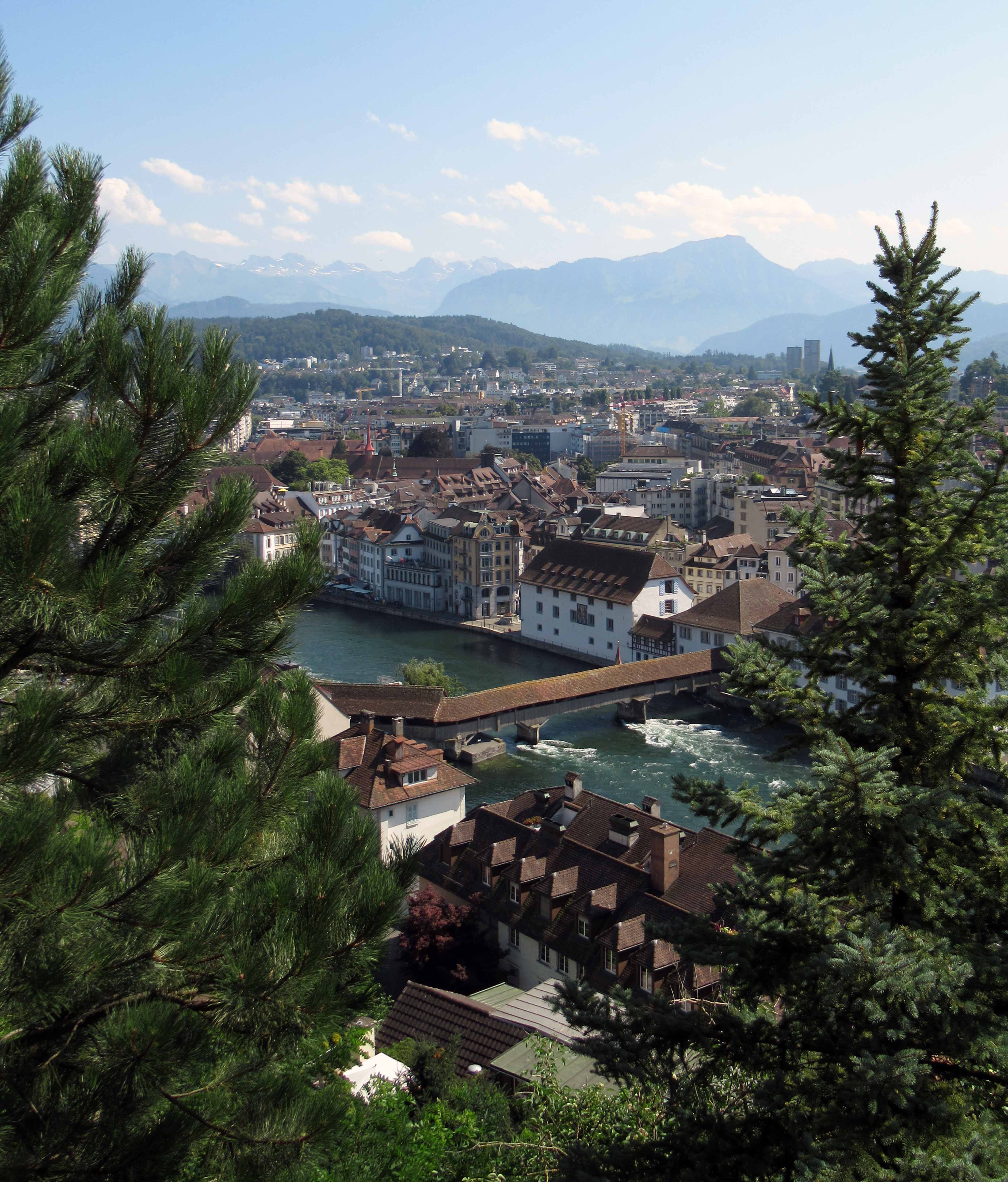
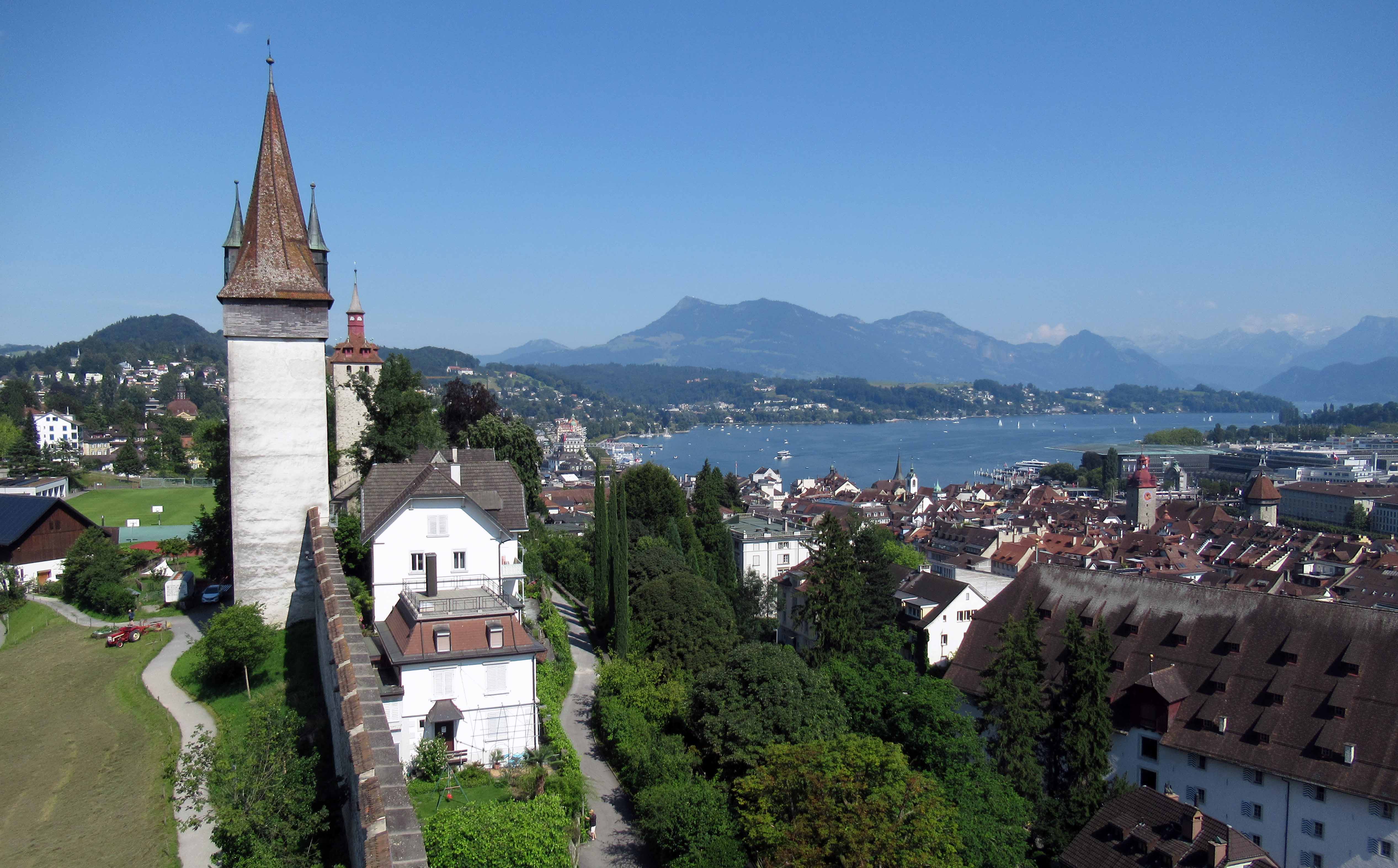
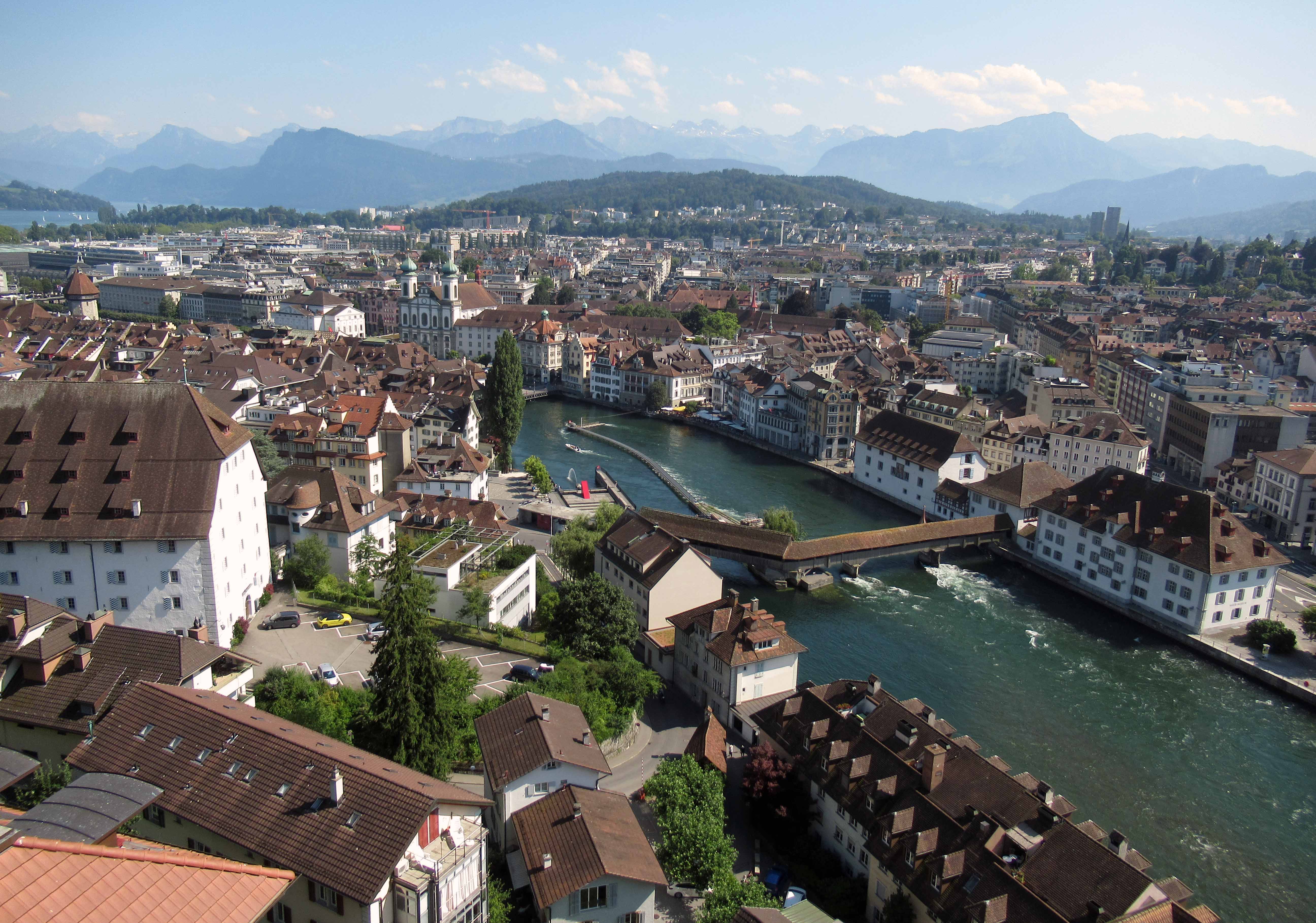
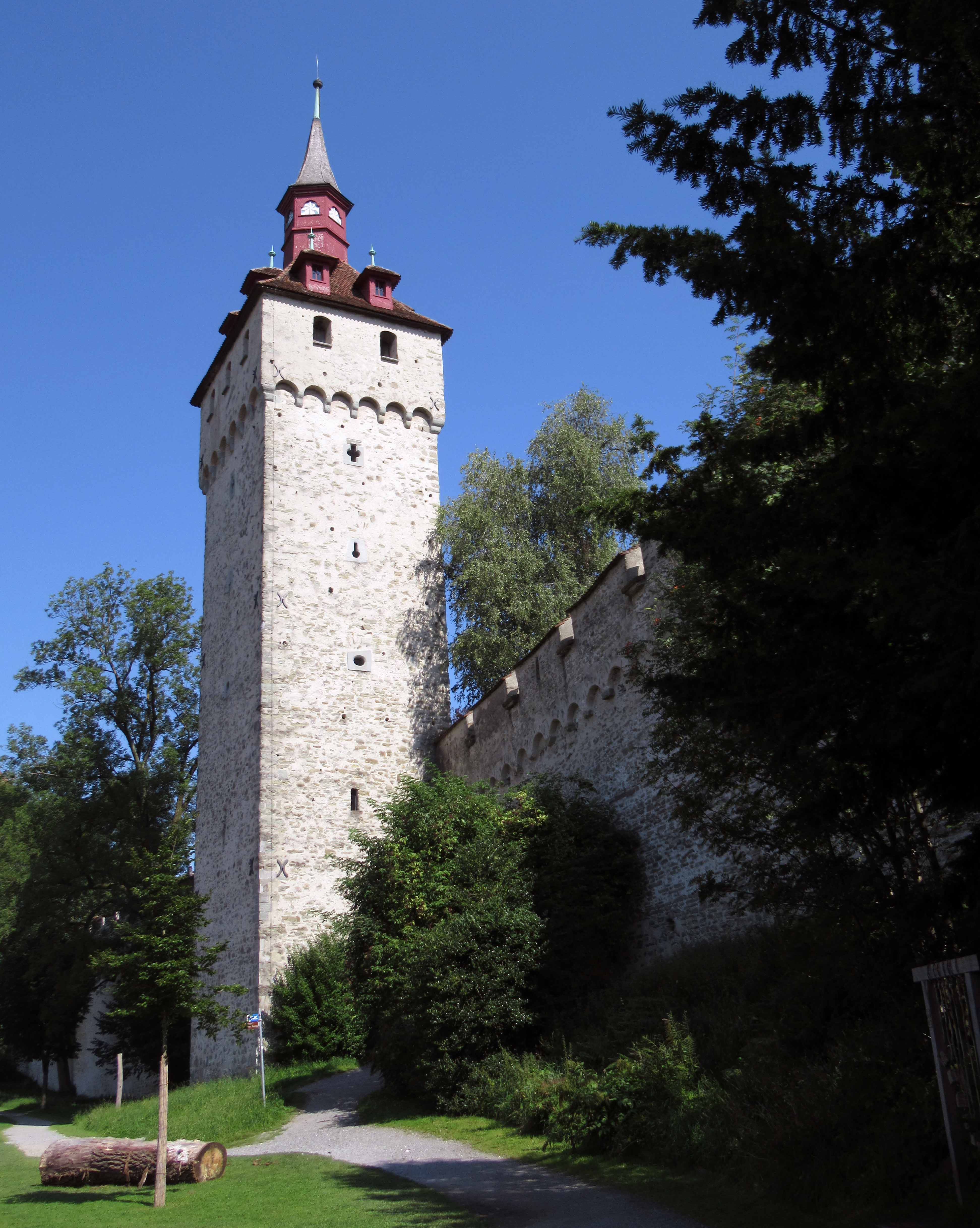
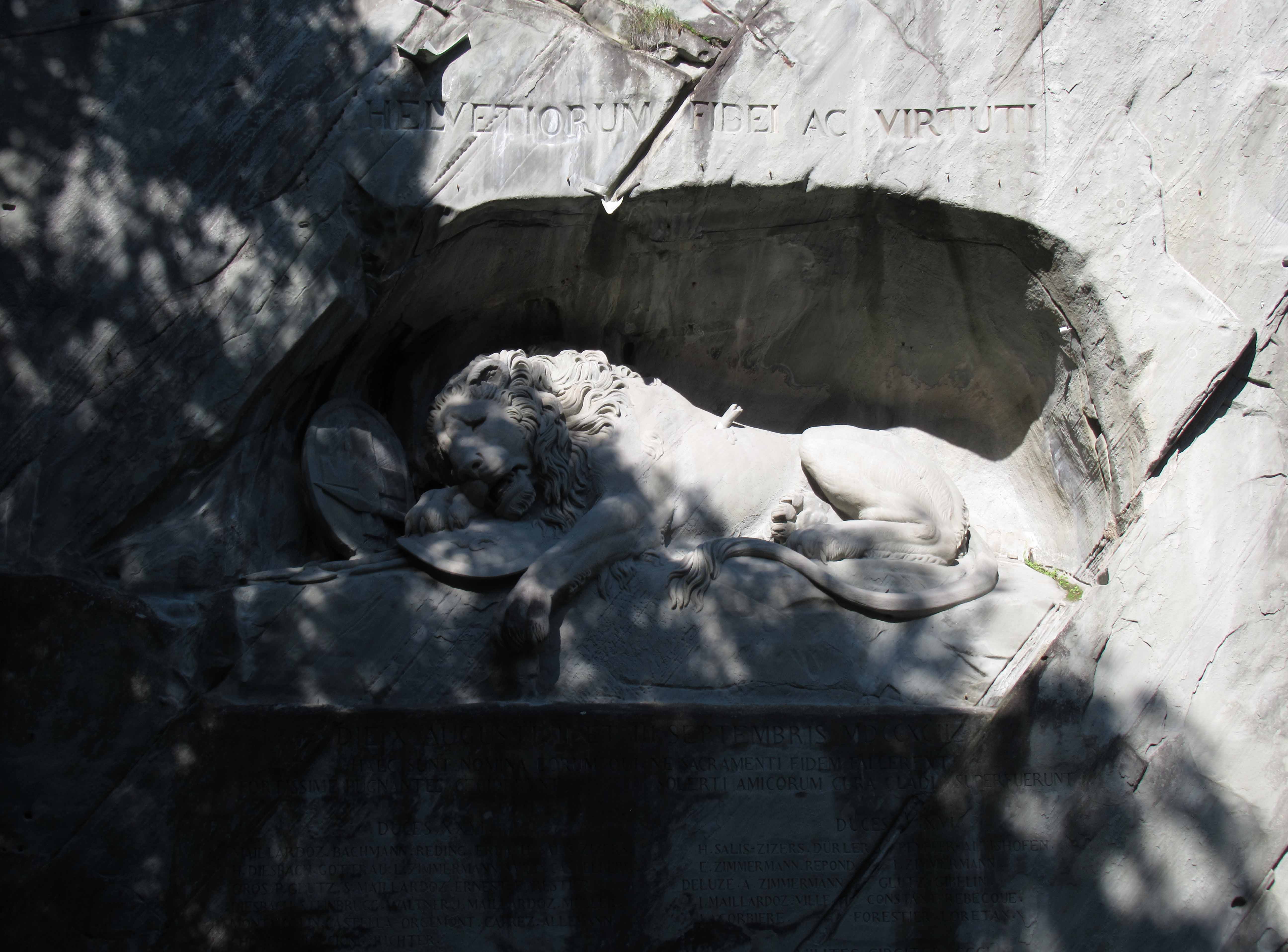
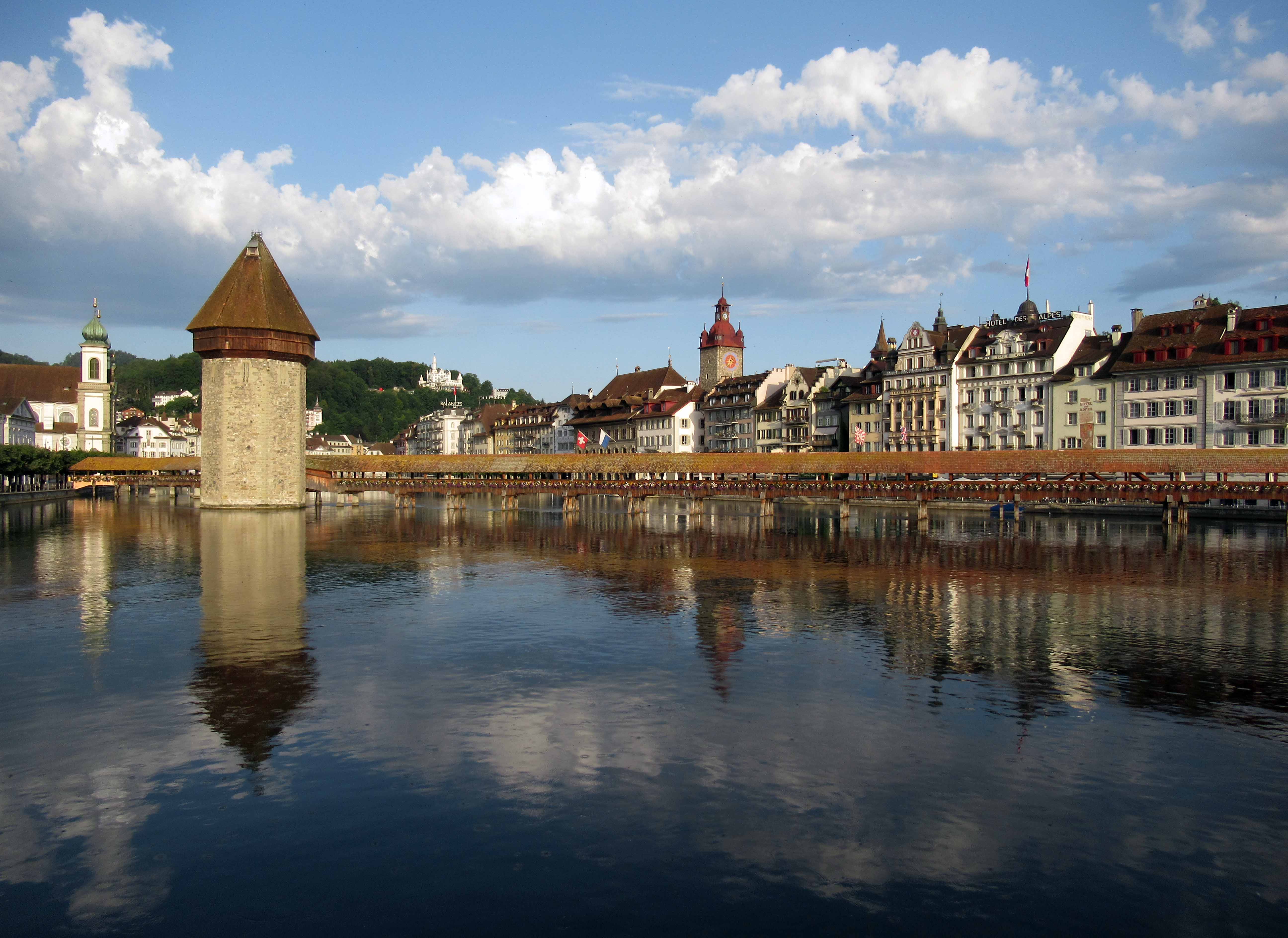
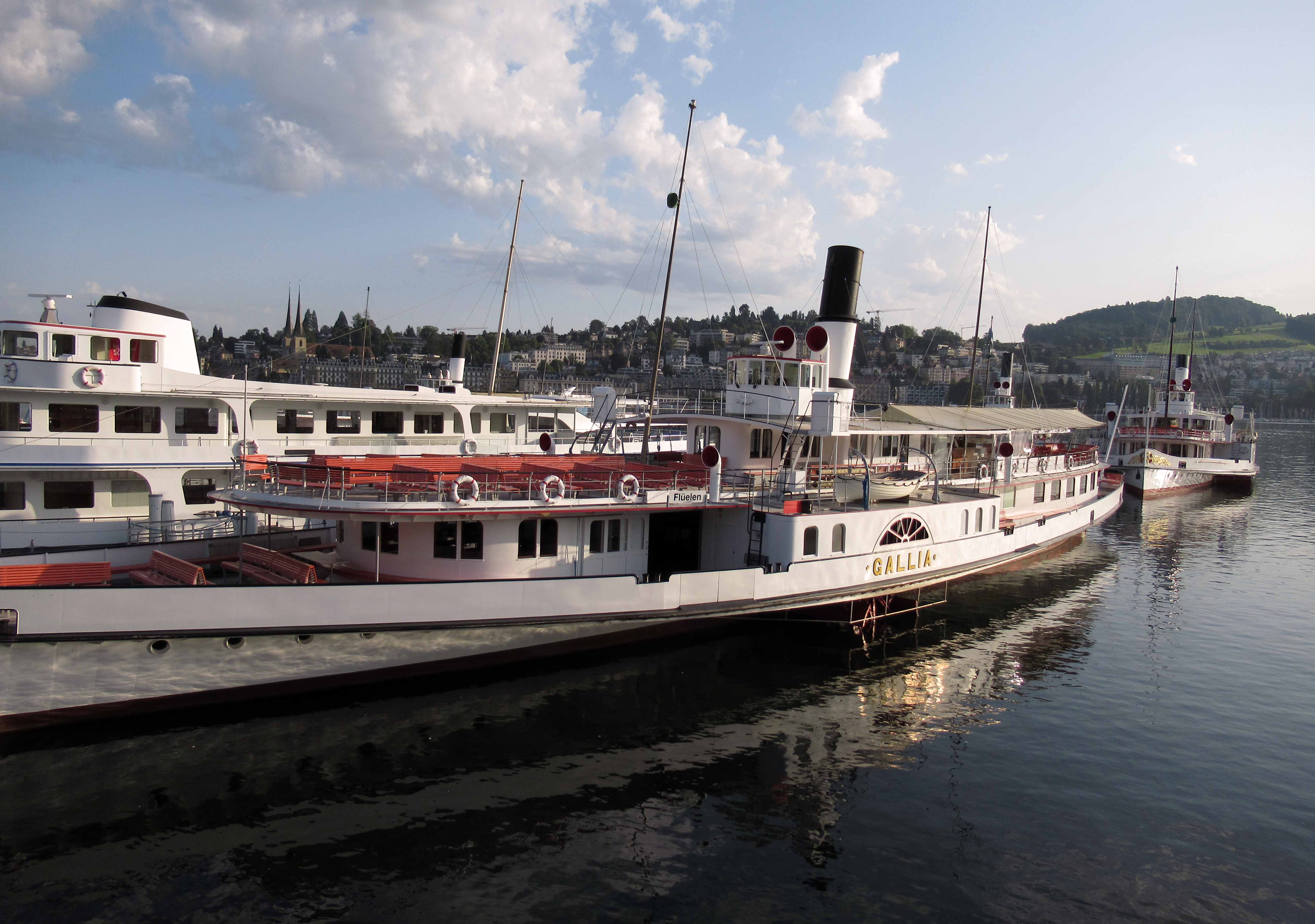
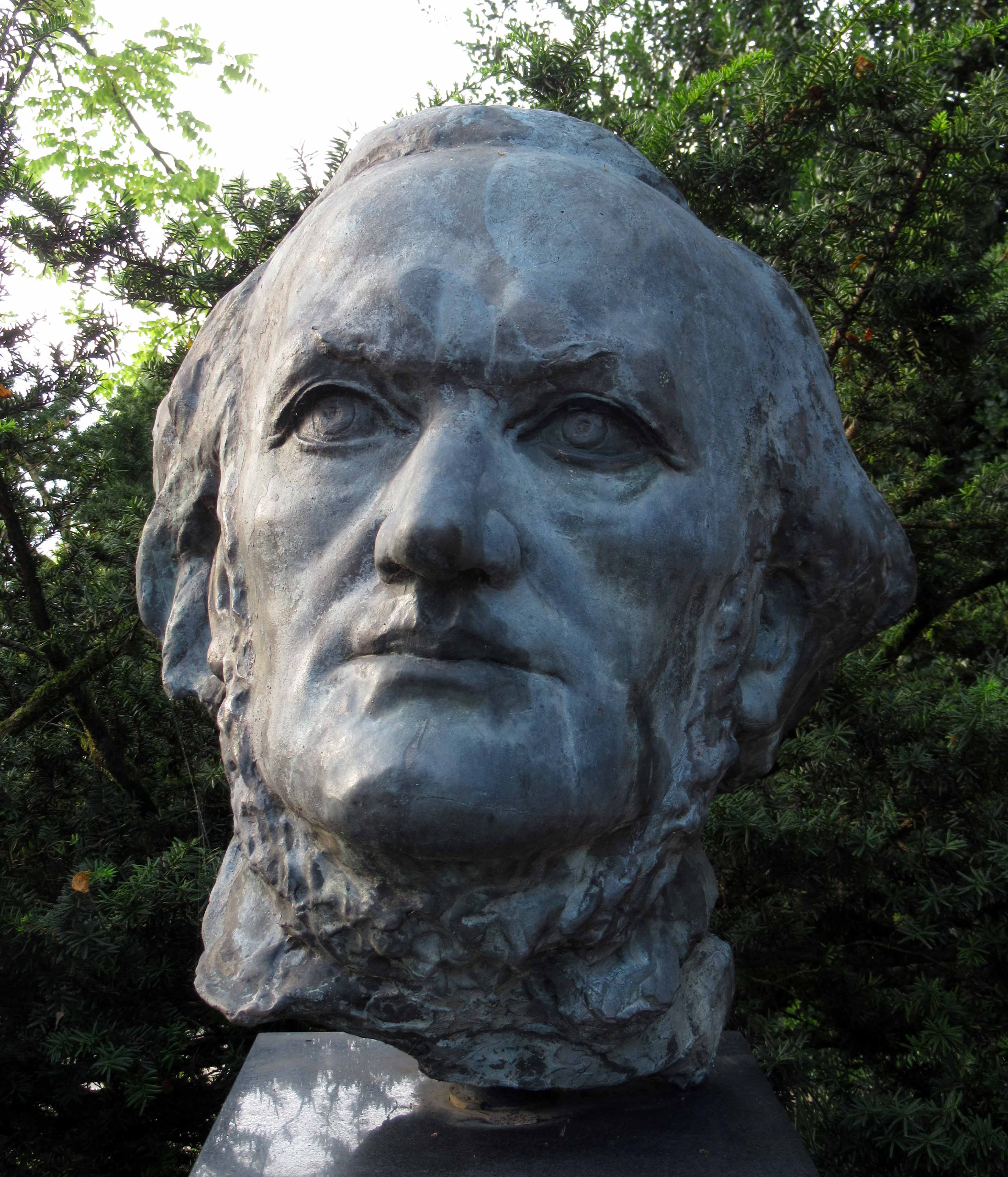
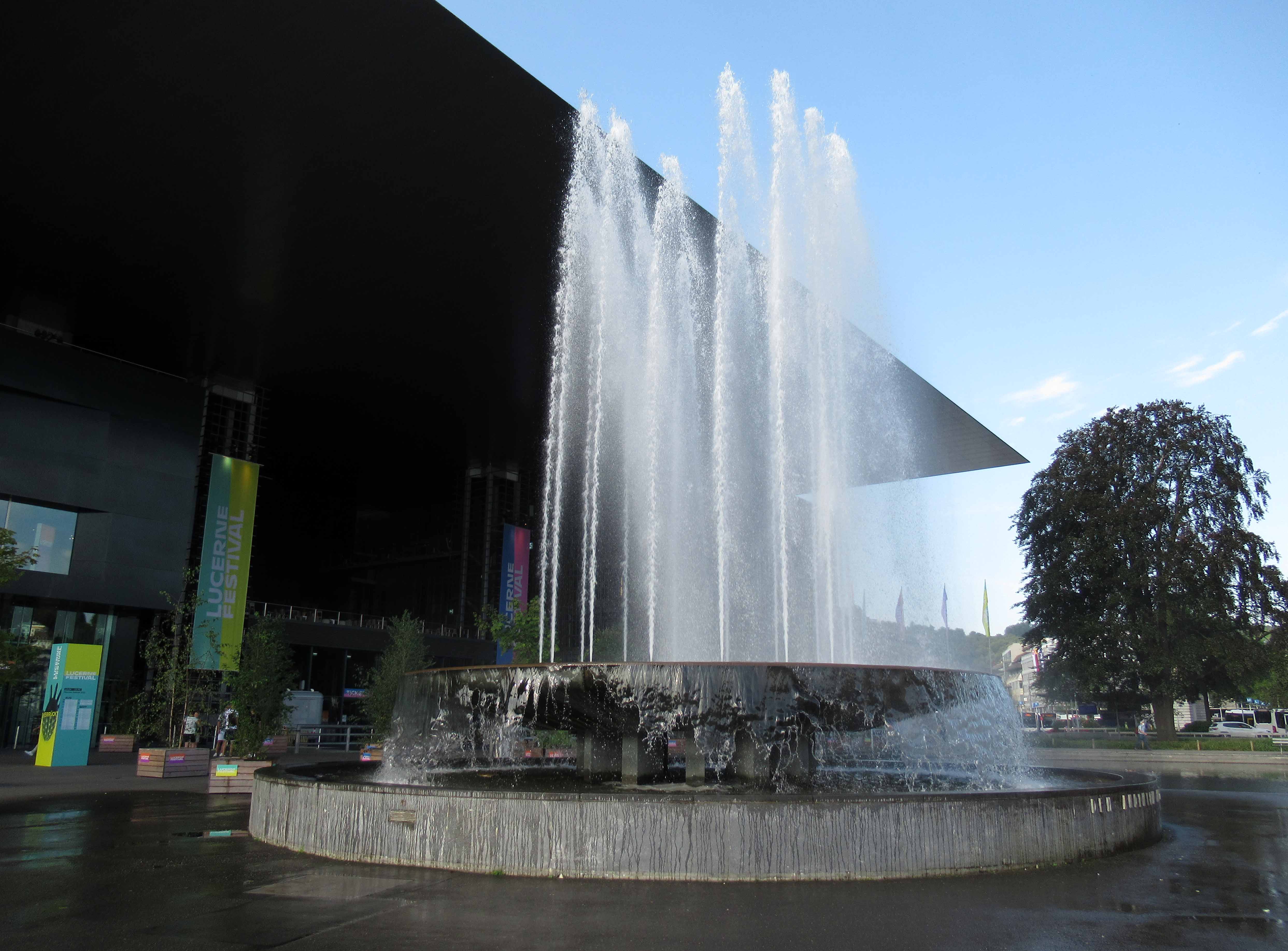
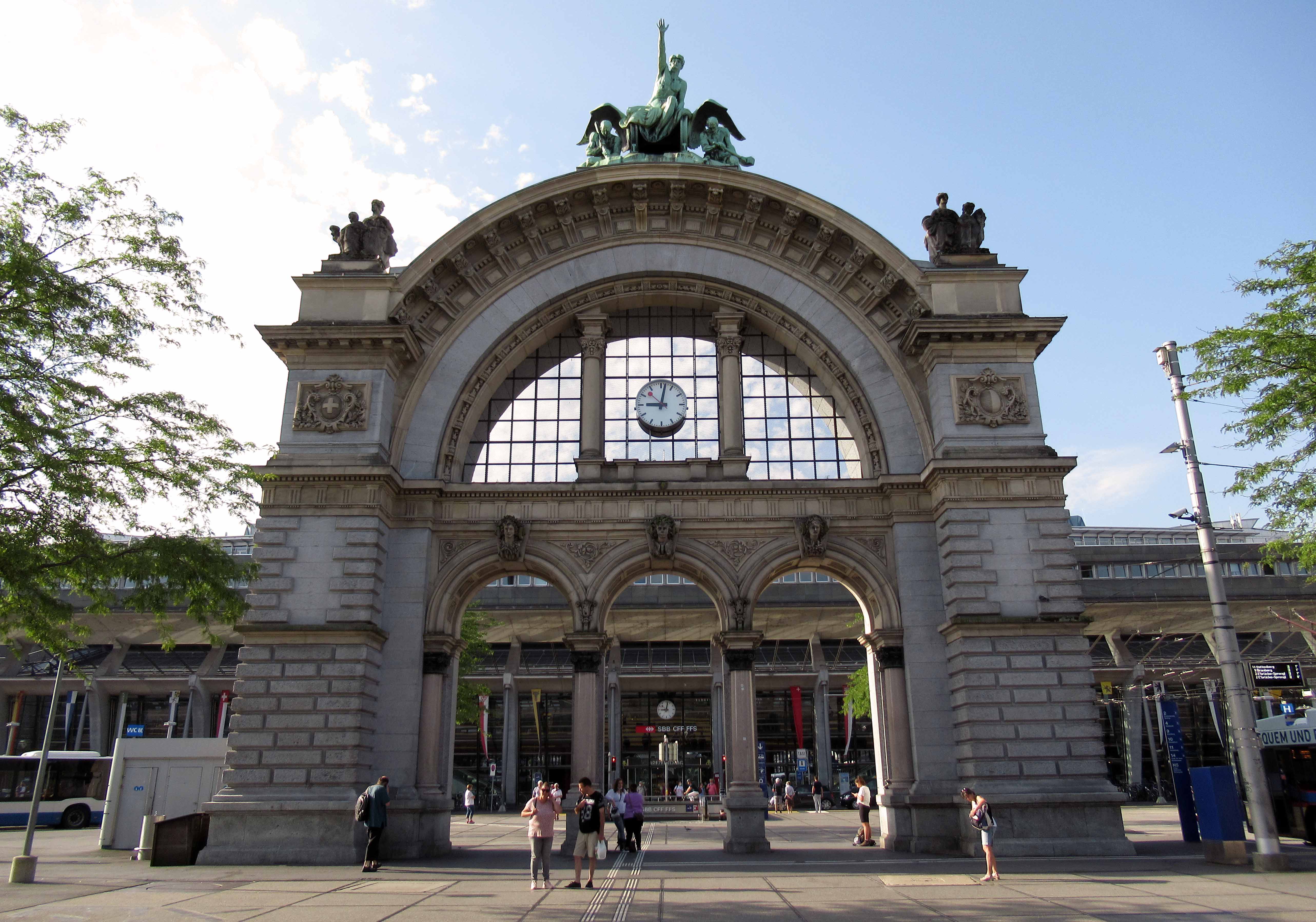
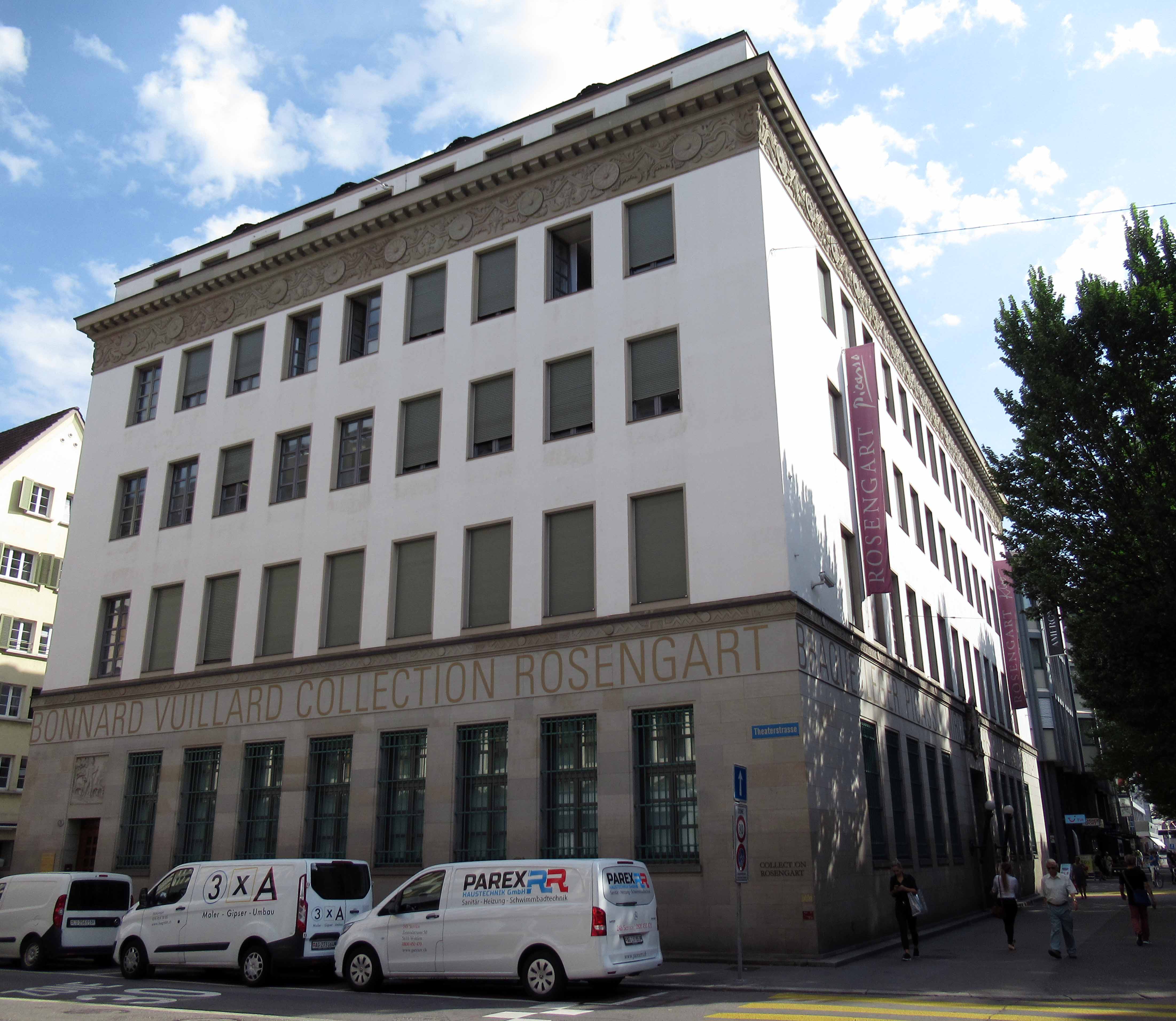
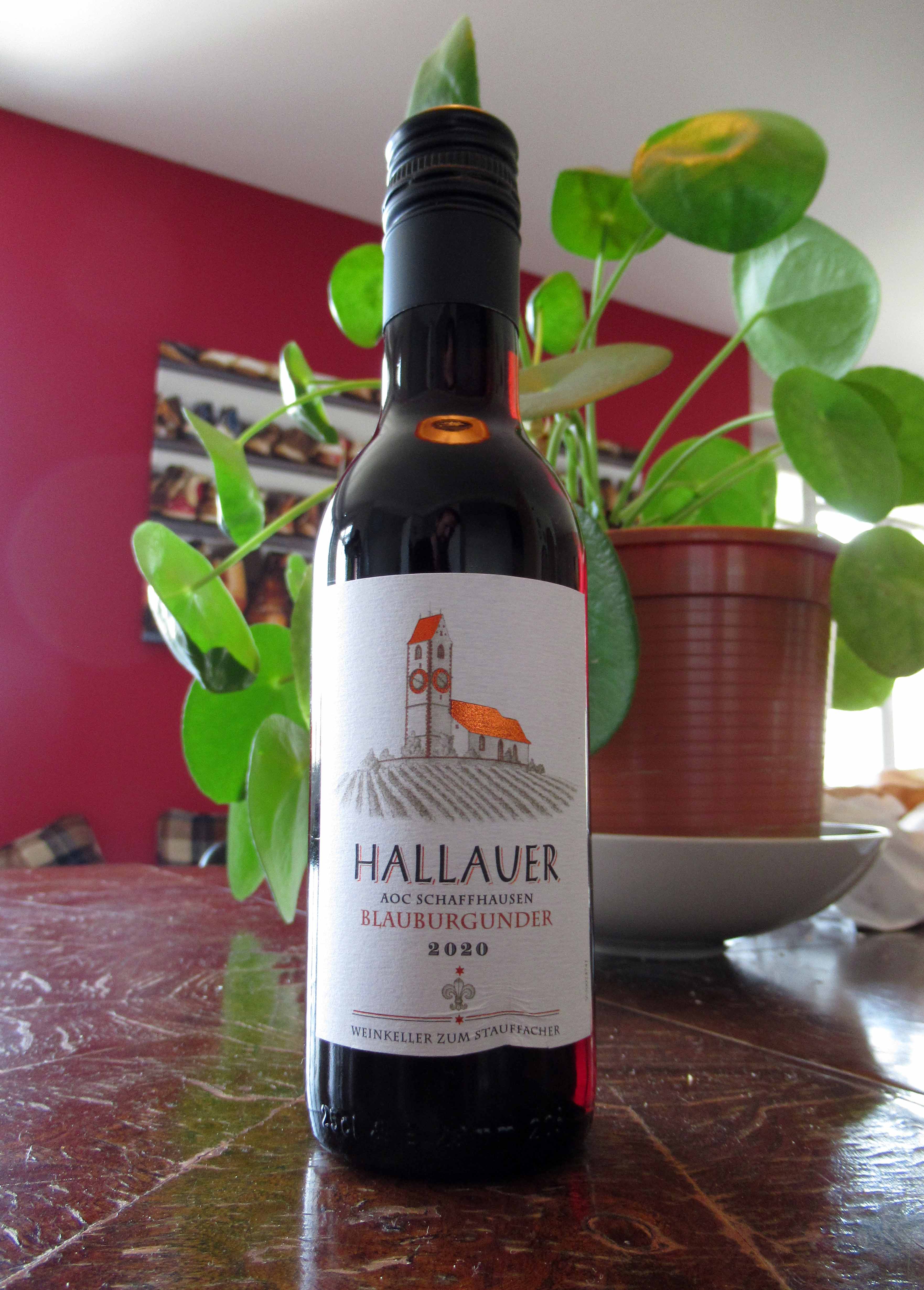
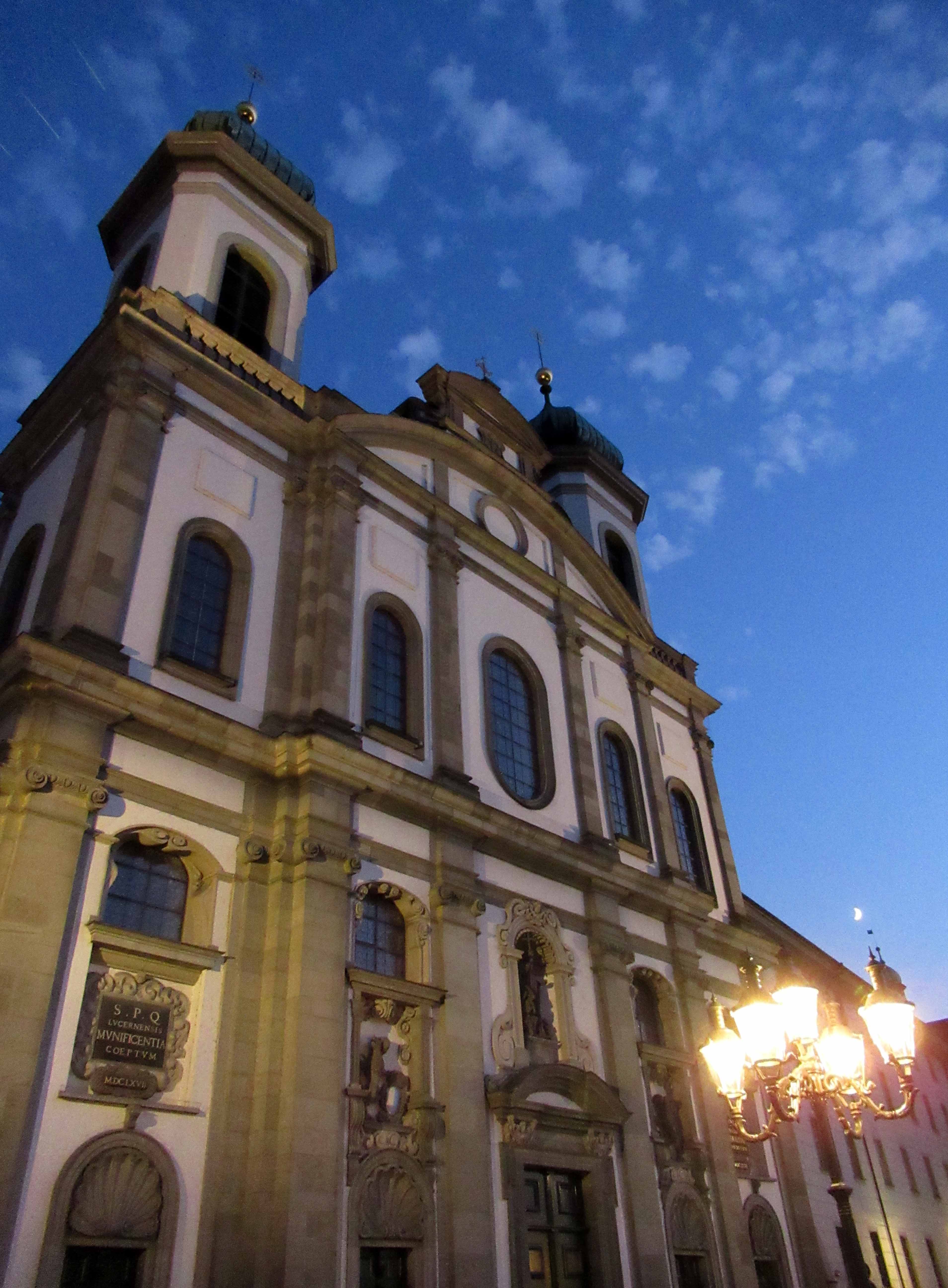
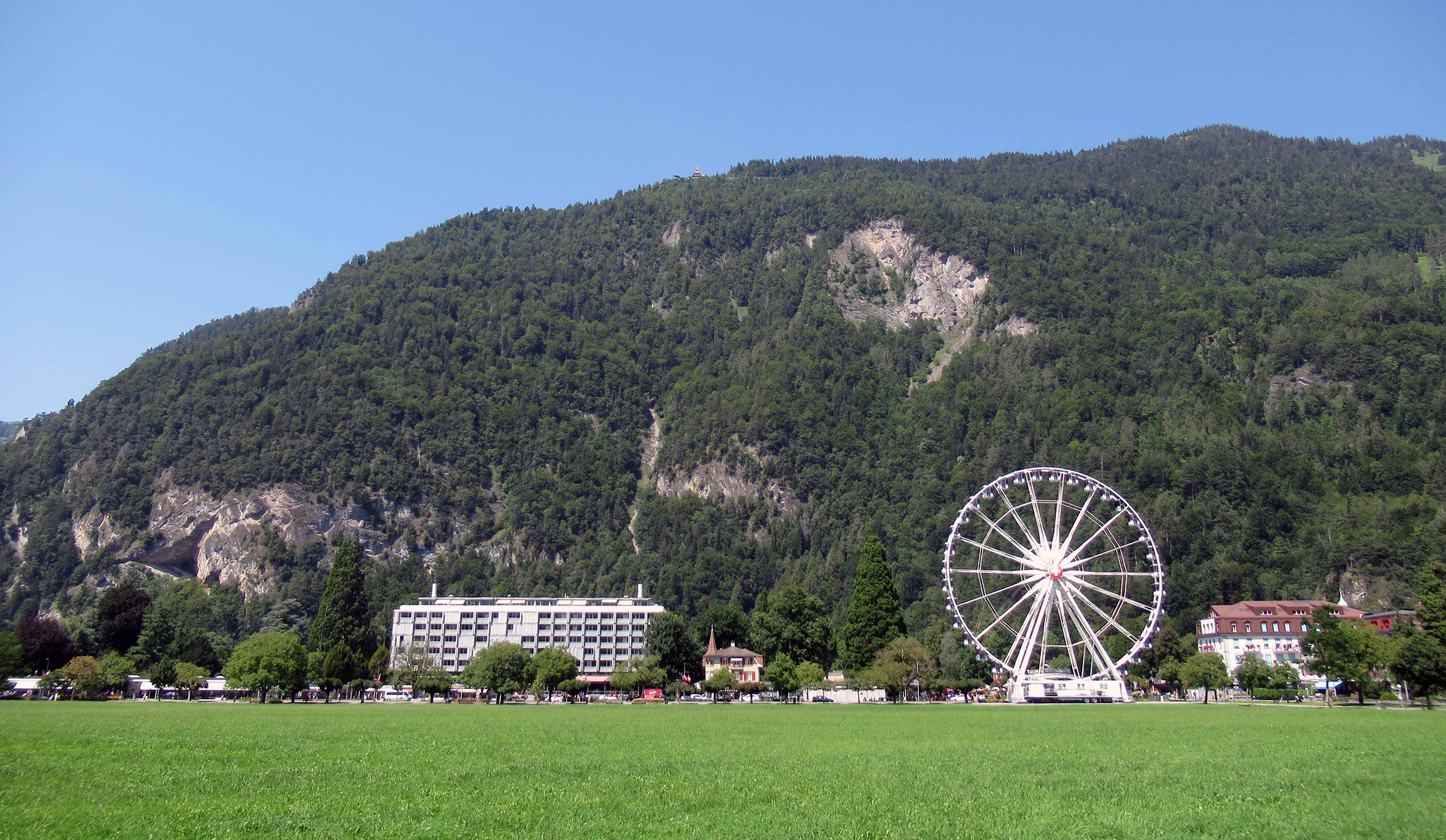
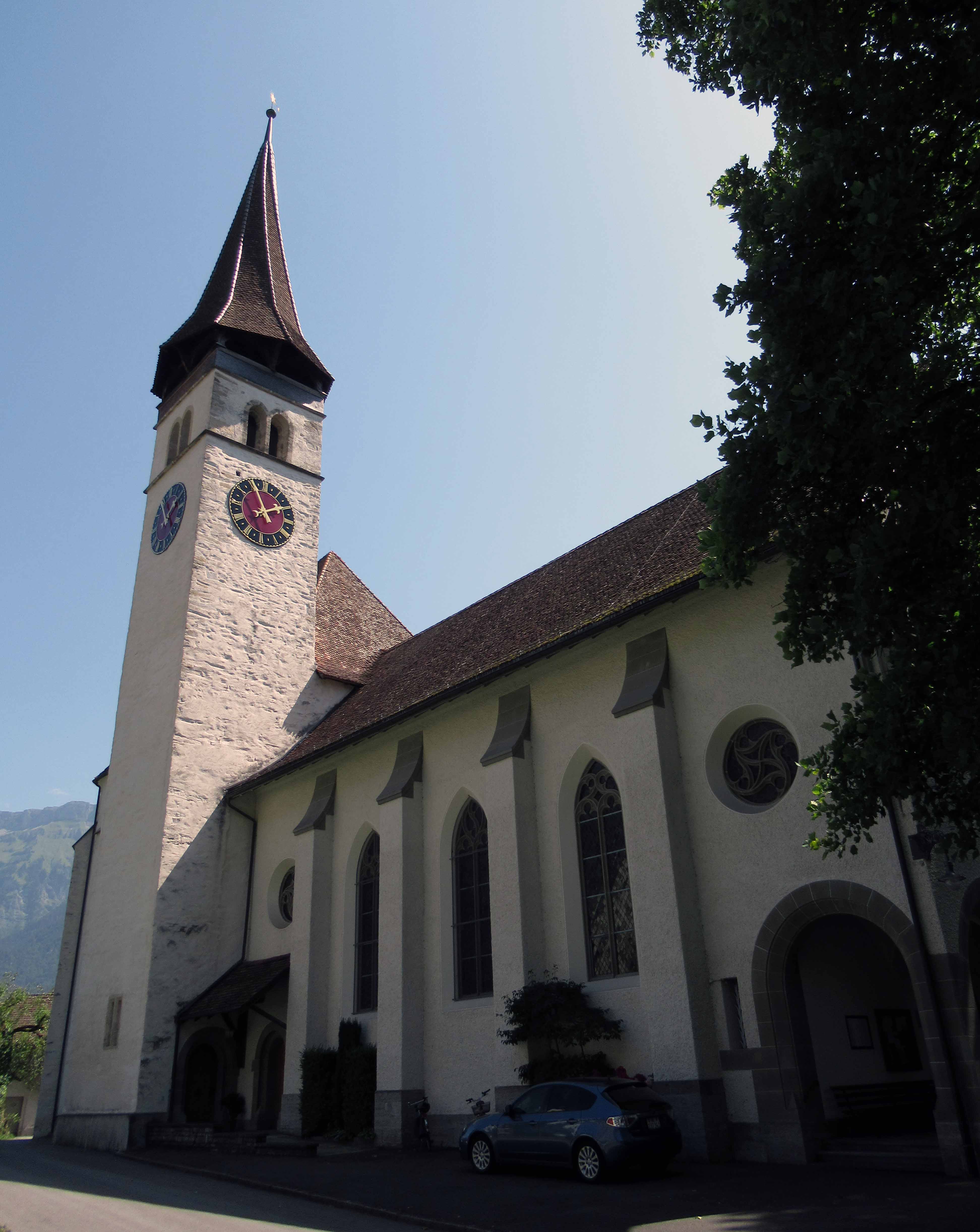
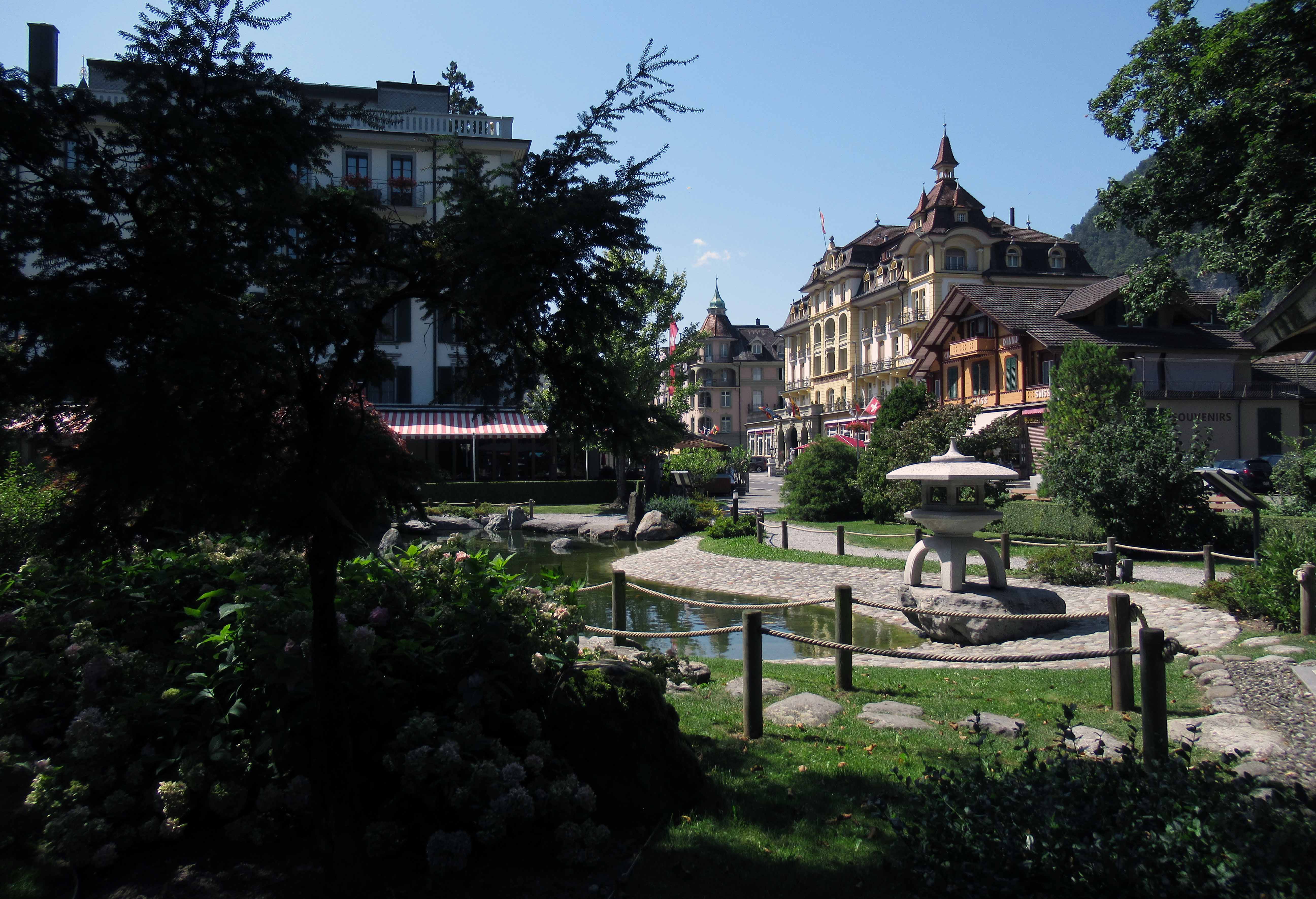
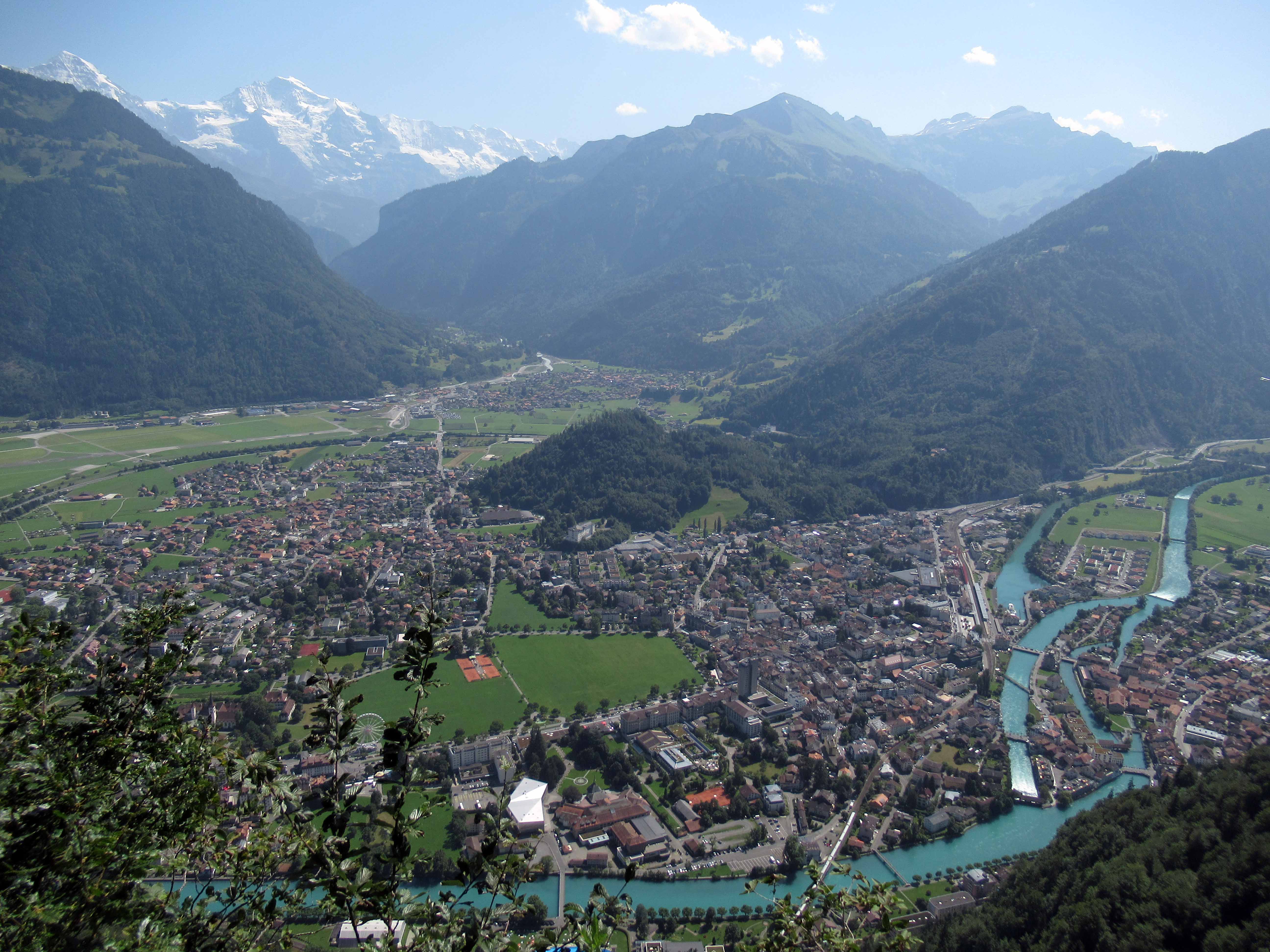
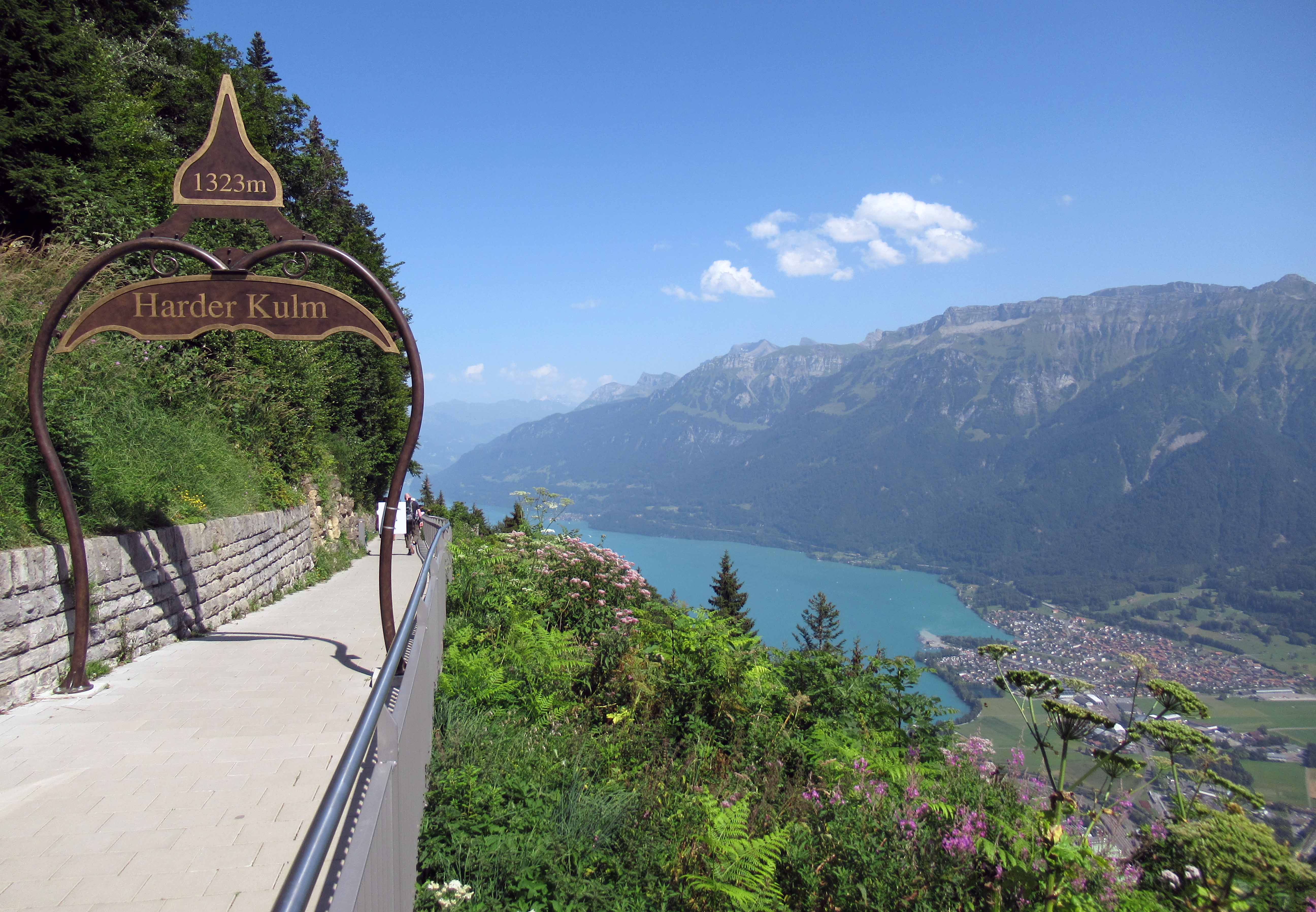
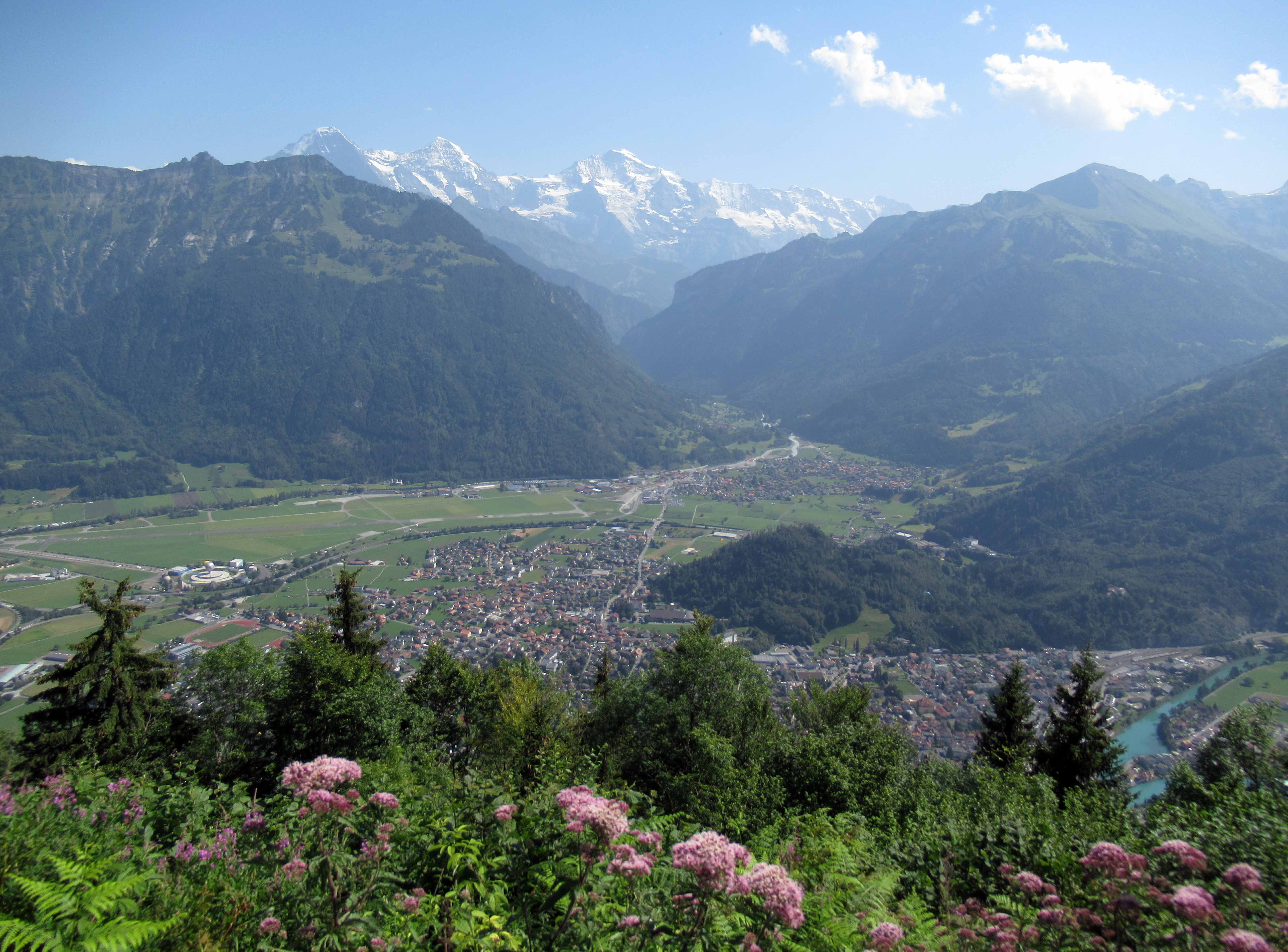
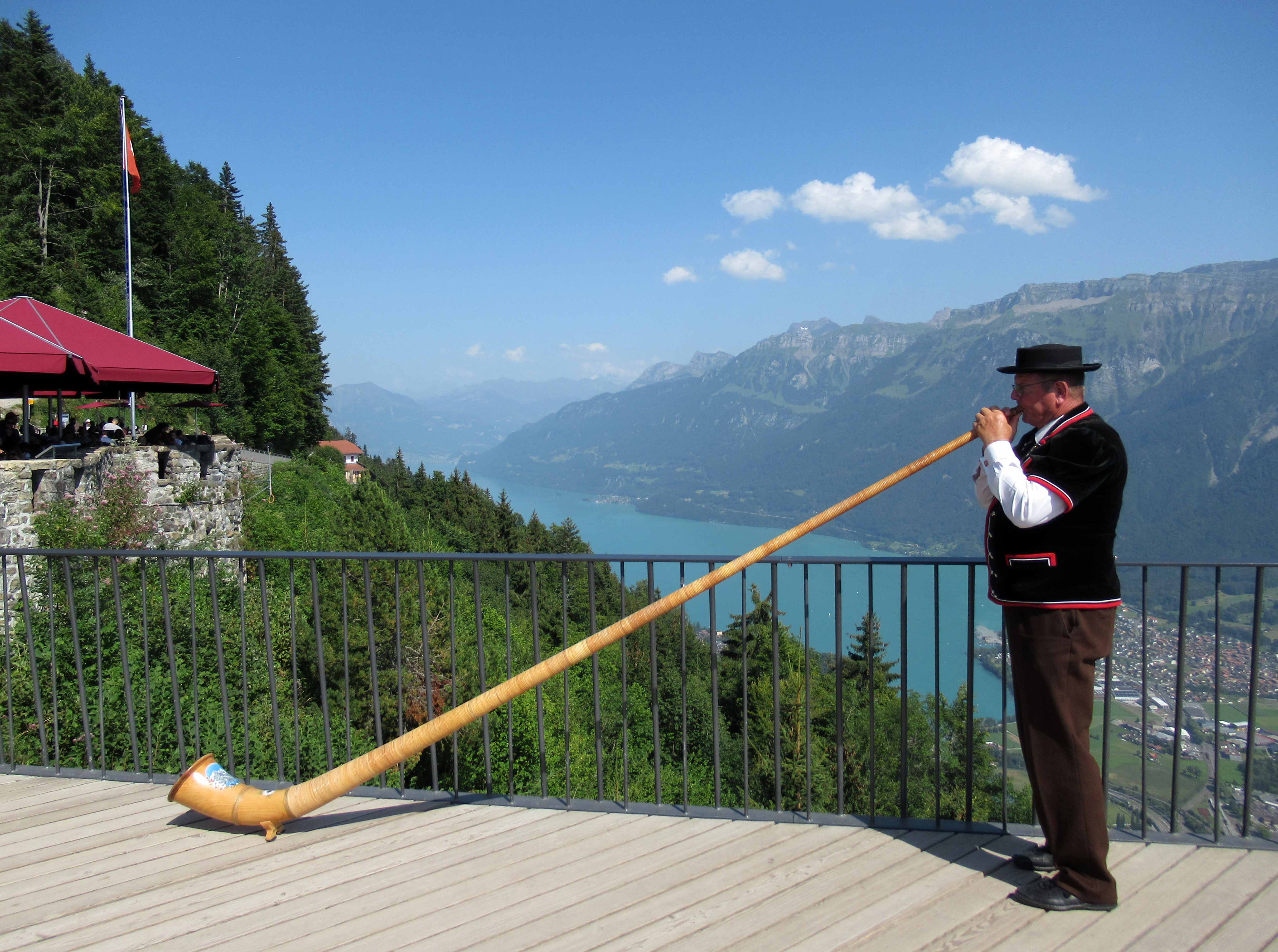
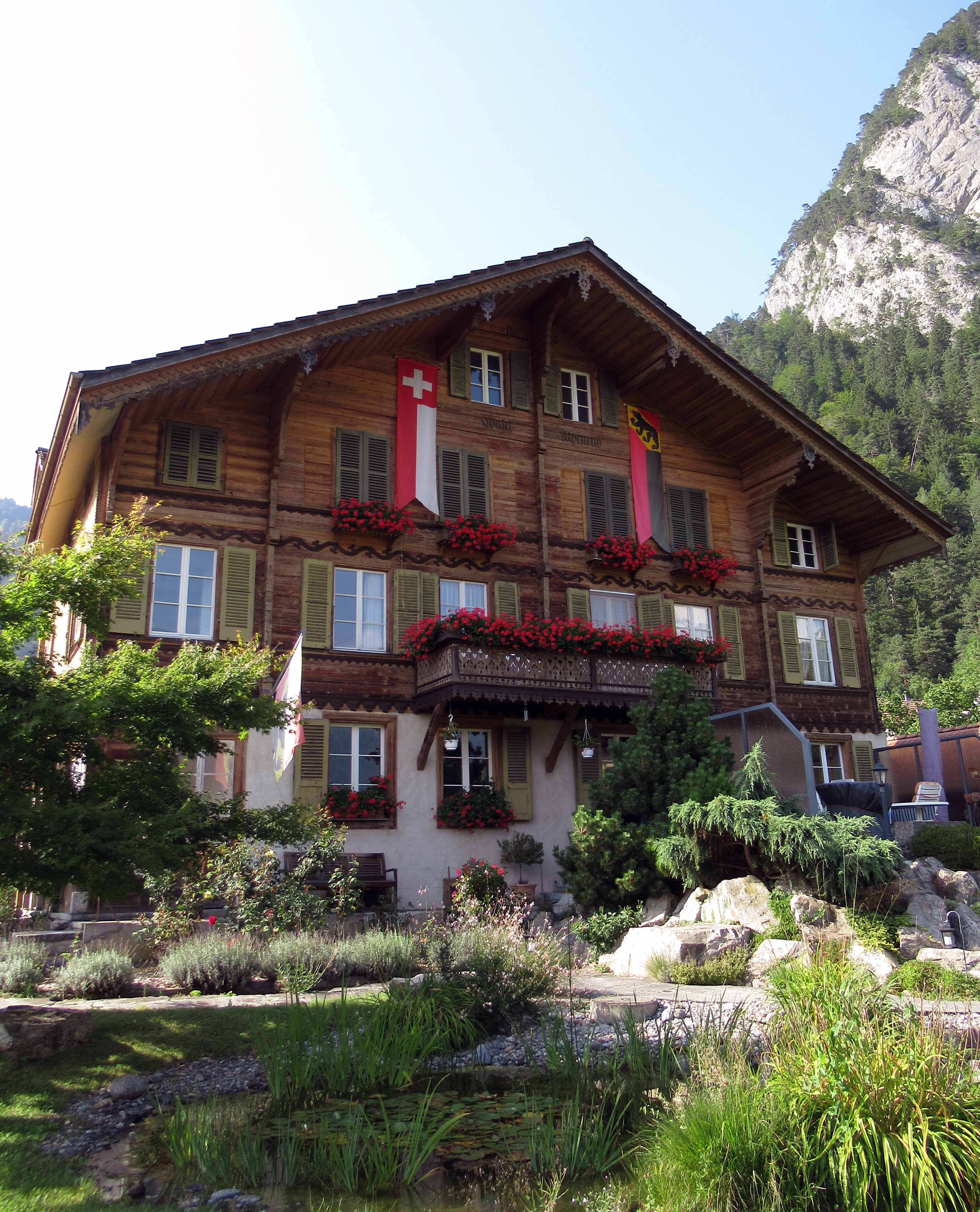
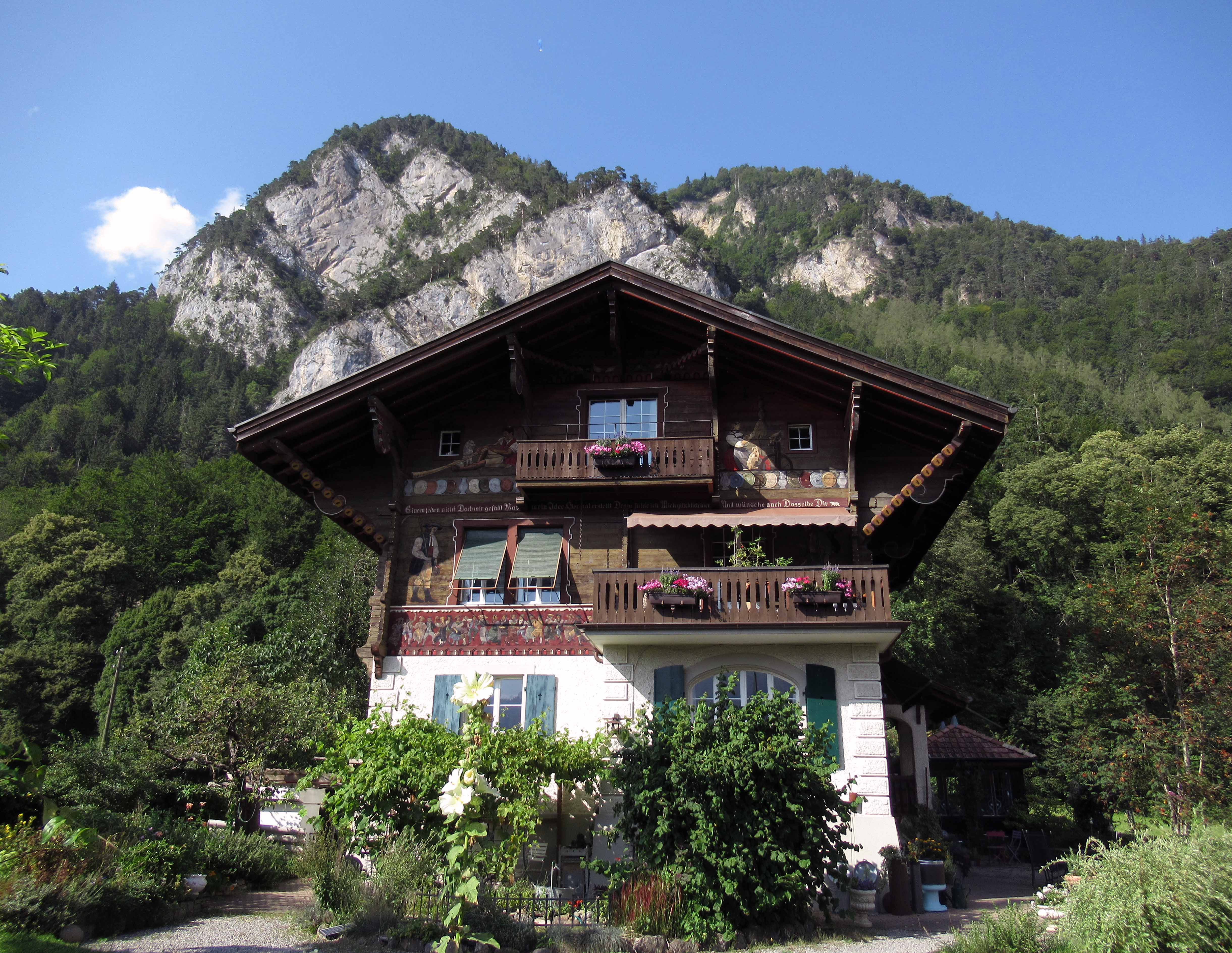
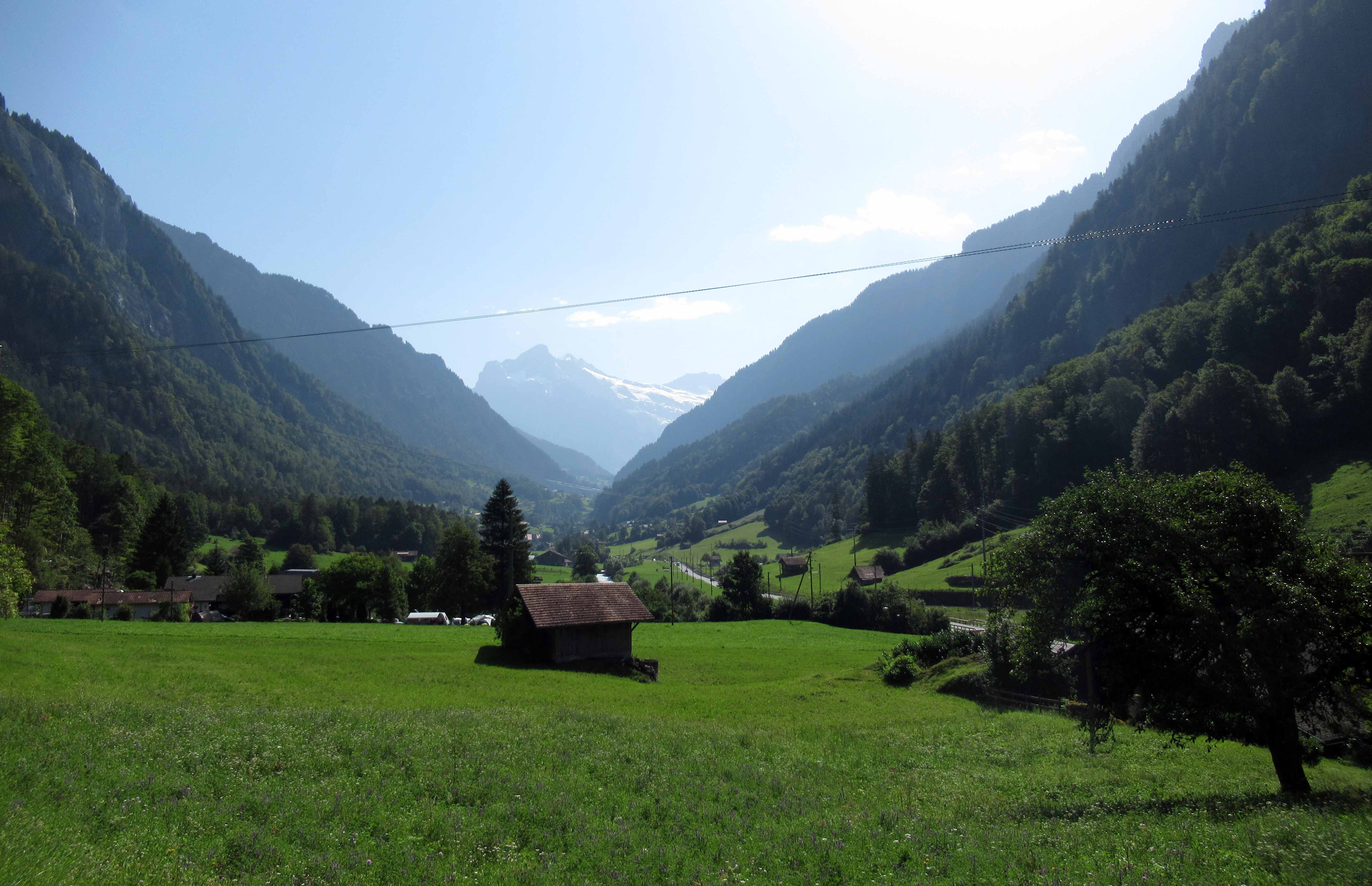
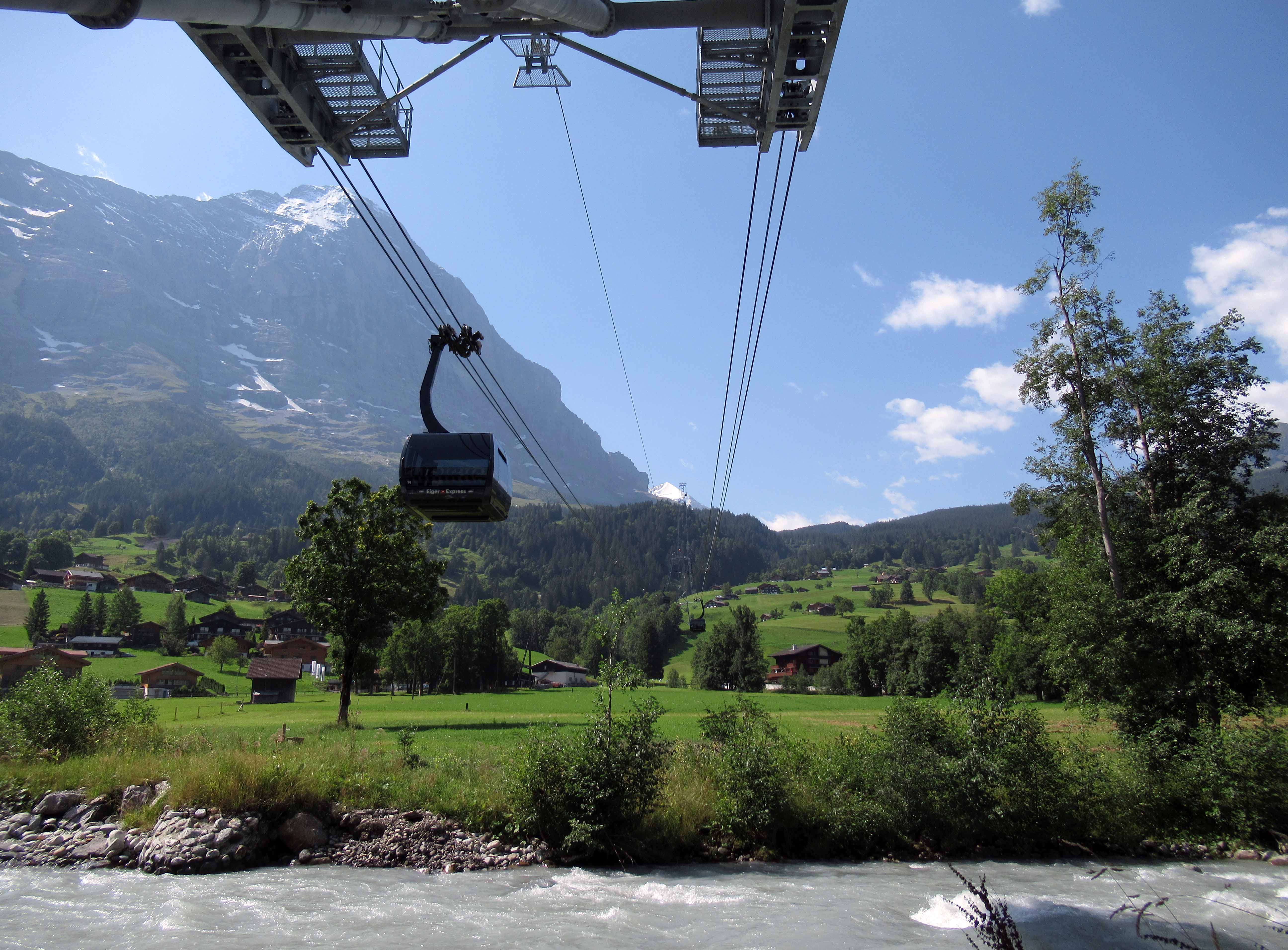
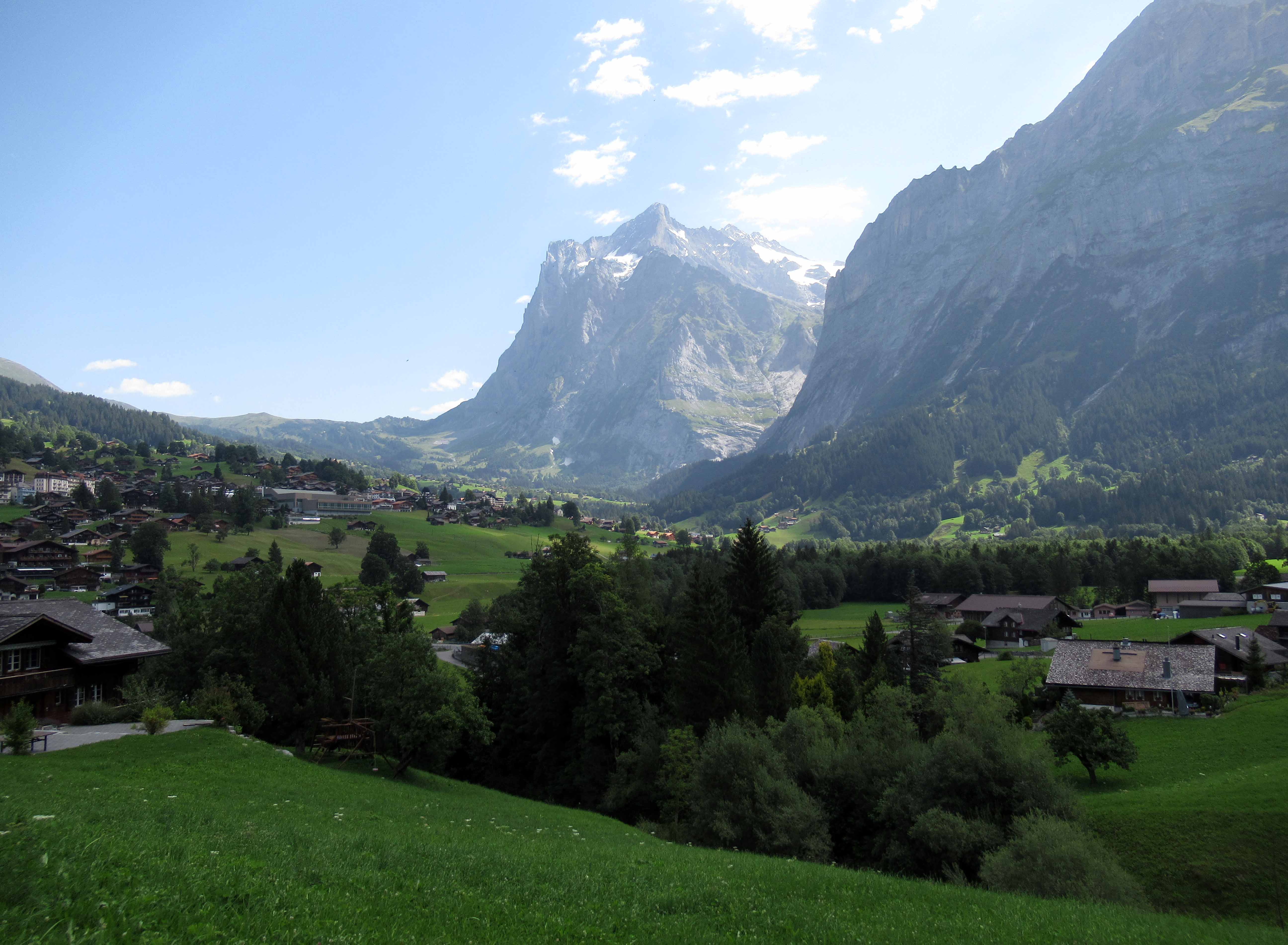
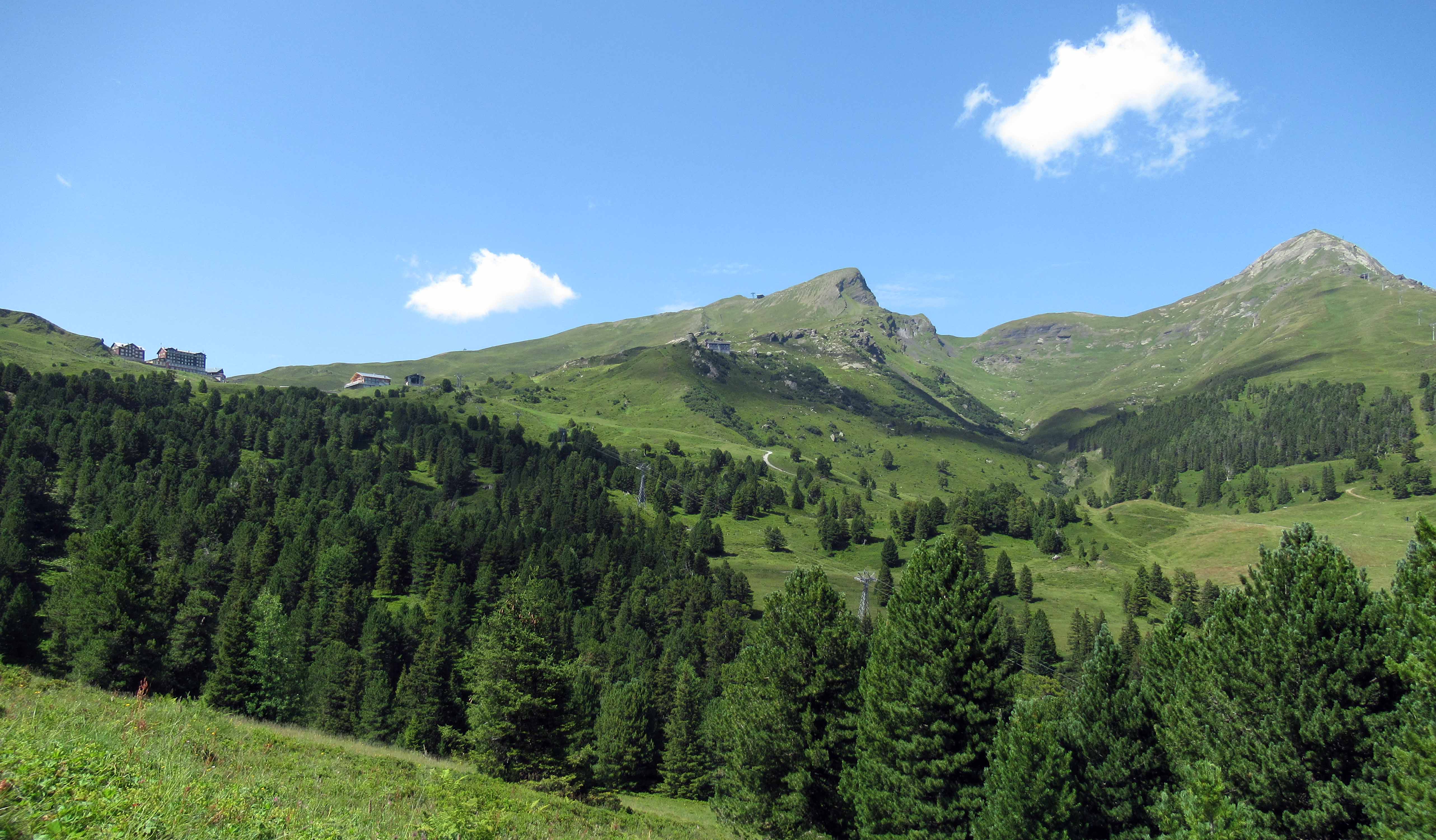
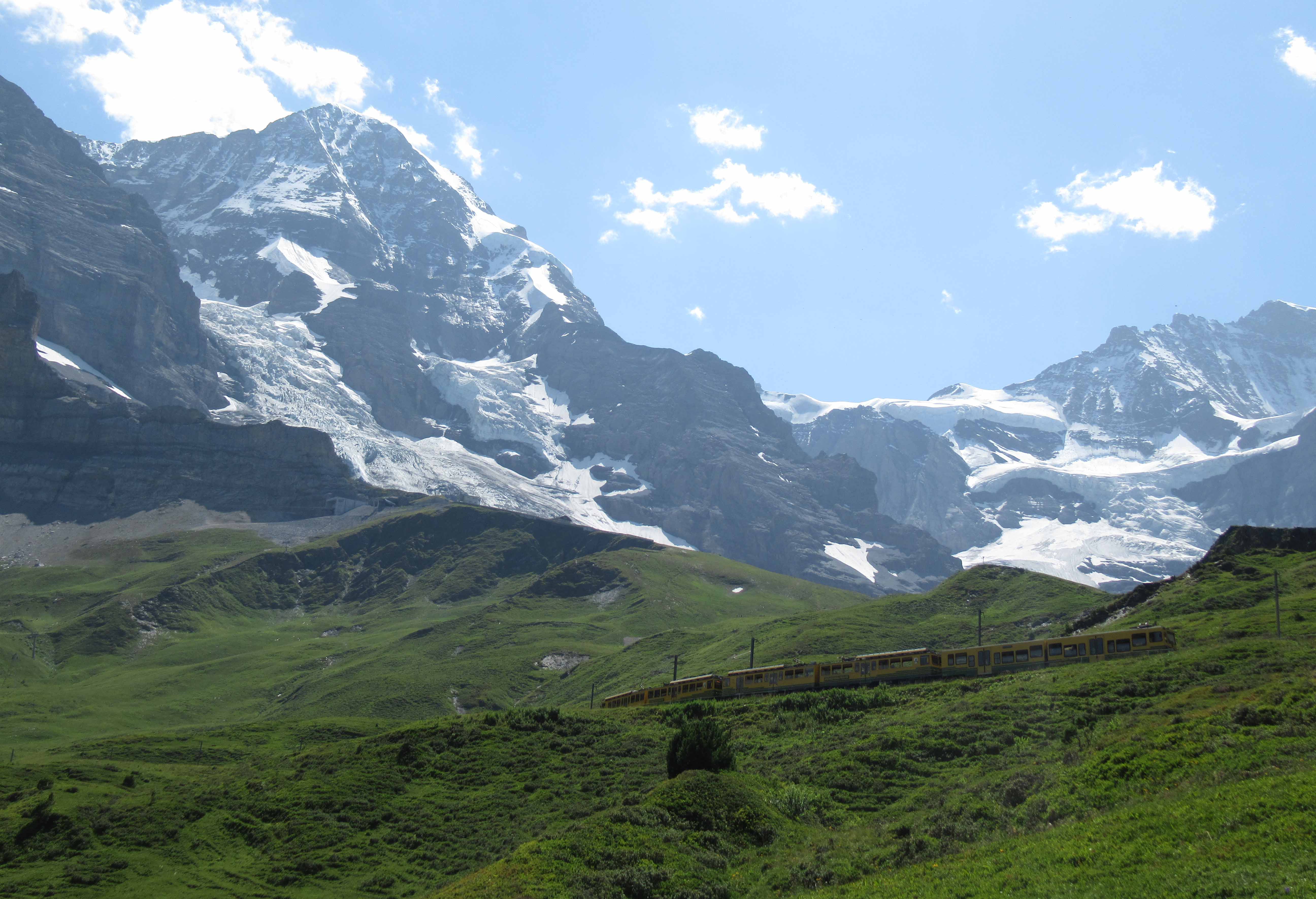
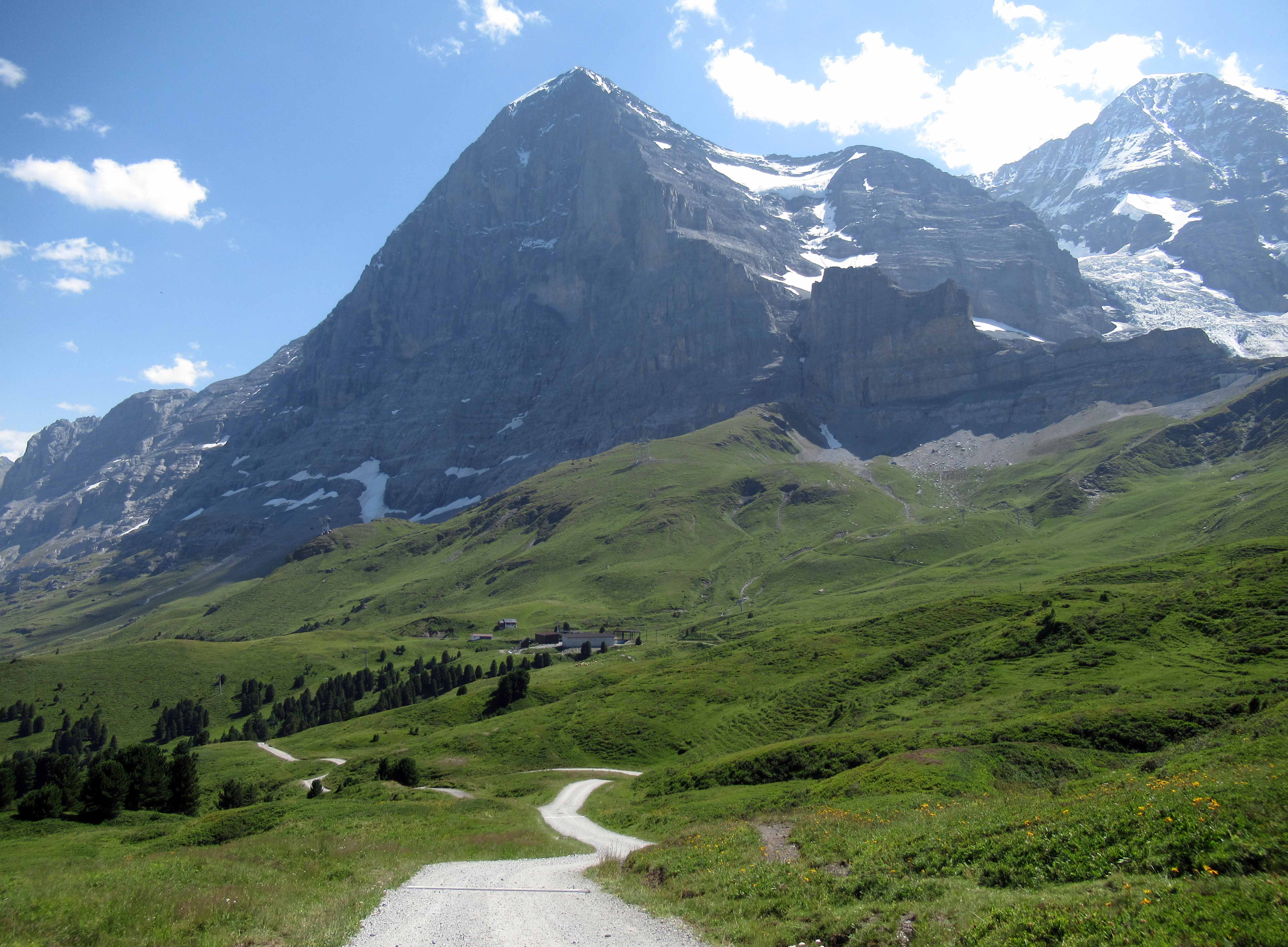
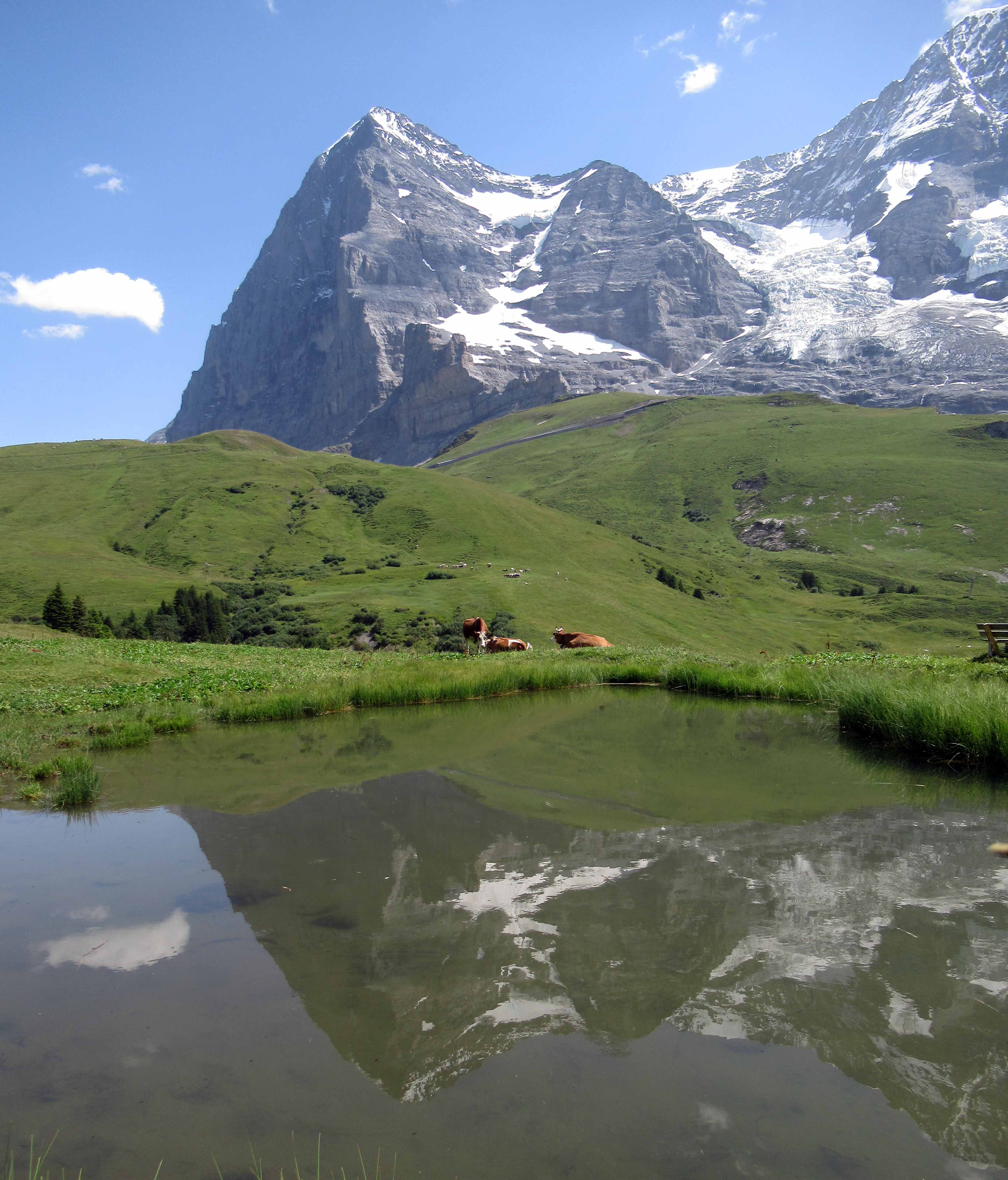
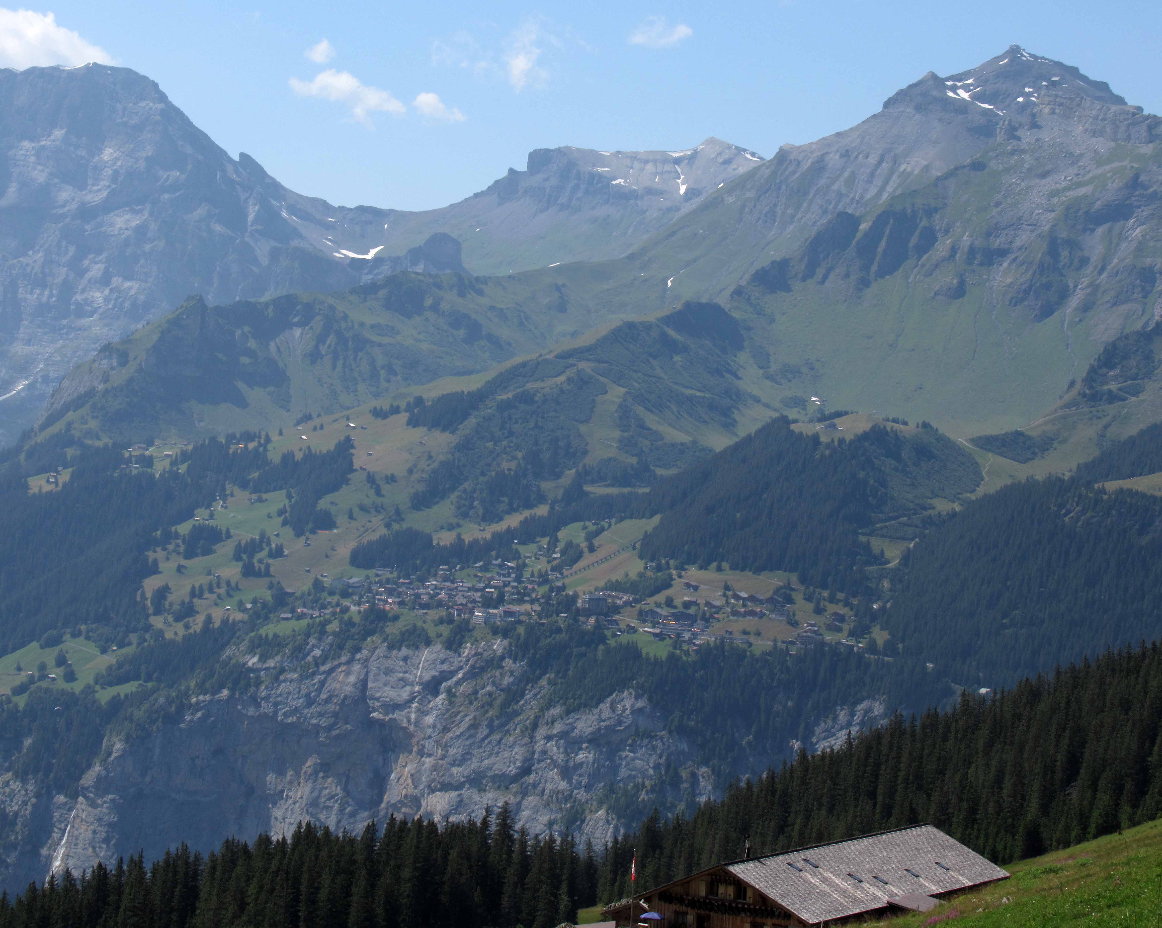
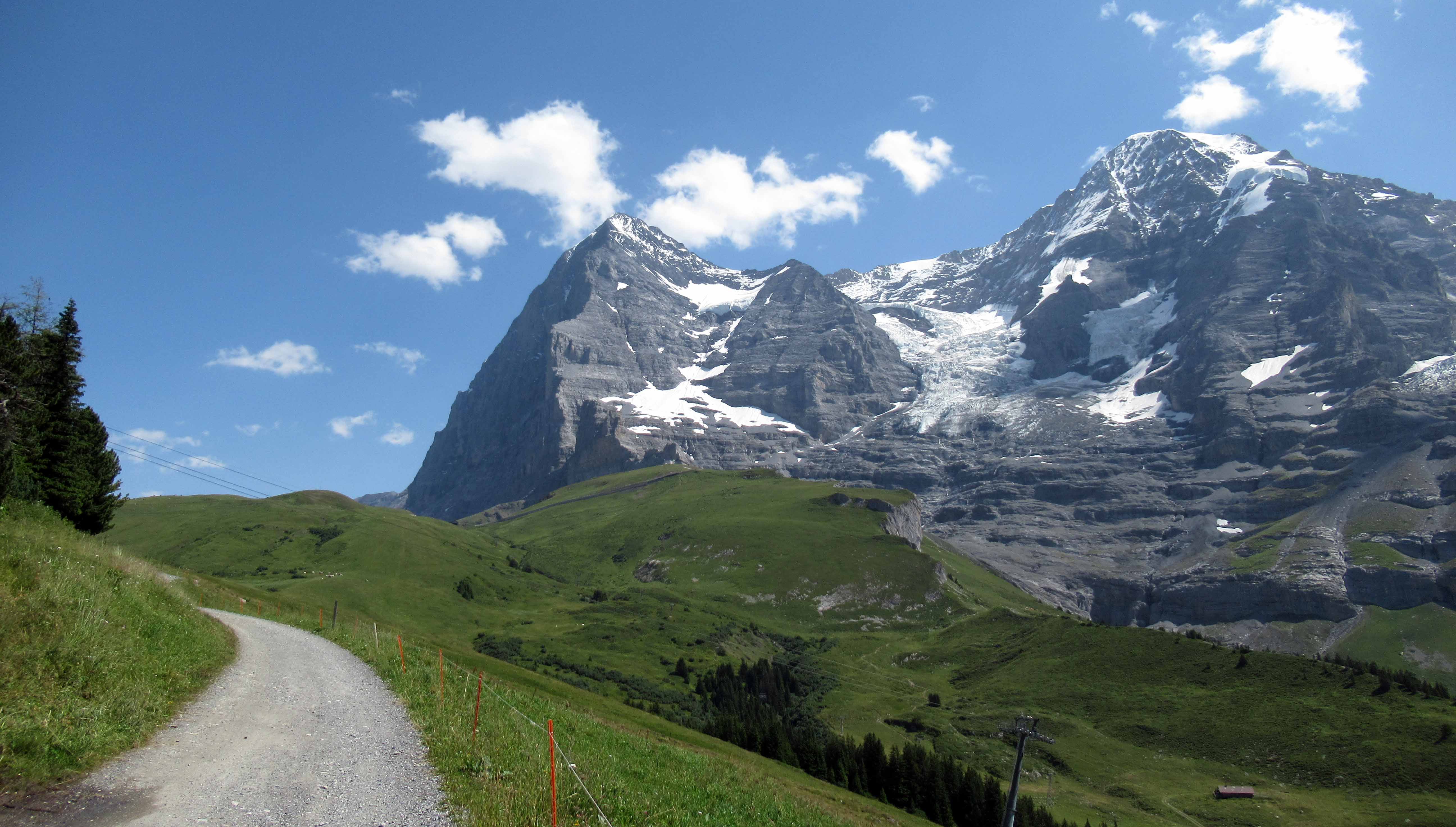
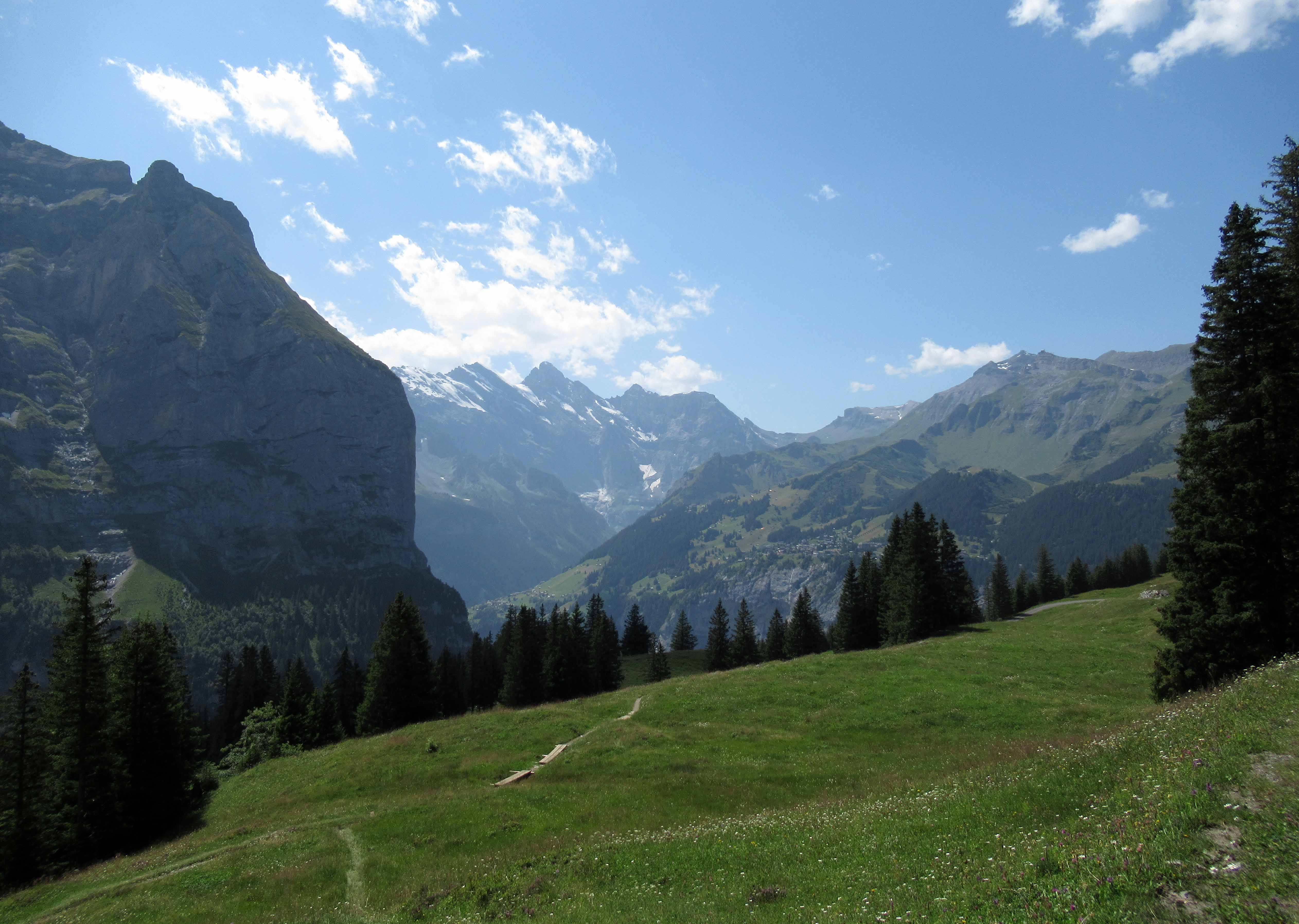
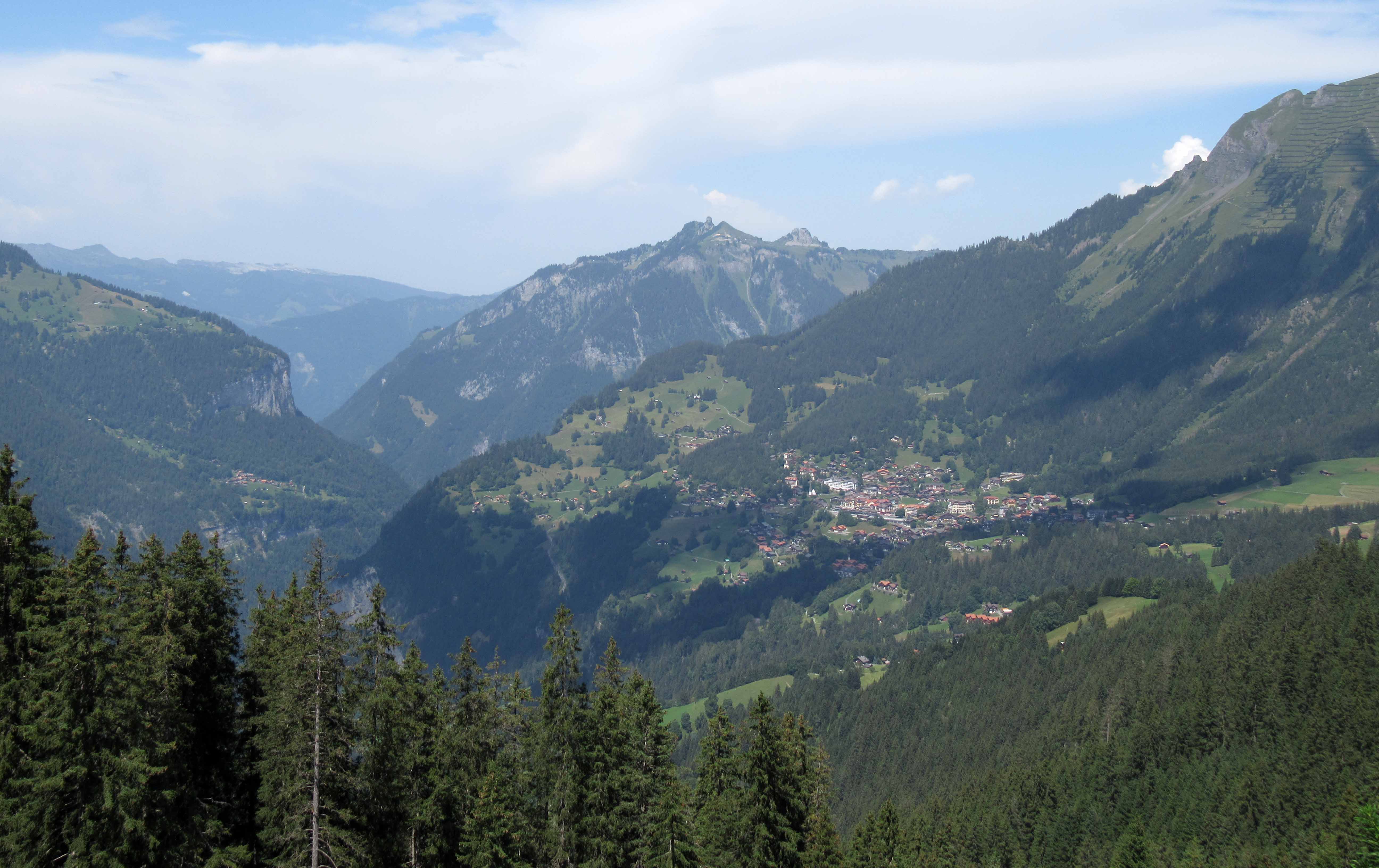
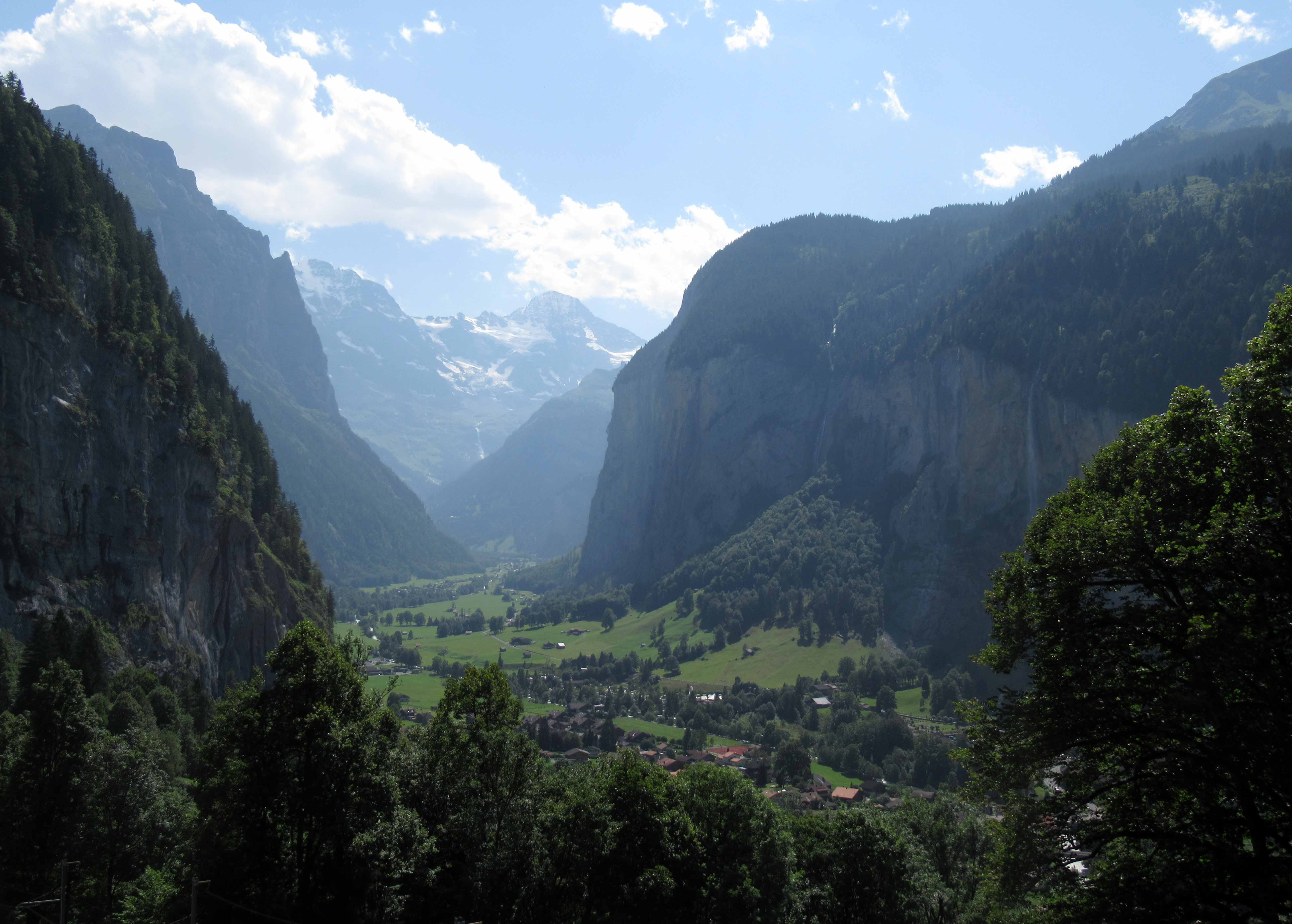
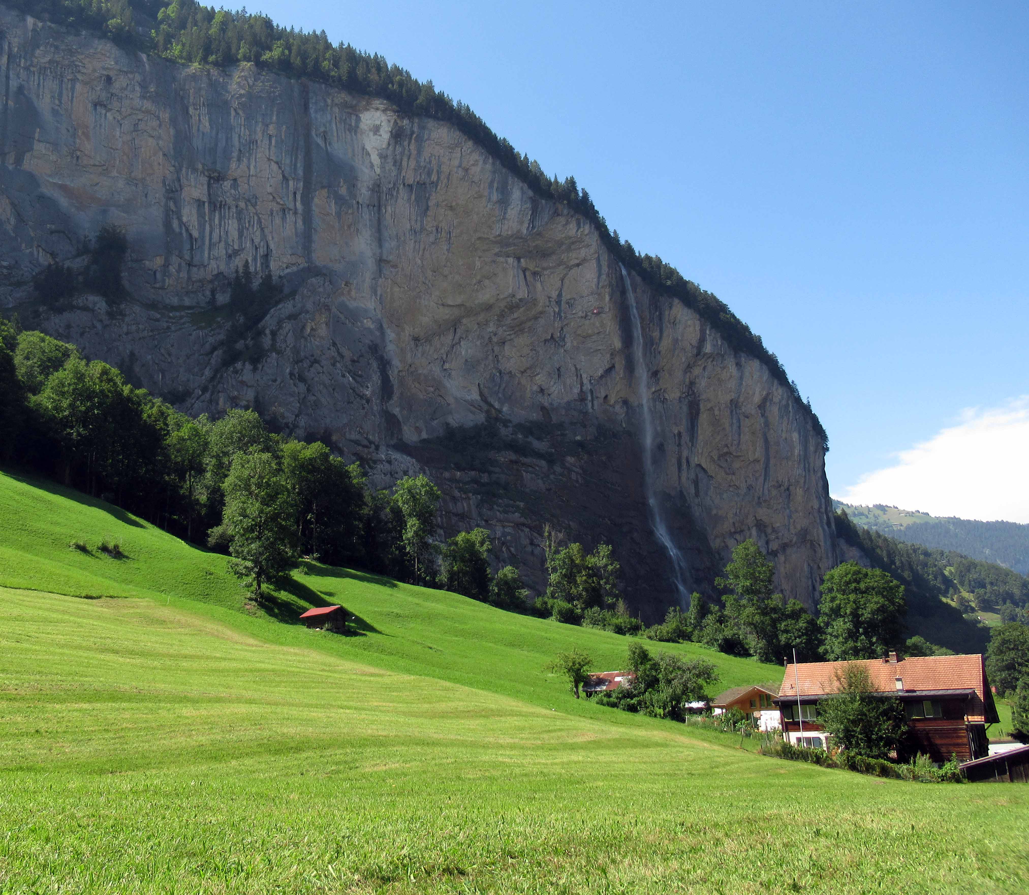
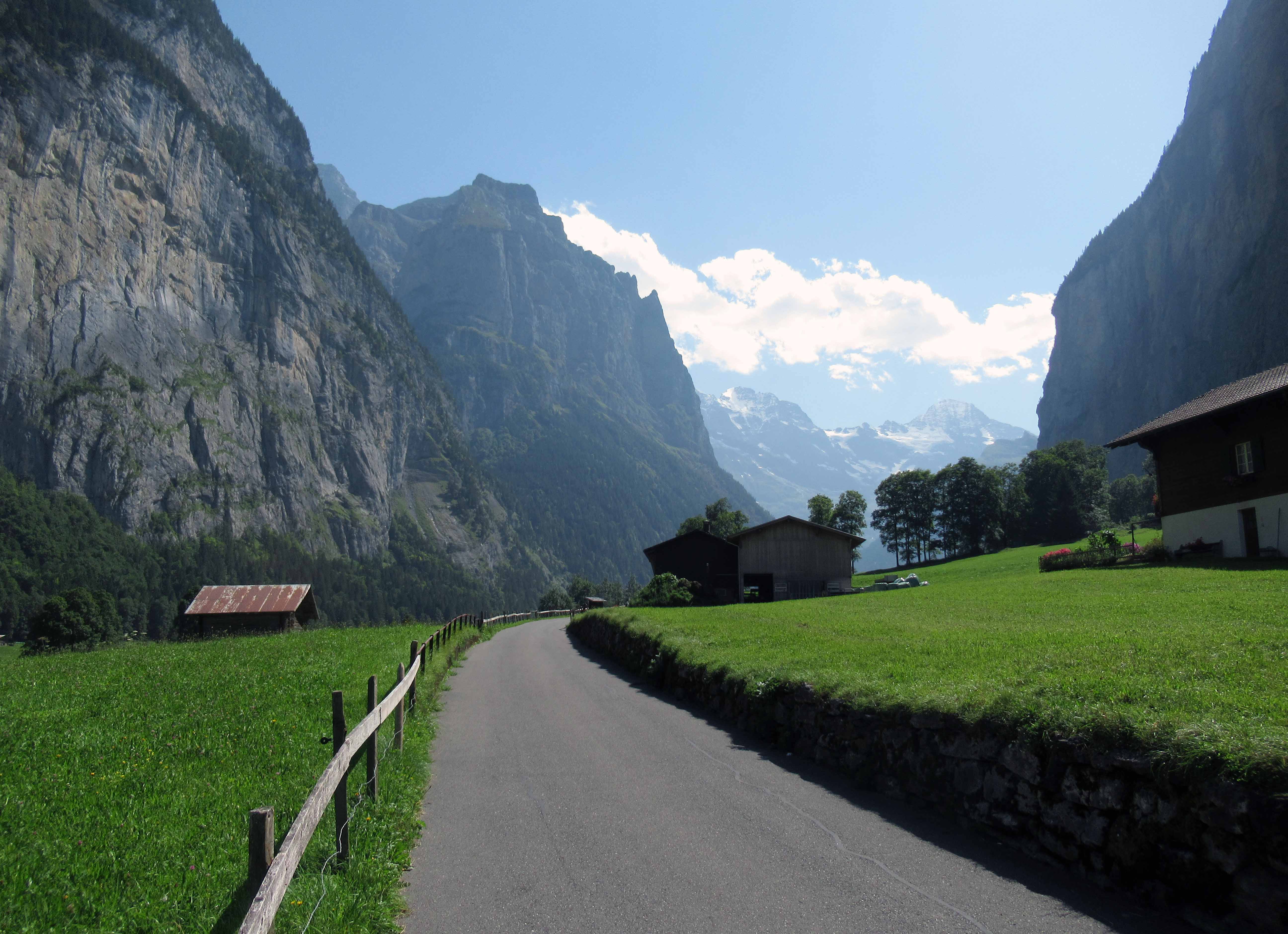
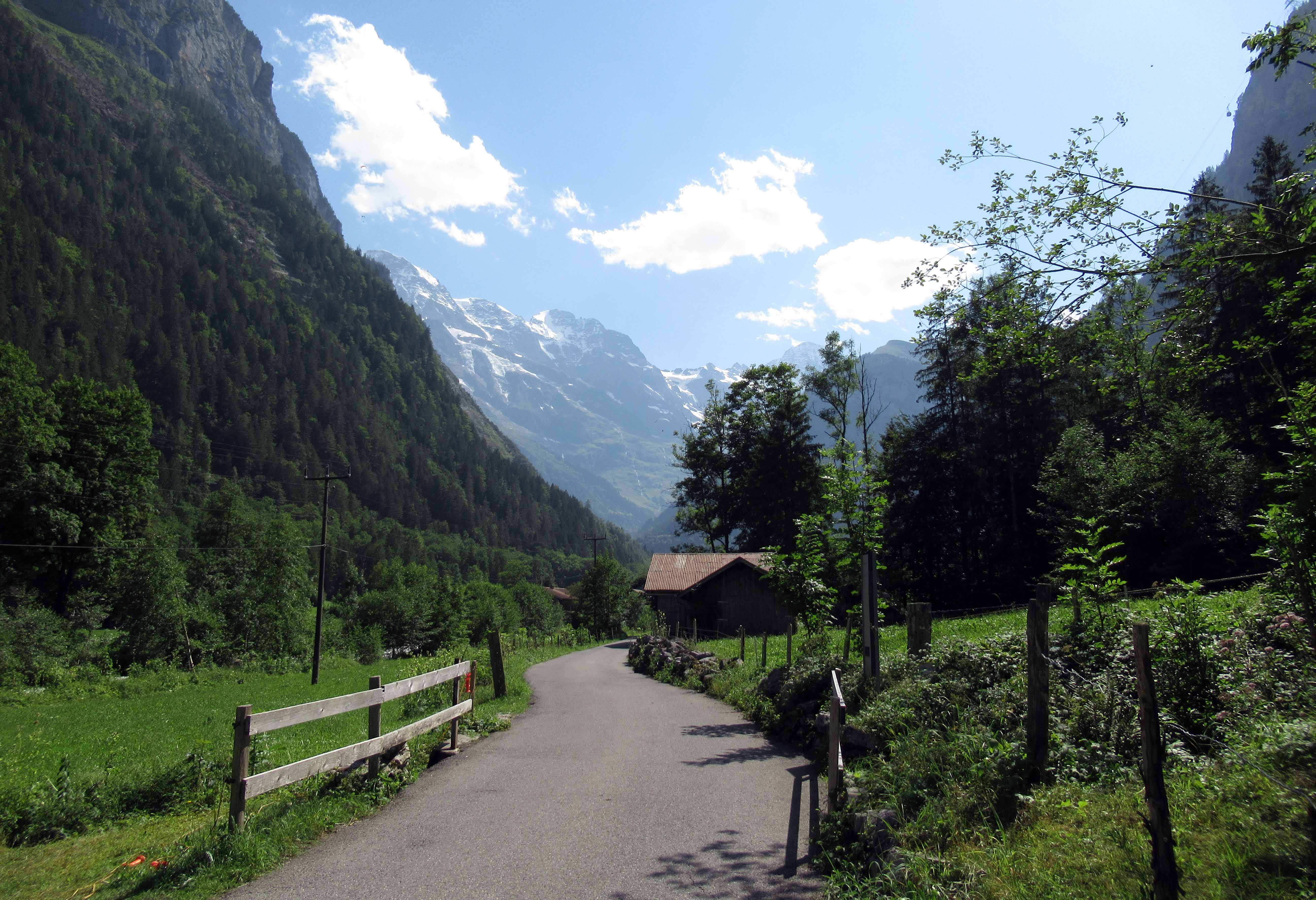
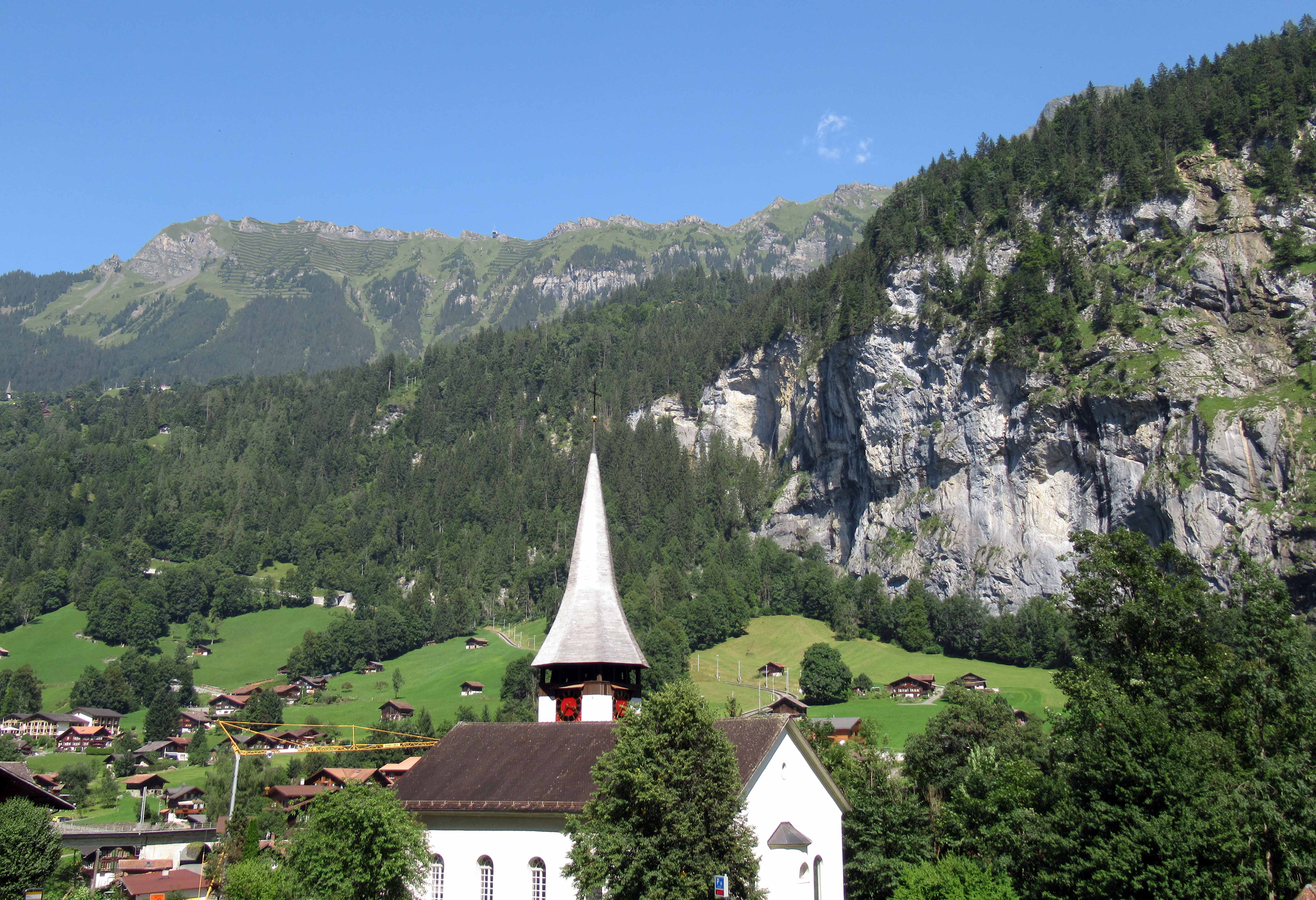
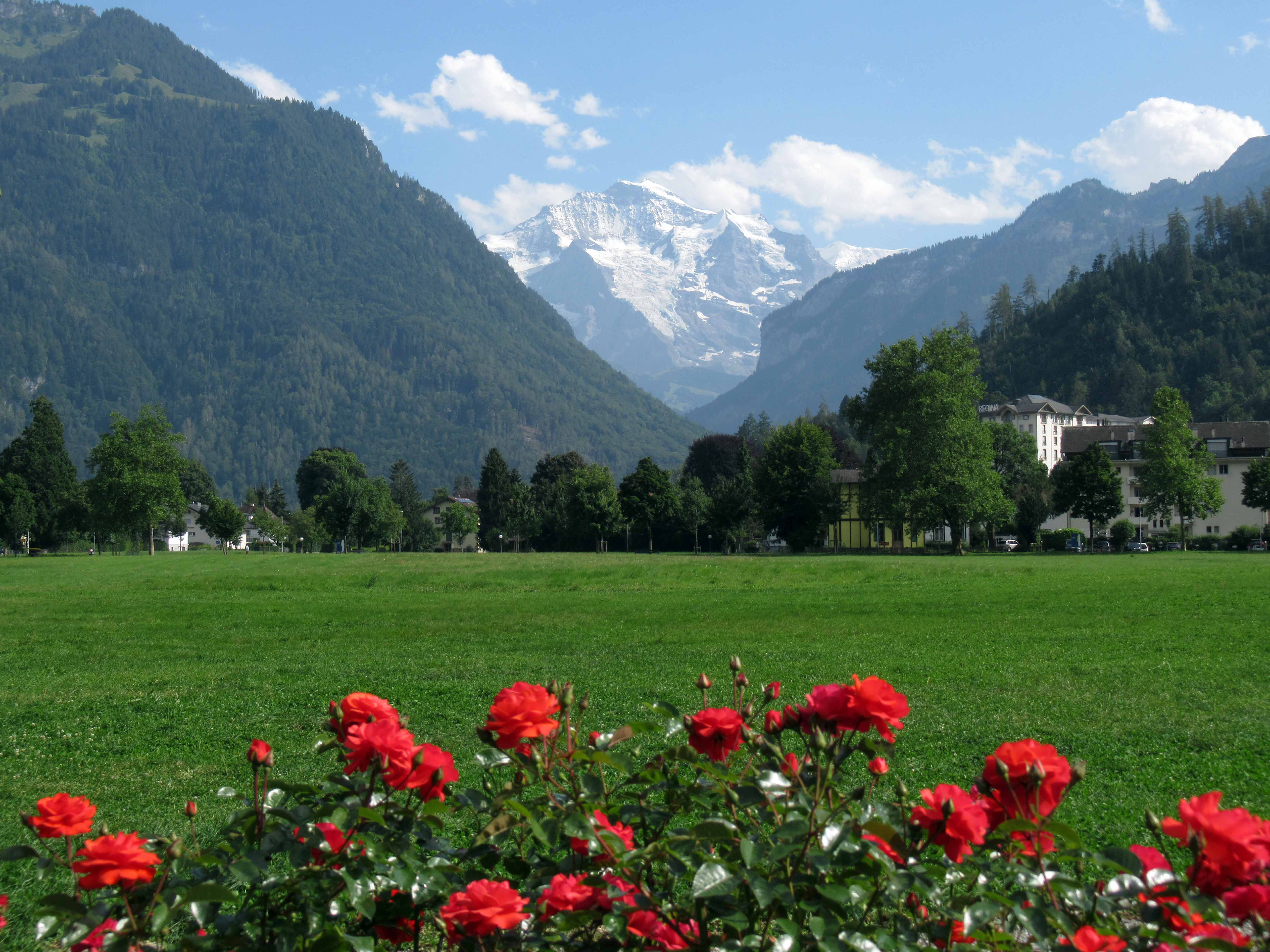
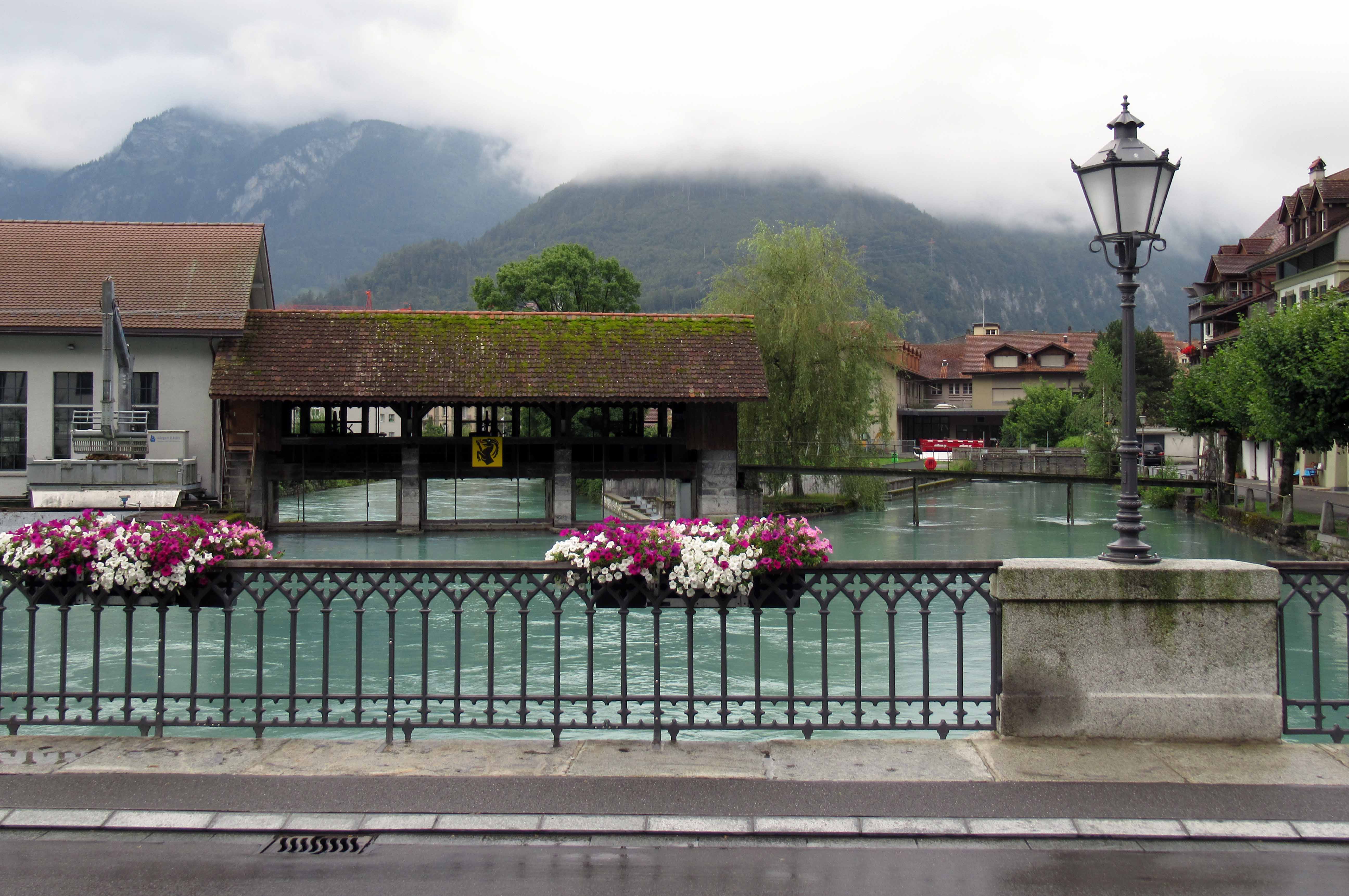
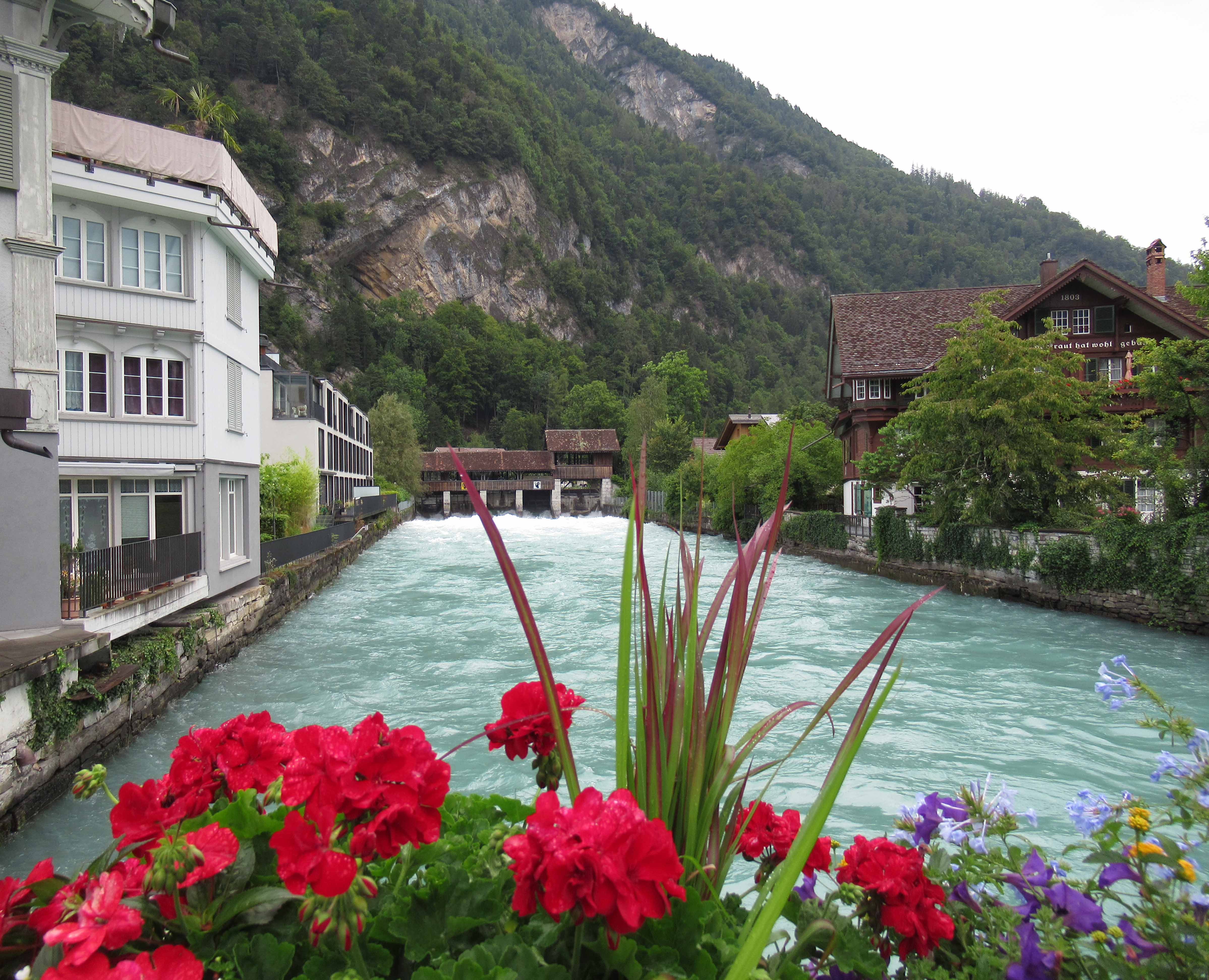
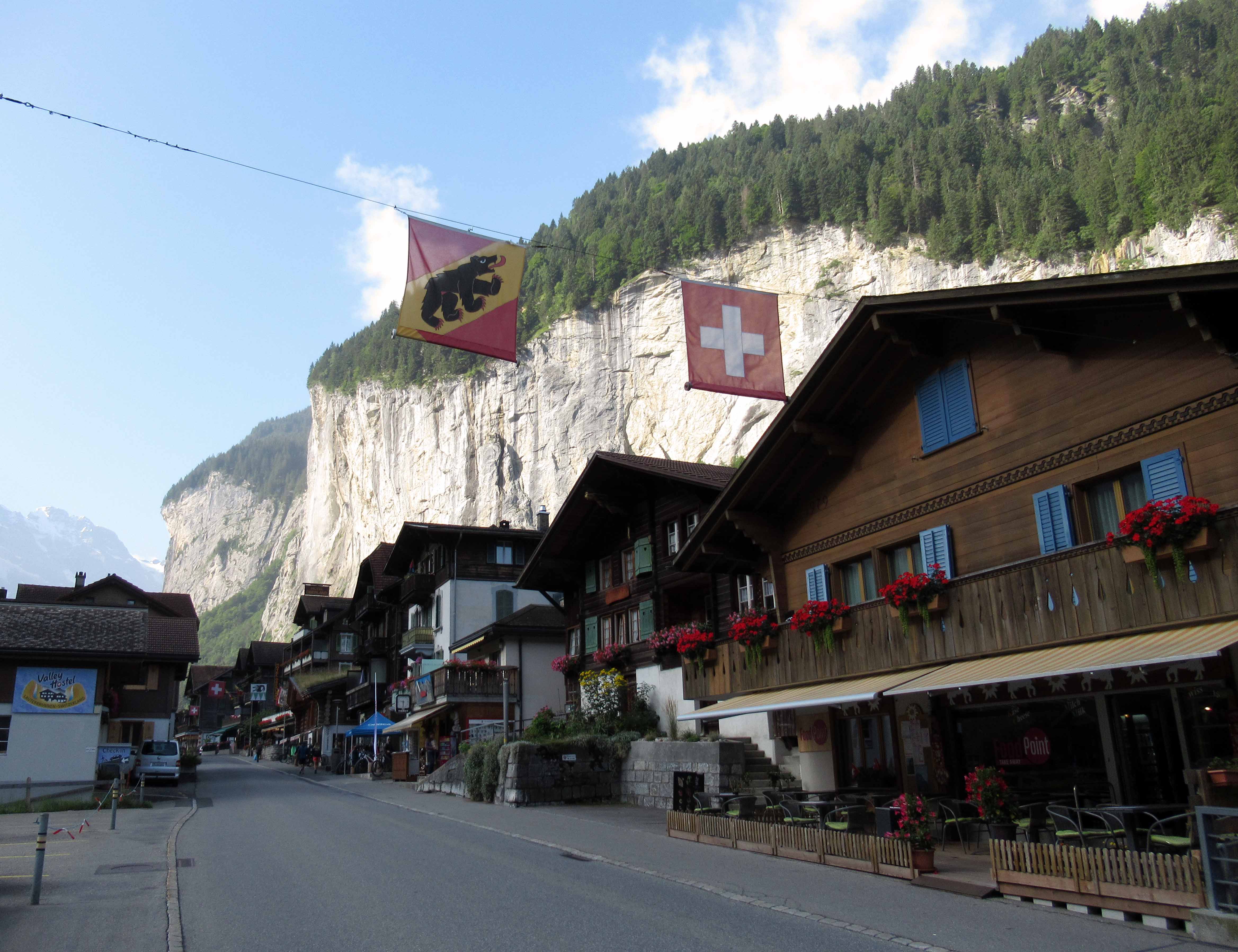
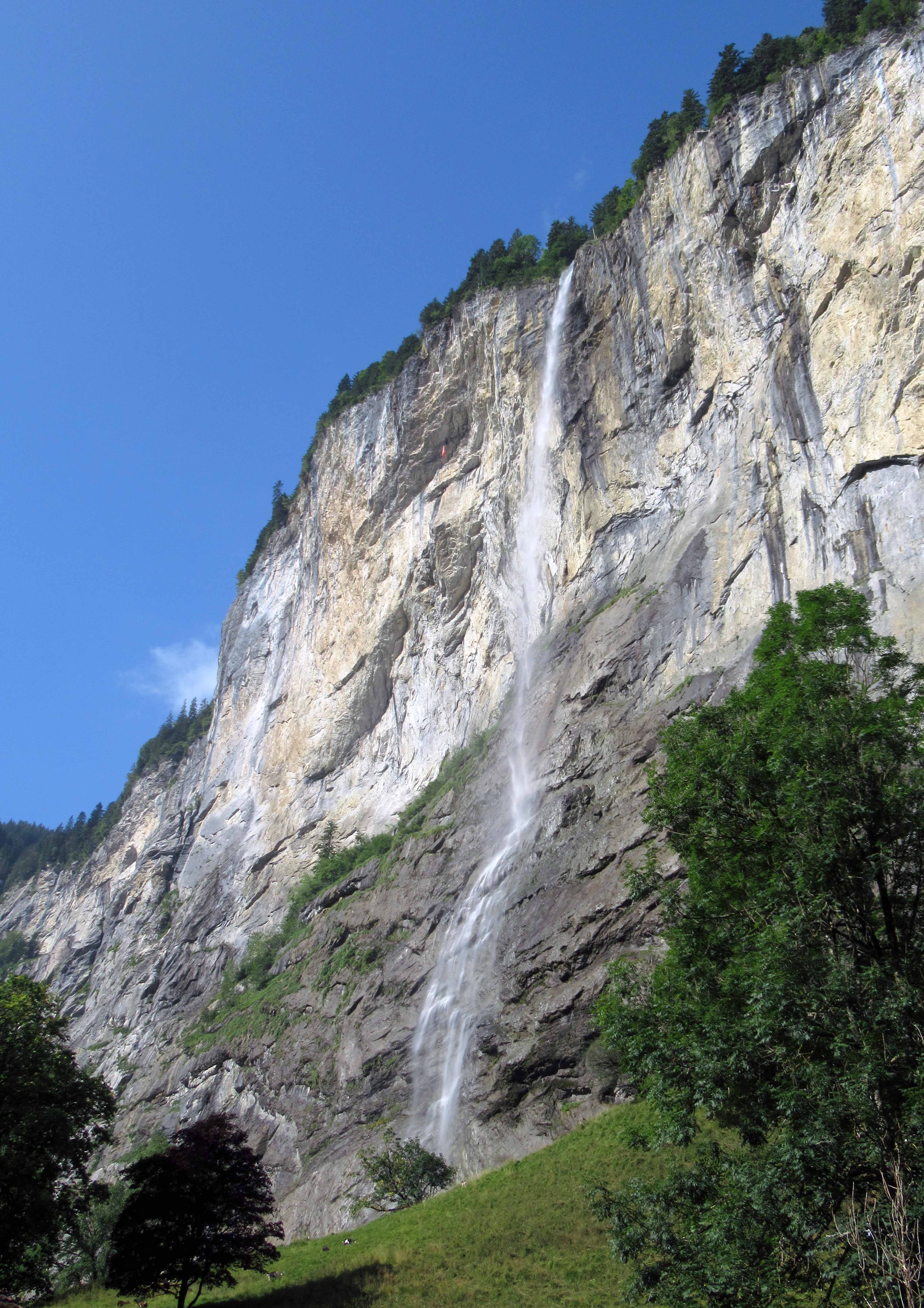
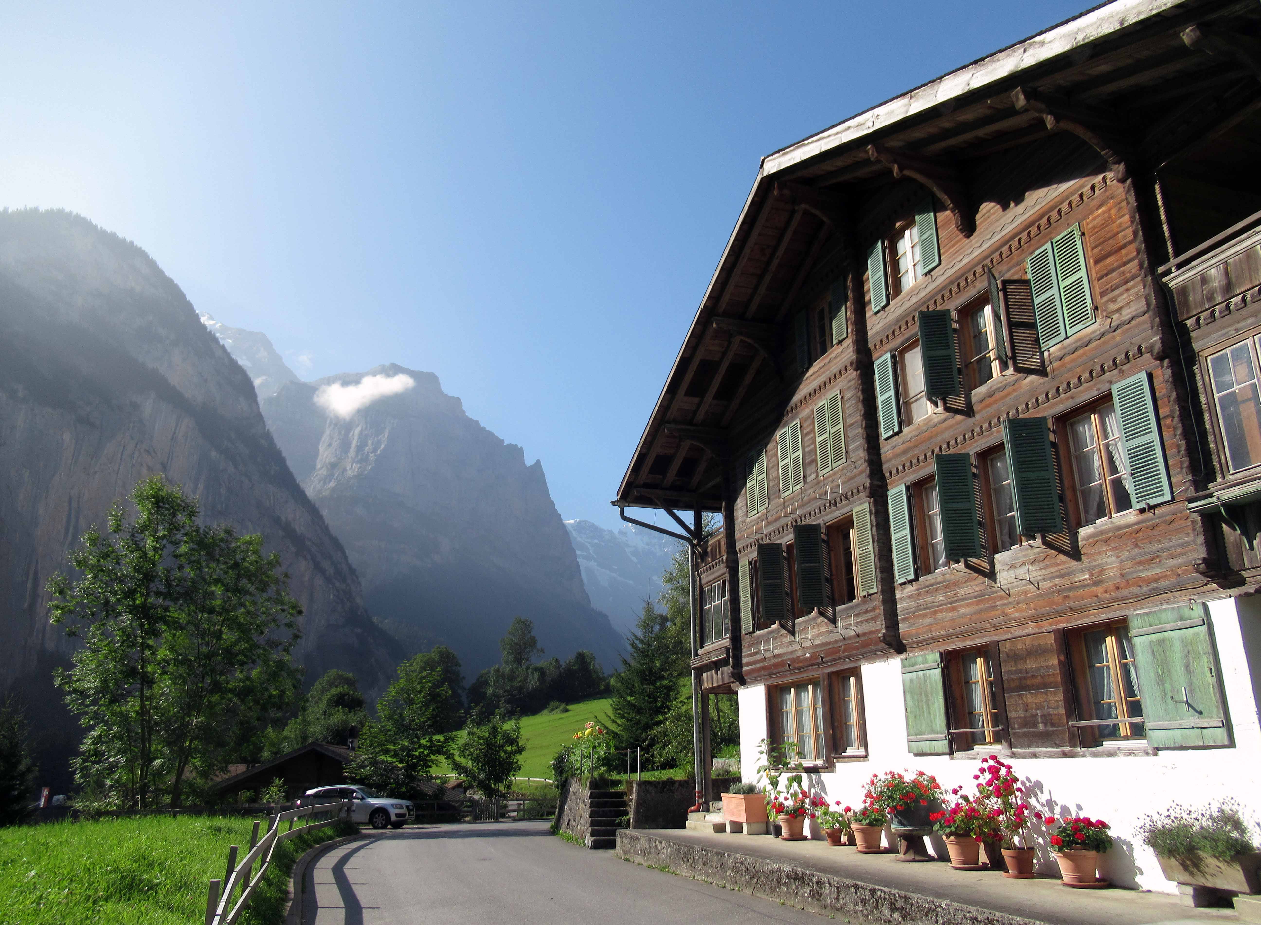
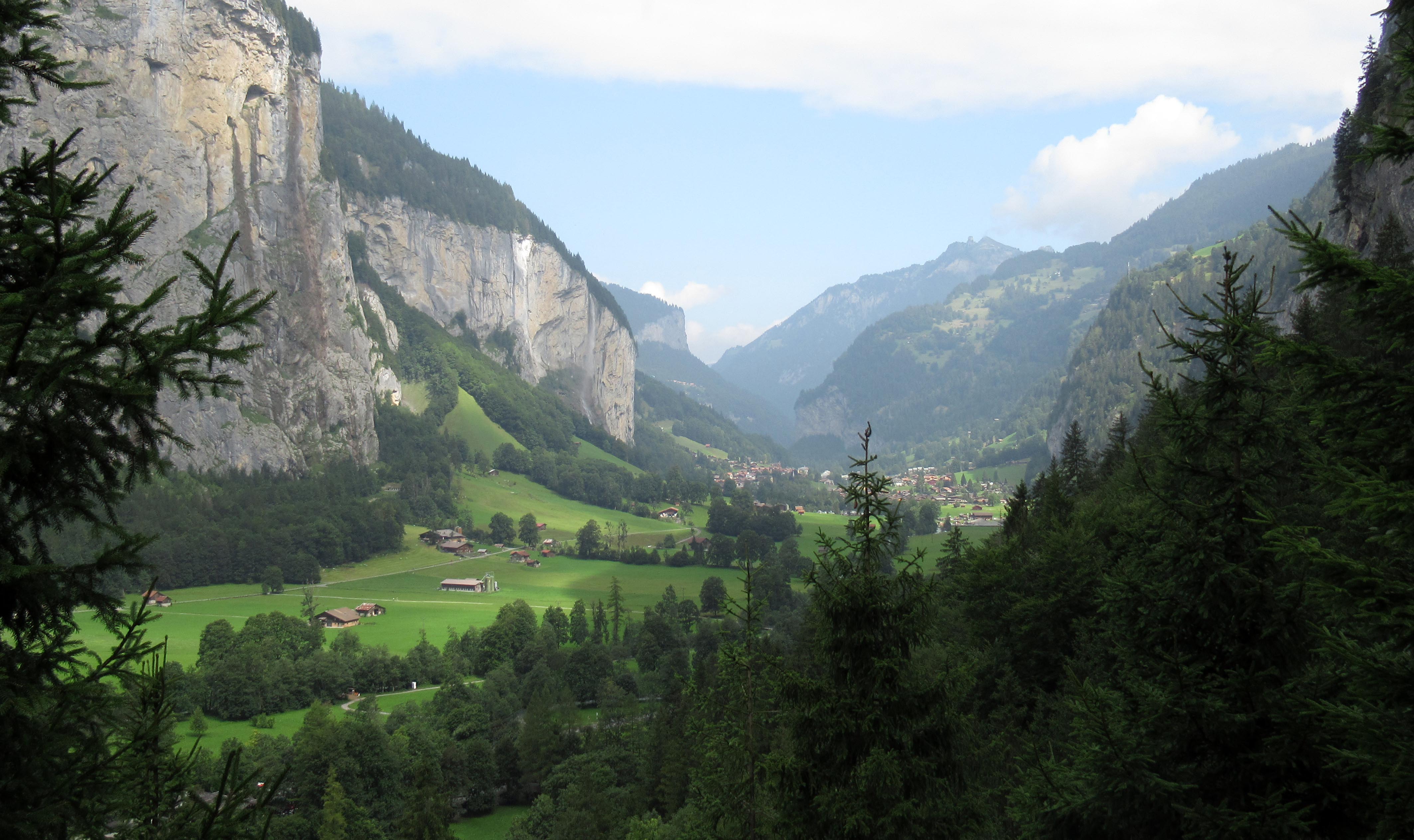
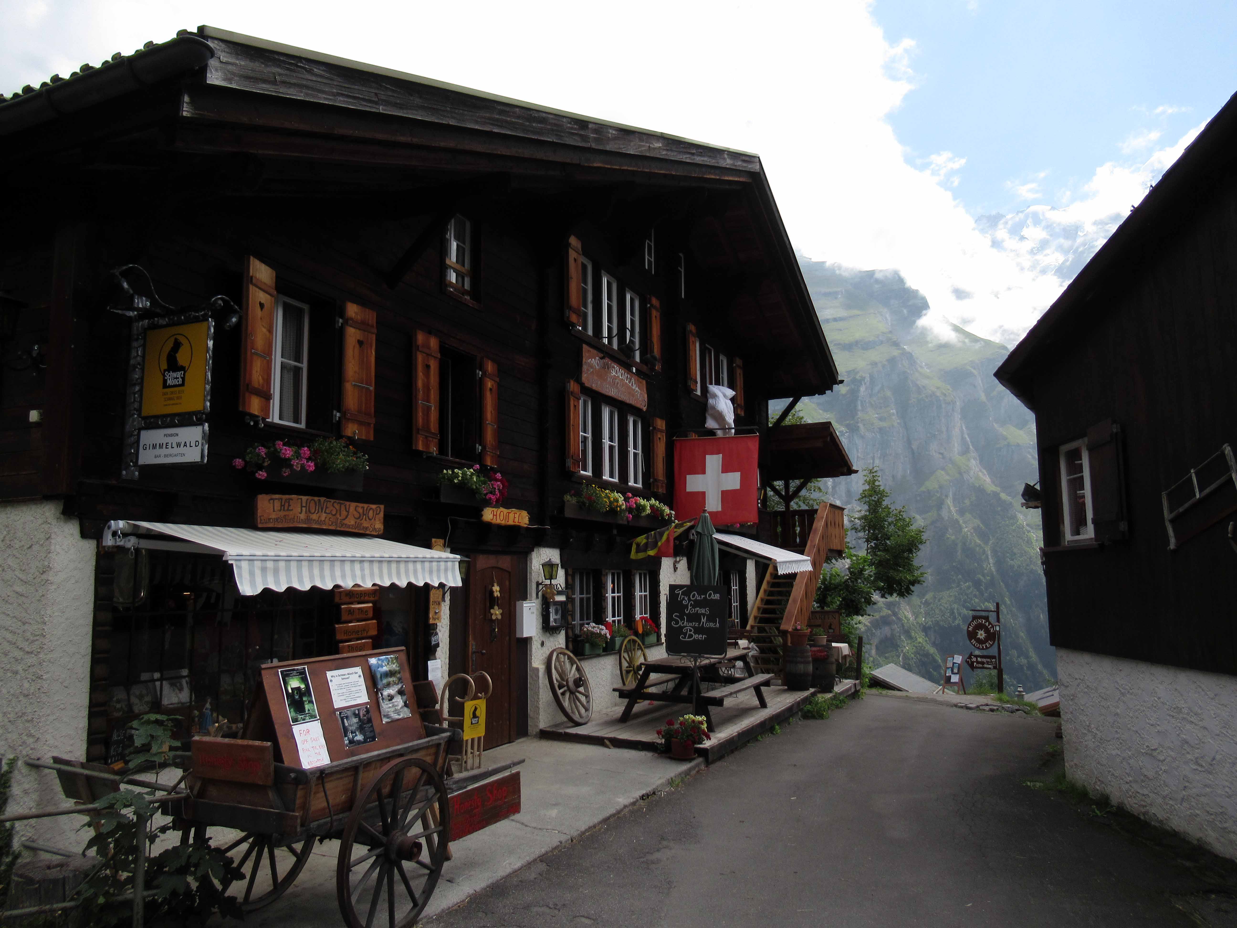
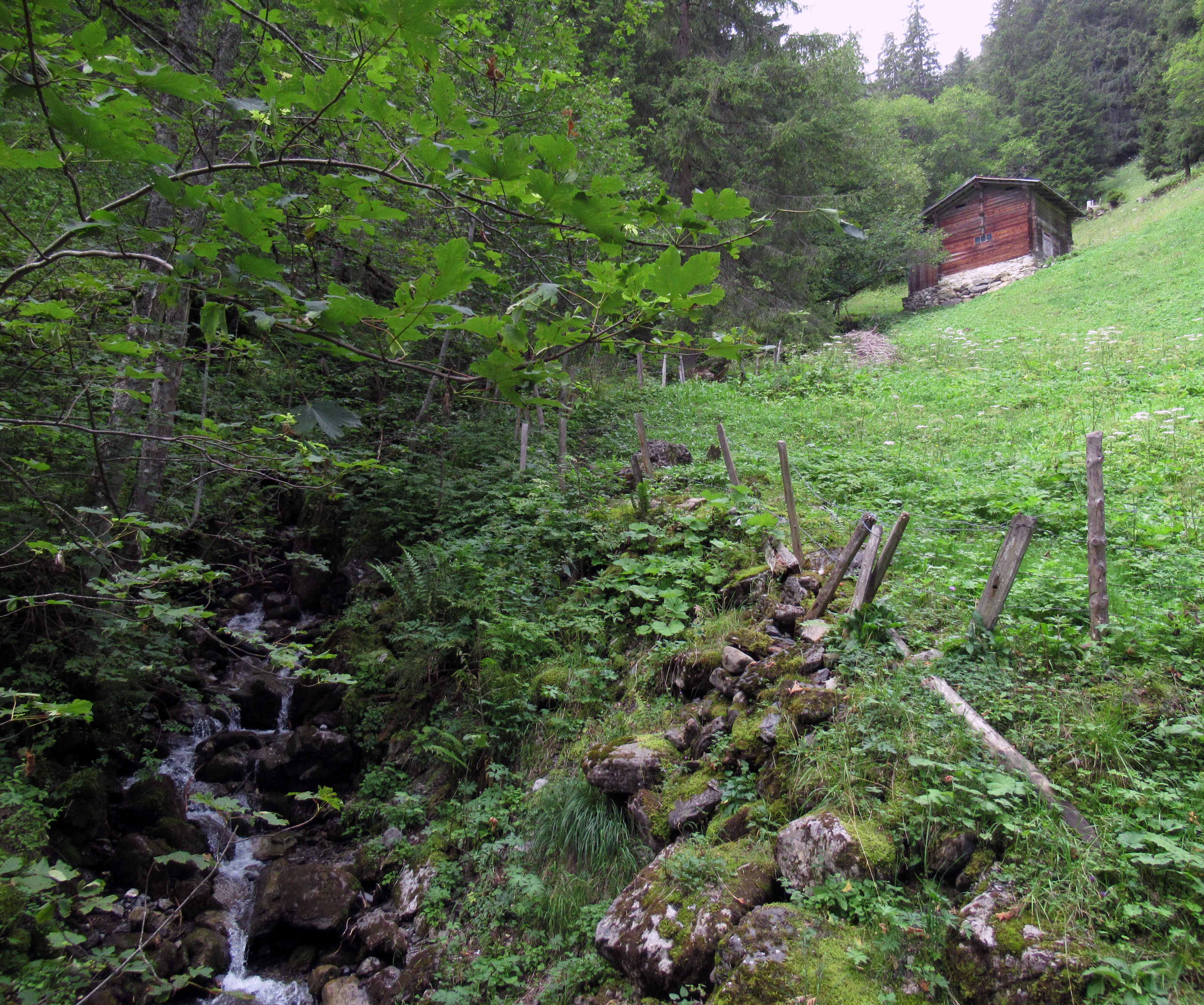
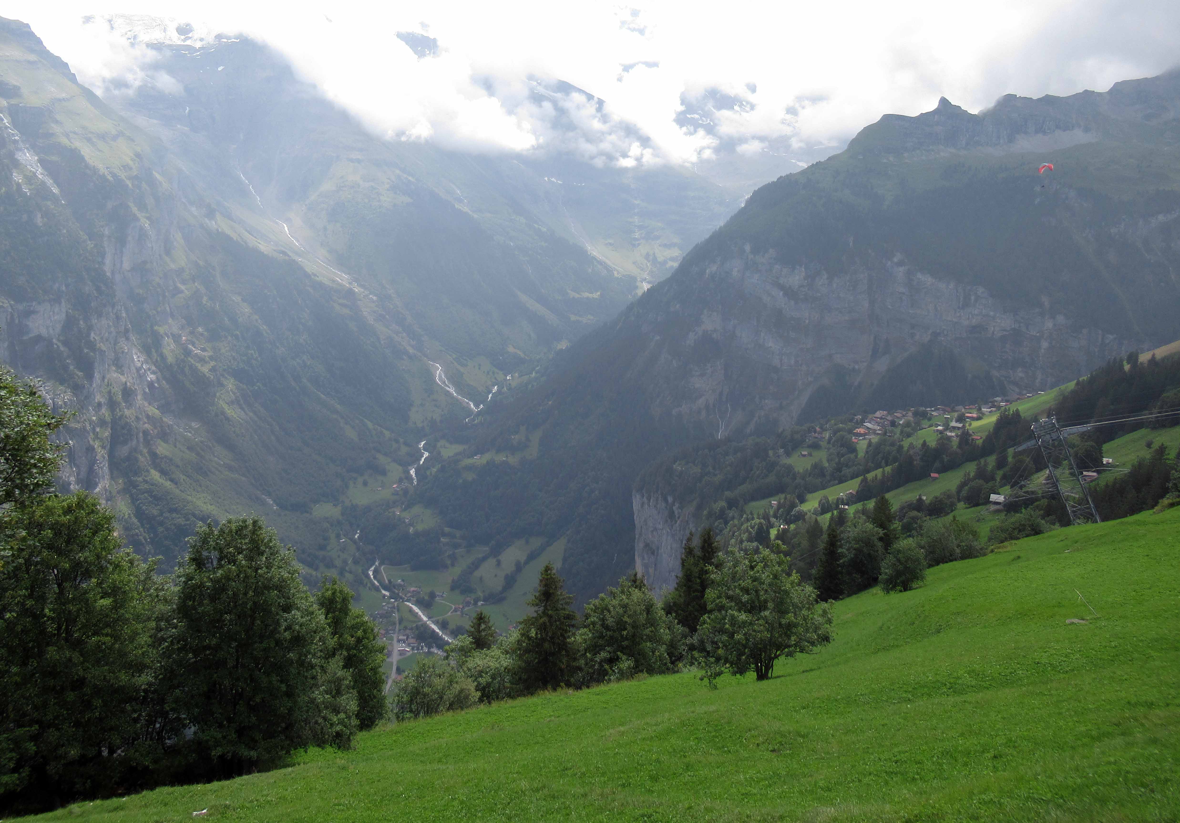
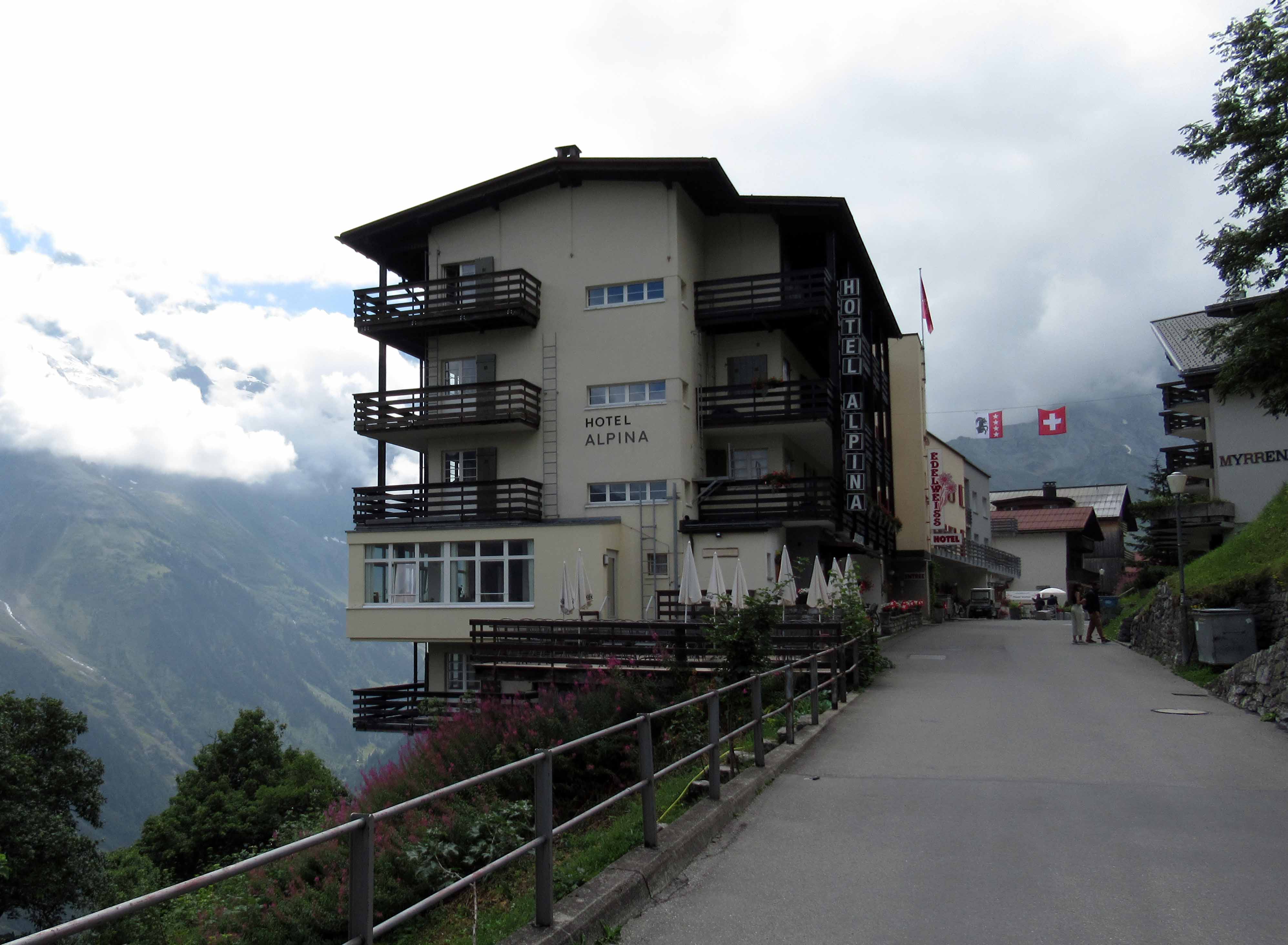
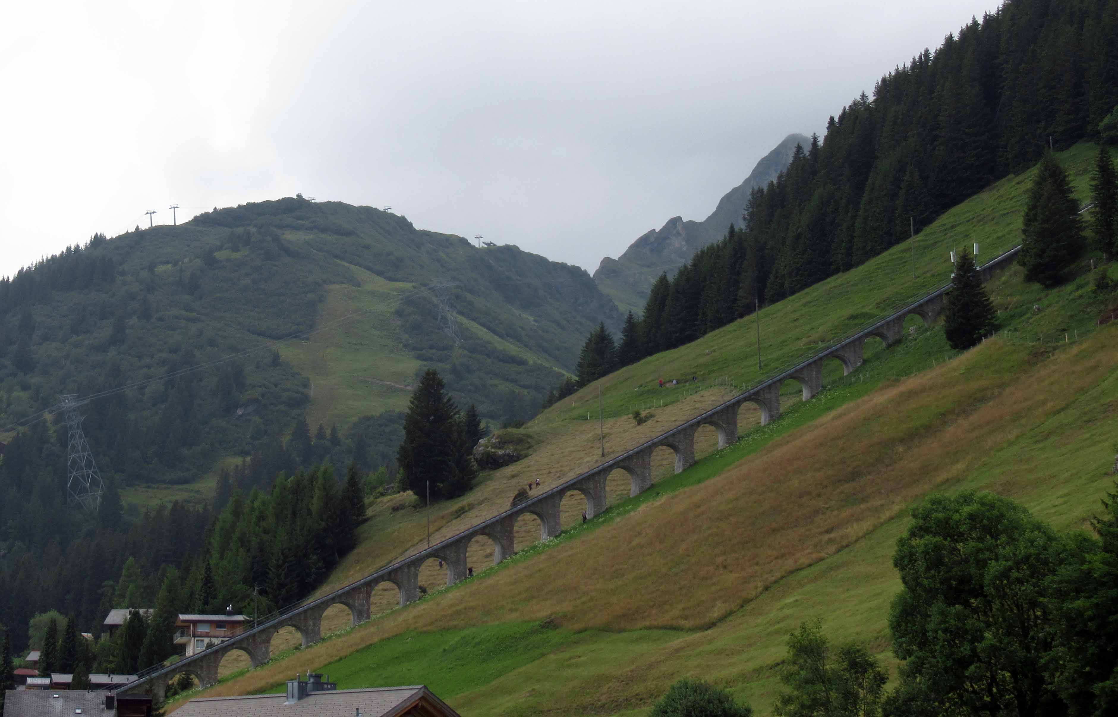
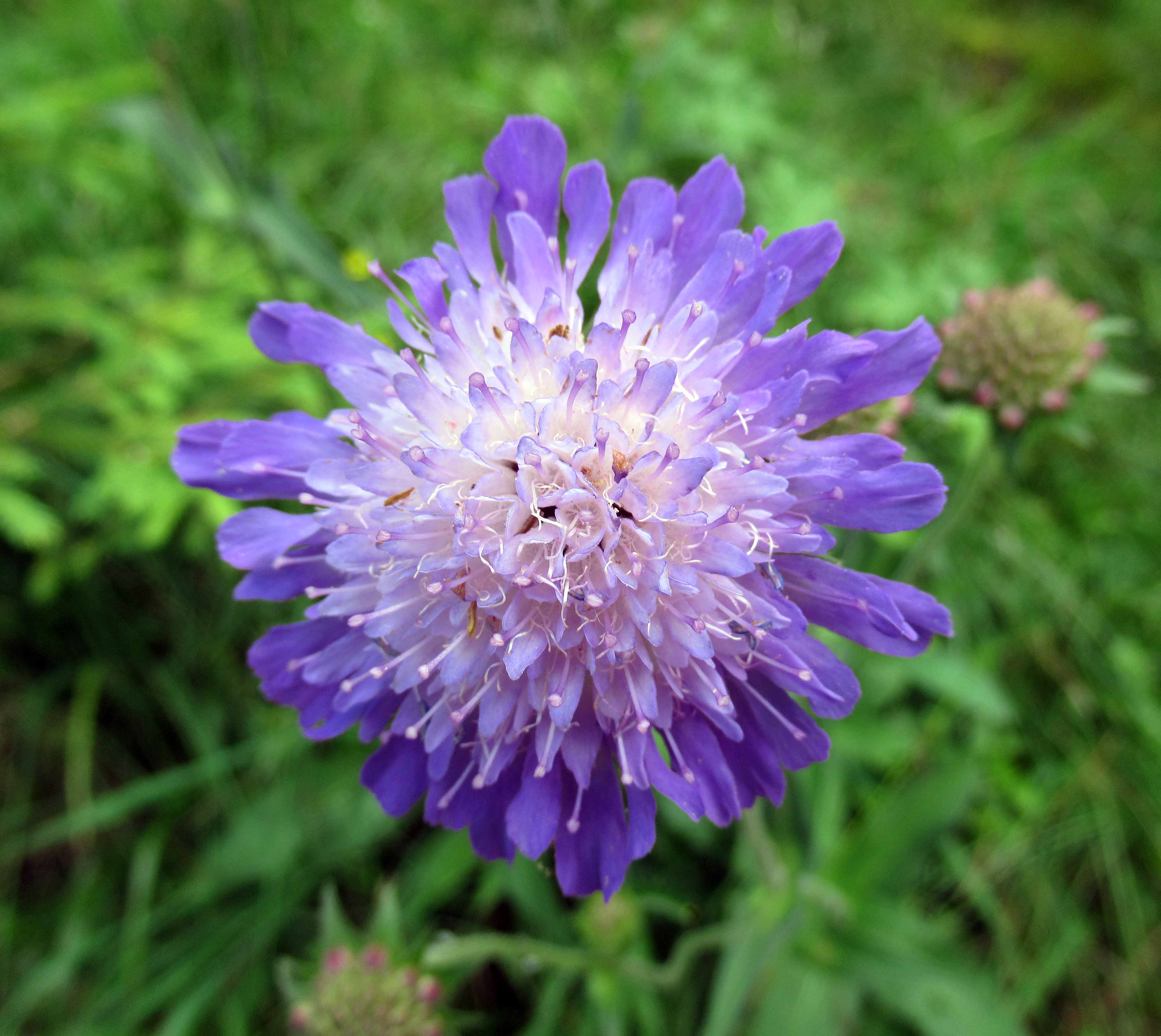
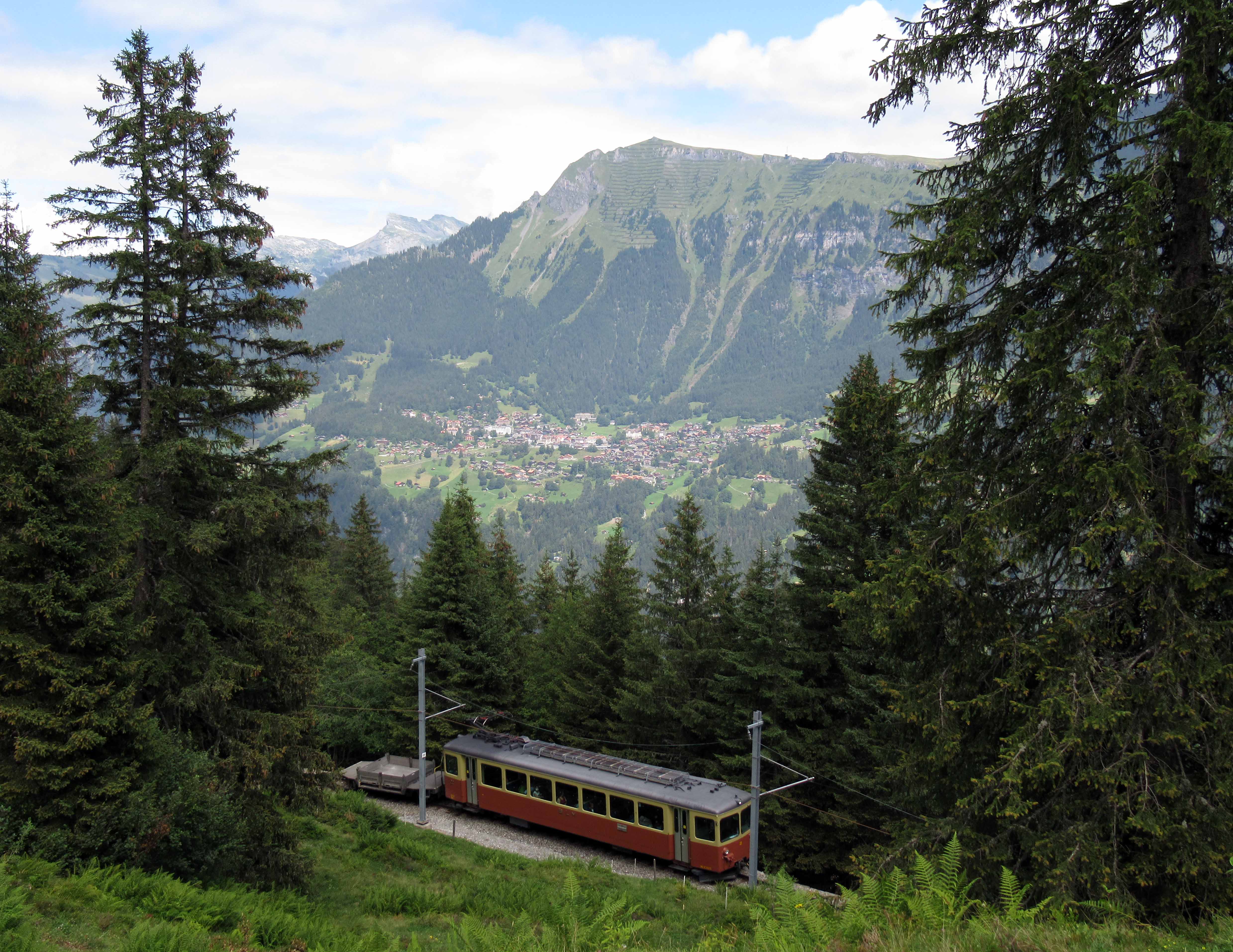
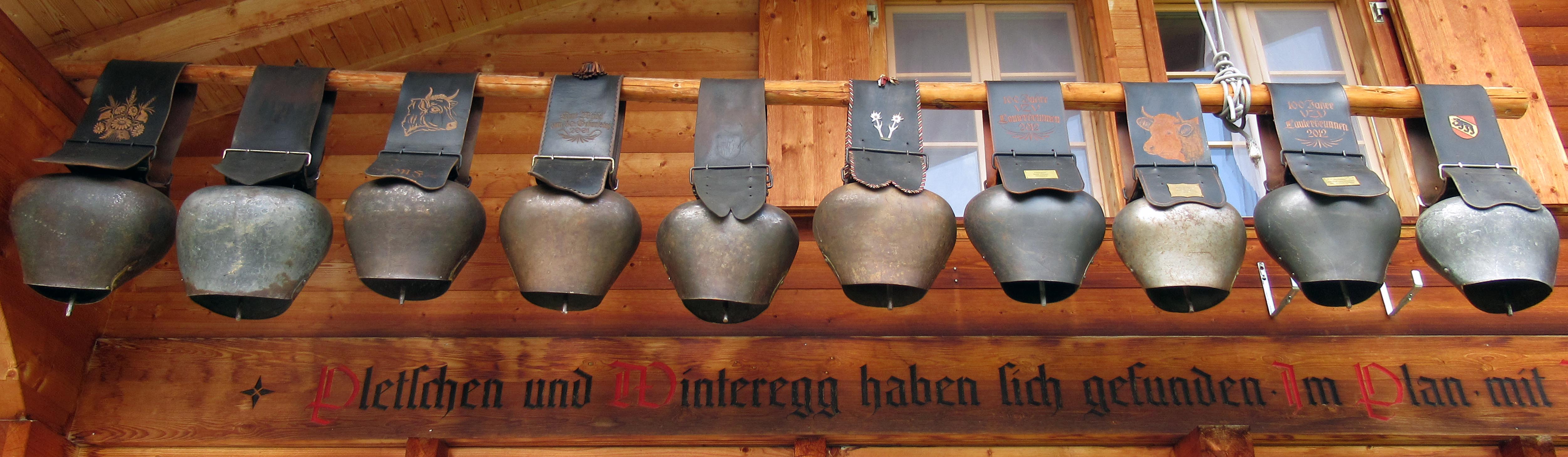
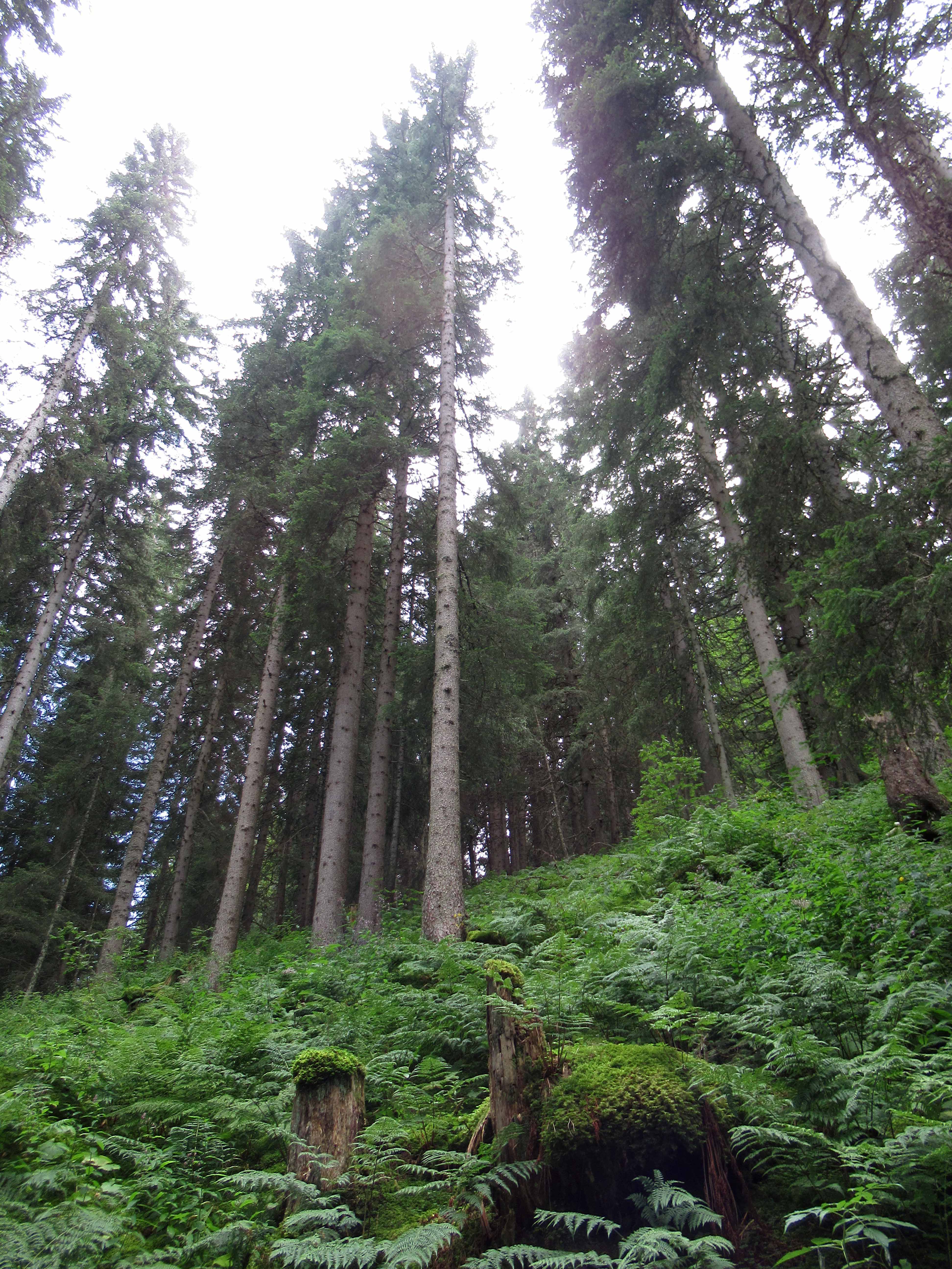
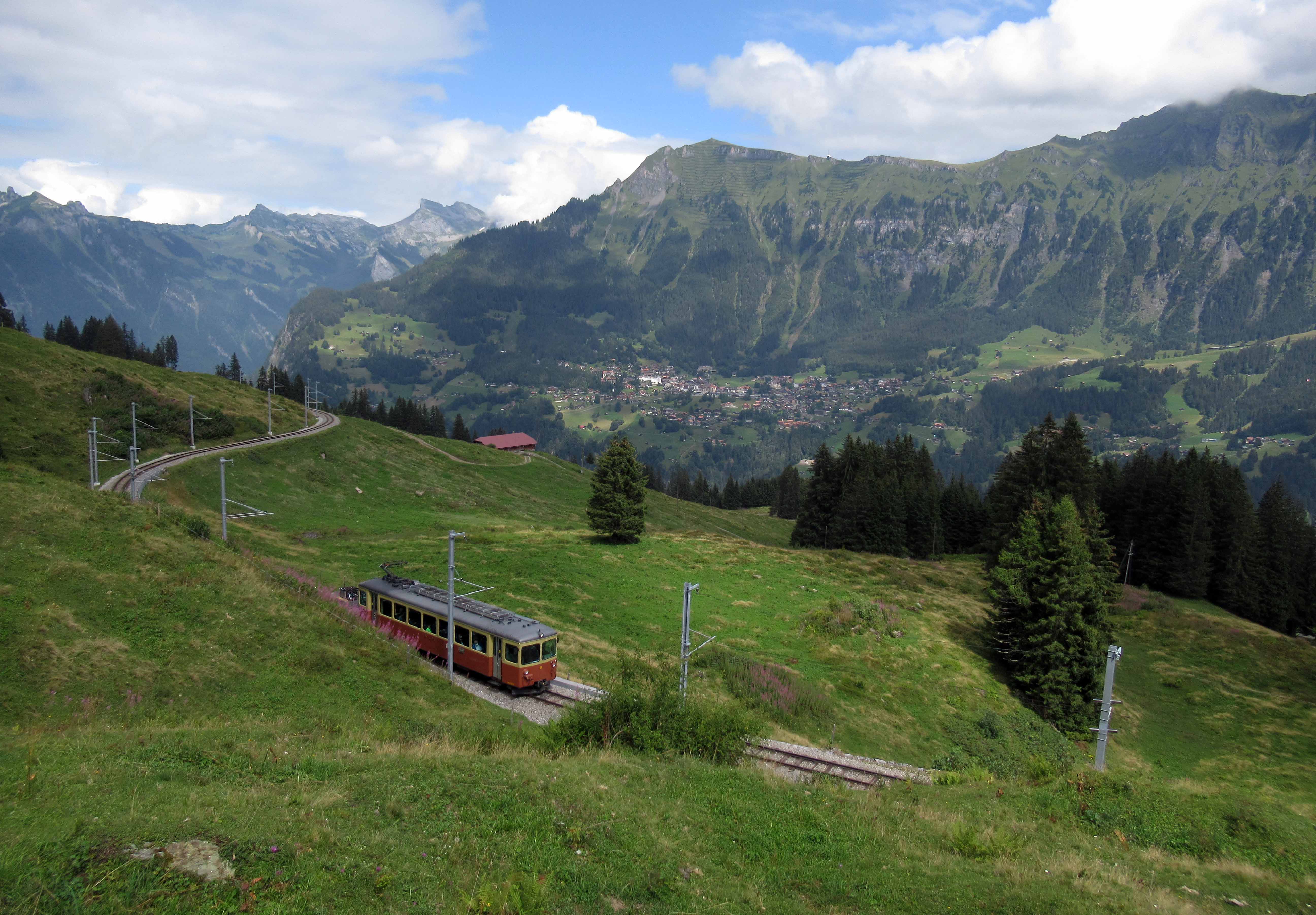
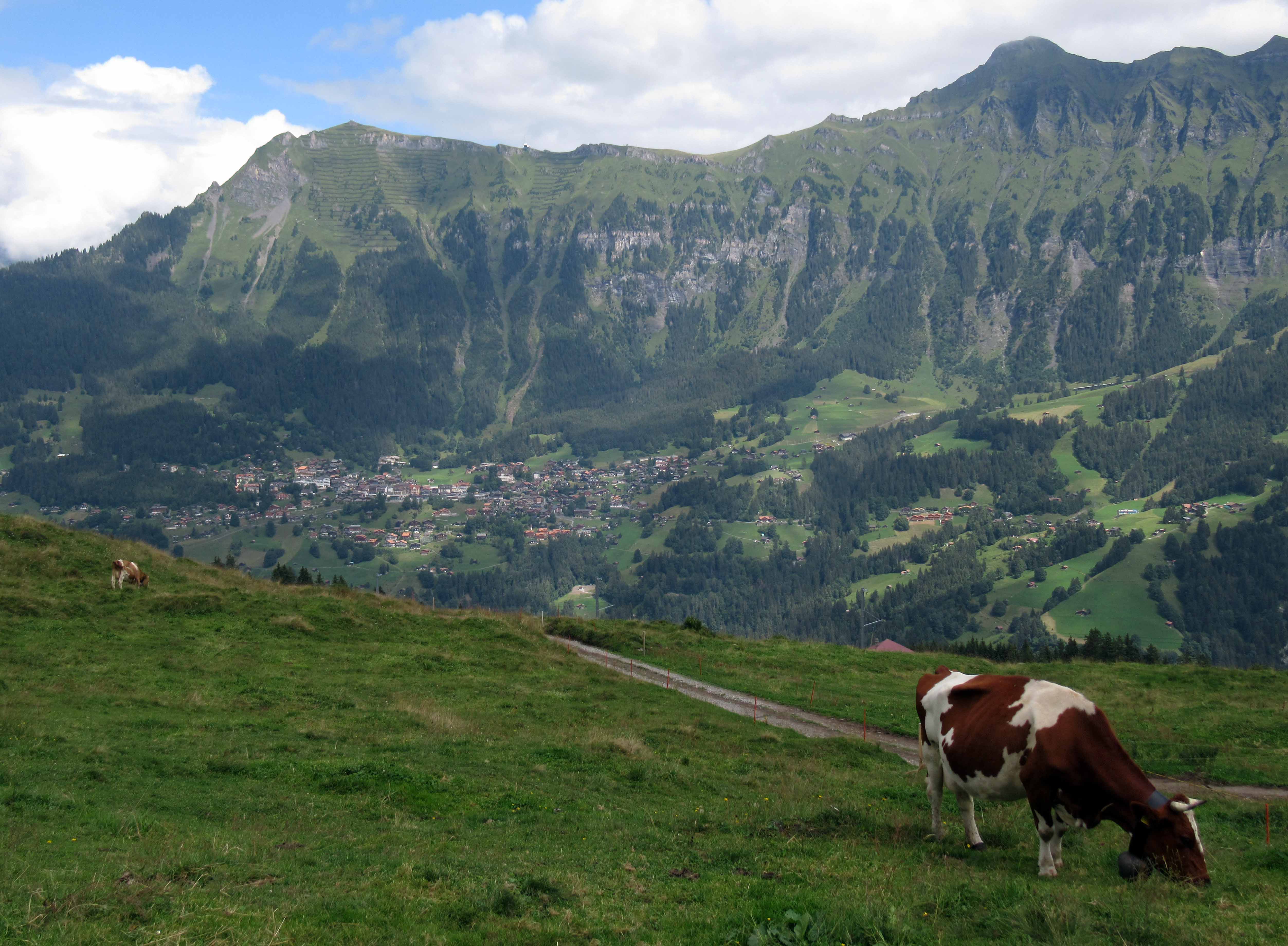
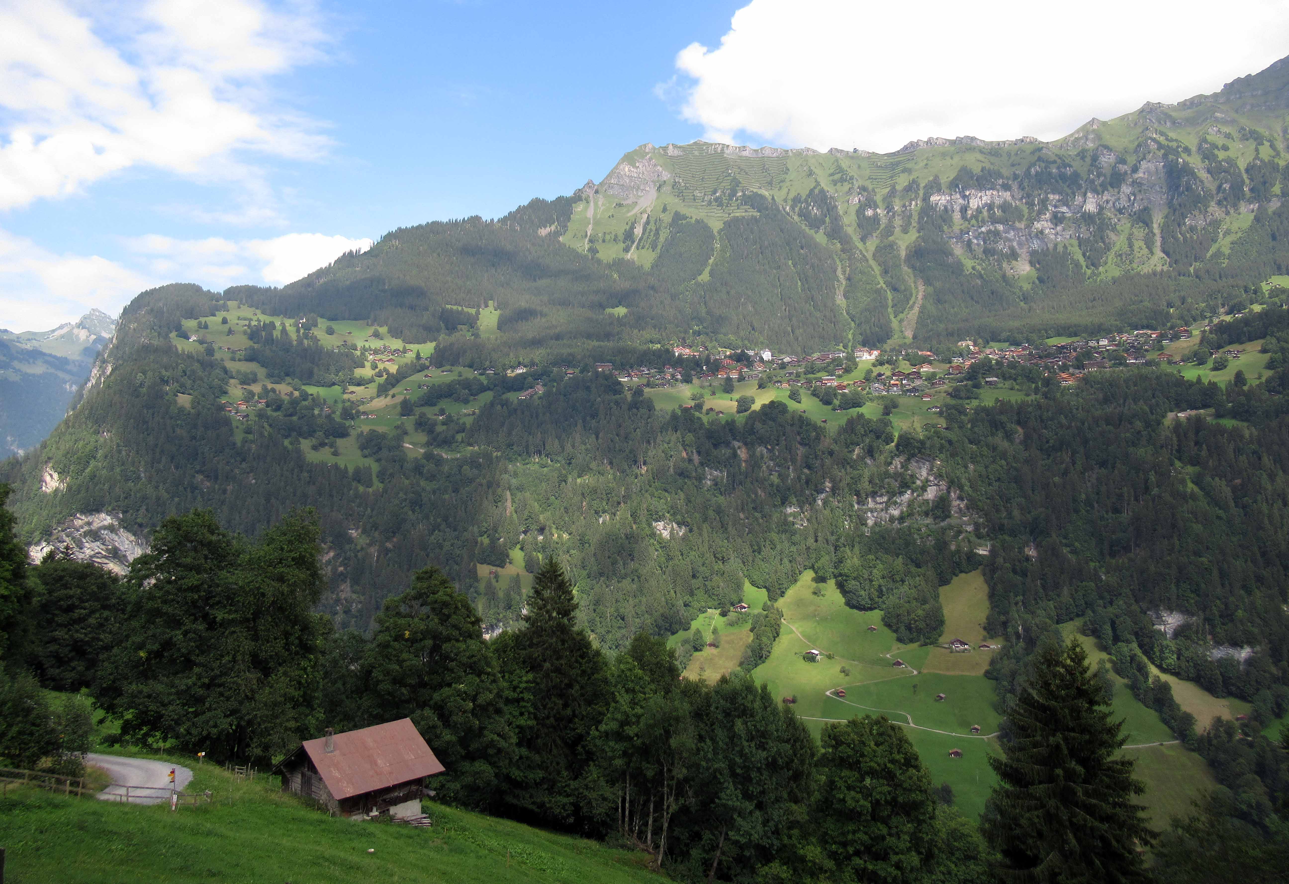
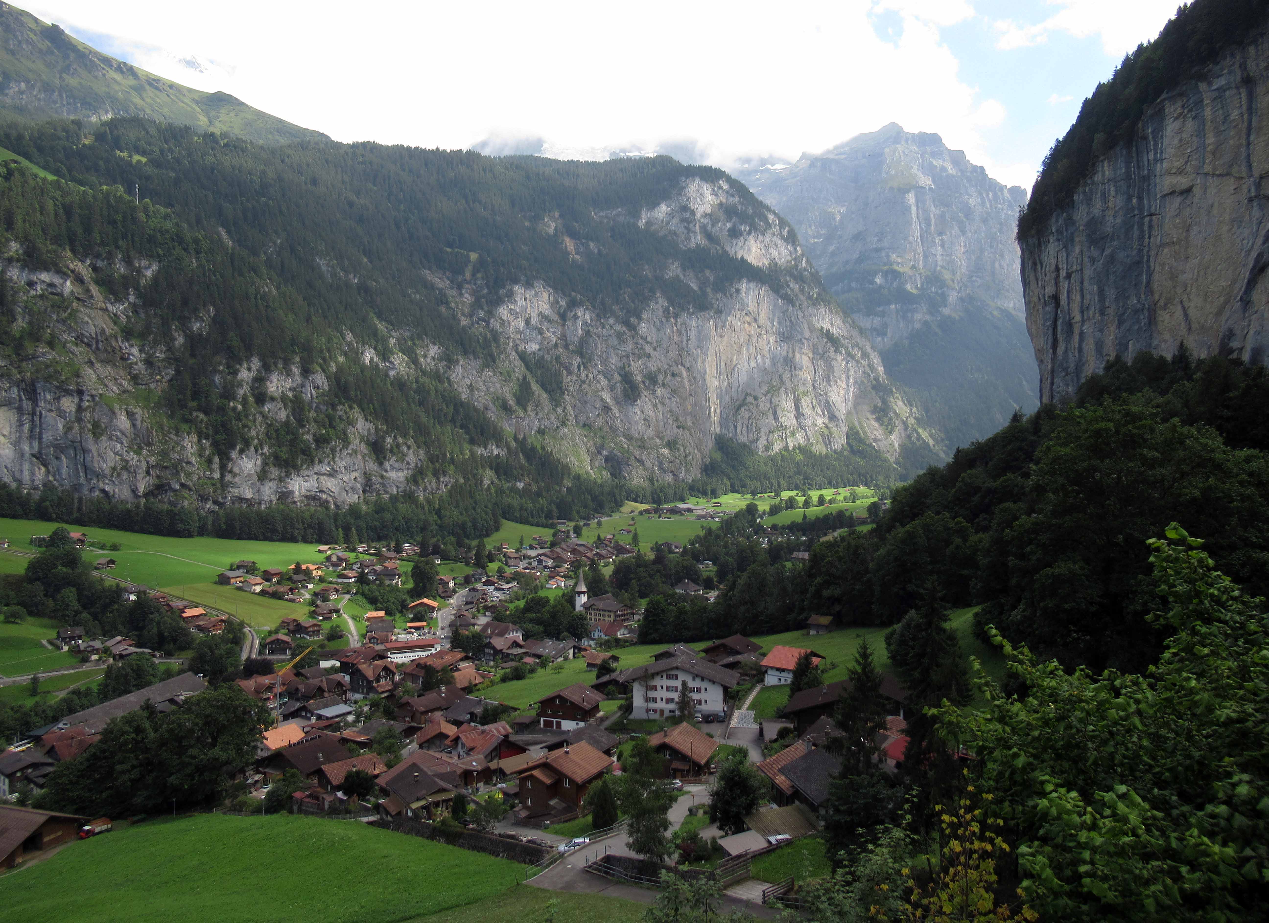
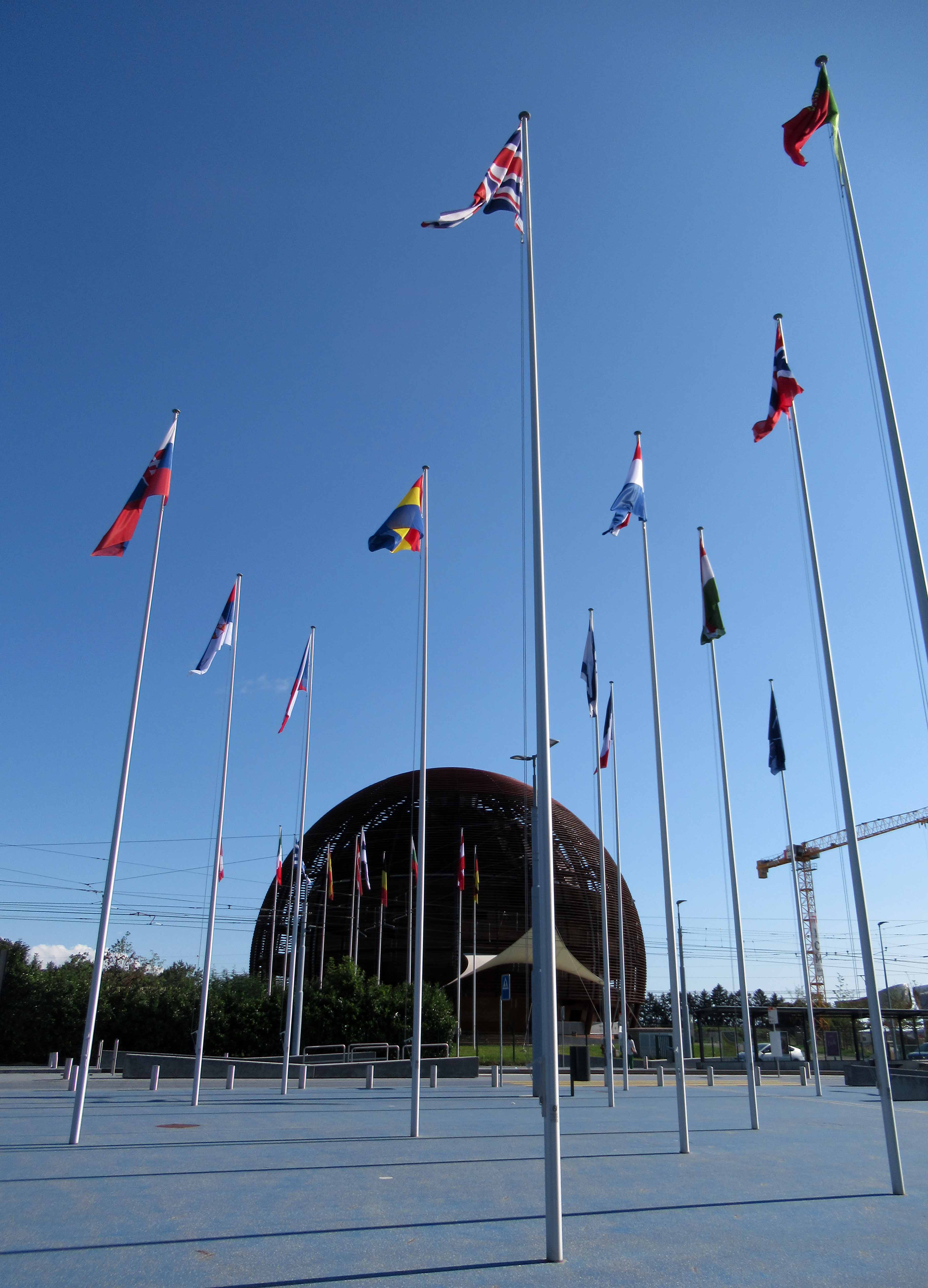
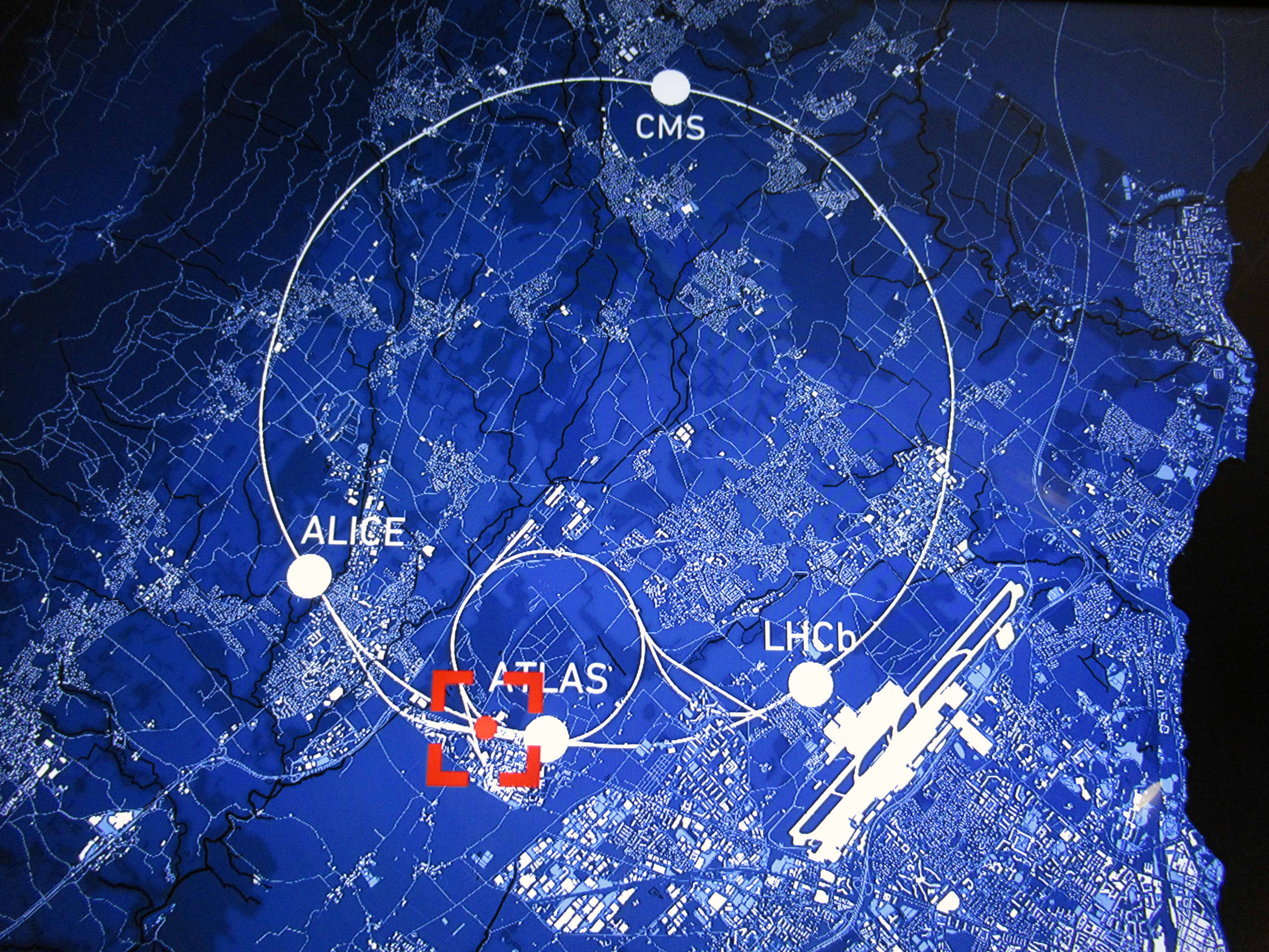
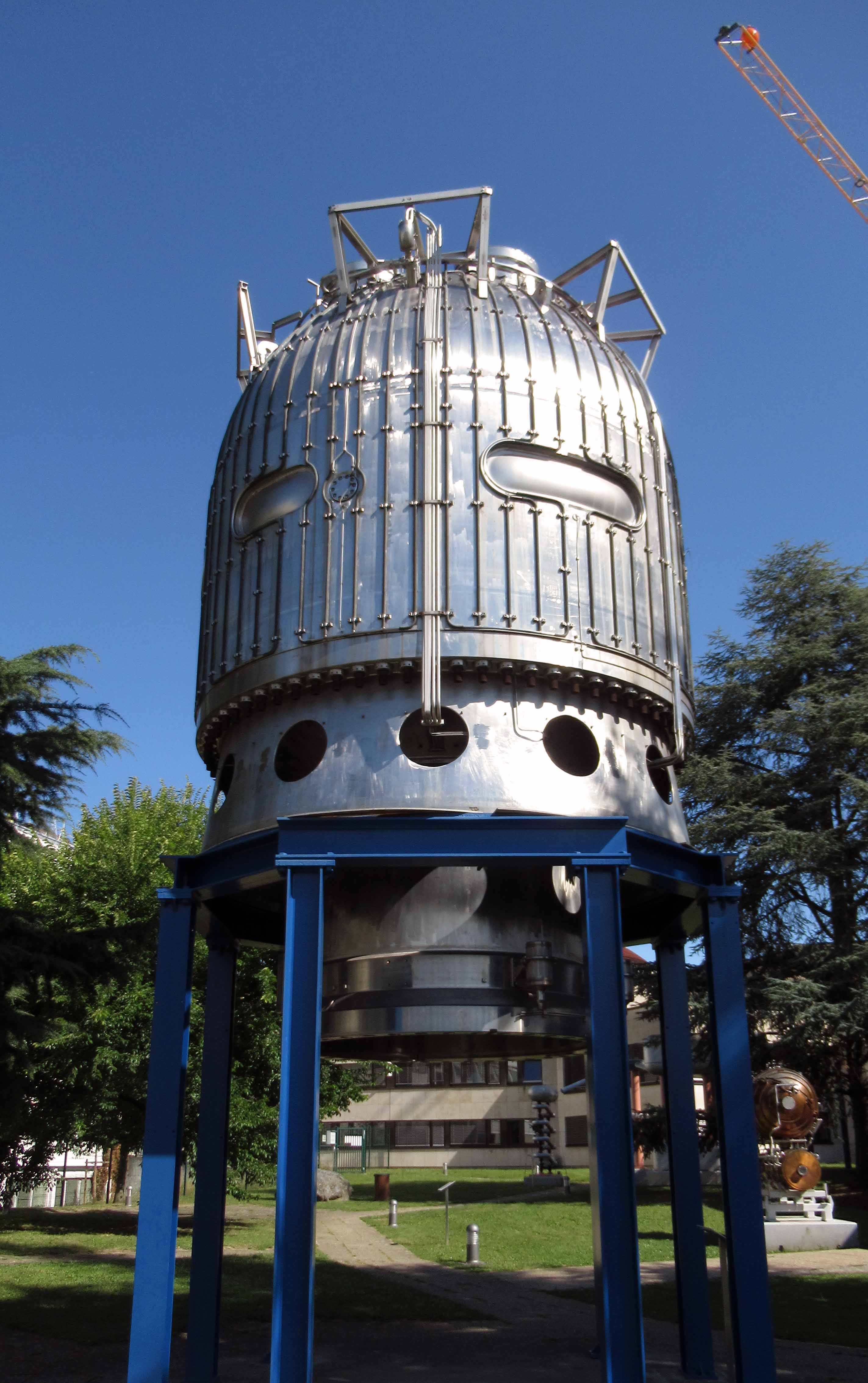
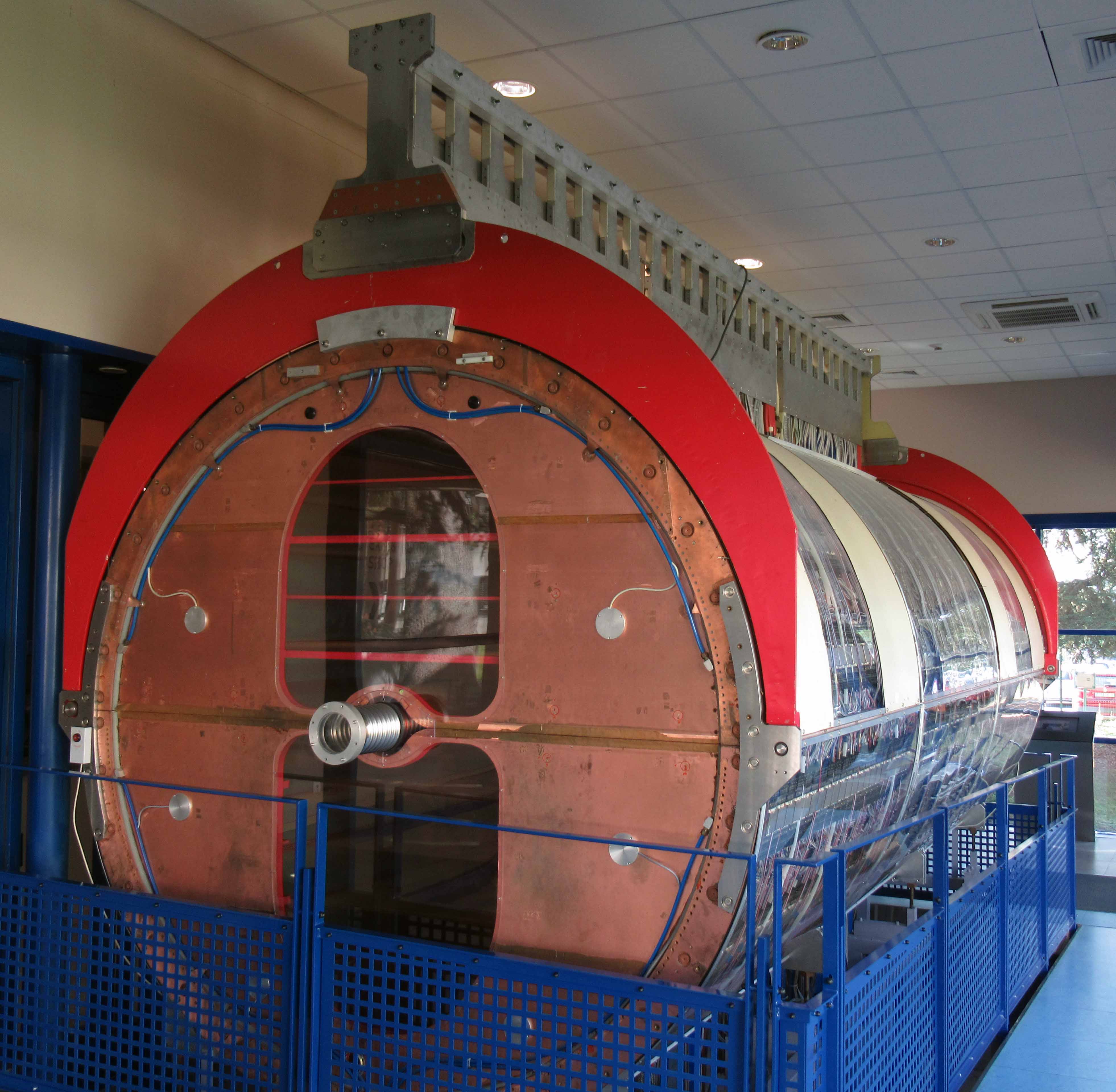
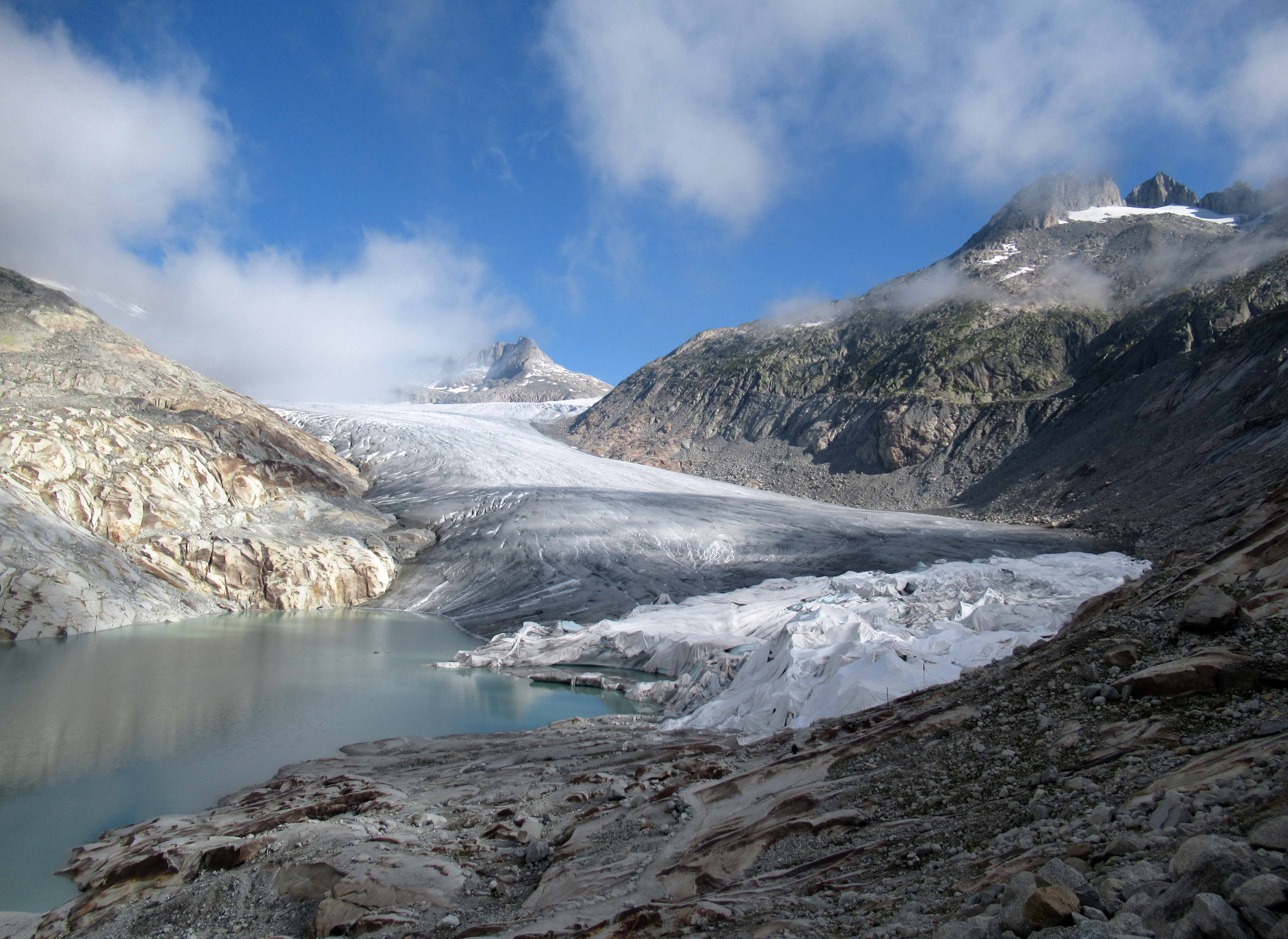
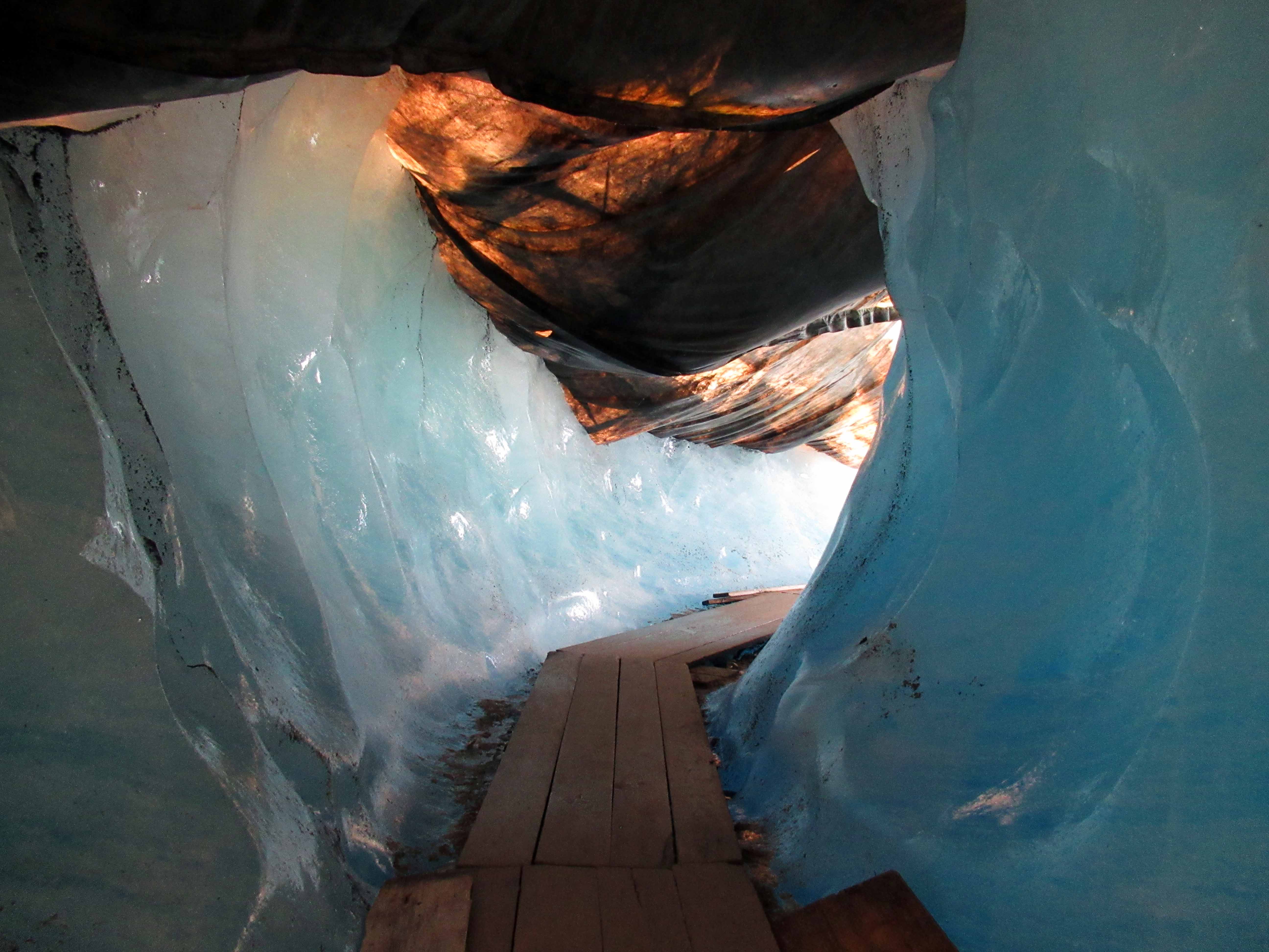
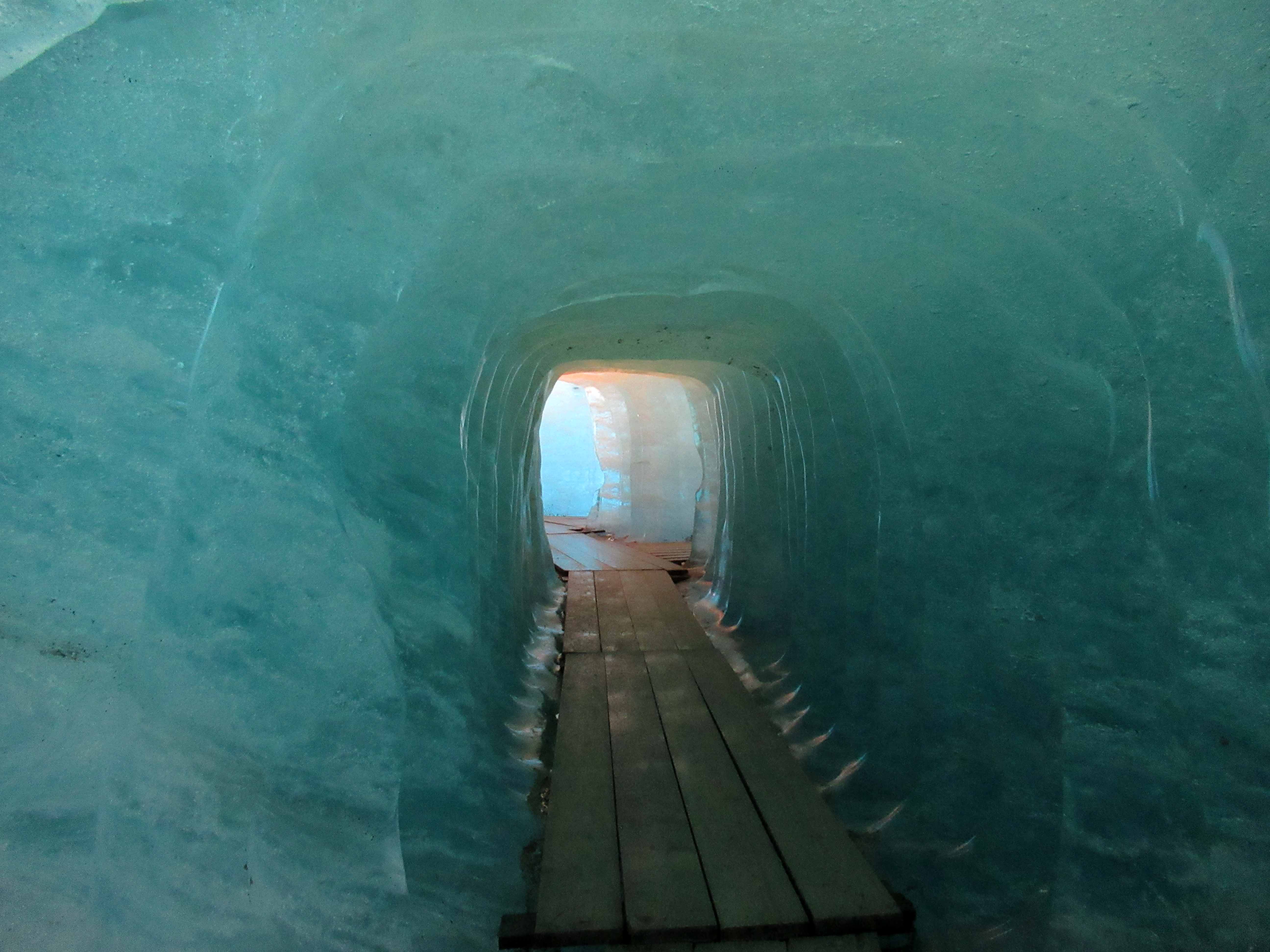
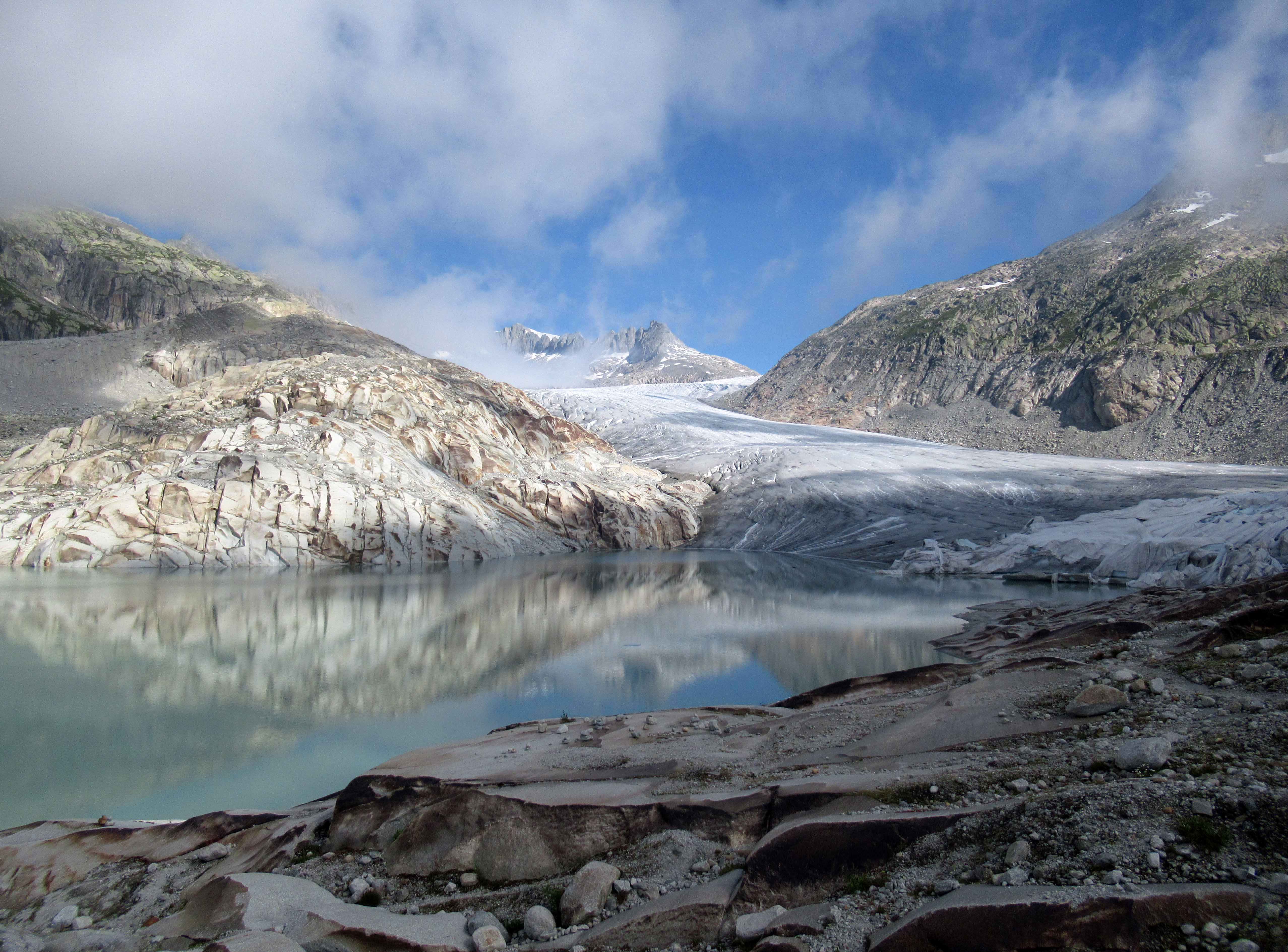
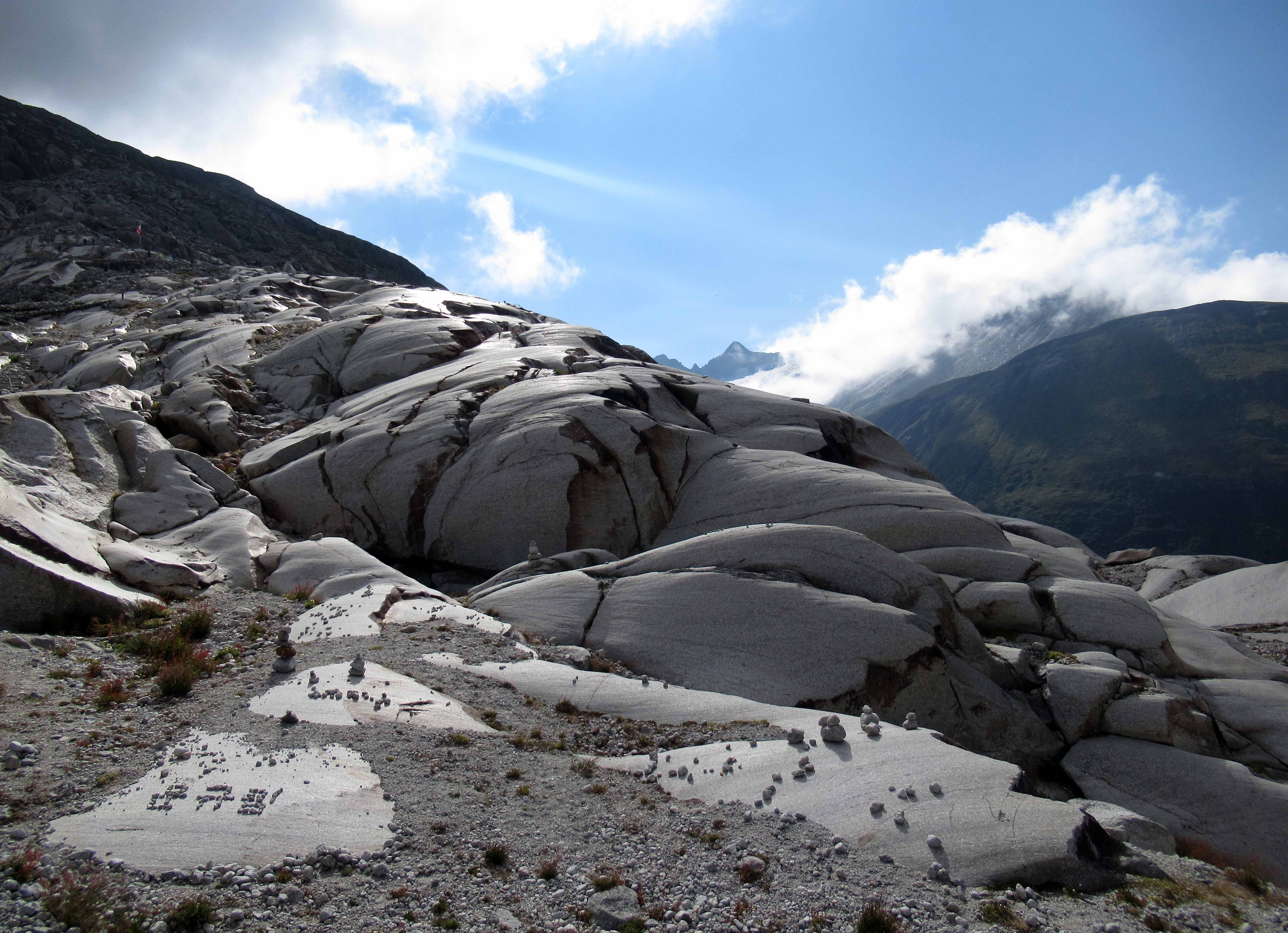
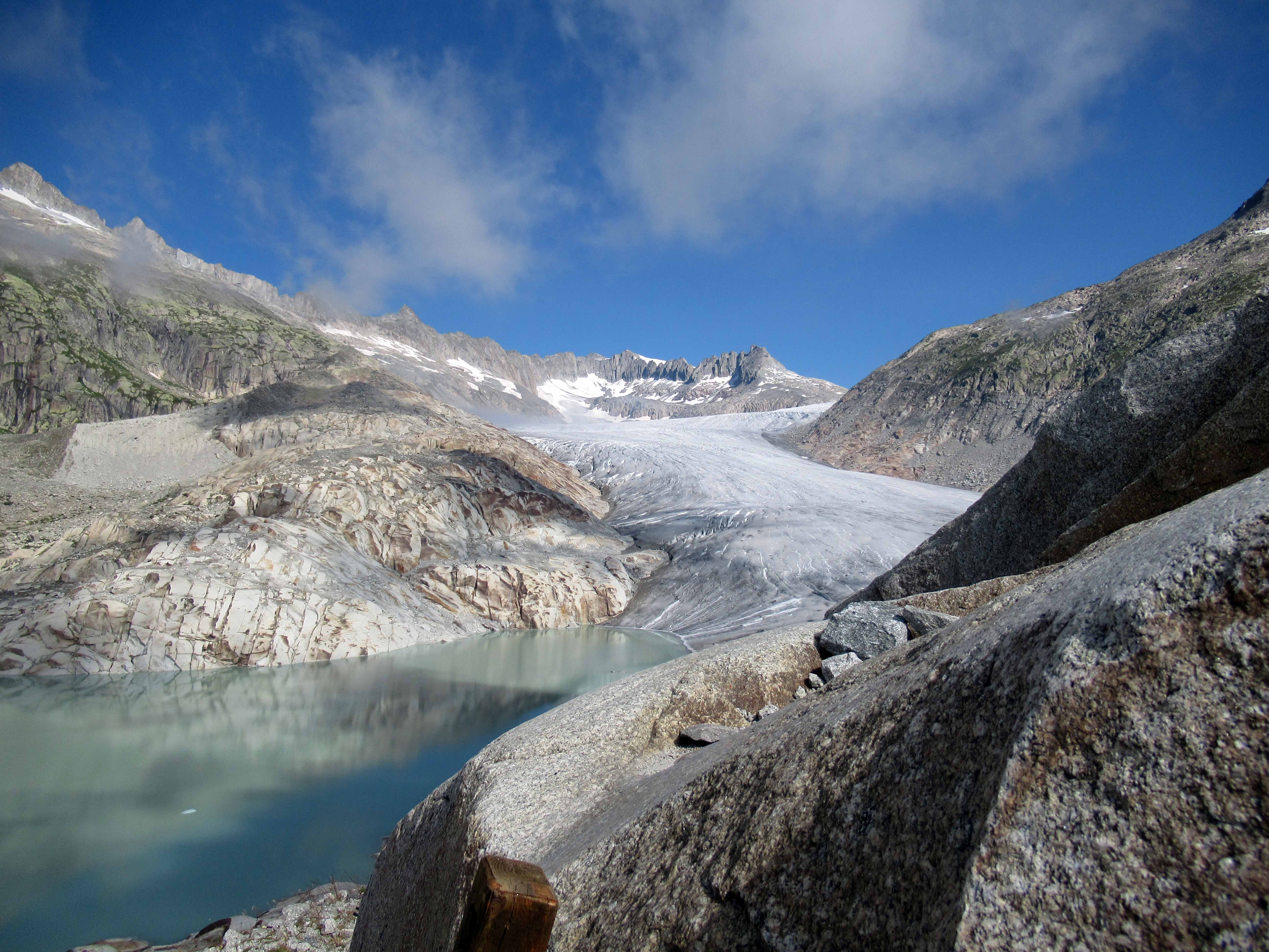
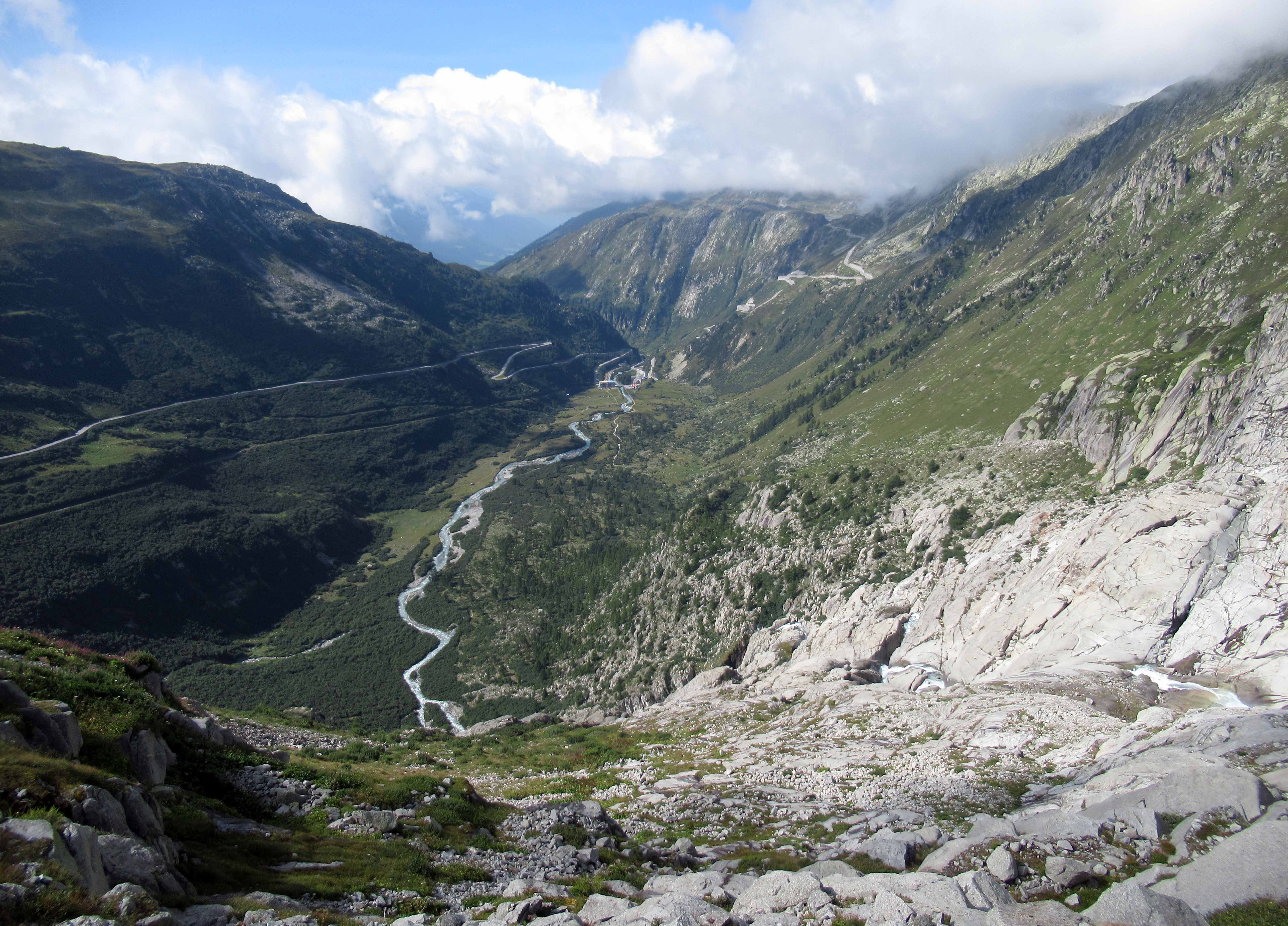
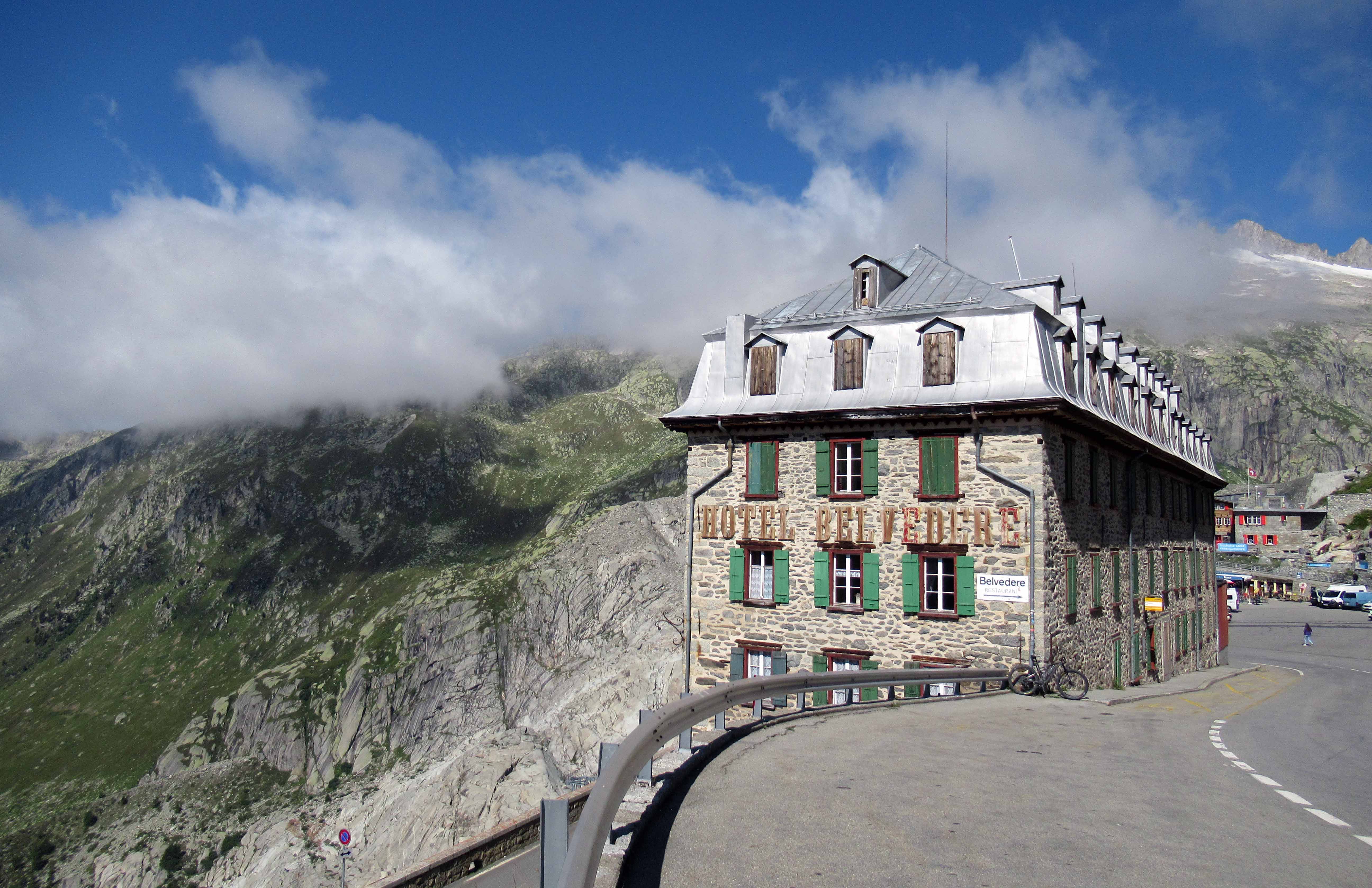
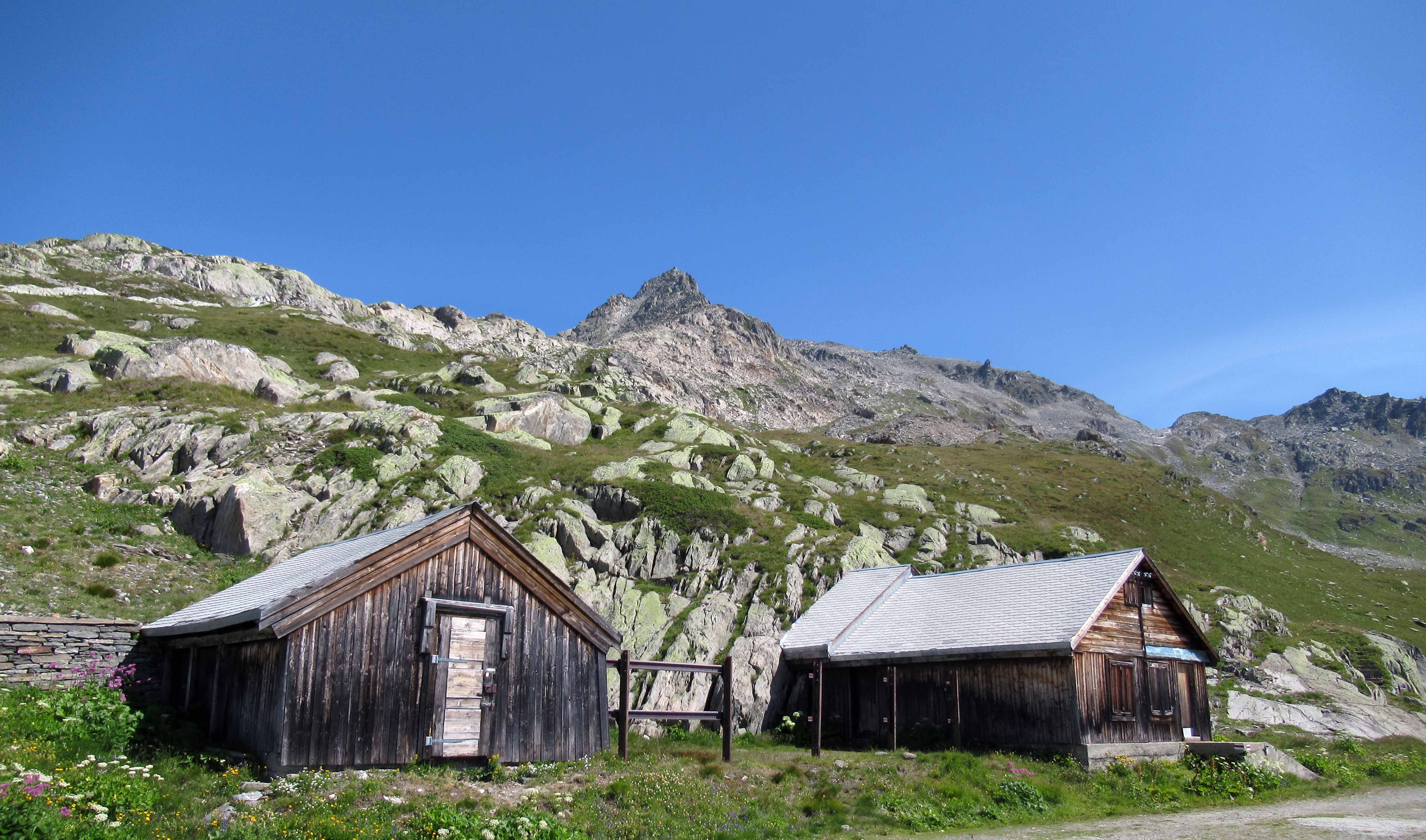
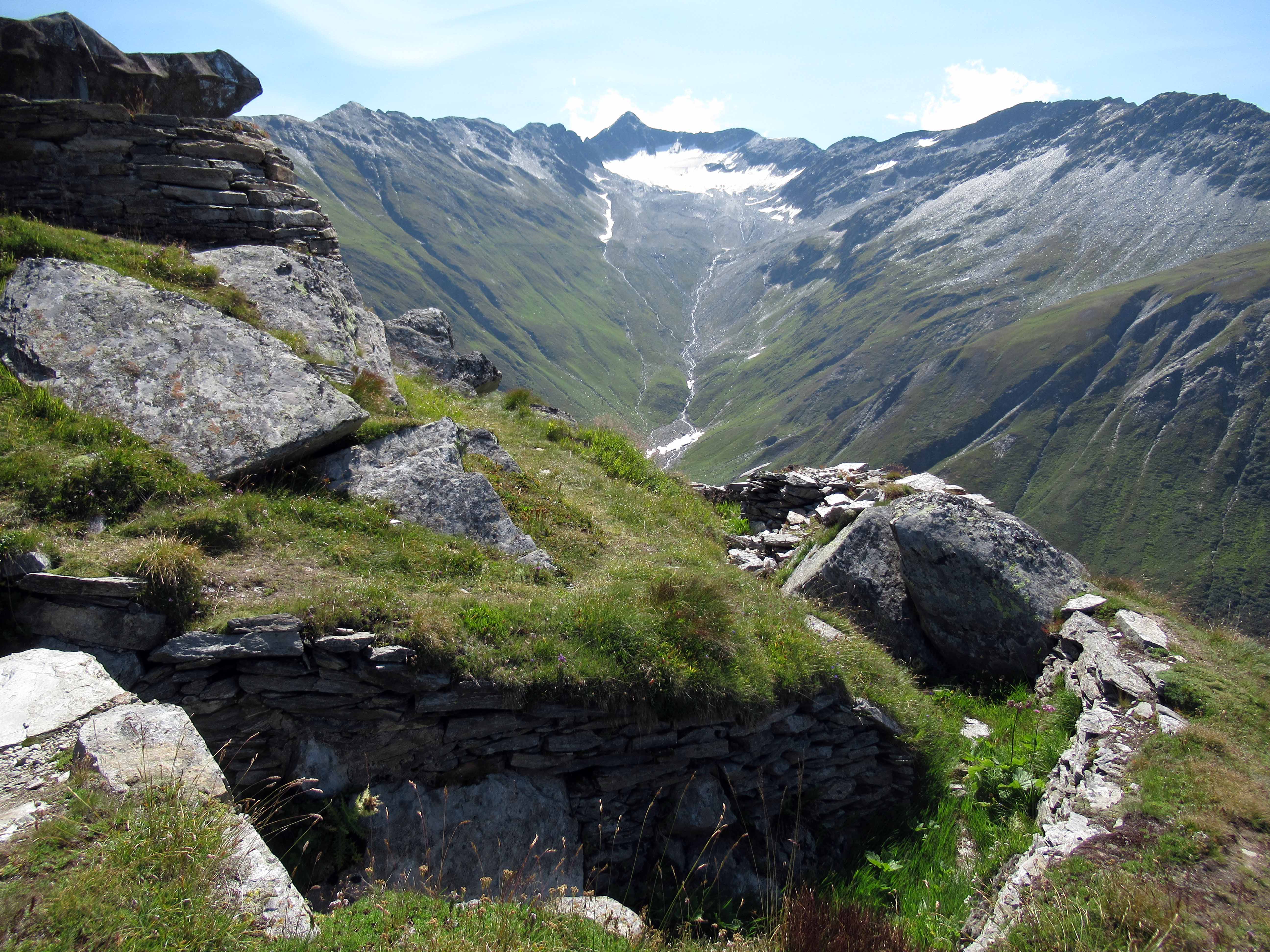
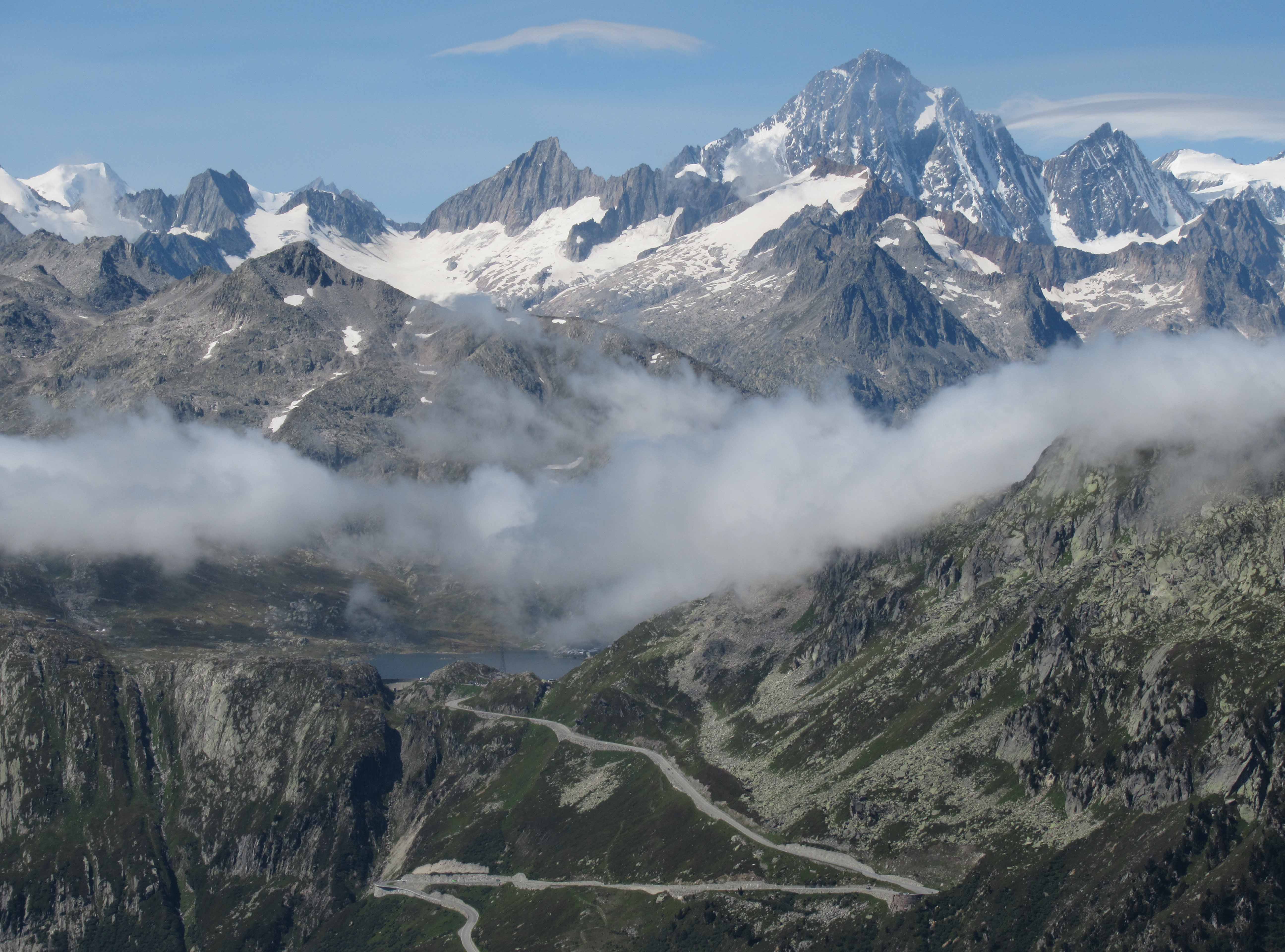
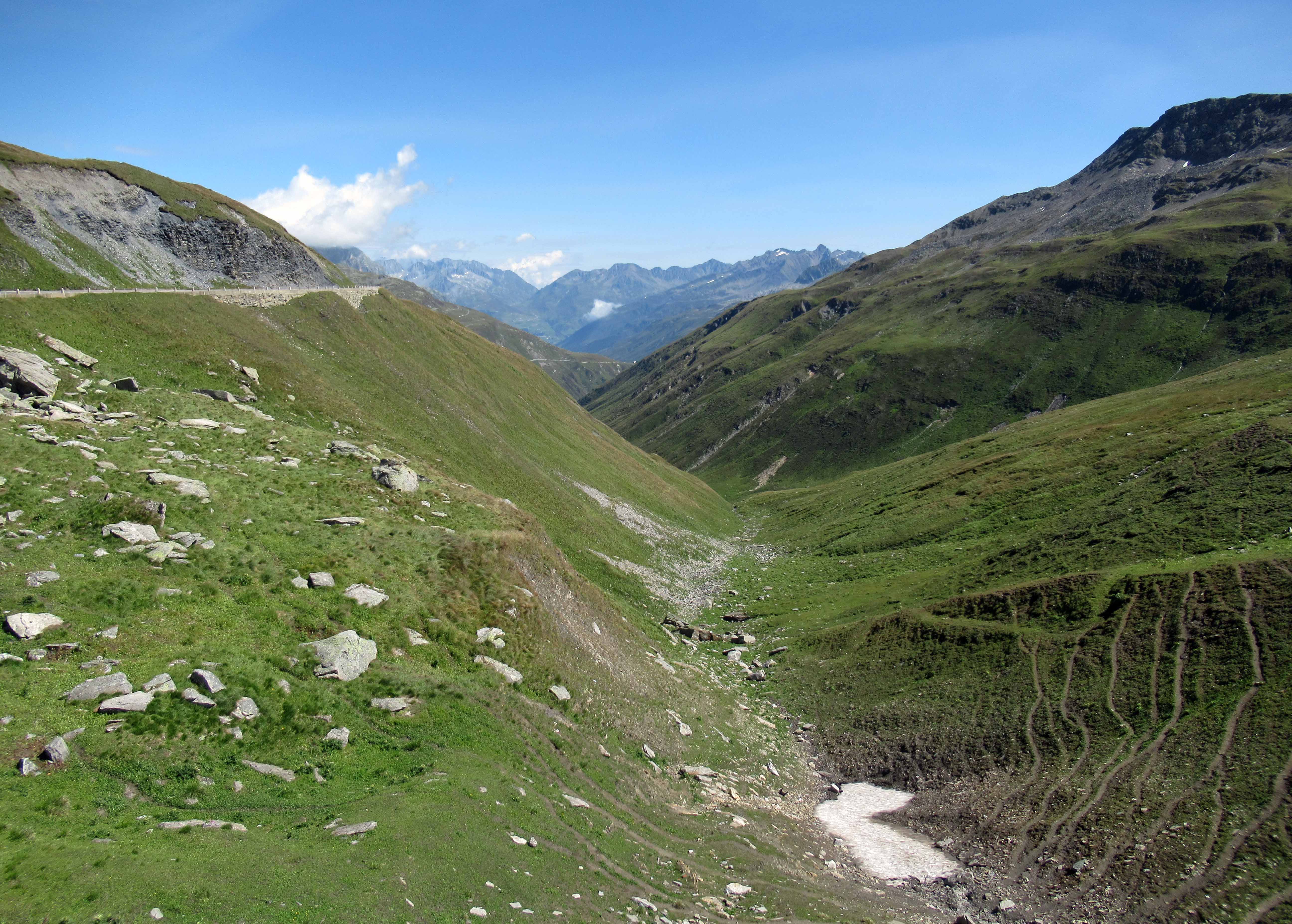
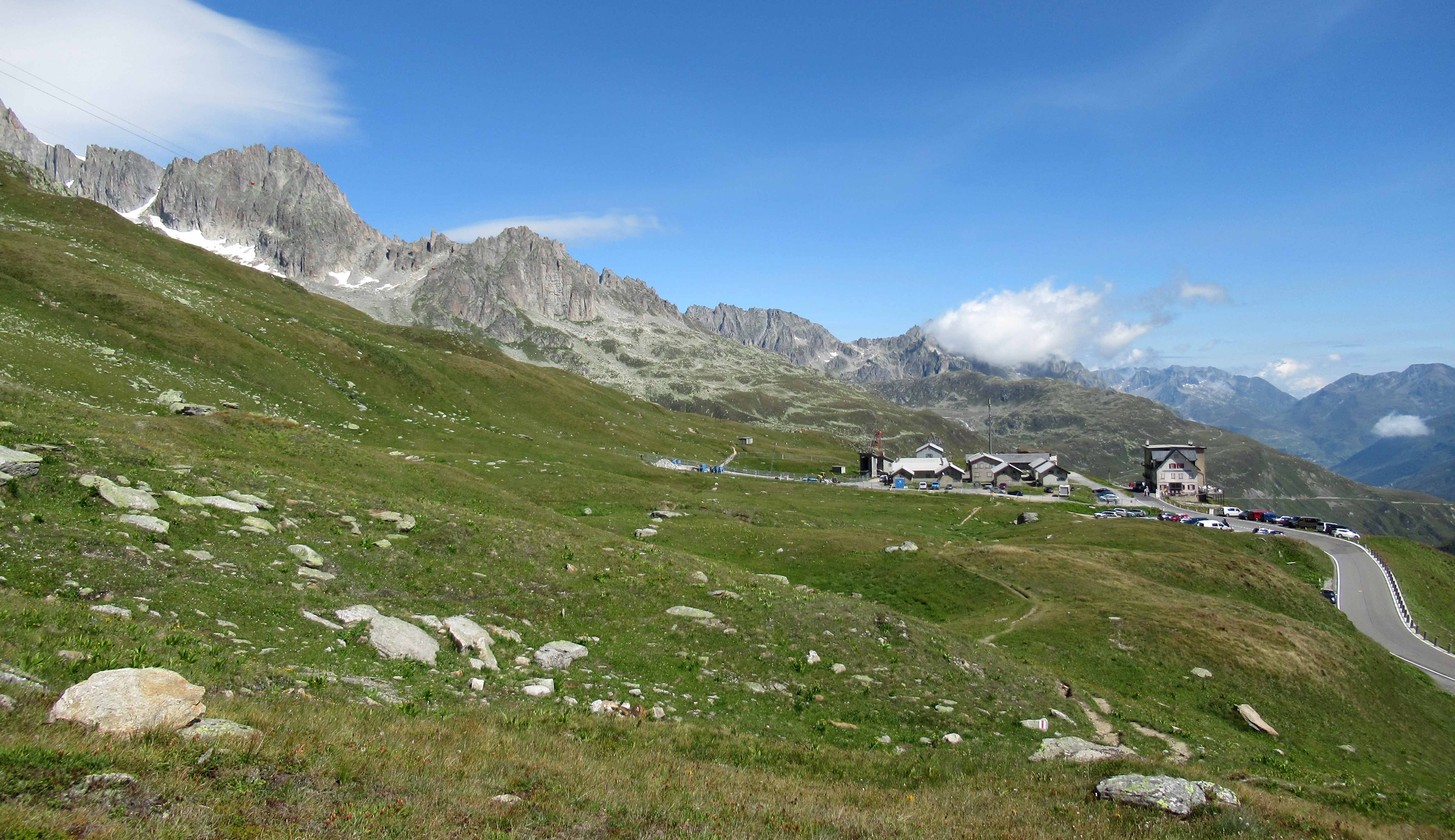
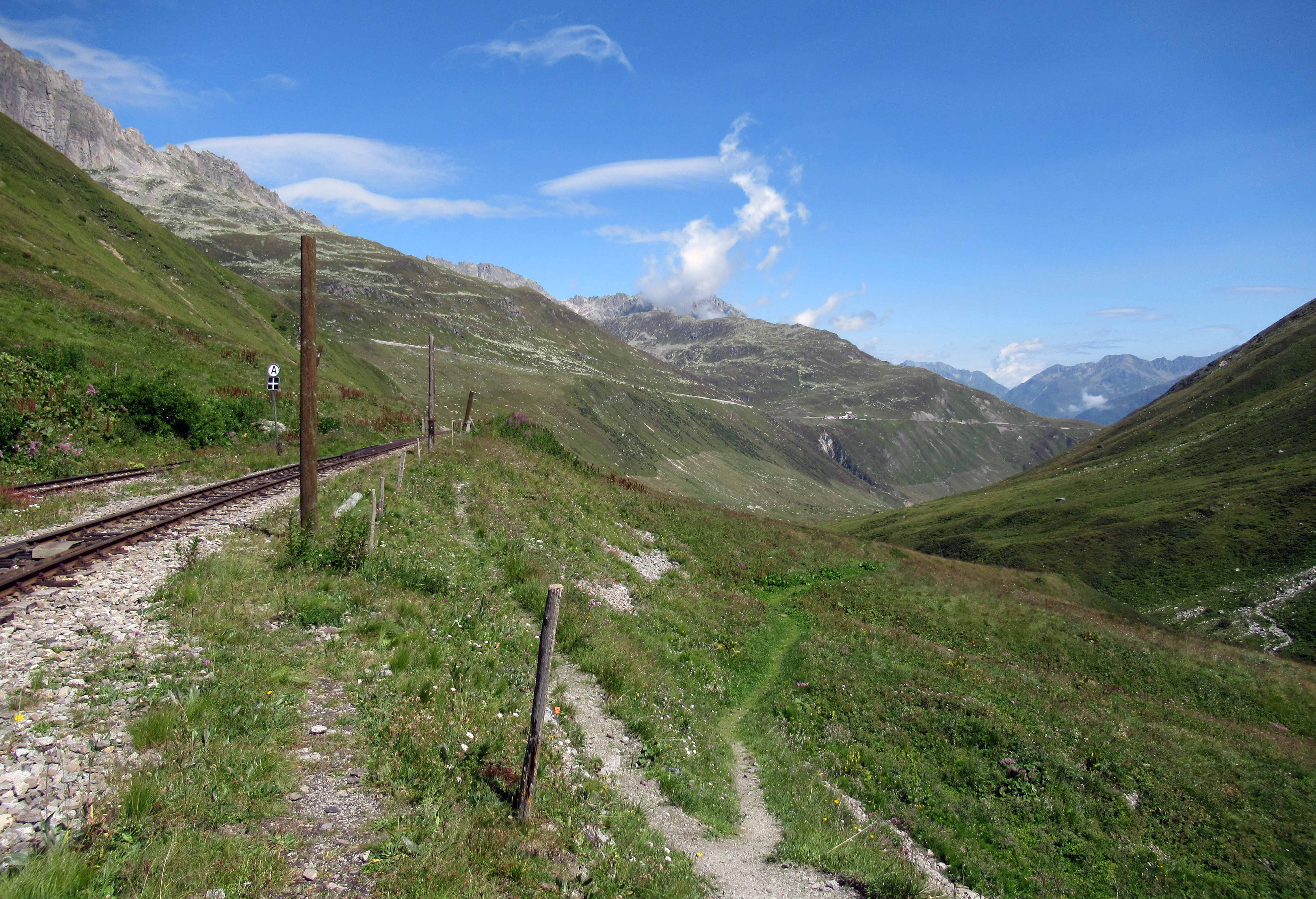
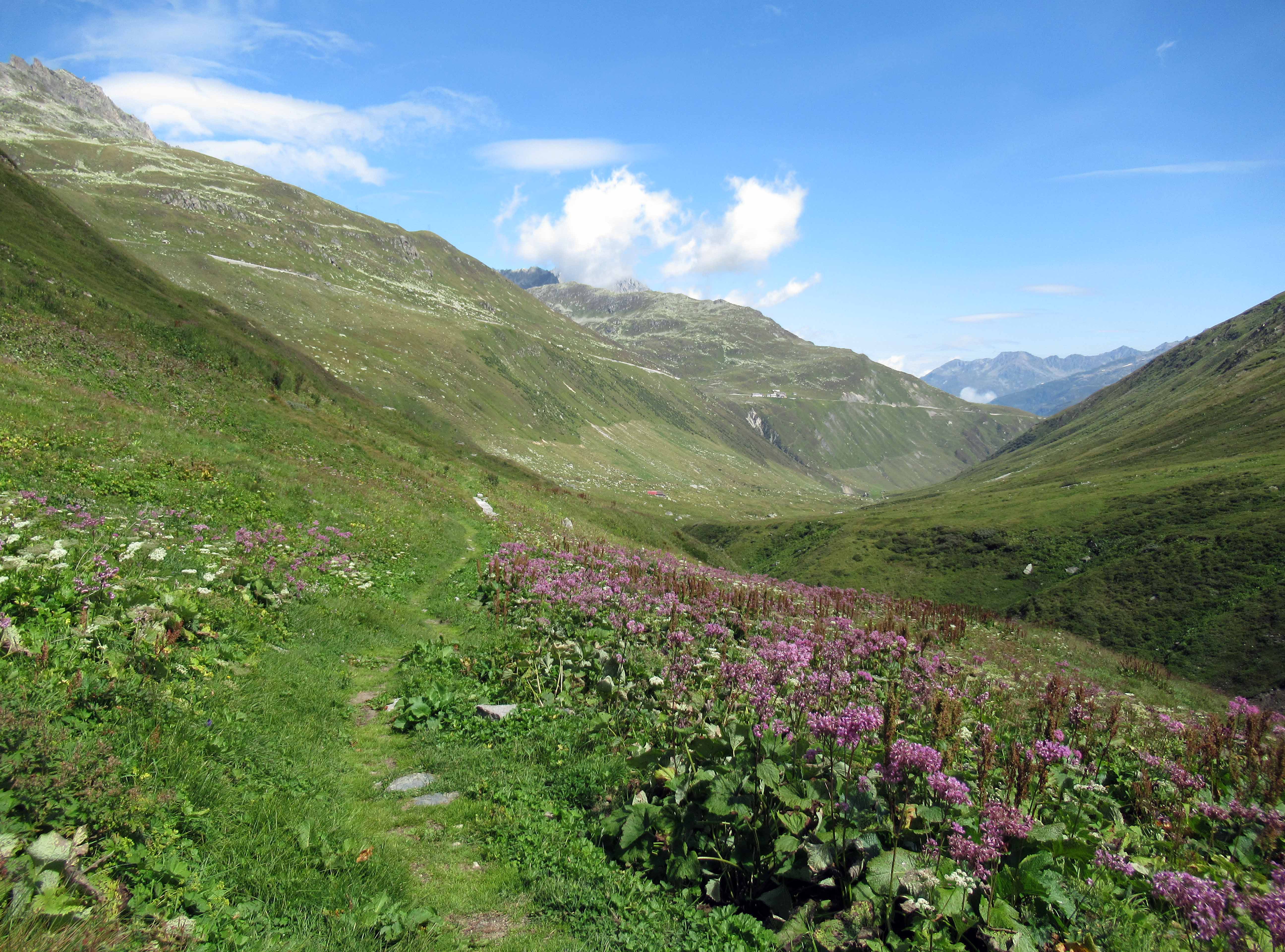
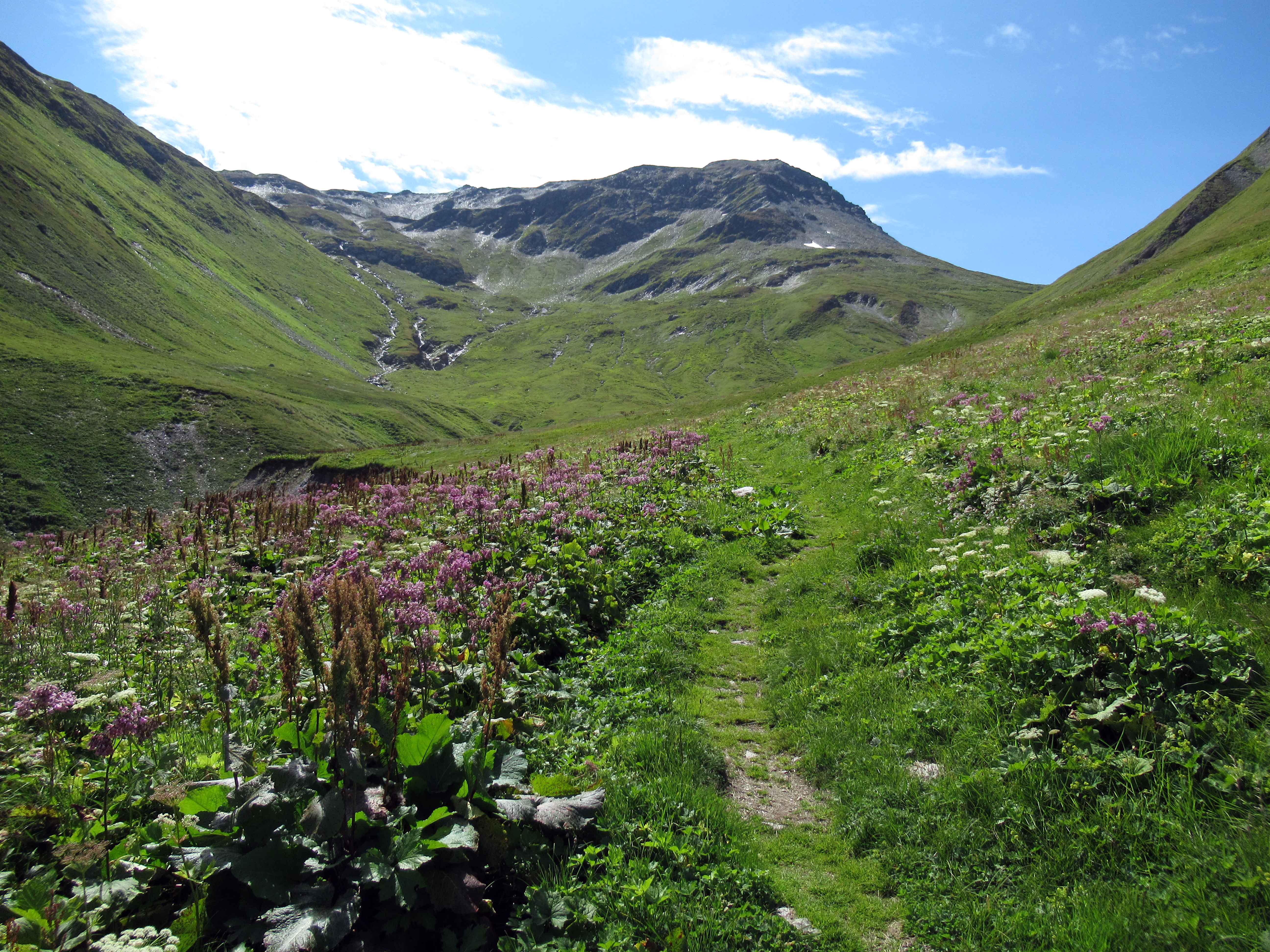
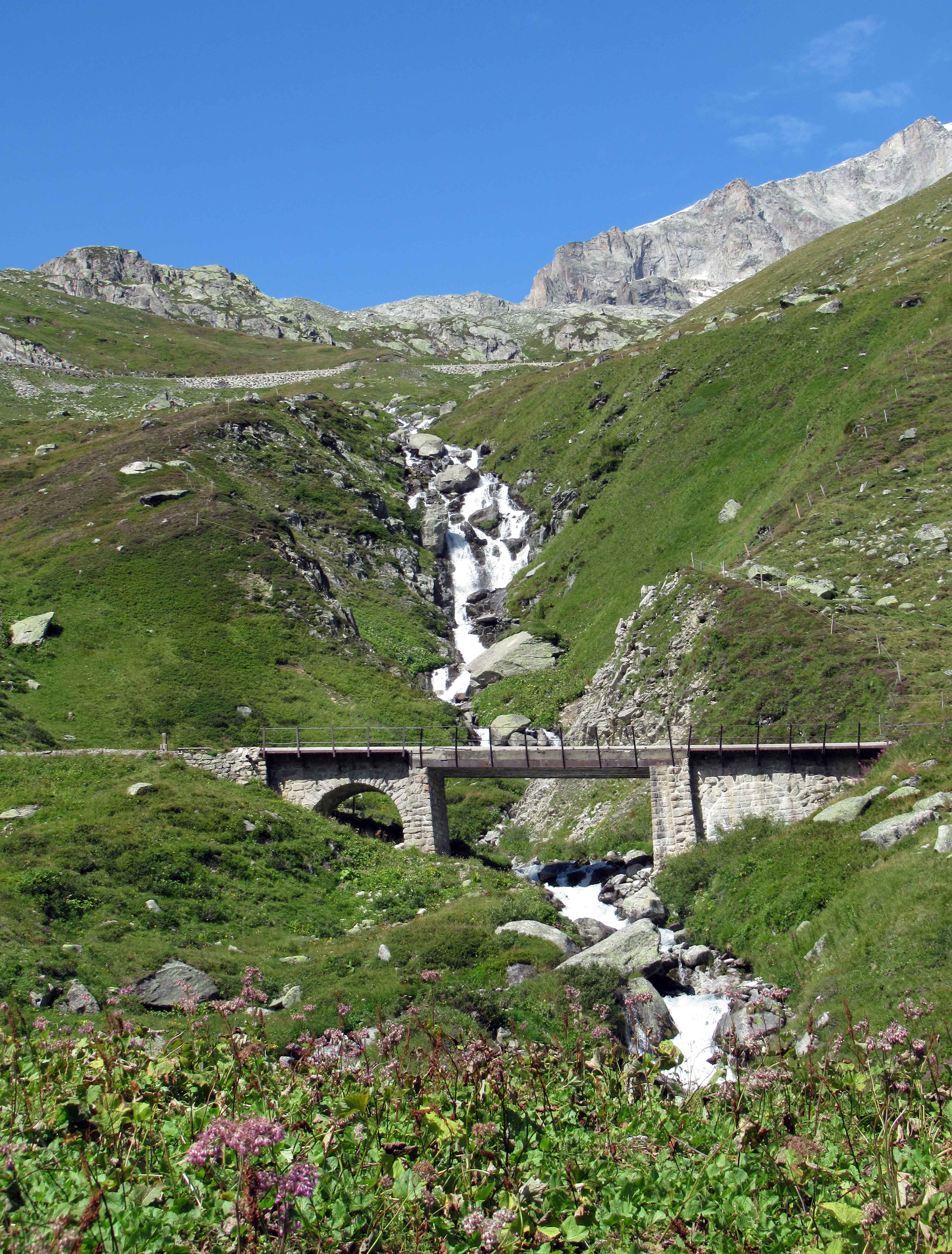
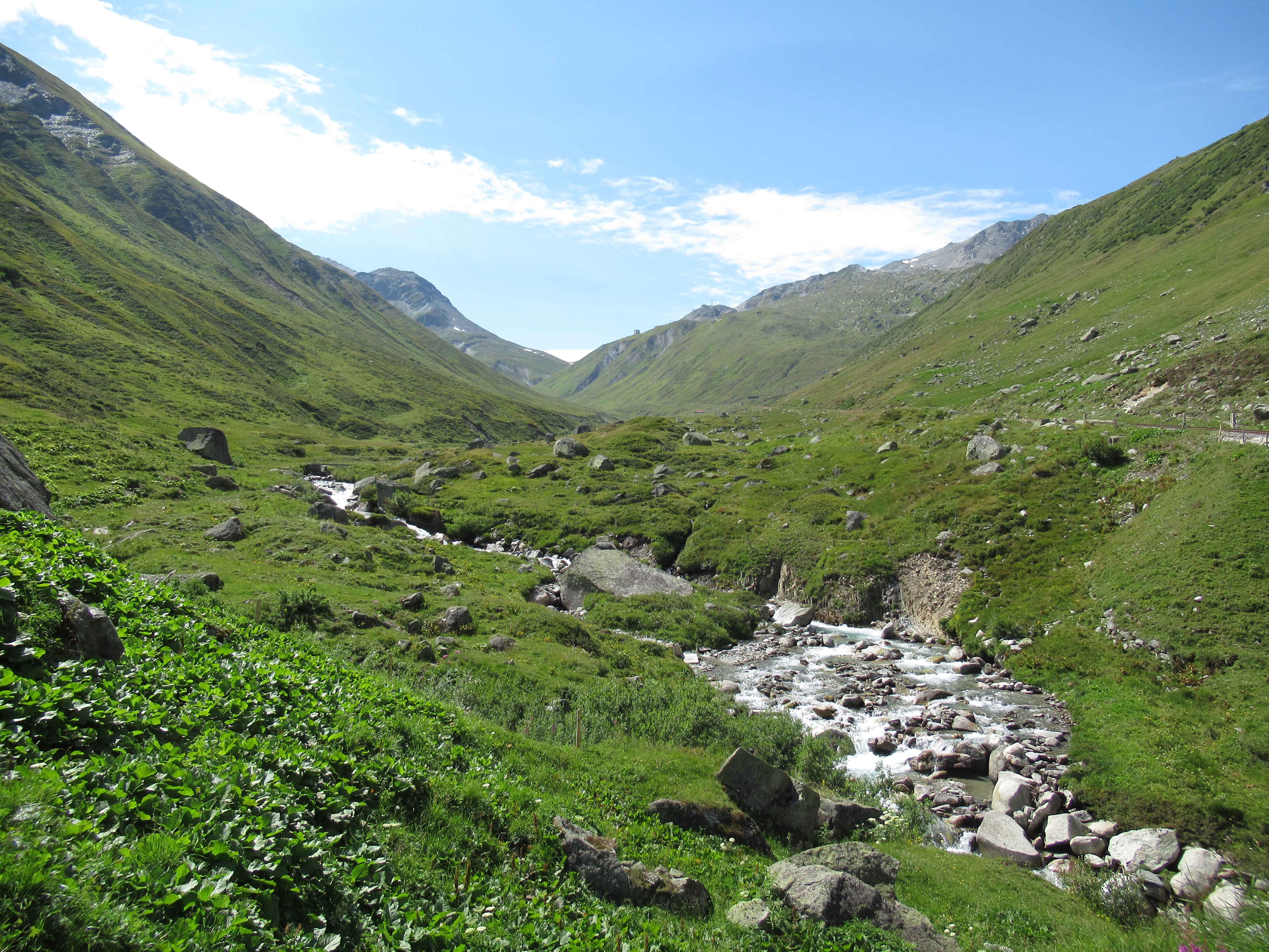
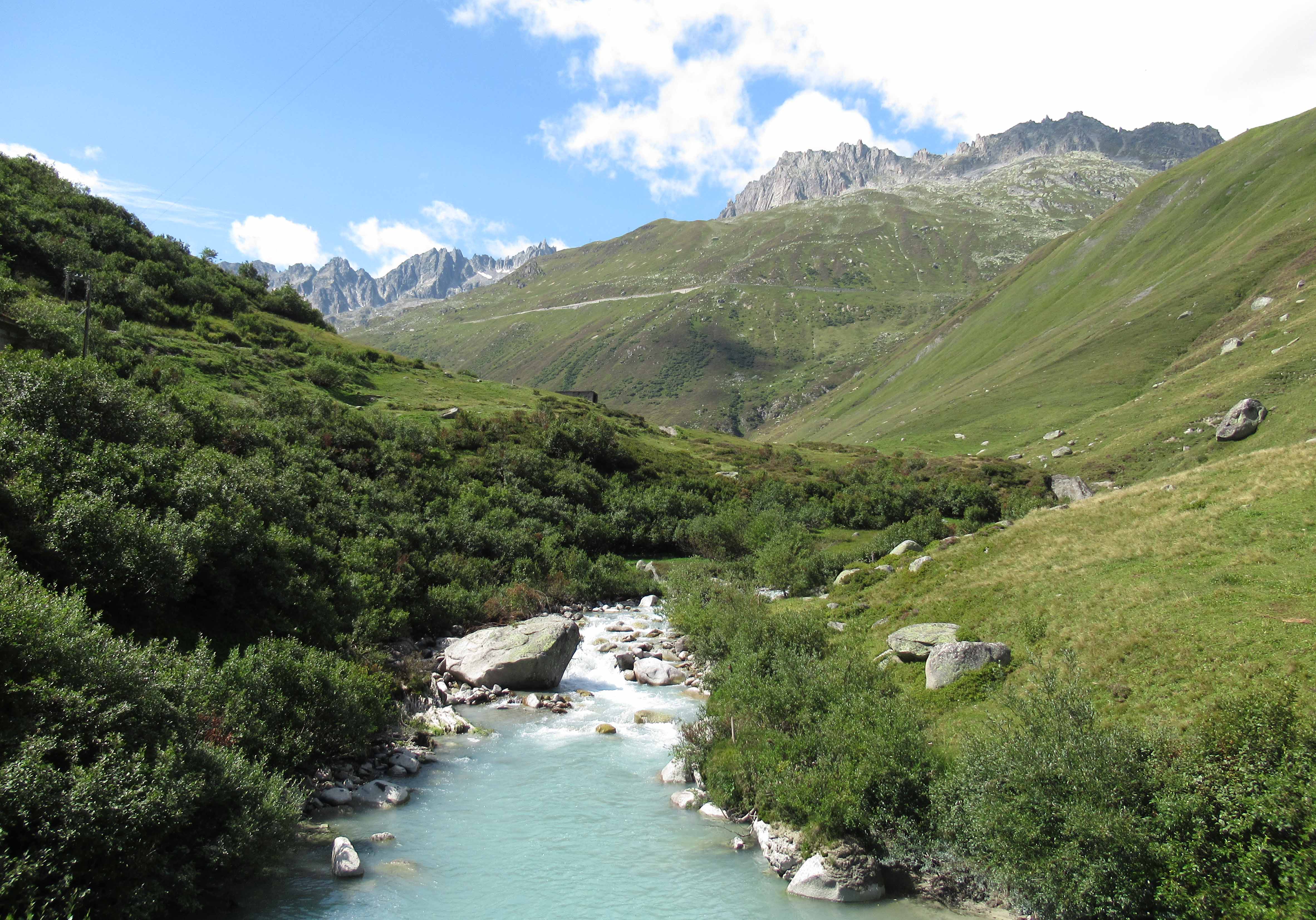
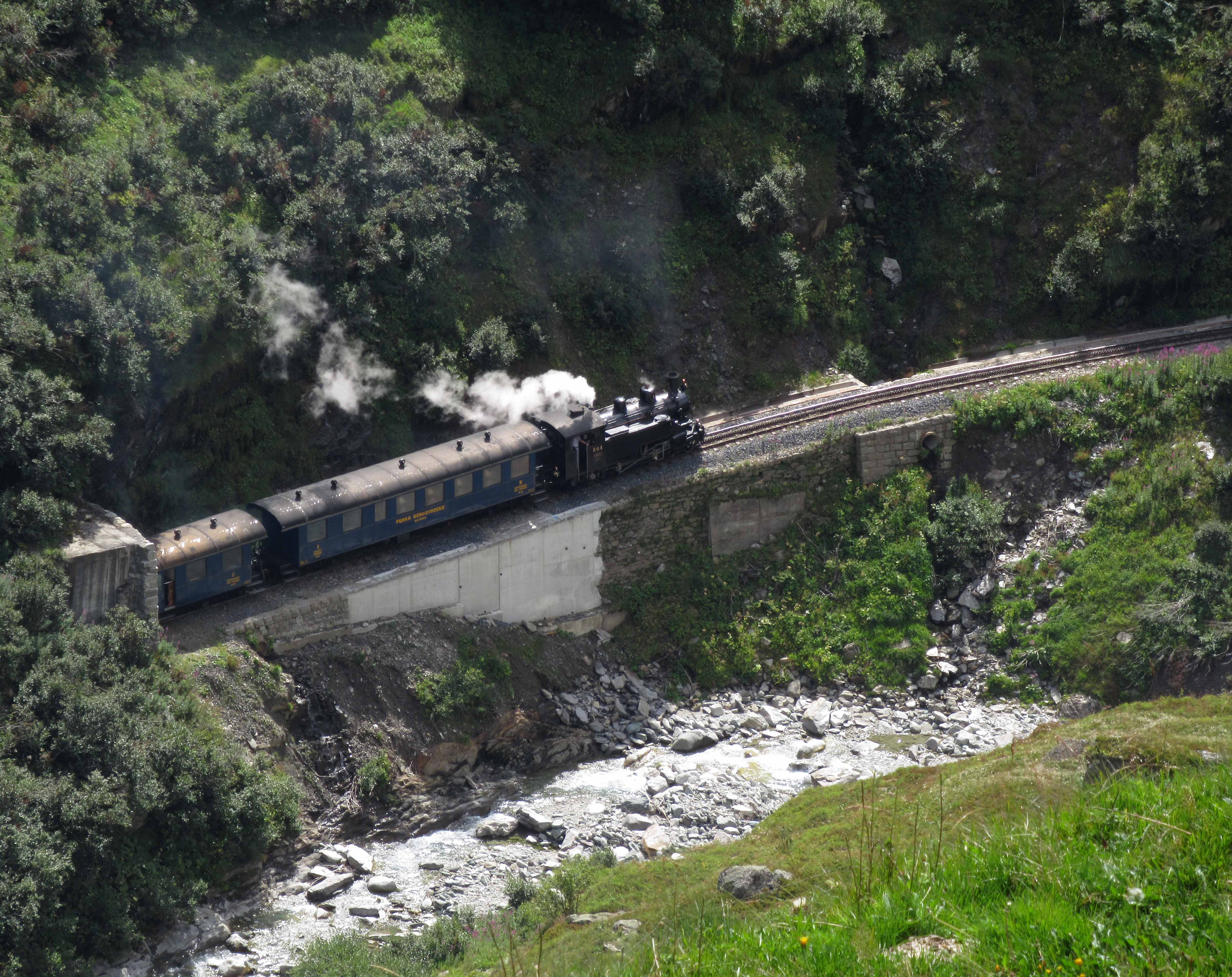
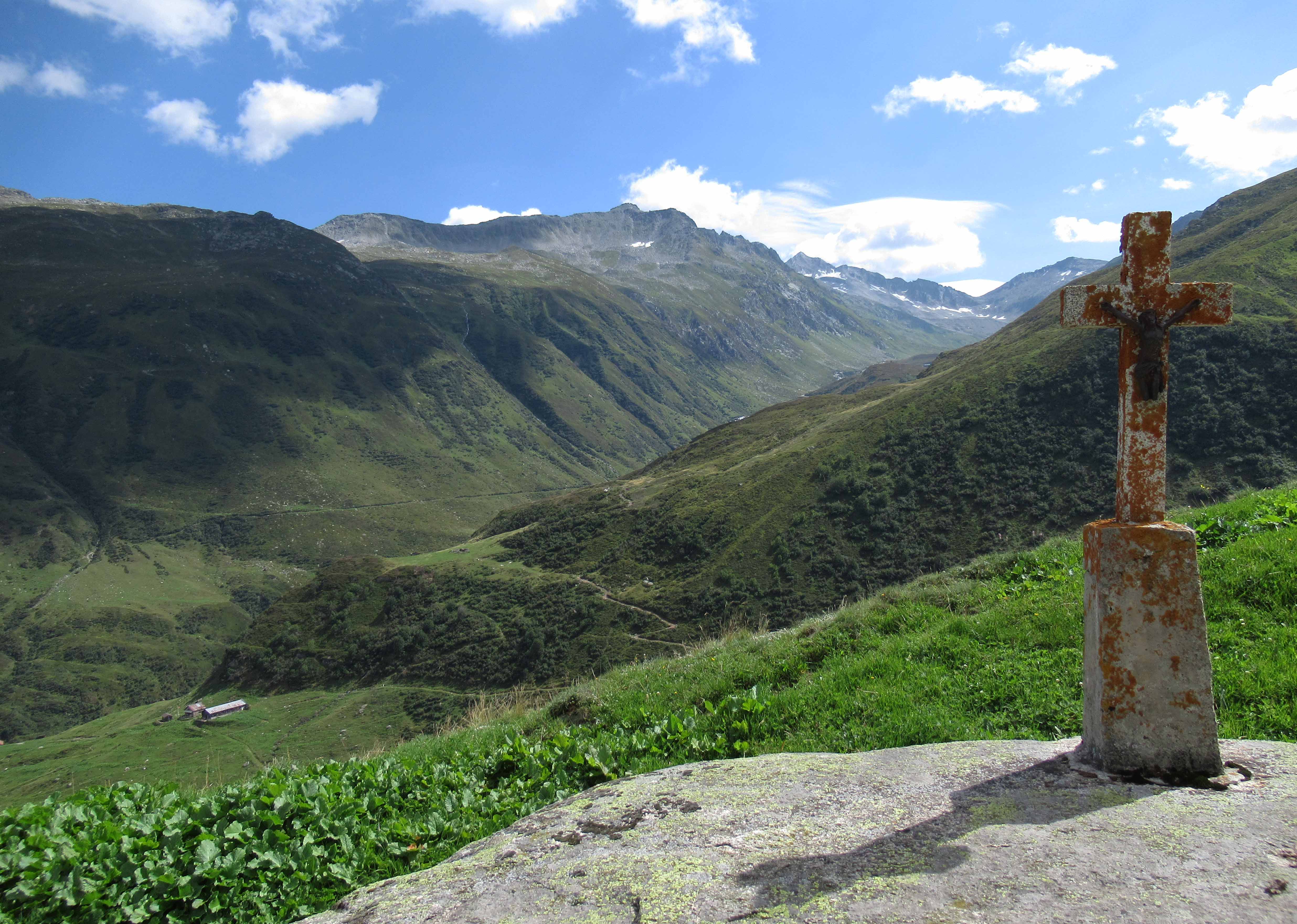
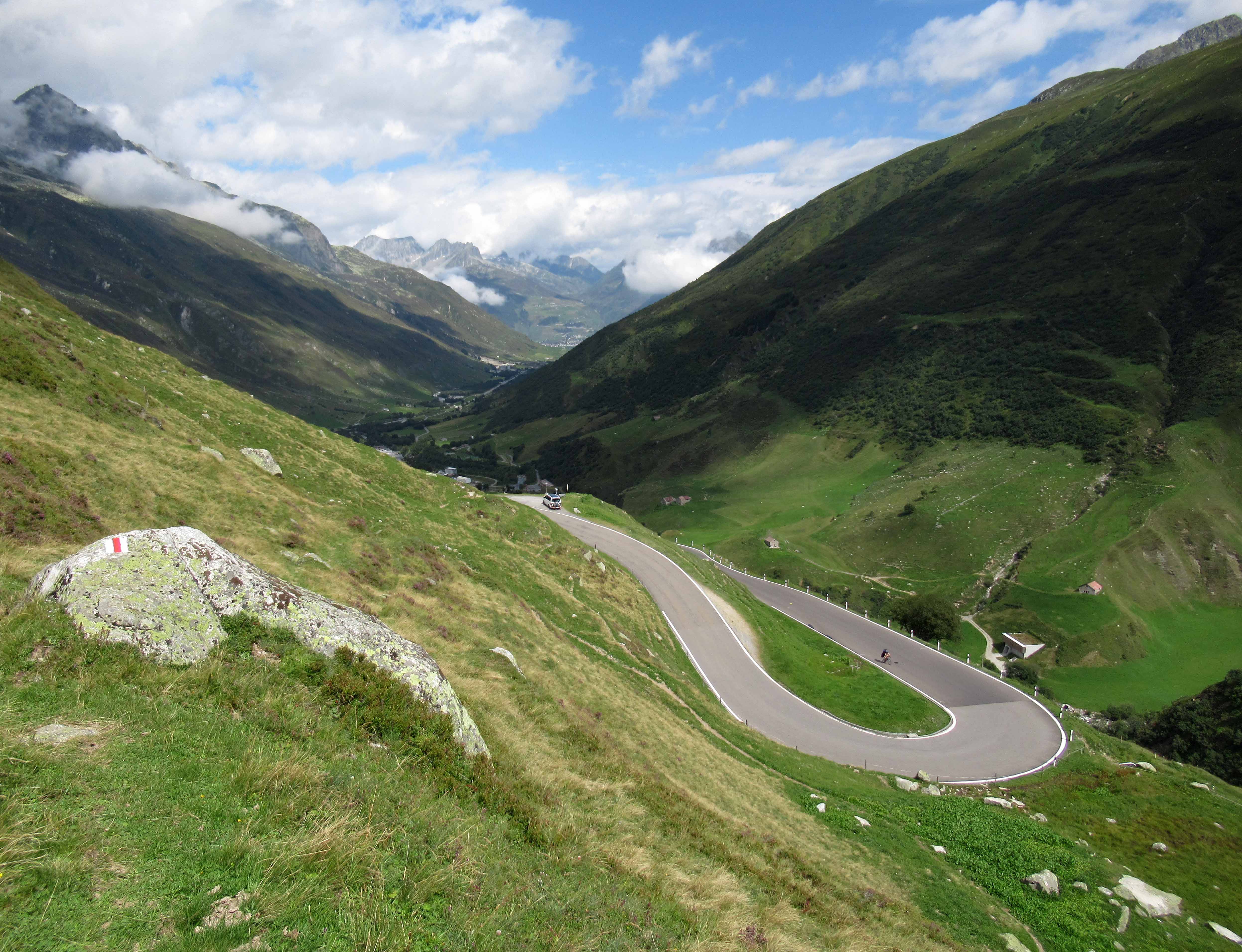
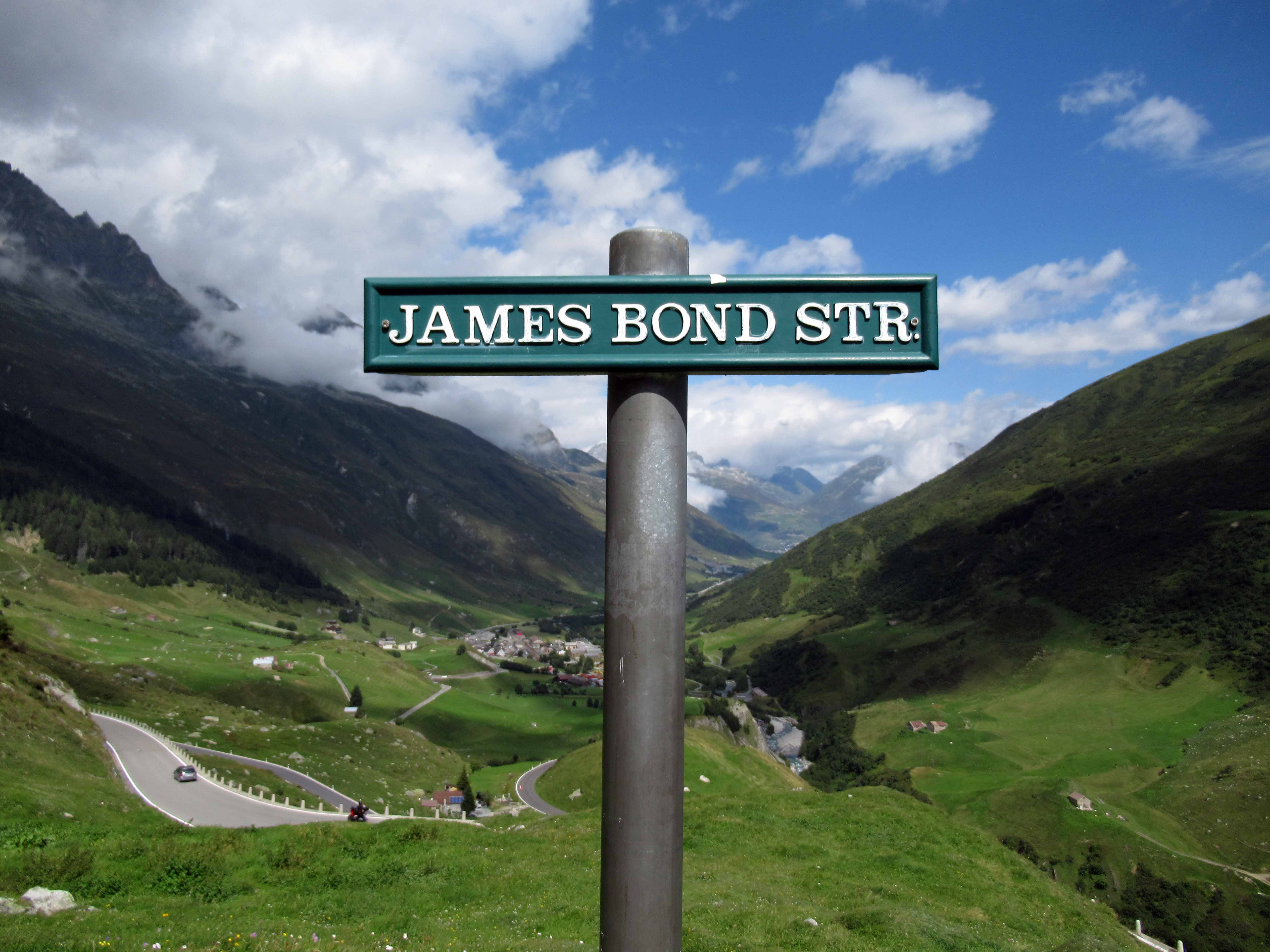
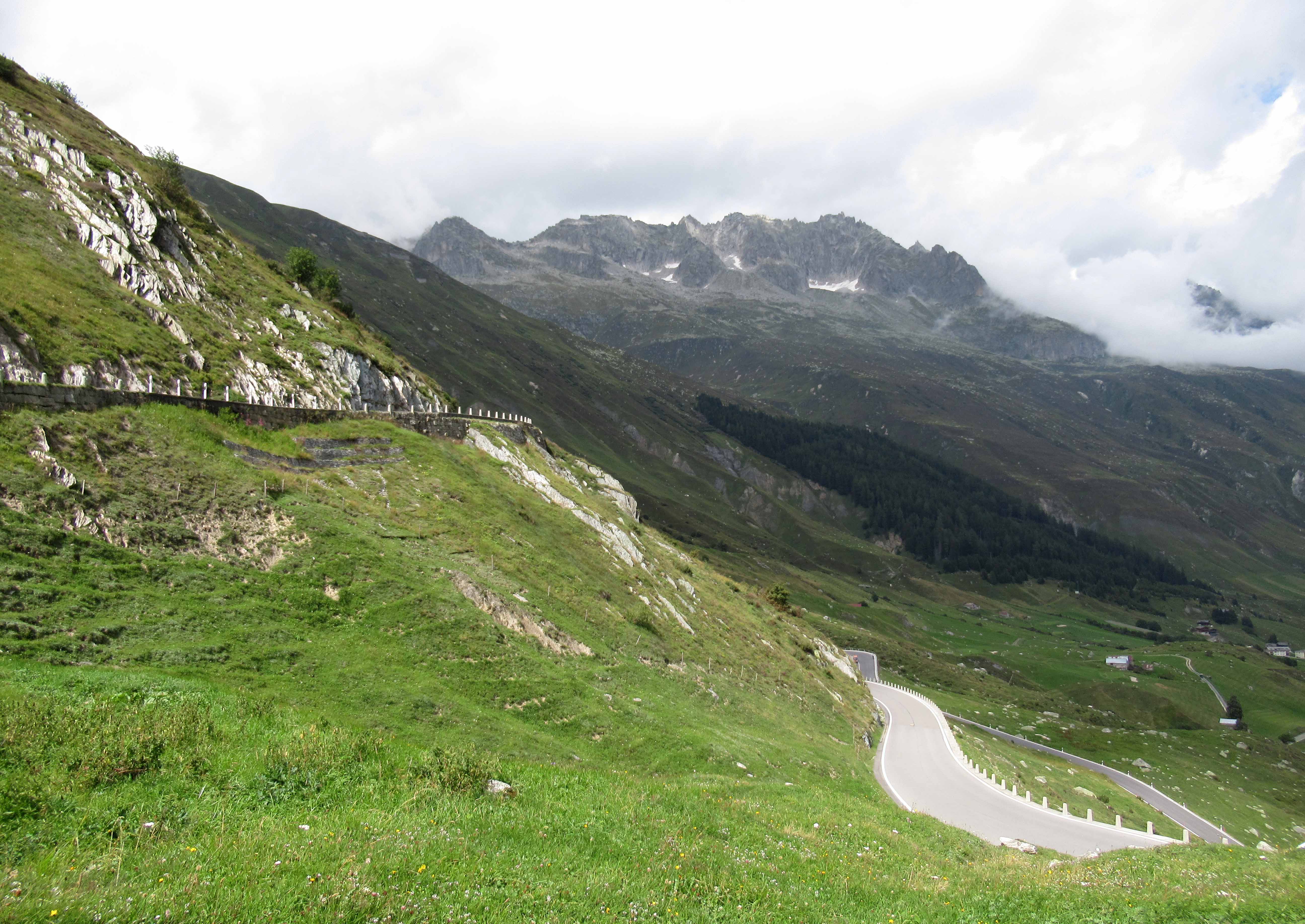
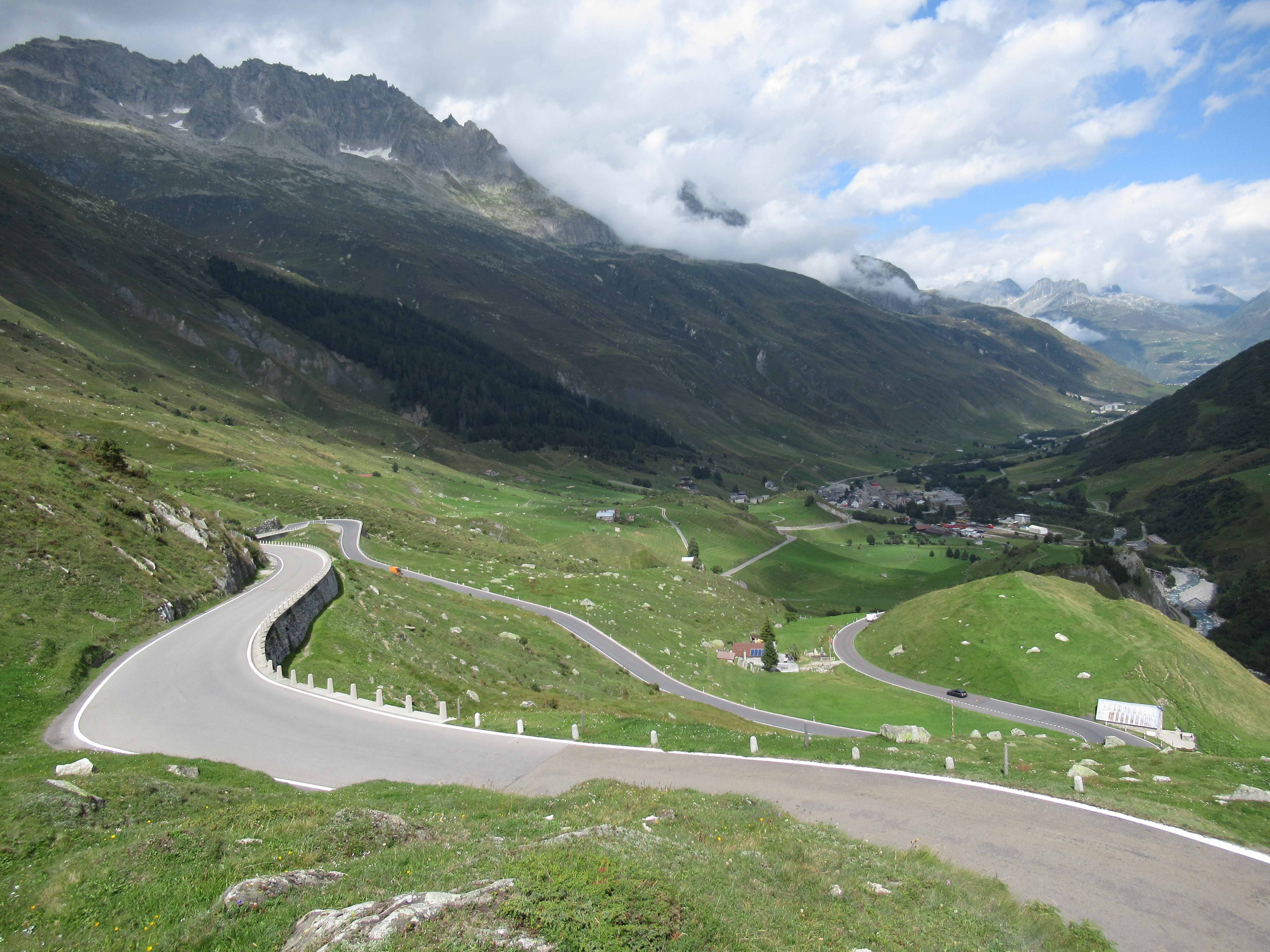
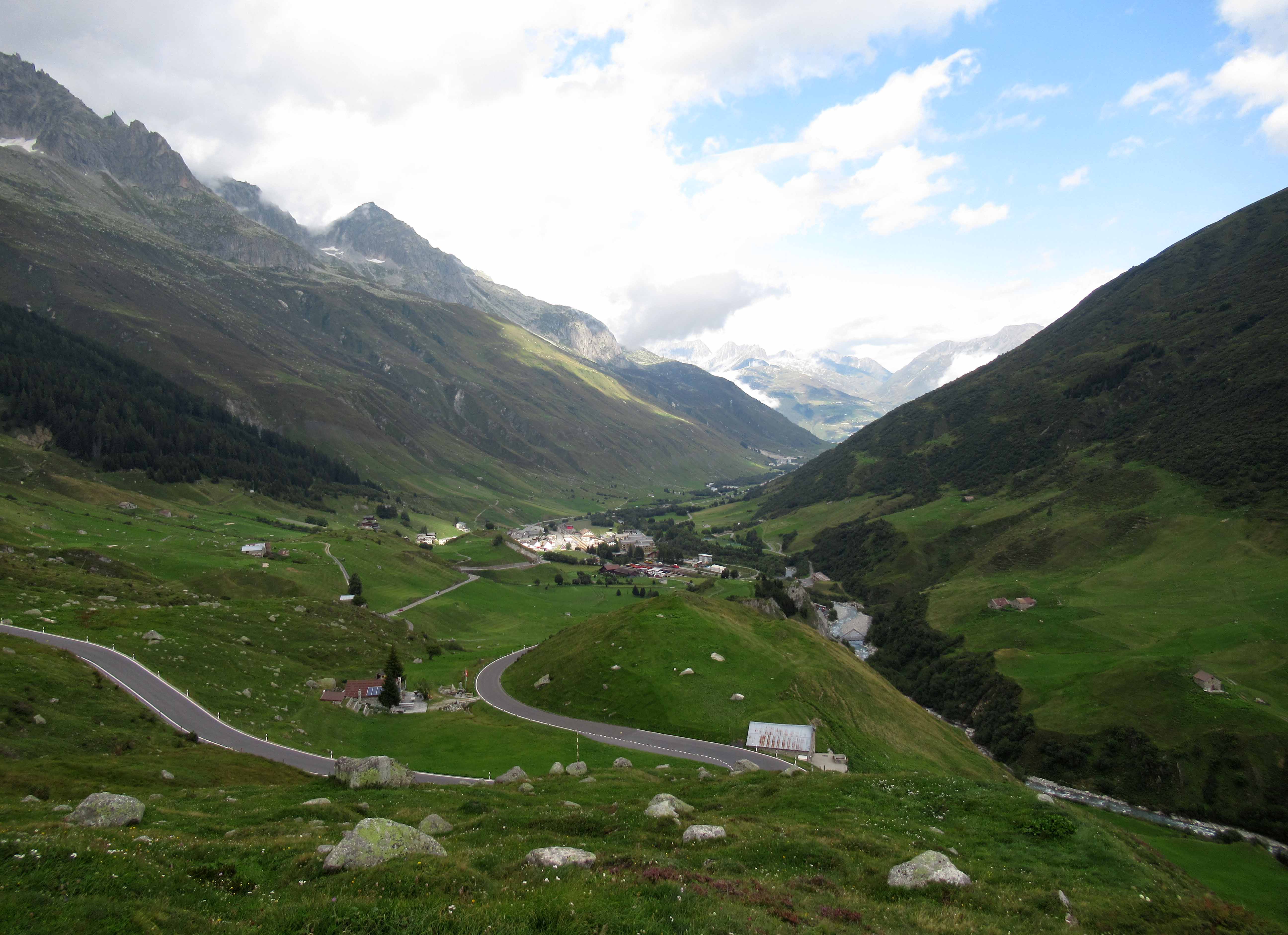
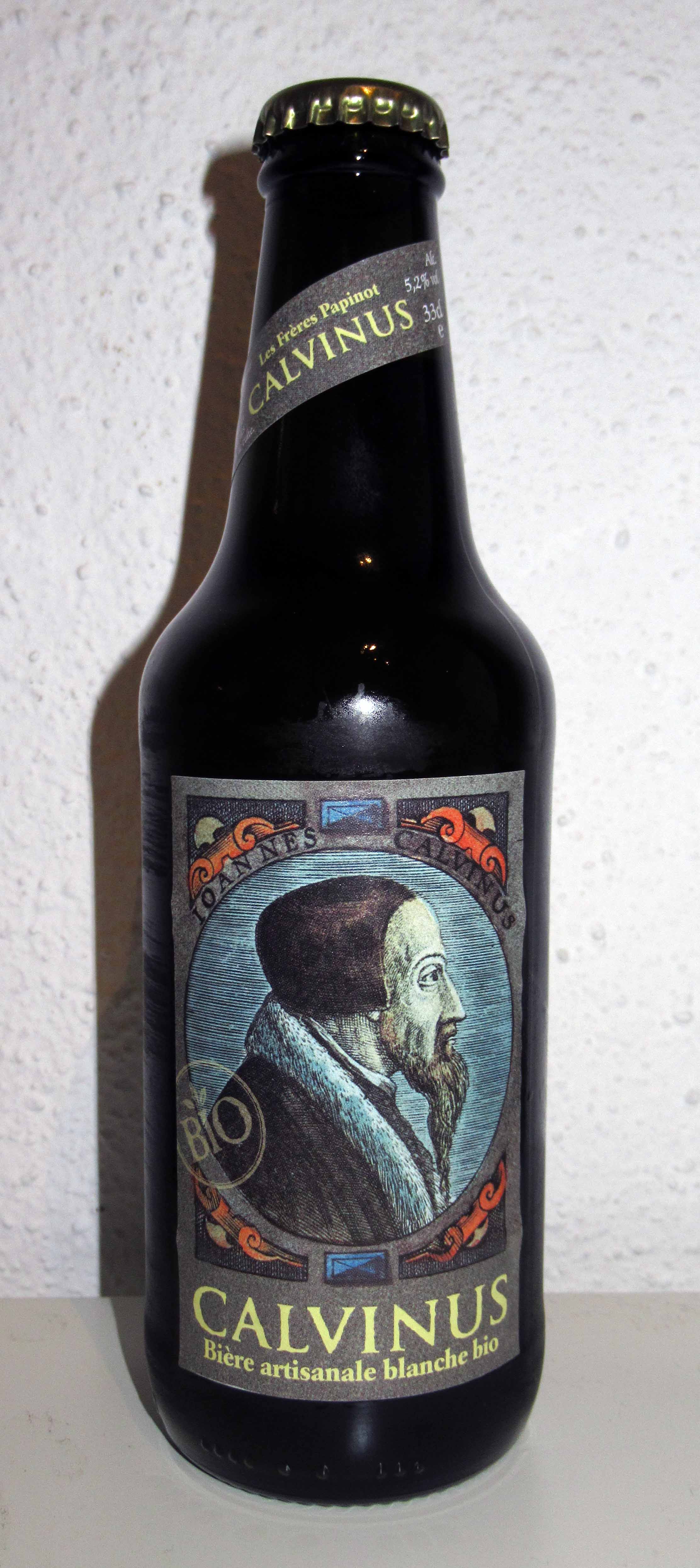
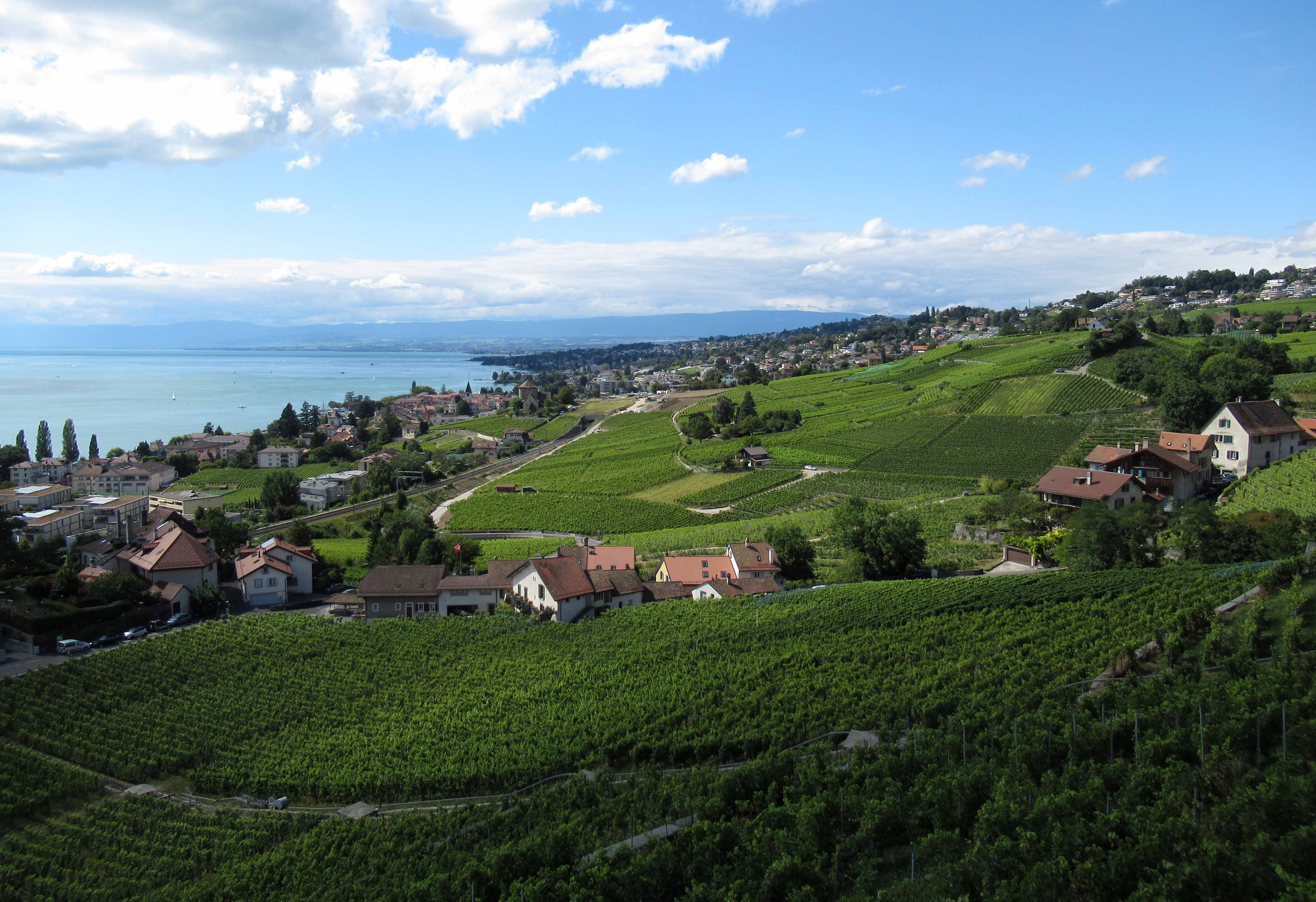
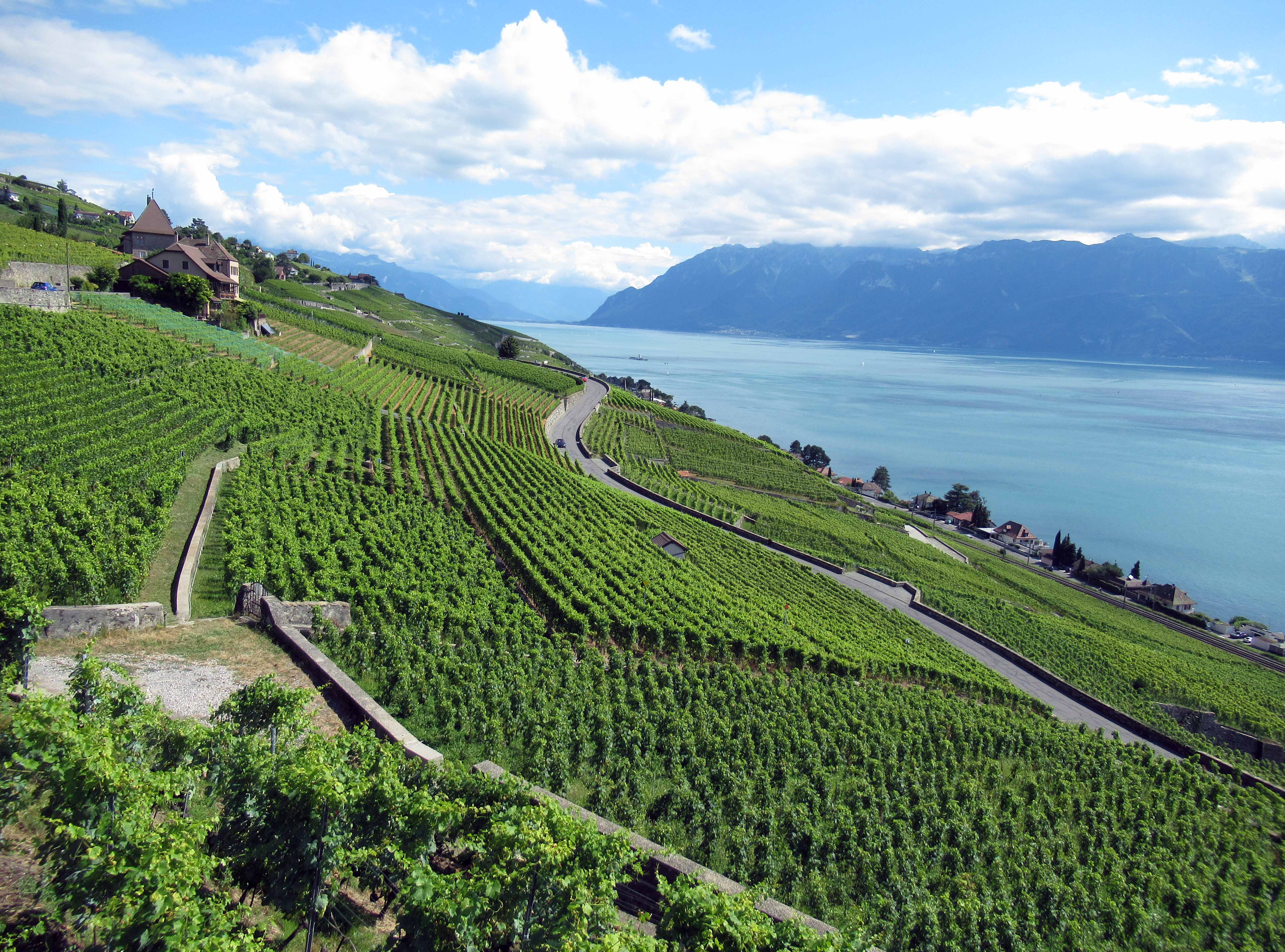
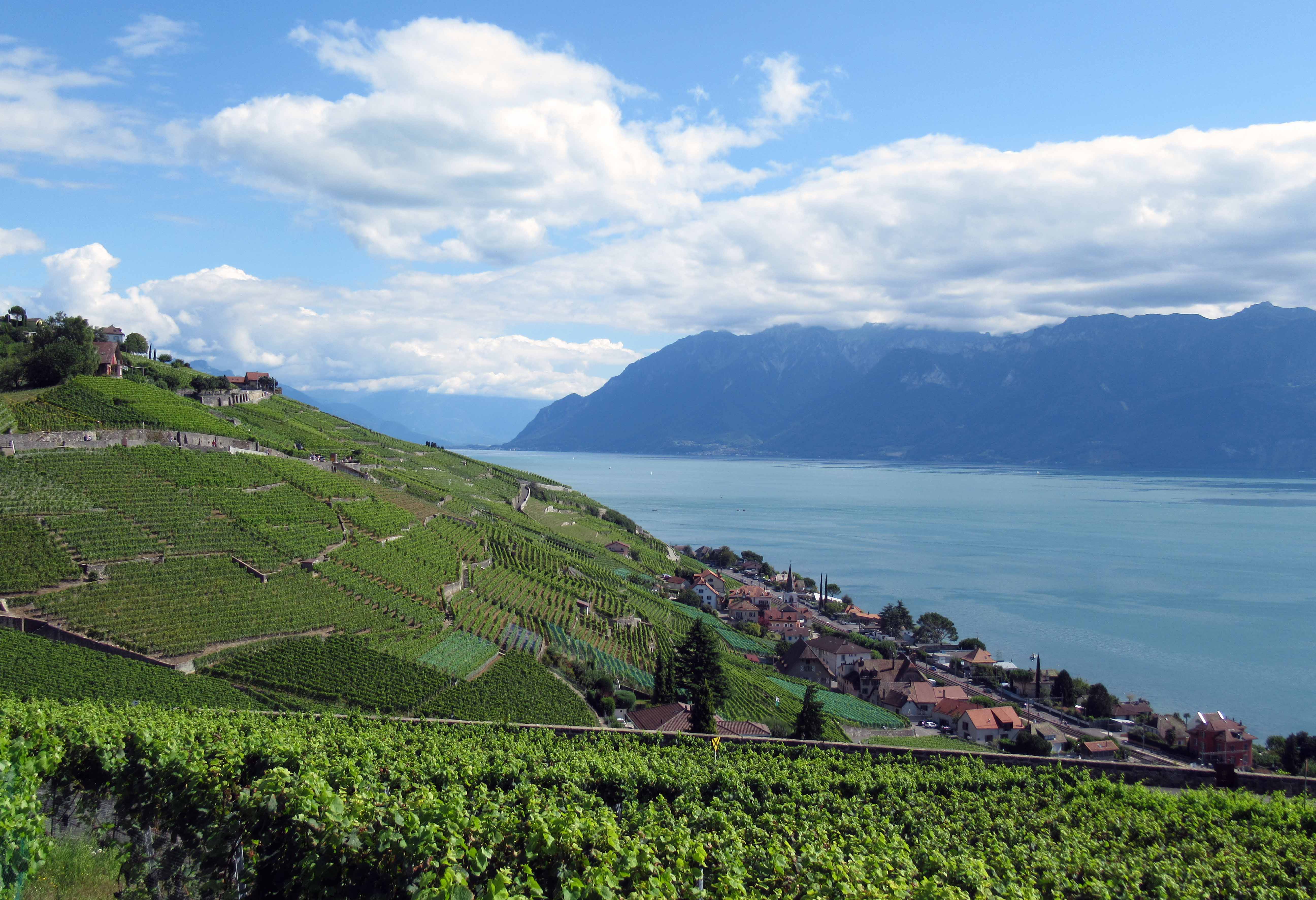
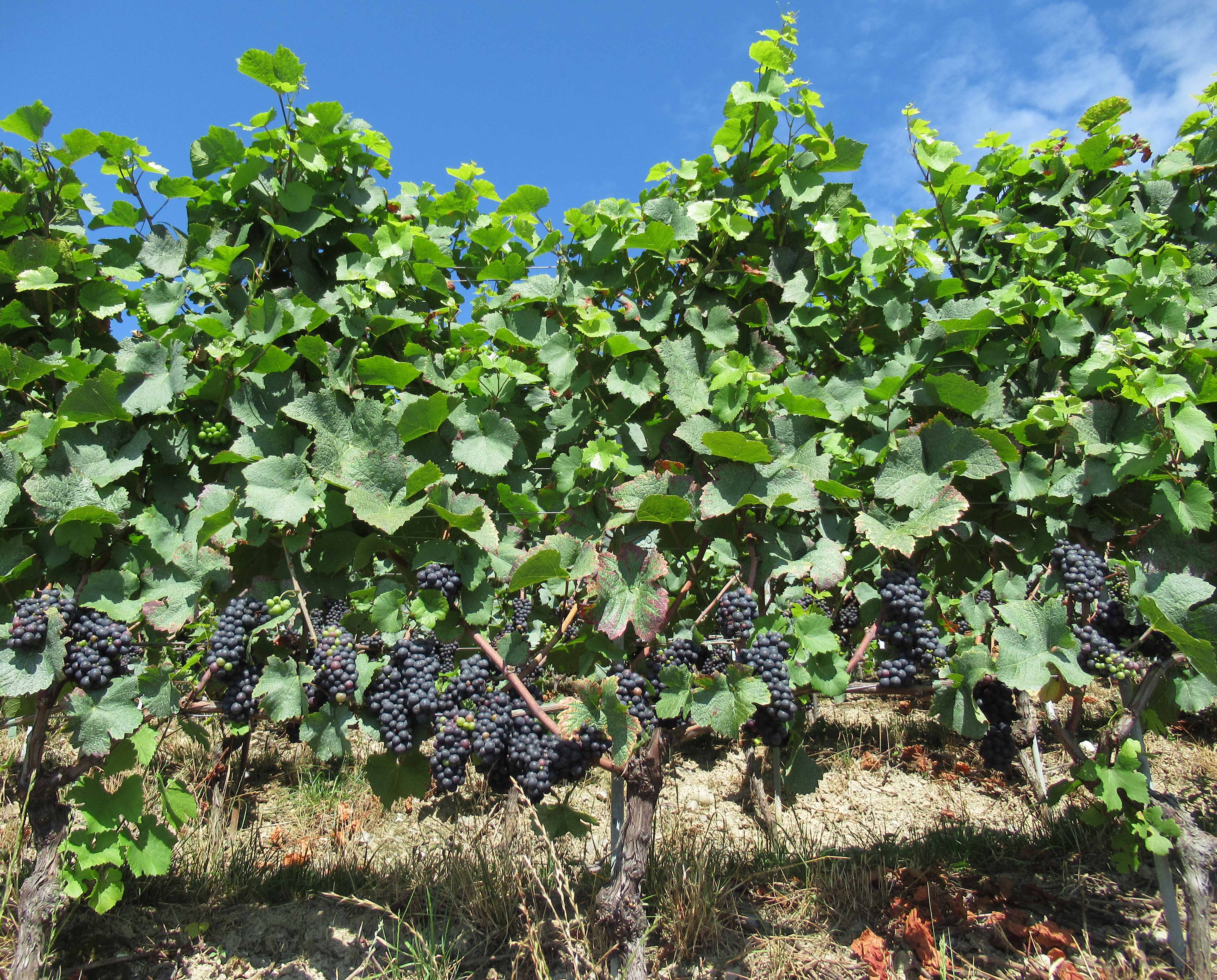
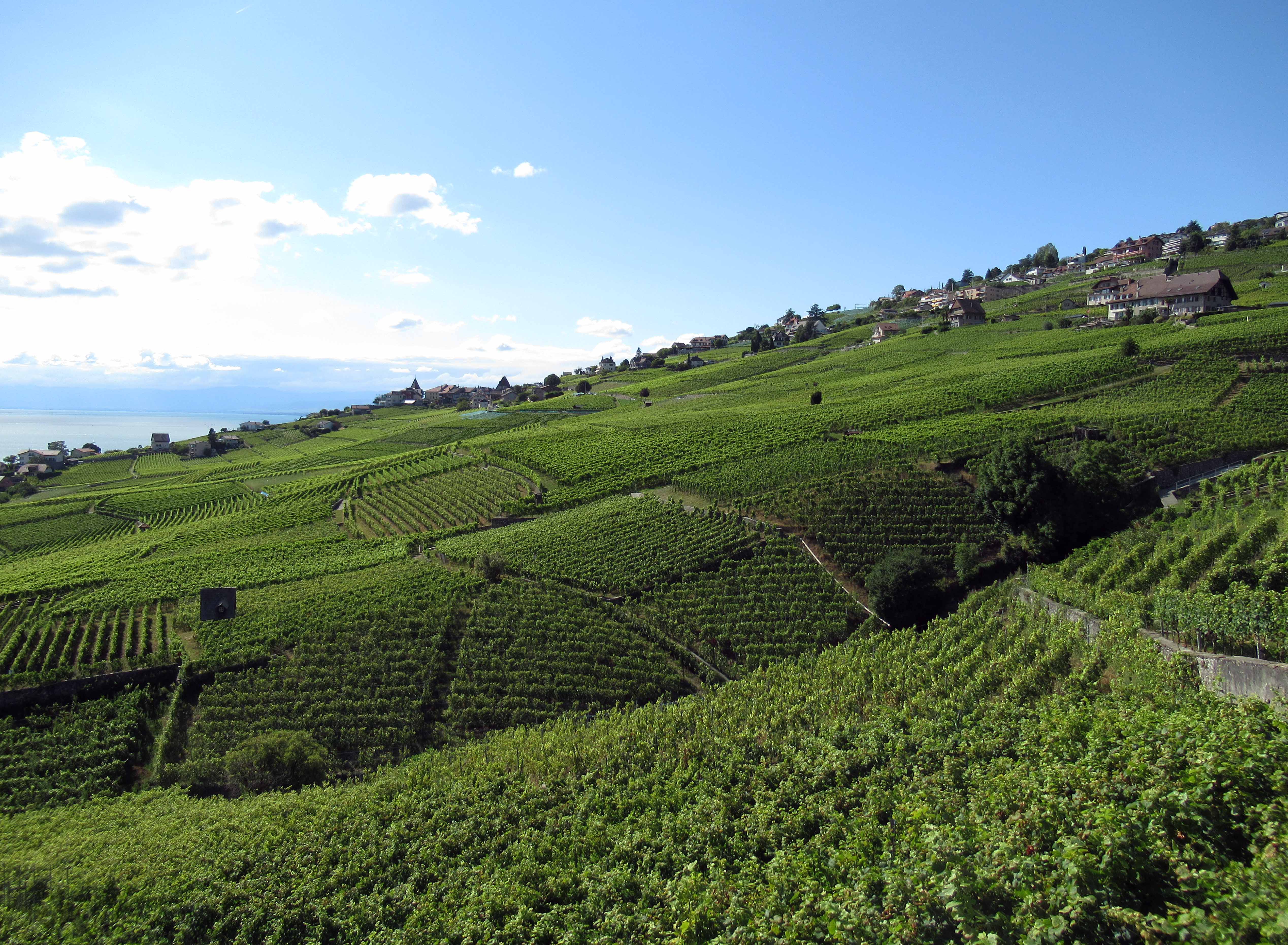
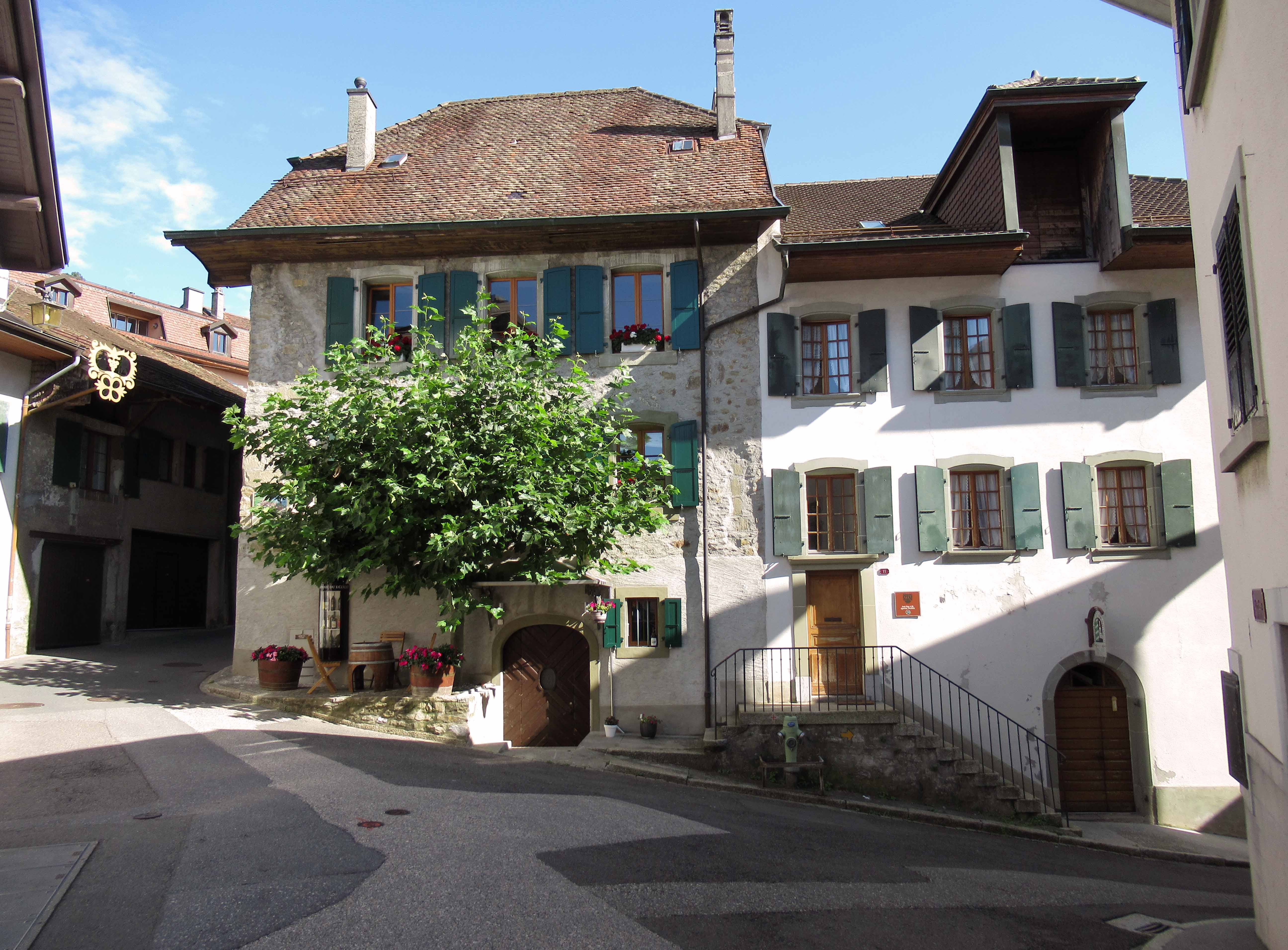
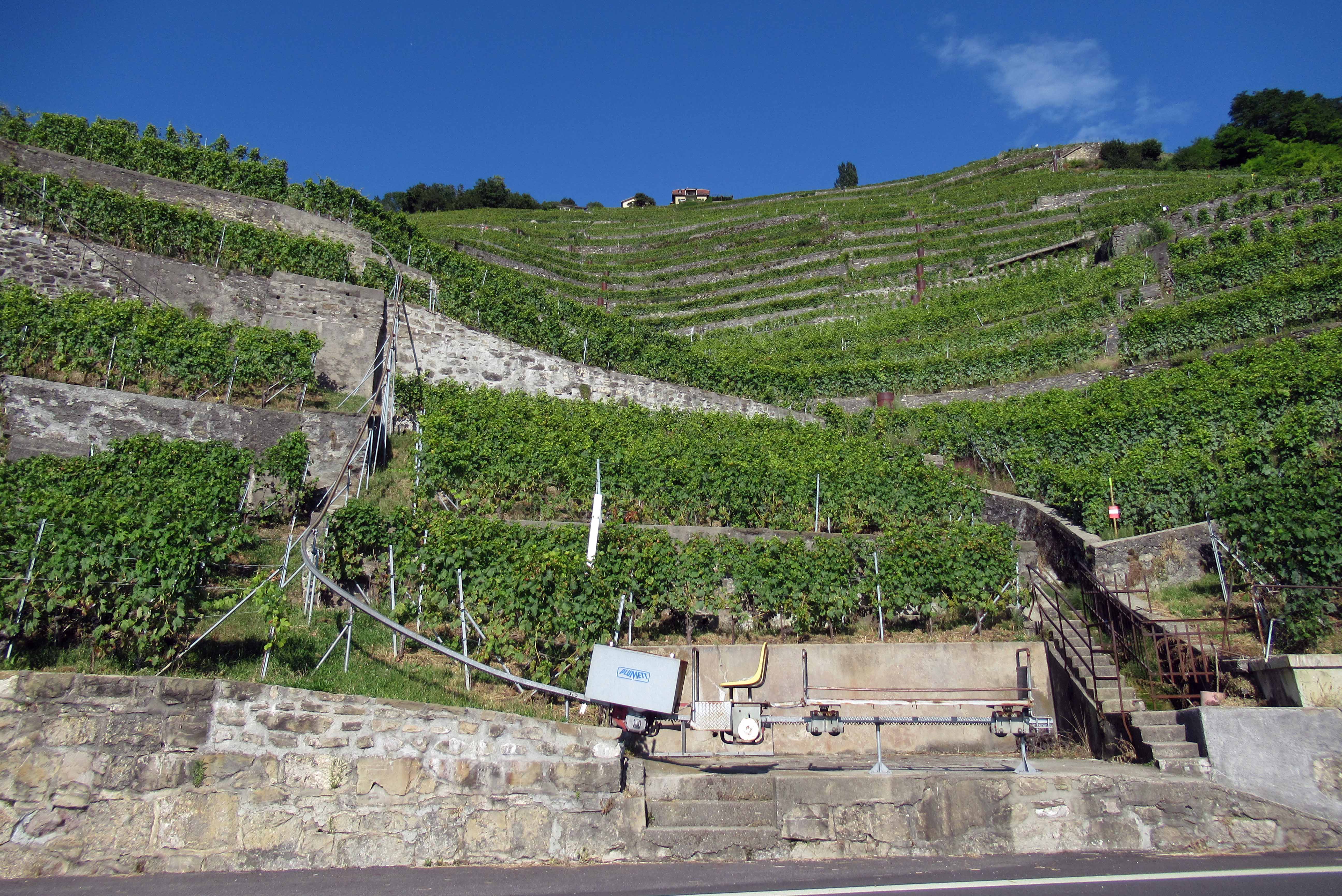
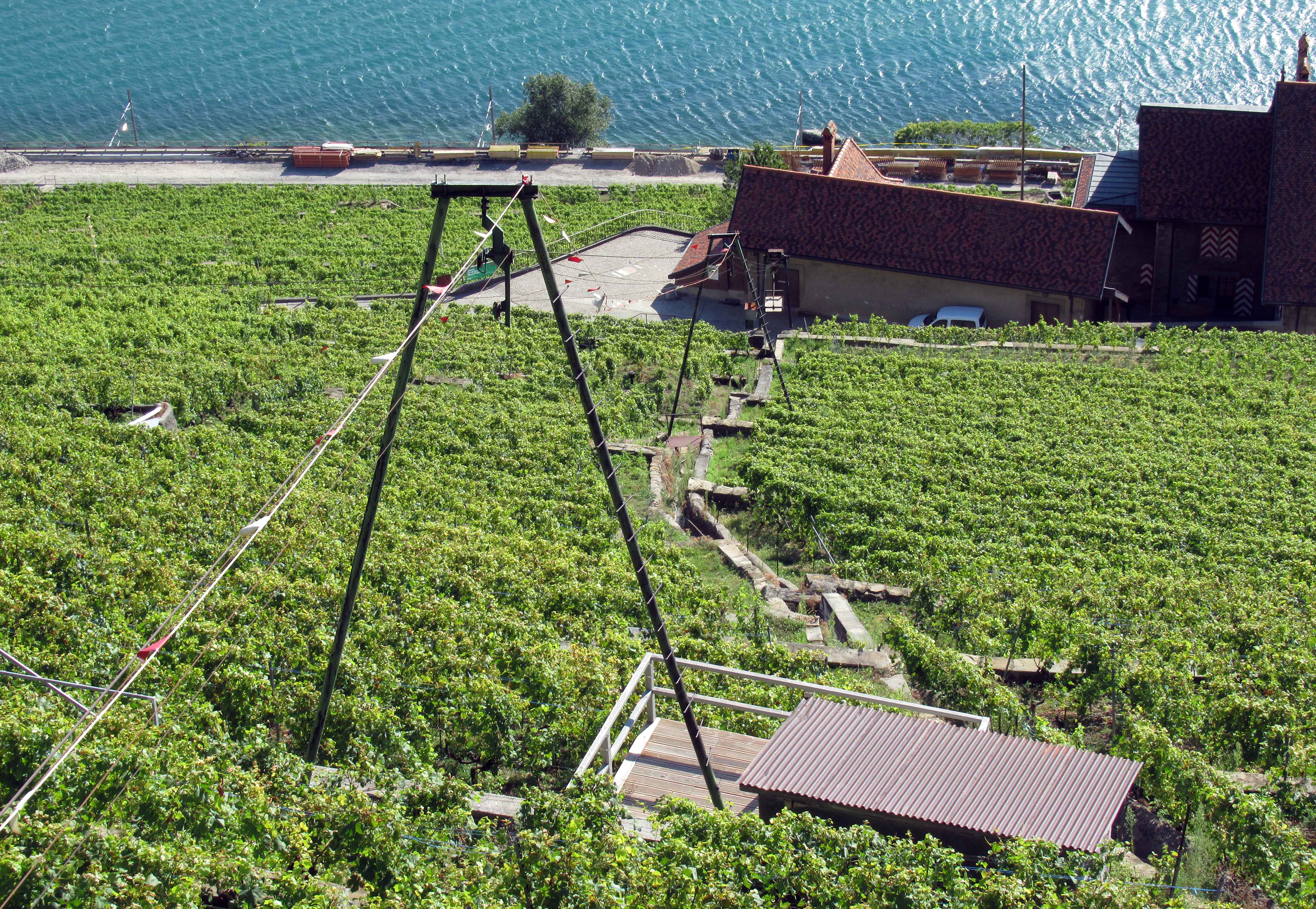
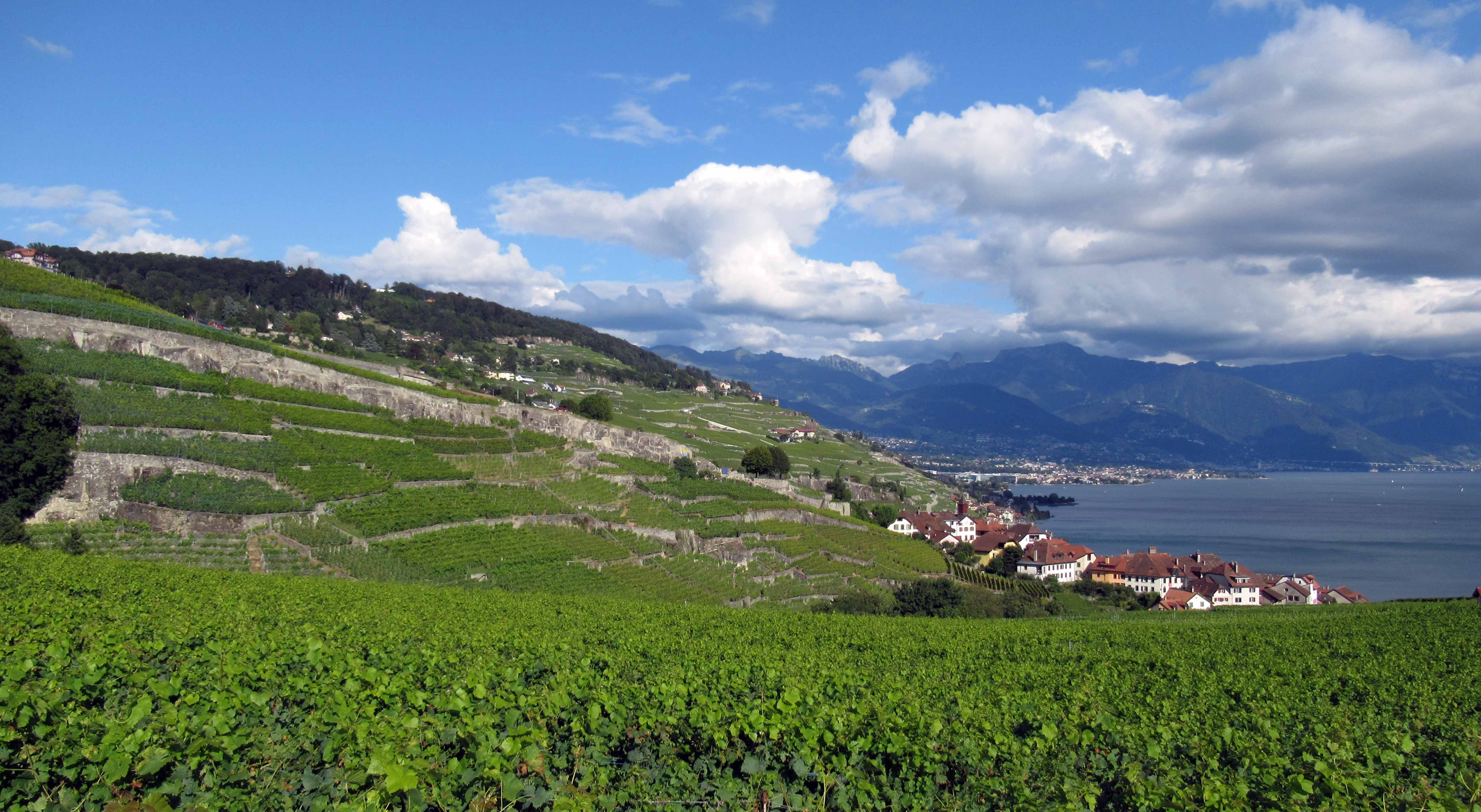
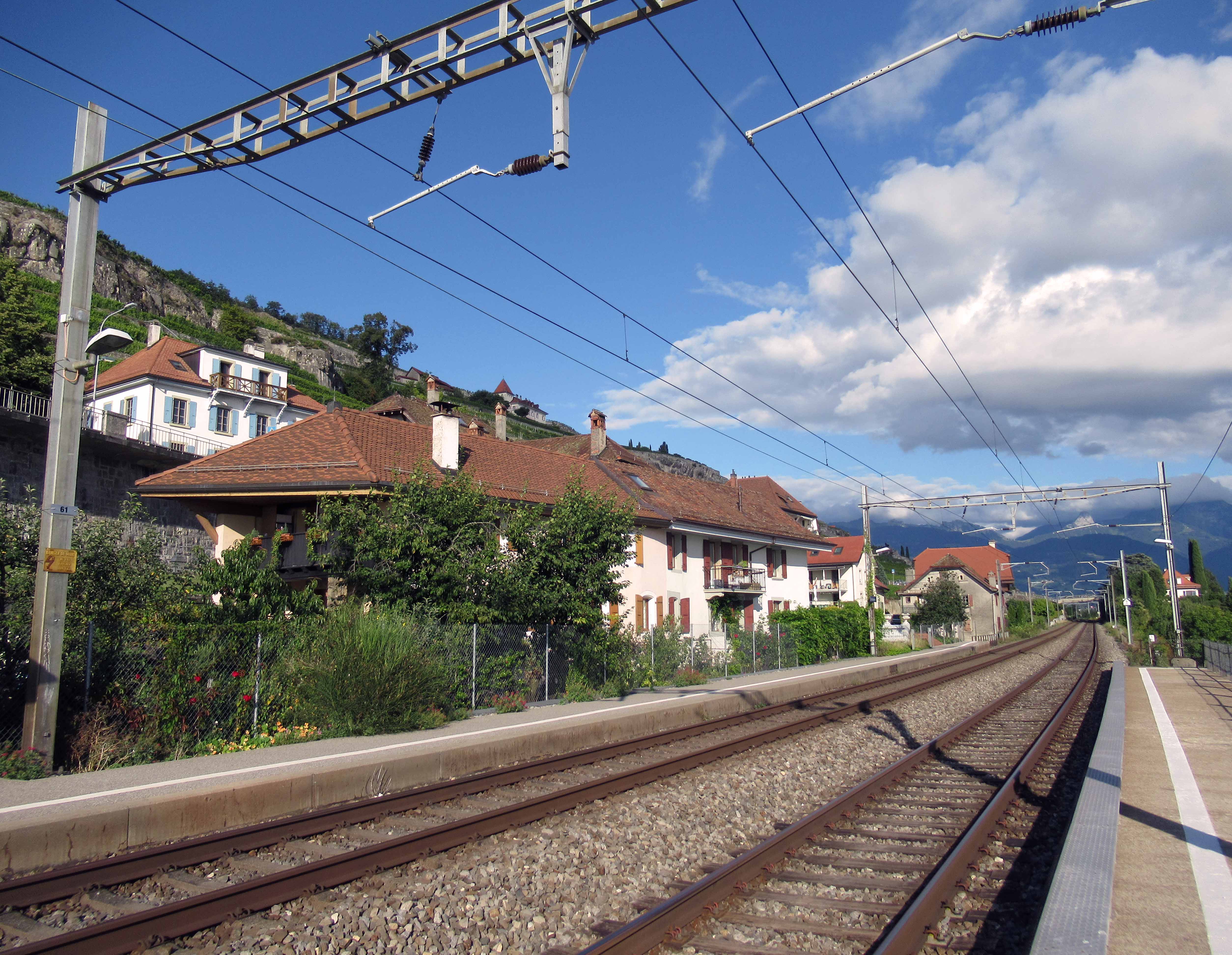
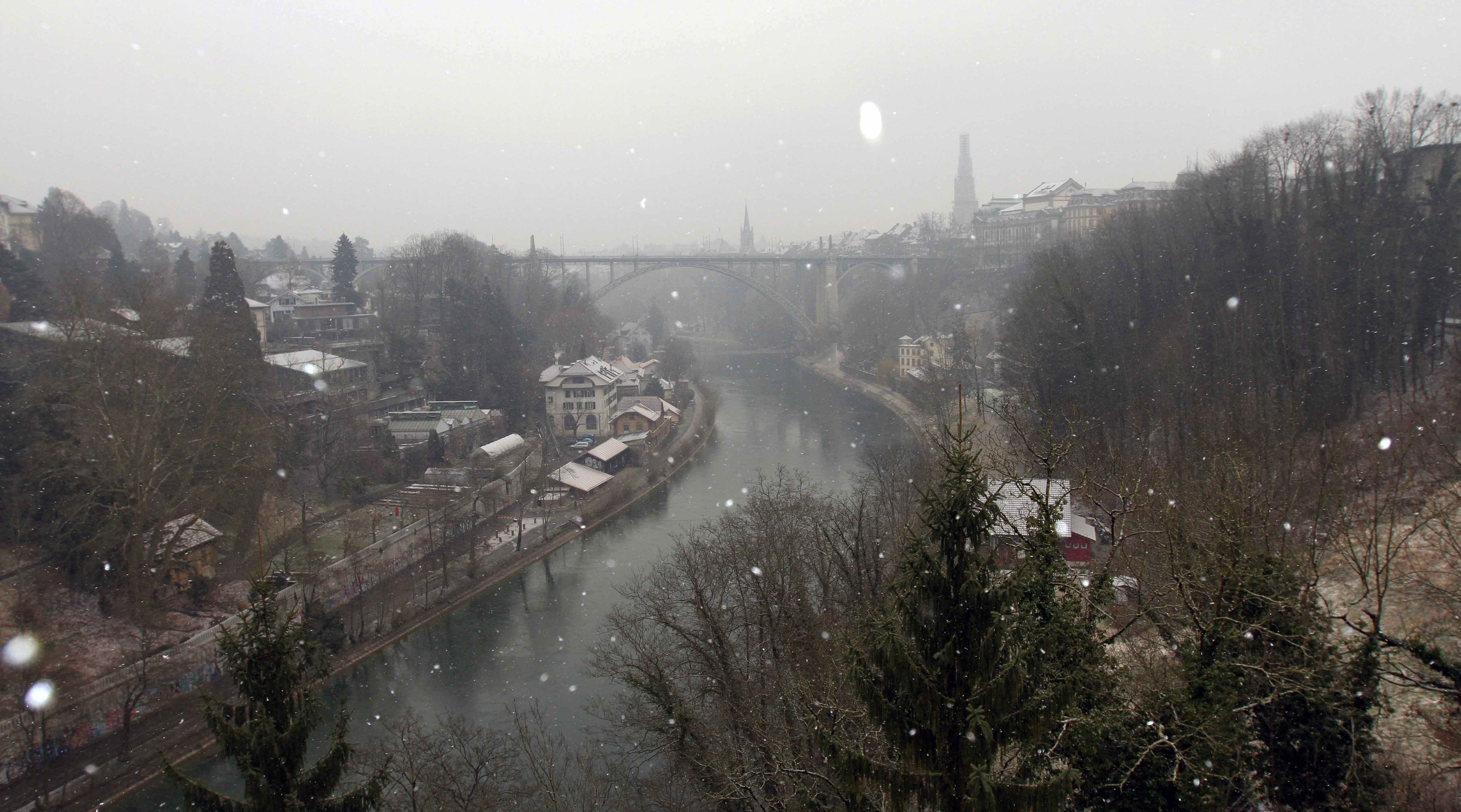
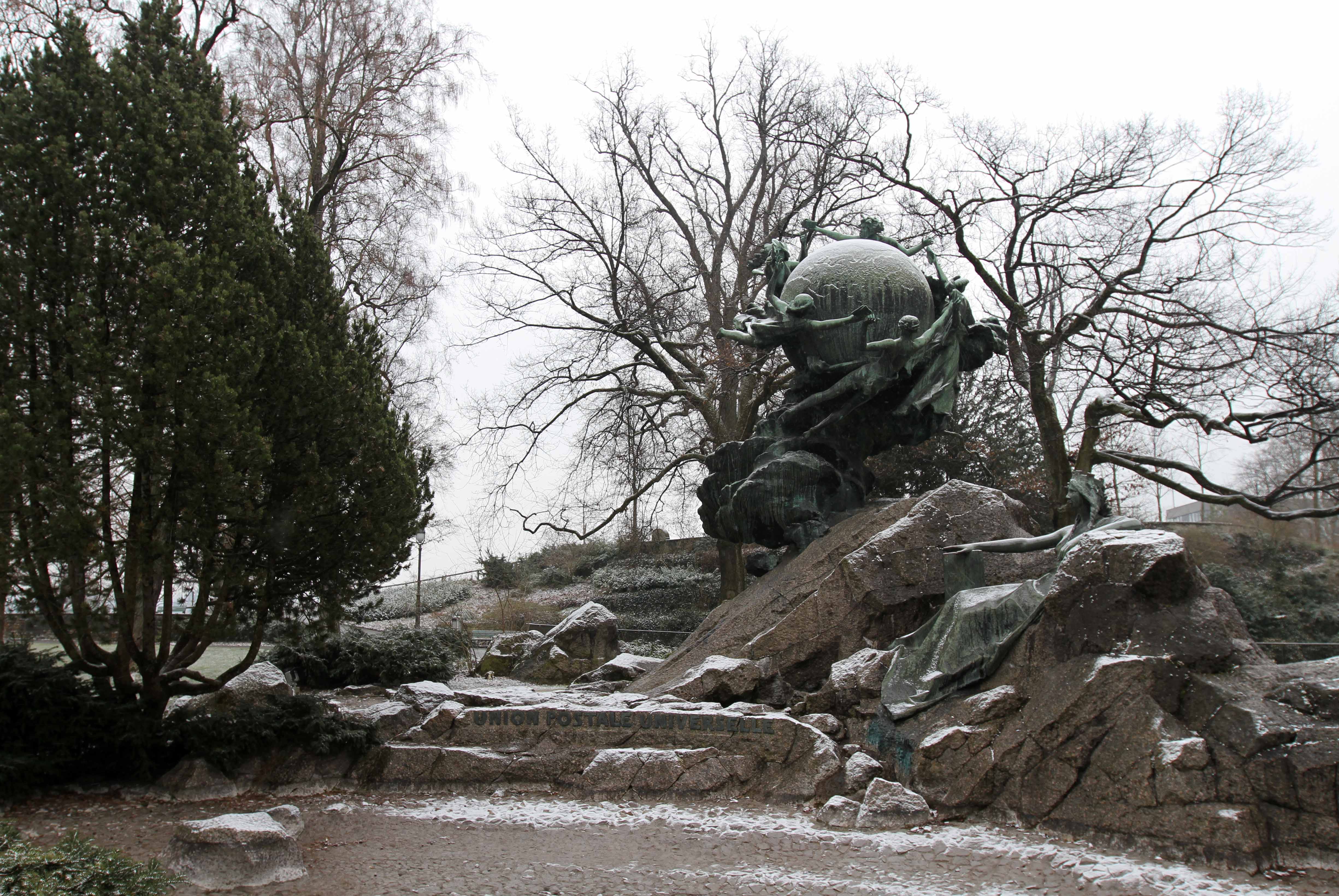
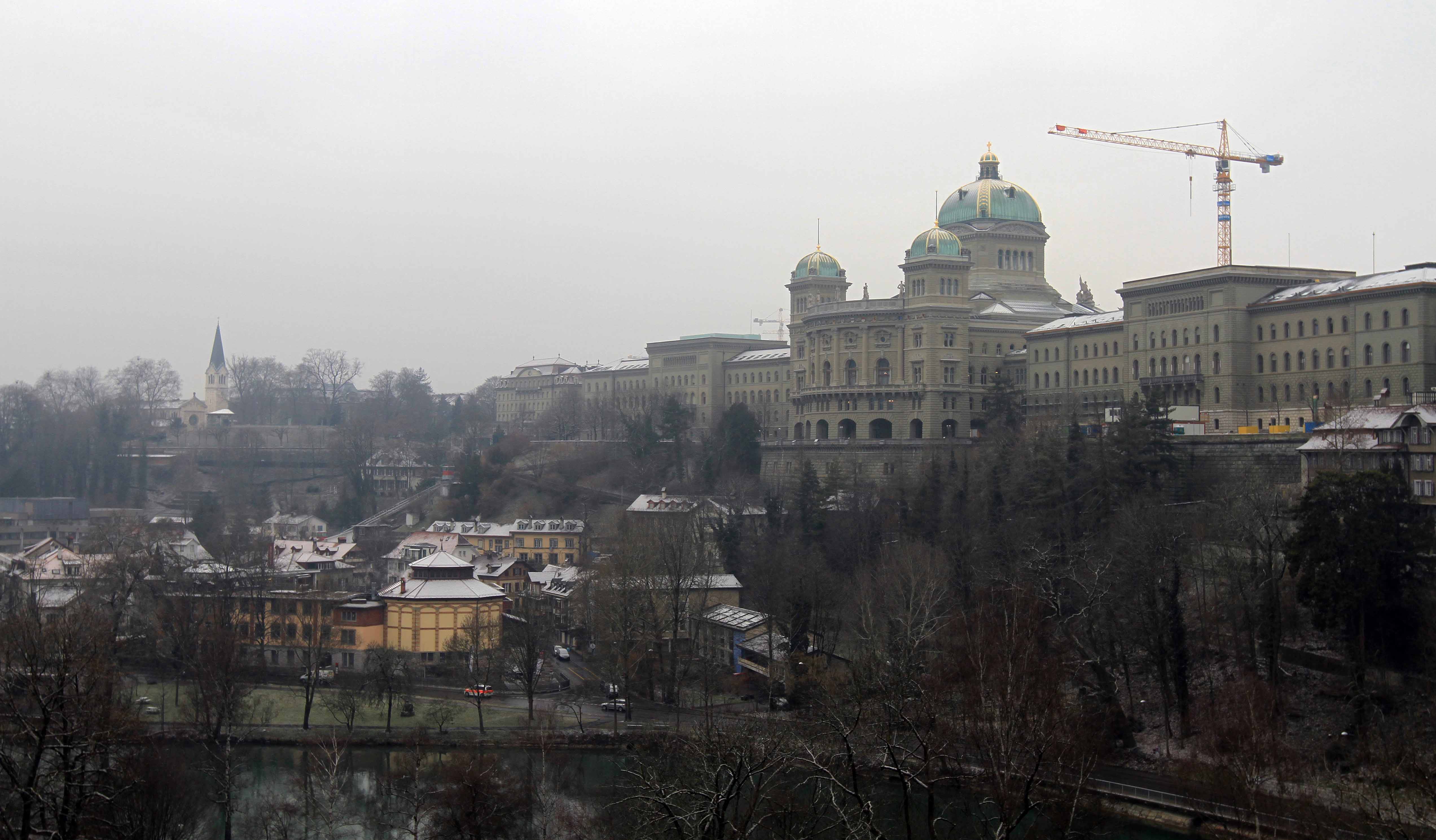
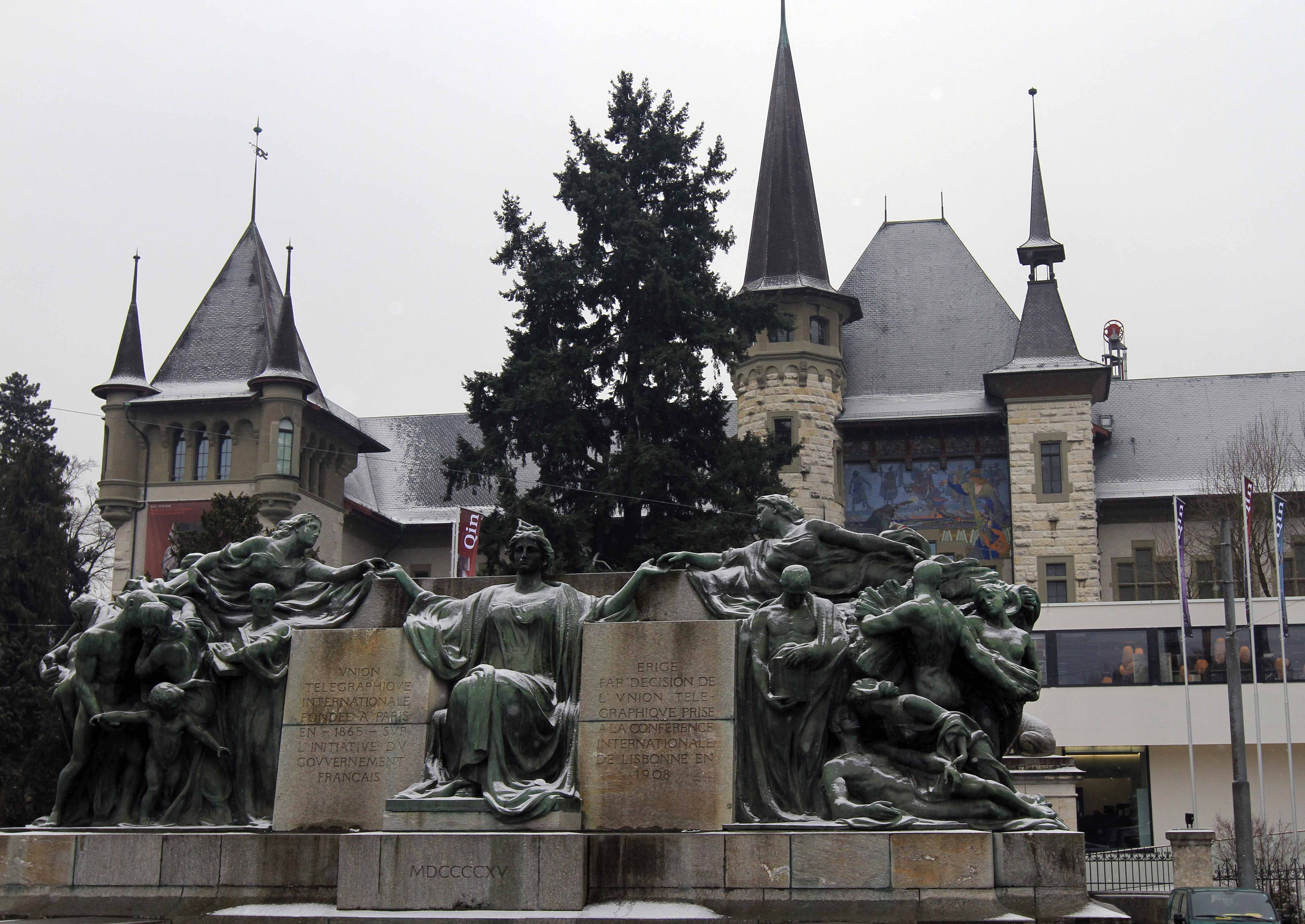
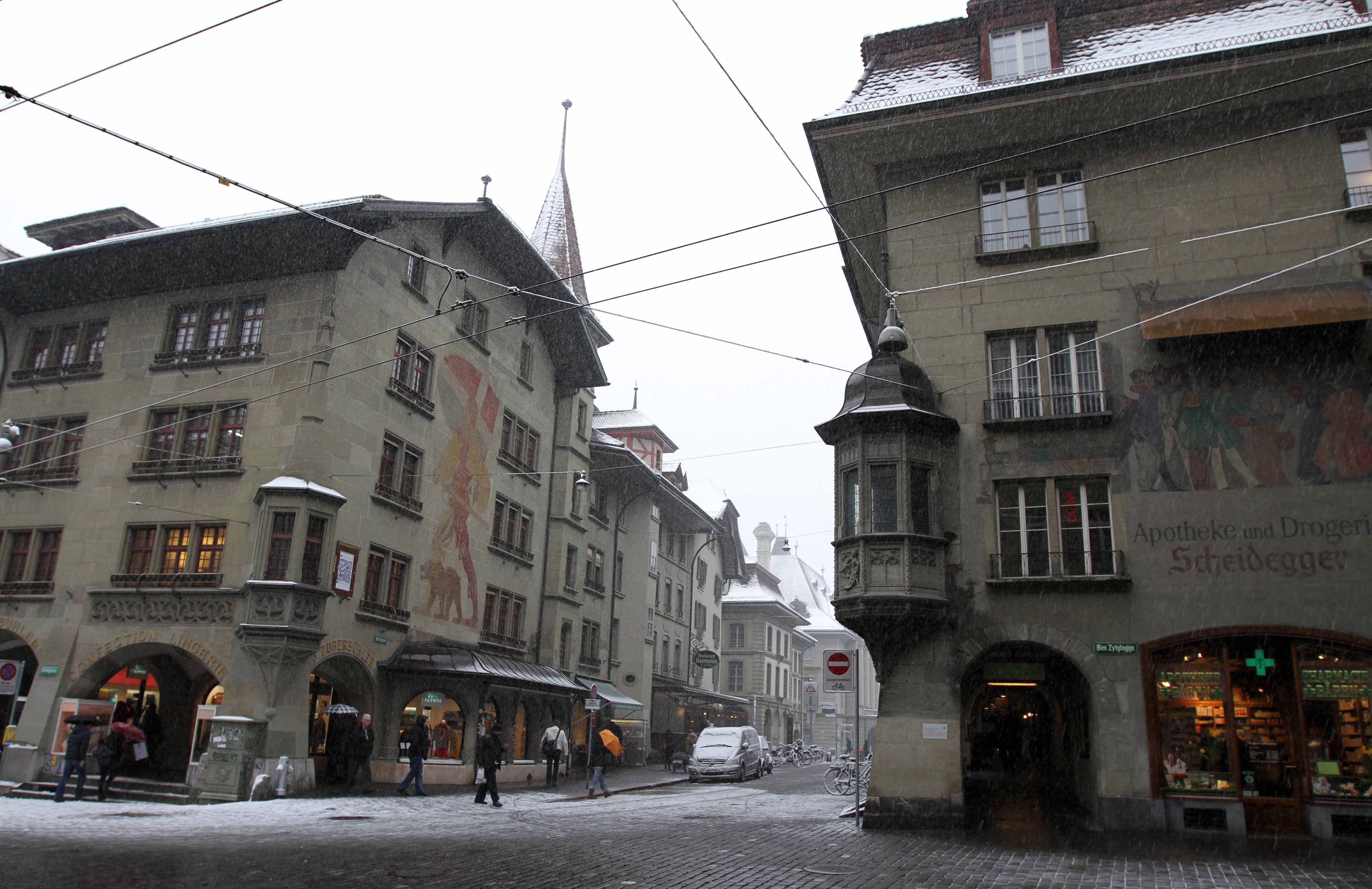
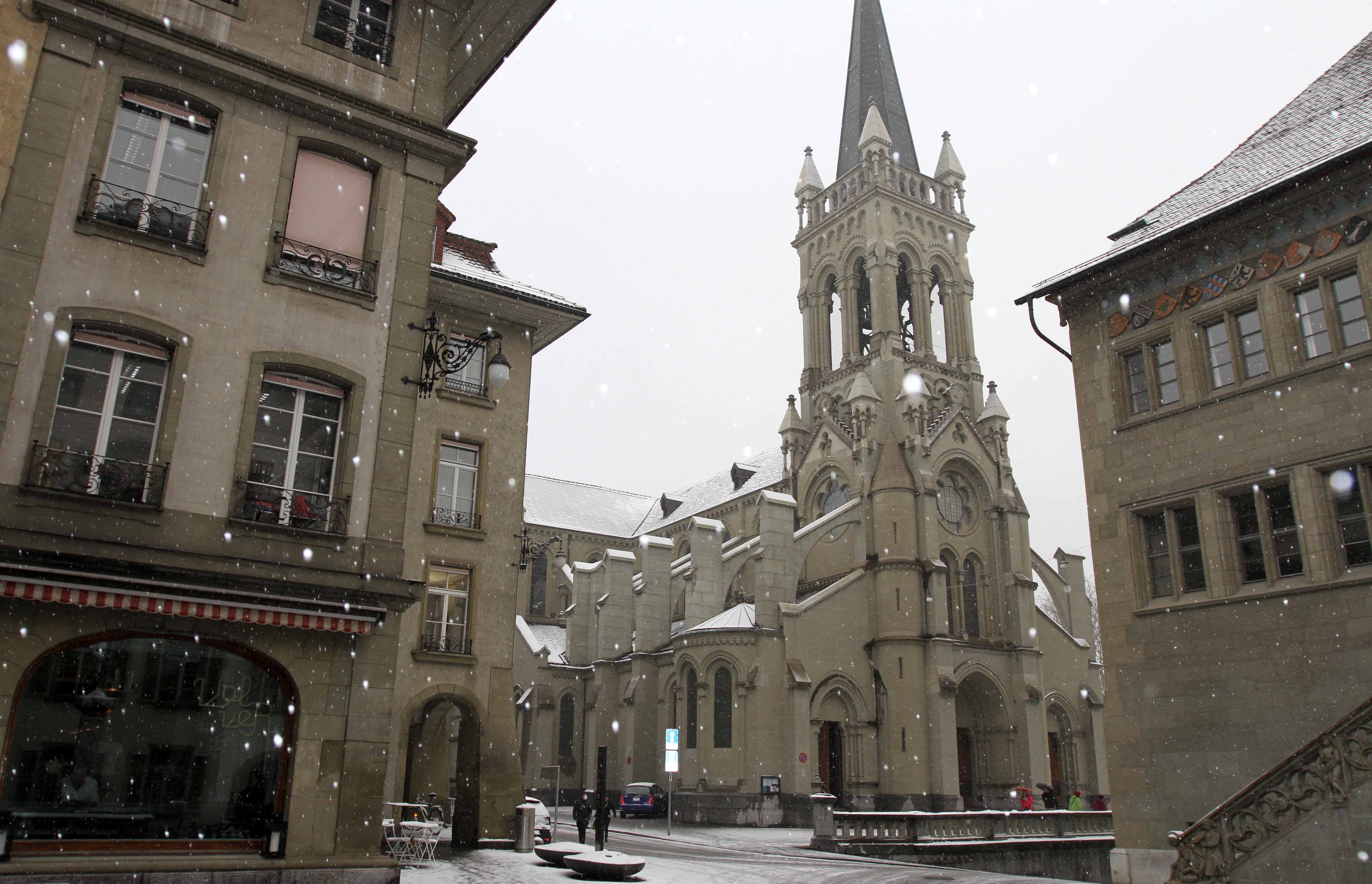
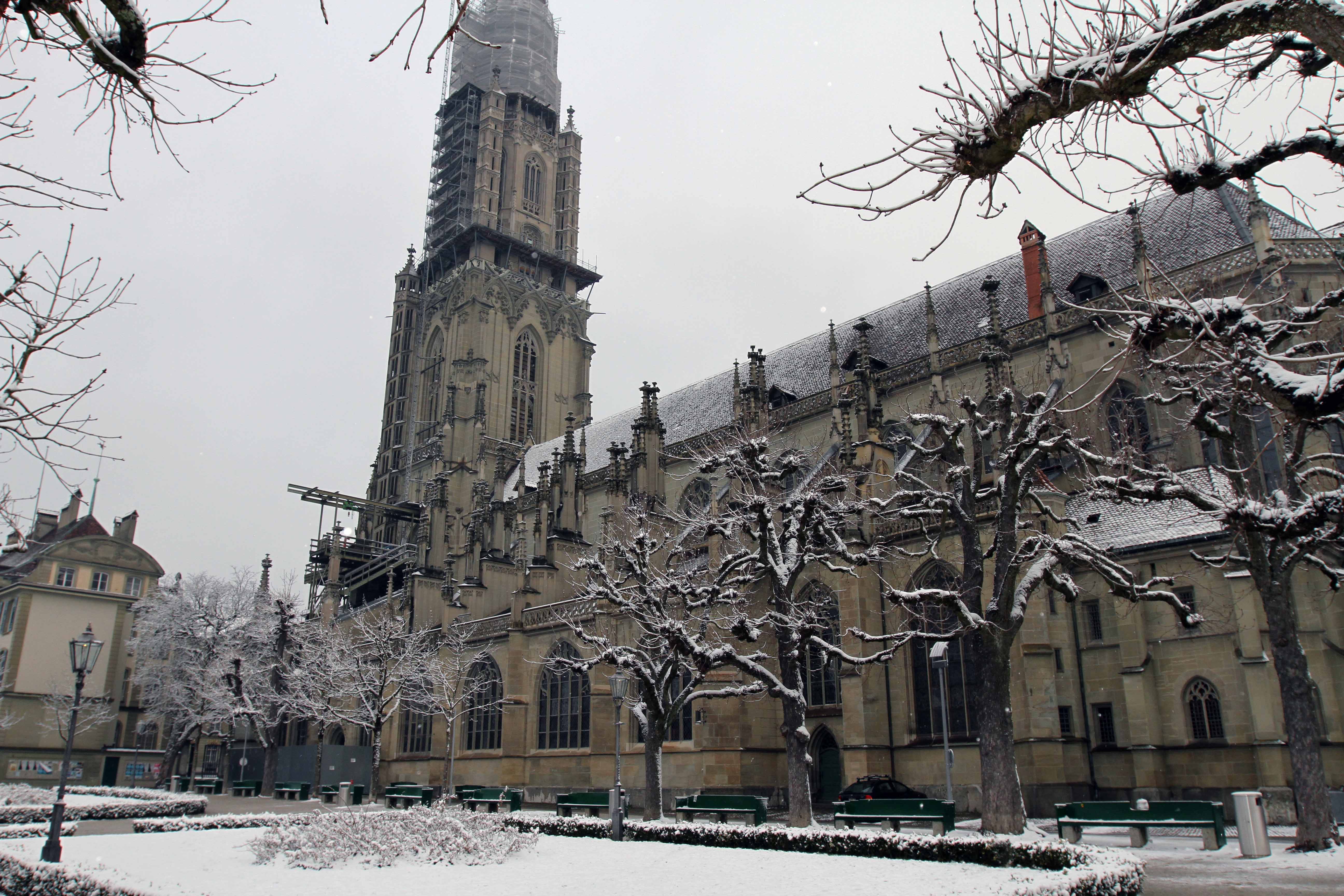
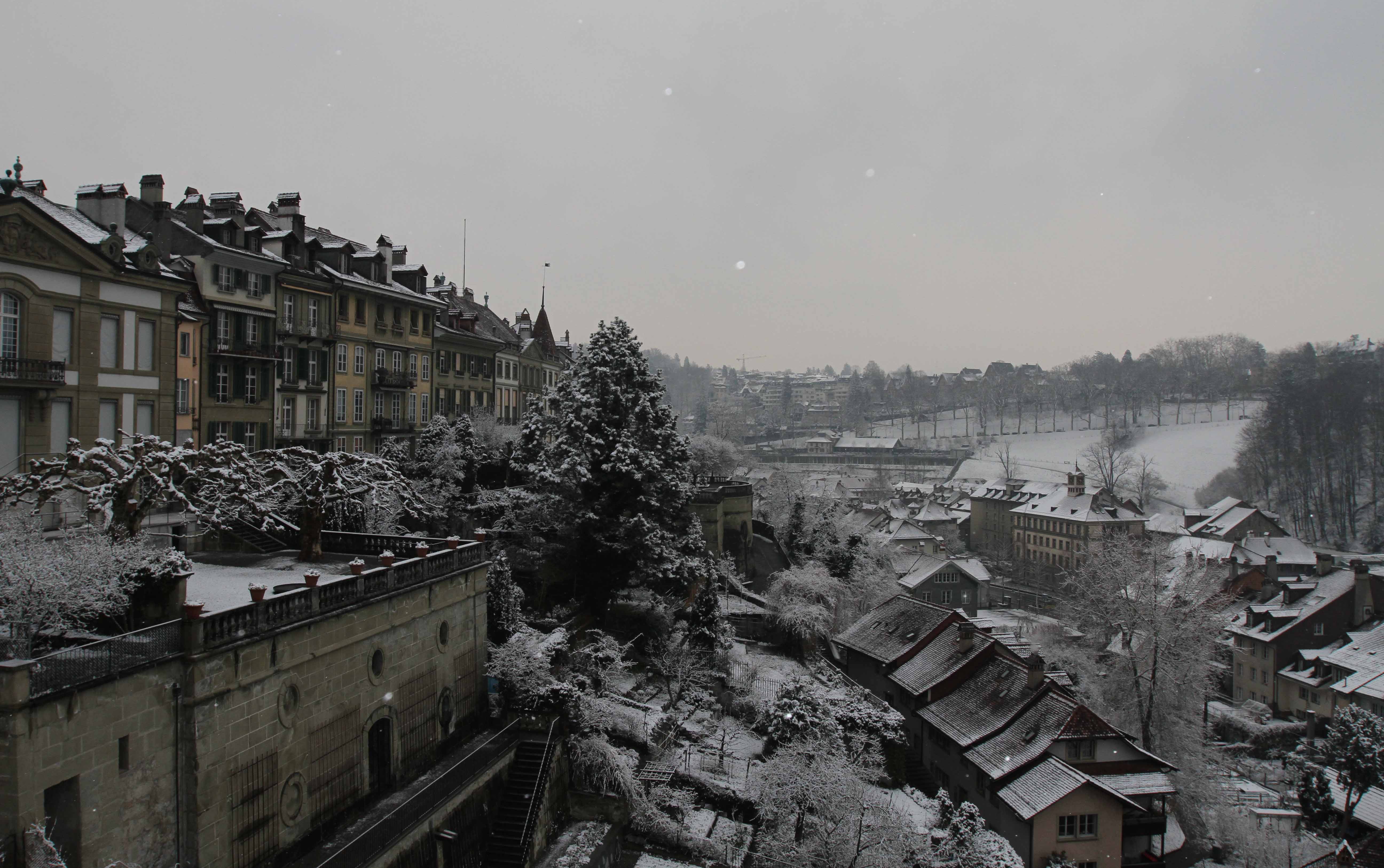
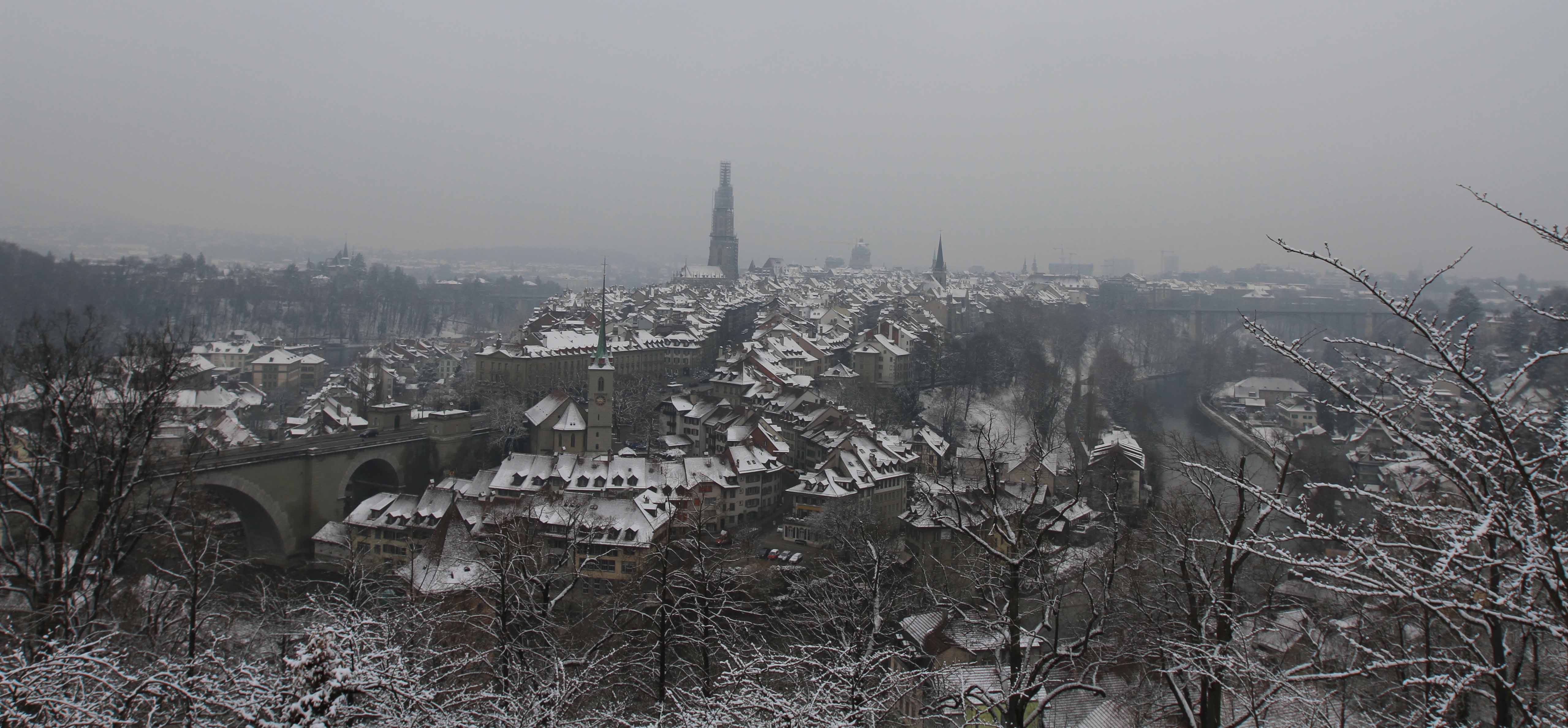
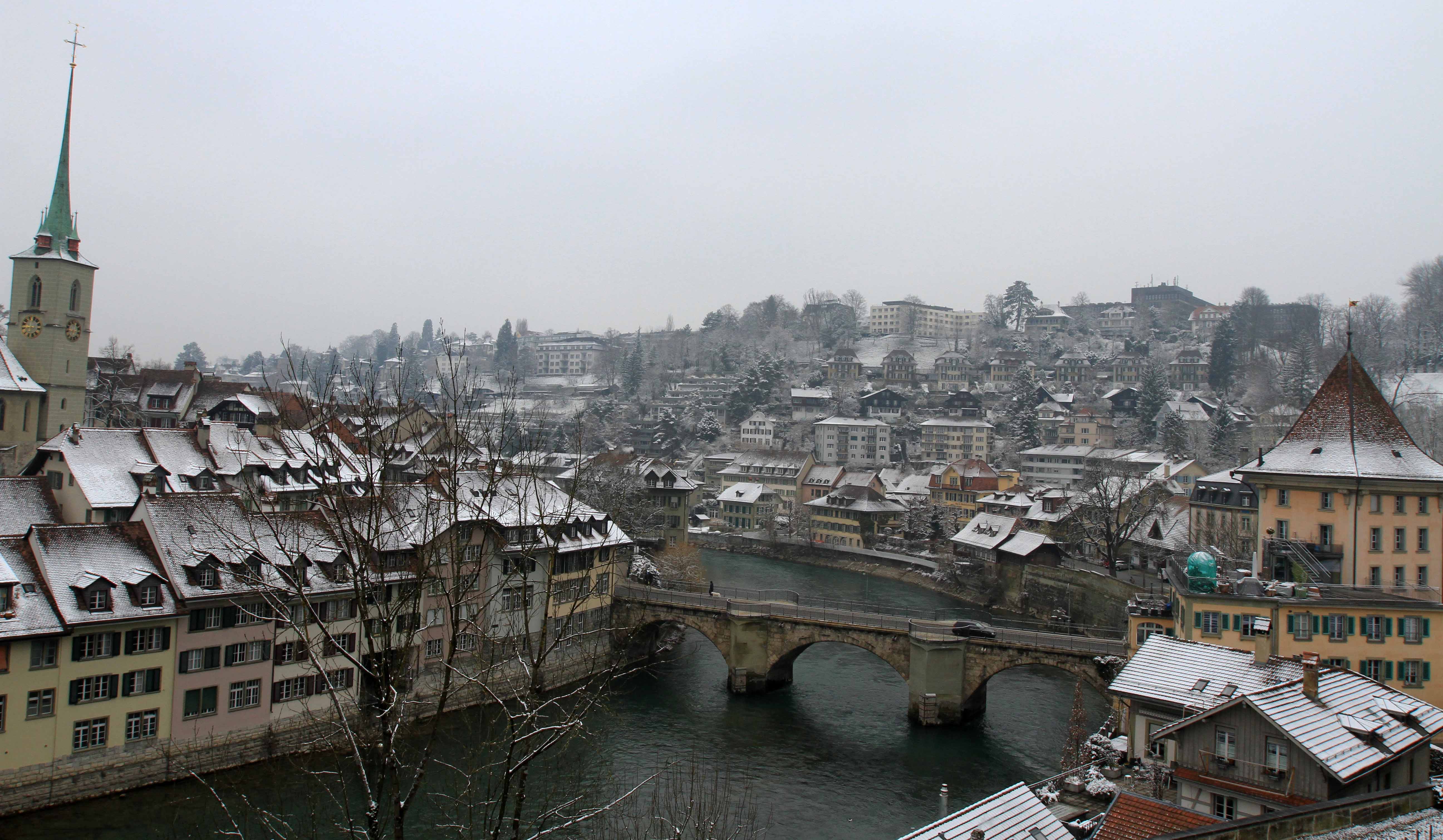
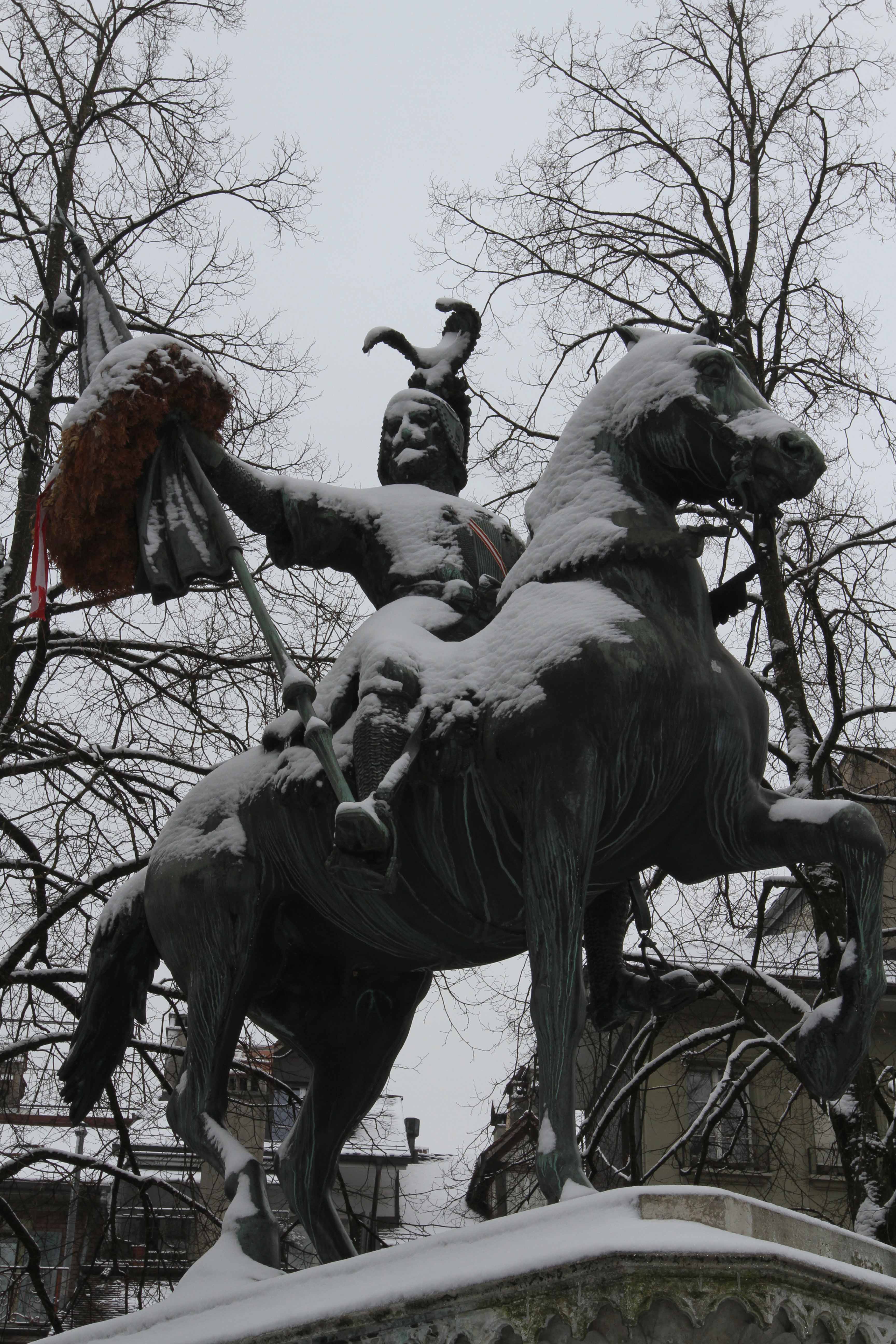
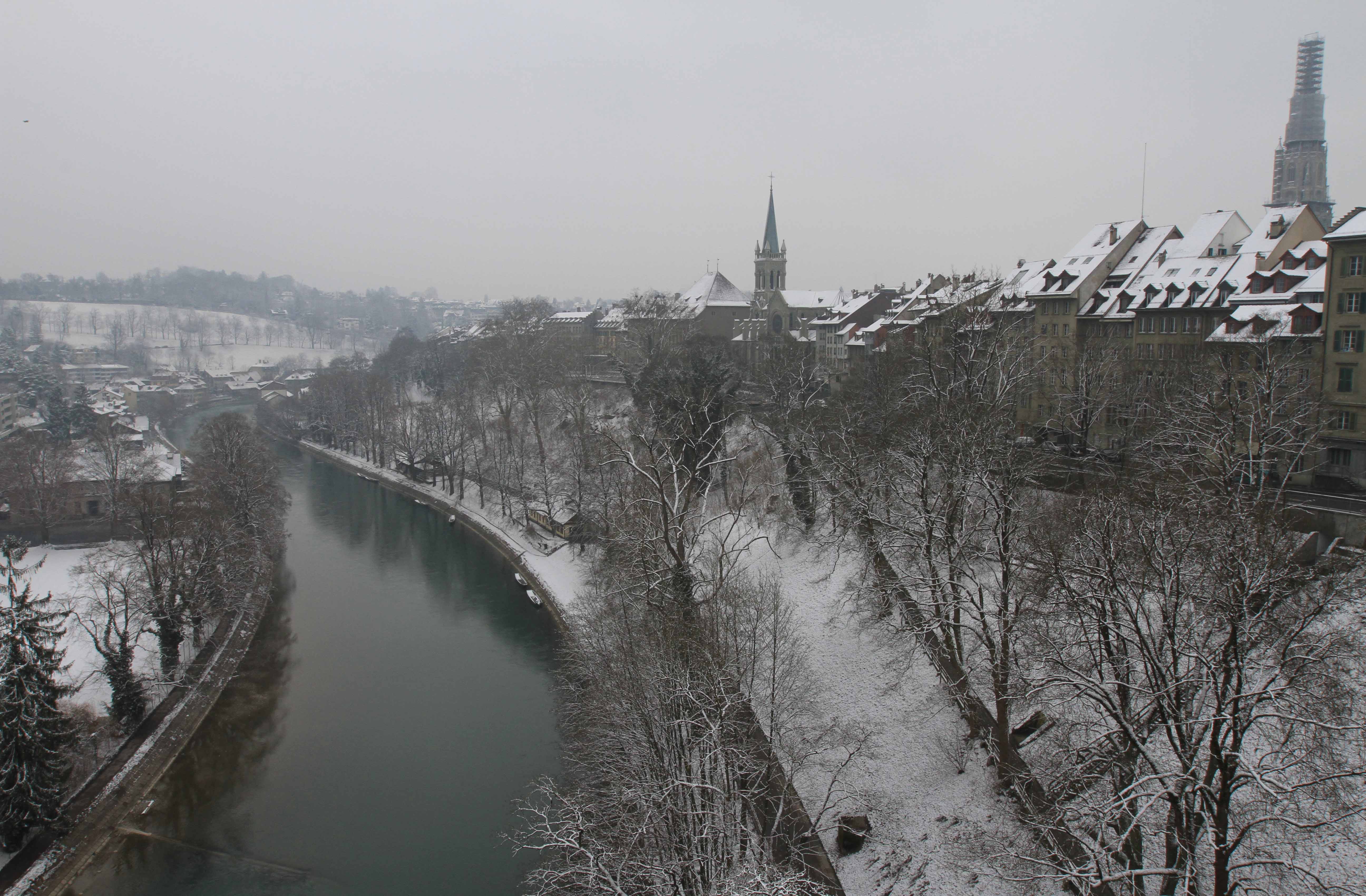
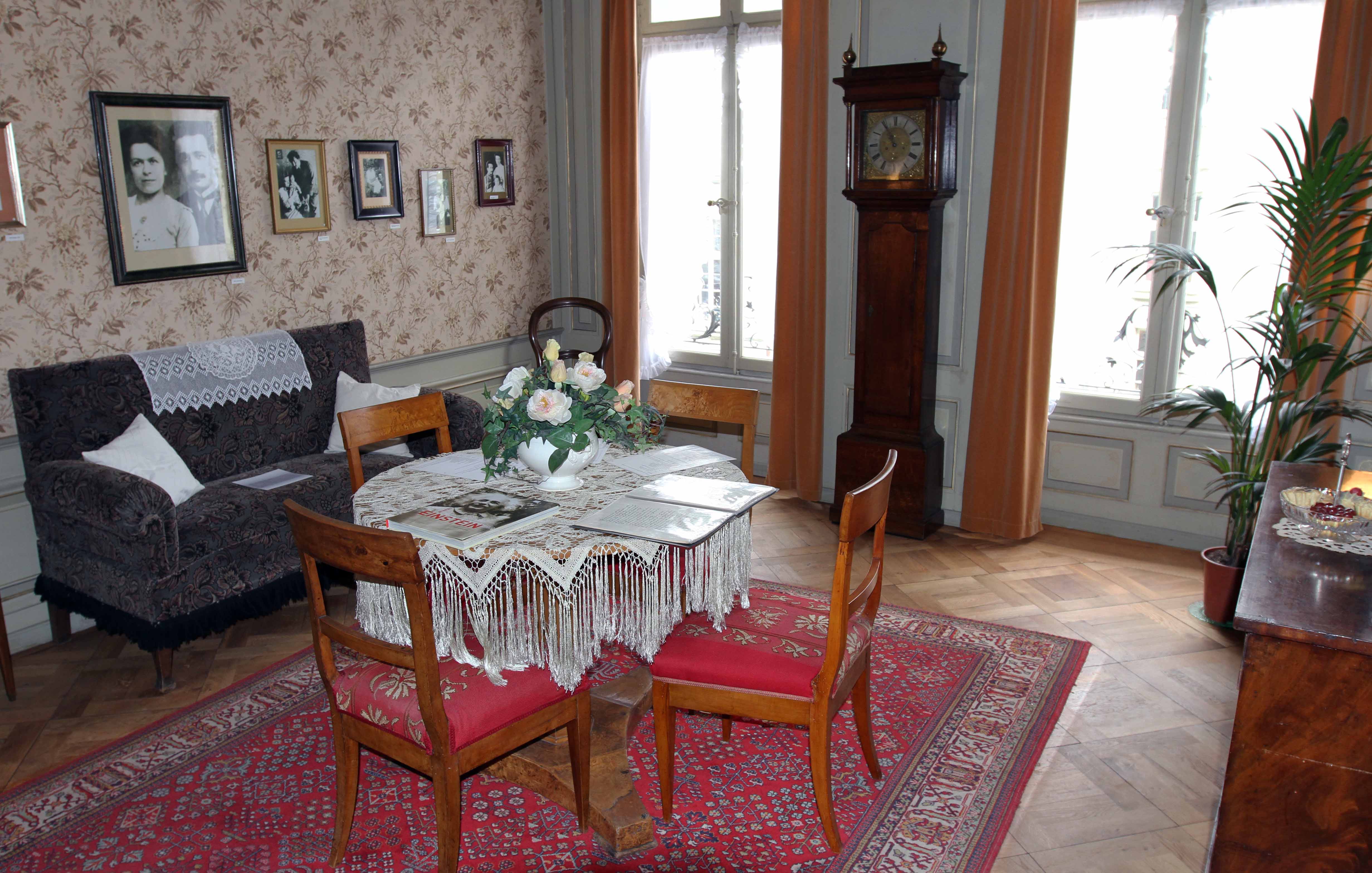
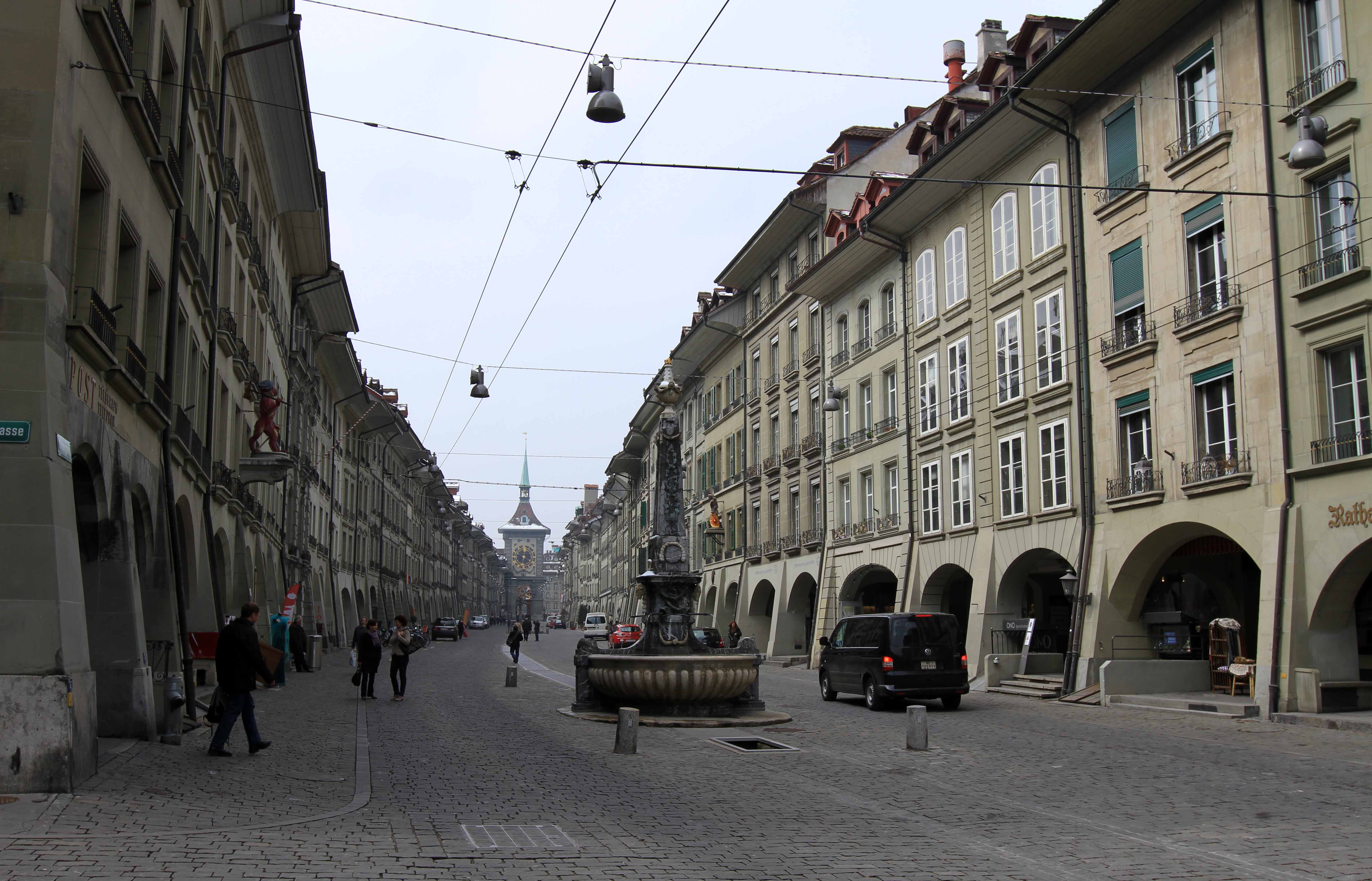
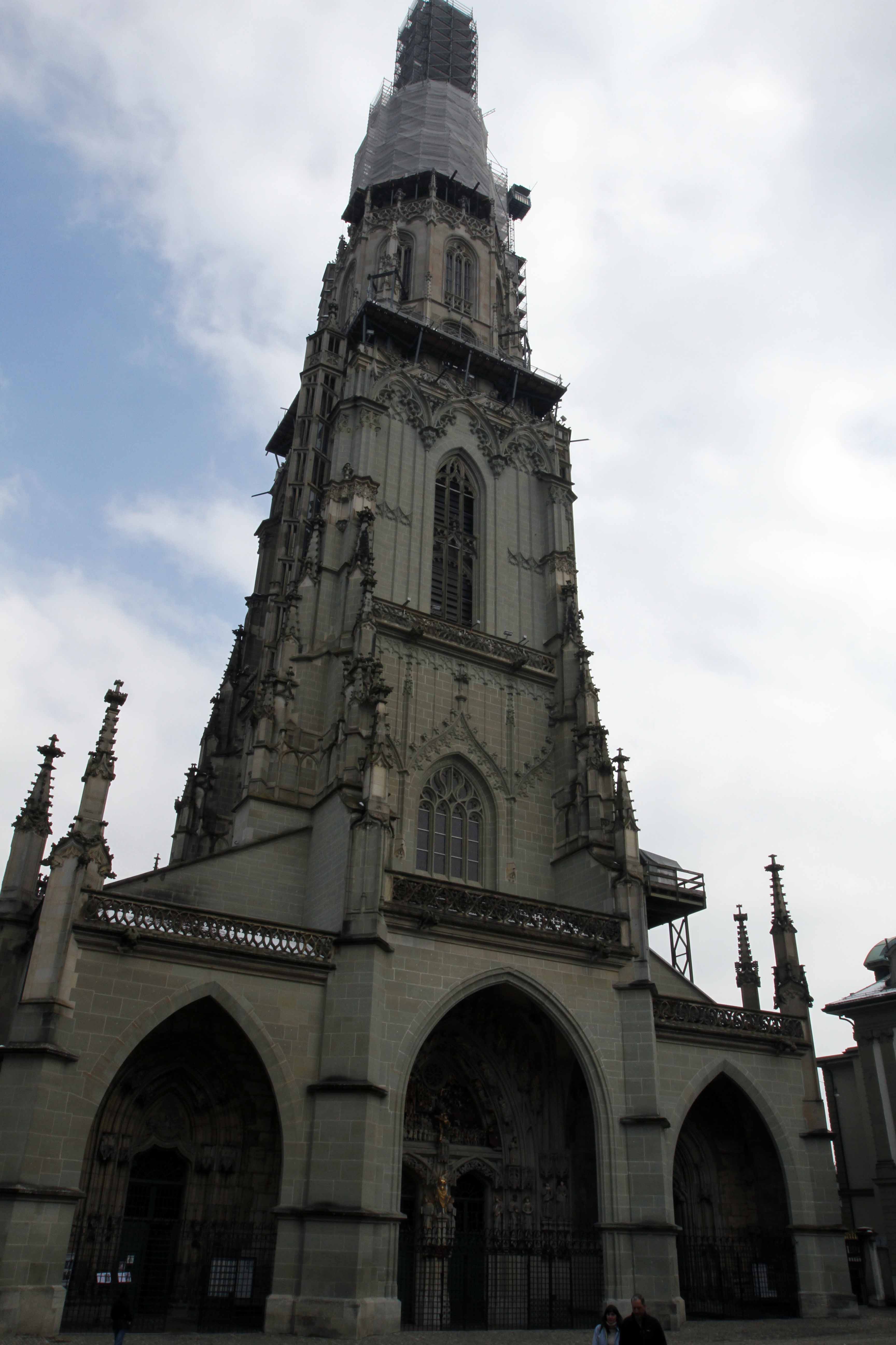
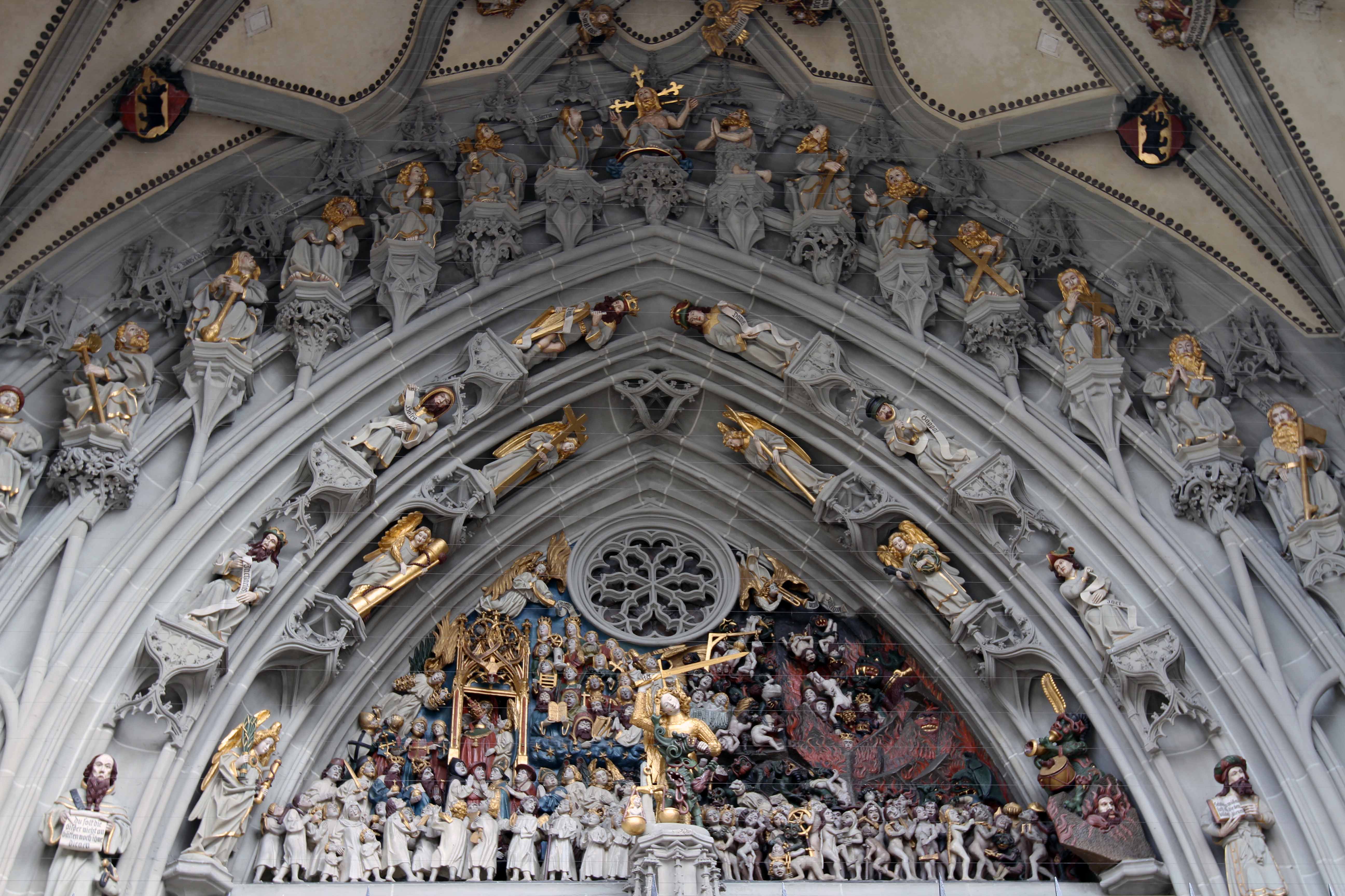
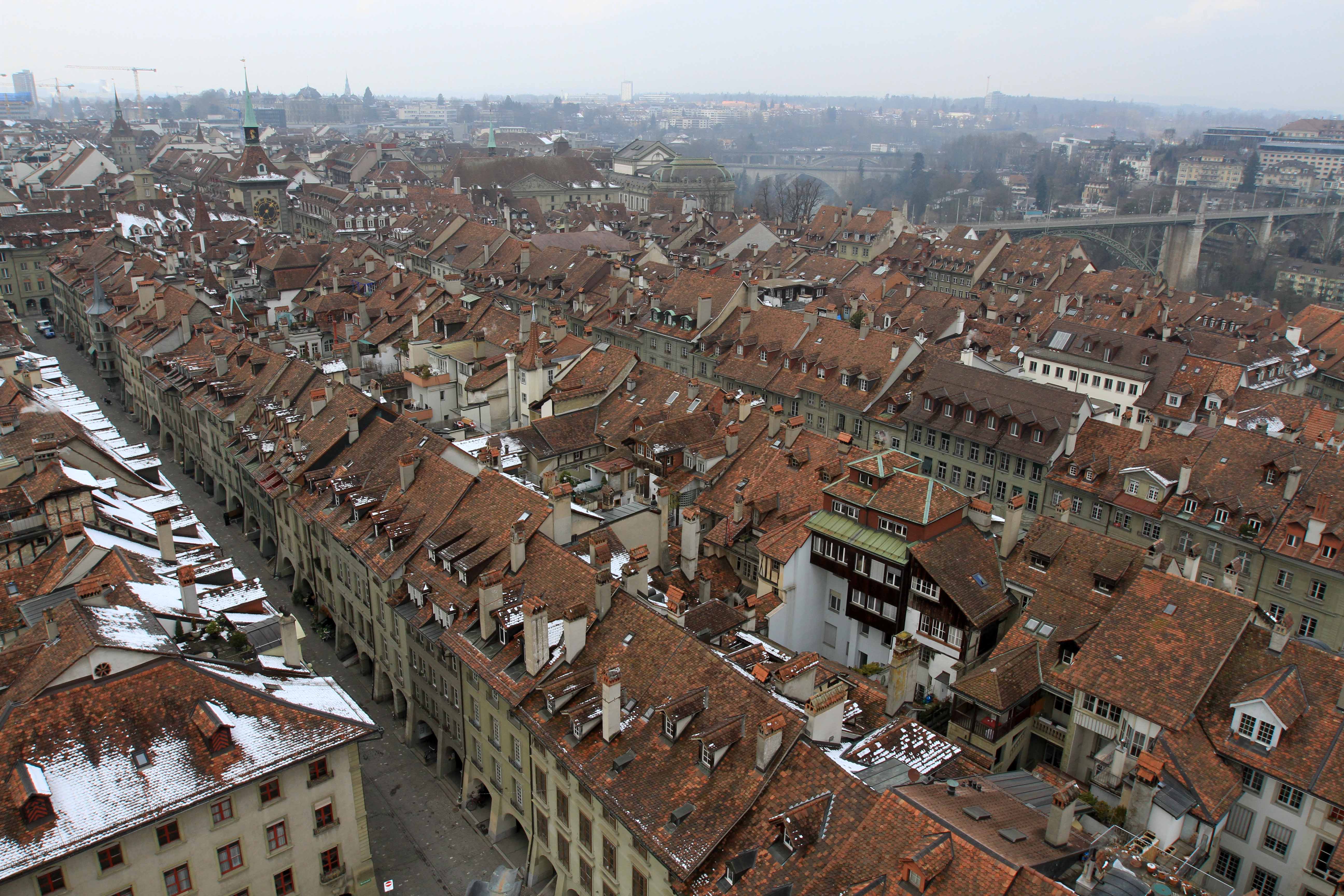
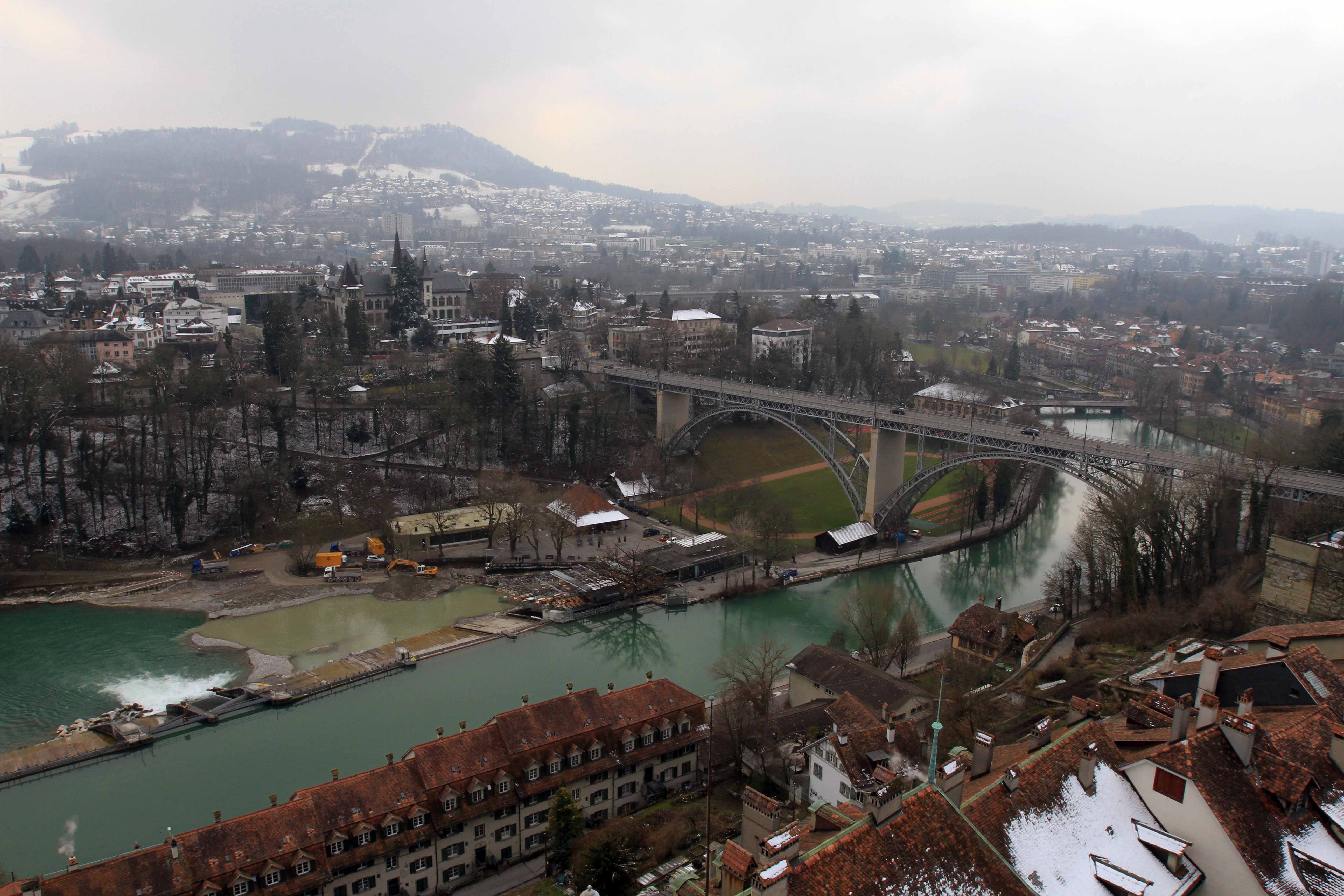
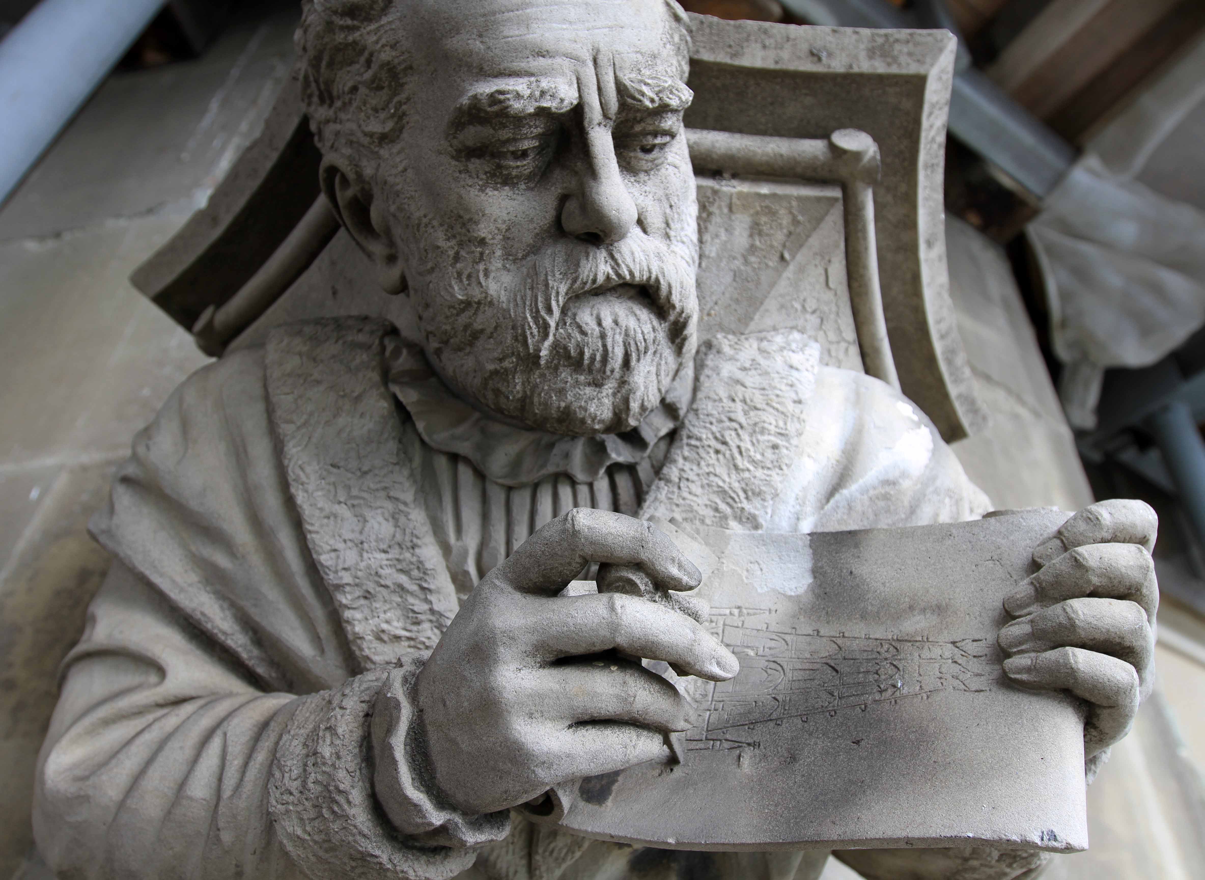
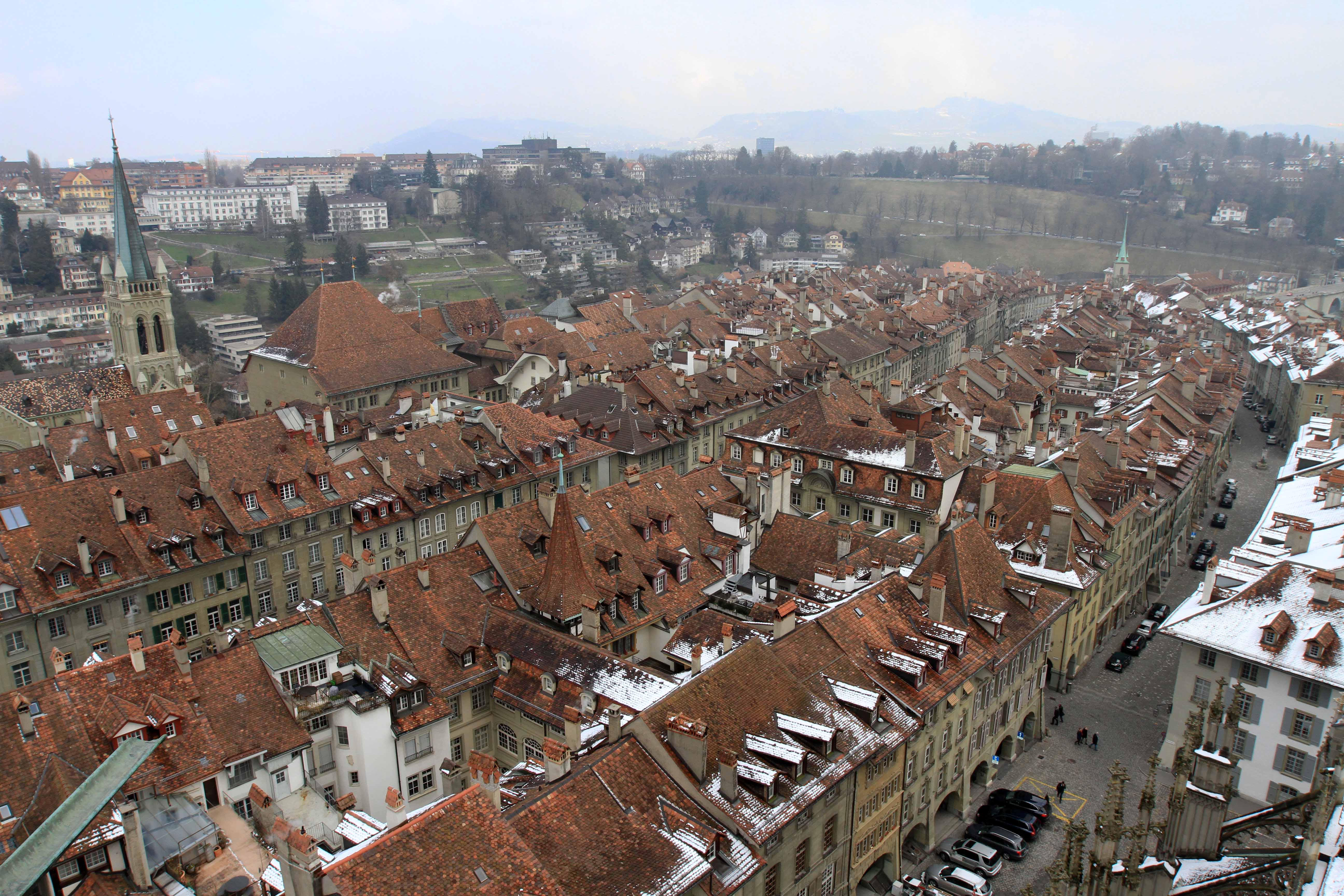
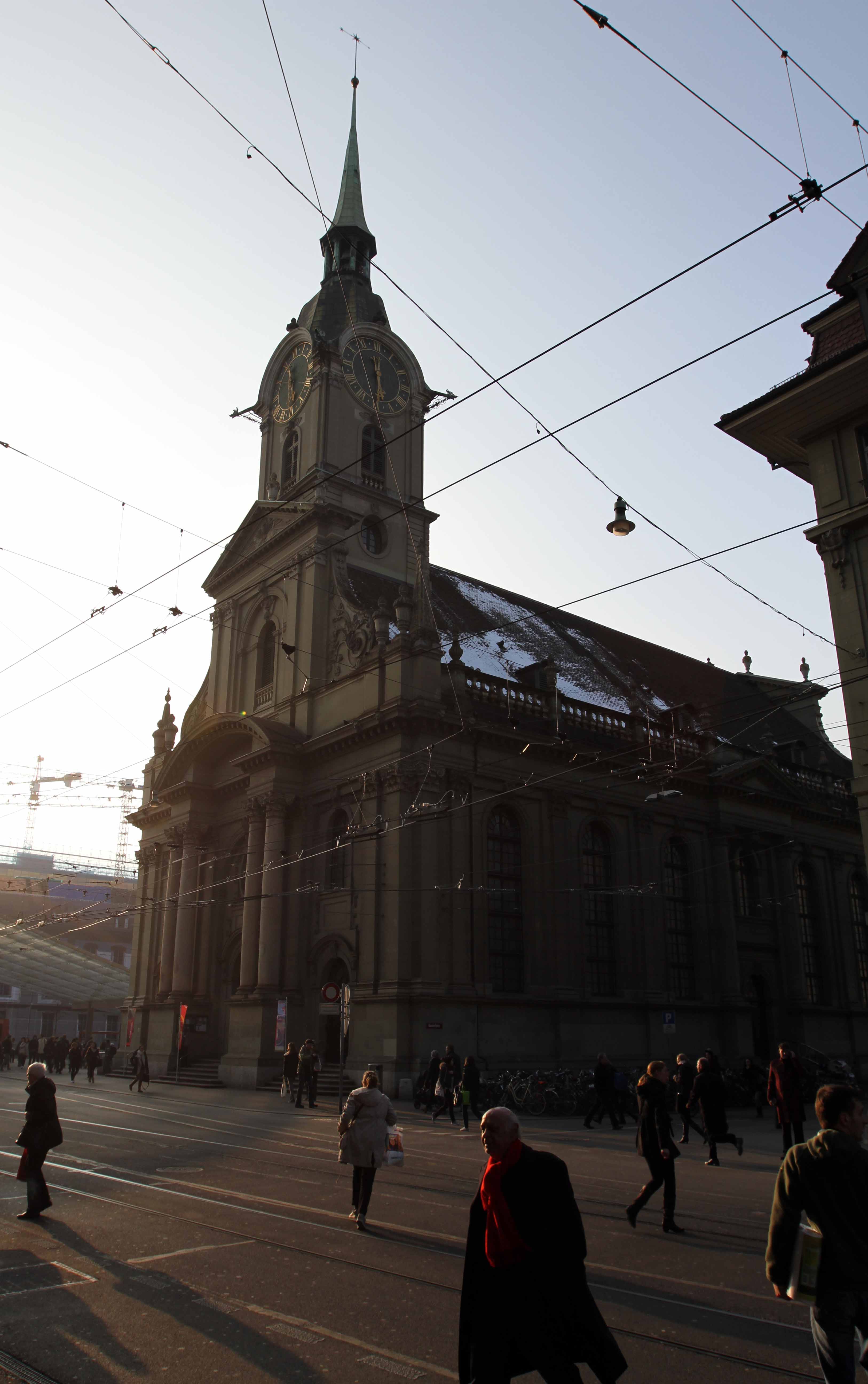
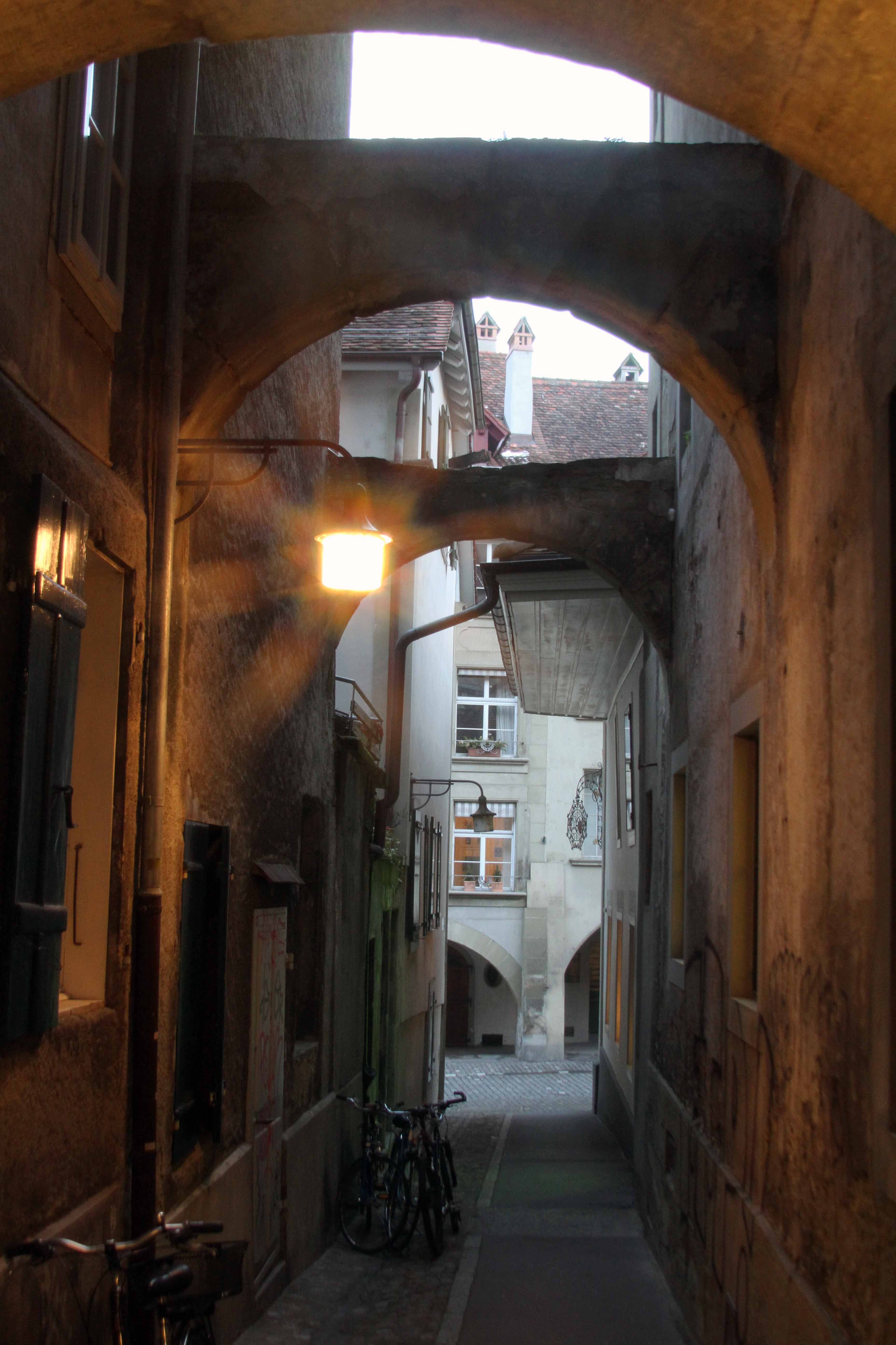
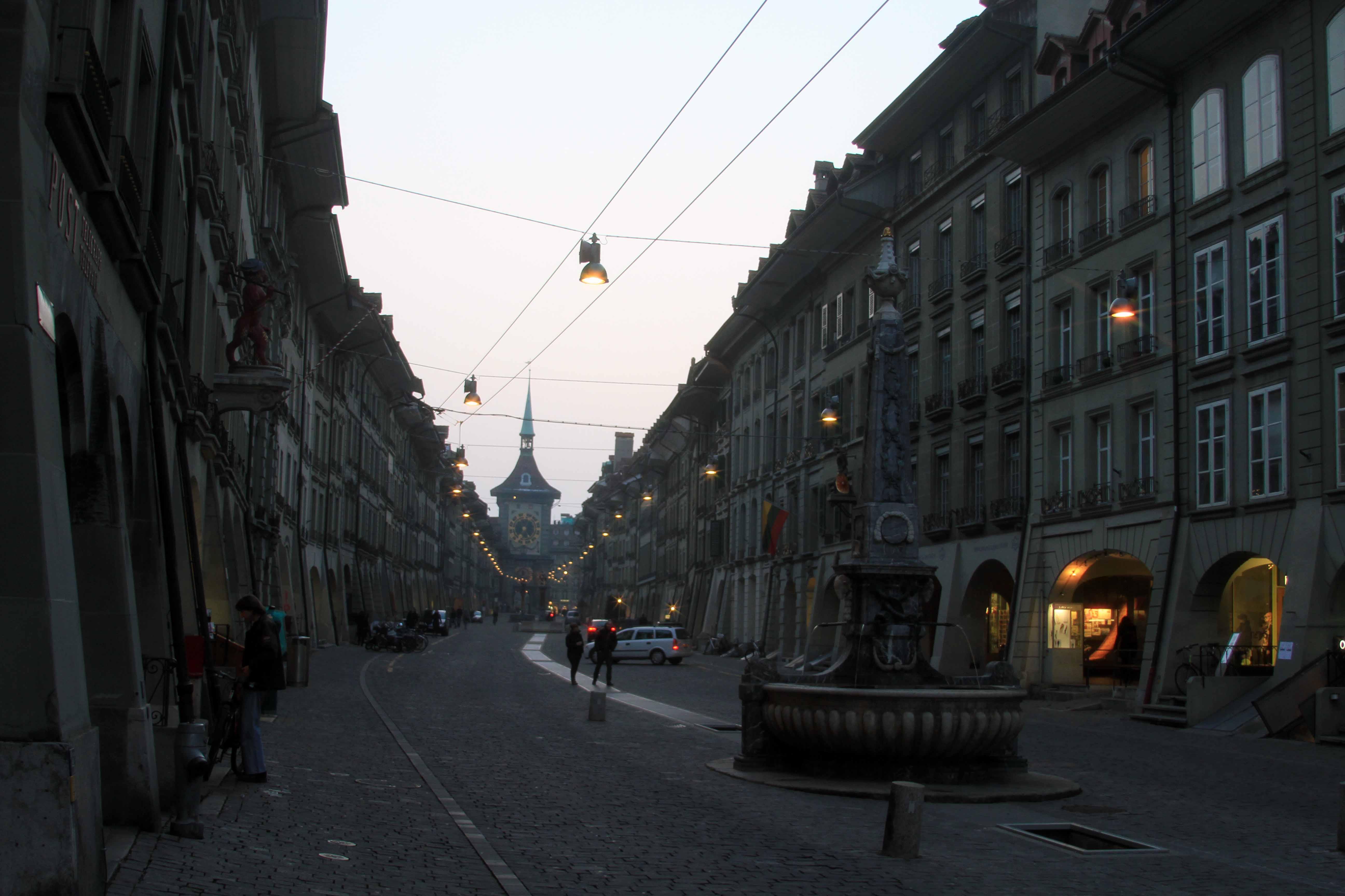
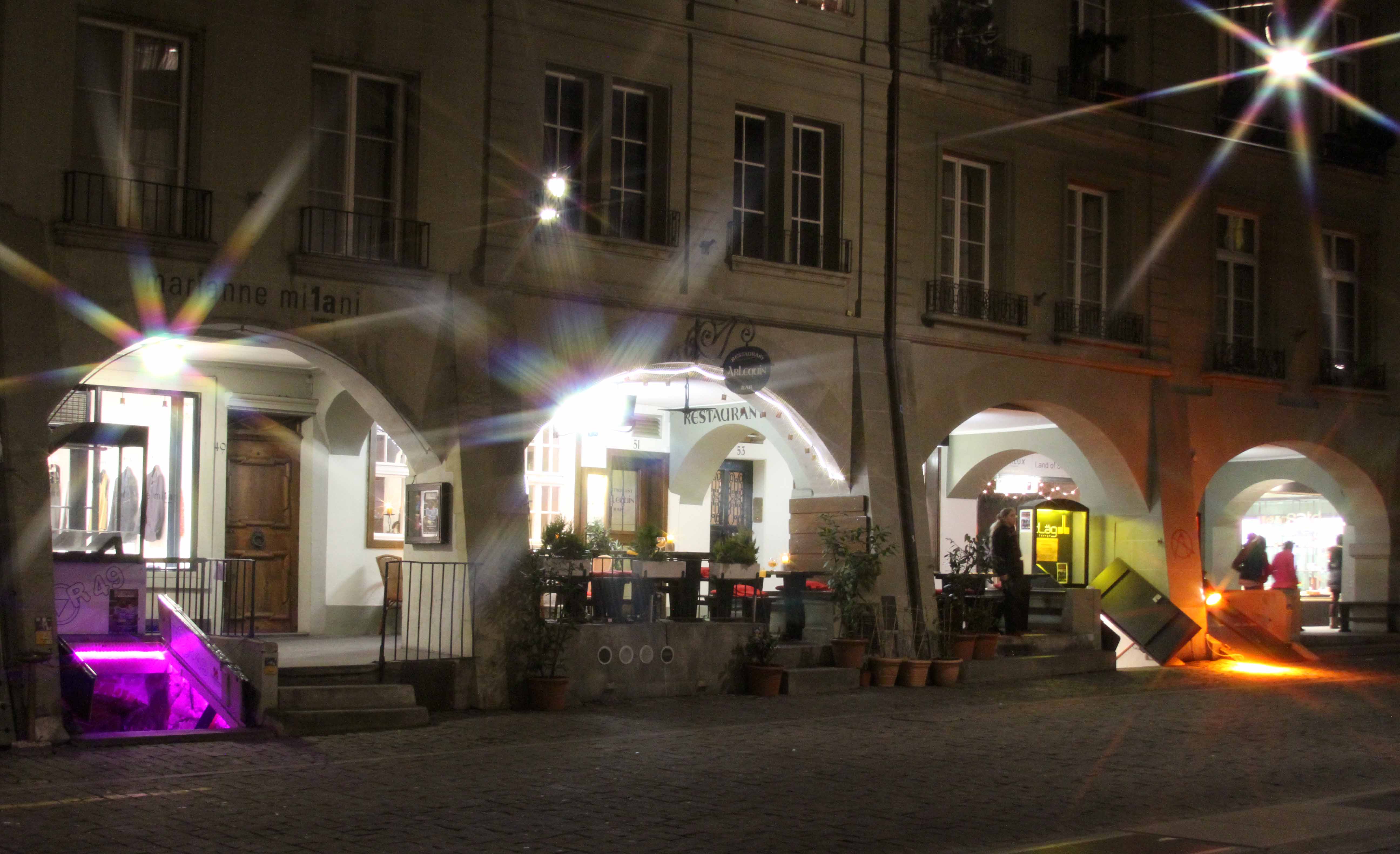
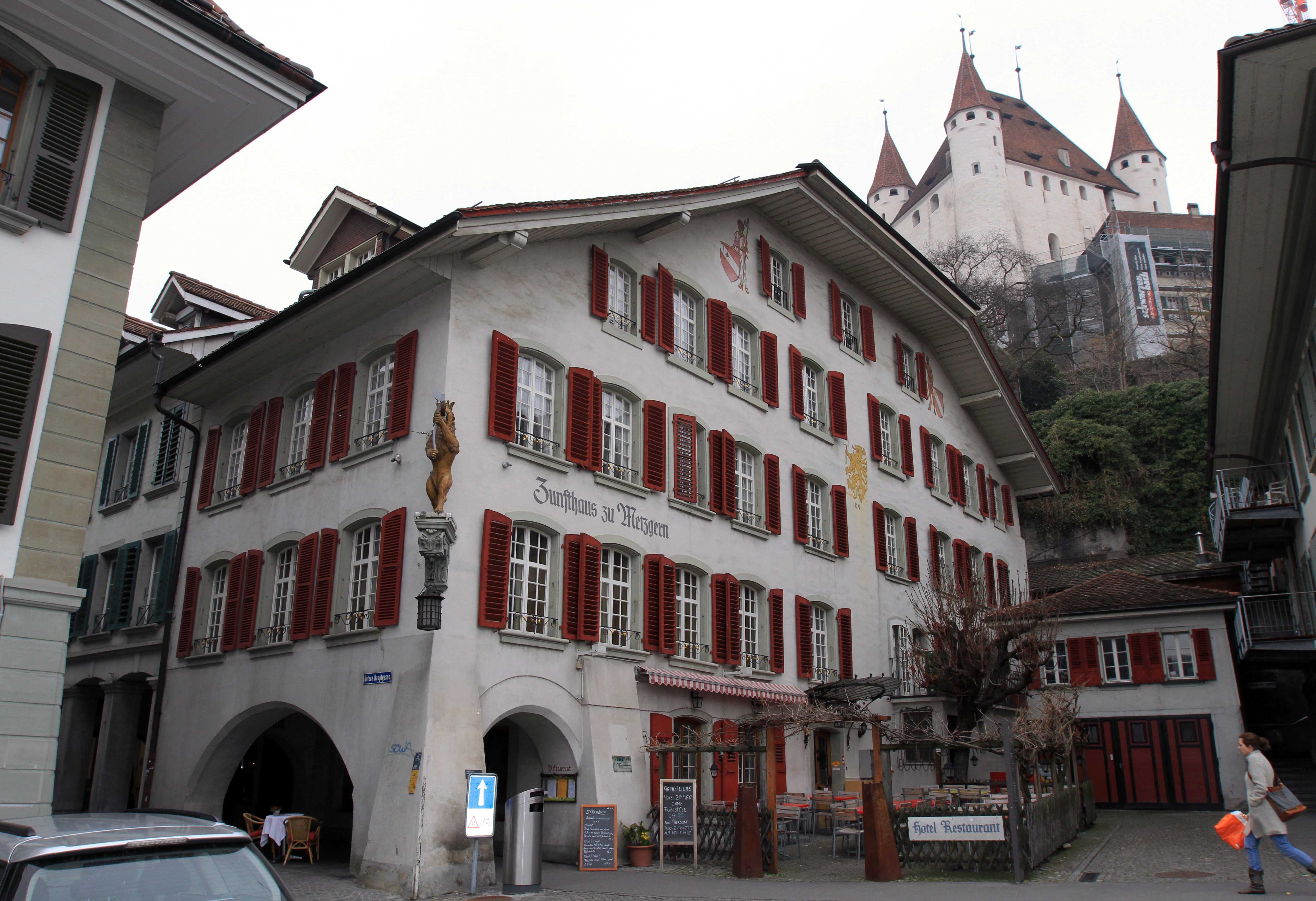
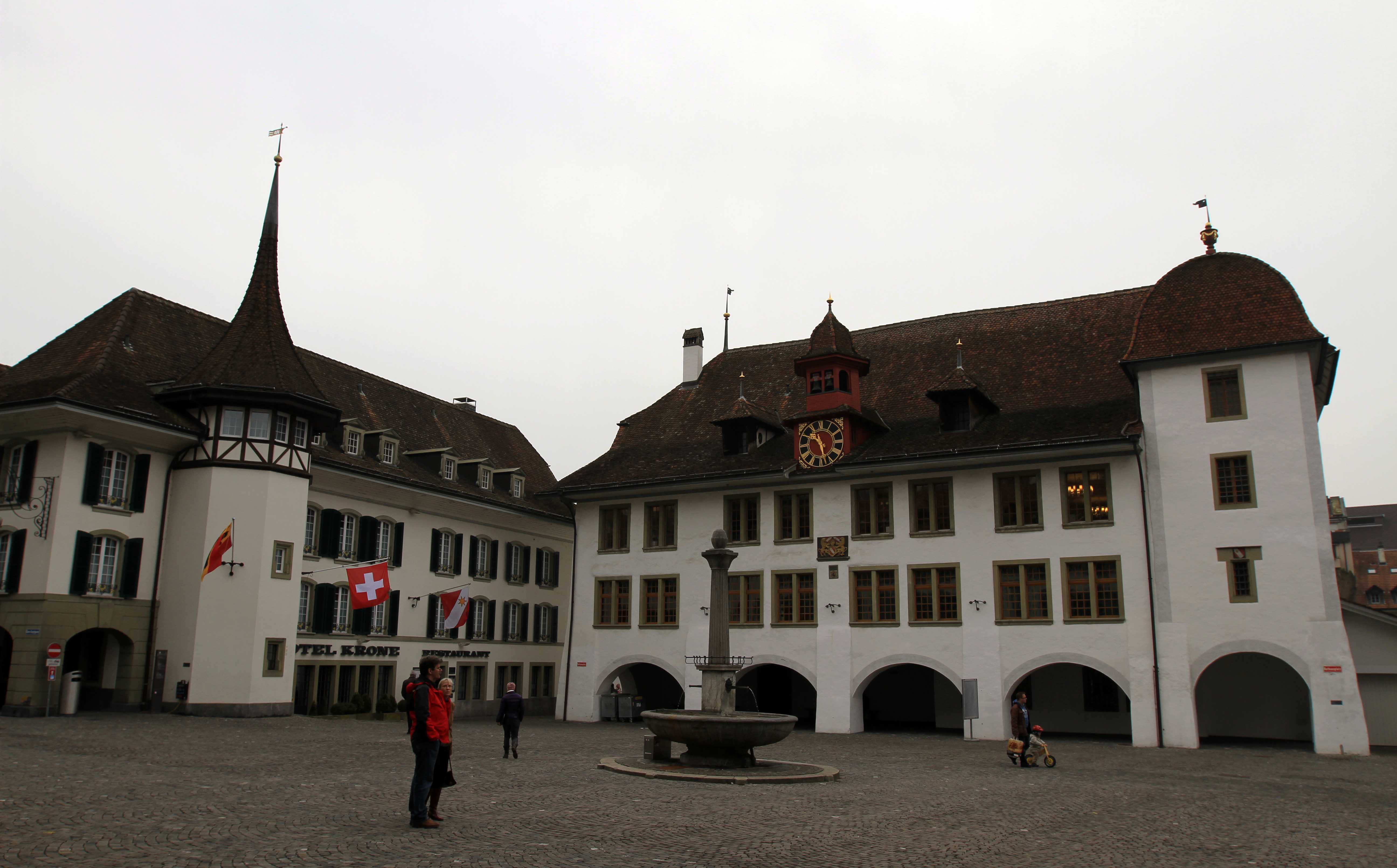
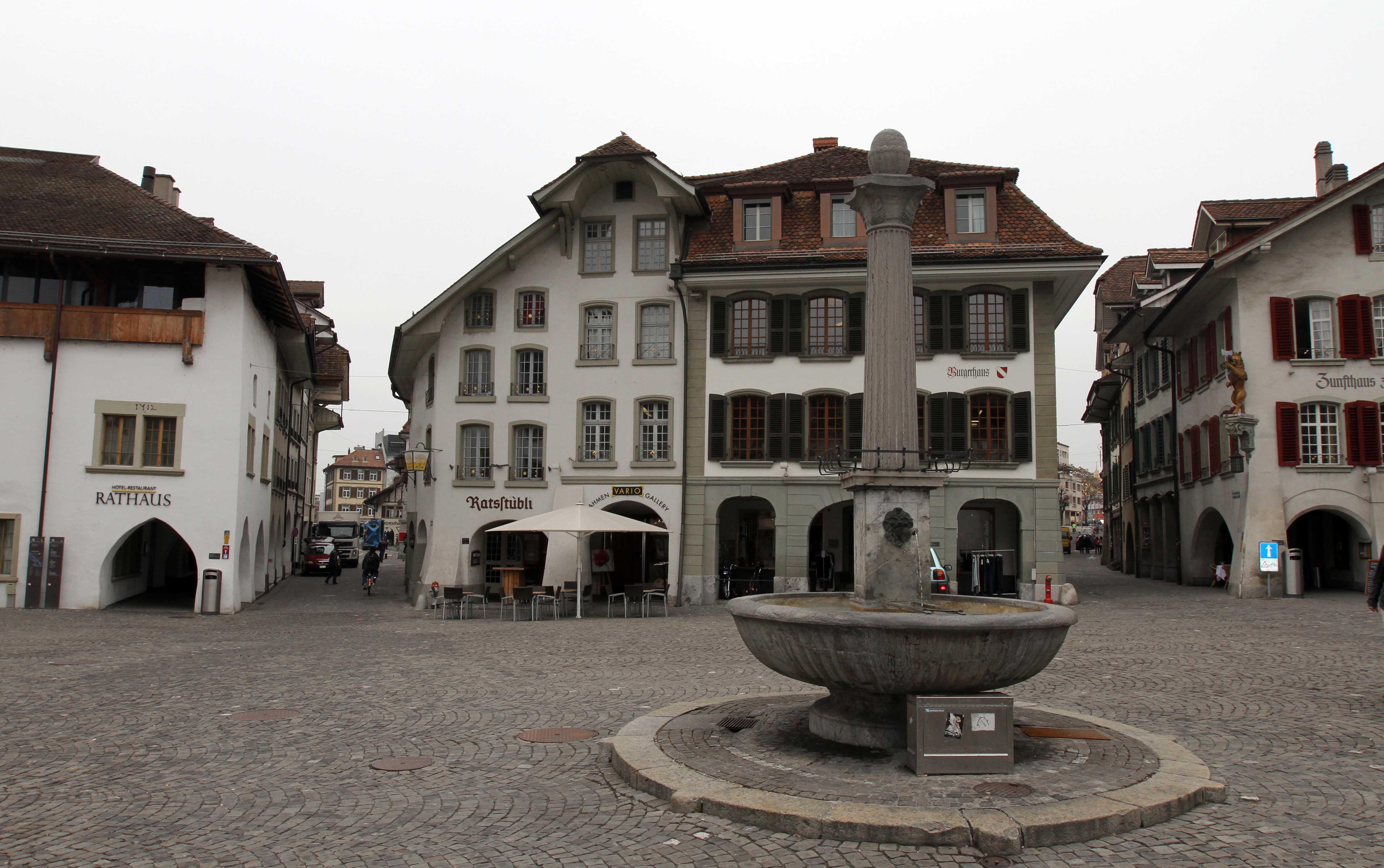
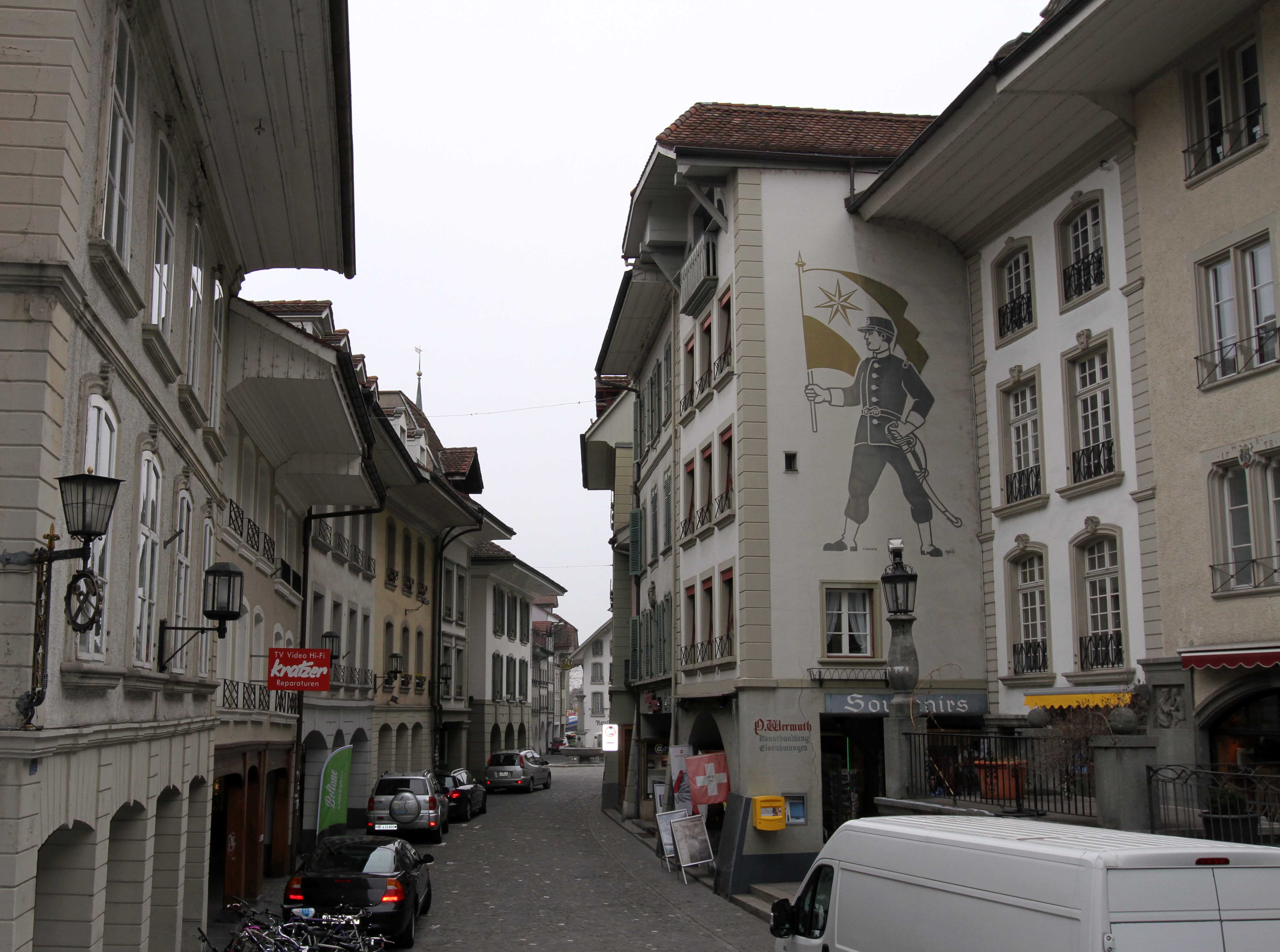
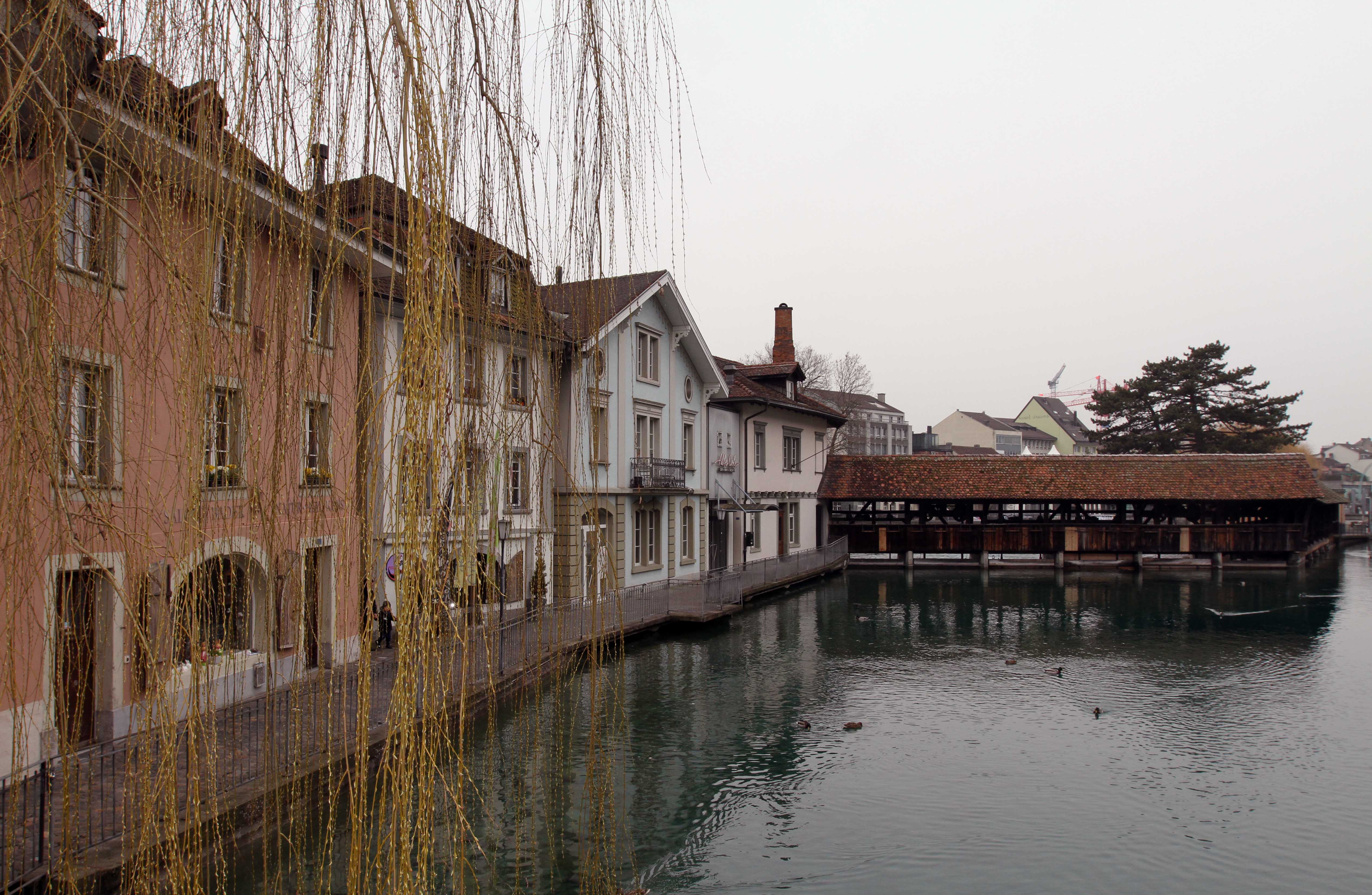
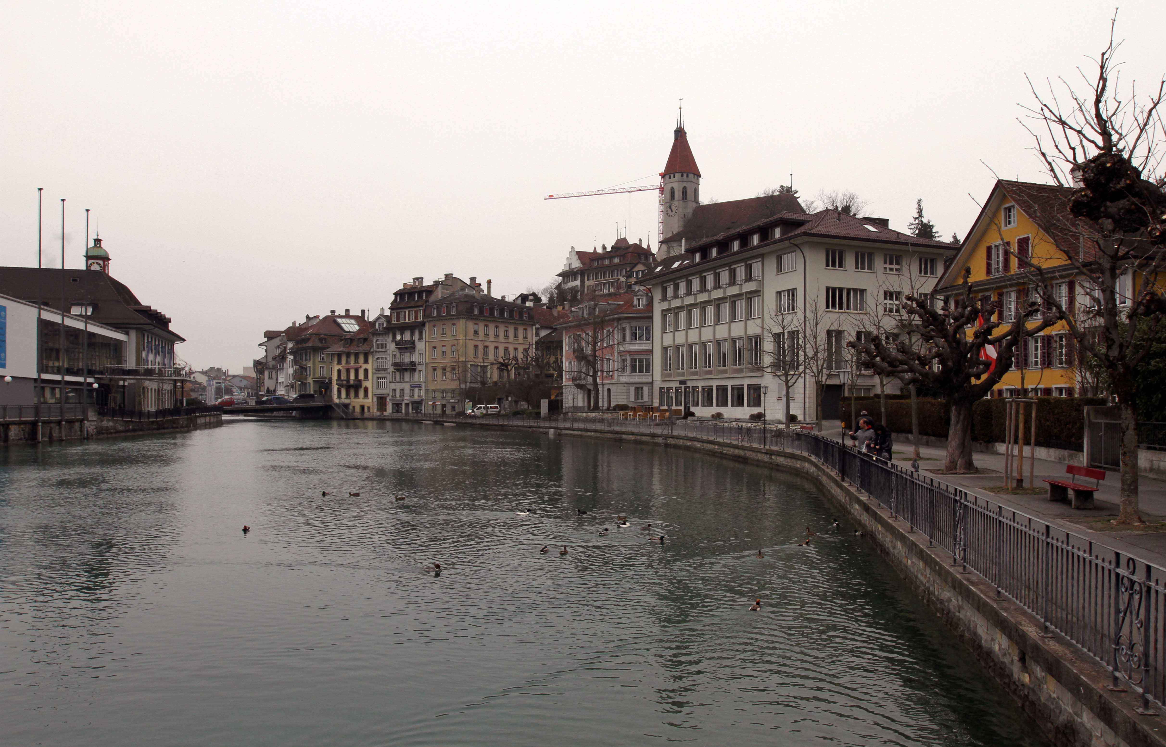
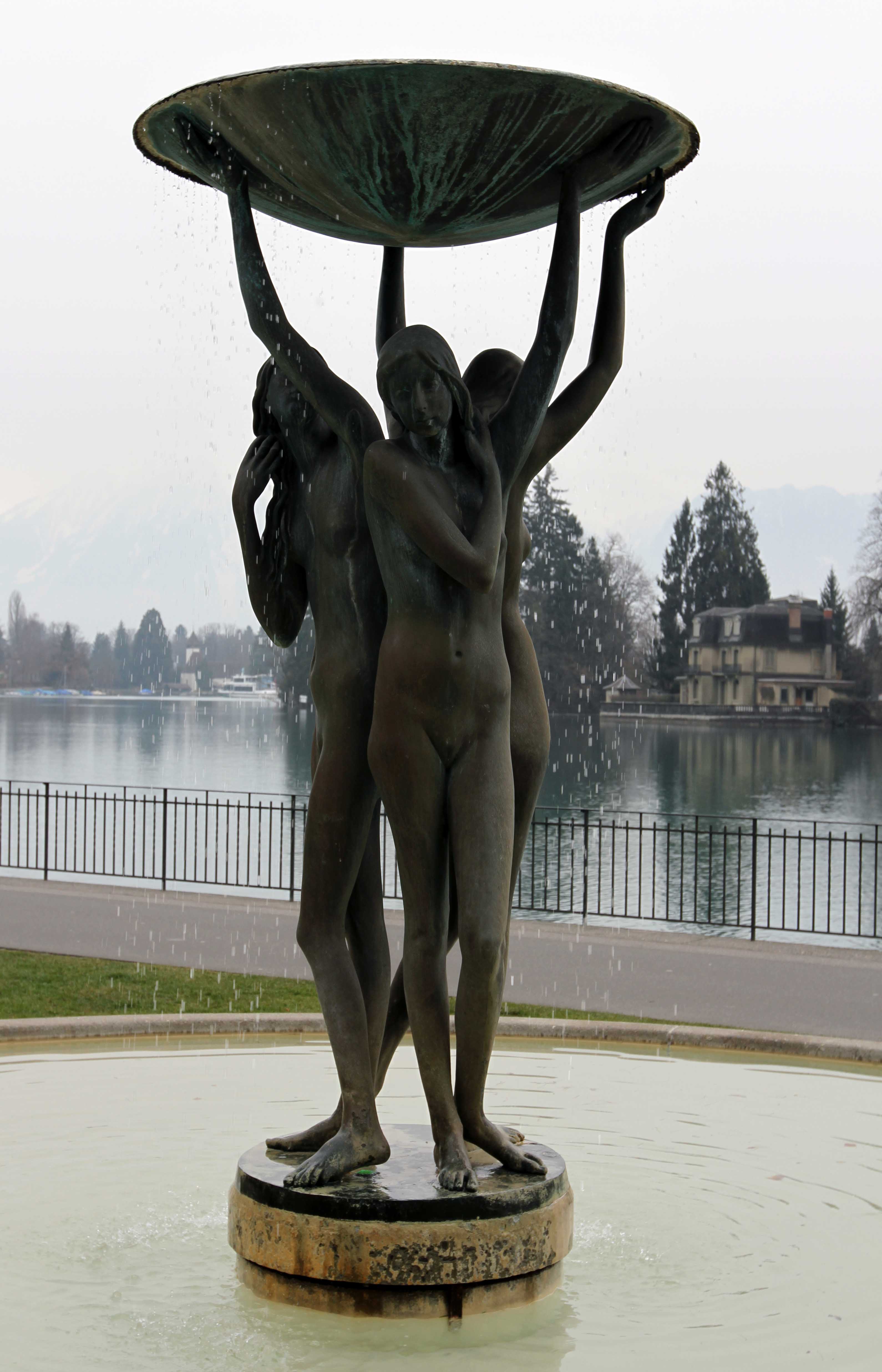
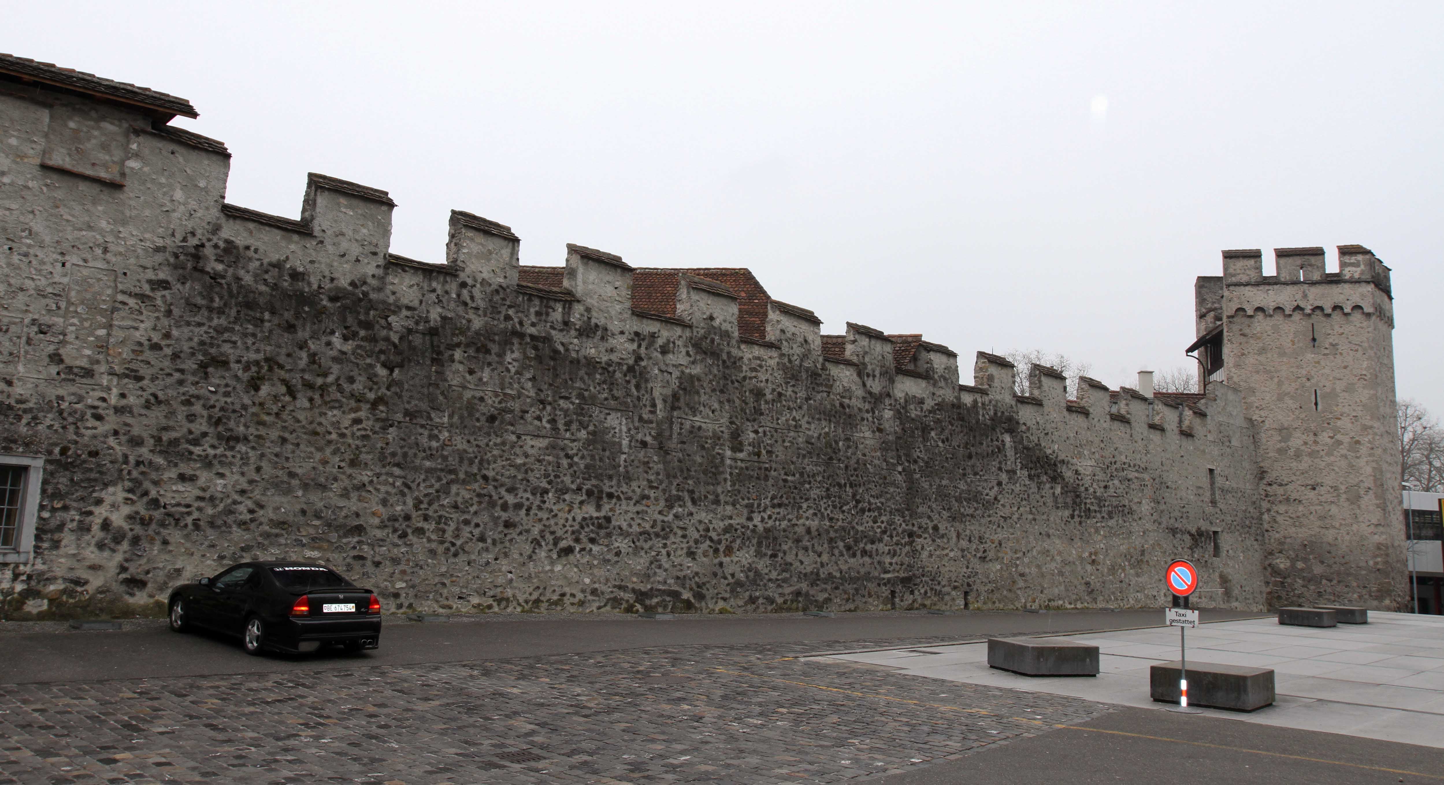
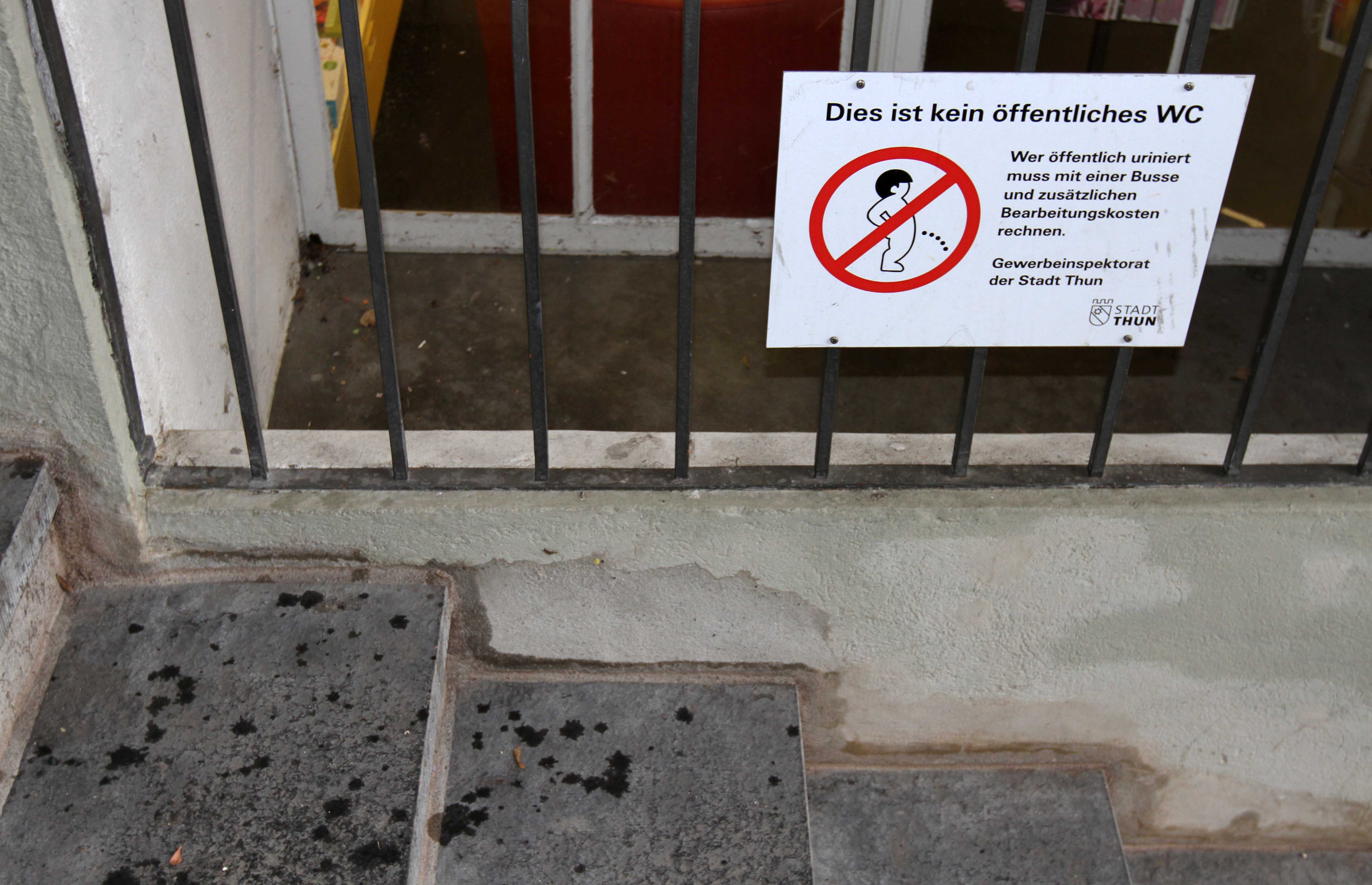
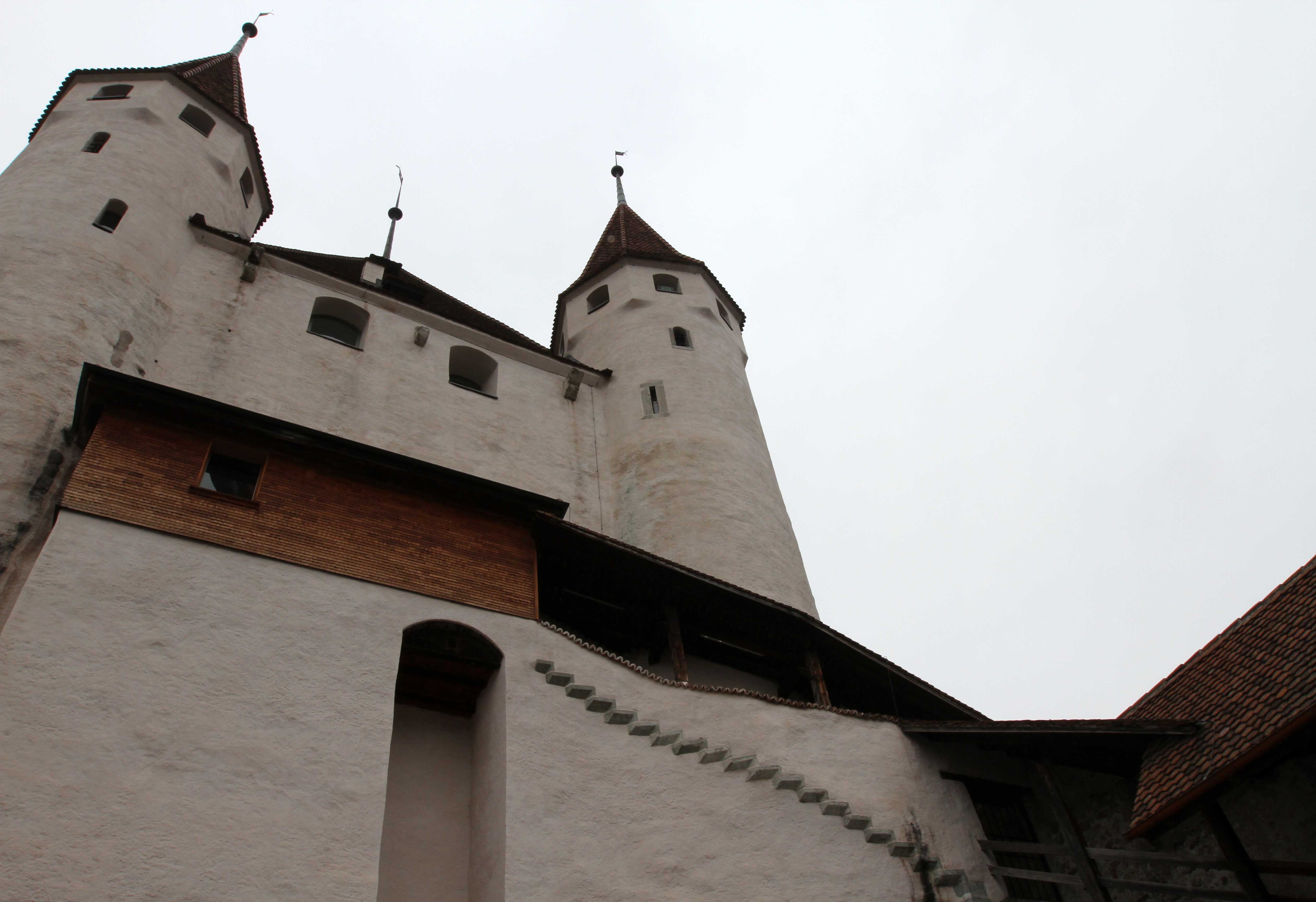
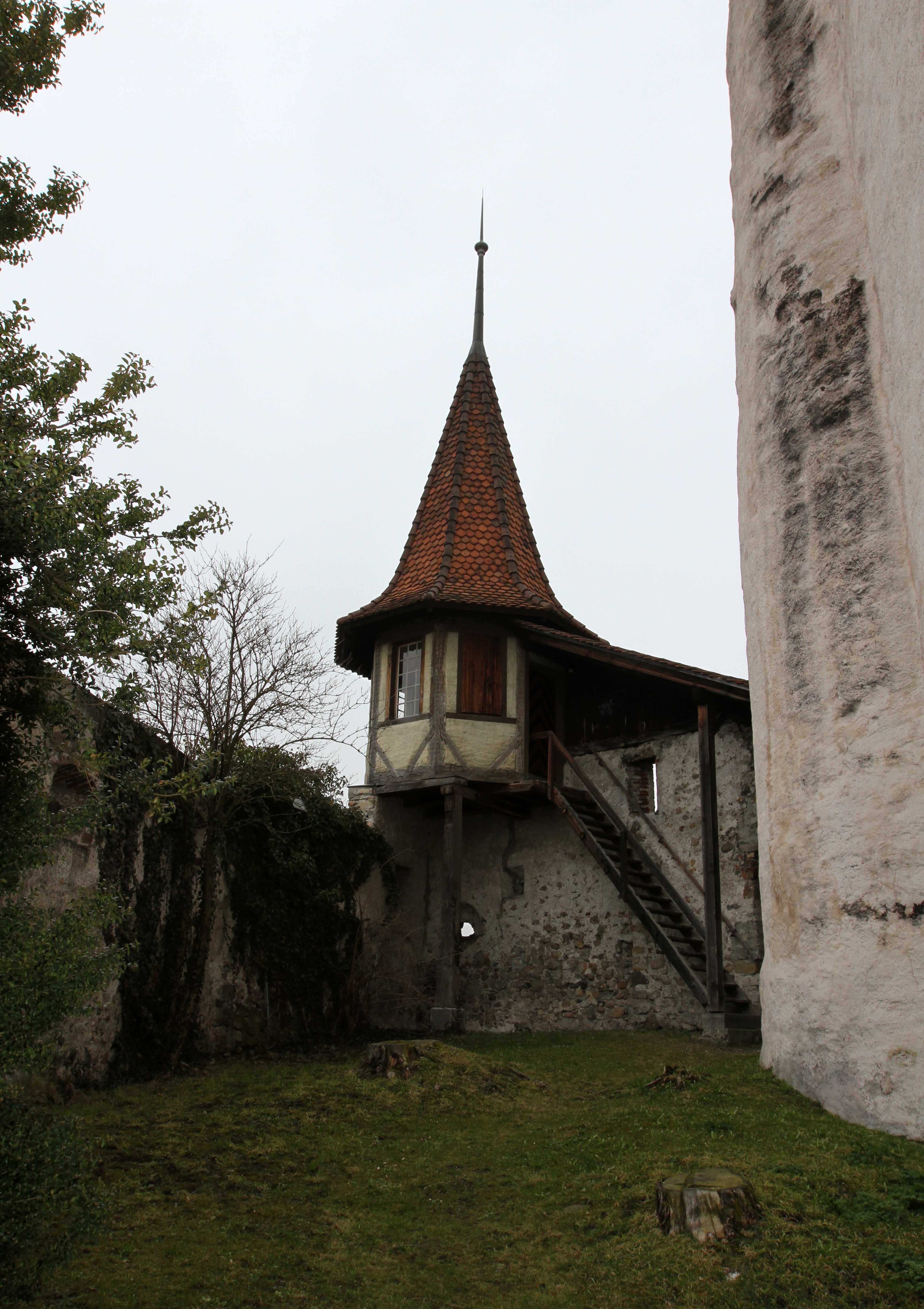
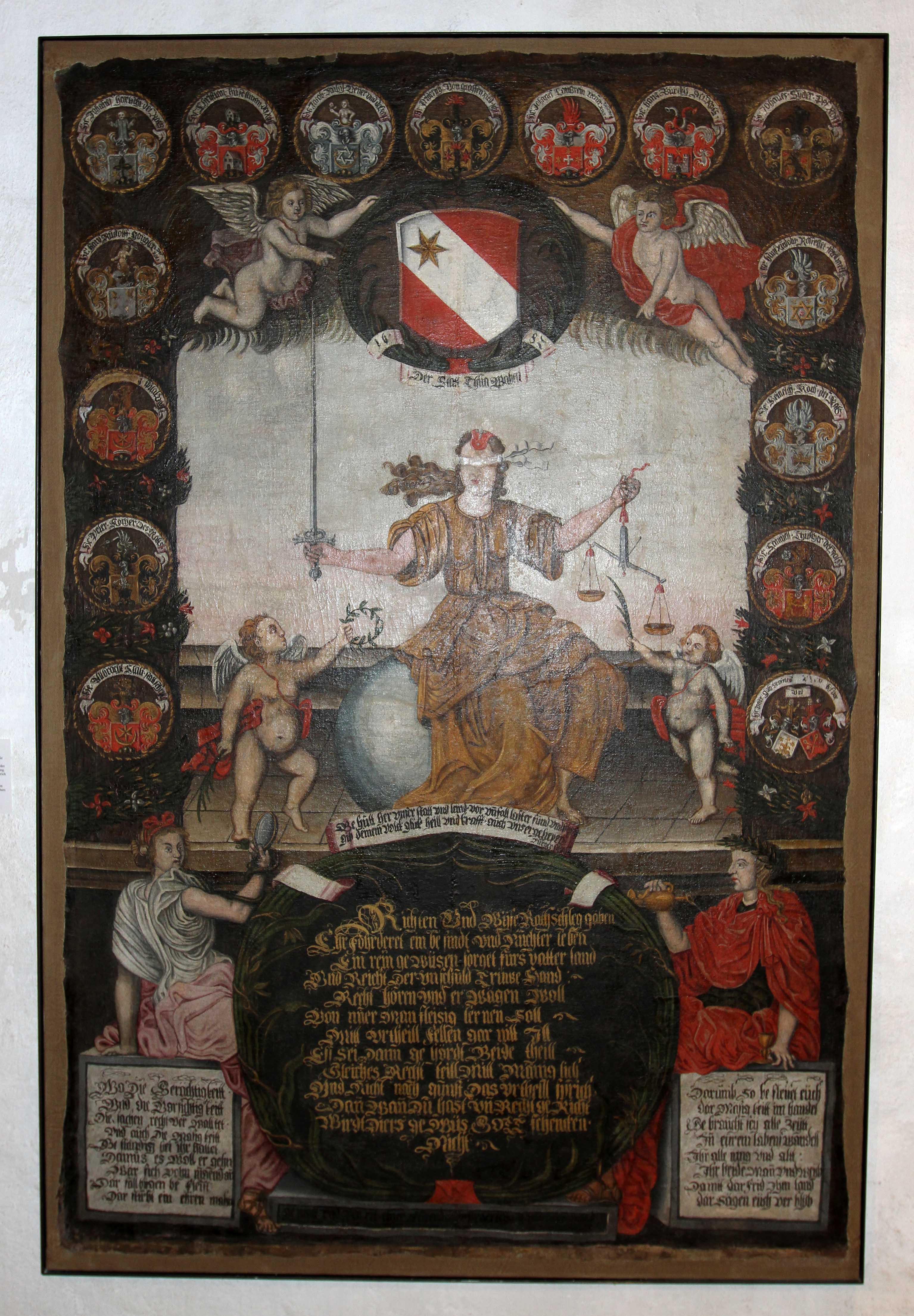
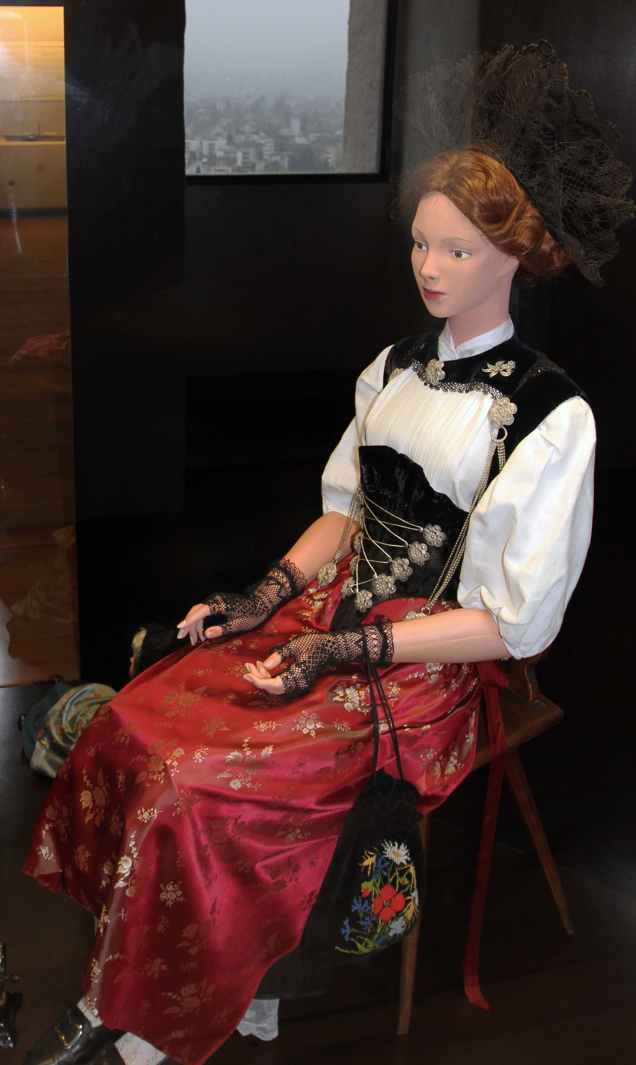
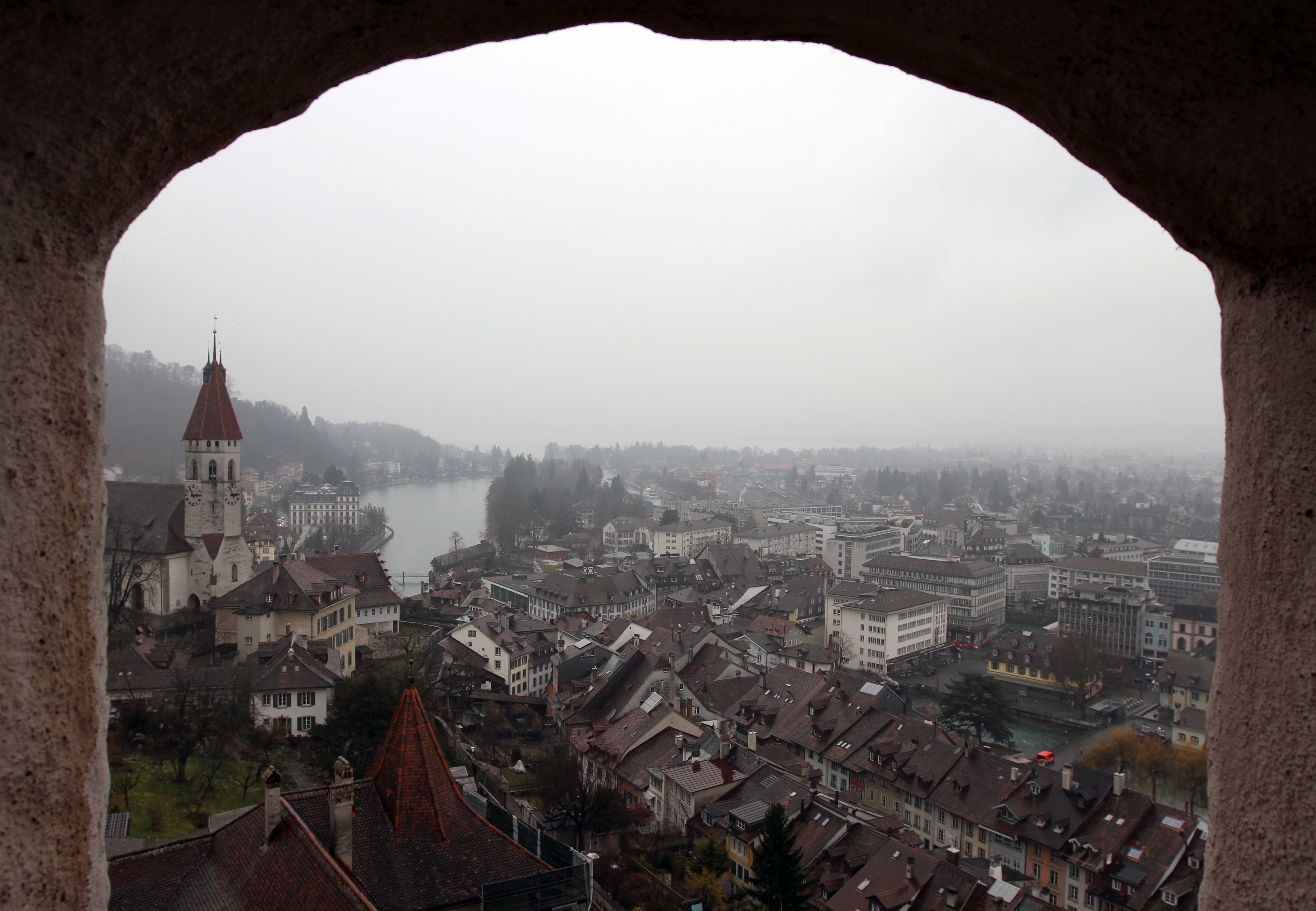
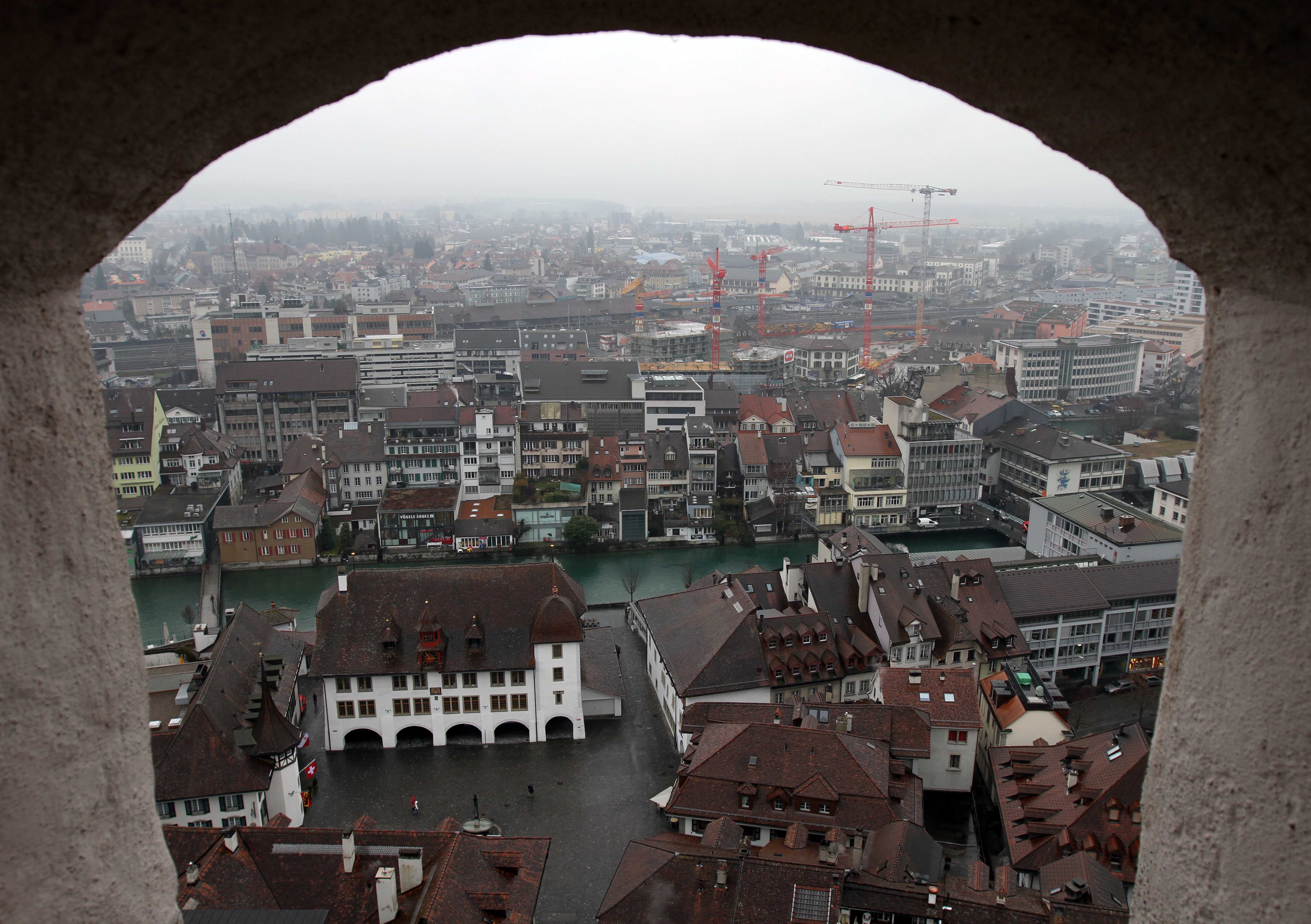
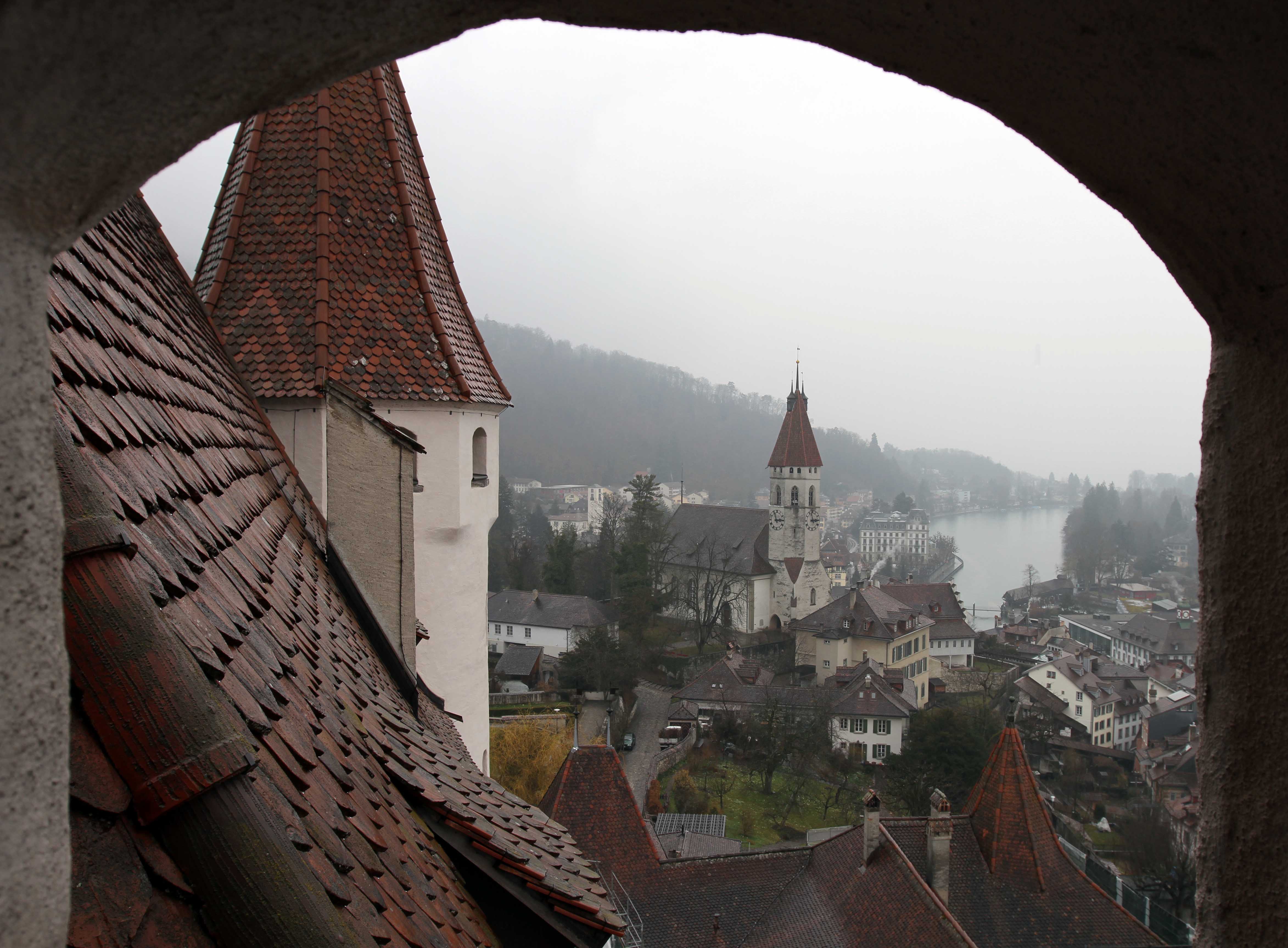
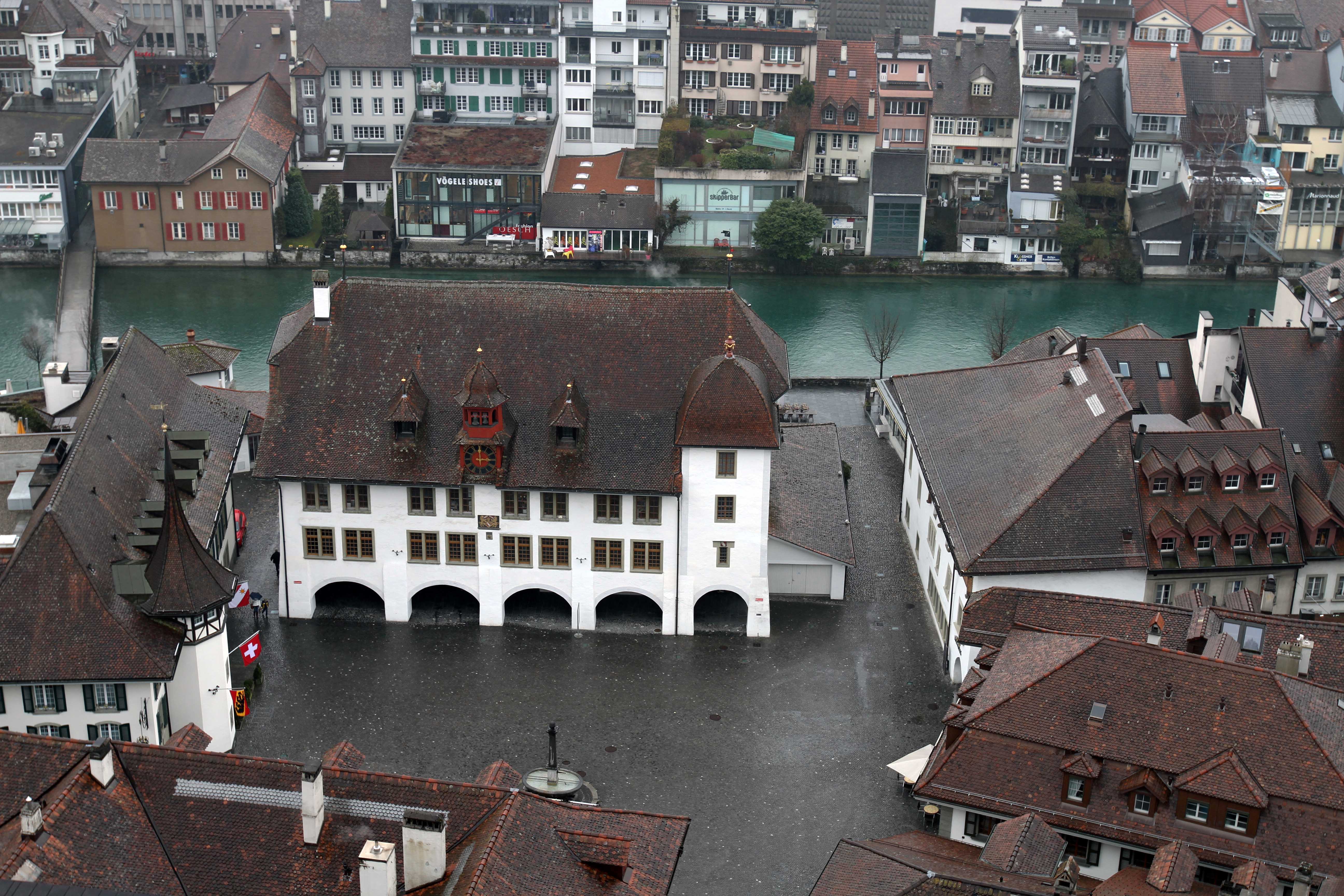
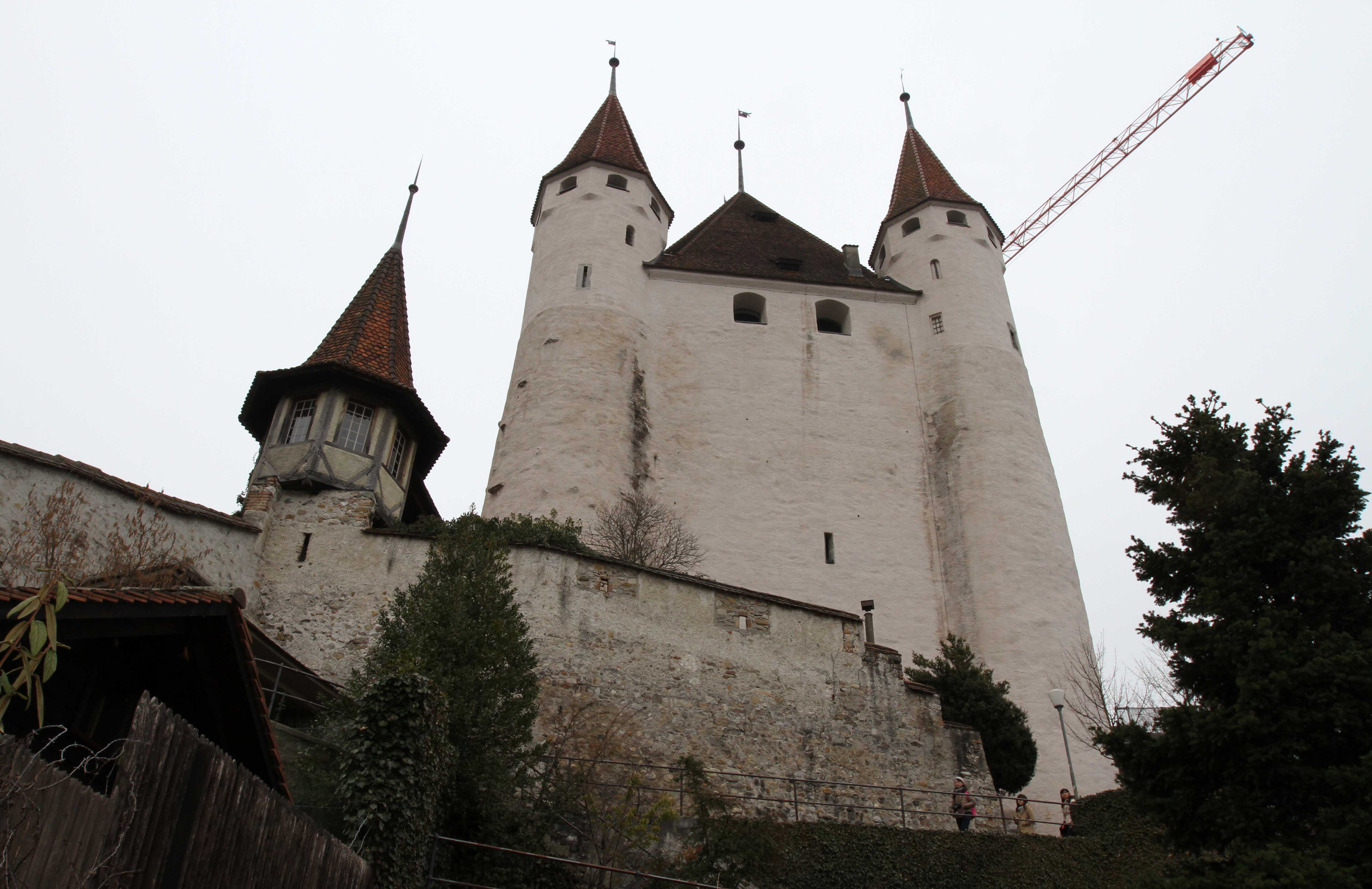
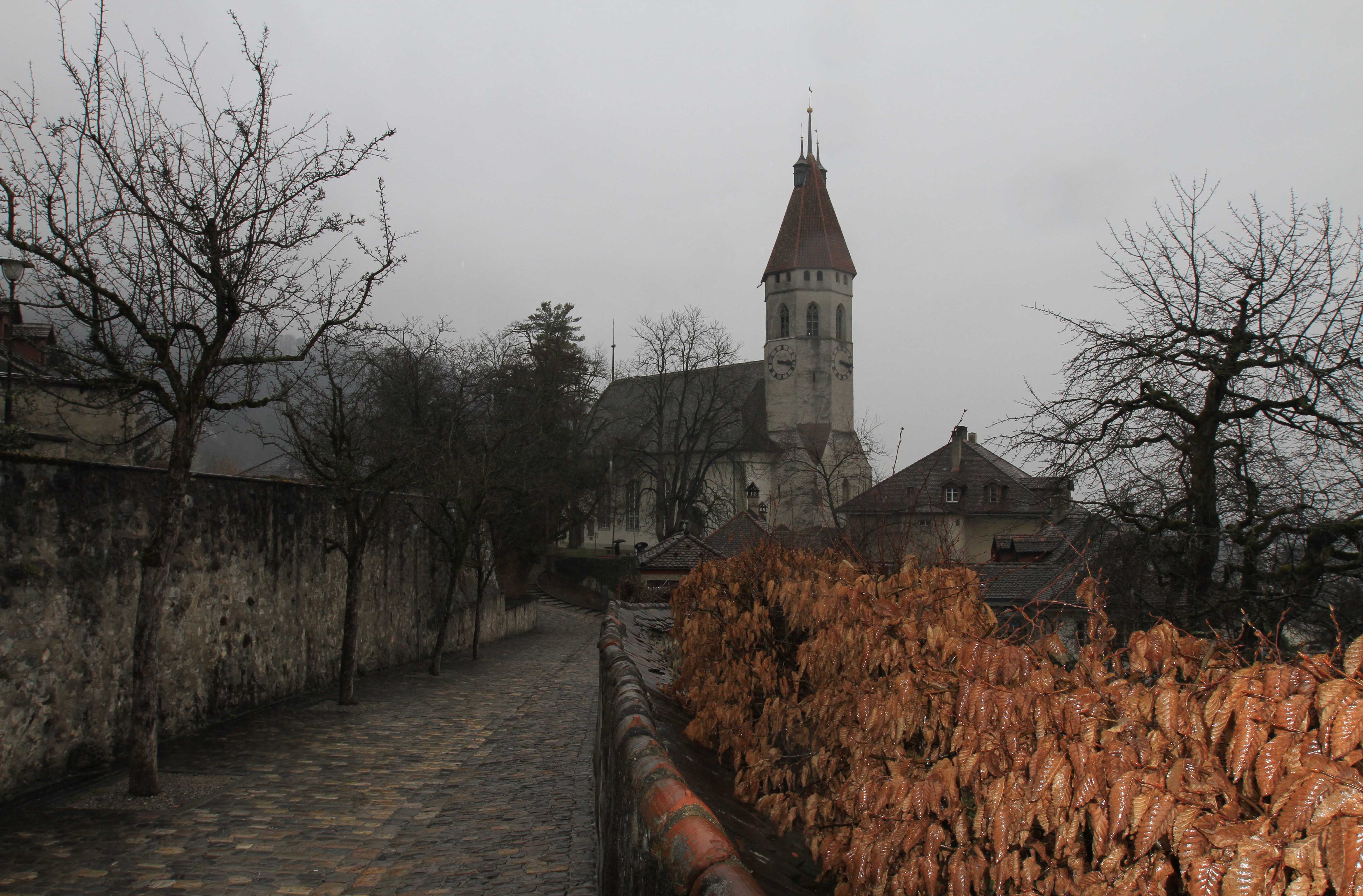
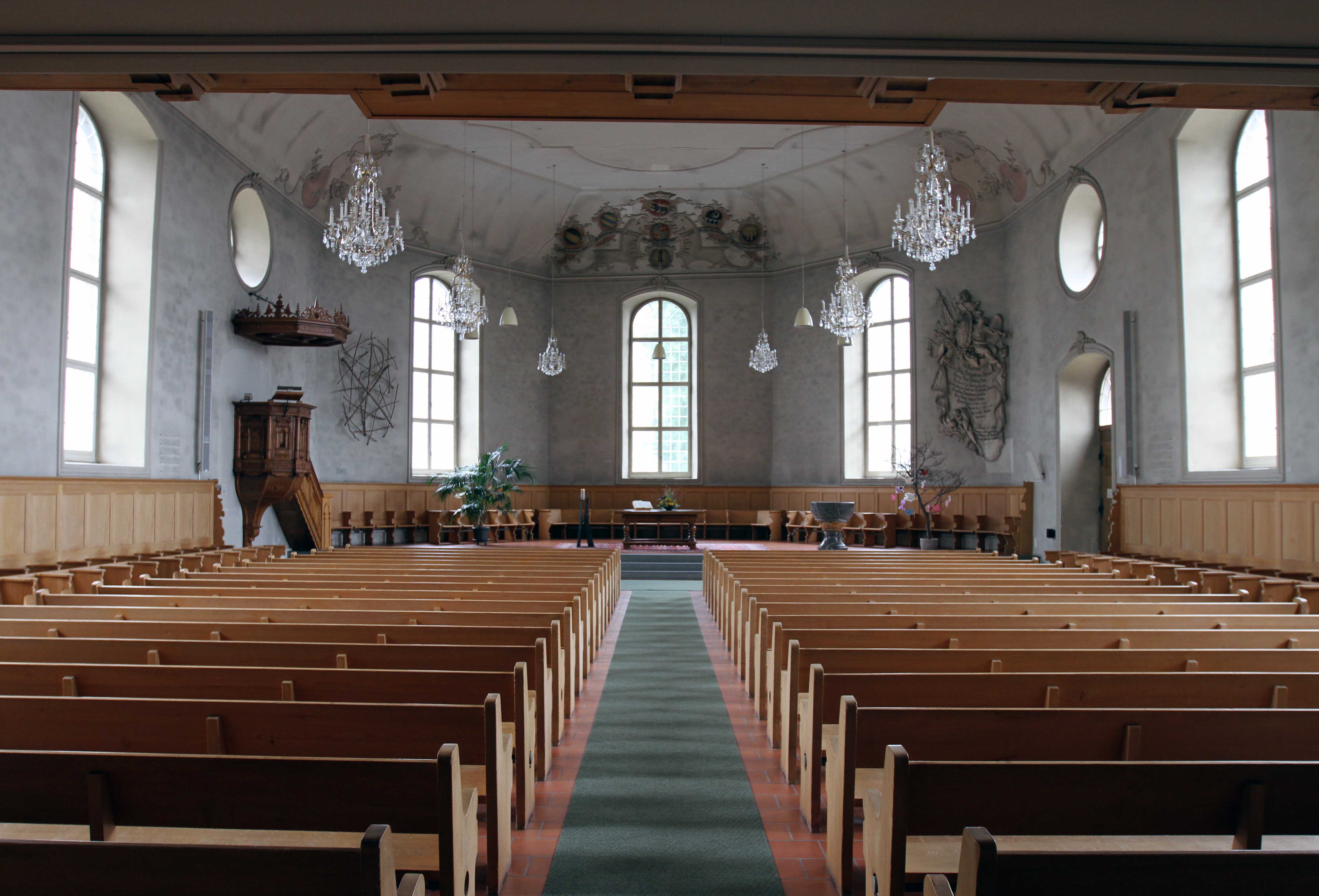
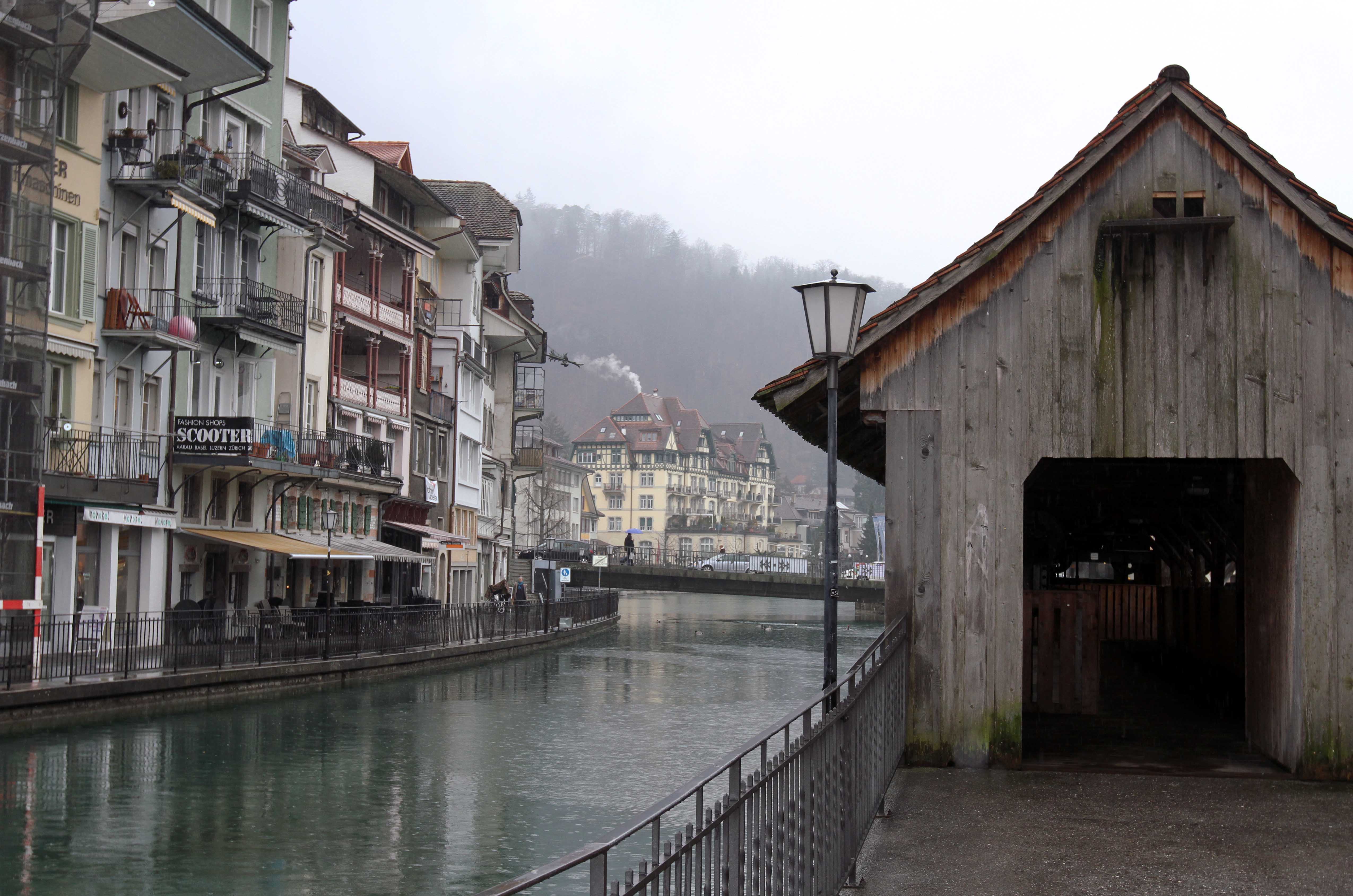
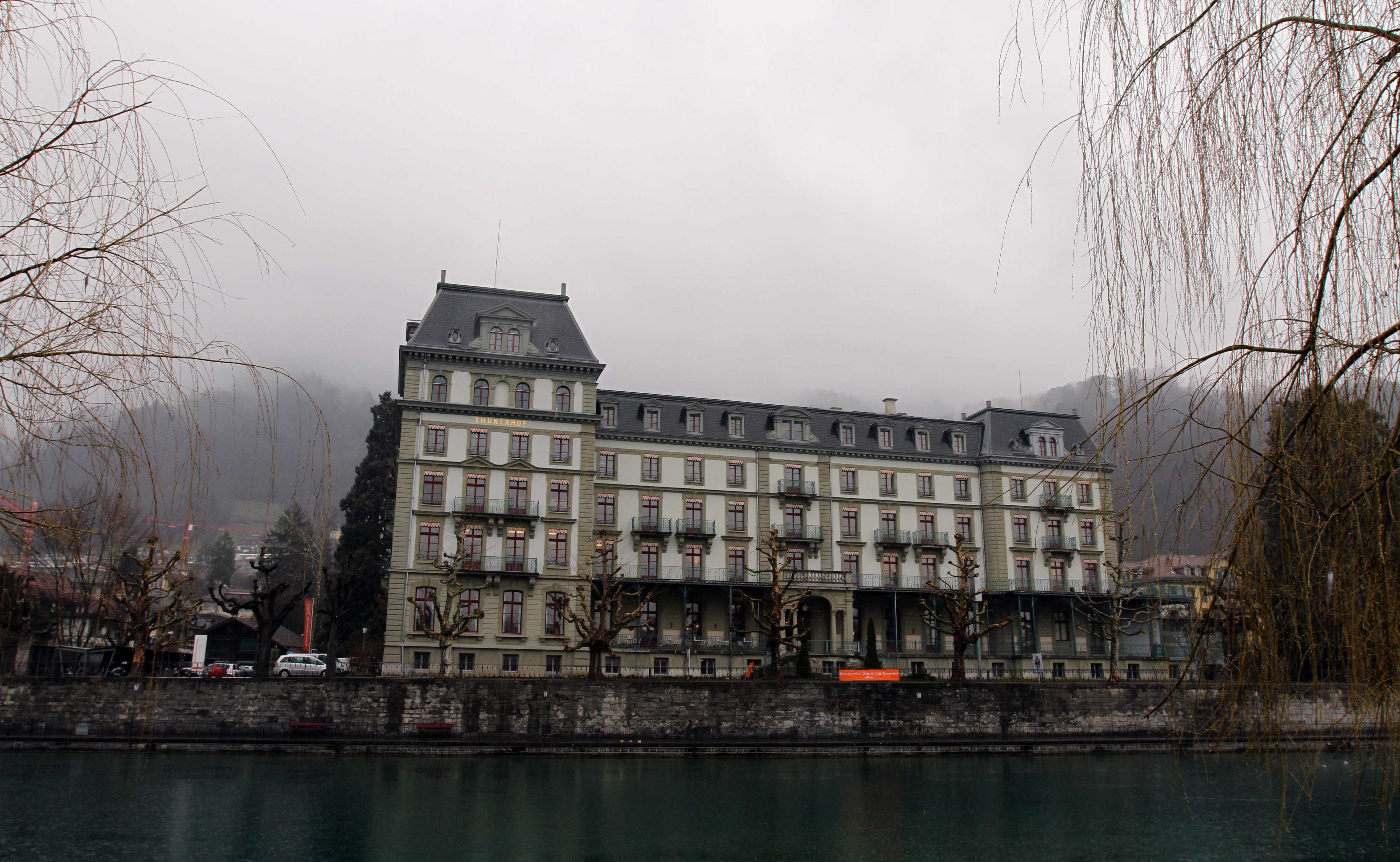
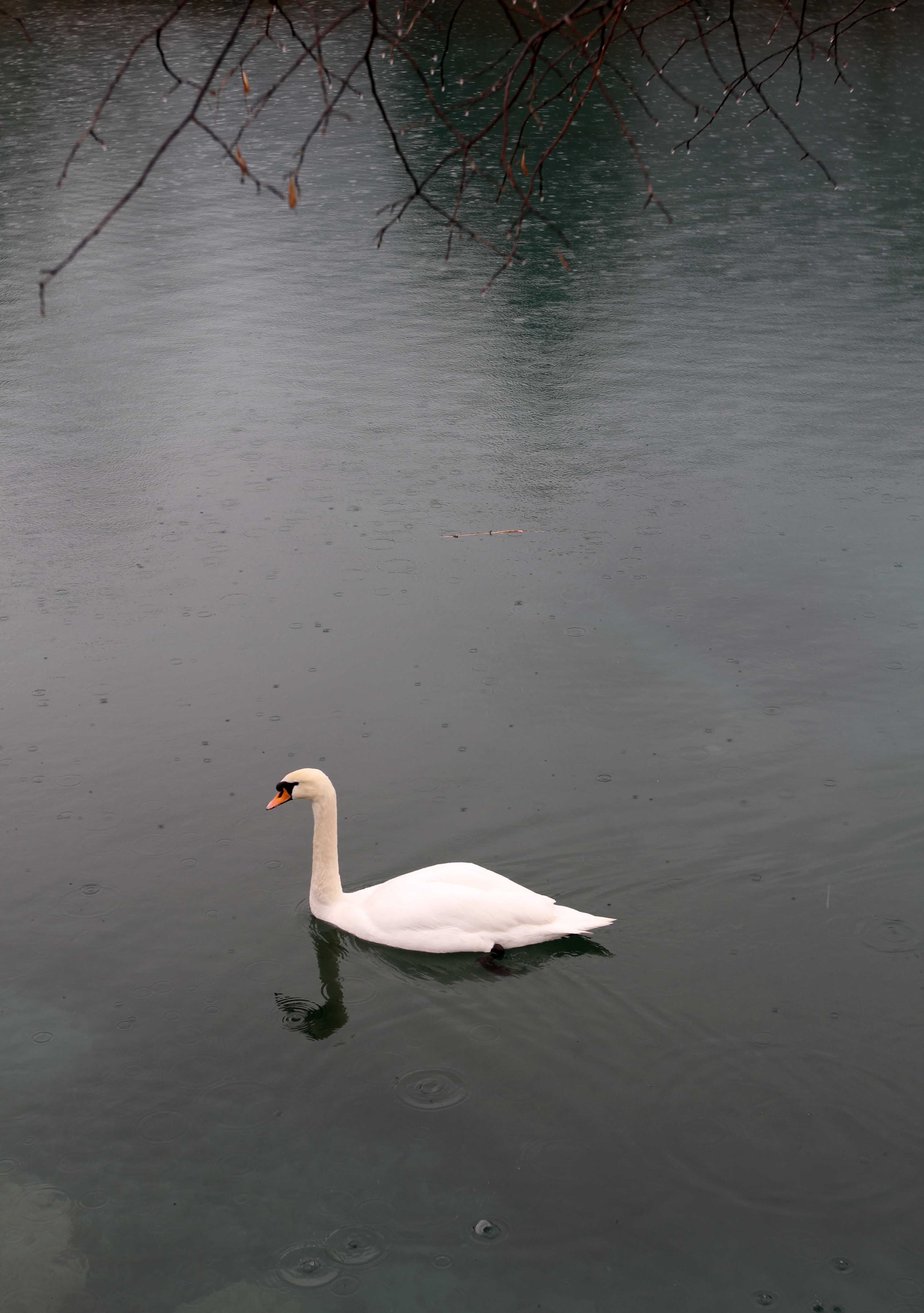
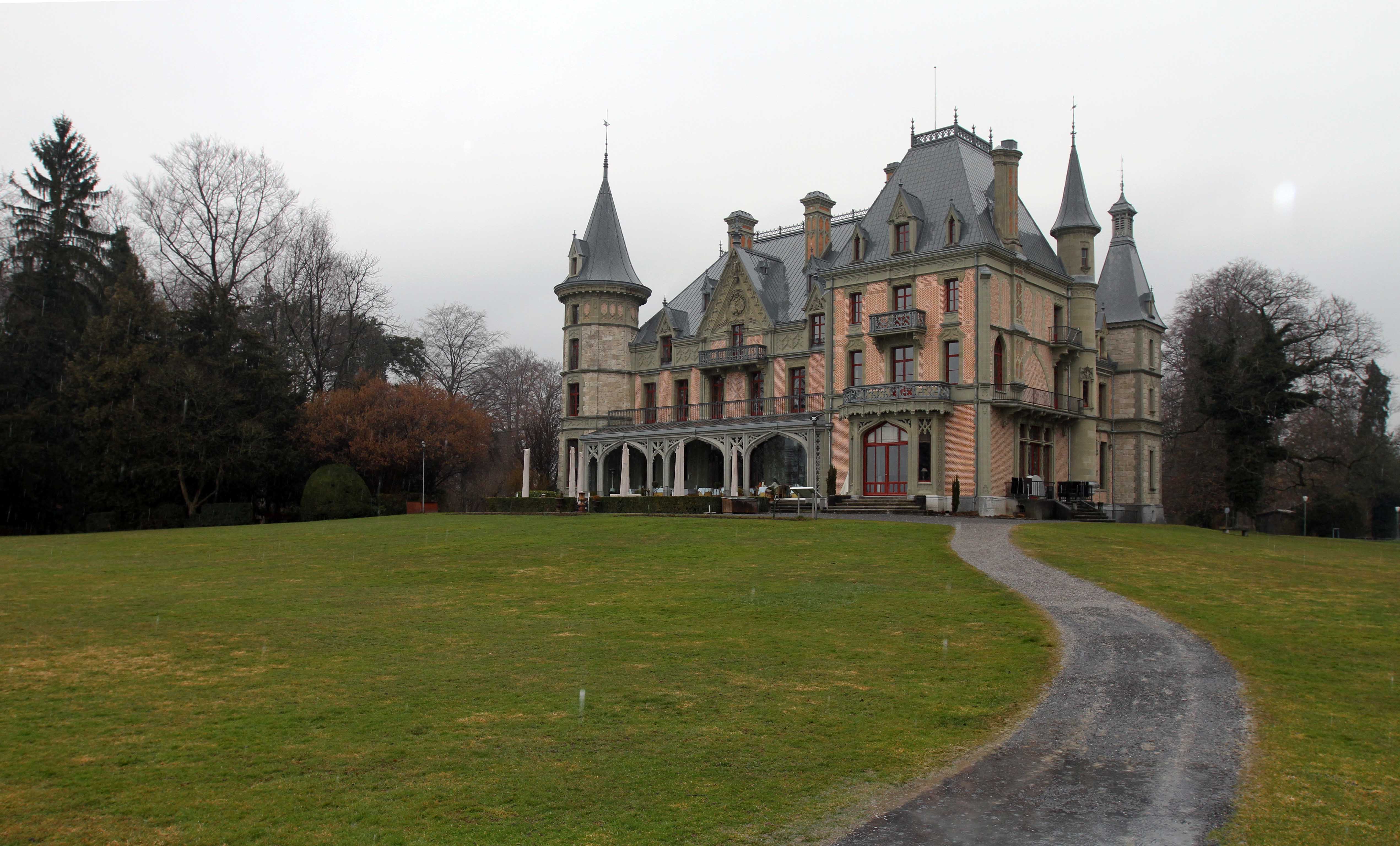
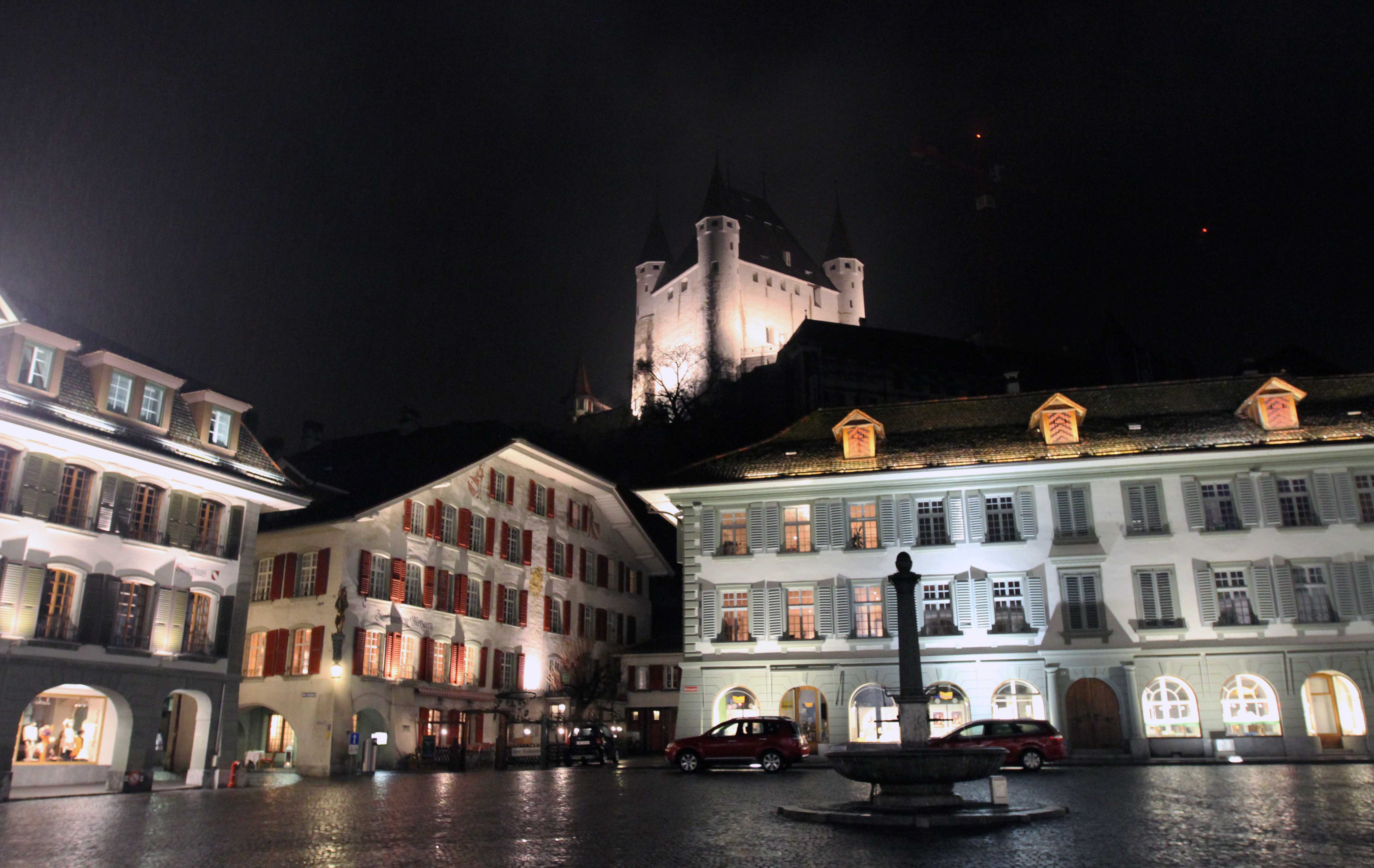
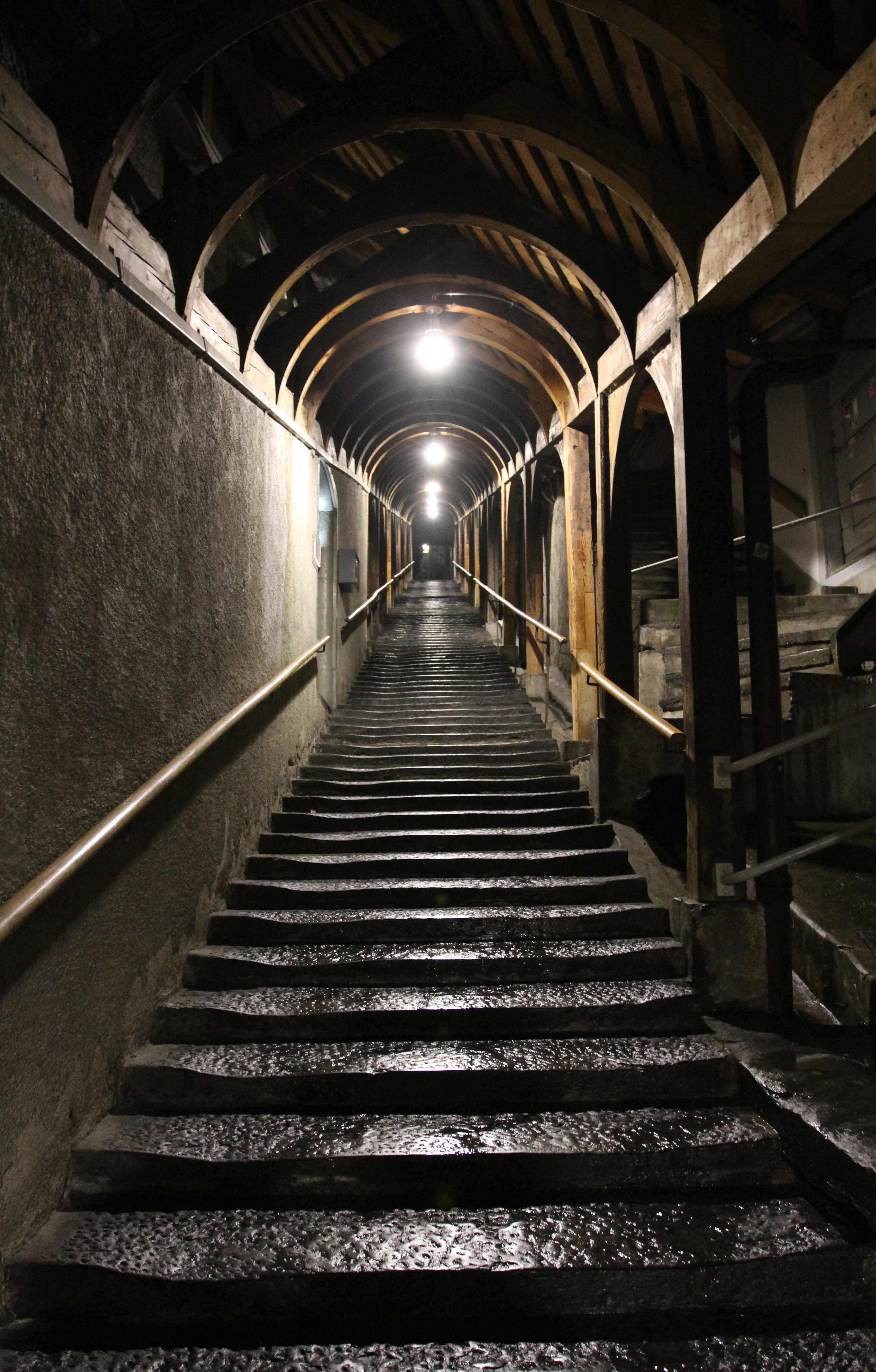
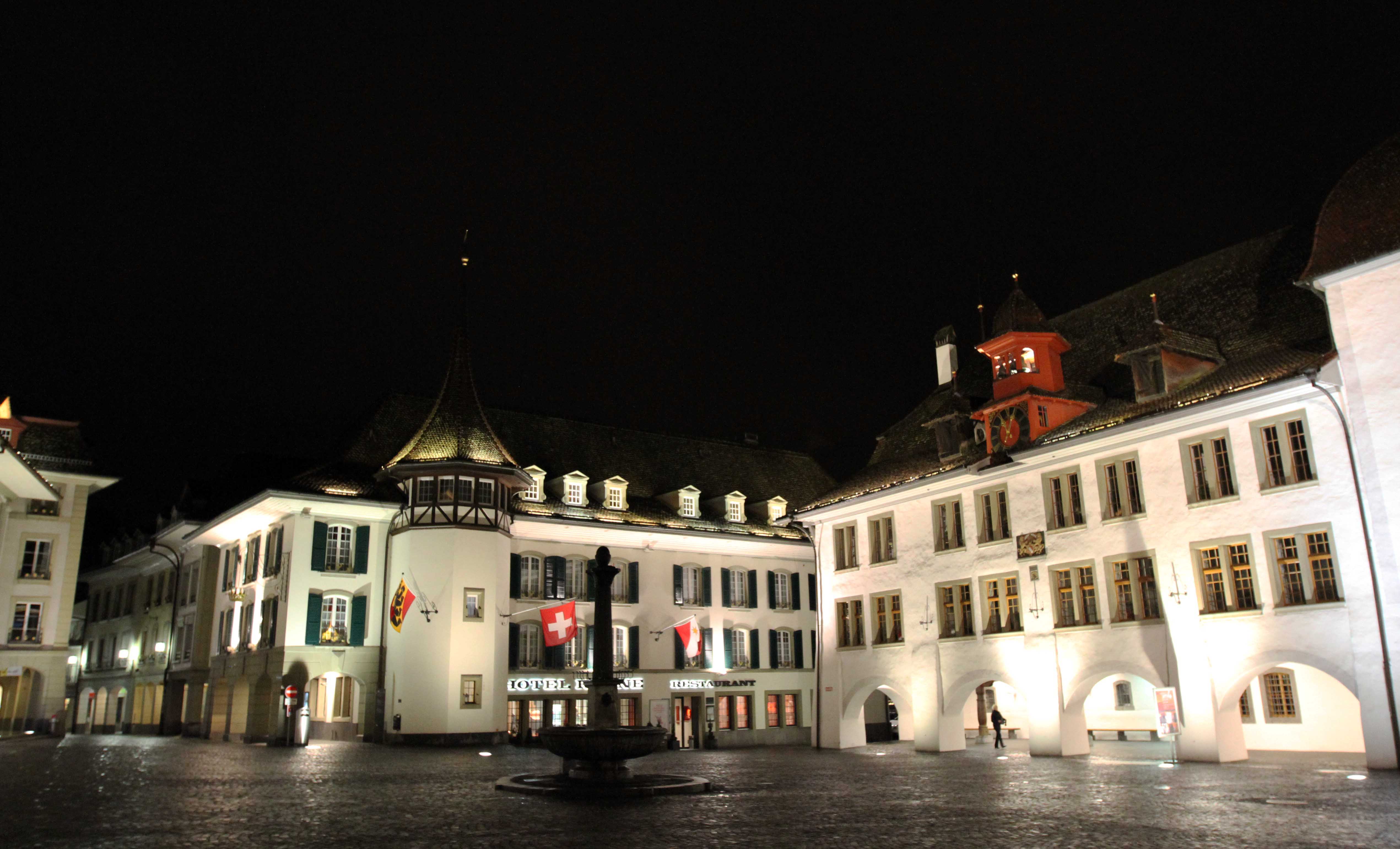
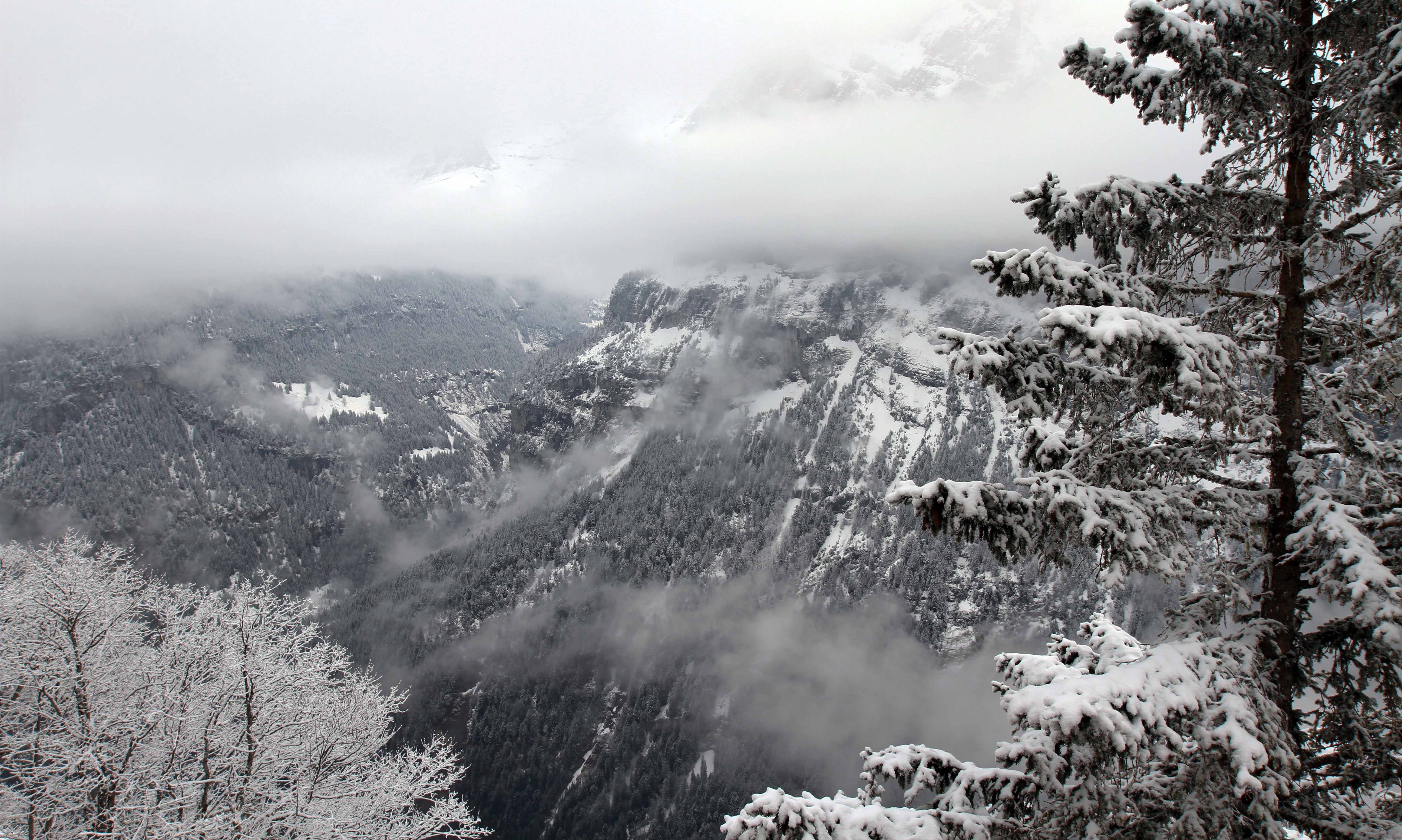
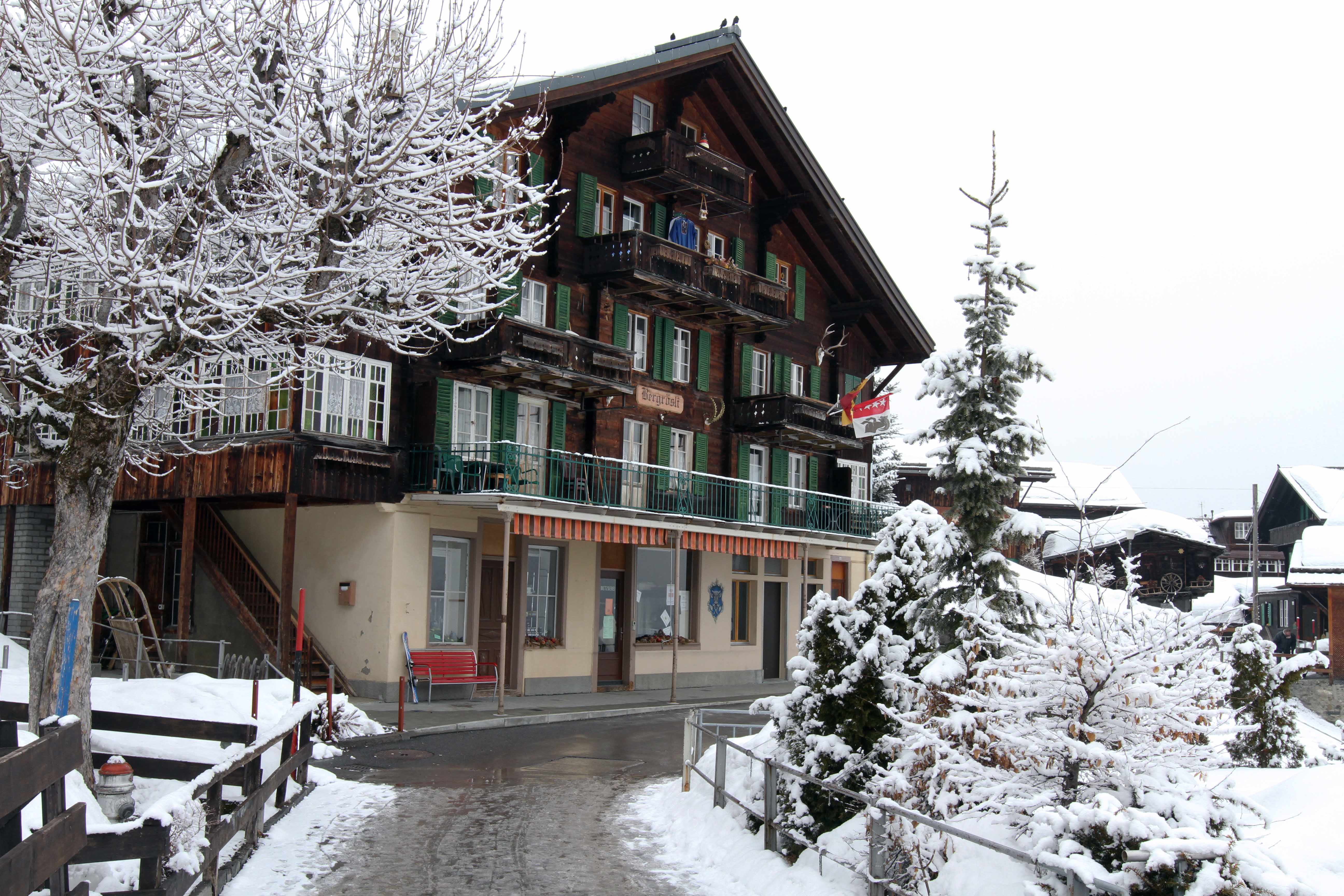
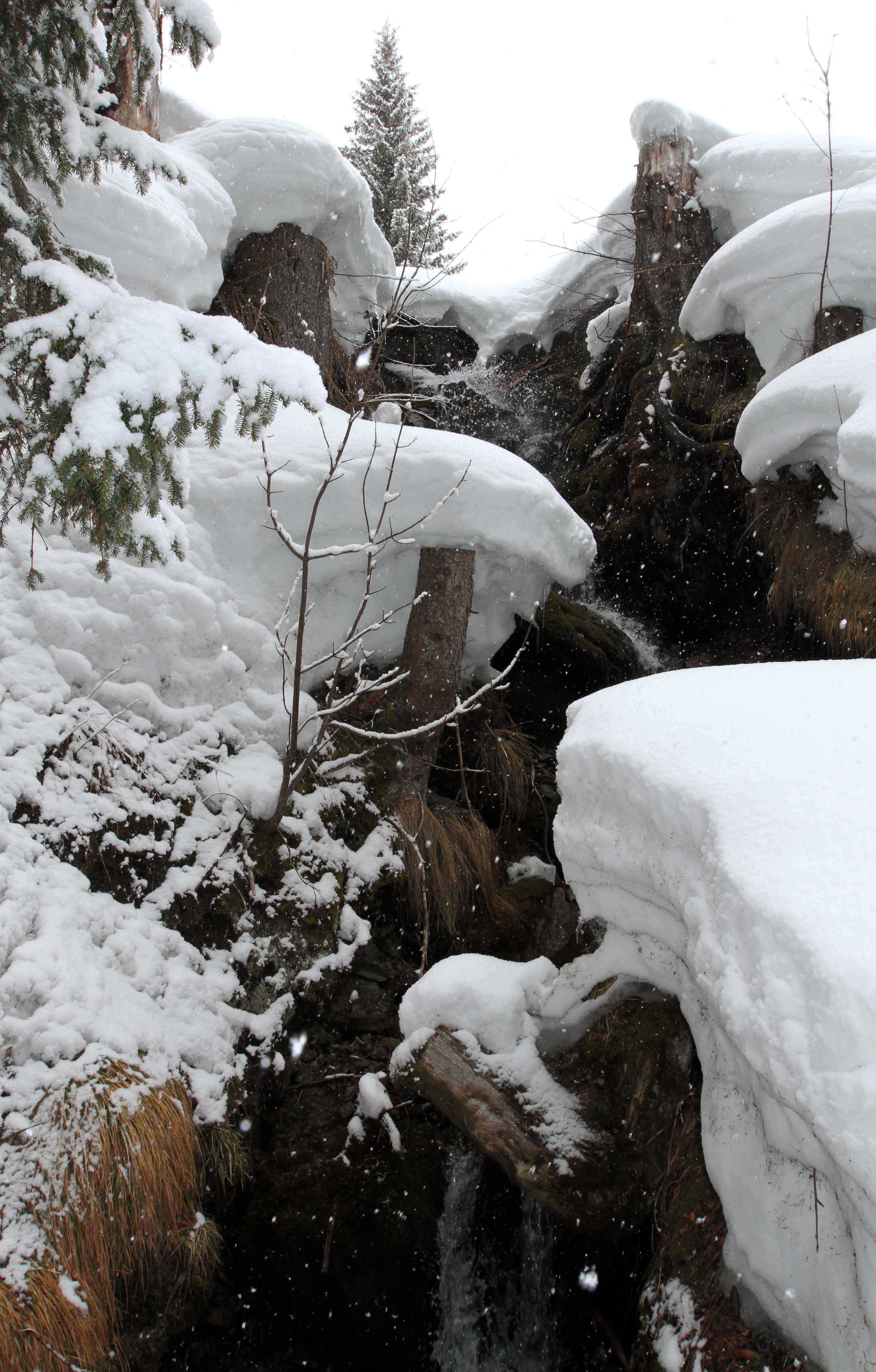
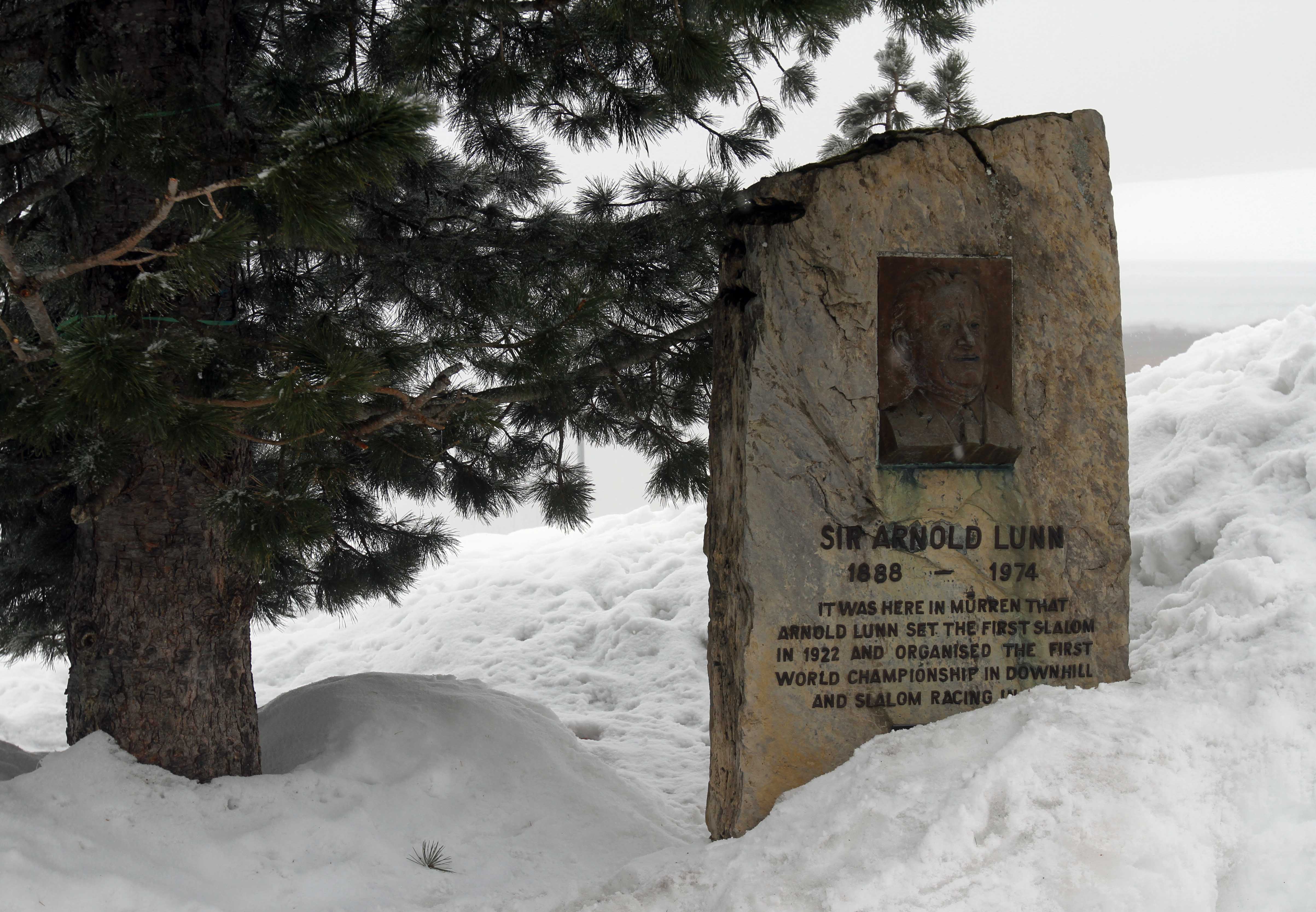
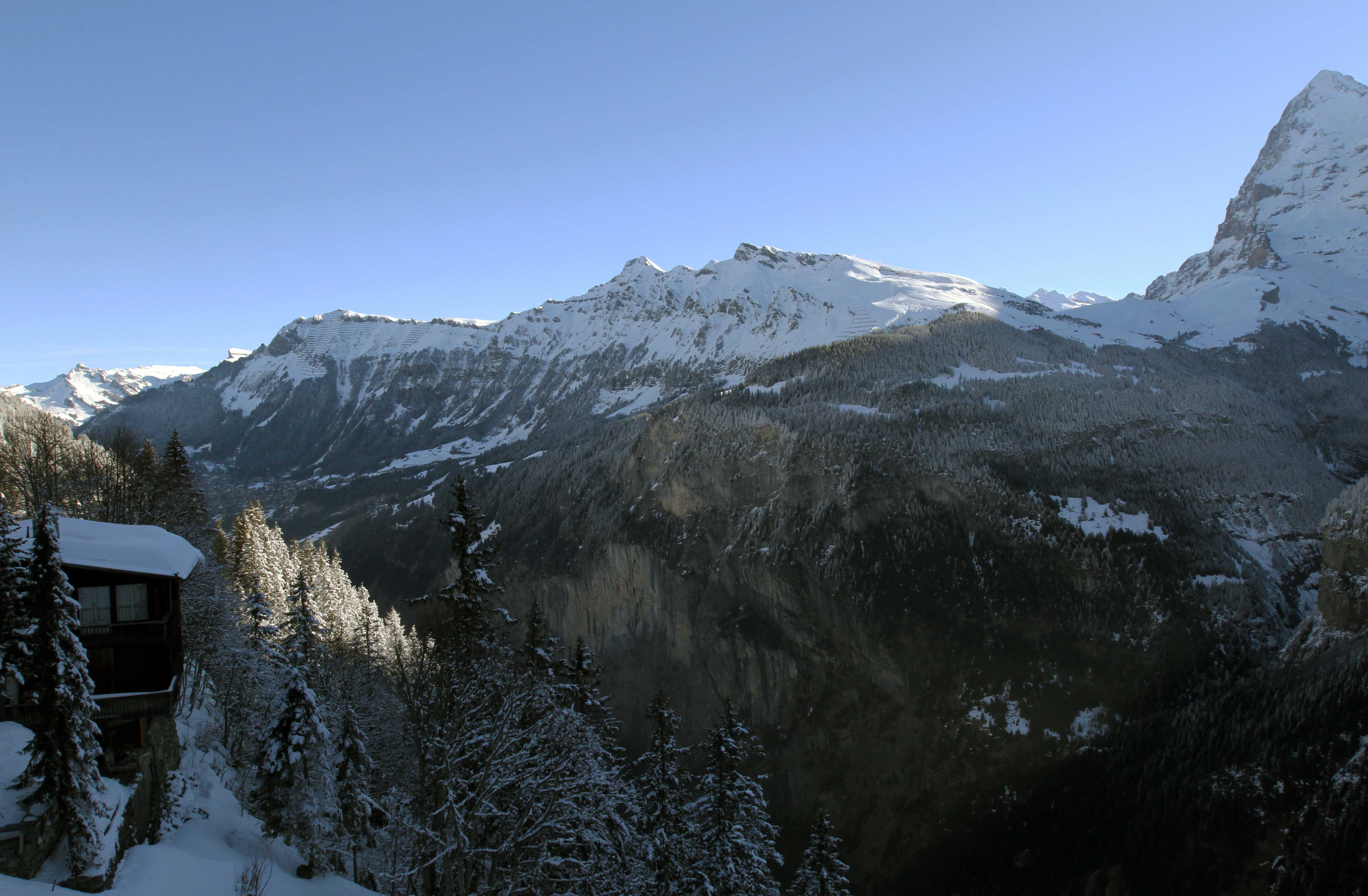
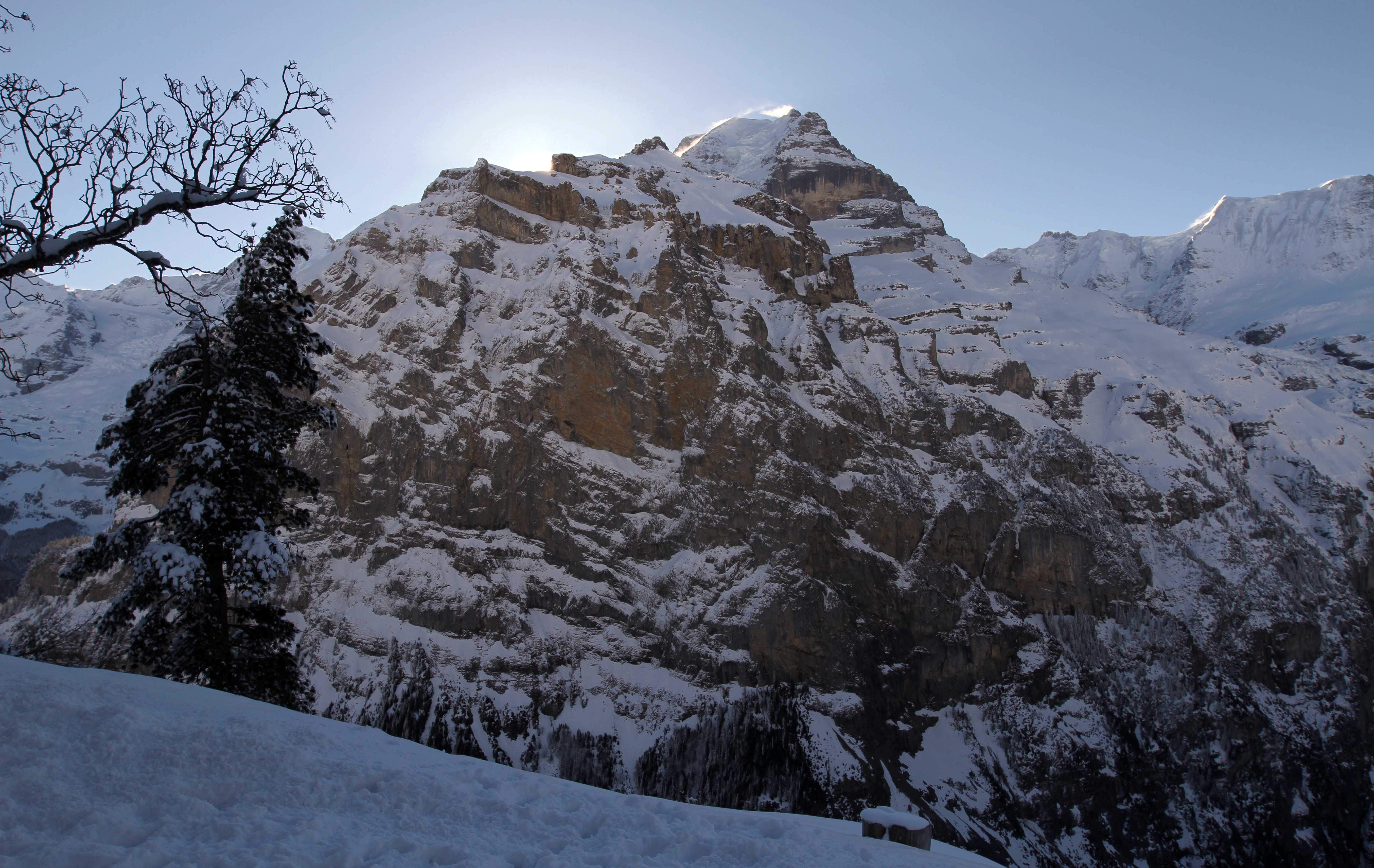
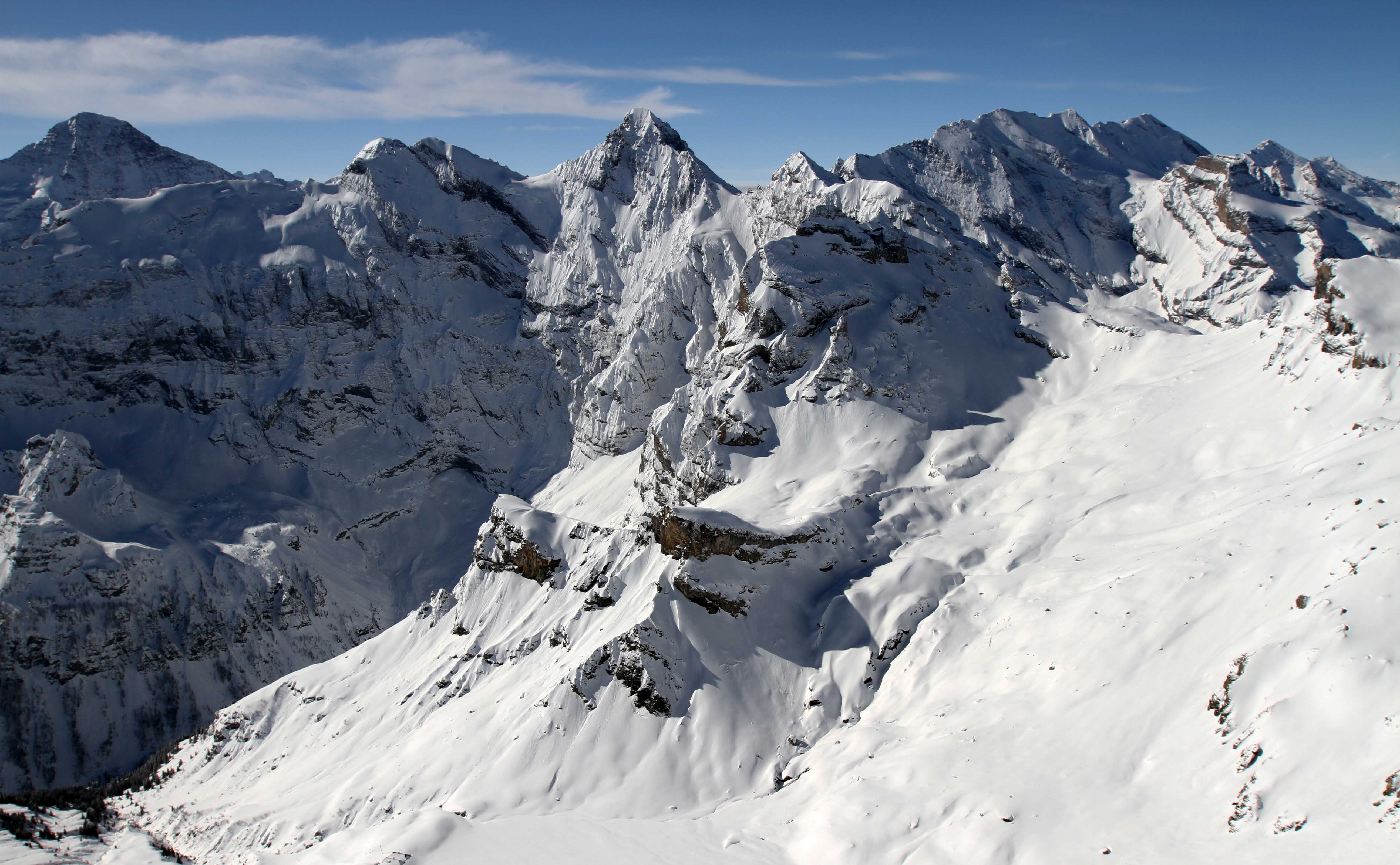
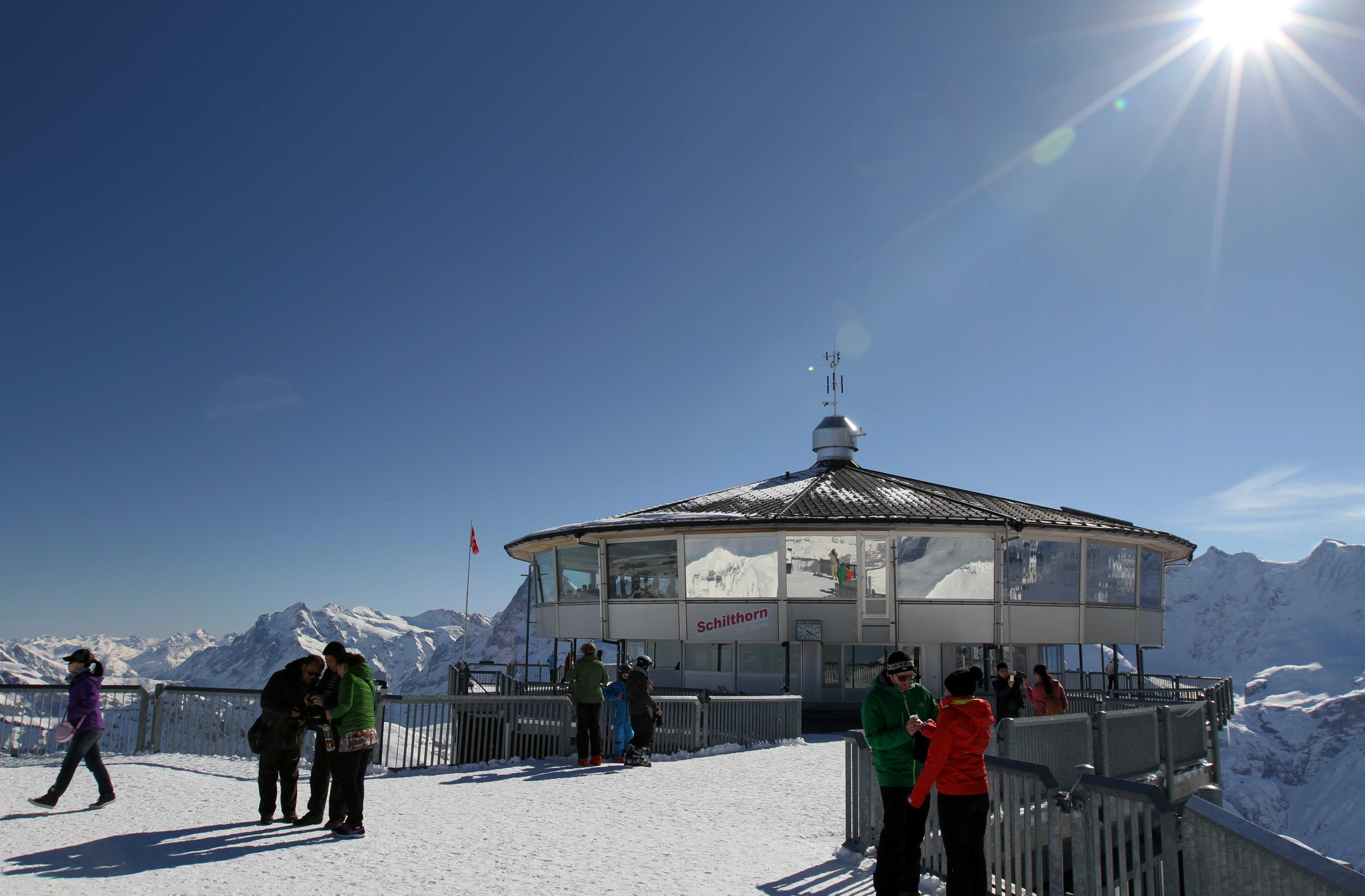
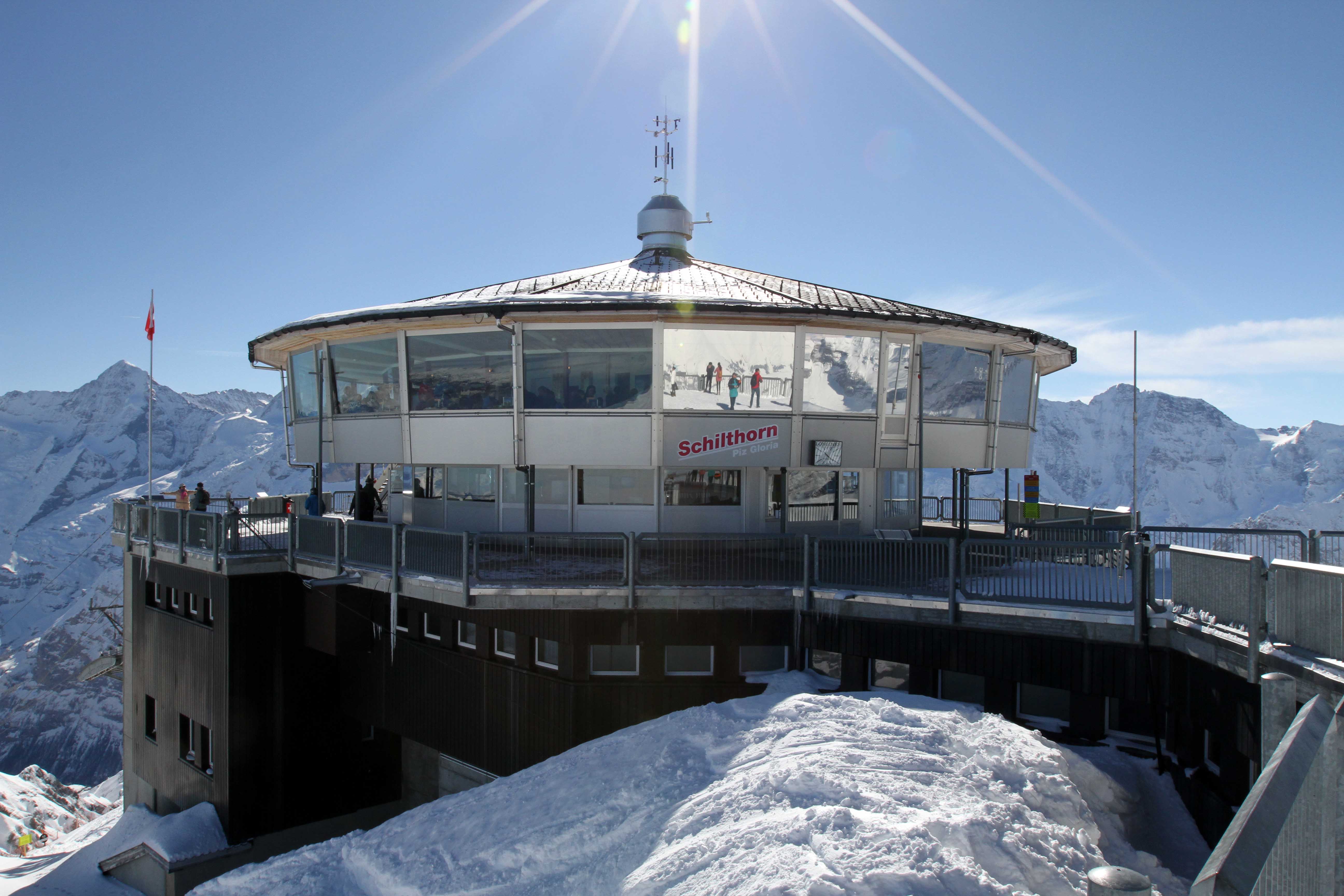
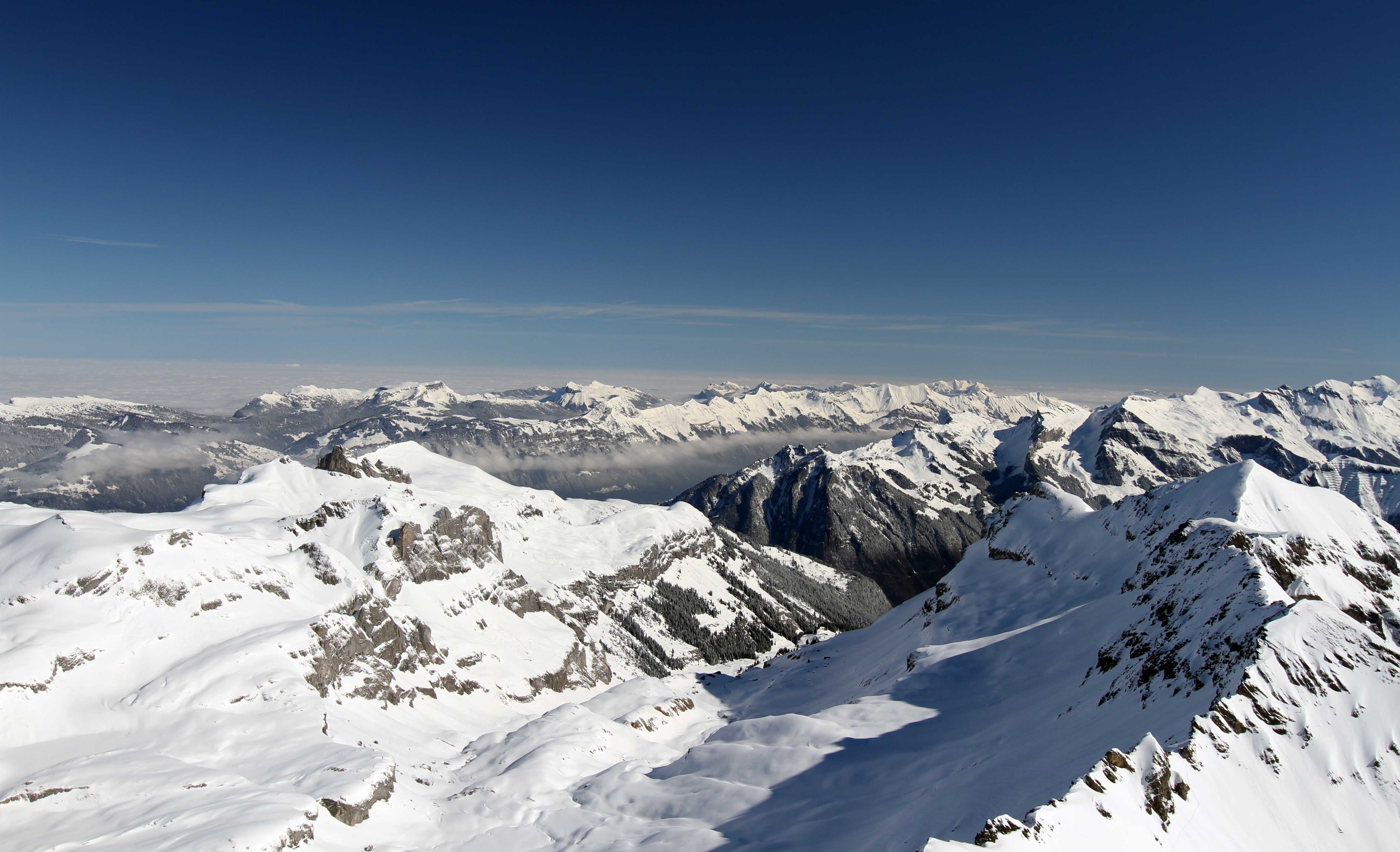
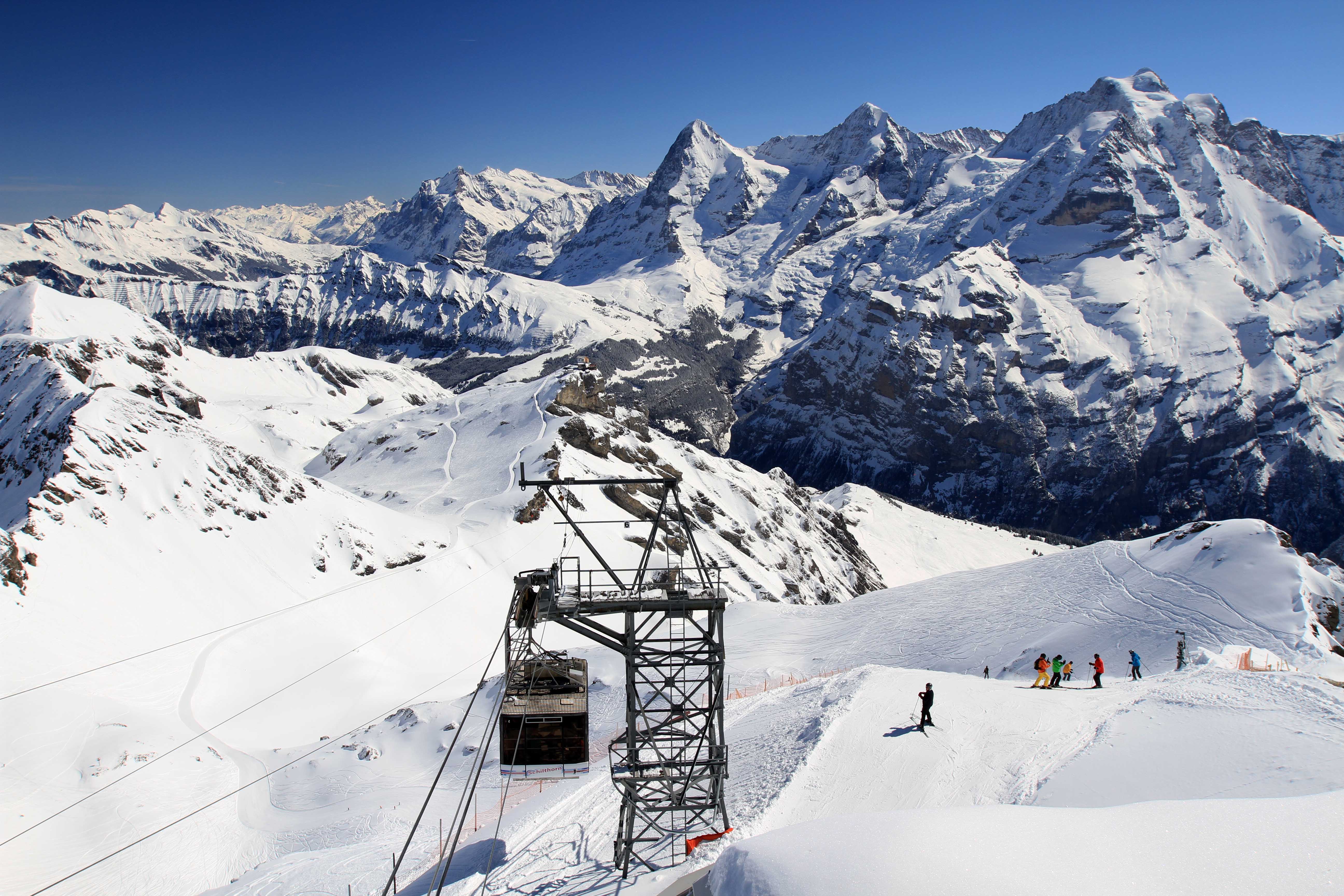
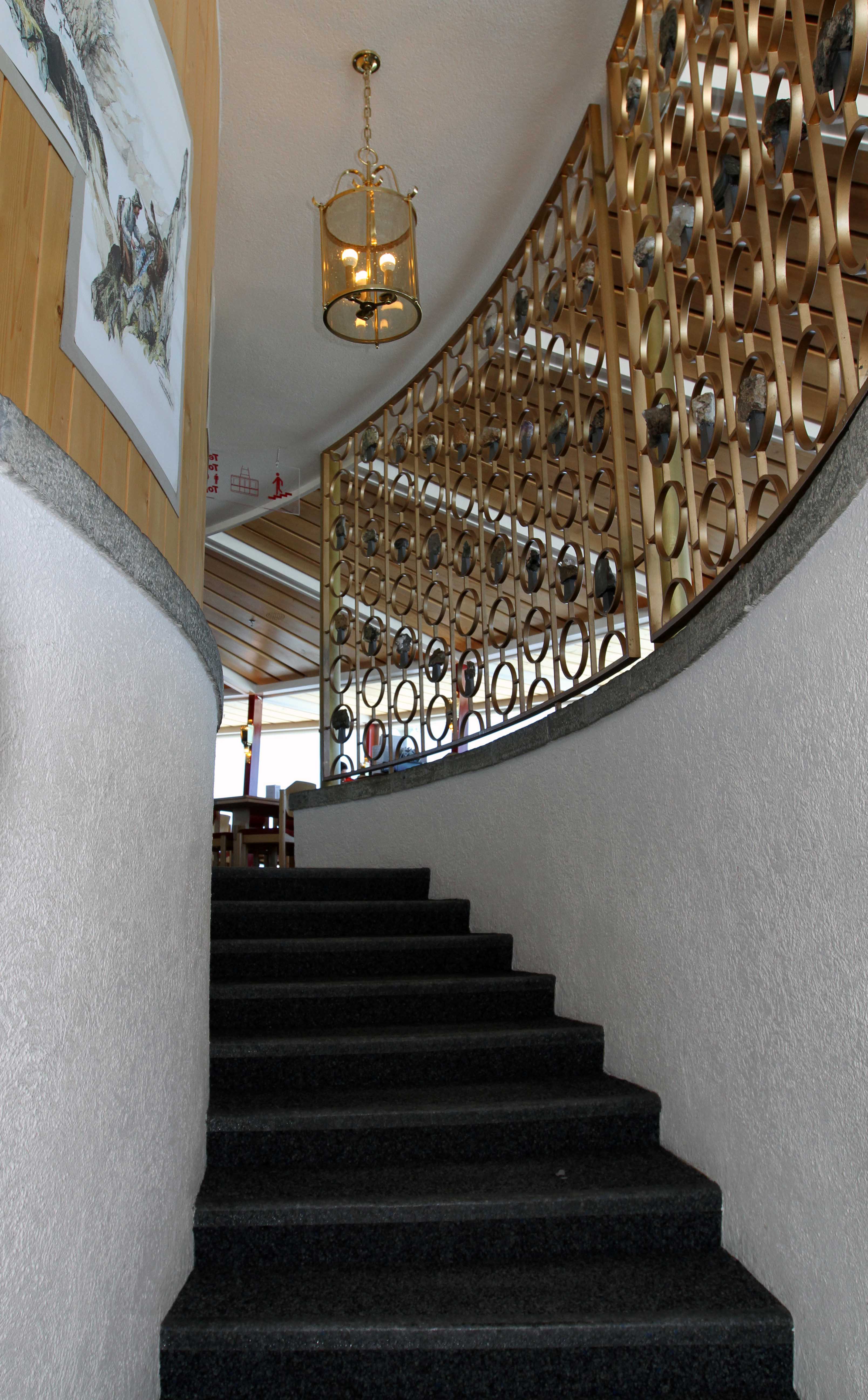
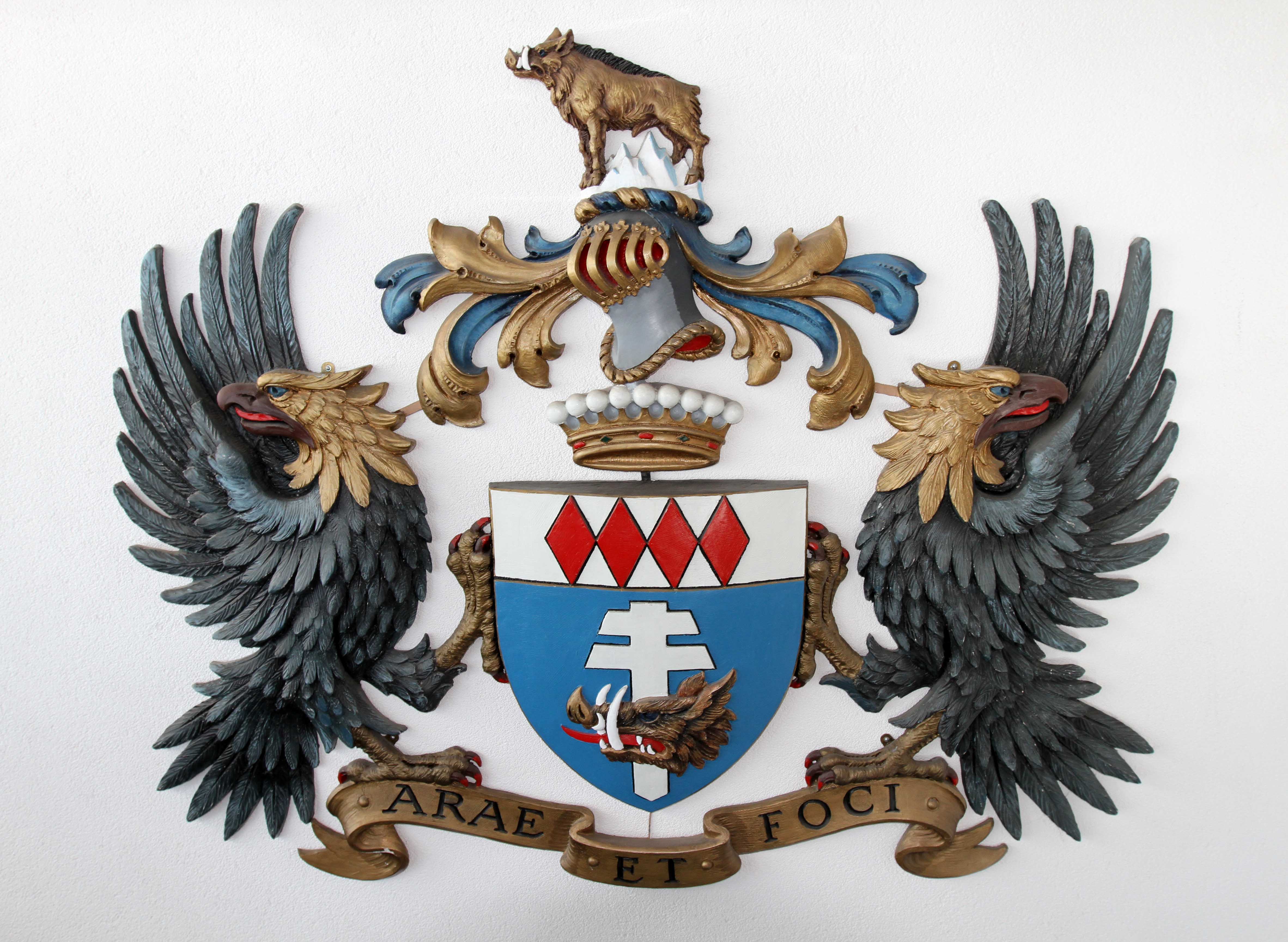
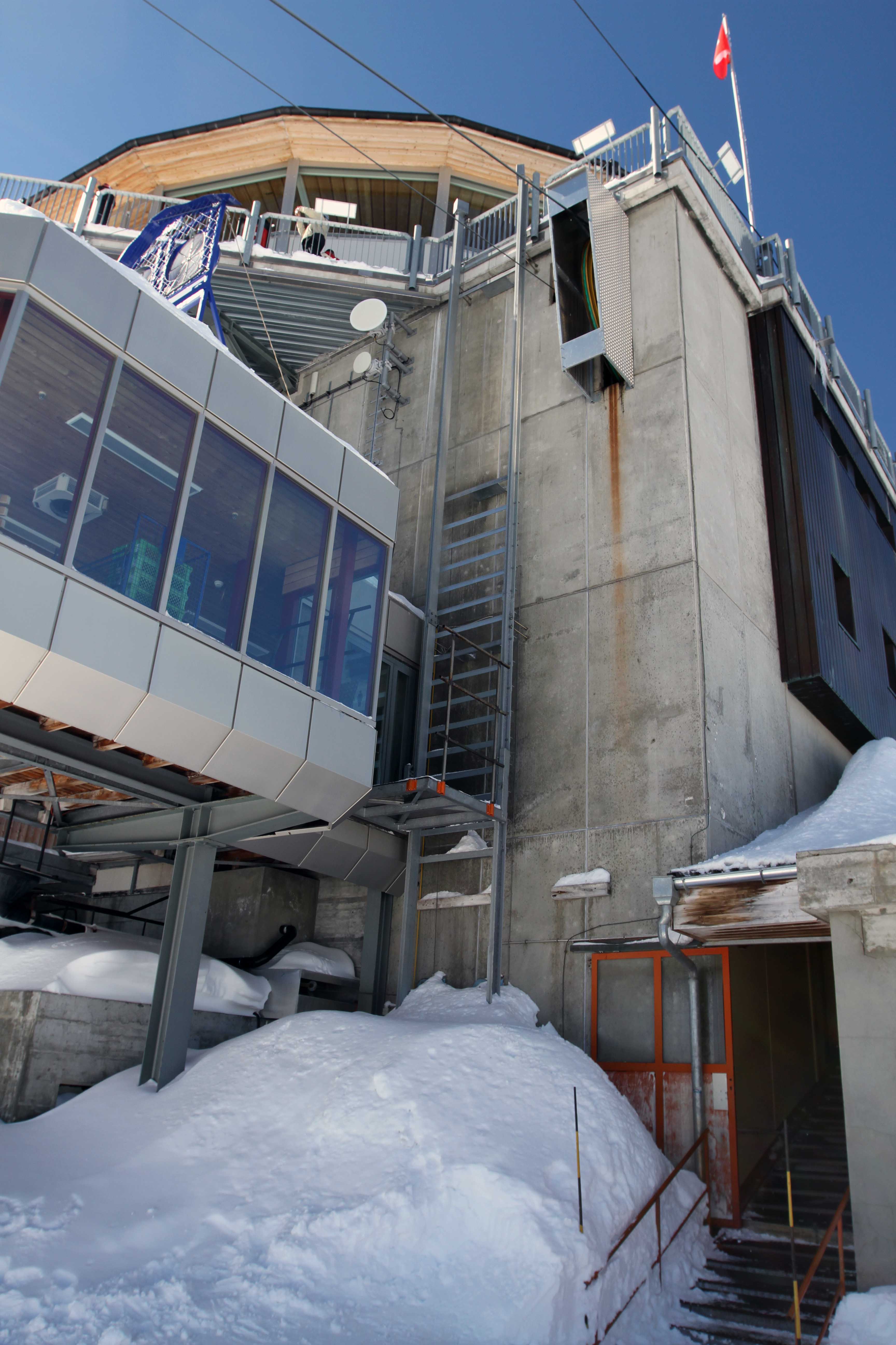
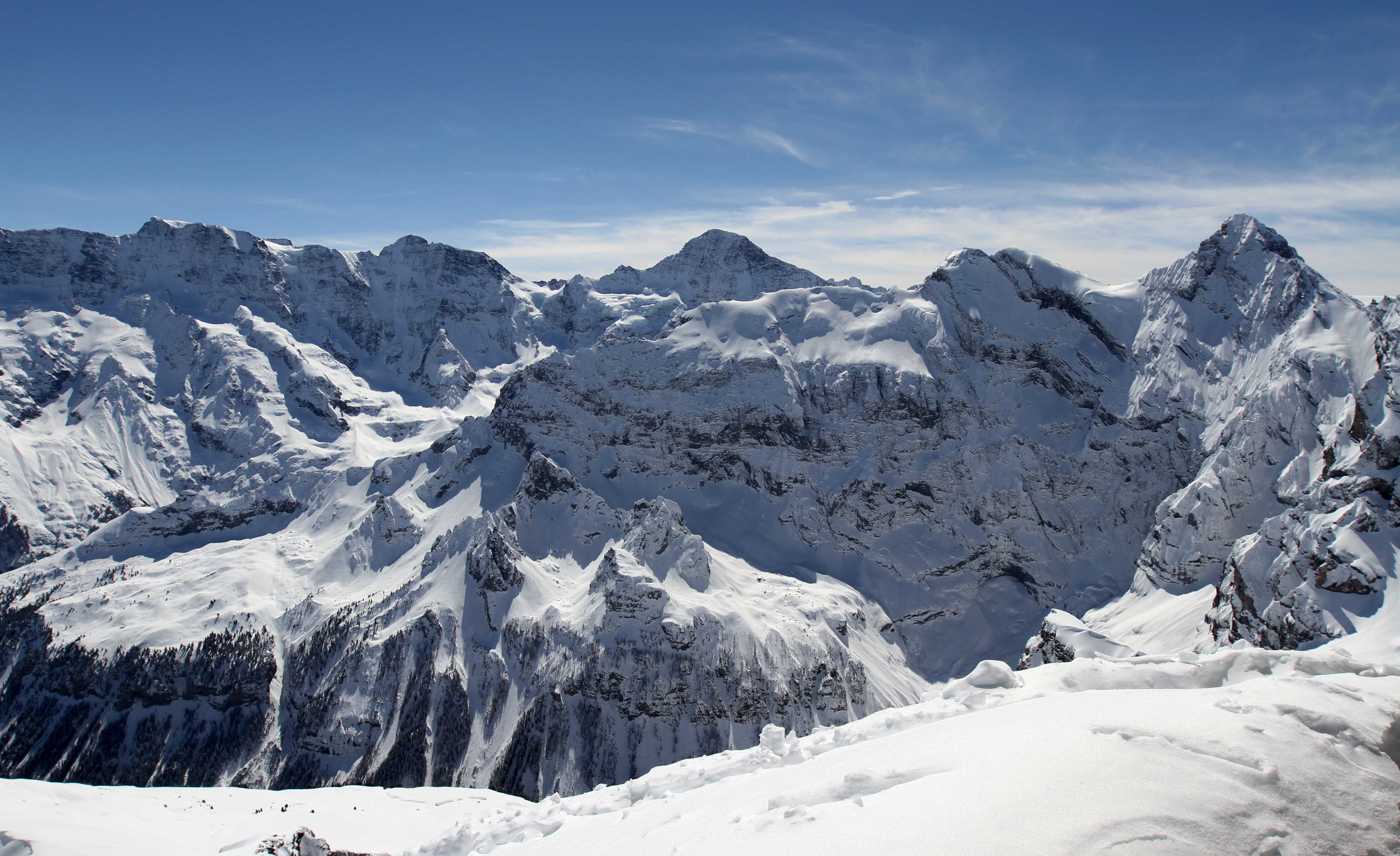
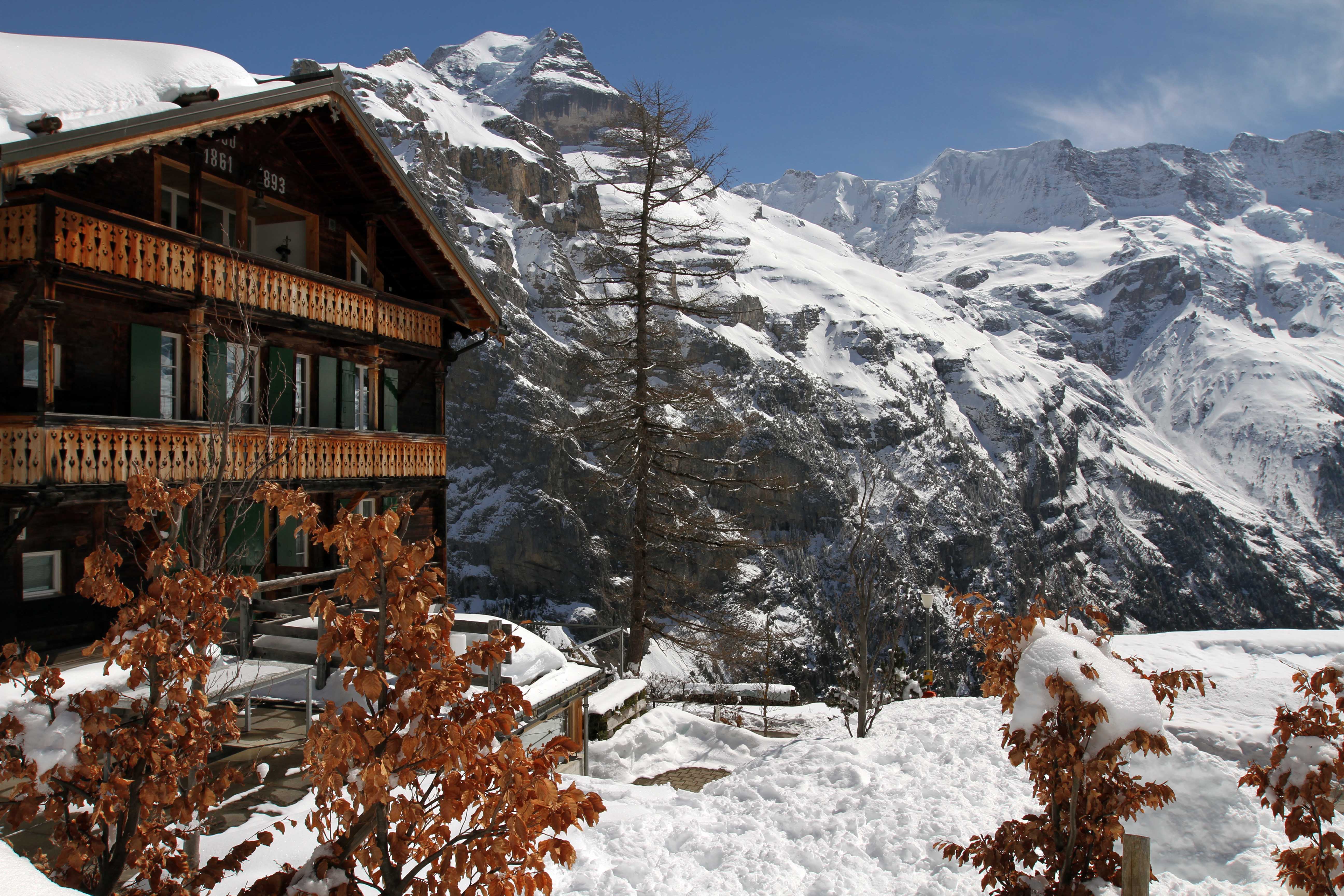
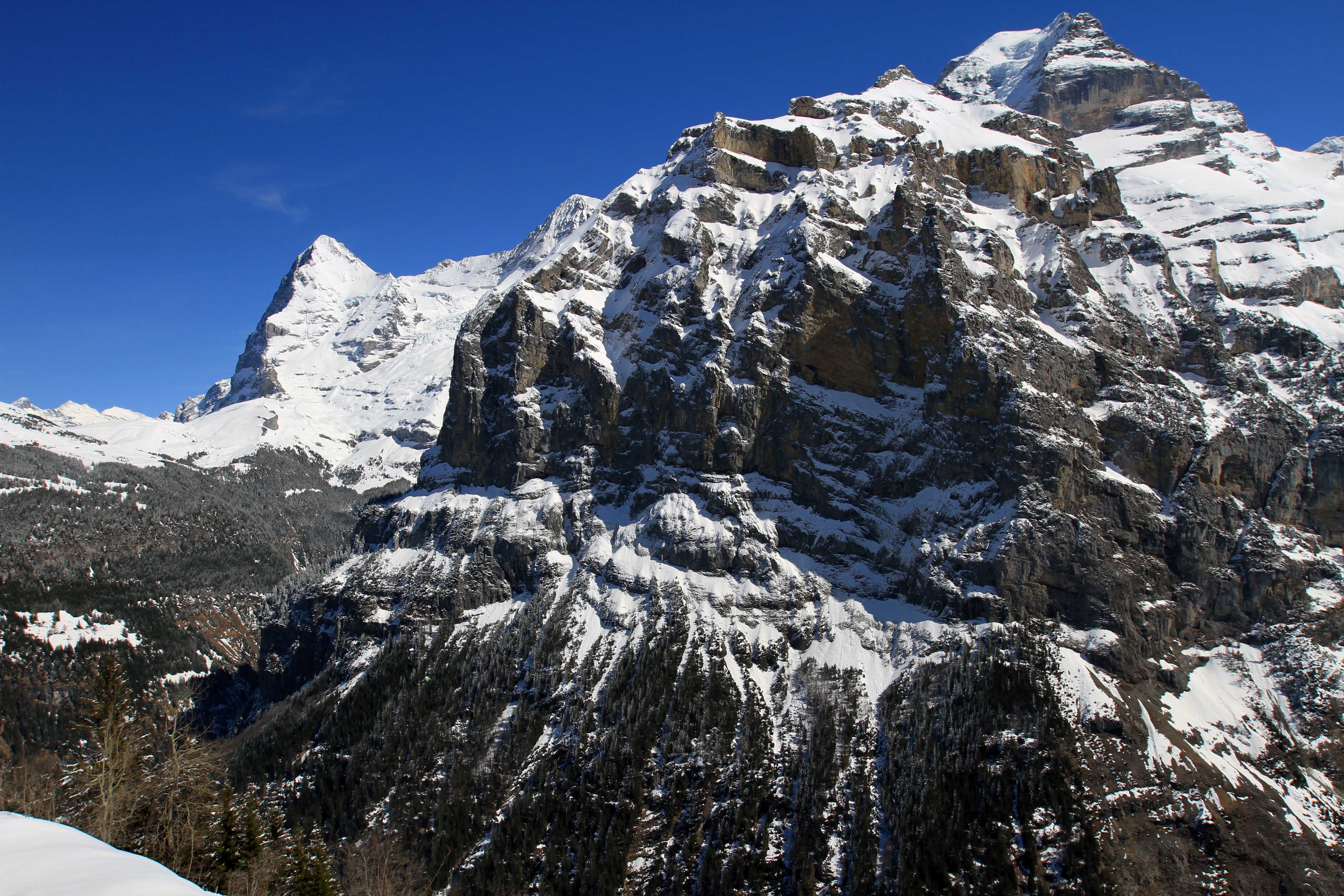
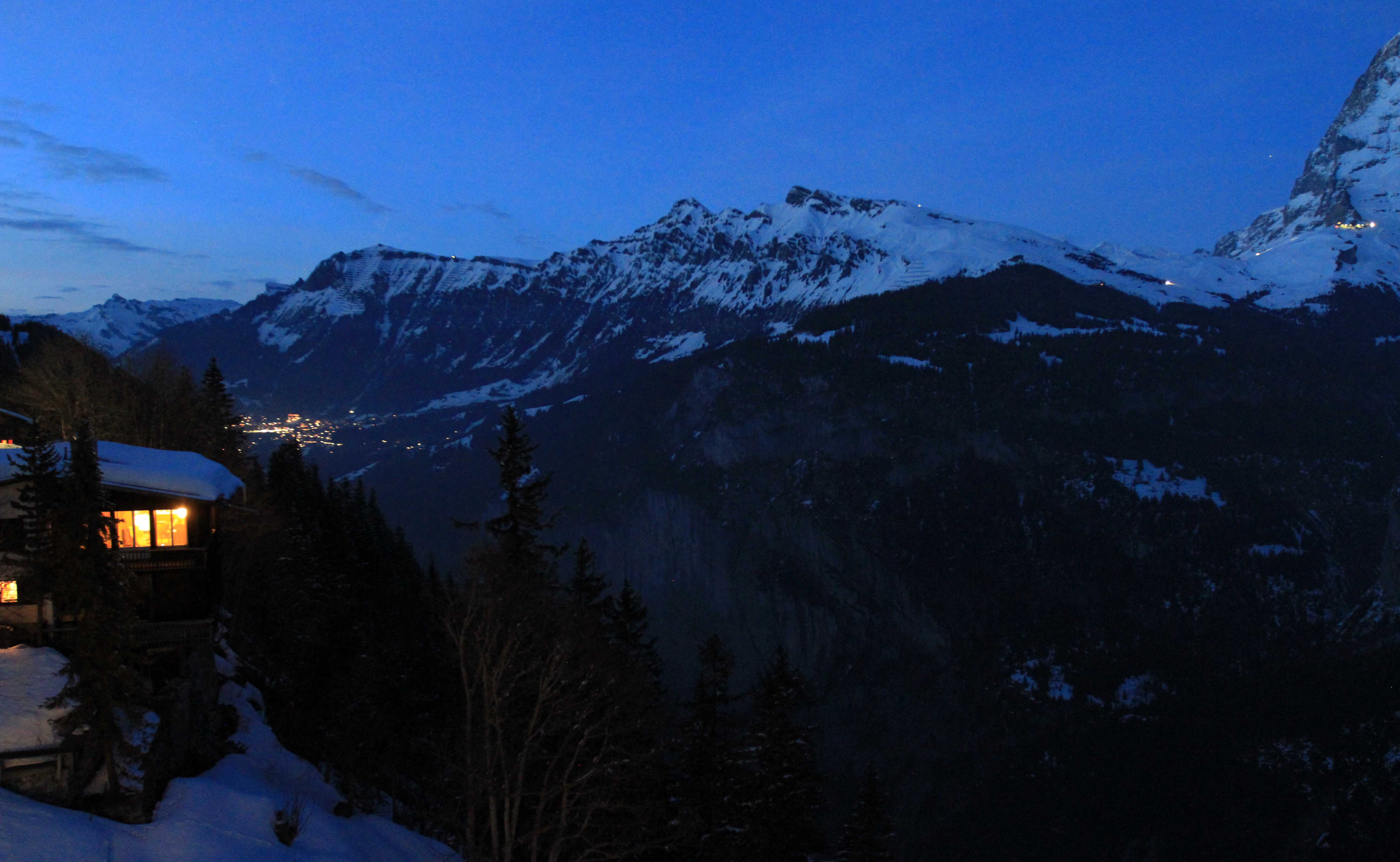
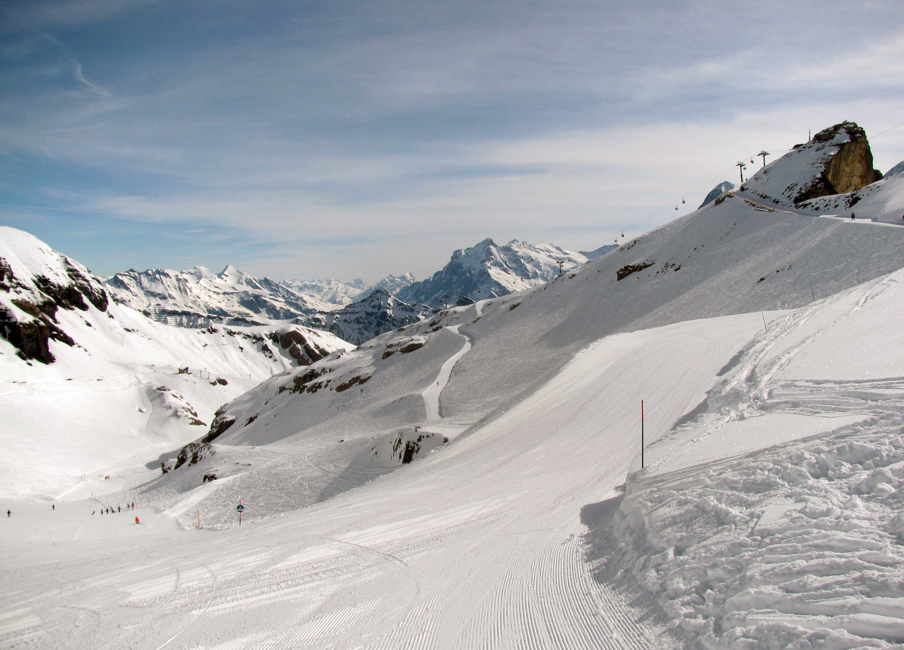
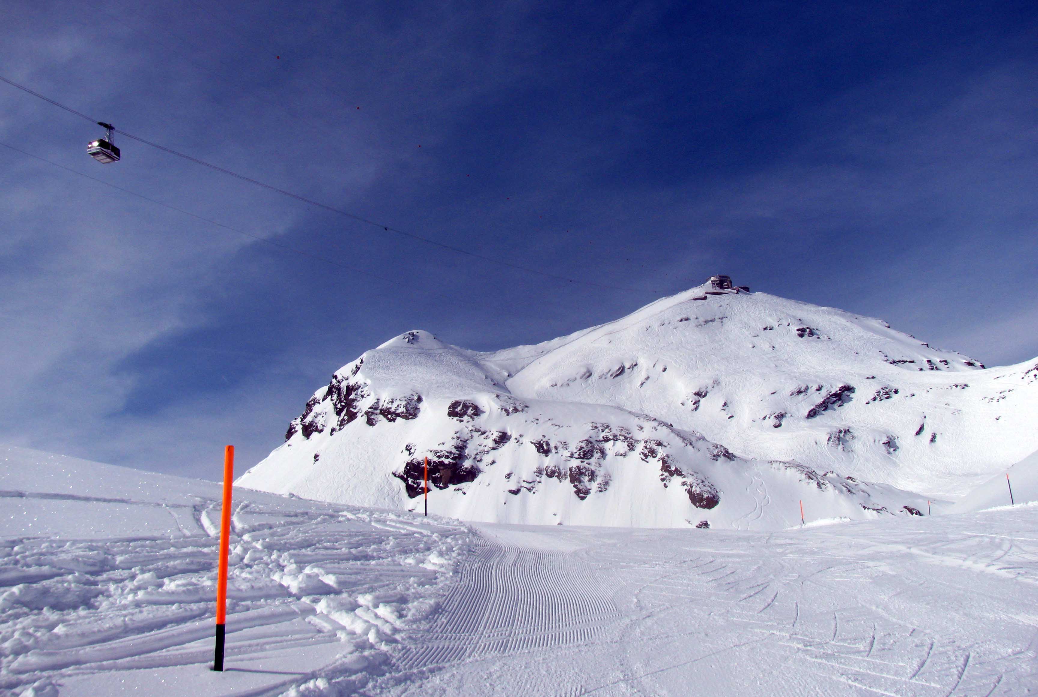
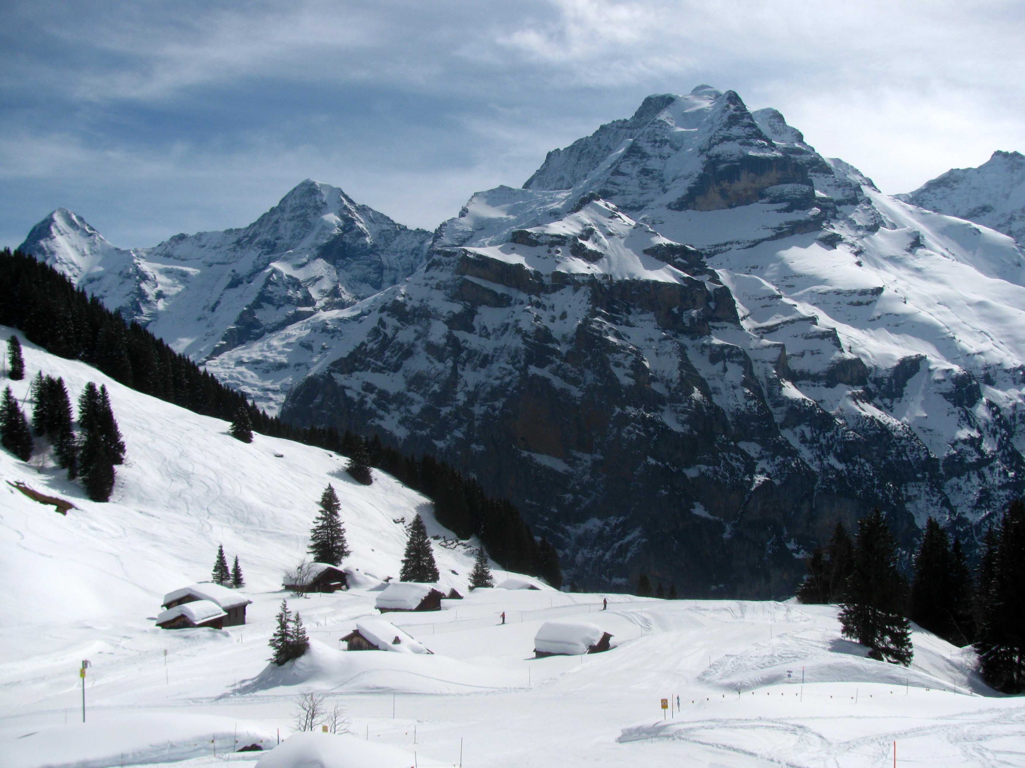
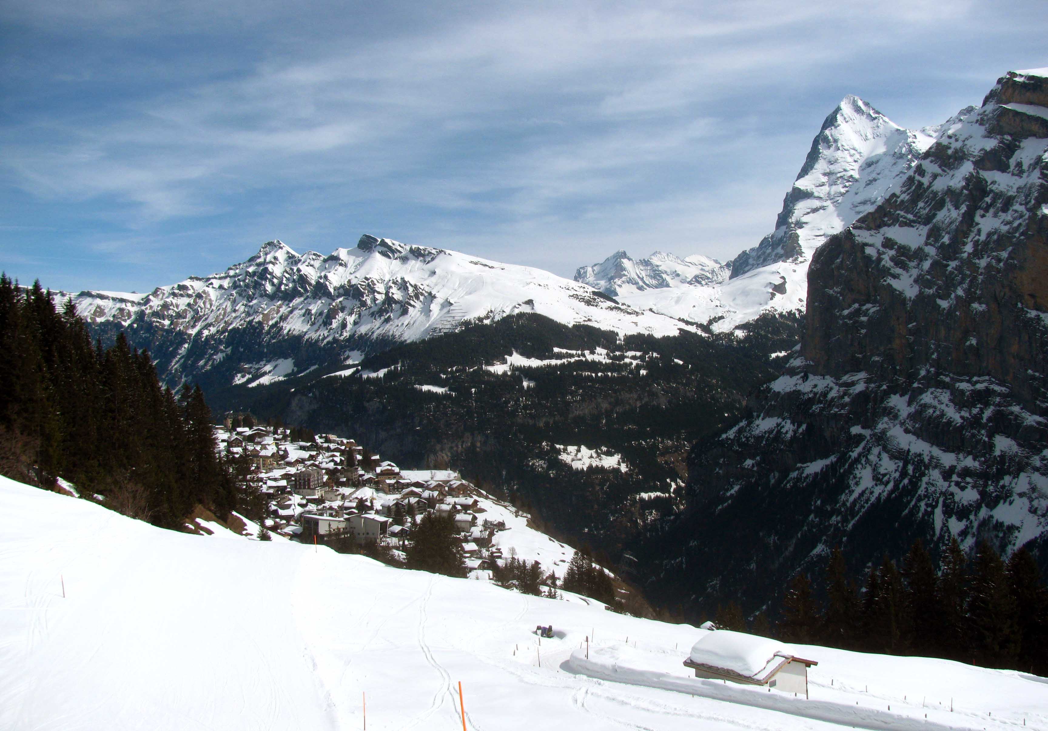
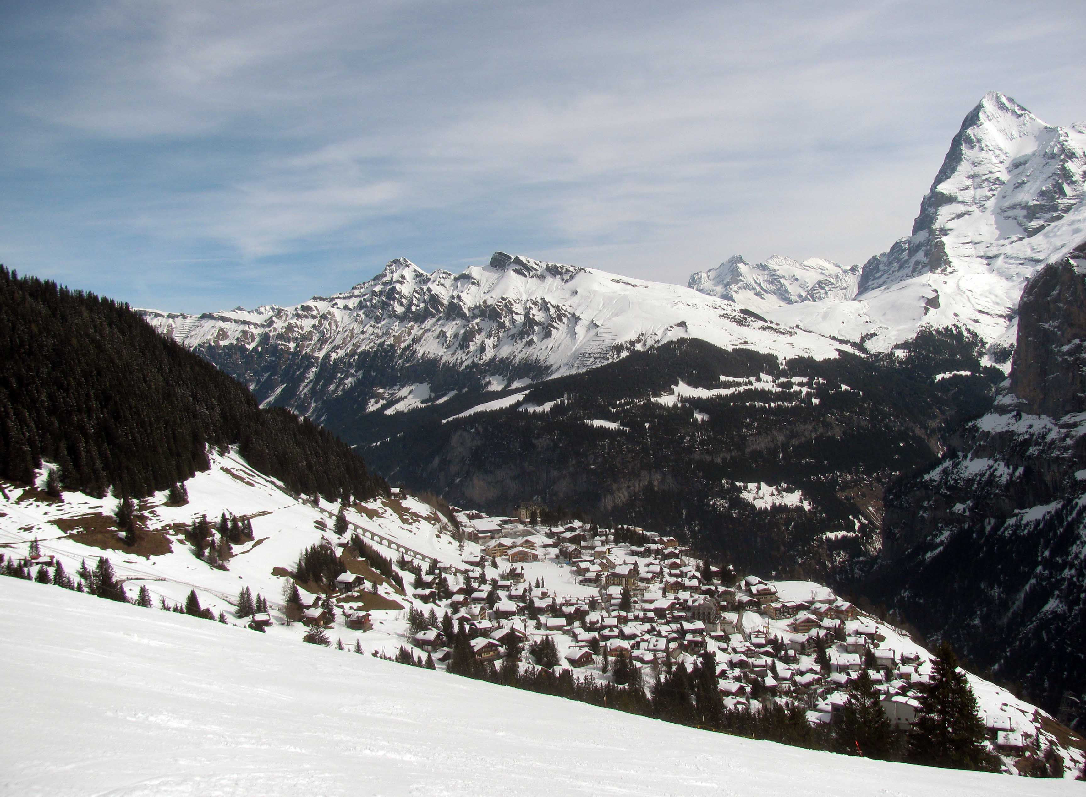
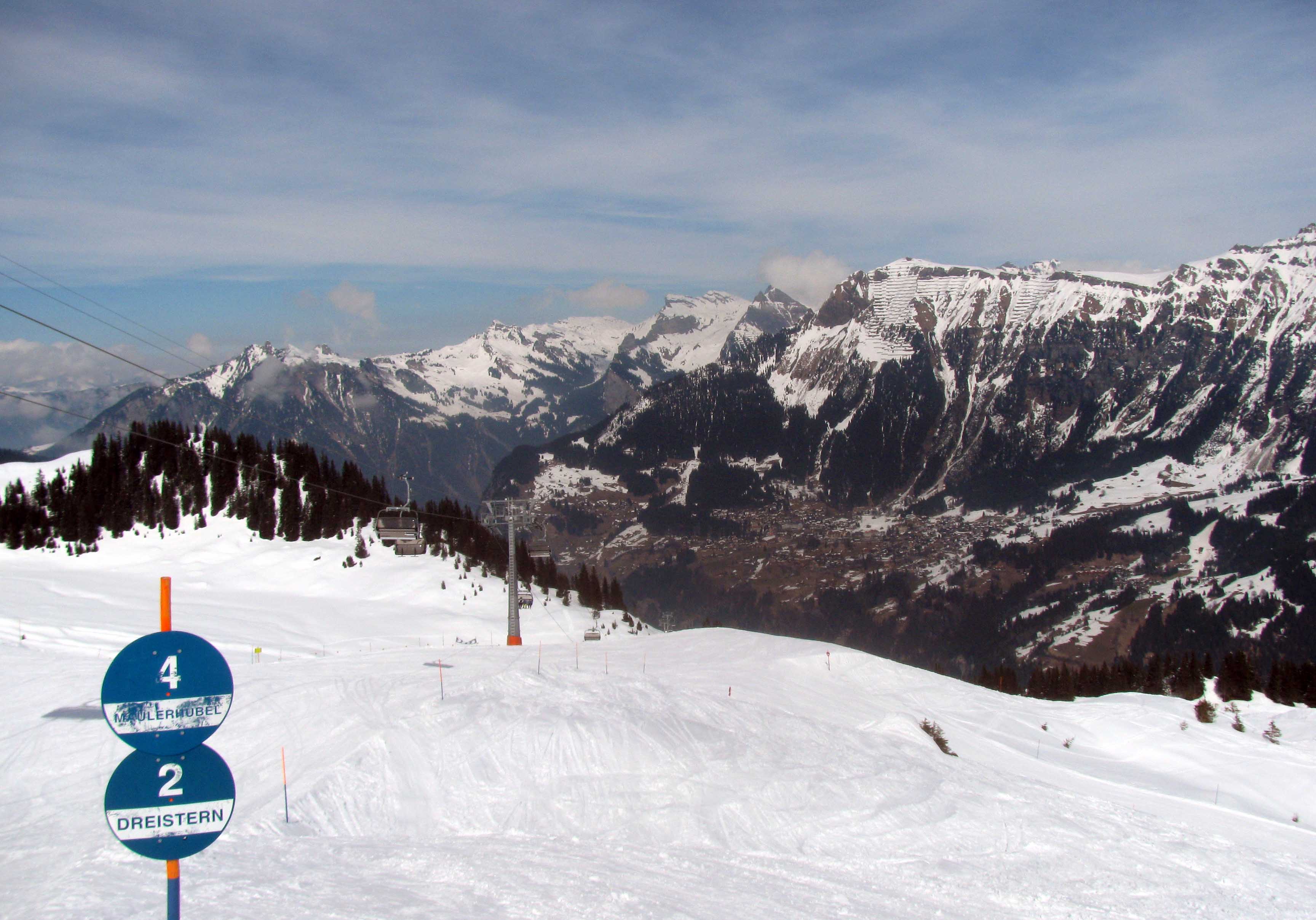
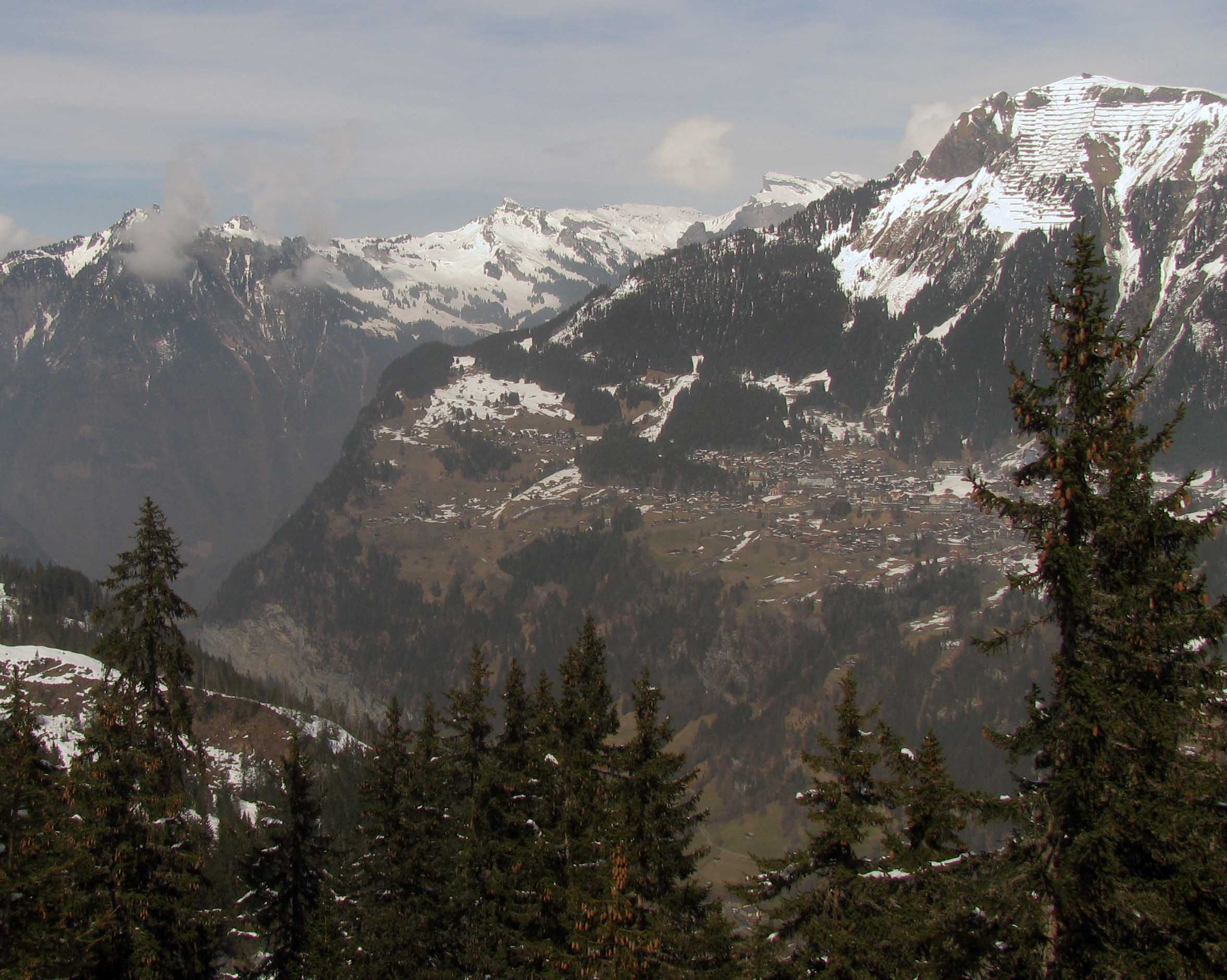
The Aare River and the Kornhausbrücke (bridge) in Bern.The UPU (Universal Postal Union) monument by René De Saint-Marceaux (1909 AD).The south side of the Federal Palace of Switzerland.The Welttelegrafen (“World Telegraph”) monument – erected in 1922 AD by a decision of the International Telegraph Union.The intersection of Hotelgasse and Kramgasse, next to the Zytglogge.The Zytglogge seen at the end of Kramgasse (gasse means “alley” or “street” in English).The Church of St. Peter and Paul; built in 1864 AD, it belongs to the Christian Catholic Church of Switzerland.The Cathedral of Bern (a Swiss Reformed Cathedral); construction began in 1421 AD and was finished in 1893 AD. It is the tallest cathedral in Switzerland with a height of 100.6 meters.Looking east from the Münsterplattform (“Minster Terrace”) on the south side of the Cathedral of Bern.Two Eurasian brown bears in the BärenPark (“Bear Park”).Bern, seen from the Rosengarten (“Rose Garden”).The Untertorbrücke (“Lower Gate Bridge”); built in 1489 AD, it is the oldest of Bern’s Aare bridges.Statue of Rudolf von Erlach (1299-1360 AD), he was a knight and commander of the Swiss Confederation forces at the Battle of Laupen.Looking east at the Aare River from Kornhausbrücke.The living room inside the Einsteinhaus (“Einstein House”) – where Albert Einstein and his family lived from 1903 to 1905 AD.Three beers I had at the Altes Tramdepot Restaurant und Brauerei.Another view of Kramgasse with the Zytglogge at the end of the street.The façade of the Cathedral of Bern with its tall bell tower undergoing renovation.Ornate sculptures over the entrance to the Cathedral of Bern.Looking toward the northwest from the Cathedral of Bern’s bell tower.The Aare River and the Kirchenfeldbrücke, seen from the Cathedral of Bern’s bell tower.Sculpture of the architect, at the top of bell tower of the Cathedral of Bern.Looking east-northeast from the bell tower of the Cathedral of Bern.The façade of the Federal Palace of Switzerland – where the Swiss Federal Assembly (federal parliament) and the Federal Council are housed.The Church of the Holy Ghost, a Swiss Reformed Church.An alleyway in Bern.The Kramgasse at dusk.Cellar doors opened for the underground night clubs on Gerechtigkeitsgasse in Bern.Zunfthaus zu Metzgern (a hotel and restaurant in Thun) with Thun Castle towering over from behind.The Rathausplatz (“City Hall Square”) with the Town Council Hall of Thun on the right.The fountain in the center of the Rathausplatz.Obere Hauptgasse in Thun, looking toward the Rathausplatz.Obere Hauptgasse, looking northeast, away from the Rathausplatz.The Untere Schleuse – a covered wooden bridge over the Aare River in Thun.Another view of the Aare River in Thun.Fountain in Thunerhof Park.Remnants of the old city wall in Thun.Oops . . .Thun Castle (built in the 12th-century AD).Small watch tower at Thun Castle.Painting found in the Thun Castle museum.Traditionelle Kleidung für die Schweizer Damen.Thun with the Aare River and the Stadtkirche in view, seen from one of Thun Castle’s corner towers.The Rathausplatz seen from Thun Castle.The Stadtkirche and Thun Castle’s southeastern tower in view.Closeup of the Rathausplatz.Looking up at Thun Castle.Cobbled path leading to the Stadtkirche of Thun.Inside the Stadtkirche.Entrance to the Untere Schleuse (one of two covered wooden bridges in Thun).The Thun Kunstmuseum (“Art Museum”) on the Aare River.Swan in the Aare River.Schadau Castle; built in 1854 AD, it now houses the Swiss Gastronomy Museum.Inside Schadau Castle.Kirche Scherzligen – a church that dates back to 762 AD.Rathausplatz and Thun Castle at night.Covered steps leading up from the old town to the castle hill.Another view of the Rathausplatz with the Town Council Hall of Thun in view.The Lauterbrunnen Valley in the Jungfrau Region of the Bernese Oberland – seen from the village of Mürren.Street in Mürren, a village that is not connected with any roads and therefore has almost no traffic – snowplows and hotel shuttles are the exceptions.Another view of Mürren.A chalet in Mürren.The Mürrenbach stream on the southern end of town.A fire hydrant painted to look like a gnome.Memorial to Sir Arnold Lunn (a skier, mountaineer, and writer), who developed the rules for the modern slalom and set the first slalom here in Mürren in 1922 AD.The Lauterbrunnen Valley in the morning.The sun behind Schwarzmönch mountain.Gspaltenhorn moutain (center), seen from the top of Schilthorn mountain.Piz Gloria on the top of Schilthorn.Another view of Piz Gloria, which was once a clinical allergy-research institute headed by Ernst Stavro Blofeld . . . or so I’m told.Looking north toward Interlaken, from Piz Gloria.The cable car traveling up to Piz Gloria, skiers beginning their downhill run, and the Eiger, Mönch, and Jungfrau mountains (the three dominant peaks) in the distance.Inside Piz Gloria; these steps lead up to the revolving restaurant where James Bond (a British MI6 agent) dined with Blofeld’s “Angels of Death” . . . or so I’m told.Coat of Arms for the “Comte Balthazar de Bleuchamp” – the title that Ernst Stavro Blofeld had hoped to claim until James Bond foiled his plans . . . or so I’m told.Looking up at Piz Gloria from the beginning of the ski run on the Schilthorn.View of the mountains on the far side of the Lauterbrunnen Valley.Looking down on the piste near the top of the Schilthorn – seen from the cable car ride between the Schilthorn and Birg.The Seilbahn Mürren Allmendhubel – a funicular that was built in 1912 AD.A chalet with Schwarzmönch in the background.The Hotel Alpina on the edge of the valley cliff.Schwarzmönch and the Eiger seen from Mürren.The Lauterbrunnen Valley at night with the village of Wengen’s lights visible in the distance.On a piste, ready to ski, with the Birg on the right.Looking up at Piz Gloria as a cable car makes its way down to the Birg.Alpine huts next to the pistes.Mürren in view with the Eiger on the other side of the valley.Another view of Mürren and the Eiger.The Winteregg ski lift with the village of Wengen on the other side of the Lauterbrunnen Valley.Closer view of Wengen, which is a little deficient in snow this time of year.Piste through the trees.Looking up the track for the Seilbahn Mürren Allmendhubel.The Pension-Restaurant Sonnenberg and huts at the far end of Mürren.Looking back at the ski lift before continuing on down the piste.Skiers casually passing between alpine huts.Skiing back toward Mürren.The tracked cable car that runs between Mürren and the Lauterbrunnen-Mürren [suspended] cable car station.Another glorious day skiing in the Jungfrau Region of the Bernese Oberland.Peering down at the Lauterbrunnen Valley.The valley and town of Lauterbrunnen, seen from the cable car descending down from Mürren.The town of Spiez, on the edge of Lake Thun, seen from the railway station.Château de Nyon, a castle originally built in the 12th-century AD.Courtyard inside Château de Nyon.Roman pillars in Nyon.Pruned vineyards in Nyon.Narrow street in Saint-Saphorin, one of many small towns in Lavaux.Saint-Saphorin, seen from the terraced vineyards above it.Terraced vineyards in Lavaux, some of the terraces can be traced back to the 11th-century AD.View of Vevey from the vineyards above Corseaux.Looking southwest at Lake Geneva from Corseaux.Drinking fountain with the following translated inscription: “It is good, but . . . it is not Chardonnay!”Another, slightly closer, view of Vevey from near Corseaux (the large glass building near the lake is the Nestlé headquarters).Château Ste-Maire, which was built in the early 15th-century AD and now serves as a government building in Lausanne.Woods blanketed in snow in Sauvabelin Park.Sauvabelin Tower.Iced over lake in Sauvabelin Park.Street in Lausanne.Lausanne Cathedral, which was built in the 12th-century AD.Looking south from the Place de la Cathédrale.Entrance to Lausanne Cathedral.Looks like this would be a good hotel.Buildings packed together in Lausanne.Horse steak, bought in the local Coop store.Matterhorn, seen from Zermatt.Zermatt and the extending valley, viewed from the ski slopes.Another view of the Matterhorn, rising high above us mortal skiers.Statue of the Virgin Mary and Christ, carved from a wooden log, with the Matterhorn in the background.Refuge du Théodule in the distance, seen from Furggsattel ski lift station.Snowboarders and skiers enjoying the pistes near Zermatt.Looking up at the Matterhorn.Looking down into Italy, from the mountainous border (unfortunately, the Italian ski resort was closed due to too much snow having already melted on these southern-facing slopes; otherwise, one could enjoy both sides of the mountain ridge).Looking at the Matterhorn from the Klein Matterhorn.Crucifix on top of Klein Matterhorn.Sun over the Matterhorn.View of Zermatt, taken near Furi Zermatt (one of the gondola lift stations).Ski trail to Zermatt passing by several chalets.Gornera Stream.Wooden buildings in Zermatt.Kirchplatz in Zermatt, with the bronze alphorn statue visible on the steps.Audrey Hepburn’s grave in Cimetière de Tolochenaz.Tulips in Morges.Port de Morges.Looking north down the Grand-Rue at the Temple de Morges (a reformed church).Looking south down Grand-Rue in Morges.Villa Le Lac, which was designed by native architects and cousins Le Corbusier and Pierre Jeanneret between 1923 and 1924 AD for Le Corbusier’s parents.Final resting place of Oona and Charles Chaplin in Cimetière de Corsier-sur-Vevey.Entrance to Charlie Chaplin’s manor, “Manoir de Ban” (which is now part of the museum, “Chaplin’s World” in Vevey); he lived here from January 1953 until his death in 1977 AD.Study room inside Chaplin’s manor.Storyboard for ‘The Freak’ (ca. 1969 AD), which is a film Chaplin wrote and conceptualized. but never produced.Living room of the manor.Violin bought by Chaplin when he was 16, which he carried everywhere in his youth.Dining room.Albert Einstein in the guest bathroom.Charlie Chaplin in the master bathroom.Master bedroom with photos of Chaplin from young boy to elderly man.Feathered costume produced for the never-made film, ‘The Freak’.Figures of Charles and Oona Chaplin in the room where they used to project films.Jacket worn by the Hynkel character in ‘The Great Dictator’.Chaplin’s manor and lawn.Recreation of a scene from ‘The Kid’ inside the studio at Chaplin’s World.Film from ‘The Immigrant’.Recreation of a scene in ‘City Lights’.Two Academy Awards won by Charles Chaplin.The Tramp’s hat, cane, and shoes.Grand Hotel Suisse in Montreux.La Suisse, a Belle Epoque paddle steamboat commissioned in 1910 AD.Freddie Mercury statue at Montreux – he had a place and recorded music in this town.Walking along the Swiss Riviera at Montreux.Swan in Lake Geneva.Château de Chillon, seen from the north; parts of the castle date back to at least the 11th-century AD, but the site was occupied as far back as the Roman times, when an outpost was established there.Graffiti carved on a column in the dungeon – made by prisoners, and later tourists.Main Tower at Château de Chillon.Wine being barrel-aged inside the castle.Cavern (or dungeon) in the lower part of the Château.Wooden boards that were used to construct the crown of the vaulted ceiling in the castle’s dungeon and which were never taken down.Dining Hall inside the Château.One of the smaller fireplaces found inside the castle.Stained glass window inside the castle.Fresco on the wall depicting deer.View of Montreux from Château de Chillon.Frescoes on the vaulted roof inside the chapel.Inside a courtyard in Château de Chillon.Grand Hall of the Count inside Château de Chillon.One of many rooms with a large fireplace inside the castle.Elevated passageway connecting the towers in the castle.Armour and halberds.Inner bailey of the Château.Looking at the tall tower from the southern end of the Château.Hand-and-a-half sword from the 15th-century AD,Swiss matchlock hackbut (ca. 1600-1620 AD).Looking out from the castle’s tall tower, at the Viaduc de Chillon.Courtyard in the castle.Château de Chillon, seen from the south.Another view of Château de Chillon.Towers on the east side of Château de Chillon.View from Montreux, looking toward Château de Chillon.Grand’ Rue in Montreux.Inside La Maison du Gruyère, the cheese factory in Gruyère that produces the famous cheese with the same name as the town; in the tank in the far right corner, the milk is coagulating (i.e. curdling) and being stirred and cut; afterwards, the cut-up curds and whey will be pumped out and fed into the moulds on the left.Pouring the curds into the moulds; the whey is drained out, which is collected for other uses.Filling the moulds with curds and allowing them to settle.After the curds have settled into the moulds, the plastic cylinders are taken off.The date is put on top of what will become the cheese wheel.Pressing the curds into a solid wheel.Salted bath that the formed curds are placed into.Racks where the cheese wheels are ripened and aged.Samples of Gruyère cheese, aged to 6, 8, and 10 months, respectively – as the cheese ages, lactose breaks down to lactic acid, giving the cheese a more pronounced sour (i.e. sharper) taste over time.Cow wearing an iconic Swiss cowbell around its neck.Town center of Gruyères.Medieval town of Gruyères, facing toward the castle, Château de Gruyères.Looking southwest in the town center.Church of Saint Théodule.Looking north toward the village of Broc.Château de Gruyères, the resident castle that was built in the 13th-century AD.Inside the chapel at Château de Gruyères.Eastern rampart of the Château.French garden at the castle.View of the Château and garden.Kitchen with fireplace, stove, and wood-fired oven.Suit of armour.A living room inside the castle.Tapestry found in the castle.Another tapestry in the castle.Music room in the castle.Dining room inside Château de Gruyères.Inner keep of Château de Gruyères.Chalet de Gruyères.Dining area inside Chalet de Gruyères.Eating fondue inside Chalet de Gruyères.View of the town center from inside Chalet de Gruyères.‘Birthmachine Baby’, a sculpture by HR Giger outside of his museum – Gruyères was his hometown.‘Female Torso’ by HR Giger.Another alien female torso created by HR Giger.Sculpture known as ‘Birth Machine’ and seats outside of the HR Giger Museum.Inside the HR Giger Bar, designed by the artist himself.Fountain in the center of the medieval town of Gruyères.Exterior of the Cailler chocolate factory.Model of the Cailler chocolate factory, created entirely out of chocolate.Conveyor belt creating chocolate-covered bars.Moulds for Cailler chocolate.Small chocolate waterfall with the Cailler logo.Conching machine (made in the 70s) used to refine the chocolate and create finesse and creaminess in preparation for placing the chocolate in moulds; inside the machine, the chocolate is kneaded for several hours or days; during this operation, the chocolate also loses acidity and gains its flavors.Wonka-looking machine used to mix cocoa.Tasting room in the Cailler chocolate factory.View of Val-d’Illiez.Water cascading into La Vièze River, near Champéry.Bell tower at the Church of Champéry,Trail at Galerie Défago.Hiking along Galerie Défago with Champéry to the left.Champéry and La Vièze River.Many chalets belonging to Champéry, seen from the trail on Galerie Défago.Trail to the north of Galerie Défago.Farm with the Dents Blanches peaks in the background.View of Val-d’Illiez from a chalet.Hiking through a freshly cut forest.Falling stream in the woods.View of Champéry from a trail near Val-d’Illiez.Alps above Val-d’Illiez shrouded in clouds.Trail ascending toward the Chablais Alps.Woods near Val-d’Illiez.Champéry and the valley seen from a chalet.Outdoor market on Rue du Grand-Pont in the town of Sion.Terraced vineyards in Sion.Helicopter precision-spraying specific vineyard blocks.Vineyards at the base of the rocky hill where Château de Tourbillon istands.Valère Basilica, seen from the route going up to Château de Tourbillon.West entrance to Château de Tourbillon, the hilltop castle built in the 13th-century AD.Terraced vineyards with the Rhône River in view, seen from Château de Tourbillon.Eastern entrance to Château de Tourbillon.View of Valère Basilica from the ruins of Château de Tourbillon.Looking up at Château de Tourbillon from the orchard near Place Maurice-Zermatten.Valère Basilica, a fortified church founded in the 13th-century AD.Overhead passageway connecting two buildings in Sion.Sion Cathedral.Tour des Sorciers (“Sorcerer’s Tower”).Looking up at Valère Basilica.Narrow street in Sion.Drinking fountain in Sion.Fountain on Rue du Grand-Pont in Sion.‘The Bridge and Gorge of the Dala, View From Downstream’ by Caspar Wolf (ca. 1774-1777 AD).Painting depicting Sion, found in the Valais Art Museum.Château de Tourbillon and Valère Basilica, seen from Valais Art Museum.View of vineyards from Cave la Romaine, in Flanthey, which is located south of Crans-Montana.Oak barrels and cuvée in Cave la Romaine.More vineyards in Valais, not too far from Crans-Montana.Looking west in Valais.Looking east in Valais with the Rhône River clearly visible.Mountains and forest at Crans-Montana.Part of the trail near Crans-Montana.Cliffside trail to the west of Crans-Montana.Passerelle du Bisse du Ro.Valley west of Crans-Montana.Trail passing through a field of wildflowers.Ertentse Creek.Part of the hiking trail near Crans-Montana.Lake Tseuzier and the Swiss Alps.Cross at Crans-Montana.Viewing Mont Blanc through a telescope with landmark names built-in, found along the trail in Crans-Montana.Lake Tseuzier, a reservoir nestled up against the mountains that form the border between the Cantons of Bern and Valais.Jet d’Eau, the 140-meter tall water fountain in Geneva.Fontaine des Quatre-Saisons (“Fountain of the Four Seasons”), found in the Jardin Anglais (“English Garden”) in Geneva.Canon and murals at the Archives d’État de Genève.St. Pierre Cathedral in Geneva; construction began in 1160 AD, but the facade was not built until the 18th-century AD.Nave of St. Pierre Cathedral.Rose window inside St. Pierre Cathedral.Organ inside St. Pierre Cathedral.Looking at the Jet d’Eau from the bell tower at St. Pierre Cathedral.View of Lake Geneva from St. Pierre Cathedral.Place du Bourg-de-Four, Geneva’s oldest square.Part of the Reformation Wall, which honors Protestant reformers; depicted from left to right: William Farel, John Calvin, Theodore Beza, and John Knox.Grand Théâtre de Genève, an opera house built in 1879 AD.Immeuble Clarté, an apartment building designed by Le Corbusier and his cousin, Pierre Jeanneret (1932 AD).Musée d’Art et d’Histoire; built in 1910 AD, it contains the majority of Geneva’s art treasures from ancient to modern times.Portrait of Akhenaton, from the 28th Dynasty (ca. 1364-1347 BC).Portion from the Egyptian ‘Book of the Dead’ (ca. 342-300 BC).Ancient mirror from the Kerma culture in Sudan, dated to around 2450-2050 BC.Oenochoe, an Ancient Greek wine pourer, from around 460 BC.Ancient Corinthian helmet (ca. 650 BC).Roman fresco depicting a gazelle, from the 1st-century BC.Amphorae for olive oil (with the flat bottoms) and wine (with the spiked bottoms), ranging in dates from the 1st-century BC to the 4th-century AD.Bust of Augustus Caesar.The Missorium (a commemorative plate) of Valentinien I.Swords from the 14th-century AD.Circular shield from around 1555-1560 AD.Amour that once belonged to Francois Brunaulieu (early 17th-century AD).‘The Adoration of the Magi’ by Konrad Witz (1444 AD).‘The Triumph of David’ by Andrea Vaccaro (ca. 1645-1650 AD).‘The Baptism of Clorinda’ by Francis Danby (1831 AD).‘The Death of Socrates’ by François-Xavier Fabre (1802 AD).‘The Olympic Games’ by Jean-Pierre Saint-Ours (1790 AD).‘Monte Rosa’ by Alexandre Calame (1843 AD).‘Geneva. View from the Countryside with the Petit Salève on the Horizon’ by Camille Corot (1852 AD).‘Wheat Field with Auvers in the Background’ by Vincent Van Gogh (1890 AD).‘Lake Thun with Symmetrical Reflection’ by Ferdinand Hodler (1905 AD).‘Orpheus Butchered by the Maenads’ by Félix Vallotton (1914 AD).‘The Glass Ball’ by Augusto Giacometti (1910 AD).‘Young Convalescent’ by Alexandre Perrier (1889 AD).‘Portrait of a Woman in Black’ by Amedeo Modigliani (1917 AD).‘Le Lesteur’ by Henri Edmond Cross (1906 AD).Flags sticking out of the Pont du Mont-Blanc.Brunswick Monument, which commemorates the life of Charles II, Duke of Brunswick (1804–1873 AD), who bequeathed his fortune to Geneva in exchange for a monument to be built in his honor.Looking toward the central part of Geneva from Quai du Mont-Blanc.The Savoie, a Belle Epoque paddle steamboat commissioned in 1914 AD, departing Geneva and heading to Yvoire, France.Headquarters of the World Trade Organization (WTO), one of the most powerful organizations on Earth.Palace of Nations, built between 1929 and 1938 AD to function as the headquarters of the League of Nations, it now serves as a United Nations Office in Geneva; the flags represent all UN members.Headquarters of the International Committee of the Red Cross in Geneva.Red Cross records from World War I.Rue de Lausanne.Exterior of Grossmünster, a church that was, according to legend, originally commissioned by Charlemagne.Looking at the Limmat River from high up in Grossmünster’s west tower.View of Lake Zürich and Fraumünster, from Grossmünster’s west tower.The giant clock tower at the Church of St, Peter, seen from Grossmünster.Colorful buildings surrounding Münsterhof.Fraumünster (or “Women’s Minster”), which was built over the remains of a former abbey for aristocratic women that was founded in 853 AD by Louis the German for his daughter Hildegard.Looking toward the choir and the stained glass windows, which were created by Marc Chagall in 1970 AD.The pipe organ in Fraumünster.Grossmünster (a Romanesque-style Protestant church that was inaugurated around 1220 AD), Münsterbrücke (or “Münster Bridge”), the Helmhaus, and the Wasserkirche (or “Water Church,” which dates to the 13th-century AD).Zürich Rathaus (“town hall”), seen from across the Limmat River.View from the Lindenhof, a hilltop that once hosted a Roman fortress, with the Swiss Federal Institute of Technology in Zürich and University of Zürich in the distance.Church of St. Peter, which apparently has the largest church clock face in Europe, which was built in 1538 AD.Outdoor seating at a café in Zürich.Rennweg, a pedestrian road, with the clock tower of the Church of St. Peter visible at the southern end.Clever use of decommissioned aerial lift gondolas, now being used for private outdoor dining at a restaurant – especially useful during a “pandemic.”Limmat River in the evening glow.Looking across the Limmat River, toward the Zürich Storchen ferry terminal, from the Zürich Rathaus (“town hall”).Fraumünster’s bell tower lit up in the sun’s setting light.Looking west near Münster Bridge as the sun is setting over Zürich.Southern end of Grossmünster during sunset.Looking up at Castelgrande, one of three castles in Bellinzona which helped protect the vital passage through Ticino Valley (that is, until wide use of cannons in warfare made their walls obsolete); all three castles and their defensive walls are now a UNESCO World Heritage Site.The two towers of Castelgrande seen from the inner ward; this site has been fortified since at least the 1st-century BC; however, the left tower, which is known as Torre Bianca (“white tower”), dates back to the 13th-century AD.Palazzo Civico Municipio Bellinzona.The inner courtyard of the Palazzo Civico Municipio Bellinzona.The obelisk in the Piazza Indipendenza in Bellinzona.View of Castelgrande and Chiesa Collegiata dei SS Pietro e Stefano in Bellinzona.The inner and outer walls of Montebello Castle.Tower and gate to the inner bailey of Montebello Castle.Montebello Castle which was built before 1313 AD, but heavily renovated in the 20th-century.Looking north from part of the wall that forms Sasso Corbaro Castle.Sasso Corbaro Castle, which dates back to the 15th-century AD.Looking southwest from Sasso Corbaro Castle.Looking north from Sasso Corbaro Castle.View of Bellinzona with Castelgrande and Montebello Castle, seen from Sasso Corbaro Castle.Church of Saint Sebastian.The entrance and drawbridge to Montebello Castle.Castelgrande, seen from Montebello Castle.The main tower in Montebello Castle.The city wall and castles Montebello and Sasso Corbaro, seen from the east tower of Castelgrande.The buildings in Castelgrande, seen from the east tower.The west tower in Castelgrande.Looking at the valley split into two northeast of Bellinzona.The grass carpeted defensive wall extending out from Castelgrande.Vineyards planted next to the Castelgrande.Looking back at the towers of Castelgrande from the defensive wall.Ponte della Torretta (“Tower Bridge”), a historic bridge that once crossed the Ticino River, but has since collapsed.Passerella Bellinzona-Monte Carasso, a bridge for pedestrians and cyclists above the Ticino River.San Bernardo Church in the distance.San Bernardo Church, which dates from the mid-1300s.Trail through the woods above Monte Carasso.Ponte Tibetano Carasc, a Tibetan-style bridge suspended 130 meters above the Sementina Gorge.Walking the Ponte Tibetano Carasc.SS. Trinità Church, perched above Sementina Creek.Verzasca Dam (also known as “Contra Dam” and “Locarno Dam”); it was completed in 1965 AD and now hosts a 220 meter bungee jump (currently the third highest commercial bungee jump in the world).Lago di Vogorno – the reservoir created by the Verzasca Dam.View of the Verzasca Dam, from its western edge.Bottom of the Verzasca Dam.Looking down after having just completed the first level of ‘GoldenEye 007’ on live-action mode.Limmat River coursing through Zürich in the morning.Zürich Opera House, which opened in 1891 AD.Augustinergasse, a lovely street found in Zürich.Fraumünster Church with its copper spire on the bell tower.Swiss National Museum.Depiction of wild horses carved on a reindeer antler, from 13,000 BC – this is one of the oldest figurative depictions found in Switzerland.Traditional dress for women from the Canton of Vaud.Photograph of a roped party ascending a pinnacle of ice, by Romedo Guler-Jenni (ca. 1890-1900 AD).Pendant watch from 1574 AD; watches like this were worn around the neck and were predecessors to pocket watches.Wash basin built into the wood-paneled furniture, from the early 1600s.Tiled stove, created by stove builder Ludwig II Pfau in 1620 AD, part of the Seidenhof Room in the museum.The costume of Baron Ulrich von Hohensax (around 1462-1538 AD), a nobleman from Thurgau, made of Milanese silk and using ostrich feathers in the headdress, this costume was used for diplomatic occasions.Swiss dagger with sheath and cutlery – part of every Swiss mercenary’s equipment (1567 AD).Panels showing part of the Zürich cityscape, from a collection of panels that depict the martyrdom of the patron saints of Zürich, by Hans Leu the Elder (1497-1502 AD).‘Regimentsspiegel’ (organizational chart) of Zürich, by Hans Heinrich Schwyzer (originally from 1657 AD); this cabinet maps the municipal regime of the city’s guilds and the paper discs list all of those who held office between 1490 and 1798 AD.Alliance tapestry made from wool and silk, based on a template by Charles Le Brun, around 1705-1723 AD.Set of the first federal coinage of Switzerland, from 1850 AD.Tap-proof portable telephone disguised as a suitcase, used by the police in Zurich, from 1981 AD.Saints Felix, Regula, and Exuperantius (the three patron saints of Zürich) holding their severed heads and being received by Christ in Heaven, from an altarpiece, ‘Zürich Master of the Violets’ (1506 AD).Powder and tools for creating stained glass panels – part of a limited exhibition entitled “Colours Revealed by Light.”Canton panel of Bern from the Church of Othmarsingen, by Hans Jakob Güder (from 1675 AD).One of six heraldic panels from 1701 AD depicting death, by Franz Joseph Müller, a glass painter from Zug.‘Madonna of Flums’; stained-glass taken from a window in the Chapel of St. Jakob which is located near Flums (ca. 1200 AD).Examples of different colors of stained glass.The exterior of the art museum, Kunsthaus Zürich.‘Portrait of Charles de Guise, Cardinal de Lorraine’ by El Greco (1572 AD).‘Saint Sebastian’ by Ferraresisch (1475 AD).‘The Ruins of Kreuzkirche in Dresden’ by Bernardo Bellotto (1765 AD).‘Seated Woman’ by Otto Tschumi (1939 AD).‘Guitar’ by Georges Braque (1913-1914 AD).‘The Kiss’ by Frank Buchser (1878-1879 AD).‘The Gotthard Post’ by Rudolf Koller (1873 AD).‘The Jungfrau Massif from Mürren’ by Ferdinand Hodler (1911 AD).‘Hektor and Andromache’ by Giorgio de Chirico (1917 AD).‘Woman with Head of Roses’ by Salvador Dalí (1935 AD).‘Music on the Karl Johan Street’ by Edvard Munch (1889 AD).‘Autumn Sea XI (Coast and Orange Sky)’ by Emil Nolde (1910 AD).‘Seated Woman with Hat’ by Pablo Picasso (1921 AD).‘Lake Engadin’ by Giovanni Giacometti (1906 AD).‘Hollyhocks’ by Vincent Van Gogh (1886 AD).‘Man with Parasol’ by Claude Monet (1865-1867 AD).‘The Rhone Glacier’ by Heinrich Wüest (1775 AD).‘Adam and Eve’ by Augusto Giacometti (1907 AD).The twin towers of Grossmünster near sunset.Lake Zug seen from the northern shore.Water jet in Lake Zug on the lakeside promenade.The Zytturm (“clock tower”) in Zug.Painted facade in the old town (“Altstadt”) of Zug.Flags hanging over the Ober Altstadt street.Buildings in the Altstadt of Zug.Looking up at the Zytturm from inside the Altstadt.Pulverturm, one of several towers still standing in Zug, that once formed the city’s perimeter.The front-entrance to St. Michael Church in Zug.Interior of St. Michael Church, a Catholic church.North-facing side of St. Michael Church.The Huwilerturm and part of the old city walls that once defended Zug.Zug Castle; the half-timbered structure dates back to the 16th-century AD, whilst other parts of the castle were built three centuries earlier.Looking up at the castle from within its outer walls.Entrance to Zug Castle.St. Oswald Church and the Zytturm.St. Michael Church and Huwilerturm, seen from Zug Castle.Monopoly board with Swiss castles instead of streets.Looking at the Zytturm from inside Zug Castle.Stained glass made in 1683 AD that depicts a natural disaster that occurred on March 4, 1435, where the lowest alleyway of the old town slipped into the lake.Advertisement for Milka chocolate.Wooden sculpture of a skeleton that probably represents Ursus of Glarus (carved circa 1470 AD).The bell tower and exterior apse of St. Oswald Church in Zug.Sculptures on the outside of St. Oswald Church.Interior of St. Oswald Church in Zug.Stained glass window in St. Oswald Church.View of Lake Ägeri and Unterägeri from Hochwacht on Zugerberg.Lake Zug seen from the Zugerberg.Flags of Switzerland and the canton of Zug hanging over a street in the Altstadt.Kolin fountain.The clock tower of Saint Anna Monastery in Zug.The Spreuer Bridge in Lucerne.Street in Lucerne.The Jesuit Church and Chapel Bridge over the Reuss River in Lucerne.Chapel Bridge in Lucerne.Looking out the side of the Chapel Bridge.Triangular paintings in the Chapel Bridge, one of two covered wooden footbridges over the Reuss River in Lucerne.More triangular paintings in the Chapel Bridge.The Jesuit Church seen from the Chapel Bridge in Lucerne.Painted facade on a building in Lucerne.Walking on Spreuer Bridge.One of the Totentanz paintings found in the Spreuer Bridge.View of the Reuss River from the Spreuer Bridge.Looking east at Lake Lucerne from the Seebrücke.One of the best stores in the world, found in the underground shopping center at Lucerne train station.The “McRaclette”, inspired by the Swiss dish and found in the country’s McDonald’s restaurants.Reuss River in Lucerne at sunrise.Hotel Château Gütsch in Lucerne.Chapel Bridge at dawn’s light.The Jesuit Church and Reuss River in the morning sunlight.Chapel Bridge in Lucerne at sunrise.The trail from Alpnachstad to the top of Mount Pilatus.Lake Lucerne and Bürgenstock.Midpoint station for the Mount Pilatus funicular.Funicular leading up to the top of the mountain.View of the top of Mount Pilatus from the trail.The trail up to the mountain with Lake Lucerne in the background.Passing by some cows on the trail up to Mount Pilatus.Looking back at the trail and the funicular leading to the top of Mount Pilatus.The gondola lift up to Mount Pilatus with Lucerne in the background.Hotel Pilatus-Kulm on top of Mount Pilatus.Looking east from Mount Pilatus at Lake Lucerne.Hotel Pilatus-Kulm, seen from the southeastern peak.Two men playing alpine horns on top of Mount Pilatus.Northeast view with Horw and Lucerne in sight.Helicopter passing by Mount Pilatus with Lake Lucerne and Bürgenstock in the distance.The Alpine Chough, or yellow-billed chough, on Pilatus.Looking southwest, toward the Swiss Alps, from Mount Pilatus.View of Lucerne from inside one of the tunnels at the top of Mount Pilatus.Ibex resting near the top of Mount Pilatus.Reuss River and the old city center of Lucerne, seen from Mount Pilatus.Nölliturm (built in 1516-1519 AD) with Männliturm in the background – two towers along the old city walls in Lucerne.Looking at Spreuer Bridge from the old city walls.The city walls with Luegislandturm and Wachtturm towers visible.View of Spreuer Bridge and the Reuss River from the Männliturm.Statue on top of the Männliturm, one of the guard towers on the old city walls of Lucerne.Wachtturm, the tower built in 1701-1703 AD.Looking at Lake Lucerne from the city walls.Löwendenkmal (“Lion Monument”), which commemorates the Swiss Guards who were massacred in 1792 AD during the French Revolution, when revolutionaries stormed the Tuileries Palace in Paris (hewn in 1821 AD).Zytturm, a tower that was originally constructed in 1403 AD on the old city walls.Chapel Bridge, seen from the Seebrücke (“Sea Bridge”).Ferries docked in Lake Lucerne.The Richard Wagner museum in Lucerne (a 15th-century AD country home the composer once lived in), with Mount Pilatus visible in the background.Bust of Richard Wagner.Fountain in front of the Lucerne Culture and Congress Centre.Torbogen, located just outside the train station in Lucerne.Sammlung Rosengart museum, which has many fine works by Picasso.The Jesuit Church in Lucerne, a Baroque church that was consecrated in 1677 AD.The interior of the Jesuit Church.The altar inside the Jesuit Church.Paintings on the ceilings of the nave and one of the chapels inside the Jesuit Church.Bottle of 2020 Blauburgunder (“Pinot Noir”) from Hallau, in the canton of Schaffhausen.Streets in Lucerne.Chapel Bridge during sunset.Chapel Bridge after sundown.The Jesuit Church with evening sky.Evening just outside the Jesuit Church.Looking toward Harder Kulm (where the building at the mountaintop in the center of the photograph is located) and the Hardermandli (the face in the stone – you can make out eyes and thick mustache in the exposed rock to the right of Harder Kulm) from the field in Interlaken.Evangelische Schlosskirche, located on the grounds that make up Schloss Interlaken.Japanese Garden in Interlaken.The Aare River at Interlaken.Section of the trail leading to Harder Kulm.Interlaken and the Aare River, seen from the trail to Harder Kulm.Lake Brienz, seen from Harder Kulm (a short peak located north of Interlaken).View of Interlaken from Harder Kulm.Another view of Interlaken from Harder Kulm, looking toward Lauterbrunnen Valley, with the snow-capped peaks of the Eiger, Mönch, and Jungfrau in view.Man playing an alpine horn at Harder Kulm, with Lake Brienz in the background.Chalet in Interlaken.Another chalet in Interlaken.Grindelwald Valley.The village of Grindelwald with Wetterhorn peak in the background.Chalets in Grindelwald.Grindelwald-Holenstein cable car, seen from Grindelwald Terminal.Wetterhorn peak seen from Grindelwald.Kleine Scheidegg, seen on the left, with Tschuggen peak on the right.Train below Mönch peak.The Eiger, with Mönch to the right.Kleine Scheidegg.The Eiger, reflected in a pond along the trail.Mürren and Piz Gloria (on top of the Schilthorn – the peak on the right).Eiger and Mönch peaks seen from the mountain bike trail.Looking across the Lauterbrunnen Valley, toward Mürren.Approaching the village of Wengen.Village of Wengen.Trail between Lauterbrunnen and Wengen.Looking south at Lauterbrunnen Valley, from the trail descending from Wengen.Staubbach Waterfall in Lauterbrunnen Valley.Bicycle and hiking path through Lauterbrunnen Valley.Another section of the path through Lauterbrunnen Valley.Kirche Lauterbrunnen.Casino Interlaken.The large field in the center of Interlaken (where all the paragliders and hanggliders land), looking toward Lauterbrunnen Valley.Bridge over the Aare River in Interlaken.Buildings in Interlaken.Part of the Aare River, passing through Interlaken.Road through Lauterbrunnen.Staubbach Waterfall.Chalet in Lauterbrunnen.Closeup of flowers in Lauterbrunnen Valley.One of the cascades at Trümmelbach Falls.Lauterbrunnen Valley, seen from Trümmelbach Falls.Chalet with restaurant in Gimmelwald.Creek near Mürren.View of the Upper Lauterbrunnen Valley.Chalets in Mürren.View of the Upper Lauterbrunnen Valley, Stechelberg, and Gimmelwald, seen from Mürren.Hotel Alpina in Mürren.The funicular track in Mürren.A chalet overlooking the valley in Mürren.Closeup of a wildflower.Wildflowers above the Lauterbrunnen Valley, near Mürren.The Mürren BLM train with the village of Wengen in the background.Cow bells hanging in front of a Swiss chalet.Forest between Mürren and Winteregg.Train that travels between Grütschalp and Mürren.View of Wengen and “snow bridges” built above the village, at the top of the mountain – these help stabilize snow packs and reduce the chances of avalanches.Looking across the valley toward Wengen.Descending the trail from Grütschalp, heading toward the village of Lauterbrunnen.View of Lauterbrunnen village inside Lauterbrunnen Valley.The Globe of Science and Innovation at CERN (“Conseil européen pour la recherche nucléaire”), with flags of partner nations.Map showing the layout of the Large Hadron Collider (LHC) near Geneva Airport; the LHC is 27 kilometers in circumference, located in France and Switzerland.Display showcasing what the inside of a section of the Large Hadron Collider (LHC) tube looks like.The Synchrocyclotron, the first particle accelerator used at CERN, which became operational in 1957 AD.26-ton Big European Bubble Chamber (BEBC), which was filled with 30 cubic meters of liquefied gas to record interactions between elementary particles.25-ton Gargamelle bubble chamber; filled with 18-tons of heavy liquid, it was used to record interactions of neutrinos and led to the discovery of the “neutral current” in 1973 AD.Wire chamber that was part of the UA1 experiment at CERN.Looking inside a wire chamber that was part of the UA1 experiment in 1983 AD that led to the discovery of W and Z particles.The source of the Rhône River – the Rhône Glacier.A portion of the ice tunnel cut through the Rhône Glacier, with white sheets overhead to help keep the whole thing from melting further.Part of the ice tunnel inside the Rhône Glacier.View of the Rhône Glacier with white sheets draped over the end of the glacier to help slow the inevitable melting.Some of the rocks, smoothed and cracked from the intense pressure of the Rhône Glacier over the course of centuries.Another view of the Rhône Glacier.The beginning of the Rhône River; the Rhône Glacier used to extend all the way to Gletsch at the end of the flattened portion of the valley in this photograph, where the Grimselpass Road begins, back in 1602 AD – actually, it only began to recede considerably since the 1850s.The historic Hotel Belvedere, abandoned and no longer in operation.Artilleriefestung Gallenhütten, an old artillery fortification built in 1894 AD to protect Furka Pass and Grimsel Pass.Huts near the Artilleriefestung Gallenhütten.Old fortification and trench near the high-point of Furka Pass.Furkapass Road in the foreground with Grimselpass Road toward the other end of the valley.Grimselpass Road with Totensee in view.Looking east from the Furka Pass, at the Canton of Uri.Hotel Furkablick and military installation near the Furka Pass high-point.Furka DFB train tracks and hiking trail.Looking east on a trail through Furka Pass.Looking back on one of the hiking trails through Furka Pass.Reuss River with Furka Pass in the background.Looking up at Cascade de Sidelenbach.Bridge over Sidelenbach, a tributary to Reuss River.Reuss River.Train track for the Furka DFB, a historic steam locomotive that takes passengers through the Furka Pass.Looking west, back toward Furka Pass, from the Reuss River.Furka DFB, a historic steam locomotive traveling west through the Furka Pass.Cross on one of the trails through the Furka Pass.Part of Furka-Passstrasse with a hairpin turn.Part of Furka-Passstrasse is named “James Bond Street” in commemoration of its role in the film ‘Goldfinger’.Descending Furka Pass with alpine peaks in the distance.Switchbacks of Furka-Passstrasse.Realp and the Reuss River seen from the pass.On the trail that passes through the Furka Pass road switchbacks, with Realp in the distance.Looking south from Furka-Passstrasse.Realp, seen from the Furka Pass road.Looking back at the switchbacks on the Furka Pass road.Calvinus beer, a local brew named after John Calvin, the famous reformer who figures prominently in Swiss history.Vineyards in Lavaux, an UNESCO World Heritage Site.Another view in Lavaux, looking toward Lutry.More grapevines in Lavaux.Looking east, with Villette in view.Looking west, at vineyard plots in Lavaux.Grapes ripening in the sun.View of the vineyards in Lavaux with Lake Geneva.Statue de Corto Maltese, in Grandvaux.Multiple vineyard plots in Lavaux.Approaching Epesses in Lavaux.Buildings in Epesses.Miniature monorail used for transporting harvested grapes.Lavaux vineyards, looking toward Cully.Short cable car used for delivering harvested grapes to the winery.Looking toward Saint-Saphorin and Vevey (in the distance) from the terraced vineyards in Lavaux.The train station at Saint-Saphorin.


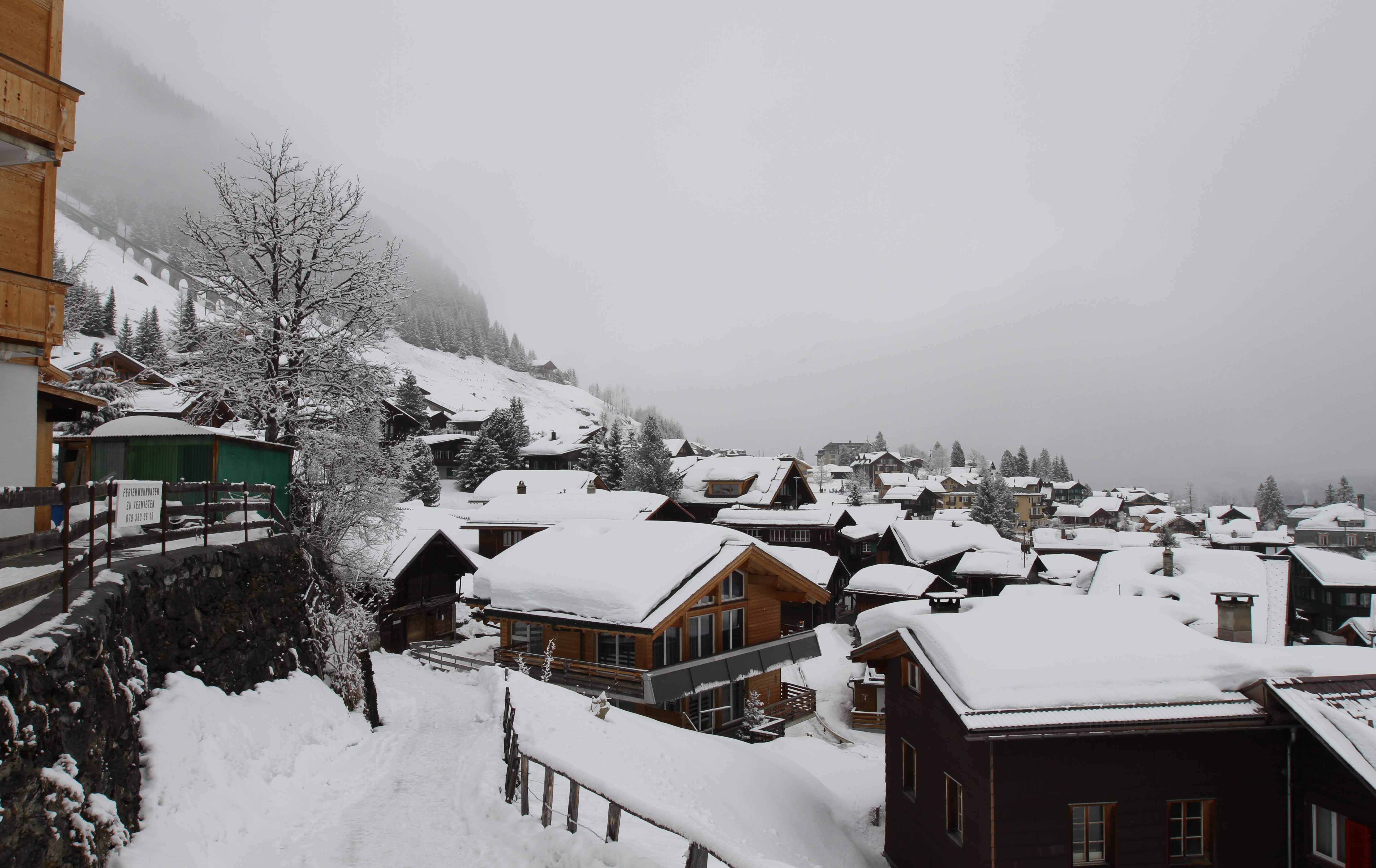


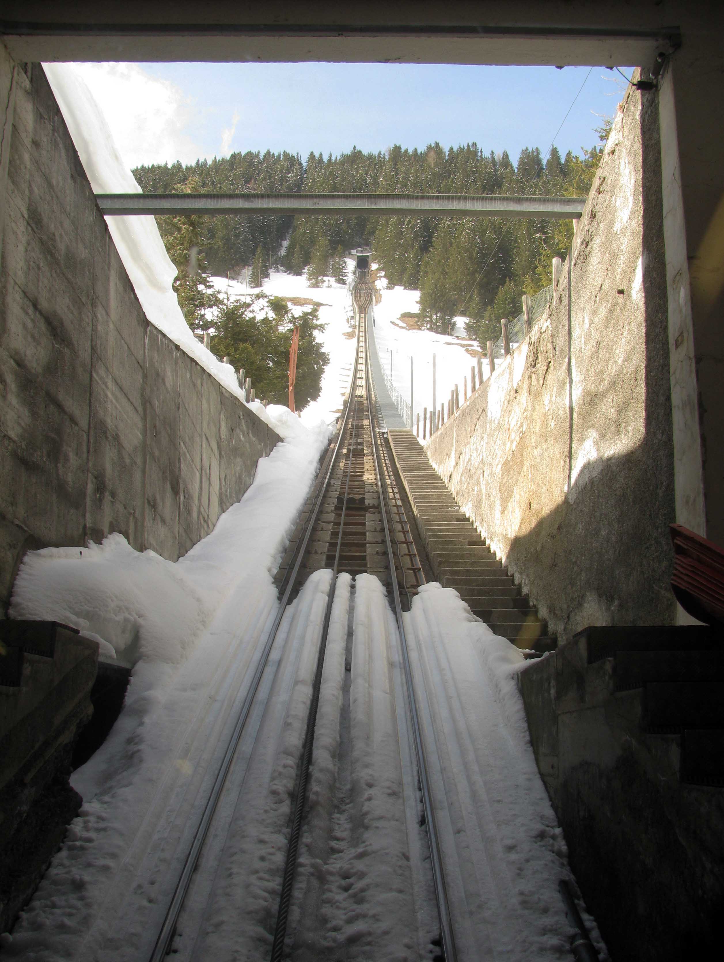

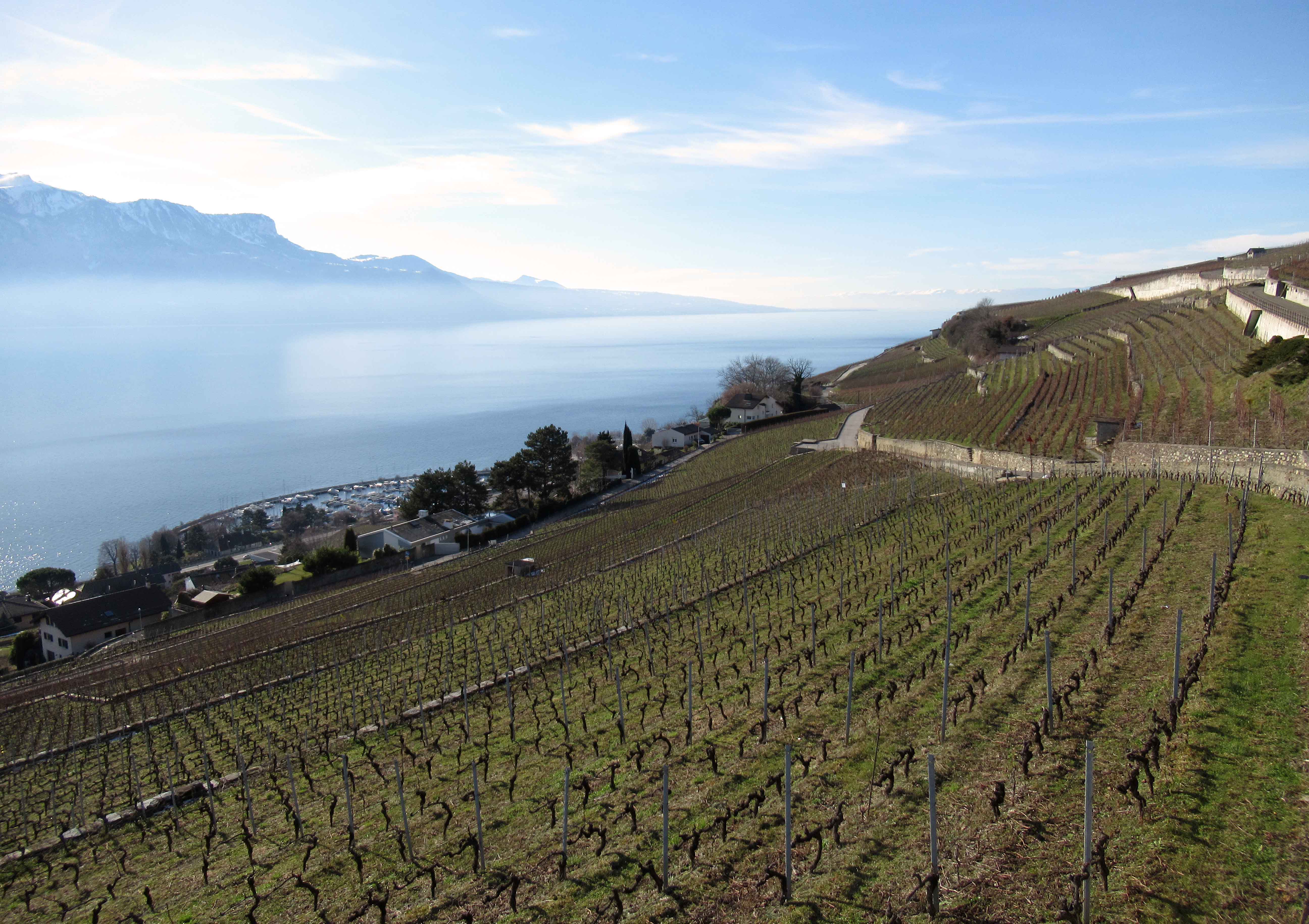
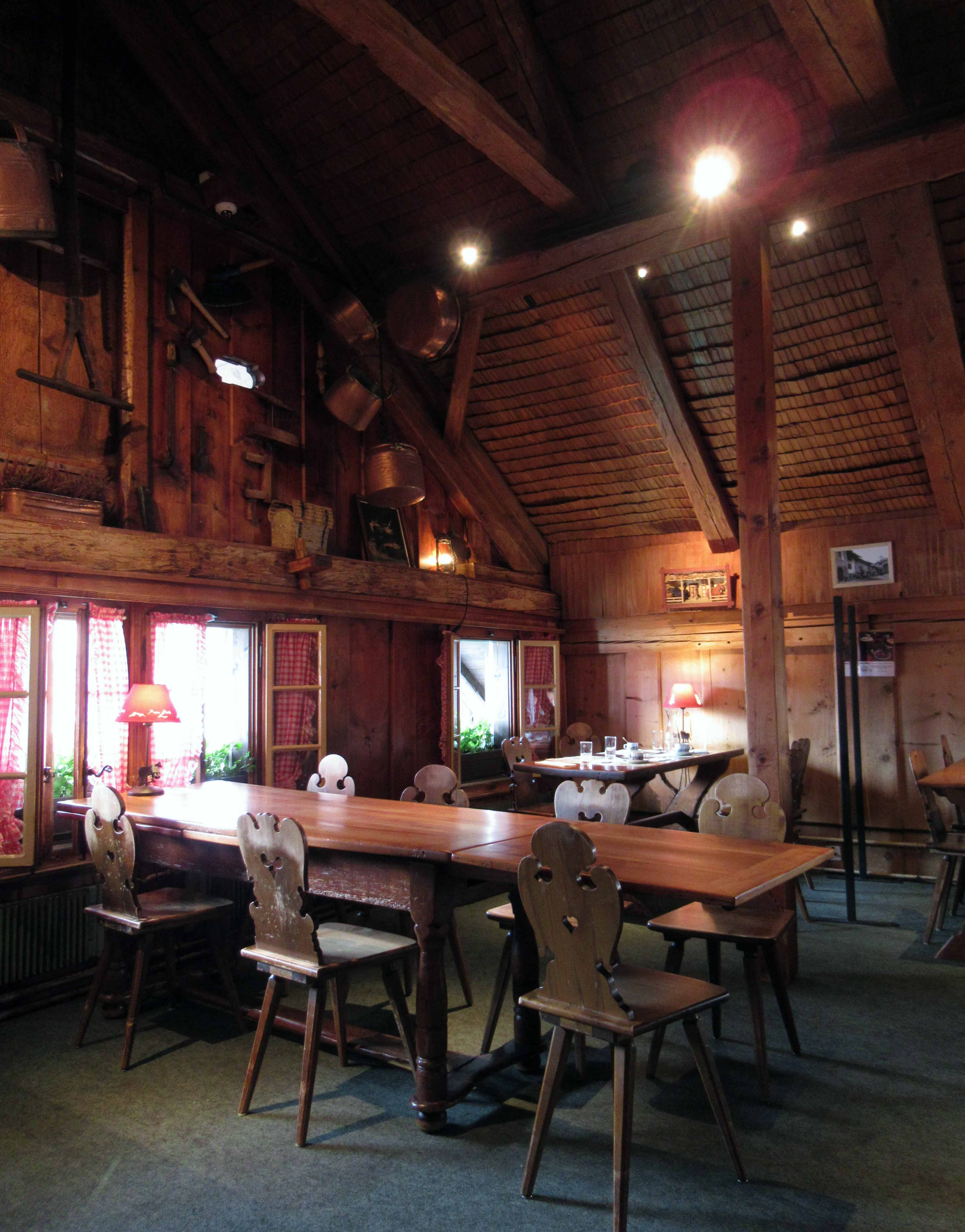
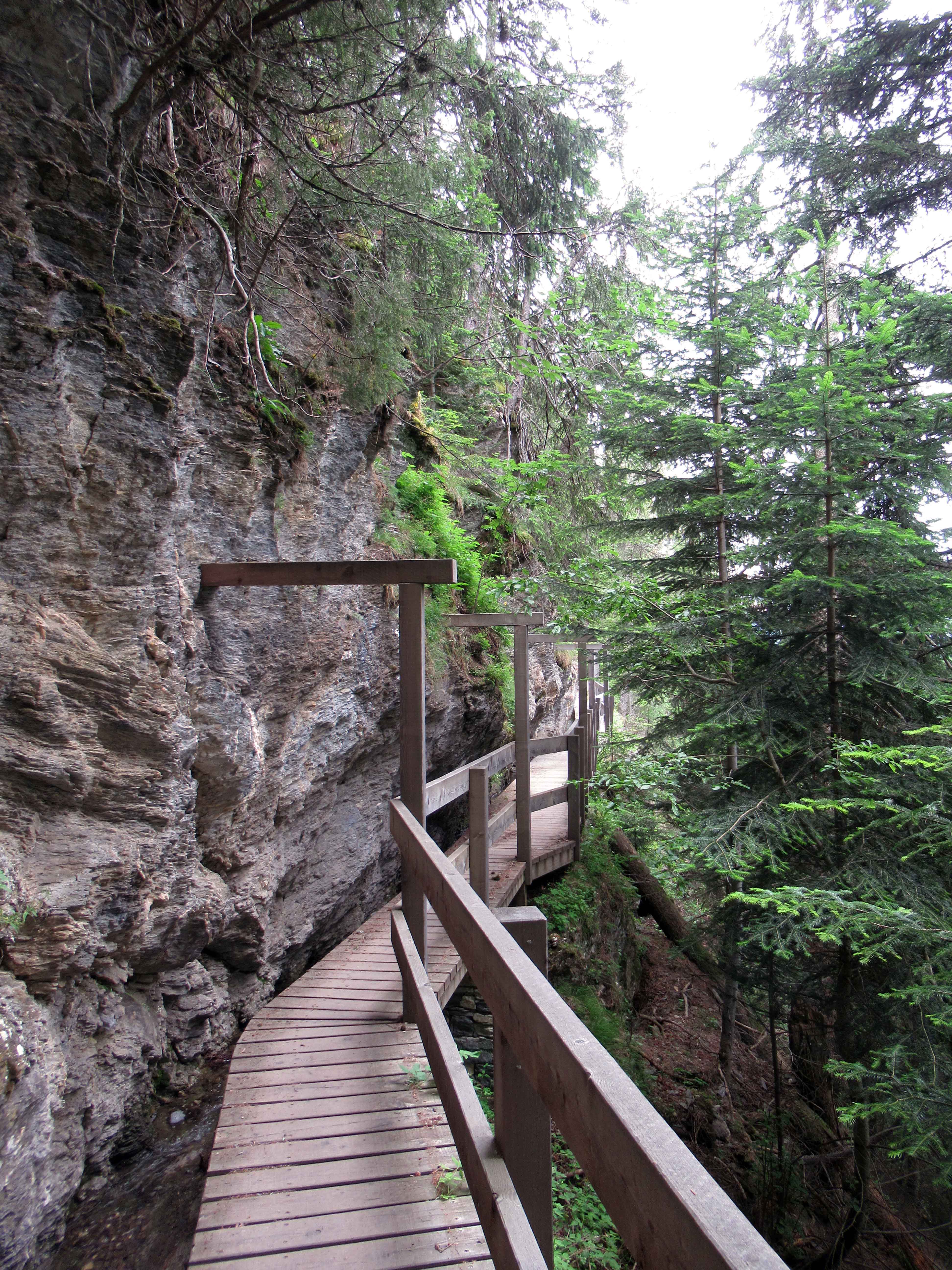
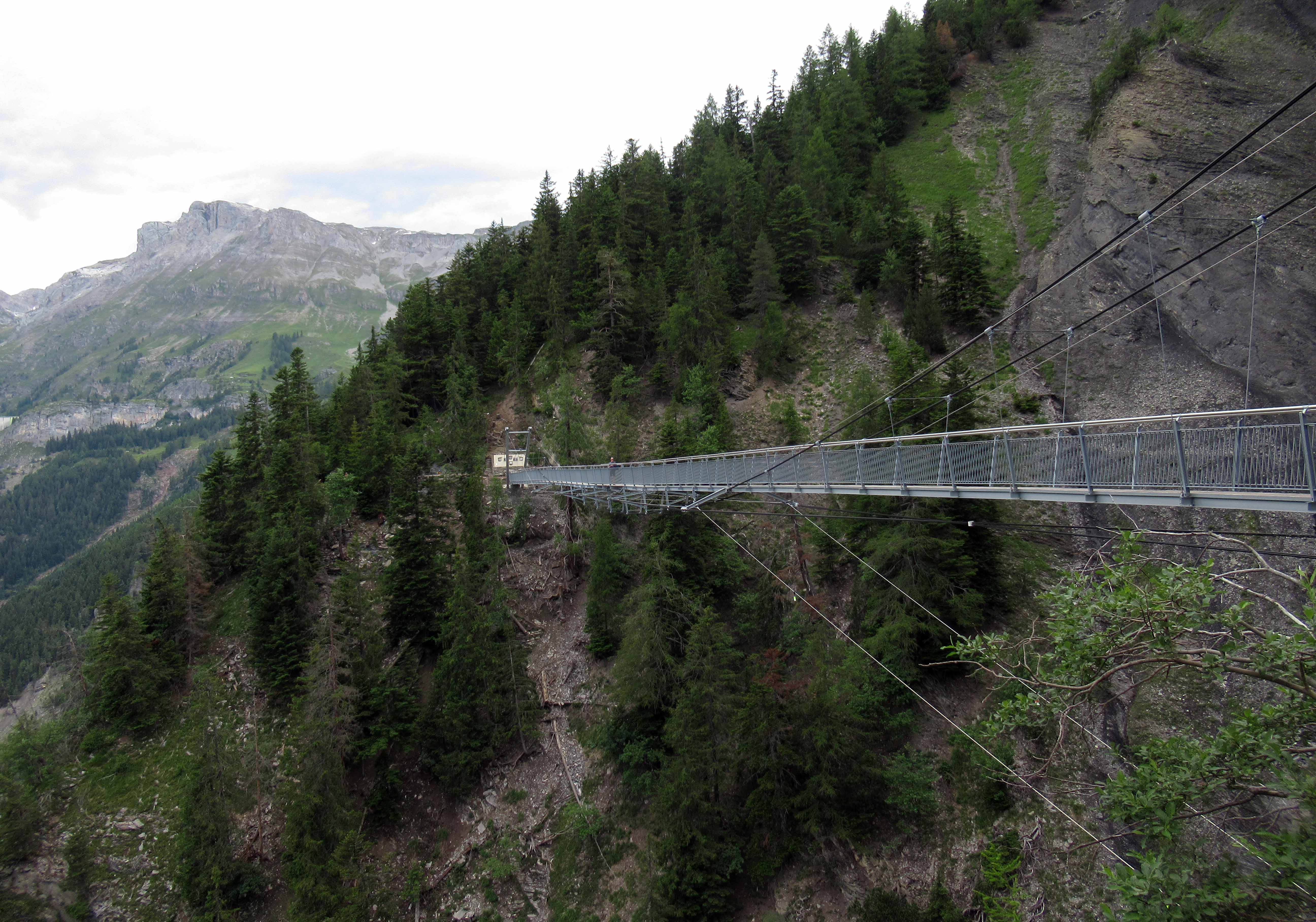
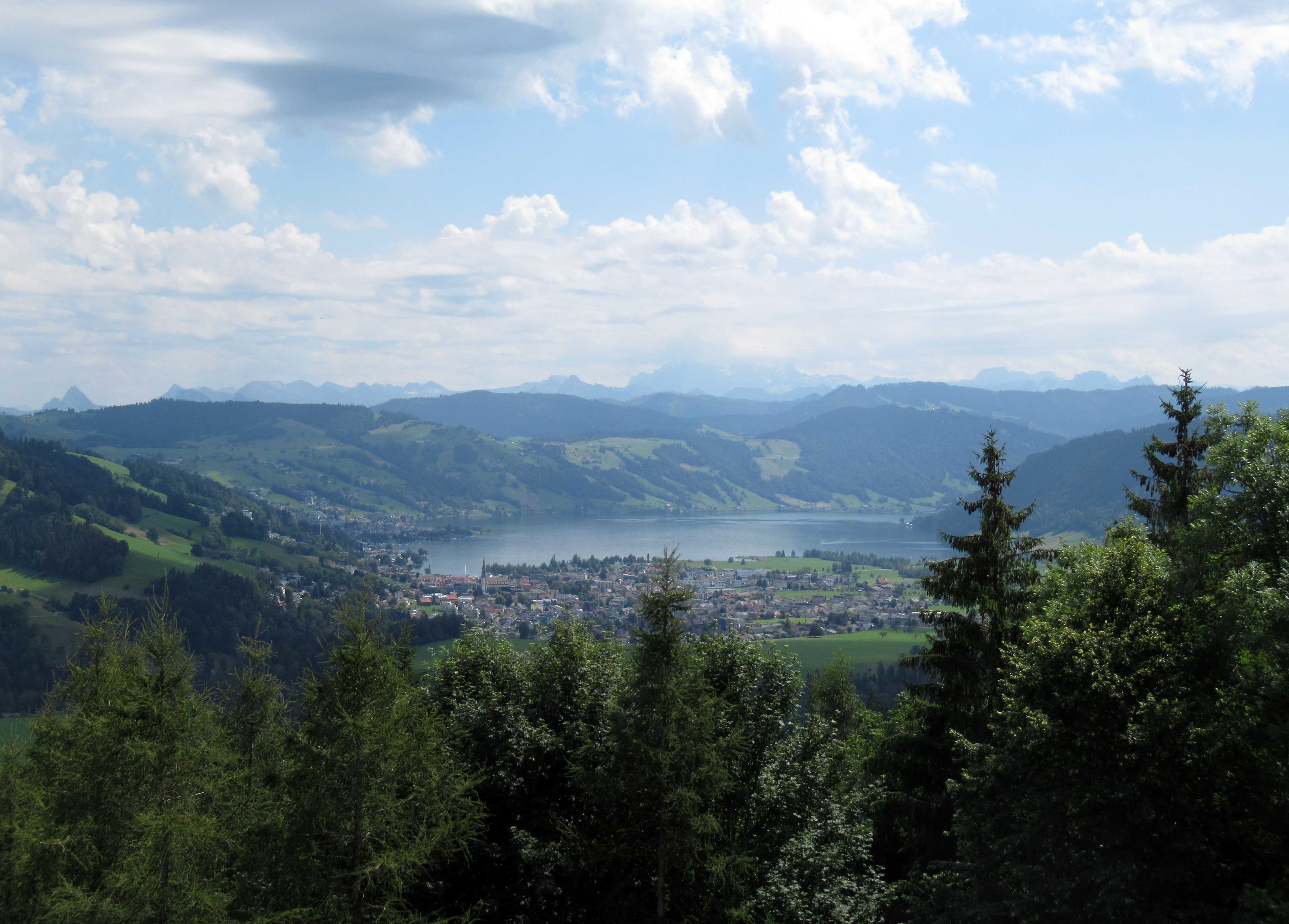
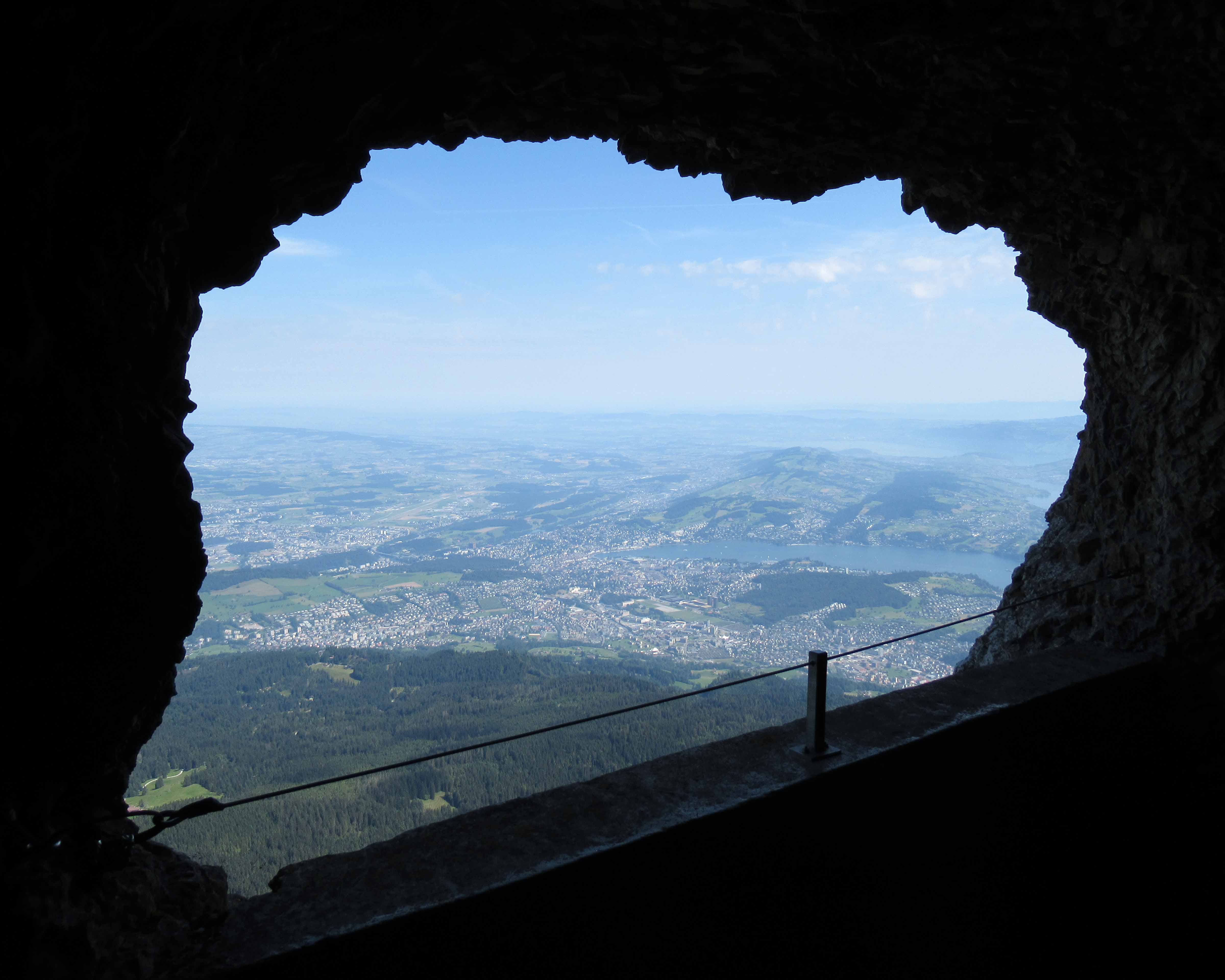
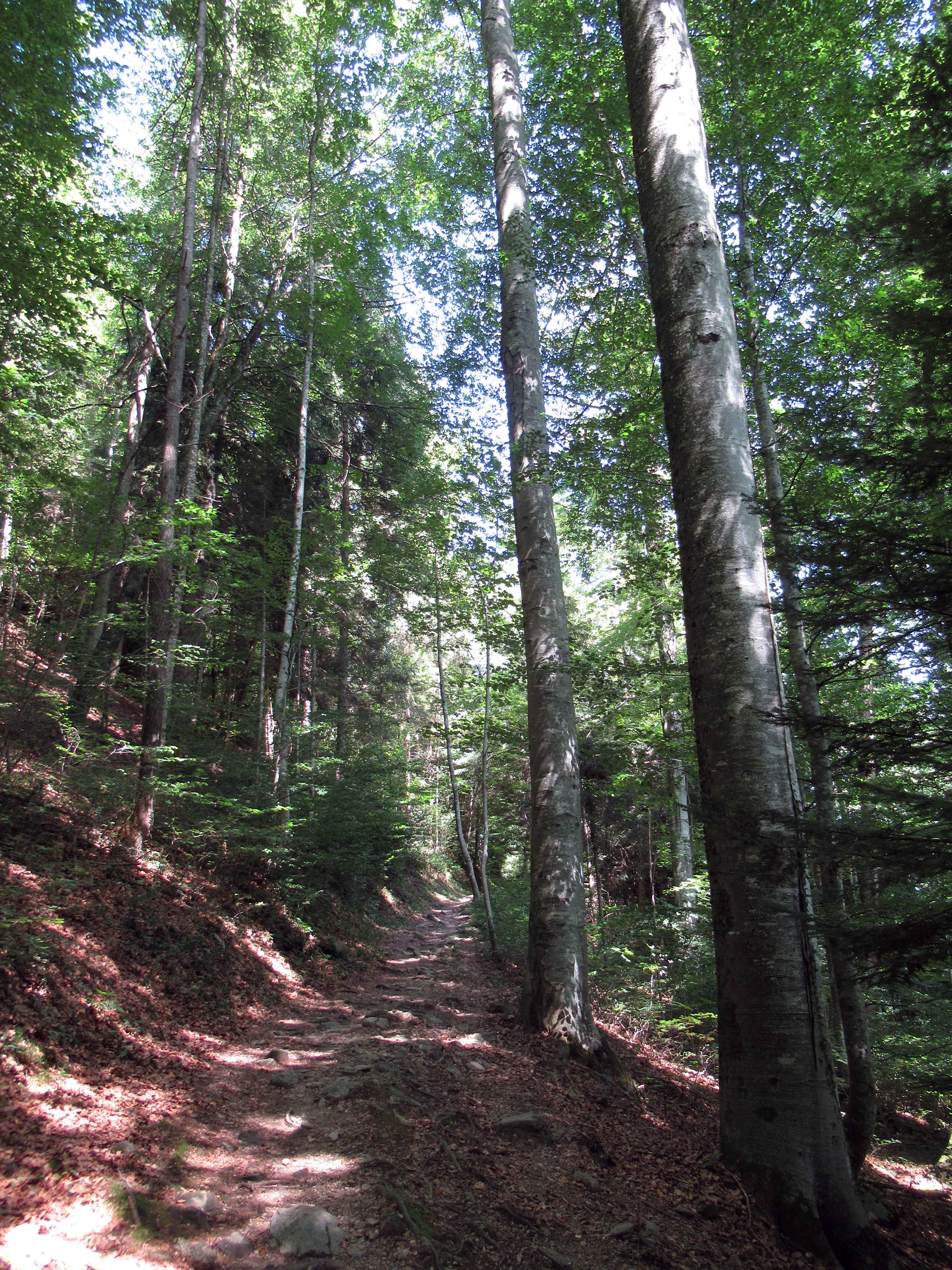
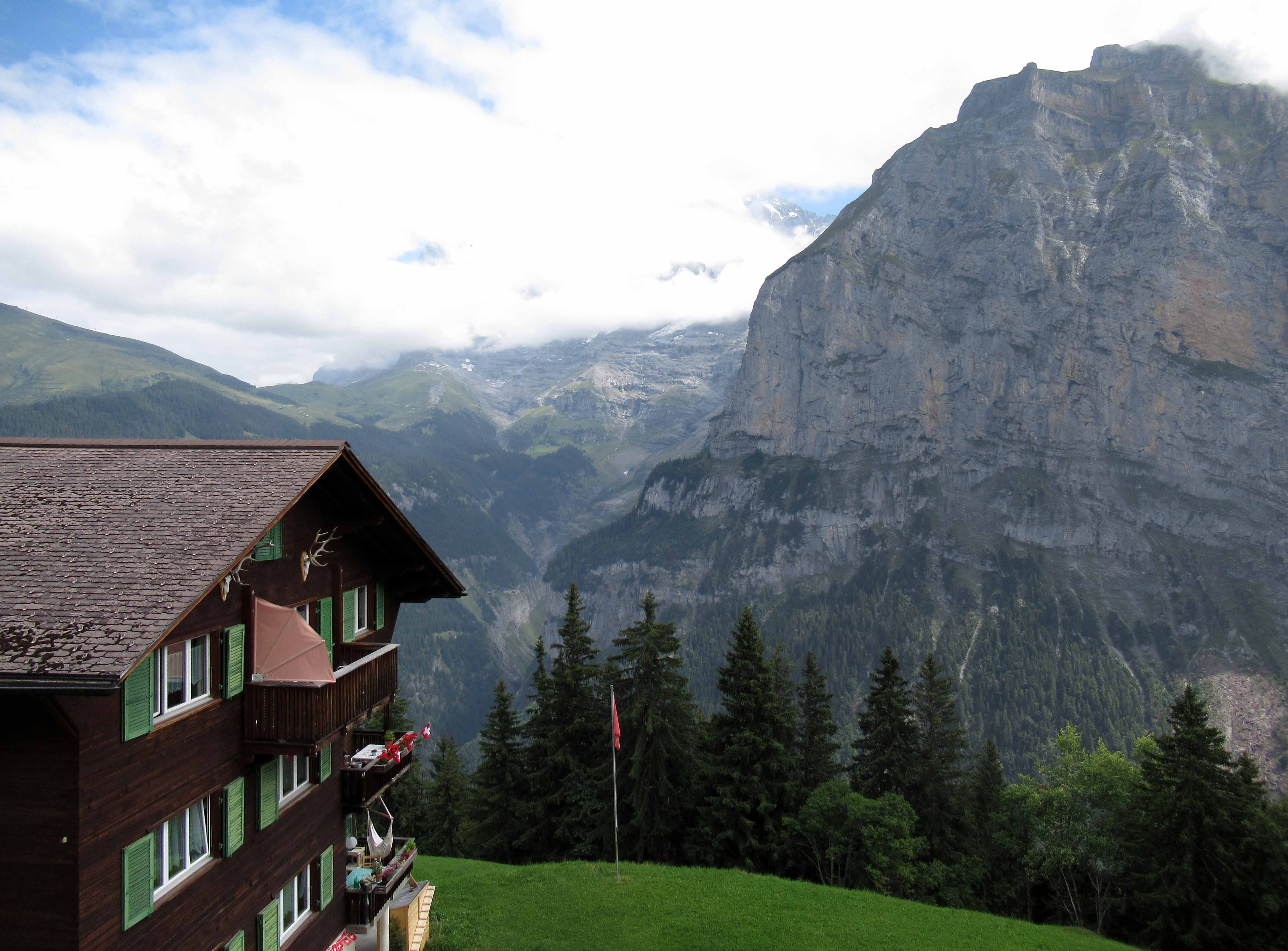
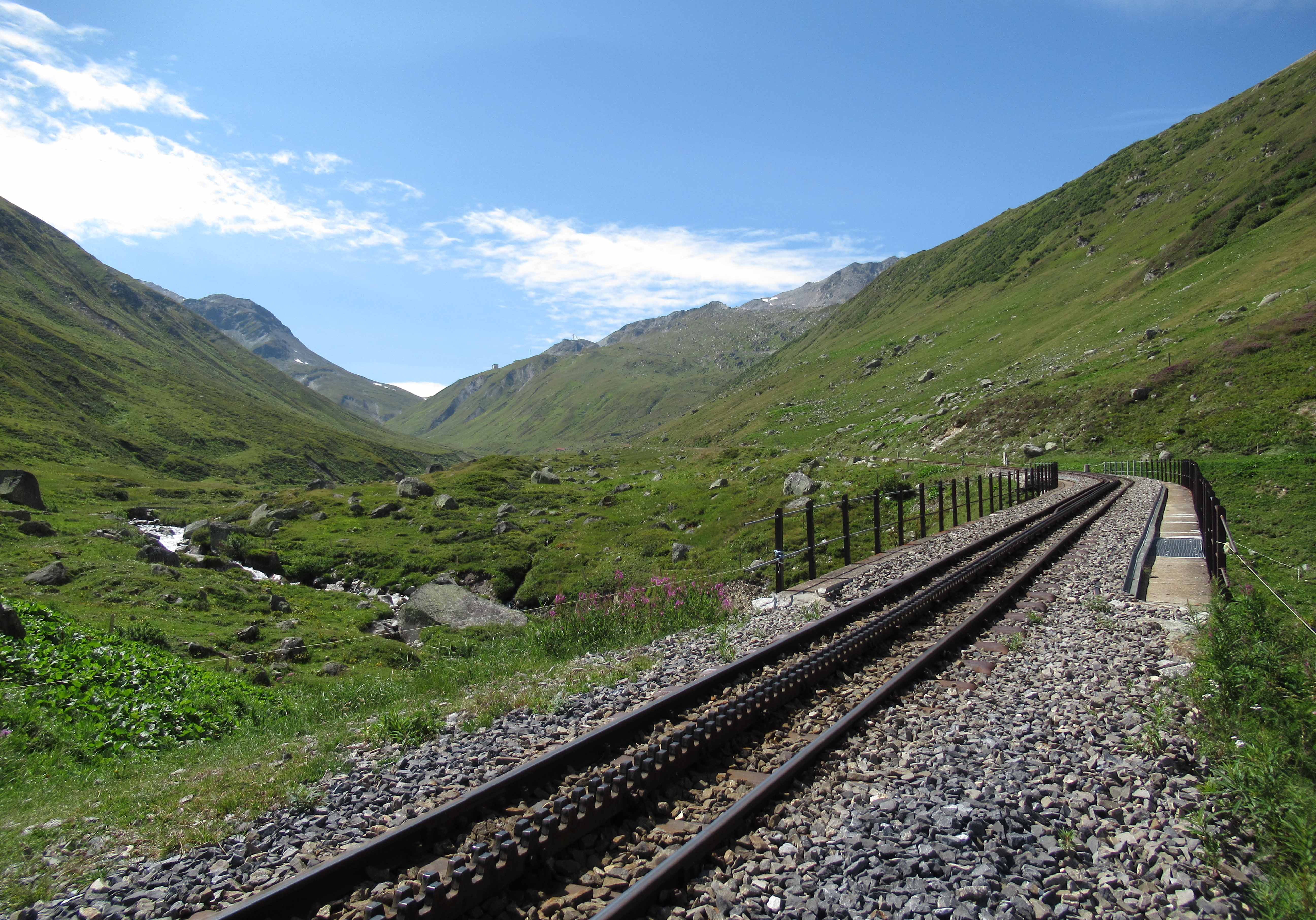
![The tracked cable car that runs between Mürren and the Lauterbrunnen-Mürren [suspended] cable car station.](http://www.wolffchronicles.com/wp-content/uploads/2016/05/20130402-14.jpg)