Just the Pictures (Caribbean Sea)

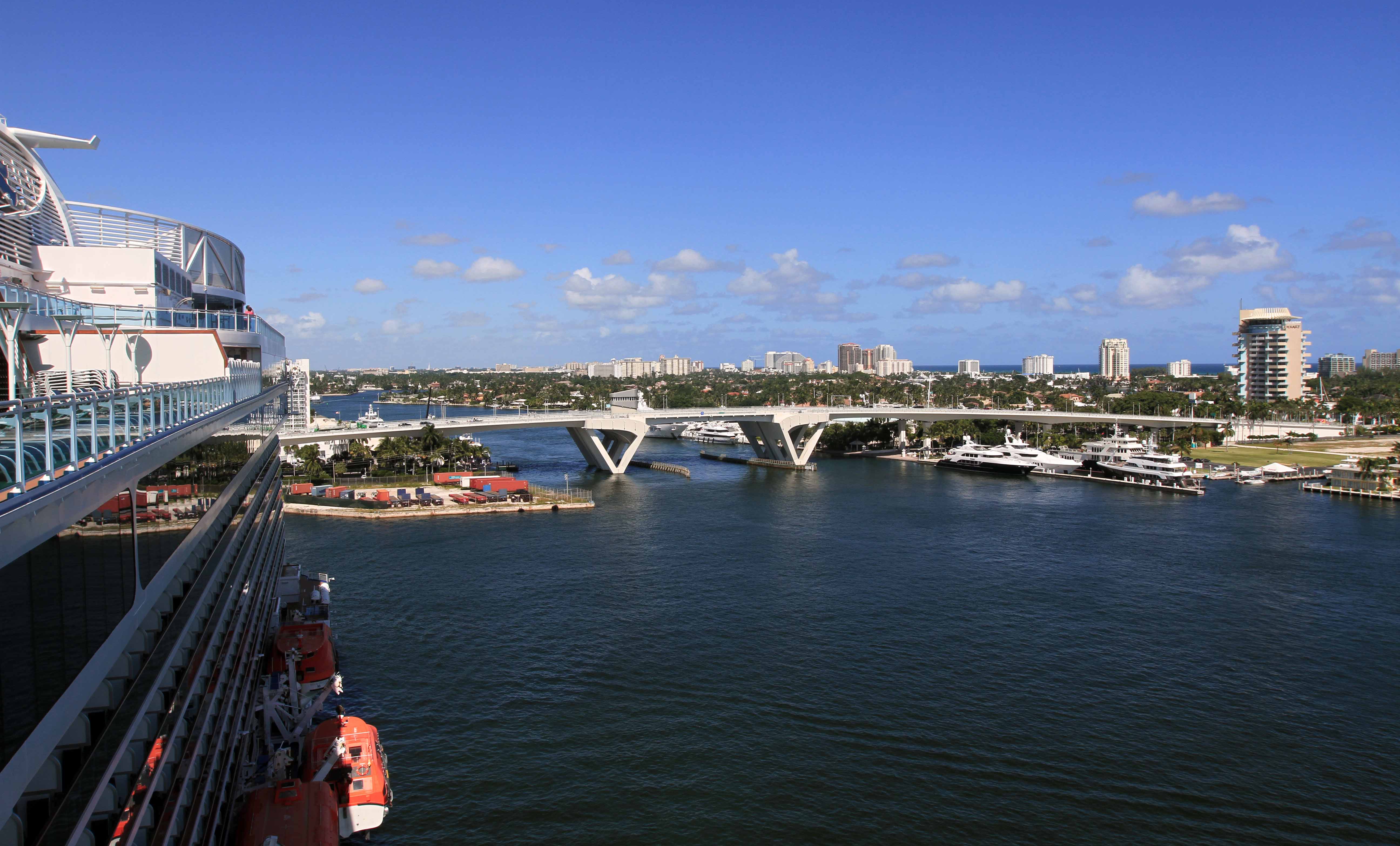
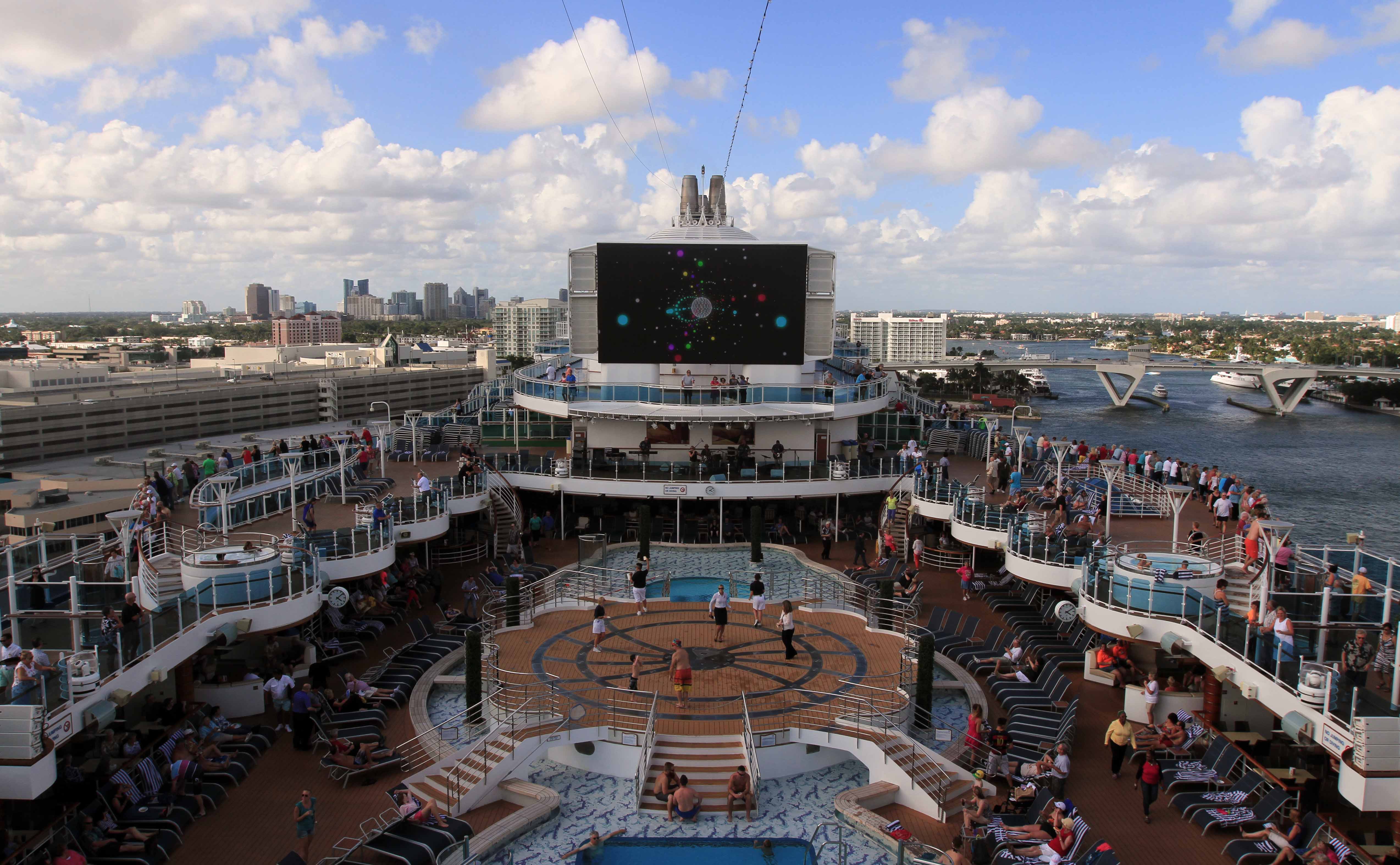
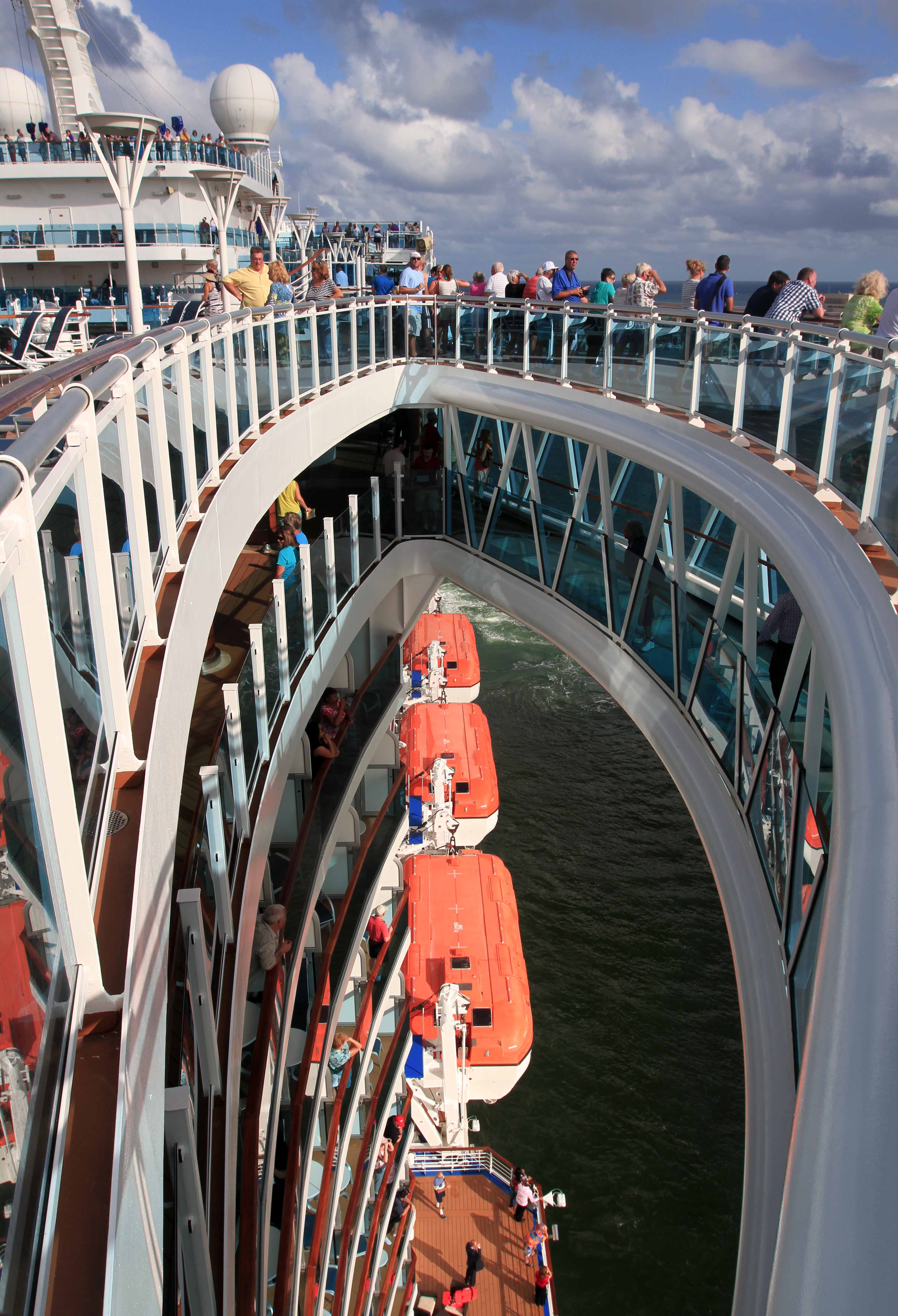
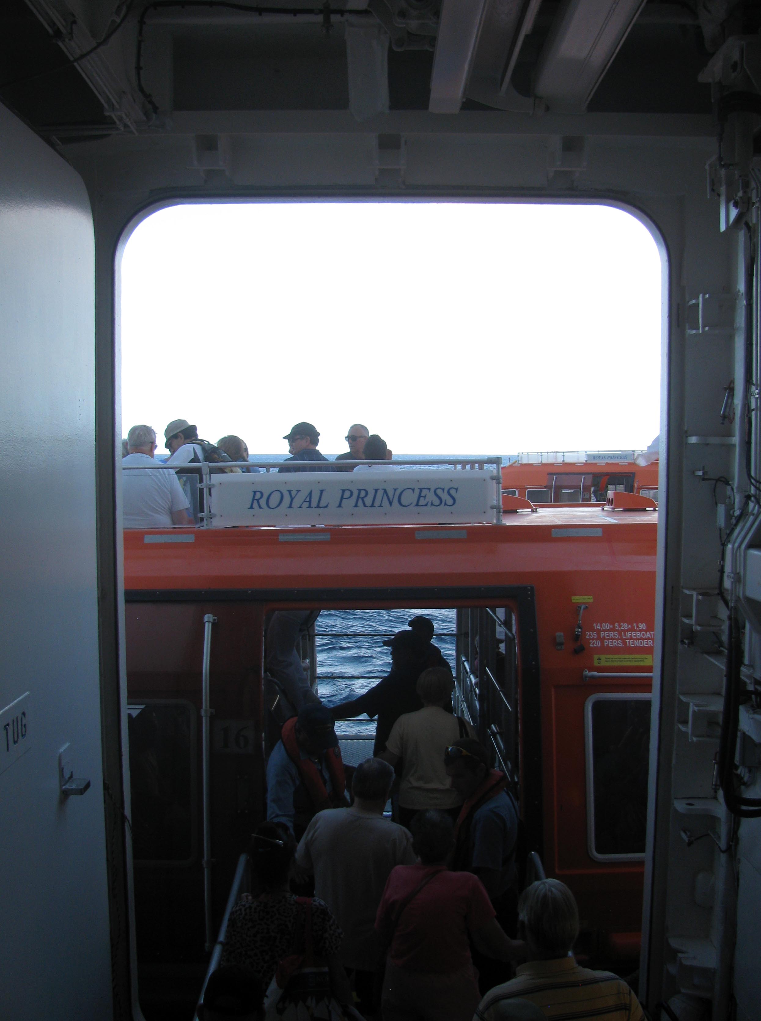
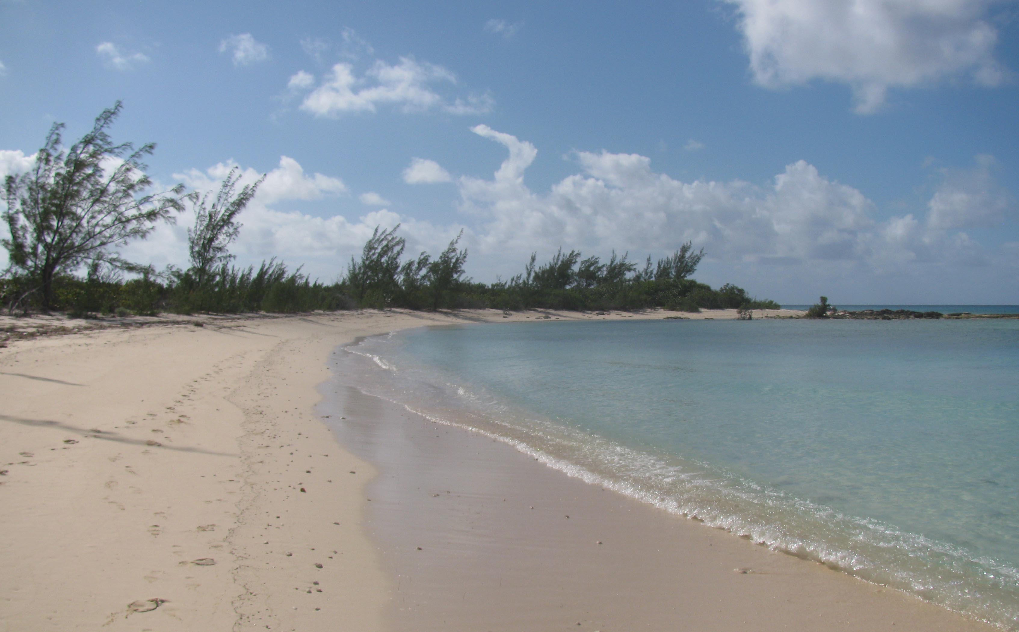
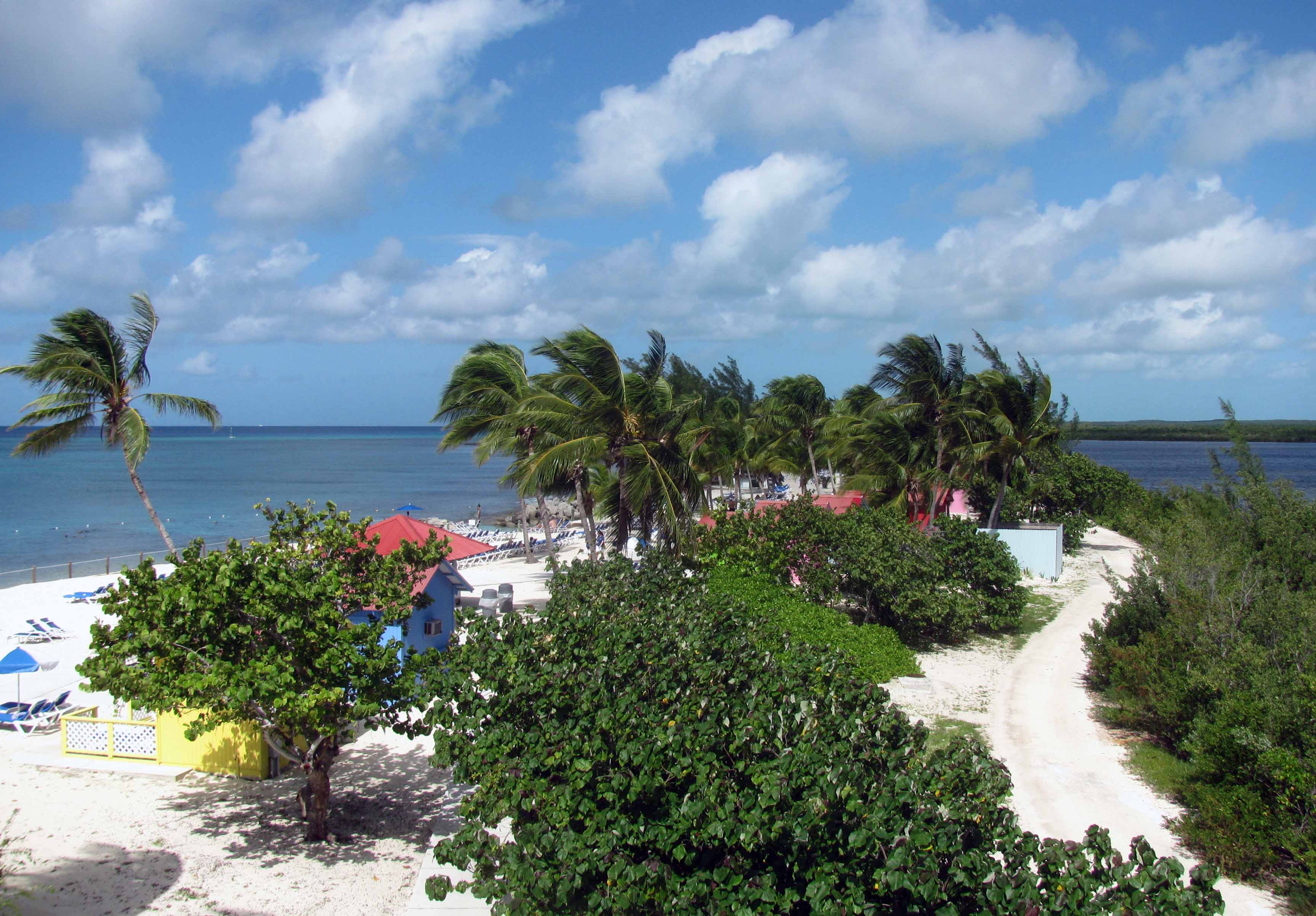
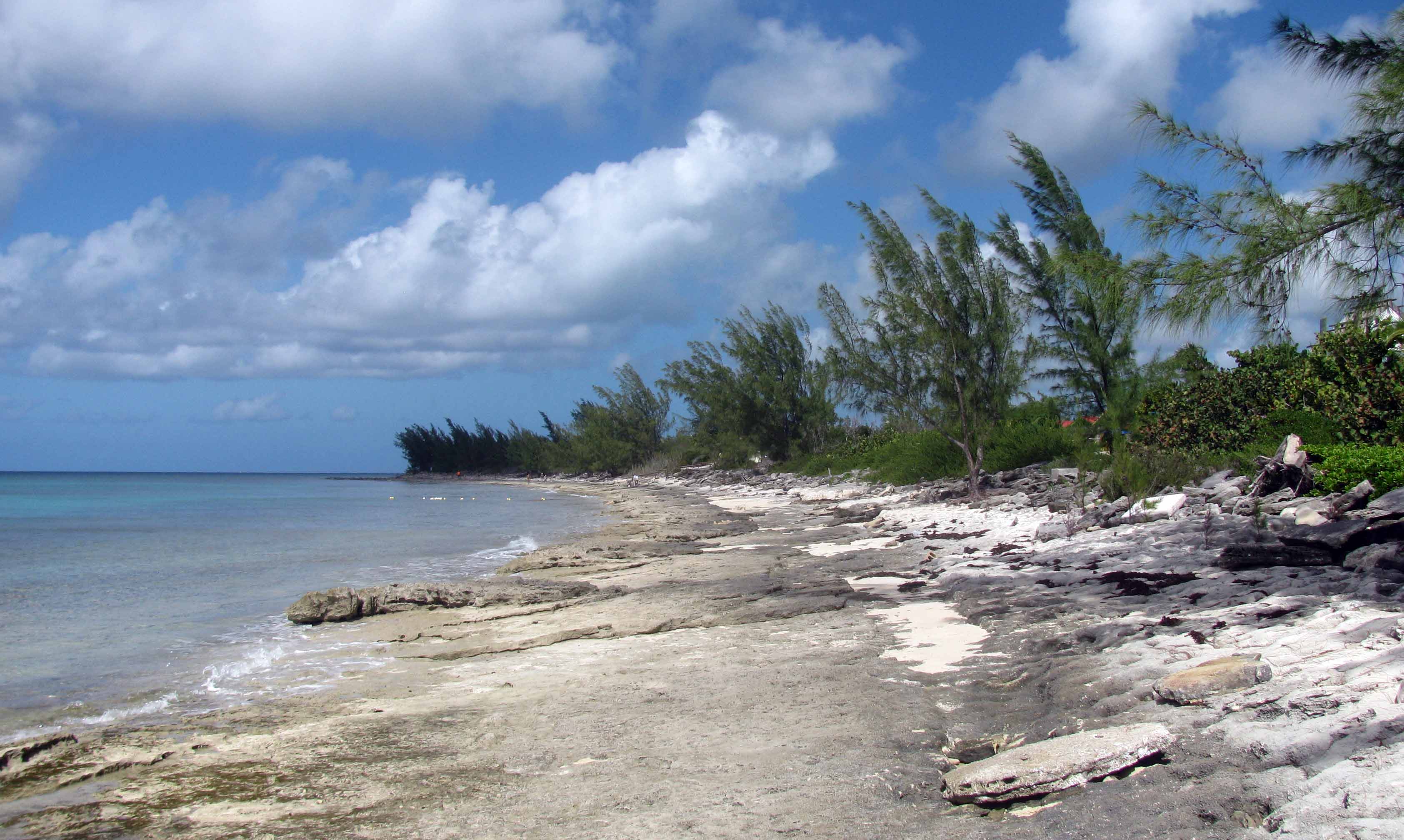
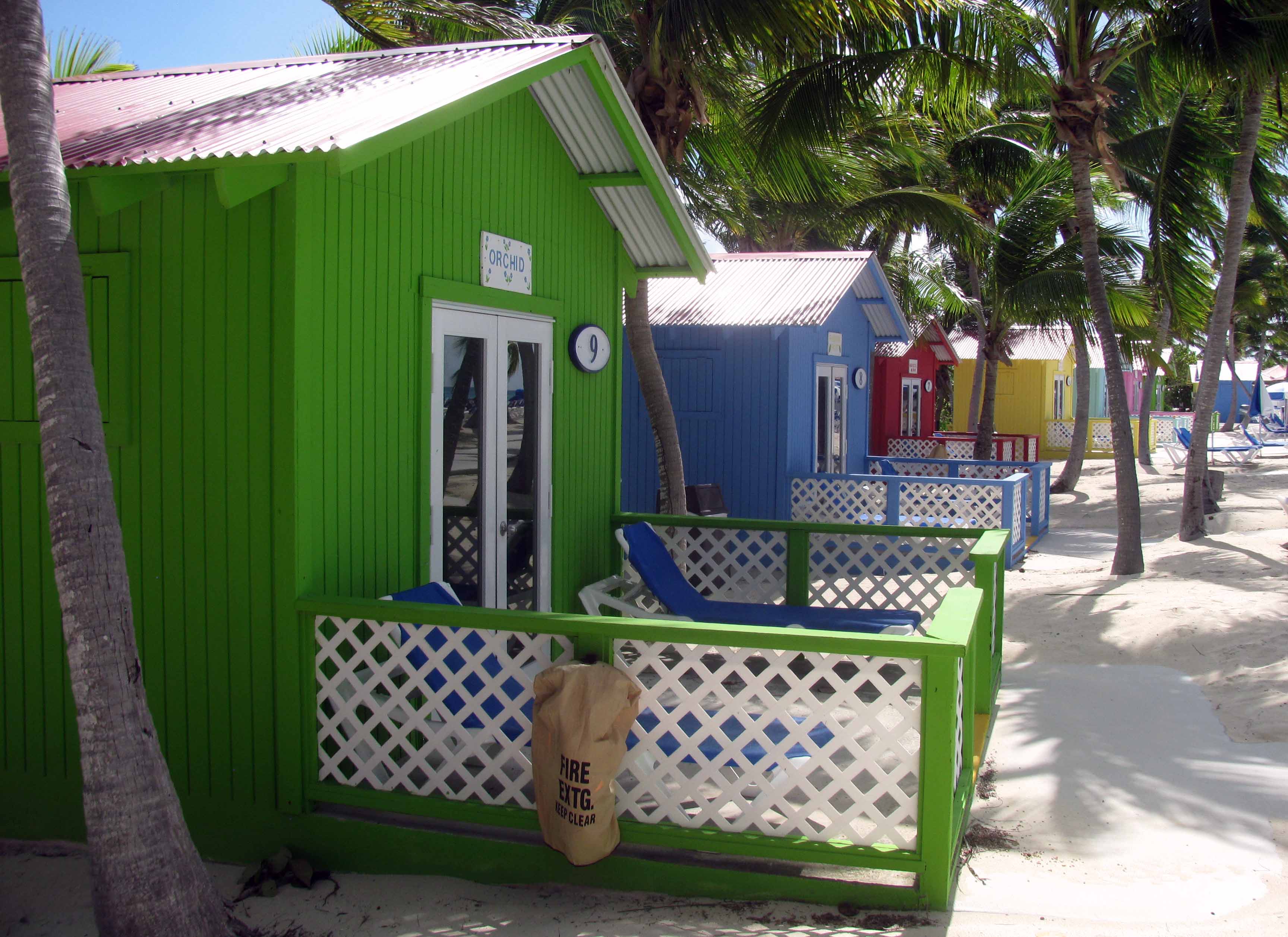
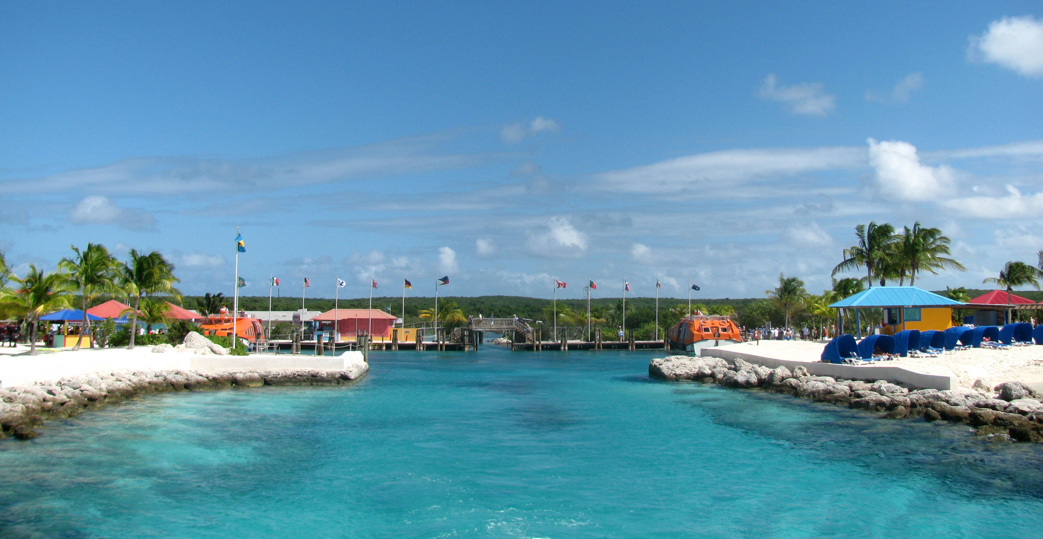
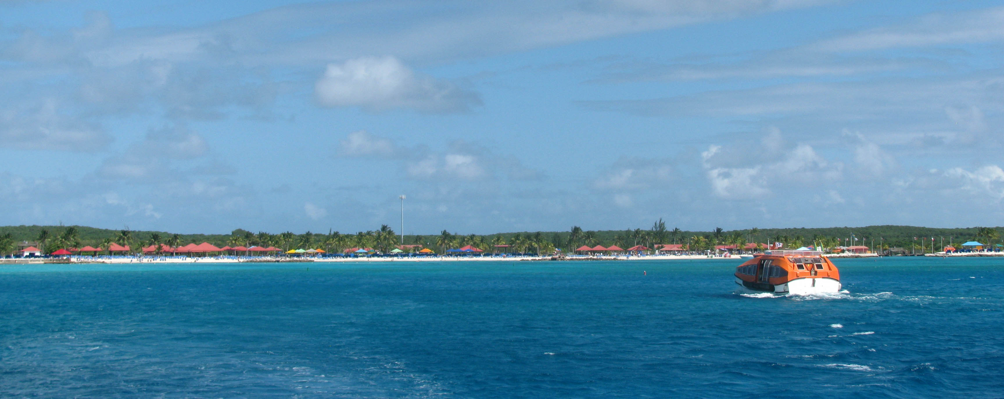
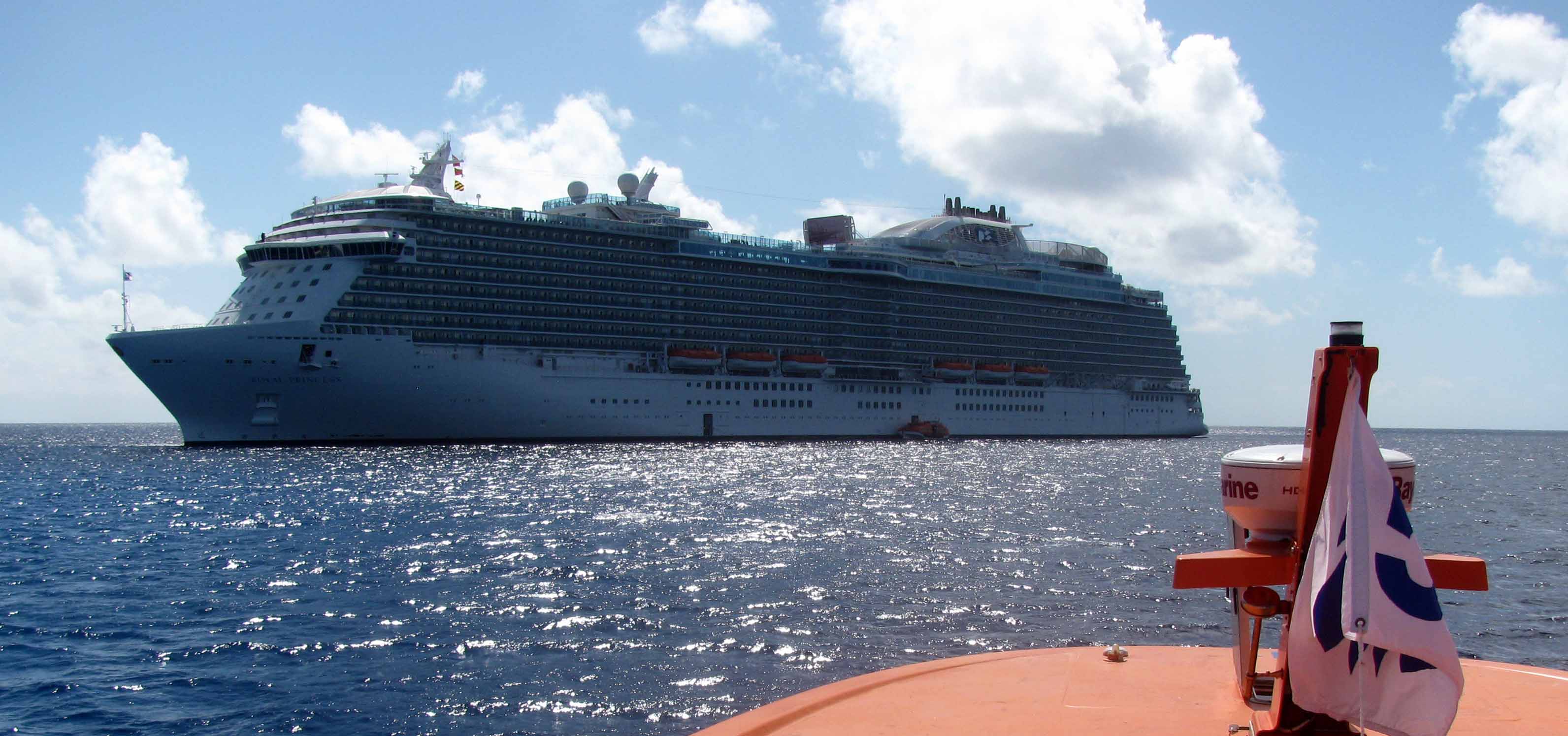
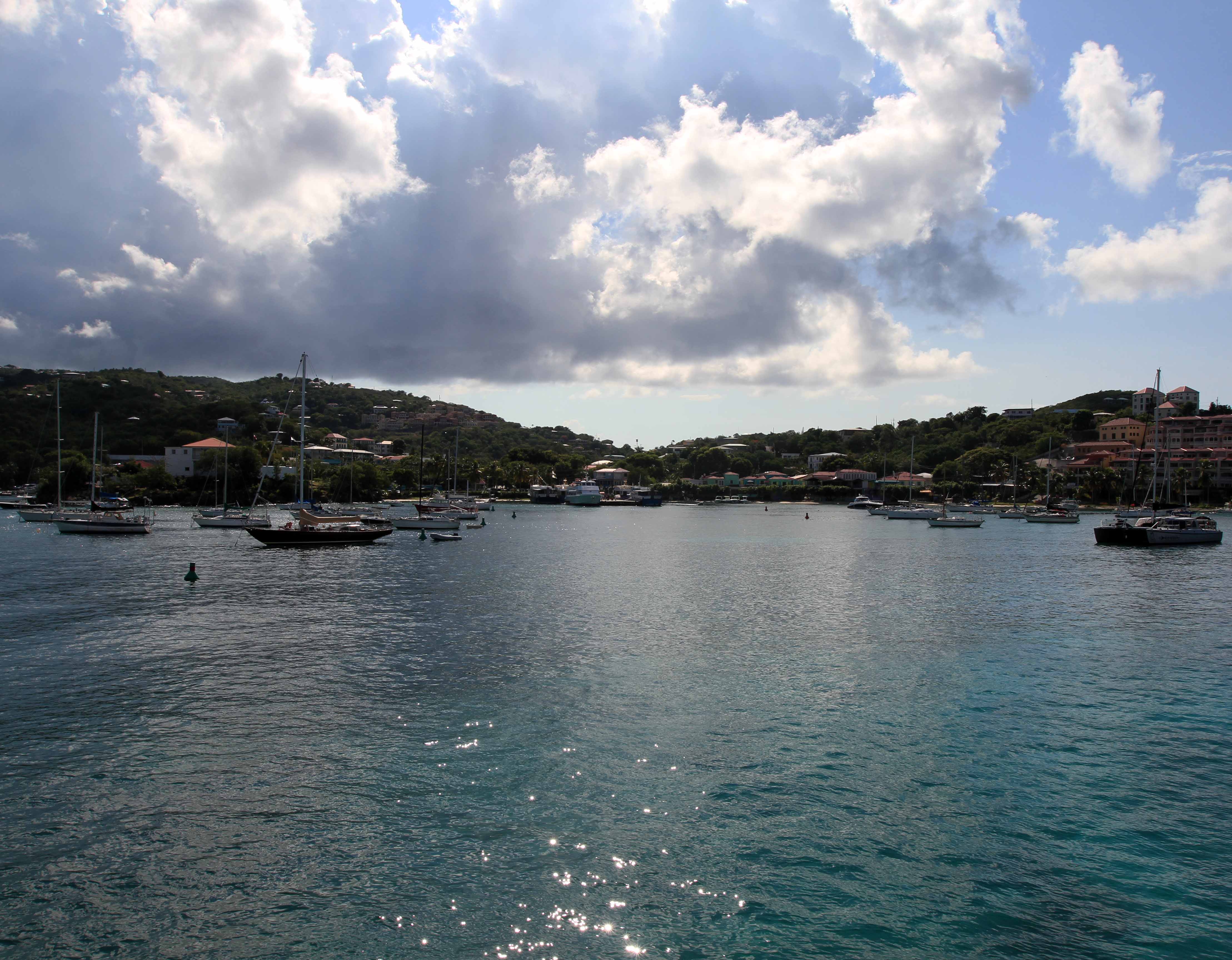
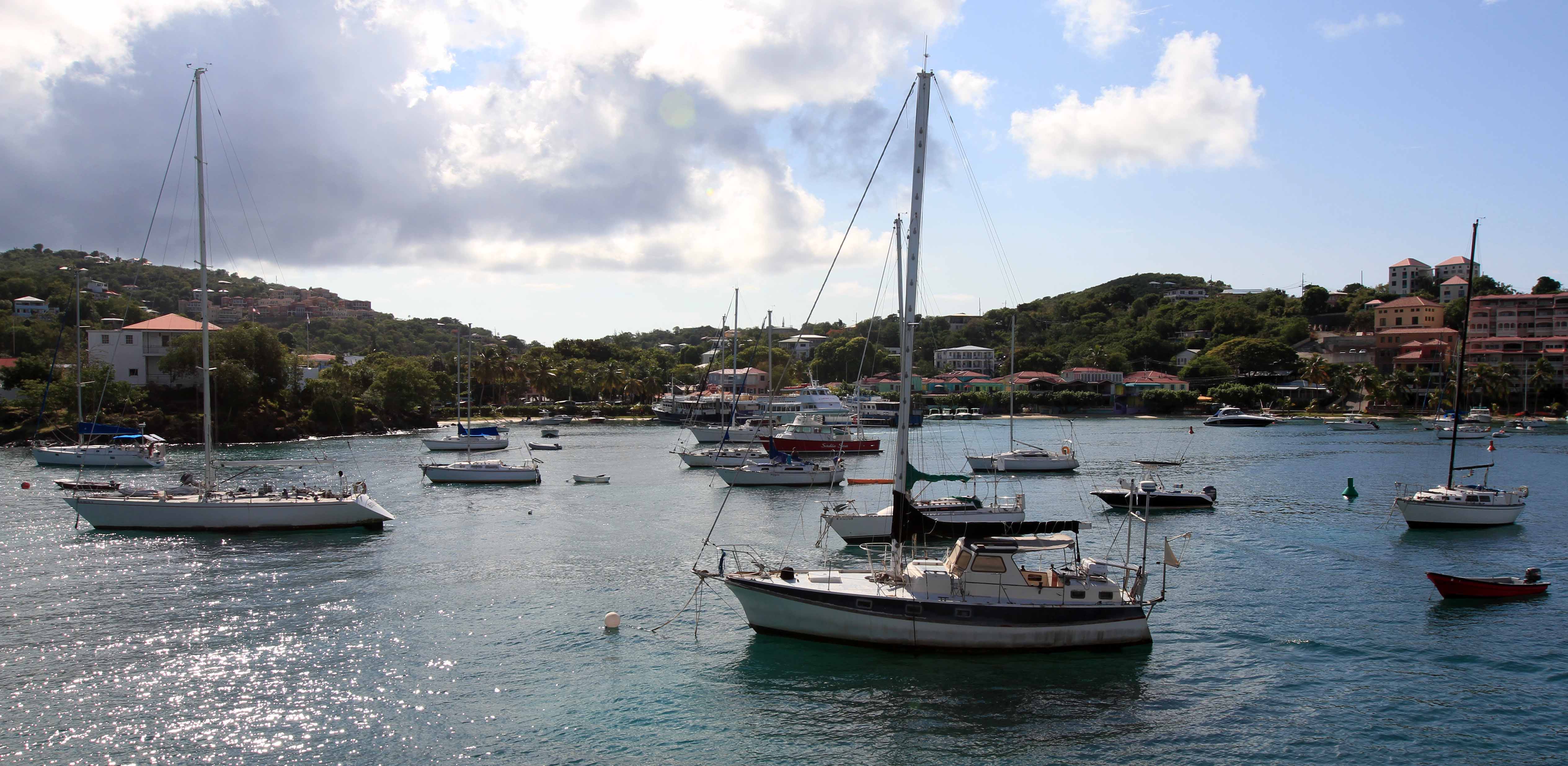
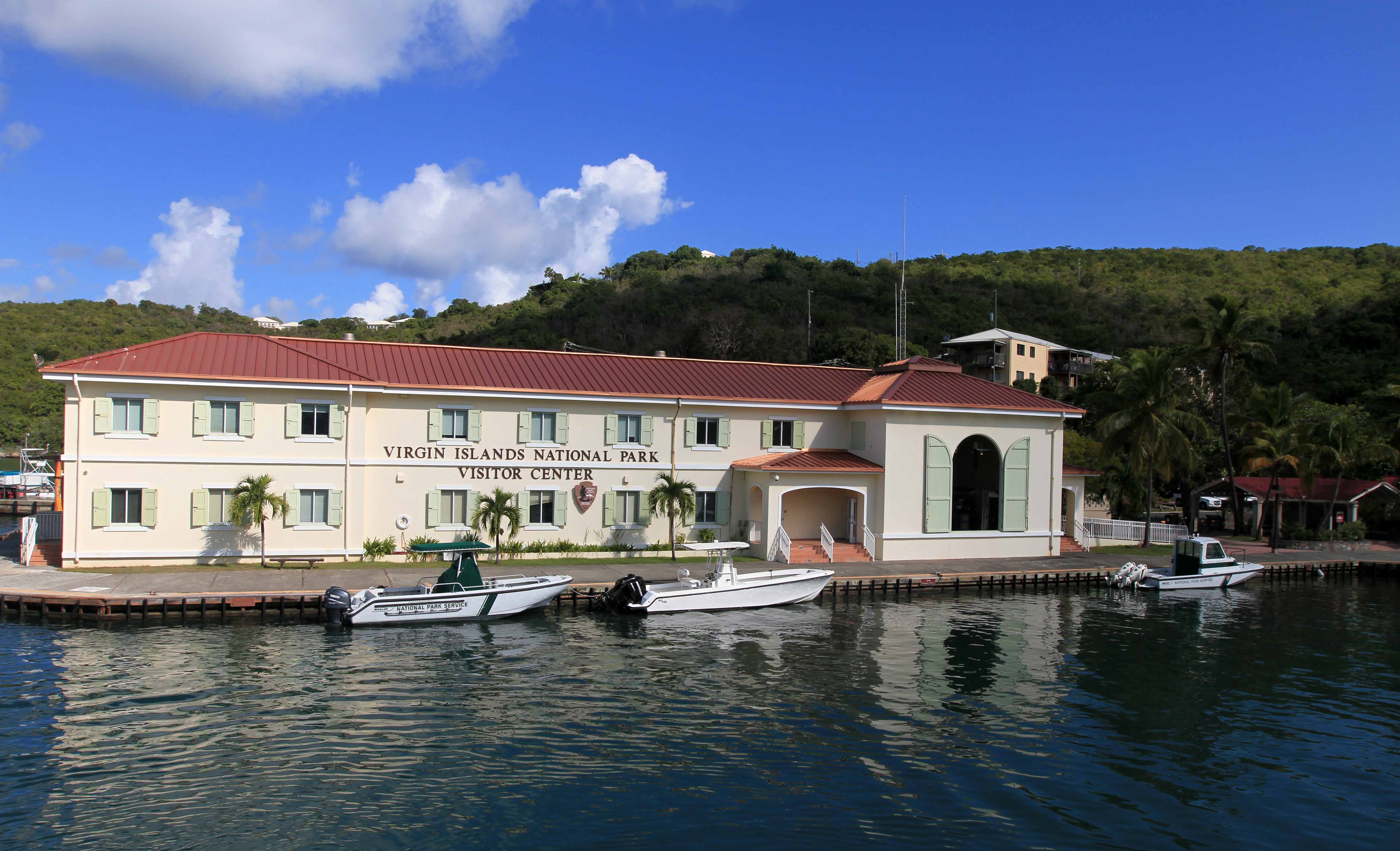
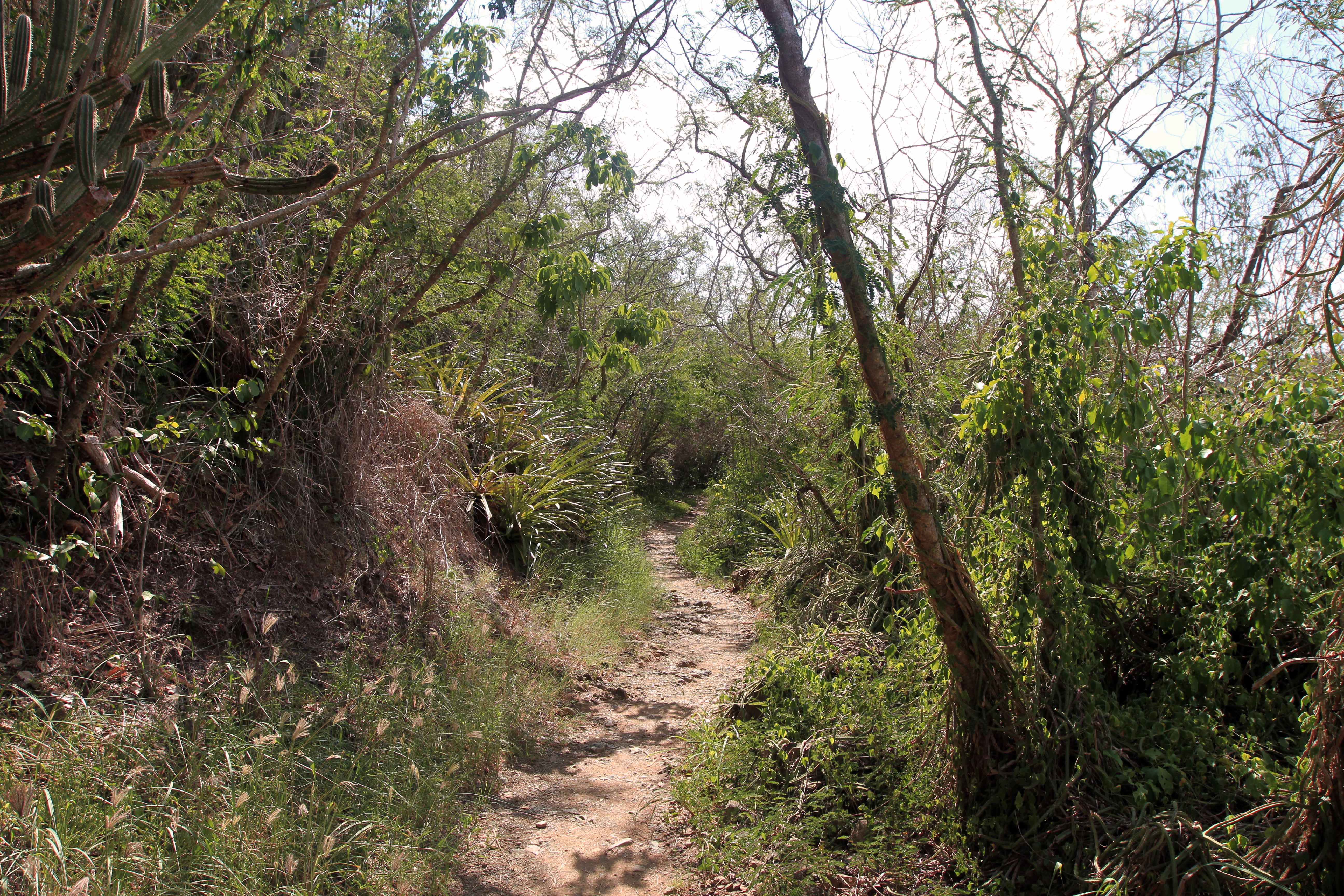
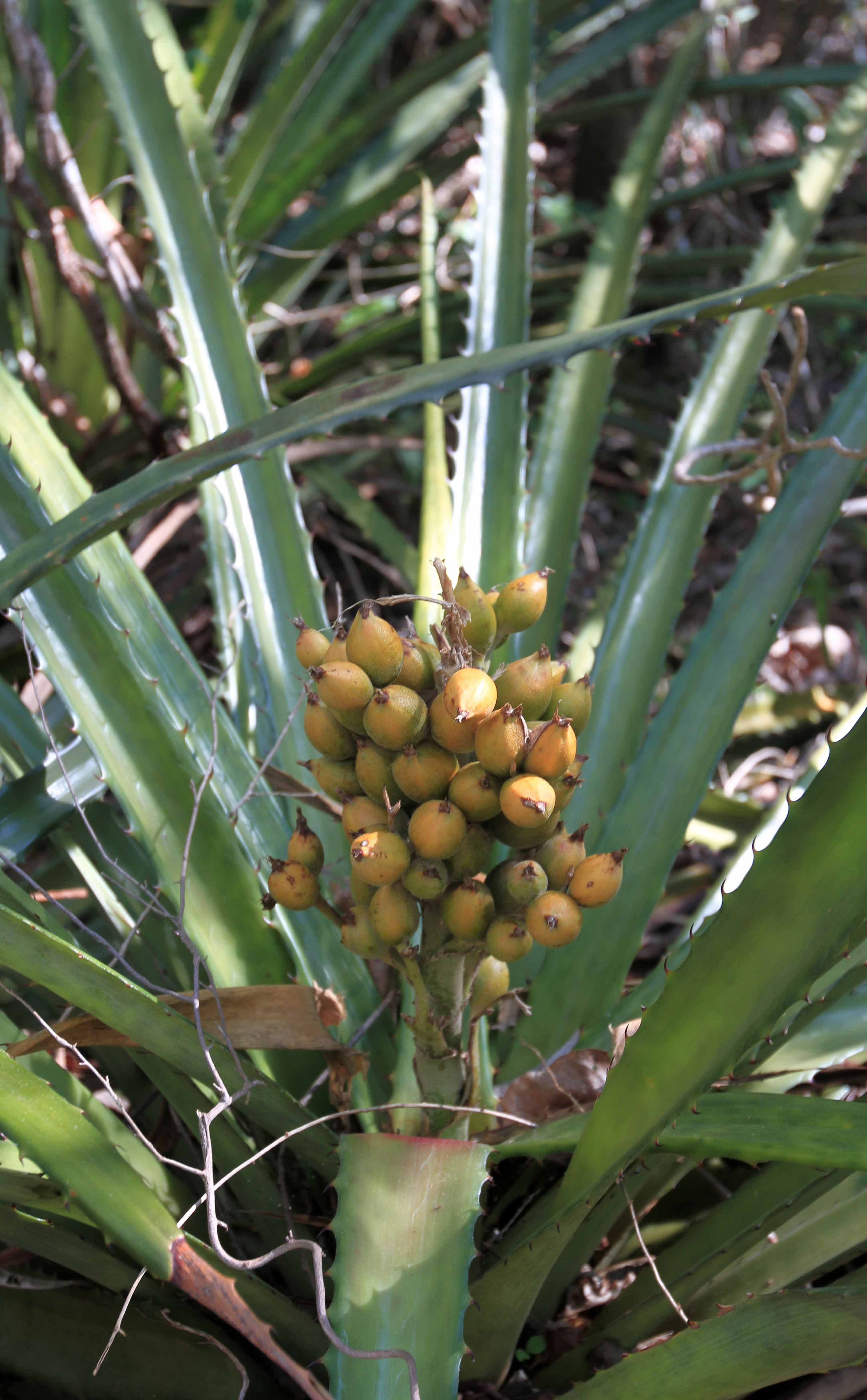
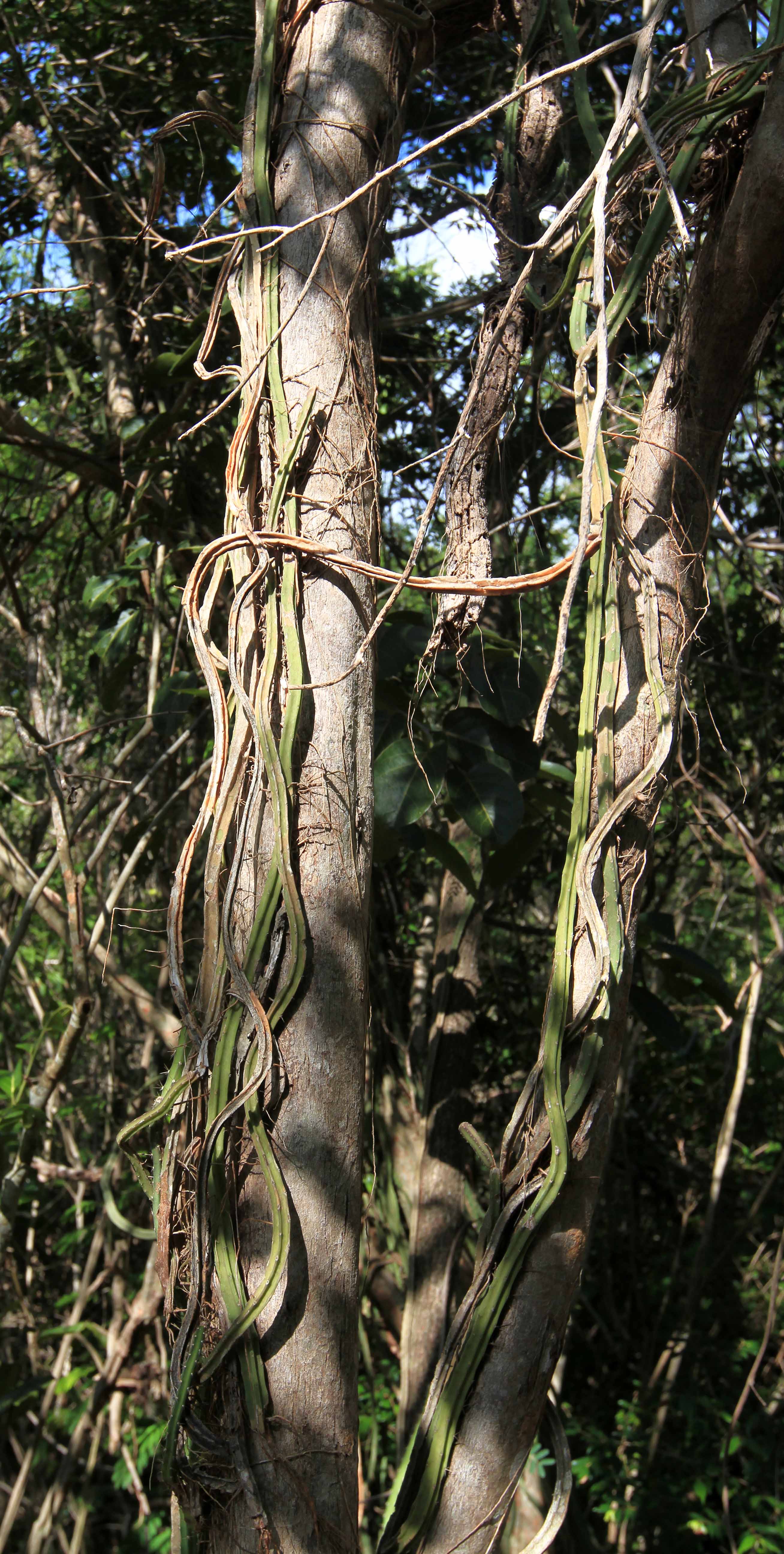
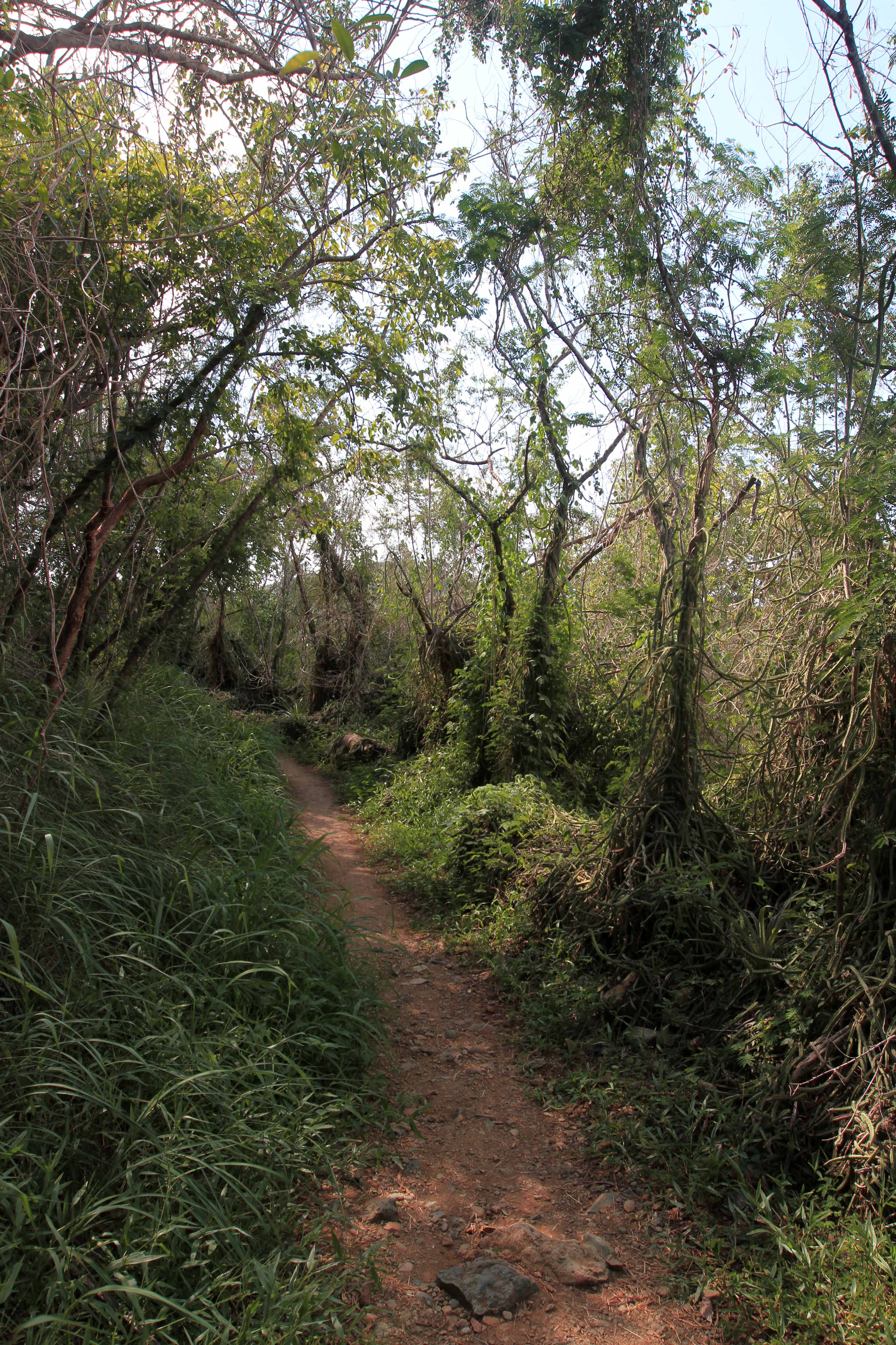
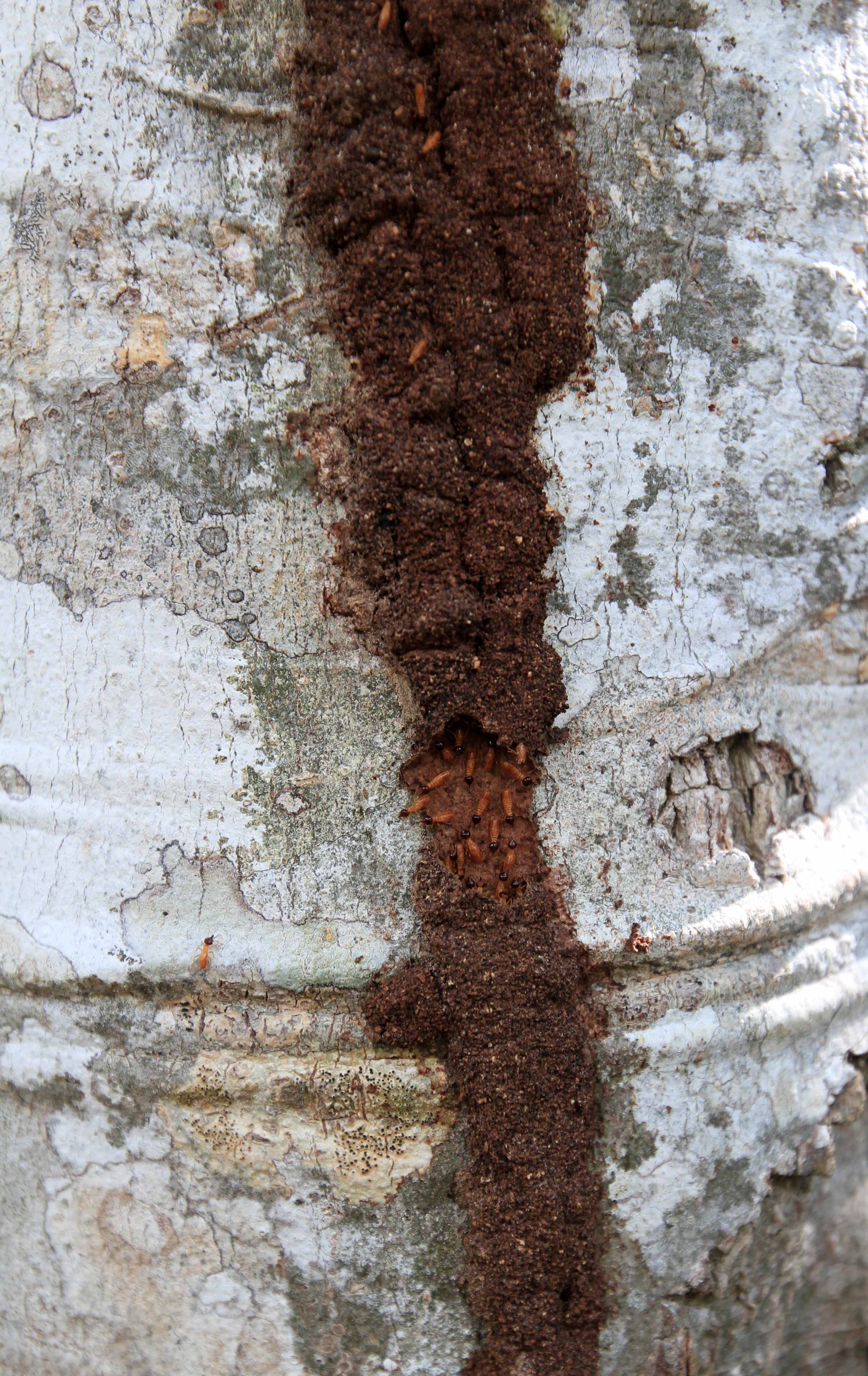
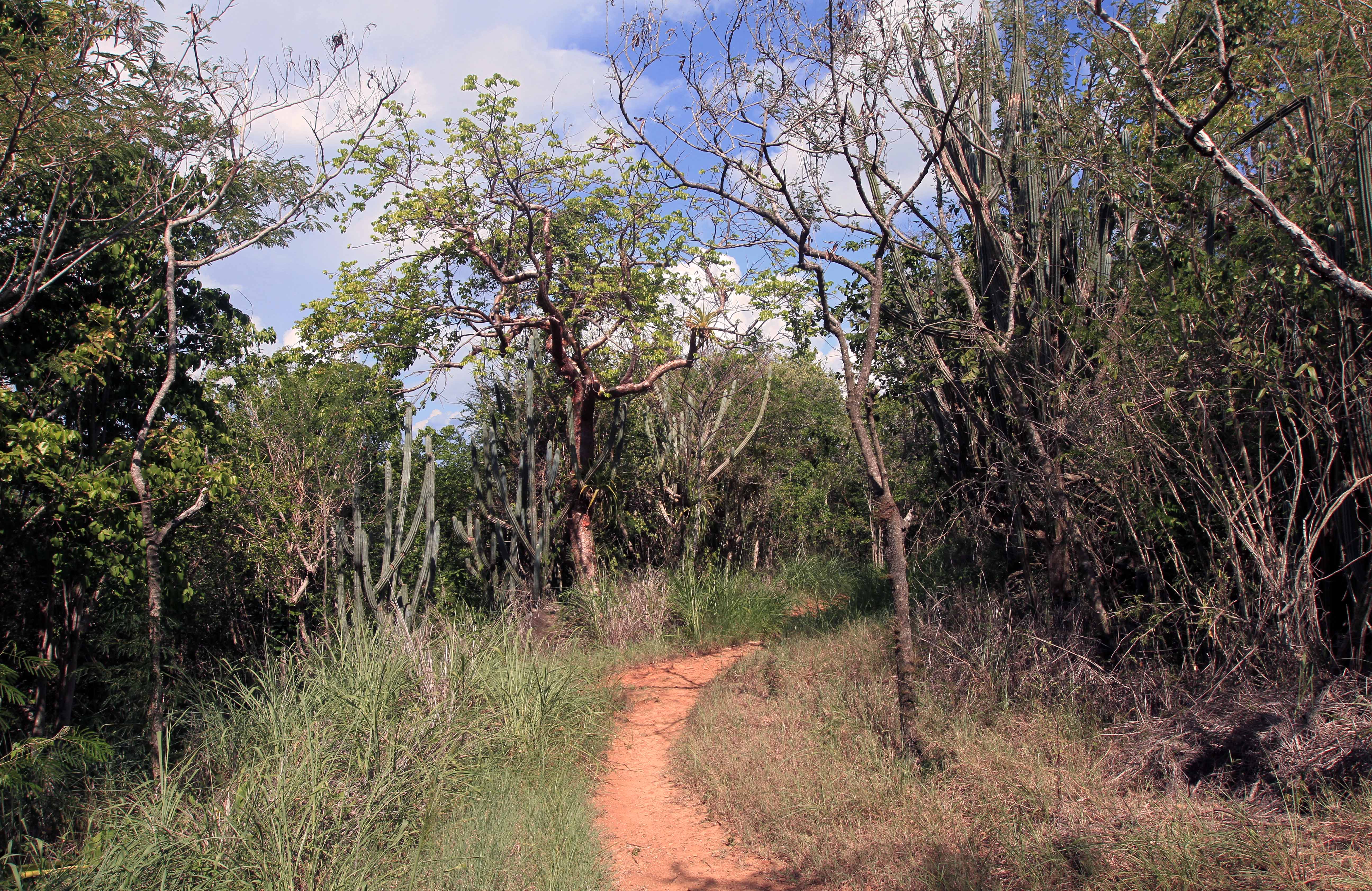
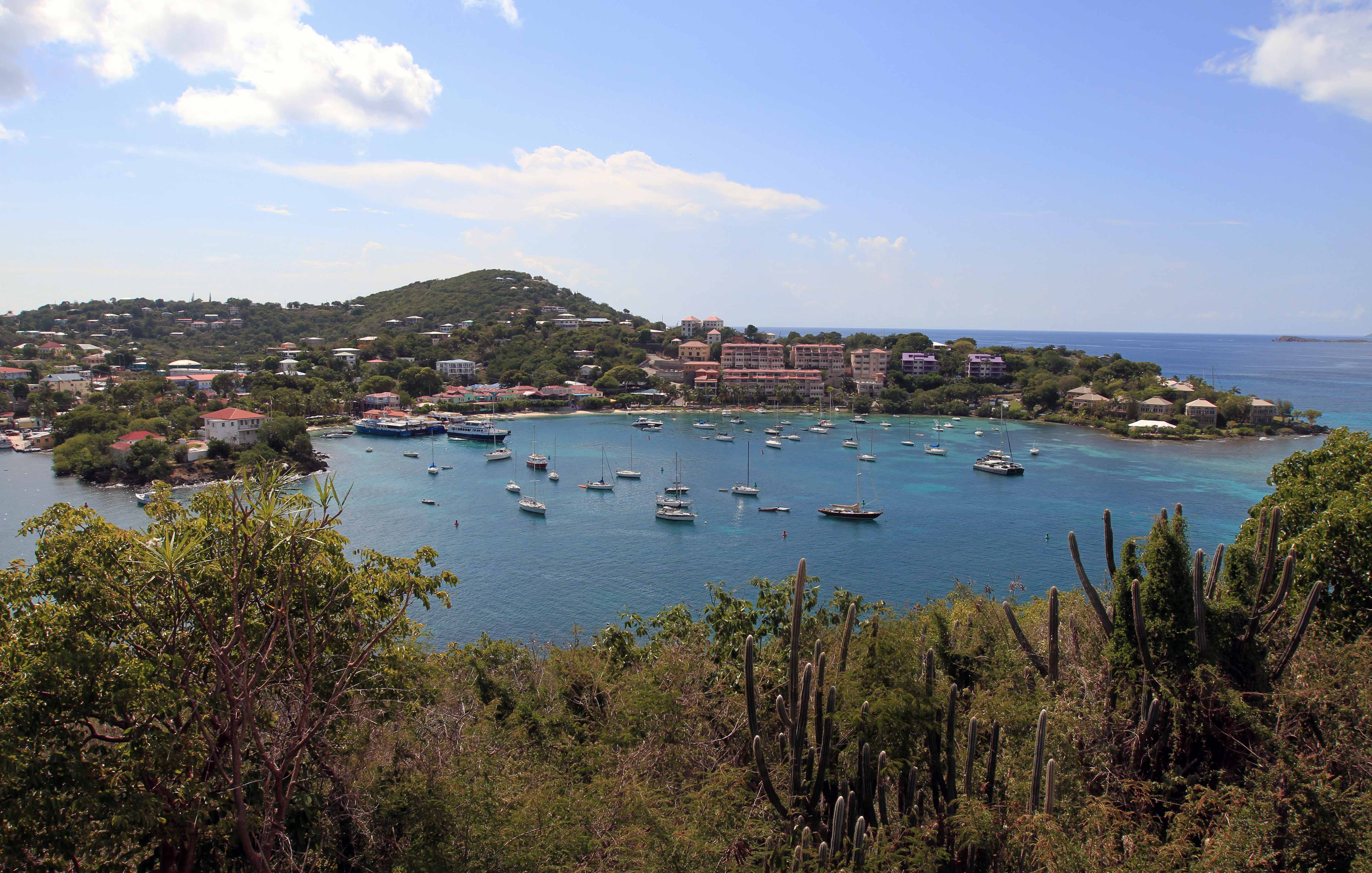
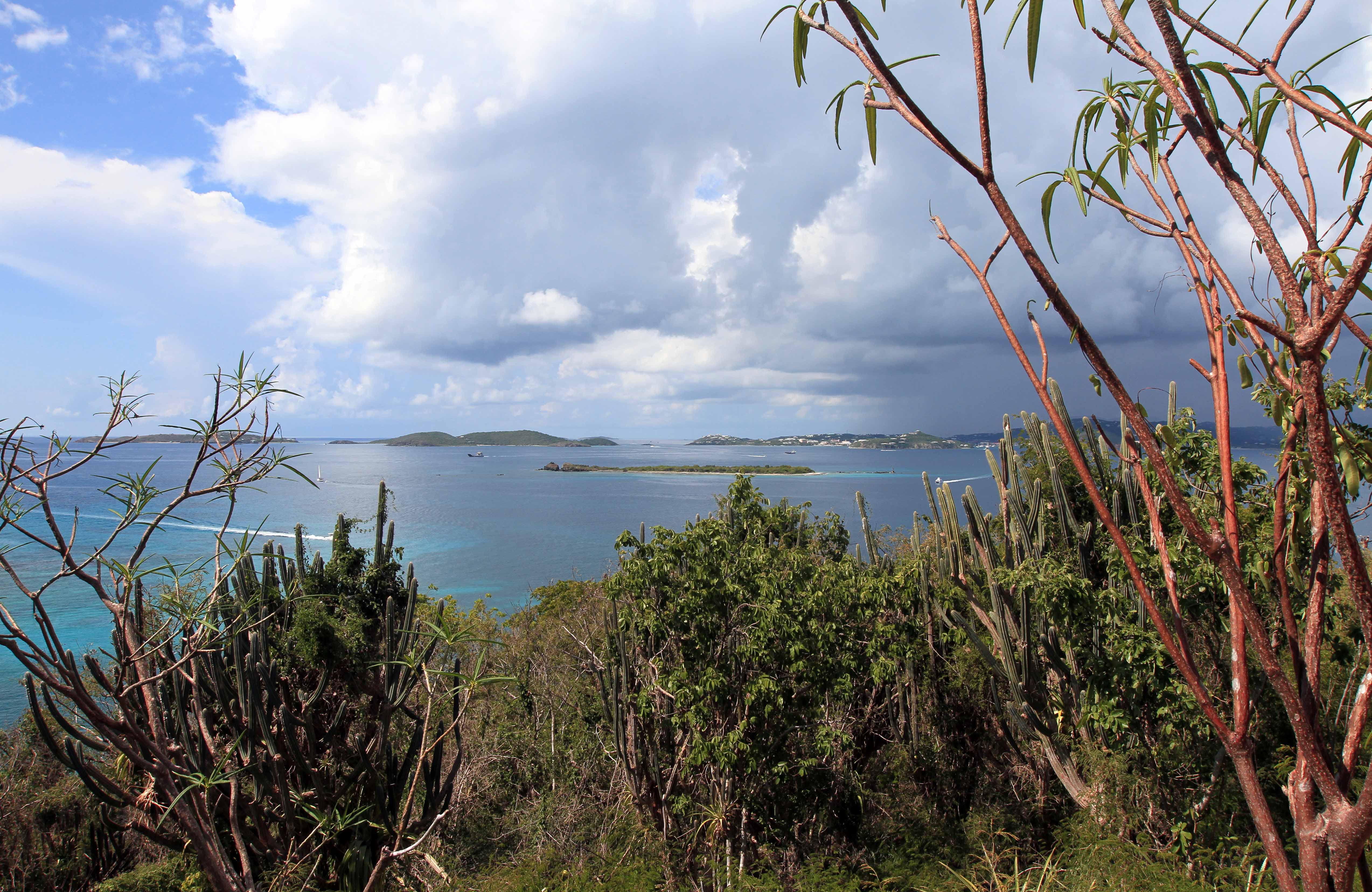
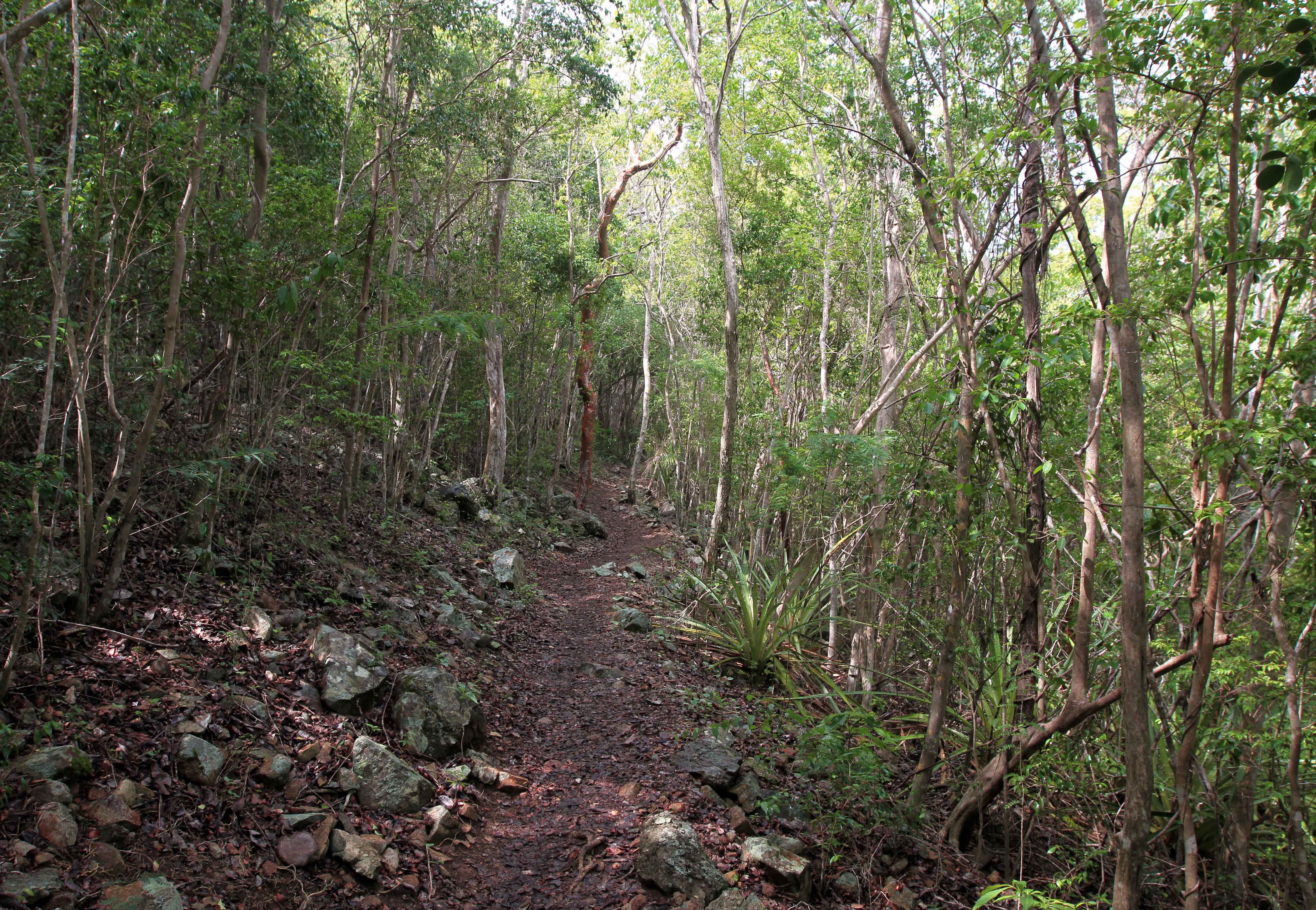
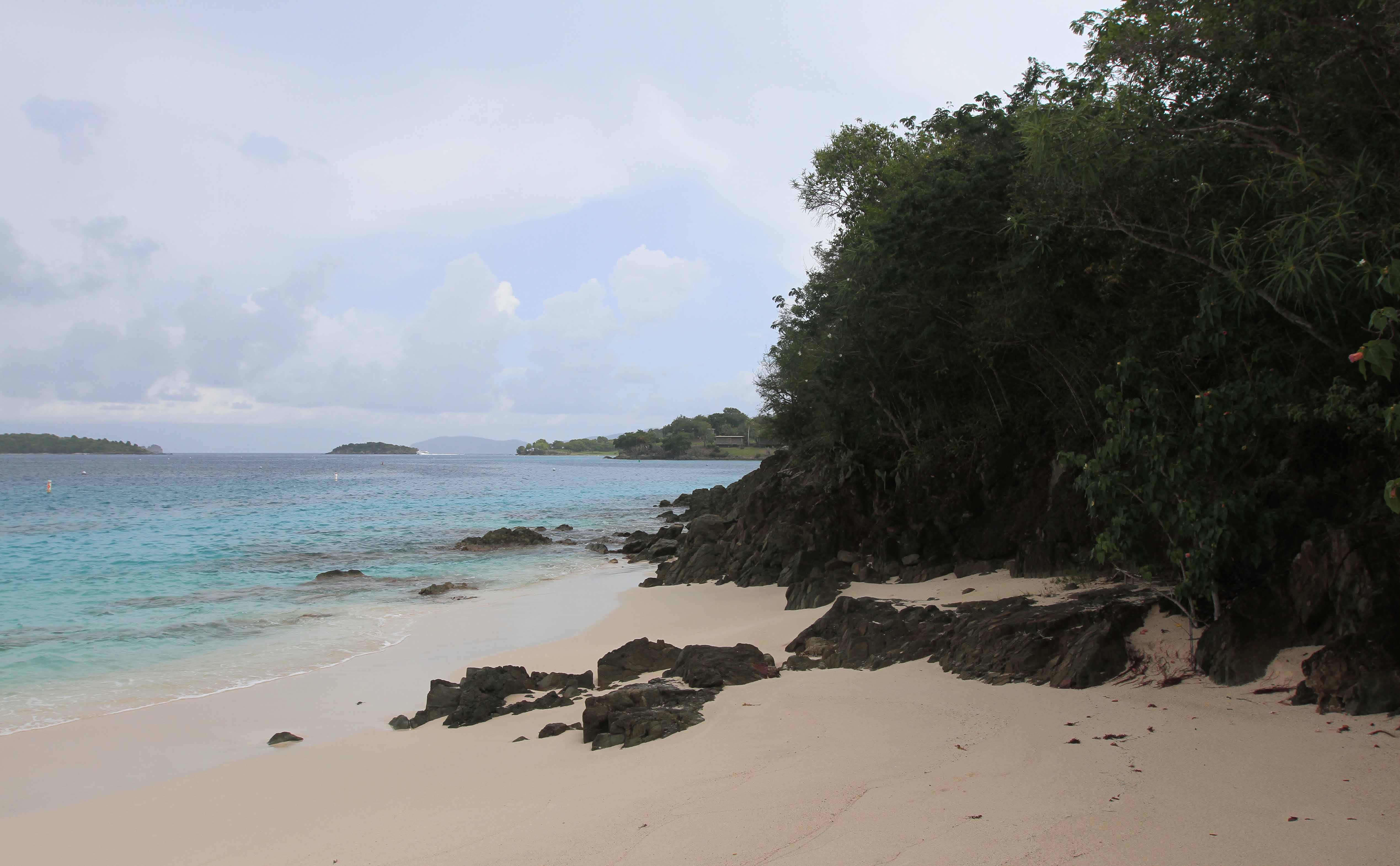
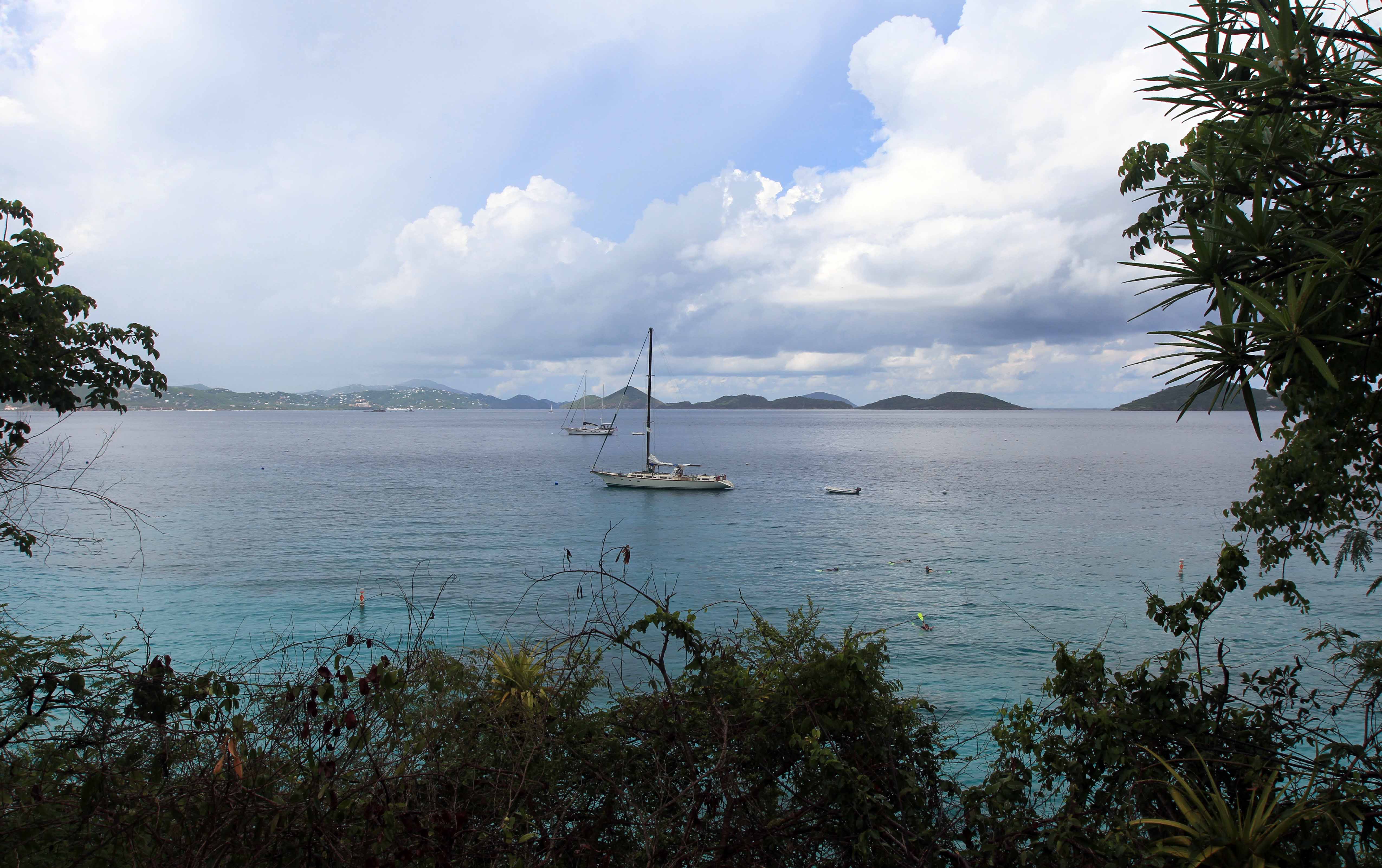
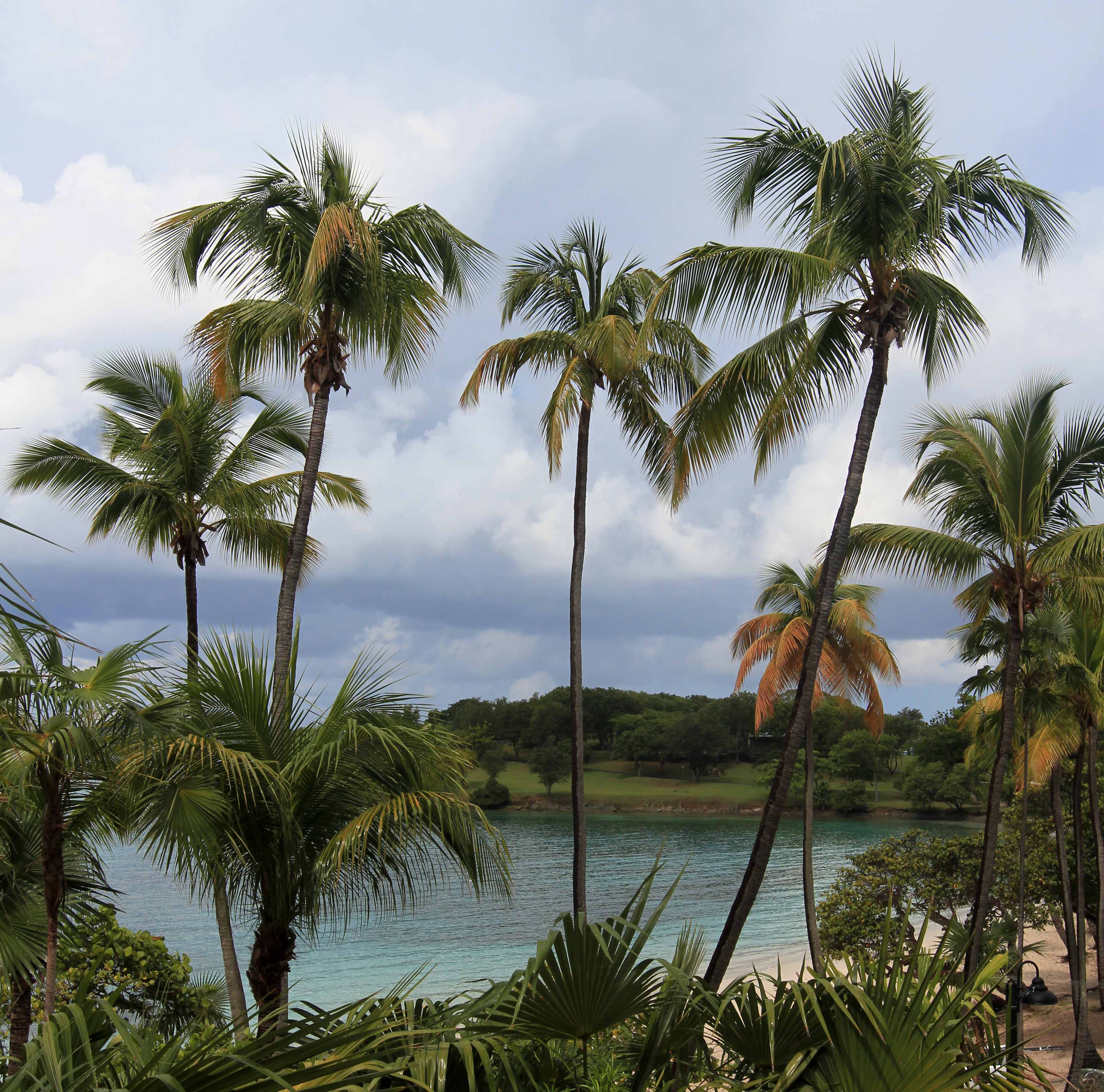
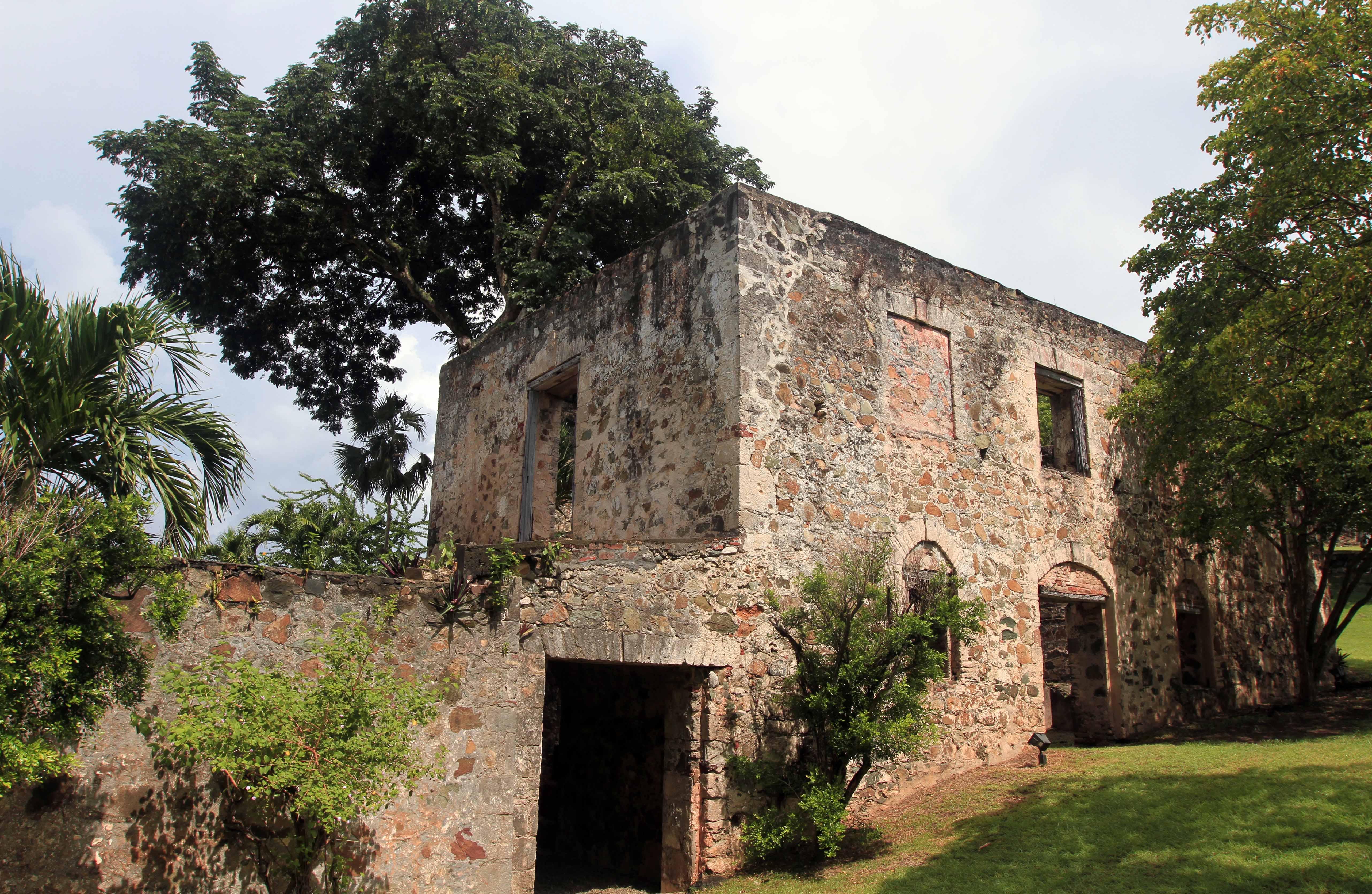
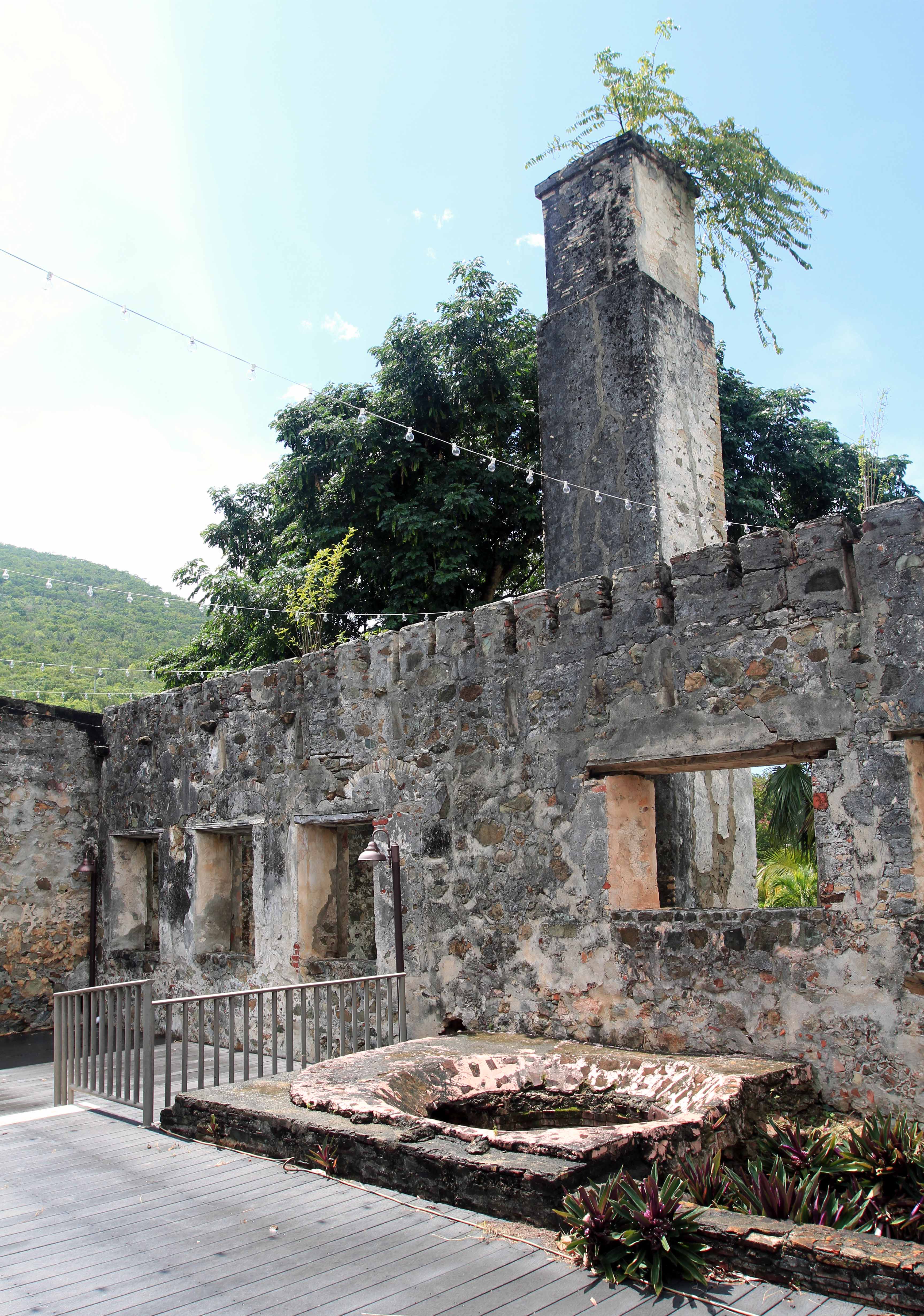
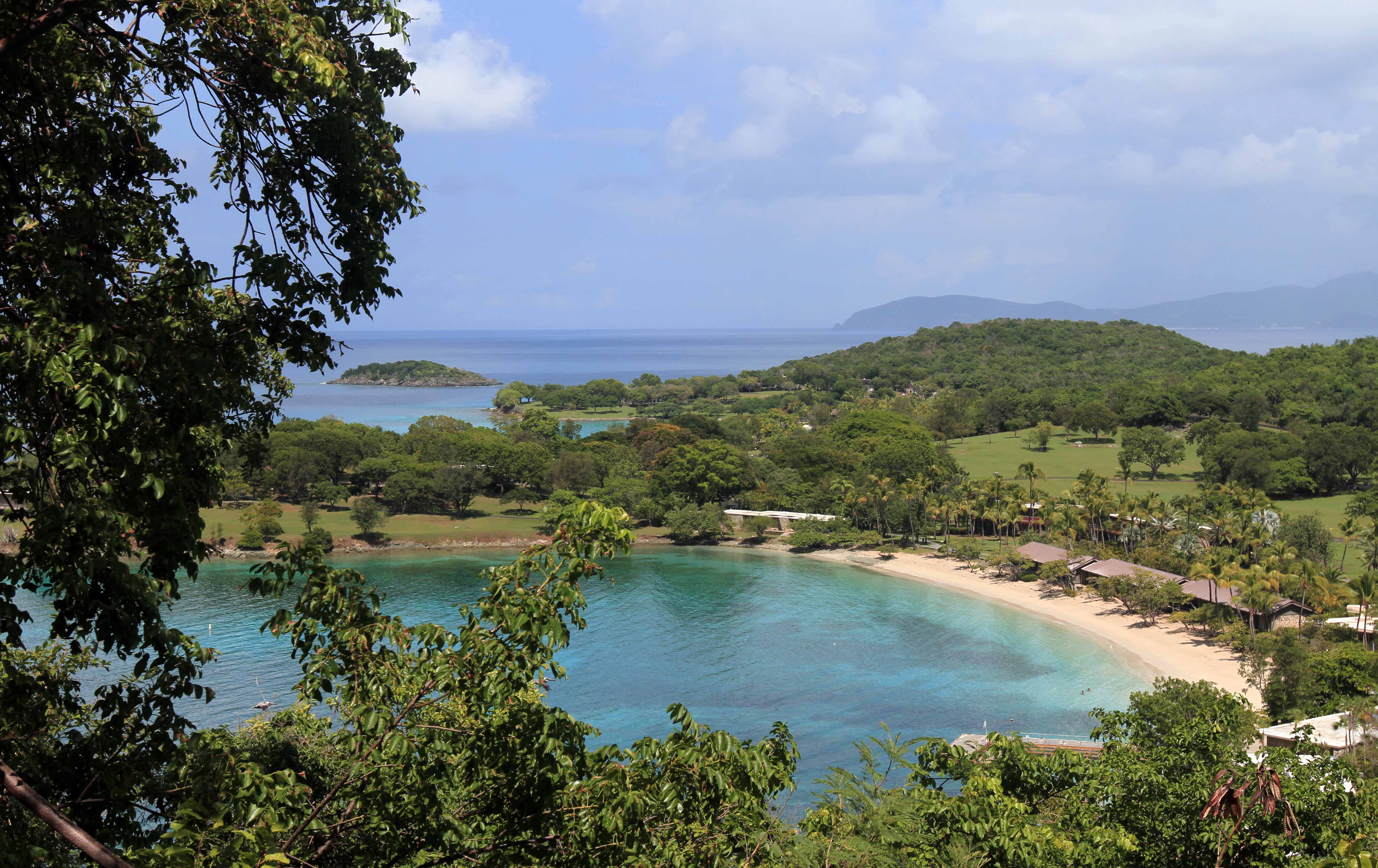
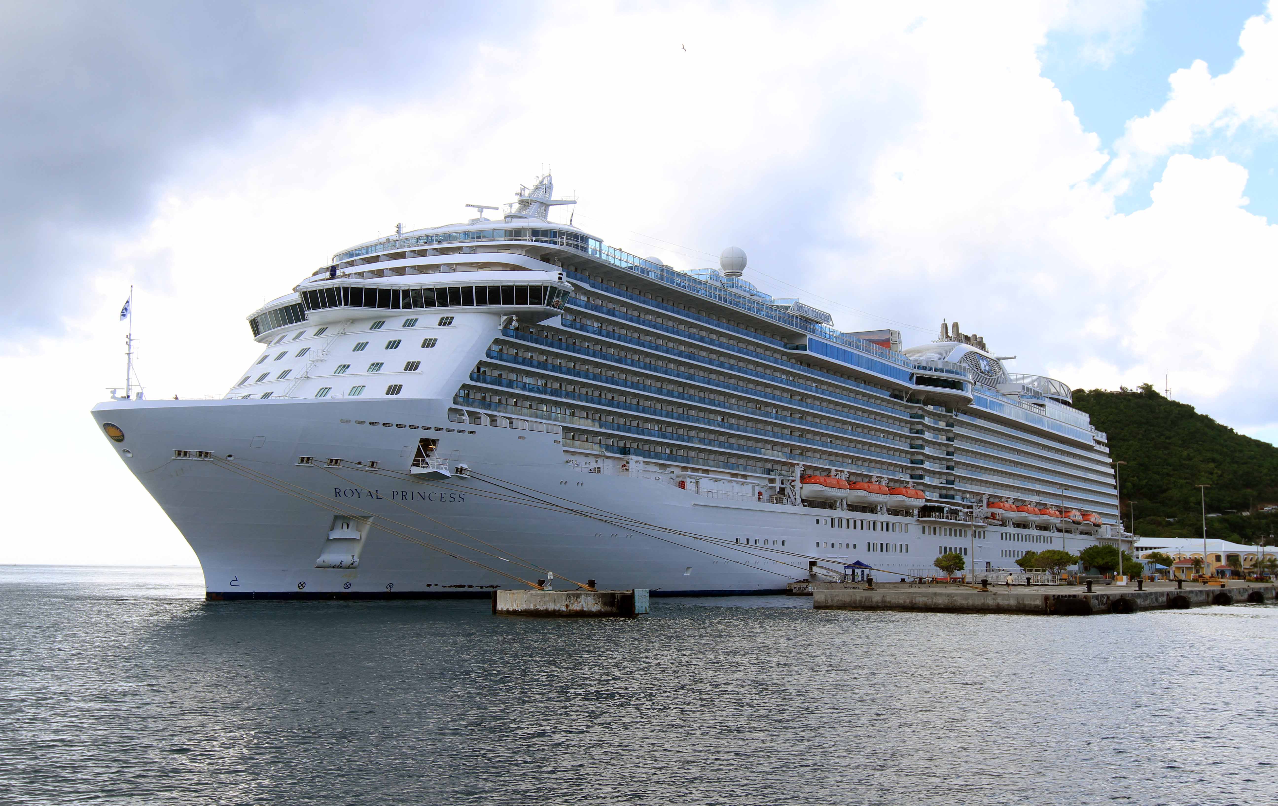
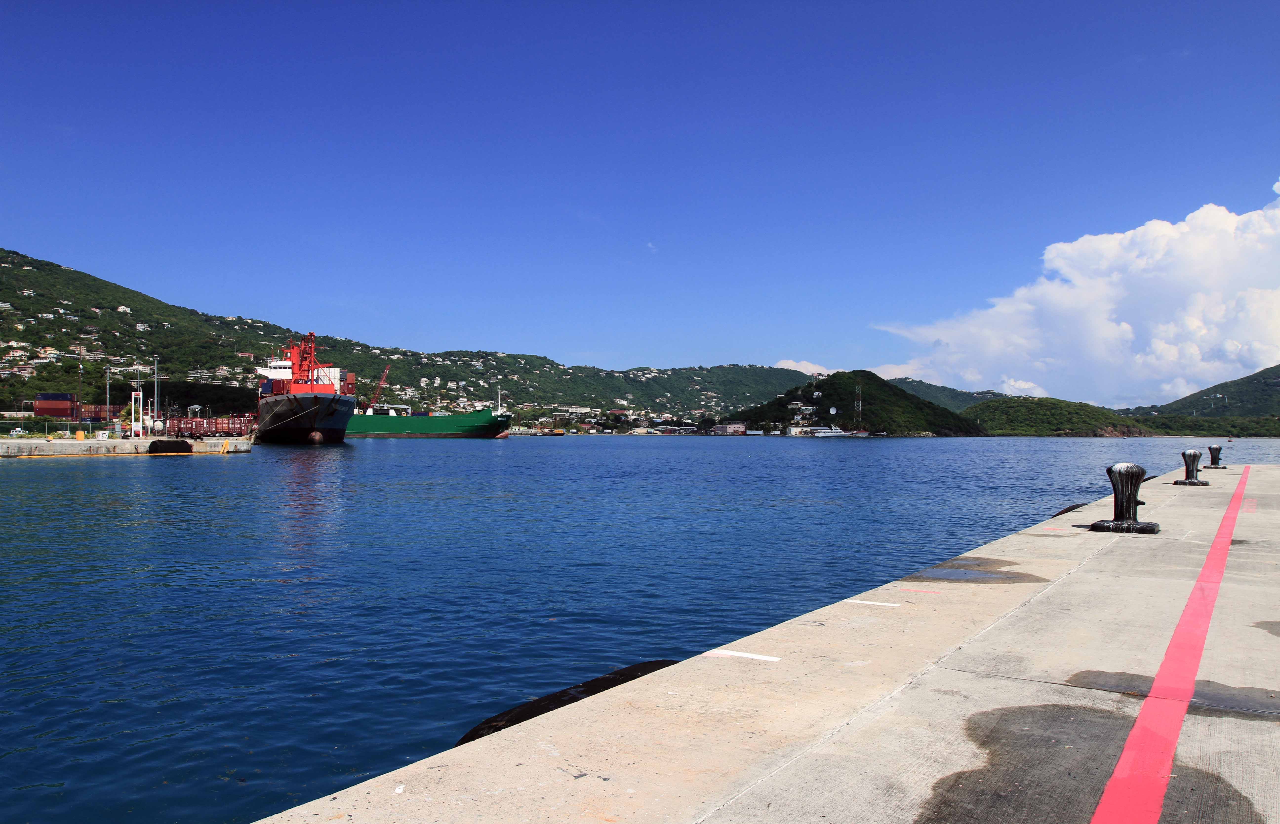
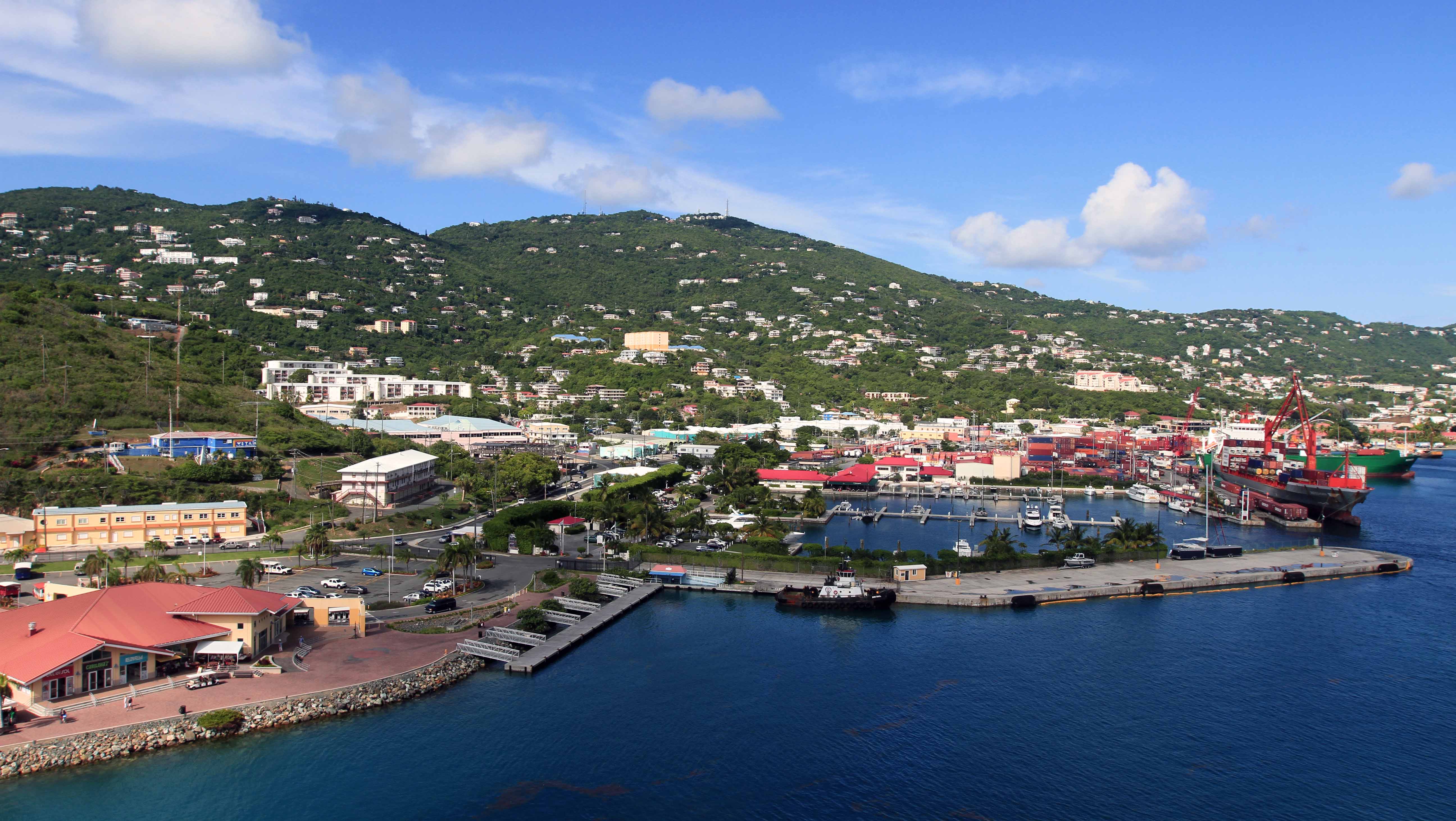
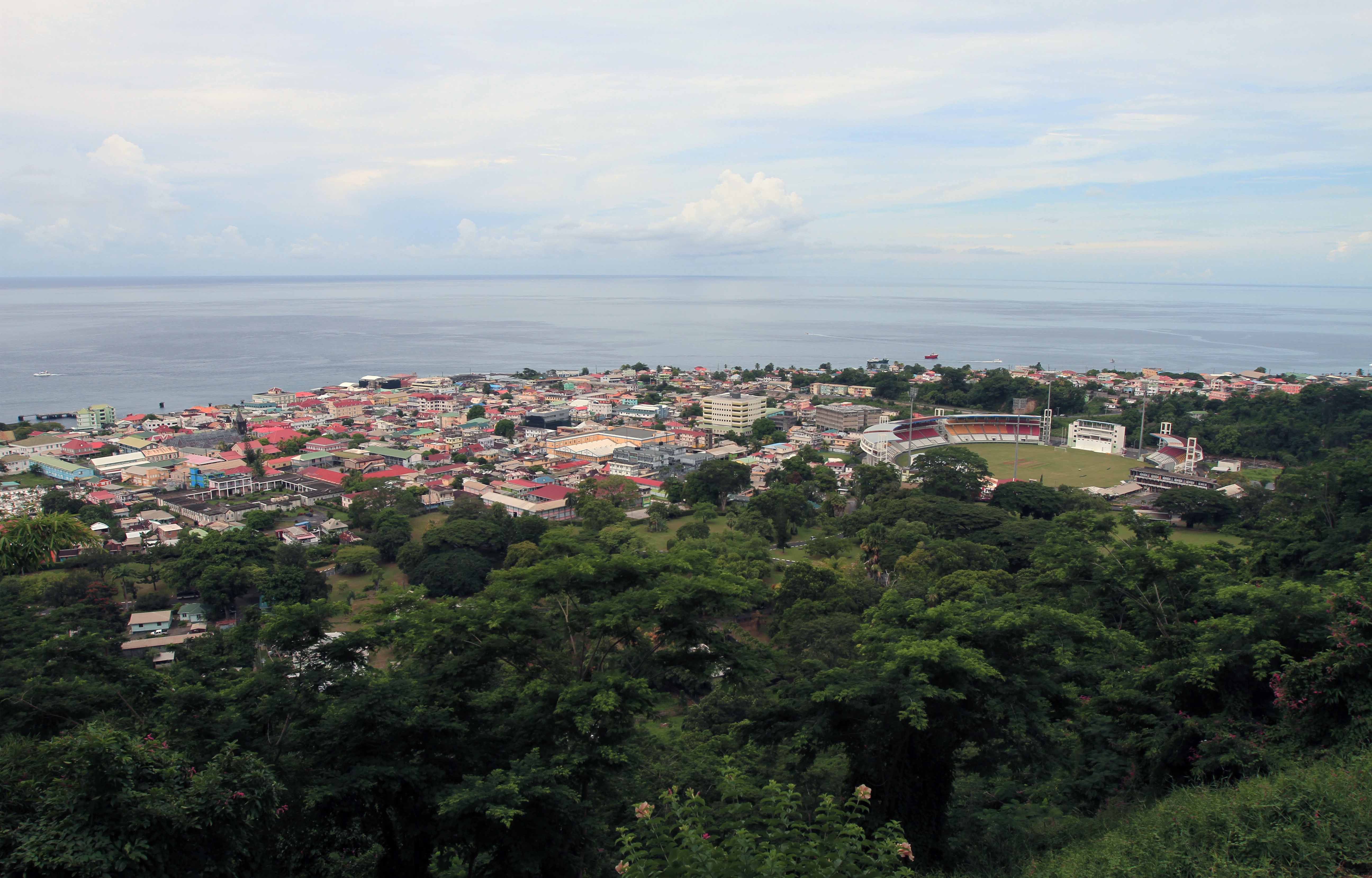
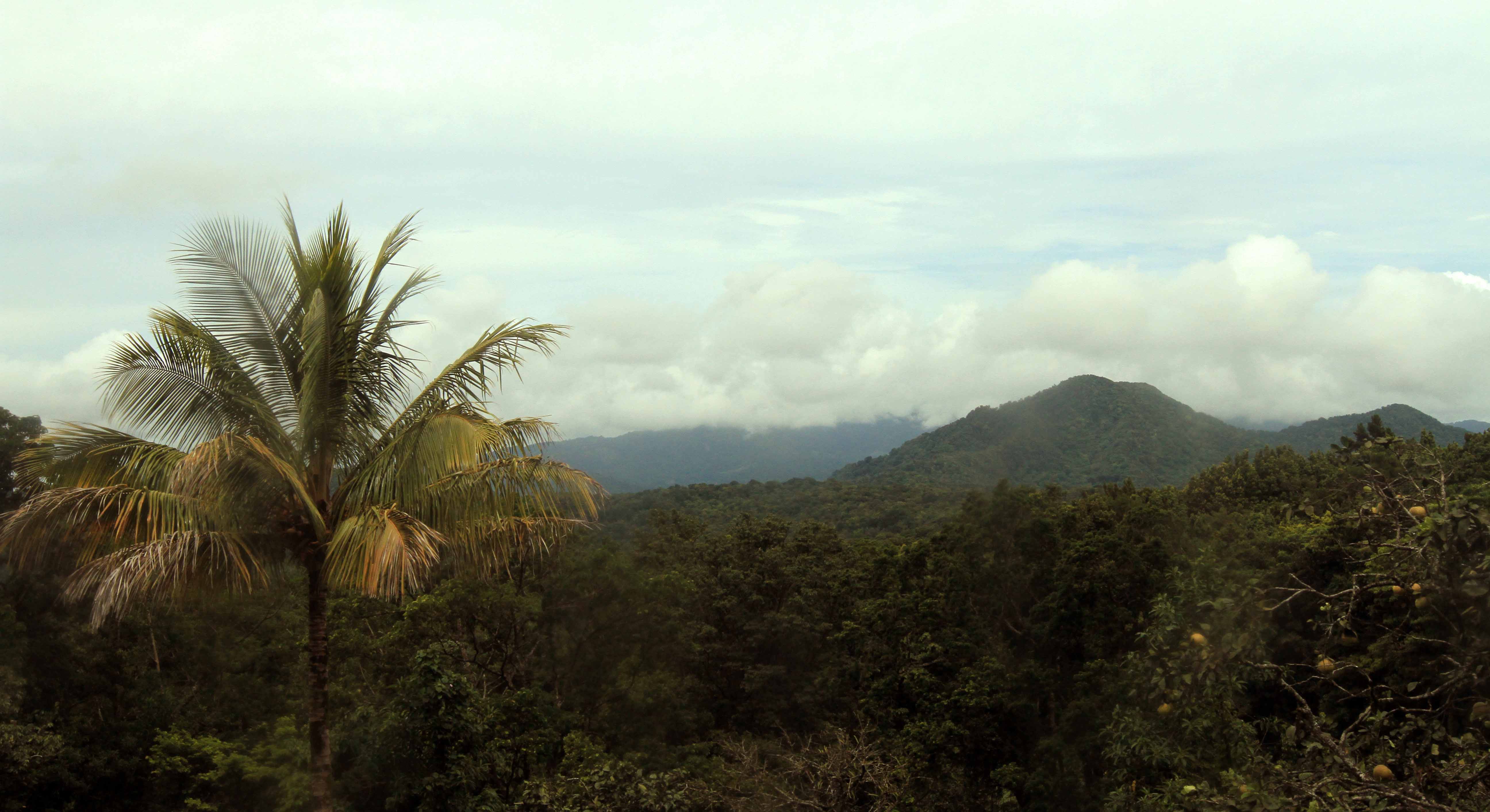
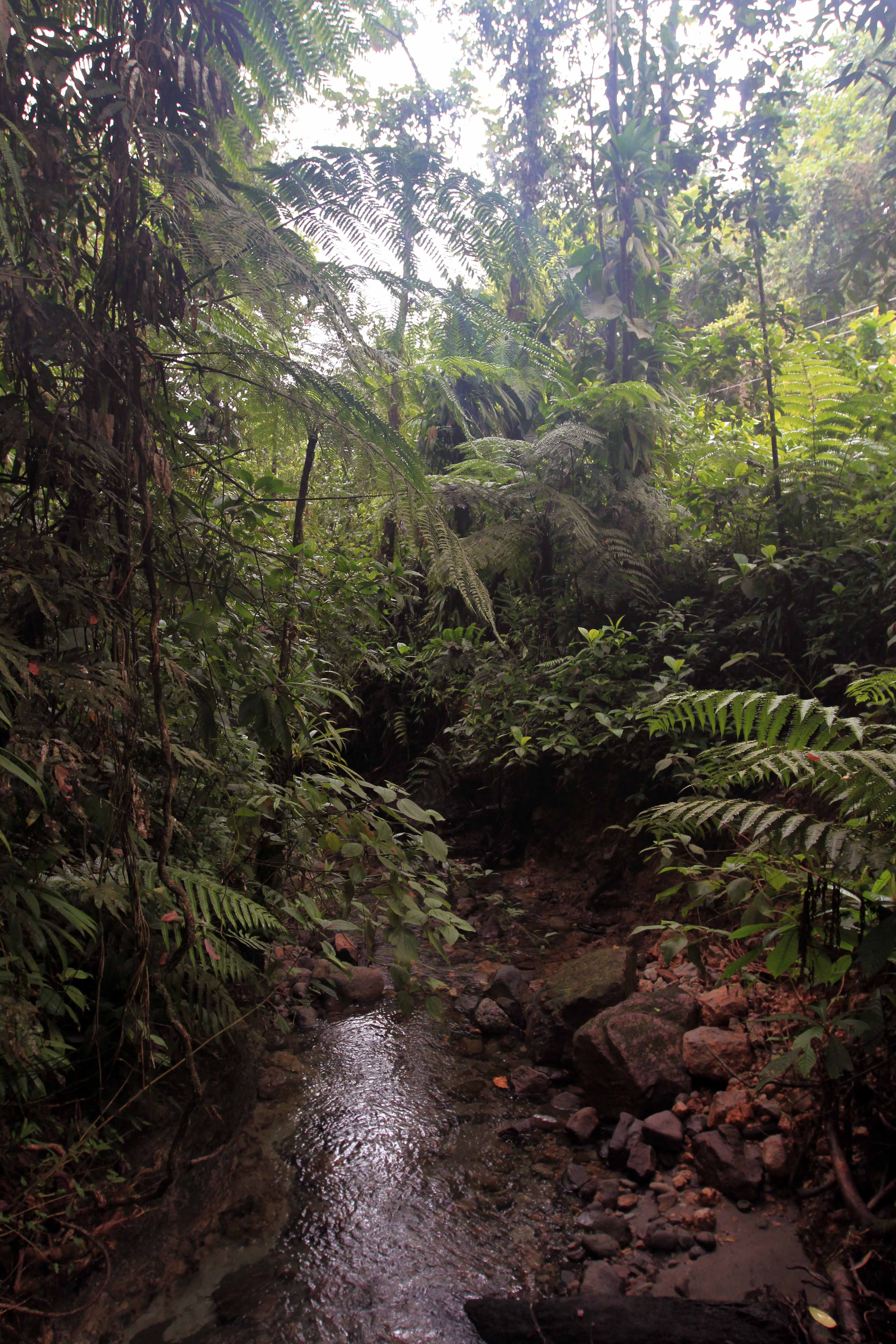
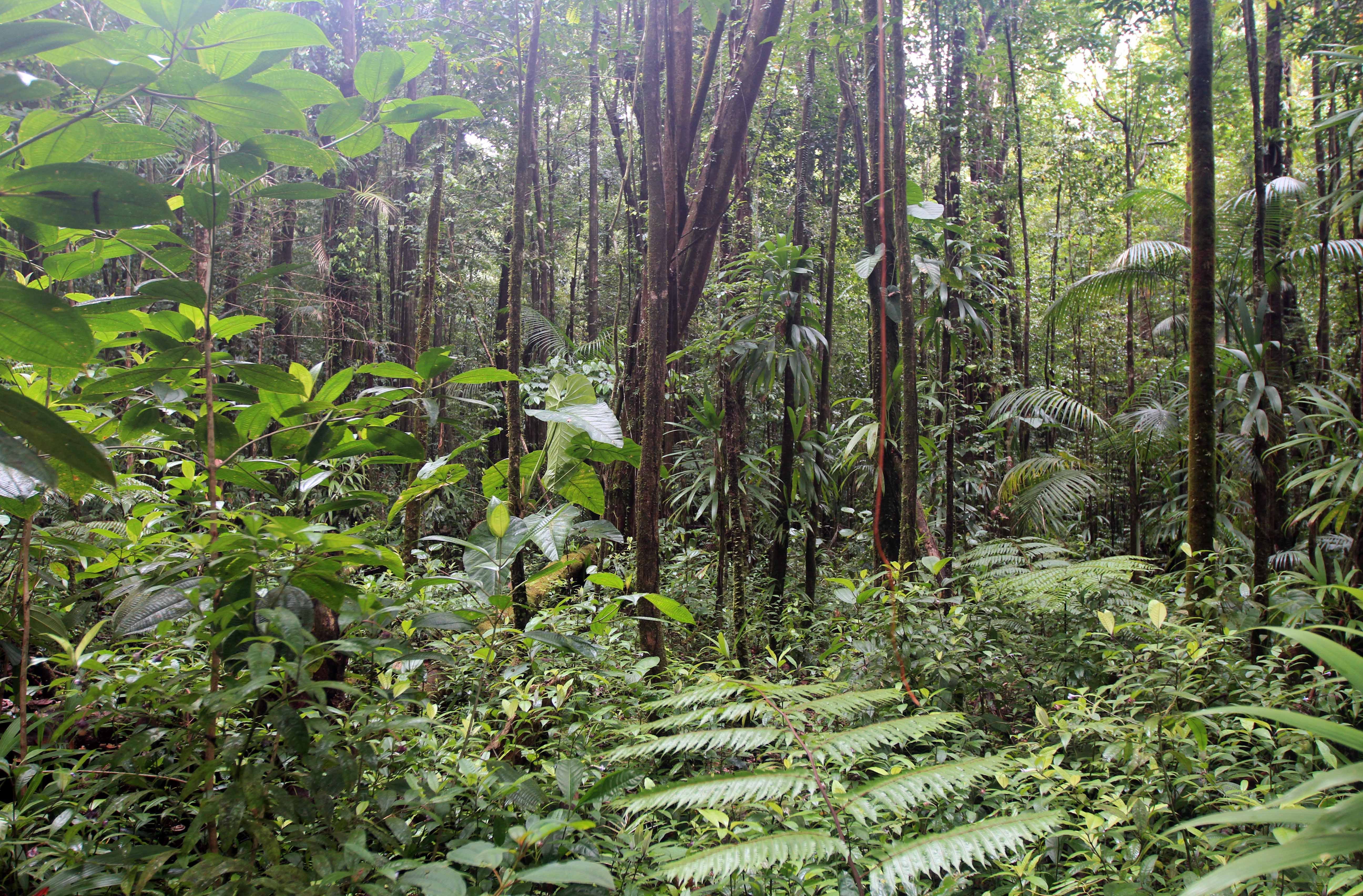
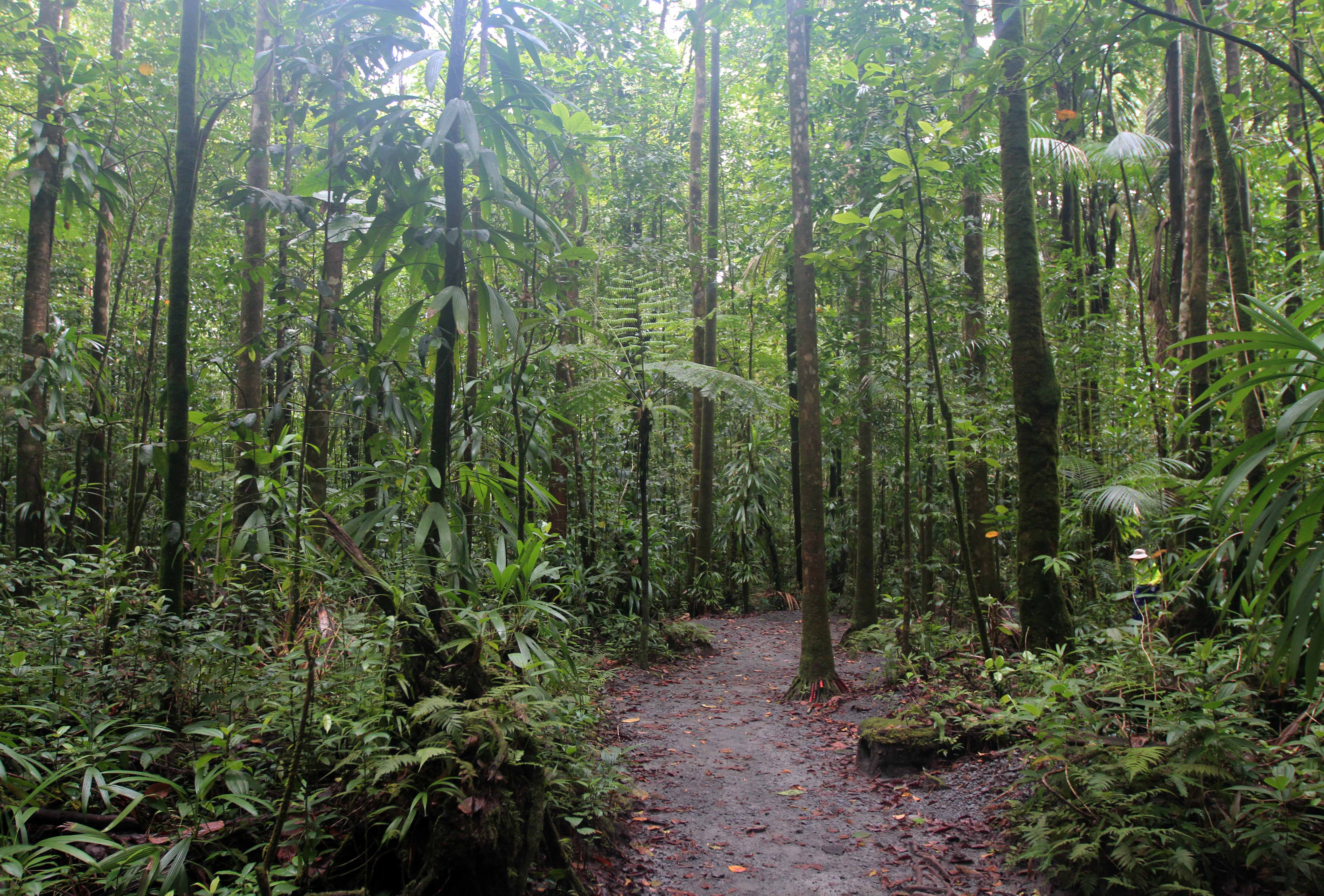
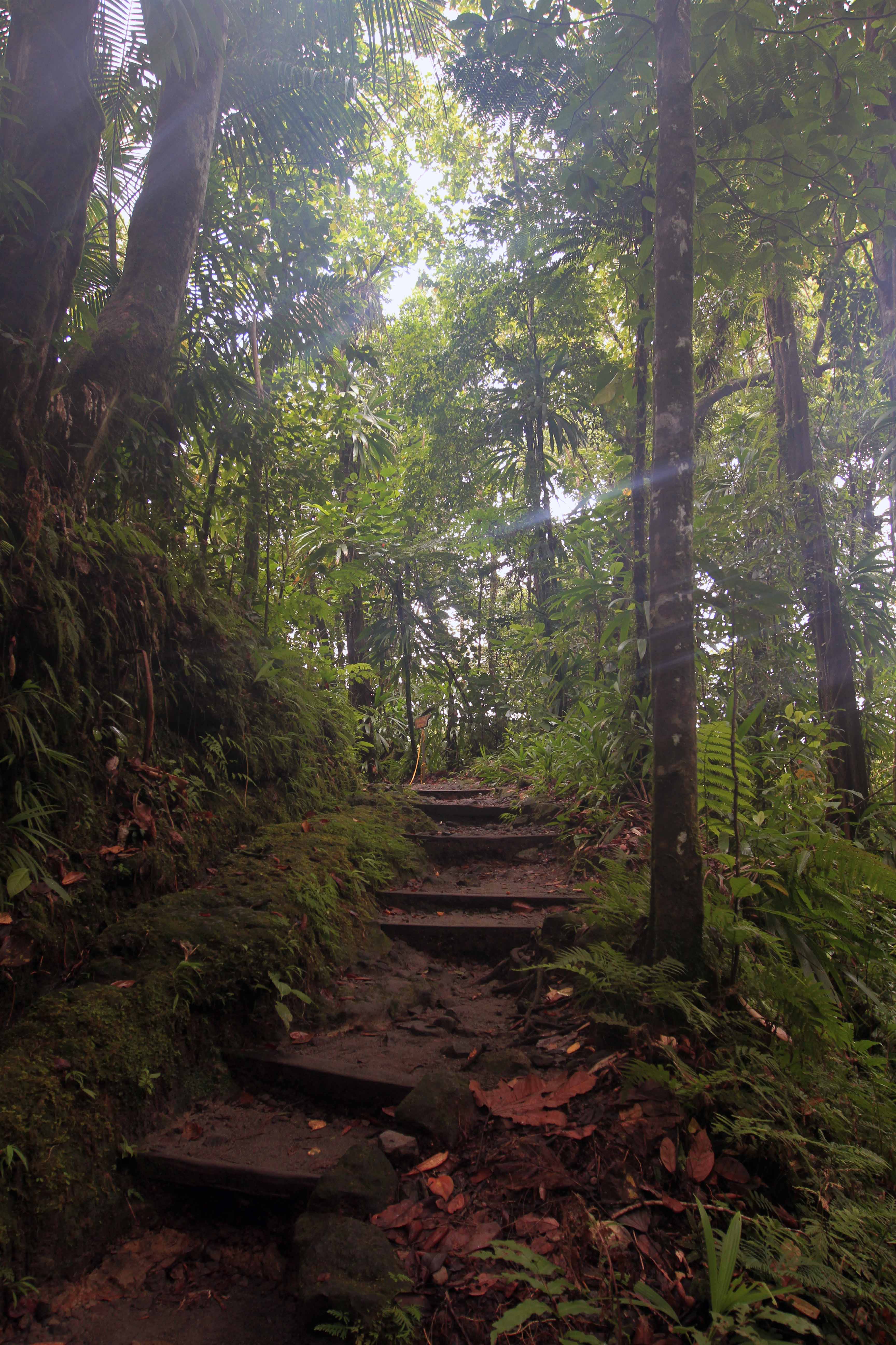
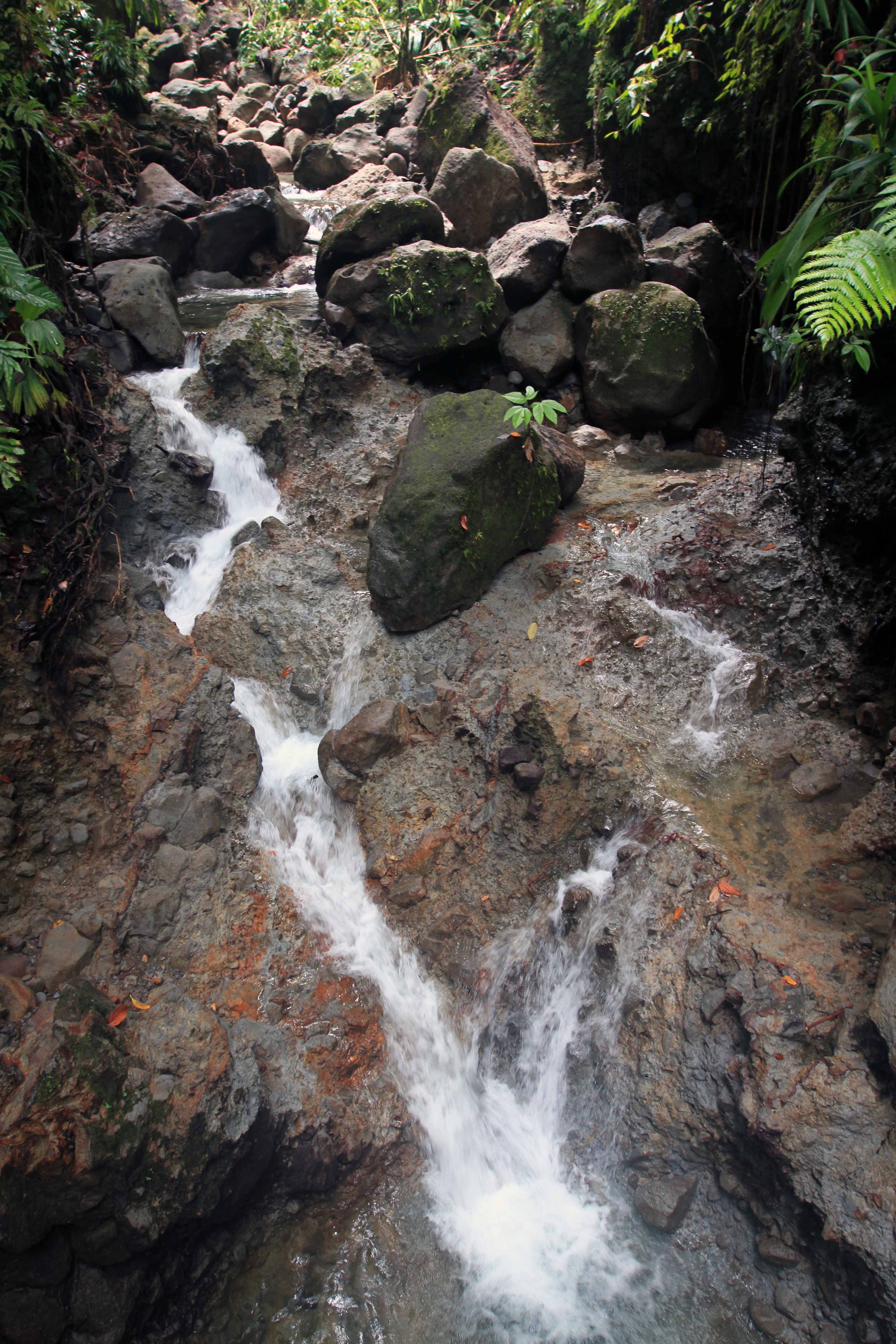
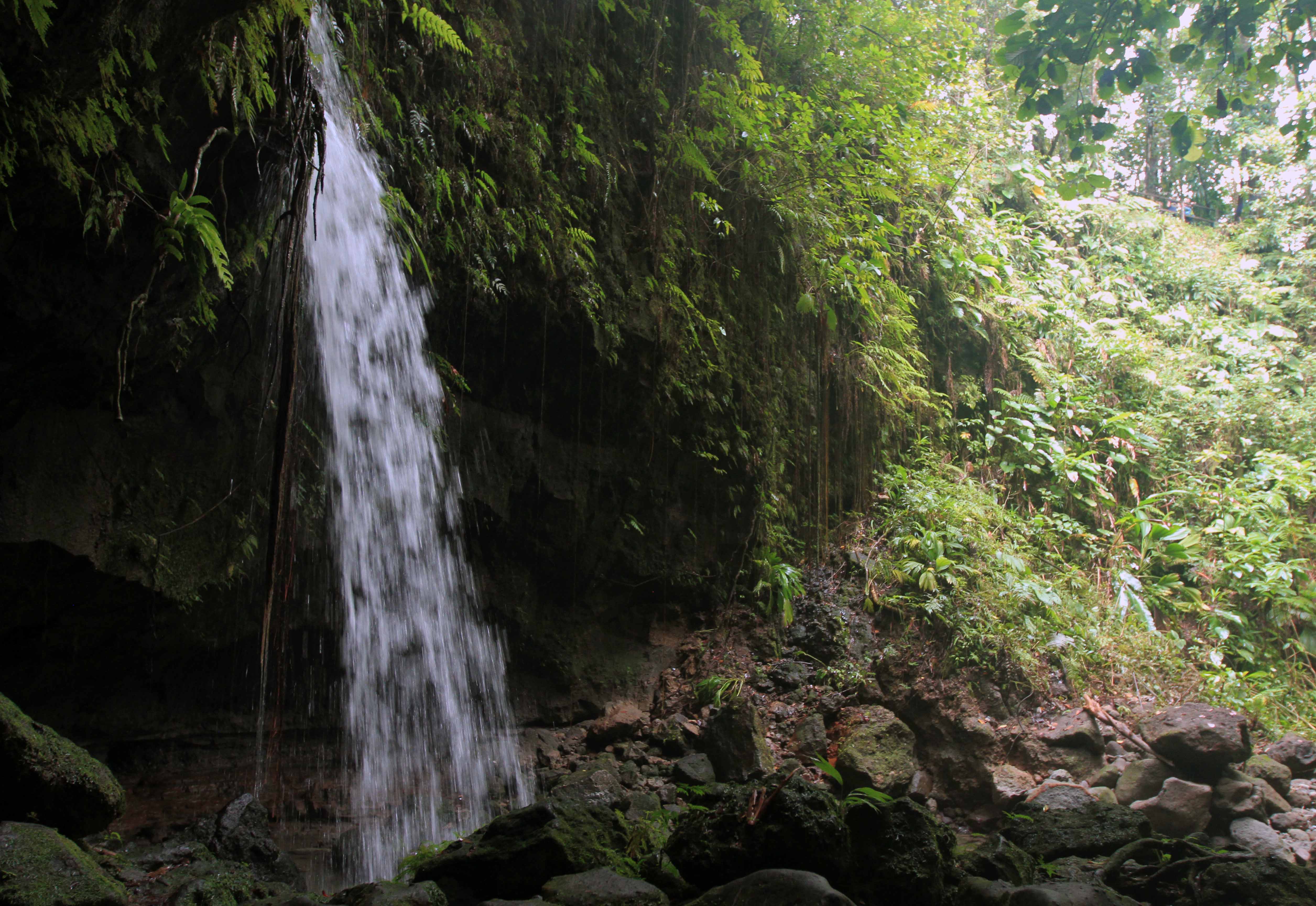
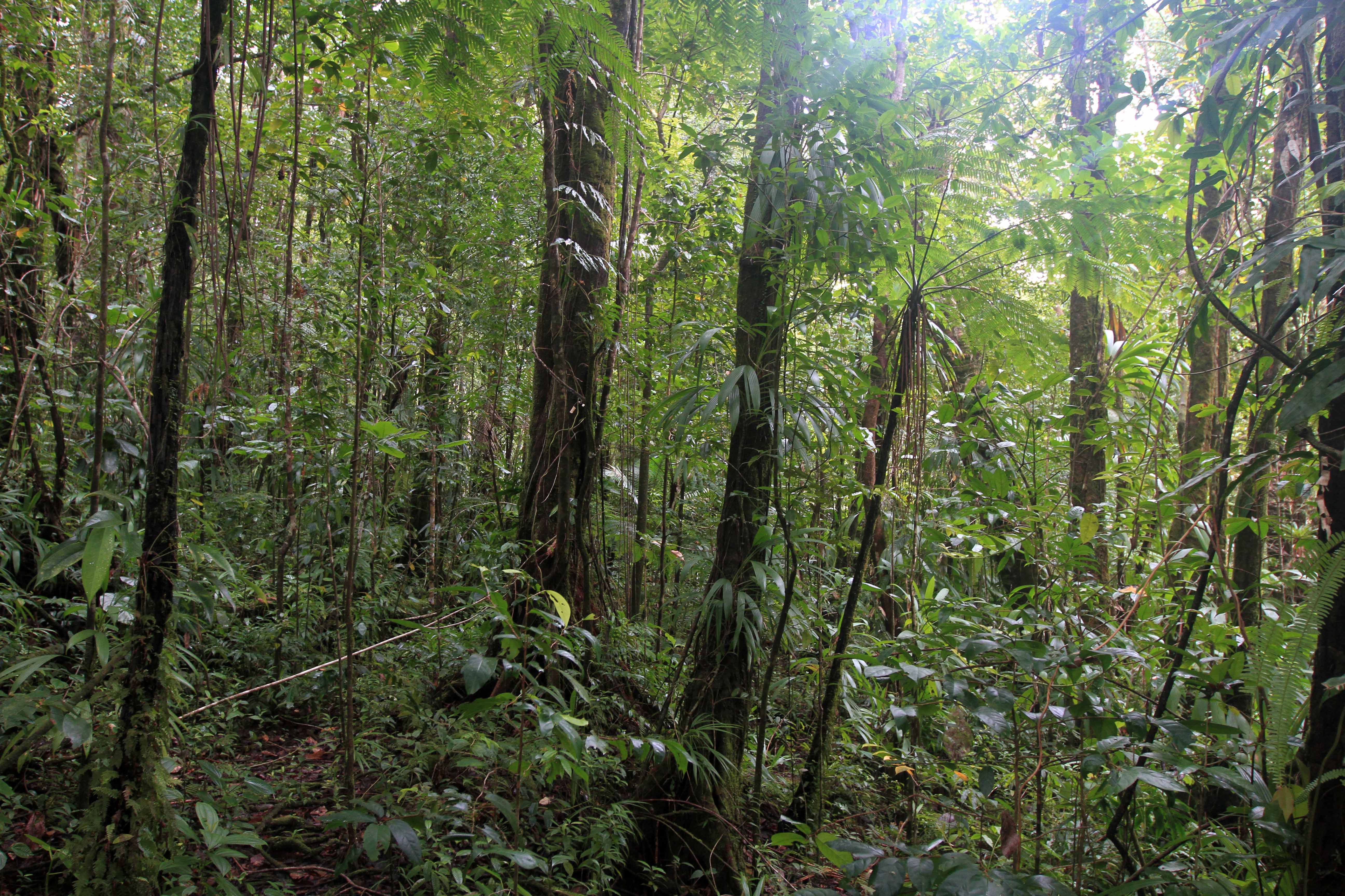
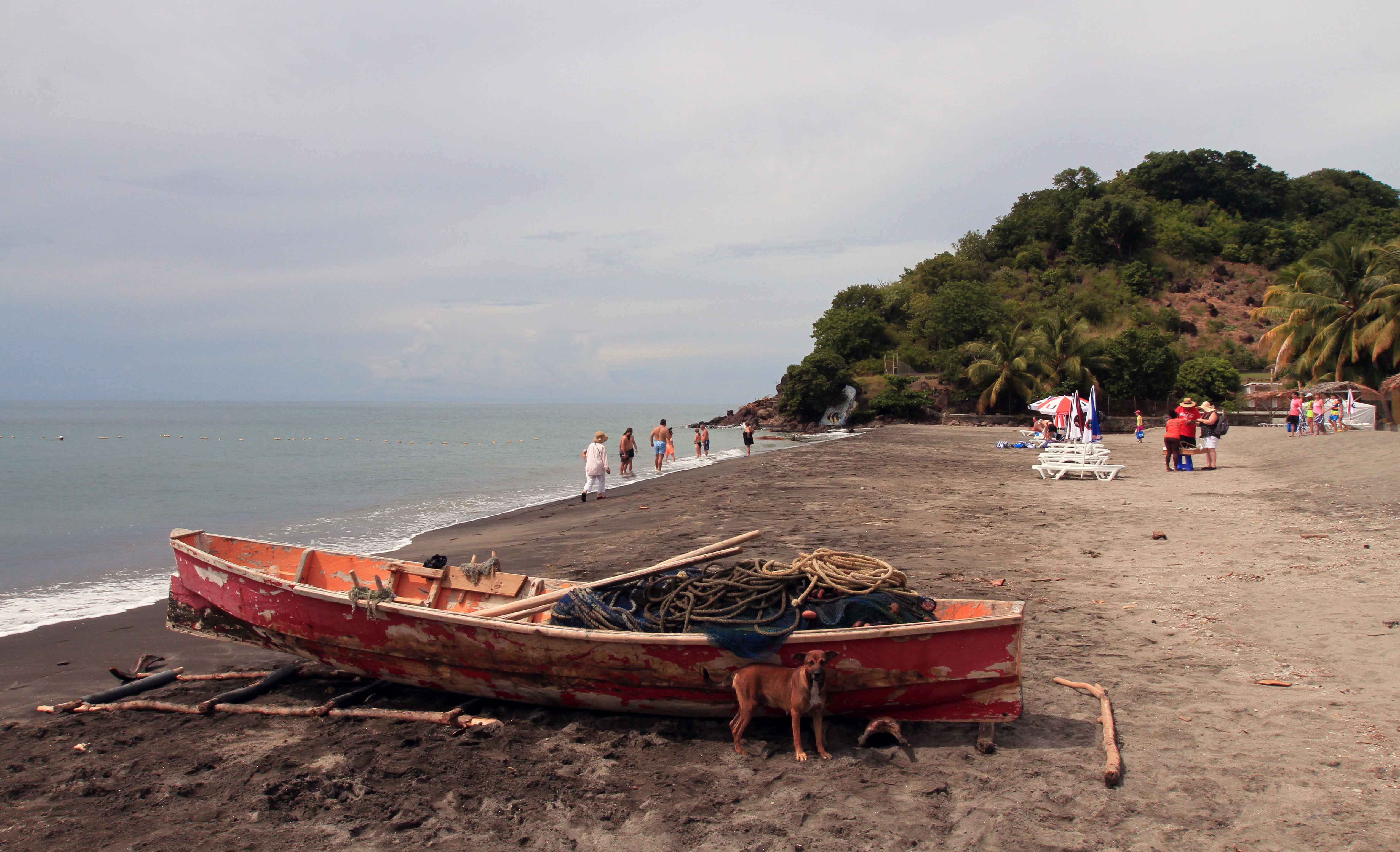
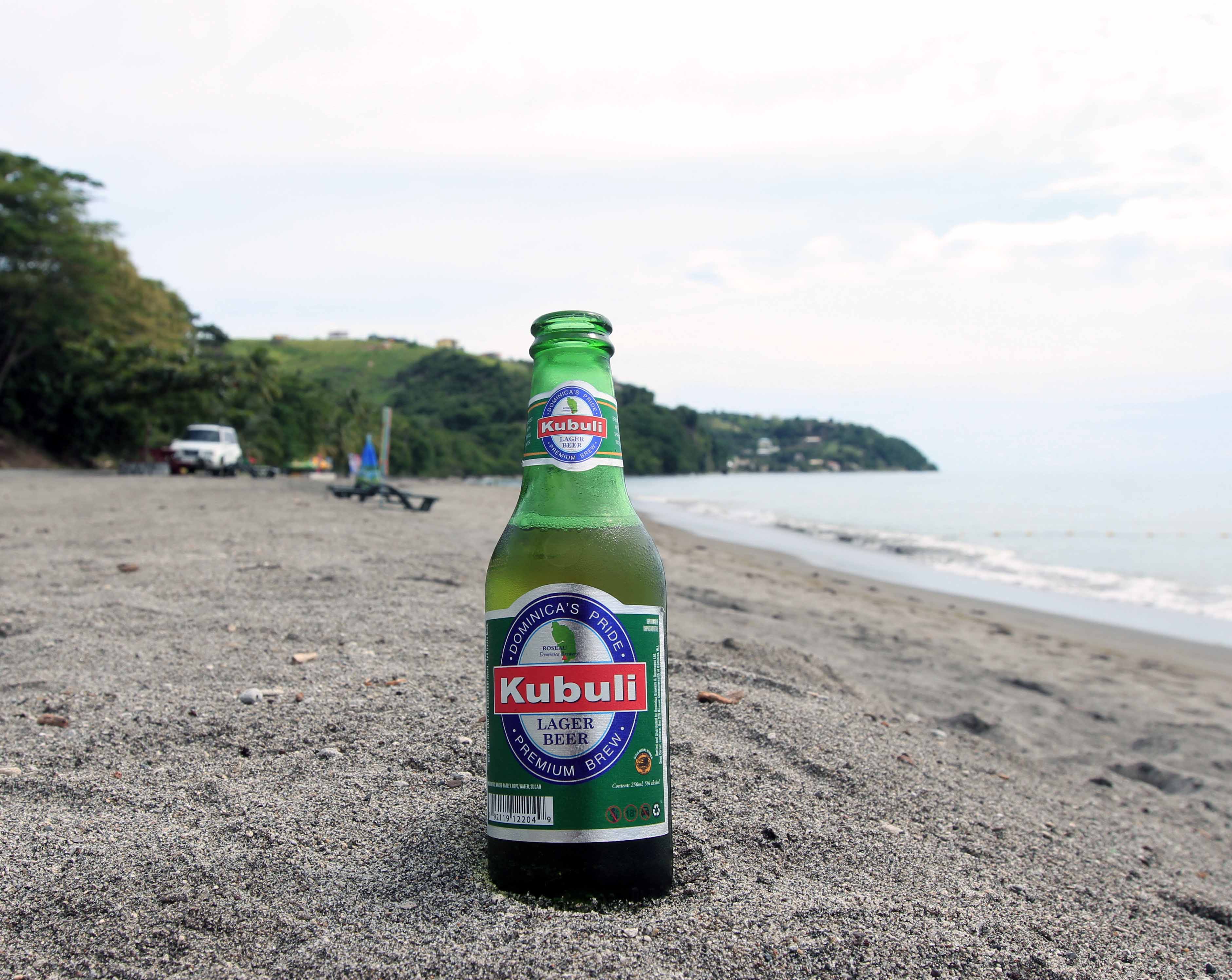
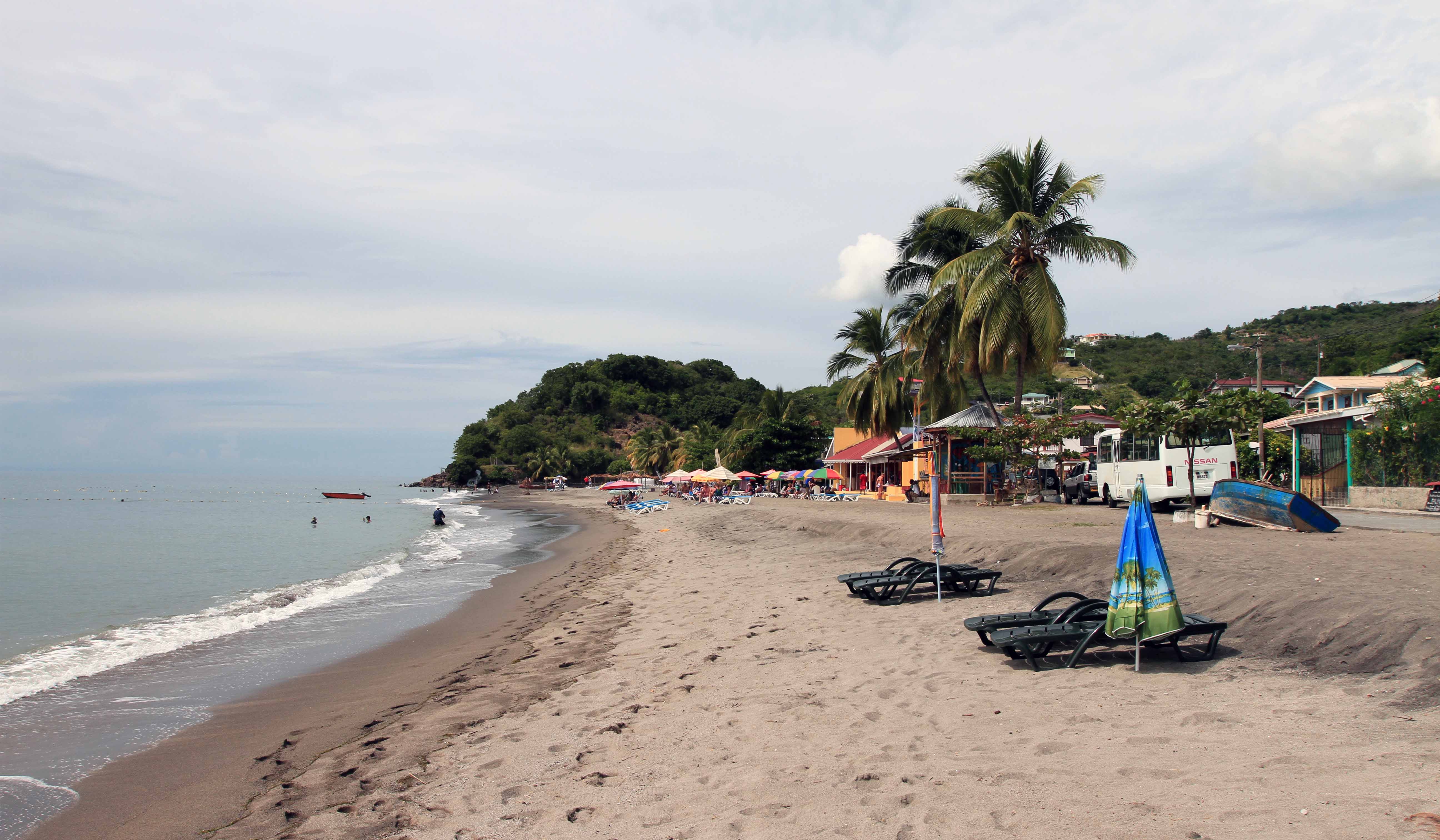
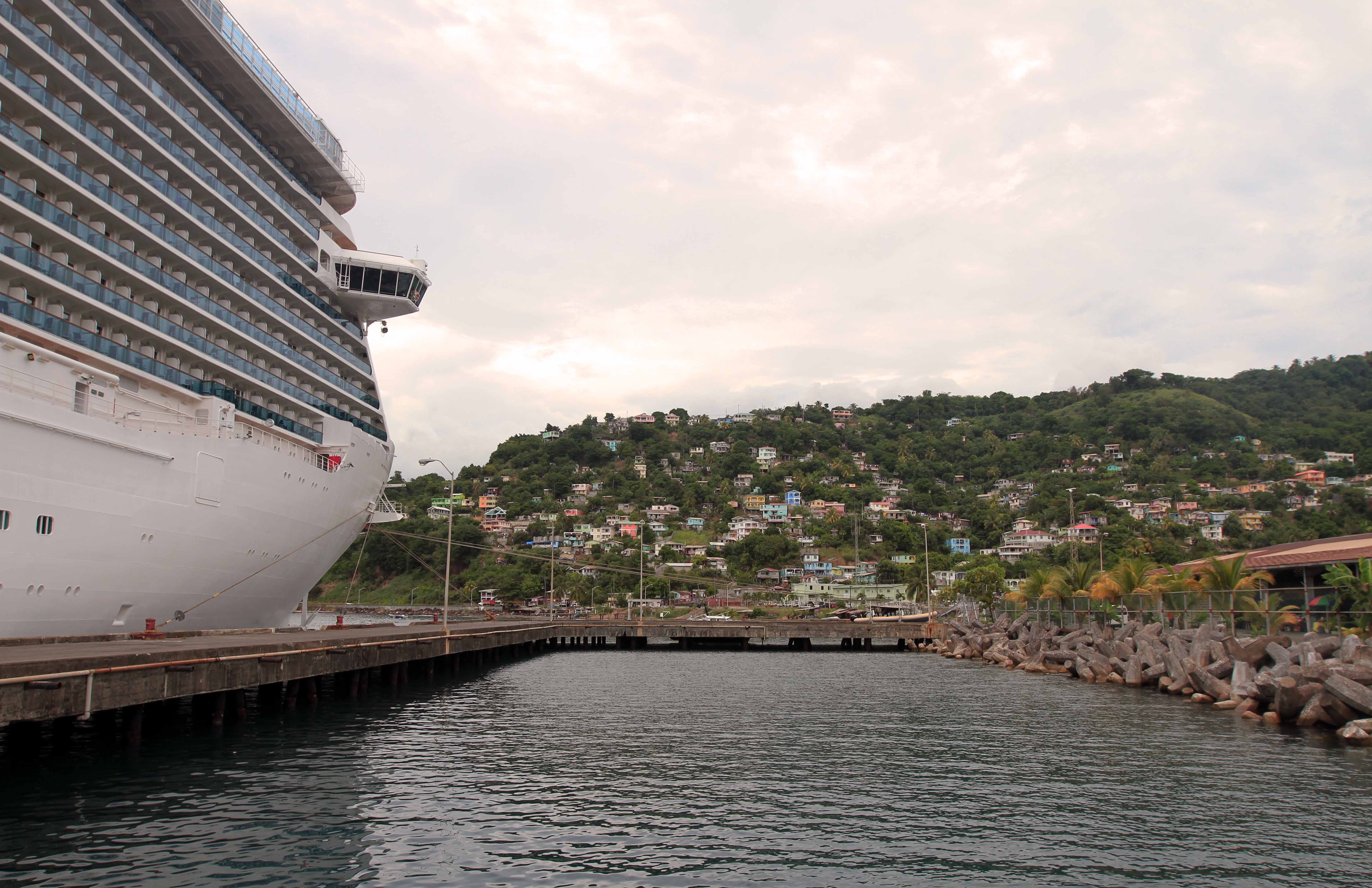
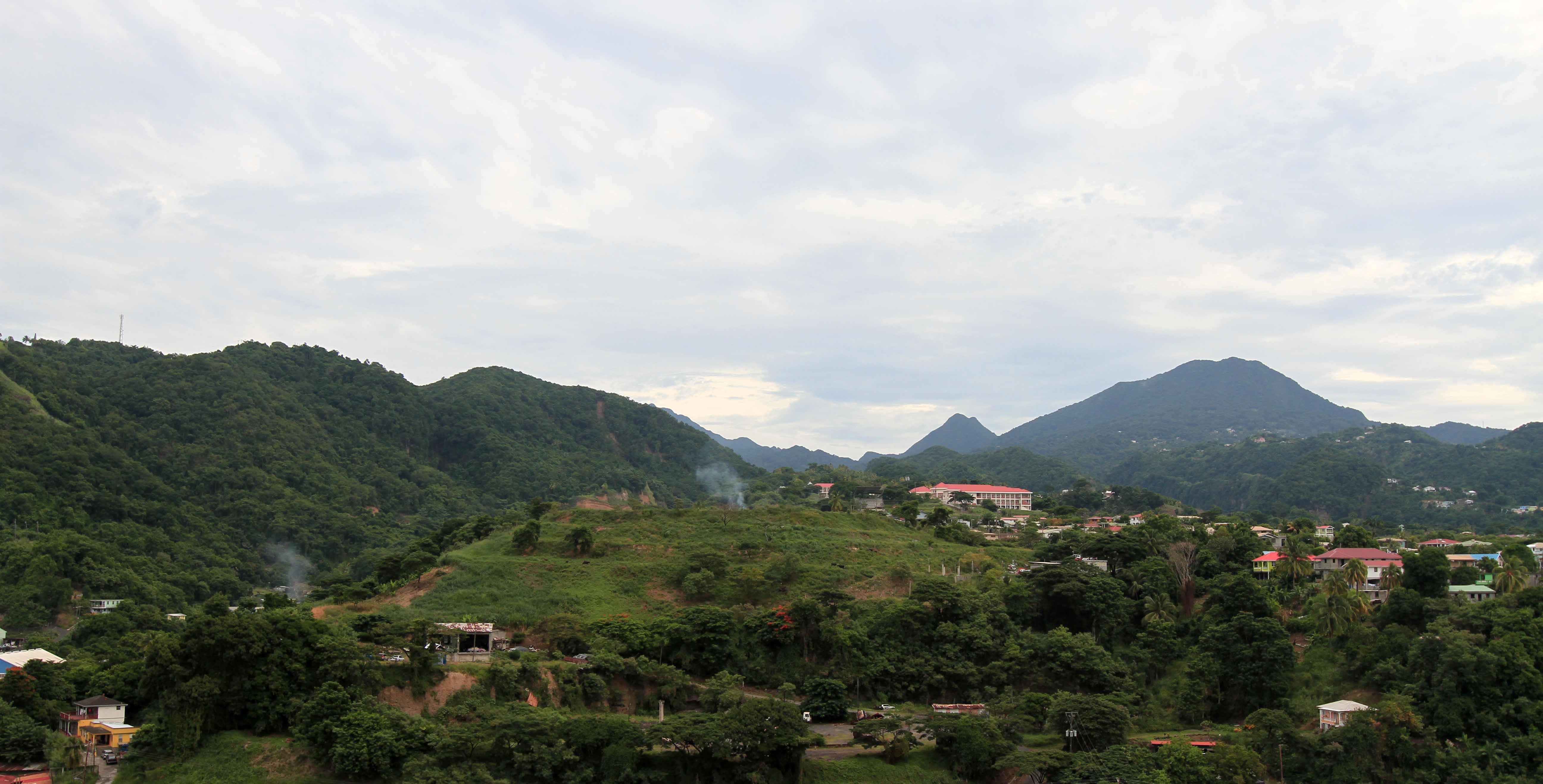
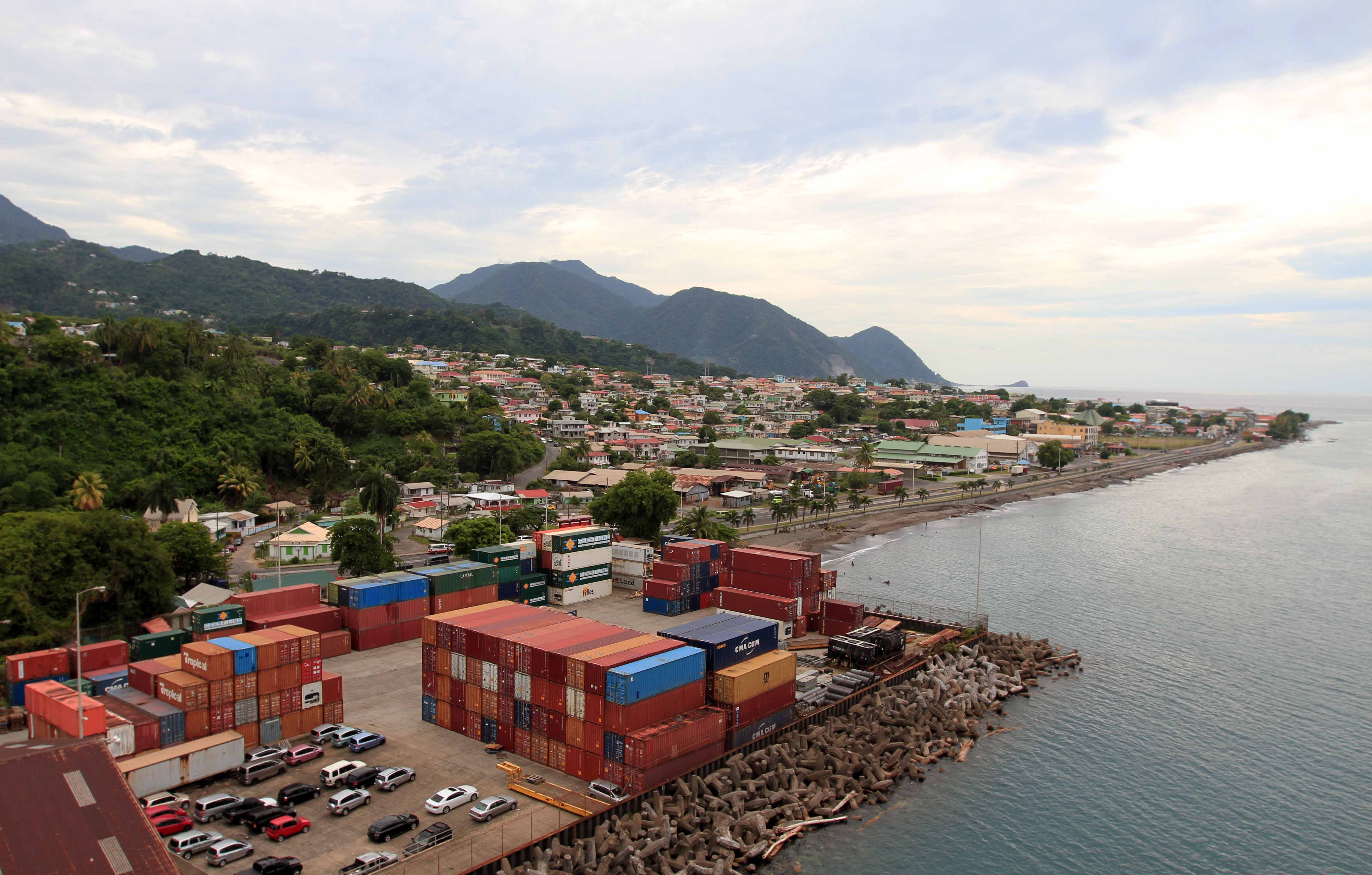
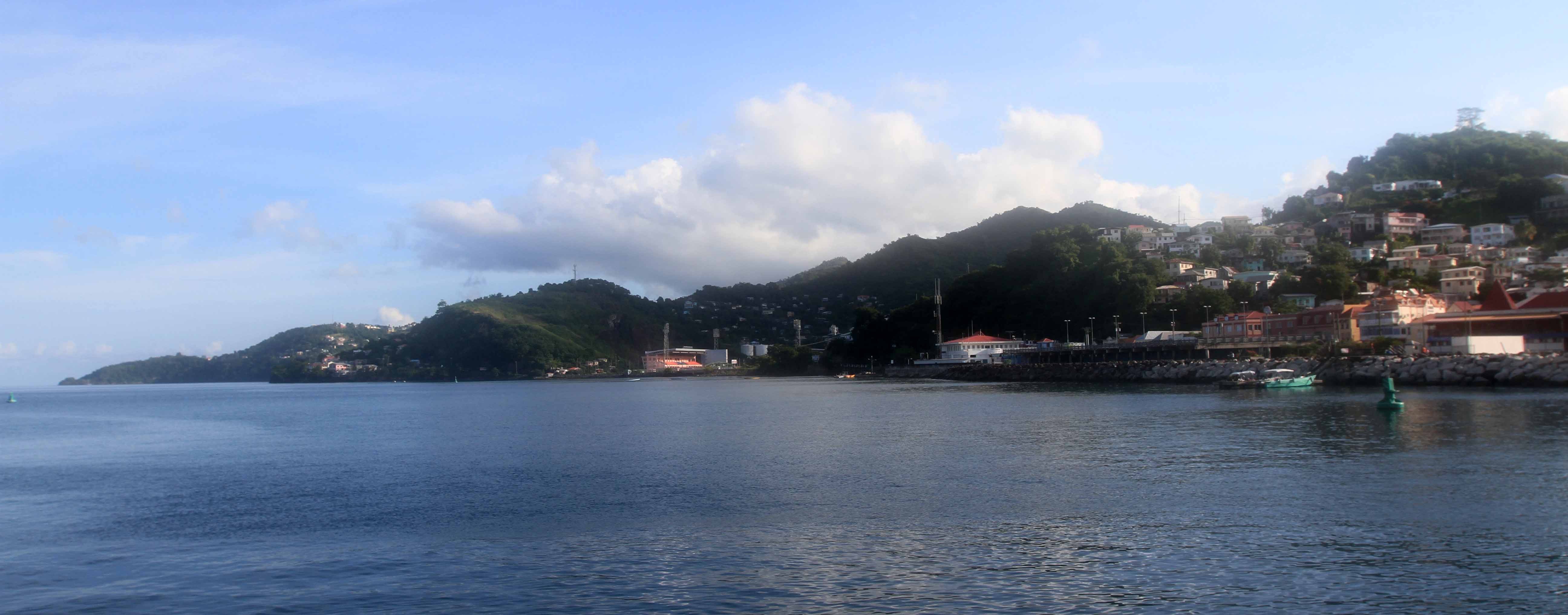
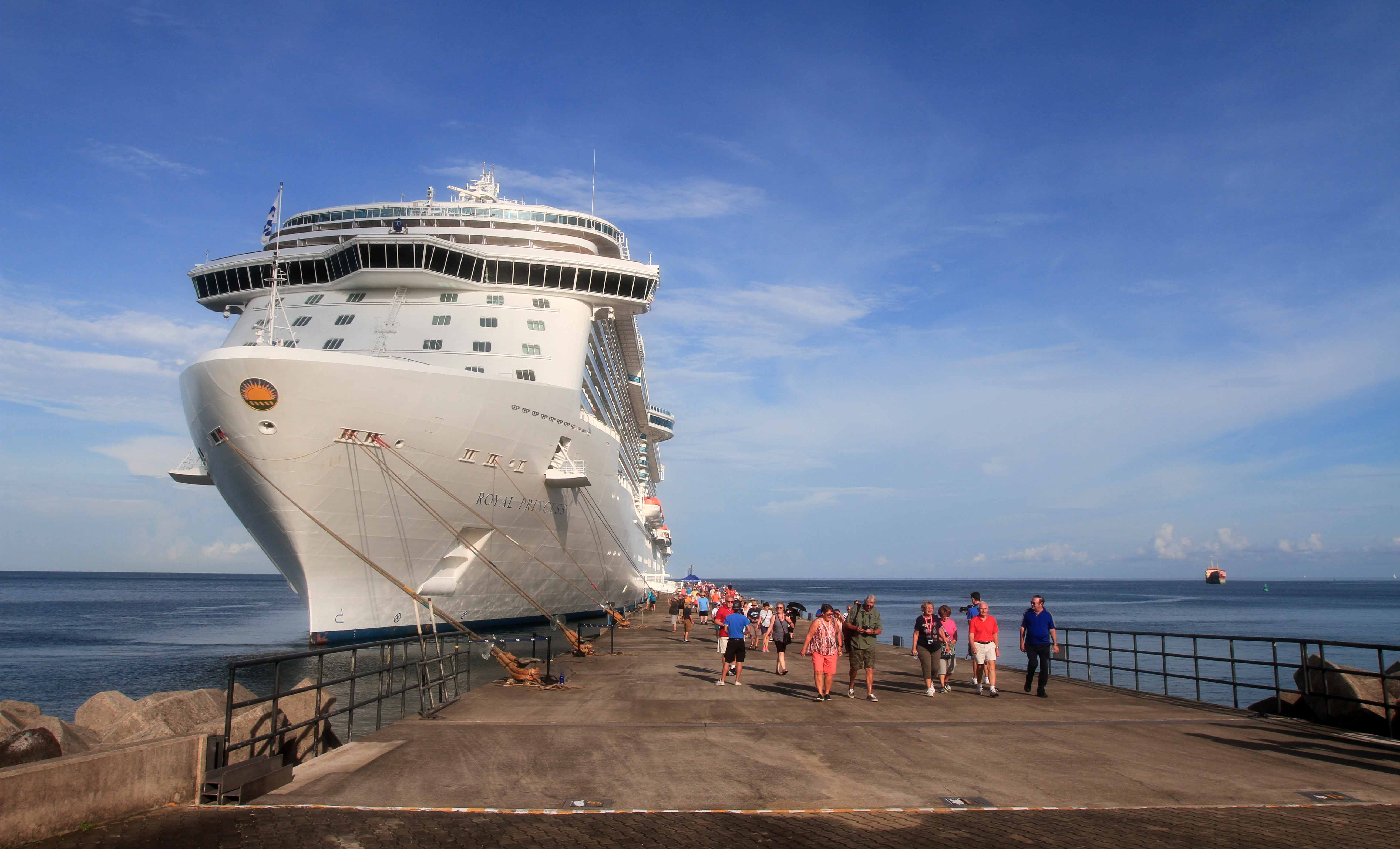
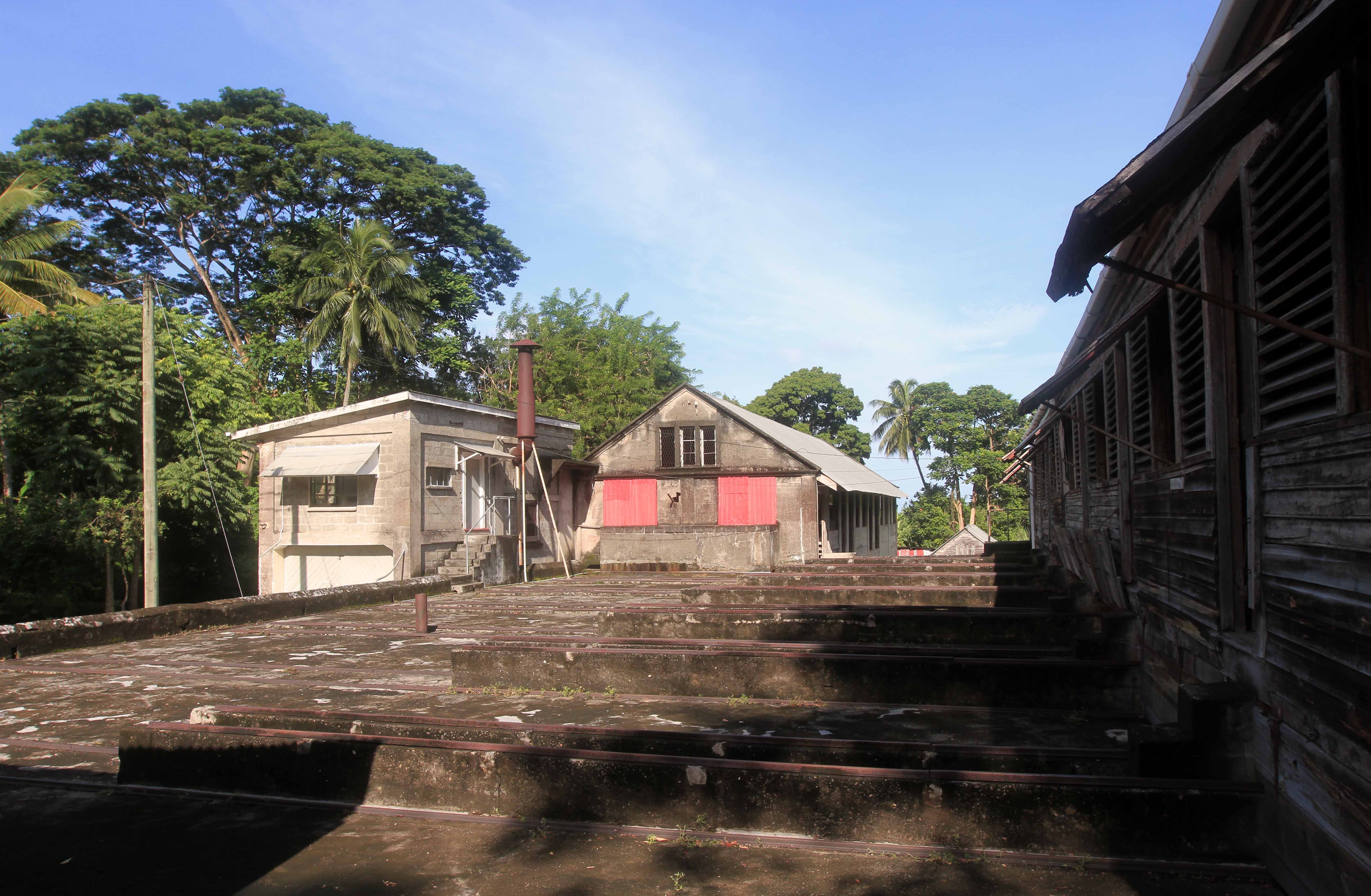
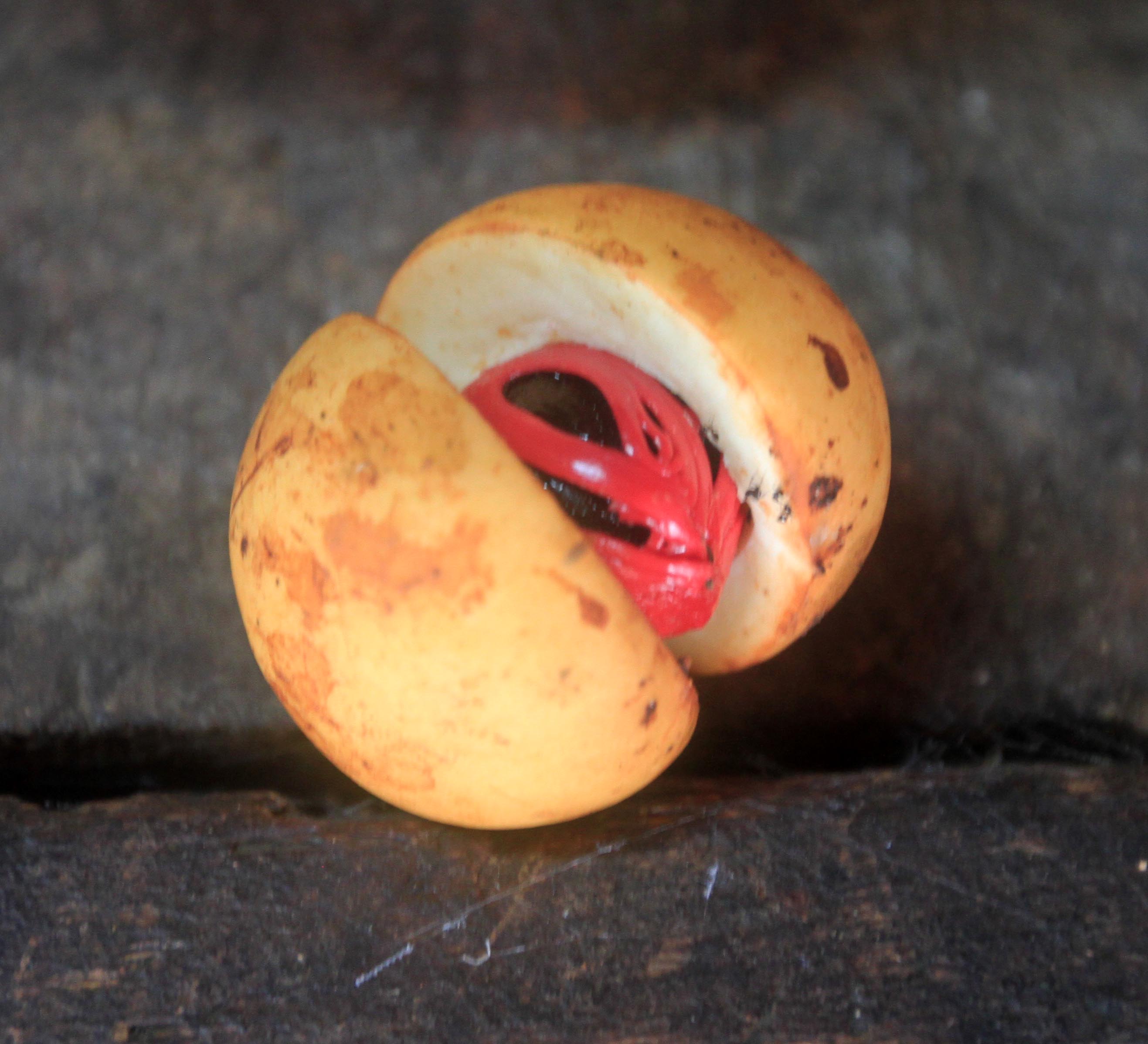
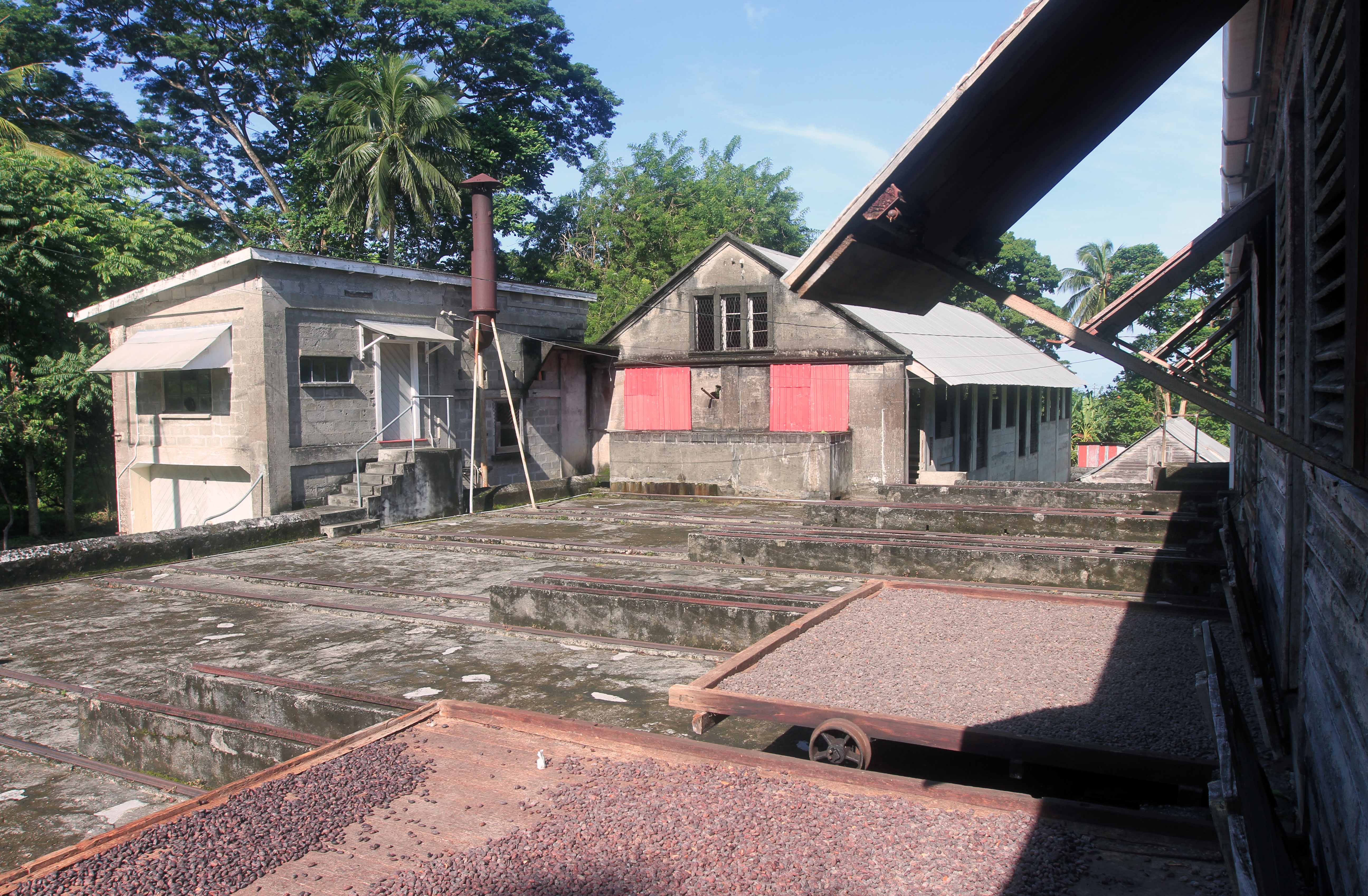
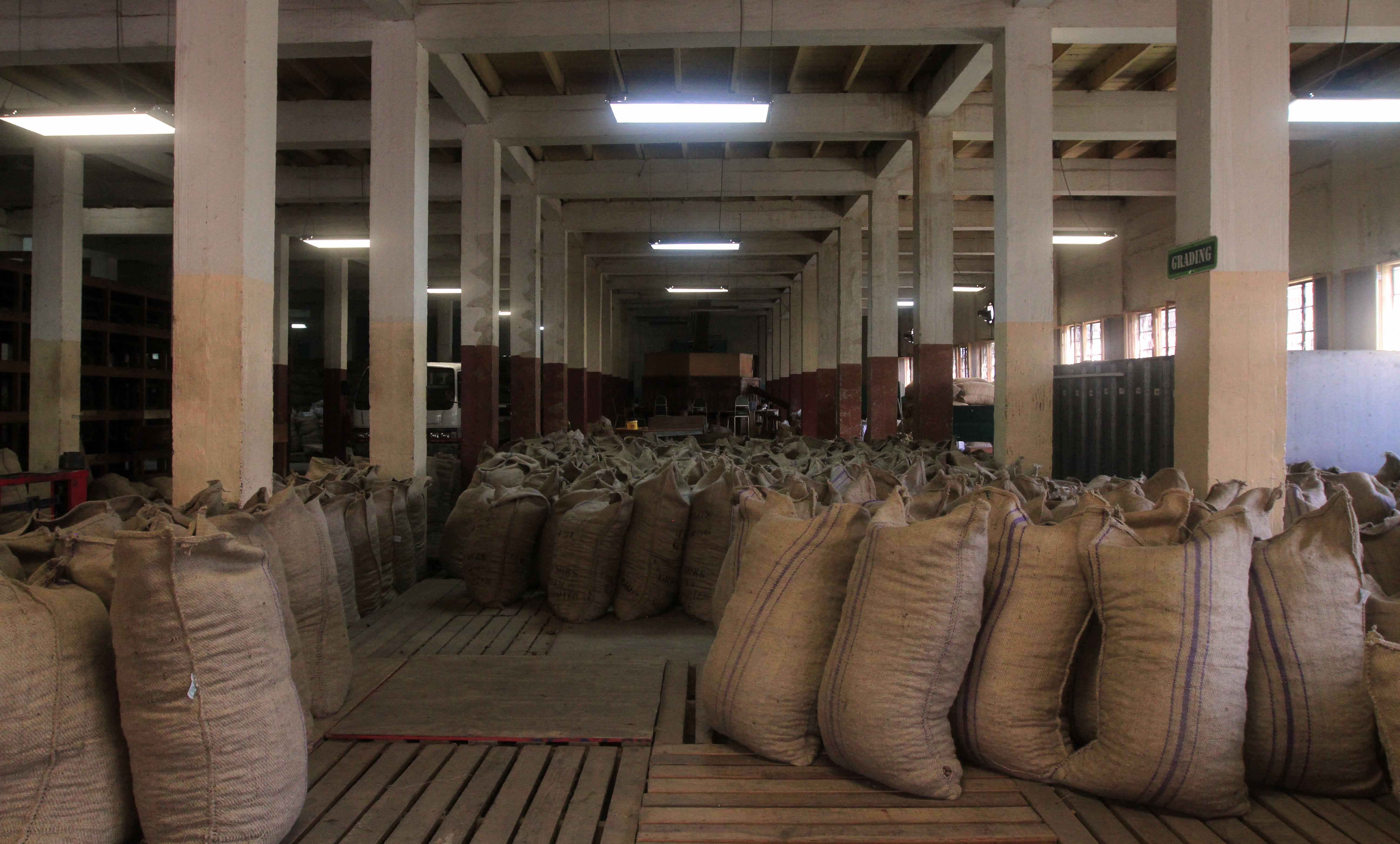
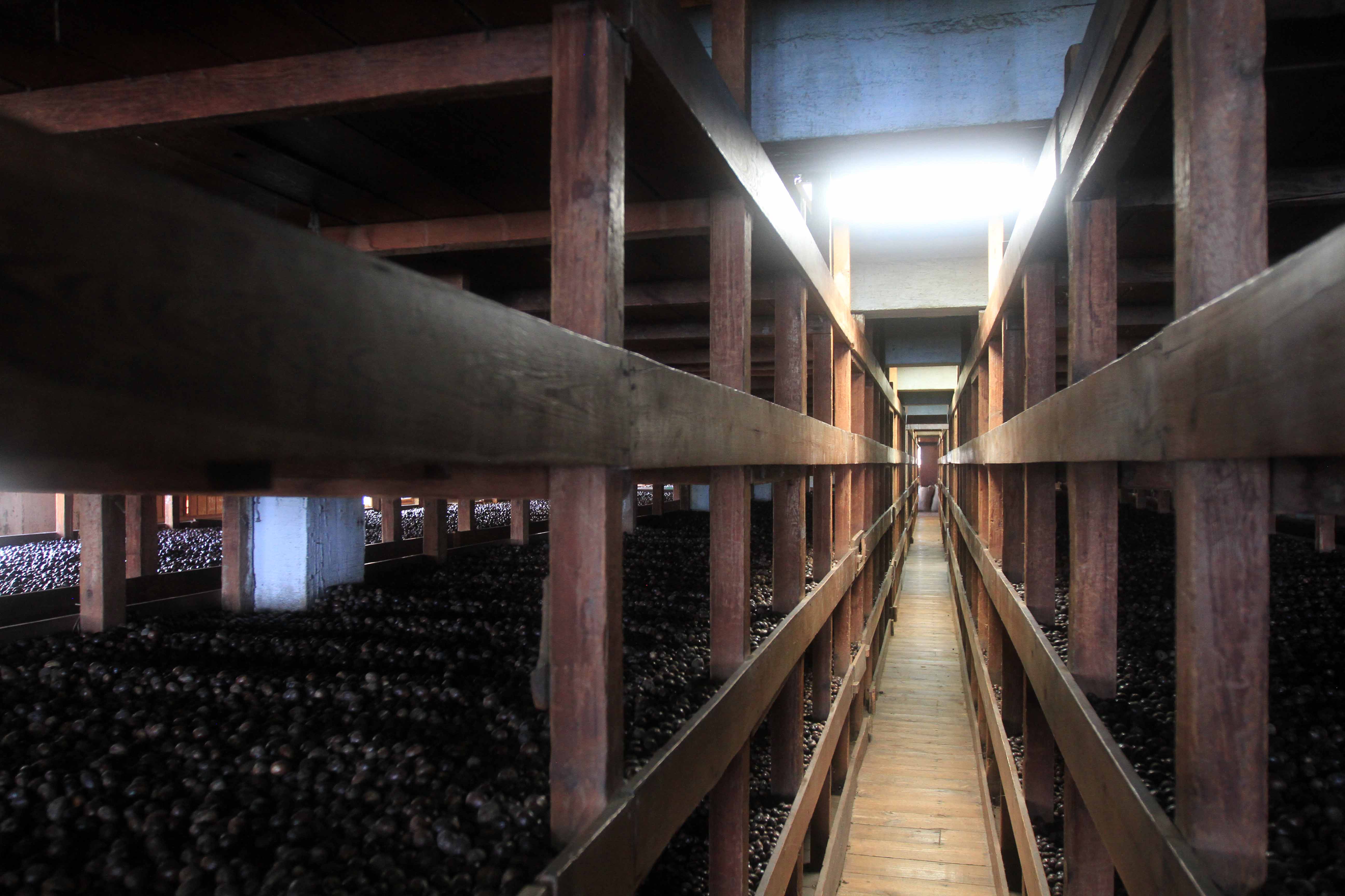
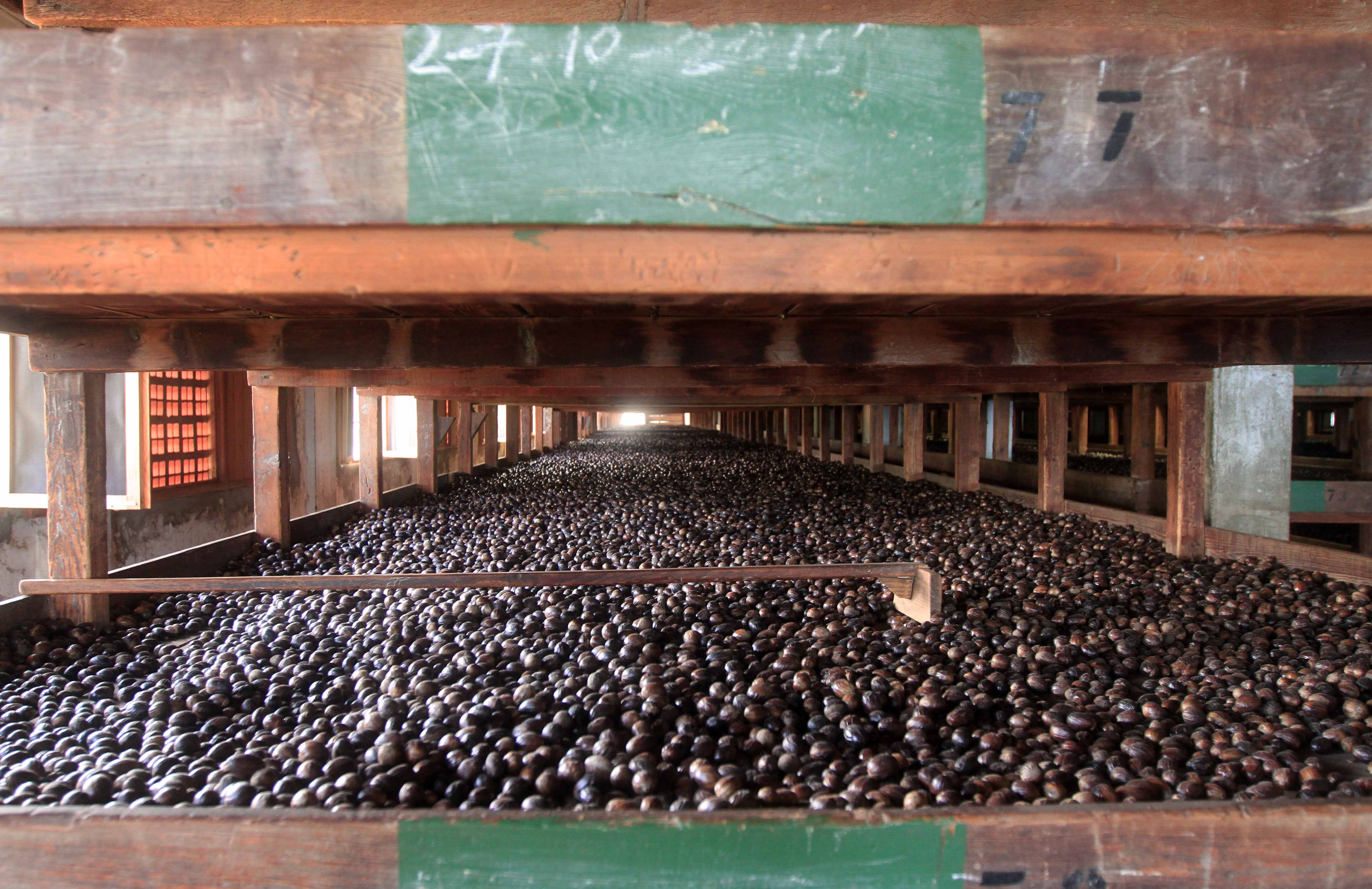
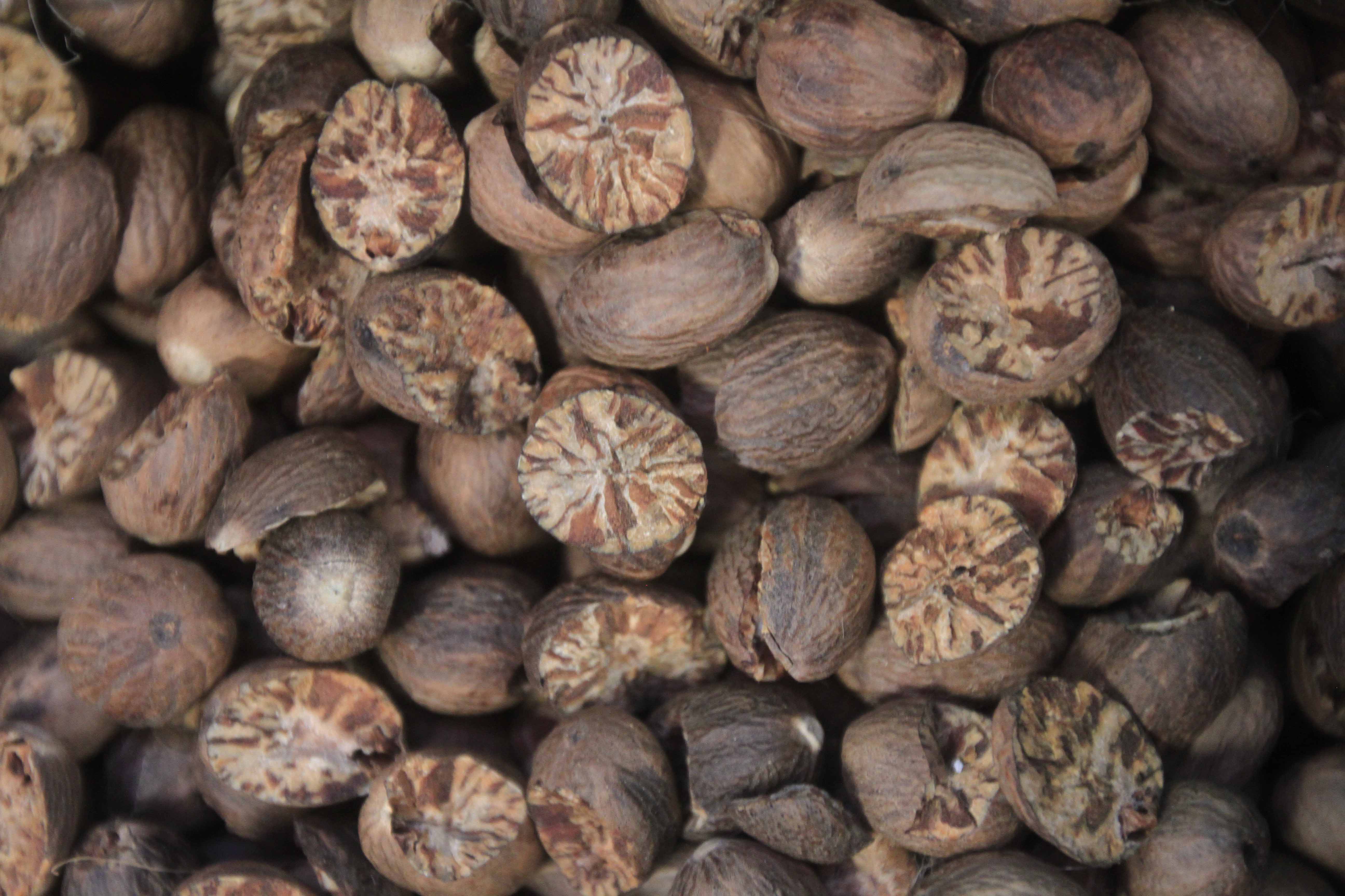
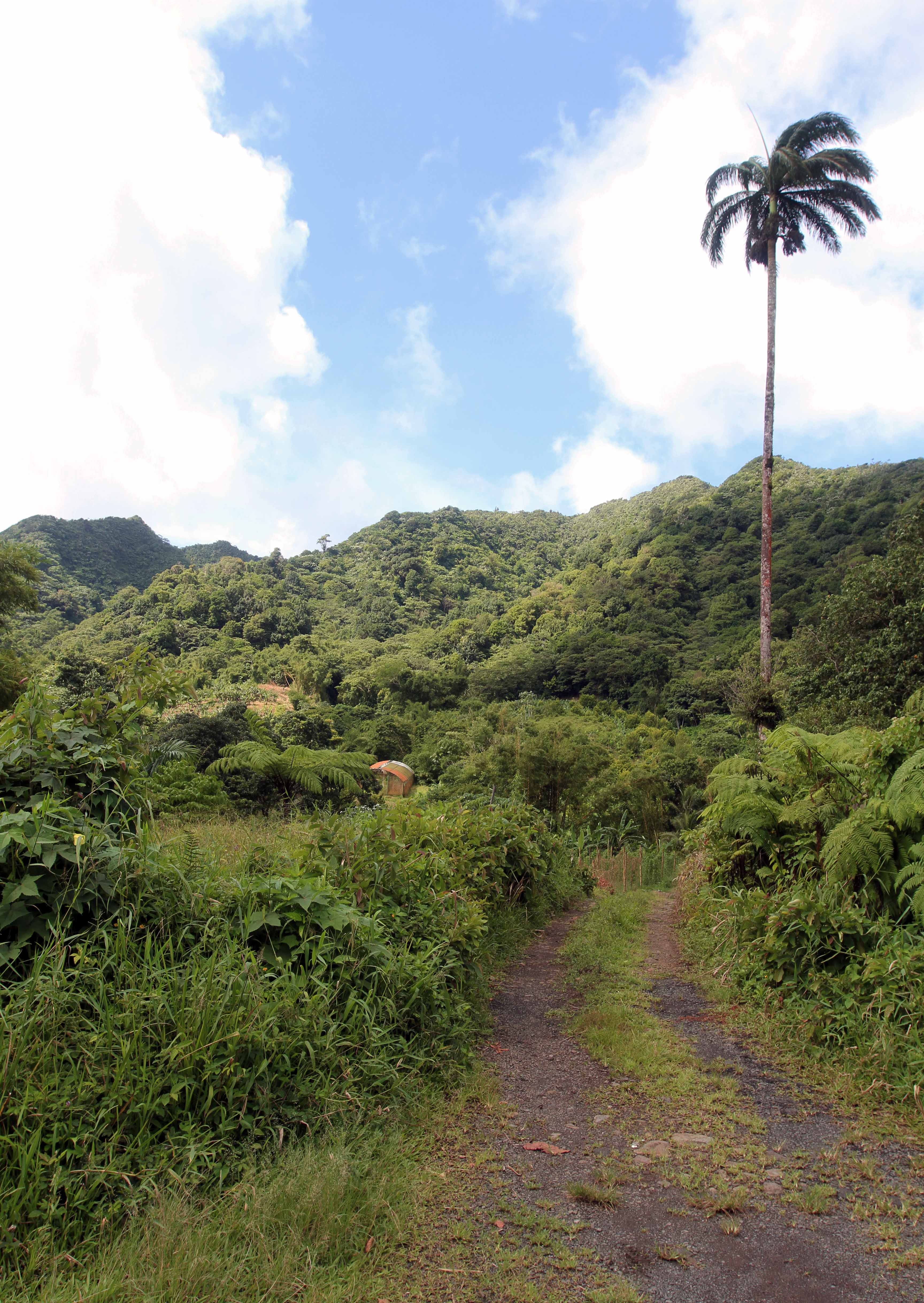
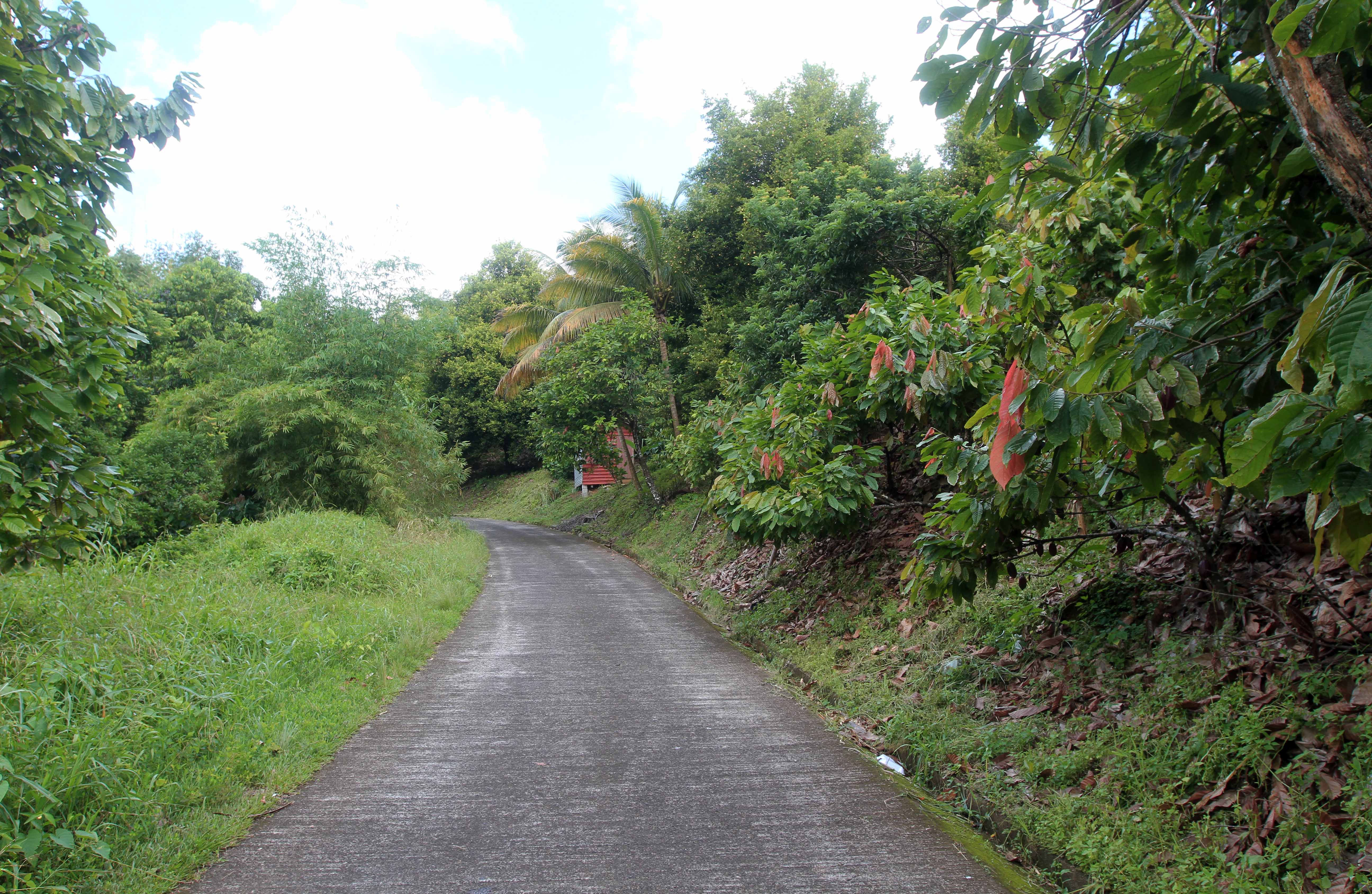
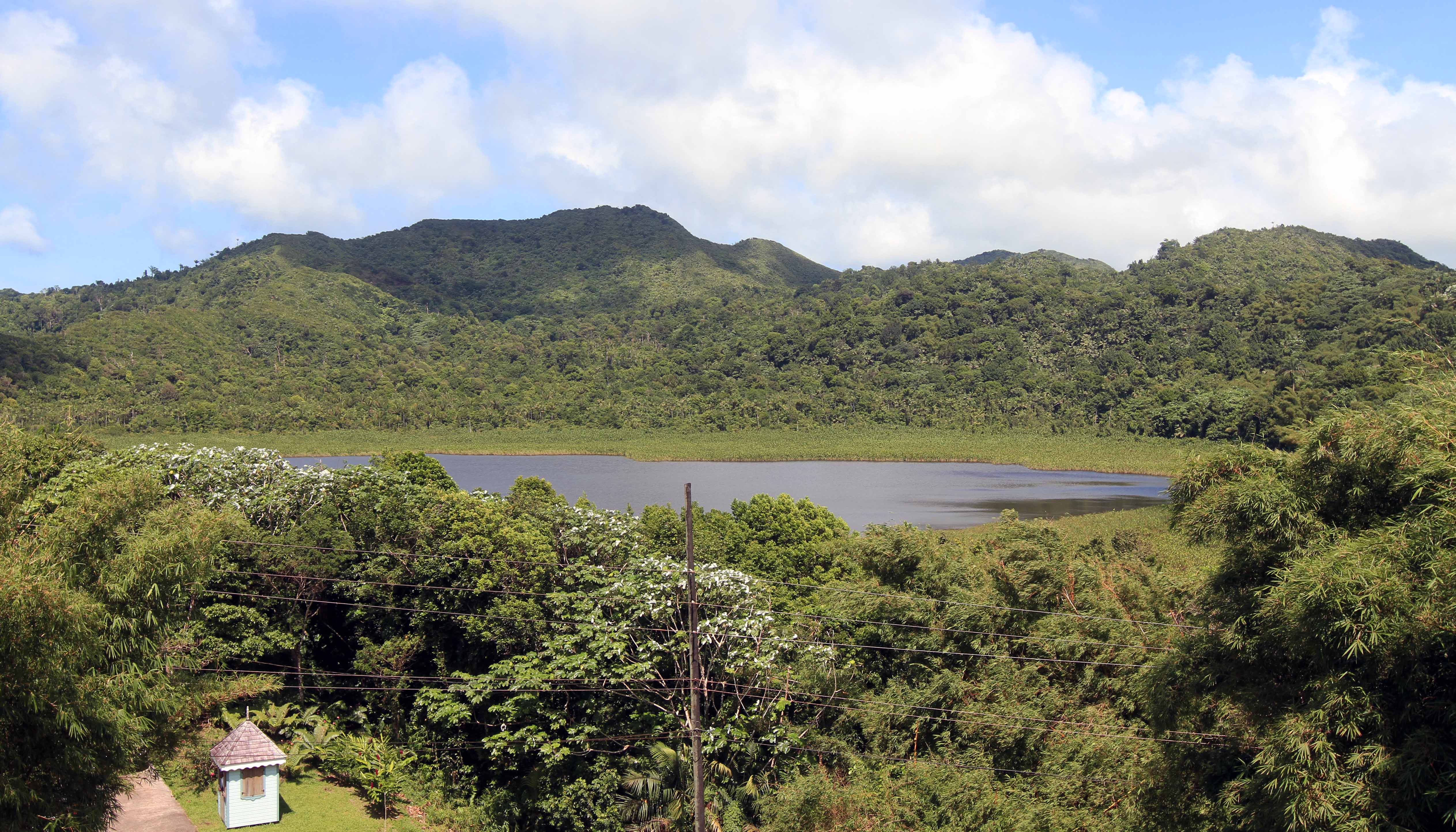
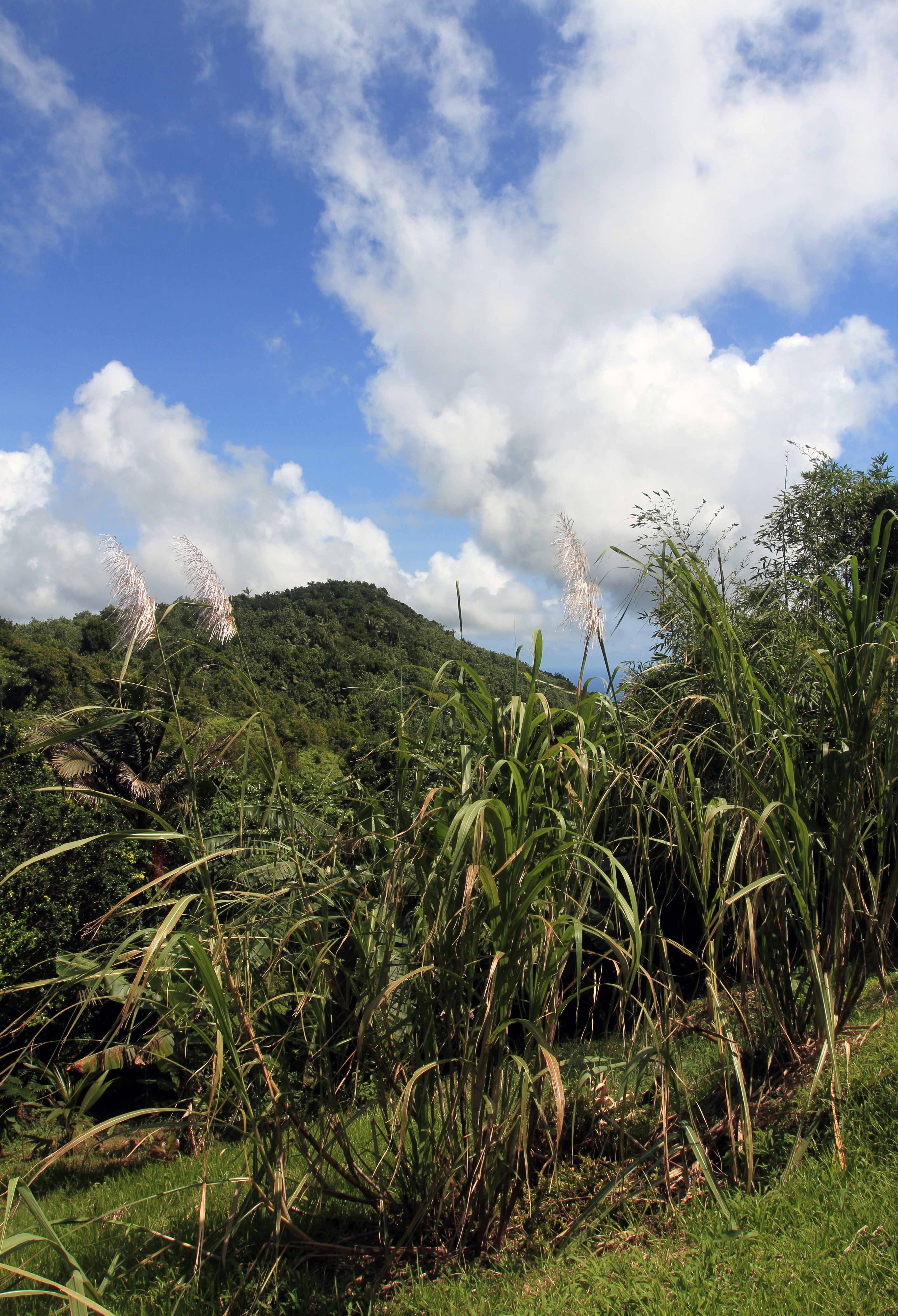
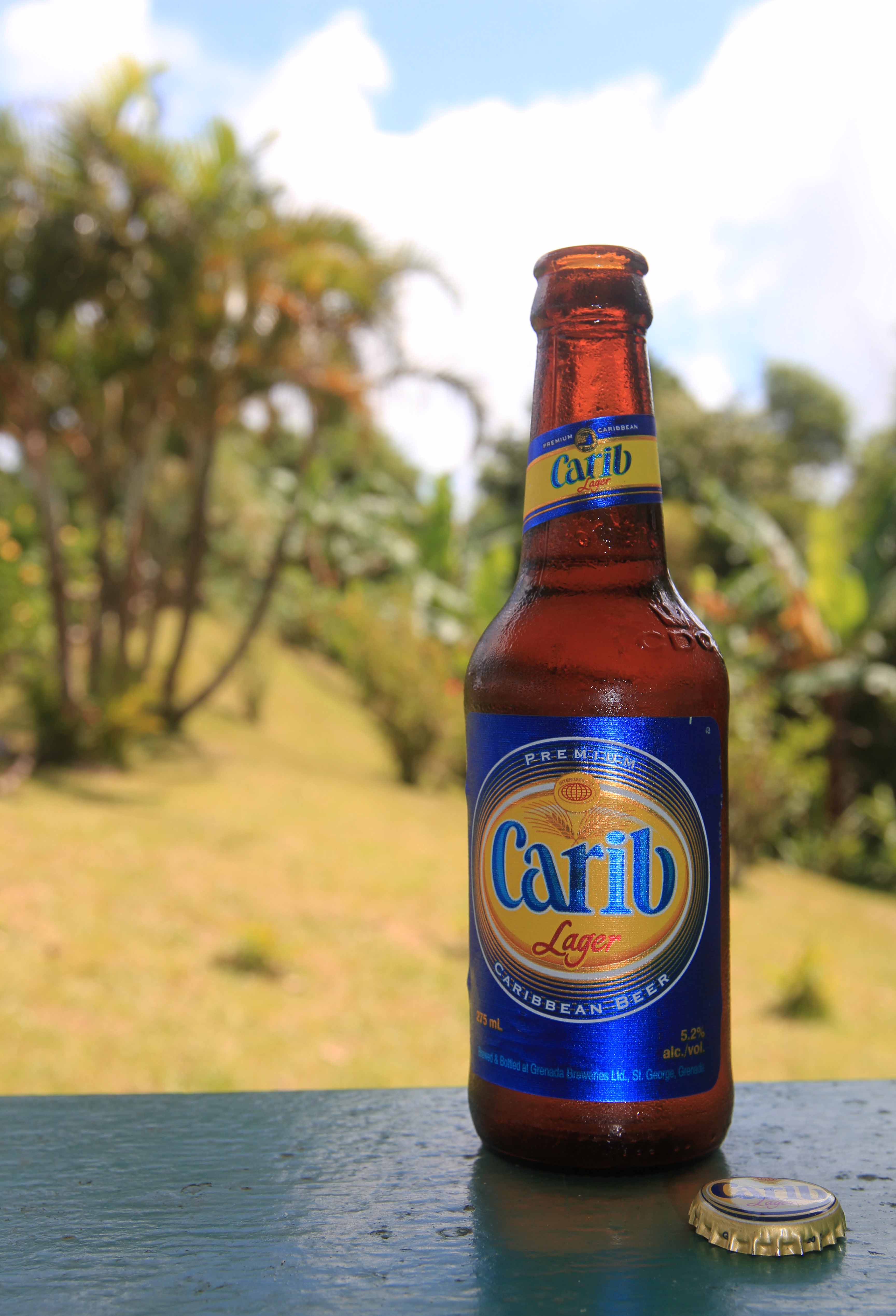
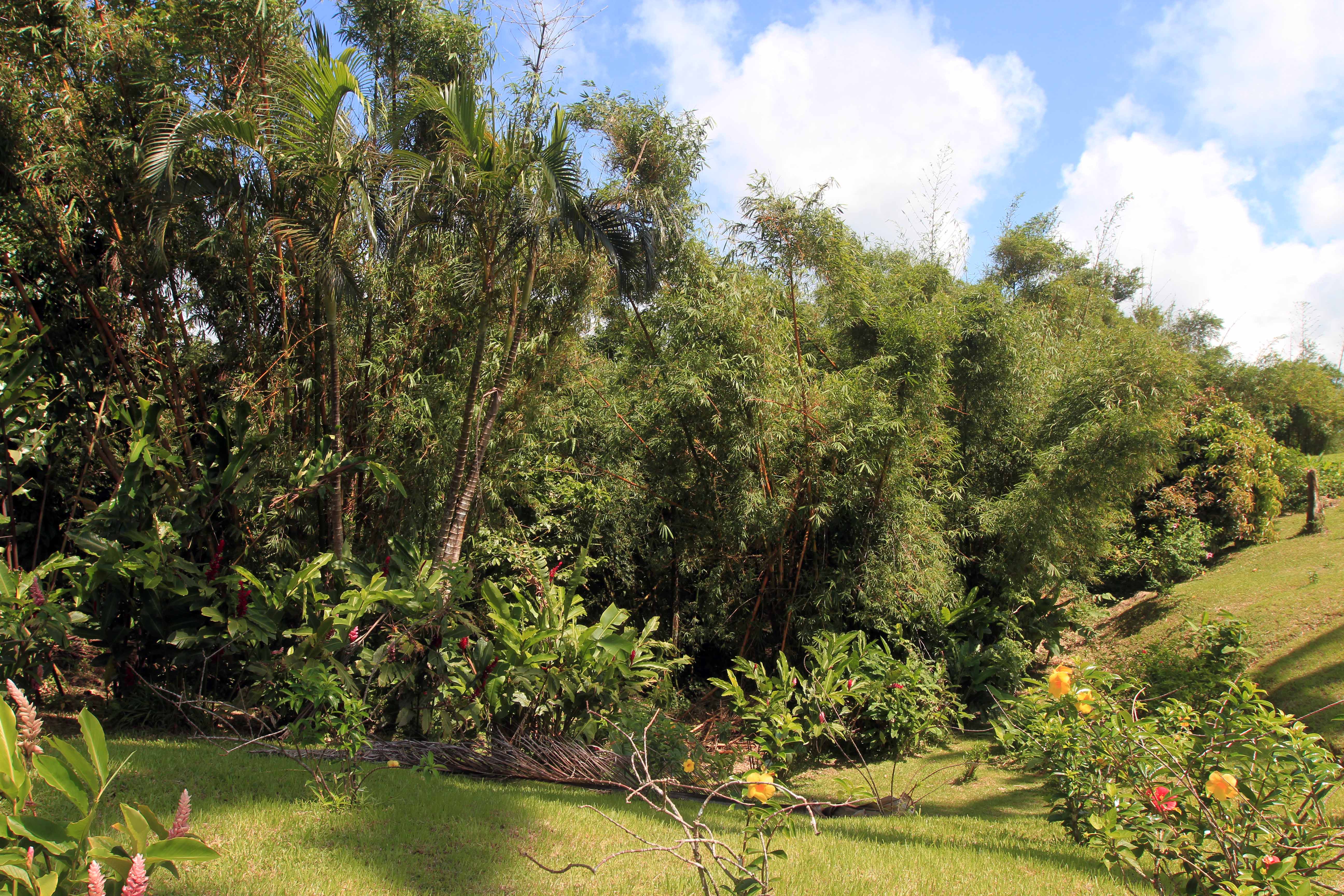
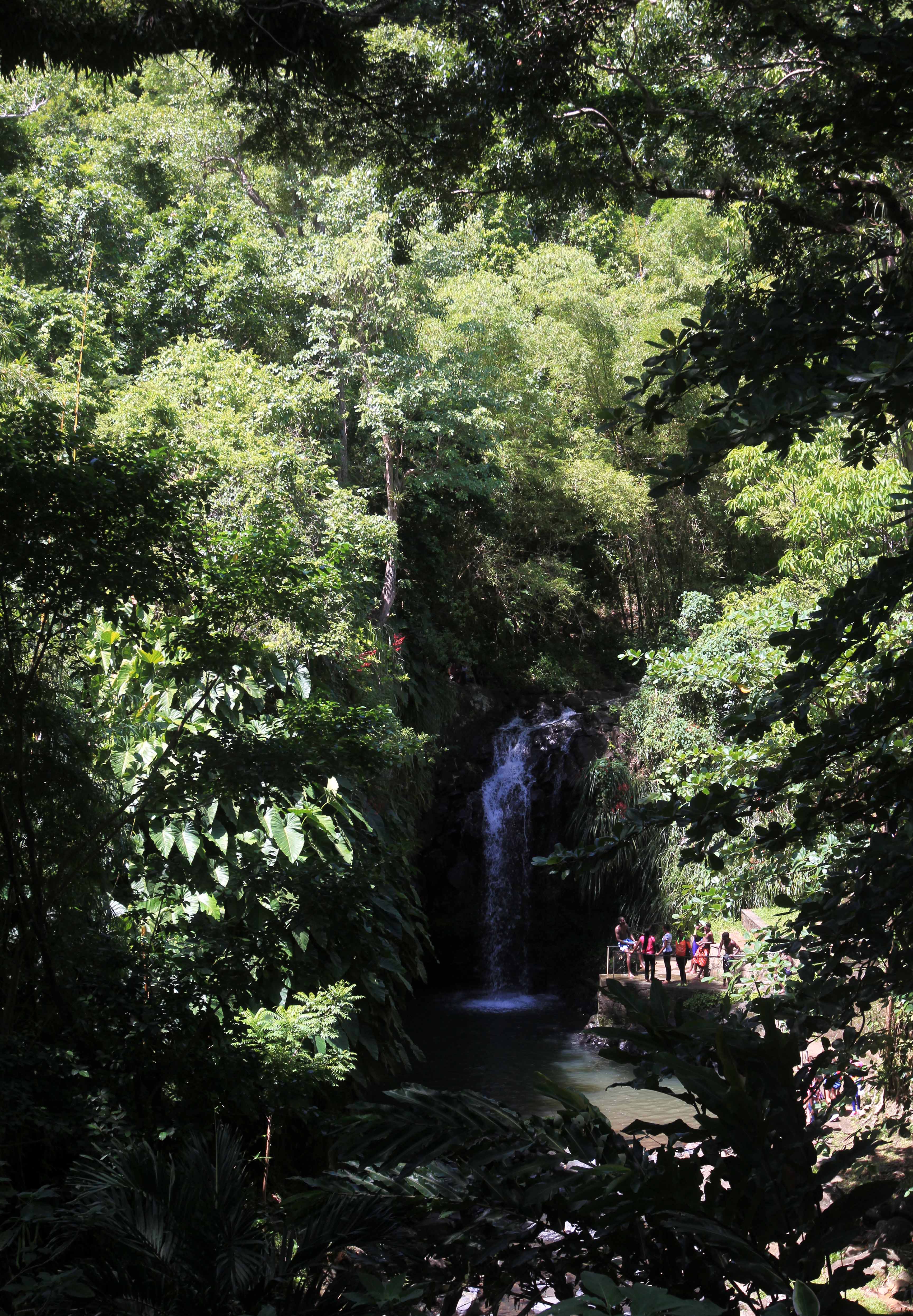
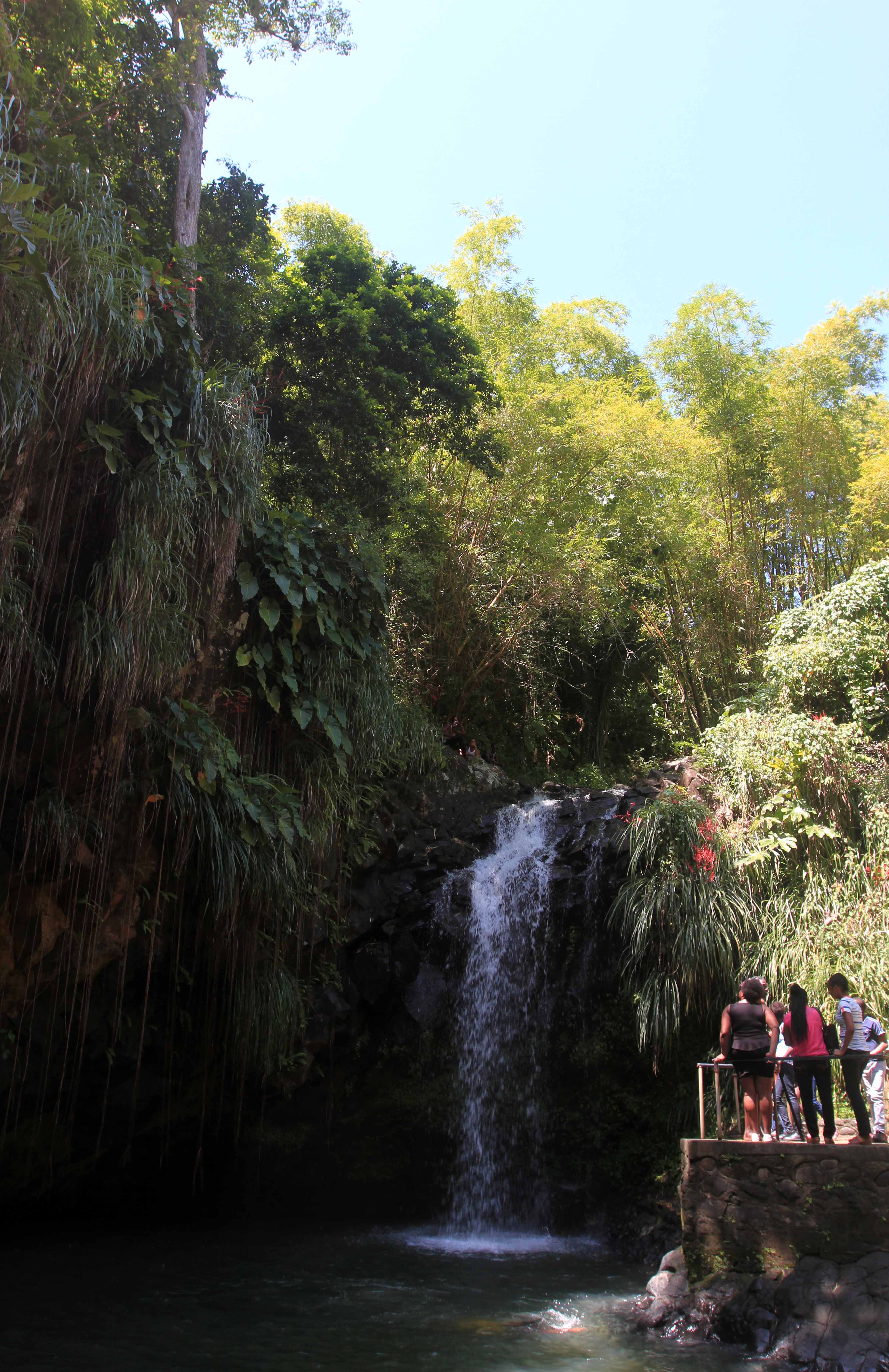
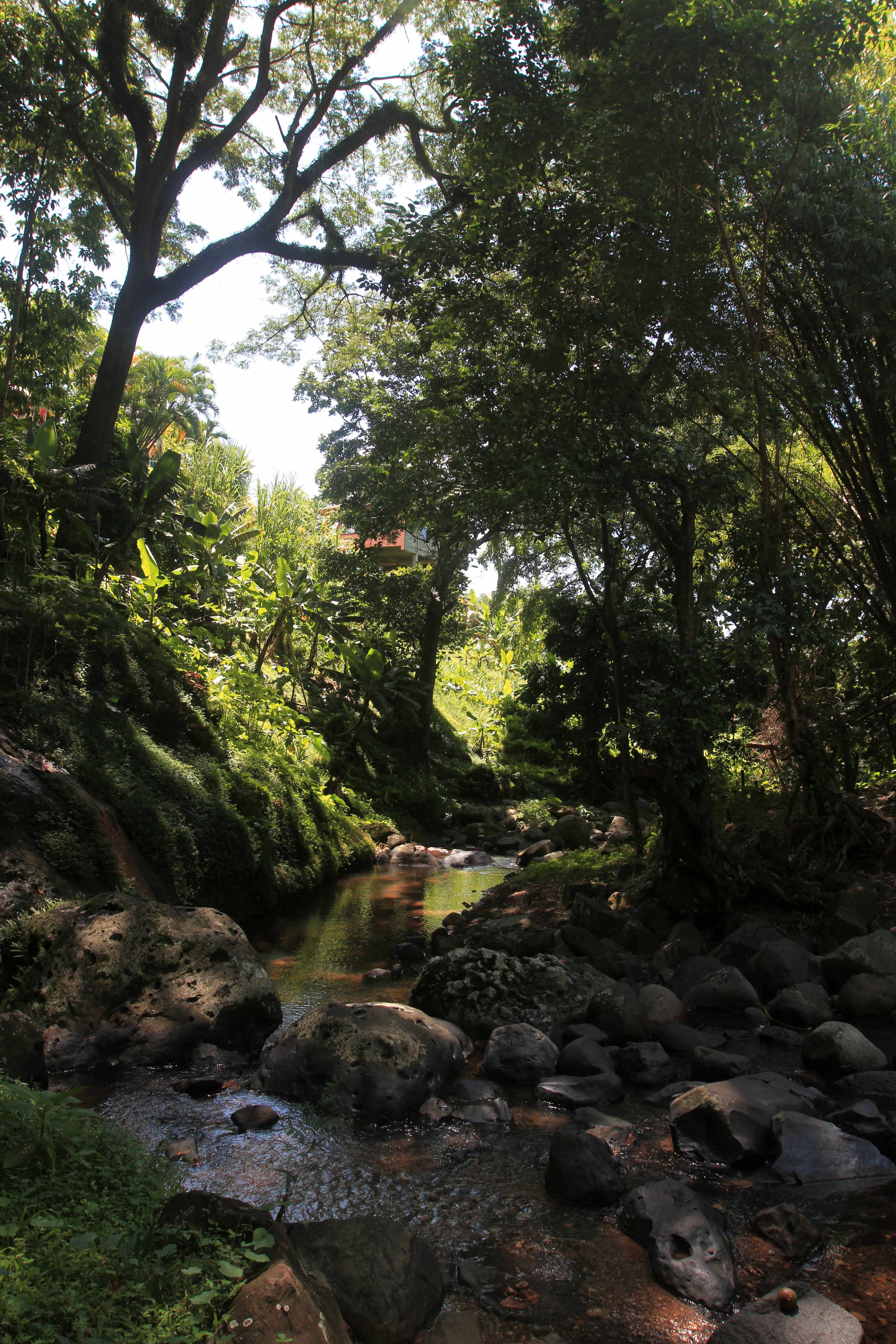
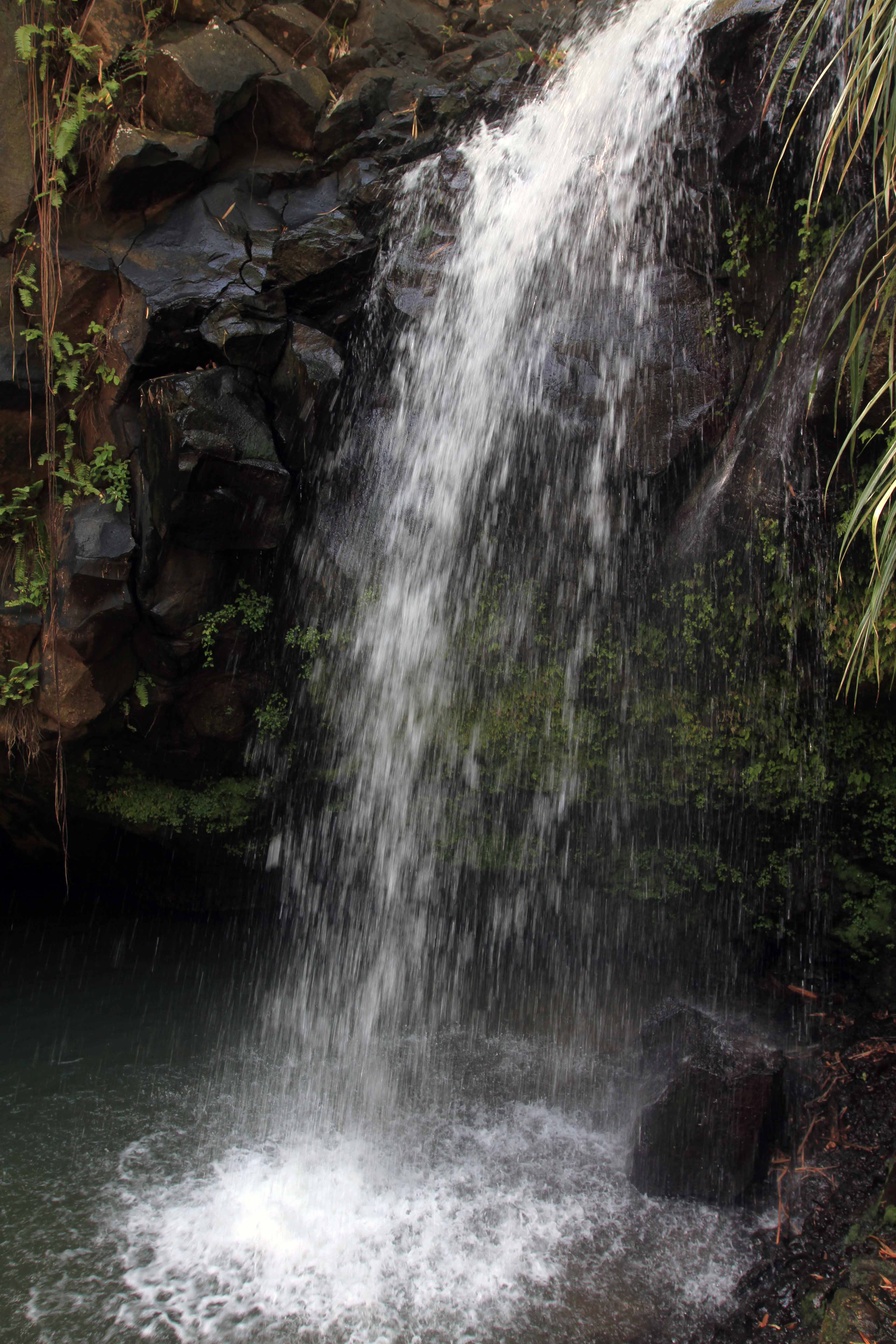
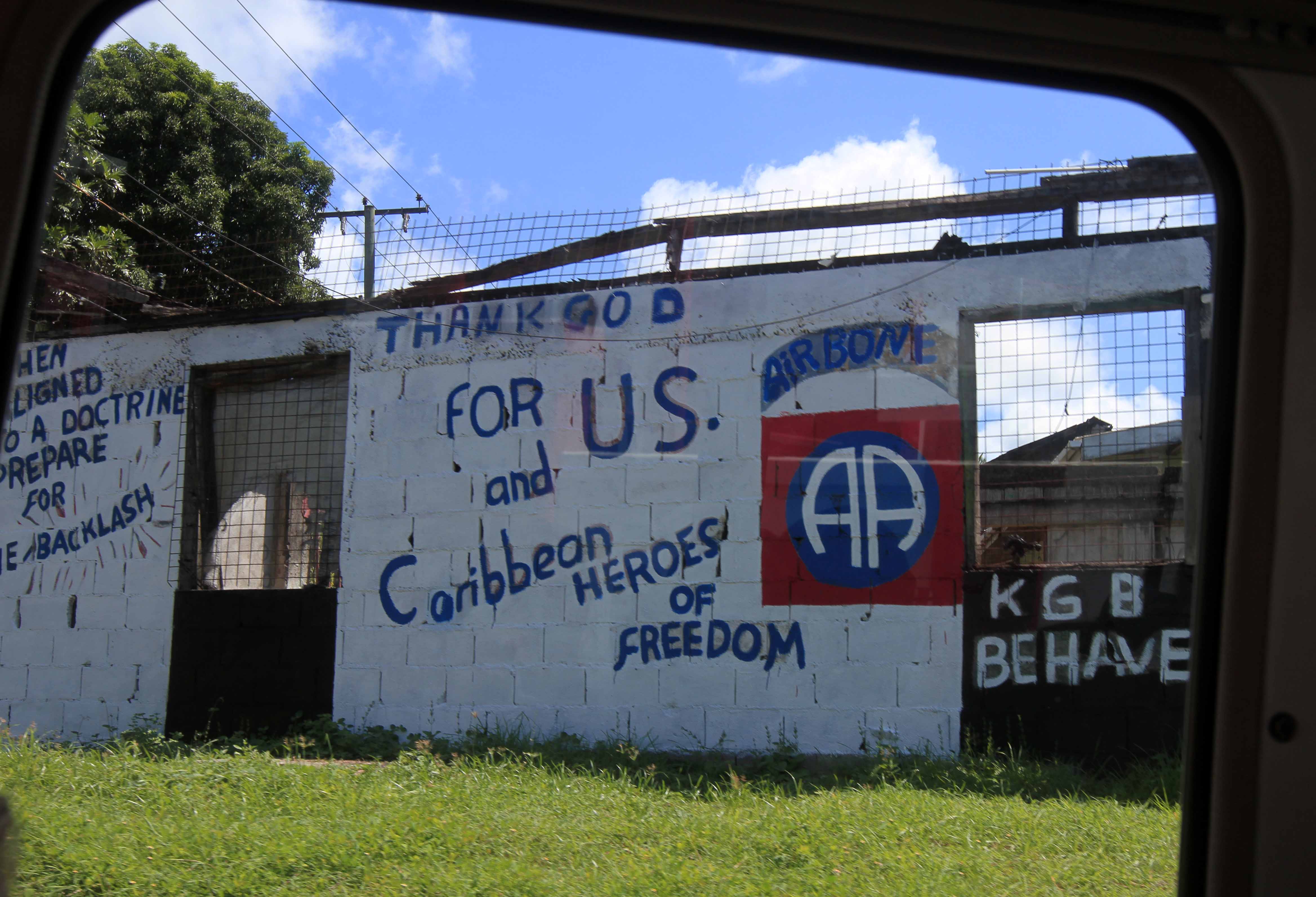
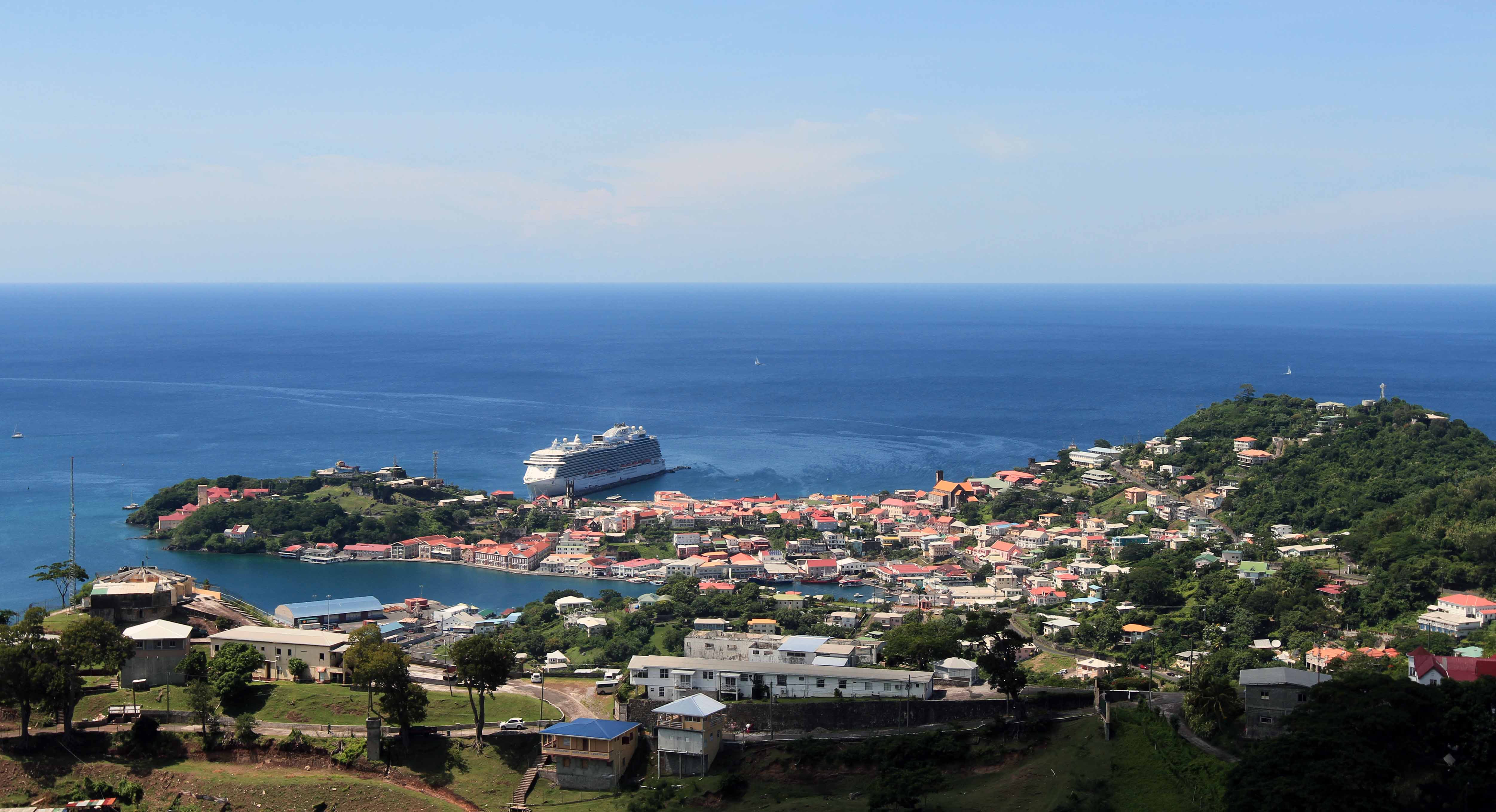
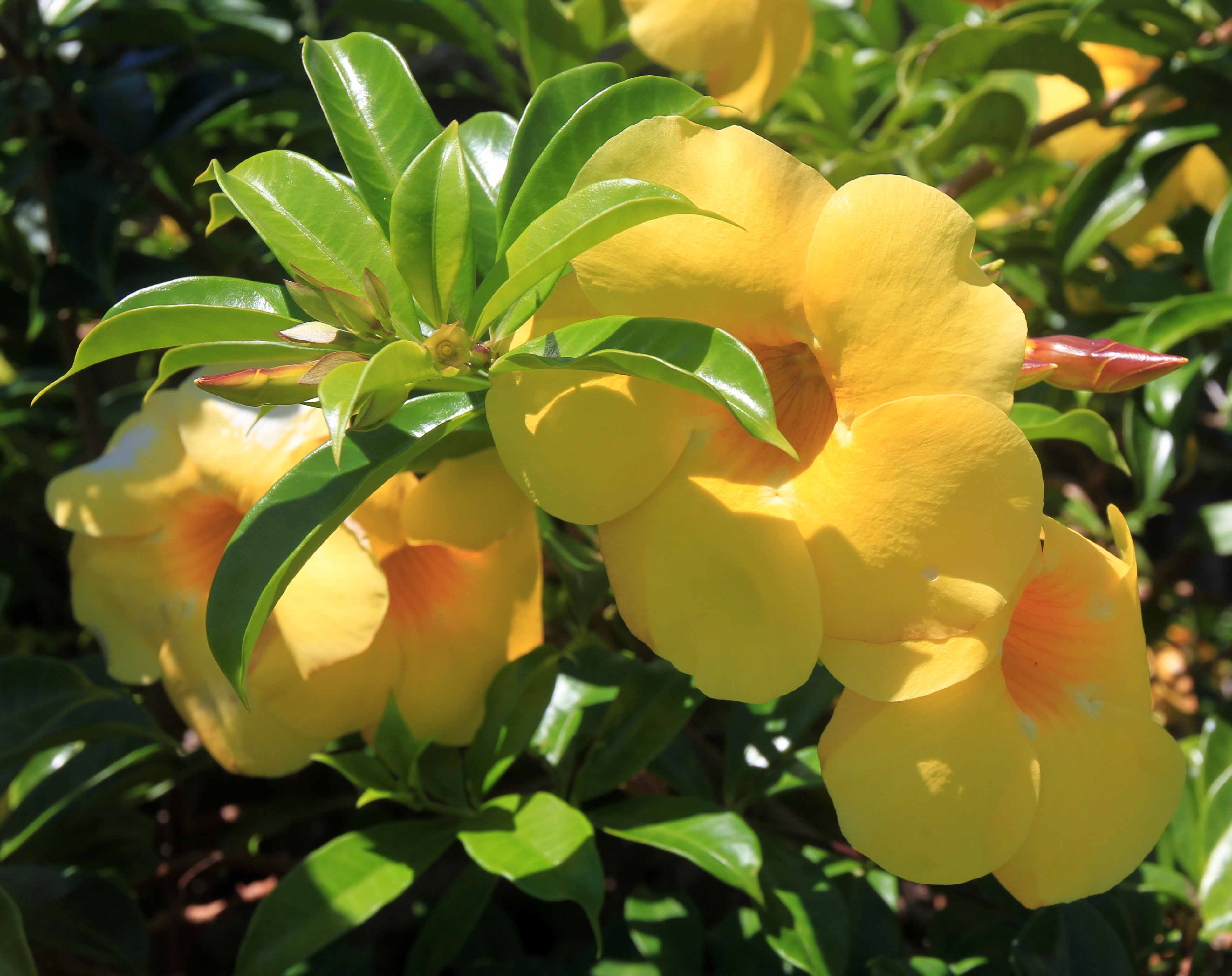
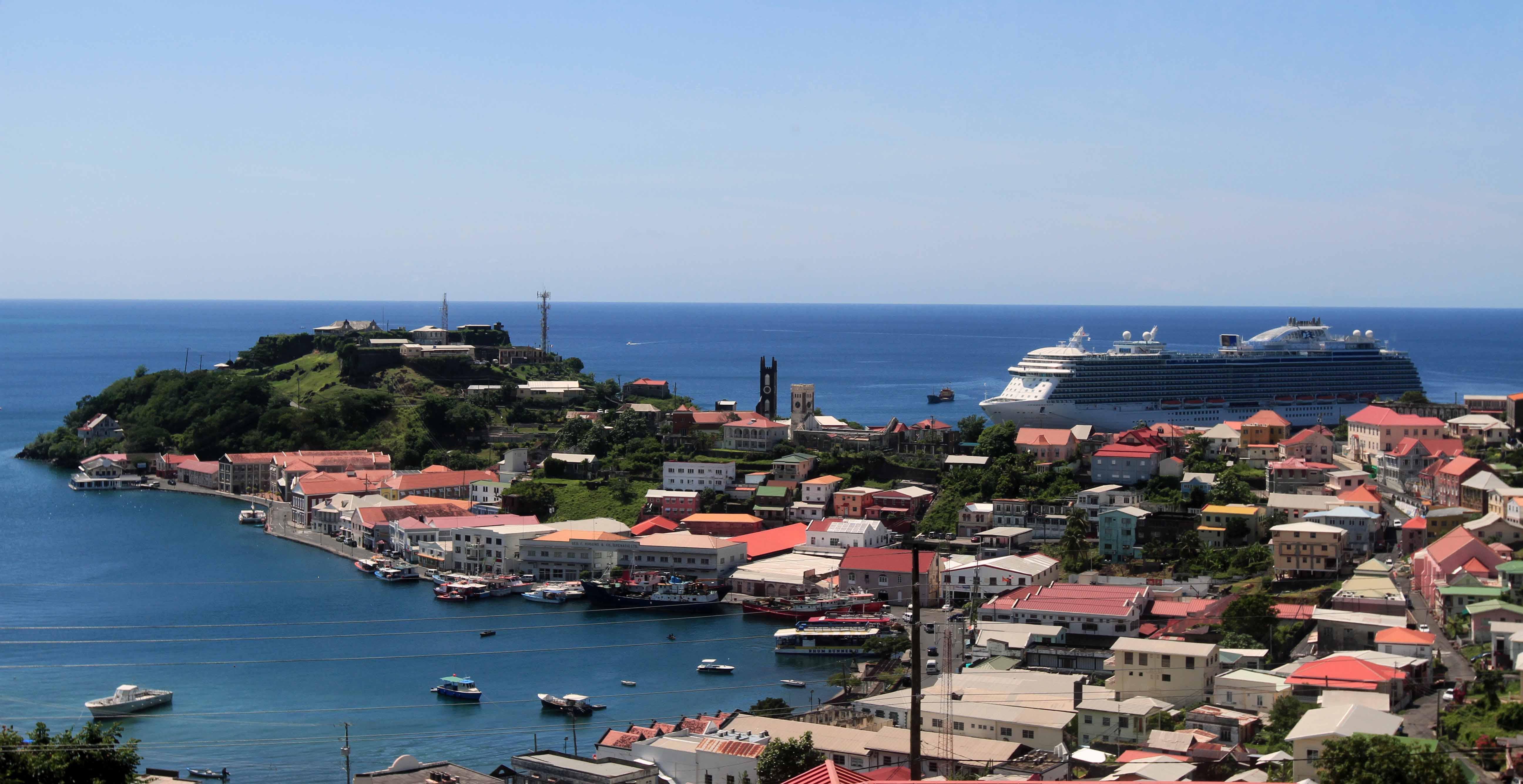
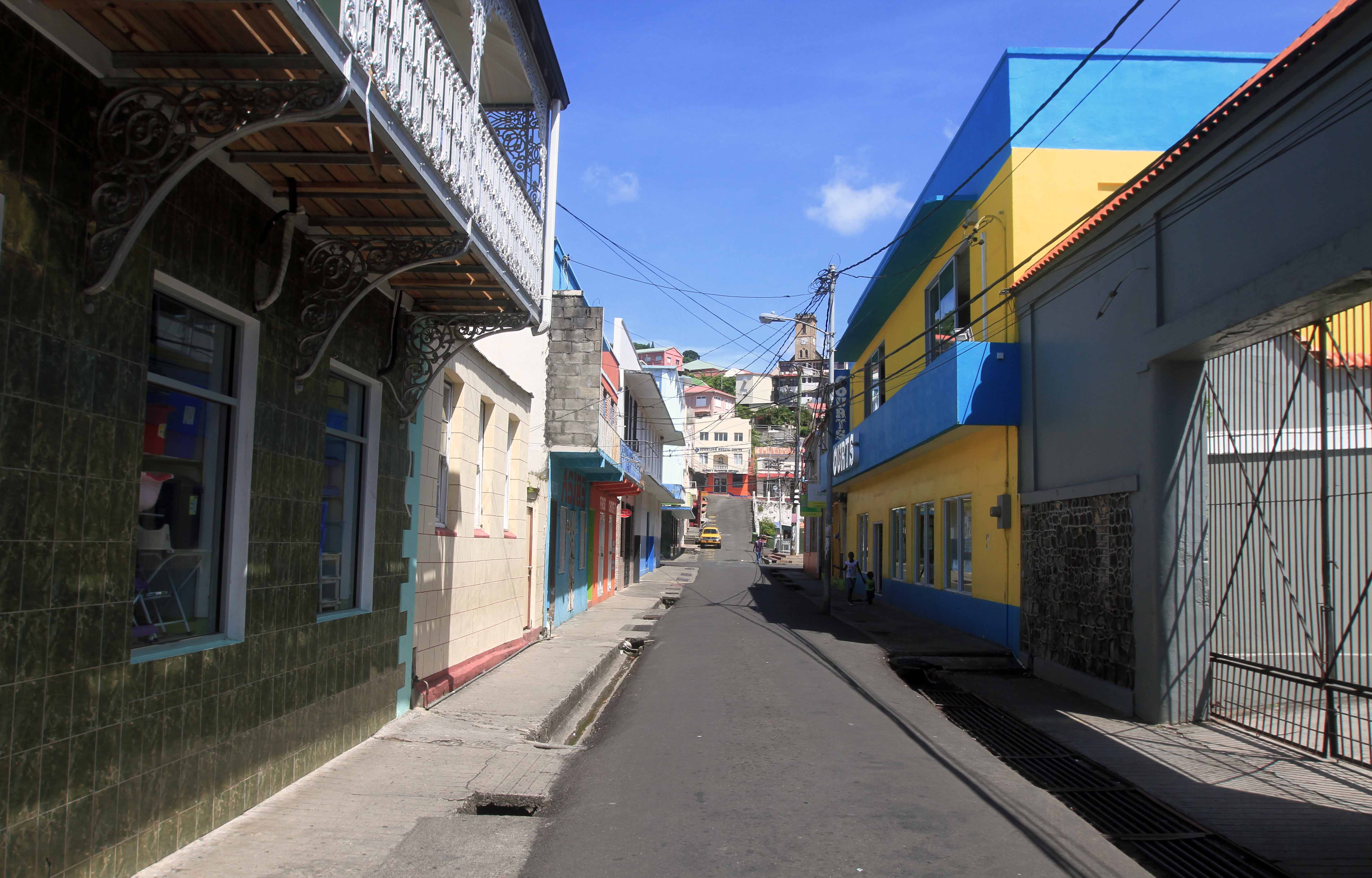
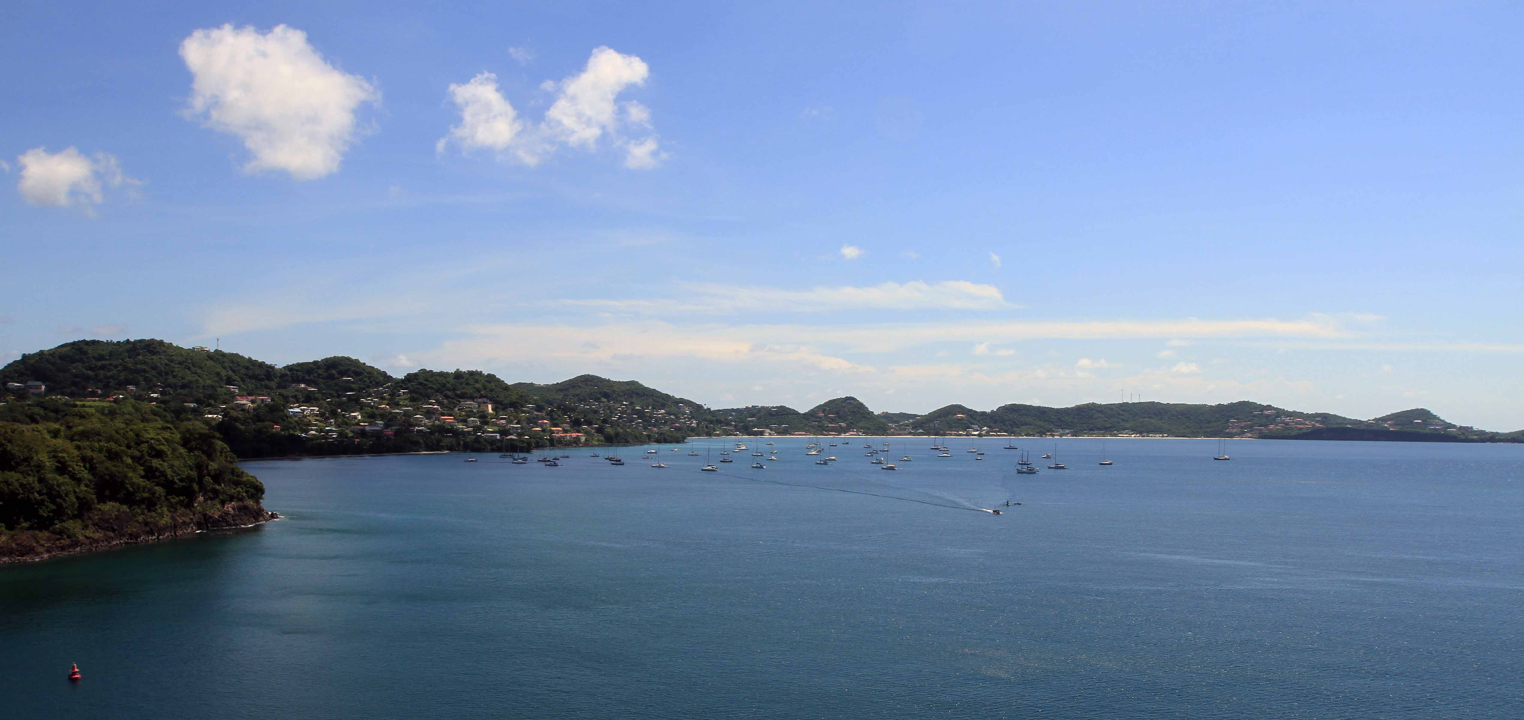
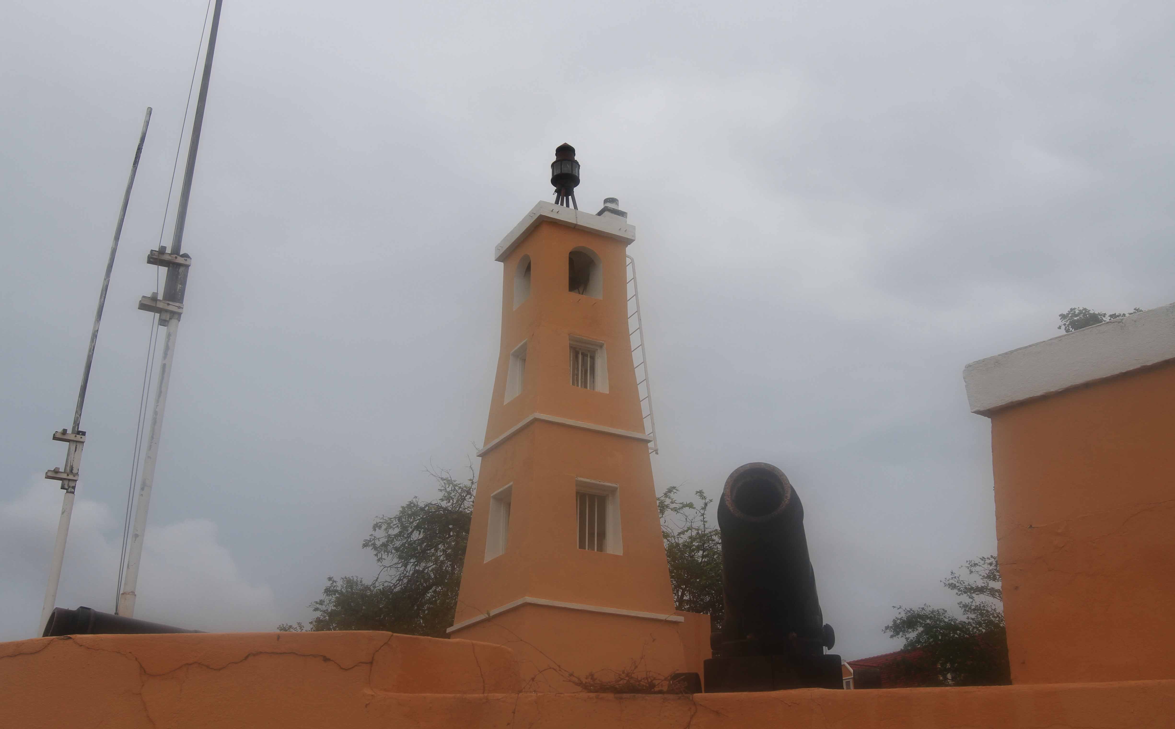
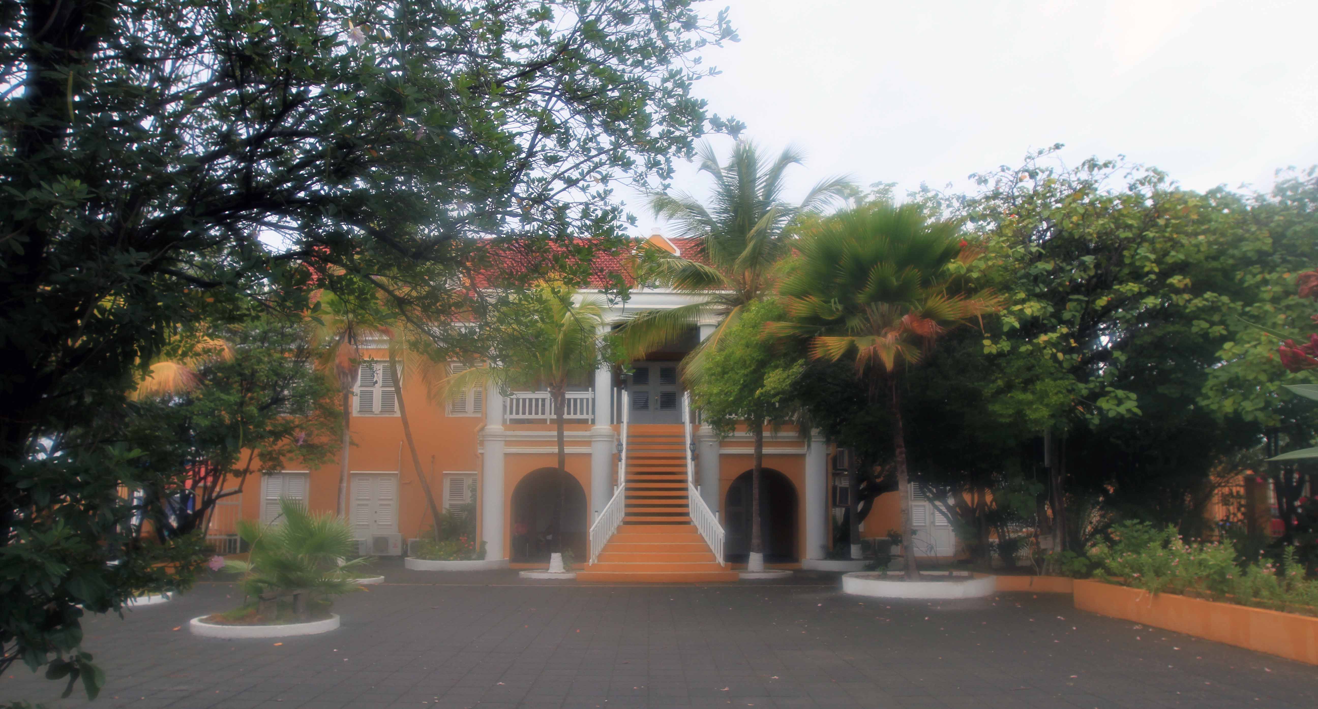
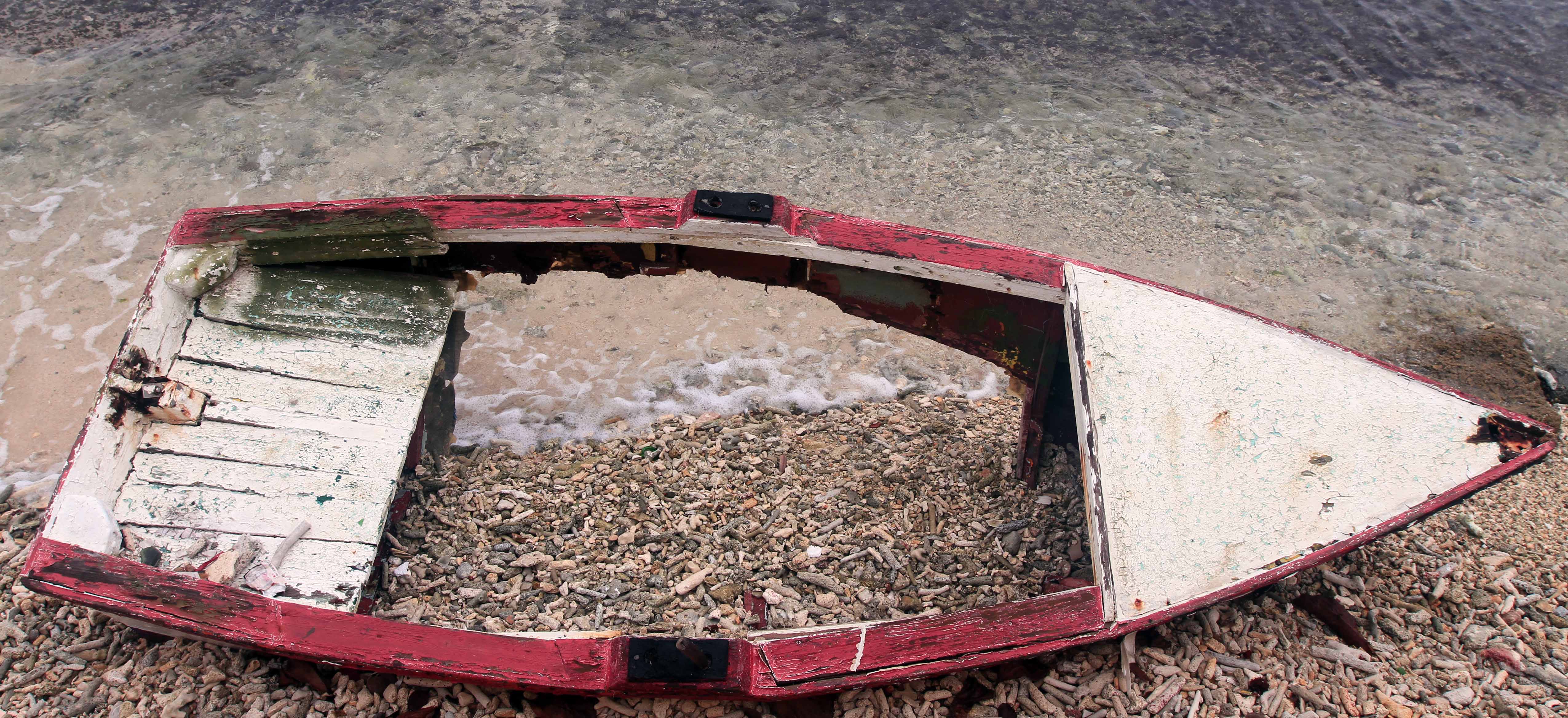
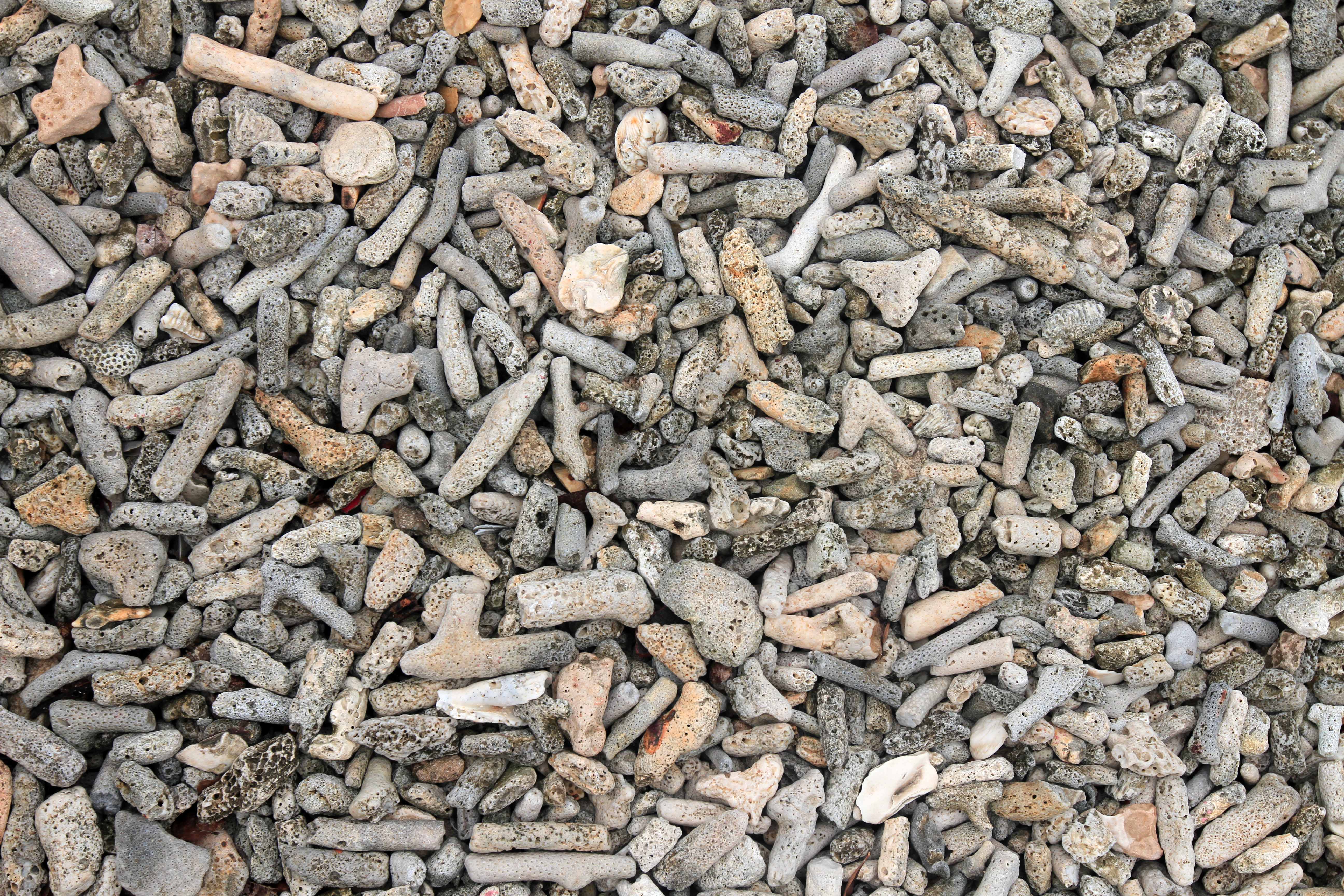
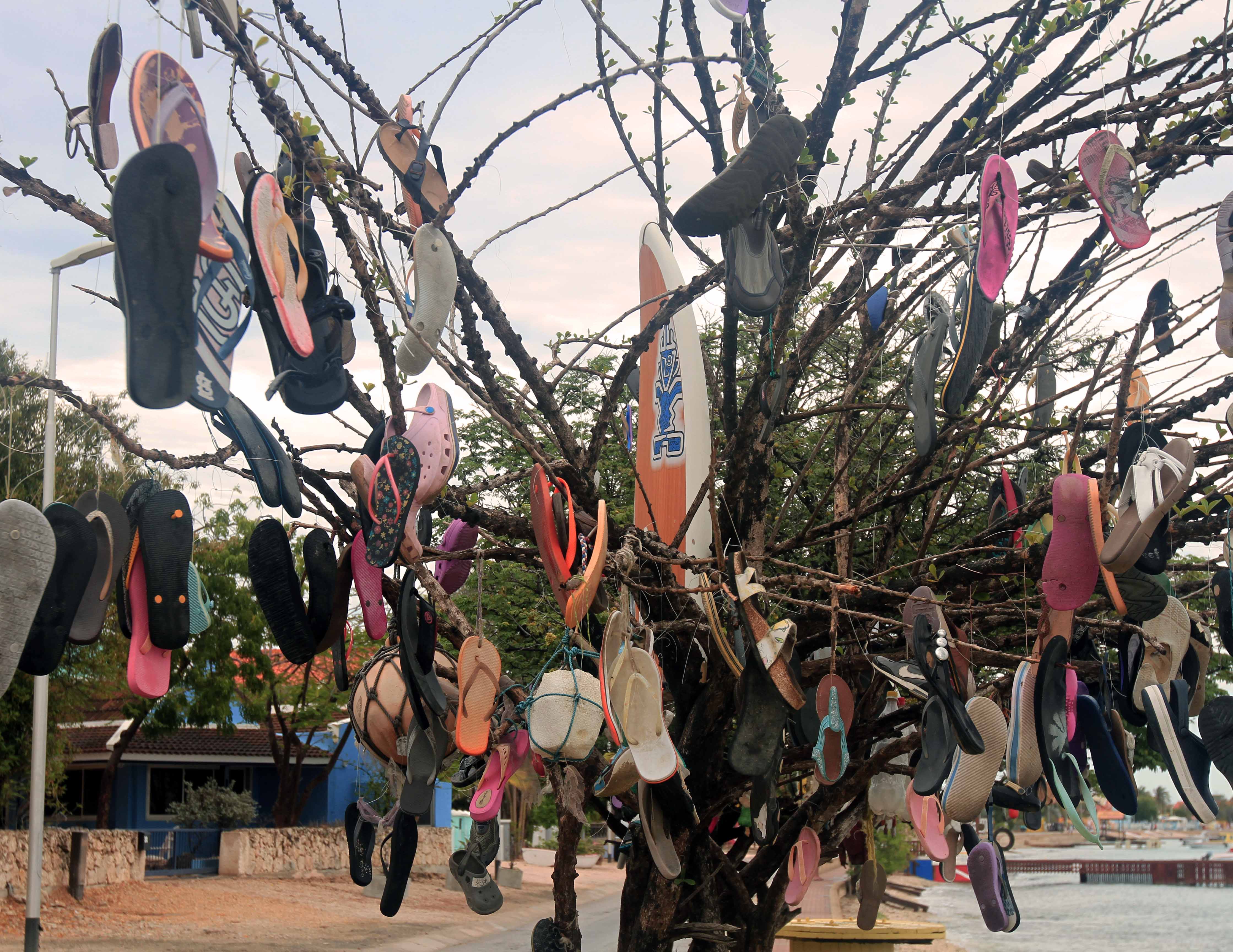
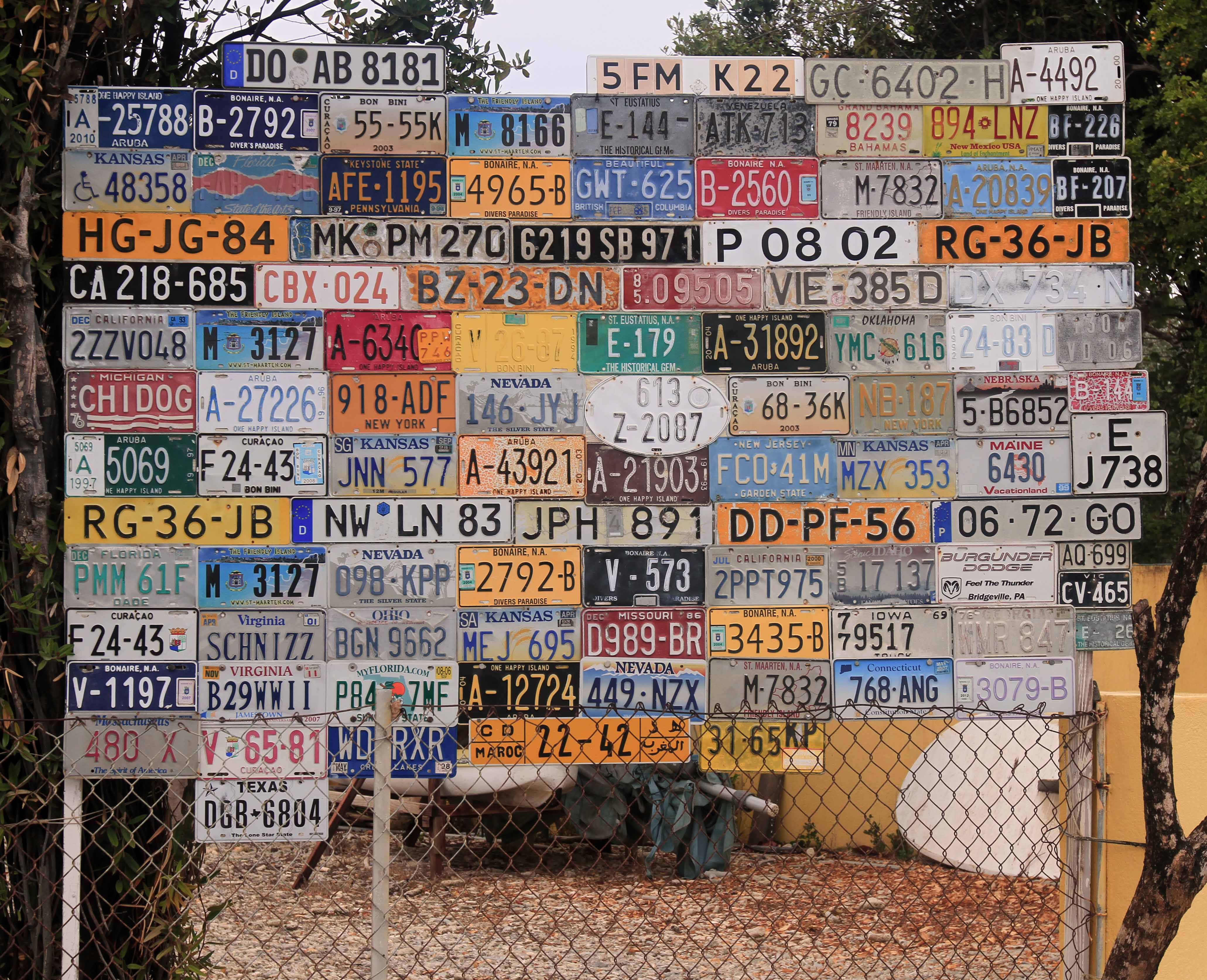
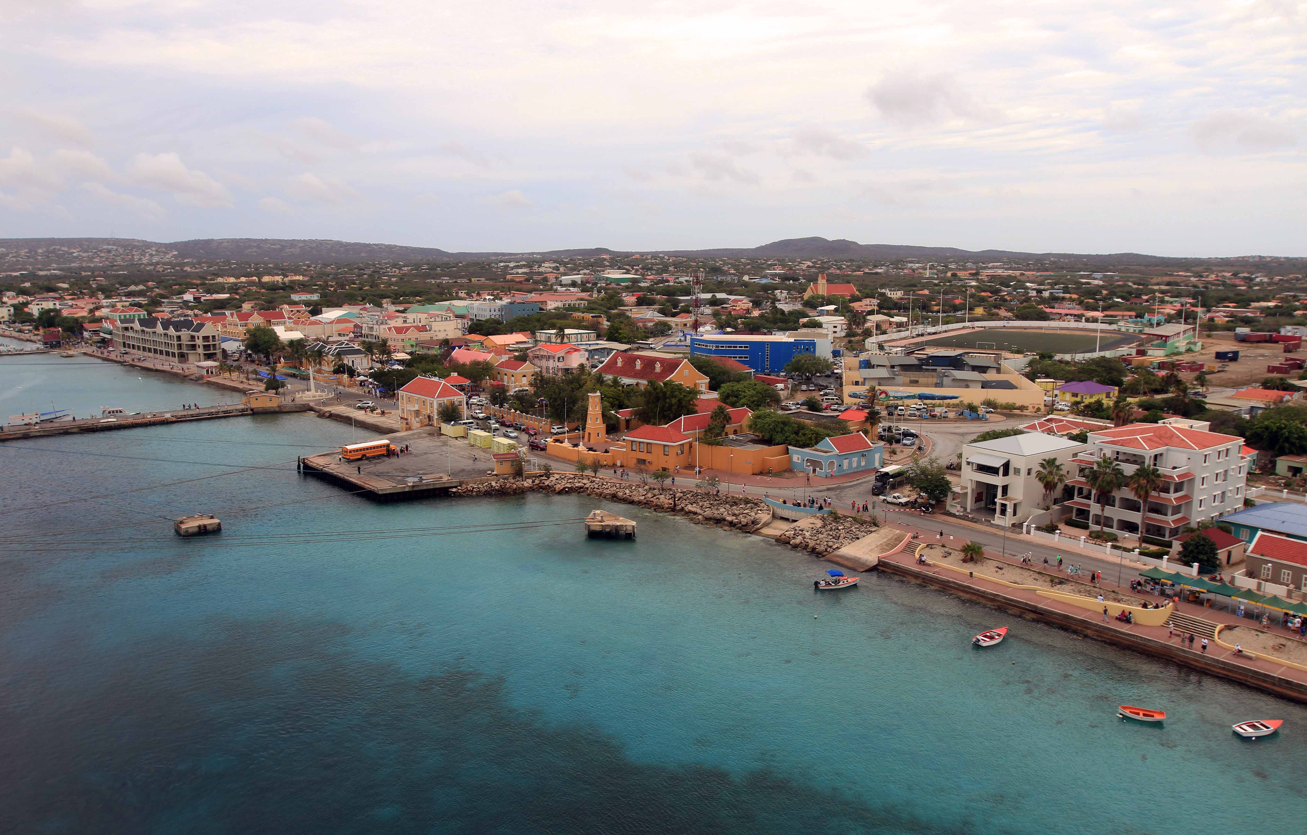
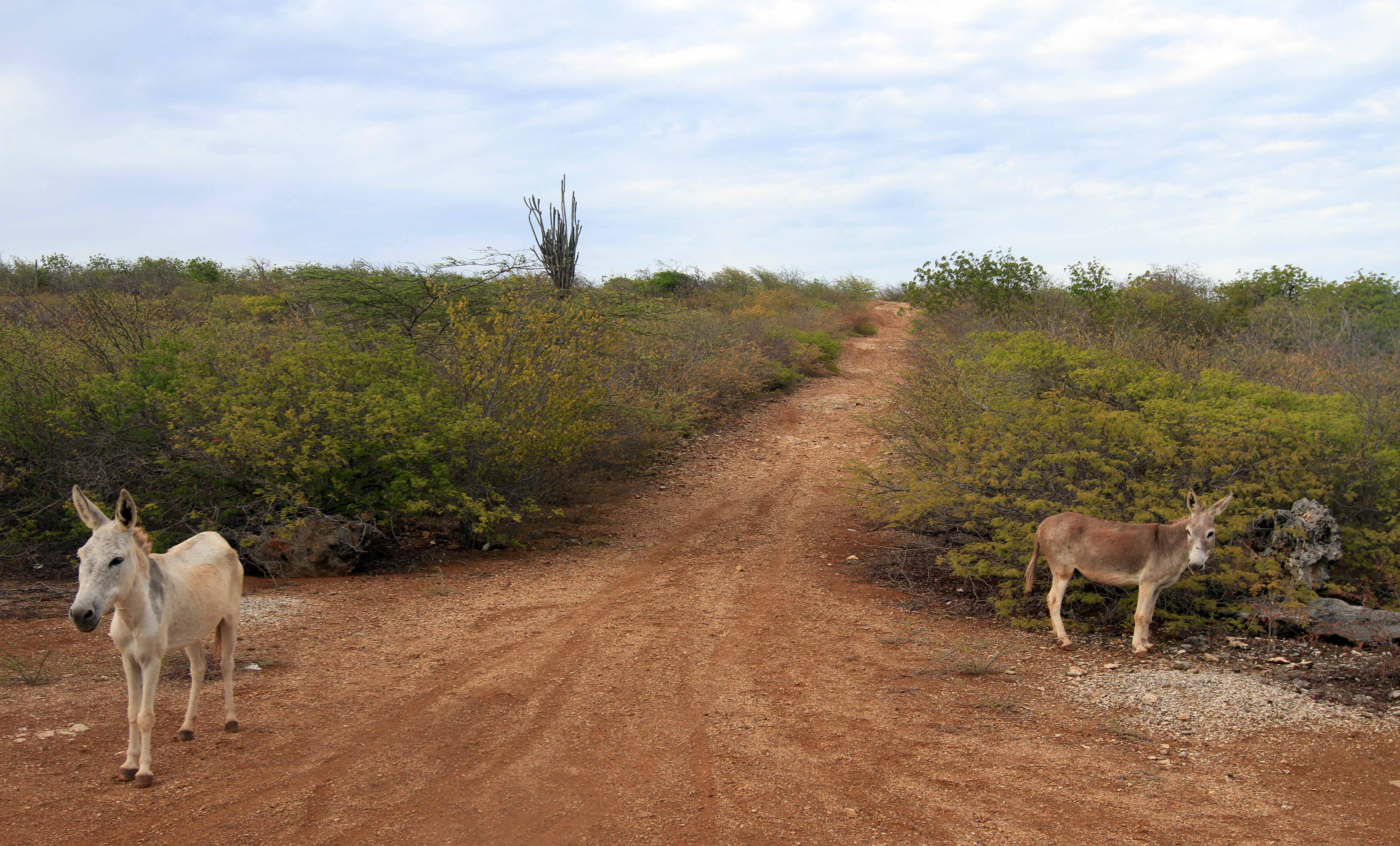
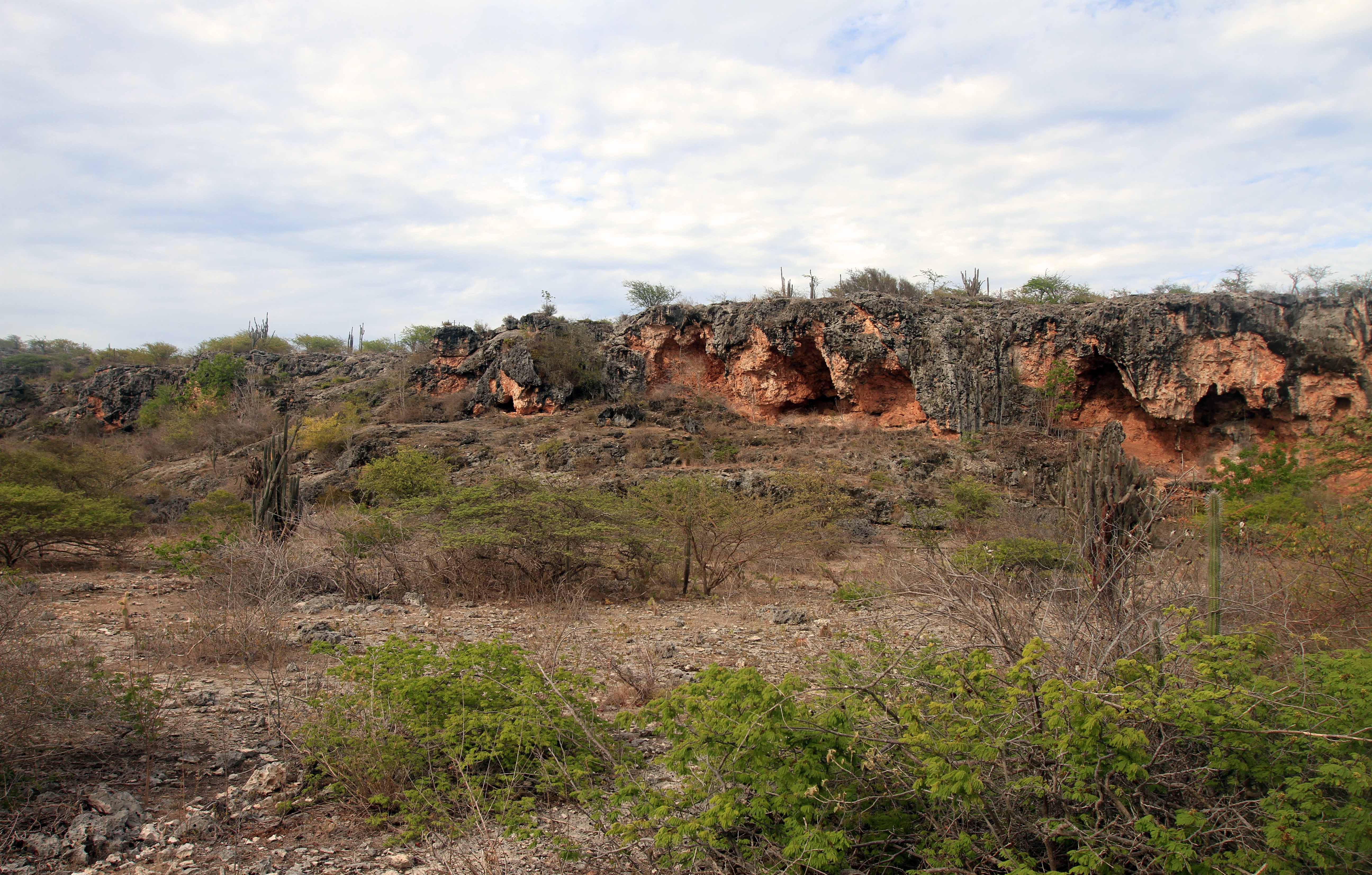
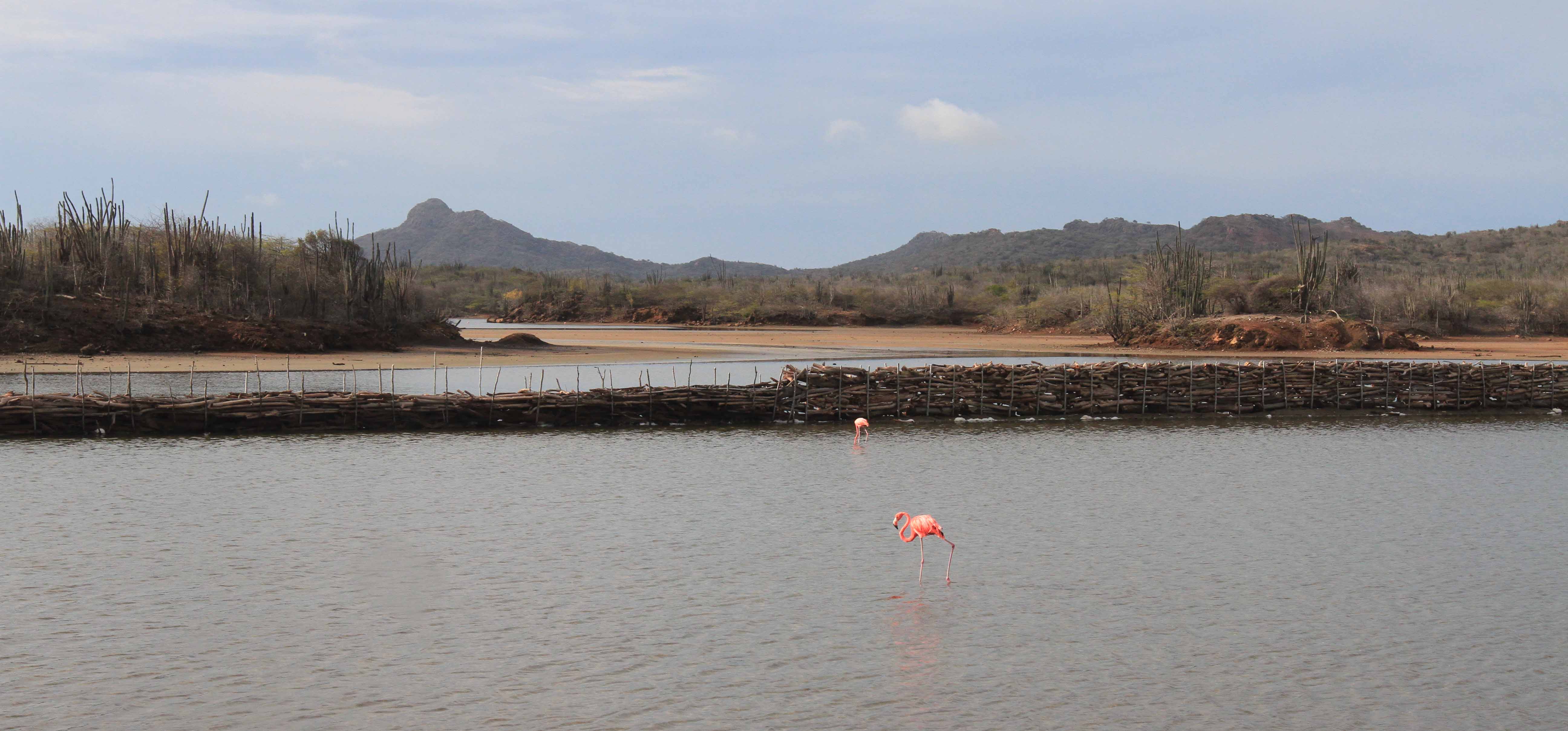
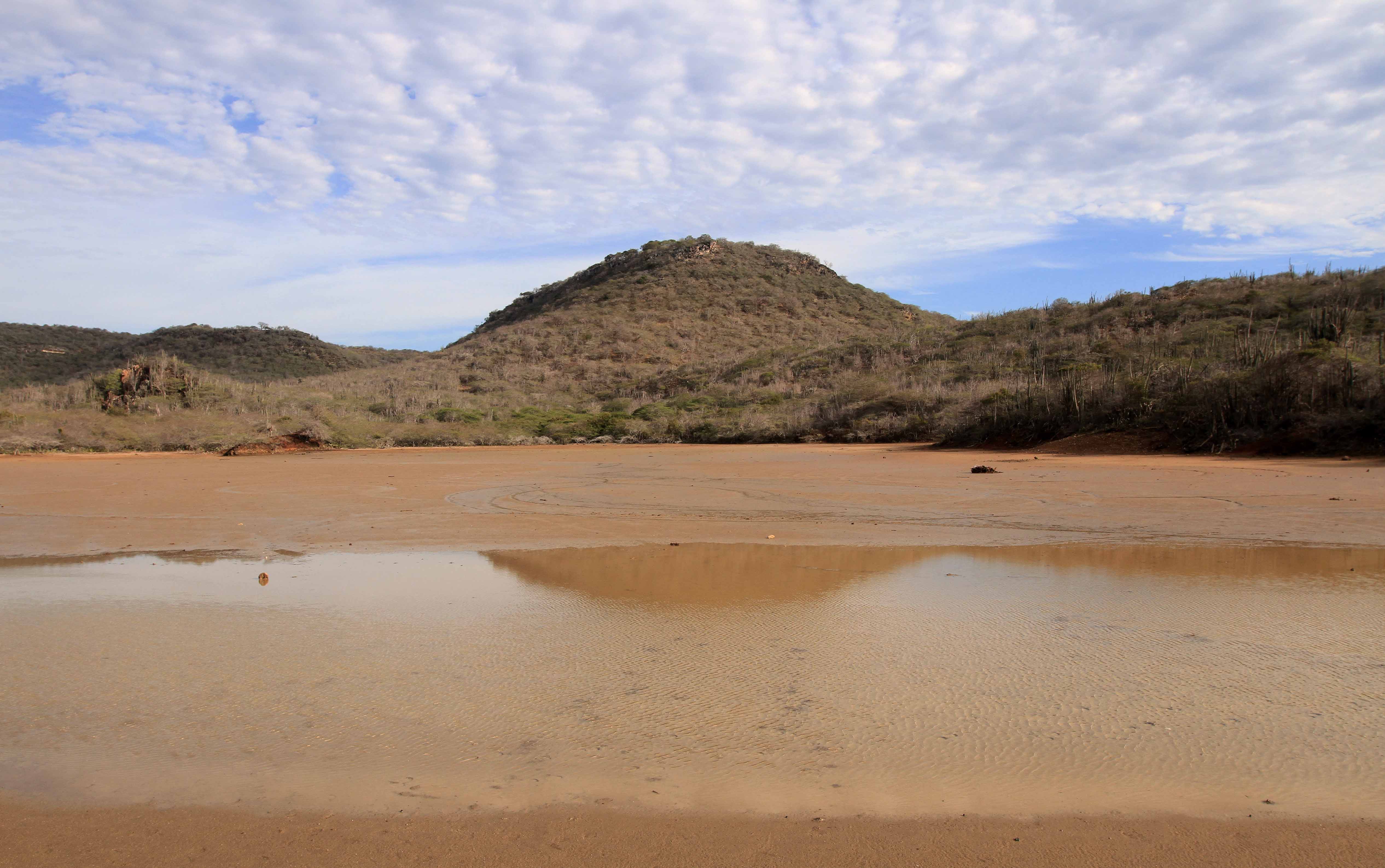
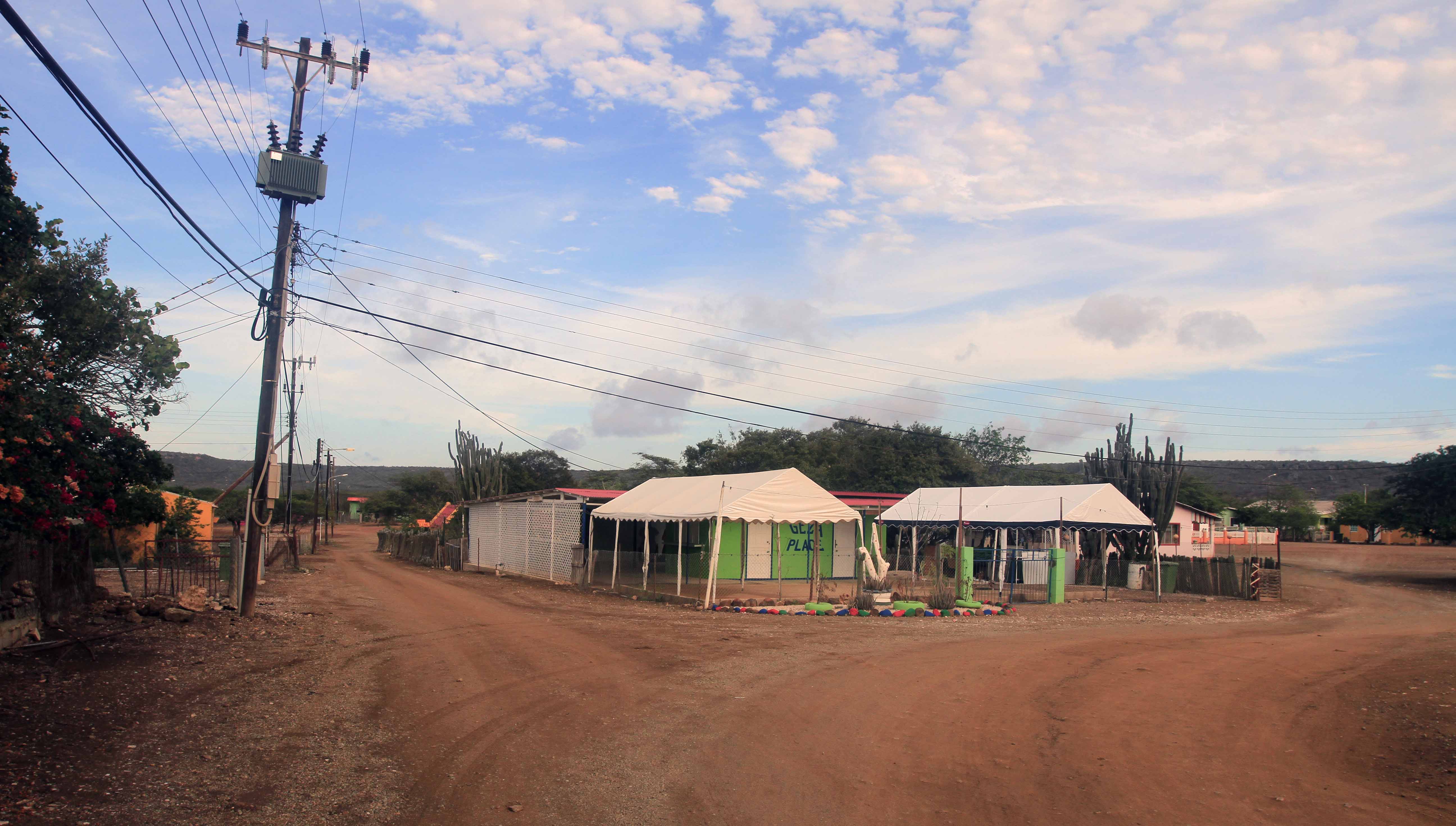
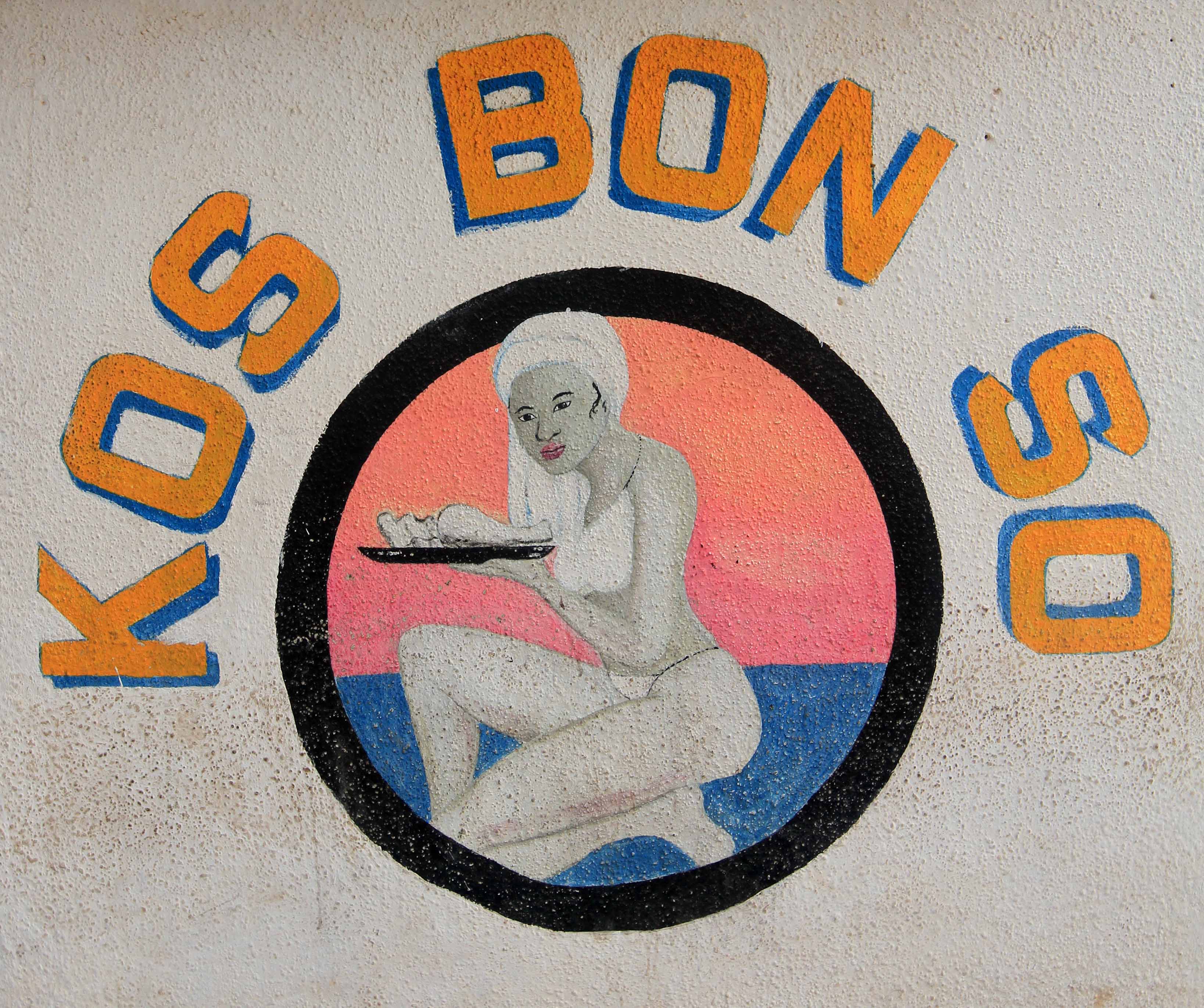
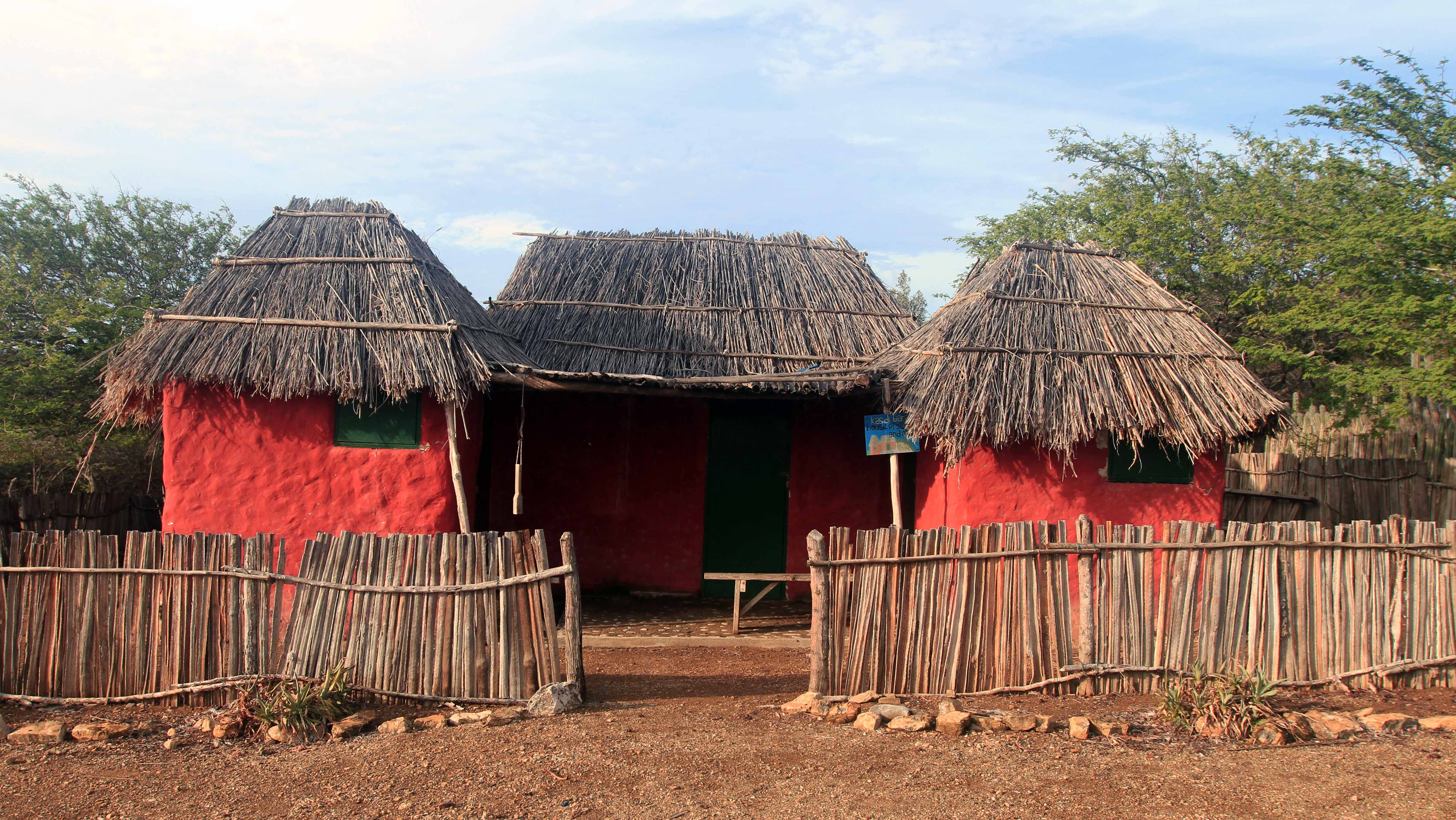
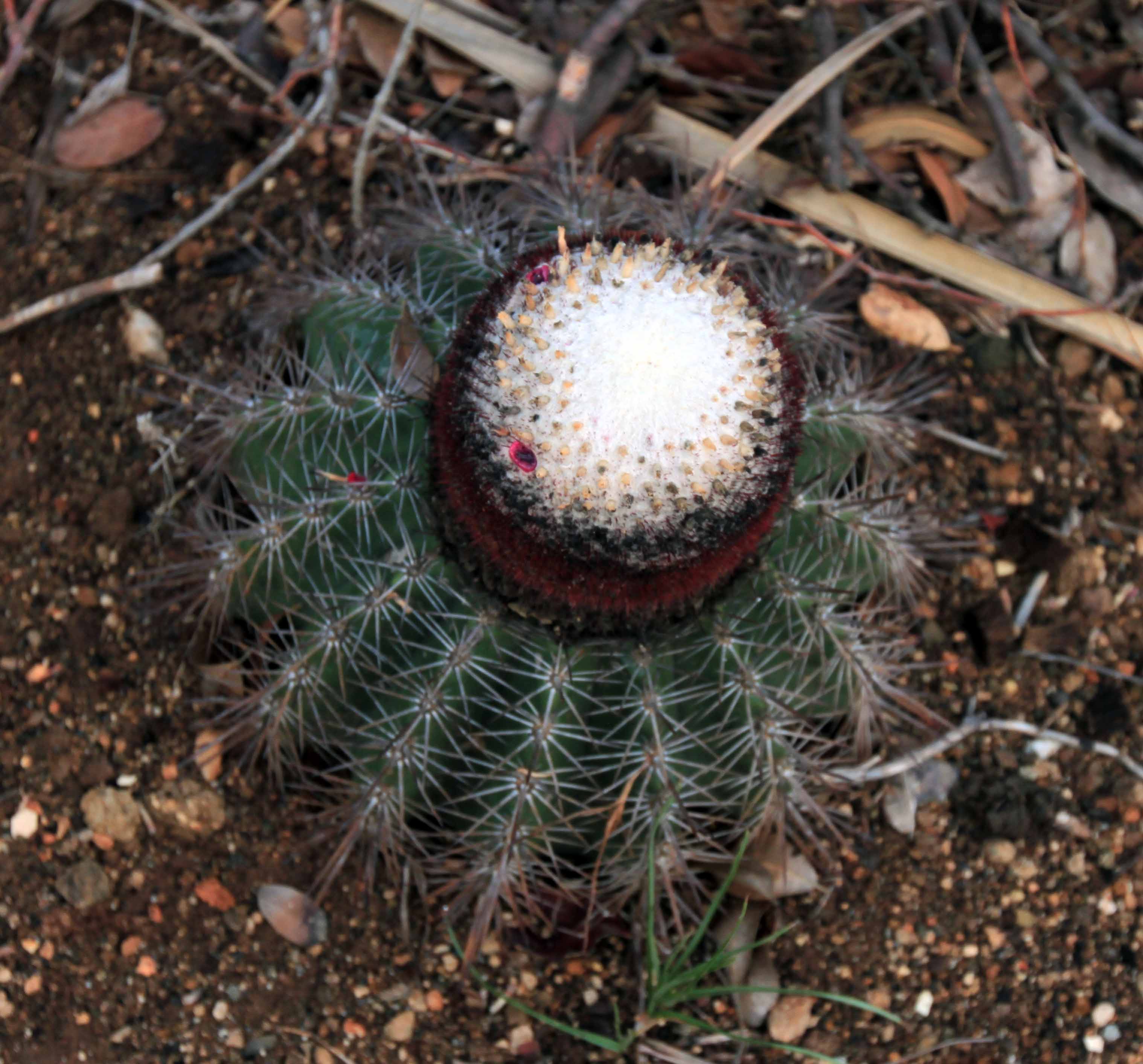
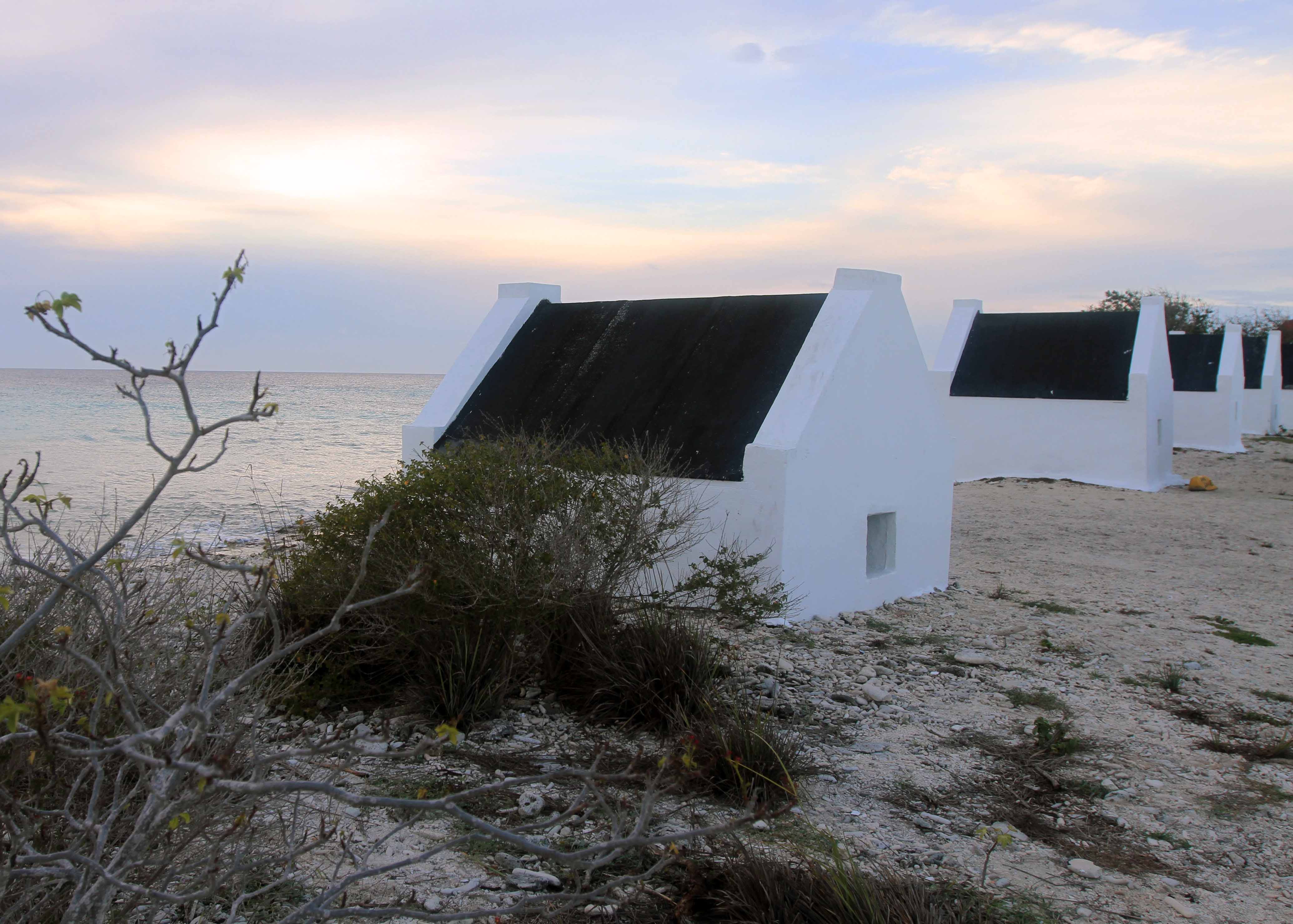
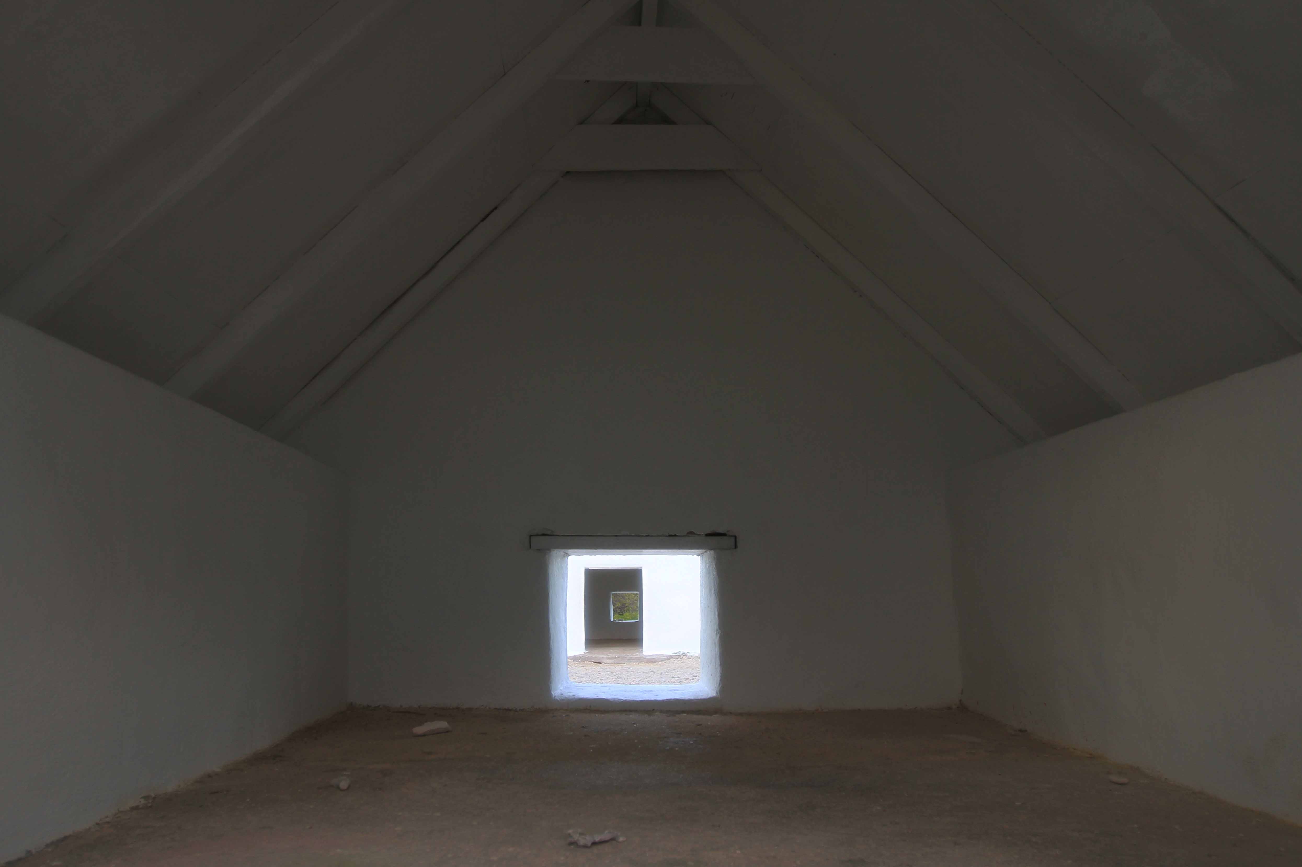
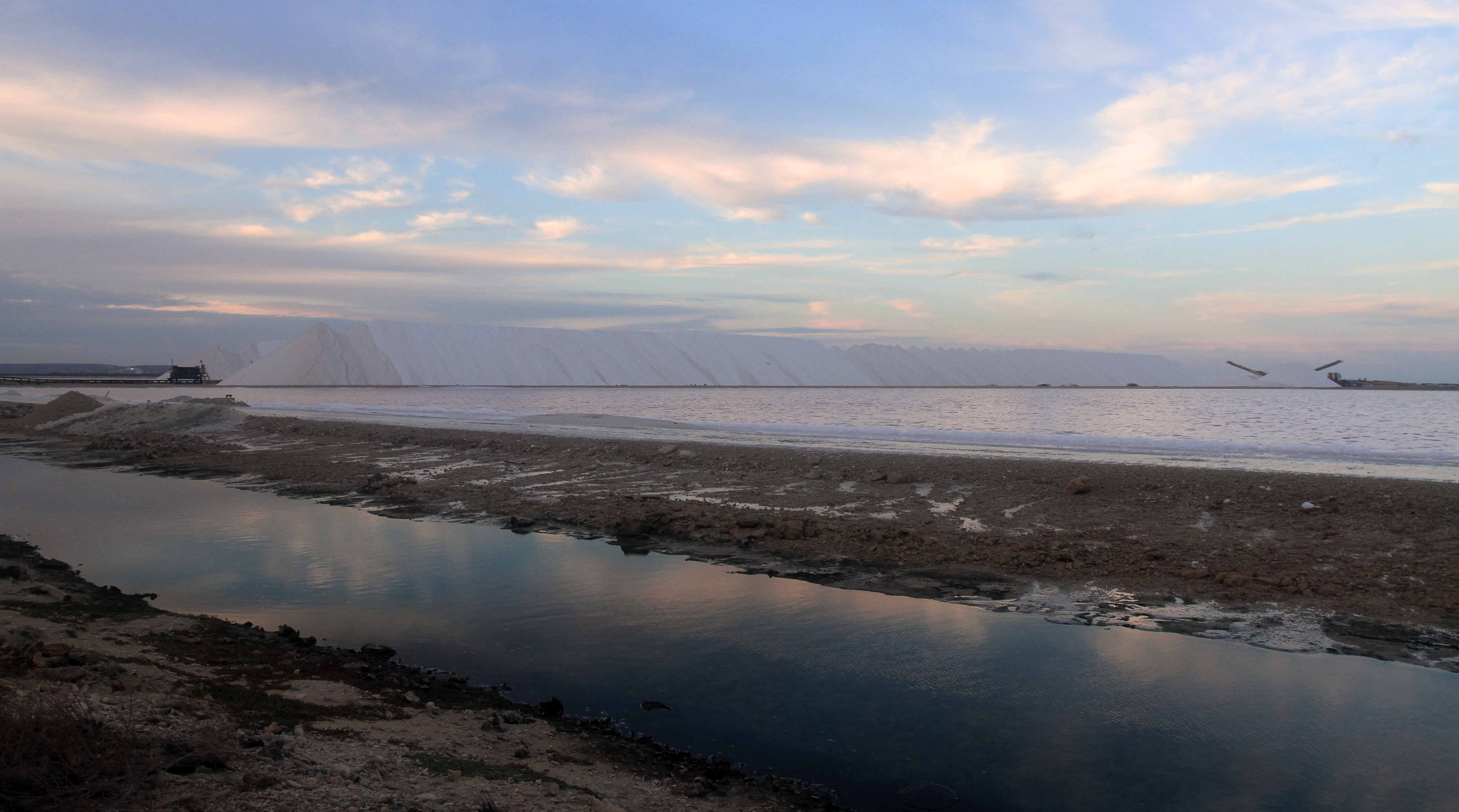
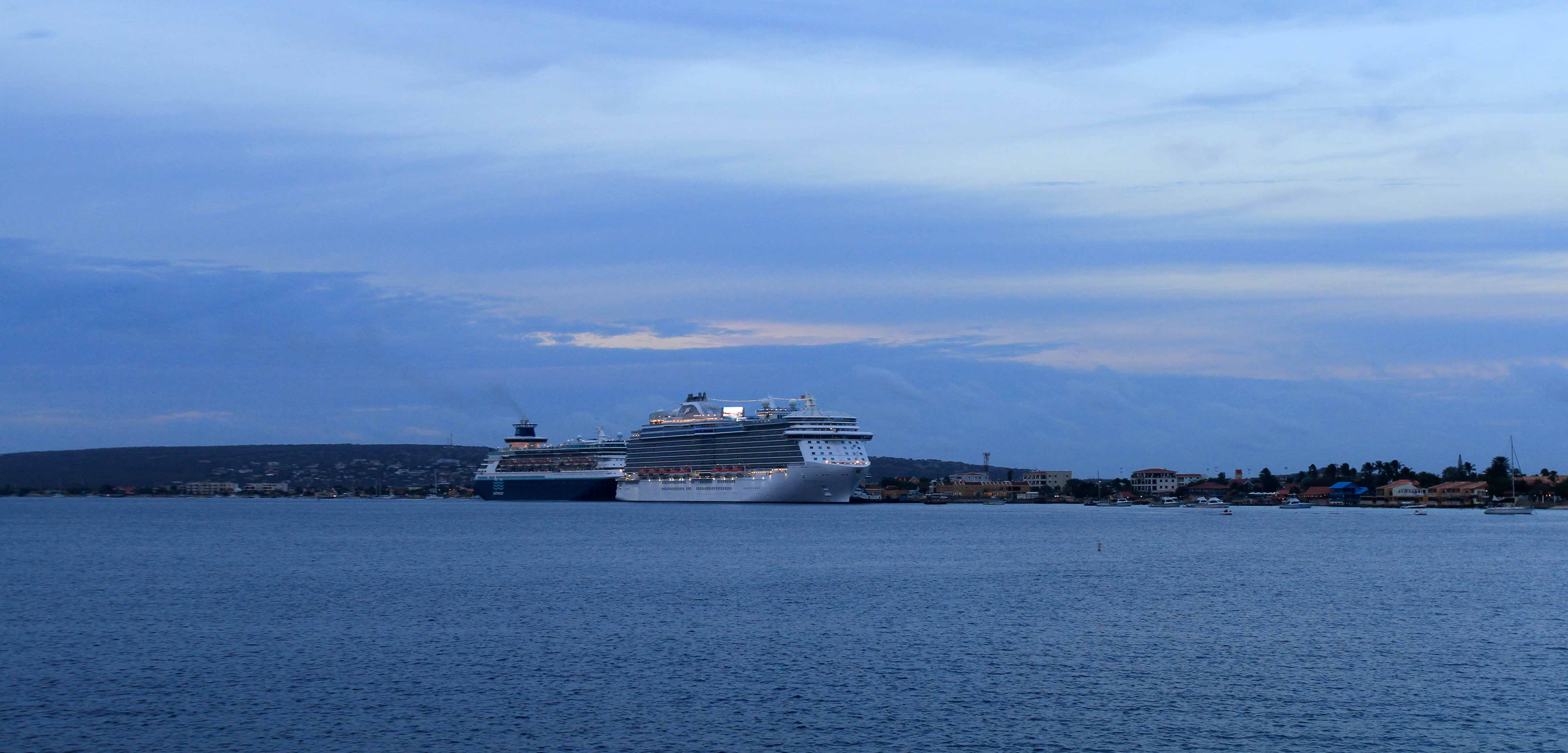
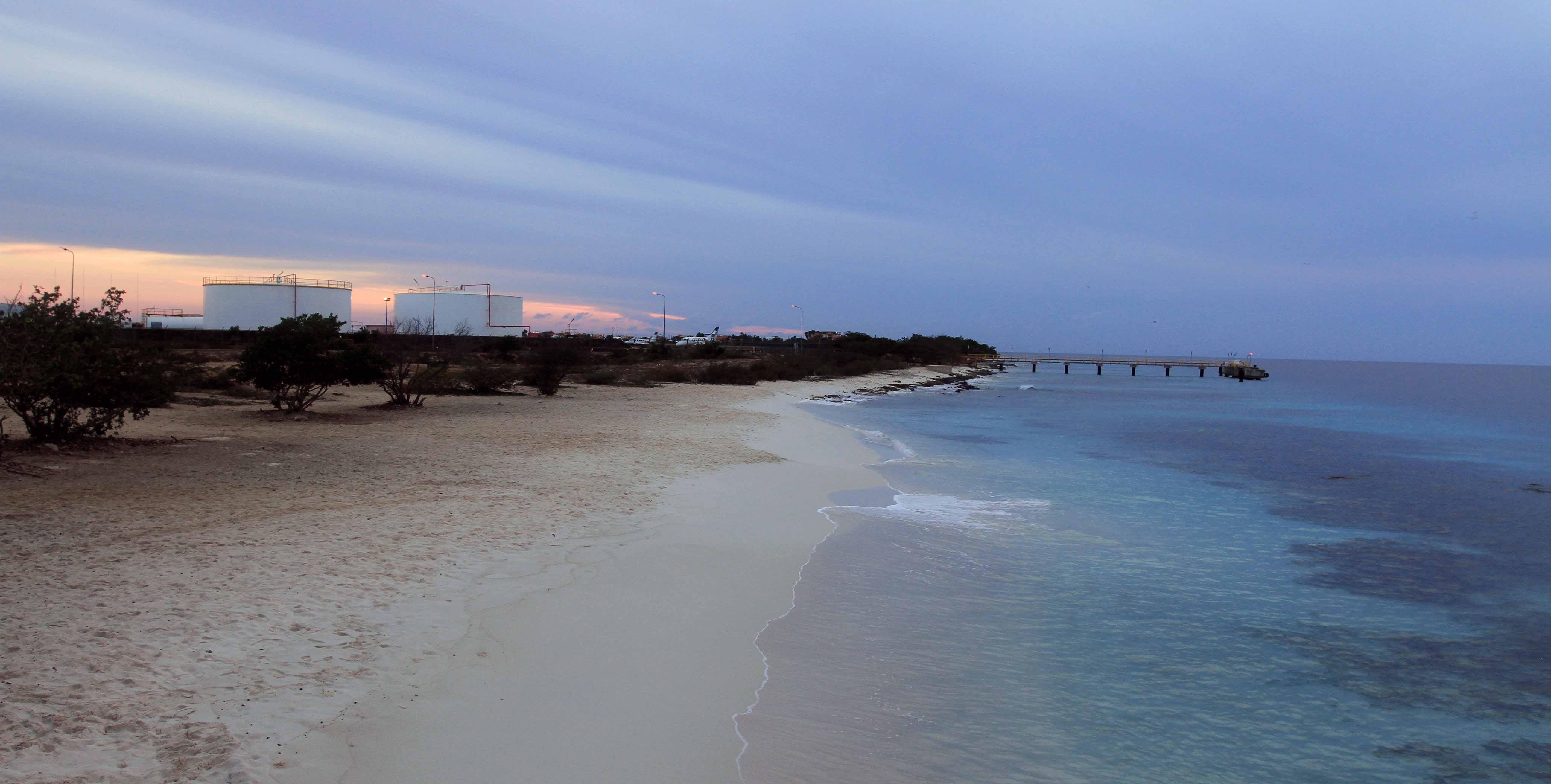
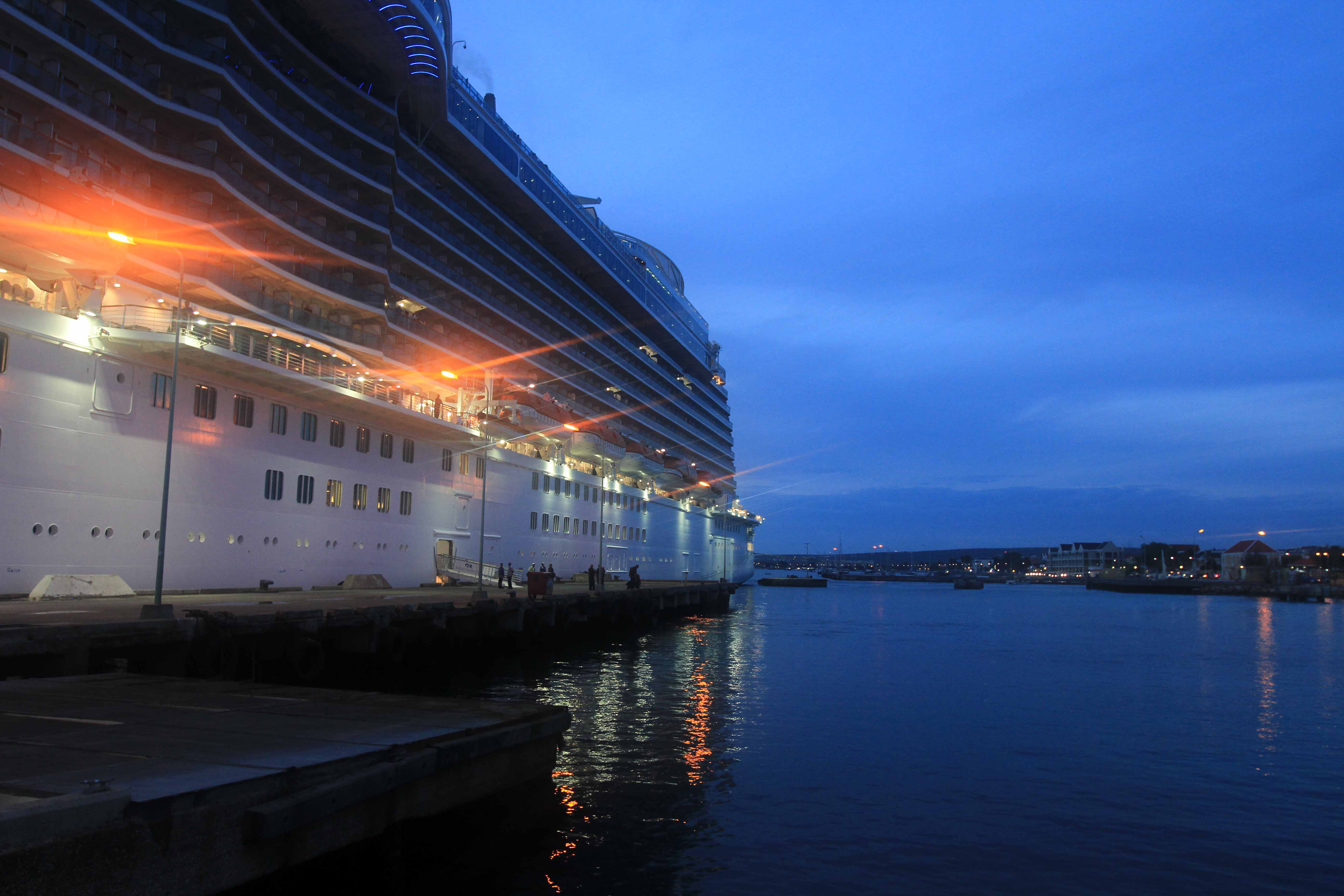
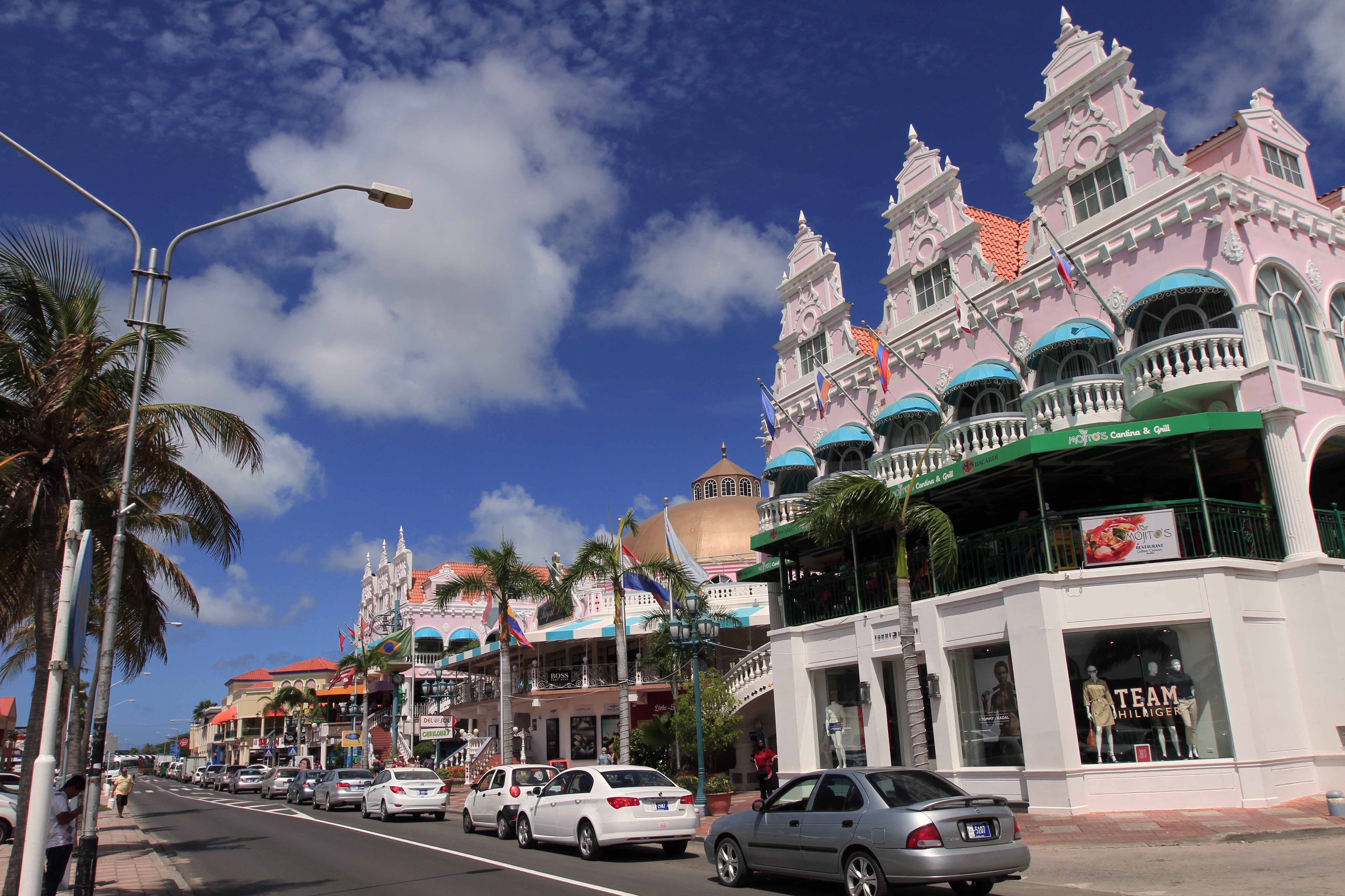
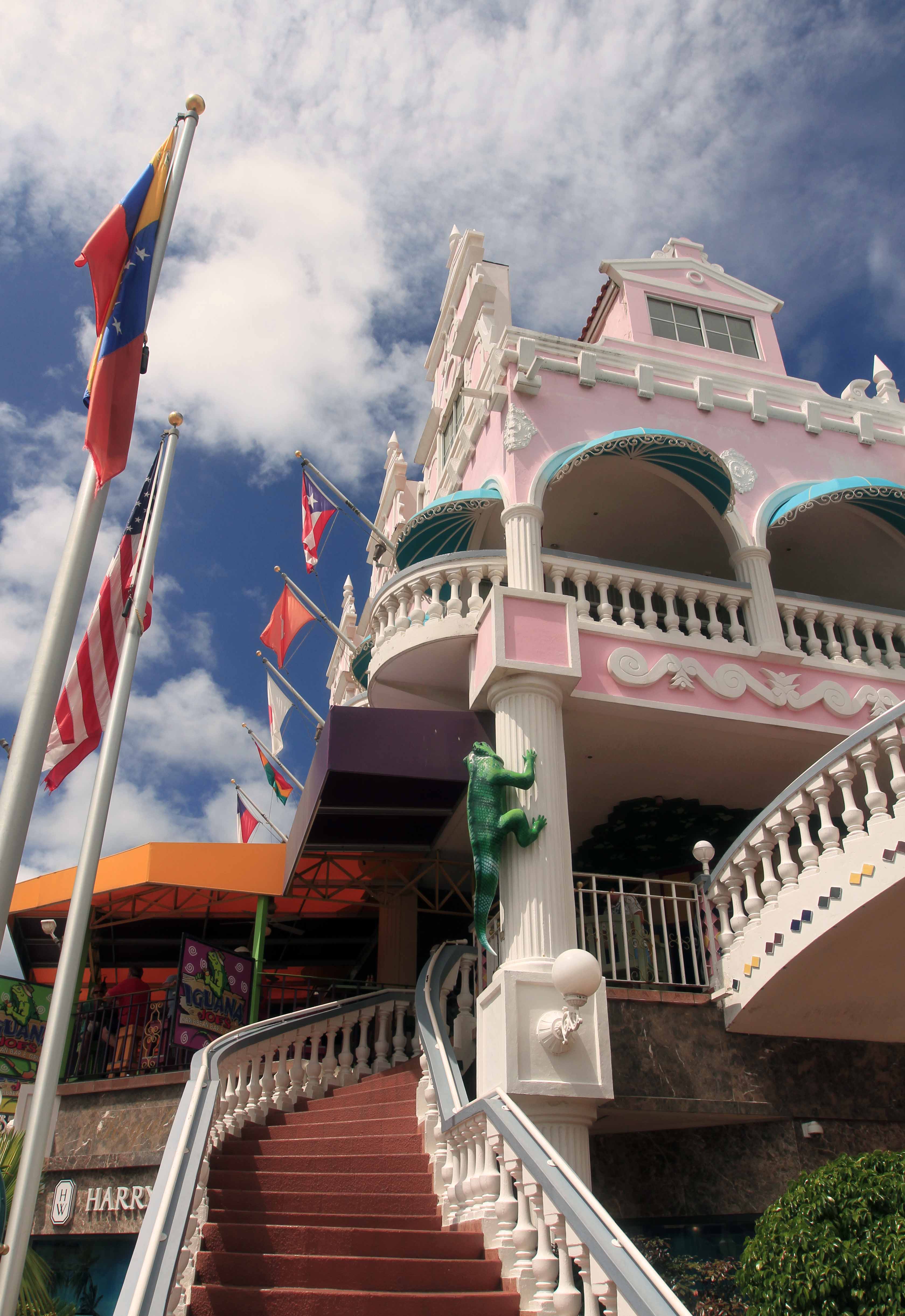
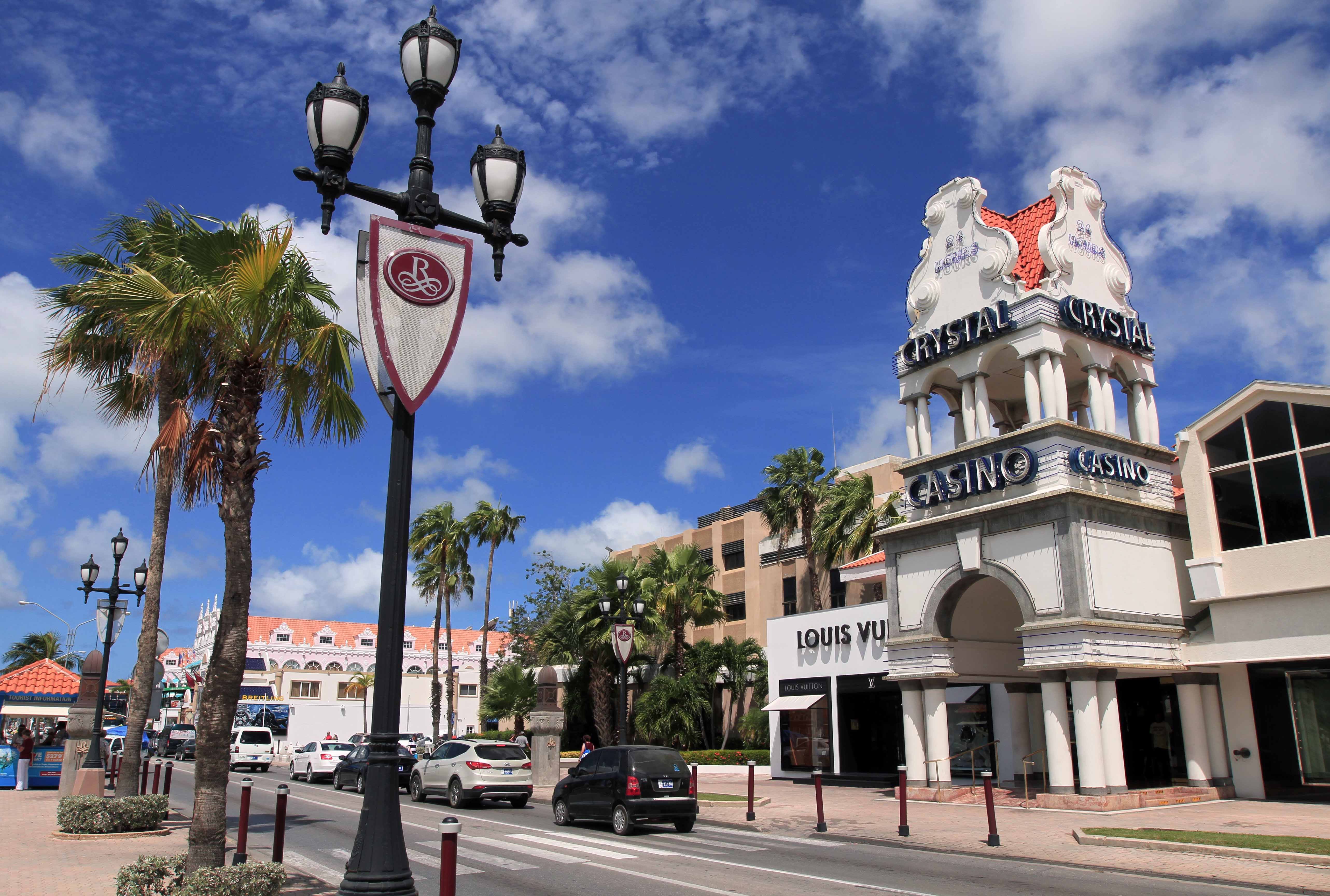
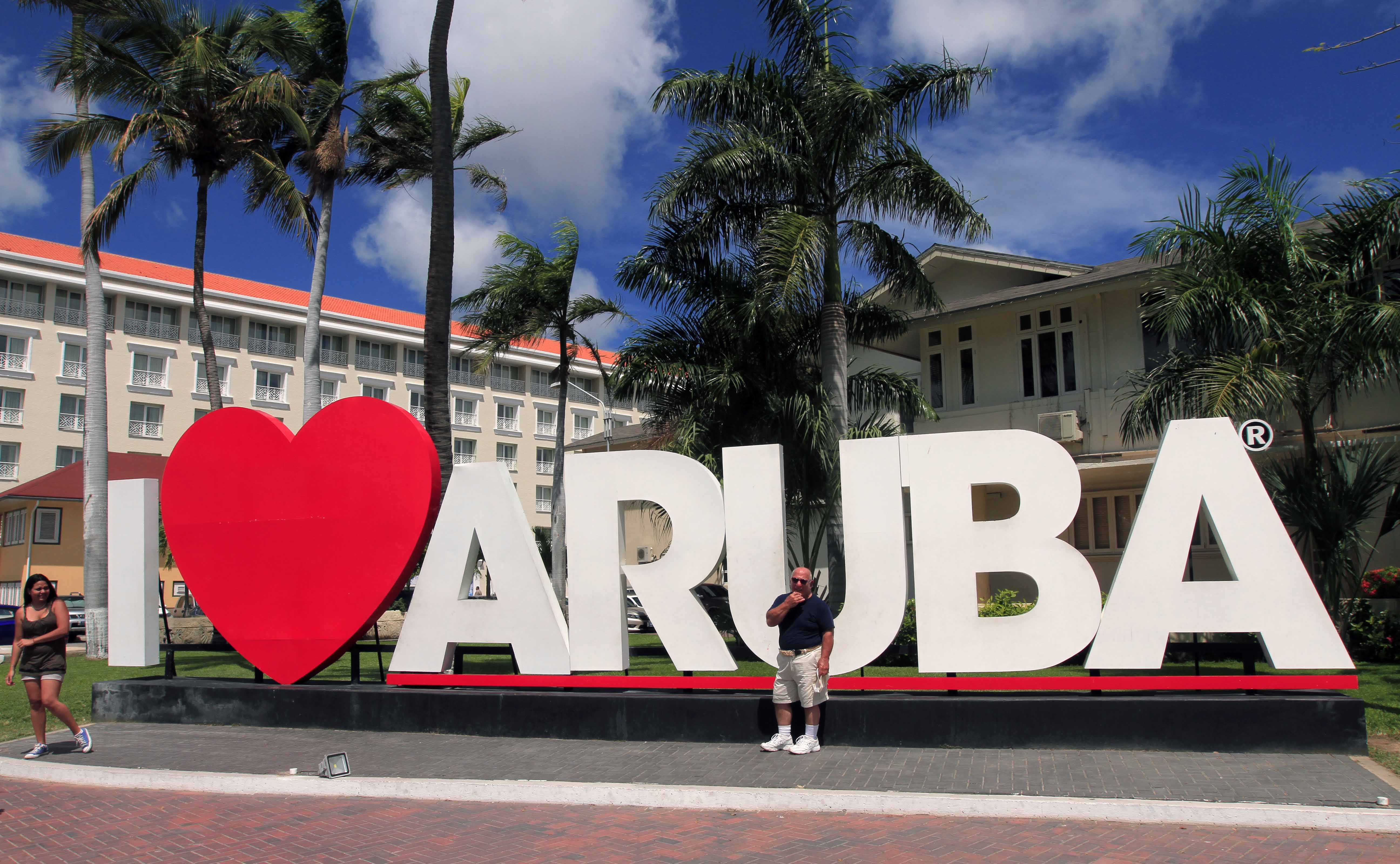
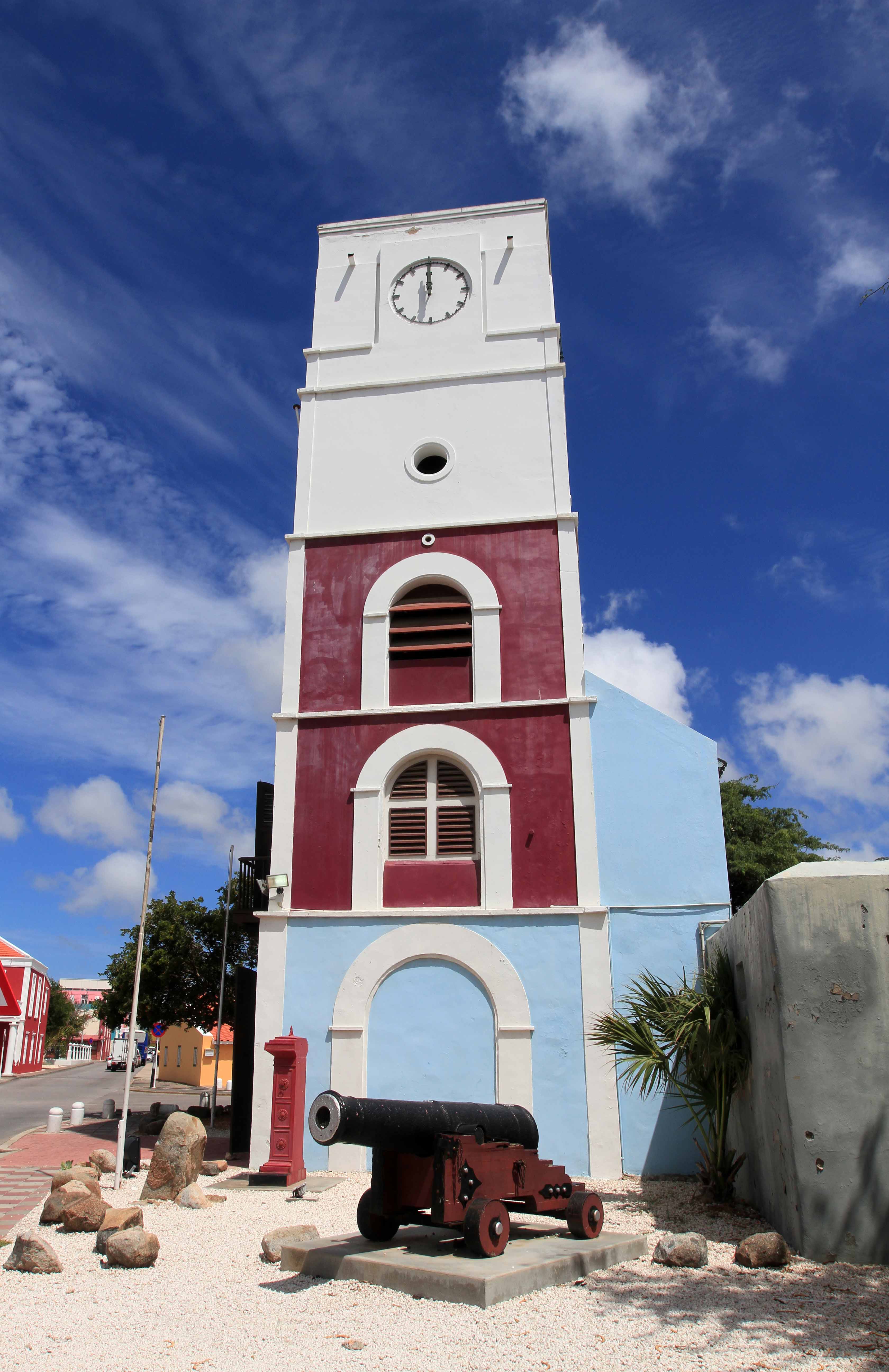
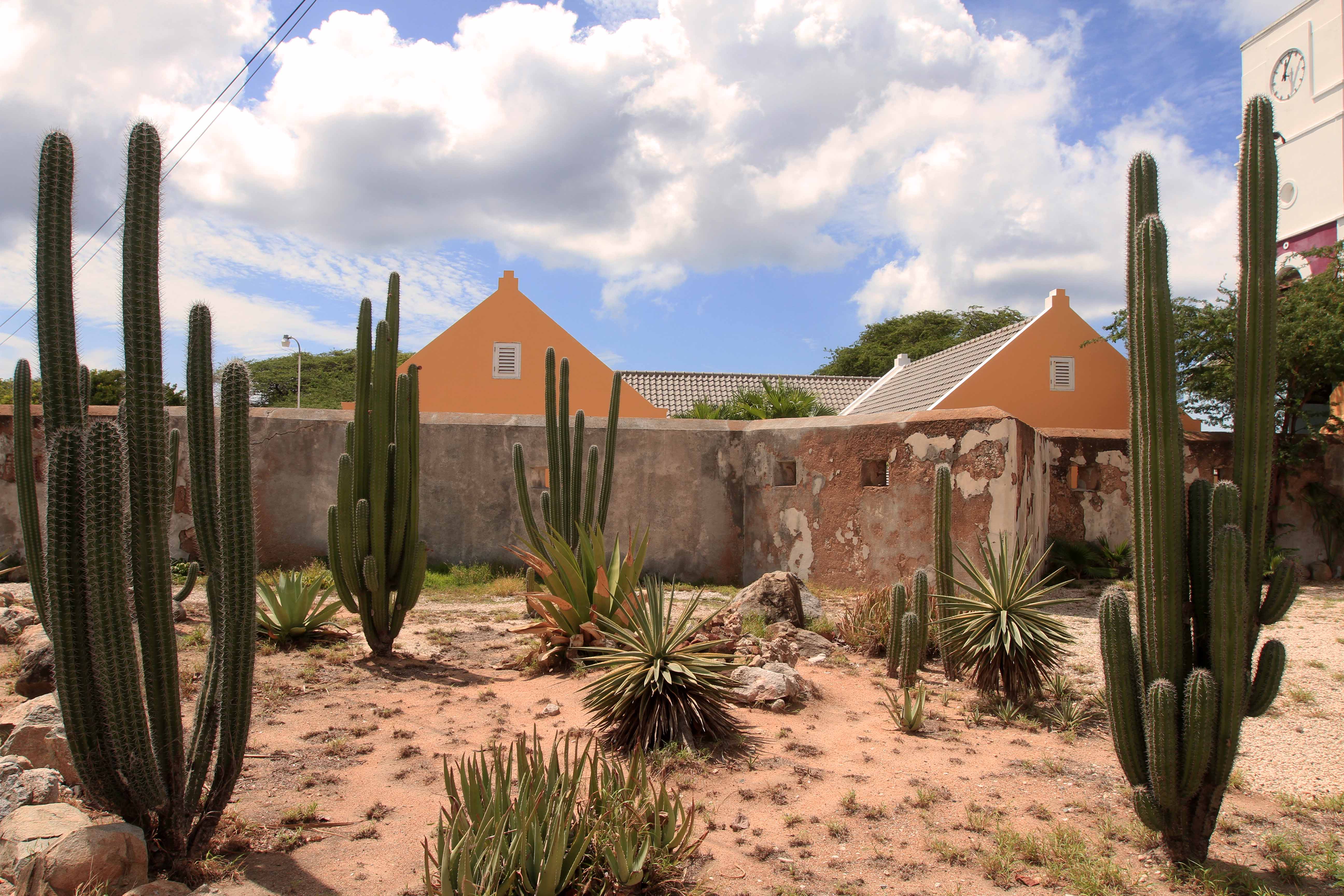
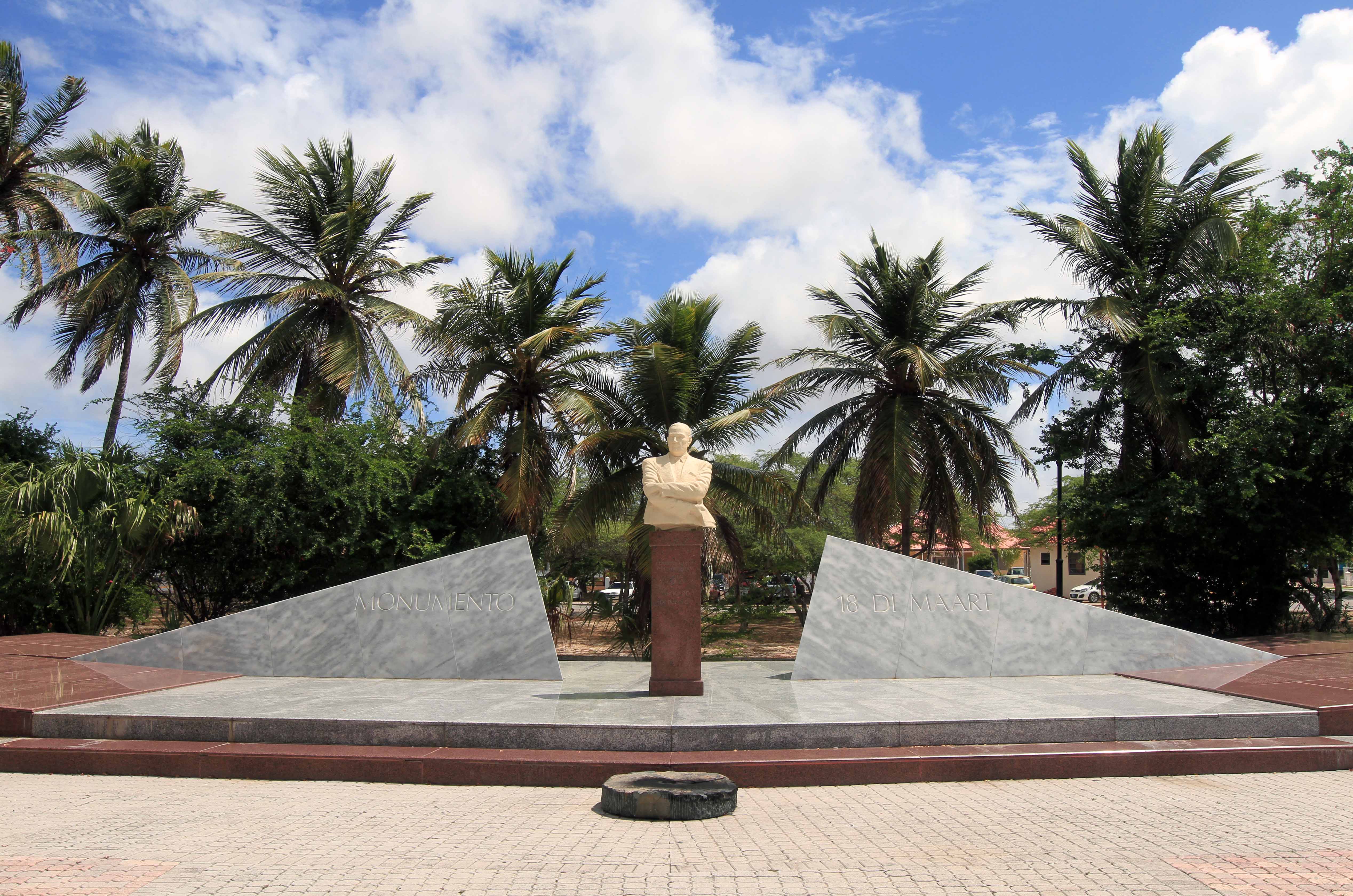
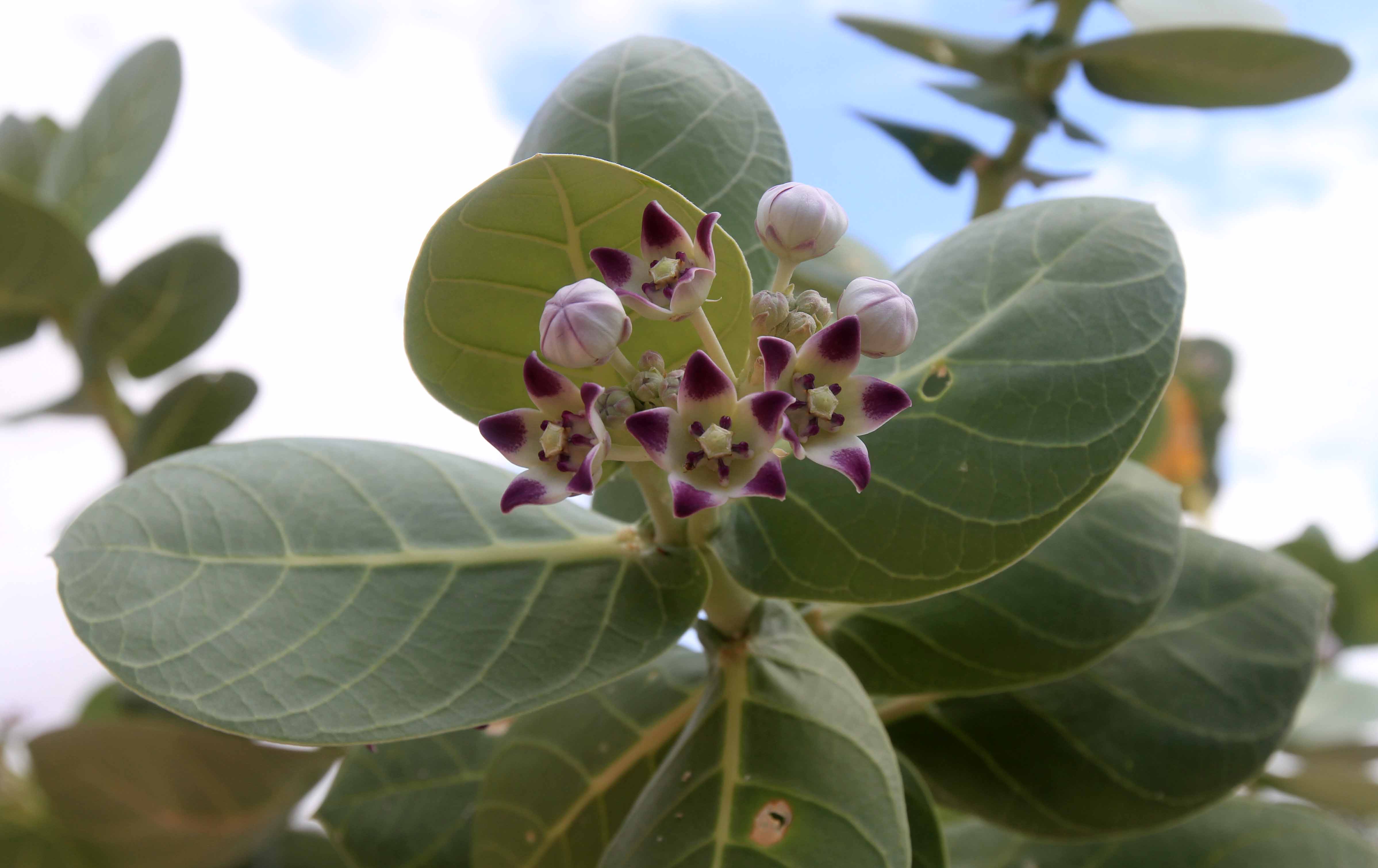
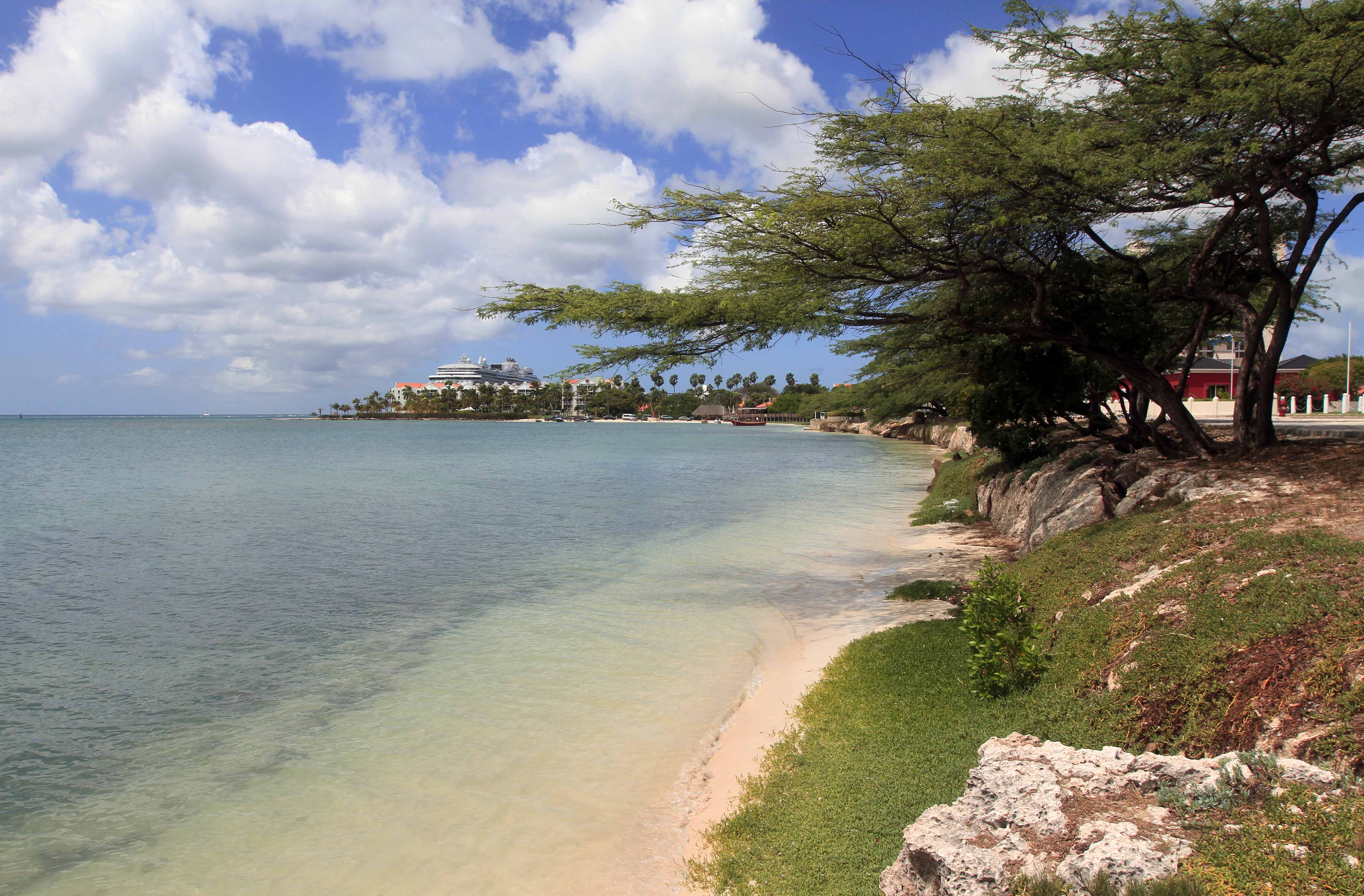
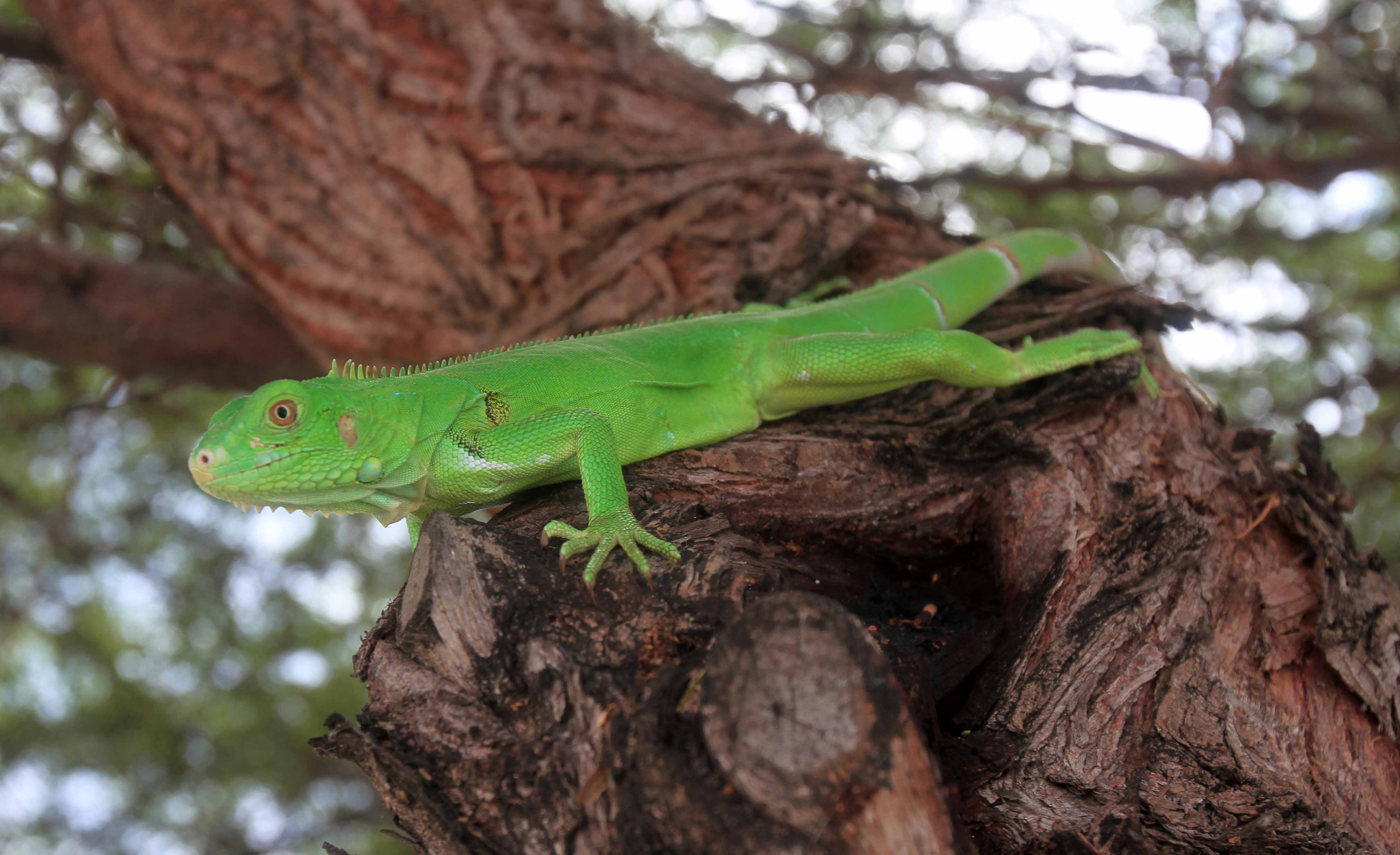
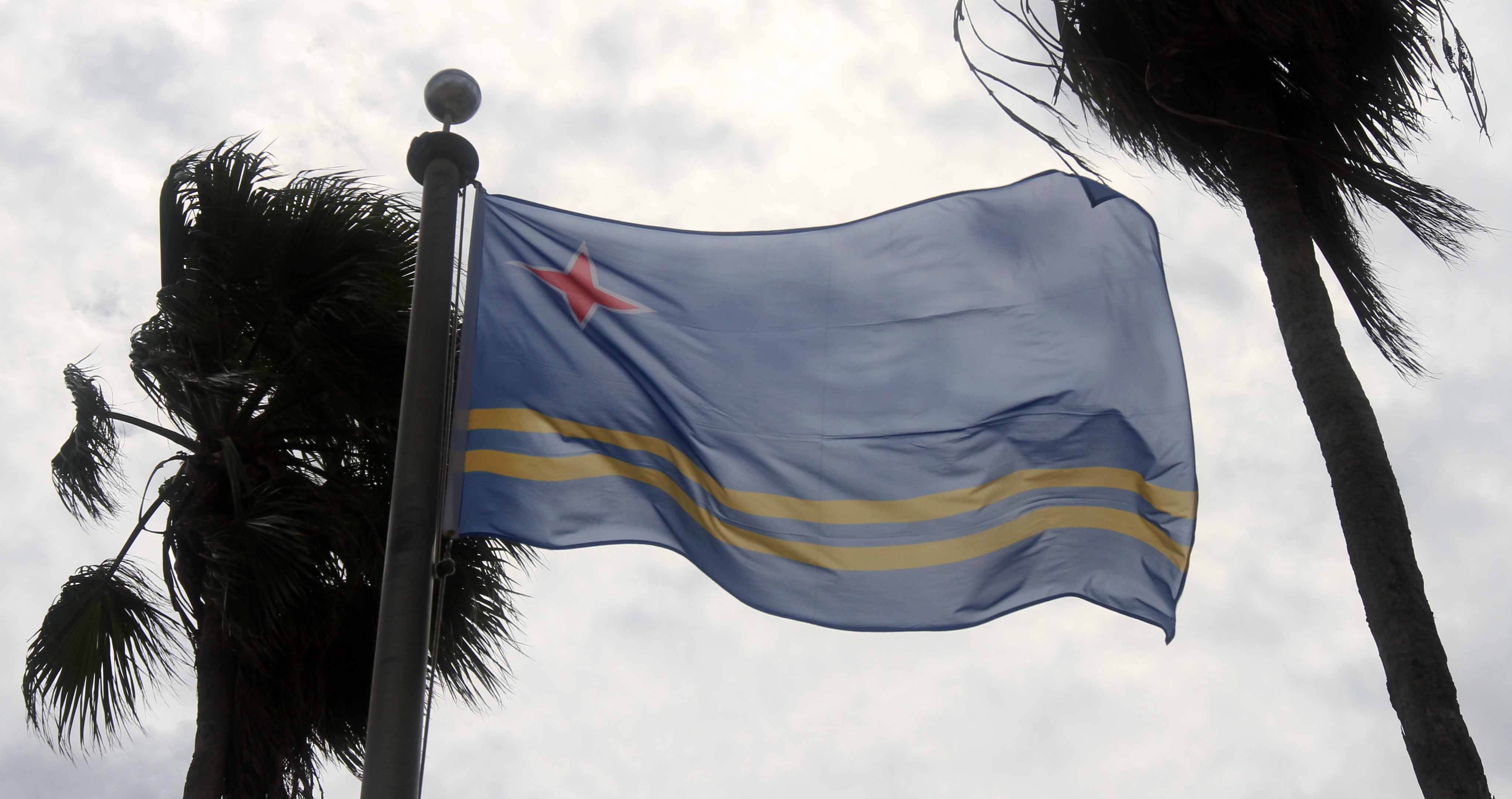
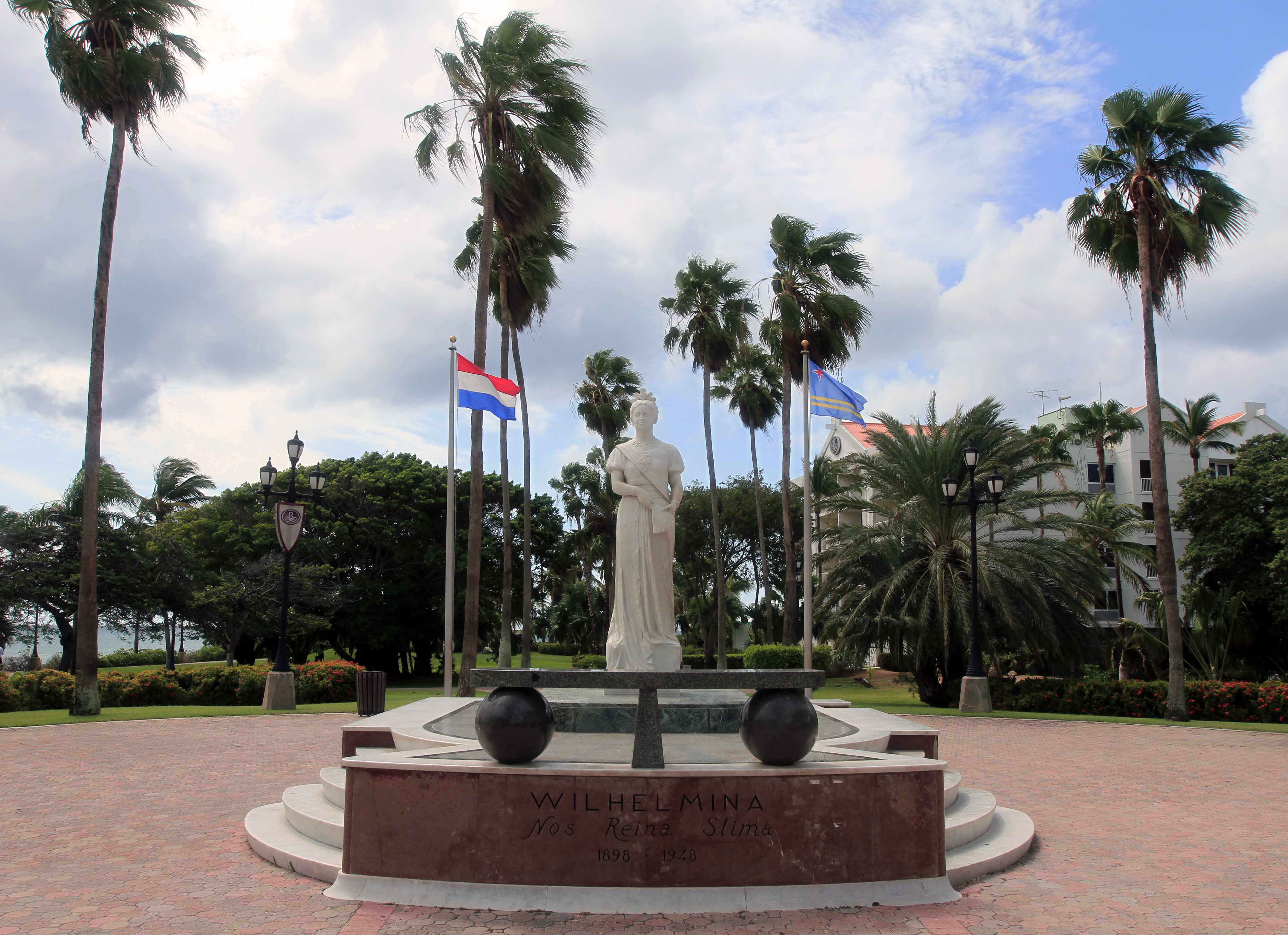
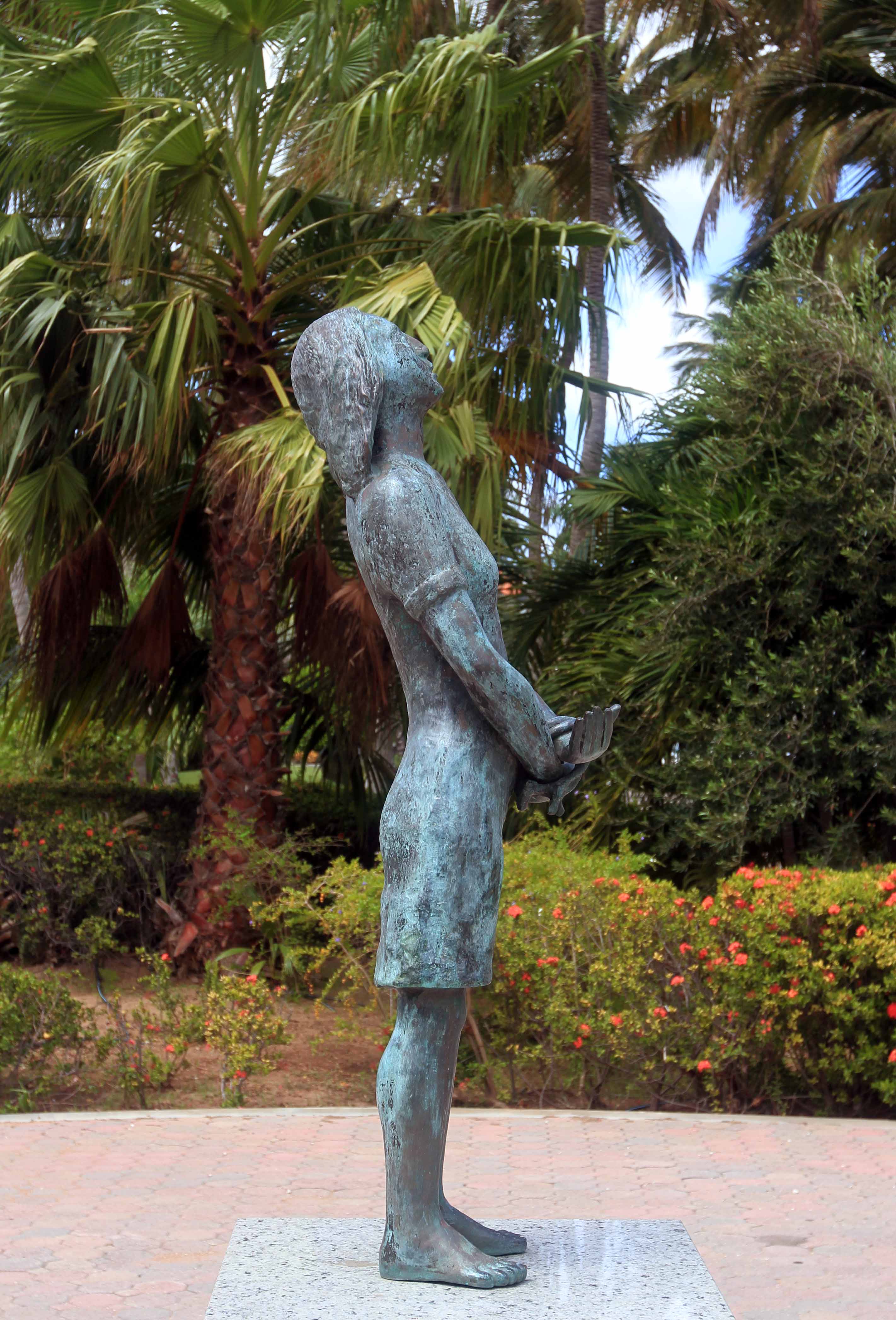
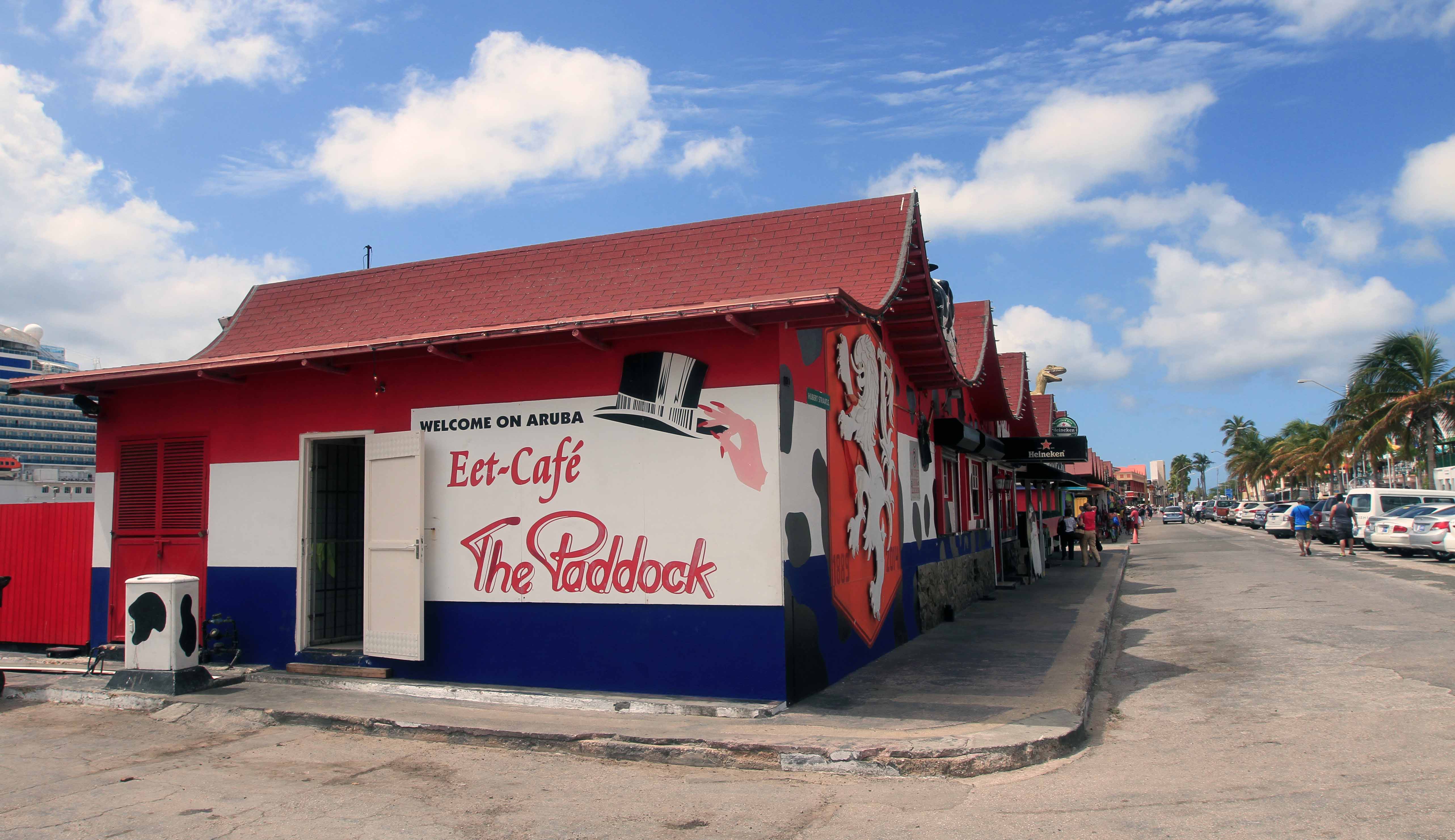
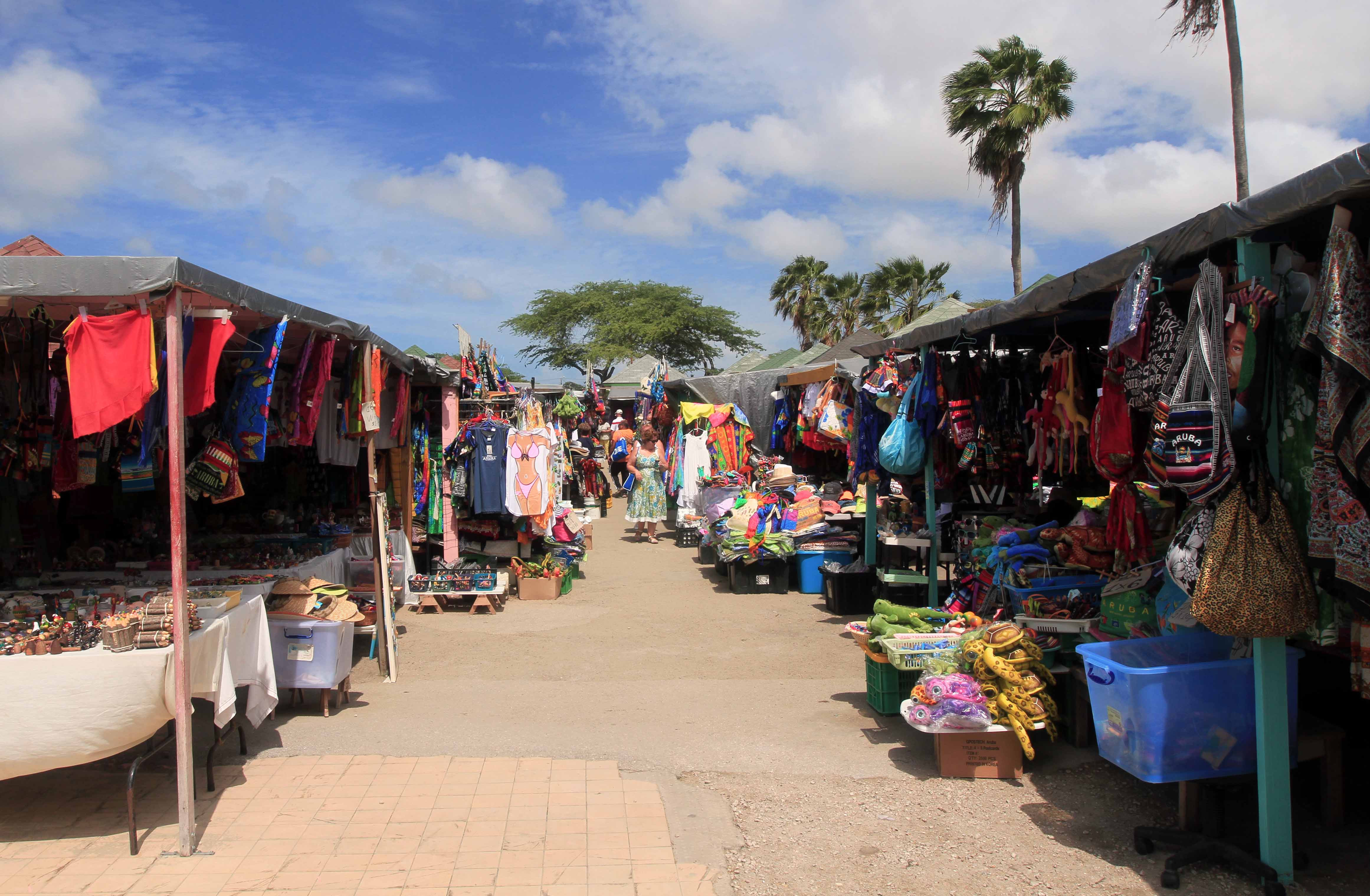
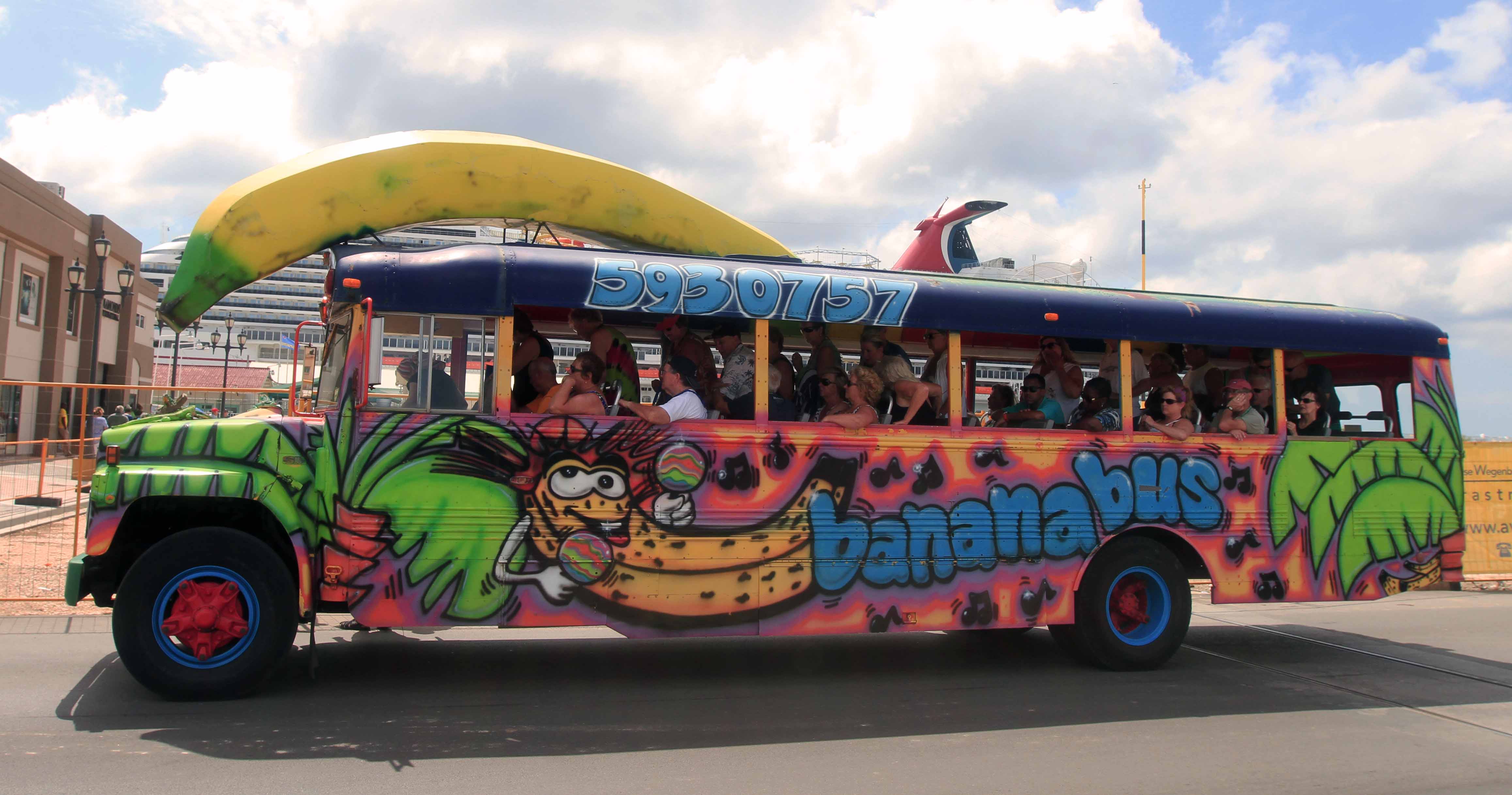
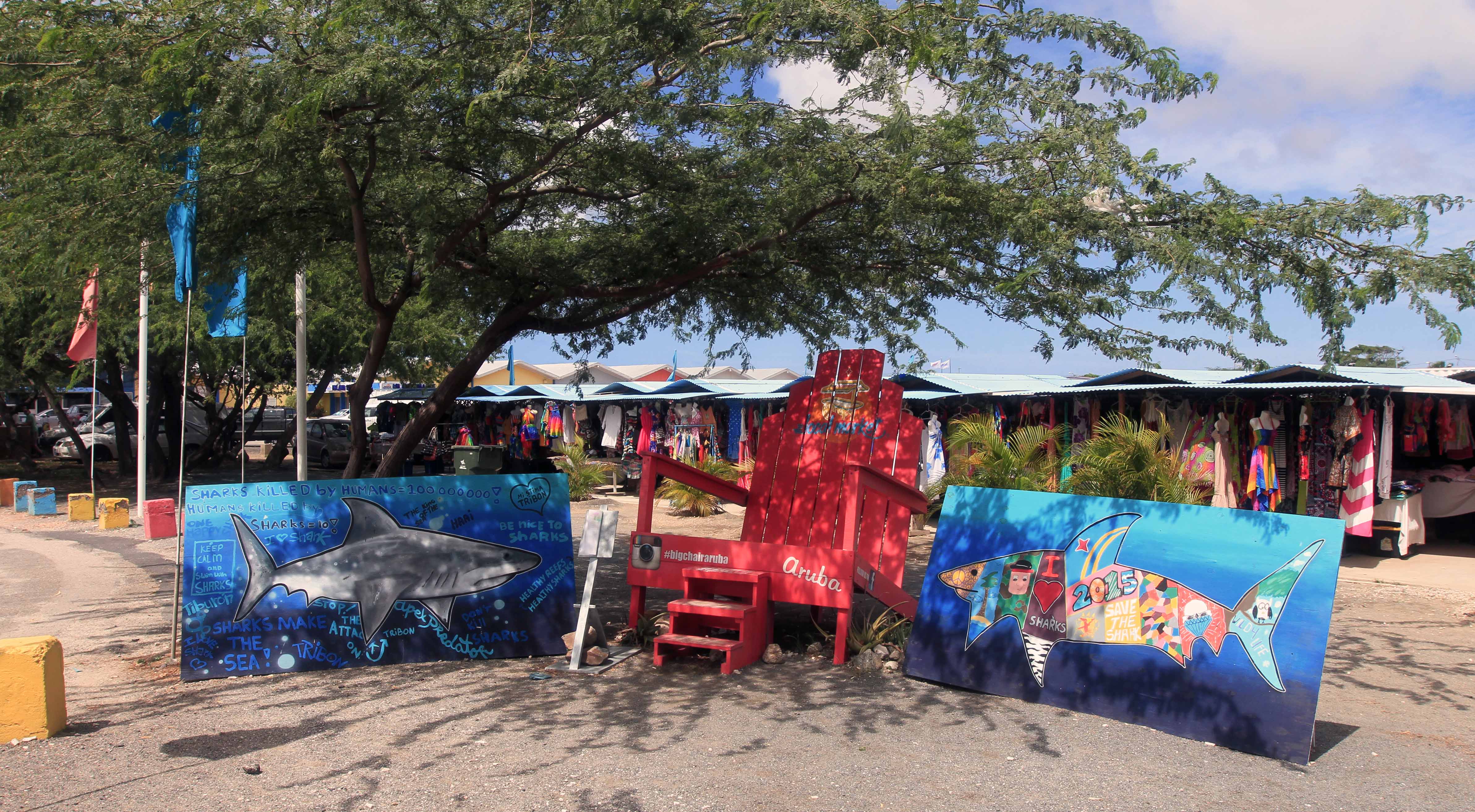
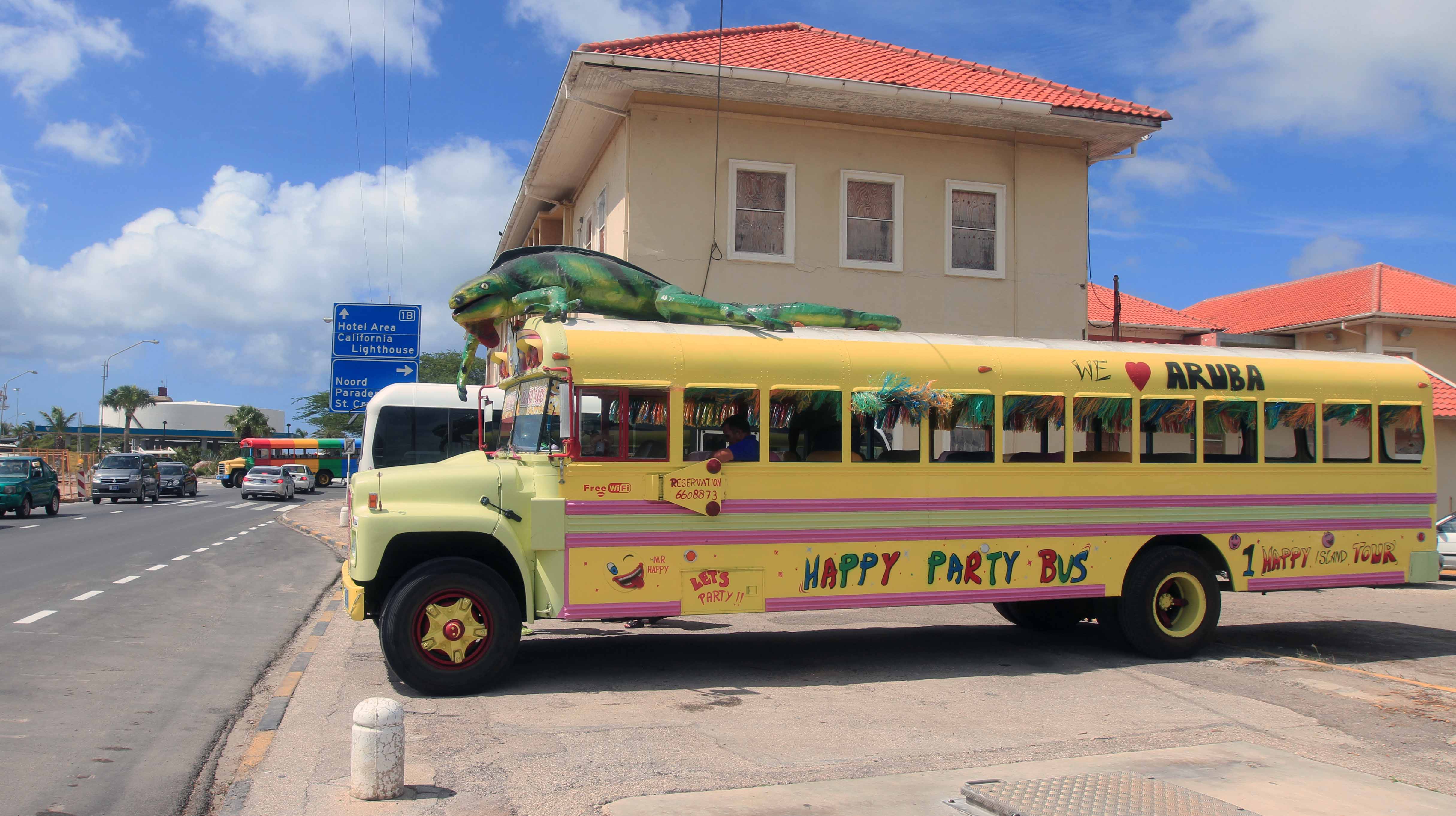
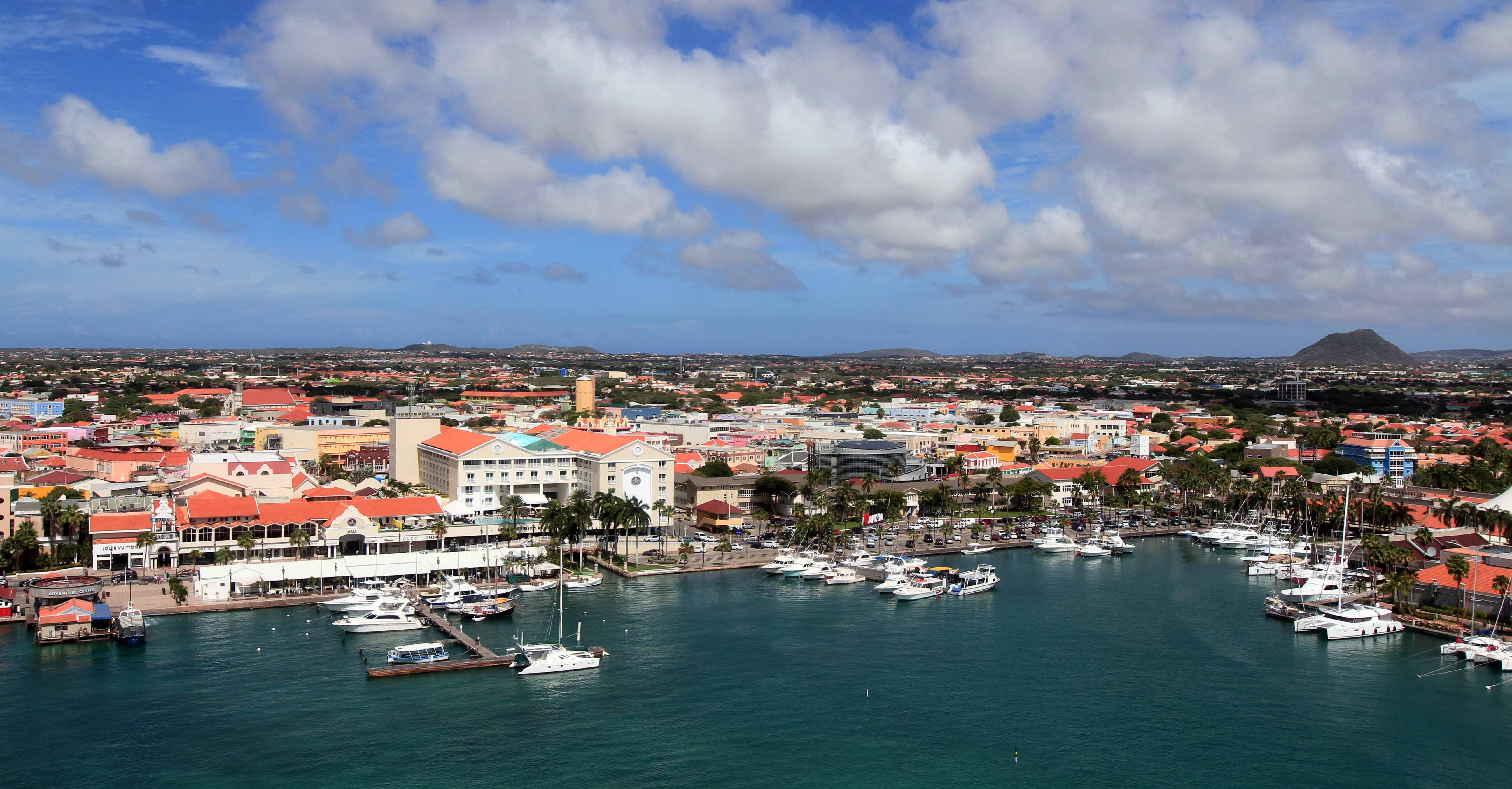
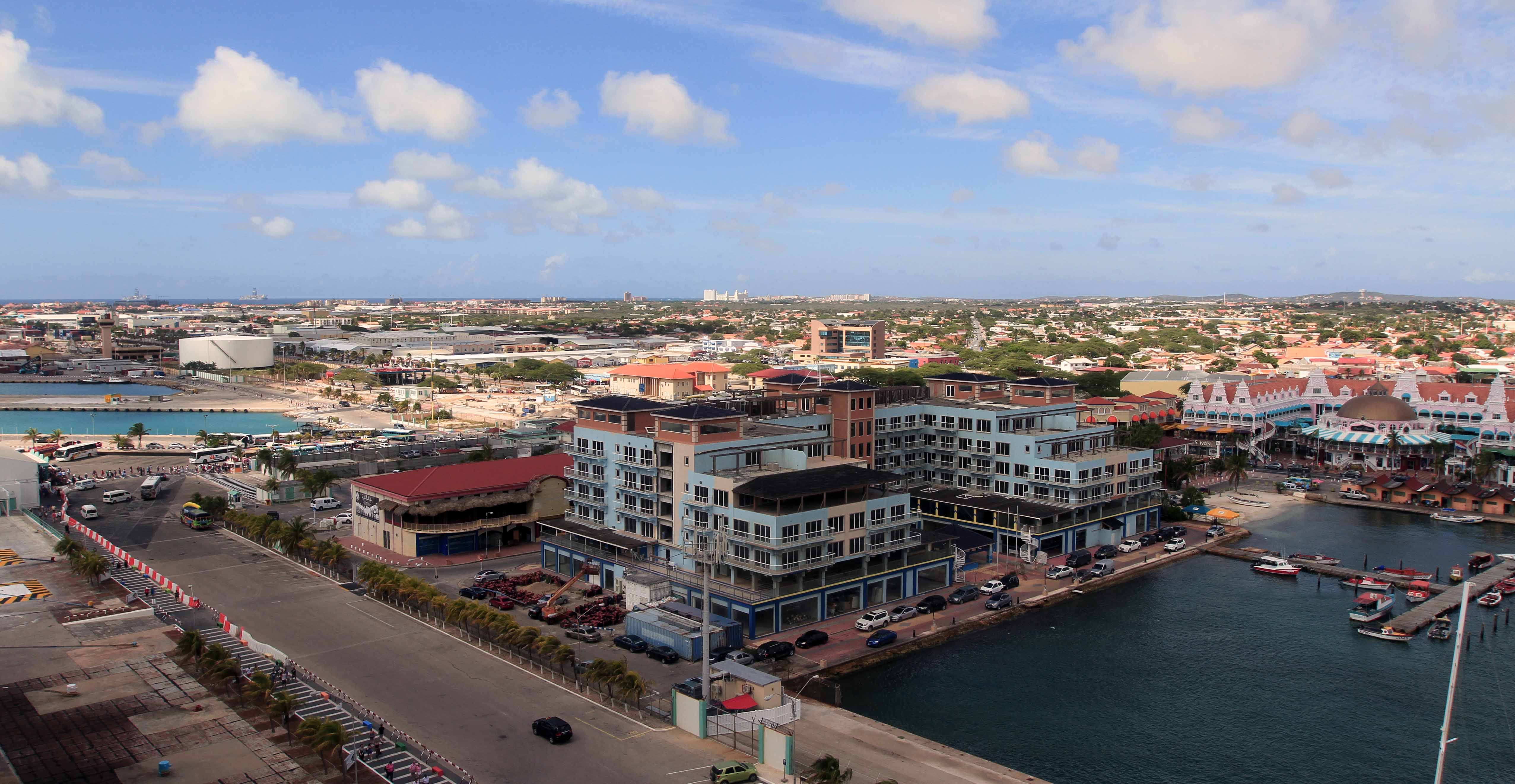
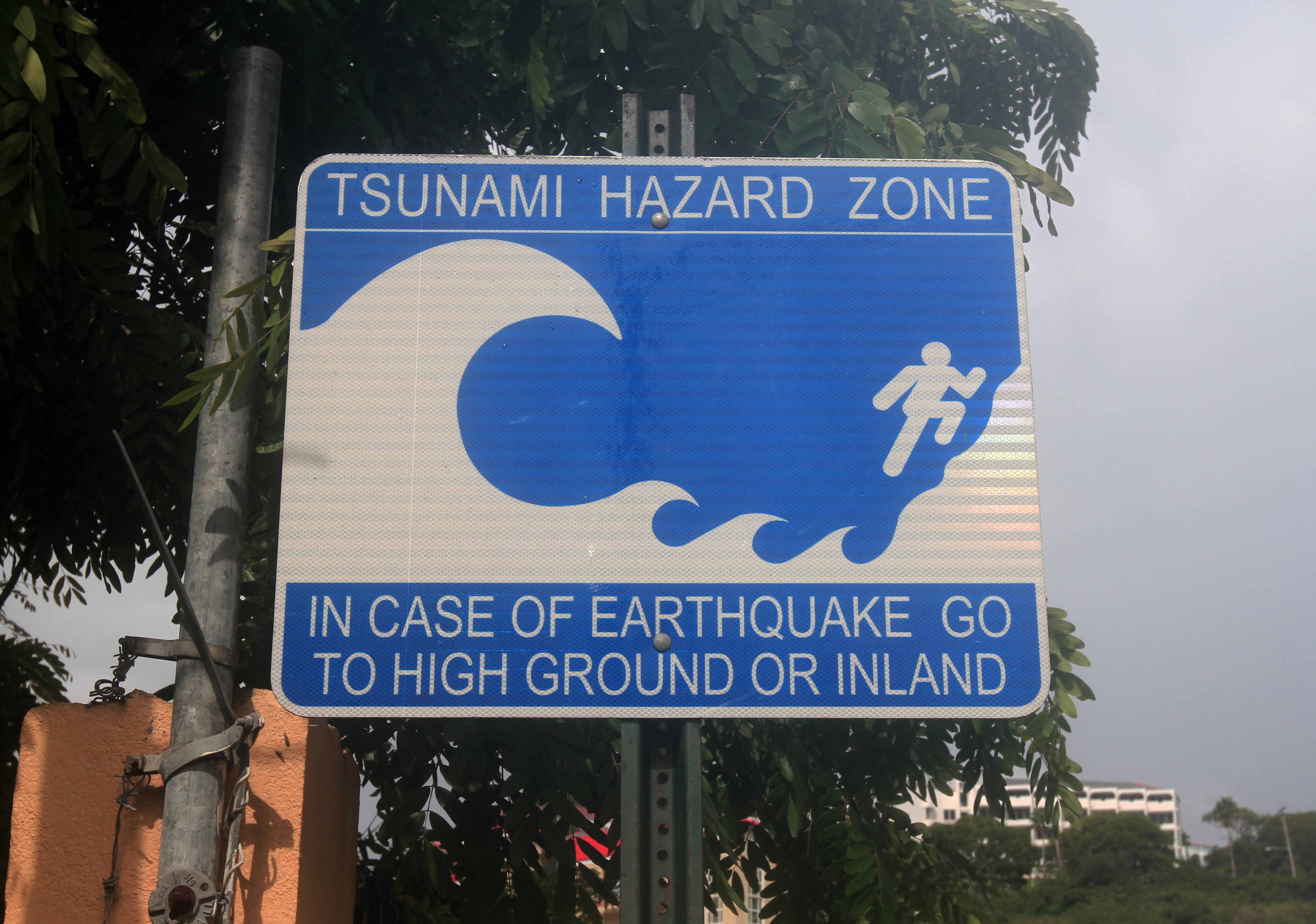
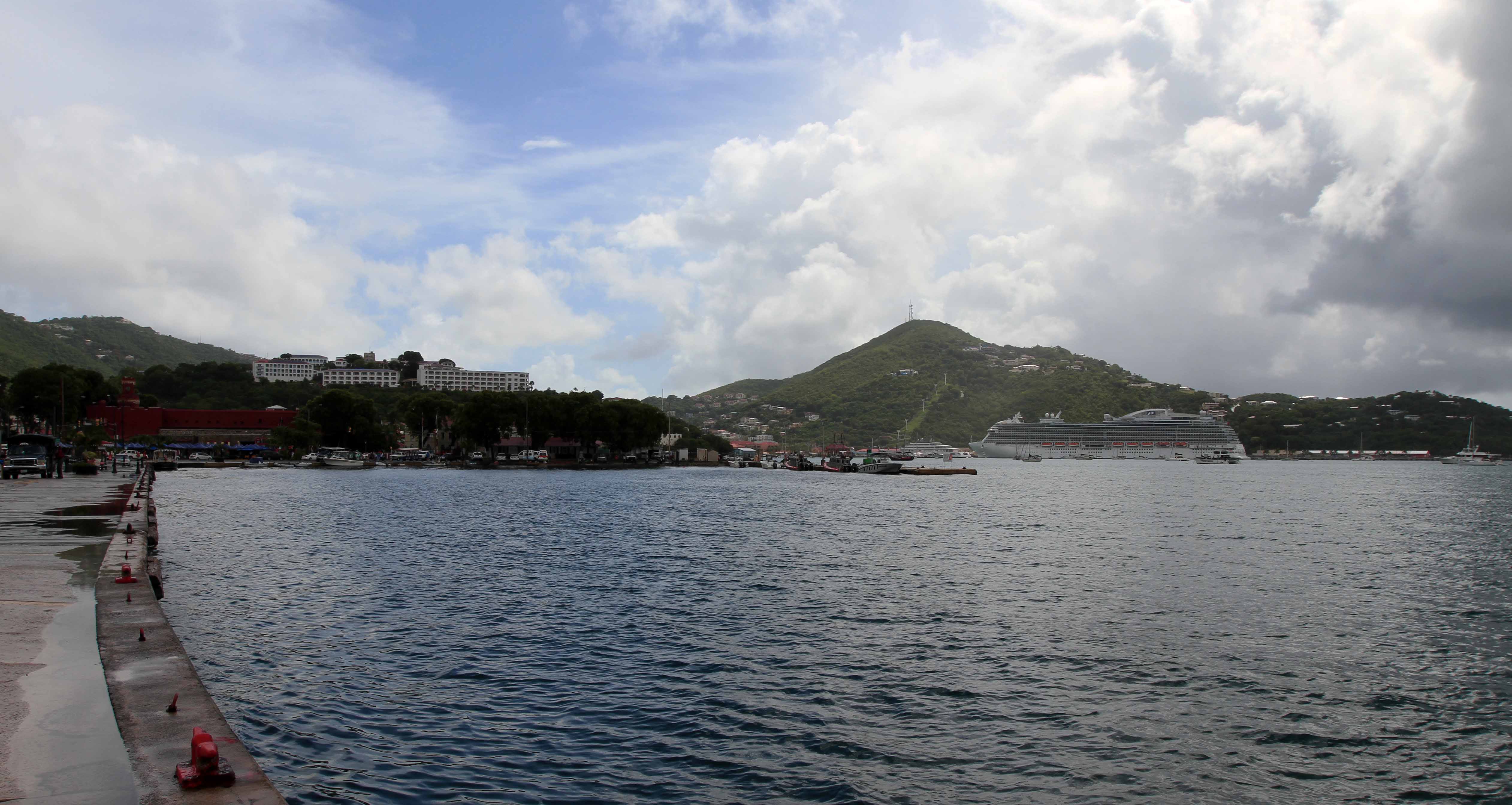
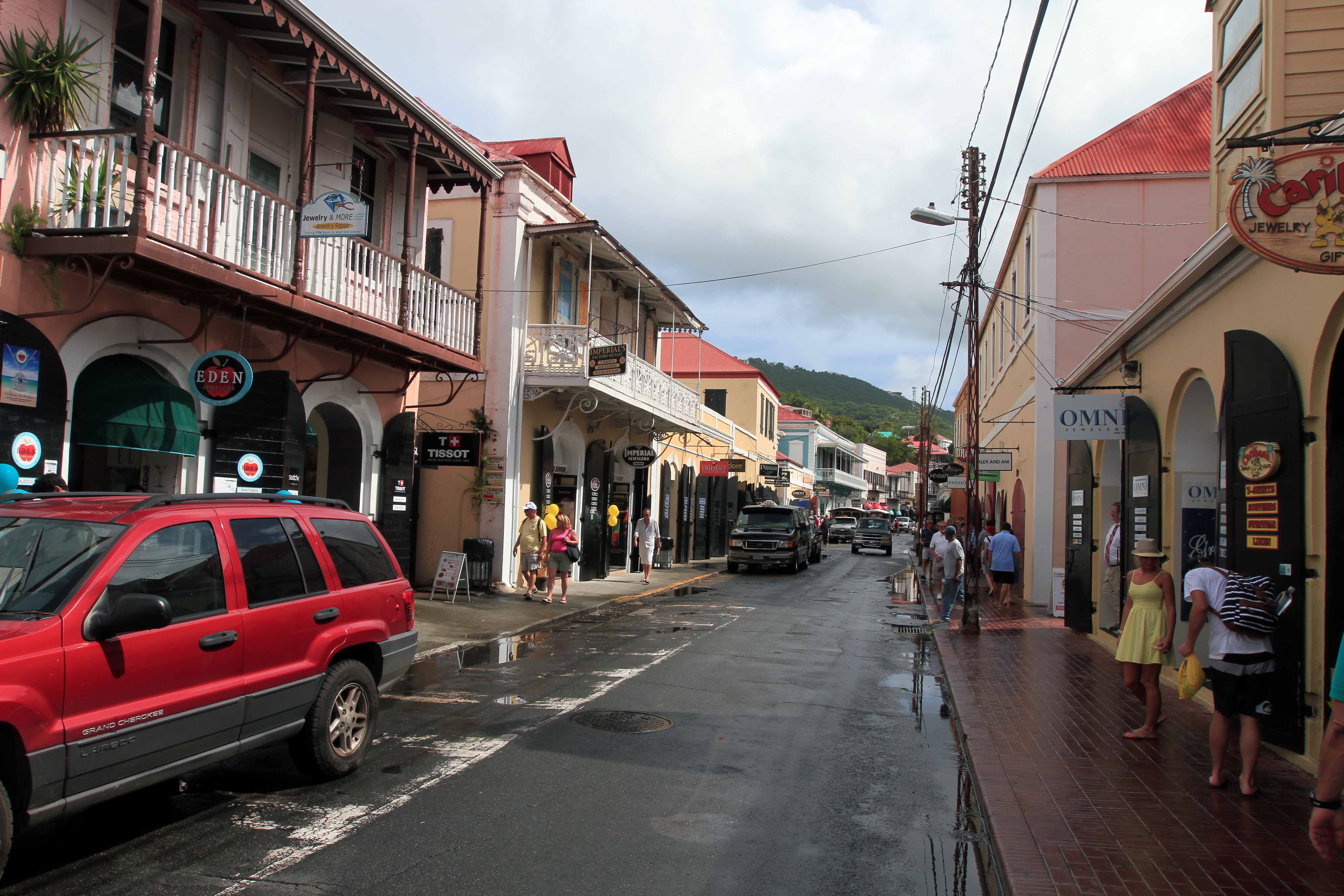
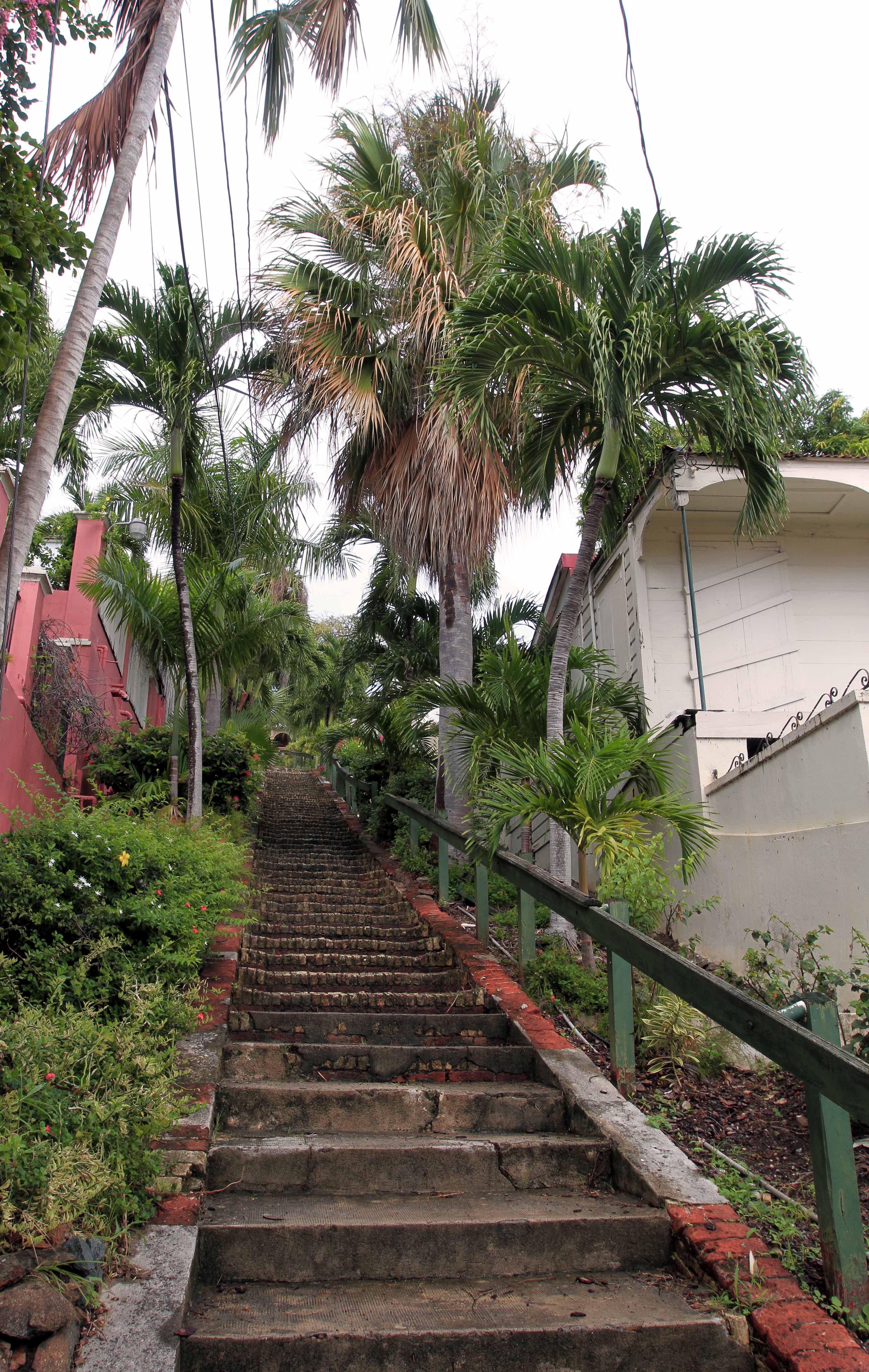
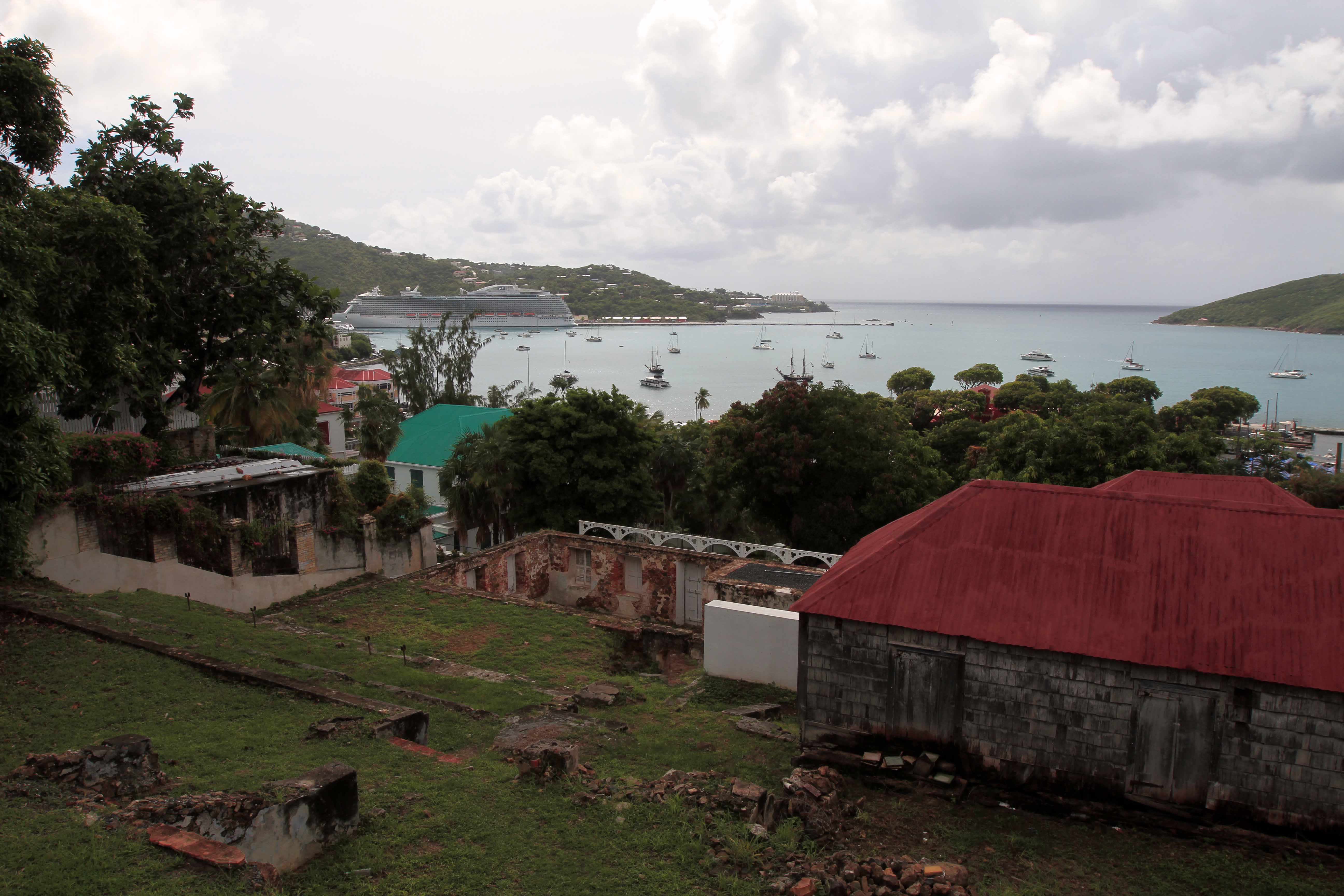
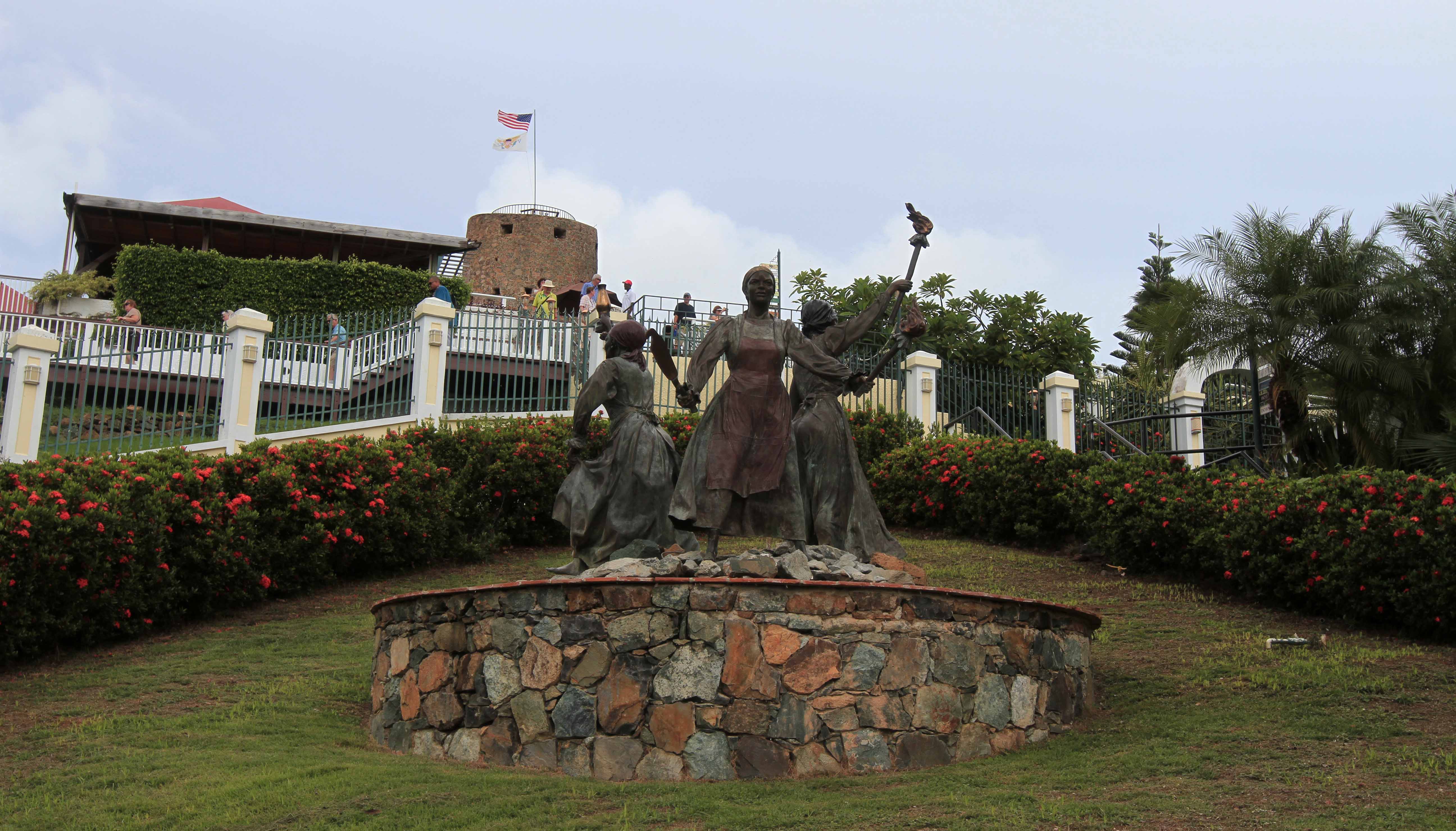
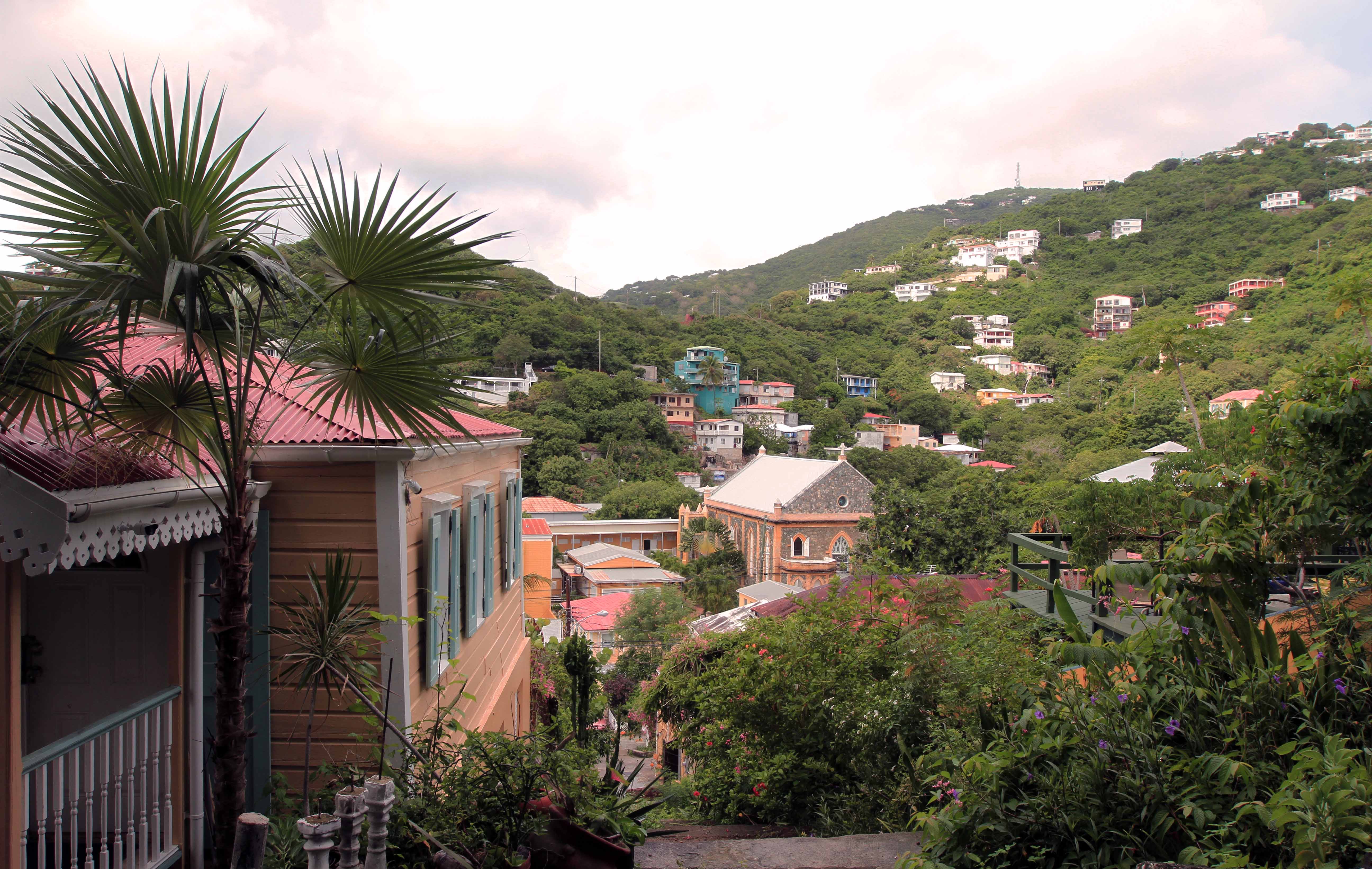
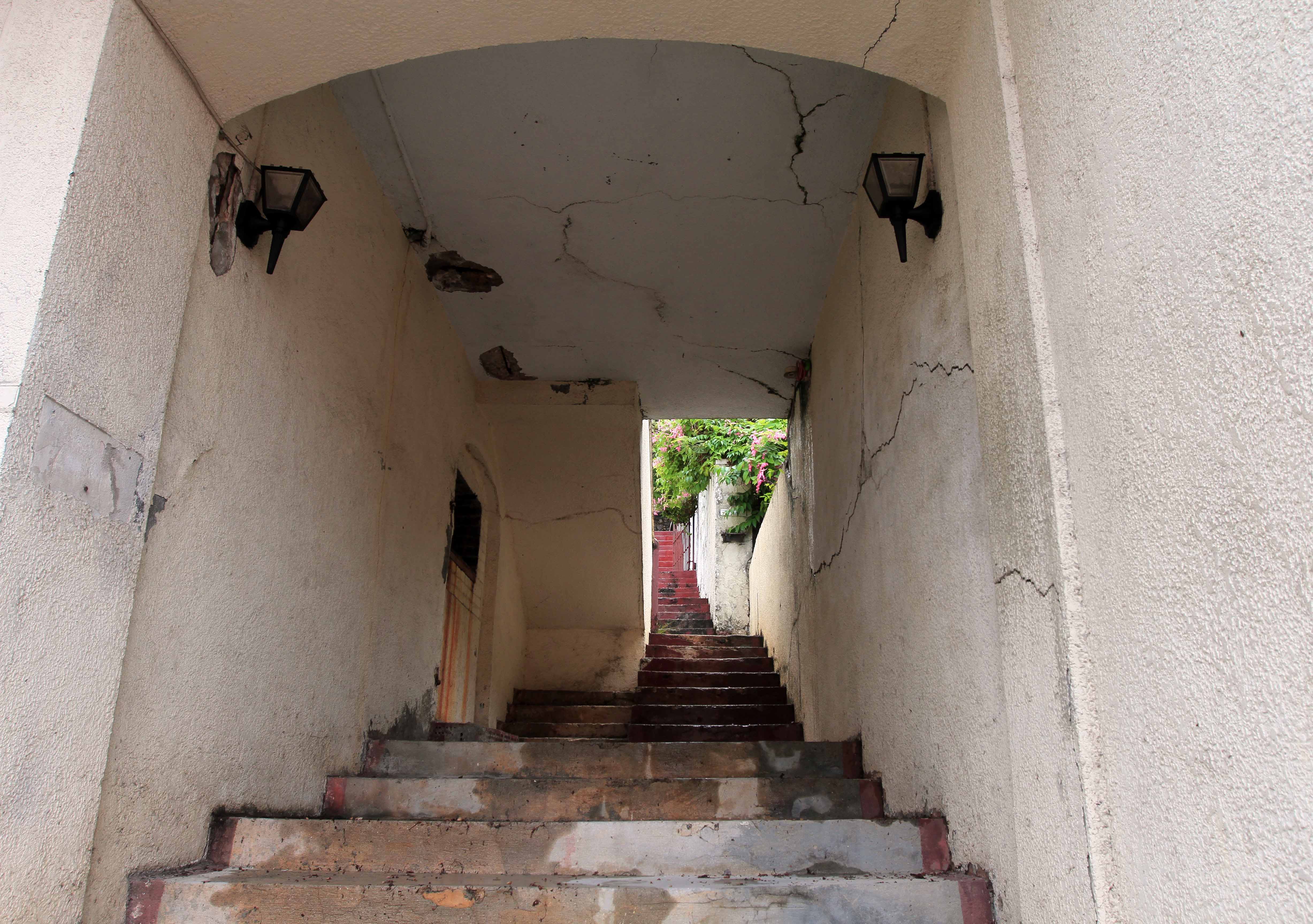
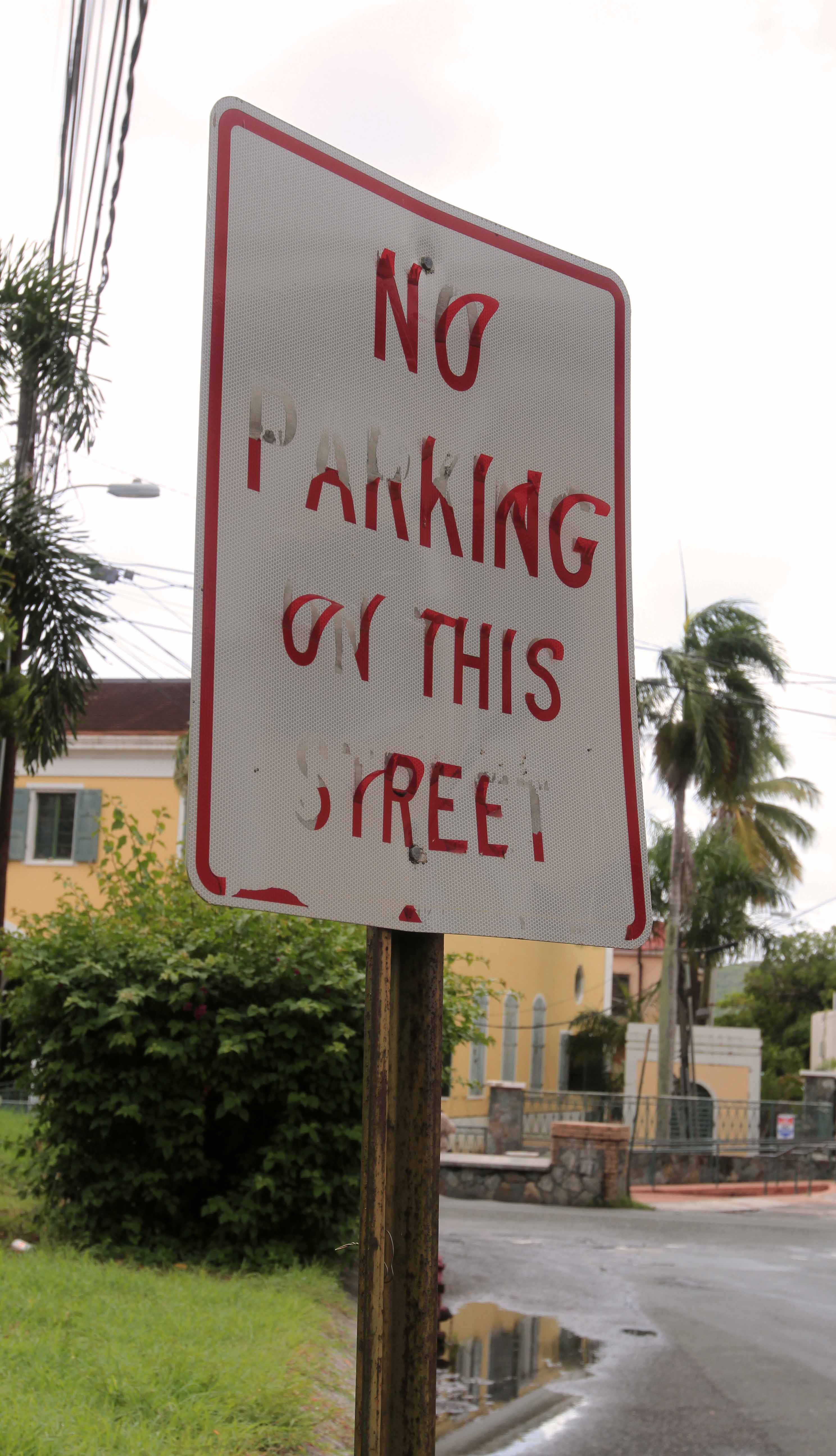
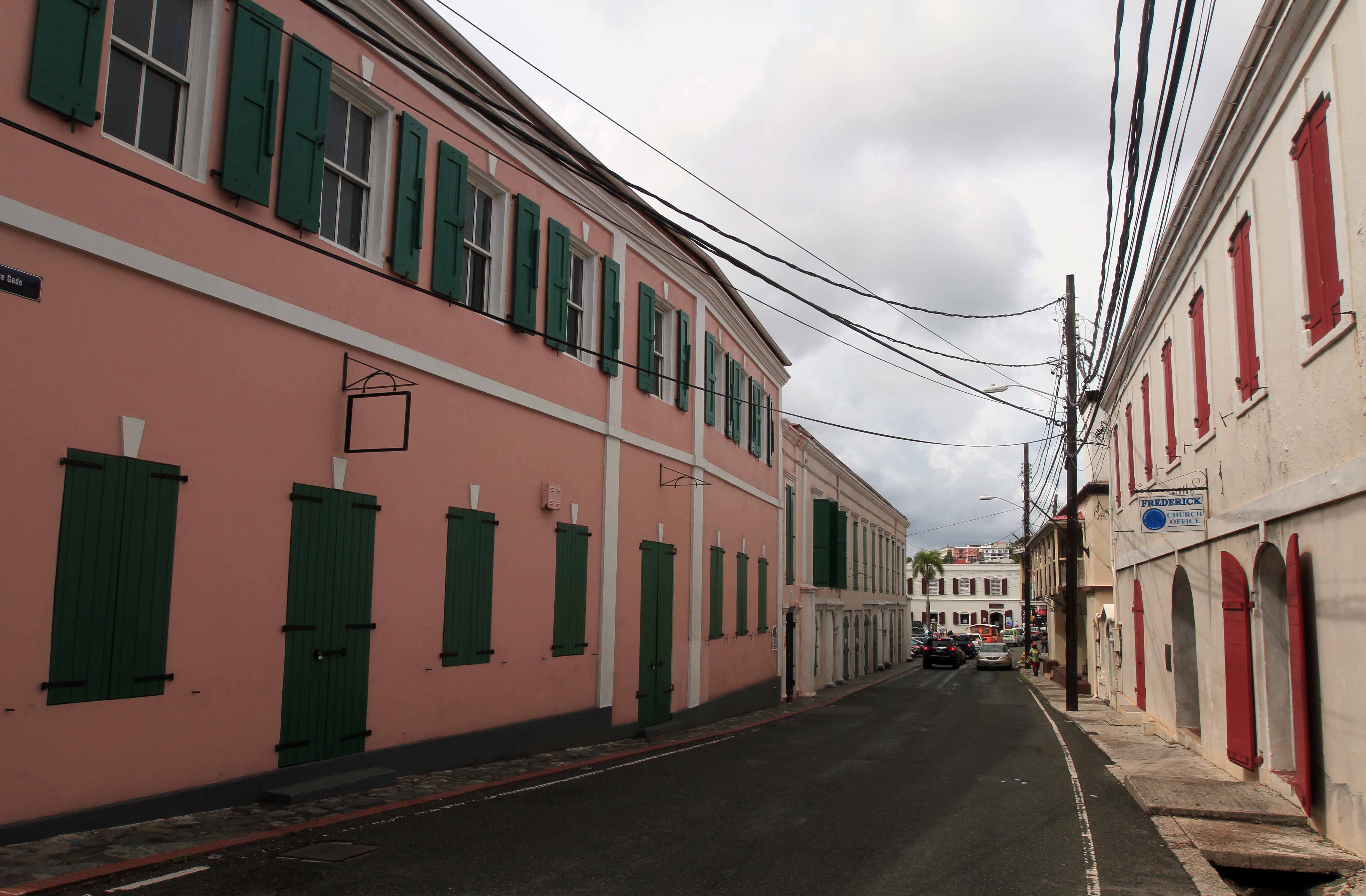
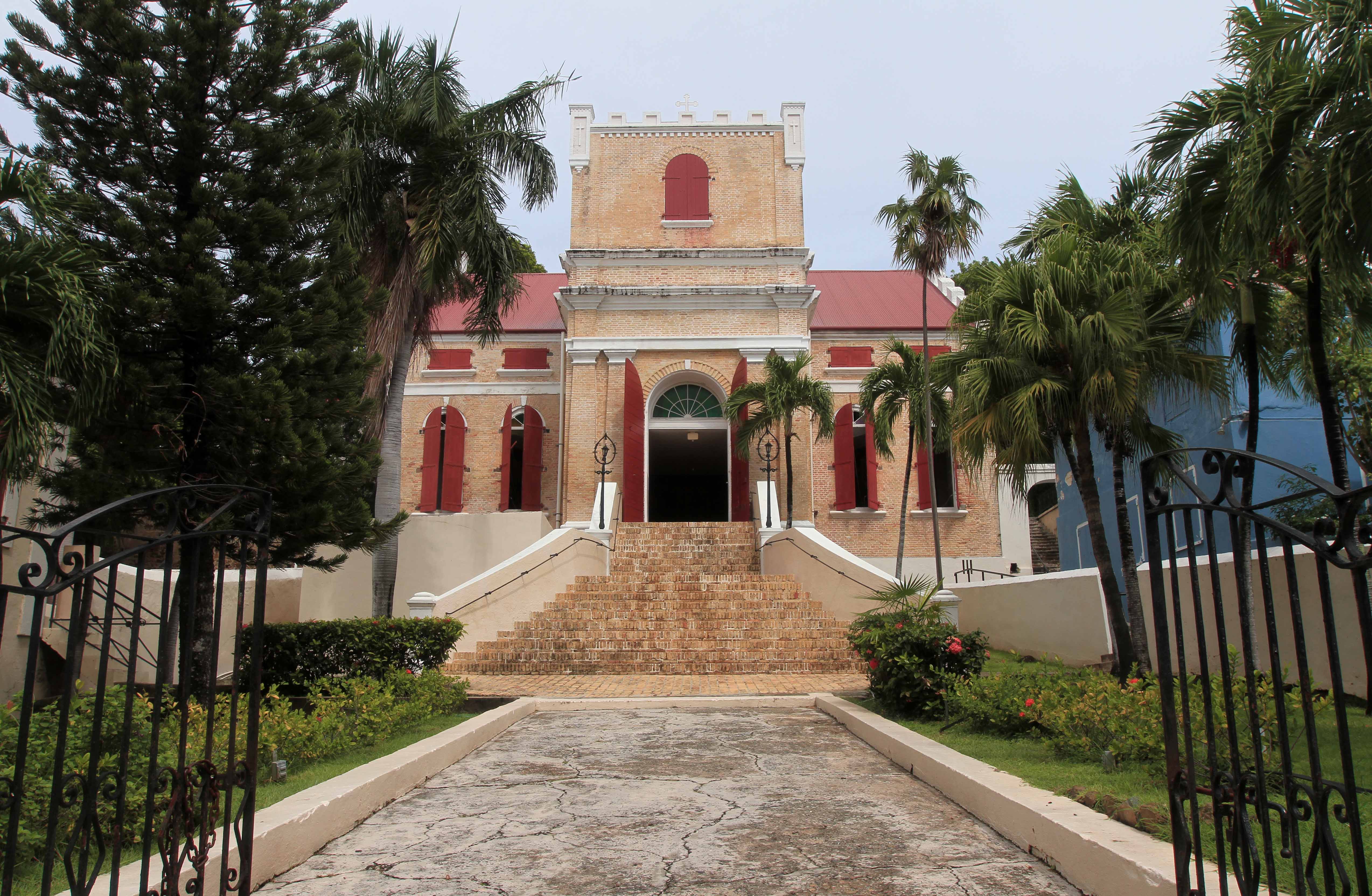
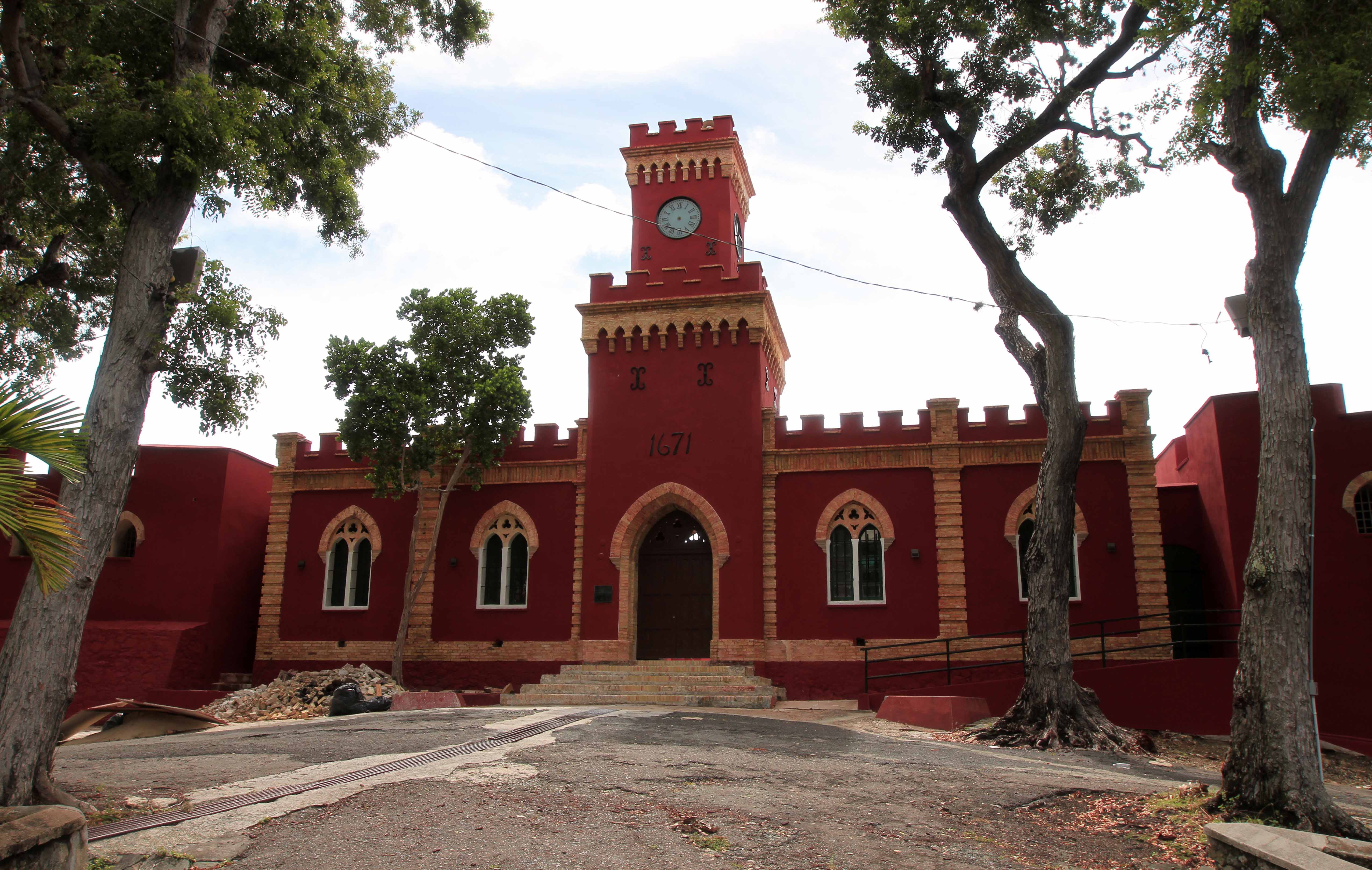
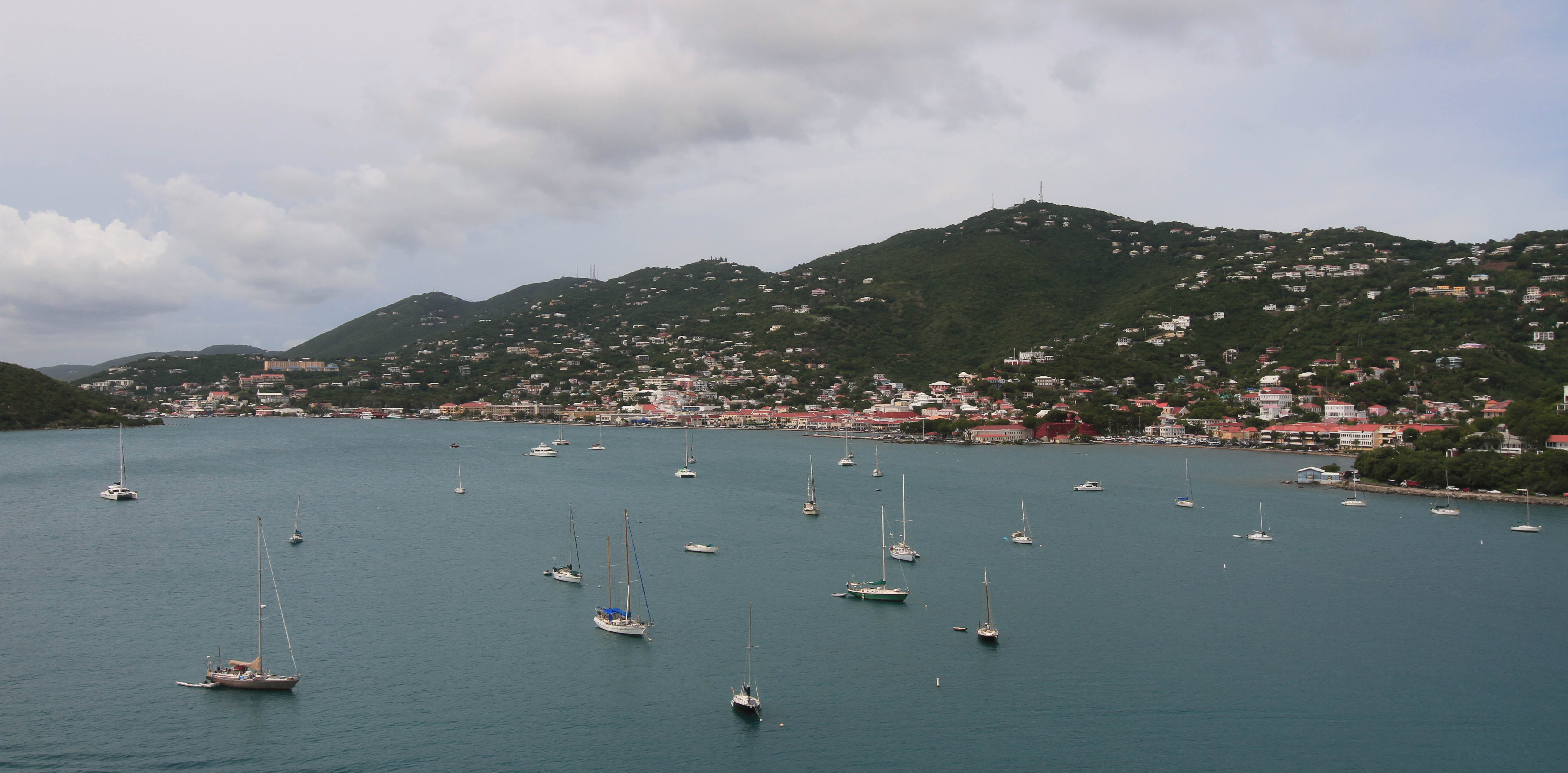
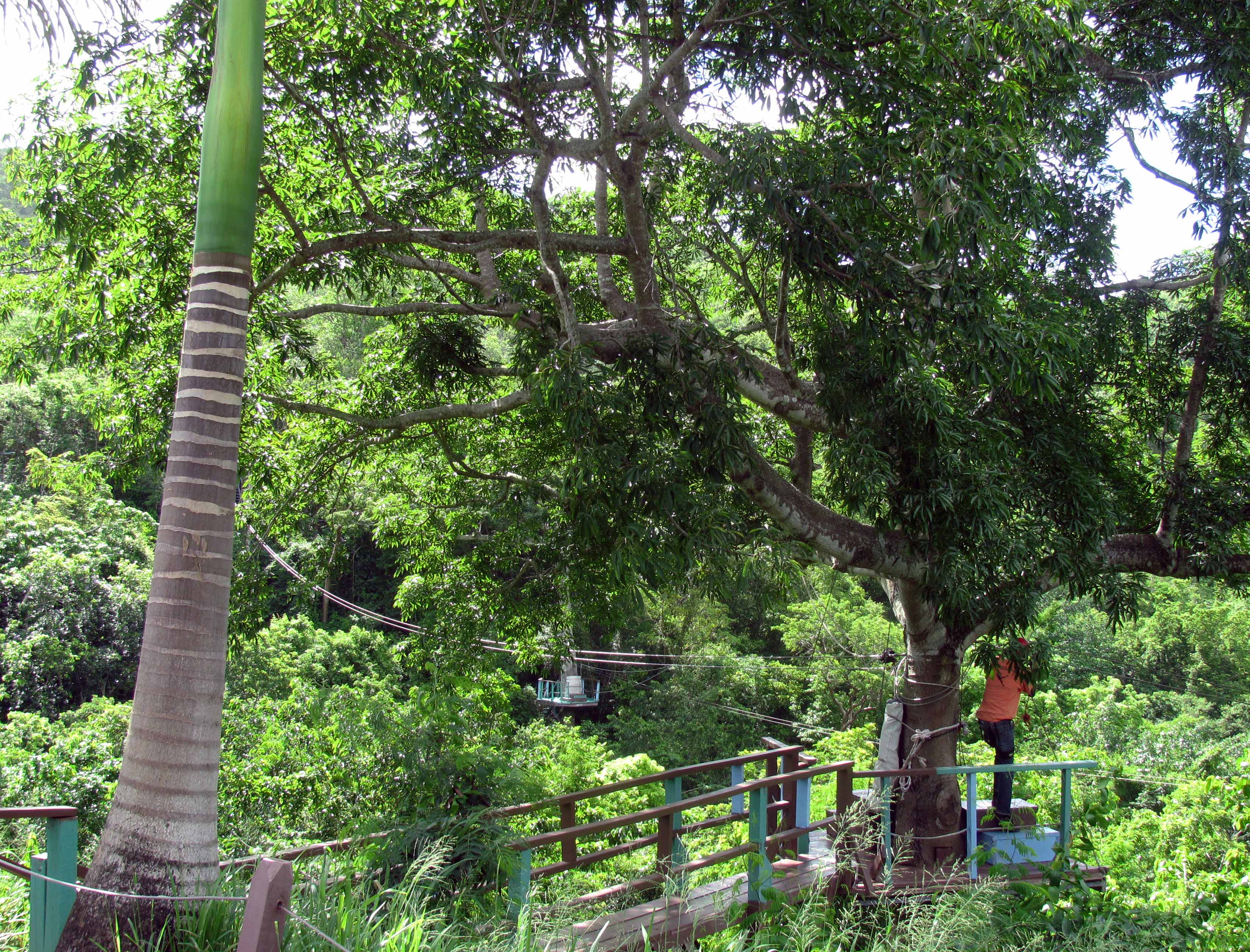
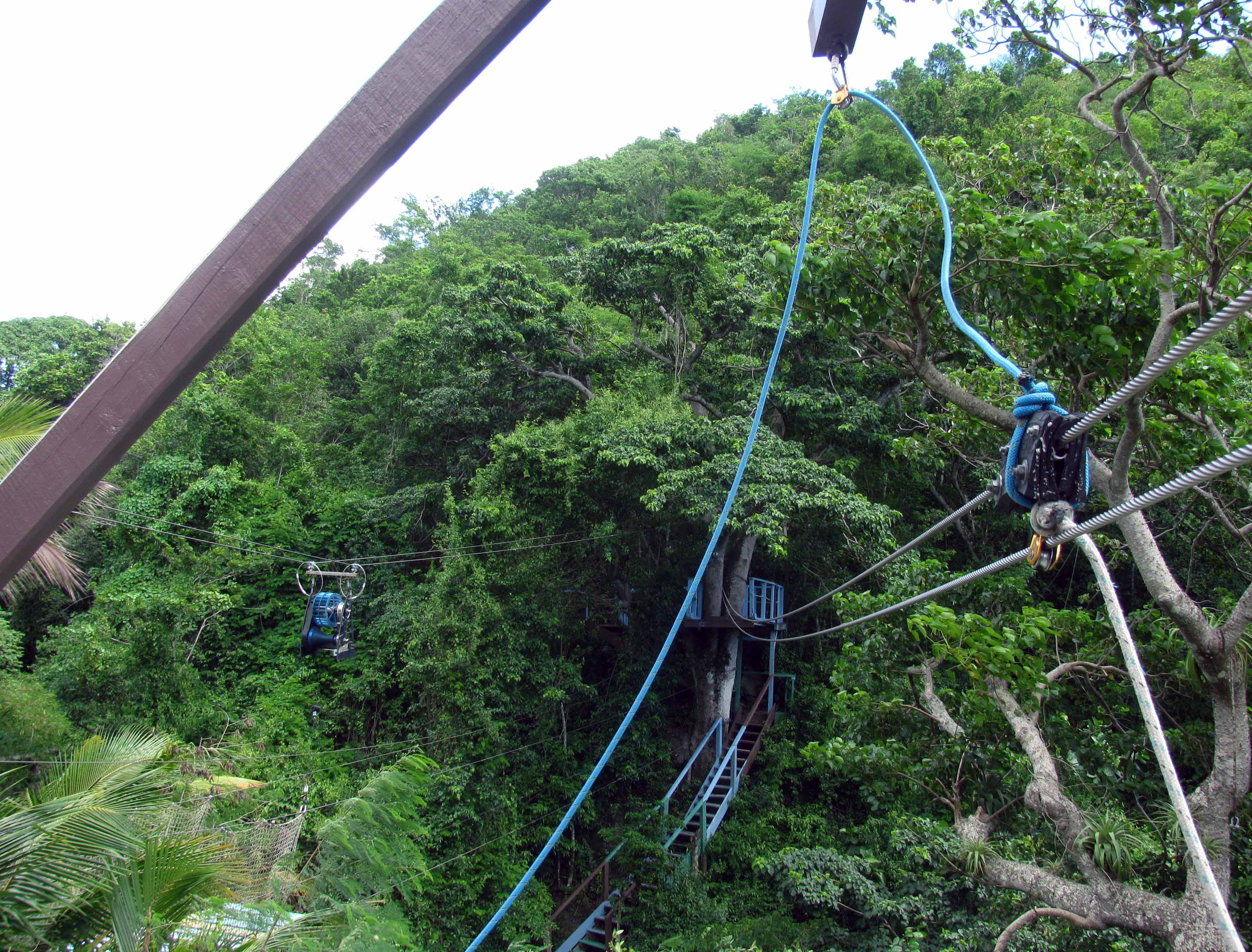
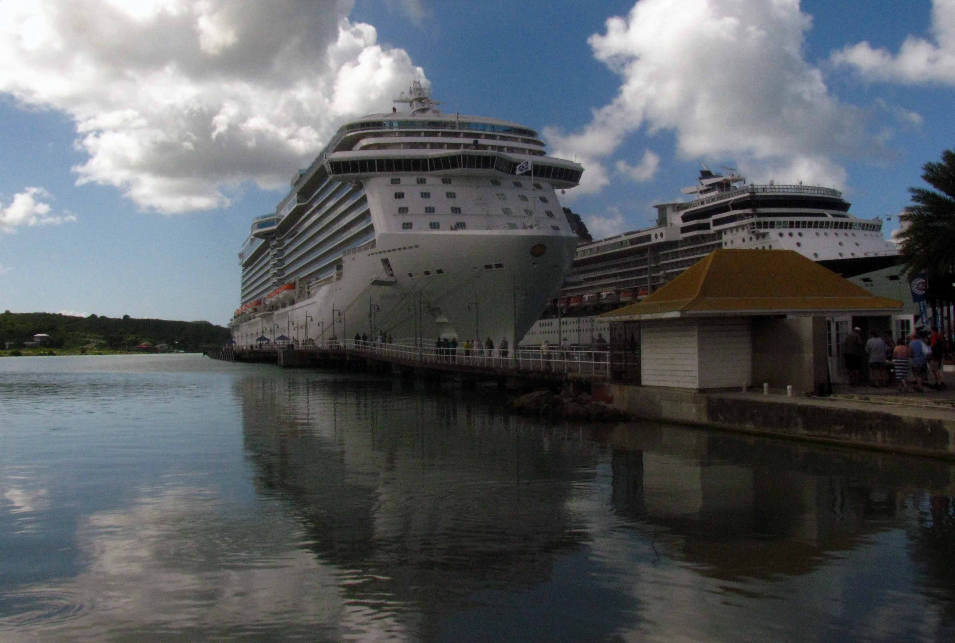
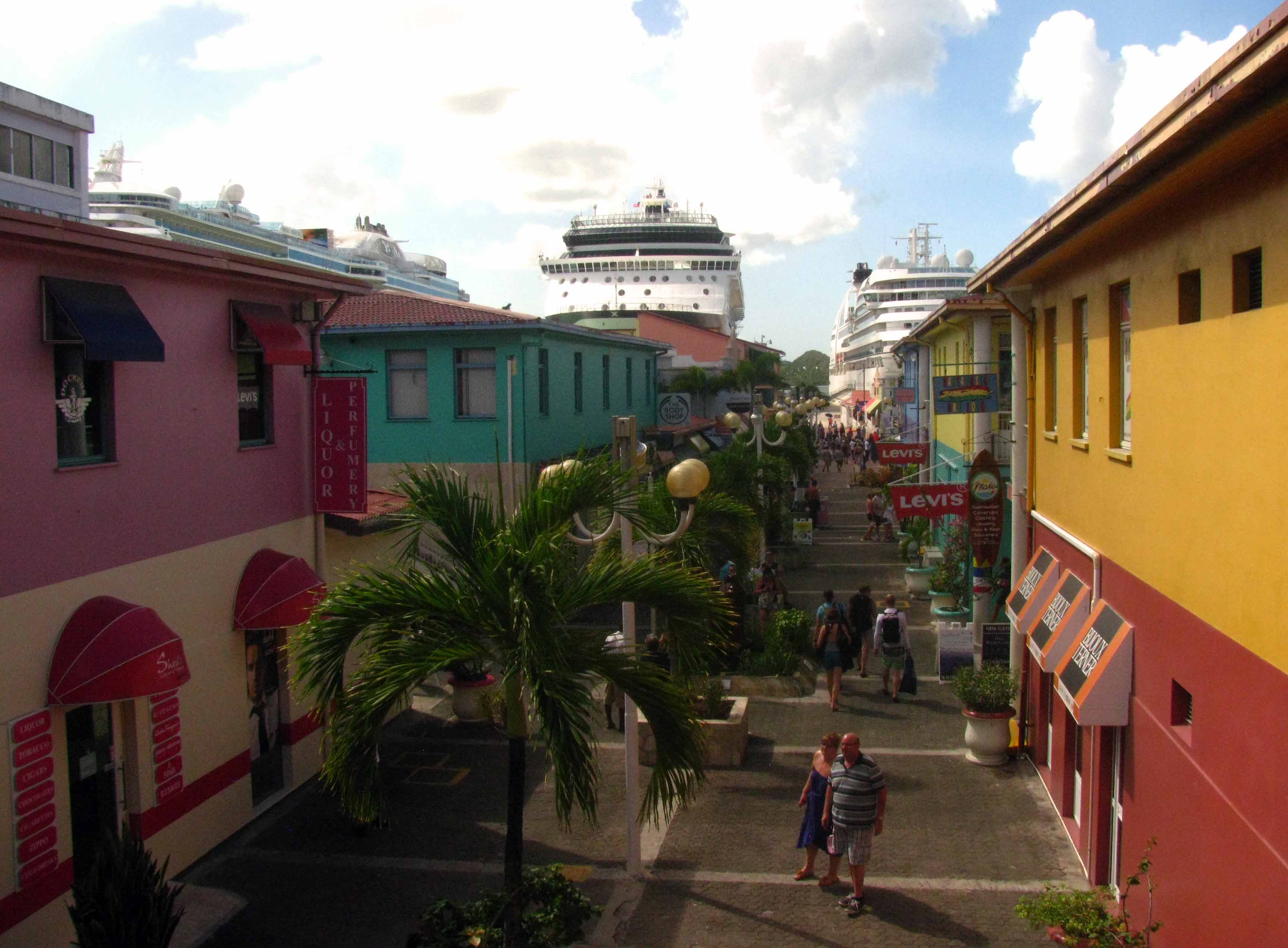
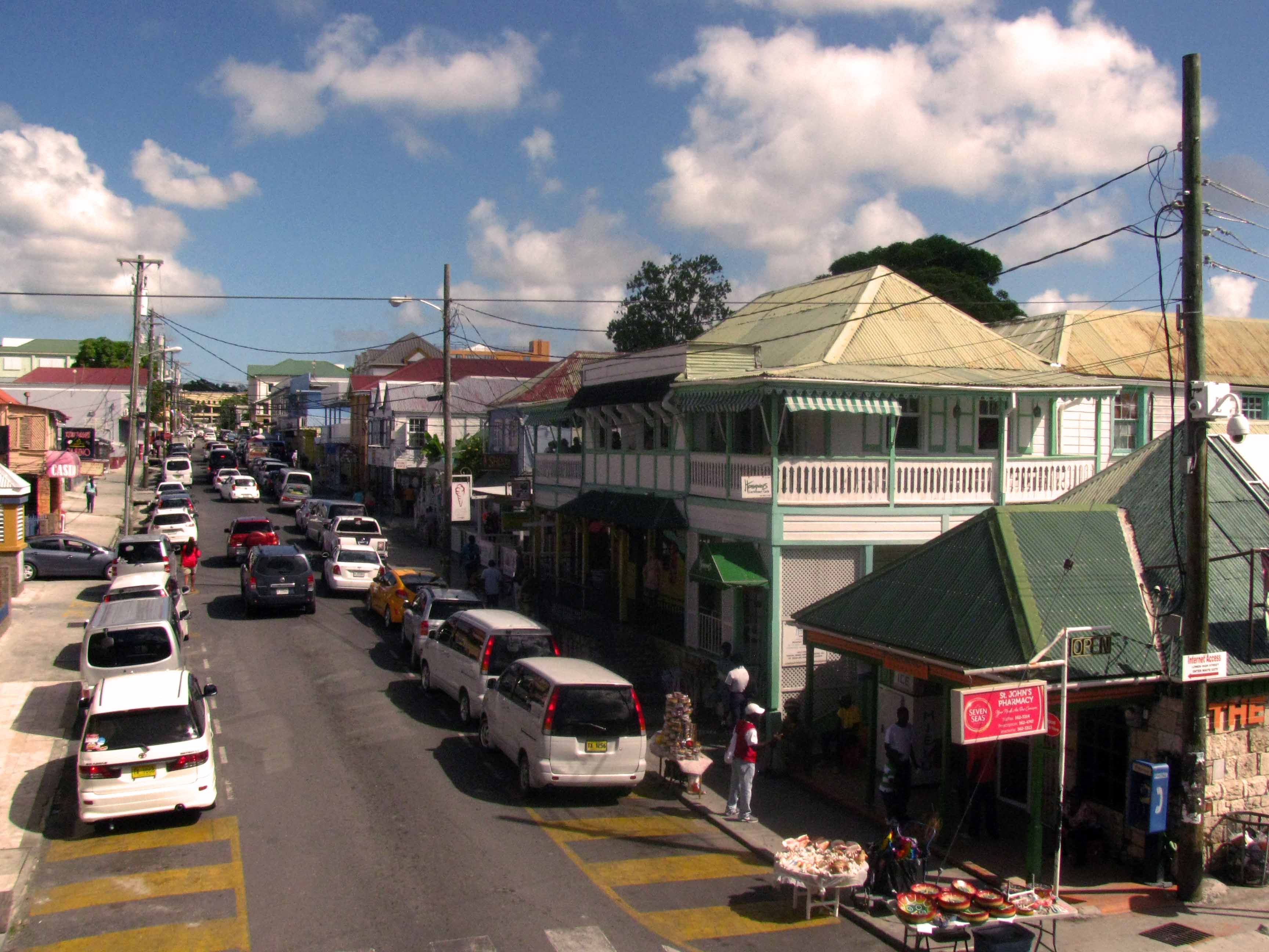
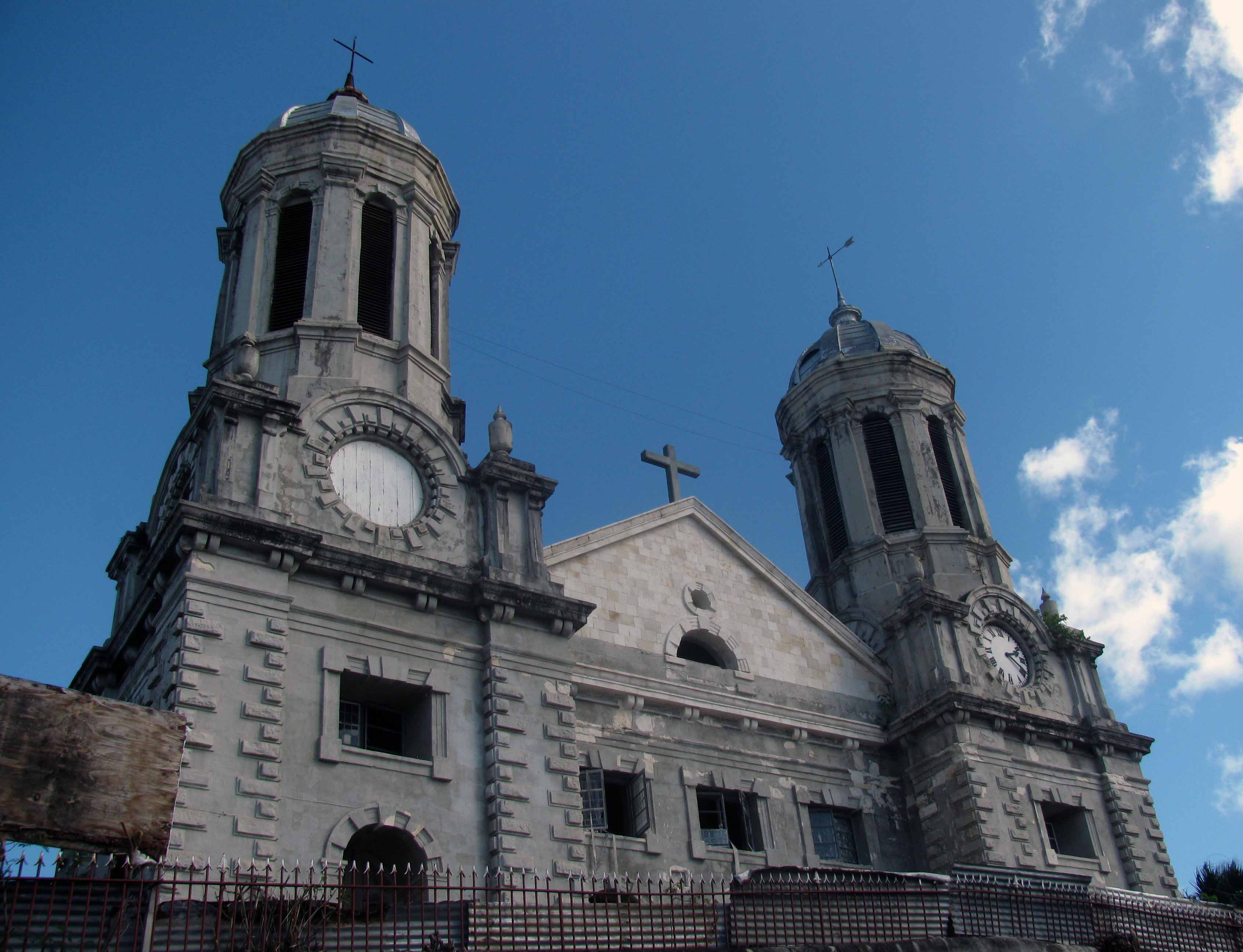
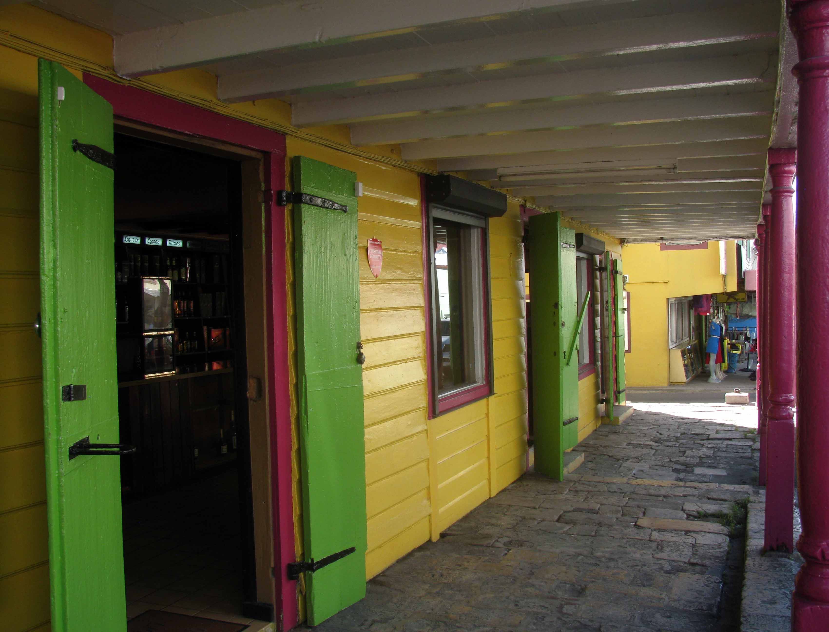
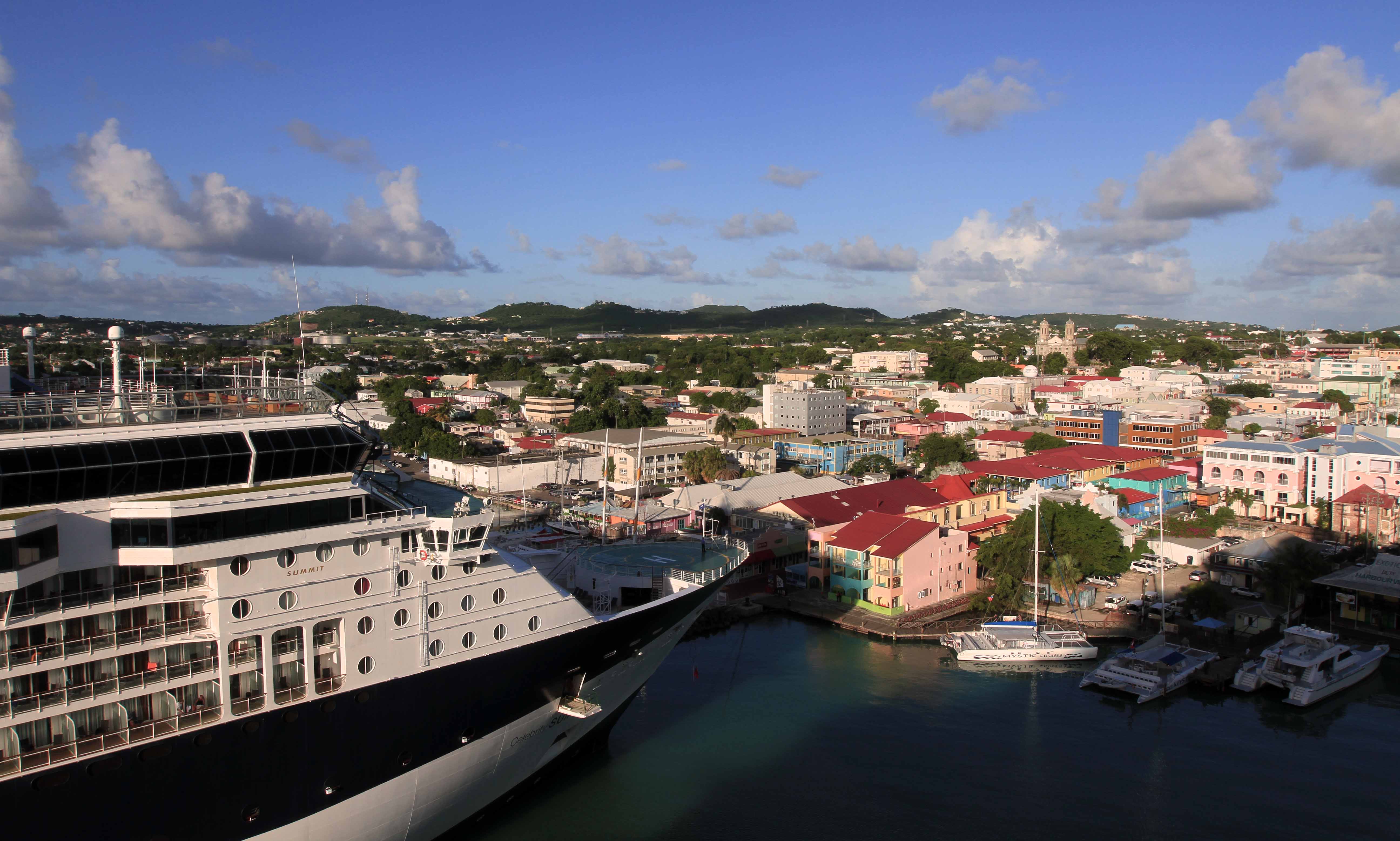
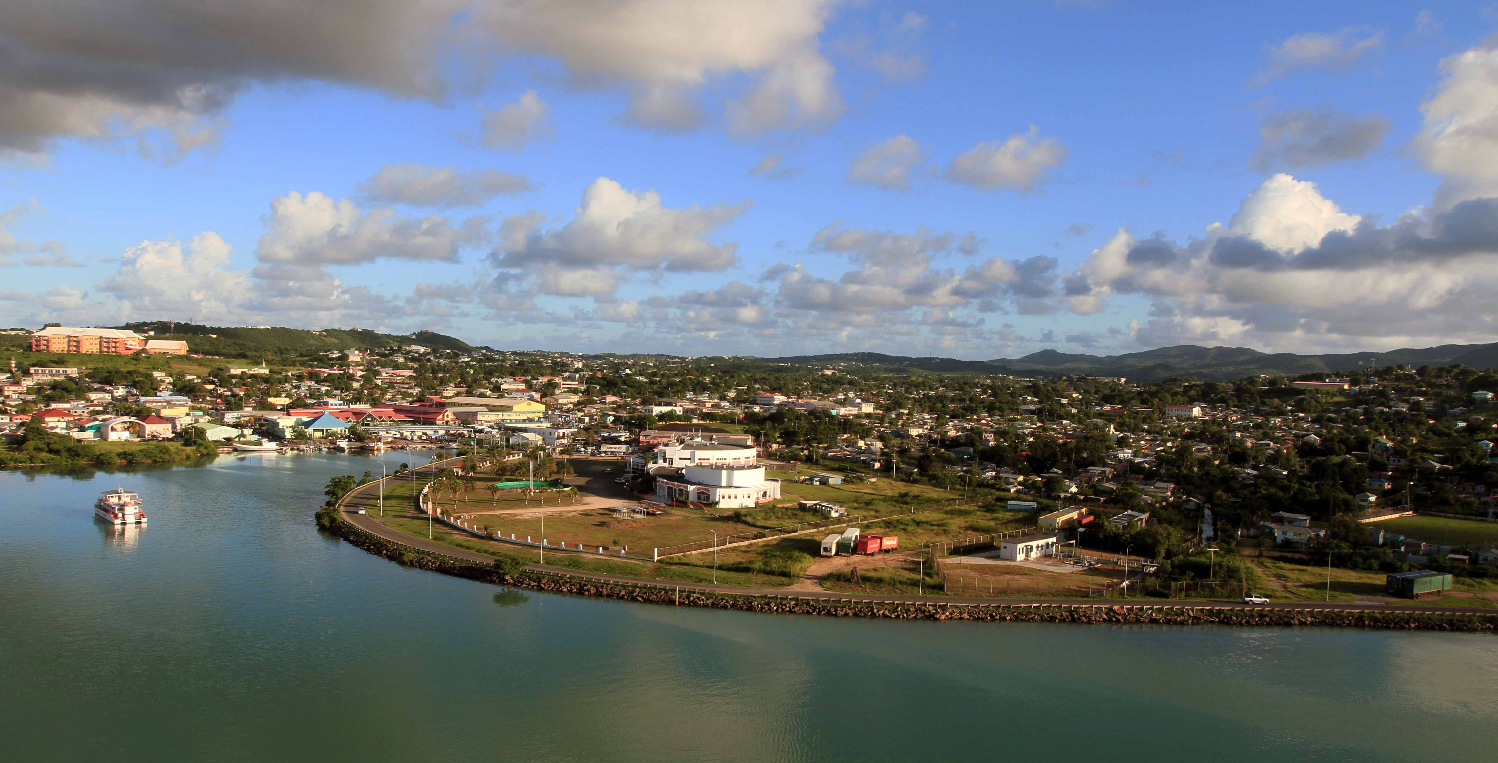
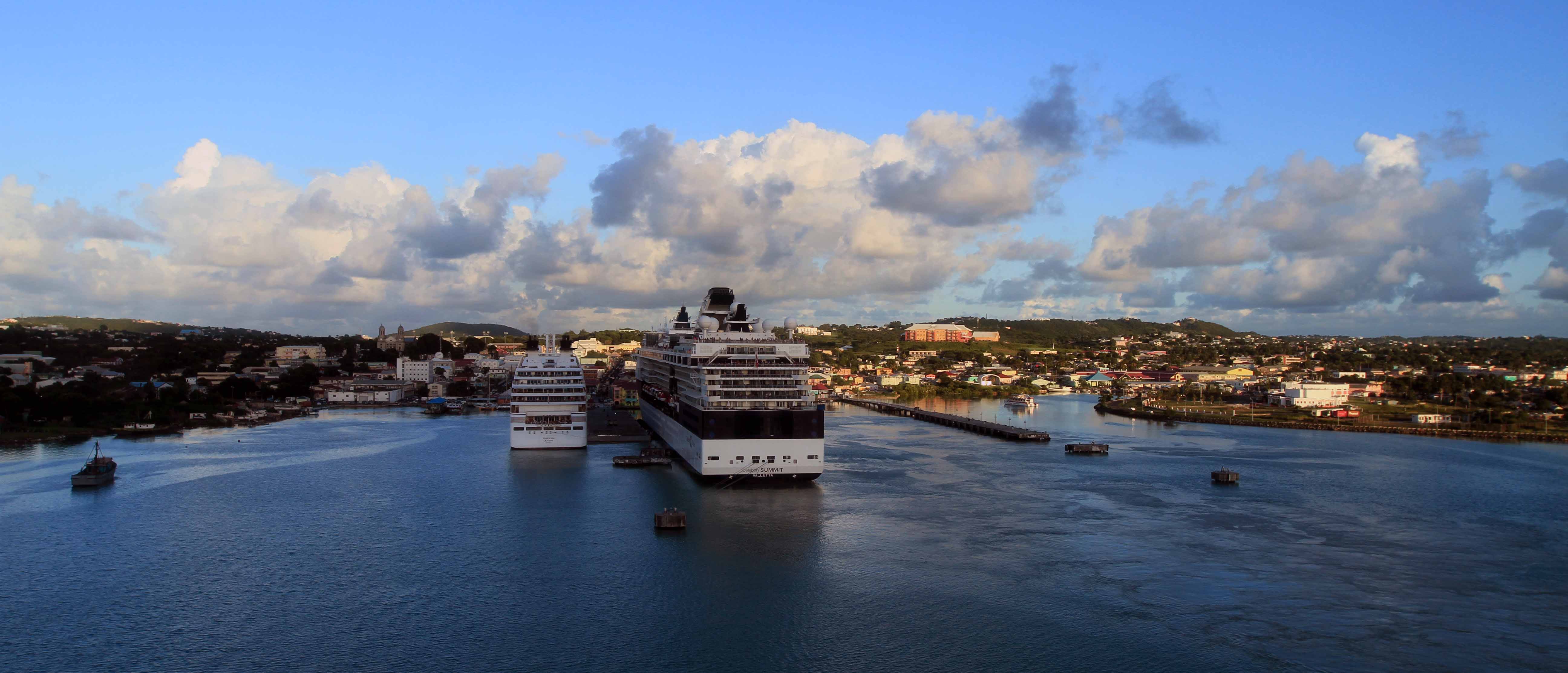
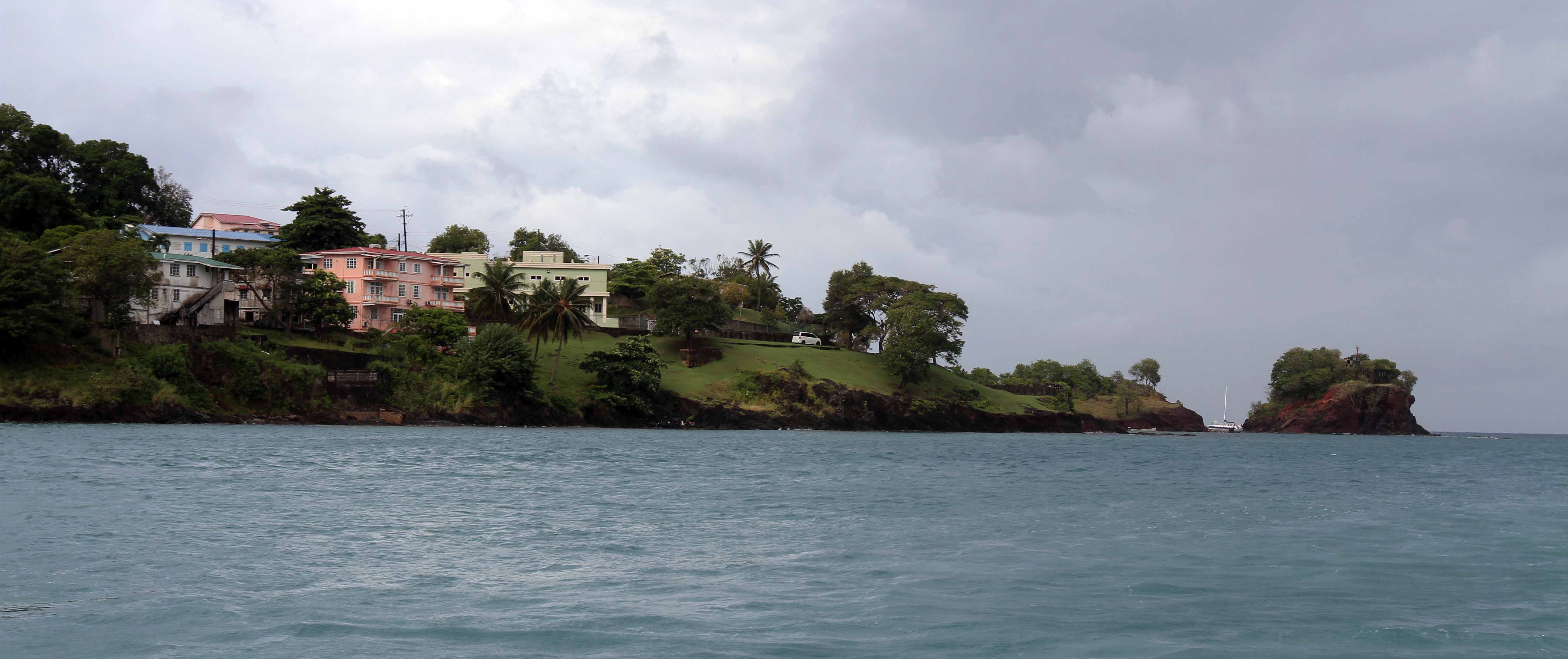
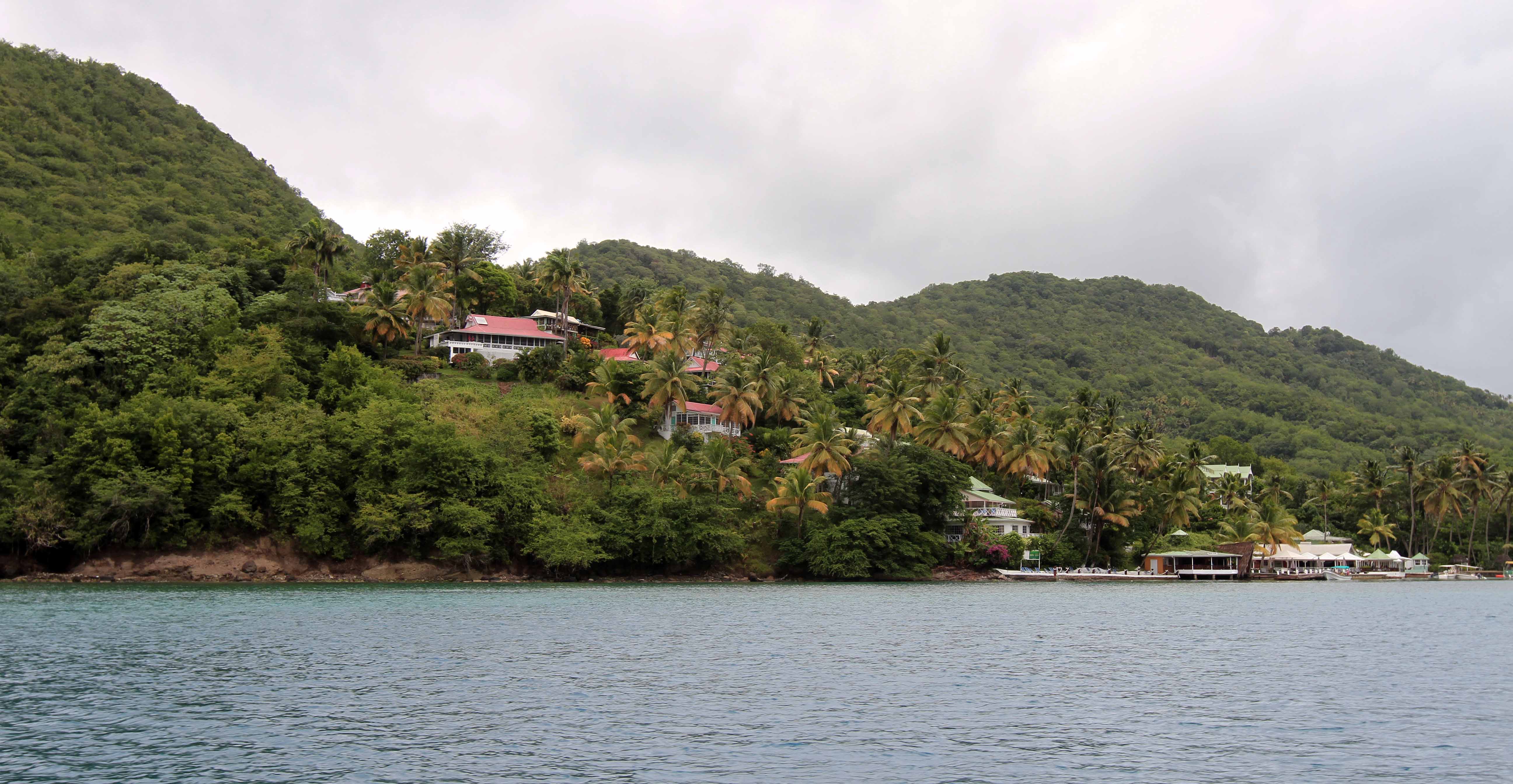
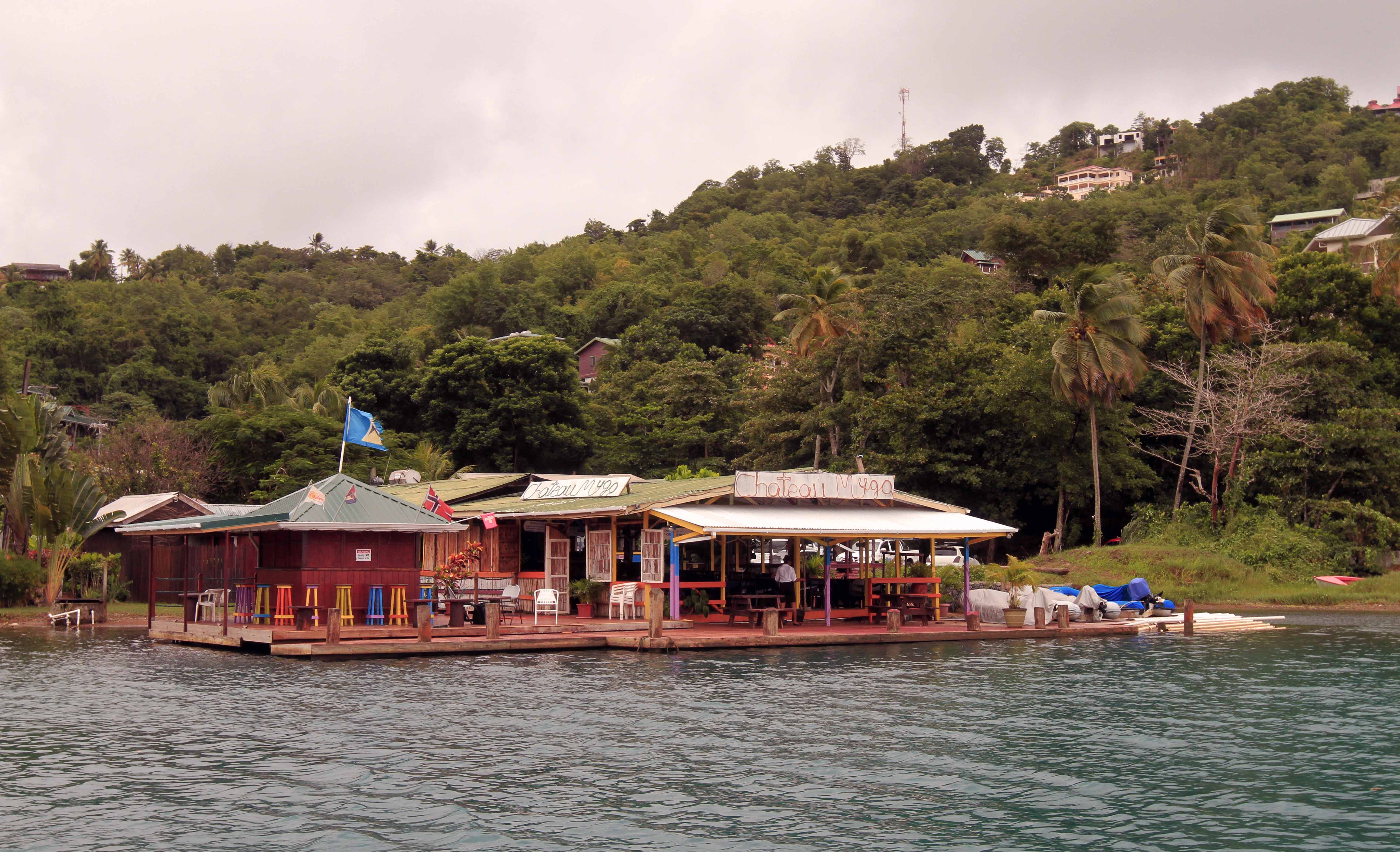
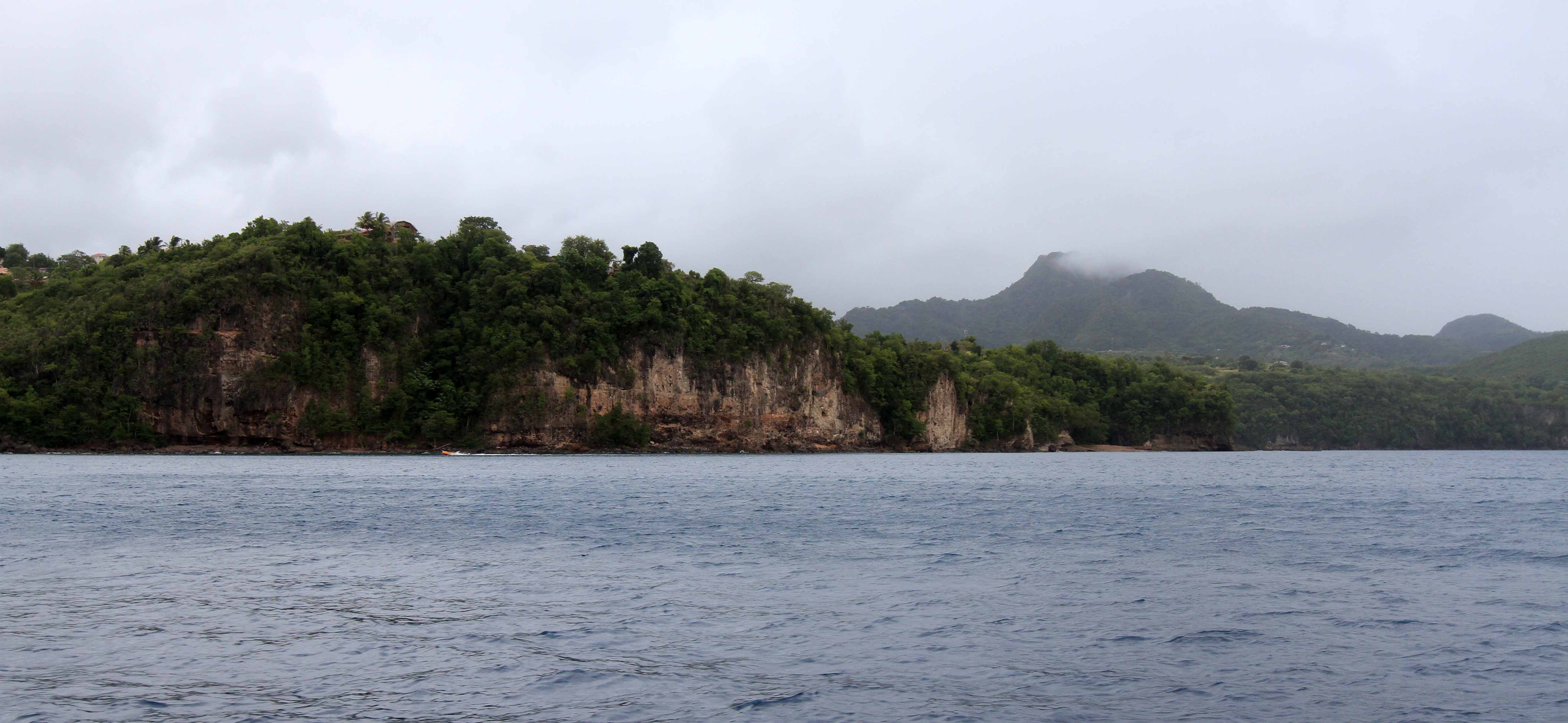
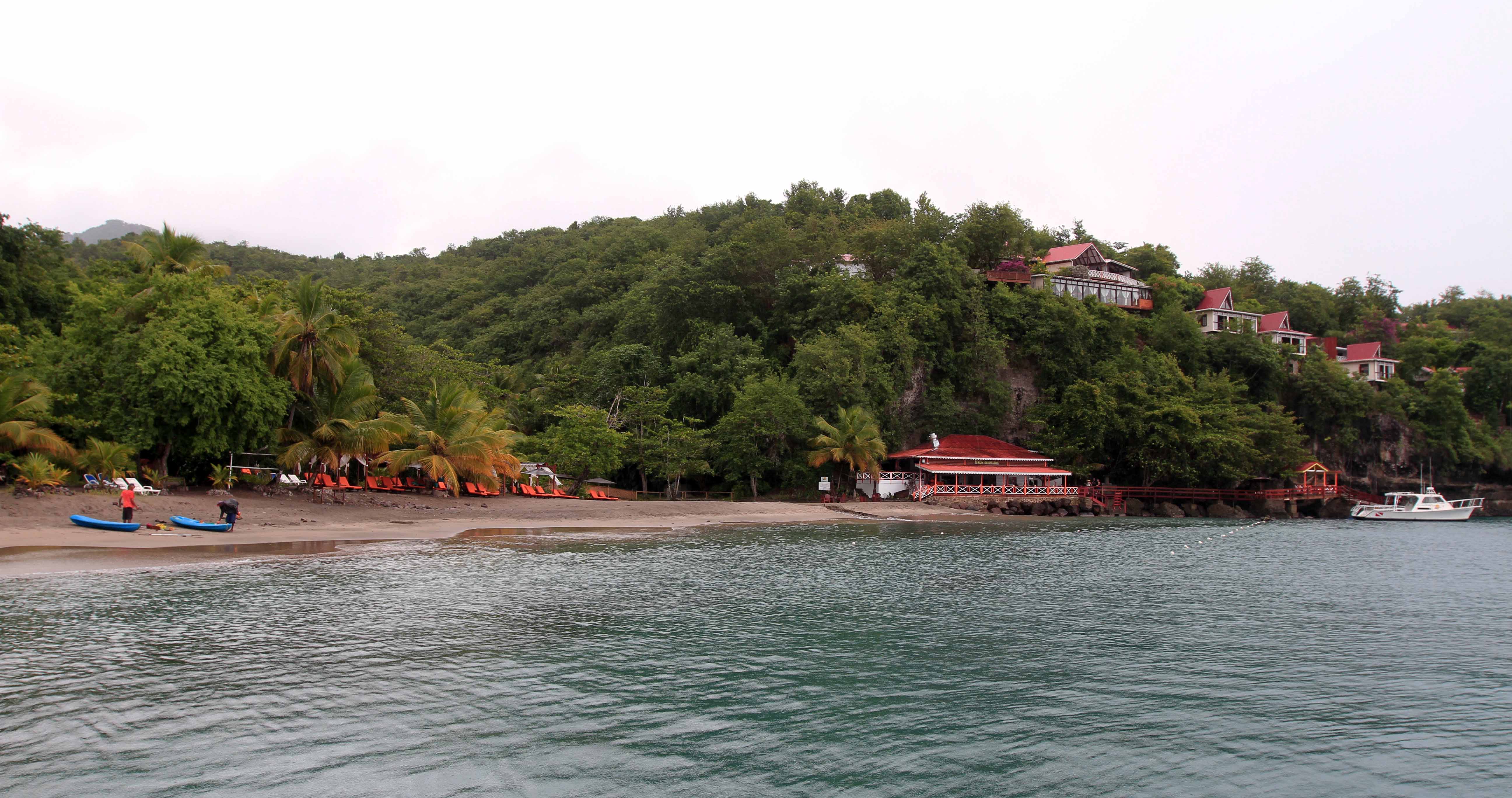
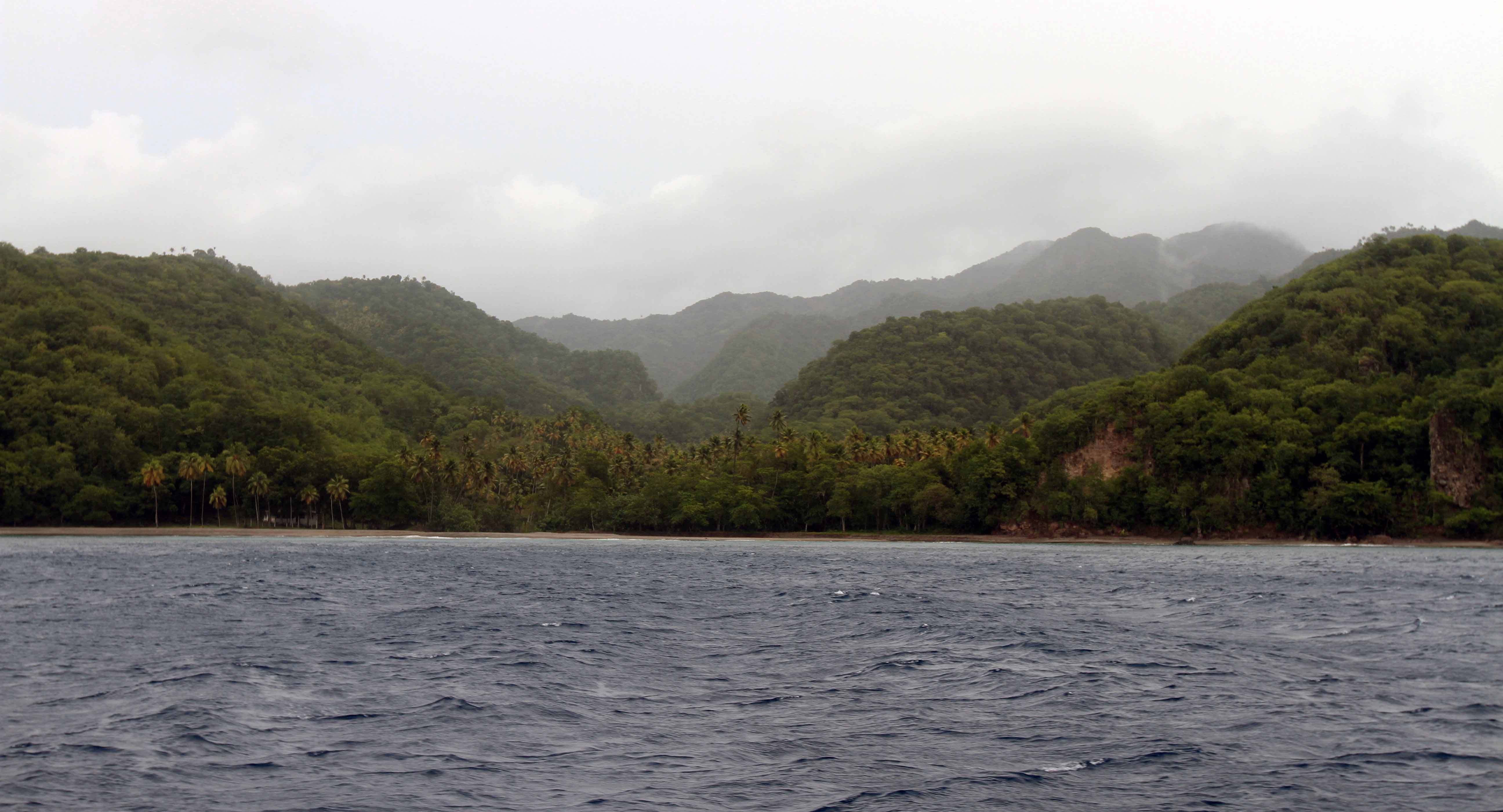
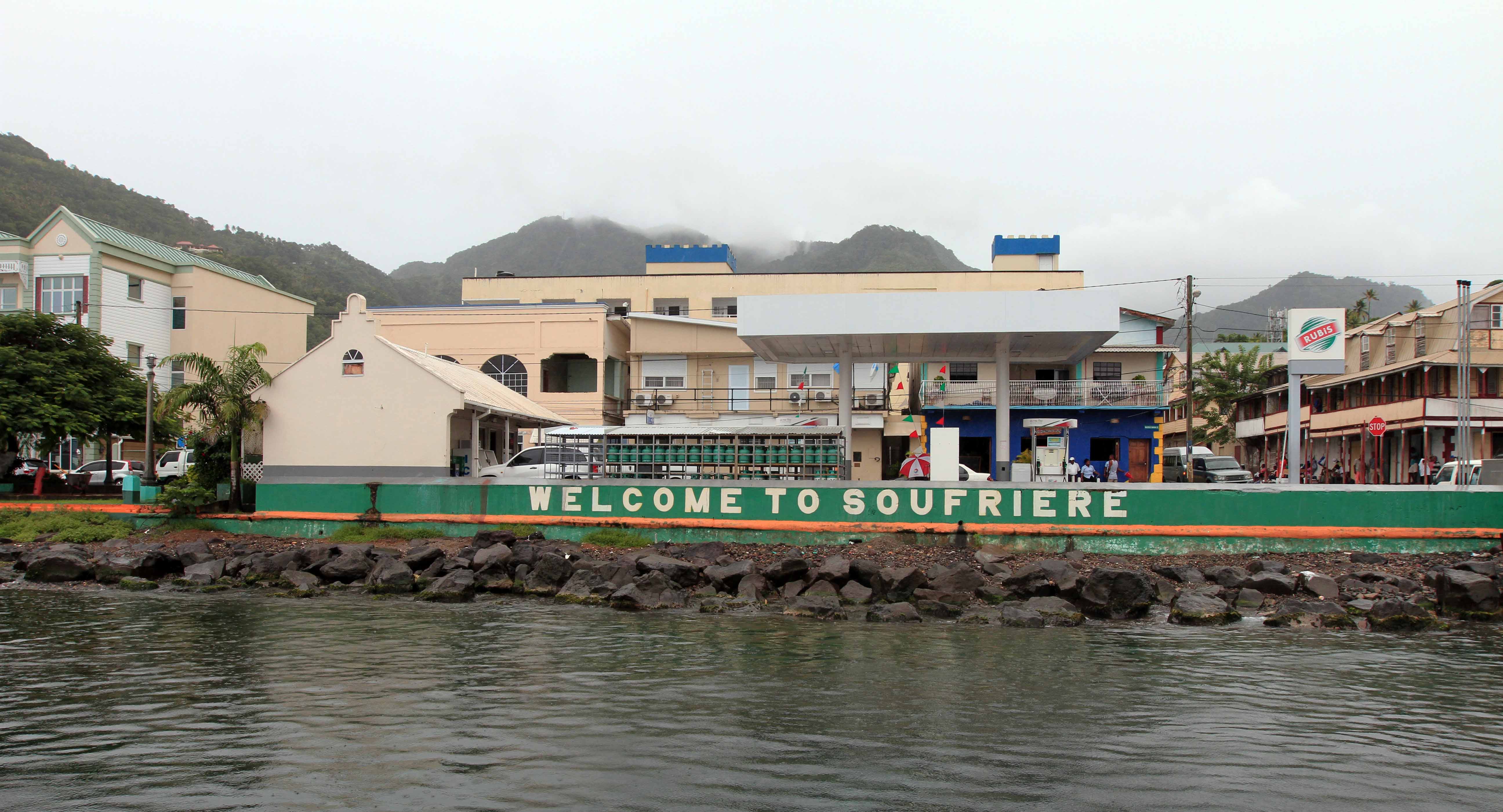
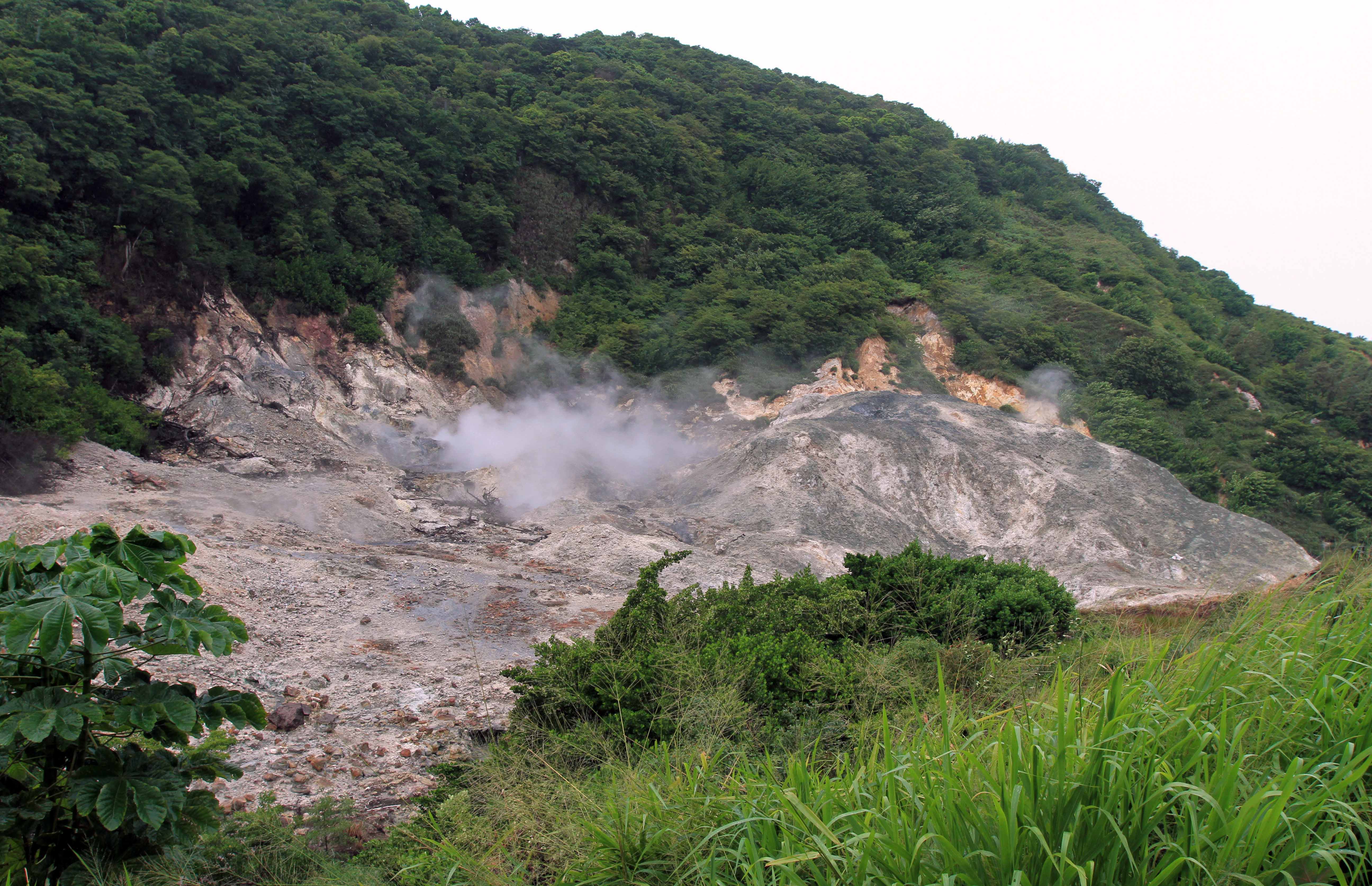
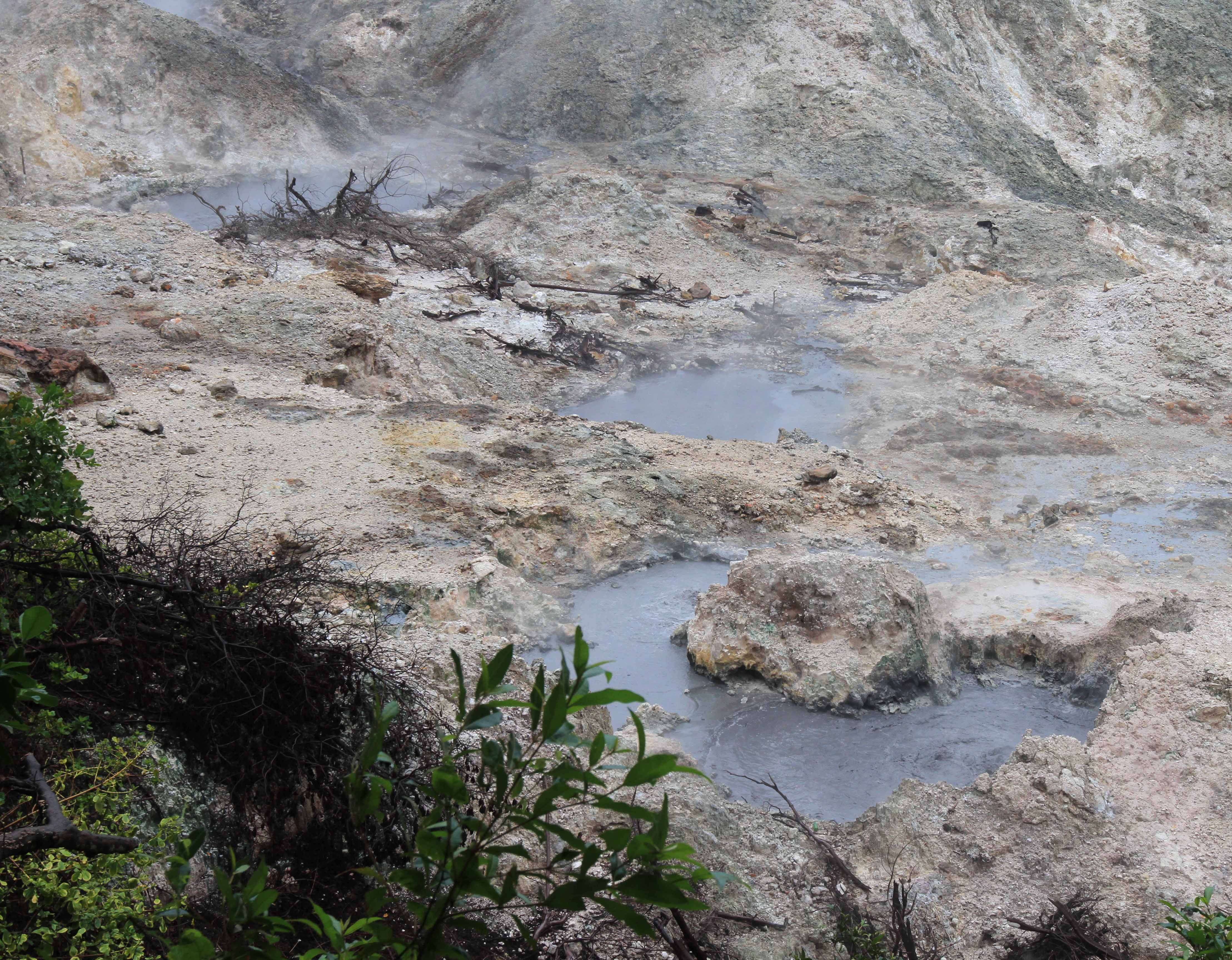
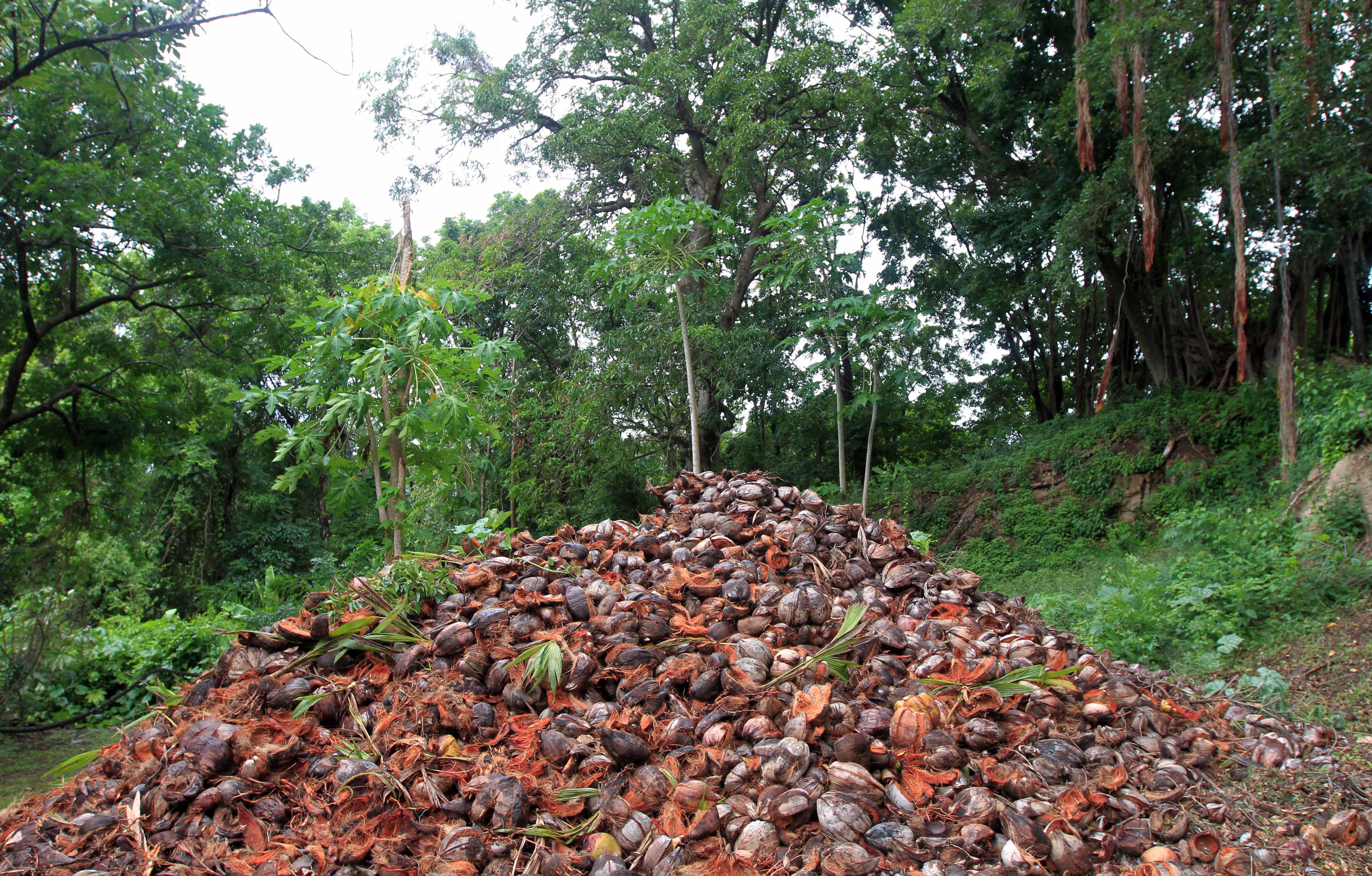
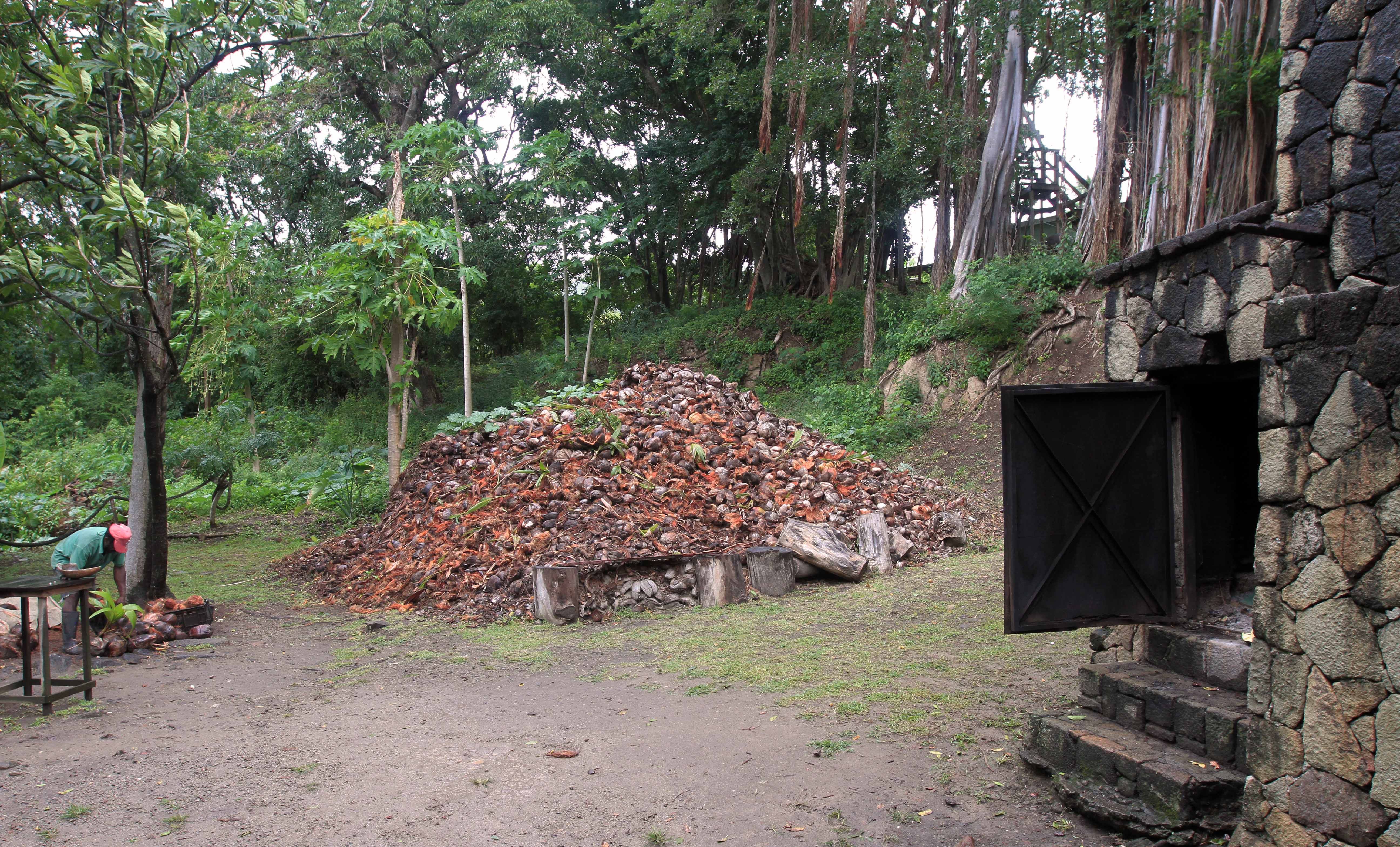
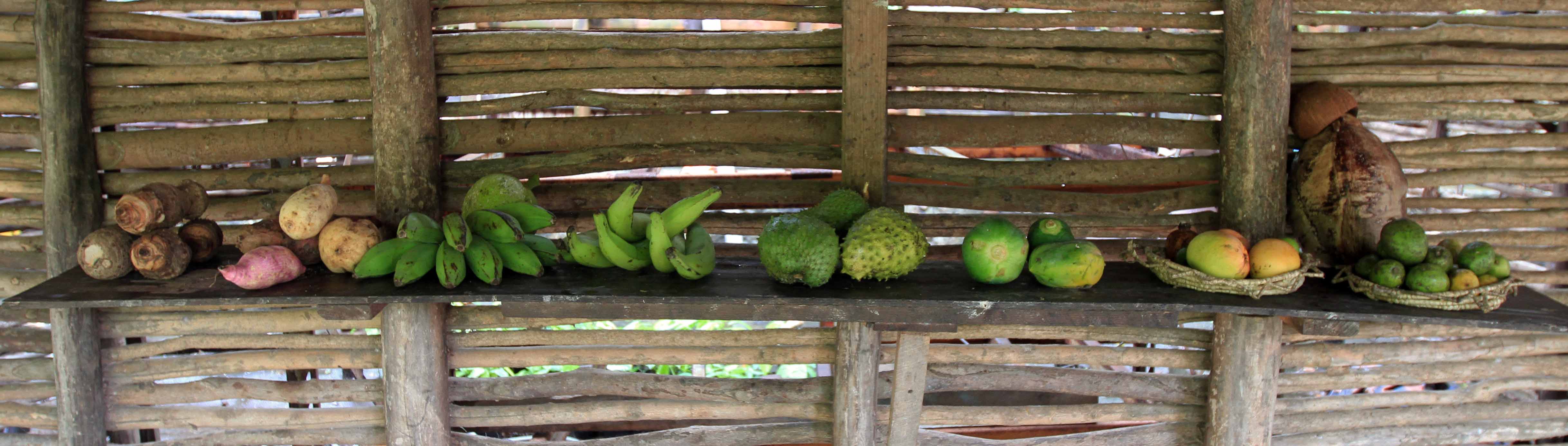
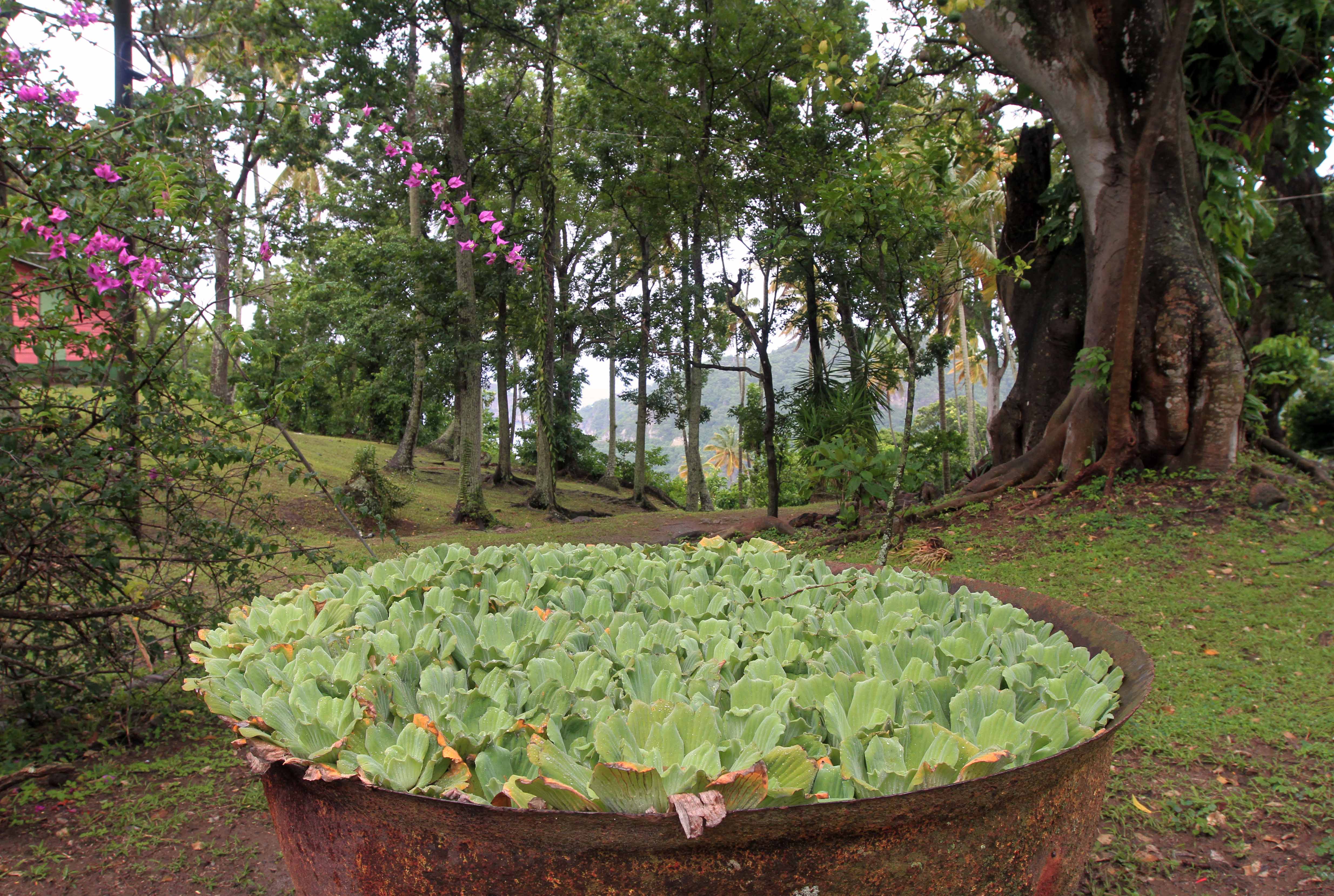
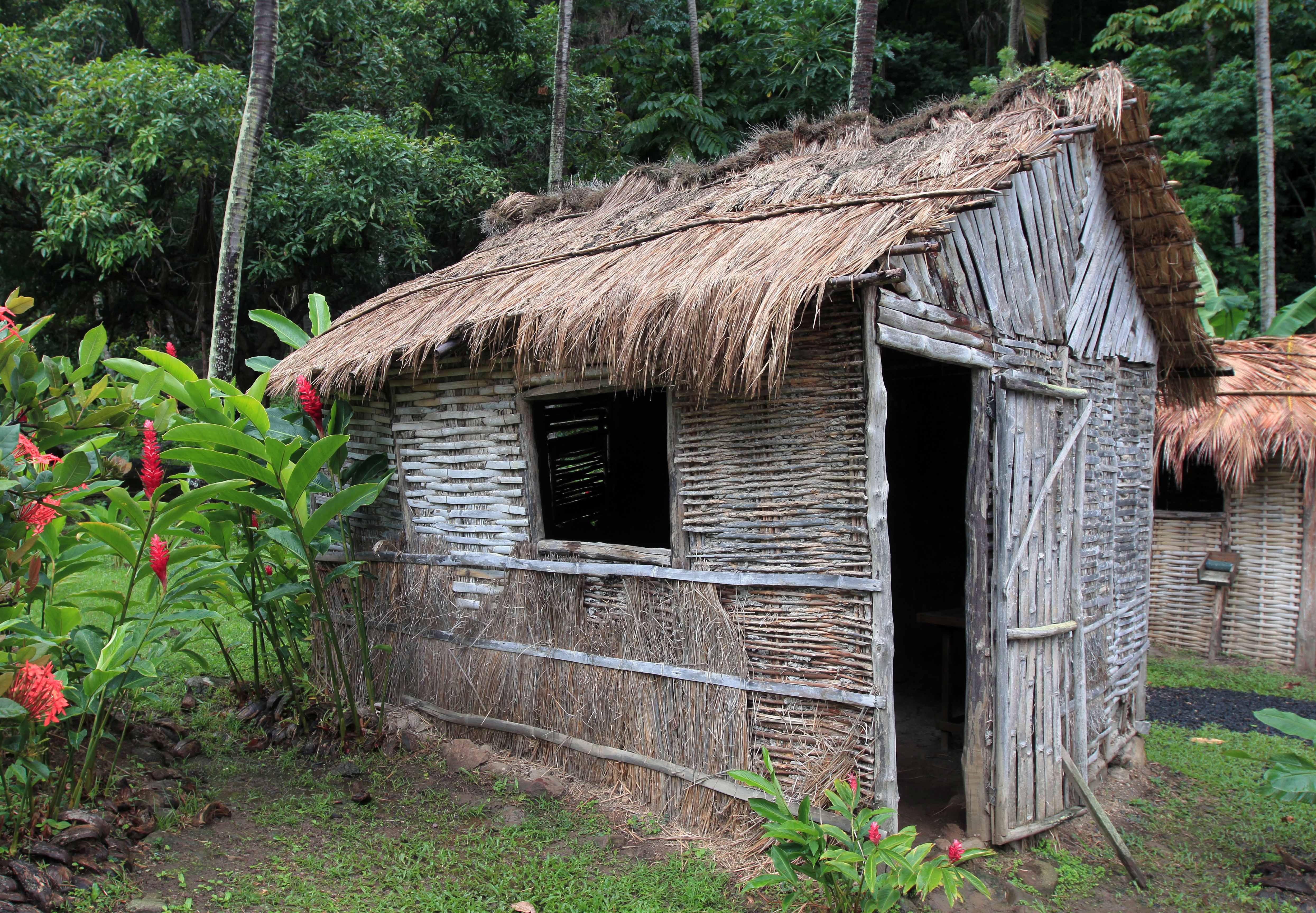
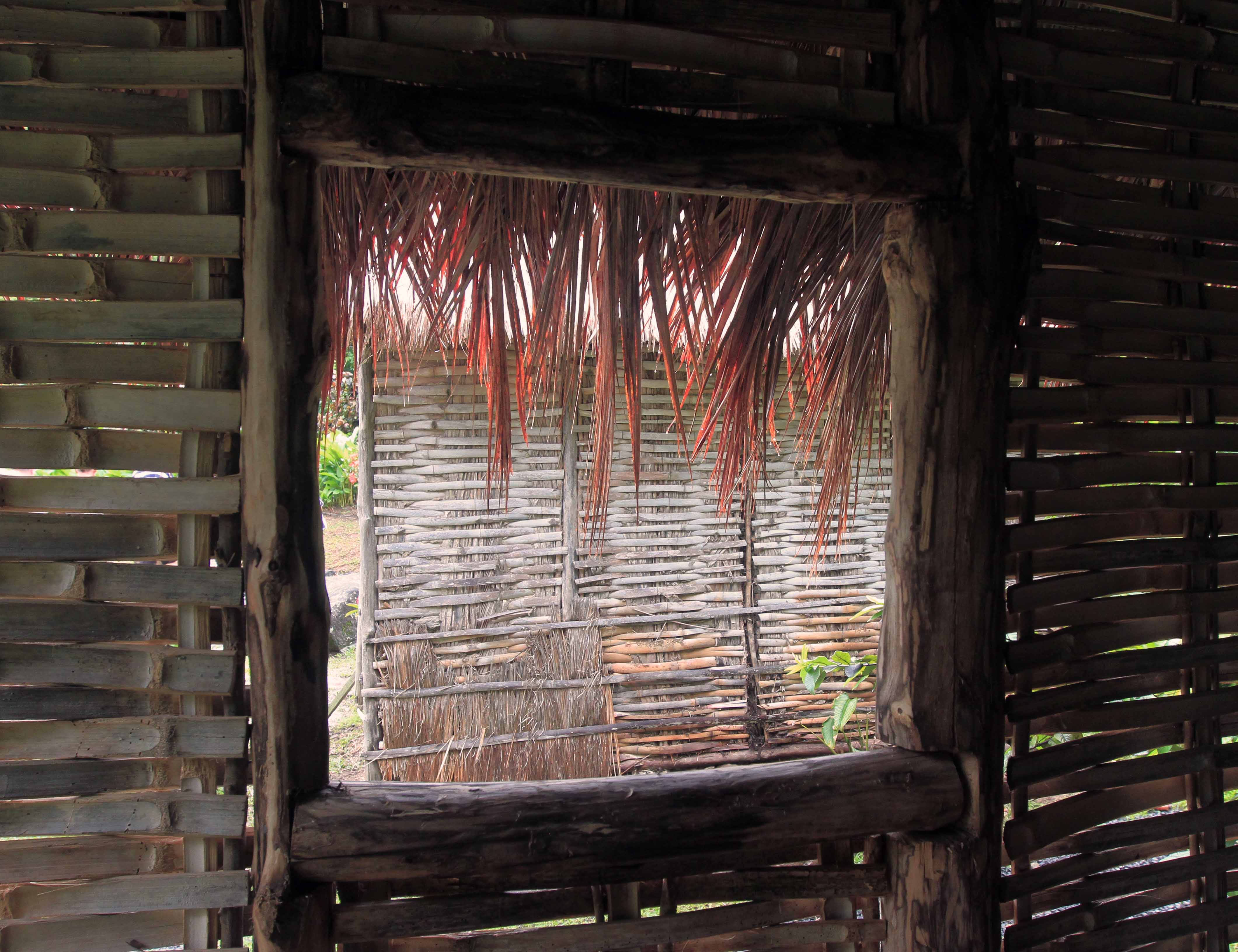
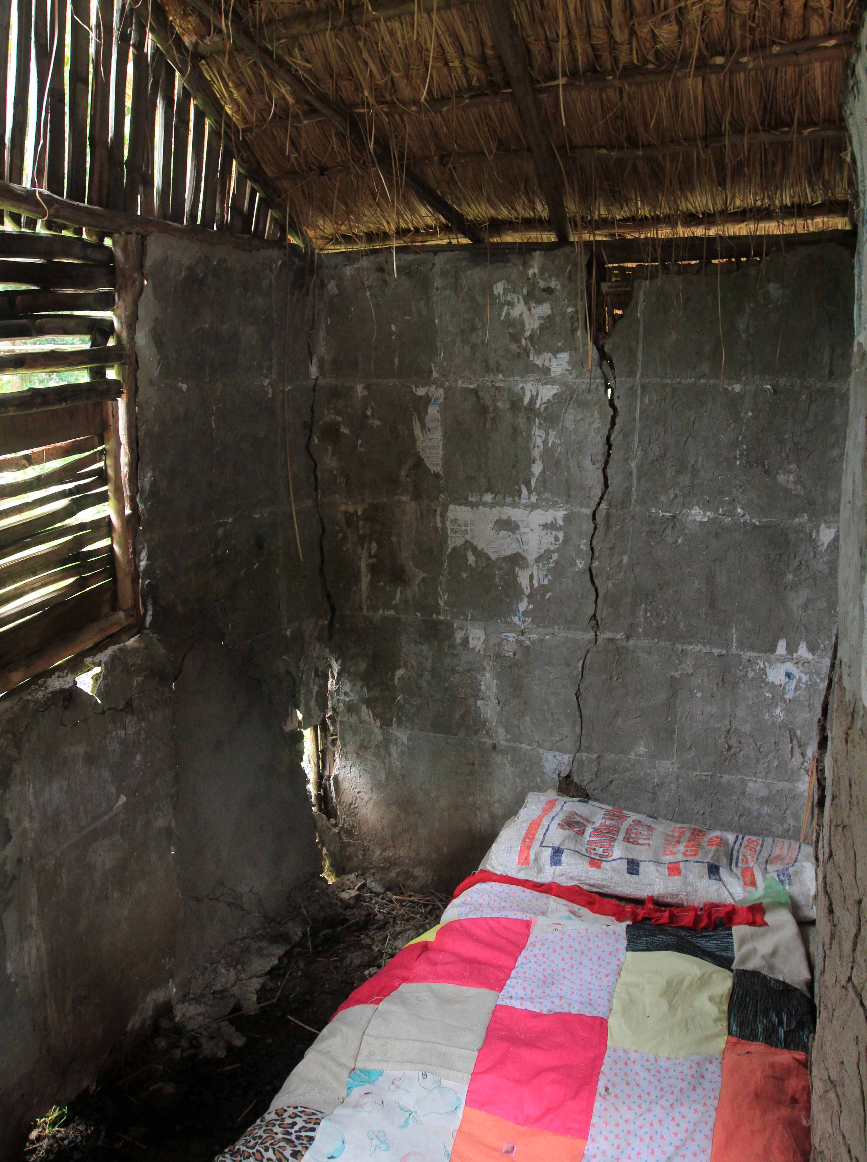
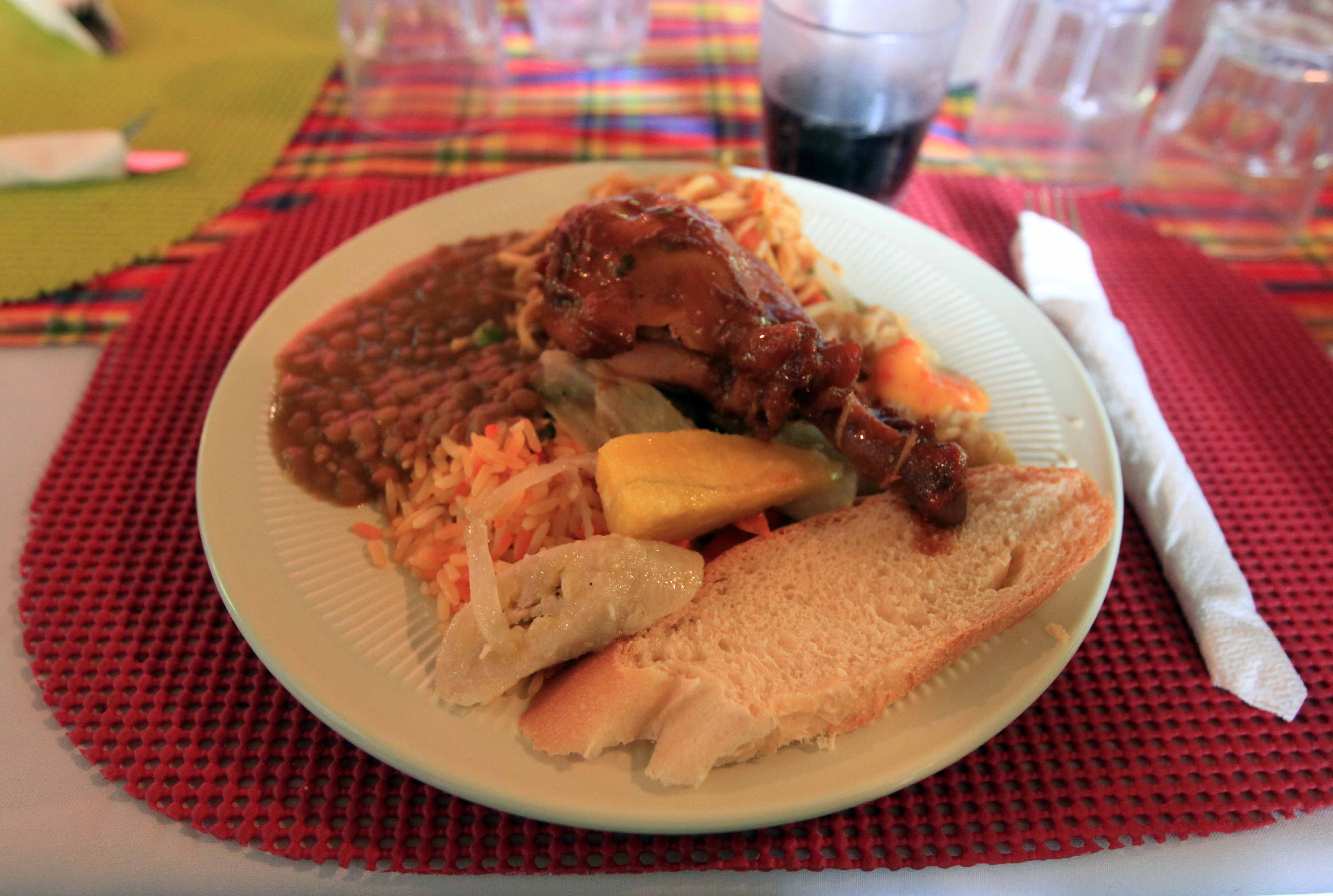
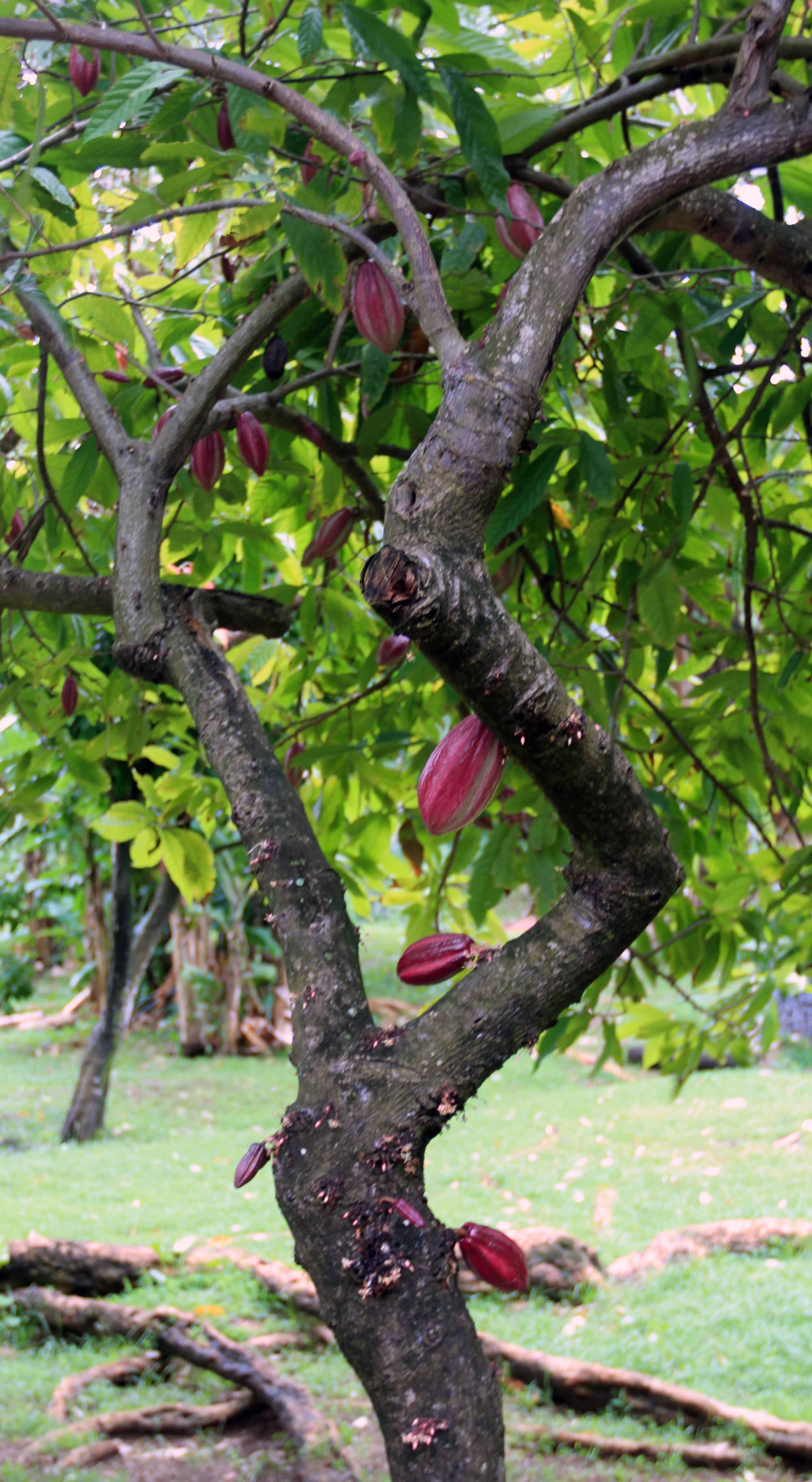
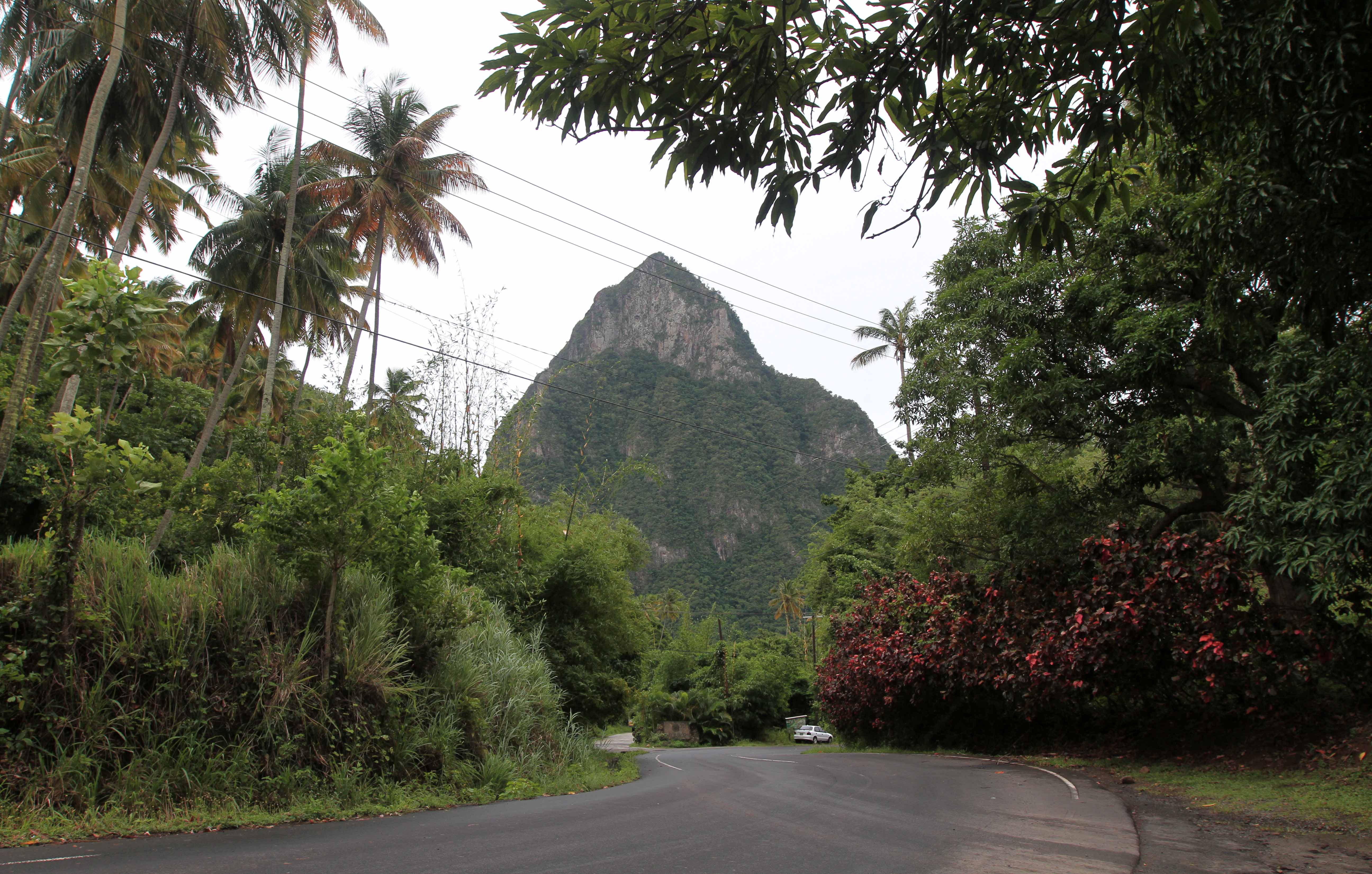
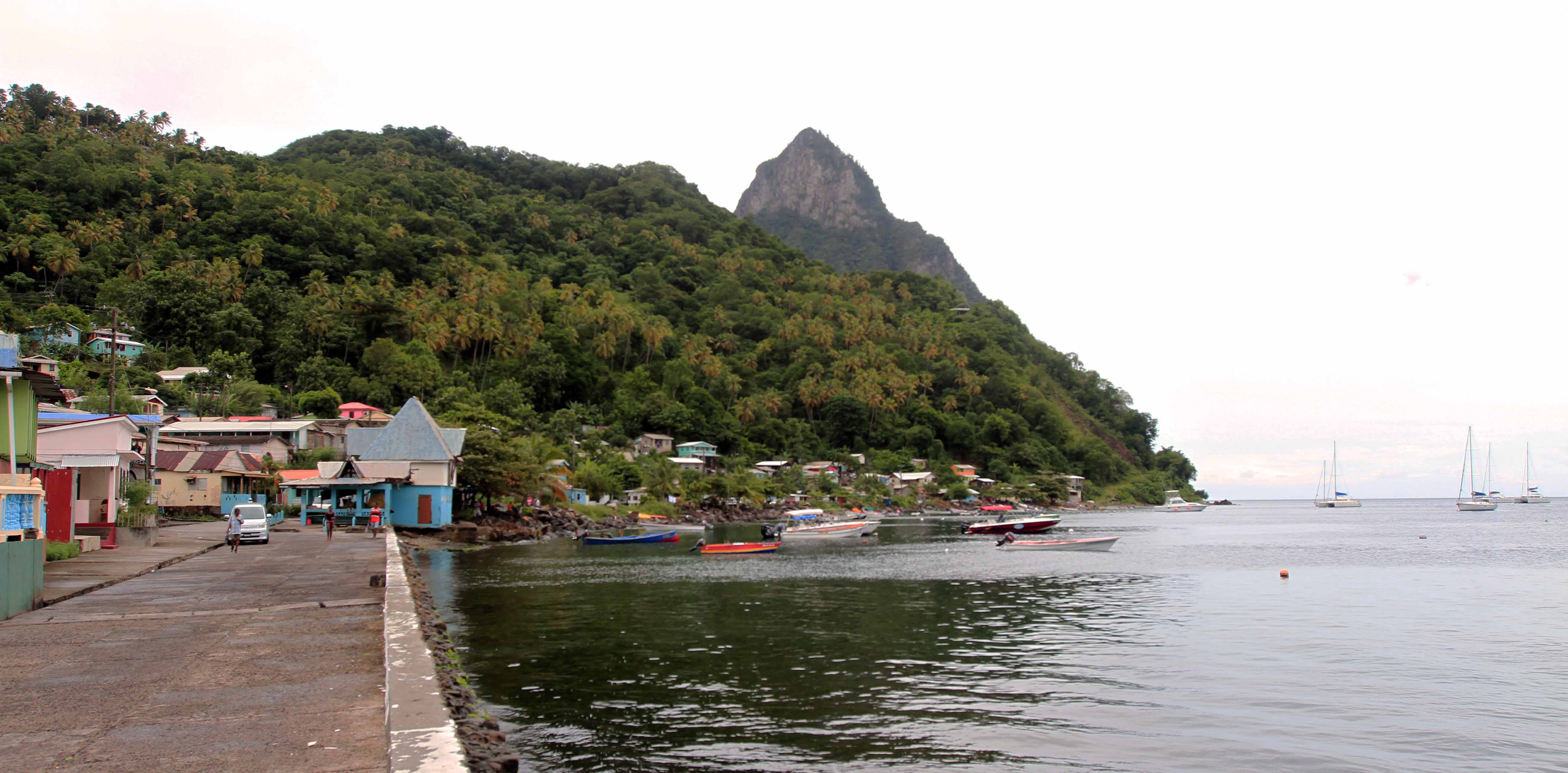
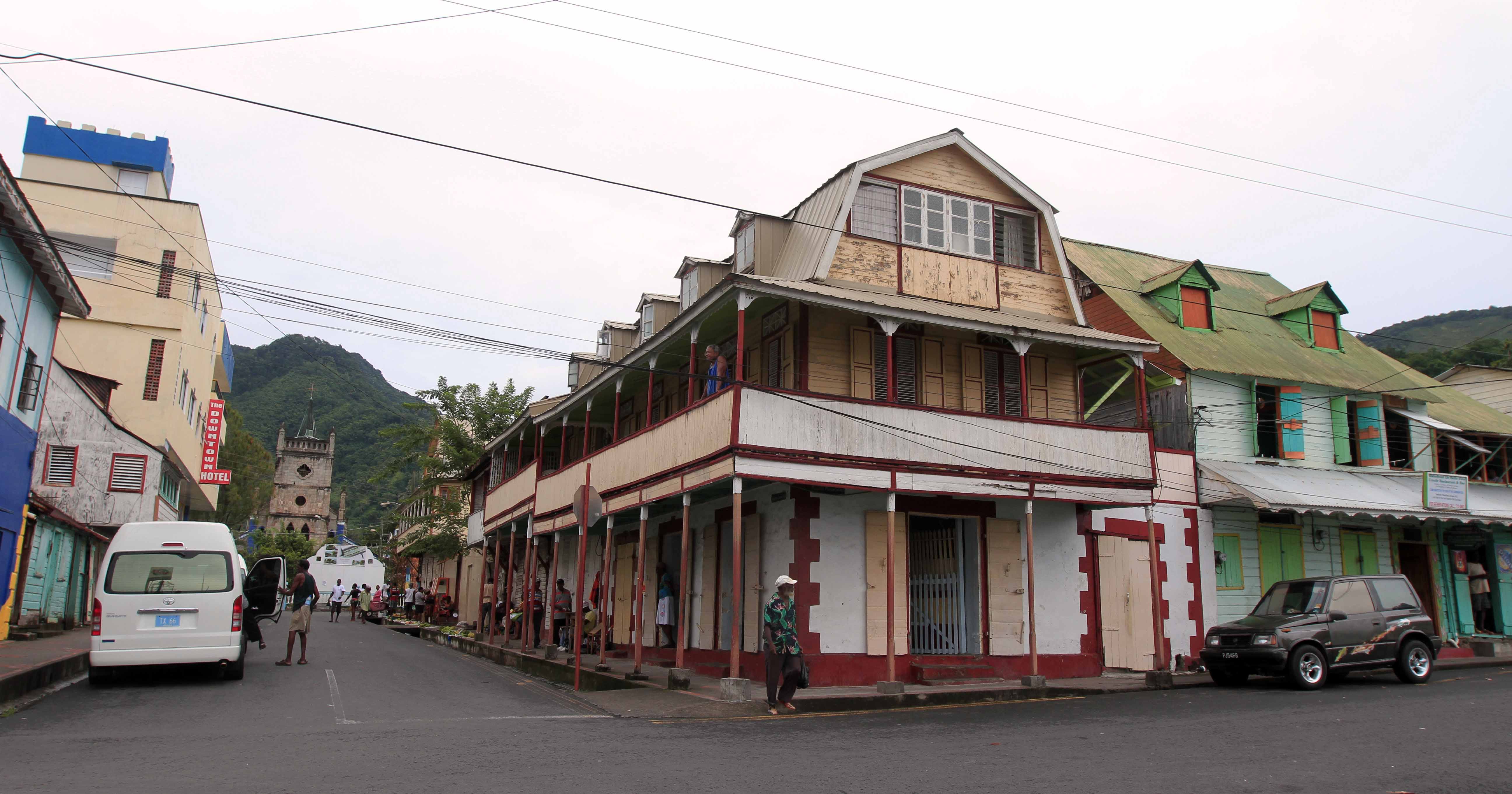
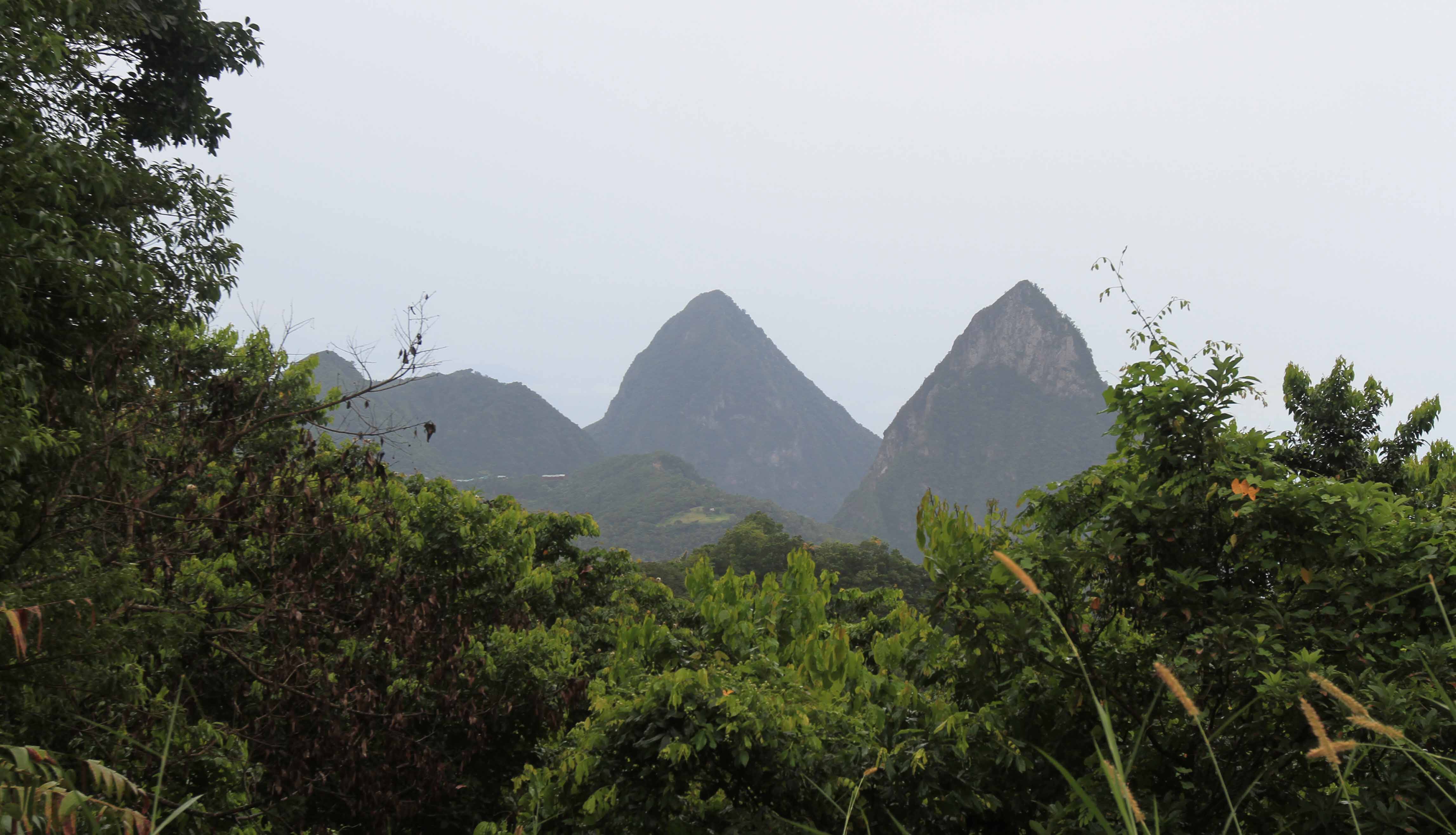
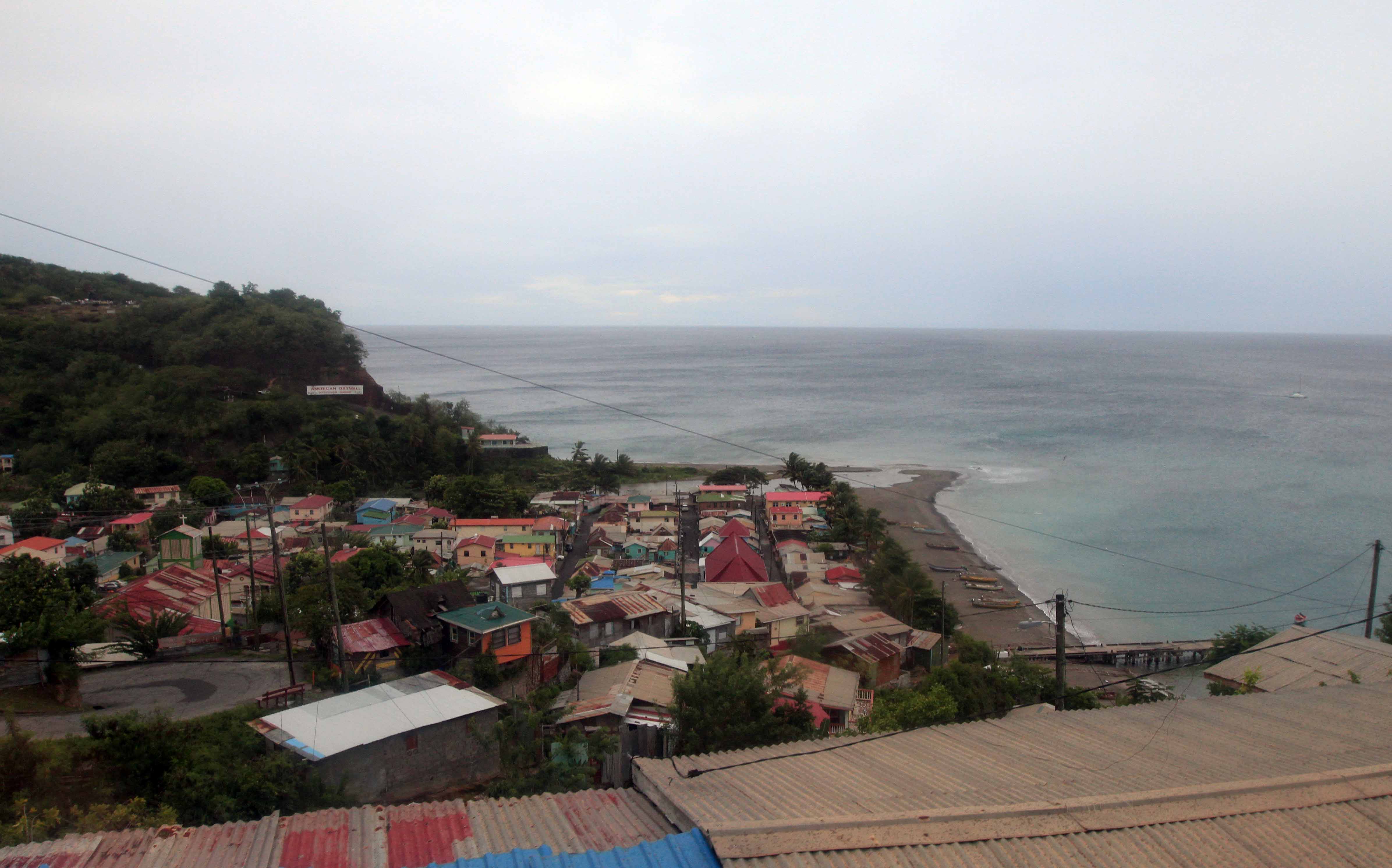
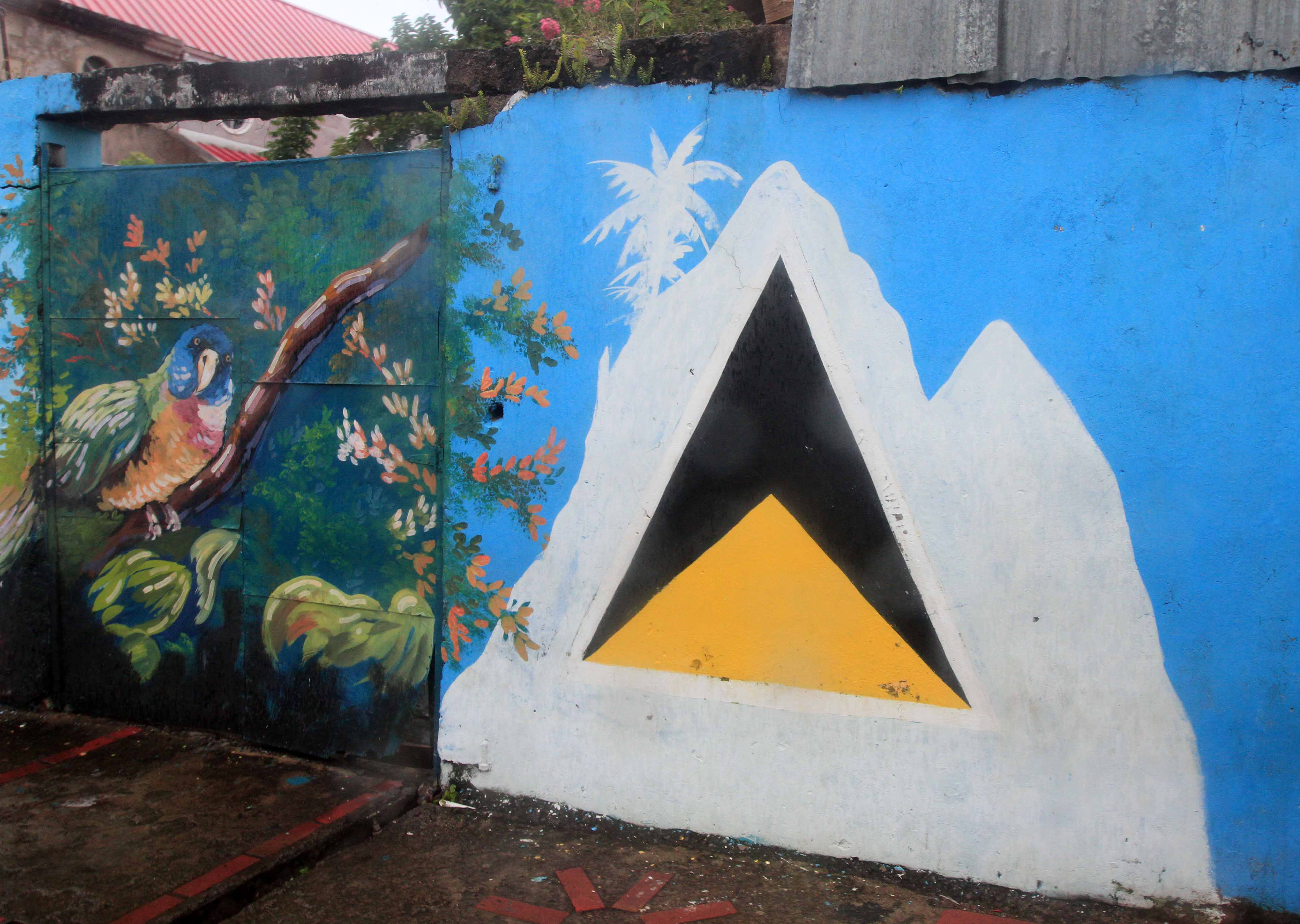
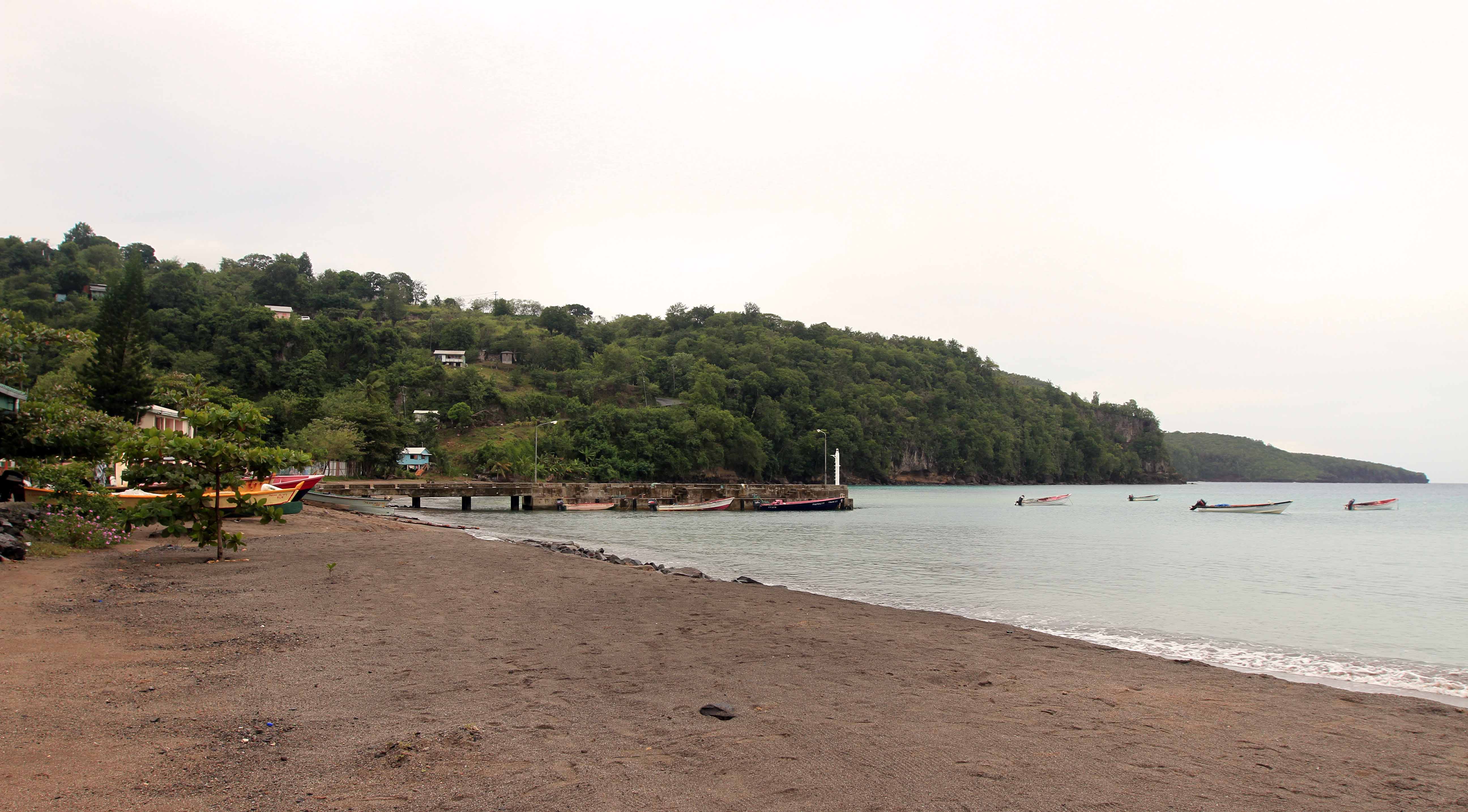
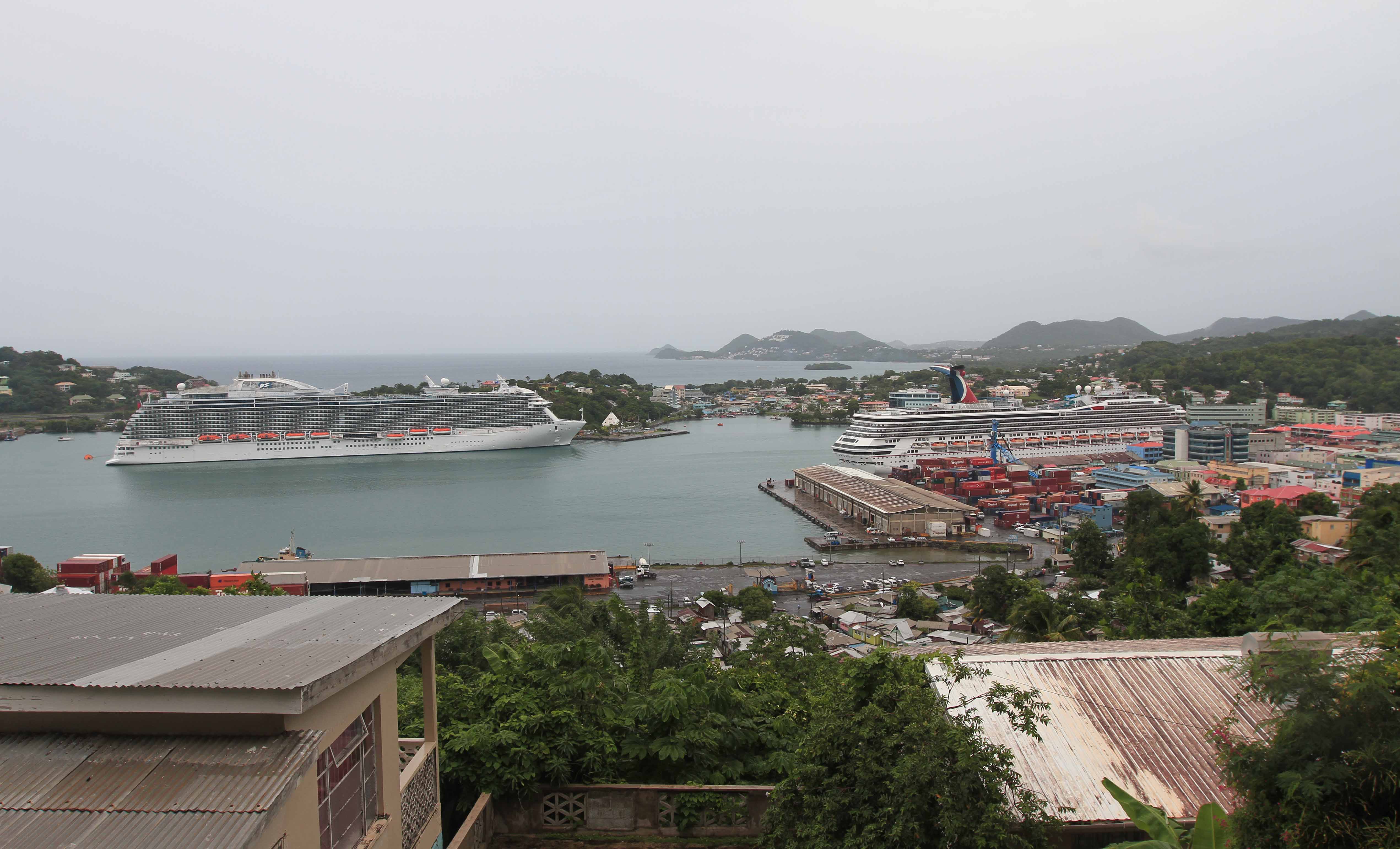
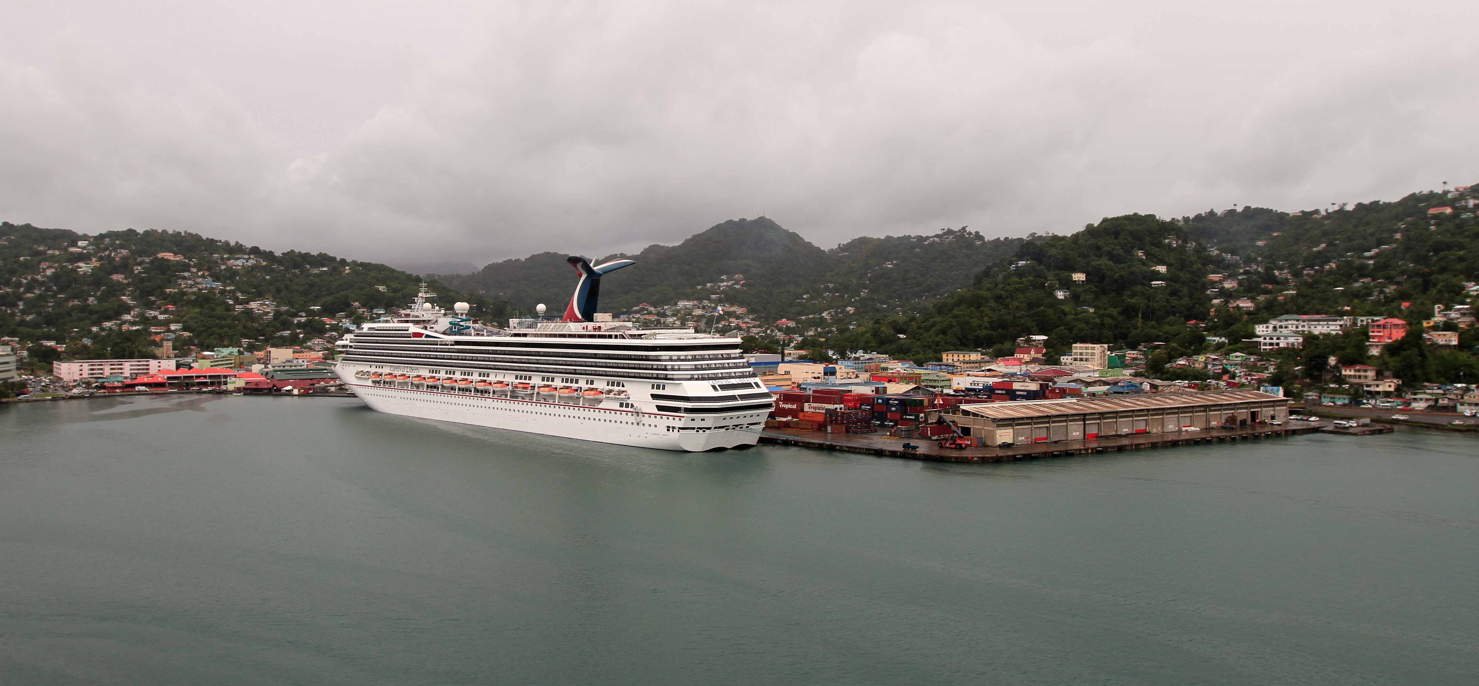
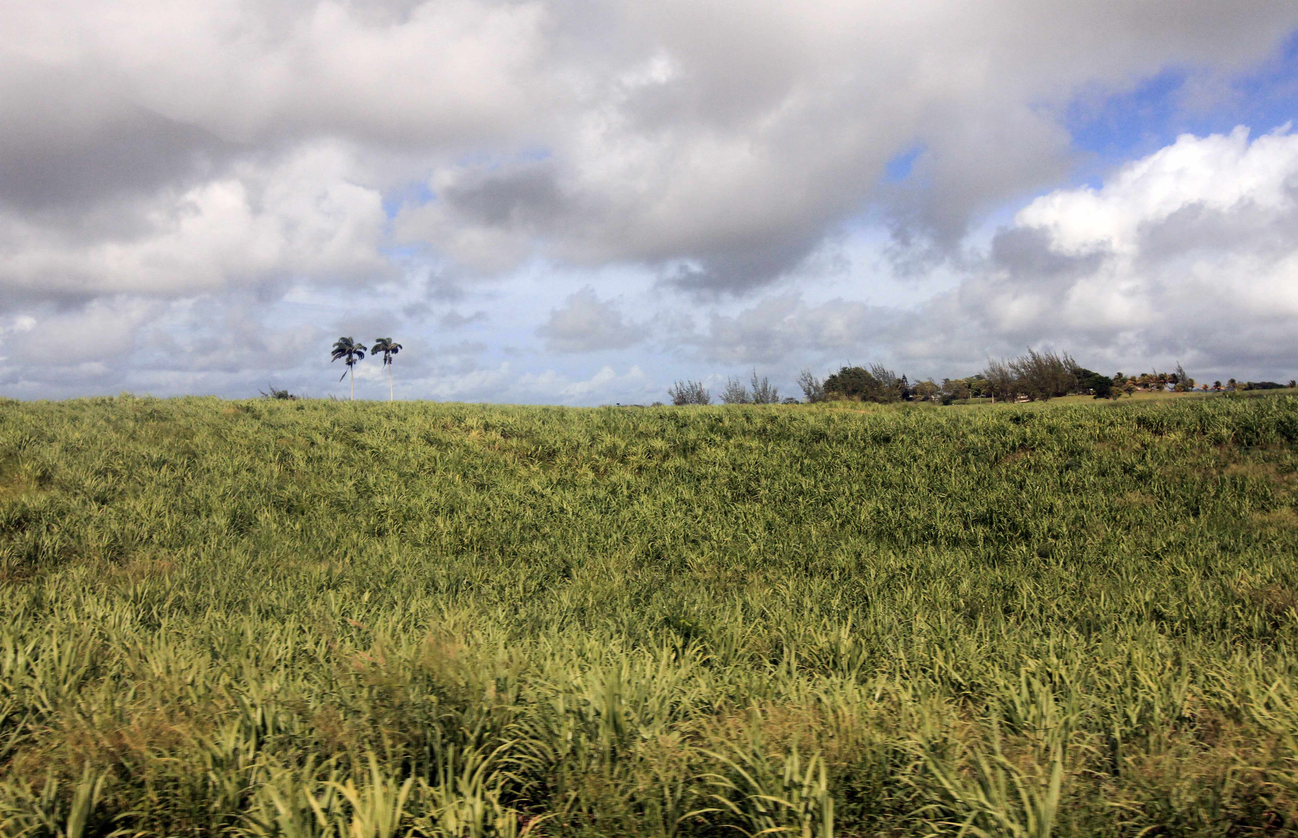
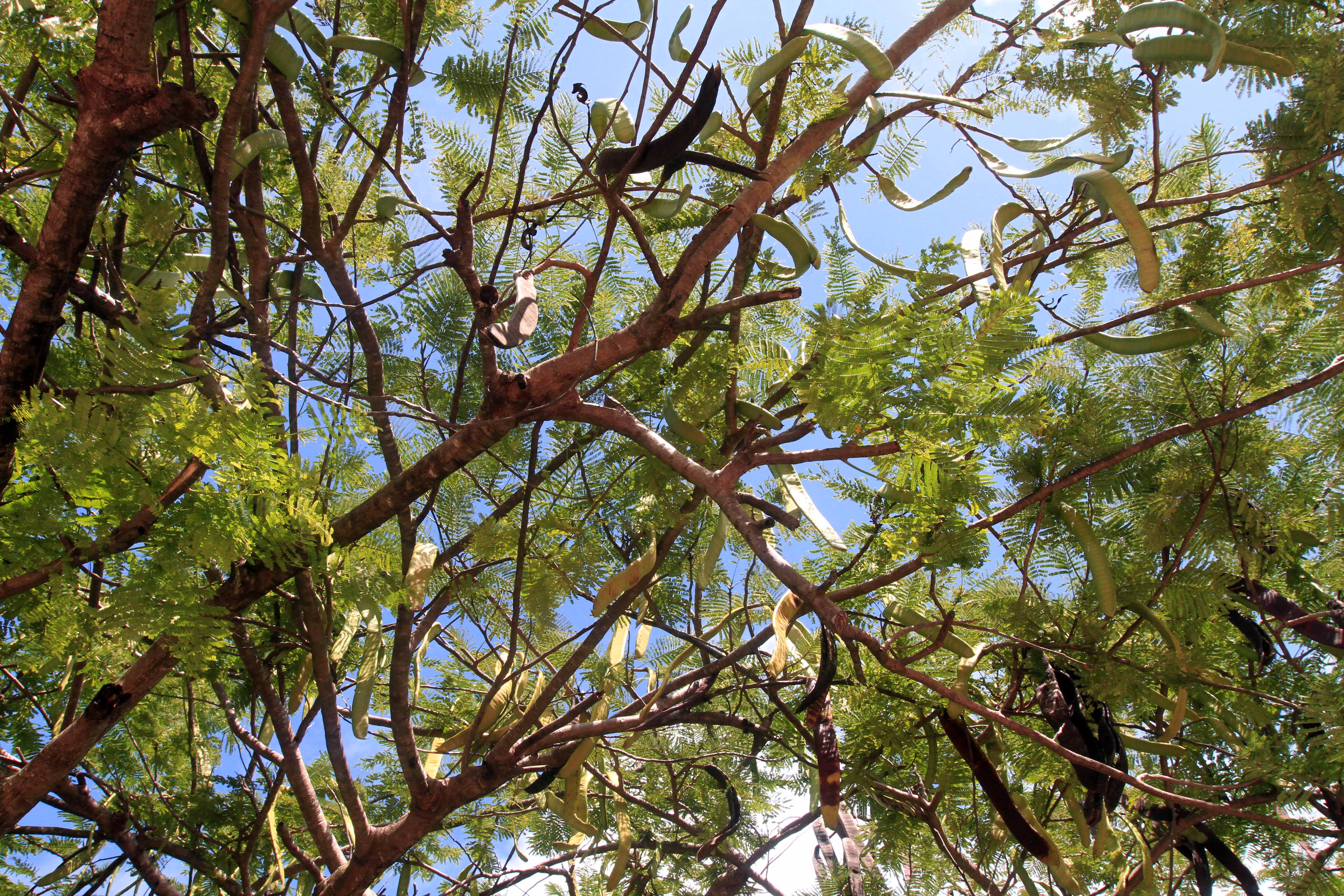
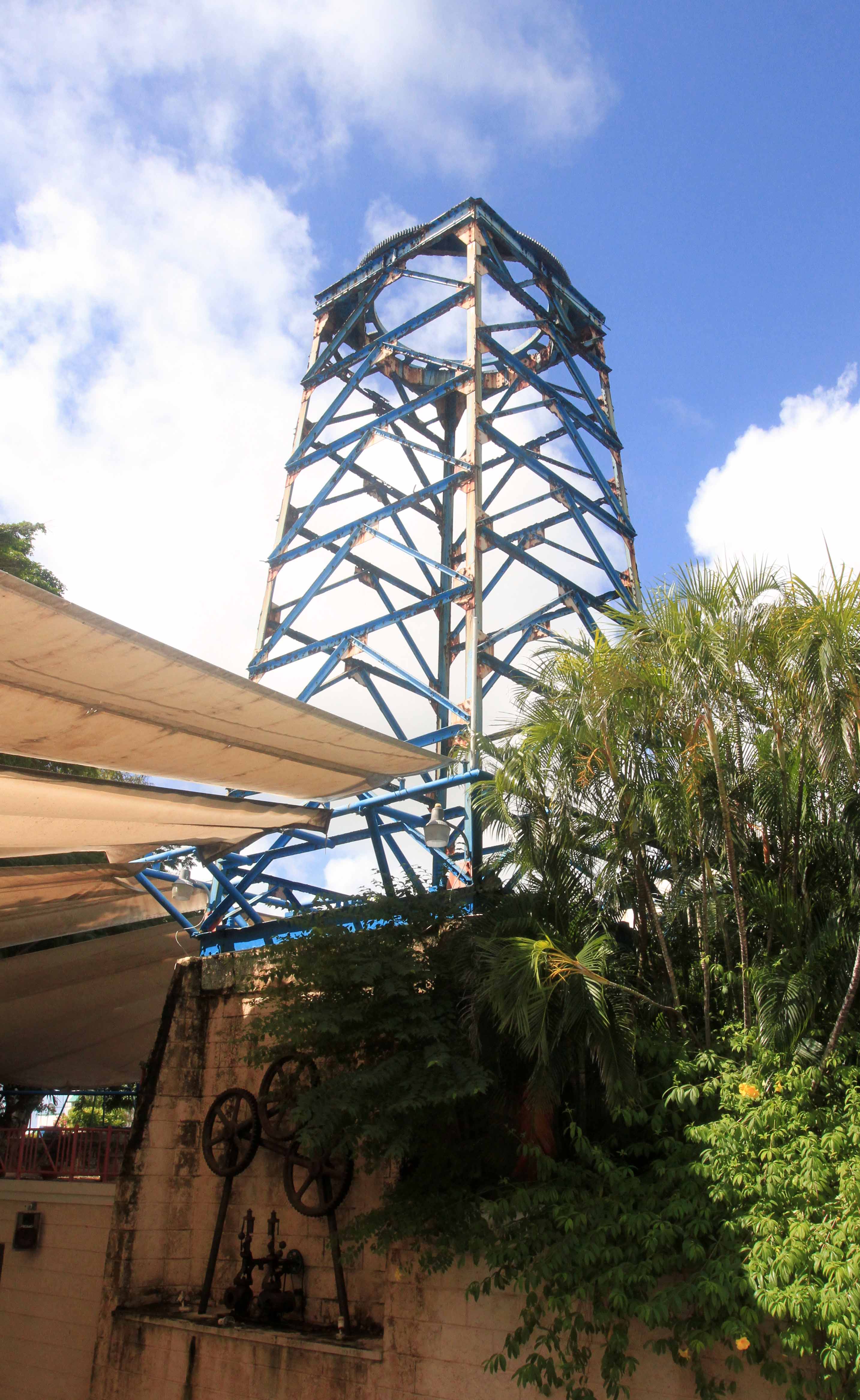
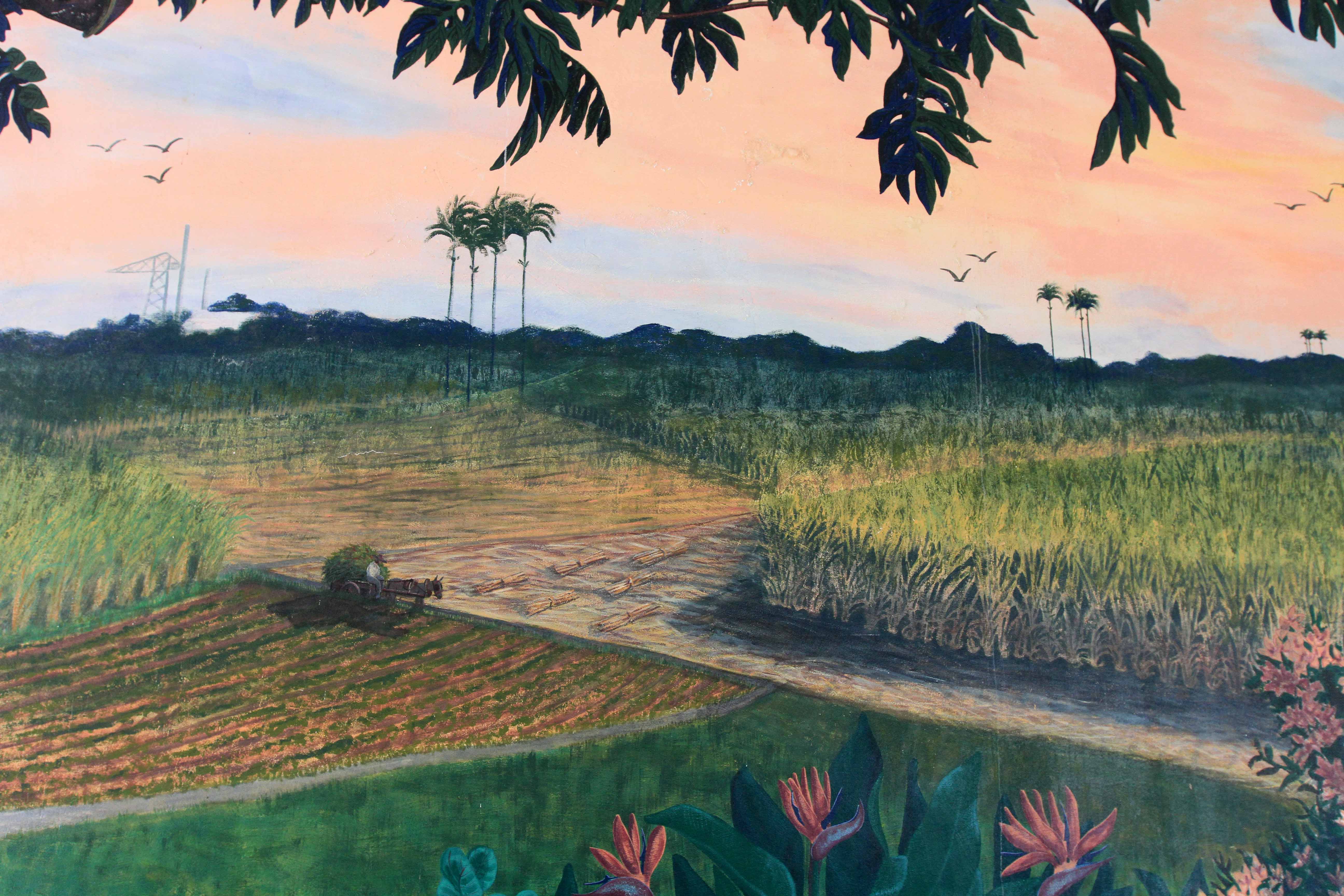
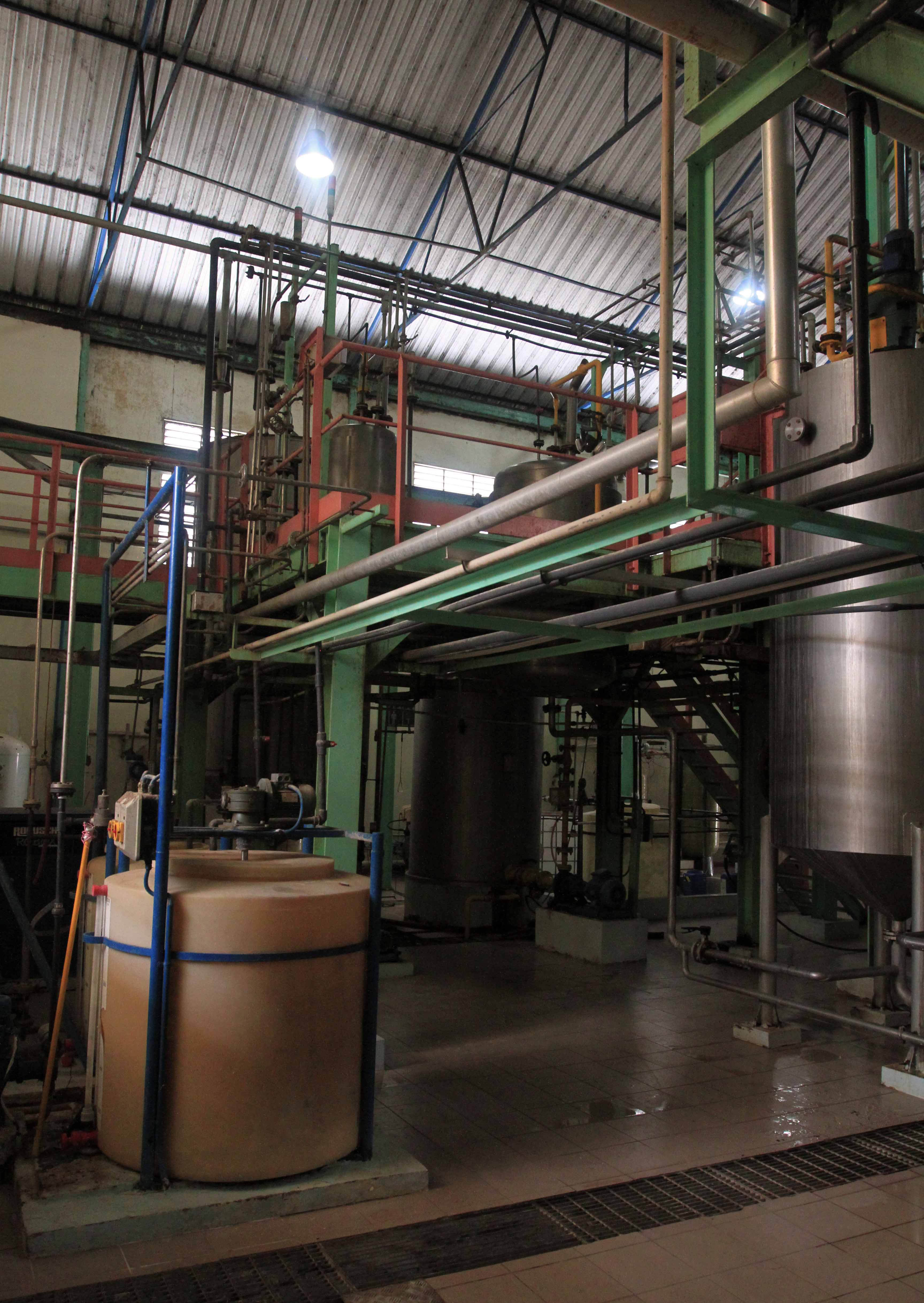
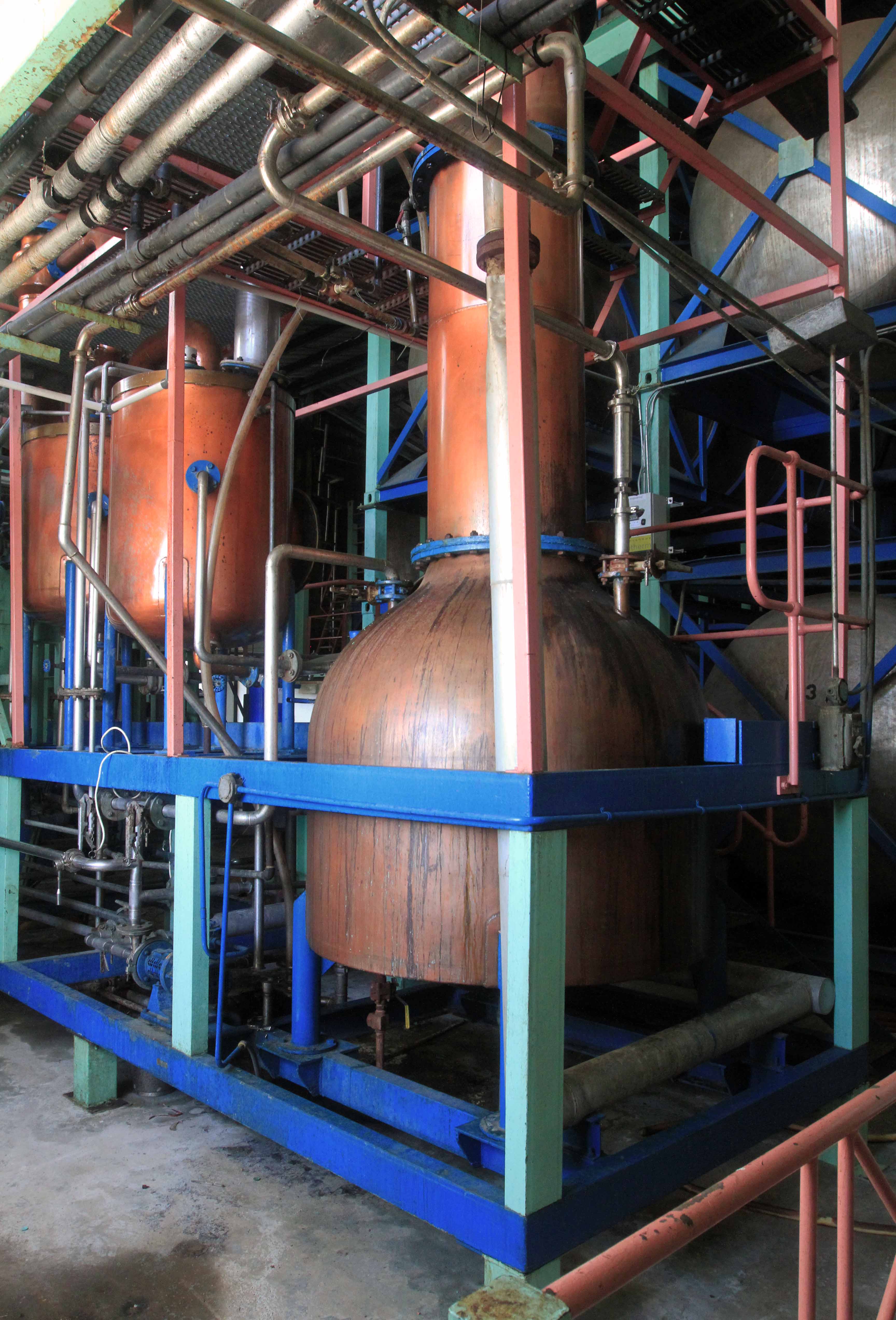
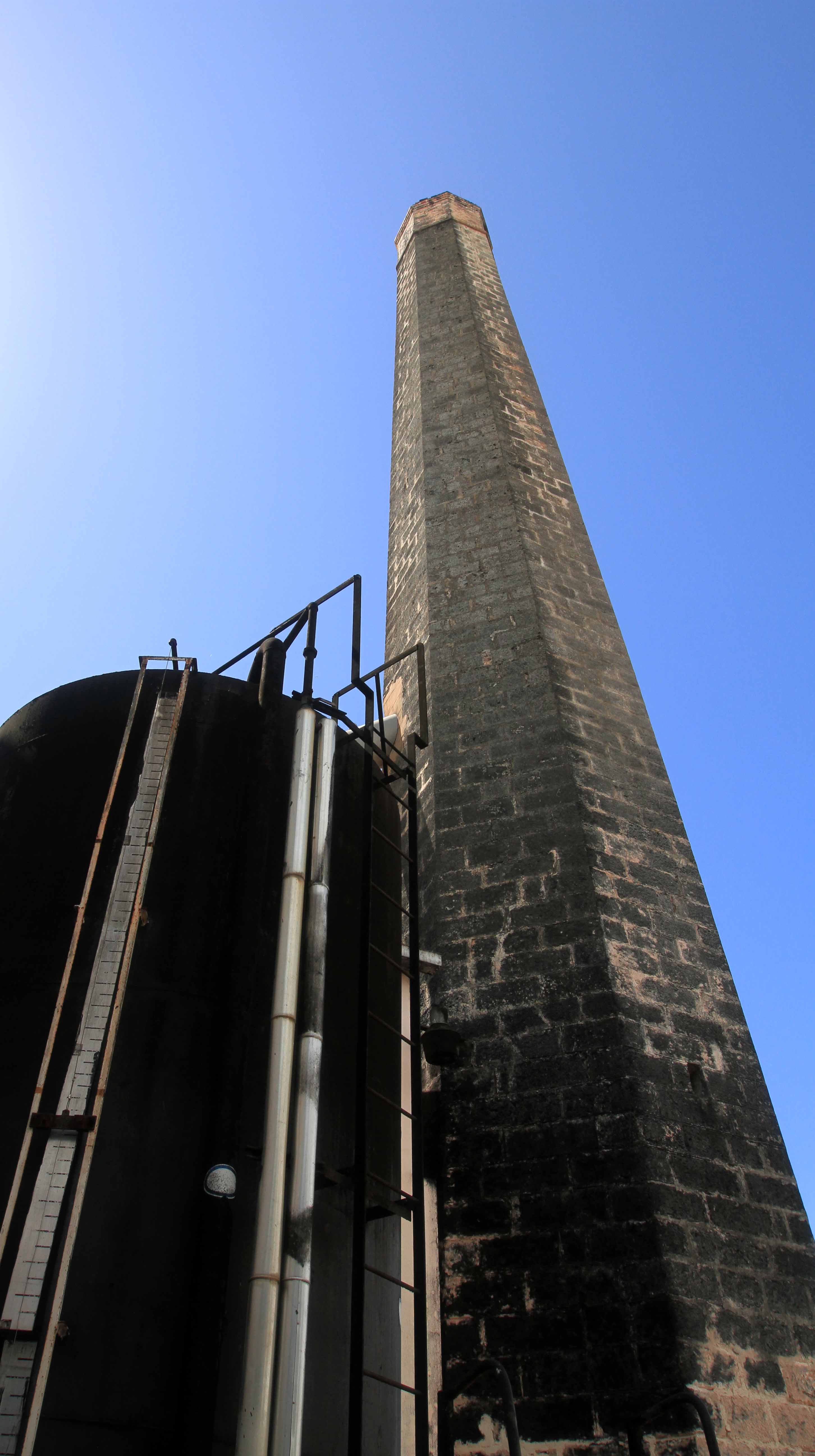
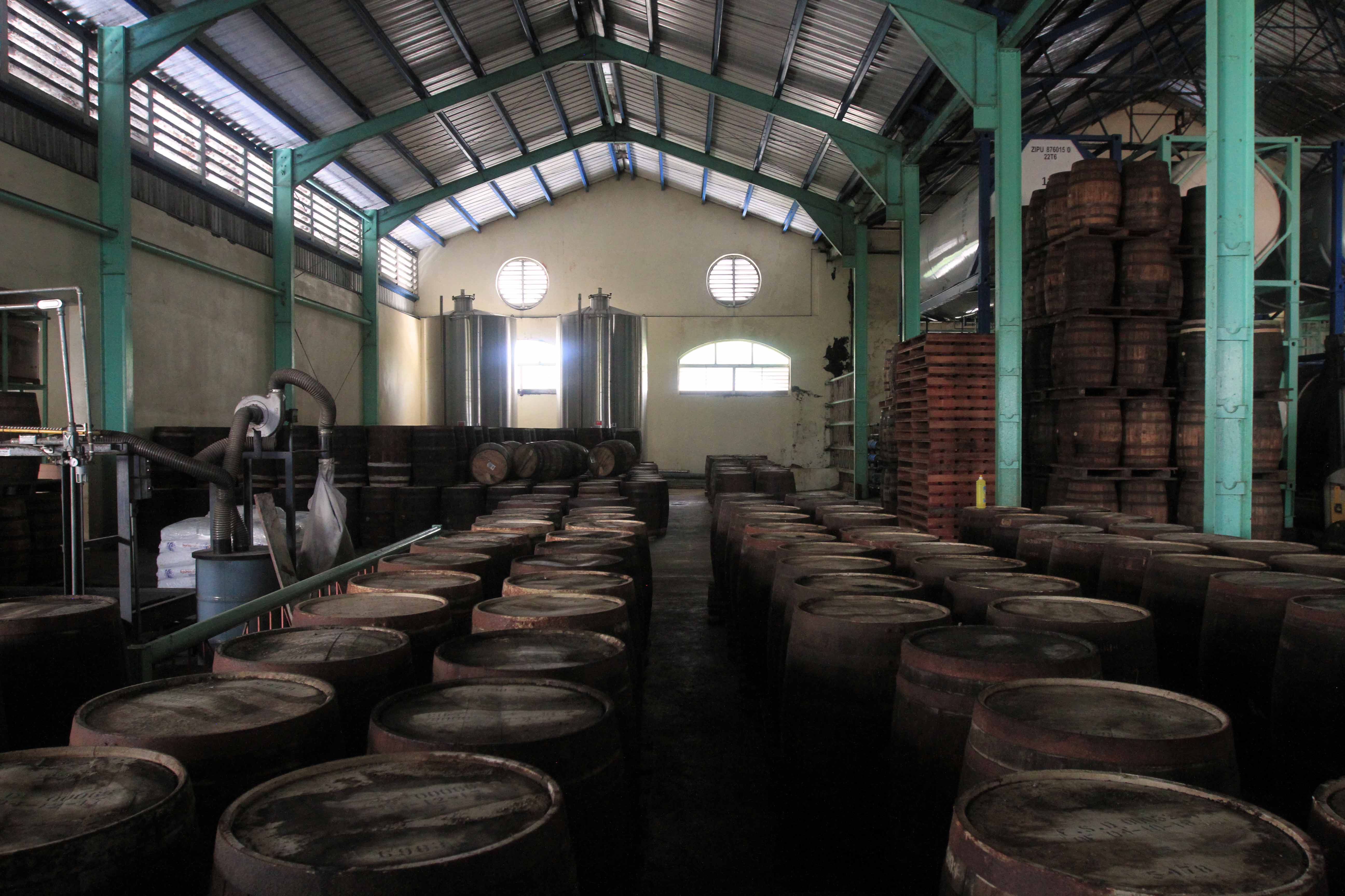
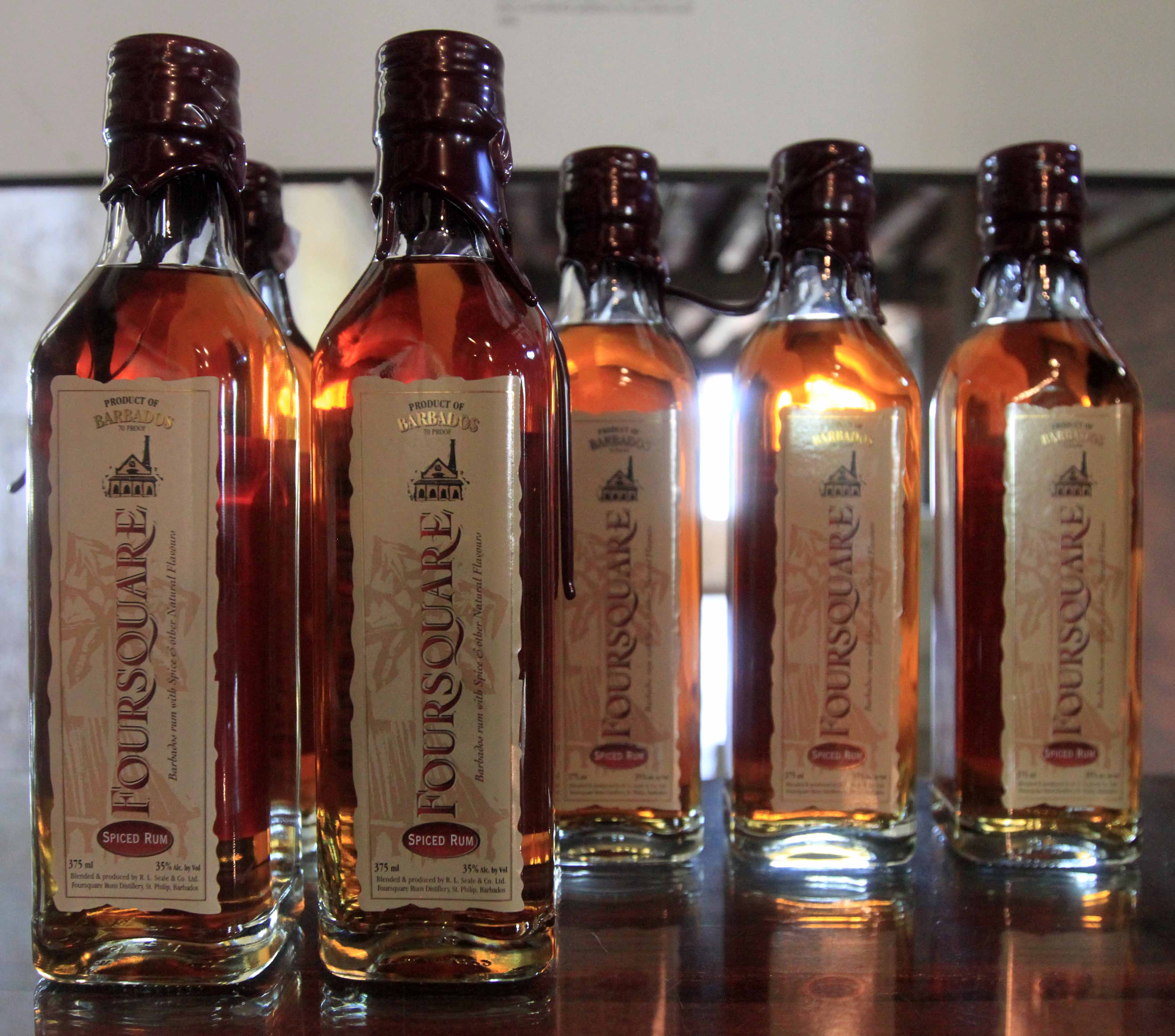
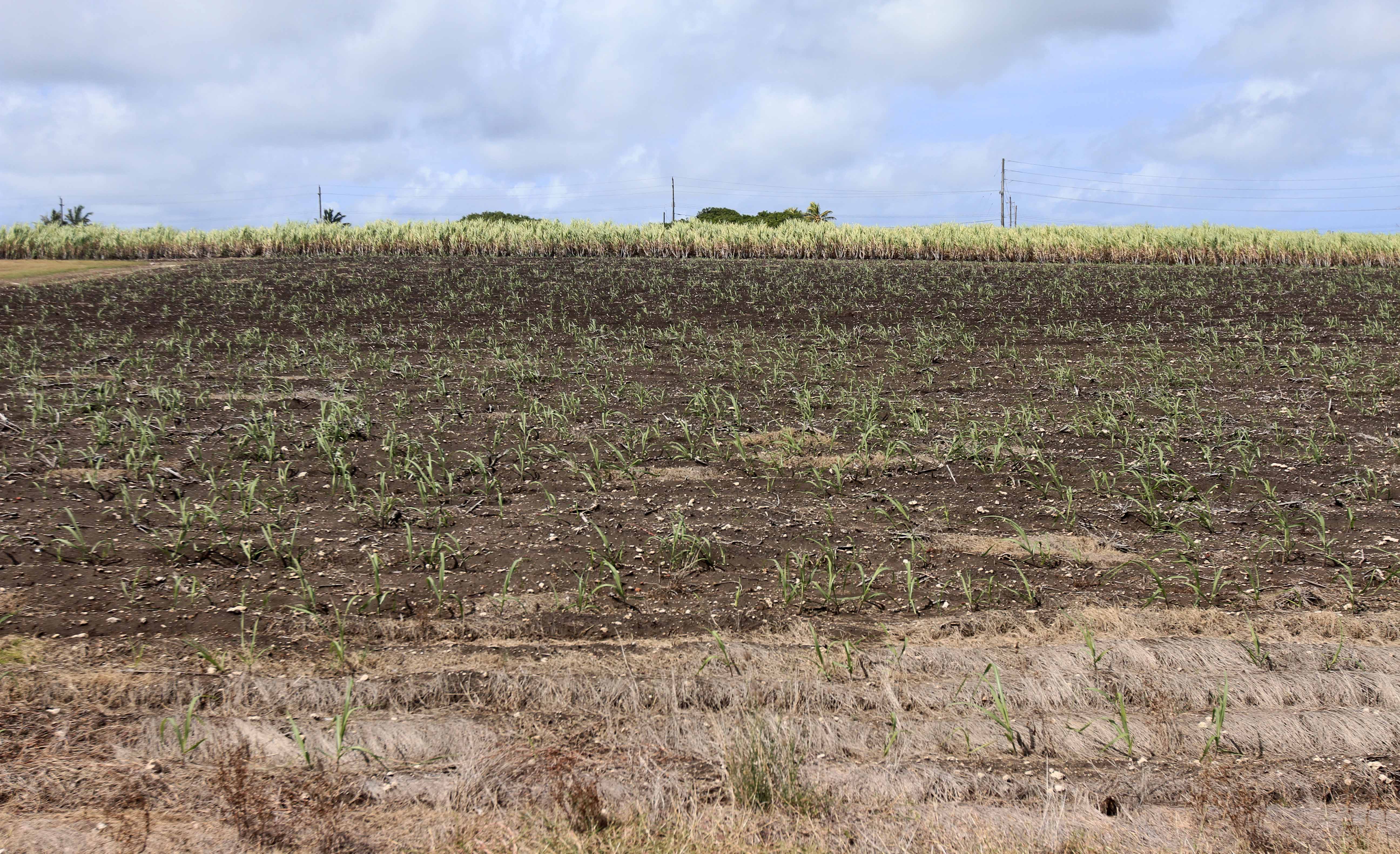
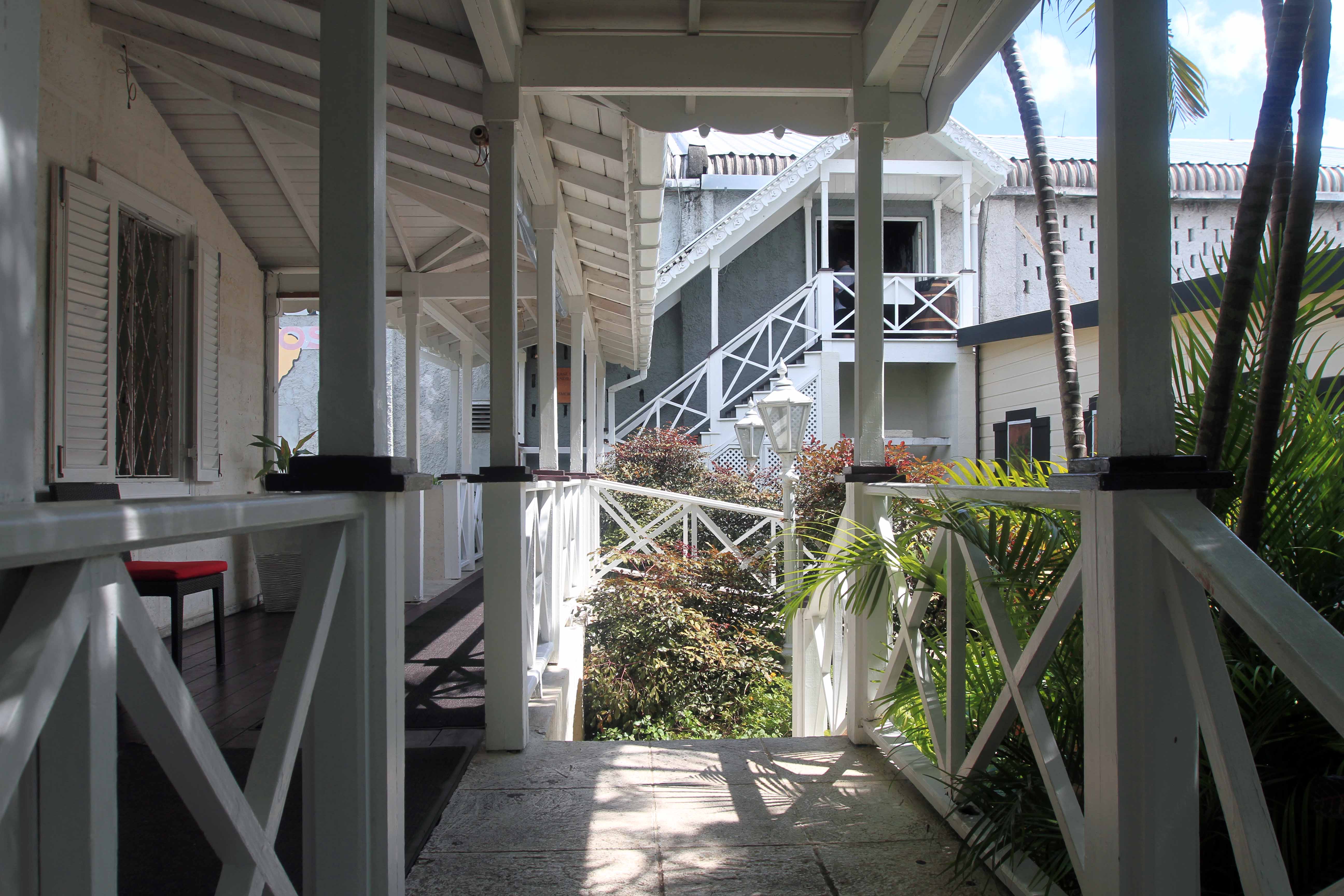
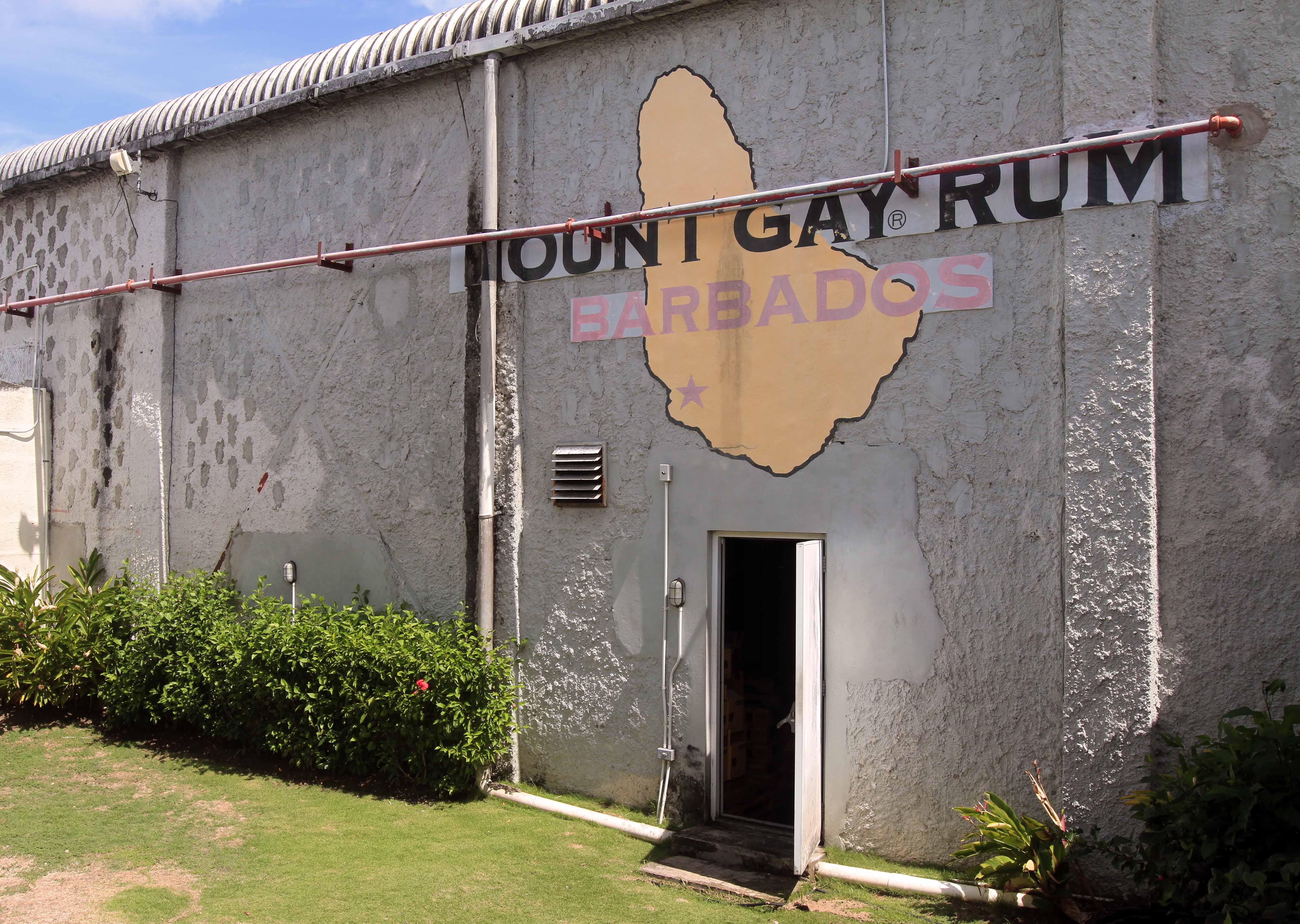
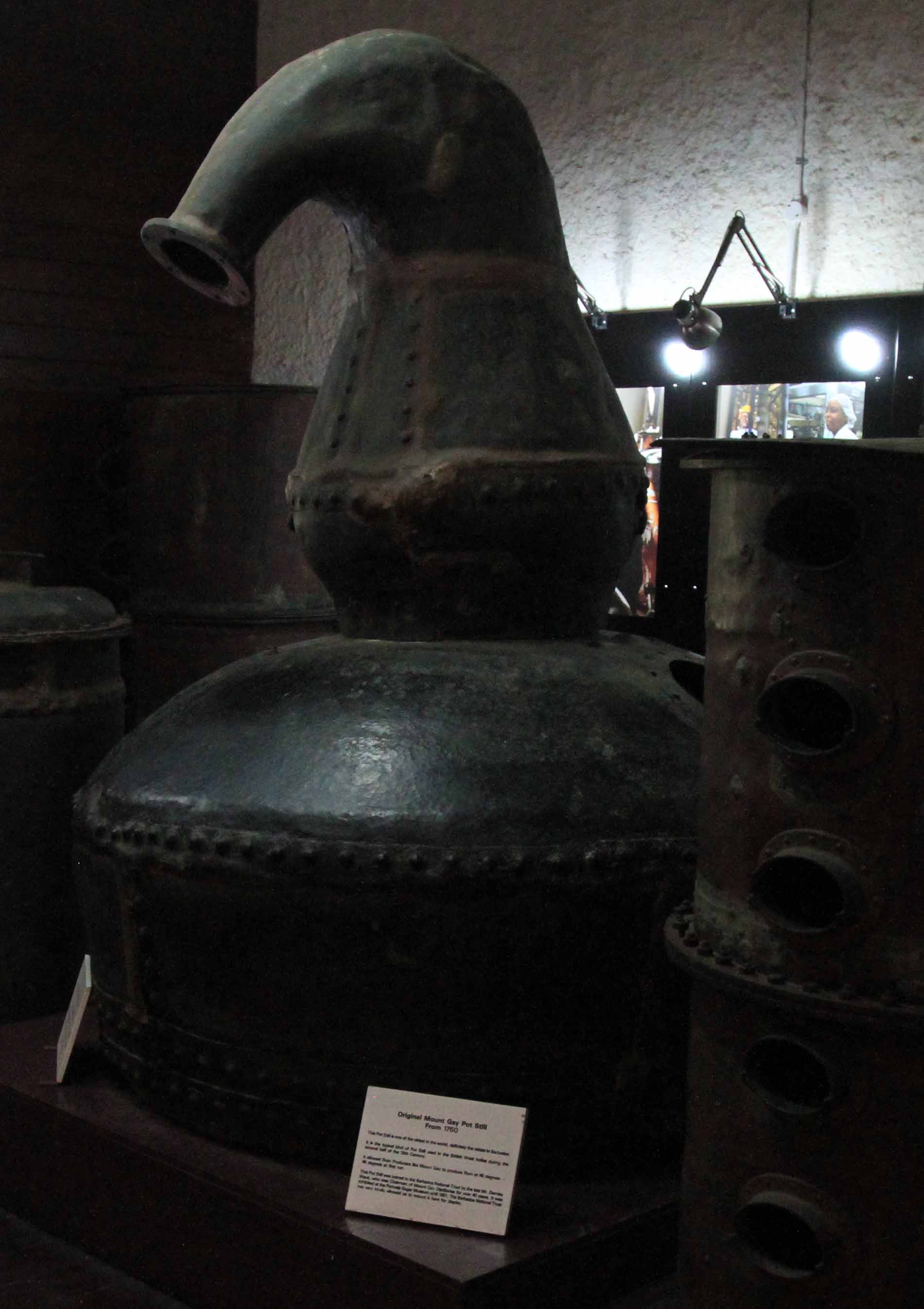
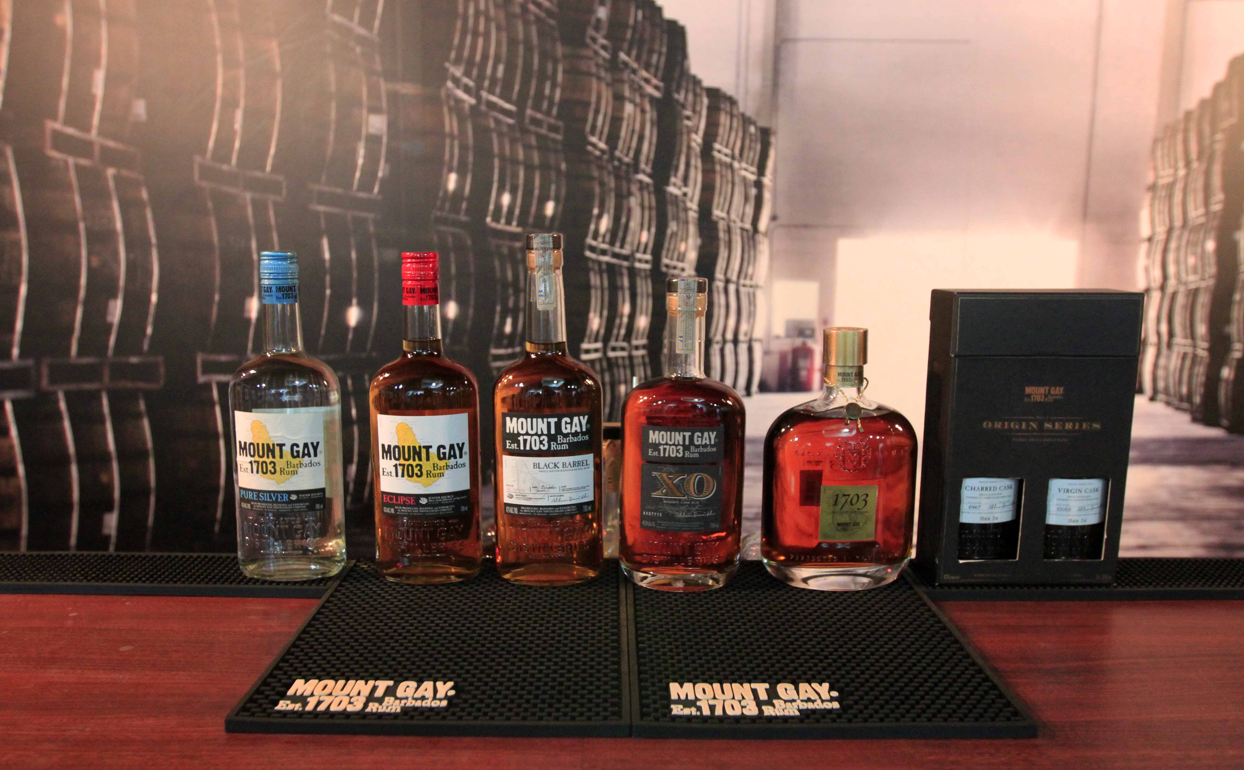
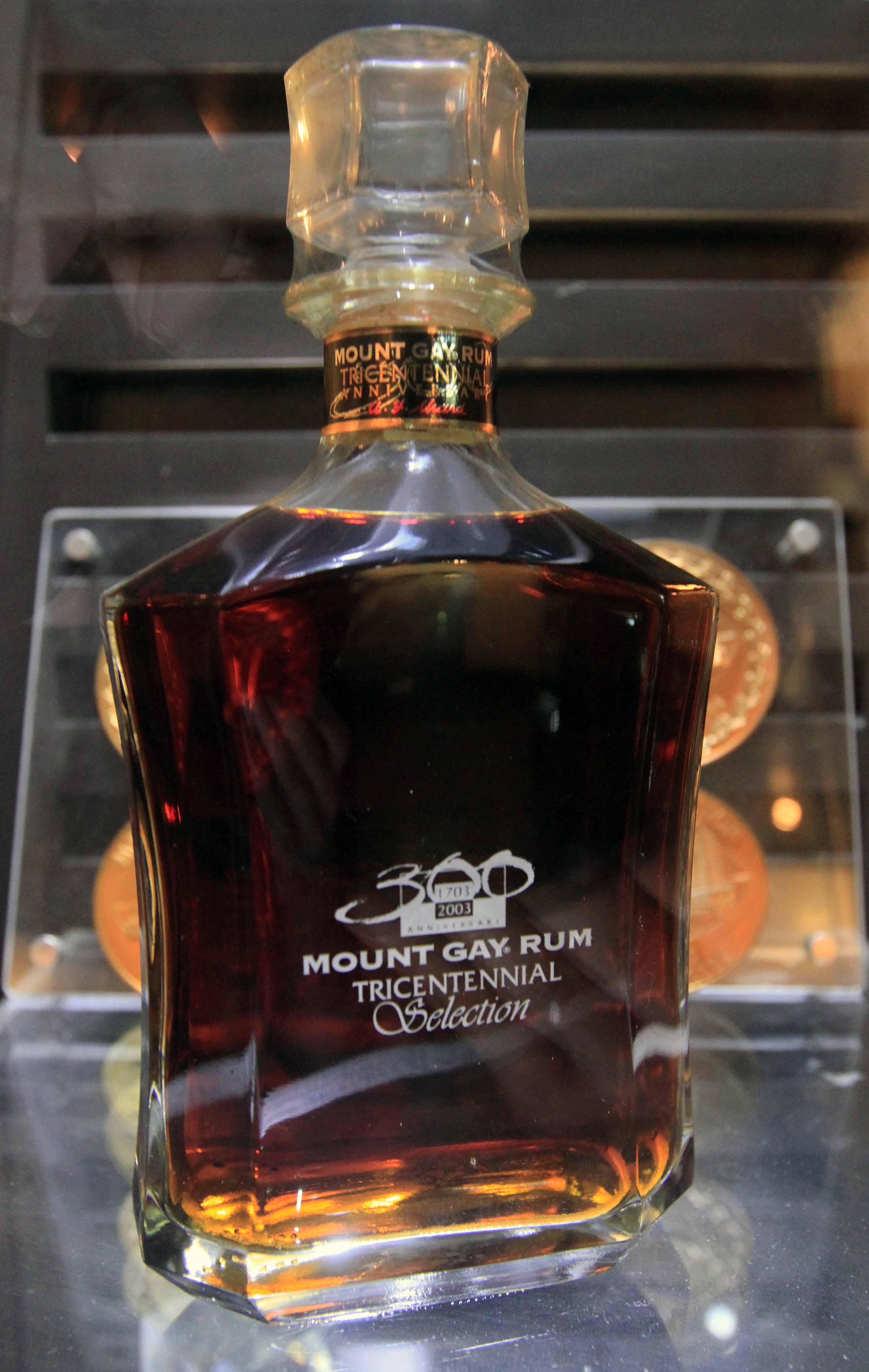
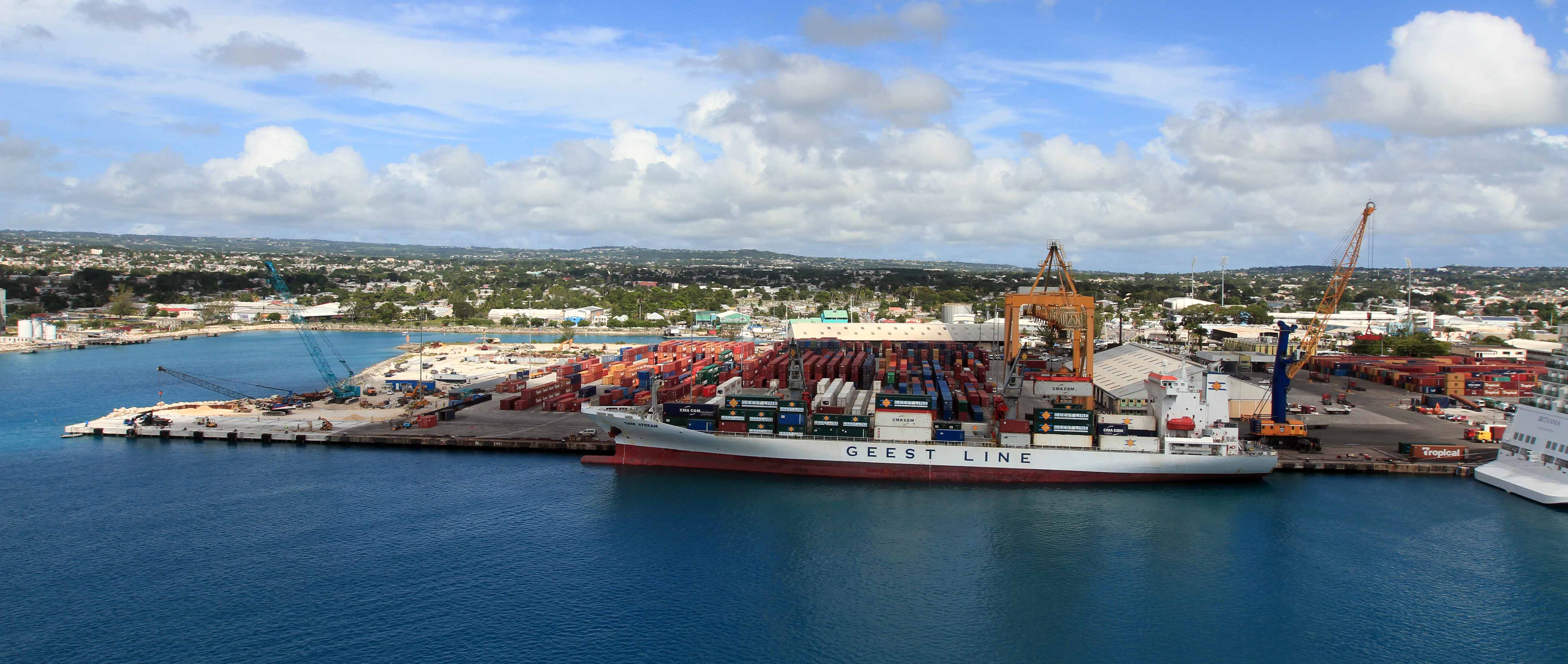
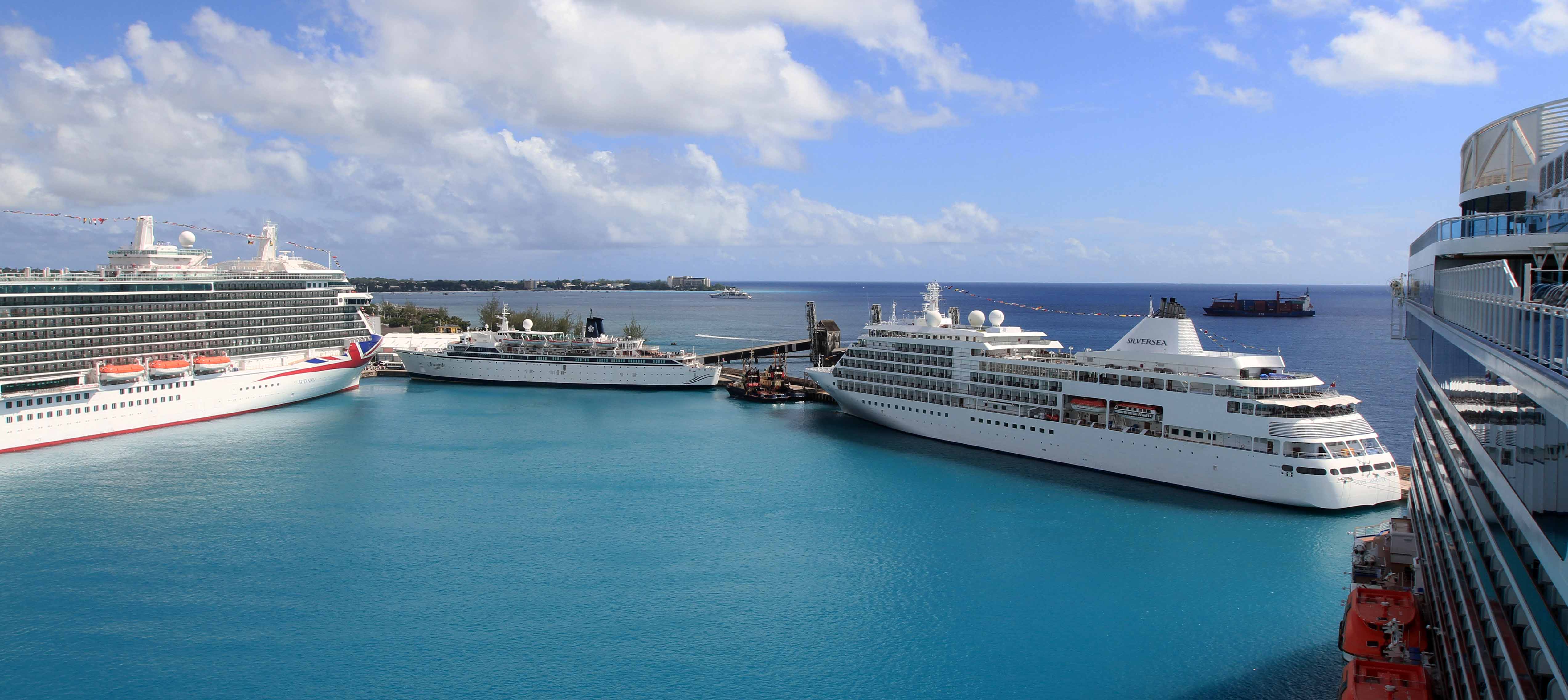
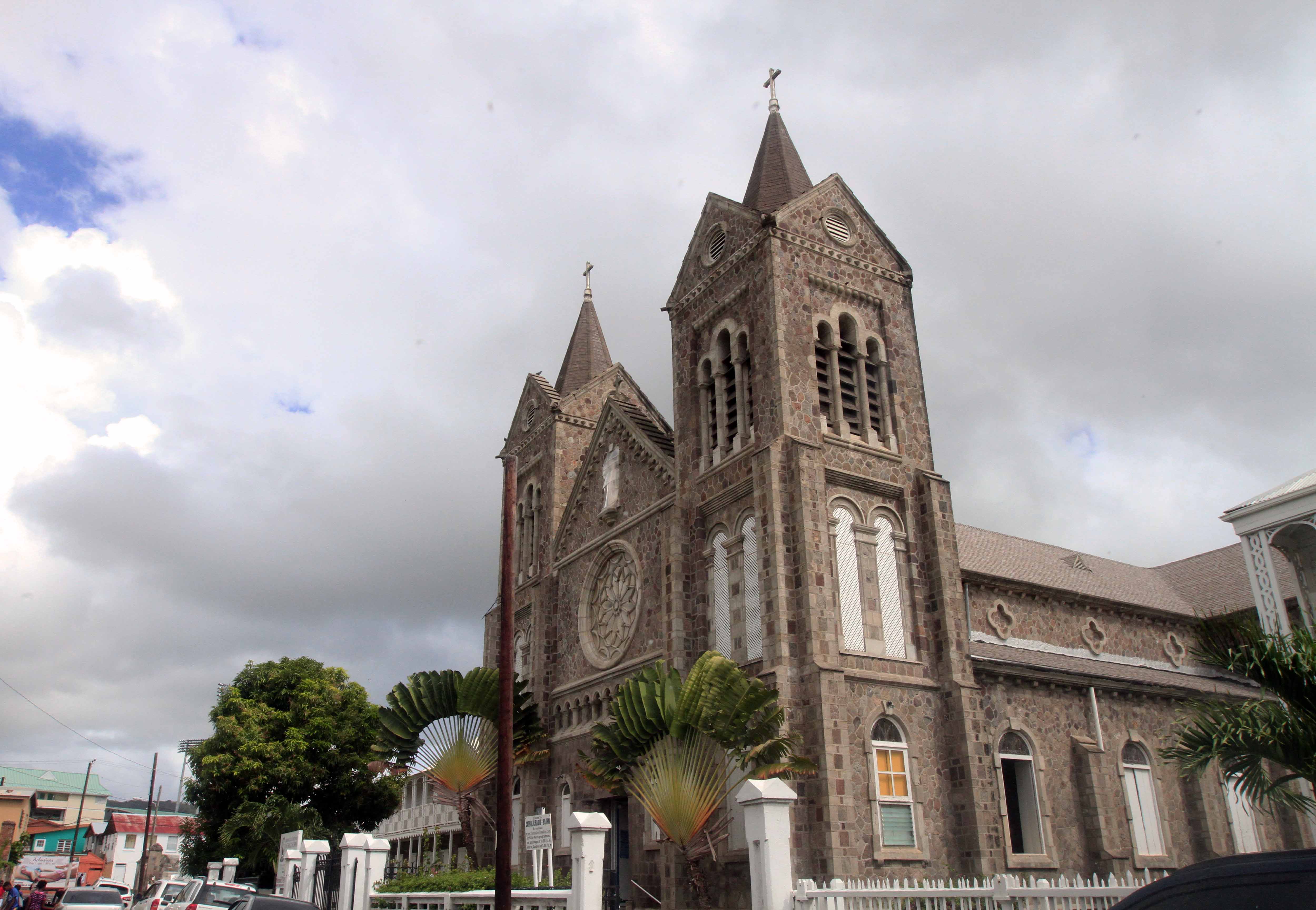
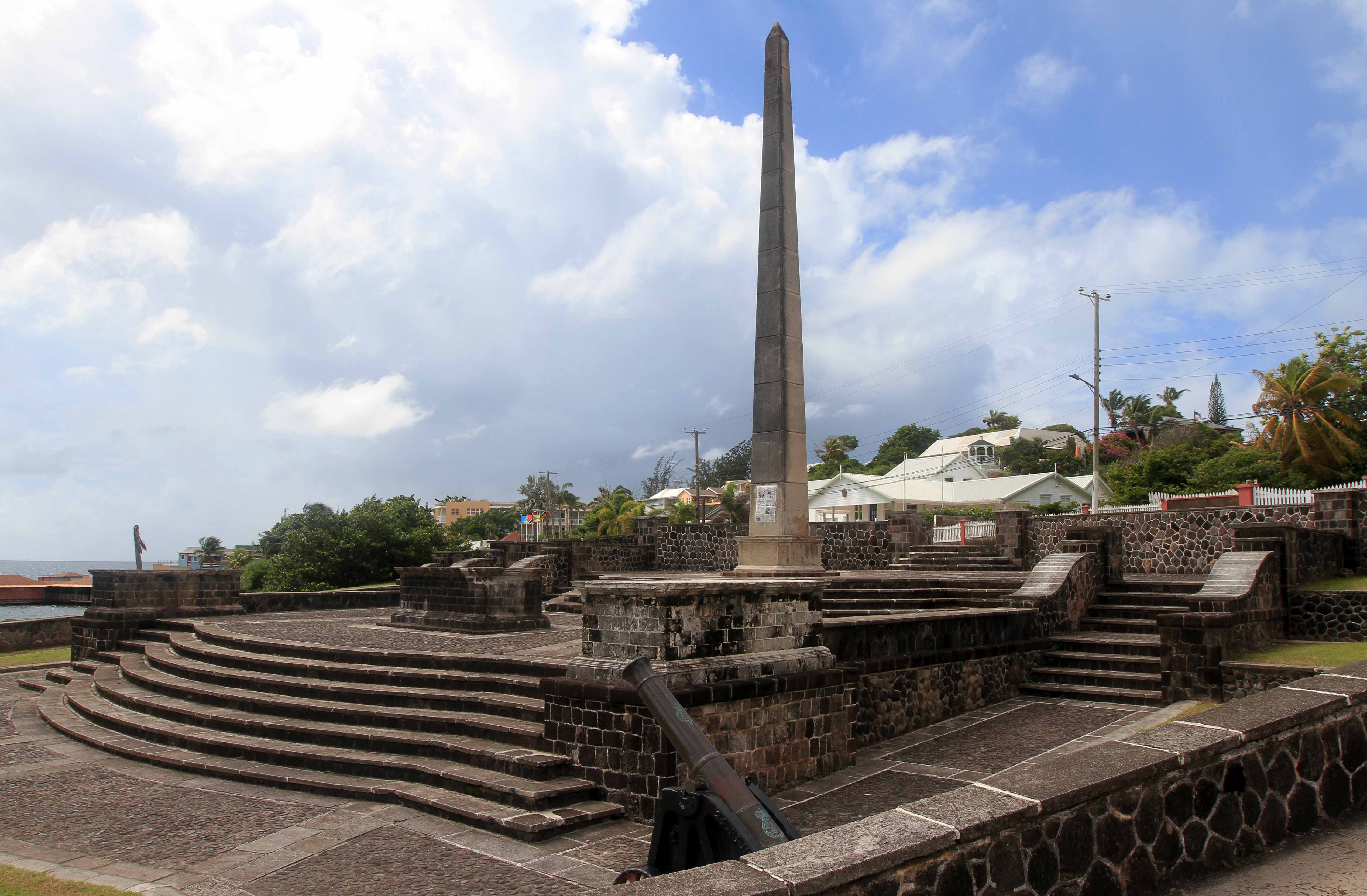
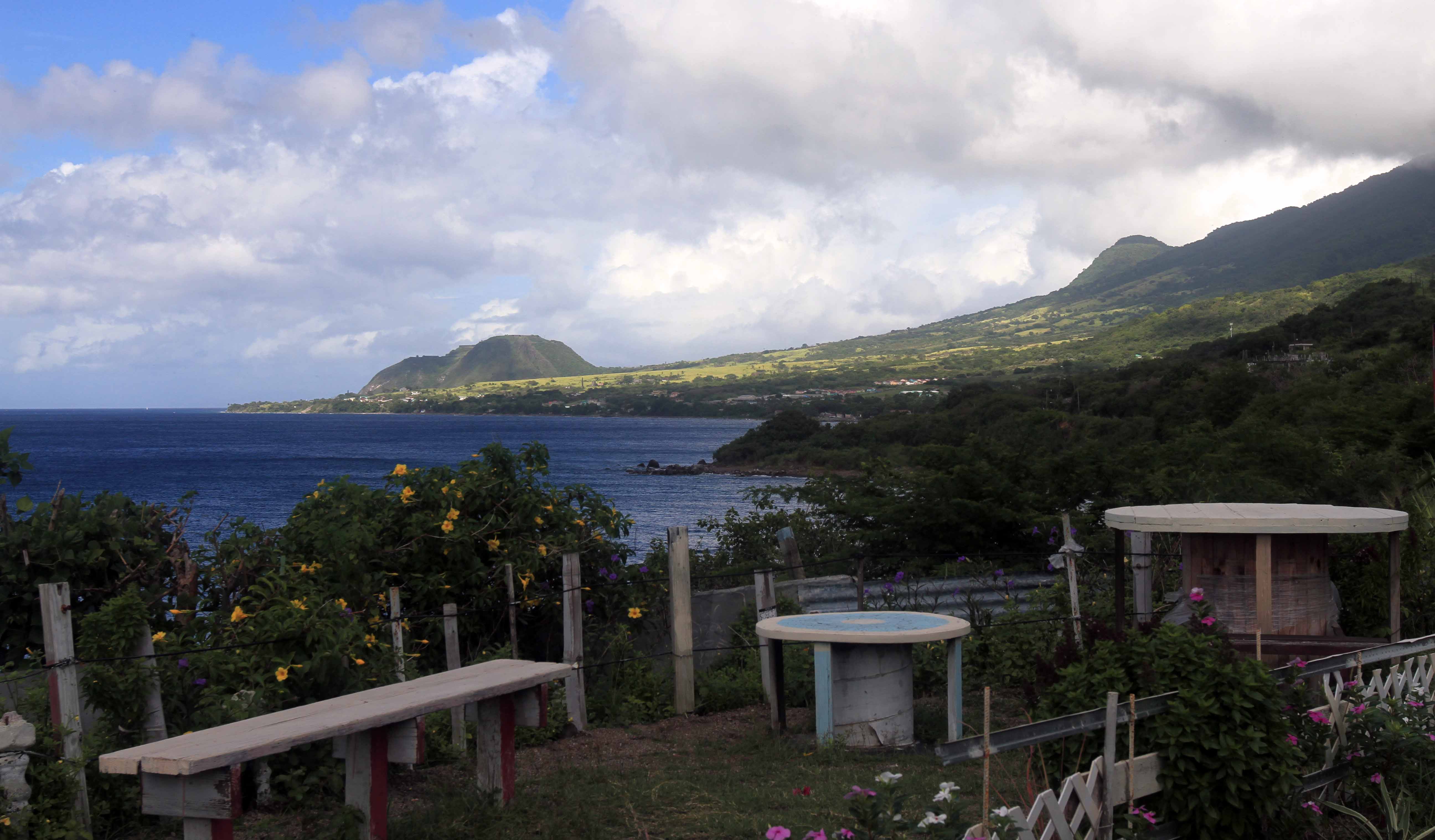
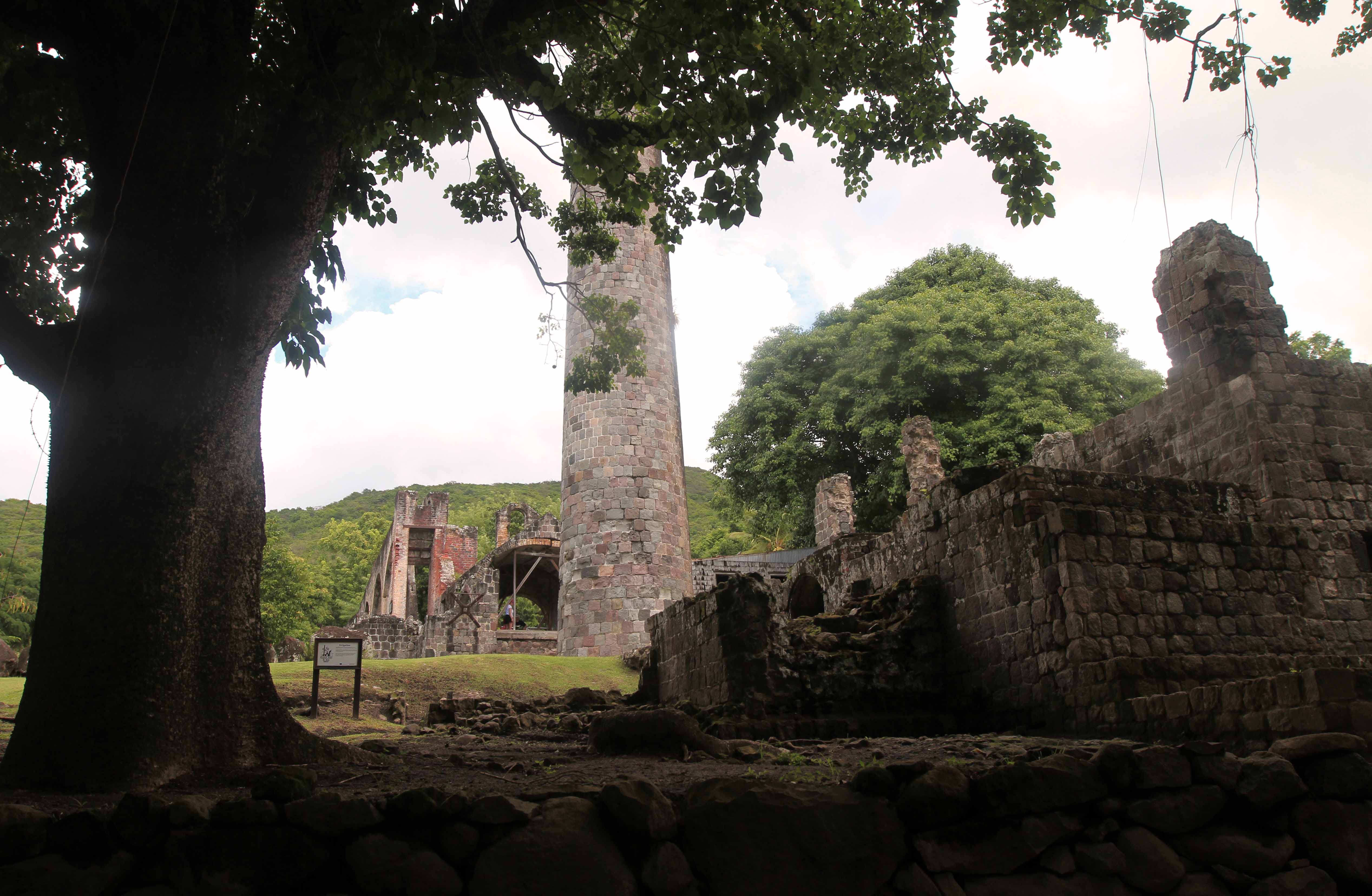
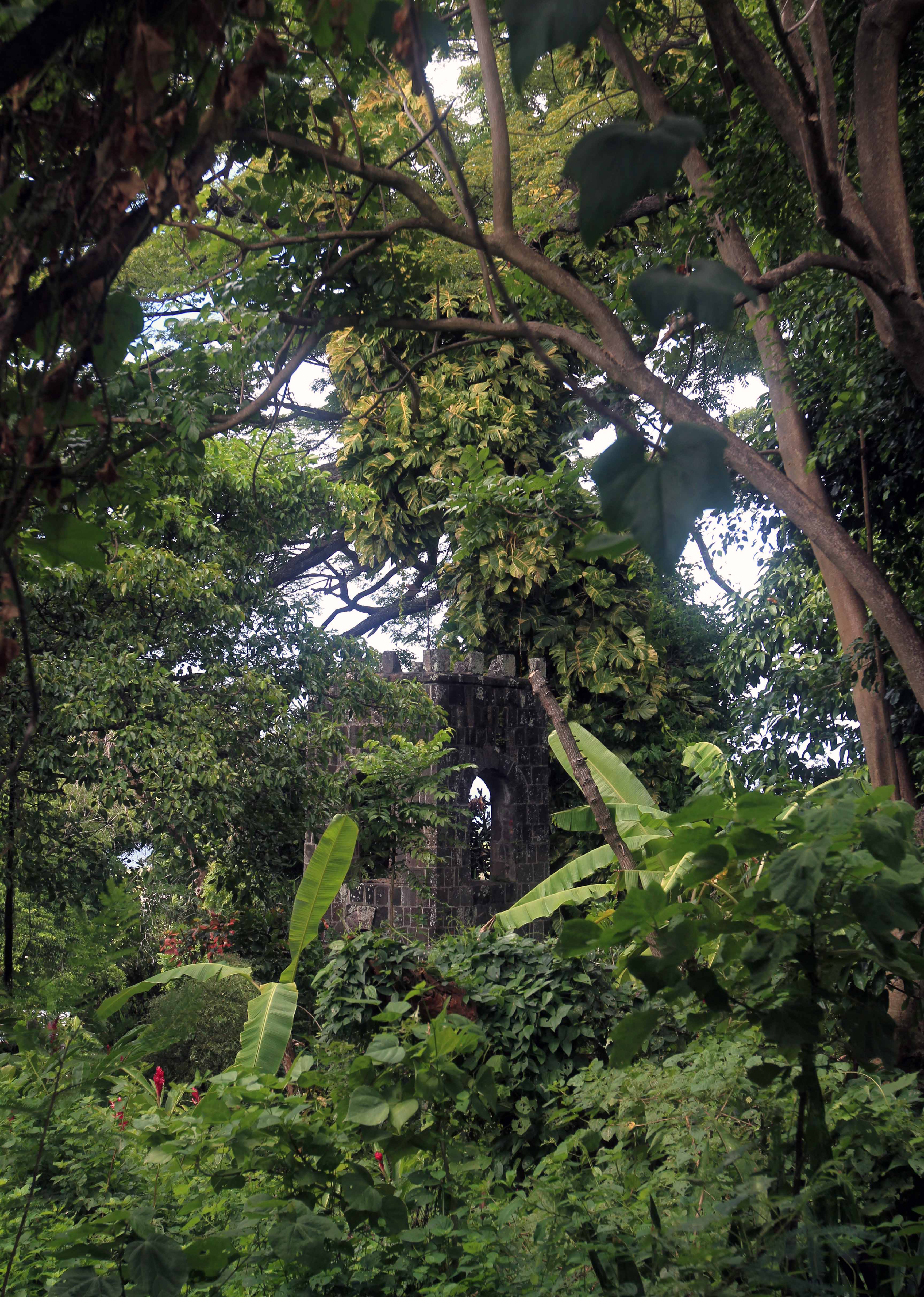
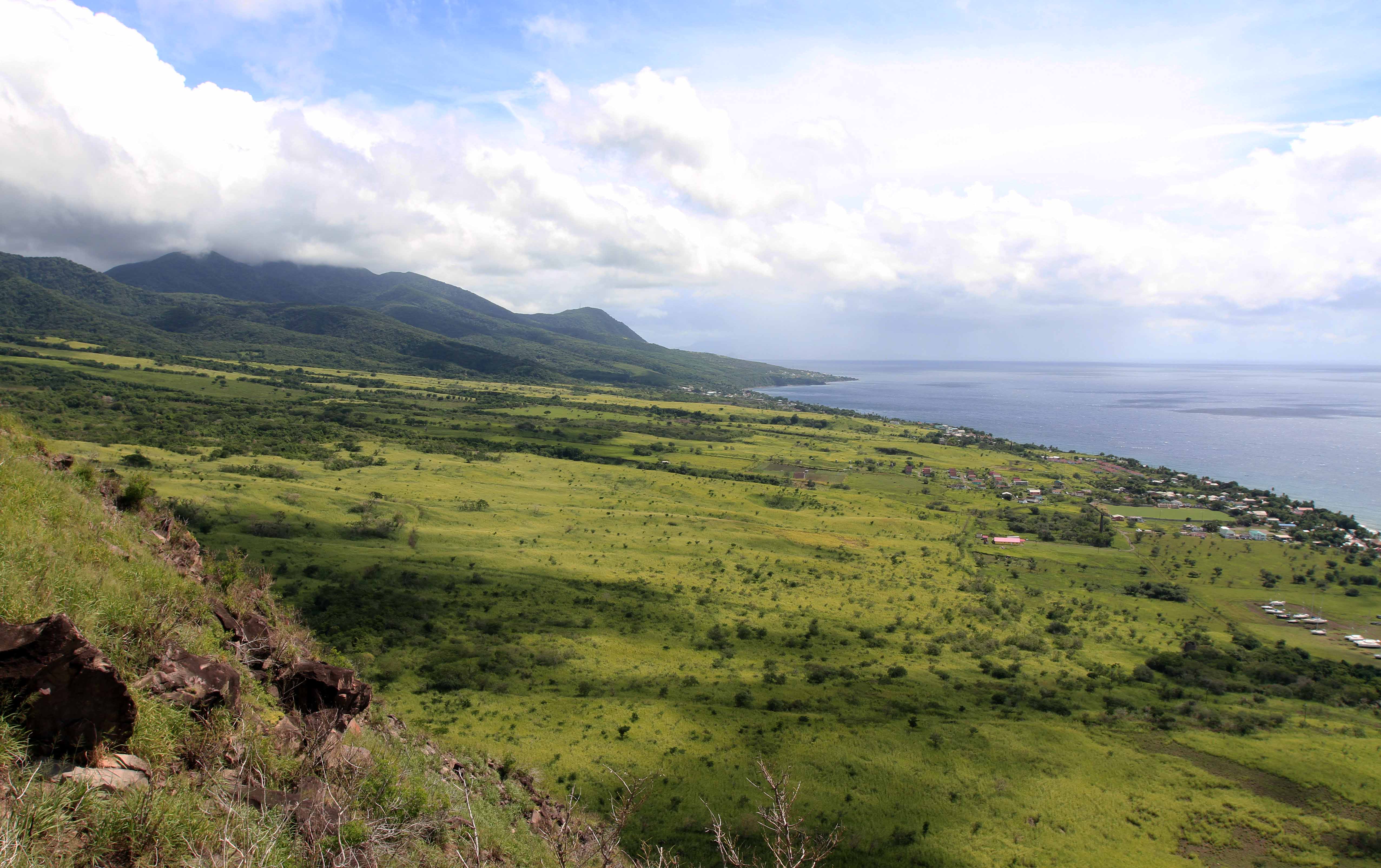
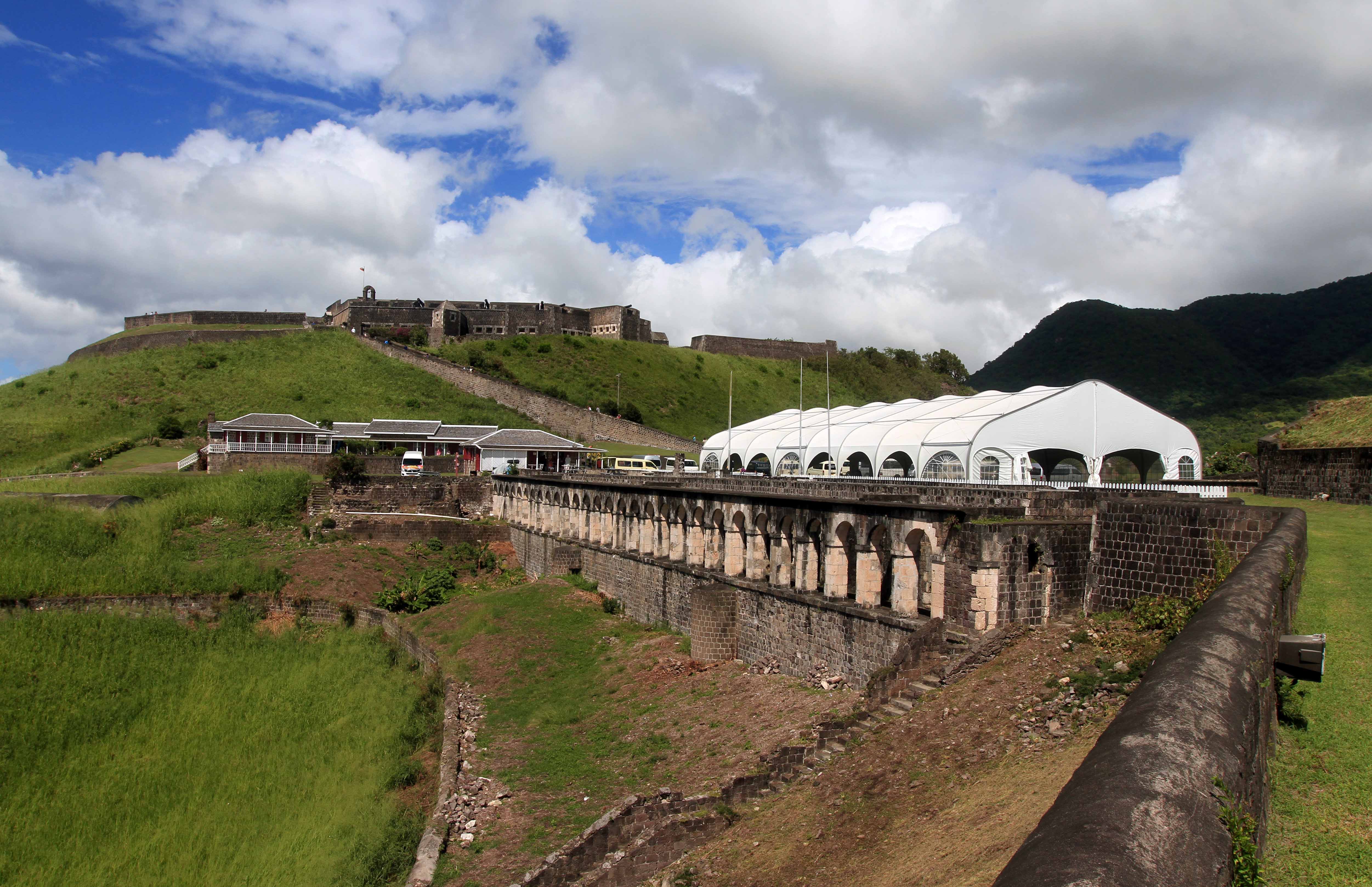
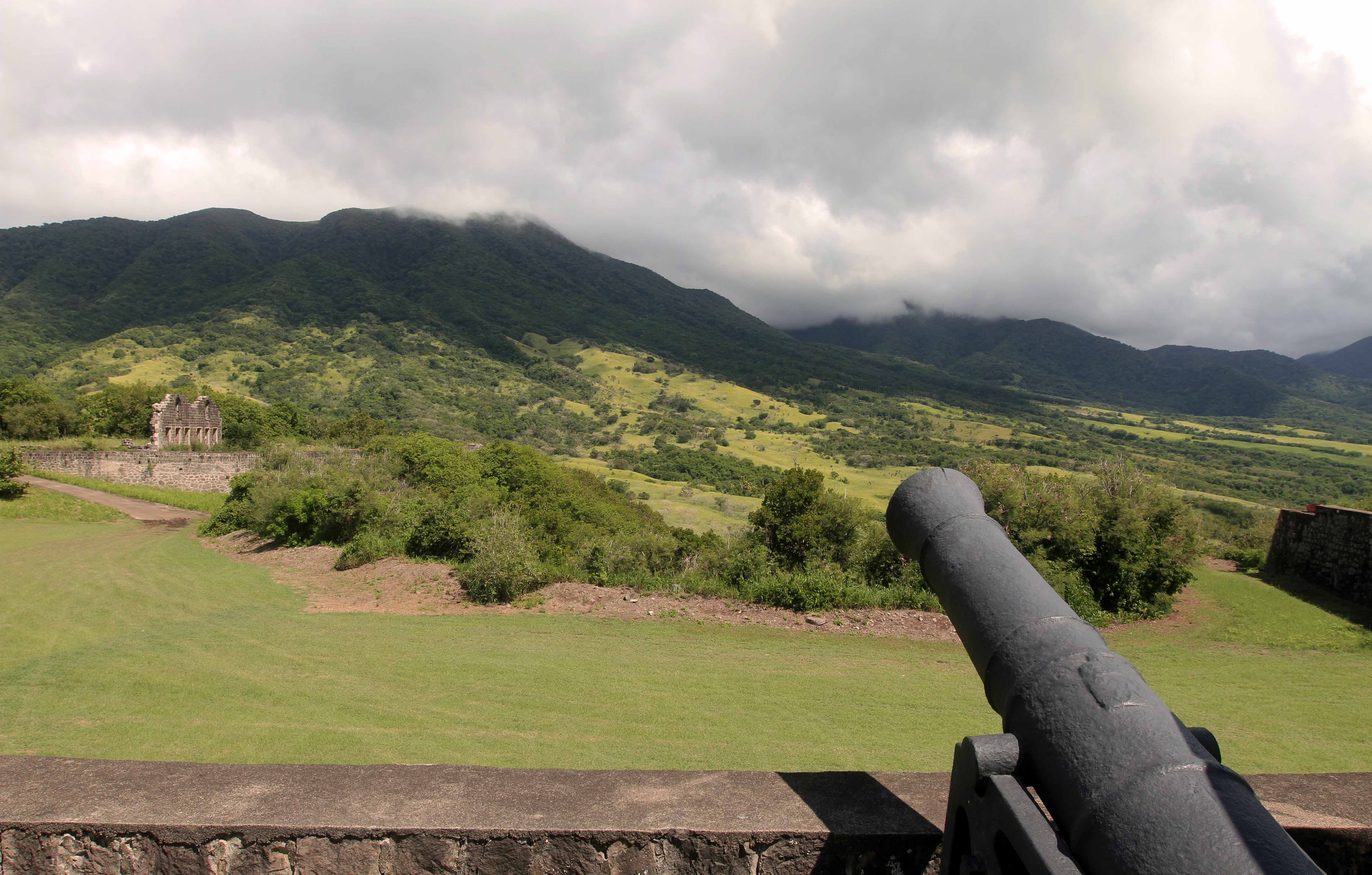
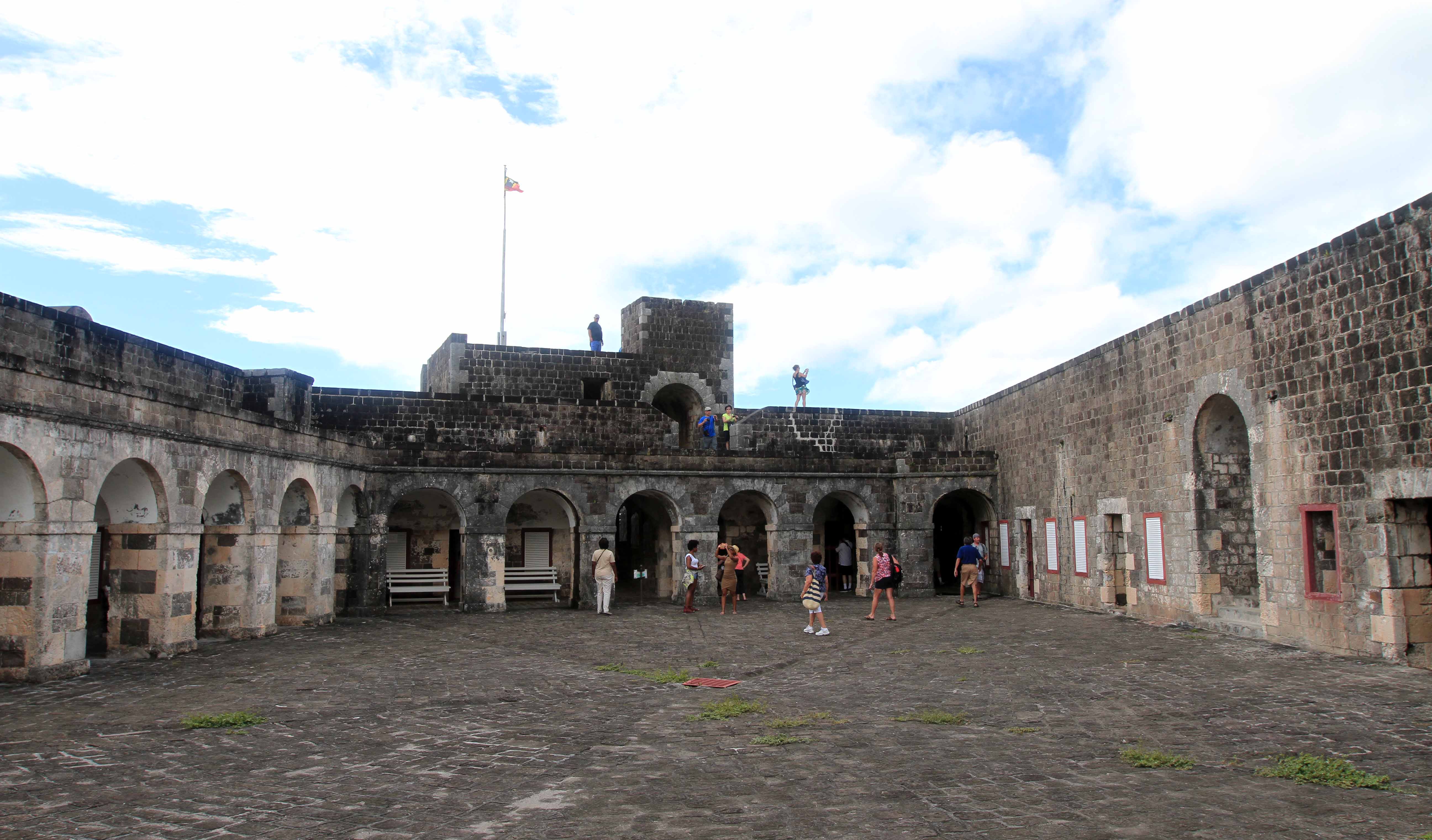
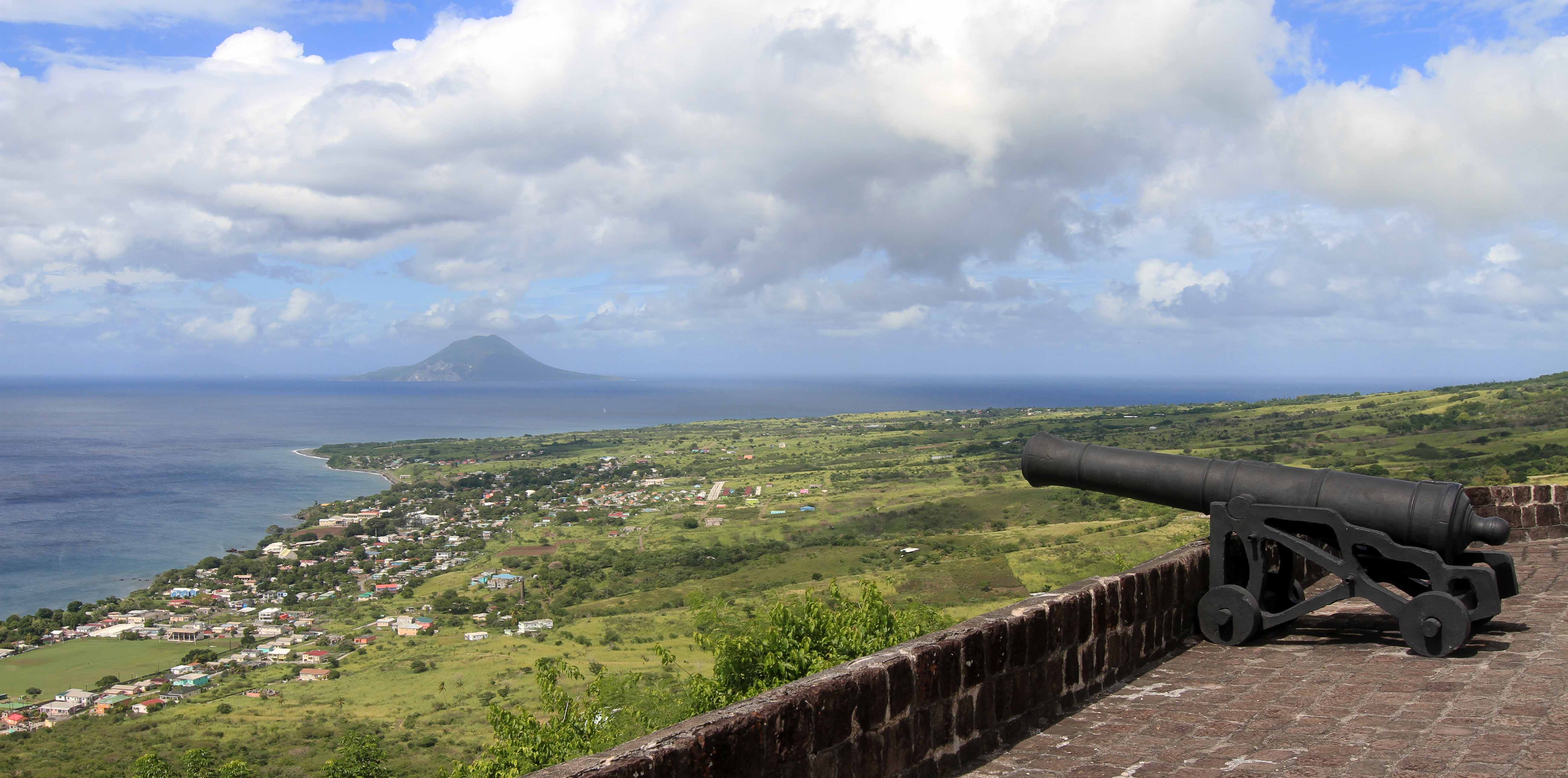
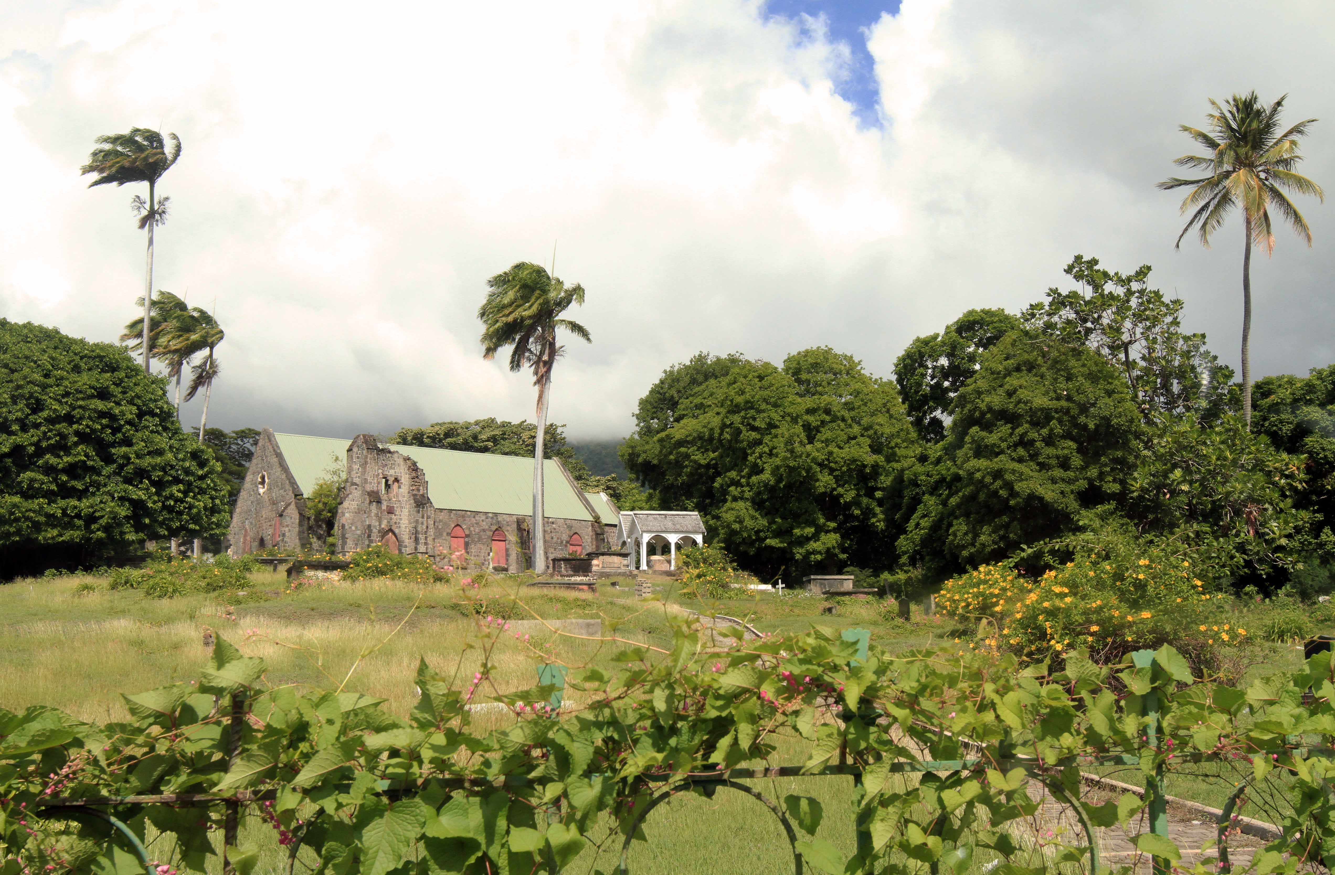
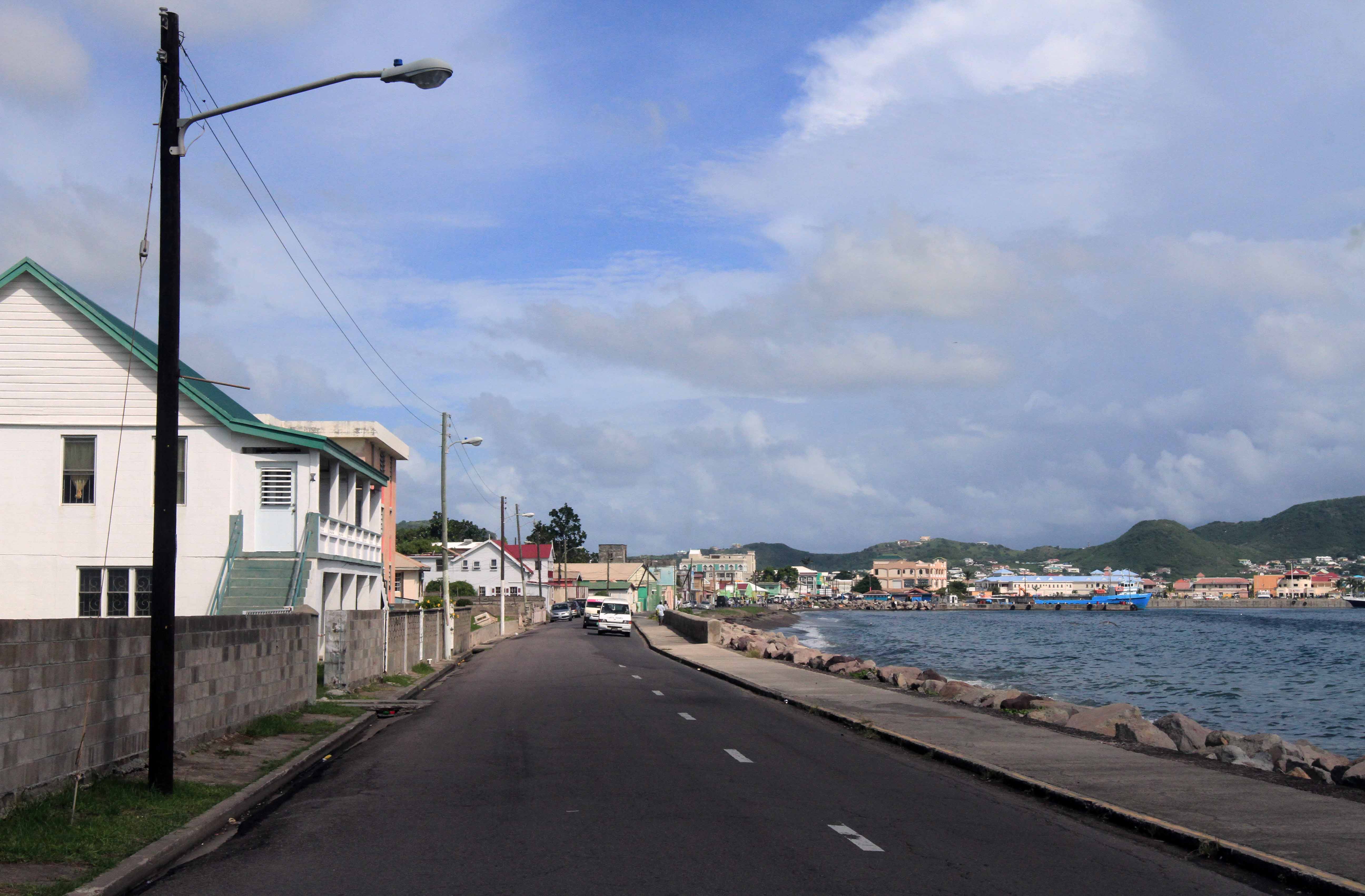
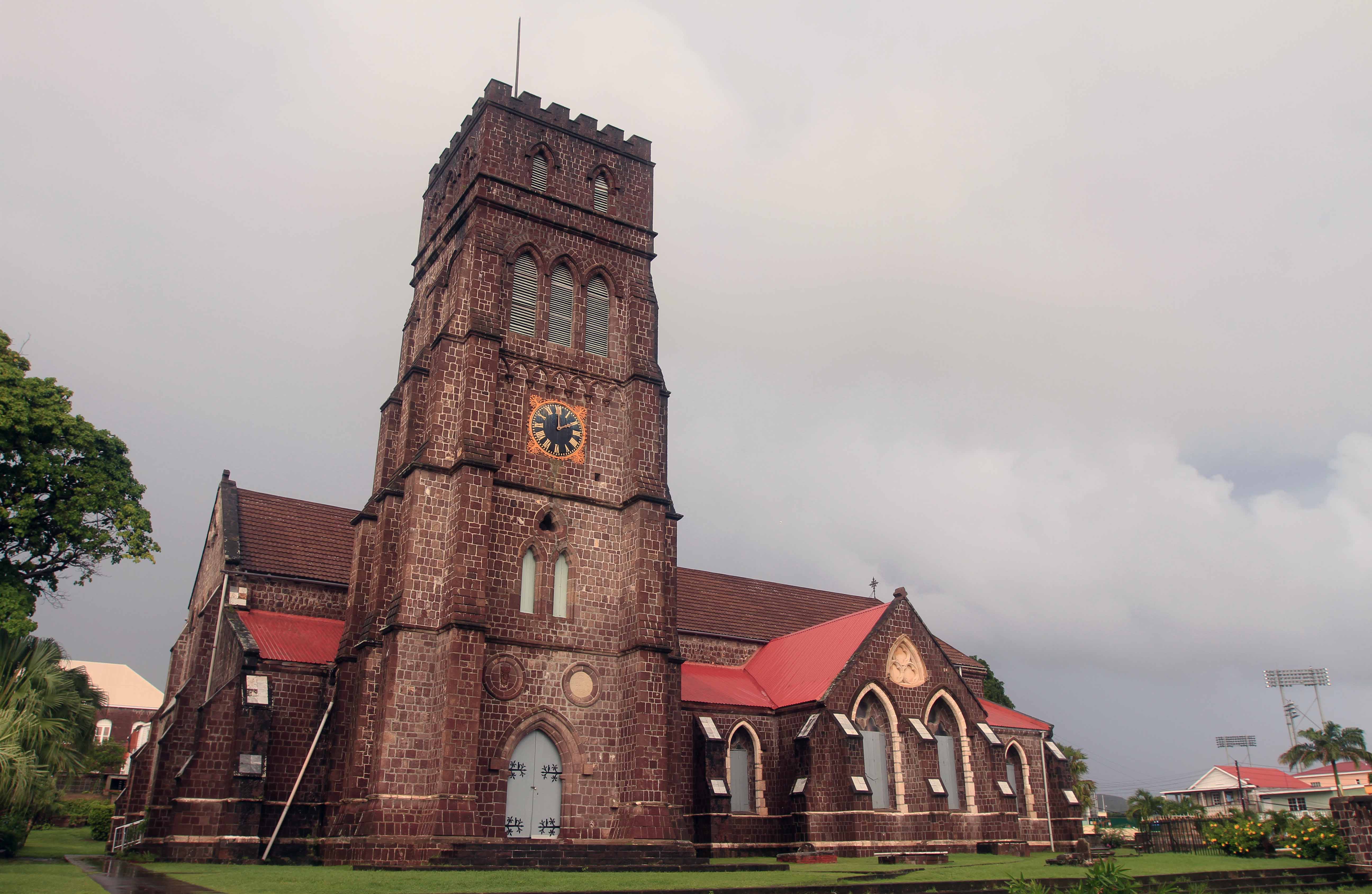
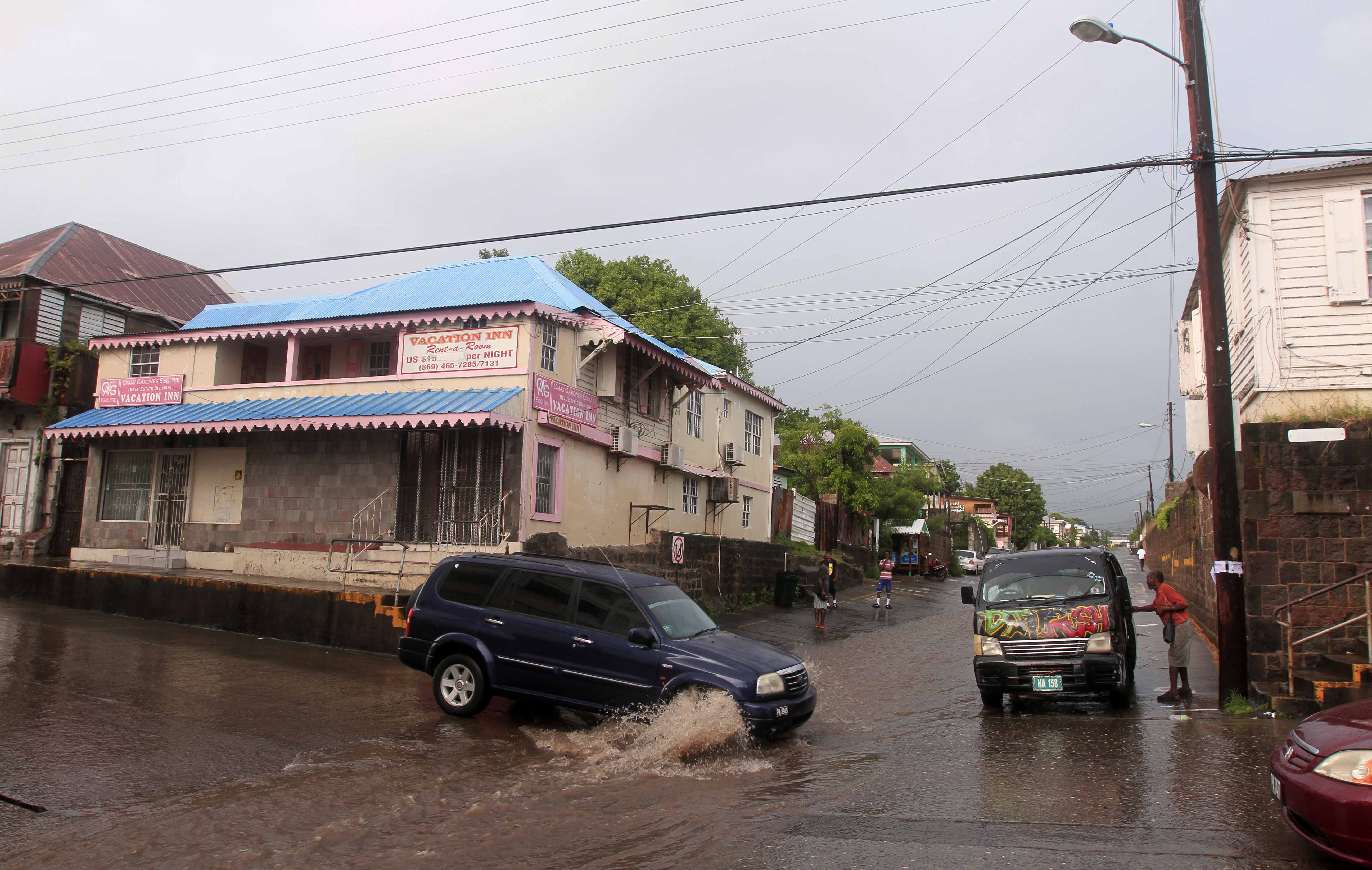
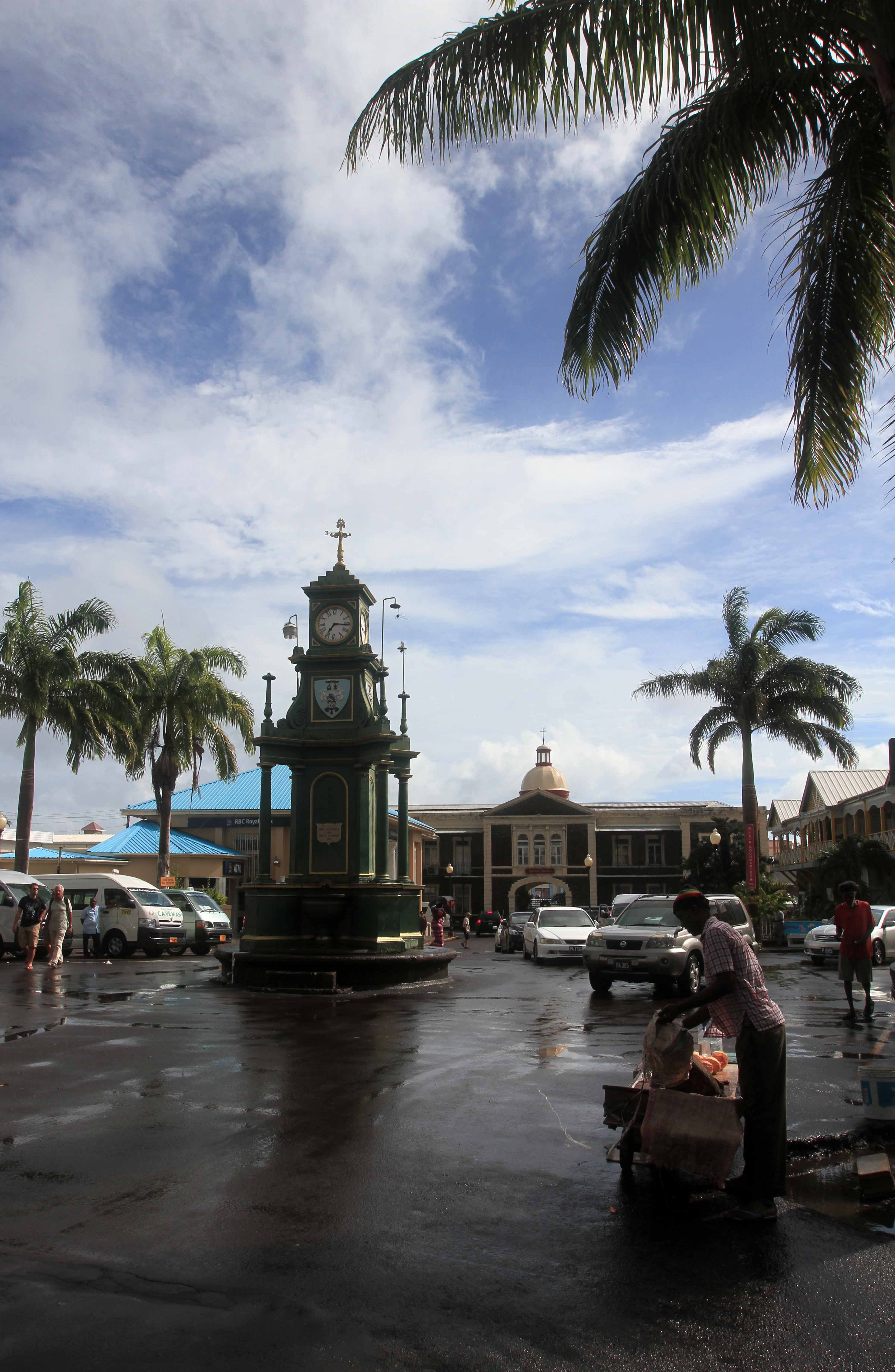
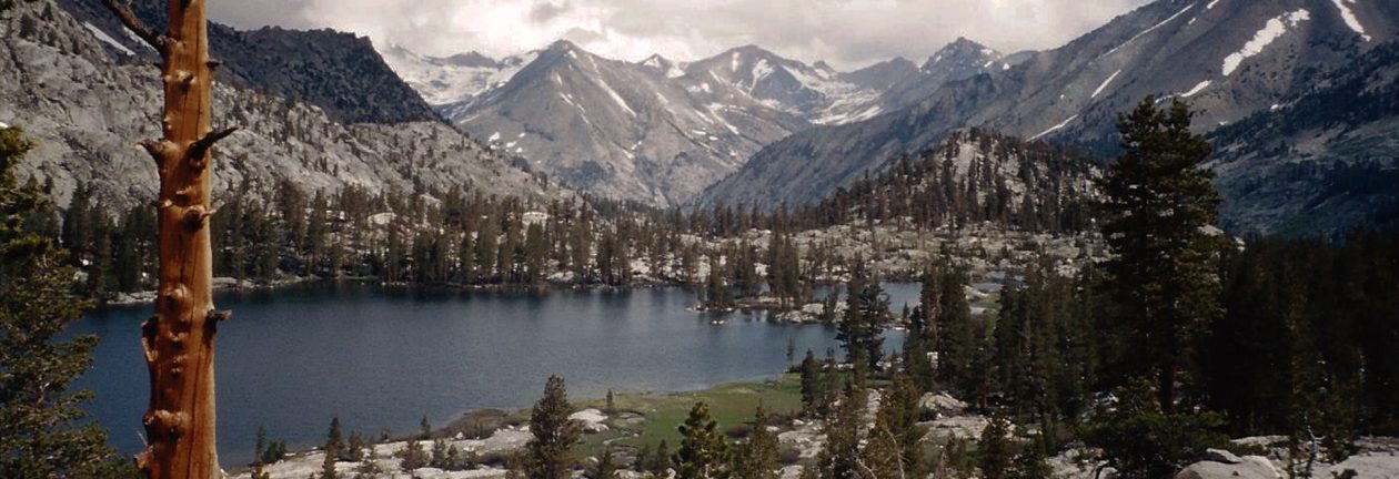
On board the MS Royal Princess (which was christened by Her Royal Highness The Duchess of Cambridge) and looking out at Port Everglades in Fort Lauderdale.
The sunning decks (16, 17, 18) at the center of the ship.
Looking between the sea walk and the ship.
The barrier island and Stranahan River south of Port Everglades, seen from the MS Royal Princess as she left the port and entered the Atlantic Ocean.
The spiral staircases at the piazza on Deck 6.
Passengers making their way on to one of the tenders that will take them to Princess Cays (an exclusive port for Princess Cruises) in the Bahamas.
The beach at Princess Cays, on the southern end of Eleuthera Island in the Bahamas.
The Royal MS Princess seen from the beach.
Mangroves on the other side of the beach.
View of Princess Cays from the "Crow's Nest Overlook."
View of Princess Cays from the “Crow’s Nest Overlook.”
The rocky beach toward the north end of Princess Cays.
Colorful cabanas at the beach.
The Love Boat Marina, where the tenders dock at Princess Cays.
A tender approaching Princess Cays.
Heading back to the cruise ship.
Maneuvering along the port (or "larboard") side of MS Royal Princess to dock.
Maneuvering along the port (or “larboard”) side of MS Royal Princess to dock.
The port at Charlotte Amalie on St. Thomas Island in the U.S. Virgin Islands.
Looking back toward Charlotte Amalie on a boat making its way to the neighboring U.S. Virgin Island, St. John.
Row of palms on the crest of Little St. James Island.
Water Point on St. Thomas, seen while passing through Current Hole.
Cruz Bay at St. John Island.
Boats anchored in Cruz Bay.
Virgin Islands National Park Visitor Center on St. John Island.
Trail through Virgin Islands National Park.
Bromelia pinguin.
Bromelia pinguin.
Trees and plants smothered by a climbing cactus.
Closeup of a climbing cactus on a tree.
Further along on the trail through the park.
Termites on a tree.
Termites on a tree.
Continuing on the trail through the park.
The trail near an overlook point.
Cruz Bay seen from Virgin Islands National Park.
Looking west toward St. Thomas Island.
Back on the trail.
Back on the trail.
Hiking through a more wooded part of the park.
An ass on Honeymoon Beach.
Rocks on the eastern edge of Honeymoon Beach.
A maho tree flower.
A maho tree flower.
Boats in Salomon Bay.
Tall coconut palms at Caneel Bay.
Ruins of an old sugar mill near Caneel Bay.
Standing inside the ruins of the sugar mill (now used for exclusive parties and special occasions).
Looking down at Caneel Bay Resort.
Looking back at St. John Island on my way back to St. Thomas.
The MS Royal Princess docked at Charlotte Amalie West (Baye de Grigri).
Looking out at the Baye de Grigri from the pier.
Charlotte Amalie West, seen from the top of the cruise ship.
Street in Roseau, Dominica.
Roseau seen from an overlook in the Dominica Botanic Gardens.
The rugged tropical landscape of Dominica.
A creek near Emerald Pool.
Tropical forest near Emerald Pool.
Trail through the forest.
Steps and beams of sunlight passing through the tropical forest.
Water streaming through a rocky creek.
The small waterfall at Emerald Pool.
Emerald Pool, the waterfall, and the sun.
More lush vegetation on Dominica.
A banana plantation.
Loungers at Mero Beach.
Another view of Mero Beach with its "black sand."
Another view of Mero Beach with its “black sand.”
Dog and a boat on the beach.
Looking south on Mero Beach.
Kubuli beer, brewed in Dominica.
Looking north on Mero Beach.
Bamboo fence in Mero.
The MS Royal Princess docked at Roseau.
View of Dominica from the cruise ship.
View of Roseau, Dominica from the cruise ship.
St. George's, Grenada in the morning.
St. George’s, Grenada in the morning.
The cruise ship docked at St. George's.
The cruise ship docked at St. George’s.
Painted tires and rocks on the side of the road in Grenada.
Dougaldston Spice Estate.
Inside the processing building on Dougaldston Spice Estate.
Sliced nutmeg fruit with the seed and crimson aril visible - the seed is the source of nutmeg and the aril is the source of mace.
Sliced nutmeg fruit with the seed and crimson aril visible – the seed is the source of nutmeg and the aril is the source of mace.
Different spices grown in Grenada, laid out on the table.
Cocoa beans laid out on racks and left to dry in the sun.
Stream and banana trees at the Dougaldston Spice Estate.
Central Depradine Street in Gouyave, Grenada.
Many sacks of nutmeg inside the Gouyave Nutmeg Processing Station.
Heaps of nutmeg drying out on multi-tiered trays inside the processing station.
View of one of the long trays the nutmeg is drying out on.
Closeup of the nutmeg, Grenada's "black gold."
Closeup of the nutmeg, Grenada’s “black gold.”
Dirt road and a tall palm on Grenada.
Mount Saint Catherine, the highest mountain on Grenada.
Road on the way to Grand Etang National Park.
Grand Etang Lake, in the crater of an extinct volcano.
Looking toward a hilltop in Grand Etang National Park.
Mountains seen in the distance from Grand Etang National Park.
Carib beer, brewed in Grenada.
Plants and trees in Grand Etang National Park.
Ginger flowers.
Ginger flowers.
Annandale Falls.
Annandale Falls.
Another view of Annandale Falls.
Stream flowing away from the falls.
Closeup of Annandale Falls.
"Thank God for U.S." and "KGB Behave" graffiti on the ruins of a building - referring to the 1983 United States–led invasion; the citizens of Grenada are genuinely thankful for the U.S.'s military action (making them somewhat unique in the world).
“Thank God for U.S.” and “KGB Behave” graffiti on the ruins of a building – referring to the 1983 United States–led invasion; the citizens of Grenada are genuinely thankful for the U.S.’s military action (making them somewhat unique in the world).
Fort Frederick.
Fort Frederick.
Looking northward toward the center of Grenada from Fort Frederick.
St. George's and the MS Royal Princess, seen from Fort Frederick.
St. George’s and the MS Royal Princess, seen from Fort Frederick.
Yellow flowers in Grenada.
Closer view of St. George's and the cruise ship.
Closer view of St. George’s and the cruise ship.
Street in St. George's.
Street in St. George’s.
St. George's seen from the cruise ship.
St. George’s seen from the cruise ship.
Looking south toward Grand Anse Bay, Grenada, from the cruise ship.
Fort Oranje (originally built in 1639 AD) in Kralendijk, Bonaire.
Government office building in Kralendijk.
Bottomed-out boat on the shore in Kralendijk.
Closeup of the coral beach in Bonaire.
Tree along the shoreline walk with many sandals hanging from its branches.
A collection of license plates outside someone's house in Kralendijk.
A collection of license plates outside someone’s house in Kralendijk.
Kralendijk and Fort Oranje seen from the cruise ship.
Donkeys along the roadside in Bonaire.
Limestone cliffs in Bonaire.
Flamingos in Goto Meer.
Closeup of a flamingo.
The "mountainous" area on the north part of Bonaire.
The “mountainous” area on the north part of Bonaire.
Rincon Village.
Rincon Village.
Painted sign for the Kos Bon So restaurant in Rincon Village.
Fence made of cacti (quite common in Bonaire).
Recreation of historic huts used in Bonaire, located in Mangazina di Rei Culture Park.
Melocactus (also known as the Turk's cap cactus).
Melocactus (also known as the Turk’s cap cactus).
Slave huts on the south end of Bonaire - used as shelters for the slaves working in the salt pans during the 19th-century AD.
Slave huts on the south end of Bonaire – used as shelters for the slaves working in the salt pans during the 19th-century AD.
Inside one of the slave huts.
Large mountains of salt outside the Cargill Salt Works.
Closer view of the salt works.
The MS Royal Princess in twilight, seen from Bonaire National Marine Park.
The pier at Bonaire National Marine Park.
Boarding the cruise ship late in the evening.
The Royal Plaza Mall on Lloyd G. Smith Blvd, in Oranjestad, Aruba.
Steps leading up to Iguana Joe's.
Steps leading up to Iguana Joe’s.
The Crystal Casino on the main boulevard of Oranjestad.
A giant "I Heart Aruba" sign.
A giant “I Heart Aruba” sign.
Willem III Tower (built in 1868 AD), located at the west entrance of Fort Zoutman (built in 1798 AD).
The rear-side of Fort Zoutman.
18 March Monument in Oranjestad.
Boardwalk along the beach.
Flowering tree in Aruba.
The coral shore on Aruba's west coast.
The coral shore on Aruba’s west coast.
Juvenile green iguana in a tree.
Flag of Aruba.
Flag of Aruba.
Statue of Queen Wilhelmina in Oranjestad.
An adult iguana in the grass (one of many in Aruba).
Statue of Anne Frank in Wilhelmina Park.
Cafe near the waterfront in Oranjestad.
A market in Oranjestad.
One of Aruba's crazy buses.
One of Aruba’s crazy buses.
A giant Adirondack chair outside a market in Aruba.
Another crazy bus in Aruba.
Oranjestad seen from the MS Royal Princess.
A view of the port at Oranjestad from the cruise ship.
A tsunami hazard sign in Charlotte Amalie, St. Thomas, U.S. Virgin Islands.
The MS Royal Princess in the distance, seen from the waterfront in Charlotte Amalie.
Dronningens Gade (a popular shopping street) in Charlotte Amalie.
Cozy restaurant inside the Royal Dane Mall.
The "99 Steps."
The “99 Steps.”
View of the cruise ship and Long Bay.
Three Queens fountain in front of Blackbeard's Castle; the castle was built as a watchtower in 1679 AD and - according to lore - Blackbeard used it as a lookout tower in the early 18th-century AD.
Three Queens fountain in front of Blackbeard’s Castle; the castle was built as a watchtower in 1679 AD and – according to lore – Blackbeard used it as a lookout tower in the early 18th-century AD.
Homes on the hillsides in Charlotte Amalie.
More steps and crumbling buildings in Charlotte Amalie.
A peeling parking sign.
Historic buildings along Norre Gade.
Frederick Lutheran Church in Charlotte Amalie.
Fort Christian (completed in 1680 AD), a Dano-Norwegian-built fort in Charlotte Amalie.
The crimson walls of Fort Christian.
Charlotte Amalie, St. Thomas and Long Bay, seen from the cruise ship.
David Geffen's large yacht, Rising Sun, docked at St. Thomas, U.S. Virgin Islands.
David Geffen’s large yacht, Rising Sun, docked at St. Thomas, U.S. Virgin Islands.
The countryside on Antigua, the larger of the two islands that make up the sovereign nation of Antigua and Barbuda.
One of the ziplines in Antigua's rainforest canopy.
One of the ziplines in Antigua’s rainforest canopy.
A zipline and platform in the distance, across the valley.
More ziplines in Antigua's rainforest canopy.
More ziplines in Antigua’s rainforest canopy.
The MS Royal Princess and another cruise ship in port at St. John's in Antigua.
The MS Royal Princess and another cruise ship in port at St. John’s in Antigua.
The port shopping area in St. John's with three cruise ships in the background.
The port shopping area in St. John’s with three cruise ships in the background.
St. Mary's Street in St. John's, Antigua.
St. Mary’s Street in St. John’s, Antigua.
St. John's Cathedral, built in 1845 AD on the site of two previous churches.
St. John’s Cathedral, built in 1845 AD on the site of two previous churches.
A colorful shopfront colonnade in St. John's.
A colorful shopfront colonnade in St. John’s.
The Museum of Antigua and Barbuda.
Shops along the port in St. John's.
Shops along the port in St. John’s.
The port shopping area seen from the cruise ship.
Southern side of St. John's, seen from the top of the cruise ship.
Southern side of St. John’s, seen from the top of the cruise ship.
Looking out from the MS Royal Princess toward the southwest at St. John's, Antigua.
Looking out from the MS Royal Princess toward the southwest at St. John’s, Antigua.
Pulling out of port, in Green Bay, St. John's, Antigua.
Pulling out of port, in Green Bay, St. John’s, Antigua.
Houses along the coast of Saint Lucia, south of Castries City.
The resort in Marigot Bay, where the original (Rex Harrison) 'Doctor Dolittle' was filmed.
The resort in Marigot Bay, where the original (Rex Harrison) ‘Doctor Dolittle’ was filmed.
Looking out toward the sea from Marigot Bay.
Chateau Mygo restaurant at Marigot Bay.
Cliffs on the west coast of Saint Lucia.
Anse Cochon Cove.
Anse Cochon Cove.
The rugged coast with houses and rainforest.
More of the rugged coast and rainforest in Saint Lucia.
The Pitons (Gros Piton and Petit Piton), located near the town of Soufrière on Saint Lucia.
The town of Soufrière.
Steam coming out of the crater of Soufrière Volcano, Saint Lucia's very own "drive-in" volcano.
Steam coming out of the crater of Soufrière Volcano, Saint Lucia’s very own “drive-in” volcano.
Closer view of the steam vents and boiling mud pits.
Closeup of the mud pits in Soufrière Volcano.
An old bus permanently parked at Morne Coubaril plantation in Saint Lucia.
Mound of coconut husks (used for fuel) at the plantation.
Soufrière, seen from Morne Coubaril plantation.
The mound of coconut husks and the furnace they will fuel.
Fruit grown at the Morne Coubaril plantation.
A large metal bowl with water lettuce.
Cocoa pods.
Cocoa pods.
A shrine with a statue of the Madonna inside.
Recreation of historic huts used on the Morne Coubaril plantation in years of yore.
Looking out the window from one of the huts.
Outside of a hut.
Outside of a hut.
A bedroom inside one of the huts.
Lunch composed of Creole bread, Cajun-style chicken, vegetable chow mein, ground provisions ("tubers"), stewed lentils, calypso rice, pan fried fish with hot sauce, and a coke.
Lunch composed of Creole bread, Cajun-style chicken, vegetable chow mein, ground provisions (“tubers”), stewed lentils, calypso rice, pan fried fish with hot sauce, and a coke.
A cocoa (or "cacao") tree in the Morne Coubaril plantation.
A cocoa (or “cacao”) tree in the Morne Coubaril plantation.
Petit Piton, seen from the road outside of the Morne Coubaril plantation.
The waterfront of Soufrière with Petit Piton in the background.
Downtown Soufrière with the Church of the Assumption in the distance.
Looking back at the Pitons while on the road heading north to Castries City.
Canaries, a small fishing village on the west coast of Saint Lucia.
A parrot and the flag of Saint Lucia painted on a wall along the road.
The beach in Anse la Raye.
Castries City, the MS Royal Princess, and another cruise ship seen from Morne Fortune, the "Hill of Good Luck."
Castries City, the MS Royal Princess, and another cruise ship seen from Morne Fortune, the “Hill of Good Luck.”
The port in Castries City, Saint Lucia, seen from the MS Royal Princess.
The Parliament building in Bridgetown, Barbados.
Fields of sugarcane in Barbados.
Looking up at the branches of a Royal Poinciana tree.
The ruins of an old sugar mill outside of the Foursquare Rum Distillery in Barbados.
Idyllic painting of sugarcane fields, planted and harvested, to make rum.
Inside the Foursquare Rum Distillery.
A copper pot still in the distillery.
The smokestack outside of the distillery.
Barrels of rum at Foursquare Rum Distillery.
Bottles of Foursquare Rum on the shelf and ready to be drunk.
Recently planted field of sugarcane off the side of the road in Barbados.
Homes in the Barbados countryside.
Sign outside of the Mount Gay Rum Bottling Plant (the distillery is on the northern part of the island).
Portico outside one of the buildings at the bottling plant.
Outside of the Mount Gay Rum Bottling Plant.
The original Mount Gay pot still from 1760 AD.
The different types of rum produced by Mount Gay that were available for tastings.
Mount Gay Rum Tricentennial Selection, a limited edition, premium rum created to celebrate the tricentennial of Mount Gay Rum.
The port at Bridgetown, seen from the MS Royal Princess.
Three other cruise ships docked at the harbor in Bridgetown, Barbados.
Independence Square in Basseterre, Saint Kitts and Nevis.
The Co-Cathedral of the Immaculate Conception of the Virgin Mary (built in 1928 AD), located in Basseterre.
The War Memorial in Basseterre.
The southwestern coast of Saint Kitts (the largest island that makes up the sovereign nation of Saint Kitts and Nevis), with Brimstone Hill in view (on the left).
Ruins of an old sugar mill on Saint Kitts.
Rainforest in Saint Kitts.
Looking toward the southern end of Saint Kitts from Brimstone Hill Fortress.
Brimstone Hill Fortress, with the citadel on the top of the hill.
A canon facing out, toward Mount Liamuiga.
Row of canons along the northern wall of the citadel in Brimstone Hill Fortress.
Entrance to the citadel in the fortress.
The inner courtyard inside the citadel.
A canon facing out to sea with Sint Eustatius (a Dutch island) in view.
More canons at Brimstone Hill Fortress facing toward Mount Liamuiga on Saint Kitts Island.
St Thomas' Anglican Church in Half Way Tree Village, Saint Kitts.
St Thomas’ Anglican Church in Half Way Tree Village, Saint Kitts.
The road back in to Basseterre.
St. George's Anglican Church (consecrated in 1859 AD), in Basseterre.
St. George’s Anglican Church (consecrated in 1859 AD), in Basseterre.
A road turned torrential stream in Basseterre after a brief, albeit heavy, rainfall.
Street in Basseterre.
The Berkeley Memorial in the center of the Circus in Basseterre, Saint Kitts and Nevis.
The National Museum for Saint Kitts and Nevis, located in Basseterre.
The western end of Basseterre, Saint Kitts and Nevis, seen from the MS ("Motor Ship") Royal Princess.
The western end of Basseterre, Saint Kitts and Nevis, seen from the MS (“Motor Ship”) Royal Princess.

An open journal or an exercise in narcissism.